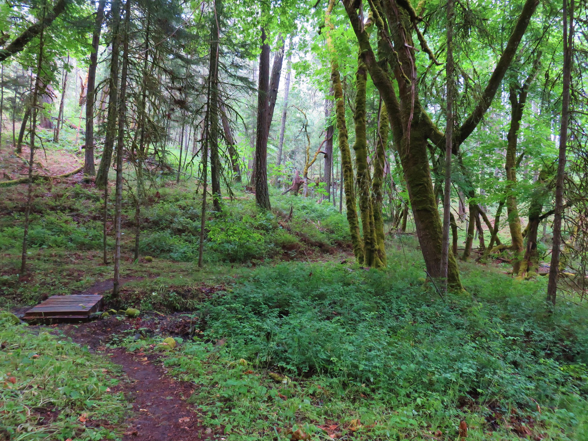
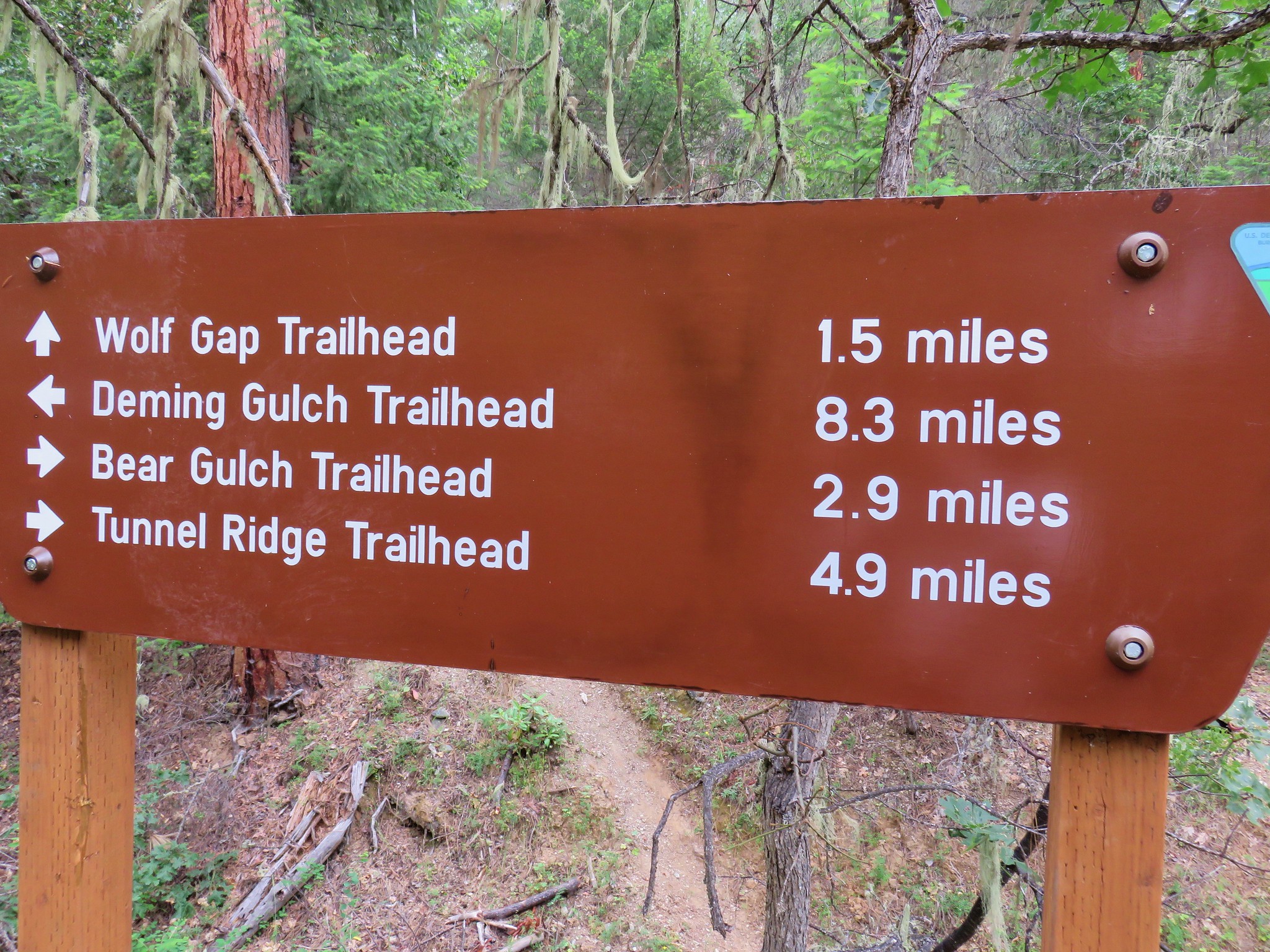
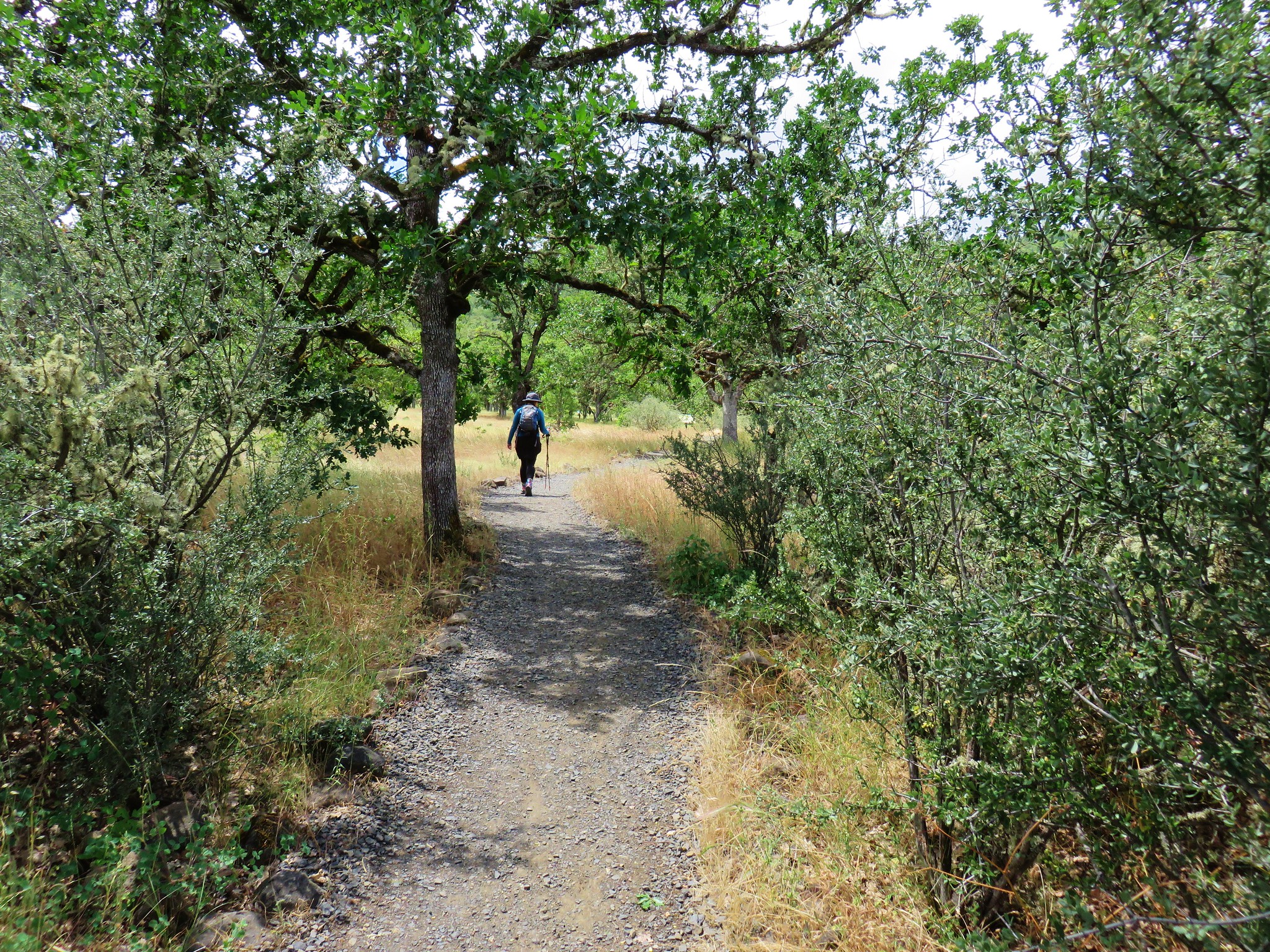
Several years ago we set a goal for ourselves to hike all 500 featured hikes in William L. Sullivan’s “100 Hikes…” series of guidebooks (post). In 2020 we completed the first of these books covering the Central Oregon Cascades (post). We followed that up by completing a pair of books in 2021 starting with Sullivan’s “100 Hikes/Travel Guide Oregon Coast and Coast Range” 3rd edition (post) followed up by “100 HIkes/Travel Guide Northwest Oregon & Southwest Washington” 4th edition (post).
Generally speaking in order to check a hike off our list we need to have hiked a substantial portion of Sullivan’s described hike or visited the main attraction(s) he identifies for the hike. For 66 of the hikes we followed the books described route. For the other 34 hikes various factors contributed to us not completing all of each featured hike. For some we started at a different trailhead, others had portions of trail(s) closed when we visited, and several had longer options that would have required multiple days to complete. In some other cases we did slightly different routes, sometimes by accident.
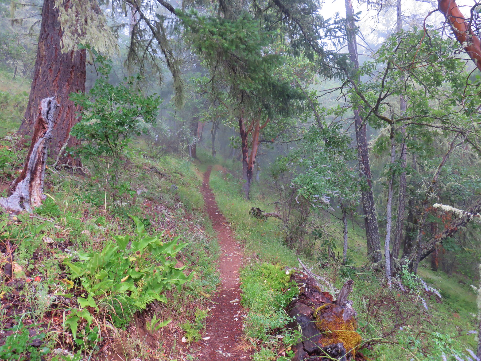
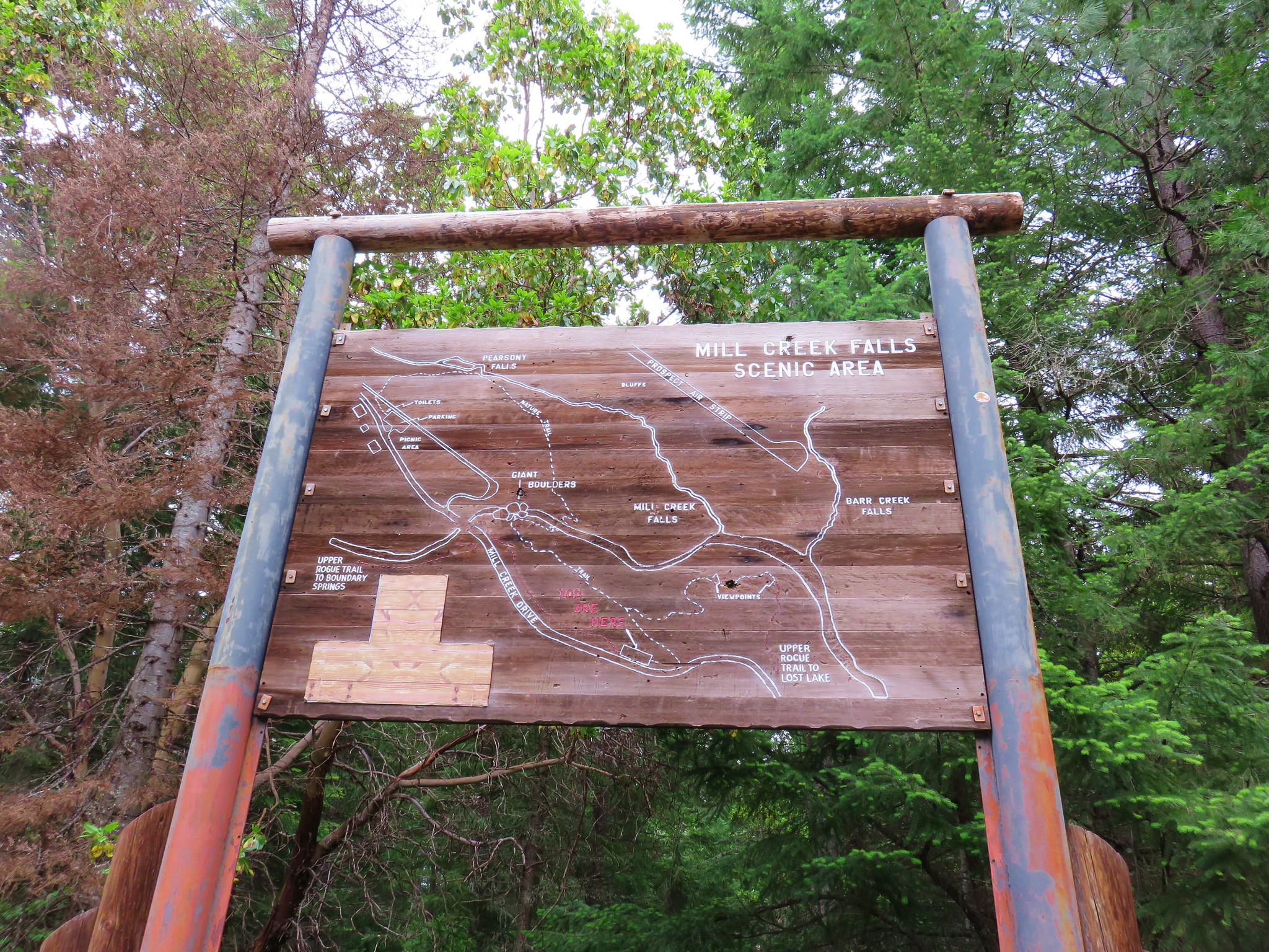
The area covered by Sullivan in this book, as the title suggests includes parts of Southern Oregon and Northern California. It contains his southernmost featured hike, Caribou Lakes. In general the area covered in Oregon begins just North of Roseburg extending East to Highway 97 (with the exception being Klamath Falls which is included in his Eastern Oregon book), South to California, and West to Marial on the Rogue River. In California the area extends south to the Trinity Alps Wilderness, West to the Siskiyou Wilderness, and East to the Mount Shasta Wilderness.


In addition to the three wilderness areas in California mentioned above the featured hikes included visits to the Marble Mountain, Castle Crags, Russian, and Red Buttes Wilderness areas in California. Wilderness areas in Oregon included the Red Buttes (OR & CA share this wilderness), Kalmiopsis, Wild Rogue, Soda Mountain, Mountain Lakes, Sky Lakes, Rogue-Umpqua Divide, Boulder Creek, and Mt. Thielsen.
In addition to the 15 designated wilderness areas there were hikes in two National Monuments – Oregon Caves & Cascade-Siskiyou, and Crater Lake National Park.
#1 North Bank Ranch-Hiked 6/5/2015 6/25/2023

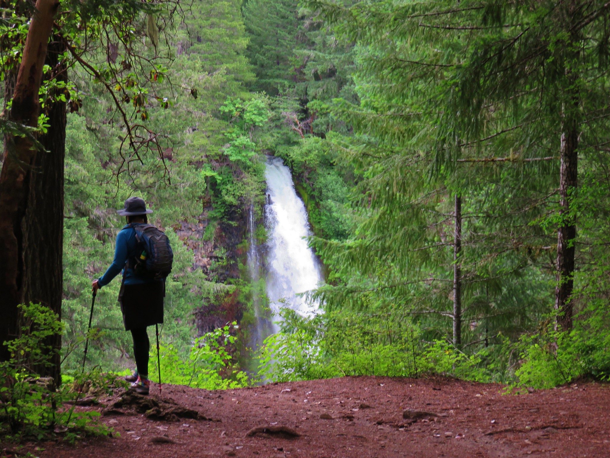
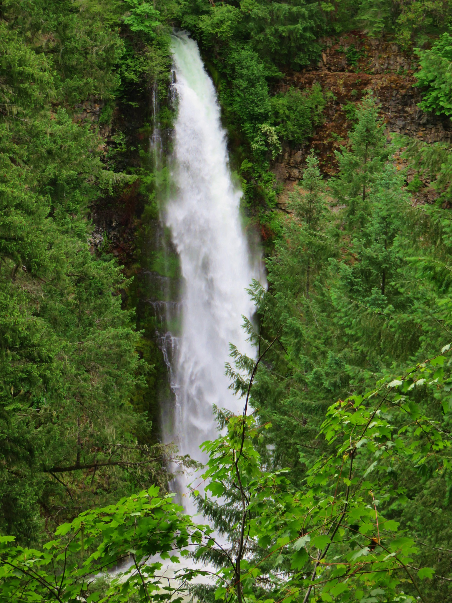
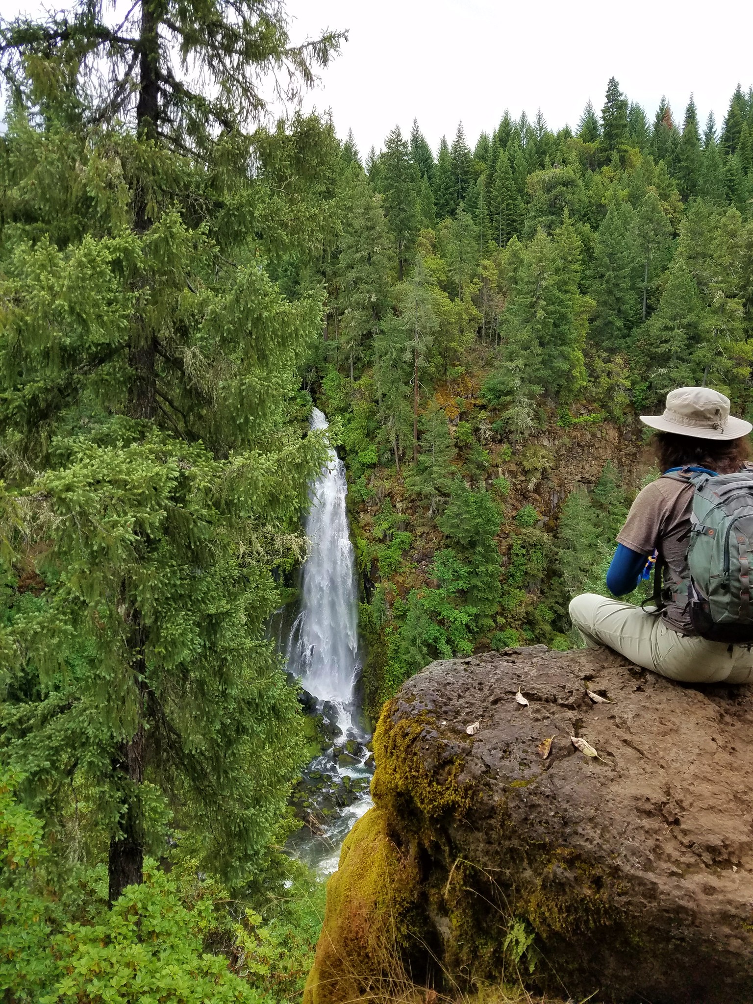
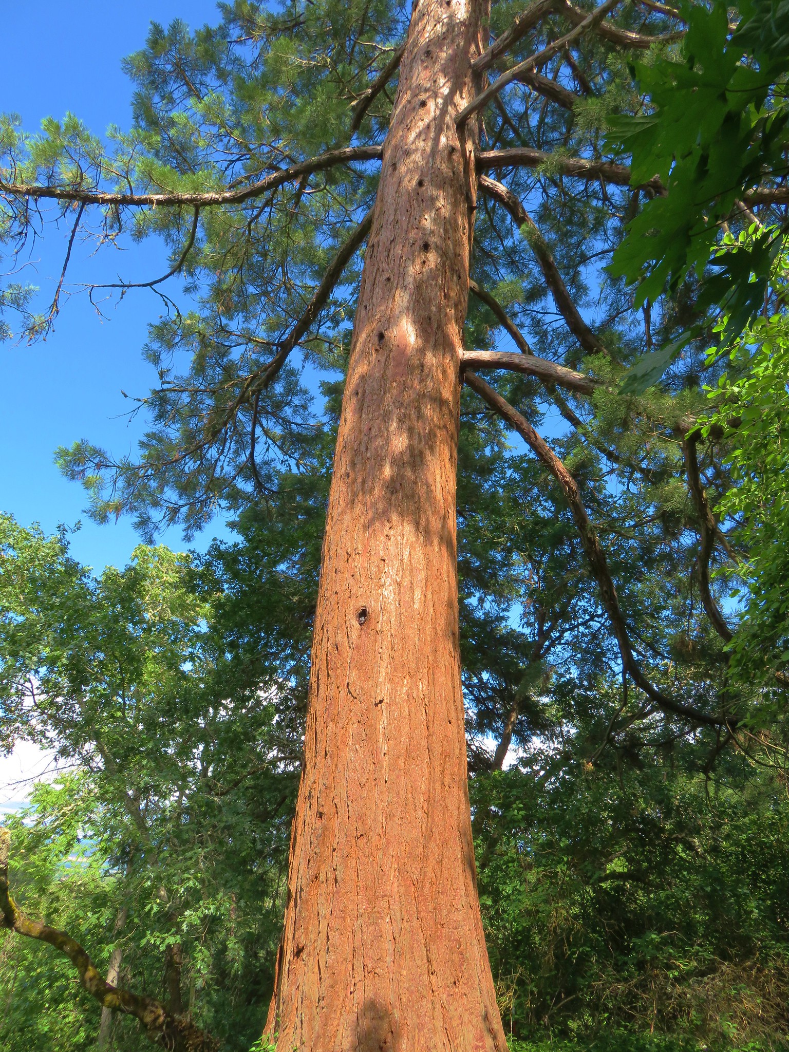
#2 Fall Creek Falls-Hiked 6/13/2022 8/7/2022 6/25/2023
 Fall Creek Falls
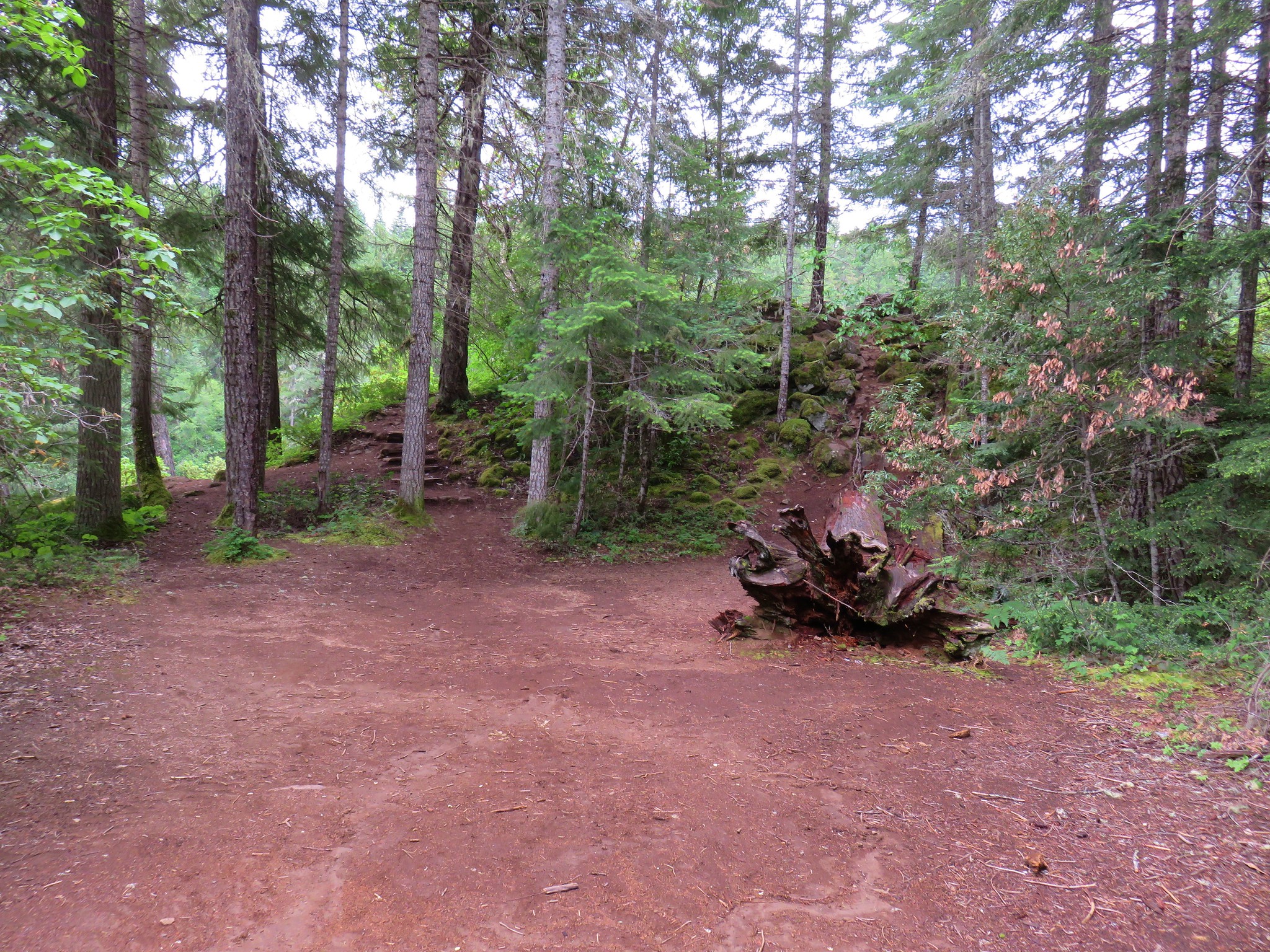
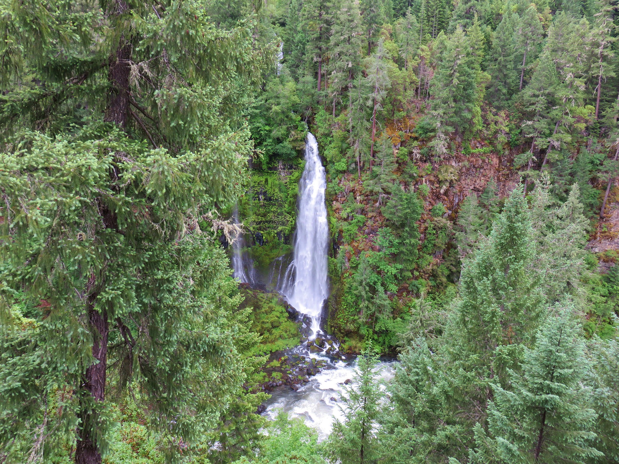
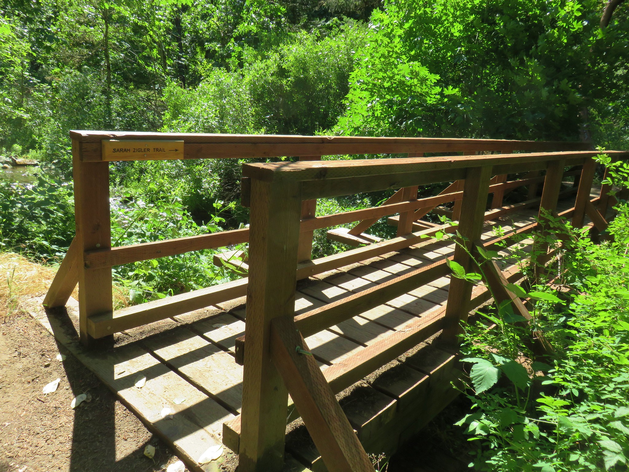
#3 Little River Waterfalls-Hiked 8/7/2022
 Yasko Falls
#4 Boulder Creek-Hiked 9/7/2020

#5 Twin Lakes-Hiked 6/14/2022

#6 Fish Lake-Hiked 9/3/2022

#7 Buckey and Cliff Lakes-Hiked 9/3/2022

#8 Umpqua Hot Springs-Hiked 6/13/2022

#9 Toketee and Watson Falls-Hiked 6/13/2022

#10 Lemolo Falls-Hiked 6/13/2022

#11 Cowhorn Mountain-Hiked 9/15/2016

#12 Miller and Maidu Lakes-Hiked 8/1/2012

#13 Tipsoo Peak-Hiked 10/2/2014

#14 Thielsen Creek-Hiked 8/8/2020

#15 Mount Thielsen-Hiked 9/23/2012

#16 Diamond Lake-Hiked 9/5/2020

#17 Mount Bailey-Hiked 8/12/2012

#18 Boundary Springs-Hiked 6/13/2014

#19 Park Headquarters-Hiked 7/31/2023

#20 Garfield Peak-Hiked 7/31/2023

#21 Discovery Point-Hiked 9/19/2022

#22 The Watchman-Hiked 8/12/2012 7/31/2023

#23 Wizard Island-Hiked 8/1/2023

#24 Mount Scott-Hiked 10/2/2014

#25 Plaikni Falls and The Pinnacles-Hiked 7/30/2023

#26 Crater Peak-Hiked 7/30/2023

#27 Annie Creek & Godfrey Glen-Hiked 7/30/2023 7/31/2023

#28 Union Peak-Hiked 9/17/2022

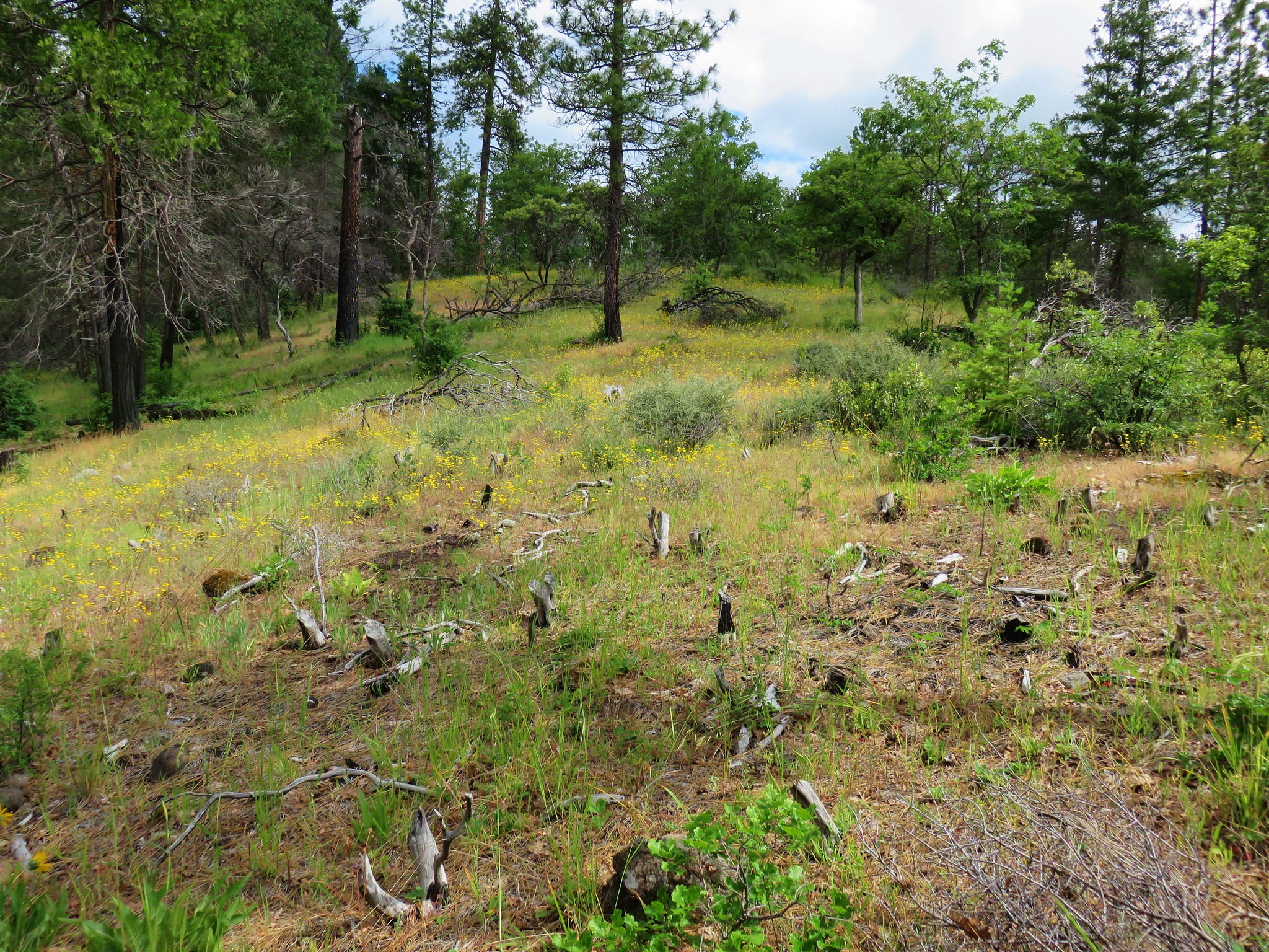
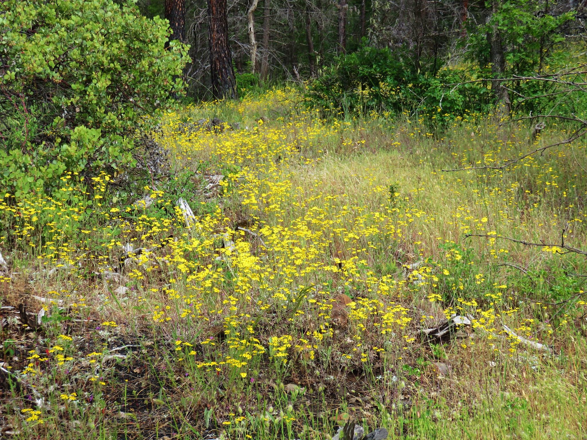
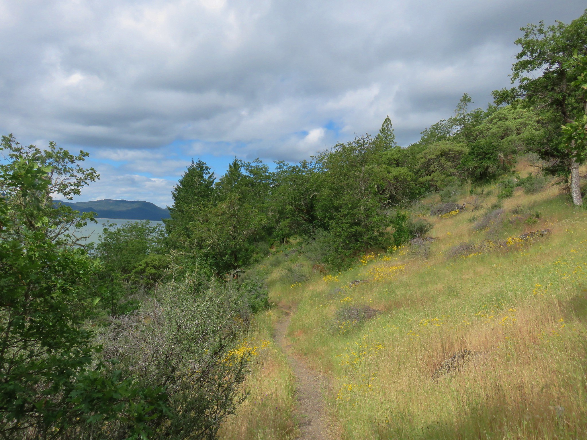
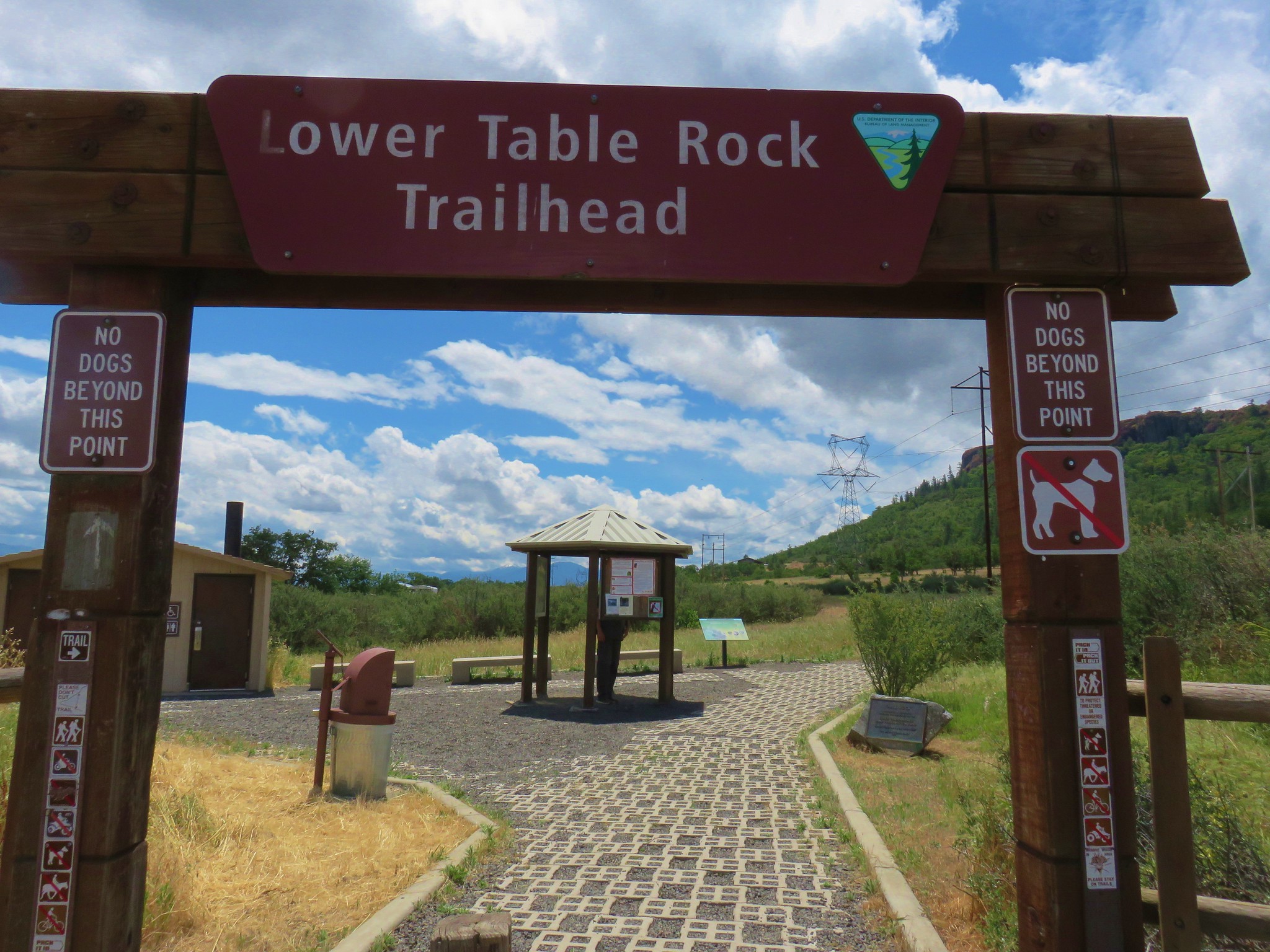
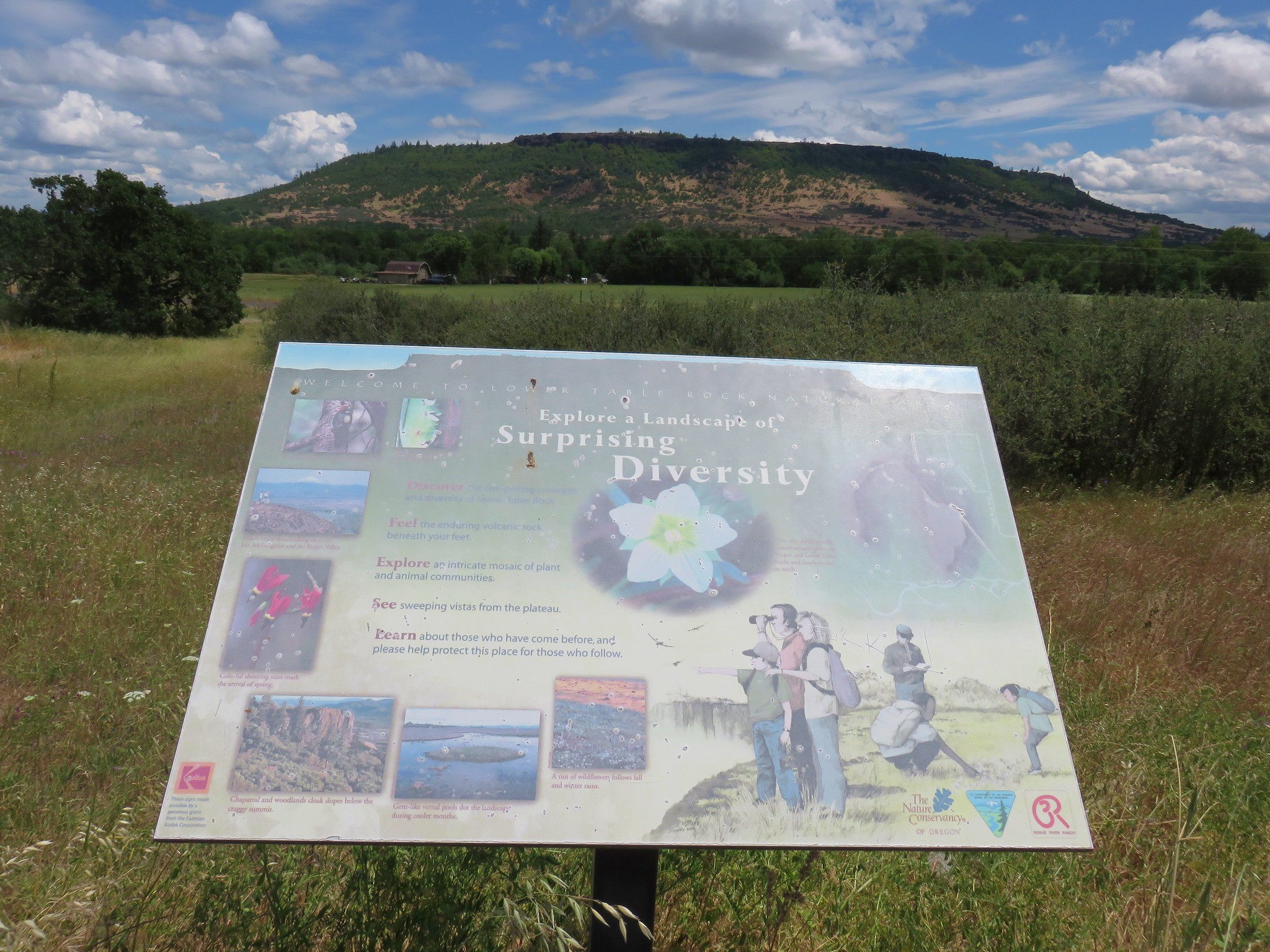
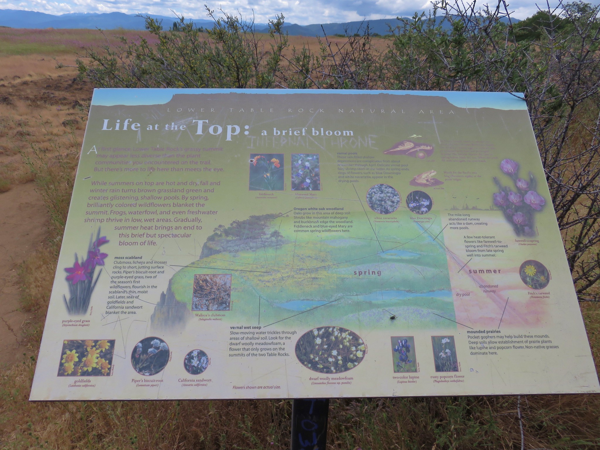
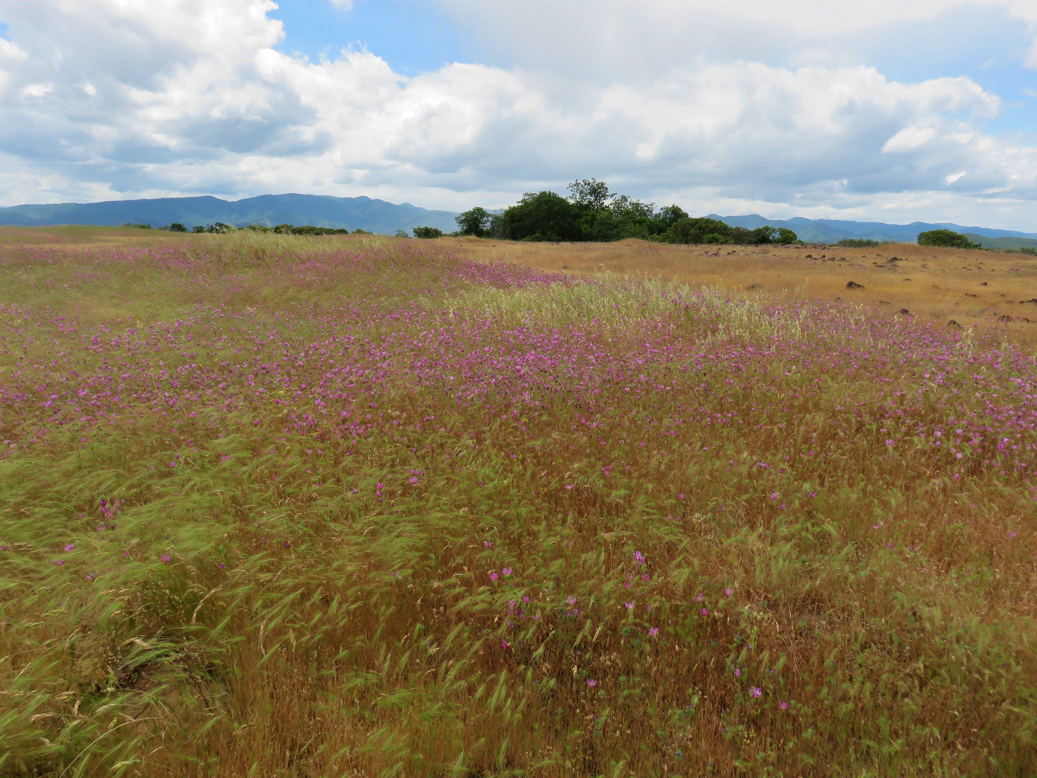
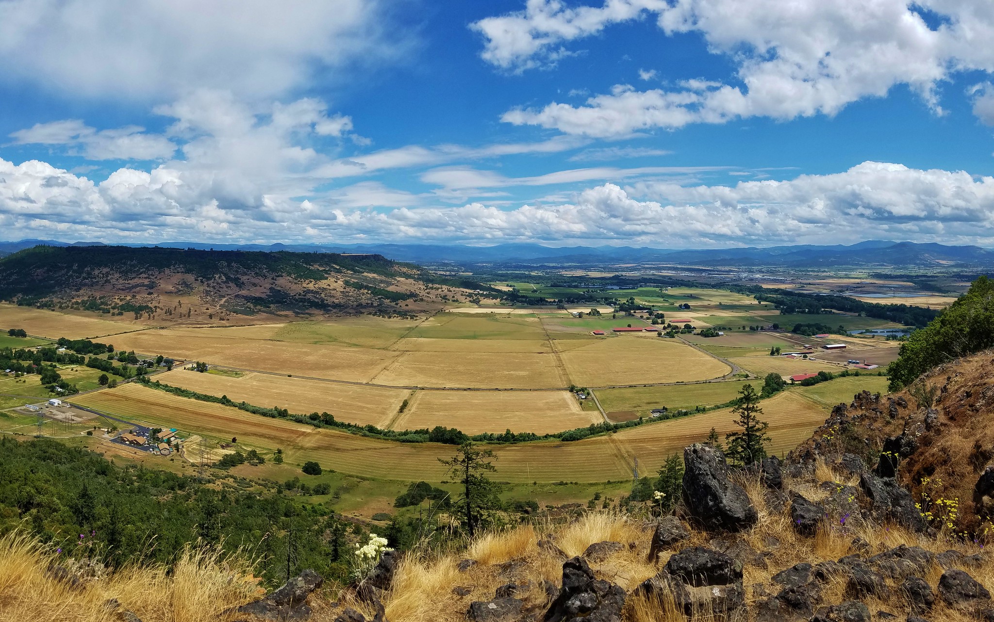
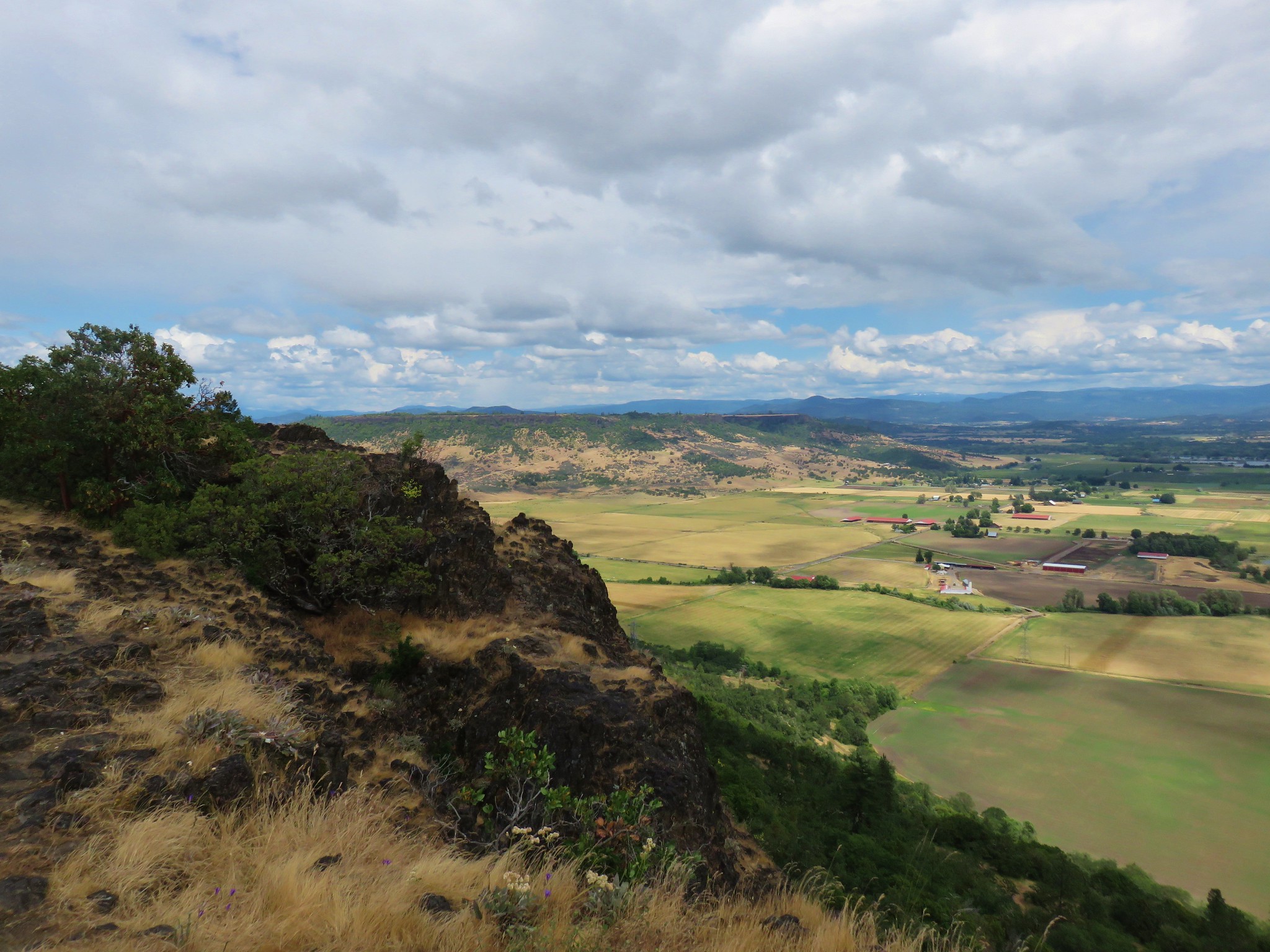
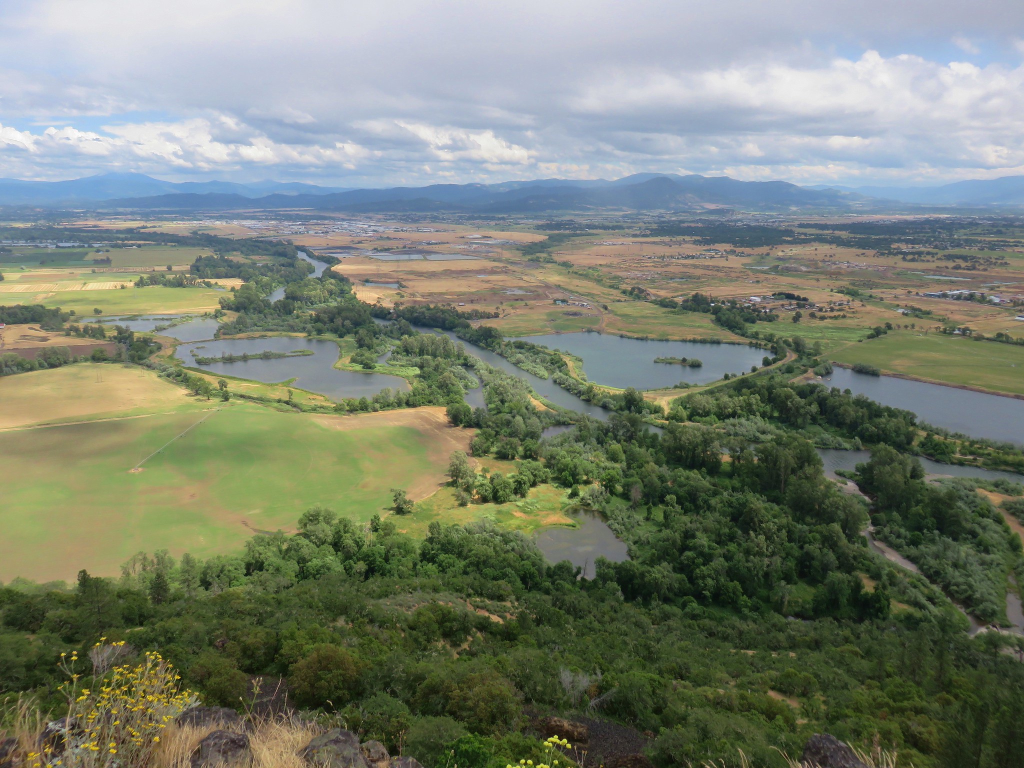
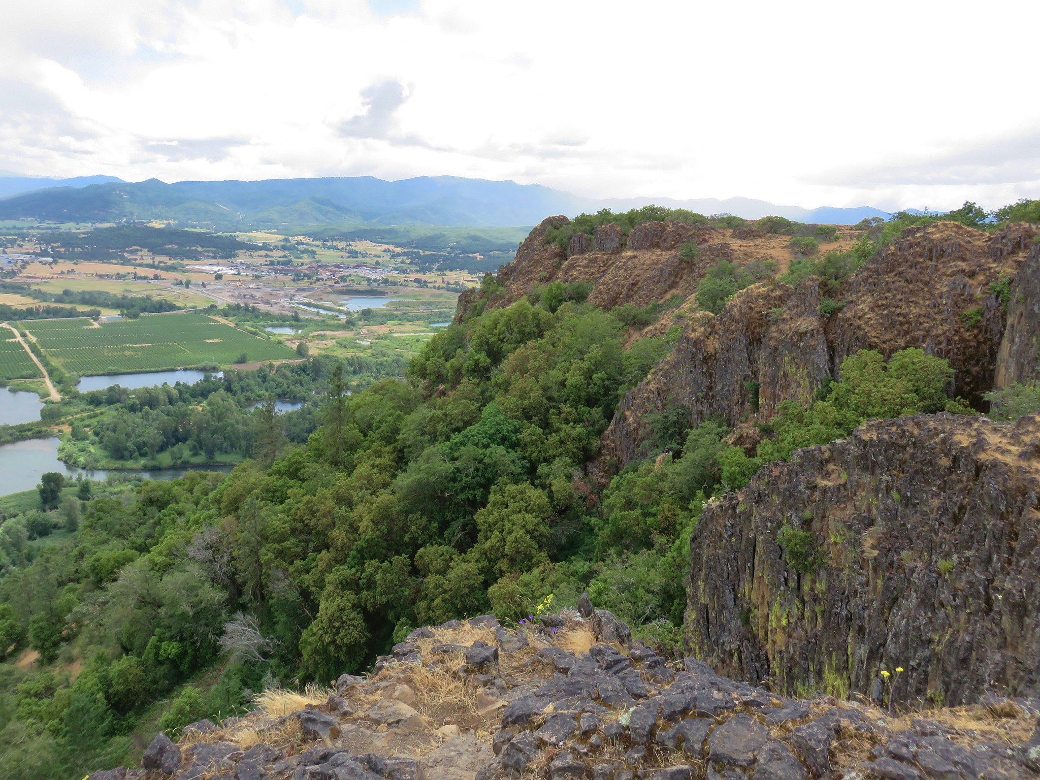
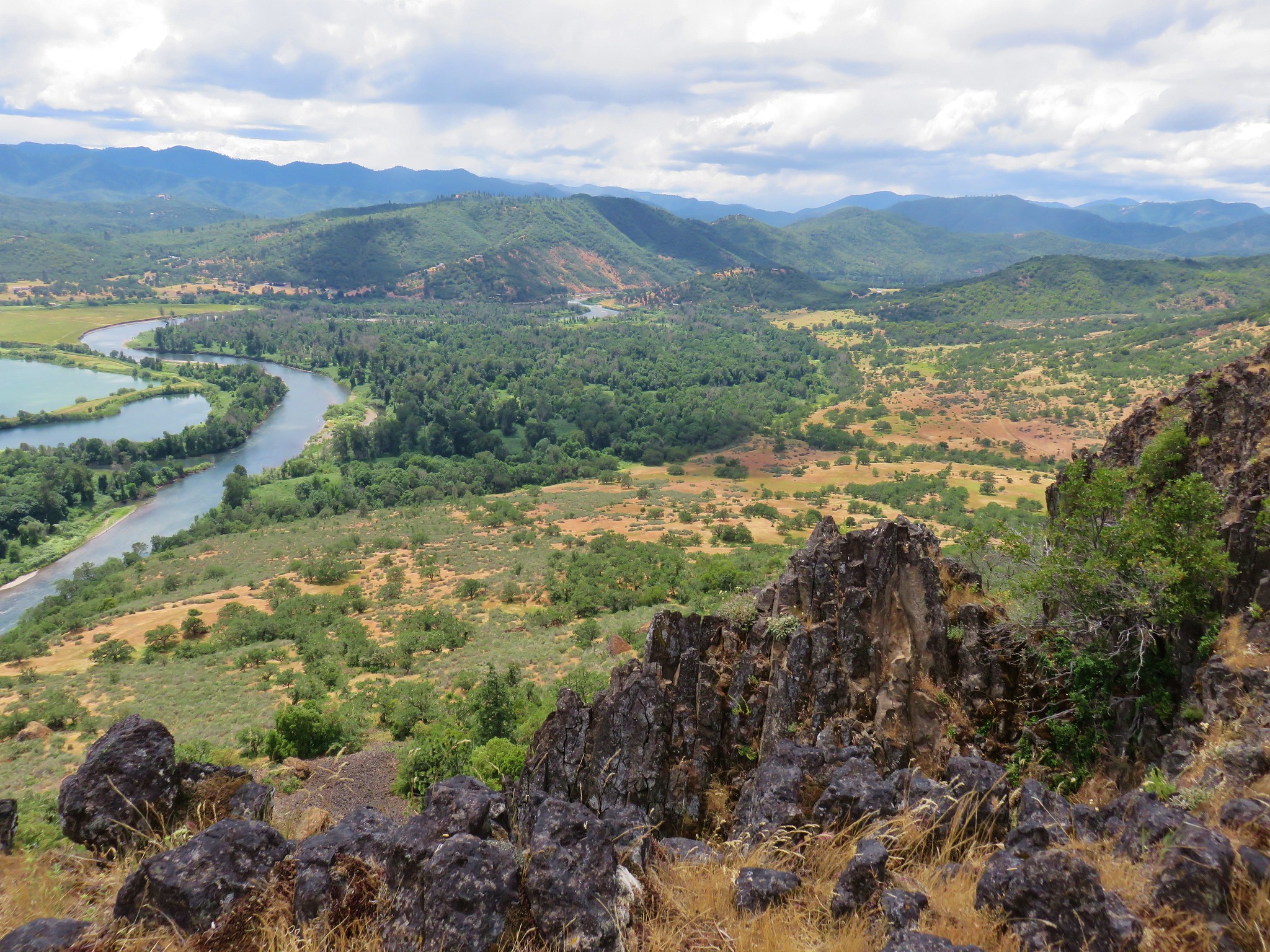
#29 Upper and Lower Table Rocks-Hiked 6/9/2017 (Lower) & 5/26/2022 (Upper)
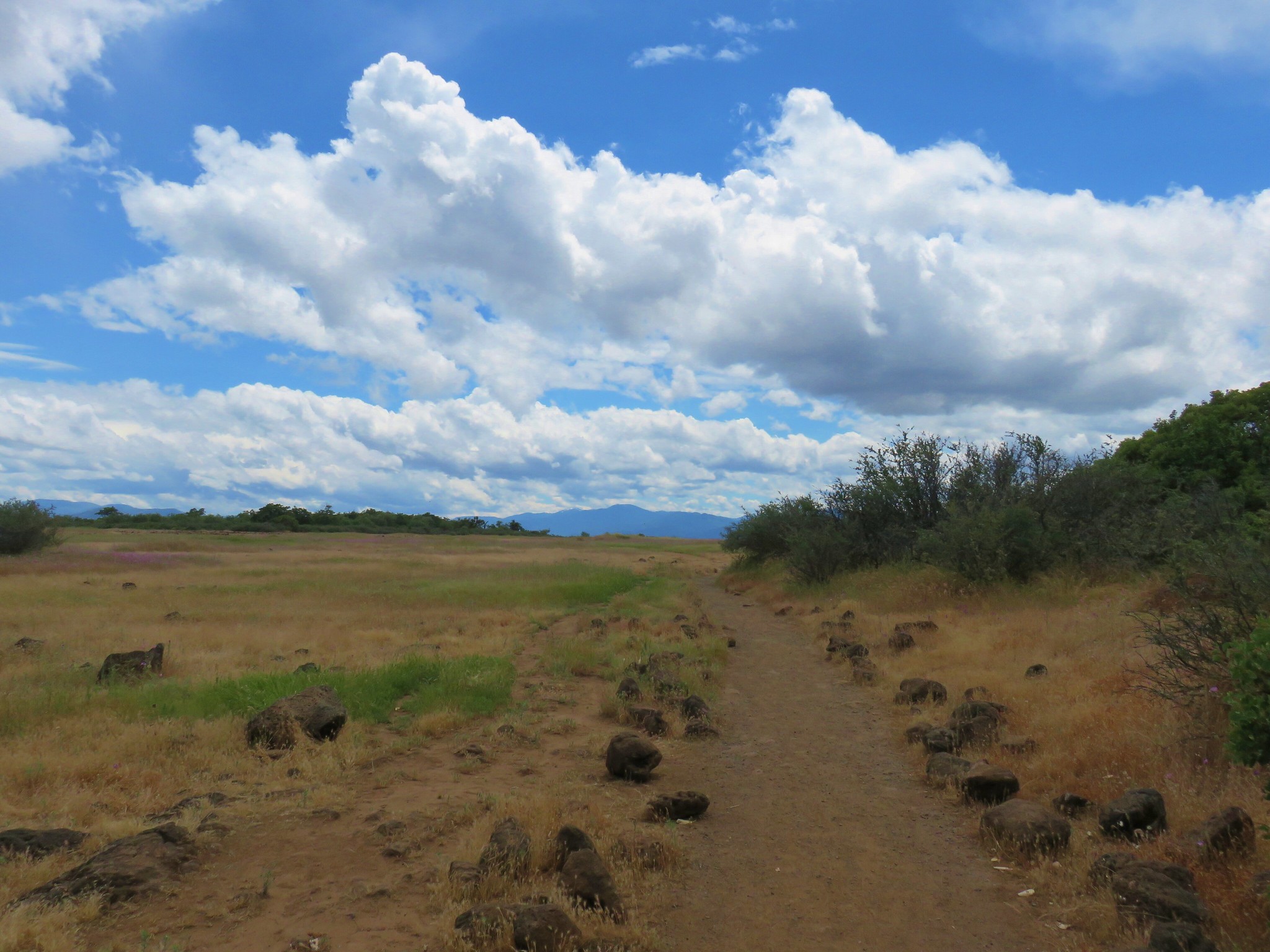
 Lower Table Rock
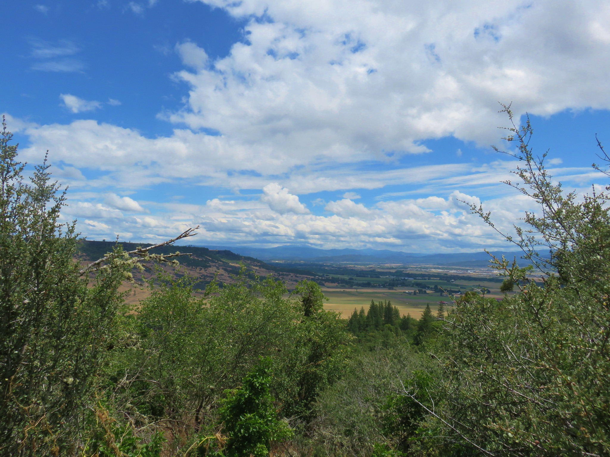
 View from Upper Table Rock
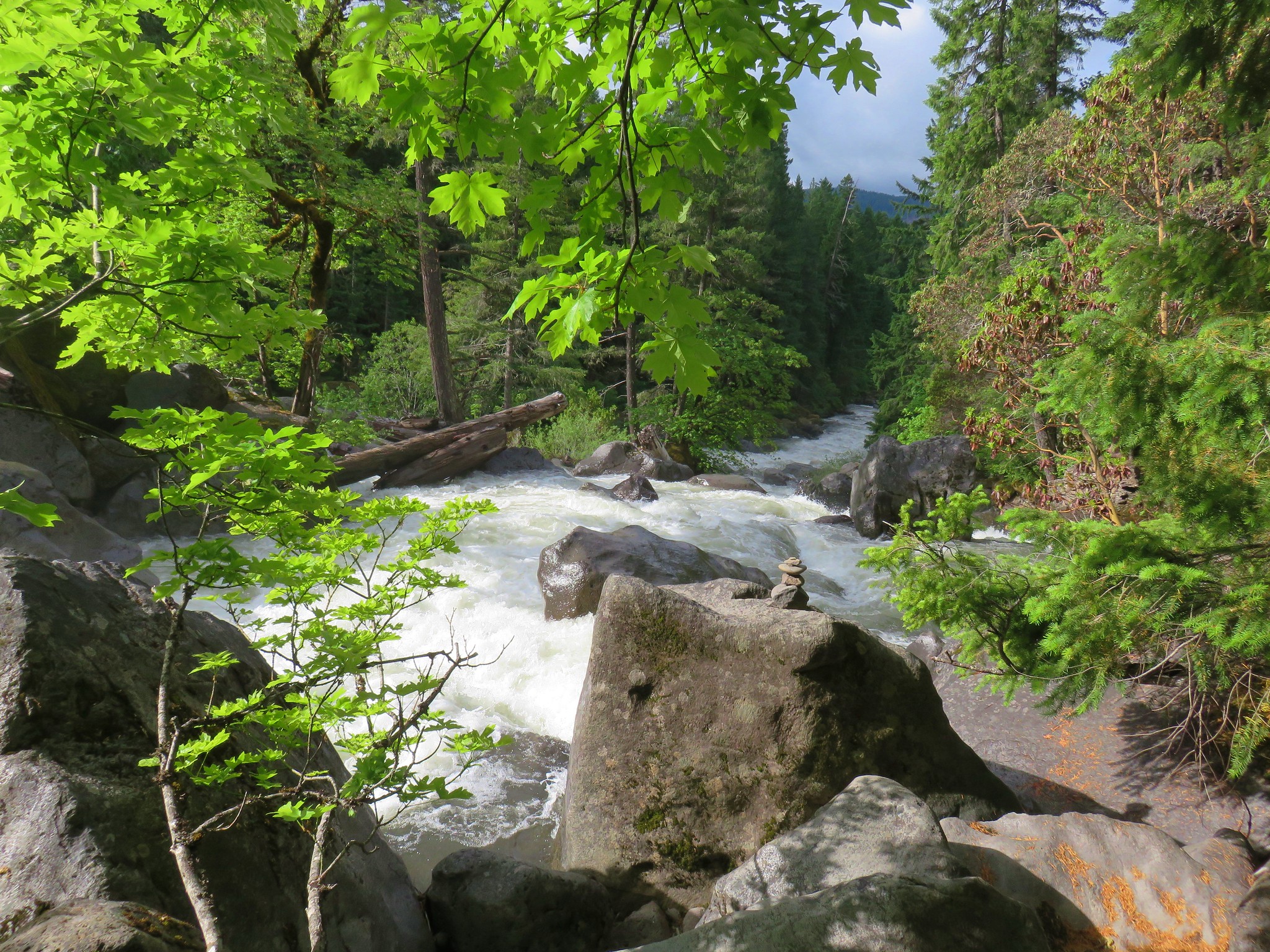
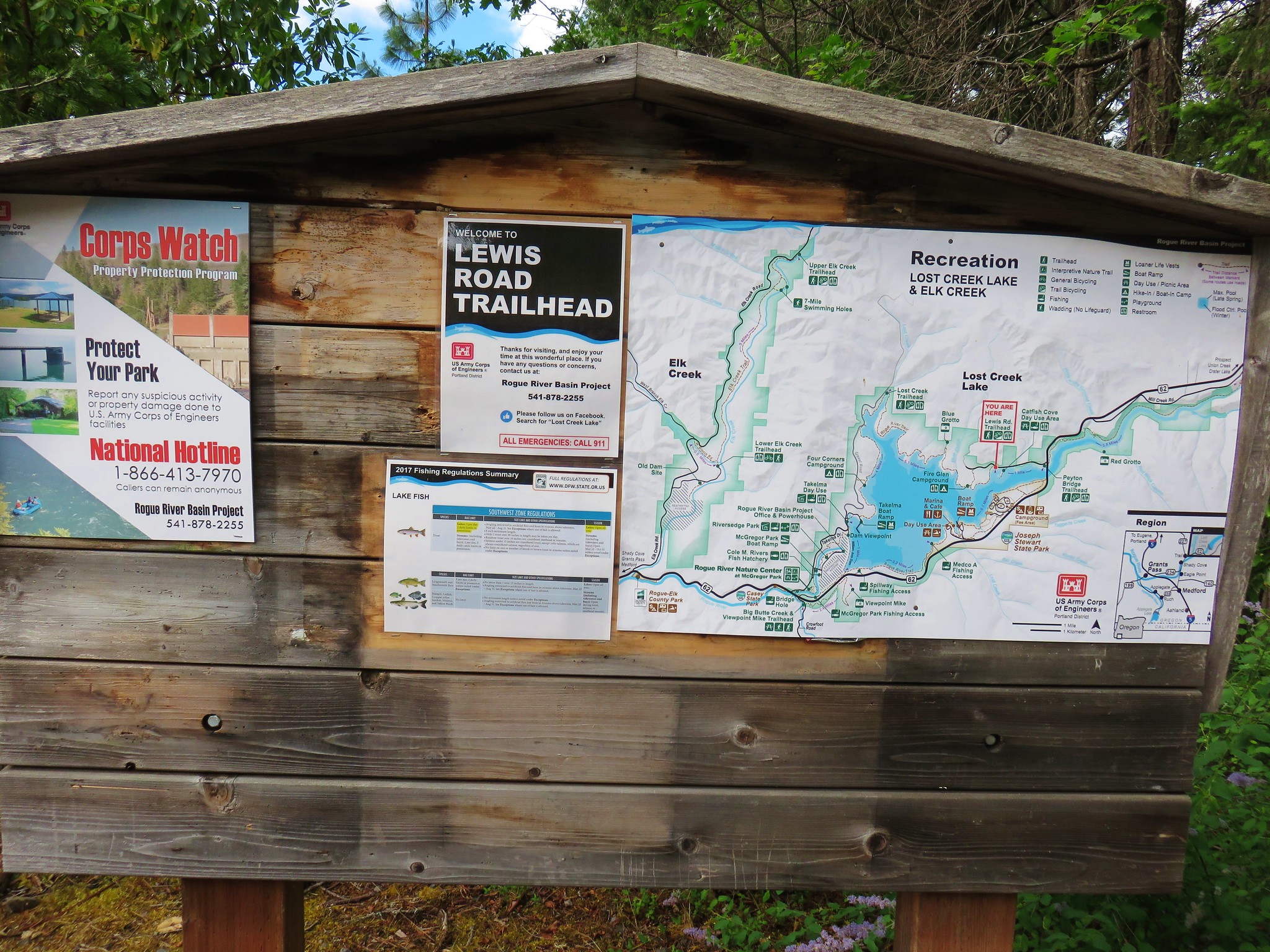
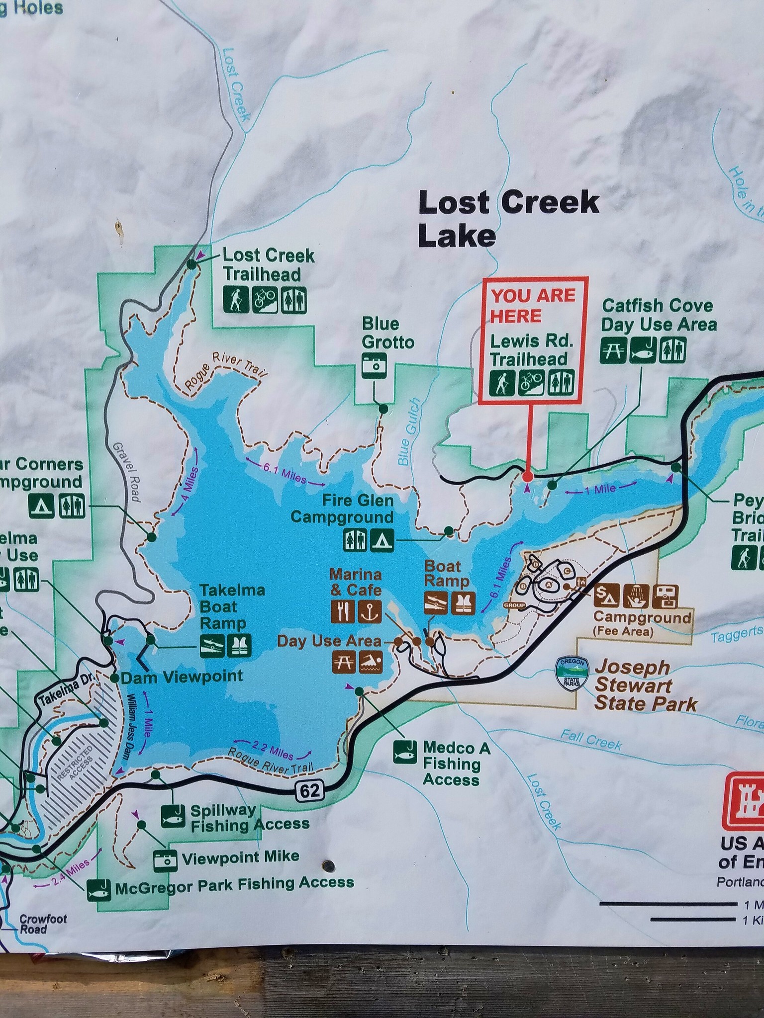
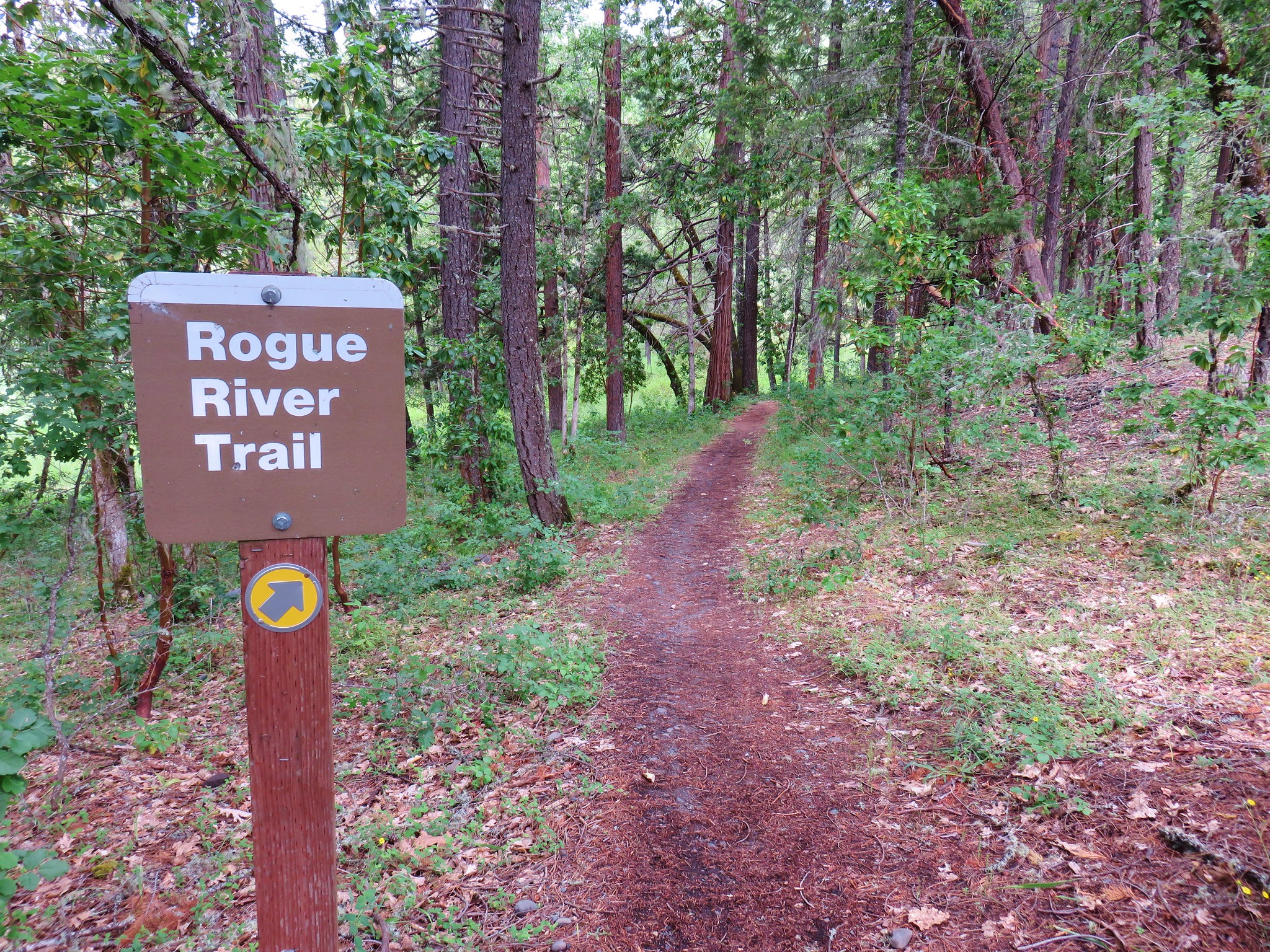
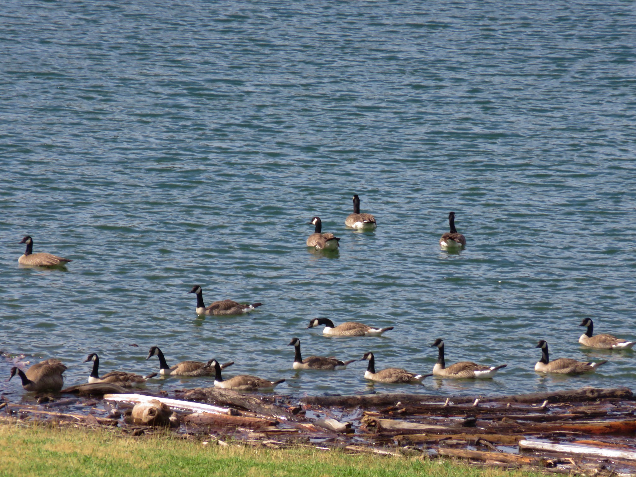
#30 Lost Creek Lake-Hiked 6/9/2017

#31 Takelma Gorge-Hiked 10/15/2020

#32 Natural Bridge-Hiked 10/16/2020

#33 Union Creek-Hiked 10/17/2020 9/20/2022

#34 Abbott Butte-Hiked 10/17/2020

#35 Hershberger Mountain-Hiked 10/16/2020

#36 Muir Creek-Hiked 5/27/2018

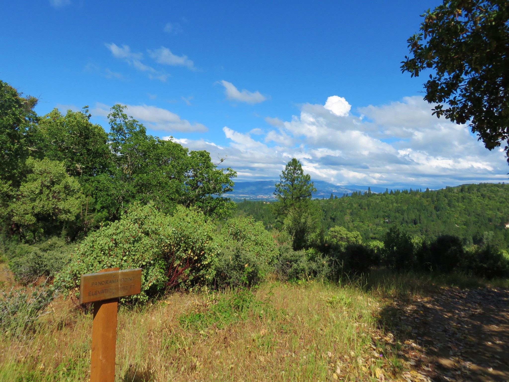
#37 Rattlesnake Mountain-Hiked 9/6/2020

#38 Seven Lakes West-Hiked 9/9/2023

#39 Seven Lakes East-Hiked 9/9/2023

#40 Blue Lake Basin-Hiked 9/18/2022

#41 Mount McLoughlin-Hiked 8/27/2016

#42 Fourmile Lake-Hiked 8/26/2016

#43 Sky Lakes via Cold Springs-Hiked 9/24/2022

#44 Sky Lakes via Nannie Creek-Hiked 9/24/2022

#45 Fish Lake-Hiked 10/7/2018

#46 Brown Mountain Lava Flow-Hiked 8/28/2016

#47 Lake of the Woods-Hiked 10/7/2018

#48 Mountain Lakes-Hiked 8/25/2016

#49 Soda Mountain-Hiked 6/3/2015

#50 Pilot Rock-Hiked 7/29/2017

#51 Mount Ashland Meadows-Hiked 6/3/2015

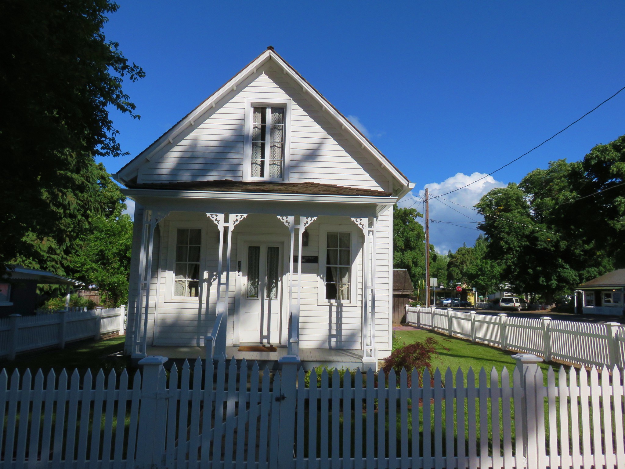
#52 Lithia Park-Hiked 6/2/2015

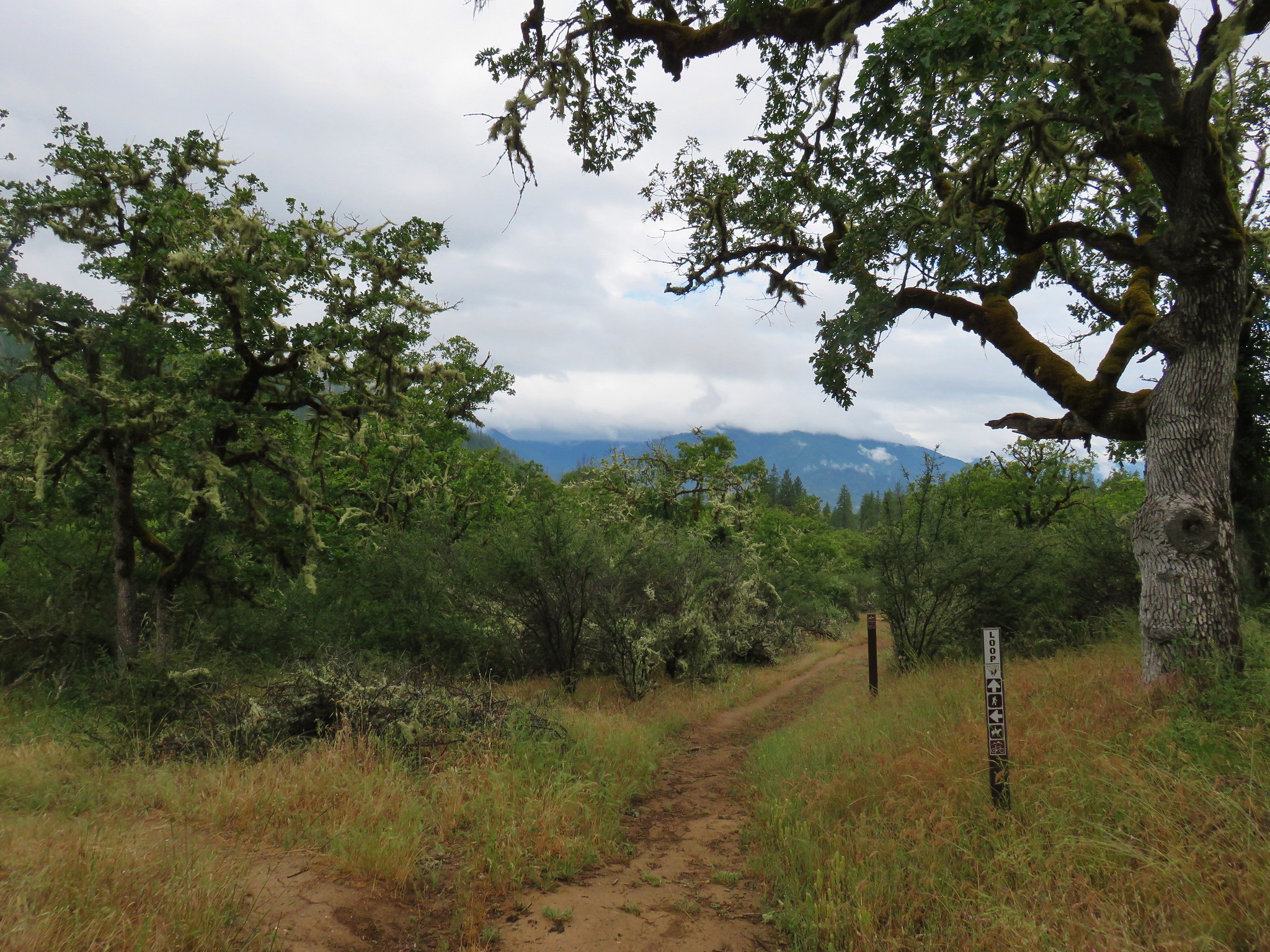
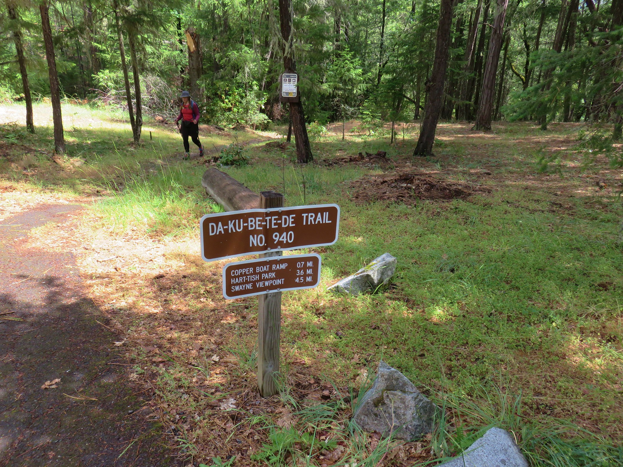
#53 Bandersnatch Trail-Hiked 6/17/2022

#54 White Rabbit Trail-Hiked 6/17/2022

#55 Grizzly Peak-Hiked 6/5/2015

#56 Roxy Ann Peak-Hiked 5/30/2022

#57 Wagner Butte-Hiked 6/4/2015

#58 Siskiyou Gap-Hiked 6/16/2022

#59 Jack-Ash Trail-Hiked 5/27/2022

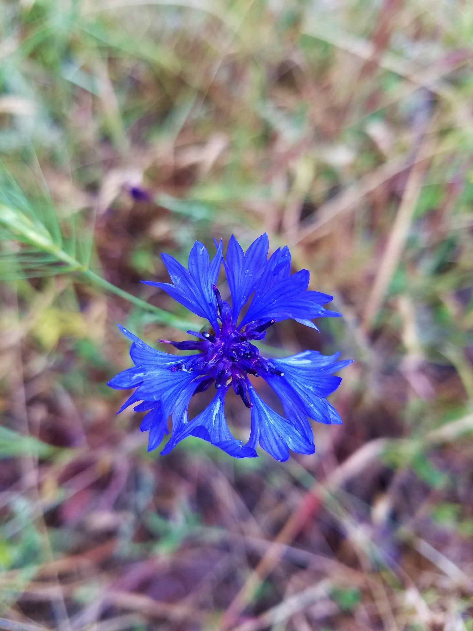
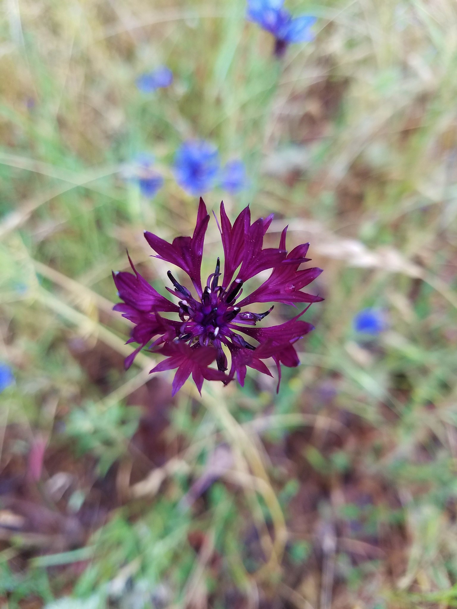
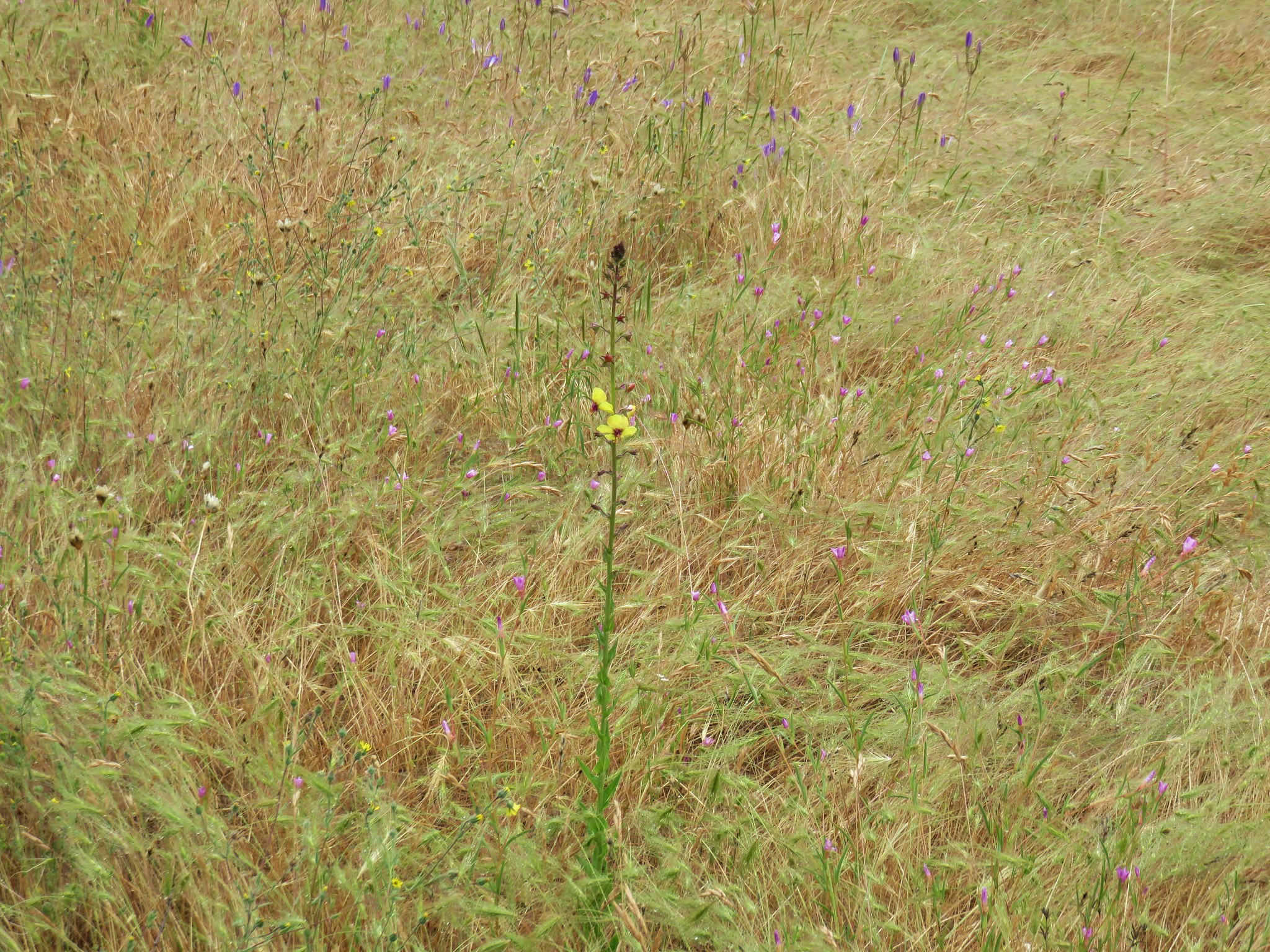
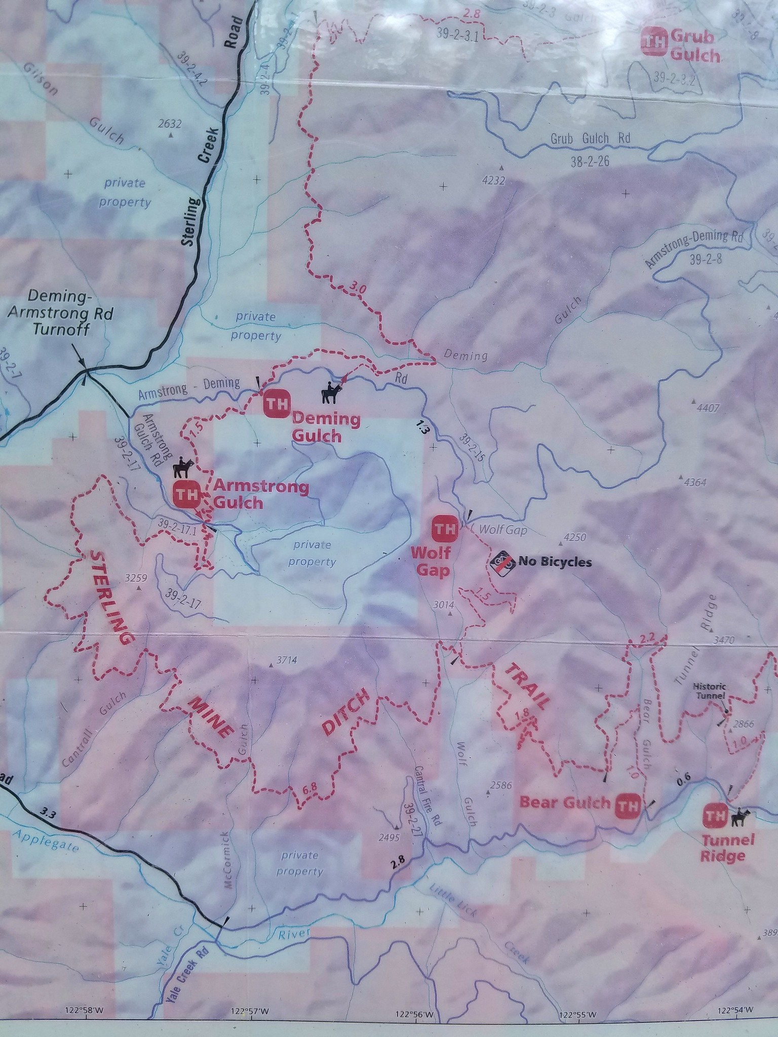
#60 Sterling Ditch Tunnel-Hiked 6/10/2017 5/2/2023

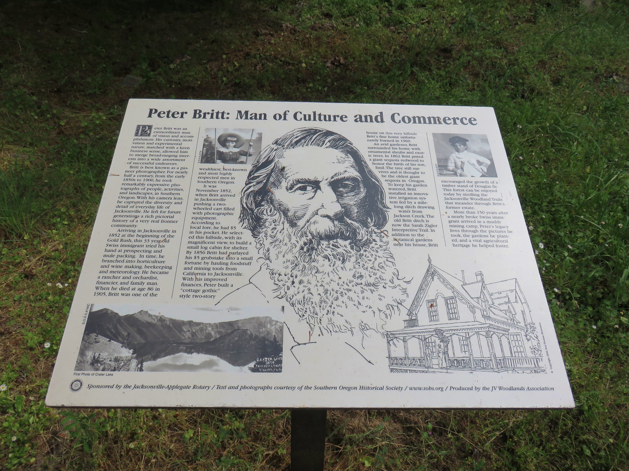
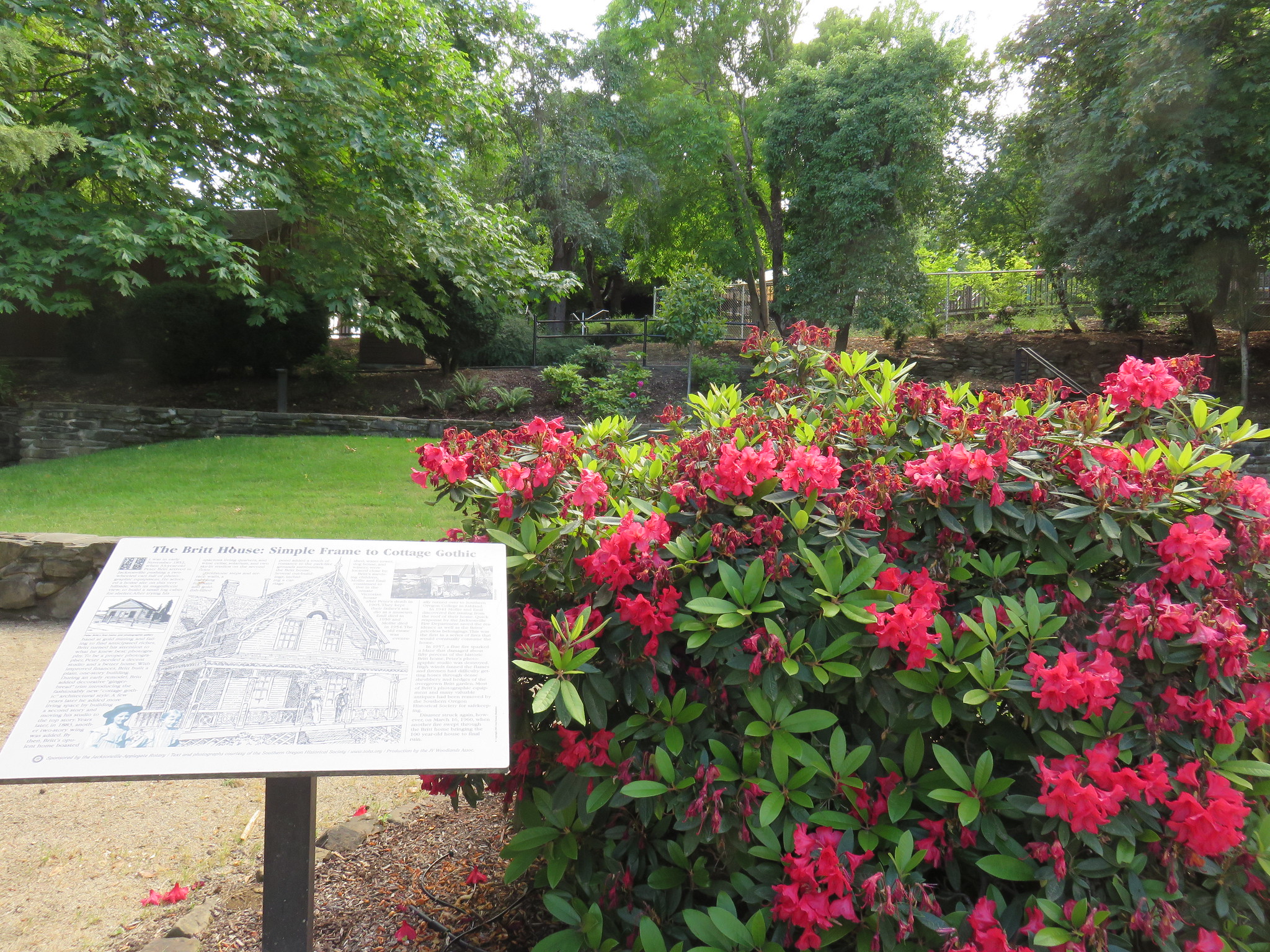
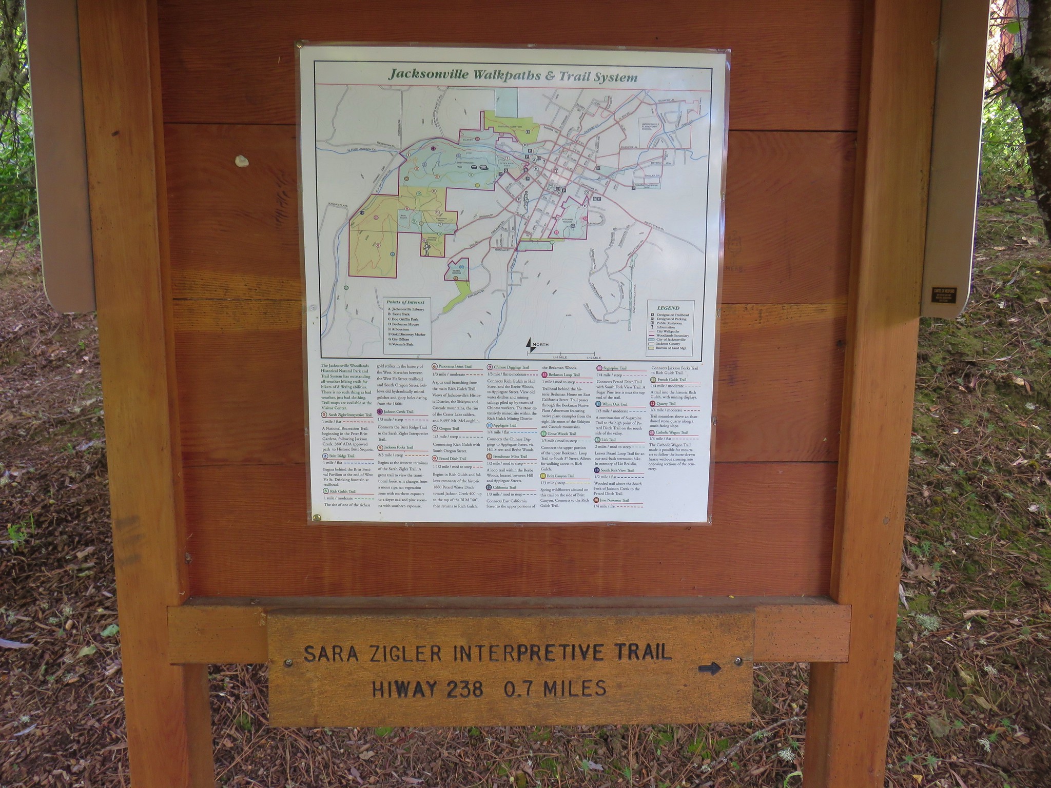
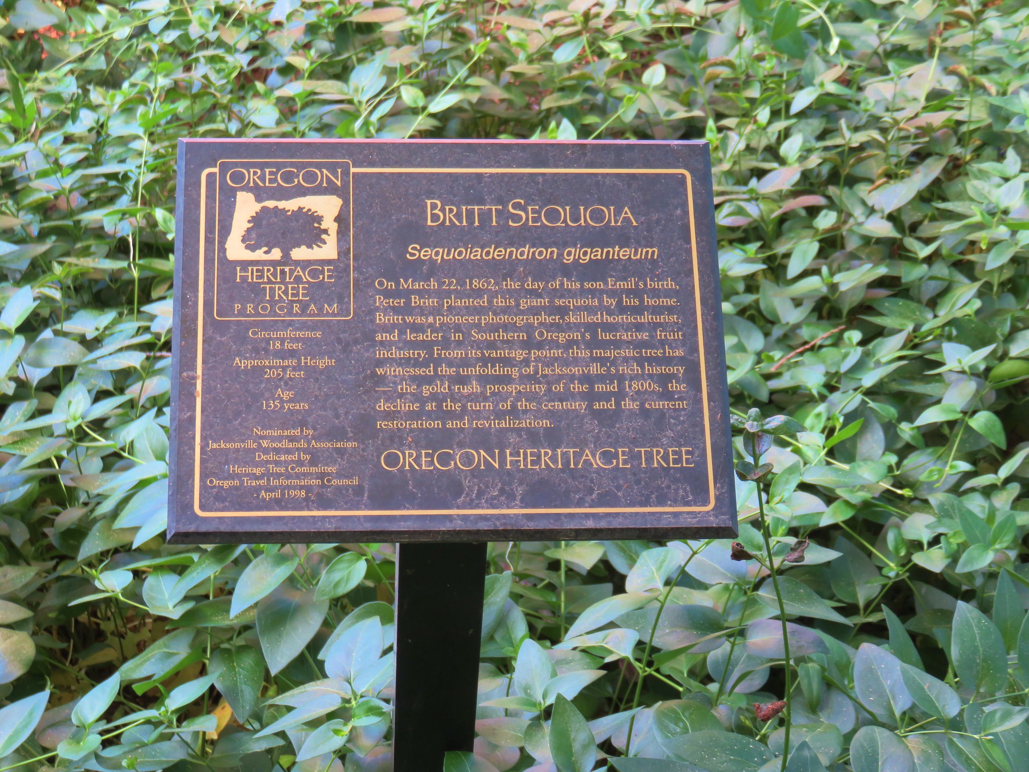
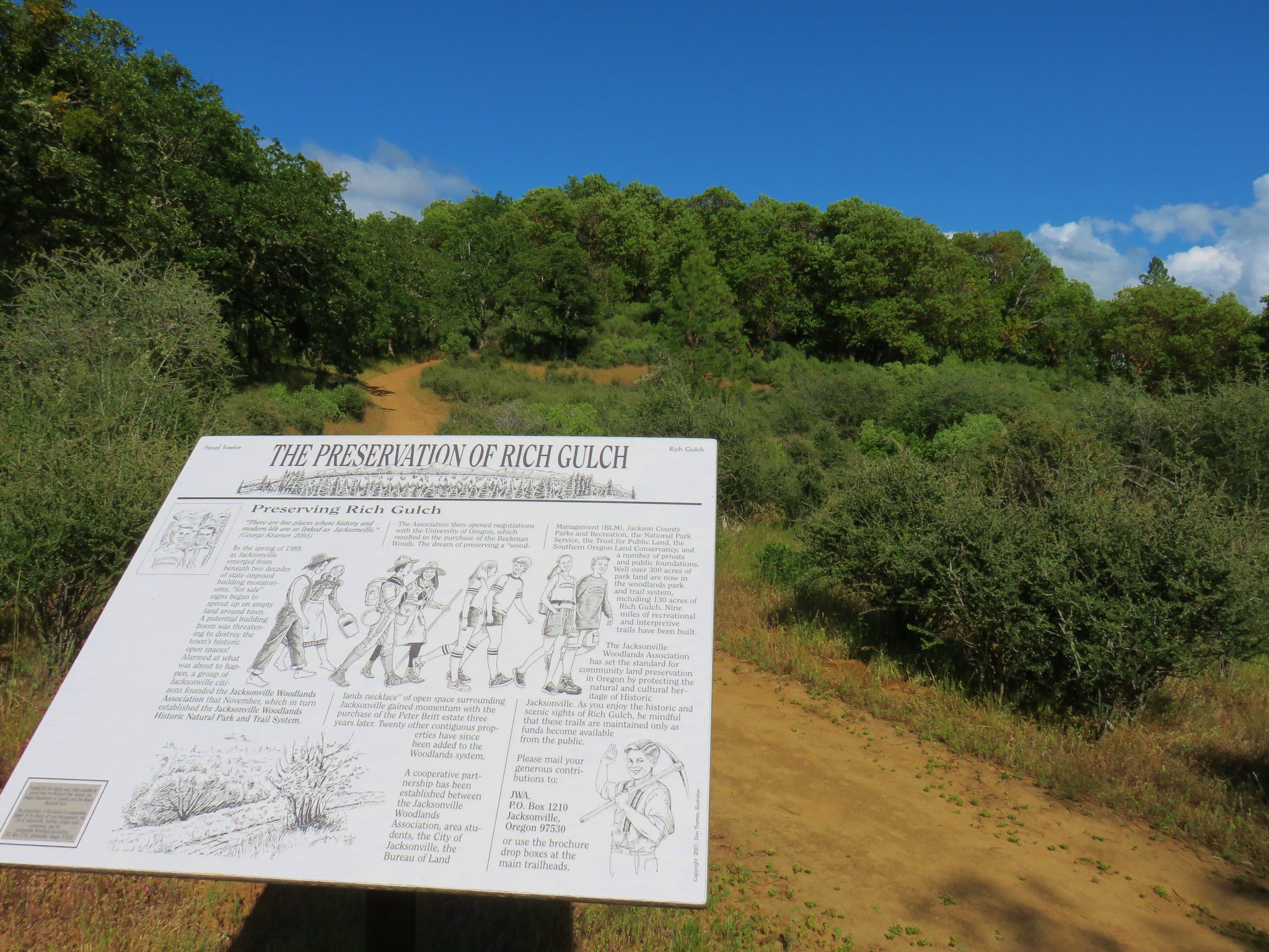
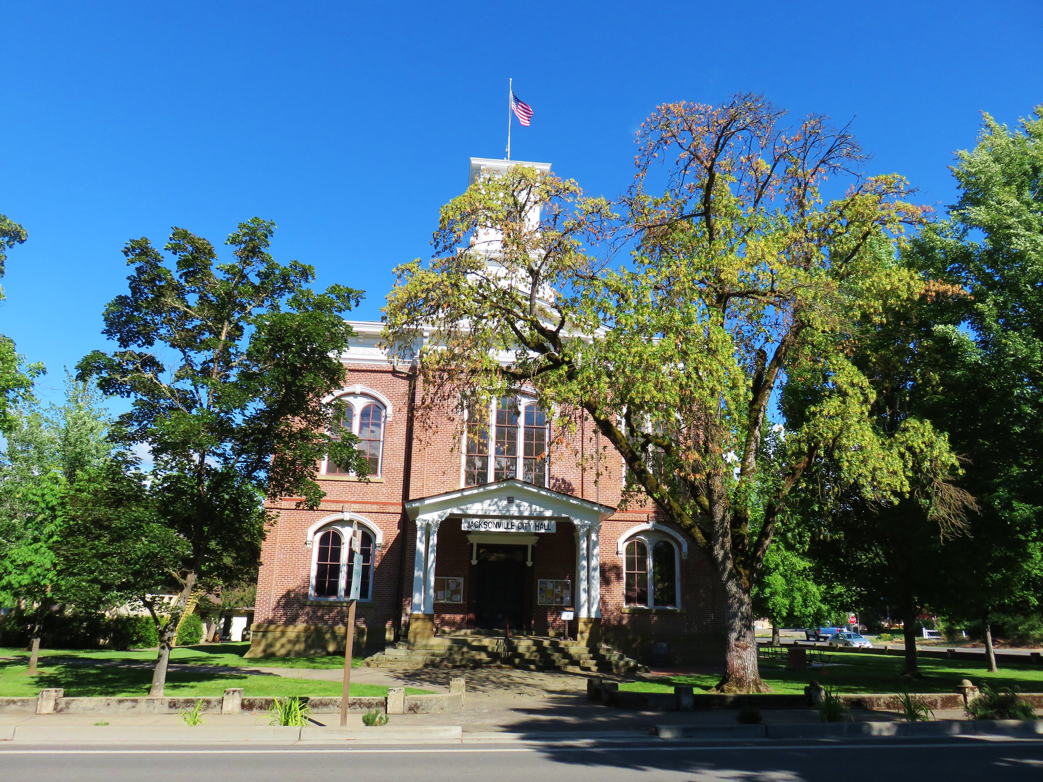
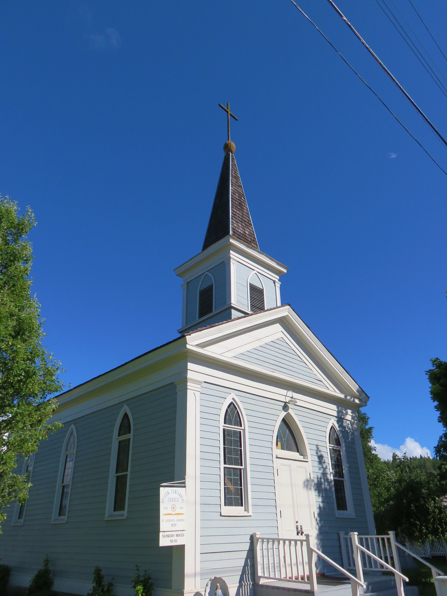
#61 Jacksonville-Hiked 6/8/2017

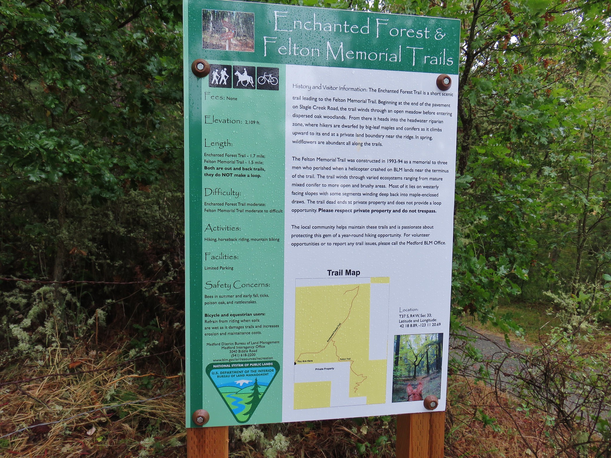
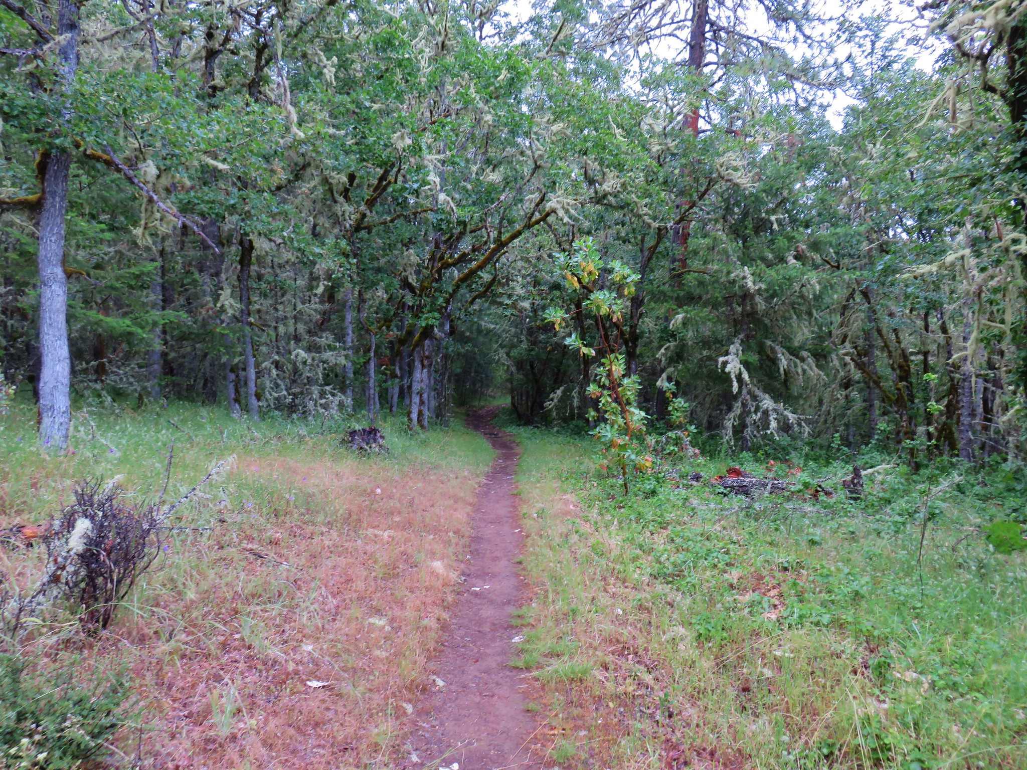
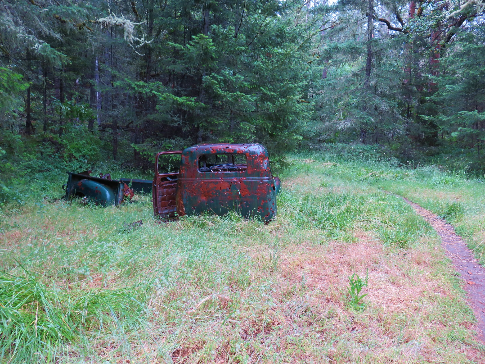
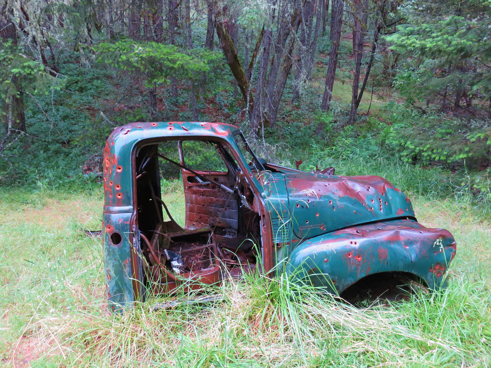
#62 Enchanted Forest-Hiked 6/11/2017

#63 Observation Peak-Hiked 6/15/2022

#64 Collings Mountain-Hiked 6/8/2017

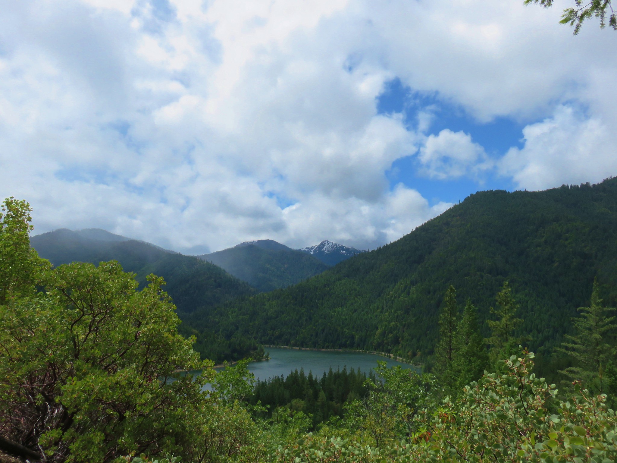
#65 Applegate Lake-Hiked 6/8/2017 5/29/2022

#66 Red Buttes-Hiked 10/27/2015

#67 Frog Pond-Hiked 6/18/2022

#68 Azalea Lake-Hiked 10/26/2015

#69 Sturgis Fork-Hiked 10/7/2023

#70 Grayback Mountain-Hiked 10/9/2023

#71 Oregon Caves-Hiked 10/30/2015

#72 Mount Elijah-Hiked 10/7/2023

#73 Sucker Creek-Hiked 10/26/2015

#74 Tanner Lakes-Hiked 10/8/2023

#75 Bolan Lake-Hiked 10/8/2023

#76 Polar Bear Gap-Hiked 7/1/2022

#77 Raspberry Lake-Hiked 7/3/2022

#78 Devils Punchbowl-Hiked 7/2/2022

#79 Rough and Ready Creeks-Hiked 5/12/2017

#80 Babyfoot Lake-Hiked 10/9/2023

#81 Eight Dollar Mountain-Hiked 5/4/2023

#82 Illinois River Beaches-Hiked 5/4/2023

#83 Grants Pass Nature Trails 5/3/2023

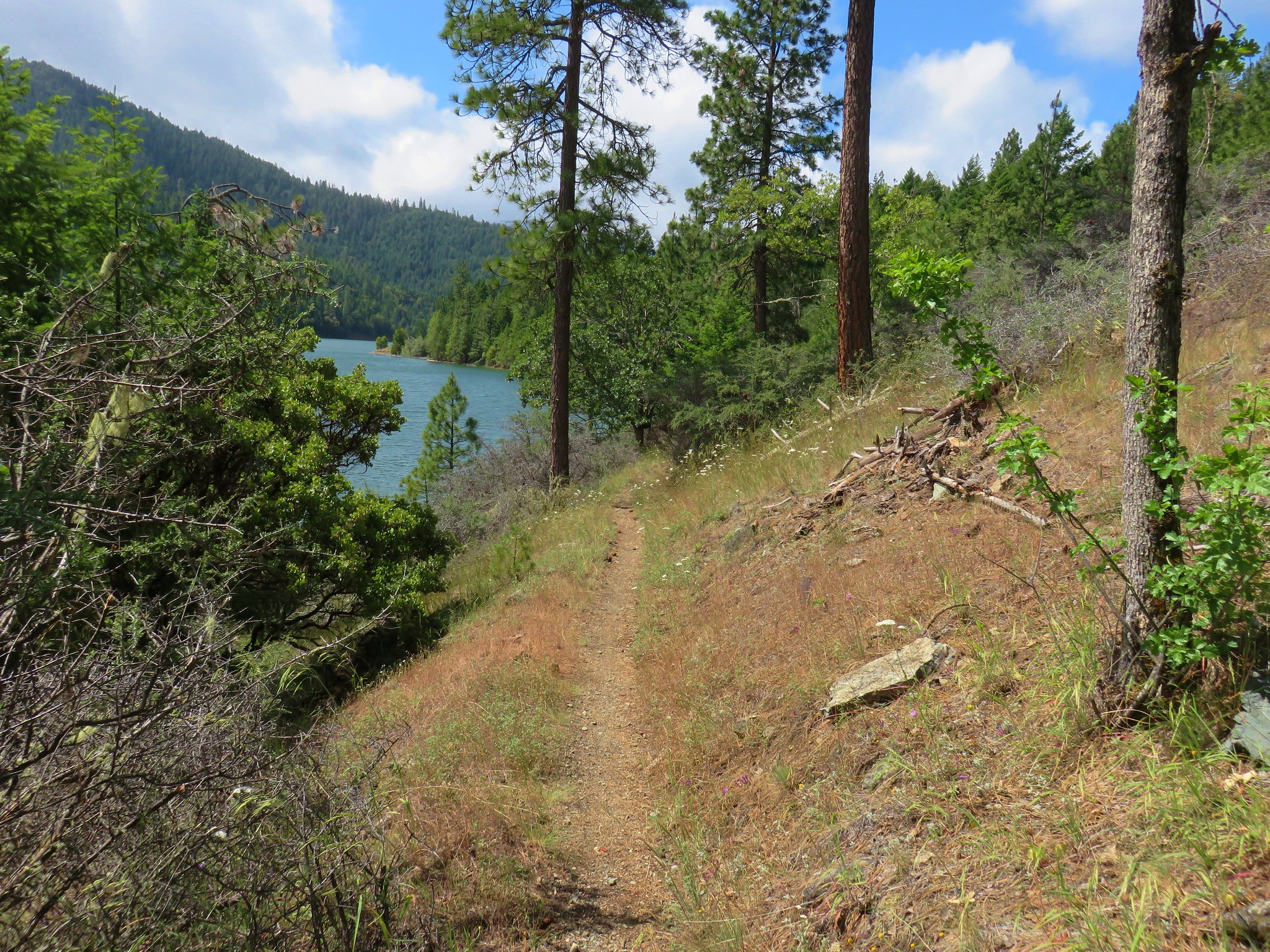
#84 Rouge River Trail East-Hiked 5/1/2023

#85 Rogue River Trail West-Hiked 6/24/2023

#86 Paradise Lake-Hiked 6/28/2016

#87 Sky High Lakes-Hiked 6/29/2016

#88 Campbell Lake-Hiked 6/27/2016

#89 Paynes Lake-Hiked 7/24/2017

#90 Russian Lake-Hiked 8/24/2022

#91 Hidden & South Fork Lakes-Hiked 8/26/2022

#92 Trail Gulch Lake-Hiked 8/25/2022

#93 East Boulder Lake-Hiked 8/23/2022

#94 Kangaroo Lake-Hiked 7/23/2017

#95 Deadfall Lakes-Hiked 7/25/2017

#96 Caribou Lake-Hiked 7/27/2017

#97 Castle Lake-Hiked 7/26/2017

#98 Castle Crags-Hiked 7/26/2017

#99 Black Butte-Hiked 7/28/2017

#100 Mount Shasta Meadows-Hiked 8/22/2022

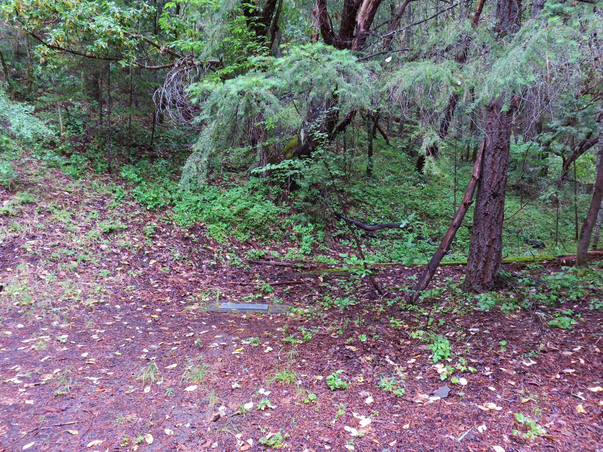
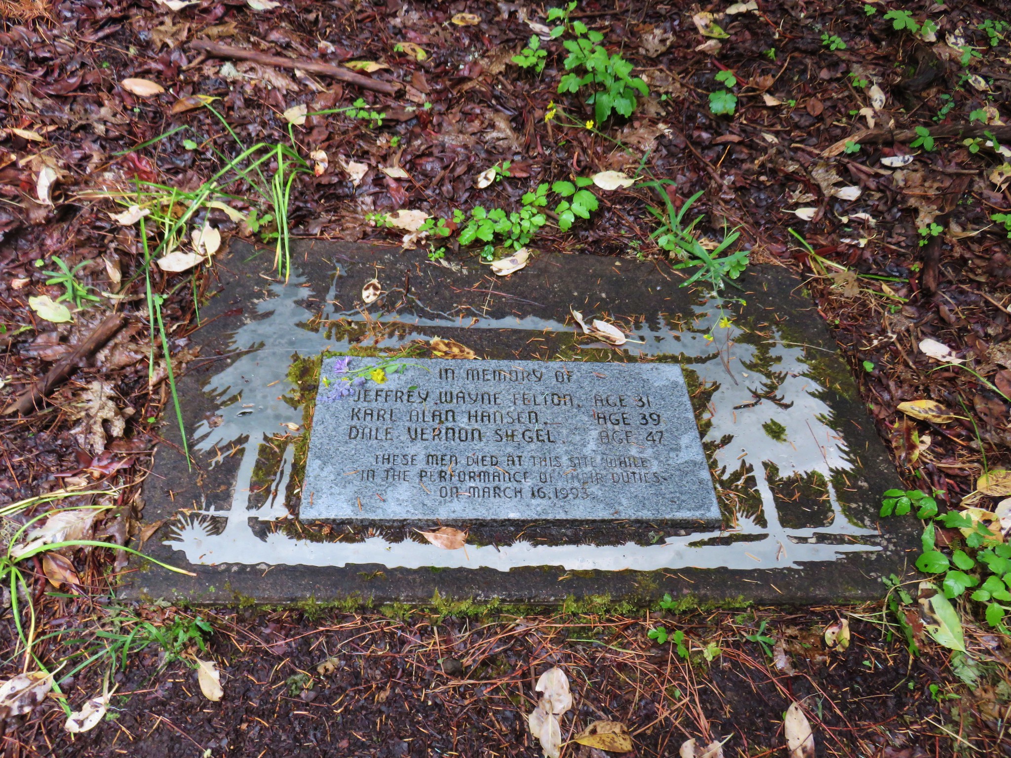
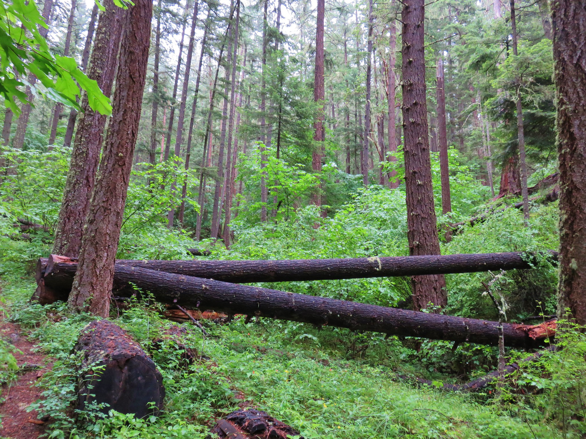
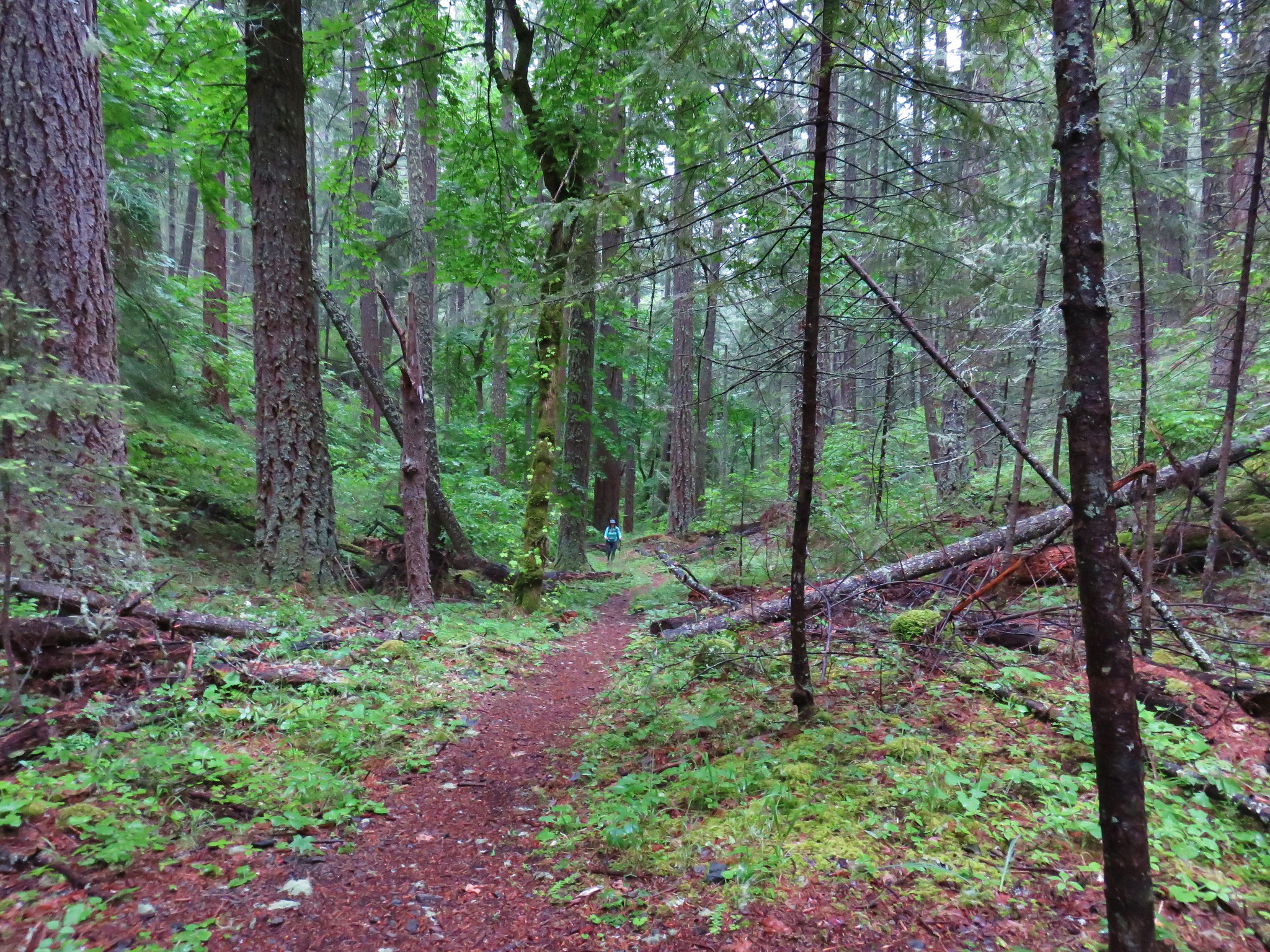
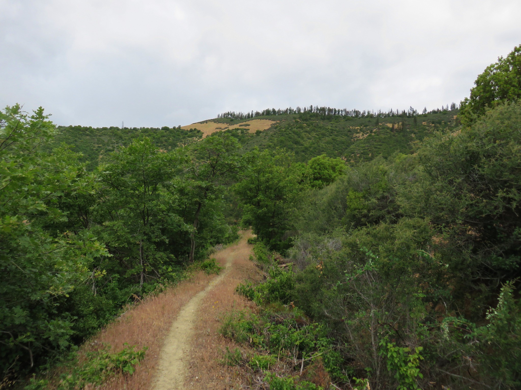
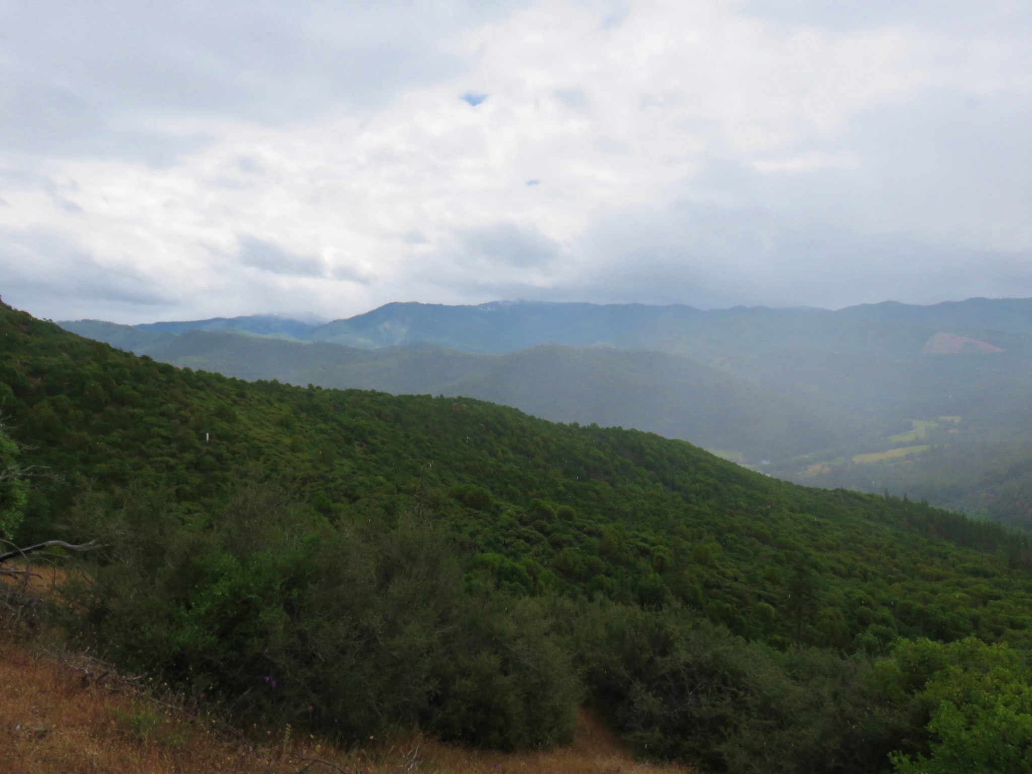
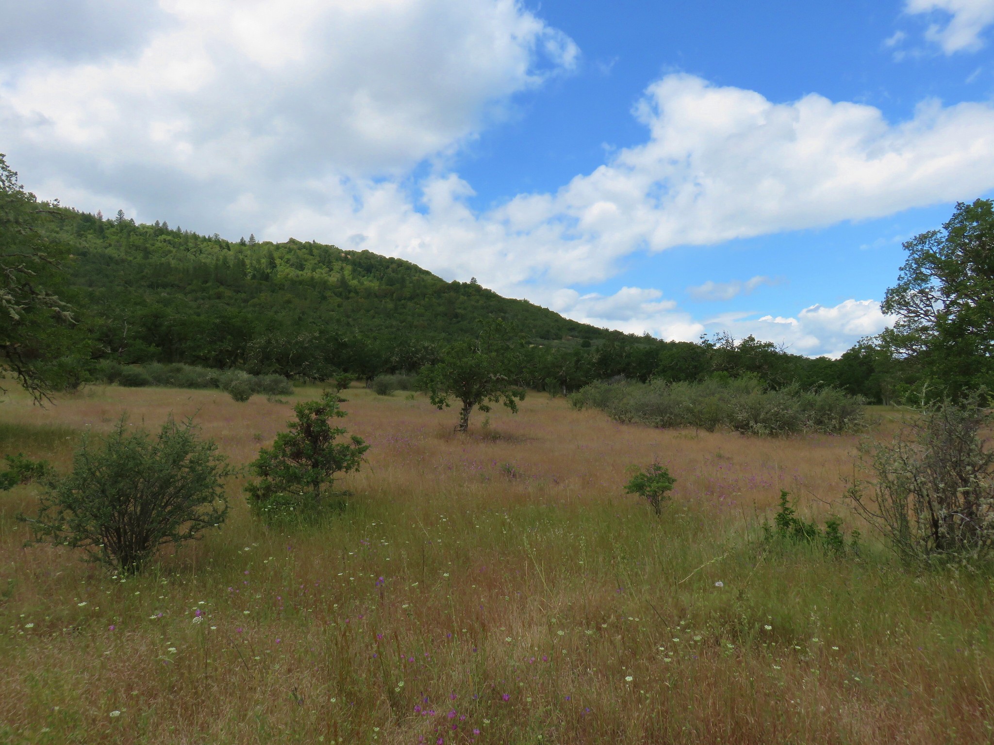
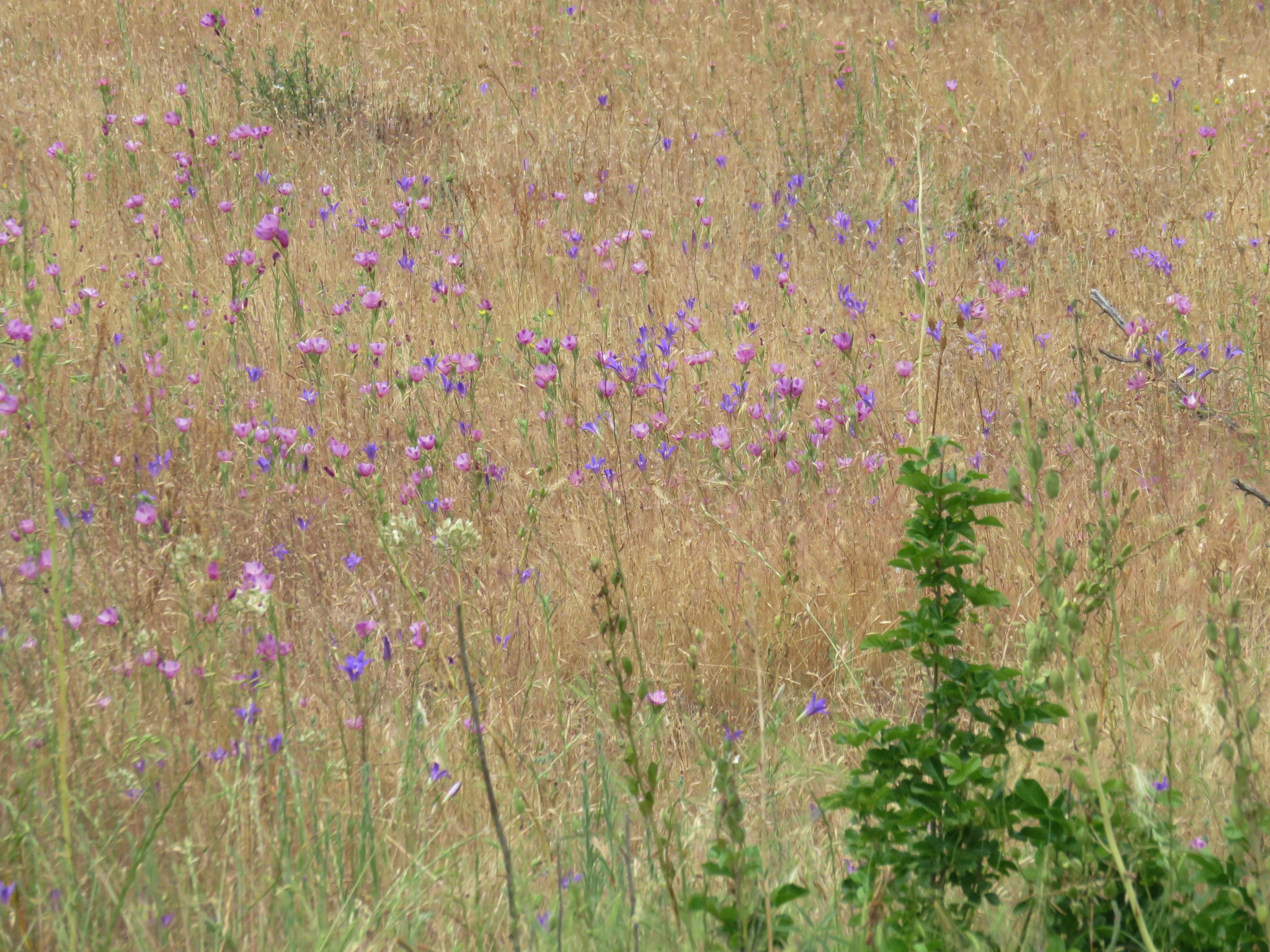
In our minds this was by far the most challenging area to finish even though we did so before completing Eastern Oregon. The difficulty with Eastern Oregon mostly revolves around distance from Salem and the size of the area covered. The Southern Oregon-Northern California area is smaller and the hikes not as far away, but it involved a lot of trails that frankly don’t see the level of maintenance that most of the other areas receive. While we’ve encountered rough trails, all over poison oak is much more prevalent down south which doesn’t invite pushing through overgrown tread or bushwacking around obstacles. This area has also been hit harder by fires over the last couple of decades leaving extra work to reopen them as well as remove additional blowdown as the dead trees fall over. When the conditions were good though the scenery and diverse plant and wildlife made for some spectacular hikes. There are many that we’d love to do again and several non-featured hikes that we have in our future plans, so we aren’t done with area yet. Happy Trails!

 Setting off at 5:20am from the 1st gate.
 Roxy Ann Peak from the road.
 Jack rabbit
 Coming up on the 2nd gate.
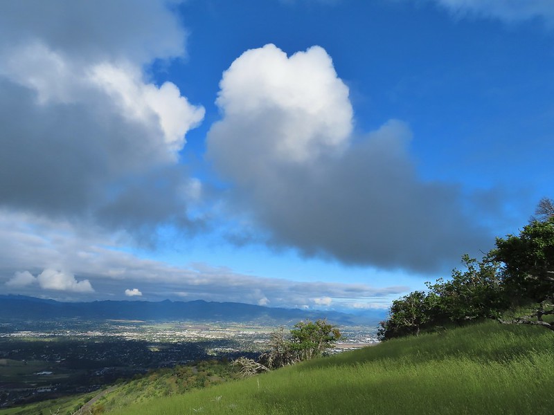
 Sunlight hitting the hillsides on the far side of Medford.
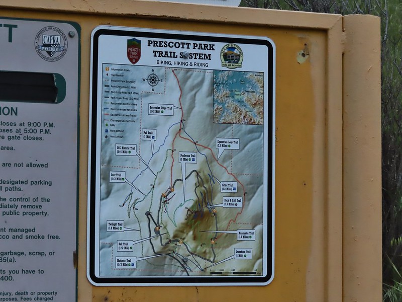
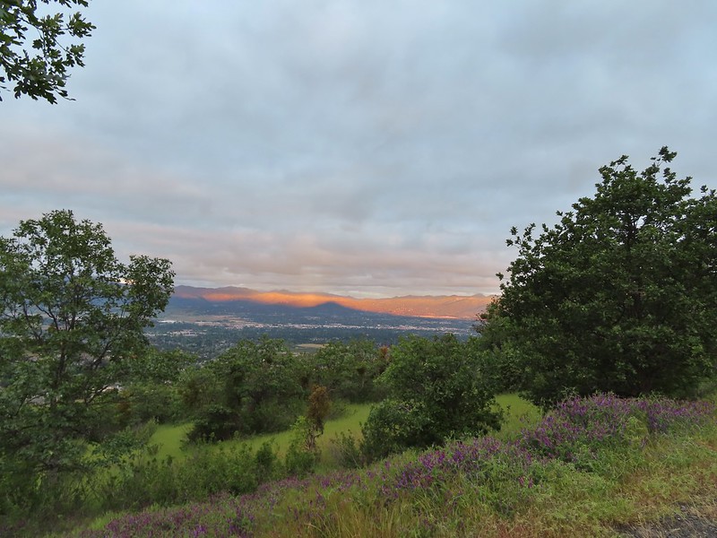 Roxy Ann’s shadow being cast over Medford.
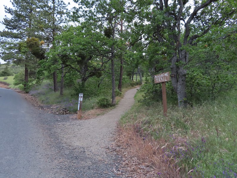
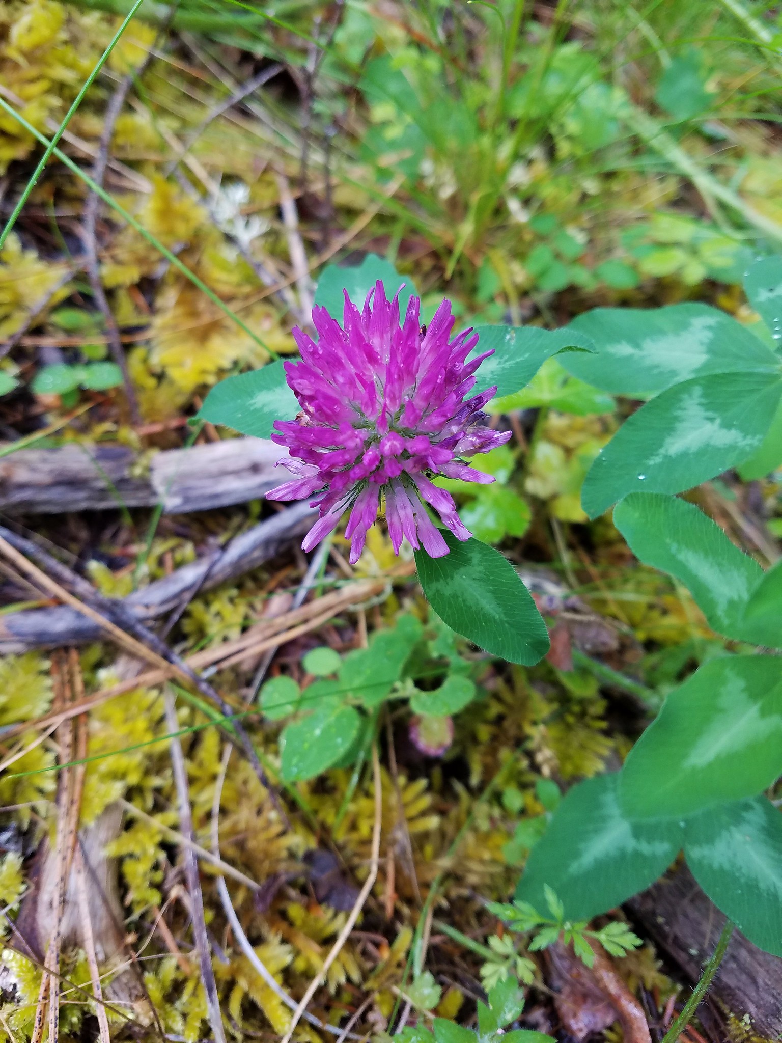
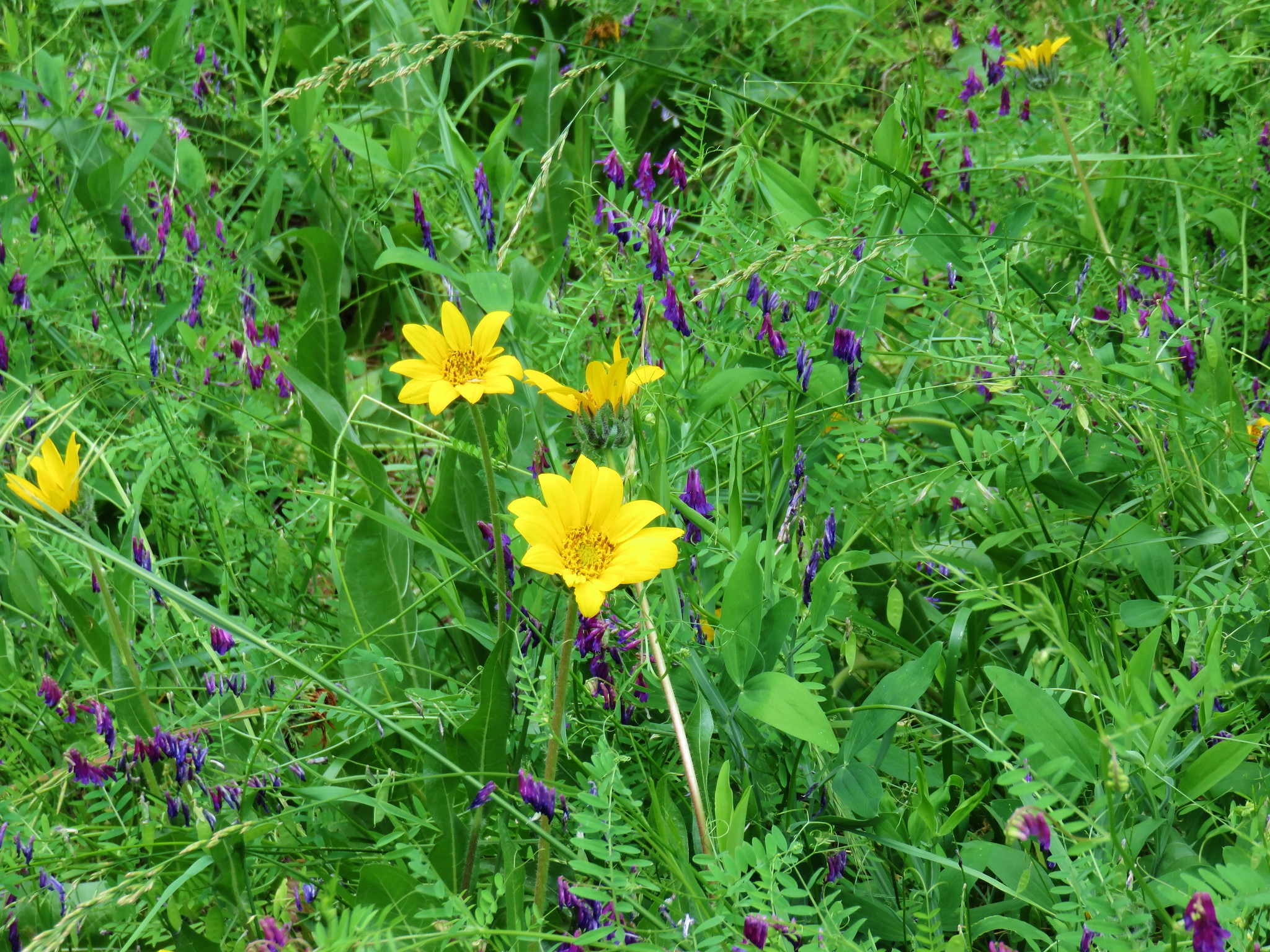
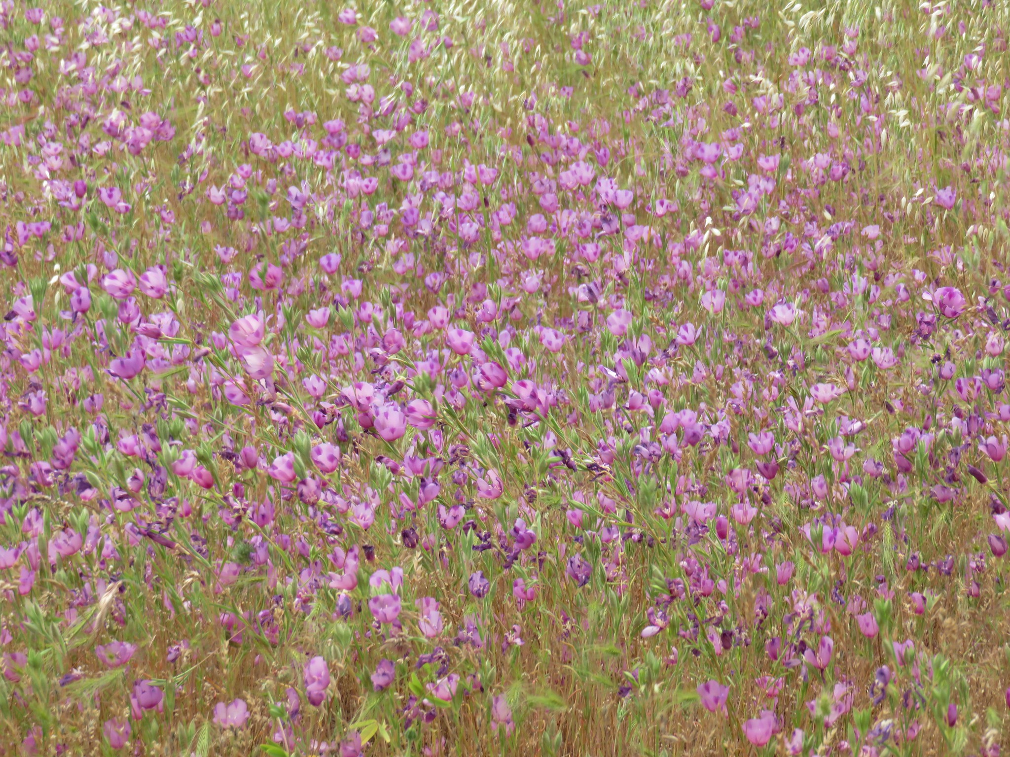
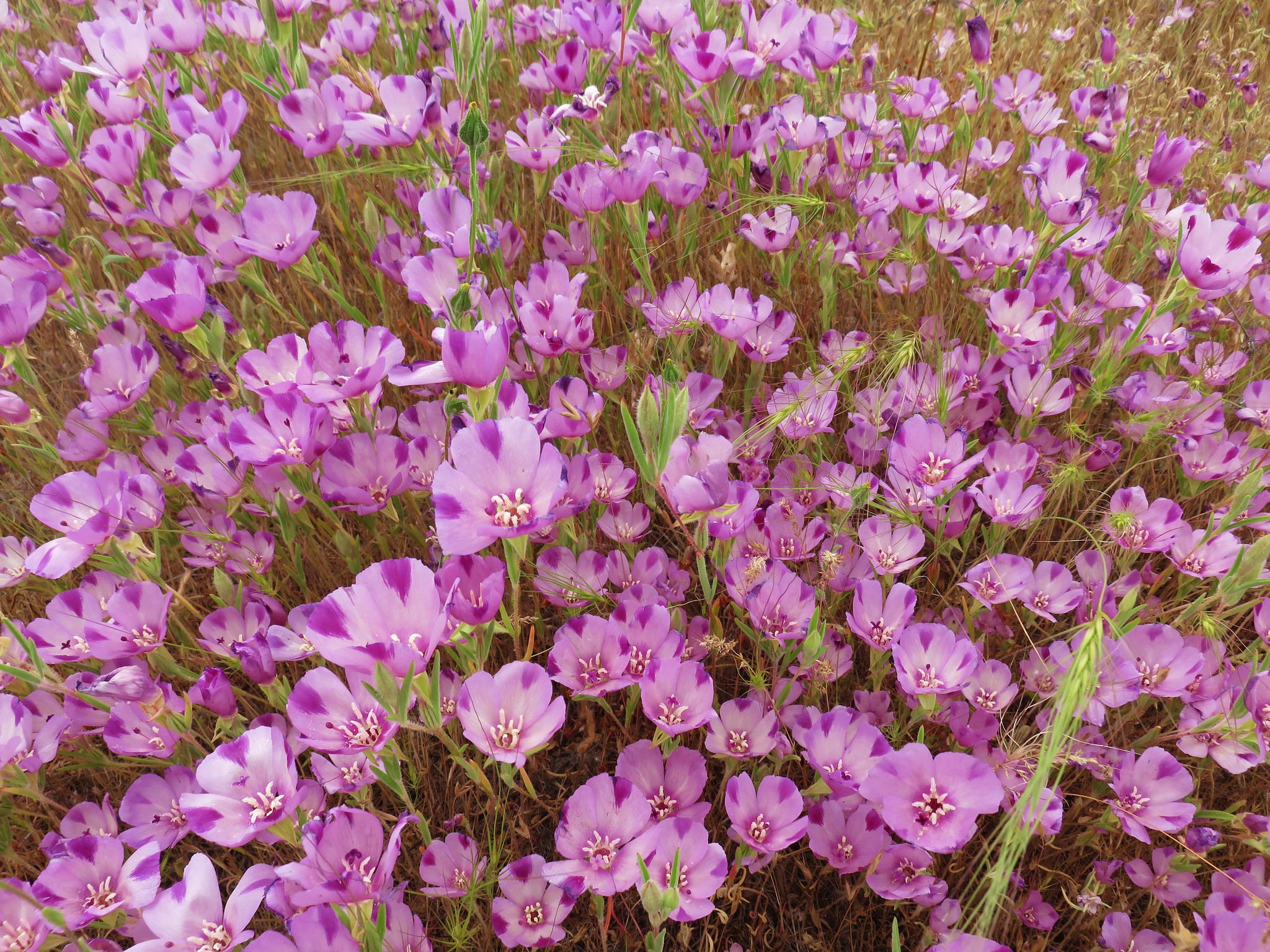
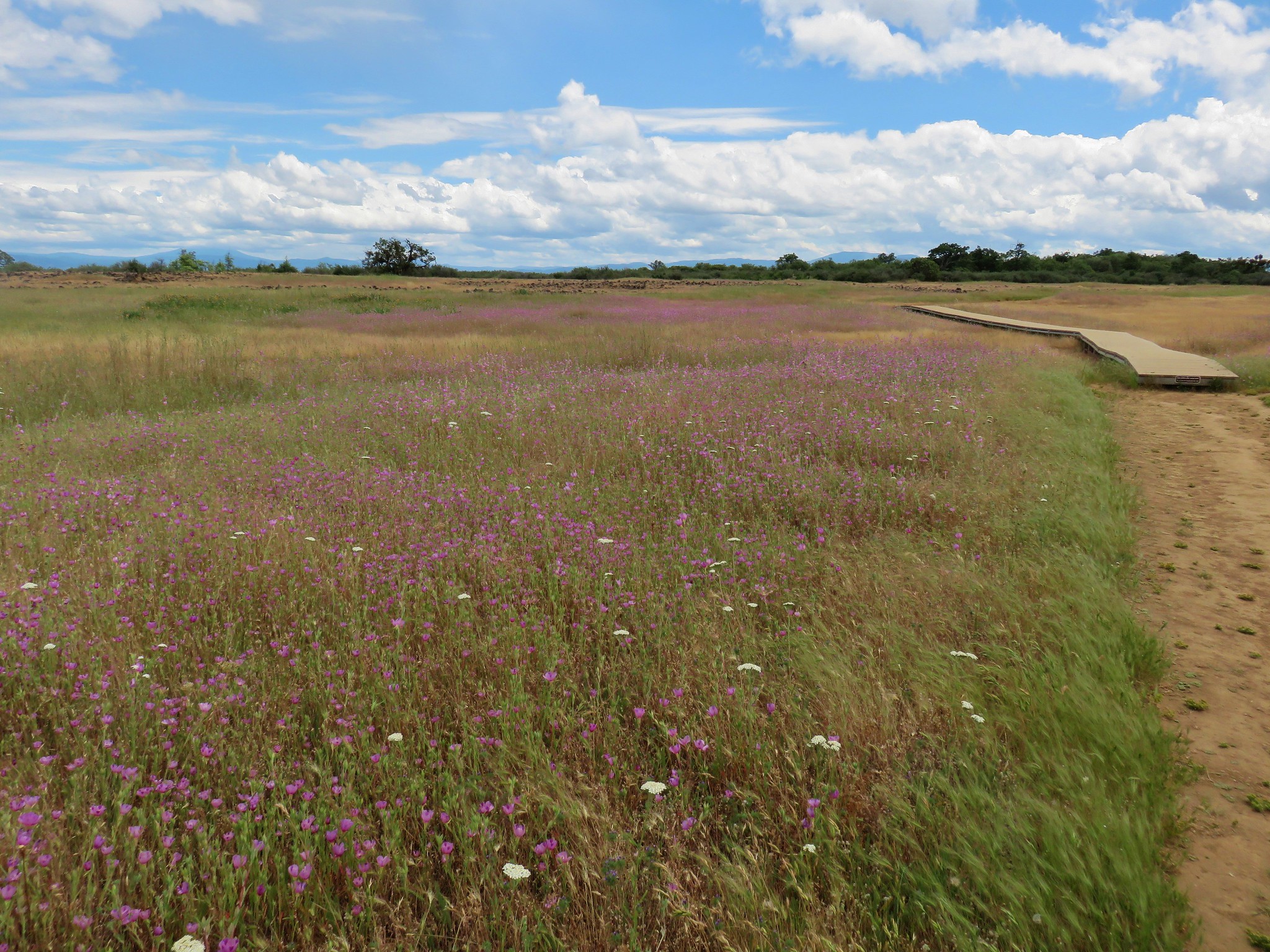
 Lots of purple vetch along the trails.
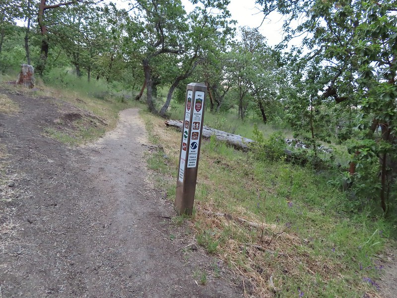 One of the posts used to identify trails.
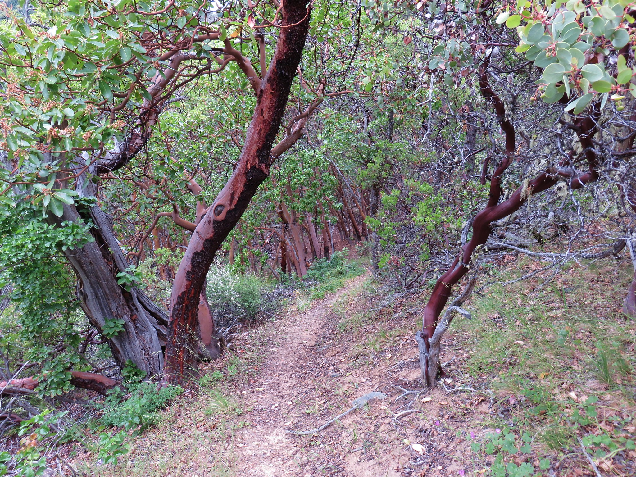
 Madrones along the Madrone Trail.
 We turned left following the pointer for the Oak Trail.
 Juvenile great horned owl along the Oak Trail. We didn’t get a good look at the second owl to the left but it looked to be an adult.
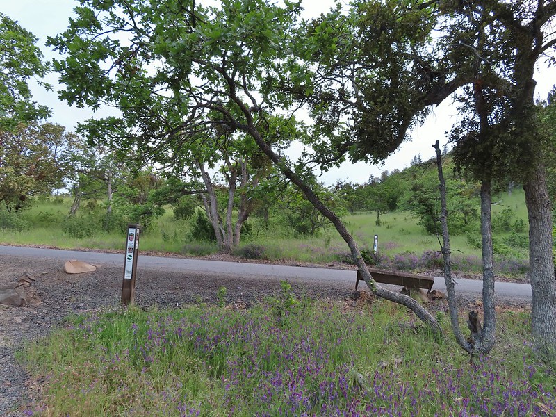 This segment of the Madrone Trail (MD3) ended at Roxy Ann Road with the Oak Trail picking up on the far side.
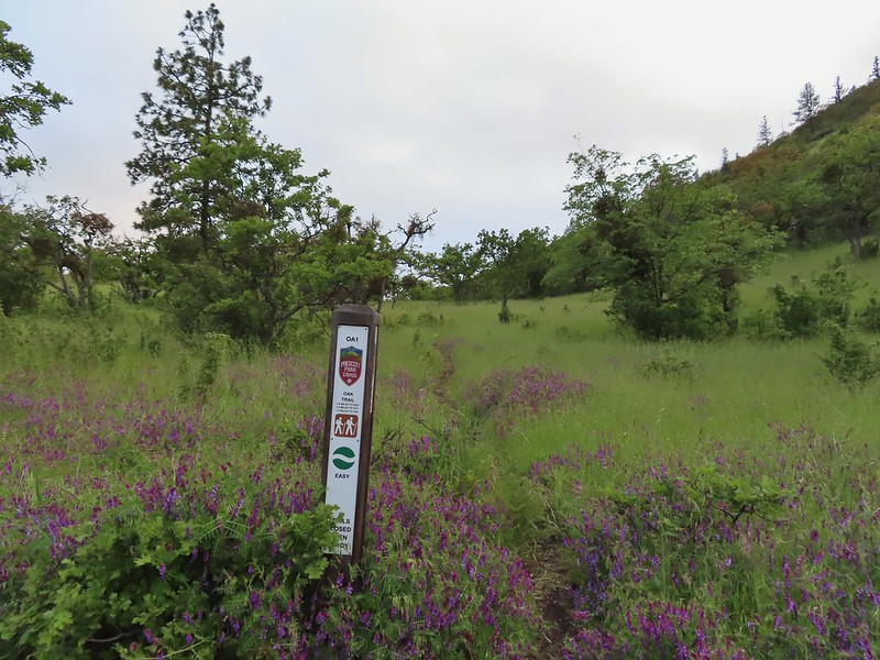 The Oak Trail
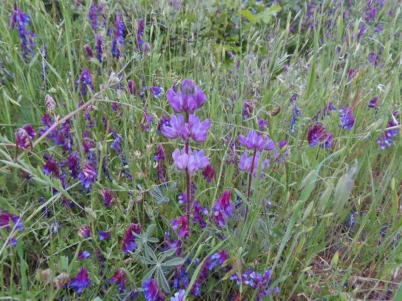 Lupine amid the vetch
 Camas in front of poison oak.
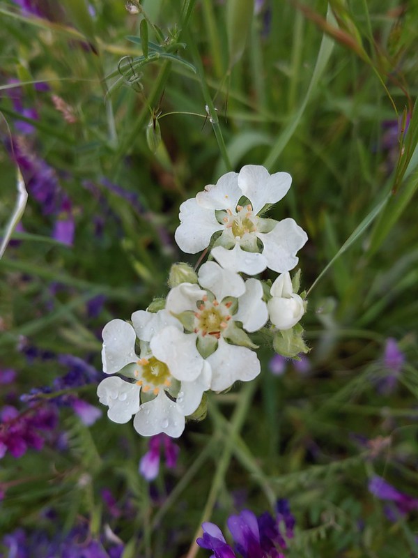 Carrotleaf horkelia
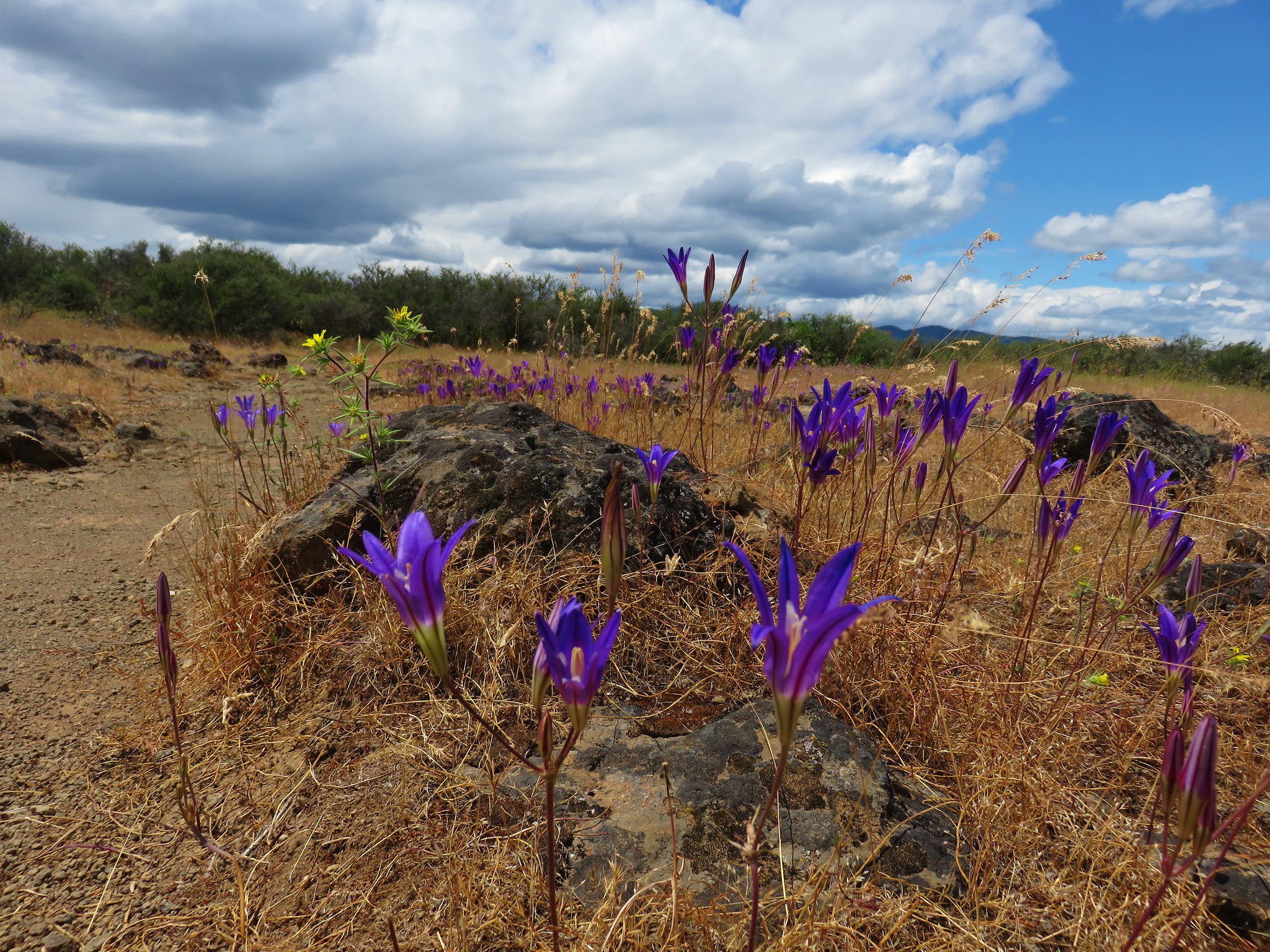
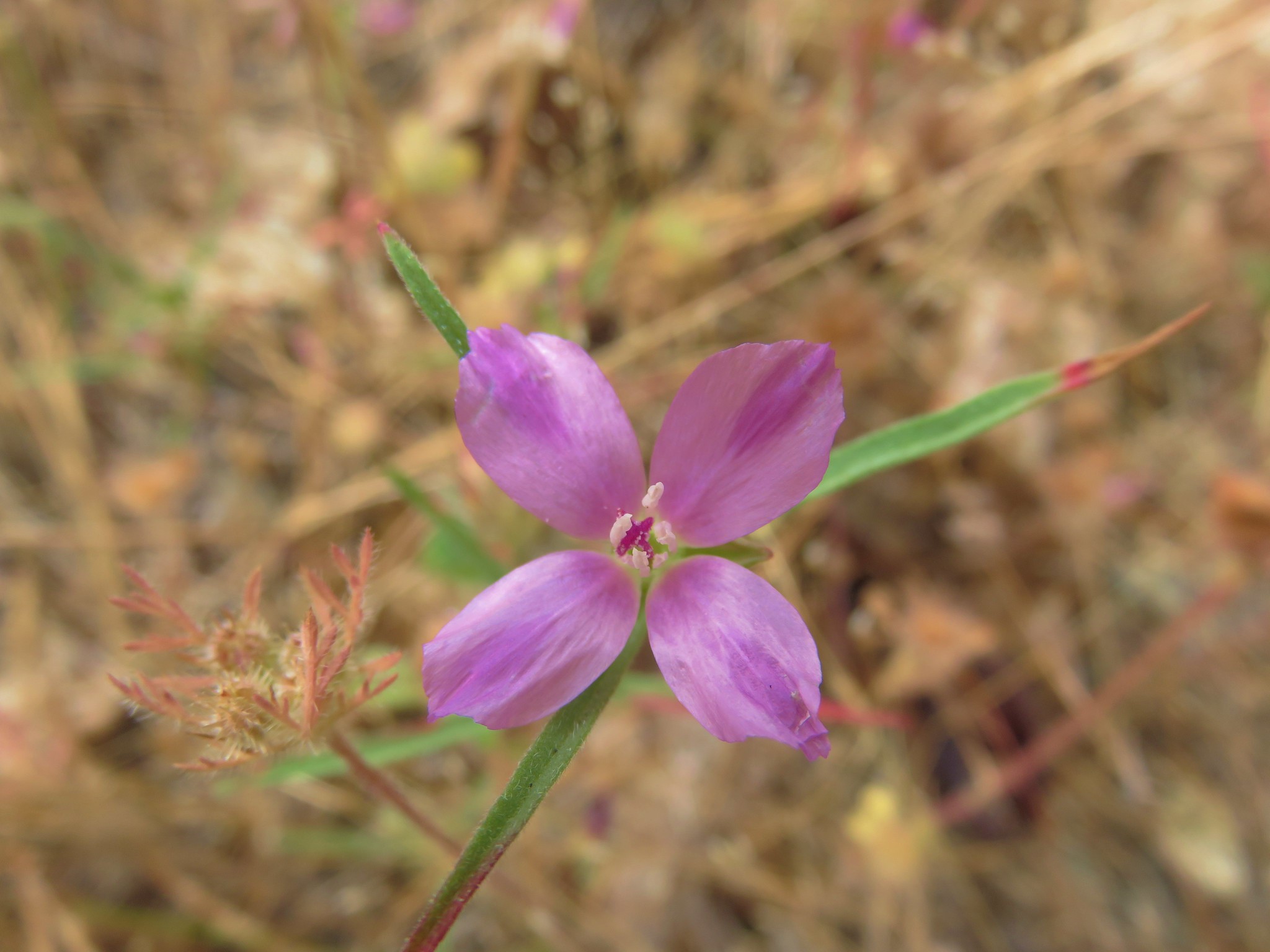
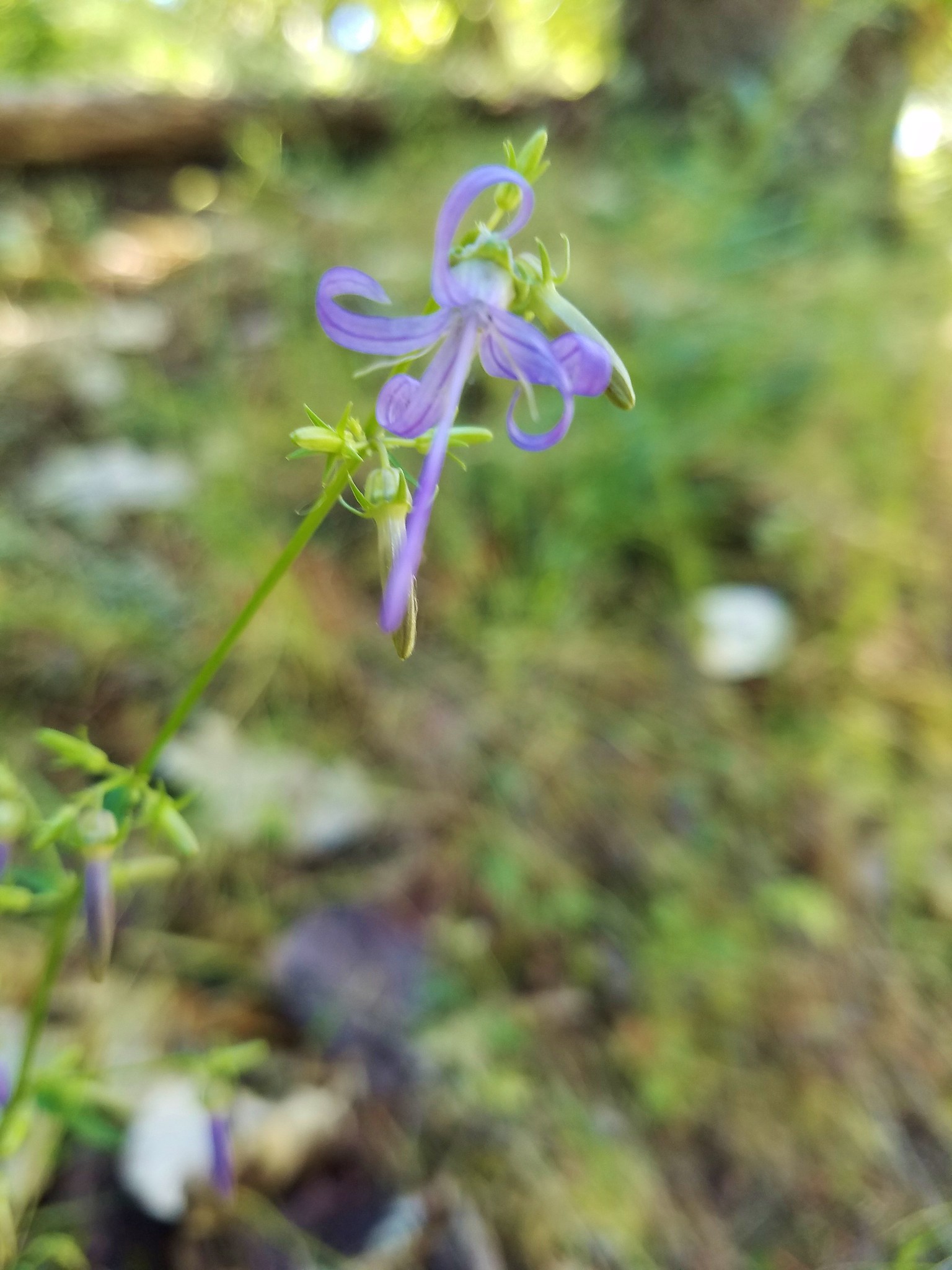
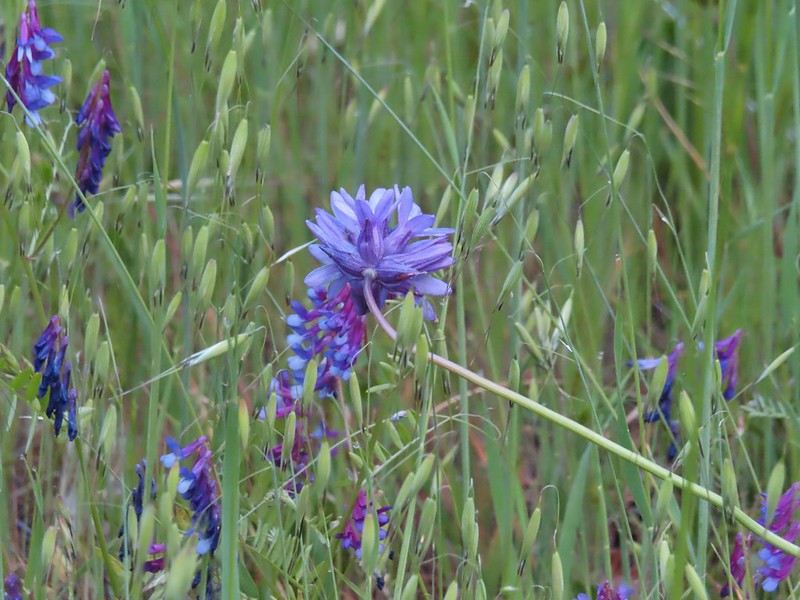 ookow
ookow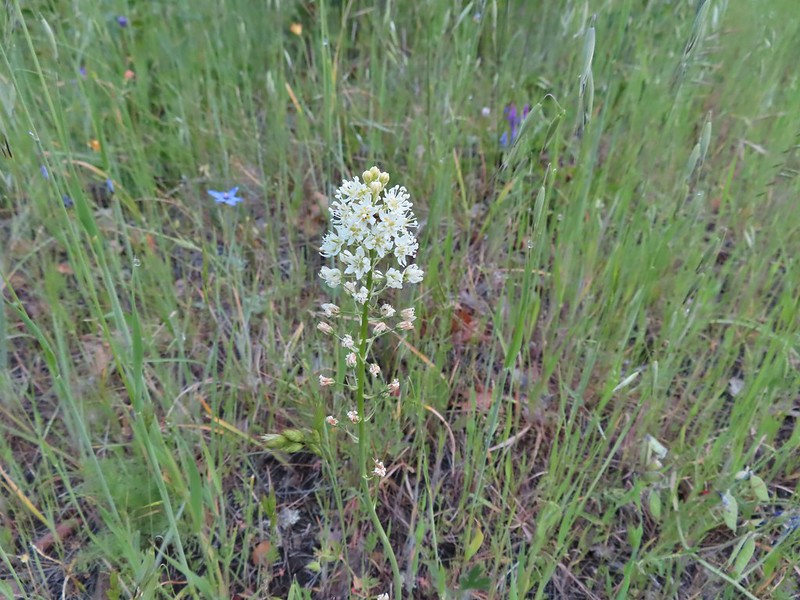 Death camas
 Blue-eyed grass
 Oak along the Oak Trail.
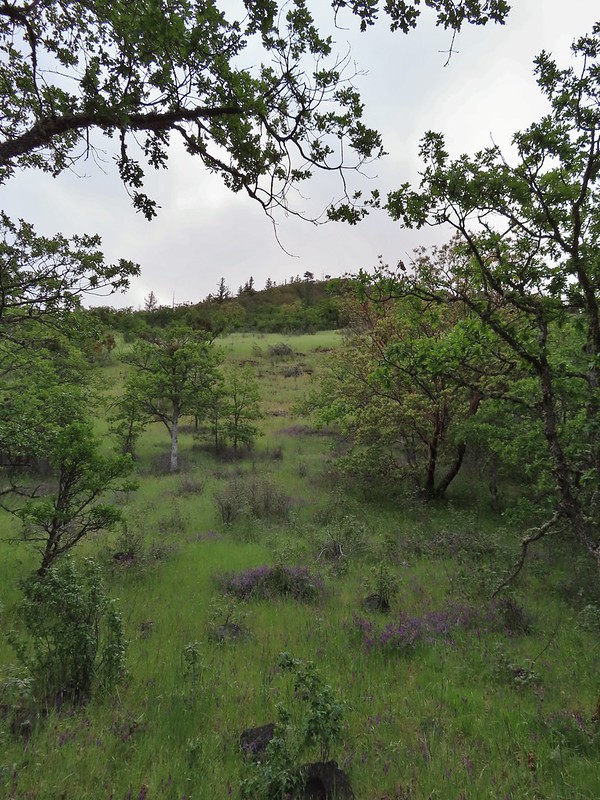 Roxy Ann Peak
 Blow wives
 The Oak Trail appeared to be the least used of all the trails we would hike on this day.
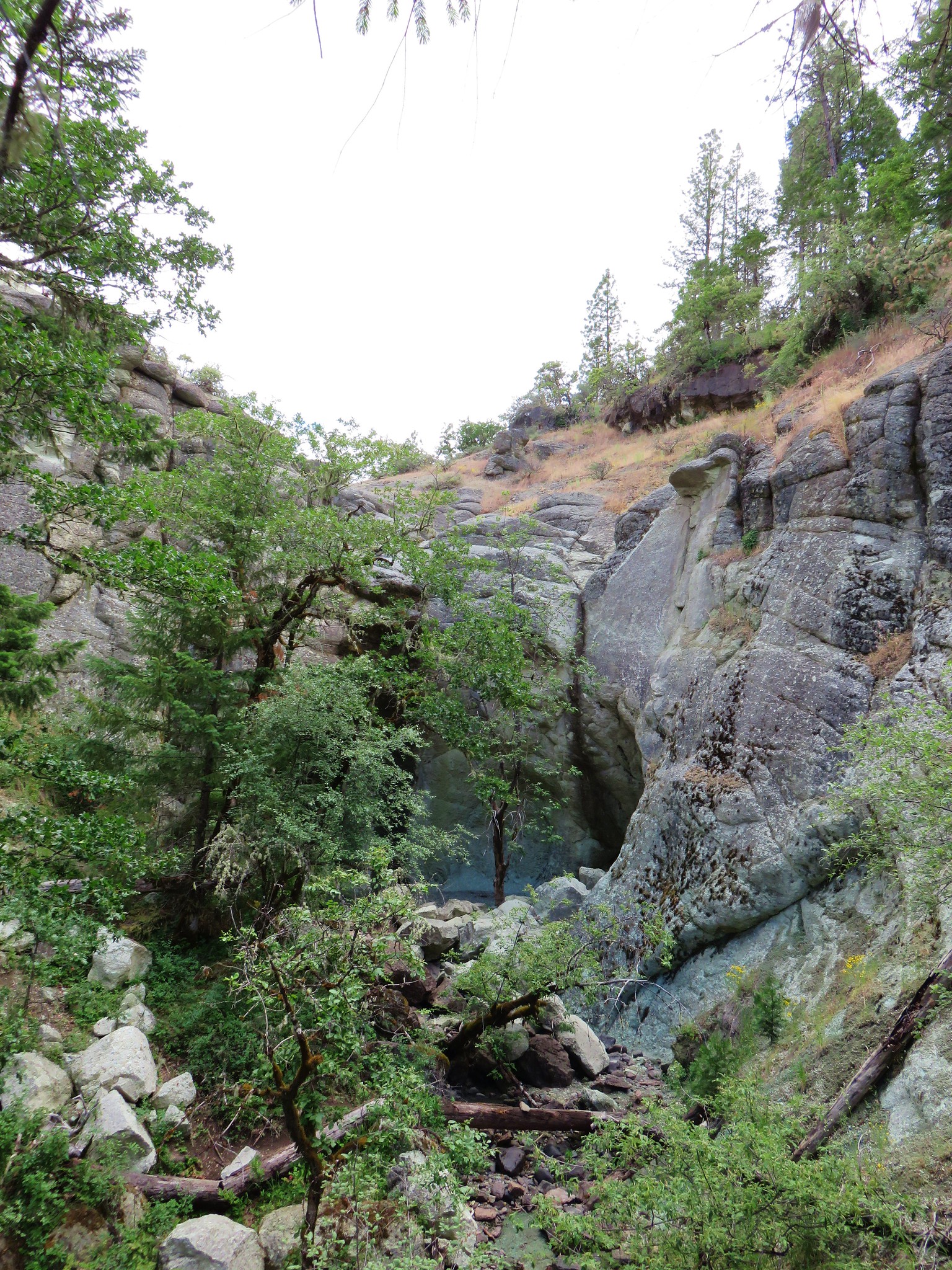
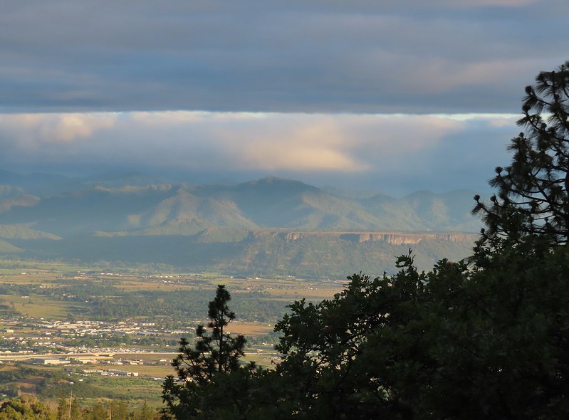 Lower Table Rock (
 The only post we saw that wasn’t helpful.
 Challenge Course just off the Oak Trail.
 Parts of the Challenge Course
 Trail junction near the Challenge Course with the Oak and Ponderosa Trails.
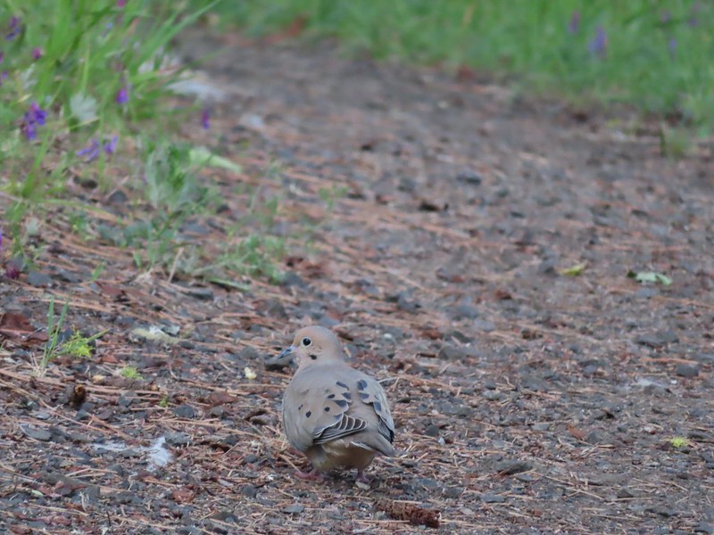 Dove
Dove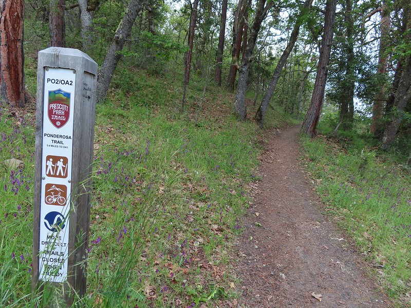 Hopping onto the Ponderosa Trail.
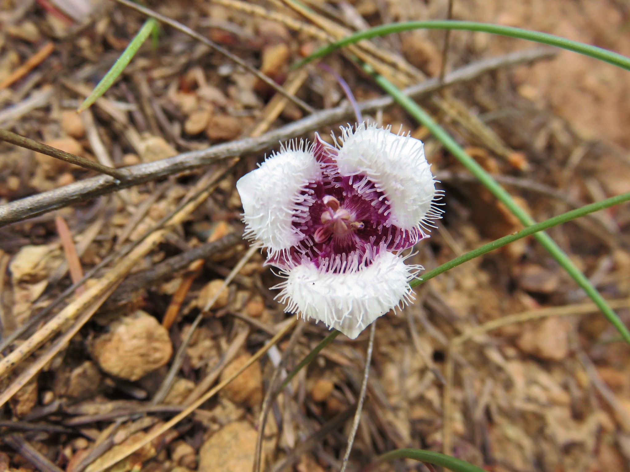
 Mariposa lily
 Lazuli bunting. We saw quite a few of these during our trip but they proved to be very difficult to photograph.
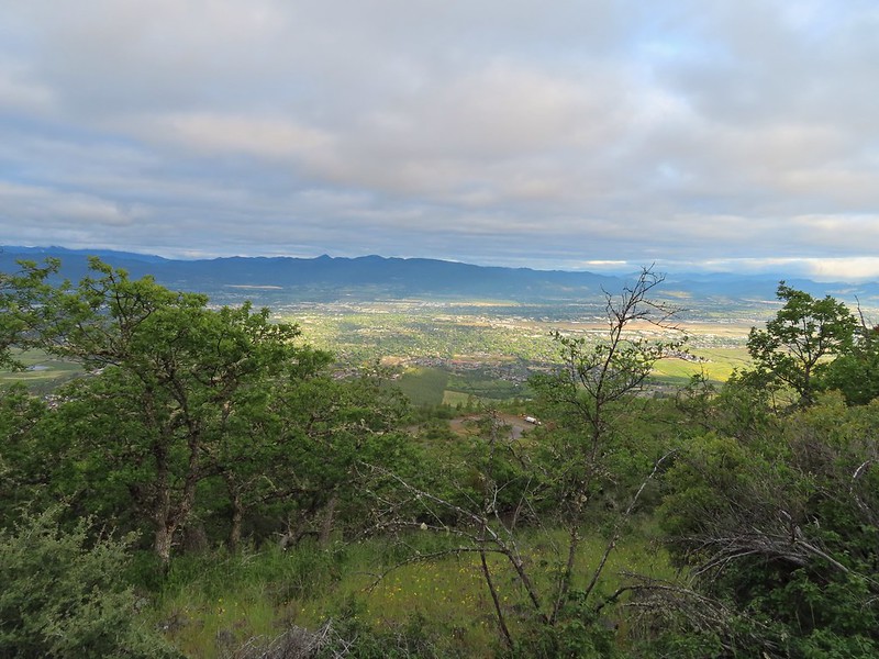 Medford from the Ponderosa Trail.
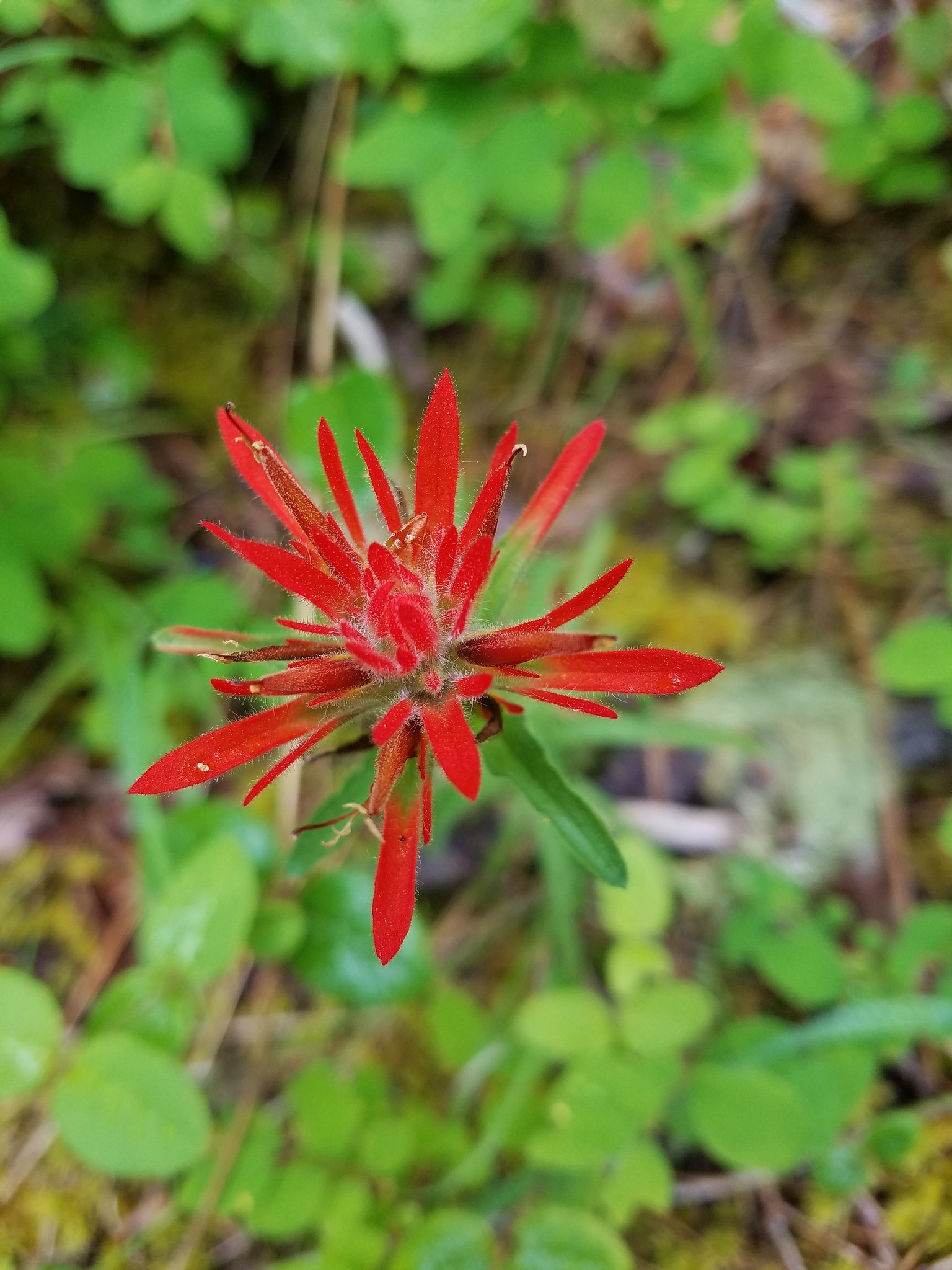
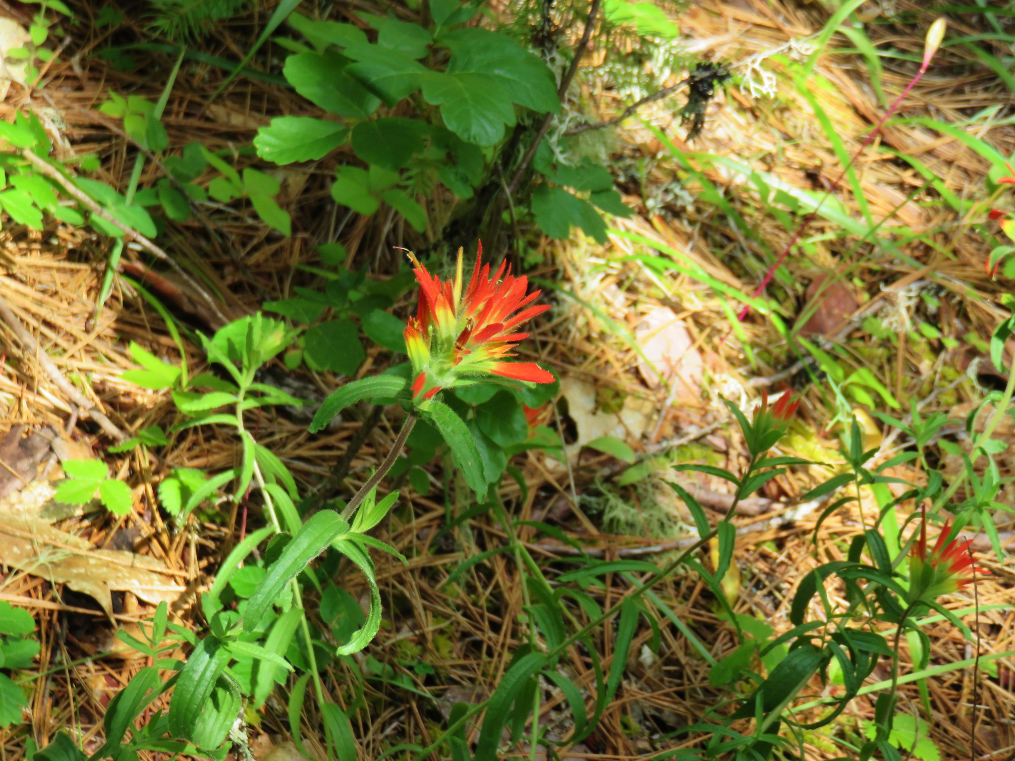
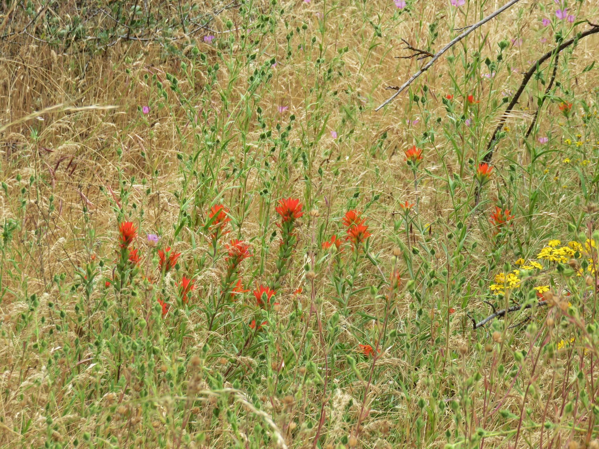
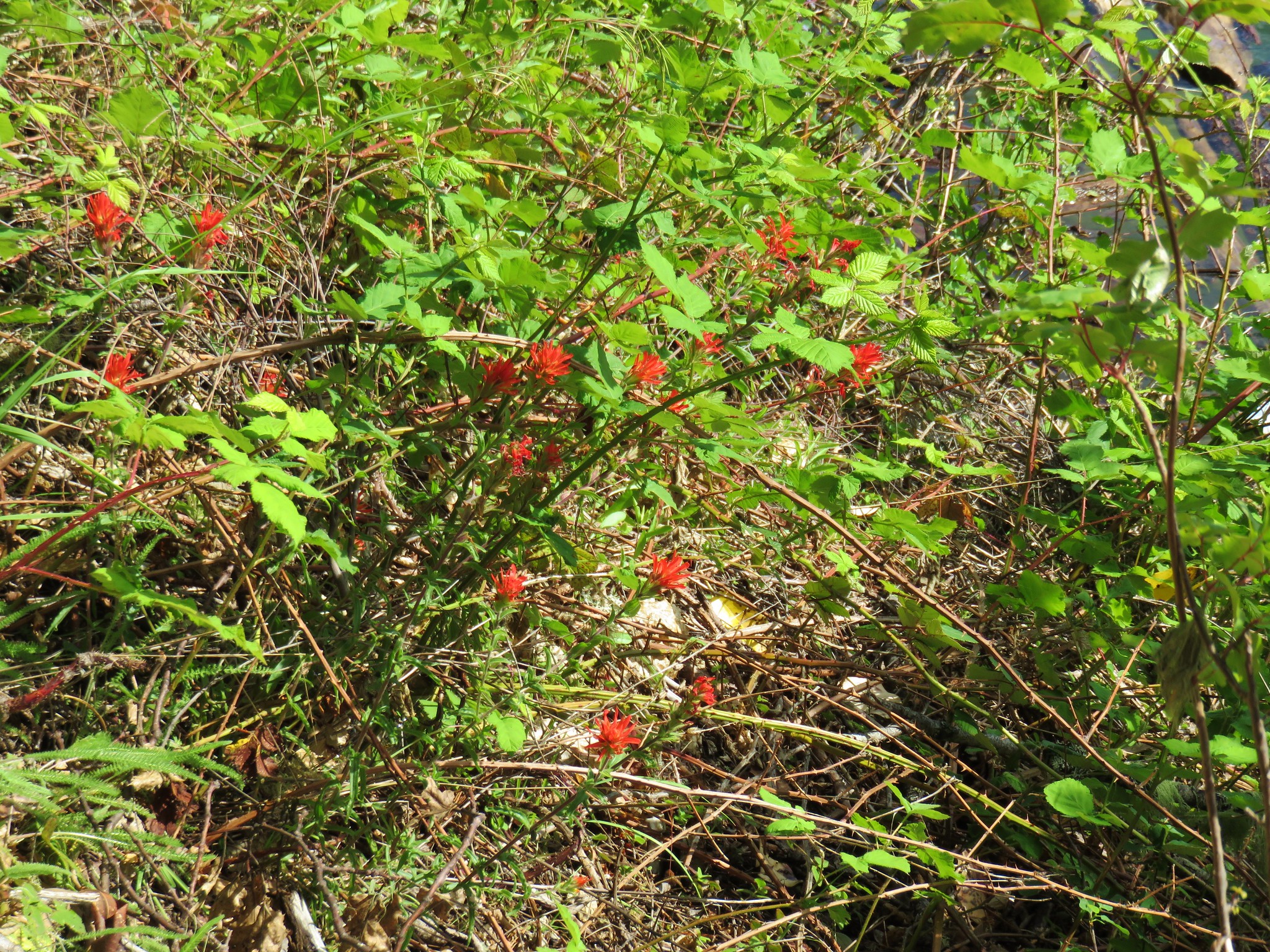
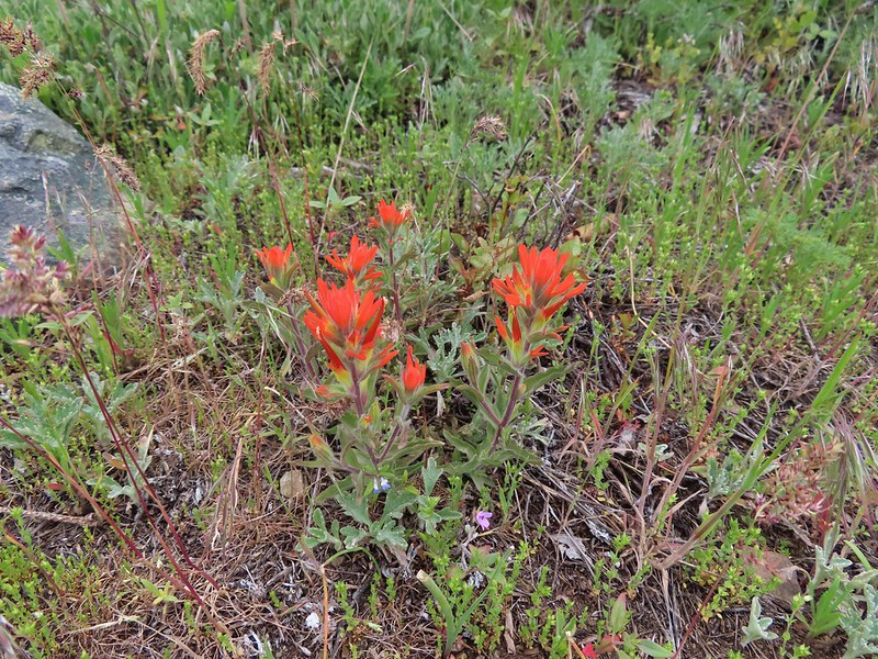
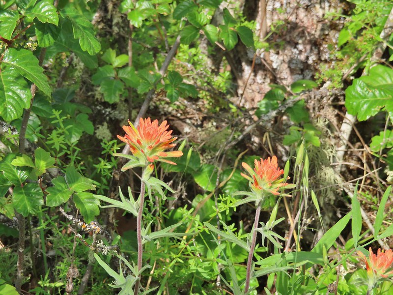
 Paintbrush
 Madia
Madia Lower Table Rock again.
 A bench and Ponderosa pines along the Ponderosa Trail.
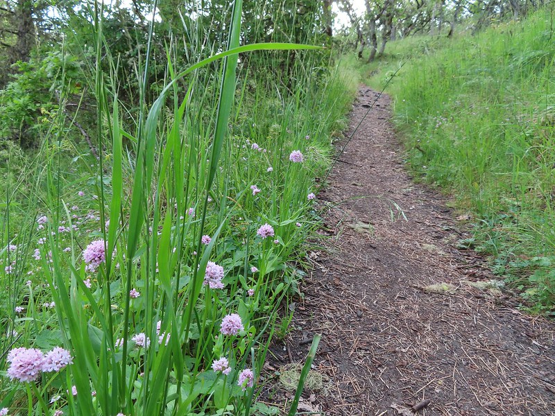 Plectritis
 Two more deer above the trail.
 Deer and balsamroot.
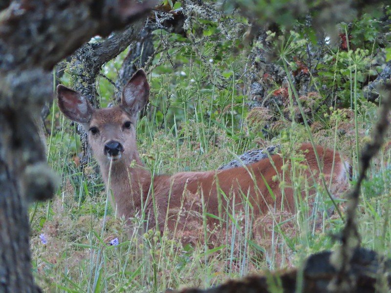 Young deer
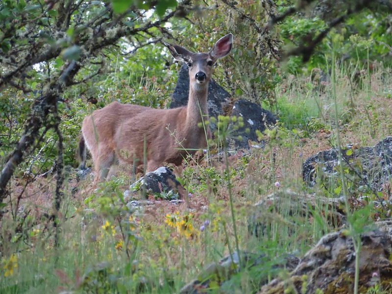 Momma deer
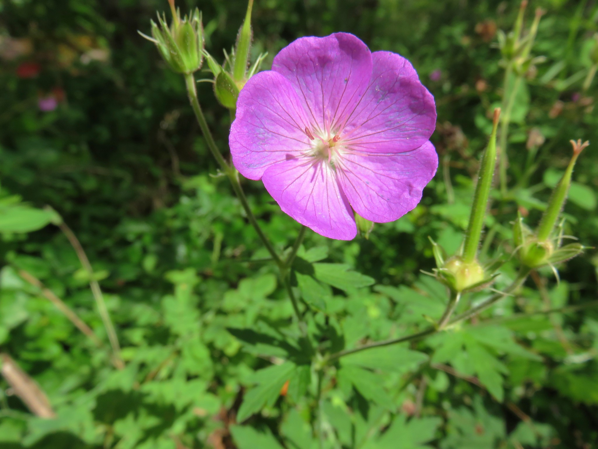
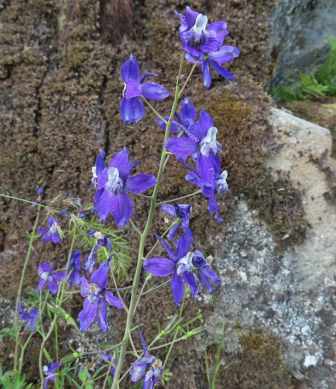 Larkspur
 Nearing Park Tower Road.

 Serenading lazuli bunting.
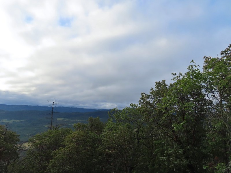 A lot darker clouds toward the Cascades.
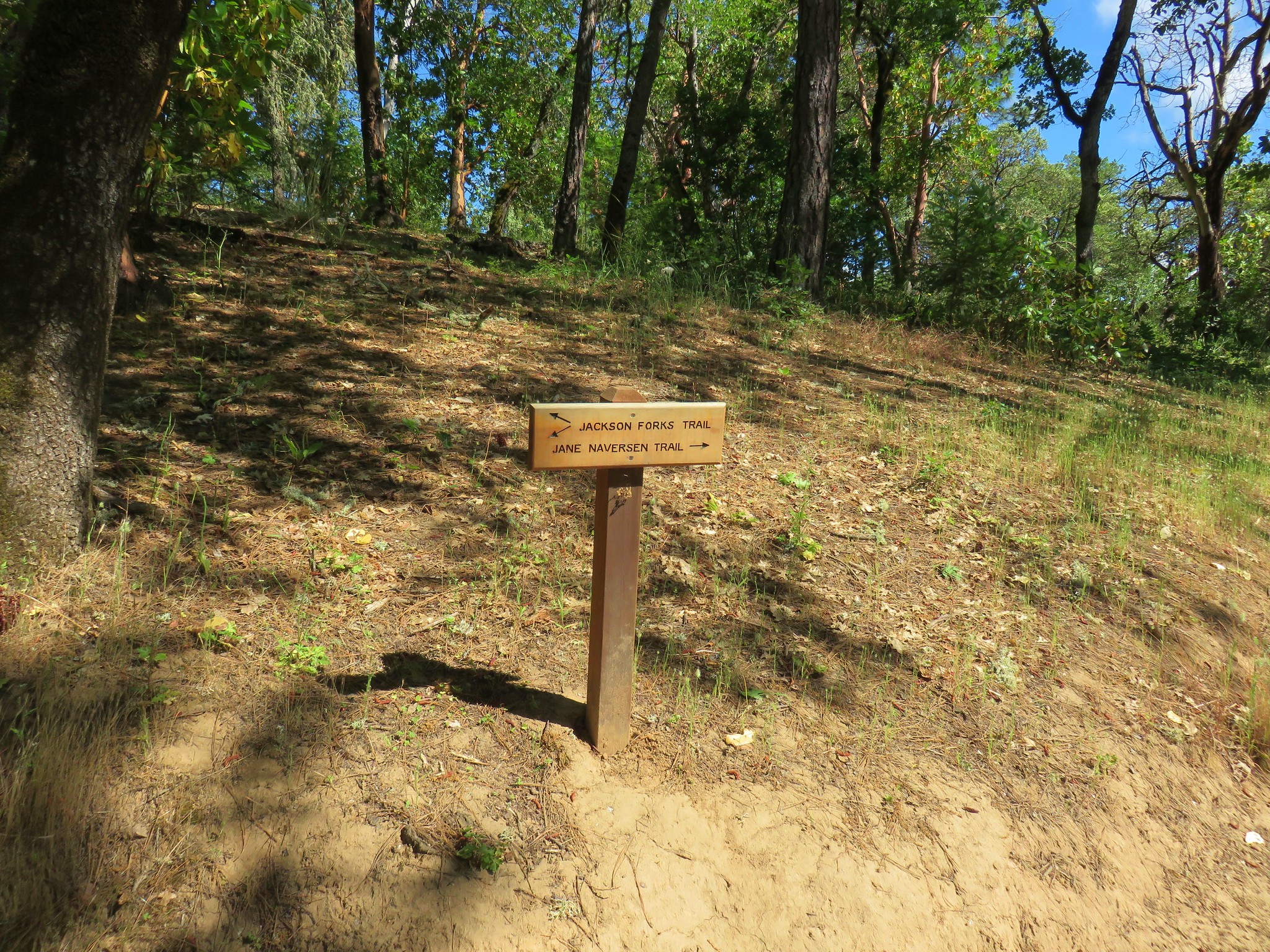
 Sign for the Manzanita Trail
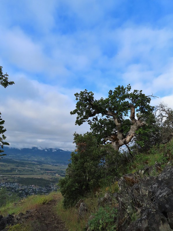
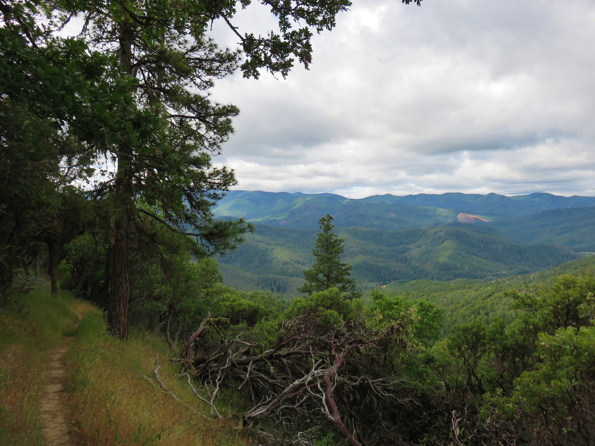
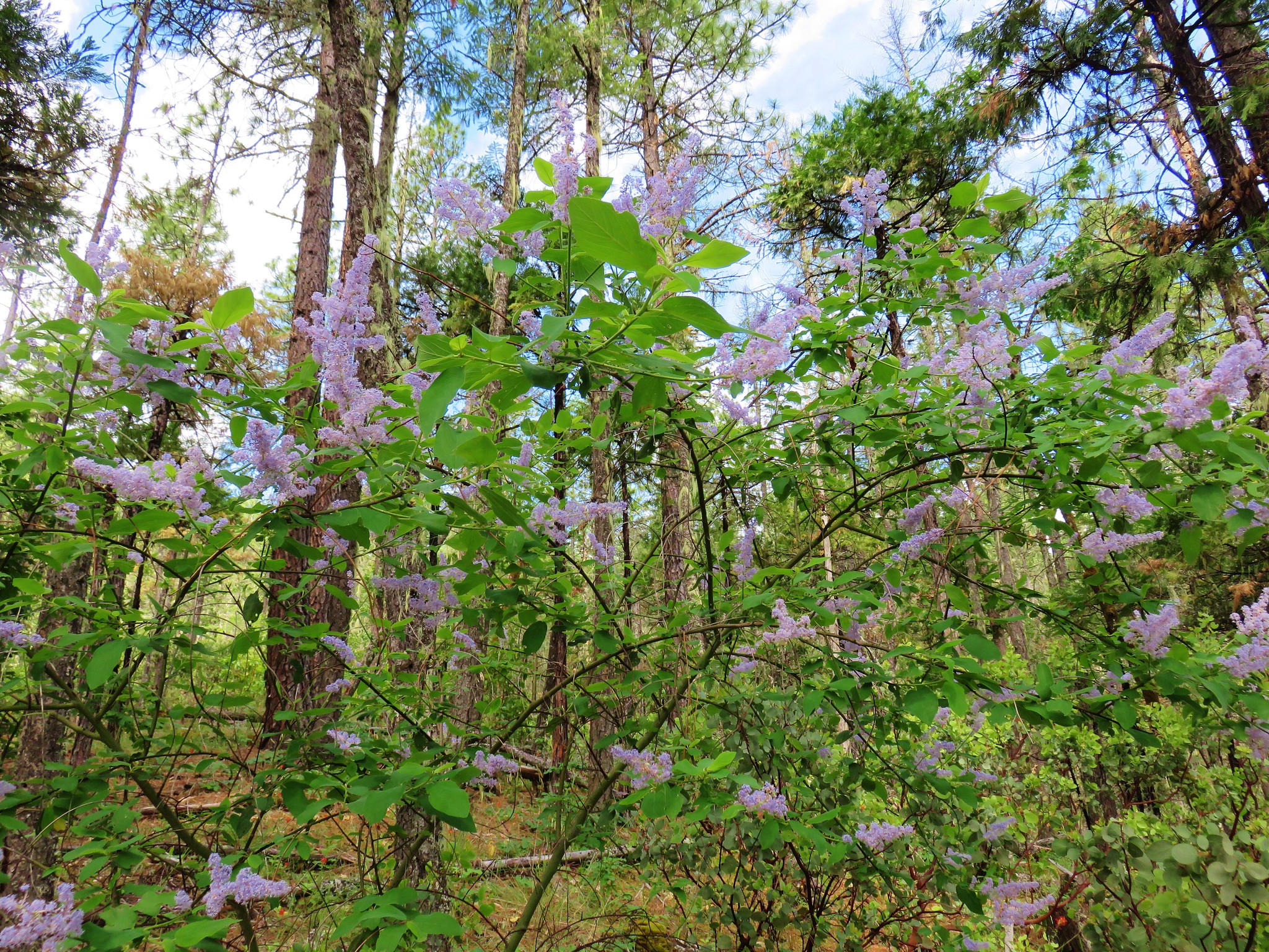
 The lower flank of Grizzly Peak (
 Looking NE from the trail, still a lot of clouds.
 Another bunting, we were on a roll.
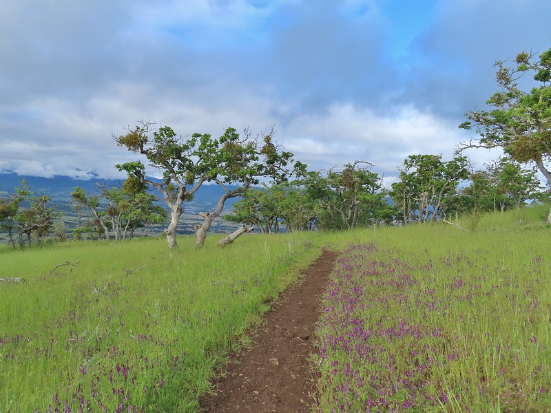
 The clouds were really starting to break up as we descended.
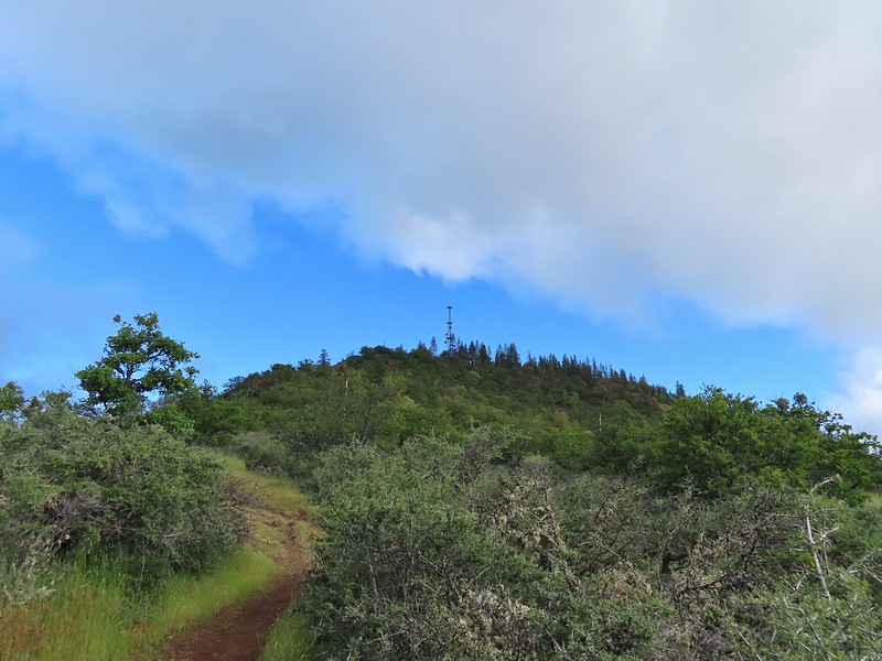
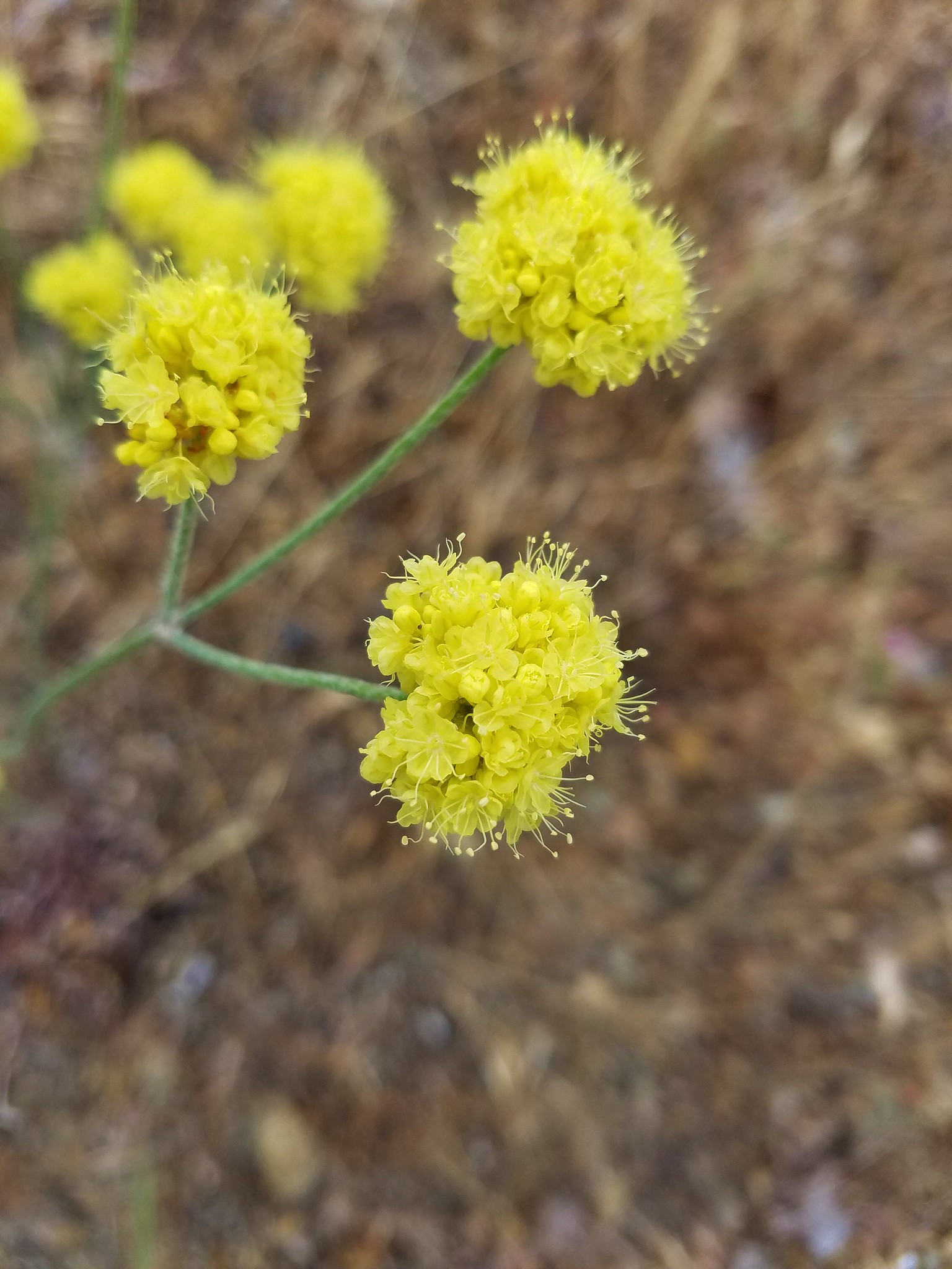
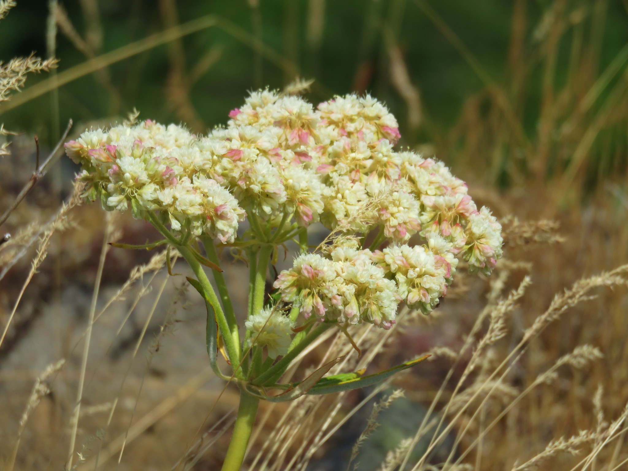
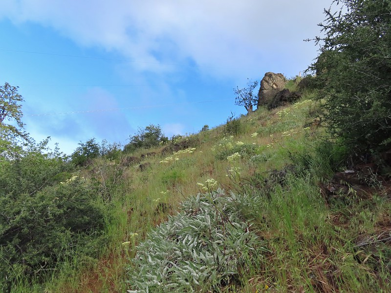 Arrow-leaf buckwheat on the hillside.
 Roxy Ann Road
 Back on the Madrone Trail.
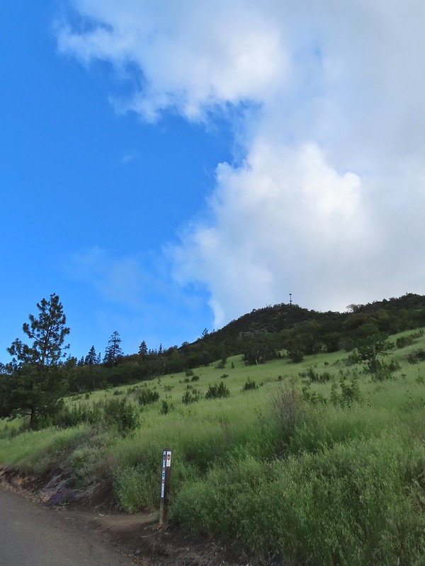 Back on the road walk. The trail post here is for the Greenhorn Trail.
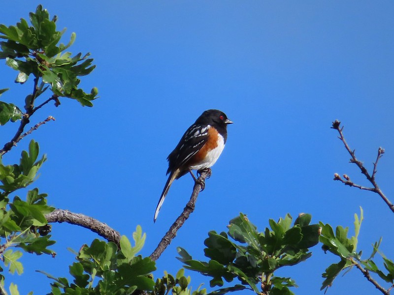 Spotted towhee.
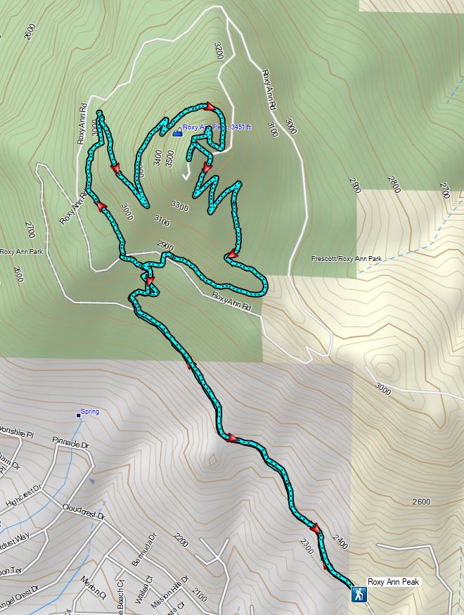

 The target shooting area and the OHV track coming down the ridge.
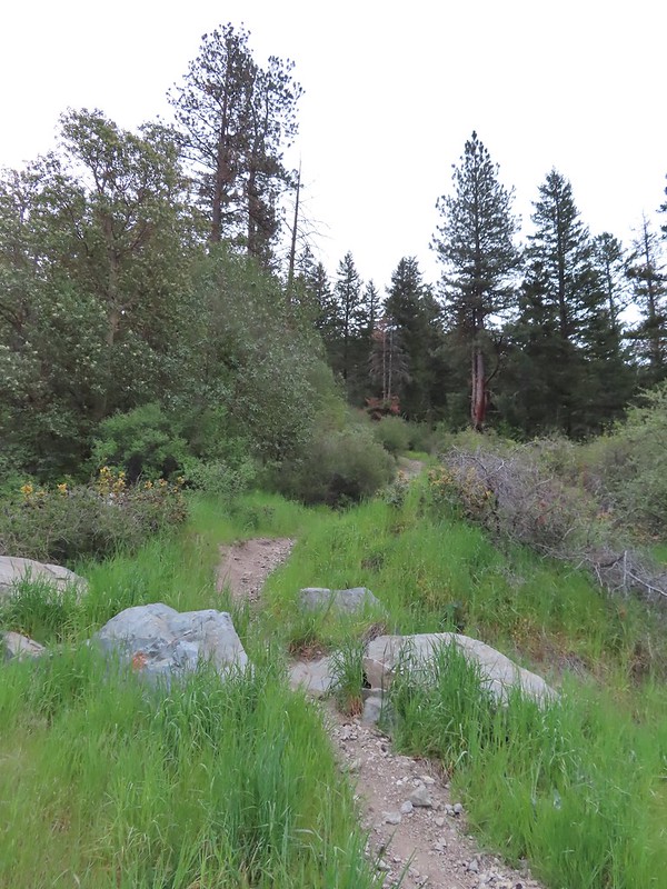 The track going up the ridge between the two roads. We briefly wondered if this had been the BLM’s work to bypass the road walk in between this trailhead and the Greenstone Trailhead but decided it likely wasn’t (good call).
 The “hidden” trailhead sign.
 Despite the empty shell casings and garbage left by the shooters there were some nice flowers along the road.
 Valerian
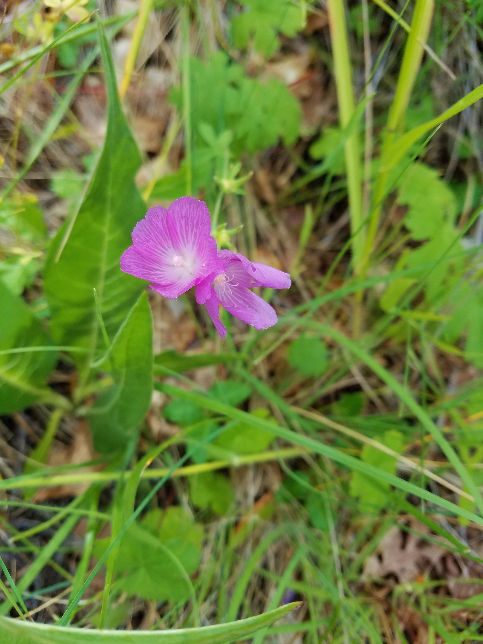
 Bleeding heart
 The Greenstone Trailhead
 People suck
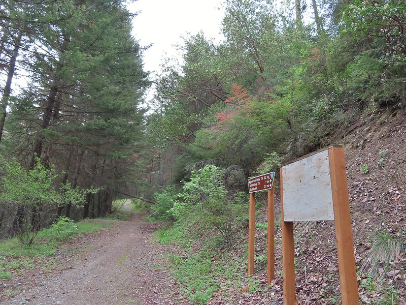 Nicer signs on the other side of the berm.

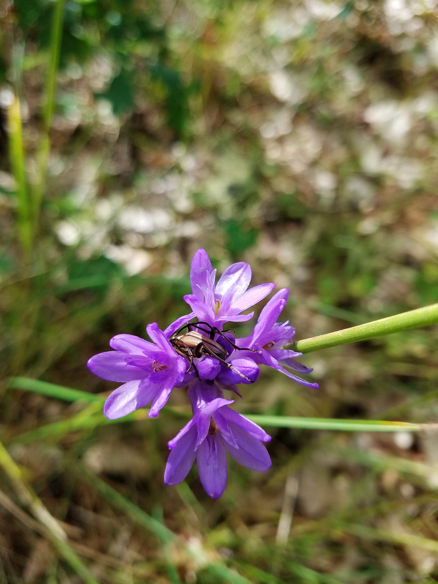
 Can you spot the insect?
 Trillium

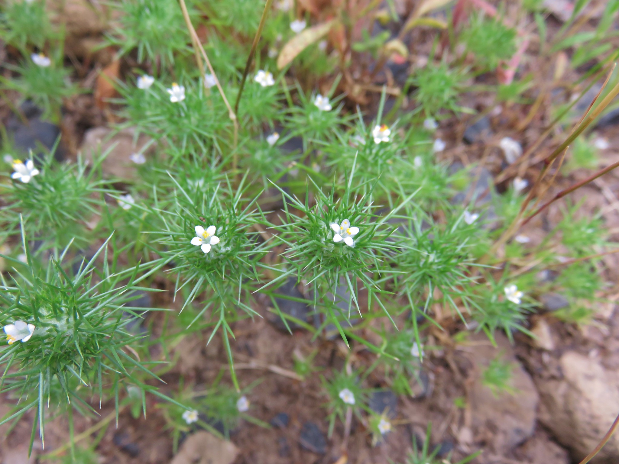
 Milkvetch
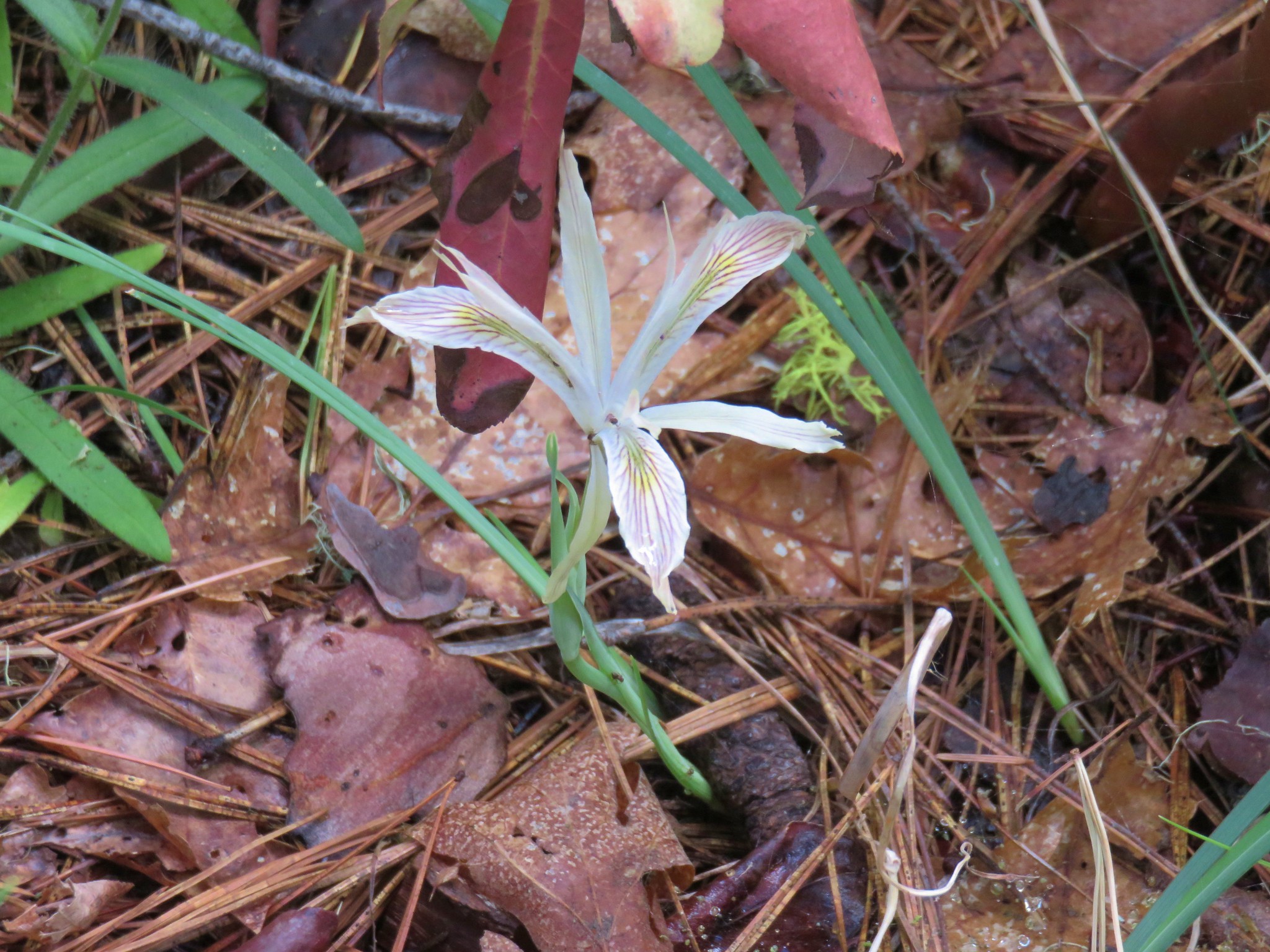
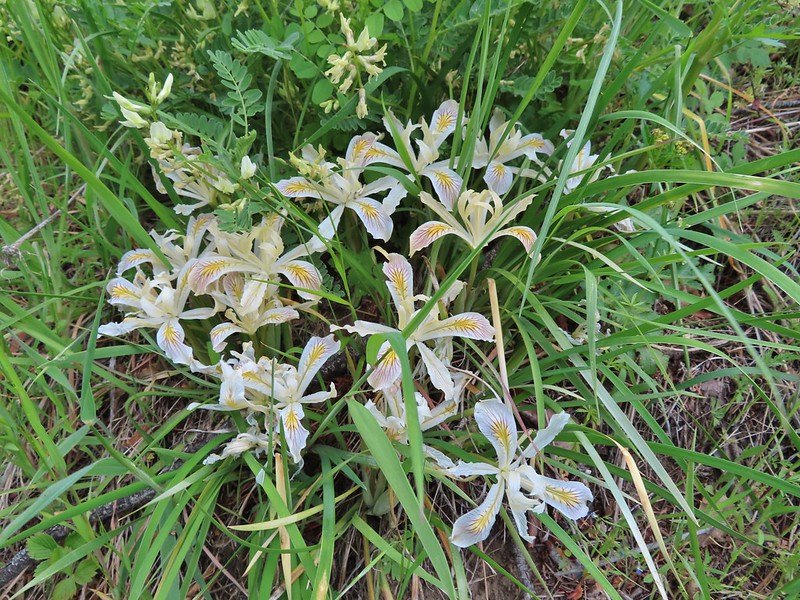 Iris
Iris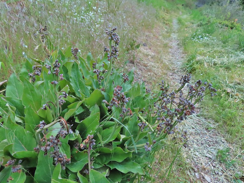 Pacific houndstongue
 We managed to spot a few of the bloodsuckers before they grabbed my pants but we also had to flick 6-8 of the little buggers off.
 Charred tree trunks along the trail.
 Snow queen
 No signs of fire here.

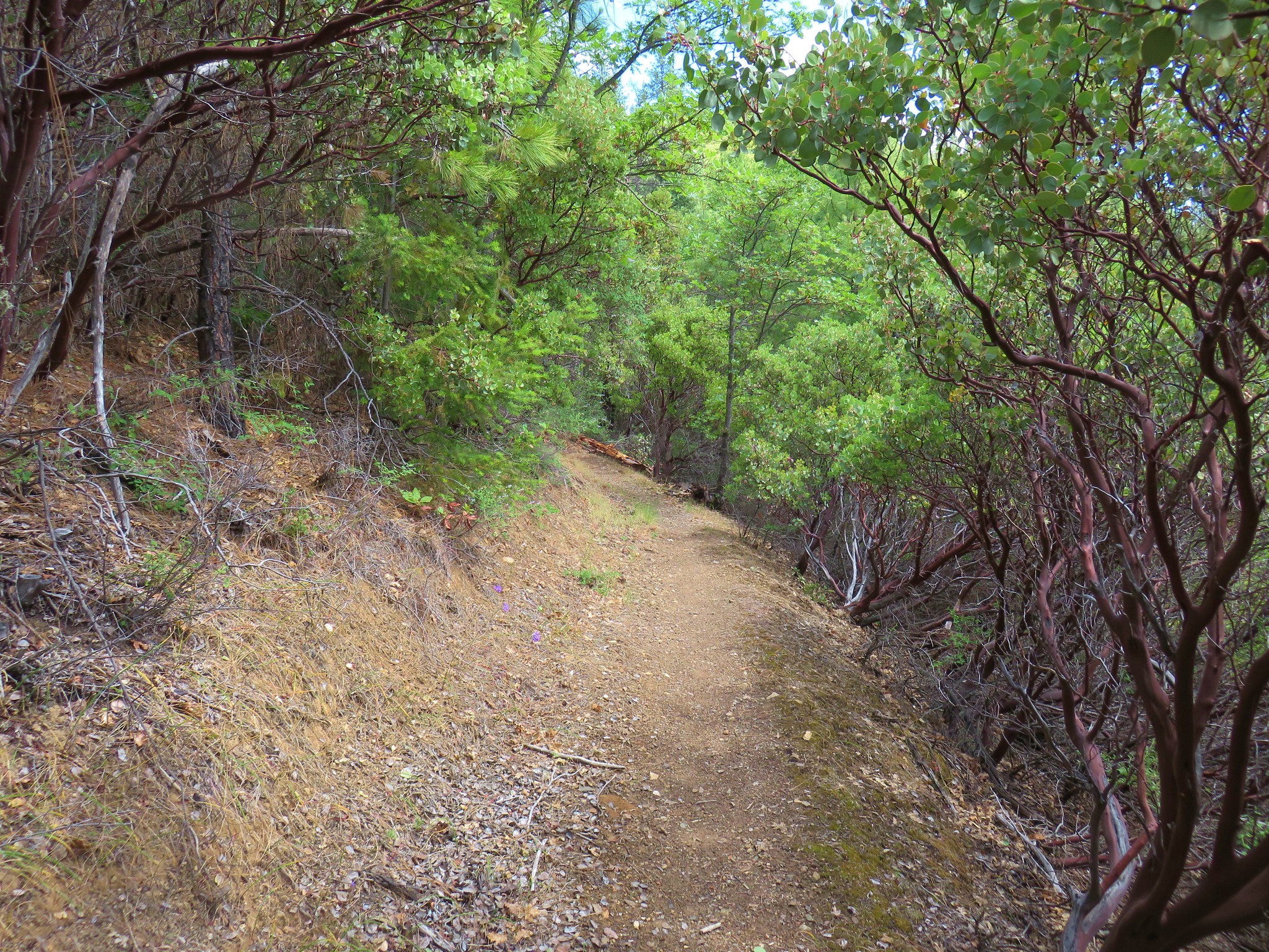
 The Jack-Ash Trail continuing south.
 The trail heading west.
 Balsamroot
 Phlox
Phlox


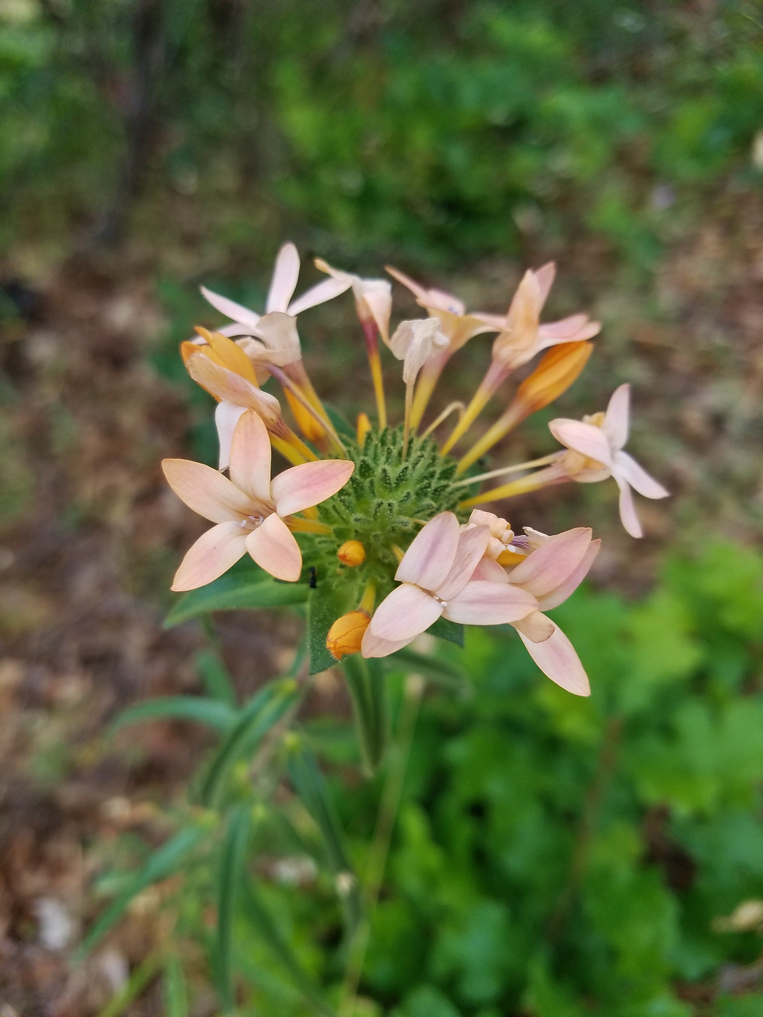
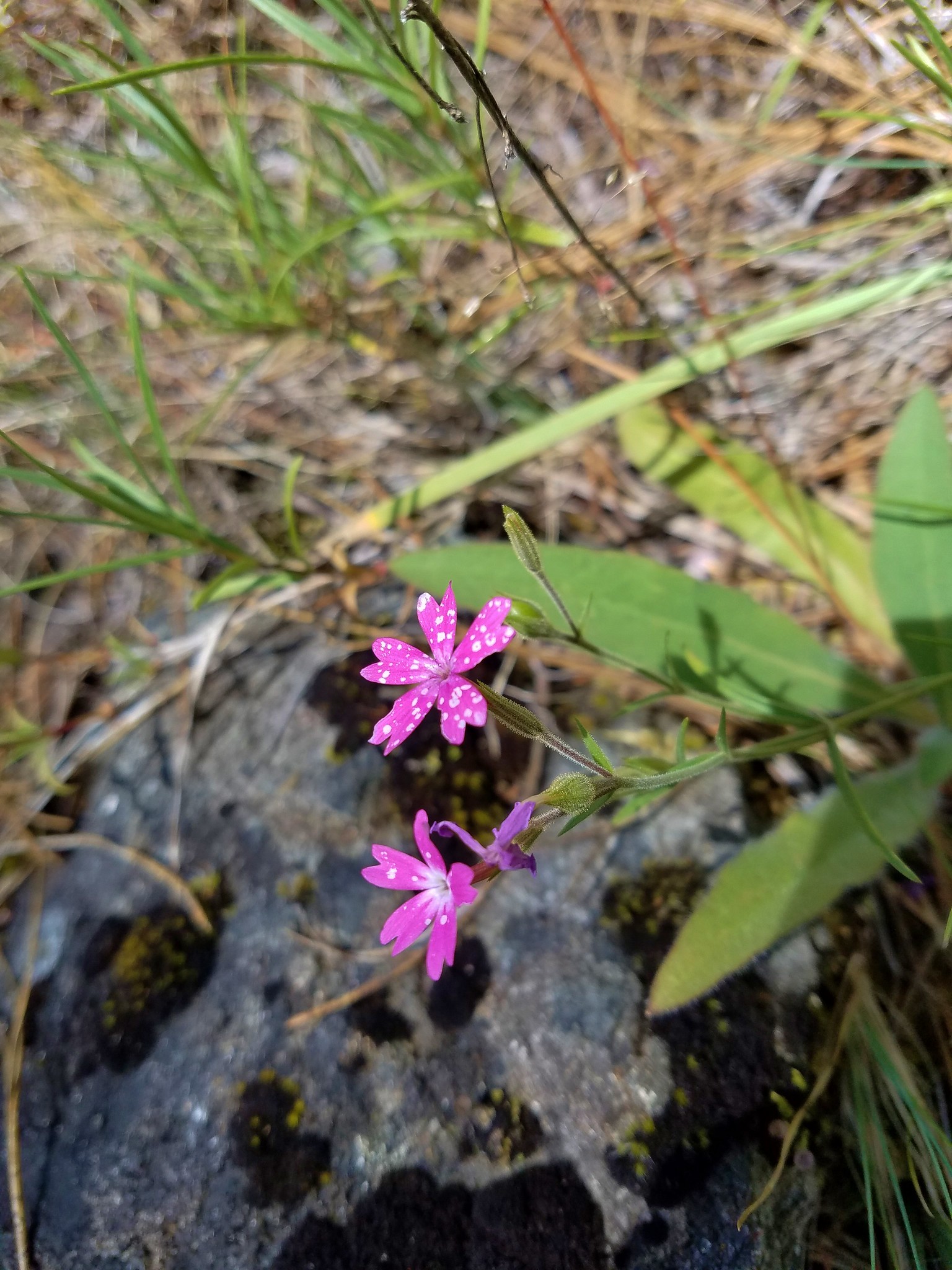
 Scarlet fritillary – Fritillaria recurva

 Parsley, larkspur, prairie stars and blue-eyed Mary.
 Lupine and buckwheat
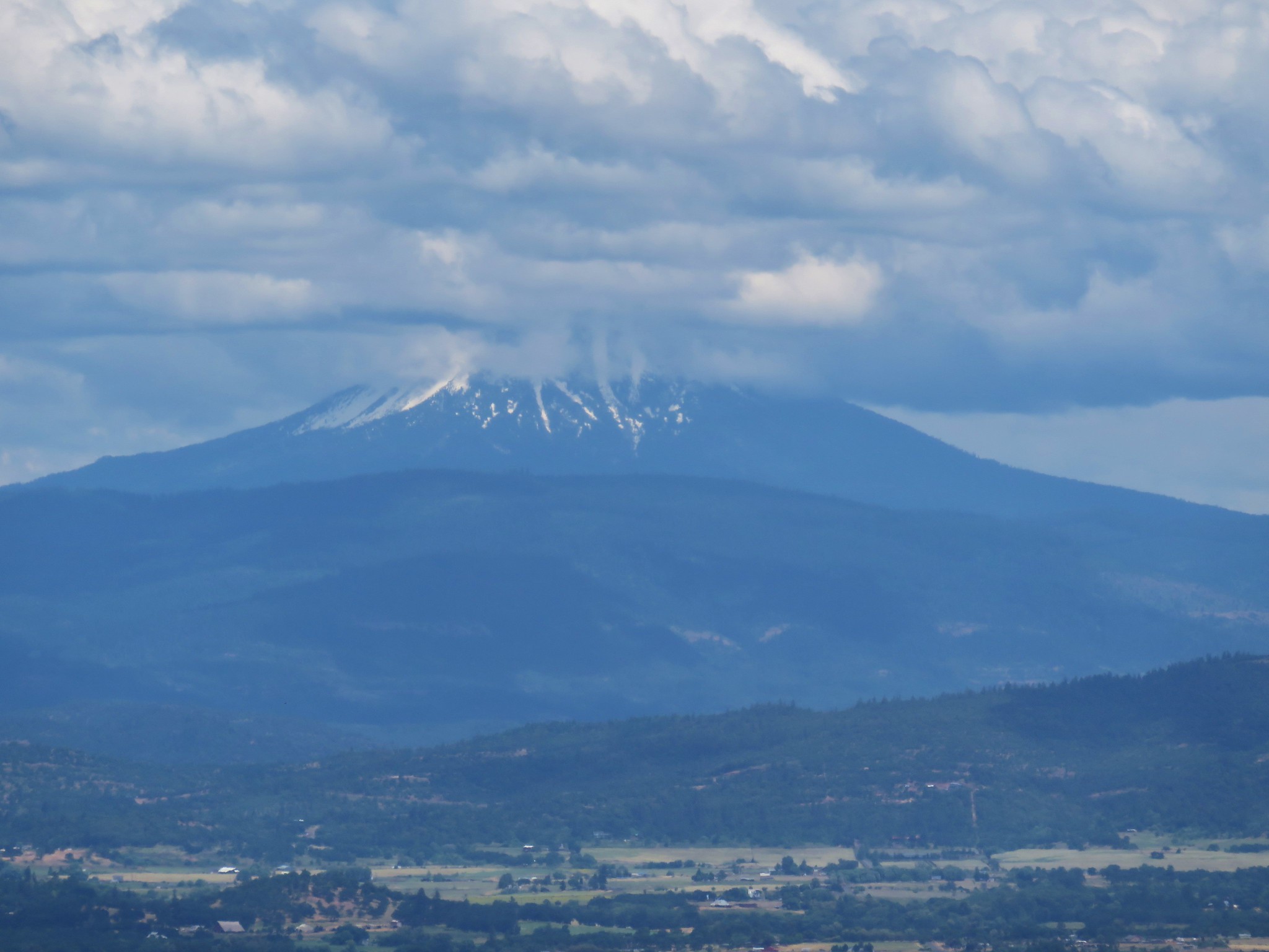
 Mt. McLoughlin (
 Zoomed shot of Dutchman Peak
 Zoomed shot of Red Buttes
 Paintbrush, blue-eyed Mary, and redstem storksbill
 A stonecrop
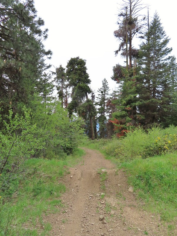
 Where we left the roadbed.
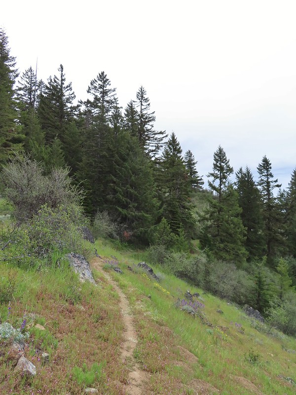 Back on the Jack-Ash.
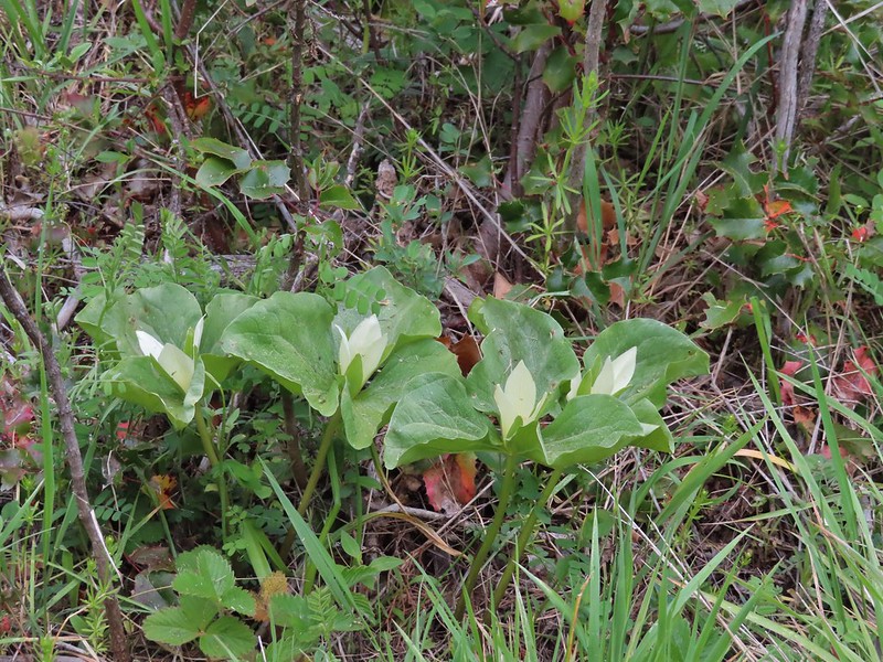 Giant white wakerobbin
 Paintbrush and waterleaf
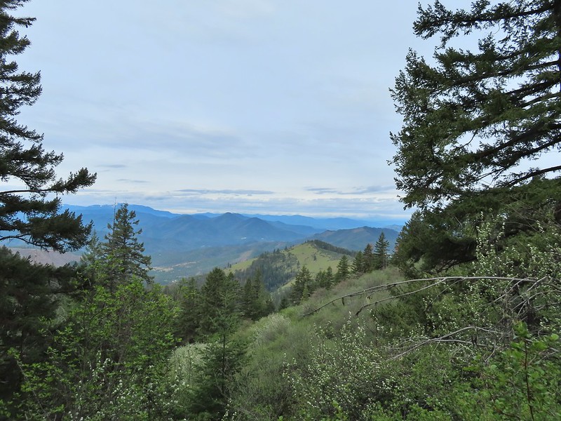 Grayback Mountain to the left with snow.
 The OHV trail crossing the Jack-Ash Trail.
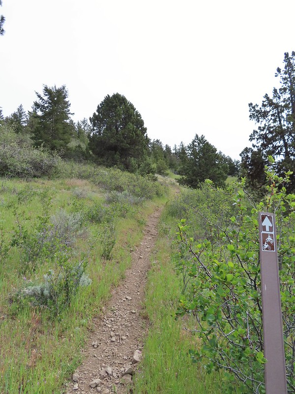 The OHV trail coming down from the road.
 Lupine
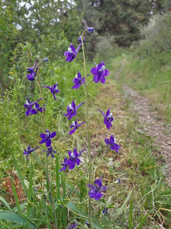 Larkspur
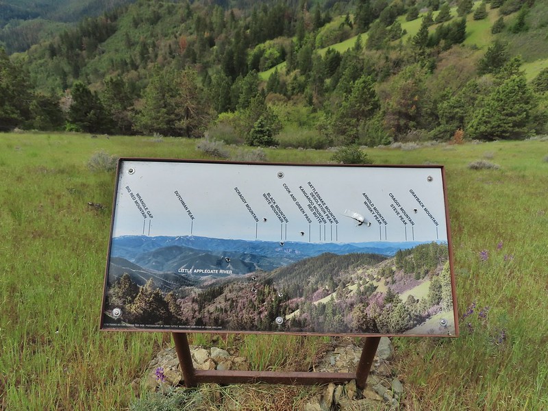 Always appreciate a good mountain locator.
 Mariposa lily
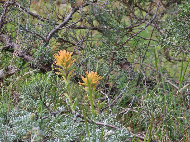 Paintbrush
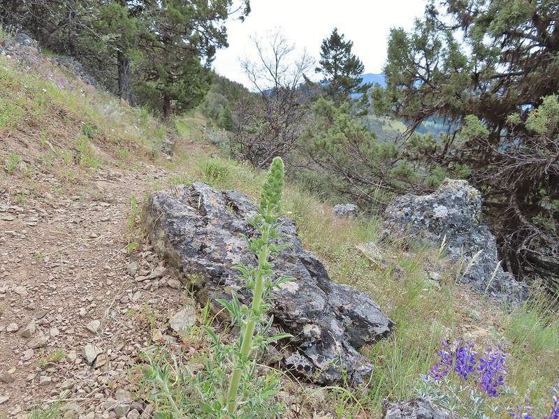 Silverleaf phacelia
 Some sort of big thistle on the hillside.
 Some pink lupine.
 Rough eyelash-weed
 Western wallflower with a crab spider.
 Clustered broomrape
 Buckwheat, paintbrush, and lupine
 Plectritis
 Nearing the Anderson Ridge Trailhead.
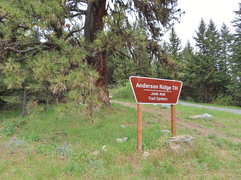


 Miniture lupine
 A ringlet on fiddleneck.
 Post at the OHV trail crossing.
 Salsify
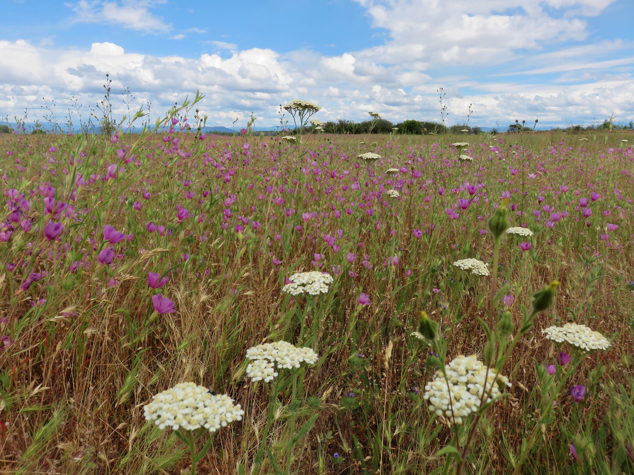
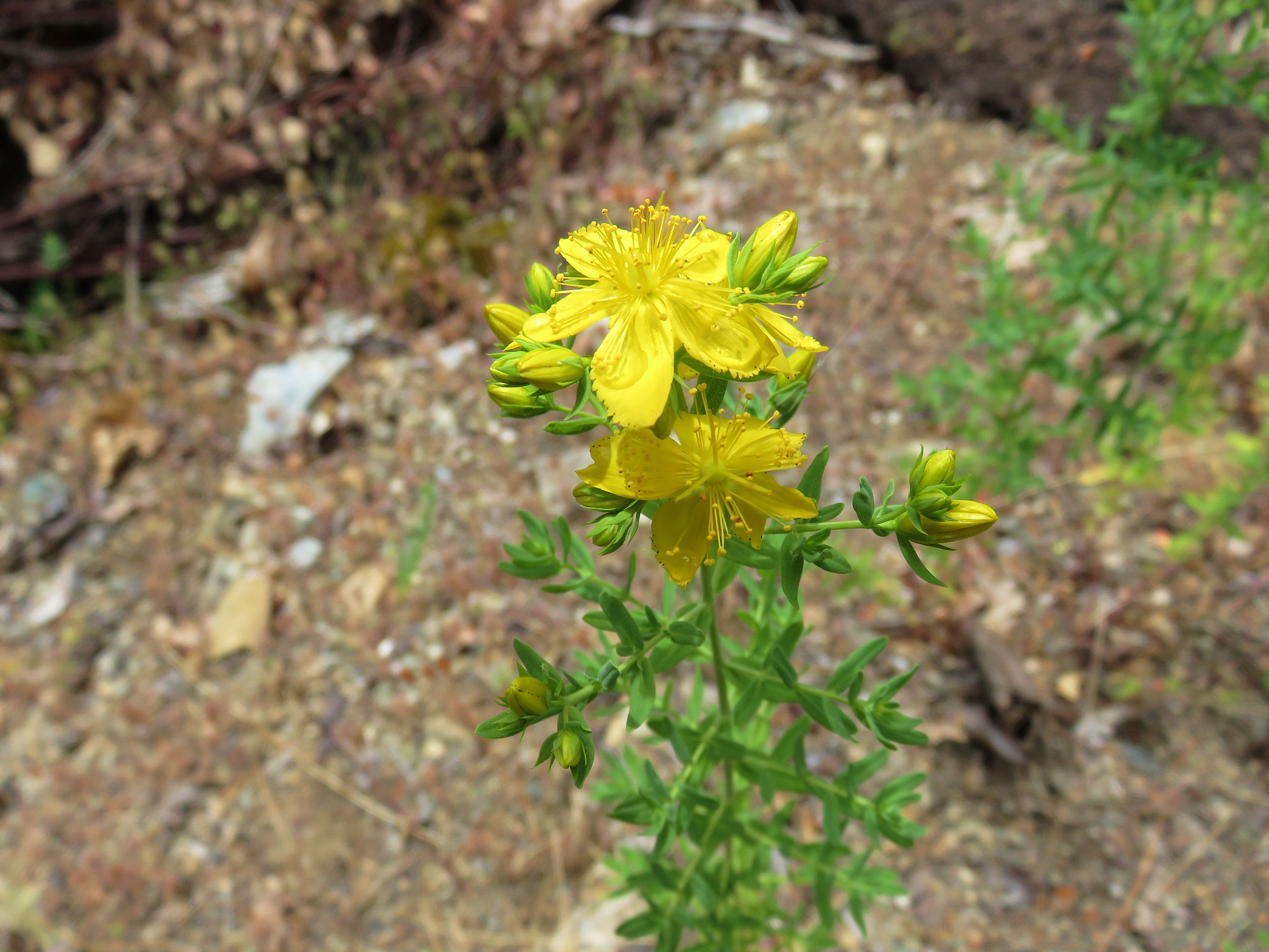
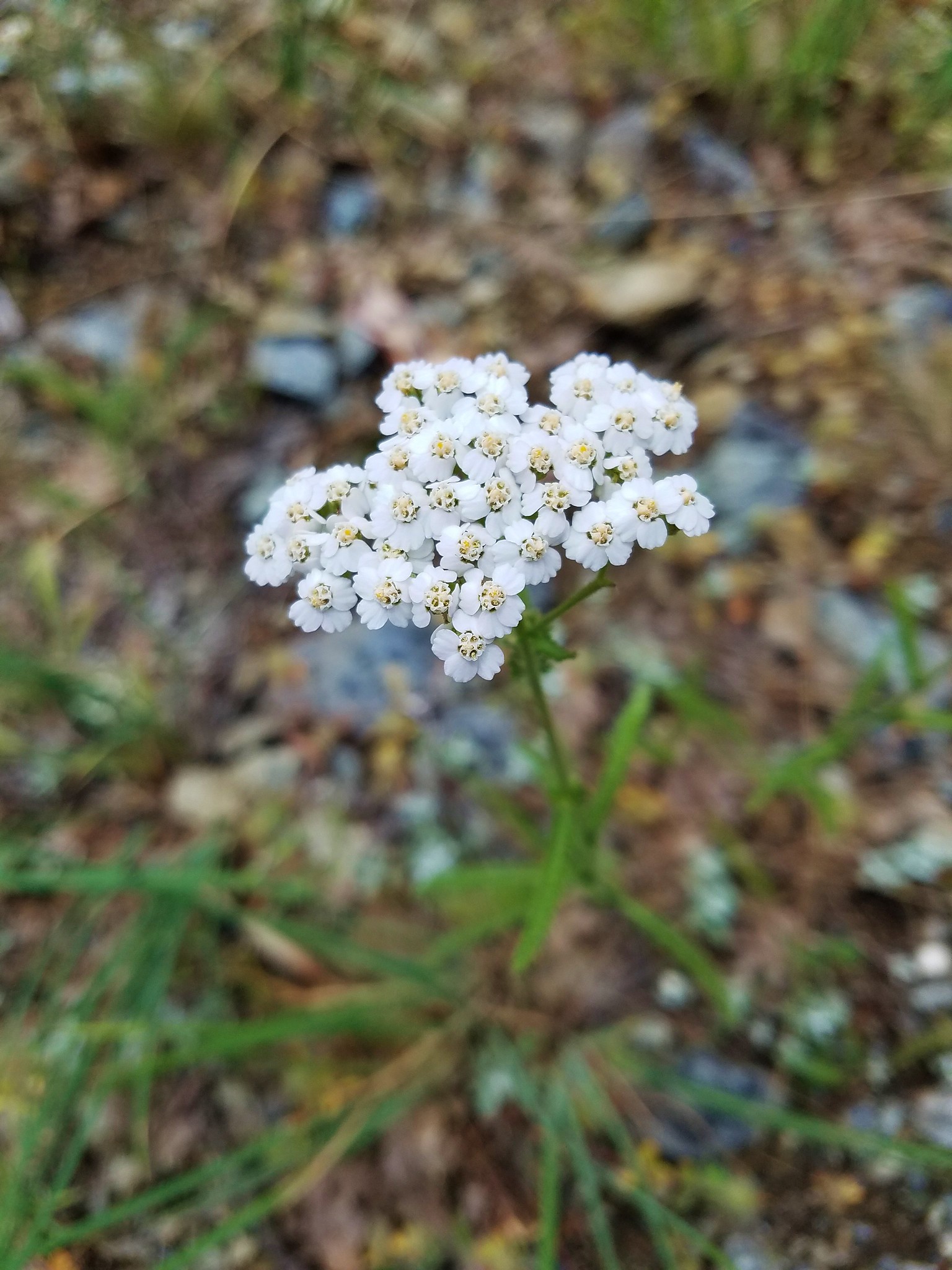
 Yarrow
 The Jack-Ash Trail nearing the saddle where we had turned off to go up Anderson Butte.
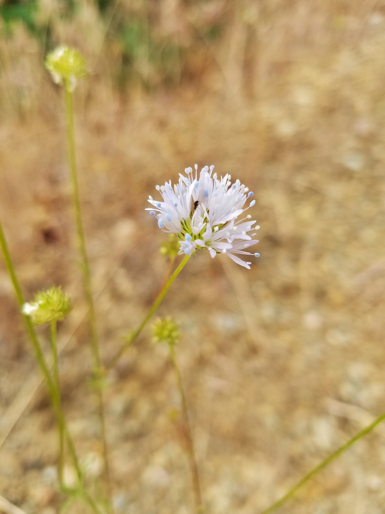
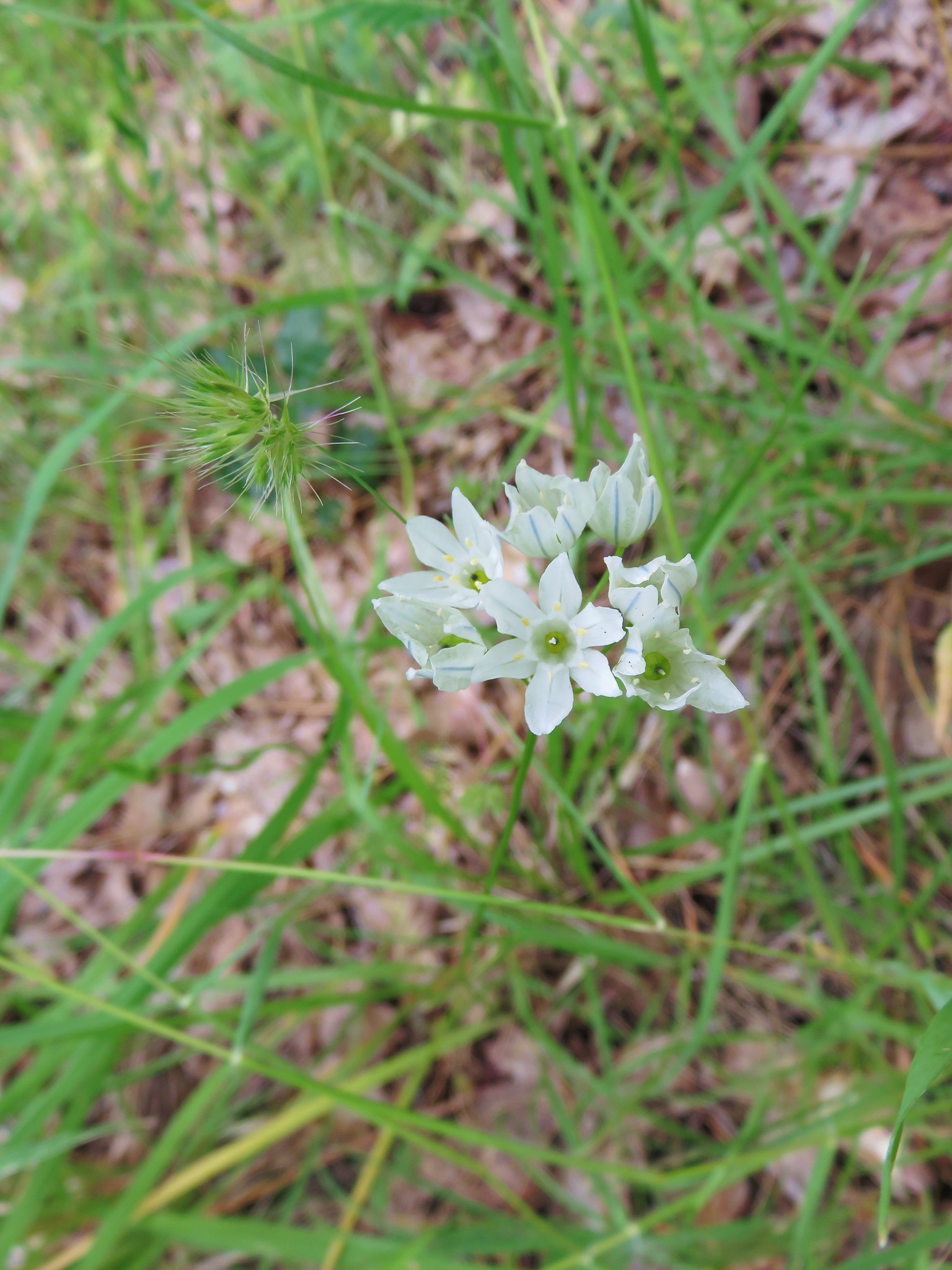
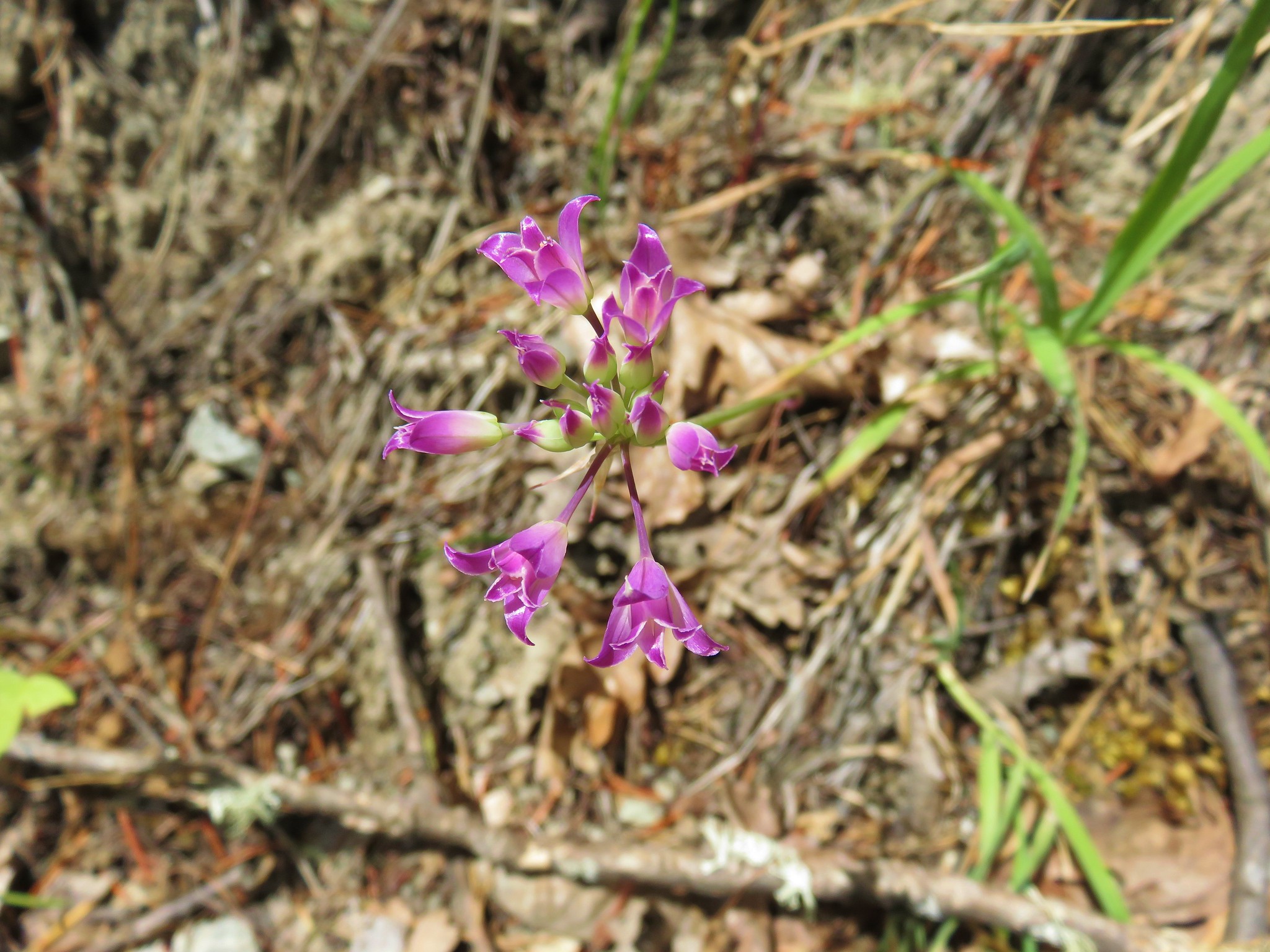
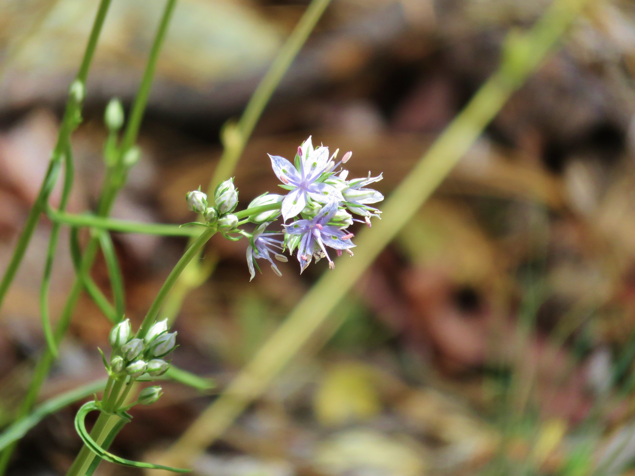
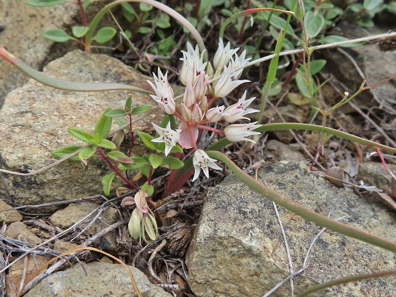 Wild onion (possibly Siskiyou)
 Meadowfoam
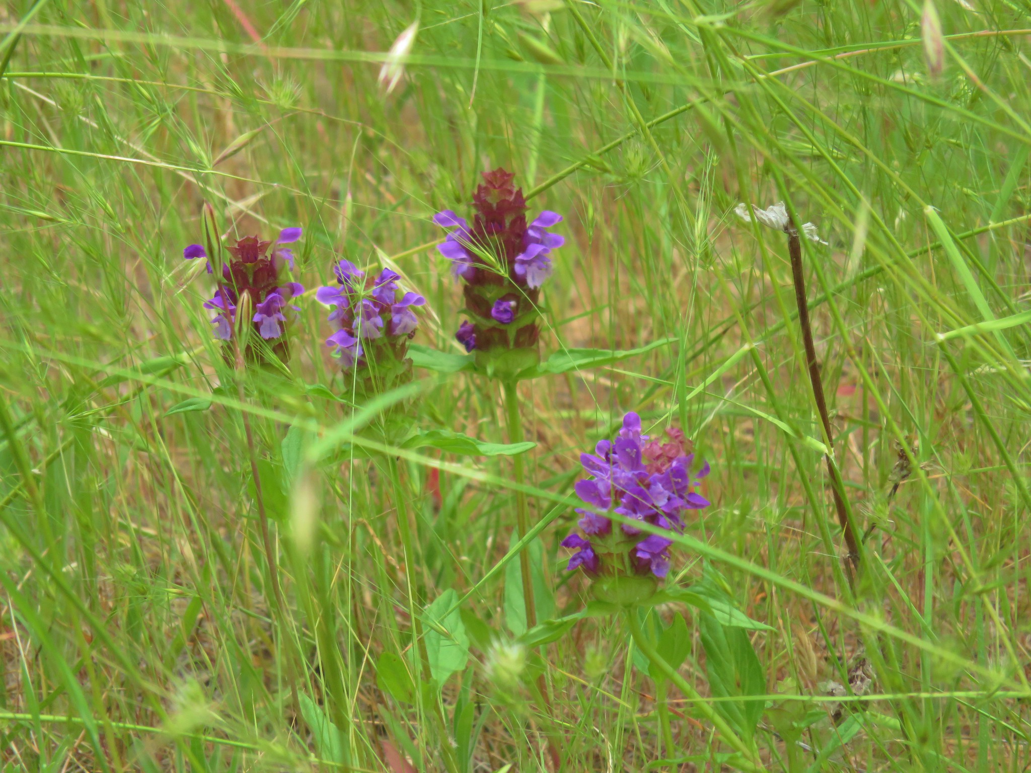
 Royal Jacobs-ladder
 Royal Jacobs-ladder
 The berm at the Greenstone Trailhead.


 Acorn woodpecker
 Death camas and vetch
 Carrotleaf horkelia
 Lazuli bunting
 Finch
Finch
 Lupine
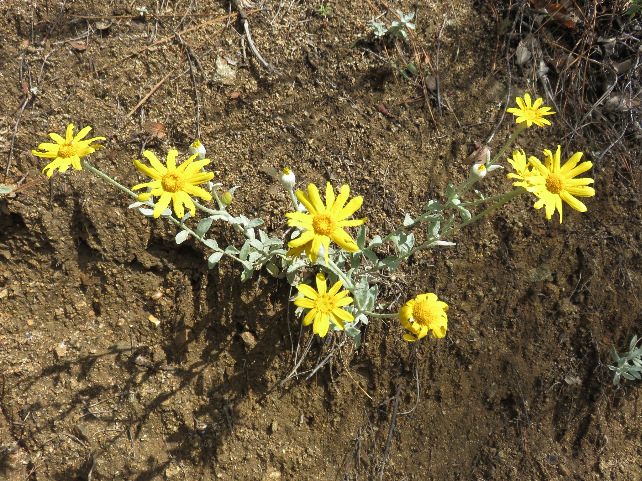
 Oregon sunshine
 Andestite boulder
 Mt. McLoughlin (
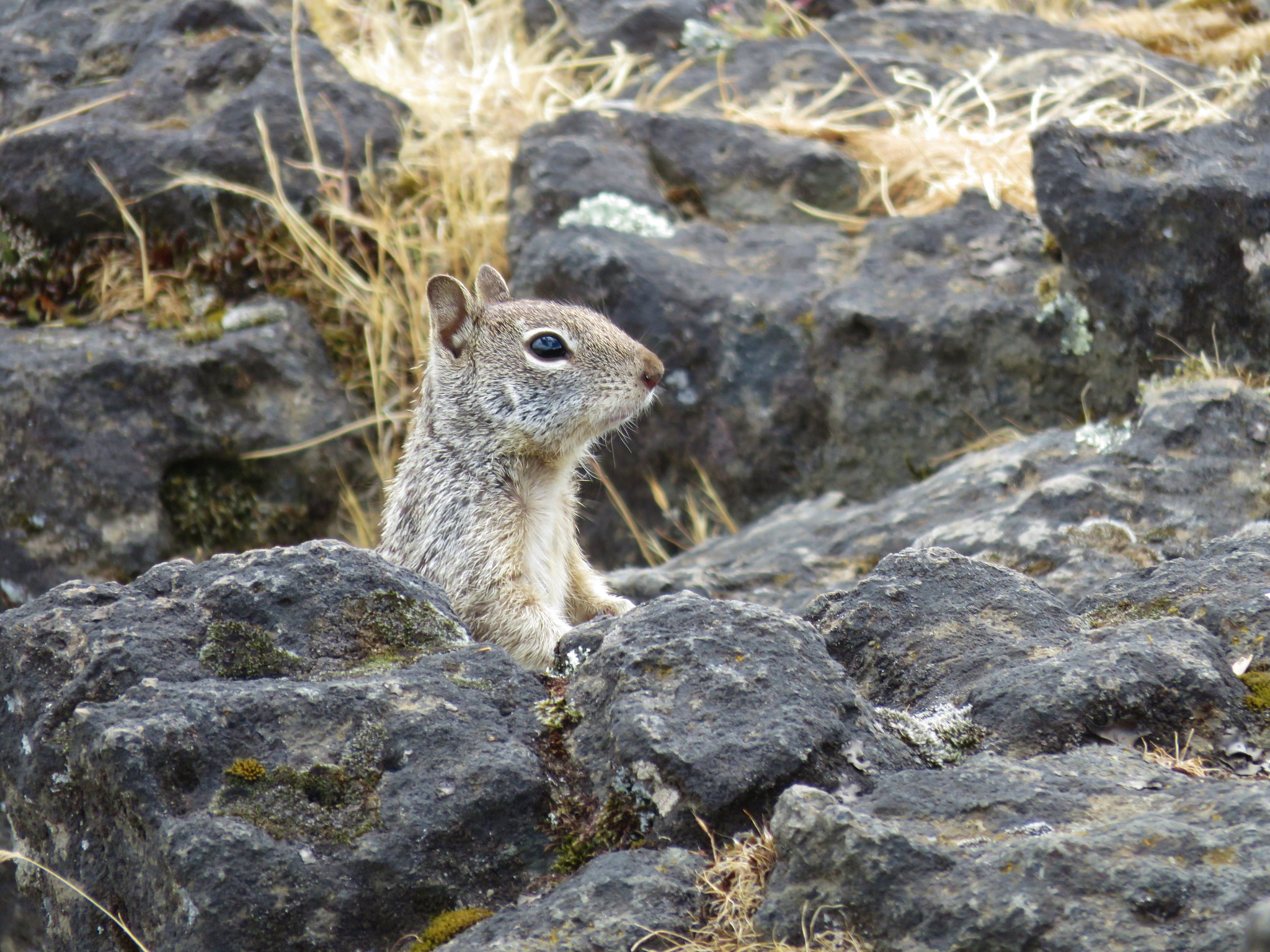
 Ground squirrel having breakfast
 Blow wives
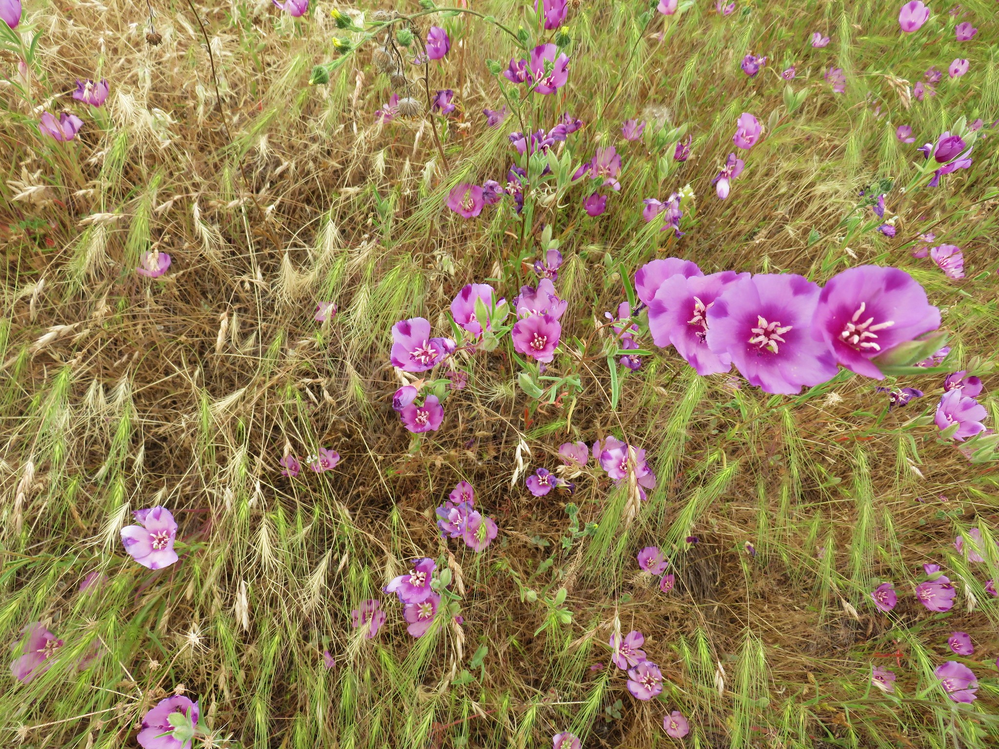
 A clarkia
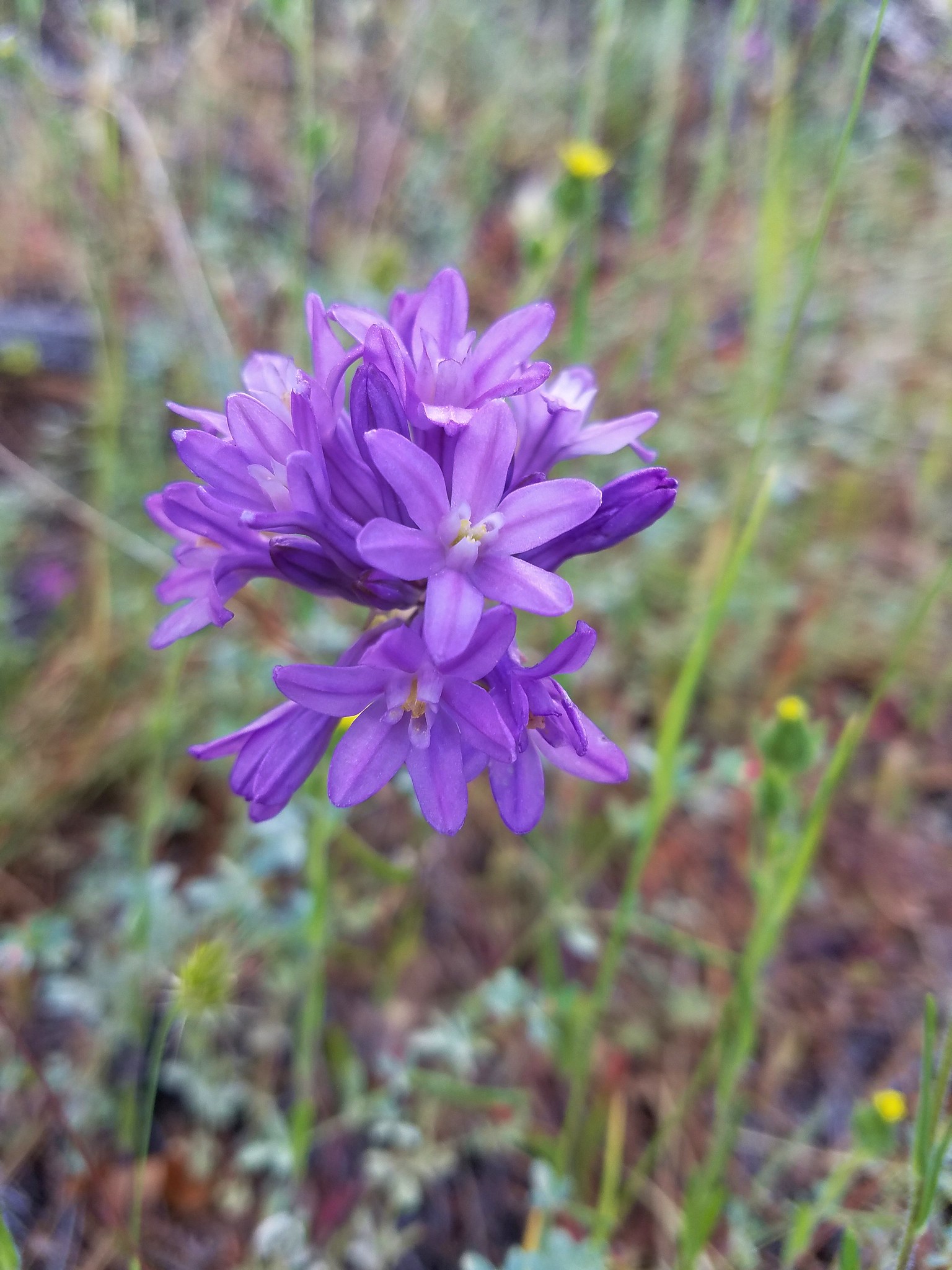
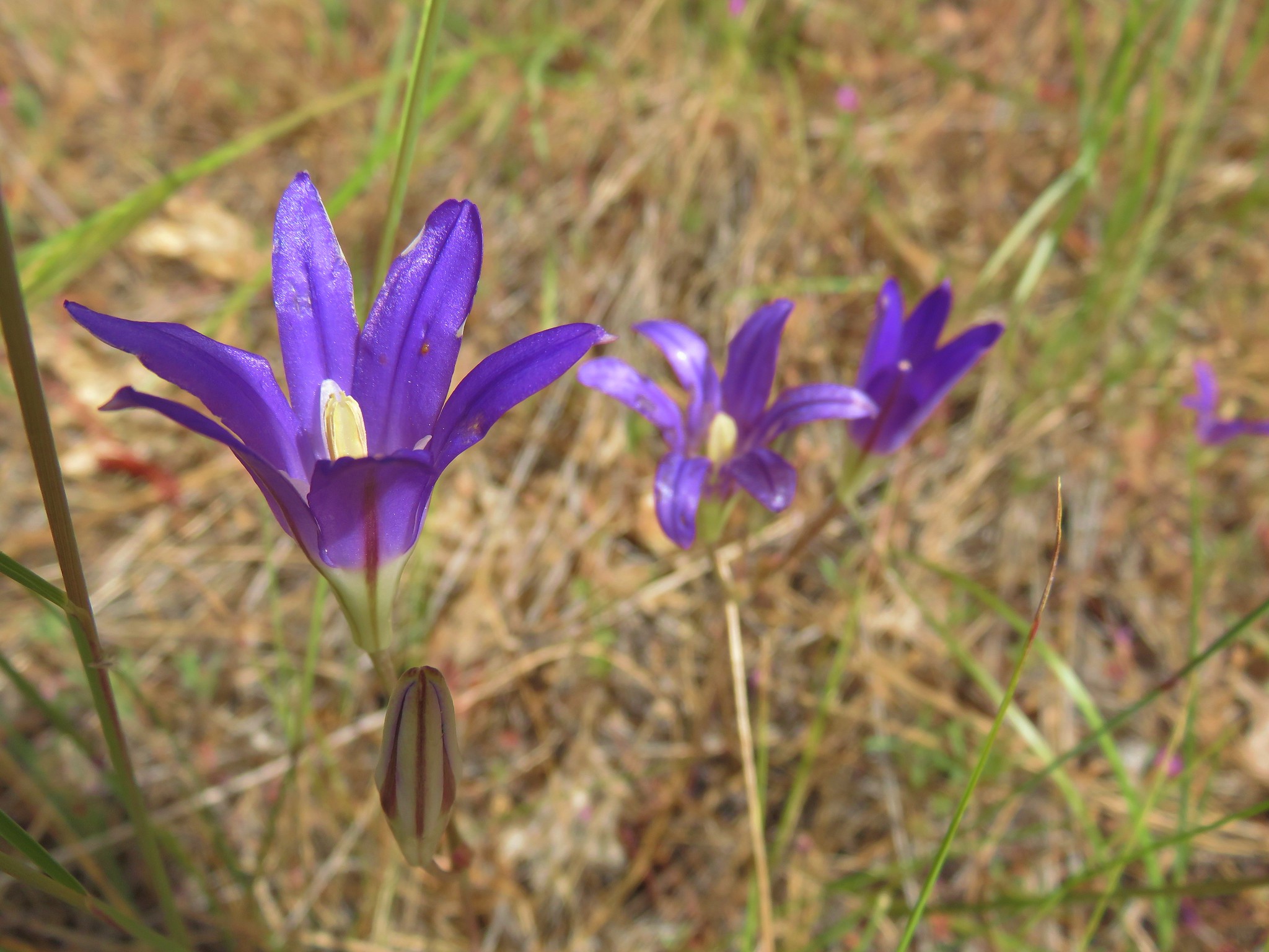
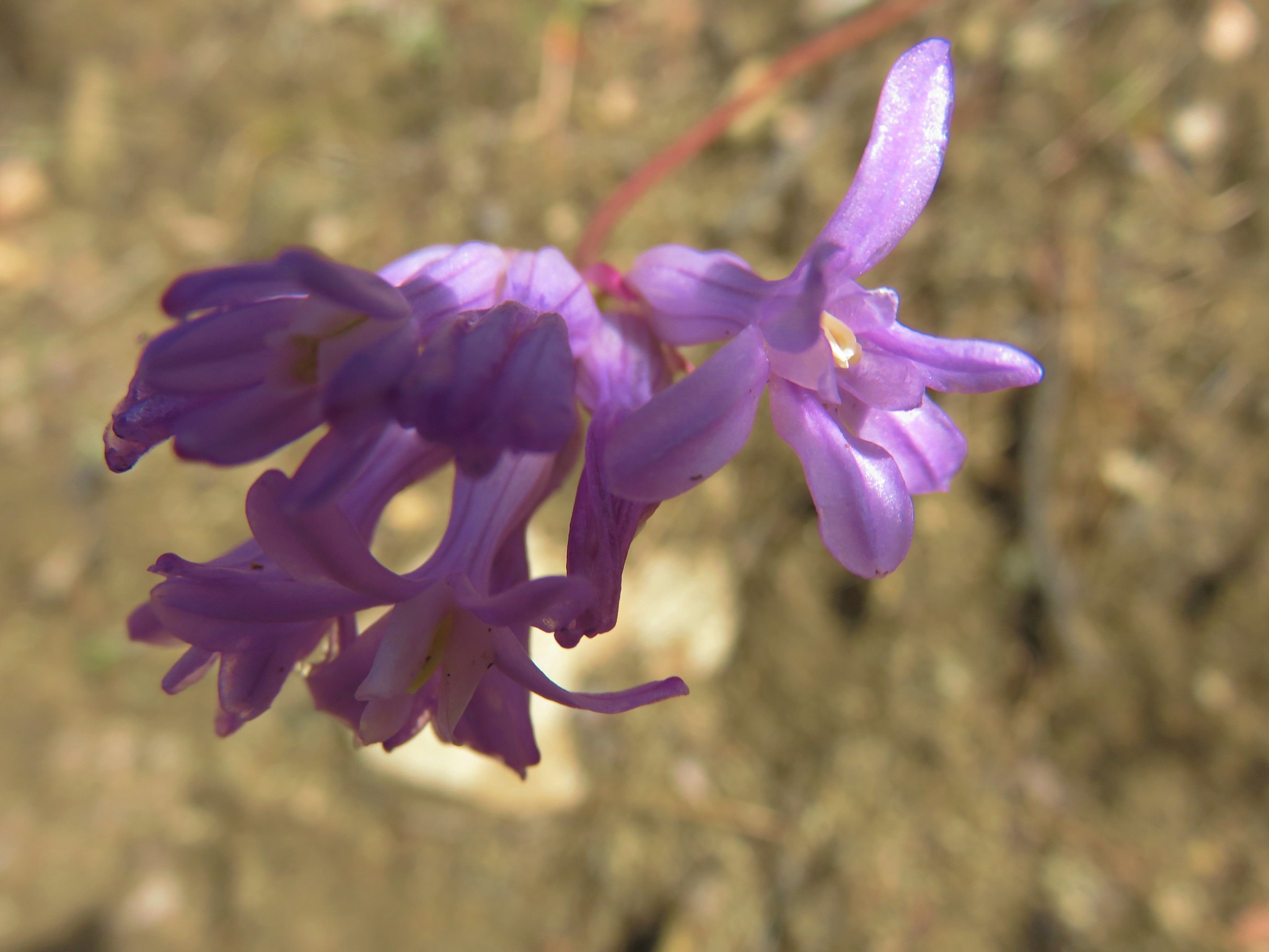
 Blue dicks
 Paintbrush (and poison oak)
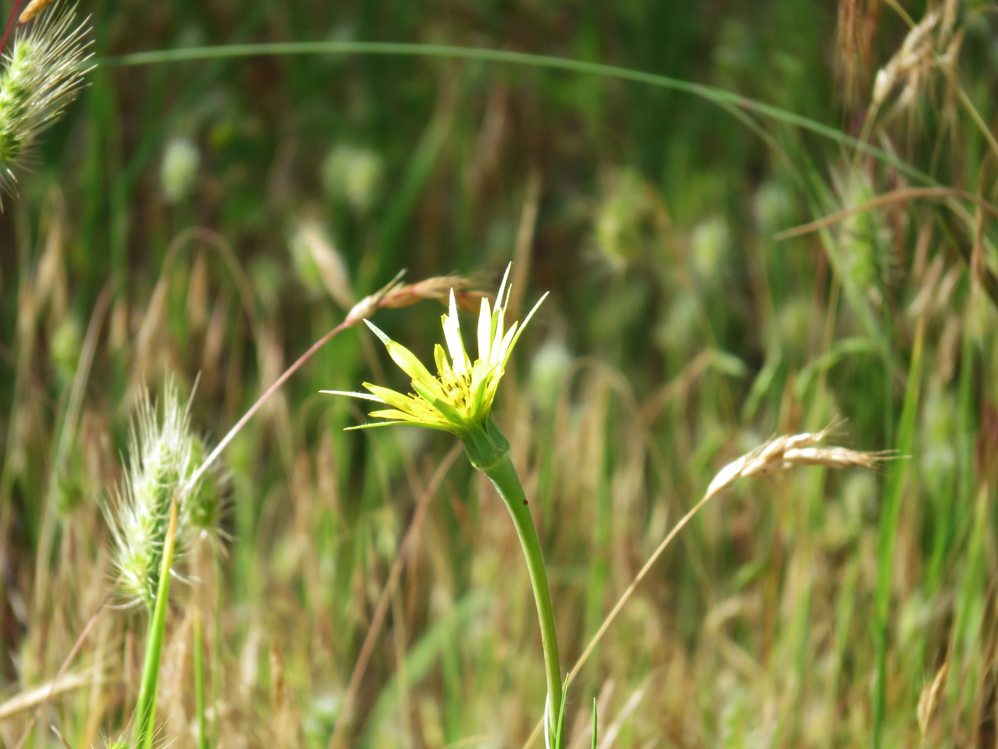
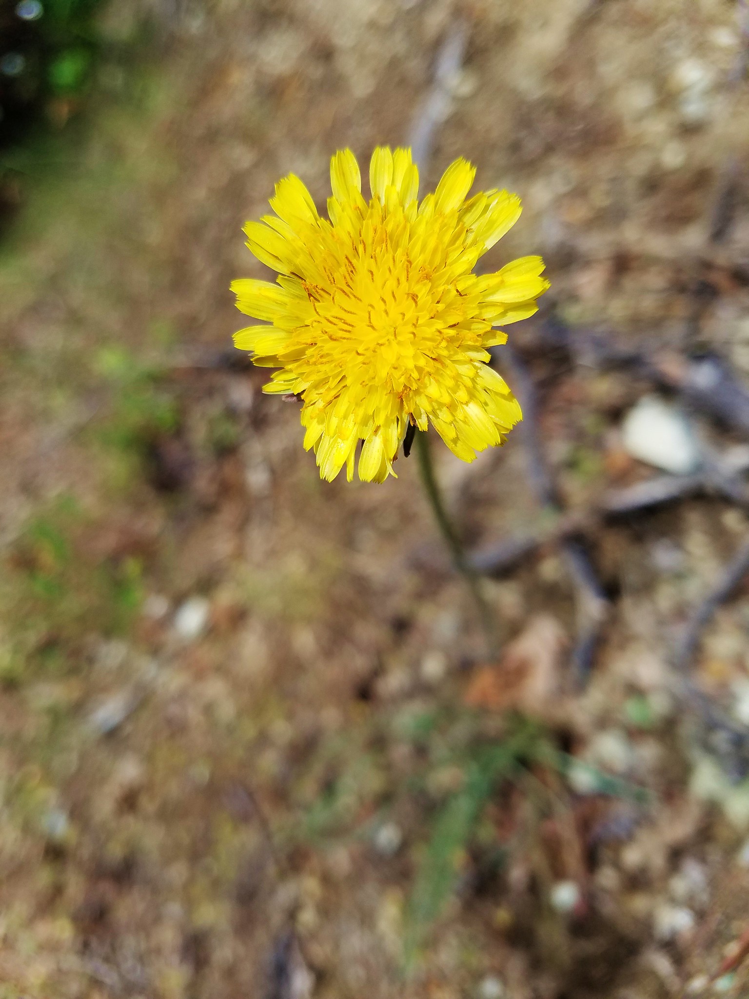
 Could be a cutleaf silverpuff or a hawksbeard
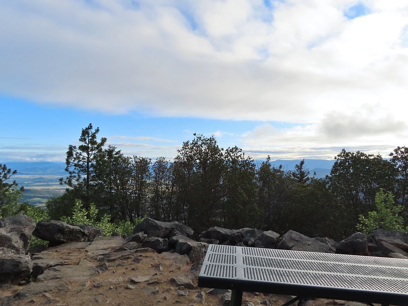
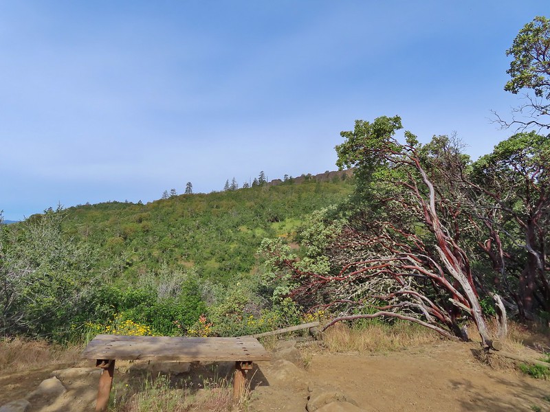 Viewpoint bench at the half mile point.
 Clustered broomrape
 Siskiyou Mountains including Mt. Ashland (
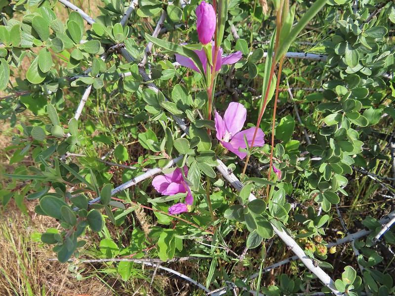 Another type of clarkia
 Possibly bastard toadflax
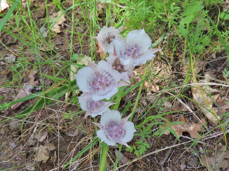 Mariposa lilies
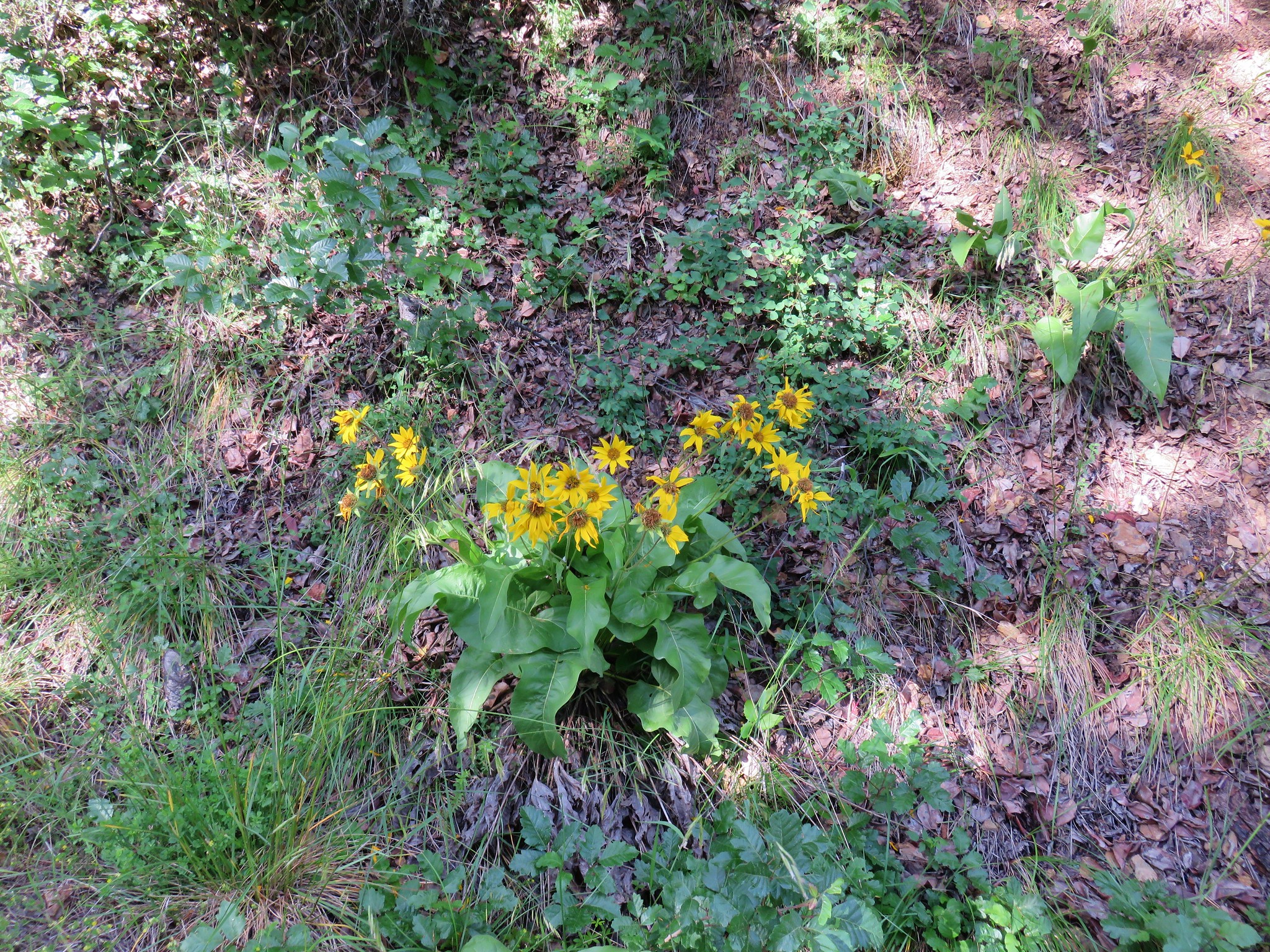
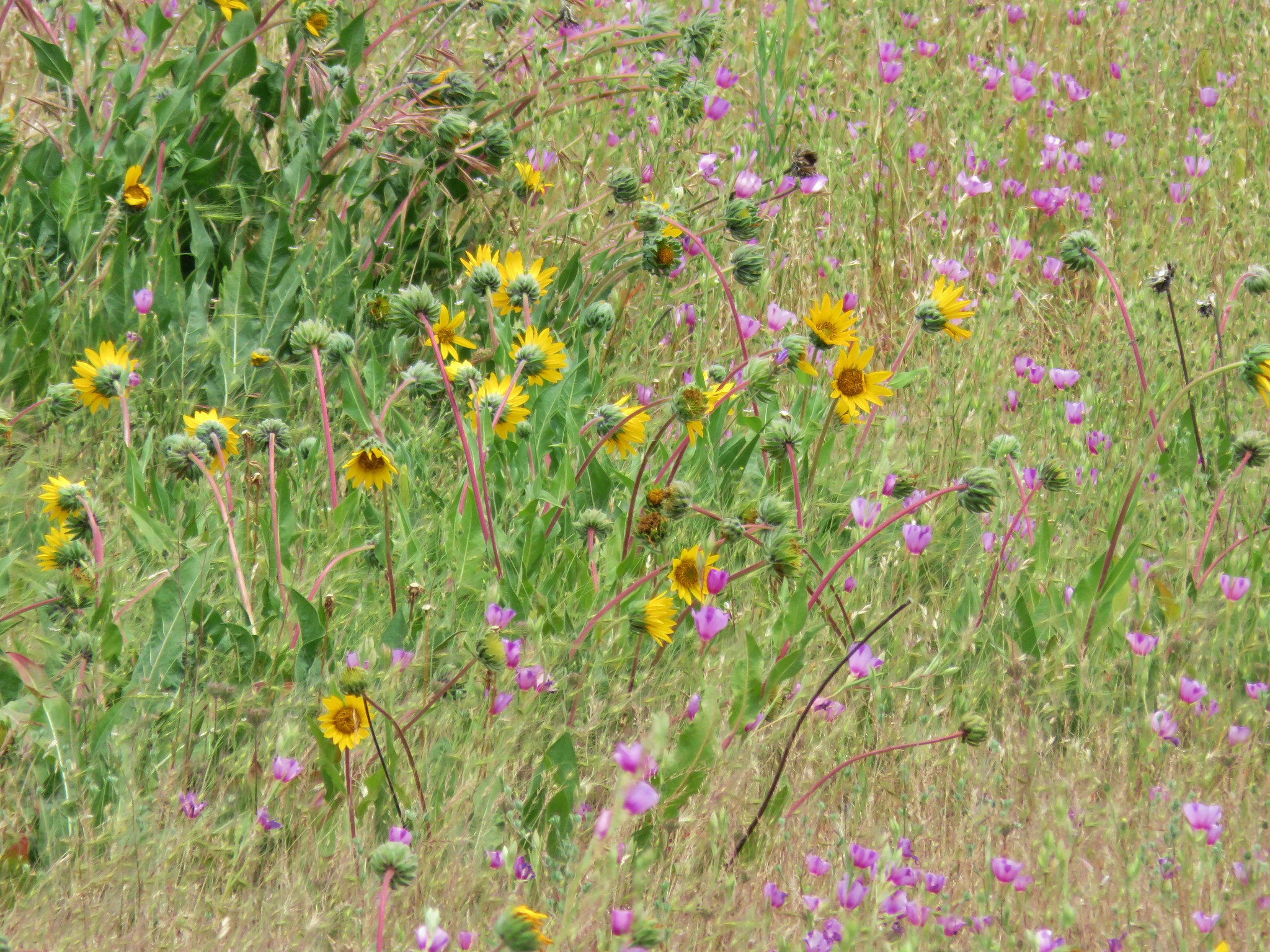
 Balsamroot along the trail.
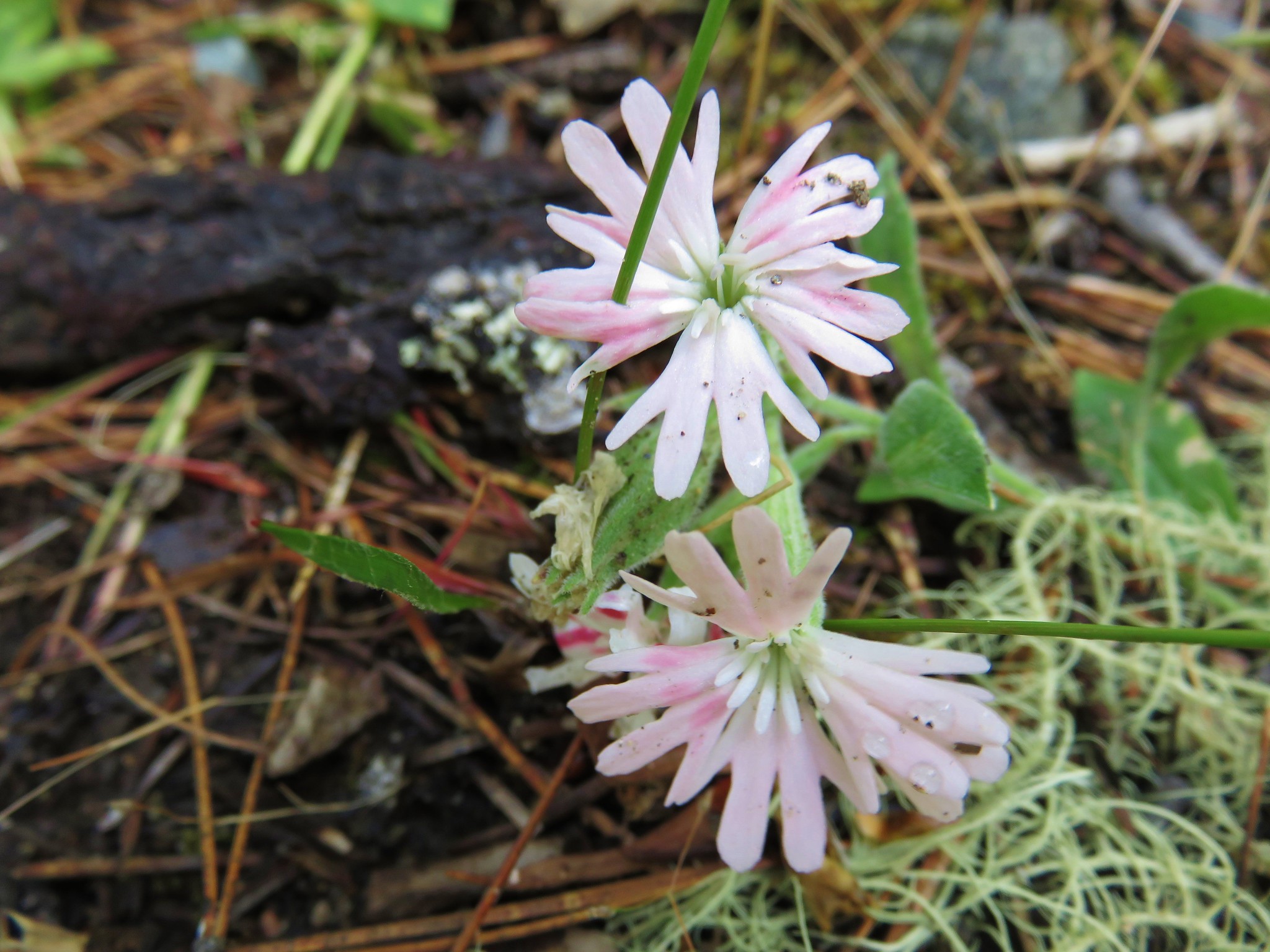
 Bell catchfly
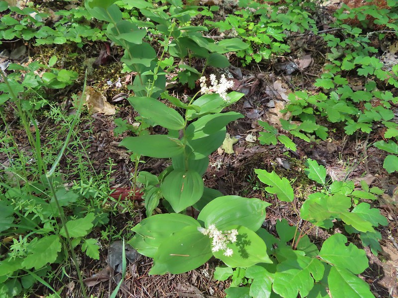 Plumed solomonseal
 Approaching the start of the loop.
 Looking toward the Siskiyous.
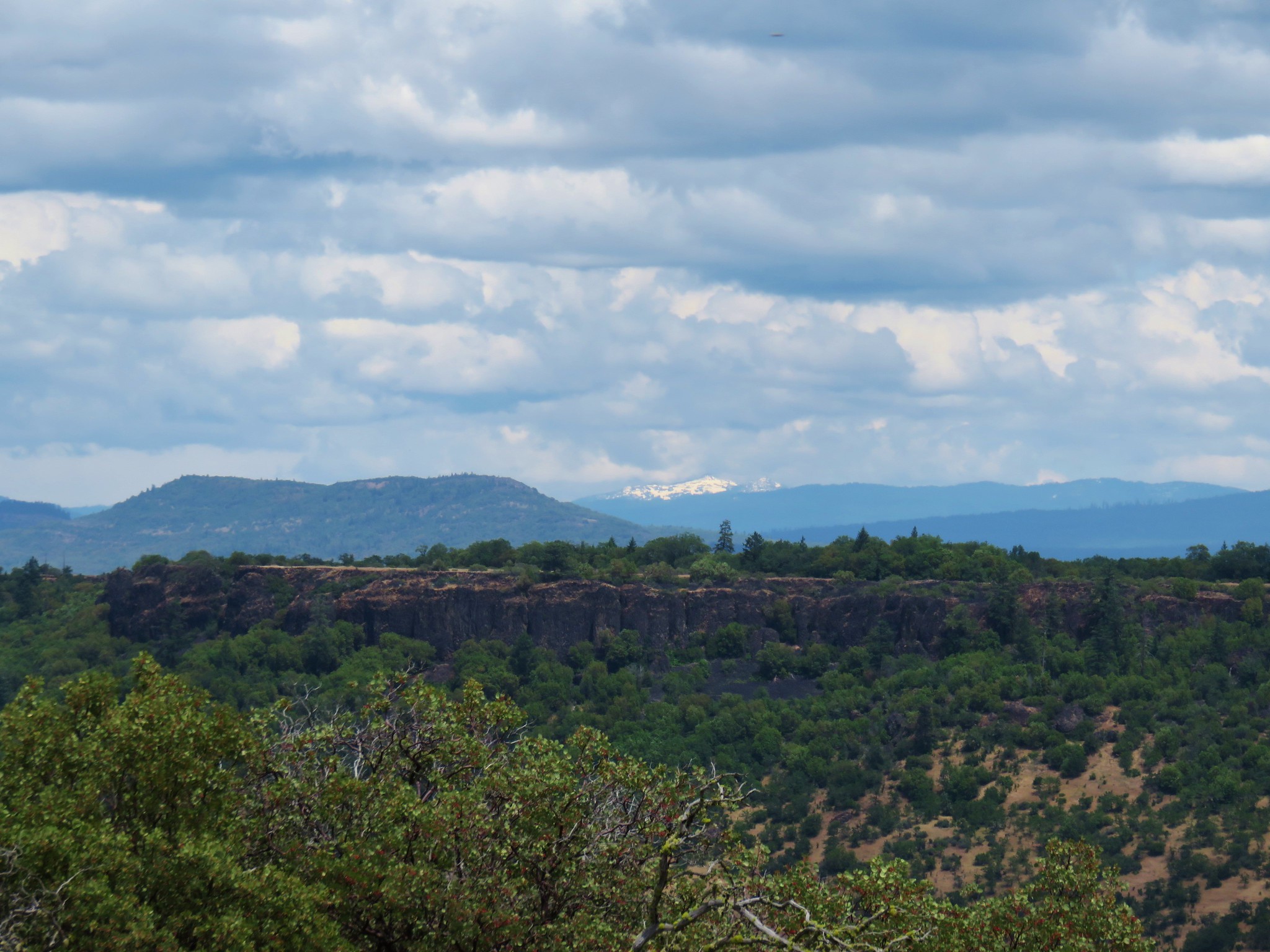
 The Red Buttes (
 Pilot Rock (
 Mt. Ashland (w/snow) and Wagner Butte
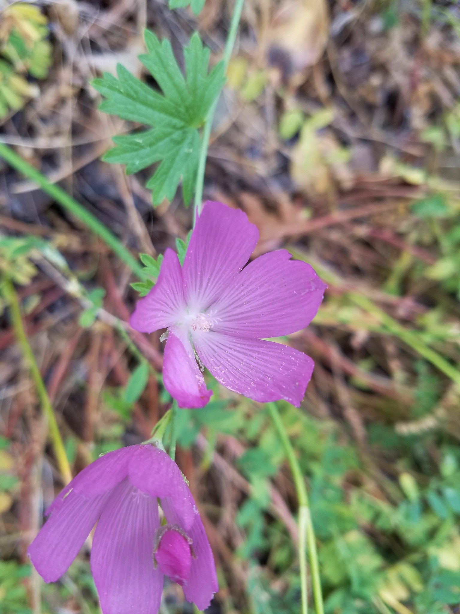
 A couple of different wildflowers.
 Narrowleaf onion?
 Pincushion plant
 Meadowfoam
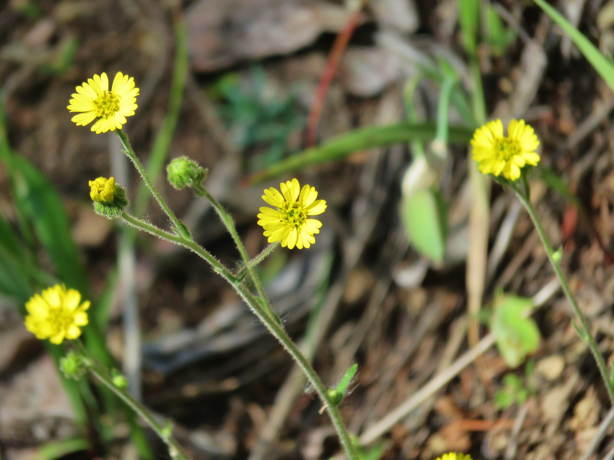
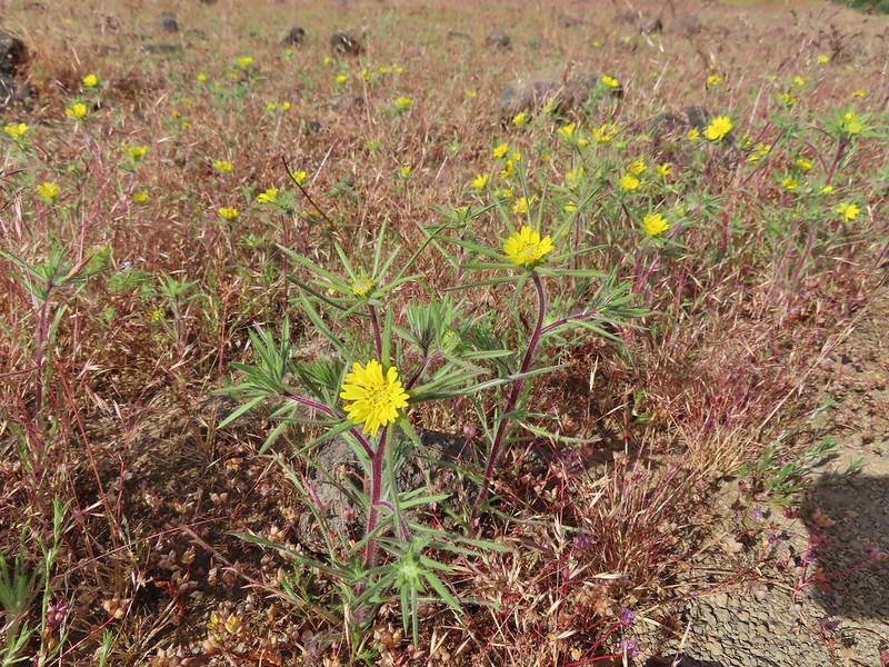 Not sure what these yellow flowers are. Yellow flowers are by far the hardest to figure out.
 Rock wren
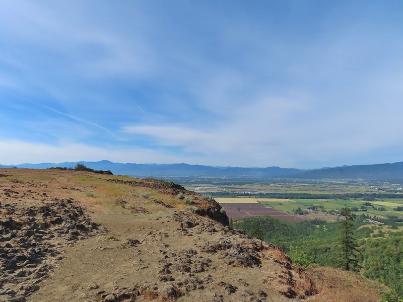
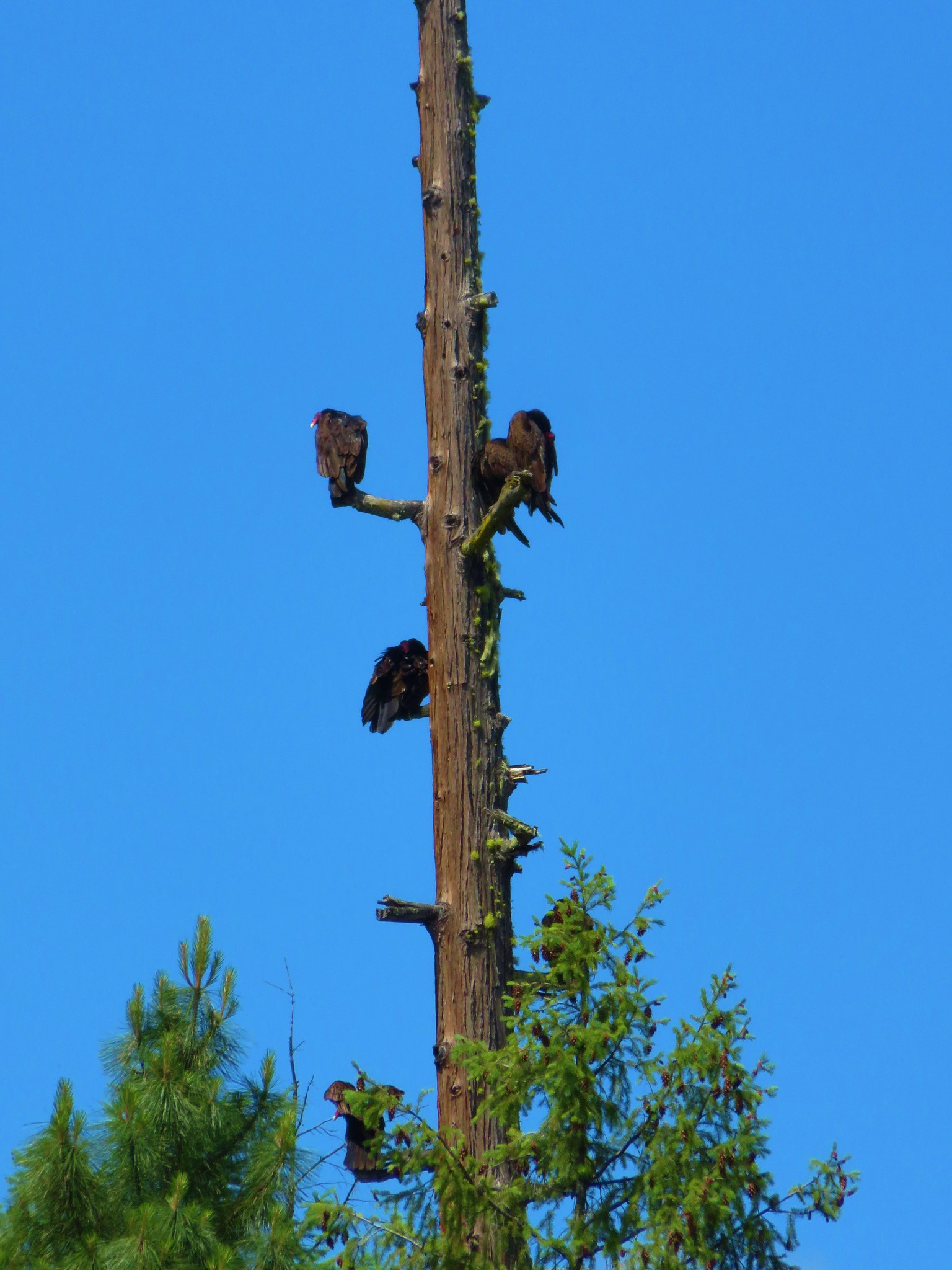
 Turkey vulture in flight with Mt. McLoughlin in the background.
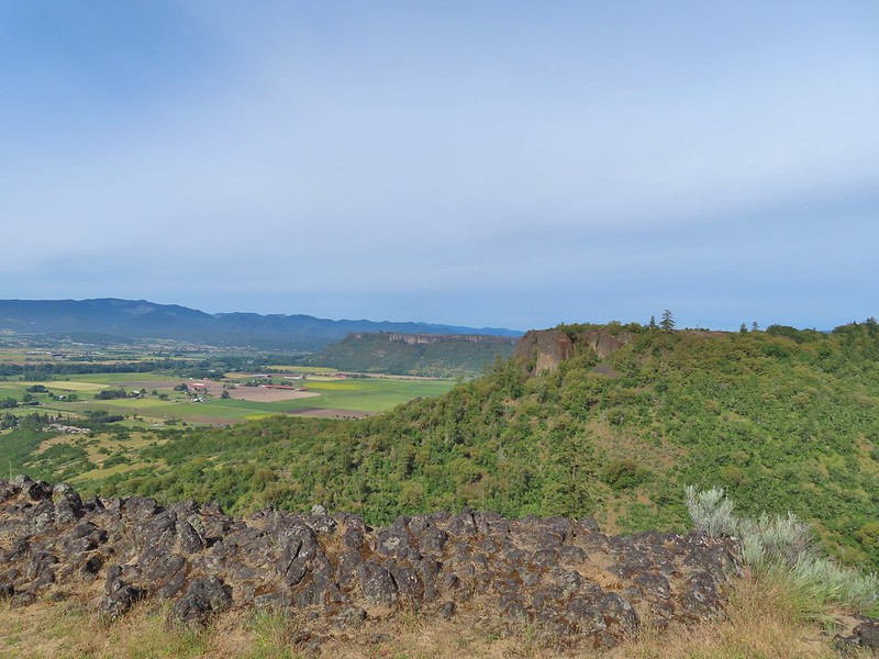 Lower Table Rock beyond the other bench of Upper Table Rock.
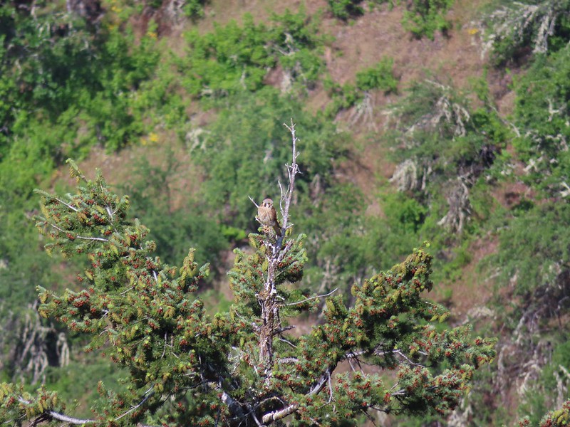 An American kestral atop a tree.
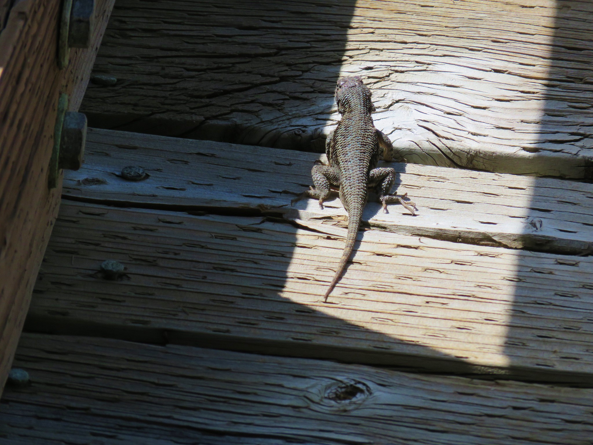
 Lizard
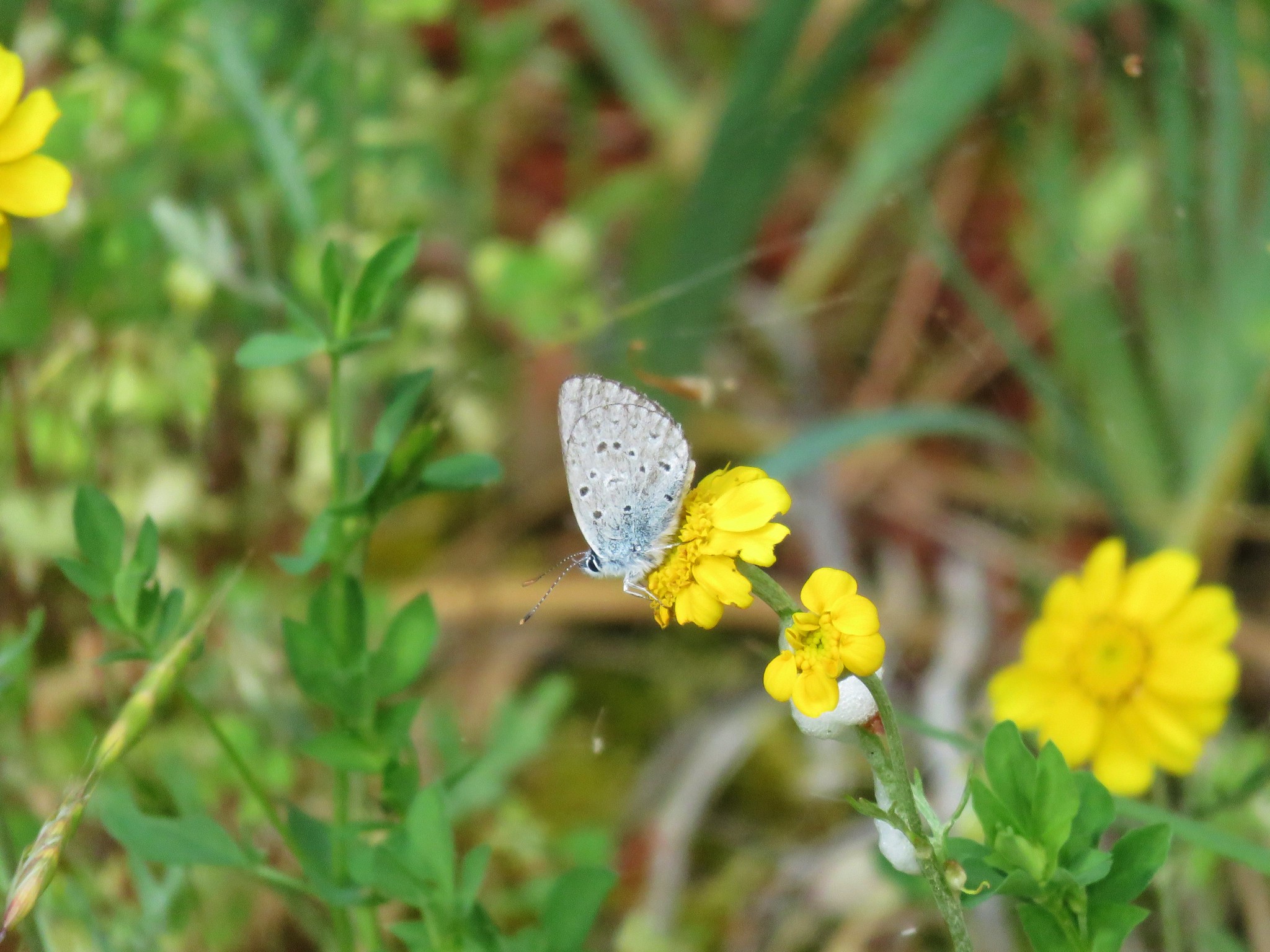
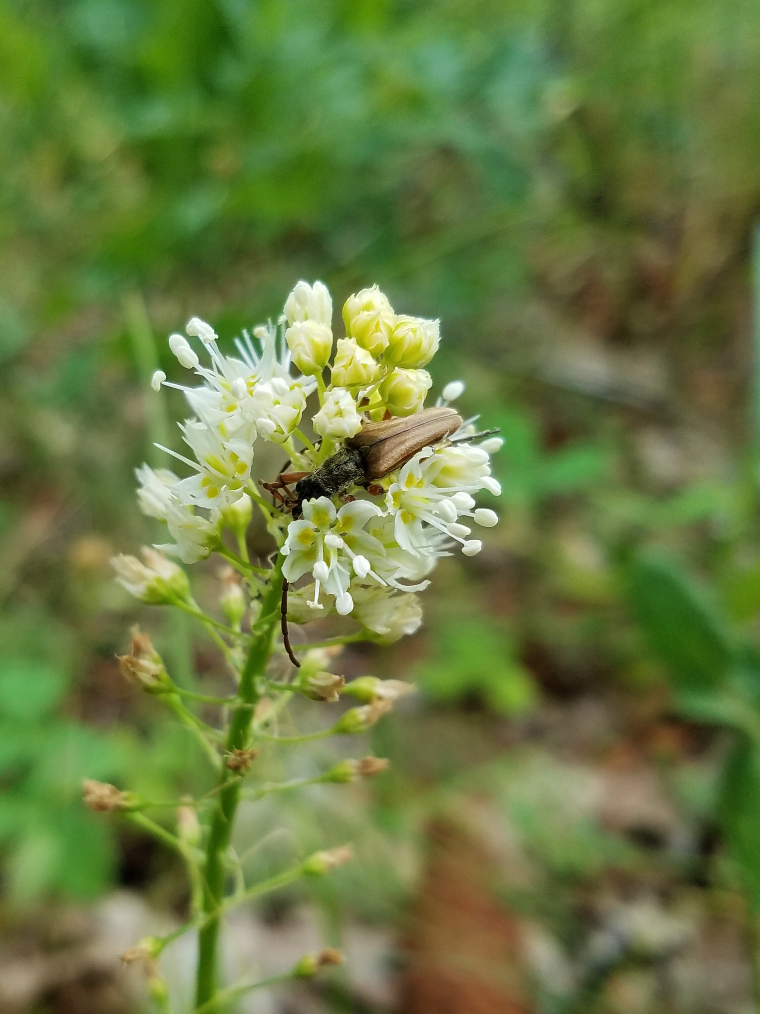
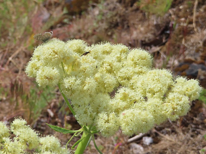 A butterfly and a beetle on arrowleaf buckwheat
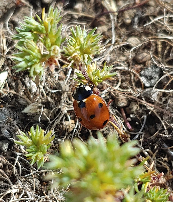
 Yarrow
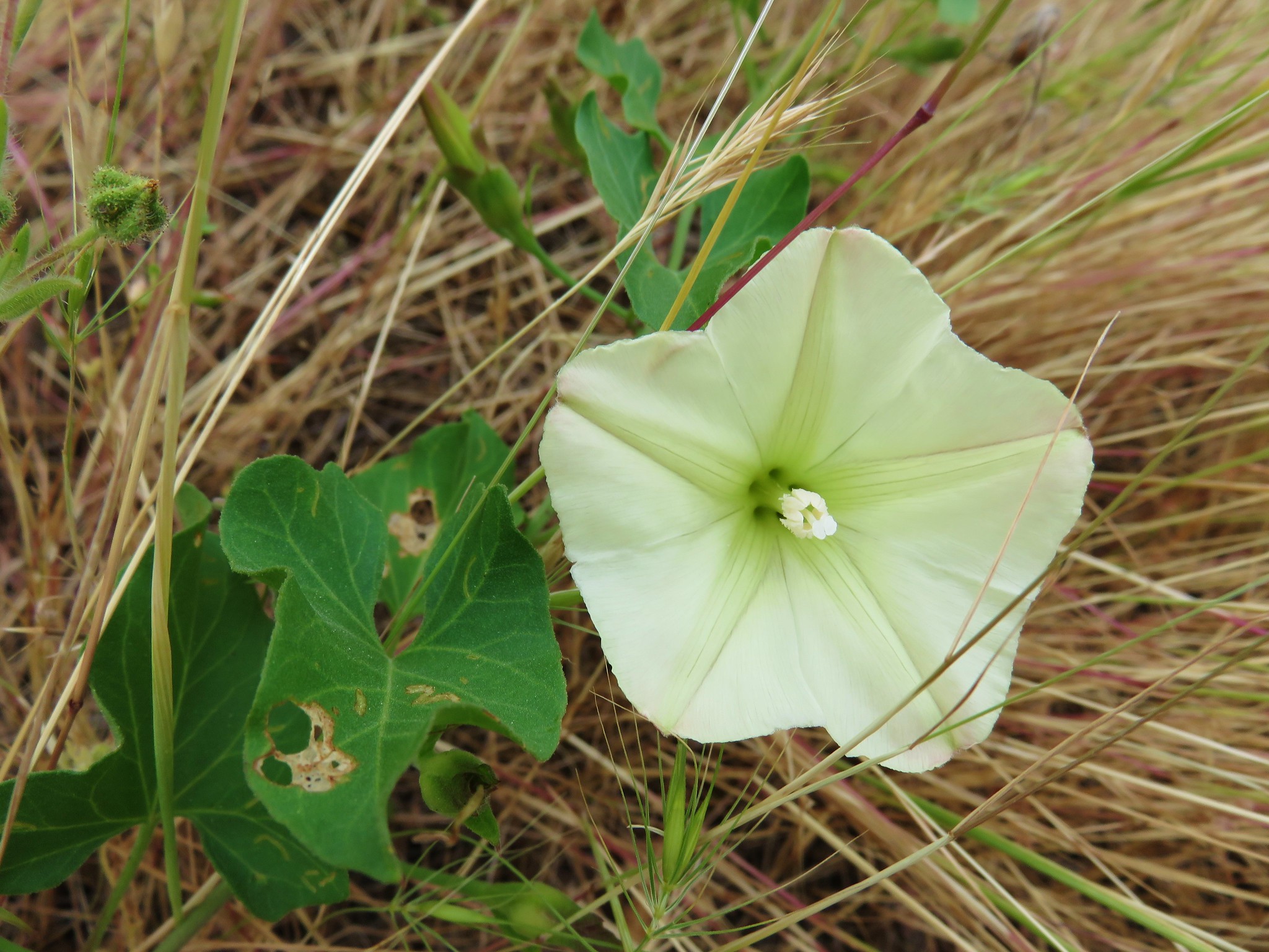
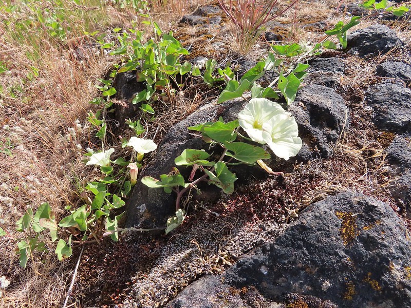 Chaparral false bindweed
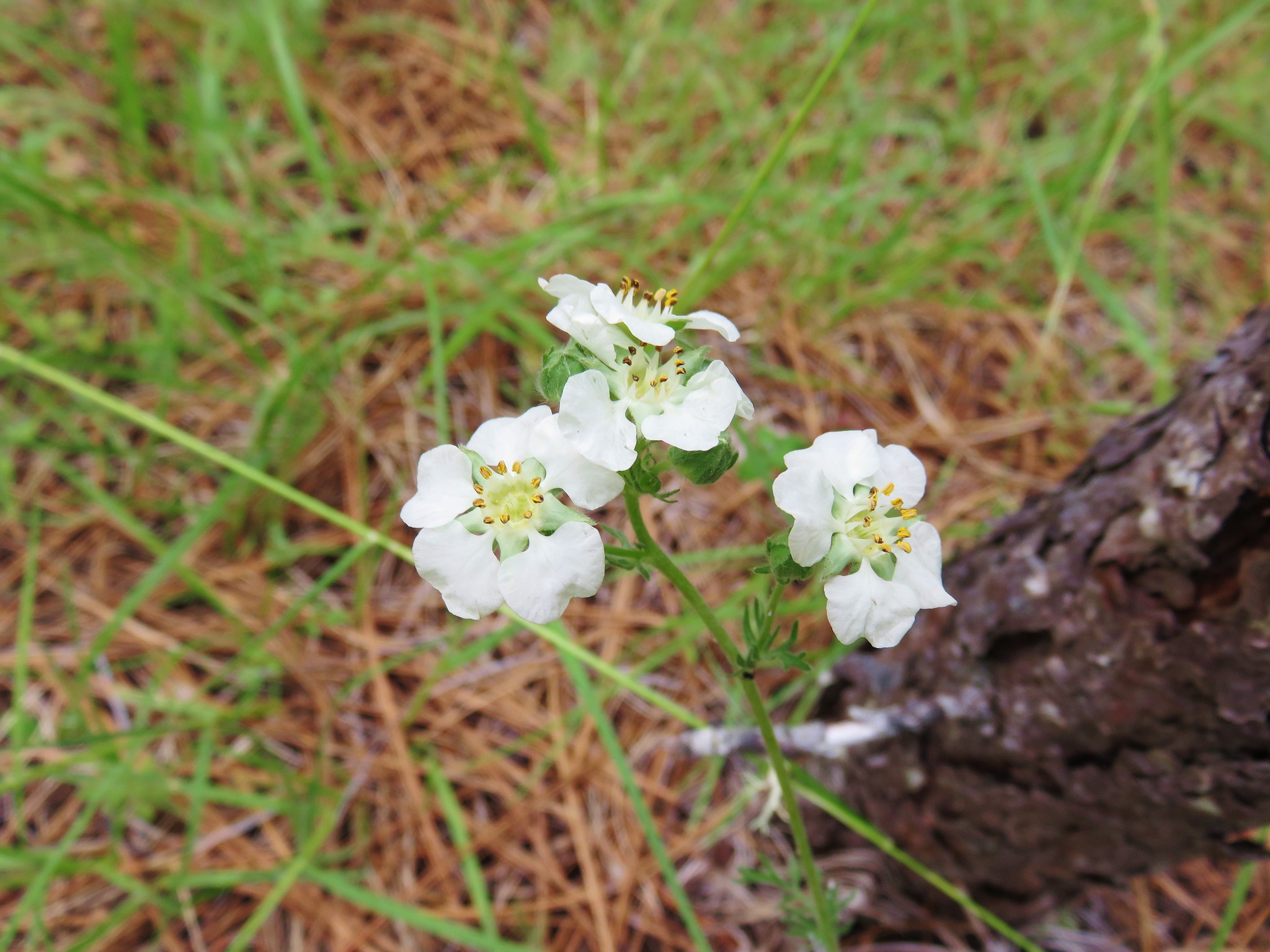
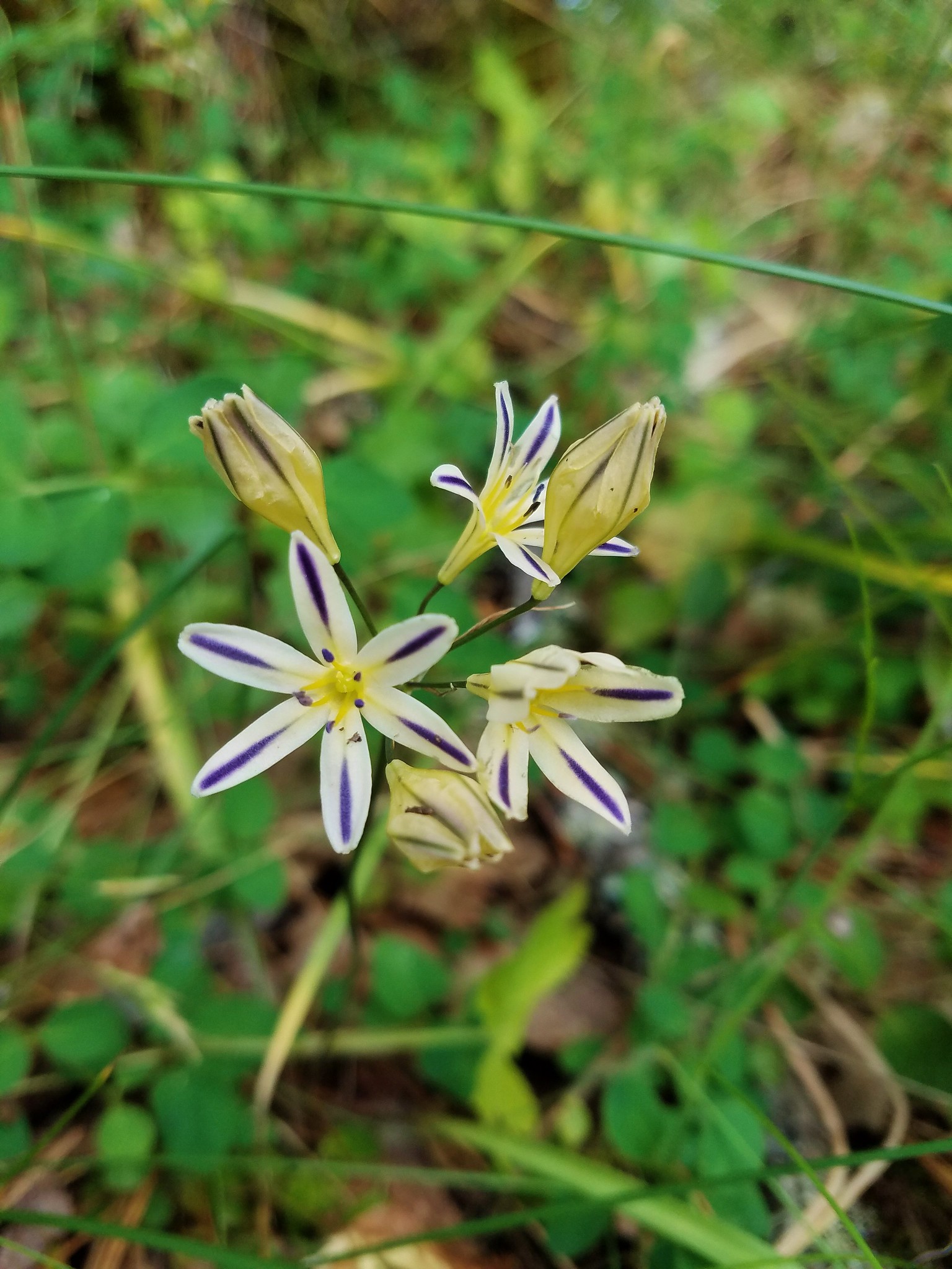
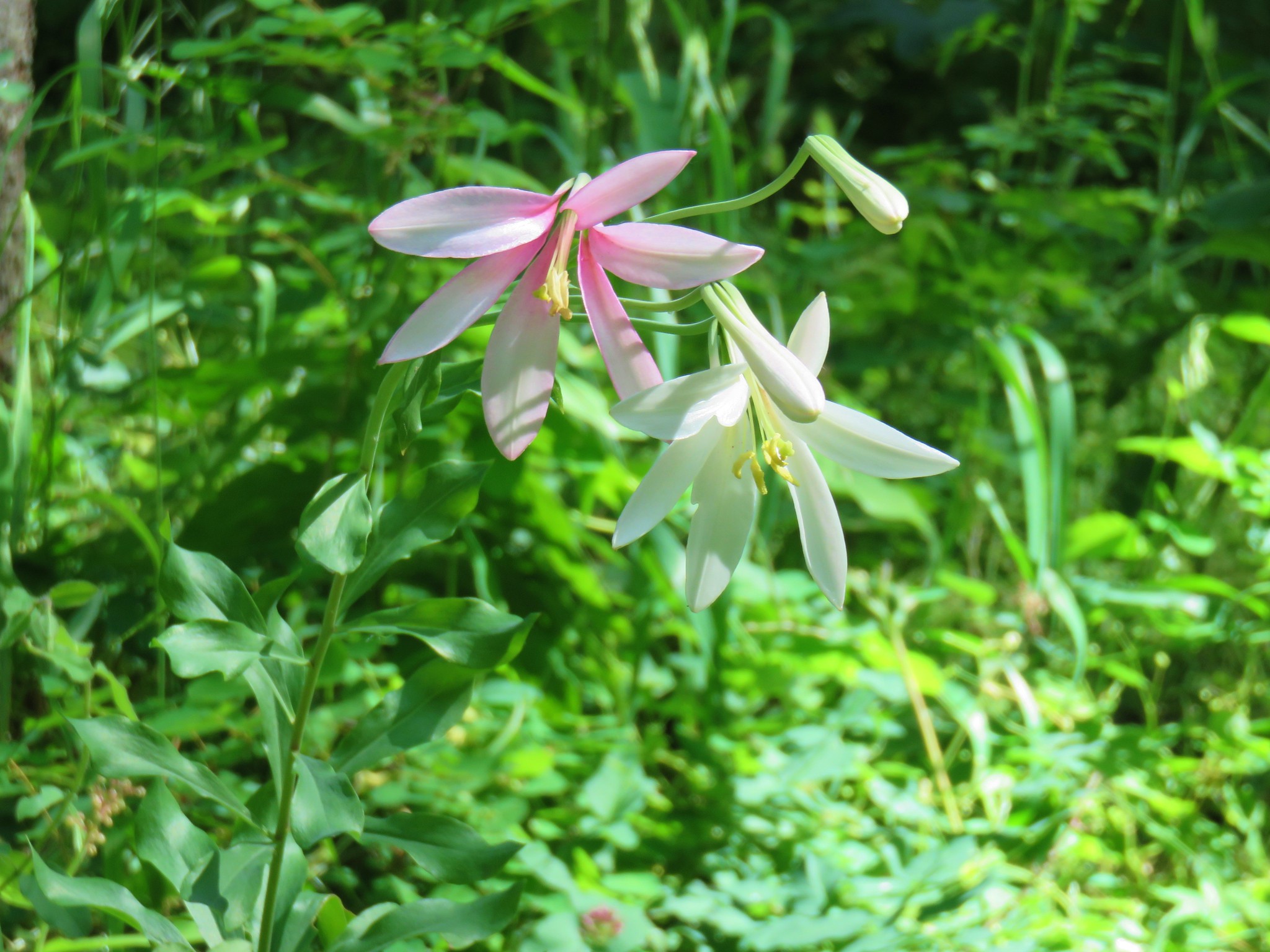
 White tritelia
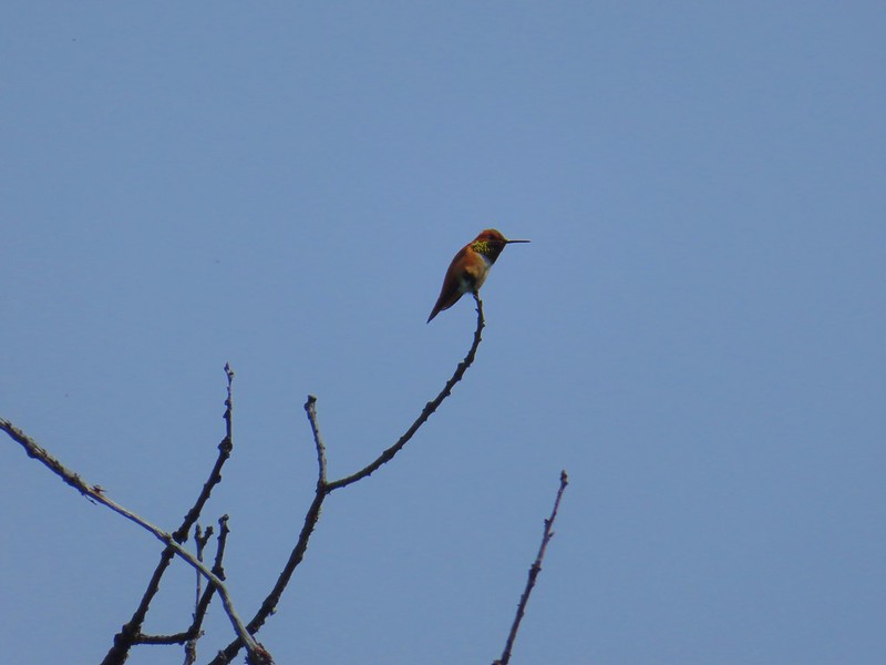 Rufous sided hummingbird
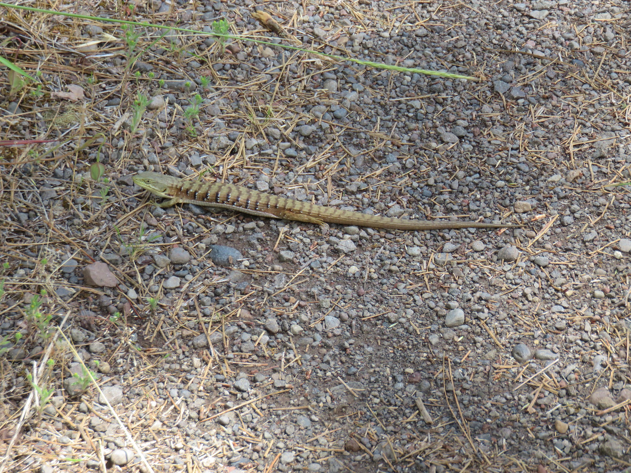
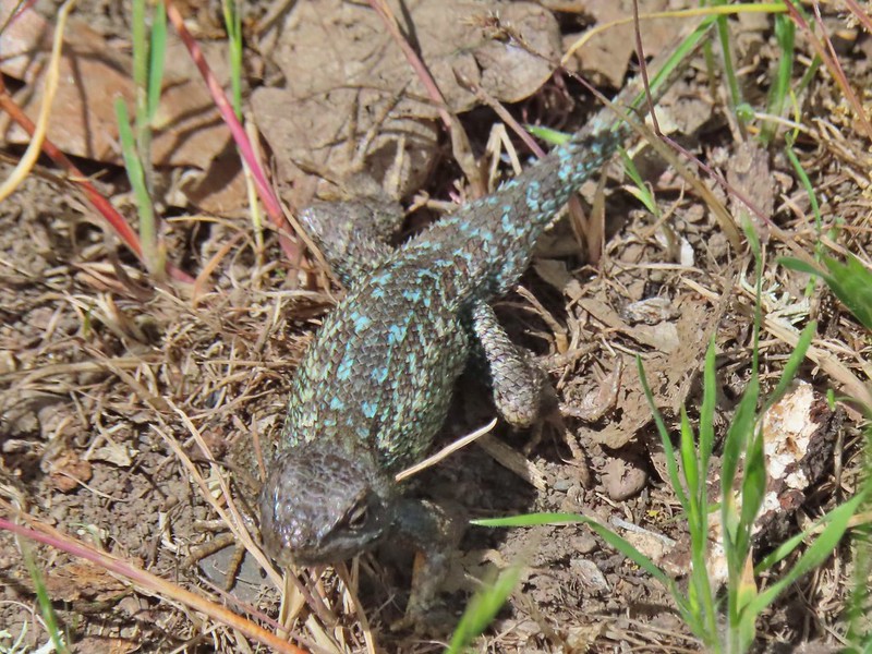 Lizard
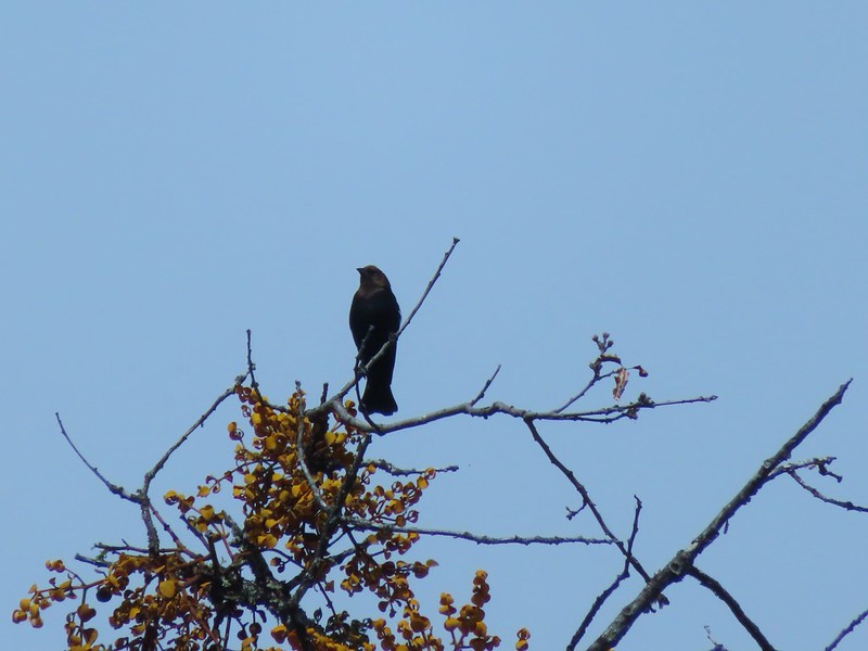 Brown headed cowbird
 Mt. McLoughlin on the way down.