Several years ago we set a goal for ourselves to hike all 500 featured hikes in William L. Sullivan’s “100 Hikes…” series of guidebooks (post). In 2020 we completed the first of these books covering the Central Oregon Cascades (post). We followed that up by completing a pair of books in 2021 starting with Sullivan’s “100 Hikes/Travel Guide Oregon Coast and Coast Range” 3rd edition (post) followed up by “100 HIkes/Travel Guide Northwest Oregon & Southwest Washington” 4th edition (post).
Generally speaking in order to check a hike off our list we need to have hiked a substantial portion of Sullivan’s described hike or visited the main attraction(s) he identifies for the hike. For 66 of the hikes we followed the books described route. For the other 34 hikes various factors contributed to us not completing all of each featured hike. For some we started at a different trailhead, others had portions of trail(s) closed when we visited, and several had longer options that would have required multiple days to complete. In some other cases we did slightly different routes, sometimes by accident.
The area covered by Sullivan in this book, as the title suggests includes parts of Southern Oregon and Northern California. It contains his southernmost featured hike, Caribou Lakes. In general the area covered in Oregon begins just North of Roseburg extending East to Highway 97 (with the exception being Klamath Falls which is included in his Eastern Oregon book), South to California, and West to Marial on the Rogue River. In California the area extends south to the Trinity Alps Wilderness, West to the Siskiyou Wilderness, and East to the Mount Shasta Wilderness.


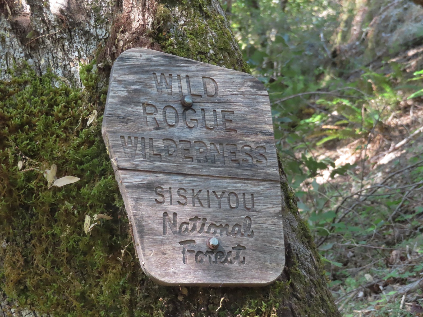
In addition to the three wilderness areas in California mentioned above the featured hikes included visits to the Marble Mountain, Castle Crags, Russian, and Red Buttes Wilderness areas in California. Wilderness areas in Oregon included the Red Buttes (OR & CA share this wilderness), Kalmiopsis, Wild Rogue, Soda Mountain, Mountain Lakes, Sky Lakes, Rogue-Umpqua Divide, Boulder Creek, and Mt. Thielsen.
In addition to the 15 designated wilderness areas there were hikes in two National Monuments – Oregon Caves & Cascade-Siskiyou, and Crater Lake National Park.
#1 North Bank Ranch-Hiked 6/5/2015 6/25/2023

#2 Fall Creek Falls-Hiked 6/13/2022 8/7/2022 6/25/2023
 Fall Creek Falls
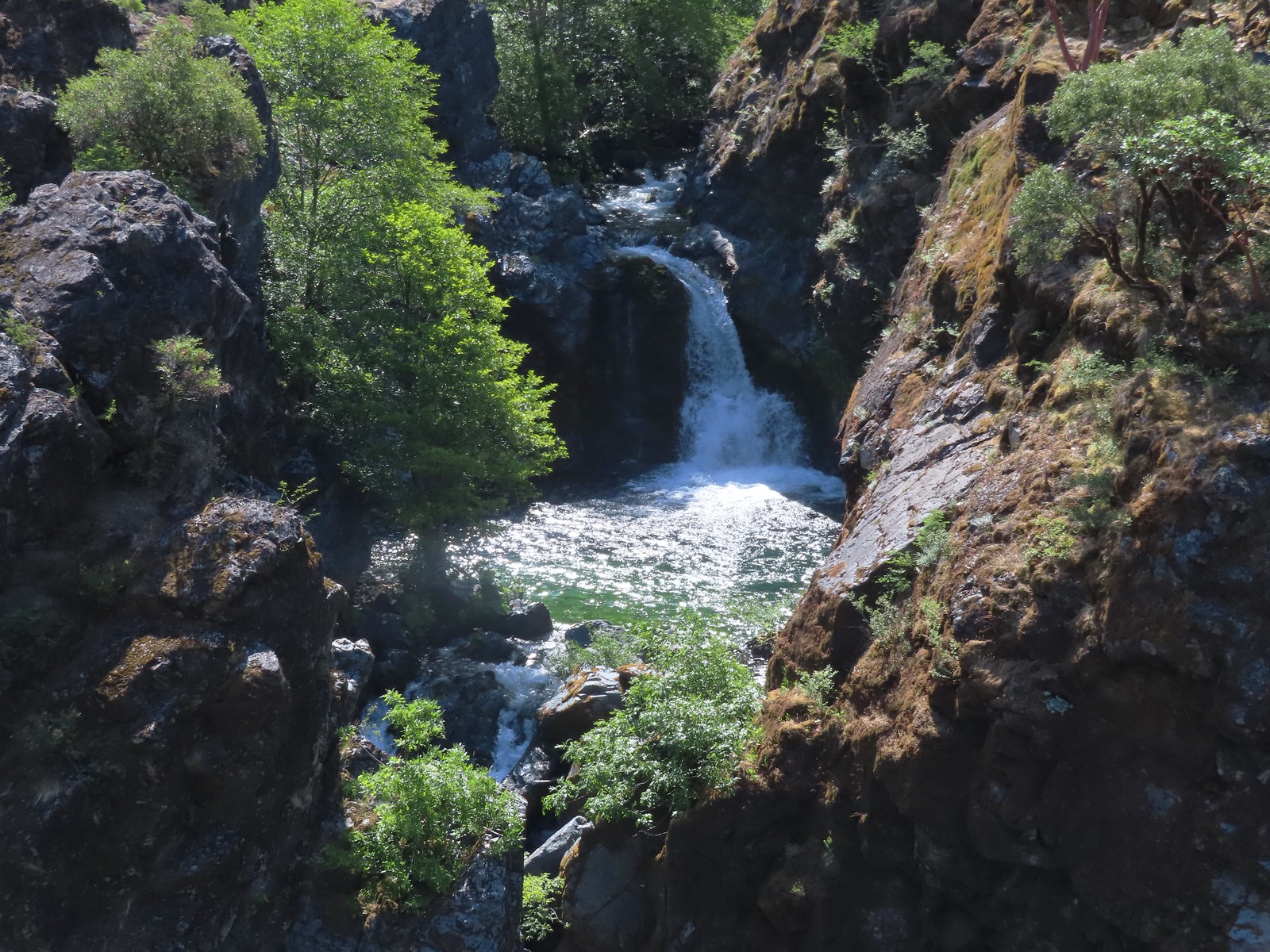
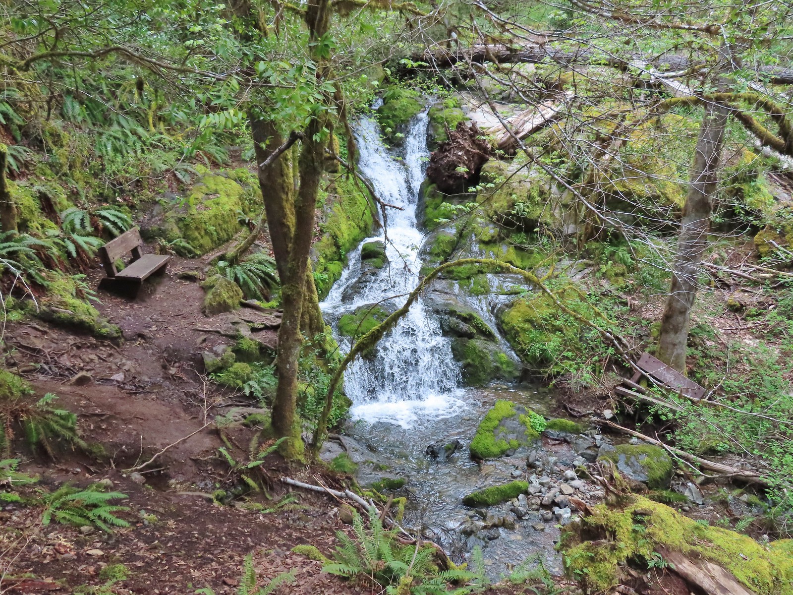
#3 Little River Waterfalls-Hiked 8/7/2022
 Yasko Falls
#4 Boulder Creek-Hiked 9/7/2020

#5 Twin Lakes-Hiked 6/14/2022

#6 Fish Lake-Hiked 9/3/2022

#7 Buckey and Cliff Lakes-Hiked 9/3/2022

#8 Umpqua Hot Springs-Hiked 6/13/2022

#9 Toketee and Watson Falls-Hiked 6/13/2022

#10 Lemolo Falls-Hiked 6/13/2022

#11 Cowhorn Mountain-Hiked 9/15/2016

#12 Miller and Maidu Lakes-Hiked 8/1/2012

#13 Tipsoo Peak-Hiked 10/2/2014

#14 Thielsen Creek-Hiked 8/8/2020

#15 Mount Thielsen-Hiked 9/23/2012

#16 Diamond Lake-Hiked 9/5/2020

#17 Mount Bailey-Hiked 8/12/2012

#18 Boundary Springs-Hiked 6/13/2014

#19 Park Headquarters-Hiked 7/31/2023

#20 Garfield Peak-Hiked 7/31/2023

#21 Discovery Point-Hiked 9/19/2022

#22 The Watchman-Hiked 8/12/2012 7/31/2023

#23 Wizard Island-Hiked 8/1/2023

#24 Mount Scott-Hiked 10/2/2014

#25 Plaikni Falls and The Pinnacles-Hiked 7/30/2023

#26 Crater Peak-Hiked 7/30/2023

#27 Annie Creek & Godfrey Glen-Hiked 7/30/2023 7/31/2023

#28 Union Peak-Hiked 9/17/2022

#29 Upper and Lower Table Rocks-Hiked 6/9/2017 (Lower) & 5/26/2022 (Upper)
 Lower Table Rock
 View from Upper Table Rock
#30 Lost Creek Lake-Hiked 6/9/2017

#31 Takelma Gorge-Hiked 10/15/2020

#32 Natural Bridge-Hiked 10/16/2020

#33 Union Creek-Hiked 10/17/2020 9/20/2022

#34 Abbott Butte-Hiked 10/17/2020

#35 Hershberger Mountain-Hiked 10/16/2020

#36 Muir Creek-Hiked 5/27/2018

#37 Rattlesnake Mountain-Hiked 9/6/2020

#38 Seven Lakes West-Hiked 9/9/2023

#39 Seven Lakes East-Hiked 9/9/2023

#40 Blue Lake Basin-Hiked 9/18/2022

#41 Mount McLoughlin-Hiked 8/27/2016

#42 Fourmile Lake-Hiked 8/26/2016

#43 Sky Lakes via Cold Springs-Hiked 9/24/2022

#44 Sky Lakes via Nannie Creek-Hiked 9/24/2022

#45 Fish Lake-Hiked 10/7/2018

#46 Brown Mountain Lava Flow-Hiked 8/28/2016

#47 Lake of the Woods-Hiked 10/7/2018

#48 Mountain Lakes-Hiked 8/25/2016

#49 Soda Mountain-Hiked 6/3/2015

#50 Pilot Rock-Hiked 7/29/2017

#51 Mount Ashland Meadows-Hiked 6/3/2015

#52 Lithia Park-Hiked 6/2/2015

#53 Bandersnatch Trail-Hiked 6/17/2022

#54 White Rabbit Trail-Hiked 6/17/2022

#55 Grizzly Peak-Hiked 6/5/2015

#56 Roxy Ann Peak-Hiked 5/30/2022

#57 Wagner Butte-Hiked 6/4/2015

#58 Siskiyou Gap-Hiked 6/16/2022

#59 Jack-Ash Trail-Hiked 5/27/2022

#60 Sterling Ditch Tunnel-Hiked 6/10/2017 5/2/2023

#61 Jacksonville-Hiked 6/8/2017

#62 Enchanted Forest-Hiked 6/11/2017

#63 Observation Peak-Hiked 6/15/2022

#64 Collings Mountain-Hiked 6/8/2017

#65 Applegate Lake-Hiked 6/8/2017 5/29/2022

#66 Red Buttes-Hiked 10/27/2015

#67 Frog Pond-Hiked 6/18/2022

#68 Azalea Lake-Hiked 10/26/2015

#69 Sturgis Fork-Hiked 10/7/2023

#70 Grayback Mountain-Hiked 10/9/2023

#71 Oregon Caves-Hiked 10/30/2015

#72 Mount Elijah-Hiked 10/7/2023

#73 Sucker Creek-Hiked 10/26/2015

#74 Tanner Lakes-Hiked 10/8/2023

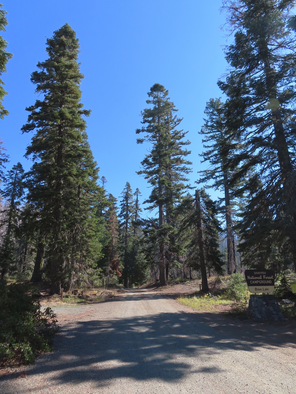
#75 Bolan Lake-Hiked 10/8/2023

#76 Polar Bear Gap-Hiked 7/1/2022

#77 Raspberry Lake-Hiked 7/3/2022

#78 Devils Punchbowl-Hiked 7/2/2022

#79 Rough and Ready Creeks-Hiked 5/12/2017

#80 Babyfoot Lake-Hiked 10/9/2023

#81 Eight Dollar Mountain-Hiked 5/4/2023

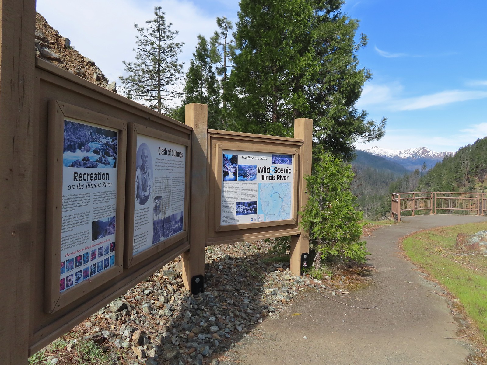
#82 Illinois River Beaches-Hiked 5/4/2023

#83 Grants Pass Nature Trails 5/3/2023

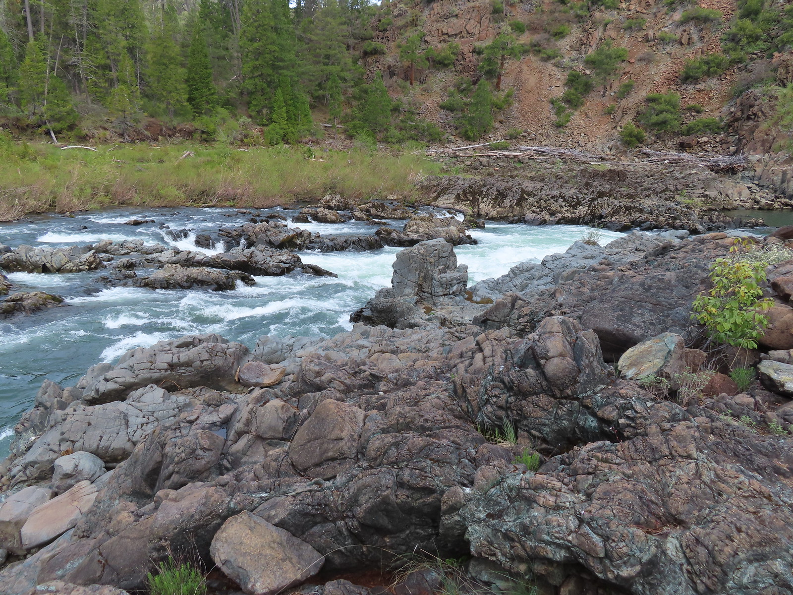
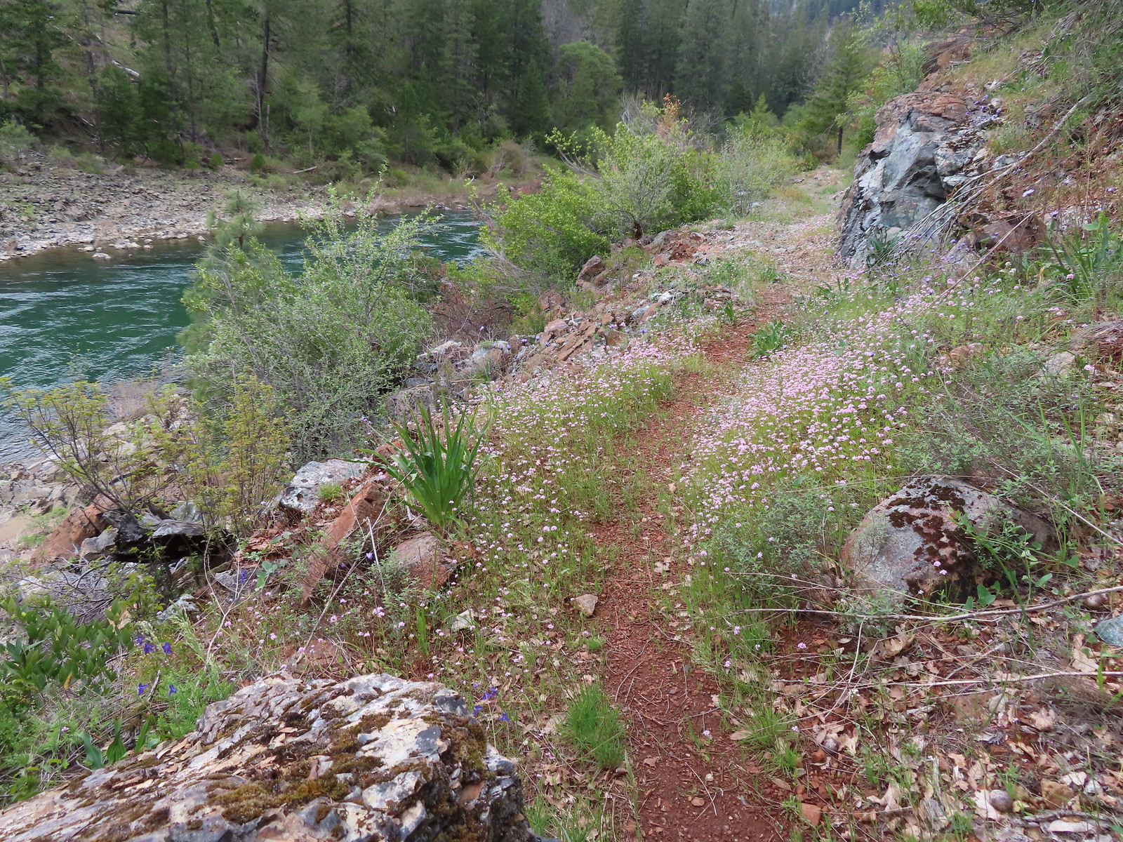
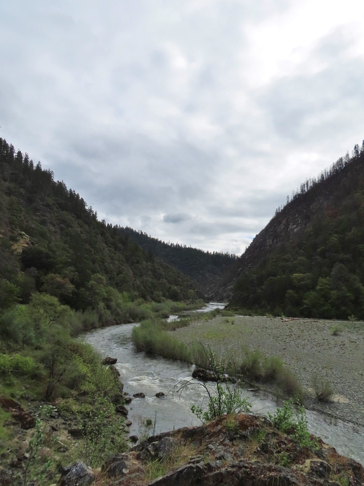
#84 Rouge River Trail East-Hiked 5/1/2023

#85 Rogue River Trail West-Hiked 6/24/2023

#86 Paradise Lake-Hiked 6/28/2016

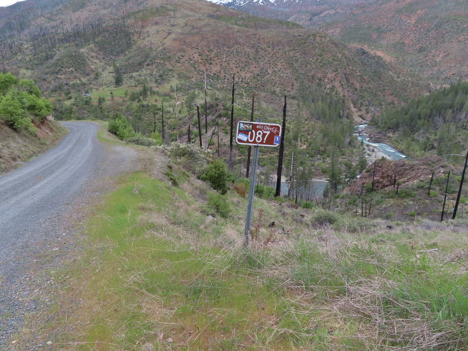
#87 Sky High Lakes-Hiked 6/29/2016

#88 Campbell Lake-Hiked 6/27/2016

#89 Paynes Lake-Hiked 7/24/2017

#90 Russian Lake-Hiked 8/24/2022

#91 Hidden & South Fork Lakes-Hiked 8/26/2022

#92 Trail Gulch Lake-Hiked 8/25/2022

#93 East Boulder Lake-Hiked 8/23/2022

#94 Kangaroo Lake-Hiked 7/23/2017

#95 Deadfall Lakes-Hiked 7/25/2017

#96 Caribou Lake-Hiked 7/27/2017

#97 Castle Lake-Hiked 7/26/2017

#98 Castle Crags-Hiked 7/26/2017

#99 Black Butte-Hiked 7/28/2017

#100 Mount Shasta Meadows-Hiked 8/22/2022

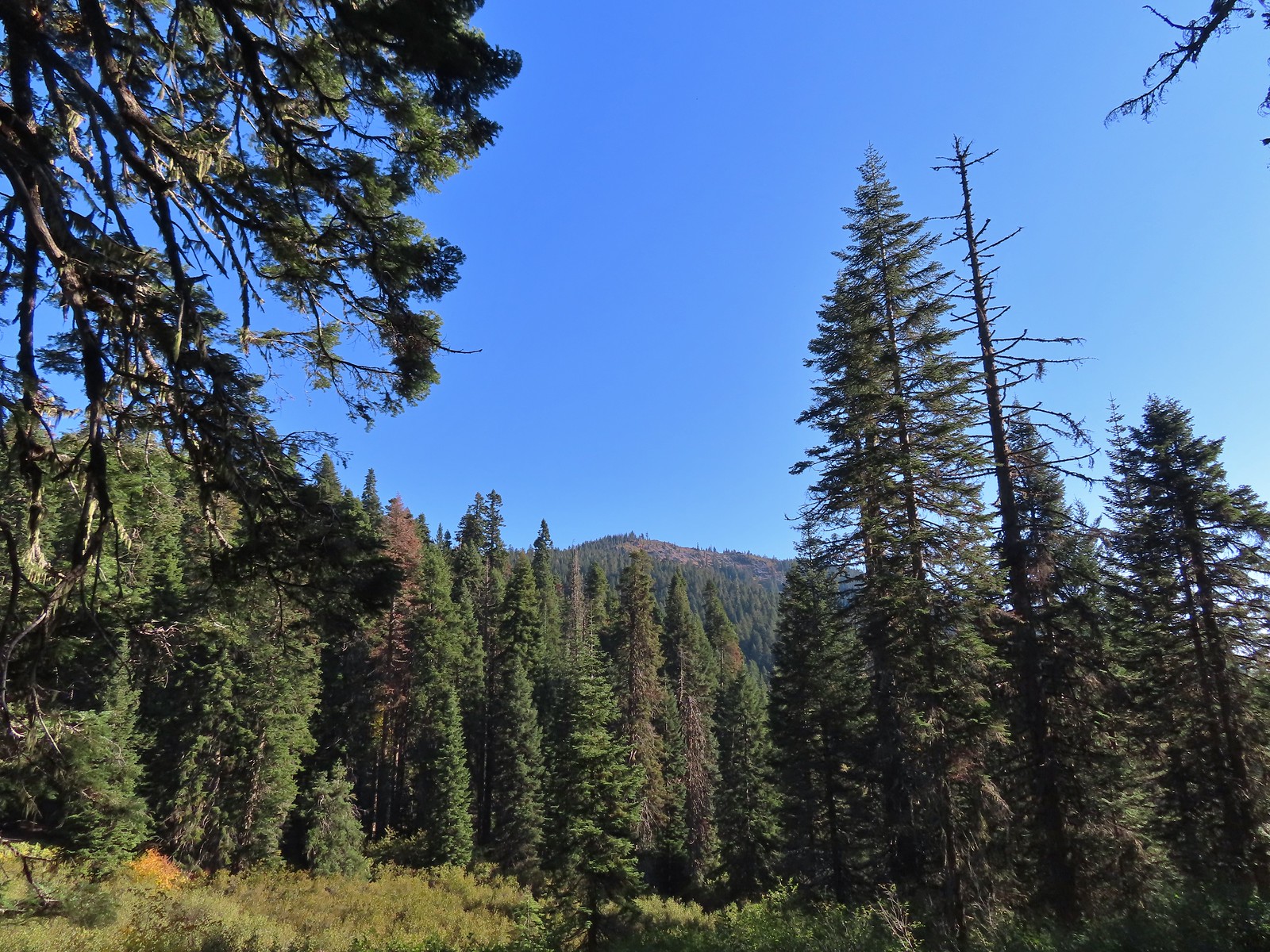
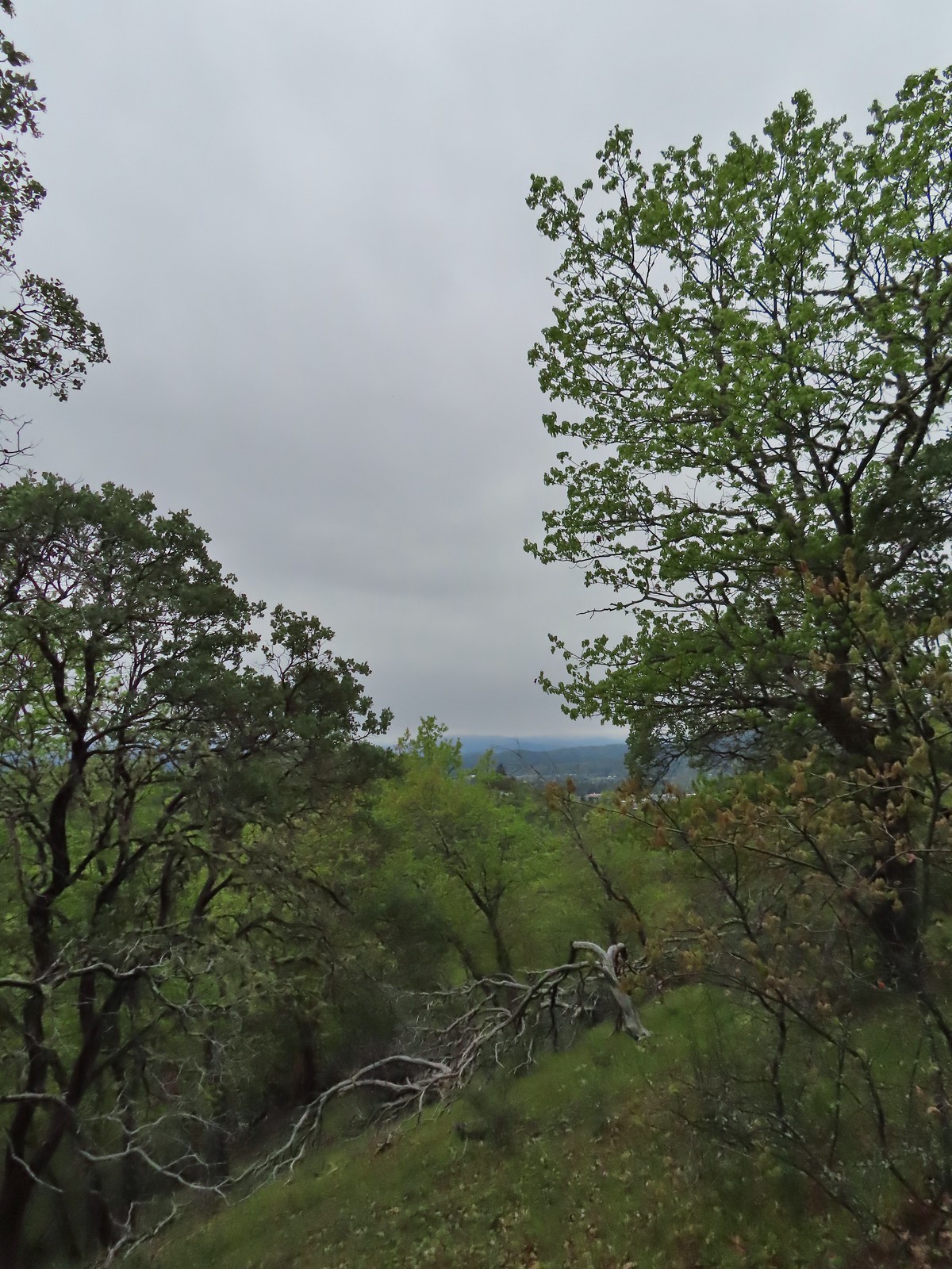
In our minds this was by far the most challenging area to finish even though we did so before completing Eastern Oregon. The difficulty with Eastern Oregon mostly revolves around distance from Salem and the size of the area covered. The Southern Oregon-Northern California area is smaller and the hikes not as far away, but it involved a lot of trails that frankly don’t see the level of maintenance that most of the other areas receive. While we’ve encountered rough trails, all over poison oak is much more prevalent down south which doesn’t invite pushing through overgrown tread or bushwacking around obstacles. This area has also been hit harder by fires over the last couple of decades leaving extra work to reopen them as well as remove additional blowdown as the dead trees fall over. When the conditions were good though the scenery and diverse plant and wildlife made for some spectacular hikes. There are many that we’d love to do again and several non-featured hikes that we have in our future plans, so we aren’t done with area yet. Happy Trails!


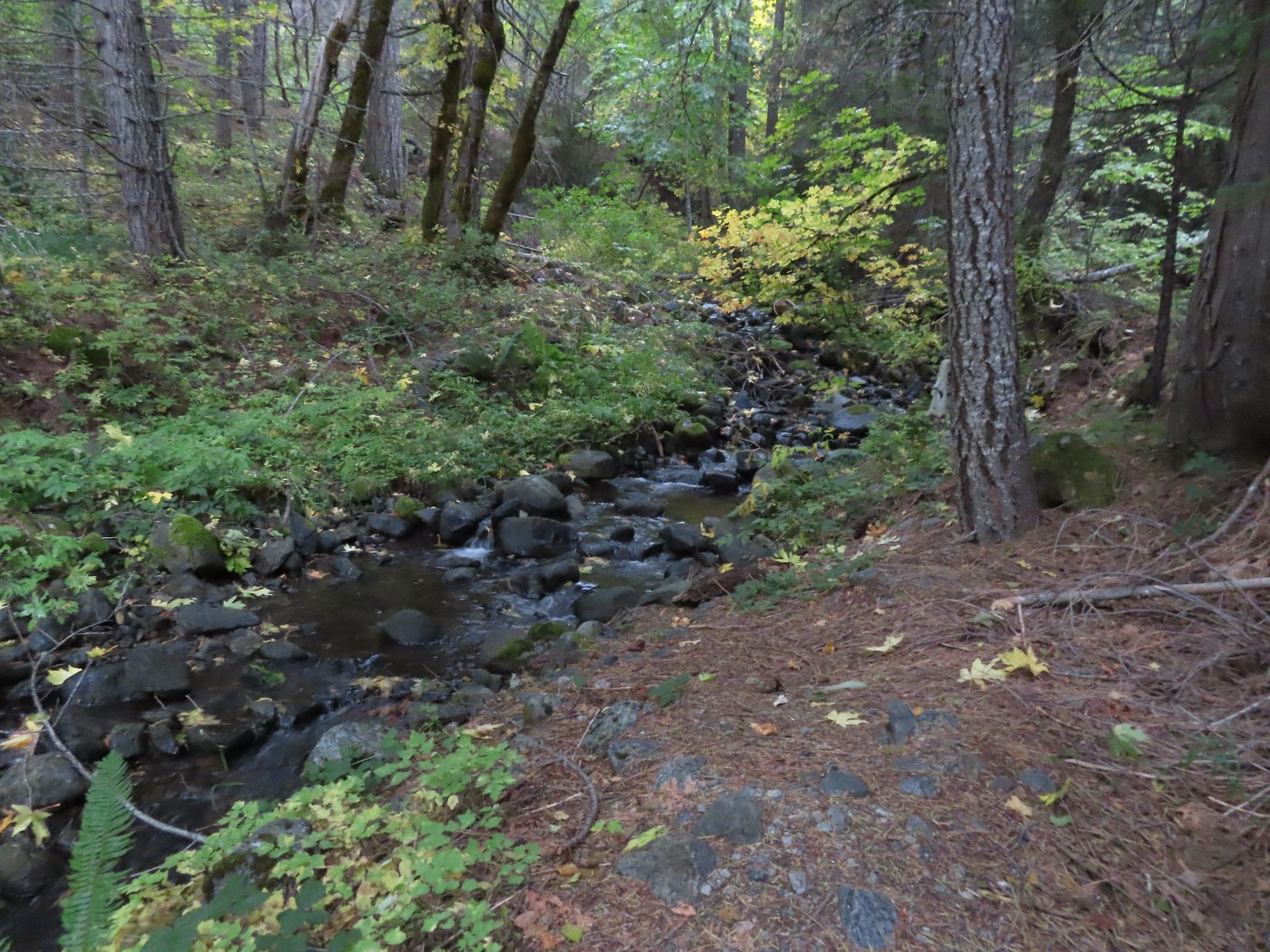 O’Brien Creek near the trailhead.
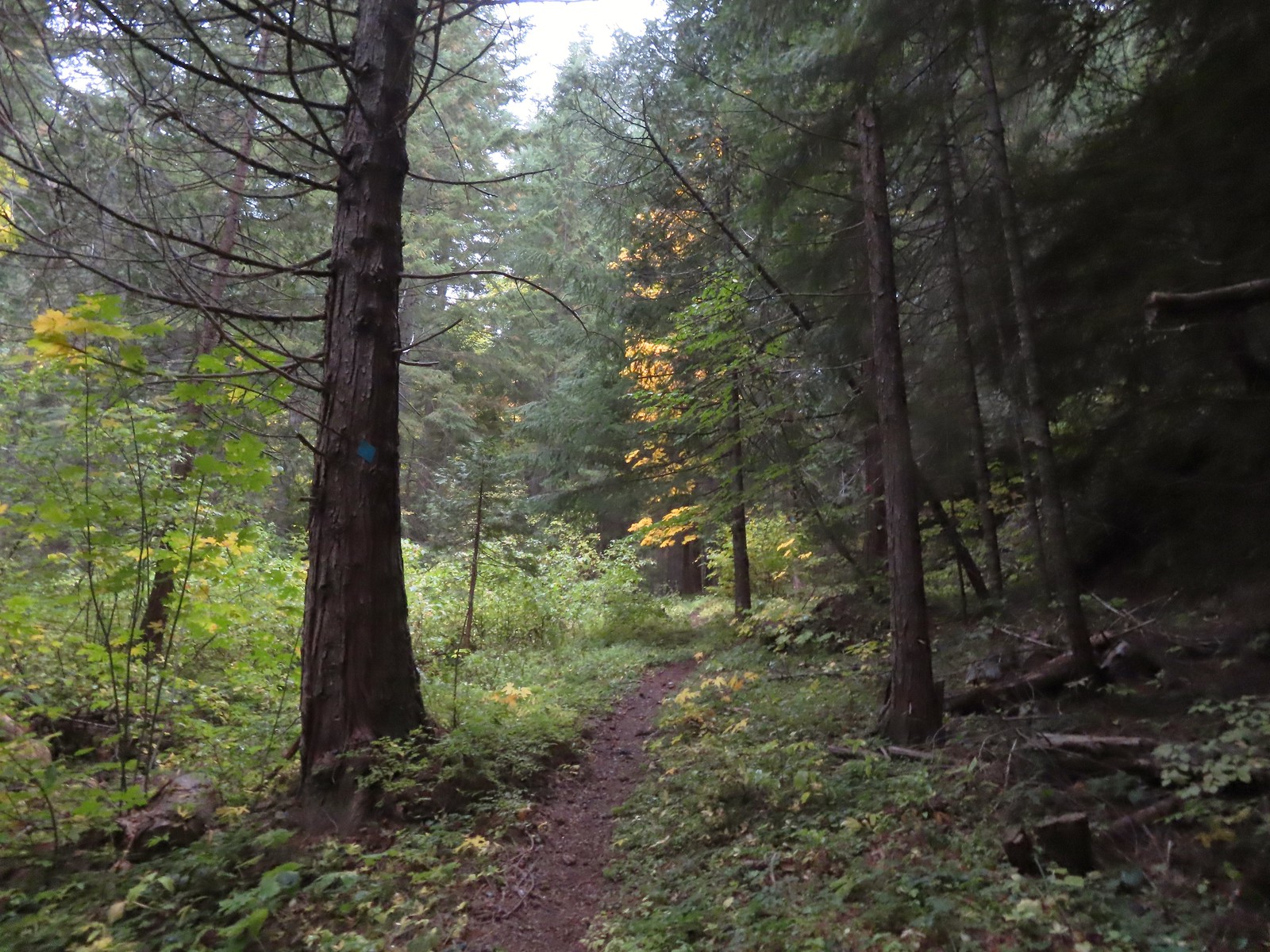
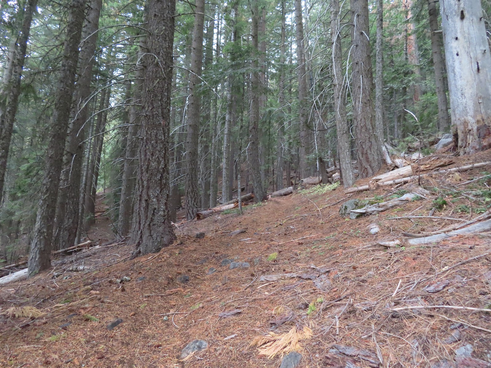
 It seemed like all of the climbs this weekend had been steep.
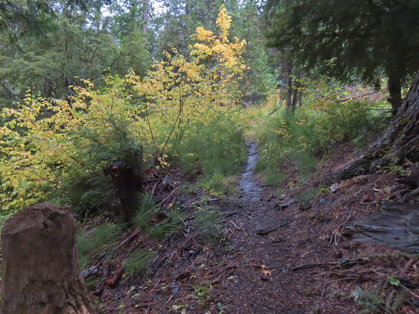 After two warm sunny days this hike finally felt like Fall.
 As I approached this footbridge I noticed a yellow jacket fly into the big hole along the right side of the trail. A quick peak in revealed a busy nest so we wound up bushwacking uphill and around it hopping onto the bridge at the edge of the marsh ahead.
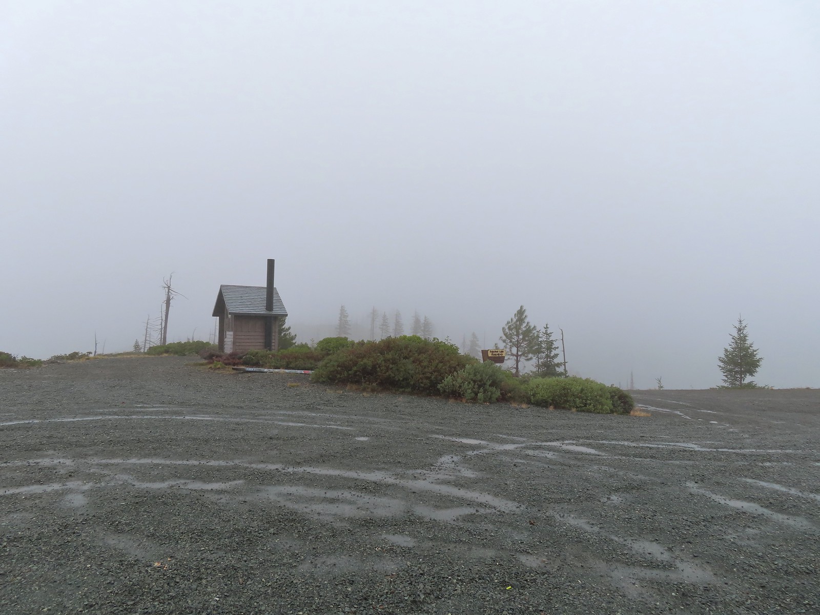
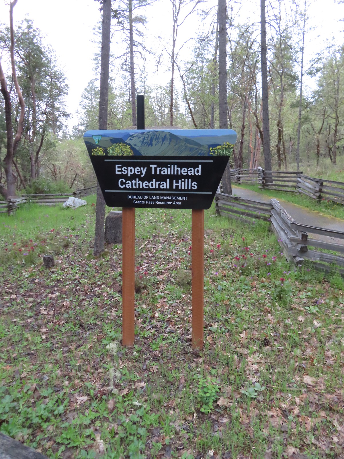
 A nice newer looking sign at the upper trailhead.
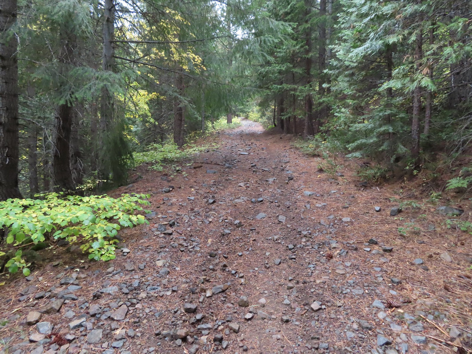


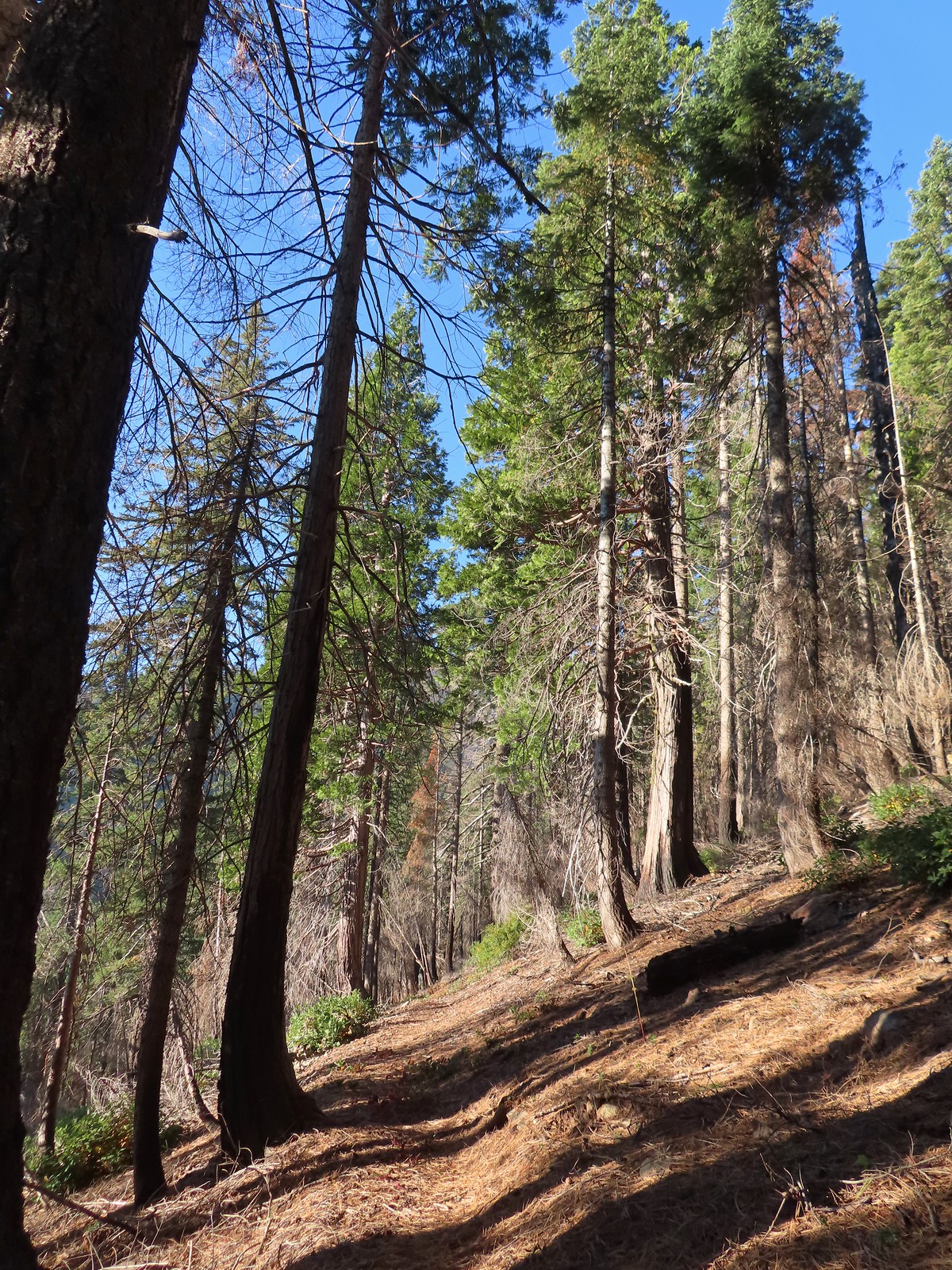
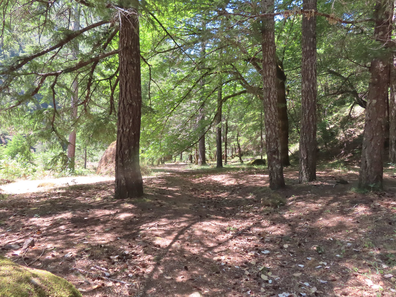
 There were a few really big trees in the forest along the trail.
 Grayback Mountain from the trail.
 The trail crossing O’Brien Creek.
 The junction with the spur trail to the snow shelter. It took me far too long to realize that the sign was upside down. I couldn’t figure out why it thought the Boundary Trail was to the left, after looking at it a few more times it dawned on me that the words were upside down.
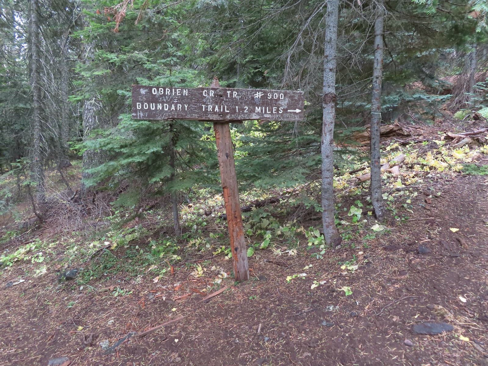 Ah ha! It wouldn’t stay this way but it sure made more sense.
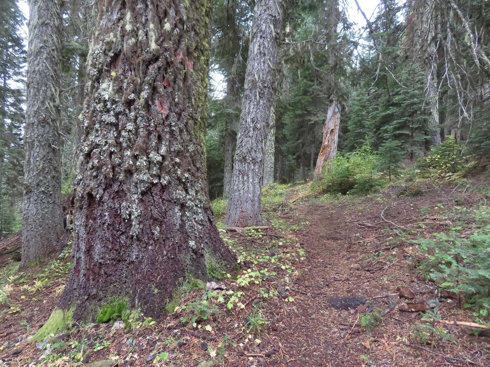


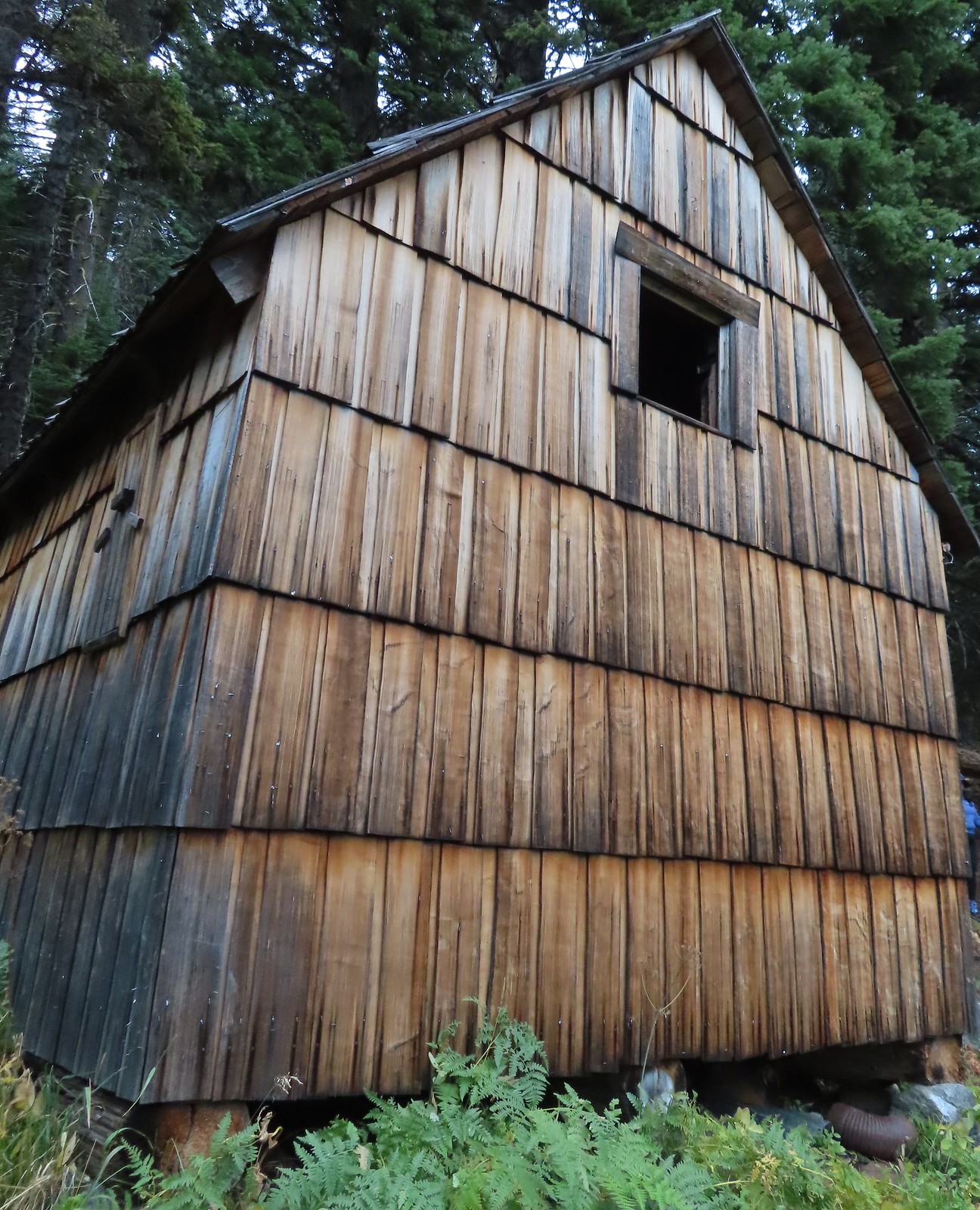
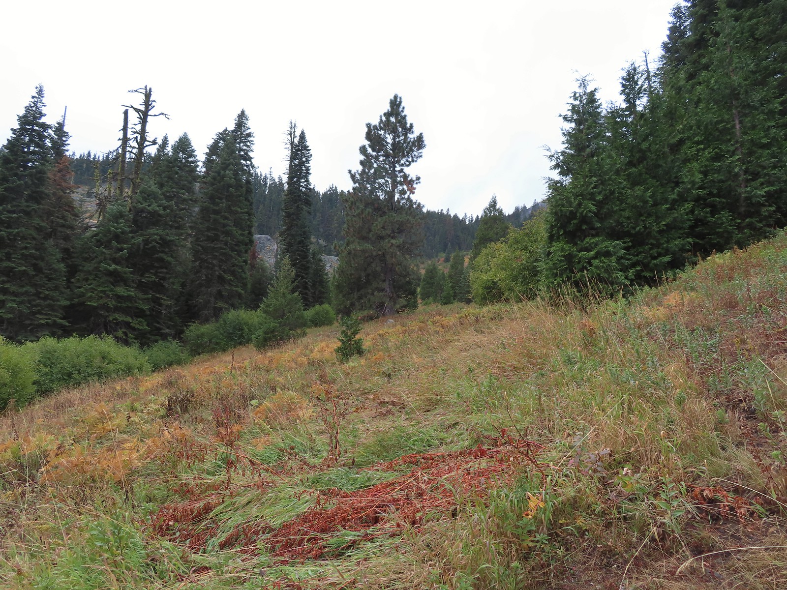

 There used to be a cabin out in the meadows and now there is a snow gauge and a campsite which may be where the voices were coming from.
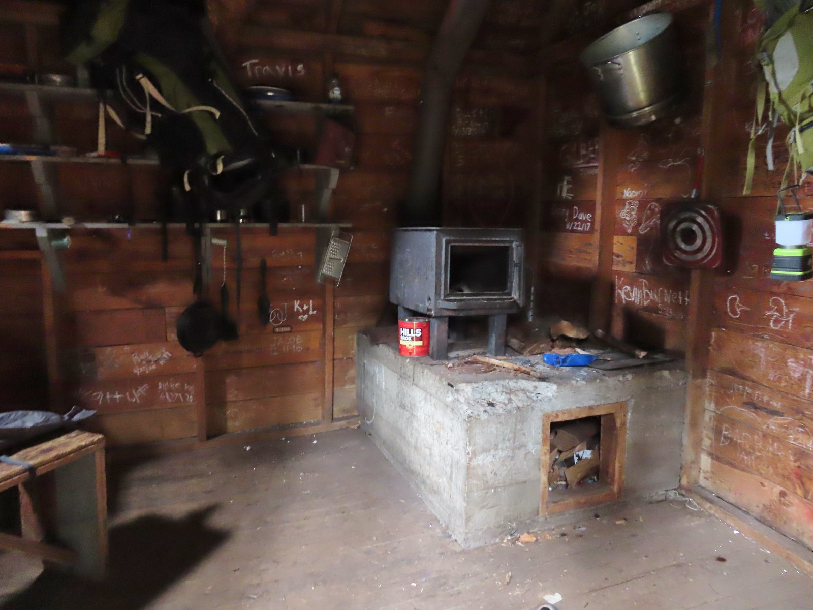 We took a quick peak inside the shelter where some of the backpacker’s stuff was.
 It was steep going down too.
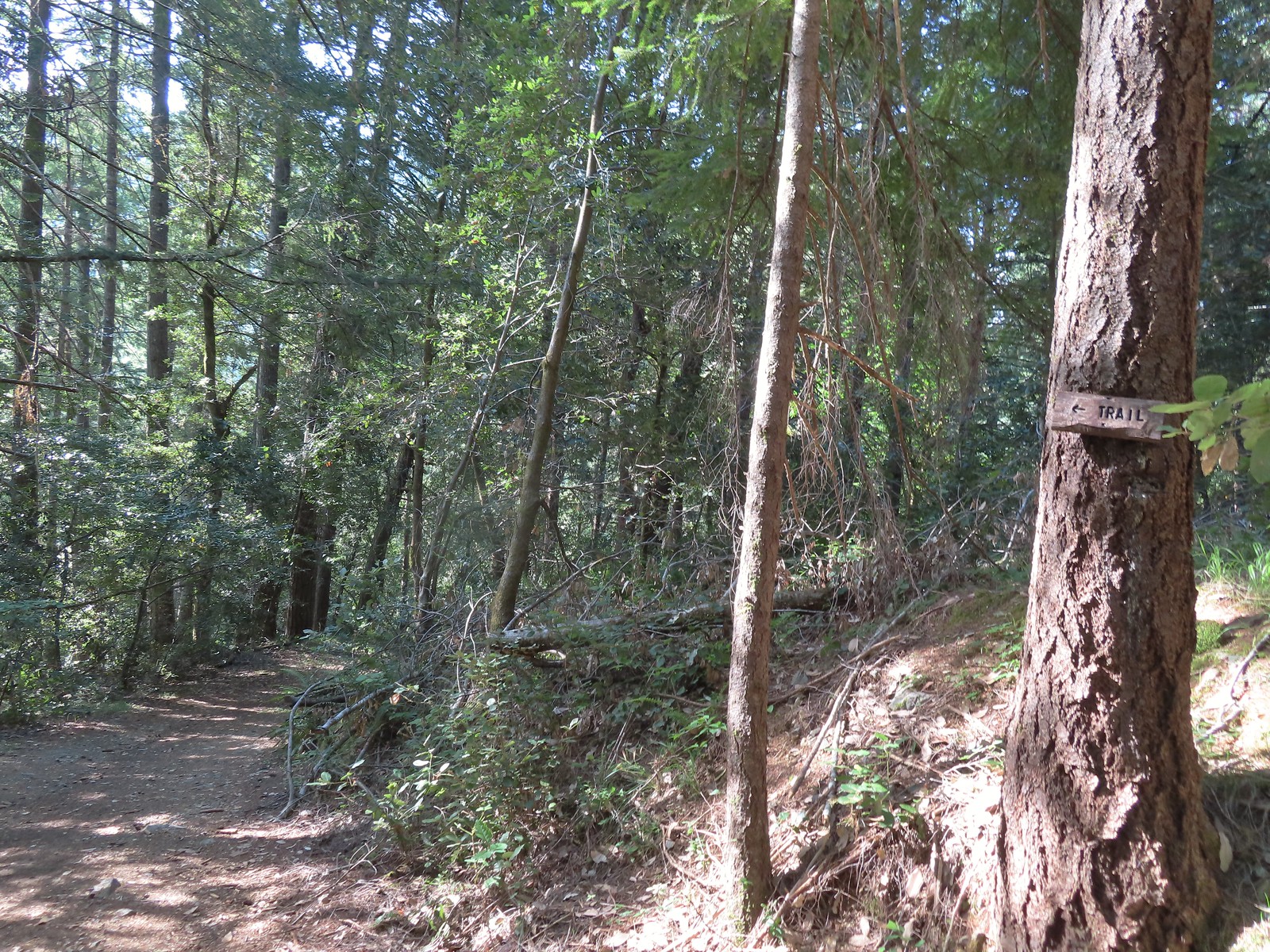
 Trail pointer near the upper trailhead marking the continuation of the O’Brien Creek Trail to the lower trailhead.
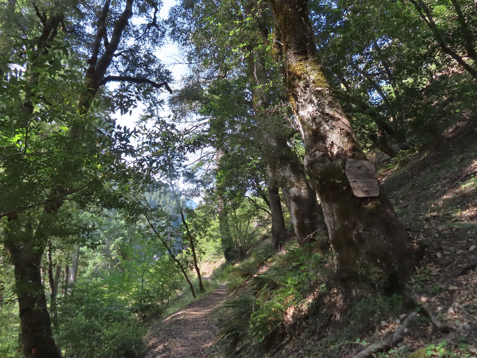
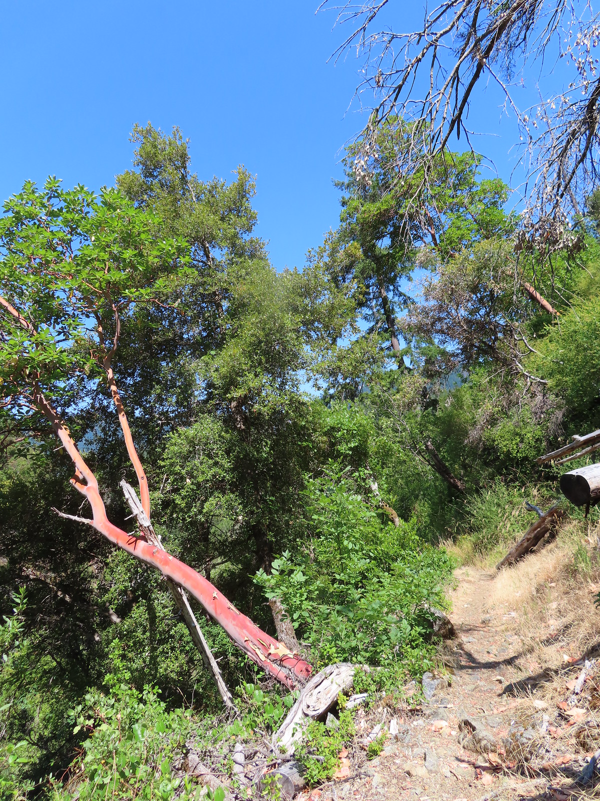
 We always enjoy seeing madrones on our hikes in Southern Oregon.
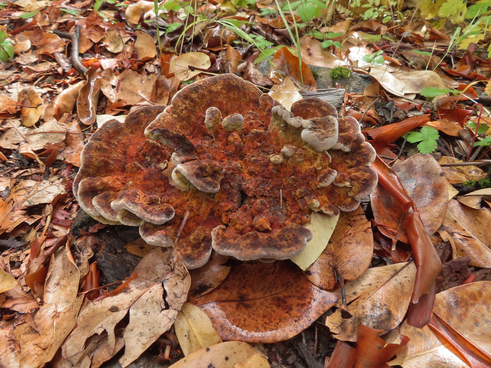

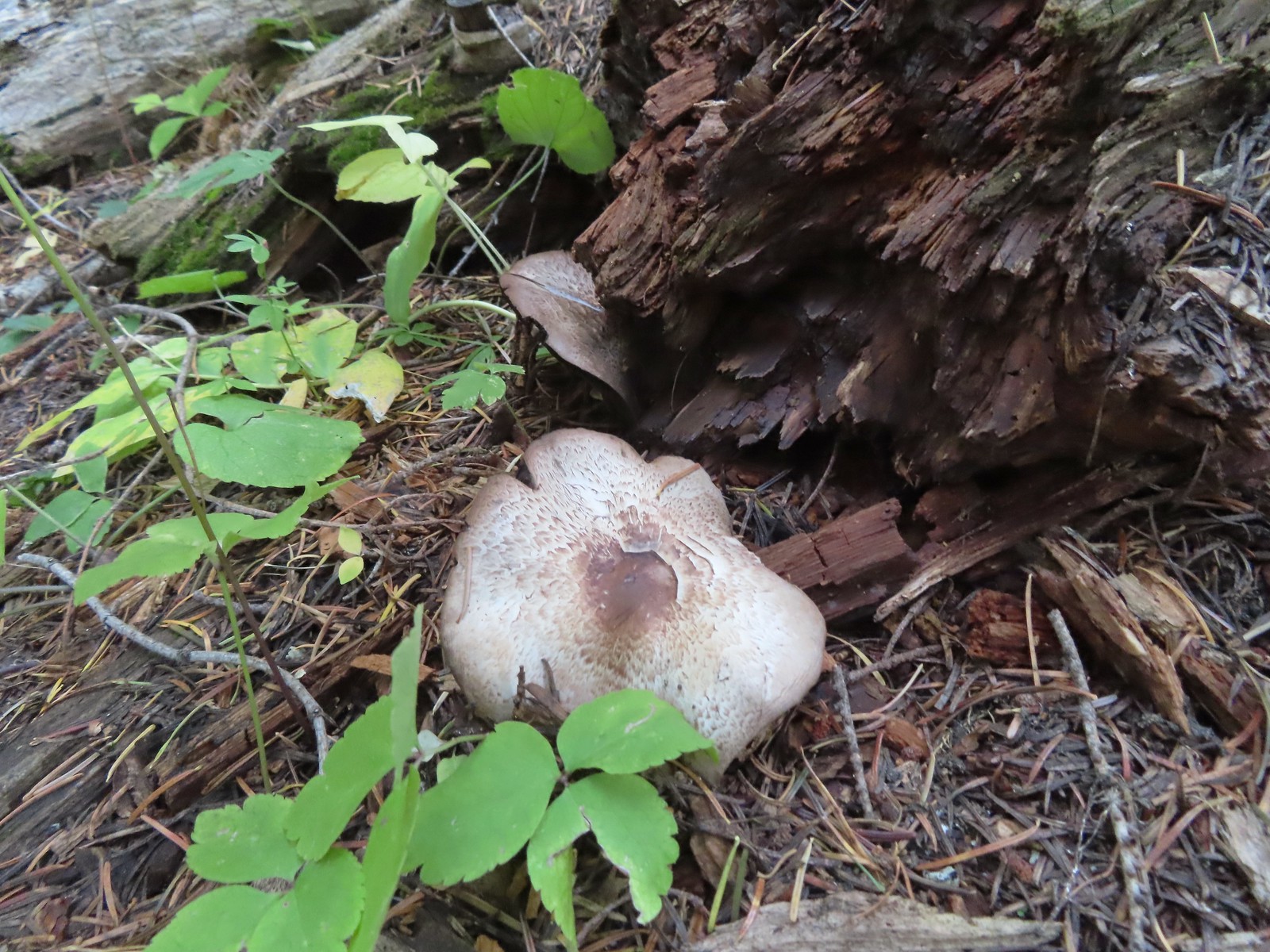
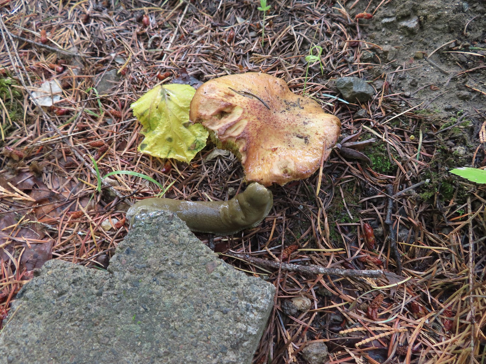 Slug on a shroom.
 Bug on a shroom.
 One more steep drop to the lower trailhead.
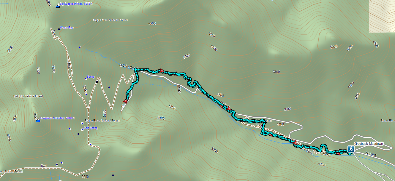

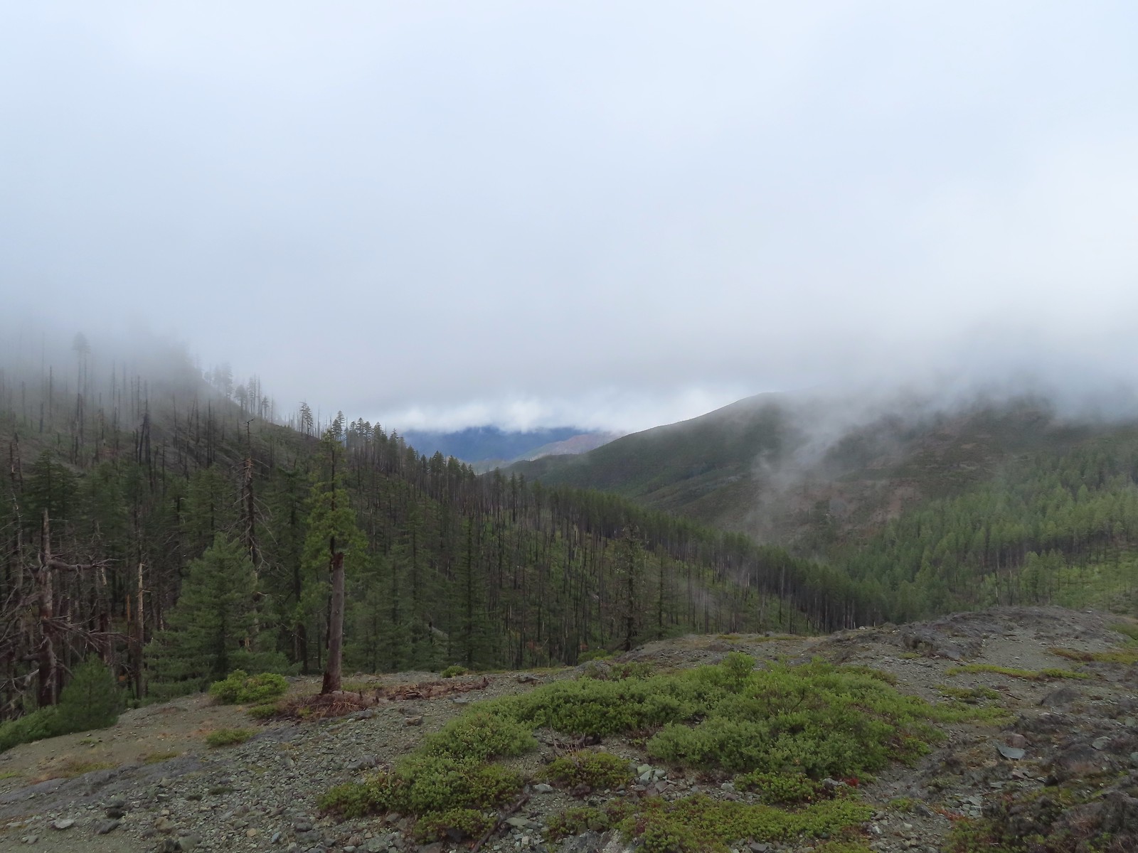
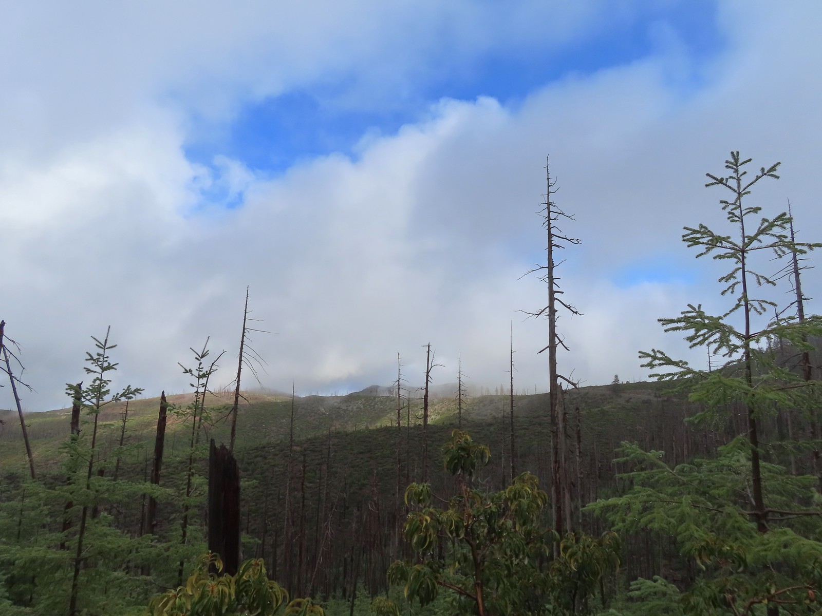
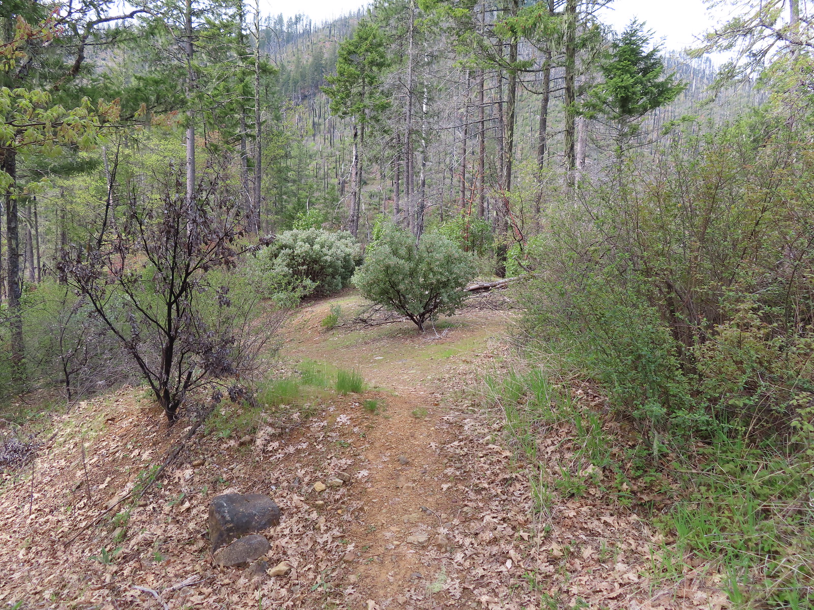
 The forest is recovering from the 2002 Biscuit Fire.
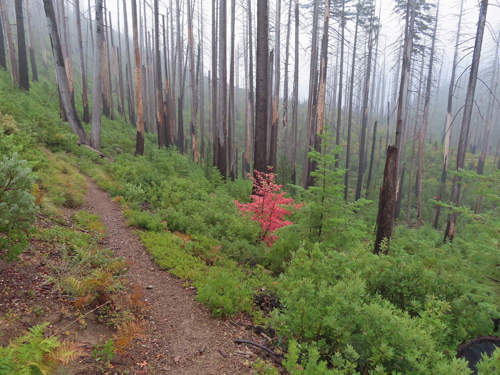
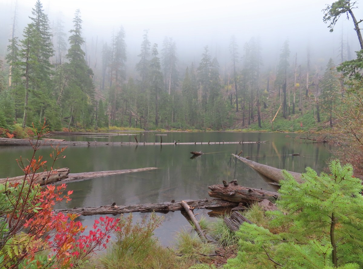
 To the left was the Babyfoot Lake Rim Trail. Sullivan’s longer option here include following this trail 0.9-miles to a viewpoint above the lake. Given the fog that seemed pointless, and it also looked like that trail was in need of some maintenance.
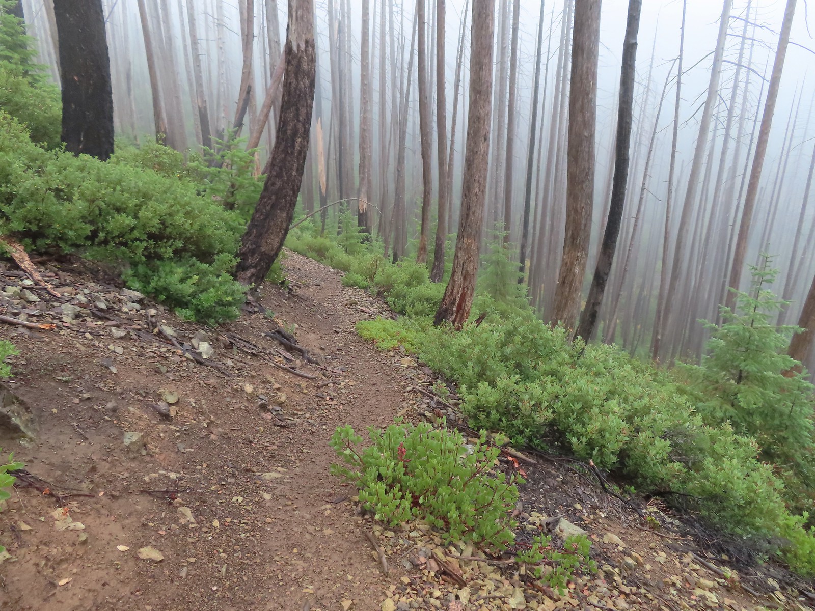
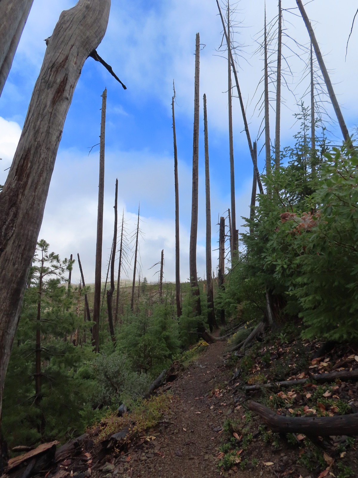
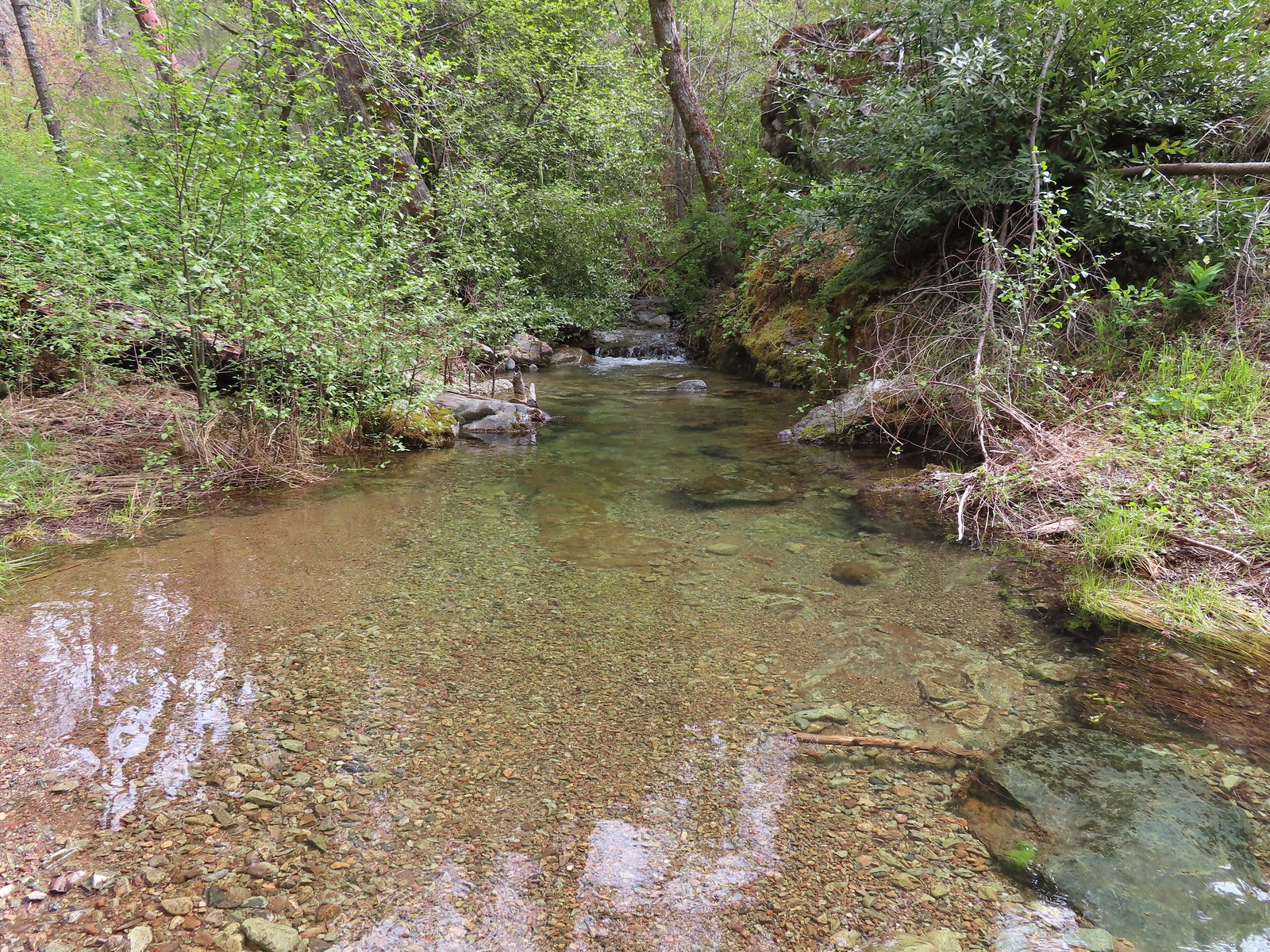
 A small stream with crystal clear water along the trail.
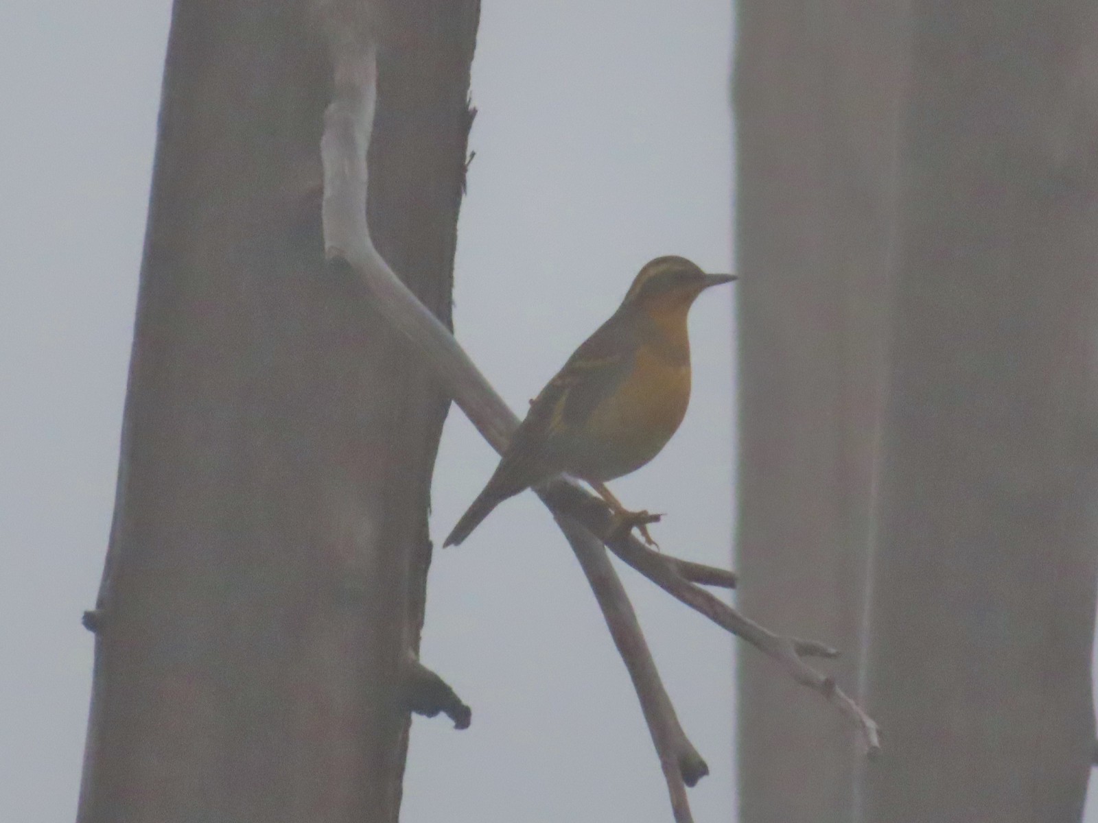 My nemesis, the varied thrush.
 Near the lake the trail passes this rock outcrop which is a viewpoint without the fog.
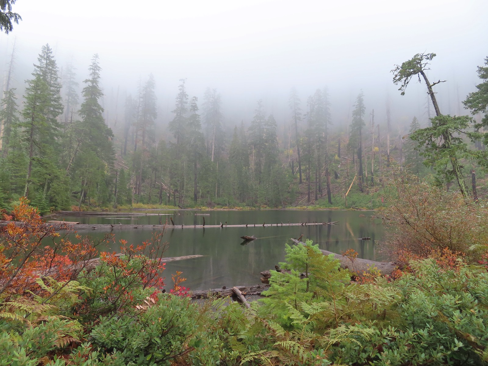
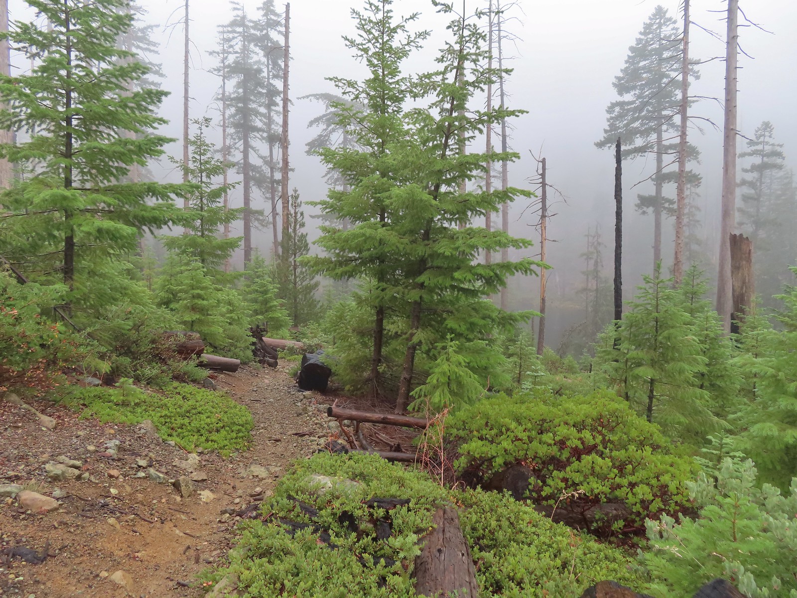 Some of the trees around the lake survived the 2002 fire.
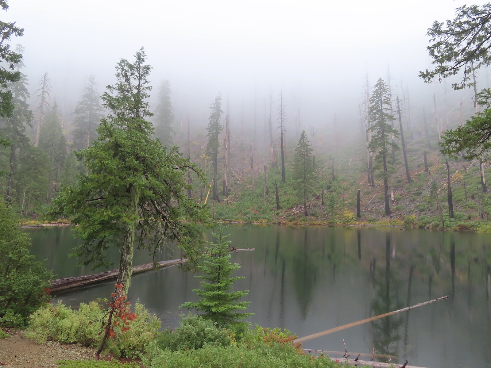

 I of course had to head out onto the viewpoint given the rapidly changing conditions.
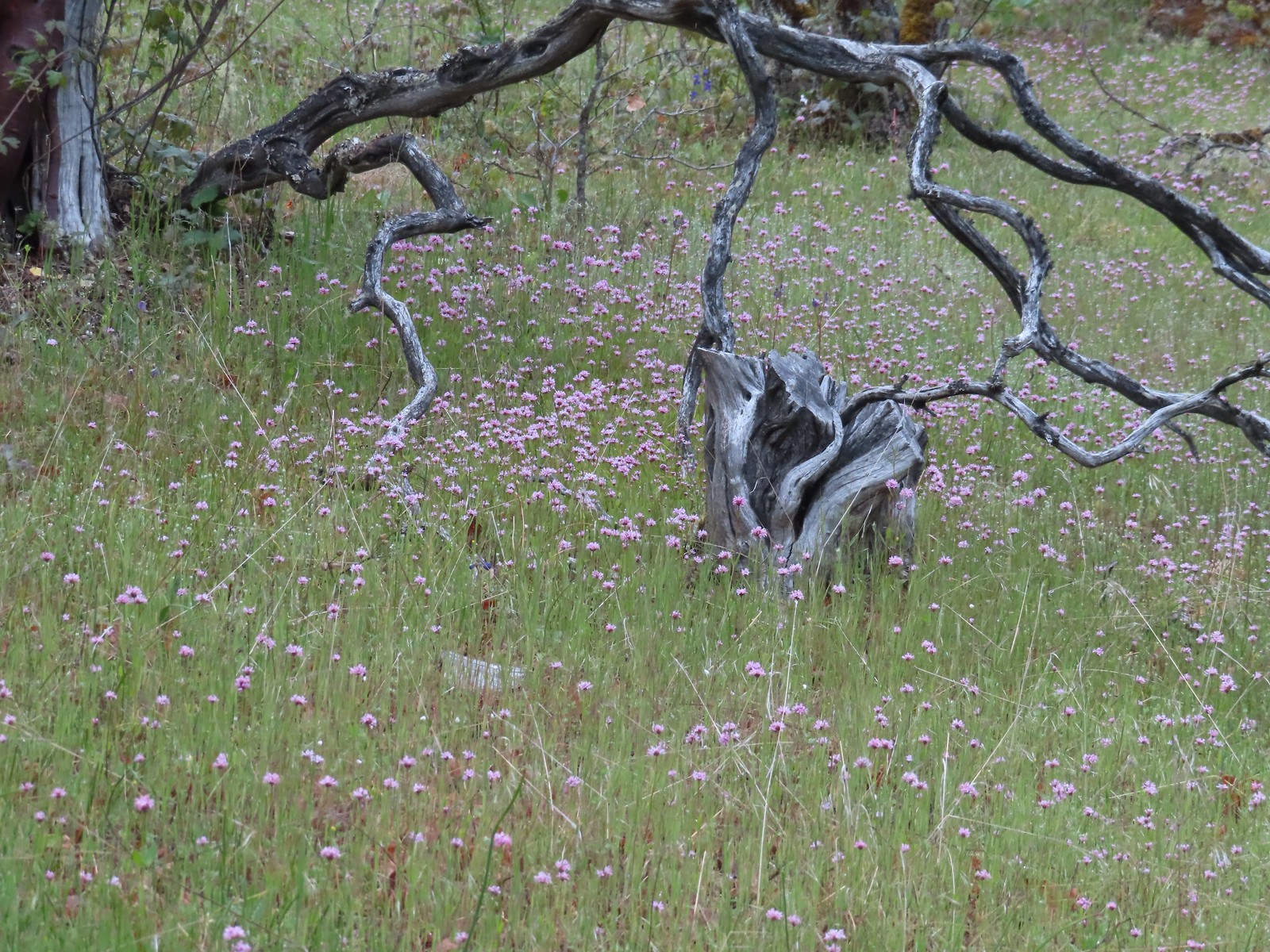
 The patterns on this snag caught my eye.
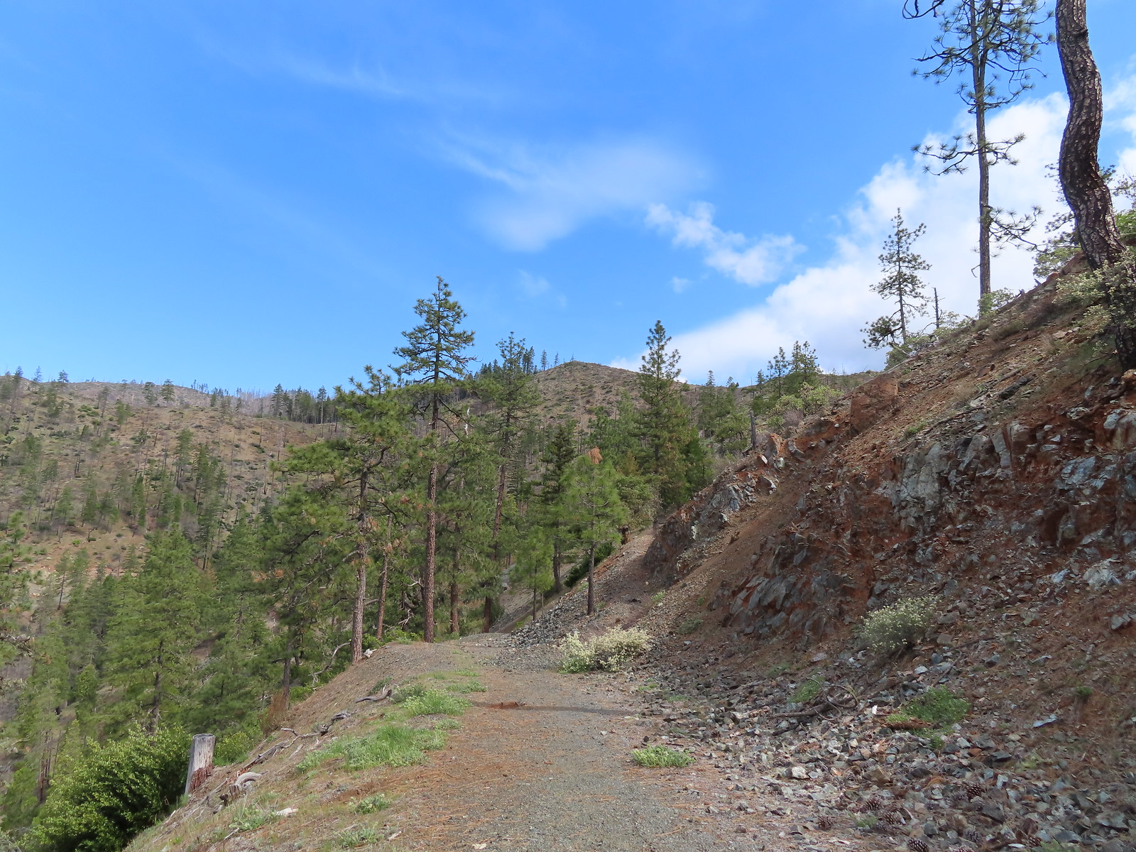
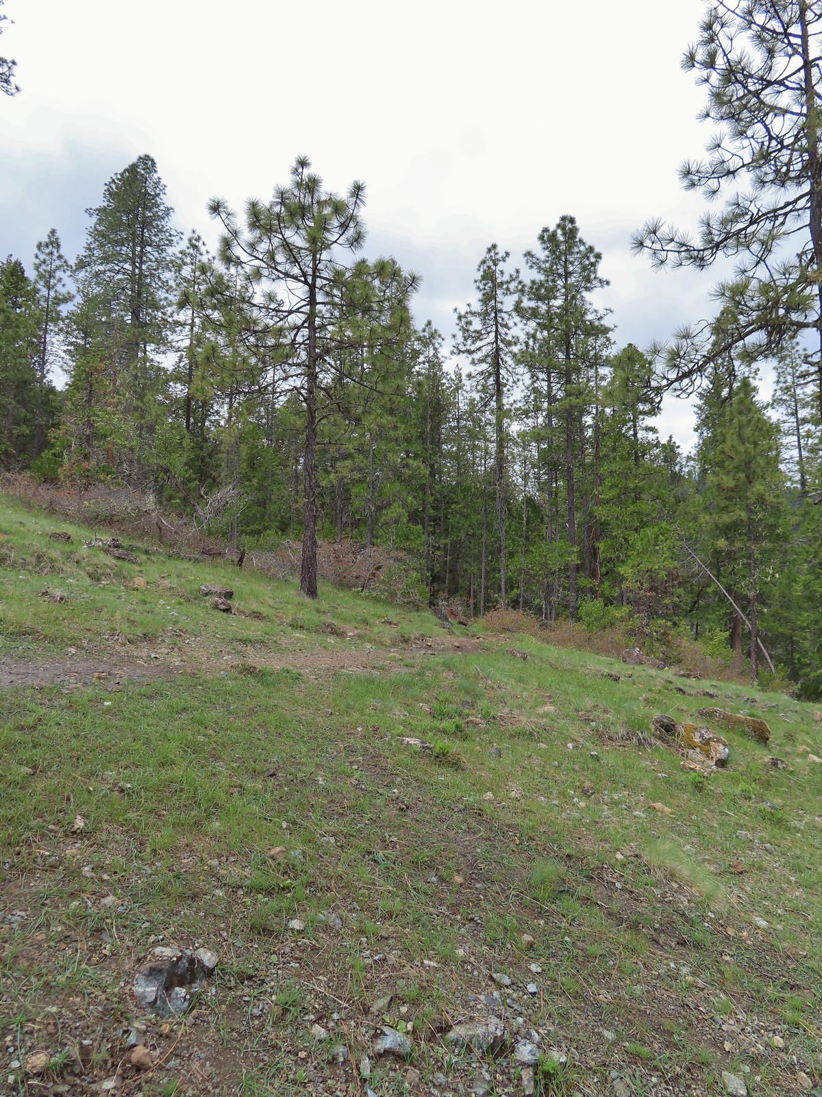
 The trailhead on the ridge ahead.
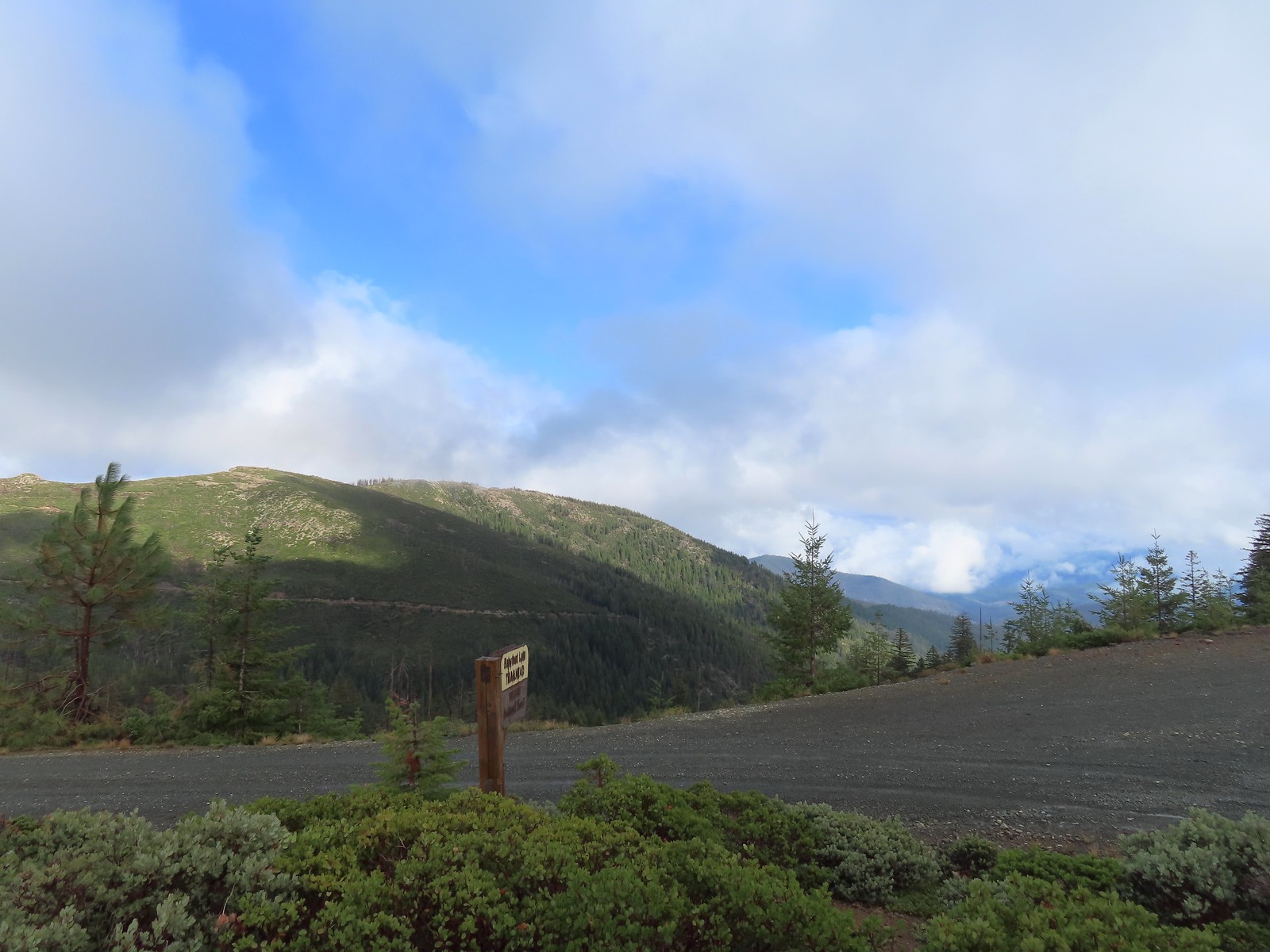
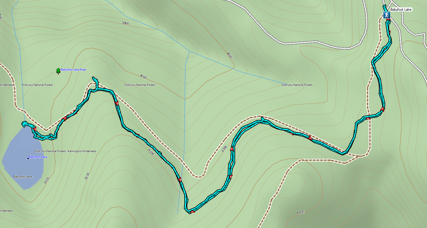

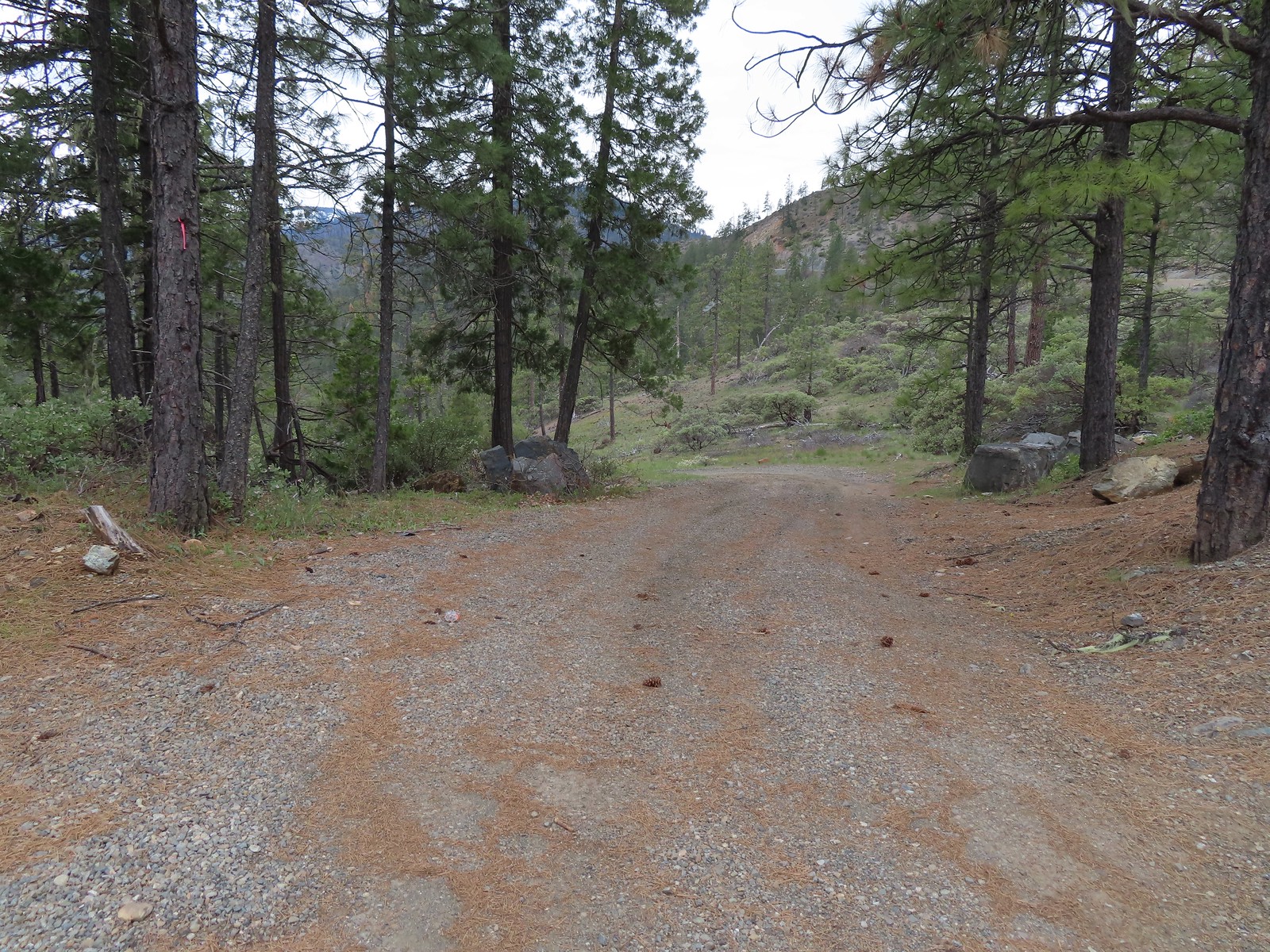
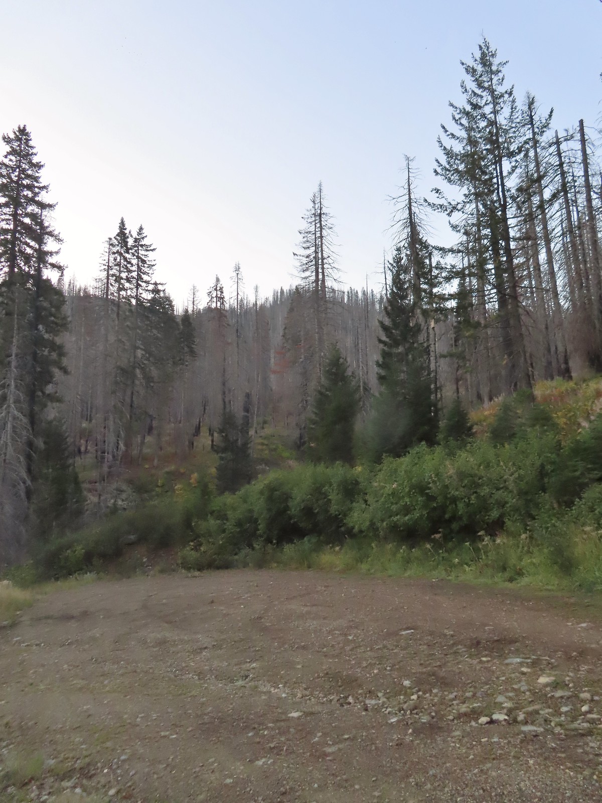 There is a large turnaround/parking area at the end of Forest Road 041 which serves as the trailhead. The final 500 meters of the road are rough so high clearance vehicles are recommended.
 A pink flag marked the start of the trail just up the road from the turnaround.
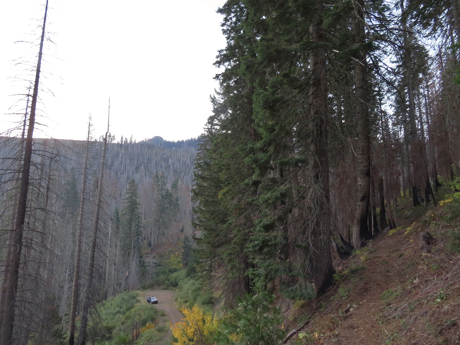 The trailhead from the Tanner Lakes Trail.
 A few trees survived the fire around the lakes.
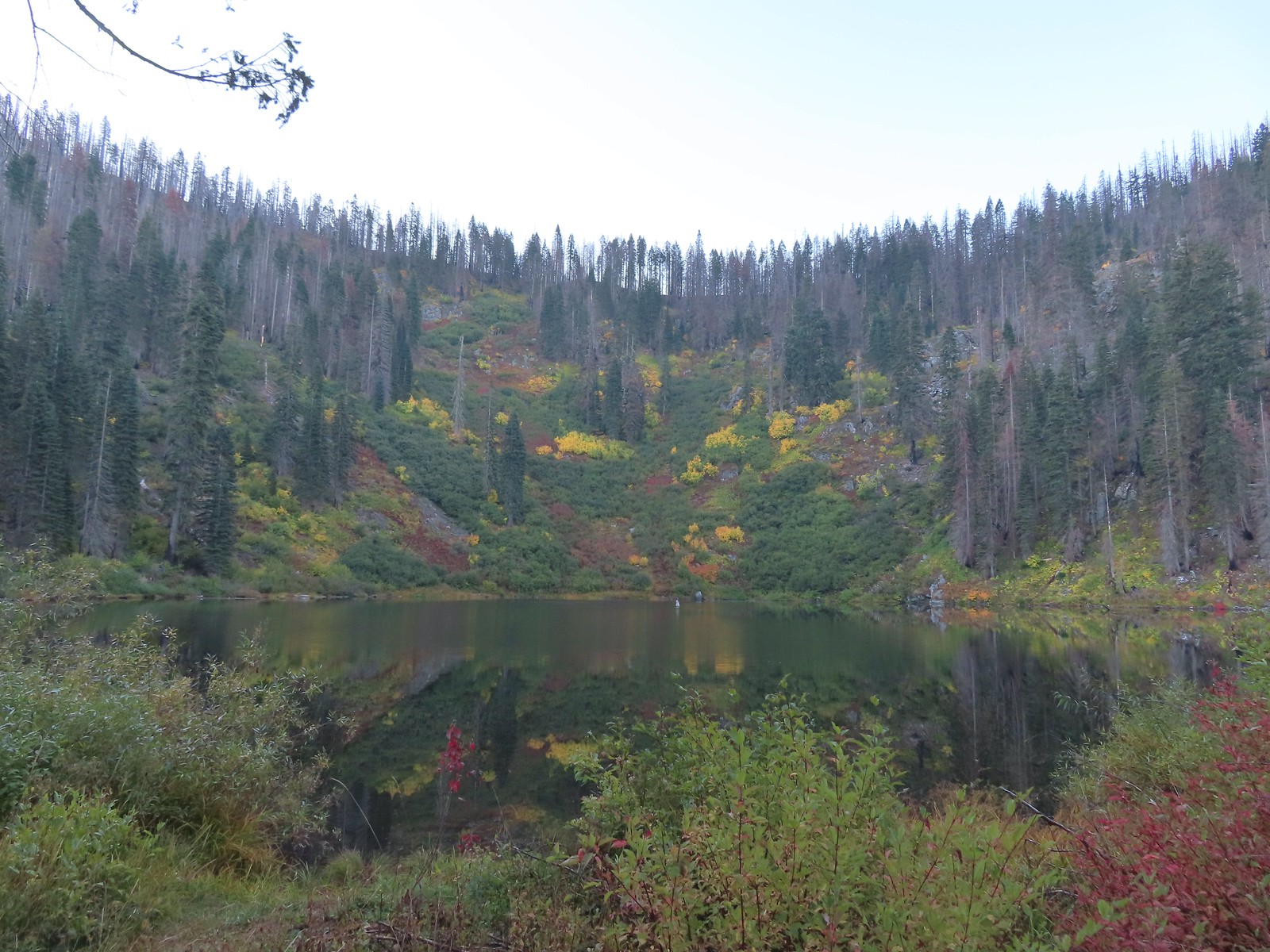 Tanner Lake in the morning.

 Penstemon
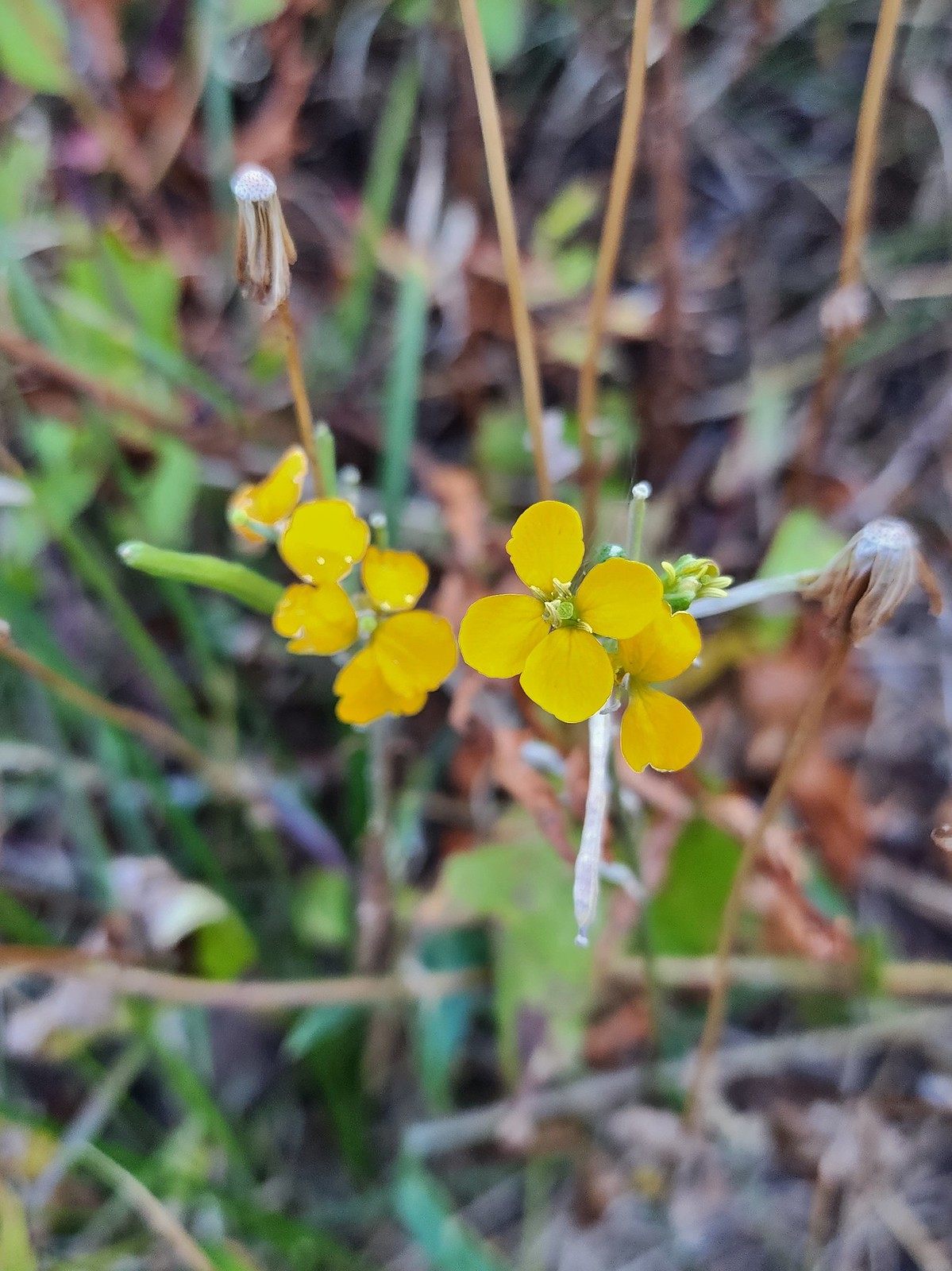 Wallflower
 Recent trail maintenance.
 East Tanner Lake
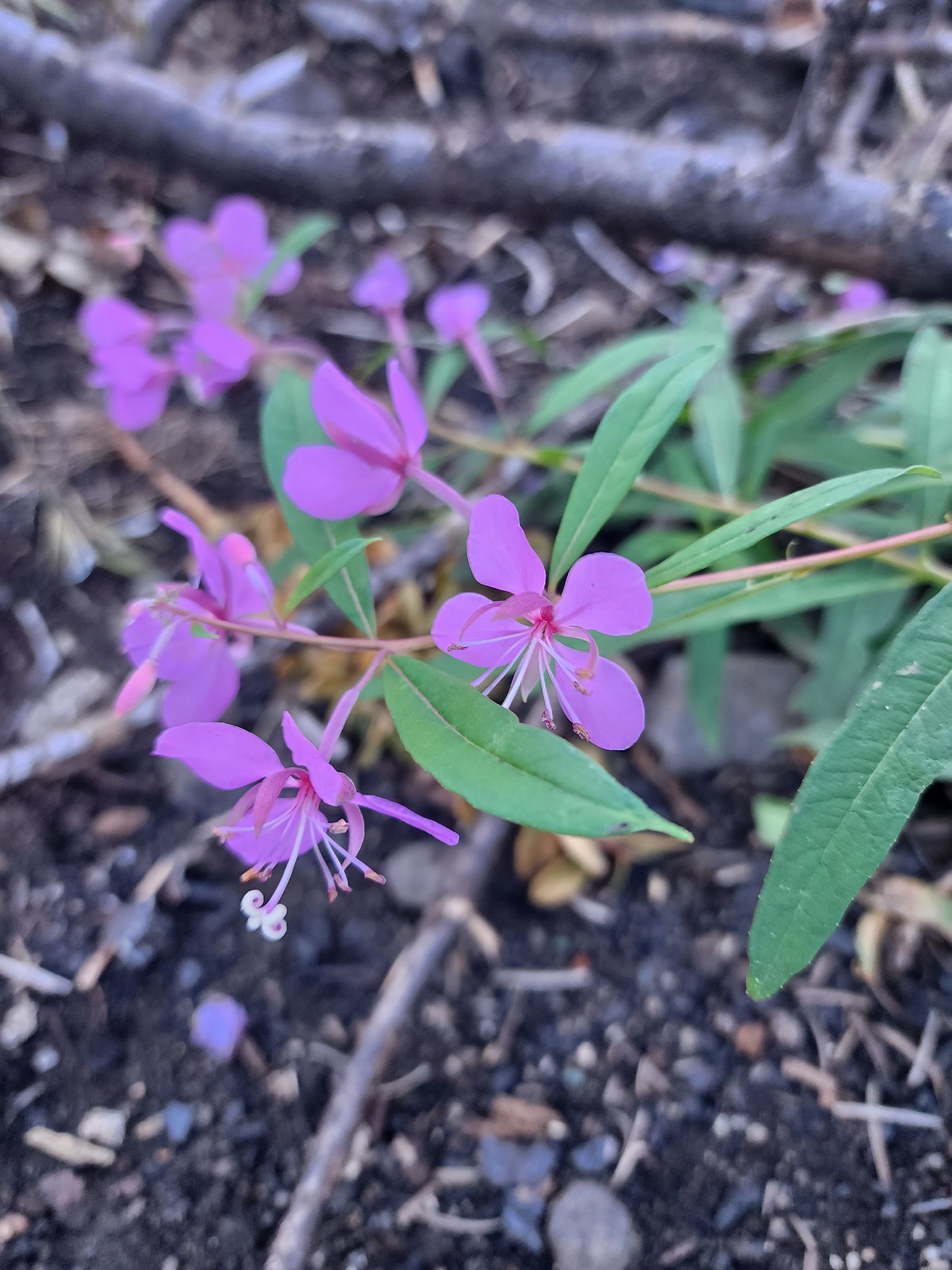 Fireweed
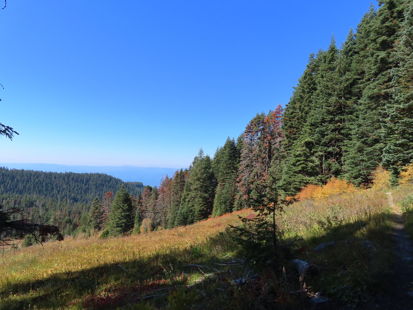
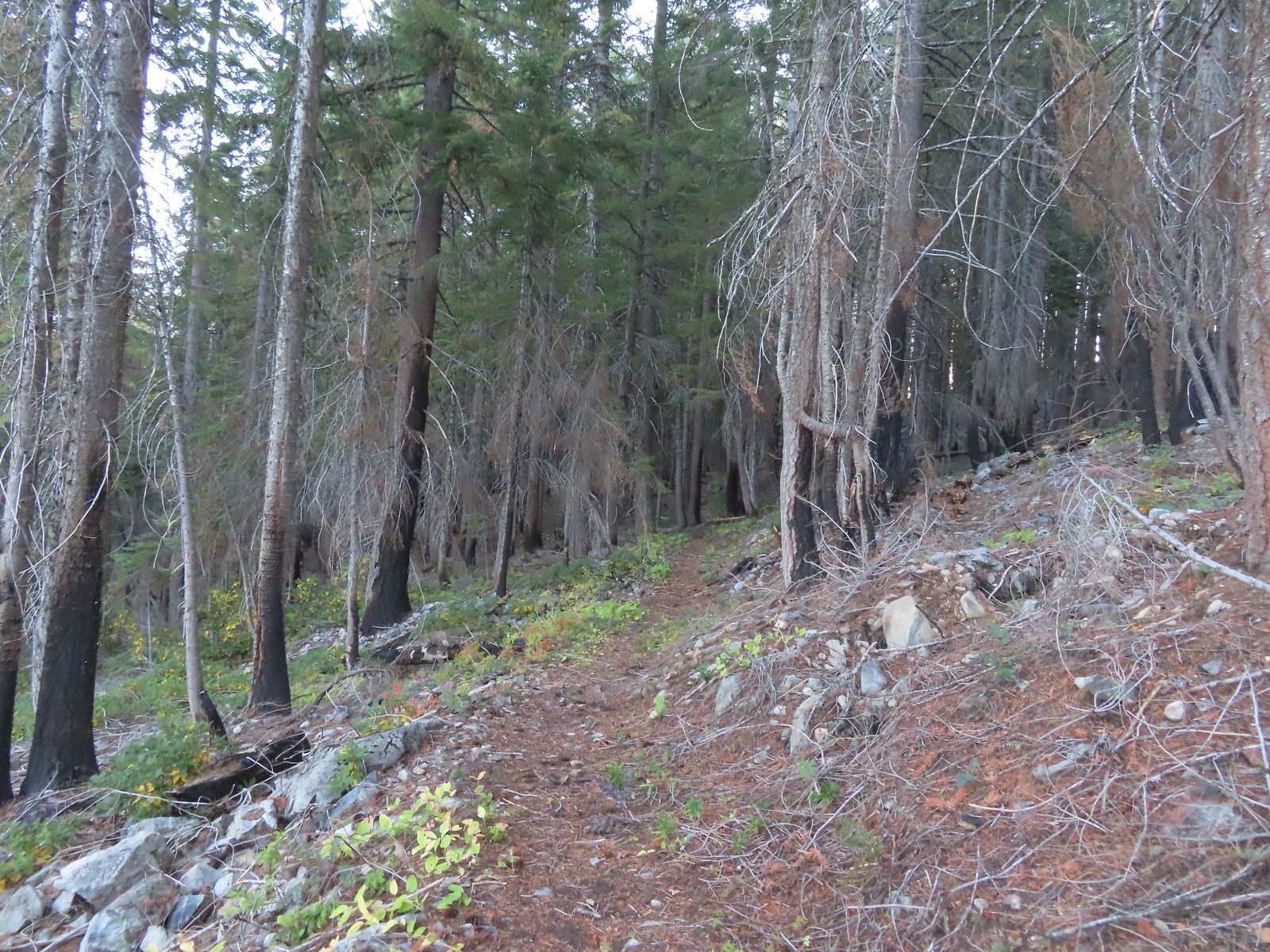 The eastern side of the ridge fared better in the fire than the forest closer to the lakes.
 Signs at the junction with the tie trail.
 The tie trail used to be here.

 Second breakfast
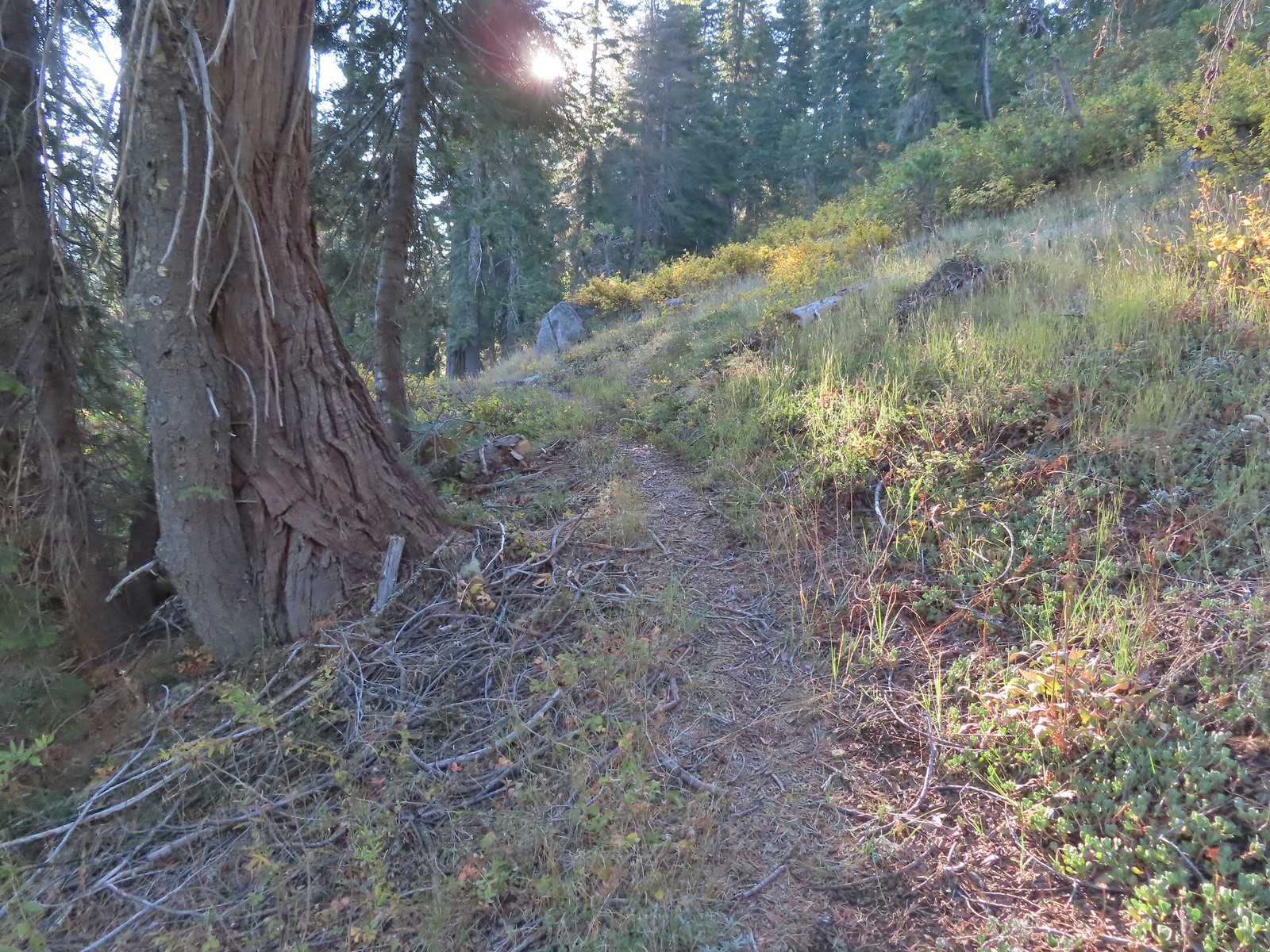 The trail briefly left the fire scar altogether near the Fehley Gulch junction.
 Looking back down at the Fehley Gulch Trail as it joins the Tanner Lake Trail.
 Tanner Mountain from the trail near the junction.
 Sign at the Boundary Trail junction.
 Dark-eyed junco
 Tanner Mountain again.
 Scarlet gilia
 One of two checker-mallow blossoms I spotted. The other was much nicer looking but it was downhill and I was too lazy to go down to get a good photo.
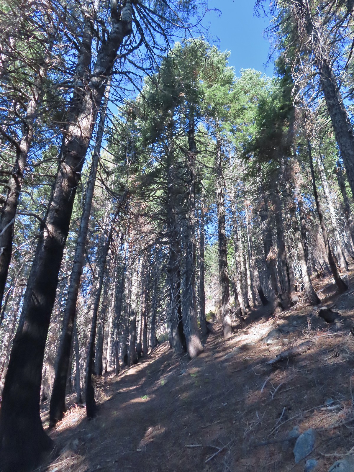 This trail was really steep at times.
 Almost to the ridge.
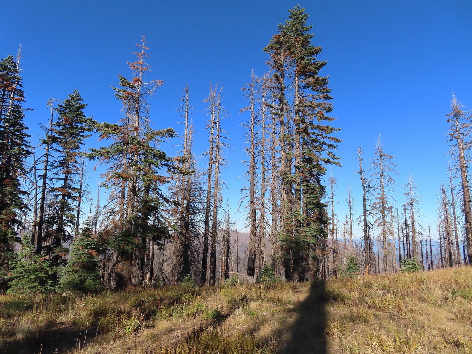 The trail became pretty faint on the ridge.
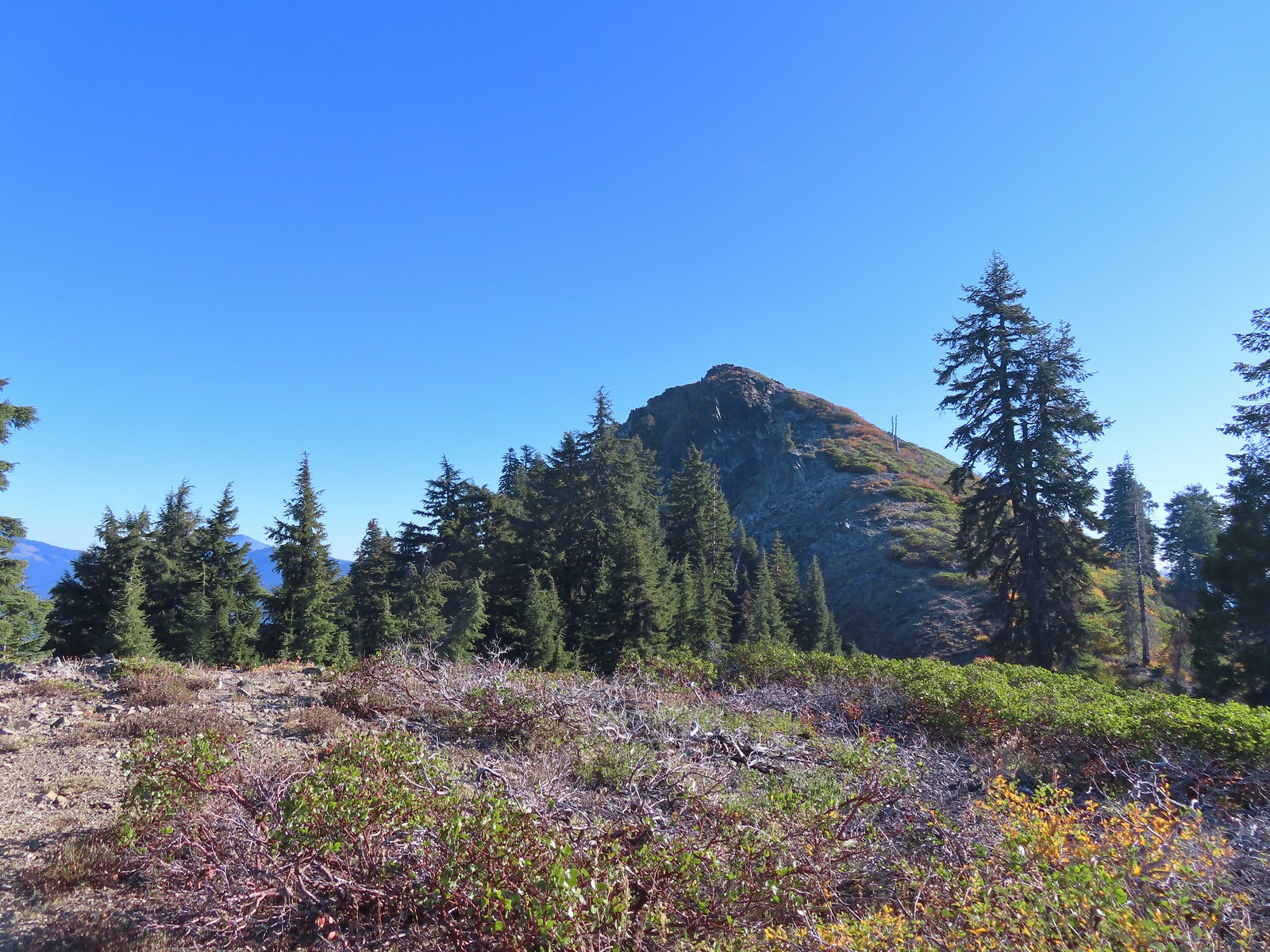
 More steep climbing.
 Looking back down over the use trail.
 From right to left – Grayback Mountain, Lake Mountain, and Mount Elijah (with lots of other peaks).
 The double humps of Red Buttes behind and left of Pyramid Peak with the outline of Mt. Shasta to the right of Pyramid Peak.
 Preston Peak and El Capitan in the Siskiyou Wilderness (
 Preston Peak and El Capitan
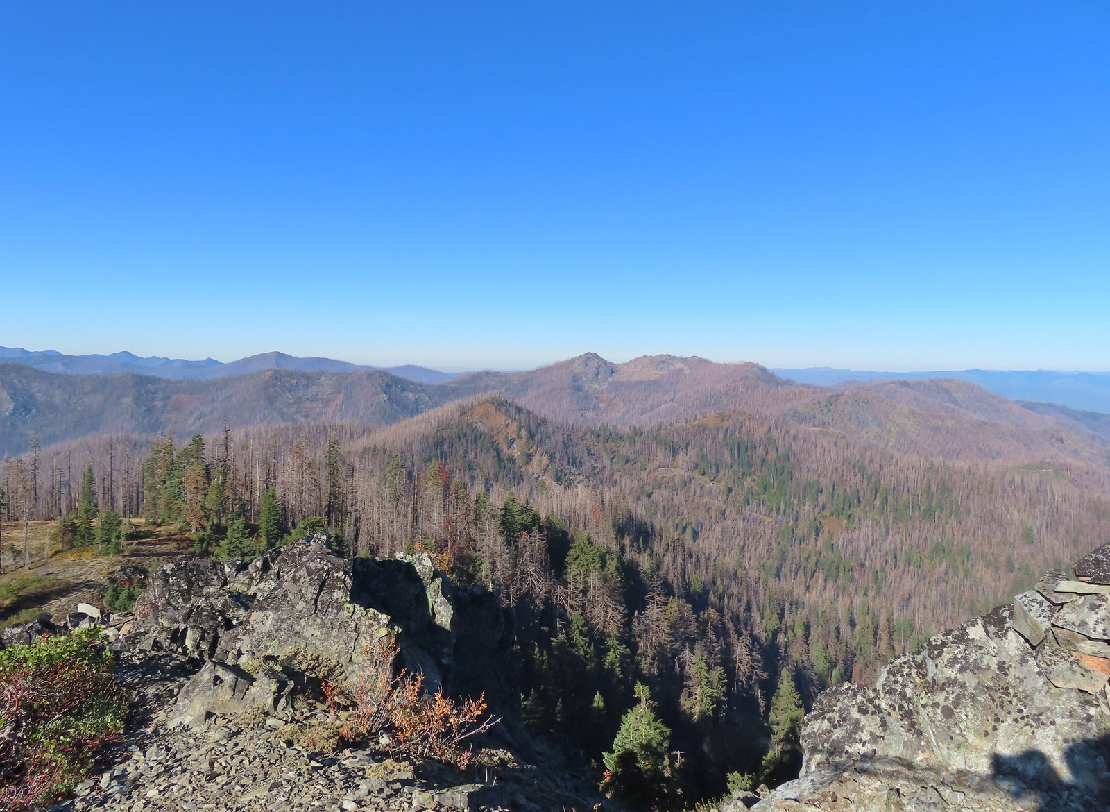 Bolan Mountain, our other stop for the day.
 Bolan Mountain
 East Tanner Lake in the shadow of Tanner Mountain.
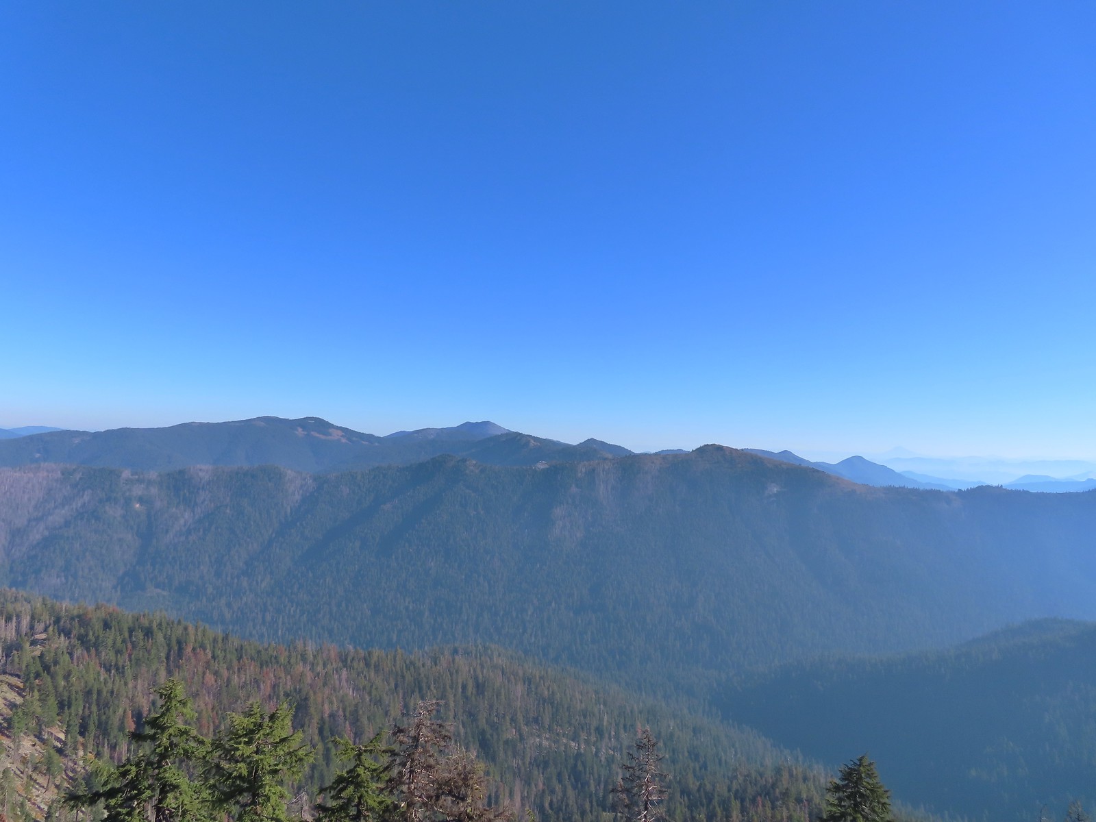 A faint Mt. McLoughlin (
 The Boundary Trail dropping off Thompson Ridge.
 Ferns along the Boundary Trail.
 More signs of recent maintenance.
 Old campsite near Road 570 and the boundary of the
  This is/was the Boundary Trailhead but there isn’t much left post fire.
 Bolan Mountain from Road 570.
 Pussy paws
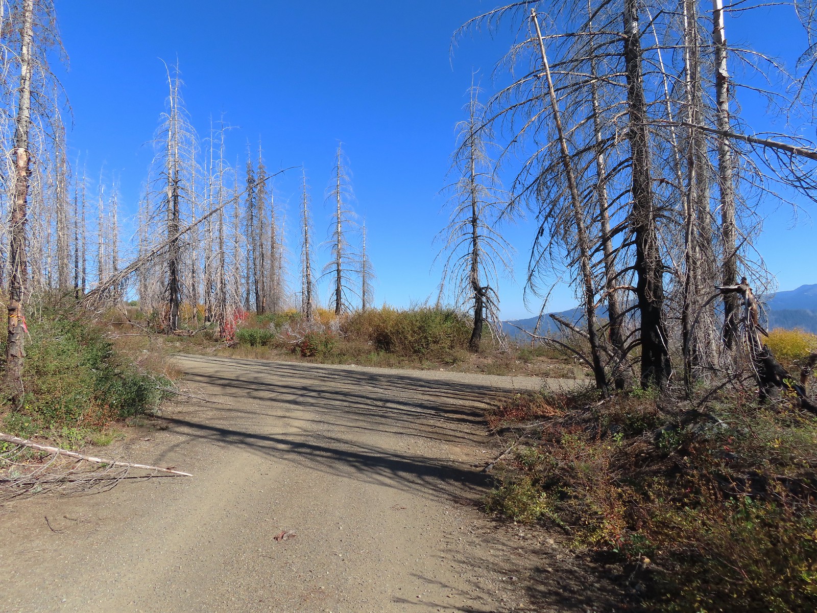 Road 041 at Kings Saddle.
 Pearly everlasting along Road 041.
 Where things started getting ugly on Road 041.
 It’s in the shadow but the runoff channel cut across the road here creating a decent sized divot.
 Another rocky section of the road.
 California sister at the trailhead.
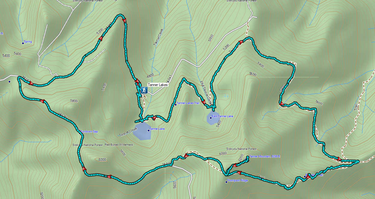
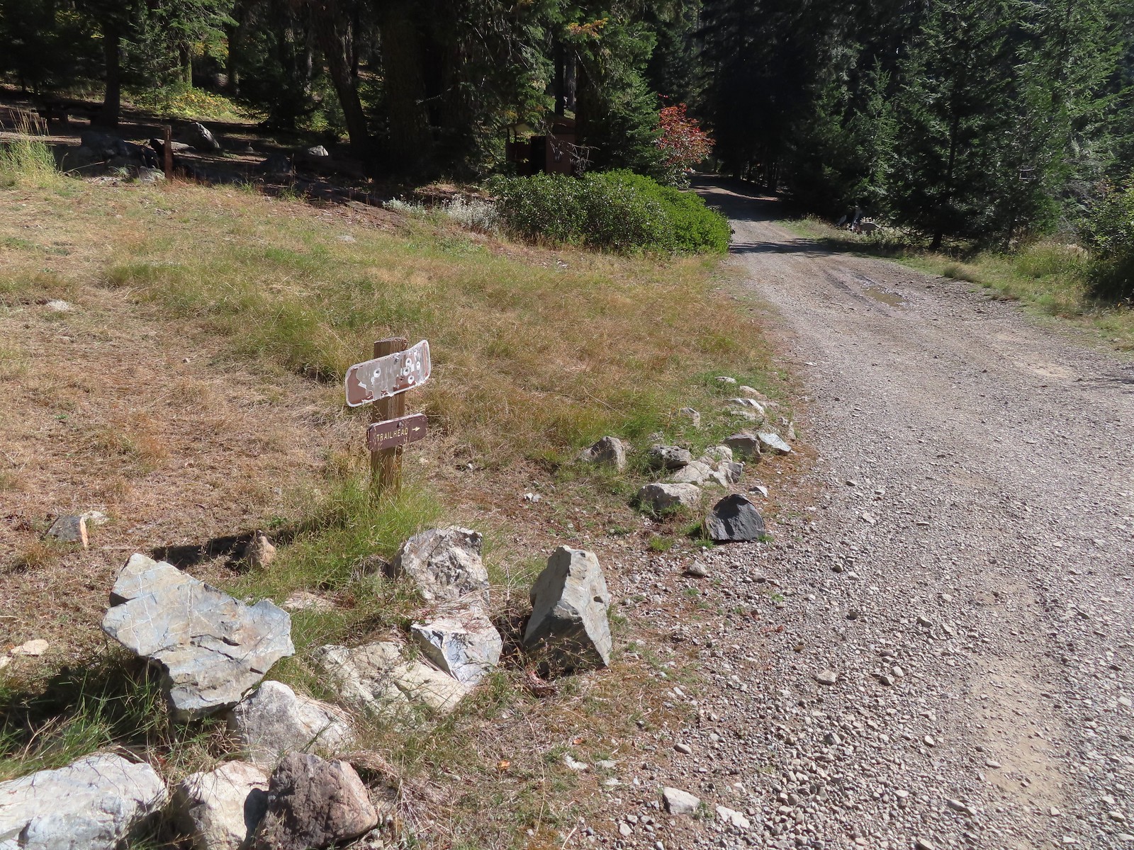 The pointer is a trap!
 This looked like as clear a spot as any.
 Looking up the Bolan Lake Trail.
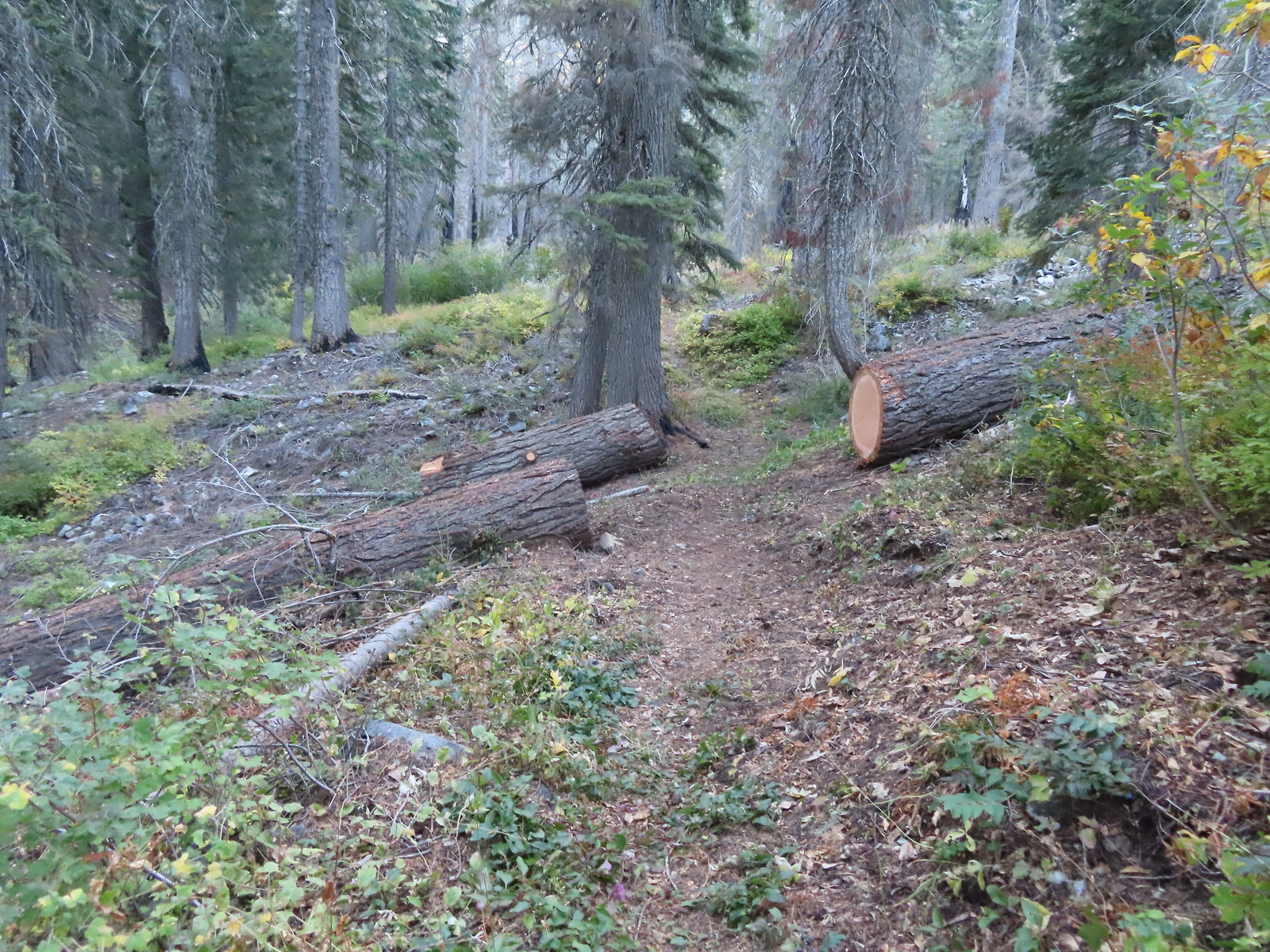
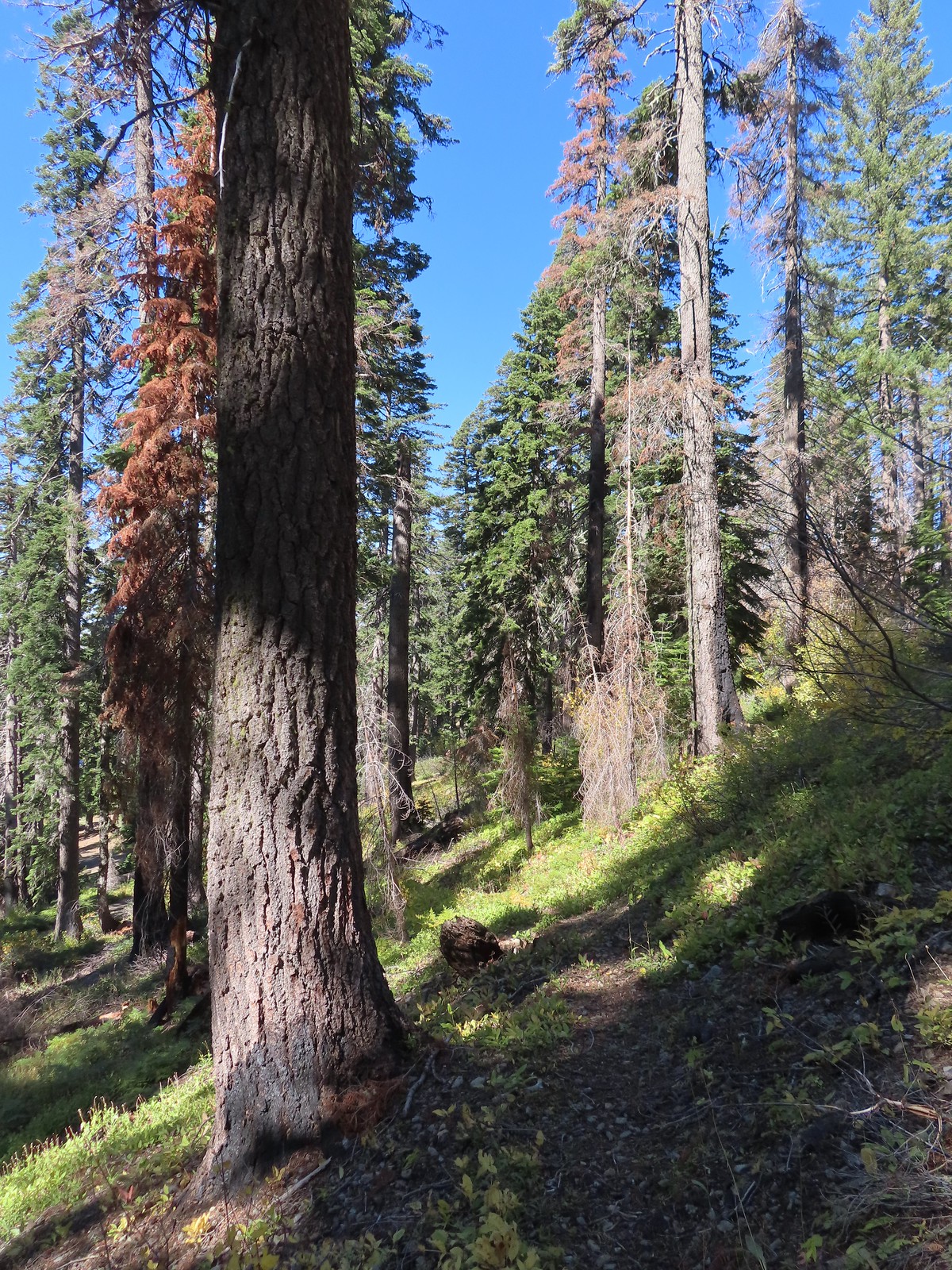 My guess is the rock on the log was where the trail used to begin but the log had been a bit too large to climb over.
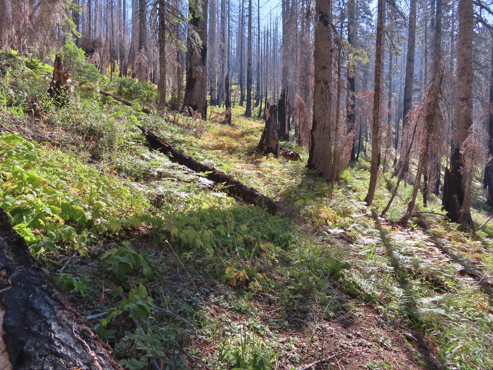 Faint tread was all that was left in most places.
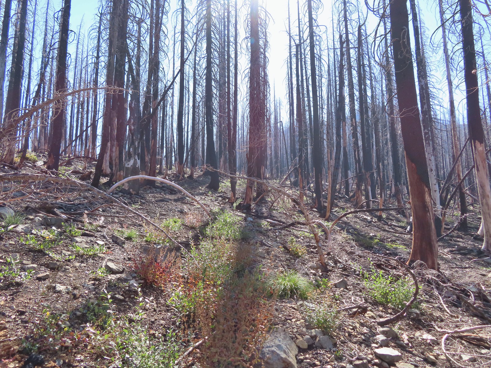 The Bolan Lake Trail to the left.
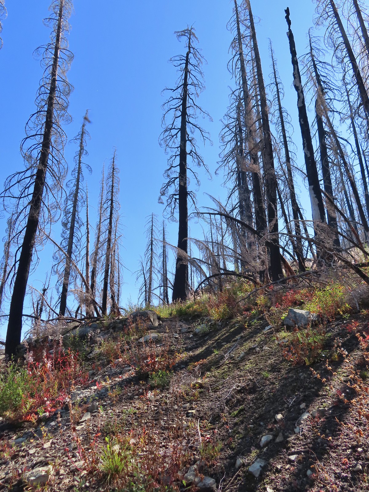
 Sometimes the tread just disappeared.
 Lake Mountain, Grayback Mountain, Craggy Mountain, and Swan Mountain.
 Momentary tread.
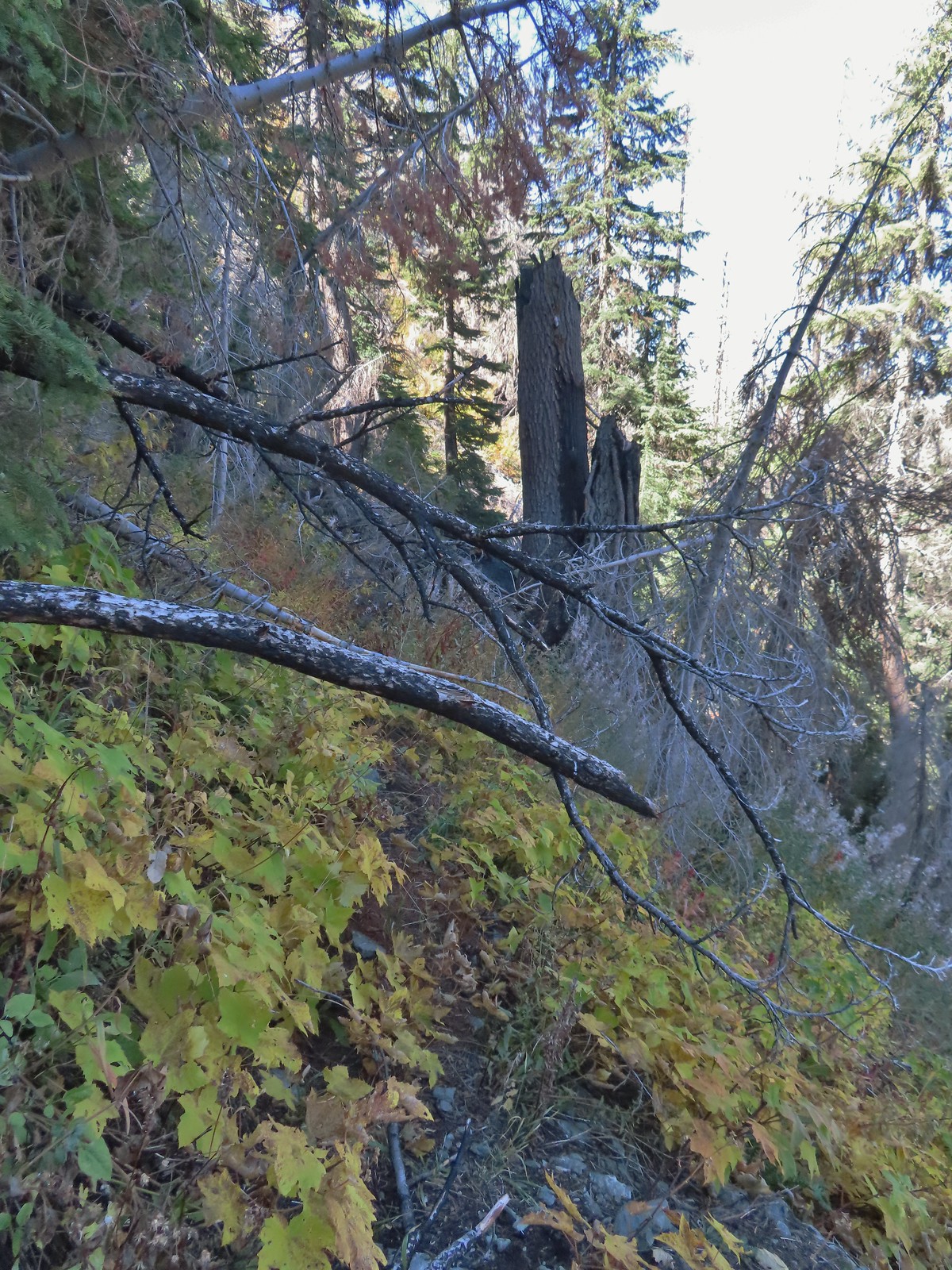 Just about 500′ below the ridge there was a large downed tree which required some side-hilling to drop below and then climb steeply back up to the trail.
 I got back to the trail to find more debris covering it.
 Final pitch to the ridge.
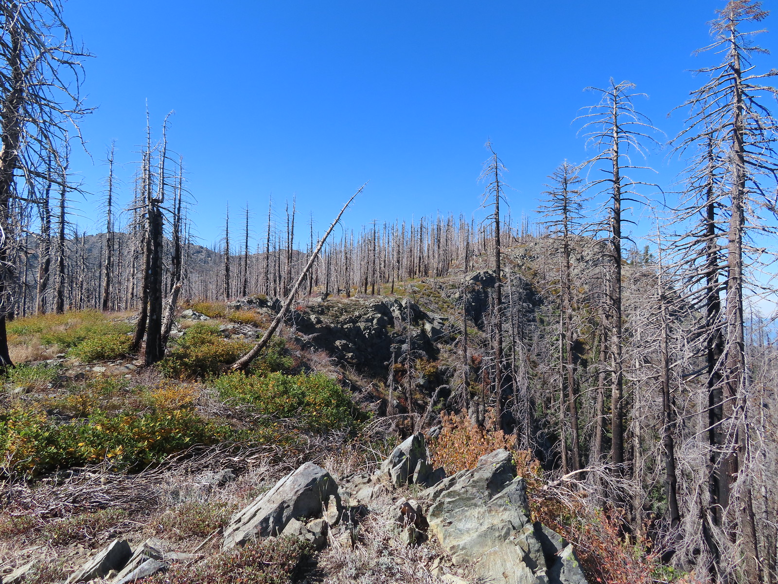 Bolan Mountain from the ridge.
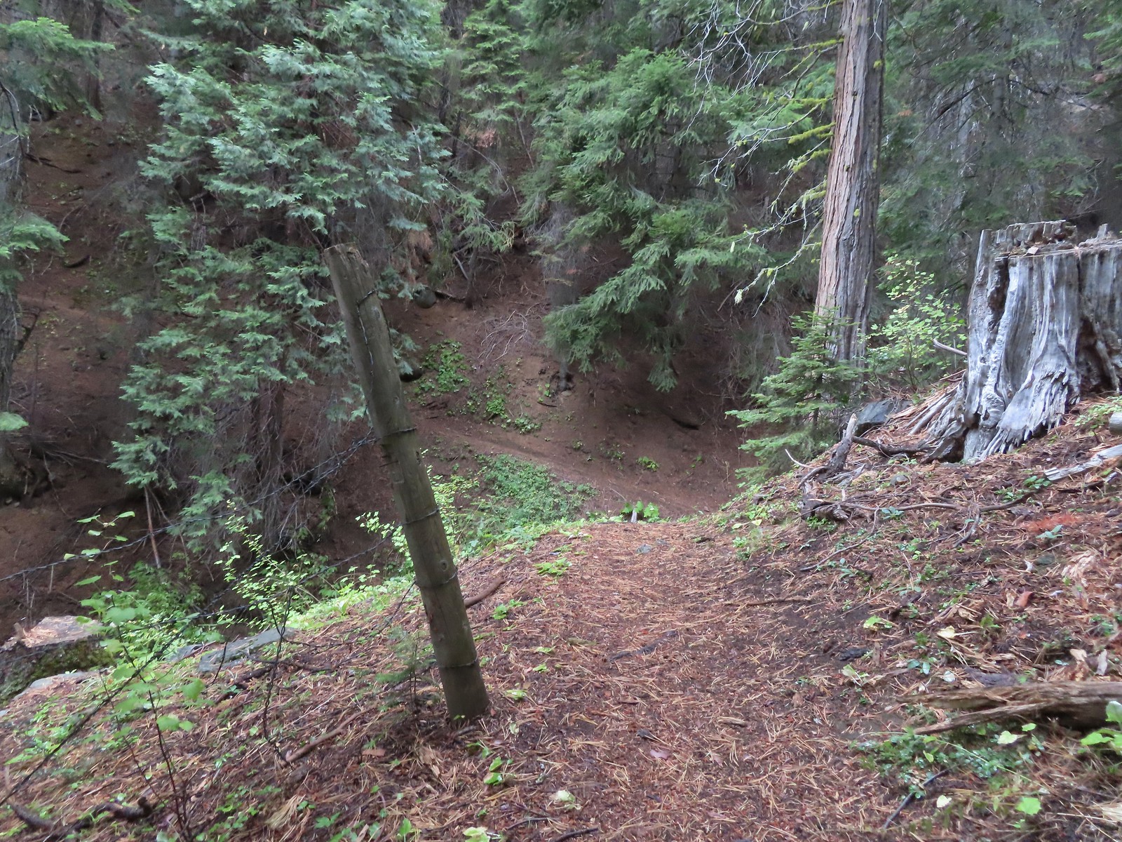
 The trail descended slightly on the far side of the ridge to the junction.
 I assume the downed post and small pile of rocks marked the junction with the mile long Kings Saddle Trail.
 The Bolan Lake Trail (I think) at the junction.
 I might be on trail.
 I was sure I was on the trail here.
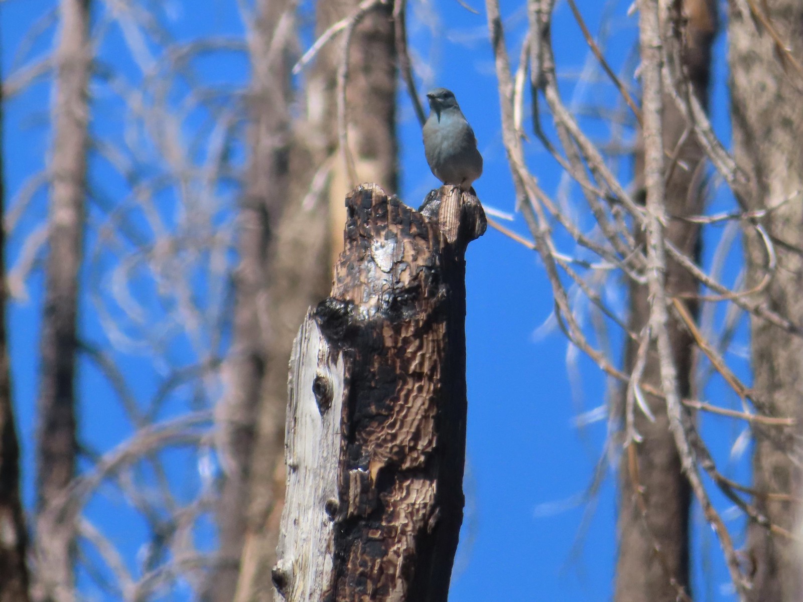 Mountain bluebird wondering what I was thinking.
 Now I was just going uphill.
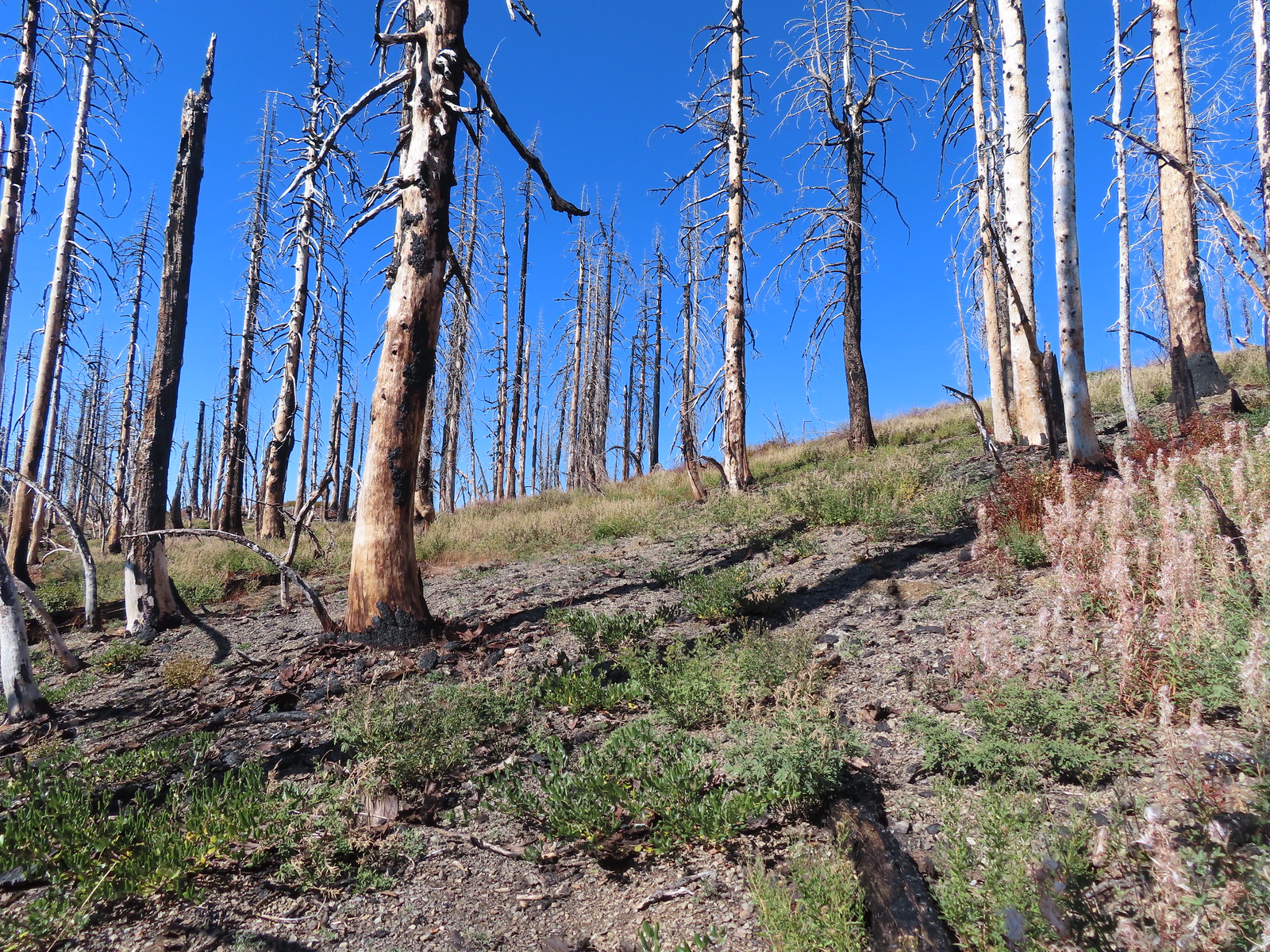 No idea where I was supposed to be at this point.
 The rocky point that the GPS labeled as Bolan Mountain.
 I got this far before realizing I was heading to the wrong spot.
 At least from here I could see the road heading up to the former lookout site through the burned trees.
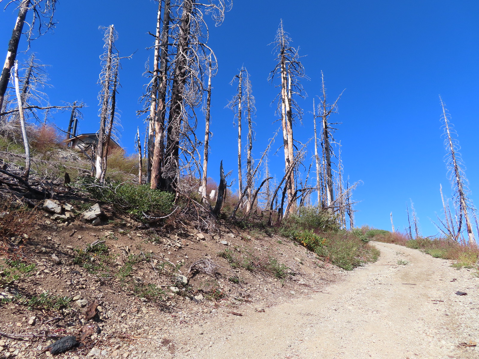 Not sure if the outhouse (above to the left) survived the fire or is new.
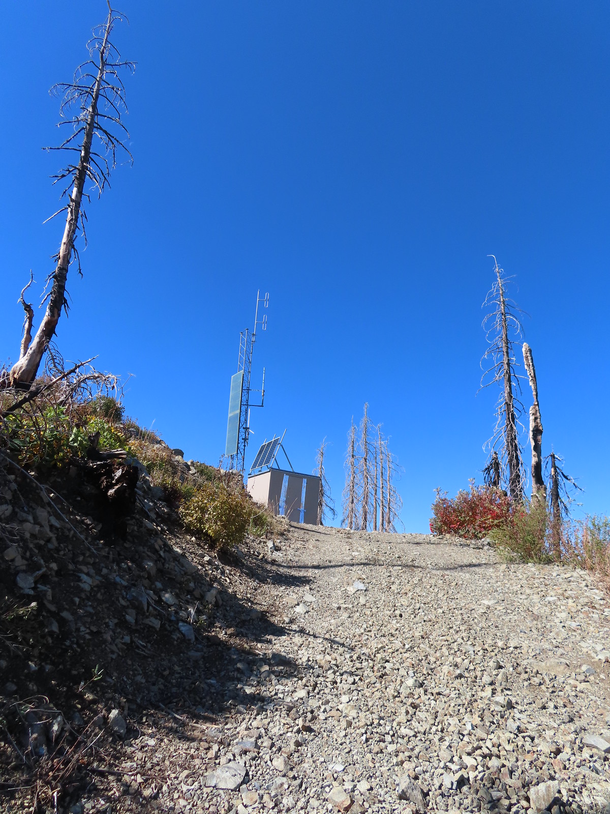
 Stone steps to the former lookout site.
 Preston Peak and El Capitan from the lookout site.
 Tanner Mountain in the foreground.
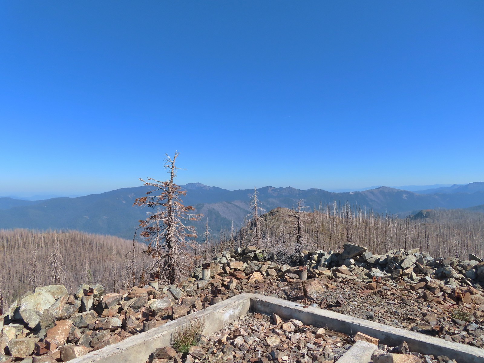 Grayback Mountain from Bolan Mountain.
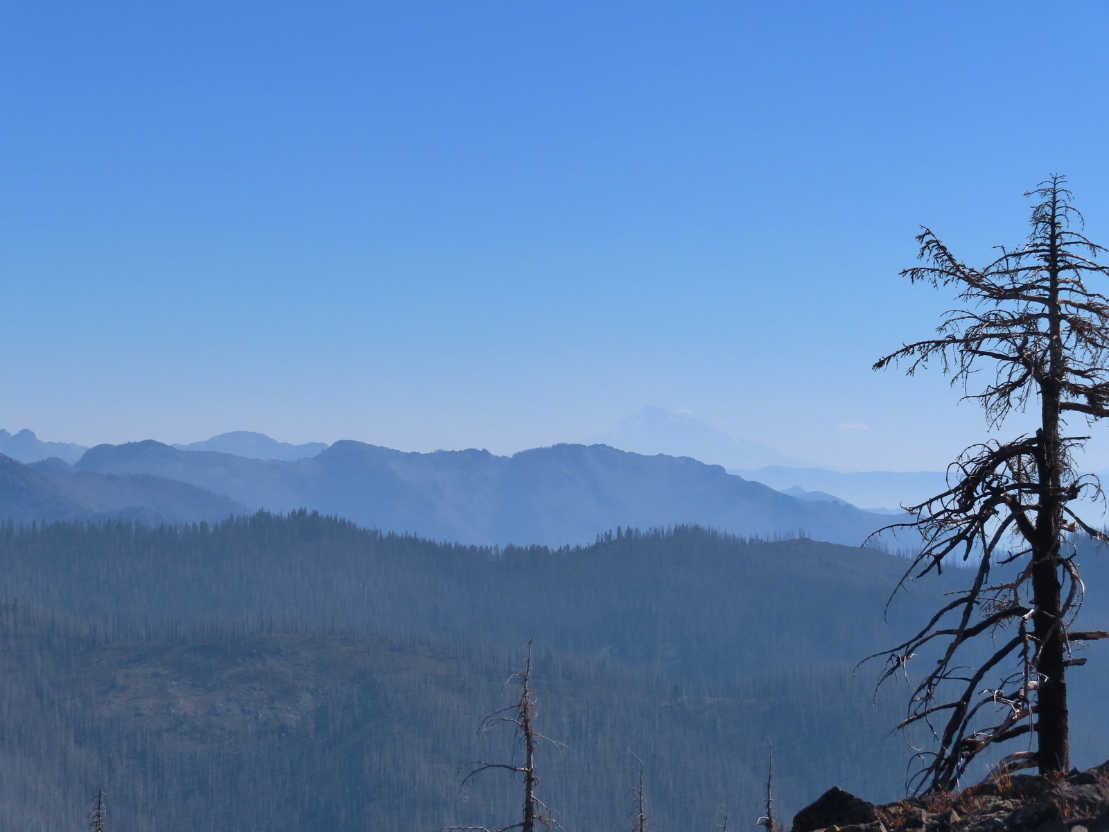 Red Buttes to the far left and Mt. Shasta through the haze.
 Bolan Lake from the service road.
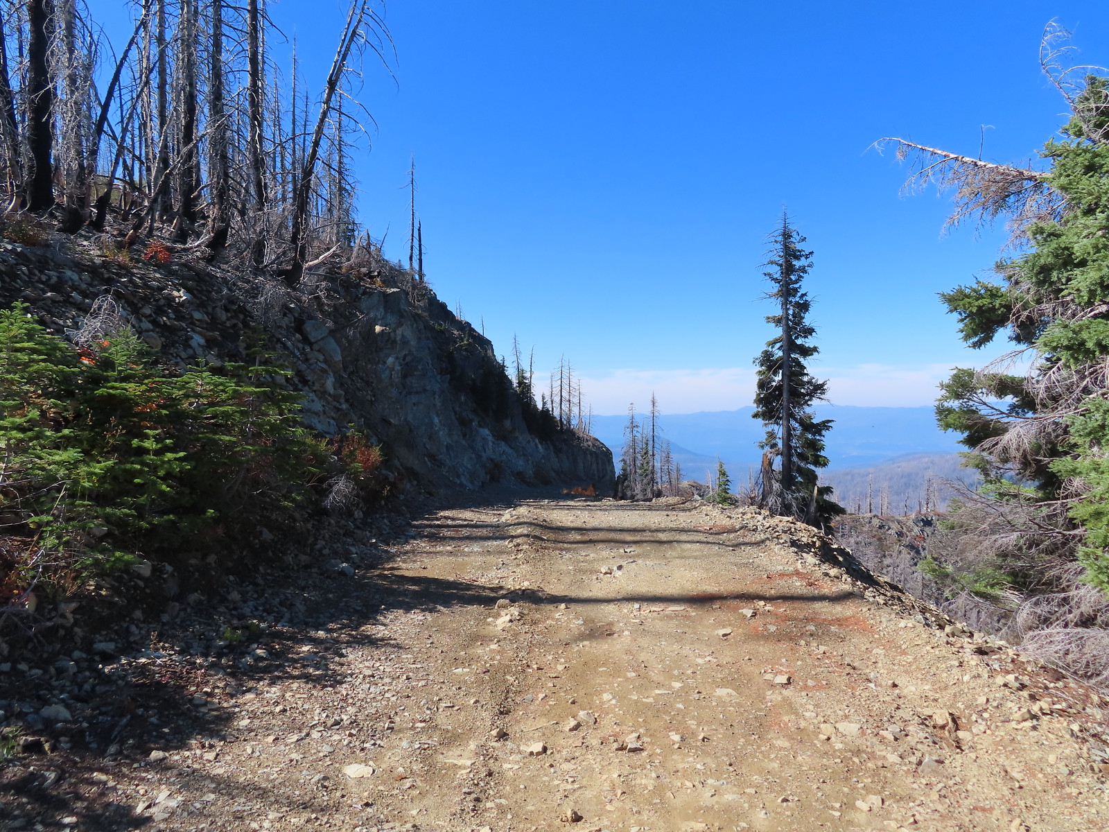
 Looking back toward Bolan Mountain.
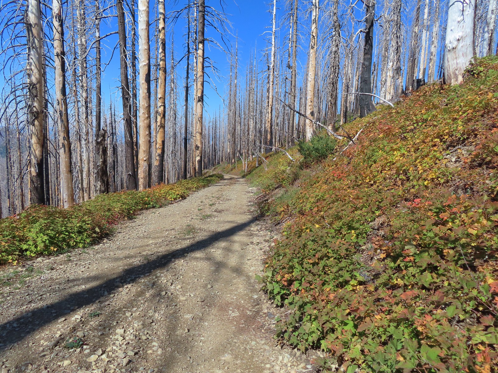
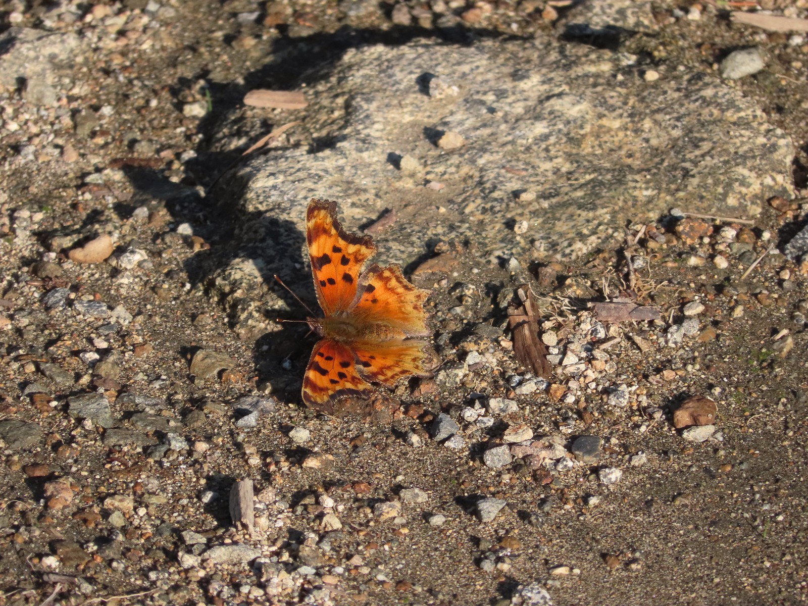
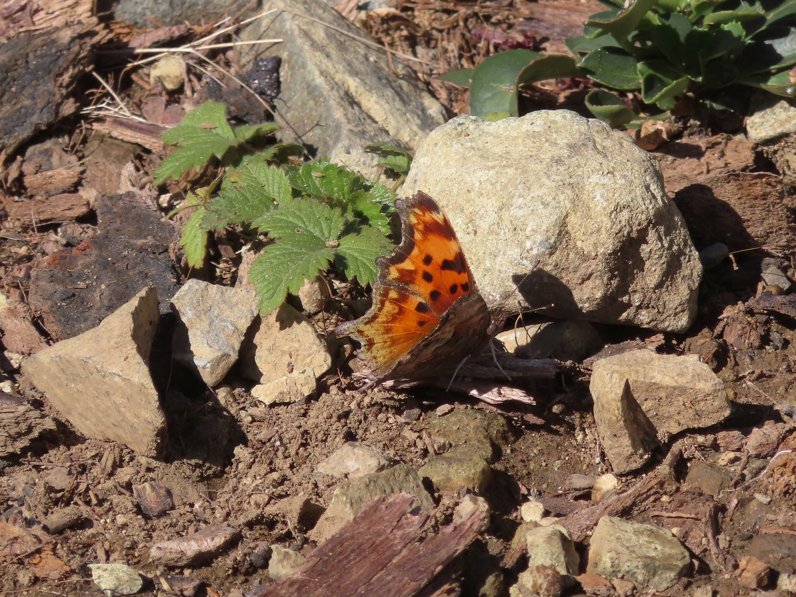 Hoary comma
 Gate along the service road.
 Road 40 from the service road.
 Road 40.
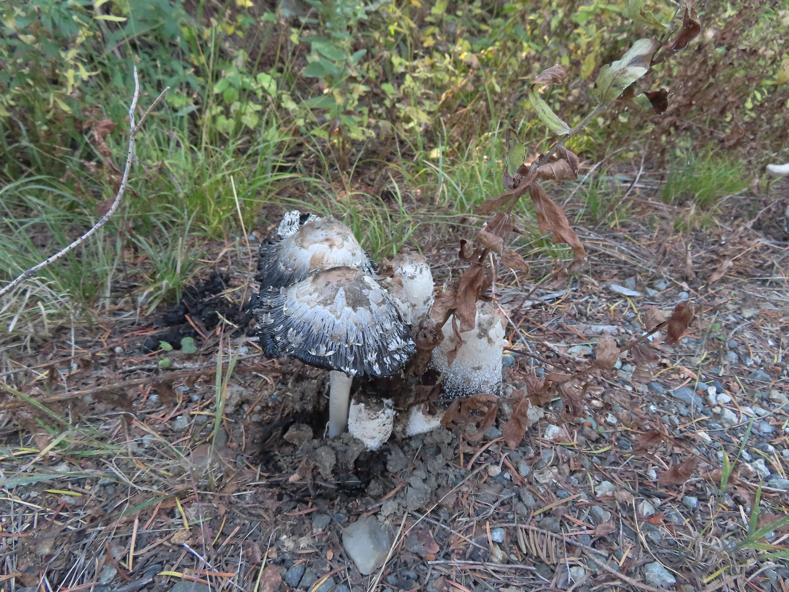 Mushrooms along Road 40.
 The connector trail along Bolan Creek.
 The trail around Bolan Lake.

 Thick vegetation along the lake shore.
 Trail sign at the end of the second campground loop for the trail around the lake.
 Pretty deep channel at the end of the loop.


 Bolan Mountain from Bolan Lake
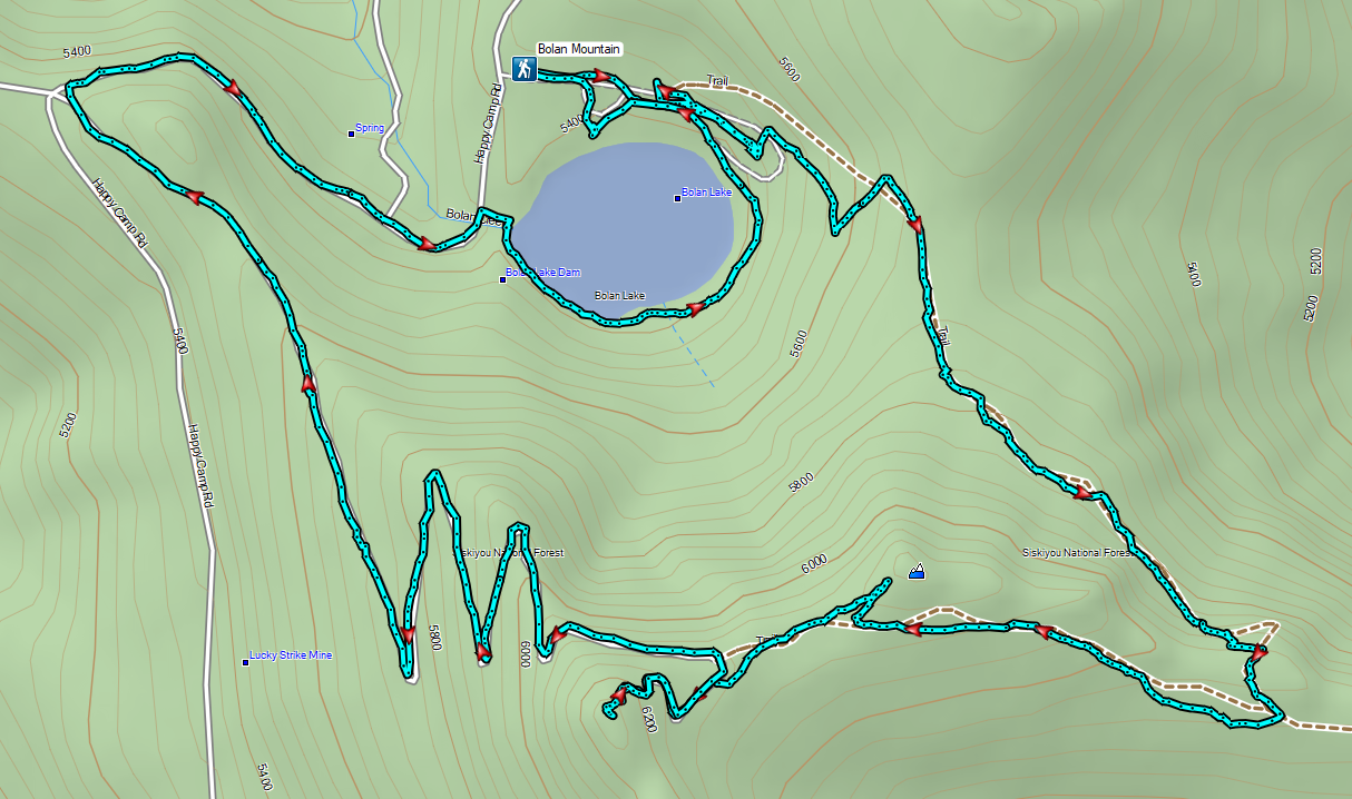

 Road 600 heading uphill.
 Crab spider on a fleabane.
 The Sturgis Trailhead on the left.
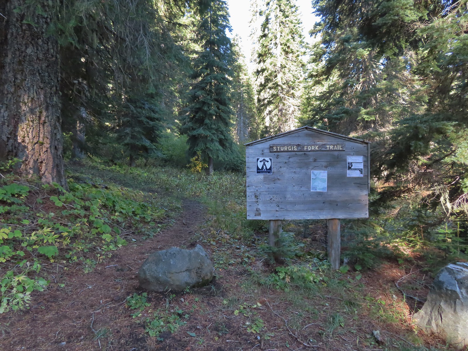
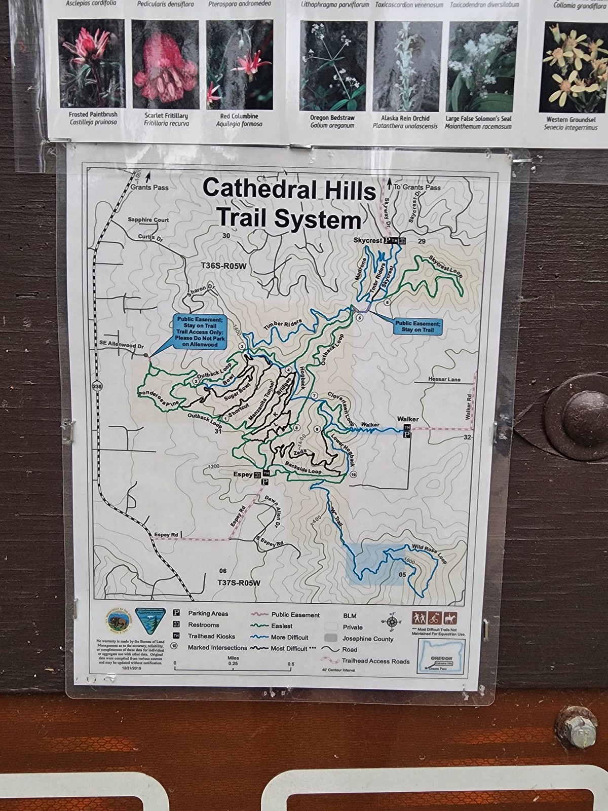
 Trail map of the area.
 Nettle-leaf giant hyssop
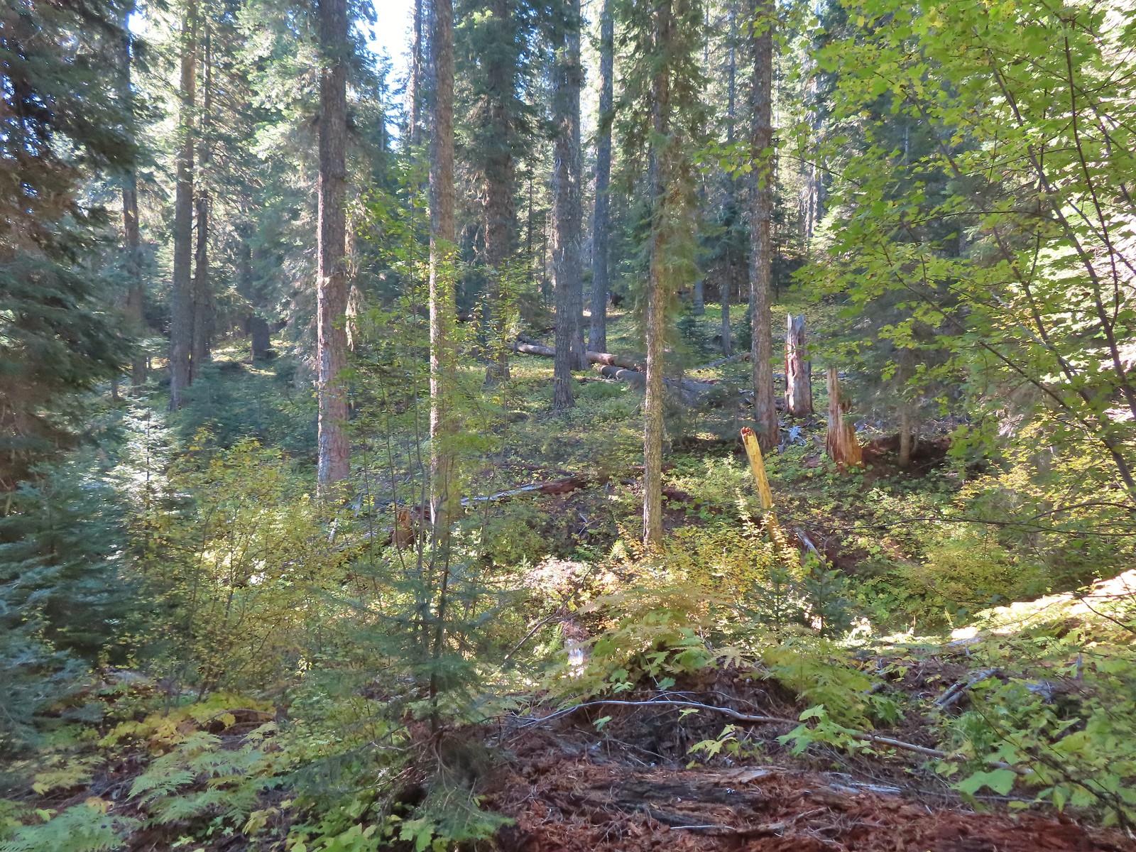
 The viewpoint we were headed to.
 All that was left for signage at the Boundary Trail junction.
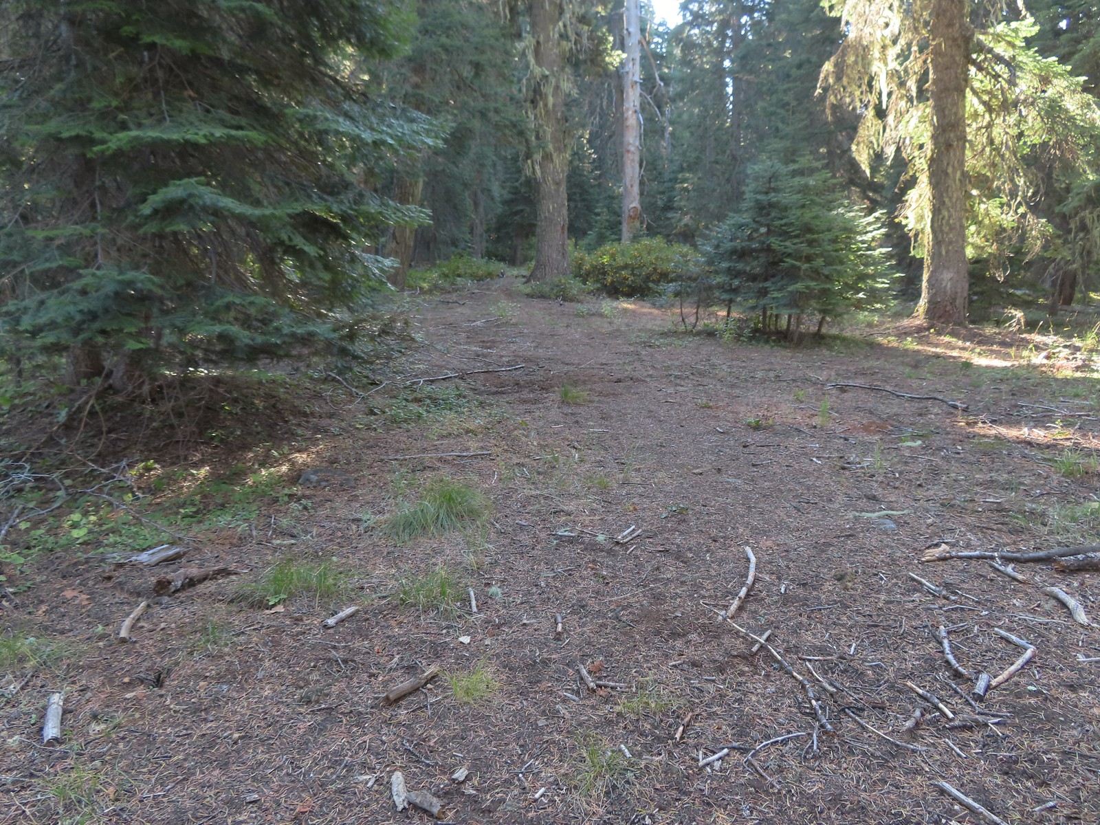 The Boundary Trail to the South toward Sucker Creek Gap (
 Coming from this direction all we noticed were a couple of signs on a tree and some pink flagging.
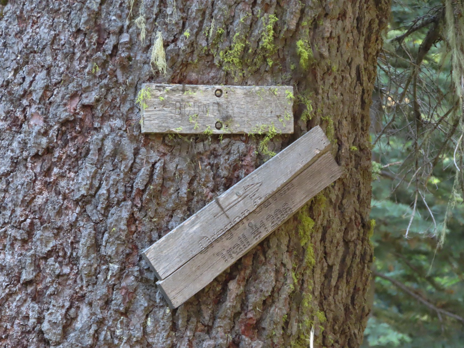 Trail signs for the Boundary Trail and Lake Mountain Trail #1206 to the Oregon Caves (
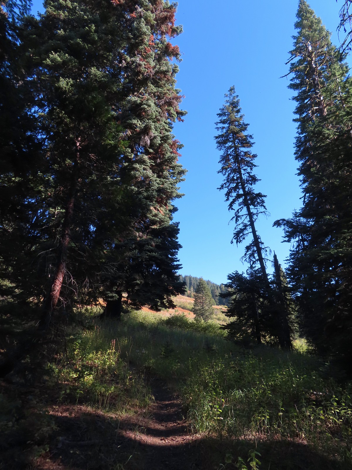
 The trail can be seen in the lower right-hand corner.
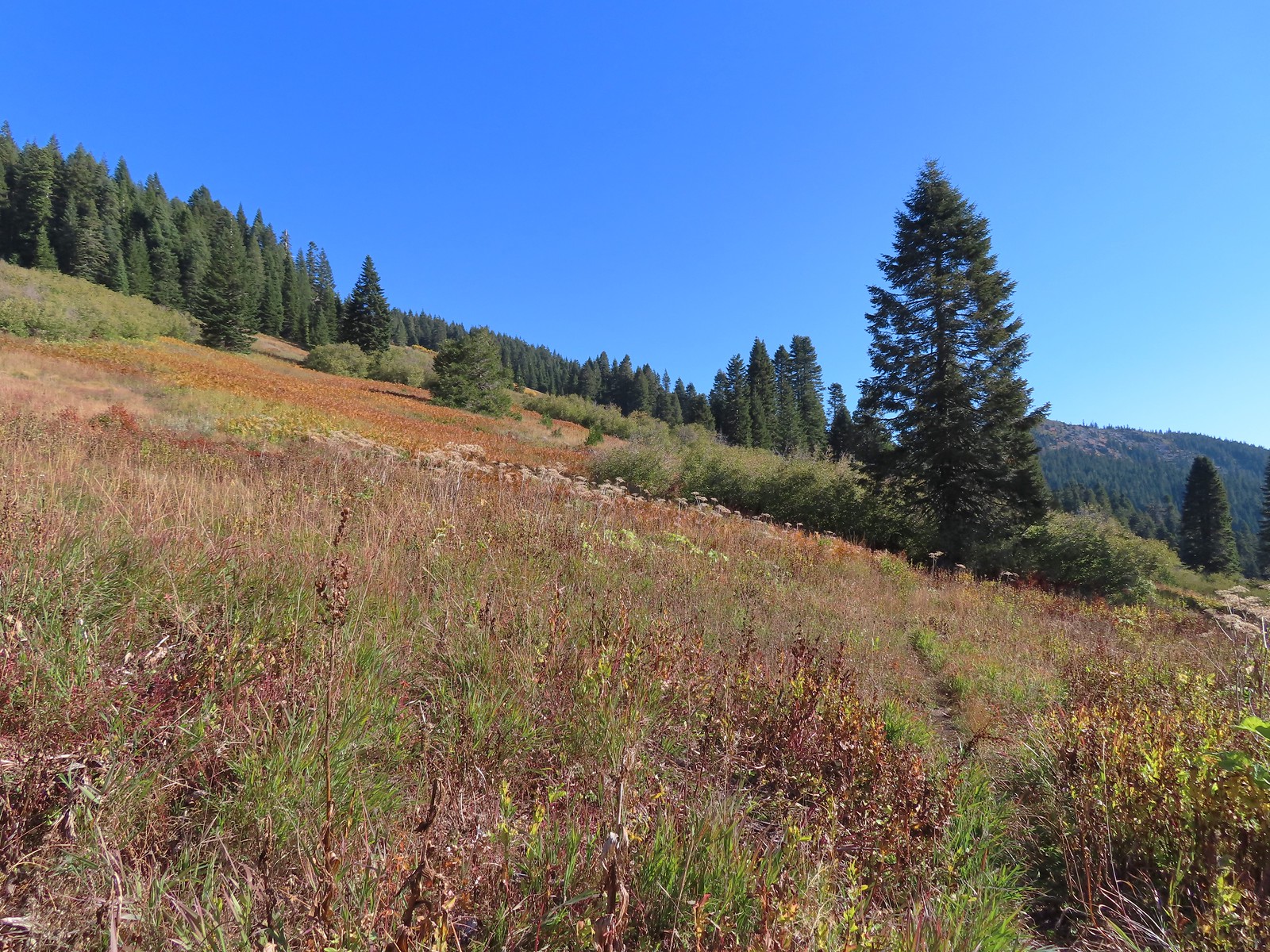 Again the trail is in the lower right corner.
 There was still a small amount of paintbrush in the meadow.
 A clump of fireweed ahead that had gone to seed.
 A small section of trees was located along this gully.
 A little brushy here.
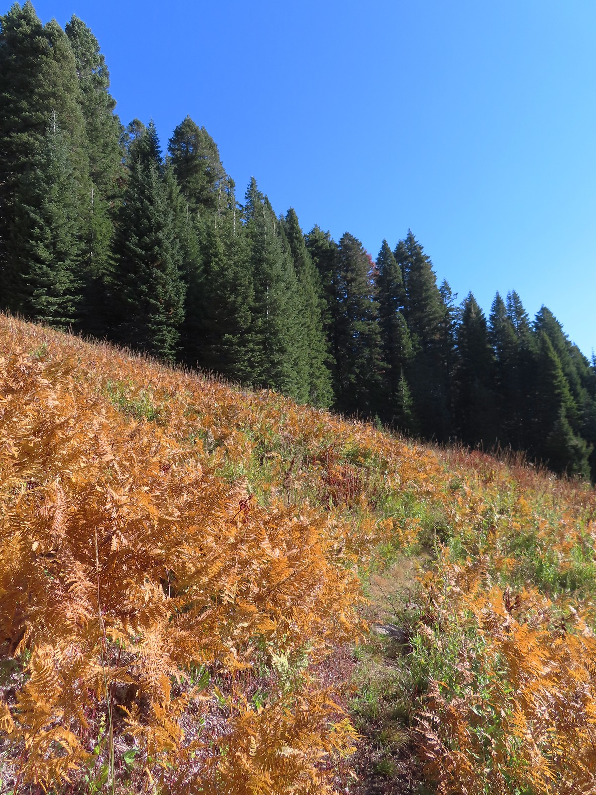 Ferns at the northern end of the meadows.
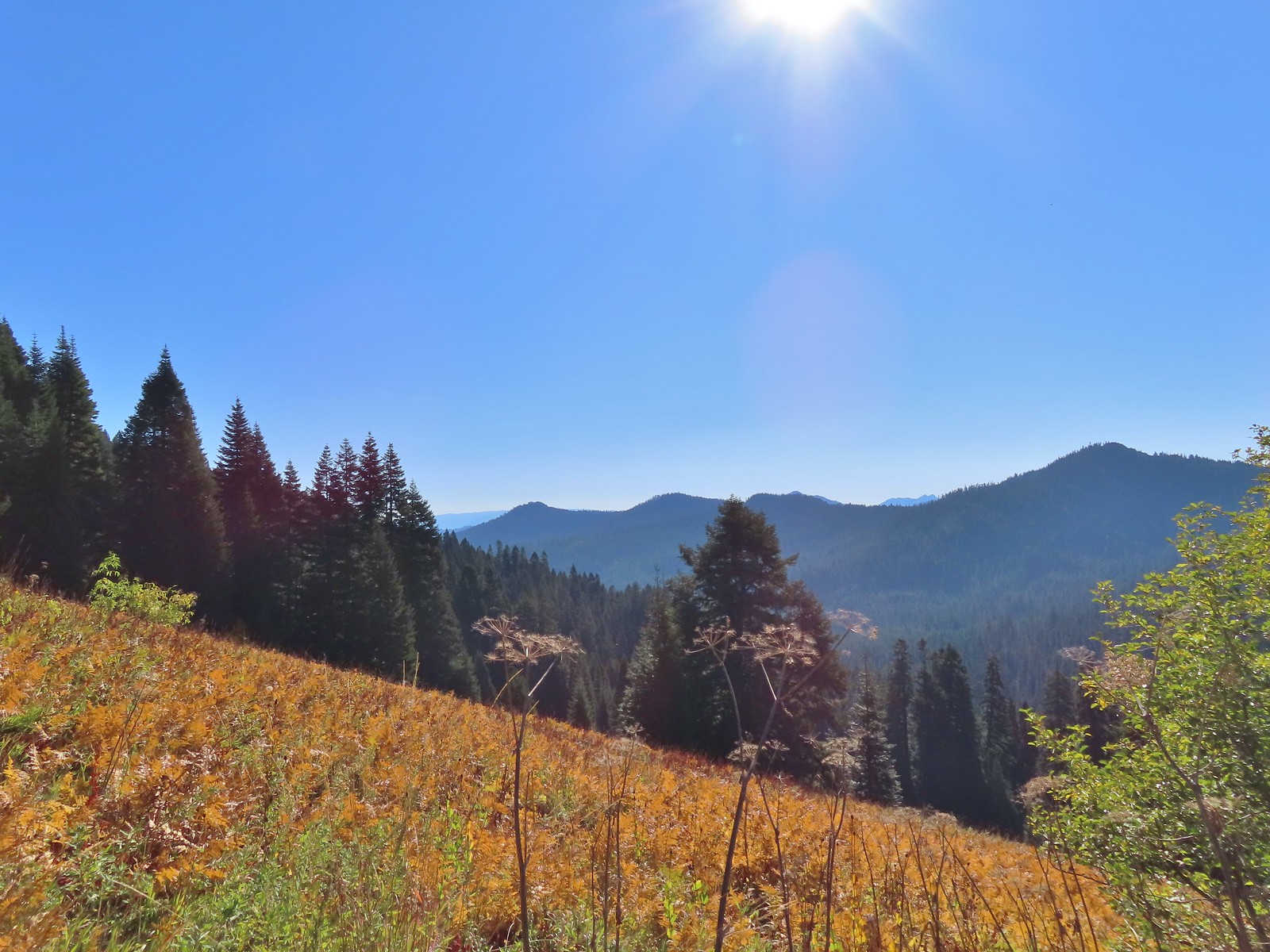 The double humps of the Red Buttes in the distance to the SE.
 Preston Peak in the Siskiyou Wilderness (
 Arriving at the pass.
 This was the only signage that was visible at the junction.
 We could see tread heading East into the trees which was the Sparlin Tie Trail. The Elk Creek Trail wasn’t as obvious, but it dropped down to the right just a little way up the tread seen here.
 Lake Mountain from the Boundary Trail.

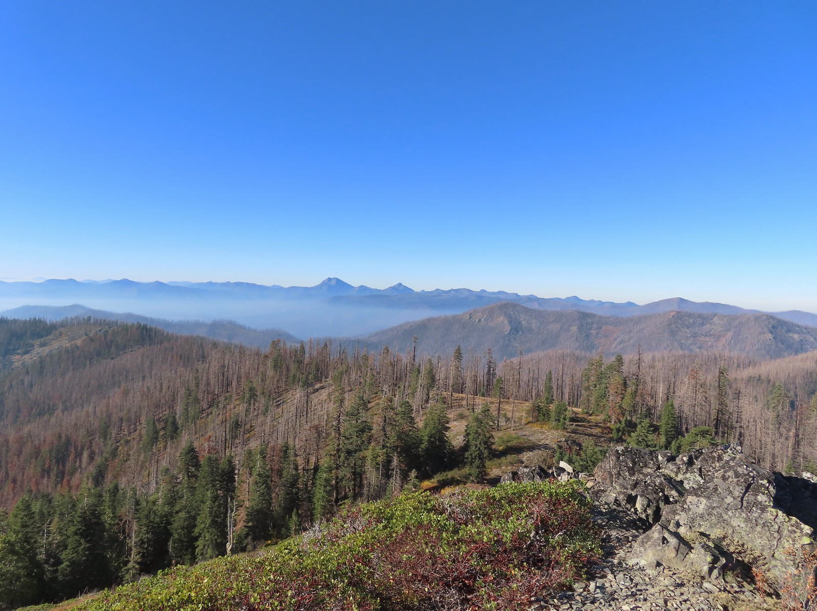
 There was a small geocache located at the viewpoint. Smoke from the still smoldering wildfires impacted the views a bit, Mt. Shasta is out there toward the right-hand side.
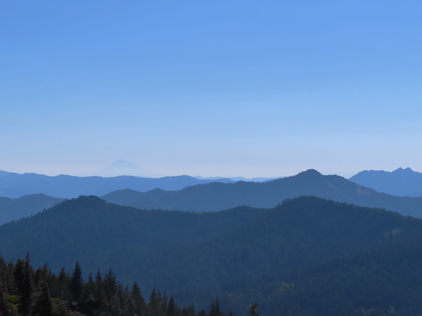 The outline of Mt. Shasta to the left of Red Buttes.
 Preston Peak and other peaks in the
  Closer look at the Siskiyou Wilderness peaks.
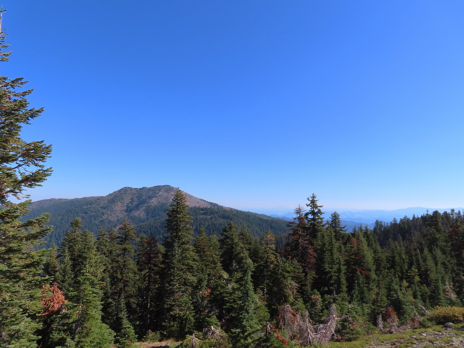 Grayback Mountain to the North. Mt. McLoughlin (
 Mt. McLoughlin
 The remains of a trail sign near the saddle.
 The Sparlin Tie Trail straight ahead and the Elk Creek Trail heading off to the right.
 Homemade? trail sign a short distance up the tie trail. (note Bigelow Lakes is spelled “Biglow”)

 The tread was faint through the meadows but not any more difficult to follow than the Boundary Trail had been.
 Cinquefoil
 Coneflower and fireweed
 Random sign along the trail.
 Crossing through the final meadow.
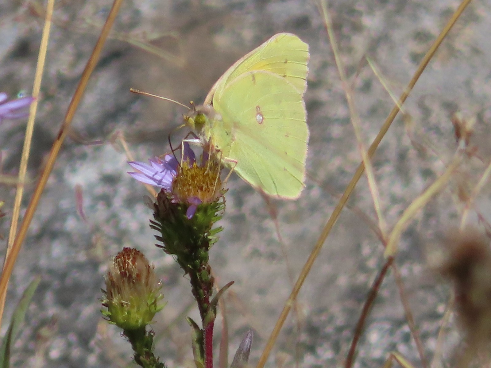 Orange Sulphur butterfly
 Arriving at the 1214 Trail.
 There was actually more blowdown along this trail than there had been along the tie trail, but it was easily navigated.

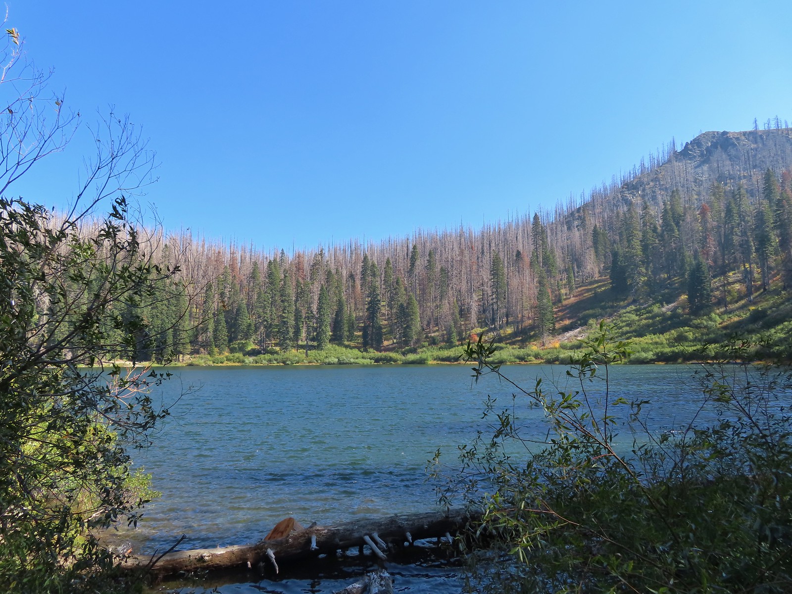
 Bigelow Lakes from the trail.

 The use trail to the lake.

 While I was at the lake Heather was making friends with this tree frog.
 The old roadbed.
 Trail sign at the roadbed.

 This bunch of blowdown was just before the junction.
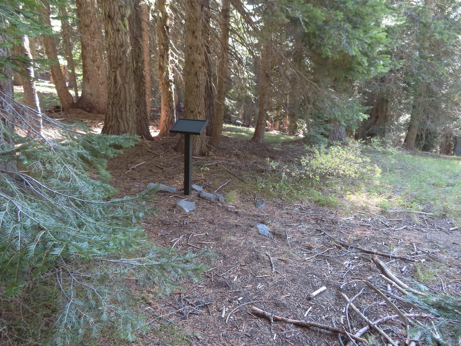 There were several of these stands along the Lake Mountain Trail, all of which were blank.
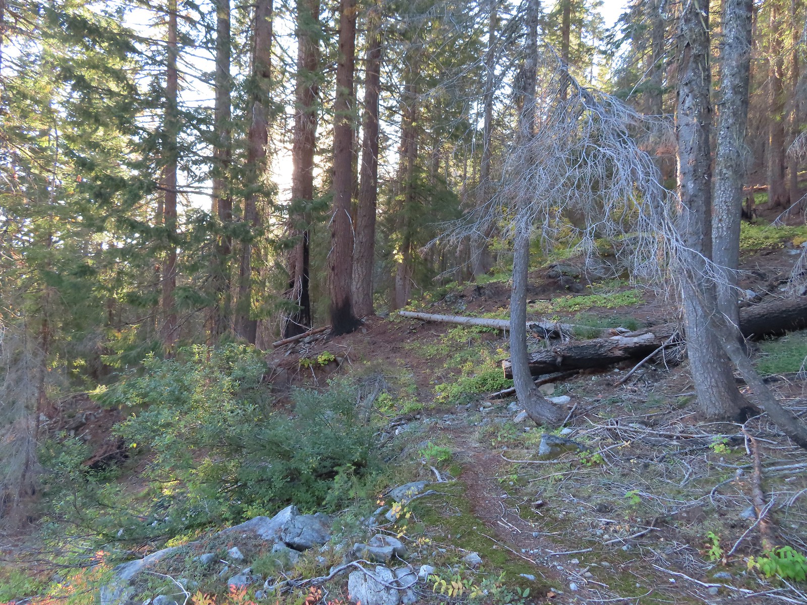
 The lower portion of the trail passed through a nice forest.
 The trail passed below the 6294′ Mount Elijah (for some reason both peaks along the ridge are named Mount Elijah on some maps) before gaining the ridge crest and climbing to the higher Mount Elijah summit at 6381′.
 The taller Mount Elijah.
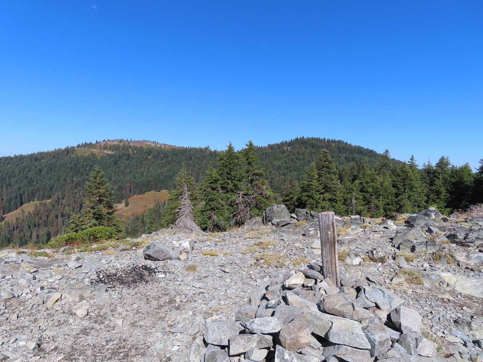 Lake Mountain from Mount Elijah.
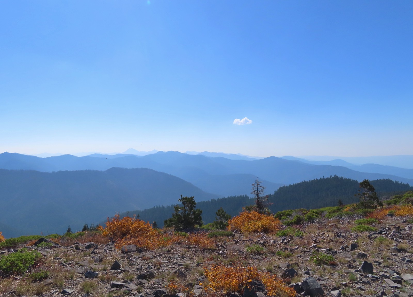 Preston Peak and a cloud from Mount Elijah. Wildfire smoke was a little more of an issue now.
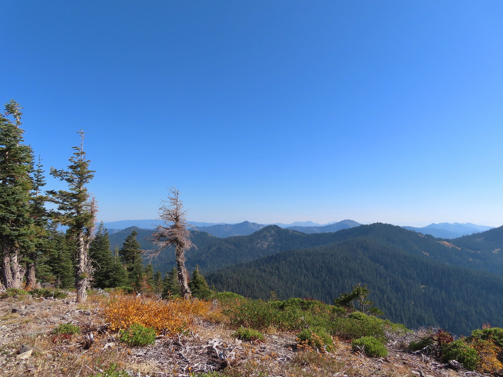 Red Buttes in the distance.
 The other Mount Elijah from Mount Elijah.
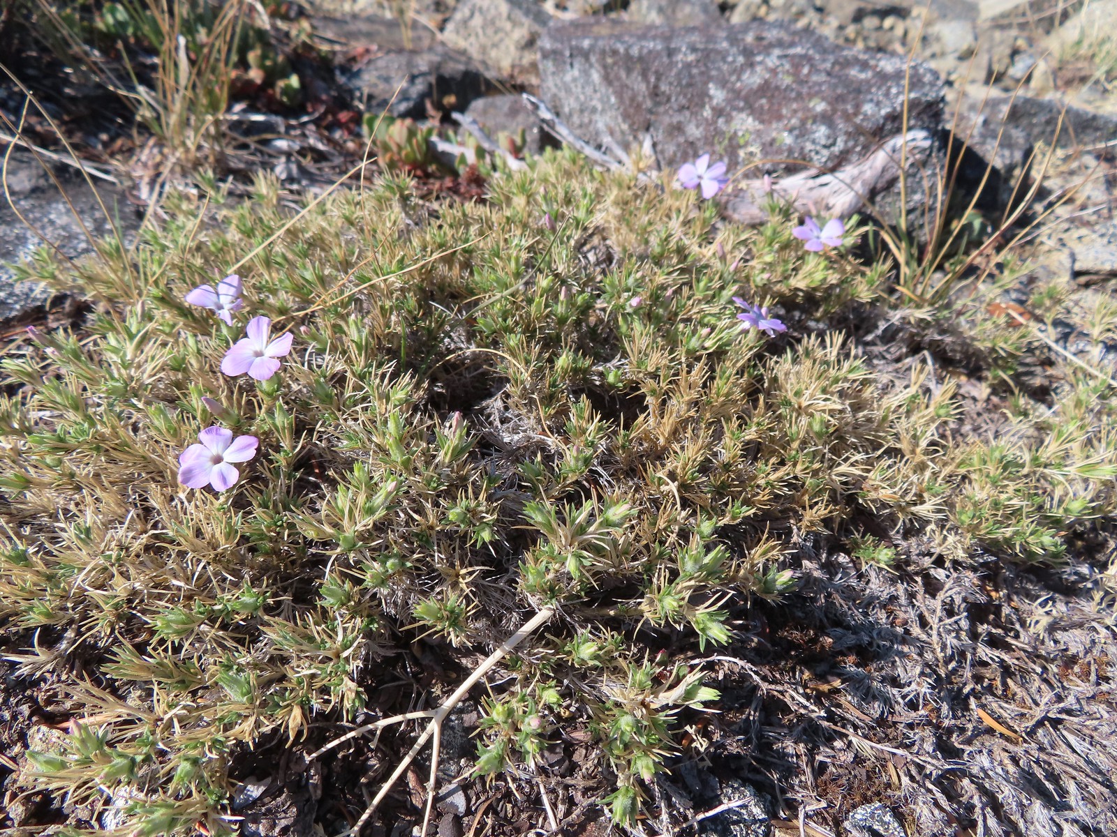 Phlox
Phlox We shared the summit with this little frog.
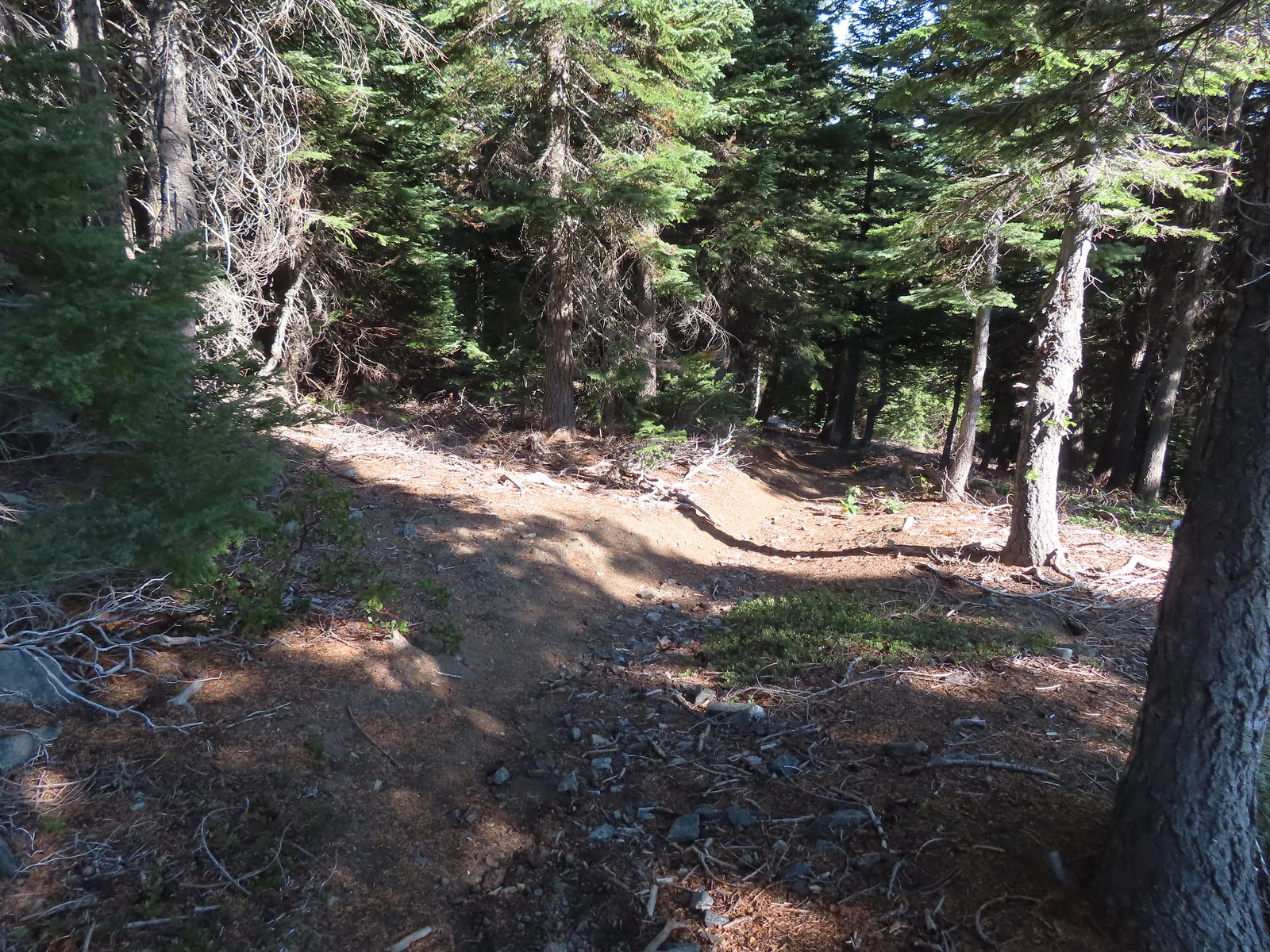
 The junction with the 1214 Trail. Another with missing signage.
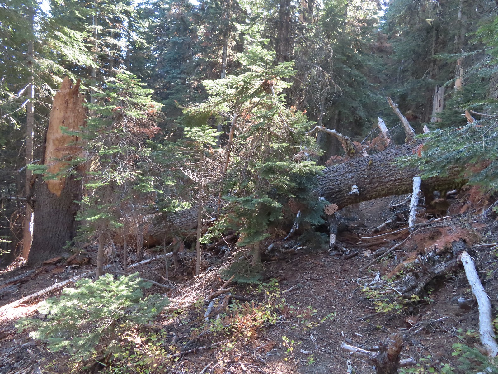 This tree required a detour downhill to get around.
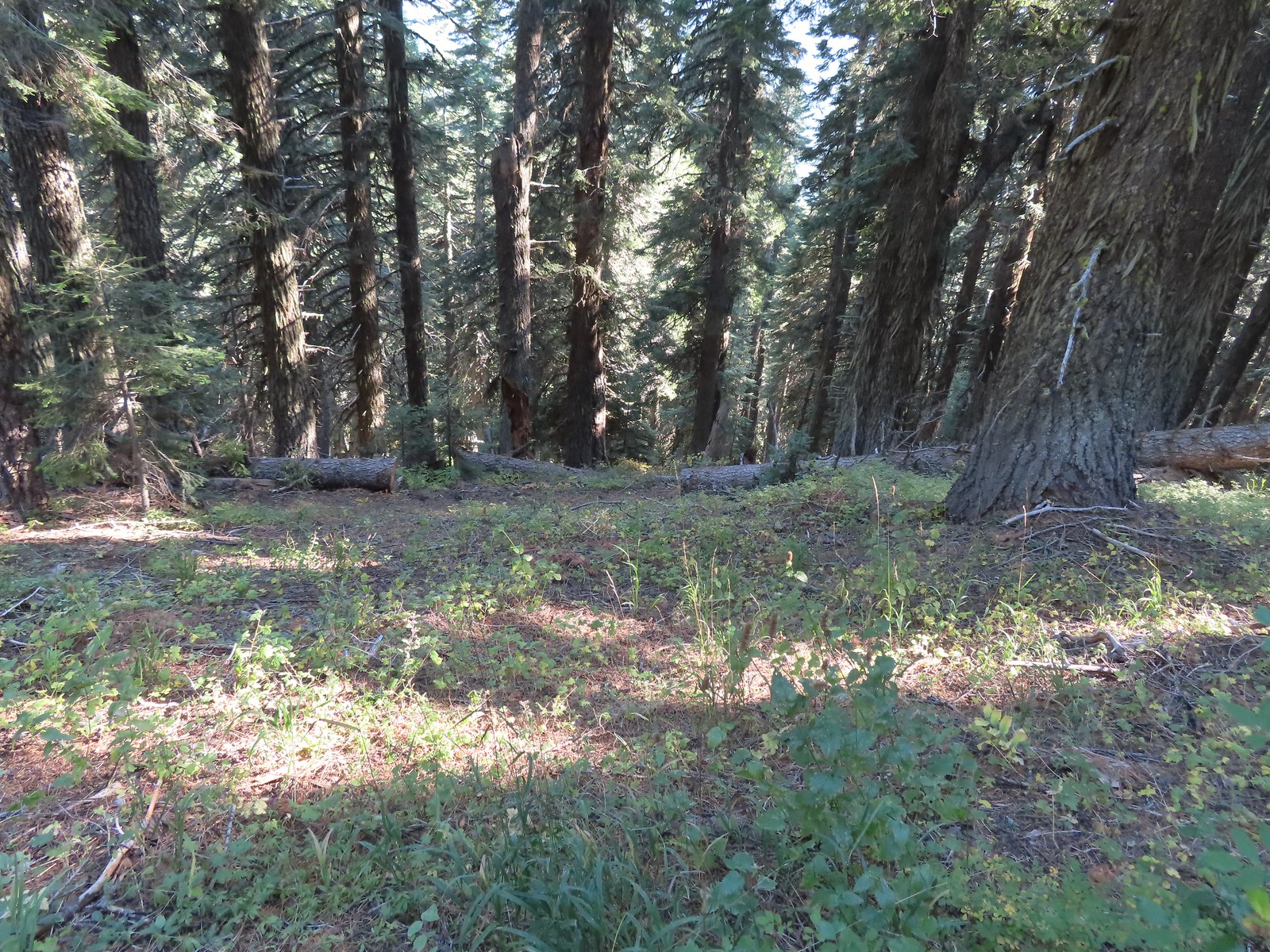 Looking down at the Lake Mountain Trail as it switchbacked downhill.
 The trail was a bit brushy in spots.
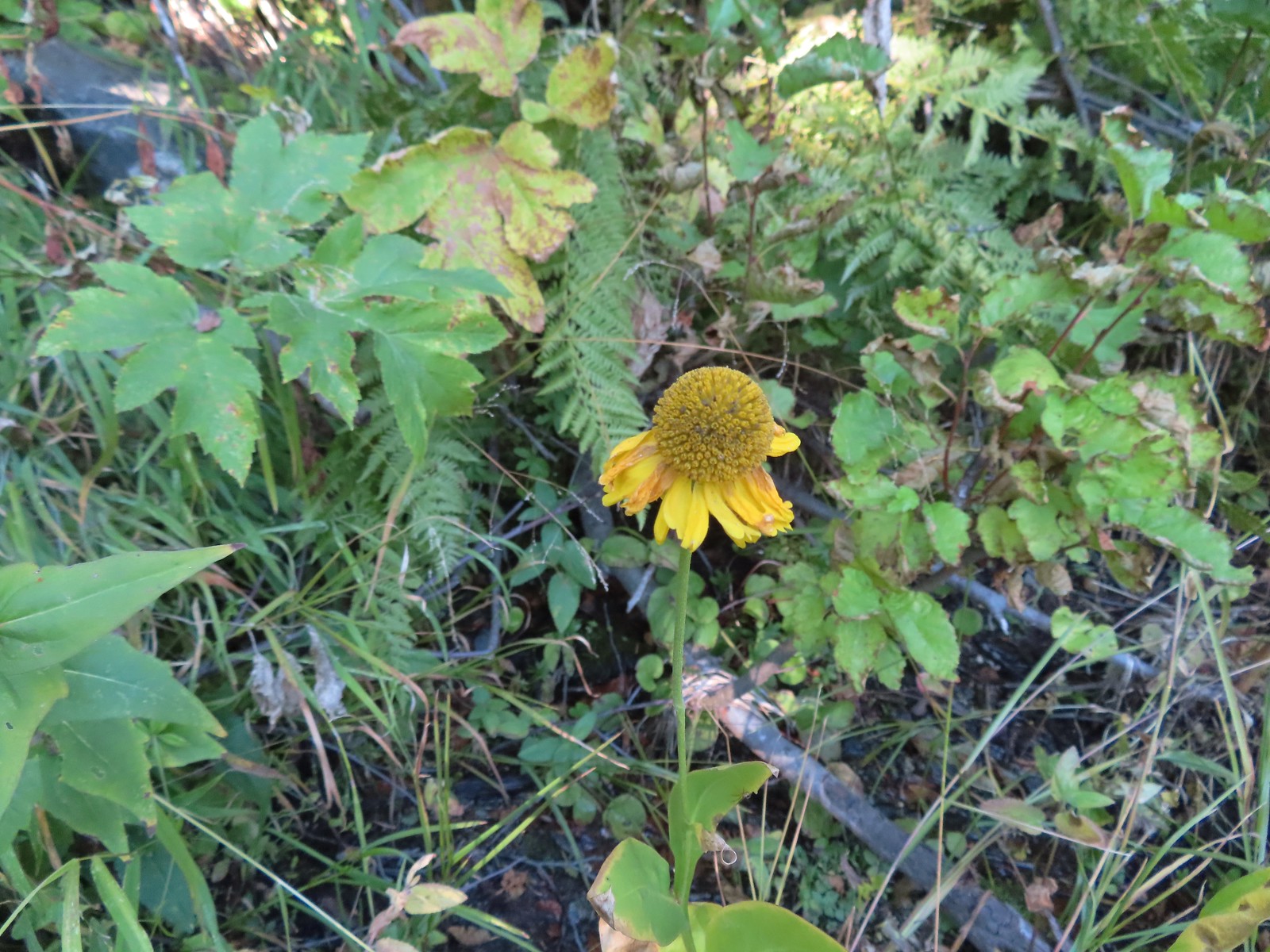 Bigelow’s sneezeweed
 Pink flagging in the little meadow where the trail met the Boundary Trail.
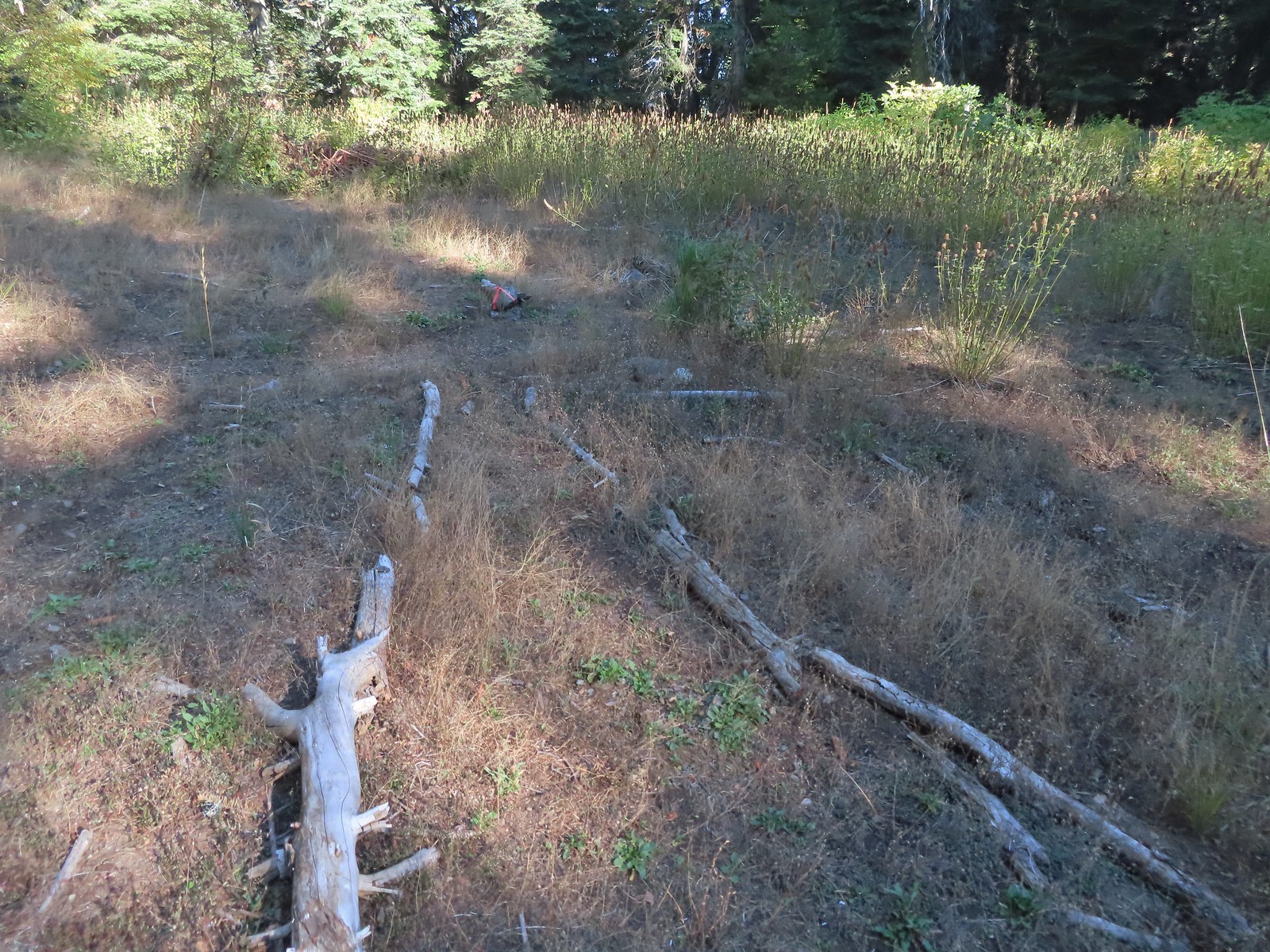 The Lake Mountain Trail junction with the Boundary Trail.
 We packed out yet another mylar balloon (GRRRR).
 Junction with the Sturgis Fork Trail on the left.
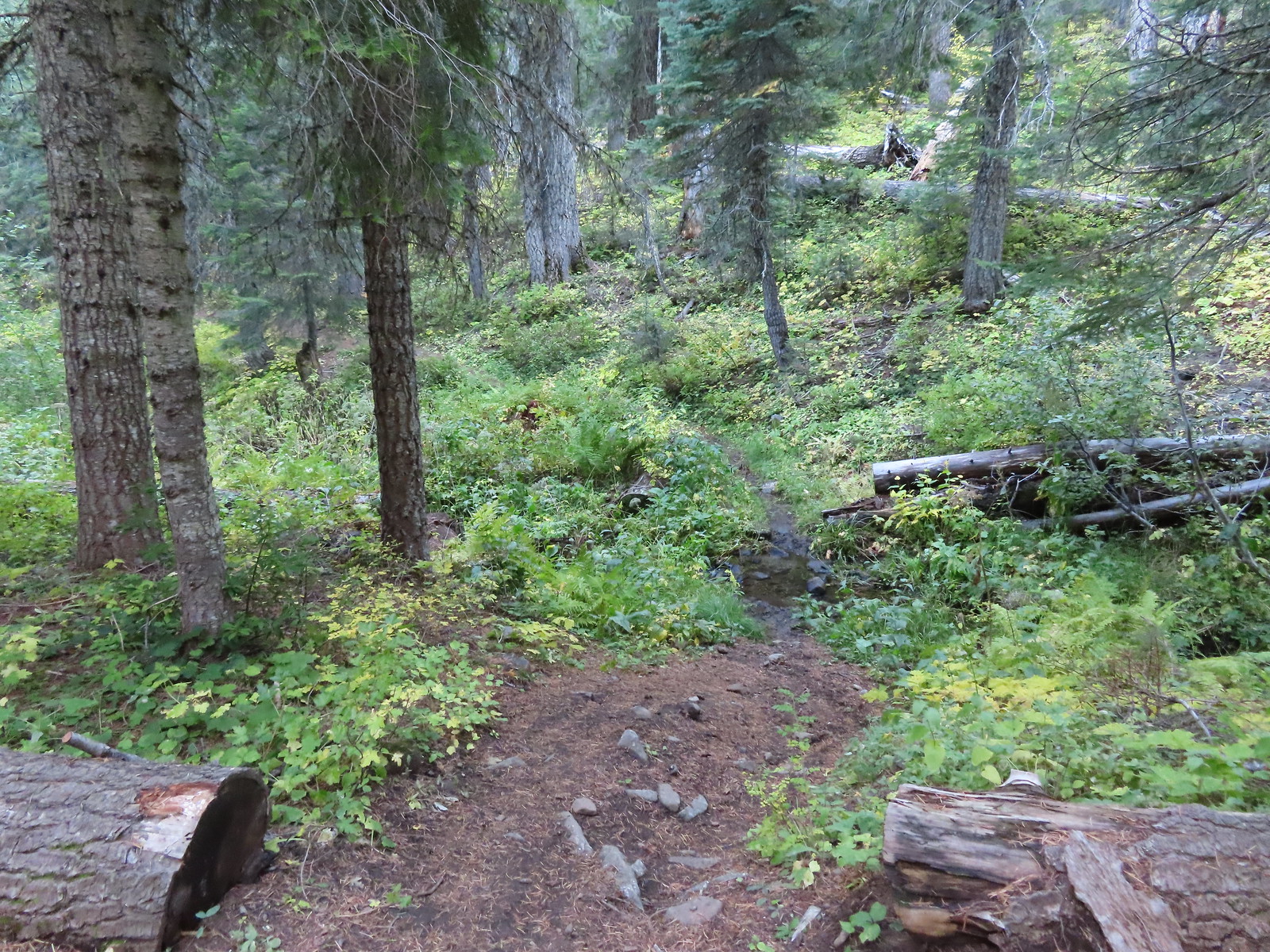

 Hoary comma
 We were parked just to the right along the road below the hill.
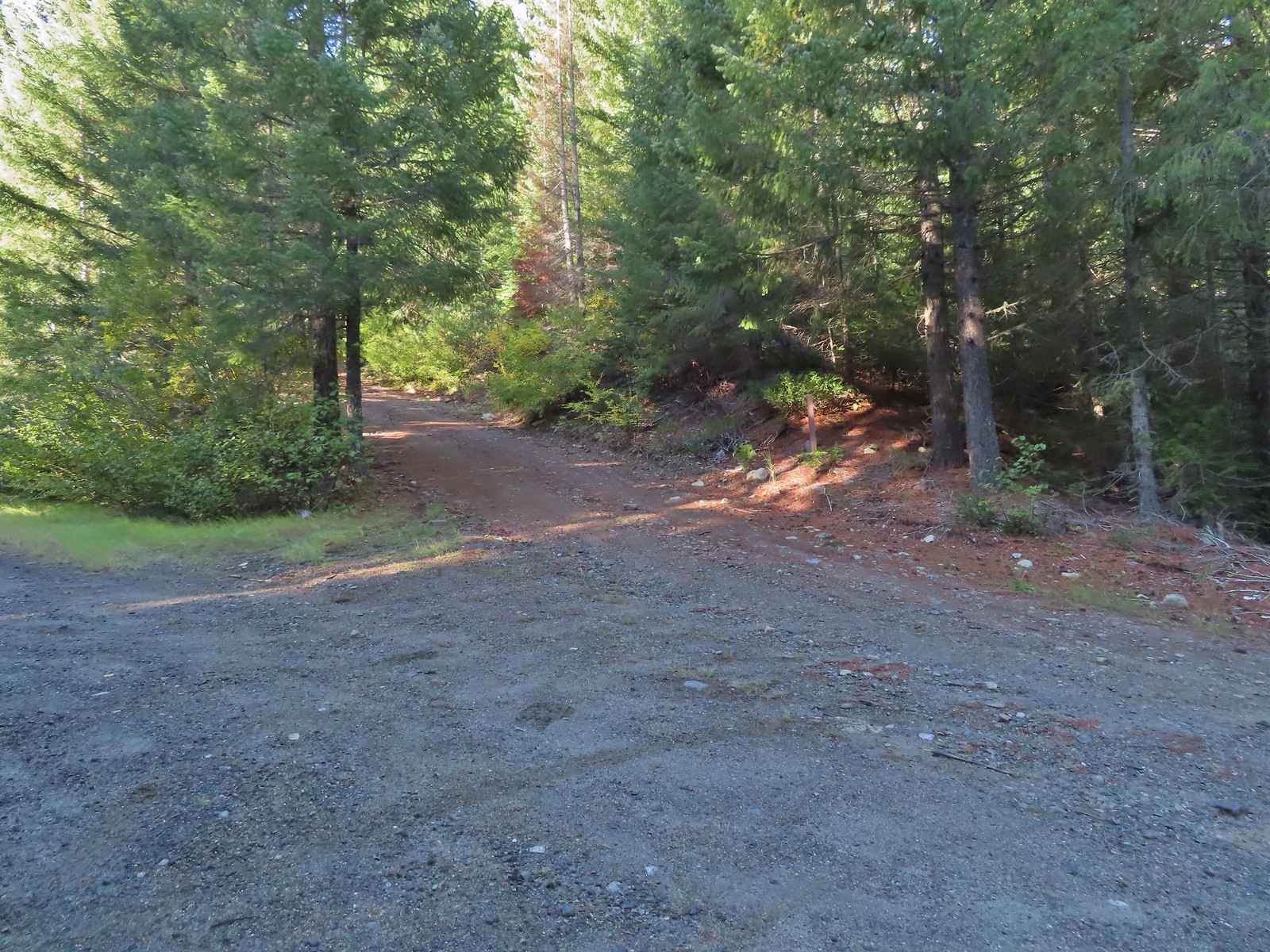
 There were trail pointers at spur roads to ensure we stayed on the right one.
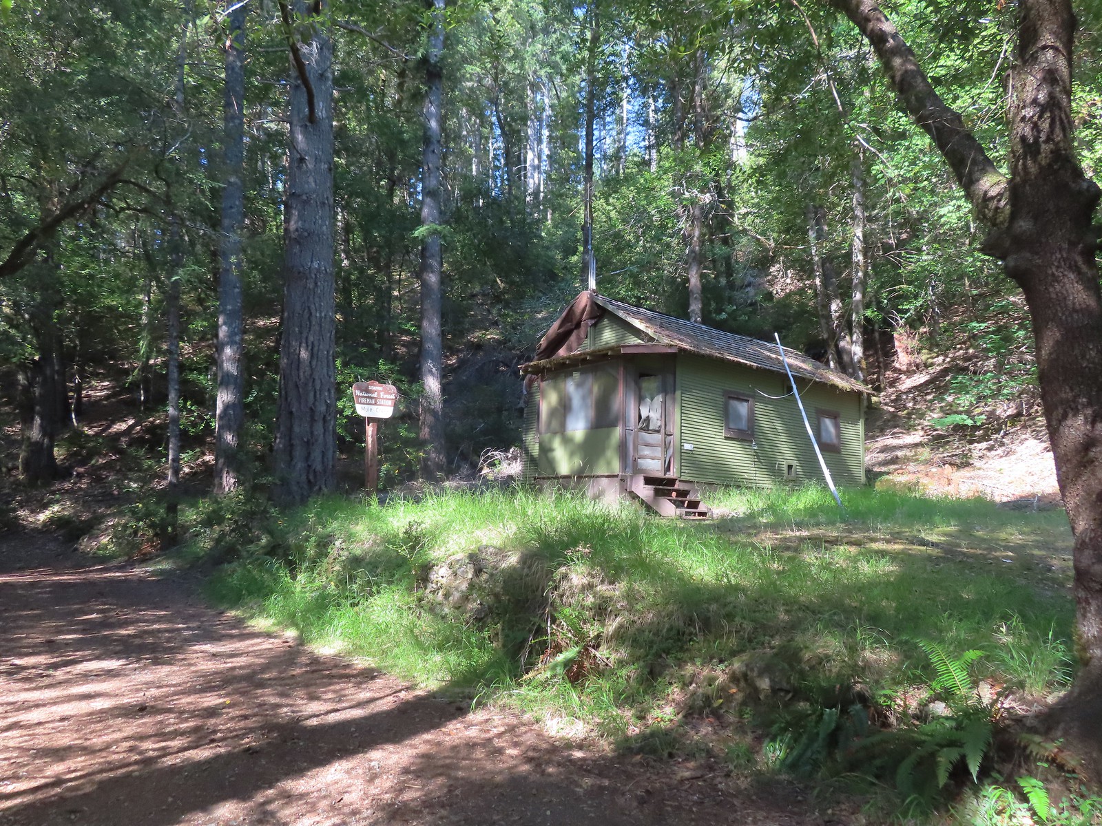
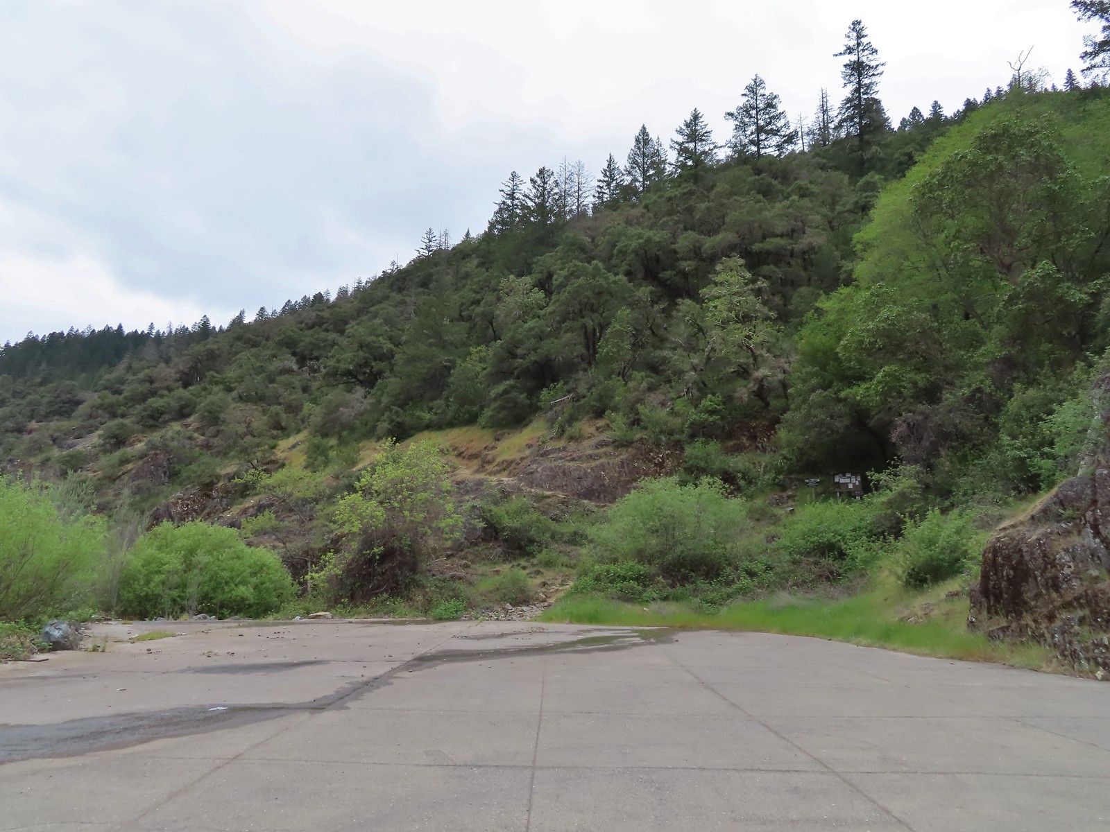
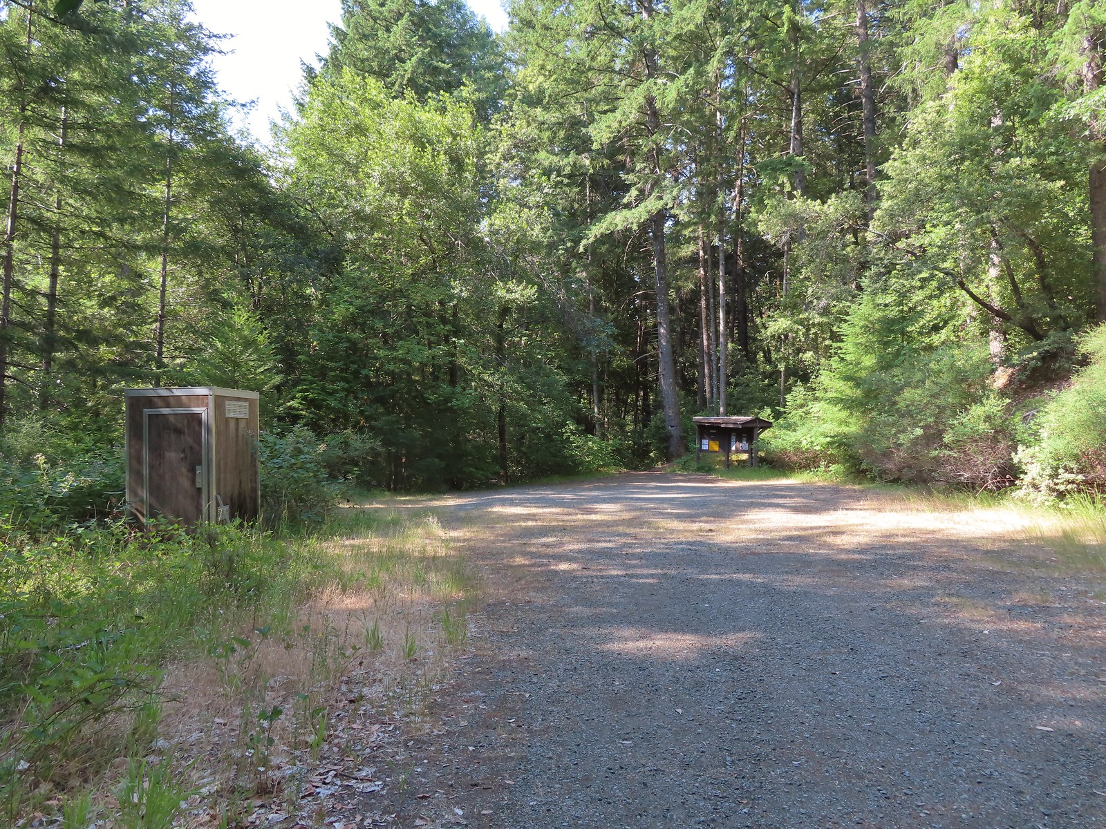 The trailhead near Marial. I couldn’t find any directions online for this trailhead which is why we used a combination of the BLM’s directions to the ranch and Sullivan’s to the trailhead.
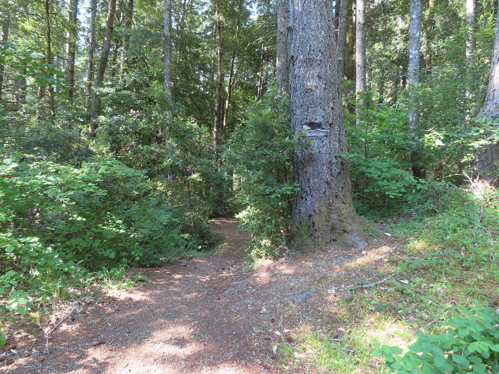

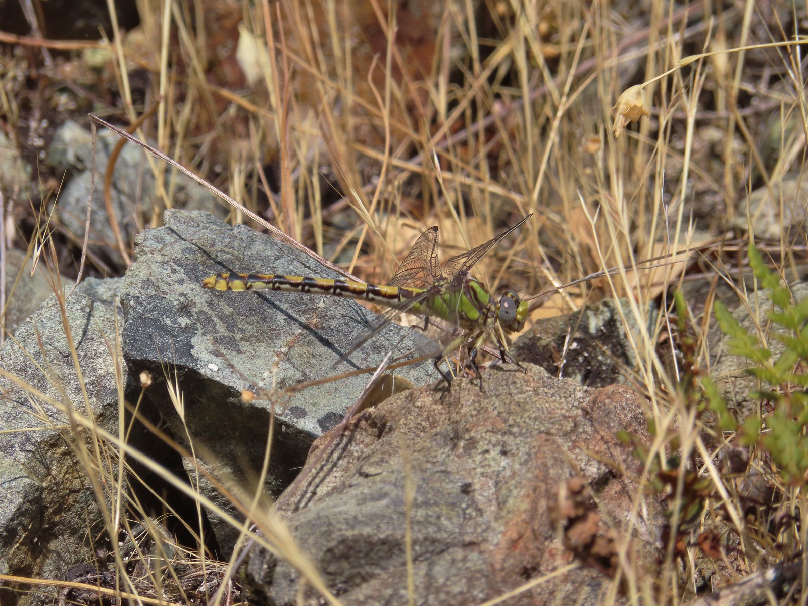 Dragonfly
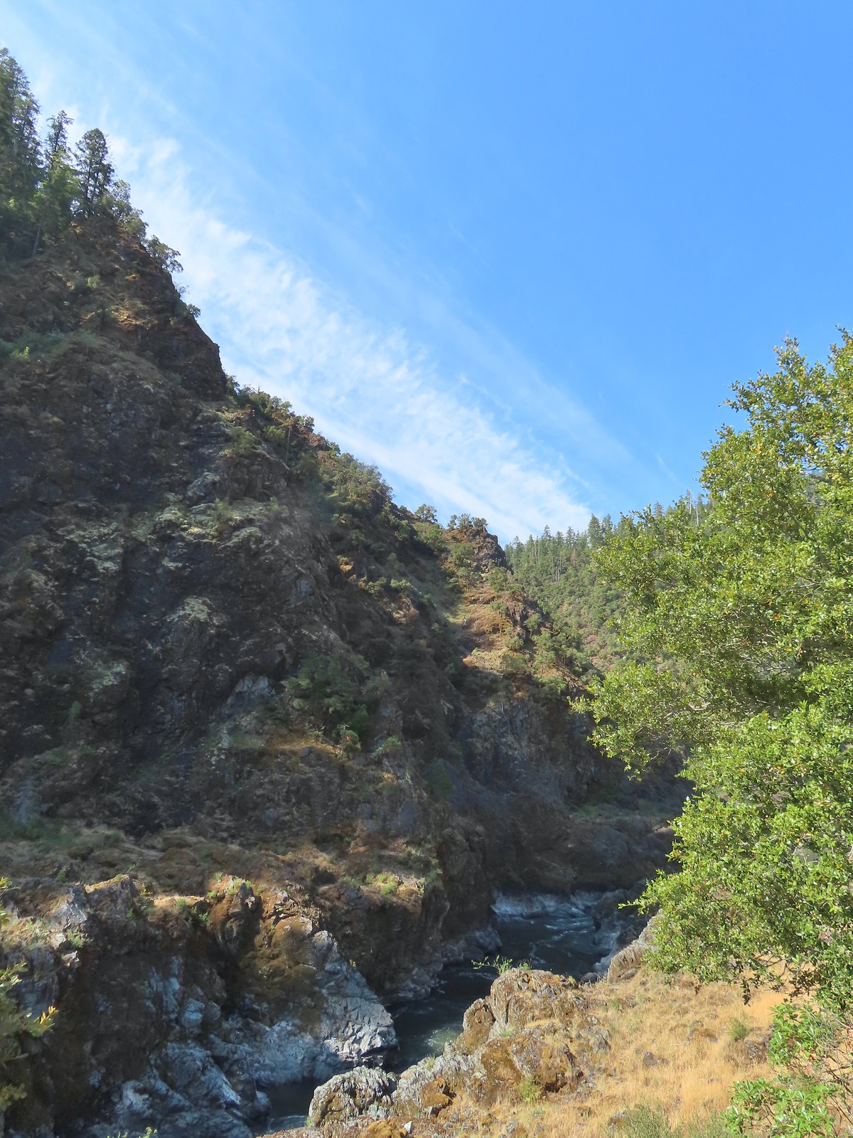
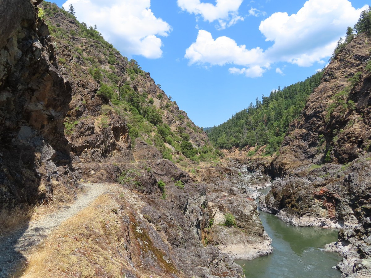
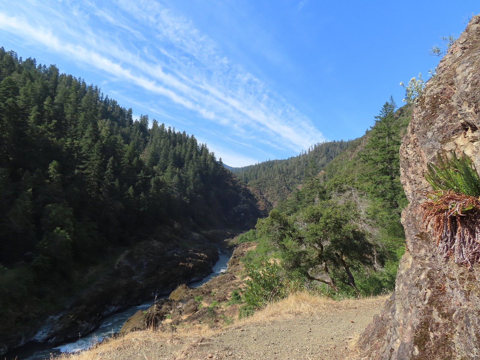
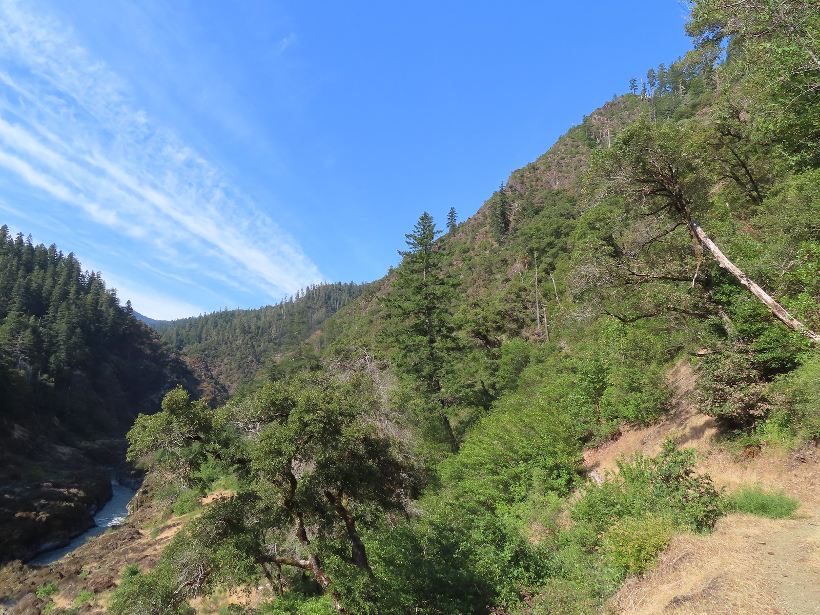
 A peak into Mule Creek Canyon.
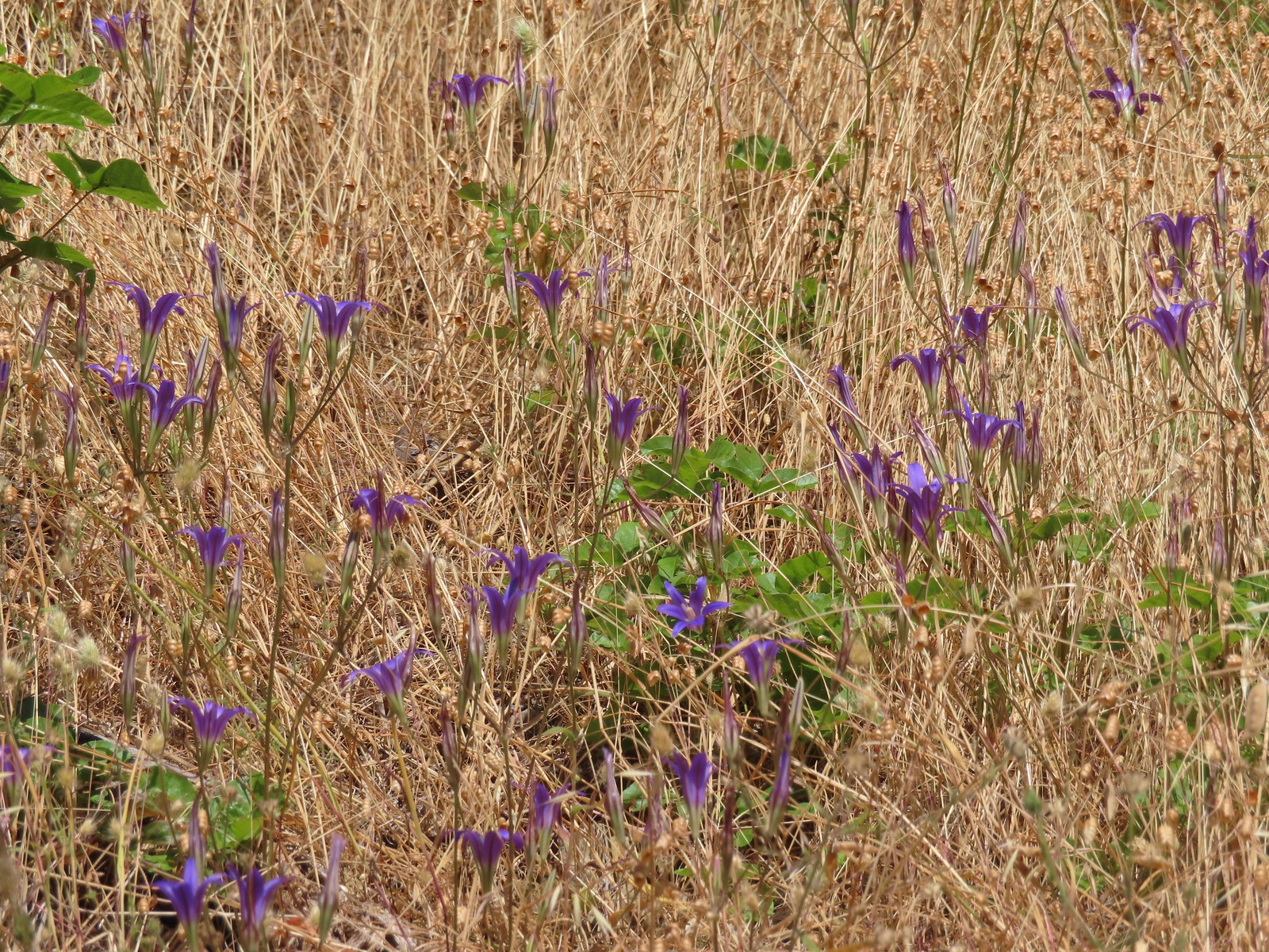 There weren’t many flowers left blooming but we did see a lot of elegant brodiaea.
 Elegant brodiaea
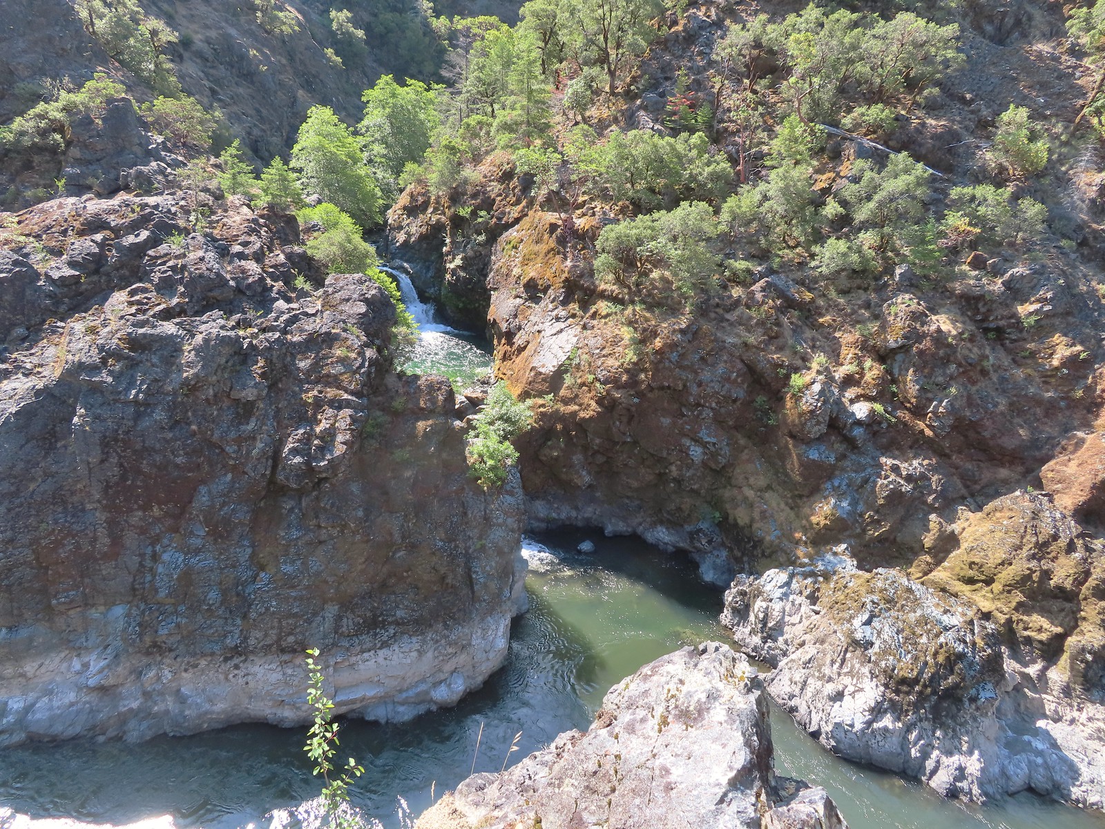
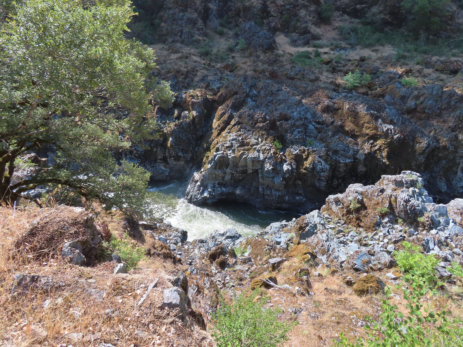
 Mule Creek Canyon from Inspiration Point.
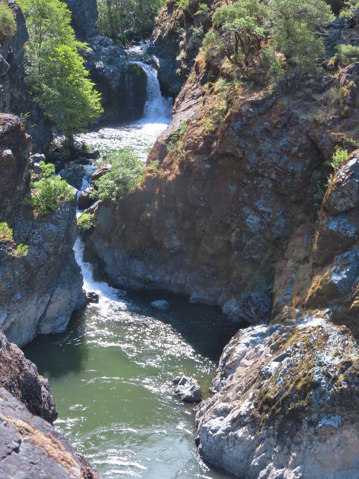
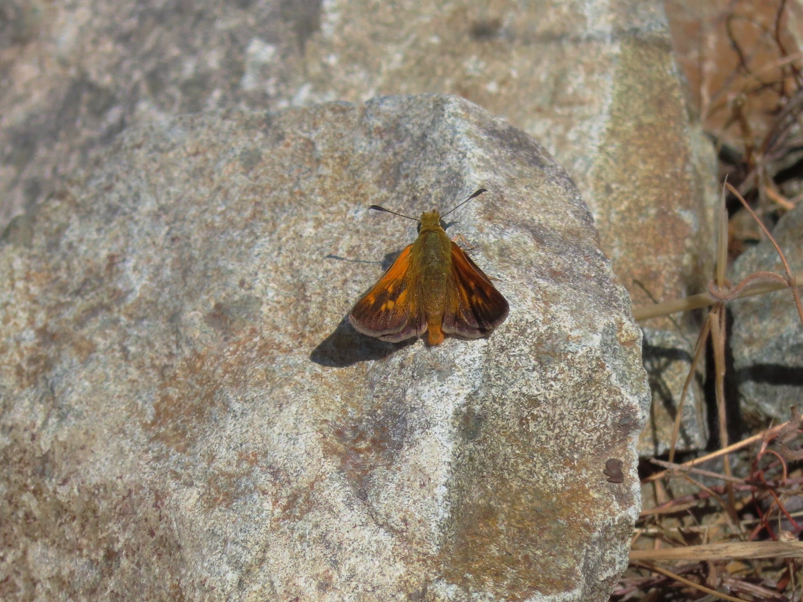 Skipper
 Common wood-nymph
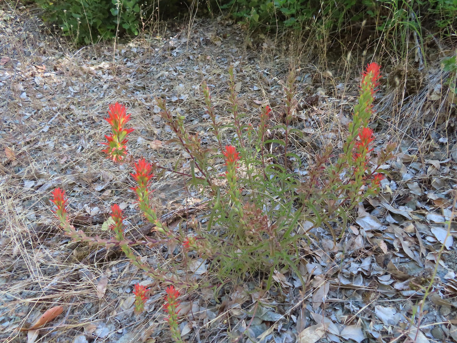 Paintbrush
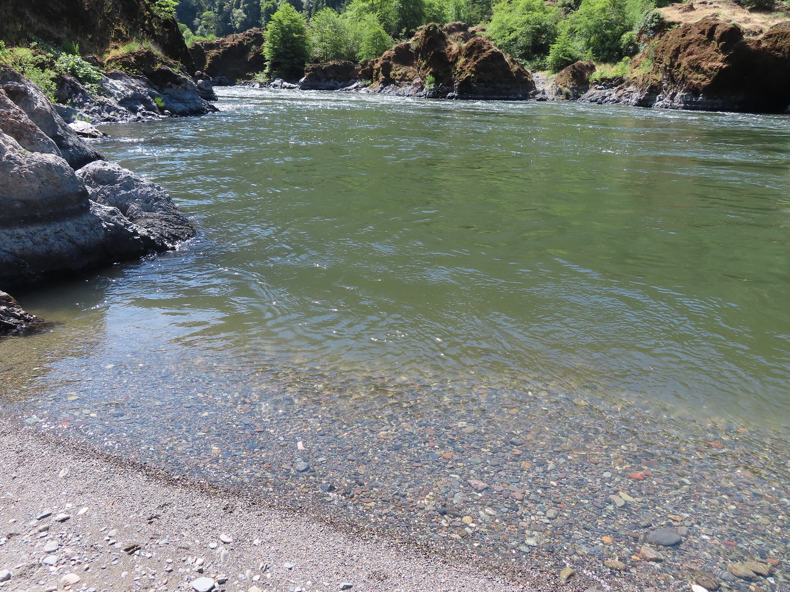
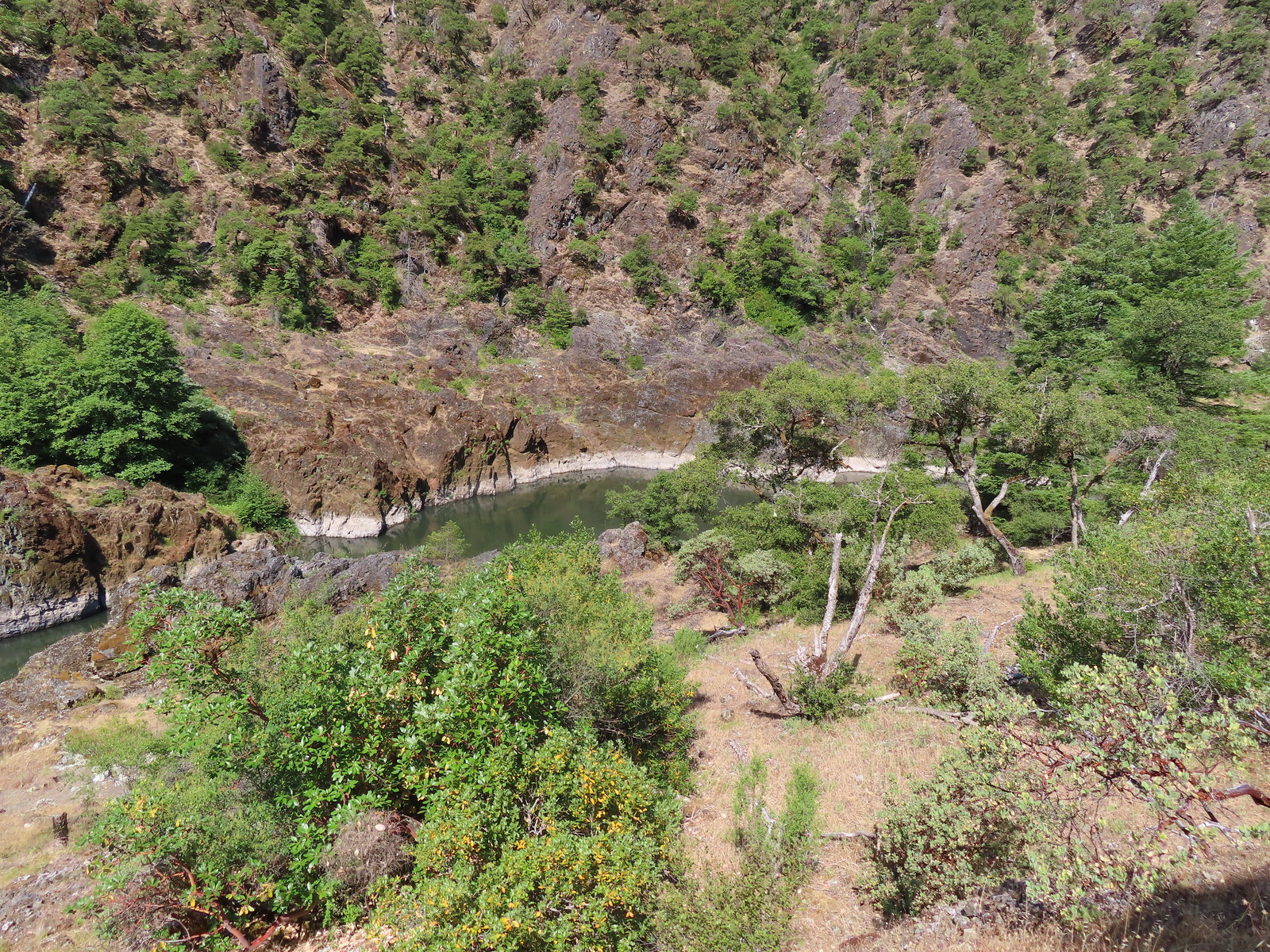 Calmer waters.
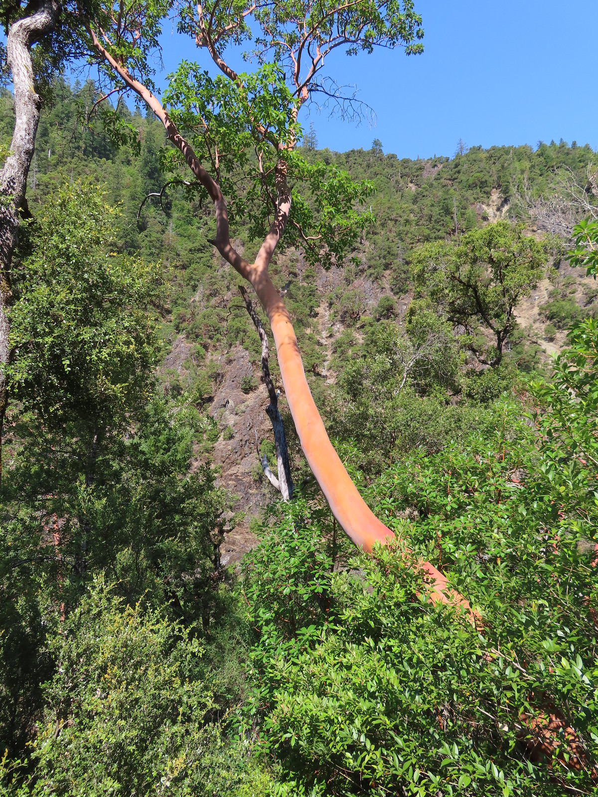 Madrone
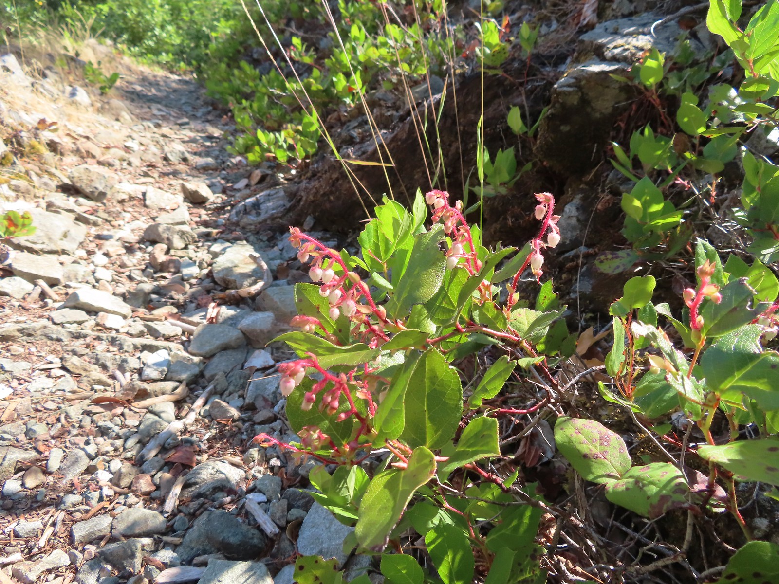 Salal
Salal Some poison oak on the right.
 Another madrone at the start of more brush. This area was full of small birds that turned out to be bushtits.
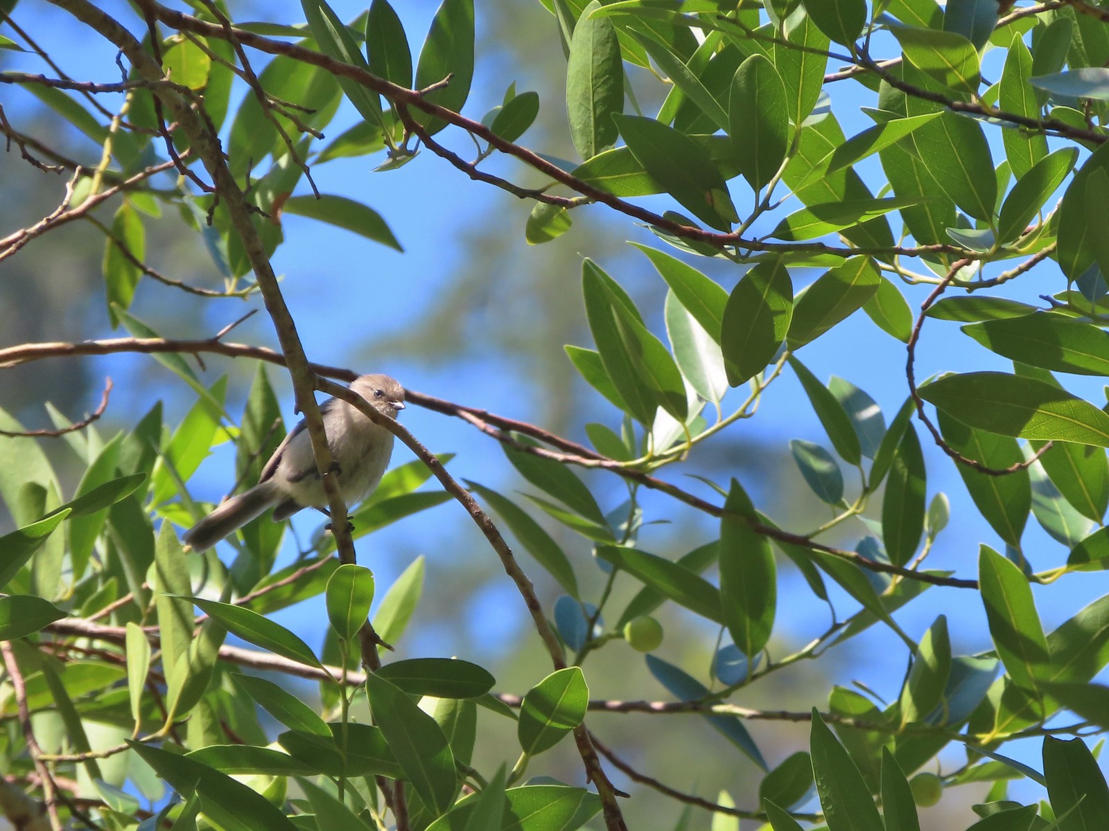 It took a bit to get one of the bushtits out in the open and in the camera frame.
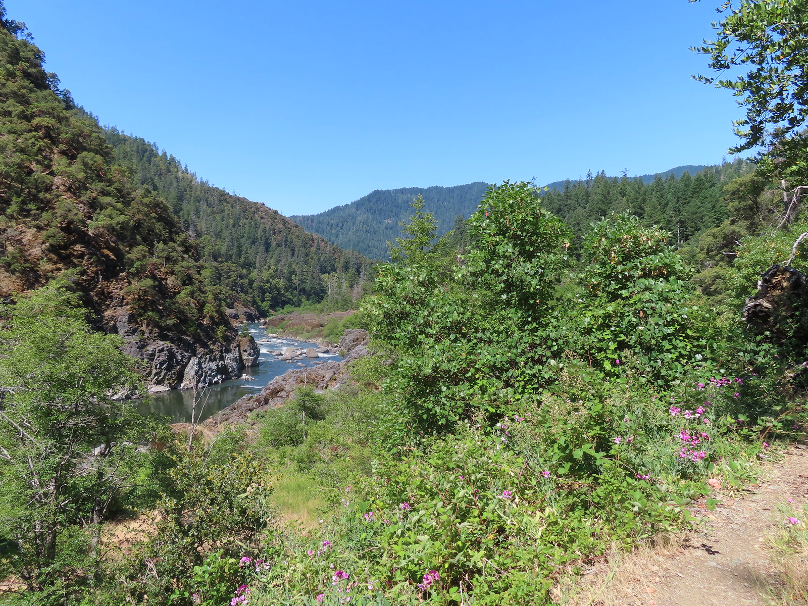
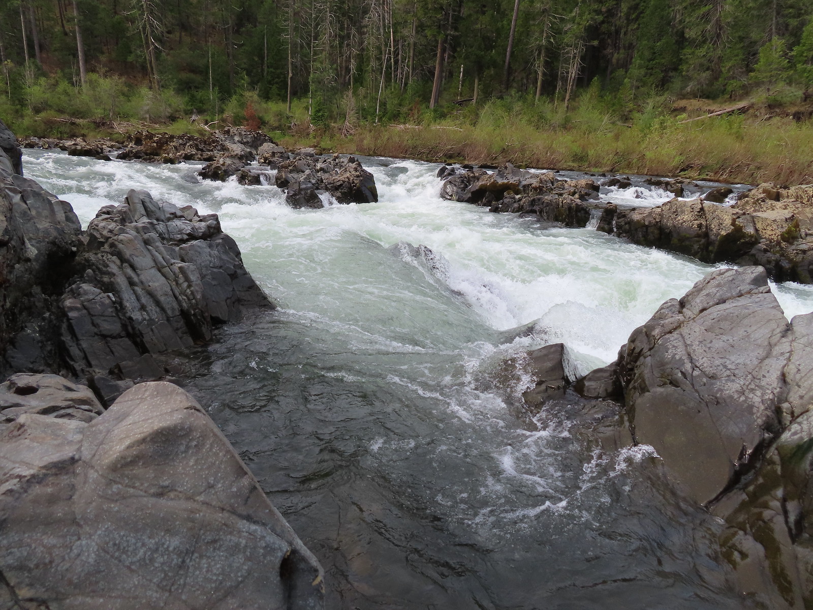
 Blossom Bar Rapid
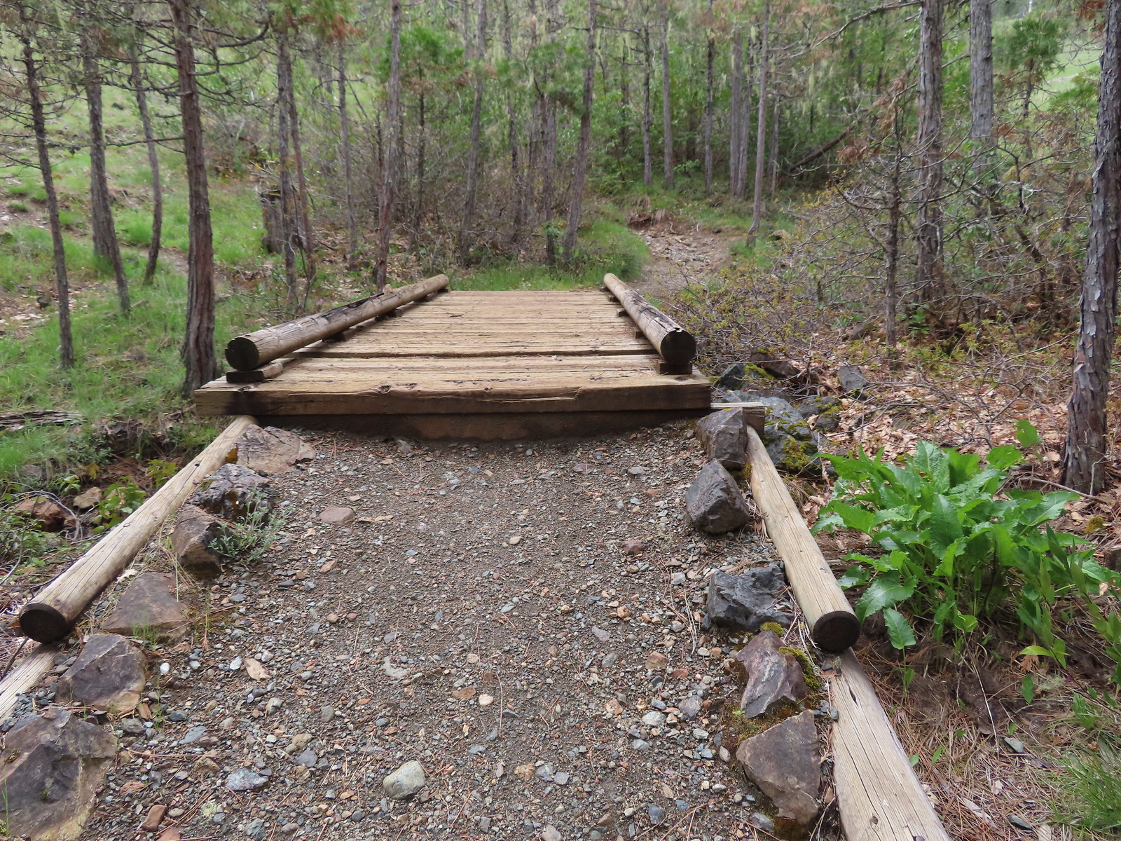
 Footbridge over Burns Creek.
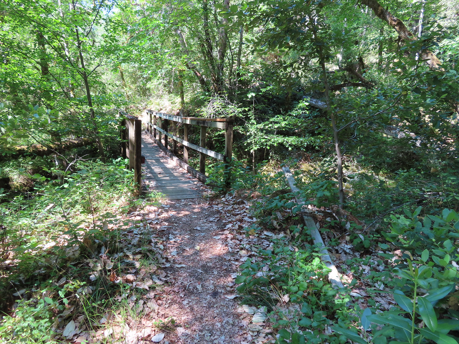 Footbridge over Blossom Creek.
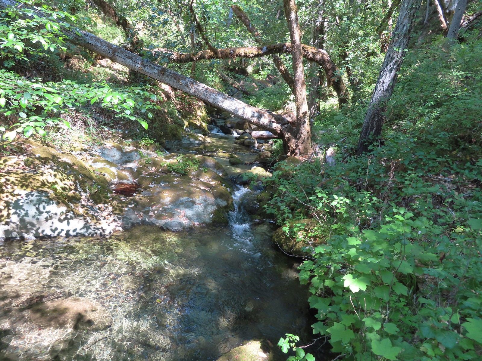 Blossom Creek
 Trail crossing Blossom Bar.
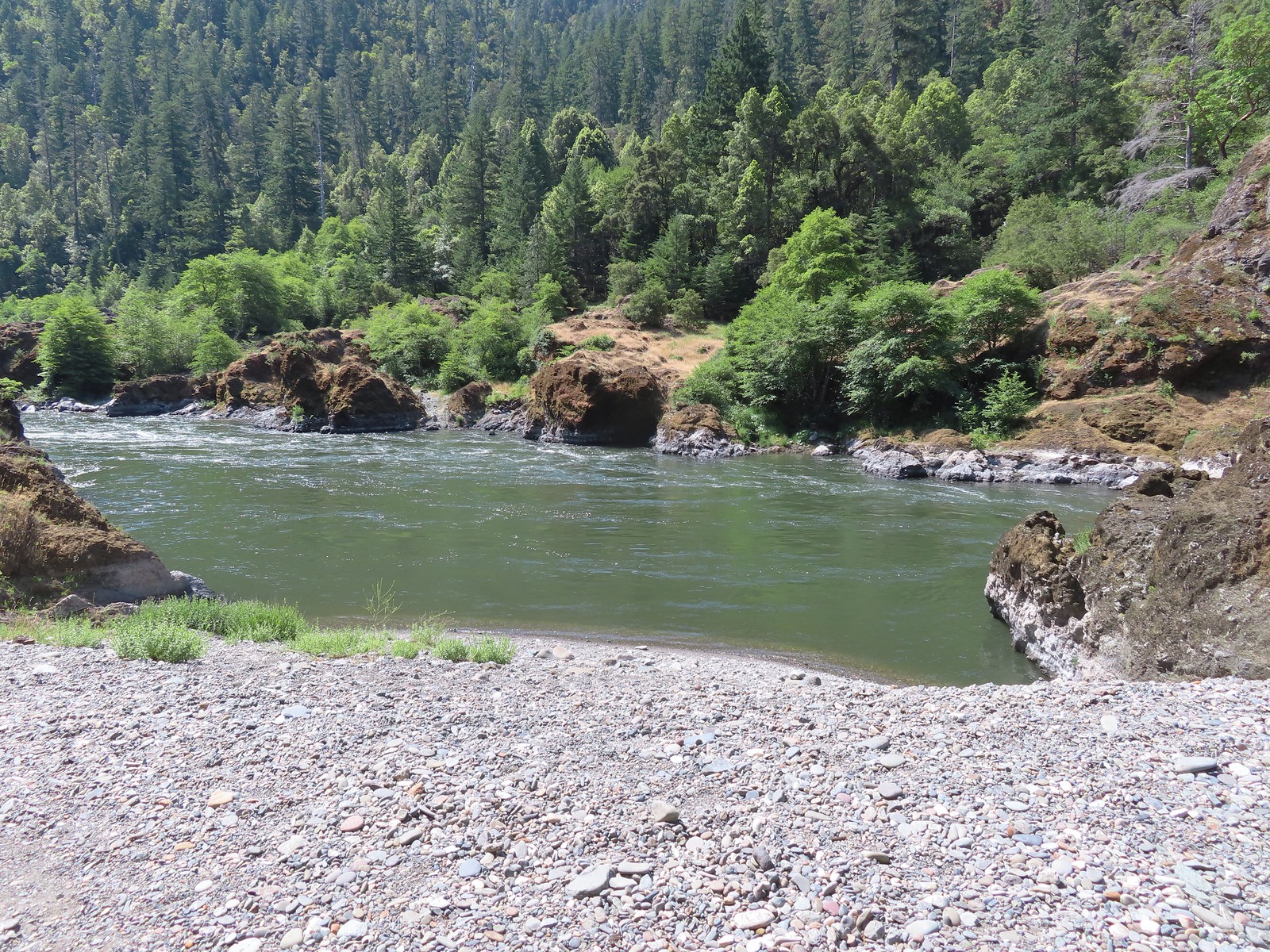
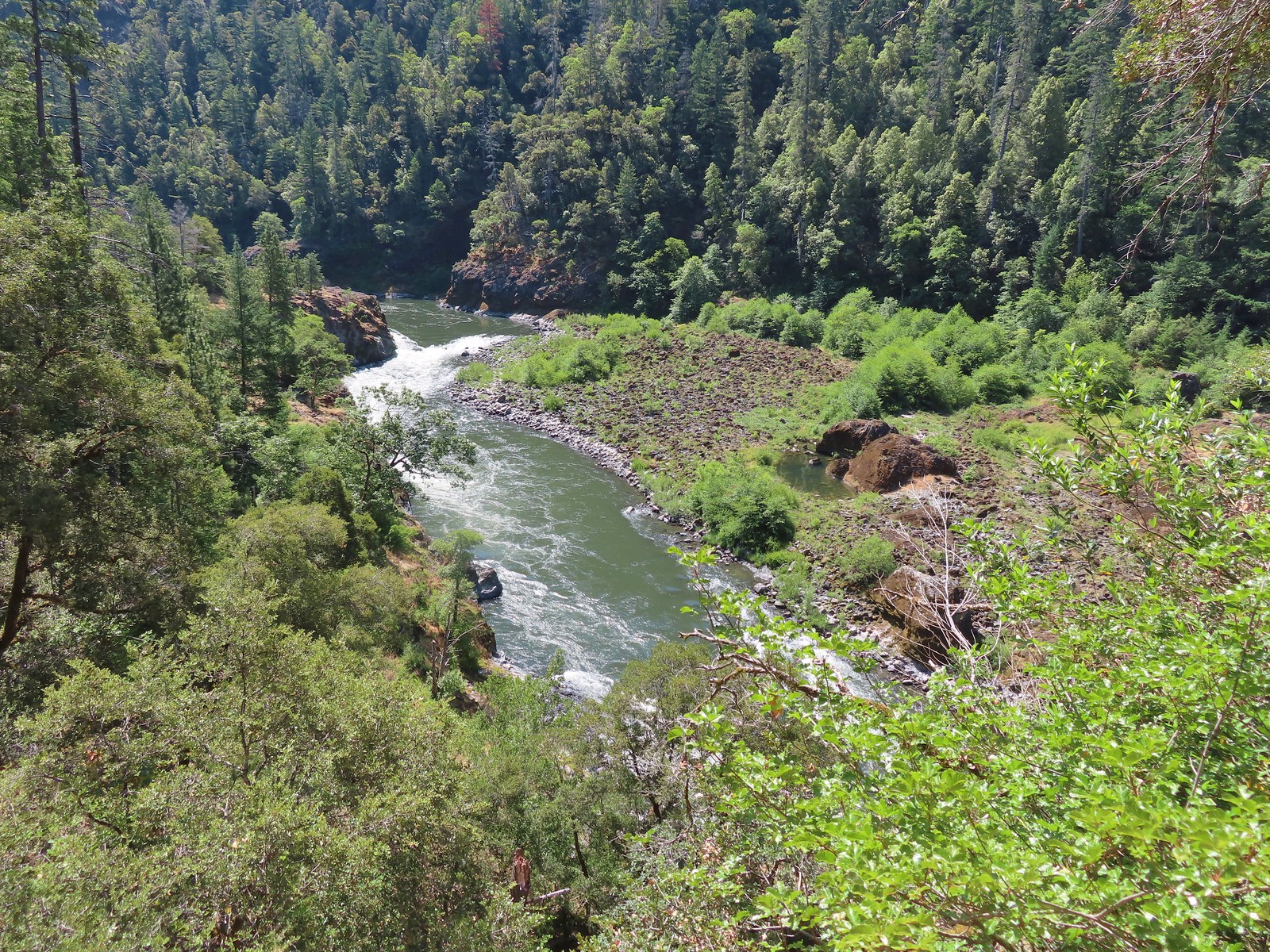 Rogue River leaving Blossom Bar.
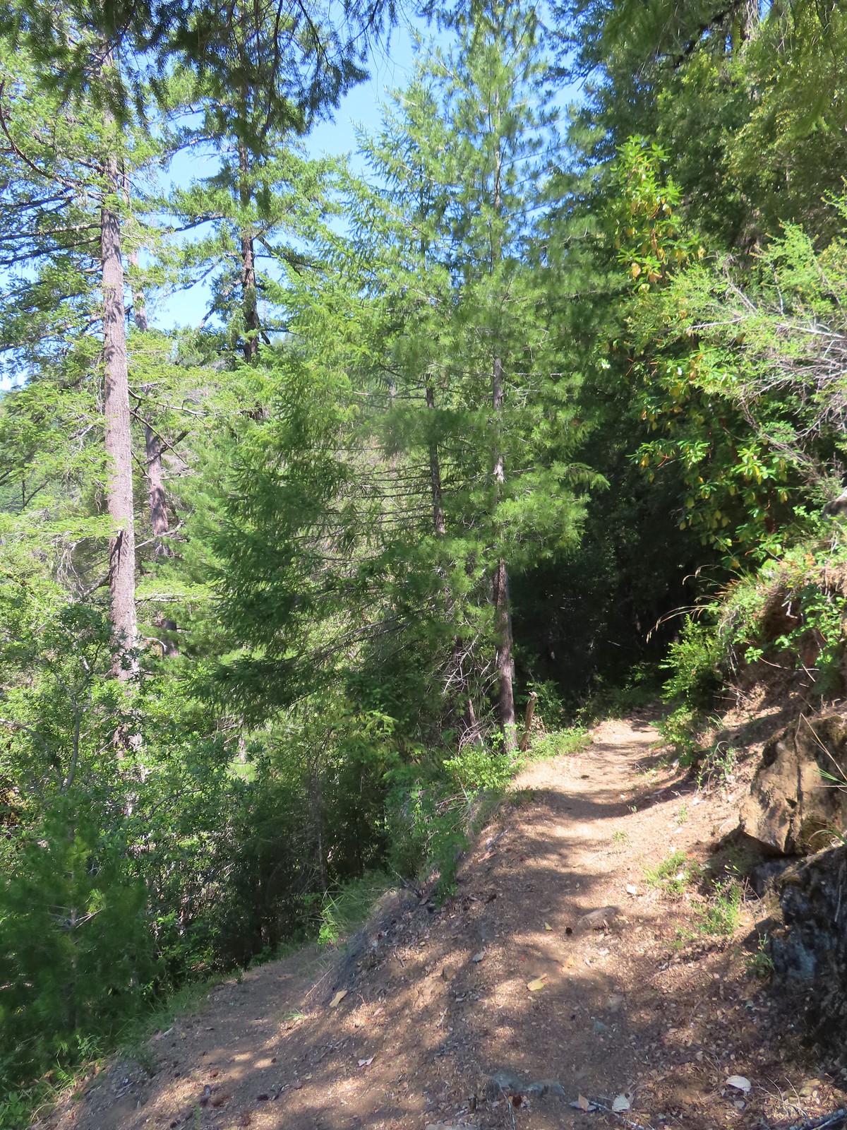 Trail to Gleason Bar on the left.
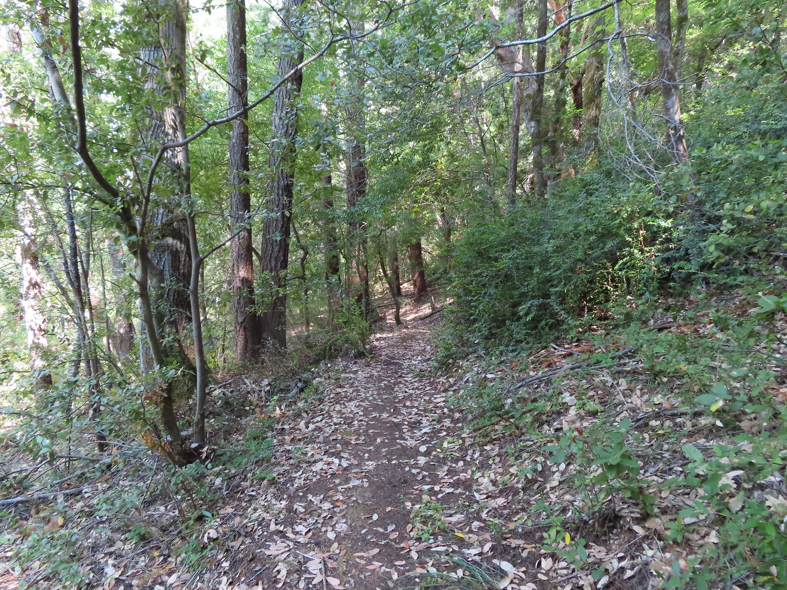
 Variable-leaf collomia
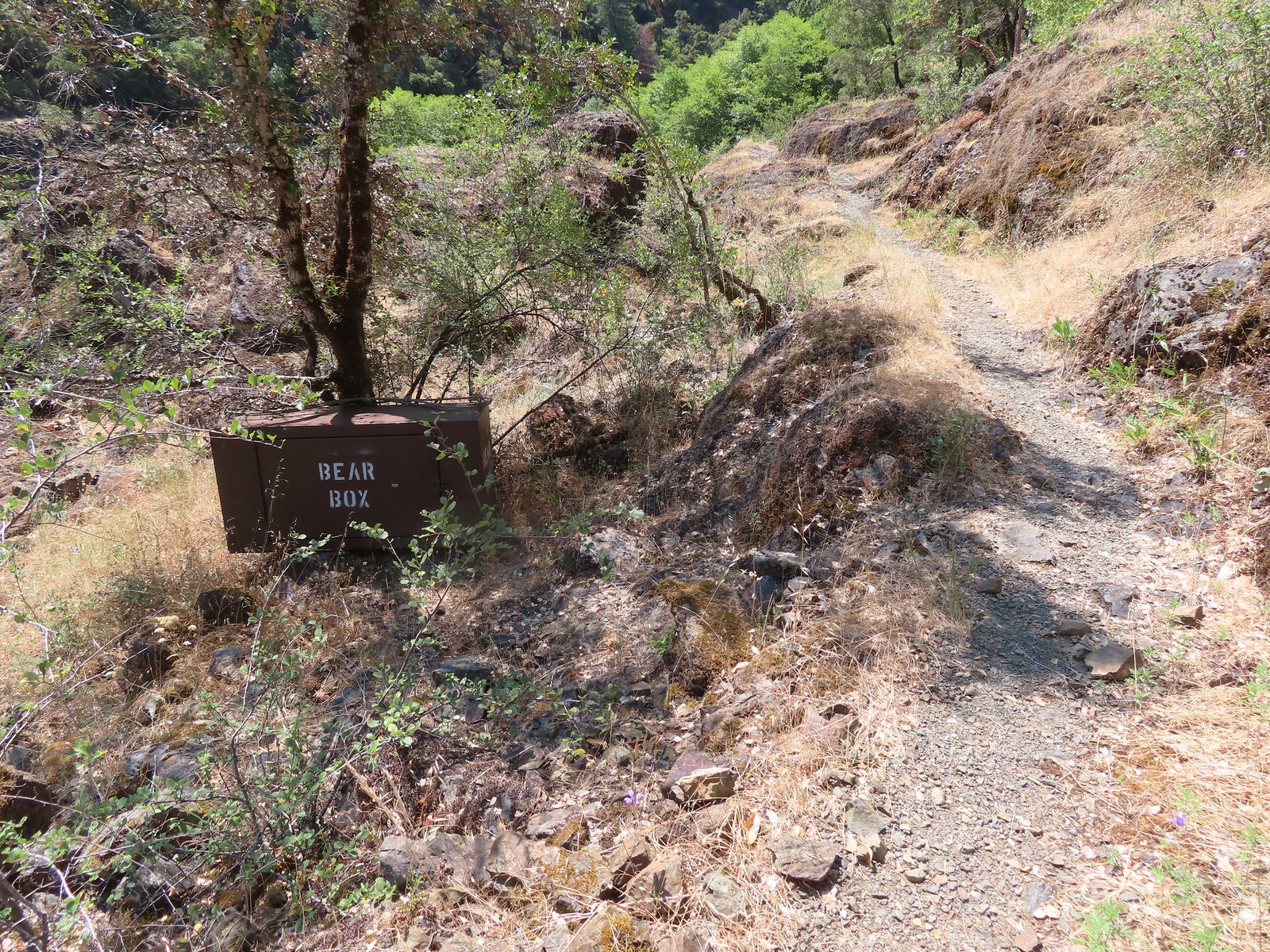 Bear box near Gleason Bar. We didn’t see any bears on our hike but we did have a bear cub run in front of our car on the drive to the trailhead.
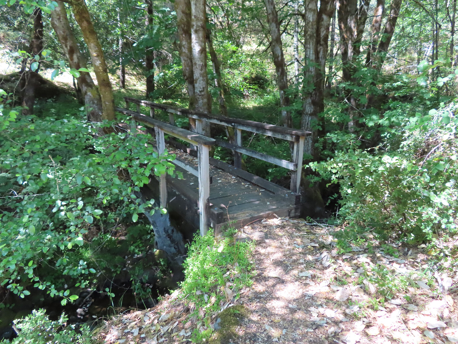
 Paradise Bar
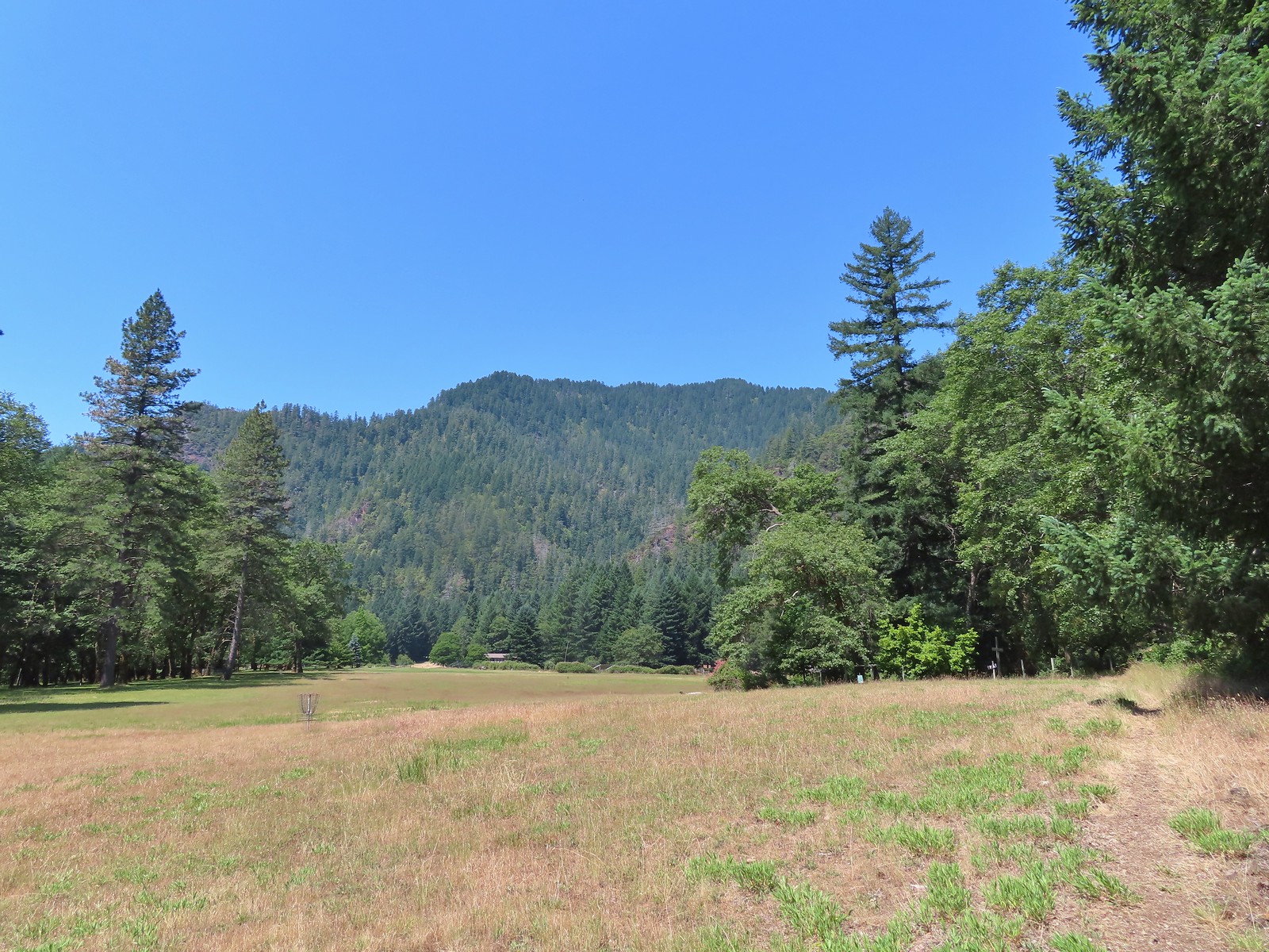 The trail skirted the grassy airstrip before entering the forest.
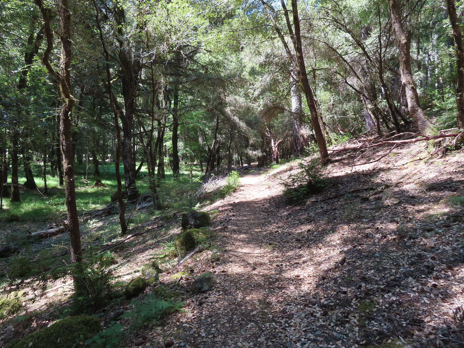
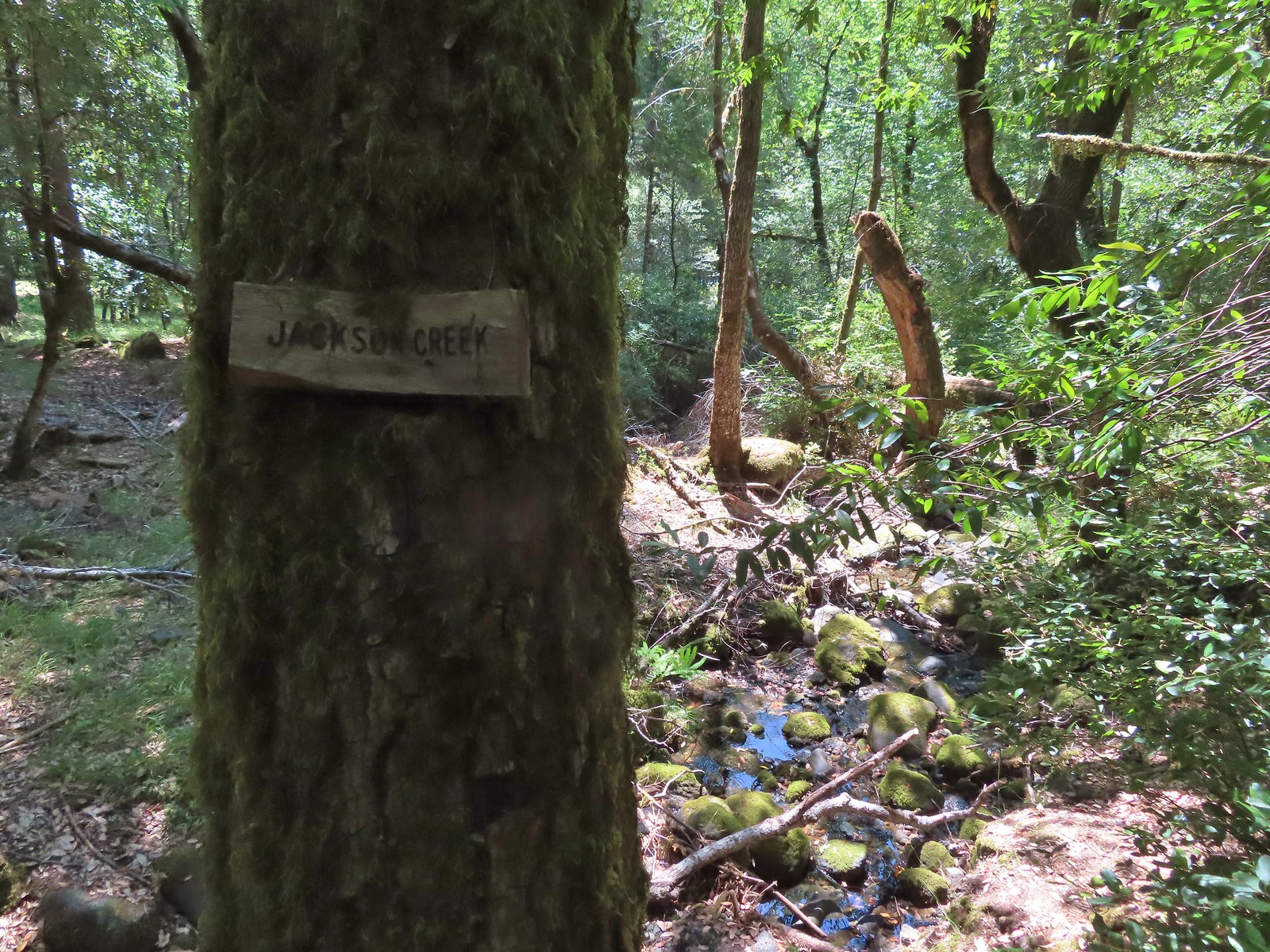 Jackson Creek. Most if not all of the creeks had signs letting us know their names.
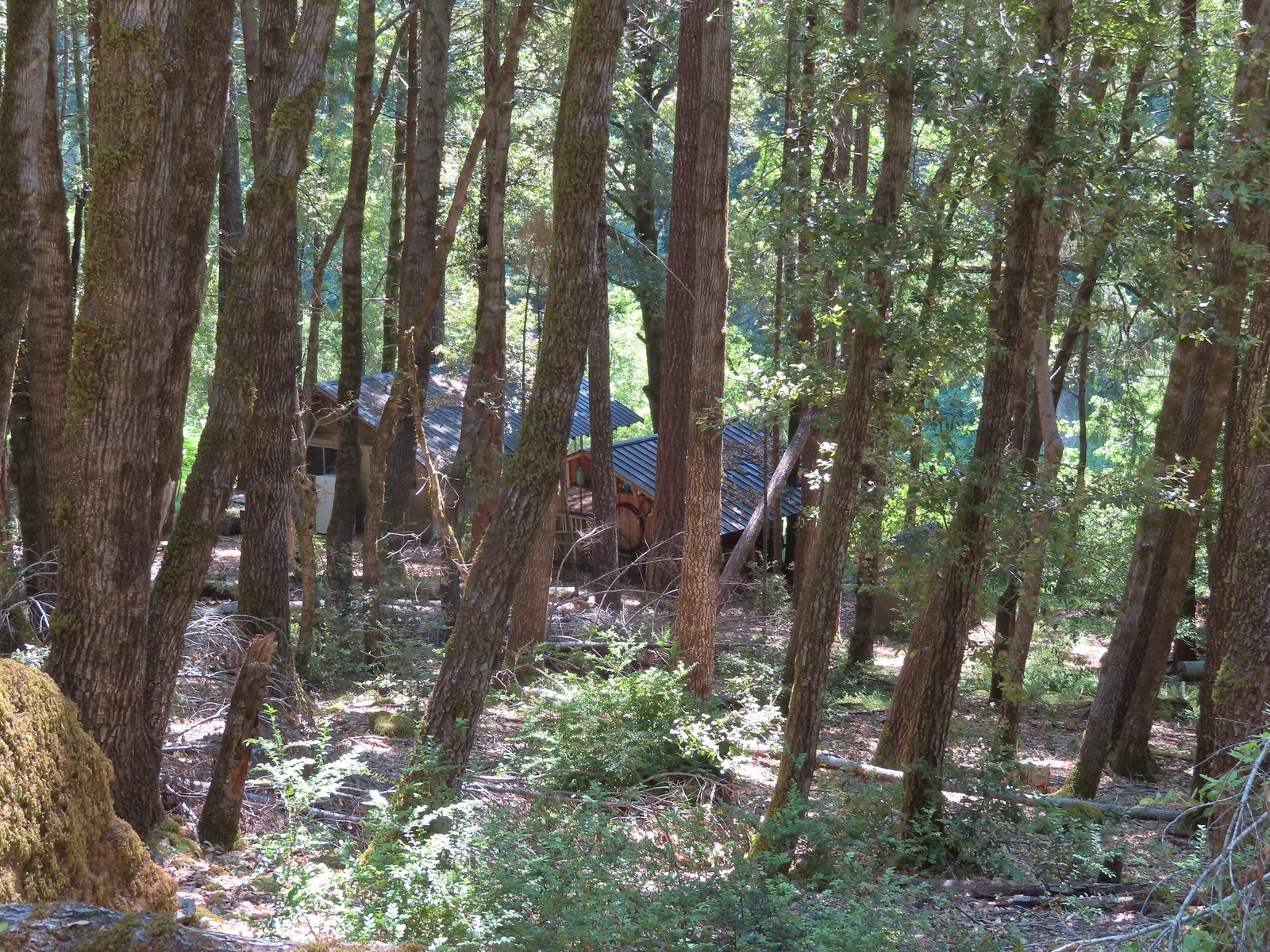 Some of the buildings related to Paradise Lodge.
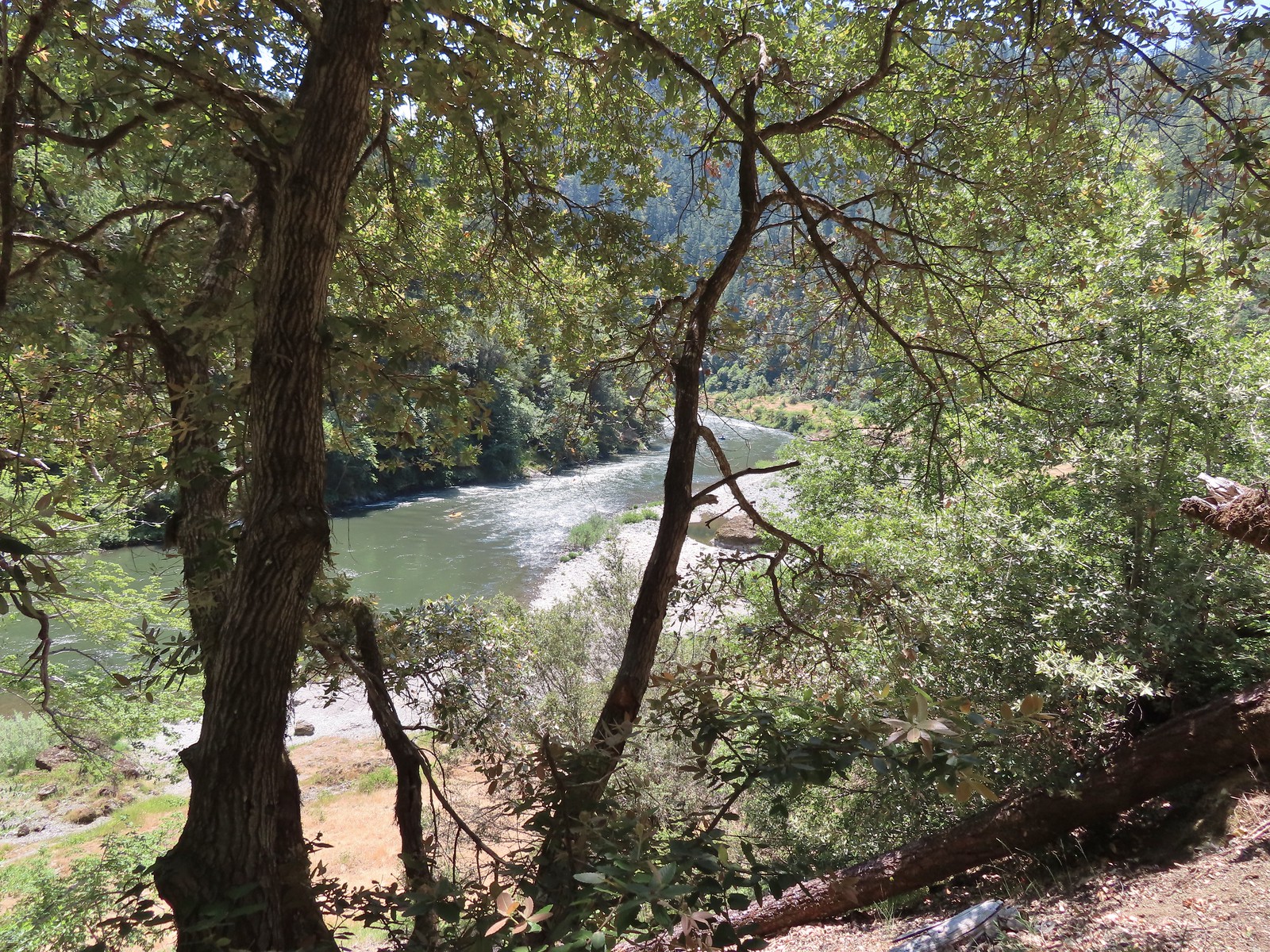 Rafters and kayakers passing through Half Moon Riffle.
 One of
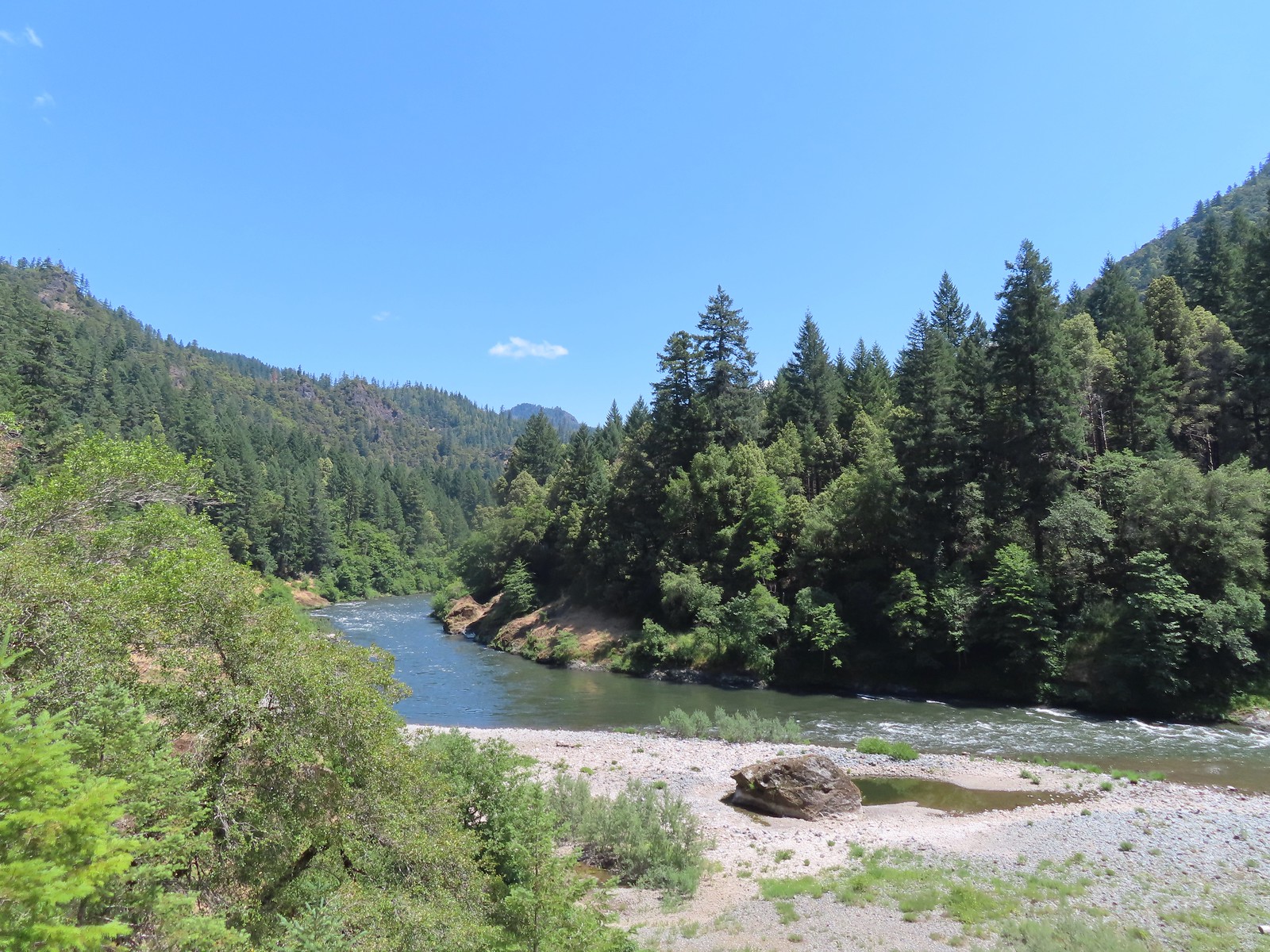
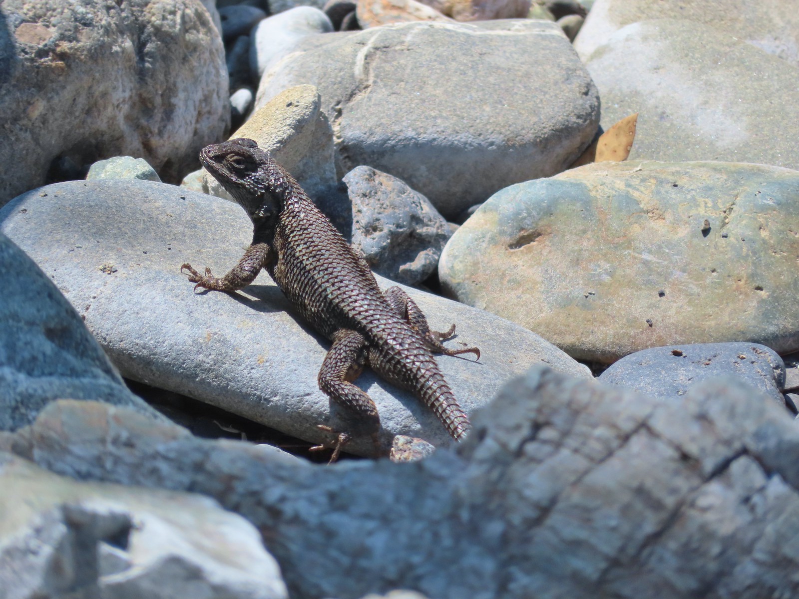
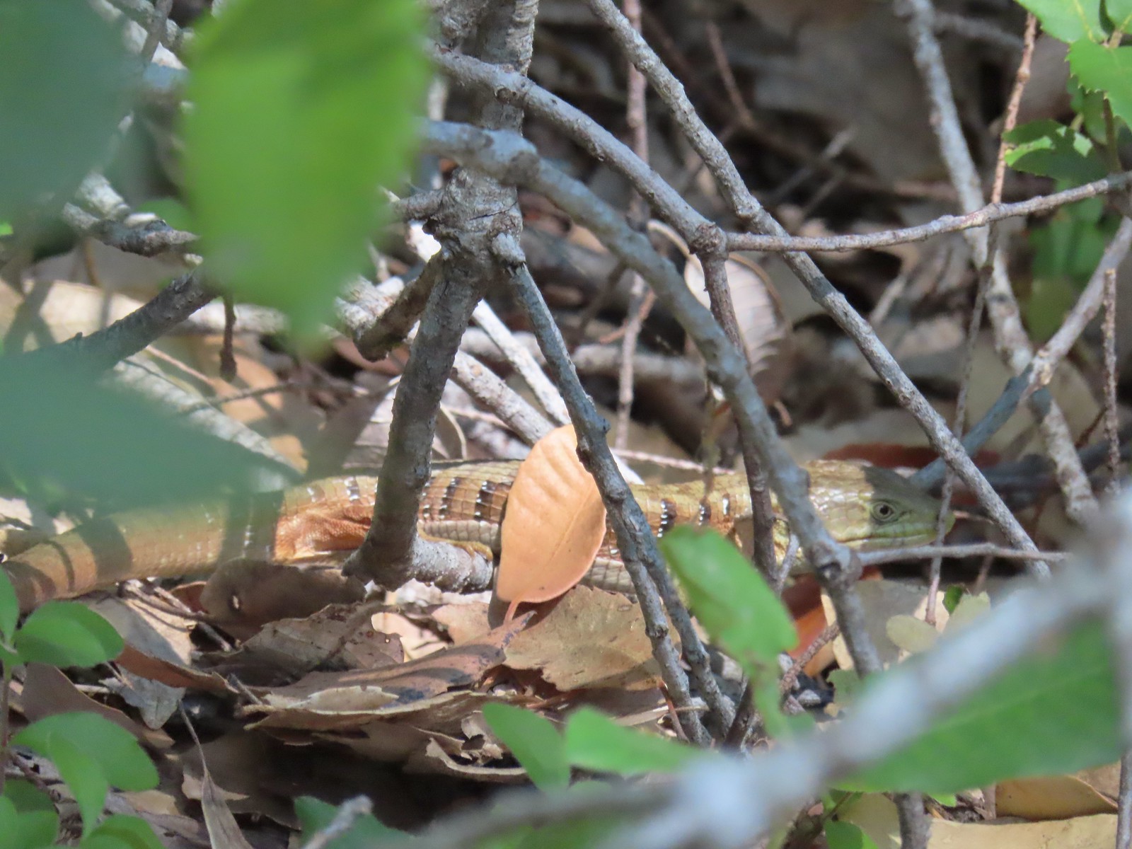 Alligator lizard
 Wine-cup clarkia
 A few fluffy clouds moving in.
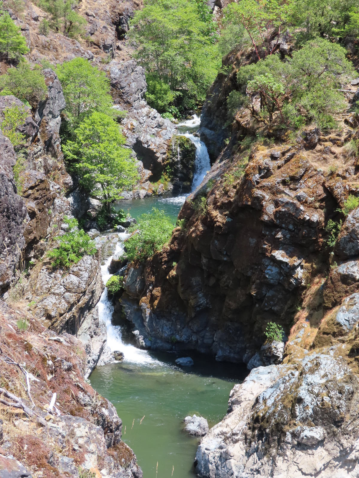 Stair Creek Falls on the way back.
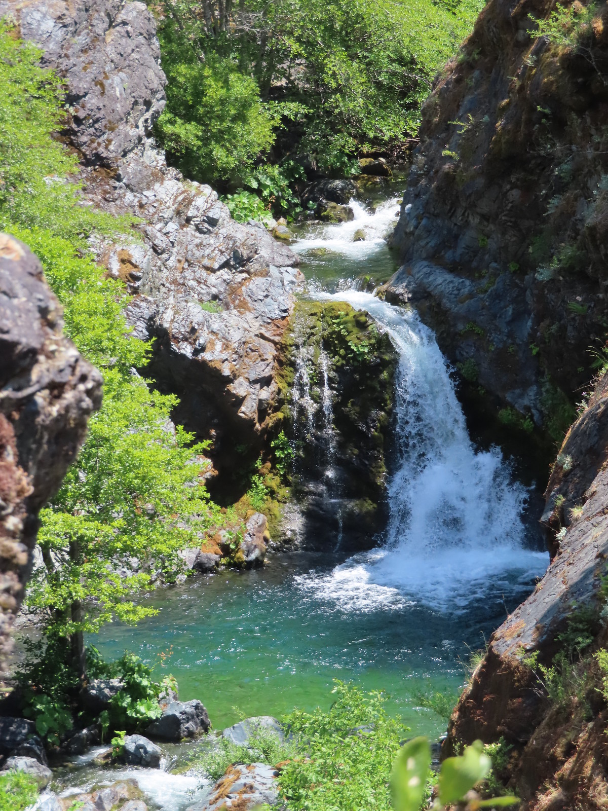
 Mule Creek Canyon
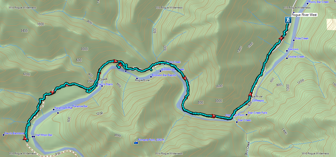


 Wedgeleaf violets
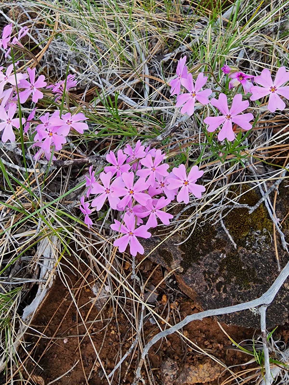 Showy phlox
 Oregon rockcress
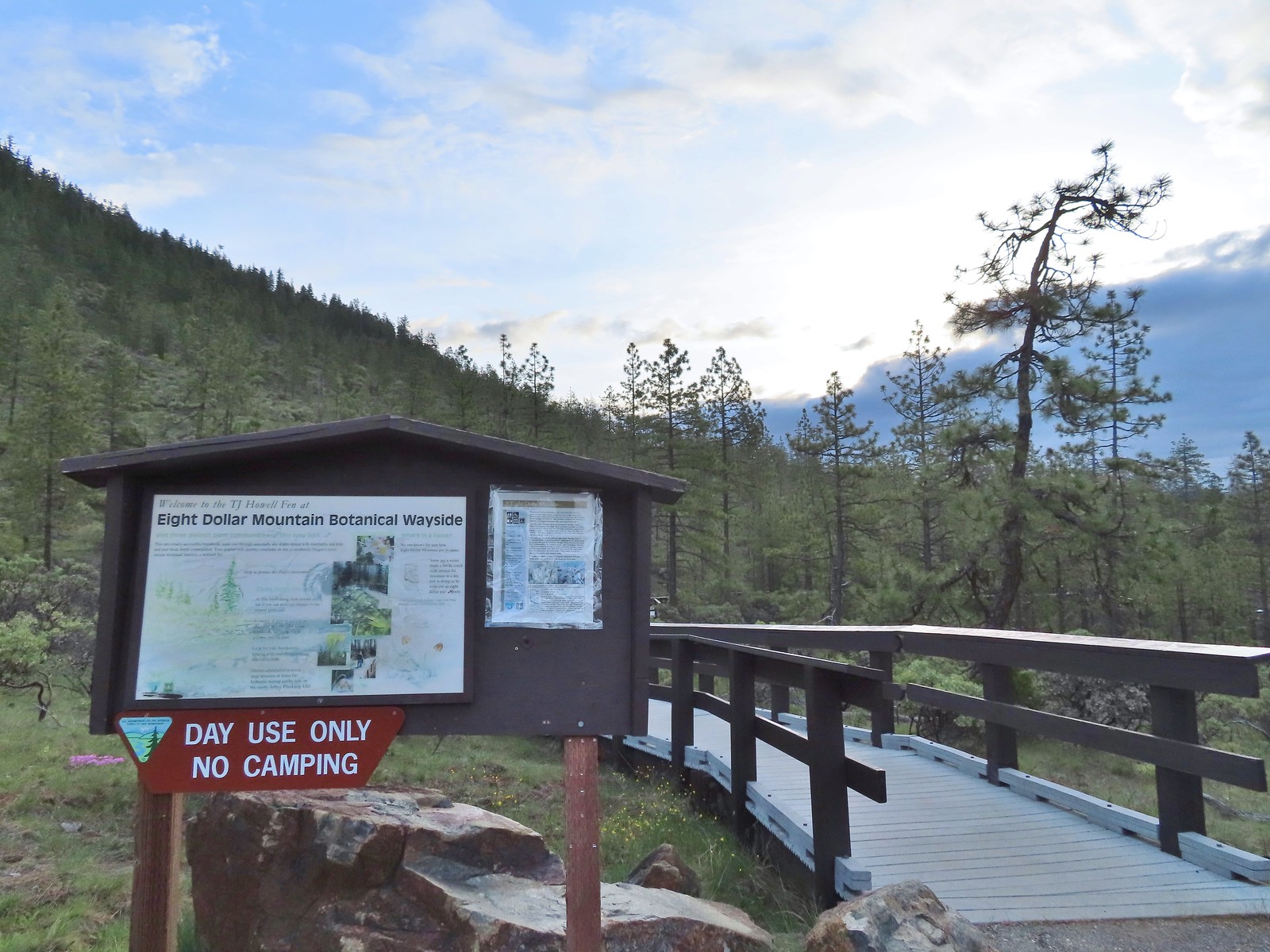
 Camas and buttercups
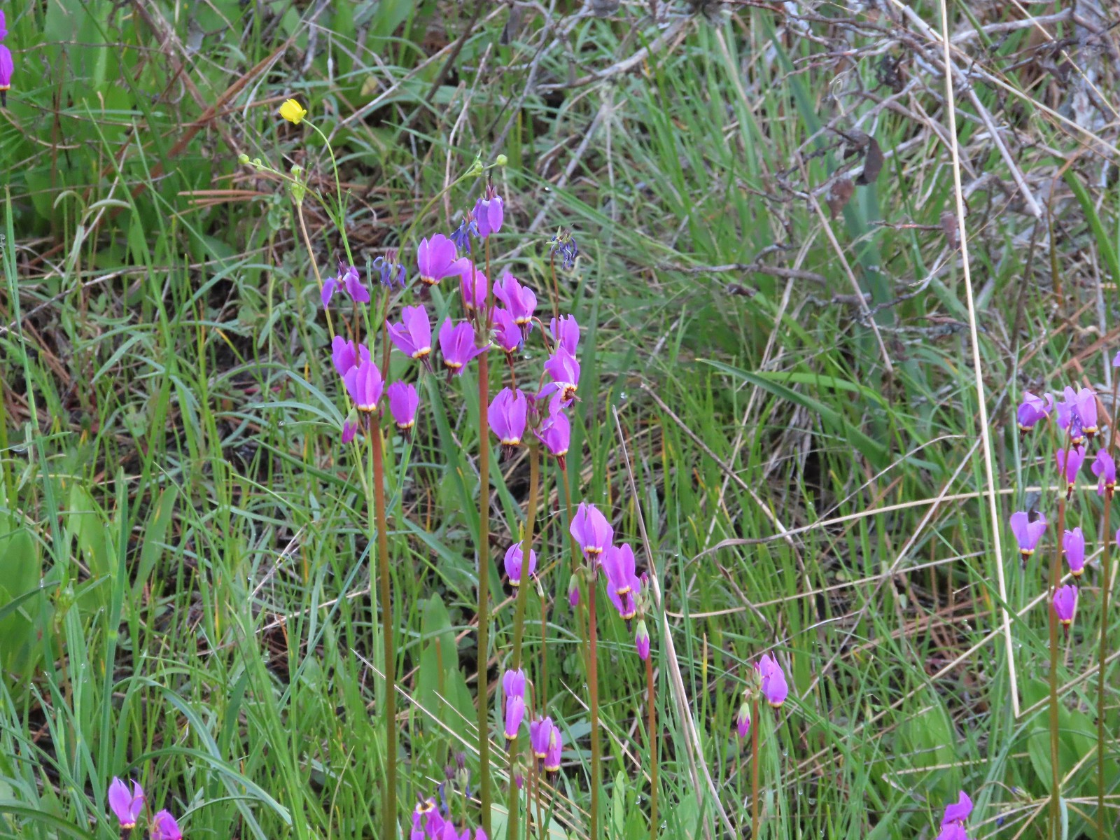 Shooting star
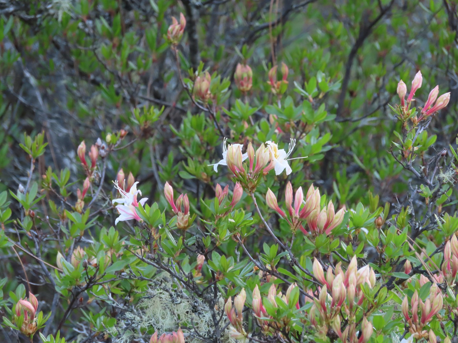 Western azalea
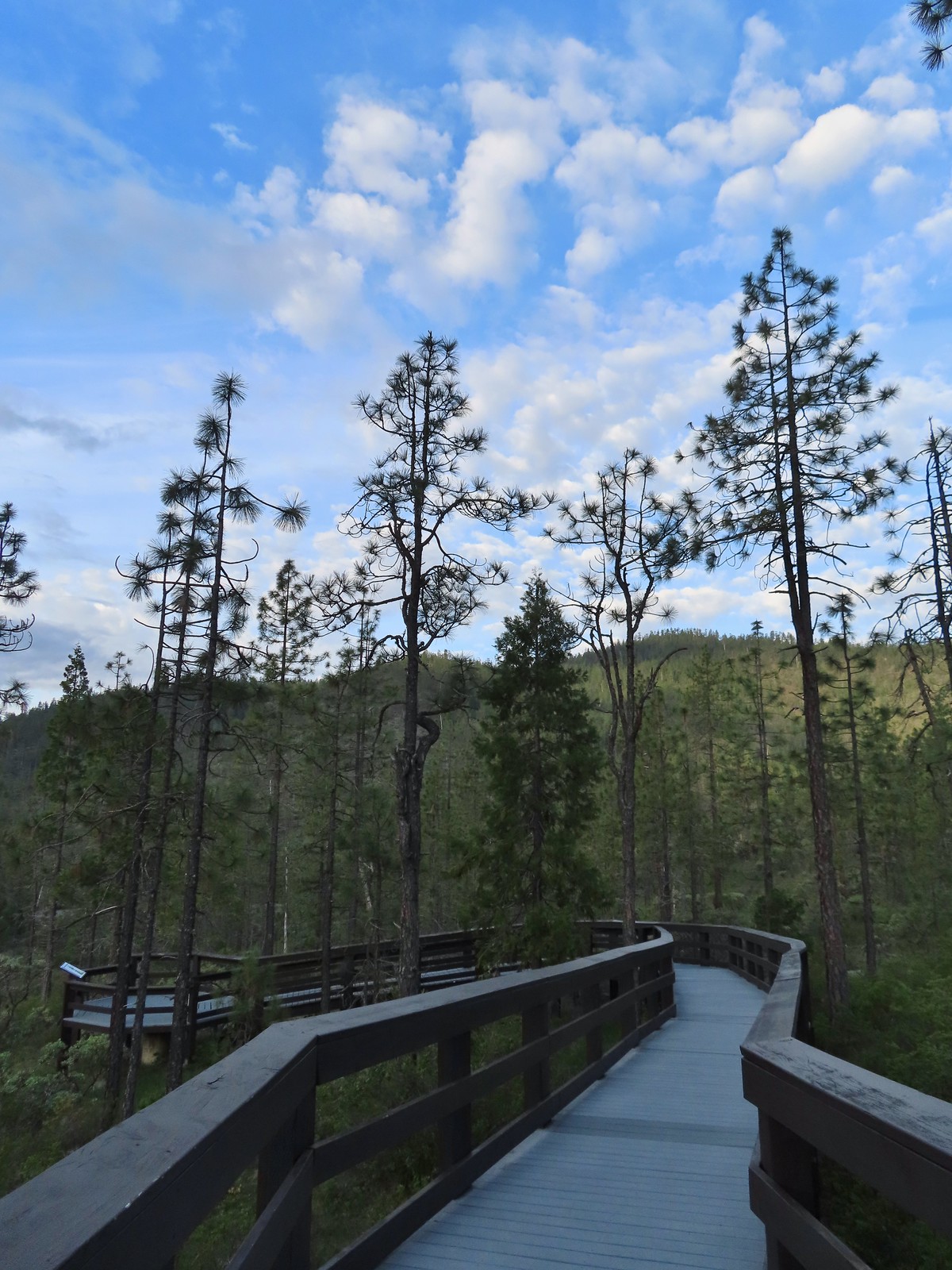
 The fen at the end of the boardwalk.
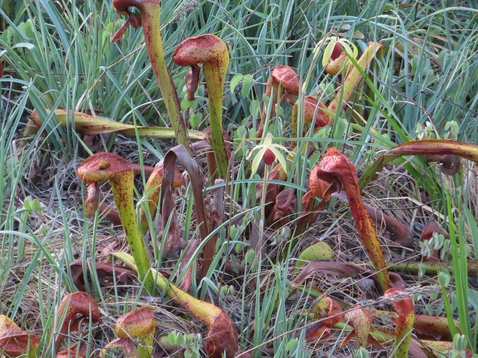 A darlingtonia blossom.
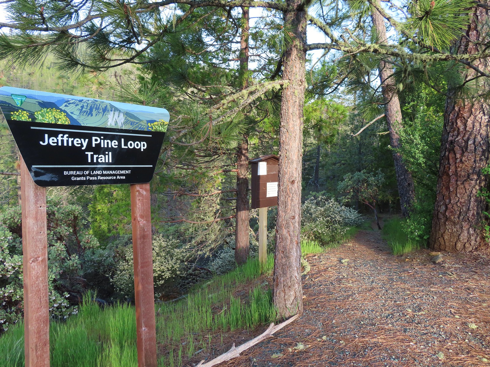
 We stayed right at this junction just below the trailhead. There is a 0.5-mile loop option which we planned on skipping.
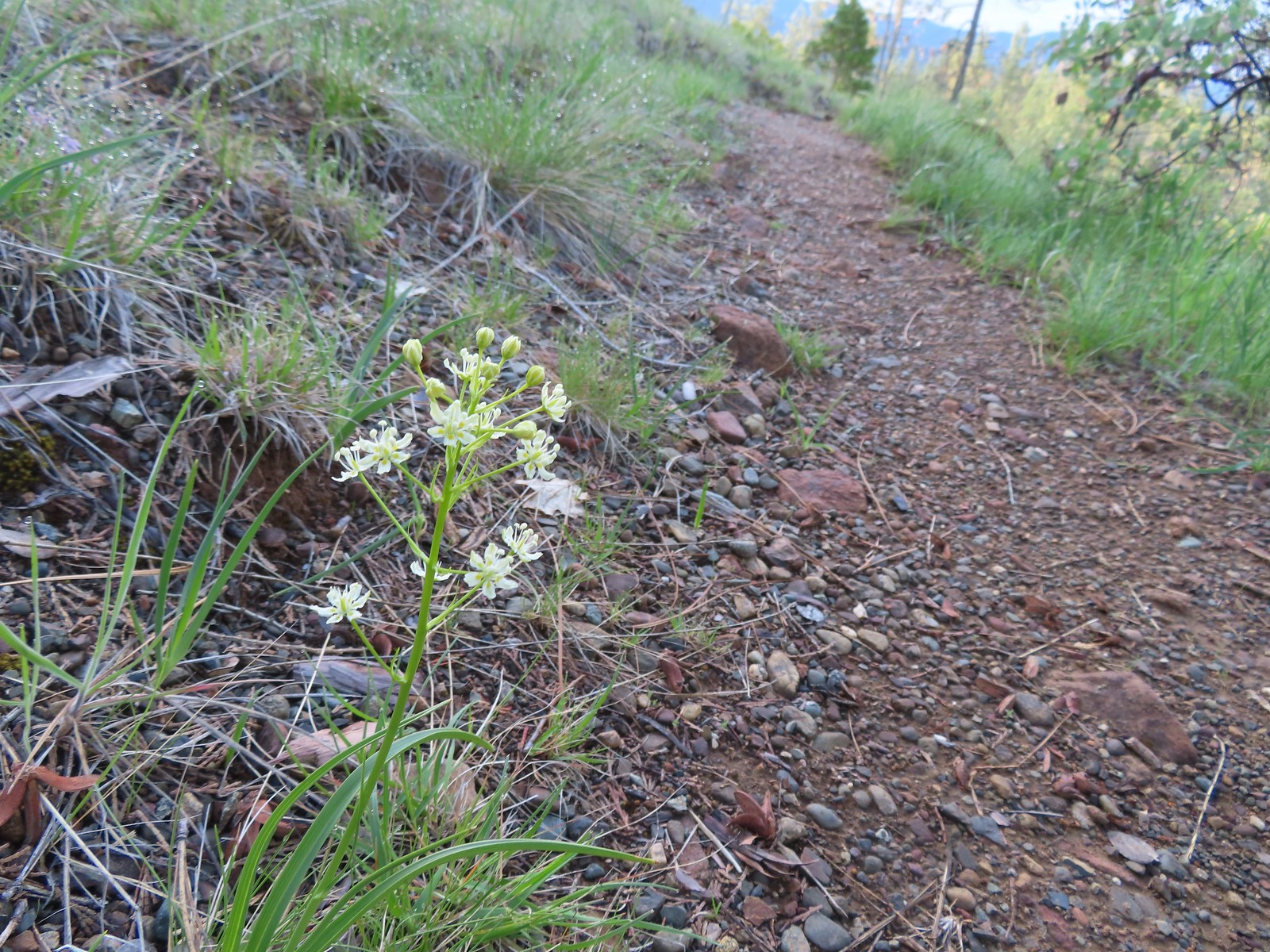 Death camas
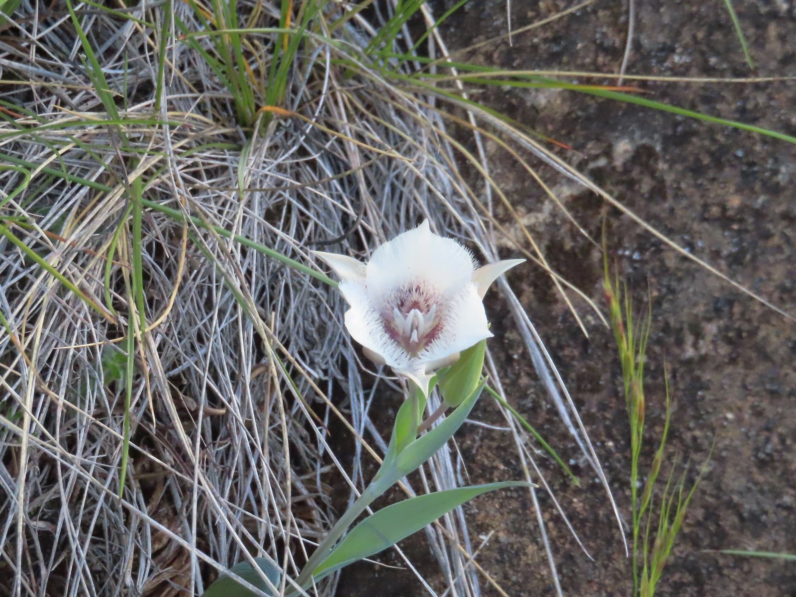 Mariposa lily
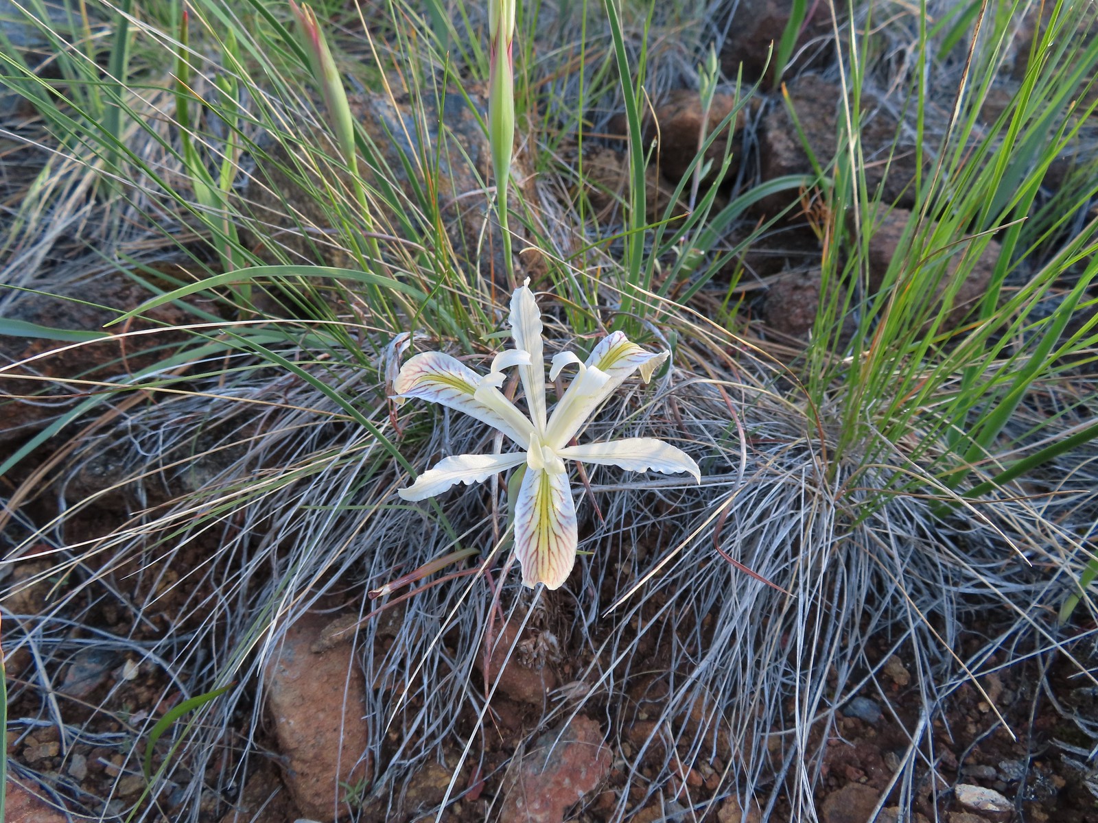 Yellow leaf iris
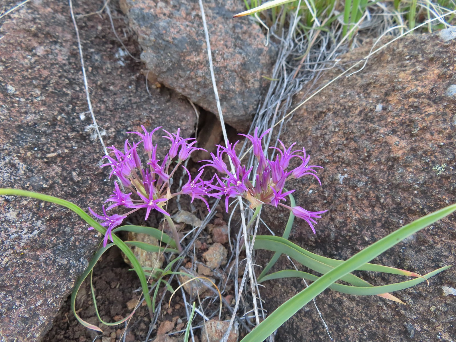 Coast flat stem onion
 Heather picked up a tick passing through the grass on the hillside.

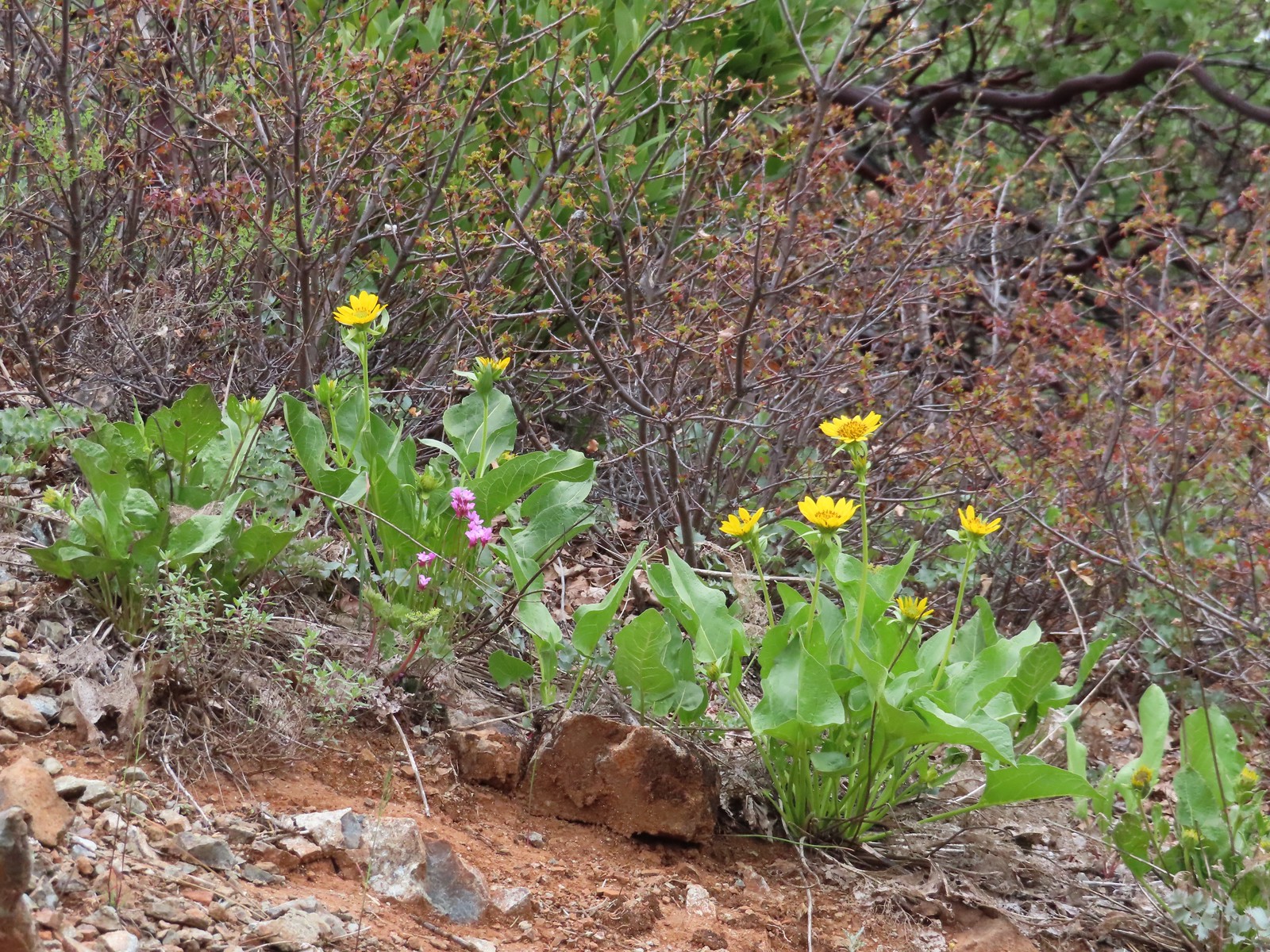
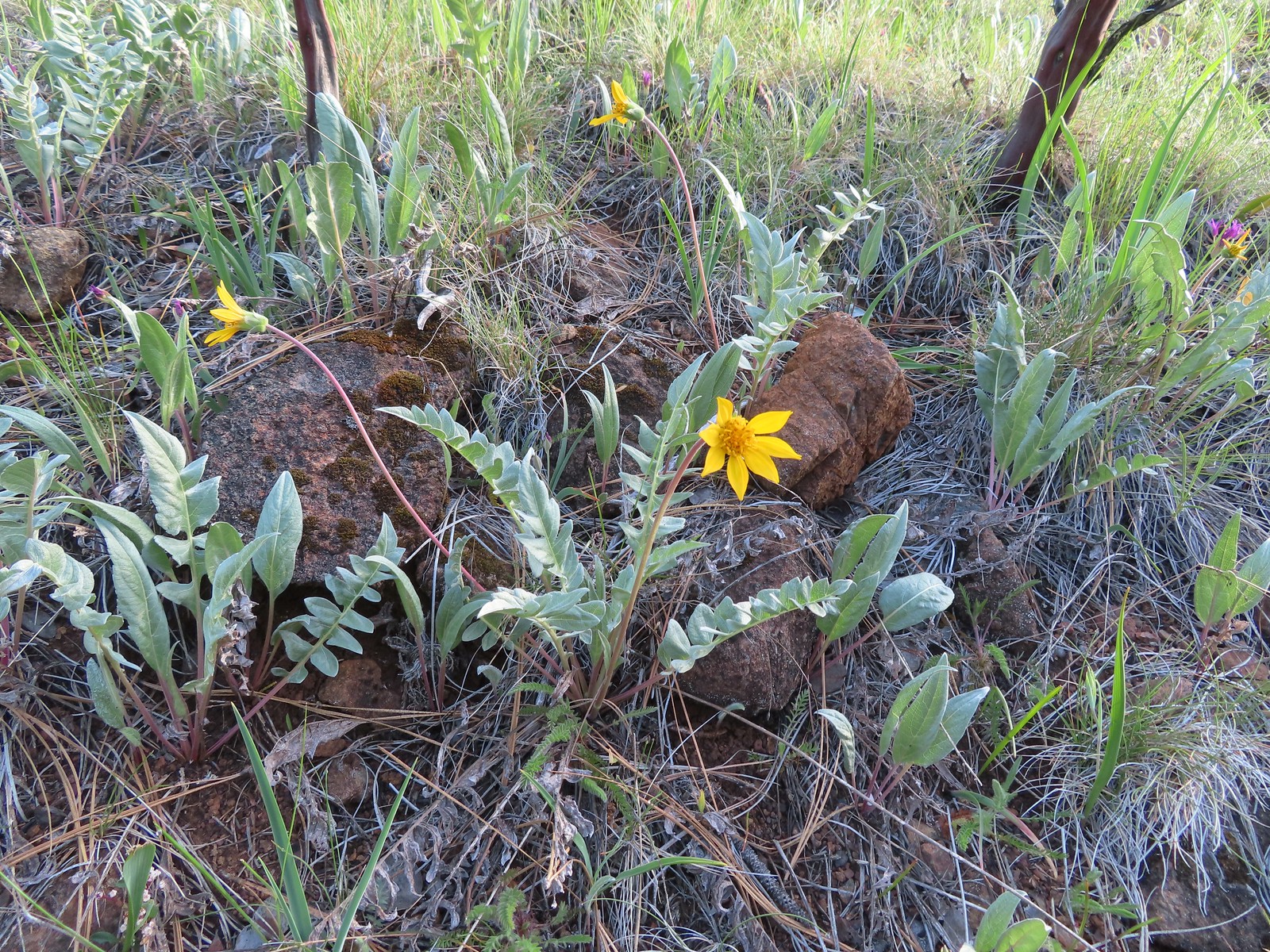 Silky balsamroot
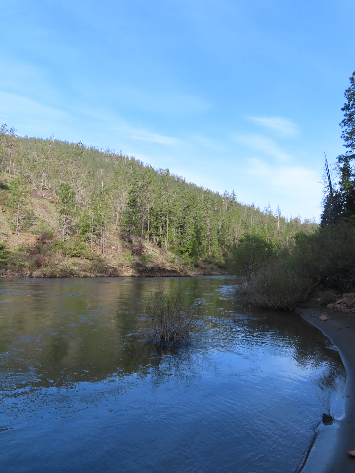
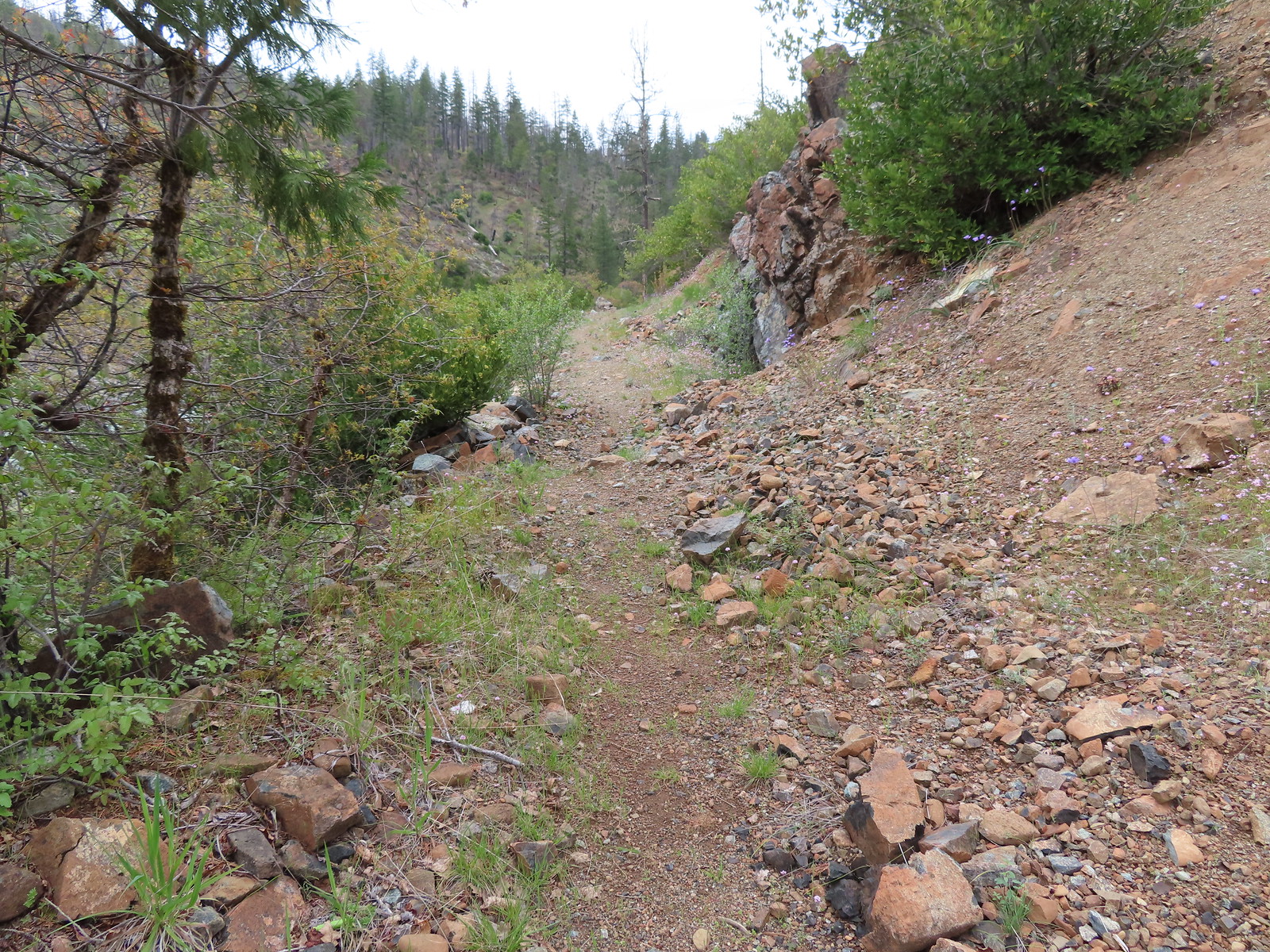
 The trail as we started up the hillside.
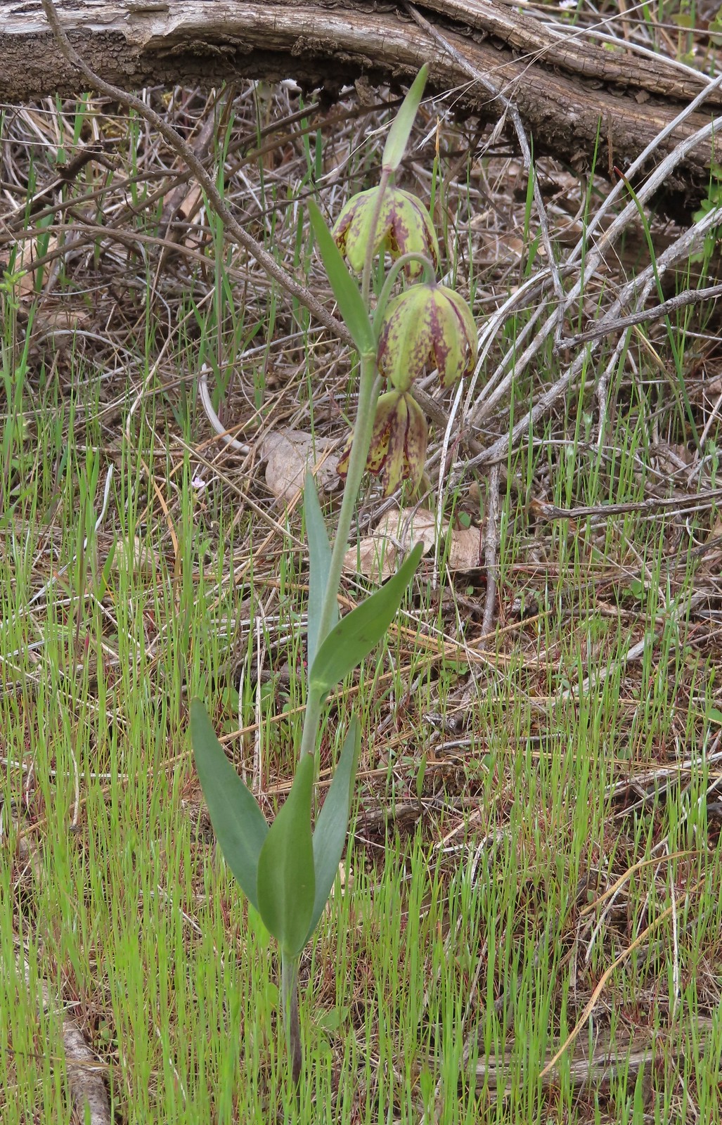
 Checker lily
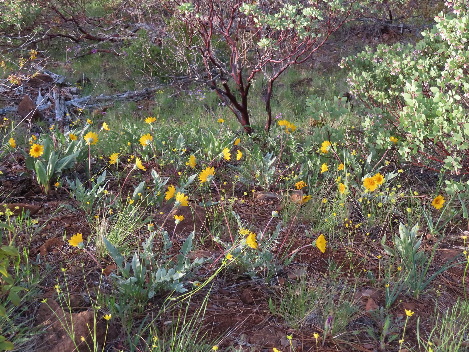 Silky balsamroot and buttercups
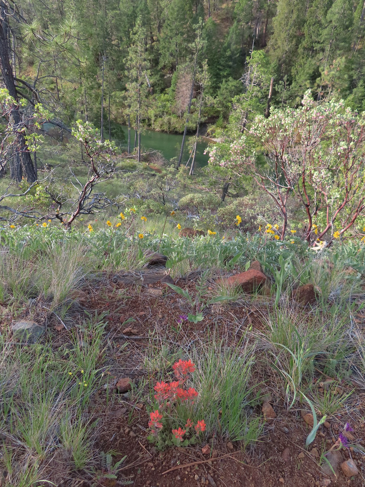 Paintbrush and silky balsamroot with the Illinois River below.
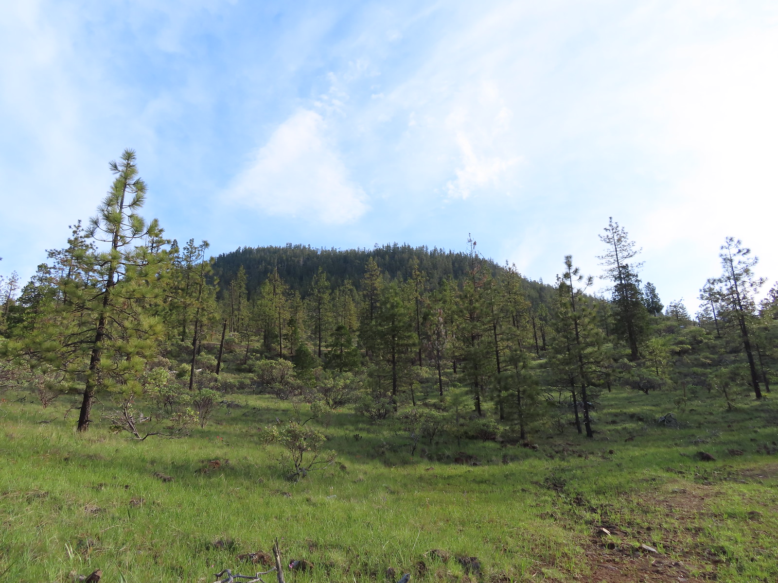 Eight Dollar Mountain from the roadbed.
 We saw a lot of these getting ready to bloom but none actually blooming. Really curious as to what they are.
 Western azalea
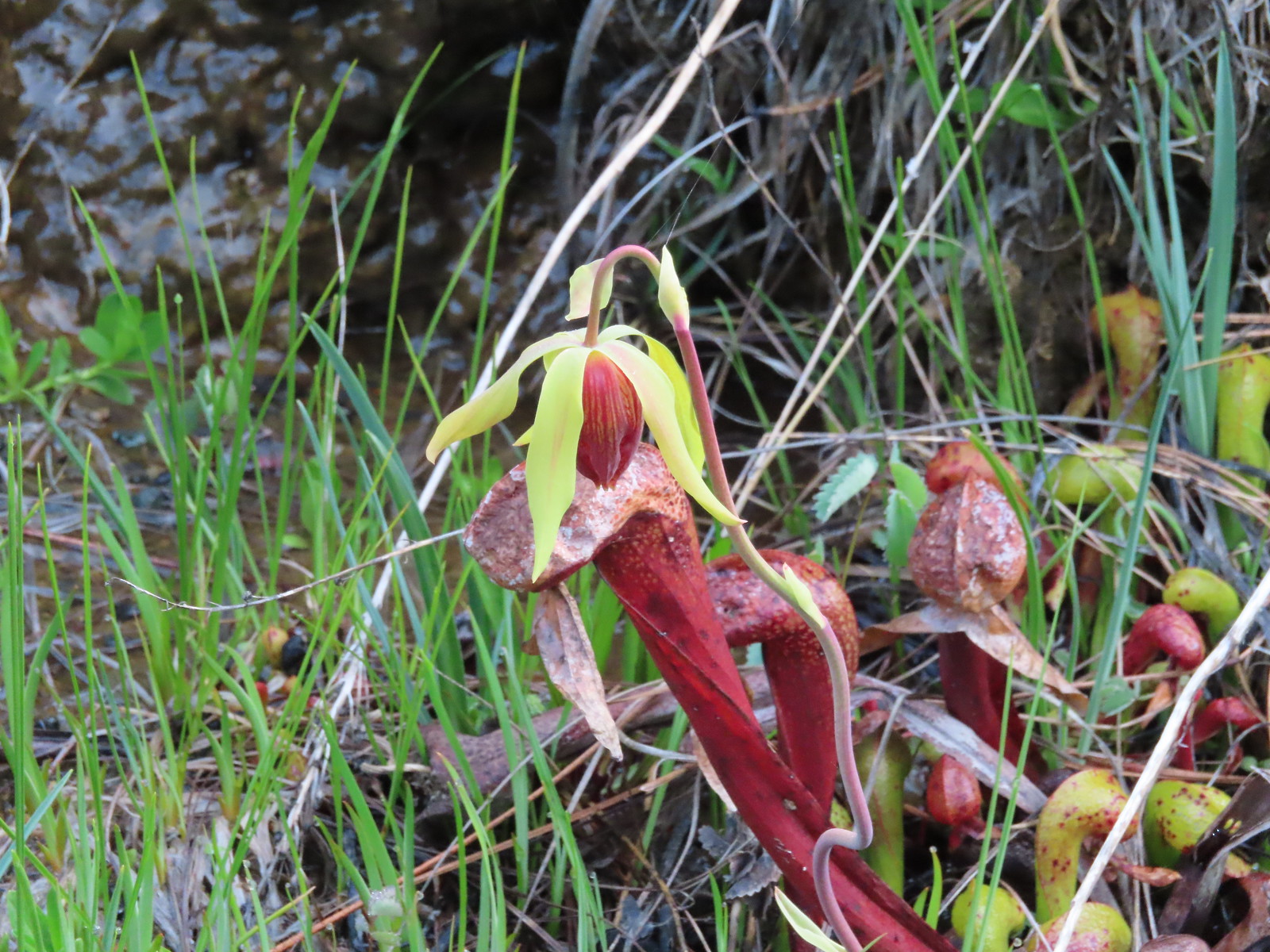 A closer look at a darlingtonia blossom.


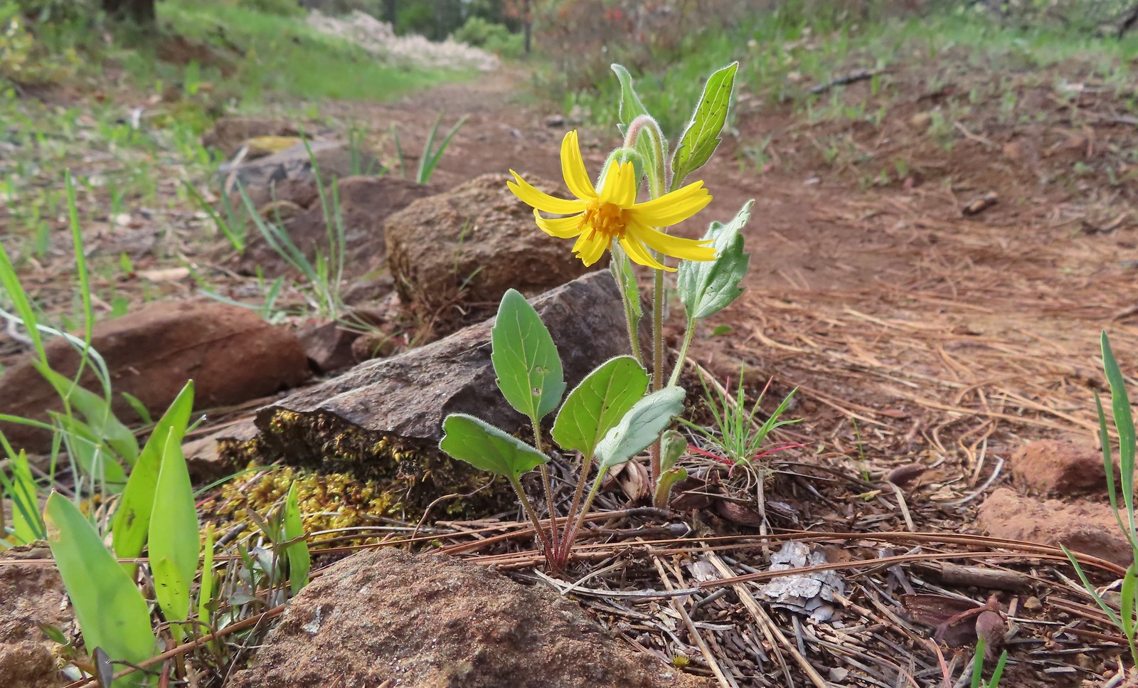 Serpentine arnica
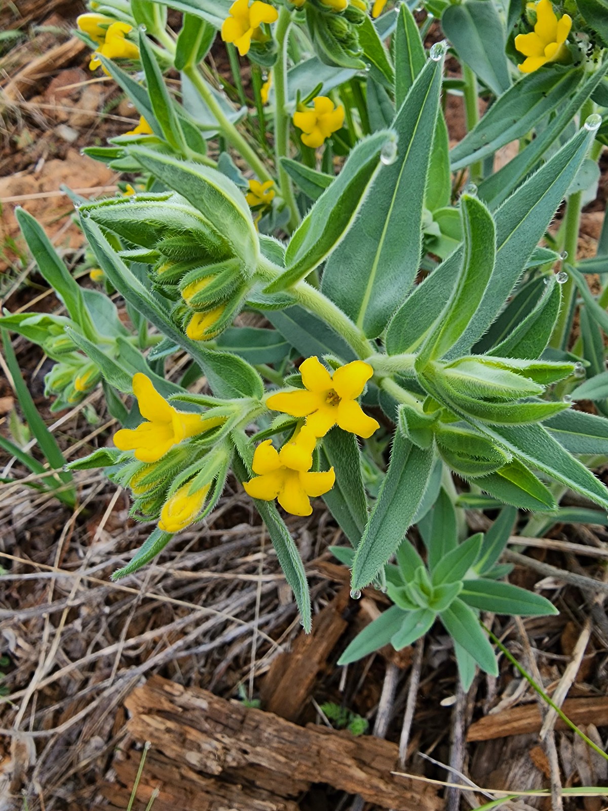 California gromwell
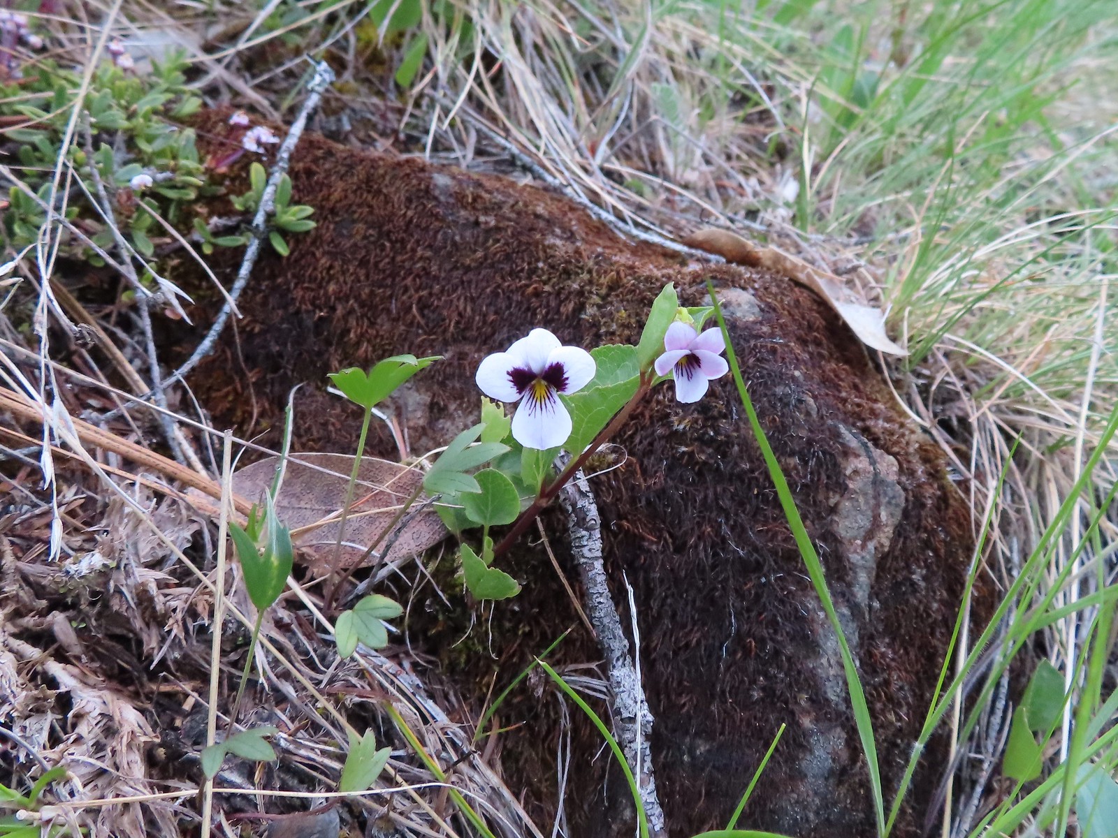 Wedgeleaf violet
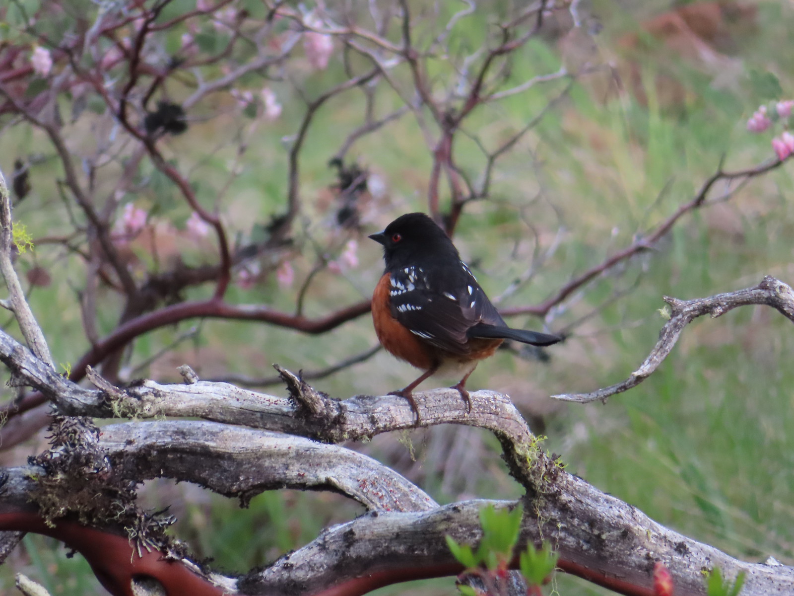 Spotted towhee
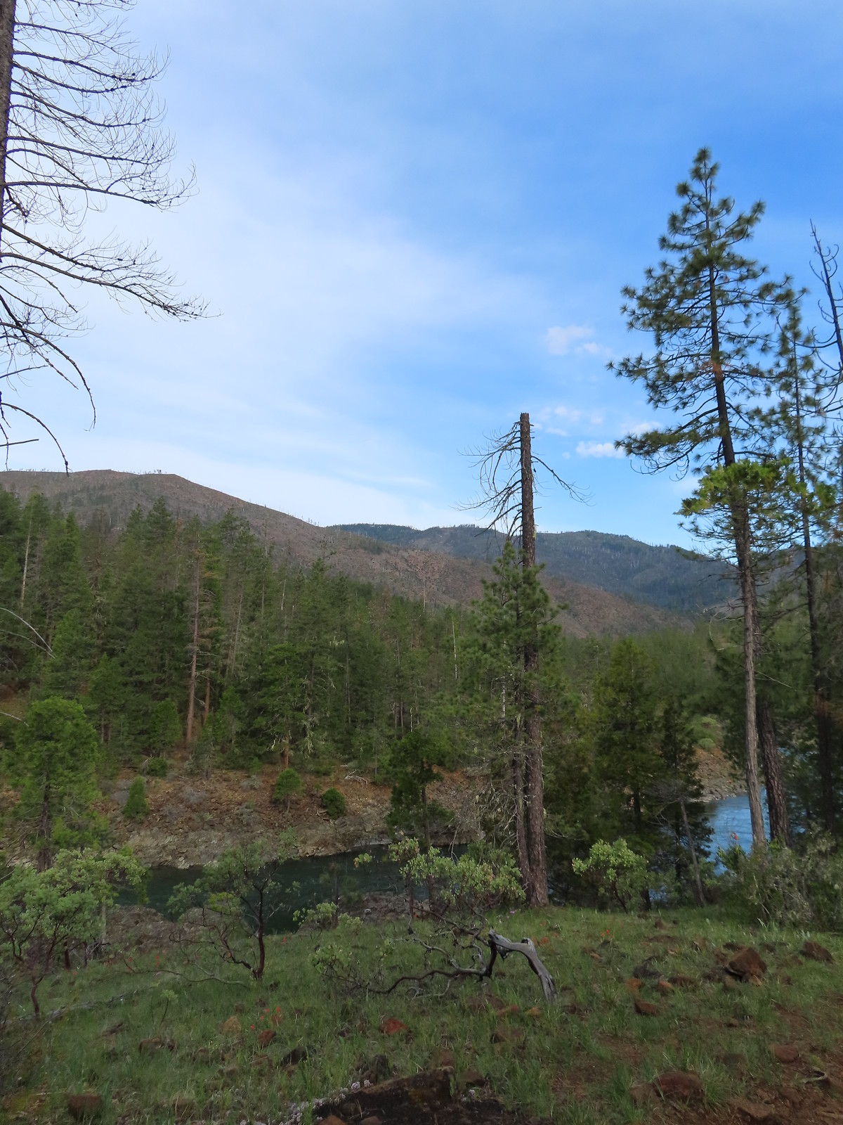
 Paintbrush and violets
 Narrowleaf blue-eyed Mary
 Deltoid balsamroot
 Illinois River
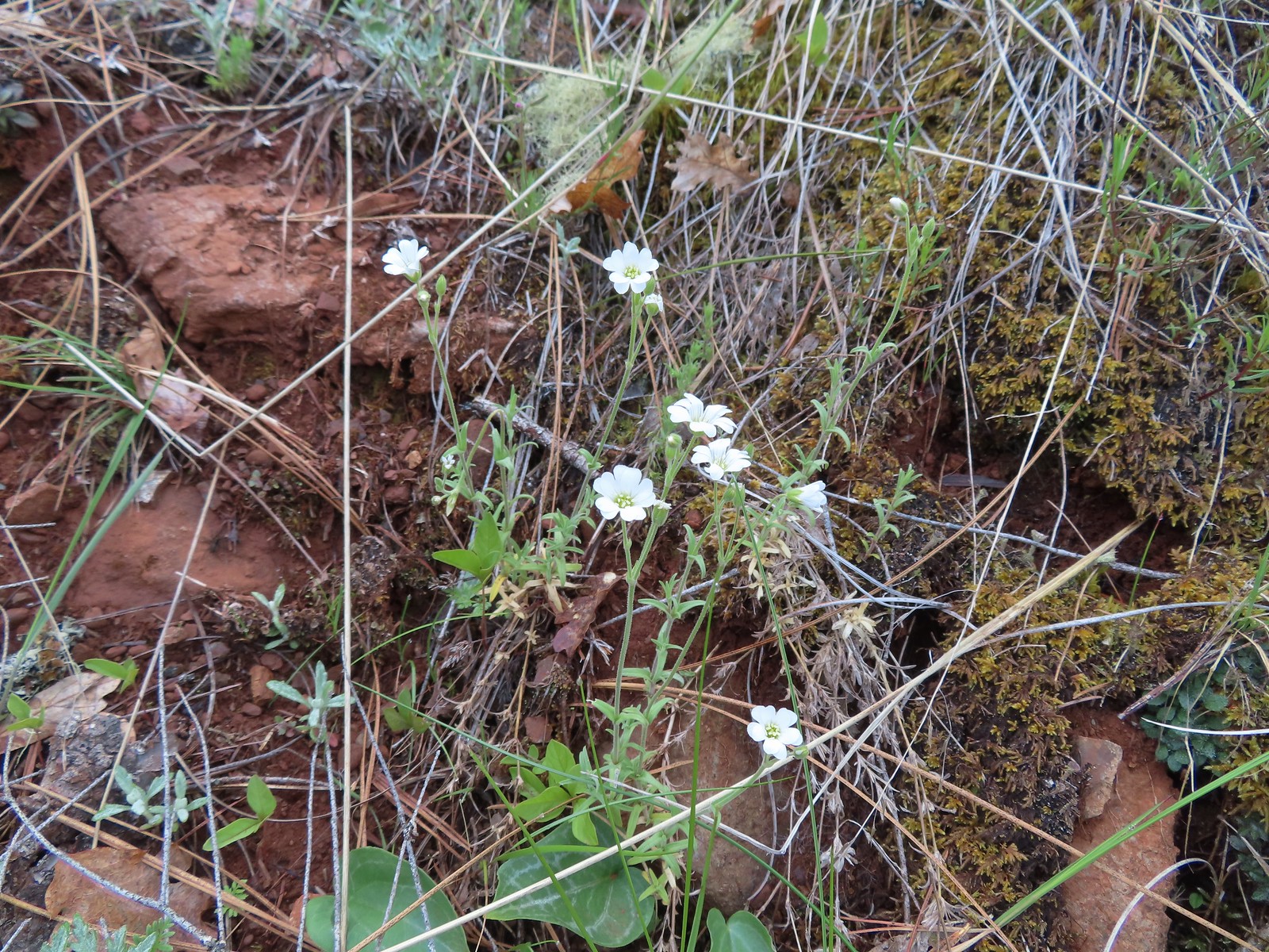 Field chickweed
 Spreading phlox
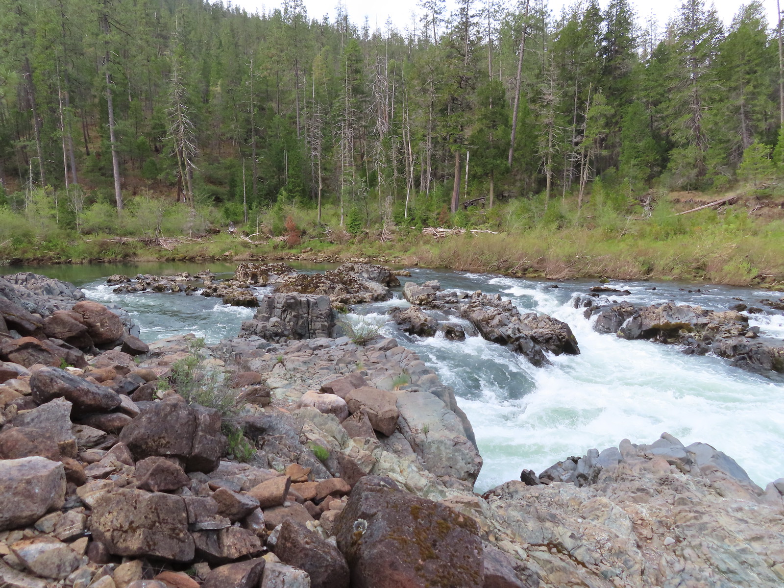
 Mallard drakes
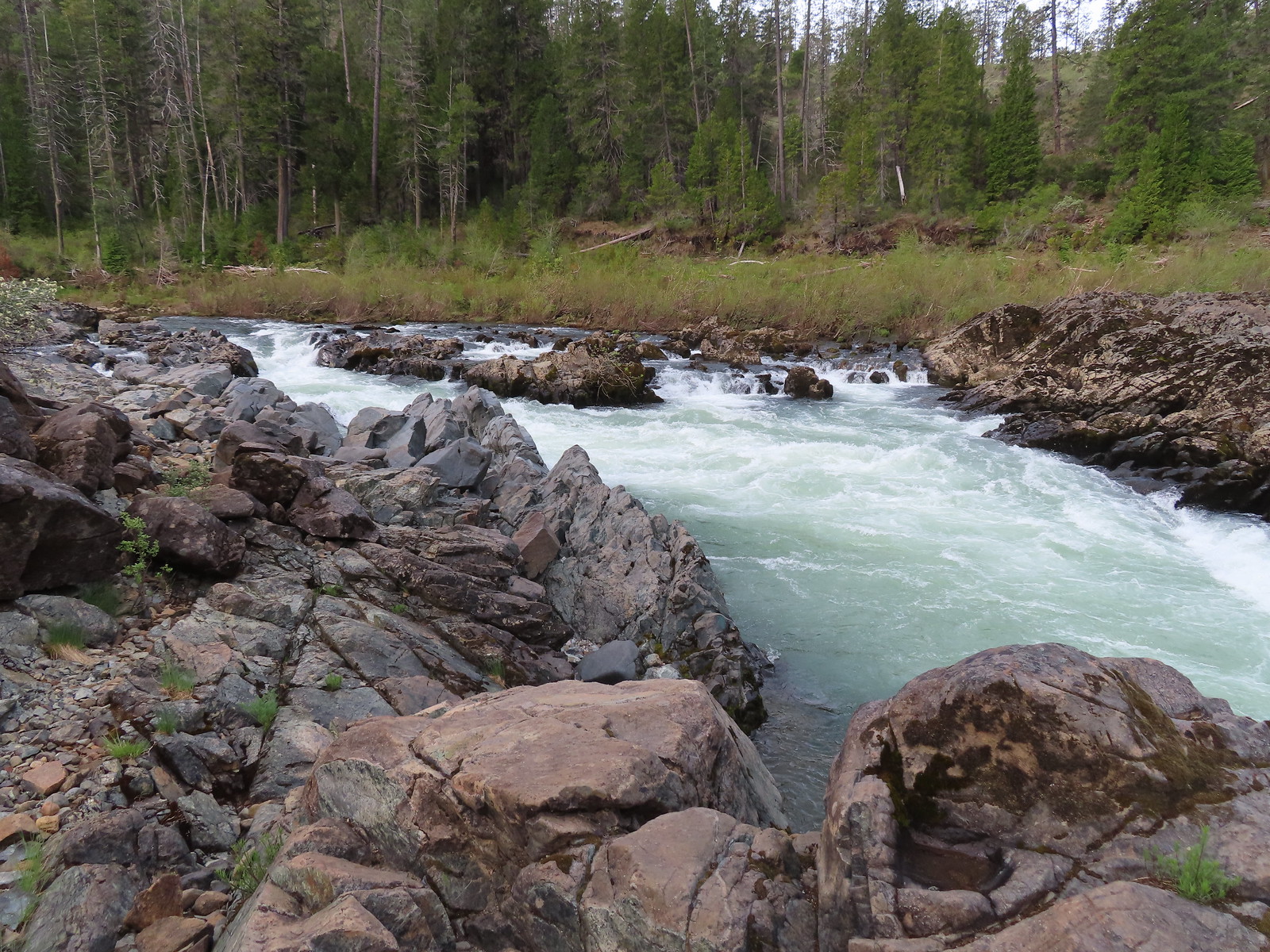
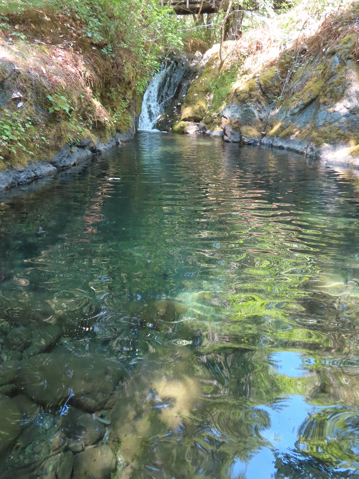
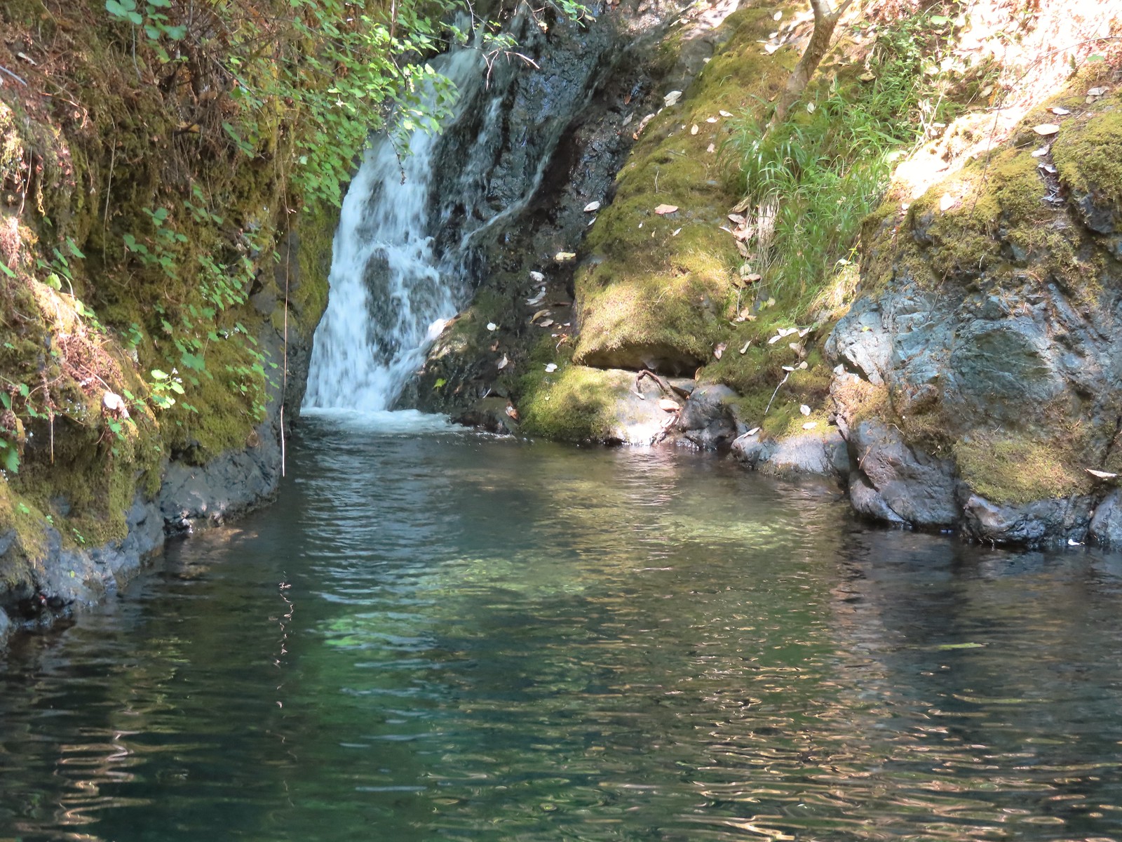
 Pool above the falls.
 Wildflowers above the trail.
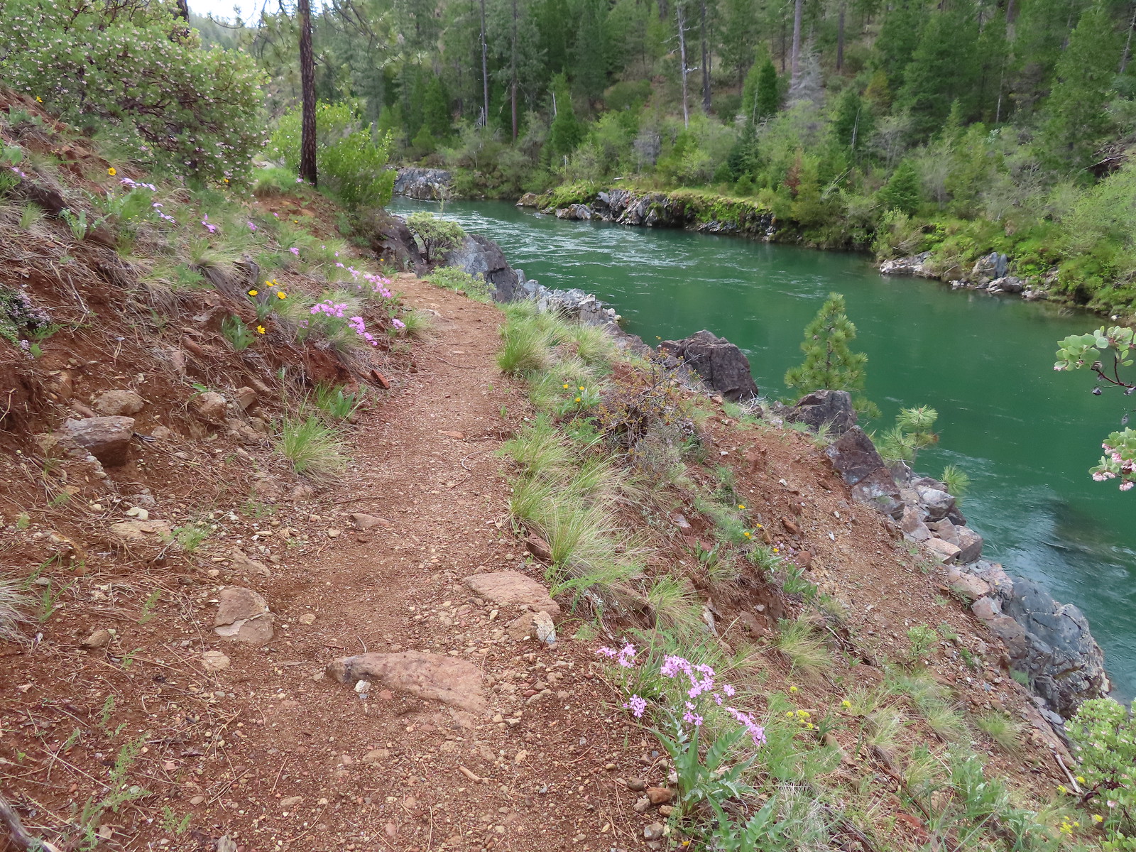

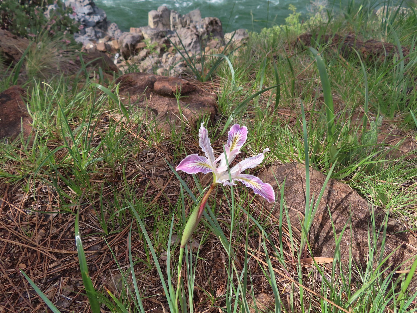 Interesting colors on this iris.
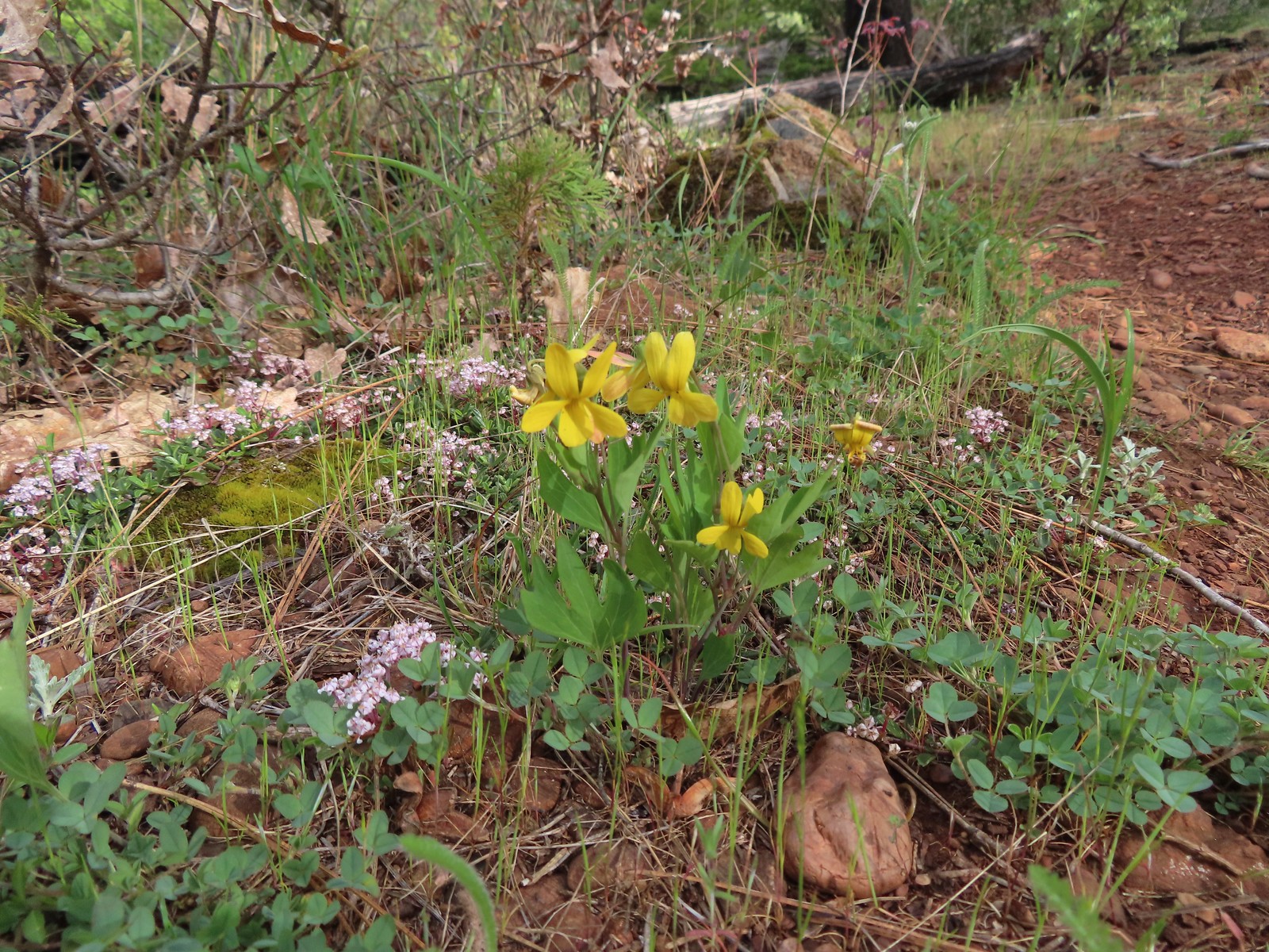 Pine violets

 Pearsoll Peak and Gold Basin Butte in the Kalmiopsis Wilderness.
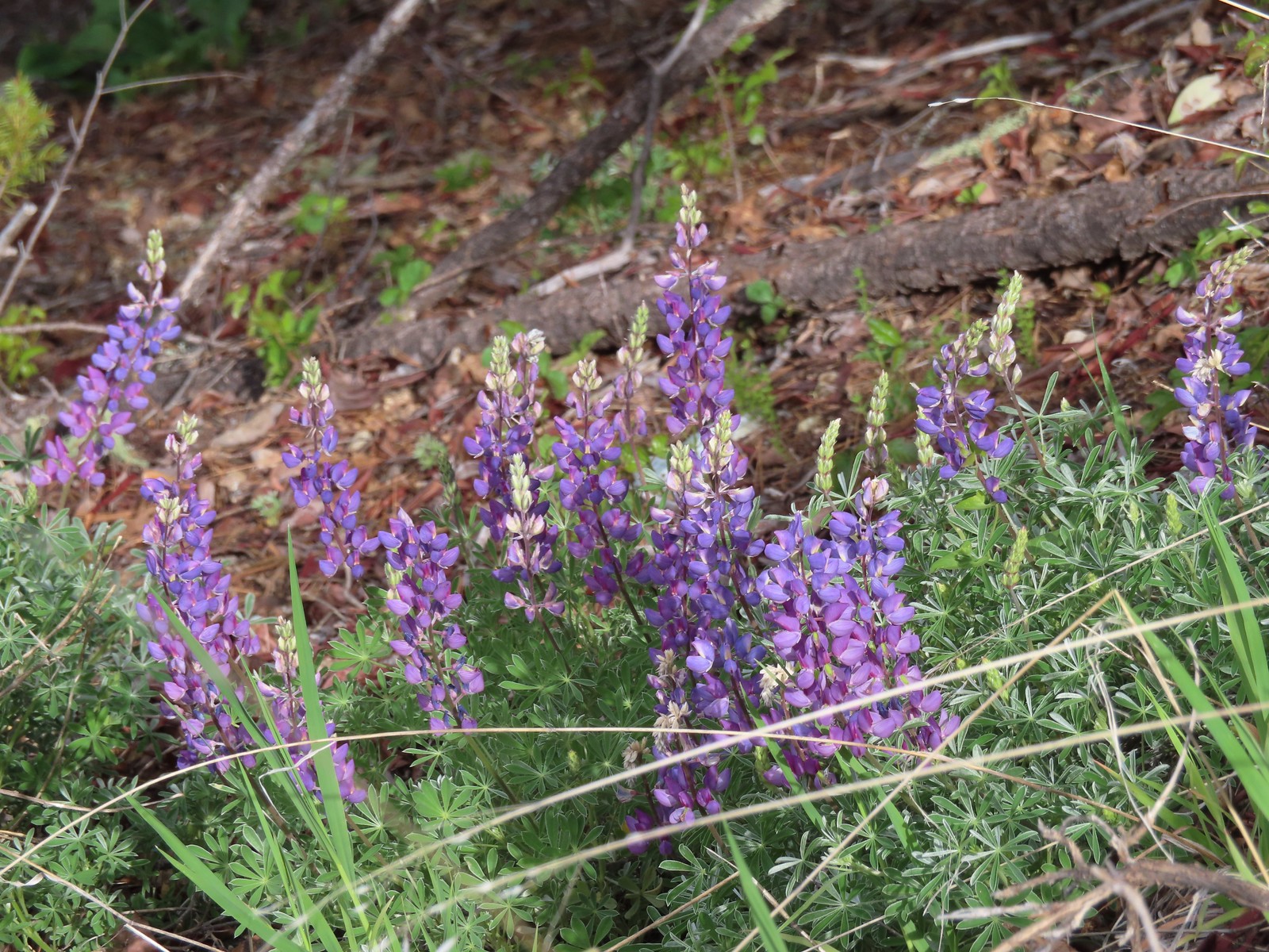 Lupine
 Plectritis
 This section was great.
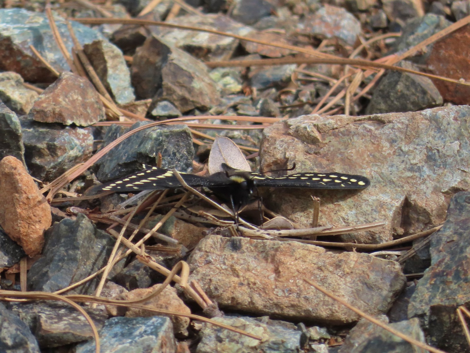 Swallowtail
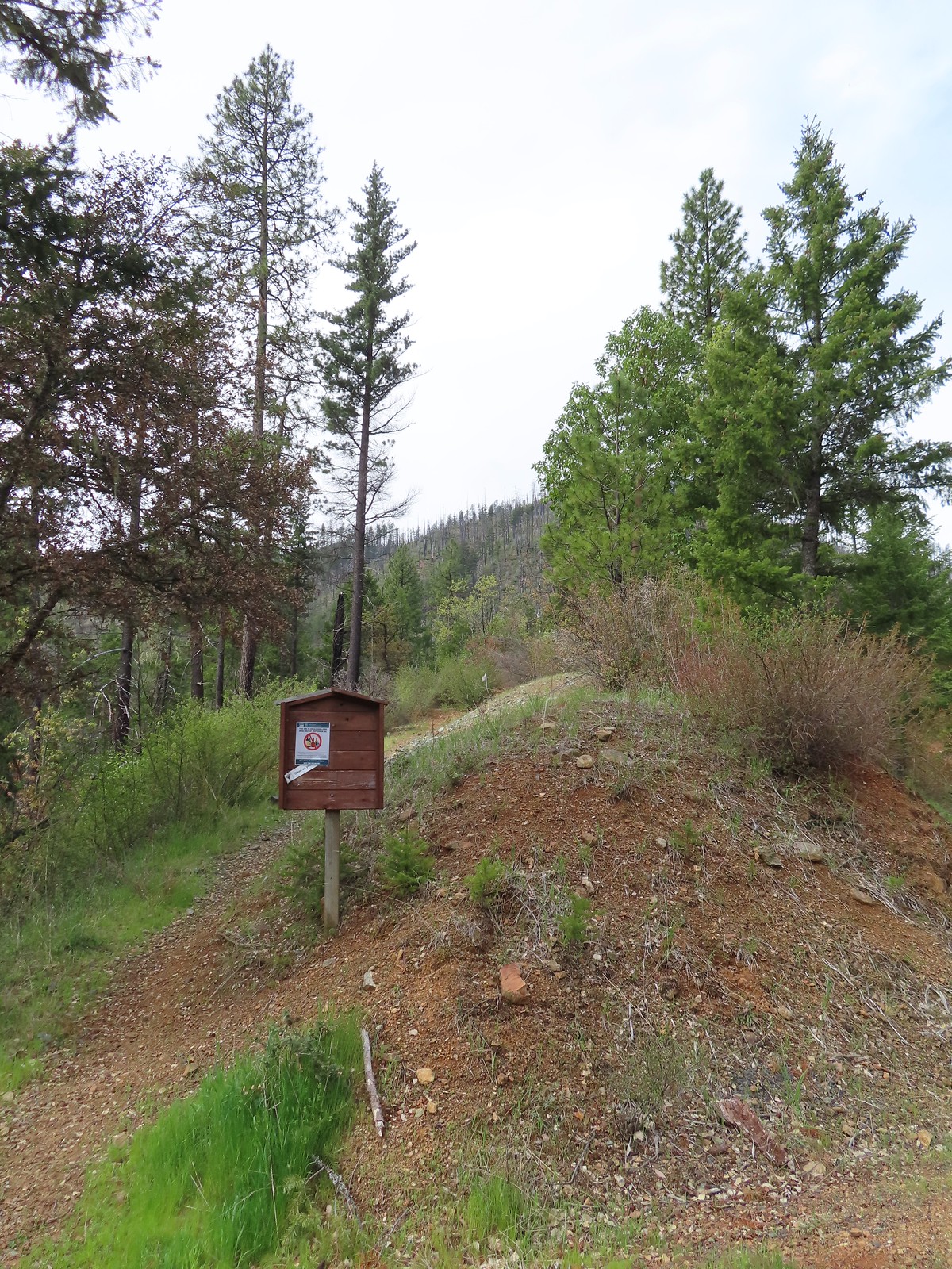
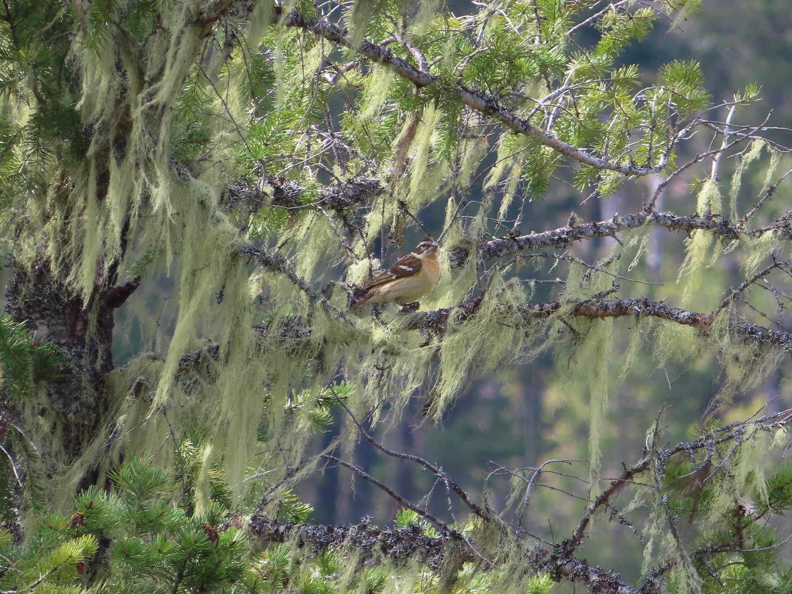 Female black-headed grosbeak
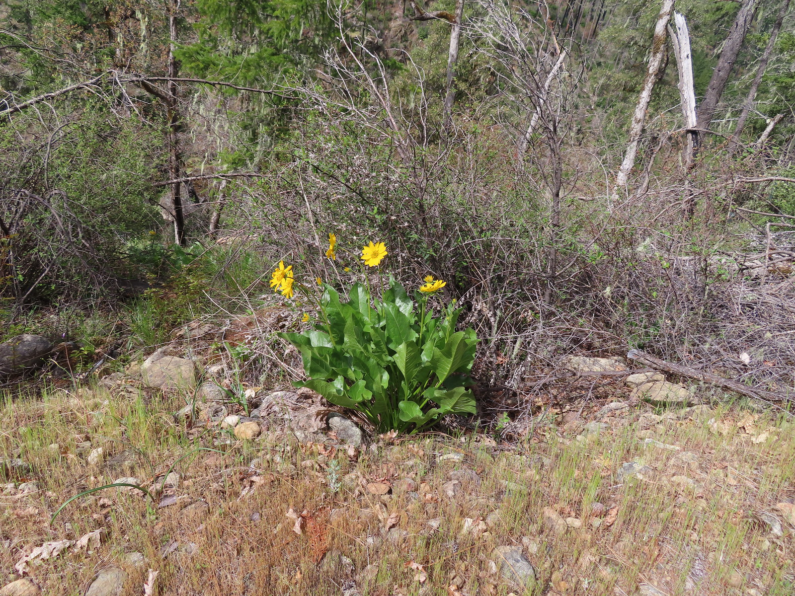 Balsamroot
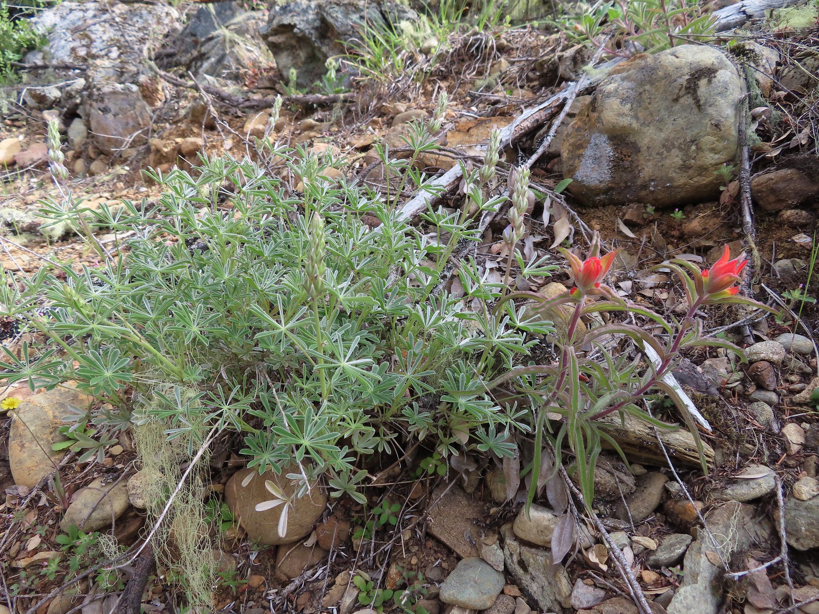 Paintbrush next to some yet-to-bloom lupine.
 The Illinois River below.
 Snailback Creek
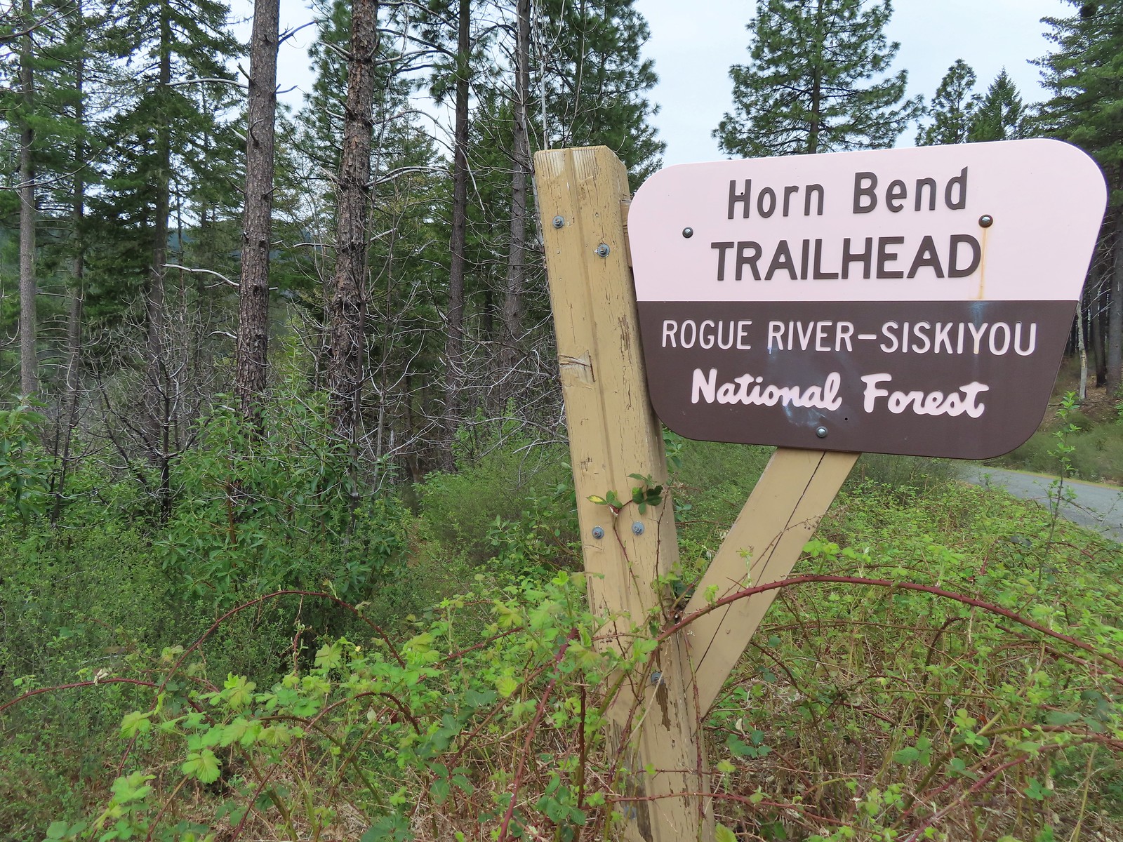 The “trail” is immediately to the left of the sign here. You can make out some of it further back through the bushes.
 After crashing through the initial brush the trail cleared for a moment.
 The clear trail didn’t last long.
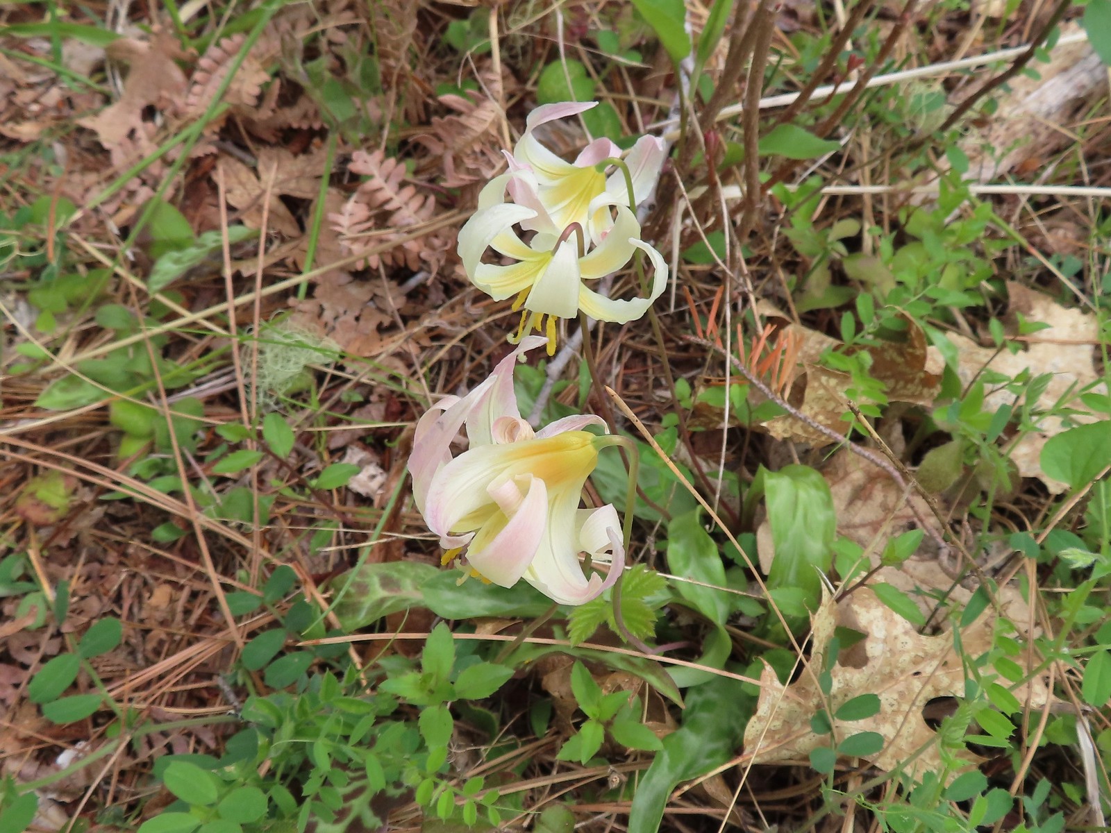 Fawn lilies
 The road sign in the distance was easier to see than the trail here.
 Dogwood blossoms
 The Fall Creek Trailhead to the left.
 The car bridge across the Illinois River to McCaleb Ranch. Technically we could have continued down to that bridge and crossed on it then turned left onto the Fall Creek Trail for a half mile to Illinois River Falls, but the closure order posted at the Fall Creek Trailhead was unclear. It stated that it was illegal to be “on a trail” not just on the suspension bridge itself. The Forest Service webpage seems to indicate that it is only the bridge that is closed until repaired. Either way we were just happy to see the bridge as that was the turnaround in Sullivan’s description.
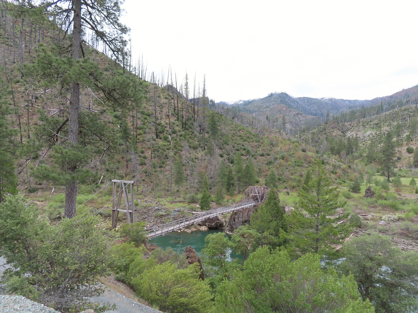
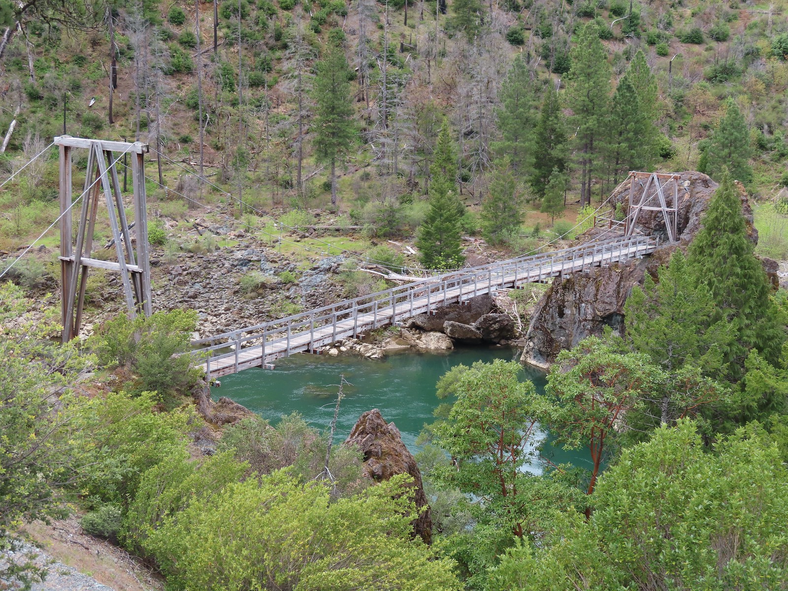
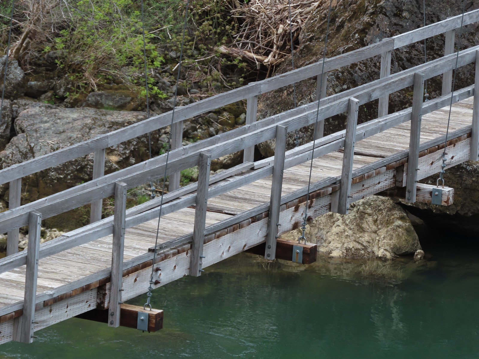 Assuming these are some of the needed repairs.
 The start of the road which the map lists as Forest Road 011.
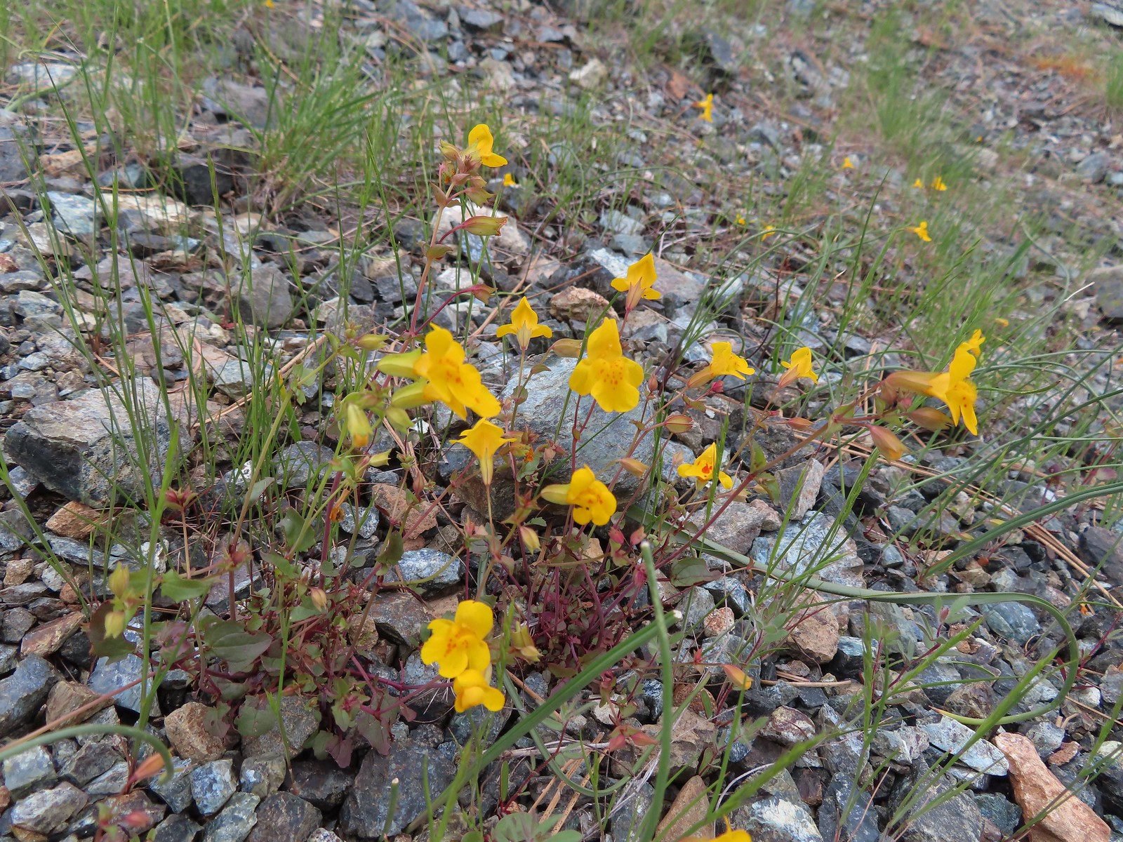 Monkeyflower
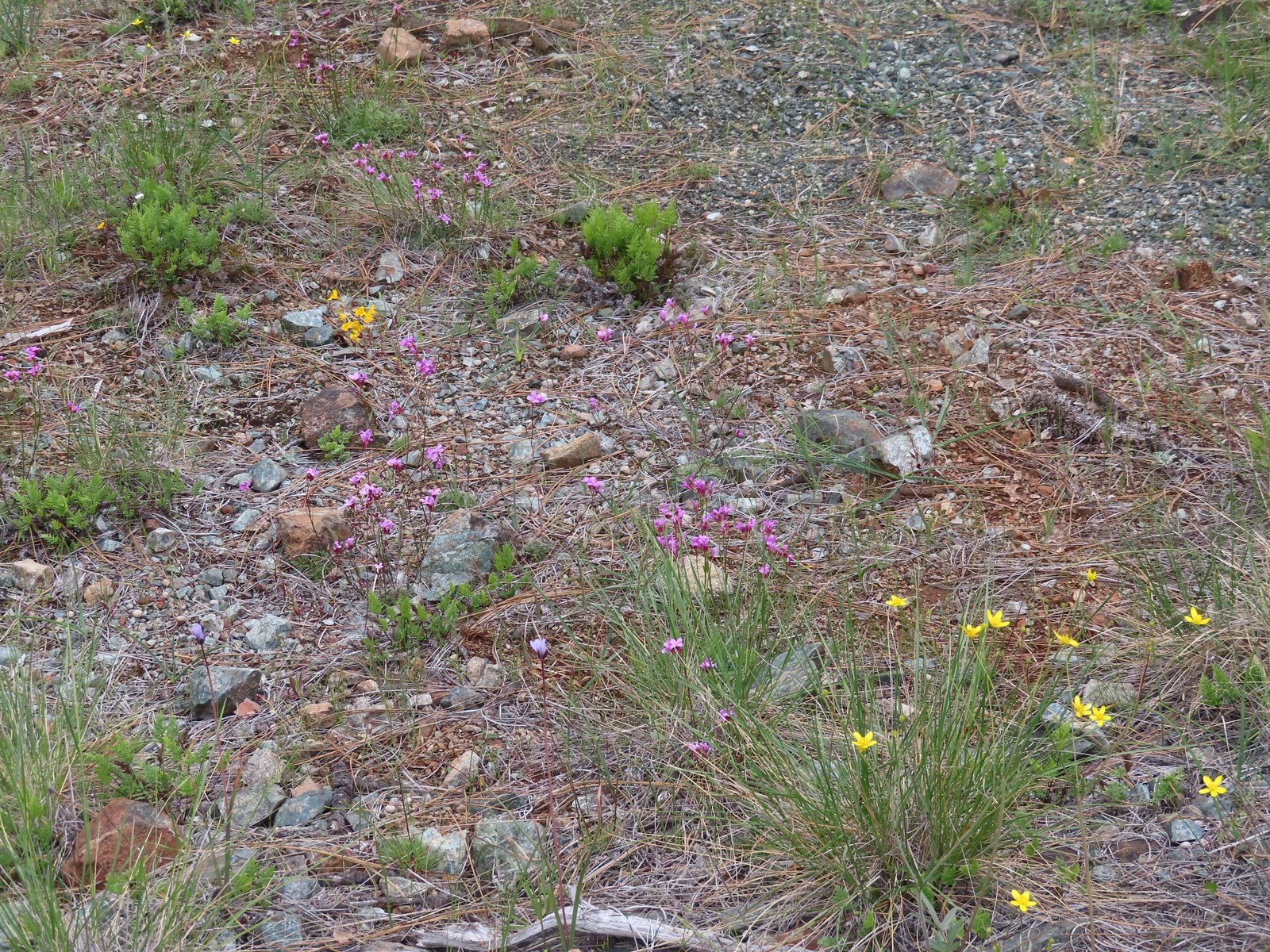 Oregon rockcress and buttercups
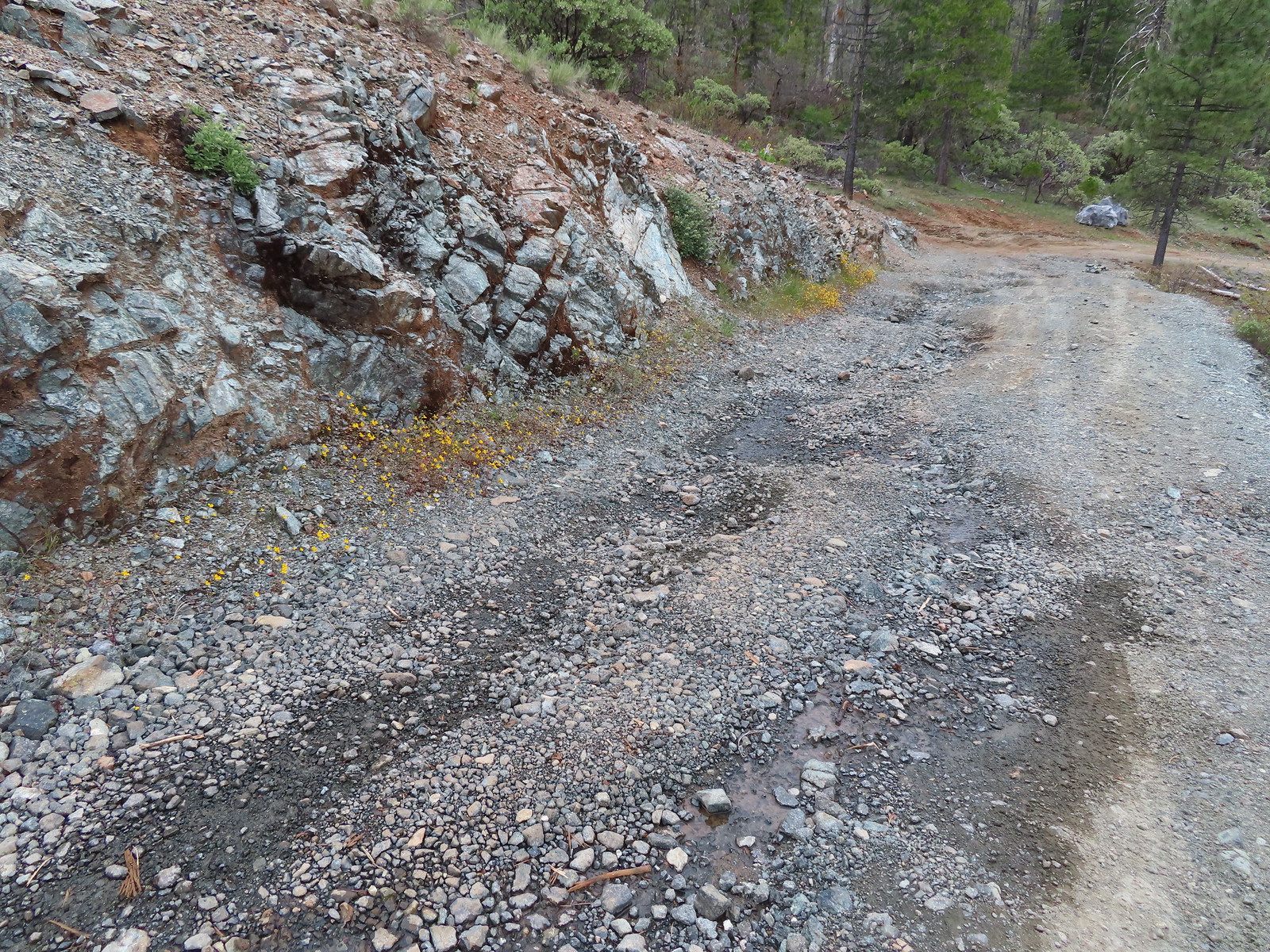
 Balsamroot and Oregon rockcress
 Alpine? pennycress. There was a lot of this along the road, the first we’d seen of it this trip.
 Star Flat. It was obvious from the tire marks which extended into the vegetation in places that yahoos like to come here and tear things up (sigh).
 Duskywing
 There was a fence around the bog at Star Flat which hosts more California darlingtonia.
 Plectritis
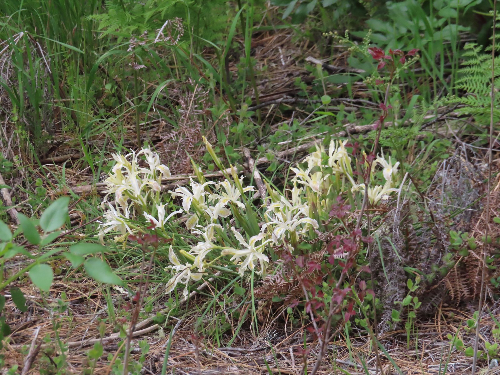 Iris
Iris Darlingtonia
 Deer Creek
 Showy phlox and paintbrush
 Checker lily

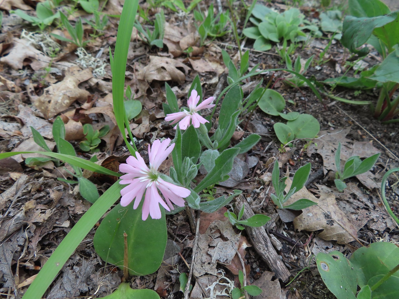
 Hairy pink
 Plectritis along the trail.
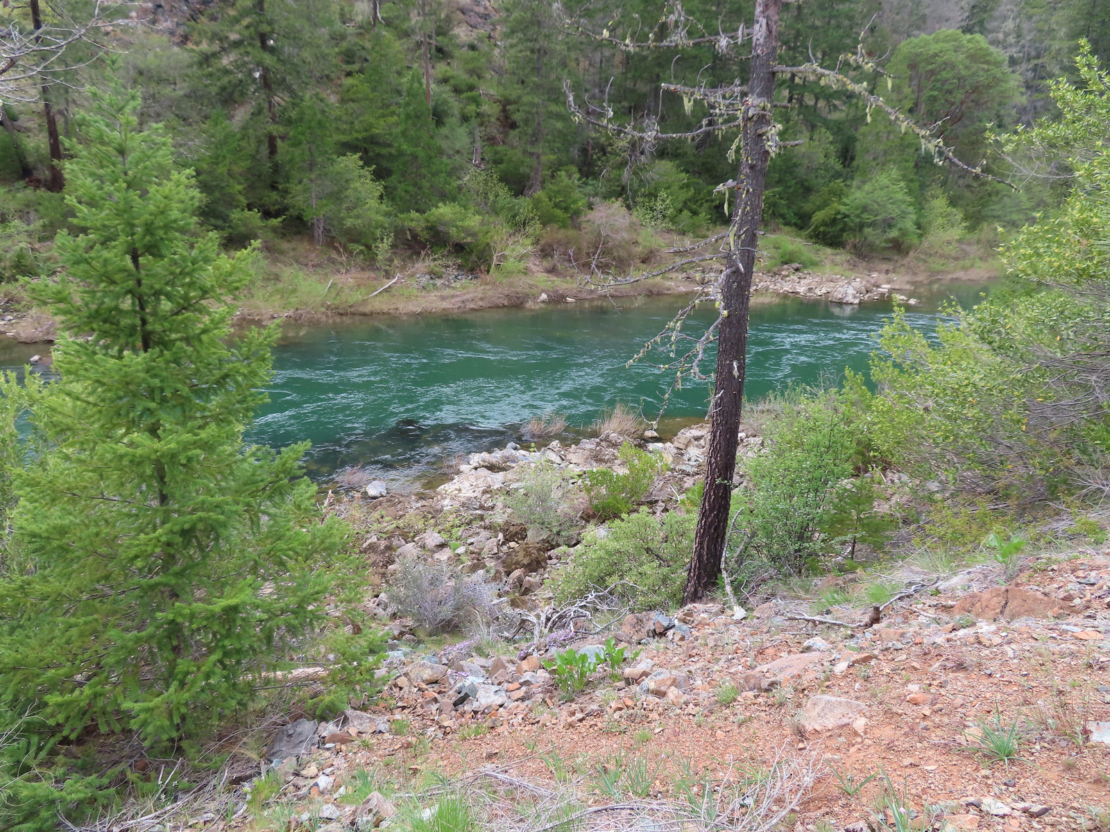 Illinois River
 Star flower
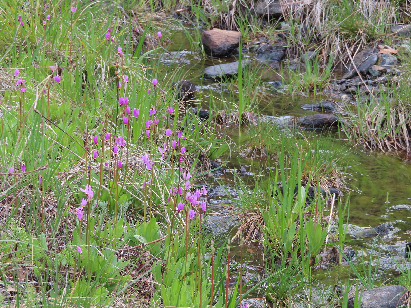 Shooting stars along the creek leading to the bog in Star Flat.
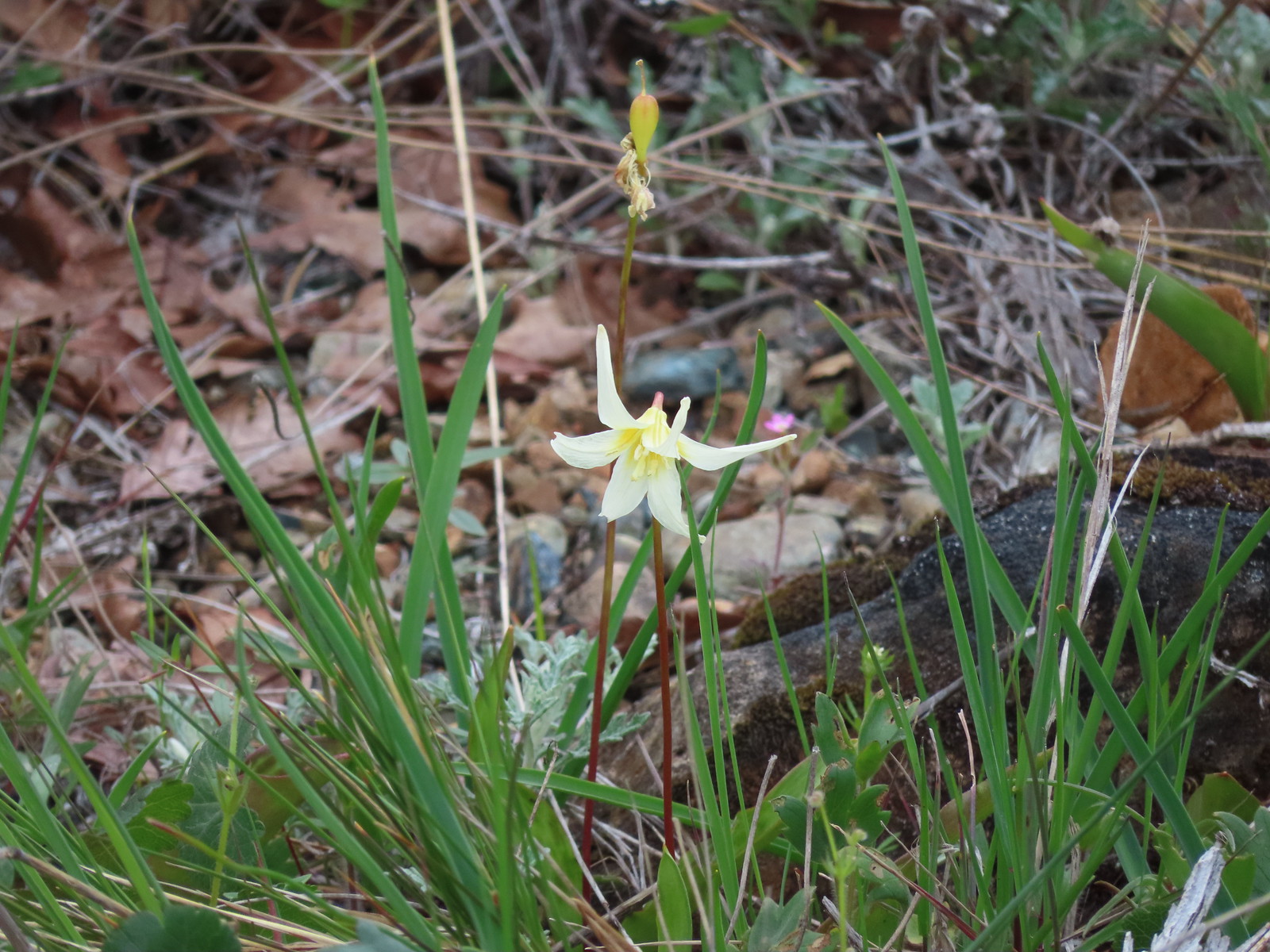 Fawn lily
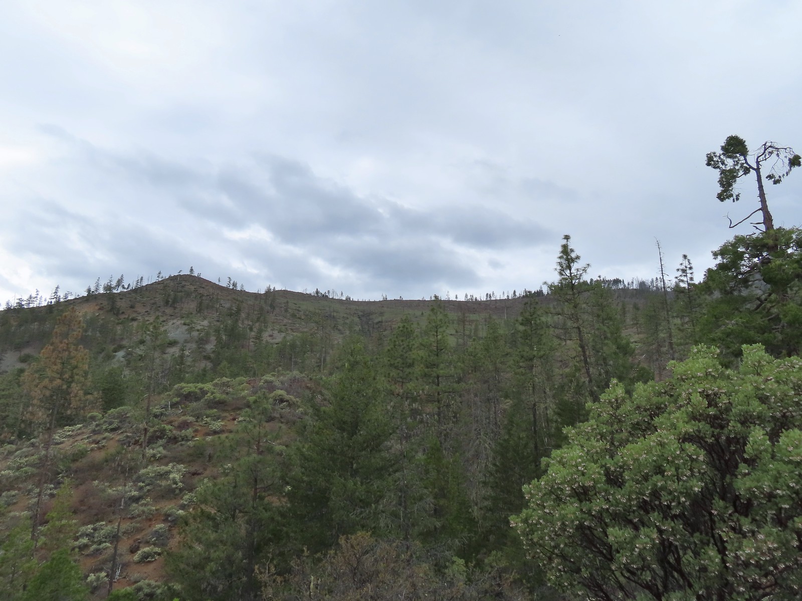


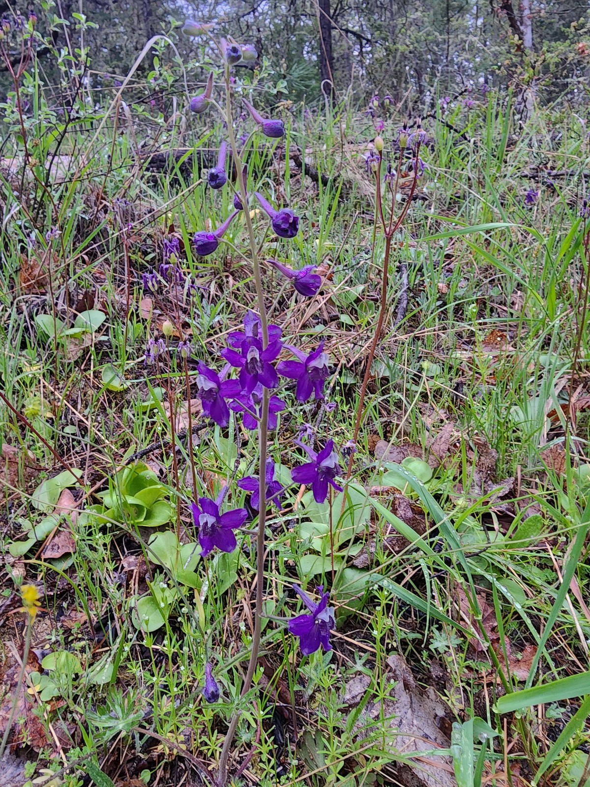
 Larkspur along the trail.
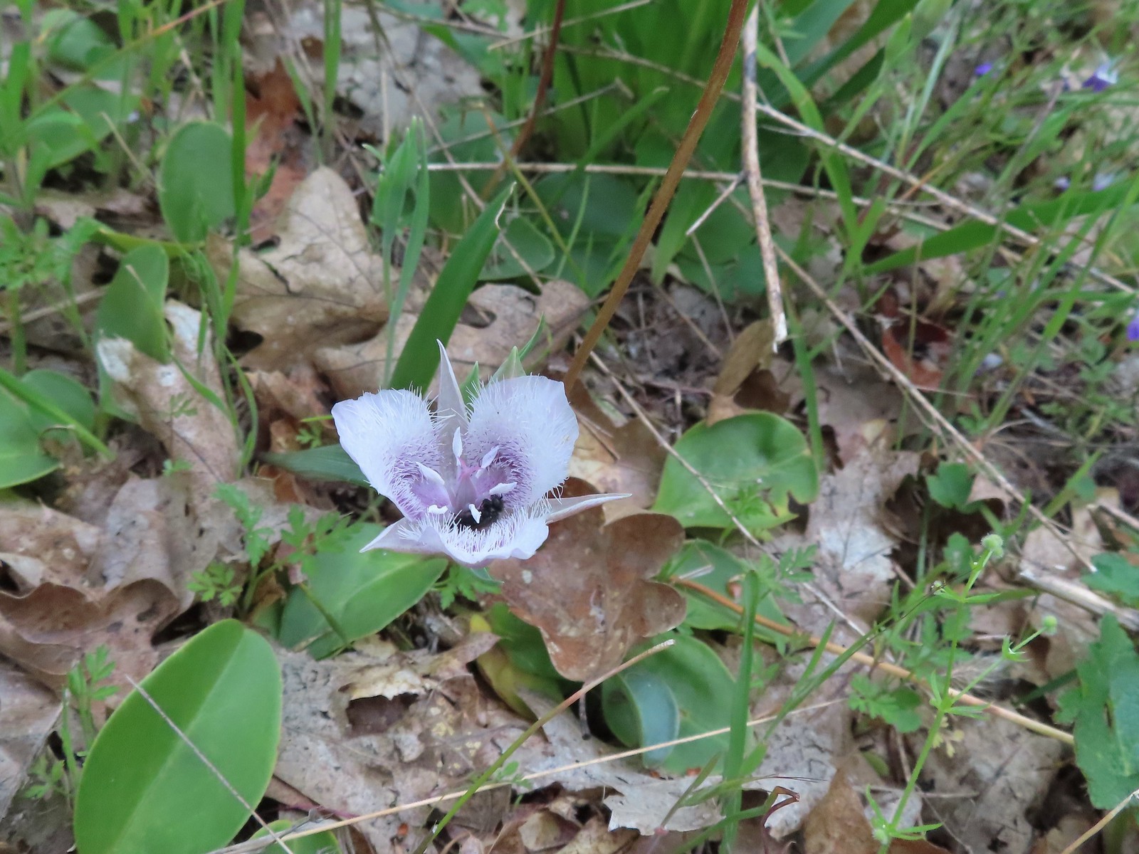 A pollinator in a Tolmie’s mariposa lily.
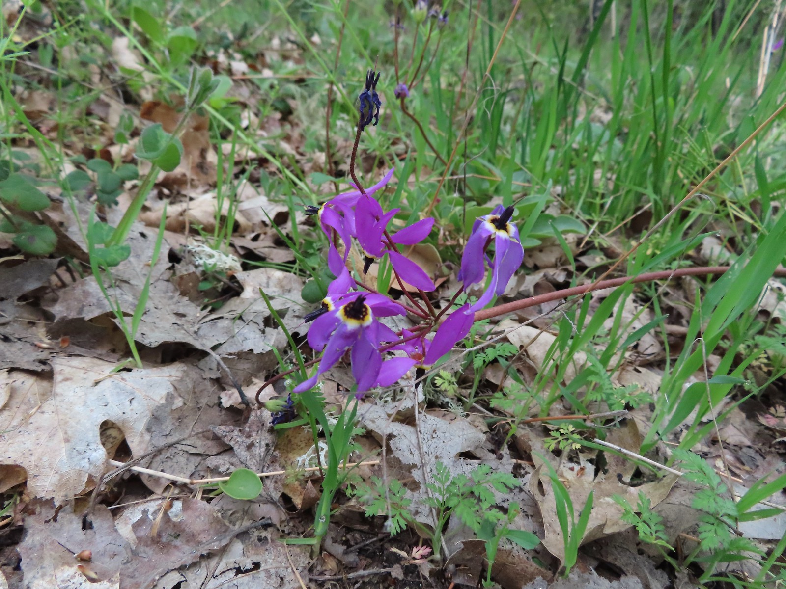 Shooting star
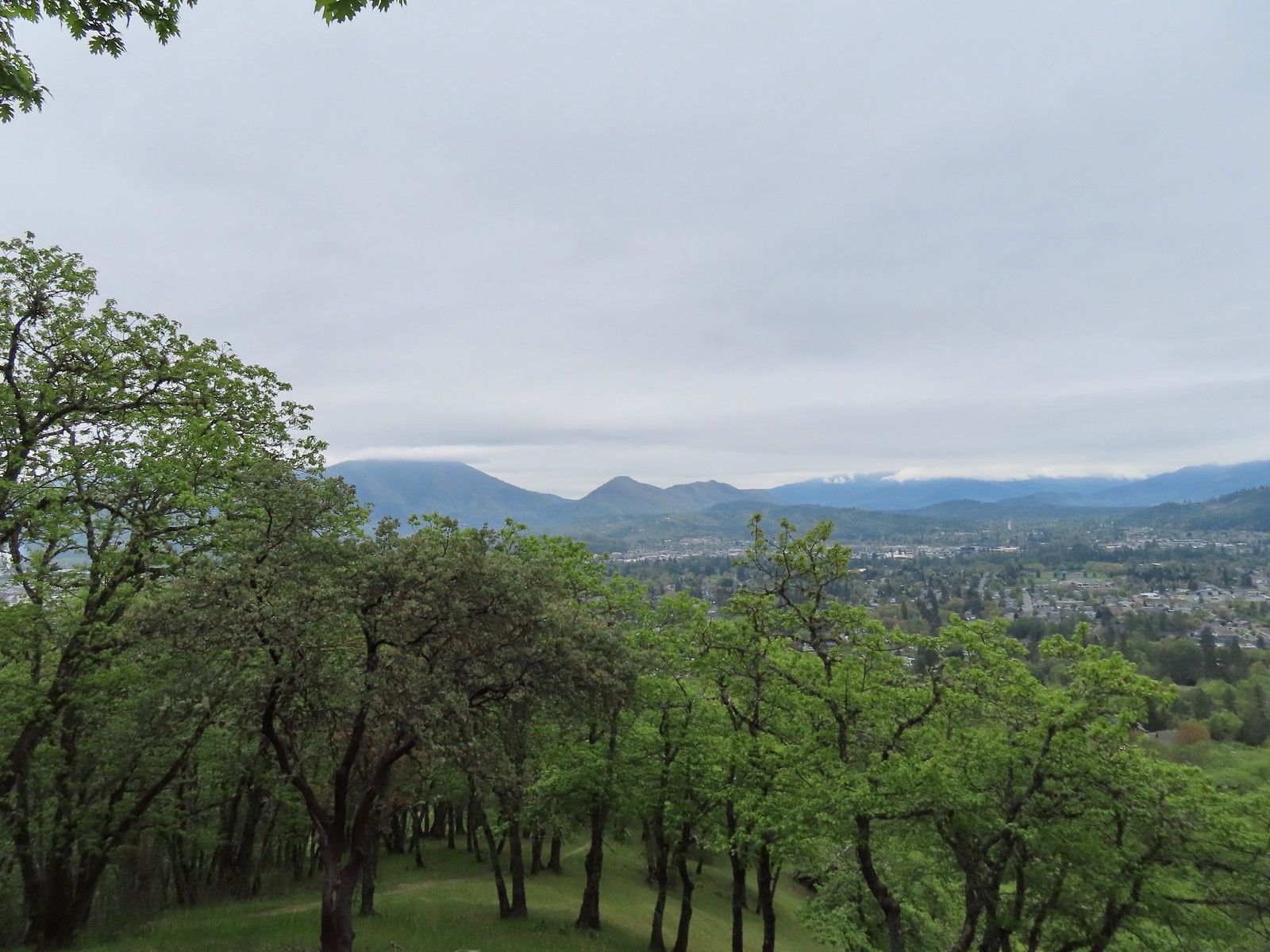 Grants Pass below Dollar Mountain.
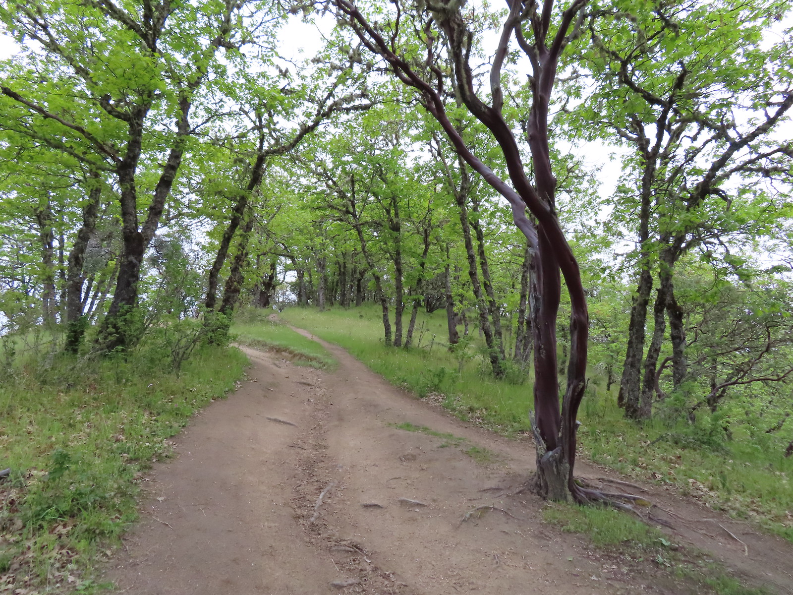
 Hooker’s Indian pink
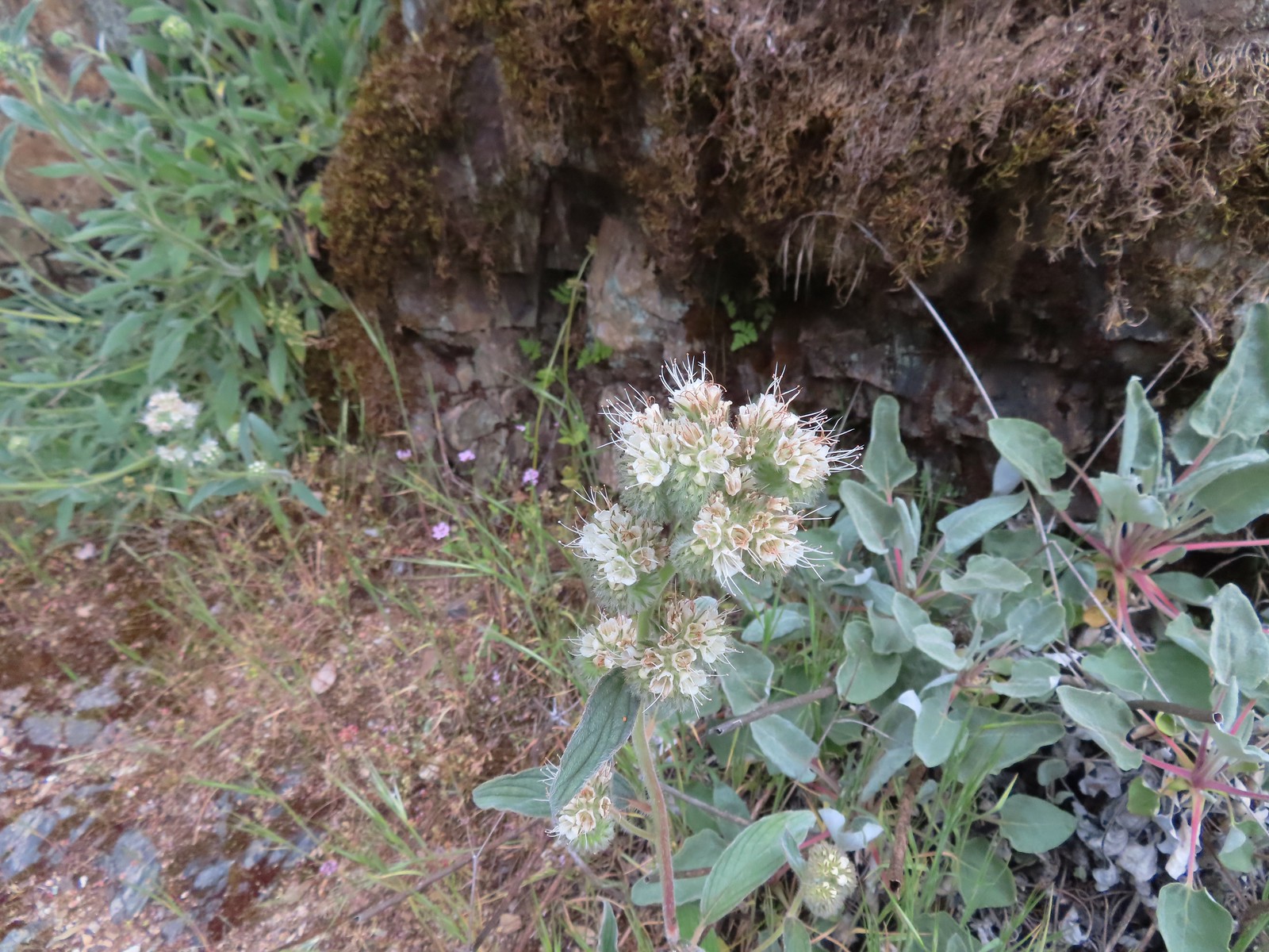
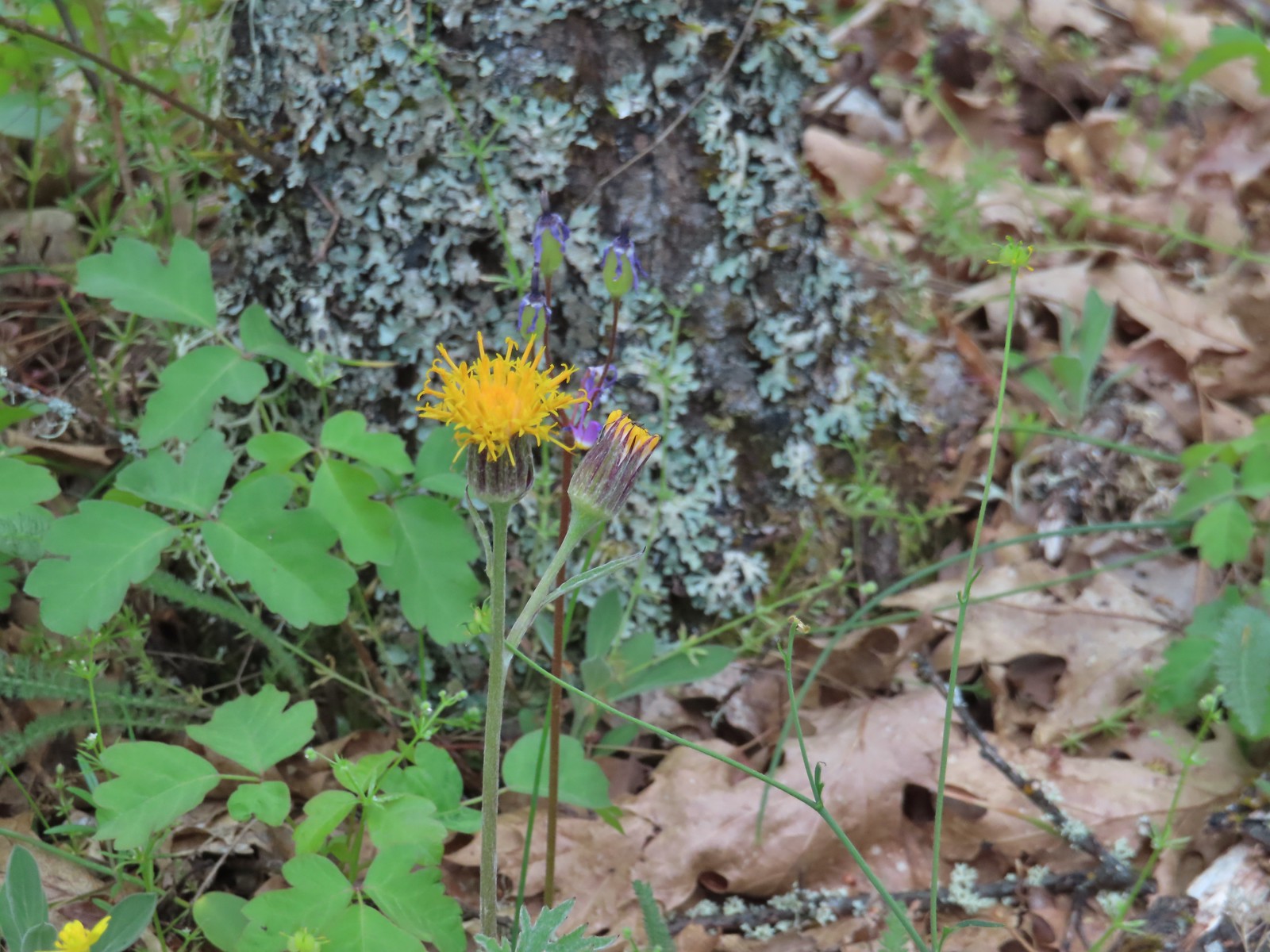 Silver crown
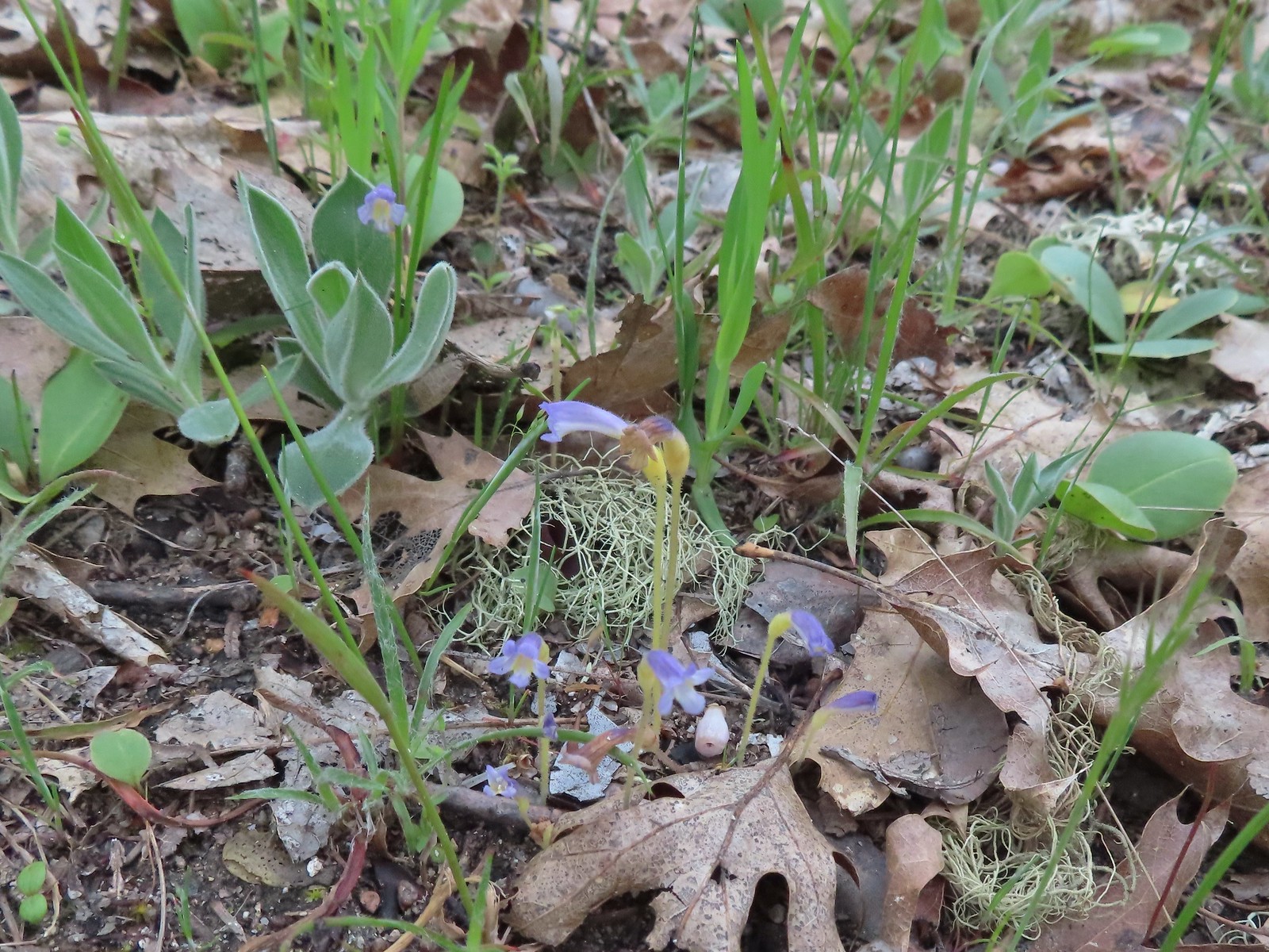 Naked broomrape
 Too cloudy for a good view.
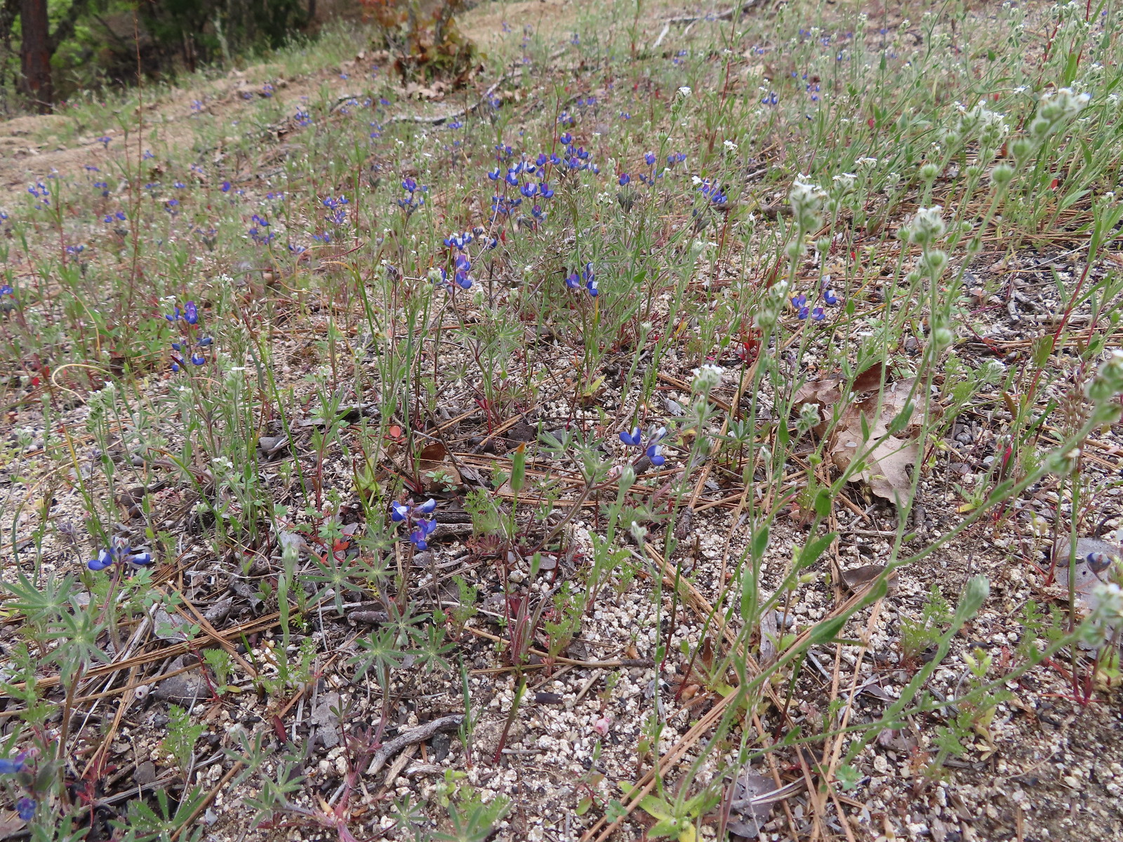 Lupine
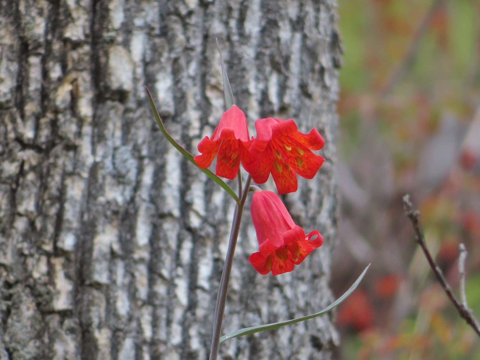
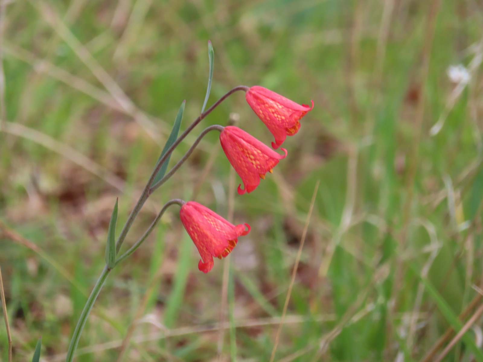 Scarlet fritillary
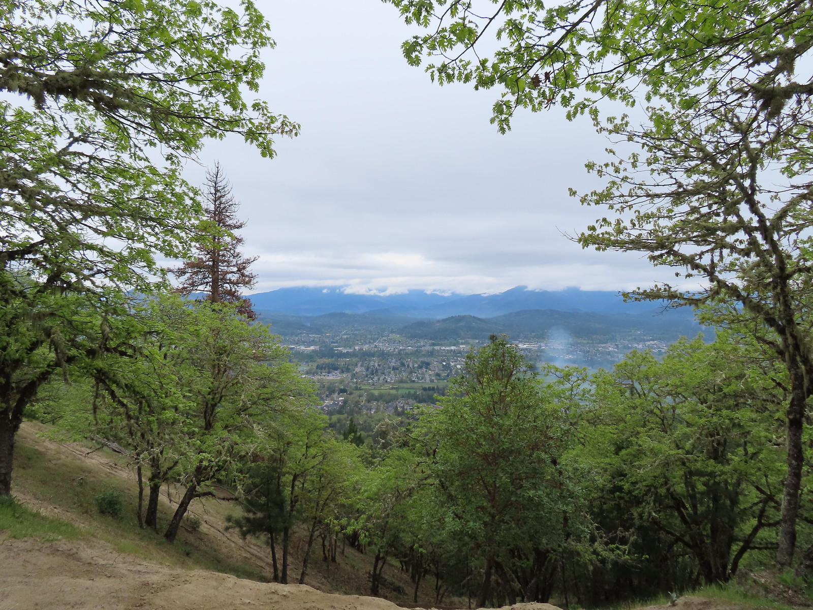 View from the summit.
 We stuck to the road ignoring any side paths like this one since we had no idea where they might lead.
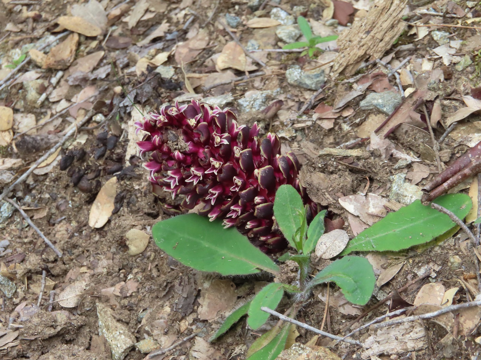
 There were dozens of California groundcones along the roadbed.
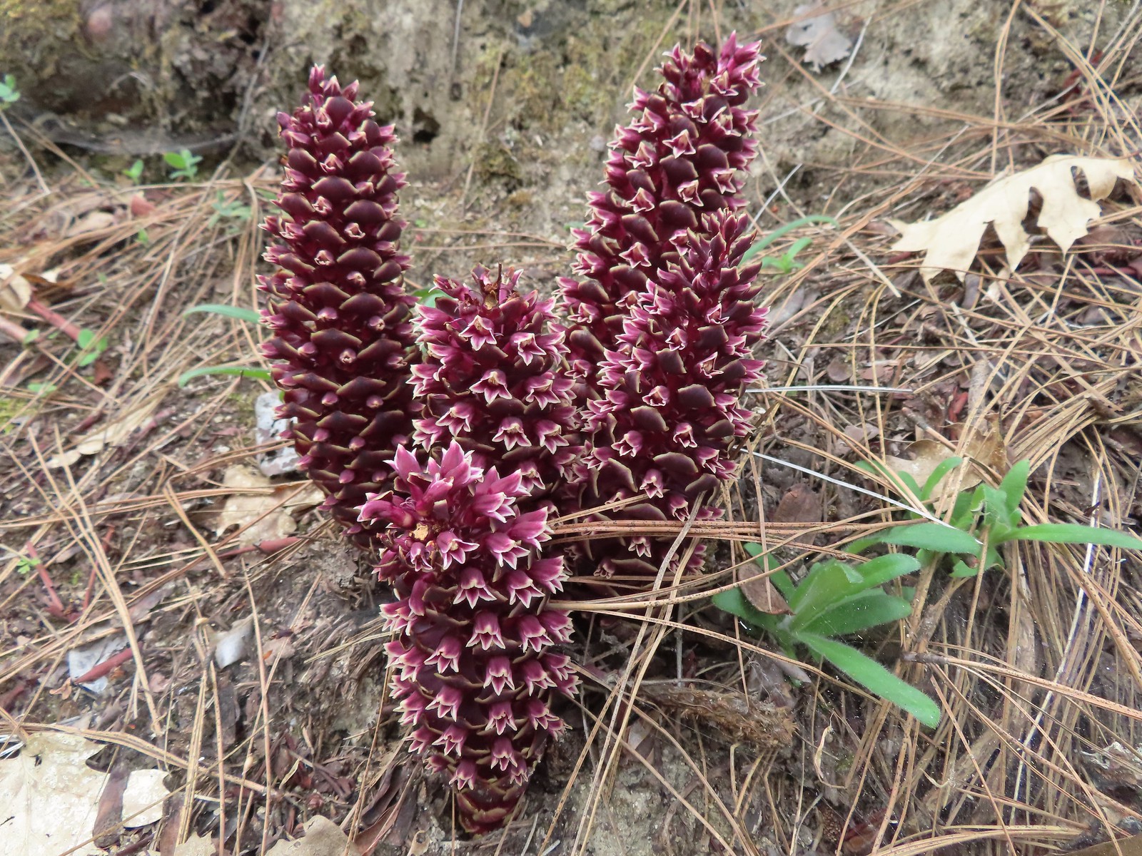 California groundcones
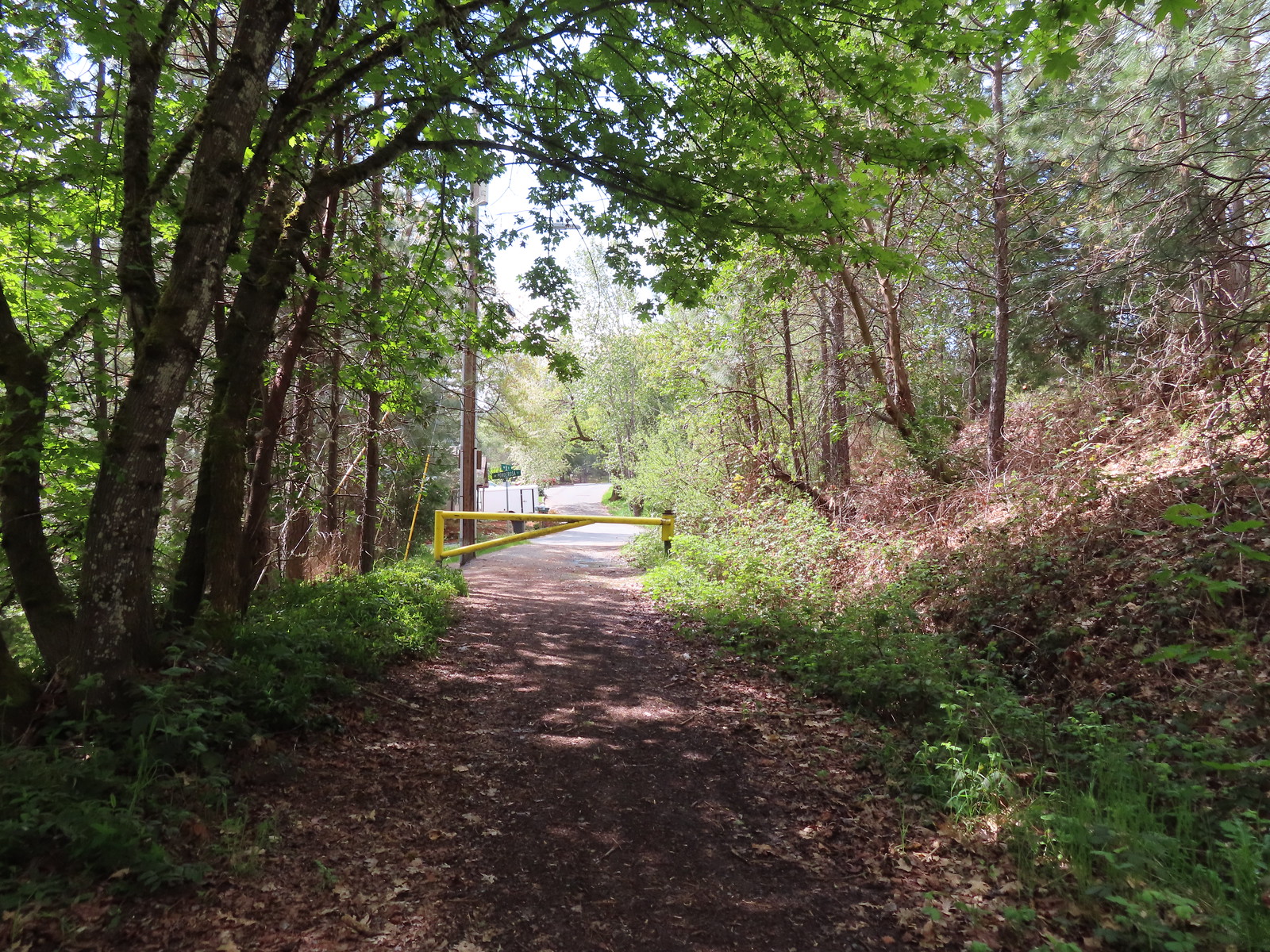 Approaching Crescent Street.
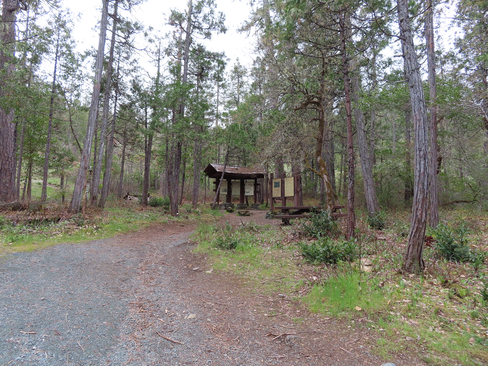
 Monkeyflower
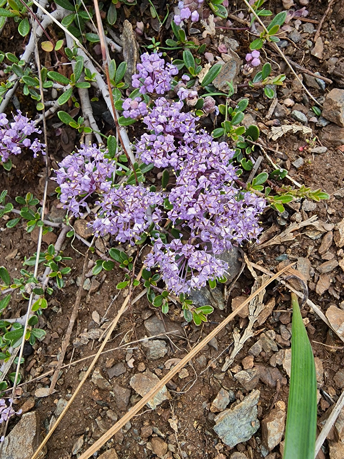 Dwarf ceanothus
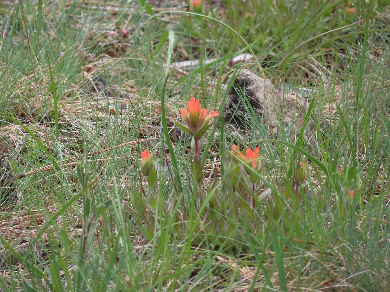 Paintbrush
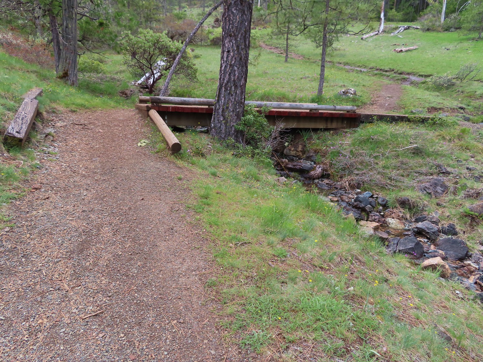
 Camas and shooting stars
 Siskiyou fritillary
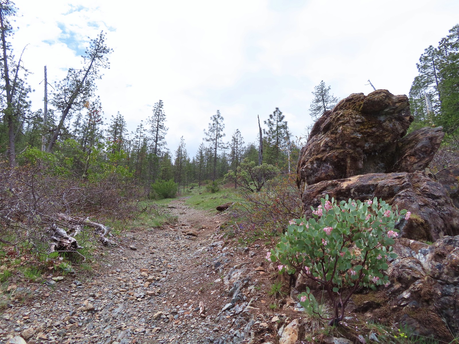
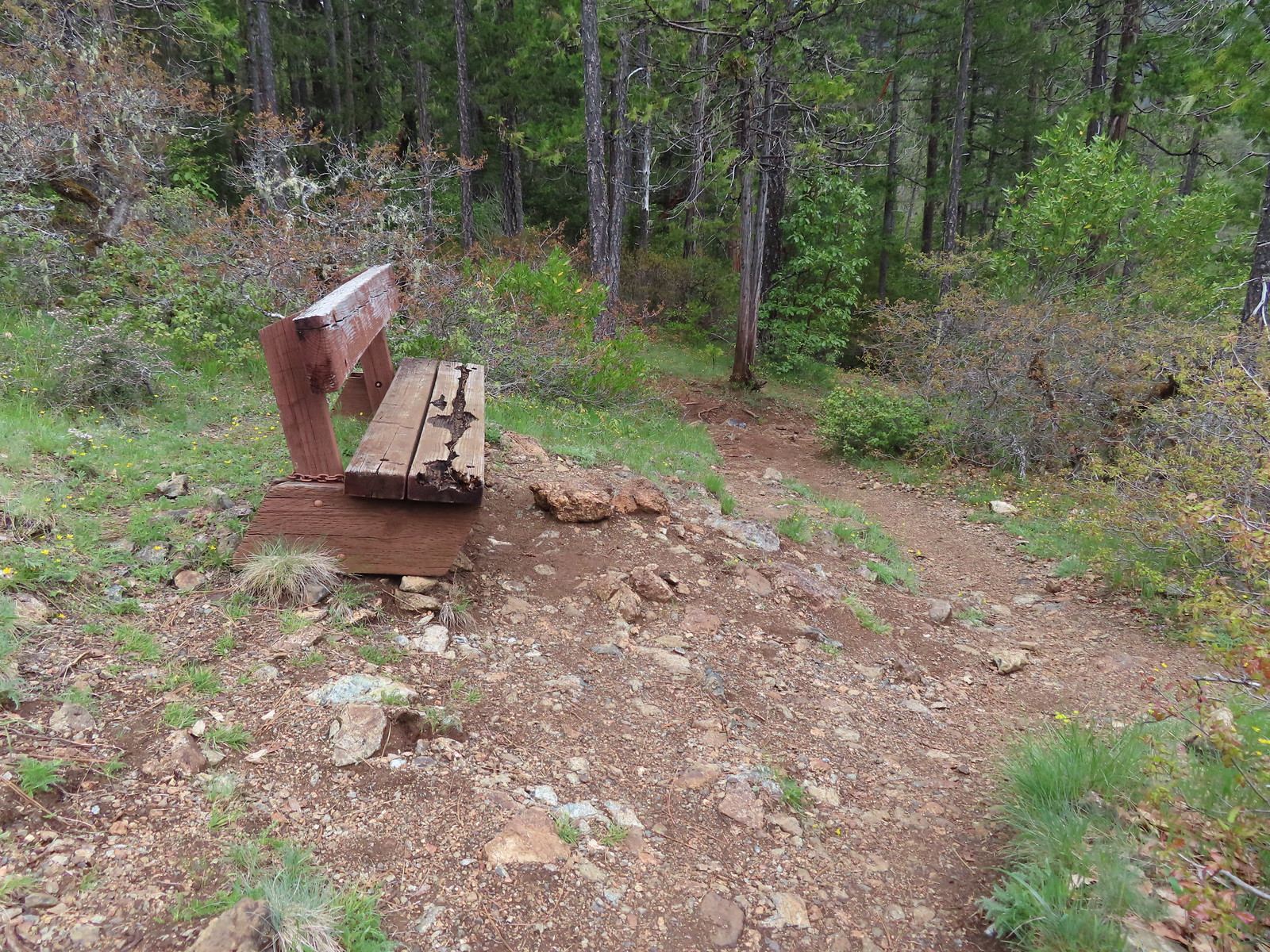 Passing the bench.
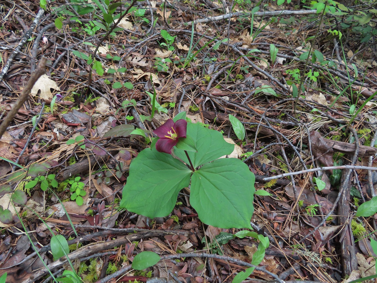 Trillium
 Fairy slippers
 Boardwalk #1
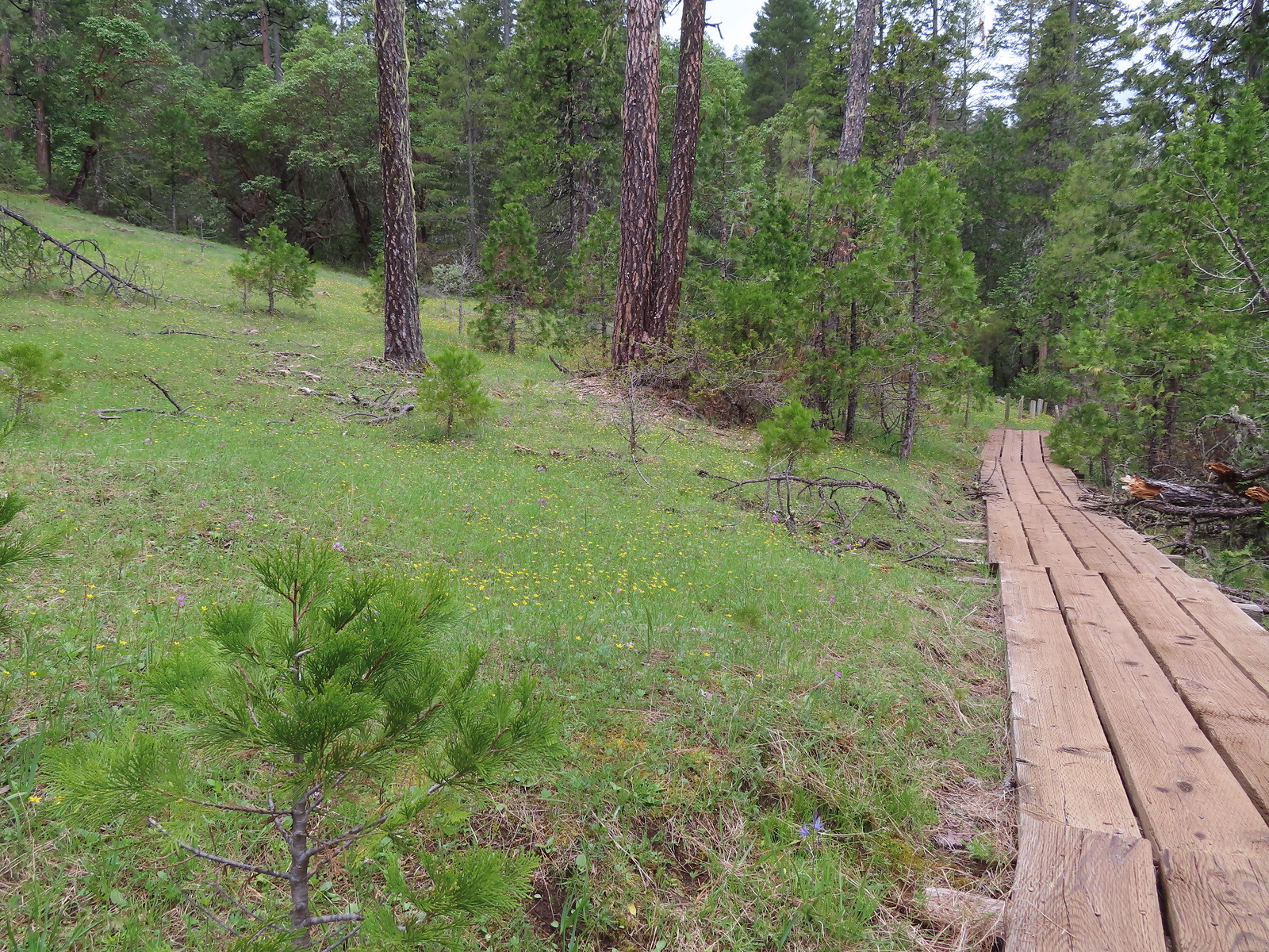 Second boardwalk
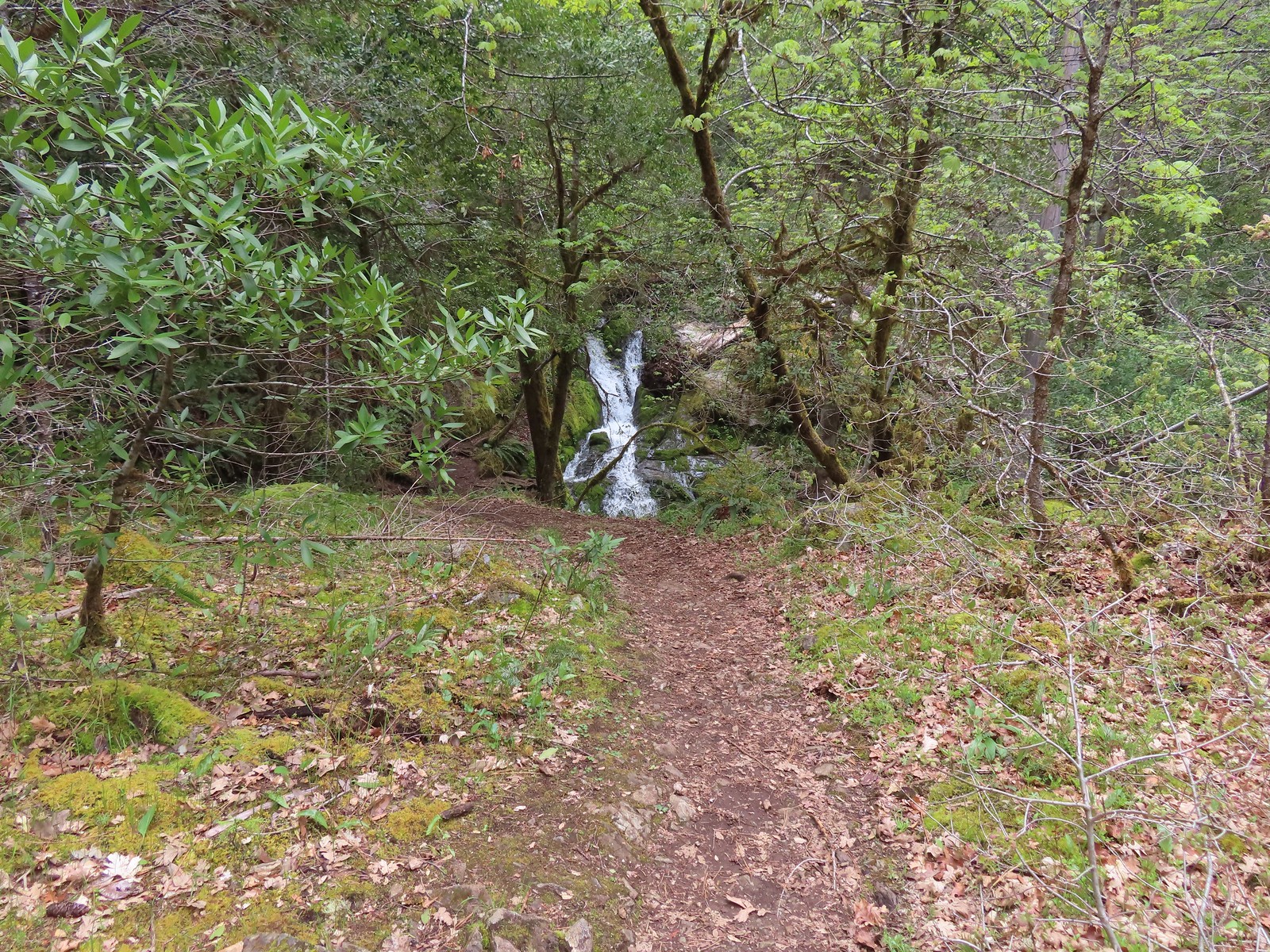
 Waterfall on Limpy Creek.
 Limpy Creek
 Arriving at the second creek.
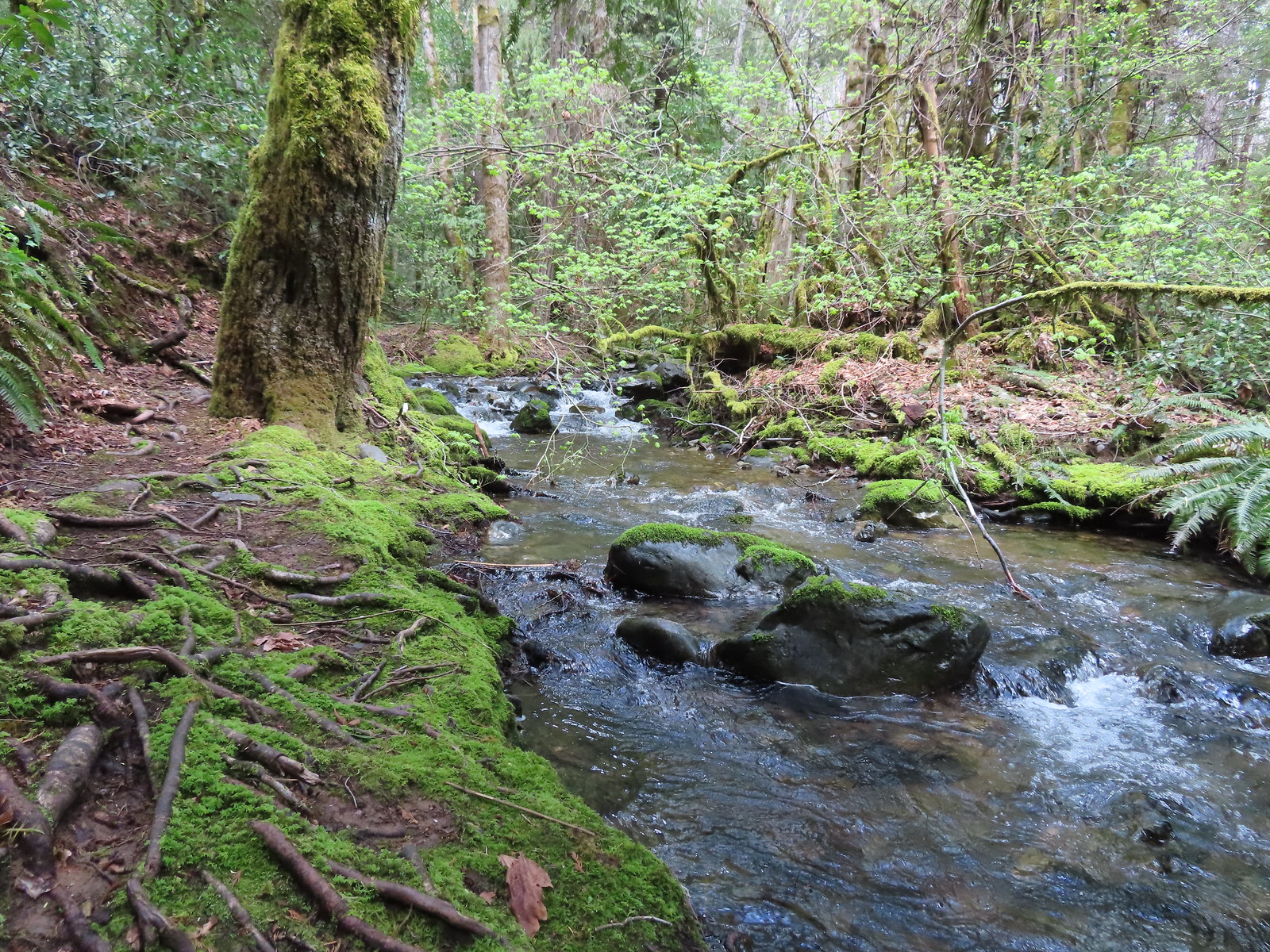 Unnamed creek
 Mushrooms
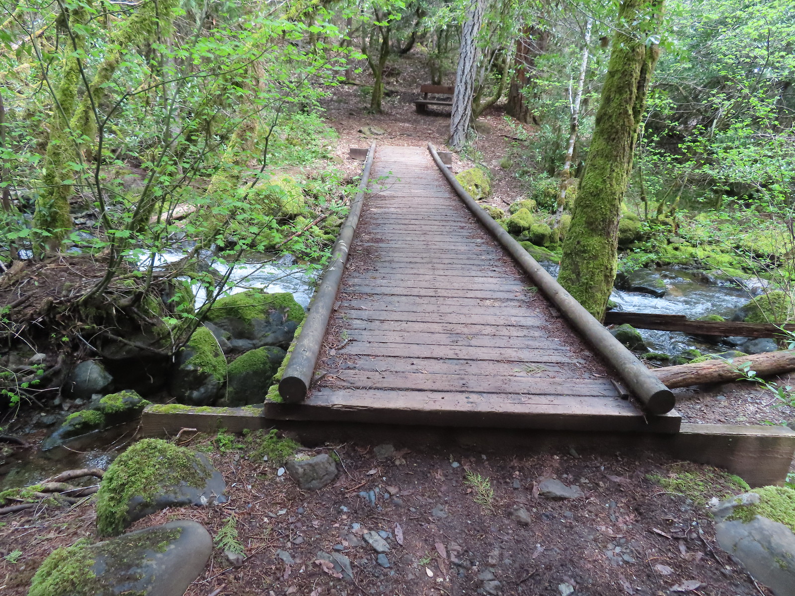 Final crossing of Limpy Creek.
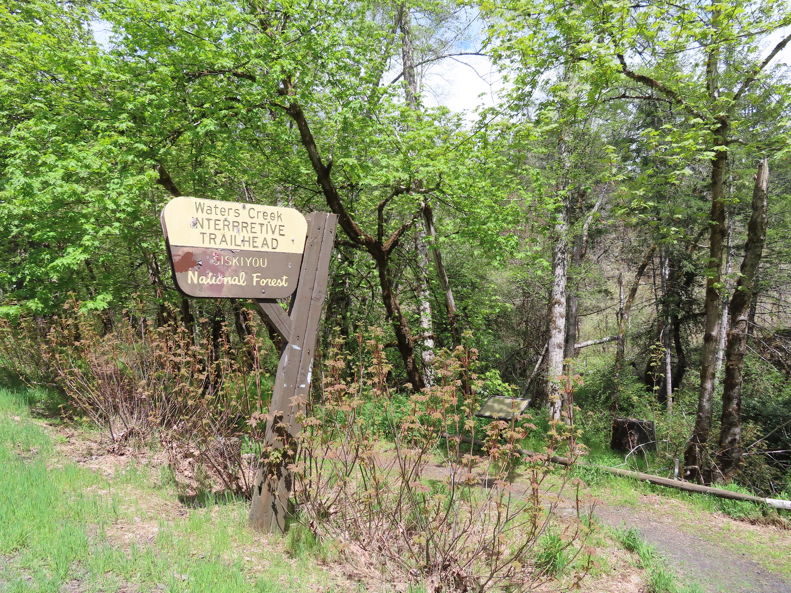

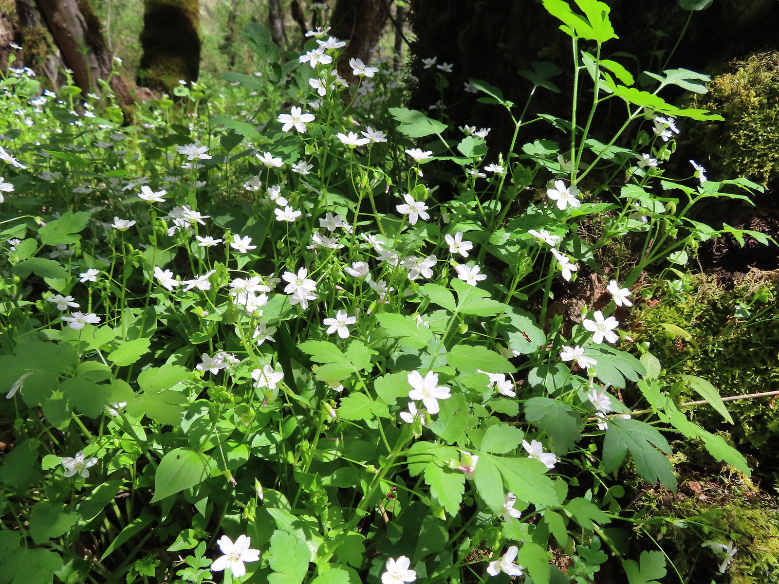 Candyflower
 Waters Creek
 A phacelia
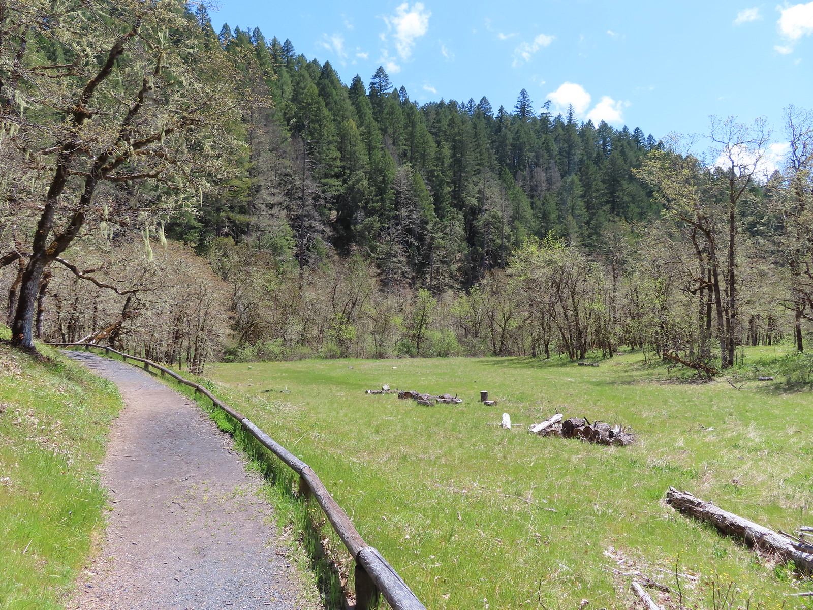
 The start/end of the loops with the bridge being our return route.
 Staying left.
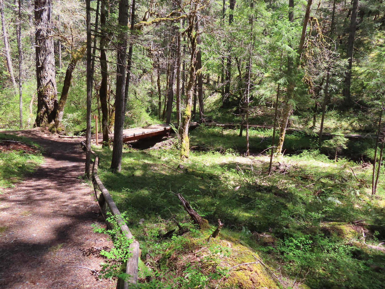 This was the barrier free loop splitting off and heading back across an unnamed creek.
 Sign announcing the hiker only extended loop.
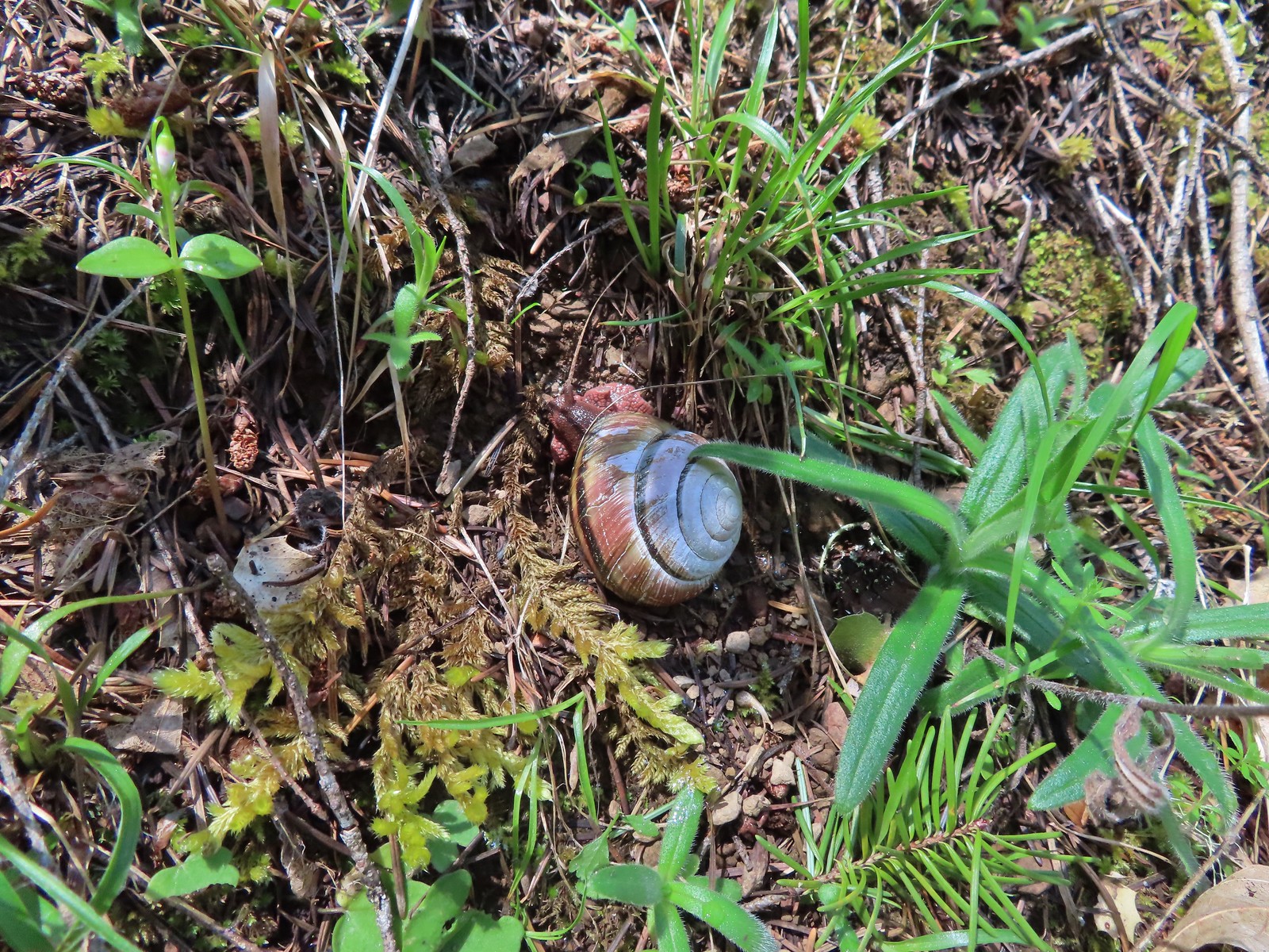 Snail
Snail The first vanilla leaf we’ve seen blooming this year.
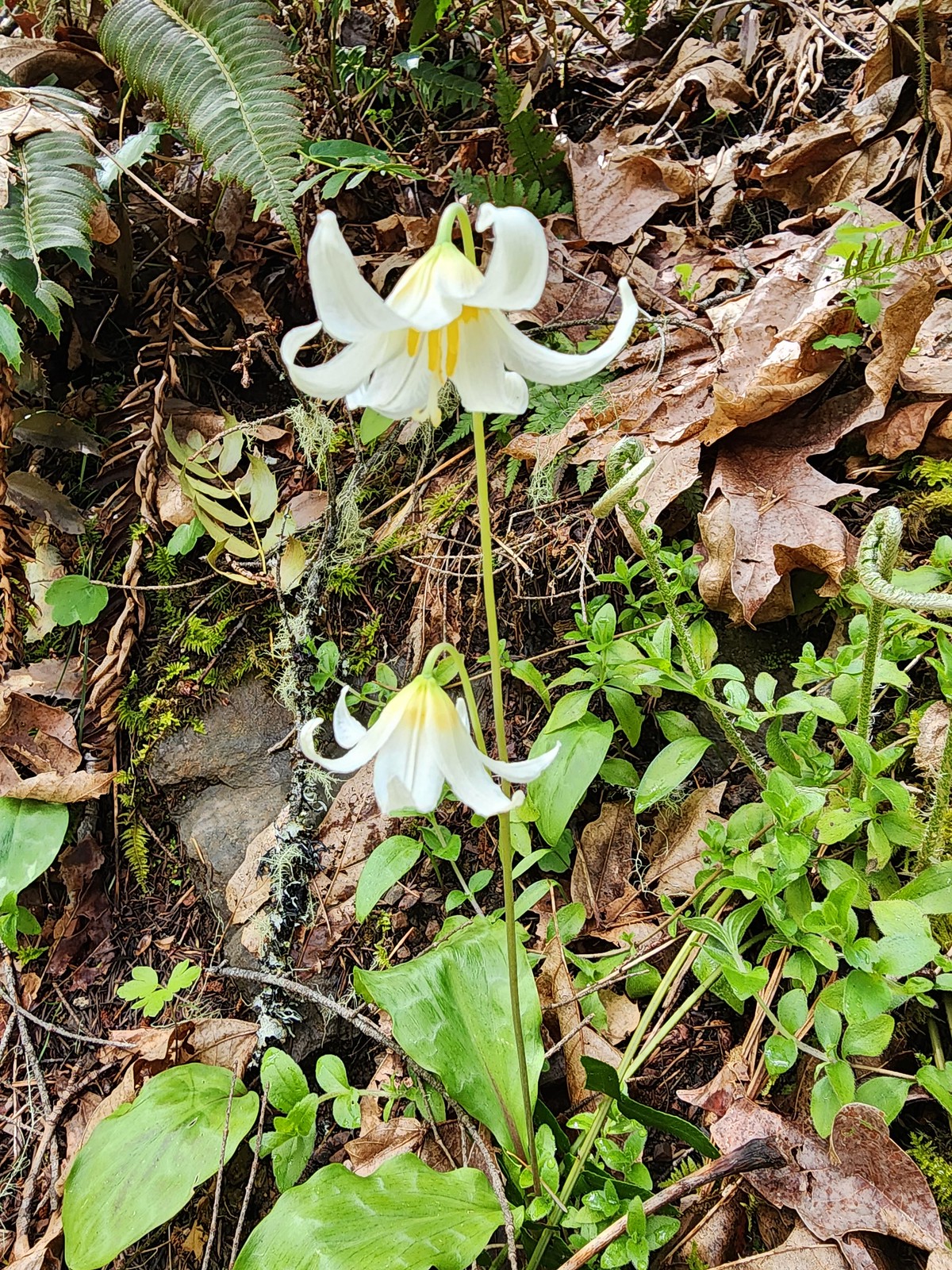 There were a bunch of fawn lilies blooming along this trail.
 One of several little footbridges across side streams.
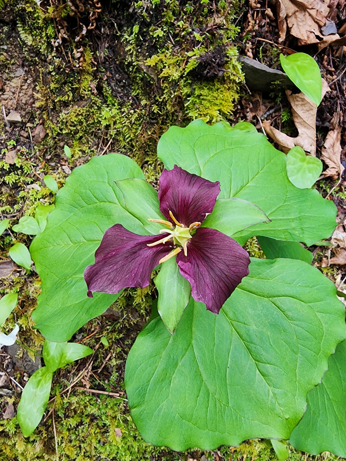 Trillium
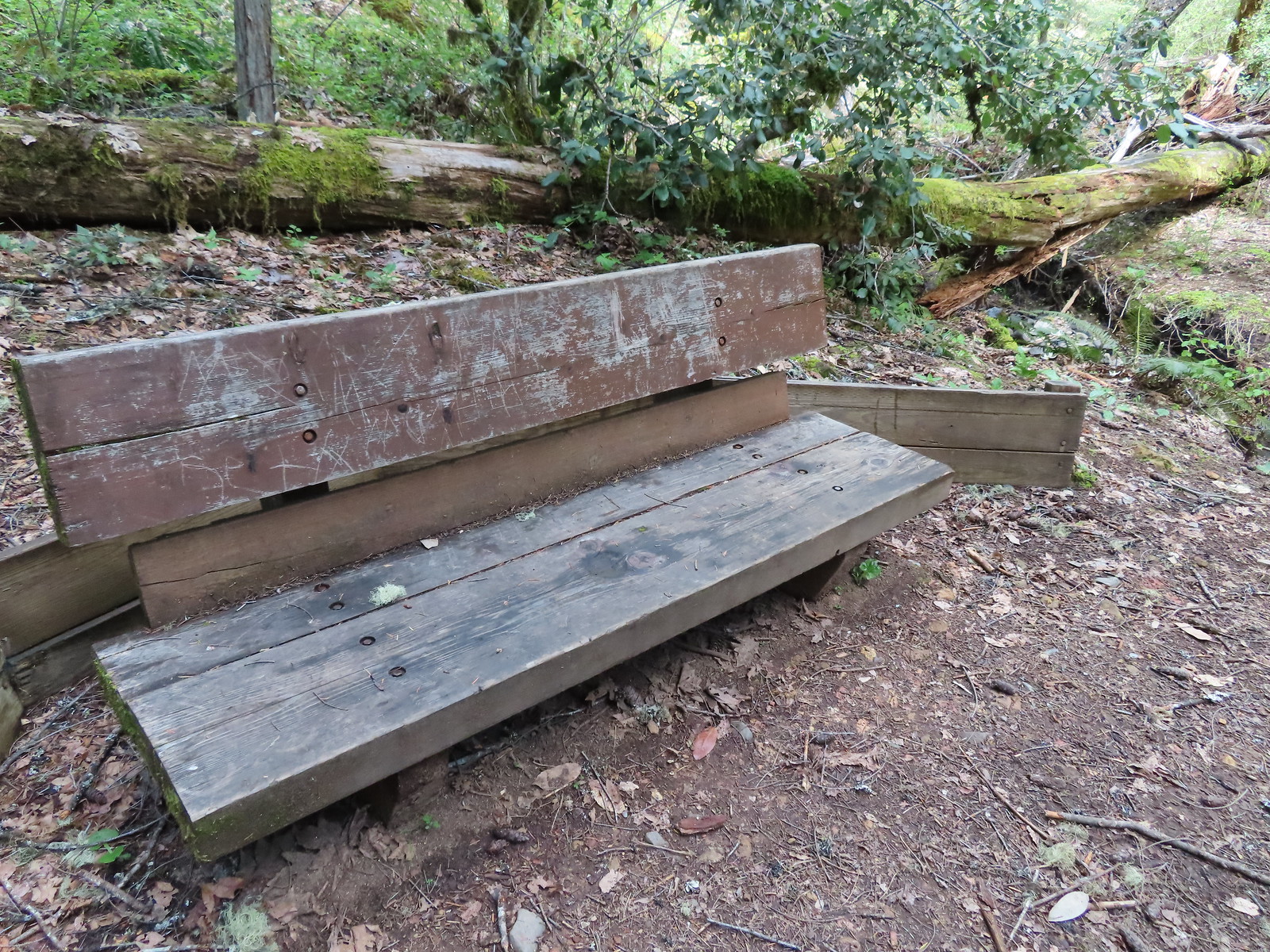 Bench where the trail turned to head back on the opposite side of the unnamed creek.
 The view from the bench.
 Houndstongue
 The barrier free trail below in the trees.
 Back on the barrier free trail.
 Biscuitroot and larkspur
 Giant white wakerobin
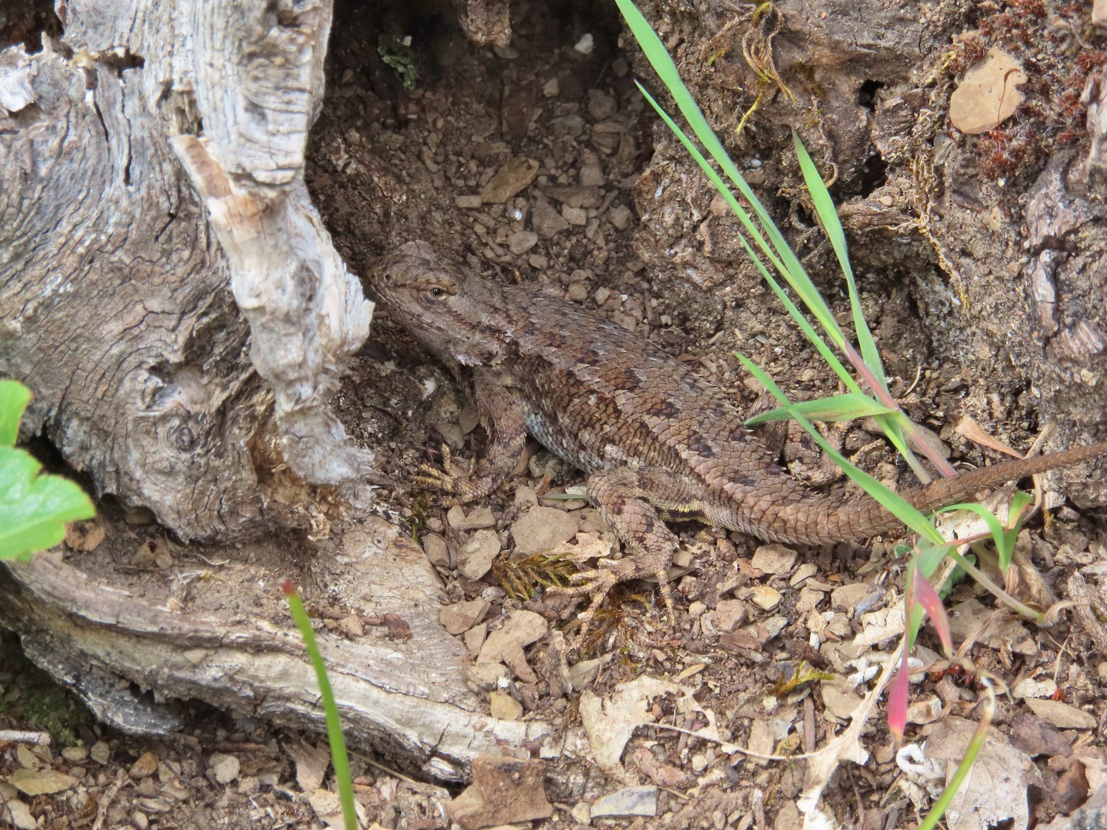
 The Sun was starting to shine a bit as we passed back by the meadow which brought out some butterflies and lots of lizards.
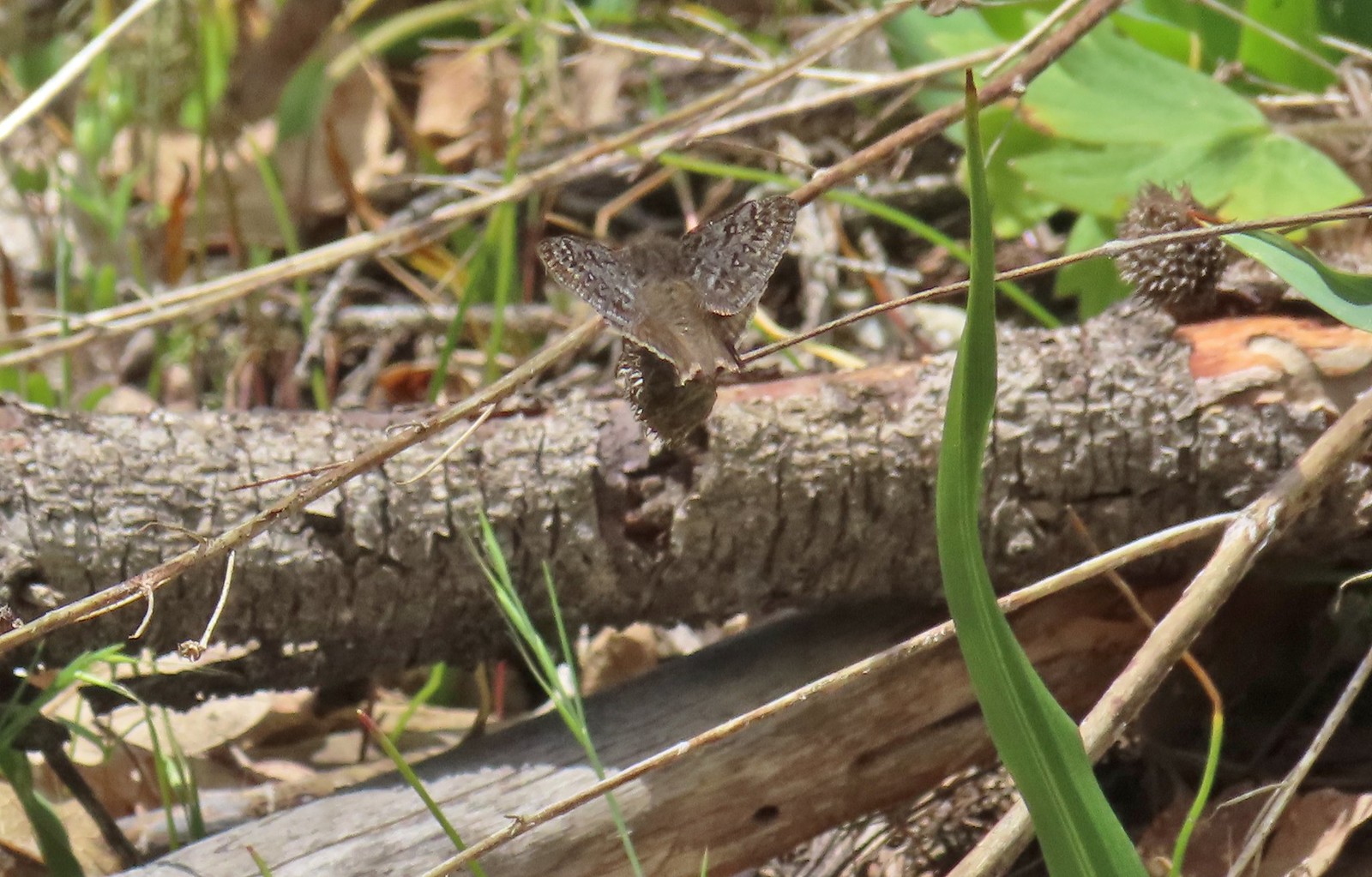


 There are a couple of the red Indian warrior behind and to the right of the trail marker.
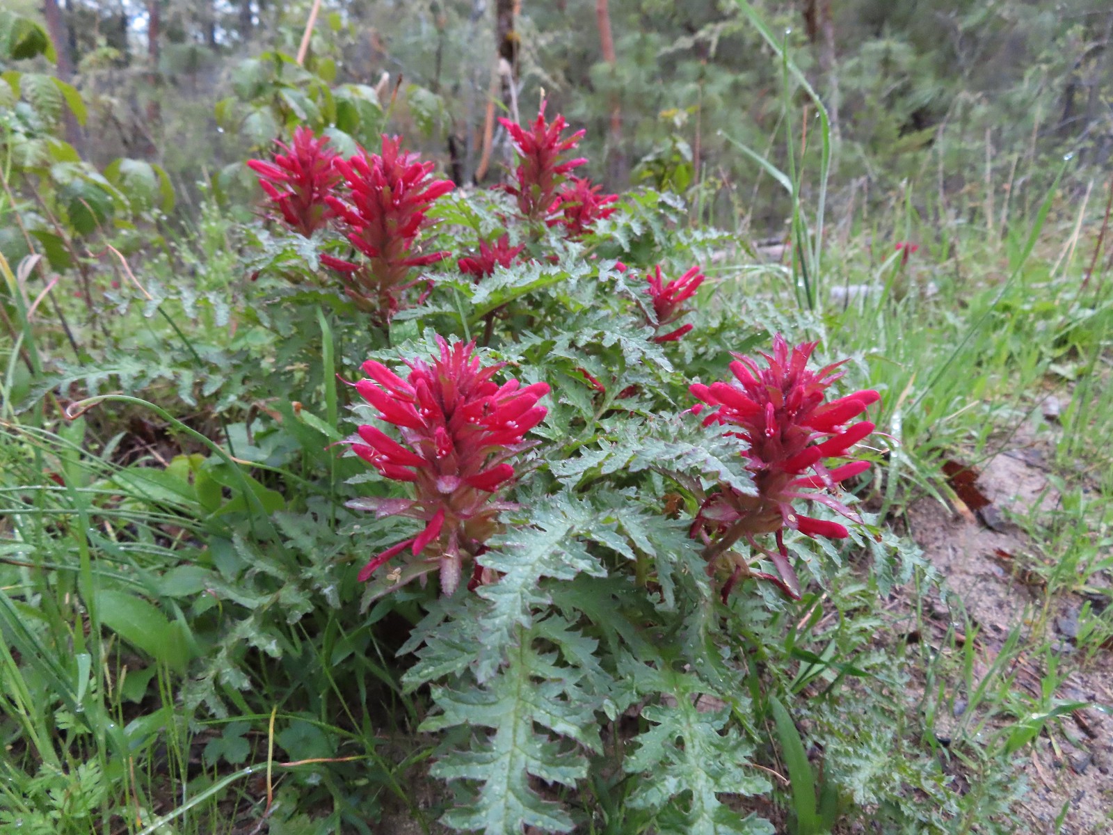 Indian warrior lousewort
 Scarlet fritillary along with poison oak. There was a lot of poison oak in the area but the trails were wide enough to keep users away from it.
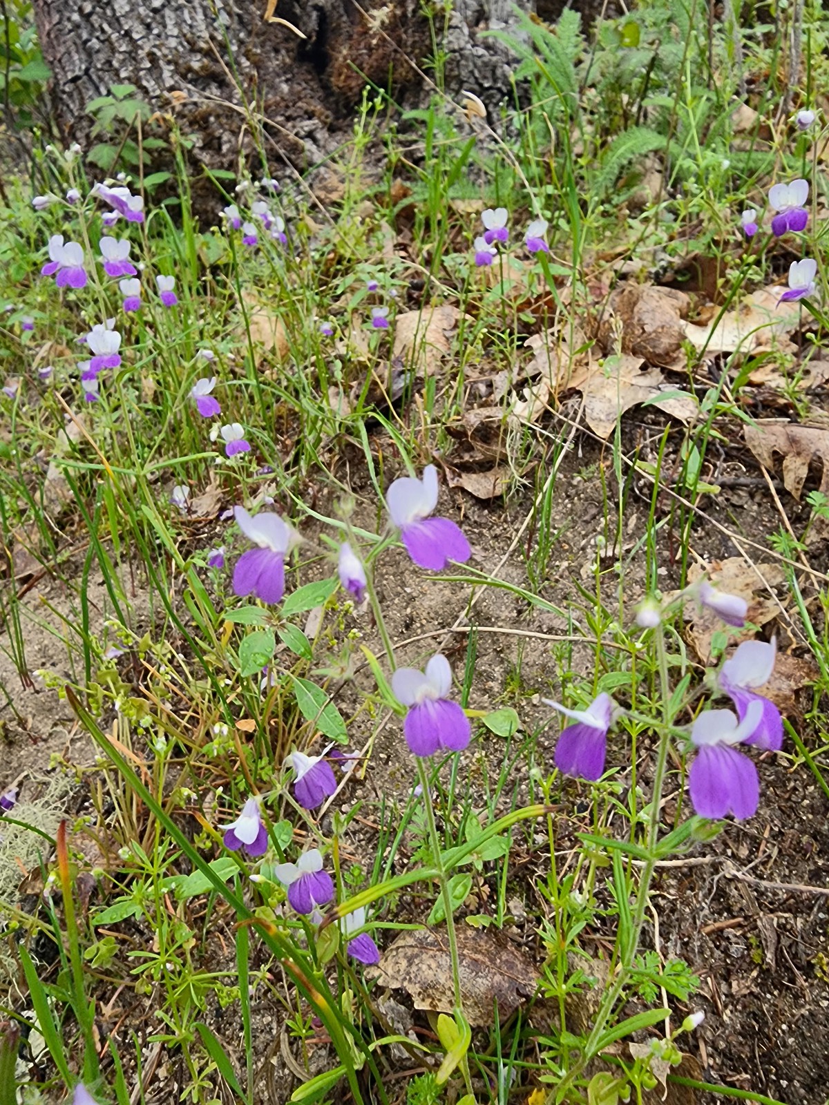 A blue-eyed Mary
 Shooting star
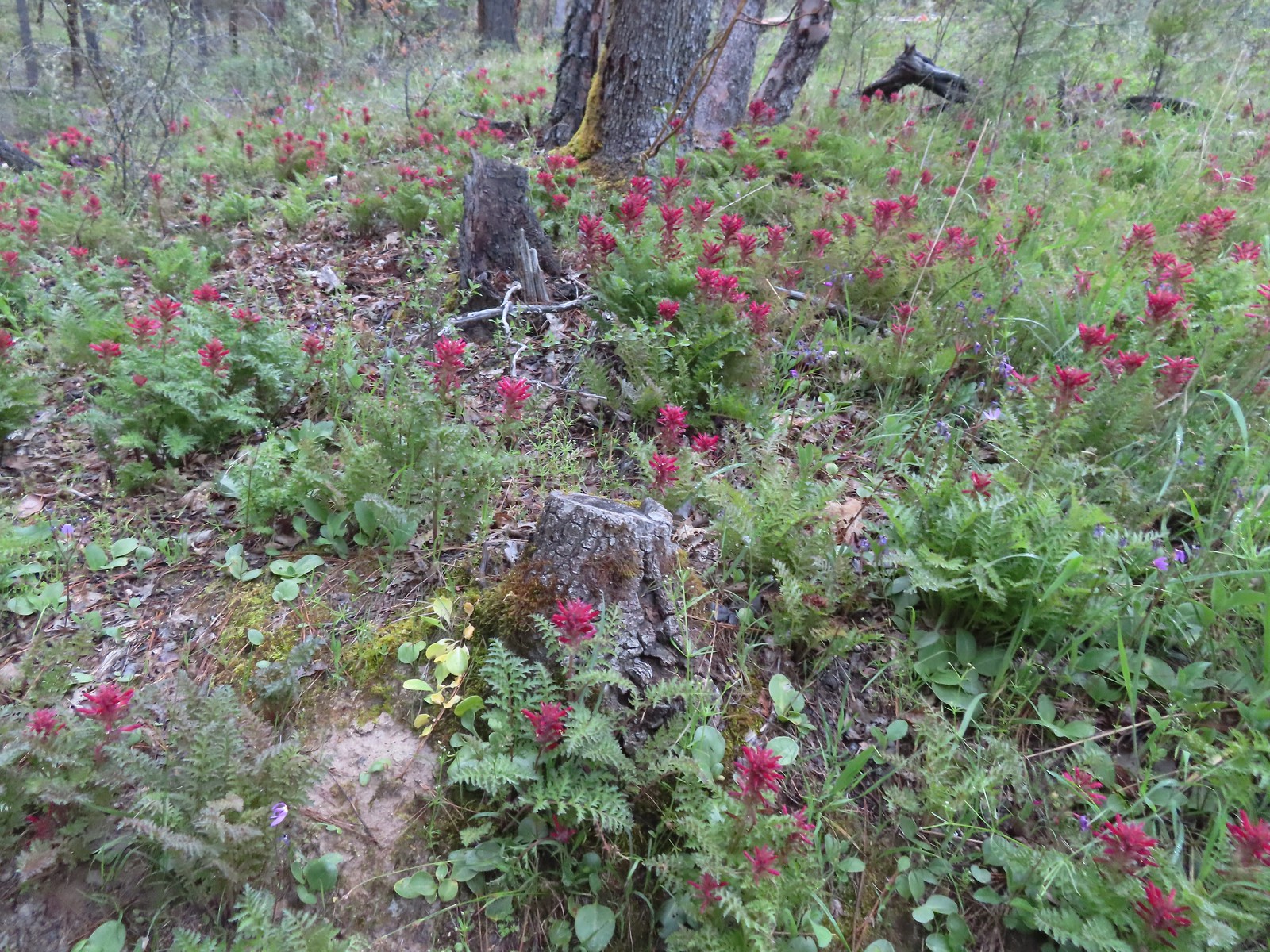 Indian warrior
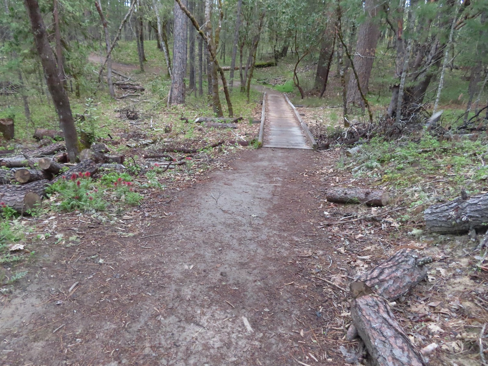
 Larkspur
 Cryptantha, shooting stars, and plectritis
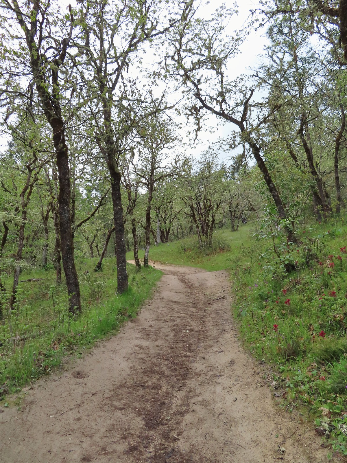
 Plectritis
 Pacific houndstongue
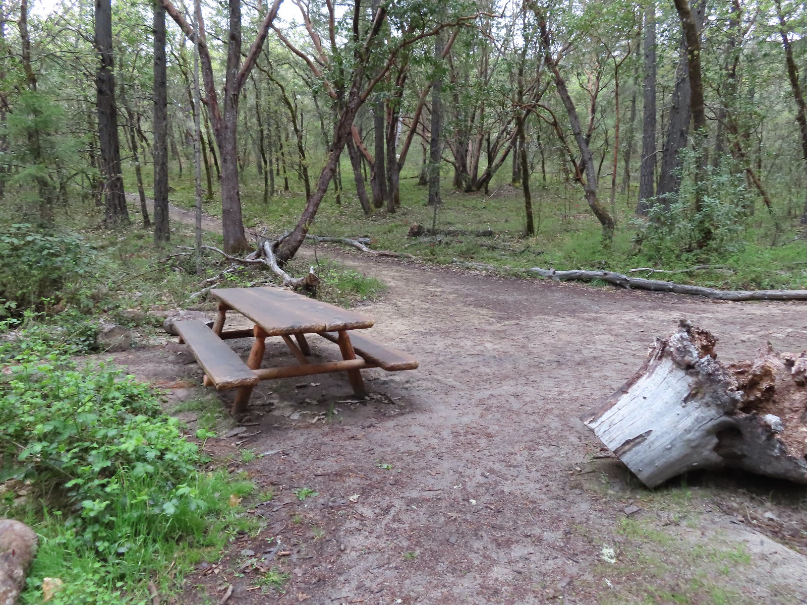 A picnic table at the junction with the Hogback Trail.
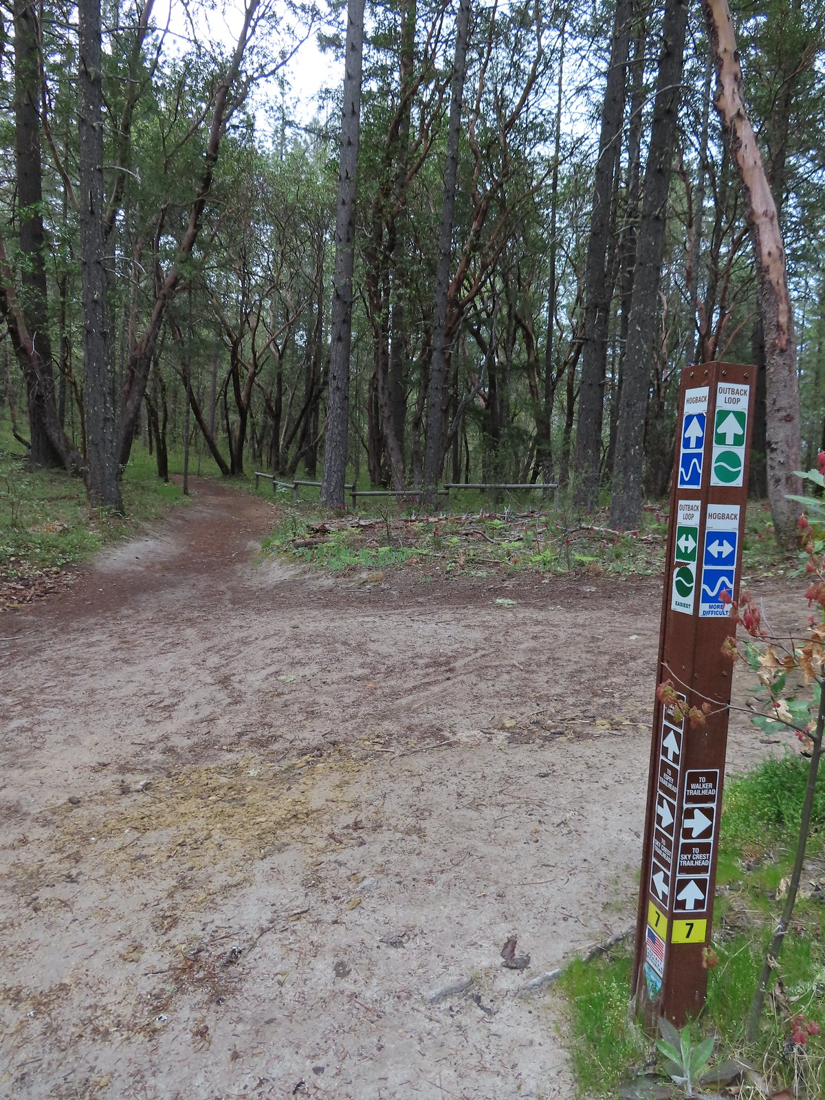 Most of the junctions had markers.
 Giant white wakerobin
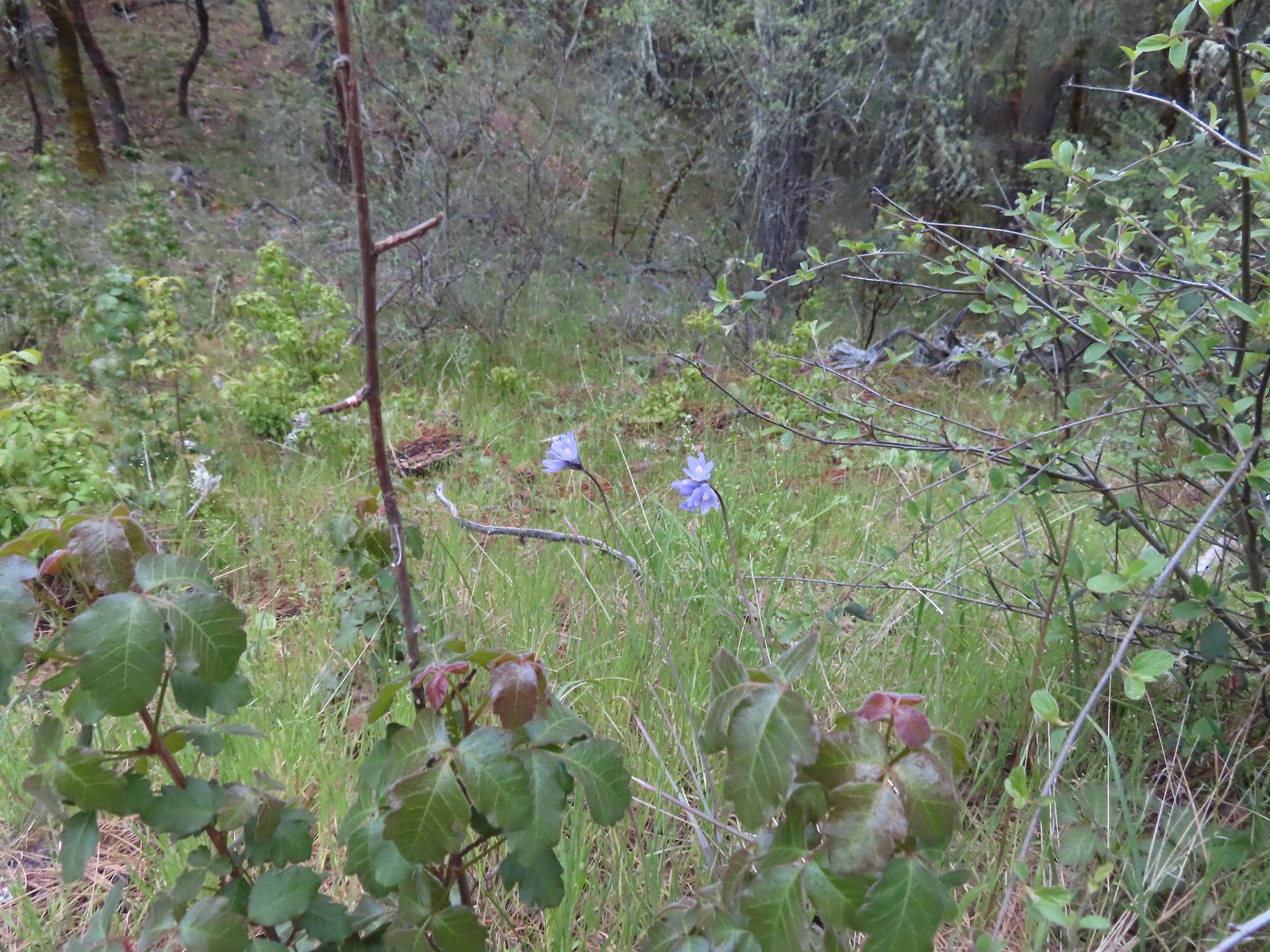 Blue dicks behind more poison oak.
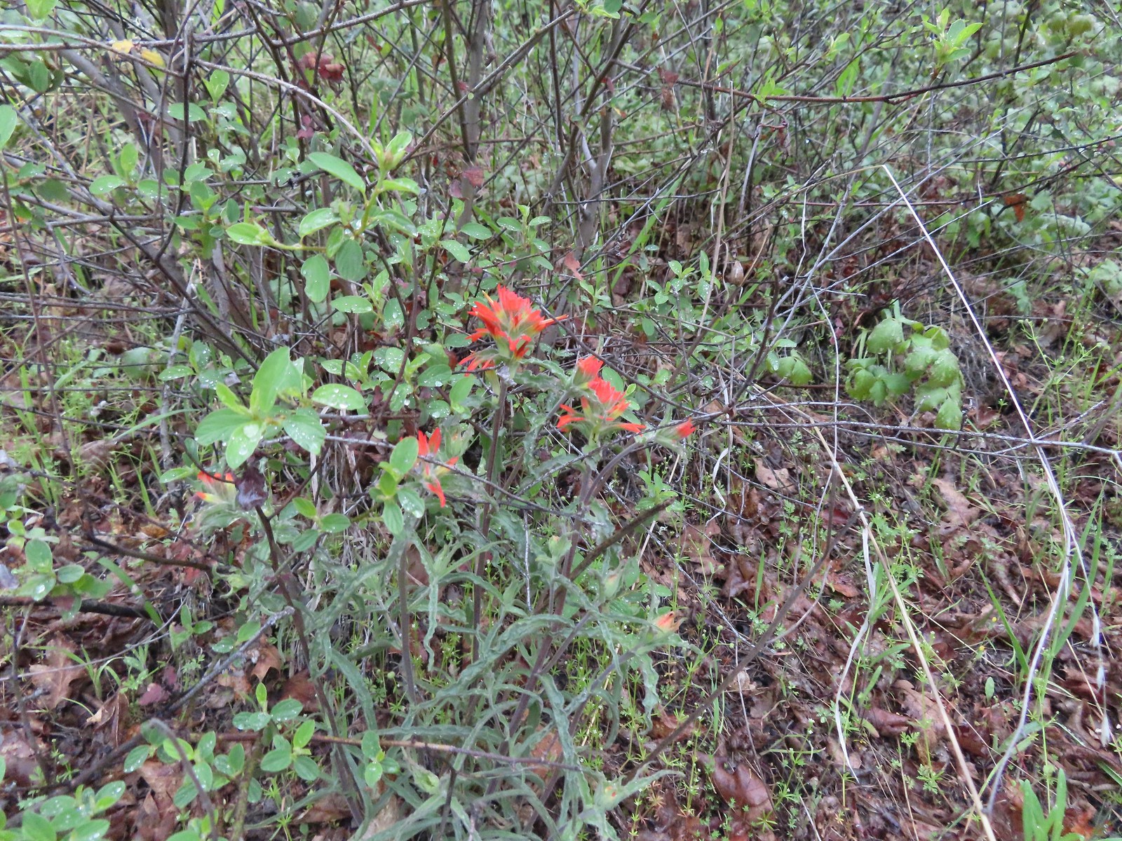 Paintbrush
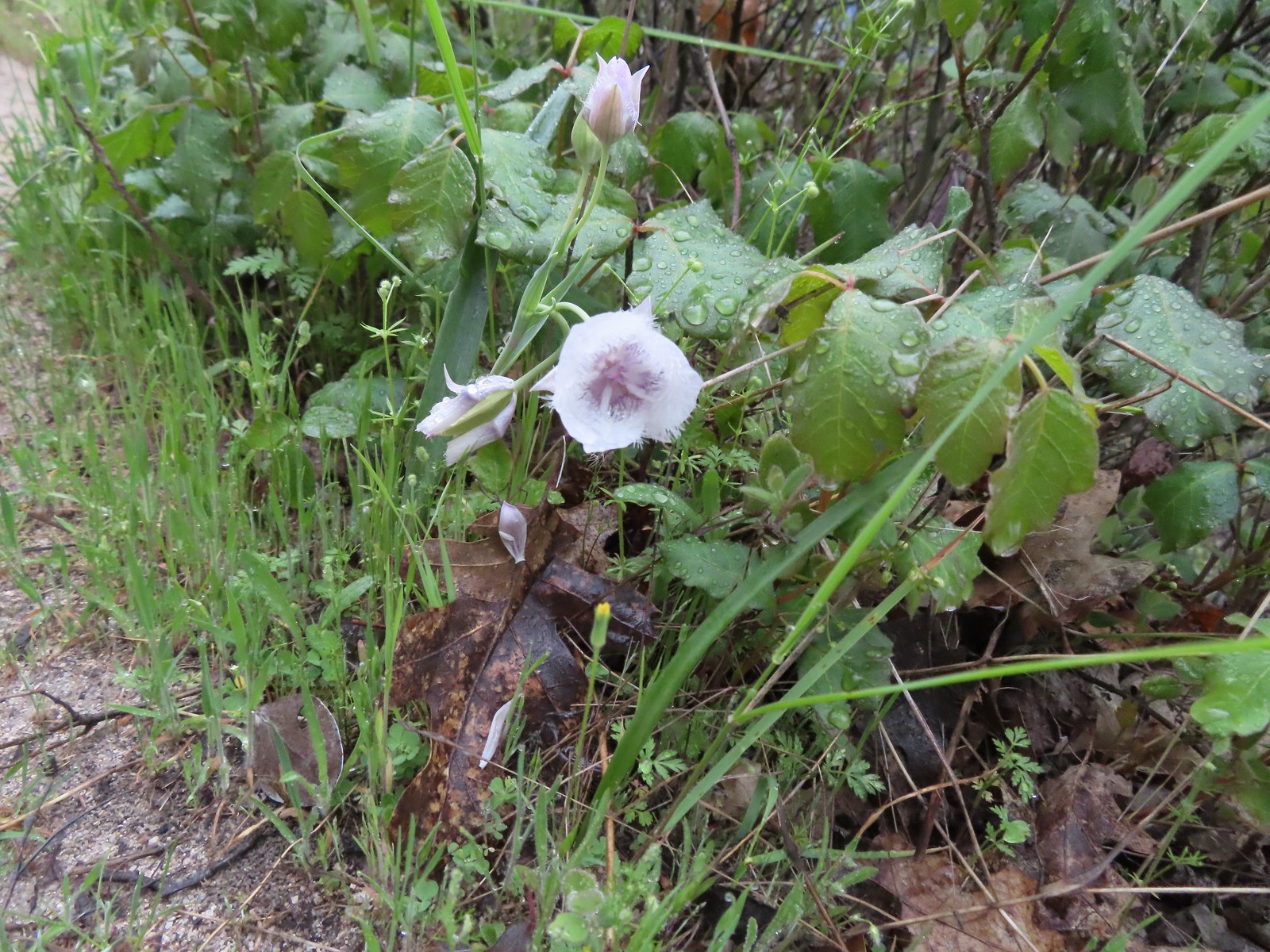 Tolmie’s mariposa lily
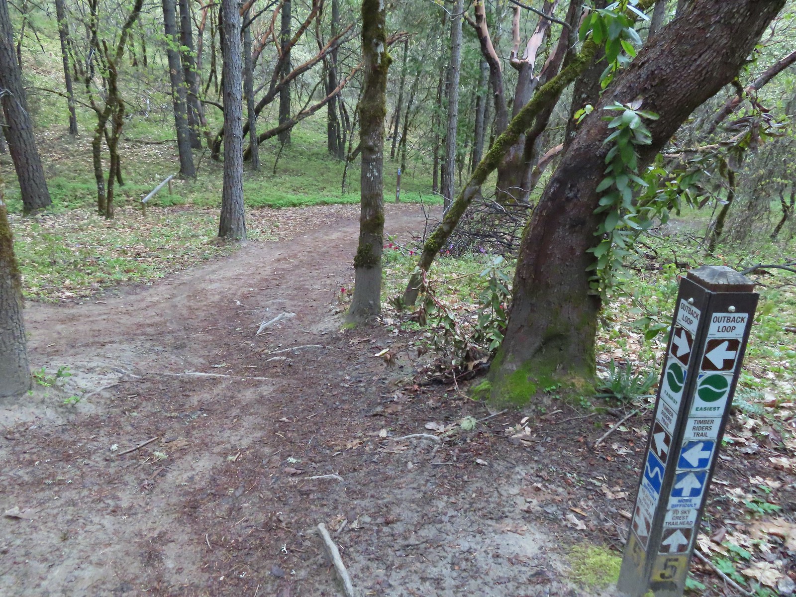

 Henderson’s fawn lily
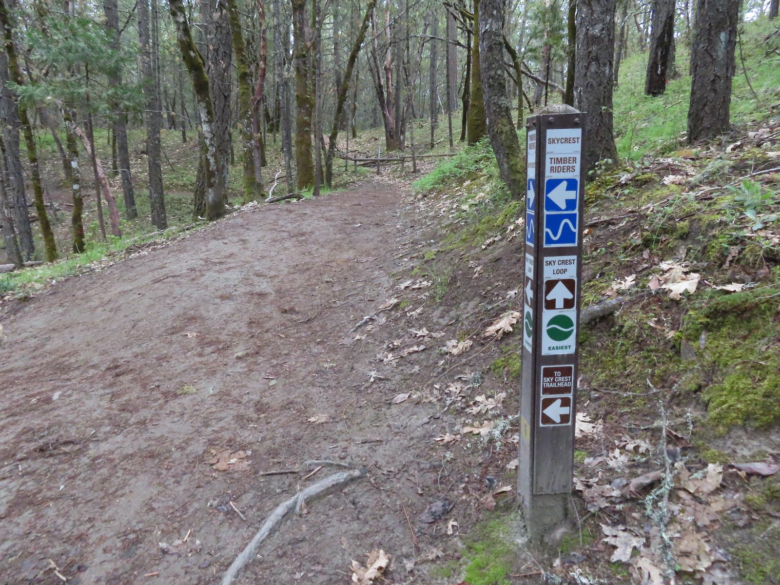 Pointer for the Skycrest Loop.
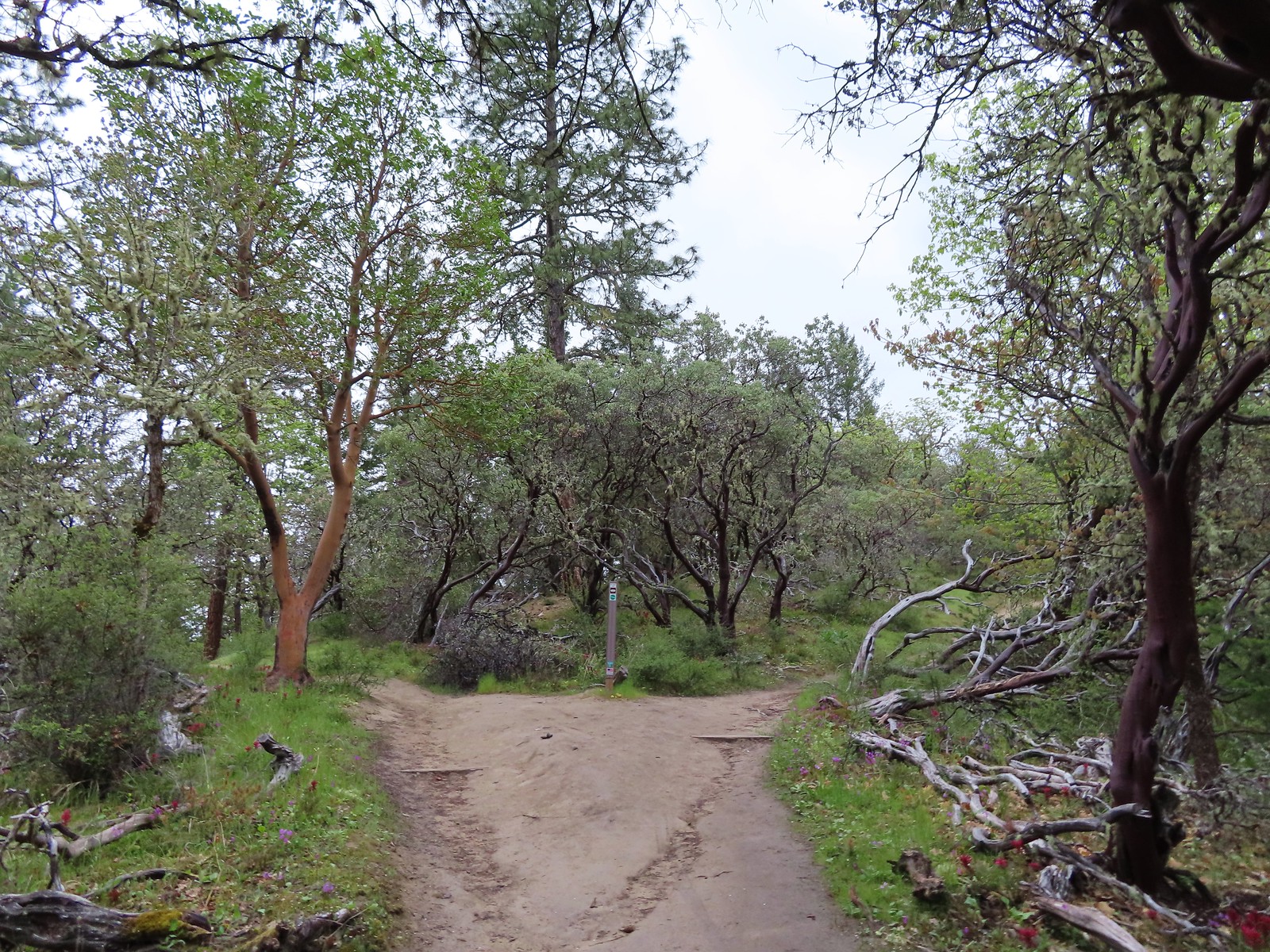 The start of the loop.
 Skullcap (possibly Danny’s)
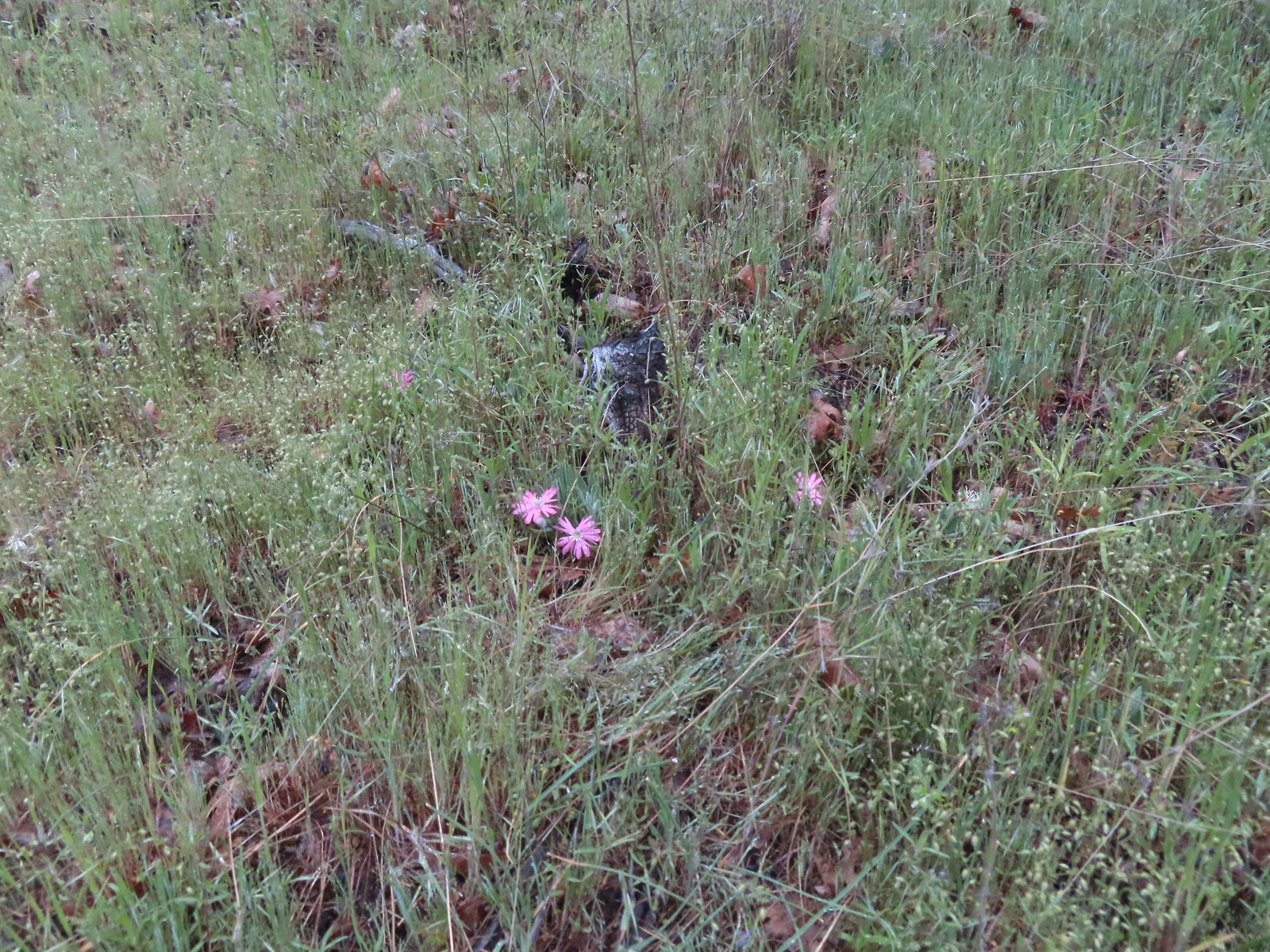 Hooker’s Indian pink
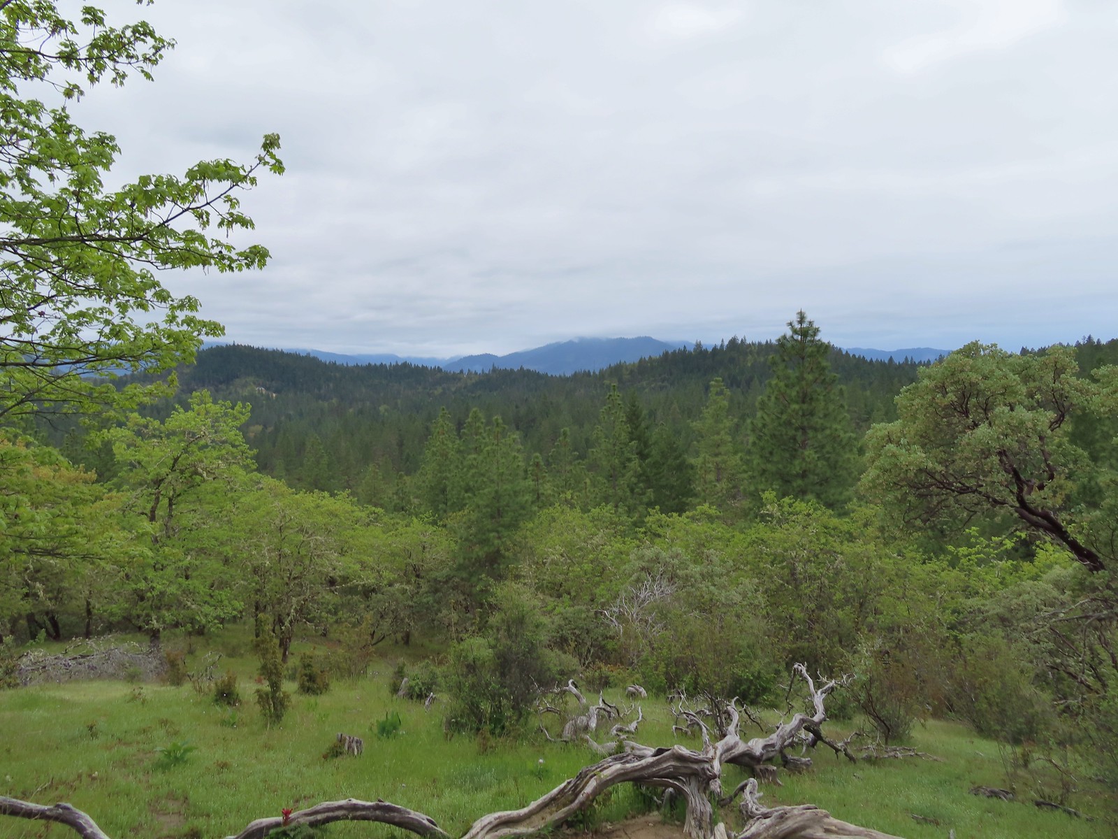 A cloudy view from the Skycrest Loop.
 Ragwort
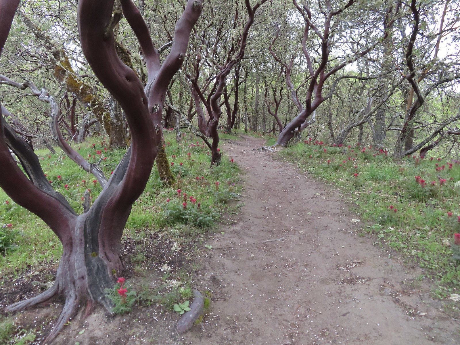 Indian warrior beneath white-leaf manzanita.
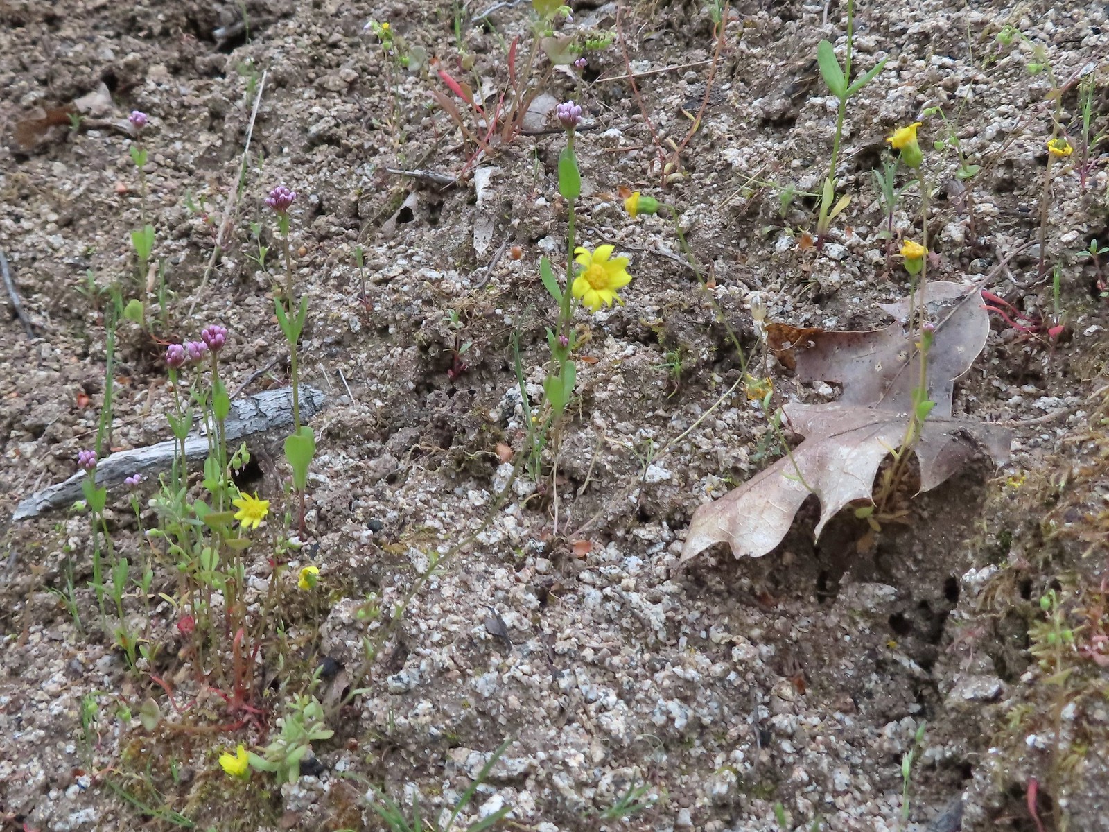 Last of the gold stars.
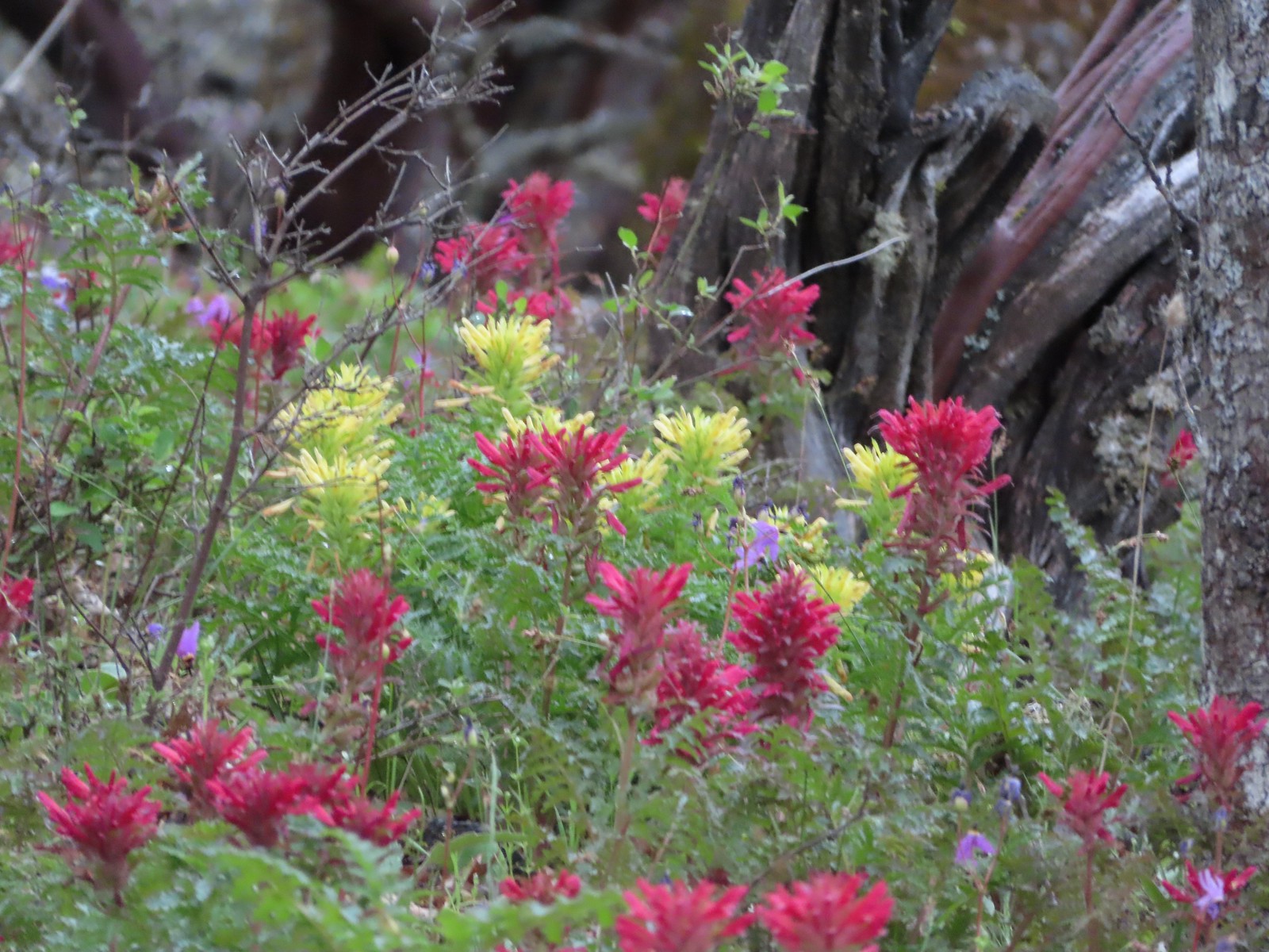 A few yellow Indian warriors.
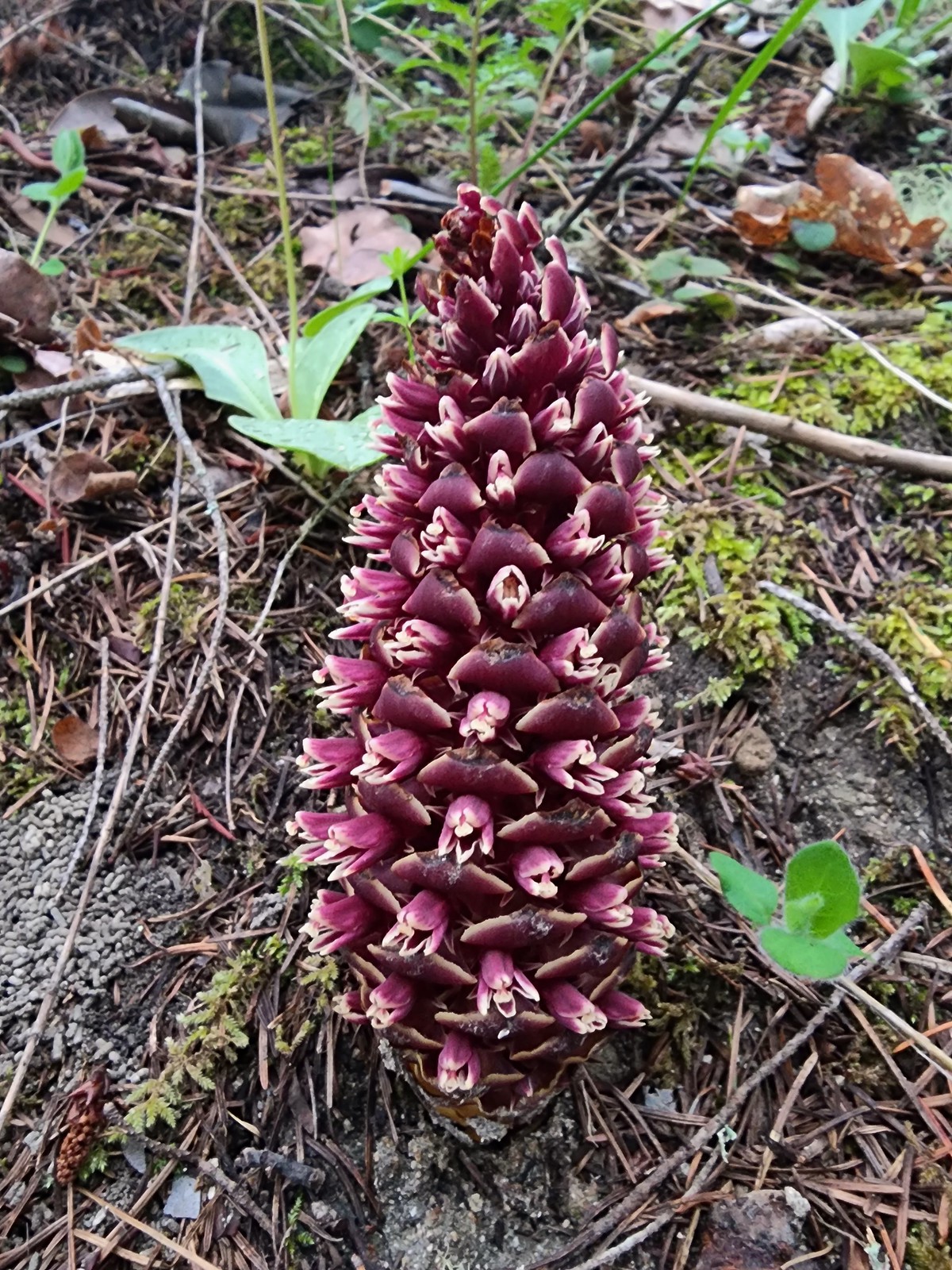
 Even though it didn’t look familiar we both thought we’d come from the trail to the left earlier when in fact that was the continuation of the Outback Loop.
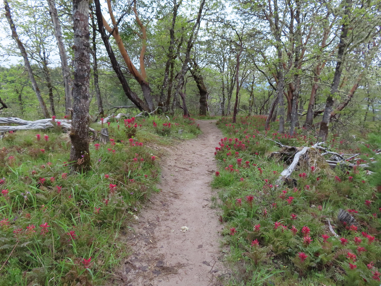
 Rain clouds in the sky.
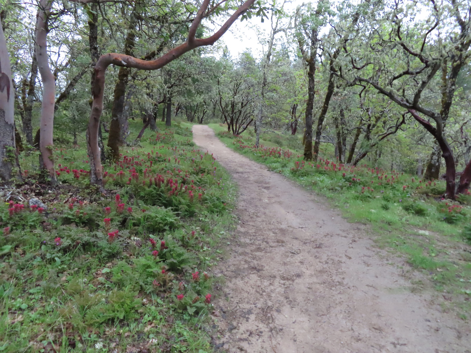
 Trail marker along the Outback Loop.
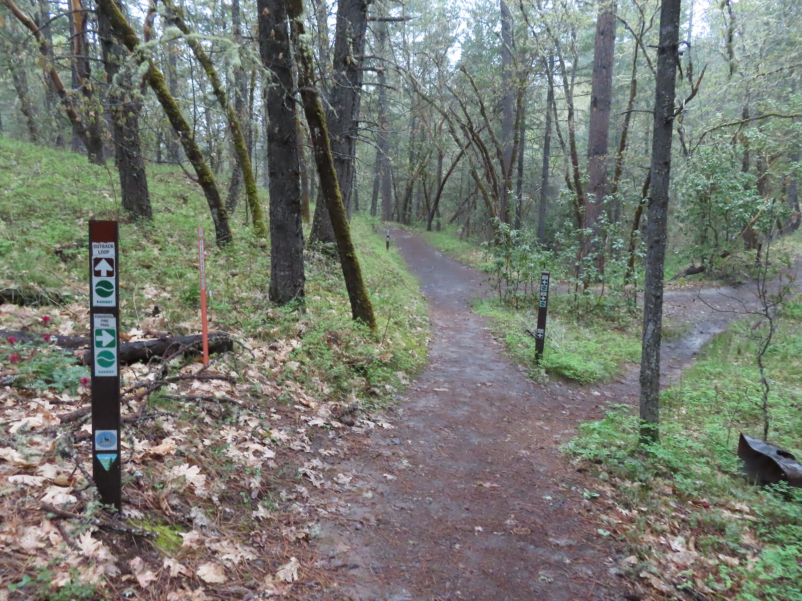 Turning onto the Ponderosa Pine Trail
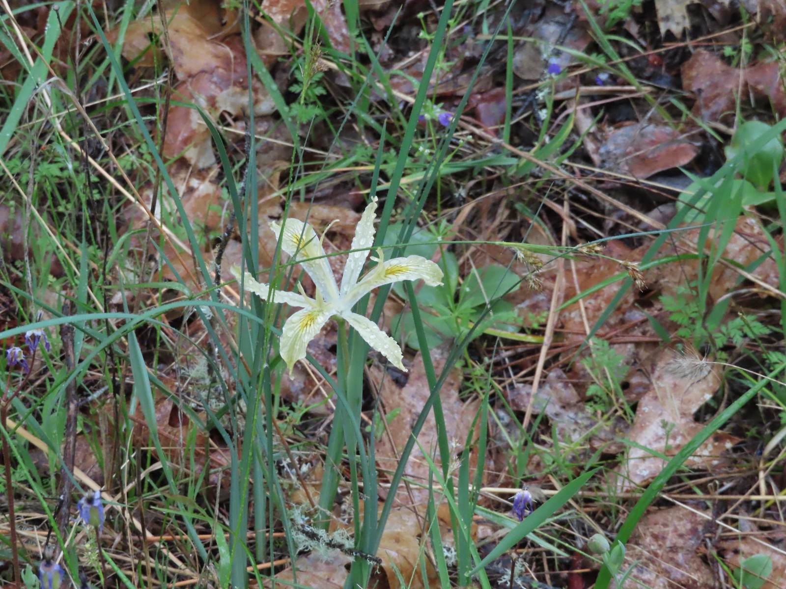 Iris
Iris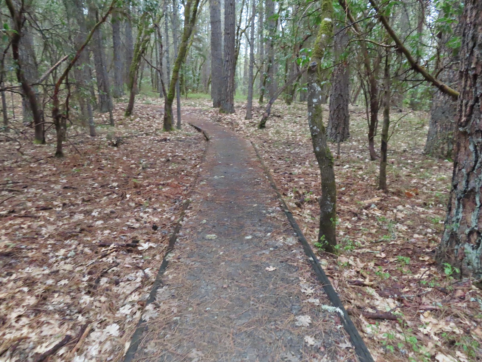 Ponderosa Pine Trail
 Back onto the Outback Loop.
 Quite a bit more water on the trail as we finished up.
 View from the Bear Gulch Trailhead of Little Applegate Road.
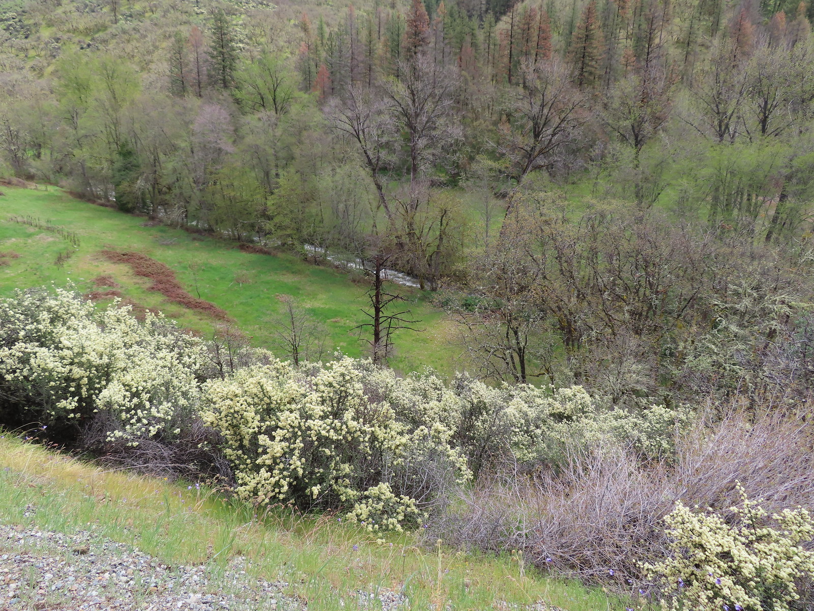 The Little Applegate River
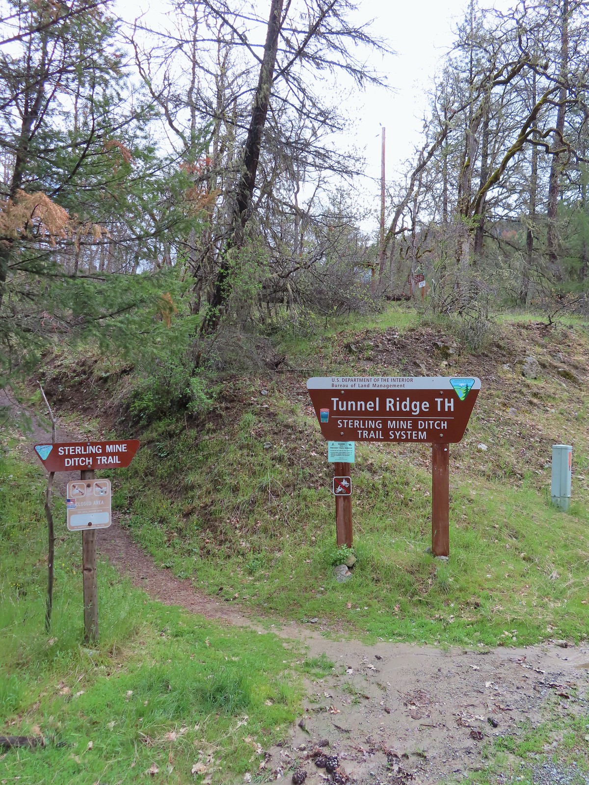
 Scarlet fritillary
 Houdnstongue and a pacific waterleaf (white flower under a big leaf to the left of the houndstongue).
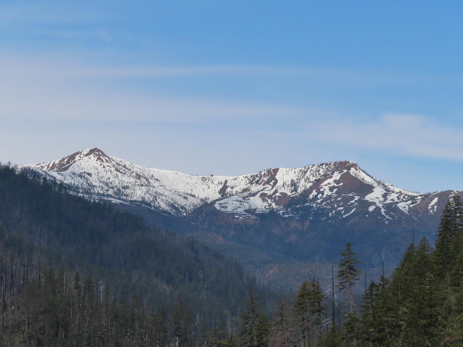
 A snowy Wagner Butte (
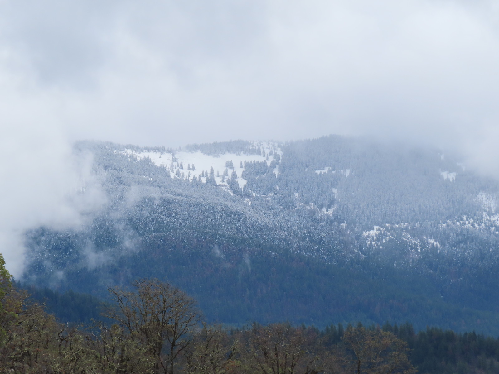 Based on the trees it looked like the thunderstorm provided some fresh snow at higher elevations.
 Couldn’t really get a good picture but this might be a bushtit.
 There were a couple of nice benches along the trails here.
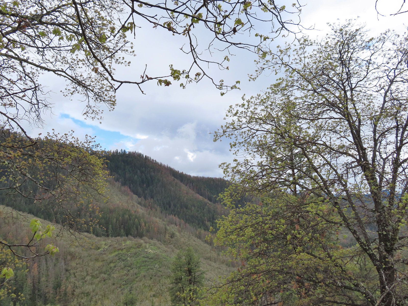 Some of the view from the bench.

 Manzanita
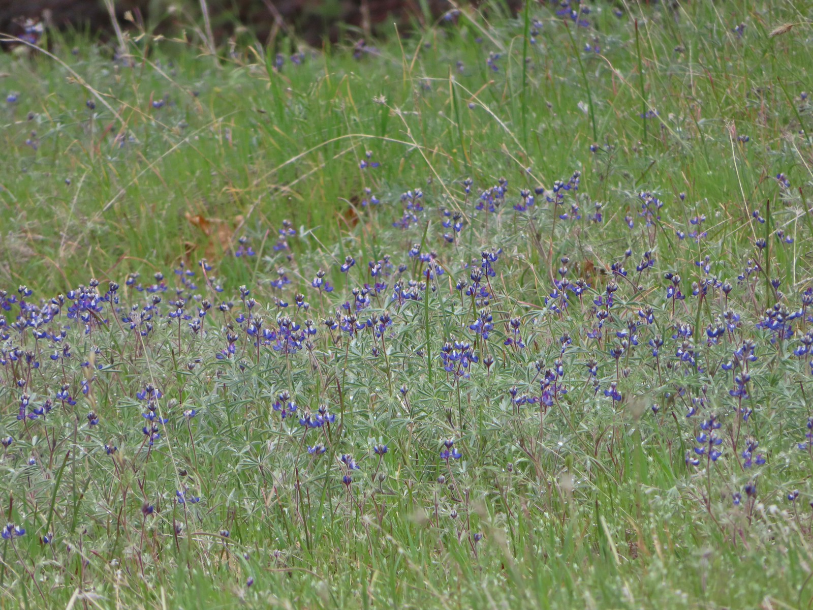 Lupine
 There is a hummingbird in the center on a branch.
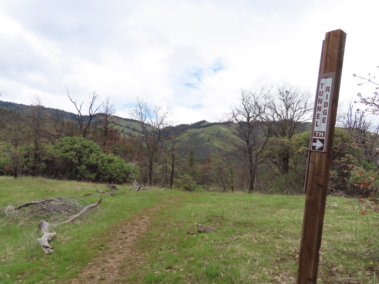 At the saddle a faint trail continued straight ahead toward the Little Applegate Trailhead. It didn’t appear to get much use.
 Trail sign at the junction.
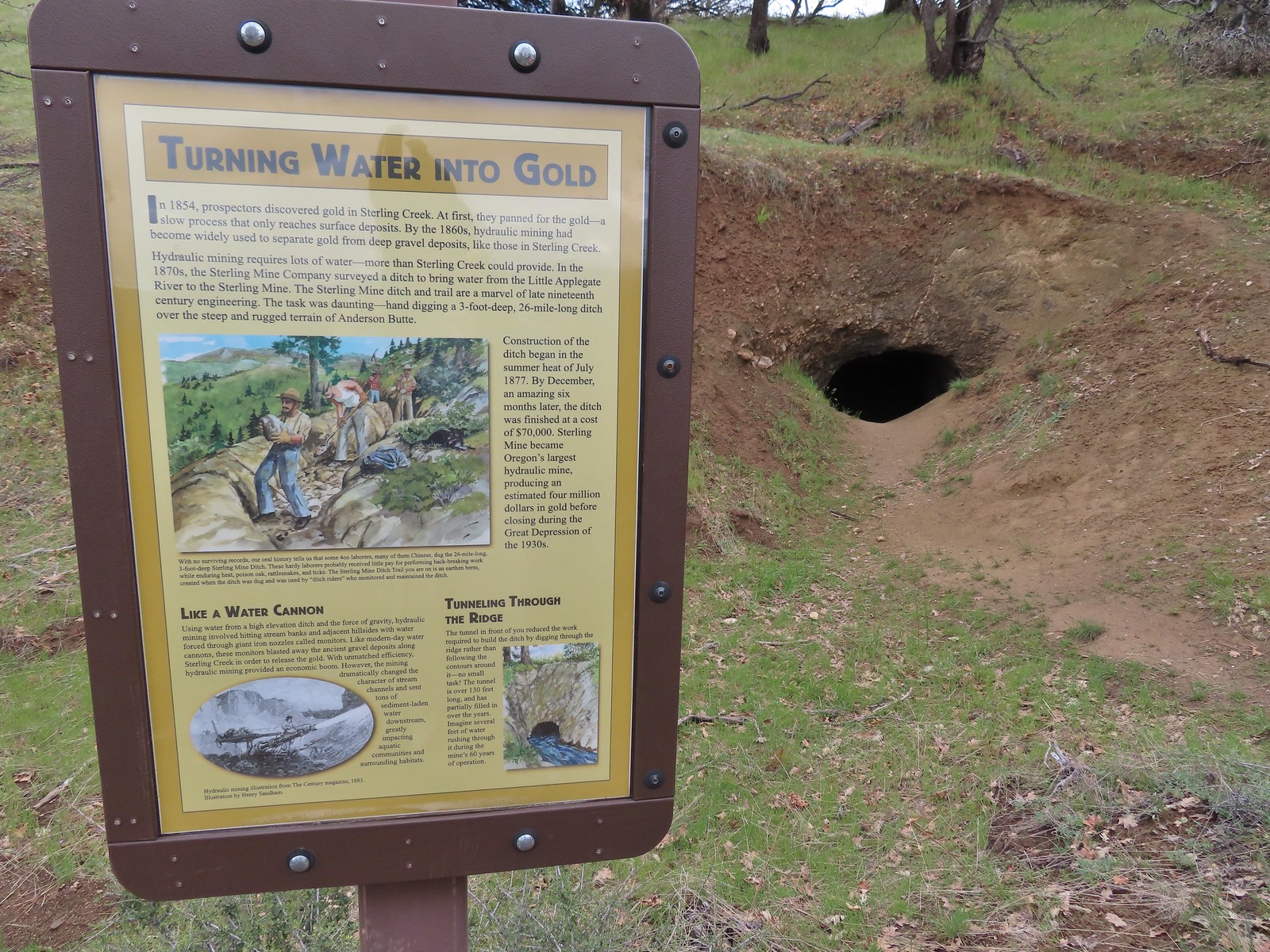
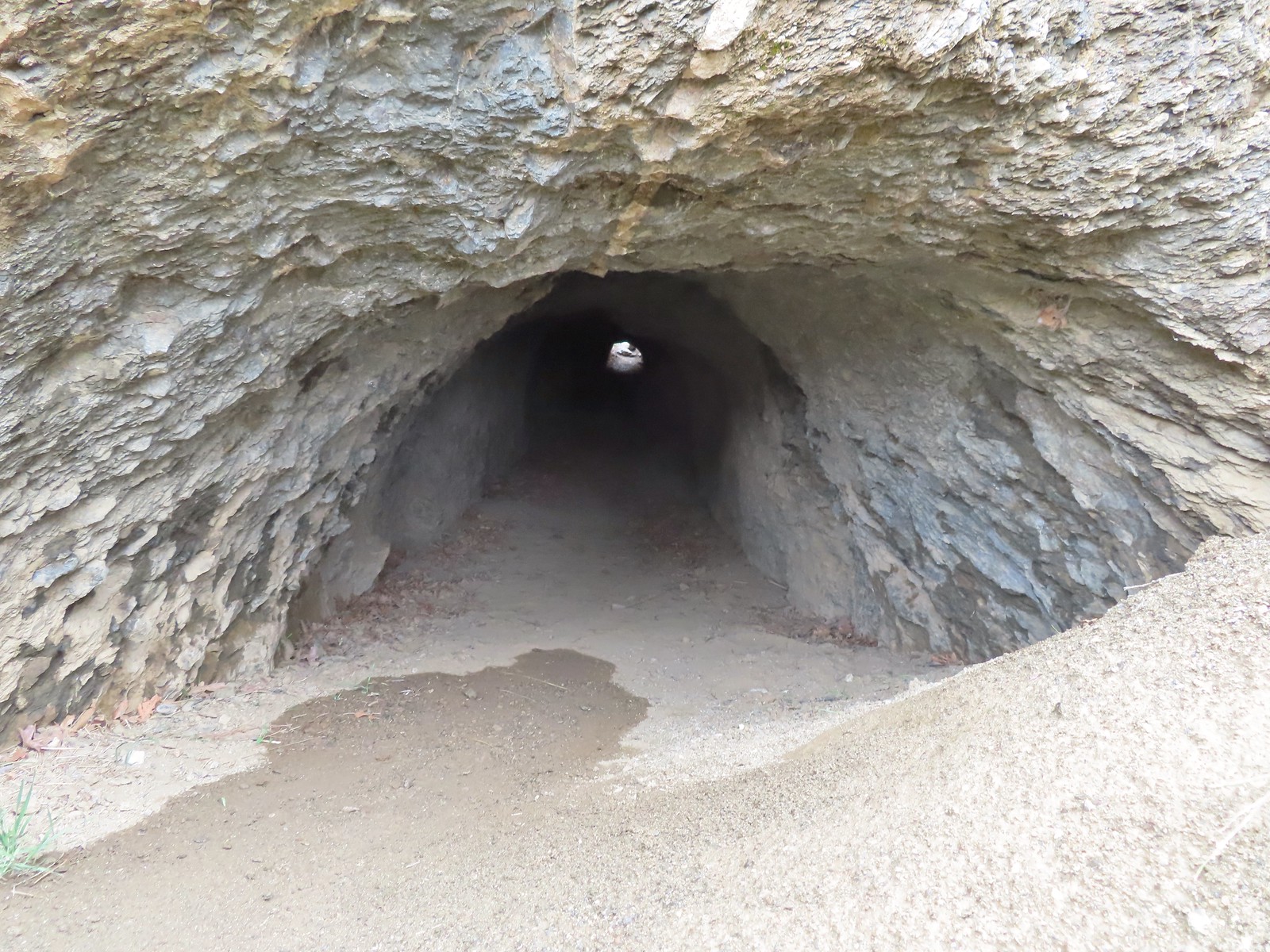
 I had to get a closer look.
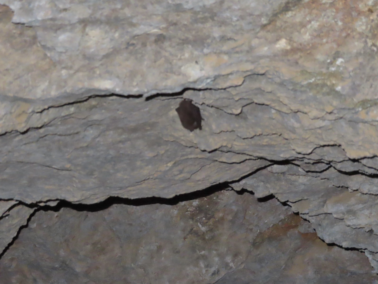 I didn’t go all the way through so as not to disturb this napping bat.
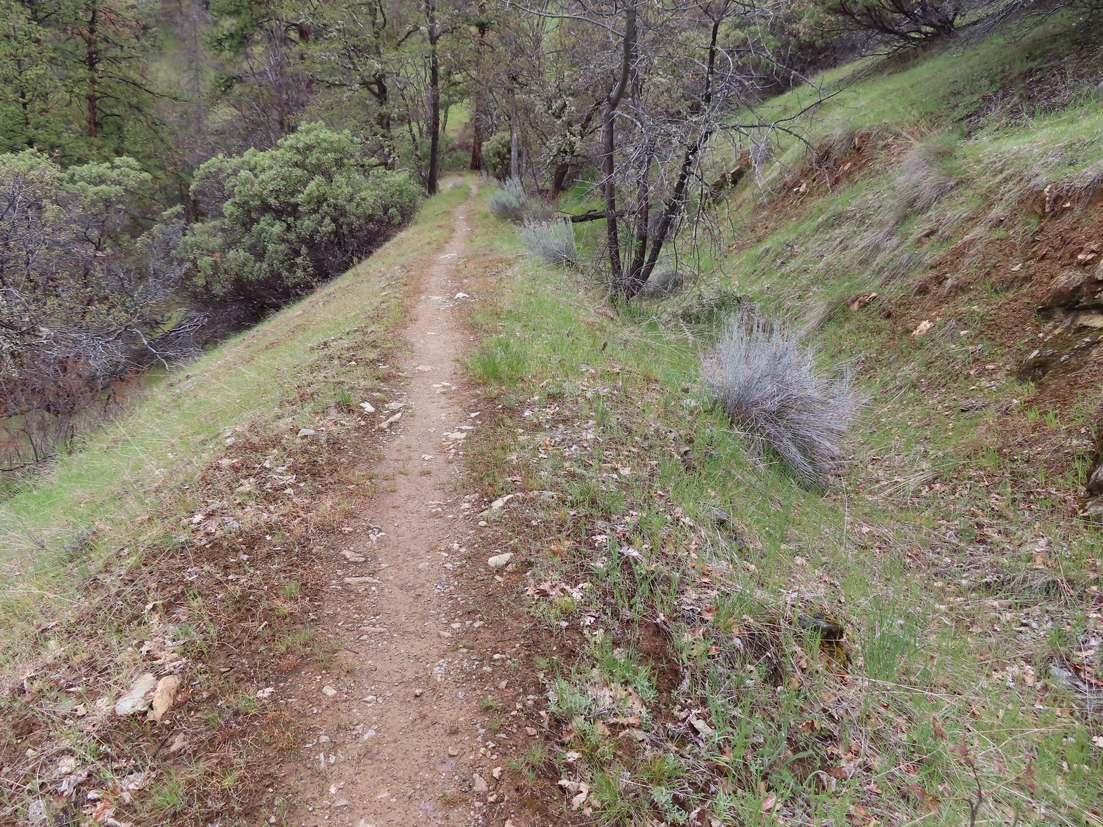
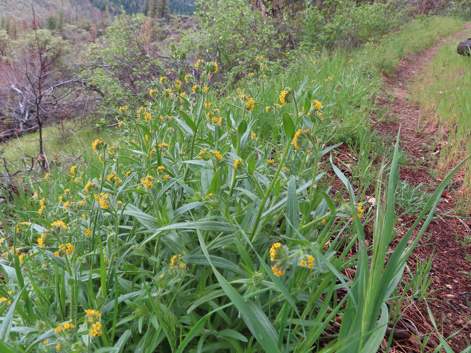 Fiddleneck along the trail.
 Emerging from the ditch.
 Scarlet fritillaries lining the trail.
 Paintbrush
 Balsamroot
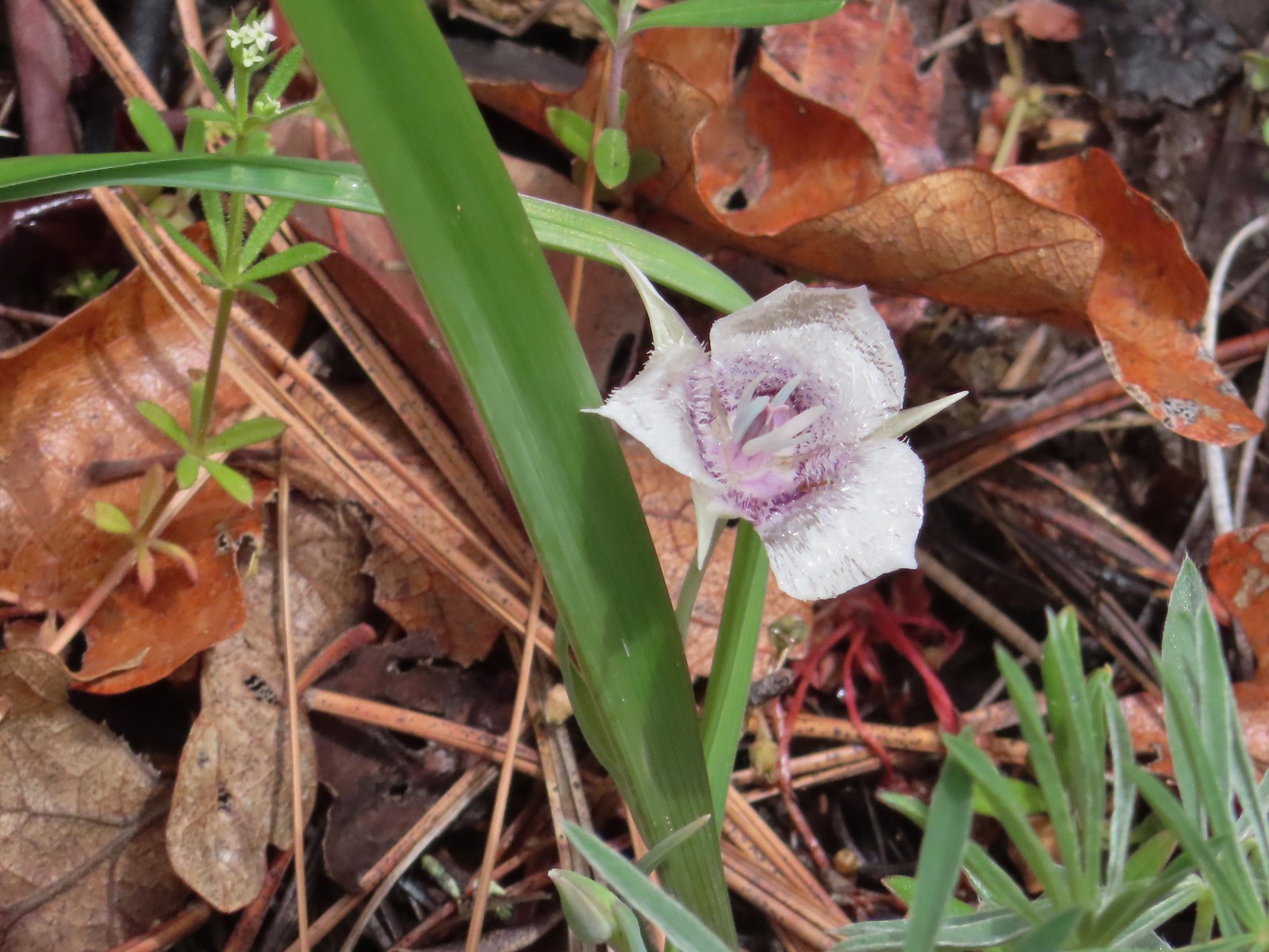 Tolmie’s mariposa lily
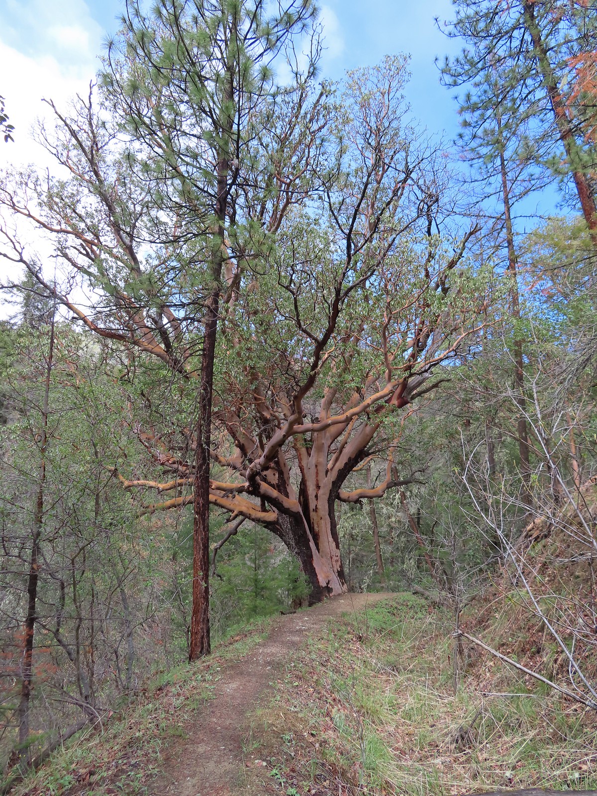 An impressively large madrone.
 Henderson’s fawn lilies
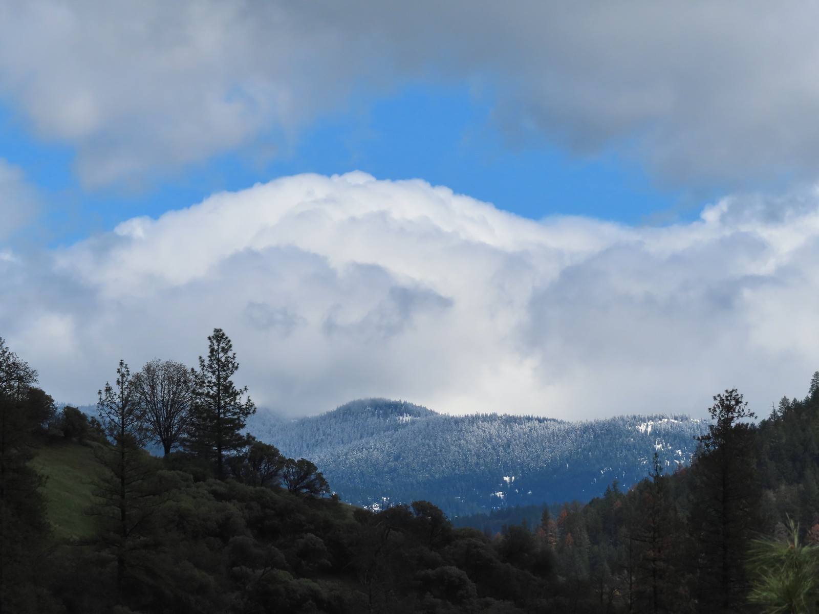 More fresh snow on a ridge.
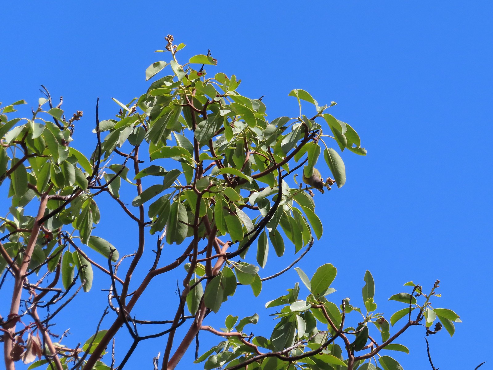 An upside-down warbler (upper right of the tree).
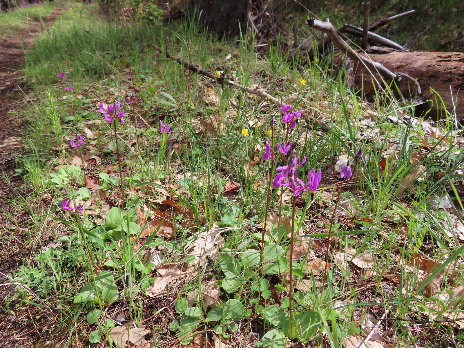 Shooting stars
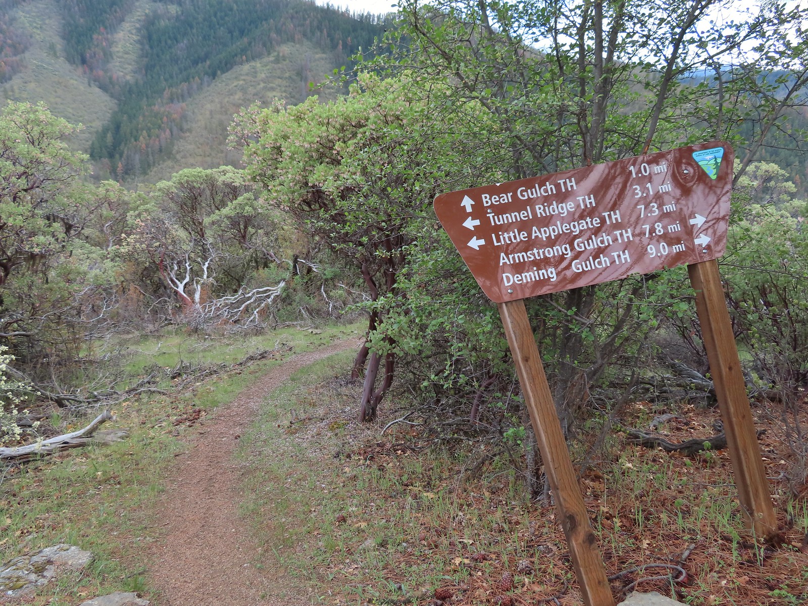
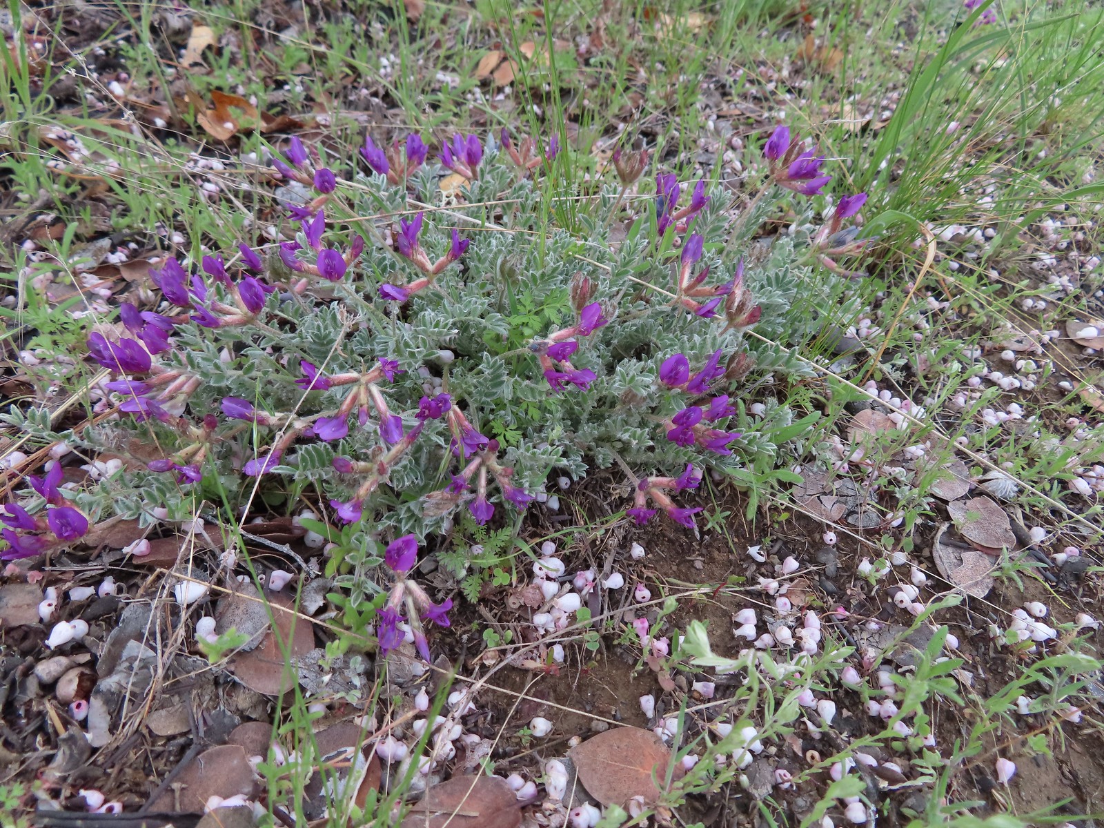 Woolly-pod milkvetch
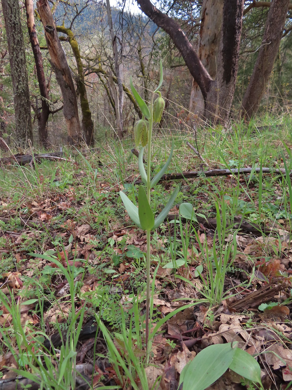 A fritillary, just not sure which one.
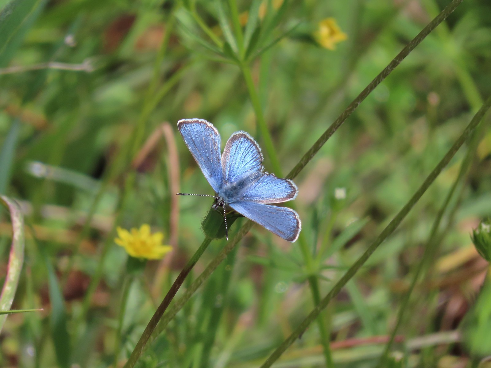 It was nice to start seeing some butterflies out and about.
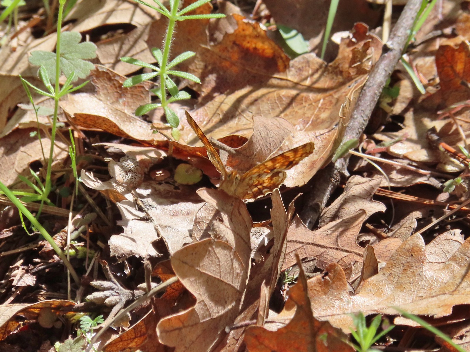 Another butterfly. It blends pretty well with the leaves.
 White-breasted nuthatch
 There was a decent amount of water running through parts of Bear Gulch as we neared the trailhead.

 Red larkspur with blue dicks in the background.
 Lupine
 Red larkspur, madia, blue dicks, and tomcat clover along the trail.
 Blue dicks
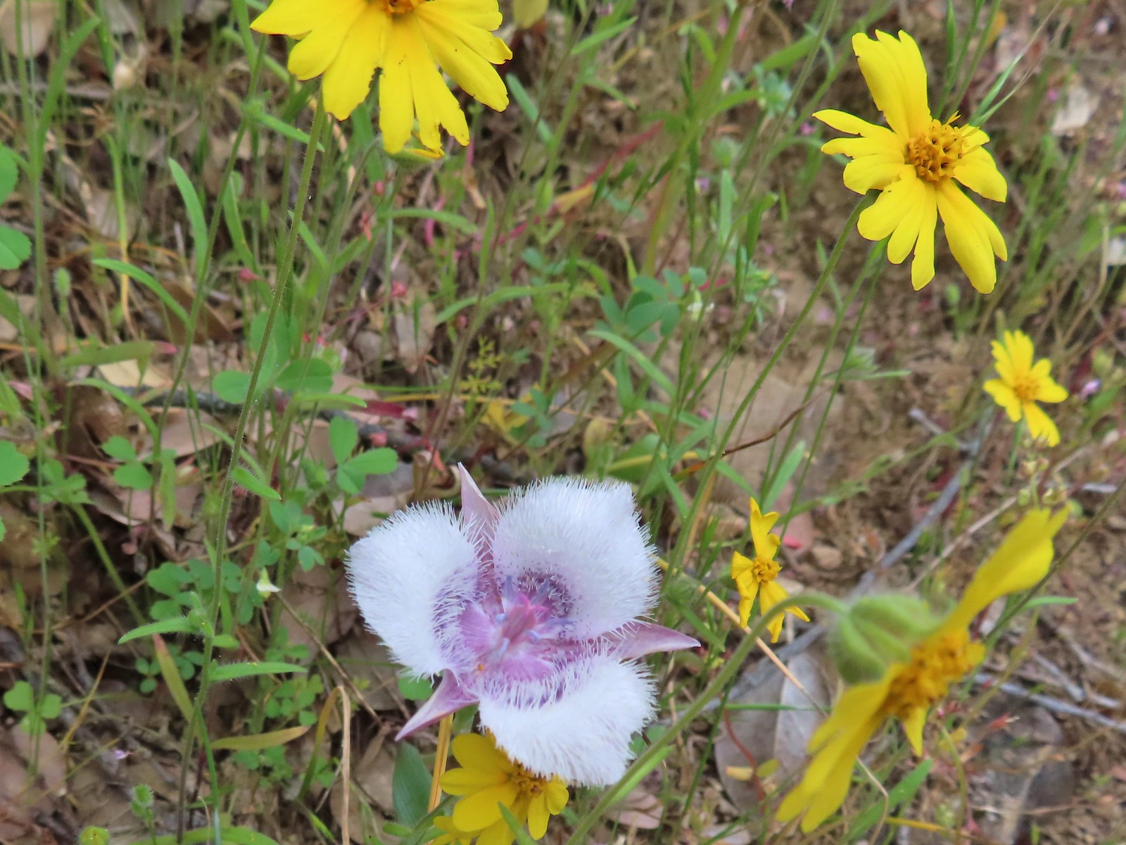 Tolmie’s mariposa lily and some madia.
 Larkspur and a red larkspur
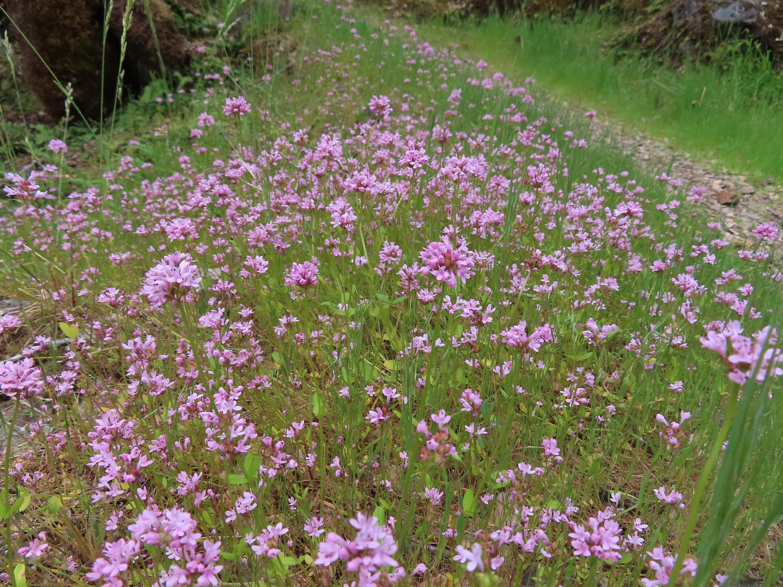 Plectritis
 Monkeyflower
 Serpentine phacelia
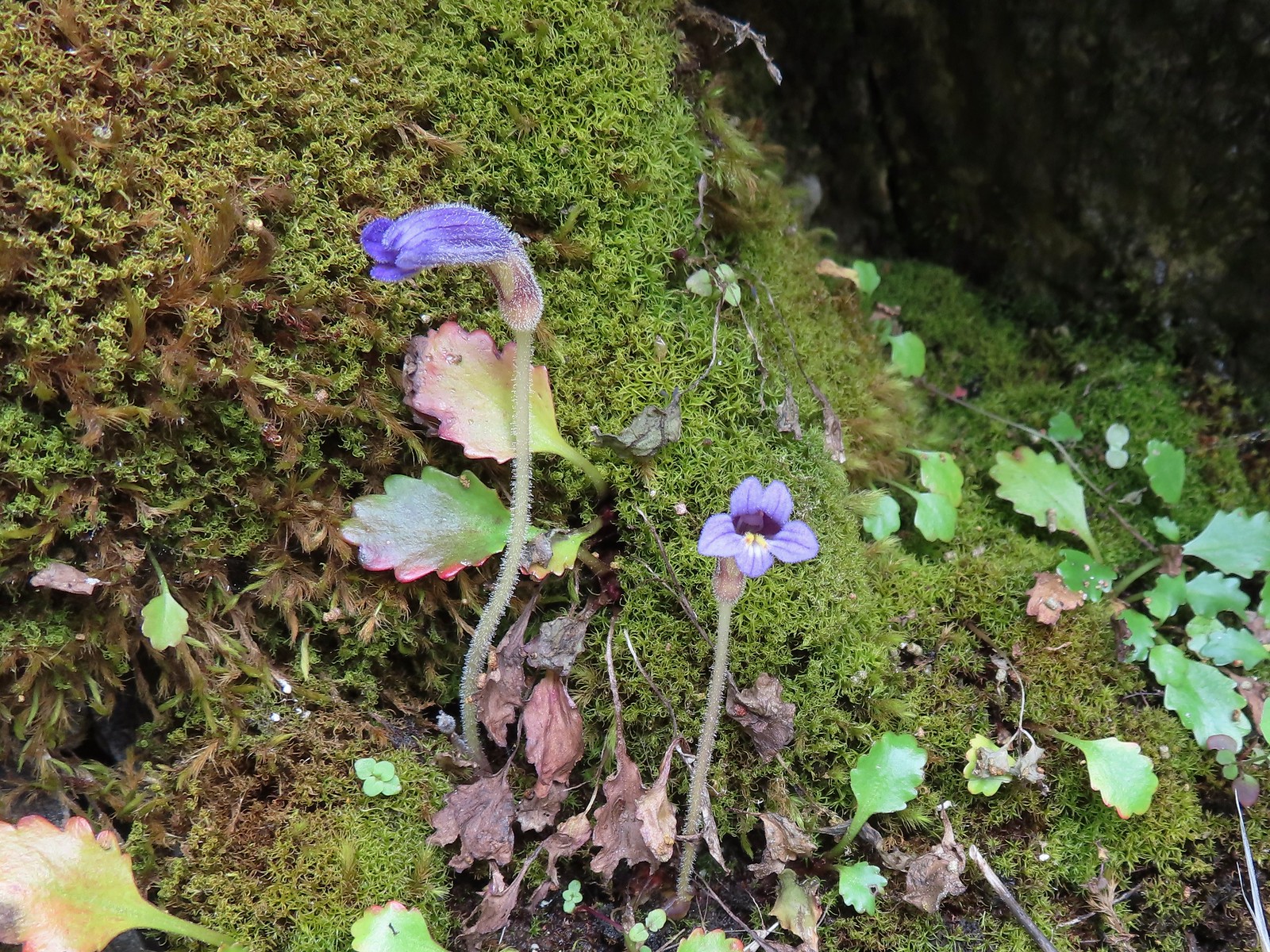 Naked broomrape
 Camas with monkeyflower and plectritis
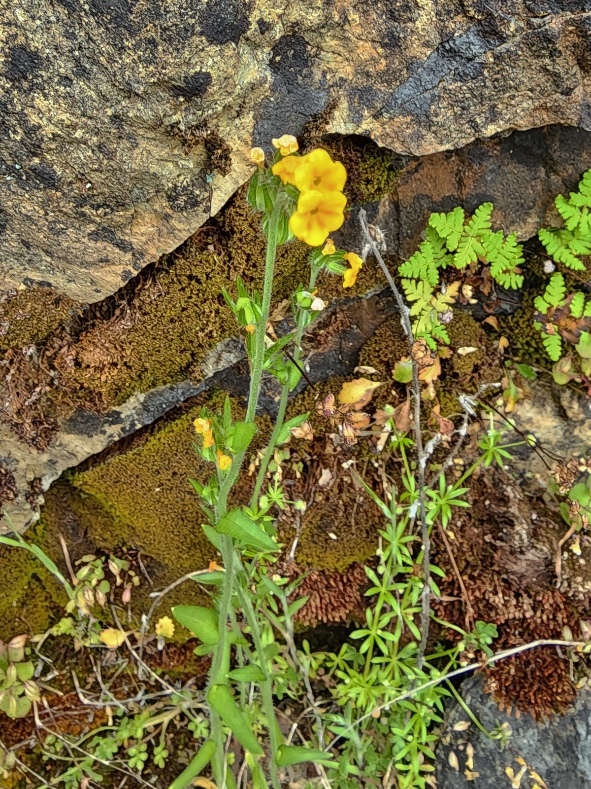 Fiddleneck
 Saxifrage
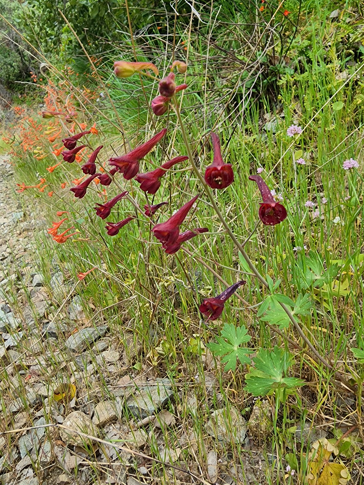 A darker red larkspur
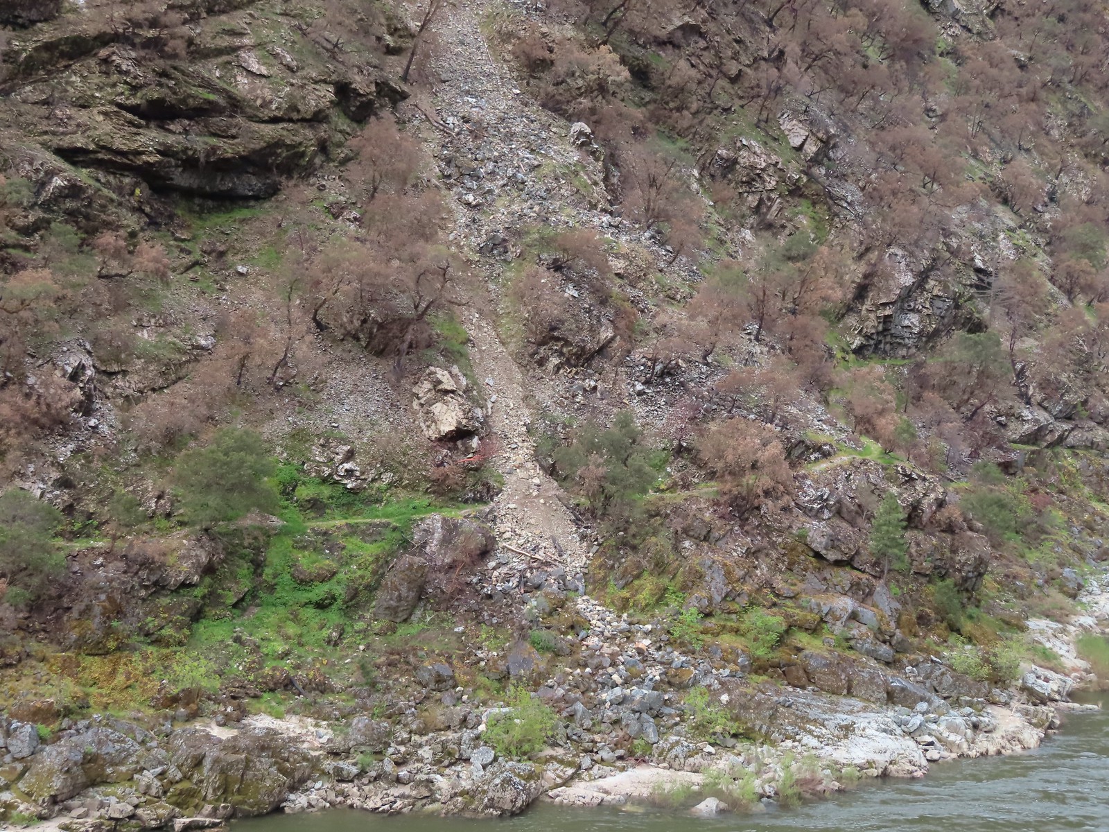 Some of the damage to the trail to Rainie Falls on the opposite side of the river.
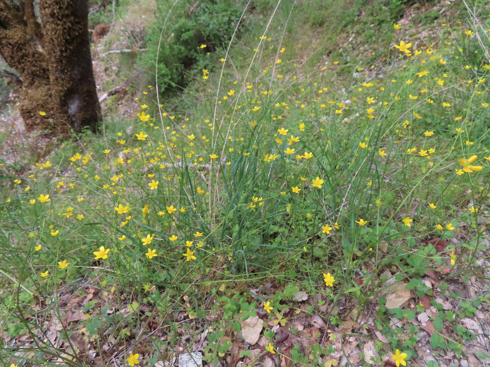 Buttercups
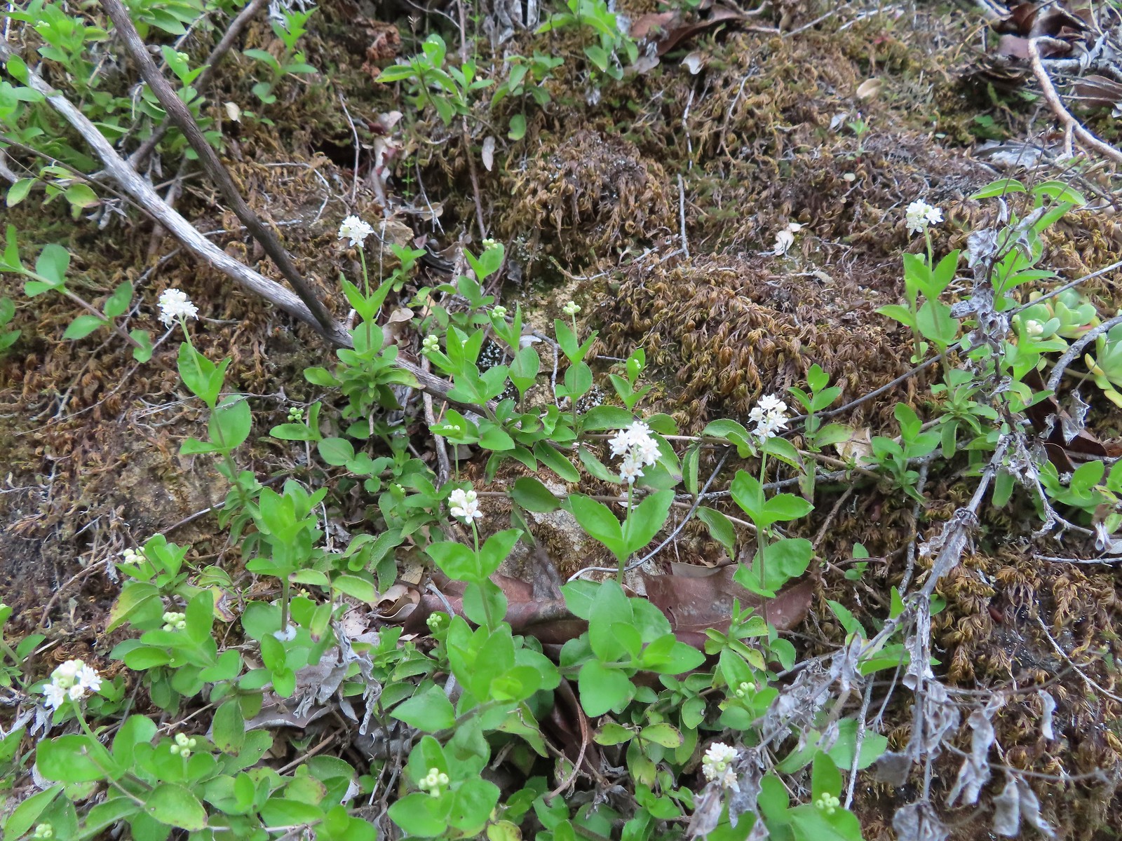 Common whipplea
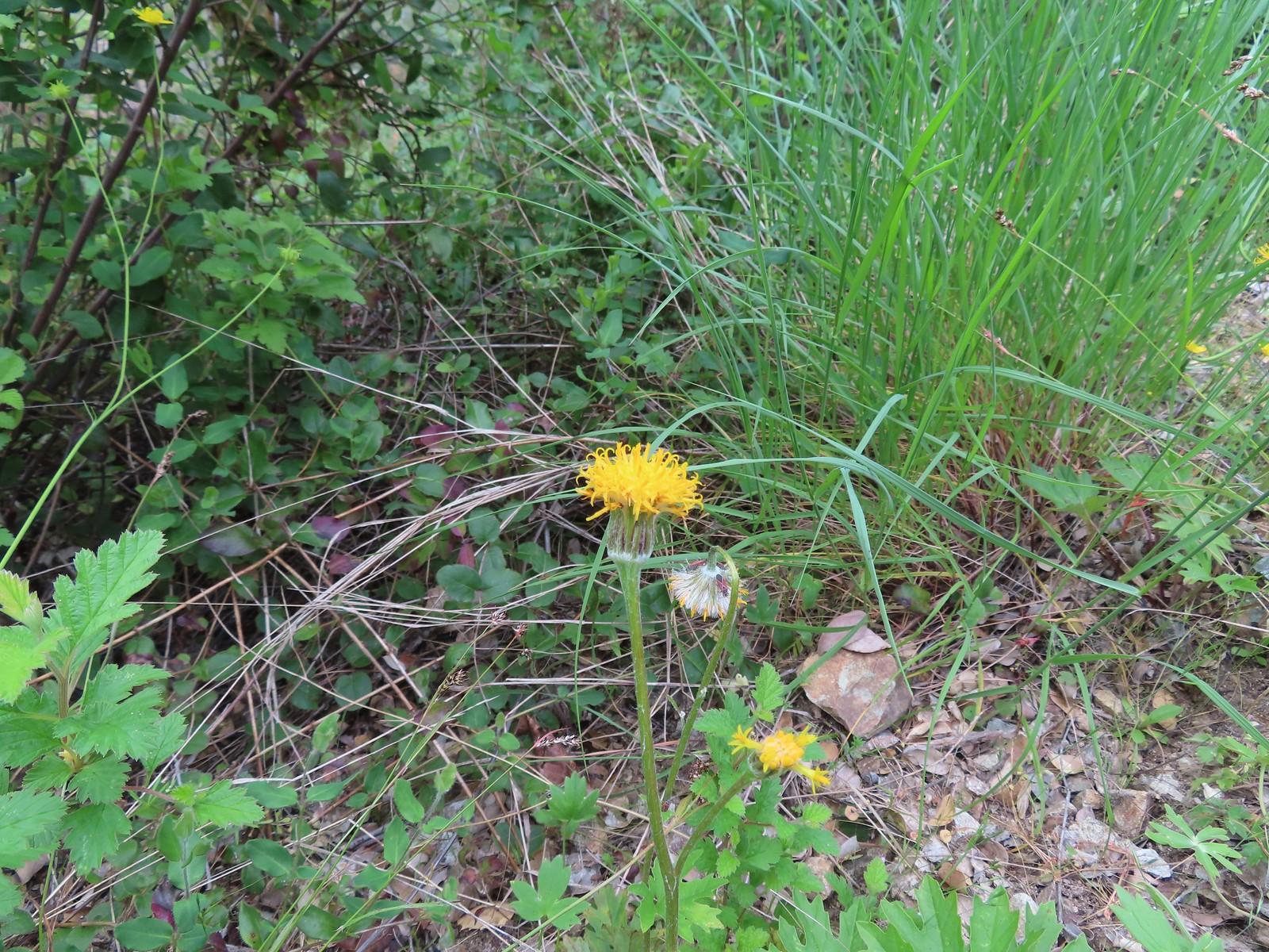 Silver crown
 The wet rock here was sneaky slick.
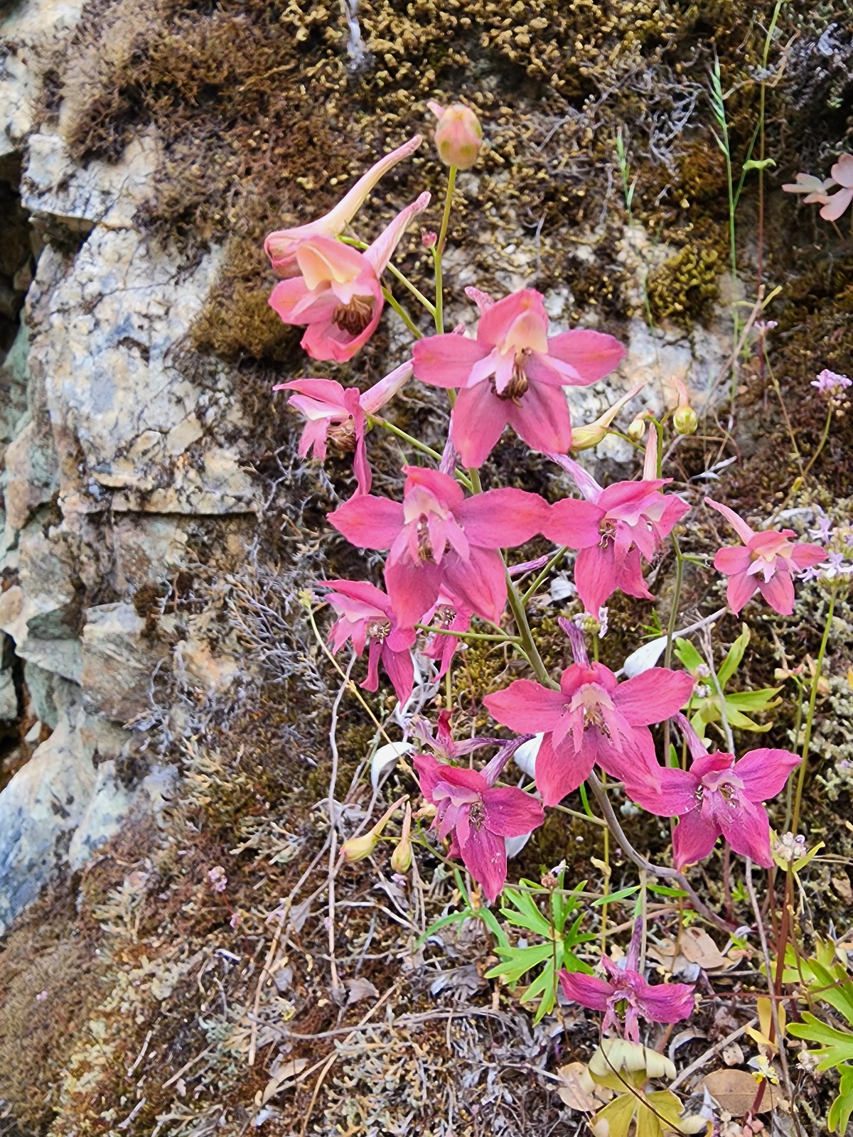 We spotted a couple of pink larkspur.
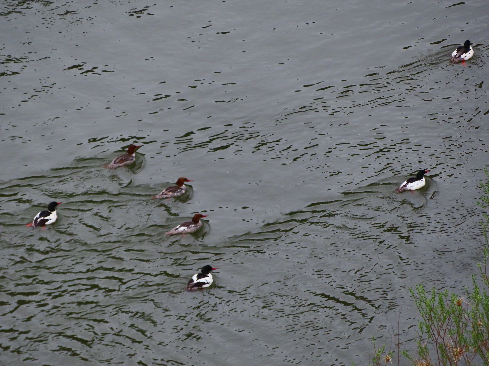 Common mergansers
 Common cryptantha
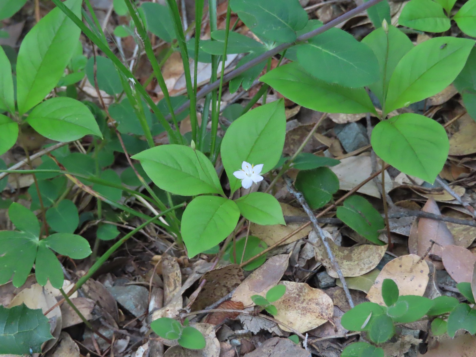 Starflower
 Paintbrush
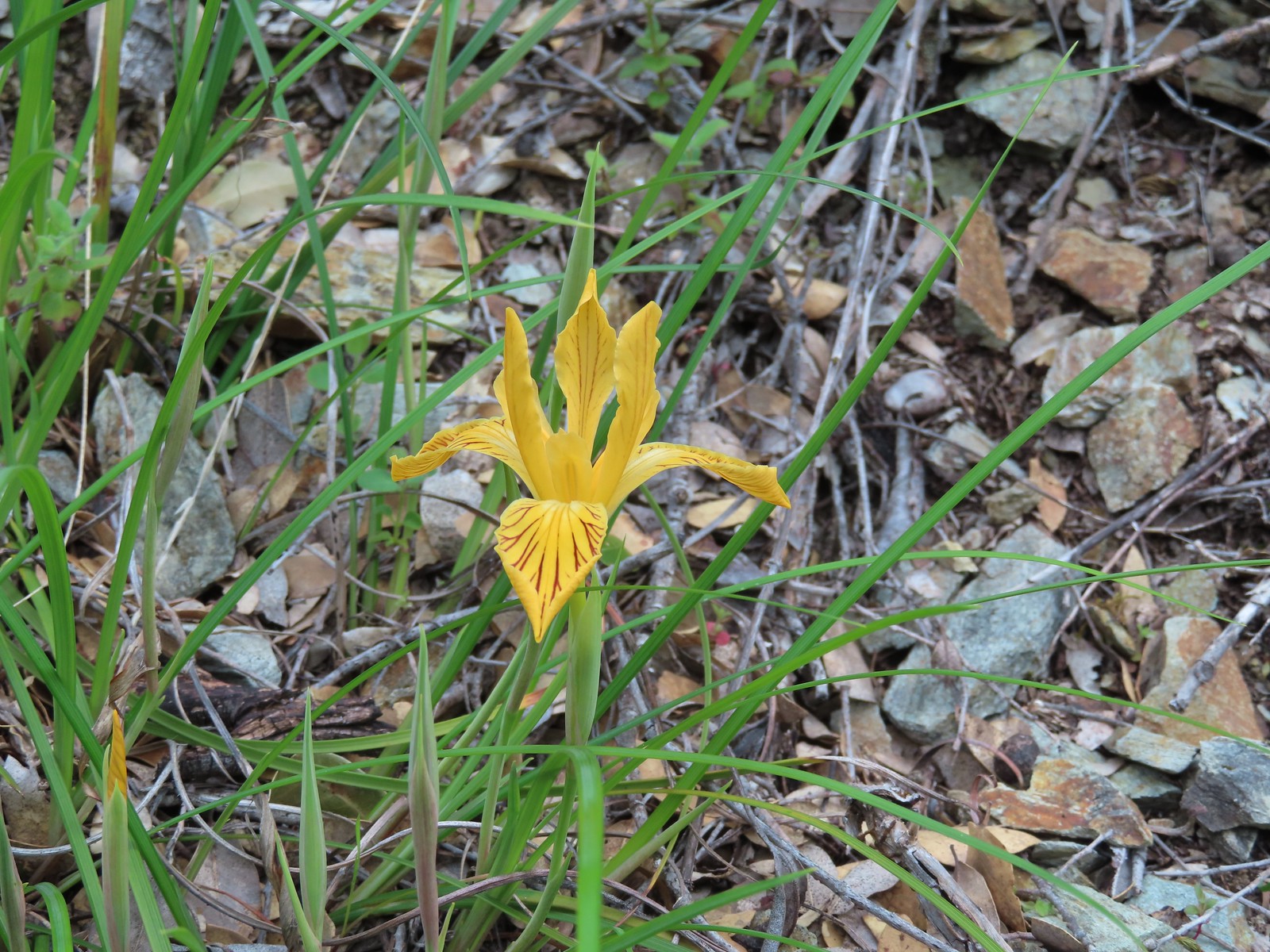 Del Norte iris
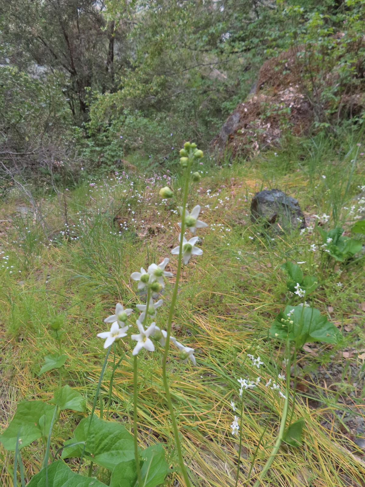 Coastal manroot
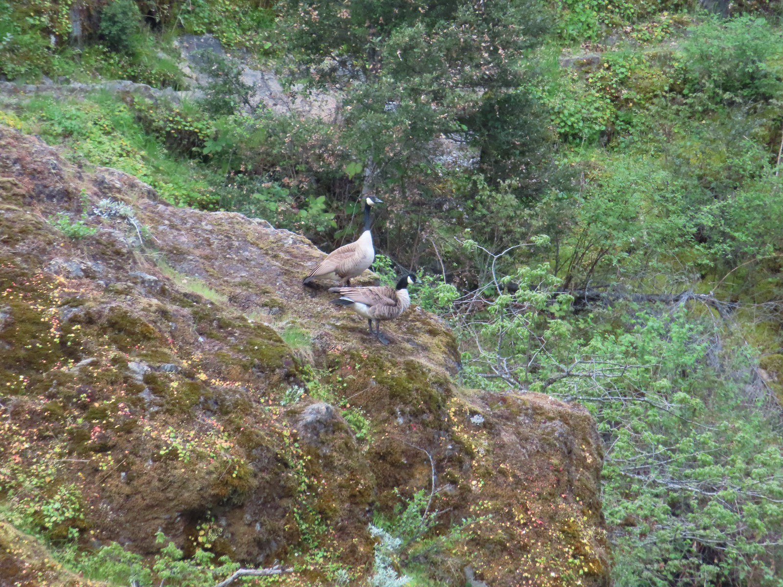 Canada geese
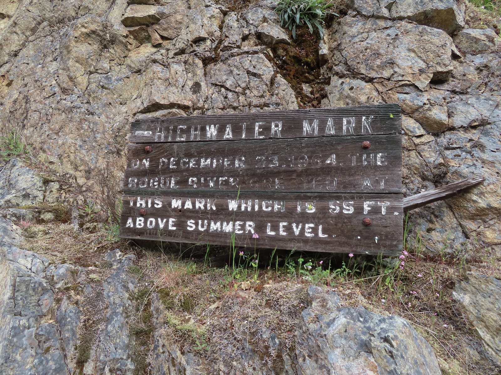
 Looking back upriver from the high water sign.
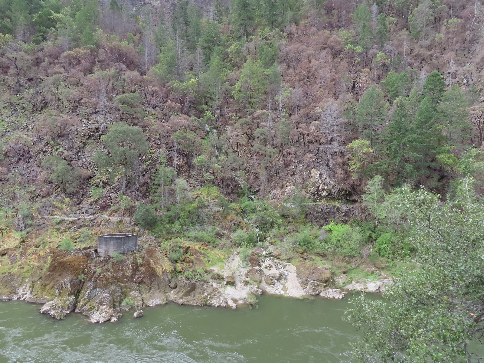 Sanderson Bridge site
 Golden-crowned sparrow
 Scarlet fritillary
 White campion
 The only water we could make out on the far side of the river.
 Bullock’s oriole
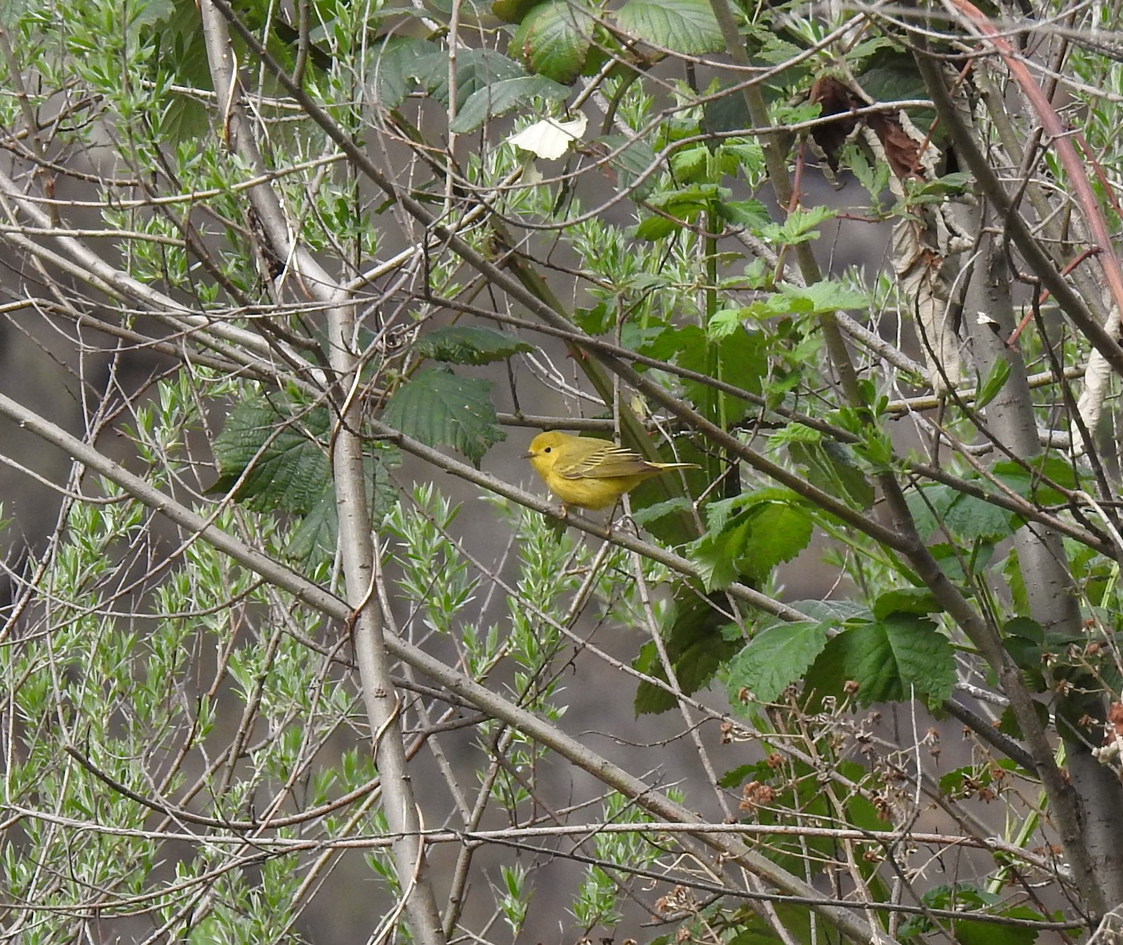 Yellow warbler
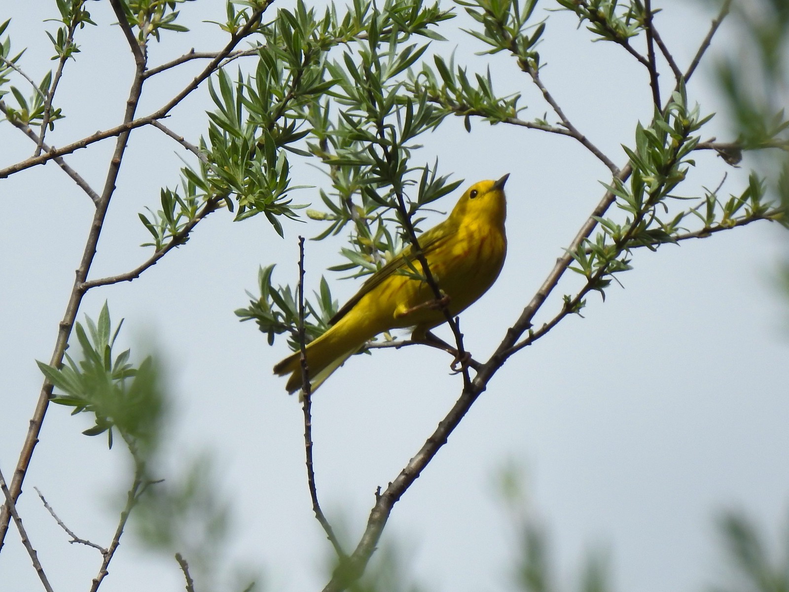 Yellow warbler
 Sandy beach along the Rogue River.
 Shooting star
 California groundcone
 Small-flowered woodland-star
 Approaching China Gulch
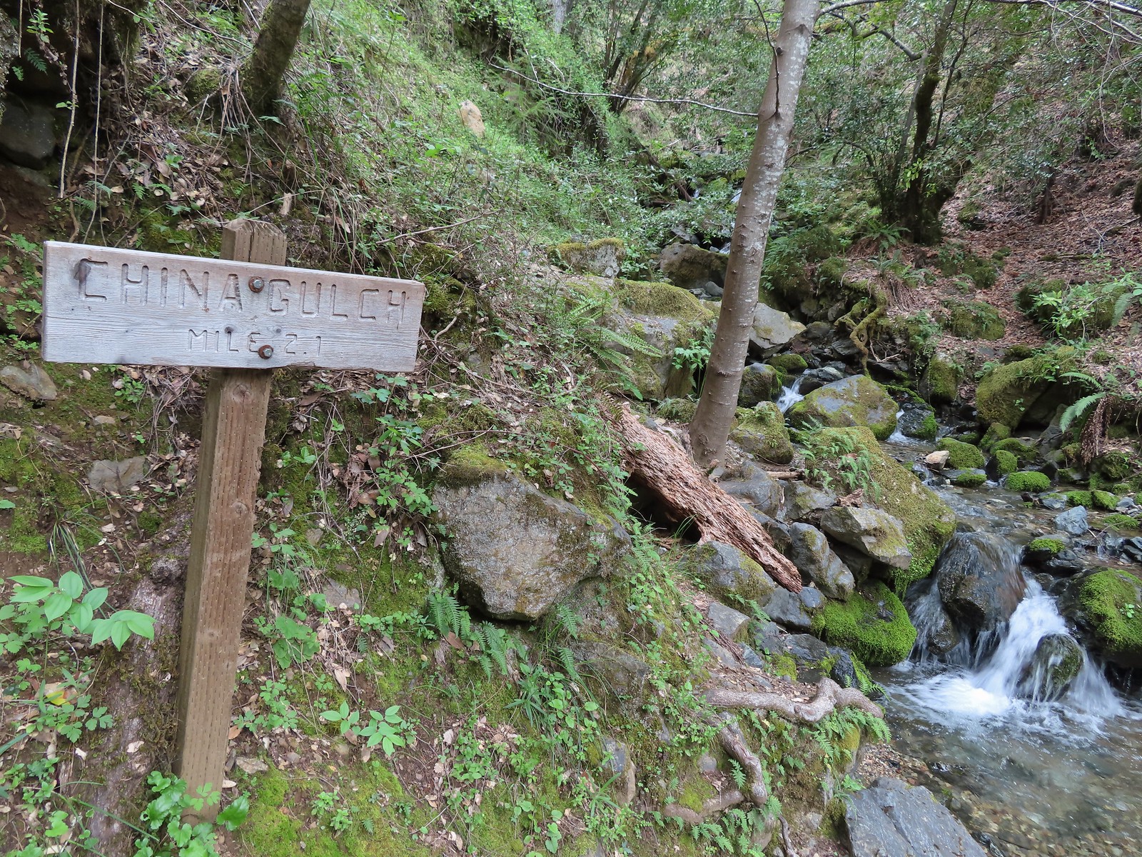
 Vetch
Vetch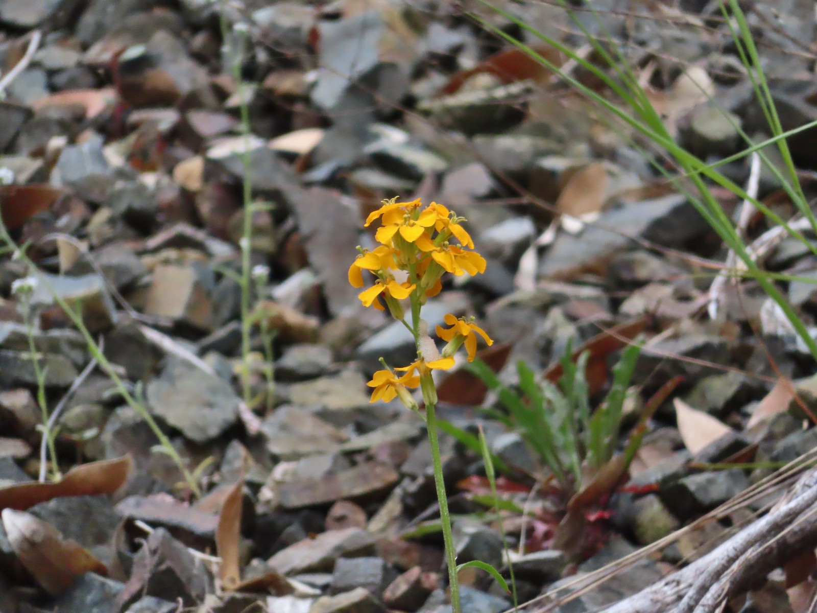 Wallflower
 Silverpuffs
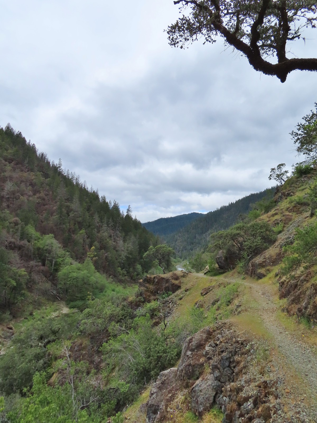
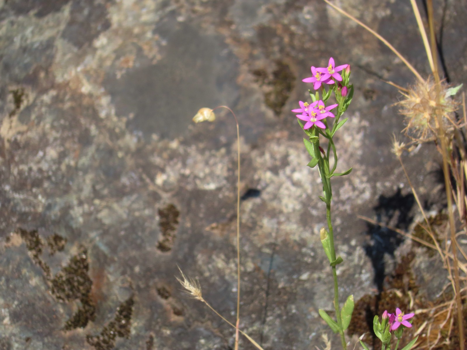
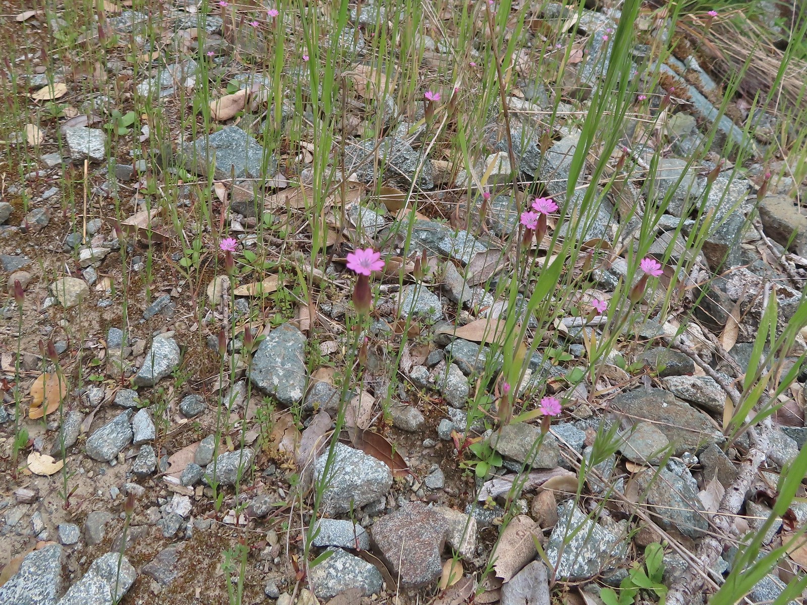 Hairy pink
 Robin
Robin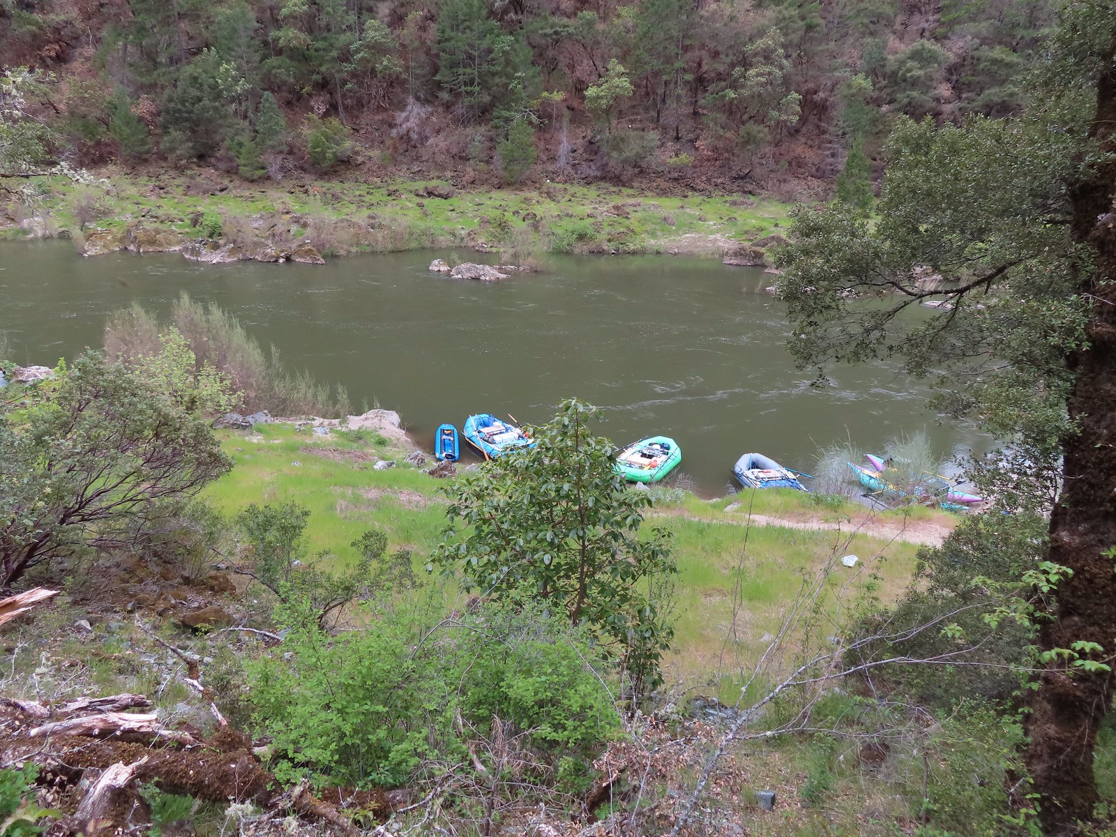 Rafts at Whiskey Camp.
 Whiskey Creek
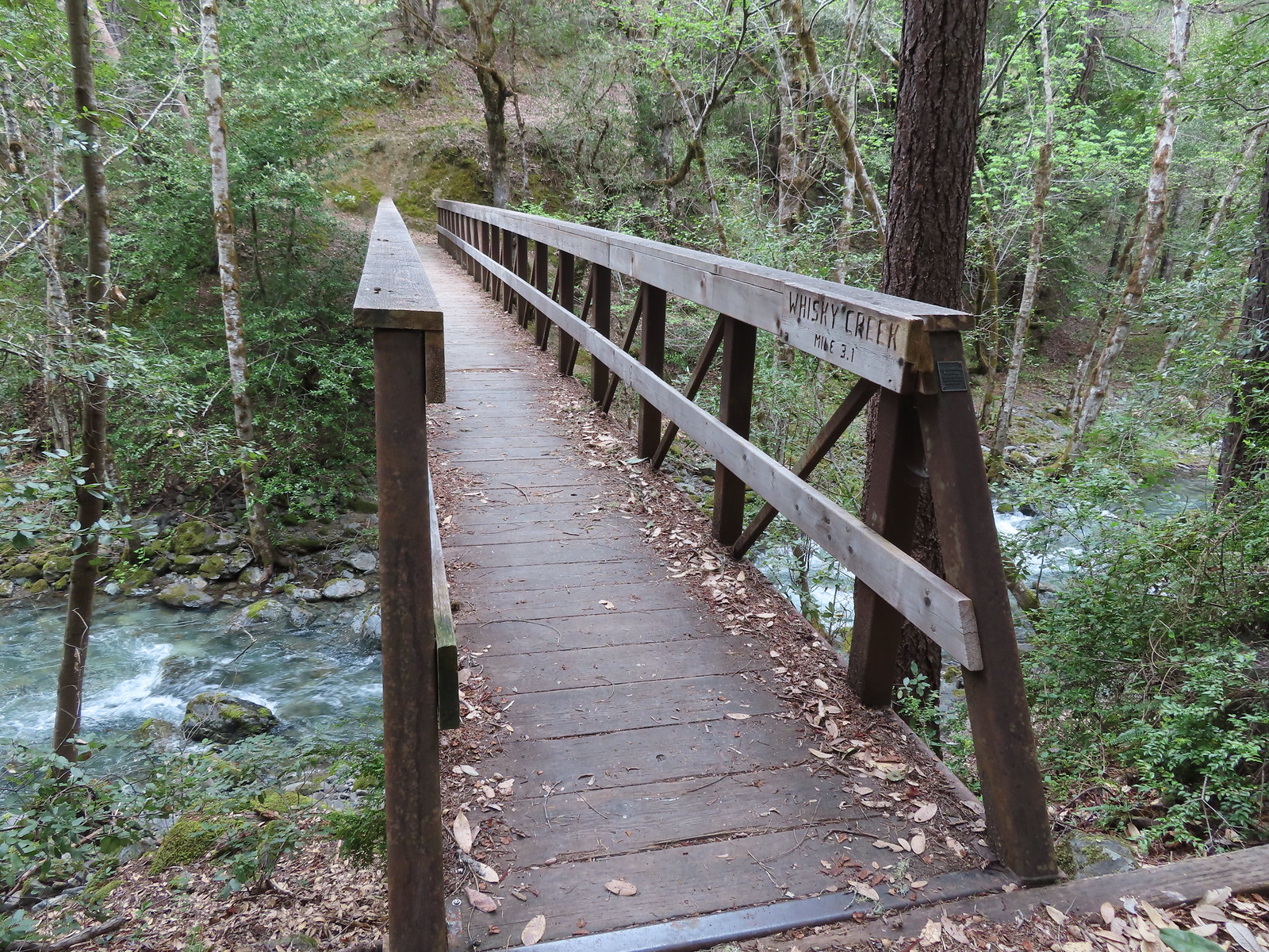 Footbridge over Whiskey Creek
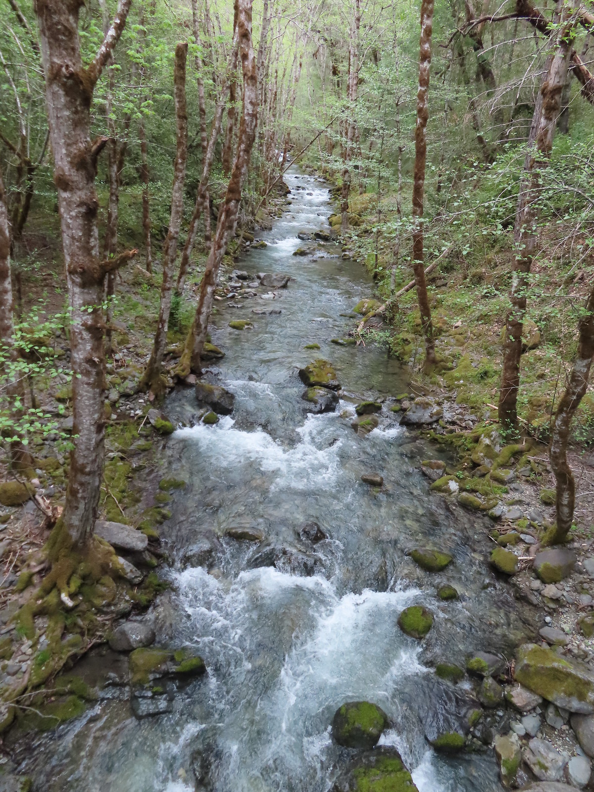
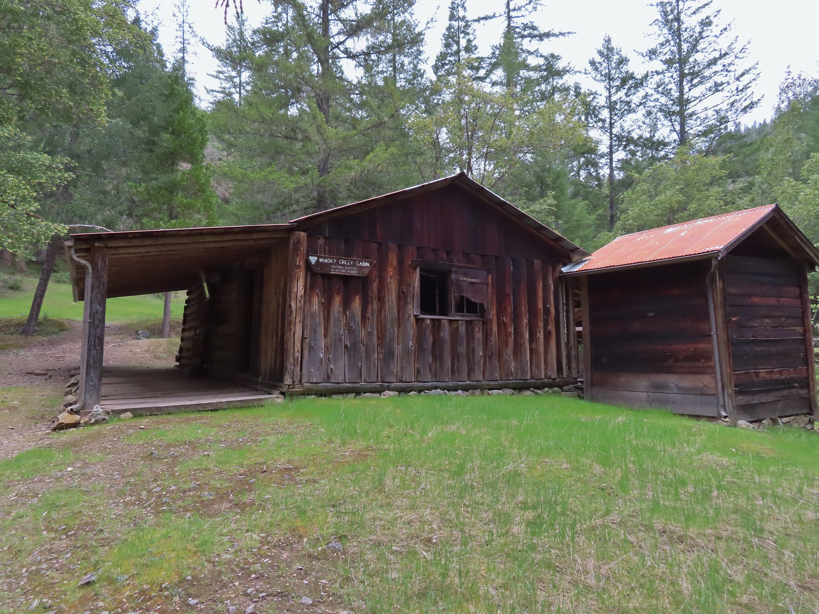
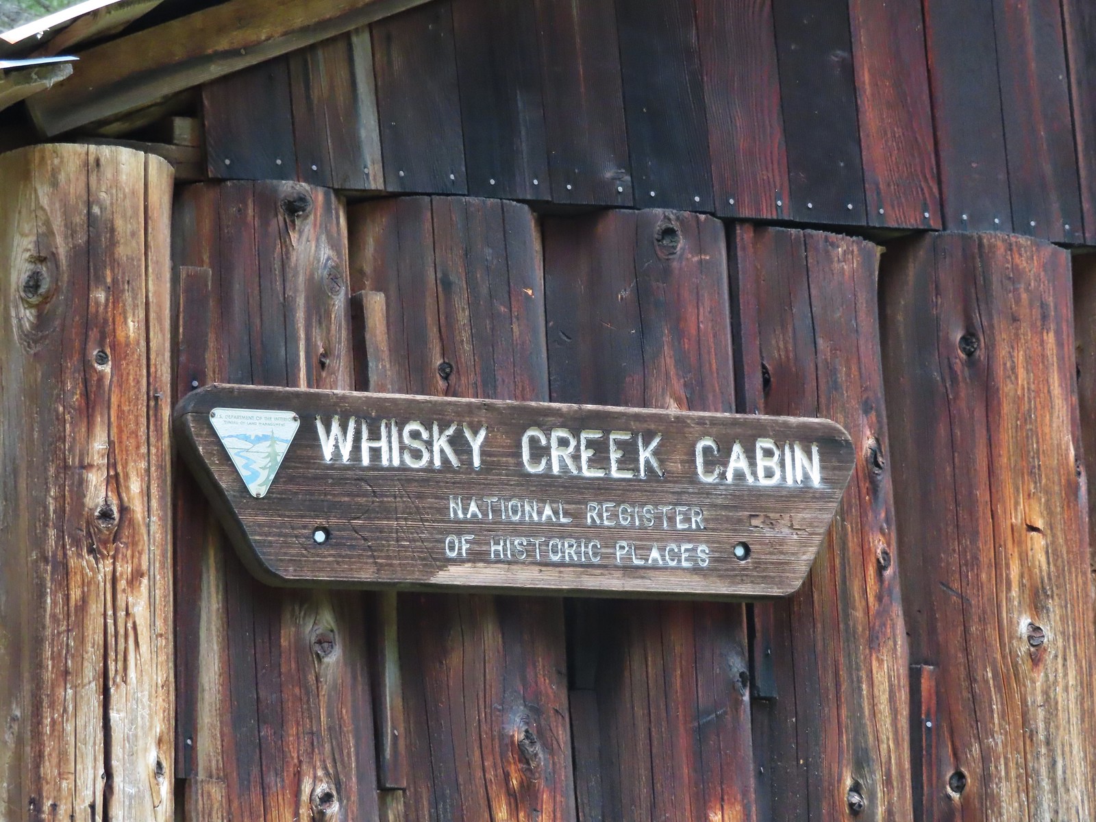
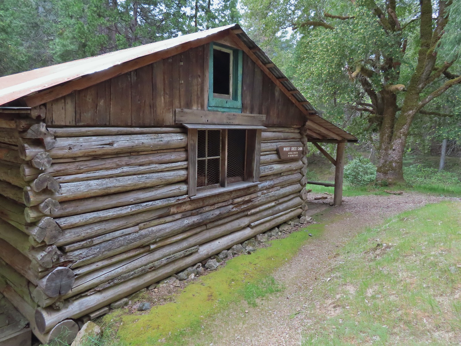
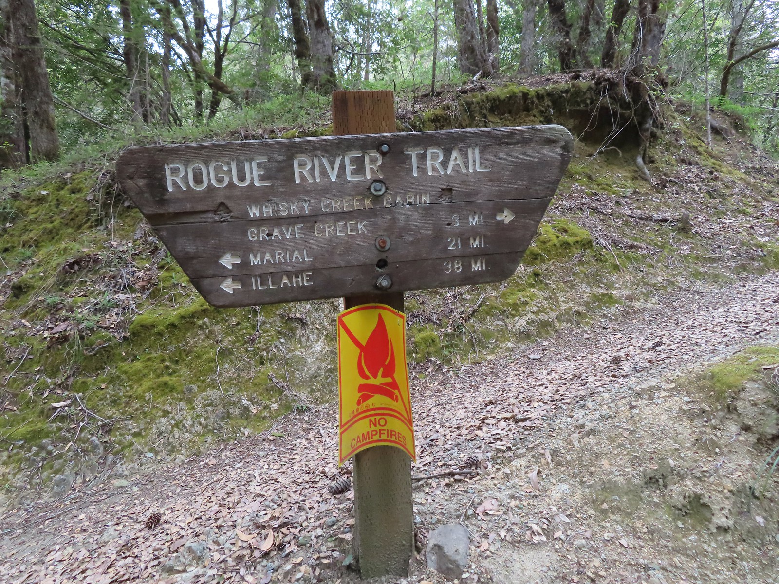 Sign at the spur trail to the cabin.


 Del Norte irises
 Big Slide Camp to the left.
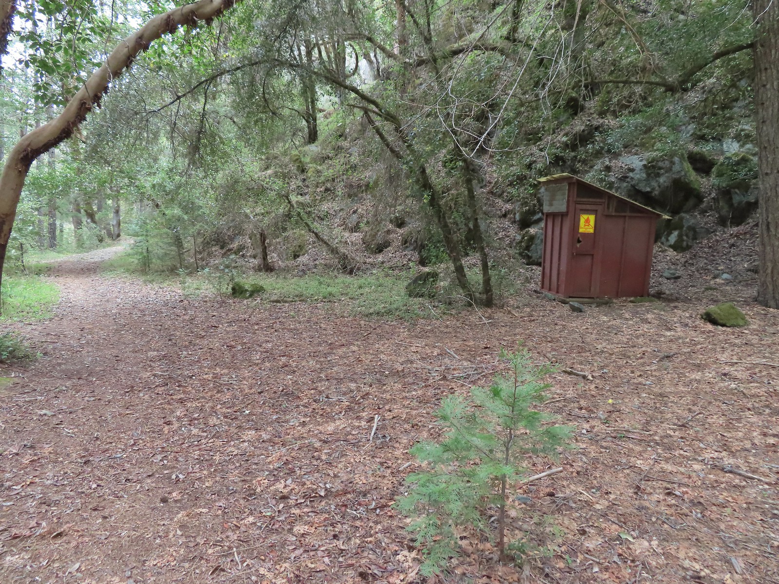 Outhouse at Big Slide Camp.
 Common mergansers
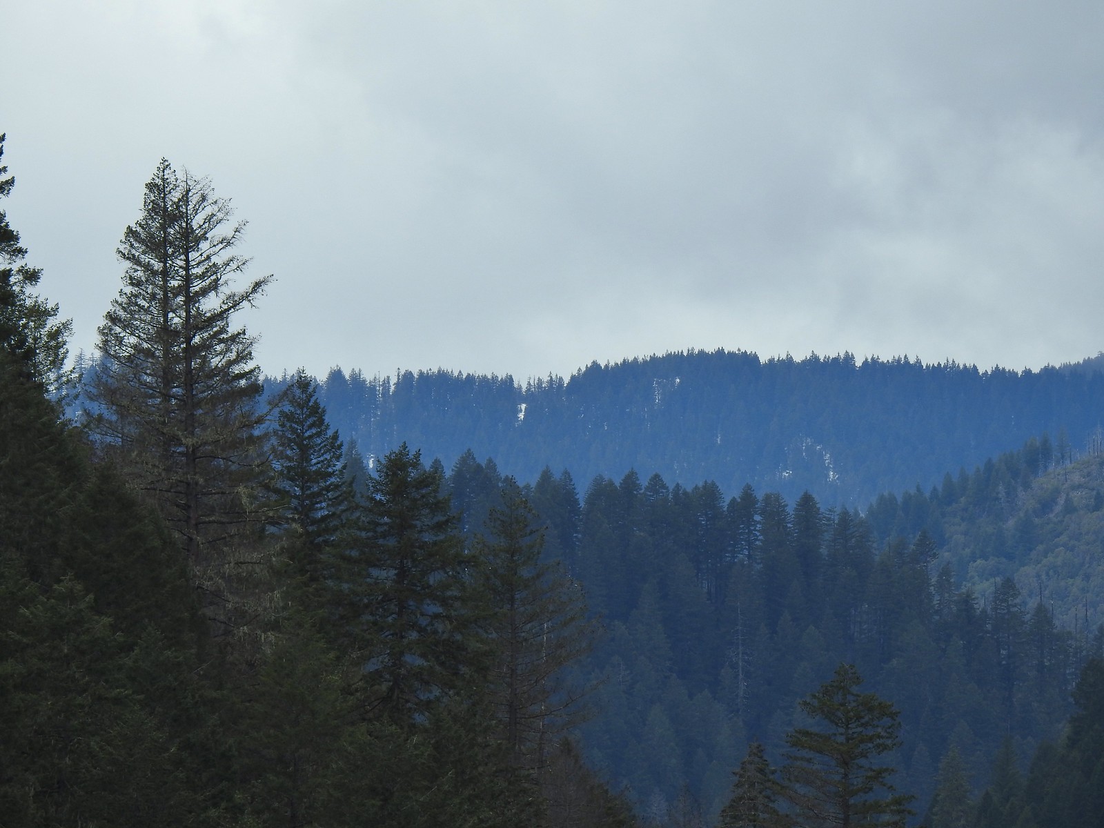 Snow on a ridge above the Rogue River Valley. (This was a sign of issues for us later in the week.)
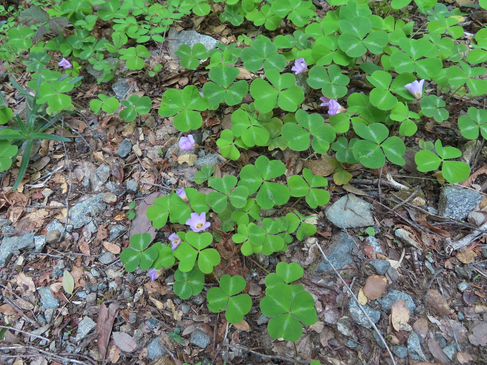 Redwood sorrel along Whiskey Creek.
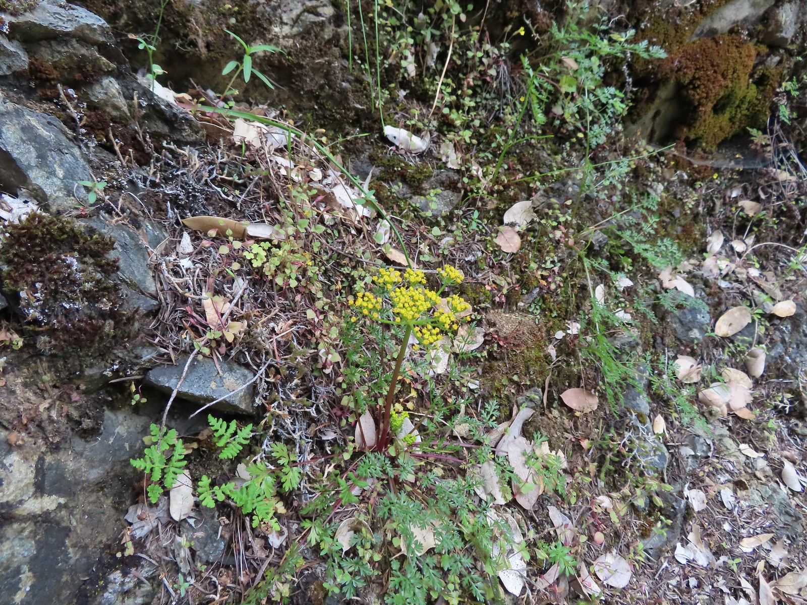 Buiscuitroot
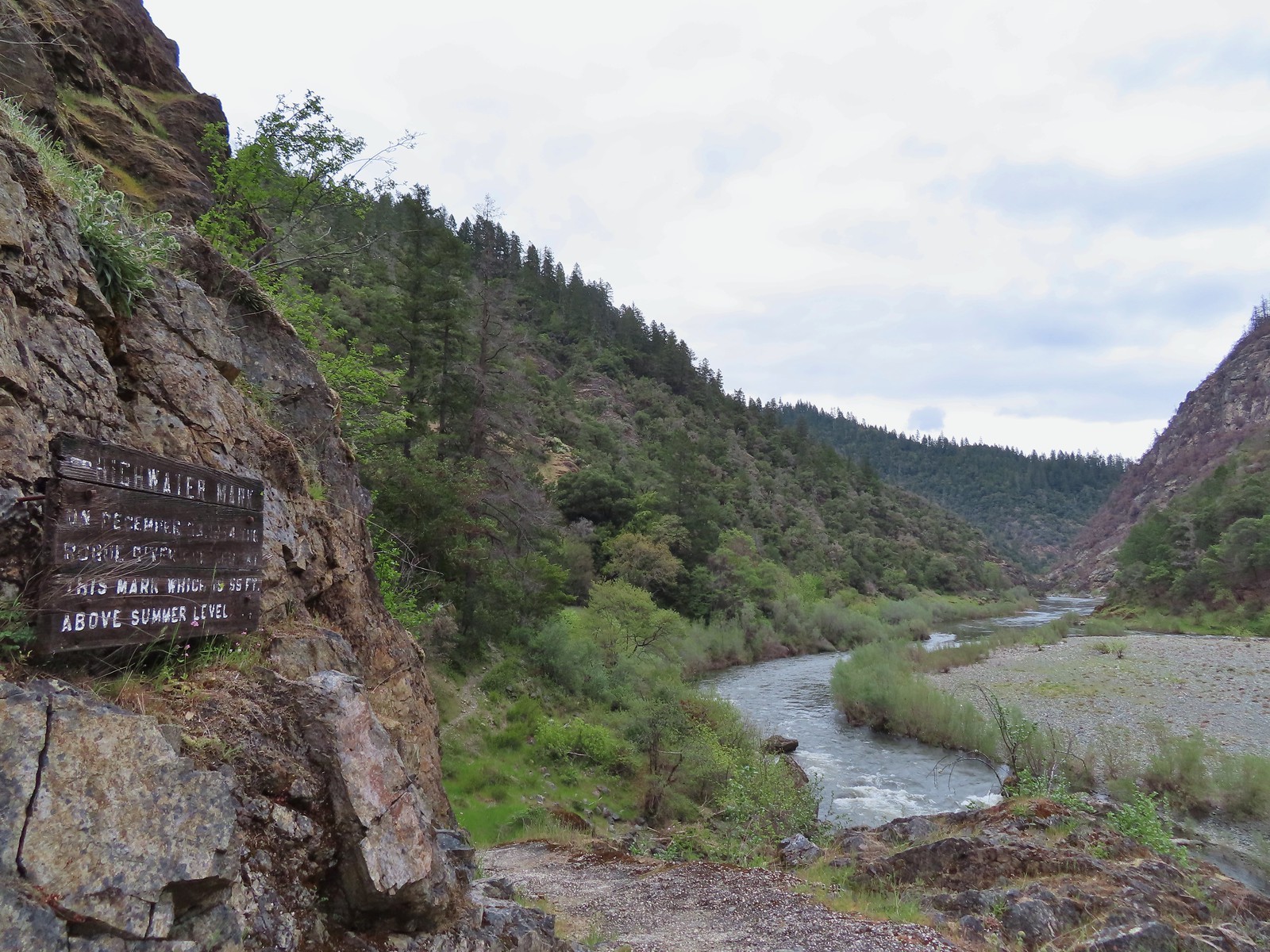 Passing the high water mark.
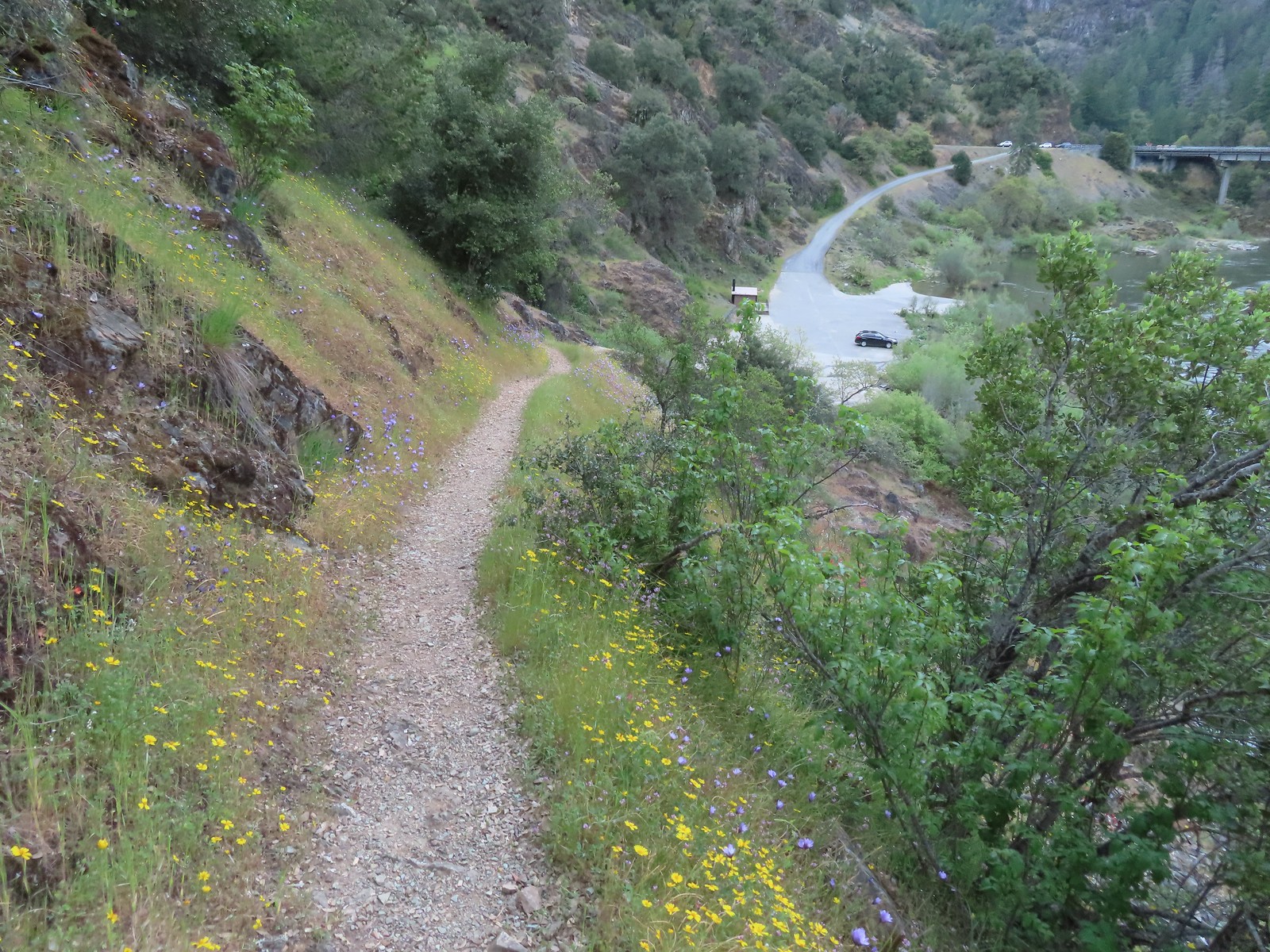 Arriving back at the trailhead.