
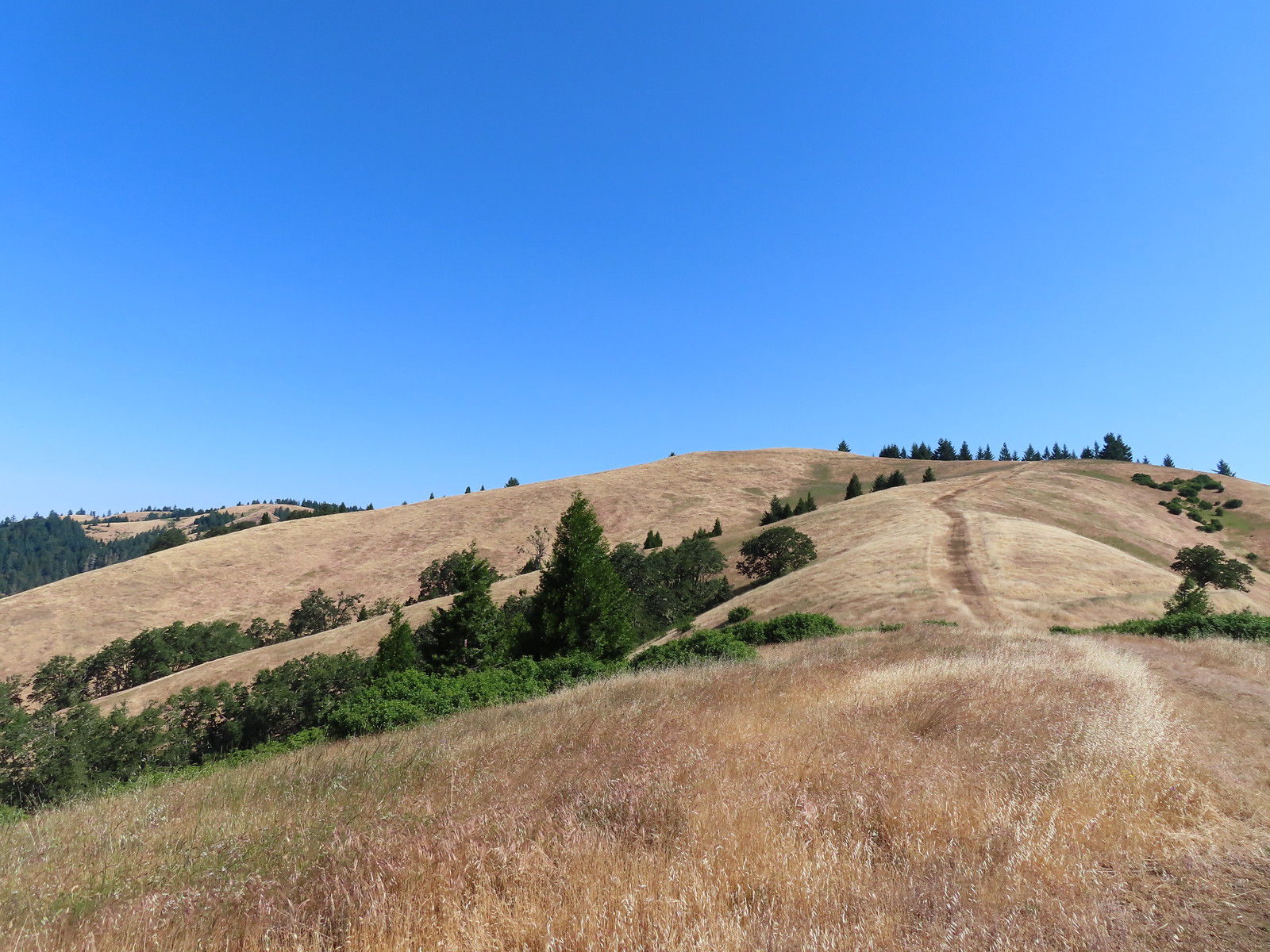
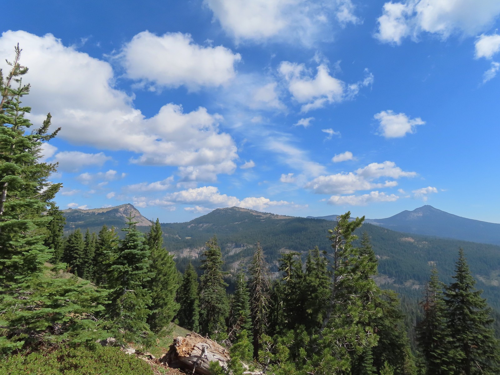
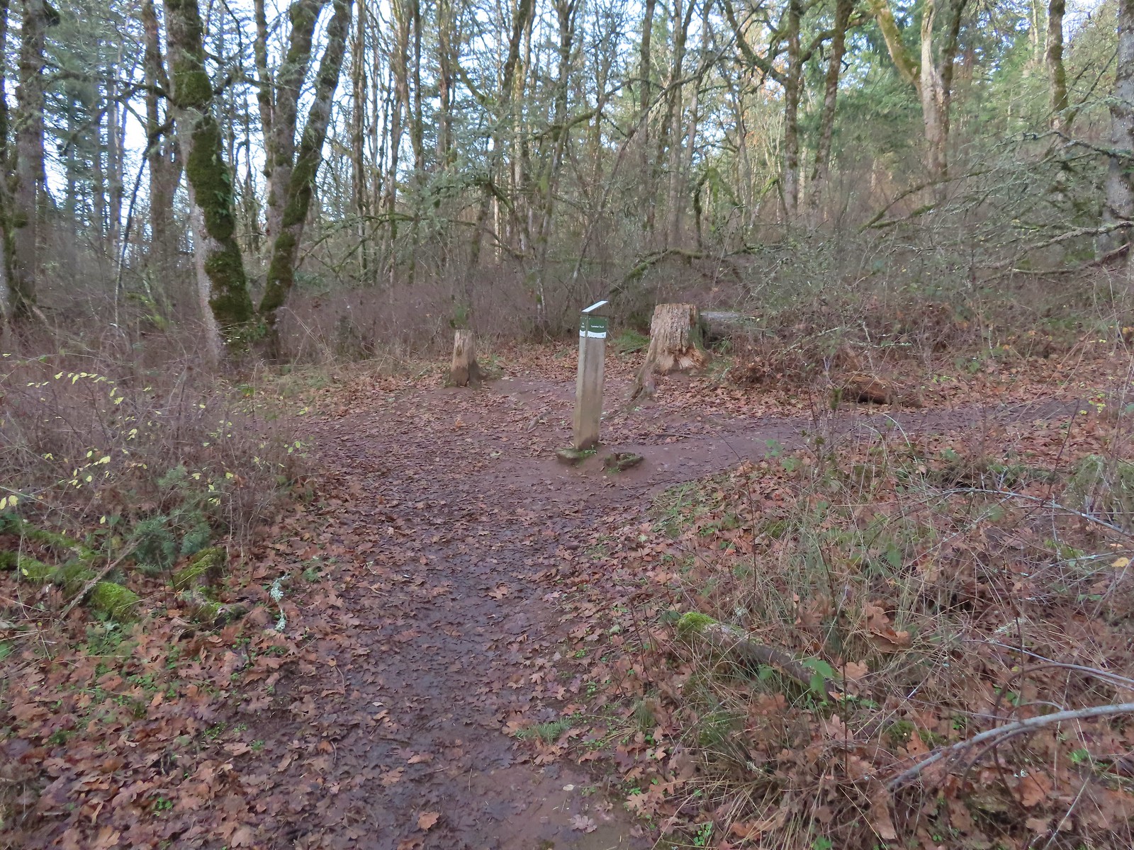
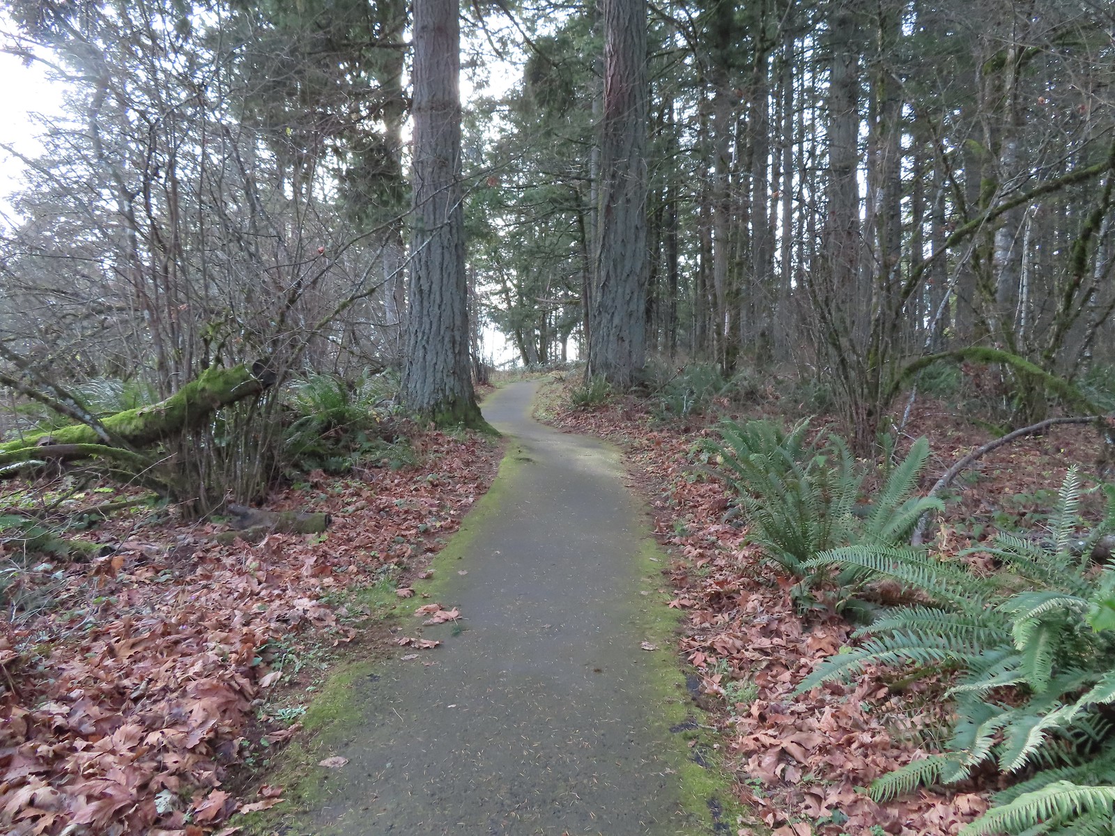
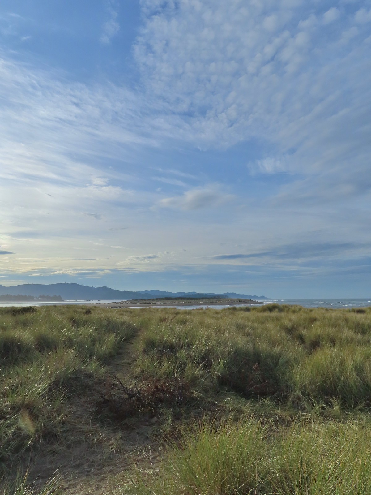
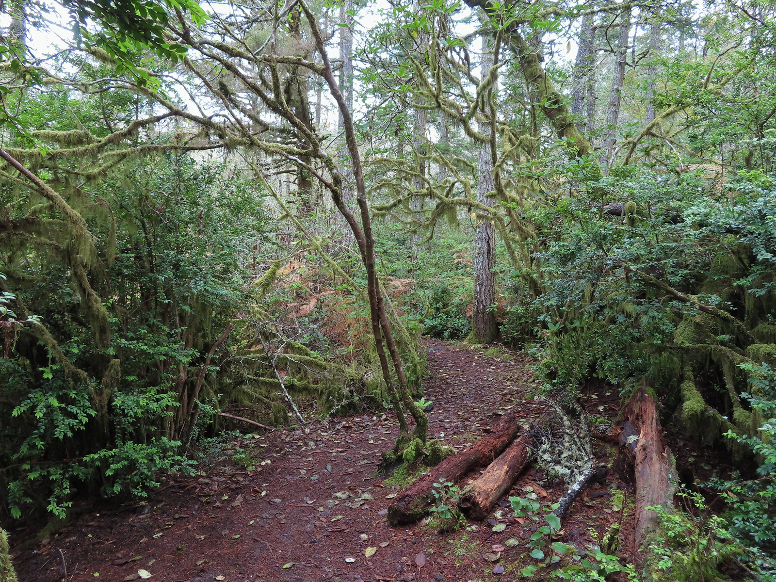
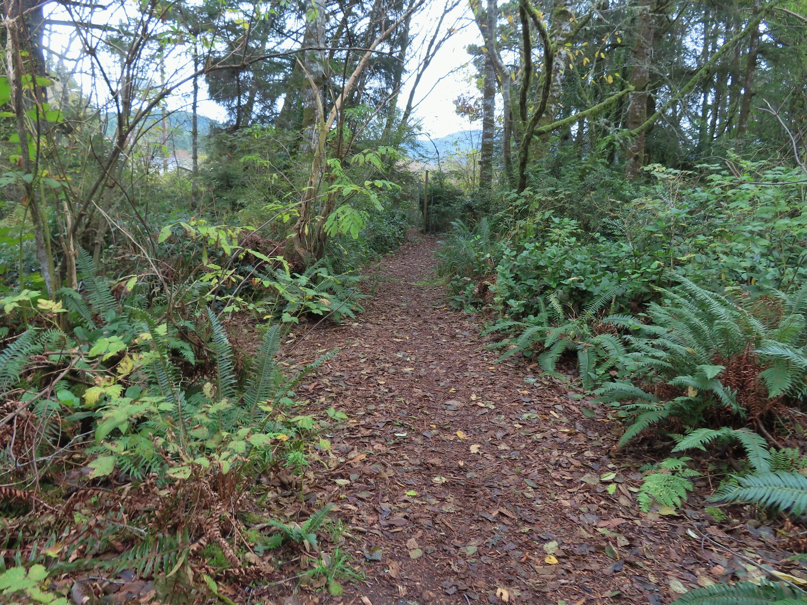
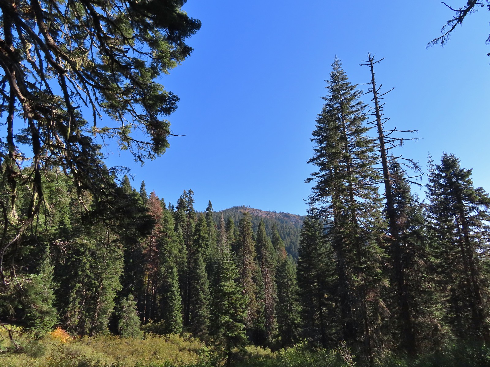
2023 was another unique year of hiking for us. I made it outside for hikes on 62 days while Heather managed to join me, at least in part on 58 of those days. We set off from 109 trailheads and 5 times from our tent which was the highest number of starting points for us in a given year. While the 62 days marked my second highest number of days spent hiking the 608.5 miles hiked was just the 8th most miles in a year. In other words, 2023 was the year of shorter, multiple stop days allowing us to visit a good number of different trails.

In fact, our shortest hike was just over a quarter mile at Nesika Park in Lincoln City (post) while my longest hike was a 17.7 mile out-and-back up and over Mt. Hebo (post).
This year we visited city, county, and national parks as well as state and national forests. We also made it to a national monument and a national volcanic monument. We spent time at six national wildlife refuges and a couple days hiking in privately held nature preserves. Seventeen hikes took us into ten different designated wilderness areas. We truly are blessed to live in a region with so many options and so much variety.
While we continue to focus on hikes that we have not done before we spent a higher percentage of our time hiking in Oregon than typical this year. We spent just three days in Washington, none in California, and for only the second time hiked a trail in Idaho along the Snake River. That being said only 17 of our days brought us to a trail we’d hiked in a previous year and none of the hikes were an exact repeat of one we’d done before.
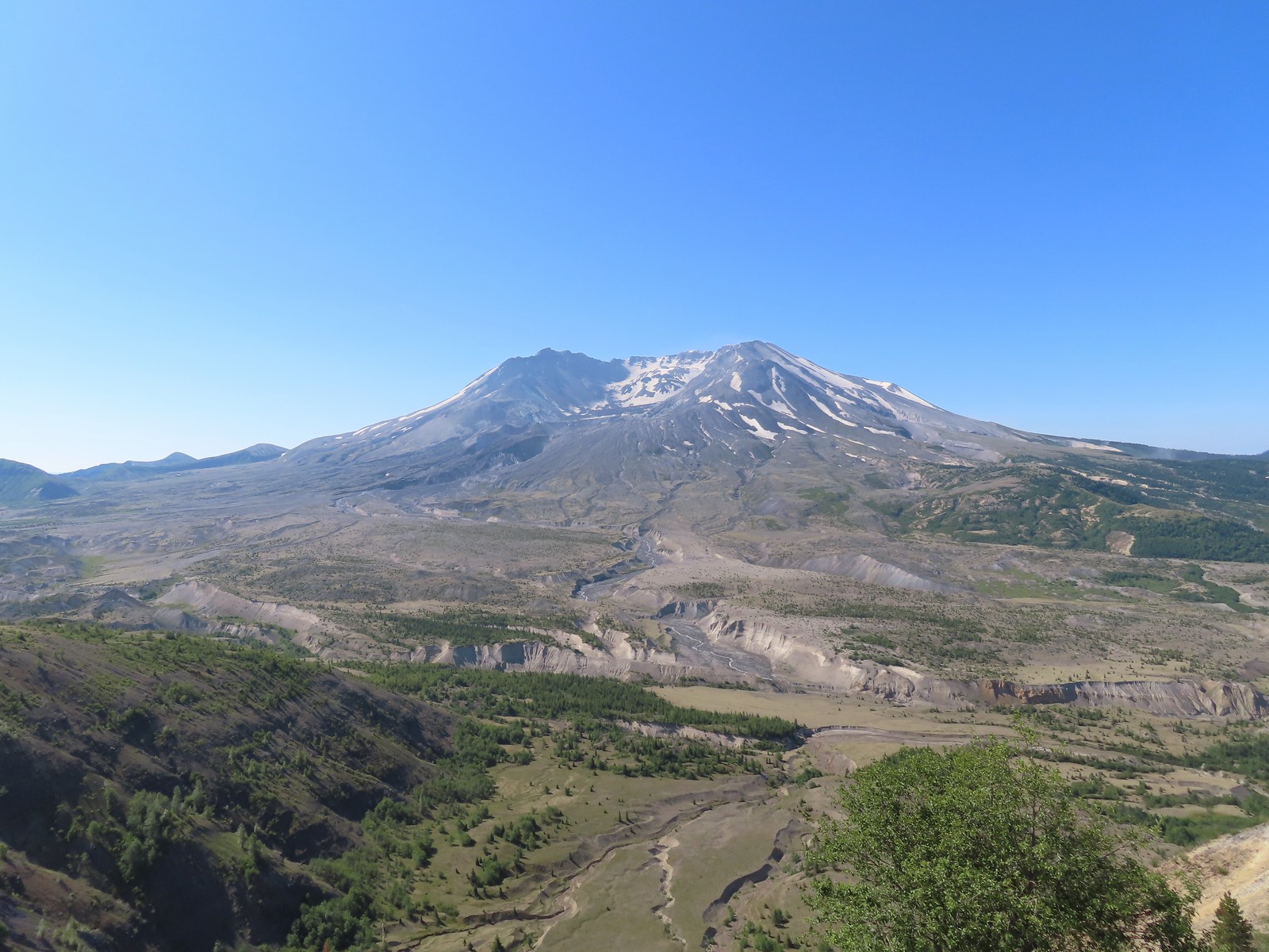
Our most northern hike was in Washington on the Boundary Trail North of Mt. St. Helens (post).
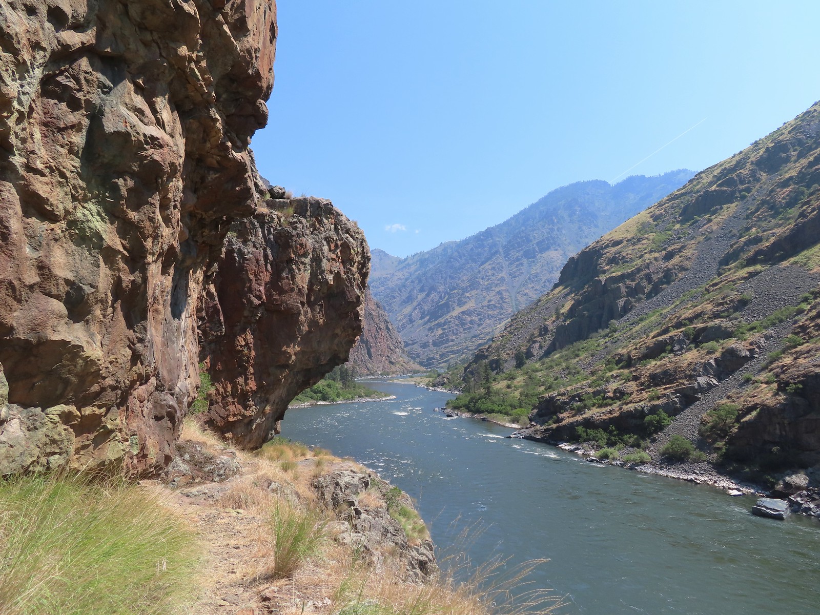
I would have guessed our Eastern most hike was the one in Idaho, but it was actually another stop we made that same day on the Oregon side of the Snake River (post).
While we didn’t hike in California this year our Southernmost hike at Tanner Lakes saw us briefly drive through part of the State to reach the trailhead (post).
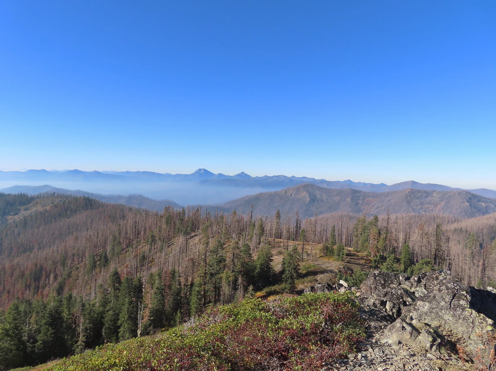 Peaks in California from Tanner Mountain.
Once again our Western most hike was near the Pacific Ocean, but it wasn’t one of our beach hikes, it was actually slightly inland at Cape Mountain near Florence (post).
 The Pacific Ocean from Cape Mountain.
In general the weather was good this year, almost too good, as drought conditions have been an issue. Aside from getting caught in a heavy thunderstorm at Cathedral Hills (post) precipitation was almost non-existent. Clouds and fog were also not much of an issue this year, with a trip to Mt. Hood (post) being the only day where our views were impacted by either of these. It wasn’t all clear views though as persistent smoke, first from wildfires in Canada then fires in California and Southern Oregon left most views with at least a hint of haze seemingly the entire year.
Our biggest accomplishment this year was reaching our goal of hiking all 100 featured hikes in one of William L. Sullivan’s
“100 Hikes/Travel Guide Southern Oregon & Northern California” edition 4.2 (post). During an October trip to Grants Pass we checked off the final hikes with the last being a visit to Babyfoot Lake in the Kalmiopsis Wilderness (post).
I hope to get our usual wildlife and flower galleries out at some point over the next couple of months, but I’ll leave this post with some of 2023 highlights.
 Friends of Wildwoods Trail – Lincoln City, OR (January)
 Talking Water Gardens – Albany, OR (April)
 Whiskey Creek – Rogue River National Recreation Trail, OR (May)
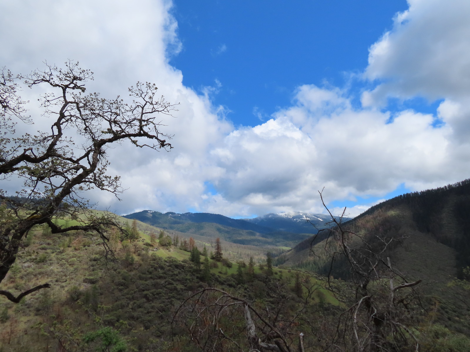 Wagner Butte from the Sterling Mine Ditch Trail – Southern Oregon (May)
 Illinois River from the Kerby Flat Trail – Southern Oregon (May)
 Mt. Hood from the Tualatin River National Wildlife Refuge – Sherwood, OR (May)
 Deschutes River from the Criterion Tract – Central Oregon (May)
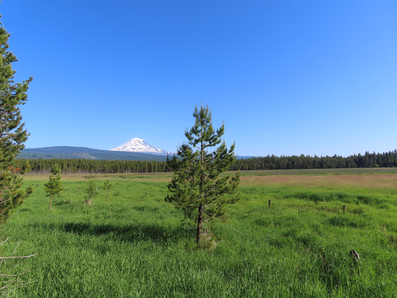 Mt. Adams from Conboy Lake National Wildlife Refuge – Washington (June)
 Hat Rock – Hat Rock State Park, OR (June)
 View from the Imnaha River Trail – Eagle Cap Wilderness, OR (June)
 Pond at Iwetemlaykin State Heritage Site – Joseph, OR (June)
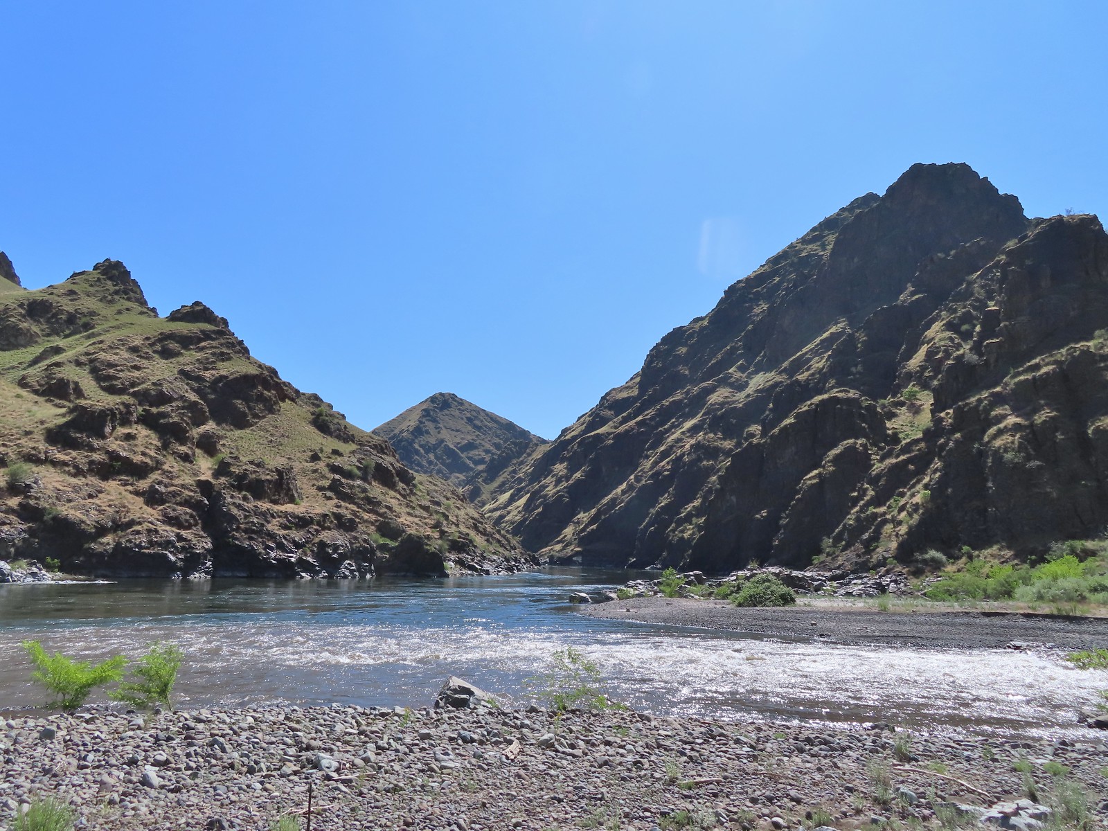 Snake River at Eureka Bar, OR (June)
 Buckhorn Lookout, OR (June)
 Blossom Bar – Rogue River, OR (June)
 North Bank Habitat – Roseburg, OR (June)
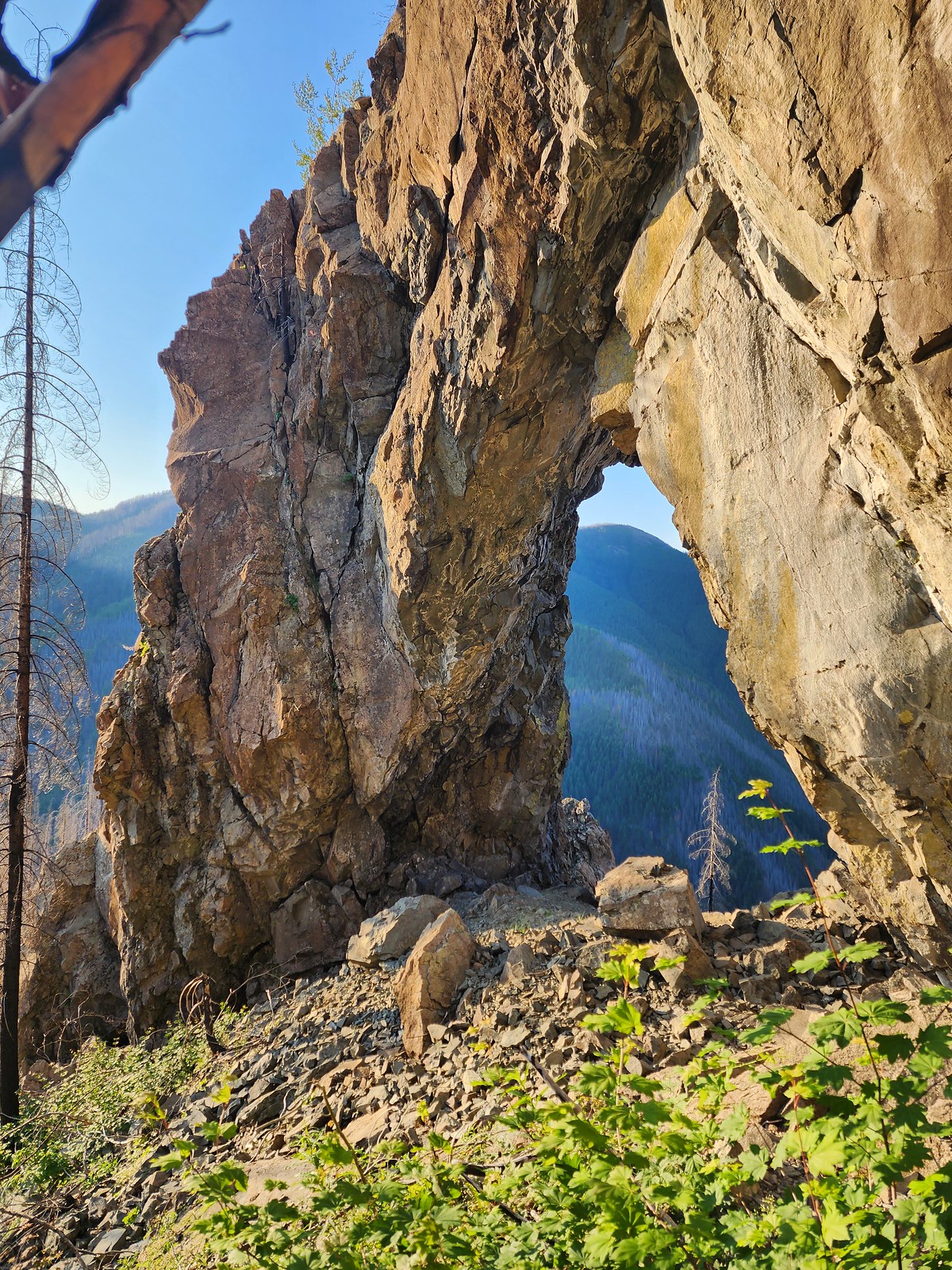 Natural Rock Arch – Niagra, OR (July)
 Mt. Jefferson and Three Fingered Jack from Sand Mountain – Willamette National Forest, OR (July)
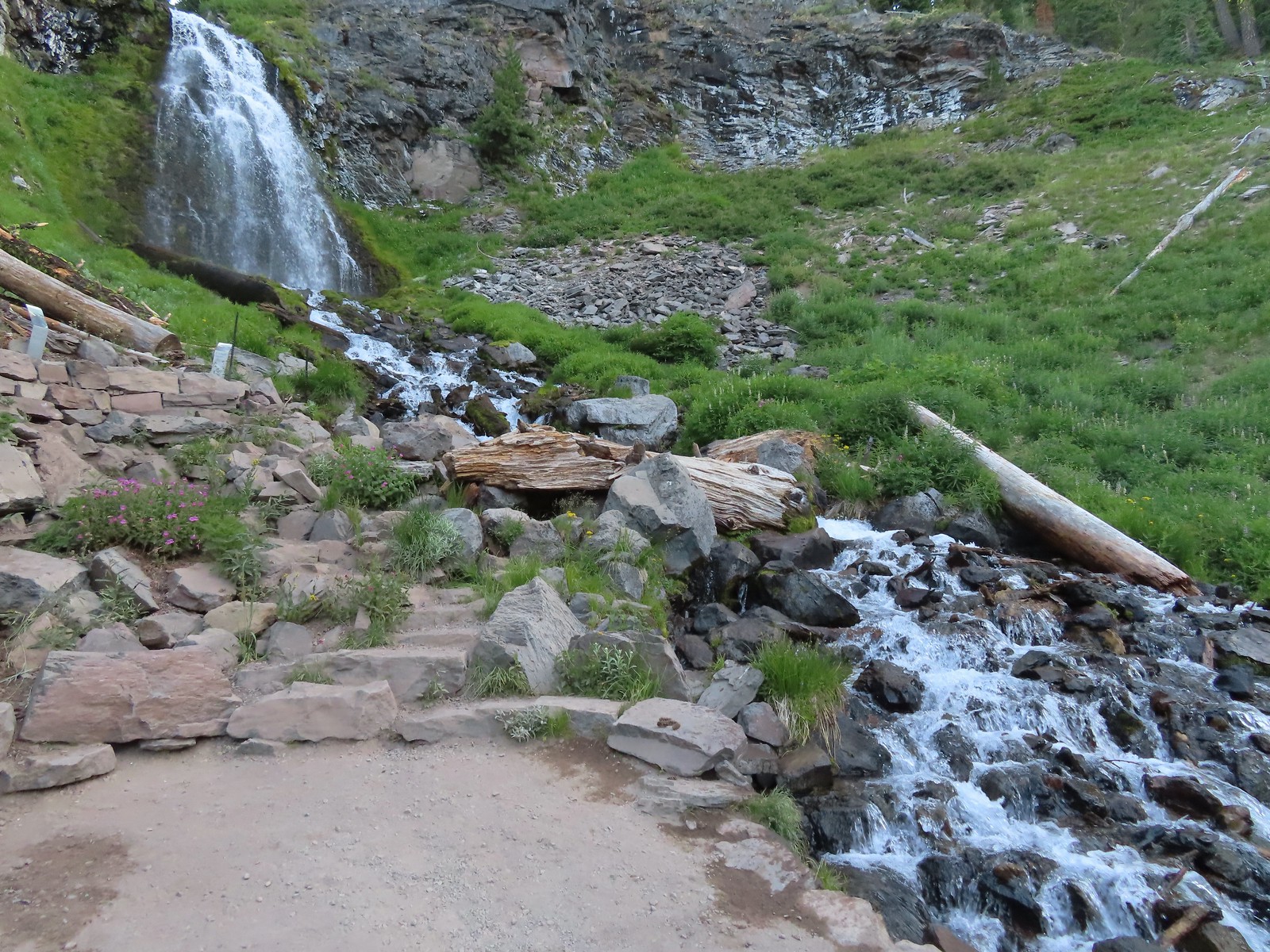
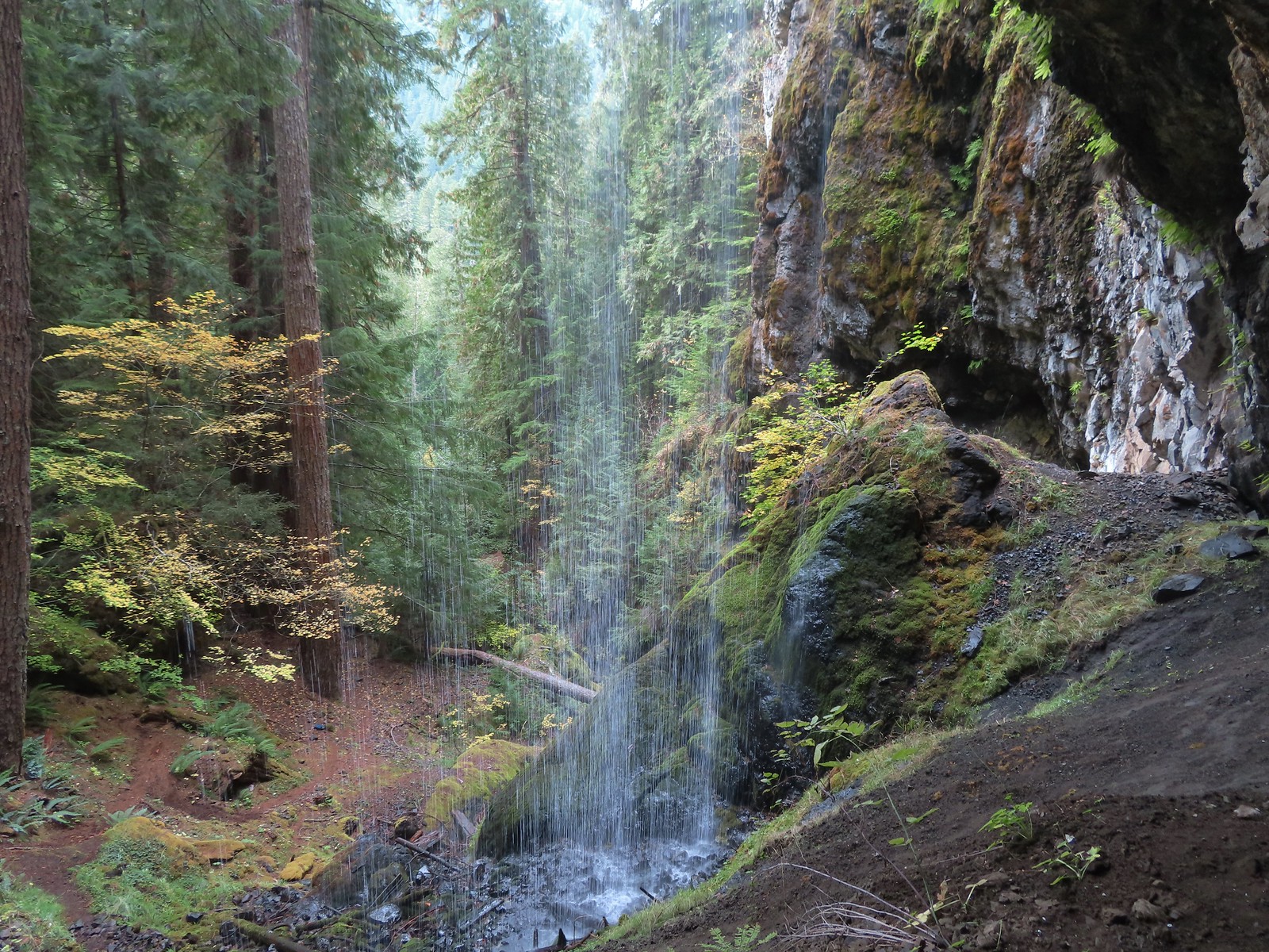
 Stuart Falls – Sky Lakes Wilderness, OR (July)
 Plaikni Falls – Crater Lake National Park, OR (August)
 View from Crater Peak – Crater Lake National Park, OR (August)
 Crater Lake from the Cleetwood Cove Trail – Crater Lake National Park, OR (August)
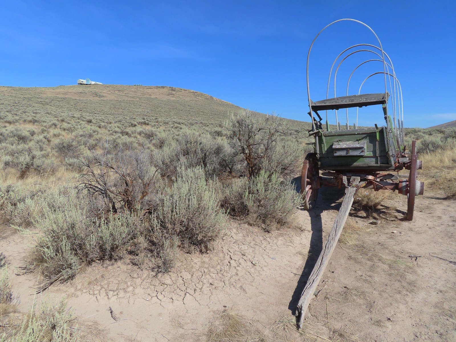 Oregon Trail replica wagon – Baker City, OR (August)
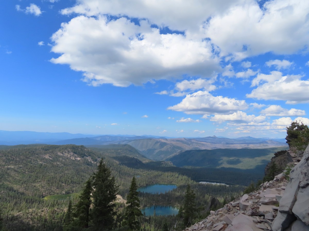
 Eagle Cap Wilderness, OR (August)
 View from the Bear Lake Trail – Eagle Cap Wilderness, OR (August)
 Tombstone Lake – Eagle Cap Wilderness, OR (August)
 Traverse Lake – Eagle Cap Wilderness, OR (August)
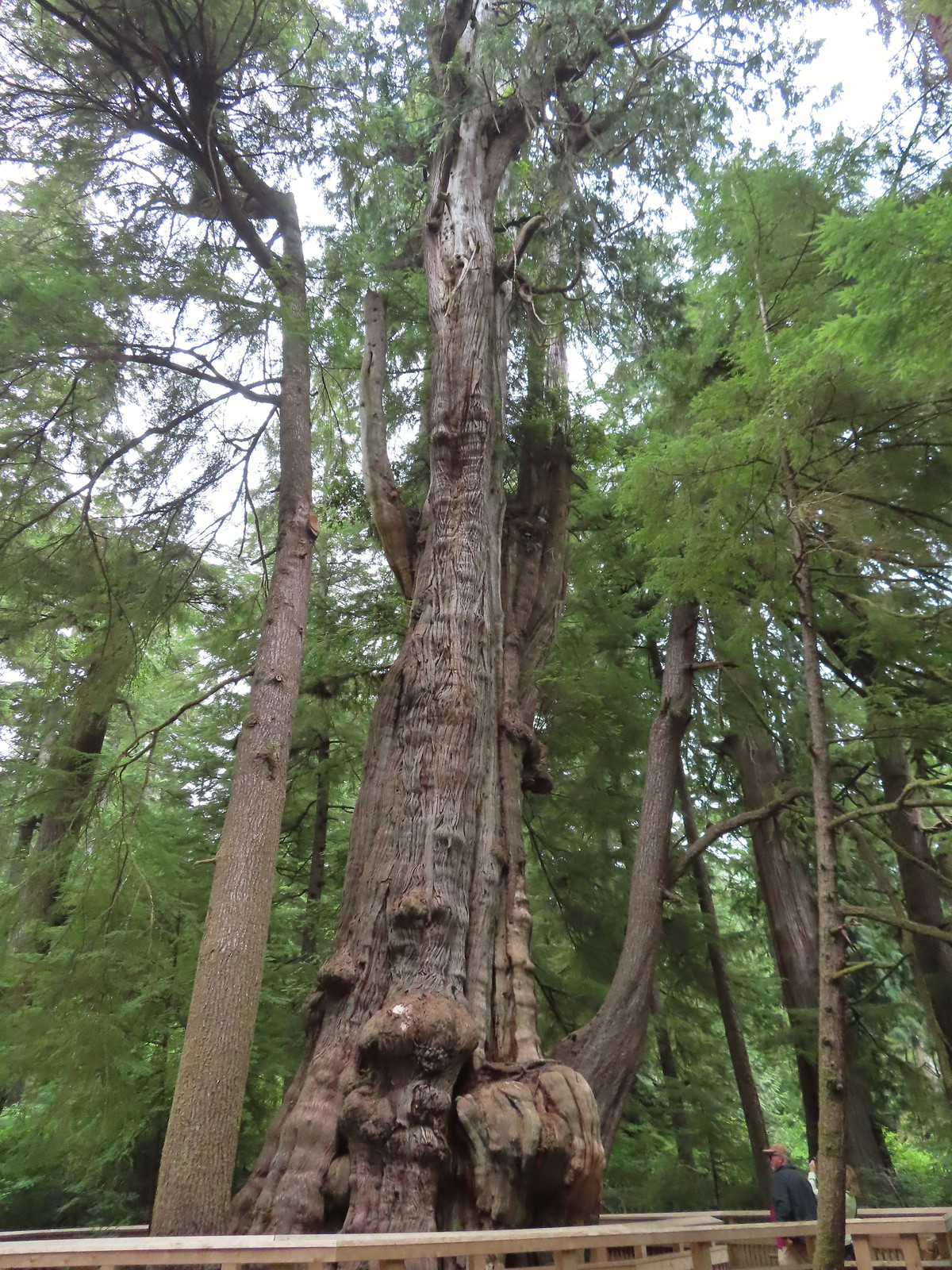 Rockaway Beach Cedar Preserve Boardwalk – Rockaway Beach, OR (August)
 Dry River Canyon – Central Oregon (September)
 Kurmbo Reservoir – Malheur National Wildlife Refuge, OR (September)
 Seven Lakes Basin – Sky Lakes Wilderness, OR (September)
 Sisi Butte Lookout – Mt. Hood National Forest, OR (September)
 Olallie Butte from Lower Lake – Mt. Hood National Forest, OR (September)
 Rock spire along the Castle Canyon Trail – Mt. Hood Wilderness, OR (September)
 Sun rays at Strom Boulder Ridge – Burnt Woods, OR (September)
 Bondary Trail above Sturgis Fork – Rogue River-Siskiyou National Forest (October)
 Lake Mountain Trail heading toward the taller Mount Elijah – Oregon Caves National Monument & Preserve (October)
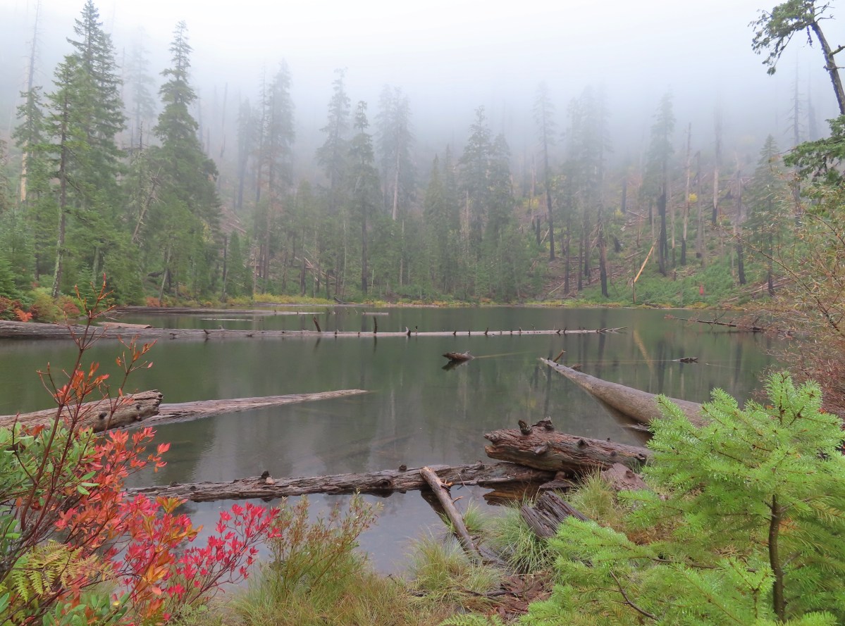
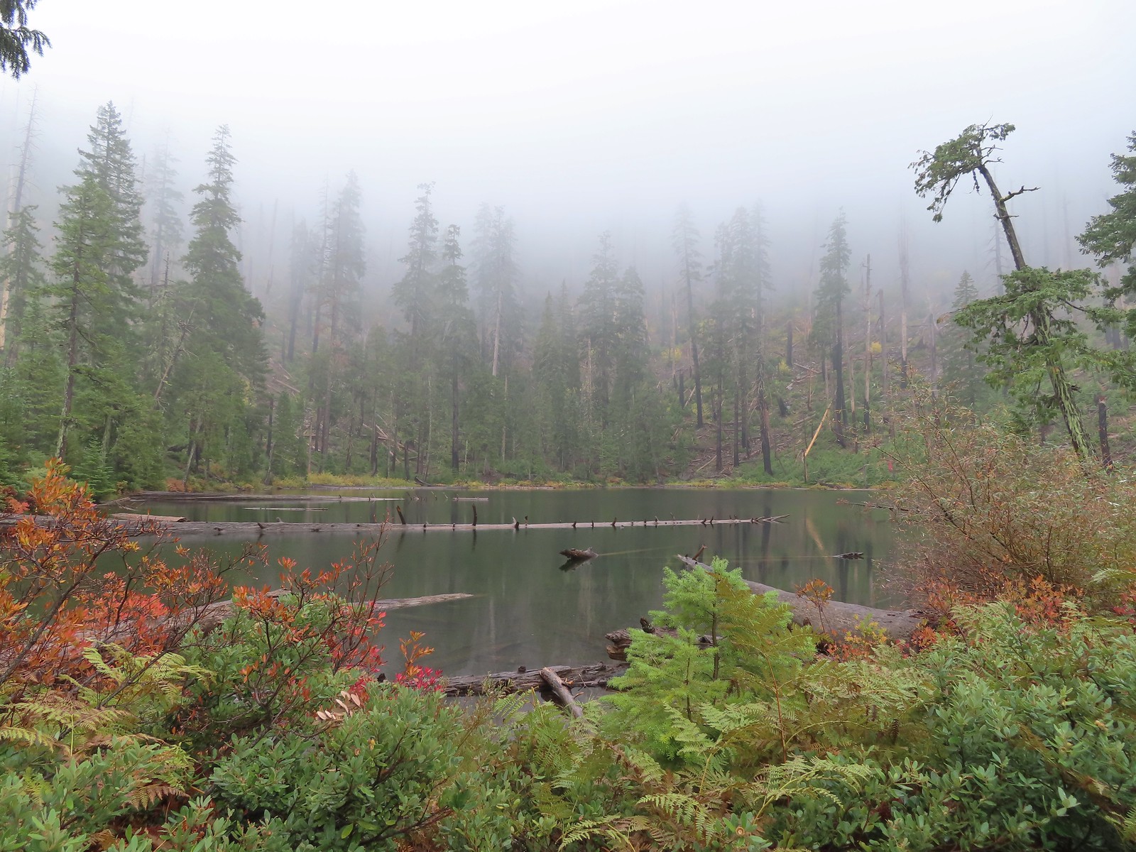
 Tanner Lake – Red Buttes Wilderness, OR (October)
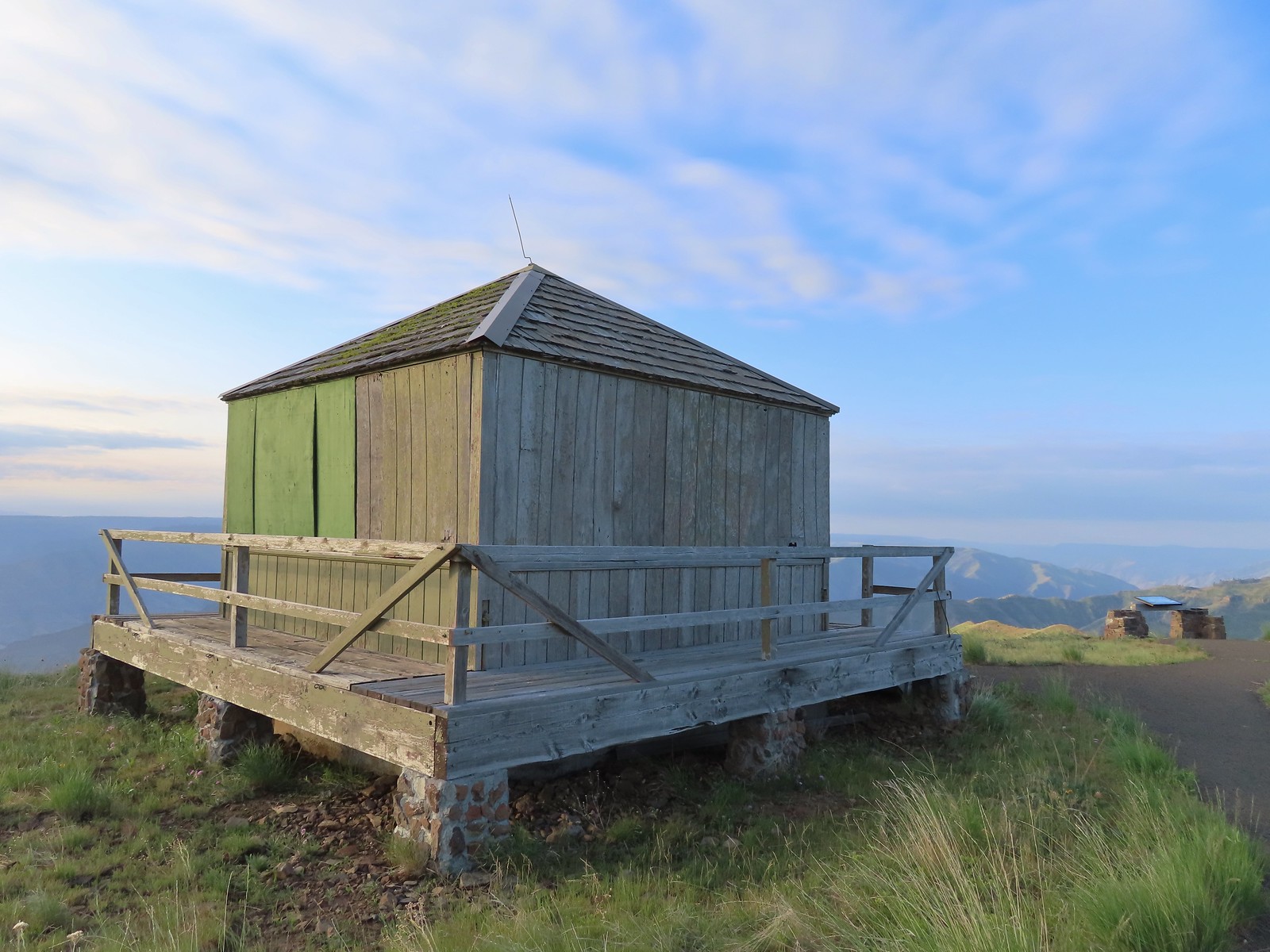
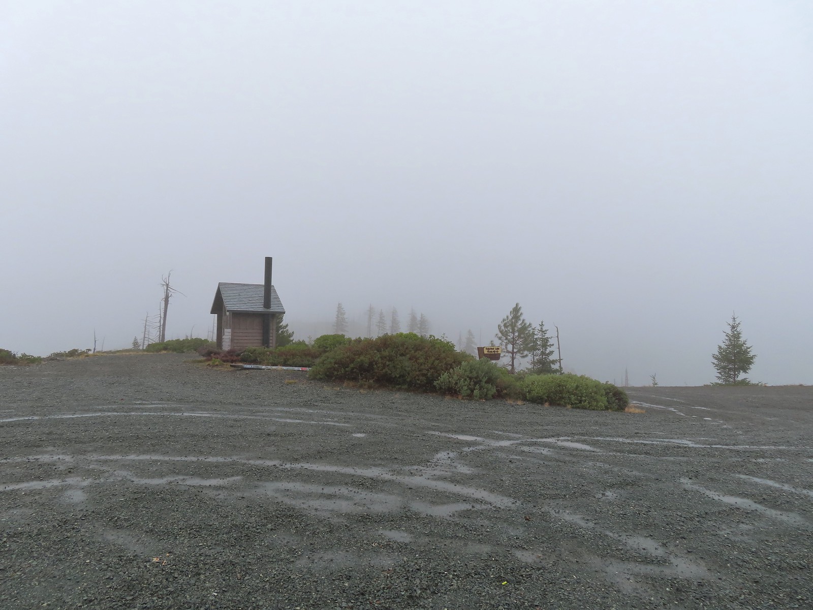
 Grayback Mountain snow shelter – Rogue River-Siskiyou National Forest (October)
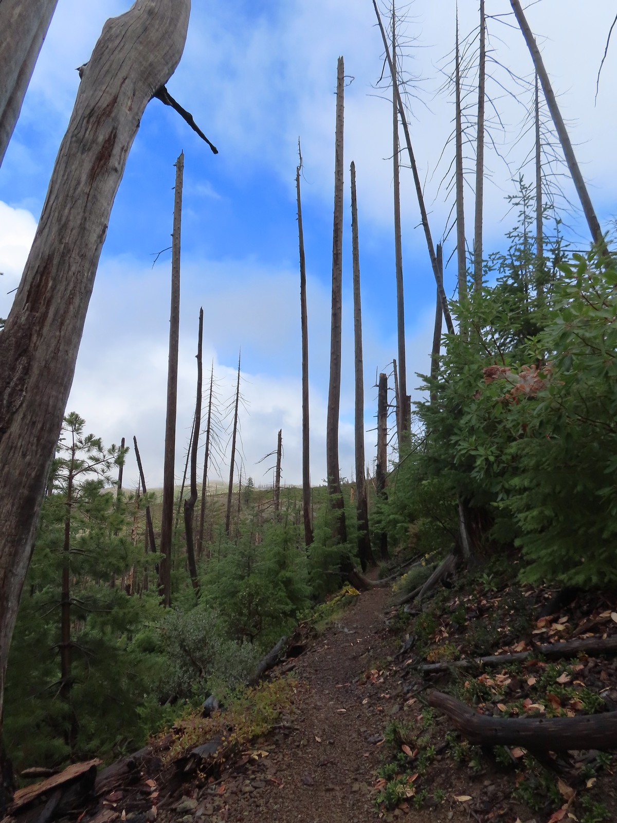
 Babyfoot Lake – Kalmiopsis Wilderness, OR (October)
 Vivian Lake – Diamond Peak Wilderness, OR (October)
 Pool Creek Falls – Willamette National Forest, OR (October)
 Tunnel Beach – Oceanside, OR (October)
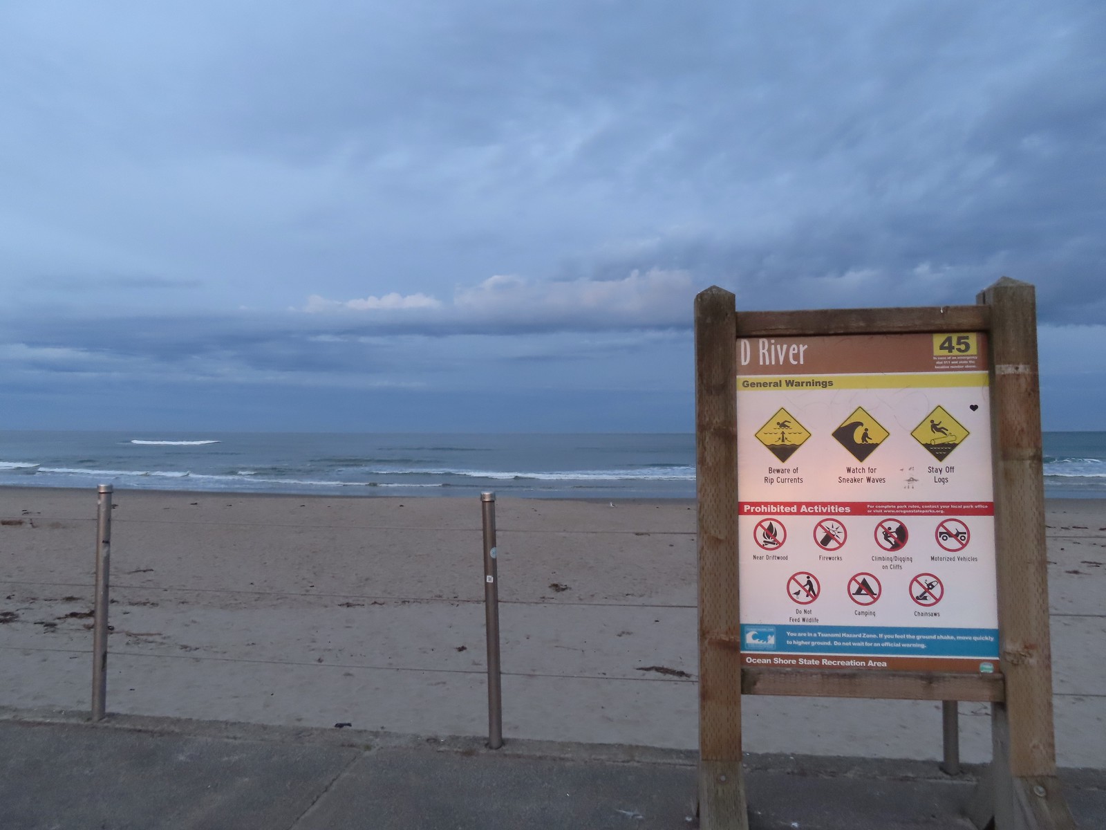
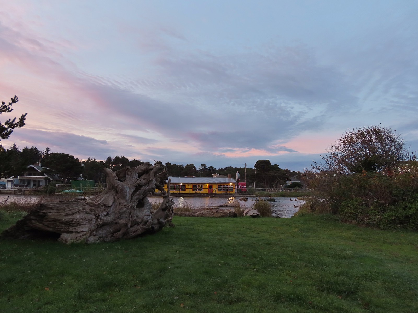
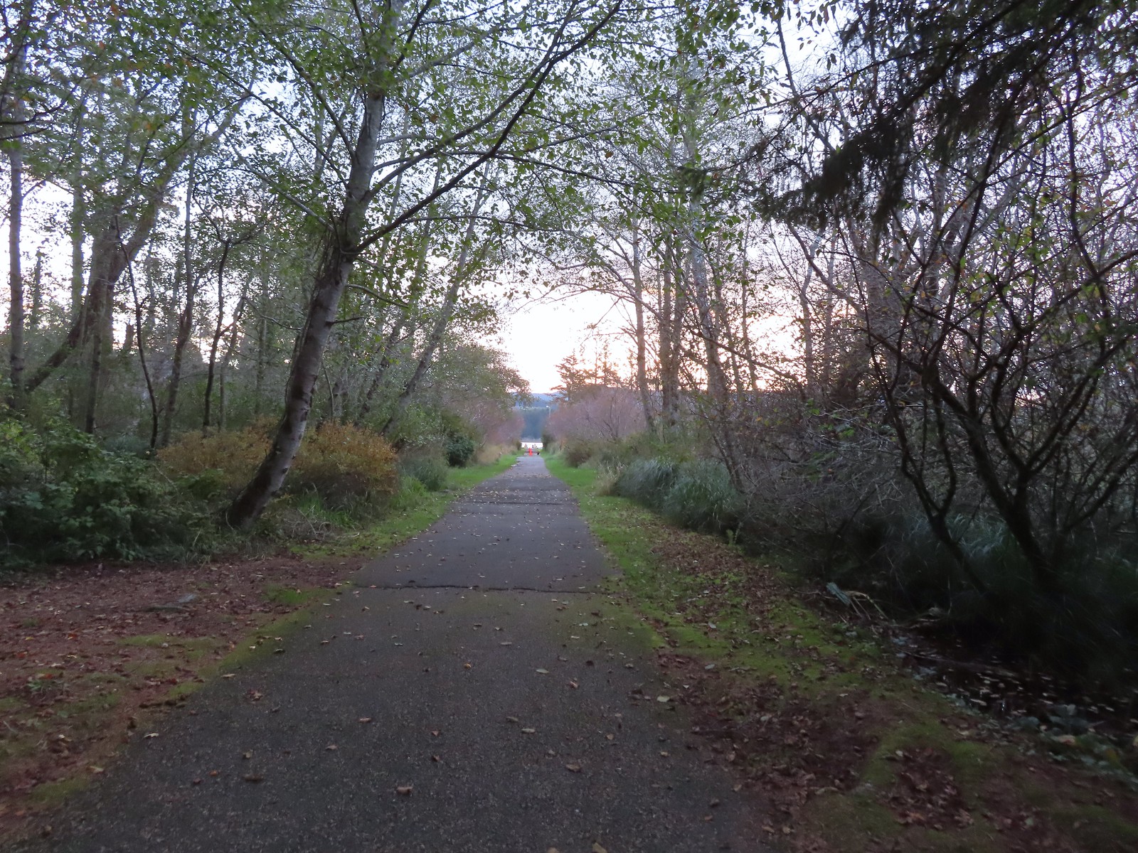
 D River – Lincoln City, OR (November)
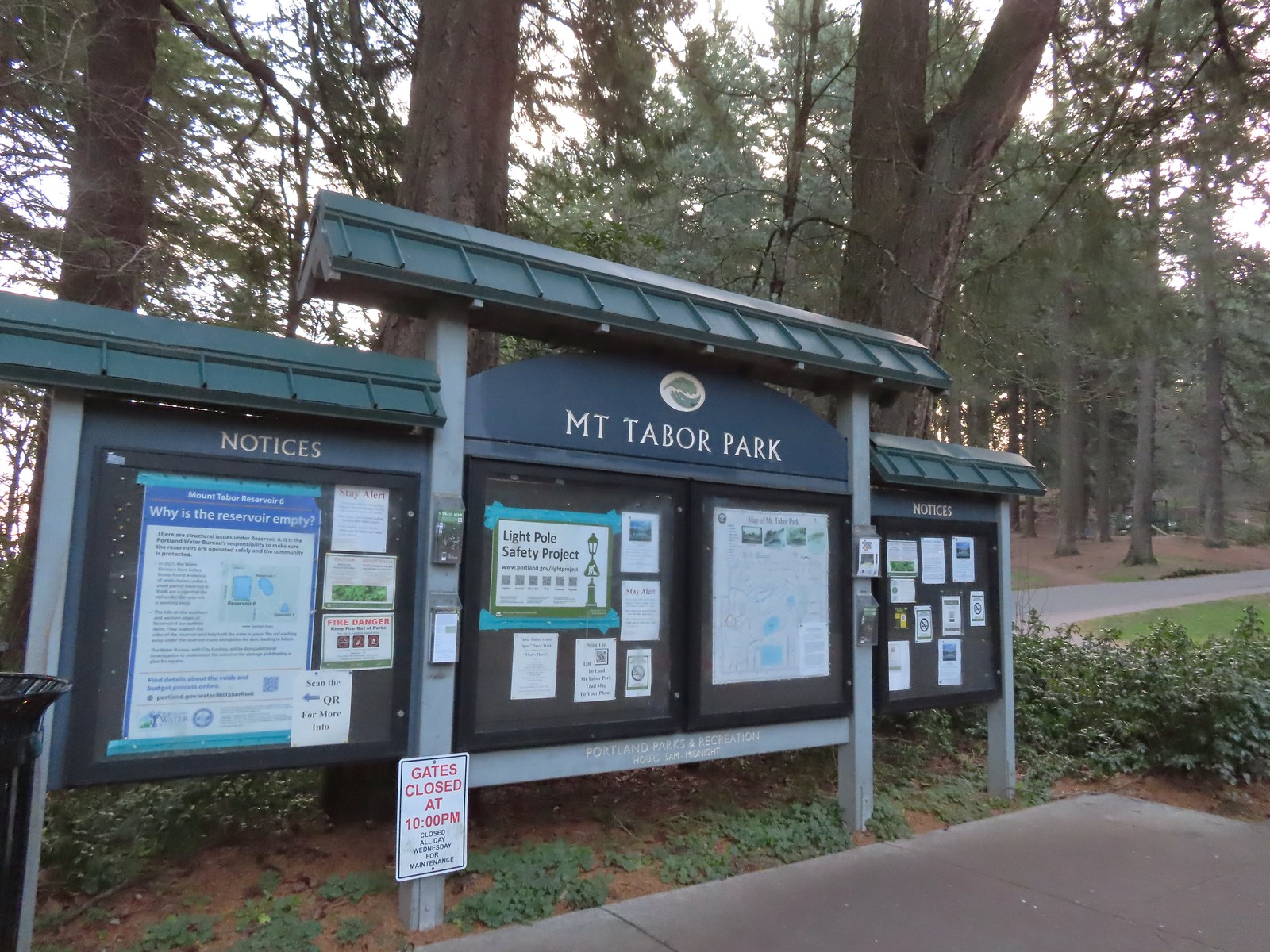
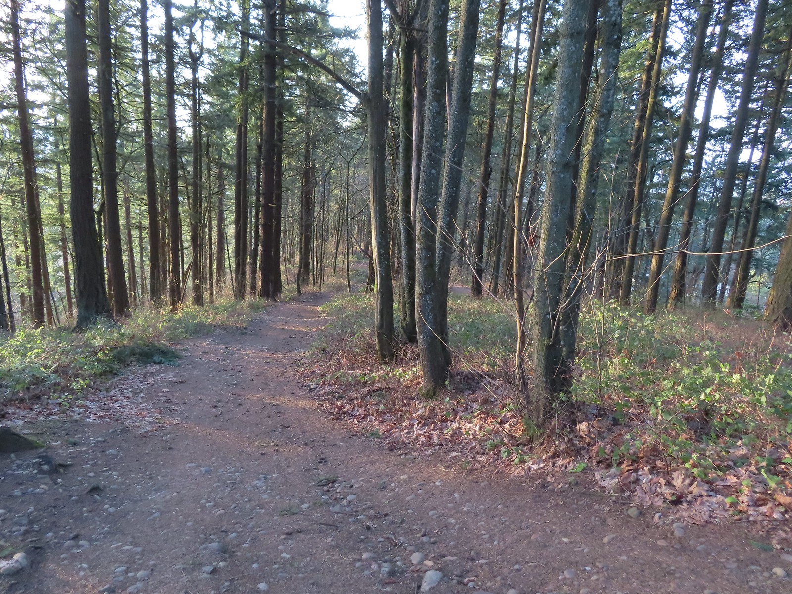
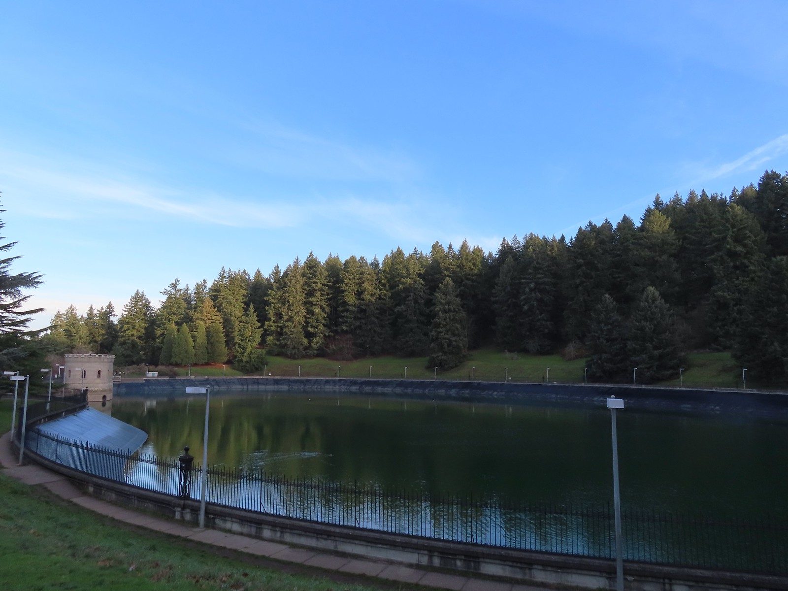
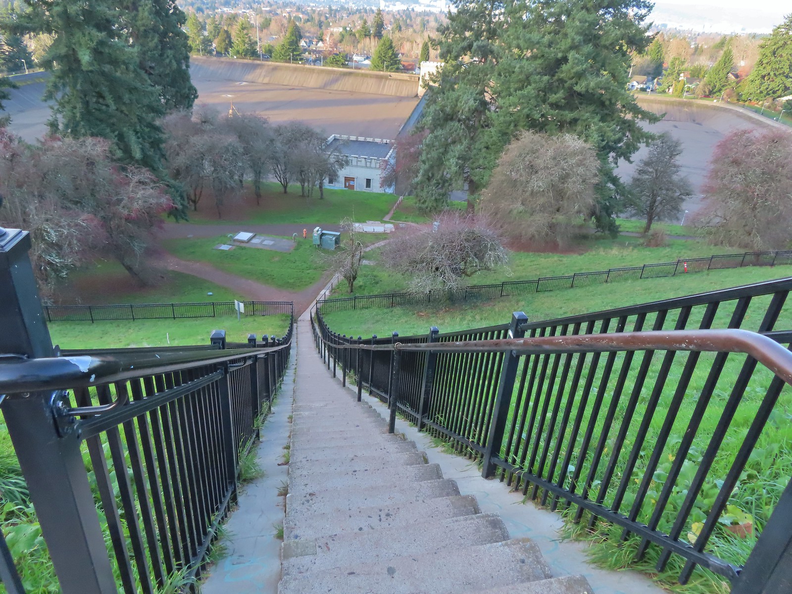
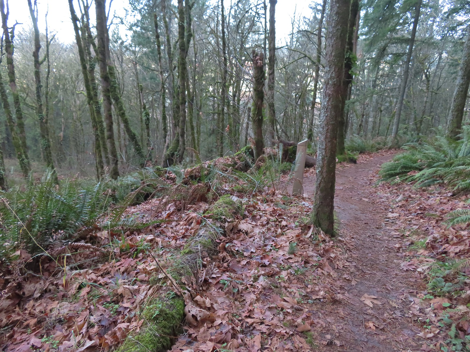
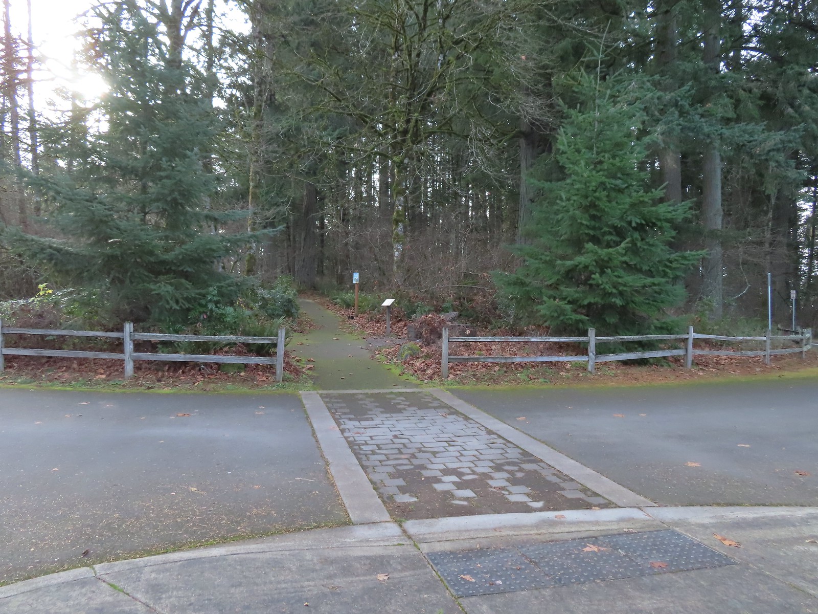
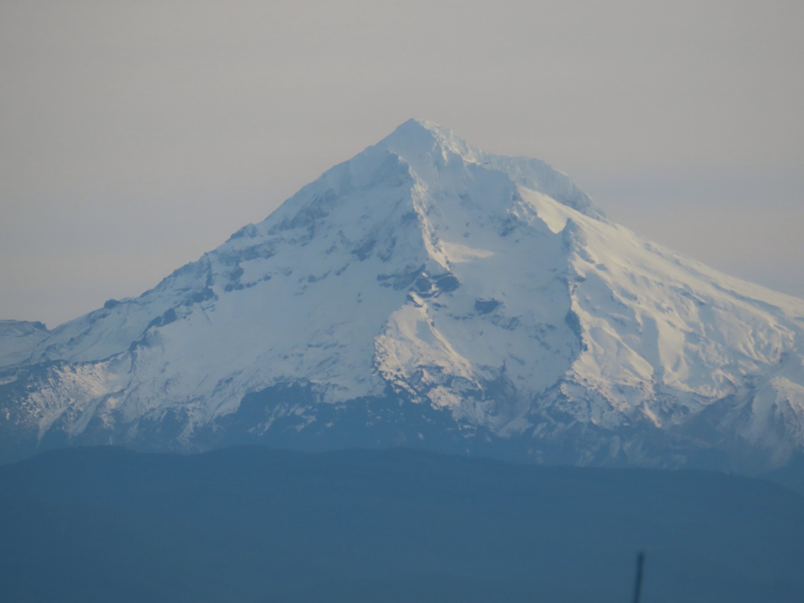
 Mt. Hood through the shelter on Scouters Mountain – Portland, OR (December)
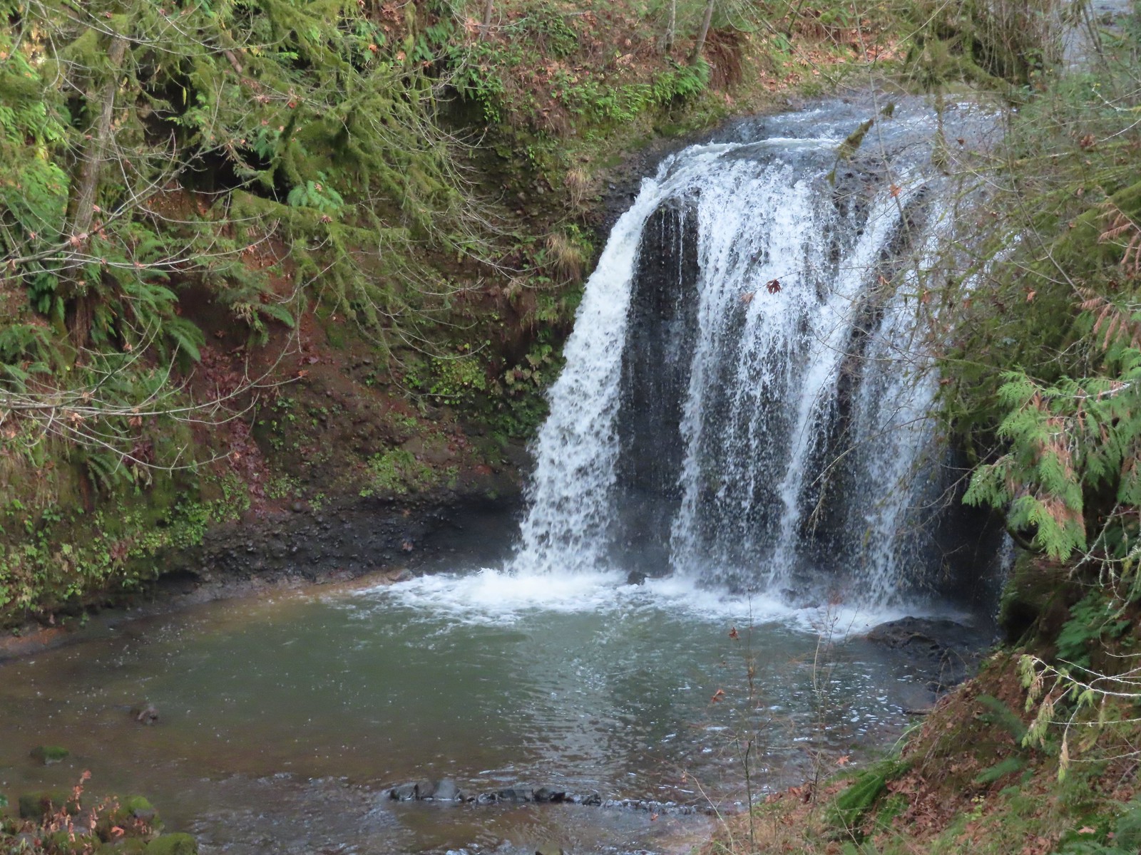
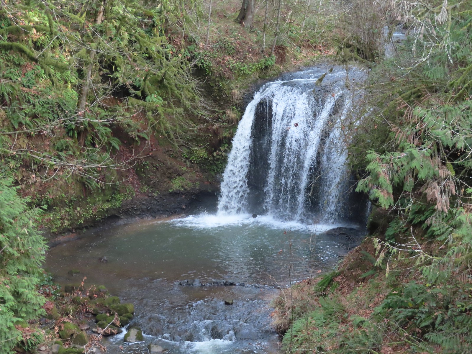 Hidden Falls – Hidden Valley, OR (December)
Unfortunately, not everything was blue skies in 2023.
At the end of the year I retired my favorite hiking T-shirt after eight years. We’d found some Marvel T-shirts at Target in late 2014/early 2015 in their active wear section made of wicking material. I picked up a Punisher shirt for less than $20.00. Over the next 8+ years I wore that T-shirt on at least 85% of our hikes. That works out to over 450 outings and over 5000 miles. We’ve never been able to locate another like it that wasn’t at least part cotton. It was stretched out and had developed several holes of the last couple of years, but it performed admirably.


More disappointing was the closure of our local (and go to) outdoor store, Salem Summit in July. They closed their doors after 11+ years. It was a big loss for us and the Salem outdoor community, but we are grateful for all the help and support that Al and the staff provided through those years.


 The playground behind and to the right of the signboard at the Visitors Center.
 The red trail continuing on the far end of the playground.
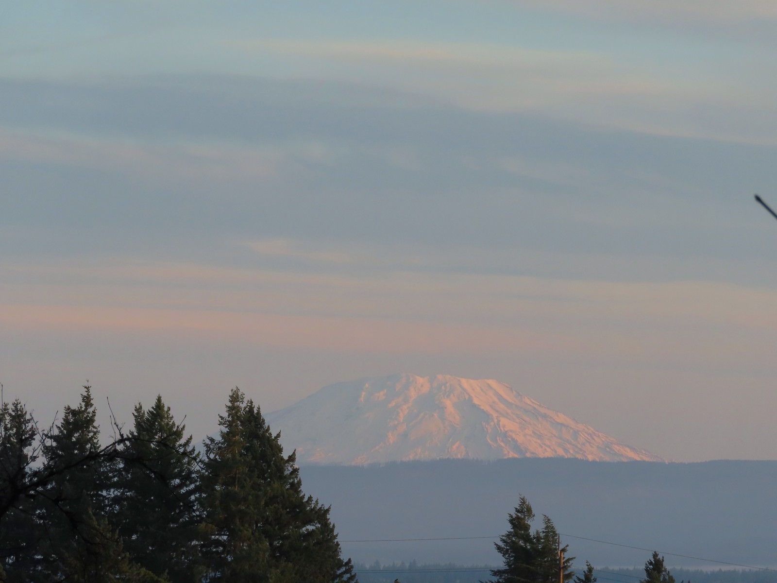 Mt. St. Helens from the playground.
 On the red trail.
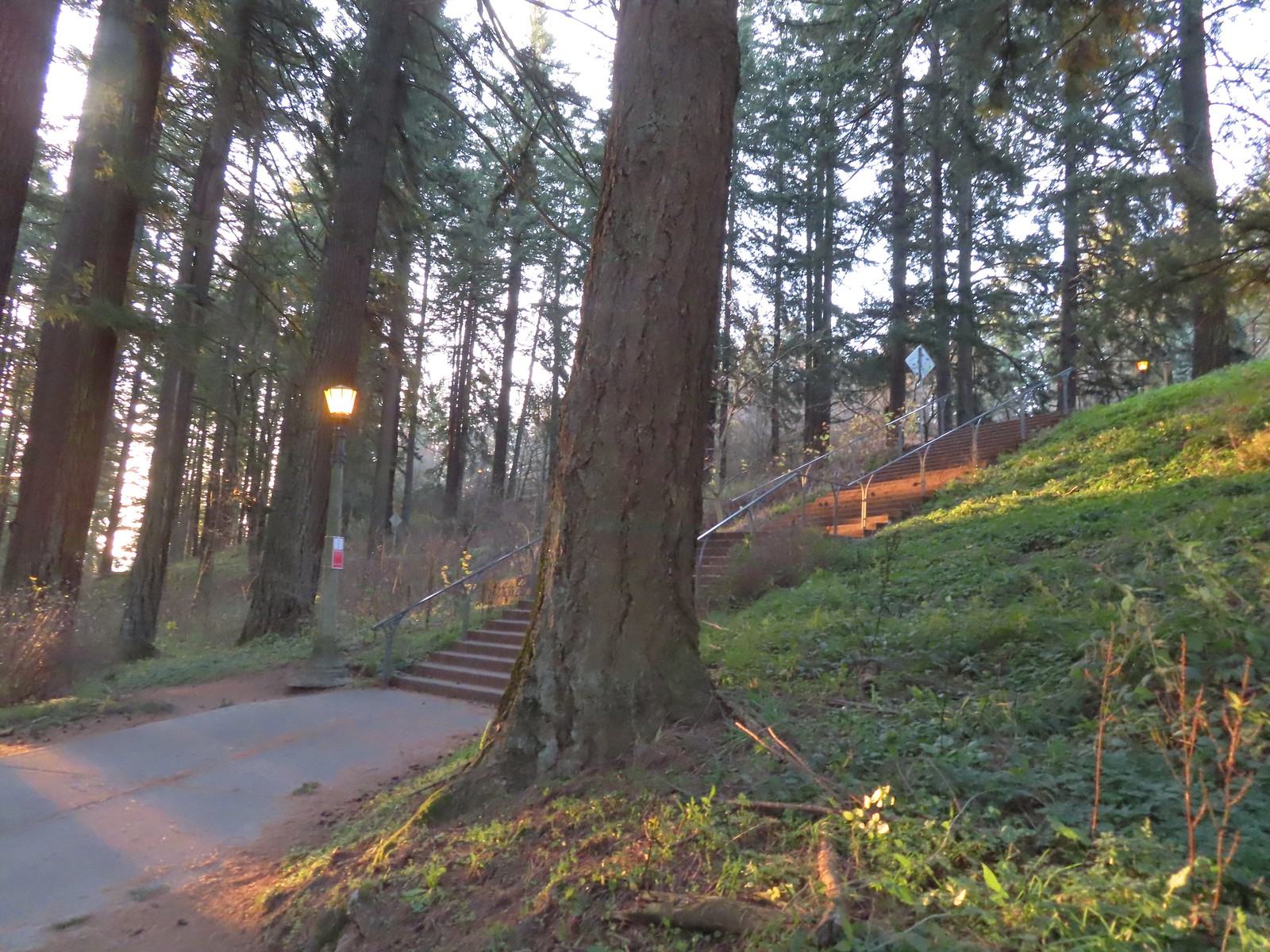 The Mount Tabor stairs extend from the park border up to the summit.
 Summit restrooms
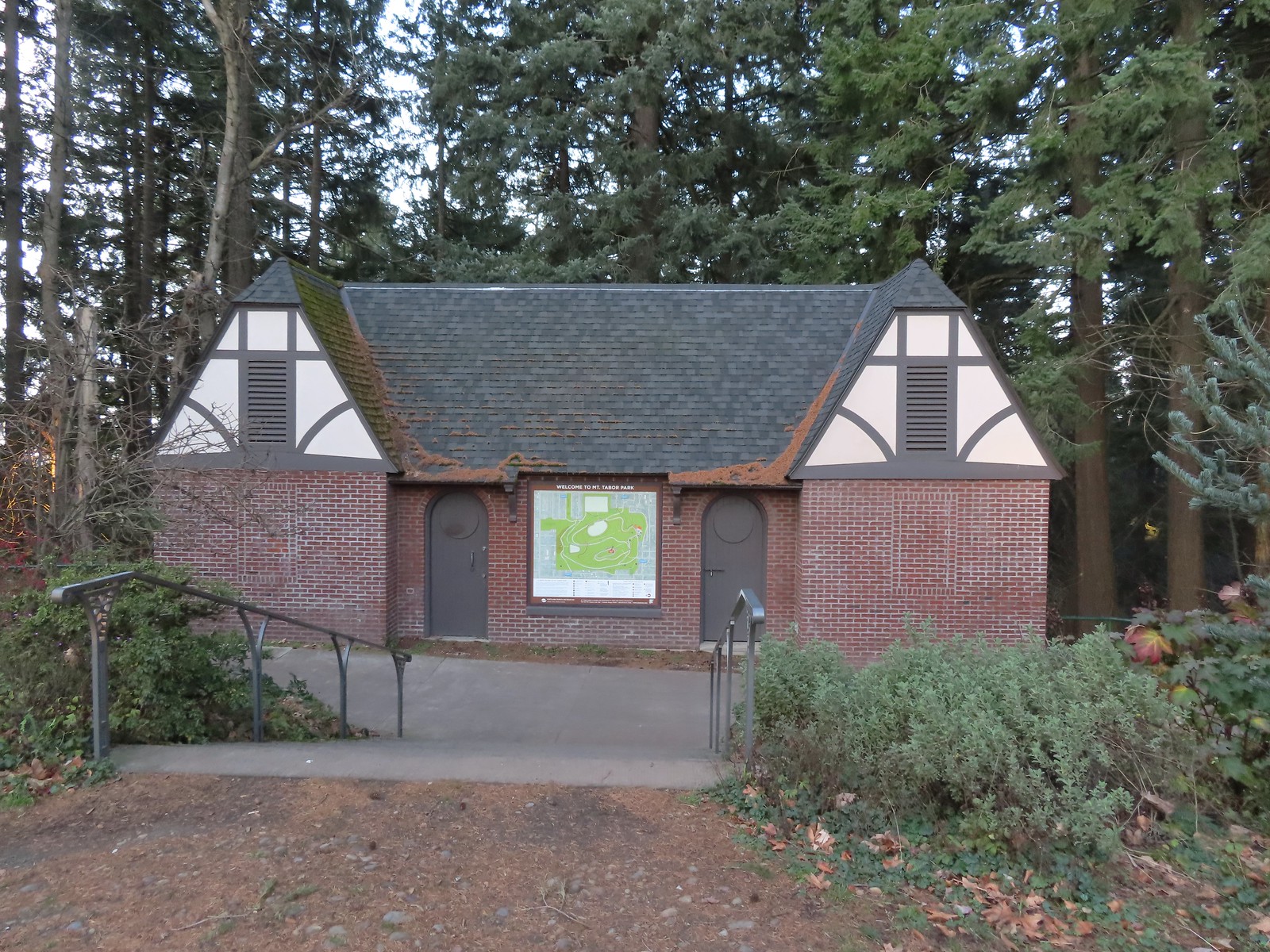 The restrooms were reopened in 2017 after being renovated.
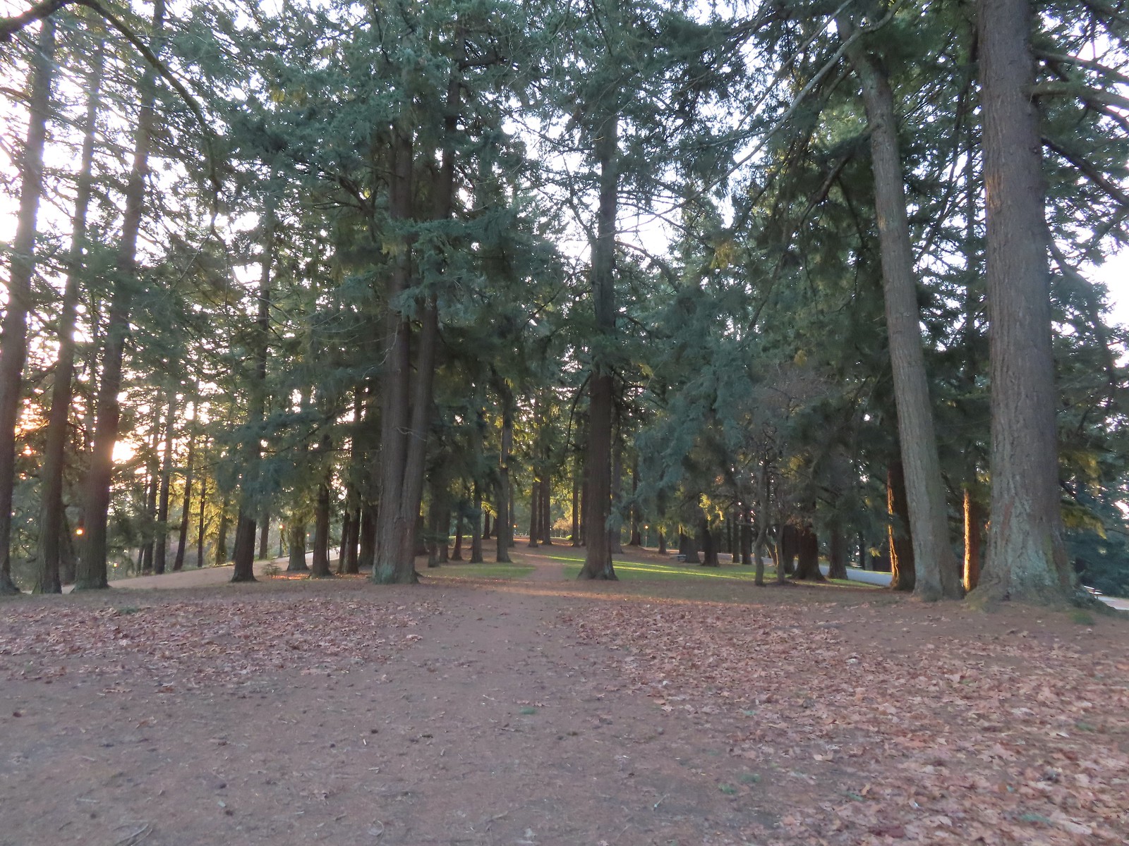 Mount Tabor summit
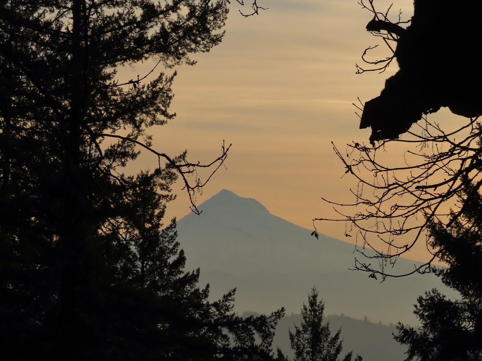 Mt. Hood from the summit.
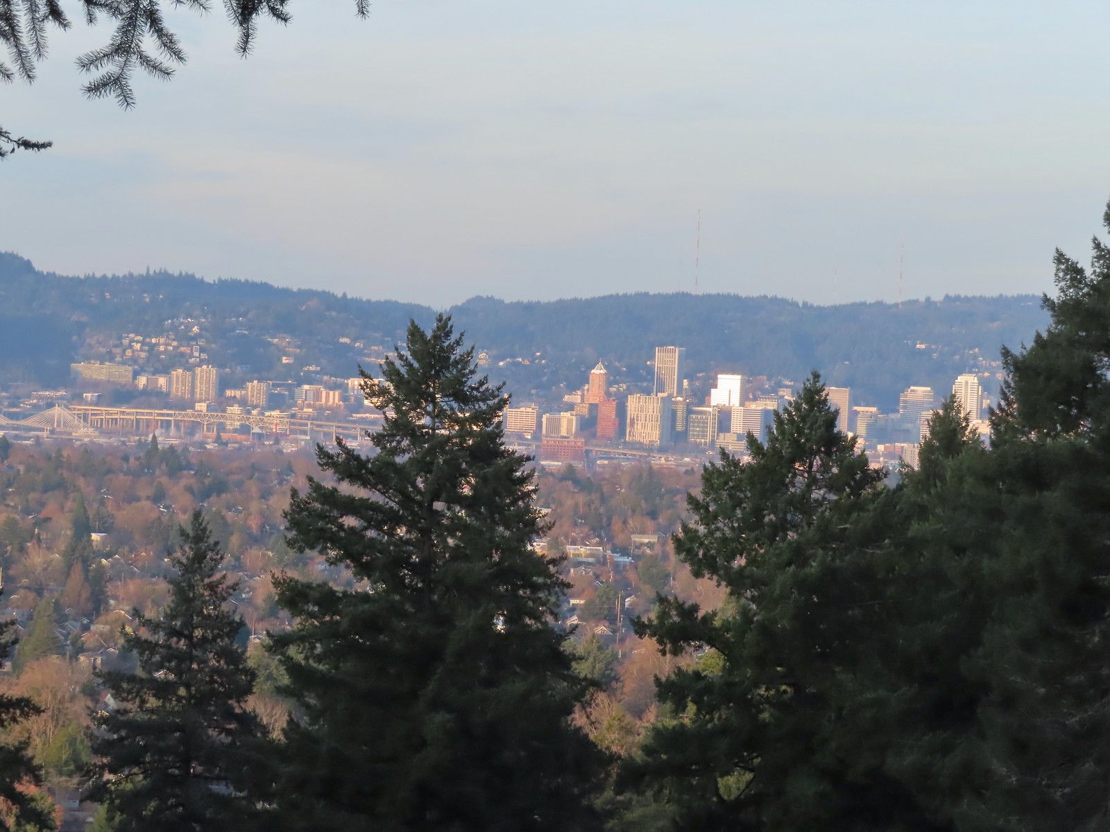 Downtown Portland

 Mallards
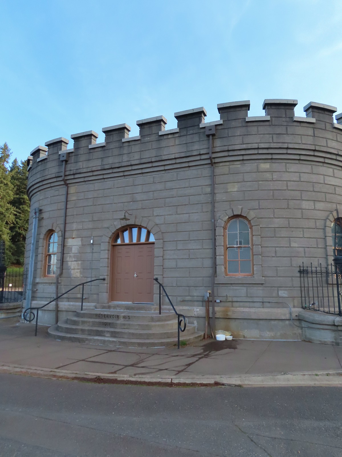


 We forked right at this junction sticking to the green pointers.
 Arriving at The Crater.
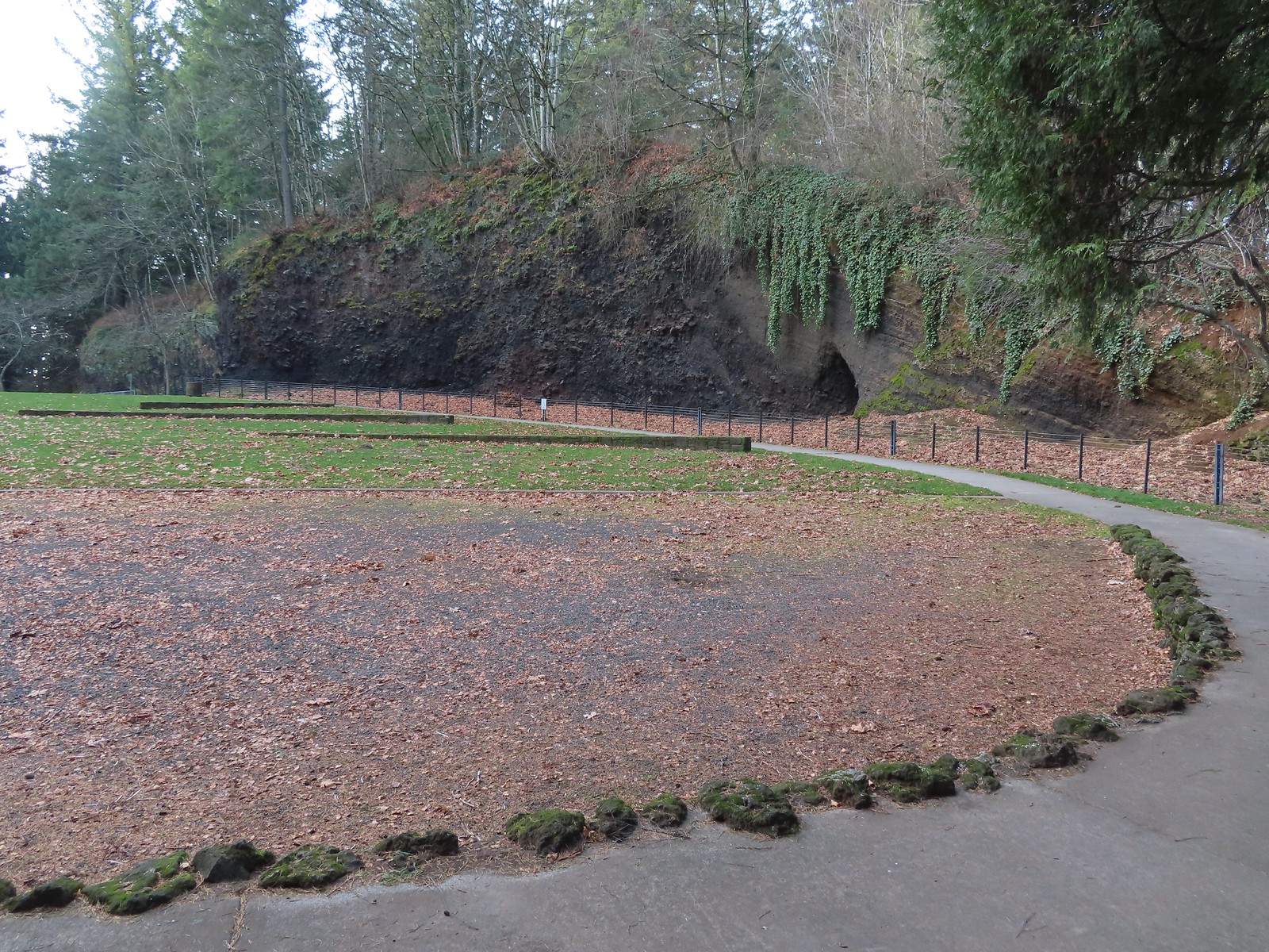 Coming around The Crater near the Visitors Center.
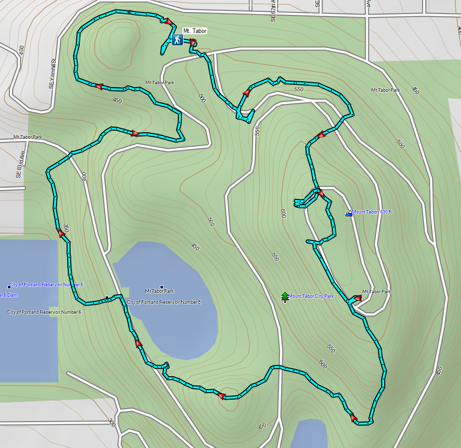

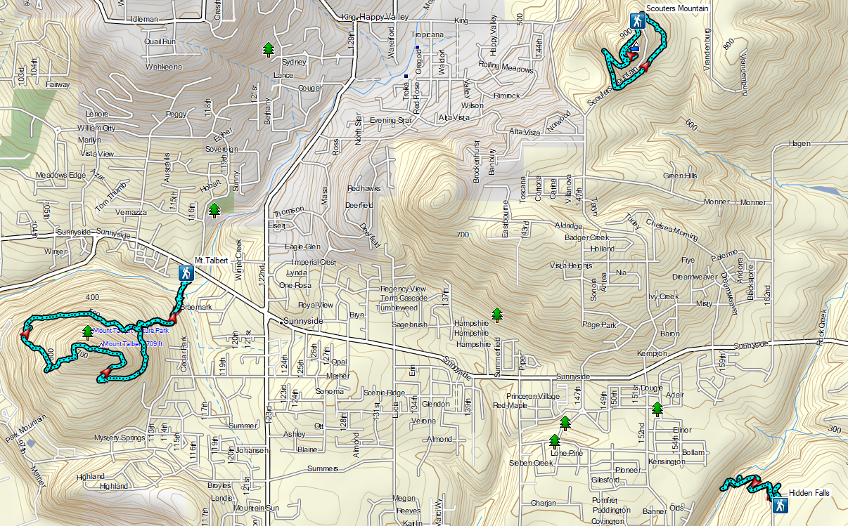
 Mount Talbert from the path.
 Mount Scott Creek
 The Park Loop Trail junction just uphill.
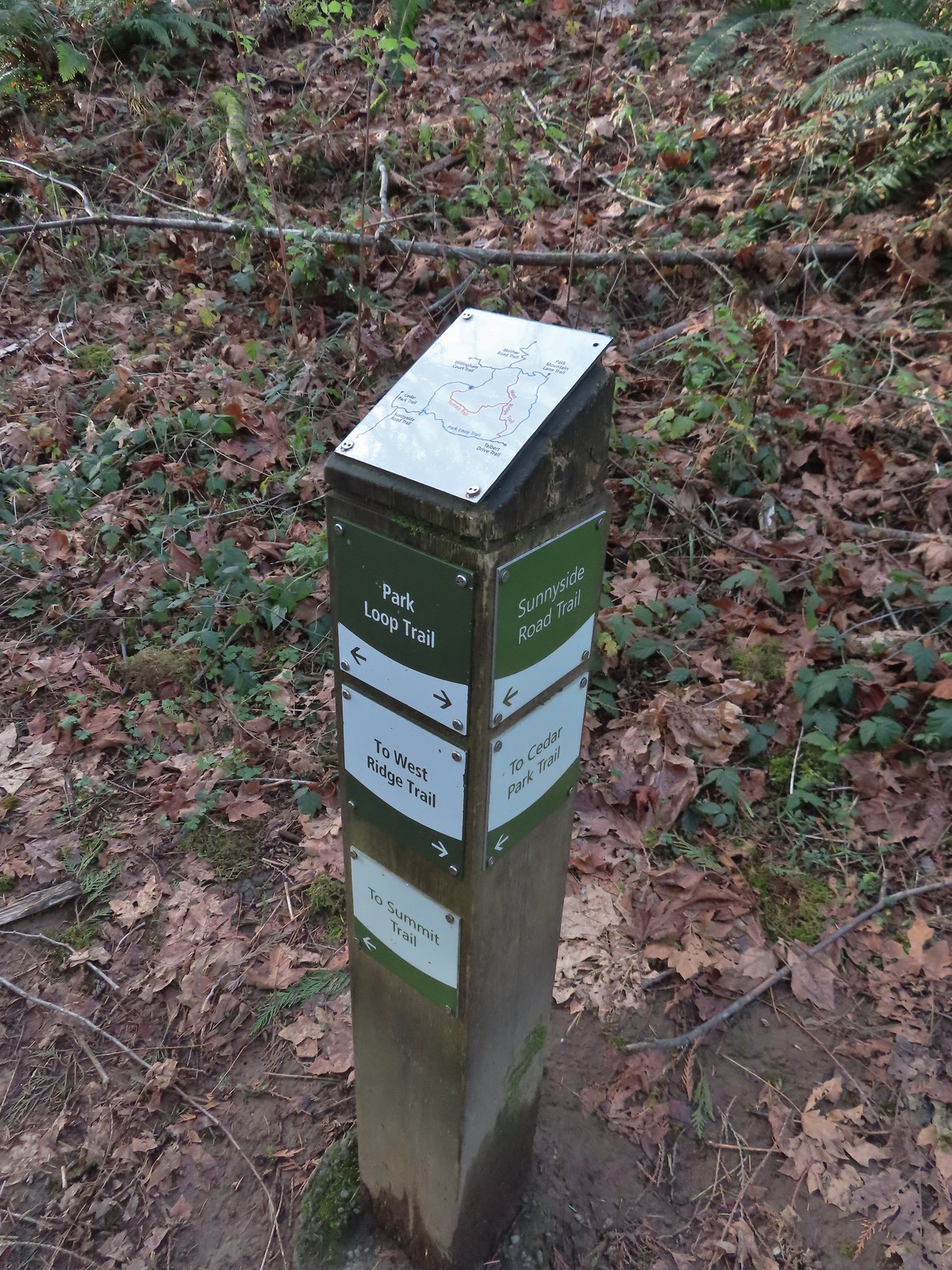 Note that the map at the Park Loop/Sunnyside Road Trail junction mis-identifies the location with the “You Are Here” star located at the Park Loop/Summit Ridge junction.
 Arriving at the West Ridge Trail junction.
 Rejoining the Park Loop Trail.
 Mt. Adams was visible through the web of small branches.
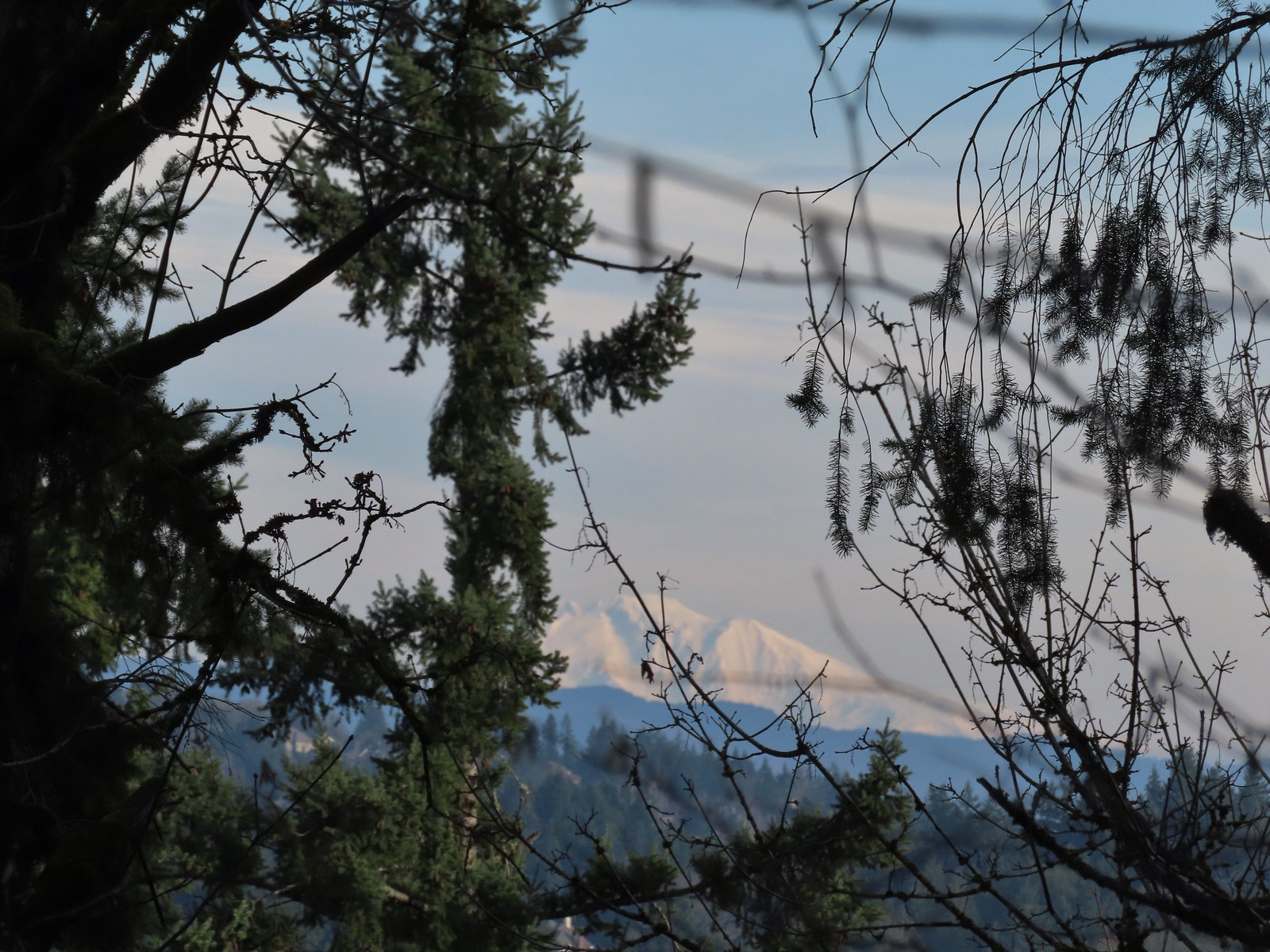 A snowy Mt. Adams.
 Back at the Sunnyside Road Trail.
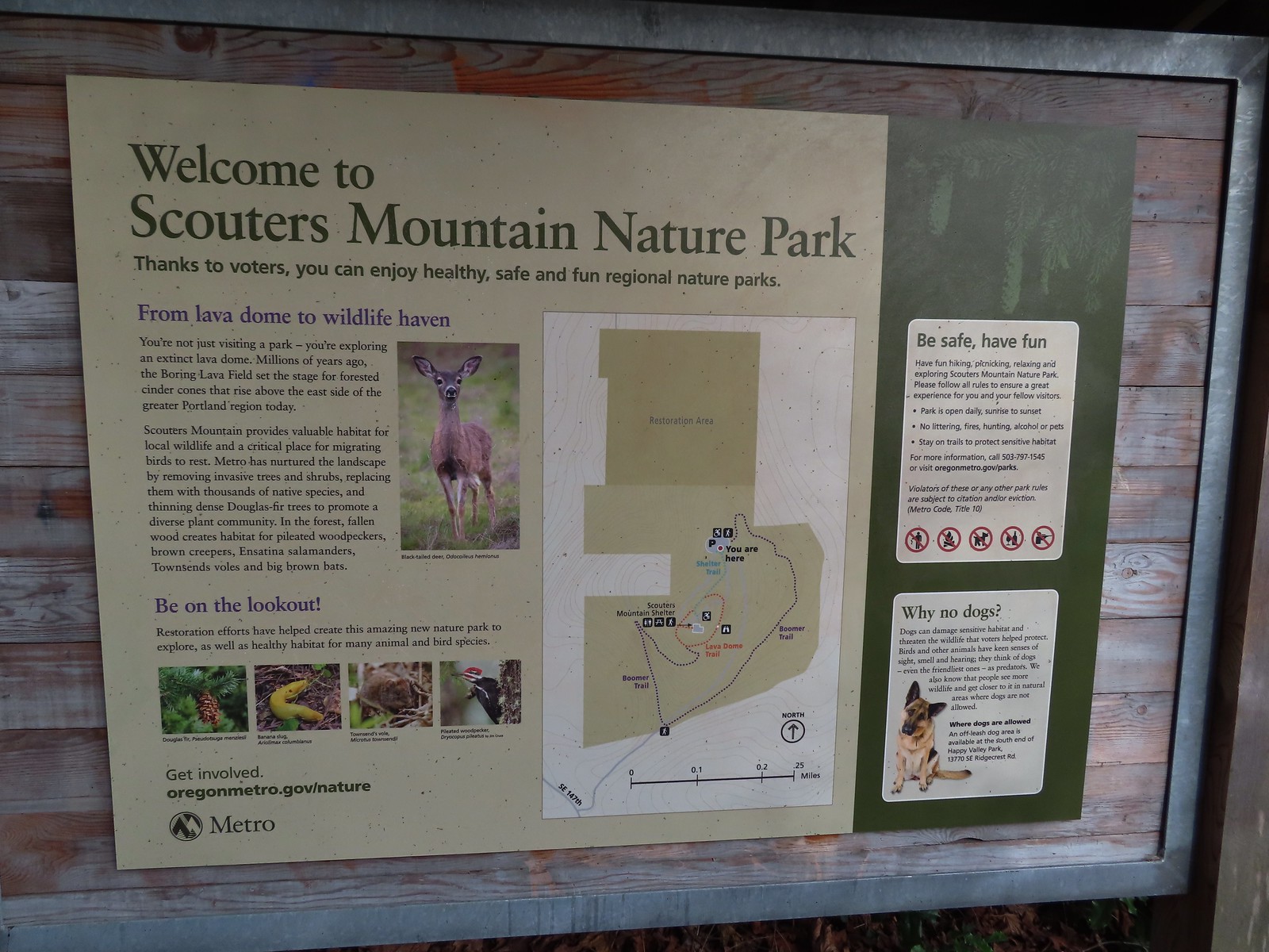
 The benches throughout the park contained various nature sculptures, this one is “Moss Group”.
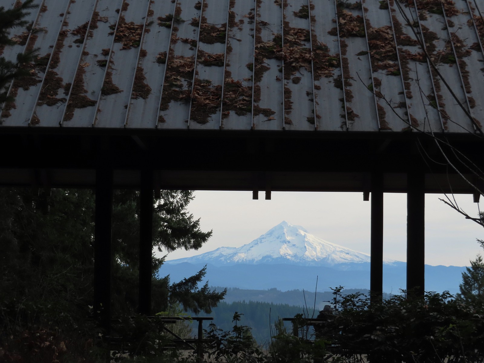
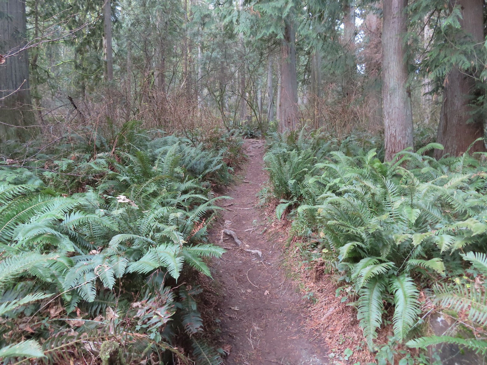
 On the Boomer Trail.
 The Boomer Trail turned left at the bottom of these stone steps.
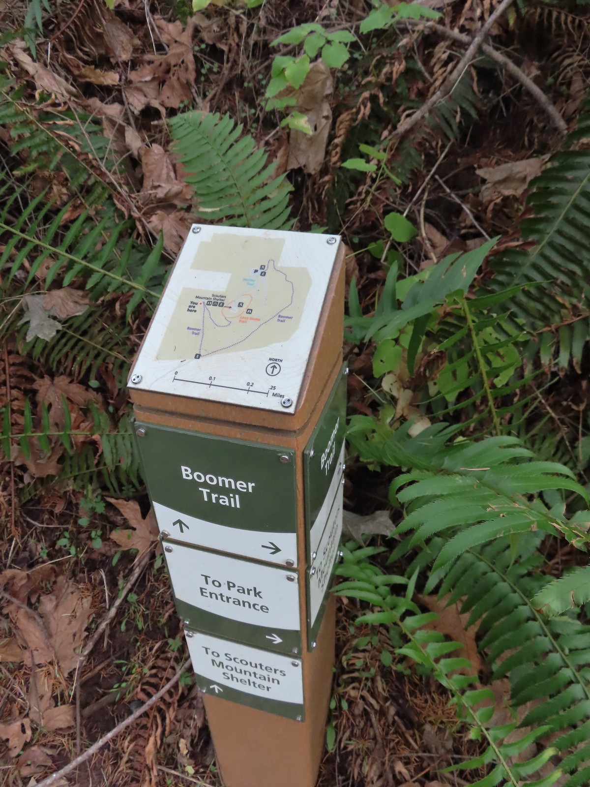 Another Metro trail map and pointers.
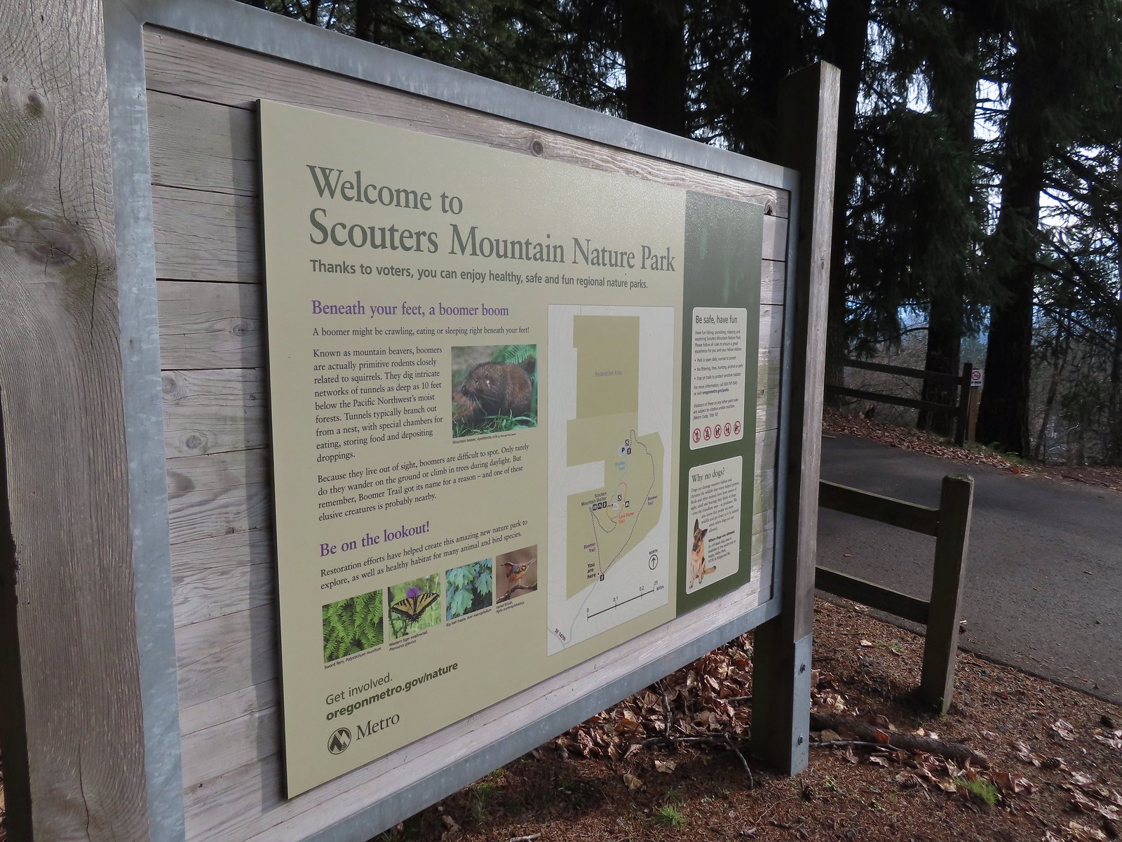 The Boomer Trail, named for Mountain Beavers which are sometimes called boomers, crossed the entrance road before climbing back up to the parking area.
 This was an impressive root system.
 A less obstructed view of Mt. Adams. (Mt. St. Helens was also briefly visible from this section of trail.)
 Slightly clearer shot of Mt. Adams.
 Back at the trailhead.
 Mt. St. Helens from the service road. Mt. Hood was also visible to the right through some fences around the ball fields.


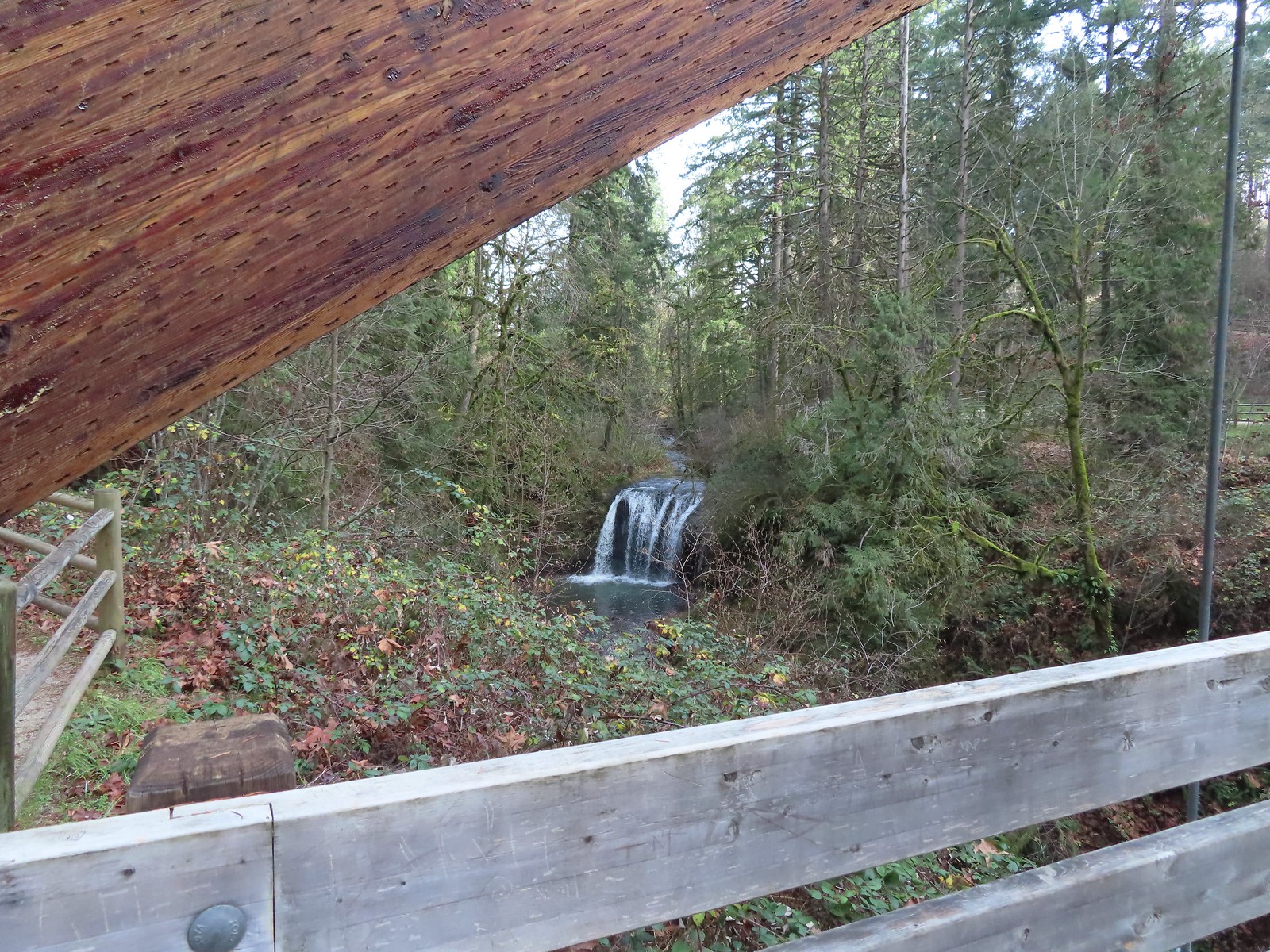
 The large area to the right didn’t offer much of a view of the falls, but the view from the bridge was great.


 The highway from the parking lot.
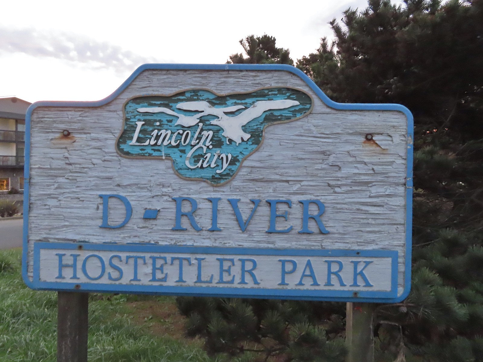
 Hostetler Park.


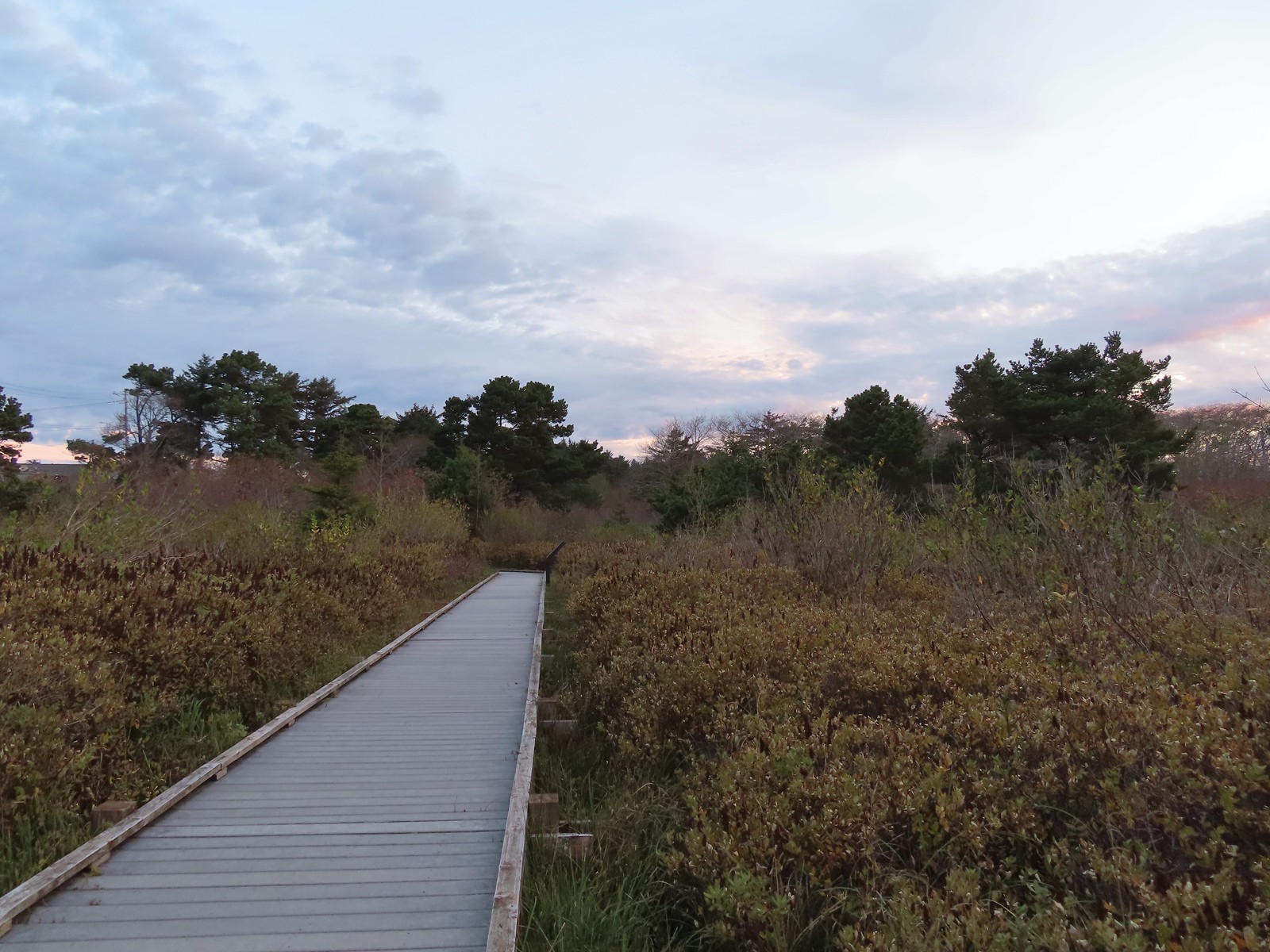 Several interpretive signs were located along the boardwalk.
 One of the interpretive signs.
 Nearing the campground.
 Orange cones, and a cat, at the far end of the path.
 Program area in the campground.
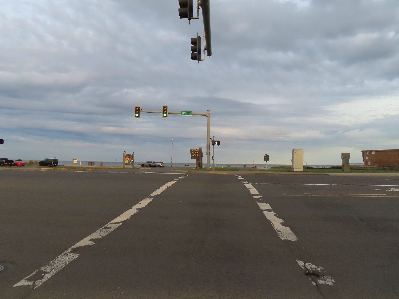
 View North from the beach.
 Cascade Head (
 Seagulls at the mouth of the D River.
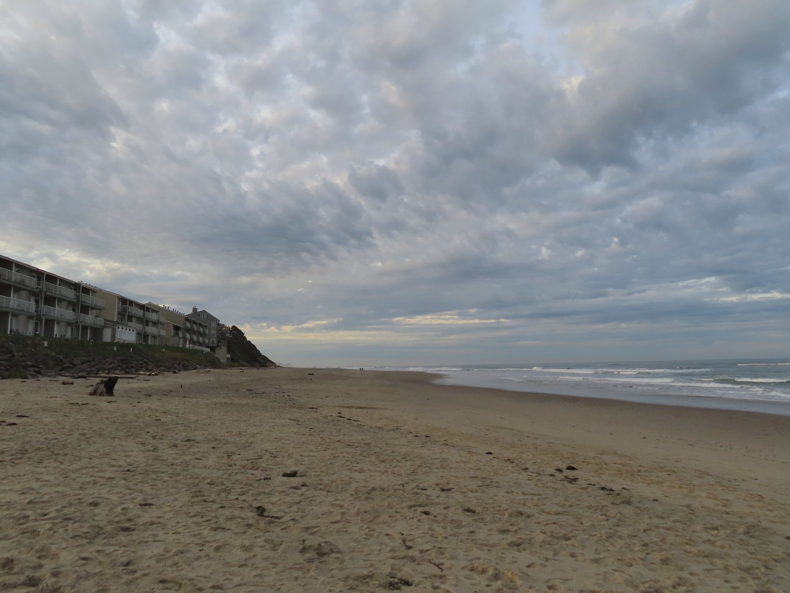


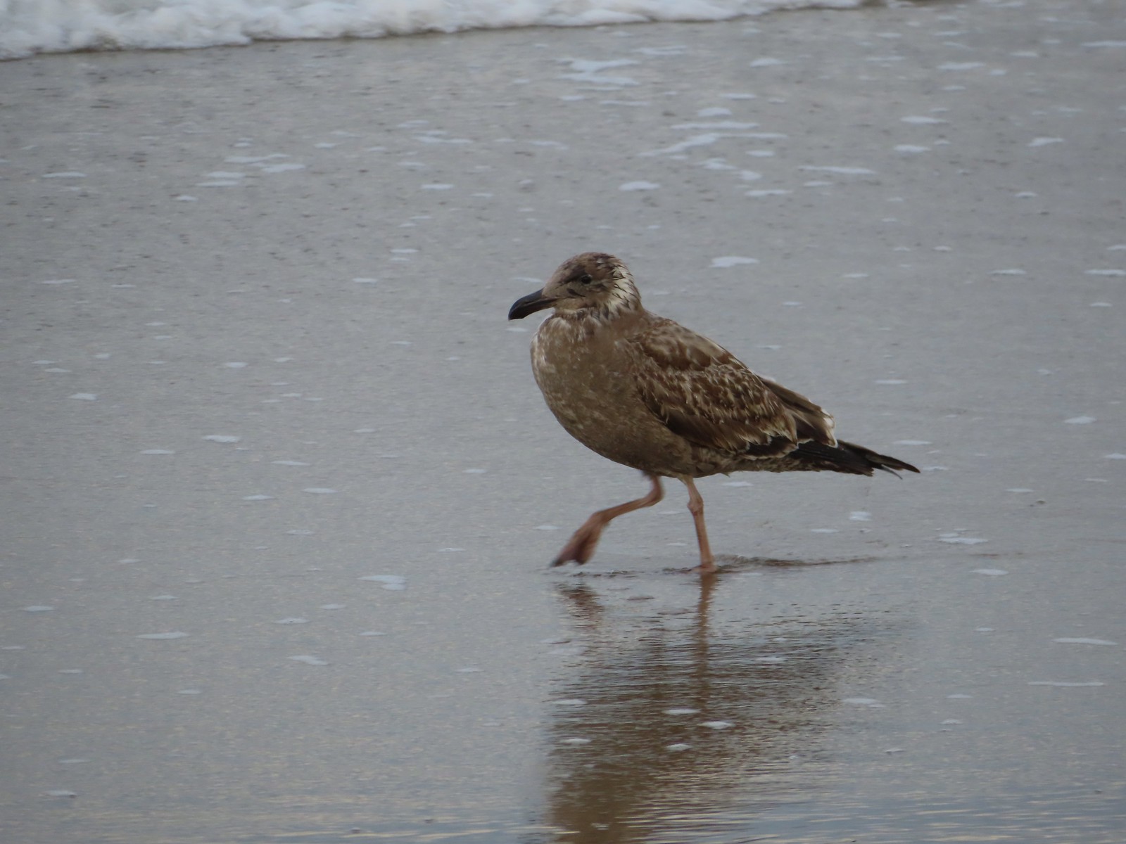 There were of course plenty of seagulls present.
 There weren’t very many ocean rocks along this stretch of beach.
 Surf scooters
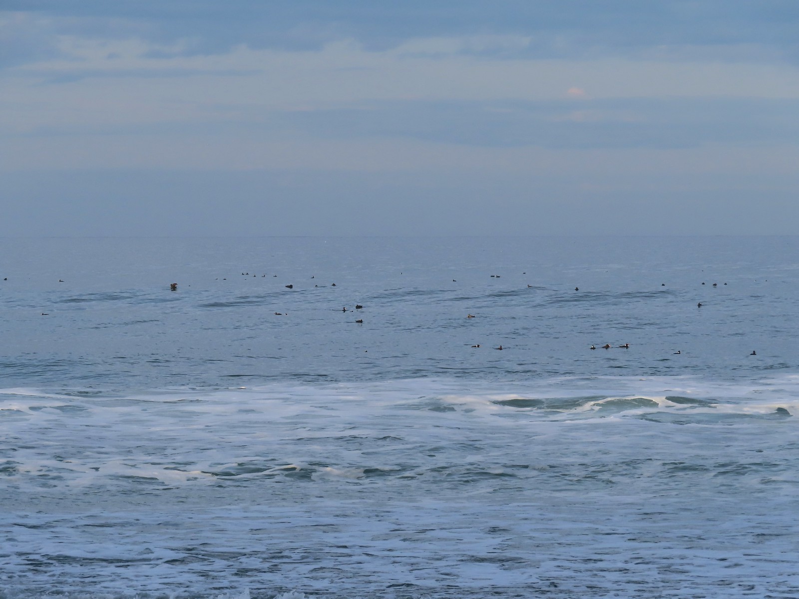
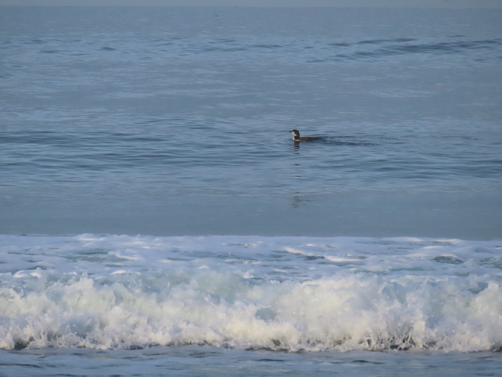 Loon, probably a common loon.
 Baldy Creek
 The inn on the left with the rocks extending into the Pacific.
 Cormorants and seagulls
 This was a big tree that we were able to walk under.
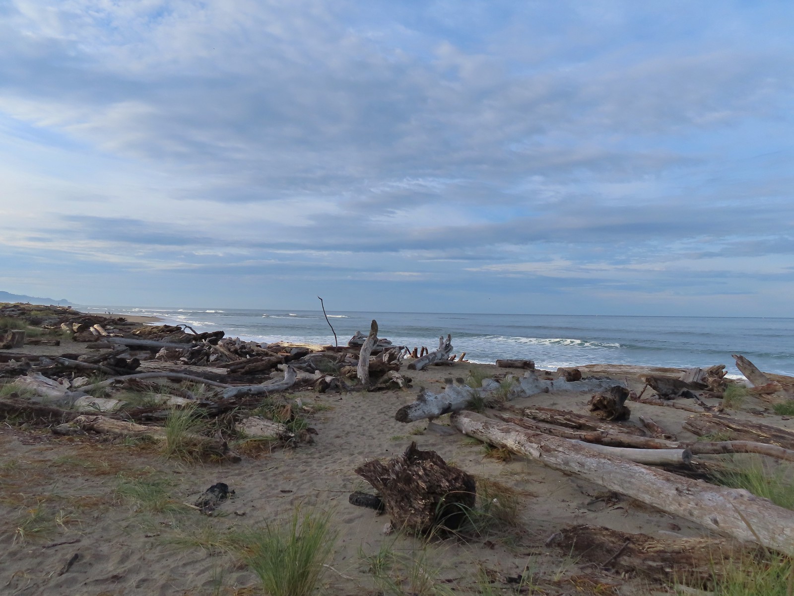
 Salishan Spit across the Siletz.
 Asters on the beach.
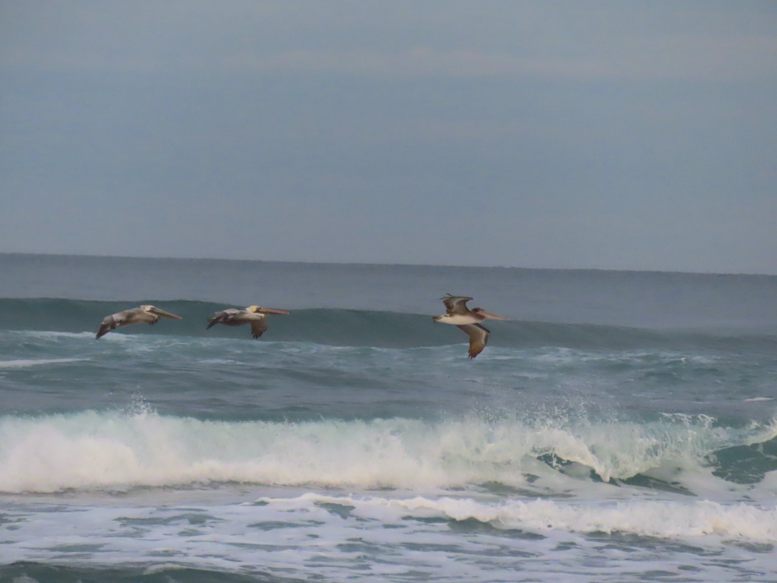
 Pelicans on the left and seals on the right at the end of Salishan Spit.
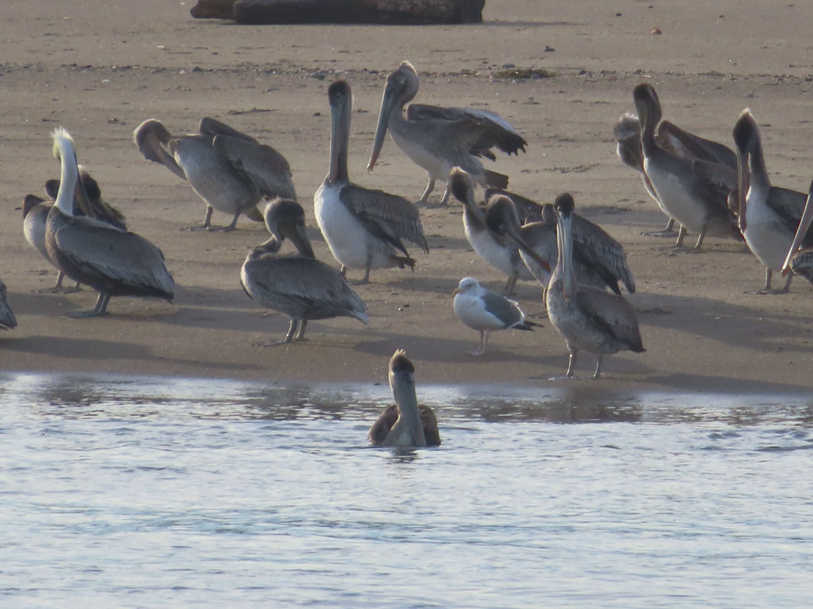 Pelicans and seagull
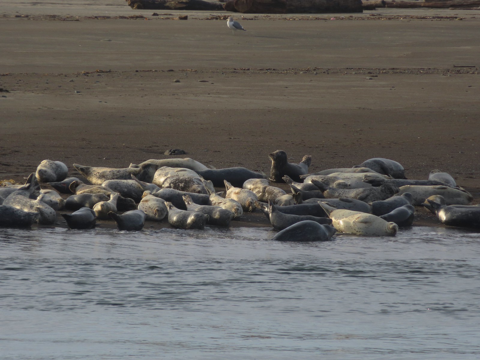 Seals and a seagull


 Drying off

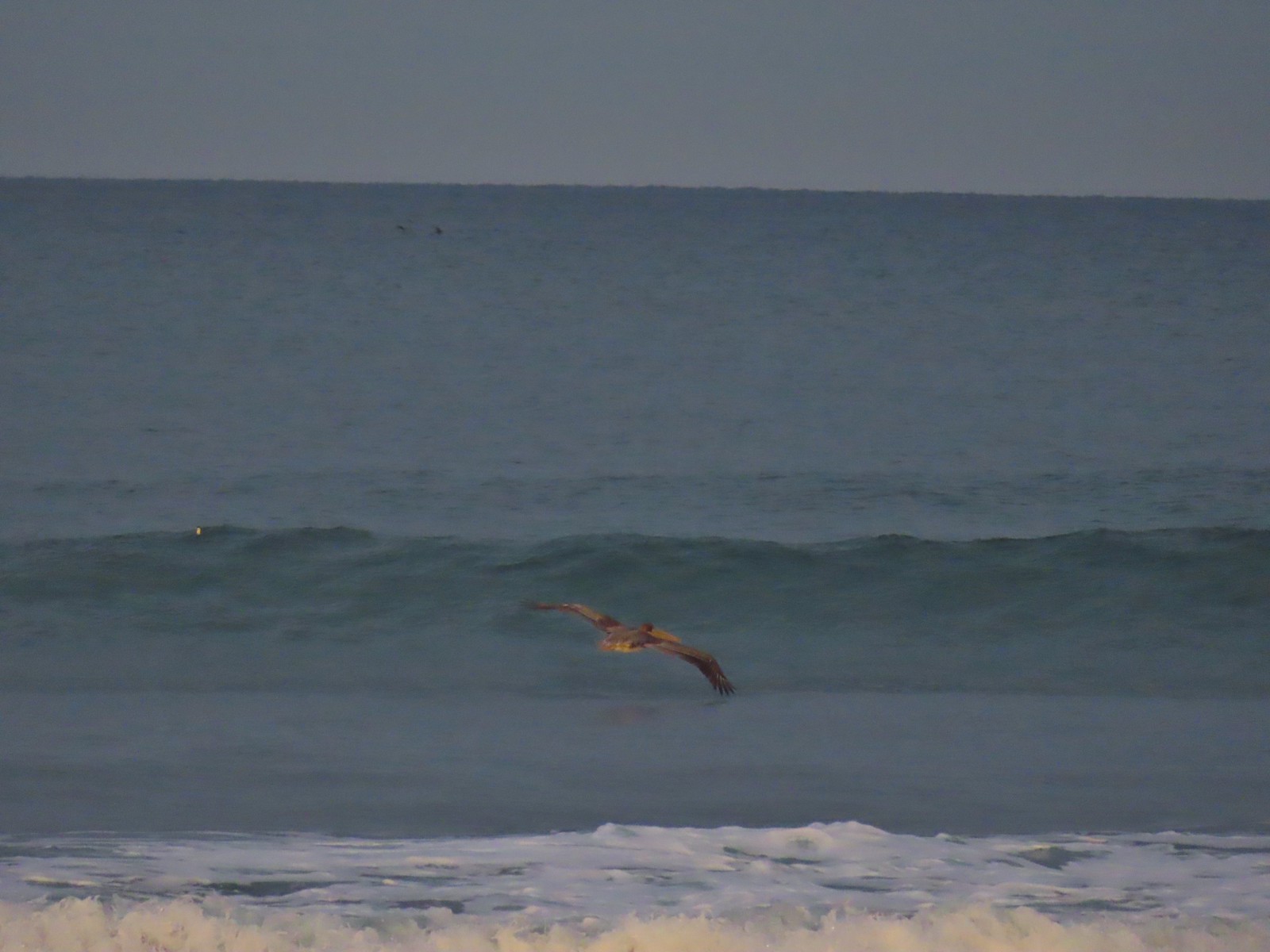
 Pelican mouths are a sight to behold (righthand side).
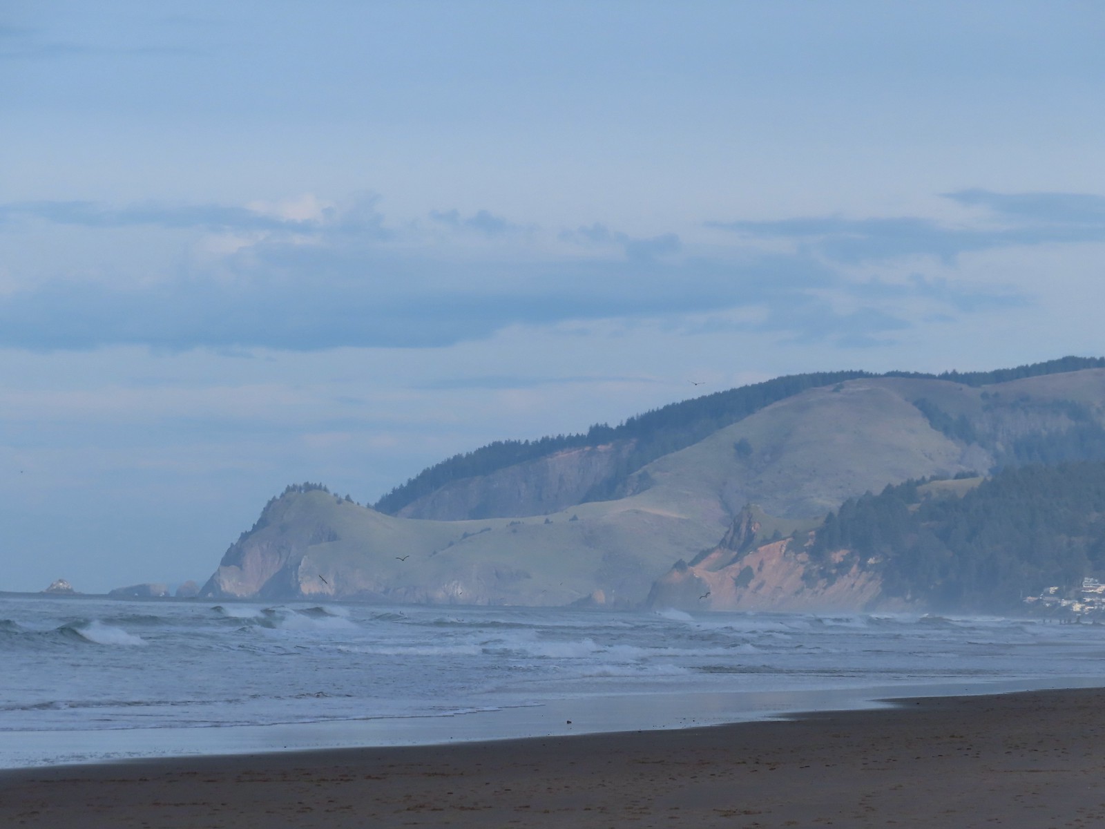 Cascade Head and God’s Thumb both in the sunlight now.

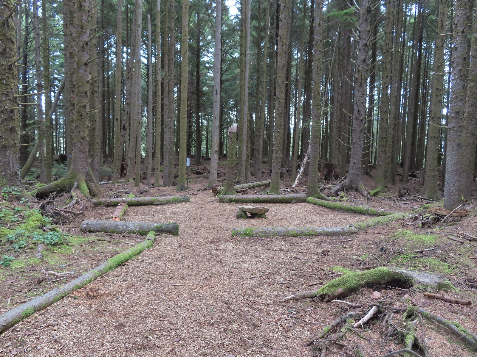 The Story Circle
 Trail Challenge sign #8.
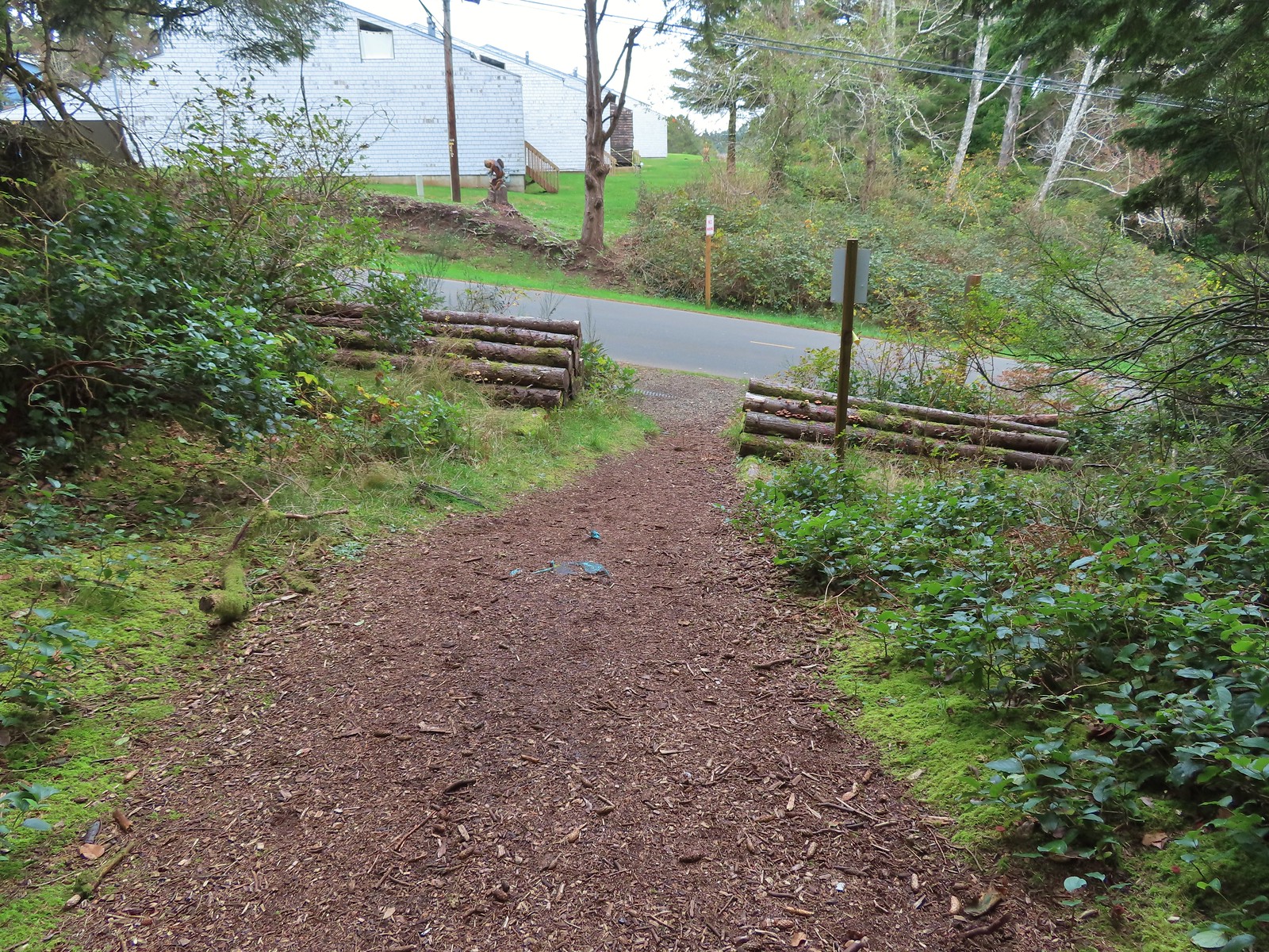 The trail ends at SE 3rd St (no parking available).
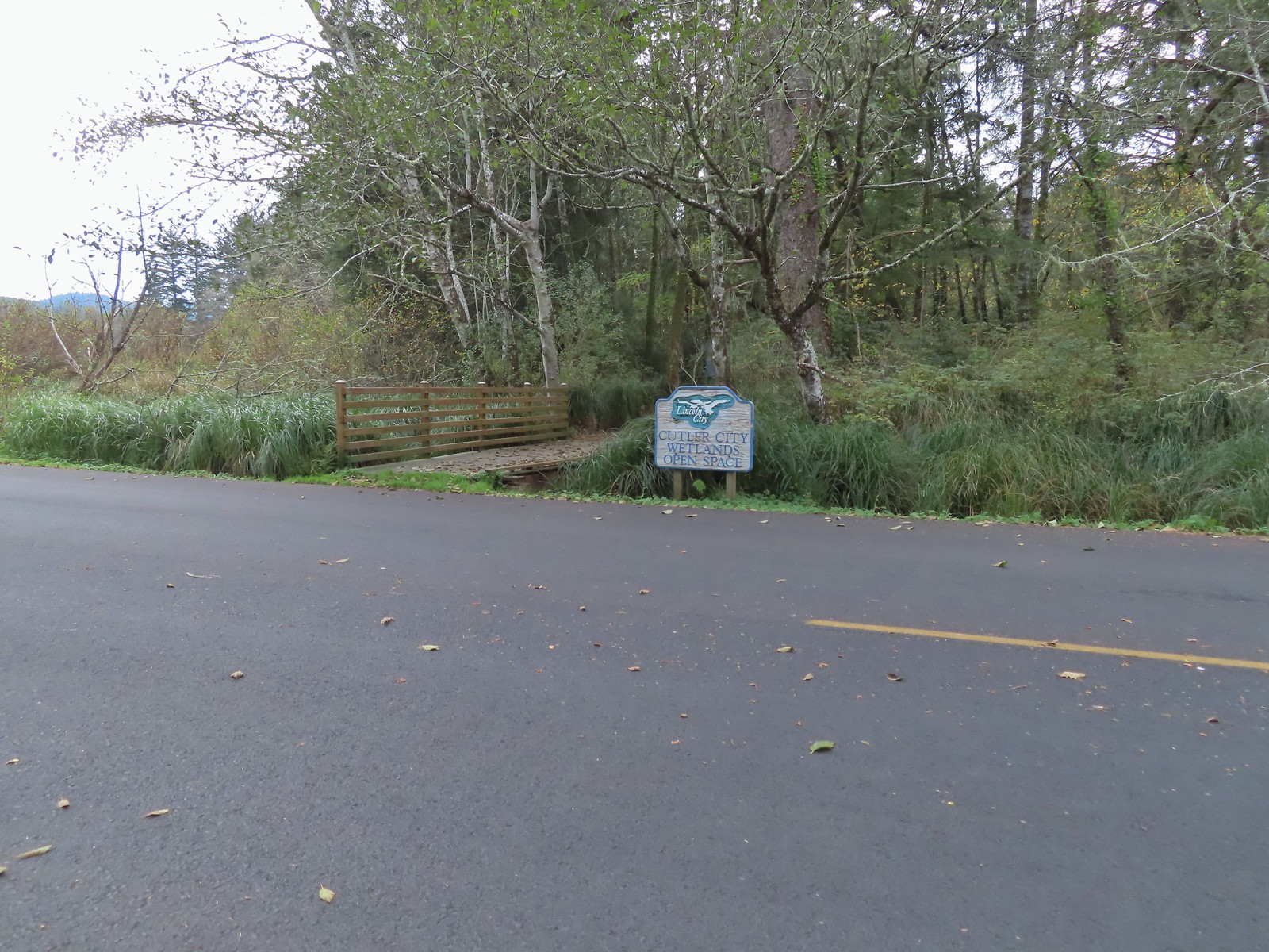

 While there are more trails to choose from here the total milage is just about 1.25 miles. We opted to loop around the outside with detours to the Salt Marsh Overlook and Pond’s Edge.
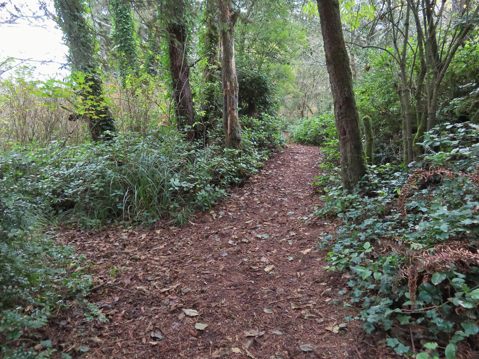 To the left is the very short spur to the Salt Marsh Overlook which was too overgrown to really see anything.
 Interpretive sign at the overlook.
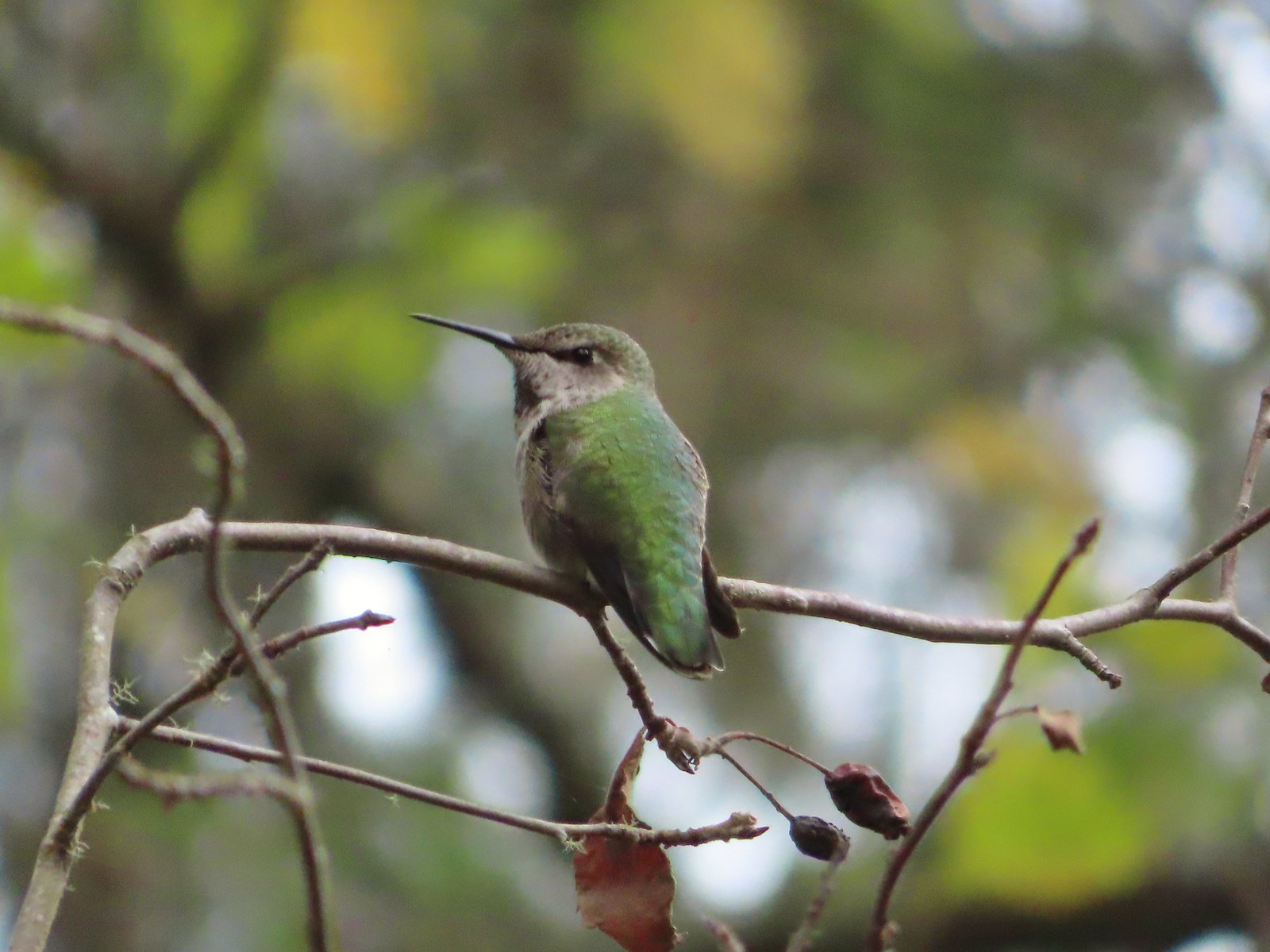 A noisy little hummer near the overlook.
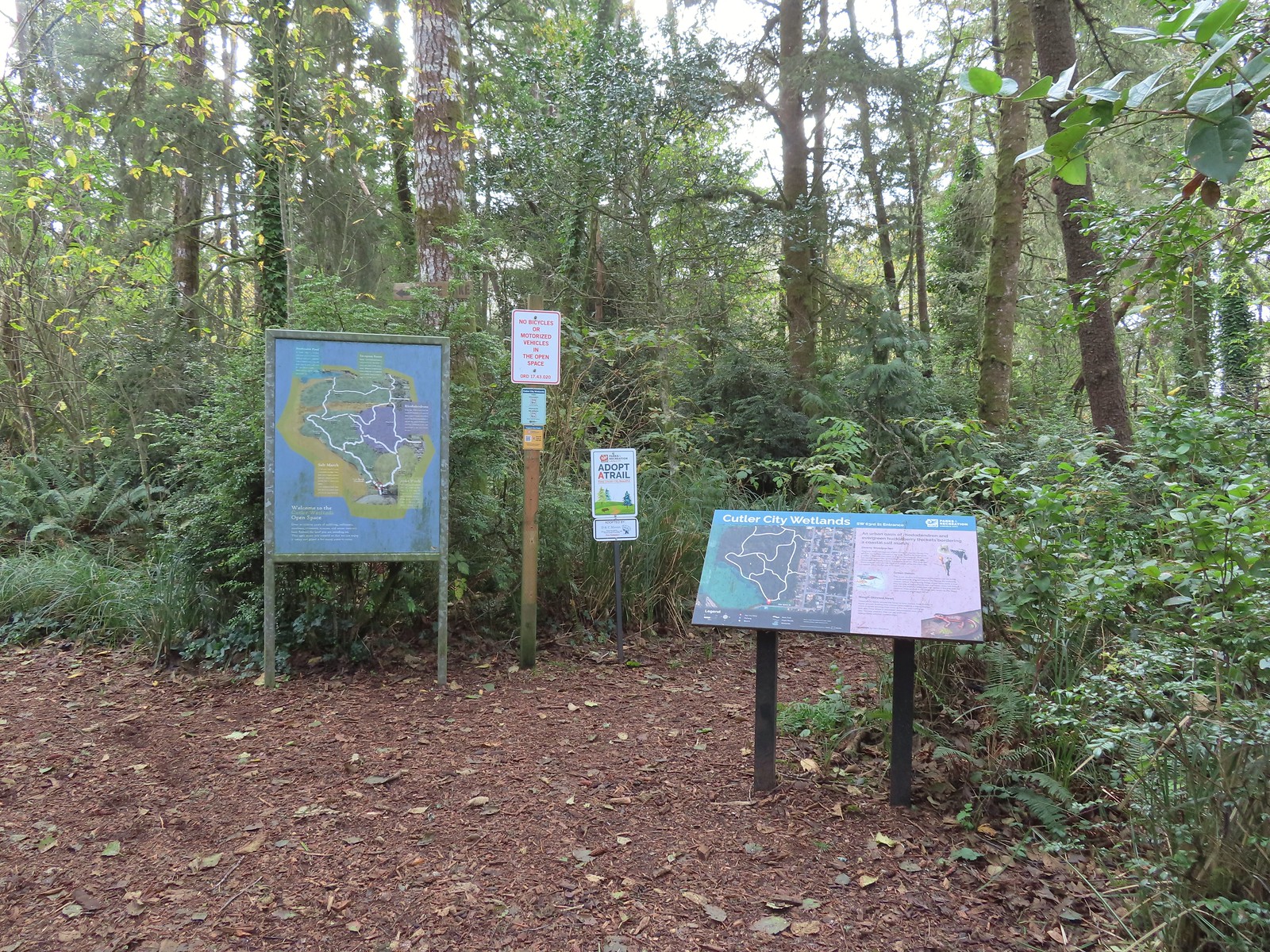
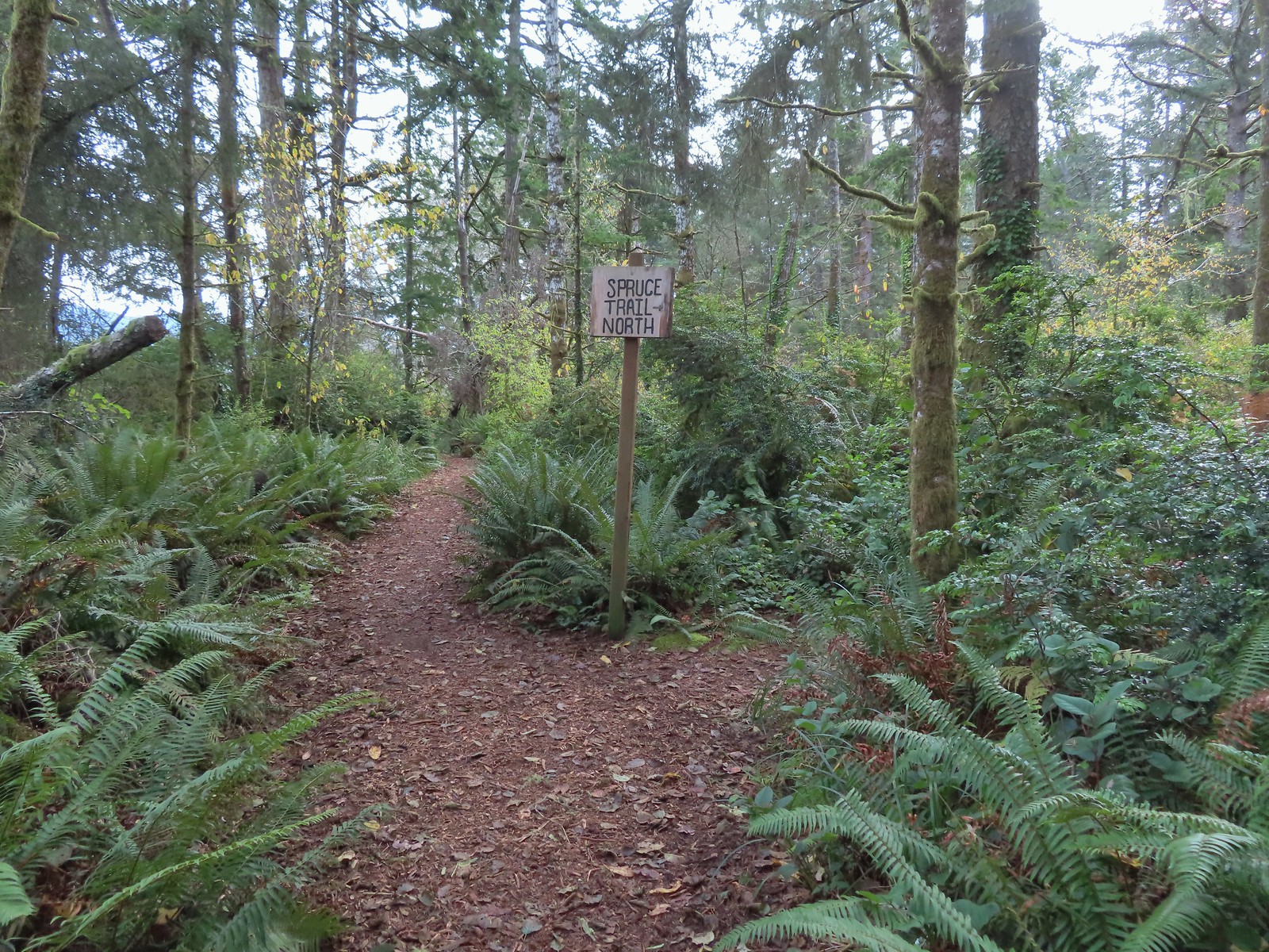 There was pretty good signage at the main trail junctions.

 Boardwalks helped cross the wet areas.
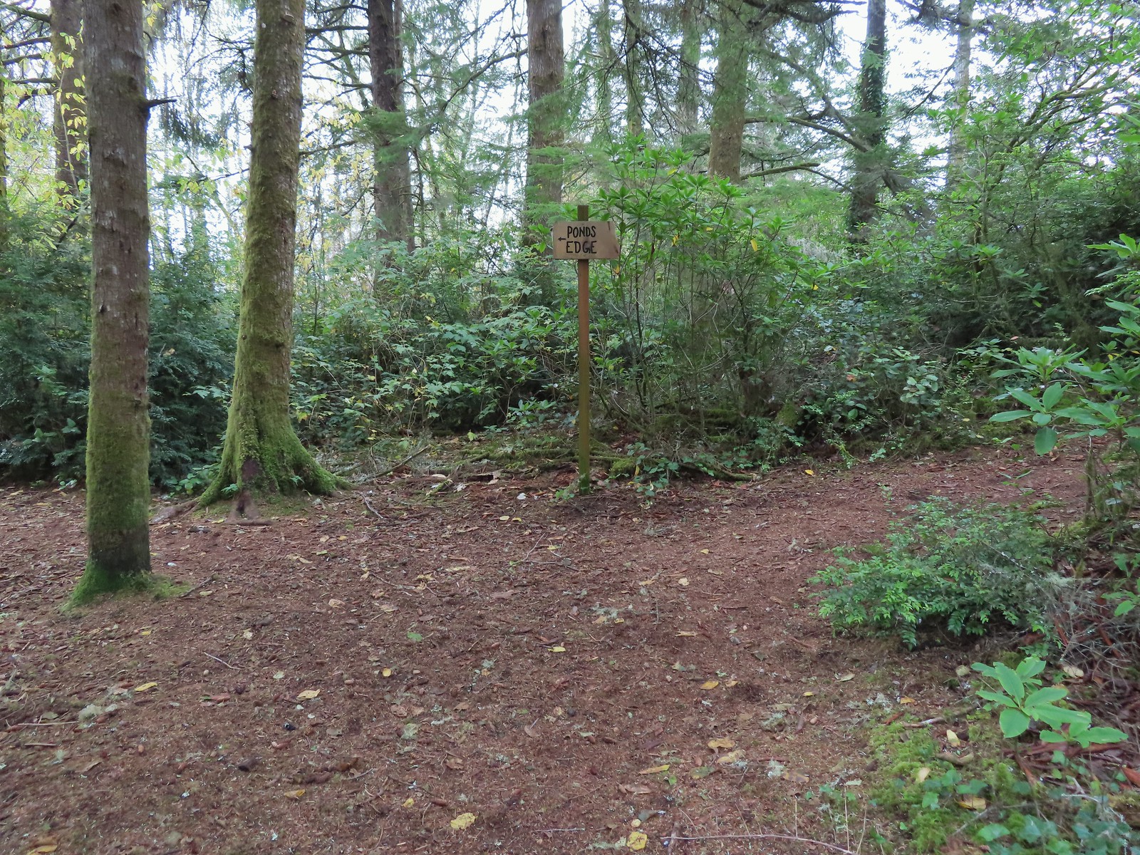 Pond’s Edge spur trail.
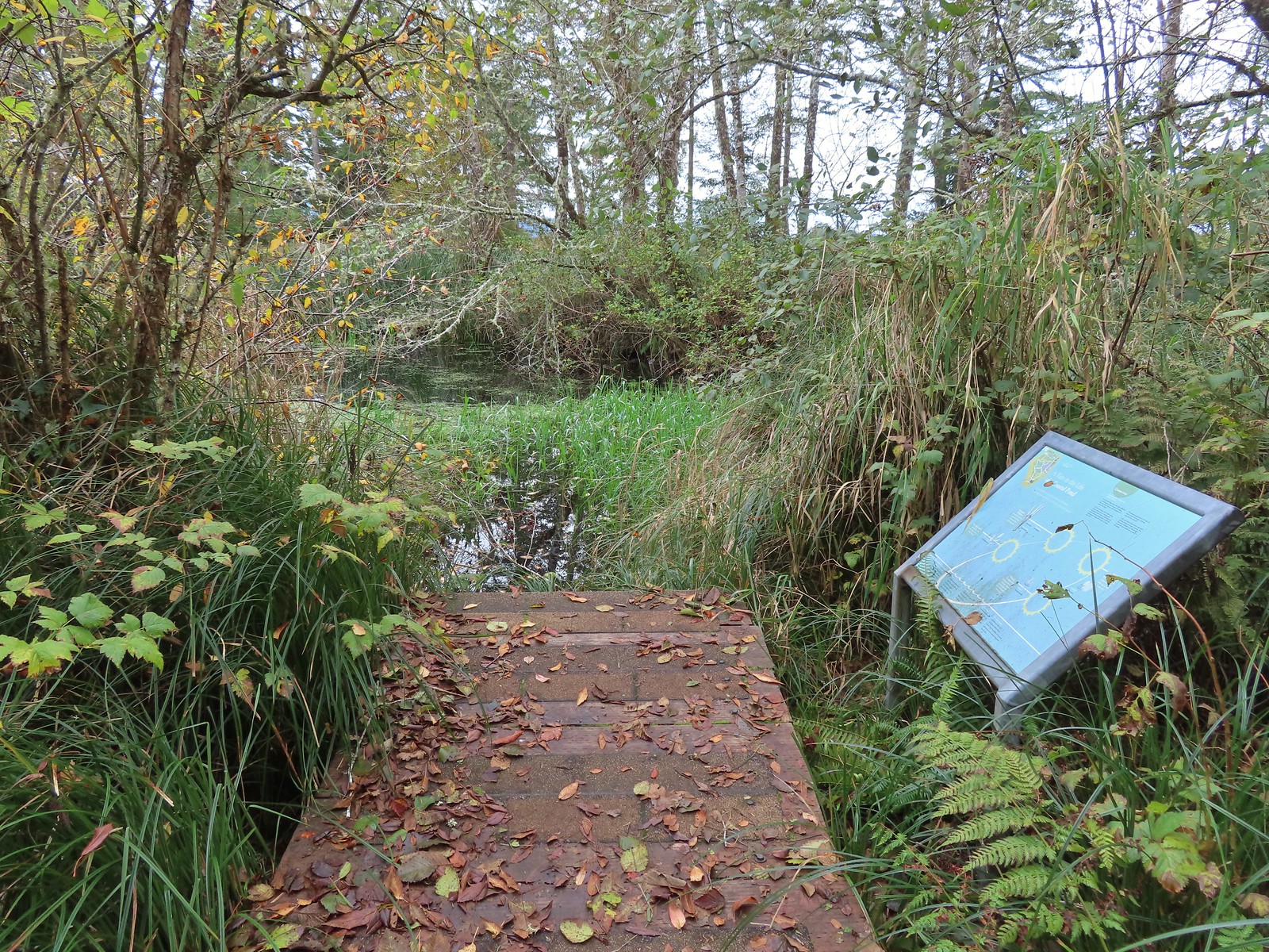 At the edge of the pond.
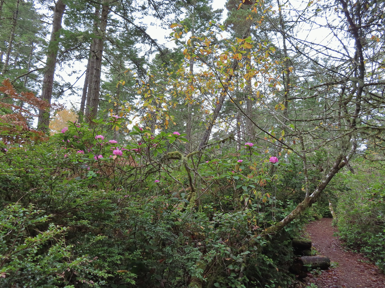 We hadn’t expected to see any blooming rhododendrons.
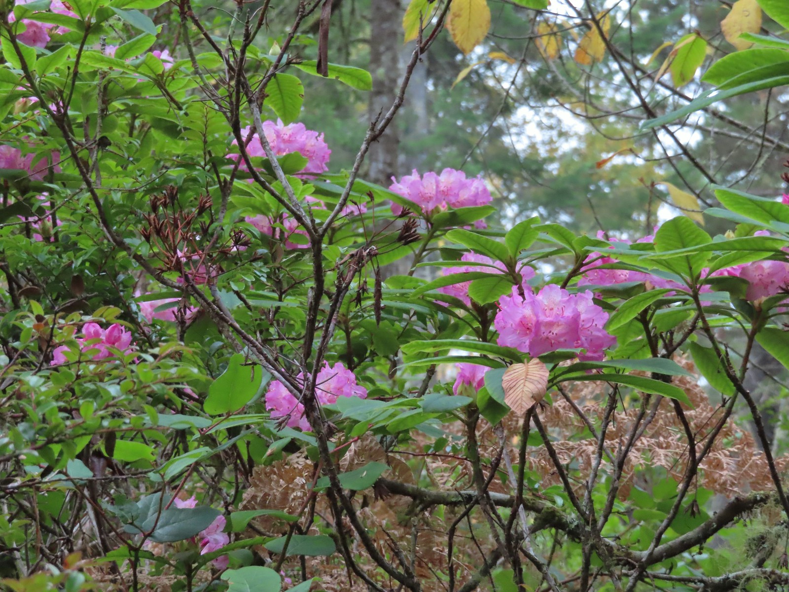
 Arriving at the signboards at the start of the loop.


 Fall Creek Falls
 Yasko Falls


 Lower Table Rock
 View from Upper Table Rock


 From left to right: Storm, Finely, and Shag Rocks.
 Cape Lookout (
 Maxwell Point
 View from beside Maxwell Point.
 The Tunnel was built in 1926.

 The Tunnel from Tunnel Beach.
 Three Arch Rocks from Tunnel Beach.
 The end of Tunnel Beach. At higher tide it’s not possible to get around the point here.
 Bald eagle on top of one of the rocks.
 Seal
Seal Agate Beach
 Cape Lookout from Agate Beach.
 An assortment of sea birds.
 Maxwell Point and Cape Lookout
 Sun starting to hit the Three Arch Rocks.
 Sand dollar
 Cormorants. There was a steady stream of flocks of birds heading south along the coastline.
 Footbridge over Fall Creek.
 Fall Creek
 Frosty leaves near Fall Creek.
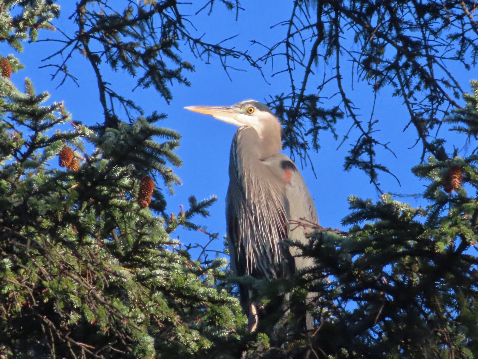 Great blue heron in a tree above Fall Creek.
 Happy Camp
 Hodgdon Creek
 Seagulls and common mergansers near Hodgdon Creek.
 Buffleheads
 Netarts Spit
 Happy Camp from our turn around point.
 Three Arch Rocks and Maxwell Point now in full Sun.


 The beach only extends a short distance to the South.
 The sea stack and Short Creek Spillway to the North.
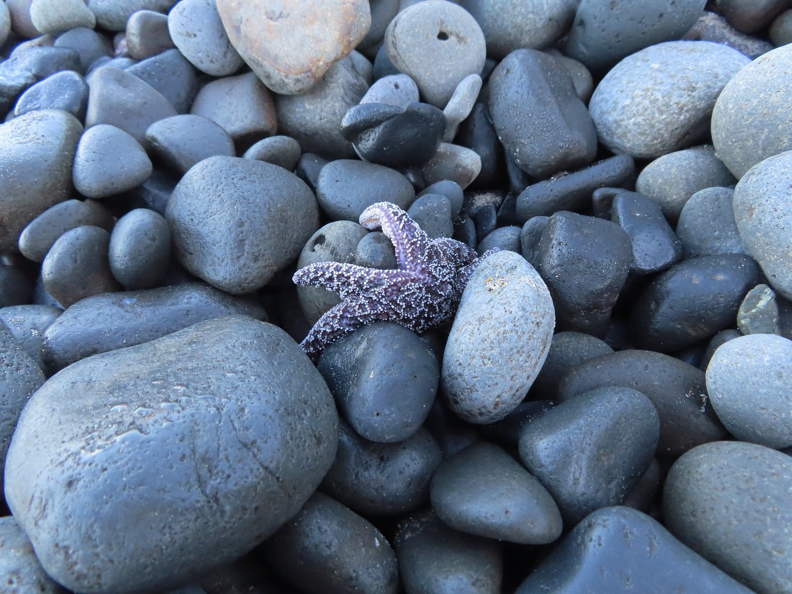 Starfish
 The sea stack
 Cape Meares (
 I didn’t notice the little waterfall along the cliffs below Cape Mears until I looked at the pictures.
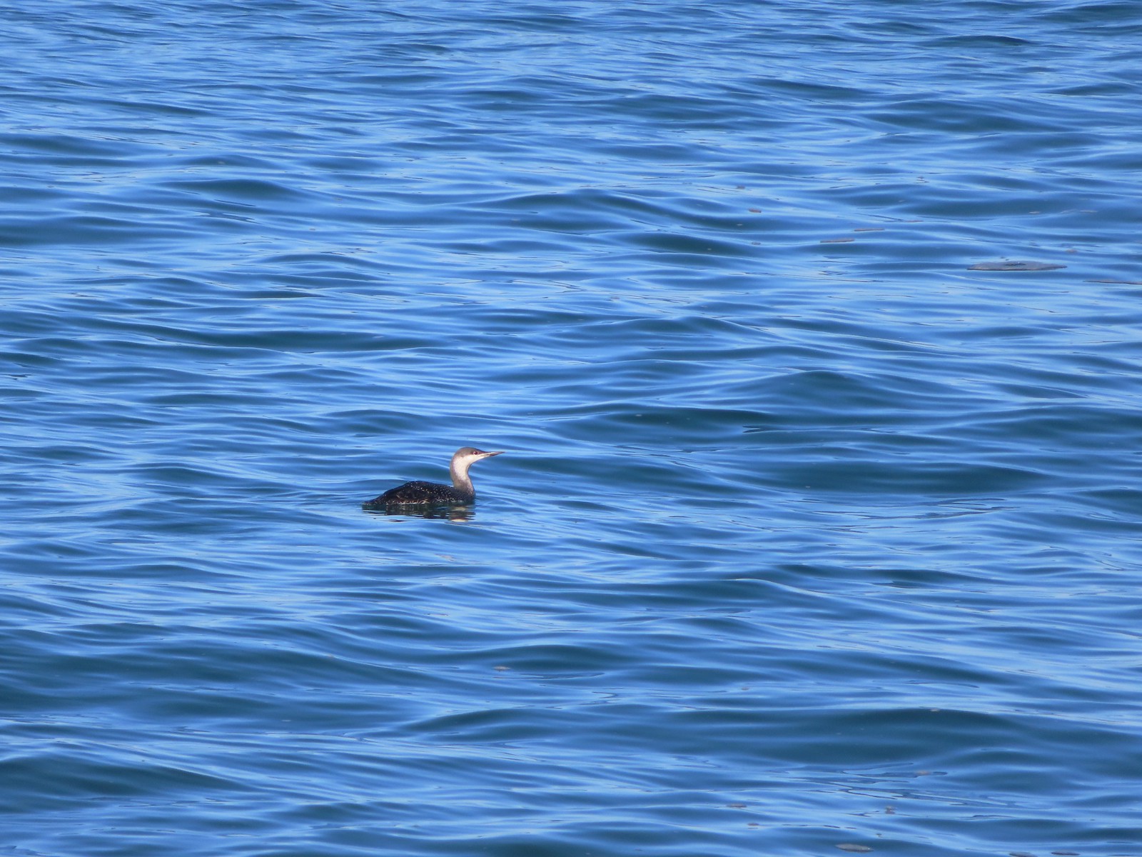 Red-throated loon

 The area ahead in the shade is where things started looking a little sketchy.


 Apparently there used to be a metal gate here instead of a the rope/chain.

 Bald eagles in the tree tops.
 Bald eagles
 This is where the dike/path turned South. Our best guess is that there has been additional wetland restoration since the entry in the field guide and some of the dikes that the guide route followed have been removed.
 We weren’t getting across that.
 Somewhere out that way, beyond the slough, was the Wilson River.
 Now heading East toward Sissek Road.
 At this point we had left Sissek Road which used to extend straight from Goodspeed Road where the signs and rope/chain is in this photo (ahead to the right at the 90-degree turn).


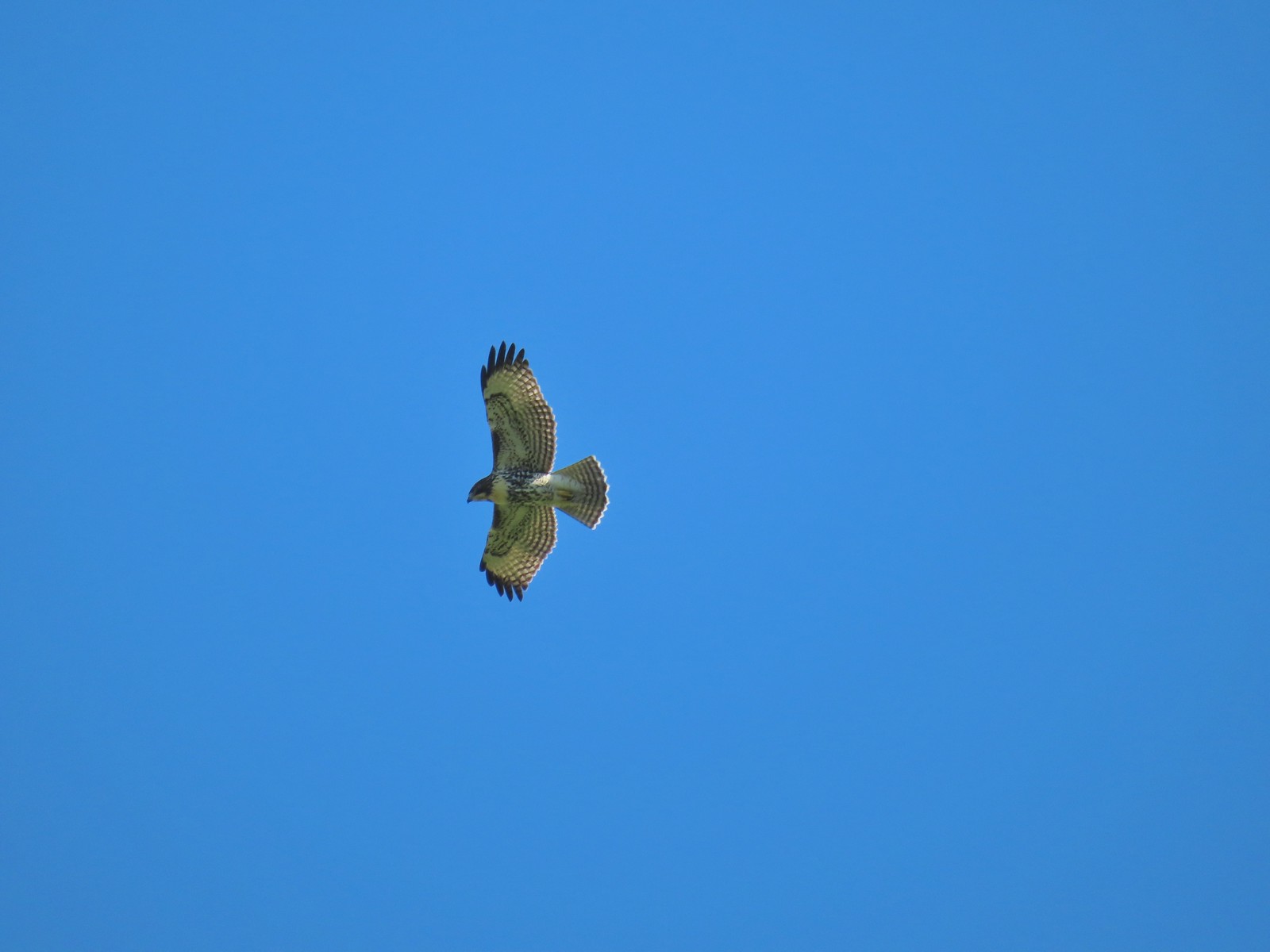 Hawk above Goodspeed Road.
 One path led down to Hall Slough ending in mud at it’s bank.
 A second path led north on what the GPS showed as a former road but it was too overgrown and flooded to make it far.


 Junction with the spur trail to the power line corridor.


 Footbridge and stairs leading back up to the picnic table.


 Along the way we entered the wilderness area.


 It looks to have been a good year for beargrass.


 The trail was well maintained with only one small log across the entire route to Vivian Lake.

 Another level section.
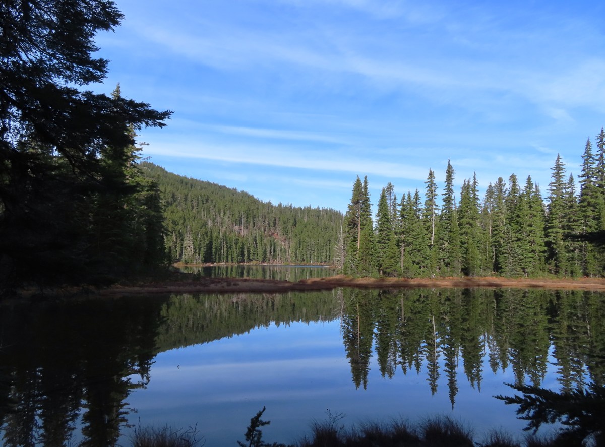
 Pond along the trail.
 The saddle at the high point of the trail.
 Maiden Peak (


 We passed the smaller of the two lakes a half mile below the saddle.
 The second lake, which was just 100 yards from the first, was much larger.
 Mt. Yoran from the lake.
 Ridge above the lakes.
 Just before beginning the descent the trail passed South of a third small pond/lake that was visible through the trees.
 Heading down to the creek.

 The marsh
 Mt Yoran from the marsh. While it looks like a meadow, Fall Creek flows through here, and at times we could see water out in the grass.


 We were able to use these rocks to hop across this narrow channel to the North shore of the lake where we were able to get a view of Mt. Yoran.


 Varied thrush. These continue to be the most frustrating frequently seen bird to try and photograph.


 I believe these were ring-necked ducks.
 Diamond Peak from the trail on the way back.

 Not all of the blowdown was as easy as this log to get over/under.
 Multiple switchbacks kept the lower portion of the climb from feeling too steep.
 The Hemlock Butte Trail succumbing to the vegetation.
 An obvious spur trail at the base of the rock outcrop leads to a view of Mt. Yoran and Diamond Peak. For those not comfortable with the scramble this is a good goal.
 The trail to the summit at the junction with the spur.
 Scrambling up
 Mt. Yoran and Diamond Peak from the summit.
 Wolf Mountain to the NW with clouds covering the Willamette Valley in the distance.
 The view South.
 Looking down from the summit. (The trail is to the right.)
 The “trailhead” was just under 14 miles from Highway 58 or just over 5.5 miles from the Vivian Lake Trailhead.
 The trail sign on the right. The Pool Creek Trail #4228 shows up on the Forest Service map, but they don’t have a dedicated webpage for it. We were made aware of the trail by following
 What looks like it might be tread ahead is actually the log.
 The Pool Creek Trail to the left of the creek. Here you can see the first switchback turning steeply uphill.
 The makeshift creek crossing.
 At the third switchback.
 The reason we hadn’t noticed the trail on the far side was because it climbed quite a bit in an initial series of short switchbacks so from where we had been the trail was already much higher than we’d expected it would be. In the photo Heather is coming up to the third switchback below.
 These two trees are mentioned in the May 2022 trail update on the Cascade Volunteers webpage.
 This one was high enough to easily pass under. On the far side are more cut logs.
 First view of the falls from the trail.
 Pool Creek Falls


 O’Brien Creek near the trailhead.
 It seemed like all of the climbs this weekend had been steep.
 After two warm sunny days this hike finally felt like Fall.
 As I approached this footbridge I noticed a yellow jacket fly into the big hole along the right side of the trail. A quick peak in revealed a busy nest so we wound up bushwacking uphill and around it hopping onto the bridge at the edge of the marsh ahead.
 A nice newer looking sign at the upper trailhead.
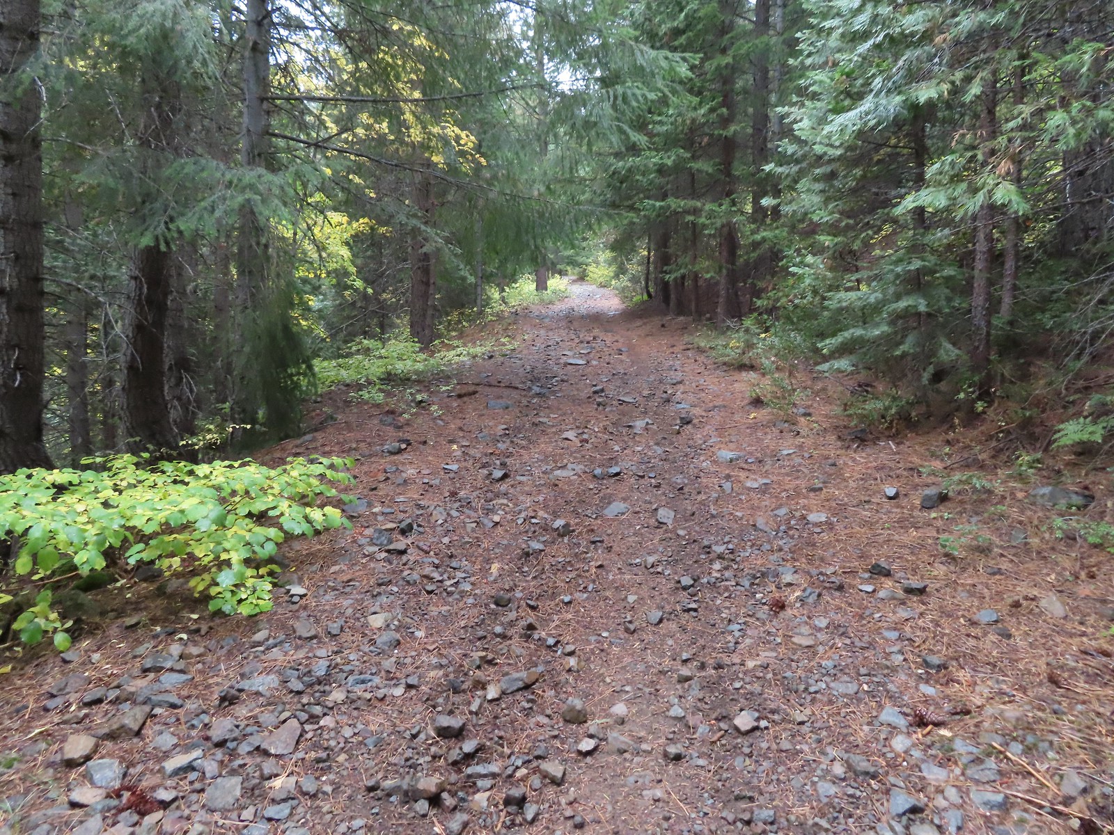


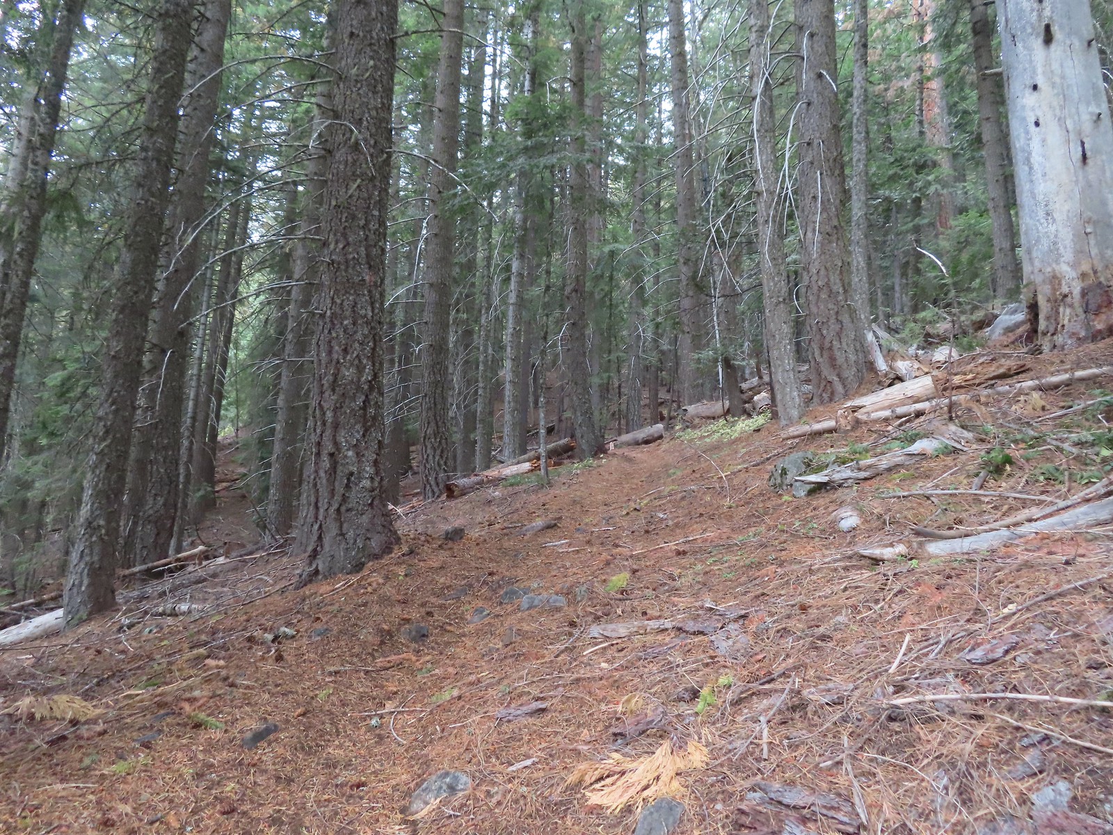
 There were a few really big trees in the forest along the trail.
 Grayback Mountain from the trail.
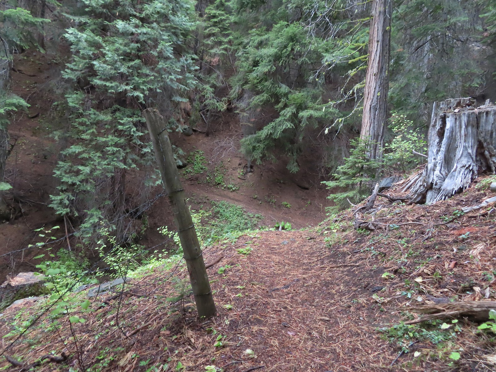
 The trail crossing O’Brien Creek.
 The junction with the spur trail to the snow shelter. It took me far too long to realize that the sign was upside down. I couldn’t figure out why it thought the Boundary Trail was to the left, after looking at it a few more times it dawned on me that the words were upside down.
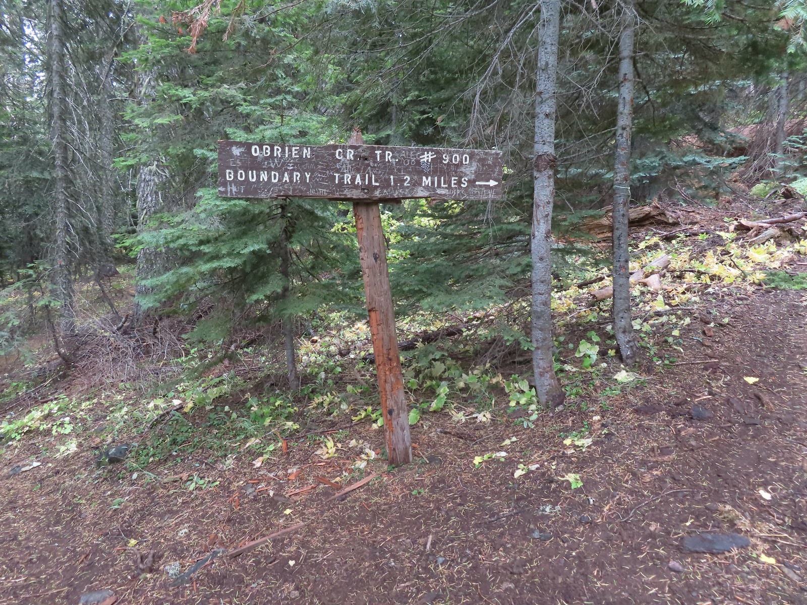 Ah ha! It wouldn’t stay this way but it sure made more sense.
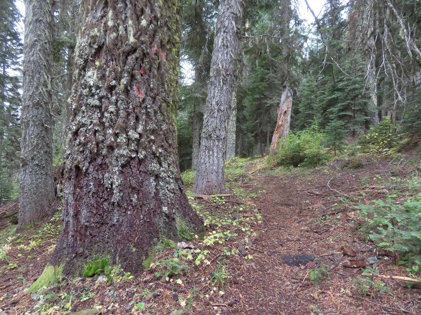


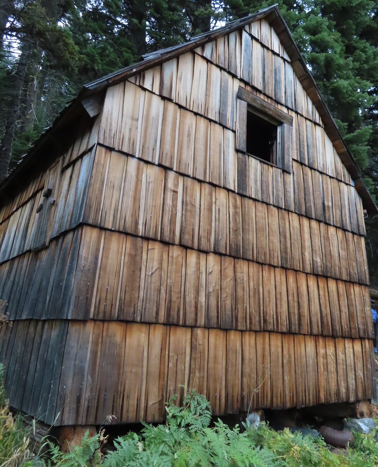

 There used to be a cabin out in the meadows and now there is a snow gauge and a campsite which may be where the voices were coming from.
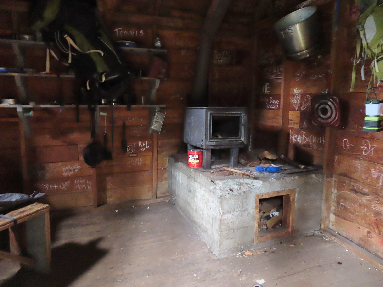 We took a quick peak inside the shelter where some of the backpacker’s stuff was.
 It was steep going down too.
 Trail pointer near the upper trailhead marking the continuation of the O’Brien Creek Trail to the lower trailhead.
 We always enjoy seeing madrones on our hikes in Southern Oregon.
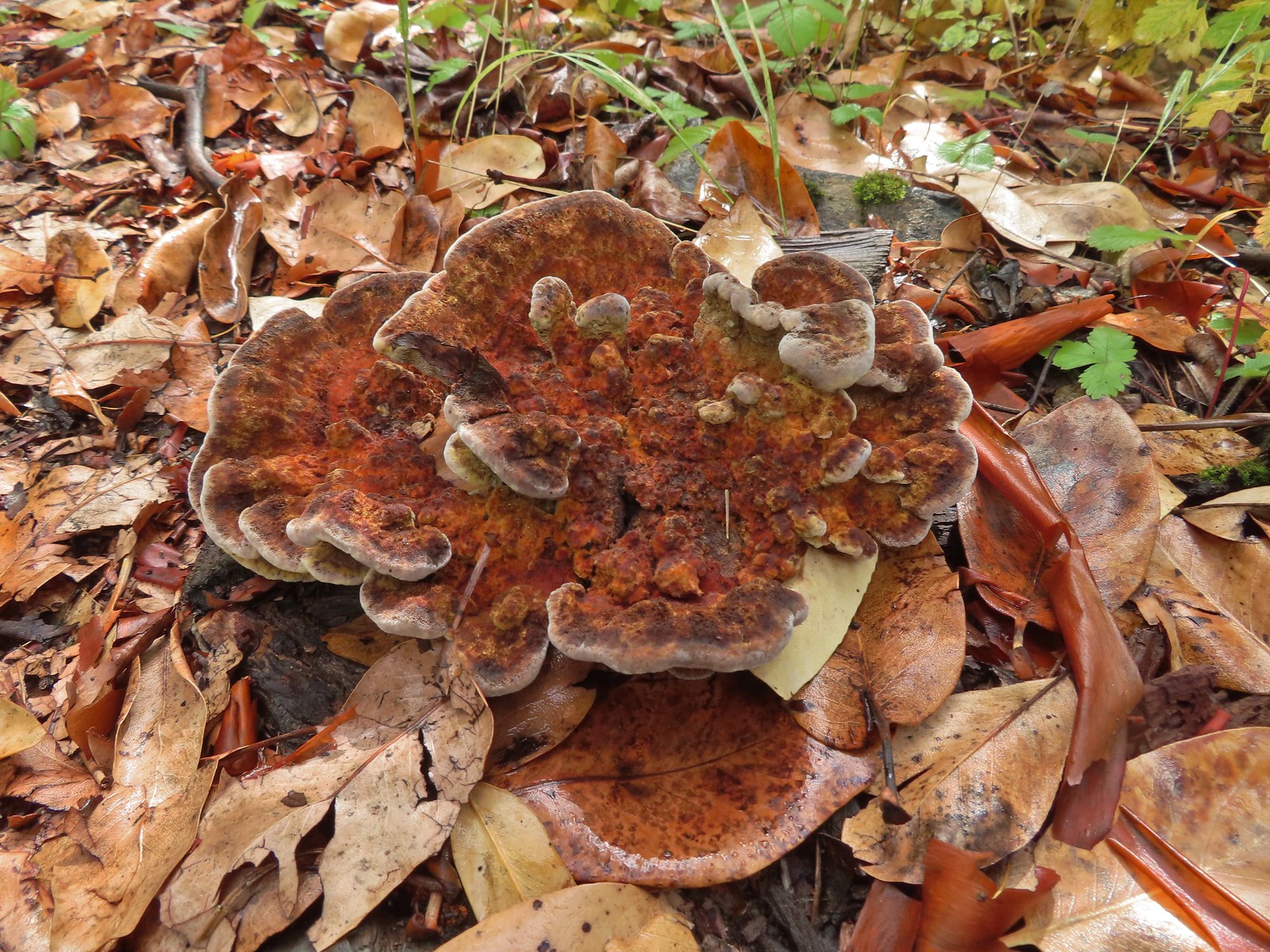

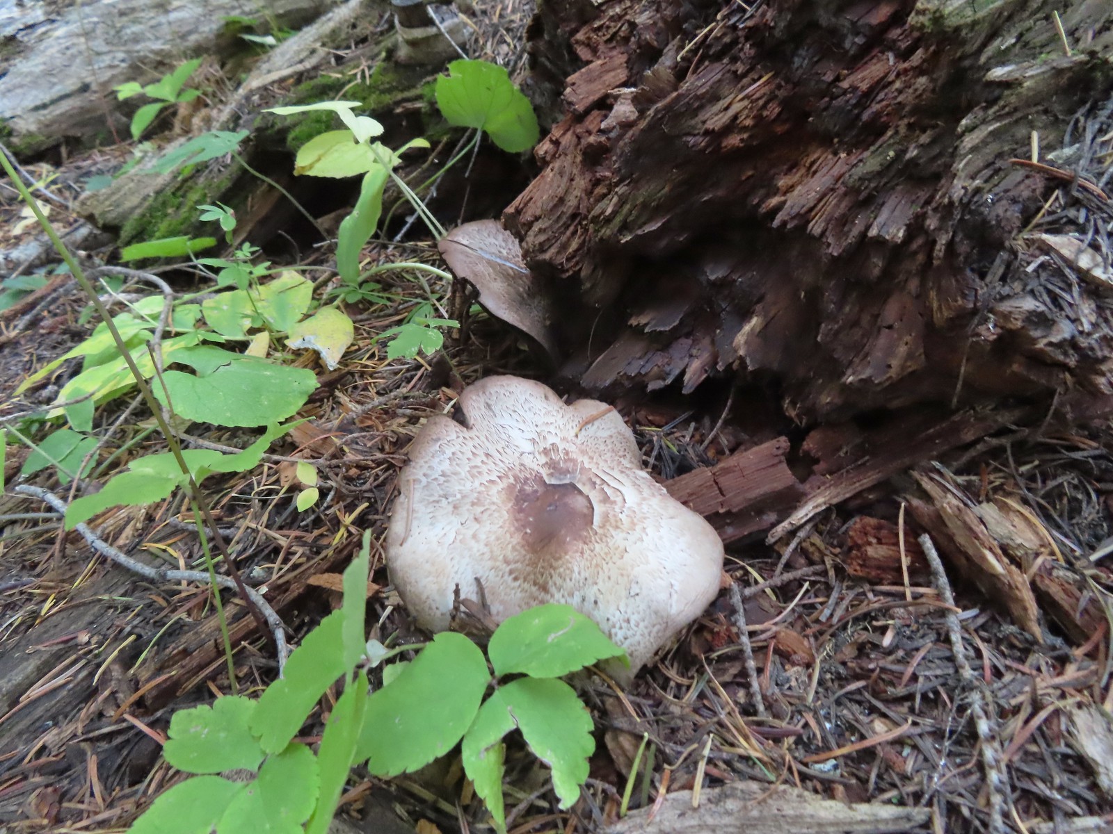
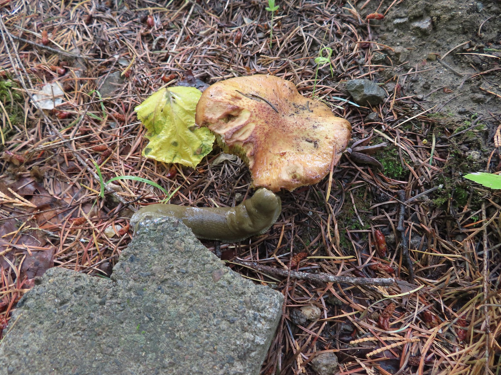 Slug on a shroom.
 Bug on a shroom.
 One more steep drop to the lower trailhead.
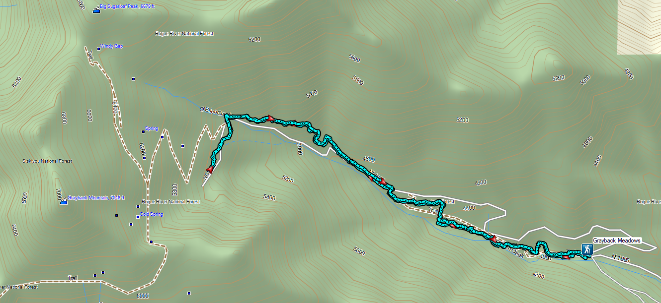

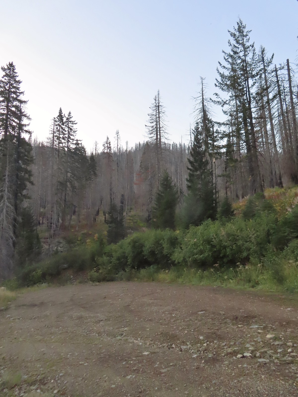
 The forest is recovering from the 2002 Biscuit Fire.
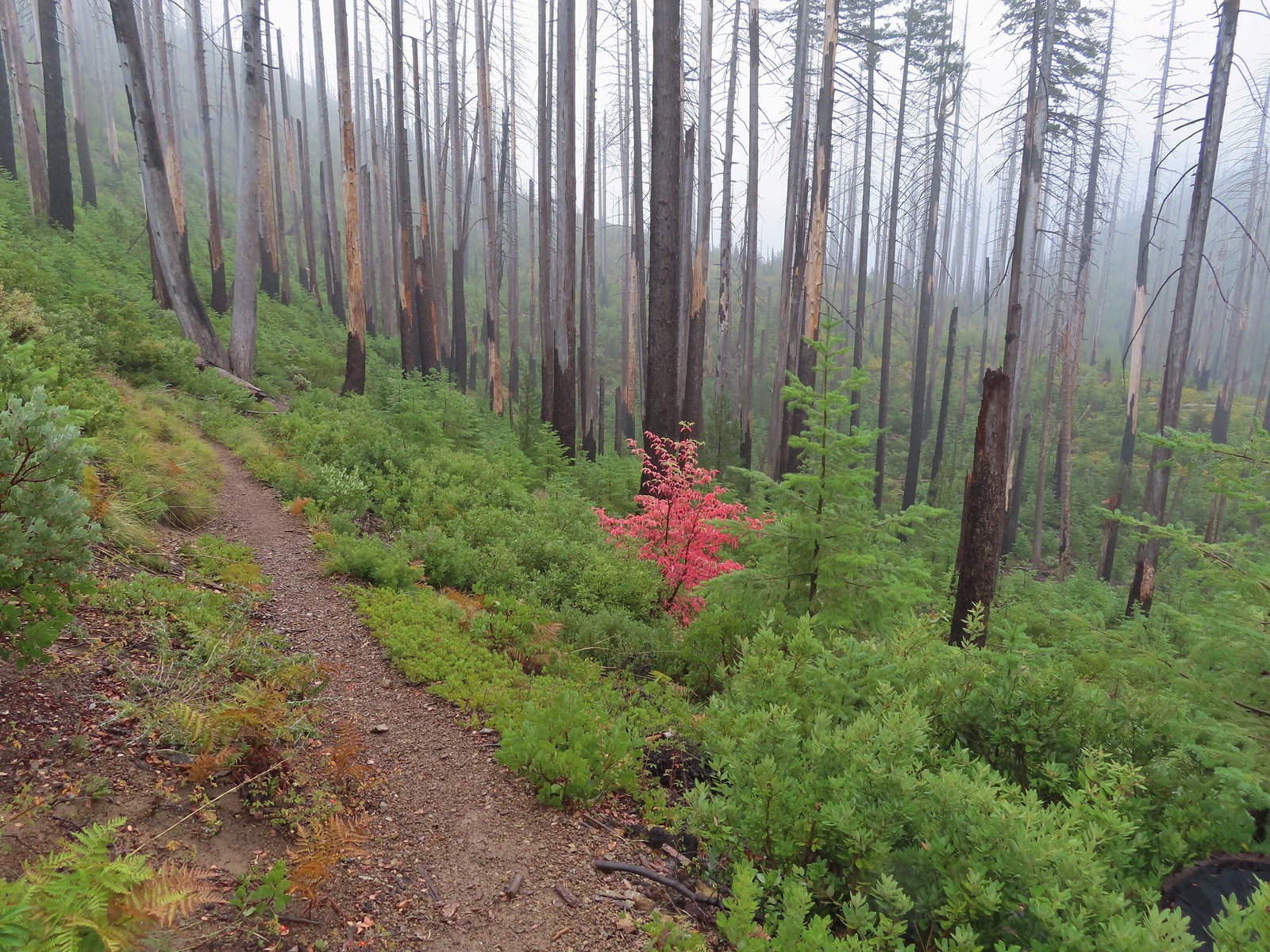
 To the left was the Babyfoot Lake Rim Trail. Sullivan’s longer option here include following this trail 0.9-miles to a viewpoint above the lake. Given the fog that seemed pointless, and it also looked like that trail was in need of some maintenance.
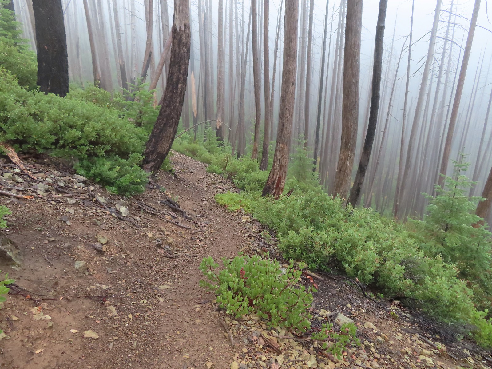
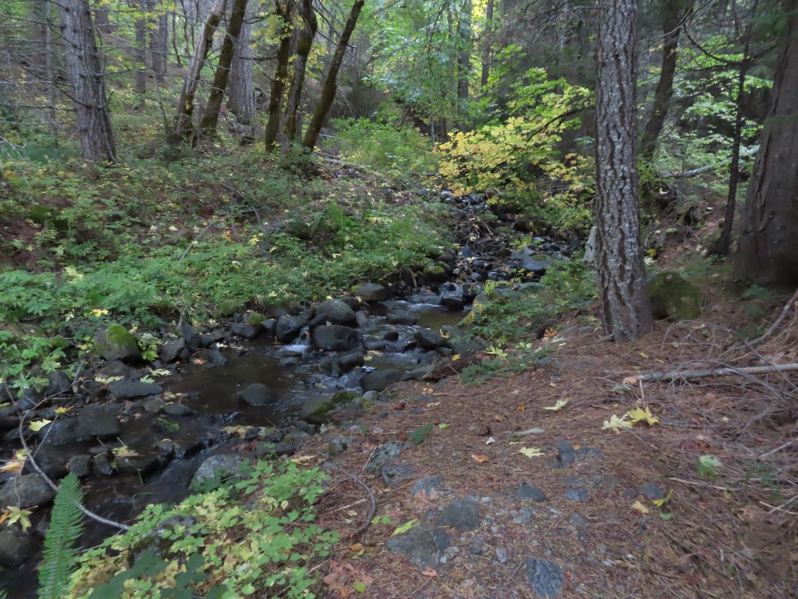
 A small stream with crystal clear water along the trail.
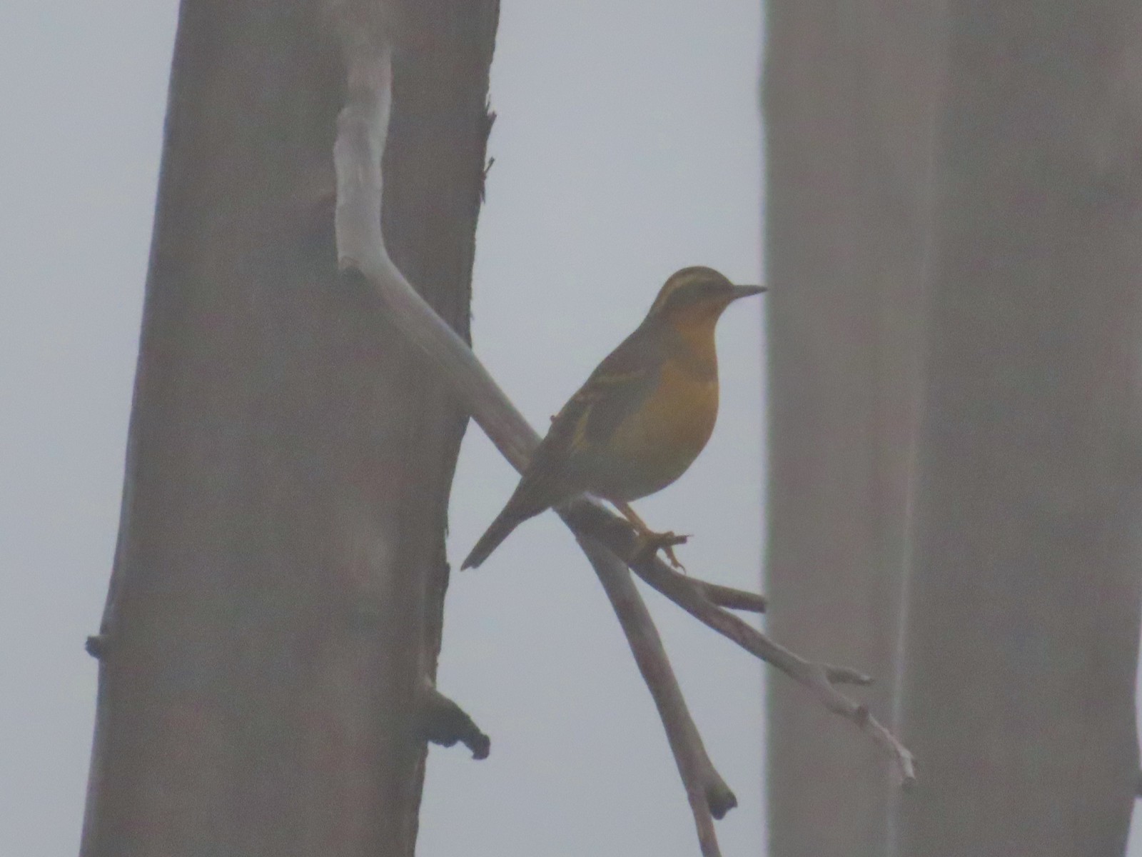 My nemesis, the varied thrush.
 Near the lake the trail passes this rock outcrop which is a viewpoint without the fog.
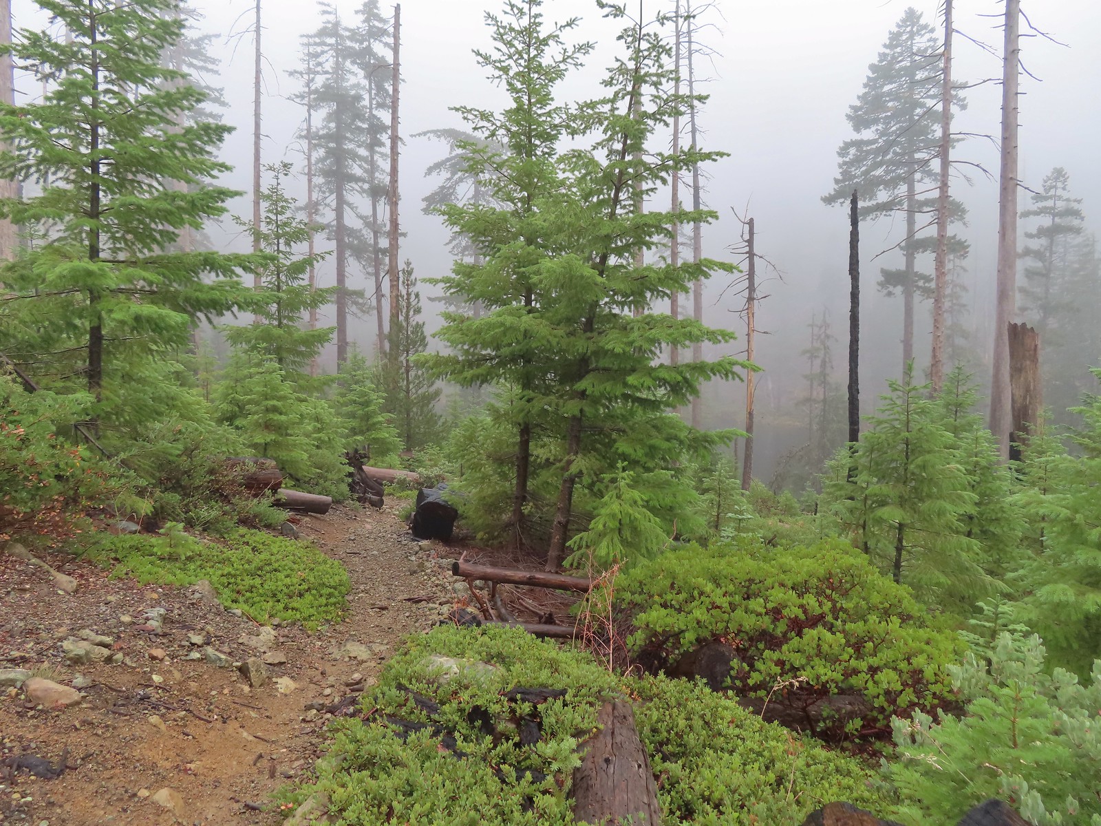 Some of the trees around the lake survived the 2002 fire.
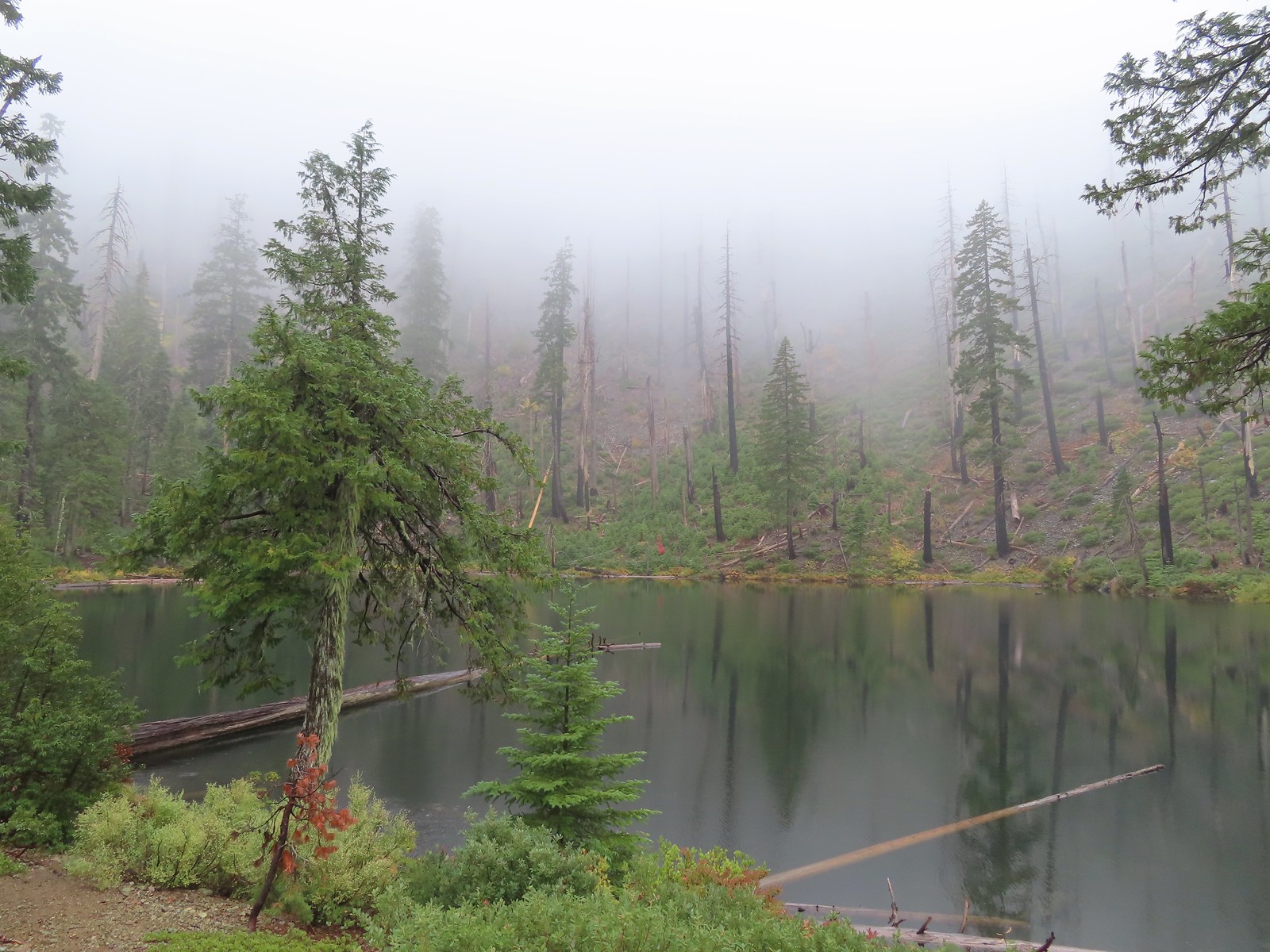

 I of course had to head out onto the viewpoint given the rapidly changing conditions.
 The patterns on this snag caught my eye.
 The trailhead on the ridge ahead.
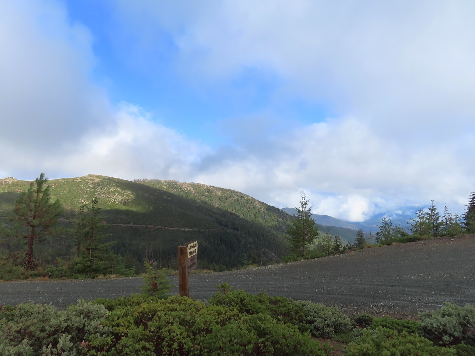

 There is a large turnaround/parking area at the end of Forest Road 041 which serves as the trailhead. The final 500 meters of the road are rough so high clearance vehicles are recommended.
 A pink flag marked the start of the trail just up the road from the turnaround.
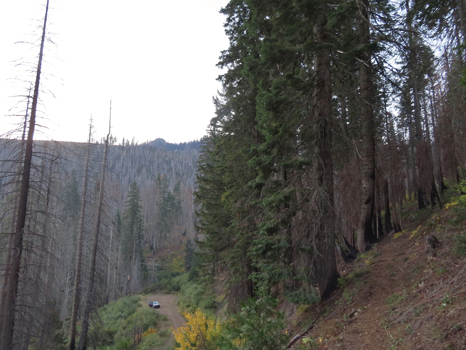 The trailhead from the Tanner Lakes Trail.
 A few trees survived the fire around the lakes.
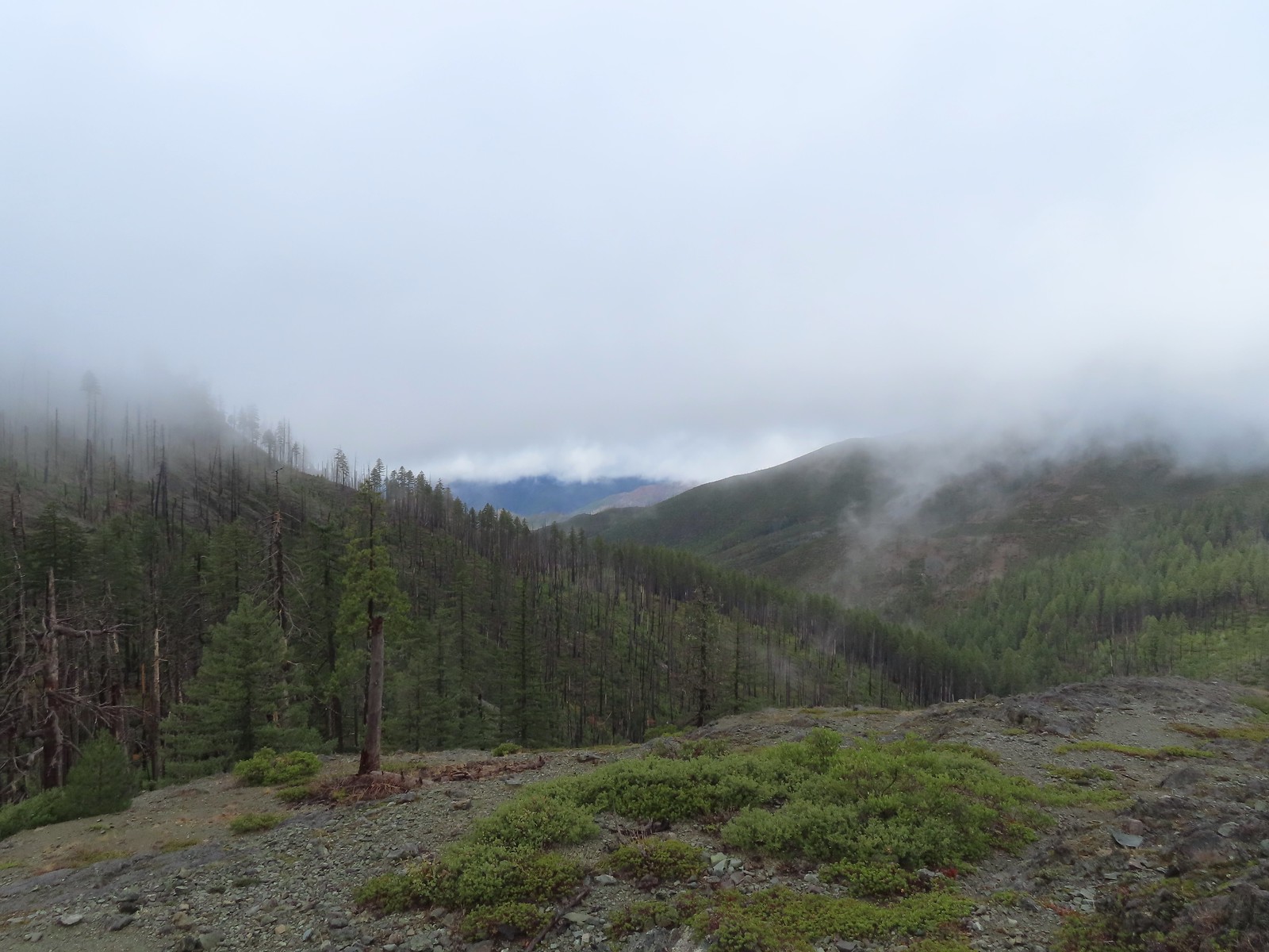
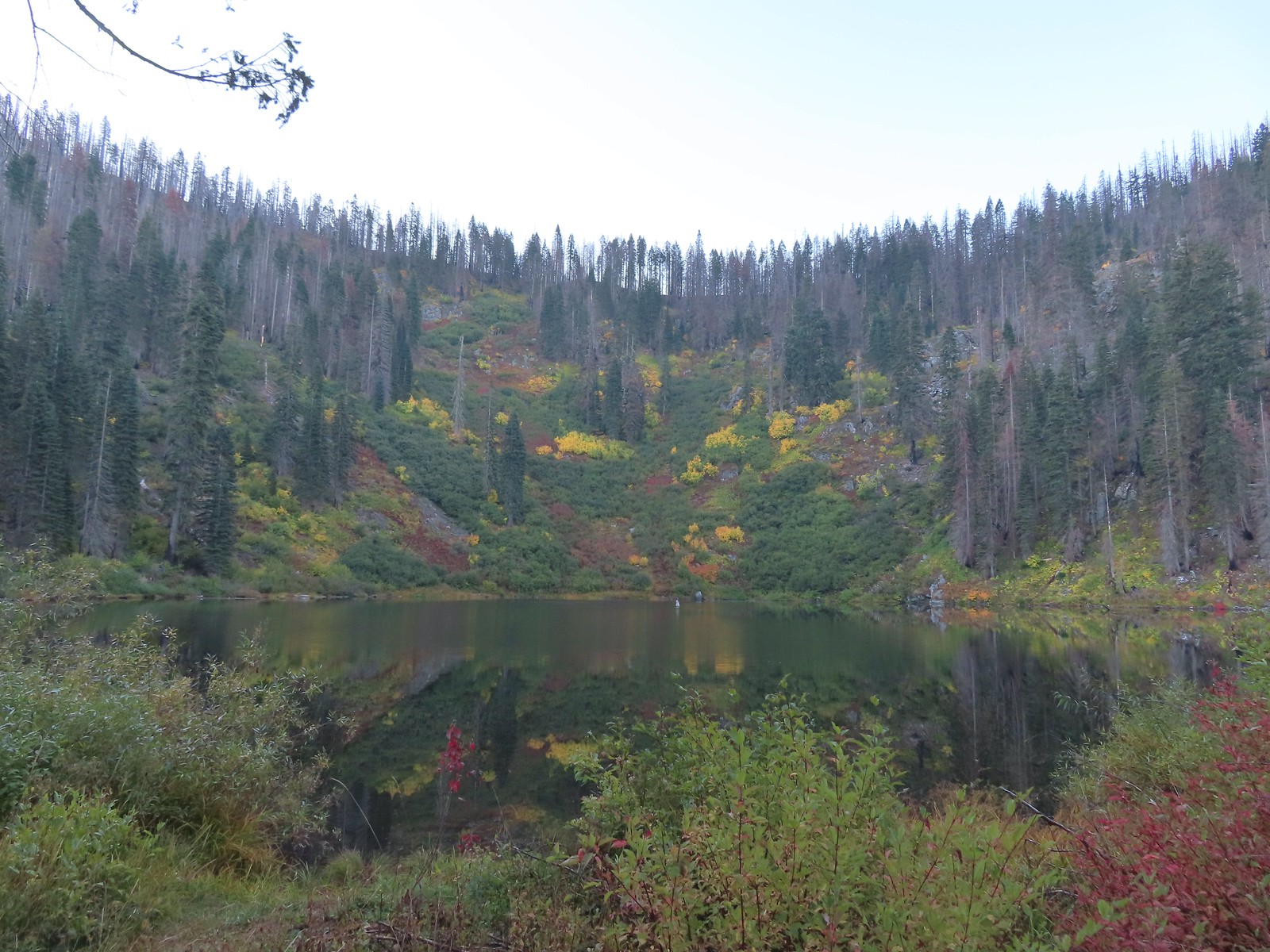 Tanner Lake in the morning.

 Penstemon
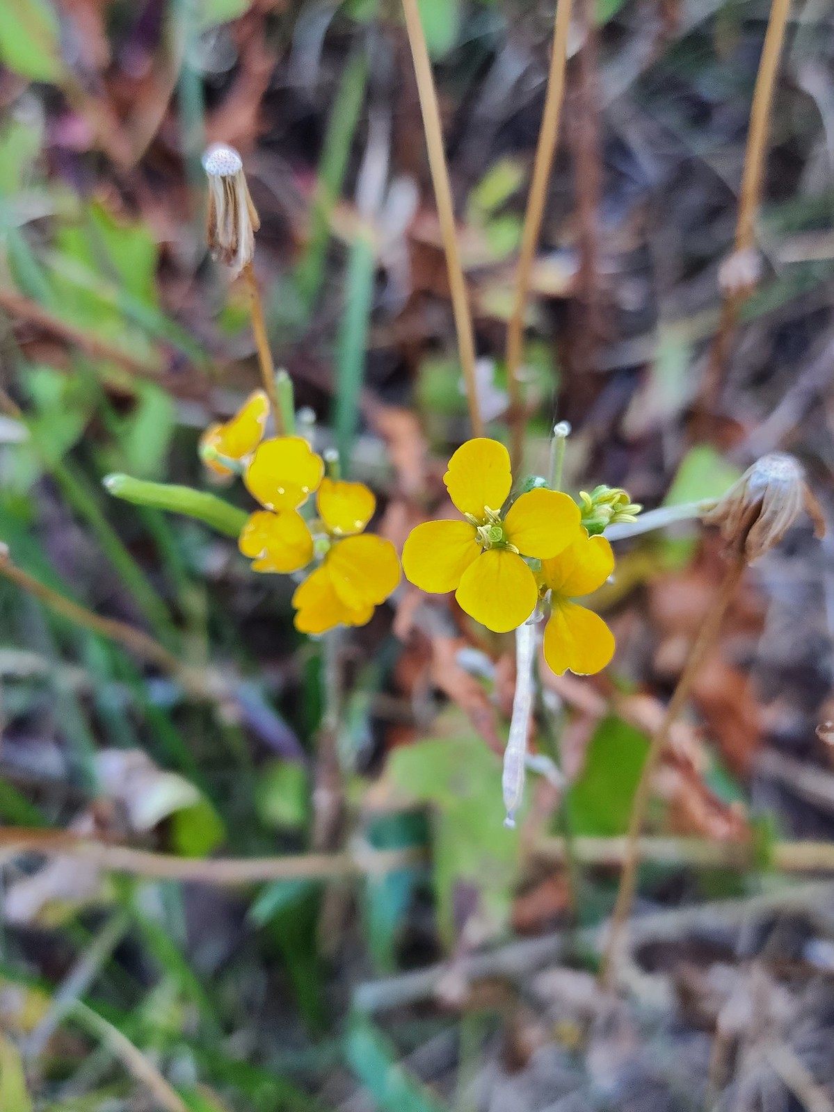 Wallflower
 Recent trail maintenance.
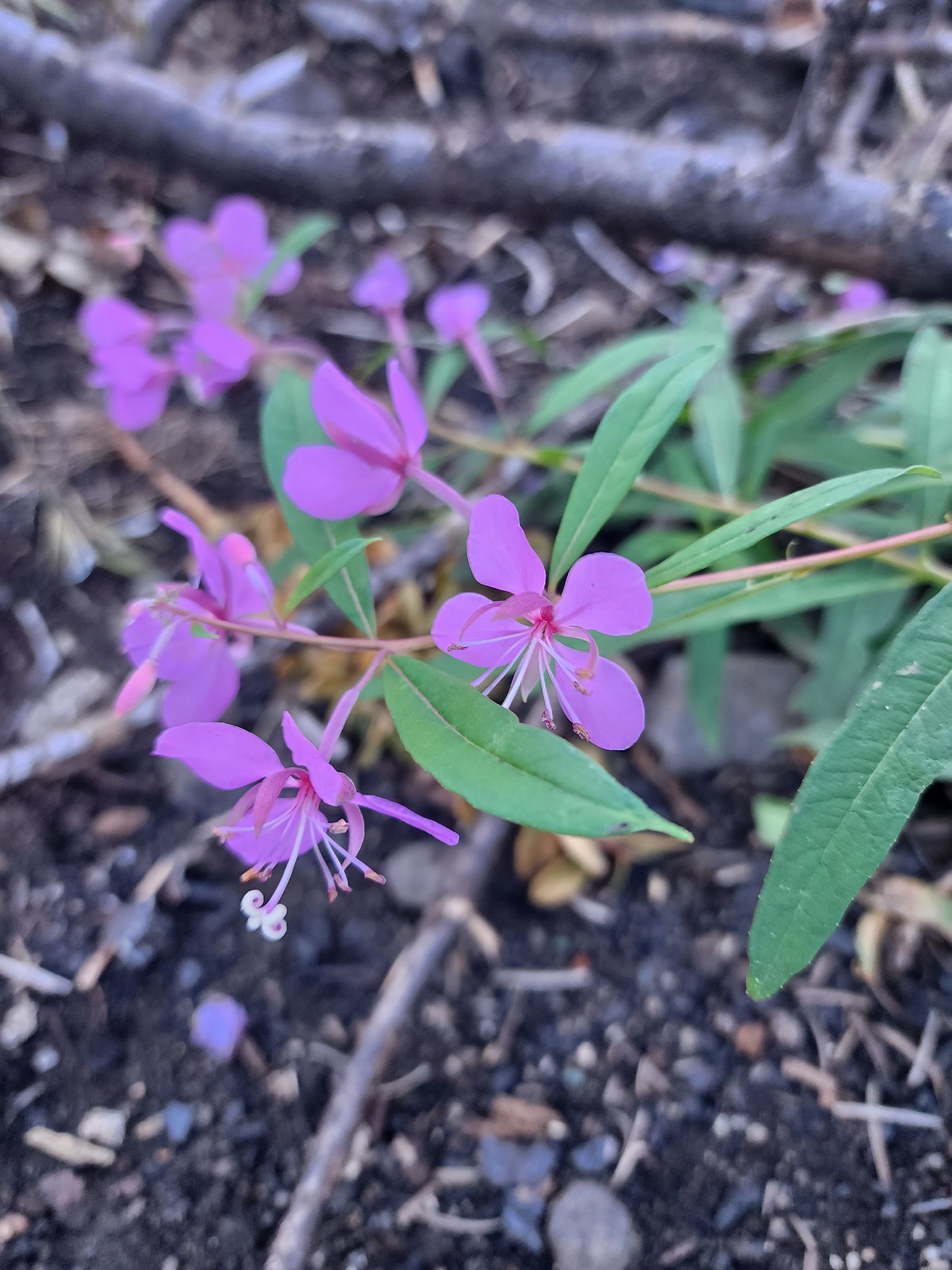 Fireweed
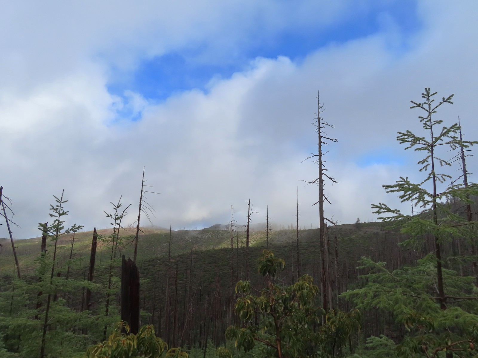
 The eastern side of the ridge fared better in the fire than the forest closer to the lakes.
 Signs at the junction with the tie trail.
 The tie trail used to be here.

 Second breakfast
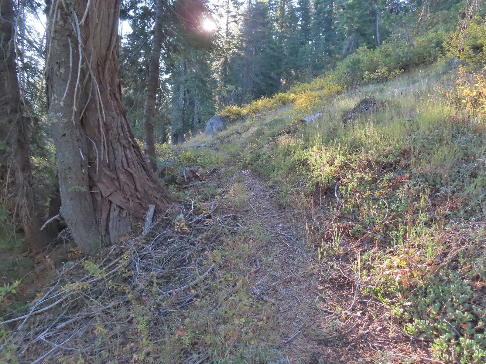 The trail briefly left the fire scar altogether near the Fehley Gulch junction.
 Looking back down at the Fehley Gulch Trail as it joins the Tanner Lake Trail.
 Tanner Mountain from the trail near the junction.
 Sign at the Boundary Trail junction.
 Dark-eyed junco
 Tanner Mountain again.
 Scarlet gilia
 One of two checker-mallow blossoms I spotted. The other was much nicer looking but it was downhill and I was too lazy to go down to get a good photo.
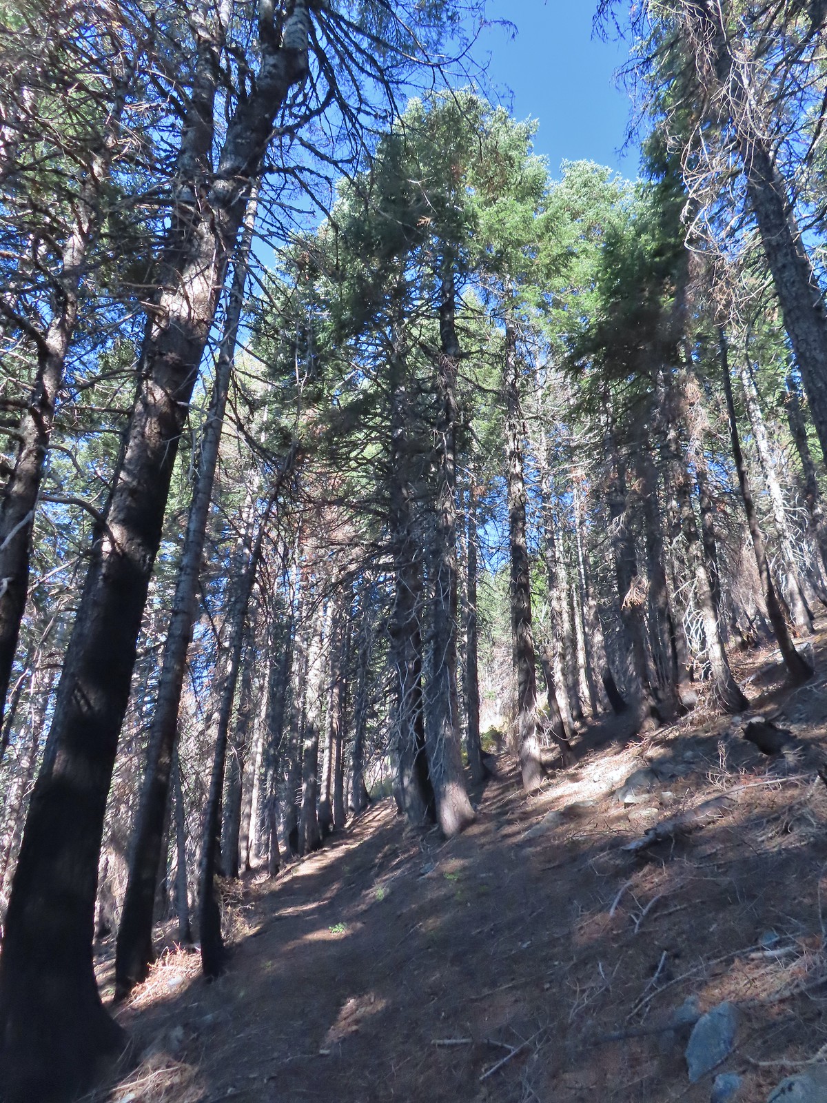 This trail was really steep at times.
 Almost to the ridge.
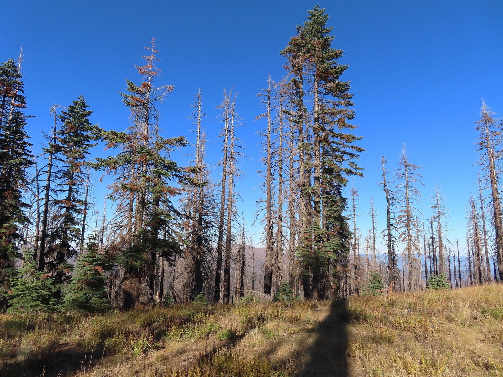 The trail became pretty faint on the ridge.
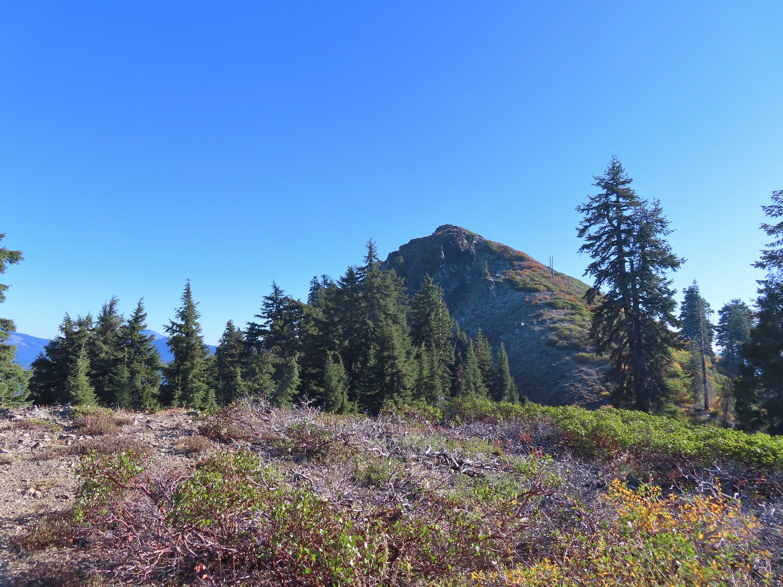
 More steep climbing.
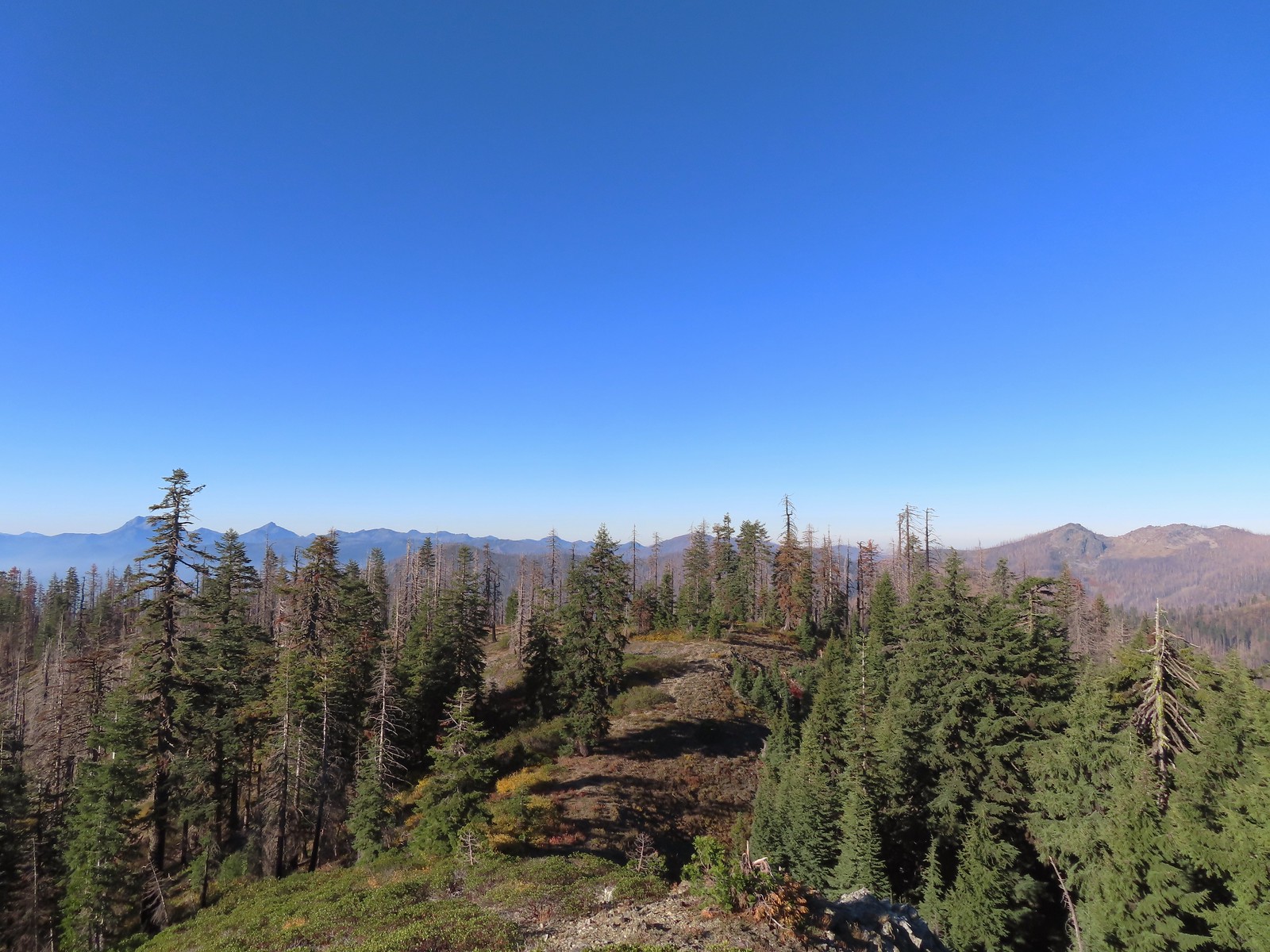 Looking back down over the use trail.
 From right to left – Grayback Mountain, Lake Mountain, and Mount Elijah (with lots of other peaks).
 The double humps of Red Buttes behind and left of Pyramid Peak with the outline of Mt. Shasta to the right of Pyramid Peak.
 Preston Peak and El Capitan
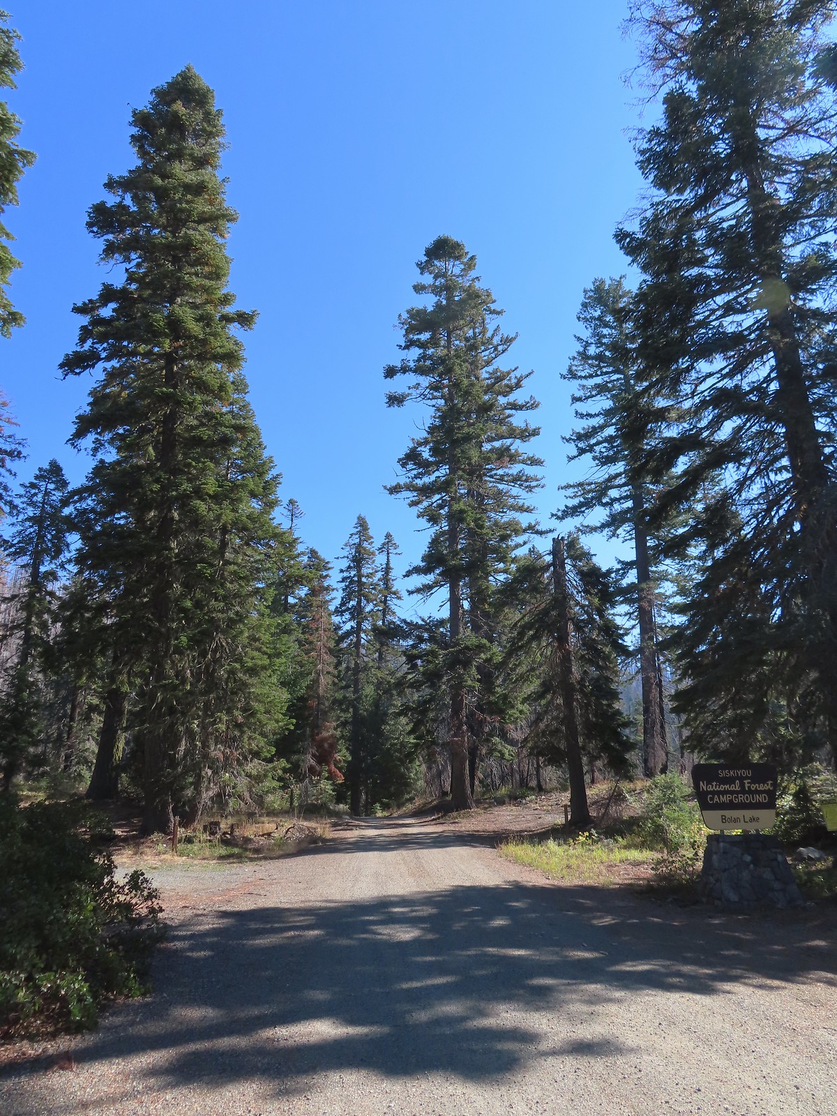
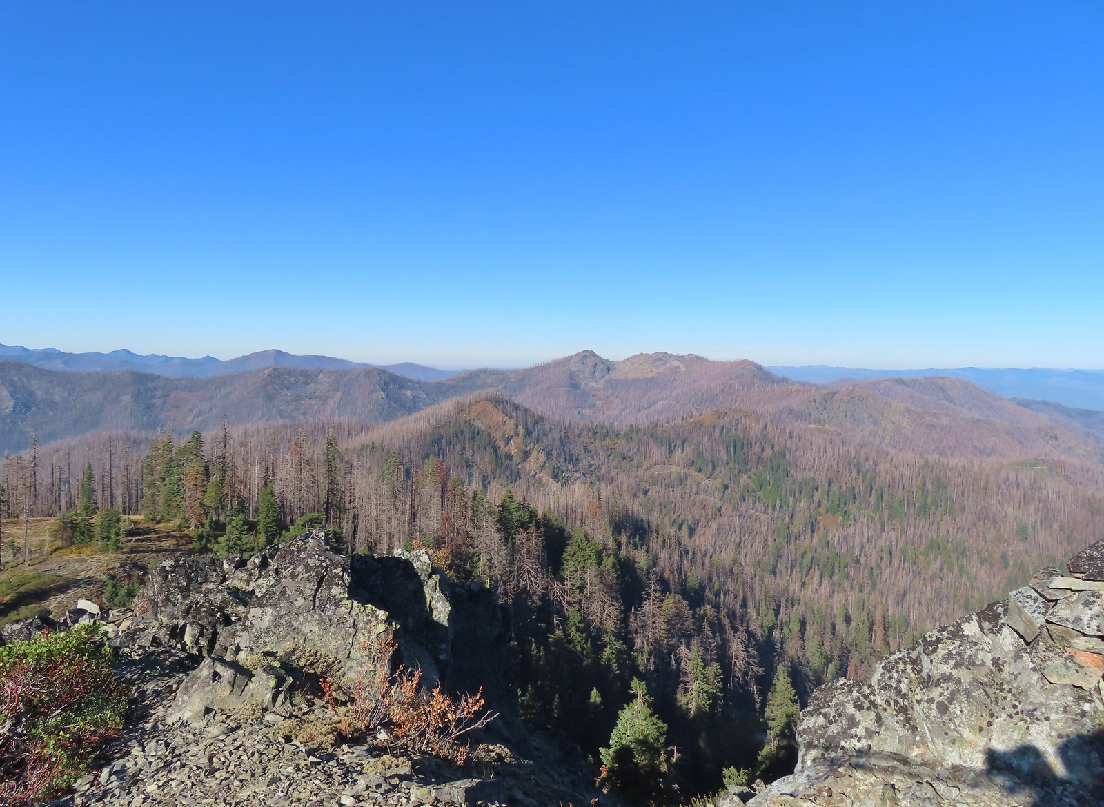 Bolan Mountain, our other stop for the day.
 Bolan Mountain
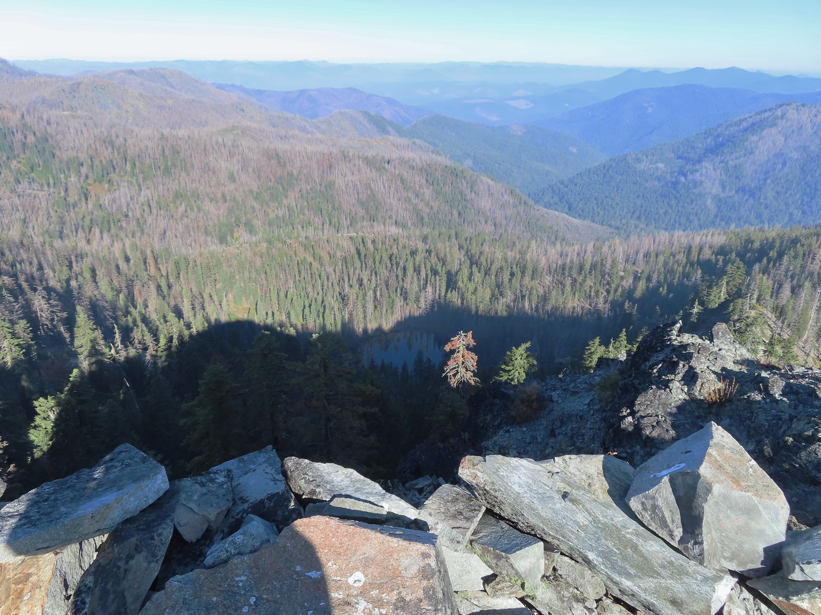 East Tanner Lake in the shadow of Tanner Mountain.
 A faint Mt. McLoughlin (
 The Boundary Trail dropping off Thompson Ridge.
 Ferns along the Boundary Trail.
 More signs of recent maintenance.
 Old campsite near Road 570 and the boundary of the
  This is/was the Boundary Trailhead but there isn’t much left post fire.
 Bolan Mountain from Road 570.
 Pussy paws
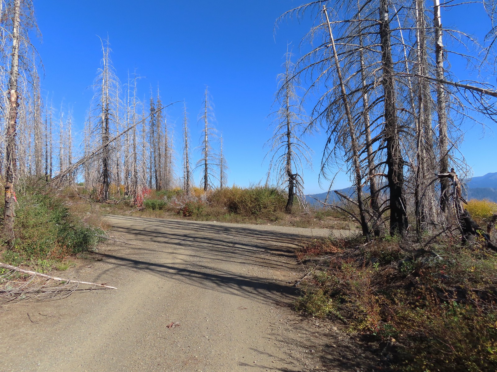 Road 041 at Kings Saddle.
 Pearly everlasting along Road 041.
 Where things started getting ugly on Road 041.
 It’s in the shadow but the runoff channel cut across the road here creating a decent sized divot.
 Another rocky section of the road.
 California sister at the trailhead.
 The pointer is a trap!
 This looked like as clear a spot as any.
 Looking up the Bolan Lake Trail.
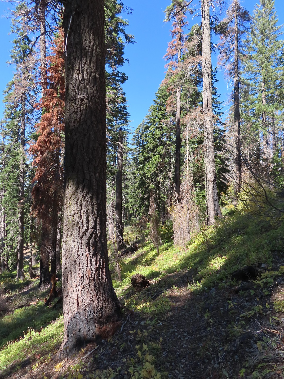 My guess is the rock on the log was where the trail used to begin but the log had been a bit too large to climb over.
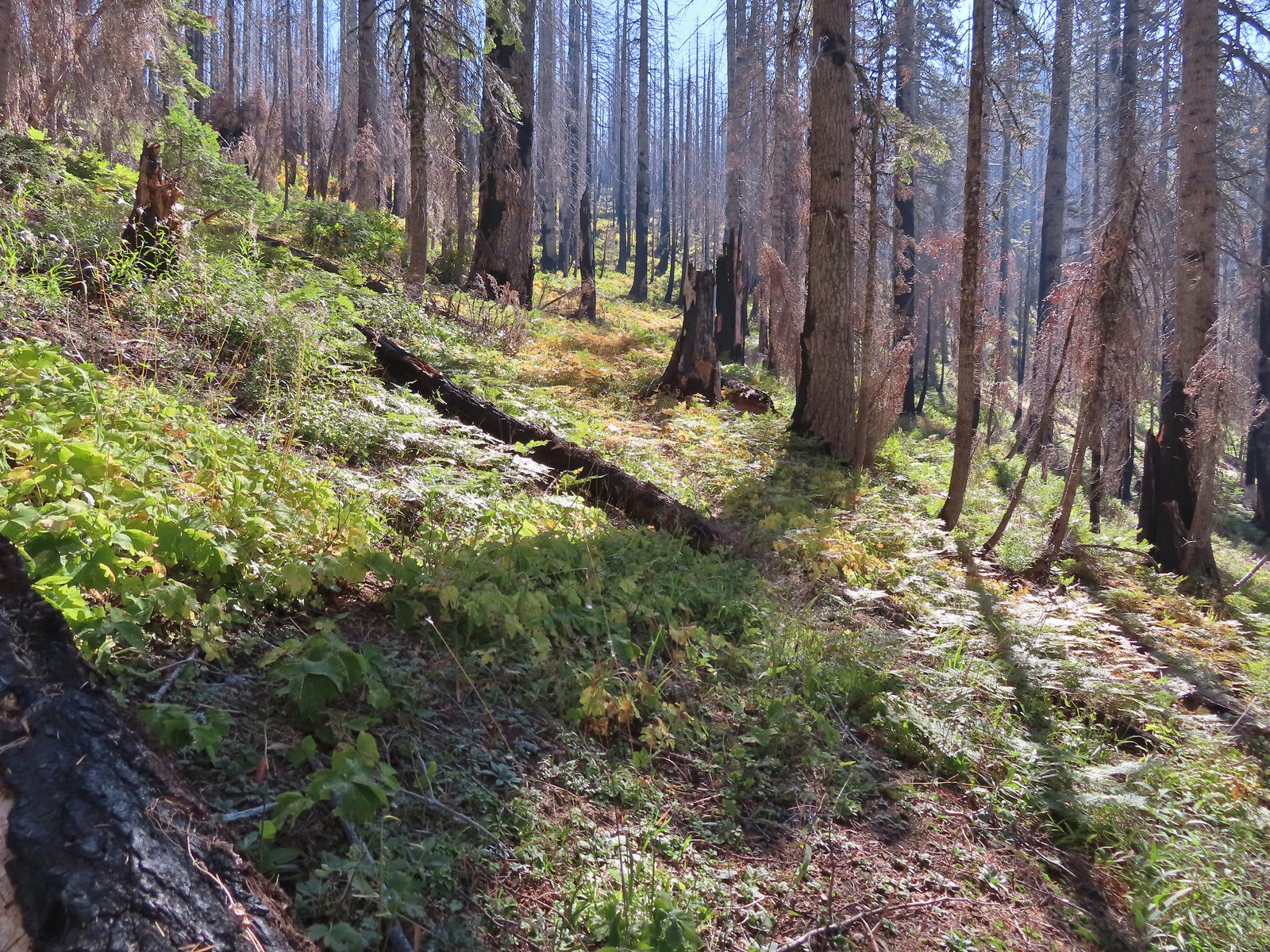 Faint tread was all that was left in most places.
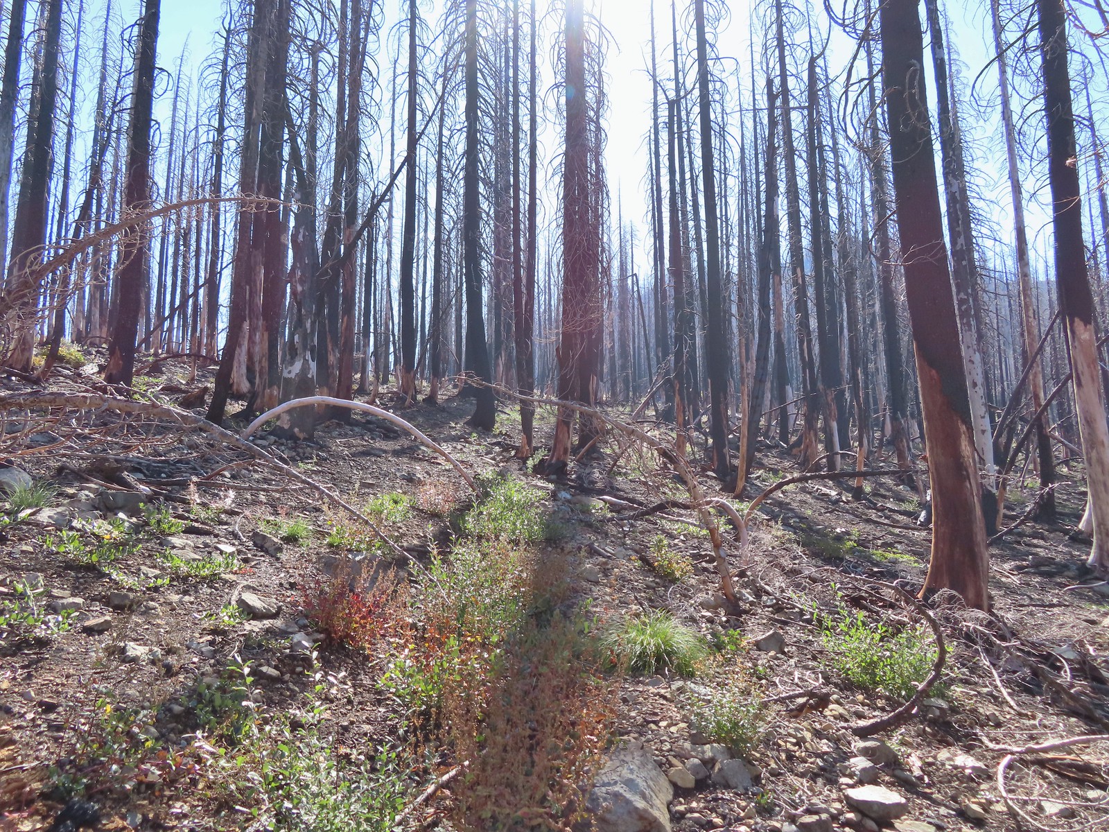 The Bolan Lake Trail to the left.
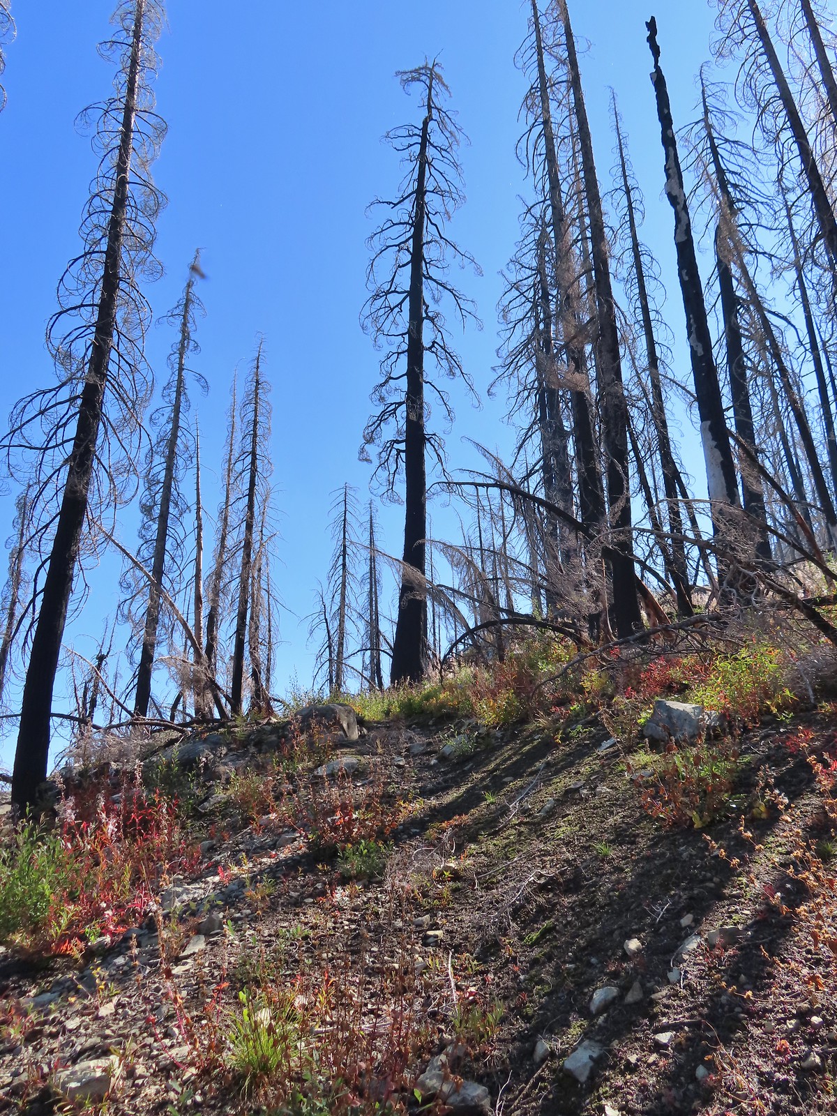
 Sometimes the tread just disappeared.
 Lake Mountain, Grayback Mountain, Craggy Mountain, and Swan Mountain.
 Momentary tread.
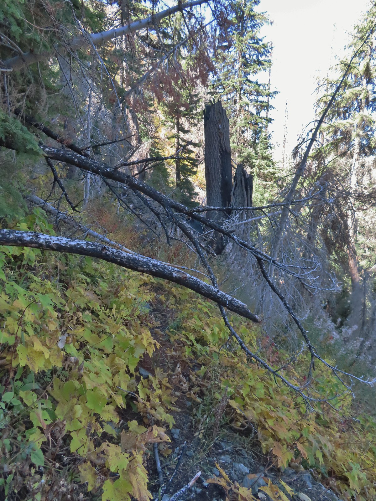 Just about 500′ below the ridge there was a large downed tree which required some side-hilling to drop below and then climb steeply back up to the trail.
 I got back to the trail to find more debris covering it.
 Final pitch to the ridge.
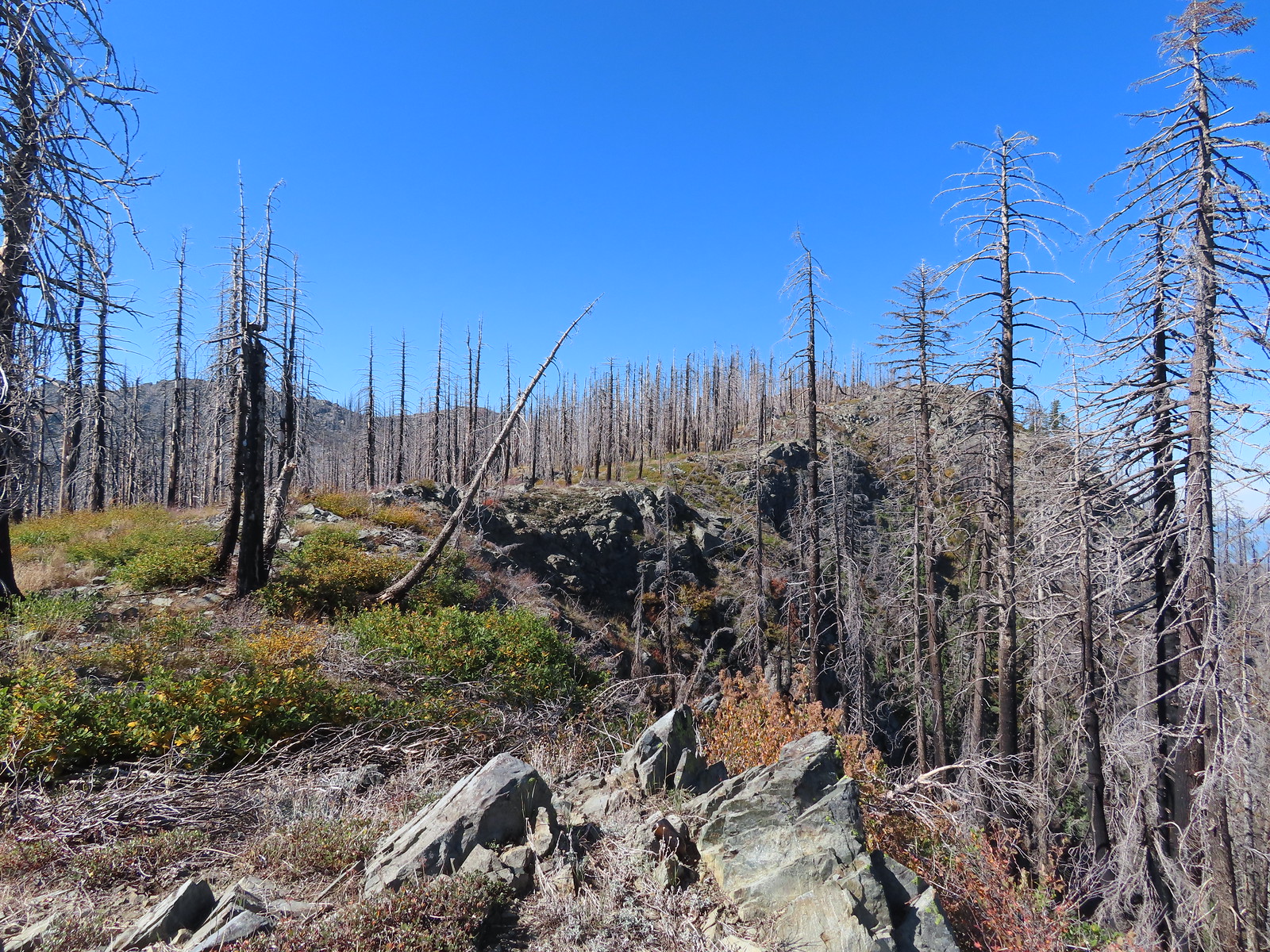 Bolan Mountain from the ridge.
 The trail descended slightly on the far side of the ridge to the junction.
 I assume the downed post and small pile of rocks marked the junction with the mile long Kings Saddle Trail.
 The Bolan Lake Trail (I think) at the junction.
 I might be on trail.
 I was sure I was on the trail here.
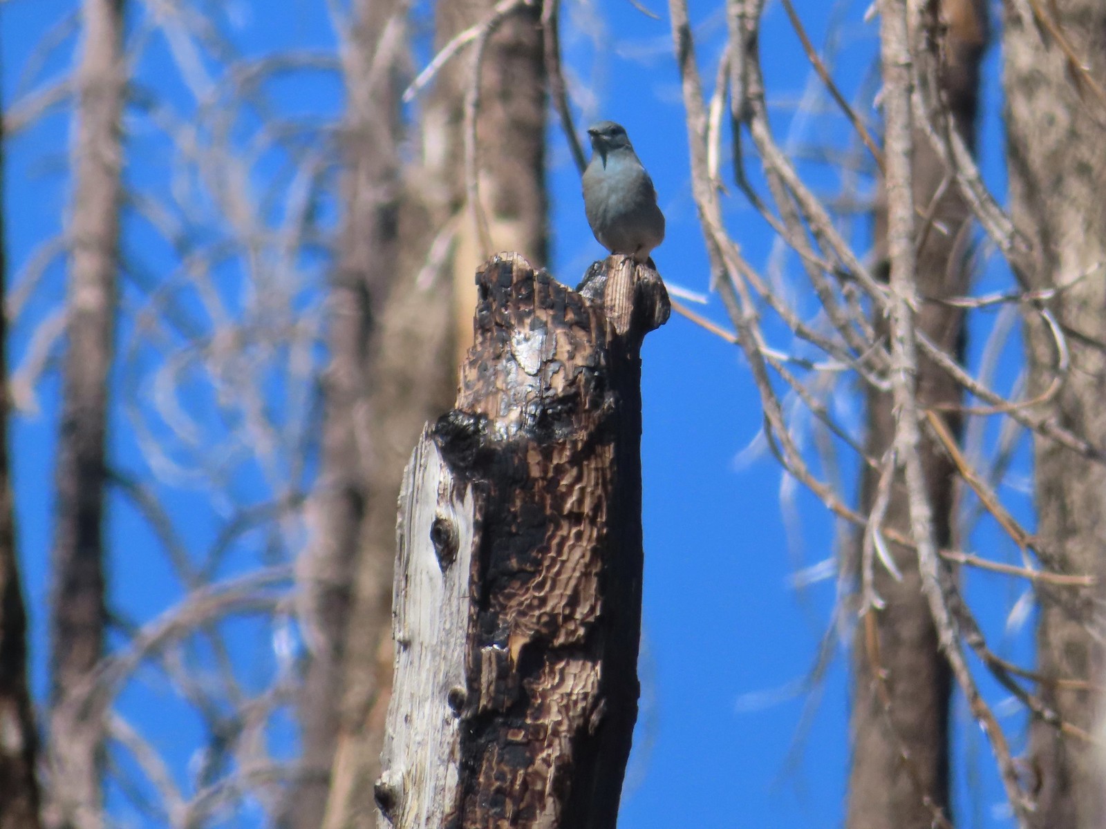 Mountain bluebird wondering what I was thinking.
 Now I was just going uphill.
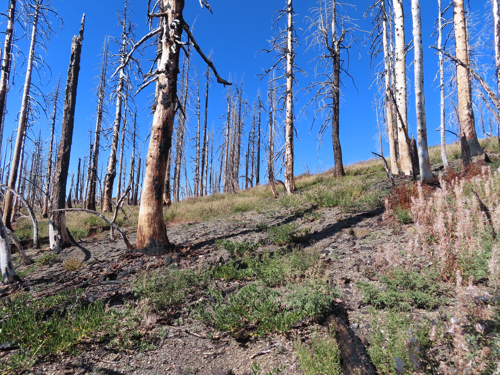 No idea where I was supposed to be at this point.
 The rocky point that the GPS labeled as Bolan Mountain.
 I got this far before realizing I was heading to the wrong spot.
 At least from here I could see the road heading up to the former lookout site through the burned trees.
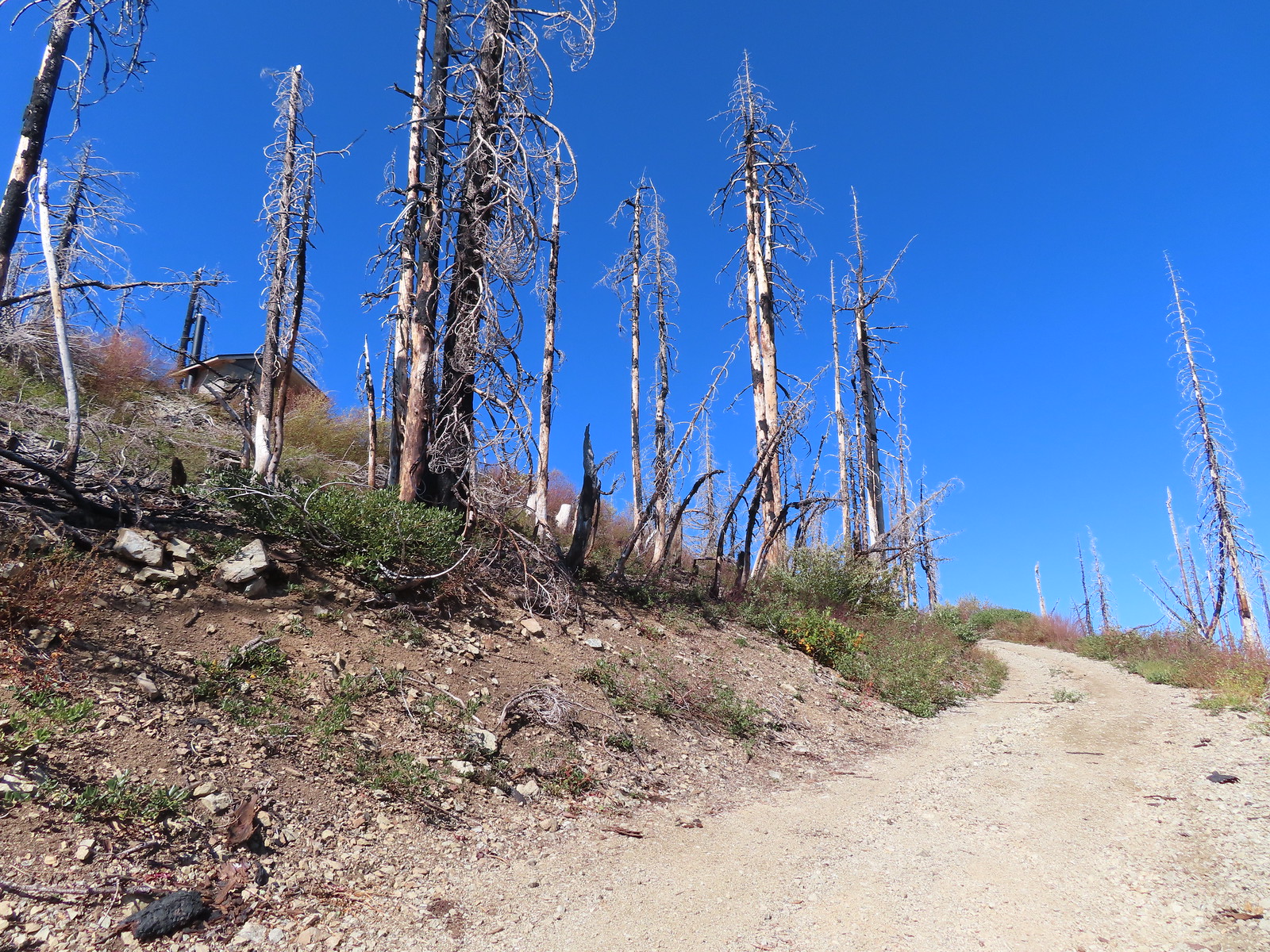 Not sure if the outhouse (above to the left) survived the fire or is new.
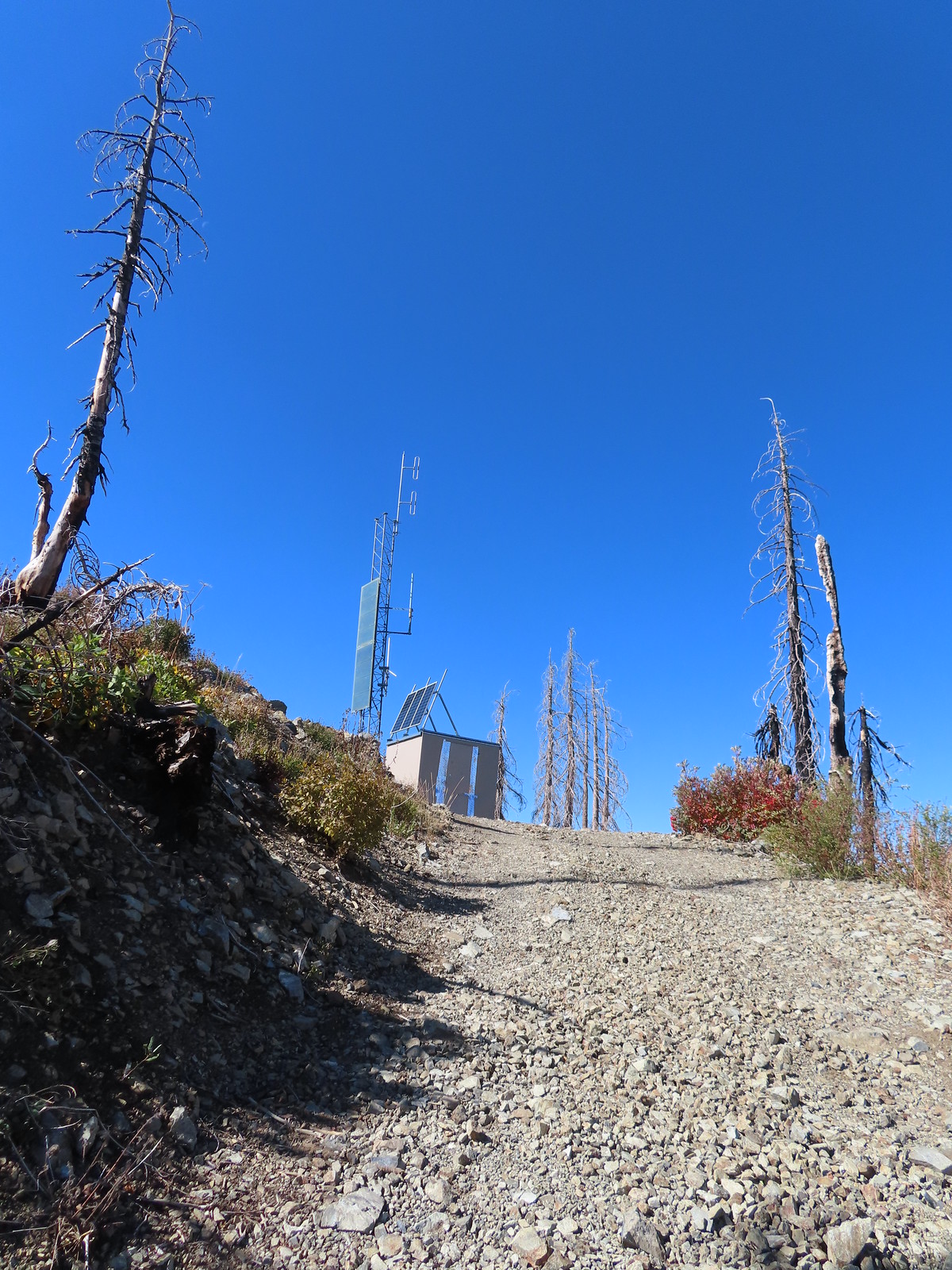
 Stone steps to the former lookout site.
 Preston Peak and El Capitan from the lookout site.
 Tanner Mountain in the foreground.
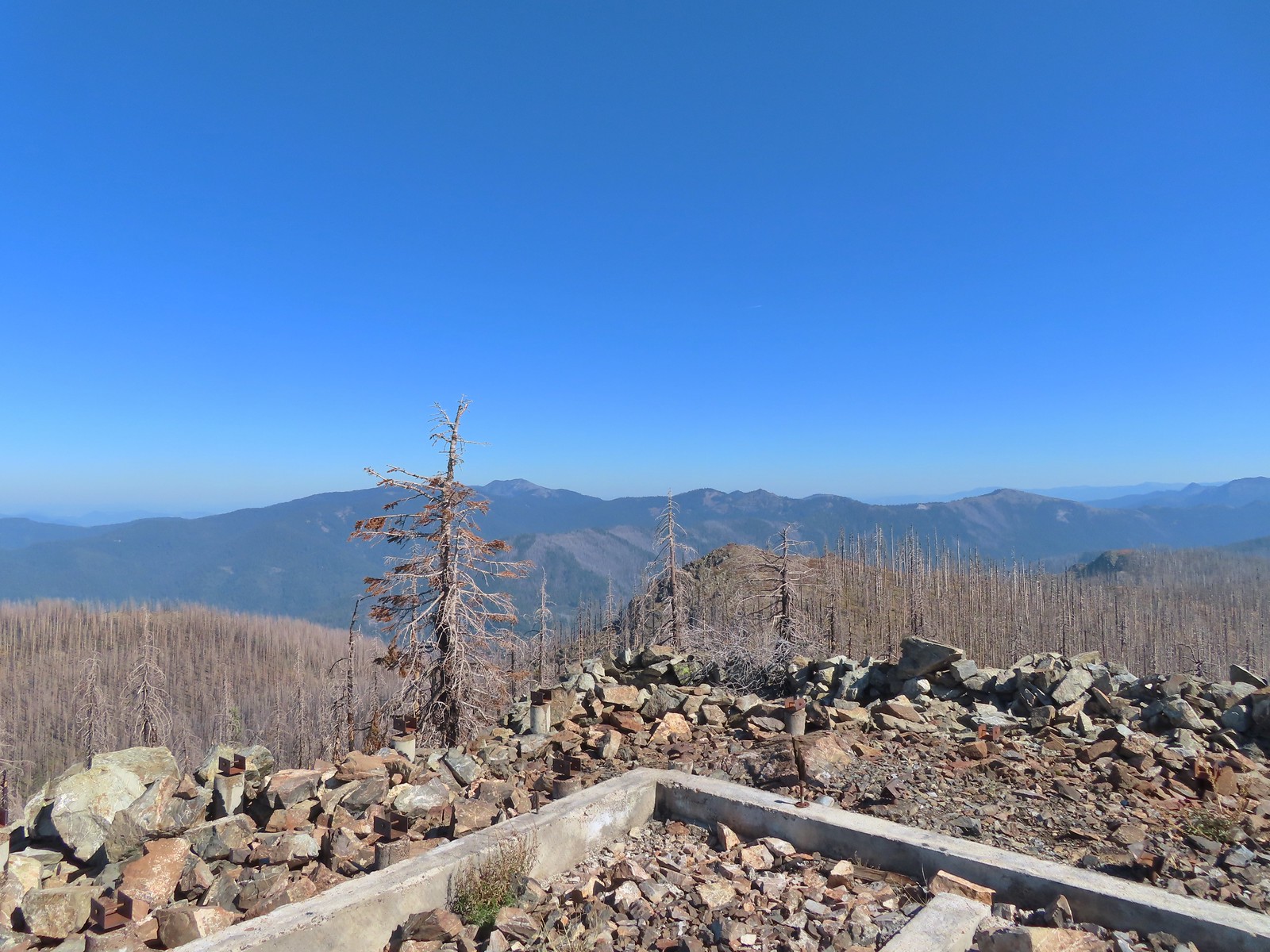 Grayback Mountain from Bolan Mountain.
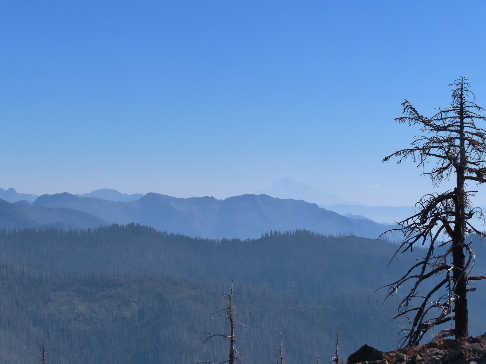 Red Buttes to the far left and Mt. Shasta through the haze.
 Bolan Lake from the service road.
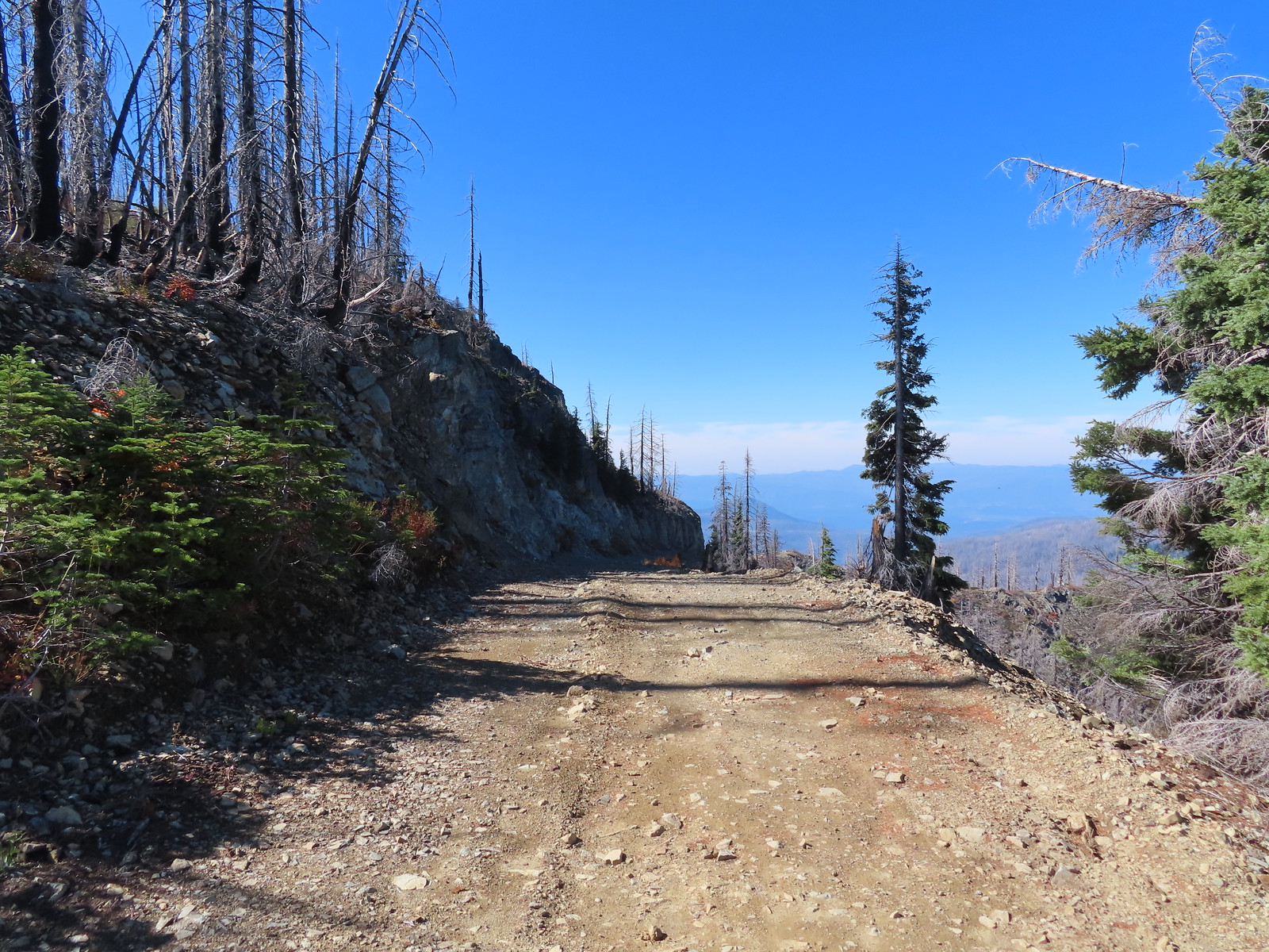
 Looking back toward Bolan Mountain.
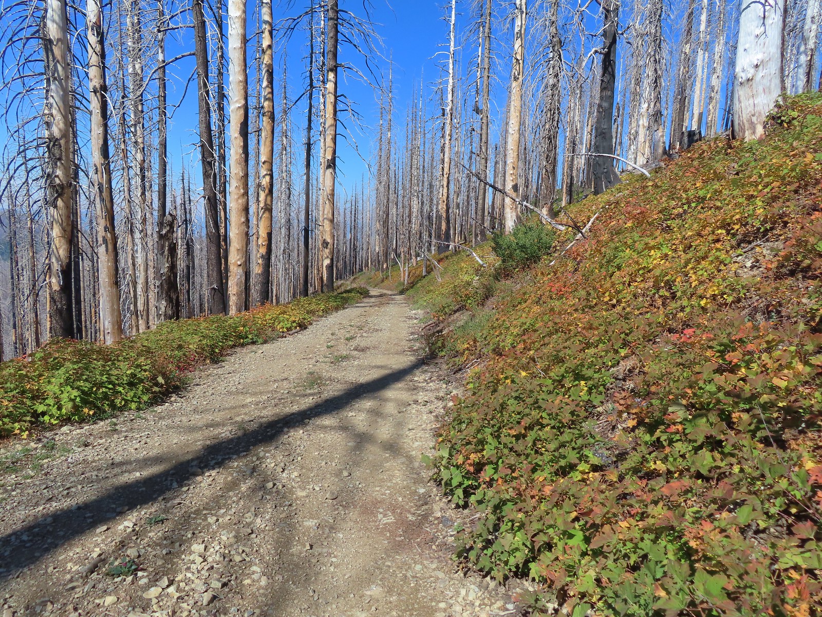
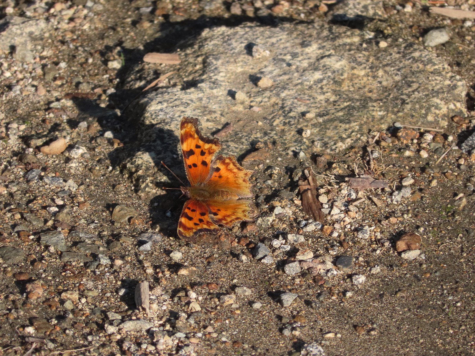
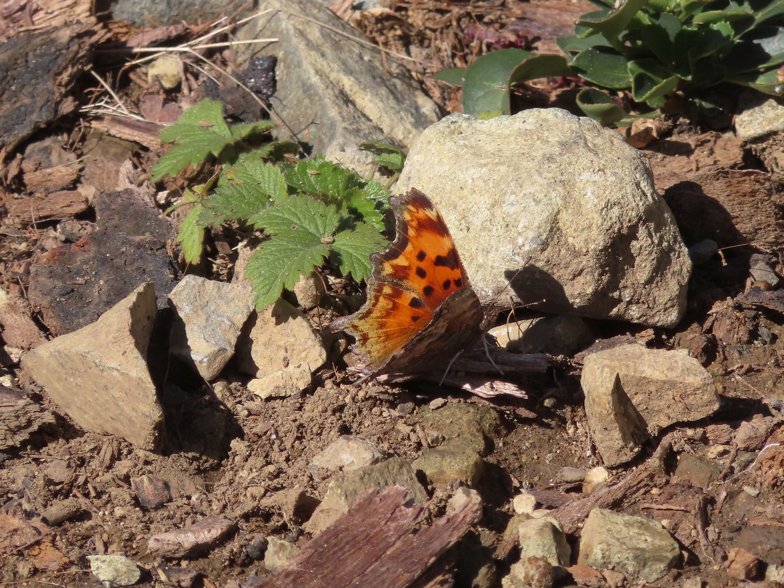 Hoary comma
 Gate along the service road.
 Road 40 from the service road.
 Road 40.
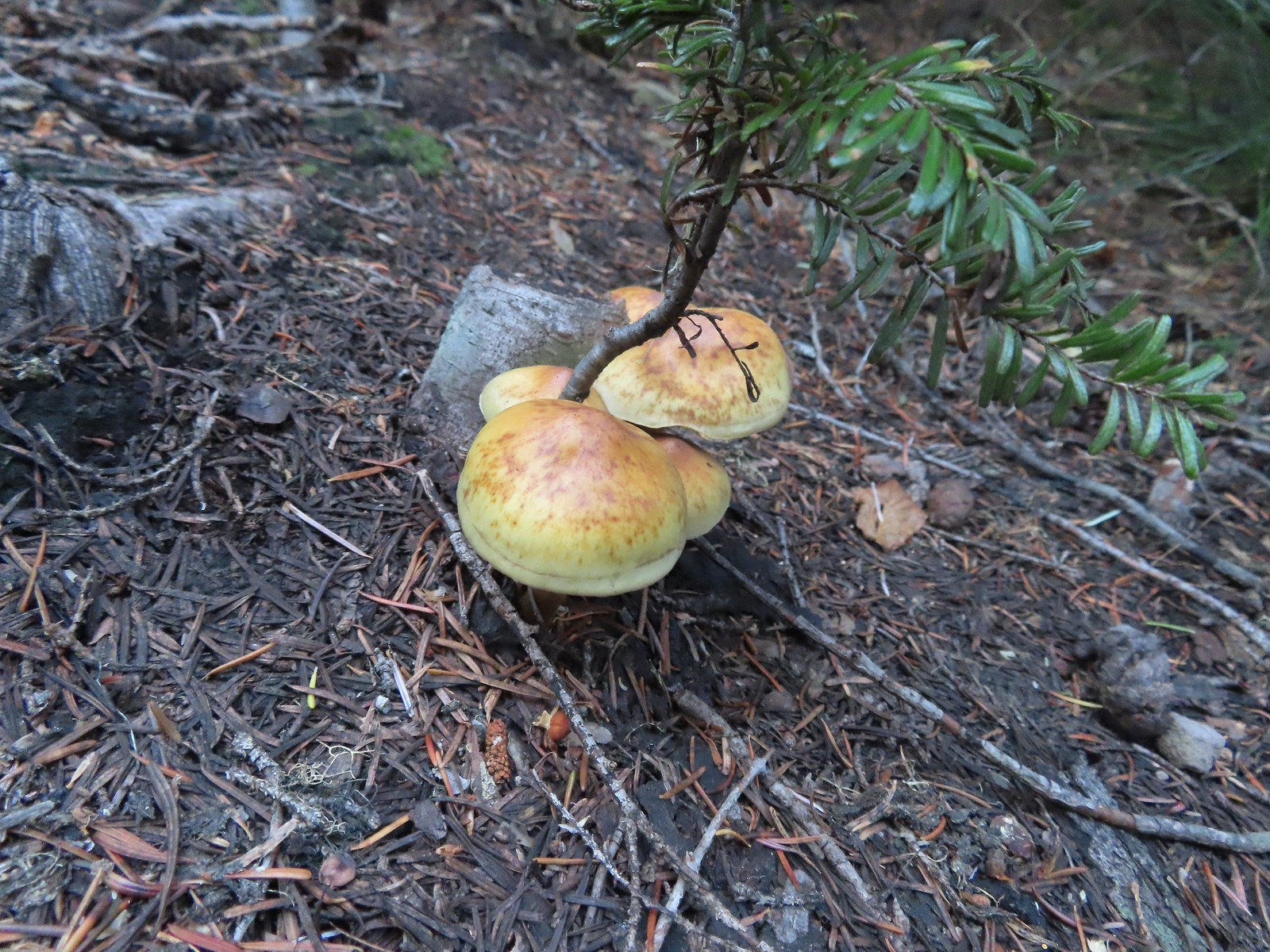
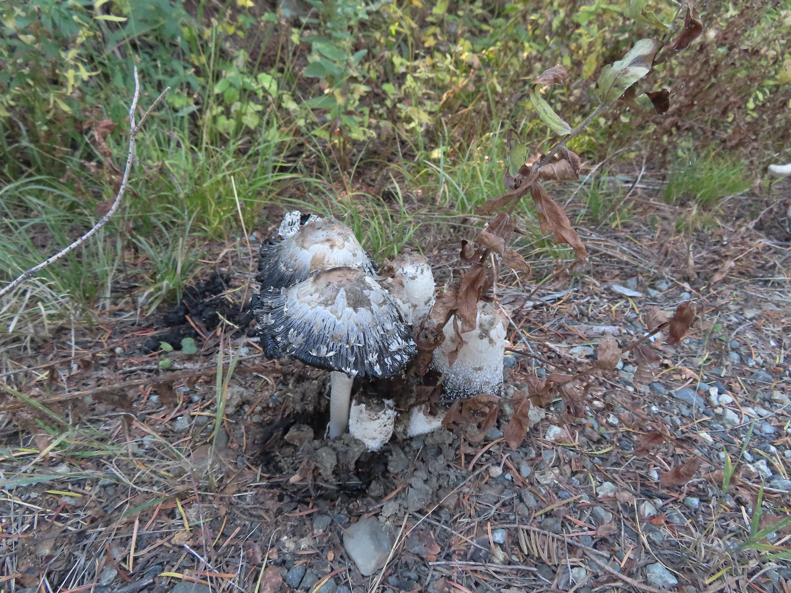 Mushrooms along Road 40.
 The connector trail along Bolan Creek.
 The trail around Bolan Lake.

 Thick vegetation along the lake shore.
 Trail sign at the end of the second campground loop for the trail around the lake.
 Pretty deep channel at the end of the loop.


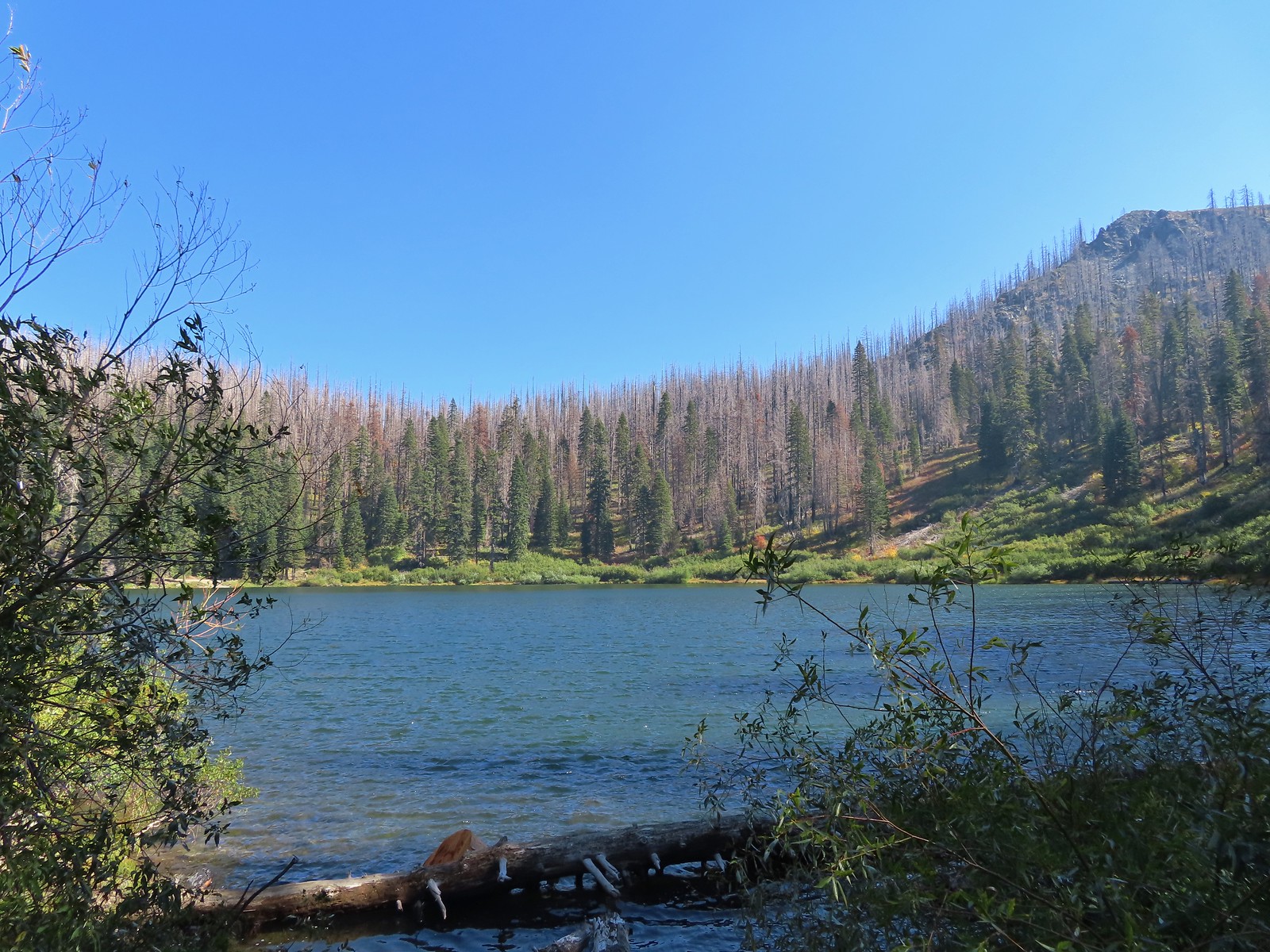
 Bolan Mountain from Bolan Lake
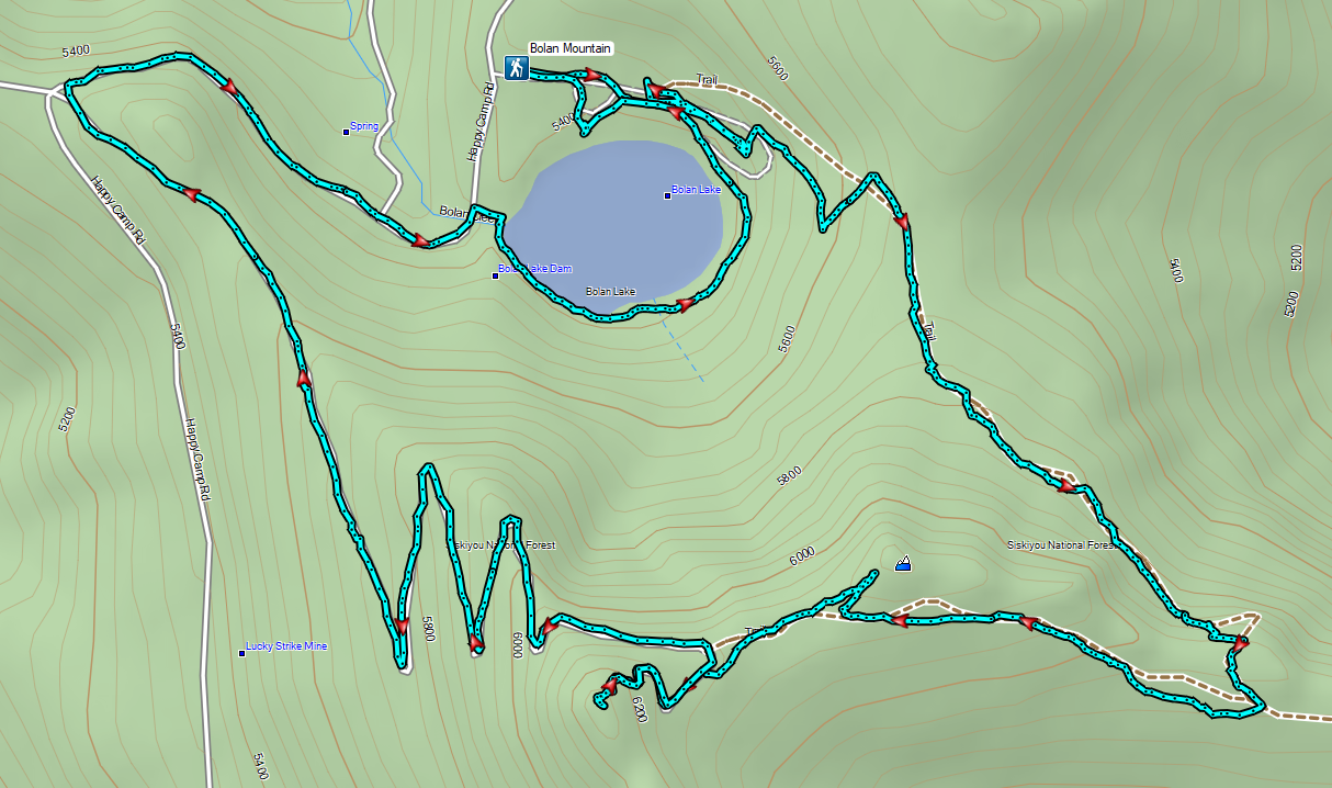

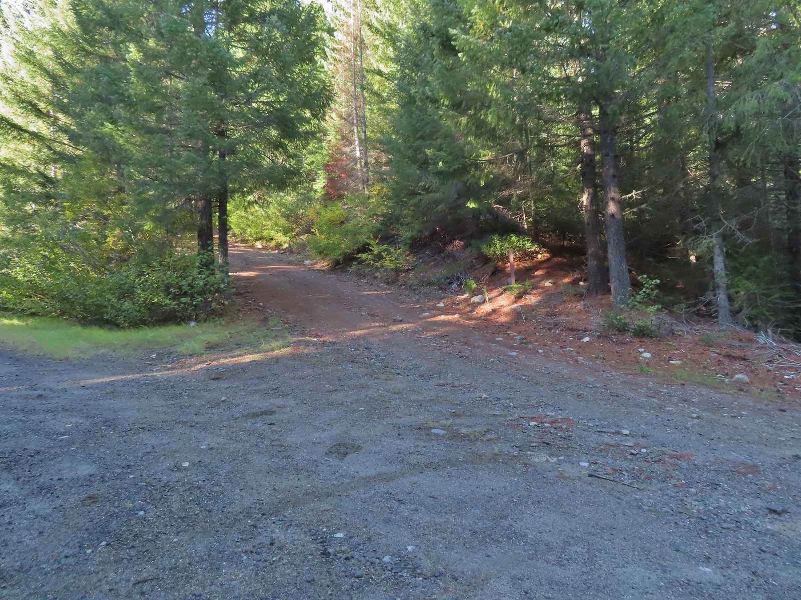 Road 600 heading uphill.
 Crab spider on a fleabane.
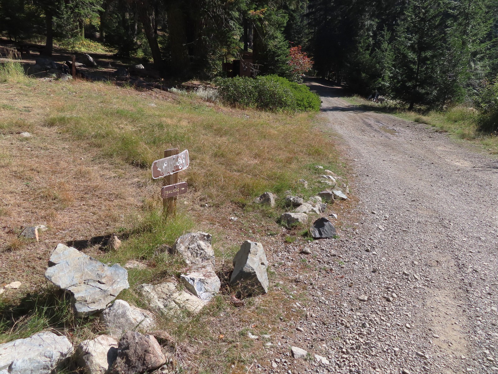
 The Sturgis Trailhead on the left.
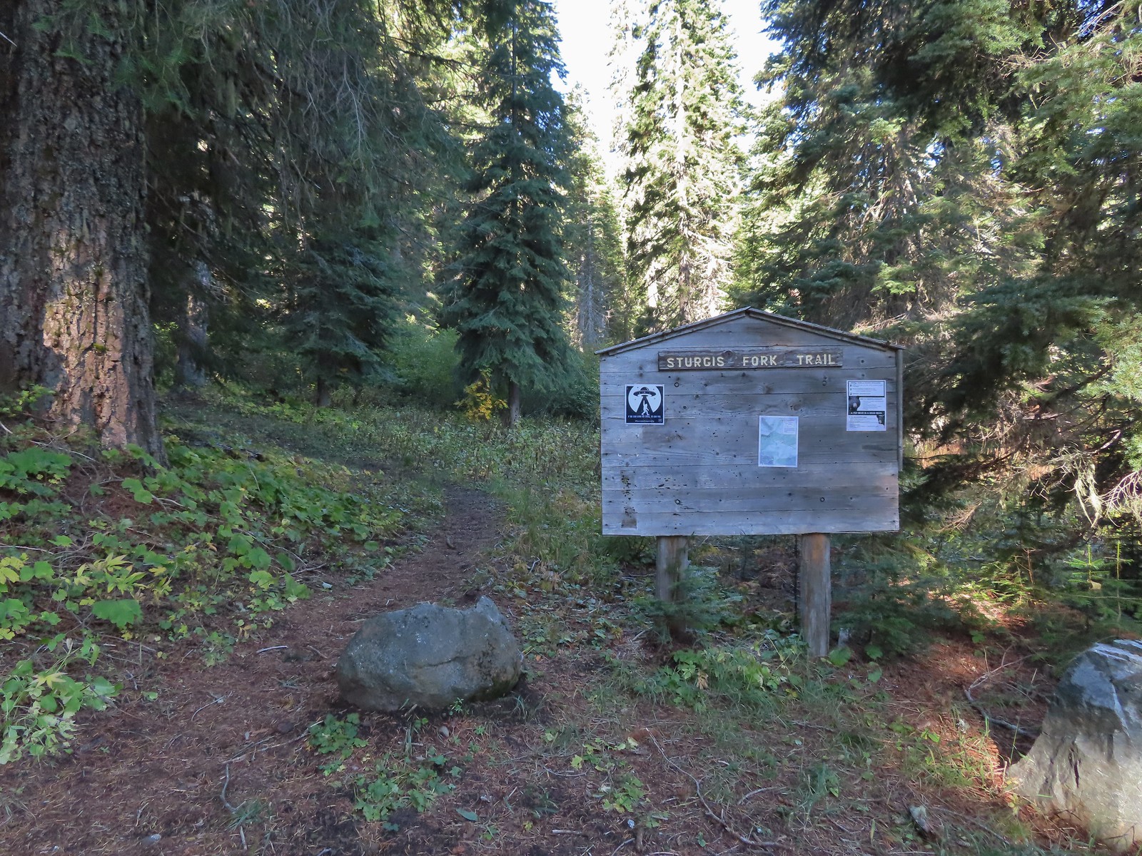
 Trail map of the area.
 Nettle-leaf giant hyssop
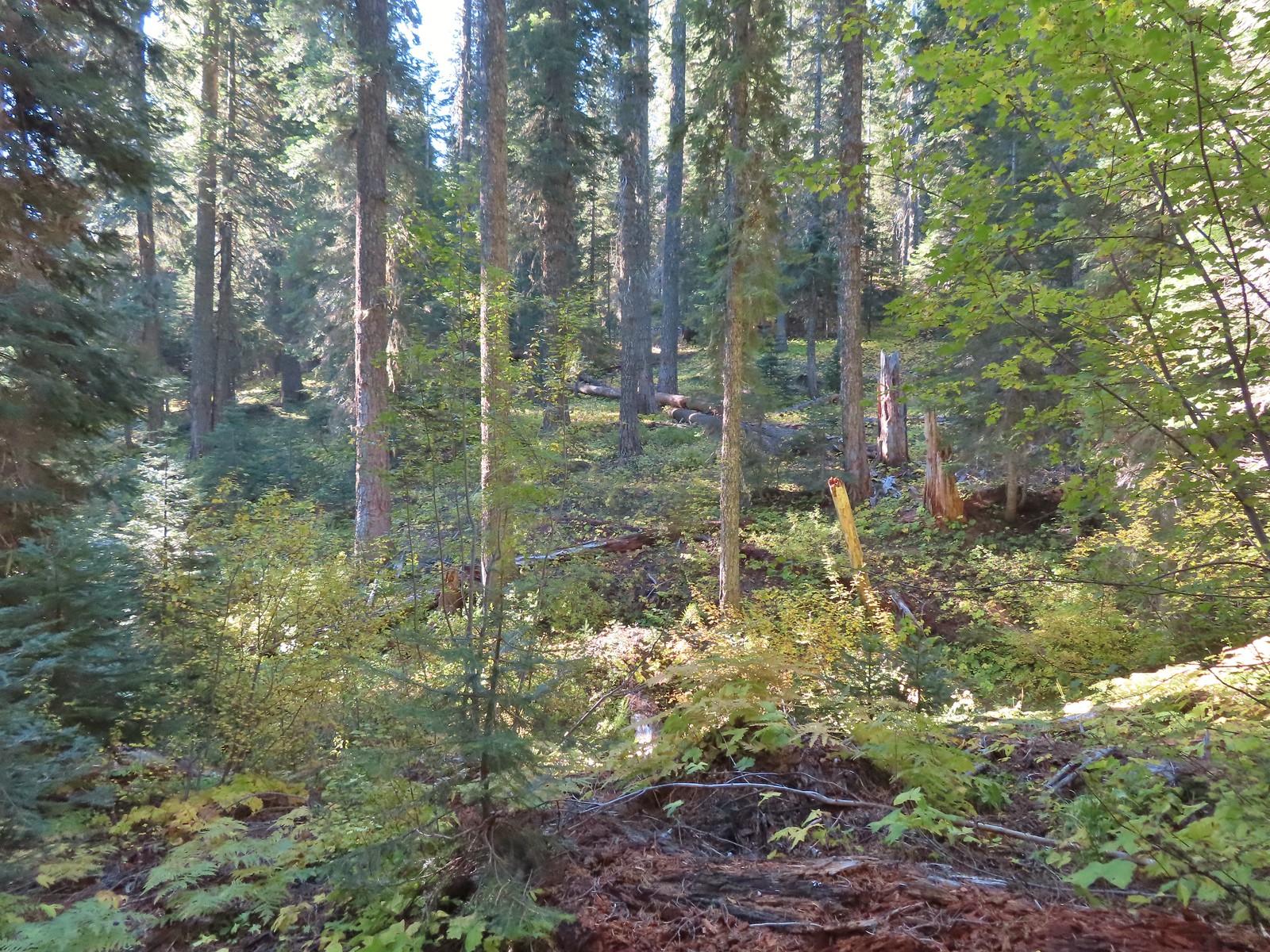
 The viewpoint we were headed to.
 All that was left for signage at the Boundary Trail junction.
 The Boundary Trail to the South toward Sucker Creek Gap (
 Coming from this direction all we noticed were a couple of signs on a tree and some pink flagging.
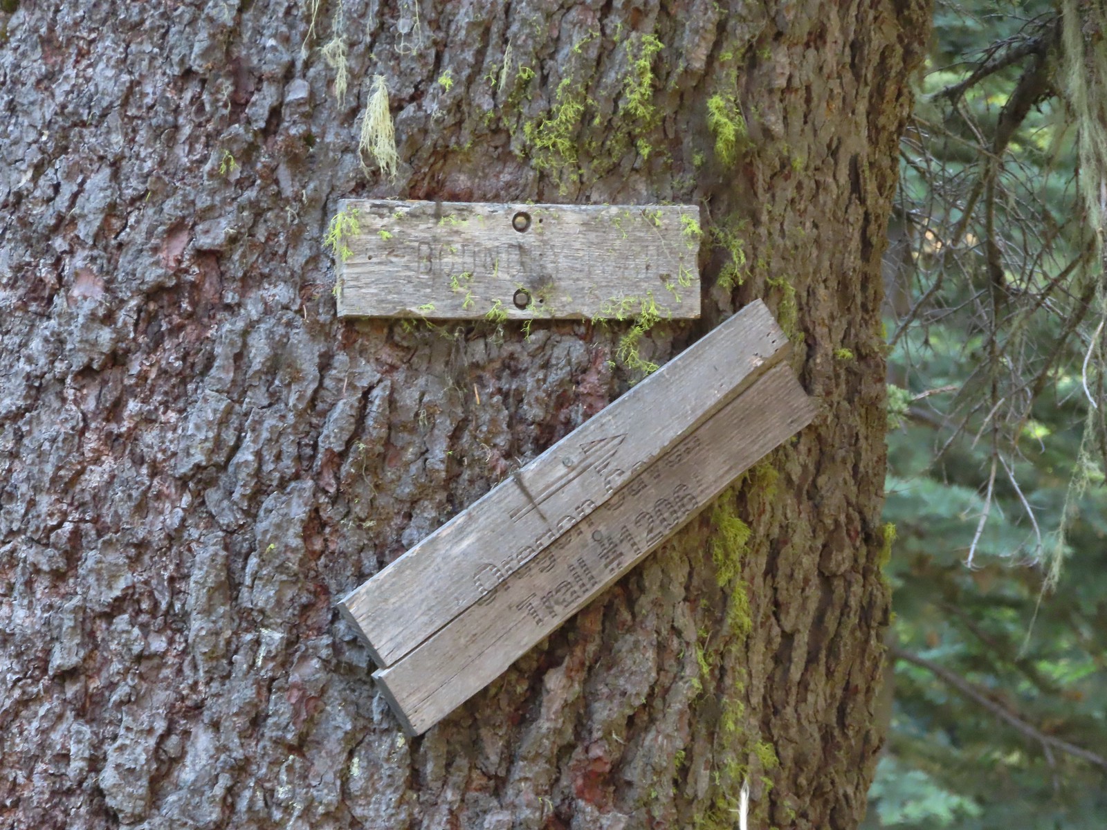 Trail signs for the Boundary Trail and Lake Mountain Trail #1206 to the Oregon Caves (
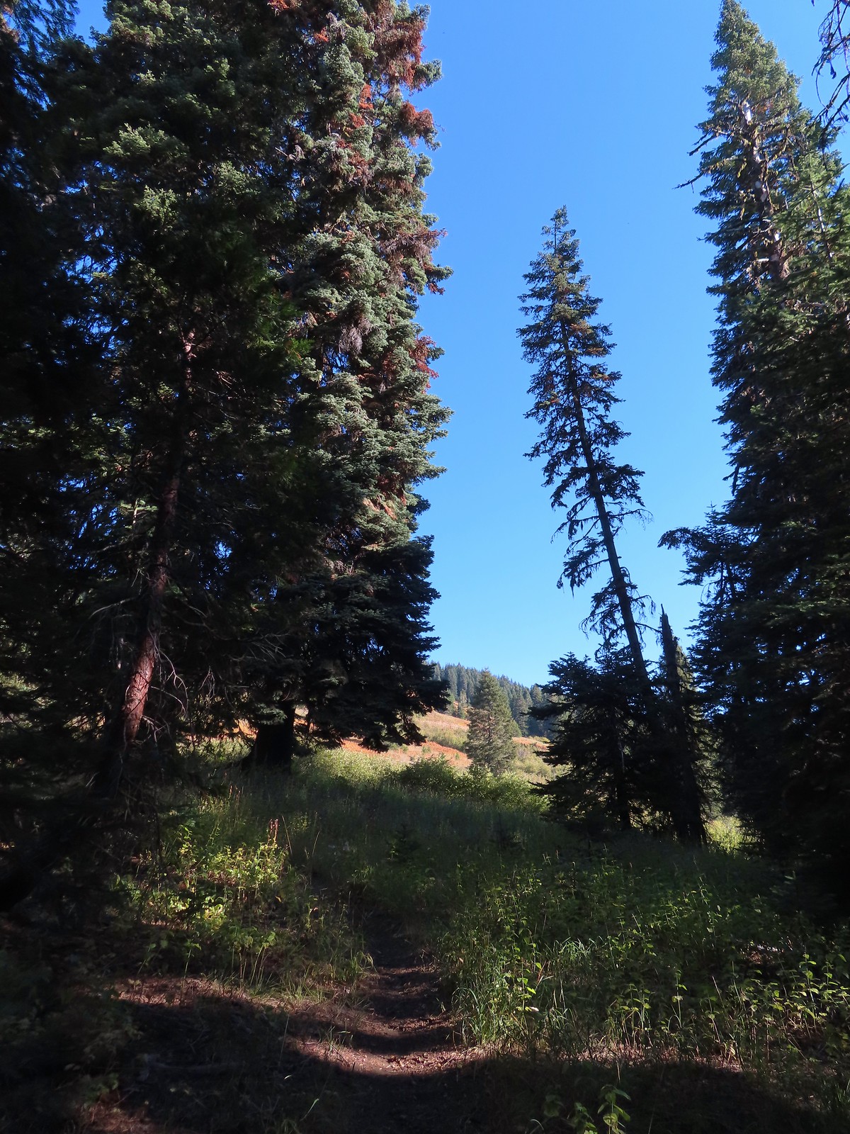
 The trail can be seen in the lower right-hand corner.
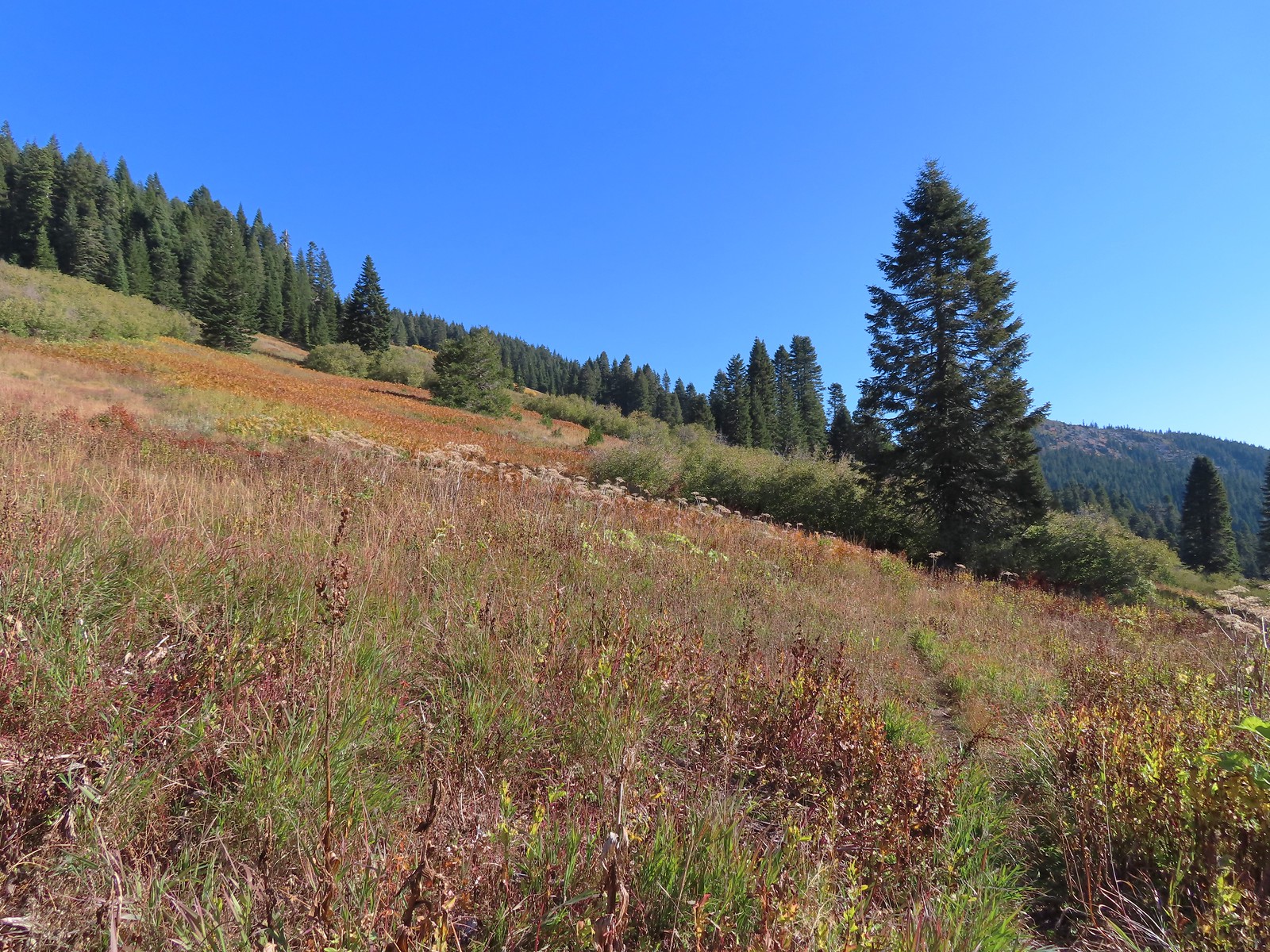 Again the trail is in the lower right corner.
 There was still a small amount of paintbrush in the meadow.
 A clump of fireweed ahead that had gone to seed.
 A small section of trees was located along this gully.
 A little brushy here.
 Ferns at the northern end of the meadows.
 The double humps of the Red Buttes in the distance to the SE.
 Preston Peak in the Siskiyou Wilderness (
 Arriving at the pass.
 This was the only signage that was visible at the junction.
 We could see tread heading East into the trees which was the Sparlin Tie Trail. The Elk Creek Trail wasn’t as obvious, but it dropped down to the right just a little way up the tread seen here.
 Lake Mountain from the Boundary Trail.

 There was a small geocache located at the viewpoint. Smoke from the still smoldering wildfires impacted the views a bit, Mt. Shasta is out there toward the right-hand side.
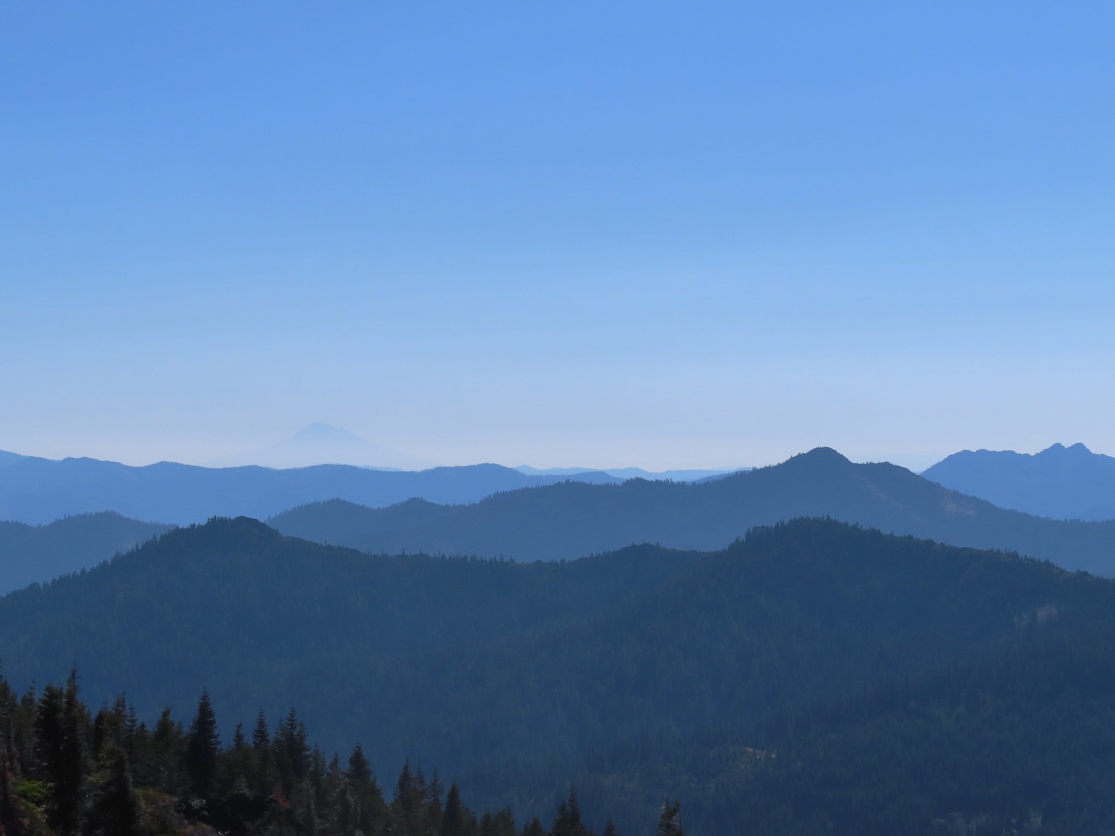 The outline of Mt. Shasta to the left of Red Buttes.
 Preston Peak and other peaks in the
  Closer look at the Siskiyou Wilderness peaks.
 Grayback Mountain to the North. Mt. McLoughlin (
 Mt. McLoughlin
 The remains of a trail sign near the saddle.
 The Sparlin Tie Trail straight ahead and the Elk Creek Trail heading off to the right.
 Homemade? trail sign a short distance up the tie trail. (note Bigelow Lakes is spelled “Biglow”)

 The tread was faint through the meadows but not any more difficult to follow than the Boundary Trail had been.
 Cinquefoil
 Coneflower and fireweed
 Random sign along the trail.
 Crossing through the final meadow.
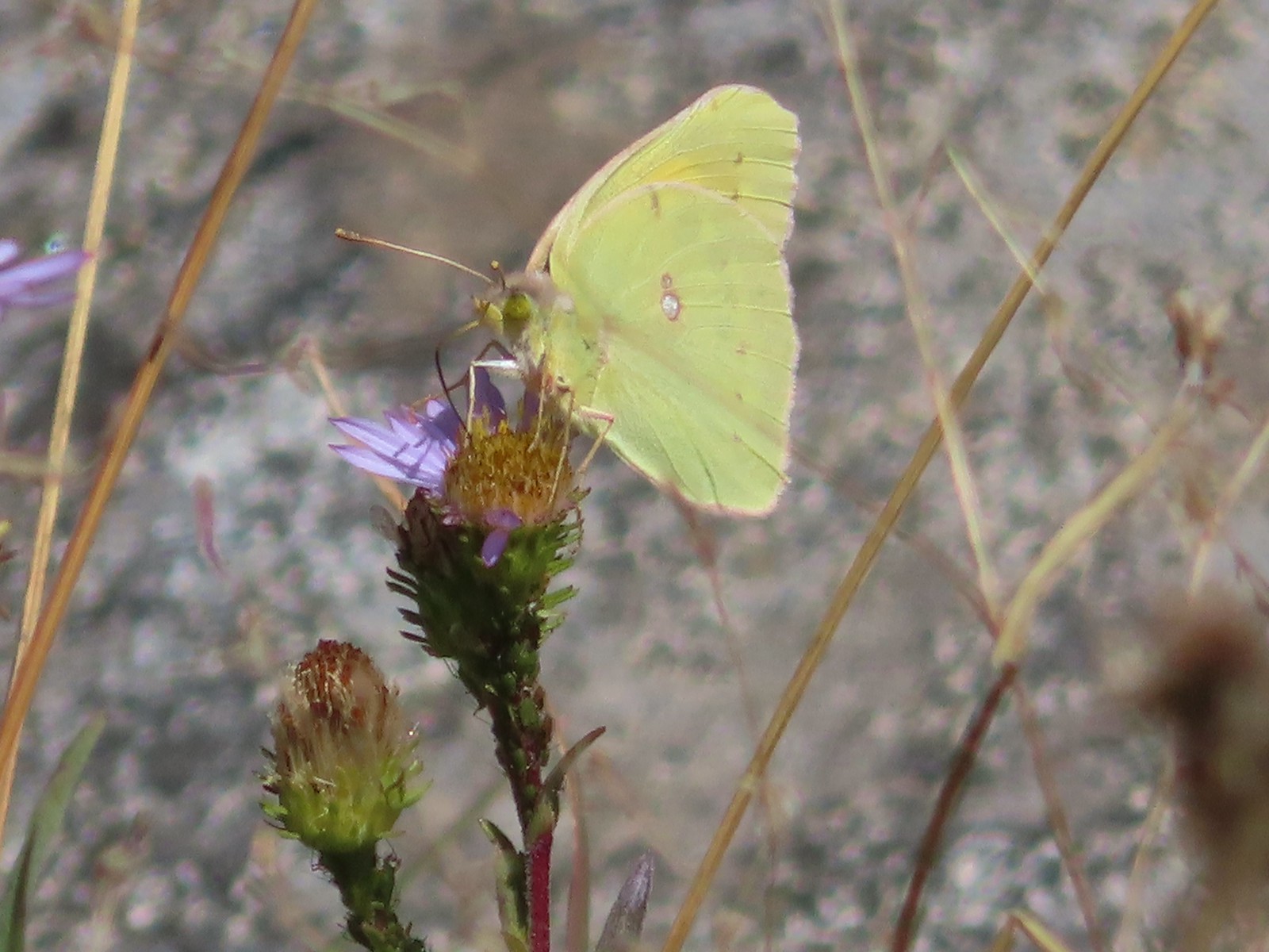 Orange Sulphur butterfly
 Arriving at the 1214 Trail.
 There was actually more blowdown along this trail than there had been along the tie trail, but it was easily navigated.

 Bigelow Lakes from the trail.

 The use trail to the lake.

 While I was at the lake Heather was making friends with this tree frog.
 The old roadbed.
 Trail sign at the roadbed.

 This bunch of blowdown was just before the junction.
 There were several of these stands along the Lake Mountain Trail, all of which were blank.
 The lower portion of the trail passed through a nice forest.
 The trail passed below the 6294′ Mount Elijah (for some reason both peaks along the ridge are named Mount Elijah on some maps) before gaining the ridge crest and climbing to the higher Mount Elijah summit at 6381′.
 The taller Mount Elijah.
 Lake Mountain from Mount Elijah.
 Preston Peak and a cloud from Mount Elijah. Wildfire smoke was a little more of an issue now.
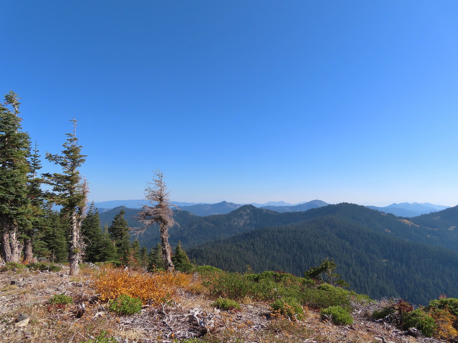 Red Buttes in the distance.
 The other Mount Elijah from Mount Elijah.
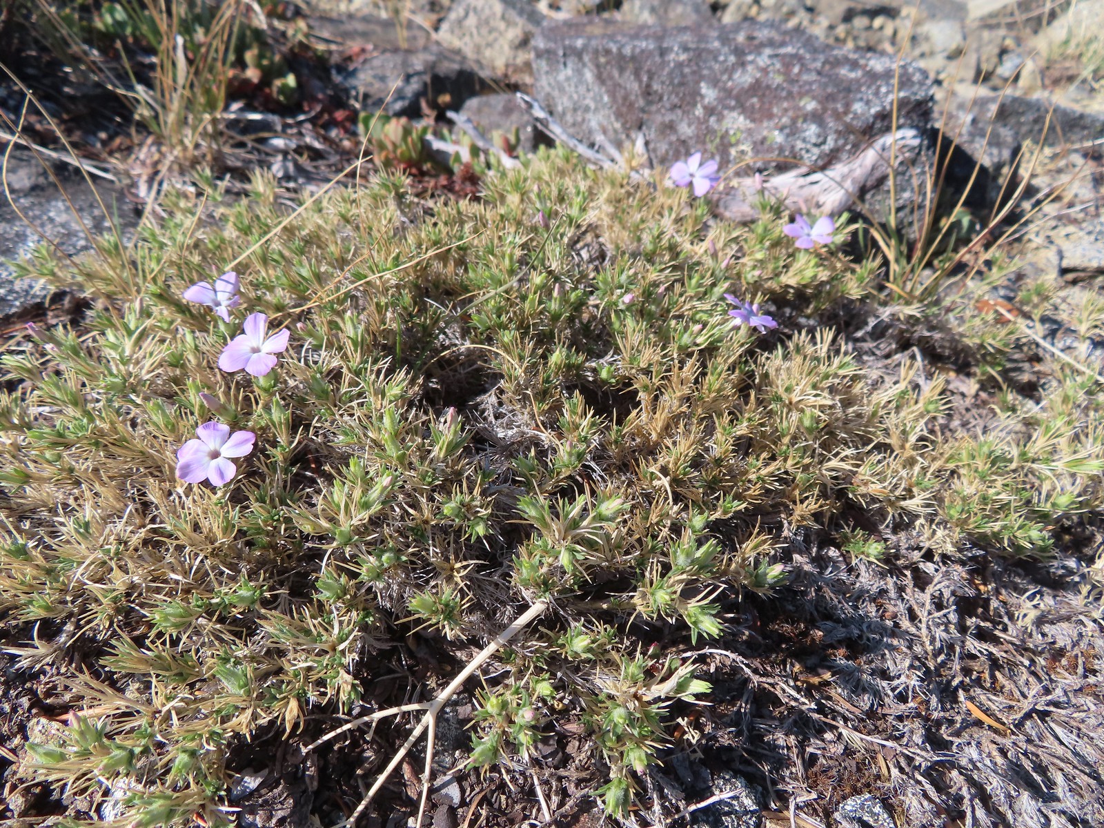 Phlox
Phlox We shared the summit with this little frog.
 The junction with the 1214 Trail. Another with missing signage.
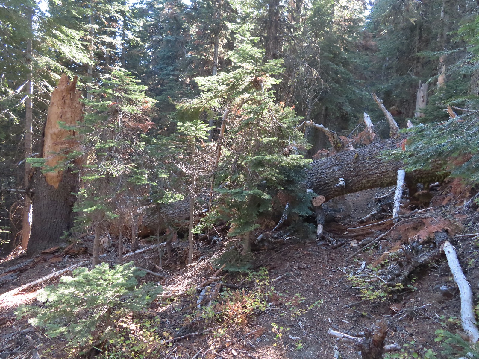 This tree required a detour downhill to get around.
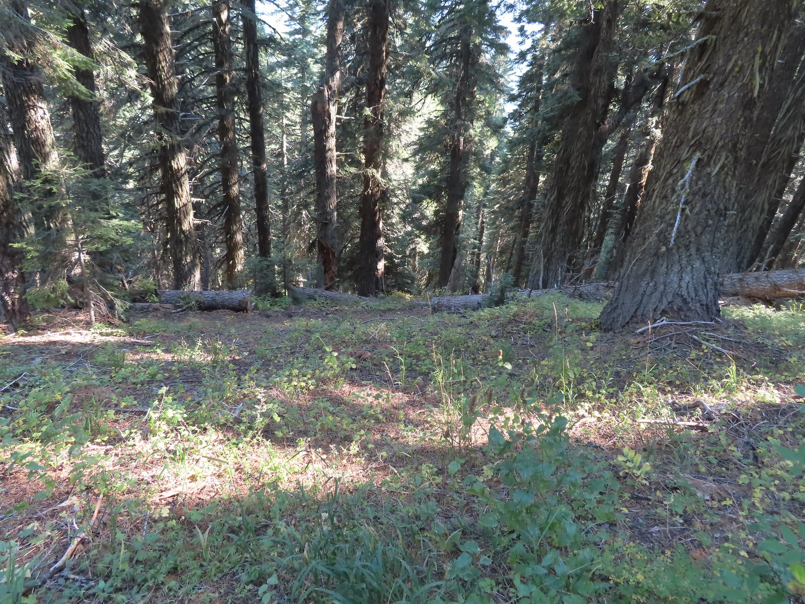 Looking down at the Lake Mountain Trail as it switchbacked downhill.
 The trail was a bit brushy in spots.
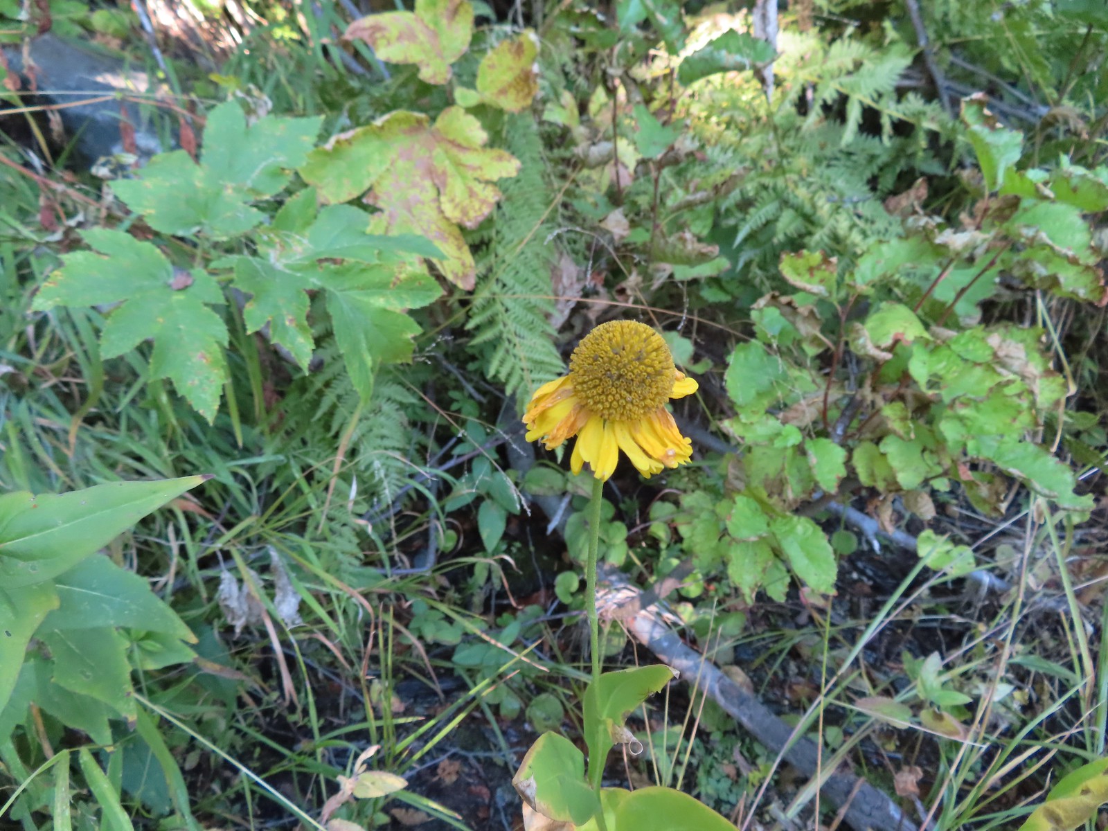 Bigelow’s sneezeweed
 Pink flagging in the little meadow where the trail met the Boundary Trail.
 The Lake Mountain Trail junction with the Boundary Trail.
 We packed out yet another mylar balloon (GRRRR).
 Junction with the Sturgis Fork Trail on the left.
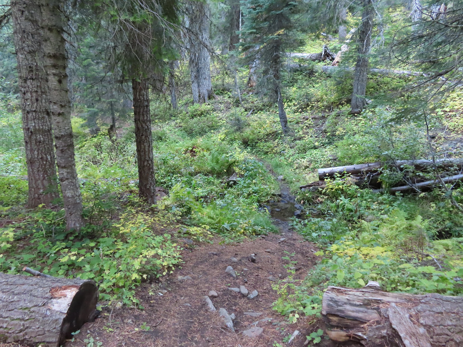

 Hoary comma
 We were parked just to the right along the road below the hill.
