In 2019 we posted about our goal to complete 500 “featured” hikes from William L. Sullivan’s “100 hikes” guidebook series. The following year we finished the first of the five guidebooks (post) and followed that up by completing two more in 2021 (post). That left us with just the Eastern Oregon and Southern Oregon/Northern California books to complete. In 2022 we managed to make significant progress on the hikes to the south by checking off 28 featured hikes from the southern book, but just 6 featured hikes in the eastern book (post). That left us with a reasonable shot at completing the southern book in 2023.
We began the year with the remaining 19 southern hikes on the calendar along with 8 more eastern hikes. As is usually the case things did not go exactly as planned. Two of the hikes we’d planned during our first trip to Grants Pass in May were inaccessible due to lingering snow, but we were able to push them both back to later dates and complete them later in the year. We completed our 99th and 100th featured hikes on 10/09/2023 (post).
Then on our first tip to Eastern Oregon in June resulted in our deciding to switch the version of Sullivan’s book from the 3rd edition to his more recent “100 Hikes Eastern Oregon” 1st edition. (The edition numbers reset when Sullivan changed the title from 100 Hikes/Travel Guide simply to 100 Hikes.) The switch was prompted by us not feeling comfortable with, or having the time to make, the drive to Dug Bar (post). Dug Bar had been removed as a featured hike in the newer 1st edition, along with a few others, so making the switch allowed us to avoid that drive. The tradeoff was needing to return to Steens Mountain in SE Oregon to hike one of the new featured trails at Threemile Canyon, a mere 350 miles from Salem. At least that trailhead was located along a paved highway though. We rearranged some hikes in both 2023 and future years to move up the new featured hikes and were back on track. We wound up completing 10 featured hikes instead of 8 from the eastern book, but after subtracting the 6 former 3rd edition featured hikes that we’d completed, and adding one new featured hike that we’d already completed we ended the year up only 5 from the end of 2022 (84 vs 79).
Here is where we now stand at the end of 2023, having been on 484 of the 500 featured hikes:
100/100 – “100 Hikes in the Central Oregon Cascades” 4th Edition 2012 (post)
With just 16 more hikes to check off to complete our goal we are on track to finish the final hike in August 2024 somewhere in the Wallowa Mountains. Happy Trails!
Several years ago we set a goal for ourselves to hike all 500 featured hikes in William L. Sullivan’s “100 Hikes…” series of guidebooks (post). In 2020 we completed the first of these books covering the Central Oregon Cascades (post). We followed that up by completing a pair of books in 2021 starting with Sullivan’s “100 Hikes/Travel Guide Oregon Coast and Coast Range” 3rd edition (post) followed up by “100 HIkes/Travel Guide Northwest Oregon & Southwest Washington” 4th edition (post).
Generally speaking in order to check a hike off our list we need to have hiked a substantial portion of Sullivan’s described hike or visited the main attraction(s) he identifies for the hike. For 66 of the hikes we followed the books described route. For the other 34 hikes various factors contributed to us not completing all of each featured hike. For some we started at a different trailhead, others had portions of trail(s) closed when we visited, and several had longer options that would have required multiple days to complete. In some other cases we did slightly different routes, sometimes by accident.
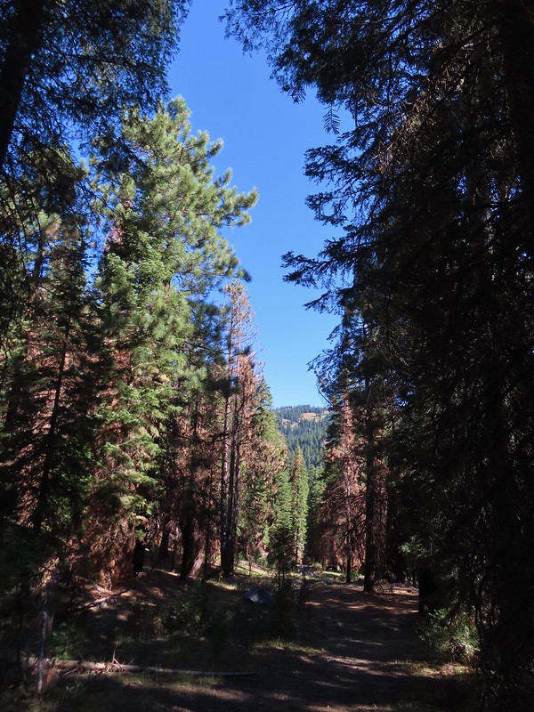
The area covered by Sullivan in this book, as the title suggests includes parts of Southern Oregon and Northern California. It contains his southernmost featured hike, Caribou Lakes. In general the area covered in Oregon begins just North of Roseburg extending East to Highway 97 (with the exception being Klamath Falls which is included in his Eastern Oregon book), South to California, and West to Marial on the Rogue River. In California the area extends south to the Trinity Alps Wilderness, West to the Siskiyou Wilderness, and East to the Mount Shasta Wilderness.
The hikes inside the red lines represent the location of the featured hikes.A closer look at the area covered.
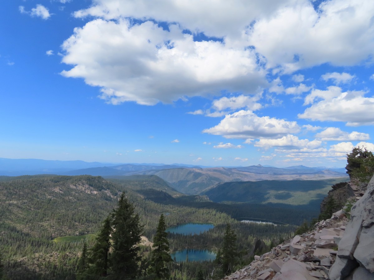
View from Upper Table Rock
#30 Lost Creek Lake-Hiked 6/9/2017
#31 Takelma Gorge-Hiked 10/15/2020
#32 Natural Bridge-Hiked 10/16/2020
#33 Union Creek-Hiked 10/17/20209/20/2022
#34 Abbott Butte-Hiked 10/17/2020
#35 Hershberger Mountain-Hiked 10/16/2020
#36 Muir Creek-Hiked 5/27/2018
#37 Rattlesnake Mountain-Hiked 9/6/2020
#38 Seven Lakes West-Hiked 9/9/2023
#39 Seven Lakes East-Hiked 9/9/2023
#40 Blue Lake Basin-Hiked 9/18/2022
#41 Mount McLoughlin-Hiked 8/27/2016
#42 Fourmile Lake-Hiked 8/26/2016
#43 Sky Lakes via Cold Springs-Hiked 9/24/2022
#44 Sky Lakes via Nannie Creek-Hiked 9/24/2022
#45 Fish Lake-Hiked 10/7/2018
#46 Brown Mountain Lava Flow-Hiked 8/28/2016
#47 Lake of the Woods-Hiked 10/7/2018
#48 Mountain Lakes-Hiked 8/25/2016
#49 Soda Mountain-Hiked 6/3/2015
#50 Pilot Rock-Hiked 7/29/2017
#51 Mount Ashland Meadows-Hiked 6/3/2015
#52 Lithia Park-Hiked 6/2/2015
#53 Bandersnatch Trail-Hiked 6/17/2022
#54 White Rabbit Trail-Hiked 6/17/2022
#55 Grizzly Peak-Hiked 6/5/2015
#56 Roxy Ann Peak-Hiked 5/30/2022
#57 Wagner Butte-Hiked 6/4/2015
#58 Siskiyou Gap-Hiked 6/16/2022
#59 Jack-Ash Trail-Hiked 5/27/2022
#60 Sterling Ditch Tunnel-Hiked 6/10/20175/2/2023
#61 Jacksonville-Hiked 6/8/2017
#62 Enchanted Forest-Hiked 6/11/2017
#63 Observation Peak-Hiked 6/15/2022
#64 Collings Mountain-Hiked 6/8/2017
#65 Applegate Lake-Hiked 6/8/2017 5/29/2022
#66 Red Buttes-Hiked 10/27/2015
#67 Frog Pond-Hiked 6/18/2022
#68 Azalea Lake-Hiked 10/26/2015
#69 Sturgis Fork-Hiked 10/7/2023
#70 Grayback Mountain-Hiked 10/9/2023
#71 Oregon Caves-Hiked 10/30/2015
#72 Mount Elijah-Hiked 10/7/2023
#73 Sucker Creek-Hiked 10/26/2015
#74 Tanner Lakes-Hiked 10/8/2023
#75 Bolan Lake-Hiked 10/8/2023
#76 Polar Bear Gap-Hiked 7/1/2022
#77 Raspberry Lake-Hiked 7/3/2022
#78 Devils Punchbowl-Hiked 7/2/2022
#79 Rough and Ready Creeks-Hiked 5/12/2017
#80 Babyfoot Lake-Hiked 10/9/2023
#81 Eight Dollar Mountain-Hiked 5/4/2023
#82 Illinois River Beaches-Hiked 5/4/2023
#83 Grants Pass Nature Trails 5/3/2023
#84 Rouge River Trail East-Hiked 5/1/2023
#85 Rogue River Trail West-Hiked 6/24/2023
#86 Paradise Lake-Hiked 6/28/2016
#87 Sky High Lakes-Hiked 6/29/2016
#88 Campbell Lake-Hiked 6/27/2016
#89 Paynes Lake-Hiked 7/24/2017
#90 Russian Lake-Hiked 8/24/2022
#91 Hidden & South Fork Lakes-Hiked 8/26/2022
#92 Trail Gulch Lake-Hiked 8/25/2022
#93 East Boulder Lake-Hiked 8/23/2022
#94 Kangaroo Lake-Hiked 7/23/2017
#95 Deadfall Lakes-Hiked 7/25/2017
#96 Caribou Lake-Hiked 7/27/2017
#97 Castle Lake-Hiked 7/26/2017
#98 Castle Crags-Hiked 7/26/2017
#99 Black Butte-Hiked 7/28/2017
#100 Mount Shasta Meadows-Hiked 8/22/2022
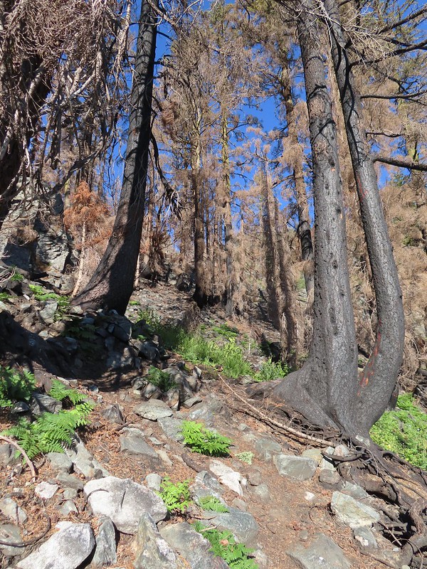
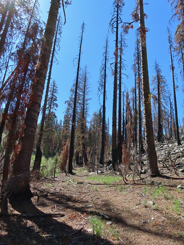
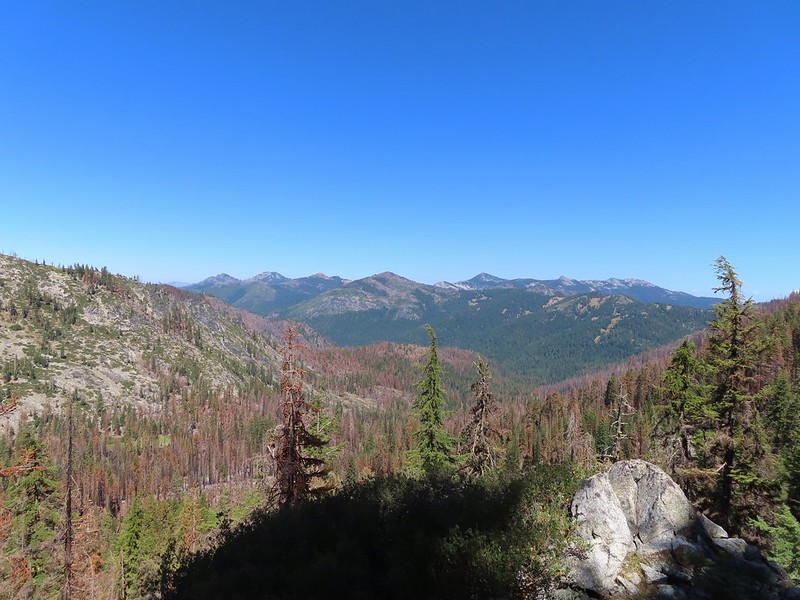
In our minds this was by far the most challenging area to finish even though we did so before completing Eastern Oregon. The difficulty with Eastern Oregon mostly revolves around distance from Salem and the size of the area covered. The Southern Oregon-Northern California area is smaller and the hikes not as far away, but it involved a lot of trails that frankly don’t see the level of maintenance that most of the other areas receive. While we’ve encountered rough trails, all over poison oak is much more prevalent down south which doesn’t invite pushing through overgrown tread or bushwacking around obstacles. This area has also been hit harder by fires over the last couple of decades leaving extra work to reopen them as well as remove additional blowdown as the dead trees fall over. When the conditions were good though the scenery and diverse plant and wildlife made for some spectacular hikes. There are many that we’d love to do again and several non-featured hikes that we have in our future plans, so we aren’t done with area yet. Happy Trails!
For the last hike of our week in Etna, CA we had chosen Hidden and South Fork Lakes in the Trinity Alps Wilderness. (Featured hike #91 in Sullivan’s “100 Hikes/Travel Guide Southern Oregon & Northern California” 4th edition.) This was both the shortest hike and drive of the week which would allow us to get home as early as possible. We began the hike at the Carter Meadows Summit Trailhead which is right next to a helipad. This area was hit pretty hard by the 2021 Haypress Fire.
From the small parking area a trail descends 50′ to a junction which was left unsigned by the fire. Here the to the left was the Pacific Crest Trail coming up from the south and heading uphill to the north on the far right. A second trail to the right led downhill to the Carter Meadows Campground and finally the Hidden Lake Trail went straight ahead on along a ridge. The PCT running left to right with the Hidden Lake Trail extending straight ahead.
Remnants of a trail sign. The sticks across the Hidden Lake Trail are to let PCT hikers know that is not their trail.
We followed the Hidden Lake Trail just under a mile to Hidden Lake. (Sullivan showed a distance of 1.2 miles but our GPS put it at 0.9 each way.) The trail followed a ridge and gained a little over 500′ of elevation which doesn’t sound like a lot but it felt quite a bit harder than we’d expected. Perhaps it was the fact that it was the final day of our trip and we were just worn out, but we were glad that we hadn’t tried to do this portion of the hike the day before after our Gulch Lake Loop (post).
A layer of smoke over the valley on the horizon.
A fleabane, possibly California rayless fleabane.
Hidden Lake Trail following the ridge.
Dwarf purple monkeyflower
Blue-eyed Mary
Approaching Hidden Lake.
We arrived at Hidden Lake right around 7am, early enough that the Sun hadn’t had time to rise high enough to hit the lake.
The lighting conditions were not ideal for photos but it was nice to sit in the shade by the lake after the climb up.
After a short break we headed back along the ridge to the PCT.
Golden-mantle watching us from atop the ridge.
Looking back now that there was a little more sunlight.
We turned right onto the PCT and began a 0.9 mile descent to a crossing of the South Fork Scott River.
Diamond clarkia
A small raptor watching from a snag.
Wildflowers in the burn scar.
Spreading dogbane
A small stream/spring providing some green.
Bleeding heart, fireweed, monkeyflower, and hedge nettle along the stream.
Yarrow and Oregon sunshine.
California harebells
A lot more green vegetation near the river crossing.
South Fork Scott River
Mountain coyote mint
Mountain larkspur
Mountain larkspur
Snacks
Campsites along the PCT near the river crossing.
Two tenths of a mile beyond the river crossing we came to an unsigned junction with the South Fork Lakes Trail. You can just make out the trail ahead heading uphill to the right.
We turned onto this trail and climbed a quarter of a mile to a meadow where the tread became faint. This trail was the most overgrown/least maintained of all the trails we’d been on this trip.
Nearing the meadow.
Entering the meadow and losing the trail.
As of yet unidentified flower in the meadow.
We were behind a pair of bow hunters who were just exiting the meadow at the other end so we were able to follow their path through the tall grass. Beyond the meadow the trail began a steep rocky half mile climb before leveling out in a basin near Lower South Fork Lake. There was a brief pause in the climb while the trail passed a series of springs.
Vegetation along the trail at the springs.
Back to climbing.
The final spring that we passed was coming out of this hollowed trunk.
There were several places where it looked like the trail was going to finally crest but when you got there you just found more uphill.
Finally the trail is leveling out.
It had just been a mile between the PCT junction and the lower lake but it had been the hardest mile of our trip. A well deserved break was taken at the lake.
After the break we followed the trail around the west side of the lake and then bushwhacked two tenths of a mile to Upper South Fork Lake.
Looking back over the lower lake.
Heading off-trail for the upper lake.
We took another break at the upper lake watching dragon flies zoom up and down the shore.
The bow hunters arrived as we were starting to head back. It had been years since they’d visited the lake and were glad to see that at least most of the trees, including those around the campsite had survived the fire. We headed back down to the PCT and then hiked back up to the trailhead passing another group of backpackers heading for the lakes along the way. Back to the lower lake.
A penstemon
Another look at the cool spring.
Monkeyflowers along the springs.
Butterfly on western snakeroot
Back through the meadow.
Thistle
Close up of a California harebell.
I can see a car at the trailhead.
The helipad at the trailhead.
The helipad at the trailhead.
Sullivan has these hikes listed as 2.4 miles out-and-back to Hidden Lake and 6 miles out-and-back to Upper South Fork Lake. Our GPS put the distances as 1.8 and 5 respectively giving us a 6.8 mile total for the day. The cumulative elevation gain was 1770′.
The lower mileage allowed us to get an earlier start on our drive home than expected which was nice. We were back home in Salem a little after 4:30pm giving us plenty of time to unpack and relax for a bit. Despite the flat tire on Wednesday it had been both a successful and enjoyable trip. It also marked our completion of all of Sullivan’s featured hikes in California. That doesn’t mean we are done hiking in that State but it does mean we are that much closer to completing our goal of hiking all the featured hikes in Sullivan’s Southern Oregon & Northern California guidebook (post). Happy Trails!
After our adventure with the flat tire Wednesday (post) we slept in a little since Valley Tire didn’t open until 8am. Not heading out first thing for a hike did give us a chance to walk from the motel to Grain Street Bakery where we had some delicious scones and half a breakfast sandwich (the other half wound up being Friday’s breakfast). After breakfast we drove into Fort Jones where Valley Tire got us in right away and pulled a small rock out of the tire which had blistered in several places meaning it needed to be replaced. They had a set on hand so we had them replace all four tires and were on our way by 8:45am. It was plenty early for us to still get our planned hike in so we stopped by our room, changed, and grabbed our packs before heading back up to Carter Meadows Summit. From the summit we continued driving downhill another 0.7 miles and turned left onto Carter Meadows Road (FR 39N08) at a sign for Carter Meadows Trailheads. We followed Carter Meadows Road for 1.8 miles to the Trail Gulch Trailhead.
Before getting into the hike please note that many maps have Trail Gulch Lake and Long Gulch Lake reversed including the map embedded on the Forest Service page linked above. Our GPS as well as the PCT paper map that we were carrying also showed the lakes reversed but the signage along the trails here are correct. This loop is also almost entirely within the fire scar of the 2021 Haypress Fire although portions of the forest did not burn too intensely.
From the trailhead the trail climbs steadily but not too steeply along a creek. It soon enters the Trinity Alps Wilderness and at the 0.9 mile mark crosses the creek.
An aster (or a fleabane, it’s so hard to tell).
Musk monkeyflower
Tiny green frog.
It was easy to spot where the creek was based on the green.
The wilderness boundary.
The creek crossing.
Paintbrush
A checker-mallow near the creek.
Shortly after crossing the creek the trail veered away from it and began a steeper climb to a junction with a 0.3 mile trail to Trail Gulch Lake.
A junco. We saw a large number of small birds flying around during our trip, mostly junco’s and chickadees but they rarely ever sat still where we could see them.
Pointer for Trail Gulch Lake 0.8 miles from the Creek Crossing.
We turned right on the 0.3 mile trail which climbed to Trail Gulch Lake.
The lake was very scenic but the combination of the position of the Sun and a hint of smoke in the sky made capturing it with the cameras difficult.
After a short break we returned to the Trail Gulch Trail and continued further up the gulch. The trail gained 700′ over the next mile to reach a pass above Trail Gulch Lake.
One of several deer seen running uphill as we made our way up the trail.
View back down Trail Gulch.
Paintbrush
Peaks in the Russian Wilderness.
Arriving at the pass.
Trail Gulch Lake from the pass.
Clark’s nutcracker
Just over the pass was a trail junction with a mix of signed and unsigned trails. We took a hard right on the unsigned Trail Gulch Tie Trail which was just slightly above a trail with sign pointing to Steveale Meadows.
The sign for Steveale Meadows where we went uphill on the trail to the right.
The tie trail gained 400′ as it traversed a severely burnt hillside before arriving at a pass above Long Gulch Lake 1.1 miles from the junction.
View south from the tie trail.
Approaching the pass.
Sullivan mentions that it is possible to scramble 0.2 miles to the right along this ridge to get a view of Mt. Shasta and the heart of the Trinity Alps but with the smoke on the horizon we didn’t feel it was worth the effort and skipped that option.
Looking down into Long Gulch from the pass.
After pausing at the pass we started downhill and began getting occasional views of Long Gulch Lake.
To the north we could see much of the route we’d taken the day before on the way to Siphon and Russian Lakes.
Chipmunk with a snack.
A slightly frustrating feature of the trail down was a long switchback along a ridge which led past and away from the lake before turning back toward it. That big swing made the 1.4 miles down to the lake seem to take forever.
The outlet creek.
Long Gulch Trail passed to the north of Long Gulch Lake for a quarter mile.
The pass that the trail came down is along the ridge to the left here.
The trail continued west beyond the lake another third of a mile before arriving at a junction.
Parnassian on mountain coyote mint.
Skipper on mountain coyote mint.
At the junction we turned right beginning a 2.7 mile gradual descent to the Long Gulch Trailhead.
Meadow with a number of big trees that survived the fire.
Common buckeye
A copper or blue
Lorquin’s admiral
Leaving the Trinity Alps Wilderness.
The trail briefly followed the Long Gulch Creek.
Checker-mallow
The trail crossed the creek just under 2 miles from the junction.
Arriving at the Long Gulch Trailhead.
The only other person we saw all day was a backpacker who had just hiked out of Long Gulch Lake and was packing up his truck at the trailhead. He offered us a lift to our car but we wanted to finish hiking Sullivan’s loop so we declined. Sullivan described following horse trails for 0.9 miles back to the Trail Gulch Trailhead rather than following the road for 0.8 miles.
We crossed the road at a post and began to follow the horse trail.
Sullivan showed a junction after 0.3 miles just before arriving at a creek. As we neared the creek our GPS showed us having gone the 0.3 miles so we were looking for a trail to our right. We spotted what looked like it might be a trail complete with some flagging so we turned up hill following it.
Long story short we’d turned too early and wound up just below the road at a horseshoe turn. At that point it was easier to bushwack up to the road and follow it back to the trailhead instead of searching for the horse trail so we finished the loop on the road.
We did pass a sign for the horse trail along the road.
As I neared the trailhead a large bird flew into a nearby tree. I took a couple of pictures and it appears that it may have been an owl. To the far right of the photo in between the green and orange branches is where it landed.
This was a 10.2 mile loop with 2280′ of elevation gain.
Our drive back to Etna was delightfully uneventful and after cleaning up we headed to Etna Brewing for a great meal and some beer. Despite the tire fiasco we were still on track to finish all five featured hikes before heading back to Salem. Happy Trails!
Our third day in Northern California was set to be our longest. Our goal was Russian Lake which is Sullivan’s featured hike #90 in his “100 Hikes/Travel Guide Southern Oregon & Northern California” (edition 4.2) guidebook. Sullivan’s described hike is only 8.6 miles with 1300′ of elevation gain starting from the Deacon Lee Trailhead. Normally that is where we would have started our hike but his description of the drive to that trailhead is less than encouraging. He says “This narrow road is no place for drivers with a fear of heights. And because of sharp rocks, you must drive slowly to avoid blowouts.” Given our trouble earlier this year with low tire pressure (post) we were reluctant to attempt the drive. Another option was provided by Boots on the Trail using the PCT (post).
This approach only required 0.6 miles of driving on gravel roads as we parked at the second switchback of Forest Road 39N48 within sight of the Pacific Crest Trail. PCT below FR 39N48.
We walked downhill to the PCT and turned right following it along the hillside.
For the next 3.8 miles the PCT alternated between forest and open hillside in a series of ups and downs before arriving at a junction with the Deacon Lee Trail.
Buckwheat
Trinity Alps Wilderness
Caesar and Thompson Peak
We would be passing below the peak in the distance later.
Small buck on the hillside above the PCT.
The Deacon Lee Trail was visible crossing the opening on the far hillside.
Checker-mallow
Crescent butterfly
Small spring along the PCT.
The junction with the Deacon Lee Trail.
We turned onto the Deacon Lee Trail following pointers for Syphon (Siphon on maps) and Waterdog Lakes.
The Deacon Lee Trail follows an old roadbed through a forest and across an open hillside that was full of buckwheats.
Dwarf lupine
Fritillary butterfly on spreading dogbane.
Nearing Siphon Lake.
Siphon Lake was just under a mile from the PCT.
We took a break at Siphon Lake to enjoy the scenery before continuing along the old roadbed. Old pipe that used to bring water down to mines lower on the hillside.
A third of a mile from Siphon Lake the trail veered right leaving the old roadbed and becoming single track.
We were now heading NW and descending slightly.
We spotted a doe in the trail ahead stopped in its tracks staring at us.
She had a pair of fawns with her which we didn’t spot until they headed back down the trail. She stayed put though and as we slowly made our way downhill we were wondering if whether or not she was going to follow them. Soon one of the fawns reappeared and we all stood staring at one another for a few minutes before they finally retreated.
Zoomed in on the pair.
The curious fawn.
After the deer had moved on we continued downhill to a point where the ridge on our right came down near the trail. Here we spotted a cairn and what appeared to be a use trail that we hoped would lead down to Russian Lake.
We could have continued downhill on the Deacon Lee Trail another 0.3 miles to a junction where a right turn would have led us past Waterdog Lake to Russian Lake in half a mile but cutting over the ridge would save us around three quarters of a mile. We pretty easily found the use trail leading steeply downhill.
When we neared Russian Lake we went to the right to visit a small pond in the rocks above the lake.
The pond was full of tadpoles.
After taking a break overlooking the lake we made our way around its NW side and crossed the dry outlet creek.
Hooded ladies tresses
View from the outlet creek.
We explored the rocks on the NE side of the lake with views of Russian Peak and some other interesting rock formations.
Russian Peak
We both fell in love with this lake and wished we were staying there for a couple of days just to explore the area more but alas we weren’t so after a nice break we recrossed the outlet creek and picked up a trail heading toward Waterdog Lake. Fireweed near the outlet.
Large boykinia
Saxifrage seed head
It was a pretty good drop down to Waterdog Lake.
Waterdog Lake.
Waterdog Lake was a nice lake but not nearly as dramatic as Russian Lake had been. As we made our way around the lake we spotted a large frog and several deer, one of which couldn’t stop sneezing.
The deer were across the lake in those trees.
Looking back along the lake.
The trail climbed away from the lake offering a brief glimpse of Lower Russian Lake.
After cresting a saddle the trail dropped to a junction with the Deacon Lee Trail near the boundary of the Russian Wilderness.
We turned left following pointers for the PCT and Siphon Lake.
It was a pretty steady 0.3 mile climb back to where we had left the trail earlier and then another good climb back up to the old roadbed. Paintbrush
There were dozens of lizards scurrying across the trails all day but not many stopped long enough for photos.
Haven’t been able to identify this one yet.
We paused again briefly at Siphon Lake before continuing on and then retraced our steps to the car. The only other person we saw all day was a lone bow hunter.
Butterfly on mountain coyote mint
Another butterfly on mountain coyote mint.
Grasshopper that became obsessed with Heather’s glove.
Cricket
Our hike came in at 14.8 miles with approximately 2900′ cumulative elevation gain.
Our adventure for the day was only beginning though. Ironically shortly after passing Carter Meadows Summit our “low tire pressure” light once again came on. We made it back down to Callahan but less than a mile later I could feel the car begin to pull right so we pulled off Highway 3 into some gravel. The front passenger side tire was flat. I got the jack and spare tire out but was struggling to get the tire off due to the lug nuts being quite tight. Heather was on the phone trying to secure roadside service but the call center on the other end couldn’t even figure out where we were. (Seriously it was a State Highway a mile outside of a town shown on every map but I digress.) I finally managed to get the flat off but hadn’t raised the car quite far enough to get the spare on and of course as I tried to lift the car a bit more it rolled forward off the jack. I managed to get the jack back under and the car up a bit when a pair of ladies in a Forest Service Truck turned around to check on us. We cannot thank Megan and Malia enough, they were able to get their jack under the car to shore it up and used a shovel to create a little more room under the car in order for us to get it high enough to get the spare on. It was over 90 degrees and nearing 5pm and who knows how long we’d have been out there because Heather was still trying to get the road side assistance to understand where we were (she even gave GPS coordinates).
By the time we got back to Etna it was too late to find a tire place so we returned to our motel and put a plan together for the following day. We would get up and drive to Valley Tire & Tackle in Fort Jones when they opened at 8am in hopes that they could either repair the tire or had a set of replacements (we’d already had both driver side tires patched up this year) and then depending on how long that took we would either hike later in the day or extend our stay in order to get all our planned hikes in. After all we didn’t want to leave one featured hike undone that far from home. Happy Trails!
By spending the night in Etna, CA we were only 30 to 45 minutes from the trailheads for the four remaining hikes we had planned for the week. As mentioned in the previous post we chose to do East Boulder Lake first due to it being the closest to the recently started Callahan Fire and thus the most likely to be affected if that fire were to escape containment. From Etna we drove south on Highway 3 to Callahan then made our way to the East Boulder Trailhead.
The road to the trailhead passes through forest burned in the 2021 Haypress Fire but the trailhead and trails for our hike escaped damage.
Sullivan describes three options for his featured hike; a 4 mile out-and-back to East Boulder Lake, a 6.4 mile out-and-back to a pass beyond the lake, and a 9.8 mile lollipop loop past Middle Boulder Lake at the edge of the fire scar which was the option we were planning on. The East Boulder Trail climbed gradually at first through the forest and a couple of small meadows before steepening and climbing past a small waterfall on East Boulder Creek. Entering the Trinity Alps Wilderness.
First view of the small waterfall.
Bigelow’s sneezeweed
Marsh grass-of-Parnassus
Not sure what these little guys are.
Checker-mallow
Western snakeroot
Passing the waterfall.
Above the falls the trail leveled out some and made a final short climb to East Boulder Lake, just over 1.8 miles from the trailhead. Peaks in the Russian Wilderness to the NE.
Dam near East Boulder Lake.
The trail crosses the dam here but there were better views this time of the morning in the other direction so we detoured to the left admiring the reflections in the lake.
We took a nice break along the lake shore listening to cow bells coming from the trees on the far shore. There were cows out there somewhere but we couldn’t see them.
After the break we crossed the dam and continued around the lake. View from the dam. We had to watch out for frogs here.
We lost the trail briefly in a meadow on the southern end of the lake but picked it up again after crossing the inlet creek.
We should have stuck closer to the lake.
Buckwheat
Back on the trail where the cows were just leaving.
The trail then passed two smaller unnamed lakes and Upper Boulder Lake where there were several cows and some ducks.
We detoured to the right to get a view of Upper Boulder Lake then returned to the trail and began to climb out of the basin to the pass. Upper Boulder Lake
Upper Boulder Lake in the background.
One of the cows on the far side of the lake to the left.
Toothed owl’s clover
Ducks on Upper Boulder Lake.
The climb was fairly steep at times.
All four lakes in view.
Almost to the pass.
At the pass.
Looking south further into the Trinity Alps Wilderness.
Beyond the pass the trail descended 150 yards to the Pacific Crest Trail where we turned right.
We turned right onto that trail following it for 2 miles to another pass. The scenery along this section was great, particularly the colorful rocks.
Balloon-pod milk vetch
Golden-mantled ground squirrel taking in the views.
Mt. Shasta over Mt. Eddy through the haze. I believe the lake below to the right is Big Marshy Lake.
Fireweed in the rocks.
Paintbrush
A bit of water from a spring along the PCT.
The water was coming from somewhere up there.
Looking back along the PCT.
Snack time.
Caesar and Thompson Peak
This northern flicker looks like its head is on backwards.
A little bit of burned forest near the pass.
More peaks in the heart of the Trinity Alps.
Caribou Mountain (post) on the right with Sawtooth Mountain over its shoulder.
The pass above Middle Boulder Lake.
Middle Boulder Lake is just visible beyond two smaller unnamed lakes.
There was no sign at the pass but a small cairn marked a trail to the right that led down past the lakes. Middle Boulder Lake Trail at the pass.
The Middle Boulder Lake Trail traversing down the hillside.
A sulphur butterfly.
The trail stayed above the two unnamed lakes.
The trail grew faint as it passed through a series of meadows where little frogs were abundant. The trees on the far hillside were burned in the 2021 fire.
Approximately 0.6 miles from the pass we came to a cairn near a downed tree. A trail sign had been attached to the end of the tree marking the Boulder Tie Trail. The cairn to the right of the downed tree.
It took us a minute to identify the actual start of this trail which was in a wet meadow. There were a few small cairns that helped guide the way and we soon found ourselves on clear tread again. This may be Autumn dwarf gentian
One of the more obvious cairns.
Butterfly on a seed head.
The tread getting clearer.
Middle Boulder Lake
Back on good tread.
As we were traversing a sagebrush hillside Heather started repeating something behind me. She was saying “buck” but that isn’t what I heard and thought something bad had happened to her.
The vegetation was tall enough that he was hard to pick out but when he raised up we got some decent views.
Orange agoseris
After a mile and a half on this trail we climbed to a saddle overlooking East Boulder Lake. Passing through a bit of forest before climbing to the saddle.
From the saddle we spotted a hiker making his way along the lake. He spotted us as we were descending and waited for us to come down. We lost the trail again as we descended and simply hiked cross country through the sagebrush to the East Boulder Trail. The waiting hiker asked us about the loop and how hard it was to follow. He was a local that had been to the lake and the pass above several times but had never attempted the loop. After getting some information from us and taking photos of our paper map he was considering giving the loop a go. We went our separate ways, recrossed the dam, and returned to the trailhead. Approaching the dam.
Fish in East Boulder Creek.
Descending near the waterfall.
An aster or fleabane.
Butterfly
Woodpecker
While Sullivan listed the hike as 9.8 miles our GPS only registered 9.6 miles with a total elevation gain just under 2000′.
We returned to Etna, showered, and then headed to Paystreak Brewing for dinner. We turned in fairly early in anticipation of our longest hike of the week the next day when we would be taking the PCT north from Carter Meadows Summit and heading into the Russian Wilderness. Happy Trails!
We had planned a five day backpacking trip in the Wallowas but then a red flag warning for the possibility of abundant lightning the first day followed by more chances of thunderstorms over then next two derailed those plans. That trip would have checked three more featured hikes from the remaining twenty one hikes on our to-do list from the Eastern Oregon area. With all twenty one of the those hikes being located in the NE corner of Oregon (15 in the Wallowas and 6 along Hells Canyon) there were no alternate plans we could look to in that area to continue making progress toward or 500 featured hikes goal (post) so we turned to the Southern Oregon & Northern California book instead. For that area we still had thirty one featured hikes left including five hikes in Northern California, one at Mt. Shasta and four near Carter Meadows Summit west of Callahan, CA. A clear forecast and no wildfire closures provided a green light so we booked a last minute room at the Etna Motel in Etna, CA and once again headed south this year.
When we reached Yreka, CA instead of taking Highway 3 to Etna we stayed on Interstate 5 and continued south to Mt. Shasta and made our way to the Upper Panther Meadows Trailhead. We had tried to do the hike here in late July 2017 but a late snow melt that year had kept the gate to this trailhead closed so we had hiked from Bunny Flat instead (post).
Lupine at the trailhead.
A line of smoke over the Castle Crags (post) and Mt. Eddy (post).
Castle Crags
From this trailhead we followed the Everitt Memorial Highway uphill a quarter mile to the South Gate Meadows Trailhead. Green Butte and Mt. Shasta
Here we hopped onto a rock lined trail and climbed a half mile to a pass where we entered the Mt. Shasta Wilderness.
Common buckeye
Red Butte from the pass.
Mount Eddy from the pass.
Heather standing at the wilderness boundary.
From the pass the trail descended 0.6 miles to a signed trail junction at The Gate below Red Butte. A dry spring along the trail. Ideally we would have been doing this hike (and trip) in late July for more wildflowers but sometimes the circumstances dictate when and where we wind up.
Approaching The Gate.
Shastarama Point and Thumb Rock
Gray Butte
The trail junction near The Gate. The trail to the right would be our return route to make a loop through Panther Meadows, but for now we went left following the pointer for South Gate Meadows.
We followed the trail downhill through boulders from Red Butte then into a forest that provided the first real shade of the hike.
A paintbrush and aster.
Penstemon
Some haze to the south but we could make out Lassen Peak which is one we rarely ever get to see.
Lassen Peak
Just under three quarters of a mile from The Gate we arrived at South Gate Meadows.
Primrose monkeyflower
From the meadows use trails head both up and downhill along South Gate Creek (aka Squaw Valley Creek). Sullivan showed a “monkeyflower spring” a half mile uphill and a “circular meadow” four tenths of a mile downhill. Not knowing when we might be back we decided to do both starting with the downhill first. The use trail crossing the creek.
In sight of the circular meadow.
Marsh grass-of-Parnassus
Paintbrush
After a quick visit we headed back up to South Gate Meadows.
Back at the meadows.
We then took a use trail up along the eastern side of the creek which brought us to the spring.
A pair of common buckeyes.
Primrose monkeyflowers and paintbrush
Not the “monkeyflower” spring but a smaller one along the way up.
The “monkeyflower” spring.
A couple of monkeyflowers and a buckeye.
I climbed a bit above the spring to check out the view.
Heather arriving at the spring.
We took a break here and one at the little spring we’d passed on the way up and then headed back toward The Gate. A Clark’s nutcracker also taking a break.
Two types of monkeyflower and bog St. John’s wort,
One last pass through South Gate Meadows.
Red Butte
Shasta knotweed
Back at The Gate.
From The Gate we followed the pointer for Panther Meadows. This trail brought us through a barren landscape before climbing over some glaciated rock and entering a forest. Mt. Shasta from the trail.
Red Butte
Glaciated rock.
Mt. Shasta and Sargents Ridge.
Into the forest.
The trail left the wilderness along the way.
Just over three quarters of a mile from The Gate we arrived at a junction with the Gray Butte Trail. We had considered taking this 0.9 mile detour but it was already 2:20pm and it was also fairly warm so we decided to skip it this time around. The junction with Gray Butte behind the trees.
From the junction the trail gradually descended a half mile to Panther Meadows.
Another Clark’s nutcracker. They are boisterous birds and other than first thing in the morning we get a kick out of listening to them.
Stream flowing through the meadows.
Gray Butte from Panther Meadows.
At a junction on the west side of the meadow near Panther Meadows Campground we followed a pointer for Upper Panther Meadow.
We followed this trail just over a third of a mile uphill to another junction where we turned right and followed a path across the creek.
We kept right for 0.2 miles to reach Panther Spring.
After visiting the spring we backtracked a tenth of a mile and turned right for a third of a mile back to the Panther Meadows Trailhead to complete the loop.
Picnic tables at the trailhead.
With the two side trips at South Gate Meadows and some other wandering the hike came to 7.4 miles with approximately 1900′ of elevation gain.
From the trailhead we drove to Etna and checked into our motel then made a quick run to Ray’s Food Place for some food for the week. It was a nice start to the vacation made even better when we saw that the Callahan Fire which had started on 20th just 6 miles east of Callahan had been fully contained at less than 10 acres. That one had the potential to do a lot of damage (and put a nix on the rest of our hikes). Our plan for the next day was to hike to East Boulder Lake as that was the closest to where the Callahan Fire was and therefore most likely to be closed if that fire were to spread but thankfully it sounded like that wasn’t going to happen. Happy Trails!
After the long hike to Devil’s Punchbowl the day before (post) we were looking forward to a shorter hike on Sunday and having time in the afternoon to relax around camp before hiking out on the 4th. Our goal on this day was Raspberry Lake which sits below Preston Peak, the highest peak in the Siskiyou Wilderness. It had started to cloud up the day before but it hadn’t rained. A layer of fog however had settled over the meadow in Youngs Valley by early morning. Fog at 5:30am
We hadn’t heard the bear overnight but we were still on high alert keeping an eye out for it. In fact I was so focused on looking for black fur that I didn’t notice a buck near where our food was hung and when he jumped it startled me half to death because I was less than 10 yards away from it. After he jumped he started to run off but quickly stopped to eat just a few yards later.
The fog was burning off quickly as we ate breakfast and we did not see the bear again that morning.
Deer in the meadow.
Snail near our breakfast spot. It’s amazing how quickly these guys can get from one place to the next.
After breakfast we secured our food and garbage and headed for the lake. We walked up the old road bed to the junction with the Raspberry Lake Trail and turned right.
We followed the trail/old roadbed past the junction with the Poker Flat Trail which we had come down on our first day (post) and continued on the road for 2.5 miles to a fork near the former Cyclone Gap chrome mine. Lupine and beargrass along the road.
Lupine
Beargrass
Waterfall on cliffs below El Capitan.
Waterleaf
Stream crossing.
At times the old roadbed looked like you could drive on it but other times it looked like this.
Small meadow along the trail.
Western azalea
The clouds burned off quickly.
Penstemon
At the 1.5 mile mark we detoured slightly to a view point overlooking Youngs Valley near a ridge end. Youngs Peak with the meadow barely visible to the right below.
Rocky Knob to the left.
As we rounded the ridge we got a good view up Clear Creek to Bear Mountain where we had been the day before visiting Devil’s Punchbowl.
We ignored a side trail for Cyclone Gap shortly after rounding the ridge but when we reached the fork at the 2.5 mile mark we did detour to the right along a level roadbed to visit some of the mine ruins.
Sign at the Cyclone Gap junction.
Back into the 2018 Natchez fire scar.
Preston Peak
Paintbrush along the trail.
Streambank bird’s-foot trefoil
Musk monkeyflower
Raspberry Lake Trail to the left.
Ruins from the chrome mine.
More mine ruins on the hillside below.
We returned to the trail and followed it uphill above the old mine where the roadbed ended. The trail became narrow and rocky as it rounded another ridge end. Here we ran into the couple that we had spoken with at Doe Creek the day before. They had hiked up the Rattlesnake Meadow Trail which they reported was quite overgrown and then followed a ridge cross-country up to Raspberry Lake which they did not recommend.
Nuttall’s sandwort
Bear Mountain and Rocky Knob.
Chipmunk
Getting closer to Preston Peak.
Ragwort
Small stream crossing.
A short steep rocky section where cairns were helpful.
Rounding another ridge with Preston Peak on the left and Bear Mountain to the right.
First view of Raspberry Lake in the trees below to the right.
A series of steep switchbacks led down to the lake.
There were a few tents set up around the lake so we didn’t do a lot of exploring. Our timing wasn’t great as the Sun was positioned slightly to the left behind the lake which still lay in the mountains shadow which made it very difficult to photograph. Big rock along the shore.
It was a nice lake but not nearly as dramatic as Devil’s Punchbowl had been. After a short break here we headed back looking forward to some extra rest and relaxation at the less crowded meadow in Youngs Valley. Bell catchfly
Douglas’ Dustymaidens
El Capitan on the right. To the left I think that is Bear Cub with Polar Bear Mountain behind.
Western azalea
This squirrel gave us a stern talking to.
Western tanager pair
Twin Peaks
We believe this is what Sullivan shows as Slow Echo Camp on his map. We wondered what the stones in the foreground had been a part of?
The waterfall we had seen was near the camp and I set off into the brush to see if I could get a better view. It partially worked.
Near the other small campsite we encountered a buck which may have been the same one that startled me back near our camp earlier based on how comfortable he was with us being there.
When we arrived back at the meadow our neighbors had moved on but we did run into a grouse.
The hike to the lake and back came in at 8 miles even with approximately 1750′ of elevation gain.
Day 3 Track in Green
After putting things away we set up our lightweight chairs near the meadow and watched the ever changing clouds. It wasn’t long before we noticed other hikers/backpackers across the meadow following the road down from the Youngs Valley Trailhead. We also spotted Buster (the name we’d given the bear) lumbering through the meadow again.
In fact Buster passed through the meadow twice going in the same direction which led us to wonder if there was more than one Buster in the area (or a glitch in the Matrix). The bear didn’t seem to care that another group had set up a tent on the opposite side of the meadow and was similarly unimpressed when another couple arrived with their dog. We heard the dog bark and wondered if it was at Buster and when the couple passed by us on their way to finding a site they confirmed that the dog was barking at the bear and that it didn’t phase it one bit. They also mentioned that a friend of theirs had stayed there the week before and seen the bear around. Fortunately it appeared that everyone had proper bear proof systems in place, i.e. bear canisters, ursacks and/or bag hanging systems. Hopefully people continue to be responsible because it only takes one careless person leaving food out or in their tent for the bear to figure out that people have food. So far even though it wasn’t nearly as wary of people as most black bears are it didn’t show any signs of equating people with having food (not being food, those are grizzly bears lol). If that happens it typically means the bear will be put down.
This butterfly did discover people=salt.
Maybe a flycatcher of some sort near camp.
Common buckeye
Turkey vulture checking out the meadow.
We did do a little exploring in the area and found a few flowers nearby that we’d missed the day before. White rush lily
Ginger
Snow plant
Both of the new groups of backpackers had dogs but aside from the initial barking at Buster we didn’t hear either of them again which we took to mean the bear kept its distance overnight. In the morning we got an extra early start for our hike out managing to have coffee and breakfast, pack up and still be on the trail by 6:15am. Another low cloud morning.
Heading out
We followed the old road bed past the Raspberry Lake Trail junction half a mile to another trail junction, this one with the Black Butte Trail. Passing around the meadow, we didn’t see Buster this morning.
Black Butte Trail junction.
We turned right onto this trail which was also an old road bed and followed it a little over half a mile to the East Fork Illinois River.
Bear Cub under the clouds.
Vanilla leaf along the trail.
Jessica sticktight
The headwaters of the East Fork Illinois River are just up from the trail so the river isn’t much more than a trickle at the trail crossing.
On the other side of the river we ignored the East Fork Illinois Trail to the left and continued on the old road bed.
The edge of the clouds to the NW.
Passing below Bear Cub.
Being an old road bed in unburt forest made for easy hiking.
Going into the weekend there had been a chance of showers both Sunday and Monday. Sunday had remained dry but today a light mist was falling and there were a couple of brief showers which were enough to prompt us to put the rain covers on our packs but not enough to don our rain gear.
When we had made it to the north side of Bear Cub (Sullivan refers to it as Polar Bear Cub) we were momentarily confused by the number of trails our GPS units were showing. Sullivan’s map only showed an unmaintained use trail heading right toward the mountain while our paper Forest Service map didn’t show any other trails, but the GPS topo showed Sullivan’s user trail and another trail heading slightly downhill to the left. What we were seeing was the old roadbed curing right toward Bear Cub and a trail with cairns on both sides heading straight.
The existence of the third trail on the GPS had us questioning whether the trail marked by cairns was the Black Butte Trail or the left most trail showing on the Garmin. After some debate we decided that it must be the Black Butte Trail and passed between the cairns. This turned out to be the right choice and we soon found ourselves climbing through the 2020 Slater fire scar.
Swtichbacking toward Bear Cub.
Black Butte
We were a bit disappointed when we realized that to reach the junction with the Black Butte Tie Trail below Black Butte we had to lose about 100′ of elevation first. Heading downhill so we could go up.
Creek crossing in the basin below Black Butte.
Looking back into the clouds where we’d come from.
Steep climb up to the junction.
We made it back to the junction! Only 1.8 more miles to go.
We turned left at the junction, now following the route that we’d come in on from the Black Butte Trailhead on the first day. We had both convinced ourselves that this stretch would be mostly downhill, but we had been deceived. Spirea
Pair of woodpeckers
Why is there more uphill?
Black Butte from the trailhead with Heather coming down the trail.
It was 5.6 miles from our camp to the trailhead but after some challenging hikes it felt harder than that. The nearly 1400′ of elevation gain didn’t help that, but it had been a great trip none the less.
Day 4 Track in blue
The most significant rain shower started as we were changing at the trailhead so the timing there was pretty good. The trip had been challenging but it was worth it to have the chance to experience a new area with such diverse plants and great scenery. The wildlife was a bonus although a little less bear would have been okay.
What wasn’t good was the low tire pressure light that came on almost immediately after starting our drive. We had the same light come on in June driving up to the Siskiyou Gap Trailhead (post) and taken the car to Les Schwab in Ashland for an air check. The two left side tires were just a little low then so they added some air and we were off. Today was the 4th though and the Les Schwab stores in Grants Pass (the closest to where we were) were closed for the holiday so we pulled into a gas station and checked the air at their self-serve station. The same two tires were again a little low so I topped them off and we drove home. The light was back Tuesday morning when I started my drive to work prompting a trip to Les Schwab in West Salem where they removed the tires and discovered a screw in the rear tire and a nail in the front. Luckily both were small leaks and repairable. Hopefully we’re done with that light for a long while now. Happy Trails!
Our first morning at Youngs Valley turned out to be rather exciting. Per usual I was up early (before 5am) and we were eating breakfast by 6am. We were sitting at the edge of the meadow away from camp enjoying our Mountain House biscuits and gravy when I spotted a black bear passing between some trees in the meadow. Heather had commented during our hike in the day before that we were due for a bear sighting and there it was. I think I said “that’s a bear” and then we watched as it entered a stand of trees around a large boulder in the meadow a little less than 100 yards from where we were. There still wasn’t a lot of light in the valley but the bear was in with the tall tree in the middle of this picture.
We lost sight of it for a time and thought maybe it had continued on away from us behind the trees but then it reappeared as it scrounged for things to eat.
We were downwind so I don’t think the bear realized we were there until it poked it’s head out of the trees and stared at us.
We had stood up but hadn’t been making noise but now that we were spotted I let out a “HEY BEAR!” which in our past experience (12 bears on trail and 2 driving to trailheads) would have been enough to send the bear running, if it hadn’t already sped off when it first spotted us. This bear did head off but it was about as non-nonchalant as it could have been.
Heather watching the bear leave through the gap in the trees.
We made sure that we really did have every bit of food that we weren’t taking with us for our day hike in our Ursack bear bags and secured them. Then we re-familiarized ourselves with our bear spray. I had been seeing alerts from the Forest Service about a rise in bear encounters due to a delay in the berry crop this year so we had at least come “Bear Aware“.
After the exciting breakfast we threw our packs for the day on and headed to the Clear Creek National Recreation Trail where we turned right off the old road bed at a small sign. The sign for the Clear Creek Trail on a tree to the right.
From Youngs Valley it was 5.1 miles to the Doe Flat Trail then another 2.8 to our goal for the day, Devil’s Punchbowl, a lake in a granite bowl carved by glaciers. The Clear Creek Trail passed by a series of small meadows before entering a forest that had been spared by the recent fires.
Clear Creek below the trail.
A little under a mile and half from Youngs Valley we found ourselves back inside the scar of the 2018 Natchez Fire though.
While there wasn’t much blowdown on the trail to navigate it was faint in places and overgrown with thimbleberry, trailing berries, currant and roses (those last three all have thorns) in places which made for some slow going. Anemone and star flowers
Honeysuckle
Rocky Knob
One of several creek crossings. This one was a bit tricky to stay dry on but we both managed to do so on the first pass. Heather wasn’t so lucky on the way back though.
Rayless arnica
Pacific ninebark
Streambank bird’s-foot trefoil
Sign for the Rattlesnake Meadows Trail which looked to be in much worse shape than the Clear Creek Trail.
White-vein wintergreen
There were occasional pockets of green trees, typically near creeks.
Queens cup
There was a small stream in the middle of the trees here.
About a mile and a half after entering the fire scar the trail left it again for a bit.
A colorful pea.
The mornings second round of excitement came when we spotted the first of what turned out to be many California lady slippers.
These beautiful orchids found only in the Siskiyou Mountains of SW Oregon and northern California are endangered in part due to thoughtless people who pick or attempt to transplant the fragile plants. We took many, many photos.
Just under three and a half miles from Youngs Valley the trail came to a beautiful pool along Clear Creek. The pool was so nice that we failed to notice that the trail continued on the far side.
We took a break on the bank of the creek before continuing on and realizing that we needed to cross the creek. There was no way we were staying dry on this one so we forded the barely calf deep water. More excitement ensued when we came to the first of several patches of California pitcher plant – Darlingtonia californica.
This carnivorous plant native to northern California, SW Oregon and the Oregon Coast is considered uncommon and one we don’t often see. Many more pictures followed. We continued south along the trail hoping for more exciting sightings. The western azaleas smelled wonderful.
Another side creek.
Another fire scar, this time from the 2017 Young fire.
Silver-spotted skipper
Chipmunk
White-stemmed frasera
Bolander’s lily, another exciting find for us and the first time we’ve seen them.
Washington lily with a crab spider.
One and three quarters beyond the crossing we came to Trout Camp near the Doe Flat Trail junction where we saw the first signs of other humans since the people with the goats near the Black Butte Trailhead the day before. There was a hammock and a tent set up at a campsite there but we didn’t see any people. Trail sign near Trout Camp.
Our original plan had been to move our tent here, hike up to Devil’s Punchbowl then take the Doe Flat Trail to Buck Lake before returning to the tent. Then in the morning we would pack up and move the tent back to Youngs Valley before hiking up to Raspberry Lake. After comparing Trout Camp to Youngs Valley we were happy that we’d changed our plan. It would have been fine but the scenery was a lot nicer at the meadow.
We left the Clear Creek Trail at Trout Camp and followed the Doe Flat Trail downhill to a crossing of Doe Creek where we once again got our feet wet. Sign for the Doe Flat Trail at Trout Camp.
Doe Creek, we probably could have made it dry footed (I was able to on the way back.) but since we were already wet why bother.
We finally ran into people on the far side of Doe Creek. They were trying to get their bearings and we were able to point them in the direction of the Clear Creek Trail and Raspberry Lake where they were hoping to spend the night.
From Doe Creek the trail launched steeply uphill climbing via a series of switchbacks.
Twin Peaks in the distance.
Pacific coralroot
Phantom orchid
After a mile and over 700′ of elevation gain the trail appeared to be leveling out but it was also the junction with the Devil’s Punchbowl Trail. The Doe Flat Trail continuing on from the junction.
The only sign at this junction was a small pointer for the trailhead and clear creek.
Opposite the little sign the Devil’s Punchbowl Trail climbed steeply uphill behind a log that someone had scratched the trail name into.
Another half mile and 600′ plus of elevation brought us to a viewpoint at a ridge end where we got our first good look into the granite basin where we would find Devil’s Punchbowl. The flat top of Black Butte in the distance.
Bear Mountain
At the ridge end we were just under 200′ below the elevation of Devil’s Punchbowl but after rounding the ridge the trail descended almost 150′ to a crossing of the lakes outlet creek. Blue-head gilia
Oregon sunshine
There was a nice pool below the crossing where we planned to refill our water on our way back by.
Beyond the creek the trail became more of a scramble over the granite following occasional cairns over the rocky landscape.
Buckwheat
Siskiyou lewisia
Preston Peak
Before reaching Devil’s Punchbowl the trail passed a smaller but scenic lake.
It was pretty obvious why this is the most popular spot in the wilderness and draws crowds. We however were fortunate enough to be the only people here when we arrived.
Pussypaws
It wasn’t long before another couple arrived followed by a pair of backpackers but we appreciated the solitude nonetheless. Beetle on a pussypaw
Swallowtail on azalea
Silver-spotted skipper on Siskiyou lewisia
Phlox
After a nice long rest we headed back down stopping at the outlet creek for water. There is a rock arch atop the ridge near the left hand side.
Mountain heather
Green beetle
Ground squirrel
Clouds gathering around Preston Peak.
Fleabane near the pool.
Waterfall along the outlet creek.
Clouds over Devil’s Punchbowl.
A duskywing
More clouds to the north.
We returned the way we’d come passing a number of groups heading up to Devil’s Punchbowl. We felt even more fortunate about having had the lake to ourselves for a bit. After recrossing Clear Creek we cooked our dinner at a small camp site before continuing on. Bee in bindweed with a little ant observing.
Back at the ford.
Ouzel at the Clear Creek ford.
Doe in the forest.
This little guy had a pretty song.
Arriving back at Youngs Valley.
It was after 7:30pm and there was another couple setting up camp near ours and I stopped briefly to chat with them. When I started to continue down the road bed to our site I spotted what was probably the same bear from the morning standing on its hind legs watching us from the brush. The bear in the middle of the photo behind a small leaning tree.
I gave another “HEY BEAR!” yell and he again moved on but a short while later when I was heading to re-secure the bear bags I ran into it again. This encounter was quite a bit closer but this time the bear hustled back into the brush. After securing the bags we put the rain fly up due to the increased presence of clouds. A little while later we heard our neighbor yell at the bear to run it off yet again. The bear hadn’t bothered our camp and there was no evidence that it had tried to get to our food and it was too late and we were too tired to move camp. We kept the bear spray and a whistle close at hand and turned in for the night.
With some side trips and wandering the GPS registered a 16.5 mile day with just over 4000′ of cumulative elevation gain.
Day 2 track in Magenta
It was an exciting day for sure but also another tough one. We were looking forward to a shorter day on Sunday followed by a 5.5 mile hike back to the trailhead on the 4th. Happy Trails!
For the Fourth of July weekend we took an extra day off and headed to the Siskiyou Wilderness in California for our first backpacking trip of the year. This would be our first visit to the 179,847 acre wilderness after having had to cancel planned trips several years in a row due to weather, fire, and smoke. All of the previously planned trips had been on the schedule for late Summer and since that didn’t seem to be working out we decided to try an earlier time of the year. Sullivan features three hikes in the wilderness: Polar Bear Gap, Raspberry Lake, and Devil’s Punchbowl and our plan was to check them all off our to-do list on this trip.
Friday morning we made the long drive back into California to the Black Butte Trailhead near the northern end of the wilderness area. The 2020 Slater Fire burned over the road to this trailhead and into the wilderness. Black Butte from the Black Butte Trailhead.
There was one other vehicle at the trailhead and it had a small animal trailer with hay attached to it. Heather guessed goat and was proved correct when we ran into a couple and their three goats not a quarter mile up the trail. Those would be the only people we encountered on this first day. As for the Black Butte Trail it was in pretty good shape to start considering the fire as it led uphill toward the shoulder of Black Butte.
Penstemon
Narrowleaf blue eyed Mary
Siskiyou mountain ragwort
Wedgeleaf violet
Sanger Peak
More penstemon
Phlox
After cresting below Black Butte the trail made a slight descent to a junction with the Black Butte Tie Trail 1.8 miles from the trailhead. Youngs Peak
It turned out to be a beargrass year, at least in the northern part of the wilderness.
Clustered broomrape
Paintbrush
Lizard
El Capitan with the snow behind Bear Cub. Bear Mountain is the high point in the center distance with Rocky Knob to the right front of it. Youngs Peak is the high point to the far right of the frame at the end of the ridge.
Looking up at Black Butte.
Rayless arnica
Big deervetch
The junction with the tie trail.
We would be coming up the tie trail on Monday on the way back to our car but for now we forked left sticking to the Black Butte Trail. Our Forest Service Map indicated that the next 2.5 miles of trail was “infrequently maintained” but the first three quarters of a mile to Polar Bear Gap were fine.
Polar Bear Mountain ahead.
Azalea
A sulphur butterfly
Thimbleberry blossoms
A tortoiseshell on thimbleberry.
Wallflower
The trail steepened considerably as it made the final climb to the gap.
Lupine
Lewis flax
Lookout Mountain
Paintbrush
A carpet of narrowleaf blue eyed Mary at Polar Bear Gap
Nuttall’s sandwort surrounded by blue eyed Mary.
Serpentine phacelia
Polar Bear Gap
Polar Bear Gap sits between Lookout Mountain to the north and Polar Bear Mountain to the south and provided us our best view eastward of the entire trip. Lookout Mountain
Polar Bear Mountain
Looking east toward Mt. Shasta.
Mt. Shasta
Looking west toward Sanger Peak.
Sickle-leaved Onion
There were lots of lizards in the area.
After a much needed rest at the gap (we aren’t used to carrying full backpacks) we headed down the opposite side of the gap toward Twin Valley.
On this side of the gap we traded the 2020 Slater fire scar for the 2018 Natchez fire. Heading down into Twin Valley
Paintbrush and penstemon along the trail.
Queen’s cup
Frog
As we neared the first of two meadows in the valley the infrequent maintenance became obvious. The good news was that there were a good number of cairns set up but it was slow going at times trying to locate the next one.
Larkspur
The yellow is a cinquefoil I believe but I don’t know what the other dark flower is.
Meadow in Twin Valley.
The trail passed between the smaller upper and larger lower meadows and continued a slight descent along the lower meadow where we began looking for a junction with the Poker Flat Trail. Heading down to a stream crossing between the two meadows.
Scarlet gilia
Beargrass
Creek crossing.
Shooting star and marsh marigold.
A hairstreak butterfly
Columbine and cinquefoil
With the trails being faint we were also keeping an eye on our GPS units which both showed that we had gotten below and past the trail junction. Heather decided to strike off cross country first to see if she could find the trail and I soon followed. We lost sight of each other for just a moment and wound up crossing paths without realizing it. She wound up finding the trail junction and turned up the Poker Flat Trail before getting my attention. I made my way over to her and we were back on track. Cut logs helped identify where the trail was supposed to be.
Wolley-head clover
Oregon violet
Polar Bear Gap from the Poker Flat Trail.
Sullivan describes the climb out of Twin Valley as being “as graceless as a bobsled run in a quarry”. That was an apt description and making the climb with full packs didn’t help. We were very relieved when the trail crested a ridge end after three quarters of a mile. Looking up toward the ridge end.
After another break at the ridge end we sallied forth. The trail descended for approximately a mile before climbing fairly steeply again for half a mile to Private Lake. We took a short side trail down to the small lake where we again rested. The Lieutenants and El Capitain
Clustered broomrape
We were starting to see a lot of bear sign.
An as-of-yet unidentified flower.
This may be sticky blue eyed Mary.
Mariposa lily
More faint trail.
Time to climb.
Anemone
Meadow along the Poker Flat Trail.
Approaching Private Lake.
Siskiyou lewisia
Private Lake below The Lieutenants.
After we’d eaten and rested we resumed our trek and climbed steeply for a half mile to a pass between The Lieutenants and Bear Cub.
Scarlet gilia and penstemon
Heather heading for the pass.
Arnica
Nearing the pass.
Bear Cub
Youngs Peak just to the left of the snag.
The trail descended to a small snow melt tarn then continued down a rocky ridge.
Bear Cub on the right.
Youngs Peak behind the tree.
Approximately 1.4 miles from the pass we arrived at an old road bed that is now the Raspberry Lake Trail. Finally out of the fire scars.
Snow plant
We should have turned right here for two tenths of a mile then taken a left onto another old road bed but after the long drive and challenging hike we weren’t thinking all that clearly and mistook this junction for the next and turned left. We realized our mistake after a little more than 100 yards and backtracked past the junction to the correct left hand turn onto the road bed that doubles as the Clear Creek National Recreation Trail near a large meadow in Youngs Valley. Sign for Raspberry Lake at the Raspberry Lake Trail/Clear Creek National Recreation Trail junction where we correctly turned left.
At the southern end of the meadow the Clear Creek Trail leaves the road bed and continues south following Clear Creek ending almost 20 miles later at No Mans Trailhead. We stayed on the road bed as it continued around the meadow. After crossing a branch of Clear Creek we started looking for a campsite. Footbridge over the creek.
Bear Cub from Youngs Valley.
Camp
There were plenty of open sites as we appeared to be the only people around. There were other creatures about though. Dragon fly
El Capitan
Bucks in the meadow.
Caterpillar
We did a little exploring to check out the wildflowers in and around the meadow. Spotted coralroot
Wedgeleaf violets
Maybe a cinquefoil
Bistort
Shooting star
Monkeyflower
There were quite a few of these tiny flowers. I haven’t been able to identify this one yet.
After getting water, eating dinner, and setting up the tent we were plenty tired so we turned in early. The hike had been a little over 9 miles with approximately 3000′ of elevation gain spread out over several steep climbs.
Day 1 Track in light blue
It had been a great start from a scenery standpoint but we were not used to carrying the larger packs so before bed we decided that we were going to tweak our plans just a bit and instead of packing up camp in the morning and moving 5+ miles to the south just to pack up again and come back to Youngs Valley for the last night this would be our base for the entire trip. We were looking forward to seeing what else this wilderness had in store over the next three days. Happy Trails!


 Fall Creek Falls
 Yasko Falls


 Lower Table Rock
 View from Upper Table Rock


 The PCT running left to right with the Hidden Lake Trail extending straight ahead.
 Remnants of a trail sign. The sticks across the Hidden Lake Trail are to let PCT hikers know that is not their trail.
 A layer of smoke over the valley on the horizon.
 A fleabane, possibly California rayless fleabane.
 Hidden Lake Trail following the ridge.
 Dwarf purple monkeyflower
 Blue-eyed Mary
 Approaching Hidden Lake.


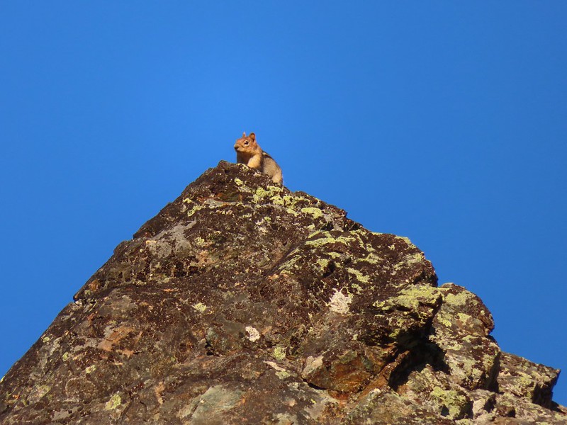 Golden-mantle watching us from atop the ridge.
 Looking back now that there was a little more sunlight.
 Diamond clarkia
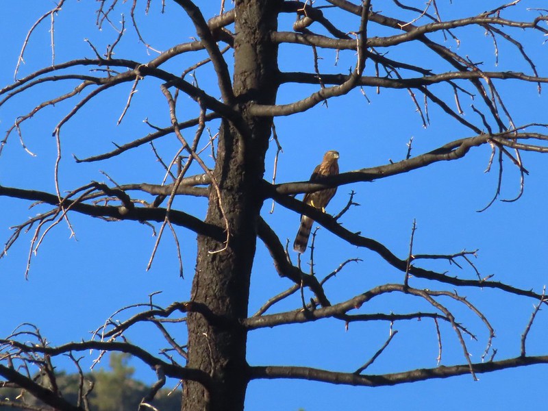 A small raptor watching from a snag.
 Wildflowers in the burn scar.
 Spreading dogbane
 A small stream/spring providing some green.
 Bleeding heart, fireweed, monkeyflower, and hedge nettle along the stream.
 Yarrow and Oregon sunshine.

 California harebells
 A lot more green vegetation near the river crossing.
 South Fork Scott River
 Mountain coyote mint
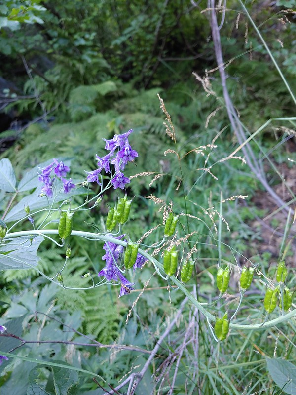 Mountain larkspur
 Mountain larkspur
 Snacks
 Campsites along the PCT near the river crossing.
 You can just make out the trail ahead heading uphill to the right.
 This trail was the most overgrown/least maintained of all the trails we’d been on this trip.
 Nearing the meadow.
 Entering the meadow and losing the trail.
 As of yet unidentified flower in the meadow.
 There was a brief pause in the climb while the trail passed a series of springs.
 Vegetation along the trail at the springs.
 Back to climbing.
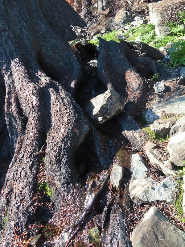 The final spring that we passed was coming out of this hollowed trunk.

 There were several places where it looked like the trail was going to finally crest but when you got there you just found more uphill.
 Finally the trail is leveling out.
 Looking back over the lower lake.
 Heading off-trail for the upper lake.
 Back to the lower lake.
 A penstemon
 Another look at the cool spring.
 Monkeyflowers along the springs.
 Butterfly on western snakeroot
 Back through the meadow.
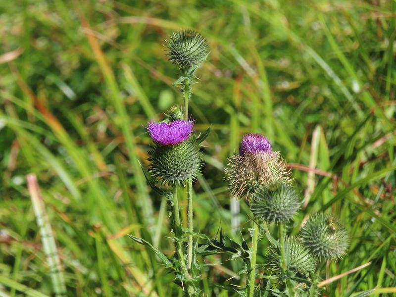 Thistle
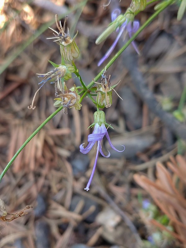 Close up of a California harebell.
 I can see a car at the trailhead.
 The helipad at the trailhead.
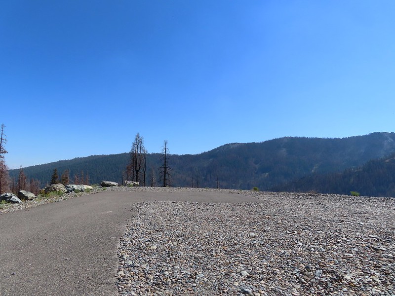 The helipad at the trailhead.
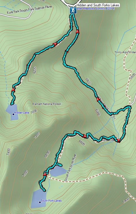


 An aster (or a fleabane, it’s so hard to tell).
 Musk monkeyflower
 Tiny green frog.
 It was easy to spot where the creek was based on the green.
 The wilderness boundary.
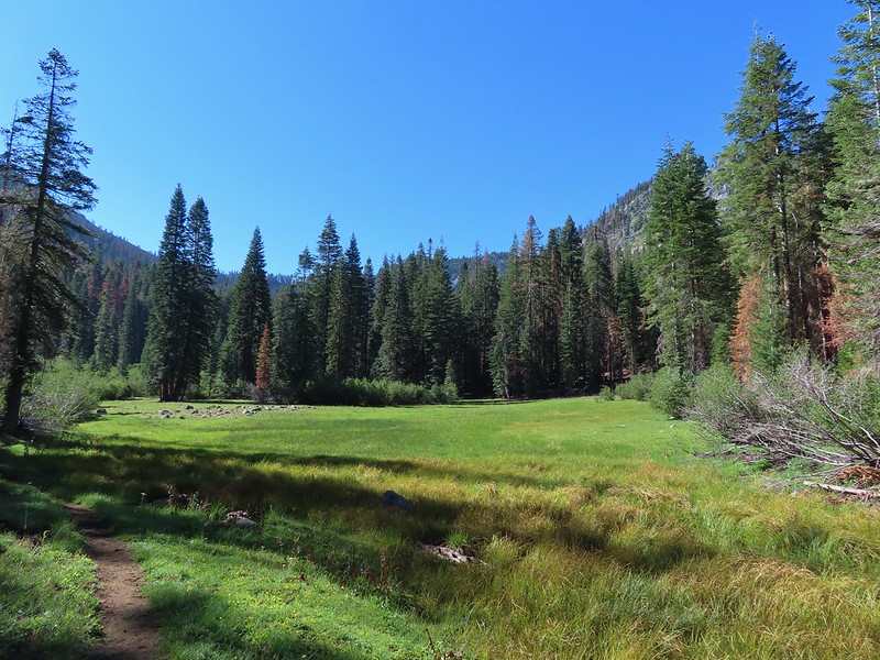
 The creek crossing.
 Paintbrush
 A checker-mallow near the creek.
 A junco. We saw a large number of small birds flying around during our trip, mostly junco’s and chickadees but they rarely ever sat still where we could see them.
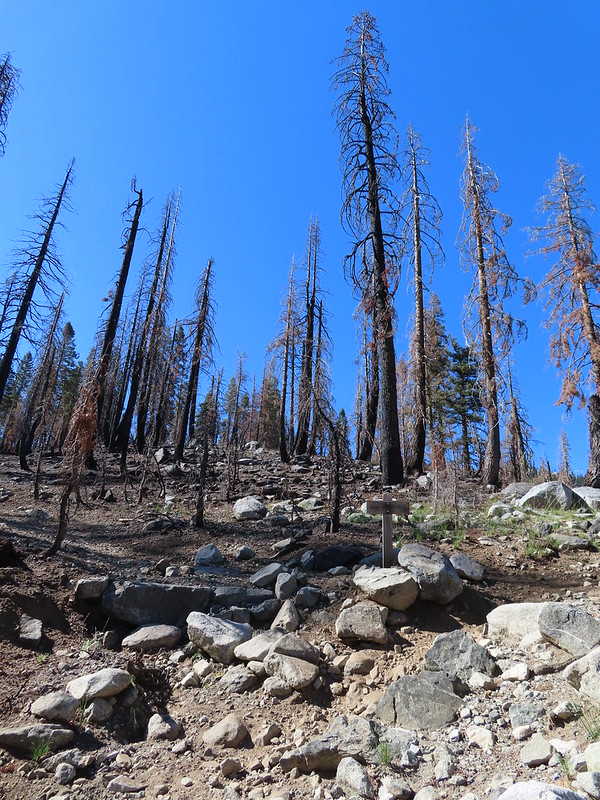 Pointer for Trail Gulch Lake 0.8 miles from the Creek Crossing.
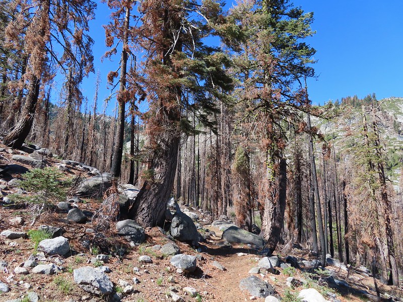


 One of several deer seen running uphill as we made our way up the trail.
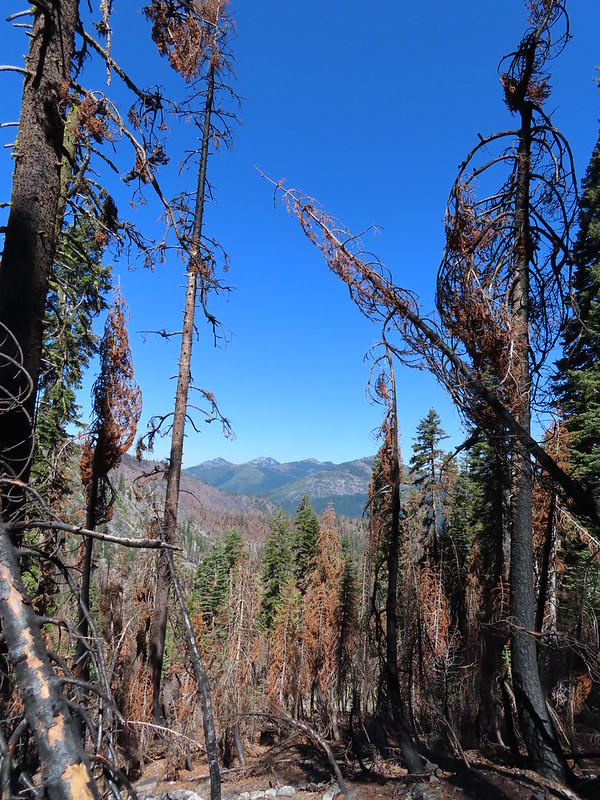 View back down Trail Gulch.
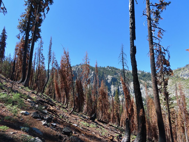
 Paintbrush
 Peaks in the Russian Wilderness.
 Arriving at the pass.
 Trail Gulch Lake from the pass.
 Clark’s nutcracker
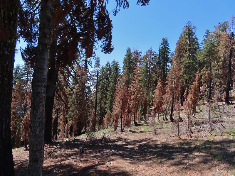
 The sign for Steveale Meadows where we went uphill on the trail to the right.


 View south from the tie trail.
 Approaching the pass.
 Sullivan mentions that it is possible to scramble 0.2 miles to the right along this ridge to get a view of Mt. Shasta and the heart of the Trinity Alps but with the smoke on the horizon we didn’t feel it was worth the effort and skipped that option.
 Looking down into Long Gulch from the pass.


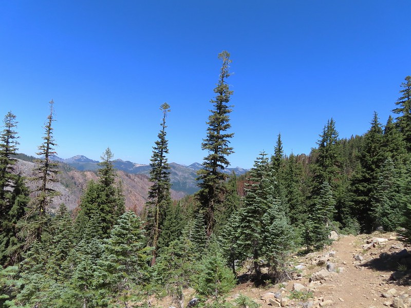 To the north we could see much of the route we’d taken the day before on the way to Siphon and Russian Lakes.
 Chipmunk with a snack.
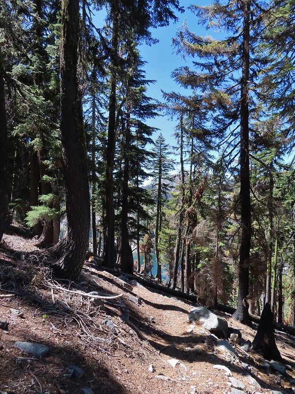

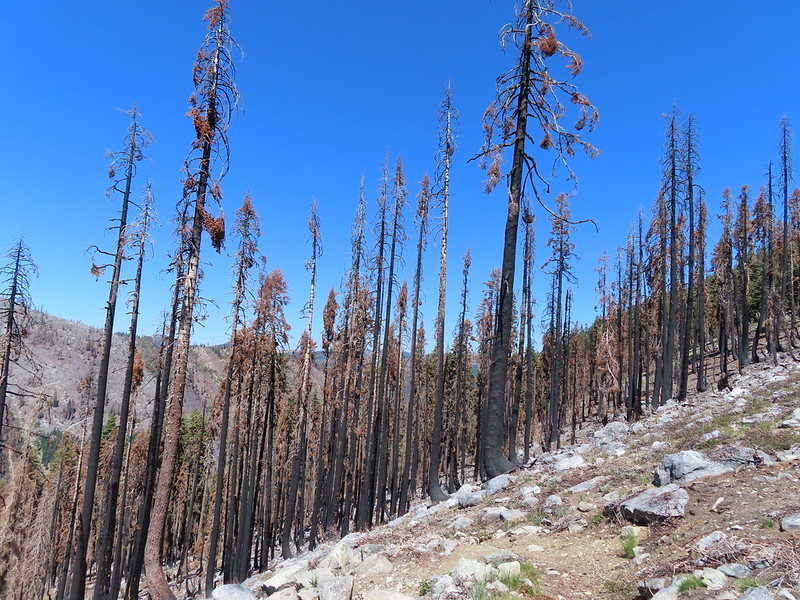
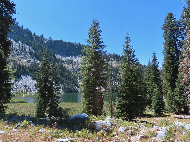
 The outlet creek.
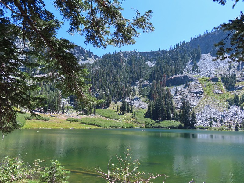
 Long Gulch Trail passed to the north of Long Gulch Lake for a quarter mile.
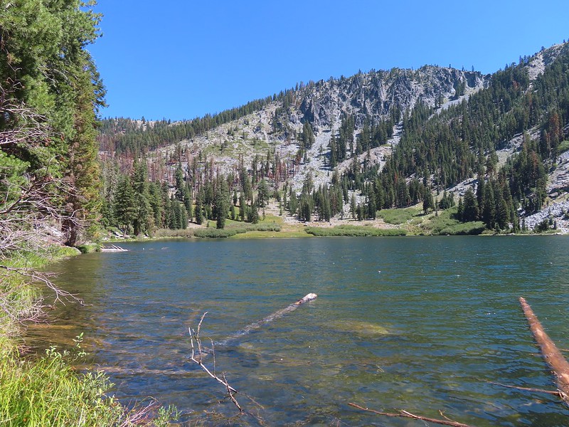 The pass that the trail came down is along the ridge to the left here.
 Parnassian on mountain coyote mint.
 Skipper on mountain coyote mint.


 Meadow with a number of big trees that survived the fire.
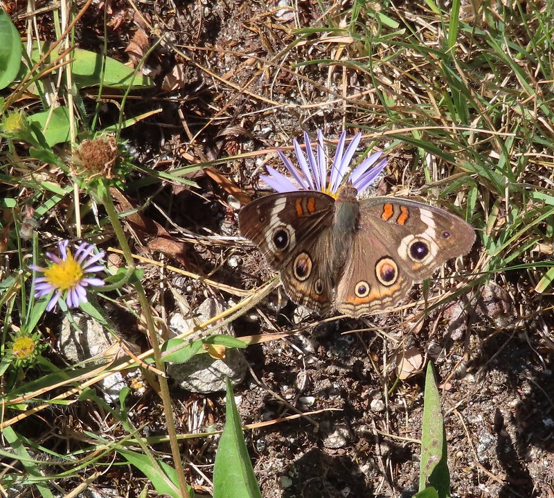 Common buckeye
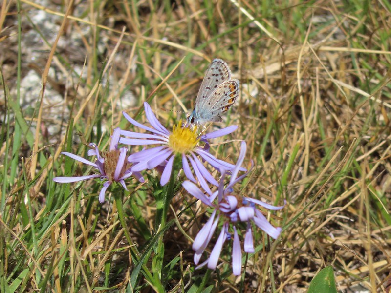 A copper or blue
 Lorquin’s admiral
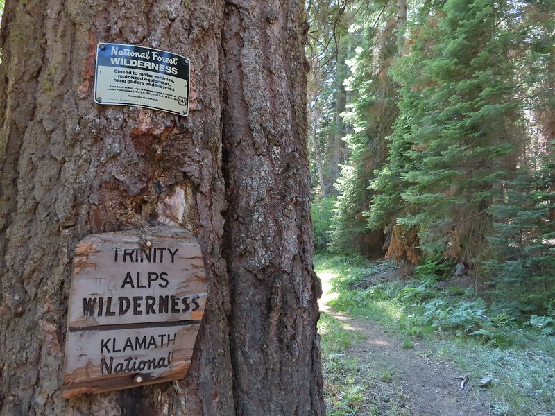 Leaving the Trinity Alps Wilderness.
 The trail briefly followed the Long Gulch Creek.
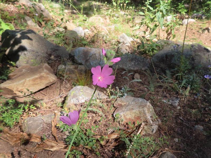 Checker-mallow
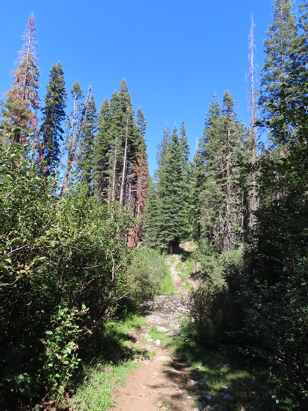 The trail crossed the creek just under 2 miles from the junction.
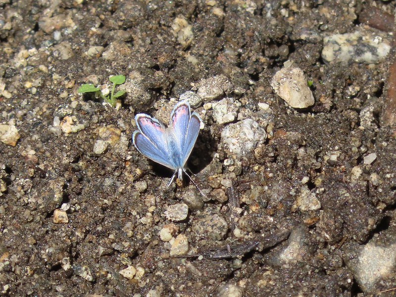
 Arriving at the Long Gulch Trailhead.
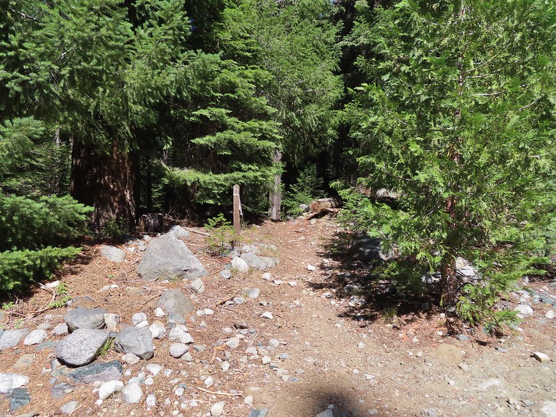


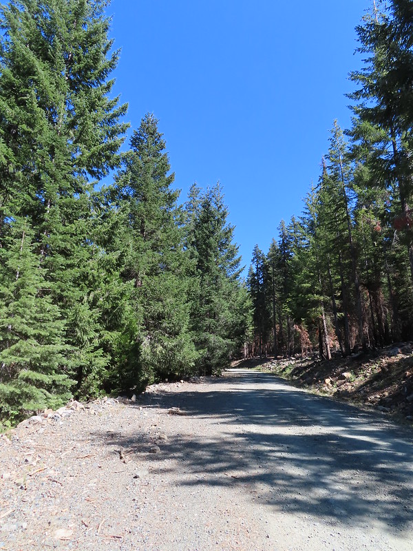
 We did pass a sign for the horse trail along the road.
 To the far right of the photo in between the green and orange branches is where it landed.
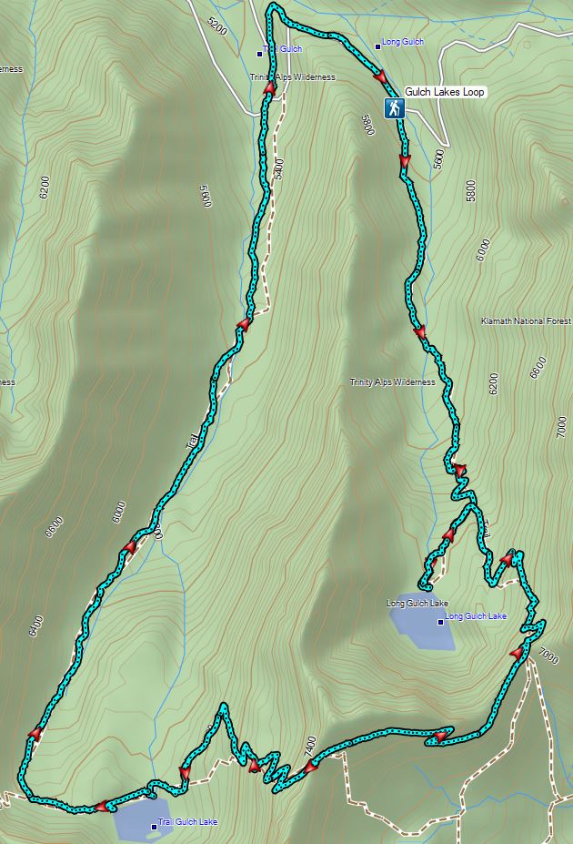

 PCT below FR 39N48.
 Tail and Long Gulches in the
  Lots of buckwheat along the ridge.
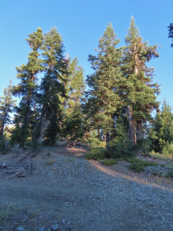

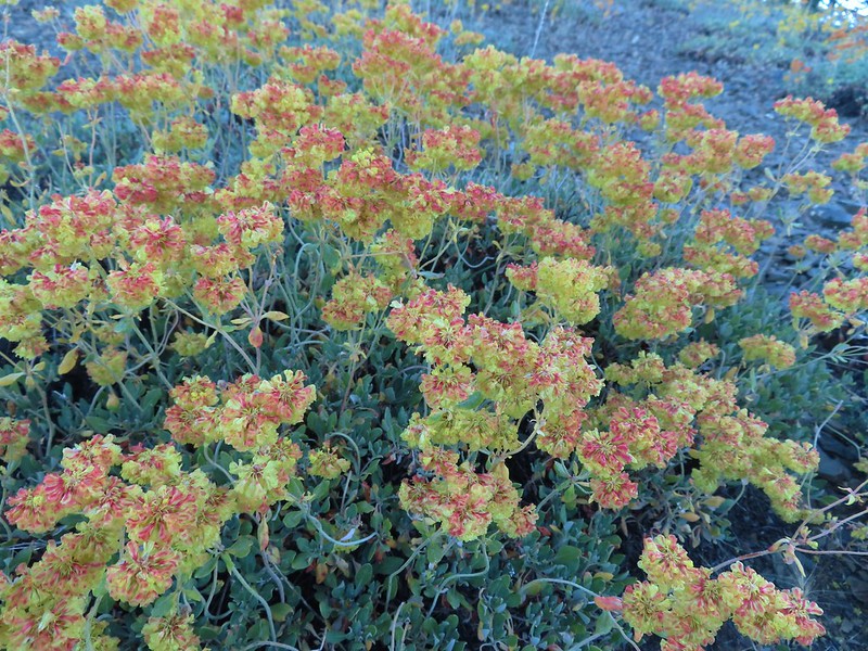 Buckwheat
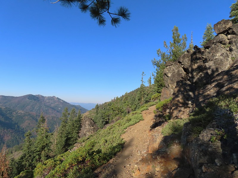

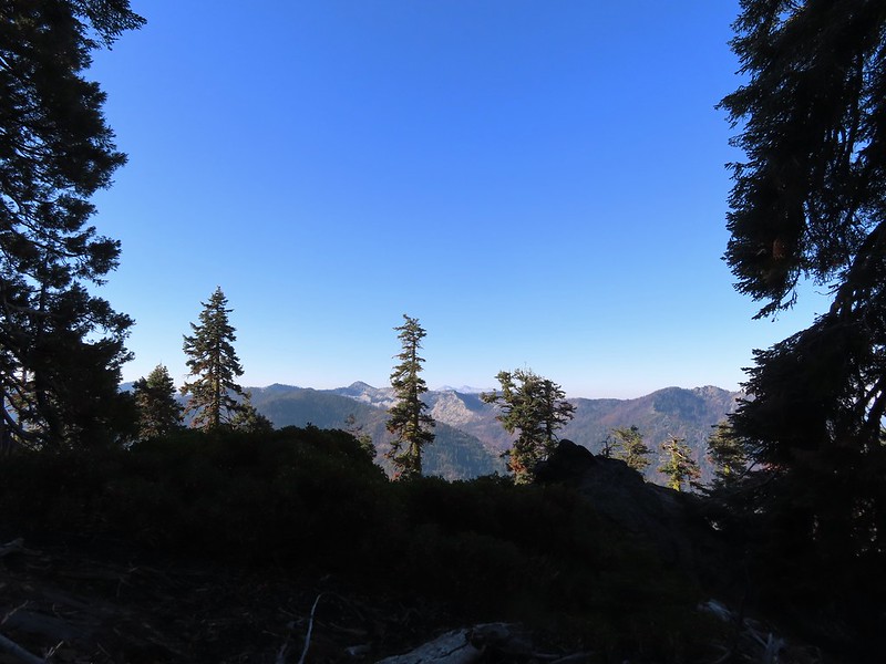 Trinity Alps Wilderness
 Caesar and Thompson Peak
 We would be passing below the peak in the distance later.
 Small buck on the hillside above the PCT.
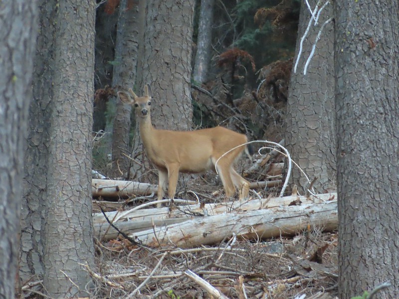
 The Deacon Lee Trail was visible crossing the opening on the far hillside.

 Checker-mallow
 Crescent butterfly
 Small spring along the PCT.
 The junction with the Deacon Lee Trail.


 Dwarf lupine

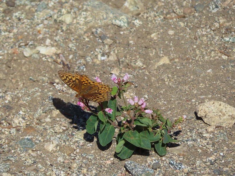 Fritillary butterfly on spreading dogbane.
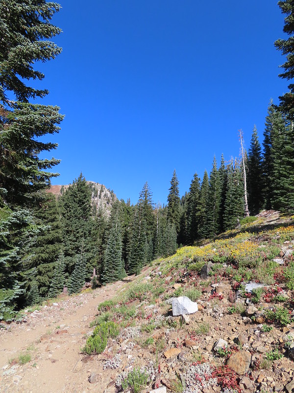 Nearing Siphon Lake.
 Siphon Lake was just under a mile from the PCT.
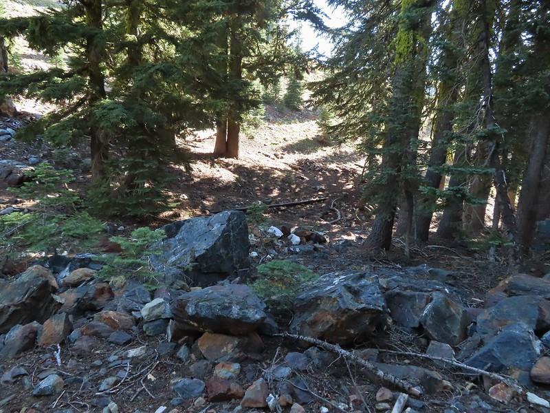 Old pipe that used to bring water down to mines lower on the hillside.
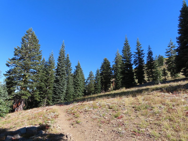
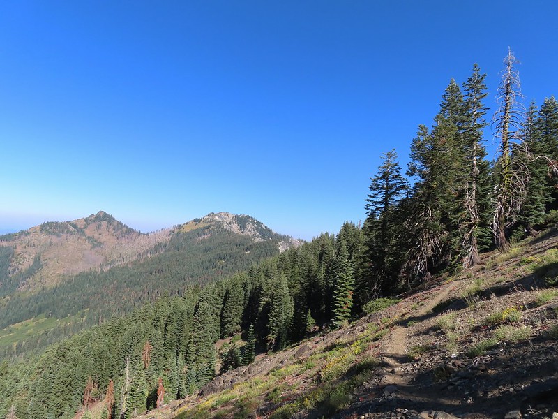


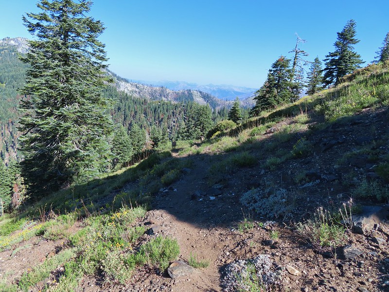
 Zoomed in on the pair.
 The curious fawn.


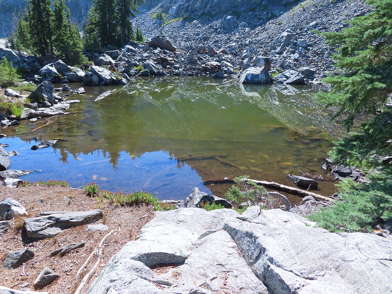
 The pond was full of tadpoles.
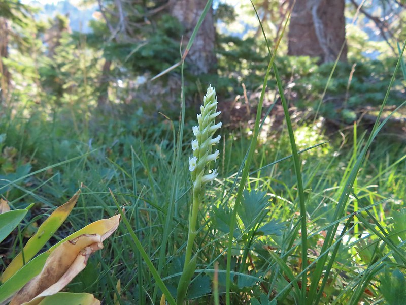 Hooded ladies tresses
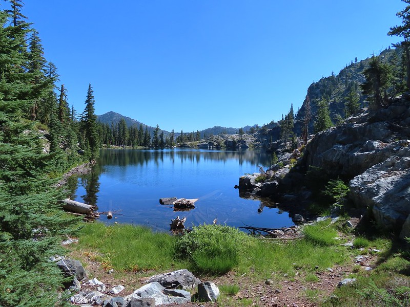
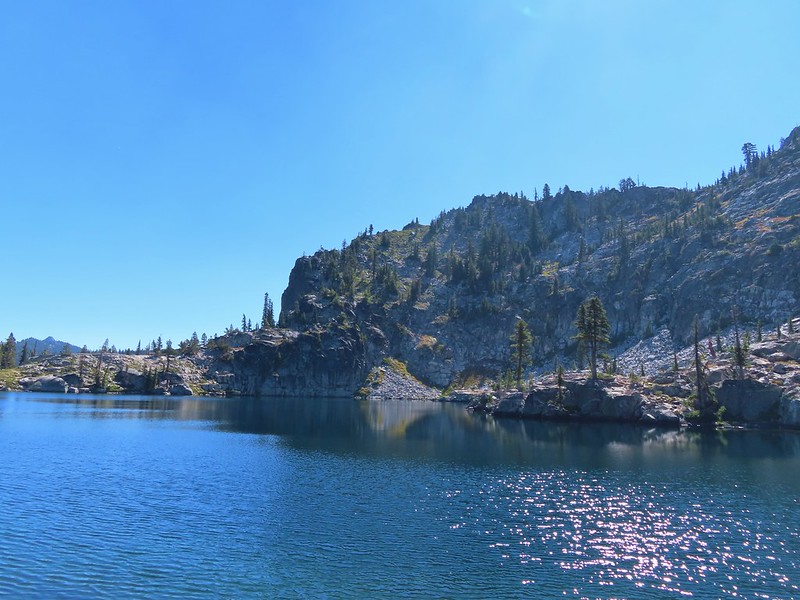
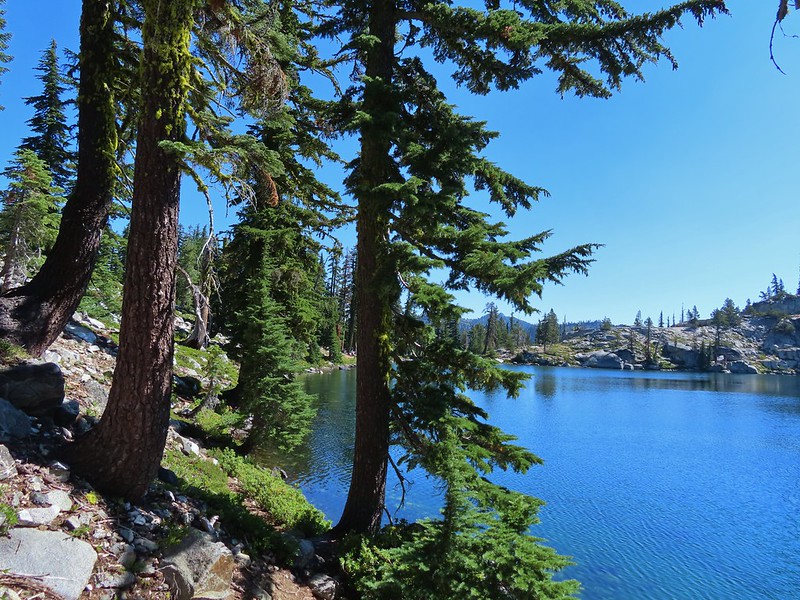
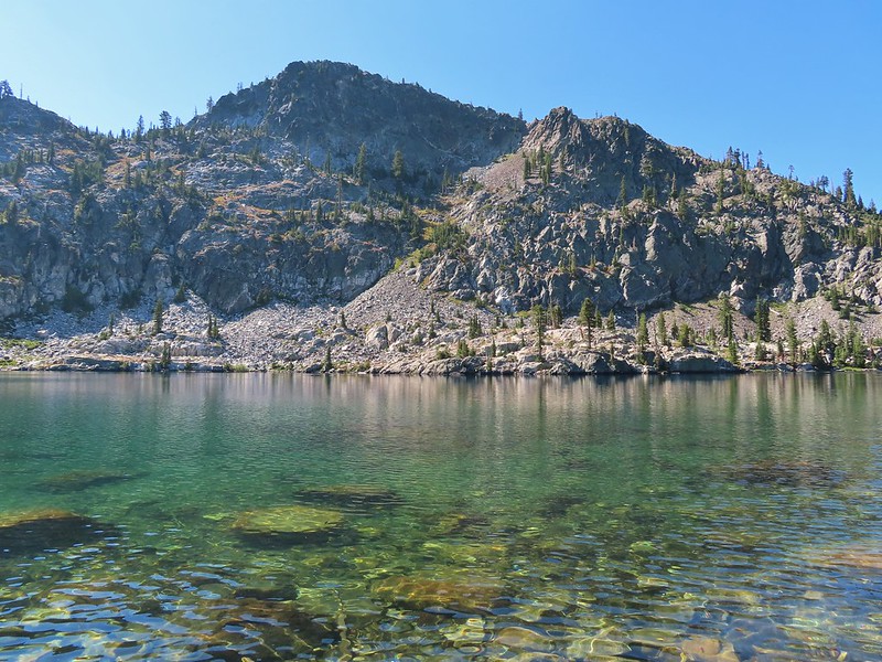
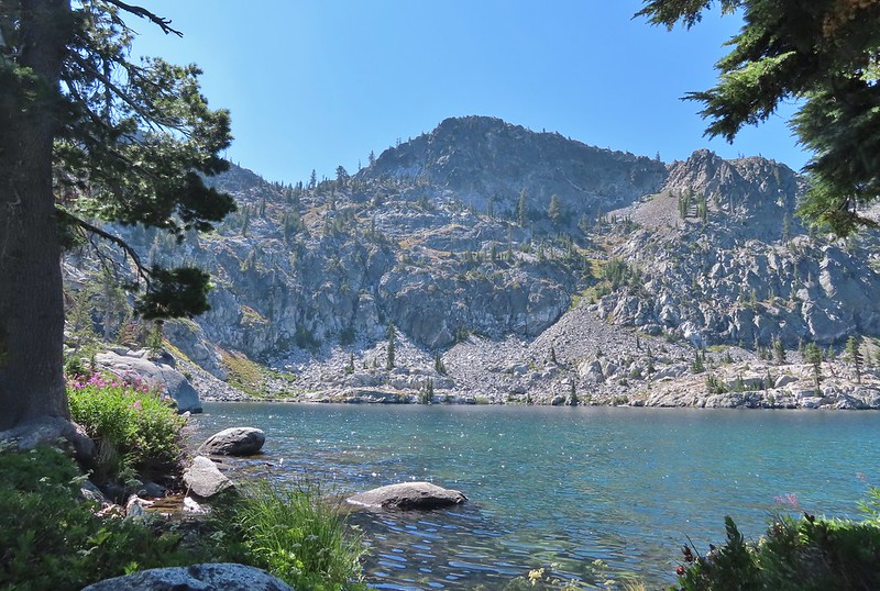 View from the outlet creek.
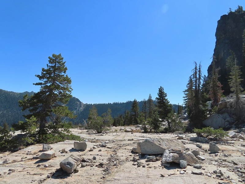
 Russian Peak
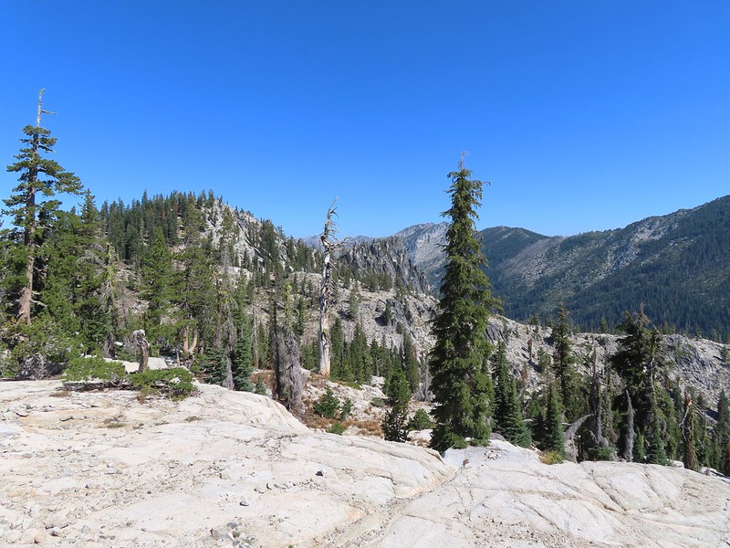


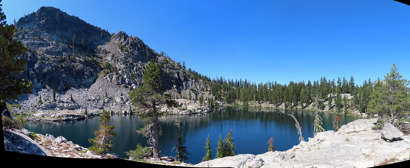
 Fireweed near the outlet.
 Large boykinia

 Saxifrage seed head
 It was a pretty good drop down to Waterdog Lake.
 Waterdog Lake.
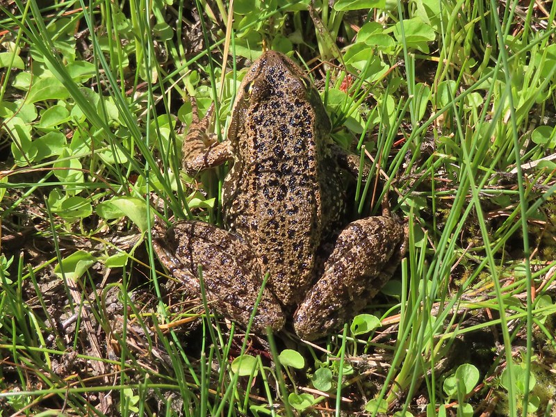

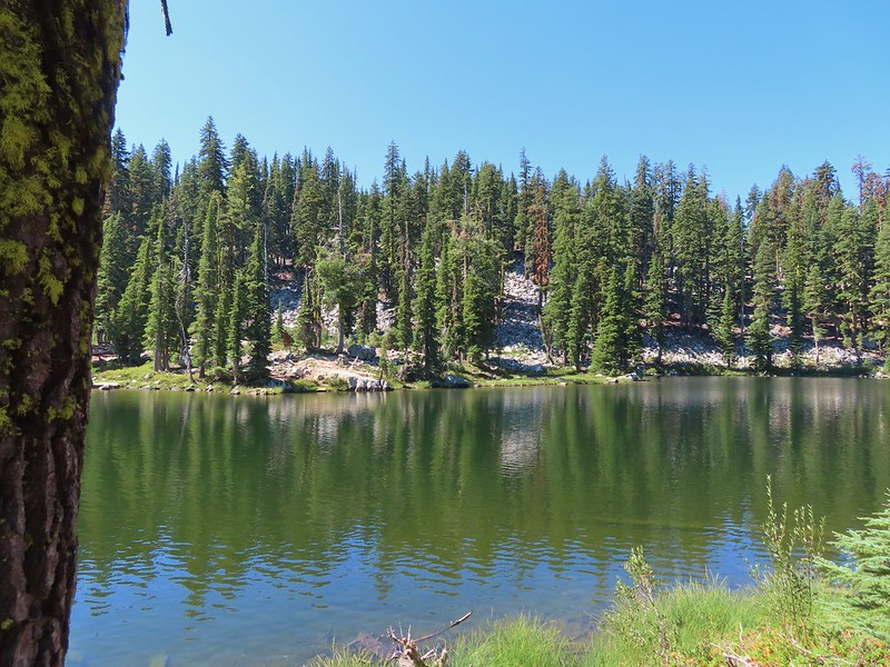 The deer were across the lake in those trees.
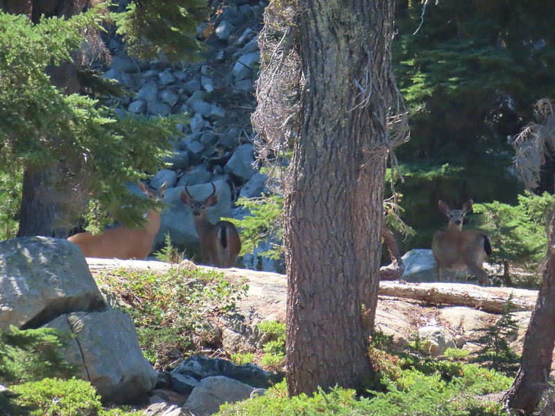
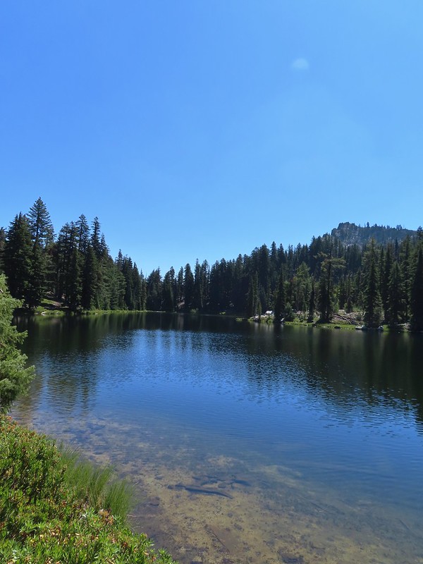 Looking back along the lake.
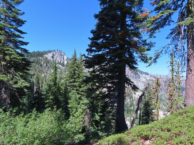
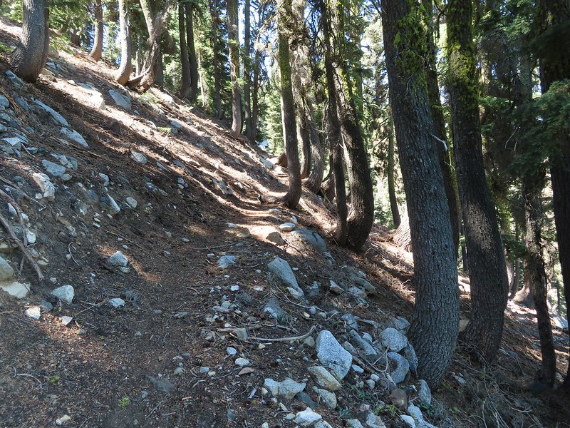
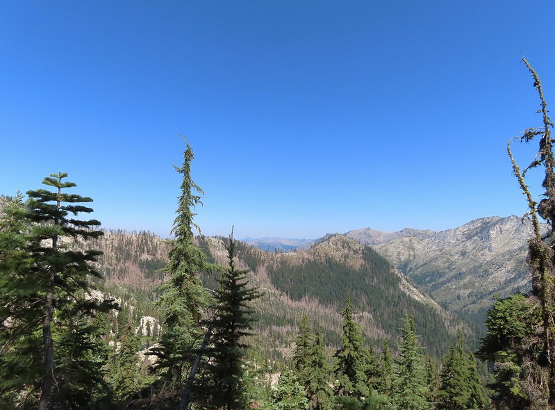


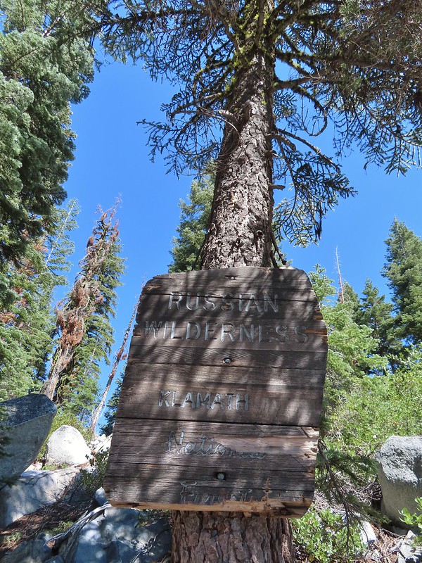

 Paintbrush
 There were dozens of lizards scurrying across the trails all day but not many stopped long enough for photos.
 Haven’t been able to identify this one yet.
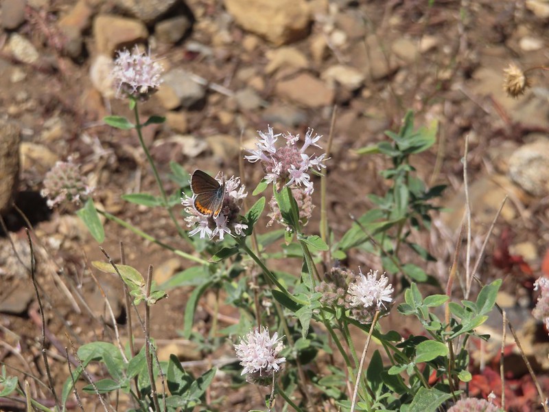 Butterfly on mountain coyote mint
 Another butterfly on mountain coyote mint.
 Grasshopper that became obsessed with Heather’s glove.
 Cricket
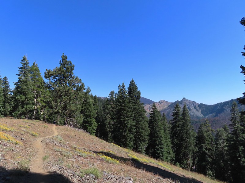
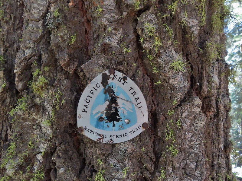
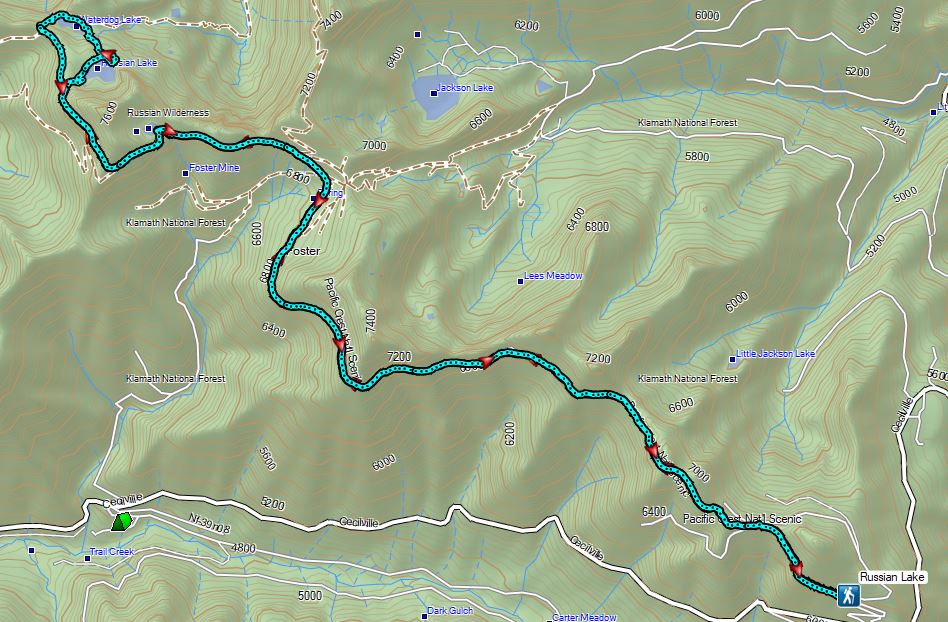


 Entering the
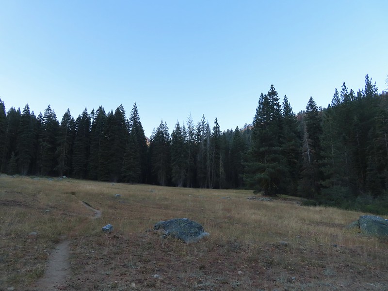

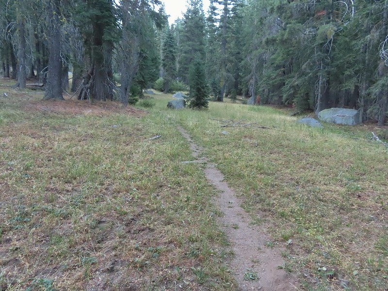
 First view of the small waterfall.
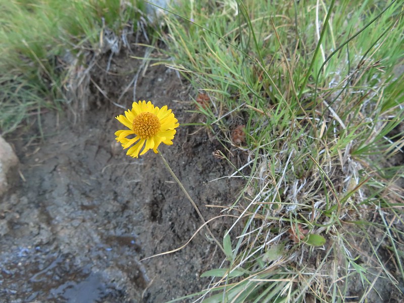 Bigelow’s sneezeweed
 Marsh grass-of-Parnassus
 Not sure what these little guys are.
 Checker-mallow
 Western snakeroot
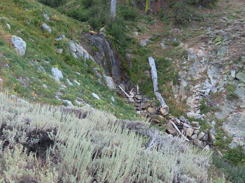 Passing the waterfall.
 Peaks in the
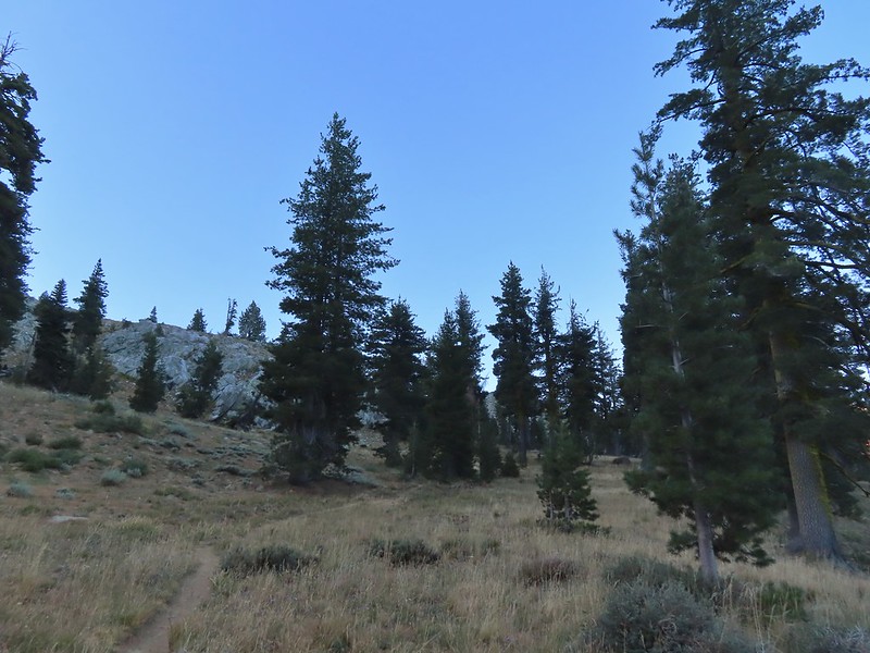
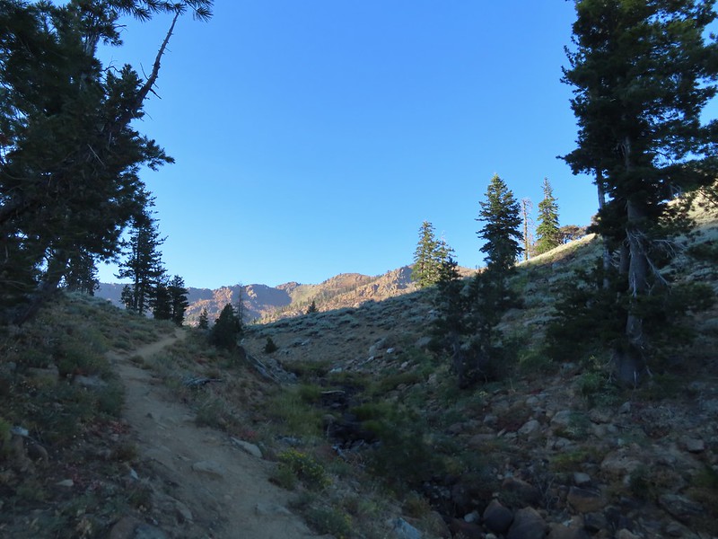
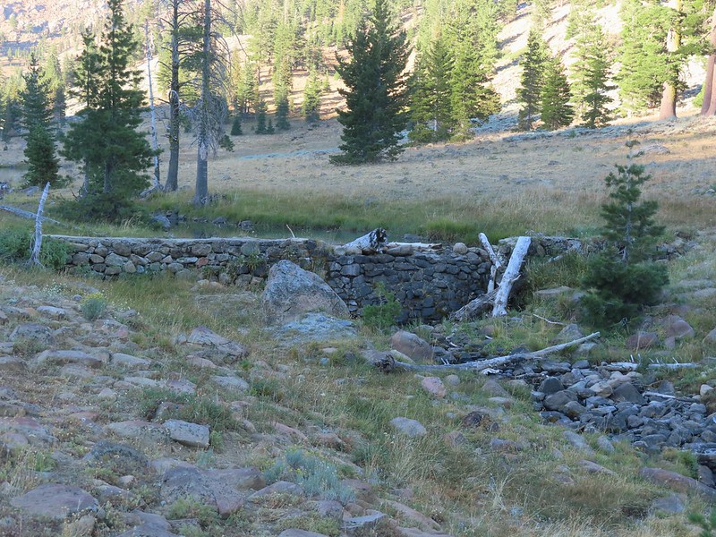 Dam near East Boulder Lake.
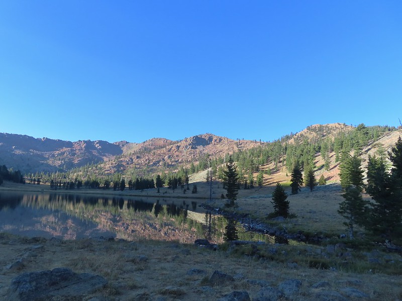


 There were cows out there somewhere but we couldn’t see them.
 View from the dam. We had to watch out for frogs here.
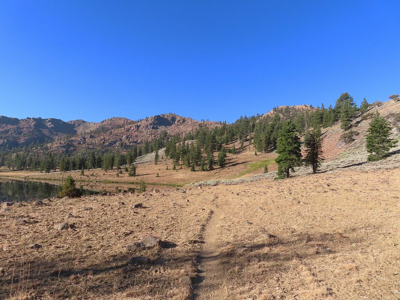

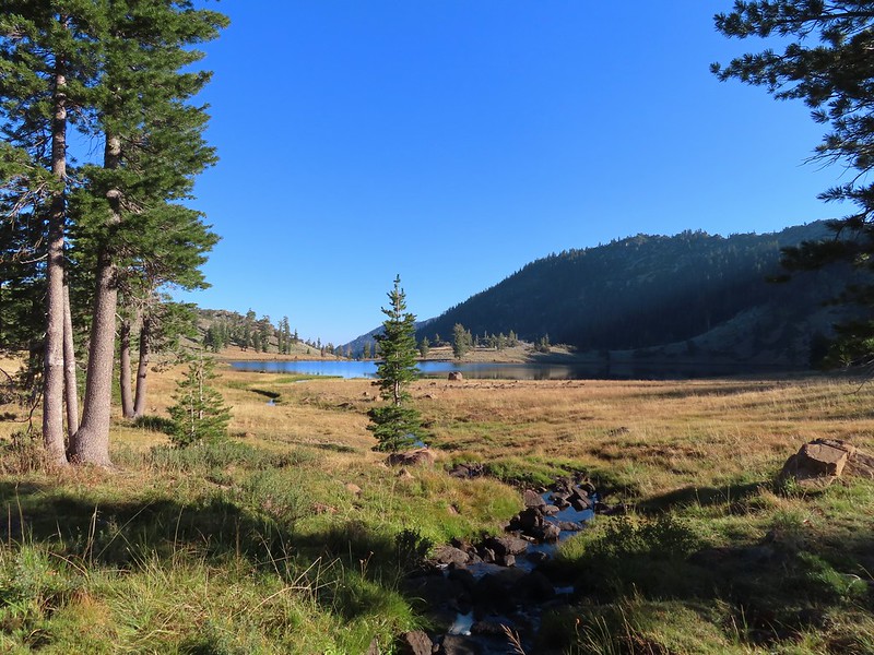 We should have stuck closer to the lake.
 Buckwheat
 Back on the trail where the cows were just leaving.
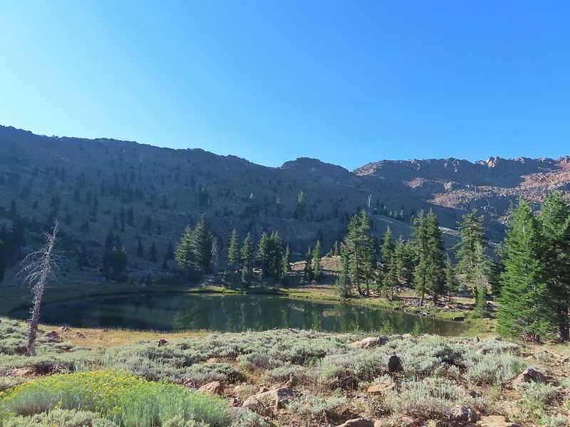
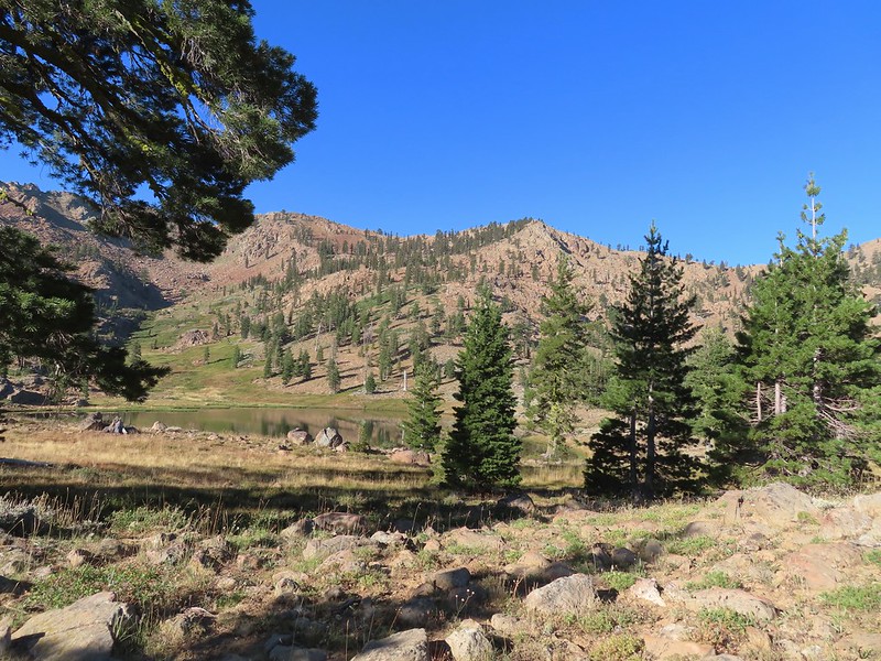 Upper Boulder Lake
 Upper Boulder Lake in the background.
 One of the cows on the far side of the lake to the left.
 Toothed owl’s clover
 Ducks on Upper Boulder Lake.
 The climb was fairly steep at times.
 All four lakes in view.
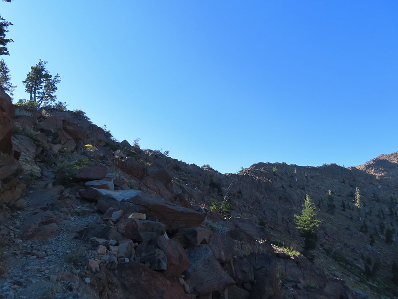 Almost to the pass.
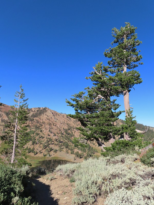 At the pass.
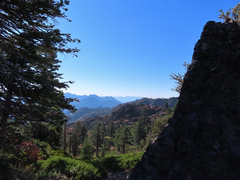 Looking south further into the Trinity Alps Wilderness.


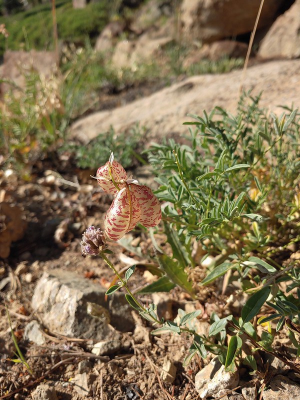 Balloon-pod milk vetch
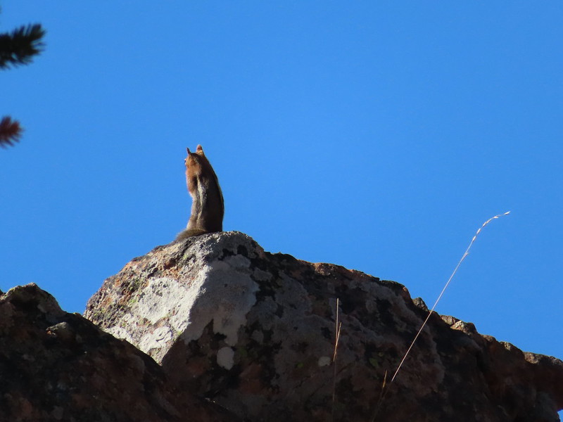 Golden-mantled ground squirrel taking in the views.
 Mt. Shasta over Mt. Eddy through the haze. I believe the lake below to the right is Big Marshy Lake.
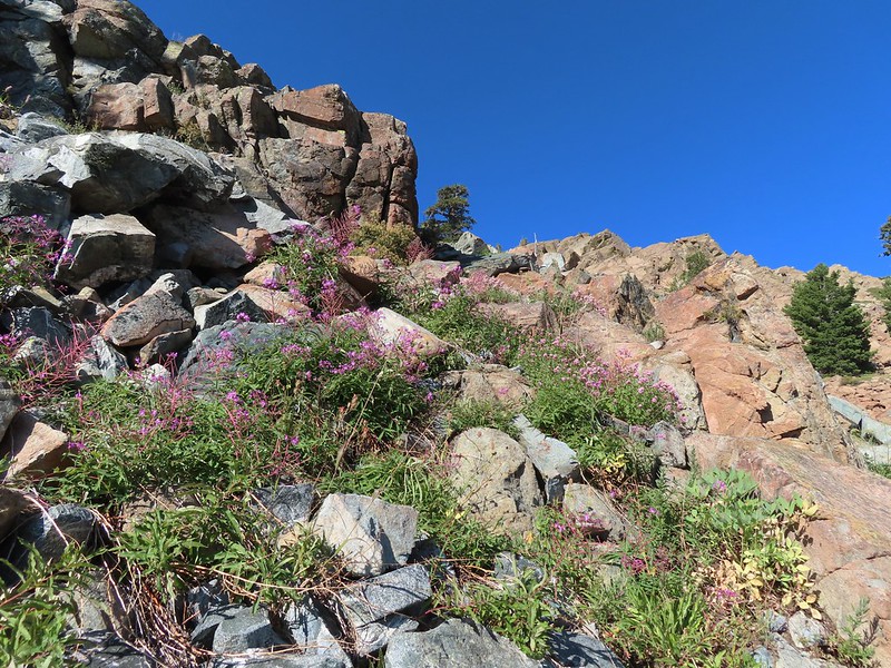 Fireweed in the rocks.
 Paintbrush
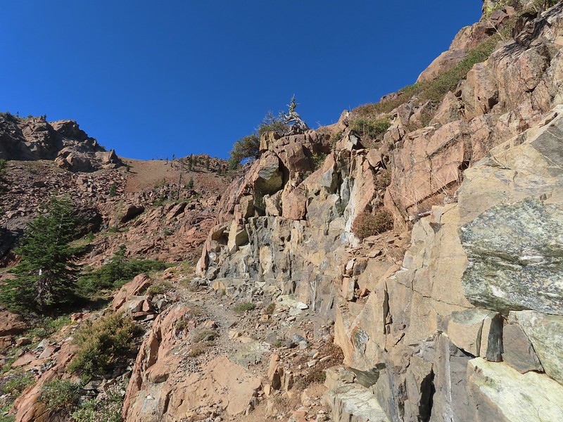
 A bit of water from a spring along the PCT.
 The water was coming from somewhere up there.
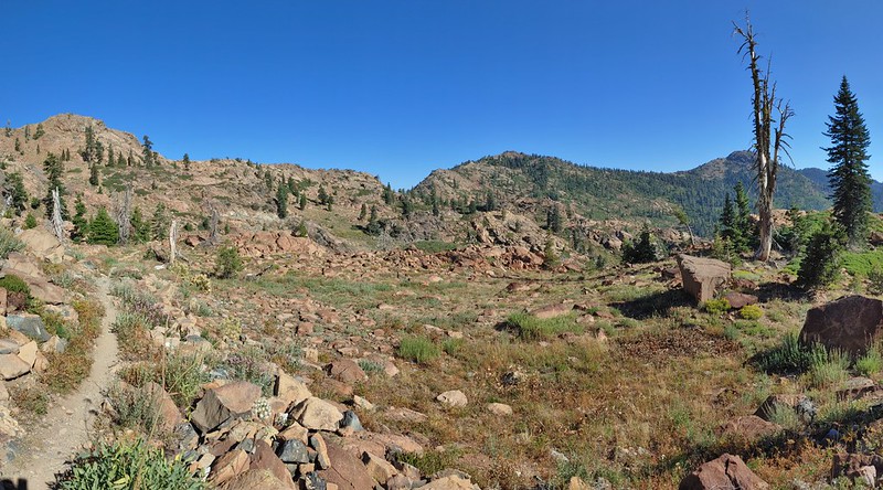 Looking back along the PCT.
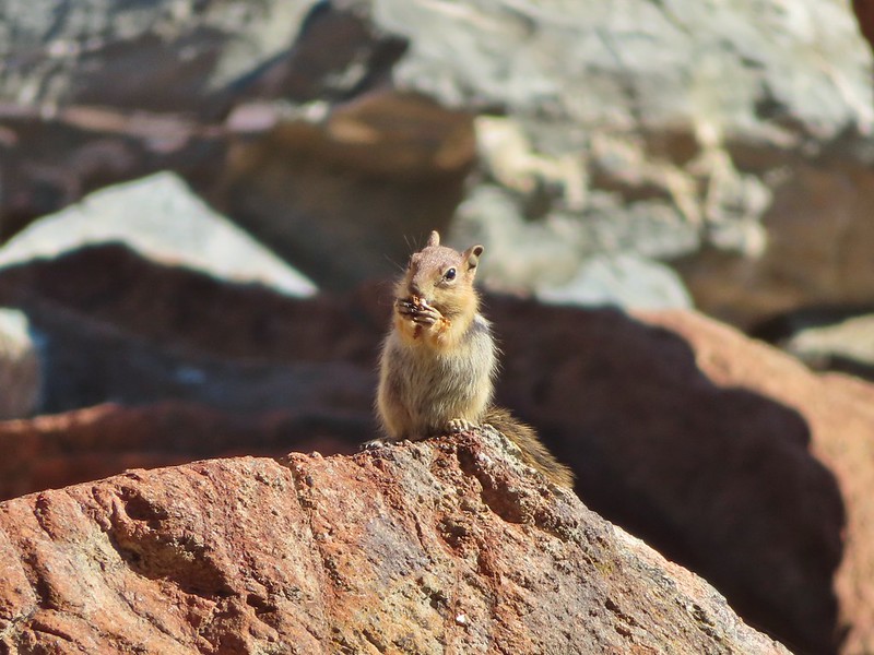 Snack time.
 Caesar and Thompson Peak
 This northern flicker looks like its head is on backwards.
 A little bit of burned forest near the pass.
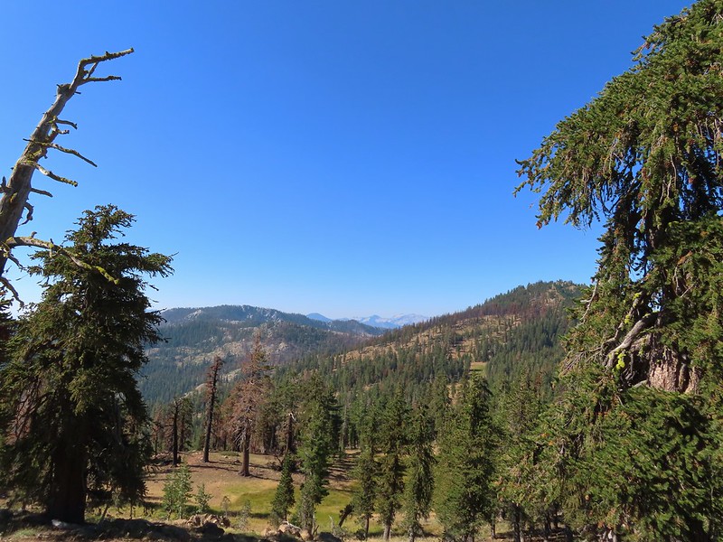 More peaks in the heart of the Trinity Alps.
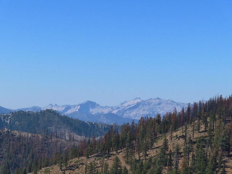 Caribou Mountain (
 The pass above Middle Boulder Lake.
 Middle Boulder Lake is just visible beyond two smaller unnamed lakes.
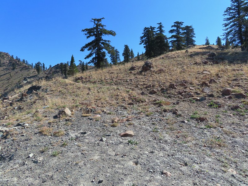 Middle Boulder Lake Trail at the pass.
 The Middle Boulder Lake Trail traversing down the hillside.
 A sulphur butterfly.
 The trail stayed above the two unnamed lakes.
 The trees on the far hillside were burned in the 2021 fire.
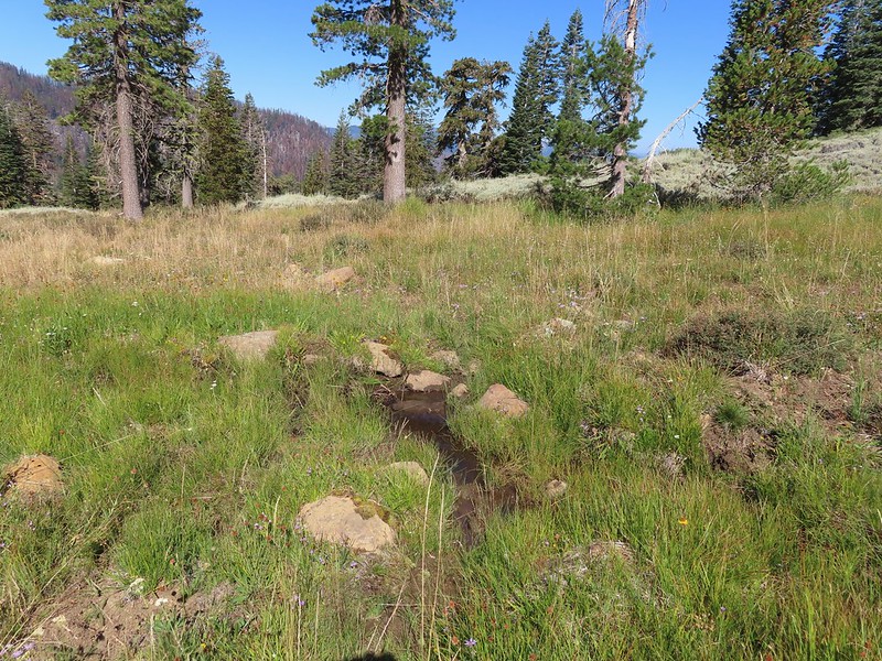


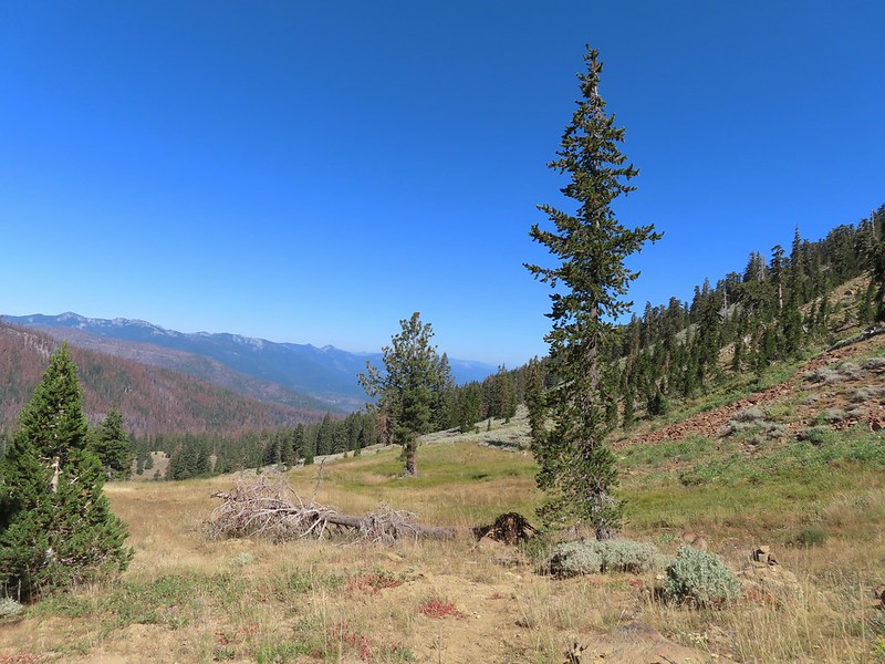 The cairn to the right of the downed tree.
 This may be Autumn dwarf gentian
 One of the more obvious cairns.
 Butterfly on a seed head.
 The tread getting clearer.
 Middle Boulder Lake
 Back on good tread.
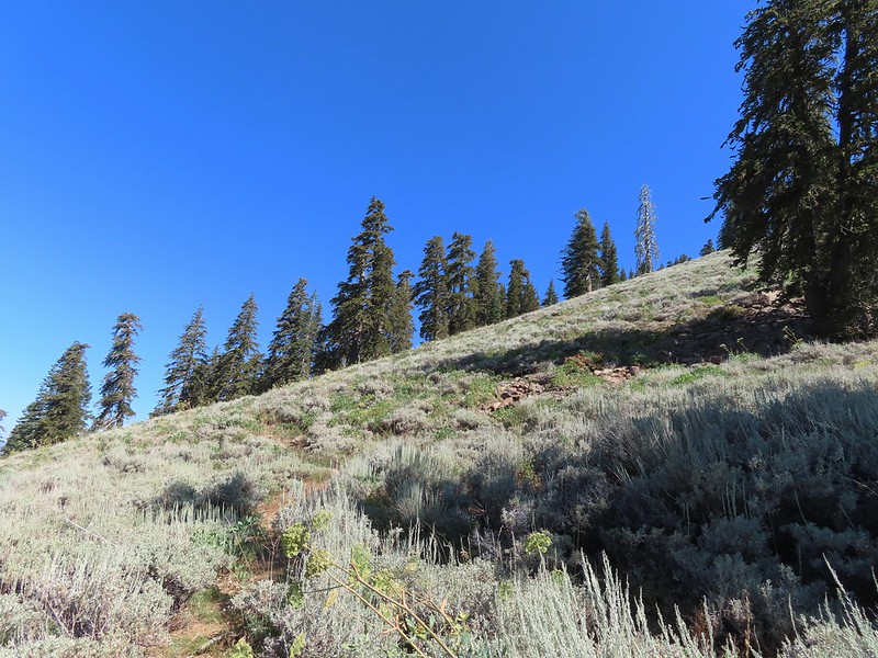
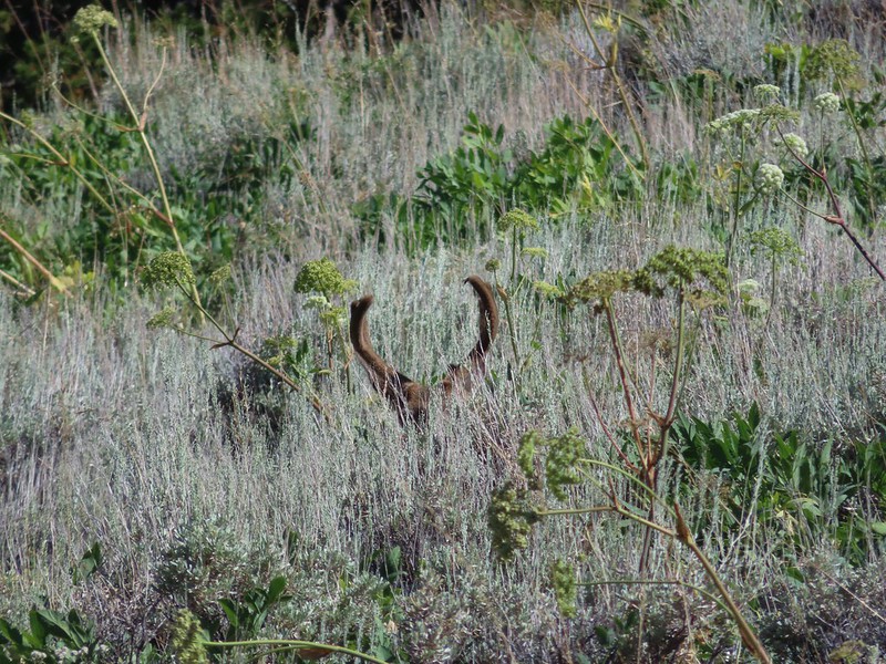


 Orange agoseris
 Passing through a bit of forest before climbing to the saddle.
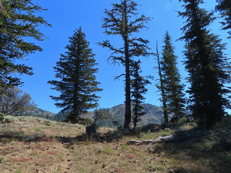

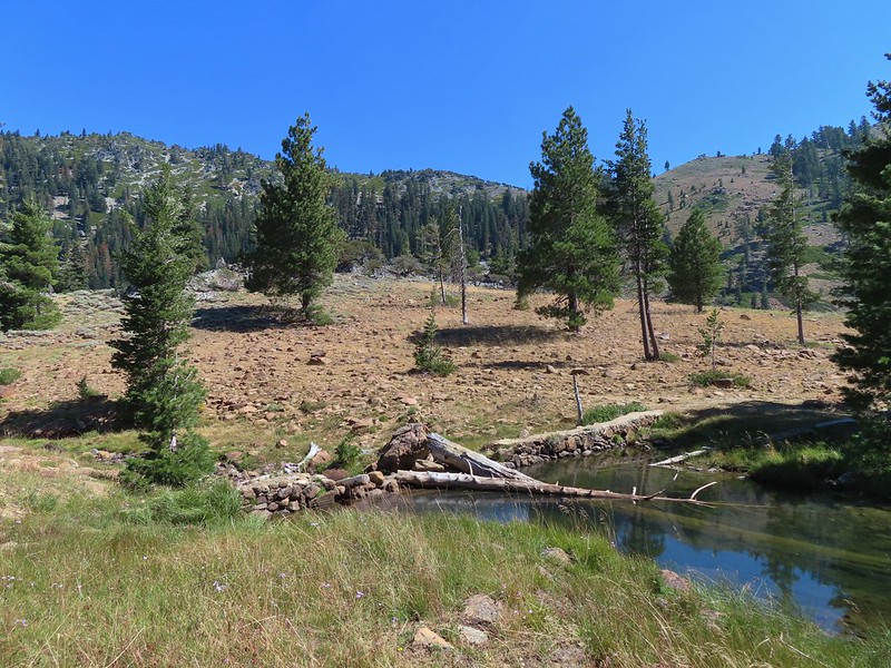 Approaching the dam.
 Fish in East Boulder Creek.
 Descending near the waterfall.
 An aster or fleabane.
 Butterfly
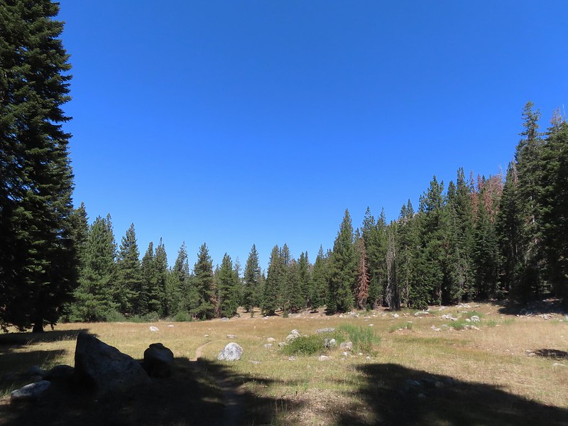
 Woodpecker
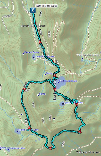
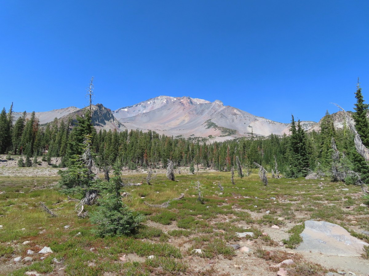

 Lupine at the trailhead.
 A line of smoke over the Castle Crags (
 Castle Crags
 Green Butte and Mt. Shasta
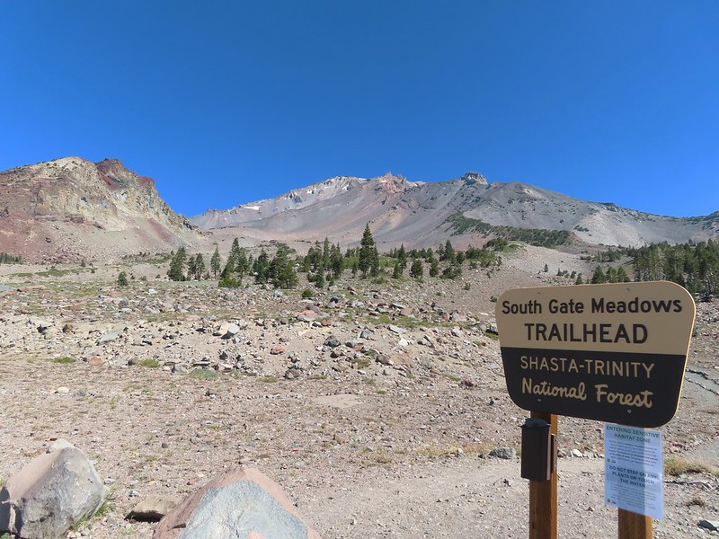
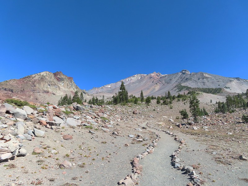
 Common buckeye

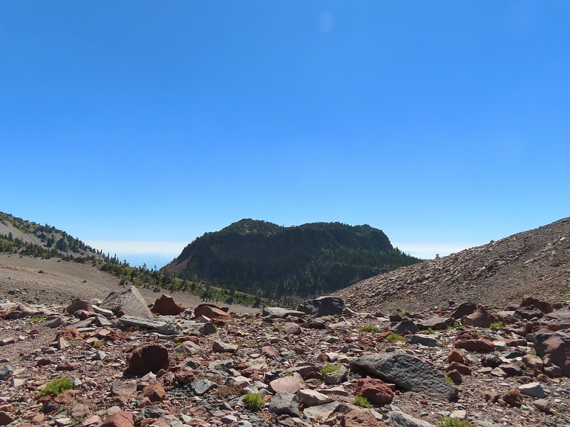 Red Butte from the pass.
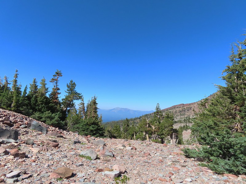 Mount Eddy from the pass.
 Heather standing at the wilderness boundary.
 A dry spring along the trail. Ideally we would have been doing this hike (and trip) in late July for more wildflowers but sometimes the circumstances dictate when and where we wind up.
 Approaching The Gate.
 Shastarama Point and Thumb Rock
 Gray Butte
 The trail junction near The Gate. The trail to the right would be our return route to make a loop through Panther Meadows, but for now we went left following the pointer for South Gate Meadows.
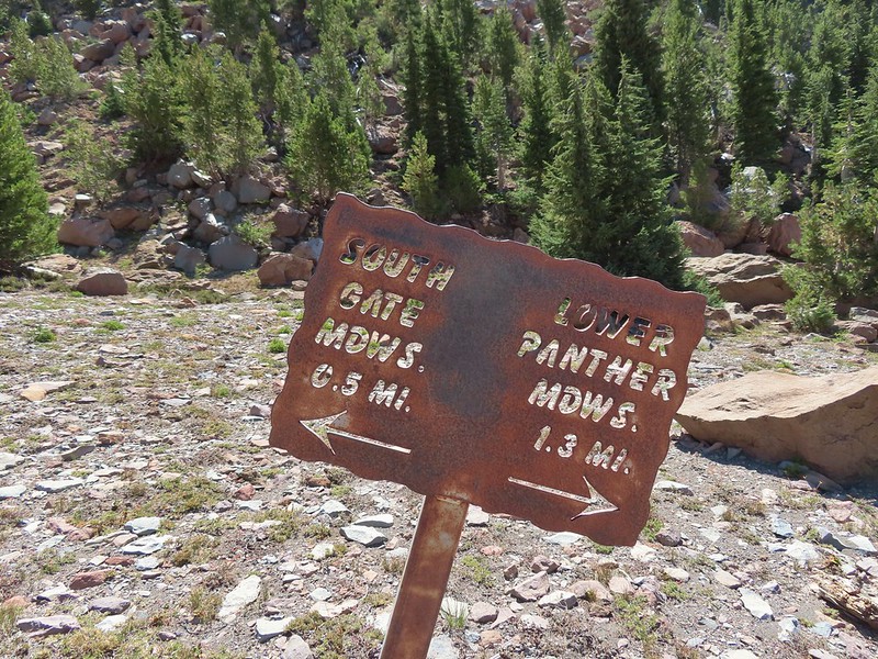


 A paintbrush and aster.
 Penstemon
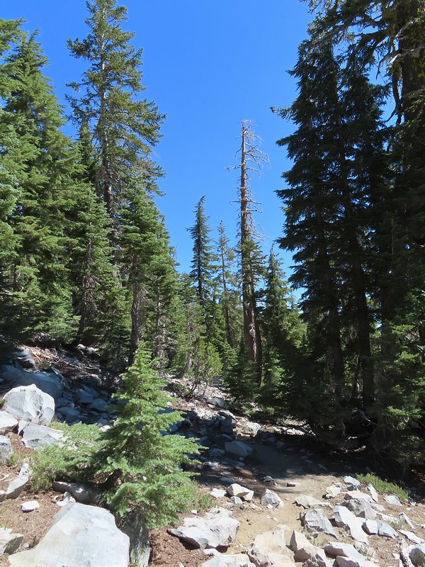
 Some haze to the south but we could make out Lassen Peak which is one we rarely ever get to see.
 Lassen Peak
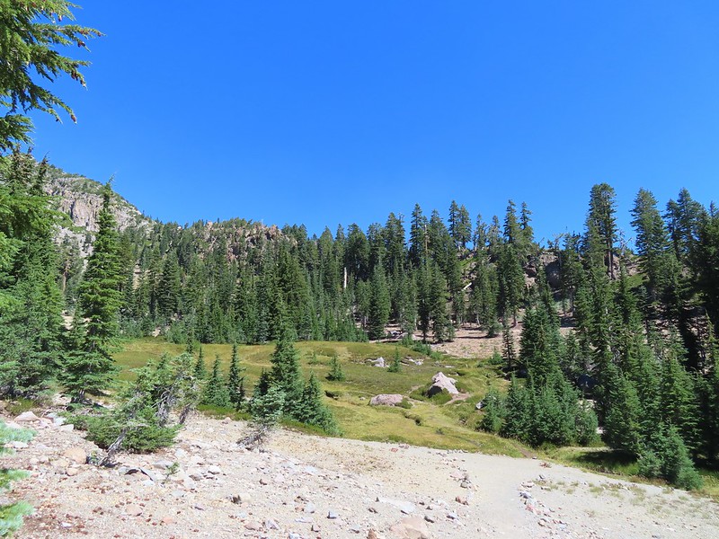

 Primrose monkeyflower
 The use trail crossing the creek.
 In sight of the circular meadow.
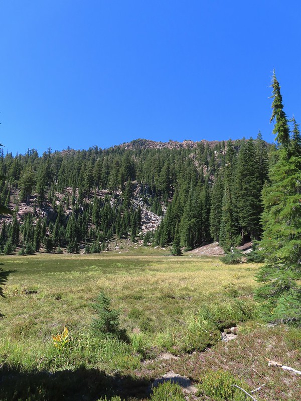
 Marsh grass-of-Parnassus
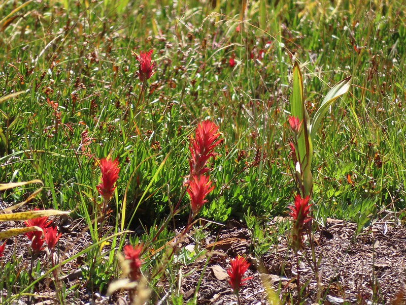 Paintbrush
 Back at the meadows.
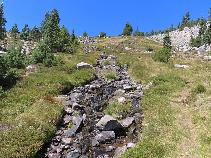
 A pair of common buckeyes.
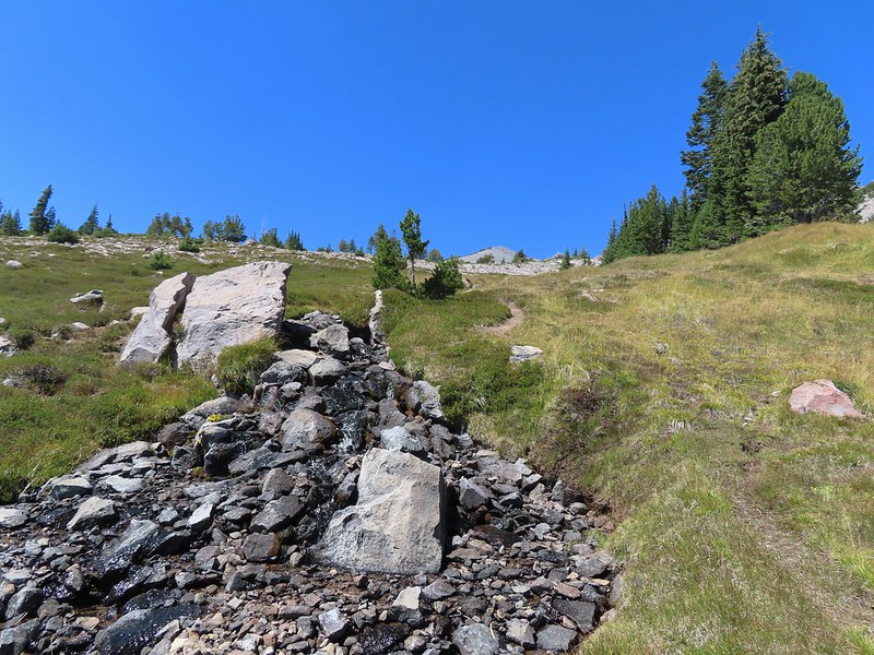
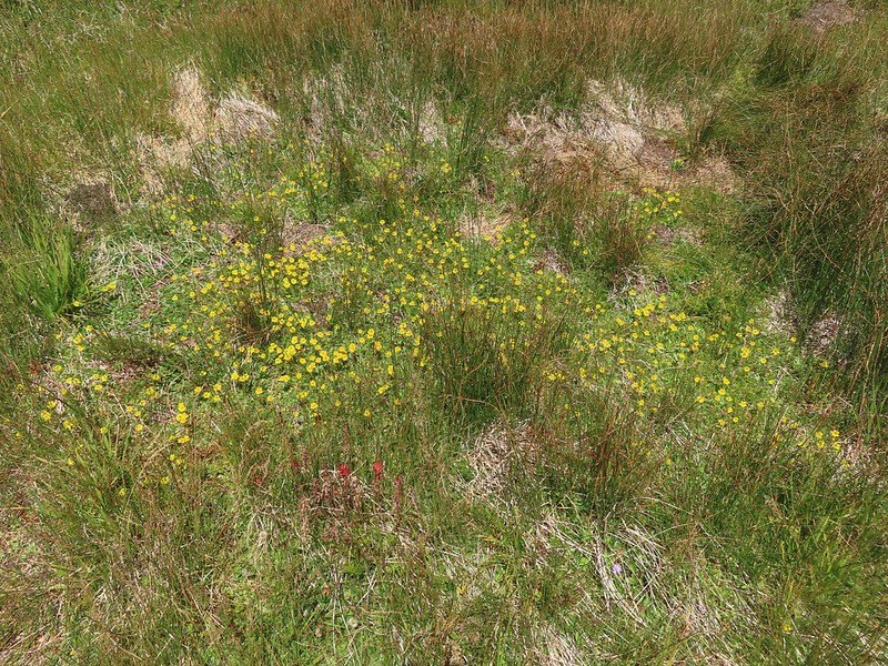 Primrose monkeyflowers and paintbrush
 Not the “monkeyflower” spring but a smaller one along the way up.
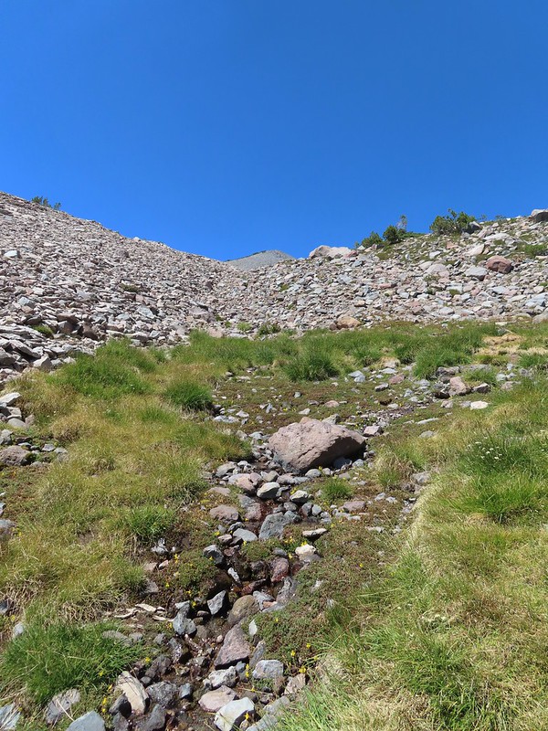 The “monkeyflower” spring.
 A couple of monkeyflowers and a buckeye.
 I climbed a bit above the spring to check out the view.
 Heather arriving at the spring.
 A Clark’s nutcracker also taking a break.
 Two types of monkeyflower and bog St. John’s wort,
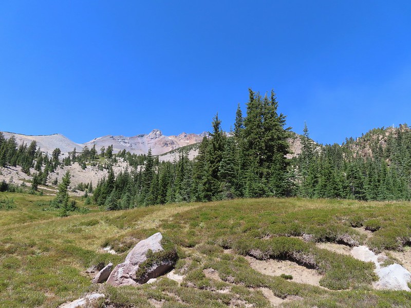 One last pass through South Gate Meadows.
 Red Butte
 Shasta knotweed
 Back at The Gate.
 Mt. Shasta from the trail.
 Red Butte
 Glaciated rock.
 Mt. Shasta and Sargents Ridge.
 Into the forest.
 The trail left the wilderness along the way.
 The junction with Gray Butte behind the trees.
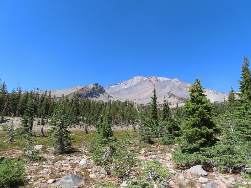
 Another Clark’s nutcracker. They are boisterous birds and other than first thing in the morning we get a kick out of listening to them.
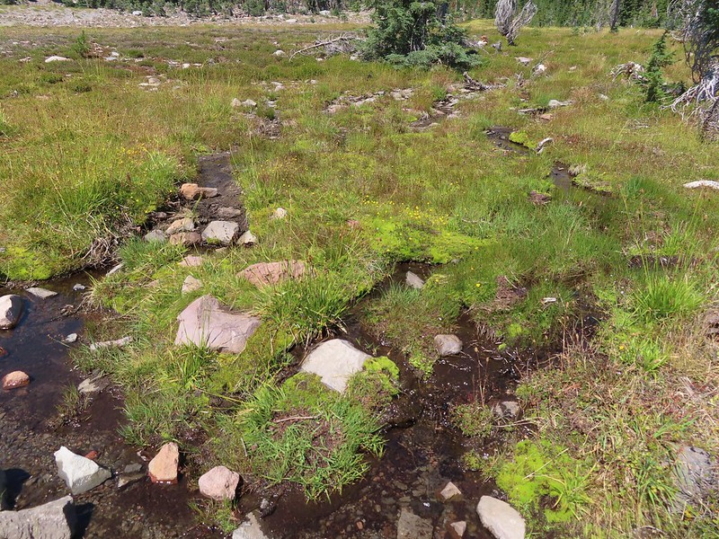 Stream flowing through the meadows.
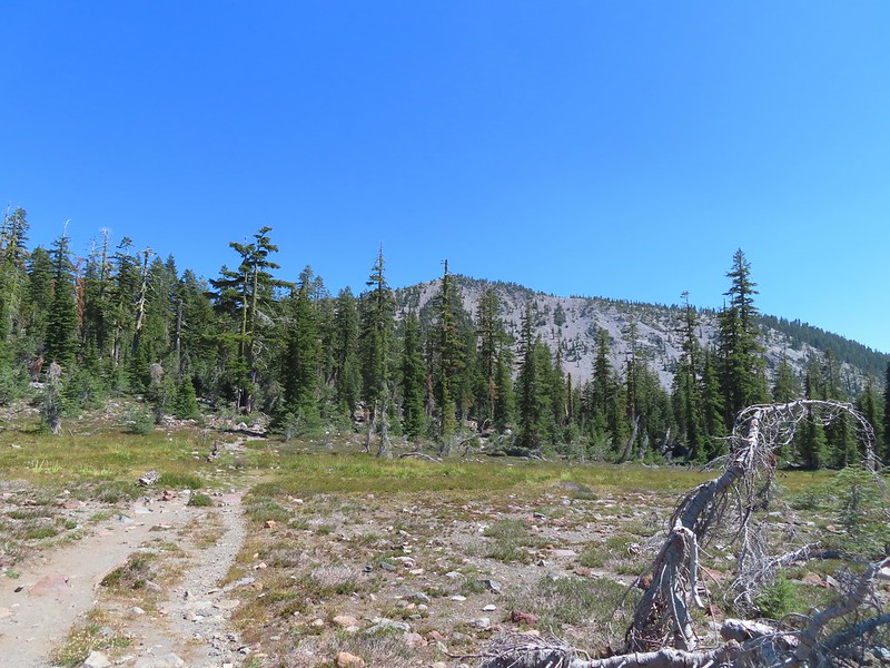 Gray Butte from Panther Meadows.
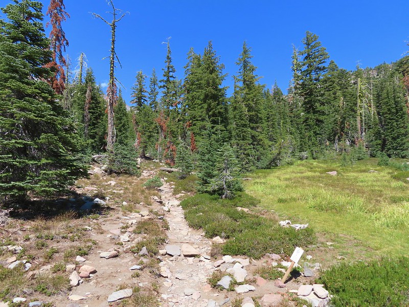
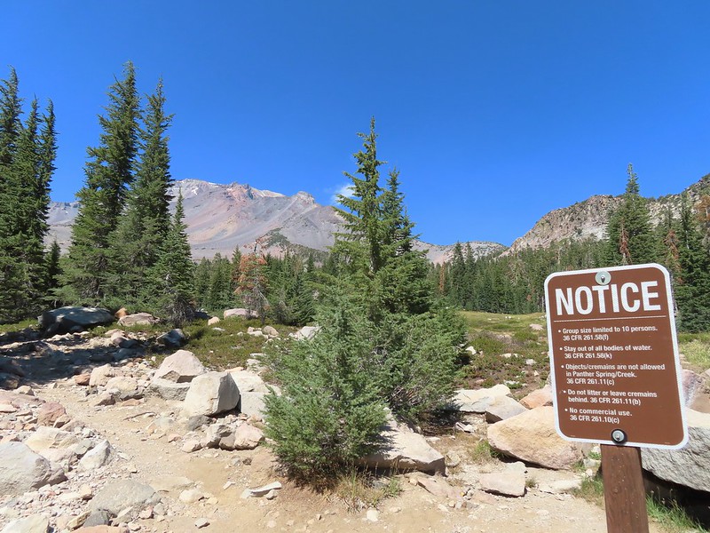


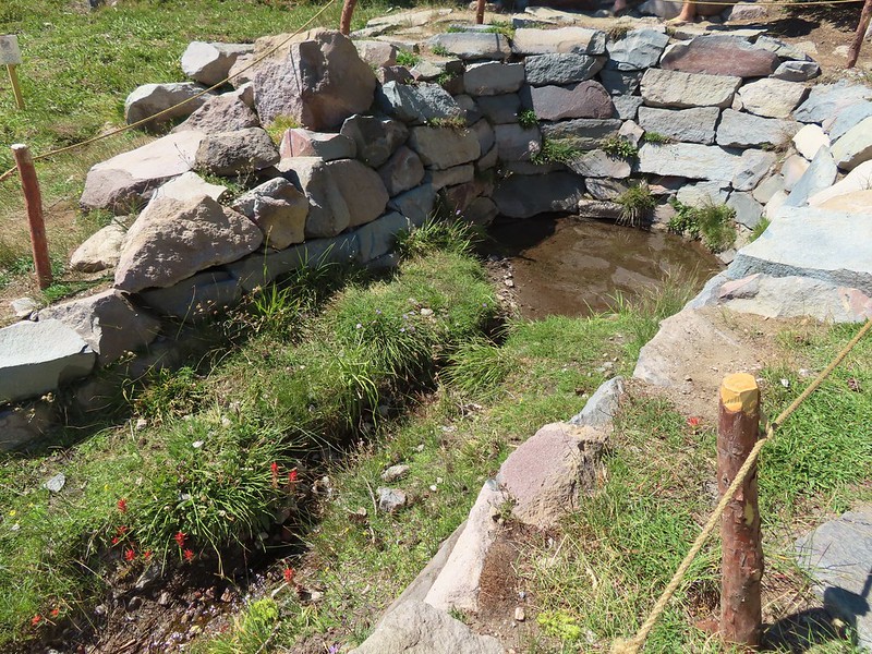


 Picnic tables at the trailhead.

 Fog at 5:30am
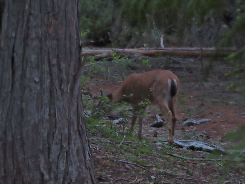 After he jumped he started to run off but quickly stopped to eat just a few yards later.
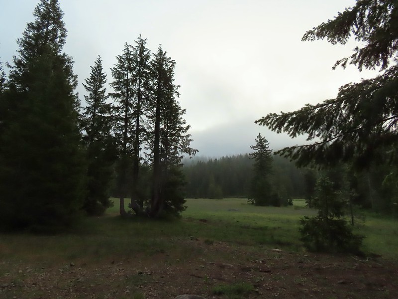
 Deer in the meadow.
 Snail near our breakfast spot. It’s amazing how quickly these guys can get from one place to the next.

 Lupine and beargrass along the road.
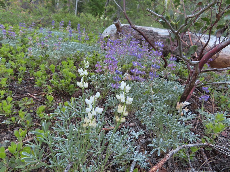 Lupine
 Beargrass
 Waterfall on cliffs below El Capitan.
 Waterleaf
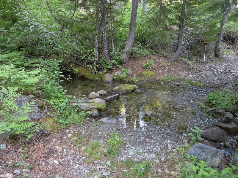 Stream crossing.
 At times the old roadbed looked like you could drive on it but other times it looked like this.
 Small meadow along the trail.
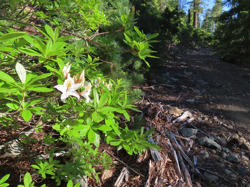 Western azalea
 The clouds burned off quickly.
 Penstemon
 Youngs Peak with the meadow barely visible to the right below.
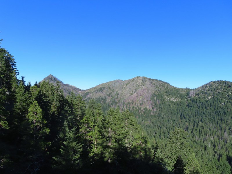 Rocky Knob to the left.
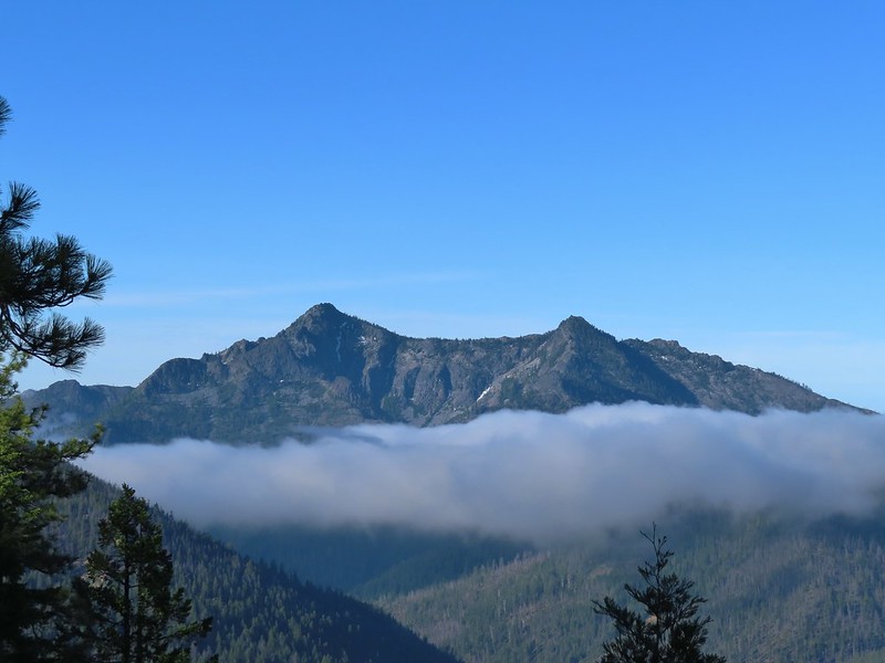
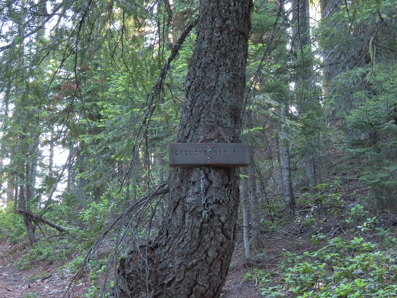
 Sign at the Cyclone Gap junction.
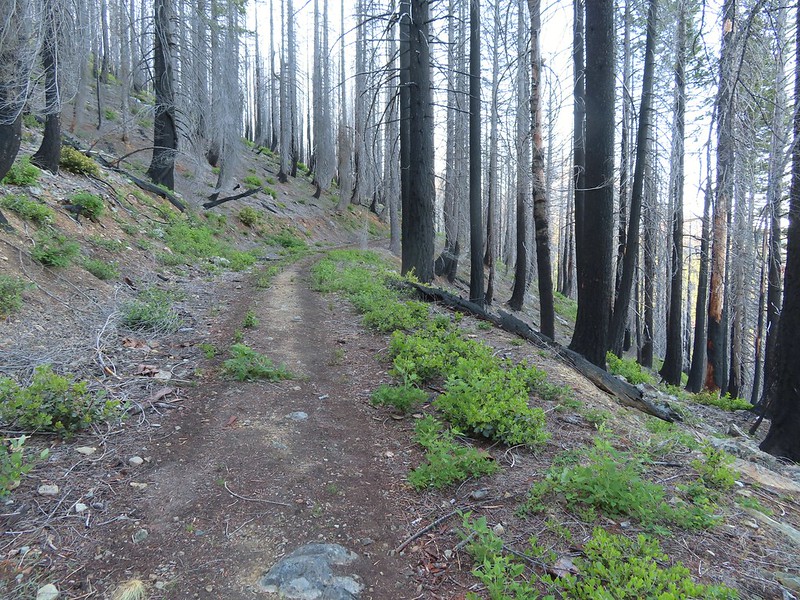 Back into the 2018 Natchez fire scar.
 Preston Peak
 Paintbrush along the trail.
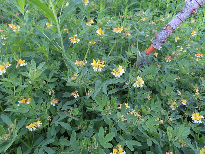 Streambank bird’s-foot trefoil
 Musk monkeyflower
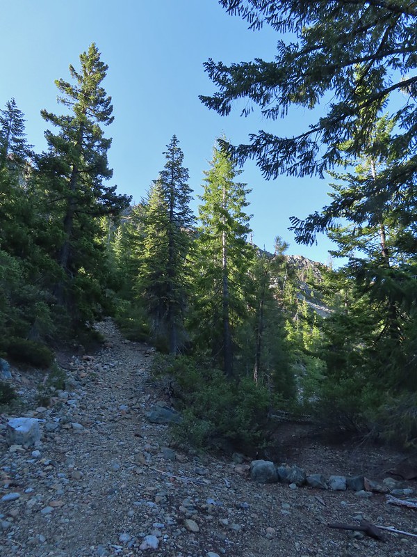 Raspberry Lake Trail to the left.
 Ruins from the chrome mine.
 More mine ruins on the hillside below.
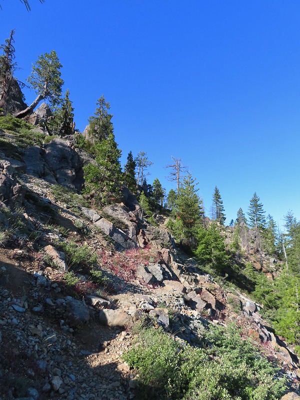
 Nuttall’s sandwort
 Bear Mountain and Rocky Knob.
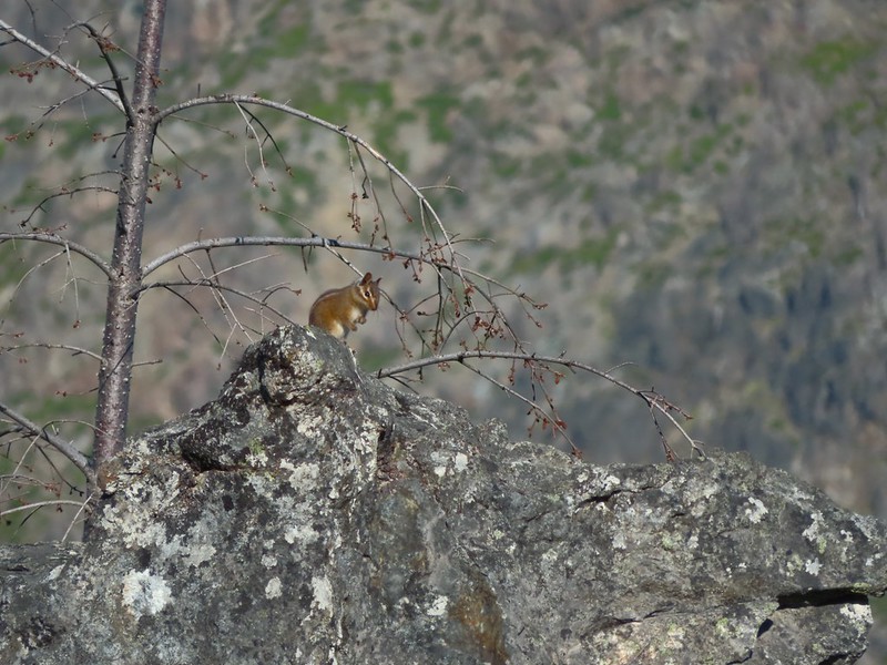 Chipmunk
 Getting closer to Preston Peak.
 Ragwort
 Small stream crossing.
 A short steep rocky section where cairns were helpful.
 Rounding another ridge with Preston Peak on the left and Bear Mountain to the right.
 First view of Raspberry Lake in the trees below to the right.

 Big rock along the shore.
 Bell catchfly
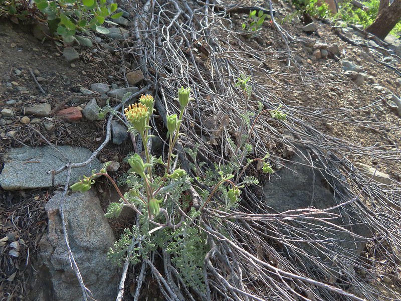 Douglas’ Dustymaidens
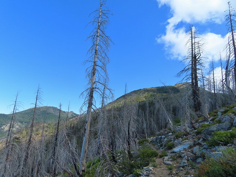 El Capitan on the right. To the left I think that is Bear Cub with Polar Bear Mountain behind.
 Western azalea
 This squirrel gave us a stern talking to.
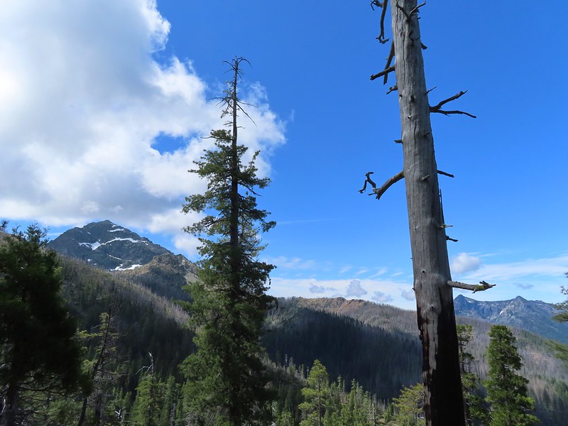
 Western tanager pair
 Twin Peaks
 We believe this is what Sullivan shows as Slow Echo Camp on his map. We wondered what the stones in the foreground had been a part of?
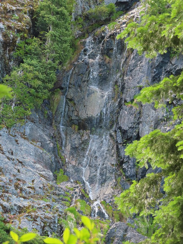


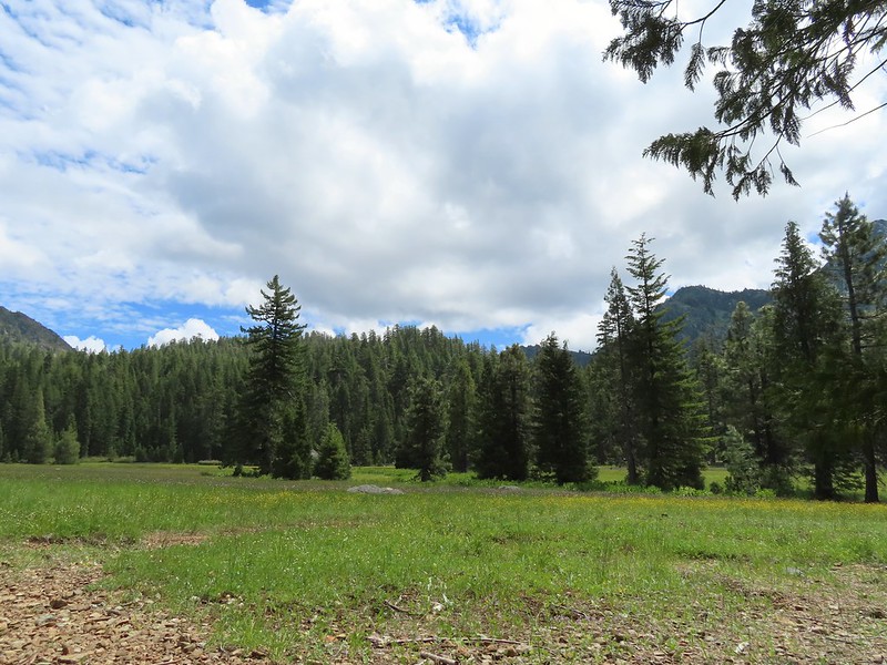
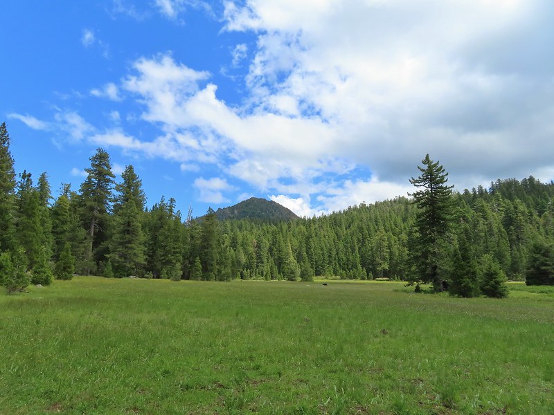
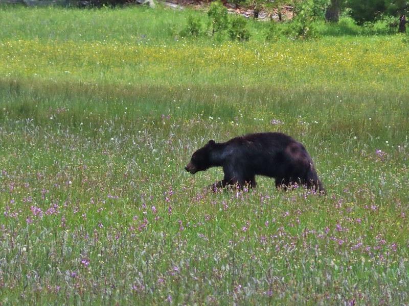

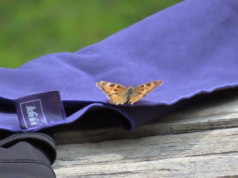 This butterfly did discover people=salt.
 Maybe a flycatcher of some sort near camp.
 Common buckeye
 Turkey vulture checking out the meadow.
 White rush lily
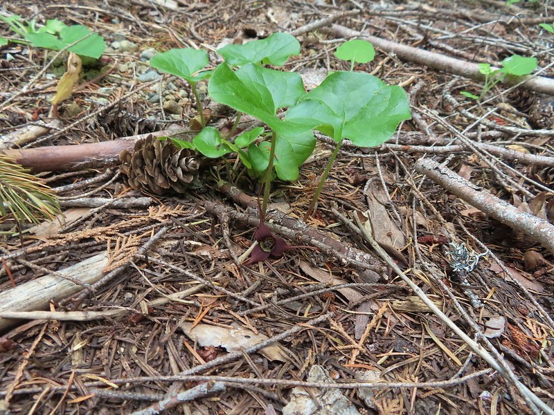 Ginger
 Snow plant
 Another low cloud morning.
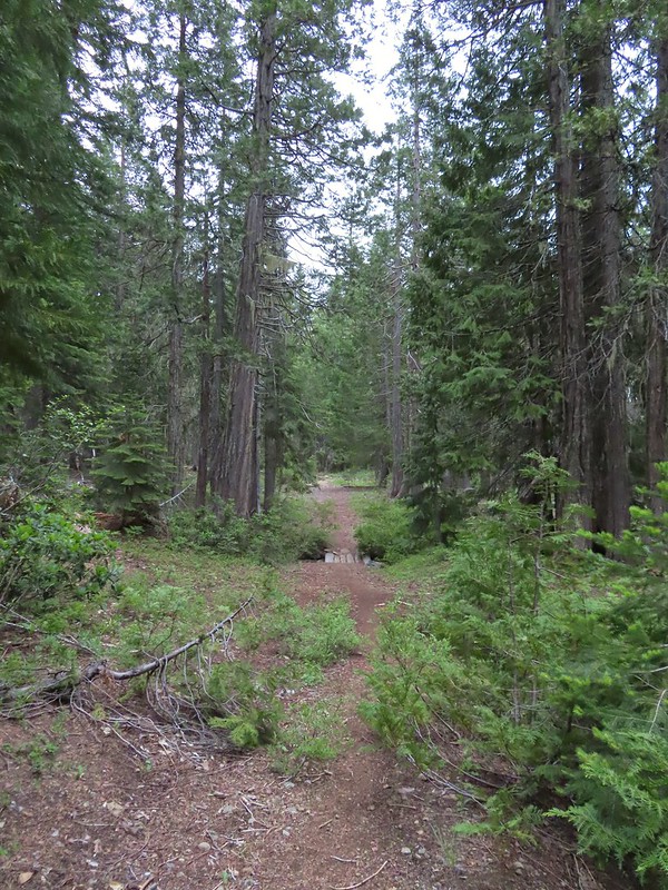 Heading out
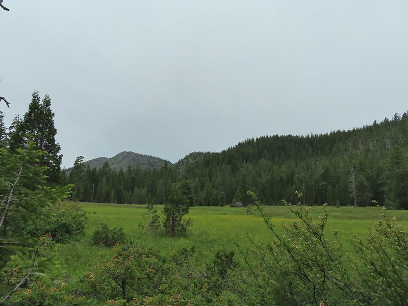 Passing around the meadow, we didn’t see Buster this morning.
 Black Butte Trail junction.
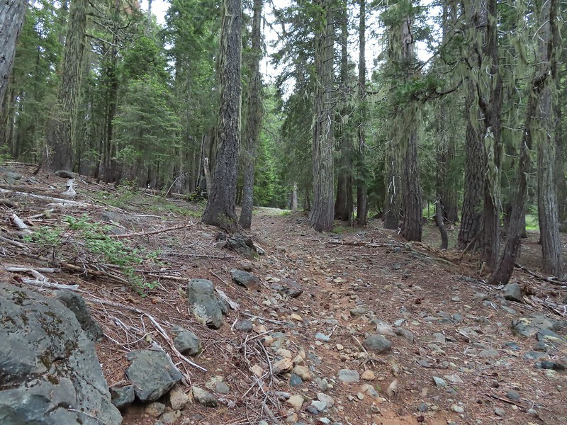
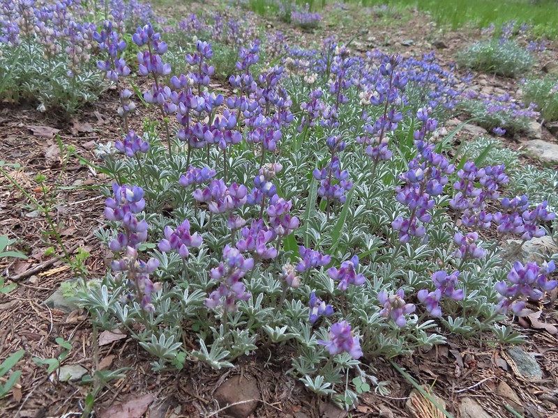
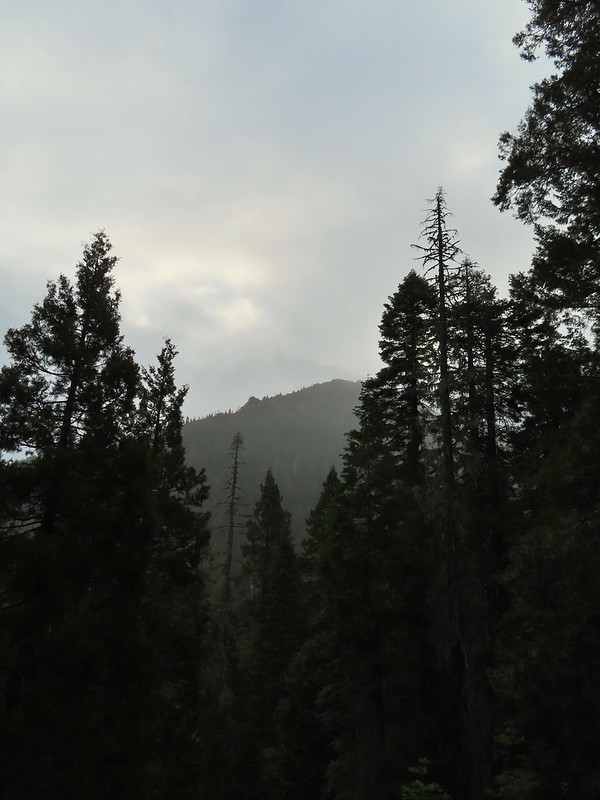 Bear Cub under the clouds.
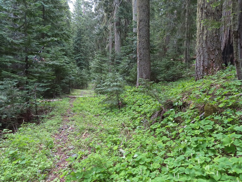 Vanilla leaf along the trail.
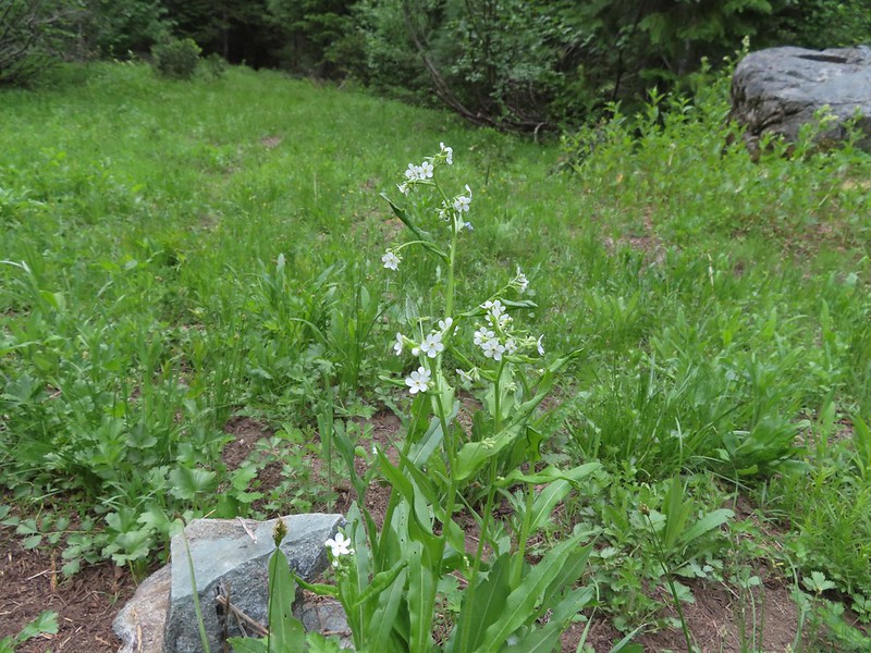 Jessica sticktight
 The headwaters of the East Fork Illinois River are just up from the trail so the river isn’t much more than a trickle at the trail crossing.
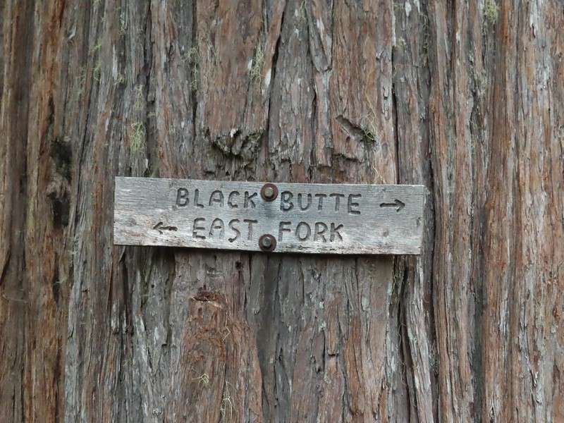
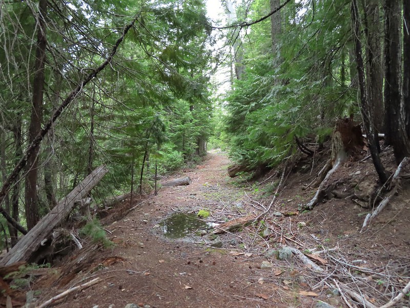
 The edge of the clouds to the NW.
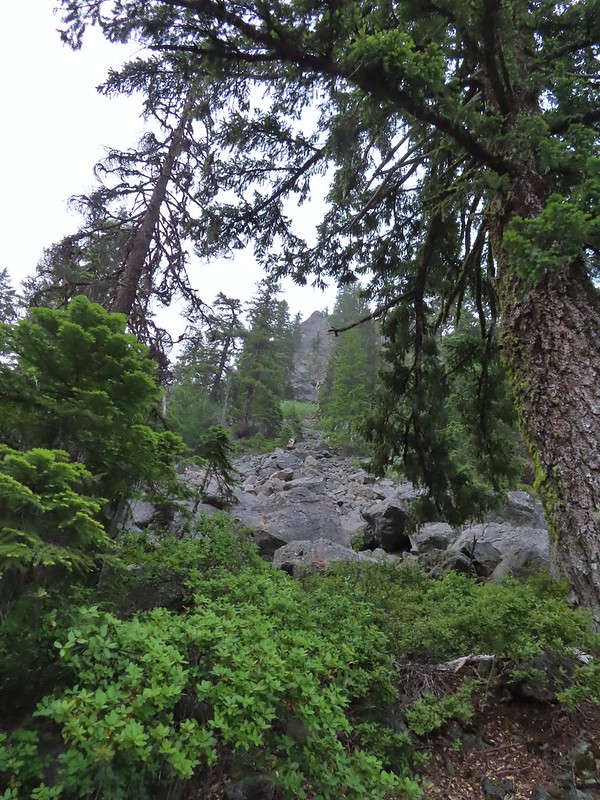 Passing below Bear Cub.
 Being an old road bed in unburt forest made for easy hiking.
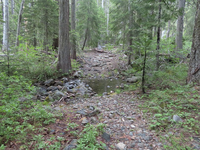
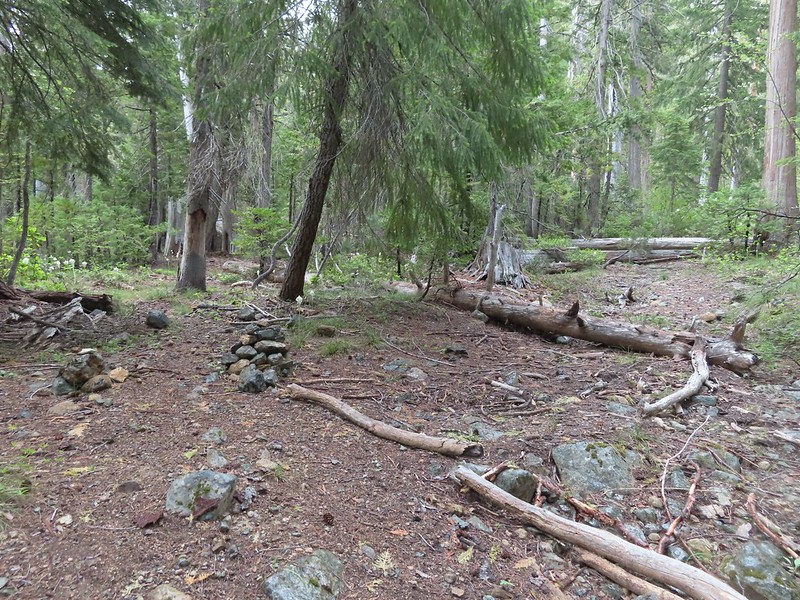

 Swtichbacking toward Bear Cub.
 Black Butte
 Heading downhill so we could go up.
 Creek crossing in the basin below Black Butte.
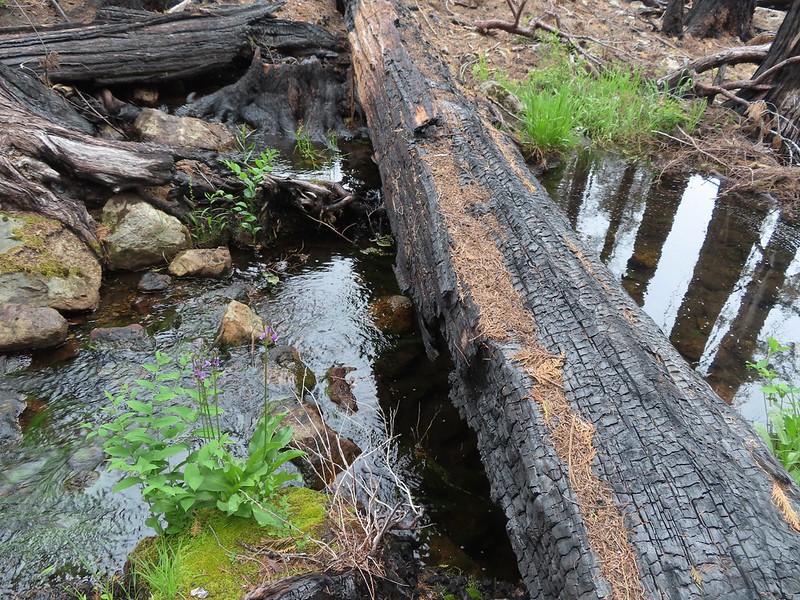
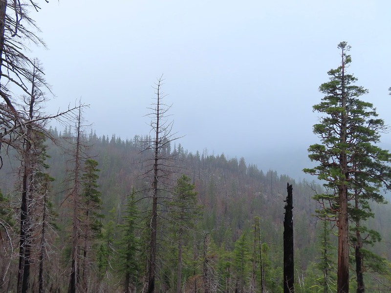 Looking back into the clouds where we’d come from.
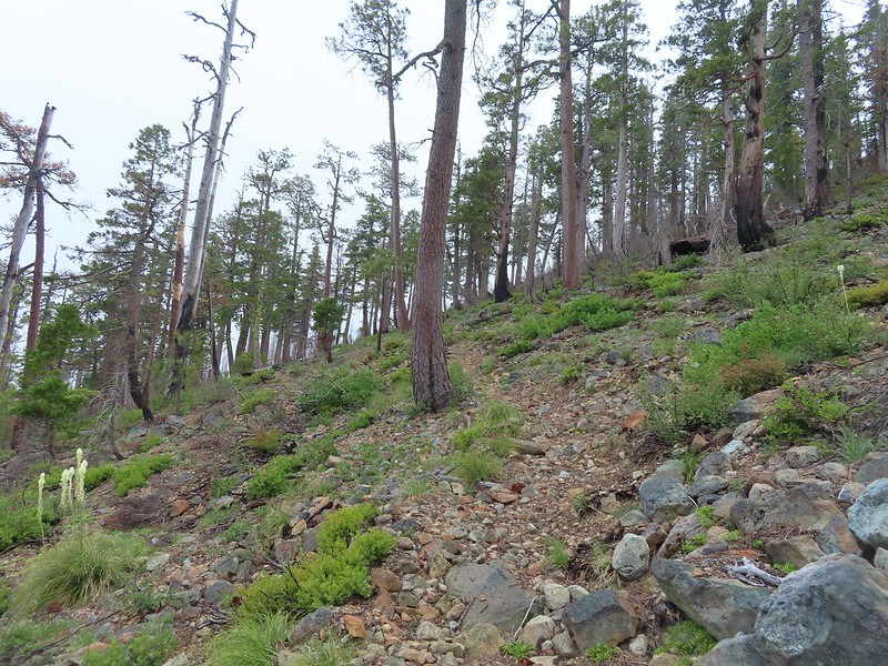 Steep climb up to the junction.
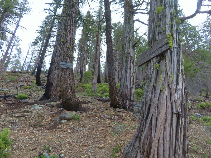 We made it back to the junction! Only 1.8 more miles to go.
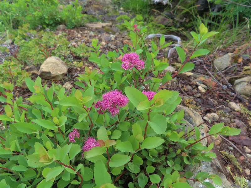 Spirea
 Pair of woodpeckers
 Why is there more uphill?
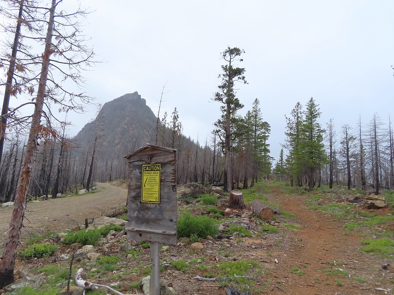 Black Butte from the trailhead with Heather coming down the trail.

 There still wasn’t a lot of light in the valley but the bear was in with the tall tree in the middle of this picture.


 Heather watching the bear leave through the gap in the trees.
 The sign for the Clear Creek Trail on a tree to the right.
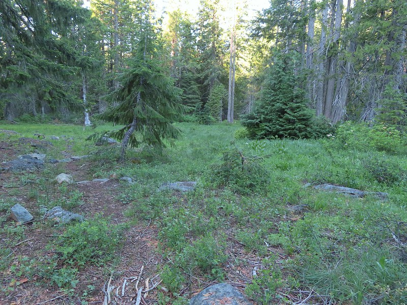

 Clear Creek below the trail.
 Anemone and star flowers
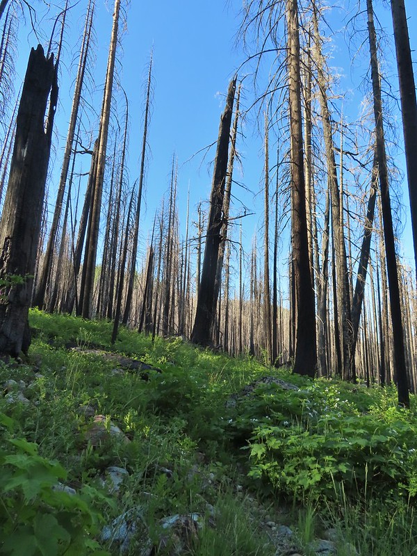
 Honeysuckle
 Rocky Knob
 One of several creek crossings. This one was a bit tricky to stay dry on but we both managed to do so on the first pass. Heather wasn’t so lucky on the way back though.
 Rayless arnica
 Pacific ninebark
 Streambank bird’s-foot trefoil
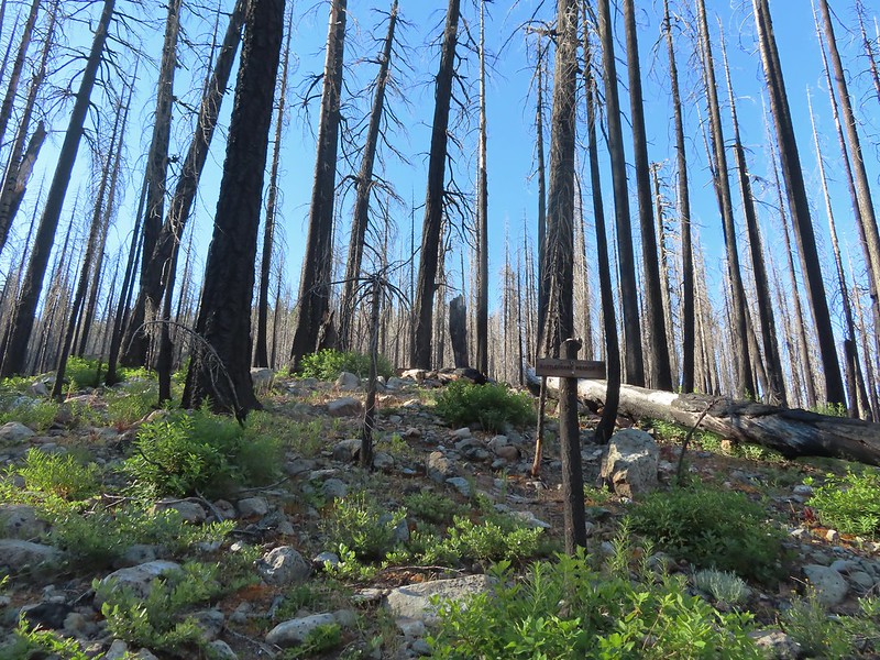 Sign for the Rattlesnake Meadows Trail which looked to be in much worse shape than the Clear Creek Trail.
 White-vein wintergreen
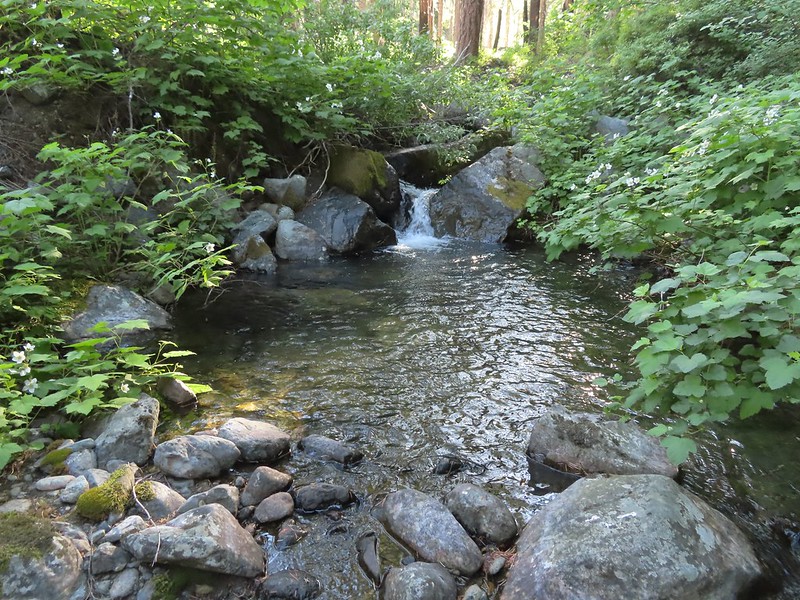
 Queens cup
 There was a small stream in the middle of the trees here.
 A colorful pea.
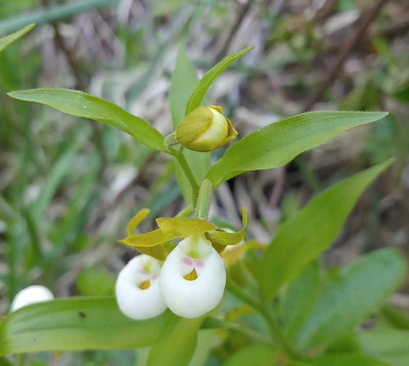

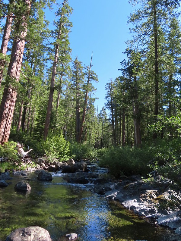

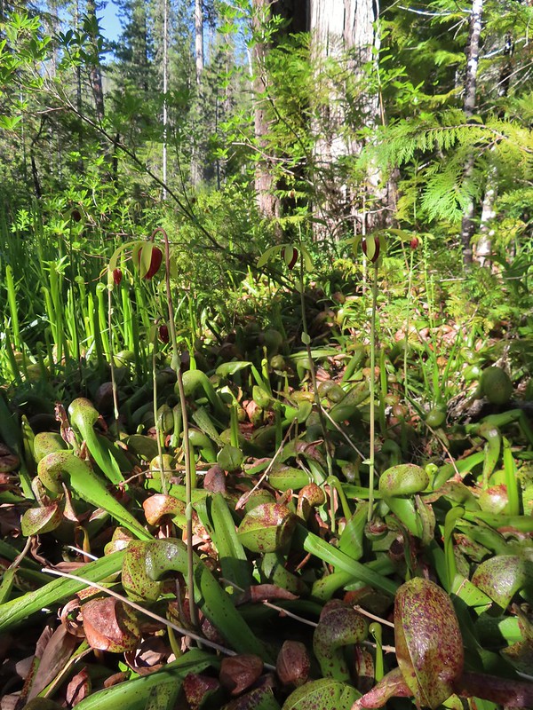

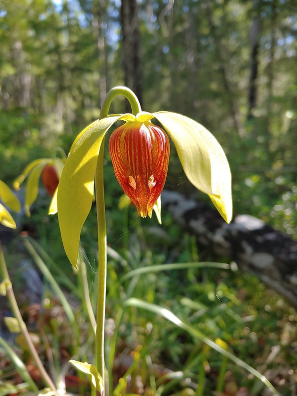
 The western azaleas smelled wonderful.
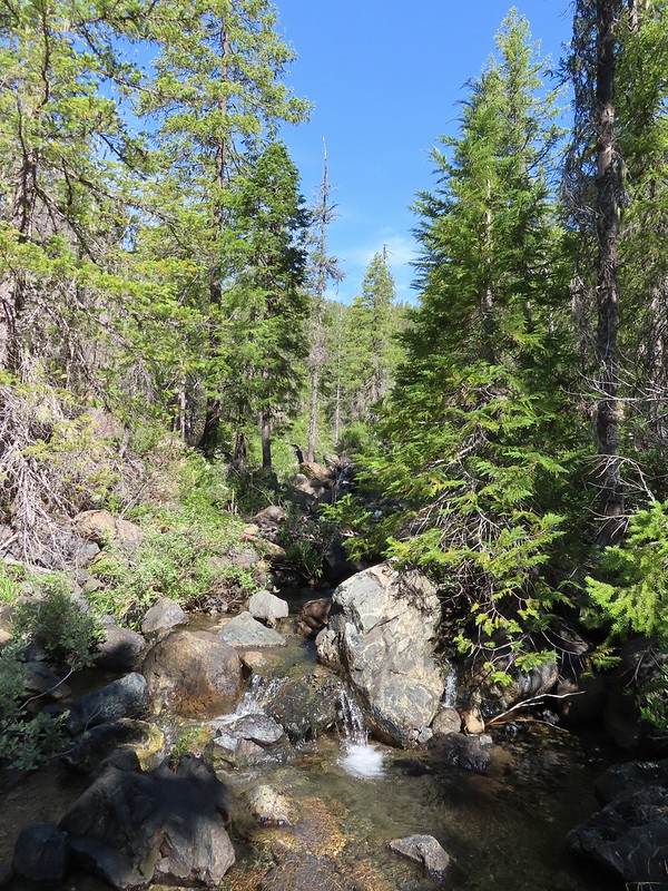 Another side creek.
 Another fire scar, this time from the 2017 Young fire.
 Silver-spotted skipper


 Chipmunk
 White-stemmed frasera
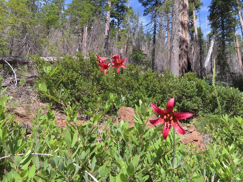 Bolander’s lily, another exciting find for us and the first time we’ve seen them.
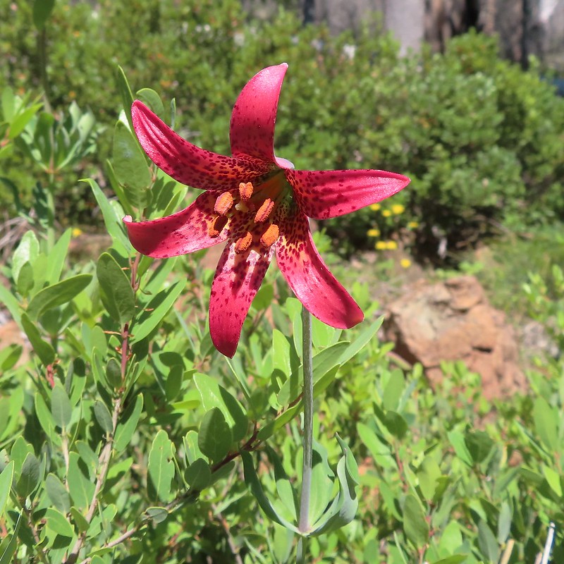
 Washington lily with a crab spider.
 Trail sign near Trout Camp.
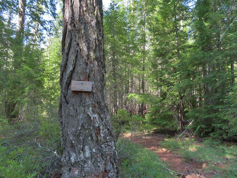 Sign for the Doe Flat Trail at Trout Camp.
 Doe Creek, we probably could have made it dry footed (I was able to on the way back.) but since we were already wet why bother.

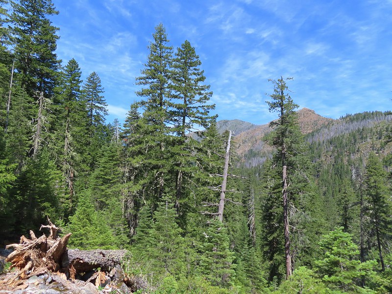 Twin Peaks in the distance.
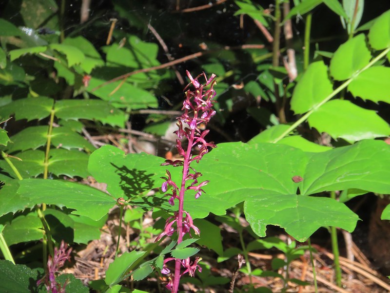 Pacific coralroot
 Phantom orchid
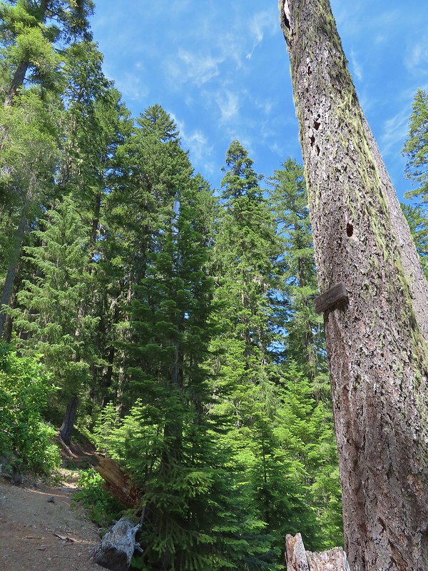 The Doe Flat Trail continuing on from the junction.
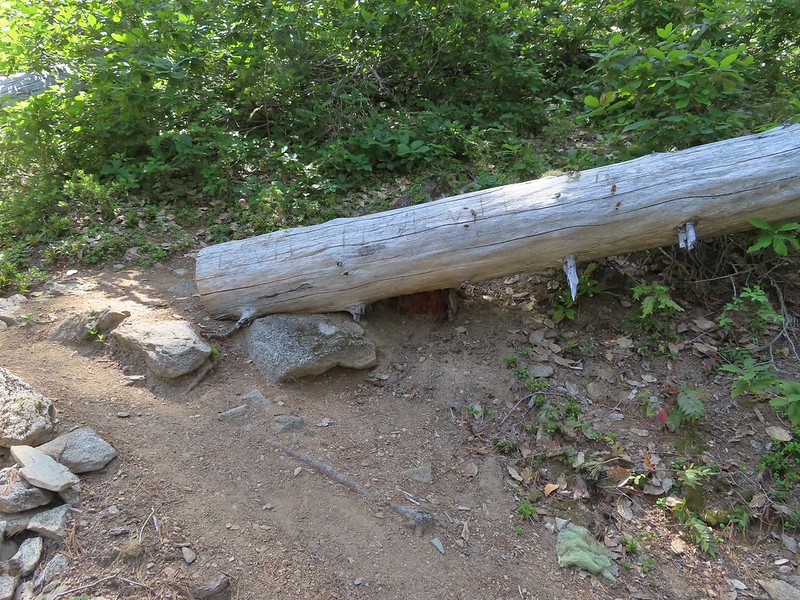
 The flat top of Black Butte in the distance.
 Bear Mountain
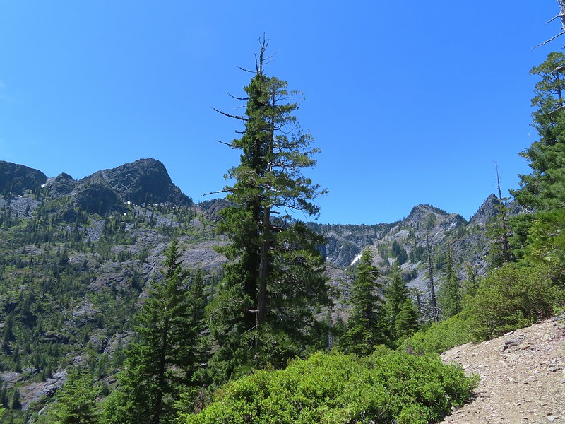
 Blue-head gilia
 Oregon sunshine


 Buckwheat
 Siskiyou lewisia
 Preston Peak
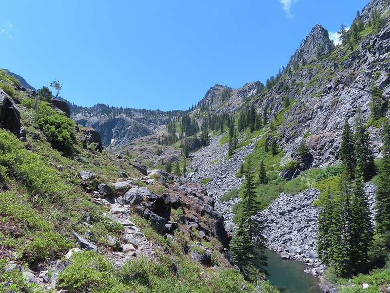

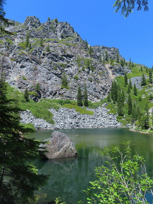


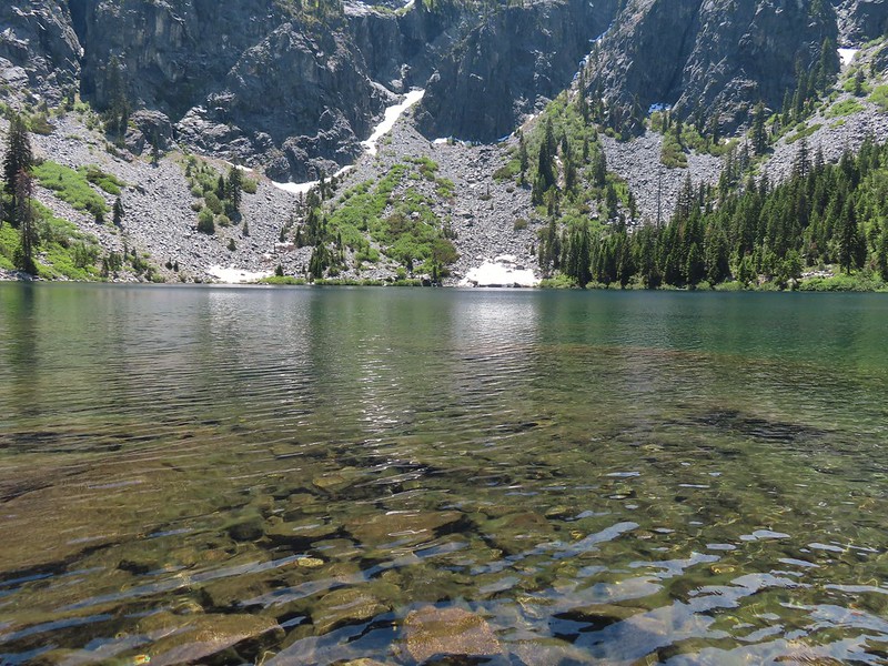
 Pussypaws
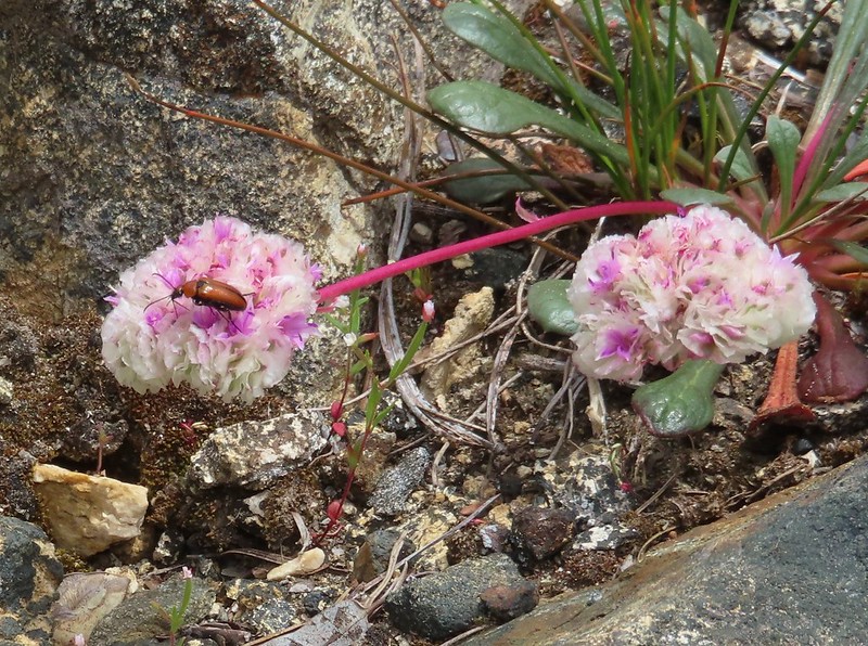 Beetle on a pussypaw
 Swallowtail on azalea
 Silver-spotted skipper on Siskiyou lewisia
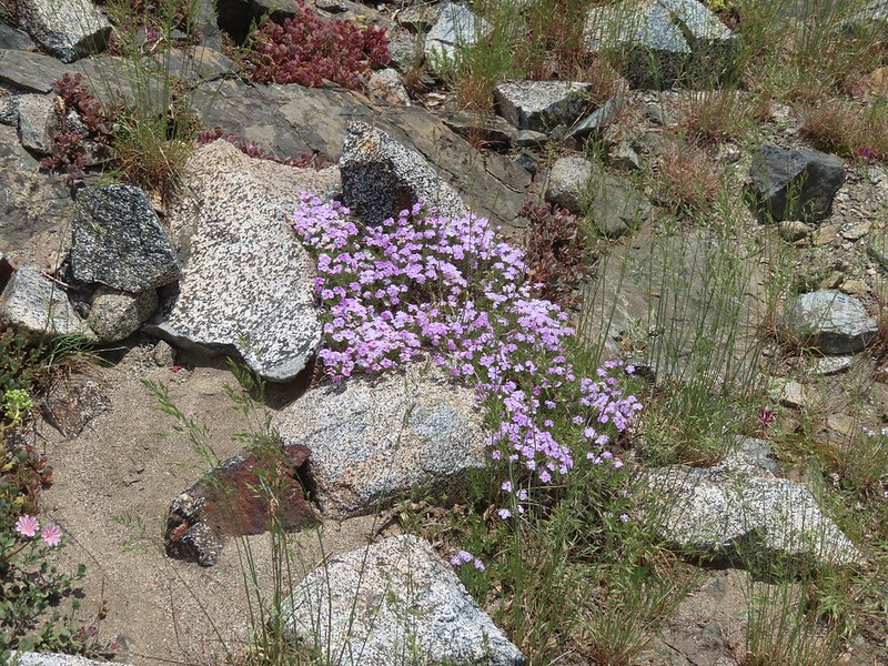 Phlox
Phlox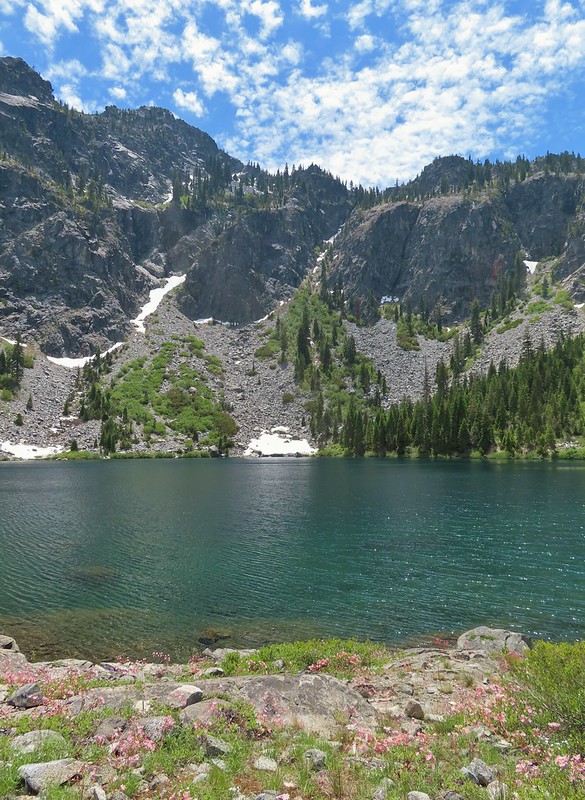
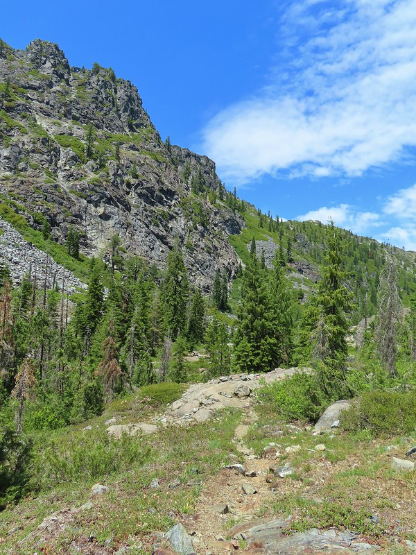 There is a rock arch atop the ridge near the left hand side.
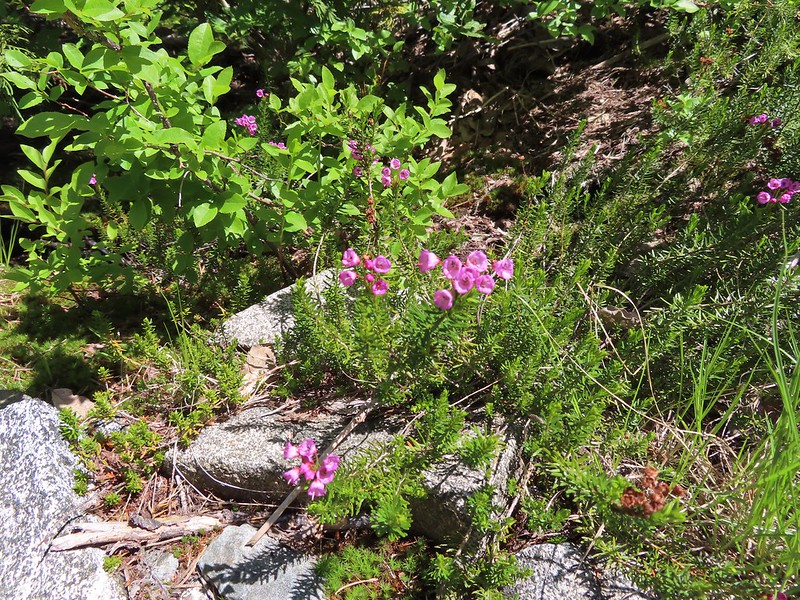 Mountain heather
 Green beetle
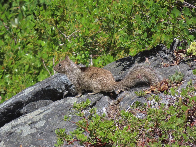 Ground squirrel
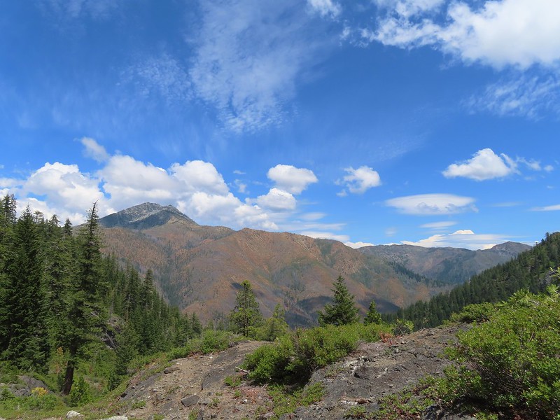 Clouds gathering around Preston Peak.
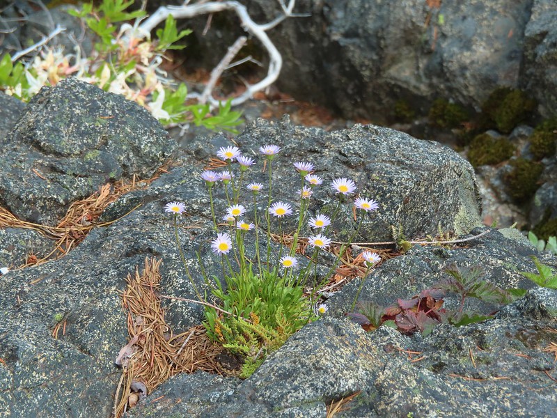 Fleabane near the pool.
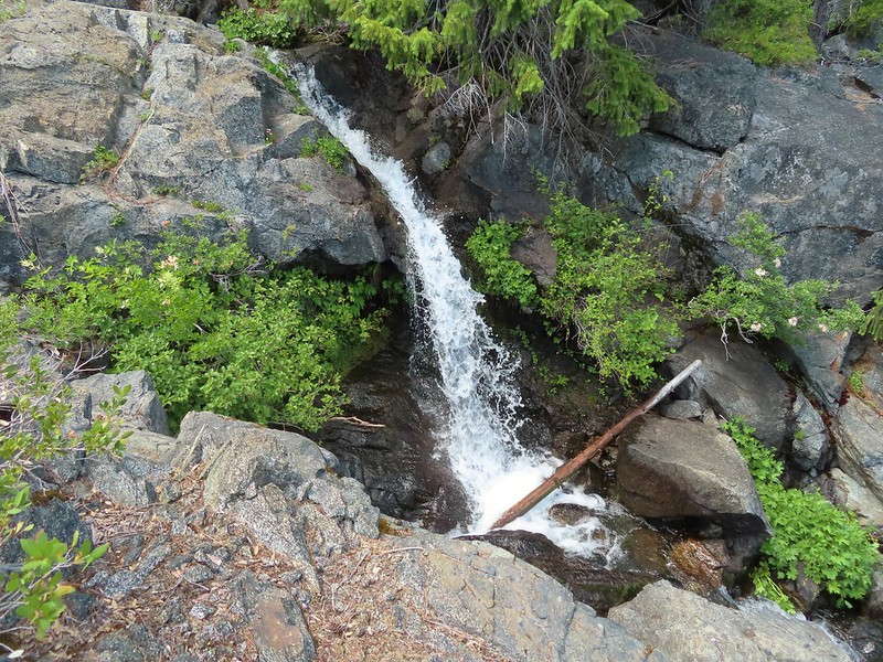 Waterfall along the outlet creek.
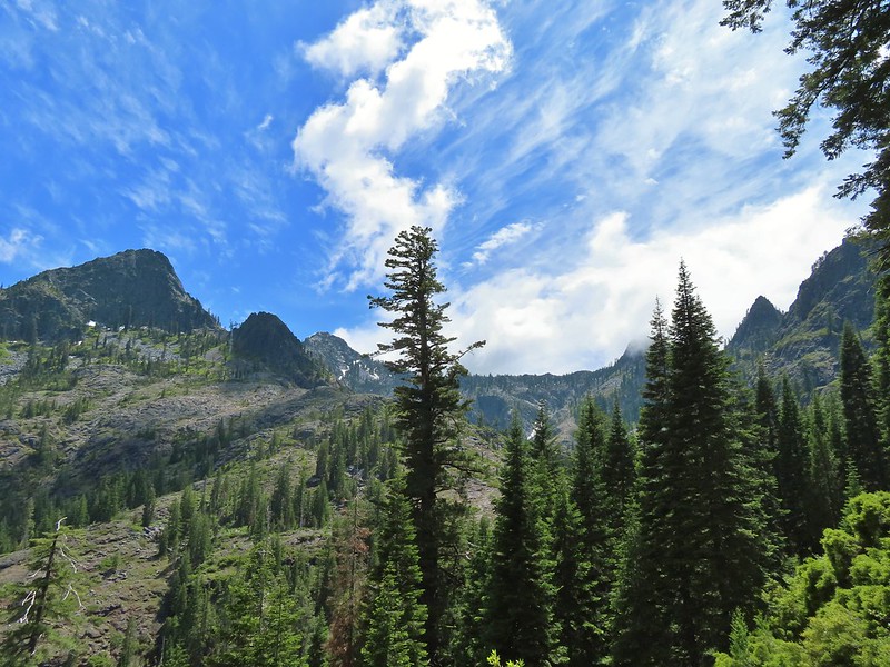 Clouds over Devil’s Punchbowl.
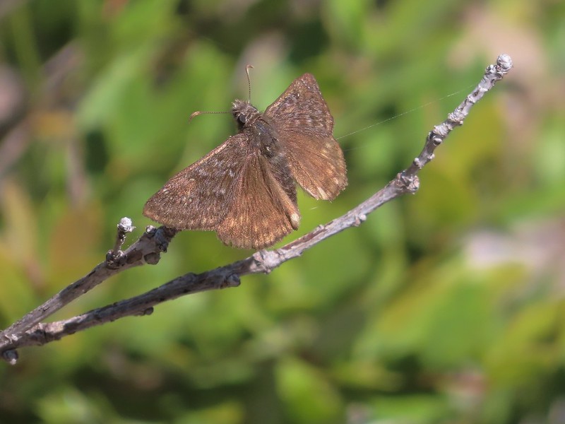 A duskywing
 More clouds to the north.
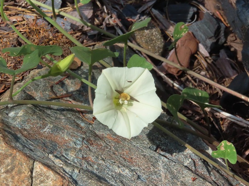 Bee in bindweed with a little ant observing.
 Back at the ford.
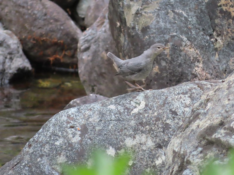 Ouzel at the Clear Creek ford.
 Doe in the forest.
 This little guy had a pretty song.
 Arriving back at Youngs Valley.
 The bear in the middle of the photo behind a small leaning tree.

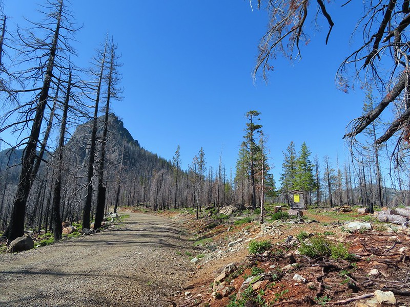 Black Butte from the Black Butte Trailhead.
 Penstemon
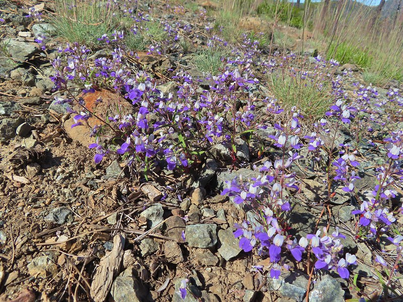 Narrowleaf blue eyed Mary
 Siskiyou mountain ragwort
 Wedgeleaf violet
 Sanger Peak
 More penstemon
 Phlox
Phlox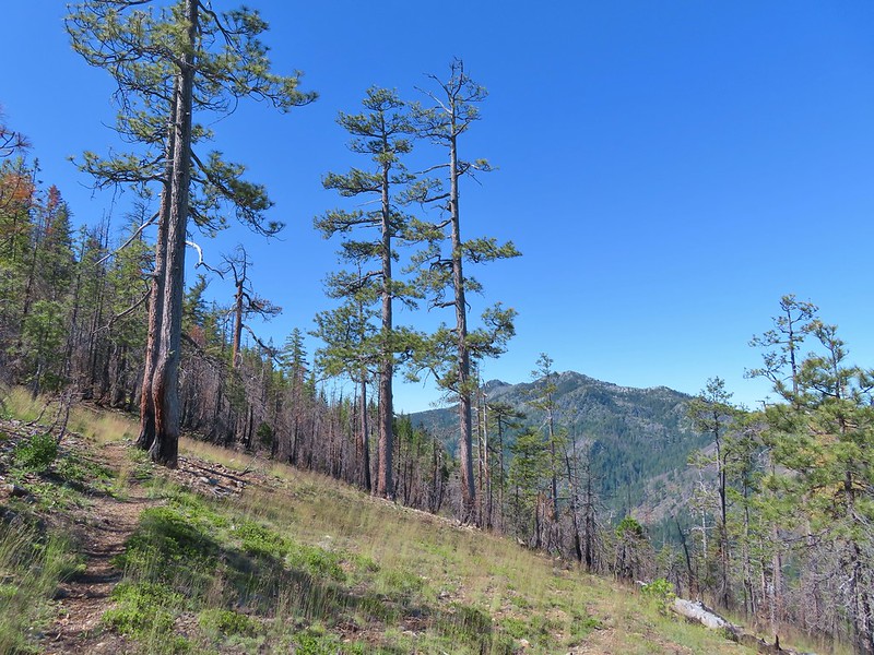 Youngs Peak
 It turned out to be a beargrass year, at least in the northern part of the wilderness.
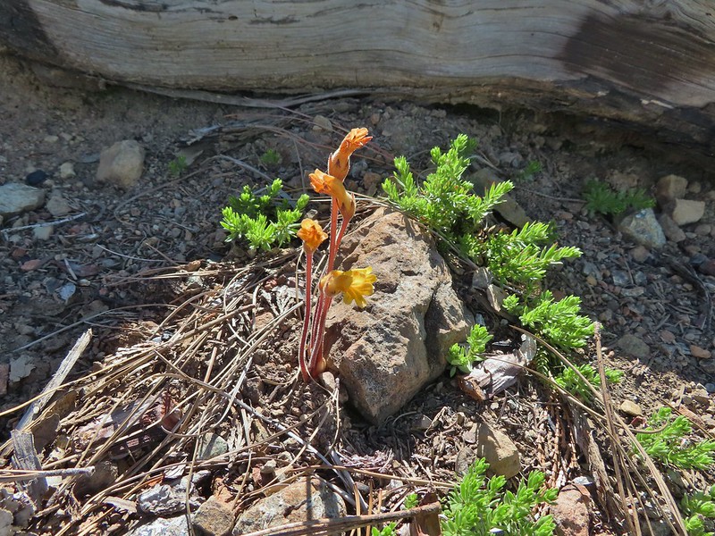 Clustered broomrape
 Paintbrush
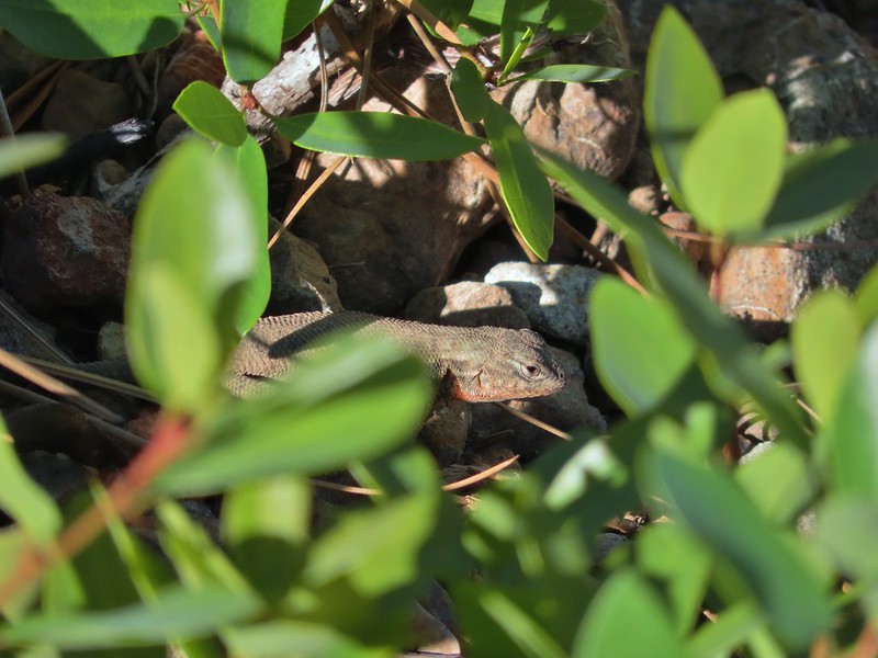 Lizard
 El Capitan with the snow behind Bear Cub. Bear Mountain is the high point in the center distance with Rocky Knob to the right front of it. Youngs Peak is the high point to the far right of the frame at the end of the ridge.
 Looking up at Black Butte.
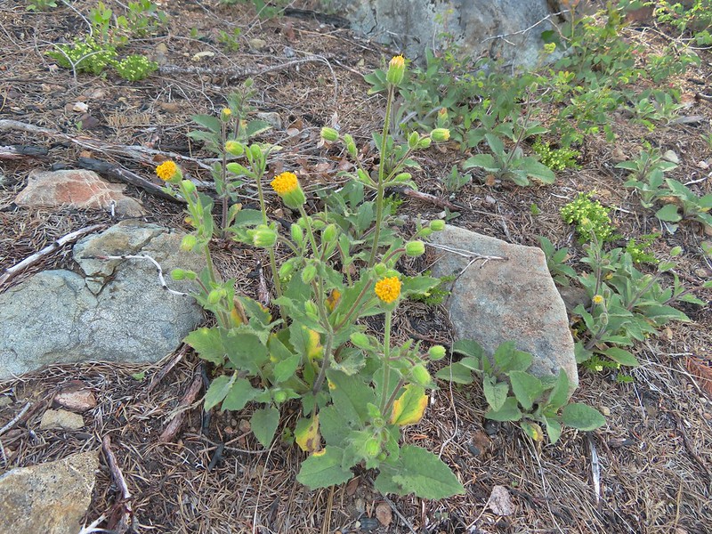 Rayless arnica
 Big deervetch
 The junction with the tie trail.
 Polar Bear Mountain ahead.
 Azalea
 A sulphur butterfly
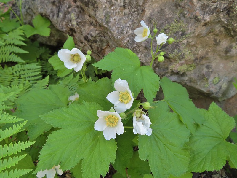 Thimbleberry blossoms
 A tortoiseshell on thimbleberry.
 Wallflower
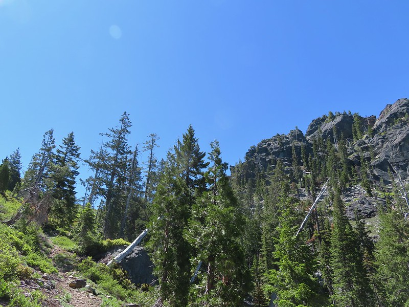 The trail steepened considerably as it made the final climb to the gap.
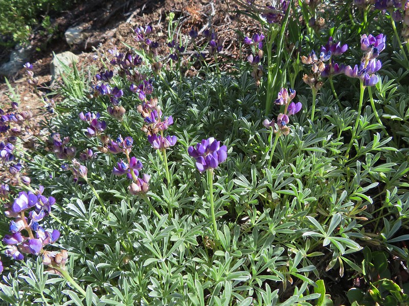 Lupine
 Lewis flax
 Lookout Mountain
 Paintbrush
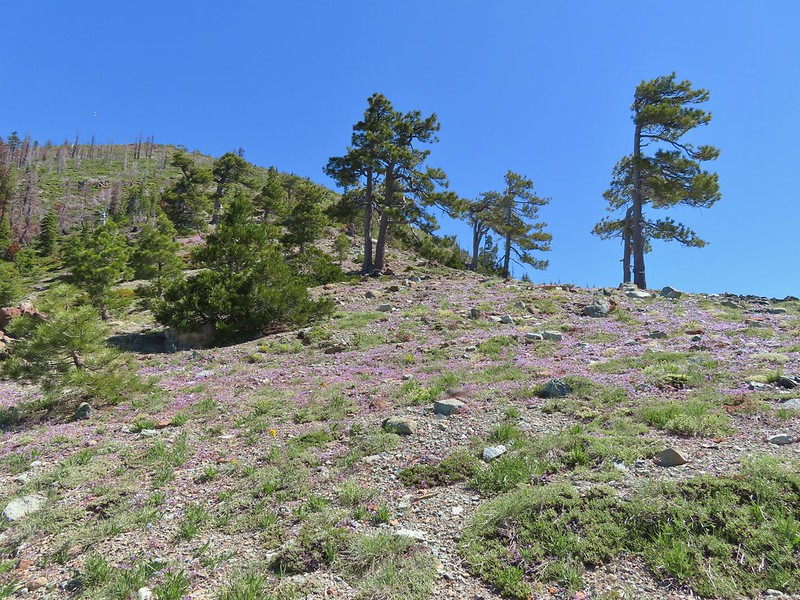 A carpet of narrowleaf blue eyed Mary at Polar Bear Gap
 Nuttall’s sandwort surrounded by blue eyed Mary.
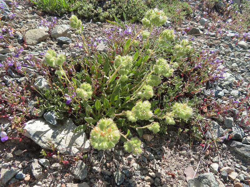 Serpentine phacelia
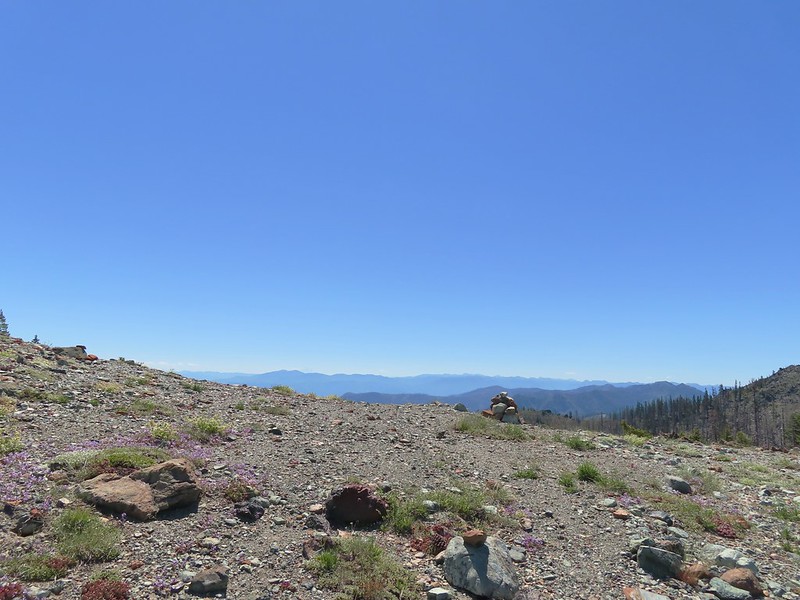 Polar Bear Gap
 Lookout Mountain
 Polar Bear Mountain
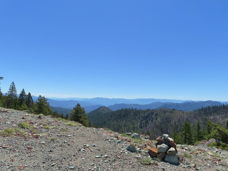 Looking east toward Mt. Shasta.
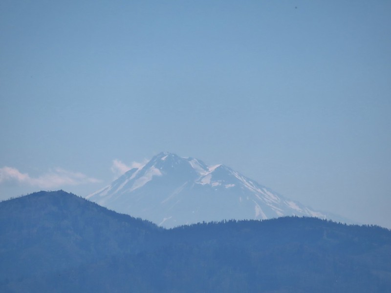 Mt. Shasta
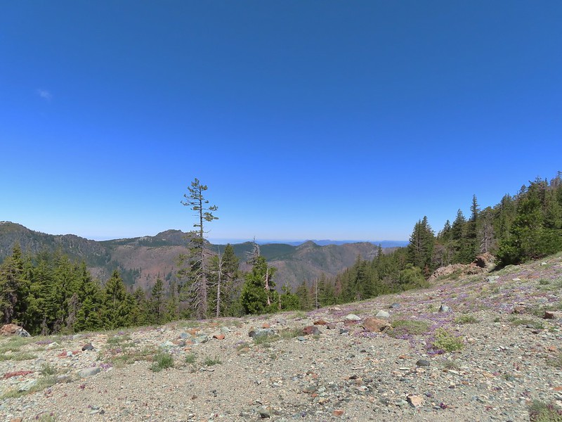 Looking west toward Sanger Peak.
 Sickle-leaved Onion
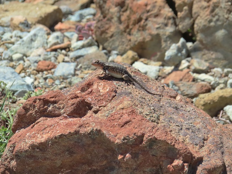 There were lots of lizards in the area.
 Heading down into Twin Valley
 Paintbrush and penstemon along the trail.
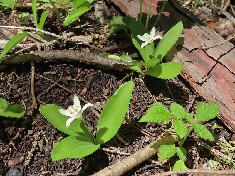 Queen’s cup
 Frog
Frog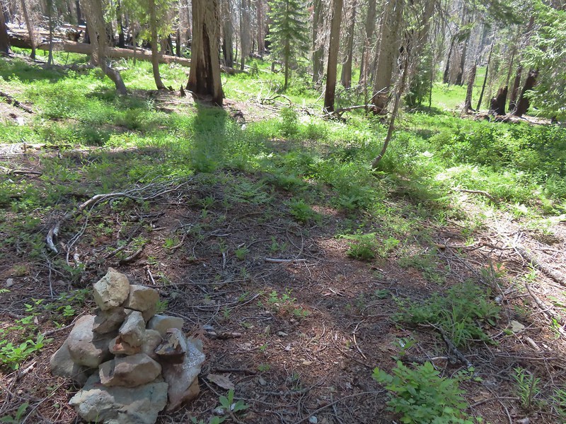
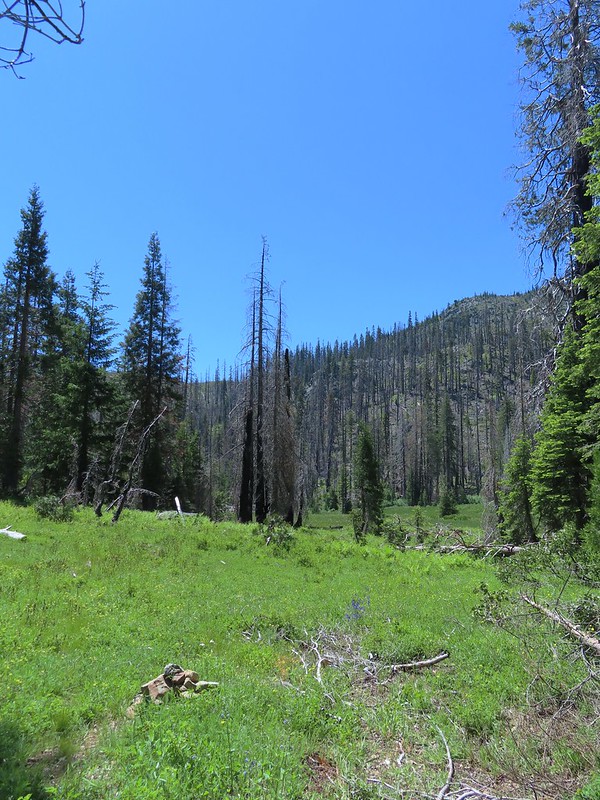
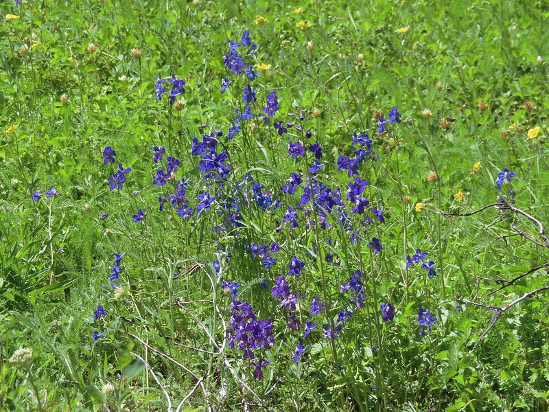 Larkspur
 The yellow is a cinquefoil I believe but I don’t know what the other dark flower is.
 Meadow in Twin Valley.
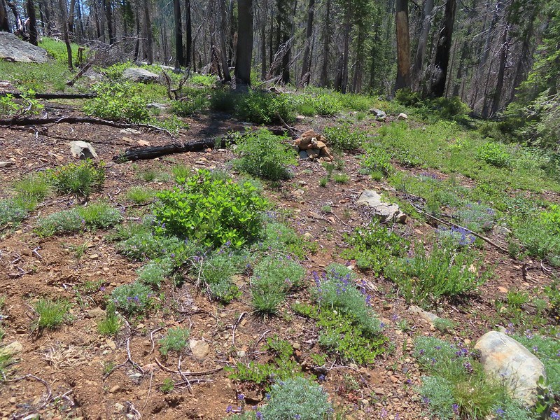 Heading down to a stream crossing between the two meadows.
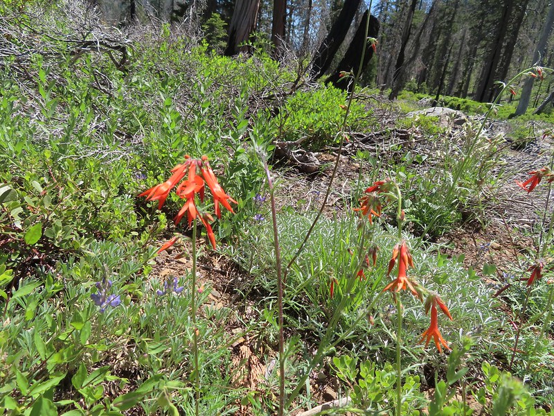 Scarlet gilia
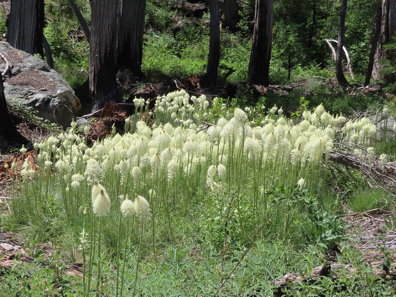 Beargrass
 Creek crossing.
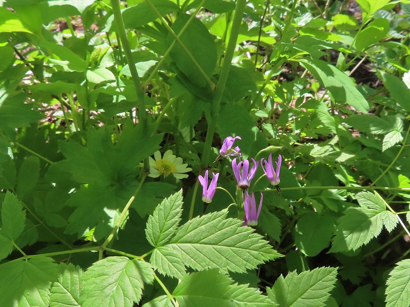 Shooting star and marsh marigold.
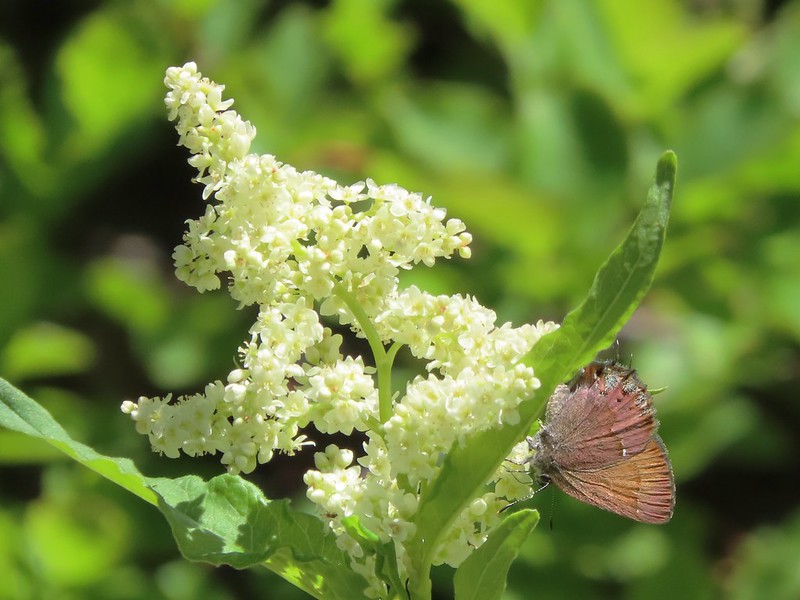 A hairstreak butterfly
 Columbine and cinquefoil
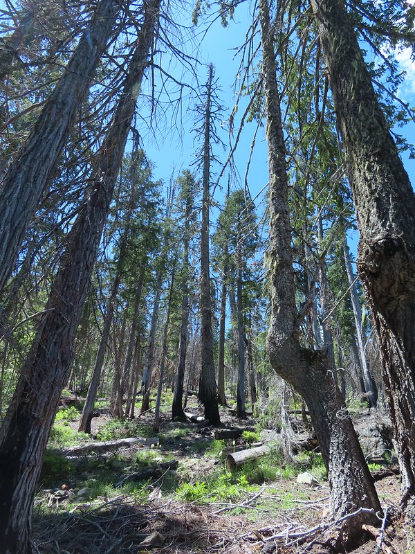 Cut logs helped identify where the trail was supposed to be.
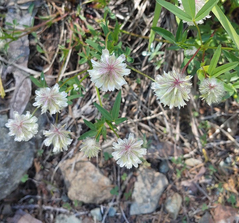 Wolley-head clover
 Oregon violet
 Polar Bear Gap from the Poker Flat Trail.
 Looking up toward the ridge end.
 Iris at the ridge end.
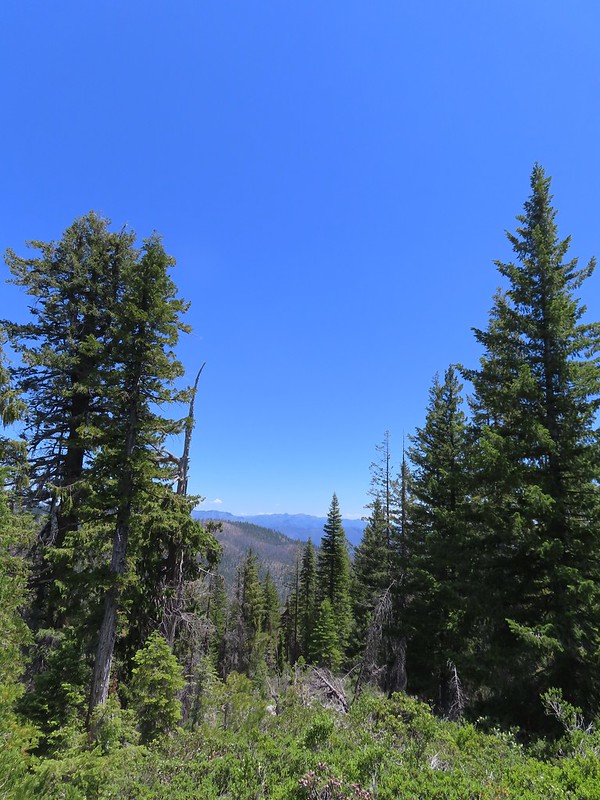 Red Buttes (
 Red Buttes
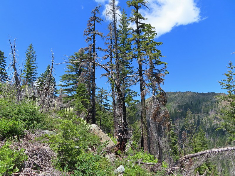 Lookout Mountain from the ridge end.
 Bee visiting penstemon.
 The Lieutenants and El Capitain
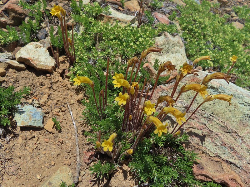 Clustered broomrape
 We were starting to see a lot of bear sign.
 An as-of-yet unidentified flower.
 This may be sticky blue eyed Mary.
 Mariposa lily
 More faint trail.
 Time to climb.
 Anemone
 Meadow along the Poker Flat Trail.
 Approaching Private Lake.
 Siskiyou lewisia
 Private Lake below The Lieutenants.

 Scarlet gilia and penstemon
 Heather heading for the pass.
 Arnica
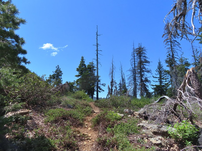 Nearing the pass.
 Bear Cub
 Youngs Peak just to the left of the snag.
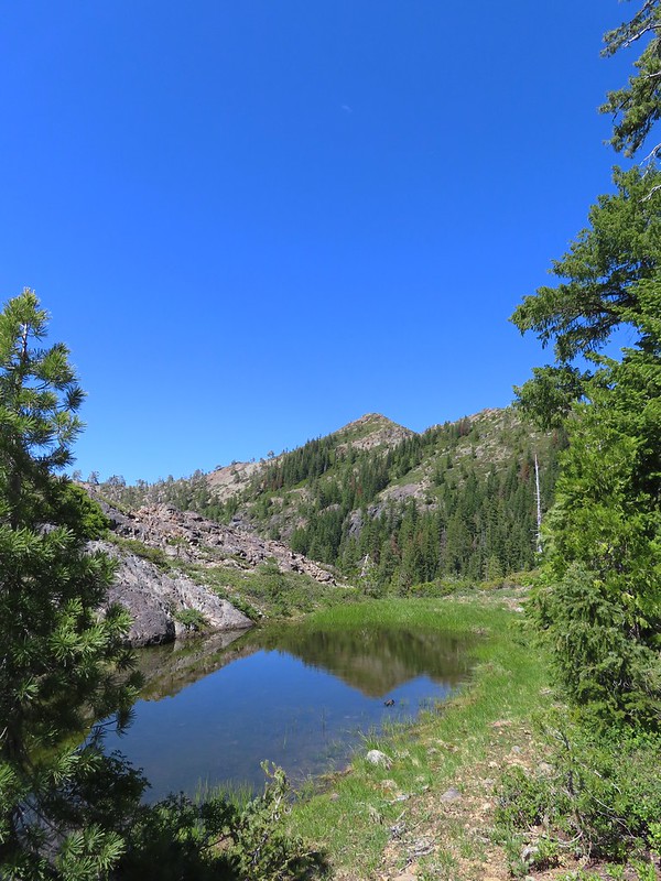
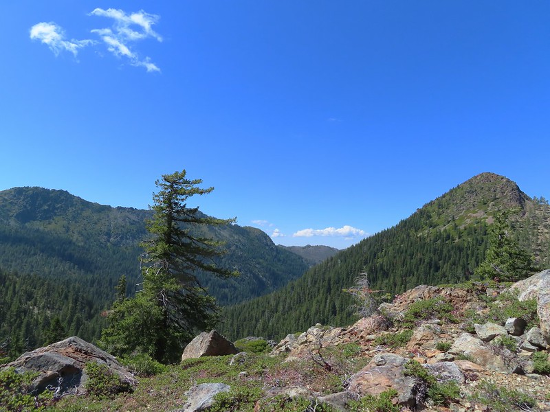 Bear Cub on the right.
 Youngs Peak behind the tree.
 Finally out of the fire scars.
 Snow plant
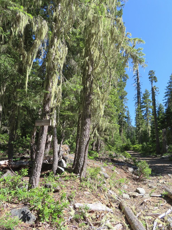 Sign for Raspberry Lake at the Raspberry Lake Trail/Clear Creek National Recreation Trail junction where we correctly turned left.
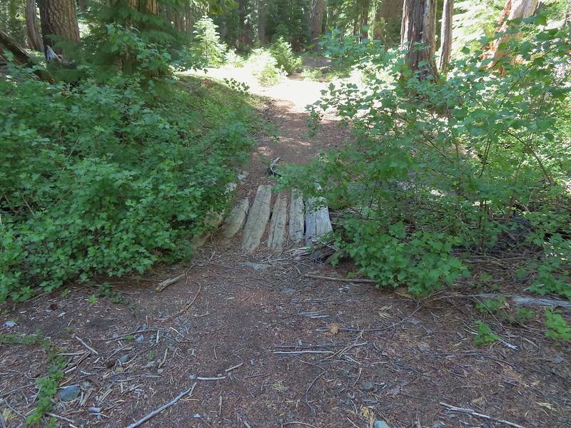 Footbridge over the creek.
 Bear Cub from Youngs Valley.
 Camp
Camp Dragon fly
 El Capitan
 Bucks in the meadow.
 Caterpillar
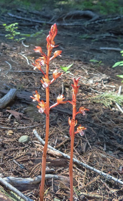 Spotted coralroot
 Wedgeleaf violets
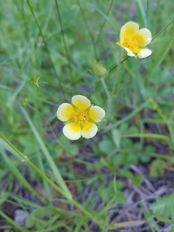 Maybe a cinquefoil
 Bistort
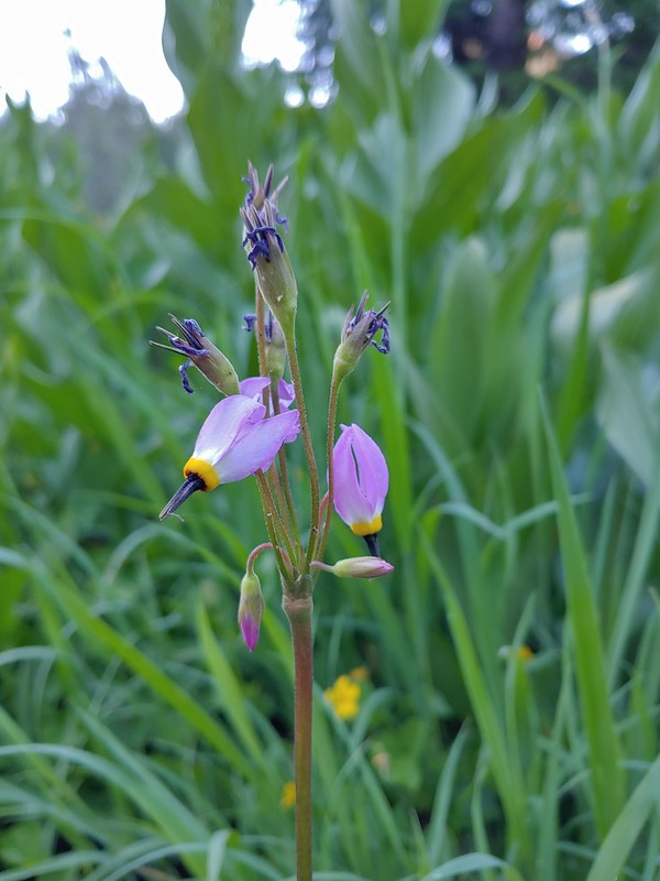 Shooting star
 Monkeyflower
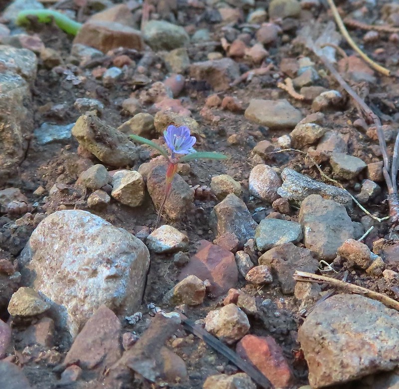 There were quite a few of these tiny flowers. I haven’t been able to identify this one yet.
