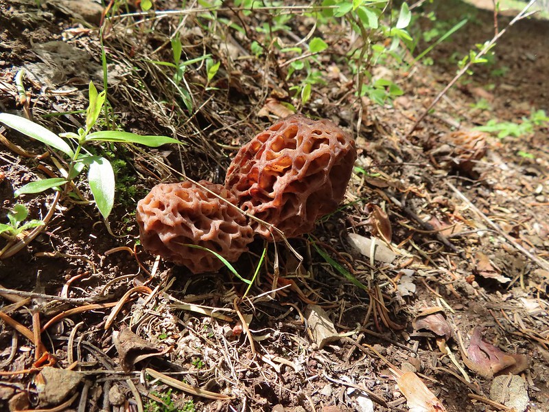
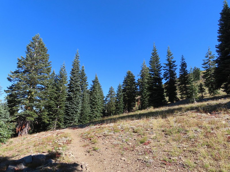
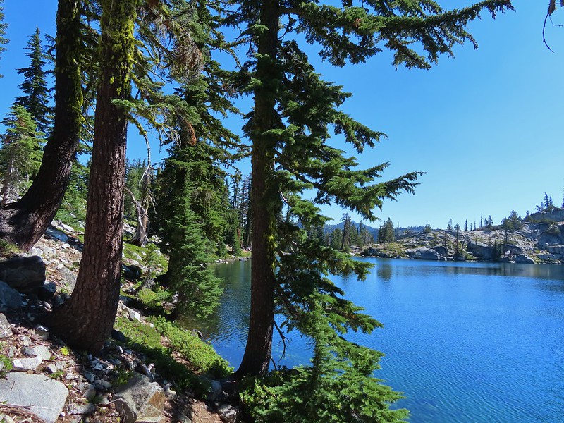
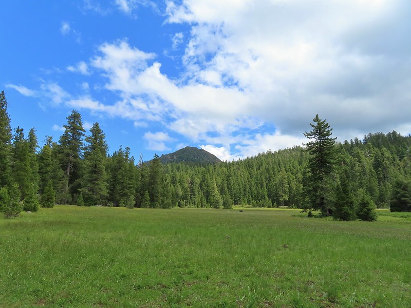
Several years ago we set a goal for ourselves to hike all 500 featured hikes in William L. Sullivan’s “100 Hikes…” series of guidebooks (post). In 2020 we completed the first of these books covering the Central Oregon Cascades (post). We followed that up by completing a pair of books in 2021 starting with Sullivan’s “100 Hikes/Travel Guide Oregon Coast and Coast Range” 3rd edition (post) followed up by “100 HIkes/Travel Guide Northwest Oregon & Southwest Washington” 4th edition (post).
Generally speaking in order to check a hike off our list we need to have hiked a substantial portion of Sullivan’s described hike or visited the main attraction(s) he identifies for the hike. For 66 of the hikes we followed the books described route. For the other 34 hikes various factors contributed to us not completing all of each featured hike. For some we started at a different trailhead, others had portions of trail(s) closed when we visited, and several had longer options that would have required multiple days to complete. In some other cases we did slightly different routes, sometimes by accident.
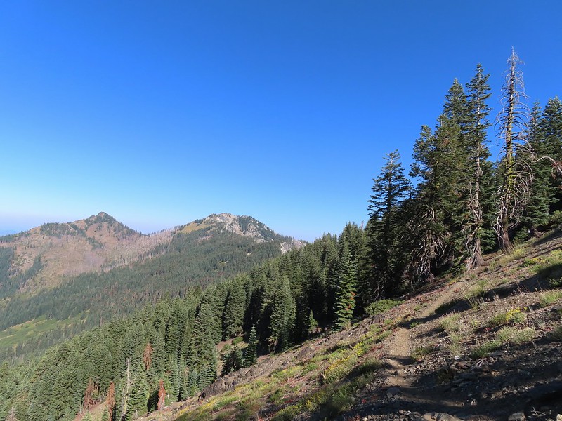
The area covered by Sullivan in this book, as the title suggests includes parts of Southern Oregon and Northern California. It contains his southernmost featured hike, Caribou Lakes. In general the area covered in Oregon begins just North of Roseburg extending East to Highway 97 (with the exception being Klamath Falls which is included in his Eastern Oregon book), South to California, and West to Marial on the Rogue River. In California the area extends south to the Trinity Alps Wilderness, West to the Siskiyou Wilderness, and East to the Mount Shasta Wilderness.


In addition to the three wilderness areas in California mentioned above the featured hikes included visits to the Marble Mountain, Castle Crags, Russian, and Red Buttes Wilderness areas in California. Wilderness areas in Oregon included the Red Buttes (OR & CA share this wilderness), Kalmiopsis, Wild Rogue, Soda Mountain, Mountain Lakes, Sky Lakes, Rogue-Umpqua Divide, Boulder Creek, and Mt. Thielsen.
In addition to the 15 designated wilderness areas there were hikes in two National Monuments – Oregon Caves & Cascade-Siskiyou, and Crater Lake National Park.
#1 North Bank Ranch-Hiked 6/5/2015 6/25/2023

#2 Fall Creek Falls-Hiked 6/13/2022 8/7/2022 6/25/2023
 Fall Creek Falls
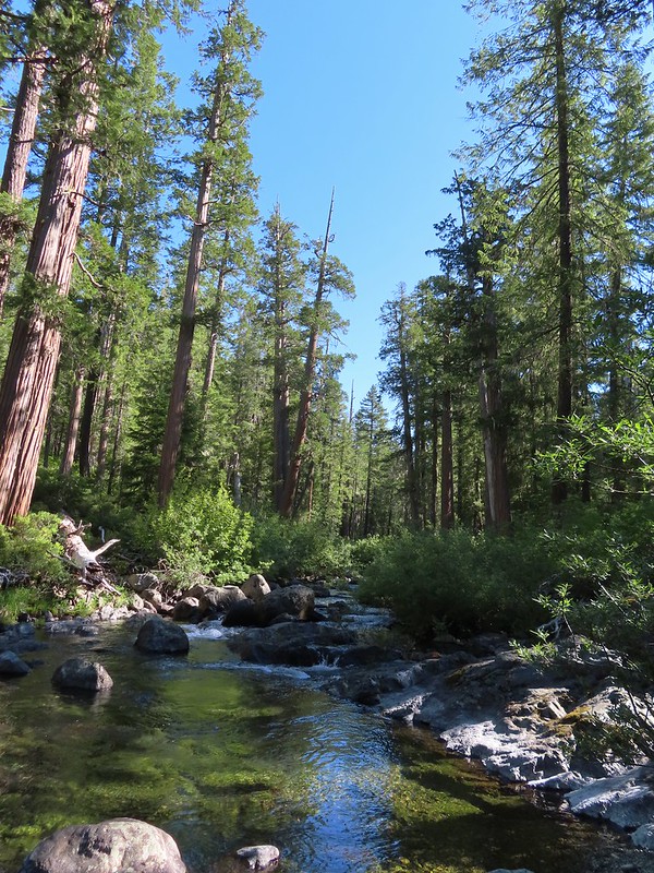
#3 Little River Waterfalls-Hiked 8/7/2022
 Yasko Falls
#4 Boulder Creek-Hiked 9/7/2020

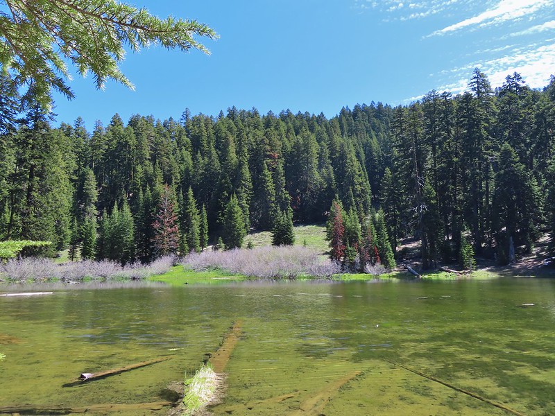
#5 Twin Lakes-Hiked 6/14/2022

#6 Fish Lake-Hiked 9/3/2022

#7 Buckey and Cliff Lakes-Hiked 9/3/2022

#8 Umpqua Hot Springs-Hiked 6/13/2022

#9 Toketee and Watson Falls-Hiked 6/13/2022

#10 Lemolo Falls-Hiked 6/13/2022

#11 Cowhorn Mountain-Hiked 9/15/2016

#12 Miller and Maidu Lakes-Hiked 8/1/2012

#13 Tipsoo Peak-Hiked 10/2/2014

#14 Thielsen Creek-Hiked 8/8/2020

#15 Mount Thielsen-Hiked 9/23/2012

#16 Diamond Lake-Hiked 9/5/2020

#17 Mount Bailey-Hiked 8/12/2012

#18 Boundary Springs-Hiked 6/13/2014

#19 Park Headquarters-Hiked 7/31/2023

#20 Garfield Peak-Hiked 7/31/2023

#21 Discovery Point-Hiked 9/19/2022

#22 The Watchman-Hiked 8/12/2012 7/31/2023

#23 Wizard Island-Hiked 8/1/2023

#24 Mount Scott-Hiked 10/2/2014

#25 Plaikni Falls and The Pinnacles-Hiked 7/30/2023

#26 Crater Peak-Hiked 7/30/2023

#27 Annie Creek & Godfrey Glen-Hiked 7/30/2023 7/31/2023

#28 Union Peak-Hiked 9/17/2022

#29 Upper and Lower Table Rocks-Hiked 6/9/2017 (Lower) & 5/26/2022 (Upper)
 Lower Table Rock
 View from Upper Table Rock
#30 Lost Creek Lake-Hiked 6/9/2017

#31 Takelma Gorge-Hiked 10/15/2020

#32 Natural Bridge-Hiked 10/16/2020

#33 Union Creek-Hiked 10/17/2020 9/20/2022

#34 Abbott Butte-Hiked 10/17/2020

#35 Hershberger Mountain-Hiked 10/16/2020

#36 Muir Creek-Hiked 5/27/2018

#37 Rattlesnake Mountain-Hiked 9/6/2020

#38 Seven Lakes West-Hiked 9/9/2023

#39 Seven Lakes East-Hiked 9/9/2023

#40 Blue Lake Basin-Hiked 9/18/2022

#41 Mount McLoughlin-Hiked 8/27/2016

#42 Fourmile Lake-Hiked 8/26/2016

#43 Sky Lakes via Cold Springs-Hiked 9/24/2022

#44 Sky Lakes via Nannie Creek-Hiked 9/24/2022

#45 Fish Lake-Hiked 10/7/2018

#46 Brown Mountain Lava Flow-Hiked 8/28/2016

#47 Lake of the Woods-Hiked 10/7/2018

#48 Mountain Lakes-Hiked 8/25/2016

#49 Soda Mountain-Hiked 6/3/2015

#50 Pilot Rock-Hiked 7/29/2017

#51 Mount Ashland Meadows-Hiked 6/3/2015

#52 Lithia Park-Hiked 6/2/2015

#53 Bandersnatch Trail-Hiked 6/17/2022

#54 White Rabbit Trail-Hiked 6/17/2022

#55 Grizzly Peak-Hiked 6/5/2015

#56 Roxy Ann Peak-Hiked 5/30/2022

#57 Wagner Butte-Hiked 6/4/2015

#58 Siskiyou Gap-Hiked 6/16/2022

#59 Jack-Ash Trail-Hiked 5/27/2022

#60 Sterling Ditch Tunnel-Hiked 6/10/2017 5/2/2023

#61 Jacksonville-Hiked 6/8/2017

#62 Enchanted Forest-Hiked 6/11/2017

#63 Observation Peak-Hiked 6/15/2022

#64 Collings Mountain-Hiked 6/8/2017

#65 Applegate Lake-Hiked 6/8/2017 5/29/2022

#66 Red Buttes-Hiked 10/27/2015

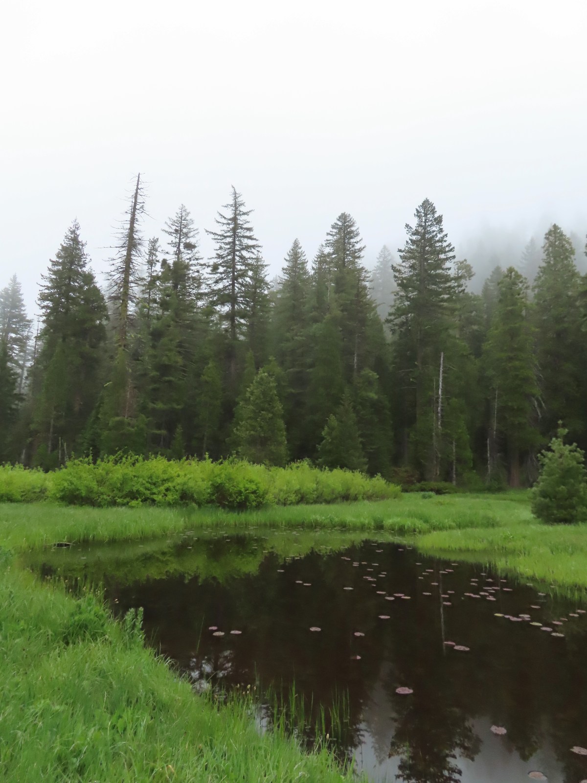
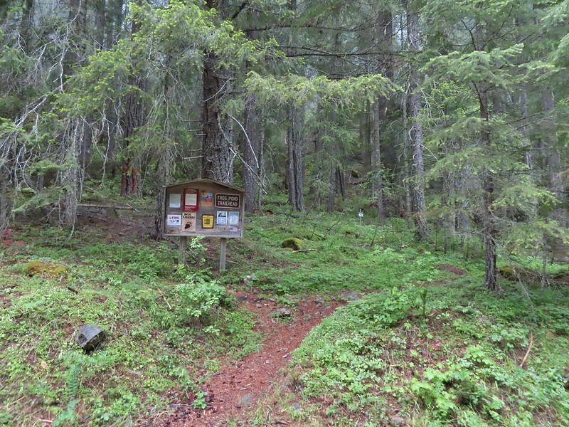
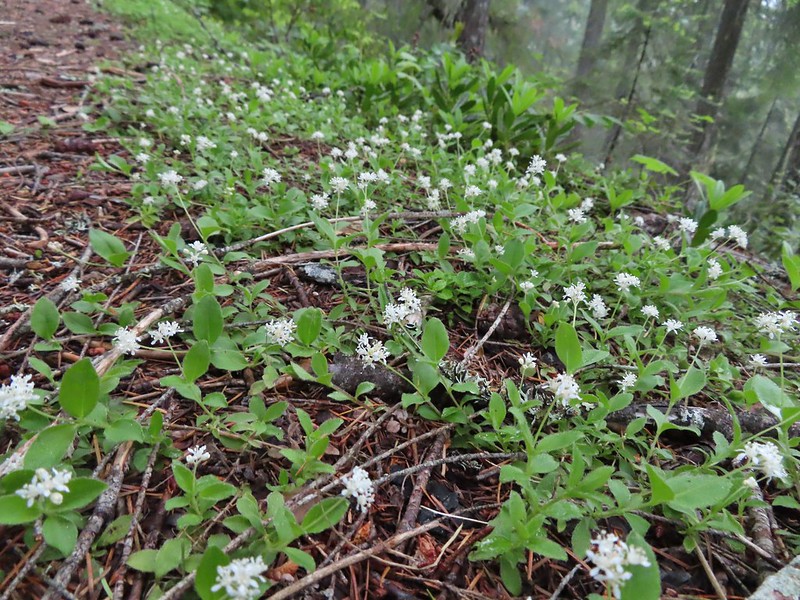
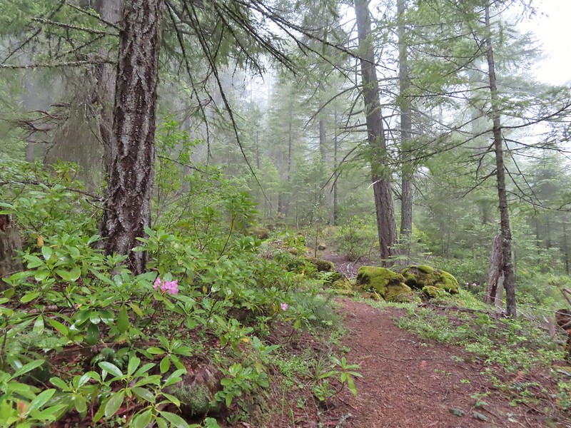
#67 Frog Pond-Hiked 6/18/2022

#68 Azalea Lake-Hiked 10/26/2015

#69 Sturgis Fork-Hiked 10/7/2023

#70 Grayback Mountain-Hiked 10/9/2023

#71 Oregon Caves-Hiked 10/30/2015

#72 Mount Elijah-Hiked 10/7/2023

#73 Sucker Creek-Hiked 10/26/2015

#74 Tanner Lakes-Hiked 10/8/2023

#75 Bolan Lake-Hiked 10/8/2023

#76 Polar Bear Gap-Hiked 7/1/2022

#77 Raspberry Lake-Hiked 7/3/2022

#78 Devils Punchbowl-Hiked 7/2/2022

#79 Rough and Ready Creeks-Hiked 5/12/2017

#80 Babyfoot Lake-Hiked 10/9/2023

#81 Eight Dollar Mountain-Hiked 5/4/2023

#82 Illinois River Beaches-Hiked 5/4/2023

#83 Grants Pass Nature Trails 5/3/2023

#84 Rouge River Trail East-Hiked 5/1/2023

#85 Rogue River Trail West-Hiked 6/24/2023

#86 Paradise Lake-Hiked 6/28/2016

#87 Sky High Lakes-Hiked 6/29/2016

#88 Campbell Lake-Hiked 6/27/2016

#89 Paynes Lake-Hiked 7/24/2017

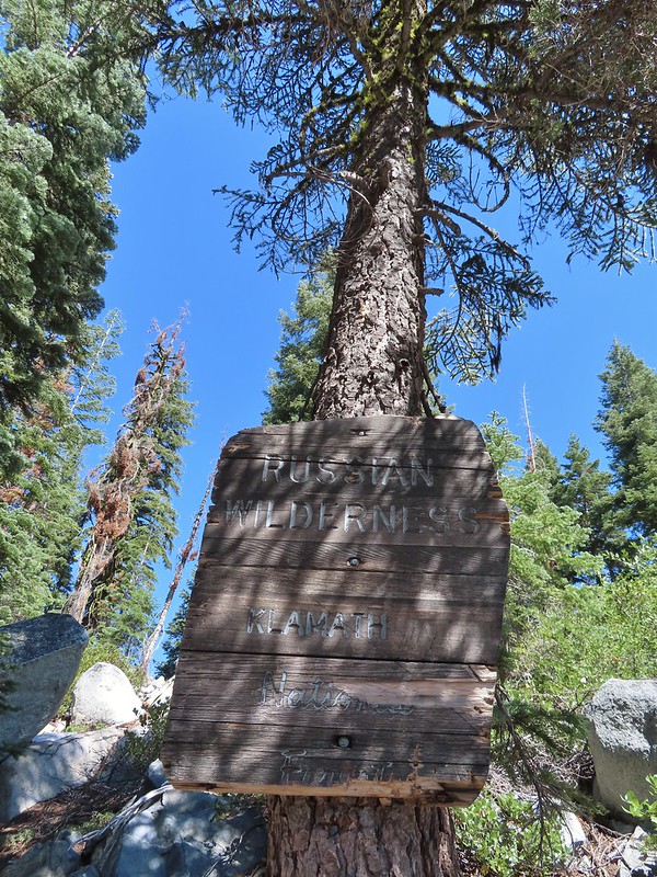
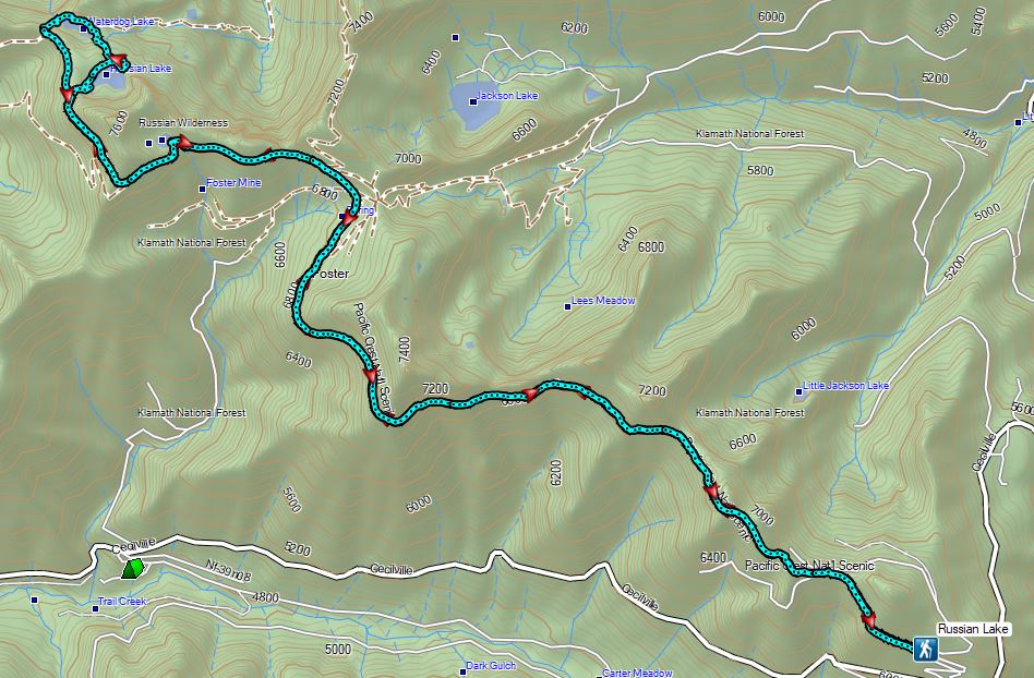
#90 Russian Lake-Hiked 8/24/2022

#91 Hidden & South Fork Lakes-Hiked 8/26/2022

#92 Trail Gulch Lake-Hiked 8/25/2022

#93 East Boulder Lake-Hiked 8/23/2022

#94 Kangaroo Lake-Hiked 7/23/2017

#95 Deadfall Lakes-Hiked 7/25/2017

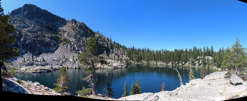
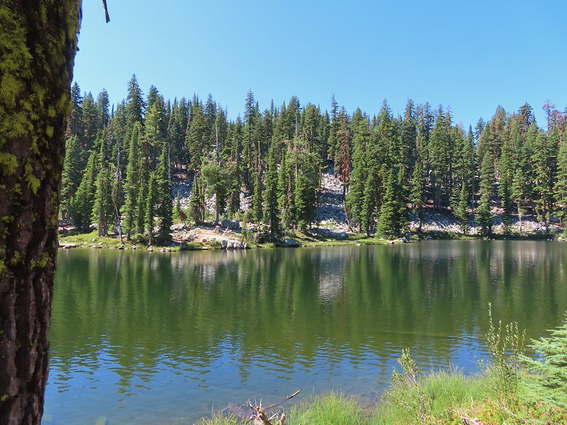
#96 Caribou Lake-Hiked 7/27/2017

#97 Castle Lake-Hiked 7/26/2017

#98 Castle Crags-Hiked 7/26/2017

#99 Black Butte-Hiked 7/28/2017

#100 Mount Shasta Meadows-Hiked 8/22/2022

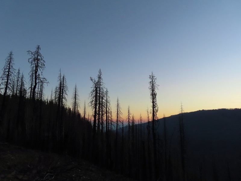
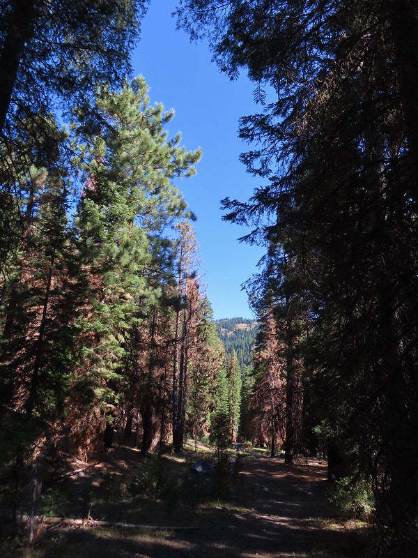
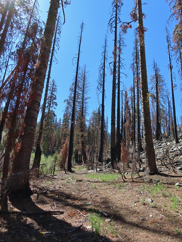
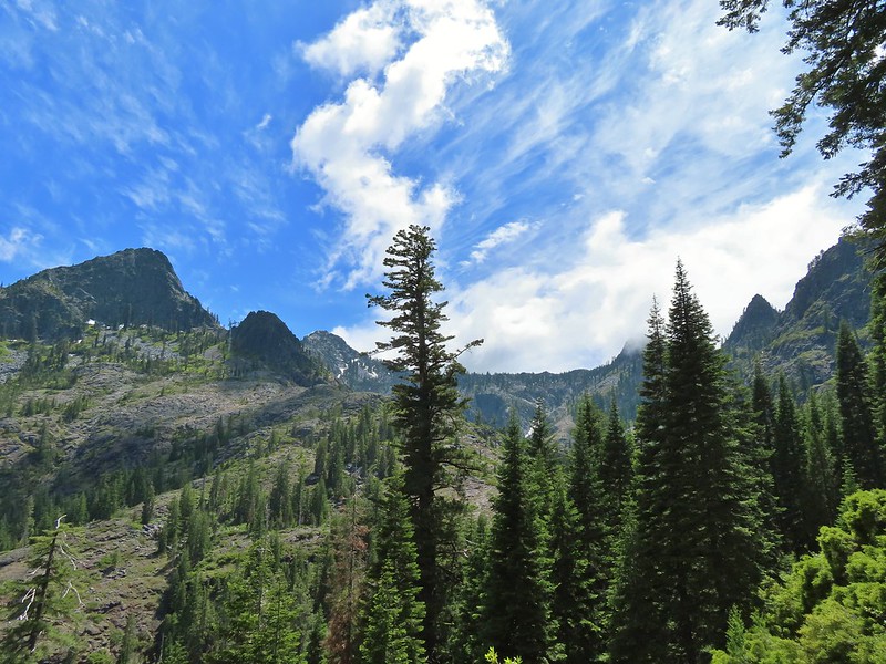
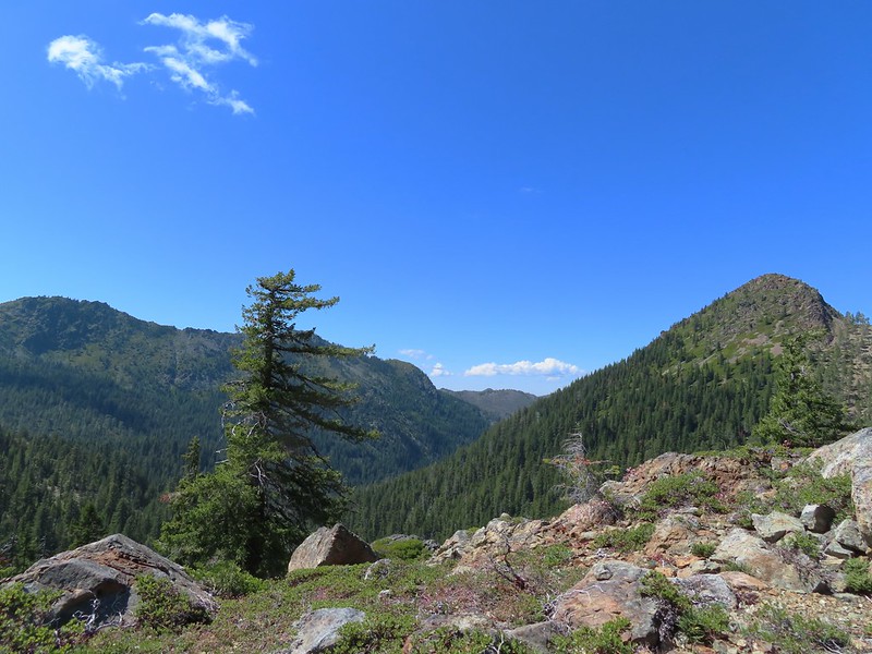
In our minds this was by far the most challenging area to finish even though we did so before completing Eastern Oregon. The difficulty with Eastern Oregon mostly revolves around distance from Salem and the size of the area covered. The Southern Oregon-Northern California area is smaller and the hikes not as far away, but it involved a lot of trails that frankly don’t see the level of maintenance that most of the other areas receive. While we’ve encountered rough trails, all over poison oak is much more prevalent down south which doesn’t invite pushing through overgrown tread or bushwacking around obstacles. This area has also been hit harder by fires over the last couple of decades leaving extra work to reopen them as well as remove additional blowdown as the dead trees fall over. When the conditions were good though the scenery and diverse plant and wildlife made for some spectacular hikes. There are many that we’d love to do again and several non-featured hikes that we have in our future plans, so we aren’t done with area yet. Happy Trails!


 The PCT running left to right with the Hidden Lake Trail extending straight ahead.
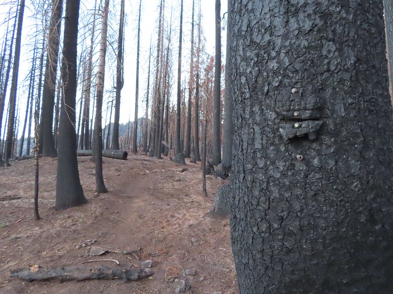 Remnants of a trail sign. The sticks across the Hidden Lake Trail are to let PCT hikers know that is not their trail.
 A layer of smoke over the valley on the horizon.
 A fleabane, possibly California rayless fleabane.
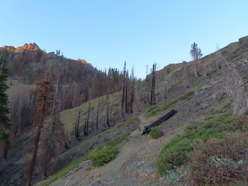 Hidden Lake Trail following the ridge.
 Dwarf purple monkeyflower
 Blue-eyed Mary
 Approaching Hidden Lake.
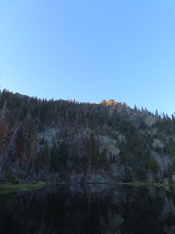


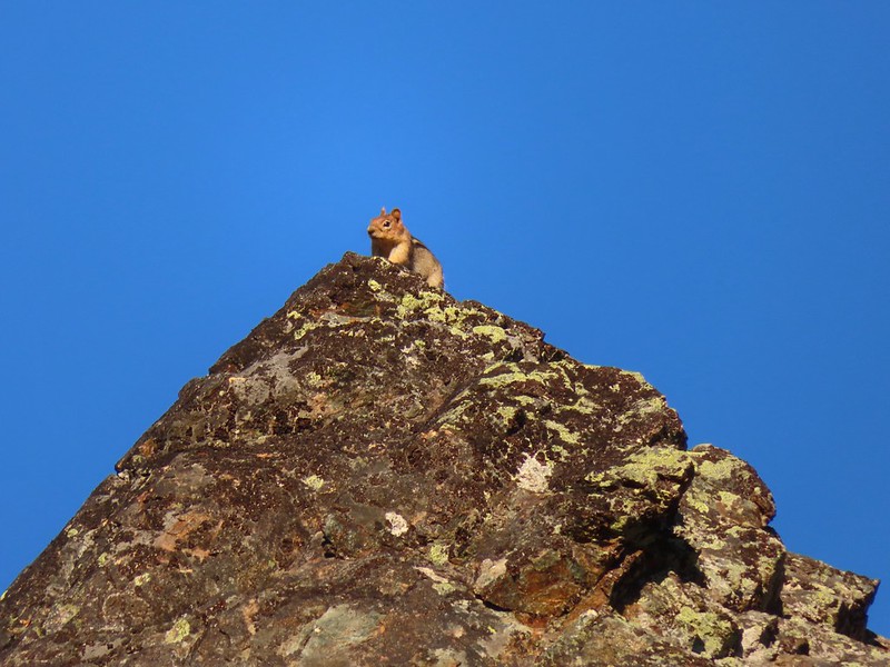 Golden-mantle watching us from atop the ridge.
 Looking back now that there was a little more sunlight.
 Diamond clarkia
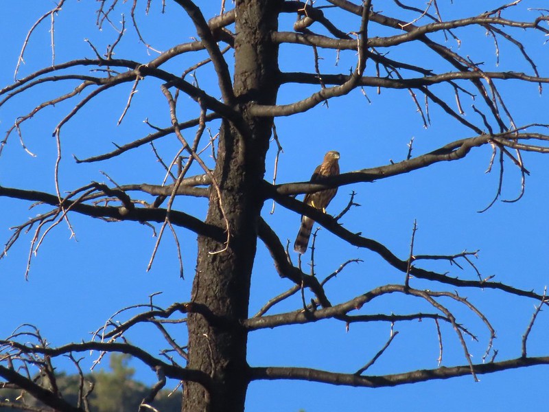 A small raptor watching from a snag.
 Wildflowers in the burn scar.
 Spreading dogbane
 A small stream/spring providing some green.
 Bleeding heart, fireweed, monkeyflower, and hedge nettle along the stream.
 Yarrow and Oregon sunshine.

 California harebells
 A lot more green vegetation near the river crossing.
 South Fork Scott River
 Mountain coyote mint
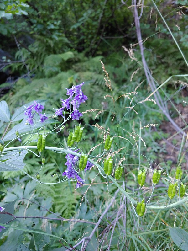 Mountain larkspur
 Mountain larkspur
 Snacks
 Campsites along the PCT near the river crossing.
 You can just make out the trail ahead heading uphill to the right.
 This trail was the most overgrown/least maintained of all the trails we’d been on this trip.
 Nearing the meadow.
 Entering the meadow and losing the trail.
 As of yet unidentified flower in the meadow.
 There was a brief pause in the climb while the trail passed a series of springs.
 Vegetation along the trail at the springs.
 Back to climbing.
 The final spring that we passed was coming out of this hollowed trunk.

 There were several places where it looked like the trail was going to finally crest but when you got there you just found more uphill.
 Finally the trail is leveling out.
 Looking back over the lower lake.
 Heading off-trail for the upper lake.
 Back to the lower lake.
 A penstemon
 Another look at the cool spring.
 Monkeyflowers along the springs.
 Butterfly on western snakeroot
 Back through the meadow.
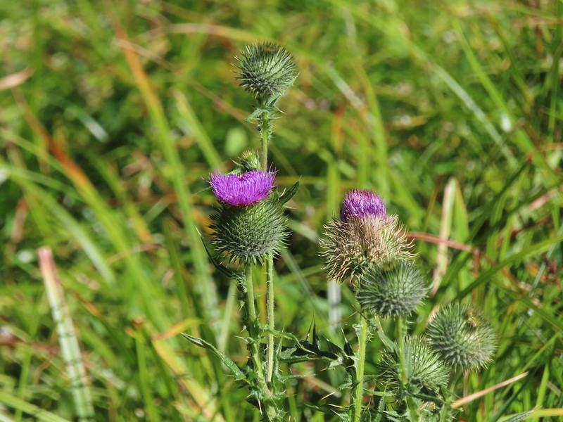 Thistle
 Close up of a California harebell.
 I can see a car at the trailhead.
 The helipad at the trailhead.
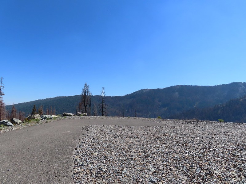 The helipad at the trailhead.
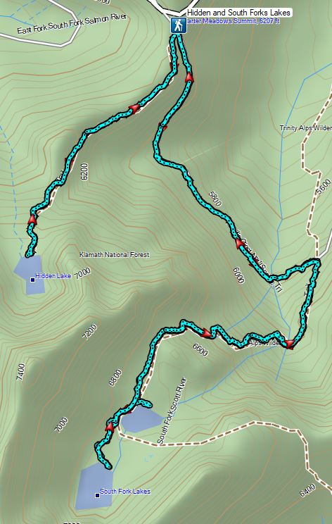


 An aster (or a fleabane, it’s so hard to tell).
 Musk monkeyflower
 Tiny green frog.
 It was easy to spot where the creek was based on the green.
 The wilderness boundary.
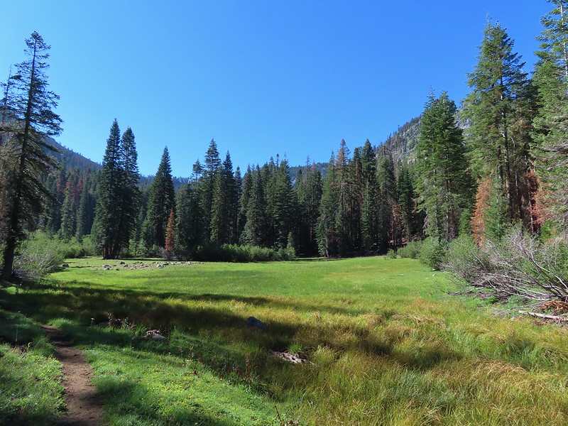
 The creek crossing.
 Paintbrush
 A checker-mallow near the creek.
 A junco. We saw a large number of small birds flying around during our trip, mostly junco’s and chickadees but they rarely ever sat still where we could see them.
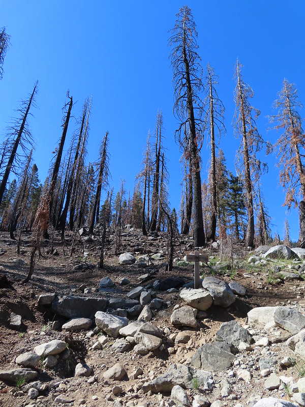 Pointer for Trail Gulch Lake 0.8 miles from the Creek Crossing.
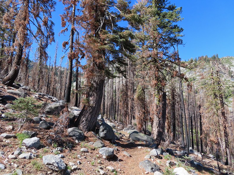


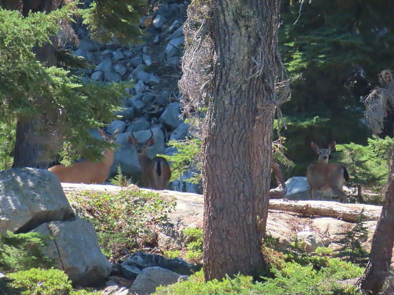
 One of several deer seen running uphill as we made our way up the trail.
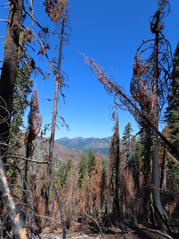 View back down Trail Gulch.
 Paintbrush
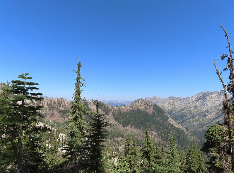
 Peaks in the Russian Wilderness.
 Arriving at the pass.
 Trail Gulch Lake from the pass.
 Clark’s nutcracker
 The sign for Steveale Meadows where we went uphill on the trail to the right.


 View south from the tie trail.
 Approaching the pass.
 Sullivan mentions that it is possible to scramble 0.2 miles to the right along this ridge to get a view of Mt. Shasta and the heart of the Trinity Alps but with the smoke on the horizon we didn’t feel it was worth the effort and skipped that option.
 Looking down into Long Gulch from the pass.


 To the north we could see much of the route we’d taken the day before on the way to Siphon and Russian Lakes.
 Chipmunk with a snack.

 The outlet creek.
 Long Gulch Trail passed to the north of Long Gulch Lake for a quarter mile.
 The pass that the trail came down is along the ridge to the left here.
 Parnassian on mountain coyote mint.
 Skipper on mountain coyote mint.


 Meadow with a number of big trees that survived the fire.
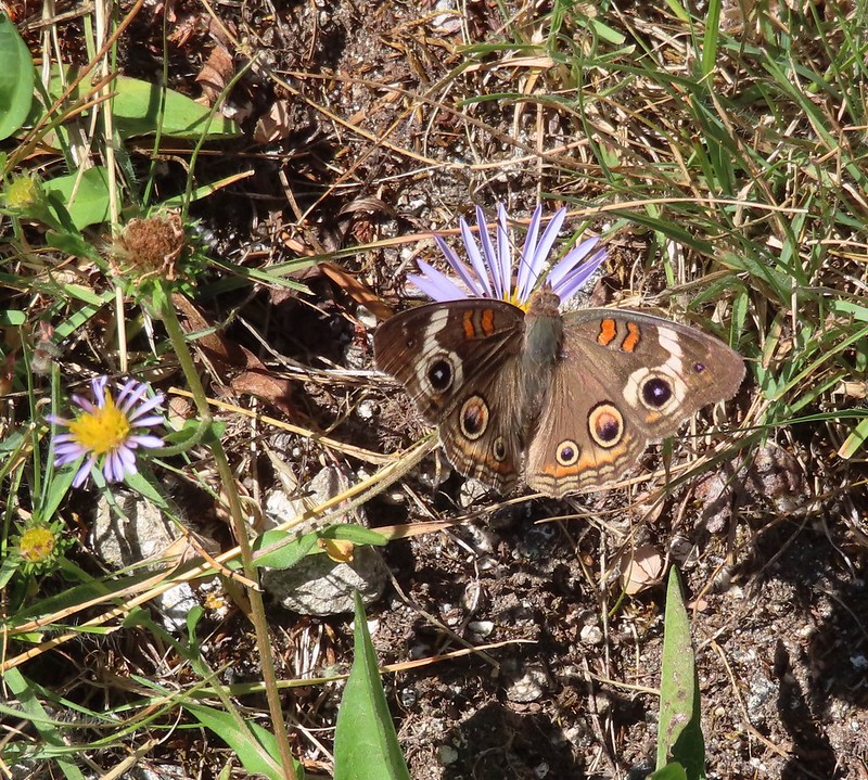 Common buckeye
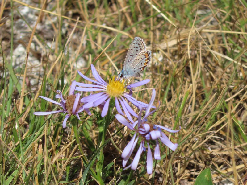 A copper or blue
 Lorquin’s admiral
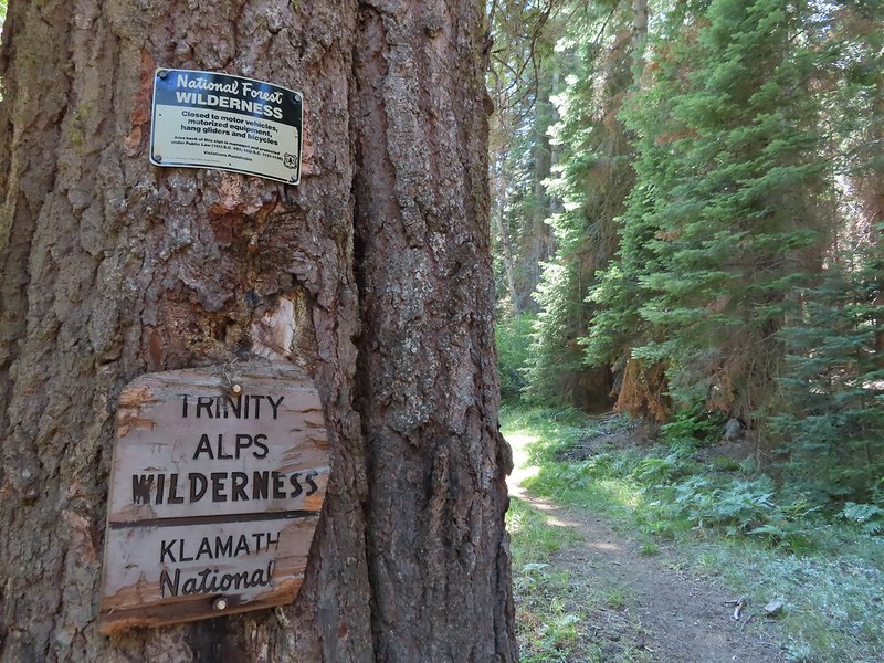 Leaving the Trinity Alps Wilderness.
 The trail briefly followed the Long Gulch Creek.
 Checker-mallow
 The trail crossed the creek just under 2 miles from the junction.
 Arriving at the Long Gulch Trailhead.
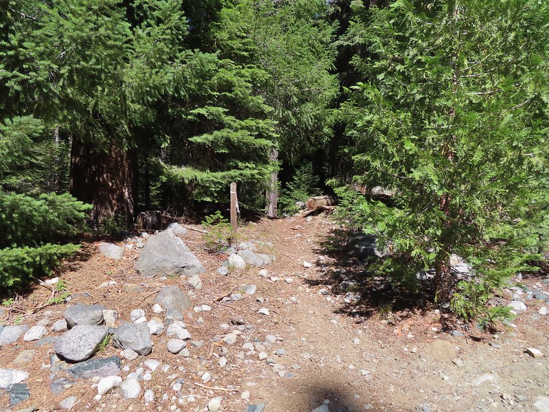


 We did pass a sign for the horse trail along the road.
 To the far right of the photo in between the green and orange branches is where it landed.
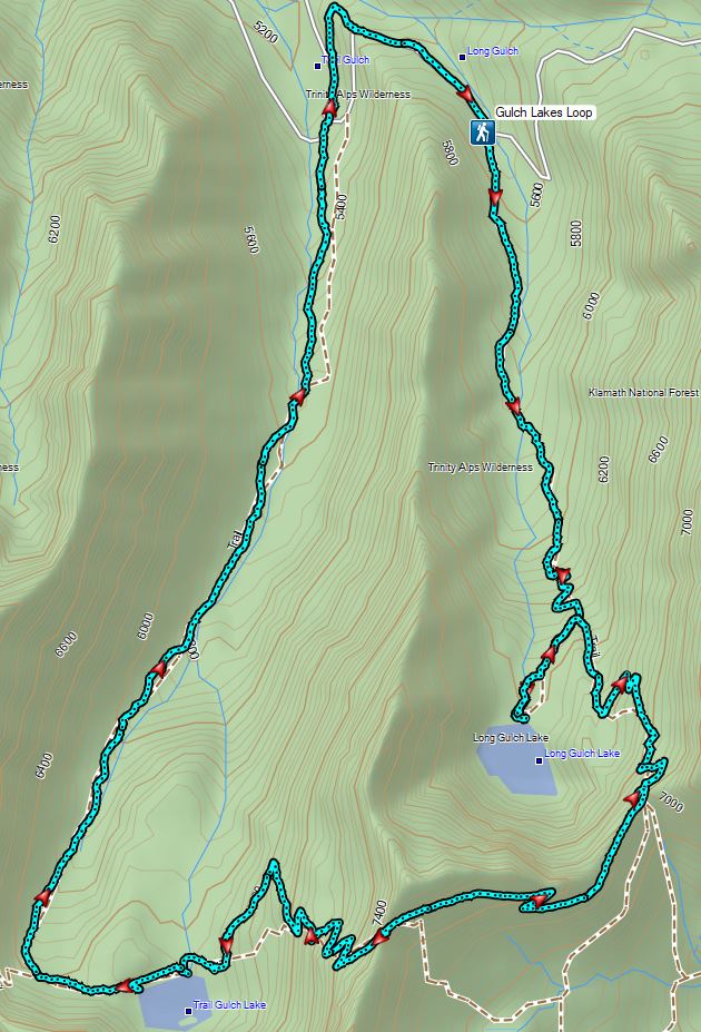

 PCT below FR 39N48.
 Tail and Long Gulches in the
  Lots of buckwheat along the ridge.

 Buckwheat

 Trinity Alps Wilderness
 Caesar and Thompson Peak
 We would be passing below the peak in the distance later.
 Small buck on the hillside above the PCT.
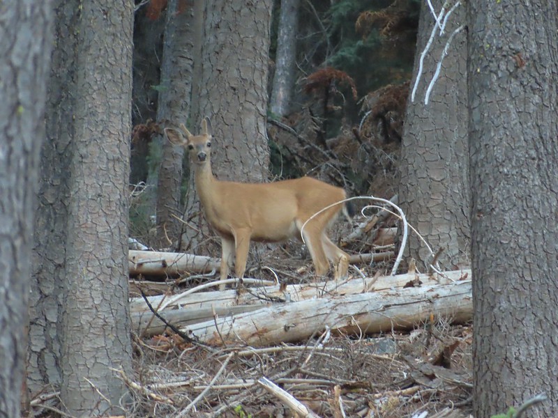
 The Deacon Lee Trail was visible crossing the opening on the far hillside.

 Checker-mallow
 Crescent butterfly
 Small spring along the PCT.
 The junction with the Deacon Lee Trail.


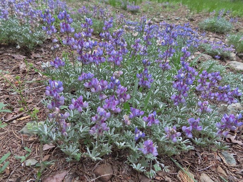
 Dwarf lupine

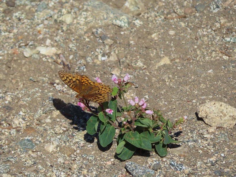 Fritillary butterfly on spreading dogbane.
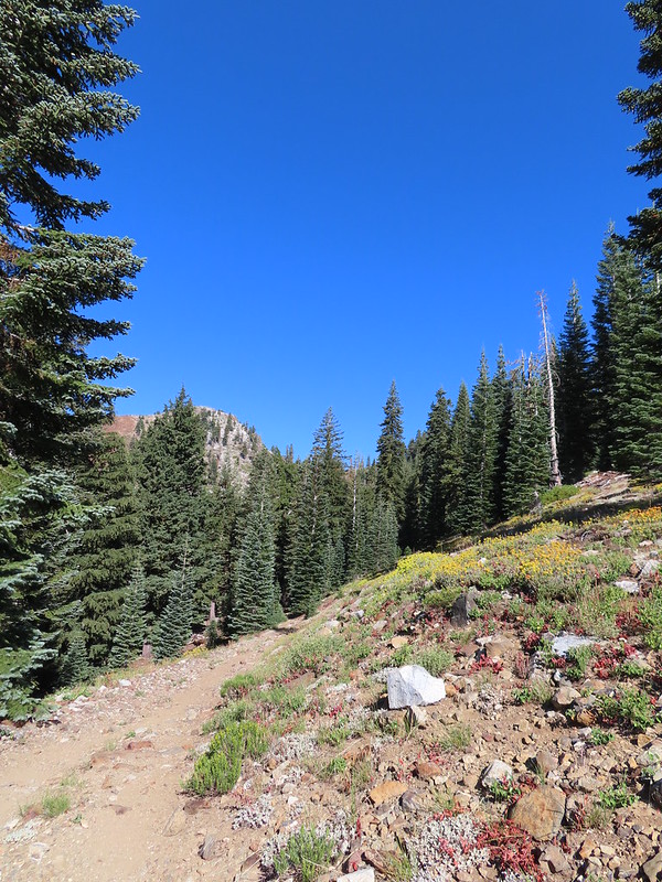 Nearing Siphon Lake.
 Siphon Lake was just under a mile from the PCT.
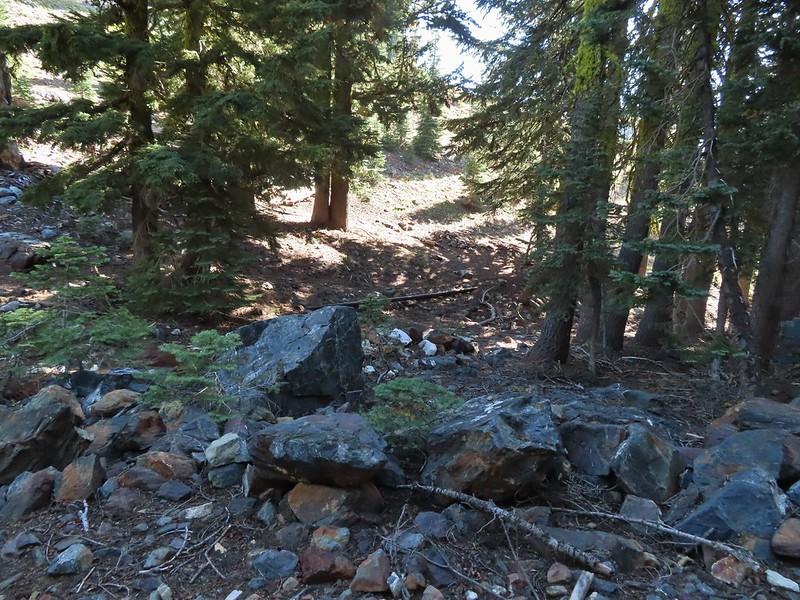 Old pipe that used to bring water down to mines lower on the hillside.


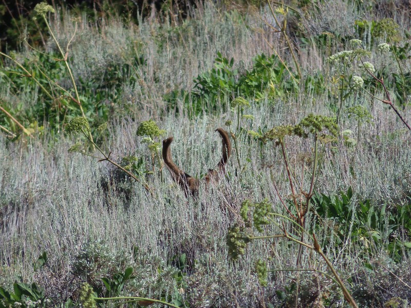
 Zoomed in on the pair.
 The curious fawn.


 The pond was full of tadpoles.
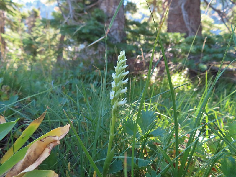 Hooded ladies tresses
 View from the outlet creek.
 Russian Peak
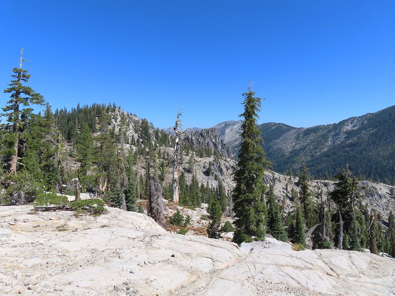


 Fireweed near the outlet.
 Large boykinia

 Saxifrage seed head
 It was a pretty good drop down to Waterdog Lake.
 Waterdog Lake.
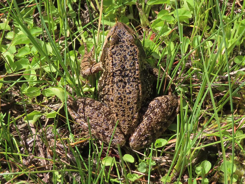

 The deer were across the lake in those trees.
 Looking back along the lake.


 Paintbrush
 There were dozens of lizards scurrying across the trails all day but not many stopped long enough for photos.
 Haven’t been able to identify this one yet.
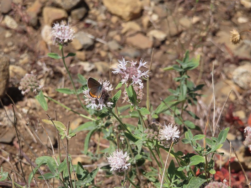 Butterfly on mountain coyote mint
 Another butterfly on mountain coyote mint.
 Grasshopper that became obsessed with Heather’s glove.
 Cricket
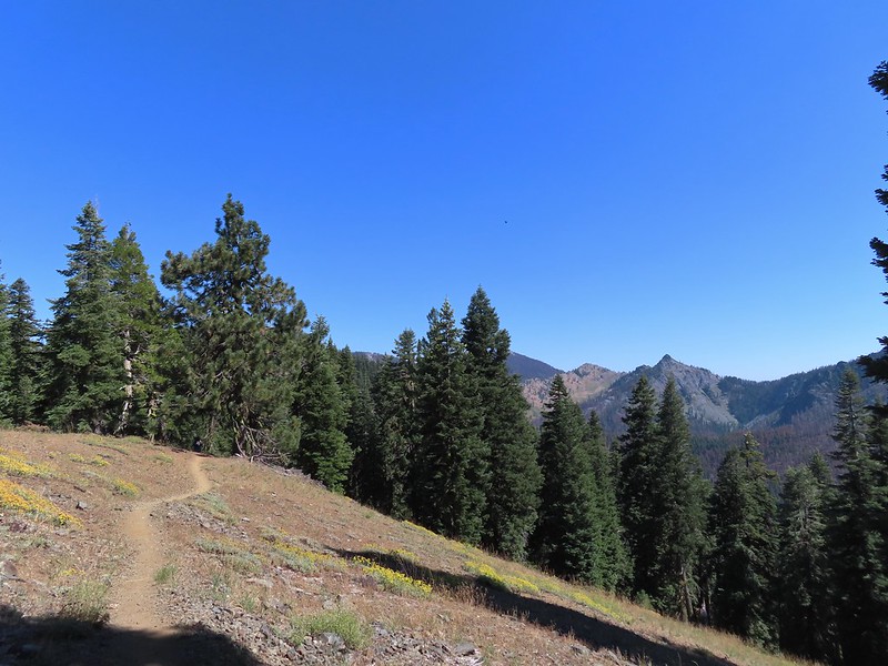


 Entering the

 First view of the small waterfall.
 Bigelow’s sneezeweed
 Marsh grass-of-Parnassus
 Not sure what these little guys are.
 Checker-mallow
 Western snakeroot
 Passing the waterfall.
 Peaks in the
 Dam near East Boulder Lake.


 There were cows out there somewhere but we couldn’t see them.
 View from the dam. We had to watch out for frogs here.

 We should have stuck closer to the lake.
 Buckwheat
 Back on the trail where the cows were just leaving.
 Upper Boulder Lake
 Upper Boulder Lake in the background.
 One of the cows on the far side of the lake to the left.
 Toothed owl’s clover
 Ducks on Upper Boulder Lake.
 The climb was fairly steep at times.
 All four lakes in view.
 Almost to the pass.
 At the pass.
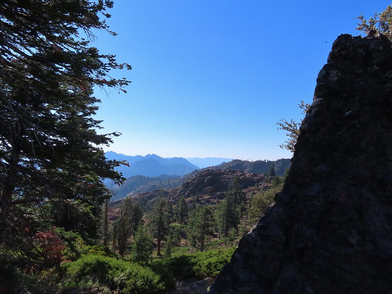 Looking south further into the Trinity Alps Wilderness.


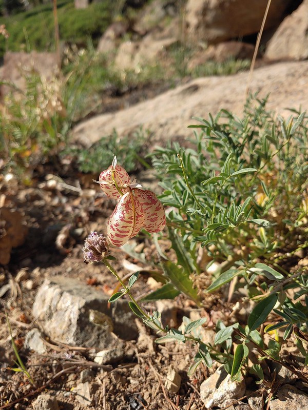 Balloon-pod milk vetch
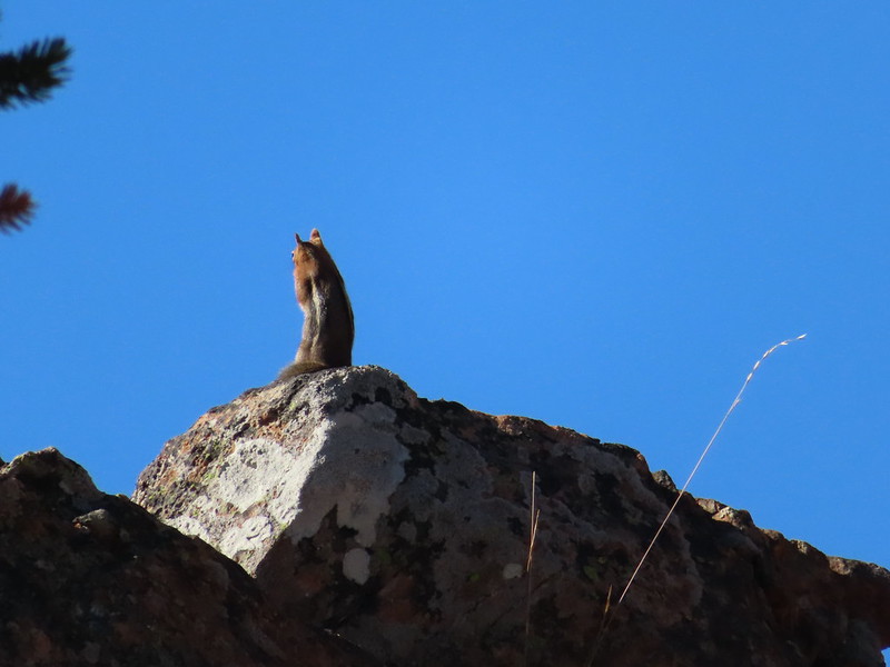 Golden-mantled ground squirrel taking in the views.
 Mt. Shasta over Mt. Eddy through the haze. I believe the lake below to the right is Big Marshy Lake.
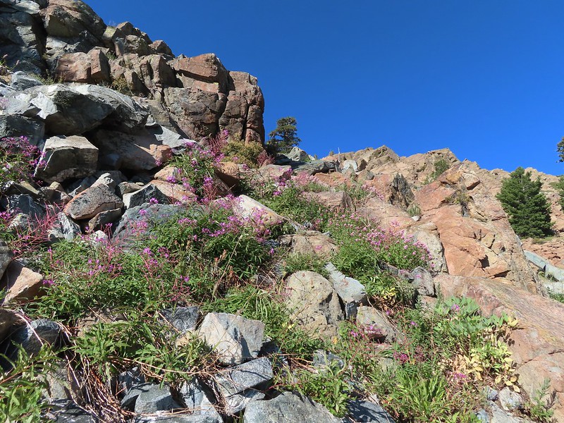 Fireweed in the rocks.
 Paintbrush
 A bit of water from a spring along the PCT.
 The water was coming from somewhere up there.
 Looking back along the PCT.
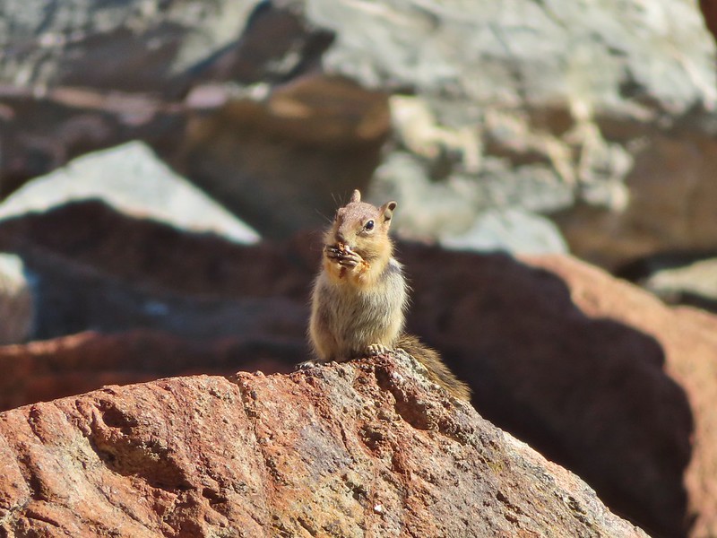 Snack time.
 Caesar and Thompson Peak
 This northern flicker looks like its head is on backwards.
 A little bit of burned forest near the pass.
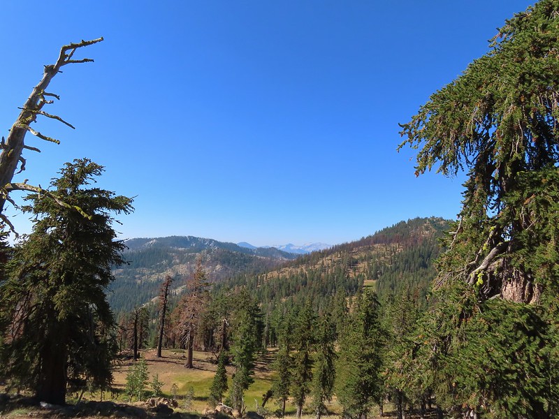 More peaks in the heart of the Trinity Alps.
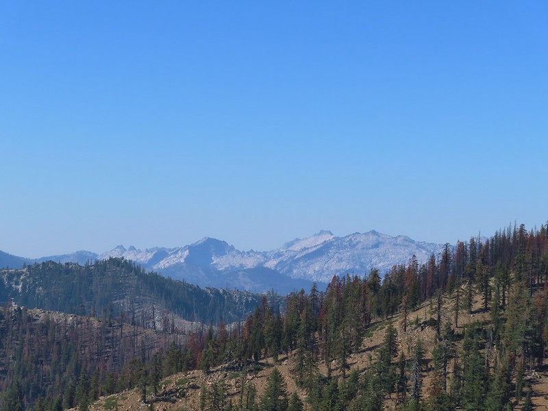 Caribou Mountain (
 The pass above Middle Boulder Lake.
 Middle Boulder Lake is just visible beyond two smaller unnamed lakes.
 Middle Boulder Lake Trail at the pass.
 The Middle Boulder Lake Trail traversing down the hillside.
 A sulphur butterfly.
 The trail stayed above the two unnamed lakes.
 The trees on the far hillside were burned in the 2021 fire.


 The cairn to the right of the downed tree.
 This may be Autumn dwarf gentian
 One of the more obvious cairns.
 Butterfly on a seed head.
 The tread getting clearer.
 Middle Boulder Lake
 Back on good tread.


 Orange agoseris
 Passing through a bit of forest before climbing to the saddle.

 Approaching the dam.
 Fish in East Boulder Creek.
 Descending near the waterfall.
 An aster or fleabane.
 Butterfly
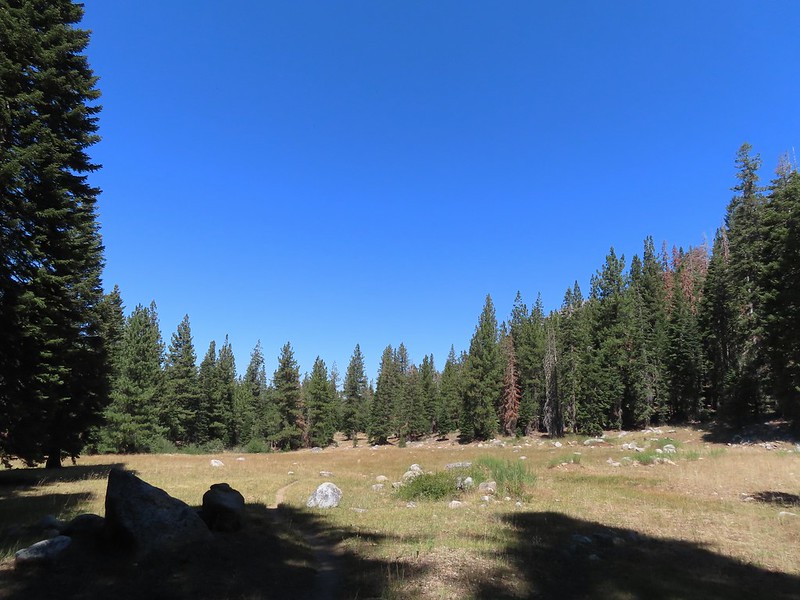
 Woodpecker
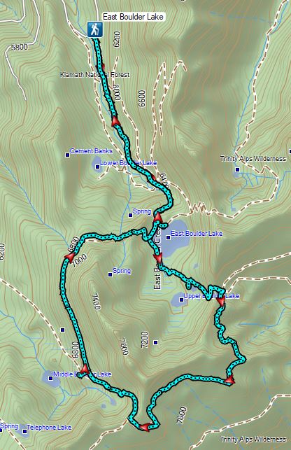

 Fog at 5:30am
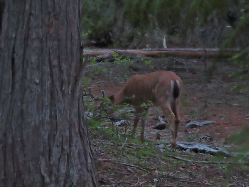 After he jumped he started to run off but quickly stopped to eat just a few yards later.
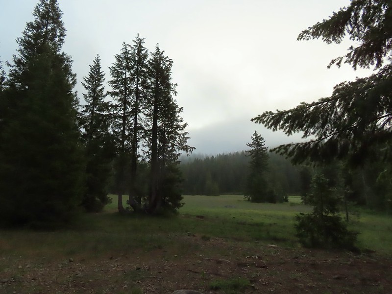
 Deer in the meadow.
 Snail near our breakfast spot. It’s amazing how quickly these guys can get from one place to the next.

 Lupine and beargrass along the road.
 Lupine
 Beargrass
 Waterfall on cliffs below El Capitan.
 Waterleaf
 Stream crossing.
 At times the old roadbed looked like you could drive on it but other times it looked like this.
 Small meadow along the trail.
 Western azalea
 The clouds burned off quickly.
 Penstemon
 Youngs Peak with the meadow barely visible to the right below.
 Rocky Knob to the left.
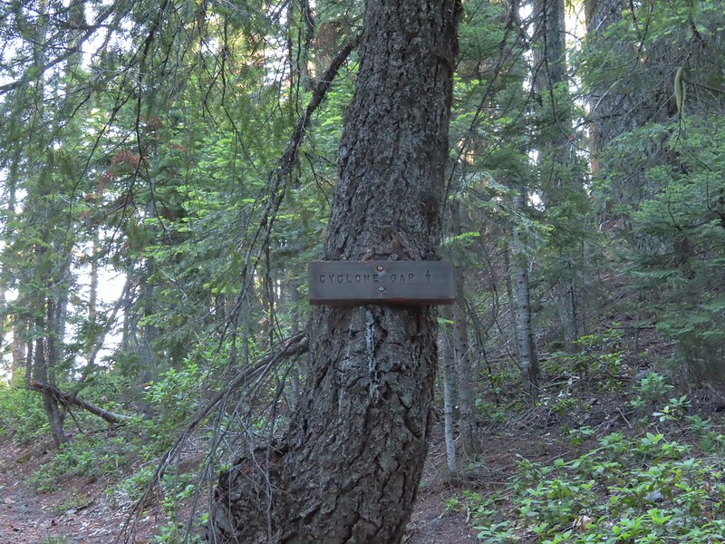
 Sign at the Cyclone Gap junction.
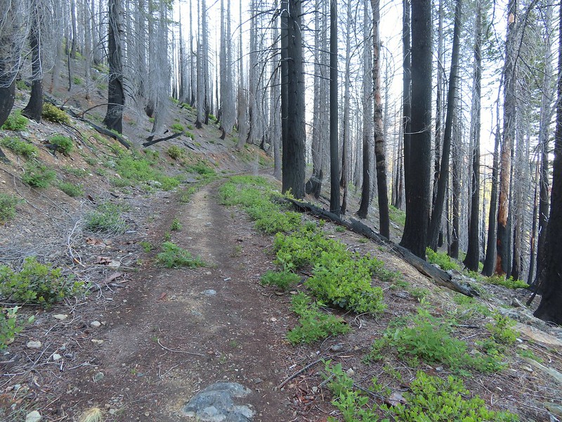 Back into the 2018 Natchez fire scar.
 Preston Peak
 Paintbrush along the trail.
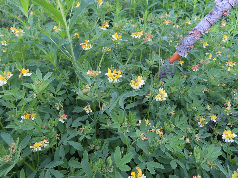 Streambank bird’s-foot trefoil
 Musk monkeyflower
 Raspberry Lake Trail to the left.
 Ruins from the chrome mine.
 More mine ruins on the hillside below.
 Nuttall’s sandwort
 Bear Mountain and Rocky Knob.
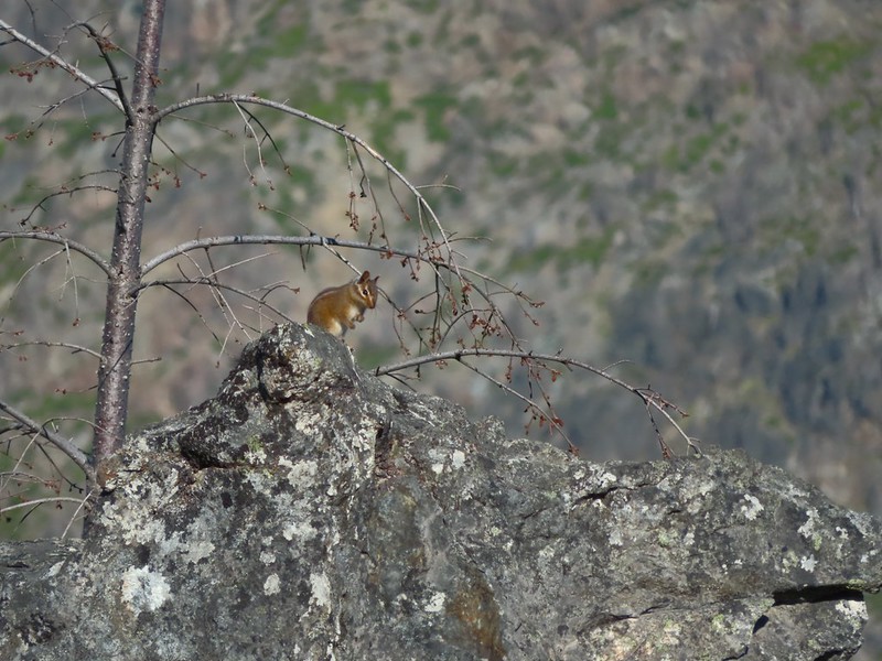 Chipmunk
 Getting closer to Preston Peak.
 Ragwort
 Small stream crossing.
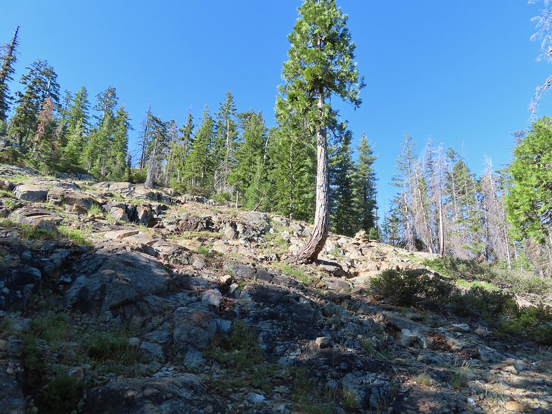 A short steep rocky section where cairns were helpful.
 Rounding another ridge with Preston Peak on the left and Bear Mountain to the right.
 First view of Raspberry Lake in the trees below to the right.

 Big rock along the shore.
 Bell catchfly
 Douglas’ Dustymaidens
 El Capitan on the right. To the left I think that is Bear Cub with Polar Bear Mountain behind.
 Western azalea
 This squirrel gave us a stern talking to.
 Western tanager pair
 Twin Peaks
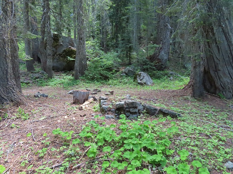 We believe this is what Sullivan shows as Slow Echo Camp on his map. We wondered what the stones in the foreground had been a part of?
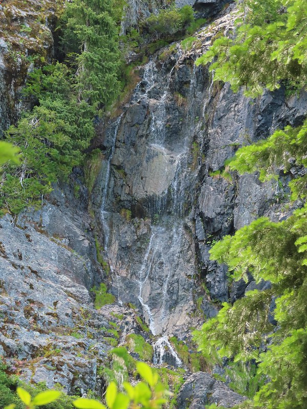


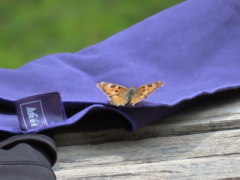 This butterfly did discover people=salt.
 Maybe a flycatcher of some sort near camp.
 Common buckeye
 Turkey vulture checking out the meadow.
 White rush lily
 Ginger
 Snow plant
 Another low cloud morning.
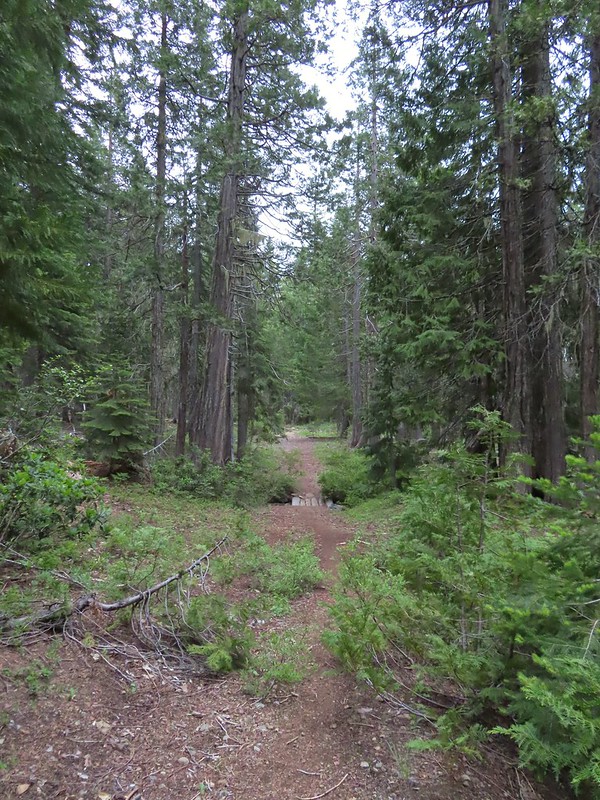 Heading out
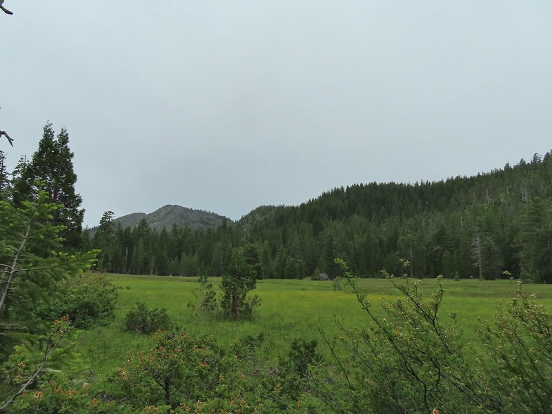 Passing around the meadow, we didn’t see Buster this morning.
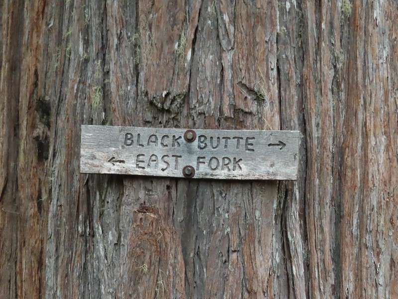
 Black Butte Trail junction.
 Bear Cub under the clouds.
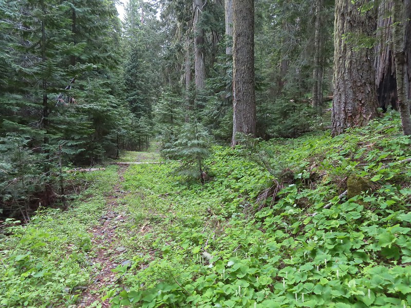 Vanilla leaf along the trail.
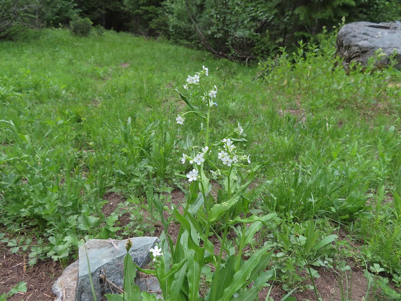 Jessica sticktight
 The headwaters of the East Fork Illinois River are just up from the trail so the river isn’t much more than a trickle at the trail crossing.
 The edge of the clouds to the NW.
 Passing below Bear Cub.
 Being an old road bed in unburt forest made for easy hiking.

 Swtichbacking toward Bear Cub.
 Black Butte
 Heading downhill so we could go up.
 Creek crossing in the basin below Black Butte.
 Looking back into the clouds where we’d come from.
 Steep climb up to the junction.
 We made it back to the junction! Only 1.8 more miles to go.
 Spirea
 Pair of woodpeckers
 Why is there more uphill?
 Black Butte from the trailhead with Heather coming down the trail.

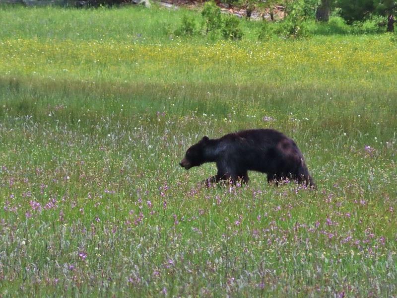
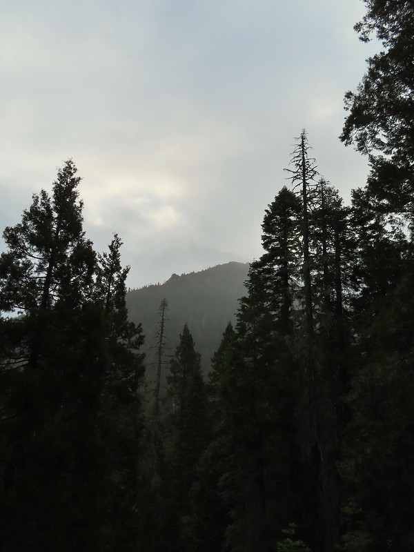
 There still wasn’t a lot of light in the valley but the bear was in with the tall tree in the middle of this picture.


 Heather watching the bear leave through the gap in the trees.
 The sign for the Clear Creek Trail on a tree to the right.

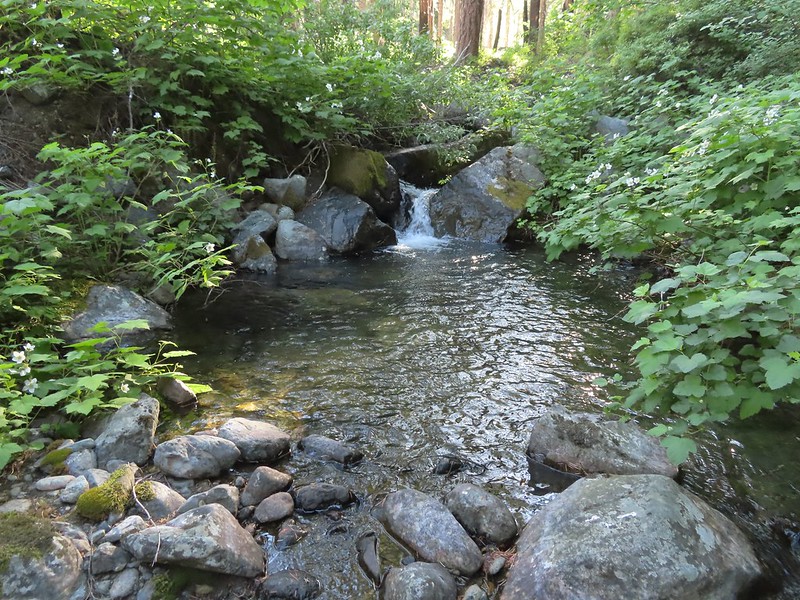
 Clear Creek below the trail.
 Anemone and star flowers
 Honeysuckle
 Rocky Knob
 One of several creek crossings. This one was a bit tricky to stay dry on but we both managed to do so on the first pass. Heather wasn’t so lucky on the way back though.
 Rayless arnica
 Pacific ninebark
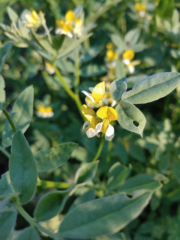 Streambank bird’s-foot trefoil
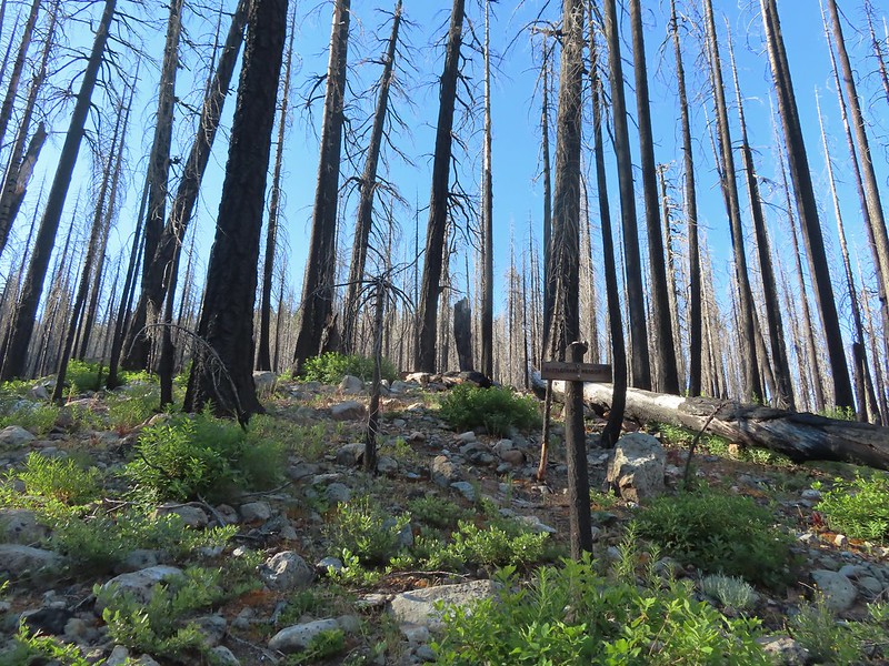 Sign for the Rattlesnake Meadows Trail which looked to be in much worse shape than the Clear Creek Trail.
 White-vein wintergreen
 Queens cup
 There was a small stream in the middle of the trees here.
 A colorful pea.


 The western azaleas smelled wonderful.
 Another side creek.
 Another fire scar, this time from the 2017 Young fire.
 Silver-spotted skipper


 Chipmunk
 White-stemmed frasera
 Bolander’s lily, another exciting find for us and the first time we’ve seen them.
 Washington lily with a crab spider.
 Trail sign near Trout Camp.
 Sign for the Doe Flat Trail at Trout Camp.
 Doe Creek, we probably could have made it dry footed (I was able to on the way back.) but since we were already wet why bother.

 Twin Peaks in the distance.
 Pacific coralroot
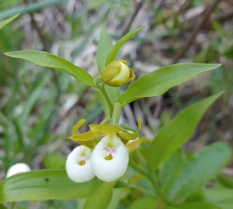
 Phantom orchid
 The Doe Flat Trail continuing on from the junction.
 The flat top of Black Butte in the distance.
 Bear Mountain
 Blue-head gilia
 Oregon sunshine


 Buckwheat
 Siskiyou lewisia
 Preston Peak


 Pussypaws
 Beetle on a pussypaw
 Swallowtail on azalea
 Silver-spotted skipper on Siskiyou lewisia
 Phlox
Phlox
 There is a rock arch atop the ridge near the left hand side.
 Mountain heather
 Green beetle
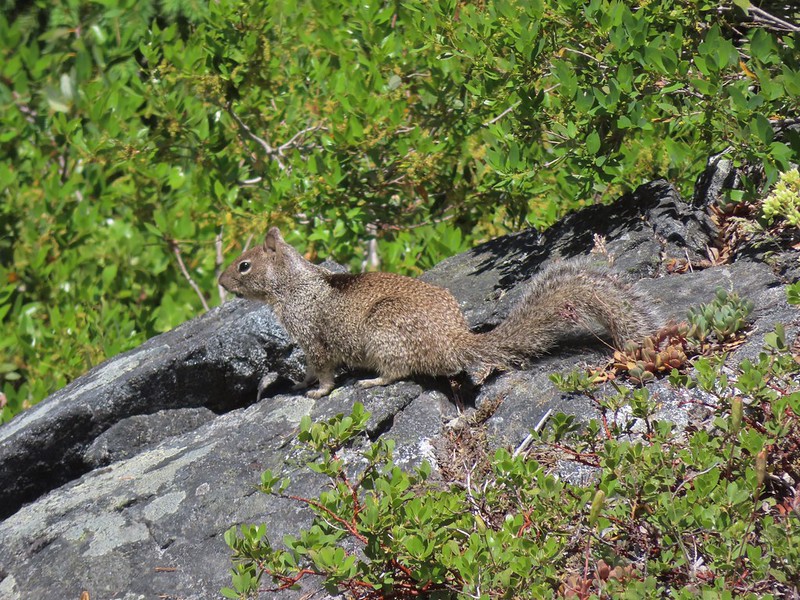 Ground squirrel
 Clouds gathering around Preston Peak.
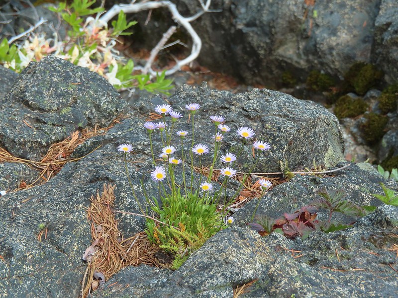 Fleabane near the pool.
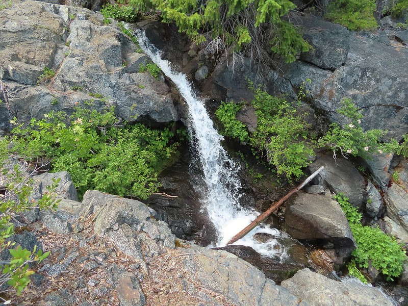 Waterfall along the outlet creek.
 Clouds over Devil’s Punchbowl.
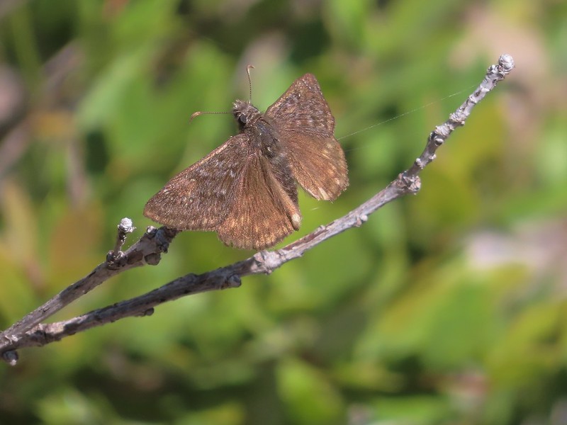 A duskywing
 More clouds to the north.
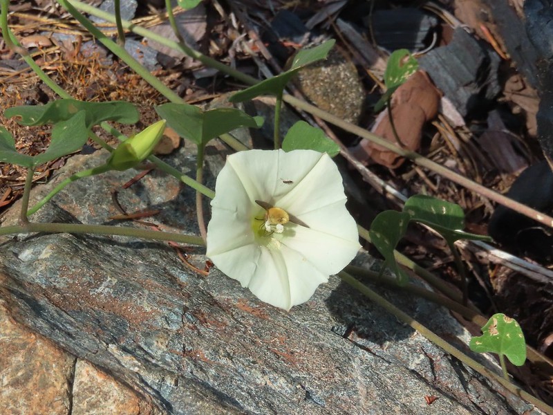 Bee in bindweed with a little ant observing.
 Back at the ford.
 Ouzel at the Clear Creek ford.
 Doe in the forest.
 This little guy had a pretty song.
 Arriving back at Youngs Valley.
 The bear in the middle of the photo behind a small leaning tree.

 Black Butte from the Black Butte Trailhead.
 Penstemon
 Narrowleaf blue eyed Mary
 Siskiyou mountain ragwort
 Wedgeleaf violet
 Sanger Peak
 More penstemon
 Phlox
Phlox Youngs Peak
 It turned out to be a beargrass year, at least in the northern part of the wilderness.
 Clustered broomrape
 Paintbrush
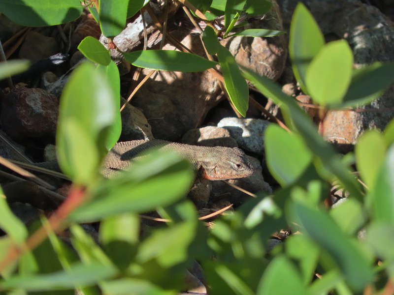 Lizard
 El Capitan with the snow behind Bear Cub. Bear Mountain is the high point in the center distance with Rocky Knob to the right front of it. Youngs Peak is the high point to the far right of the frame at the end of the ridge.
 Looking up at Black Butte.
 Rayless arnica
 Big deervetch
 The junction with the tie trail.
 Polar Bear Mountain ahead.
 Azalea
 A sulphur butterfly
 Thimbleberry blossoms
 A tortoiseshell on thimbleberry.
 Wallflower
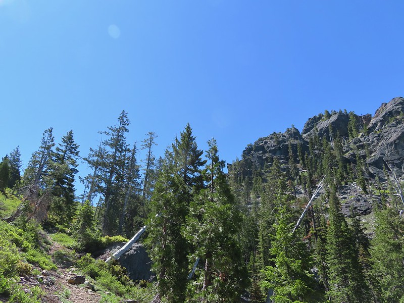 The trail steepened considerably as it made the final climb to the gap.
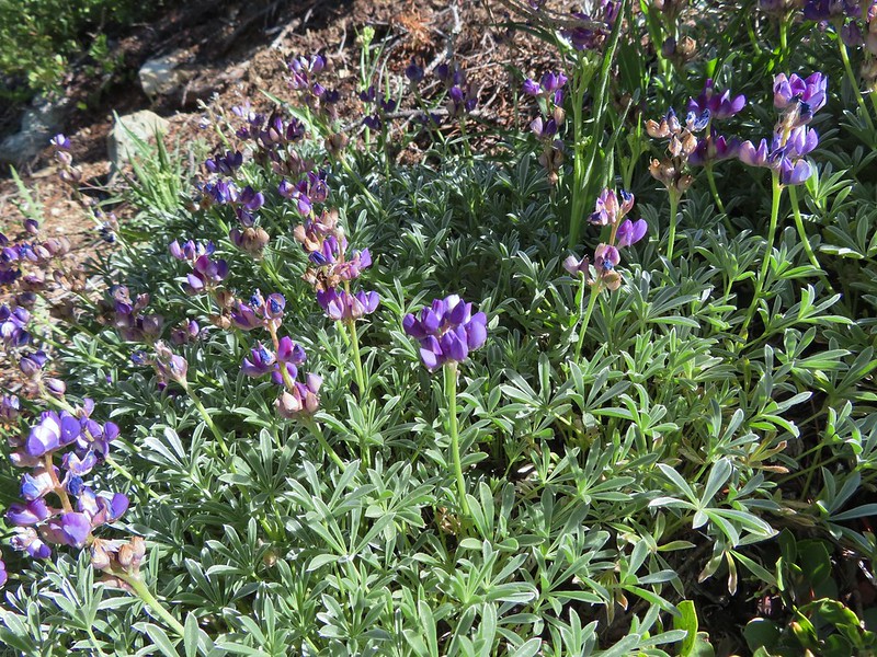 Lupine
 Lewis flax
 Lookout Mountain
 Paintbrush
 A carpet of narrowleaf blue eyed Mary at Polar Bear Gap
 Nuttall’s sandwort surrounded by blue eyed Mary.
 Serpentine phacelia
 Polar Bear Gap
 Lookout Mountain
 Polar Bear Mountain
 Looking east toward Mt. Shasta.
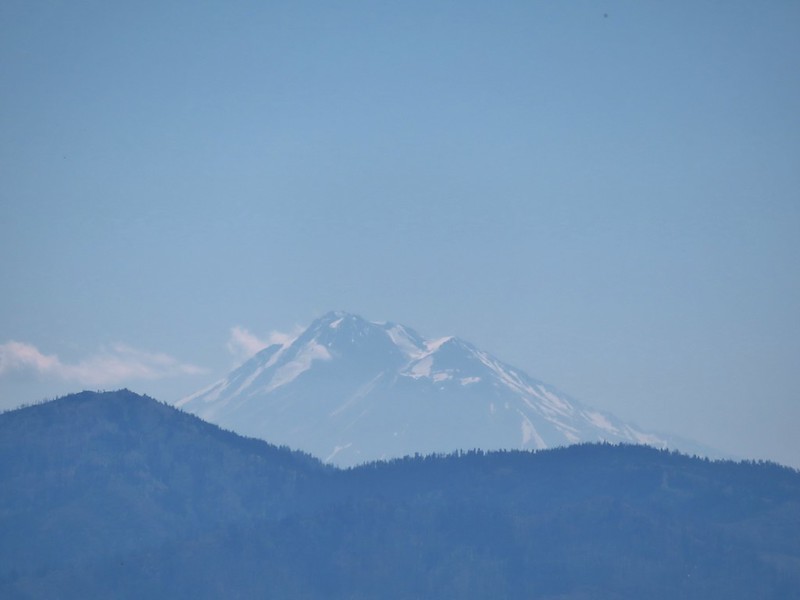 Mt. Shasta
 Looking west toward Sanger Peak.
 Sickle-leaved Onion
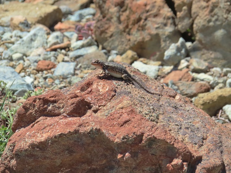 There were lots of lizards in the area.
 Heading down into Twin Valley
 Paintbrush and penstemon along the trail.
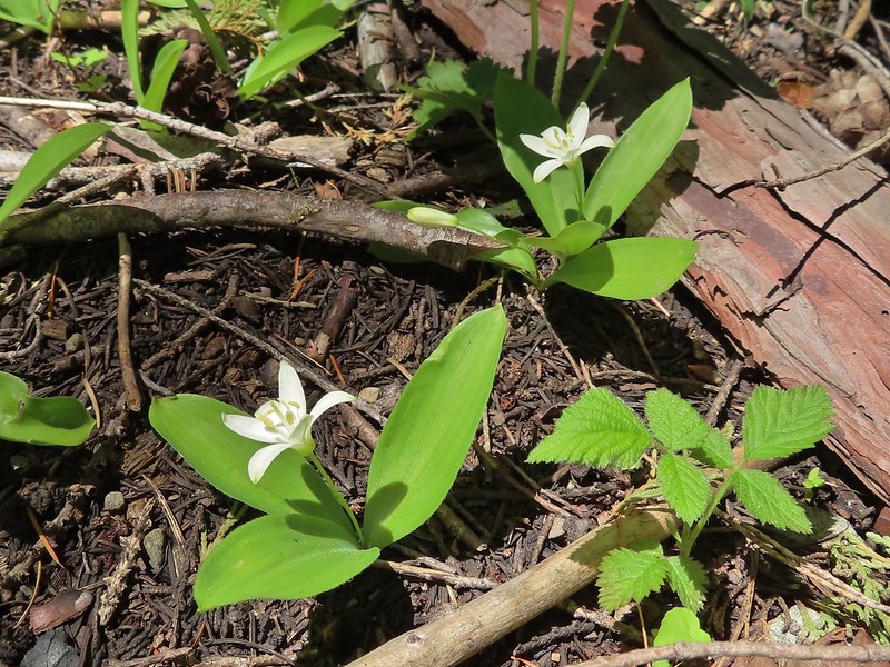 Queen’s cup
 Frog
Frog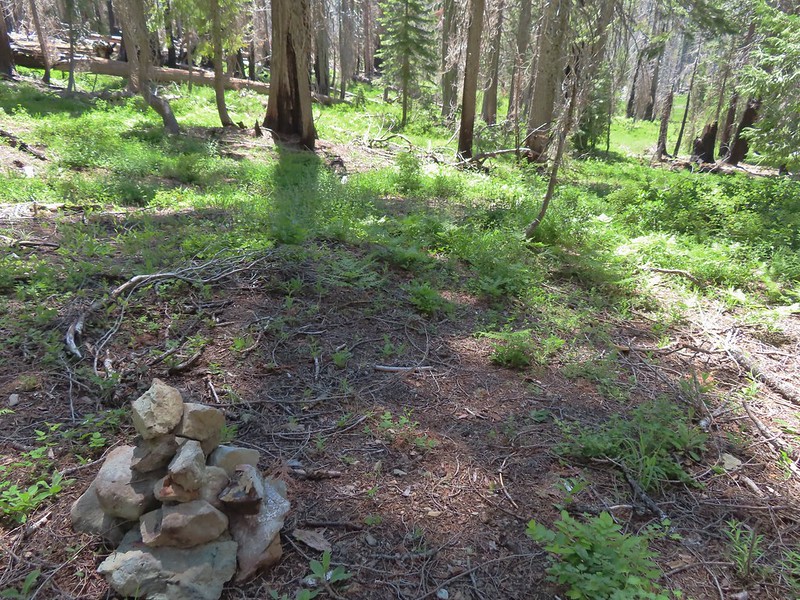
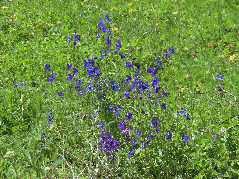 Larkspur
 The yellow is a cinquefoil I believe but I don’t know what the other dark flower is.
 Meadow in Twin Valley.
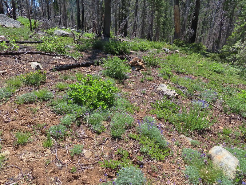 Heading down to a stream crossing between the two meadows.
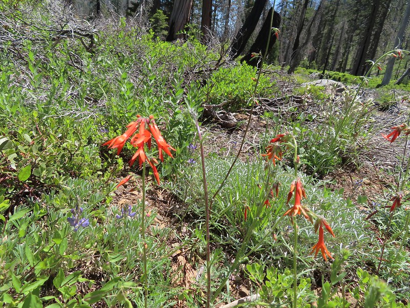 Scarlet gilia
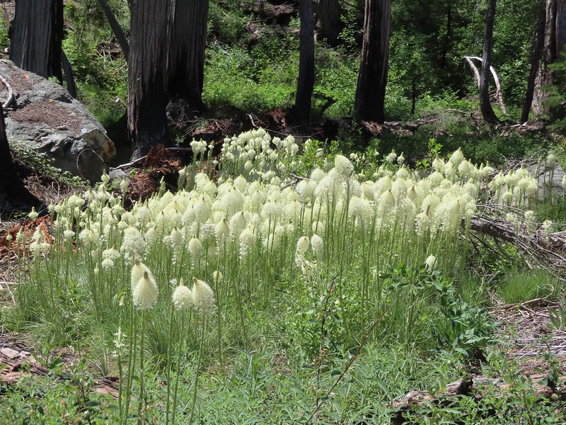 Beargrass
 Creek crossing.
 Shooting star and marsh marigold.
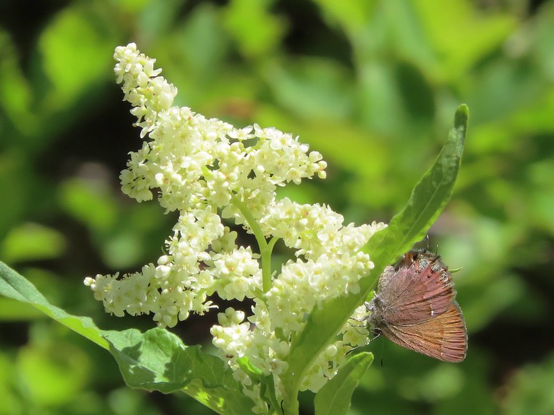 A hairstreak butterfly
 Columbine and cinquefoil
 Cut logs helped identify where the trail was supposed to be.
 Wolley-head clover
 Oregon violet
 Polar Bear Gap from the Poker Flat Trail.
 Looking up toward the ridge end.
 Iris at the ridge end.
 Red Buttes (
 Red Buttes
 Lookout Mountain from the ridge end.
 Bee visiting penstemon.
 The Lieutenants and El Capitain
 Clustered broomrape
 We were starting to see a lot of bear sign.
 An as-of-yet unidentified flower.
 This may be sticky blue eyed Mary.
 Mariposa lily
 More faint trail.
 Time to climb.
 Anemone
 Meadow along the Poker Flat Trail.
 Approaching Private Lake.
 Siskiyou lewisia
 Private Lake below The Lieutenants.

 Scarlet gilia and penstemon
 Heather heading for the pass.
 Arnica
 Nearing the pass.
 Bear Cub
 Youngs Peak just to the left of the snag.
 Bear Cub on the right.
 Youngs Peak behind the tree.
 Finally out of the fire scars.
 Snow plant
 Sign for Raspberry Lake at the Raspberry Lake Trail/Clear Creek National Recreation Trail junction where we correctly turned left.
 Footbridge over the creek.
 Bear Cub from Youngs Valley.
 Camp
Camp Dragon fly
 El Capitan
 Bucks in the meadow.
 Caterpillar
 Spotted coralroot
 Wedgeleaf violets
 Maybe a cinquefoil
 Bistort
 Shooting star
 Monkeyflower
 There were quite a few of these tiny flowers. I haven’t been able to identify this one yet.


 Rhododendron
 Iris
Iris Star flower
 A big cedar.
 California ground cone
 The bright red color made them fairly easy to spot amid the green leaves.


 Phlox
Phlox

 I of course had to step inside.
 Paintbrush
 Serviceberry
 A lone beargrass preparing to bloom.
 Lupine also getting ready for a bloom.
 Trillium ending theirs.
 Frog Pond with the cabin ruins in the stand of cedars to the right.

 There was clearly going to be no view this morning so any though of either attempting the loop or going up to the viewpoint on the ridge ended here.
 Pretty face
 Death camas
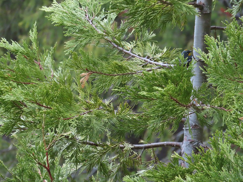 A yellow-rumped warbler hiding in the branches.
 Fairy slippers
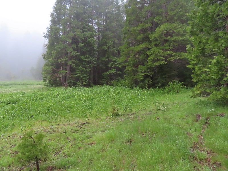 This was the trickiest part to follow at the time but it was pretty easy to see where it picked up in the trees on the far side of the grassy area.
 The inlet creek.
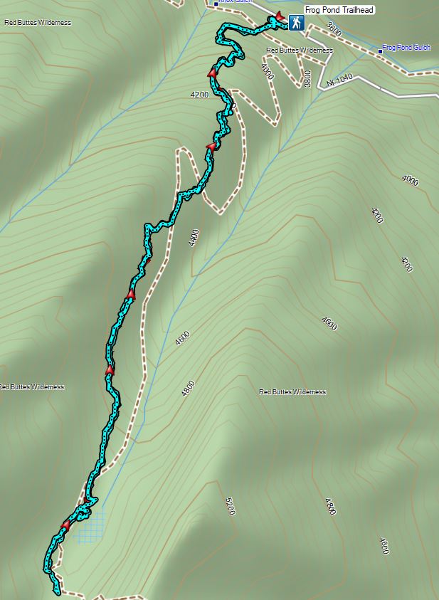

 The PCT heading south from the Stateline Trialhead
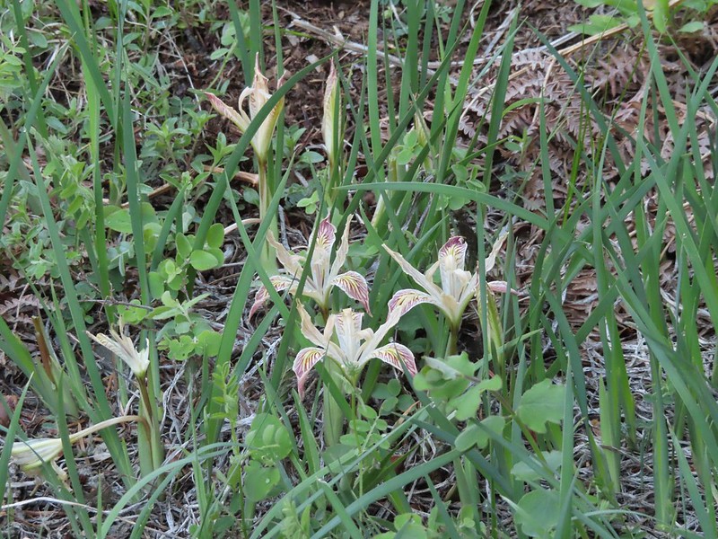 Iris
Iris
 A register is located 0.4 miles from the trailhead at the Oregon/California border.
 We were long overdue for a visit to California, our last hike in the state was way back in 2018 at the Lava Beds National Monument (
 A good reminder of how much of the PCT is located in CA.
 Pussytoes
 First look at Donomore Meadows.
 This road crossing is just over a mile from the trailhead. The Donomore Cabin is just up the road to the right.
 The cabin was built in 1935.
 The meadow below the cabin.

 Death camas in the meadow.


 Mariposa lily
 Chocolate lily
 Cinquefoil?
 Violets
 Bistort
 Heather passing through the meadow.
 There wasn’t much to the brushy creek but it made for a definitive turnaround point.
 California ground cone
 PCT heading north from the Stateline Trailhead.
 Pasque flower
 Grayback Mountain in the distance with a small patch of snow.
 One of three springs the trail passes on the way to Observation Peak.
 Marsh marigolds
 Alpine pennycress
 Another spring with marsh marigolds and glacier lilies.
 Scraggy Mountain
 Looking SE to the Red Buttes (
 Kangaroo Mountain and Red Butte with Preston Peak, Twin Peak and El Capitan behind in the Siskiyou Wilderness.
 View south.
 Part of the Marble Mountains (
 Kettle Lake through the trees.
 Heading up to the ridge.
 Dutchman Peak from the ridge.
 Not sure if these are mule’s ears or a balsamroot.
 Splithair Indian Paintbrush (Castilleja schizotricha)
 Swallowtail on phlox.
 Wildflowers on the ridge.
 Cutleaf daisy?
 Snow drifts covering the PCT.
 Lance-leaf Spring Beauty
 Heading for the summit.

 Pilot Rock (
 A rockcress

 Mt. Shasta above a layer of smoke that mostly hid Black Butte (
 I think these peaks are a mix of the Russian Wilderness in the forefront and Trinity Alps behind. Bruce correct me if I am wrong on that :).
 Rock pile at the summit.
 Our big find. I took a couple of pictures and put the card back for someone else to find (and added one of ours).
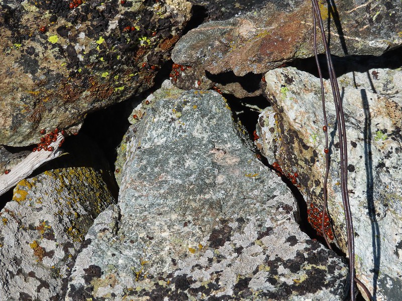 There were dozens of ladybugs in the rock pile.
 One of many photos of Mt. Shasta. We don’t get too many chances to see this Cascade Mountain.
 We could see Mt. Thielsen (
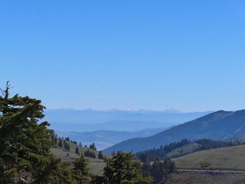 The peaks around the rim of Crater Lake.
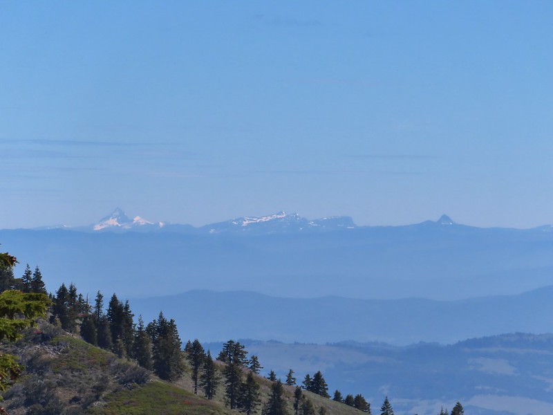 Mt. Thielsen to the left of Crater Lake.
 Mt. Bailey (
 The Red Buttes in front of Preston Peak.
 Grayback Mountain
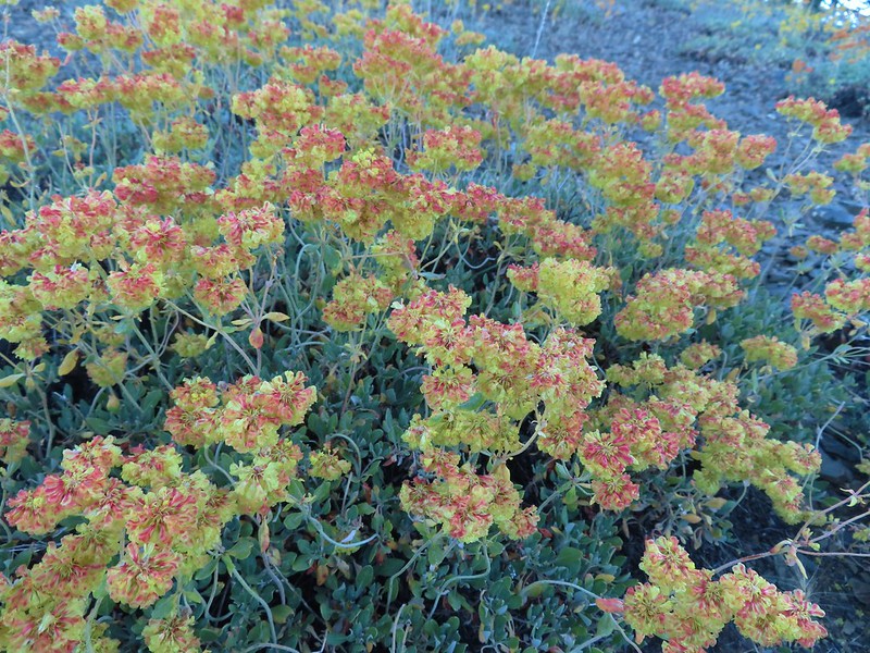
 Buckwheat
 Alpine pennycress
 Quill-leaf Lewisia
 Larkspur
 Chipmunk having a snack.
 One of two hairstreaks we encountered on the PCT.
 The 2nd hairstreak.
 Where I left the PCT.
 Lots of this orange fungus in the forest.

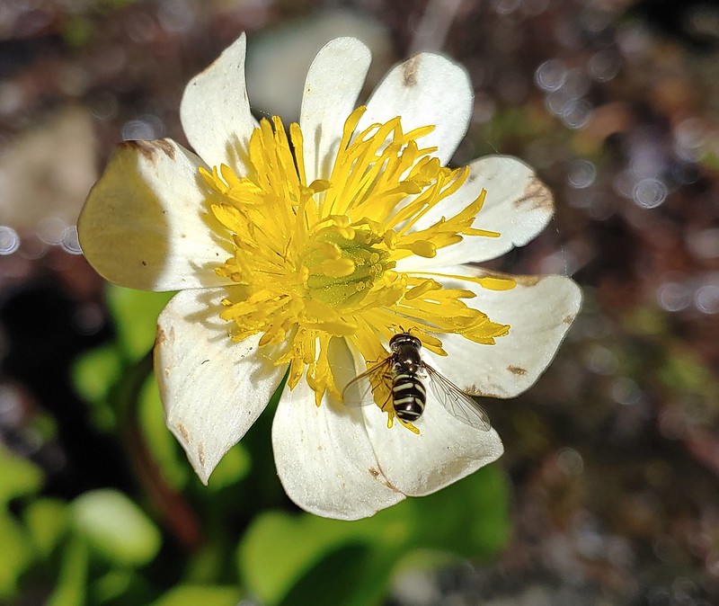 Bee on a marsh marigold.
 Glacier lily
 Trillium
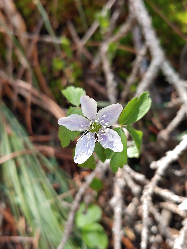 Anemone
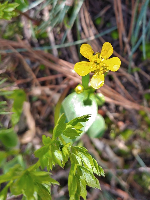 Buttercup?
 Passing through the manzanita section.
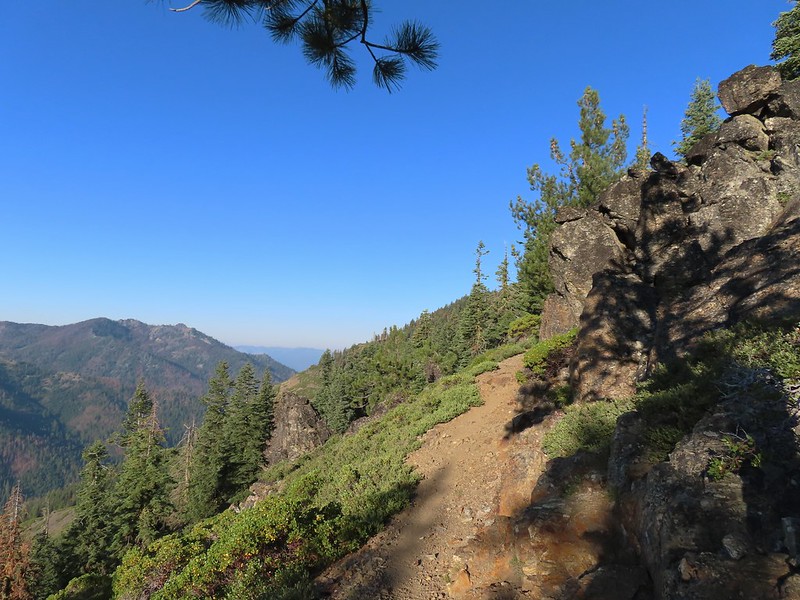