We hadn’t managed to get out on an overnight backpacking trip in 2024 due to a combination of weather, fires, and being focused on finishing our goal of hiking at least part of 500 of William L. Sullivan’s featured hikes in his “100 Hikes” guidebook series (post). We’re now down to having just one featured hike left which we are planning to do as an overnight trip. We have that planned for September so we thought it would be a good idea to break out our backpacking gear for a test run first.
We chose the Puck Lakes in the Sky Lake Wilderness as our destination. These lakes are actually part of one of Sullivan’s featured hikes, but we had missed them due to having started at the Cold Springs Trailhead when we completed part of that hike (post). On that trip we’d combined his featured hike from that trailhead with a loop around Luther Mountain which Sullivan listed as an option for the featured hike from the Nannie Creek Trailhead. Starting at the Nannie Creek Trailhead would allow us visit the Puck Lakes and complete the remainder of Sullivan’s “Sky Lakes via Nannie Creek” hike. With the Puck Lakes being under 2.5-miles from the trailhead they provided a relatively short hike in with our full backpacks, then we could continue on to the Snow Lakes Trail and Margurette Lake which had been part of our loop during our earlier trip.
It was a 4-hour drive to the trailhead from Salem, so we got a later start than we normally would. It was a little before 9am when we set off and already warming up quickly. The forecast was for temperatures at the Puck Lakes to push 80 degrees Fahrenheit.

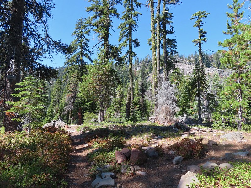
The Nannie Creek Trail gradually climbs for the first 1.6-miles making good use of switchbacks to keep the trail from ever feeling steep.

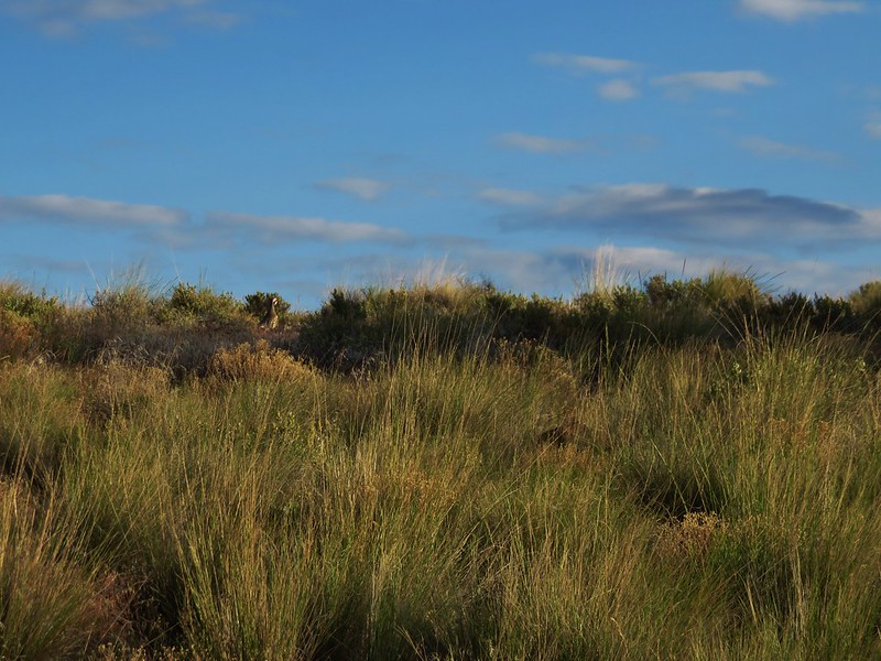
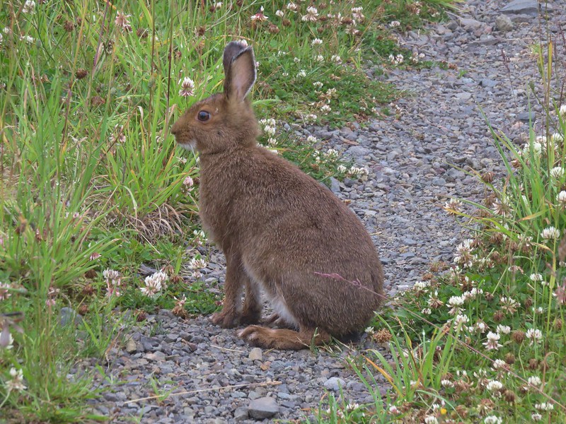
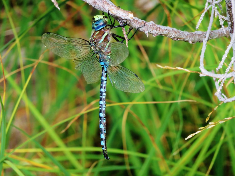
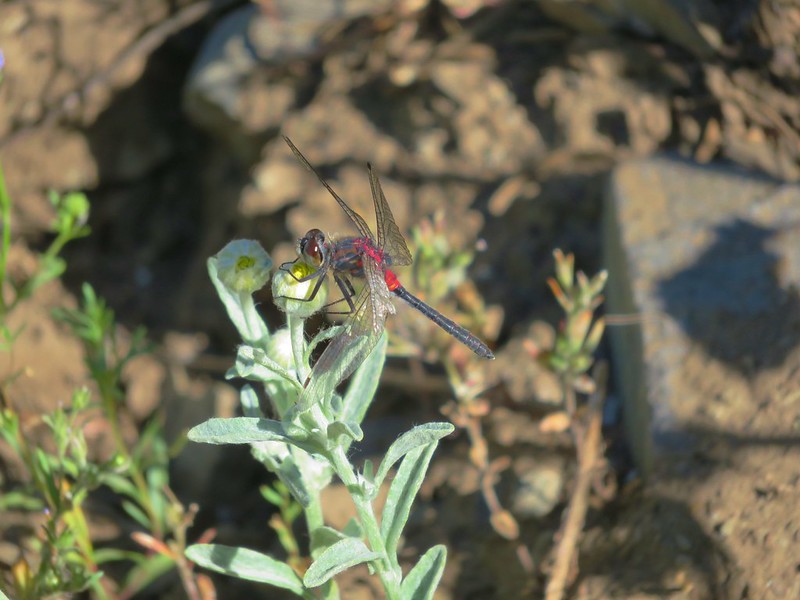
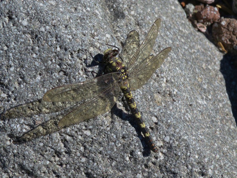
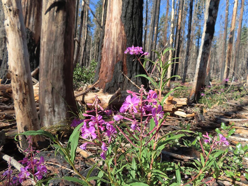
 There were hundreds of dragonflies along the trails which were much more welcome than the mosquitos that are a problem here in July and early August.
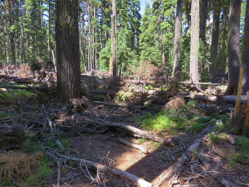
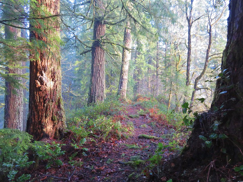
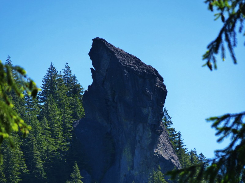
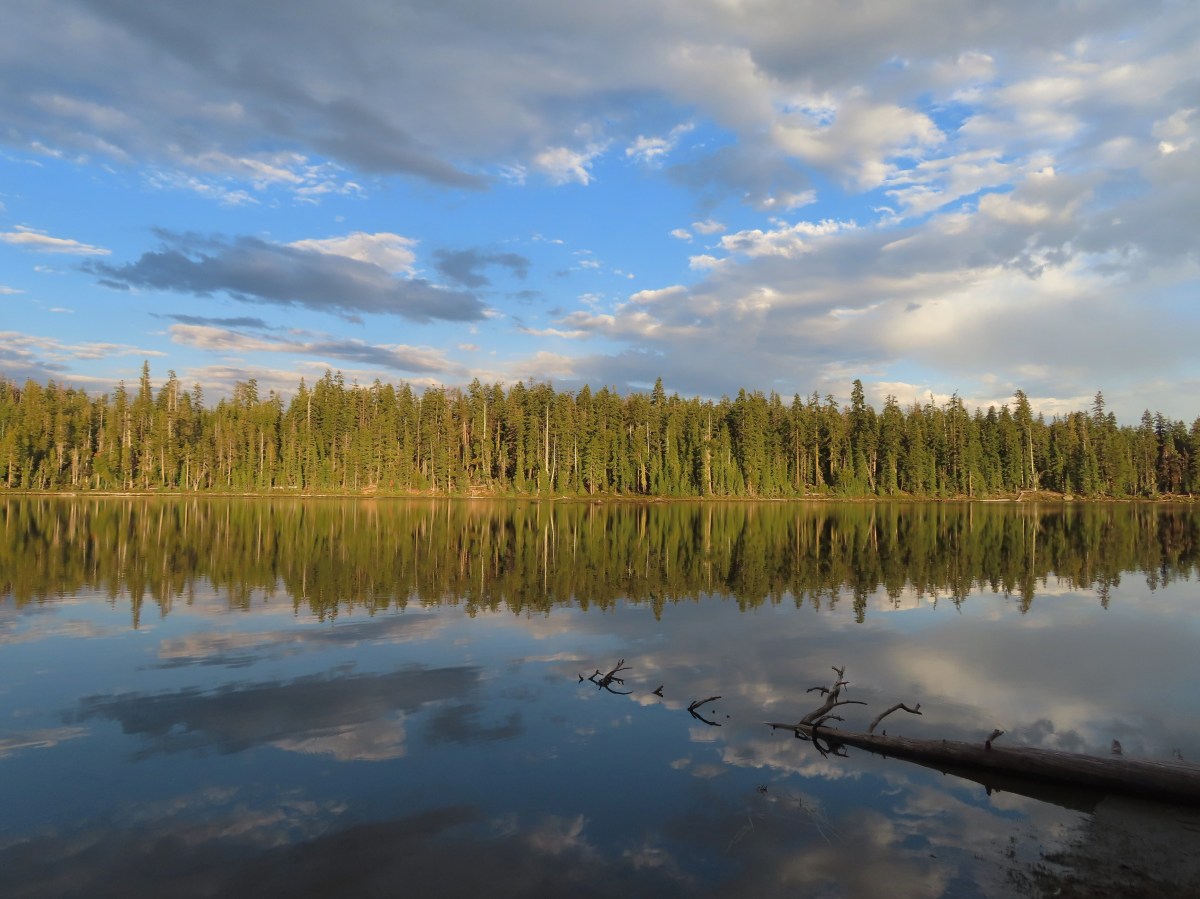
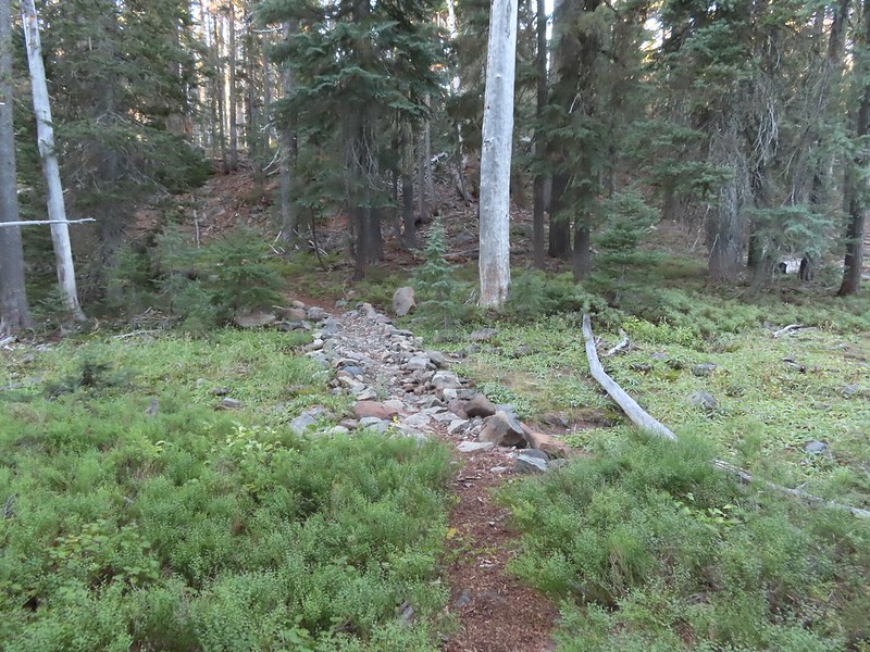
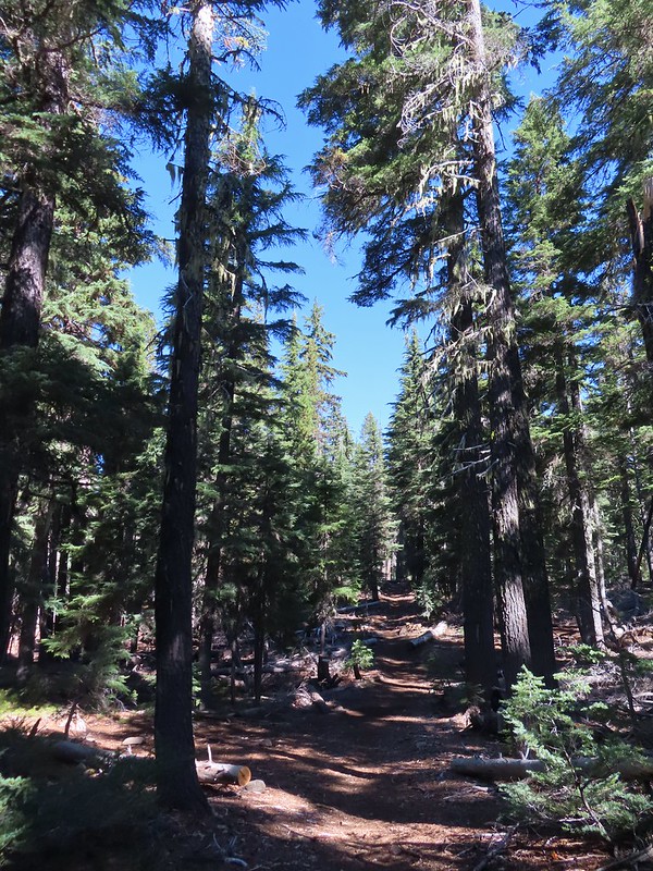
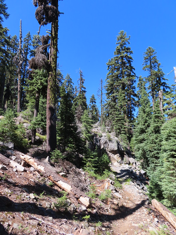
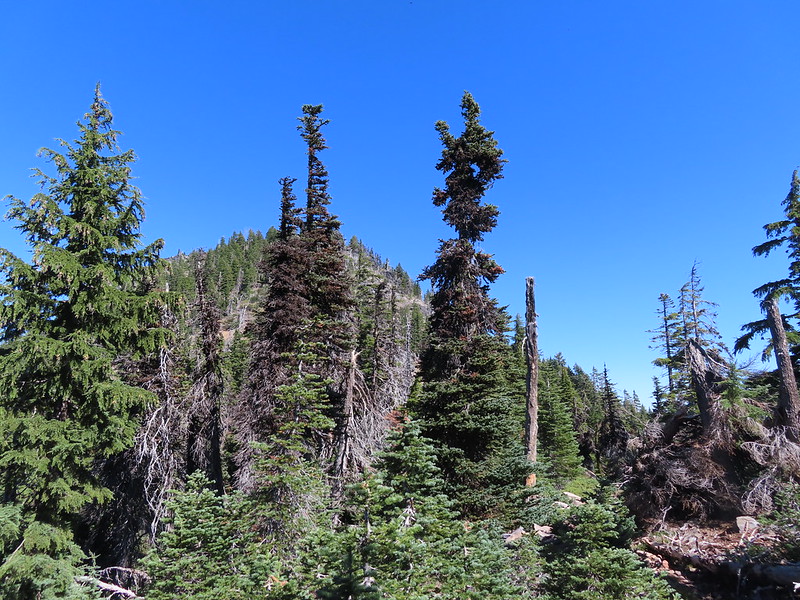
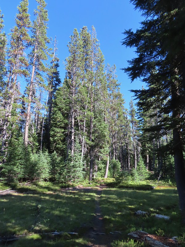
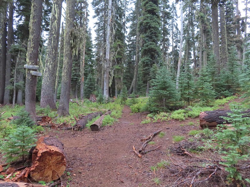
 The trail entering the wilderness.

After gaining approximately 500′ of elevation the trail leveled out for a bit before descending 100′ to the Puck Lakes.
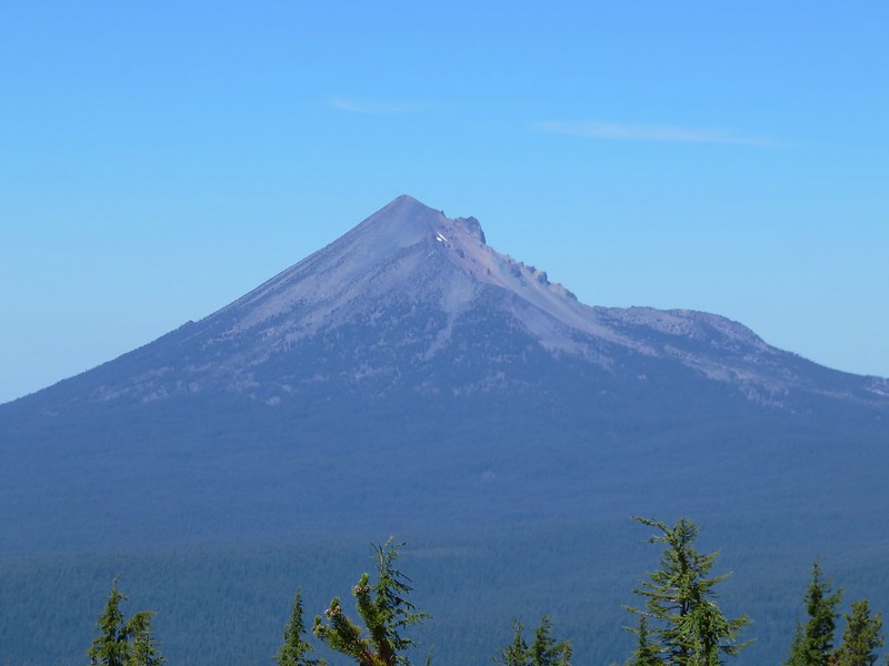
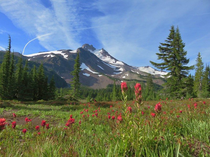
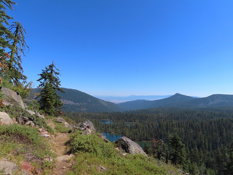
 To the left through the trees is Mt. McLoughlin (post).

 The currently dry outlet creek of South Puck Lake.
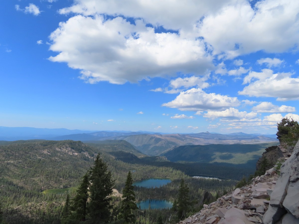
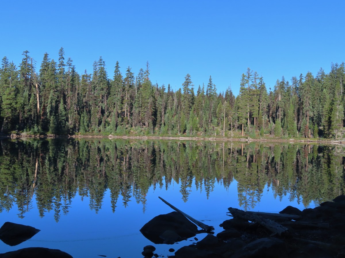
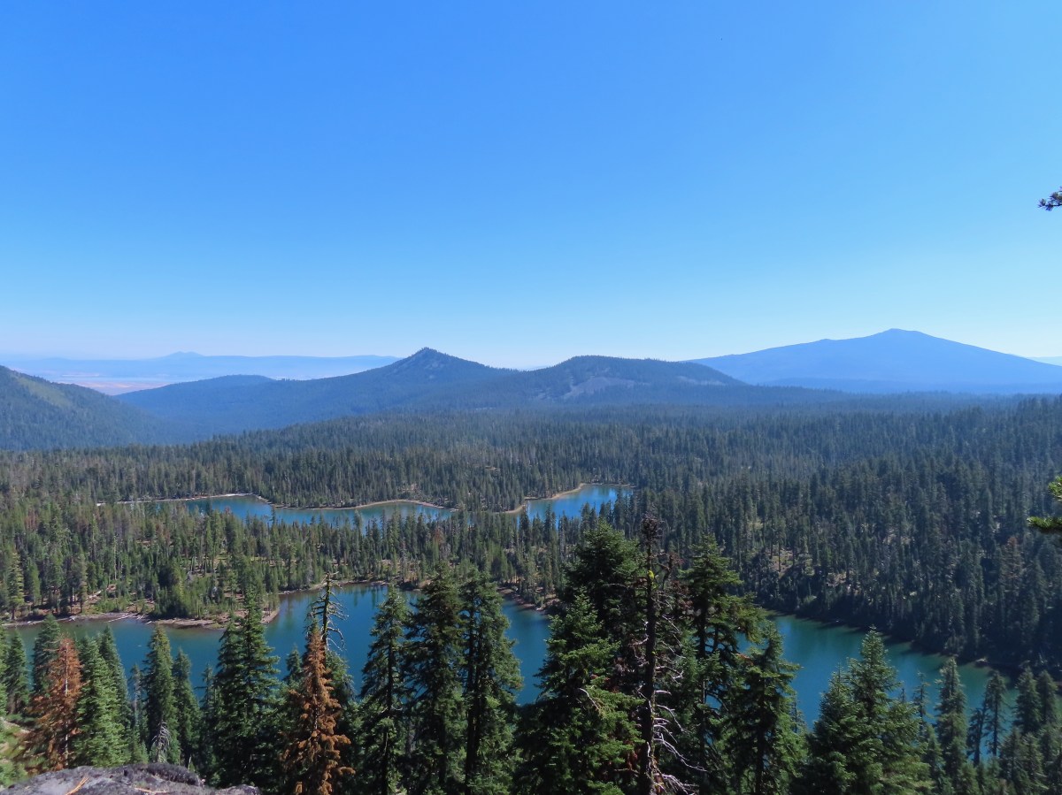
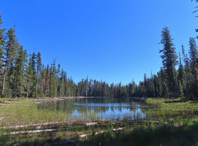
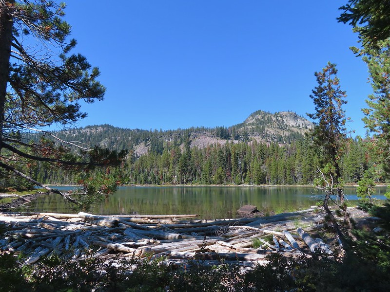
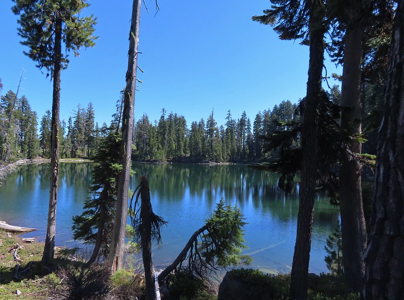
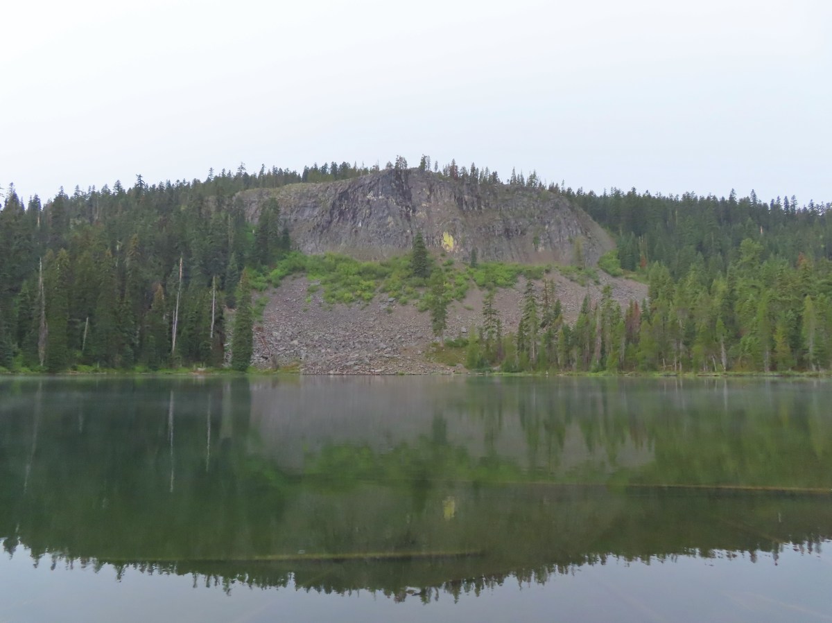
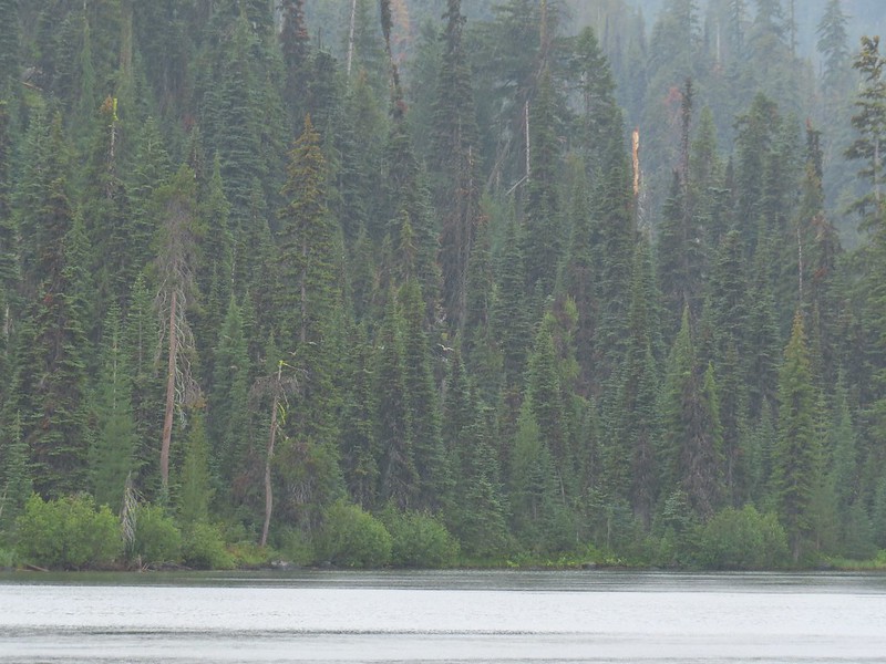
 South Puck Lake from the Nannie Creek Trail.
Just under 2.5-miles from the trailhead we turned right toward South Puck Lake at an unsigned junction with the former Puck Lakes Trail.
 Someone had taken it upon themselves to craft their own sort of sign for the Puck Lakes Trail.
The Puck Lakes Trail has long since been abandoned but at one time it had covered around 6.5-miles connecting the Nannie Creek Trail and Sevenmile Trail (post). We followed this trail a little over 200′ to South Puck Lake then continued around the western side of the lake looking for a suitable campsite.


 The southern end of the lake was closed to camping for site restoration.
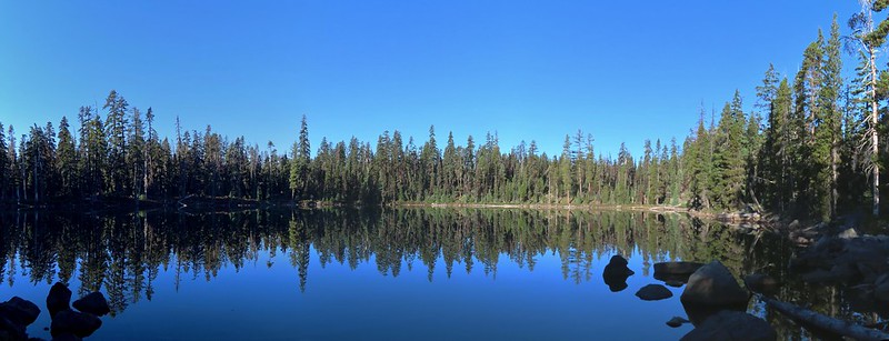
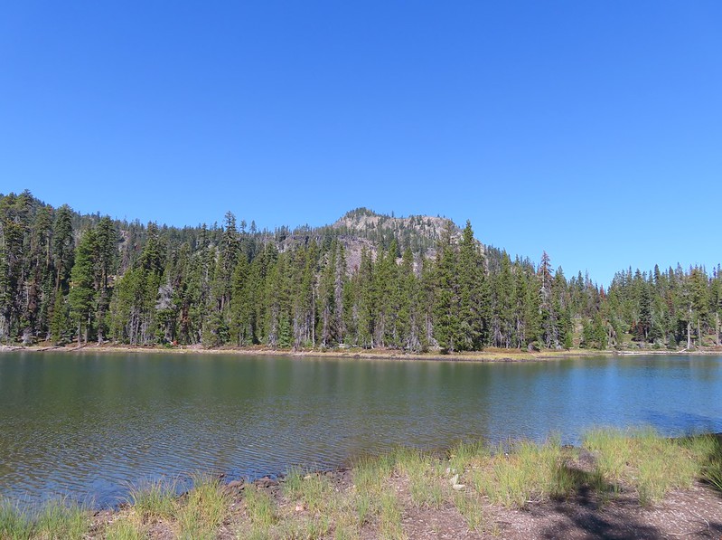
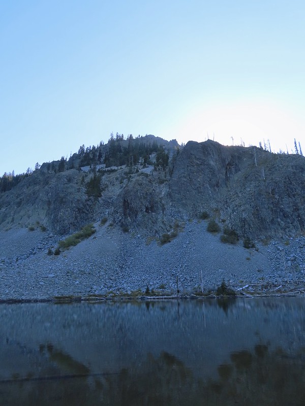
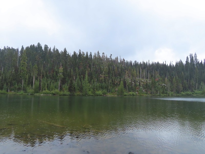
 South Puck Lake
 Use trail around the lake. The alignment of the former Puck Lakes Trail is further back from the lake.
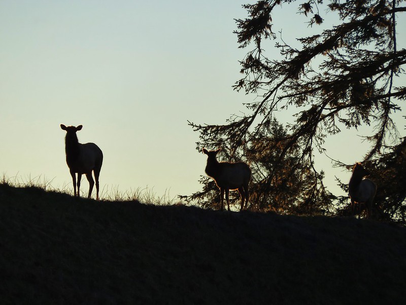
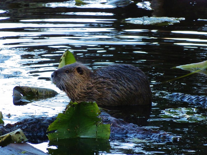
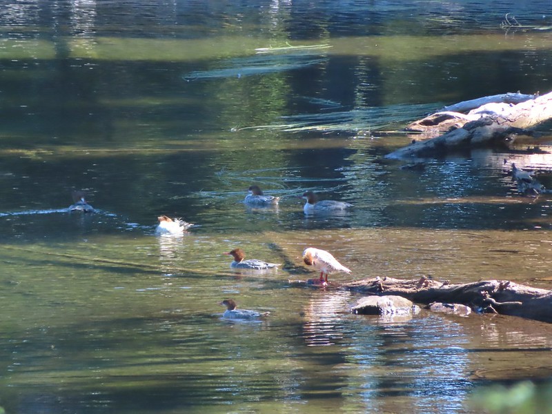
 Two of three common mergansers that seemed to be calling the lake home for now.
 Our campsite for the night.
We appeared to be the only ones currently at the lake. We’d passed a couple hiking out shortly after starting our hike who mentioned that there had only been one other person at the lake the night before, and then a little later that gentleman passed us. With it being Labor Day Weekend we suspected that the privacy wouldn’t last, but it was an encouraging sign that maybe it wouldn’t be too busy. After getting camp squared away, and starting a list for Hidden Lake of things that we had forgotten, we returned to the Nannie Creek Trail and continued toward the Snow Lakes Trail.
The Nannie Creek Trail made a small climb over the first 0.9-miles from the lake then began a mile long, 400′ descent to the Snow Lakes Trail.

 Just after the trail began its descent it crossed a talus field.
 Mt. McLoughlin behind Luther Mountain.
 Shale Butte and Lucifer Peak (double hump is Lucifer).
 Pelican Butte straight ahead with peaks in the Mountain Lakes Wilderness (post) behind to the right.
 A faint Mt. Shasta through the haze.
 Agency Lake
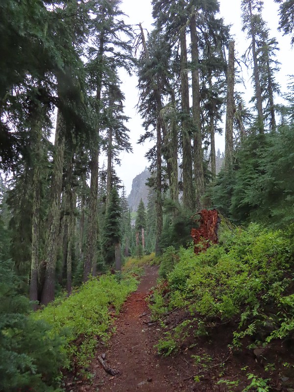
The trail made a couple of switchbacks through the shale before reentering the forest where we began to encounter a fair amount of blowdown.


 A good representation of the trail conditions between the talus slope and the Snow Lakes Trail. Nothing was overly problematic, but it did mean more effort on our part which in turn made it feel even warmer.
 Rock cairn marking the junction with the Snow Lake Trail.
 Looking back at the hillside we’d descended.
We turned left onto the Snow Lakes Trail and followed it a little under 2-miles to a trail junction between Margurette and Trapper Lake. We were familiar with this trail having hiked the first 1.4-miles as part of our loop around Luther Mountain.

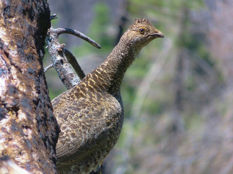
 One of several grouse that crossed the trail in front of us.
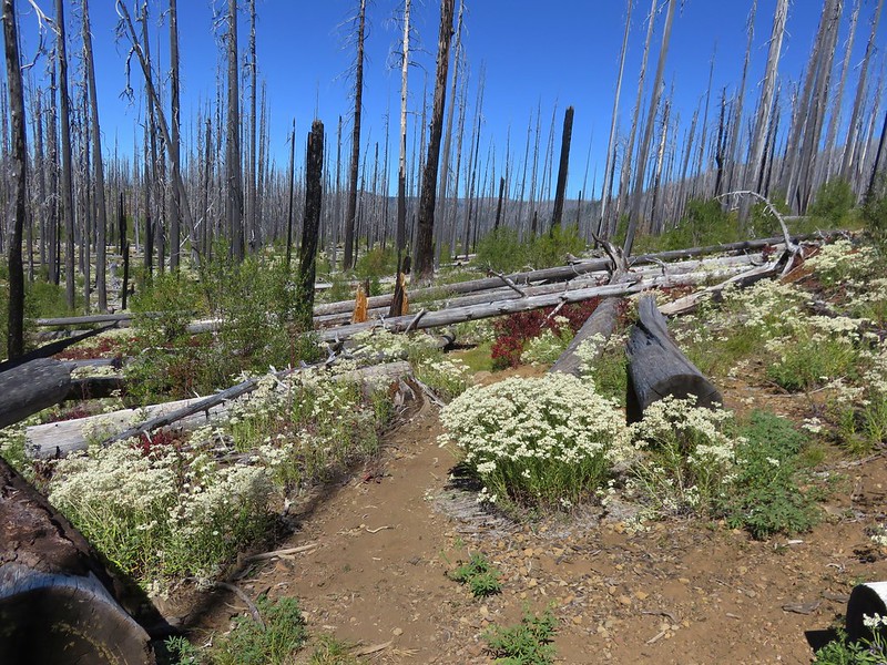
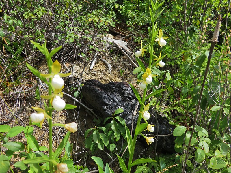
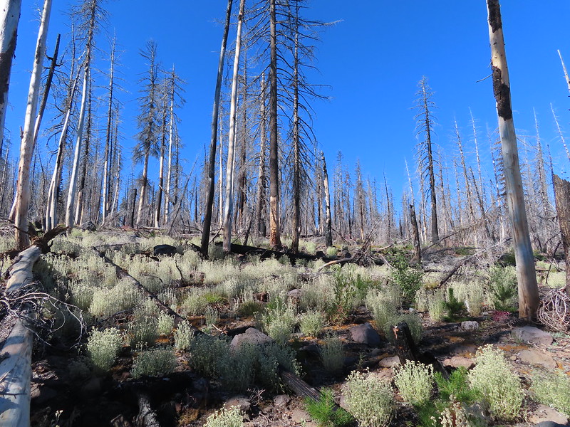
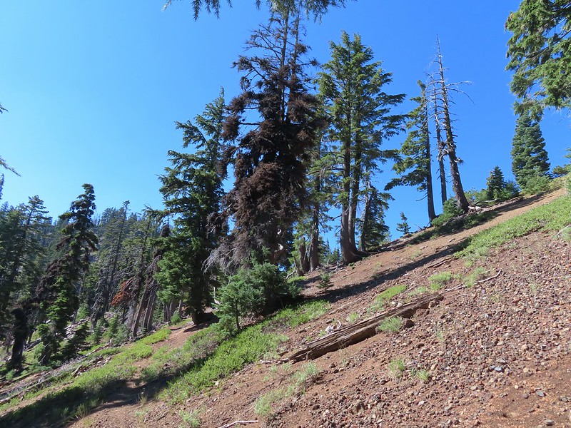
 Entering the fire scar from the 2014 “790 Fire”.
 Northwestern Rabbit-tobacco
 Martin Lake
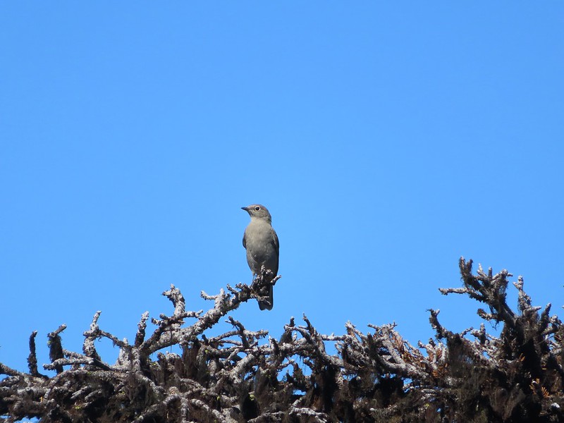
 Pair of Lewis’s woodpeckers.
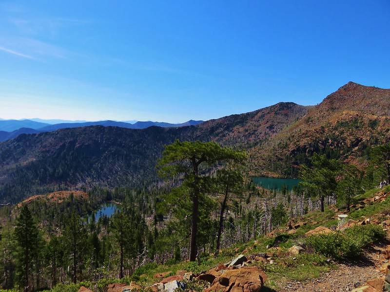
 One of the Snow Lakes below Luther Mountain.
 One of the Snow Lakes.

 After 1.4-miles we came to a junction with the Donna Lake Trail on the left. (Deep Lake is the lake visible below through the trees.) We’d turned down that trail on our previous visit, so we stayed right this time.
 One of several small, unnamed, bodies of water between the Donna Lake Trail junction and Margurette Lake.
 Blue beetle

 Hardhack
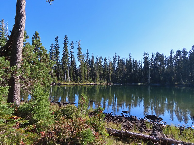
 Margurette Lake
Unsurprisingly there were several people at Margurette Lake so instead of taking our break there we turned left at the junction with the Sky Lakes Trail and continued on.
 Margurette Lake
 Coming up on the junction.
 The Sky Lakes Trail.
This trail descended for 0.2-miles past the end of Trapper Lake to a junction with the Donna Lake Trail.

 Trapper Lake
 The Donna Lake Trail to the right.
We turned up the Donna Lake trail and climbed gradually for a quarter mile to Donna Lake.

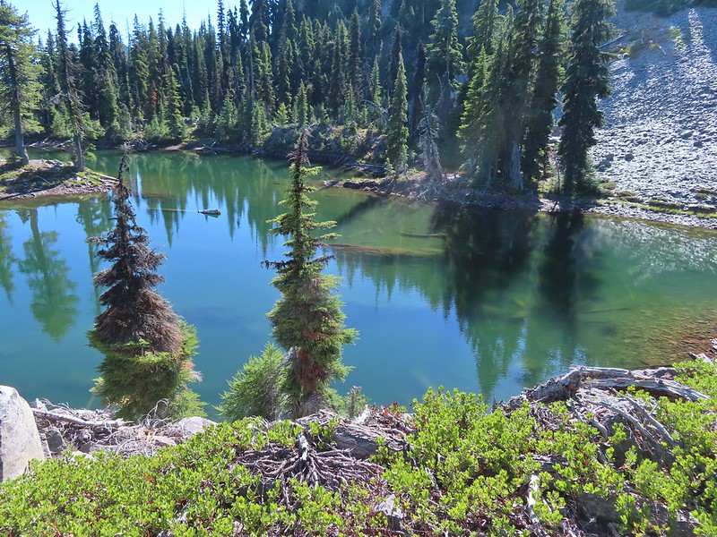
 Donna Lake
We didn’t see a shaded spot at Donna Lake where we could take a comfortable break, so we continued another tenth of a mile to Deep Lake.


 Luther Mountain from Deep Lake.
There were several unoccupied campsites at Deep Lake, and we picked one with some shade to set up our chairs and finally take a break.
 Tiny western toad
It was a lot warmer than we’d have liked so we spent over ninety minutes resting and refilling our water supply. We had considered cooking our dinner there as well, but another pair of backpackers came along, and we didn’t want to be prepping food anywhere near where others might be camping. We left deep lake a little after 3:30 and continued on the Donna Lake Trail to the Snow Lakes Trail.
 Signs of Fall.
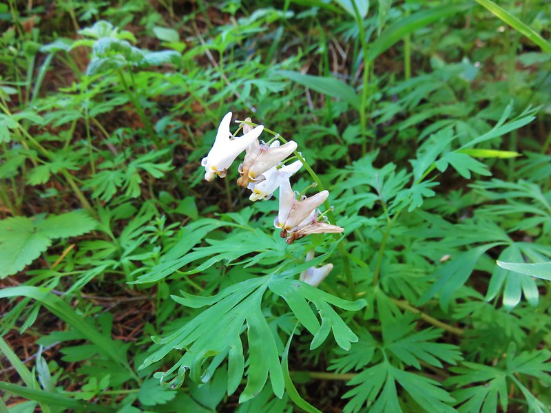
 Lousewort
There was a slight chance of showers/thunderstorms between 5PM and 11PM and it had begun to cloud up while we were at Deep Lake. The clouds continued to build as we made our way back along the Snow Lakes Trail.

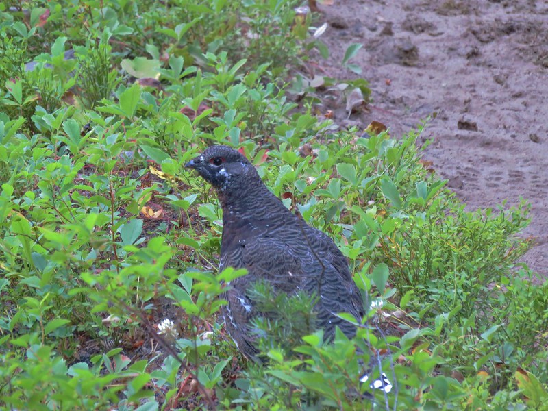
 Young grouse


 Martin Lake
 Back at the Nannie Creek Trail junction.
We had been looking for an open flat area where we could stop to cook dinner but didn’t have any luck until we’d traveled 0.4-miles back along the Nannie Creek Trail. After eating our Mountain House yellow curry we began the climb back up through the talus slope.

The cloud cover had increased even more which helped keep the heat from feeling too oppressive.
 It was increasingly looking like a shower or two might happen.
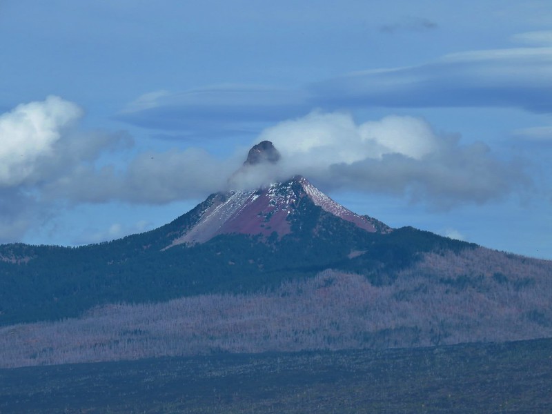
 A deep zoom in at Mt. Shasta.

We returned to the trail to the Puck Lakes and after a brief stop at camp we continued on to visit North Puck Lake. We were surprised to find that we were still the only people at the lakes.

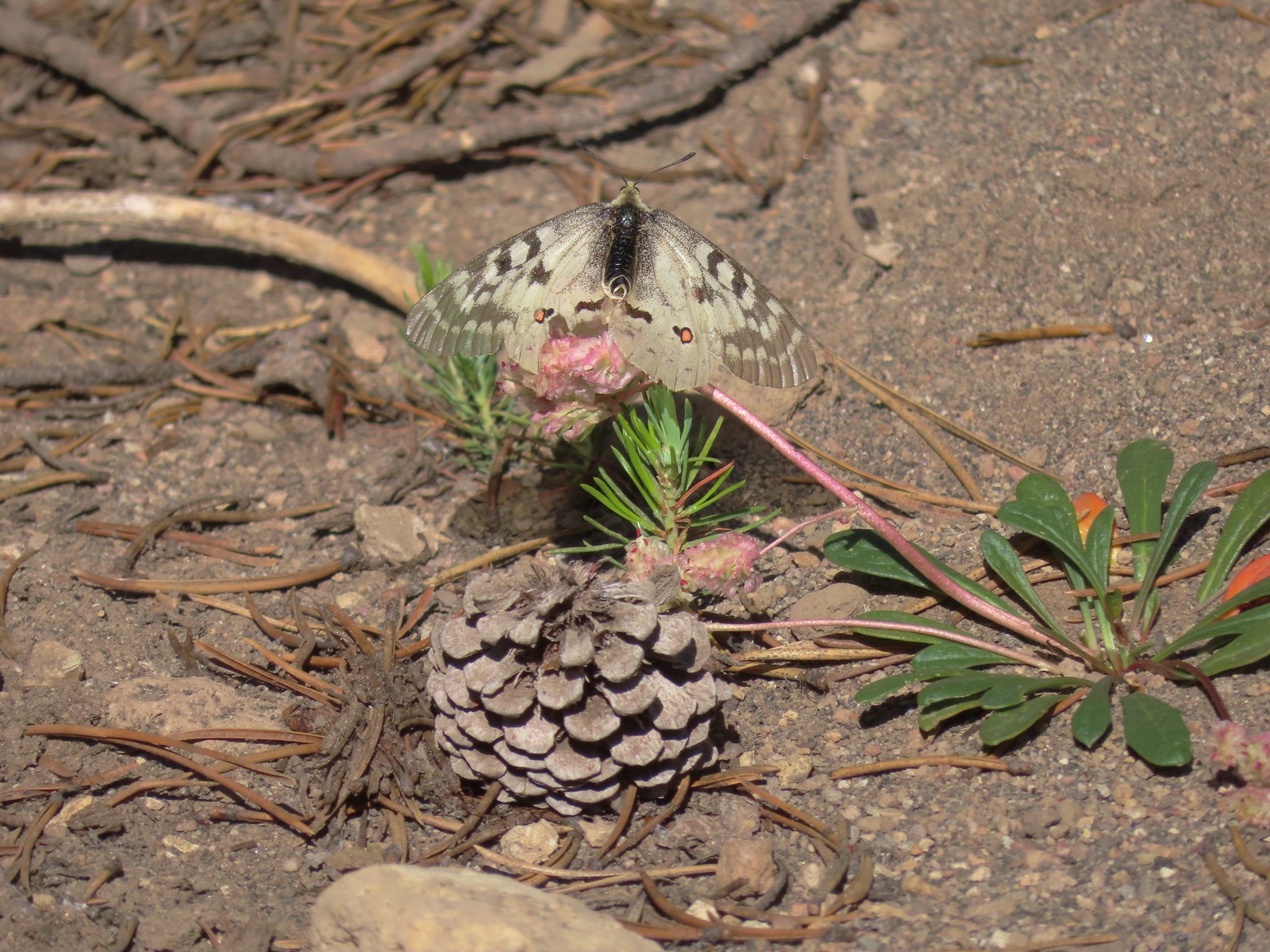
 Pine white

 Spotted sandpiper

 The three resident mergansers.
 The abandoned Puck Lakes Trail.
 A dark cloud passing over the Puck Lakes (no rain).
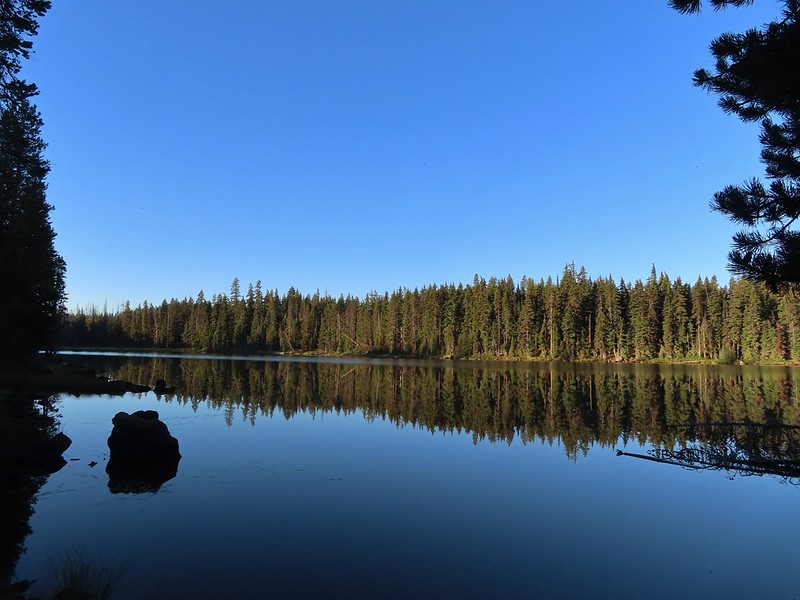
 North Puck Lake
 North Puck Lake
After visiting North Puck Lake we headed back to camp and enjoyed the views that the still water and passing clouds created.


We turned in hoping to get a good night’s sleep, but neither of us had much luck for the first few hours. It was still a little too warm to be comfortable, but we eventually dozed off. It didn’t rain and we never heard any thunder which we were thankful for.
I woke up a little after 4am (that counts as sleeping in for me) and started prepping for our hike out. Heather got up about 5am and did the same.
 Heather in the tent packing up.
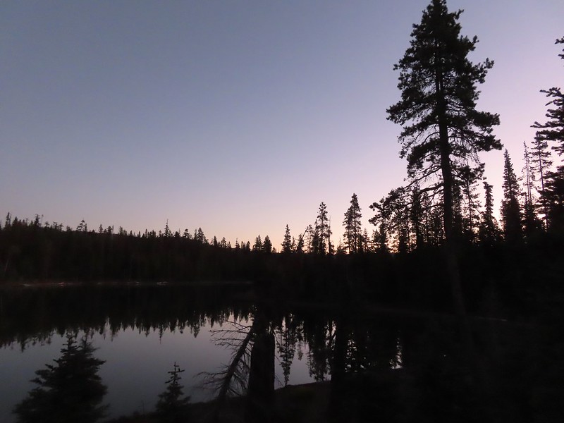
 A sliver of the Moon reflecting in the lake at 5:48am.
 6:06am
 North Puck Lake at 6:22am as we set off.

 Luther Mountain from the Nannie Creek Trail in the morning.
We arrived back at the trailhead at 7:45am.

Day one of our trip came in just under twelve miles with a little over 1500′ of elevation gain. Day two was just 2.7-miles with less than 150′ of elevation gain.
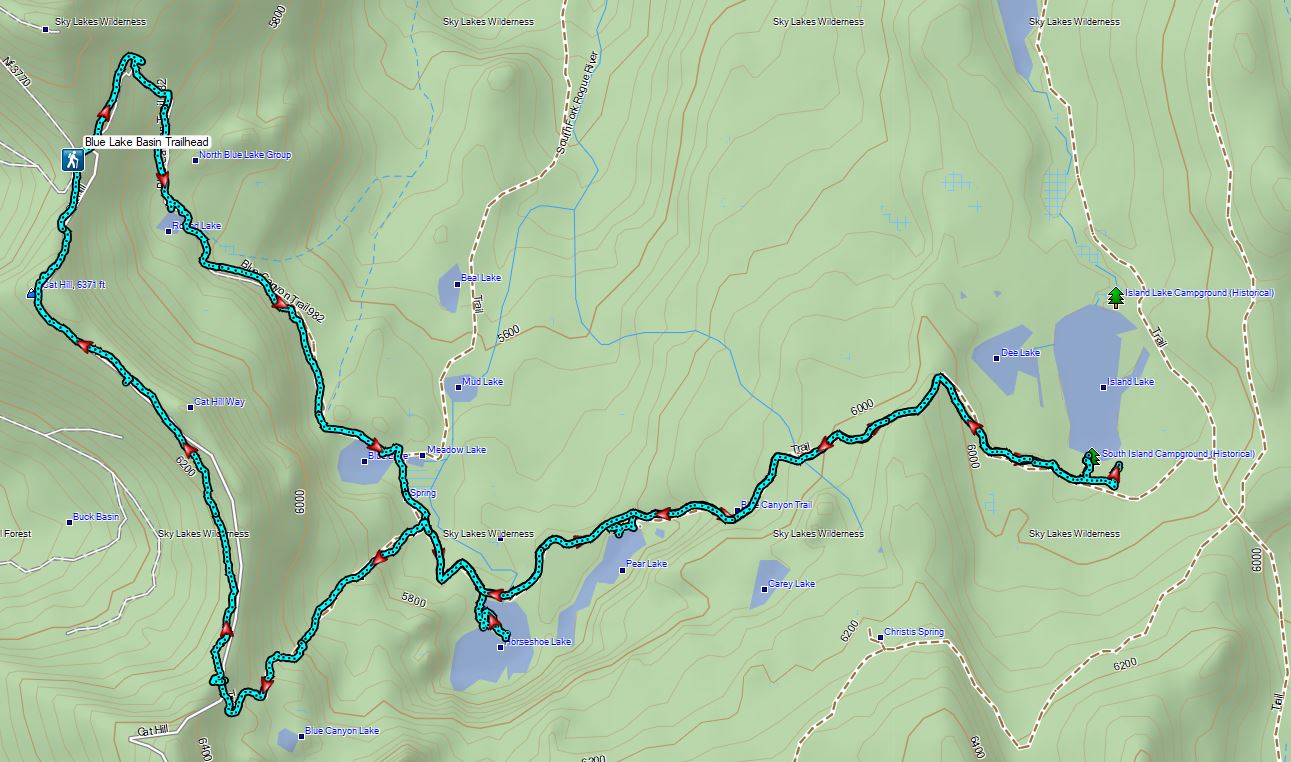
 Dark blue = day one, magenta = day two, light blue = previous visit.
This was a good test run for our first backpack this year. The heat made it much more challenging than it should have been and provided a good reminder that we’ll need to carefully consider that before heading to Hidden Lake later this month (hopefully). We were also able to make a list of things that we forgot to bring with us so we won’t forget them for that trip. Finally, it gave us a chance to try out our new water filtration system, the Sawyer Squeeze, which has replaced the pump filter that we previously used. Happy Trails!
Flickr: Puck Lakes Backpack


 Fall Creek Falls
 Yasko Falls


 Lower Table Rock
 View from Upper Table Rock


 Sevenmile Marsh Trailhead
 Sevenmile Creek
 Entering the wilderness
 Sevenmile Marsh
 Lodgepole pines were the dominate trees along the first part of the trail.
 Mountain hemlock took over as the trail gained elevation.
 Junction with the PCT.
 There were a few downed trees along this section but nothing difficult to get around.
 This twisted tree caught our attention.
 Nice blue sky.
 Lewis’s woodpecker way up in a snag.
 Tadpoles
 Frog in the water.
 Trail sign ahead on the right.
 Unnamed creek along the PCT. We were surprised at how many of the seasonal creeks still had flowing water.
 Grass-of-parnassus
 Huckleberries, there were a lot of these around the basin which we happily sampled.
 Devil’s Peak poking up above the trees.
 The Cliff Lake Trail.
 Prince’s pine
 Another flowing seasonal creek.
 Crater Lake collomia (Collomia mazama)
 The Seven Lakes Trail arriving on the right.
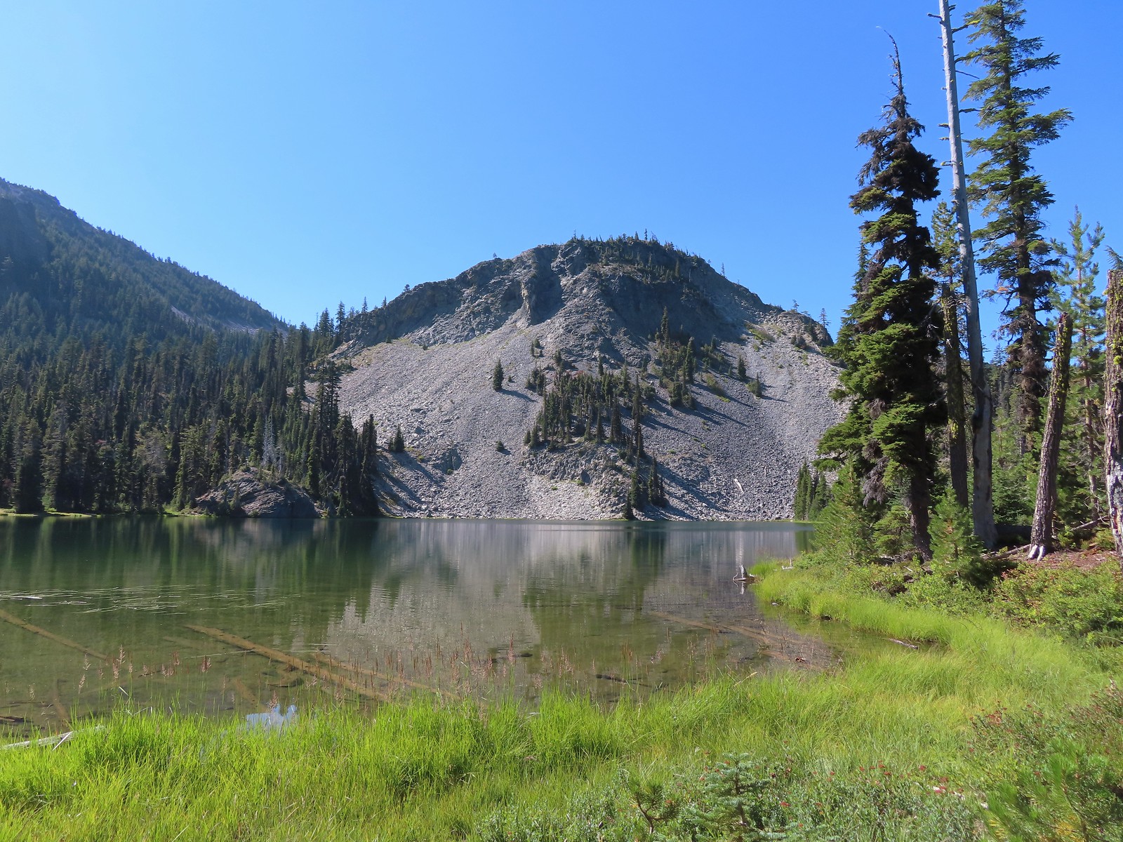 Cliff Lake
 Arnica
 Aster
Aster
 Splash in Cliff Lake from one of many fish that were feeding on insects.
 Camp
Camp Huckleberry bushes along the Cliff Lake Trail.
 Anywhere there was water nearby there were lots of tiny Cascade toads to watch out for.
 Back at the PCT.
 Larger frog
 Monkshood
 More grass-of-parnassus
 Not only were the toads tiny, they also were well camouflaged.
 Mount Scott (
 Mount Scott
 The Watchman (
 The Watchman and Hillman Peak
 Devil’s Peak
 Union Peak (
 Cliff Lake with Violet Hill beyond.
 Black backed woodpecker
 Getting closer to Devil’s Peak.
 A much bigger Cascade toad.


 Mt. Thielsen (
 Union Peak with Mt. Bailey (
 Lots of neat rock formation on Devil’s Peak.
 Western pasque flower seed heads.
 Buckwheat
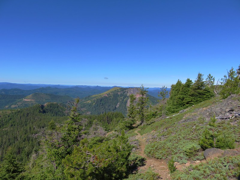
 Views to the South opened up at the pass including Klamath Lake and Pelican Butte.
 Klamath Lake
 Devil’s Peak and the PCT coming up to the pass from the North.
 Klamath Lake, Pelican Butte, Aspen Butte (
 Mt. McLoughlin
 A faint Mt. Shasta which, given the wildfires burning in NW California was a bit of a surprise to be able to see.
 The view North.
 Goose Egg and Ethel Mountain in the forefront with Llao Rock, Mt. Thielsen, and Garfield Peak (
 Devil’s Peak
 We were a little concerned at first that it might be picking up water for a new fire but there wasn’t anything hanging from the helicopter so we have no idea what it was actually doing.
 The use path to Devil’s Peak on the right and the PCT on the left.
 The rather ominously named Lucifer from the use trail.
 A second use trail coming up from the opposite side.
 Western pasque flowers on the hillside above the use trails.
 The summit of Devil’s Peak ahead.
 Looking North toward Crater Lake and Mt. Thielsen
 Lucifer, Jupiter, and Venus
 Lee Peak above the pass.
 Luther Mountain (
 Remains of a former lookout.
 The PCT below Devil’s and Lee Peaks.
 Goose Egg, Llao Rock, and Mt. Thielsen
 Mt. Scott
 Mt. Shasta to South through a little smoke but again we felt fortunate to be able to see the mountain at all.
 Colorful grasshopper at the summit.
 American pipit
 The Seven Lakes Basin from the use trail down.
 South, Middle, North, and Grass Lakes
 Heading down the use trail.
 Looking back up the use trail.
 Western snakeroot along the PCT.
 A comma butterfly on western snakeroot.
 Painted lady
 Venus from the Devil’s Peak Trail.
 Looking back at Devil’s Peak.
 Looking North across the Seven Lakes Basin.
 Lake Alta in a bowl below Violet Hill.
 Pond along the Devil’s Peak Trail.
 Coming up to the Seven Lakes Trail junction. A rock cairn was the only marker.


 I was still only about halfway along the lake after the quarter mile. There used to be a campground at the North end.
 Common merganser
 The southern end of Lake Alta.
 Cliff Lake below Devil’s Peak and Middle Lake.
 Middle and Grass Lakes
 I could hear several pikas in the rocks below the cliffs but the only thing I spotted was a chipmunk.
 Chipmunk
 Sulphur butterfly on aster.
 Gentian
 Fireweed
 South Lake
 Devil’s Peak from the trail. There were more pikas “meeping” from the rocks here but again we failed to spot any of them.

 Devil’s Peak in the evening.
 So many fish in the evening.
 Devil’s Peak in the morning.
 Seven Lakes and Cliff Lake Trail junction.

 We detoured left at the northern end of the lake following a pointer for Lake Ivern to find a view back across Middle Lake.
 Devil’s Peak from Middle Lake.
 Stream crossing.
 Monkshood and grass-of-parnassus
 Grass Lake
 Arriving at the PCT.

 Golden-mantled ground squirrel
 Sevenmile Trail at the PCT to return to the Sevenmile Marsh Trailhead.
 Exiting the Sky Lakes Wilderness.

 Arriving at the highway.
 Trail on the far side of Hwy 62.

 Clodius parnassian on a pussy paw.
 Much of the trail followed an old roadbed.
 PCT junction.
 Butterfly on the Crater Lake PCT register. While I was working on getting the butterfly photo a northbound thru hiker arrived. He mentioned not having had a shower in 10 days and being really excited to reach

 Older cut logs helped us locate the trail at times.
 Union Peak from the trail (
 It took a second to find the tread in this meadow.
 Once we found it though it was easy to follow.
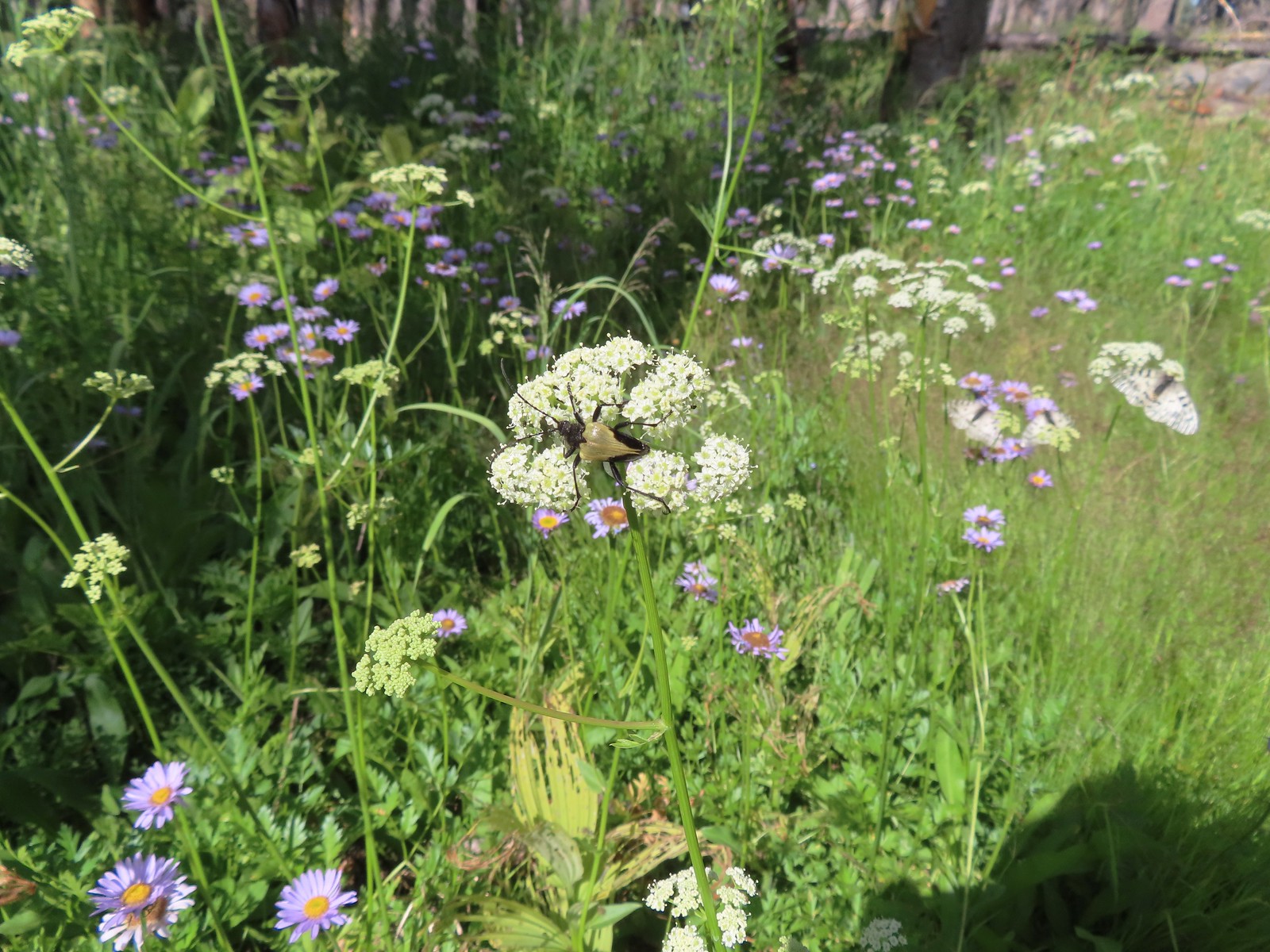 Big beetle. There are also three clodius parnassian butterflies behind to the right.
 Typical trail conditions. I spent a good deal of time removing limbs from the larger trees and pulled some of the smaller ones off the trail.
 Doe below the trail.
 More messy trail.
 There was one small stand of unburned forest which provided a brief break from the blowdown.
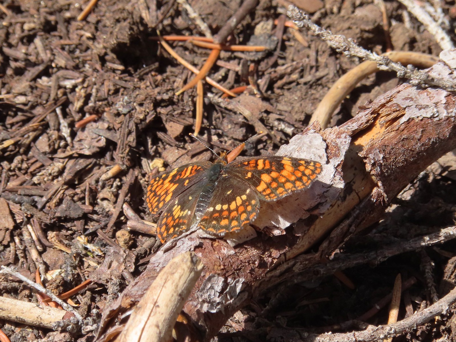 Checkerspot butterfly
 Mylitta crescent and a hoary comma on spreading dogbane.
 Paintbrush
 I believe that is Tom Mountain and Jerry Mountain.
 Bald Top to the right.
 Skipper
 Mt. McLoughlin
 Lorquin’s admiral
 This was the worst of the obstacles.
 We hadn’t seen a blue diamond since before the PCT but near the SW corner of the Park boundary we spotted a couple.
 Post ahead marking the boundary. The trail passed through a narrow gap here where the blowdown was heavy.


 Arnica below the falls and fireweed above the falls added some nice color to the scene.
 One-sided wintergreen


 Small falls on Red Blanket Creek.
 Pink monkeyflower
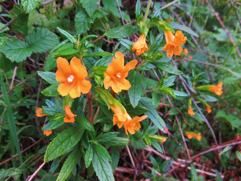
 I’d lost the trail here but headed for the patch of bright orange wildflowers to see what they were.


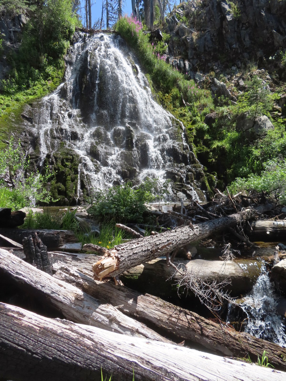
 Red Blanket Falls
 View down Red Blanket Creek
 A spring fed waterfall along Red Blanket Creek below the falls.
 A second and third tier of Red Blanket Falls just below the upper fall. I wasn’t able to get a clearer view of these two drops. I hiked a short distance down the creek but decided the poor trail conditions and loss of elevation weren’t worth going further down the trail with no guarantee of a better view.
 The three drops of Red Blanket Falls
 One more of Red Blanket Falls.
 Another little cascade.

 Along this rock outcrop I found switchbacks that I’d missed on the way to the falls.
 This might be a black backed woodpecker.
 This cairn was new to me as well. At this point I was quite a bit below our track from the morning and I was afraid that I might pass Heather without knowing it if she was sticking to the earlier route.
 Hummingbird
 Goose egg on the left.
 Painted lady
 A checkerspot and a copper on sub-alpine fleabane.
 Arriving back at the PCT. We again crossed paths with a thru hiker on the way to Mazama Village.
 Pussypaws
 Dwarf lupine
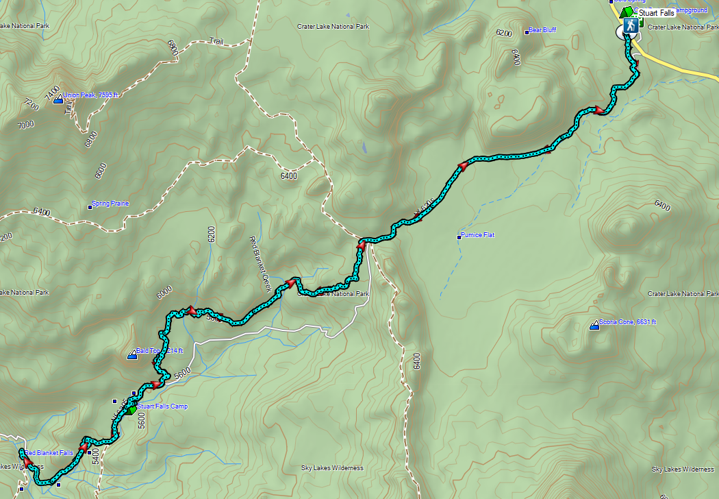
 Low-light at Trapper Lake.
 Sunrise from the trail.
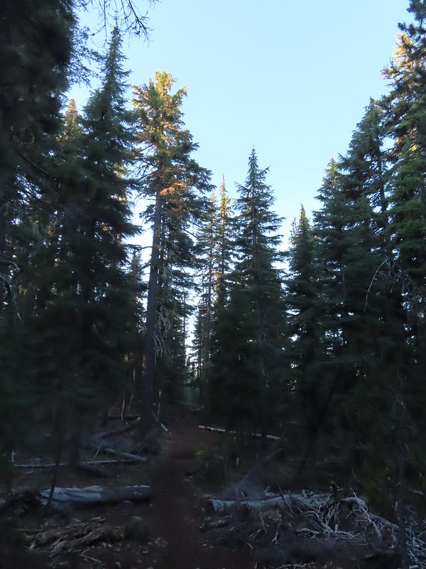 Sunlight hitting the tops of trees.

 Heading up to the bluff.
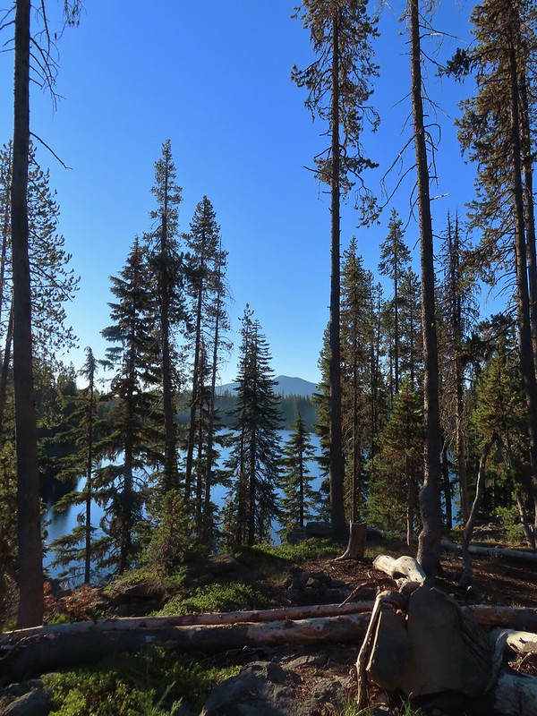 Pelican Butte beyond Isherwood Lake.
 Fall foliage above Isherwood Lake.
 Heading for Lake Liza through a dry bed.
 Great reflection
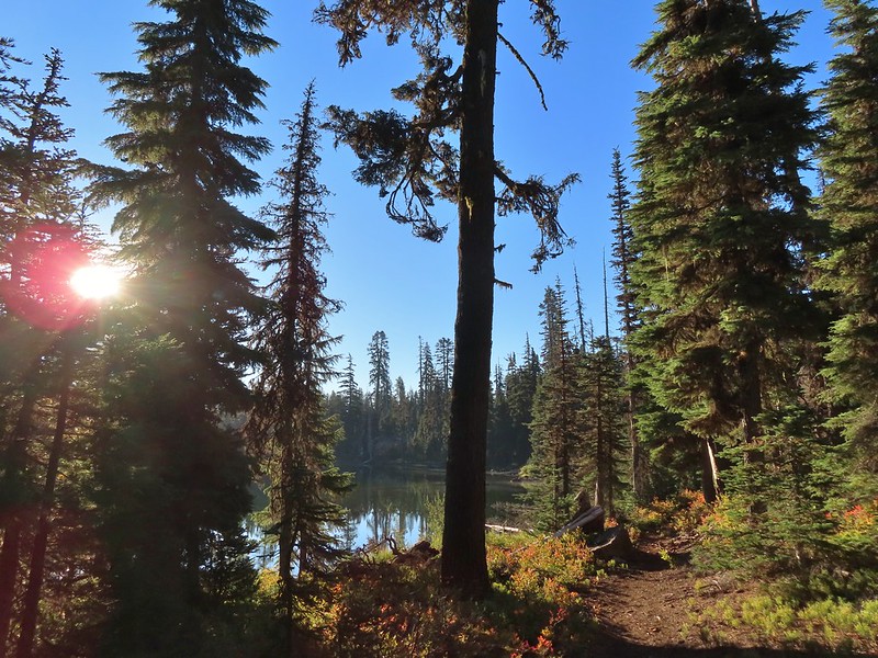

 Lake Notasha
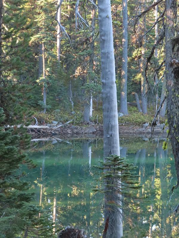 Depending on the angle the water was a beautiful green.


 Parts of the latter half of this trail passed through the 2017 fire scar.
 Fireweed seeds
 Pelican Butte as we descended toward the junction.
 Leaving the
  Dark-eyed junco seeing us off.
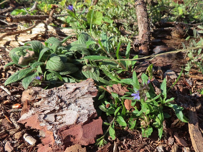 An as of yet unidentified flower.
 Another unidentified flower.
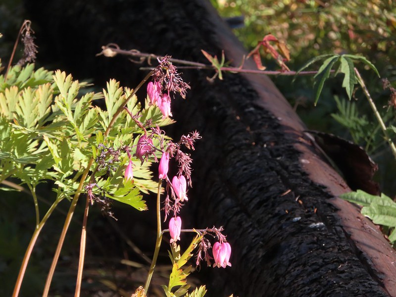 I do know this one – bleeding heart.
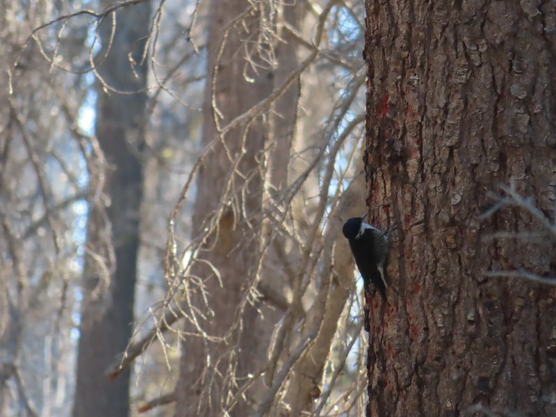 Woodpecker (it was a busy final 0.6 miles).
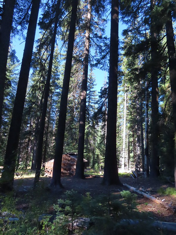 Back at the shelter and trailhead.

 Shelter at the trailhead.

 Aster
Aster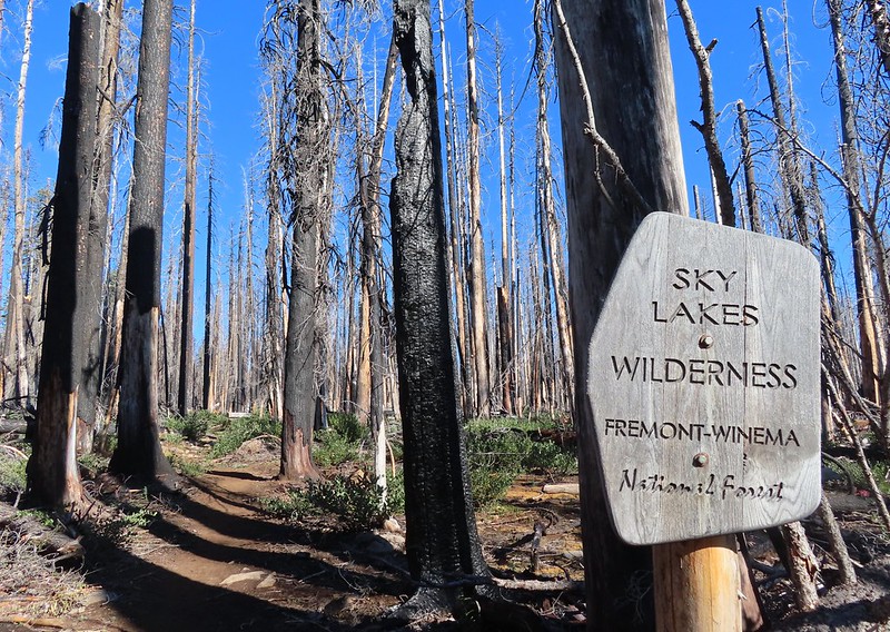
 Fireweed
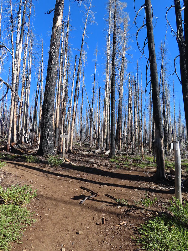

 Comma butterfly
 Exiting the fire scar.
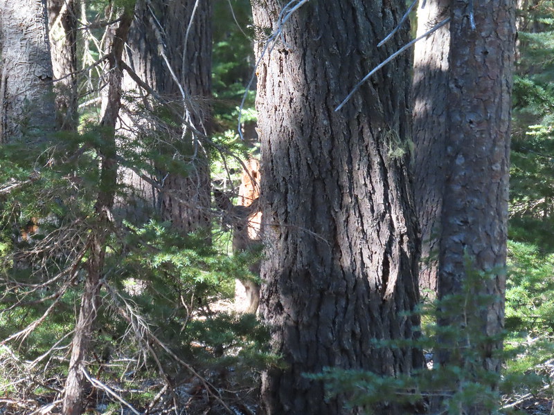 Doe watching us through the trees.


 Luther Mountain on the left and Lee Peak on the right.
 Sign for the Sky Lakes Trail.
 Isherwood Trail junction.
 Lake Land
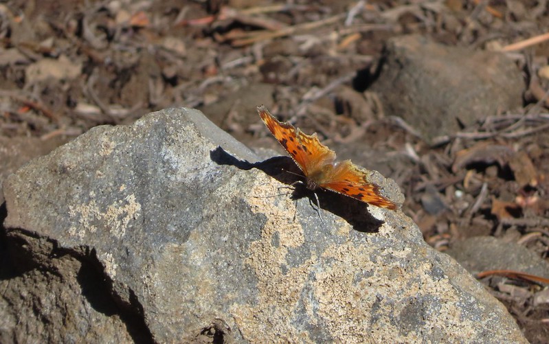

 Luther Mountain from Trapper Lake.
 View along the trail.
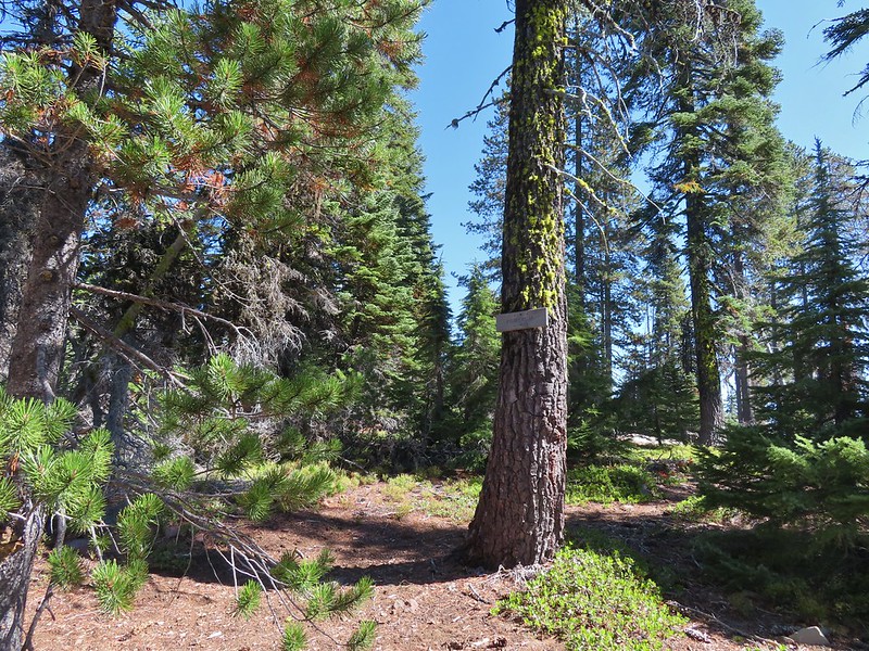 Sign for the Cherry Creek Trail.
 Sky Lakes Trail sign.
 Donna Lake Trail to the right.
 Divide Trail junction.


 Saddle Mountain is in the distance with pointy Cherry Peak in the foreground. I believe that is Agency Lake visible in the Valley.
 Pelican Butte to the right.
 Mt. McLoughlin (
 Eagle flyby.
 Lather Peak with several more lakes below.
 In the distance to the left is Aspen Butte (
 Fall is in the air.
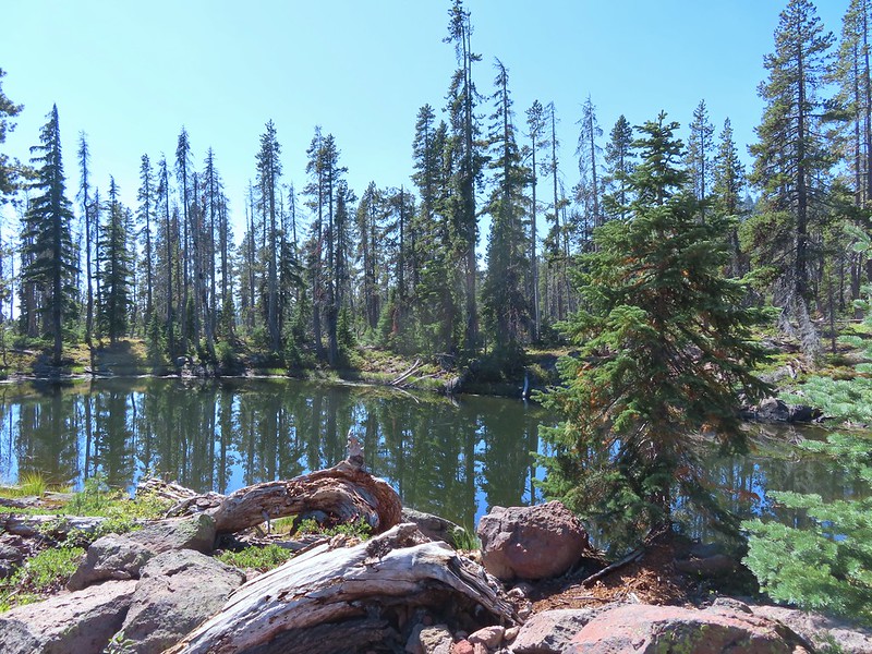 On of several small bodies of water along the shelf.
 We know there were pikas out there because we heard their “meeps” off and on all day but with so many rocks we were never able to spot one.
 Heading toward Luther Mountain.
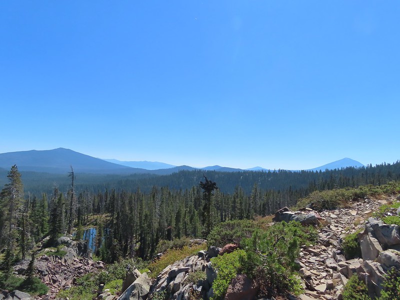 Pelican Butte on the left and Mt. McLoughlin on the right. The peaks in the Mountain Lakes Wilderness are behind and to the right of Pelican Butte then the small, closer hump is Imagination Peak. To the right of Imagination Peak and slightly further back is Lost Peak and then further to the right (left of Mt. McLoughlin) is Brown Mountain (

 Luther Mountain from the saddle.
 The Pacific Crest Trail.
 Lucifer Peak directly behind Shale Butte.
 Lucifer Peak, Shale Butte, Devil’s Peak and Lee Peak.
 Blowdown on the PCT.
 Luther Mountain
 Luther Mountain and Mt. McLoughlin behind us.
 Lots of little birds along the ridge but most didn’t stop long enough for even a poor picture.
 Sign at the Snow Lakes Trail junction.
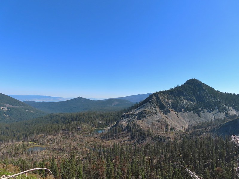 Martin, Wind and a Snow Lake from the Snow Lakes Trail.
 Hawk circling overhead.
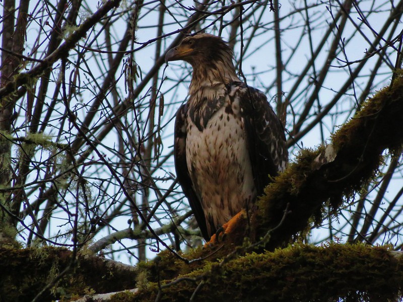
 While I was trying to keep track of the hawk this Bald Eagle flew over.
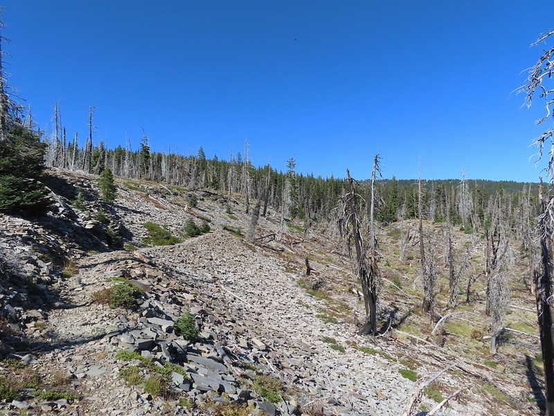 Nearing the end of the 2014 fire scar.
 Luther Mountain from one of the Snow Lakes.
 Another of the lakes.
 Tree on the edge of the shelf.
 View from the shelf.
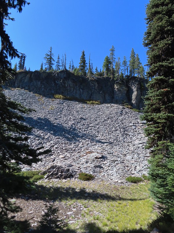 There were many cool rock features along the trail.
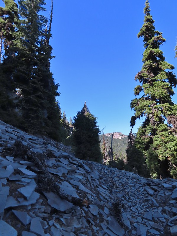 Devil’s Peak
 Lee Peak and another of the Snow Lakes.
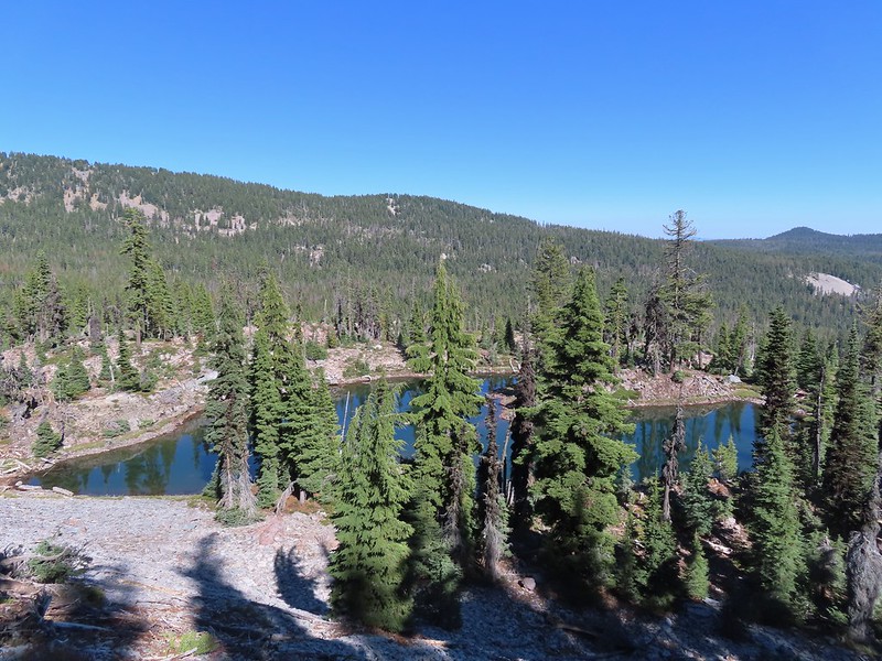
 A tree had fallen over the Snow Lakes Trail hiding it right where a use trail veered off to the lake. Only seeing the use trail we followed it along the lake until it petered out. A quick look at the map showed we were off-trail so we made our way back finding the downed tree covering the actual trail.
 The worst obstacle for the day.
 Pelican Butte from the trail.
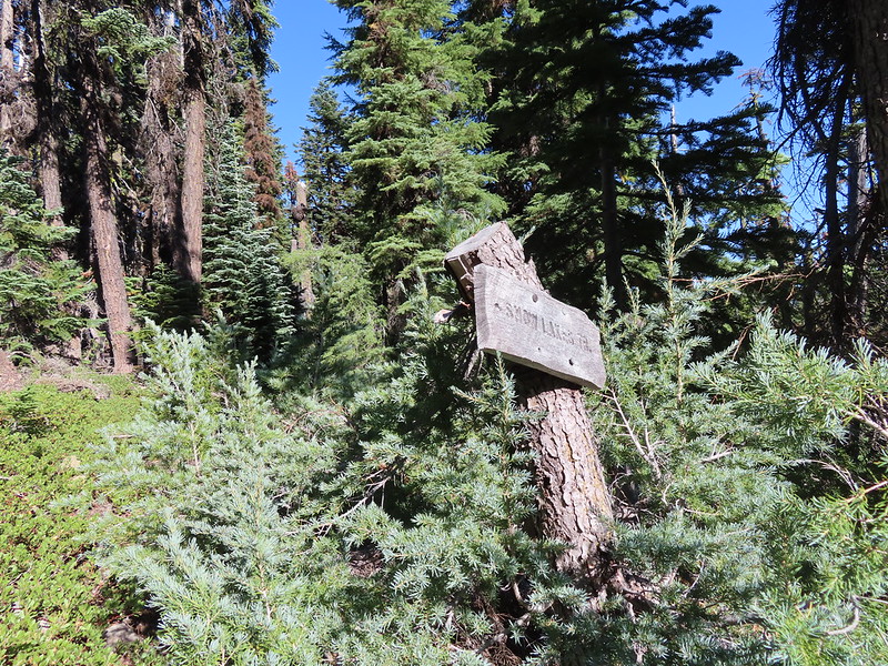 Sign at the Nannie Creek Trail junction.
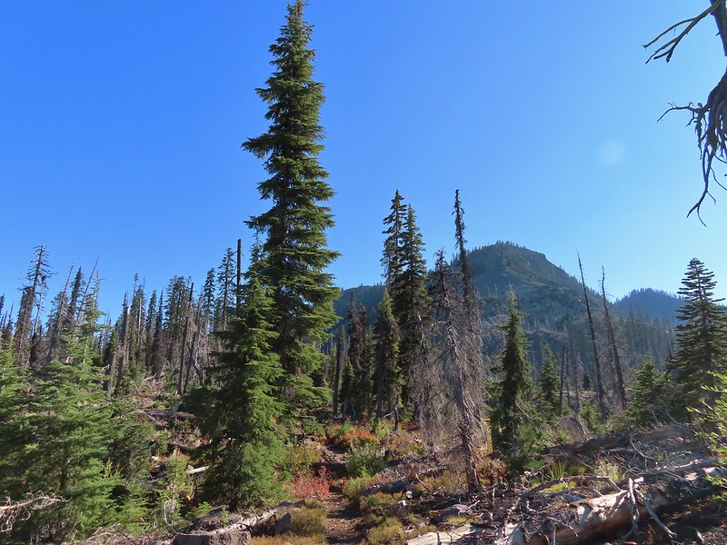 Luther Mountain as we neared Martin Lake.
 Dragon fly blending in with the huckleberry leaves.
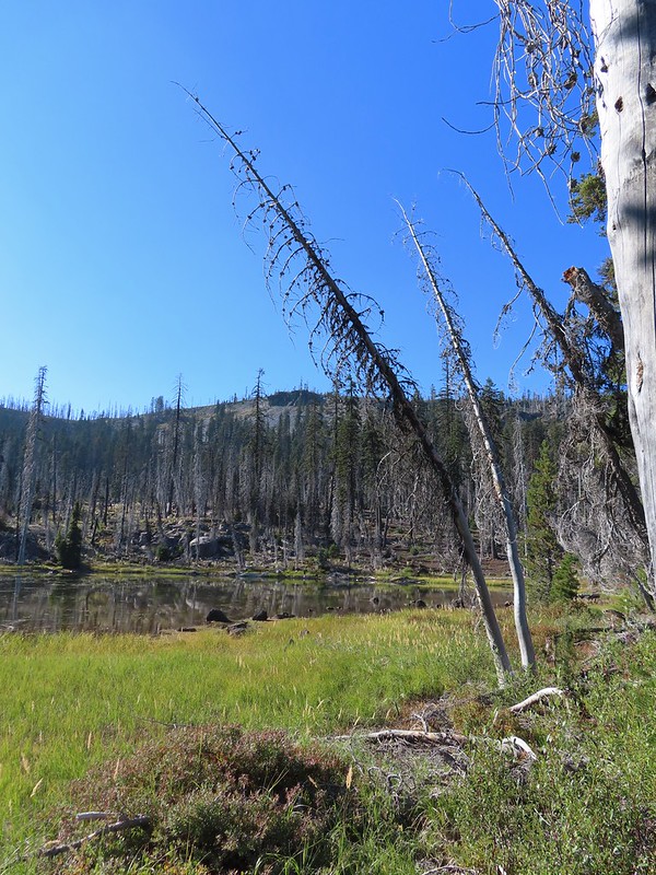 Martin Lake with a view of the shelf that we’d been on.
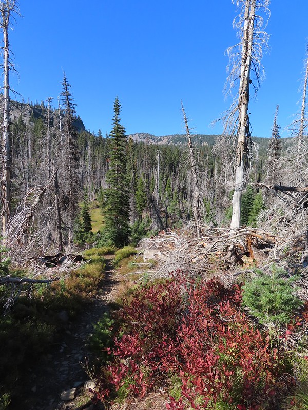 Red huckleberry leaves
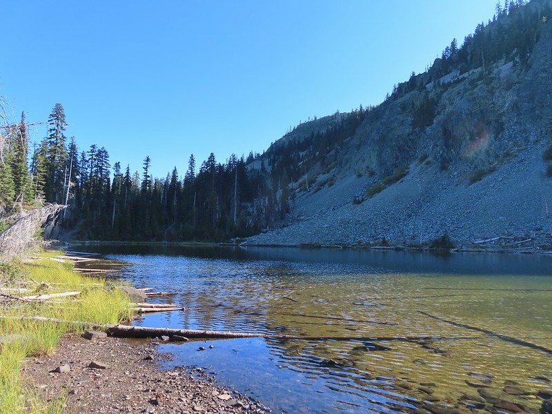


 Deep Lake was up first, just a tenth of a mile down the trail.
 Donna Lake was only two tenths further.
 Donna Lake Trail
 Back at Trapper Lake.
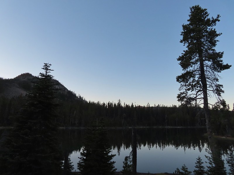

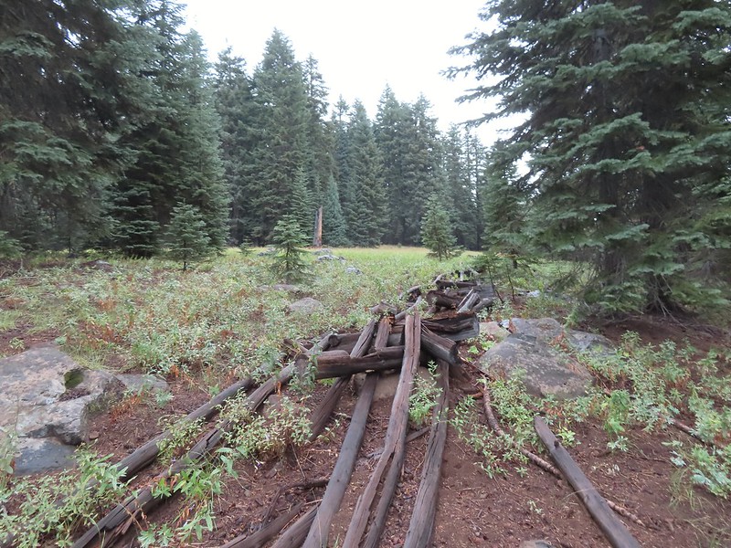 An old fence in the meadow.
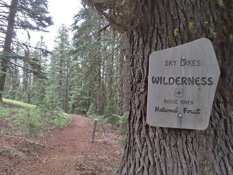 Entering the Sky Lakes Wilderness.
 Into the trees we go.


 The cliff face above Blue Lake ahead from the trail.
 Hiking along Blue Lake.
 Blue Lake
 The bald eagle across the lake after startling me.
 The South Fork Trail went to the left past Meadow Lake and the Mud Lake before following the South Fork Rogue River to Road 720.
 Meadow Lake
 Meadow Lake Trail junction.
 Just beyond this small pond south of the trail we turned right on a use trail which led out onto Horseshoe Lake’s peninsula.
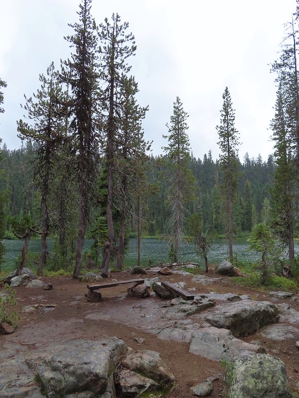 Camping is prohibited on the peninsula which is signed in multiple places.
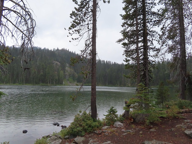


 Ducks flying further down the lake.
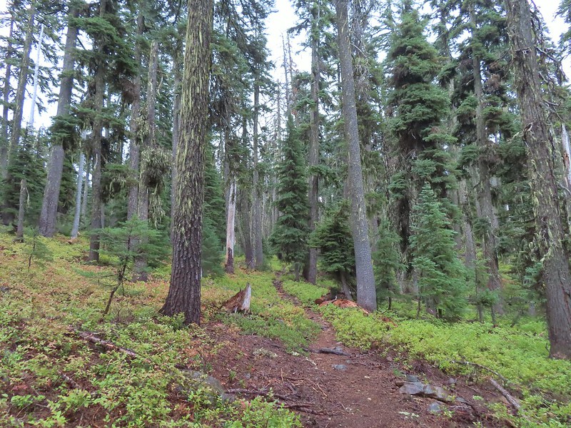
 Grouse
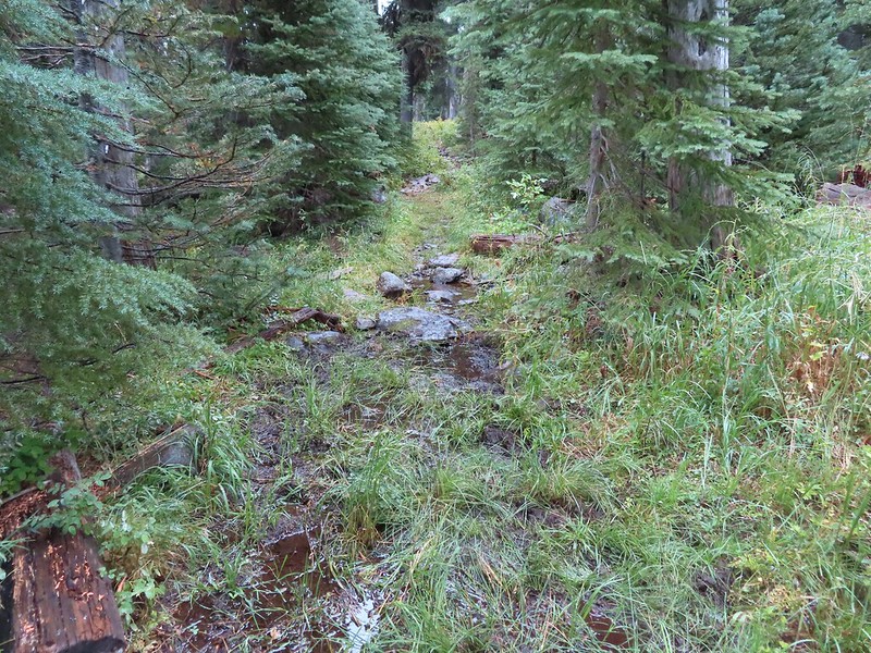 The only flowing water we’d encounter on this day after not crossing any streams the day before at Union Peak (
 Dee Lake barely visible through the trees.
 Bigelow’s sneezeweed
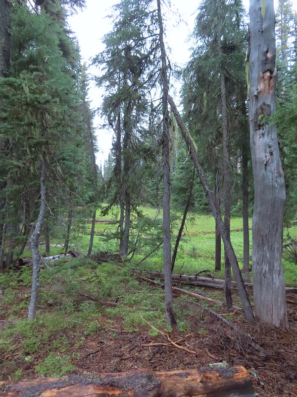 Meadow near Island Lake.
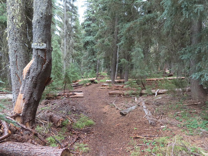 A Horse Camp sign.
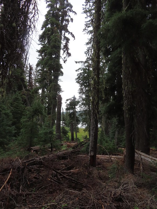 Island Lake through the trees.


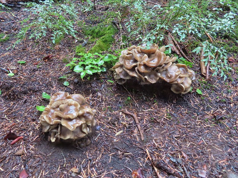
 There were a lot of mushrooms down by the water though.


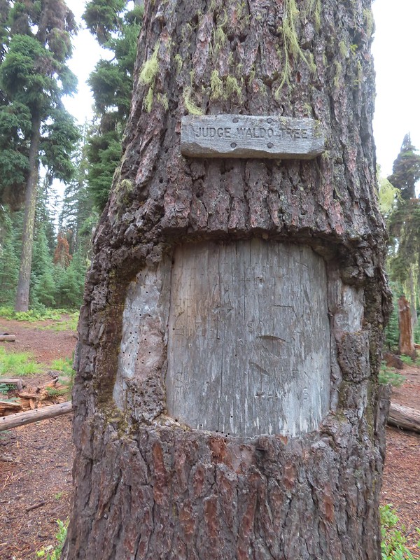
 For those interested the 1888 inscription reads:
 Pear Lake from the Blue Canyon Trail.
 Back at the Meadow Lake junction.
 Heading up the Meadow Lake Trail.
 The huckleberries don’t lie, Autumn was right around the corner.
 Approaching the ridge top.
 Not sure what we missed here but imagine it was some of the peaks in the Sky Lakes Wilderness.


 Colorful fungus
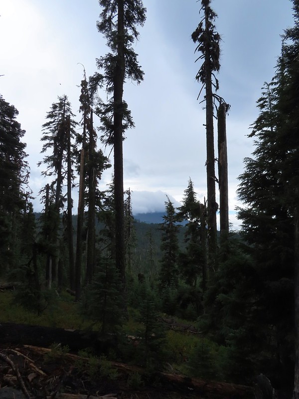 Mt. McLoughlin
 A little fresh snow, a welcome sight.
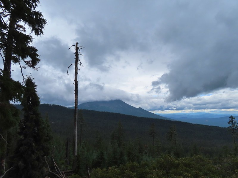 A nice little viewpoint just off the trail.
 Passing below Cat Hill.
 Back to the trailhead.
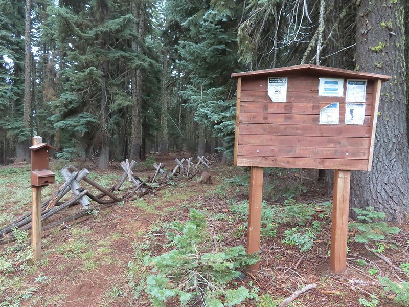


 This photo is from CA but it actually shows the namesake Red Buttes


 Closest thing to a “wilderness sign” we saw for this one.


 Battle Ax Creek – 2014
 Mt. Jefferson from Russell Lake – 2016
 Drift Creek – 2010
 Mt. Washington from the Pacific Crest Trail – 2015
 The Three Sisters – 2014
 Three Arch Rocks from Cape Meares – 2018
 Triple Falls – 2012
 Mt. Hood – 2015
 Bandon Islands – 2018
 Twin Pillars – 2011
 Howlock Mountain and Mt. Thielsen – 2014
 Table Rock – 2015
 Frustration Falls – 2018
 Trapper Creek – 2014
 View from Fuji Mountain – 2013
 Serene Lake – 2013
 Badger Creek Wilderness – 2014
 Donaca Lake – 2014
 Emerald Pool – 2018
 View from Boccard Point – 2015
 Red Buttes – 2015
 Oregon Badlands Wilderness – 2016
 Vulcan Lake – 2016
 Rooster Rock – 2016
 Glacier Lake – 2016
 View from Aspen Butte – 2016
 Mt. McLoughlin from Freye Lake – 2016
 White River – 2016
 Rock Creek – 2017
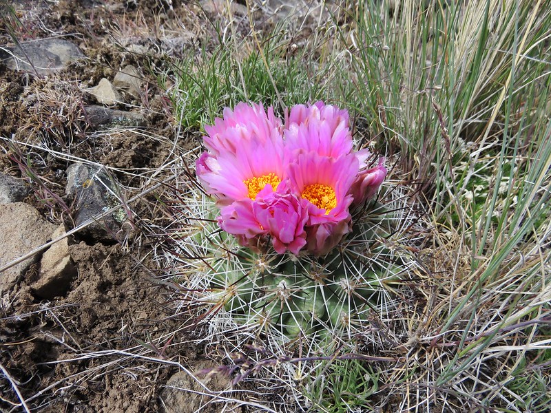
 Hedgehog Cactus – 2017
 Bridge Creek Wilderness – 2017
 Hanging Rock – 2017
 View from Grassy Knob – 2017
 Big Bottom – 2017
 Baldy Lake – 2017
 Cummins Ridge Trail – 2017
 Hummingbird Meadows – 2018
 View along the Pine Creek Trail – 2018
 Slide Lake – 2018
 Barklow Mountain Trail – 2018