
What do you do the day after a 16.5-mile loop with 4355′ of elevation gain (post)? If you’re me, you make a questionable decision. With another sunny day in the forecast before showers moved in, I decided that I would finally check out the Eula Ridge Trail near Eugene. This 4.2-mile-long trail gains over 3000′ from Highway 58 to its end at the Hardesty Trail. The trail is very steep, so steep in fact that the Forest Service description states “After a short descent into a saddle, the really steep climb begins. This is a good place to turn back.” The saddle in question is just over 1.5-miles from the trailhead and marks the start of 16 switchbacks. The switchbacks are nowhere near as steep as the remainder of this trail. From the end of the trail it is just three quarters of a mile to the top of Hardesty Mountain (post), but there is no view from that peak. When we visited Hardesty Mountain it was on an out-and-back from the Mount June Trailhead. That hike gained approximately 2100′ of elevation. My bright idea was to combine the two to revisit Mount June where there was a view.
I set off just after 7am from the Eula Ridge Trailhead and immediately went the wrong way when I forked left on the Lawler Trail.
 This trail would eventually end at the LoneWolf/Patterson Mountain Trail (post).
 The small trailhead along Highway 58.
 Wrong way dummy.
I got a little over a quarter mile up the Lawler Trail before realizing my mistake. The worst part was I’d climbed over 250′ in that quarter mile. I retreated to the trailhead and went right on the Eula Ridge Trail which dropped to a crossing of South Creek before climbing to a junction with the South Willamette Trail (post).

 The South Willamette Trail to the right.
This trail was heavily damaged in a February 2019 storm, but it has since been cleared and was free of any blowdown for its entire length. The trail is forested with no views to speak of, but the forest is very nice. I had a lot of time to study it during my many breaks as I made my way uphill.


 It was clear that mountain bikers use this trail regularly.


Near the 3.75-mile mark the trail passes a rocky spine which is actually an arch. I couldn’t see the arch from the trail, but thanks to Hike Orgon I knew it was there.

 I actually waited until I was on my way down to step off trail and look at the arch.
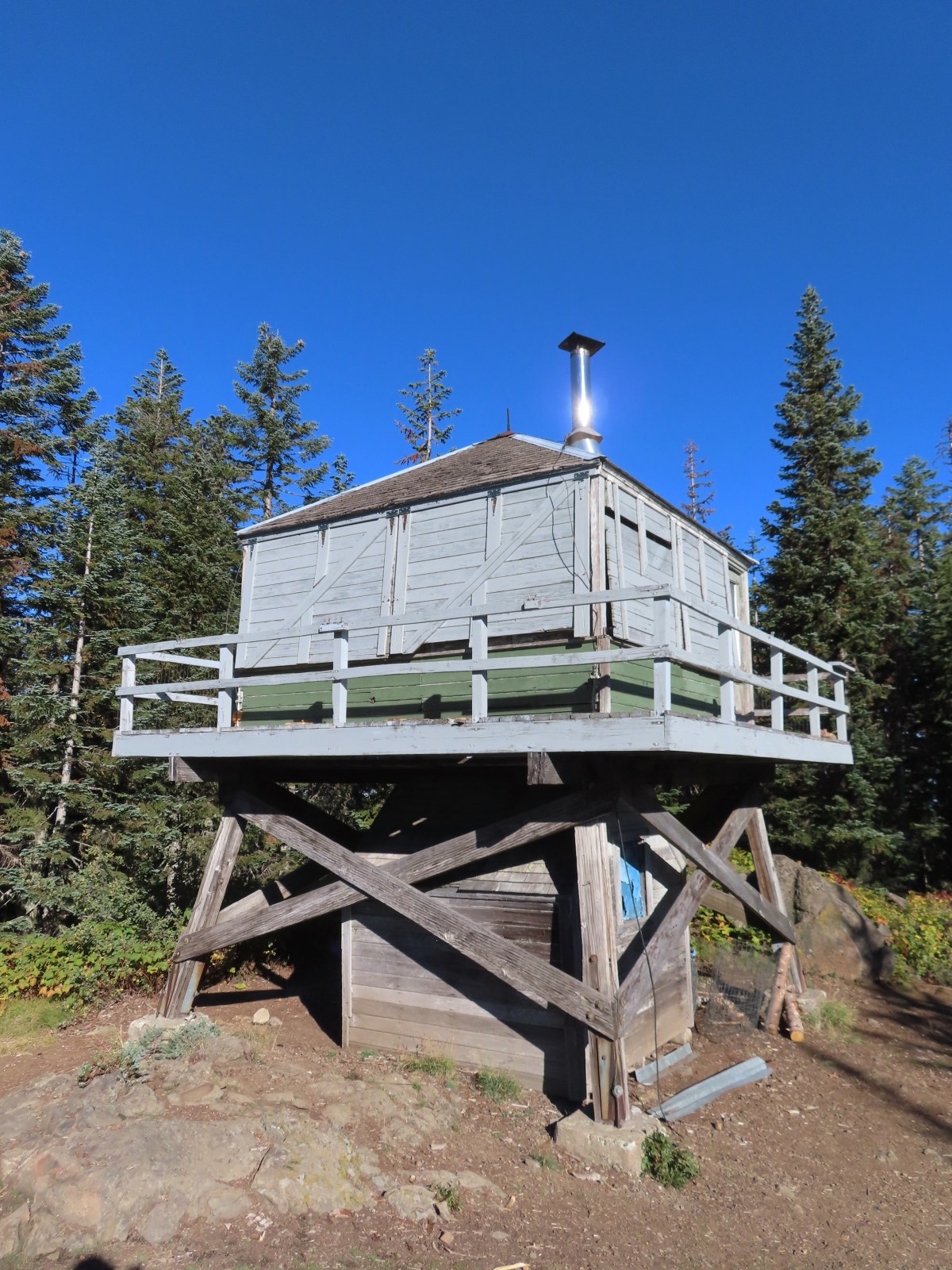
 Eula Ridge Trail sign at the Hardesty Trail junction.
I turned left on the Hardesty Trail and climbed another 240′ in 0.4-miles to a fork.

 The lefthand fork leads to the viewless summit while the right is the Hardesty Cutoff Trail which bypasses the summit.
I went right forgoing the 100′ climb to the summit which would have also added a little distance to the day. In 0.2-miles I arrived at a junction with the Sawtooth Trail.

 Forest below the Hardesty Cutoff Trail.
 The Sawtooth Trail dropping to the right.
I briefly considered abandoning my original plan here, but it was only 9:40am. I decided to continue on, but with a turnaround time of 11:30am. If I hadn’t made it to Mt. June by then so be it. I had completely forgotten just how many ups and downs there were along the Sawtooth Trail, and how steep some of them were.
 I was not looking forward to climbing back up some of these sections later.
 Another saddle.
 A view through the trees.
 I passed the Hardesty Way Trail 1.5-miles from the Hardesty Cutoff Trail.
Just under two miles from the Hardesty Cutoff Trail the Sawtooth Trail makes two switchbacks downhill to drop below Sawtooth Rock where it enters a grassy hillside.

 Mount June from the hillside.
 Wallflower
I paused in the middle of the open hillside to again rethink my plan. It was now a quarter after 10am so I was fine on time but seeing Mt. June reinforced just how much more climbing lay ahead. I checked my water supply and found that I hadn’t been drinking enough. I still had close to two liters in my pack plus a Hydro Flask with extra water and a small Gatorade. I drank half the Gatorade and continued on. Two-thirds of a mile beyond Sawtooth Rock I came to a junction in yet another saddle.
 Junction with the Lost Creek Trail.
 The pointer for Eagles Rest (post) is the Lost Creek Trail.
Another 0.7-miles brought me to the Mt. June Trail at, you guessed it, another saddle.
 I called this section “rhododendron ridge”.

 The Mt. June Trail coming up from the right.
It was now just after 11am and I was facing a half mile, and nearly 550′, climb to Mt. June’s summit. I headed up and stopped at the first good sized log along the trail to finish off the Gatorade, eat some sweet and salty snack mix, and rest for a few minutes. After the break I headed up the steep trail arriving at the summit at 11:27am.


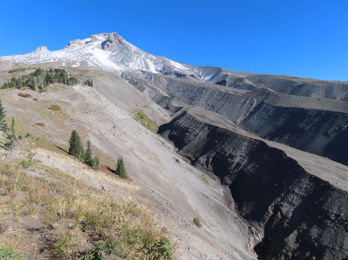
Unfortunately, the view was less than ideal. The recent warm weather had allowed the many fires still burning to pick up intensity which led to additional smoke.

 If you look closely, you can see the tops of the Three Sisters poking up over the smoke in the distance. The open hillside in the foreground is the meadow below Sawtooth Rock and the hump just behind is Hardesty Mountain.
After another short break, and a change of socks, at the summit I started back. I was feeling okay on the downhills and the more level sections, but whenever the trails became at all steep my legs let me know they weren’t happy.
 Heading down from the summit.
 Climbing the hillside below Sawtooth Rock.
 Sawtooth Rock
 There was just a little smoke now and then in the forest.
 The Eula Ridge Trail coming into view.
I arrived at the Eula Ridge Trail at 1:19pm and bombed down the steep trail as carefully as possible. There are a lot of loose rocks/pebbles along the trail so my trekking poles came in very handy.

 There wasn’t much in the way of Fall colors along the trail, but these leaves really stood out.
 Lookout Point Lake (Middle Fork Willamette River) from the trail.
 There was one more small uphill on the far side of South Creek before dropping to the trailhead.
 South Creek

I made it back to the car at 3:00pm. My Garmin clocked in at an even 17-miles and I estimated close to 5300′ of cumulative elevation gain.

This was a real challenge, especially the day after another difficult hike. It does make for one heck of a training hike, and I didn’t see another person the entire day. Happy Trails!
Flickr: Eula Ridge to Mount June
 Not having light until after 7am is rough for someone who likes to get an early start.
 The Salmon River Trail is located next to this interpretive sign near the trailhead.
 A flash was necessary as I set off.
 There was a very brief road walk along this section.
 There was also plenty of time along the Salmon River.
 I veered right at this picnic table to cross into the campground.
 The day use area at the campground.
 Water spigot at the day use area.
 It was hard to read the date for this cougar sighting, it appeared to be from June, but I couldn’t make out the year.
 Entering the Salmon-Huckleberry Wilderness
 One of the downed trees, this one covered both sides of a switchback.
 A rare viewpoint along the forested trail.
 A level stretch along a narrow ridge.
 A healthy looking paintbrush.
 The Sun rising above Hunchback Ridge.
 It was going to a be a bluebird day.
 Sign ahead marking the Hunchback Trail junction.

 One of the “downs”.
 This trail was also in good shape with just a few easy obstacles.
 I did not go investigate the source of the “water”, it could have been a trap (there is a spring shown on the map).
 Signs at the junction below Devil’s Peak.
 Mount Jefferson
 Olallie Butte (
 The lookout from the Mt. Jefferson viewpoint.
 Mt. Hood from the lookout.
 You can’t see Mt. Jefferson from the lookout due to trees.
 Trail signs at the Cool Creek Trail junction.
 Lookout Mountain(
 Mt. Hood from the Hunchback Trail.
 Arriving at the trailhead on FR 2613.
 It’s hard to make out in the photo but that is a giant pothole (crater) in the middle of the road seen from the trailhead.
 That is the trailhead at the end of the road on the right.


 There were some nice Fall colors along the Kinzel Lake Trail.
 There were also a few obstacles that were trickier than anything on the other trails involved in this loop.
 Salmon Butte (
 Nearing the Salmon River Trail.
 Trail sign at the Salmon River Trail junction.

 There wasn’t much water at all in any of the side creeks.
 There are several viewpoints just over 3.5-miles from the trailhead.
 The furtherst hump in the center is Huckleberry Mountain (
 Wilderness kiosk along the trail. There were self-issued permits here, but none at Green Canyon Way so I stopped and filled one out even though I was almost done with my hike (and out of the wilderness).

 Salmon River
 There were a couple of good-sized fish in the pool here.
 The trail arriving back at the trailhead.
 We had also parked here in 2021 for our Barlow Butte hike (


 The colors of Fall.
 Tom, Dick, and Harry Mountain (
 Mt. Hood teased an appearance a couple of times along the lower portion of the PCT. It was enough to see that there was a dusting of fresh snow on the mountain.
 The signed junction with the Yellowjacket Trail.
 The wet brush had me whishing I’d worn boots.
 The Yellowjacket Trail passing a small meadow.
 Makeshift footbridge along the trail.


 New snow on Mt. Hood.
 The valley is the result of an eruption around 250 years ago.
 Pacific lupine
 At the end of the levee the route climbed a moraine then continued its gradual ascent to the Timberline Trail.
 Dark-eyed junco. There was a good variety of birds along the moraine, but this was the only one that sat still long enough to have its picture taken.
 Frost on a log. It was really nice to be hiking in the crisp cool air.
 Boy Scout Ridge from the moraine.
 The unsigned junction with the Timberline Trail.
 Mt. Hood from the junction.
 Sign for the PCT nearly absorbed by the tree.
 Lupine (broadleaf?)
 A few remaining blooms on the goldenrod.
 Signpost at the PCT junction ahead.


 The coyote with Mt. Hood looming behind.
 Mt. Jefferson to the south with the Three Sisters behind to the left.
 The Three Sisters and Mt. Jefferson
 The round peak along the far ridge is Gunsight Butte (
 We’d lost sight of the coyote until it ran across the trail not too far in front of us.
 More lupine
 A few remaining aster blossoms in the foreground.
 Timberline Lodge across the Salmon River Canyon.
 Looking back down the White River Valley. Barlow Ridge is the near hump on the right.
 Another look at Timberline Lodge.
 Despite all the cars at the lodge we would only encounter a half dozen other trail users until we were back at the Barlow Pass Trailhead.
 Small waterfall below the ridge.
 I turned around here where the Timberline Trail headed across the Salmon River drainage. The Silcox Hut is straight ahead on the side of the mountain.
 Looking back at the high point where Heather had stopped.
 Mt. Hood’s summit.
 The waterfall looking pretty small far below the mountain.
 It took us a moment to decide what the dark rounded peak straight ahead in the distance was. We eventually correctly identified it as Black Butte (
 Olallie Butte (
 Birds on mountain ash.
 The Timberline Trail junction.
 Beargrass meadow, there hadn’t been any blooms this year.
 Lousewort
 It was nearly 2-miles between the Timberline and Yellowjacket trail junctions.
 We were shocked to see a bunchberry that still had some petals, even if they were in sad shape.
 Mushrooms and fungi are not surprising this time of year.
 Highway 35
 Arriving at the Barlow Road.
 Our various hikes around the mountain. There are still a few areas where we could add a track or two. Happy Trails!
 I actually parked on the shoulder of Forest Road 1142 and walked a tenth of a mile down a spur road to the start of the trail.
 A note stating that access from the eastern side of the wilderness was still closed due to the Pyramid Fire.
 It was early when I started so there wasn’t a lot of light and even on the way back there was a lot of shade.
 A short distance from the trailhead is a crossing of West Fork McQuade Creek.
 A third of a mile from the West Fork the trail crosses McQuade Creek.
 Reportedly this crossing can be quite tricky early in the year, but there wasn’t much water this time of the year.


 Based on trip reports from 2023 and recent cuts seen along the trail it appears that a trail crew passed through this year.


 A reminder that Fall is here.
 The McQuade Creek Trail hidden by the underbrush.
 Lousewort
 Huckleberries
 Views were limited to the nearby ridges and hillsides.
 Vine maple along a rocky slope.
 Pika watching me from behind some cover.
 Flagging along a bit of a washout.


 The McQuade Creek Shelter used to be located near here, but it had collapsed years ago, and I didn’t see any signs of the remains.
 Pointer for Chimney Peak.


 Initially I forked right here because the left hand fork didn’t appear to go anywhere.
 I assume these are remains from the former lookout.
 The start of the scramble route. The crack was too narrow to use but once I got to the top of this rock the route became much clearer.
 Looking down at the first part of the route from above.
 The top is in sight.
 Clouds over Green Peter Lake.
 Mt. Hood in the distance.
 Zoomed in on Mt. Hood and some haze.


 The Three Sisters
 Three Fingered Jack to the left behind the Three Pyramids (
 Mt. Jefferson zoomed.


 West Fork McQuade Creek
 Back at the trailhead.
 We parked on the shoulder here and road walked three quarters of a mile to the official
  This is a good example of why we parked where we did.
 The official trailhead.


 A pair of Barrow’s goldeneye ducks enjoying a morning swim on the far side of the lake.
 The use trail
 Mushroom along the road walk back to the car.
 The somewhat obscured sign for the Anvil Lake Trail along spur road 5800-160.
 The pullout where we parked.


 The edge of Black Wolf Meadows.
 Sign in Black Wolf Meadows.


 The trail leaving the meadows.
 More mushrooms
 Rough-skinned newt

 Old sign near Anvil Creek.
 The dry bed of Anvil Creek.
 Coral fungus
 The sign for the spur trail ahead on the left.
 Pointer for Anvil Lake. According to the Oregon Hikers Field Guide this sign is likely over 50 years old based on the reference to S-502 which is currently known as FR 5820 which is another potential
 Anvil Lake


 Mt. Hood from the pullout.


 The road continuing to the left.
 Olallie Butte (
 Mt. Hood with Mt. Adams behind to the left.
 The view south toward Mt. Jefferson.
 Heather is the orange dot climbing up the side of the outcrop.
 Mt. Hood from the saddle.
 Signal Buttes is the pointy peak on the left and Salmon Butte (
 Salmon Butte now in the middle with Linney Butte the hump on the right of the double humps in the foreground and Devil’s Peak (
 Linney Butte, Devil’s Peak, Mt. Adams in the distance, and Mt. Hood.
 Wolf Peak in the foreground which is above Black Wolf Meadows.
 Mt. Jefferson from the former lookout site.
 Peaks in the Bull-of-the-Woods and Opal Creek Wilderness areas in the distance to the left and Fish Creek Mountain (
 The remains of the lookout on High Rock.
 A zoomed in shot of Mt. Adams.
 Mt. Rainier rising behind Devil’s Peak.

 The ground squirrel watching us as we passed below.
 Skipper along the road on the way down.
 Aster
Aster


 Another reminder that overnight permits are required in the wilderness.
 Low clouds in the valley.
 Mt. Jefferson through some of the snags with a few surviving trees on the right.
 Mt. Jefferson from the junction, note the rock cairn on the left marking the PCT.
 The cairn at the junction.
 Triangulation Peak (
 Whitewater Lake
 Triangulation Point and Bocca Cave (Trailheads still closed.)
 Tarn 0.3-miles from the junction.
 Mt. Jefferson reflecting in the tarn.
 Ducks on the tarn.
 The Sentinel Hills with Park Butte behind to the right. The Whitewater Trail (
 The fires did open up fairly consistent views of the mountain.
 A few remaining penstemon blossoms.
 Heading down to the Russell Creek crossing.
 This can be a tricky crossing at times, but there was a makeshift bridge which made it fairly easy this time.
 Aster and pearly everlasting near the creek.
 We started seeing more trees that had survived the fire as we got closer to Jefferson Park.
 Gentians and aster
 Grass-of-parnassus
 There were patches of burned forest along this stretch.
 Approximately 0.4-miles from the junction the trail crosses Whitewater Creek.
 From the other side of Whitewater Creek the views of Mt. Jefferson are amazing.
 Based on the barred sides I believe this is a black-backed woodpecker.
 Unofficial use trails are an issue in Jefferson Park which has prompted the Forest Service to install a number of “Closed for Rehabilitation” sign such as the one on the left side of the trail.
 They’ve also added quite a few signs to indicated sanctioned trails. Typically in wilderness areas the Forest Service tries to keep signage to a minimum, but overuse has led them to add additional signs.
 Another sign with Park Butte in background.
 The last of the pointers for Scout Lake.
 PCT heading for Park Butte and Park Ridge.
 Russell Lake pointer.


 Painted Hills Unit
 Clarno Unit
 Blue Basin Unit


 B.C. Falls


 The first 0.2-miles followed a rough spur road.
 The trail starting at the 0.2-mile mark.


 An aster or fleabane
 Nettle-leaf giant hyssop
 Haze from wildfires burning in the Pacific Northwest.

 Corkscrew Falls
 One of the few trees that proved a little tricky.

 Smoke hanging over the East Fork Eagle Creek Valley.
 Penstemon
 The different shapes and colors of the peaks in the Wallowa Mountains never cease to impress.
 This section of trail appeared to have fallen victim to an avalanche that came down from the far side of the creek then up this one.
 Paintbrush
 Unnamed waterfall along East Fork Eagle Creek.
 The view improved a little as the day progressed.
 Coneflower along the trail.
 Fireweed
 Last of the mountain coyote mint.


 California tortoiseshell
 Fritillary butterfly
 Post marking the junction with the Hidden Lake Trail.


 View back across the East Fork Eagle Creek Valley.
 More obstacles were present along the Hidden Lake Trail.
 More trail damage.


 Gentians

 Looking back down at Moon Lake.

 On the other side of the ridge is Eagle Lake which we visited in 2023 (


 The Hidden Lake Trail continuing along the unnamed creek.
 There were still a few mountain heather blossoms.
 The unnamed lake.
 Heading cross country looking for the path of least resistance.
 My first view of Hidden Lake.
 Eagle Cap (

 Monkeyflower
 We set up for the afternoon.
 The lake looked to get pretty deep quickly.
 View from our dinner area.


 Gentians
 Last look at the lake.
 Grass of parnassus
 Hawkins Point on the left and Jackson Peak on the right.
 Moon Lake
 Big cricket
 Doe
Doe
 Unnamed creek near our campsite.
 View from camp in the morning. The eyes were looking at me from near the tree in the foreground to the left.
 Recrossing East Fork Eagle Creek.
 Heading into the haze.
 A healthy looking paintbrush.
 The bear had been walking up the outcrop in the shade in the middle of the picture.
 The bear is the black blotch on the rock in front of the tree at center.
 The bear just before it vanished behind the outcrop.
 Hawk in a snag.
 Corkscrew Falls
 Granite Cliff
 “Papa’s Camp” was located at the end of the 0.2-mile spur road.
 East Fork Eagle Creek from an old bridge near Papa’s Camp.
 Granite Cliff rising above East Fork Eagle Creek from the spur road to the trailhead.


 Aster
Aster
 The kiosk is straight ahead in the small gully.
 Cottontail
 In 2023 we had reached the kiosk from the Oregon Trail Ruts Trailhead along Highway 86.


 Looking back toward Panorama Point.


 Dotted is this trip, solid is 2023.


 There were hundreds of dragonflies along the trails which were much more welcome than the mosquitos that are a problem here in July and early August.
 The trail entering the wilderness.
 To the left through the trees is Mt. McLoughlin (
 The currently dry outlet creek of South Puck Lake.
 South Puck Lake from the Nannie Creek Trail.
 Someone had taken it upon themselves to craft their own sort of sign for the Puck Lakes Trail.

 The southern end of the lake was closed to camping for site restoration.
 South Puck Lake
 Use trail around the lake. The alignment of the former Puck Lakes Trail is further back from the lake.
 Two of three common mergansers that seemed to be calling the lake home for now.
 Our campsite for the night.
 Just after the trail began its descent it crossed a talus field.
 Mt. McLoughlin behind Luther Mountain.
 Shale Butte and Lucifer Peak (double hump is Lucifer).
 Pelican Butte straight ahead with peaks in the Mountain Lakes Wilderness (
 A faint Mt. Shasta through the haze.
 Agency Lake

 A good representation of the trail conditions between the talus slope and the Snow Lakes Trail. Nothing was overly problematic, but it did mean more effort on our part which in turn made it feel even warmer.
 Rock cairn marking the junction with the Snow Lake Trail.
 Looking back at the hillside we’d descended.
 One of several grouse that crossed the trail in front of us.
 Entering the fire scar from the 2014 “790 Fire”.
 Northwestern Rabbit-tobacco
 Martin Lake
 Pair of Lewis’s woodpeckers.
 One of the Snow Lakes below Luther Mountain.
 One of the Snow Lakes.
 After 1.4-miles we came to a junction with the Donna Lake Trail on the left. (Deep Lake is the lake visible below through the trees.) We’d turned down that trail on our previous visit, so we stayed right this time.
 One of several small, unnamed, bodies of water between the Donna Lake Trail junction and Margurette Lake.
 Blue beetle
 Hardhack
 Margurette Lake
 Margurette Lake
 Coming up on the junction.
 The Sky Lakes Trail.
 Trapper Lake
 The Donna Lake Trail to the right.
 Donna Lake

 Luther Mountain from Deep Lake.
 Tiny western toad
 Signs of Fall.
 Lousewort
 Young grouse

 Martin Lake
 Back at the Nannie Creek Trail junction.
 It was increasingly looking like a shower or two might happen.
 A deep zoom in at Mt. Shasta.

 Pine white
 Spotted sandpiper
 The three resident mergansers.
 The abandoned Puck Lakes Trail.
 A dark cloud passing over the Puck Lakes (no rain).
 North Puck Lake
 North Puck Lake


 Heather in the tent packing up.
 A sliver of the Moon reflecting in the lake at 5:48am.
 6:06am
 North Puck Lake at 6:22am as we set off.
 Luther Mountain from the Nannie Creek Trail in the morning.
 Dark blue = day one, magenta = day two, light blue = previous visit.