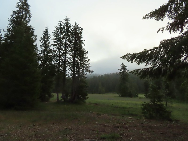
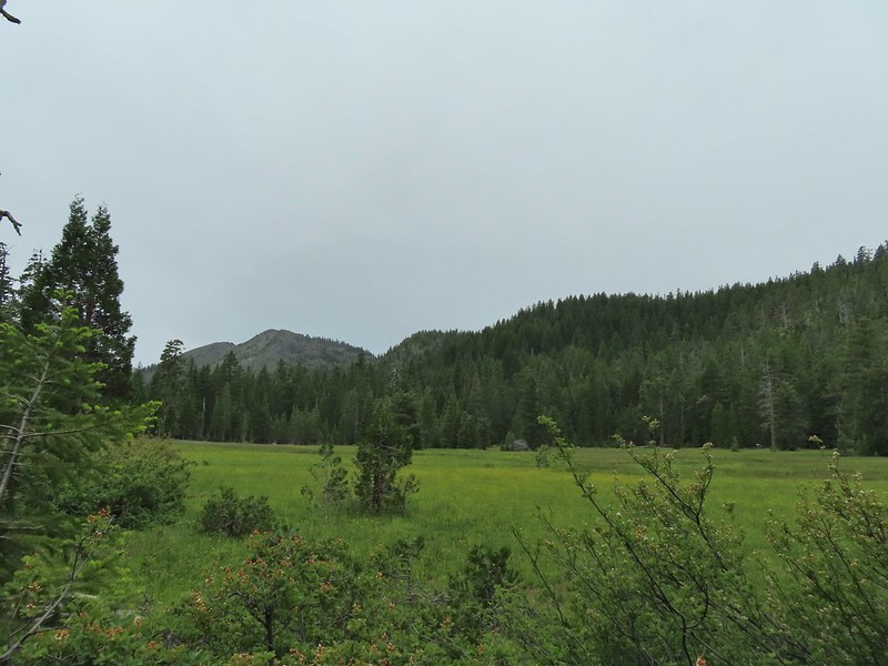
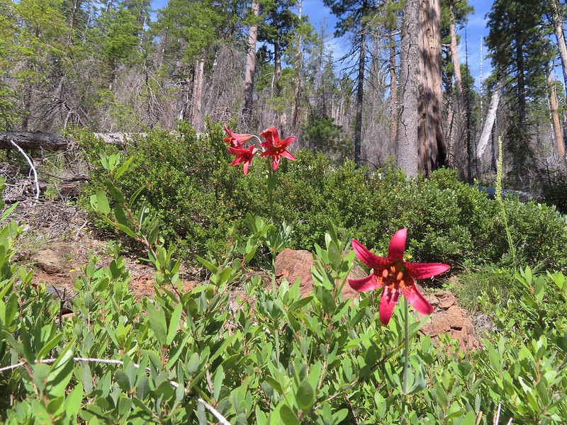
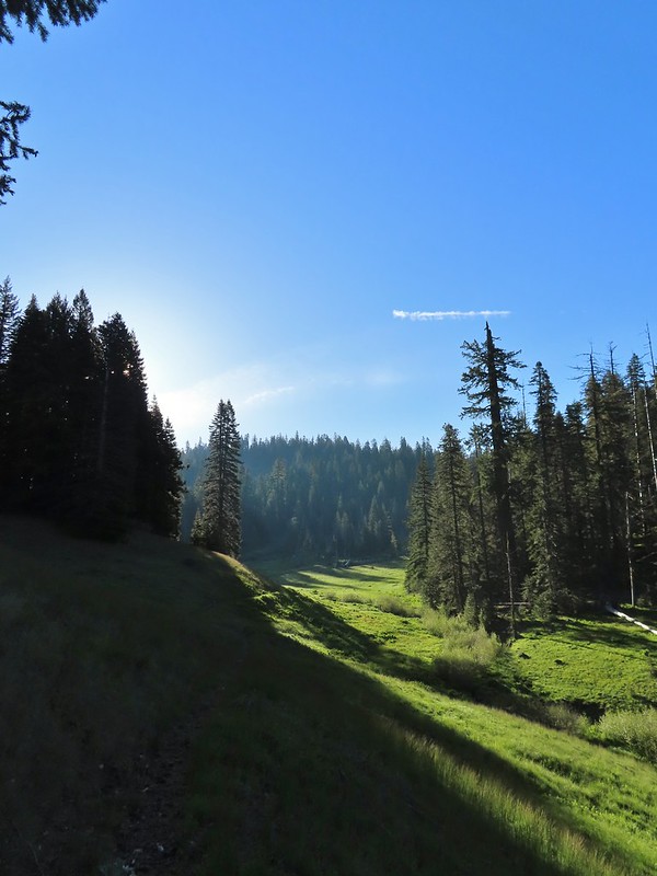
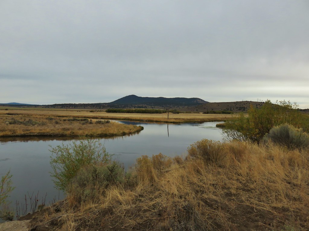
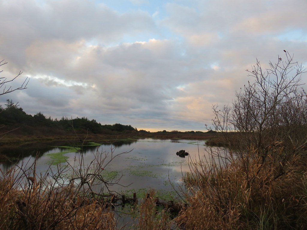
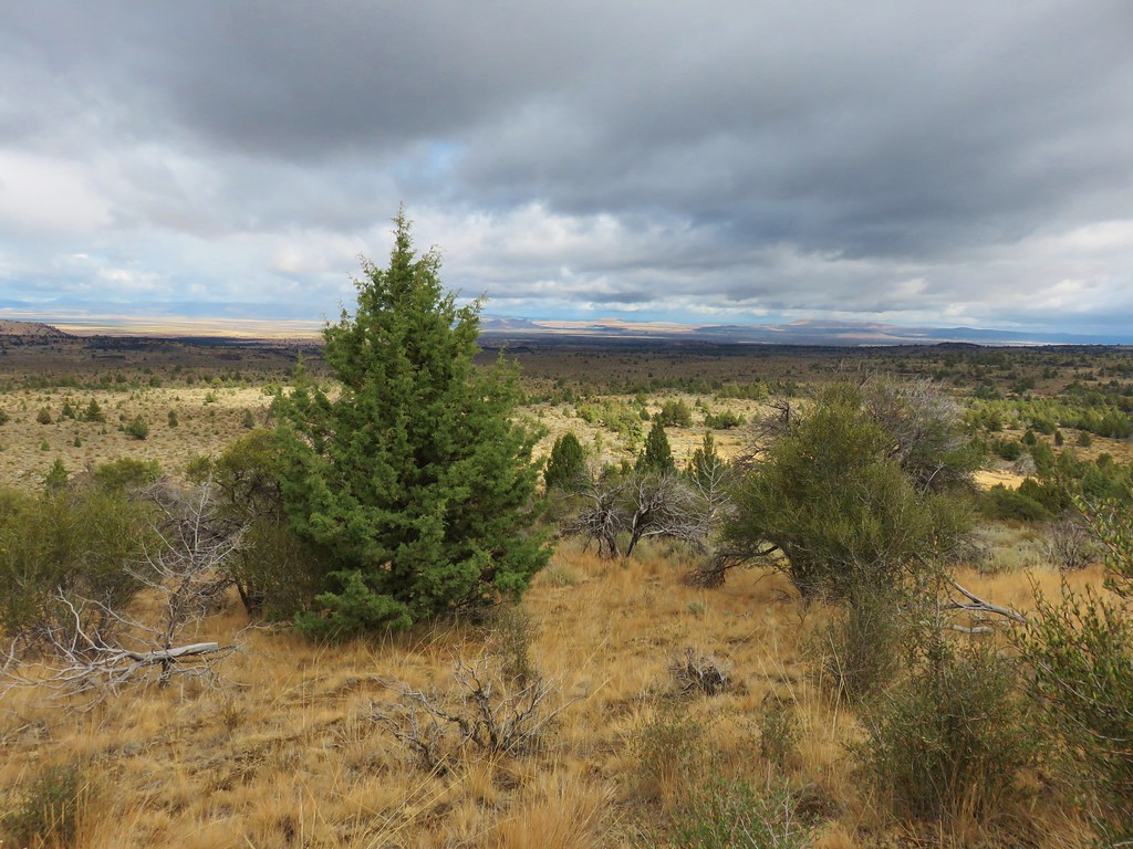
After the long hike to Devil’s Punchbowl the day before (post) we were looking forward to a shorter hike on Sunday and having time in the afternoon to relax around camp before hiking out on the 4th. Our goal on this day was Raspberry Lake which sits below Preston Peak, the highest peak in the Siskiyou Wilderness. It had started to cloud up the day before but it hadn’t rained. A layer of fog however had settled over the meadow in Youngs Valley by early morning.
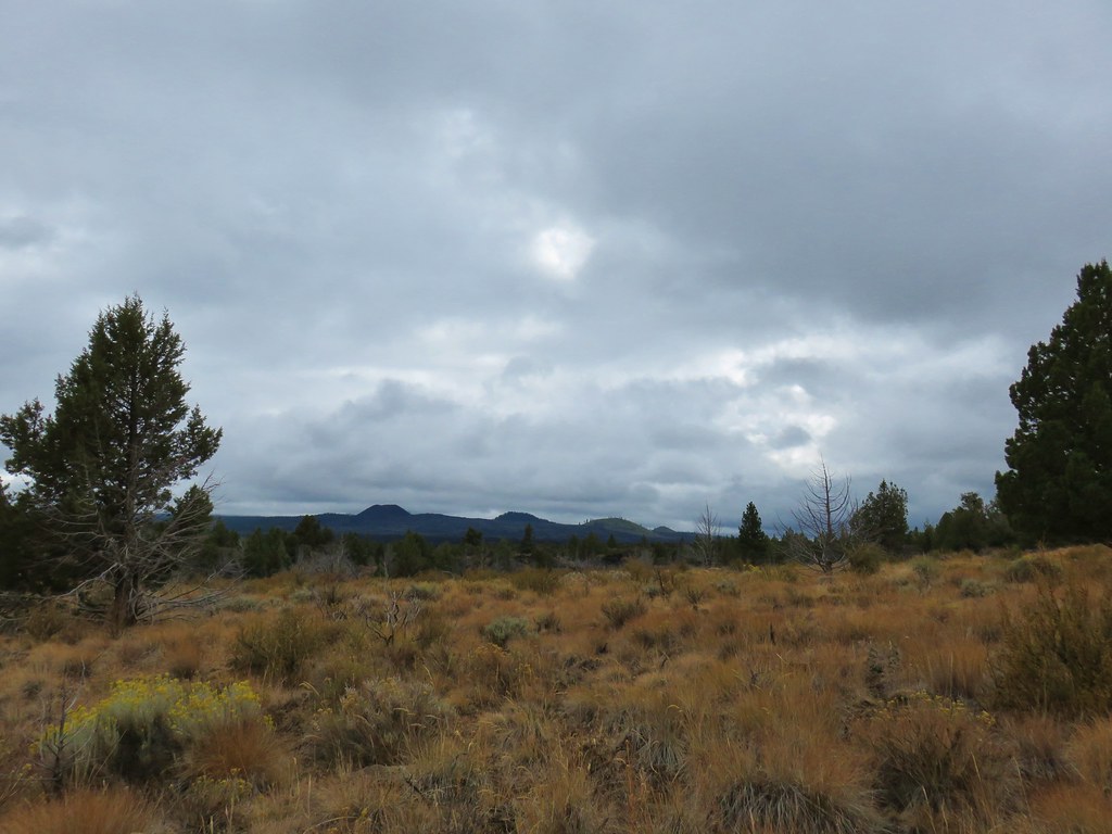
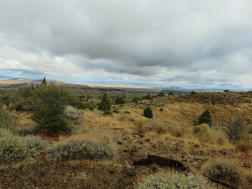
 Fog at 5:30am
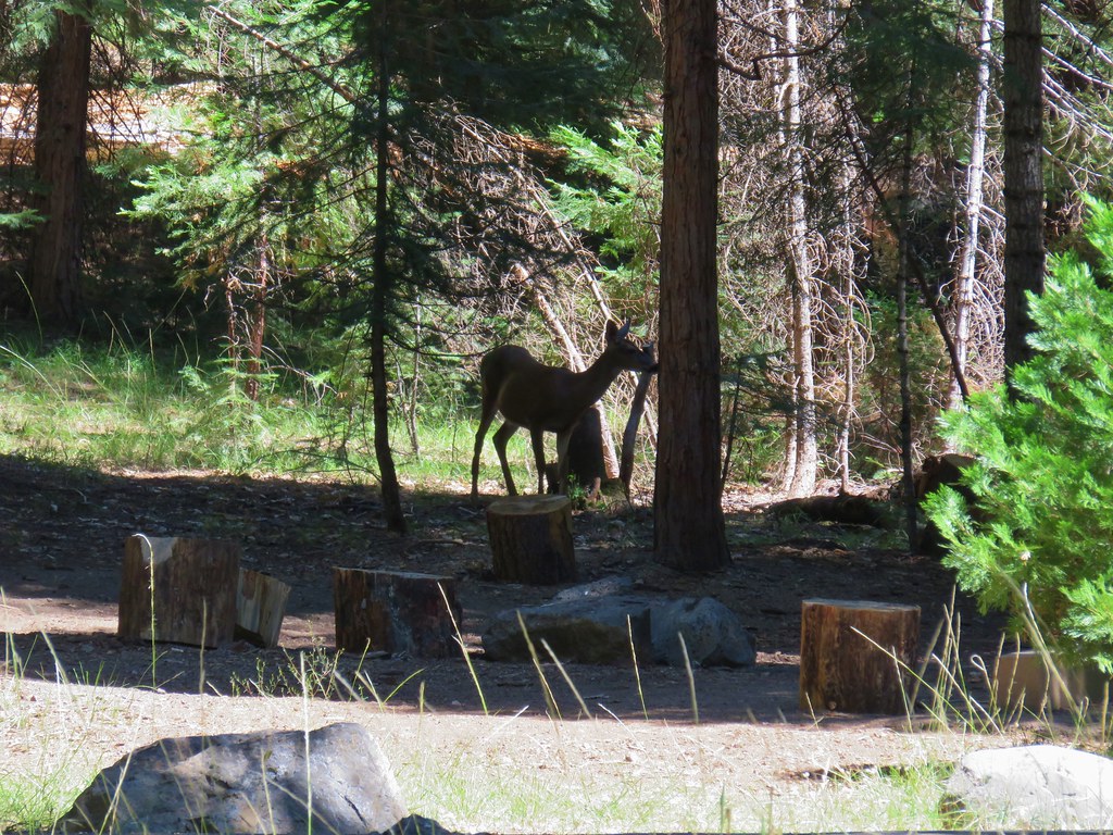
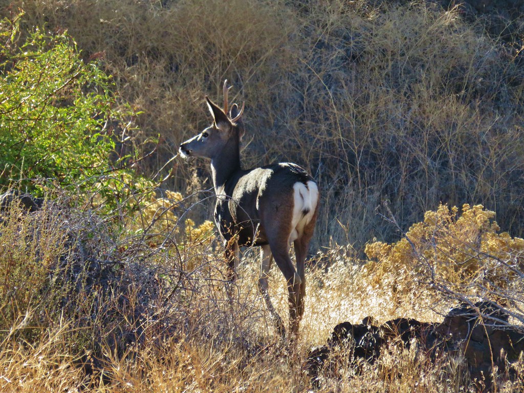
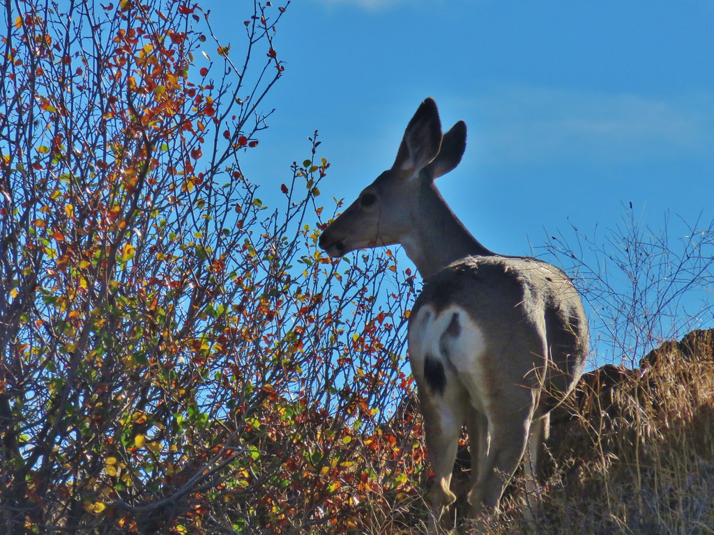
We hadn’t heard the bear overnight but we were still on high alert keeping an eye out for it. In fact I was so focused on looking for black fur that I didn’t notice a buck near where our food was hung and when he jumped it startled me half to death because I was less than 10 yards away from it.
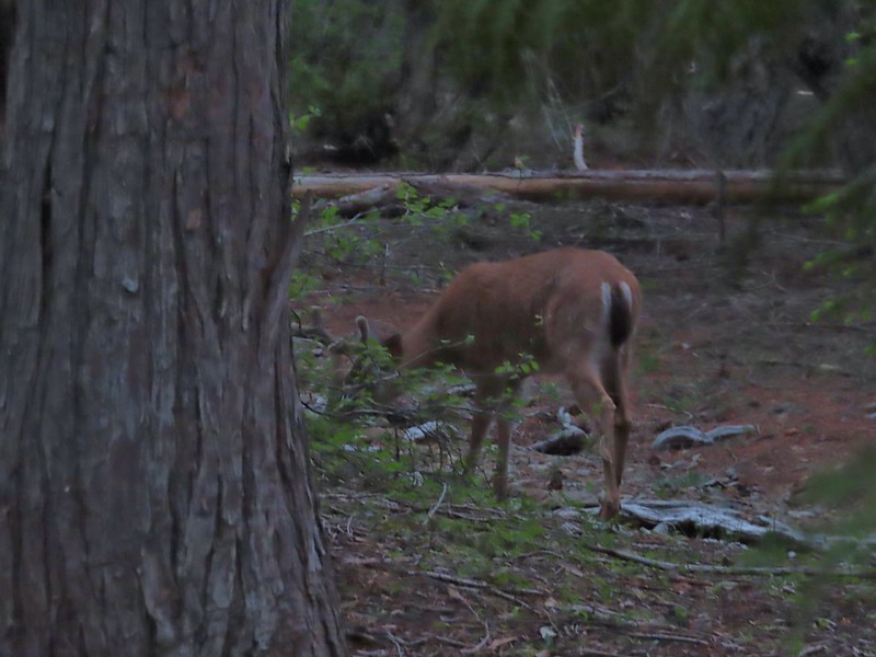 After he jumped he started to run off but quickly stopped to eat just a few yards later.
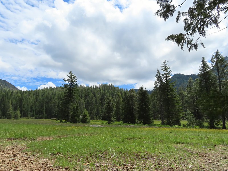
The fog was burning off quickly as we ate breakfast and we did not see the bear again that morning.
 Deer in the meadow.
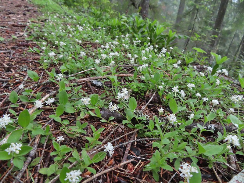
 Snail near our breakfast spot. It’s amazing how quickly these guys can get from one place to the next.
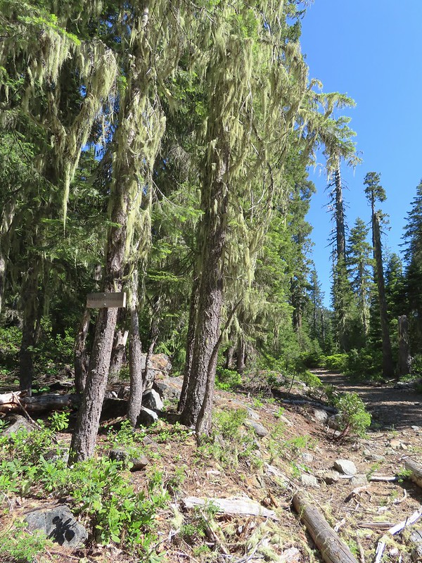
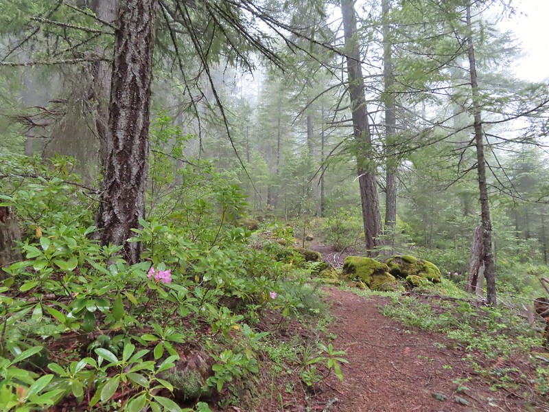
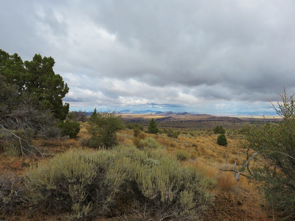
After breakfast we secured our food and garbage and headed for the lake. We walked up the old road bed to the junction with the Raspberry Lake Trail and turned right.


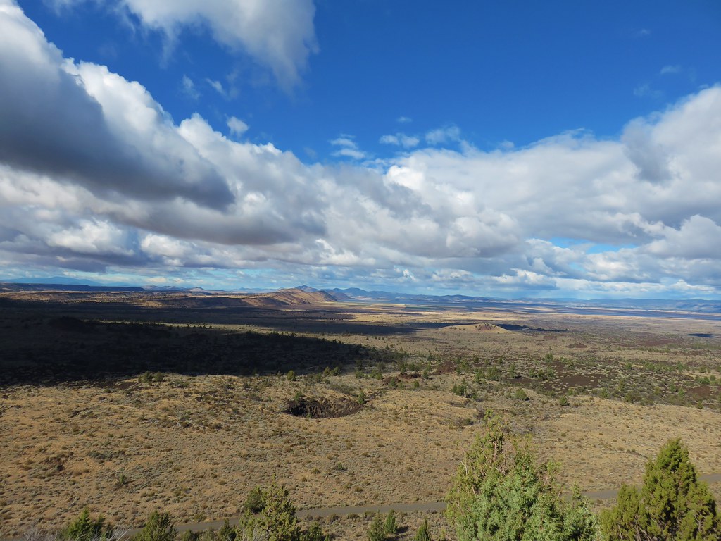
We followed the trail/old roadbed past the junction with the Poker Flat Trail which we had come down on our first day (post) and continued on the road for 2.5 miles to a fork near the former Cyclone Gap chrome mine.
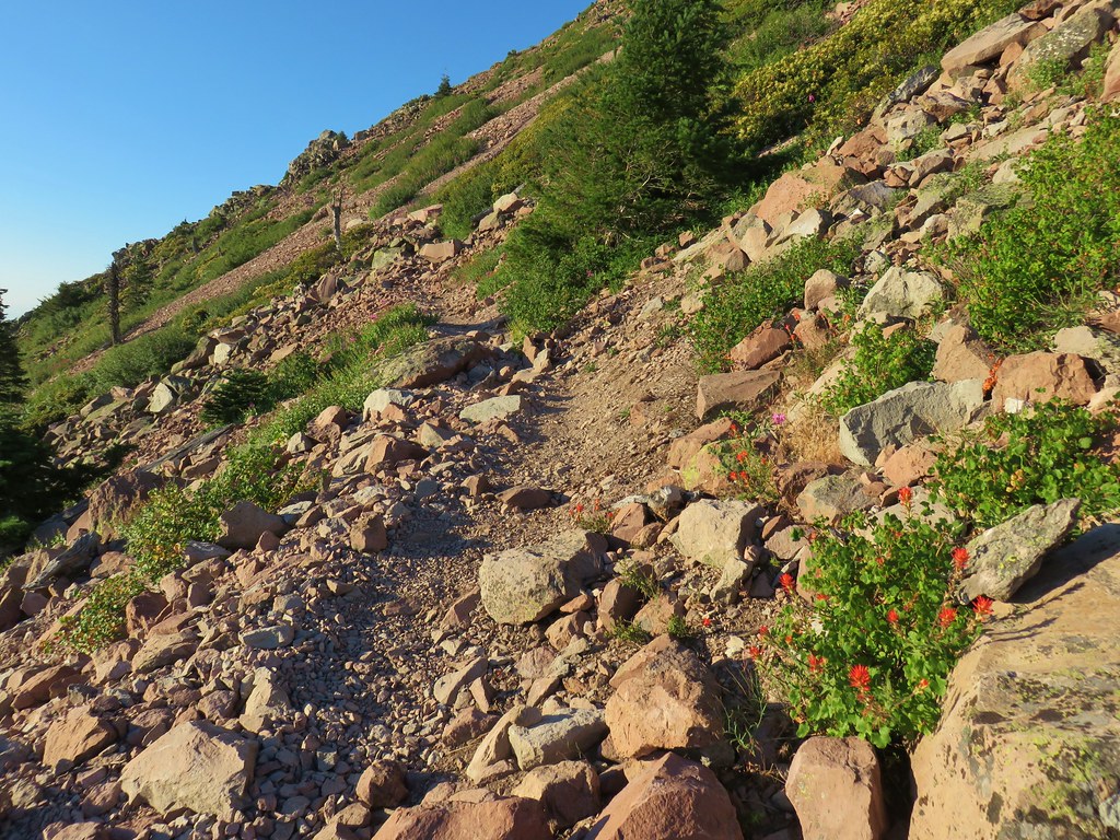
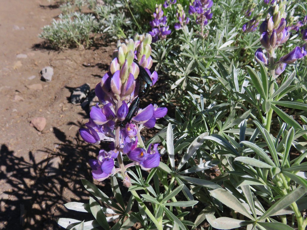
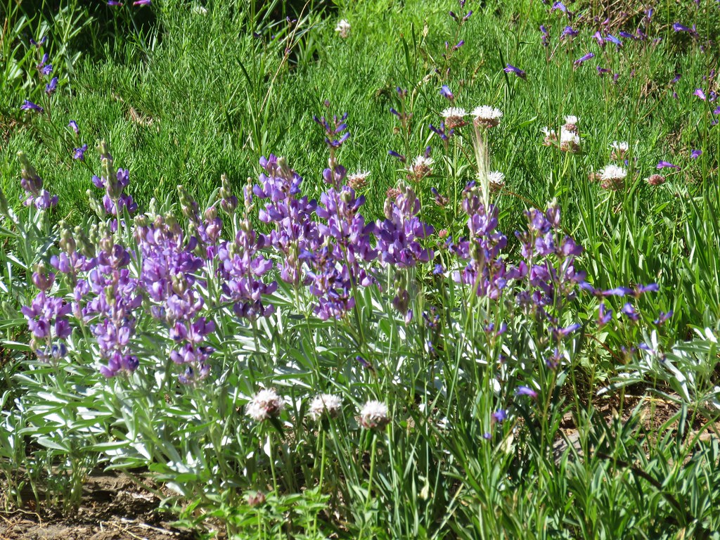
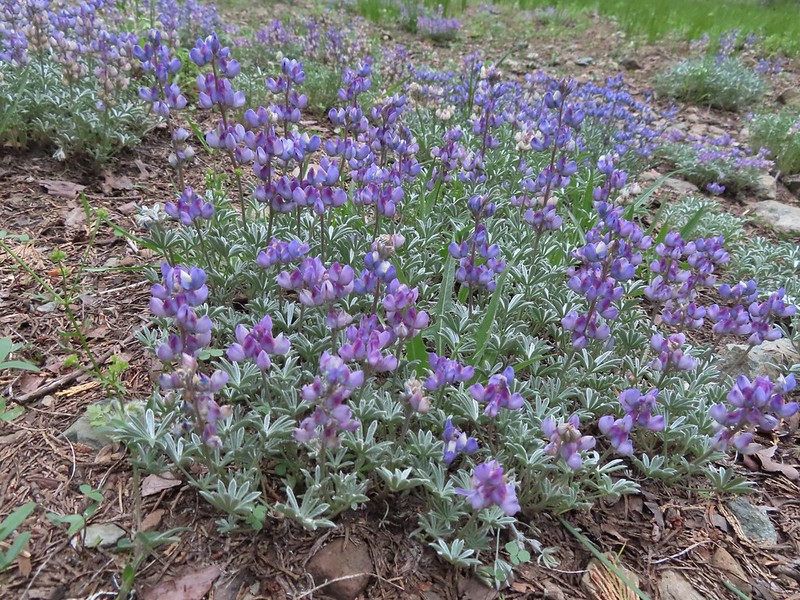
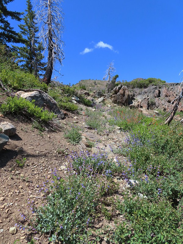
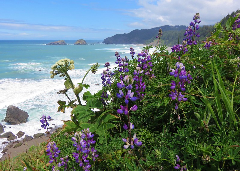
 Lupine and beargrass along the road.
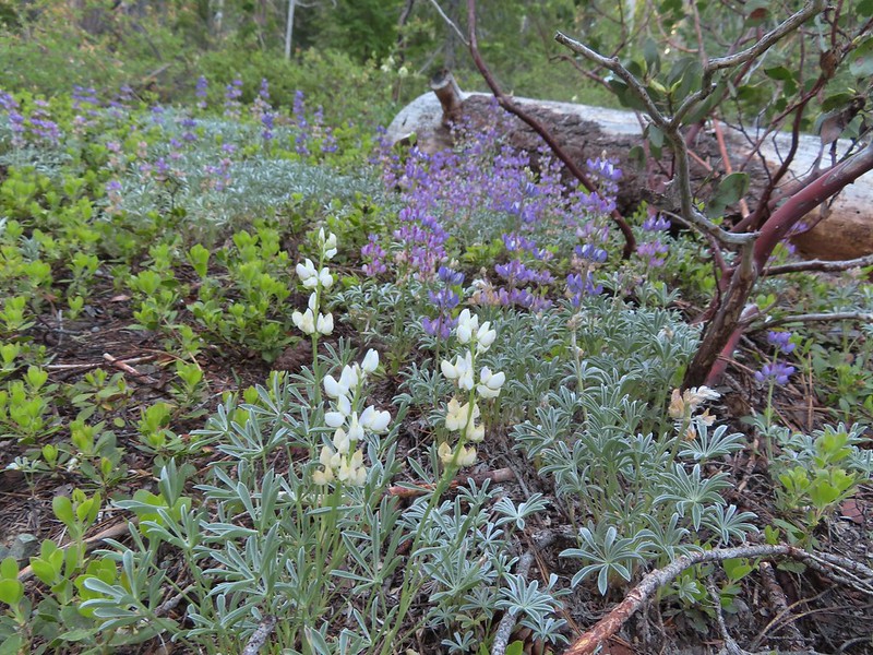 Lupine
 Beargrass

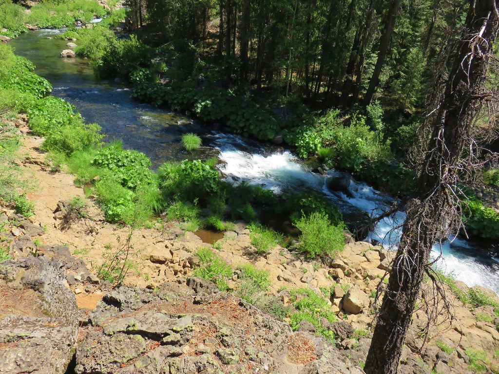
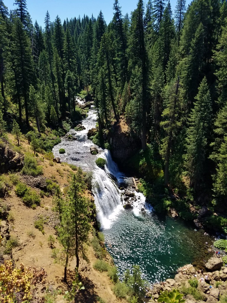
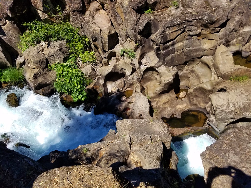
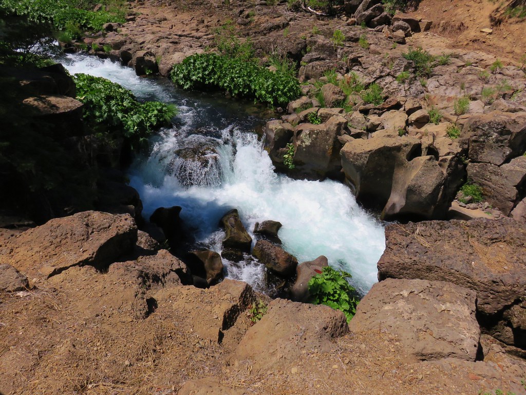
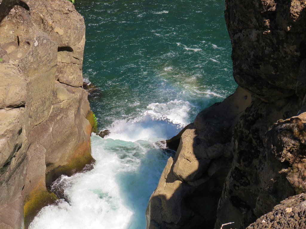
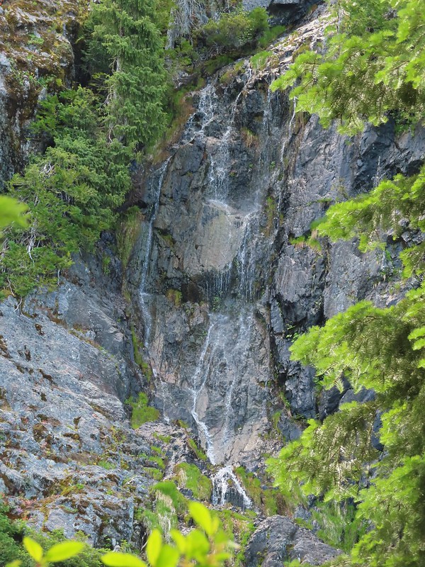
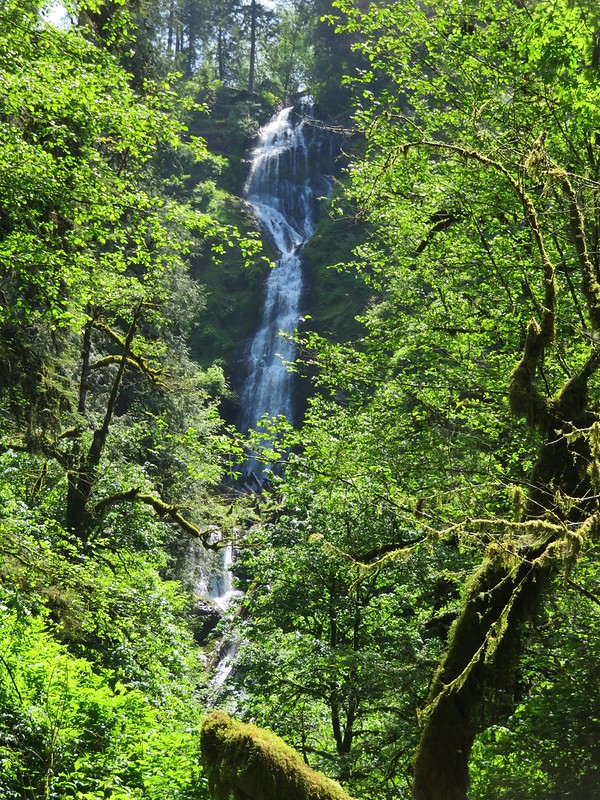
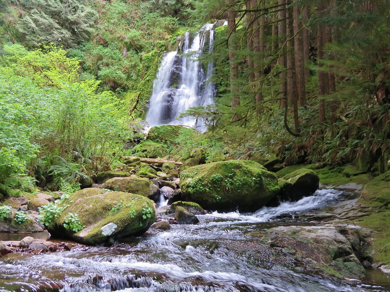
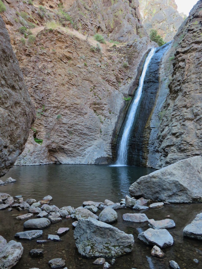
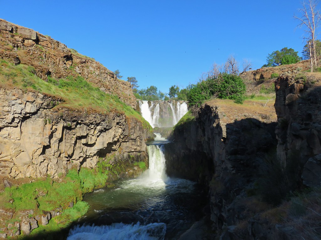
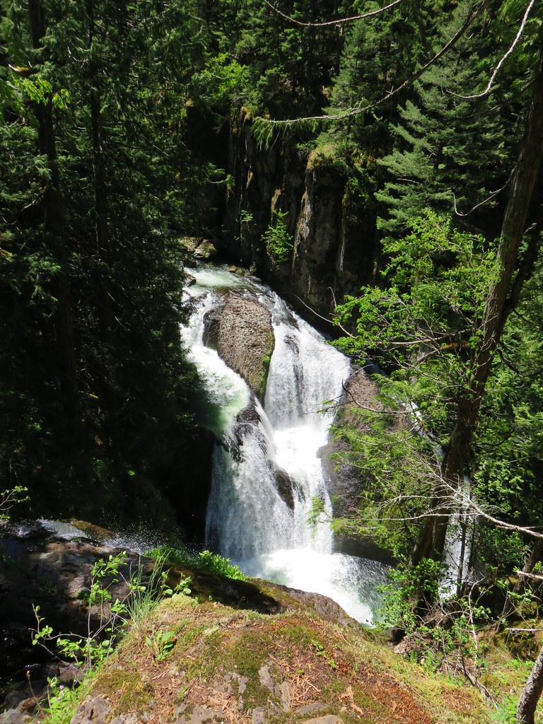
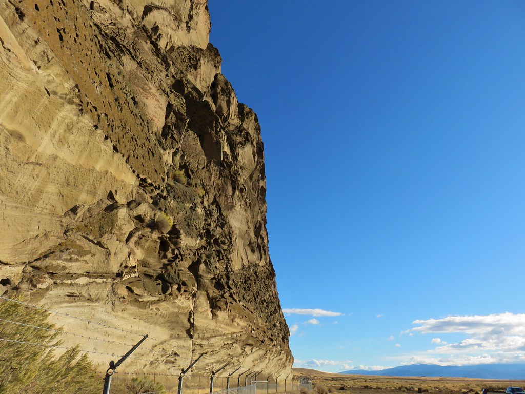
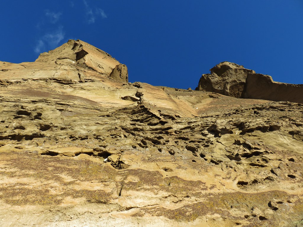
 Waterfall on cliffs below El Capitan.
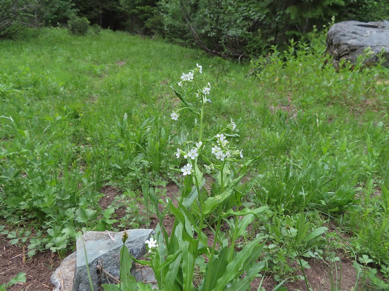
 Waterleaf
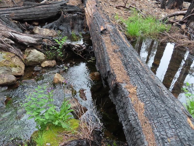
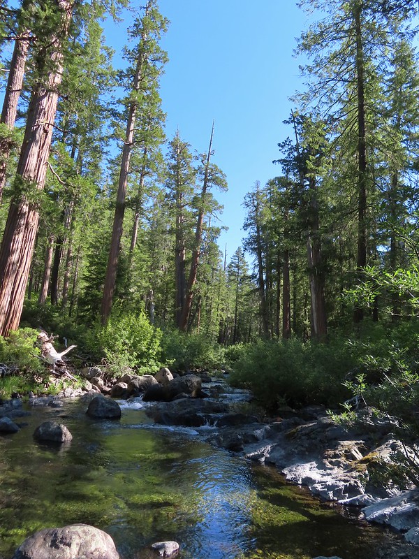
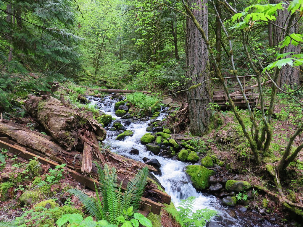
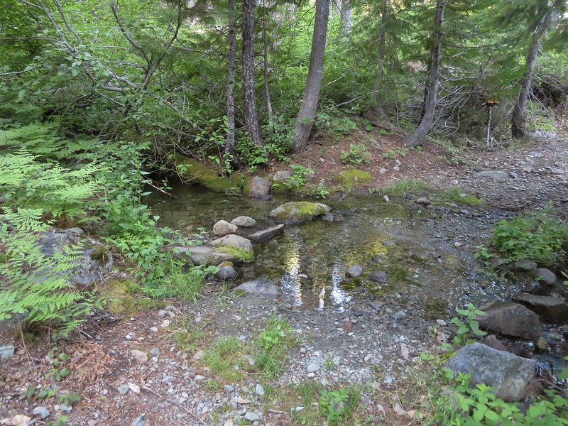 Stream crossing.
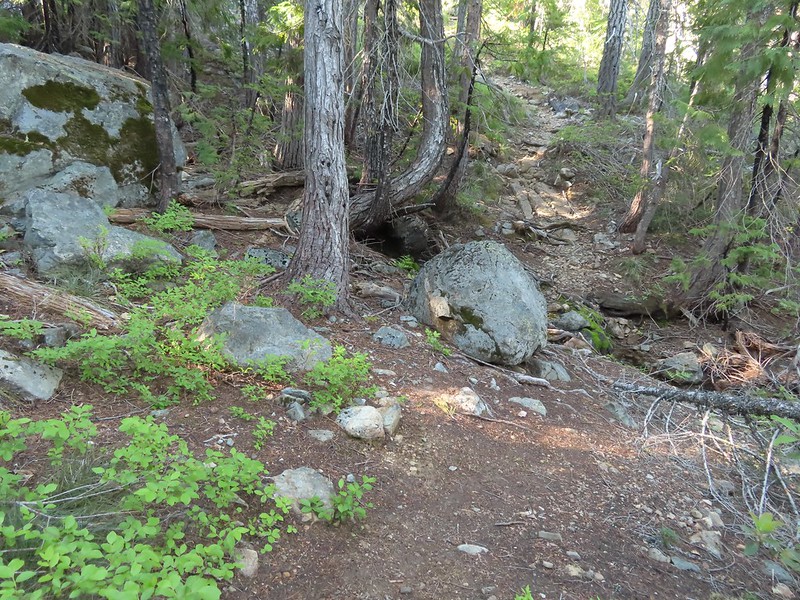
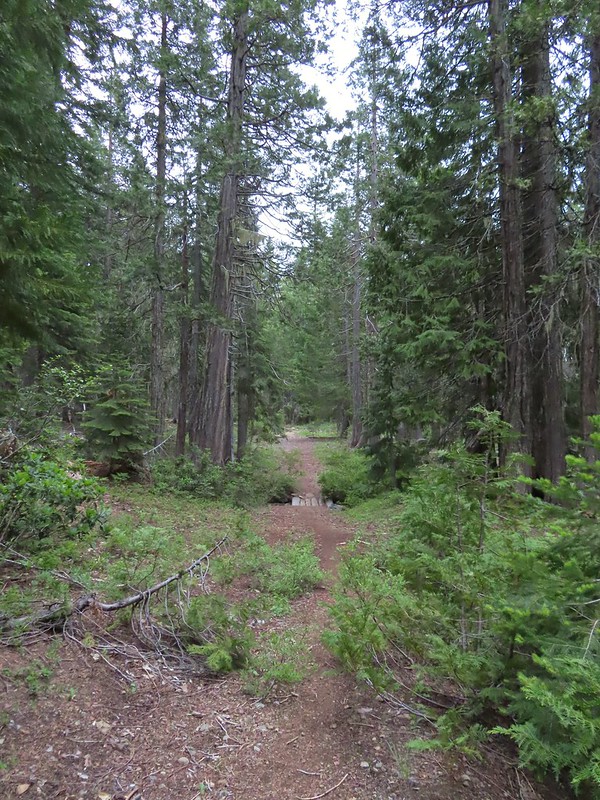
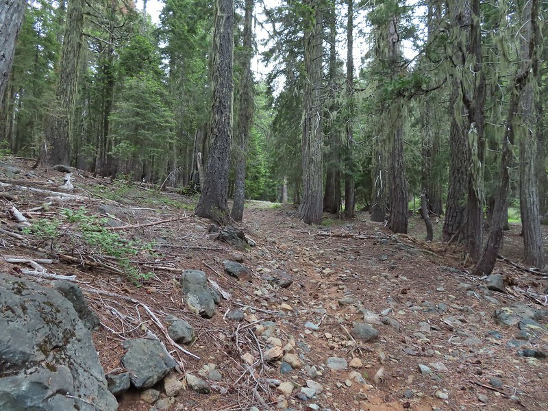
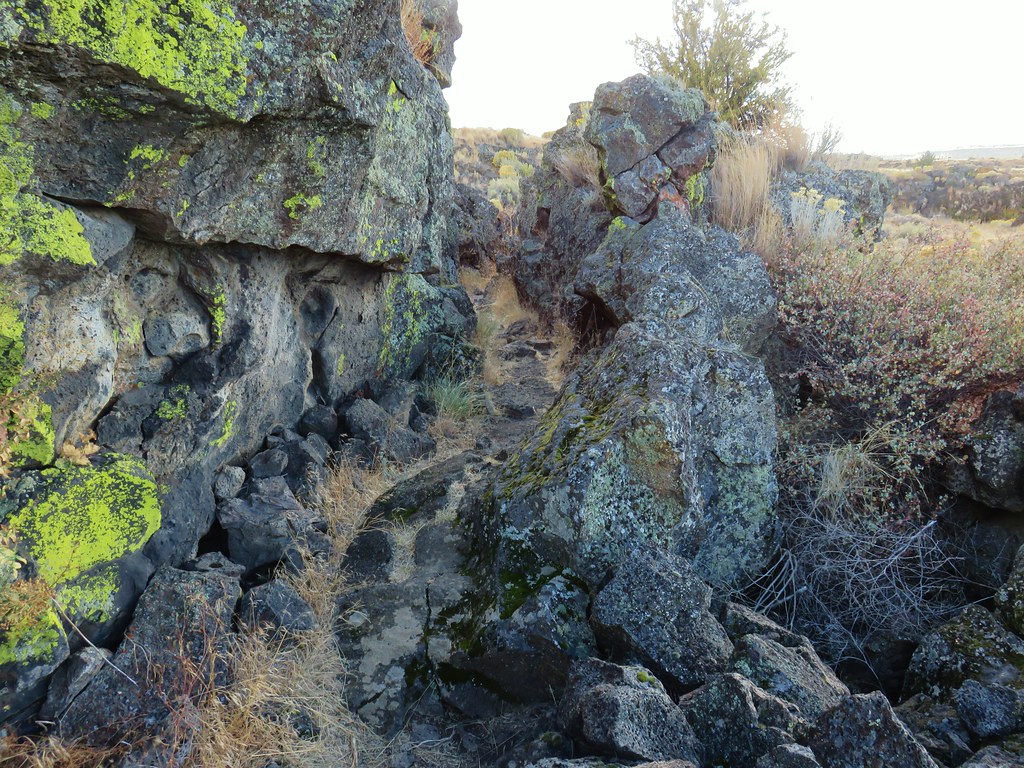
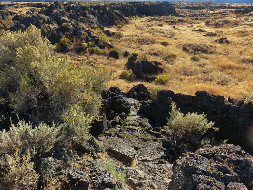
 At times the old roadbed looked like you could drive on it but other times it looked like this.
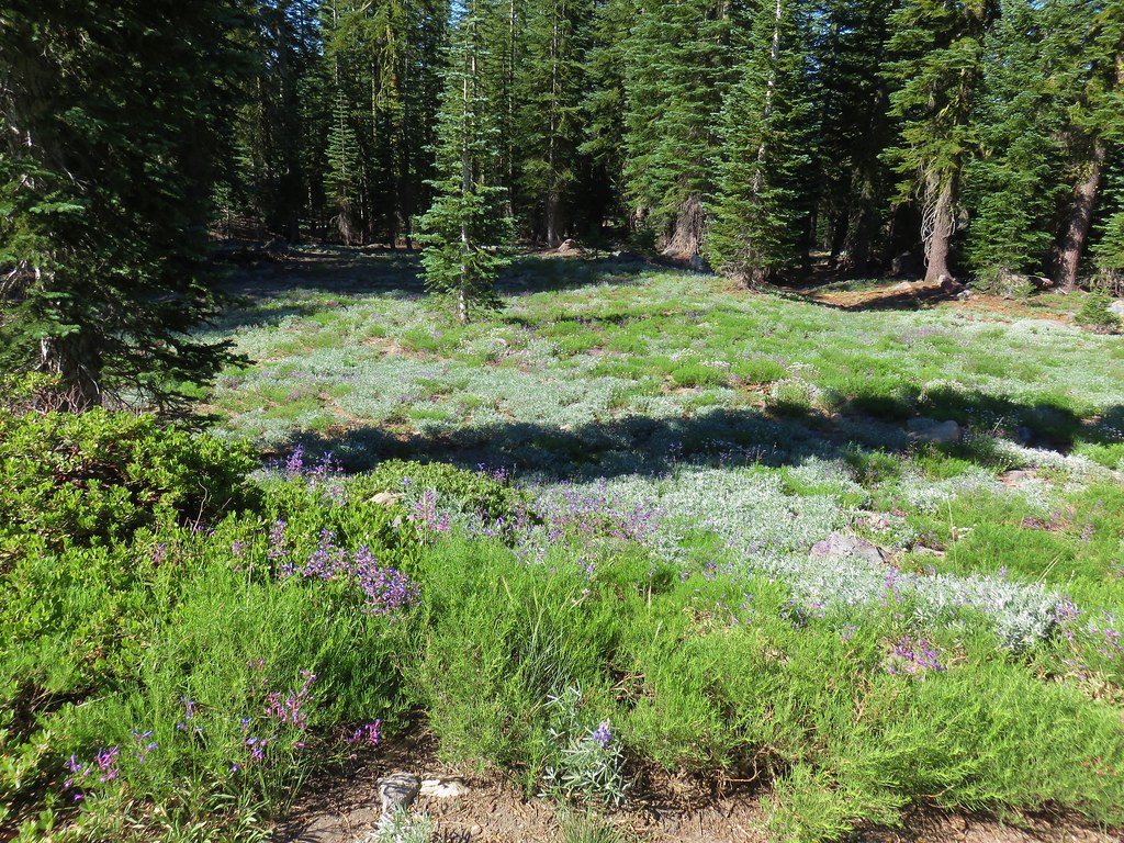
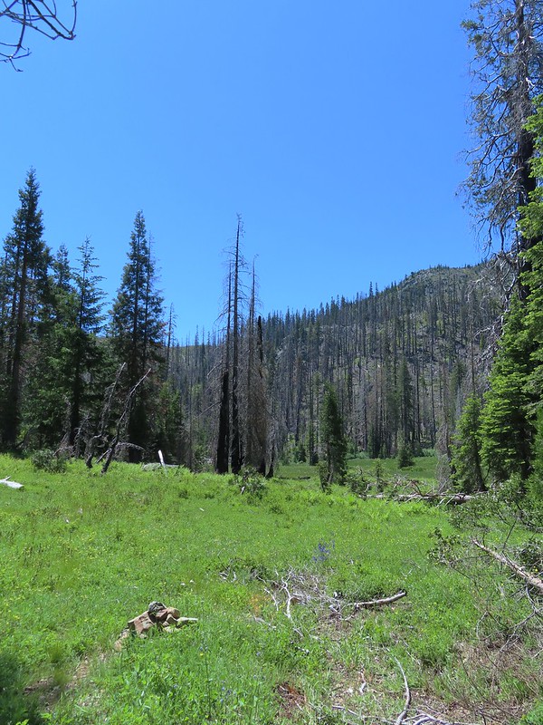
 Small meadow along the trail.
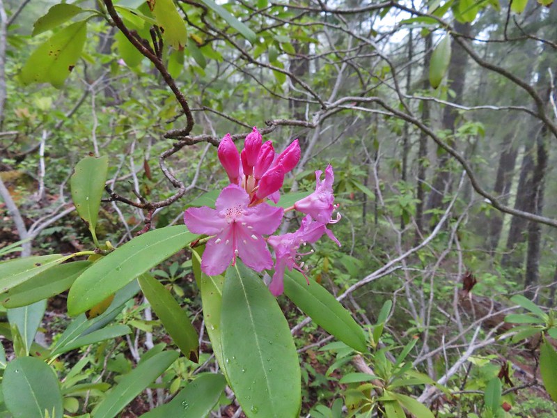
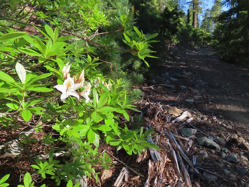 Western azalea
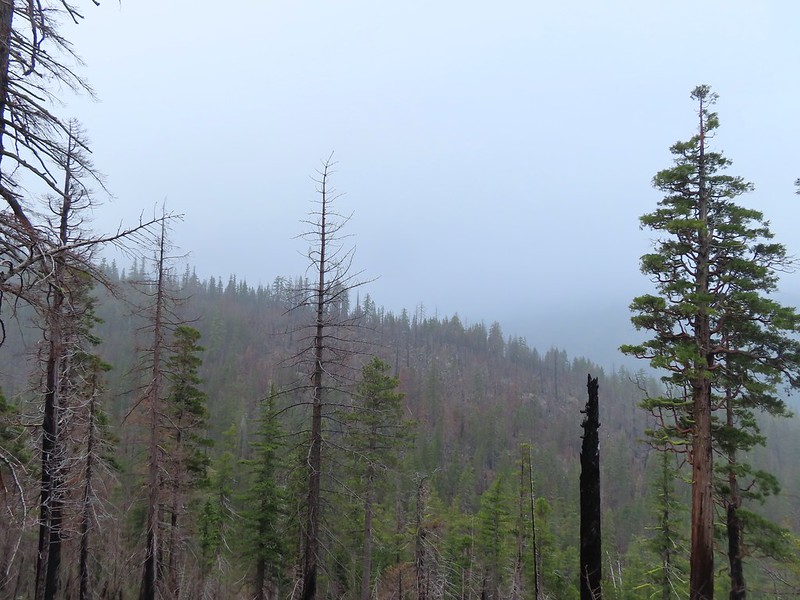
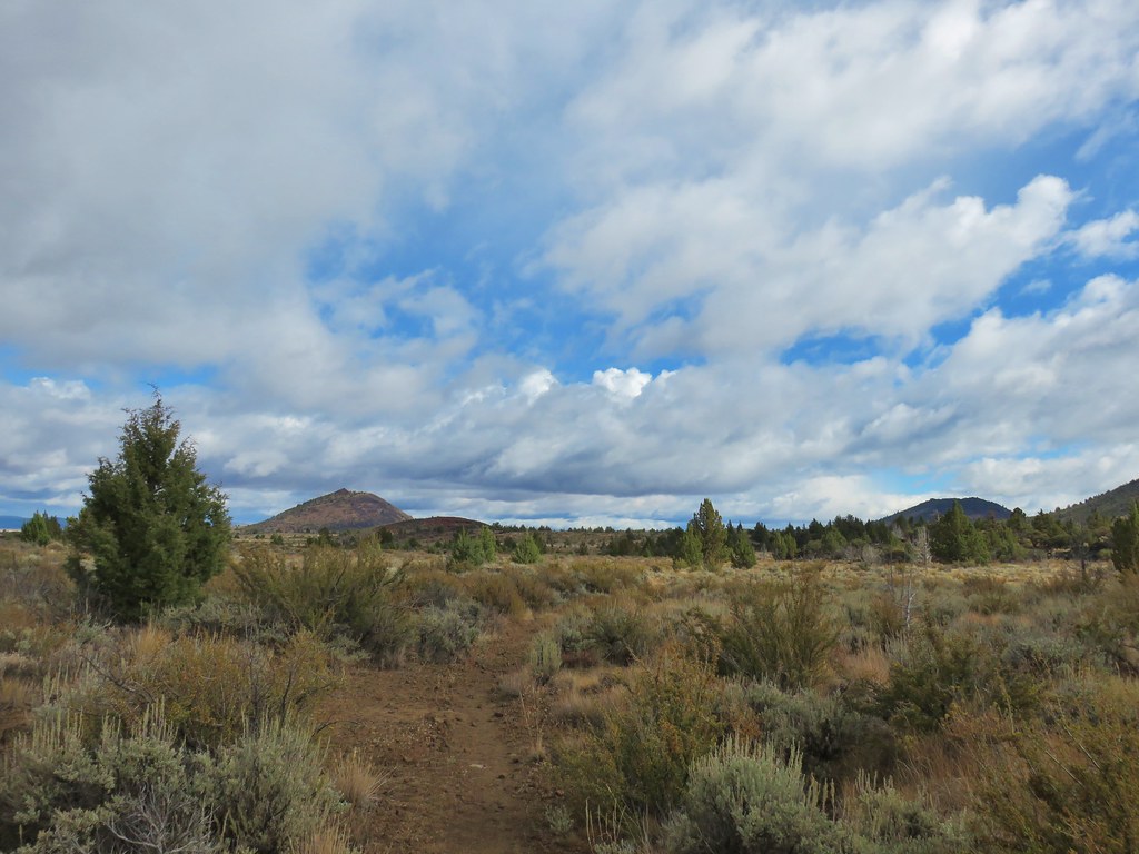
 The clouds burned off quickly.
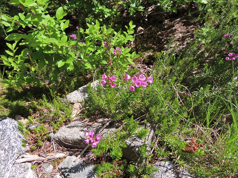
 Penstemon
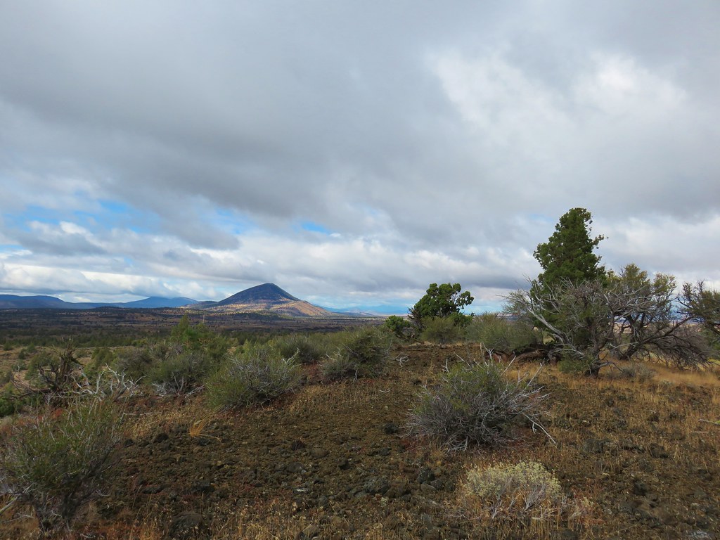
At the 1.5 mile mark we detoured slightly to a view point overlooking Youngs Valley near a ridge end.
 Youngs Peak with the meadow barely visible to the right below.
 Rocky Knob to the left.
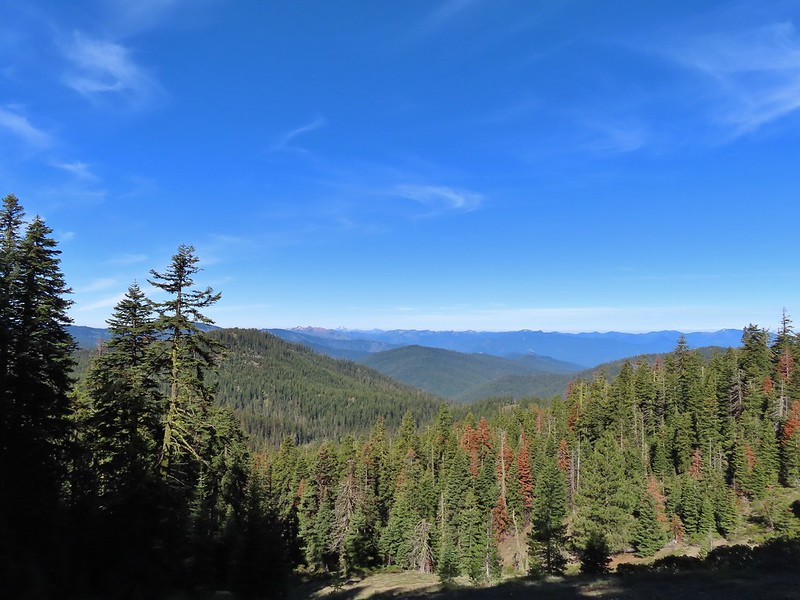
As we rounded the ridge we got a good view up Clear Creek to Bear Mountain where we had been the day before visiting Devil’s Punchbowl.

We ignored a side trail for Cyclone Gap shortly after rounding the ridge but when we reached the fork at the 2.5 mile mark we did detour to the right along a level roadbed to visit some of the mine ruins.
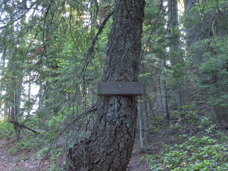
 Sign at the Cyclone Gap junction.
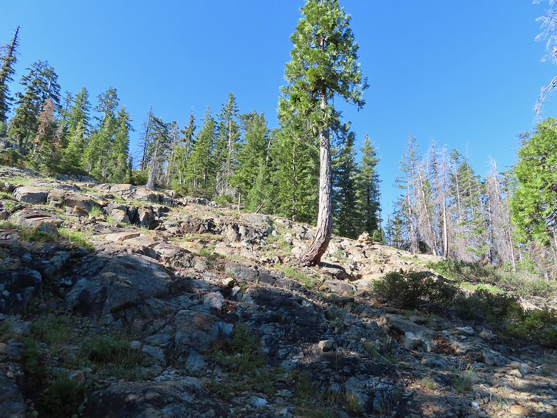
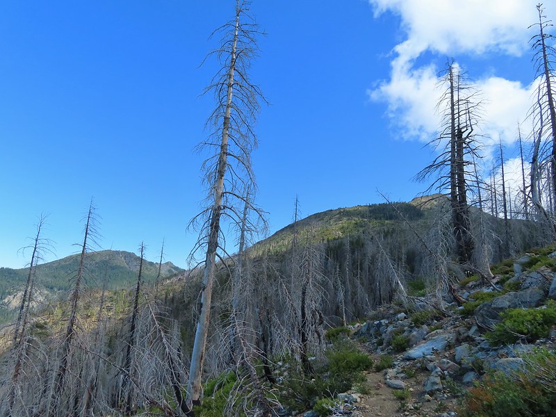
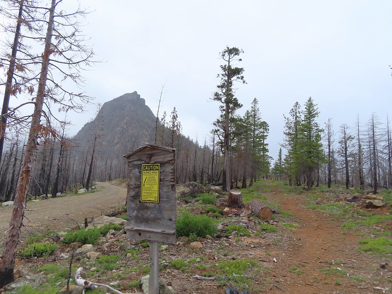
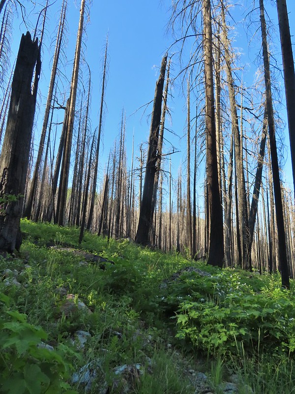
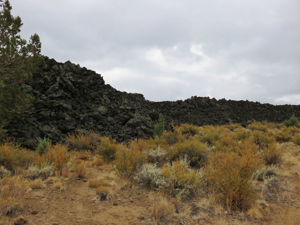
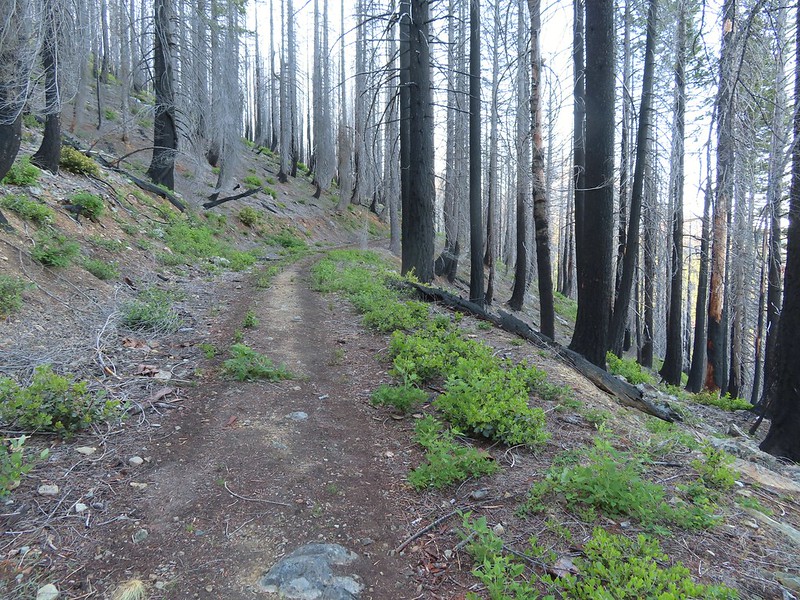 Back into the 2018 Natchez fire scar.
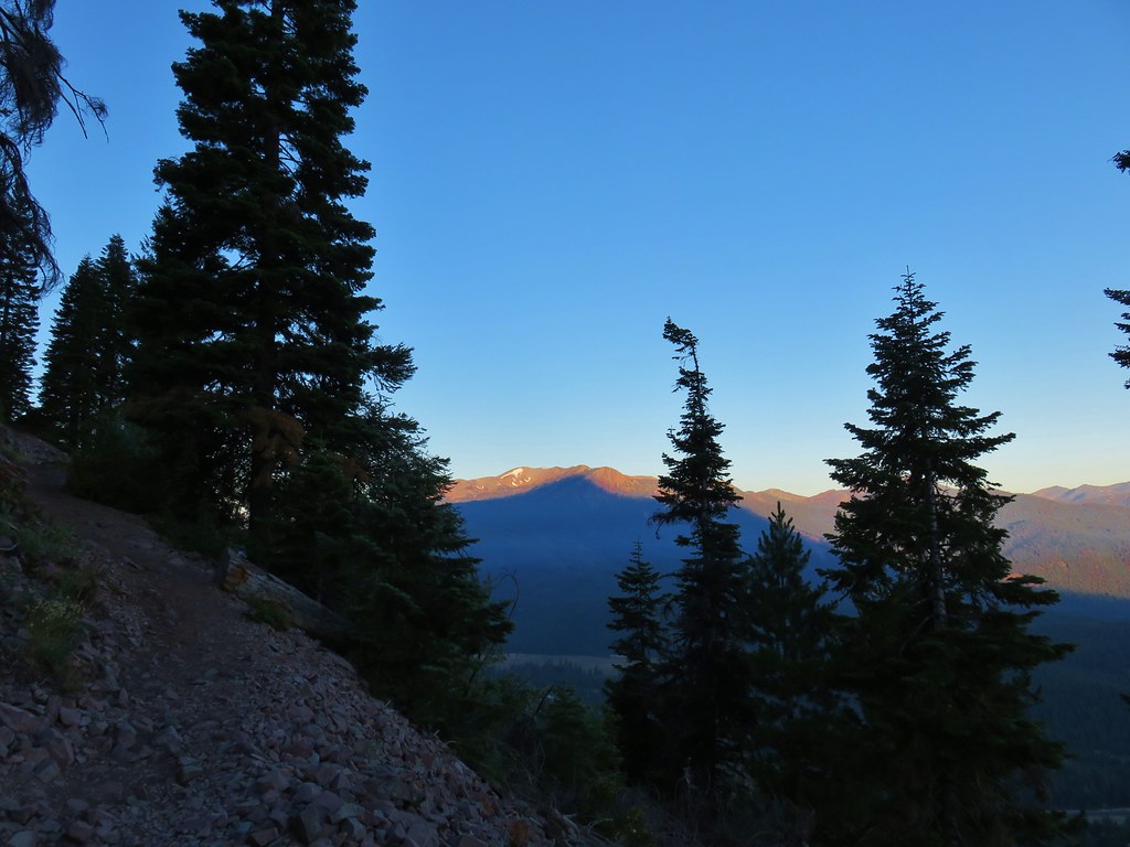
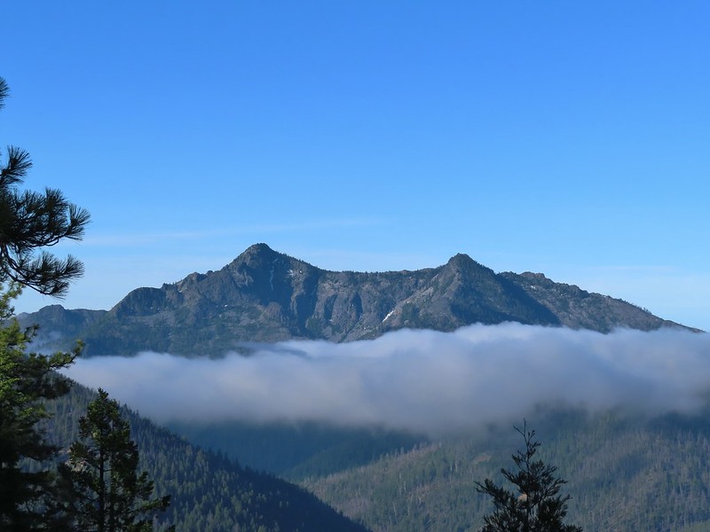
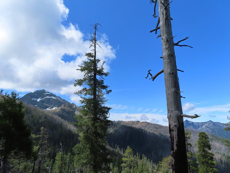
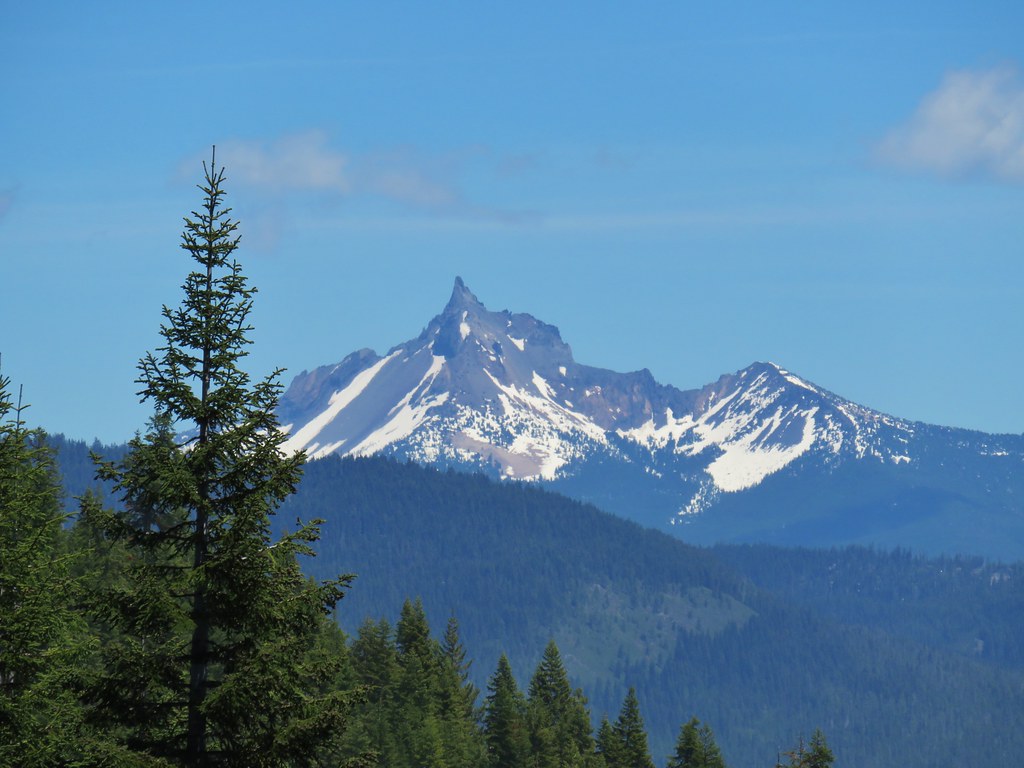
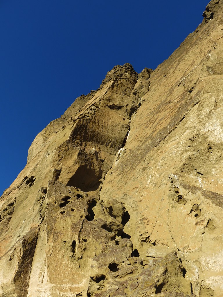
 Preston Peak
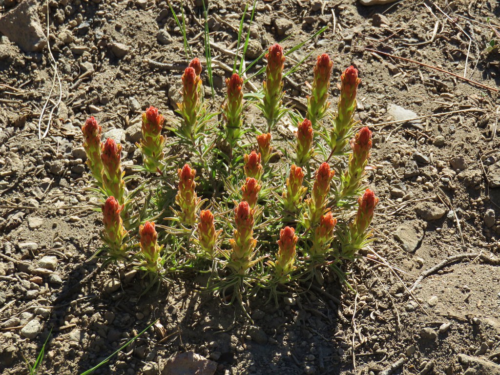
 Paintbrush along the trail.
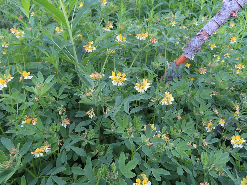 Streambank bird’s-foot trefoil
 Musk monkeyflower
 Raspberry Lake Trail to the left.
 Ruins from the chrome mine.
 More mine ruins on the hillside below.
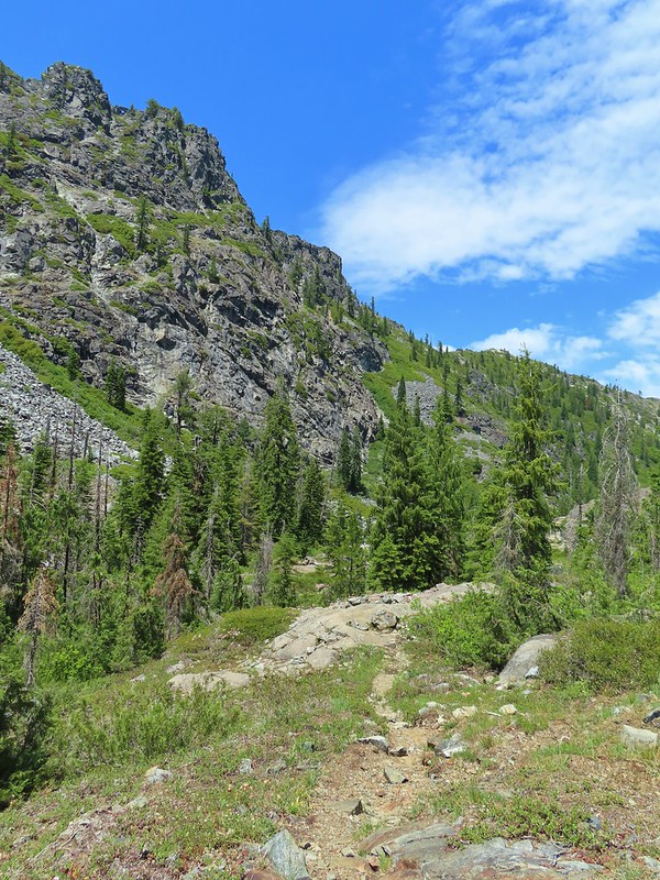
We returned to the trail and followed it uphill above the old mine where the roadbed ended. The trail became narrow and rocky as it rounded another ridge end. Here we ran into the couple that we had spoken with at Doe Creek the day before. They had hiked up the Rattlesnake Meadow Trail which they reported was quite overgrown and then followed a ridge cross-country up to Raspberry Lake which they did not recommend.
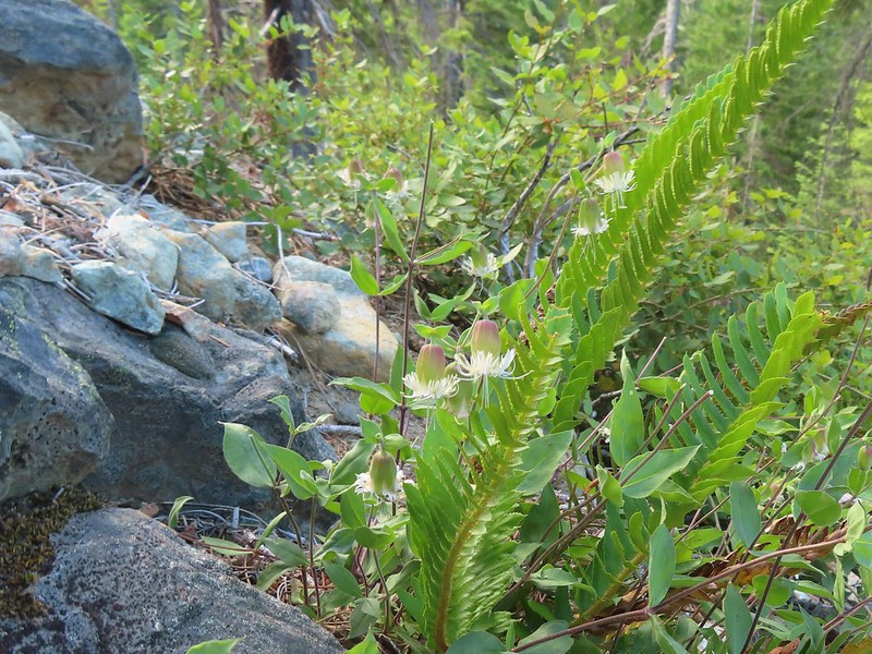
 Nuttall’s sandwort
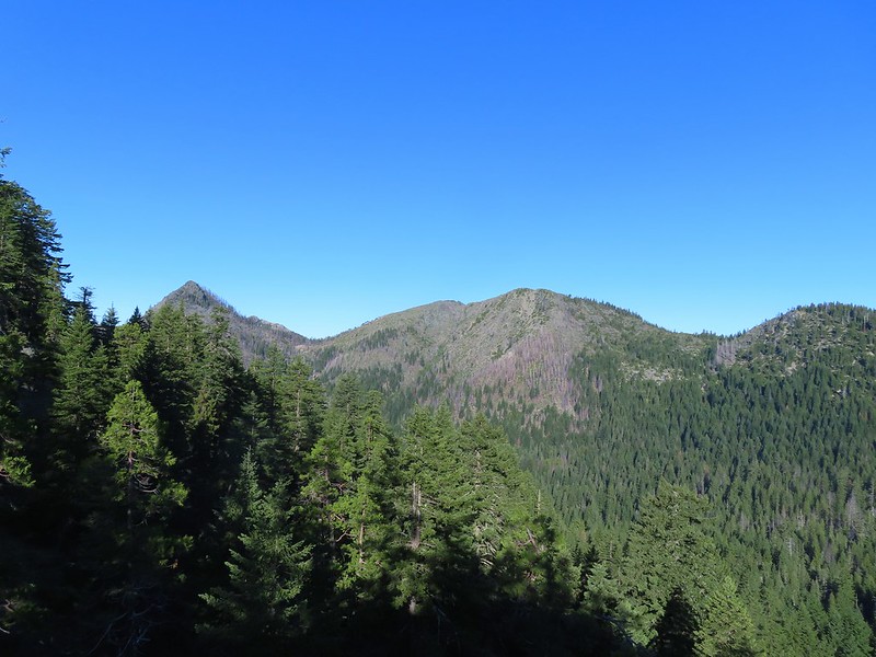
 Bear Mountain and Rocky Knob.
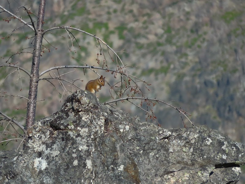 Chipmunk
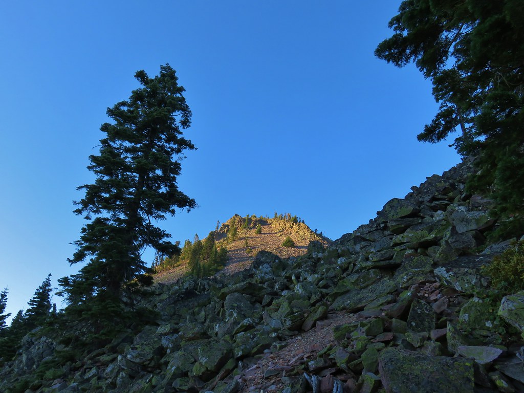
 Getting closer to Preston Peak.
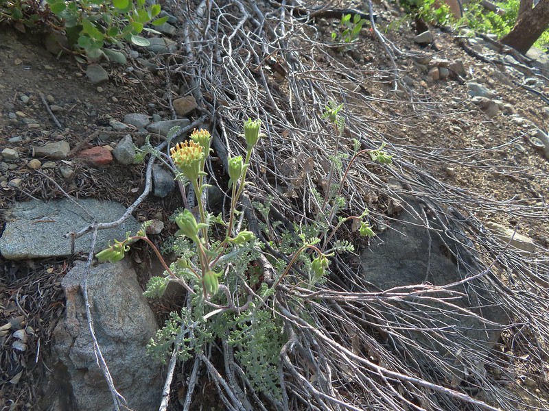
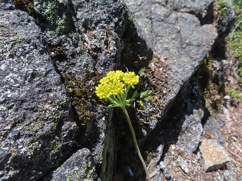
 Ragwort
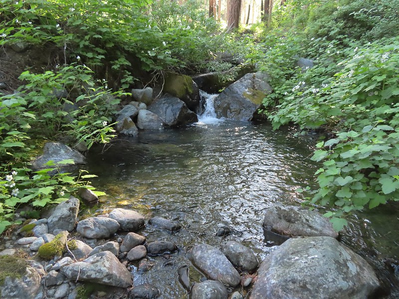
 Small stream crossing.
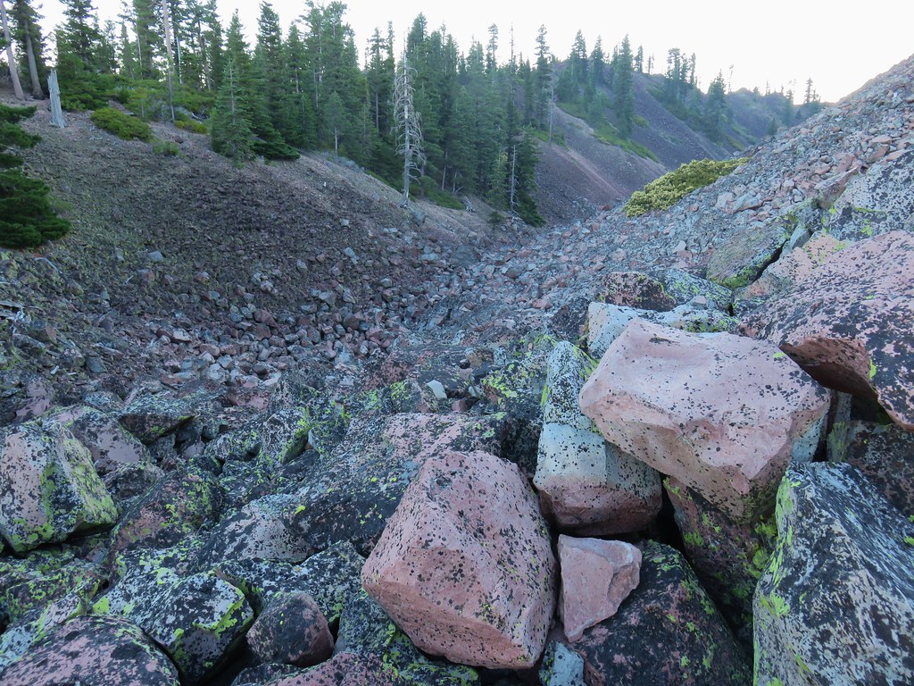
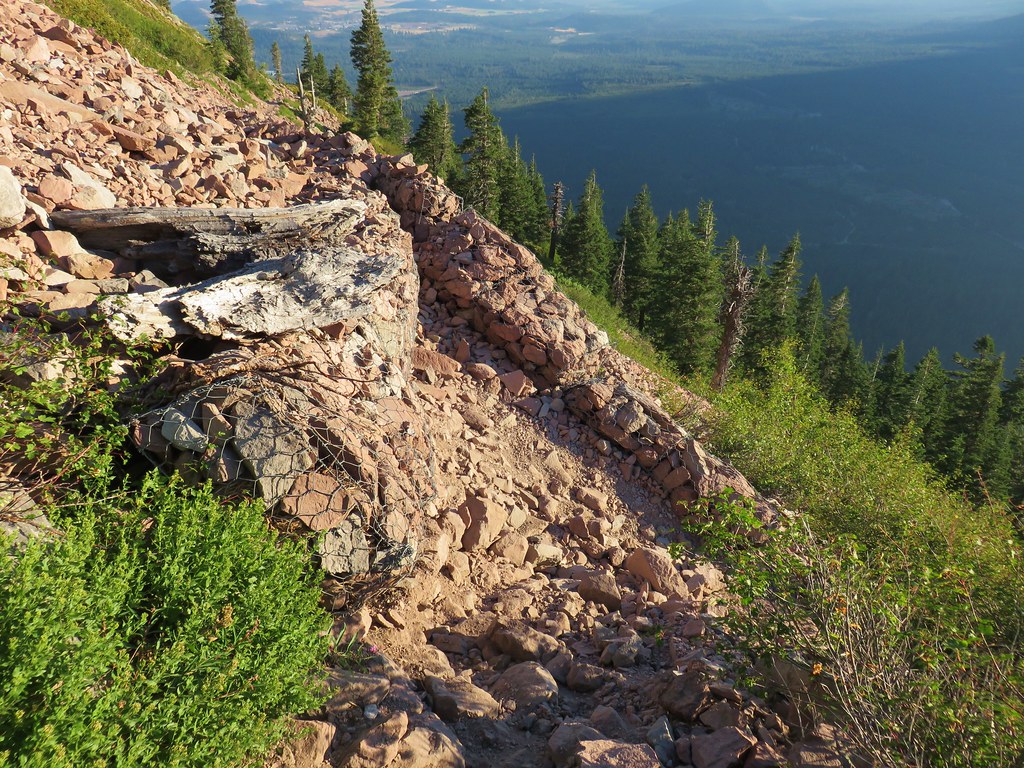
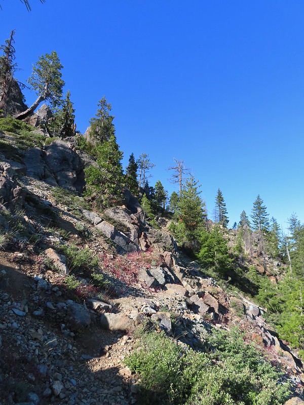
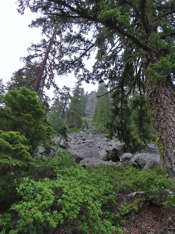
 A short steep rocky section where cairns were helpful.
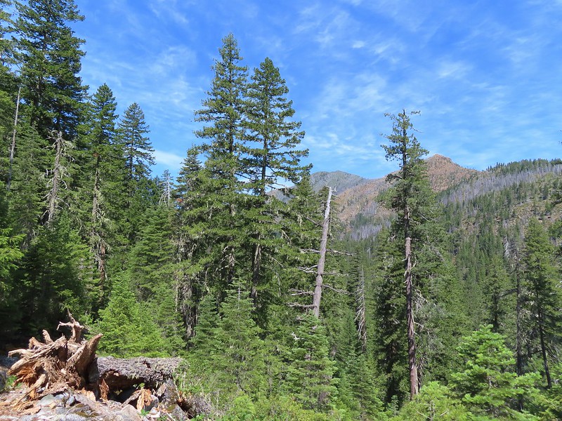
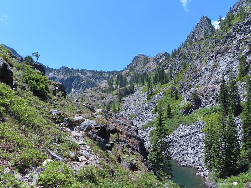
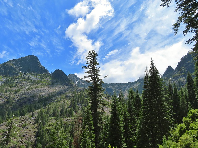
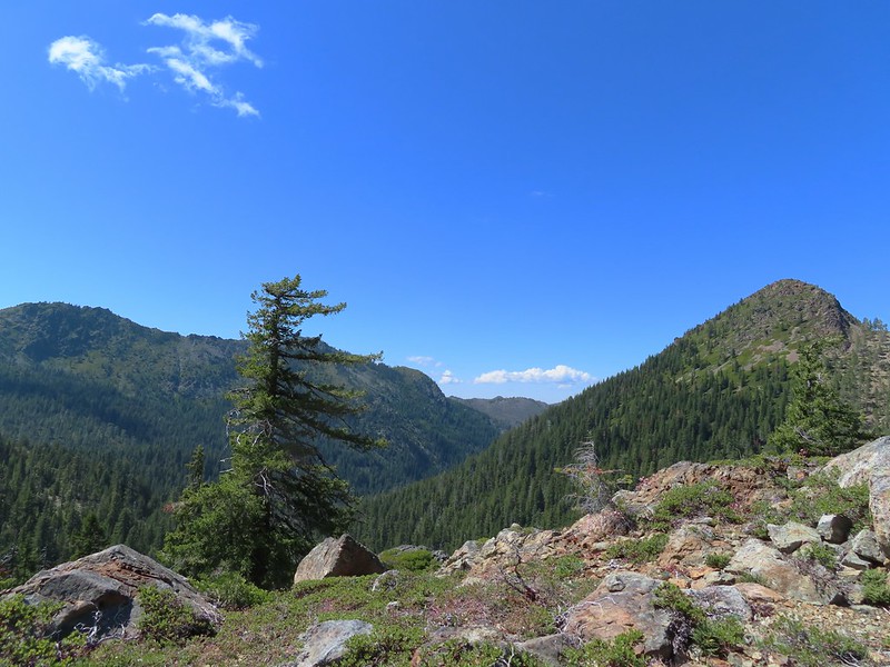
 Rounding another ridge with Preston Peak on the left and Bear Mountain to the right.
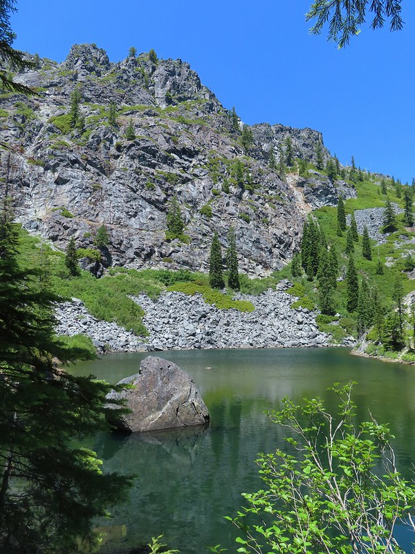
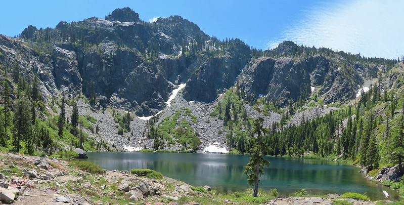
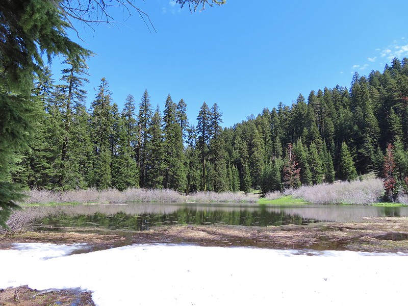
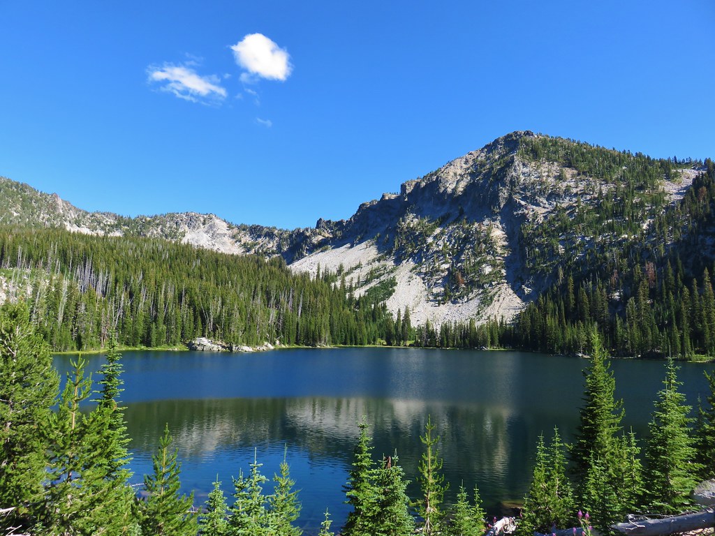
 First view of Raspberry Lake in the trees below to the right.
A series of steep switchbacks led down to the lake.


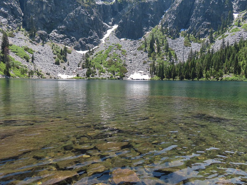
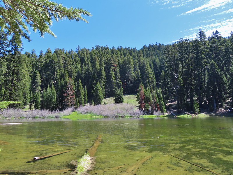
There were a few tents set up around the lake so we didn’t do a lot of exploring. Our timing wasn’t great as the Sun was positioned slightly to the left behind the lake which still lay in the mountains shadow which made it very difficult to photograph.
 Big rock along the shore.
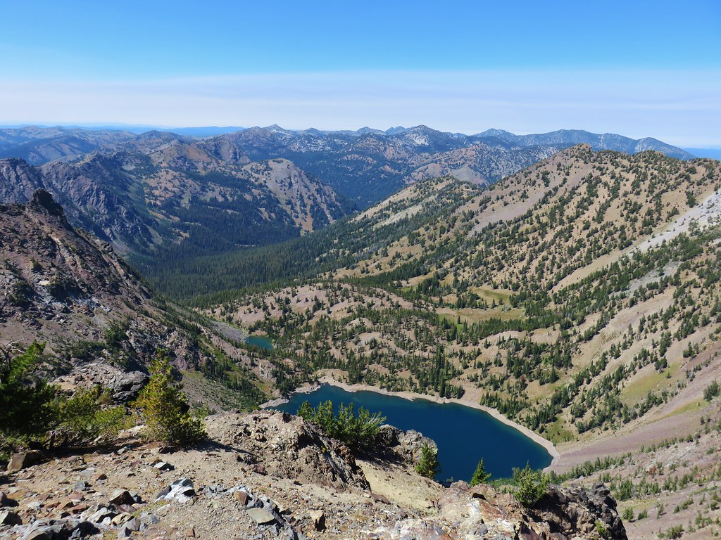
It was a nice lake but not nearly as dramatic as Devil’s Punchbowl had been. After a short break here we headed back looking forward to some extra rest and relaxation at the less crowded meadow in Youngs Valley.
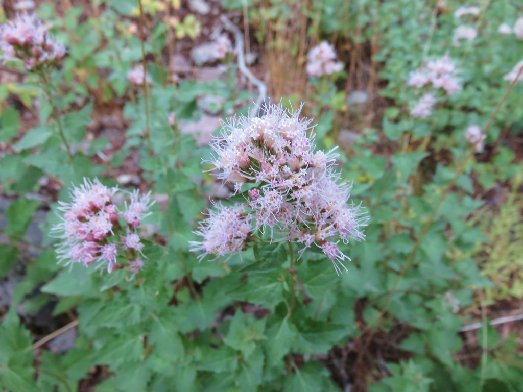
 Bell catchfly
 Douglas’ Dustymaidens
 El Capitan on the right. To the left I think that is Bear Cub with Polar Bear Mountain behind.
 Western azalea
 This squirrel gave us a stern talking to.
 Western tanager pair

 Twin Peaks
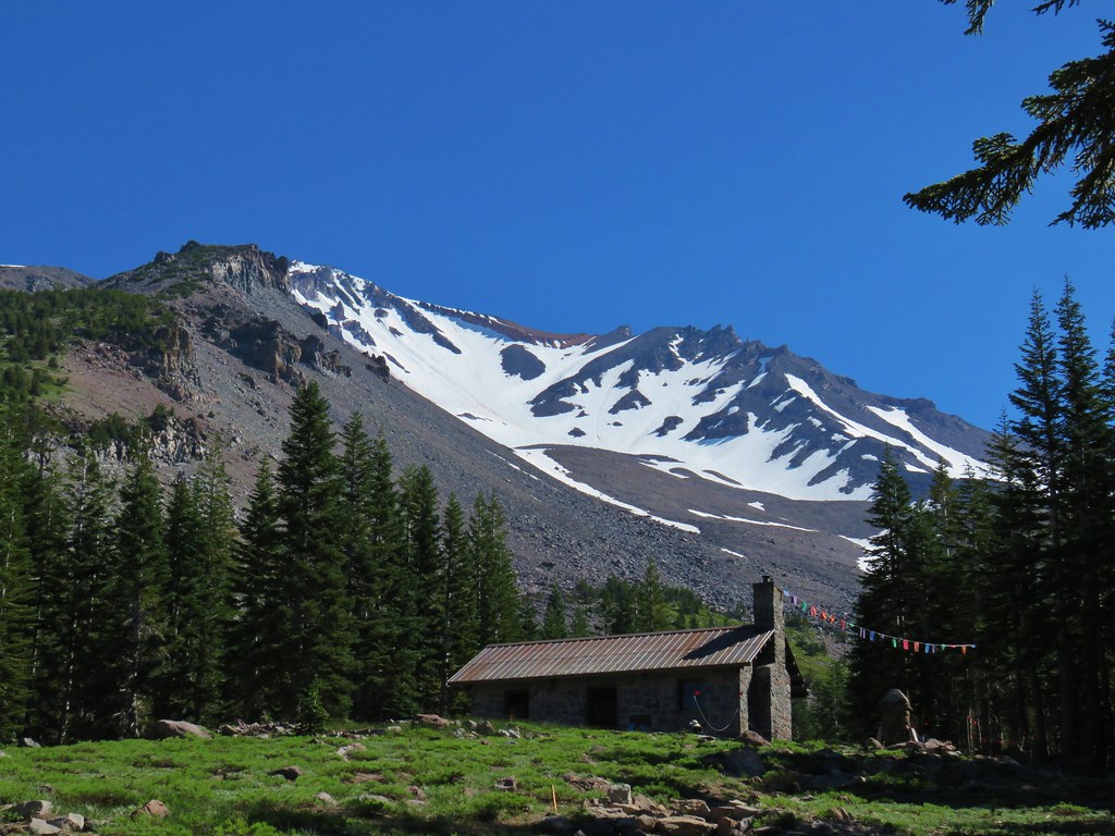
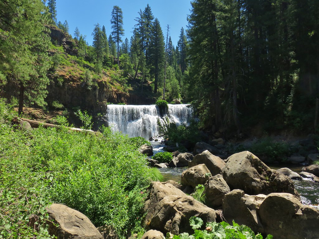
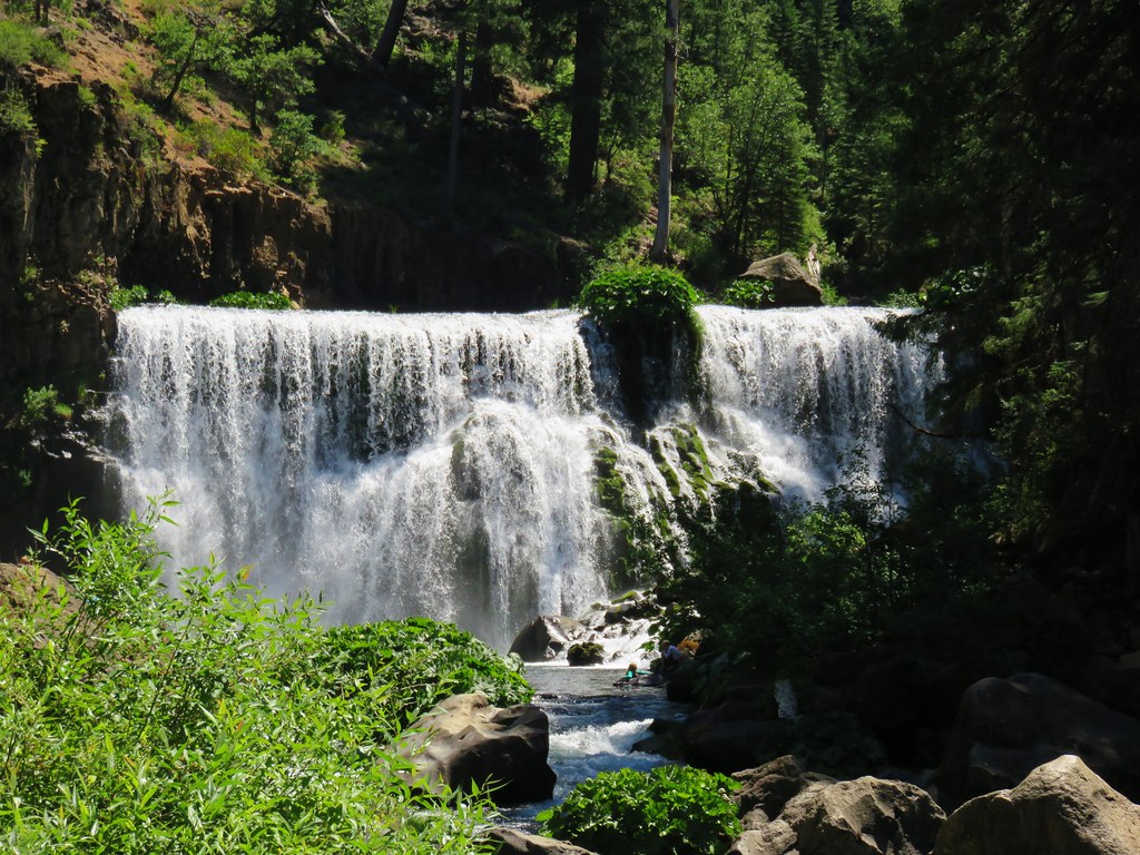
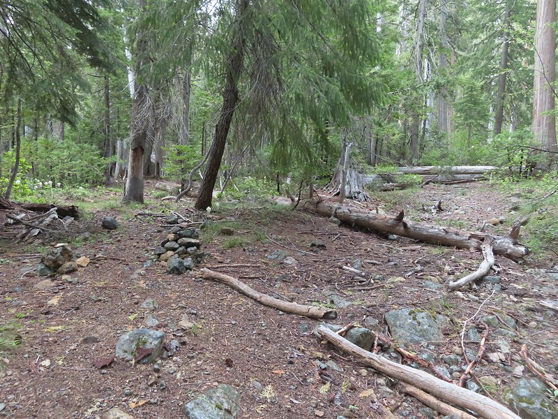
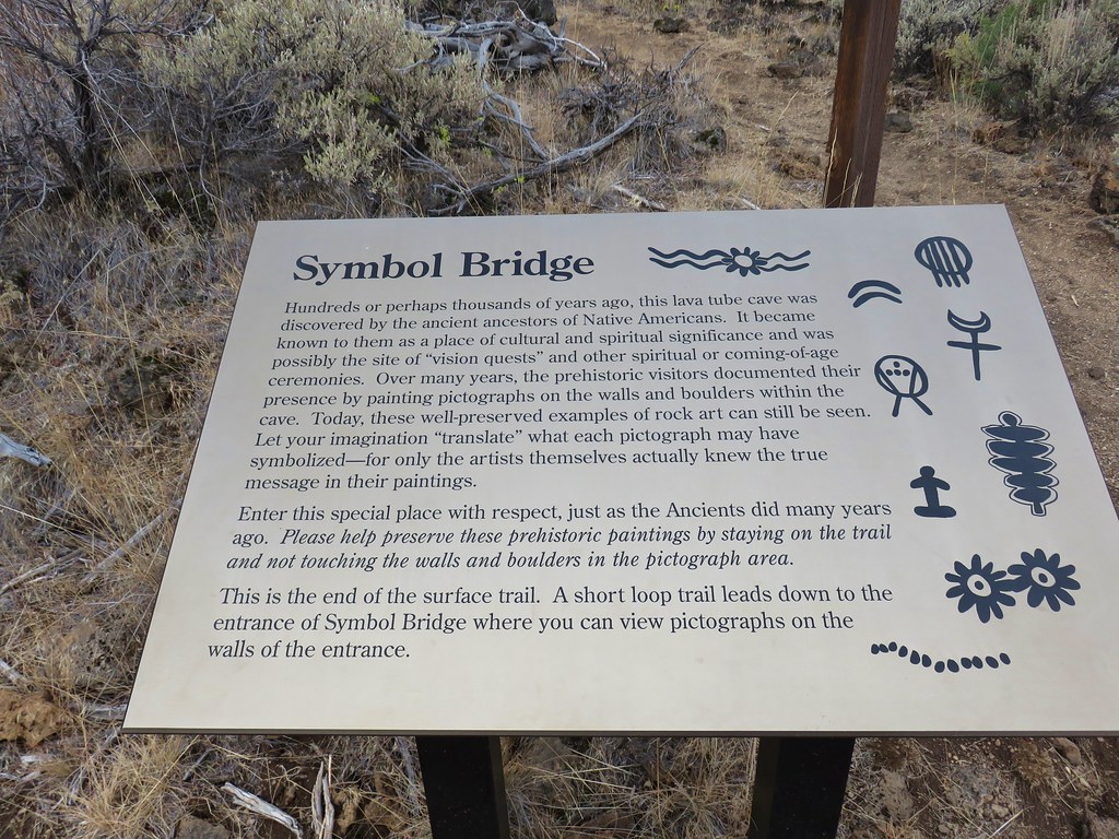
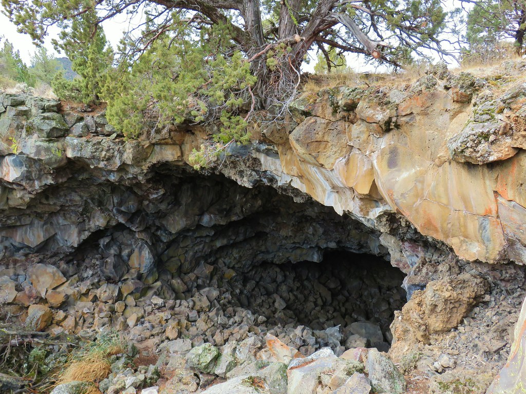
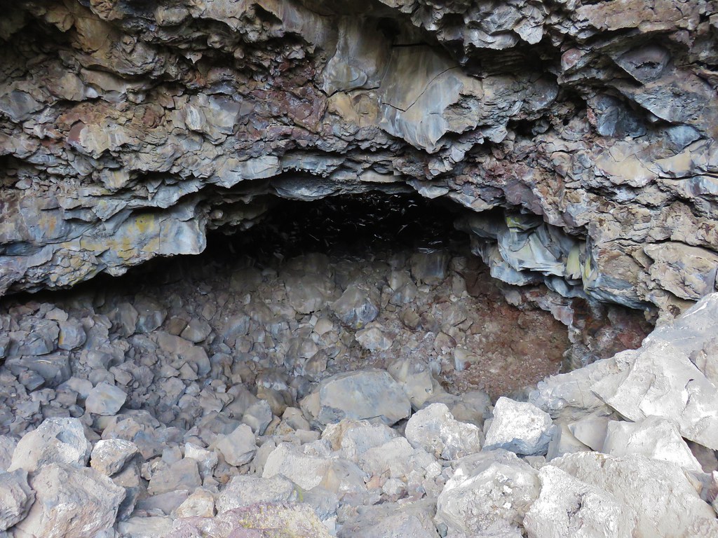
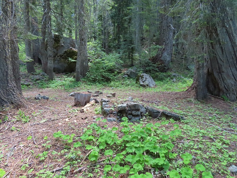 We believe this is what Sullivan shows as Slow Echo Camp on his map. We wondered what the stones in the foreground had been a part of?
The waterfall we had seen was near the camp and I set off into the brush to see if I could get a better view. It partially worked.
Near the other small campsite we encountered a buck which may have been the same one that startled me back near our camp earlier based on how comfortable he was with us being there.

When we arrived back at the meadow our neighbors had moved on but we did run into a grouse.

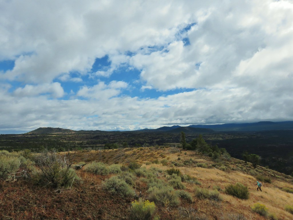
The hike to the lake and back came in at 8 miles even with approximately 1750′ of elevation gain.

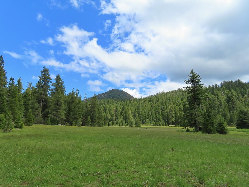
After putting things away we set up our lightweight chairs near the meadow and watched the ever changing clouds. It wasn’t long before we noticed other hikers/backpackers across the meadow following the road down from the Youngs Valley Trailhead. We also spotted Buster (the name we’d given the bear) lumbering through the meadow again.
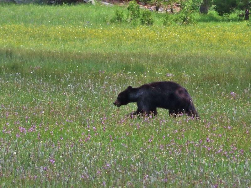

In fact Buster passed through the meadow twice going in the same direction which led us to wonder if there was more than one Buster in the area (or a glitch in the Matrix). The bear didn’t seem to care that another group had set up a tent on the opposite side of the meadow and was similarly unimpressed when another couple arrived with their dog. We heard the dog bark and wondered if it was at Buster and when the couple passed by us on their way to finding a site they confirmed that the dog was barking at the bear and that it didn’t phase it one bit. They also mentioned that a friend of theirs had stayed there the week before and seen the bear around. Fortunately it appeared that everyone had proper bear proof systems in place, i.e. bear canisters, ursacks and/or bag hanging systems. Hopefully people continue to be responsible because it only takes one careless person leaving food out or in their tent for the bear to figure out that people have food. So far even though it wasn’t nearly as wary of people as most black bears are it didn’t show any signs of equating people with having food (not being food, those are grizzly bears lol). If that happens it typically means the bear will be put down.
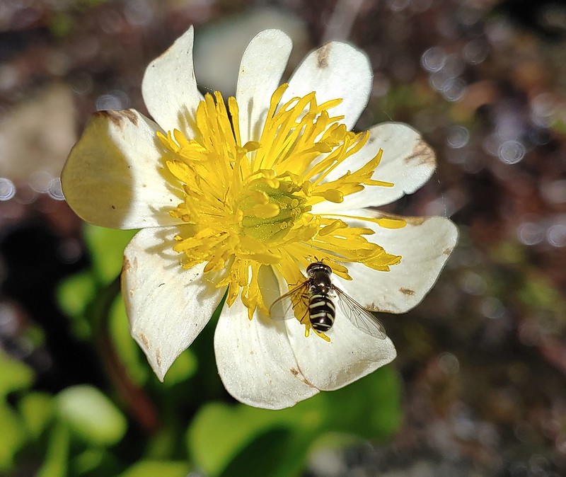
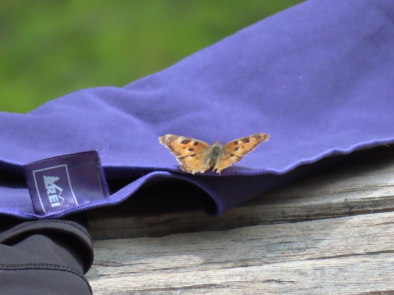 This butterfly did discover people=salt.
 Maybe a flycatcher of some sort near camp.
 Common buckeye
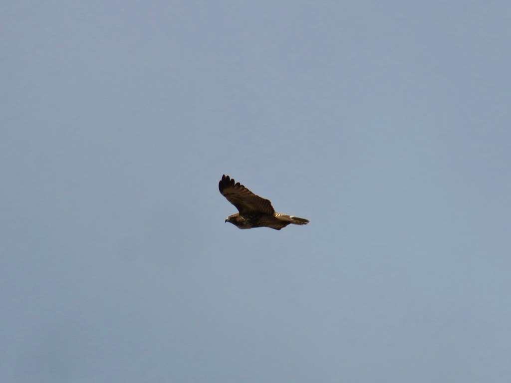
 Turkey vulture checking out the meadow.
We did do a little exploring in the area and found a few flowers nearby that we’d missed the day before.
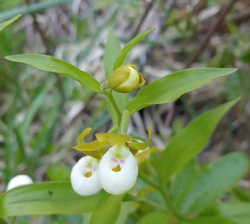
 White rush lily
 Ginger
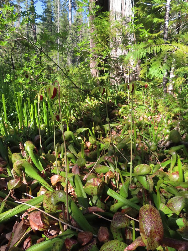
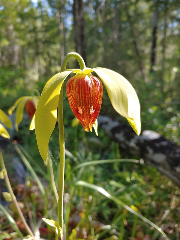
 Snow plant
Both of the new groups of backpackers had dogs but aside from the initial barking at Buster we didn’t hear either of them again which we took to mean the bear kept its distance overnight. In the morning we got an extra early start for our hike out managing to have coffee and breakfast, pack up and still be on the trail by 6:15am.
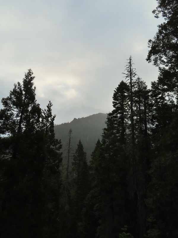
 Another low cloud morning.
 Heading out
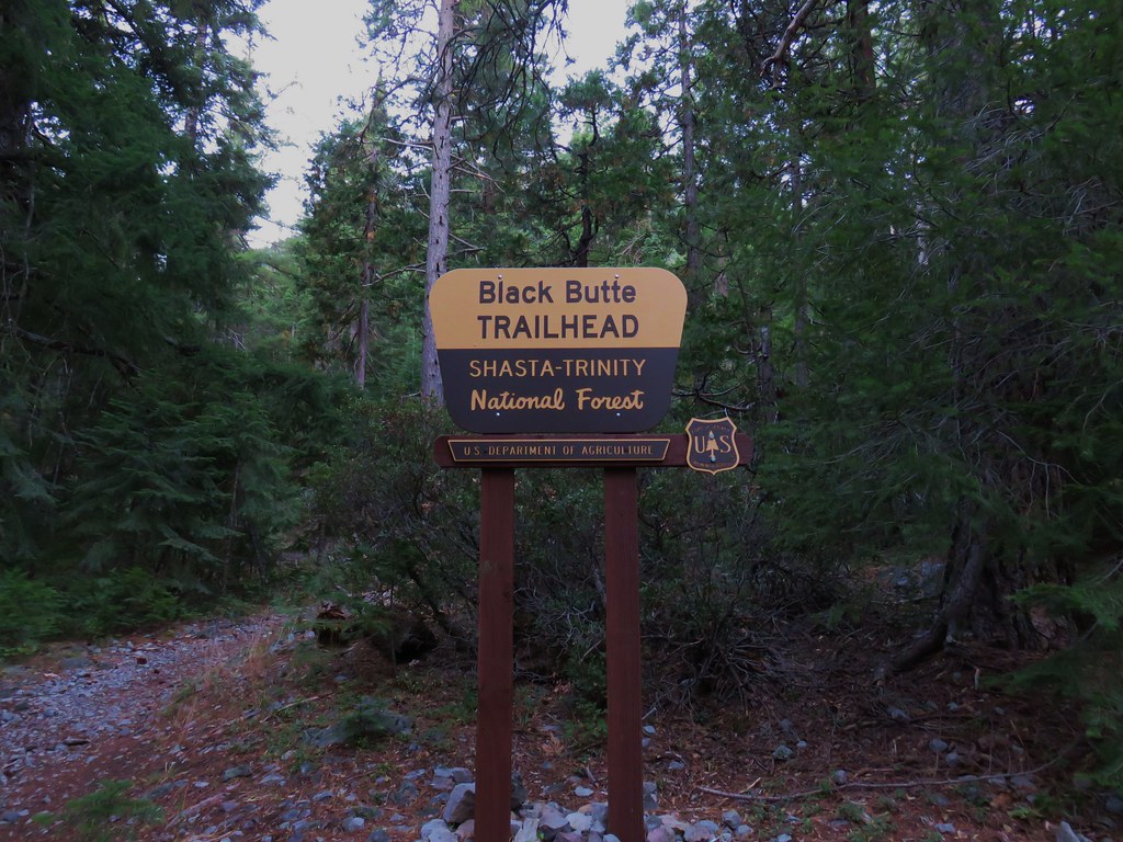
We followed the old road bed past the Raspberry Lake Trail junction half a mile to another trail junction, this one with the Black Butte Trail.
 Passing around the meadow, we didn’t see Buster this morning.
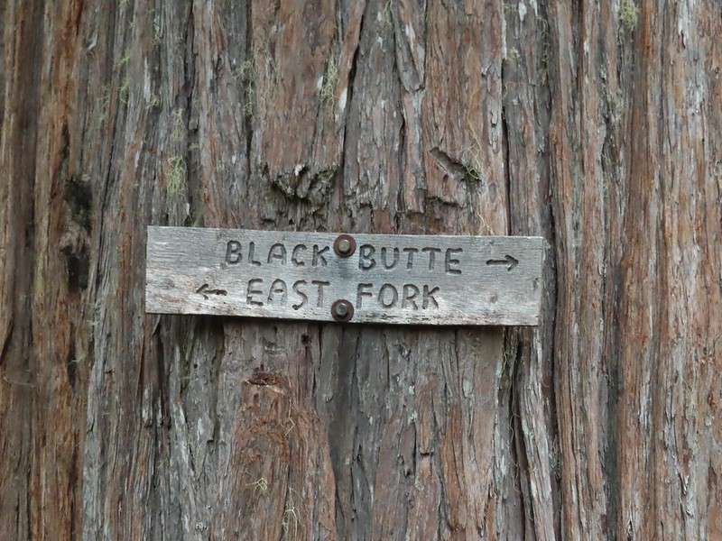
 Black Butte Trail junction.

We turned right onto this trail which was also an old road bed and followed it a little over half a mile to the East Fork Illinois River.
 Bear Cub under the clouds.
 Vanilla leaf along the trail.
 Jessica sticktight
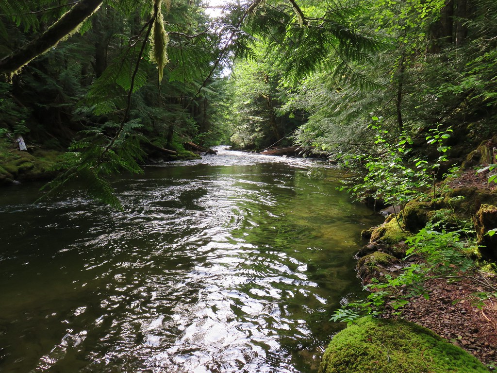
 The headwaters of the East Fork Illinois River are just up from the trail so the river isn’t much more than a trickle at the trail crossing.
On the other side of the river we ignored the East Fork Illinois Trail to the left and continued on the old road bed.

 The edge of the clouds to the NW.
 Passing below Bear Cub.
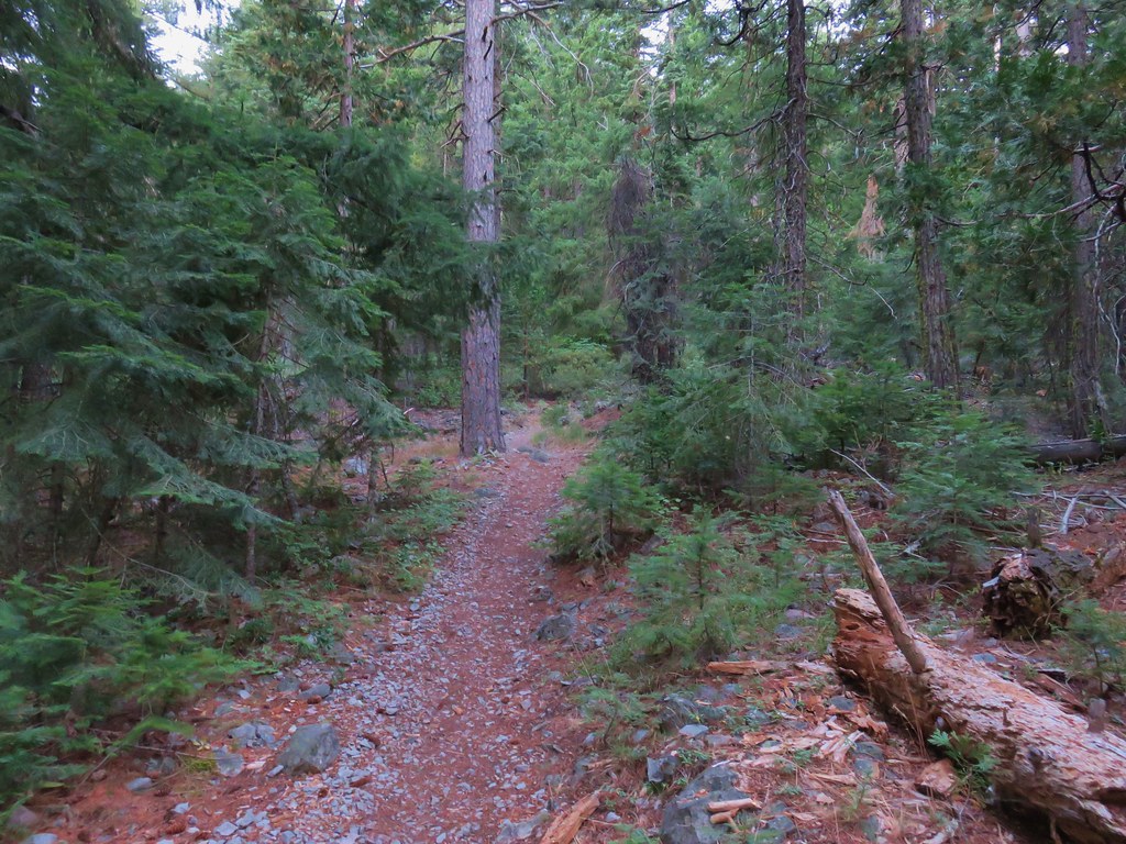
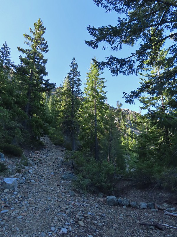
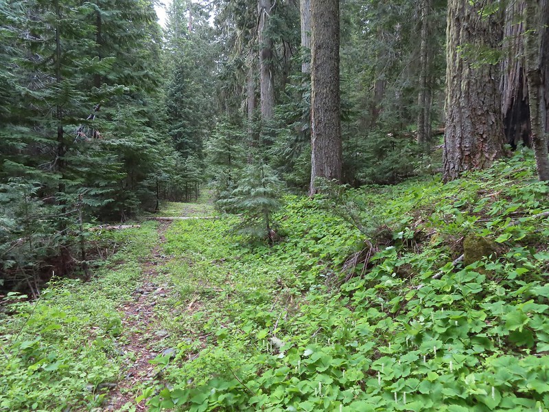
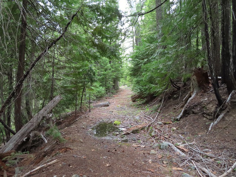
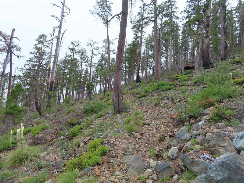
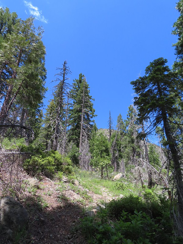
 Being an old road bed in unburt forest made for easy hiking.
Going into the weekend there had been a chance of showers both Sunday and Monday. Sunday had remained dry but today a light mist was falling and there were a couple of brief showers which were enough to prompt us to put the rain covers on our packs but not enough to don our rain gear.
When we had made it to the north side of Bear Cub (Sullivan refers to it as Polar Bear Cub) we were momentarily confused by the number of trails our GPS units were showing. Sullivan’s map only showed an unmaintained use trail heading right toward the mountain while our paper Forest Service map didn’t show any other trails, but the GPS topo showed Sullivan’s user trail and another trail heading slightly downhill to the left. What we were seeing was the old roadbed curing right toward Bear Cub and a trail with cairns on both sides heading straight.
The existence of the third trail on the GPS had us questioning whether the trail marked by cairns was the Black Butte Trail or the left most trail showing on the Garmin. After some debate we decided that it must be the Black Butte Trail and passed between the cairns. This turned out to be the right choice and we soon found ourselves climbing through the 2020 Slater fire scar.

 Swtichbacking toward Bear Cub.
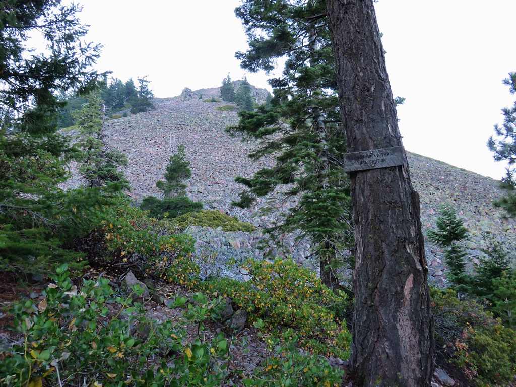
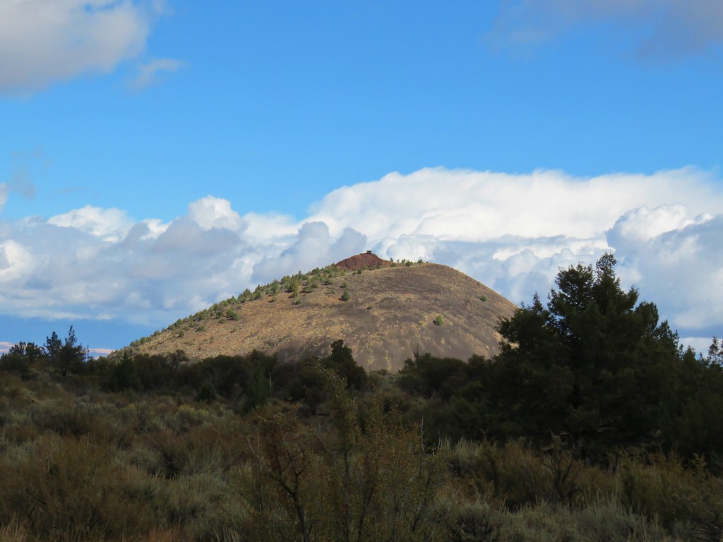
 Black Butte
We were a bit disappointed when we realized that to reach the junction with the Black Butte Tie Trail below Black Butte we had to lose about 100′ of elevation first.
 Heading downhill so we could go up.
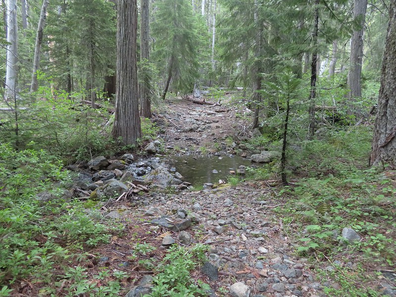
 Creek crossing in the basin below Black Butte.
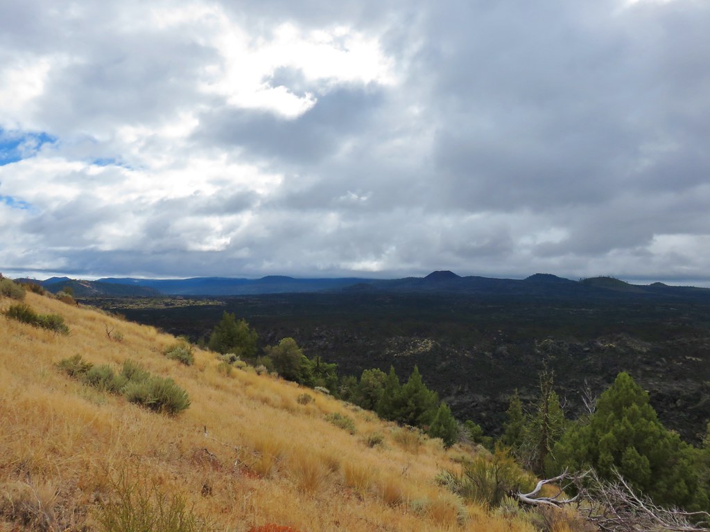
 Looking back into the clouds where we’d come from.
 Steep climb up to the junction.
 We made it back to the junction! Only 1.8 more miles to go.
We turned left at the junction, now following the route that we’d come in on from the Black Butte Trailhead on the first day. We had both convinced ourselves that this stretch would be mostly downhill, but we had been deceived.
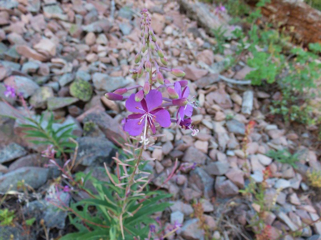
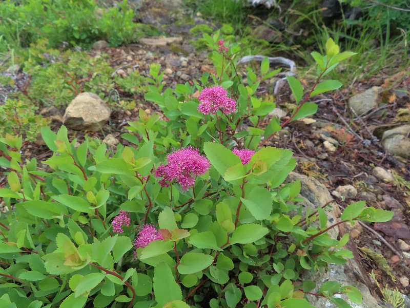 Spirea
 Pair of woodpeckers
 Why is there more uphill?
 Black Butte from the trailhead with Heather coming down the trail.
It was 5.6 miles from our camp to the trailhead but after some challenging hikes it felt harder than that. The nearly 1400′ of elevation gain didn’t help that, but it had been a great trip none the less.

The most significant rain shower started as we were changing at the trailhead so the timing there was pretty good. The trip had been challenging but it was worth it to have the chance to experience a new area with such diverse plants and great scenery. The wildlife was a bonus although a little less bear would have been okay.
What wasn’t good was the low tire pressure light that came on almost immediately after starting our drive. We had the same light come on in June driving up to the Siskiyou Gap Trailhead (post) and taken the car to Les Schwab in Ashland for an air check. The two left side tires were just a little low then so they added some air and we were off. Today was the 4th though and the Les Schwab stores in Grants Pass (the closest to where we were) were closed for the holiday so we pulled into a gas station and checked the air at their self-serve station. The same two tires were again a little low so I topped them off and we drove home. The light was back Tuesday morning when I started my drive to work prompting a trip to Les Schwab in West Salem where they removed the tires and discovered a screw in the rear tire and a nail in the front. Luckily both were small leaks and repairable. Hopefully we’re done with that light for a long while now. Happy Trails!
Flickr: Raspberry Lake / Youngs Valley To Black Butte Trailhead

 There still wasn’t a lot of light in the valley but the bear was in with the tall tree in the middle of this picture.


 Heather watching the bear leave through the gap in the trees.
 The sign for the Clear Creek Trail on a tree to the right.
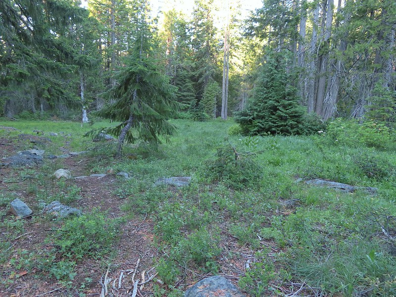

 Clear Creek below the trail.
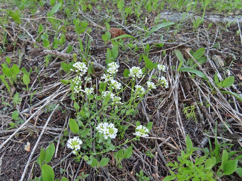
 Anemone and star flowers
 Honeysuckle
 Rocky Knob
 One of several creek crossings. This one was a bit tricky to stay dry on but we both managed to do so on the first pass. Heather wasn’t so lucky on the way back though.
 Rayless arnica
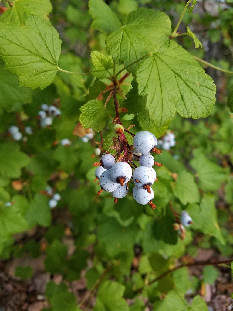
 Pacific ninebark
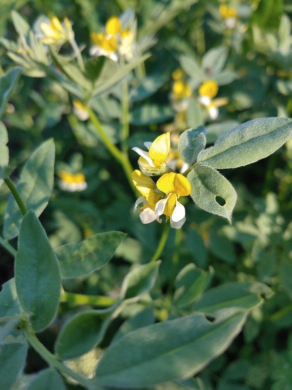 Streambank bird’s-foot trefoil
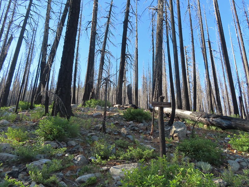 Sign for the Rattlesnake Meadows Trail which looked to be in much worse shape than the Clear Creek Trail.
 White-vein wintergreen
 Queens cup
 There was a small stream in the middle of the trees here.
 A colorful pea.


 The western azaleas smelled wonderful.
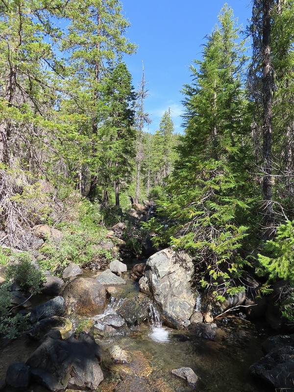 Another side creek.
 Another fire scar, this time from the 2017 Young fire.
 Silver-spotted skipper


 Chipmunk
 White-stemmed frasera
 Bolander’s lily, another exciting find for us and the first time we’ve seen them.
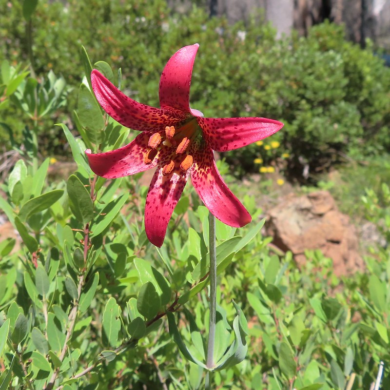
 Washington lily with a crab spider.
 Trail sign near Trout Camp.
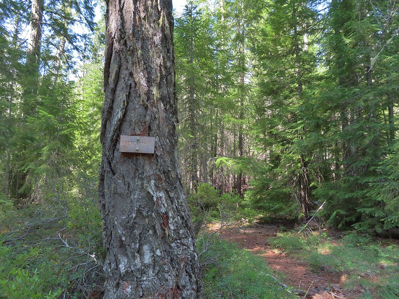 Sign for the Doe Flat Trail at Trout Camp.
 Doe Creek, we probably could have made it dry footed (I was able to on the way back.) but since we were already wet why bother.

 Twin Peaks in the distance.
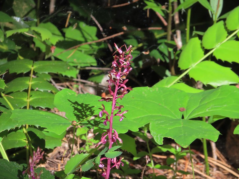 Pacific coralroot
 Phantom orchid
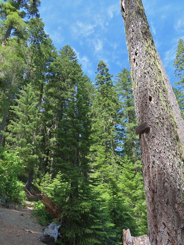 The Doe Flat Trail continuing on from the junction.
 The flat top of Black Butte in the distance.
 Bear Mountain
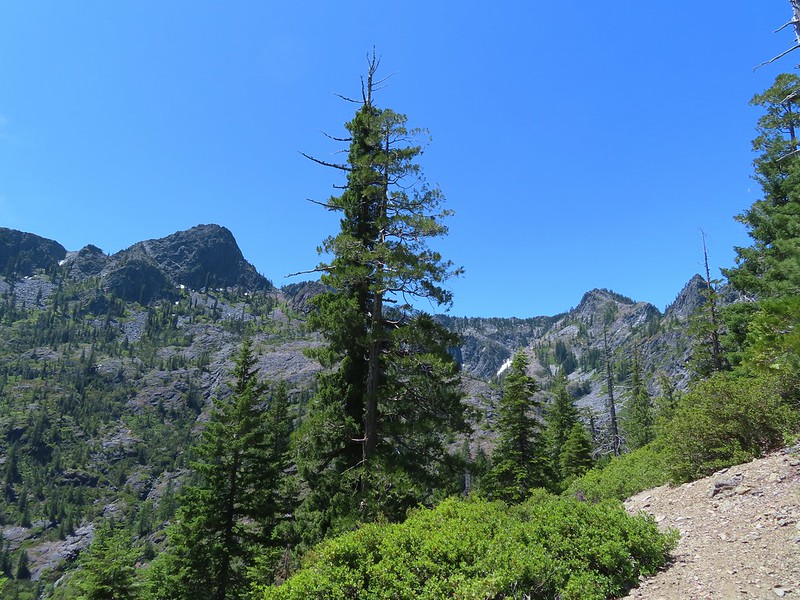
 Blue-head gilia
 Oregon sunshine


 Buckwheat
 Siskiyou lewisia
 Preston Peak


 Pussypaws
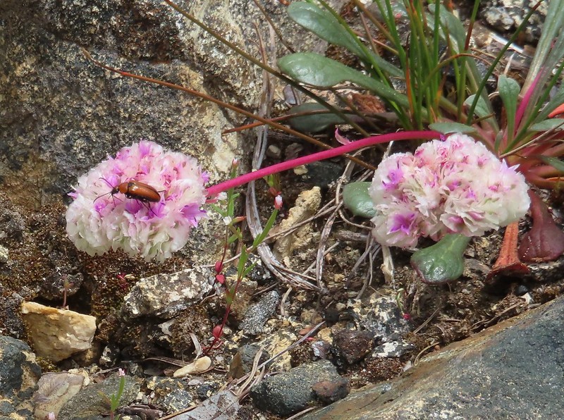 Beetle on a pussypaw
 Swallowtail on azalea
 Silver-spotted skipper on Siskiyou lewisia
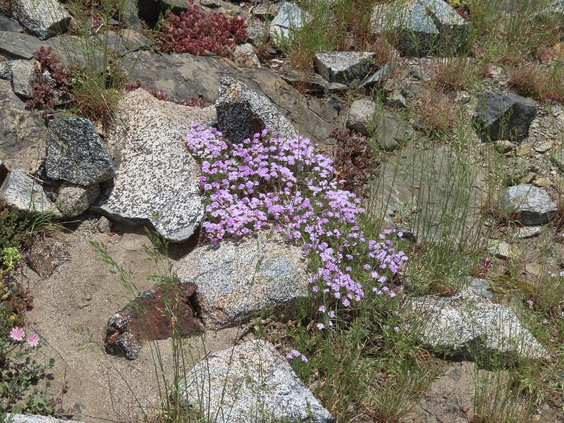 Phlox
Phlox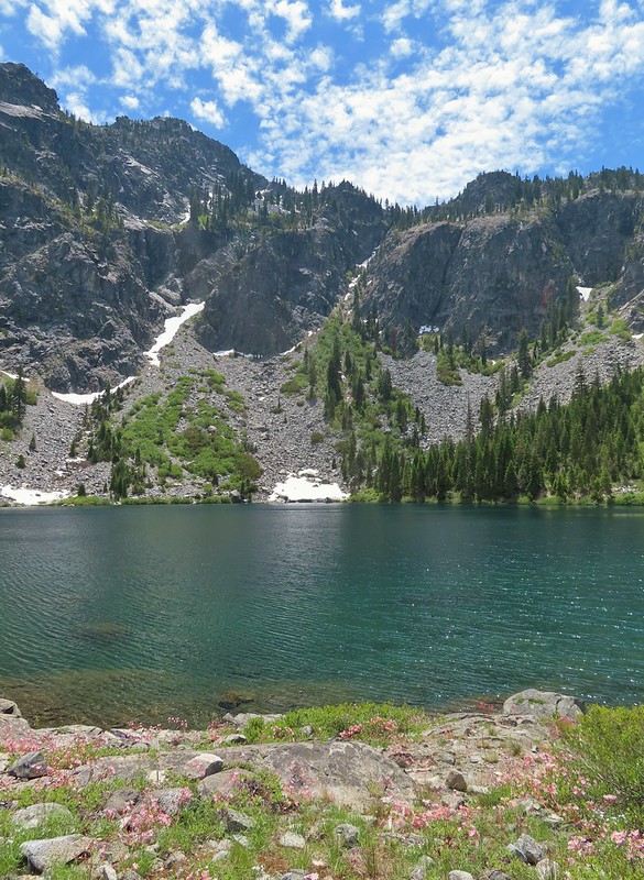
 There is a rock arch atop the ridge near the left hand side.
 Mountain heather
 Green beetle
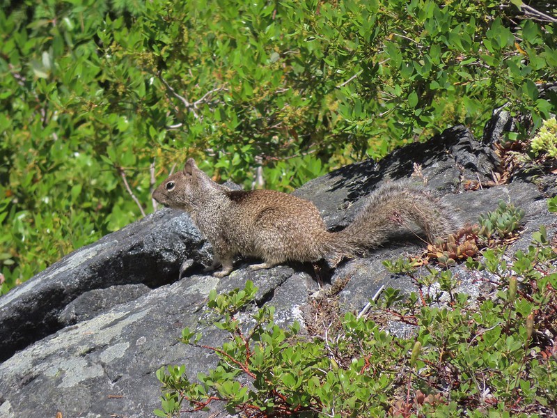 Ground squirrel
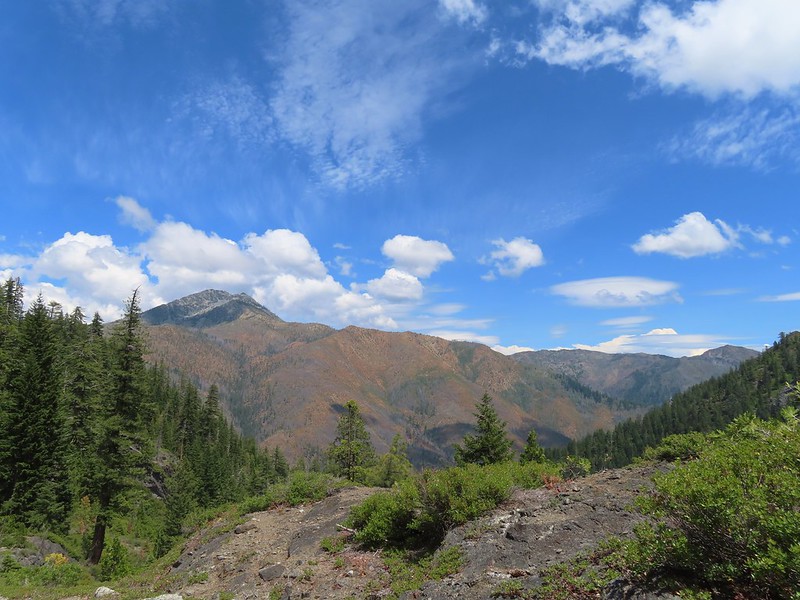 Clouds gathering around Preston Peak.
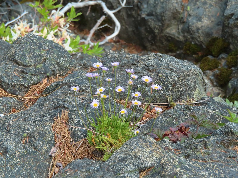 Fleabane near the pool.
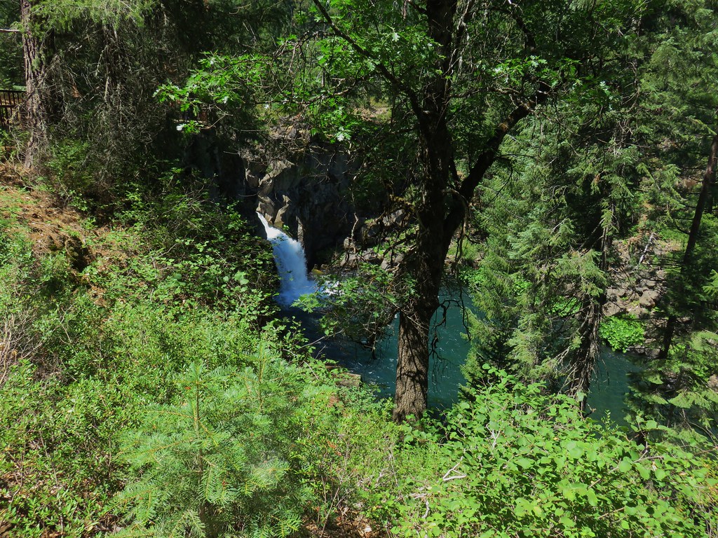
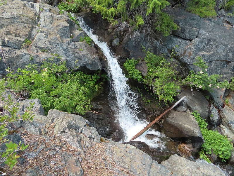 Waterfall along the outlet creek.
 Clouds over Devil’s Punchbowl.
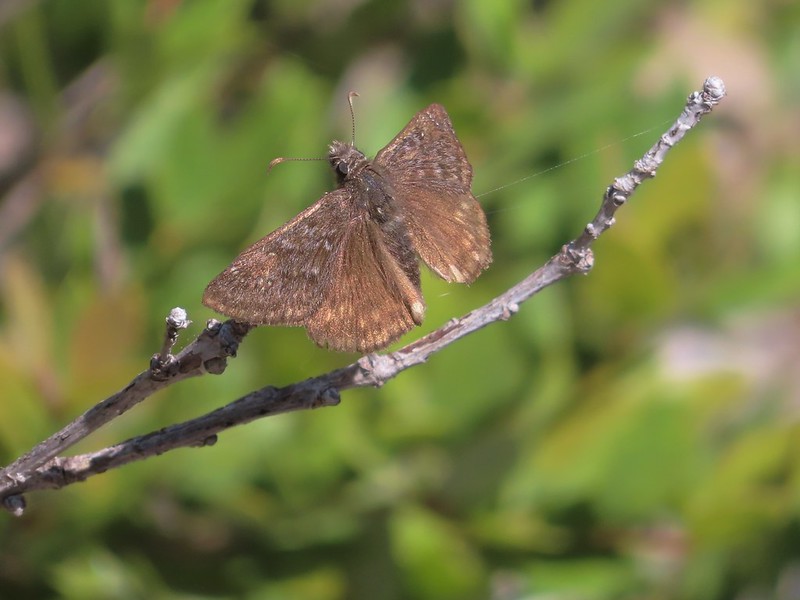 A duskywing
 More clouds to the north.
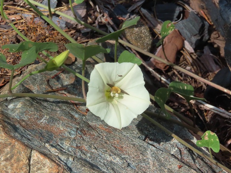 Bee in bindweed with a little ant observing.
 Back at the ford.
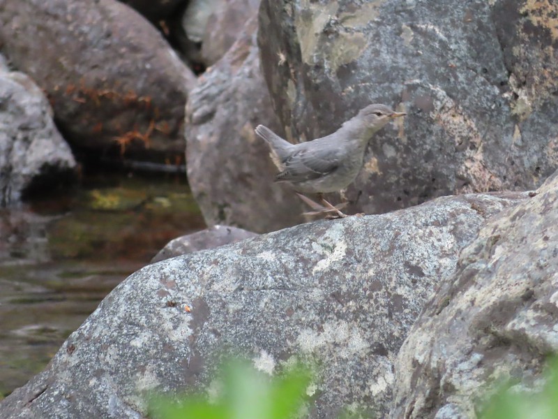 Ouzel at the Clear Creek ford.
 Doe in the forest.
 This little guy had a pretty song.
 Arriving back at Youngs Valley.
 The bear in the middle of the photo behind a small leaning tree.

 Black Butte from the Black Butte Trailhead.
 Penstemon
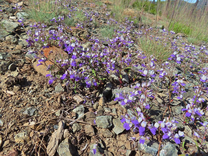 Narrowleaf blue eyed Mary
 Siskiyou mountain ragwort
 Wedgeleaf violet
 Sanger Peak
 More penstemon
 Phlox
Phlox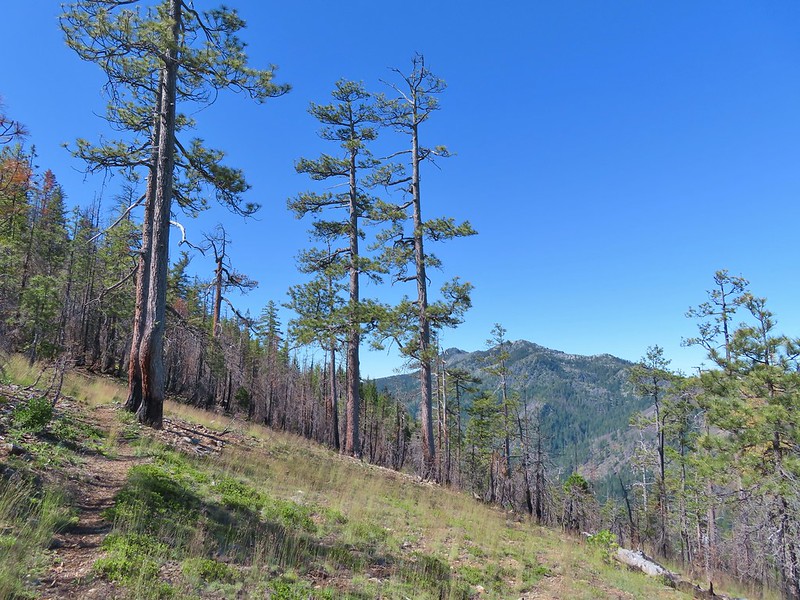 Youngs Peak
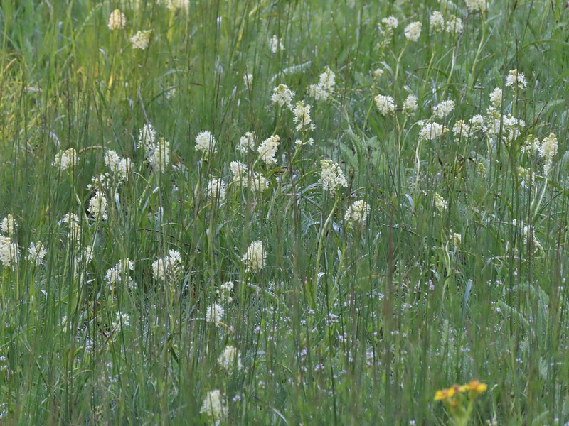
 It turned out to be a beargrass year, at least in the northern part of the wilderness.
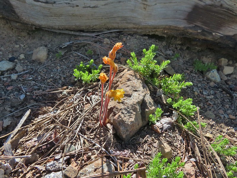 Clustered broomrape
 Paintbrush
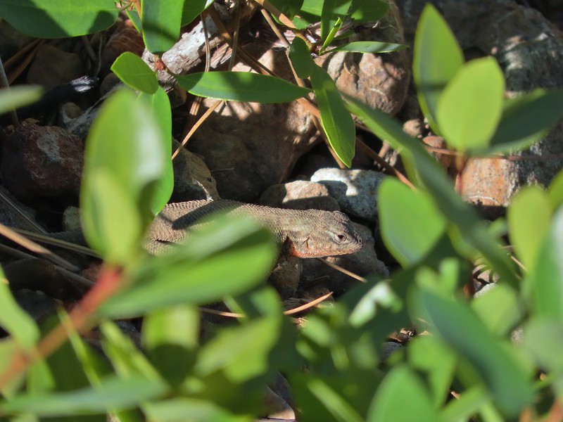 Lizard
 El Capitan with the snow behind Bear Cub. Bear Mountain is the high point in the center distance with Rocky Knob to the right front of it. Youngs Peak is the high point to the far right of the frame at the end of the ridge.
 Looking up at Black Butte.
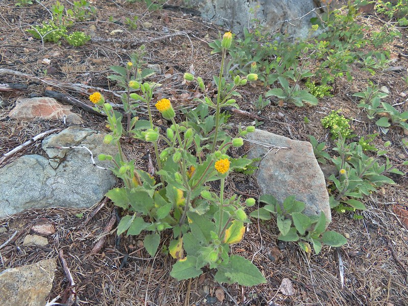 Rayless arnica
 Big deervetch
 The junction with the tie trail.
 Polar Bear Mountain ahead.
 Azalea
 A sulphur butterfly
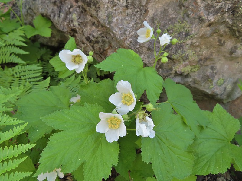 Thimbleberry blossoms
 A tortoiseshell on thimbleberry.
 Wallflower
 The trail steepened considerably as it made the final climb to the gap.
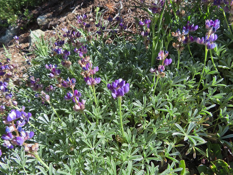 Lupine
 Lewis flax
 Lookout Mountain
 Paintbrush
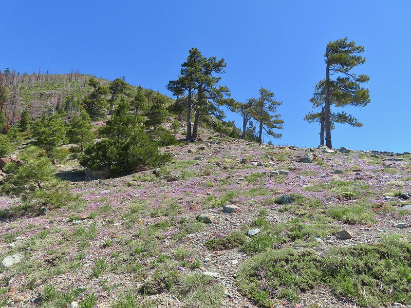 A carpet of narrowleaf blue eyed Mary at Polar Bear Gap
 Nuttall’s sandwort surrounded by blue eyed Mary.
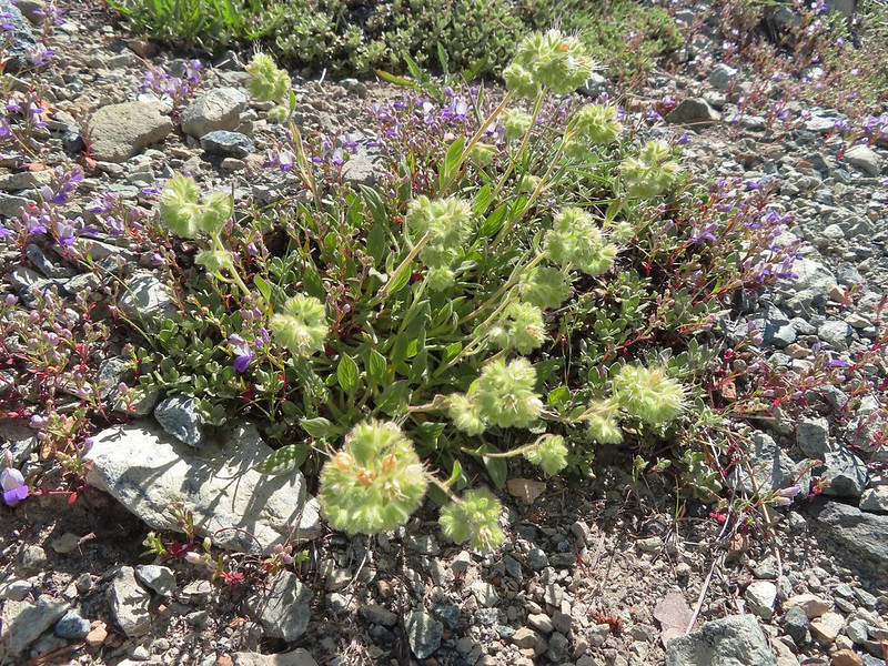 Serpentine phacelia
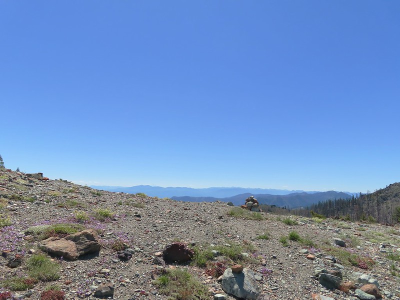 Polar Bear Gap
 Lookout Mountain
 Polar Bear Mountain
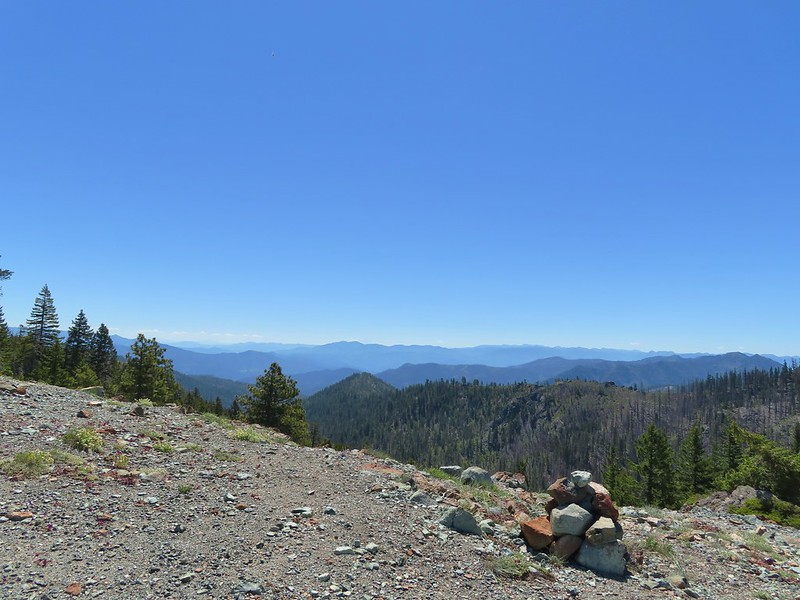 Looking east toward Mt. Shasta.
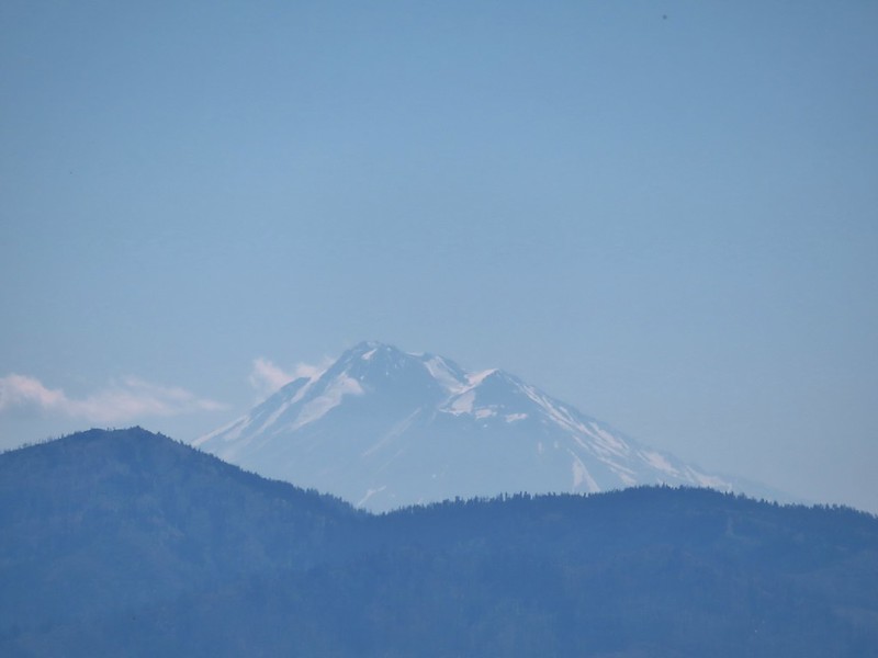 Mt. Shasta
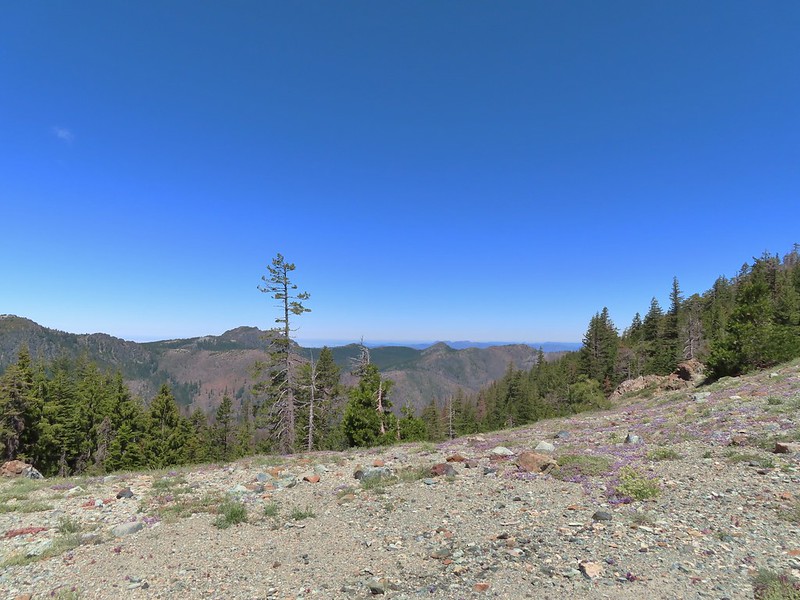 Looking west toward Sanger Peak.
 Sickle-leaved Onion
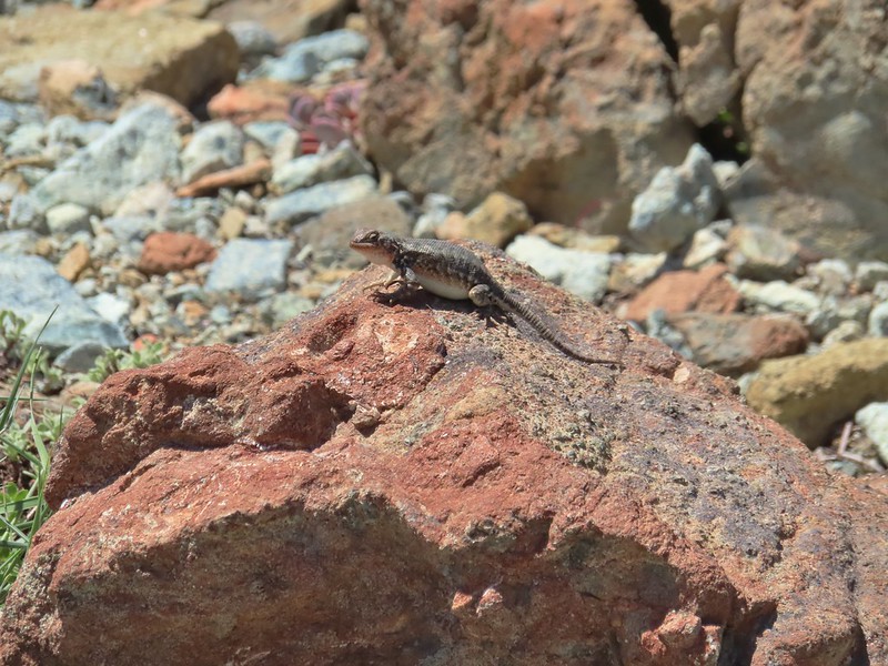 There were lots of lizards in the area.
 Heading down into Twin Valley
 Paintbrush and penstemon along the trail.
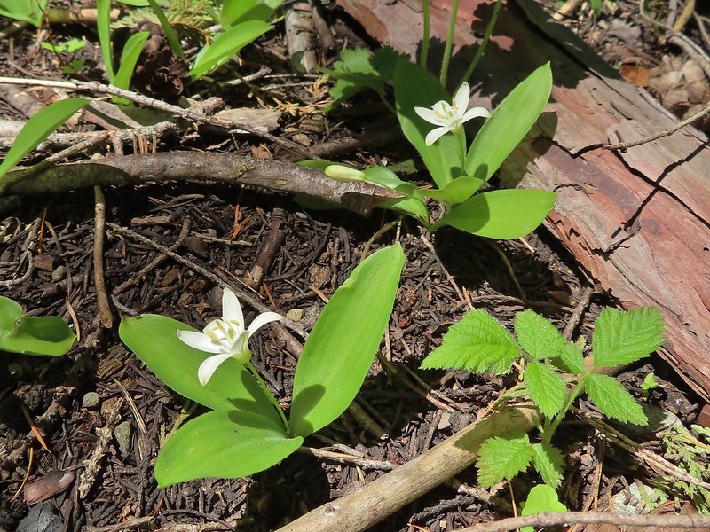 Queen’s cup
 Frog
Frog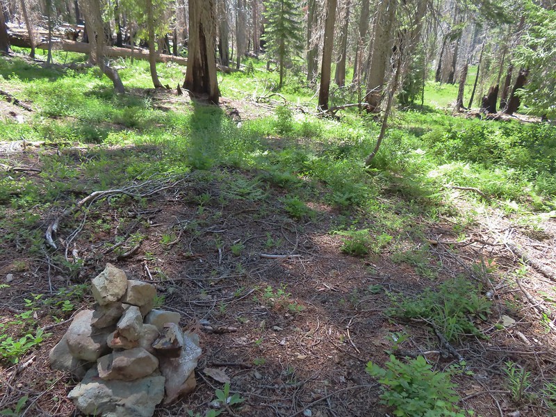
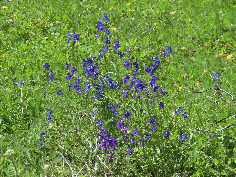 Larkspur
 The yellow is a cinquefoil I believe but I don’t know what the other dark flower is.
 Meadow in Twin Valley.
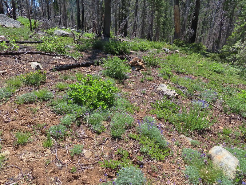 Heading down to a stream crossing between the two meadows.
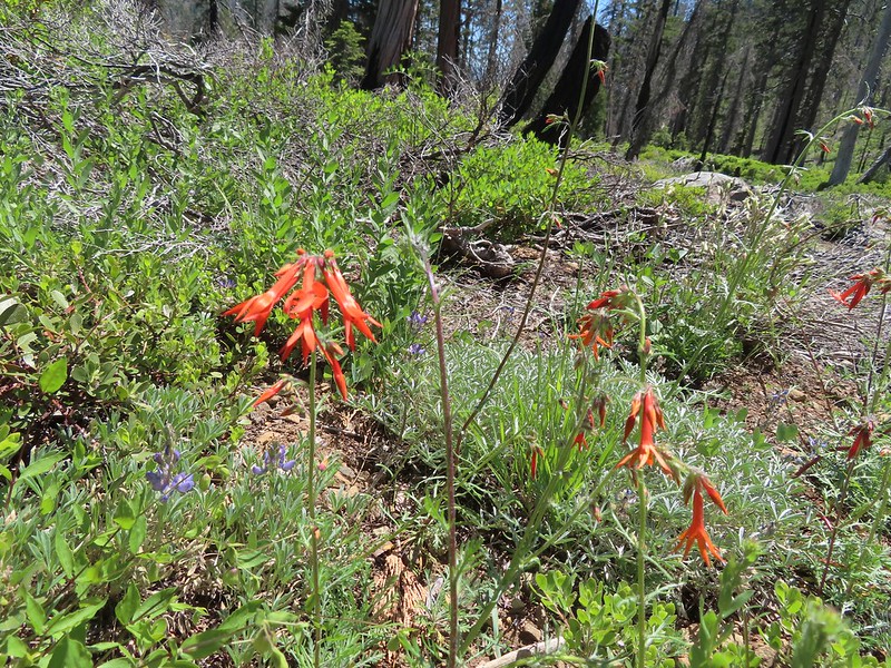 Scarlet gilia
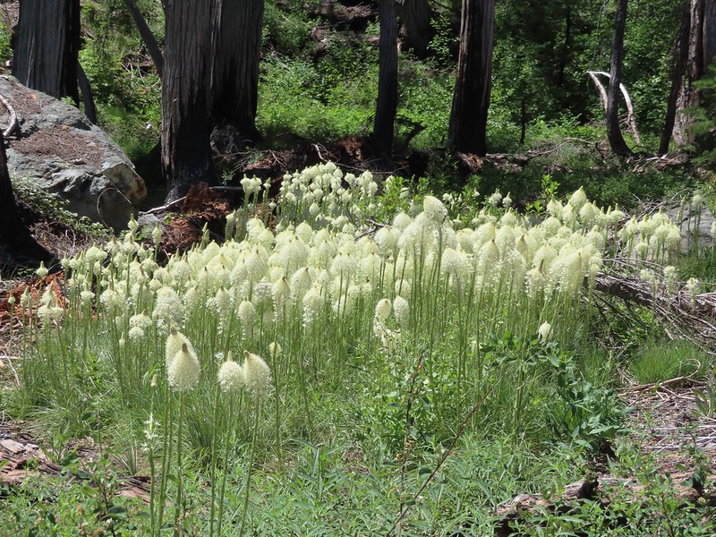 Beargrass
 Creek crossing.
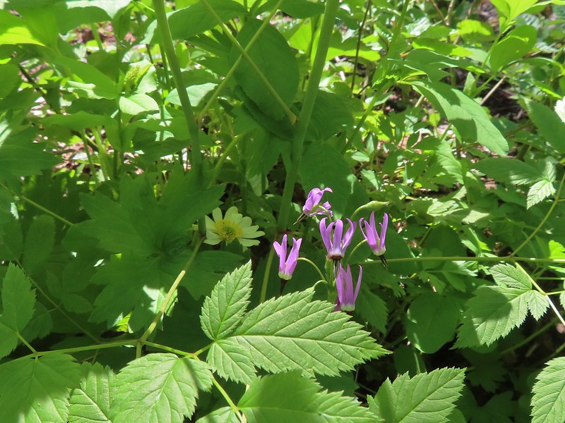 Shooting star and marsh marigold.
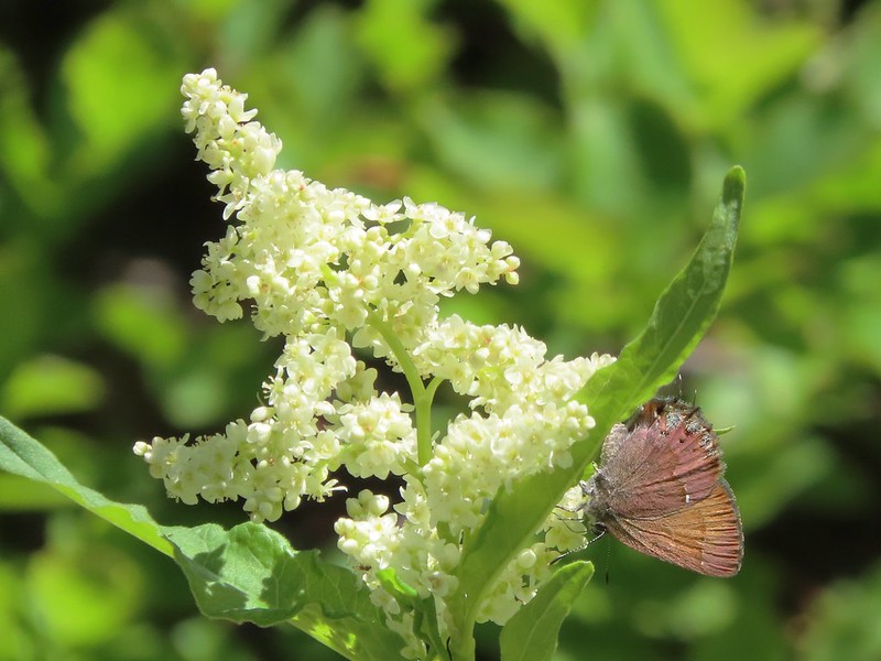 A hairstreak butterfly
 Columbine and cinquefoil
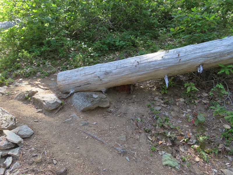
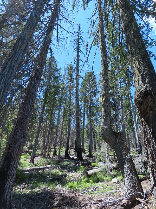 Cut logs helped identify where the trail was supposed to be.
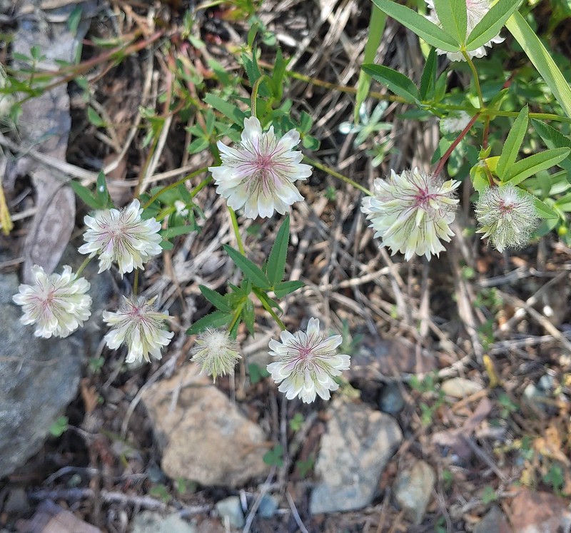 Wolley-head clover
 Oregon violet
 Polar Bear Gap from the Poker Flat Trail.
 Looking up toward the ridge end.
 Iris at the ridge end.
 Red Buttes (
 Red Buttes
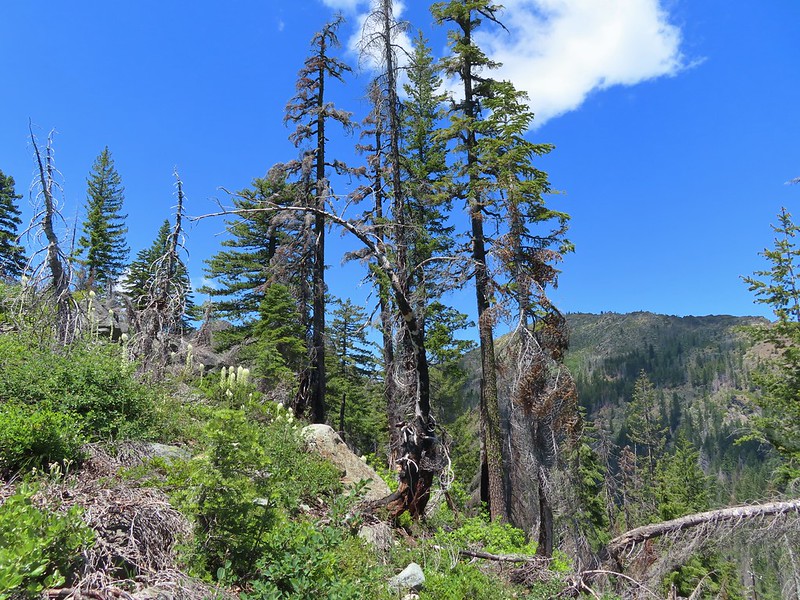 Lookout Mountain from the ridge end.
 Bee visiting penstemon.
 The Lieutenants and El Capitain
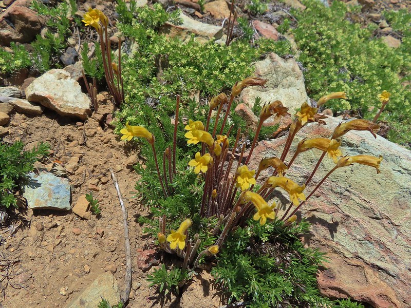 Clustered broomrape
 We were starting to see a lot of bear sign.
 An as-of-yet unidentified flower.
 This may be sticky blue eyed Mary.
 Mariposa lily
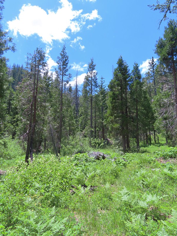 More faint trail.
 Time to climb.
 Anemone
 Meadow along the Poker Flat Trail.
 Approaching Private Lake.
 Siskiyou lewisia
 Private Lake below The Lieutenants.

 Scarlet gilia and penstemon
 Heather heading for the pass.
 Arnica
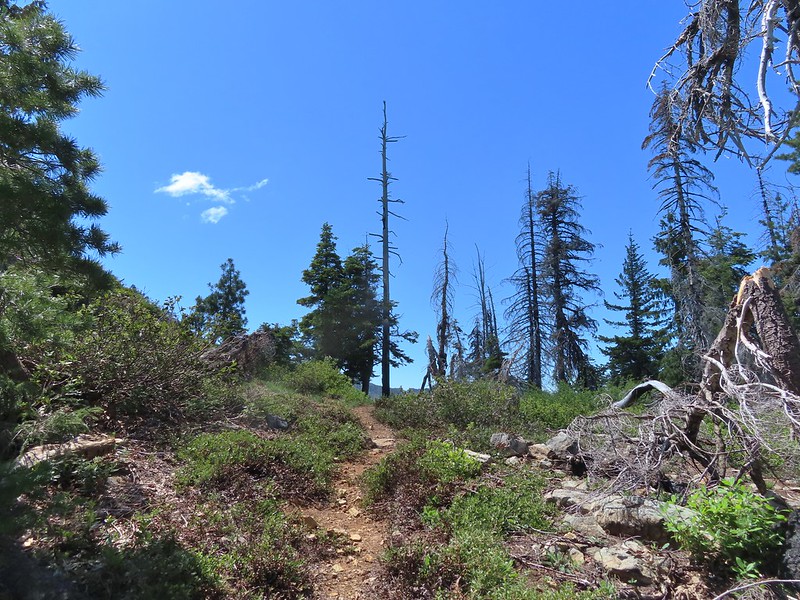 Nearing the pass.
 Bear Cub
 Youngs Peak just to the left of the snag.
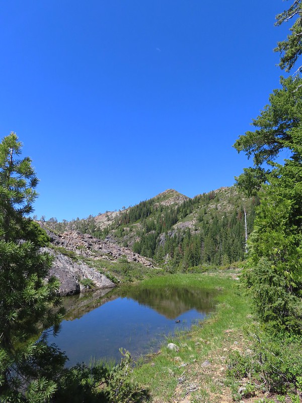
 Bear Cub on the right.
 Youngs Peak behind the tree.
 Finally out of the fire scars.
 Snow plant
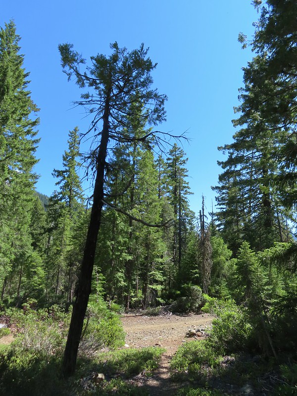
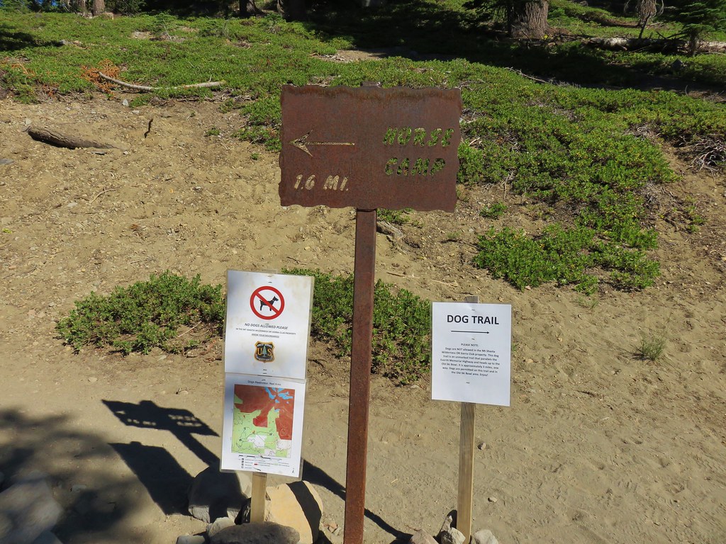
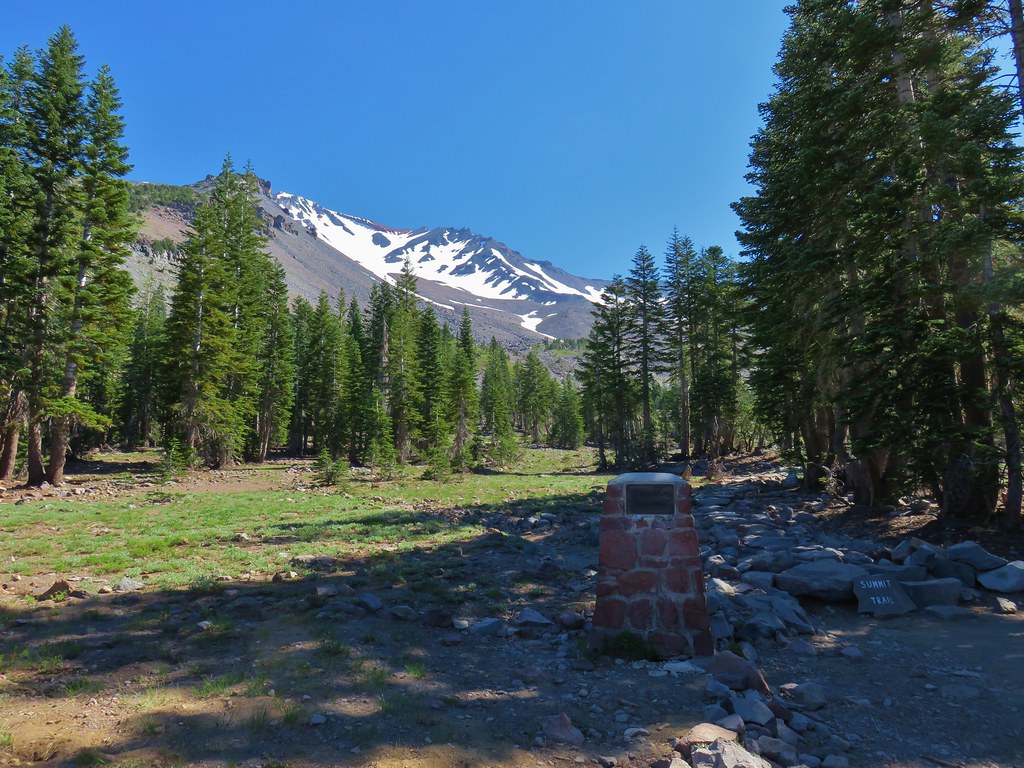
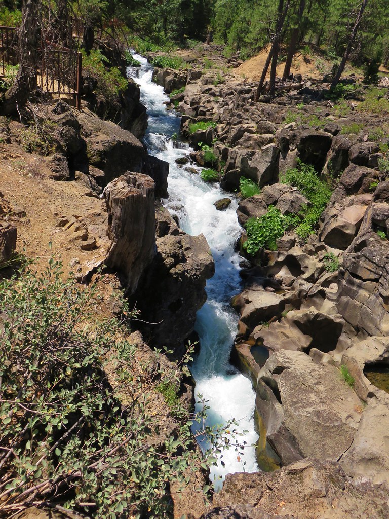
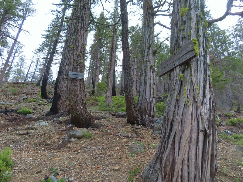
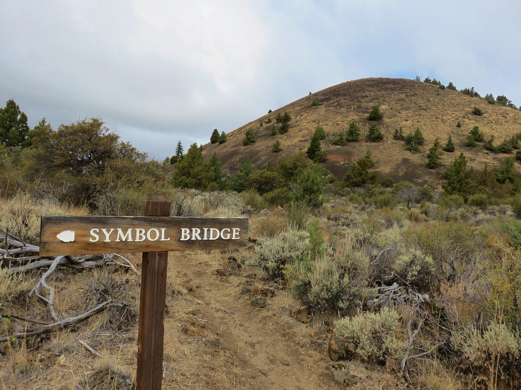
 Sign for Raspberry Lake at the Raspberry Lake Trail/Clear Creek National Recreation Trail junction where we correctly turned left.
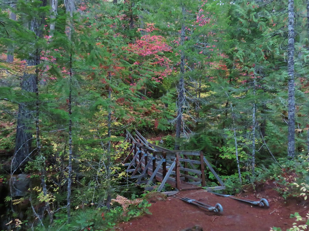
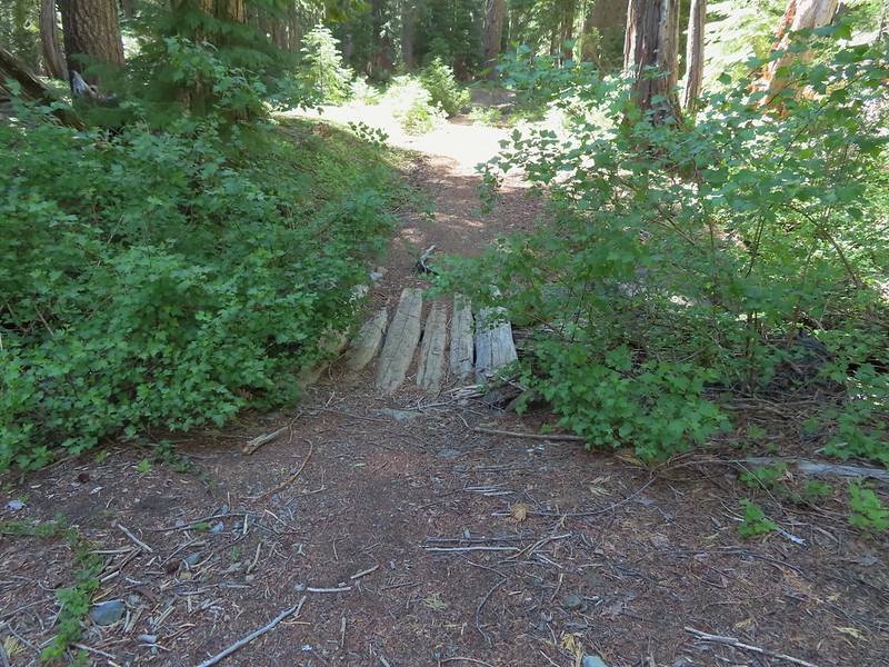 Footbridge over the creek.
 Bear Cub from Youngs Valley.
 Camp
Camp Dragon fly
 El Capitan
 Bucks in the meadow.
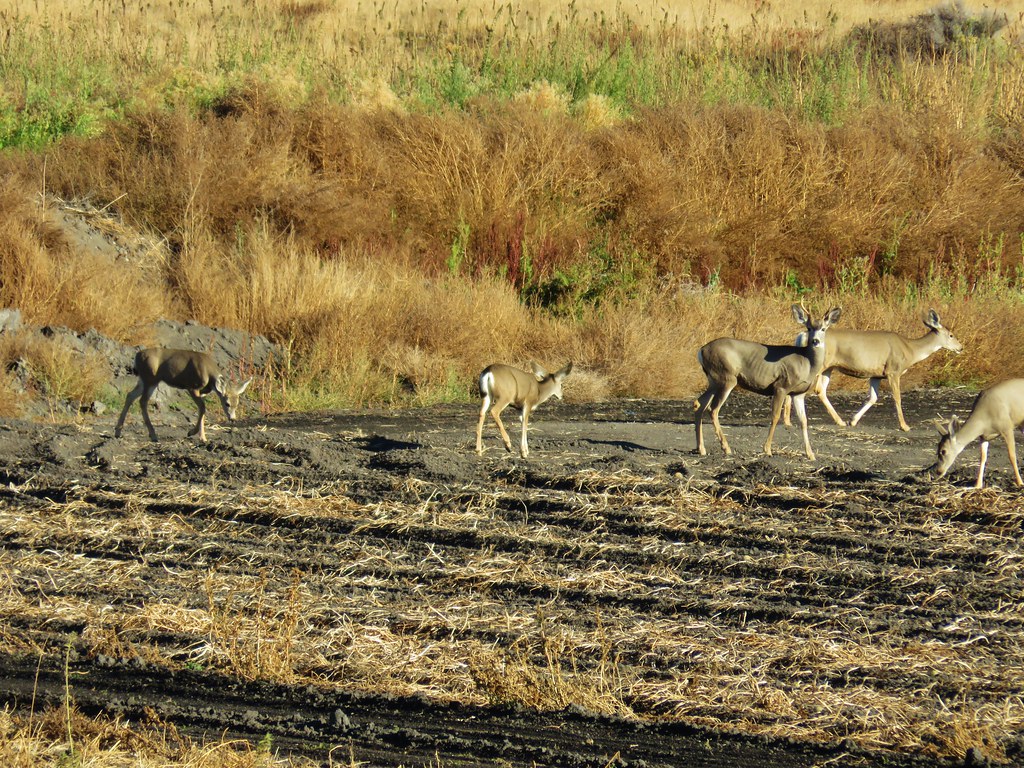
 Caterpillar
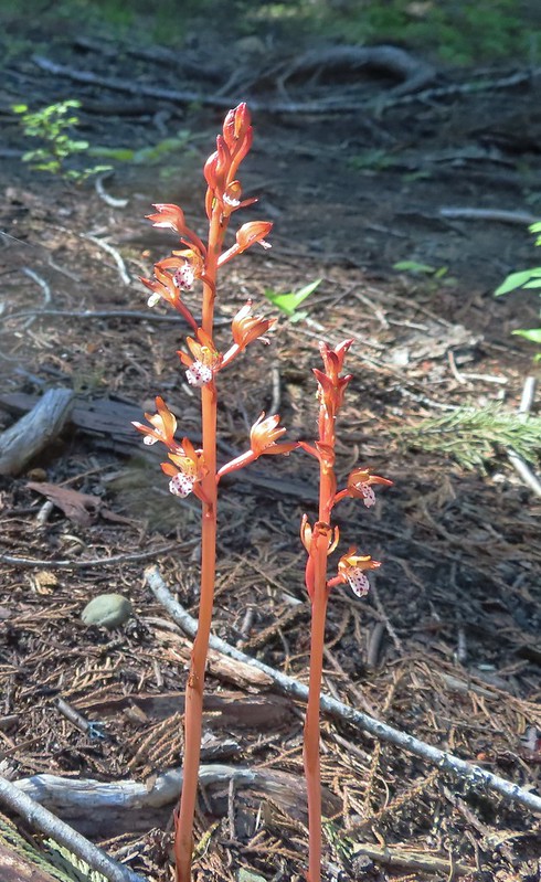 Spotted coralroot
 Wedgeleaf violets
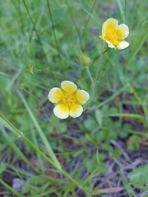 Maybe a cinquefoil
 Bistort
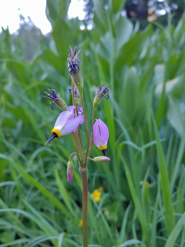 Shooting star
 Monkeyflower
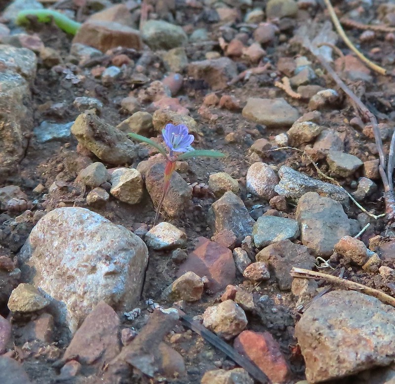 There were quite a few of these tiny flowers. I haven’t been able to identify this one yet.


 Rhododendron
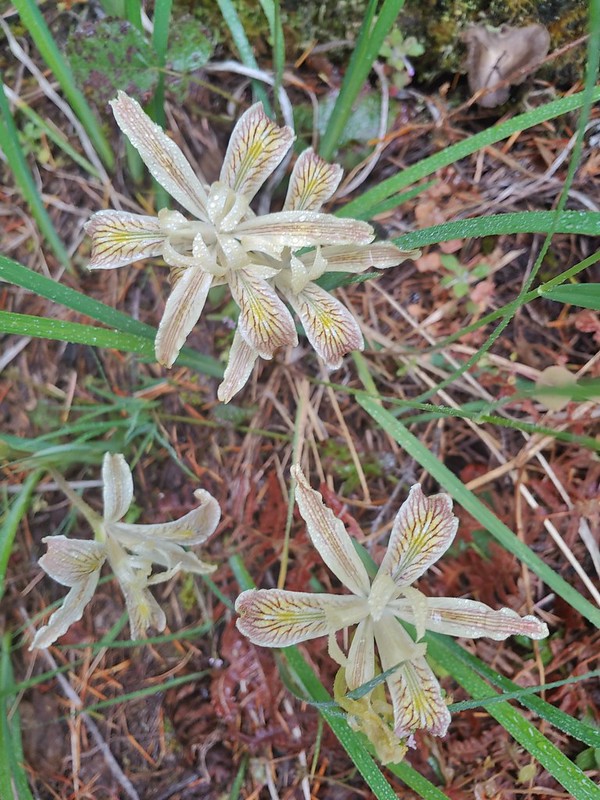 Iris
Iris Star flower
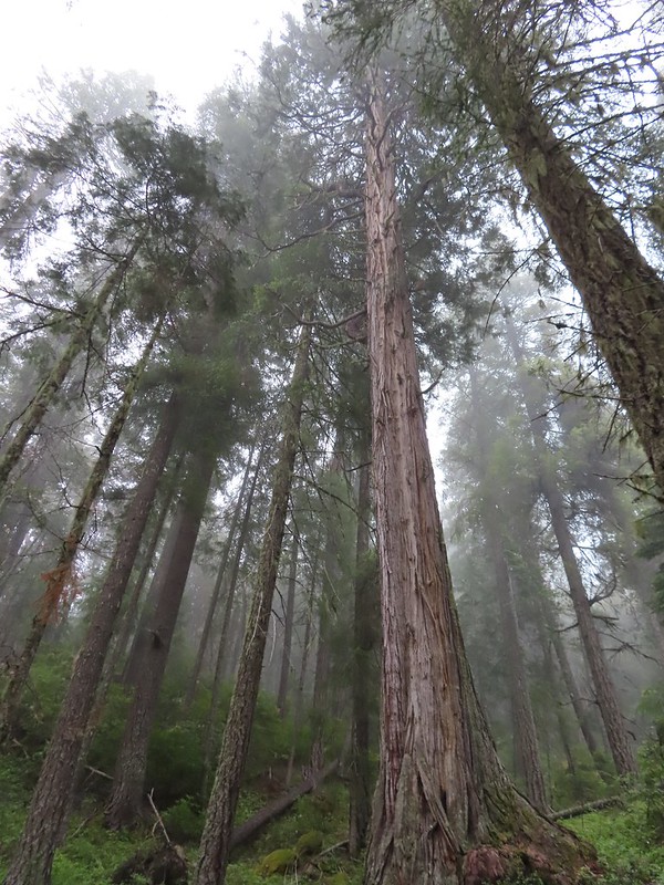 A big cedar.
 California ground cone
 The bright red color made them fairly easy to spot amid the green leaves.


 Phlox
Phlox

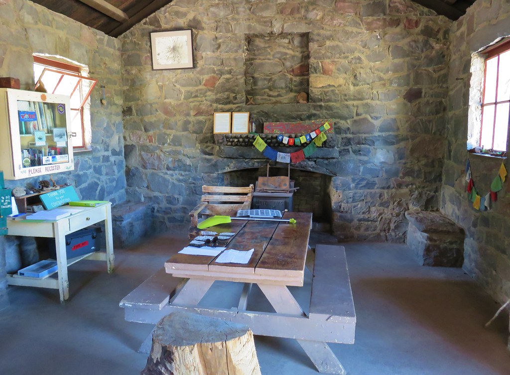
 I of course had to step inside.
 Paintbrush
 Serviceberry
 A lone beargrass preparing to bloom.
 Lupine also getting ready for a bloom.
 Trillium ending theirs.
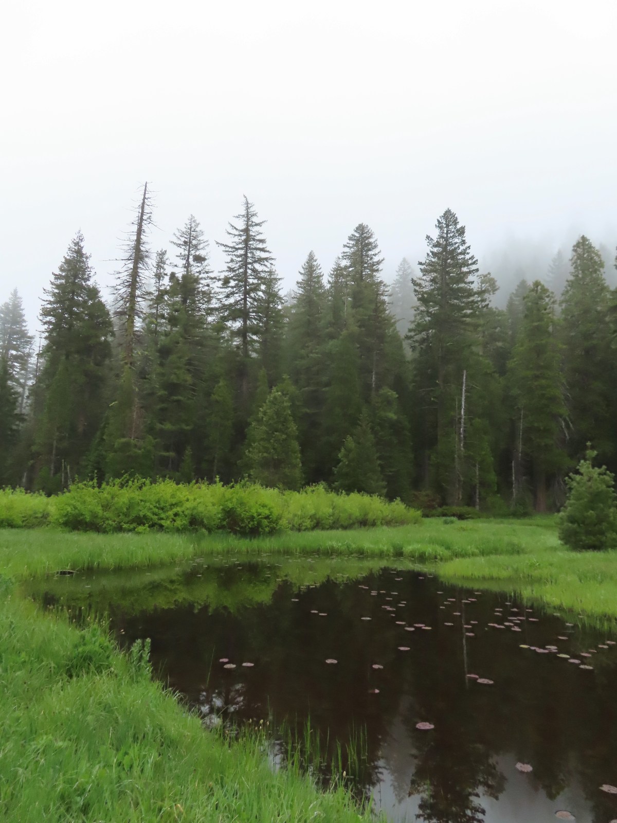
 Frog Pond with the cabin ruins in the stand of cedars to the right.

 There was clearly going to be no view this morning so any though of either attempting the loop or going up to the viewpoint on the ridge ended here.
 Pretty face
 Death camas
 A yellow-rumped warbler hiding in the branches.
 Fairy slippers
 This was the trickiest part to follow at the time but it was pretty easy to see where it picked up in the trees on the far side of the grassy area.
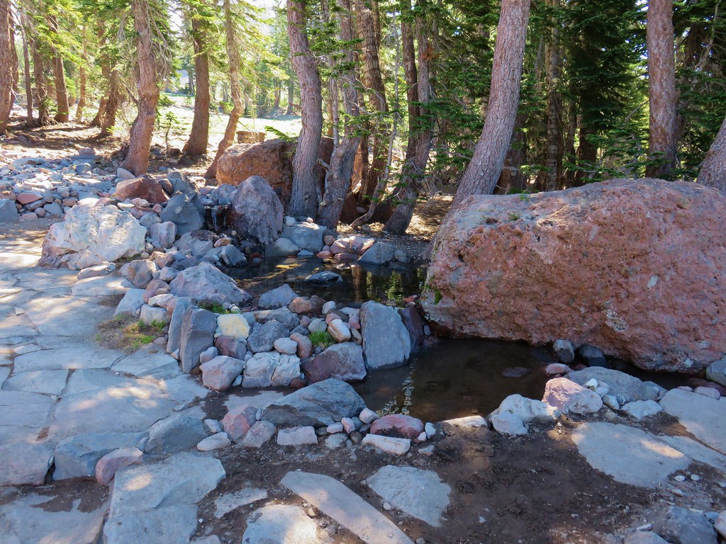
 The inlet creek.

 The PCT heading south from the Stateline Trialhead
 Iris
Iris
 A register is located 0.4 miles from the trailhead at the Oregon/California border.
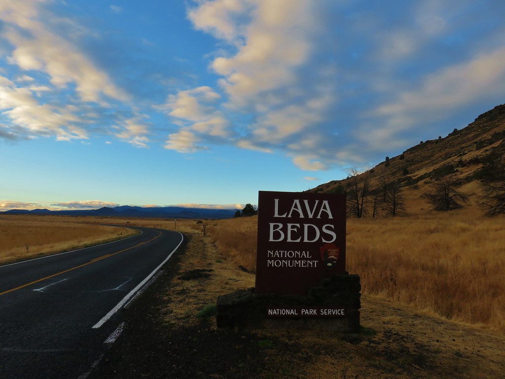
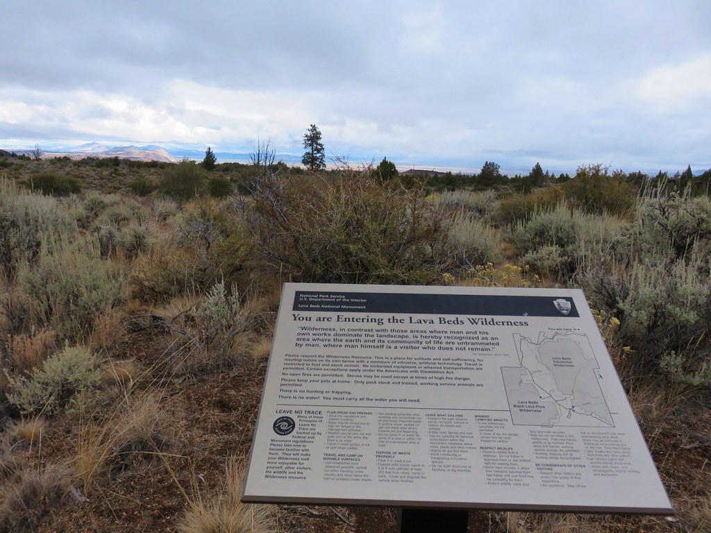
 We were long overdue for a visit to California, our last hike in the state was way back in 2018 at the Lava Beds National Monument (
 A good reminder of how much of the PCT is located in CA.
 Pussytoes
 First look at Donomore Meadows.
 This road crossing is just over a mile from the trailhead. The Donomore Cabin is just up the road to the right.
 The cabin was built in 1935.
 The meadow below the cabin.

 Death camas in the meadow.


 Mariposa lily
 Chocolate lily
 Cinquefoil?
 Violets
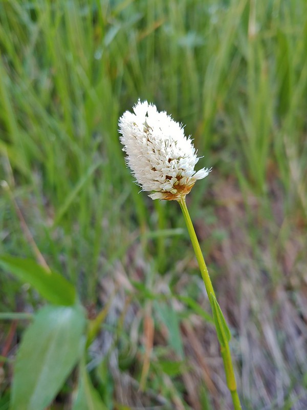 Bistort
 Heather passing through the meadow.
 There wasn’t much to the brushy creek but it made for a definitive turnaround point.
 California ground cone
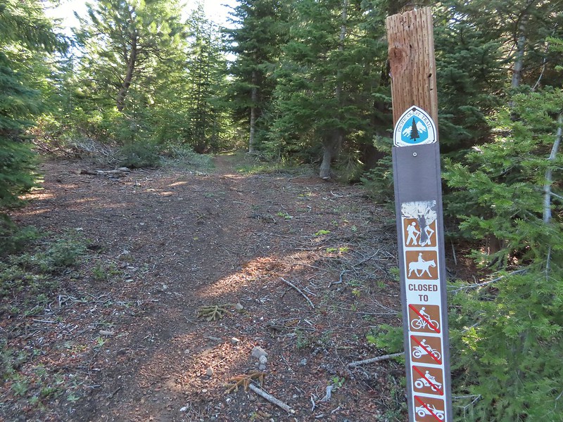 PCT heading north from the Stateline Trailhead.
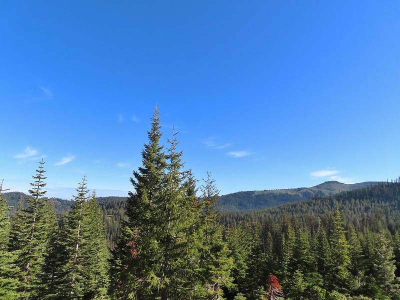
 Pasque flower
 Grayback Mountain in the distance with a small patch of snow.
 One of three springs the trail passes on the way to Observation Peak.
 Marsh marigolds
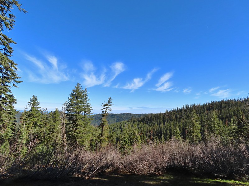
 Alpine pennycress
 Another spring with marsh marigolds and glacier lilies.
 Scraggy Mountain
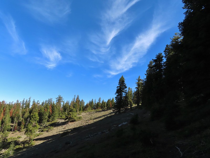
 Looking SE to the Red Buttes (
 Kangaroo Mountain and Red Butte with Preston Peak, Twin Peak and El Capitan behind in the Siskiyou Wilderness.
 View south.
 Part of the Marble Mountains (
 Kettle Lake through the trees.
 Heading up to the ridge.
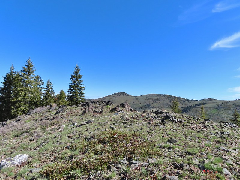 Dutchman Peak from the ridge.
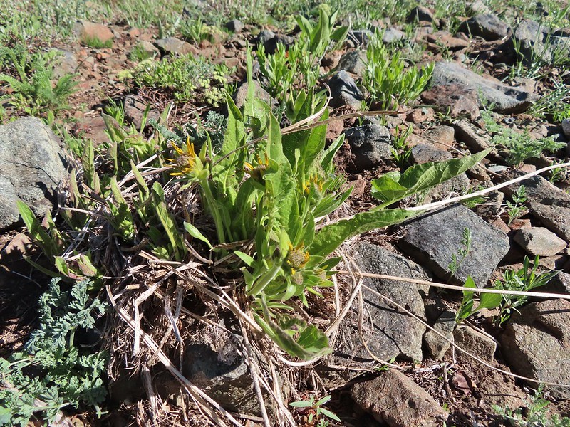 Not sure if these are mule’s ears or a balsamroot.
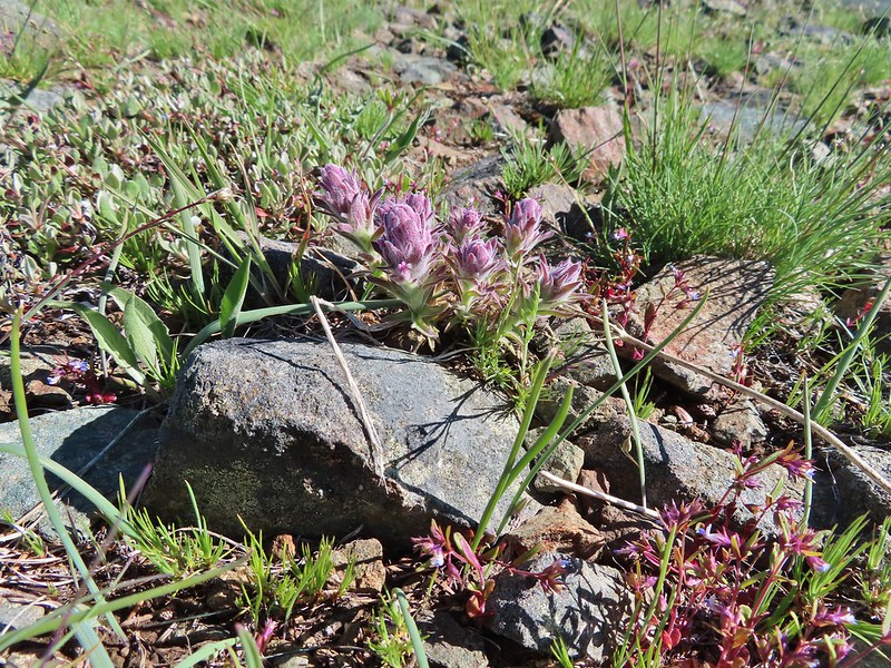 Splithair Indian Paintbrush (Castilleja schizotricha)
 Swallowtail on phlox.
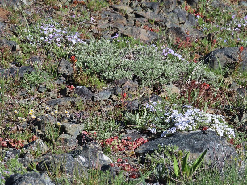 Wildflowers on the ridge.
 Cutleaf daisy?
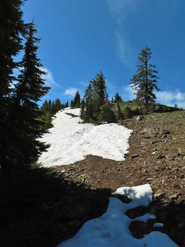 Snow drifts covering the PCT.
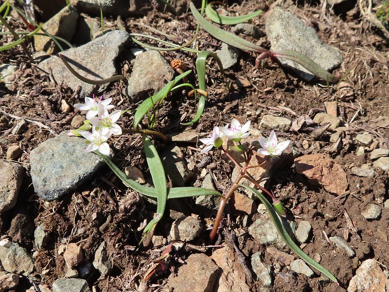 Lance-leaf Spring Beauty
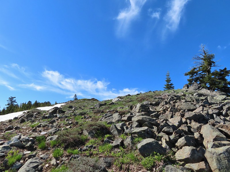 Heading for the summit.
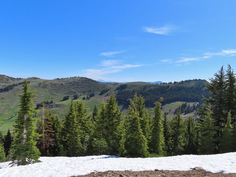

 Pilot Rock (
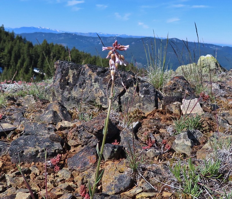 A rockcress
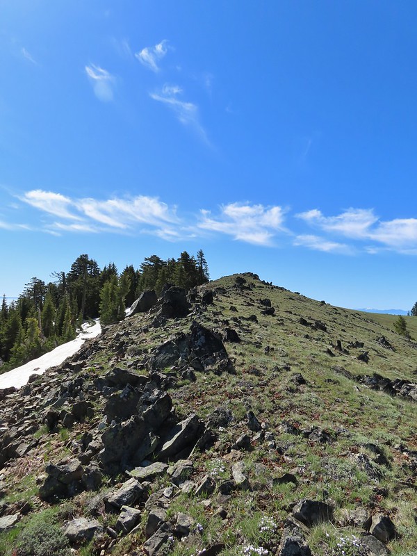

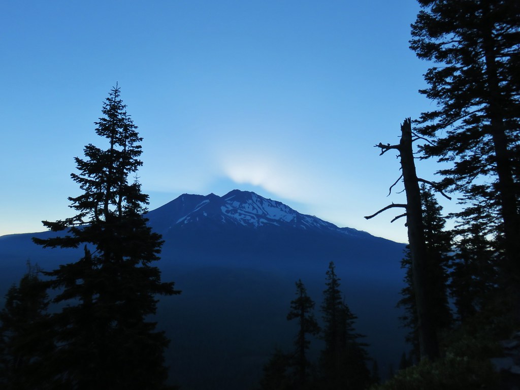
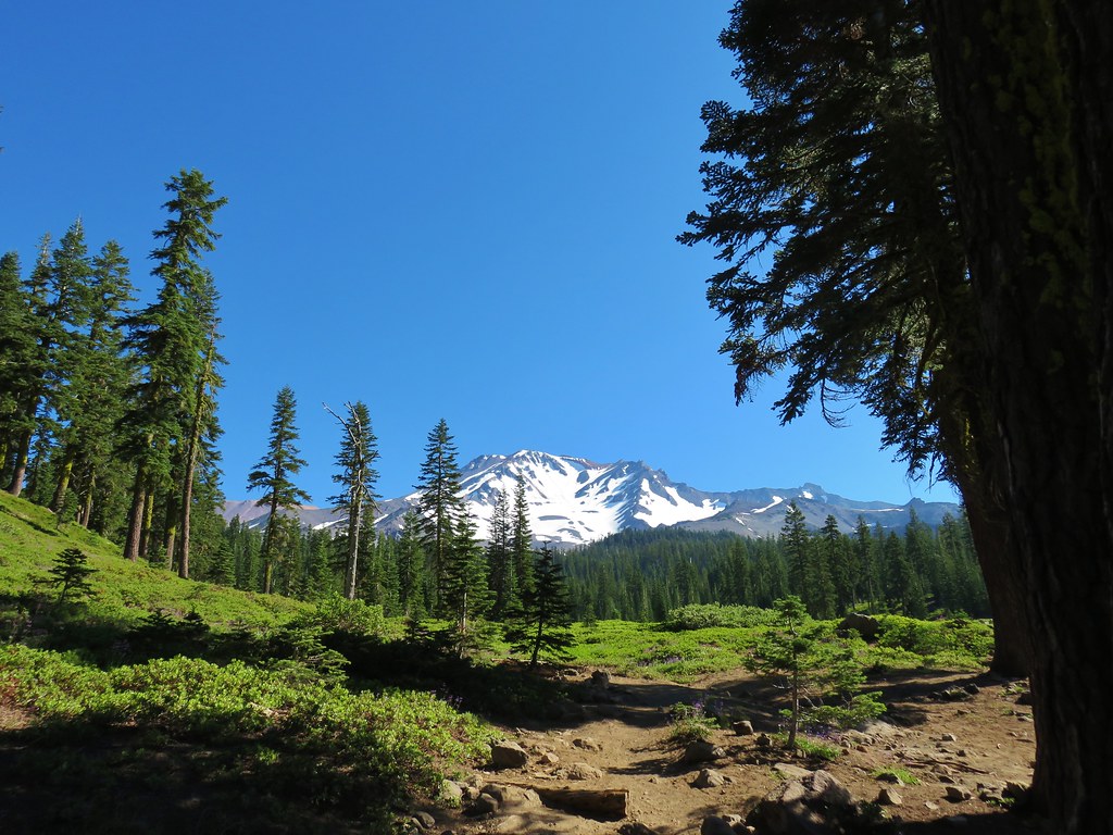
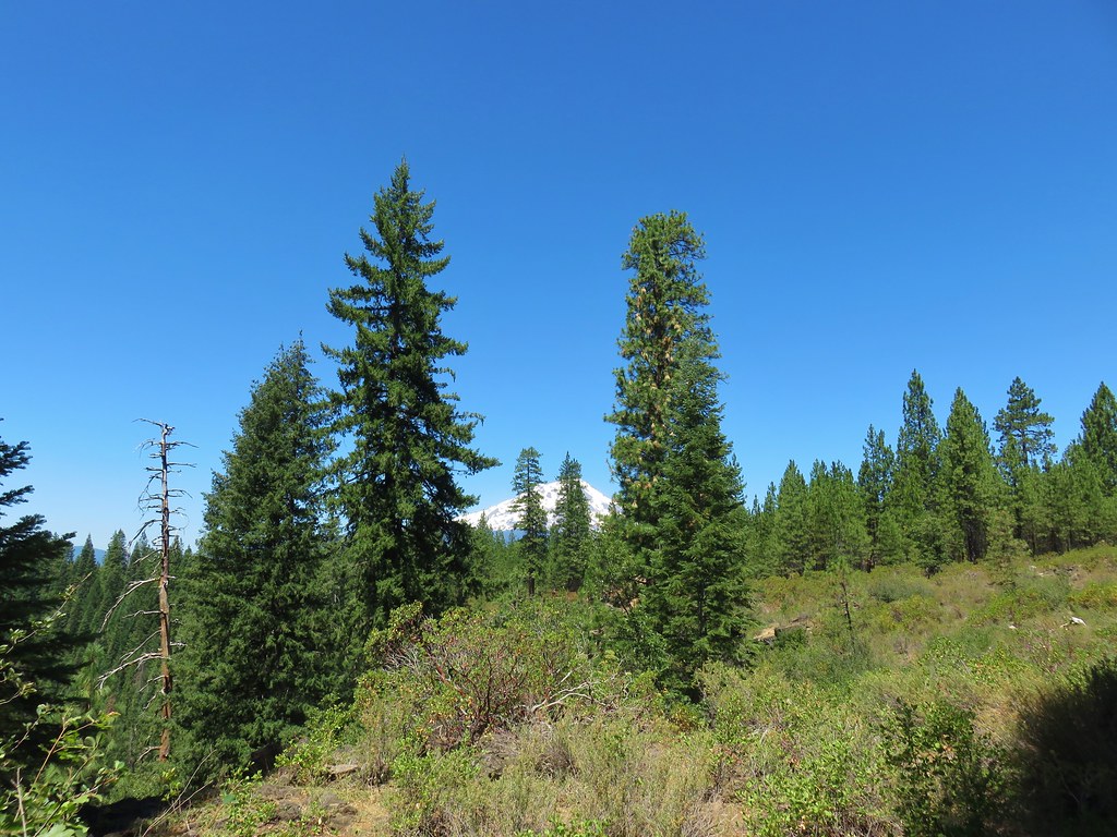
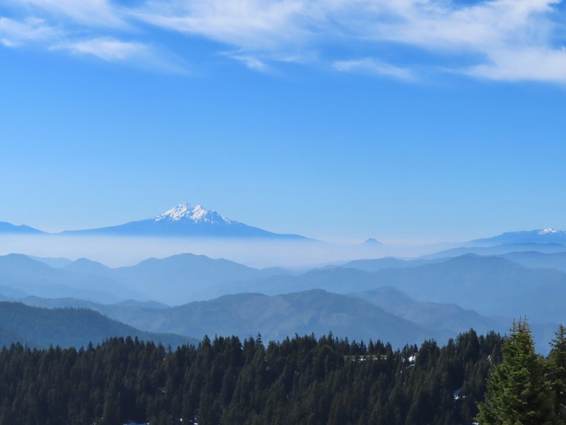 Mt. Shasta above a layer of smoke that mostly hid Black Butte (
 I think these peaks are a mix of the Russian Wilderness in the forefront and Trinity Alps behind. Bruce correct me if I am wrong on that :).
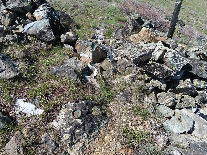 Rock pile at the summit.
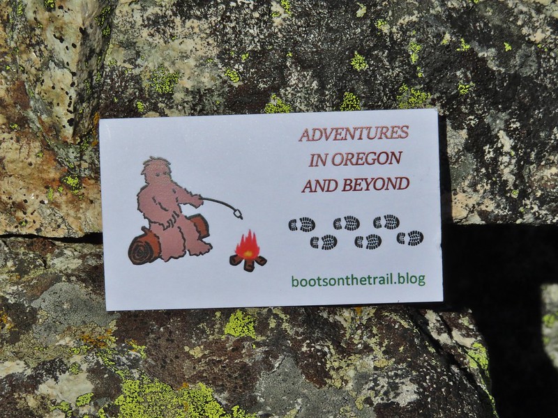 Our big find. I took a couple of pictures and put the card back for someone else to find (and added one of ours).
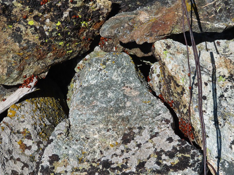 There were dozens of ladybugs in the rock pile.
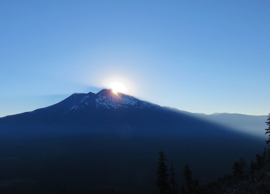
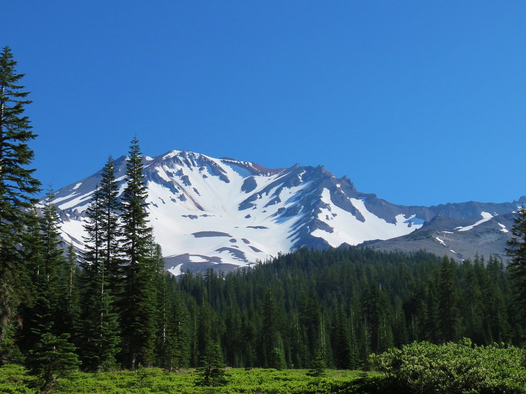
 One of many photos of Mt. Shasta. We don’t get too many chances to see this Cascade Mountain.
 We could see Mt. Thielsen (
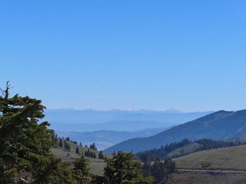 The peaks around the rim of Crater Lake.
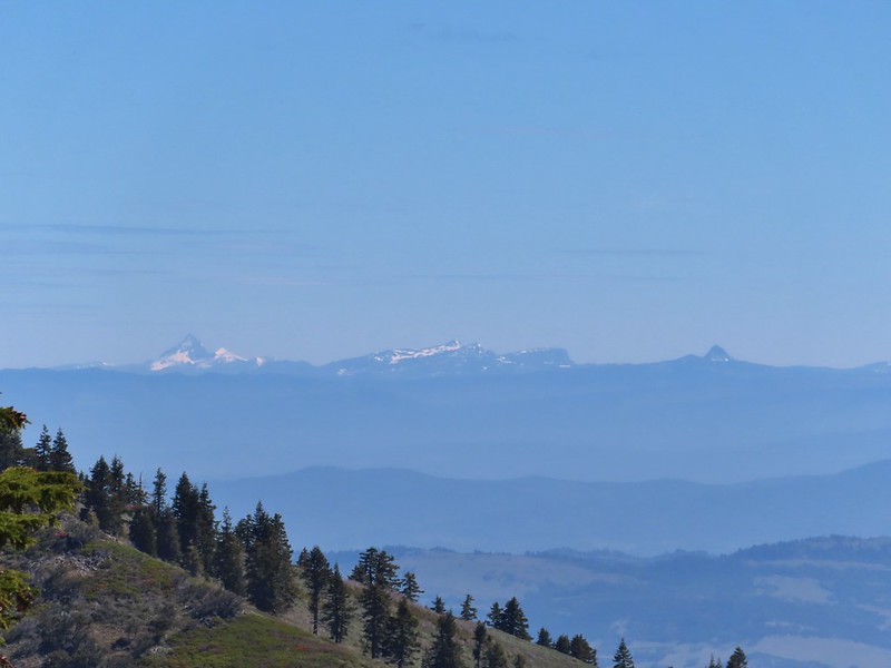 Mt. Thielsen to the left of Crater Lake.
 Mt. Bailey (
 The Red Buttes in front of Preston Peak.
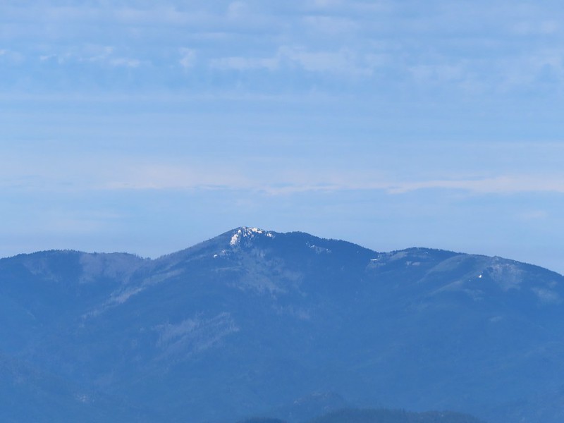 Grayback Mountain
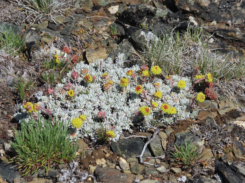 Buckwheat
 Alpine pennycress
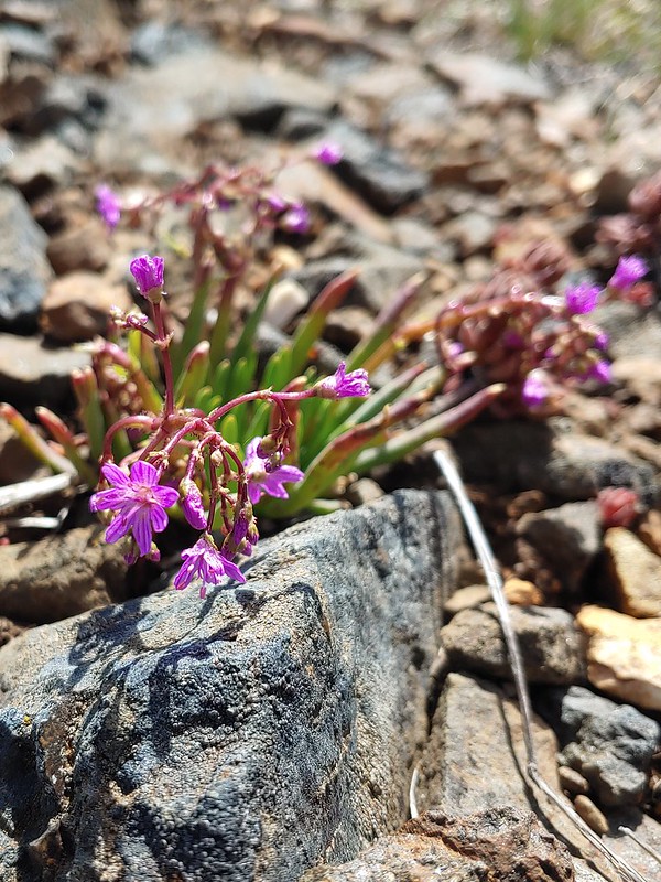 Quill-leaf Lewisia
 Larkspur
 Chipmunk having a snack.
 One of two hairstreaks we encountered on the PCT.
 The 2nd hairstreak.
 Where I left the PCT.
 Lots of this orange fungus in the forest.

 Bee on a marsh marigold.
 Glacier lily
 Trillium
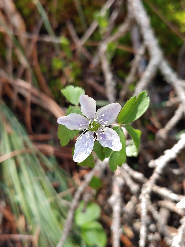 Anemone
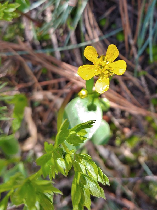 Buttercup?
 Passing through the manzanita section.
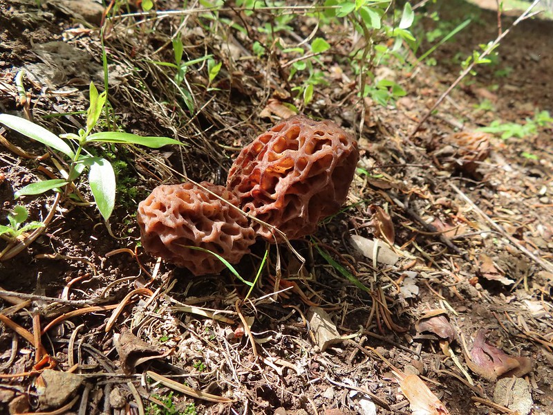


 Four County Point
 Sunset Rest Area


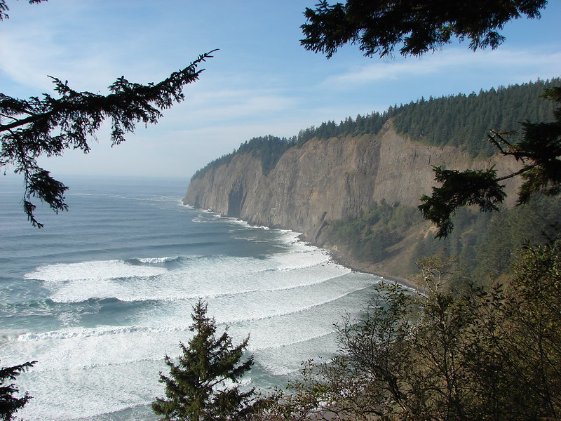


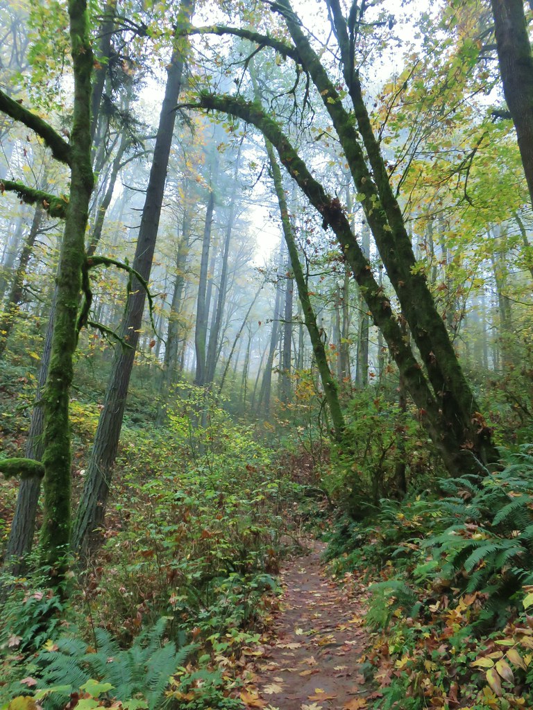
 Inland (Rainforest) Trail


 Yaquina Head
 Yaquina Bay
 Estuary Trail
 South Jetty
 Mike Miller Trail


 Fort Hoskins
 Beazell Forest


 Pioneer Hill Trail
 Pawn Old Growth Trail
 Old Growth Ridge Trail
 Clay Creek Trail


 Coquille River Falls
 Elk Creek Falls
 Hanging Rock

 Shrader Old Growth Trail
 Myrtle Tree Trail
 Vulcan Lake
 Vulcan Peak
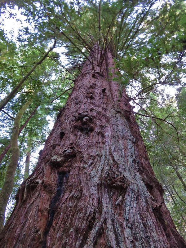


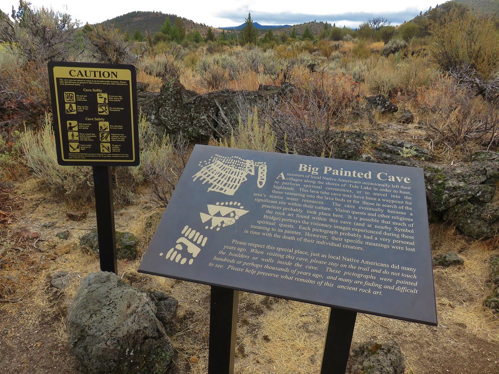
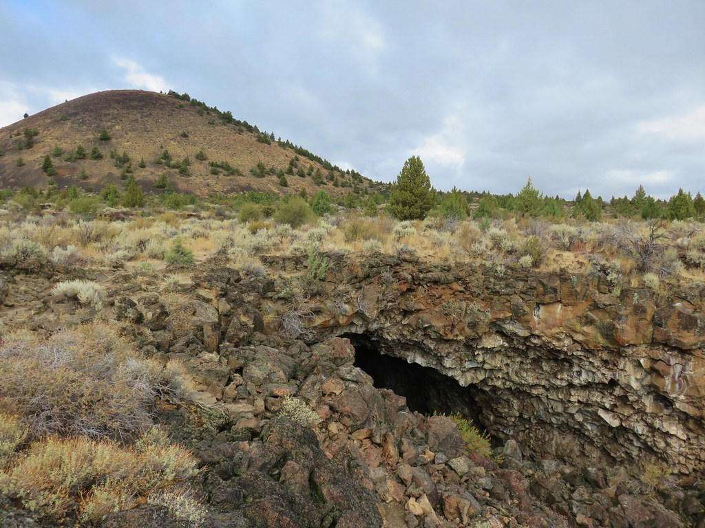
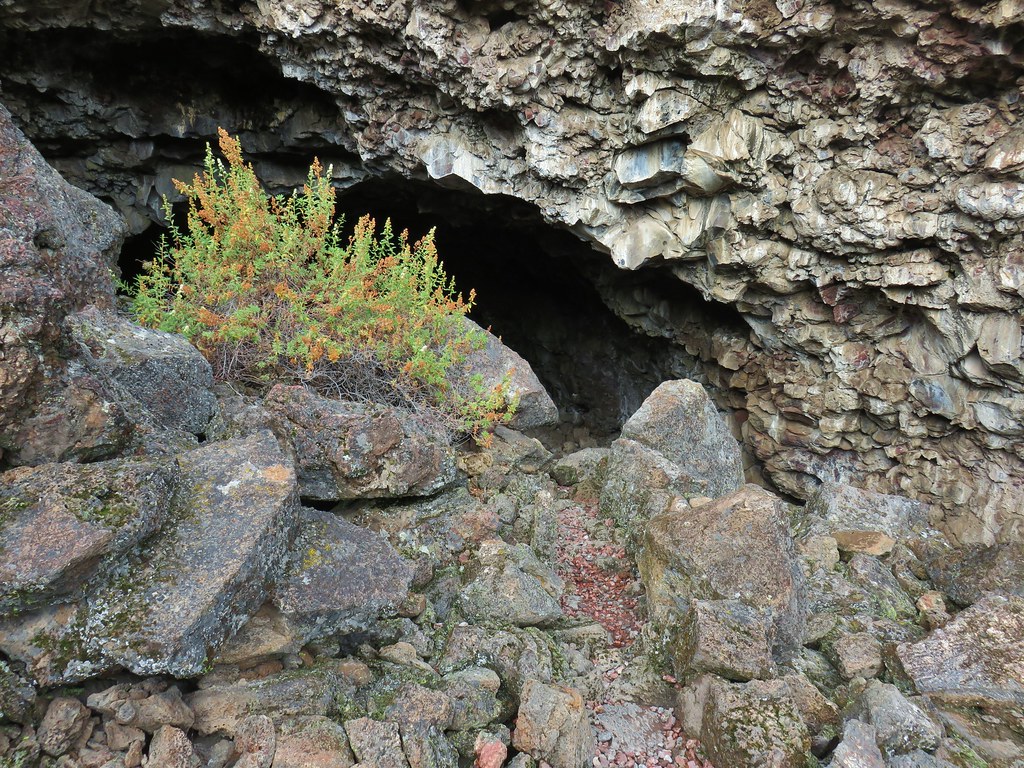
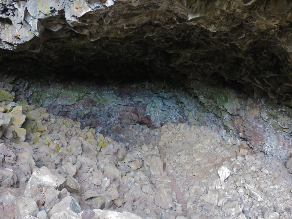
 Tule Lake


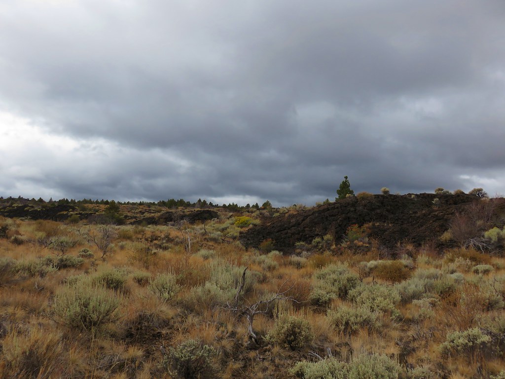
 Whitney Butte to the left and Mount Dome to the right.
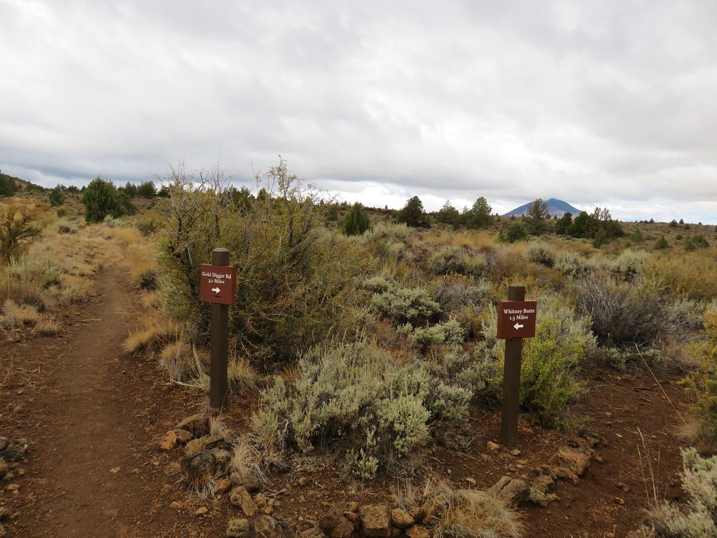


 Whitney Butte and Mount Dome


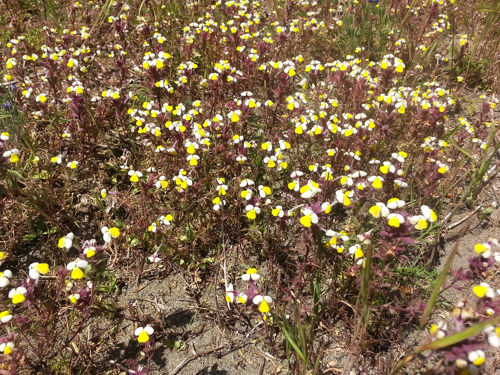 Butter and eggs – Yontocket
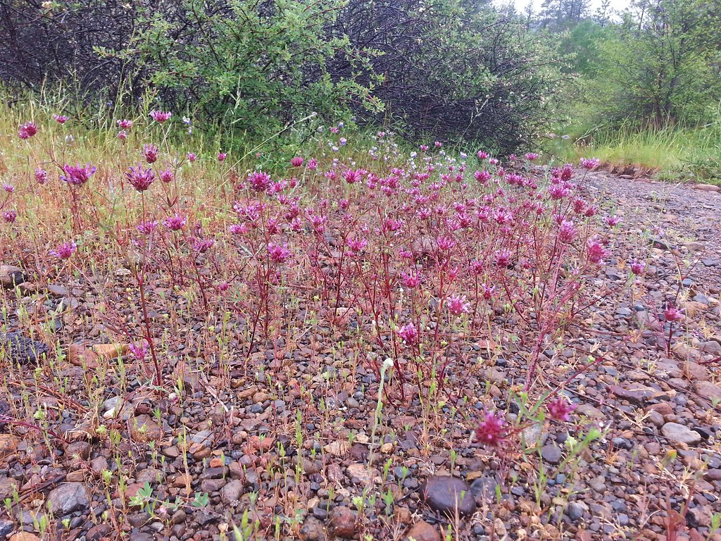 Tomcat clover – Rough and Ready Botanical Wayside
 Dalmation toadflax – Cottonwood Canyon State Park
 Heart-leafed milkweed – Applegate Lake
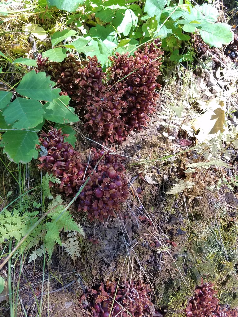 California groundcones – Jacksonville
 Geranium – Lost Creek Lake
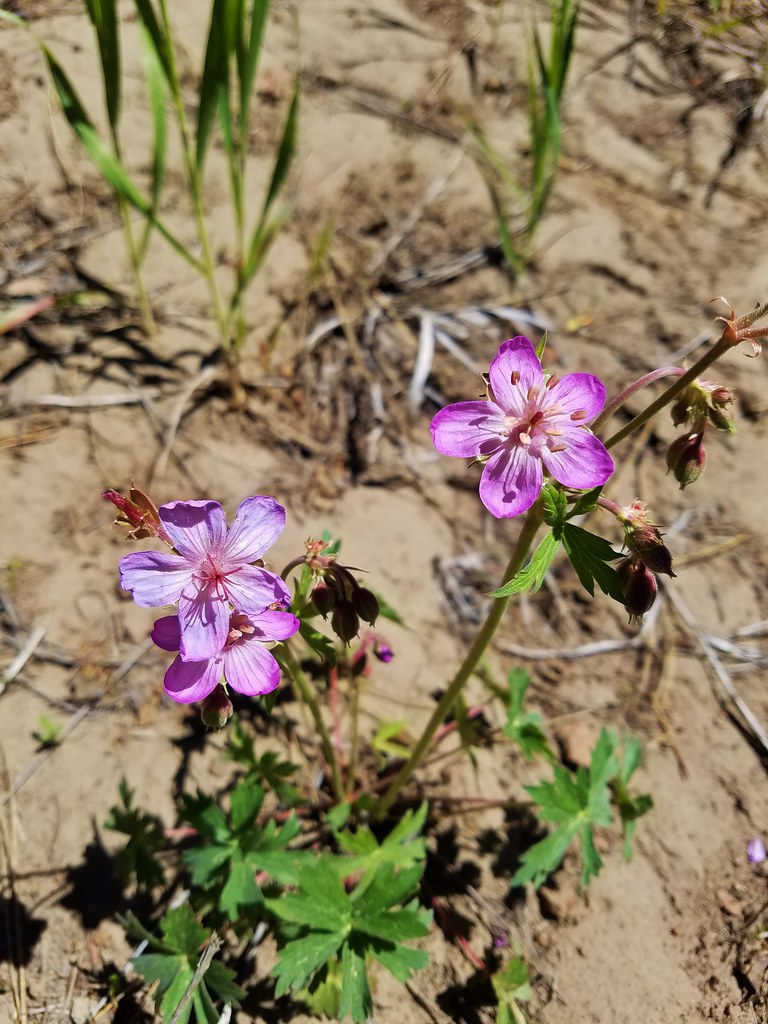 Geranium – Round Mountain
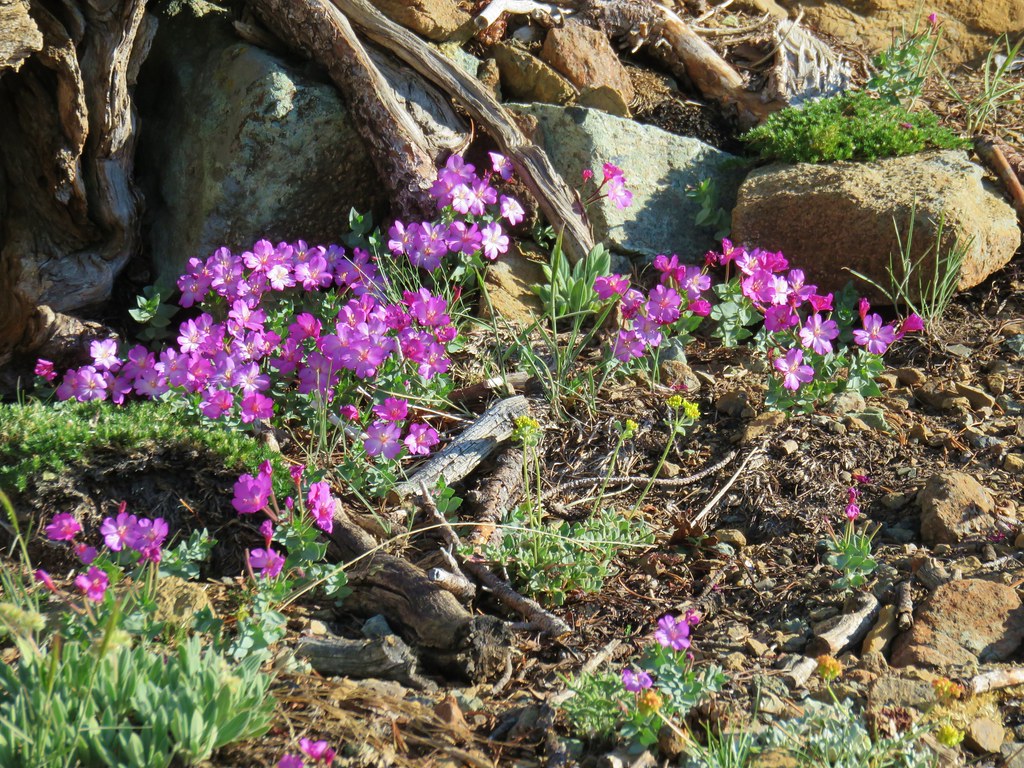 Rockfringe willowherb – Mt. Eddy
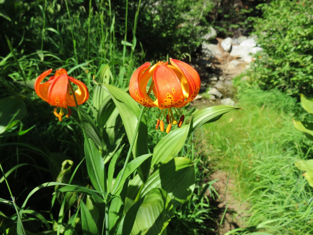 Leopard Lily – Trinity Alps Wilderness
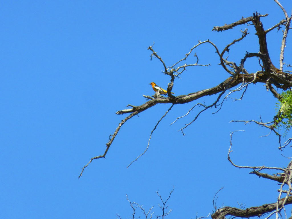 Bullock’s Oriole – Cottonwood Canyon State Park
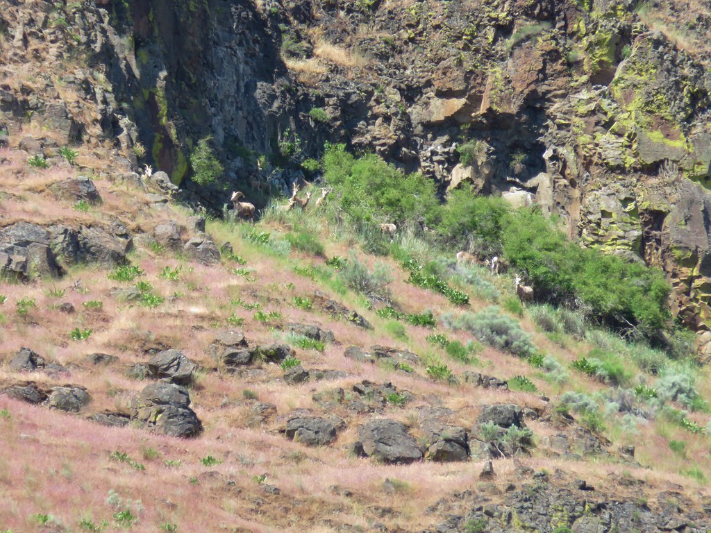 Big horn sheep – Cottonwood Canyon State Park
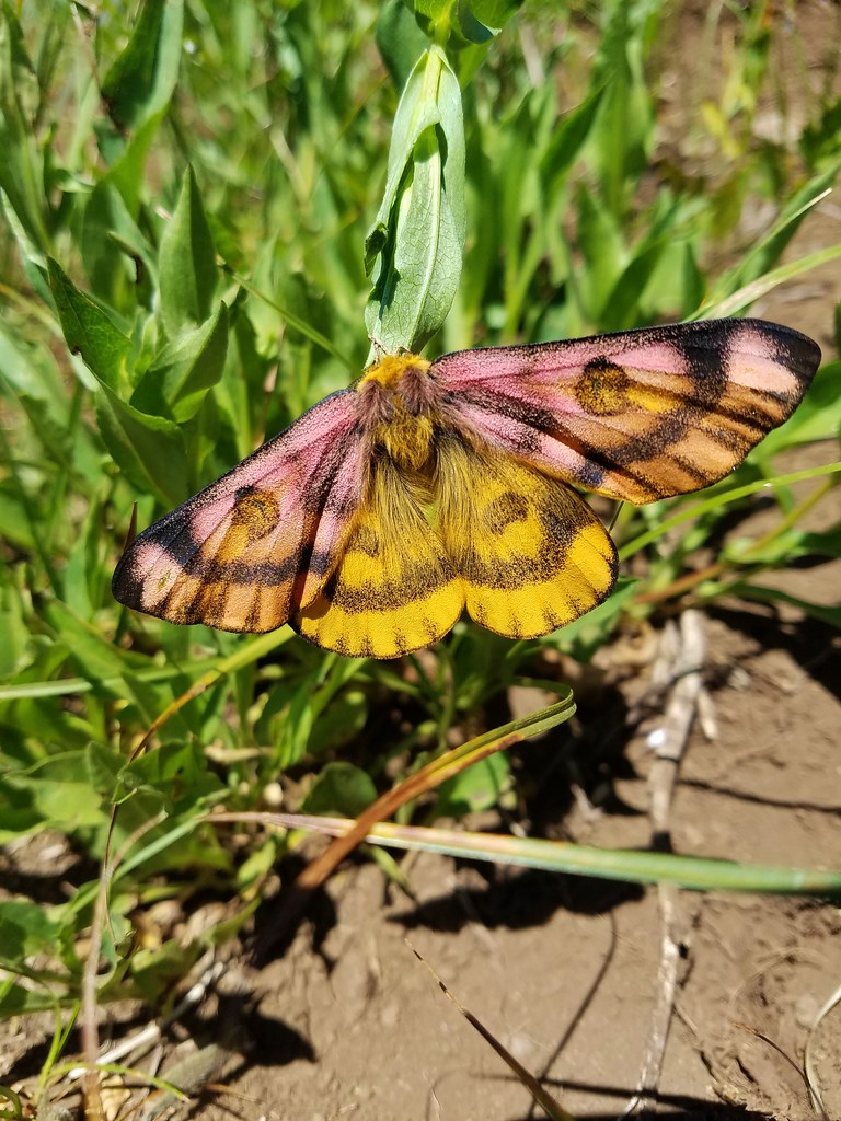 Sheep moth – Grasshopper Meadow
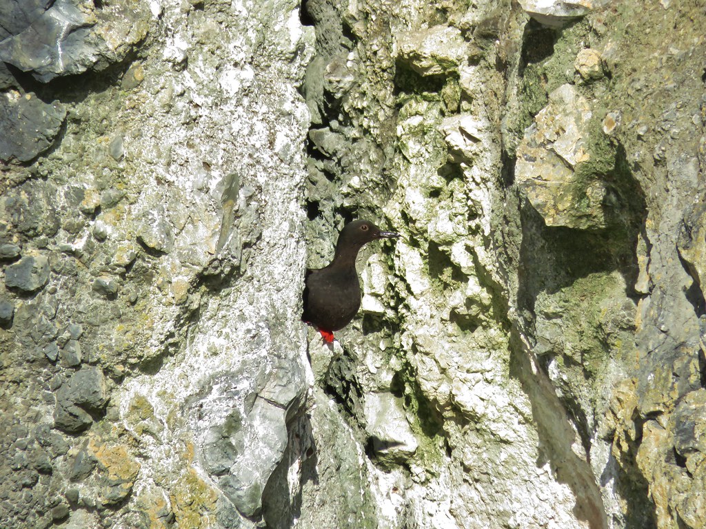 Pigeon guillemot – Yaquina Bay
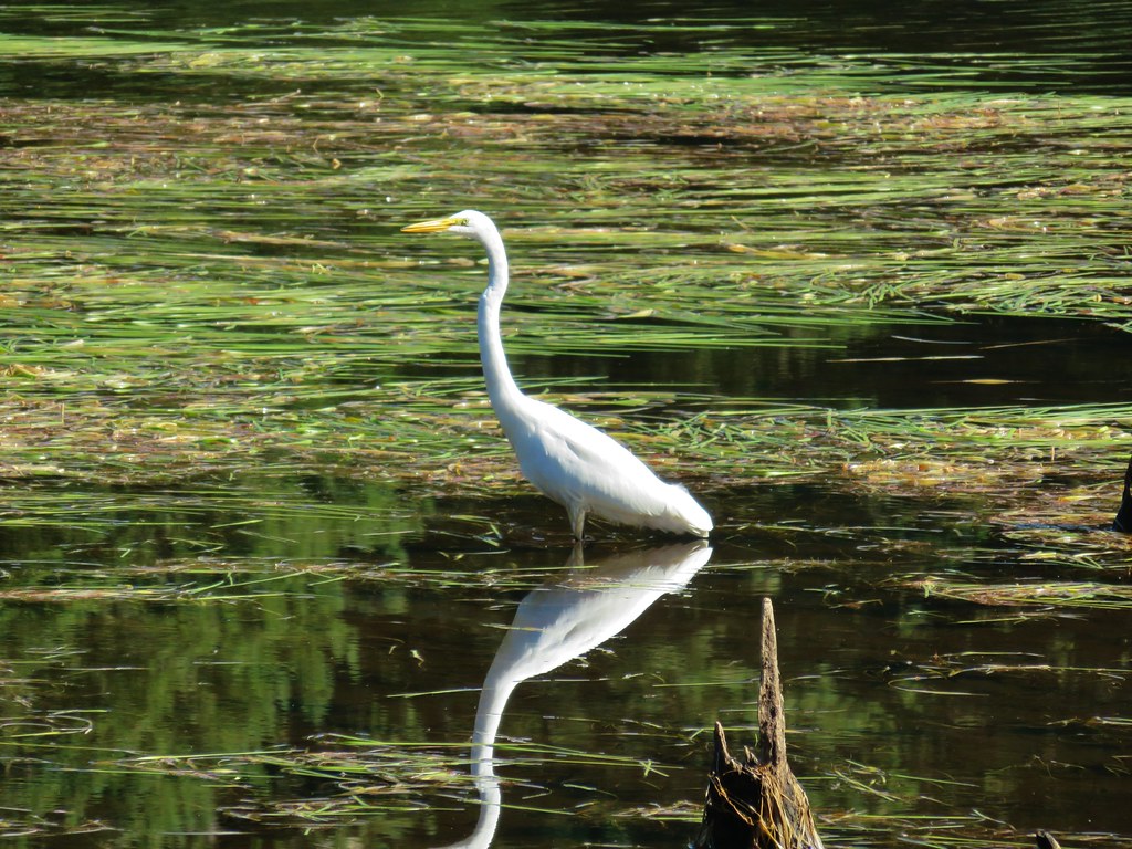 Egret – Cape Disappointment State Park
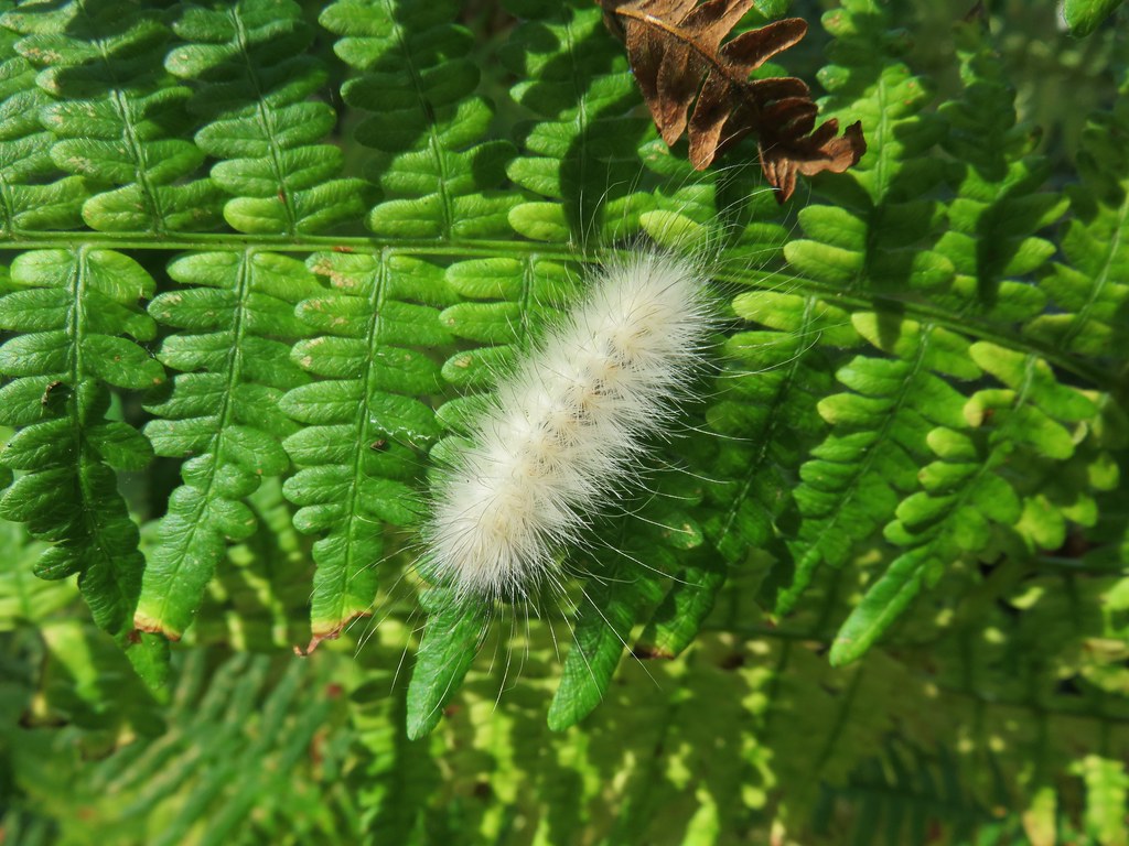 Caterpillar – Cape Disappointment State Park
 Baker Beach in January
 Ona Beach in December
 Palisades – Clarno Unit, John Day Fossil Beds, April
 Hedgehog Cactus – Spring Basin Wilderness, April
 Fern Canyon – Prairie Creek State Park, May
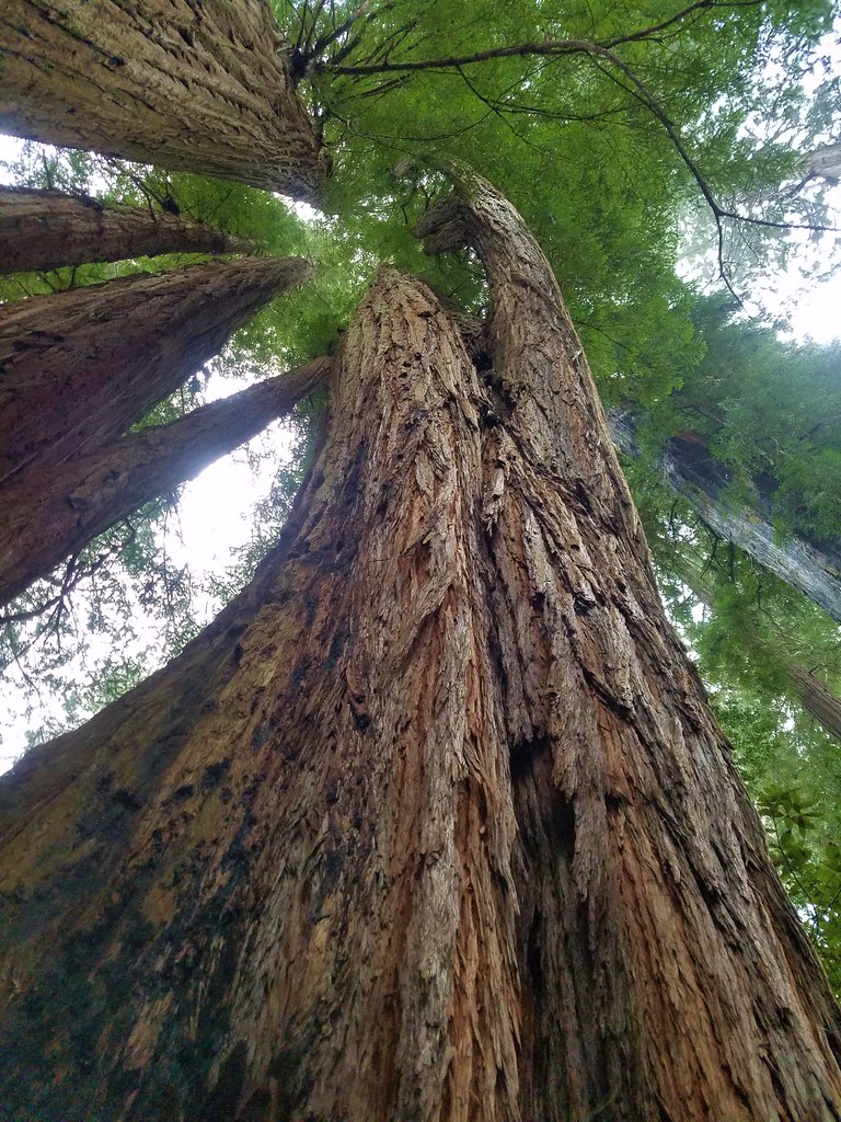 Tall Trees Grove – Redwoods National Park, May
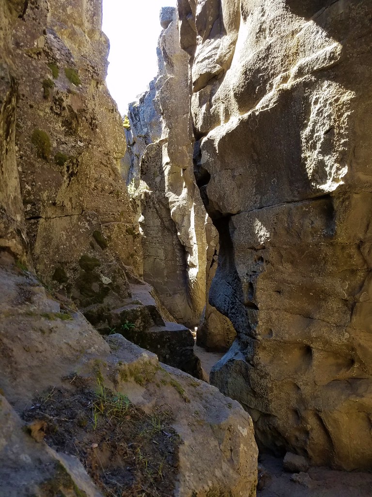 Crack in the Ground, Christmas Valley, May
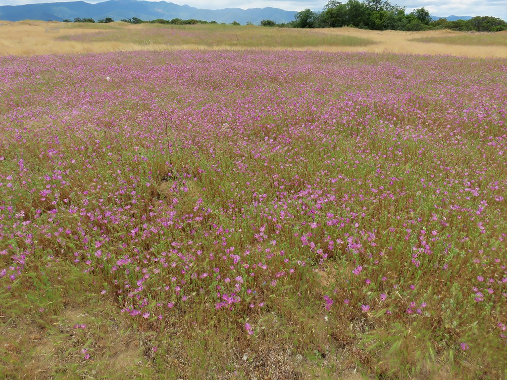 Wildflowers on Lower Table Rock, Medford, June
 North Point – Bridge Creek Wilderness, June
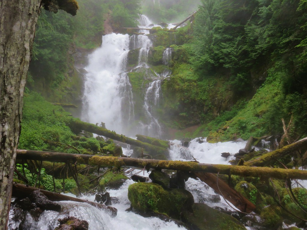 Upper Linton Falls – Three Sisters Wilderness, July
 View from the Summit of Mt. Eddy, July
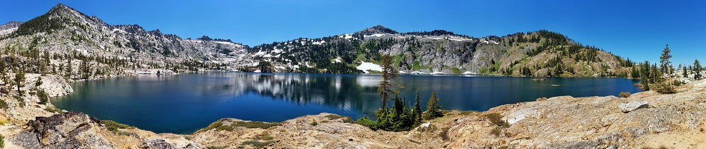 Caribou Lake – Trinity Alps Wilderness, July
 Fireweed along the Vista Ridge Trail – Mt. Hood Wilderness, August
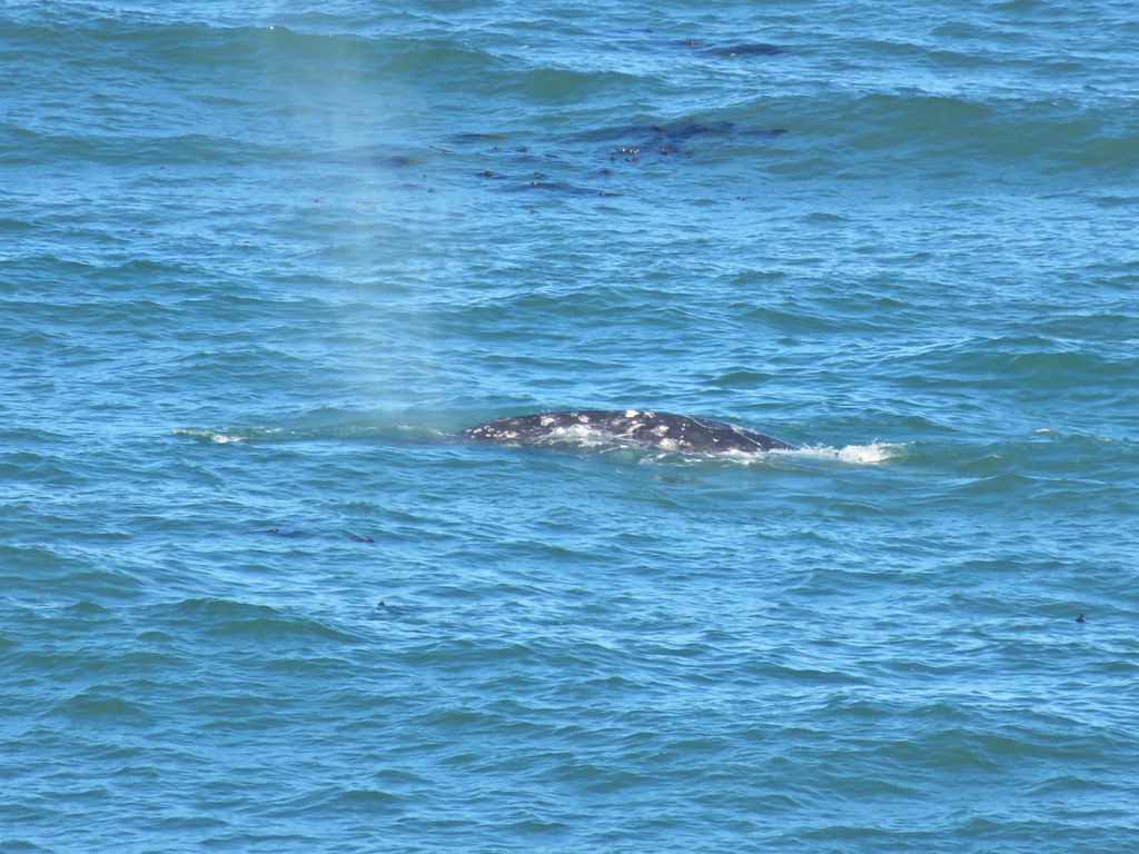 Whale – Yaquina Head, August
 Horseshoe Meadow – Mt. Adams Wilderness, September
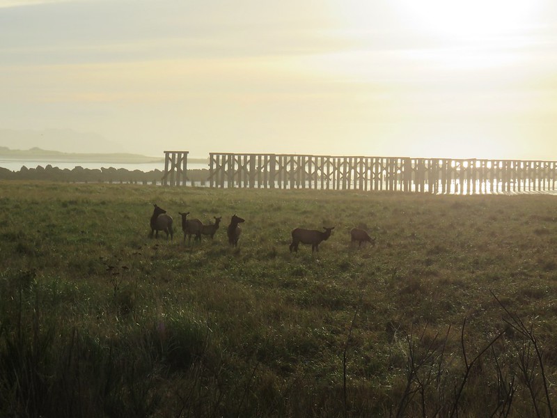
 Bull elk – Clatsop Spit, September
 Blue Basin – John Day Fossil Beds, September
 Baldy Lake – North Fork John Day Wilderness, September
 Dead Mountain Trail – Willamette National Forest – October
 Mt. Hood from Tom Dick and Harry Mountain – Salmon-Huckleberry Wilderness, October
 Cummins Creek Wilderness, November