After several hectic weeks at work for both Heather and I we celebrated the start of a new month (and a favorable forecast) by heading out on our second hike of the year. Our destination for this outing was the Yakona Nature Preserve, an area brought to our attention by our friends Susan and John. The preserve encompasses over 300 acres of a peninsula located at the south end of Newport in Yaquina Bay which as been acquired through various purchases since 2013. Several trails have been built in recent years with construction ongoing as the Yakona Nature Preserve works to fulfill its vision “to preserve and restore native forest land on the bay, with day use access for families, hikers and people of all abilities.”
I reached out to the folks at the preserve to check on any permit or reservation requirements to visit. They were quick to answer and provided me with the information we needed. As of our hike (and this report) there are two ways to visit the preserve, on a group hike led by the Yakona Nature Preserve or by obtaining a permit to hike 1.75 miles through private timber land to reach the preserve. We were informed that a group hike was tentatively planned for later in the month but we really needed to spend a day on the trails sooner rather than later and we couldn’t pass up a partly sunny day so we opted to go the permit route. If you’re interested in visiting the preserve please reach out via their contact page or message them on Facebook for more information.
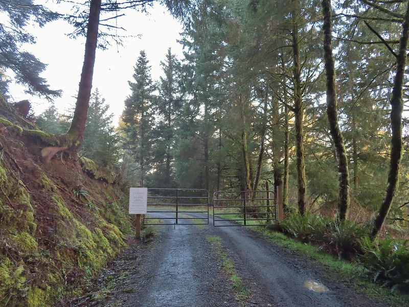
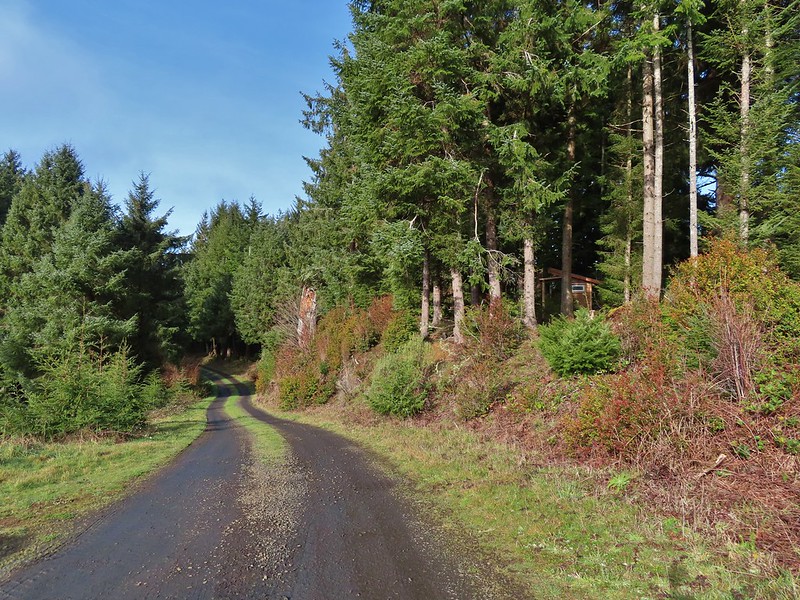
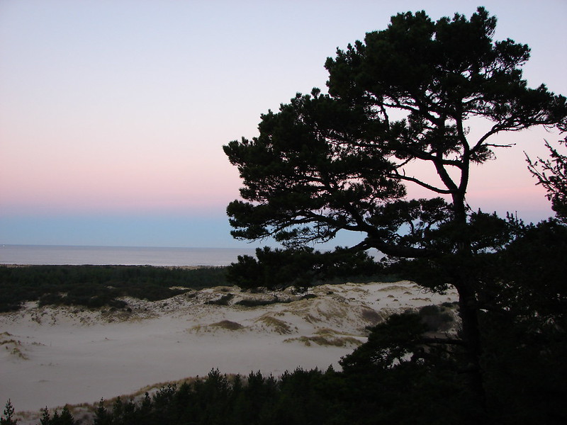
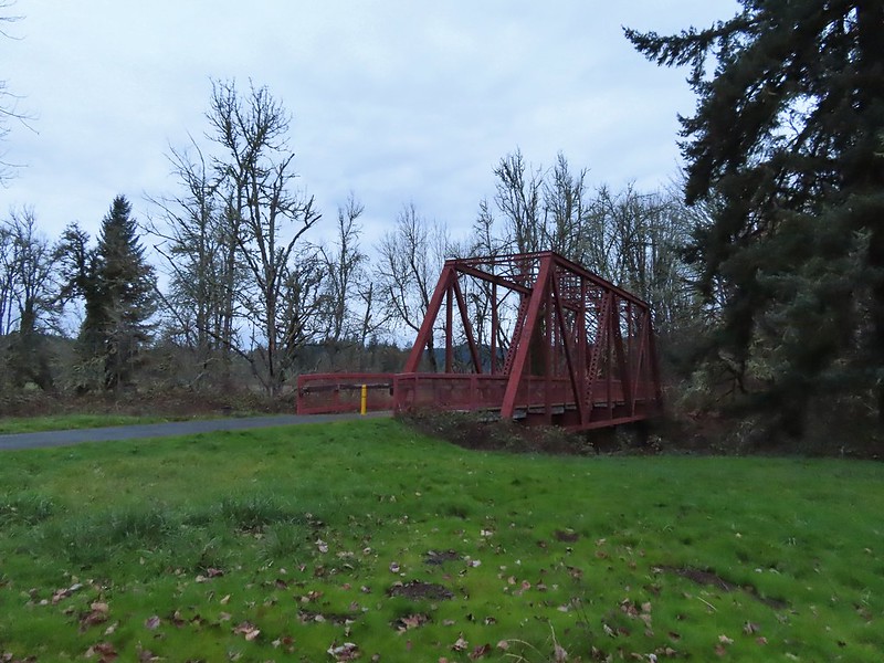
With our permit obtained we headed to Newport and parked near the Wilder Dog Park and disc golf course just beyond the Wolf Tree Brewery and Taproom on SE Harborton Street. SE Harborton is gated at the start of the private land (do not block the gate) and becomes Road 200.
 Permit info at the gate.
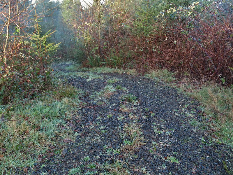
 Looking back to the gate from Road 200.
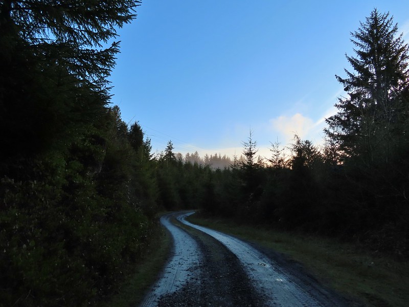
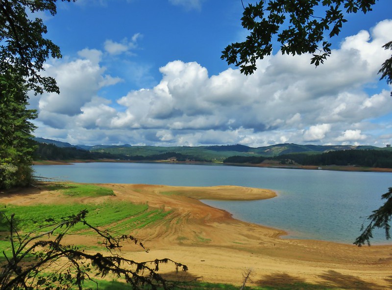
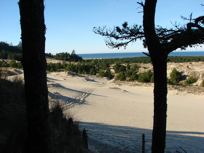
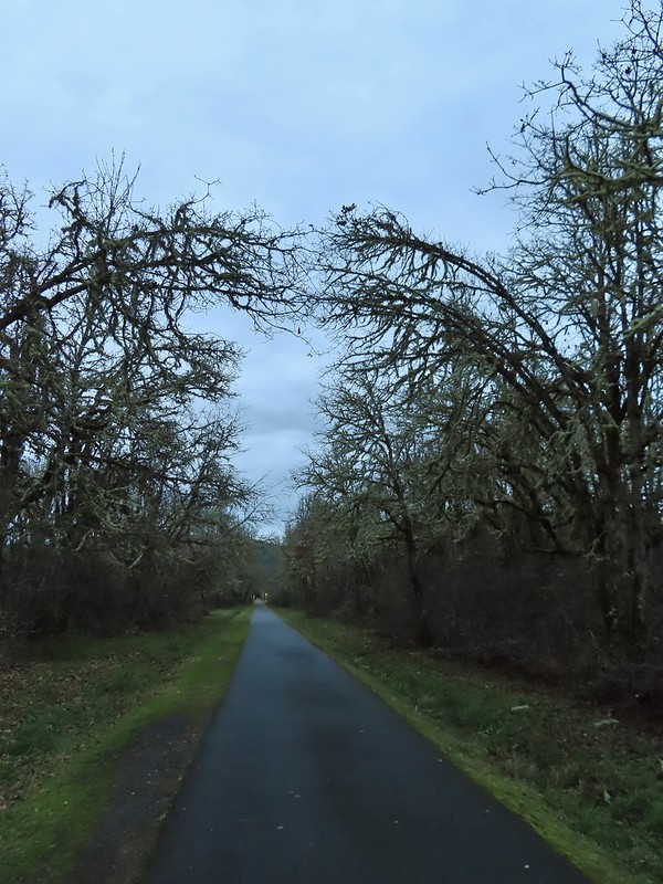
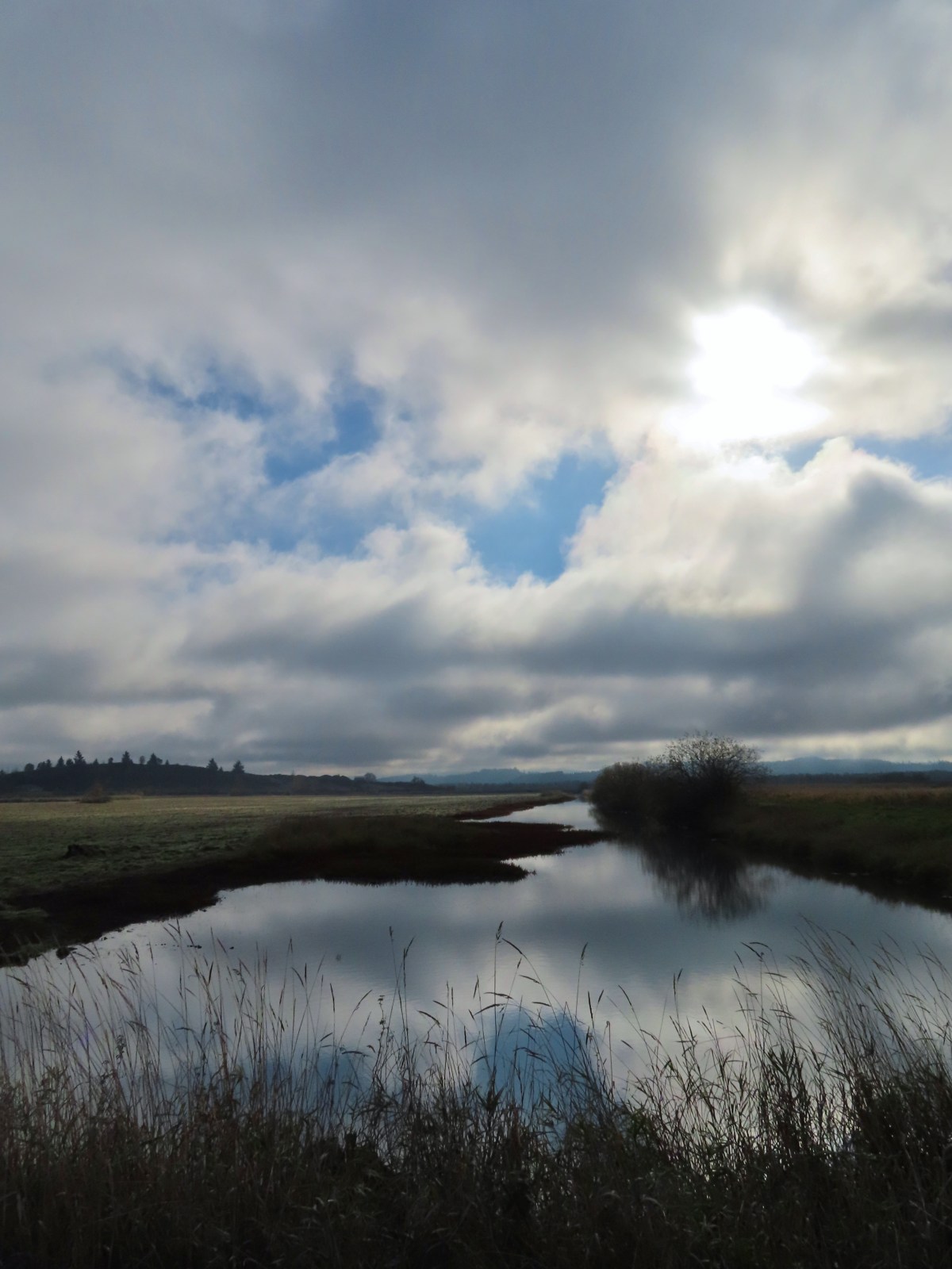
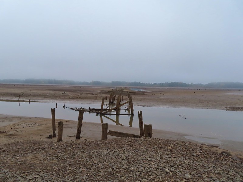
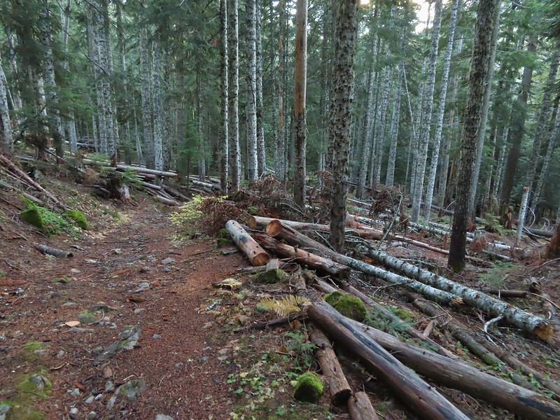
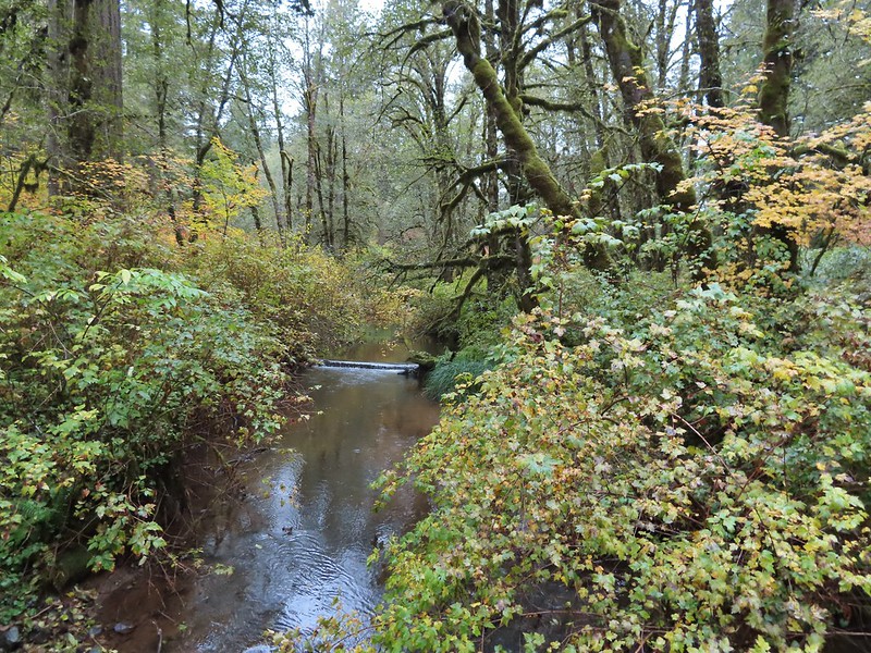
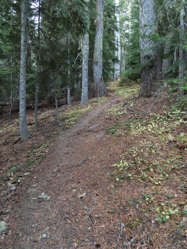
From the gate we took Road 200 (the middle of three roads) and followed it for three quarters of a mile to King Slough where the road passes through the estuary.

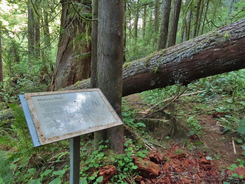
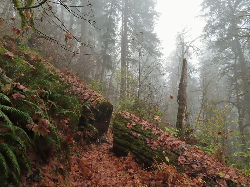
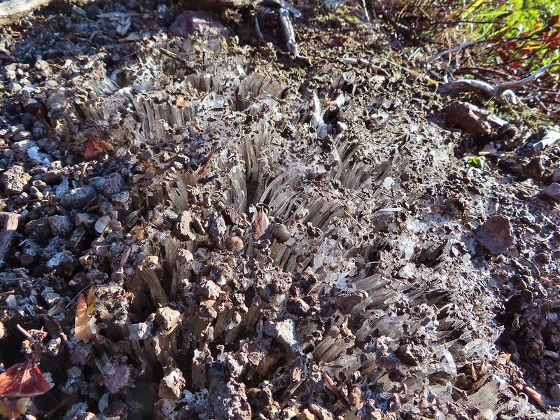
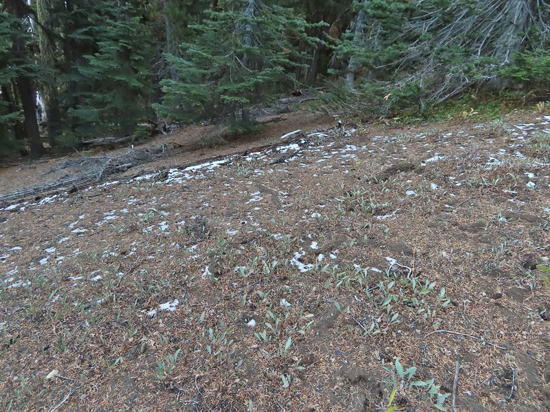
 It’s hard to get an idea of size here but the two trees growing over the large nursery stump were good sized.


 Hooded Mergansers
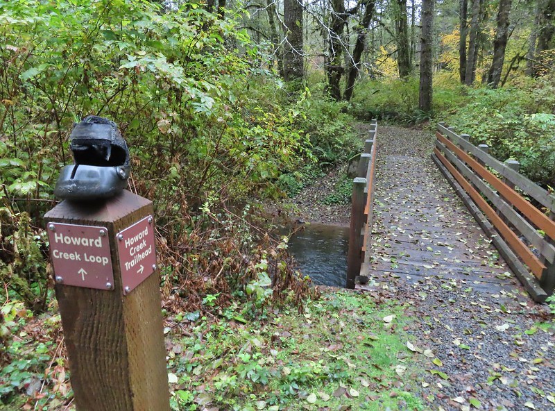
After a brief stretch amid some trees, where we stayed left at another 3-way fork, we crossed another arm of King Slough.
 Road 200 to the left.
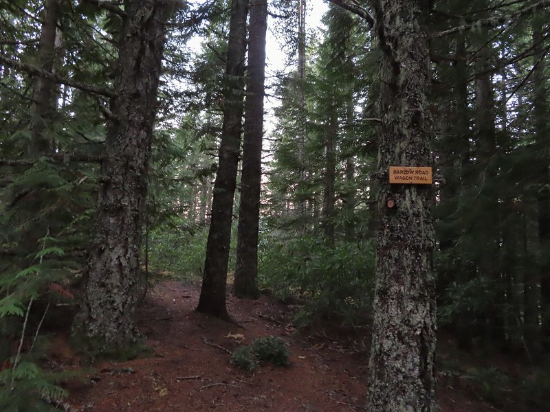
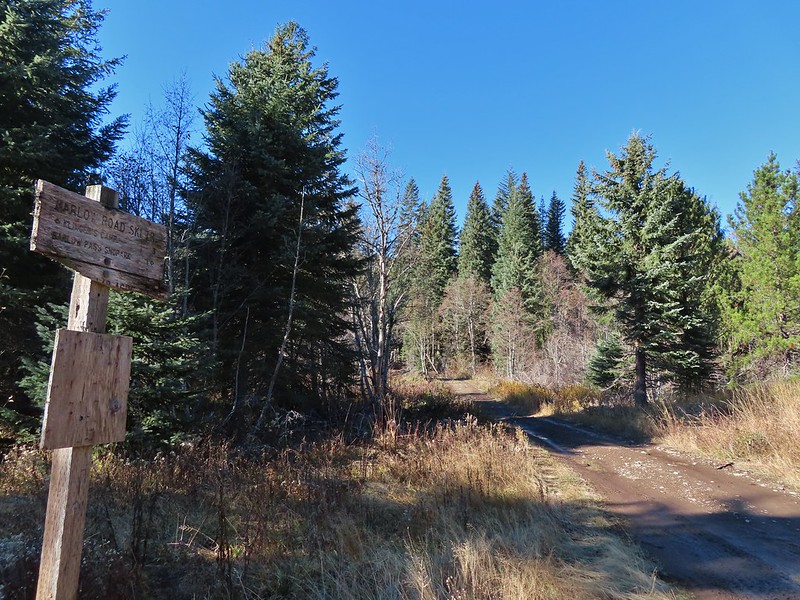
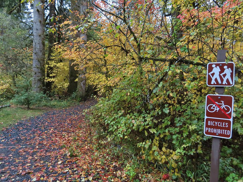
On the far end of the slough on the right side of the road was a trail signed “3rd World”

This wasn’t the first trail we’d seen leading off to the right, we had passed at least three earlier some of which appeared to be part of the disc golf course, but this was the first that we would pass both ends of. A half mile further up Road 200 we passed the upper end of the 3rd World Trail and decided that we would take that trail on our way back. The various trails which are open to mountain bikes, trail runners and hikers can be viewed here. (Don’t forget your permit.)
 Upper end of the 3rd World Trail.
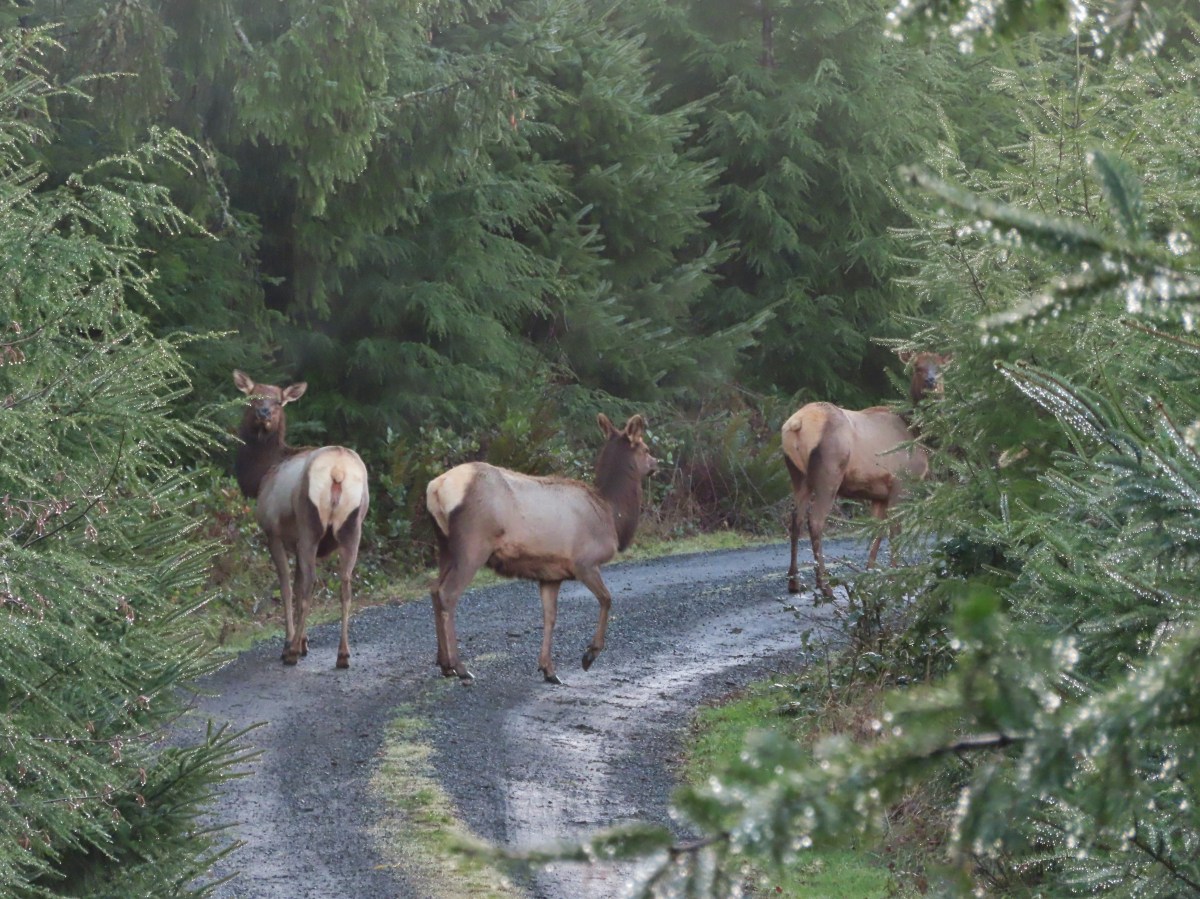
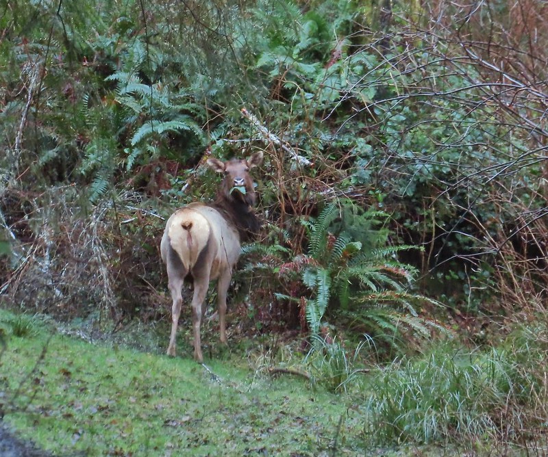
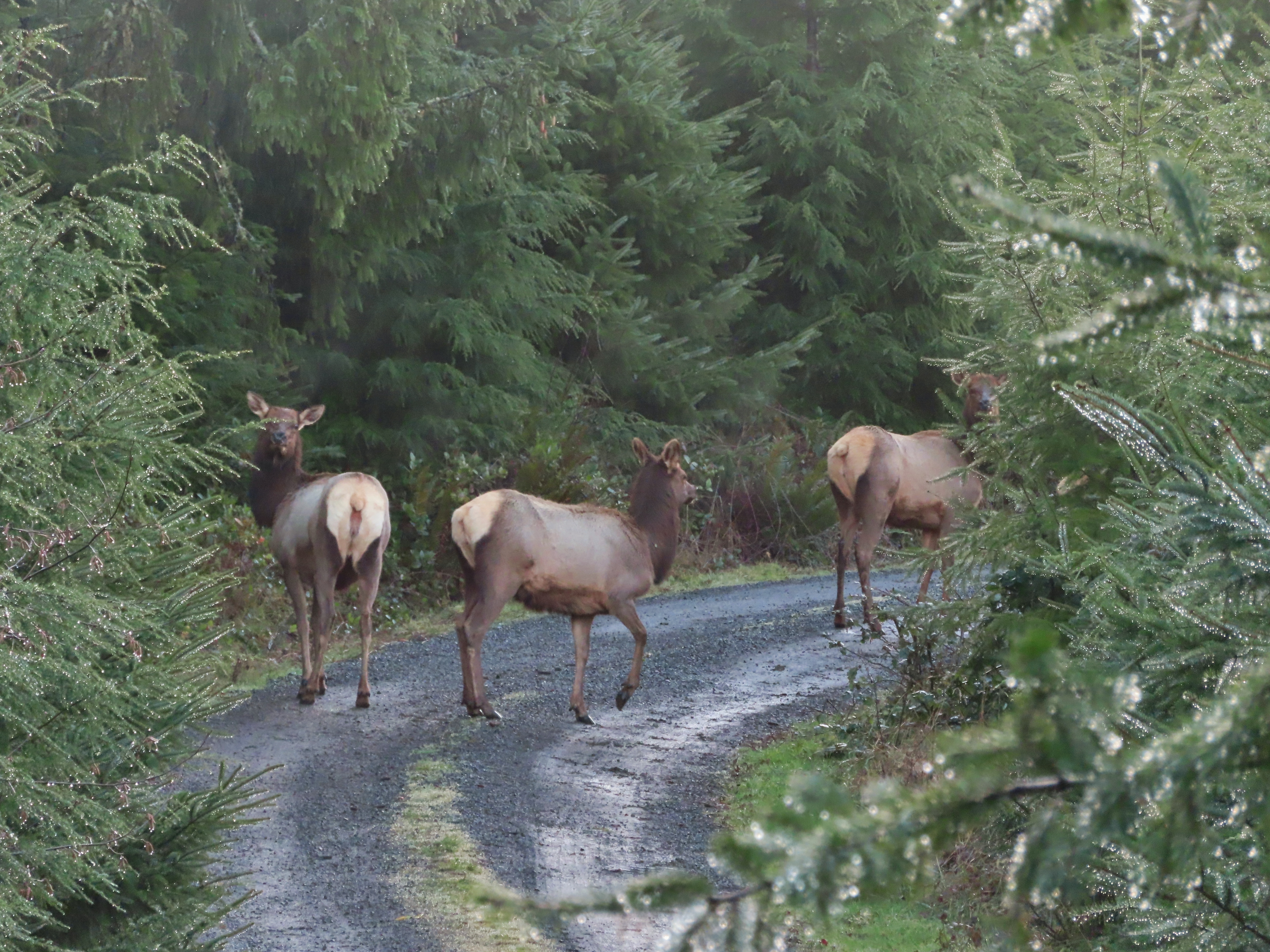
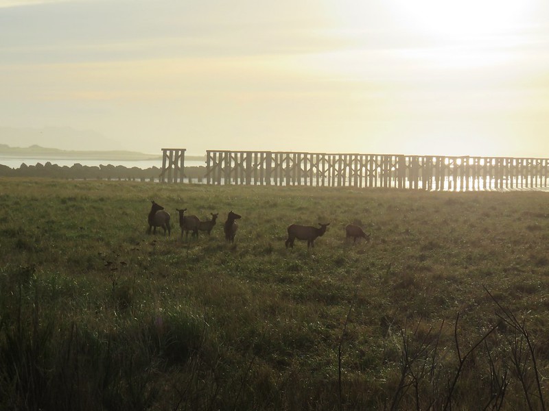
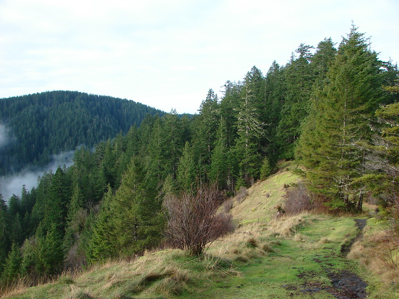
We had stayed on Road 200 through which climbed uphill via a wide curve. As we gained elevation we spotted a couple of elk in the brush on the hillside above.

It turned out that there were quite a few elk in the area and for the next third of a mile or so we occasionally spotted them in the road or heard them crashing through the brush.
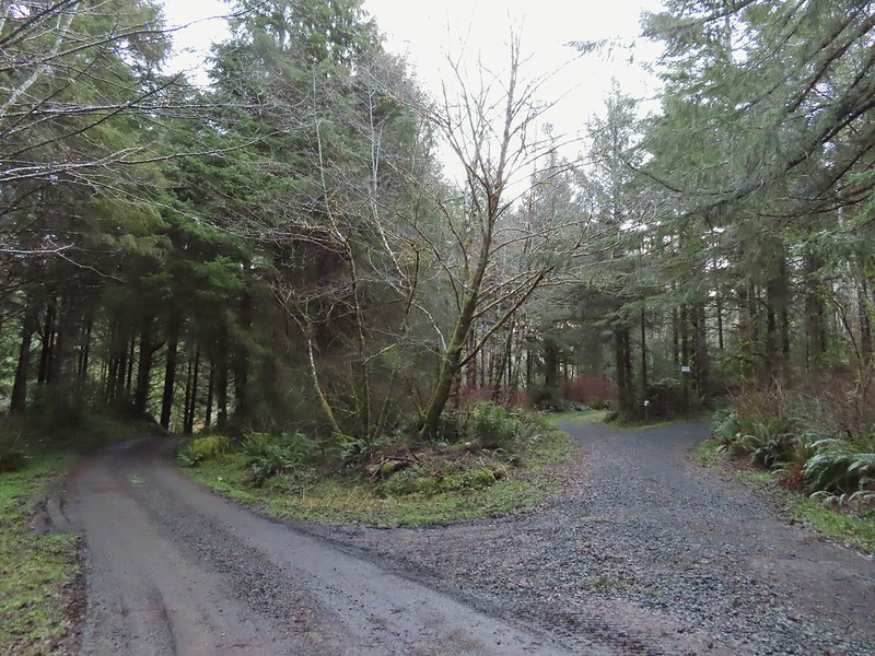
Two tenths of a mile beyond the upper end of the 3rd World Trail we came to a split in the road on a ridge top. Road 200 turned left while Road 250 continued straight.
 Approaching the ridge top.
We turned left on Road 200 passing a sign for the Yakona Nature Preserve.


In another 0.2 miles we came to a gate which we passed around per the directions received from the preserve.
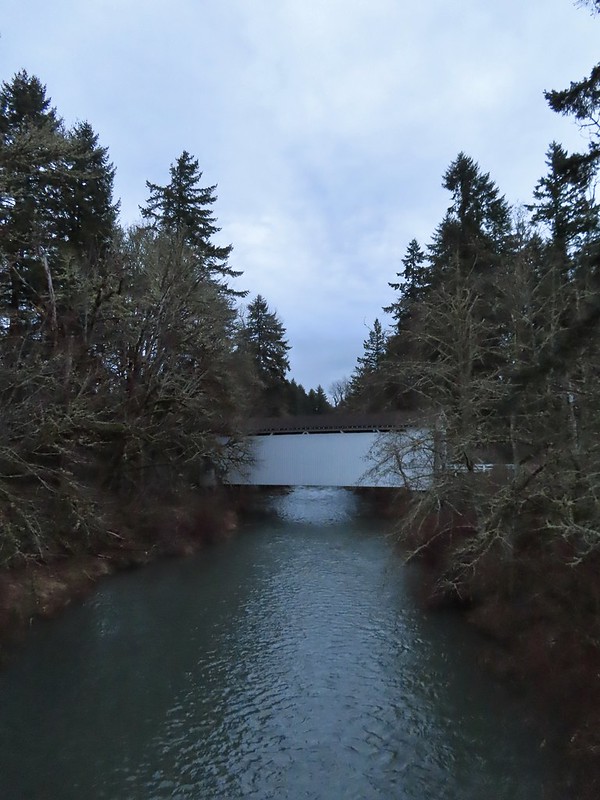
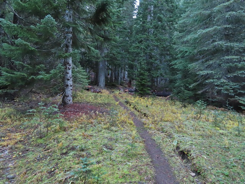
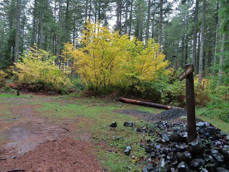
As of yet there are no maps available of the nearly 4 miles of trails here so we were operating on the directions we’d received via email: “There is a good road all the way to the edge of the forest and you’ll pass, on your right, the clear cut we’ve replanted. Most of the trails take off into the forest from there, and the road continues for another 3/4 mile, traverses forest, and ends at a wetland. There are multiple trails off that forest road. We’re still developing a trails map, but as a general rule, when you’re ready to exit Yakona and not sure where you are, head UPHILL to return to the road you hiked in on. Uphill is your way out. All of our trails connect to one another or to the road. Keep in mind that we are still in the build out stage.” We also had found a map for a 30k race that went through the preserve to give us a bit of an idea where some of the trails were located. We turned left off the main road where the race had with the plan being to work our way clockwise around the peninsula sticking as close to the edge as the trails allowed. We had one specific goal in mind which was to find the Yakona Bridge, a replica of the Yaquina Bridge spanning Yaquina Bay. We knew that the bridge had been part of the race course but were unsure where along the route it was located.
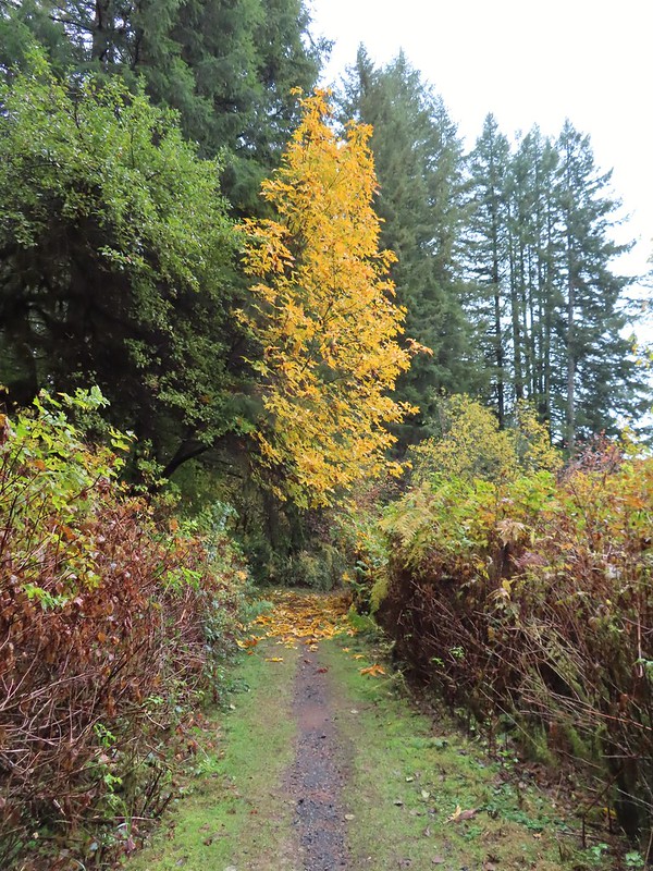
 Heading off the main road.

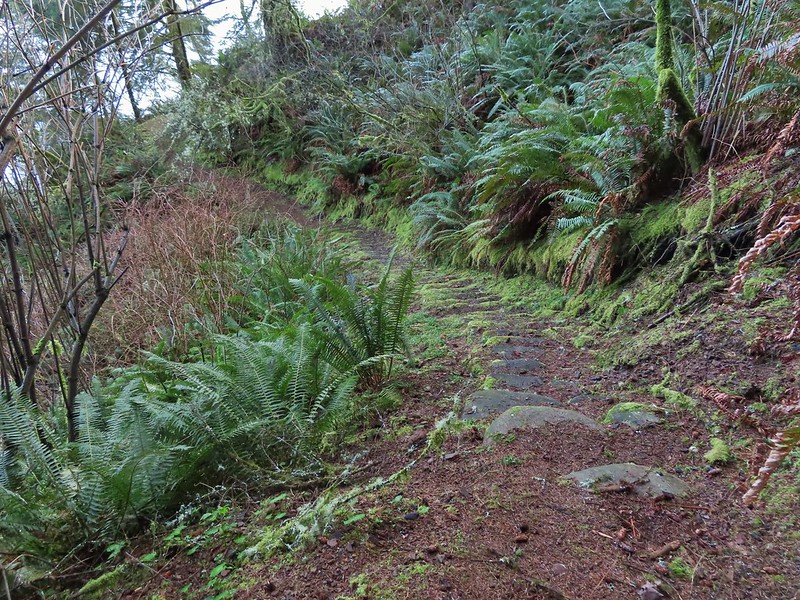
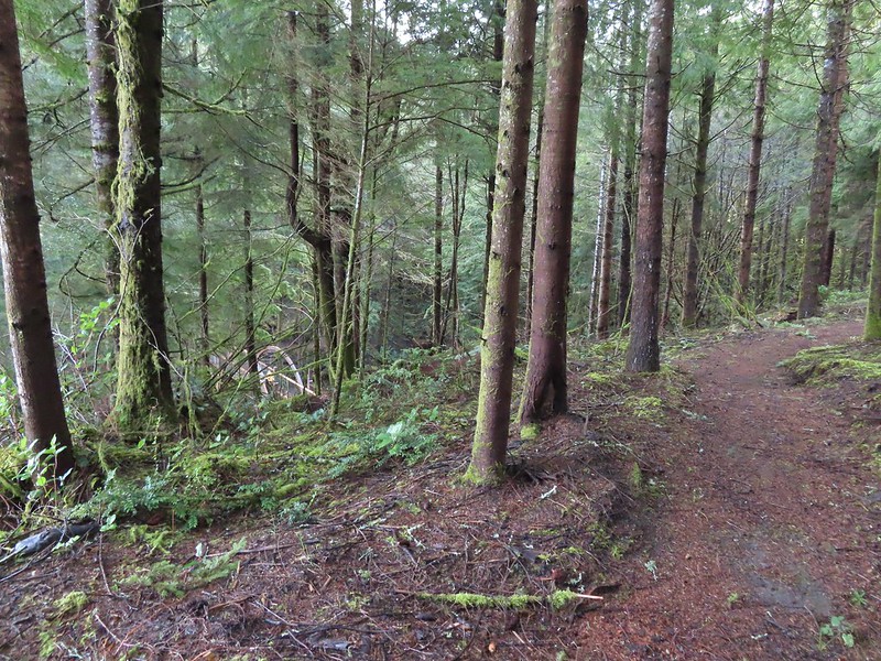
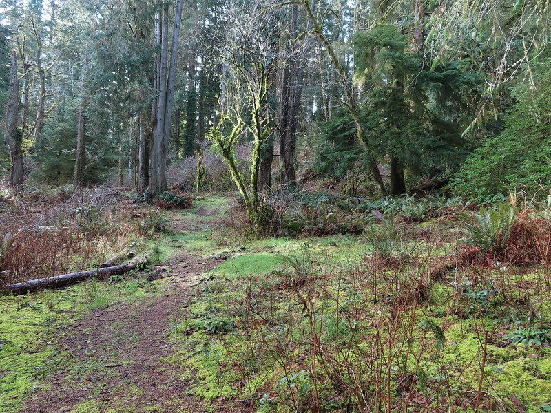
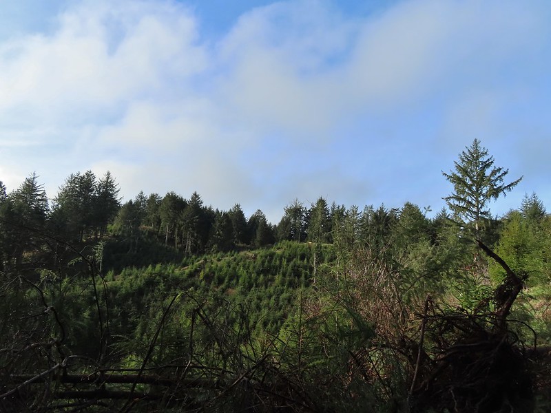
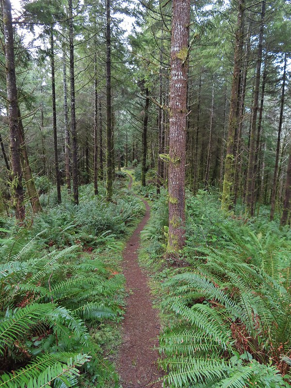
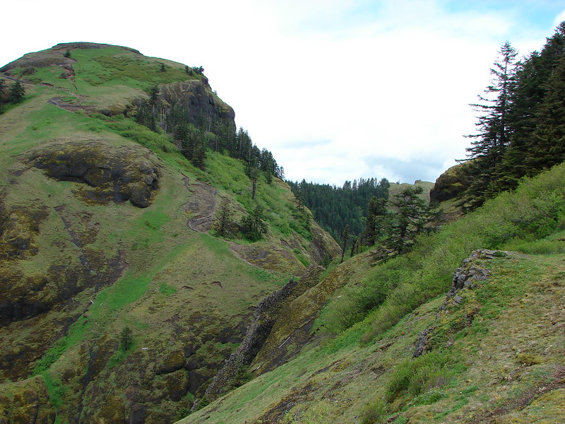
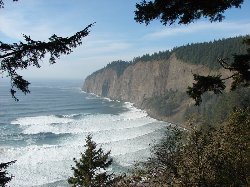
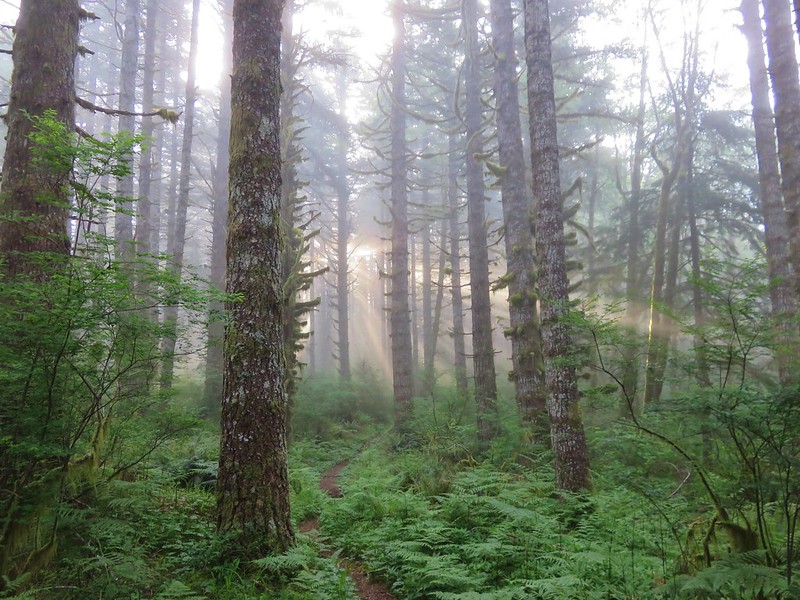
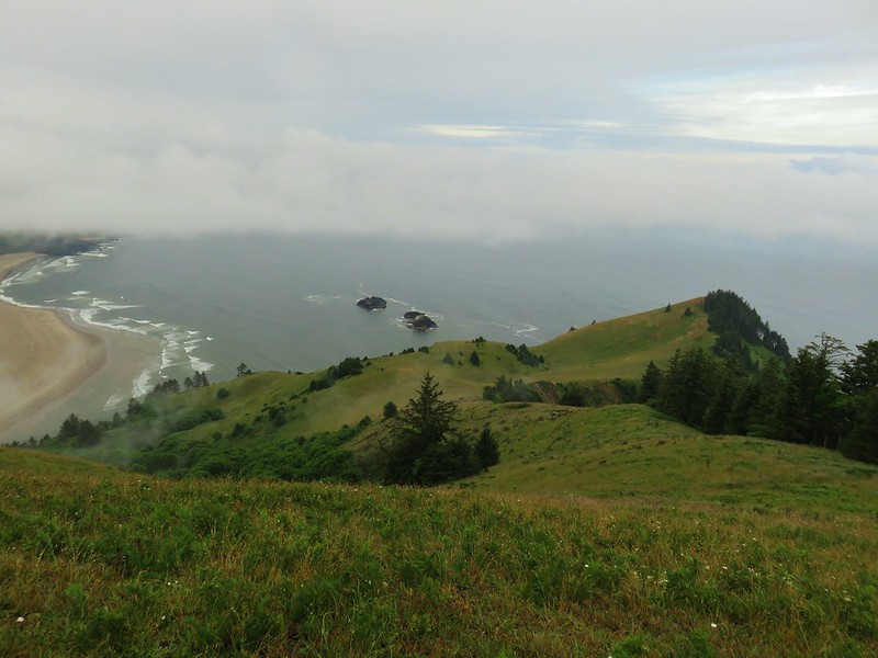
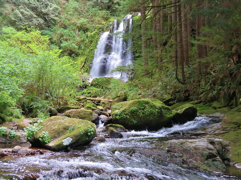
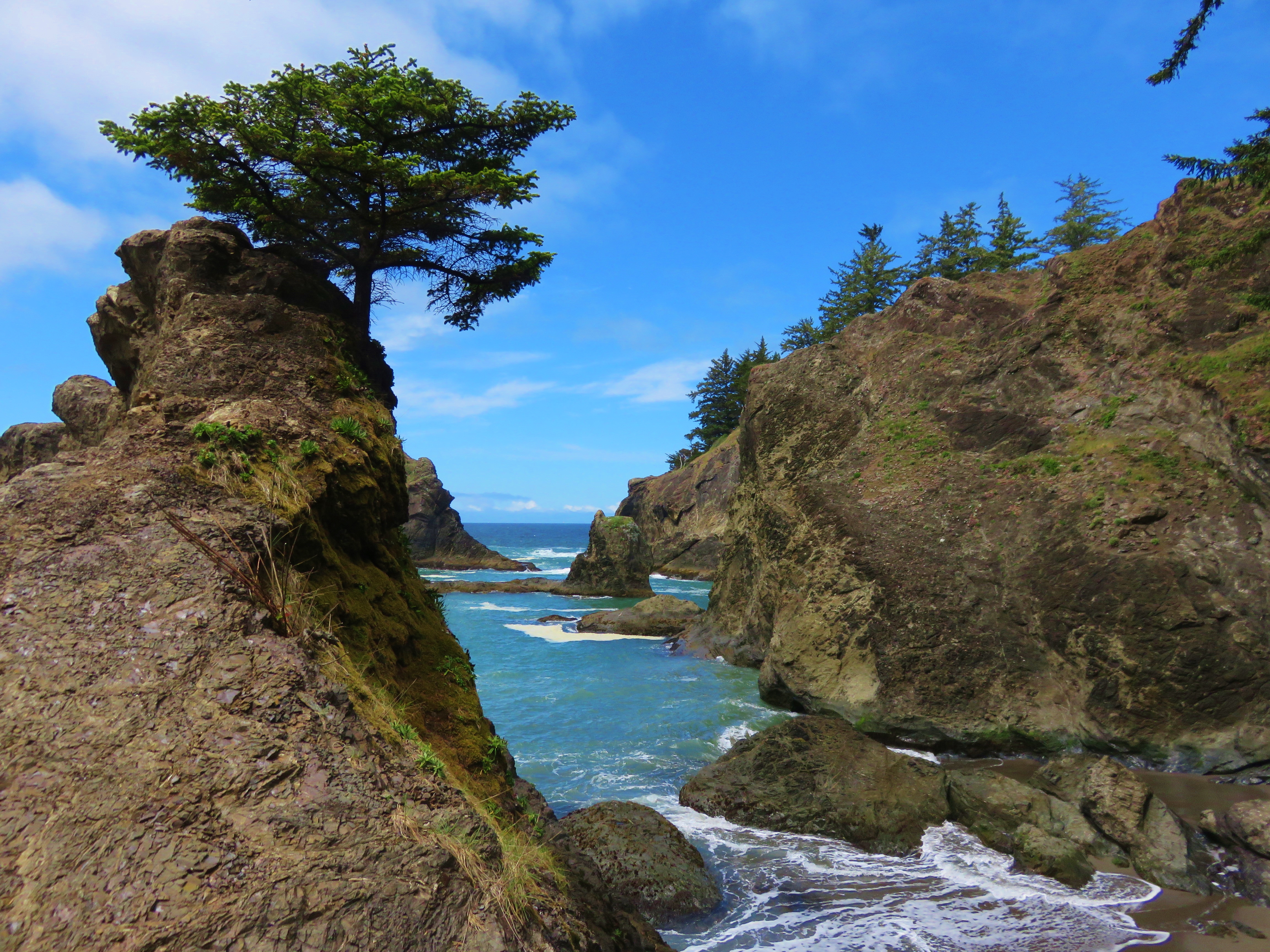
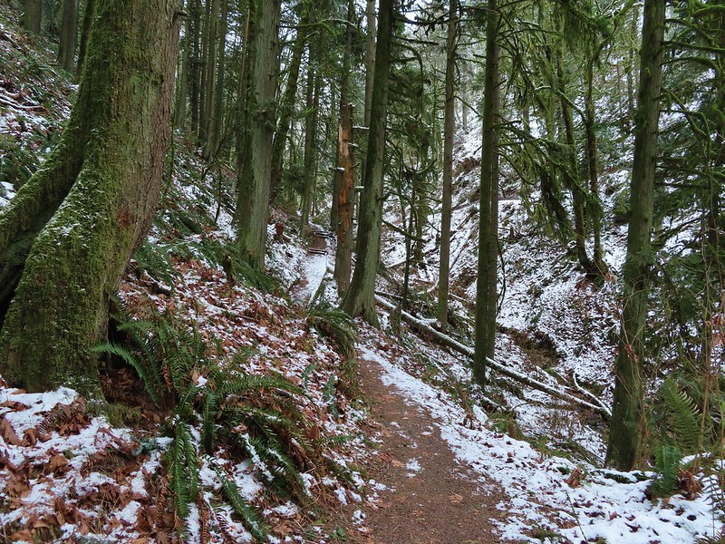
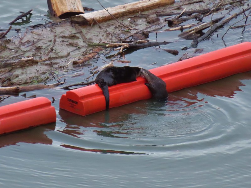
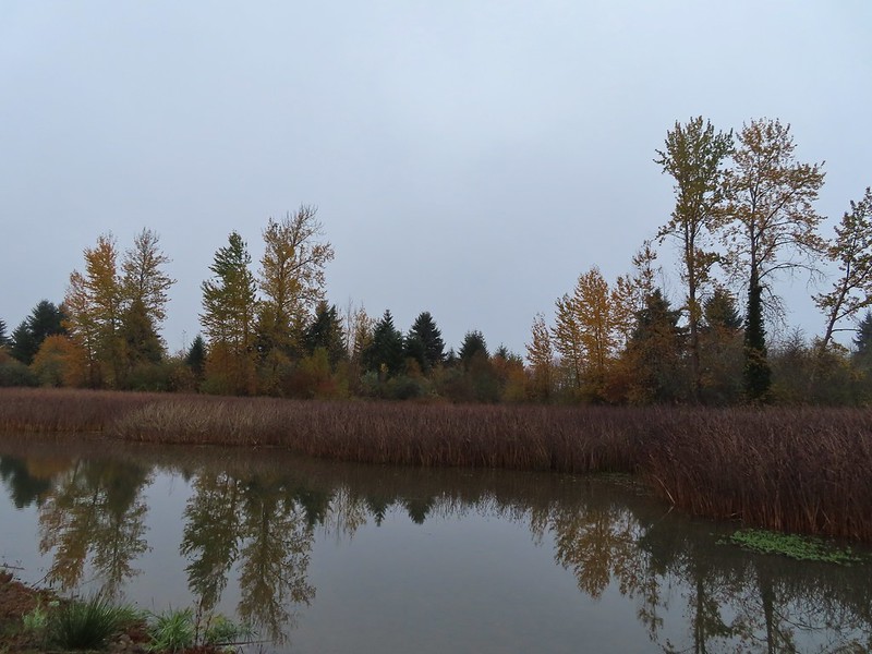
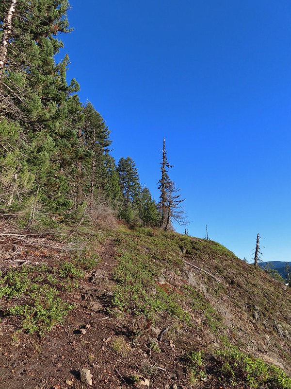
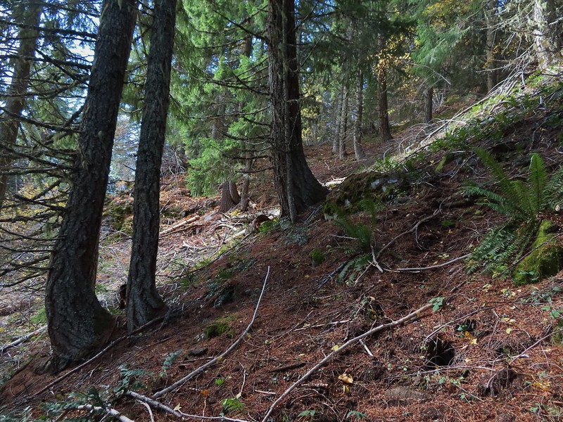
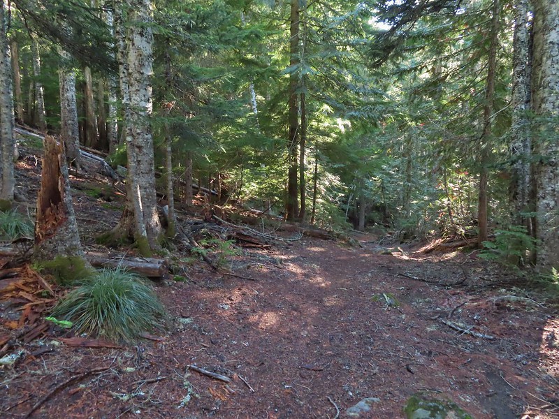
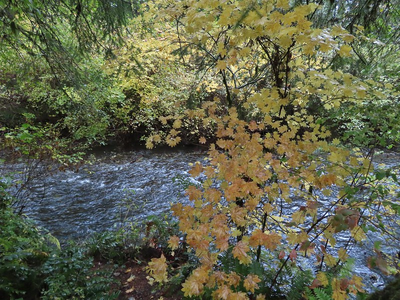
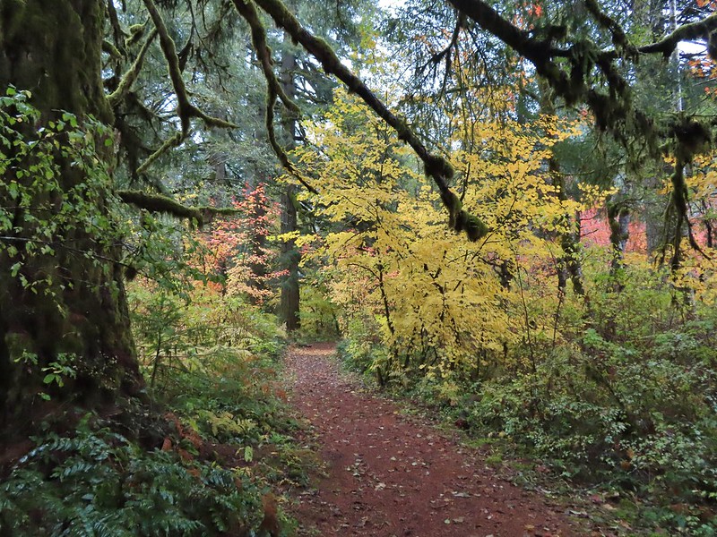
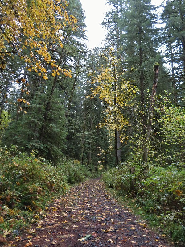
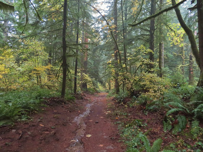
It was clear that there had been a lot of work done to establish the trails and that that work was still continuing. The trails dipped and climbed bringing us to the bay at times and to views above at others.

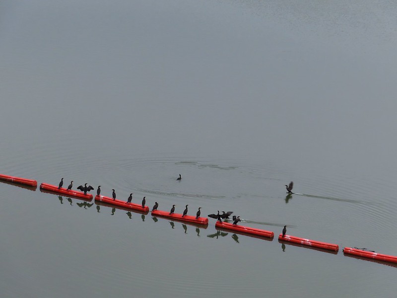
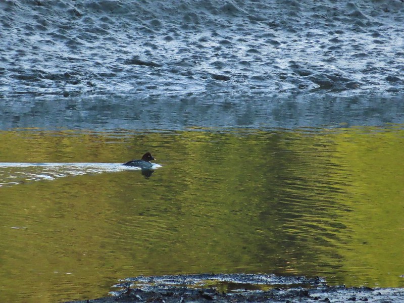 Common goldeneye
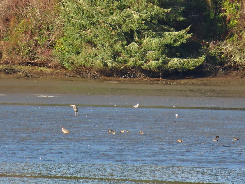
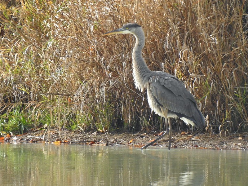
 Great blue heron and buffleheads
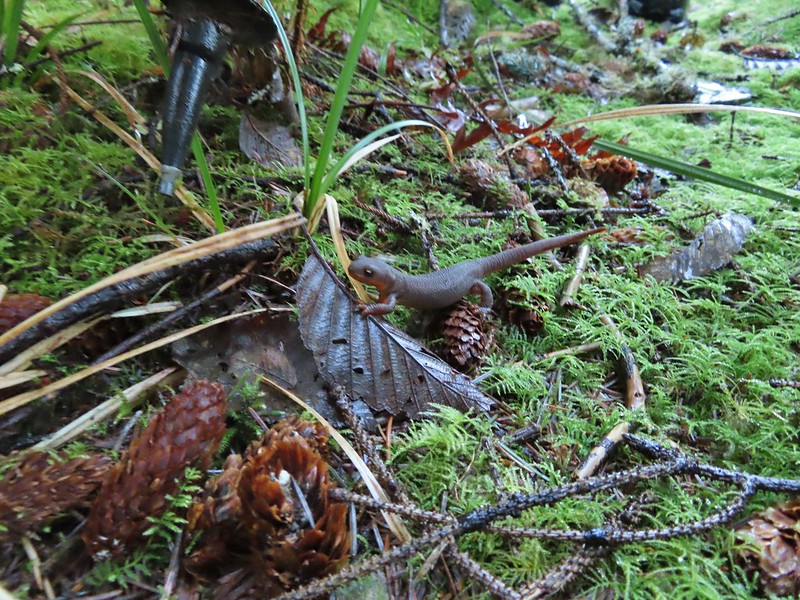 Rough skinned newt
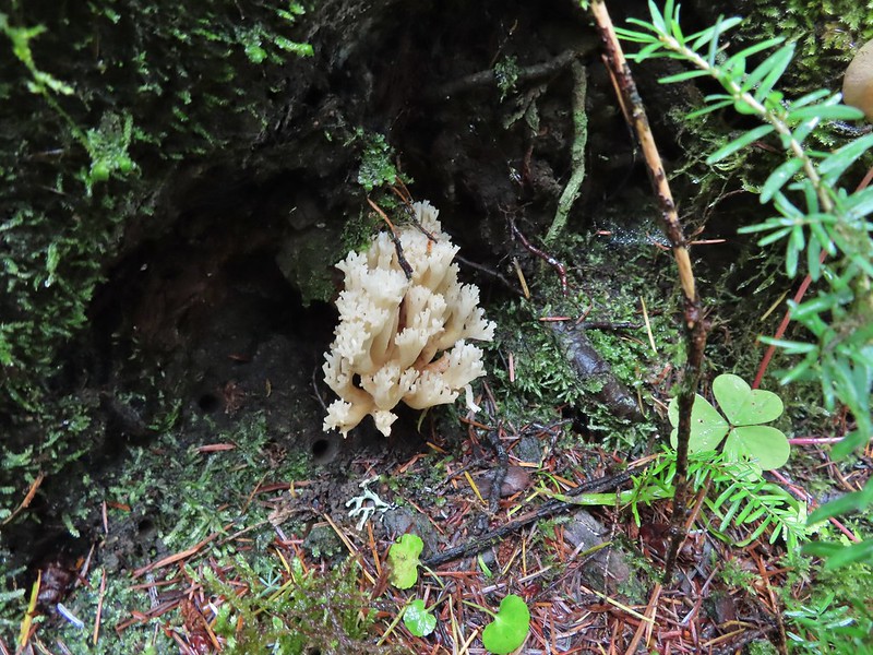
 Coral fungus

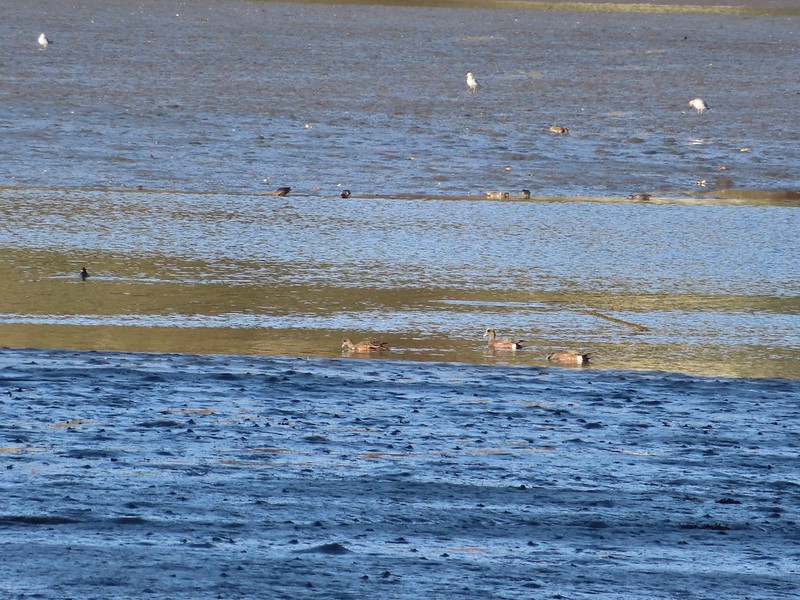
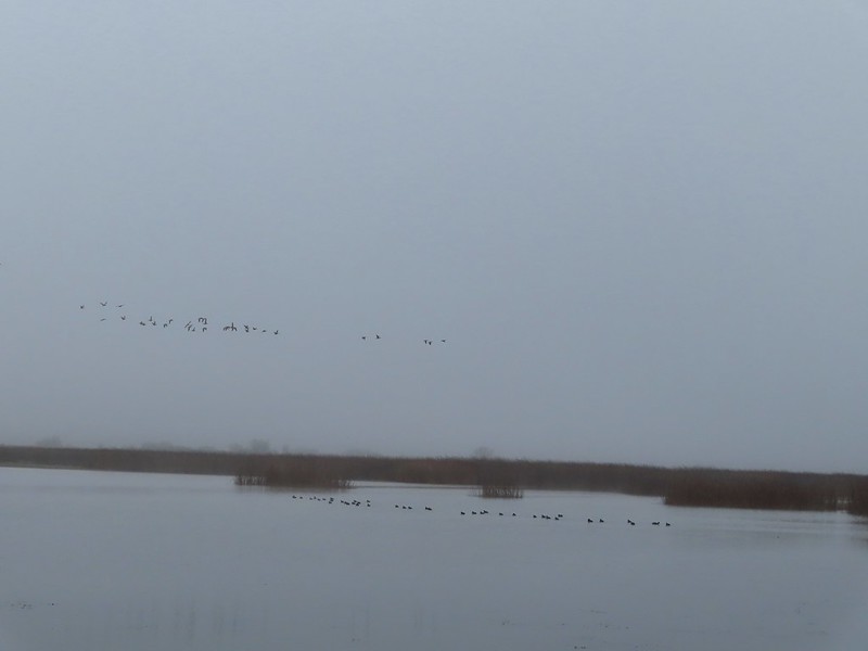
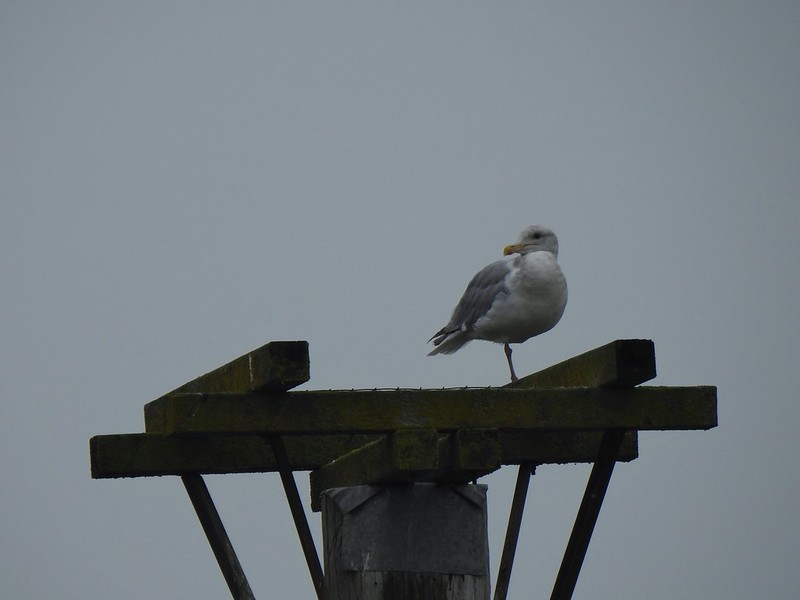
 Northern pintail, heron, seagulls and some green winged teals.
 American wigeons
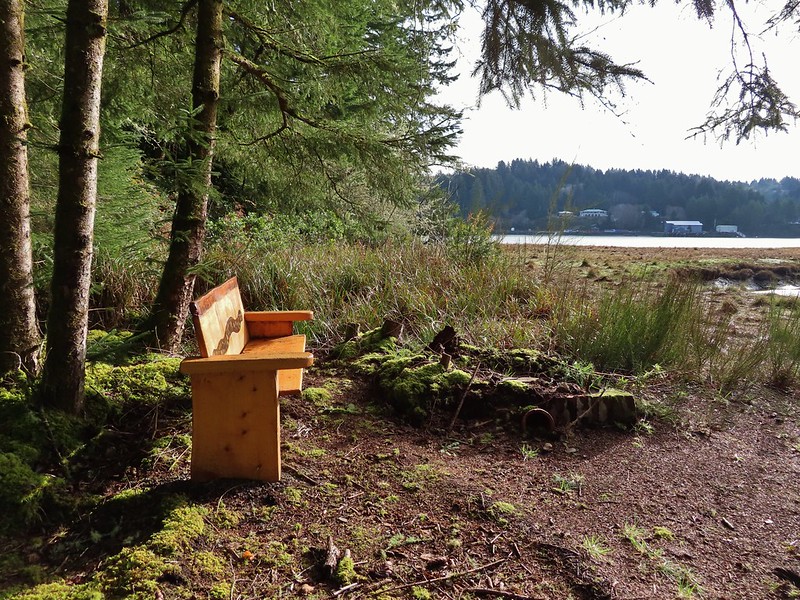
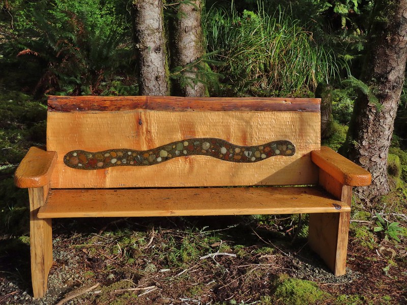
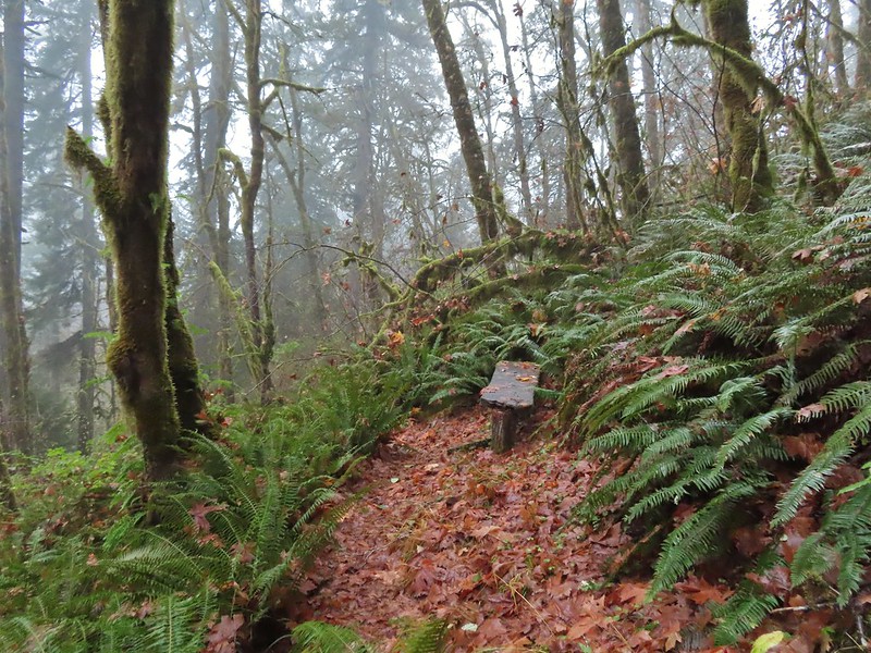
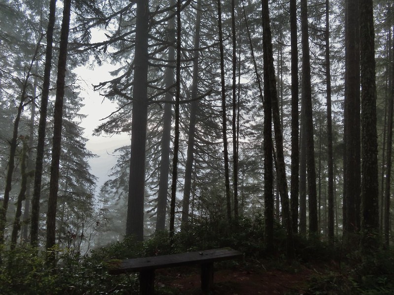
 One of a number of unique benches located along the trails.
 Stone steps
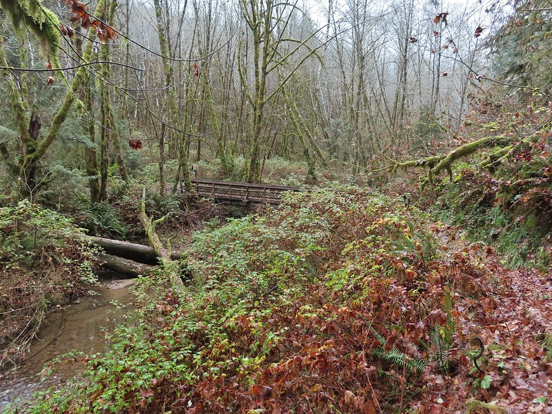
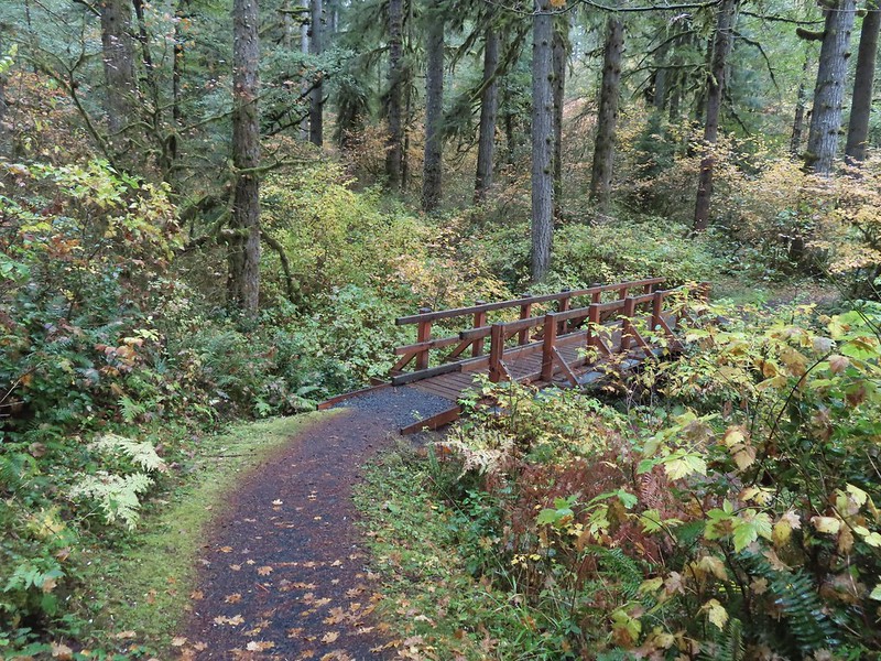
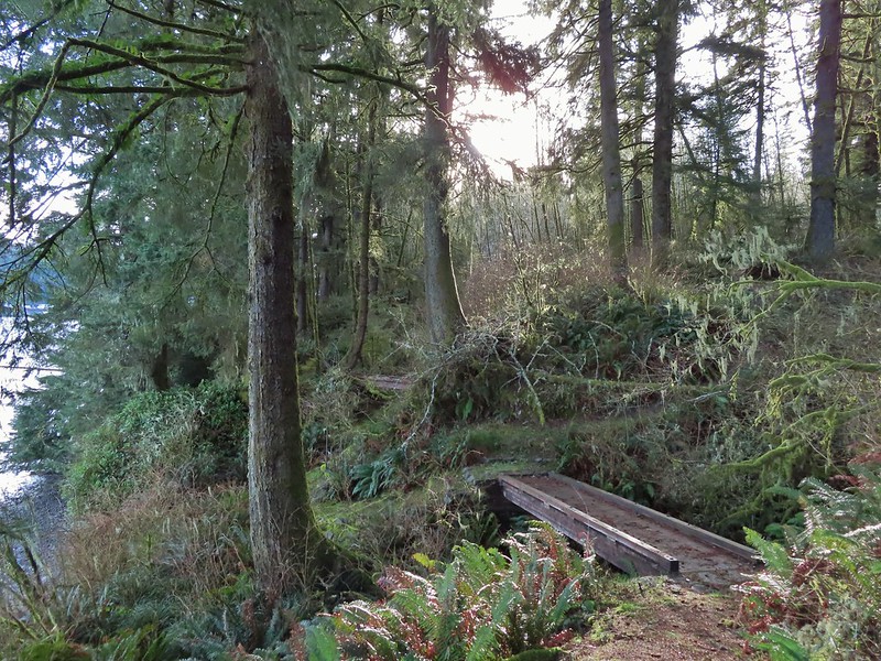 A pair of footbridges.
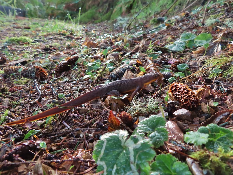 Another rough skinned newt, there were many.
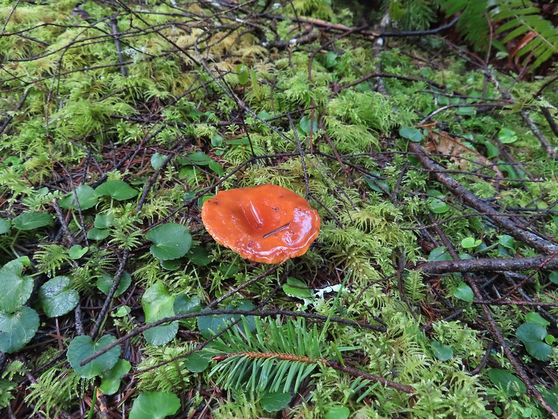
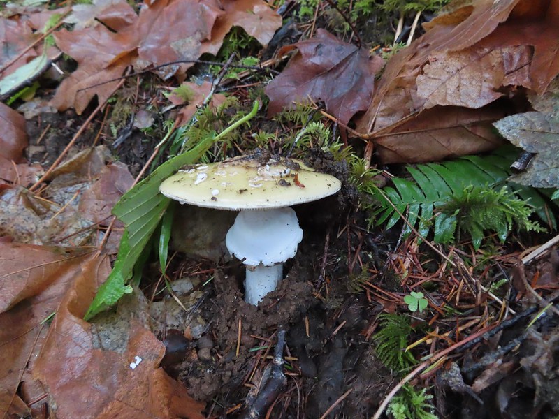
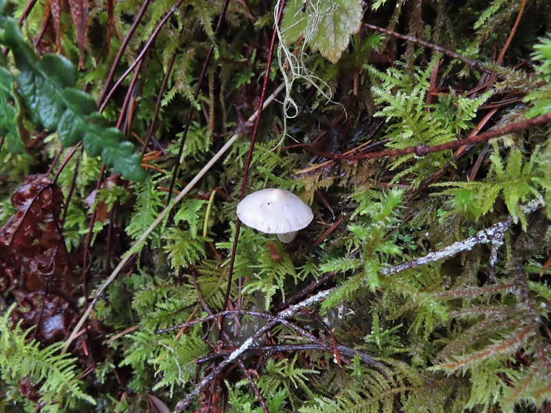
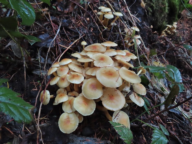
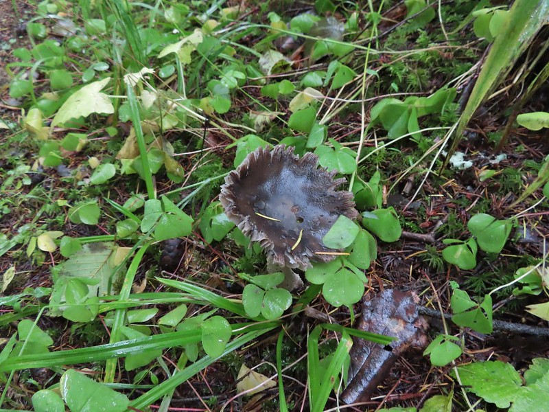
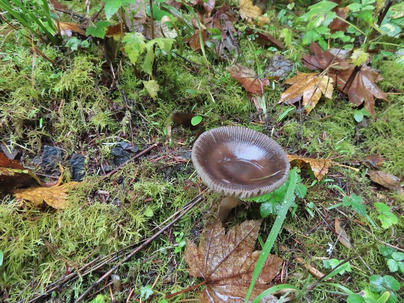
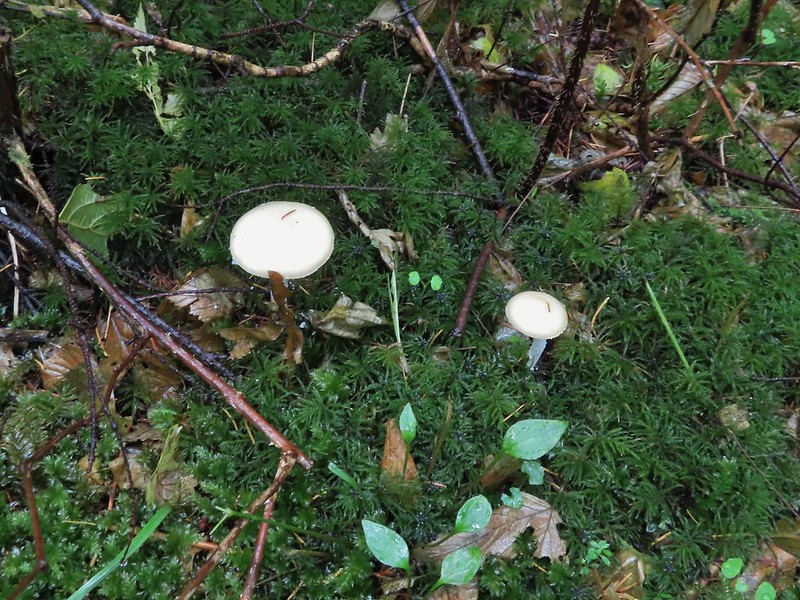
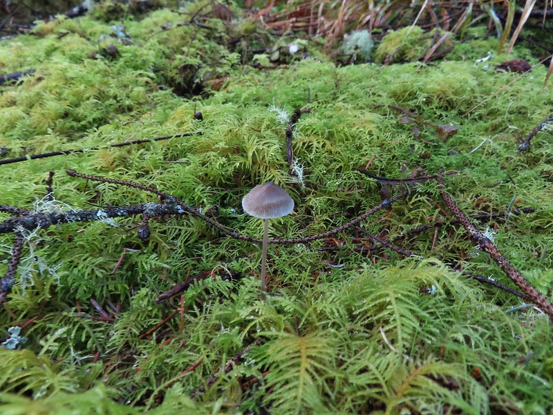 Mushroom
 Another bench at a viewpoint.

 Several benches were inlaid with rocks such as this which was a really neat feature.
 Small footbridge ahead.
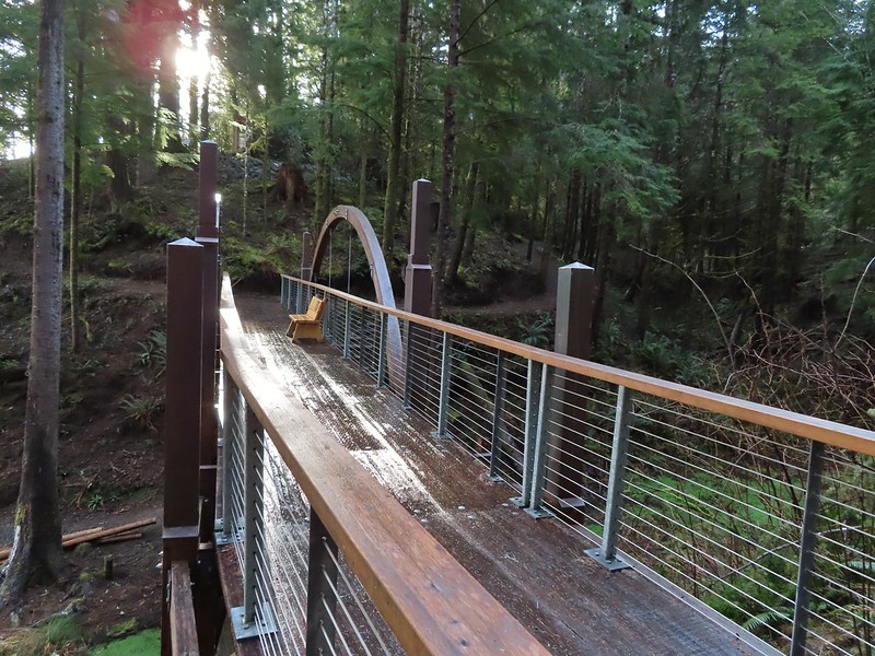
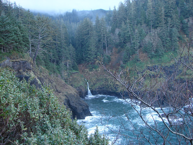
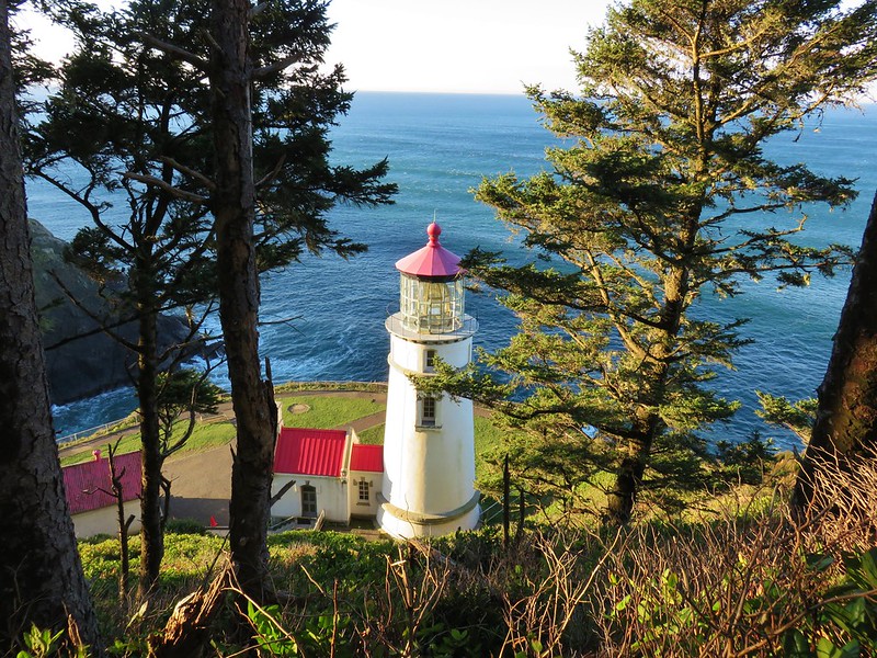
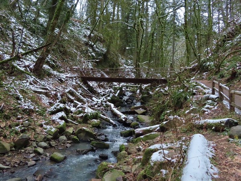
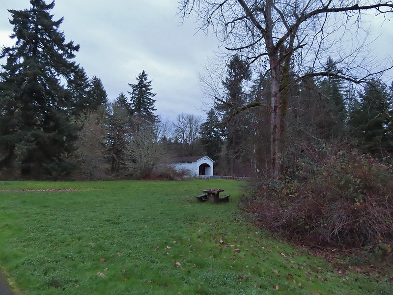
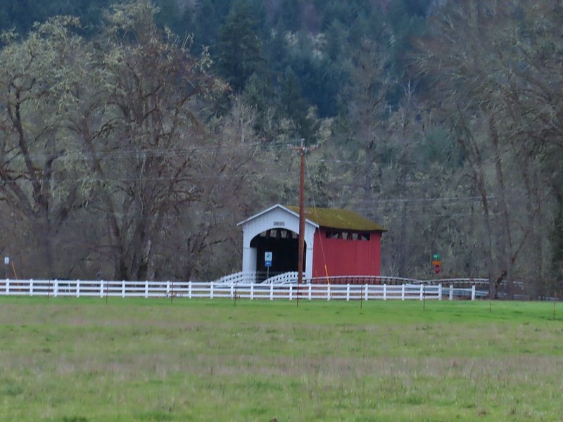
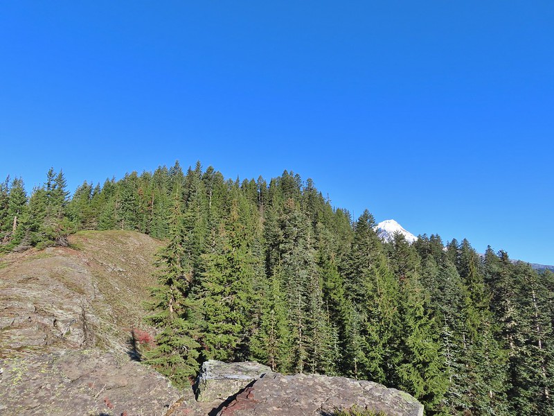
Beyond the little footbridge the trail climbed to a ridge top on the NE side of the peninsula where looking down the other side we spotted the Yakona Bridge.
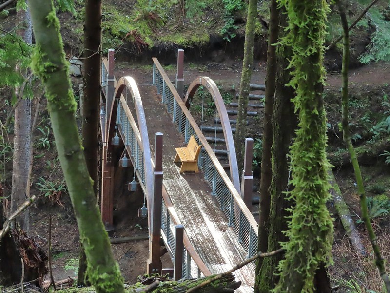
 Yakona Bridge.
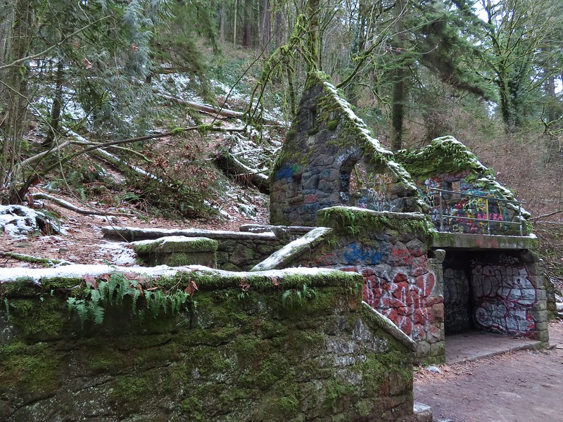
After spending some time admiring the bridge we climbed up the other side where we came to Maryann’s Wind Phone, an unexpected surprise.
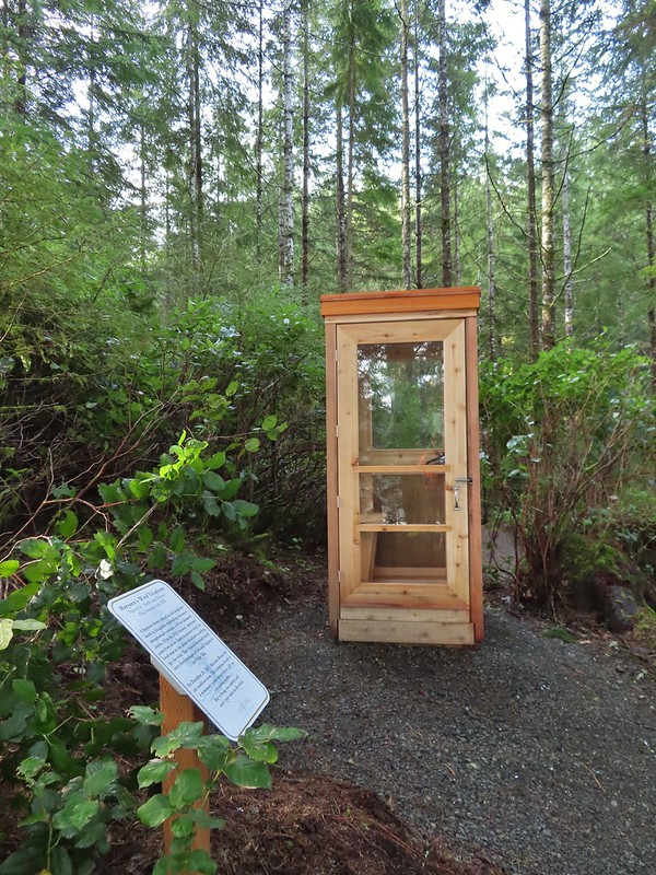
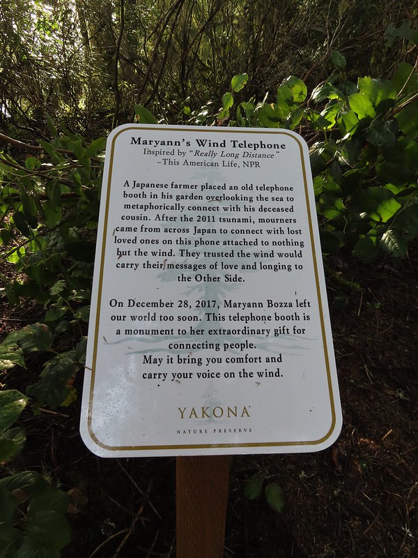 Informational sign for the wind phone.
We continued with our “stay as far to the outside as possible” plan which resulted in us passing a pair of wells before winding up at the end of the entrance road.
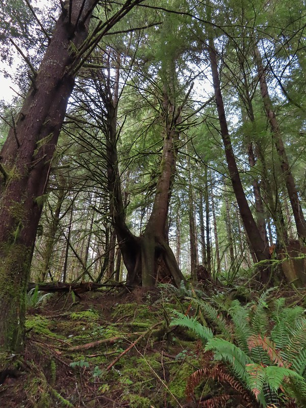
 This trunk had split into four.


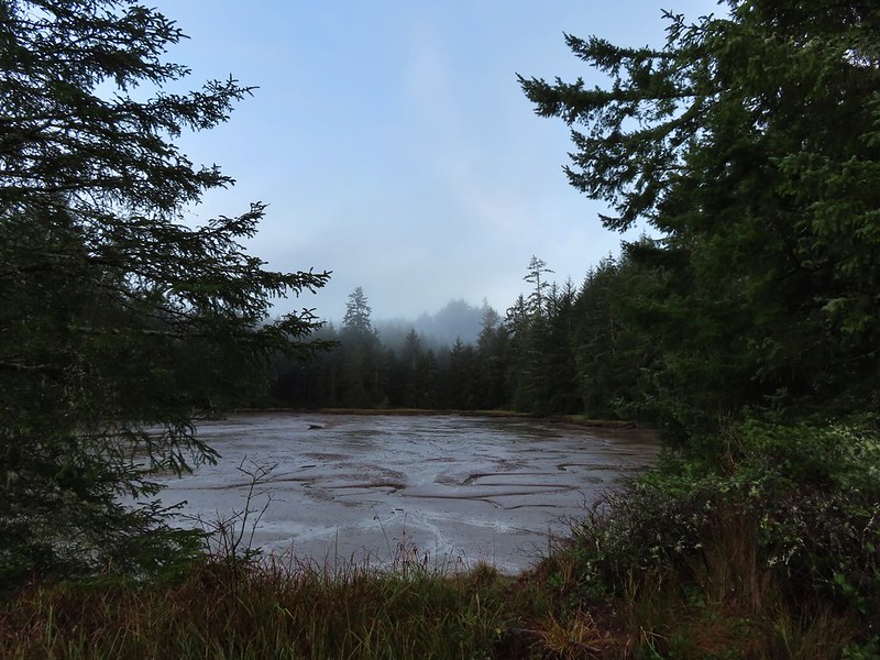
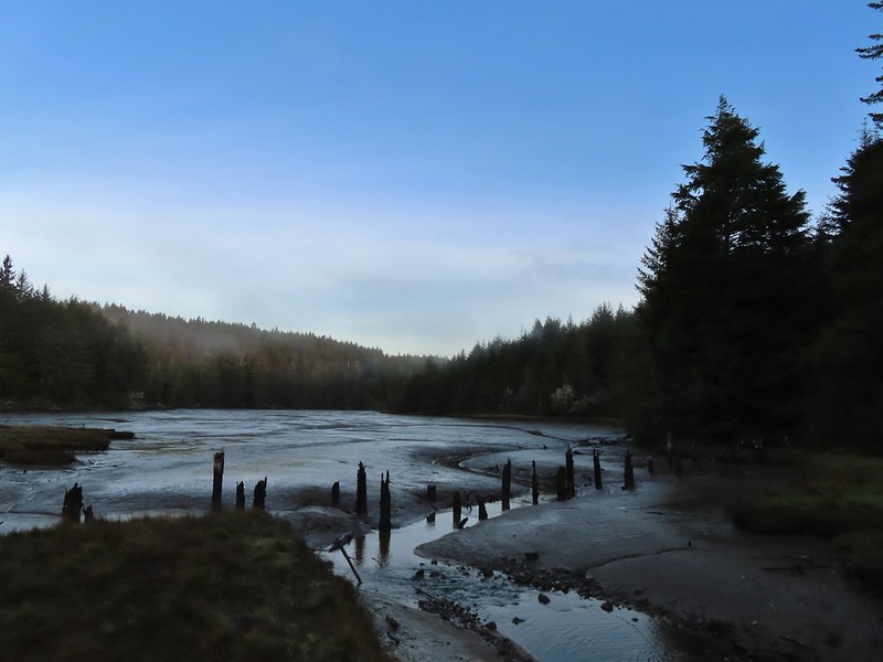
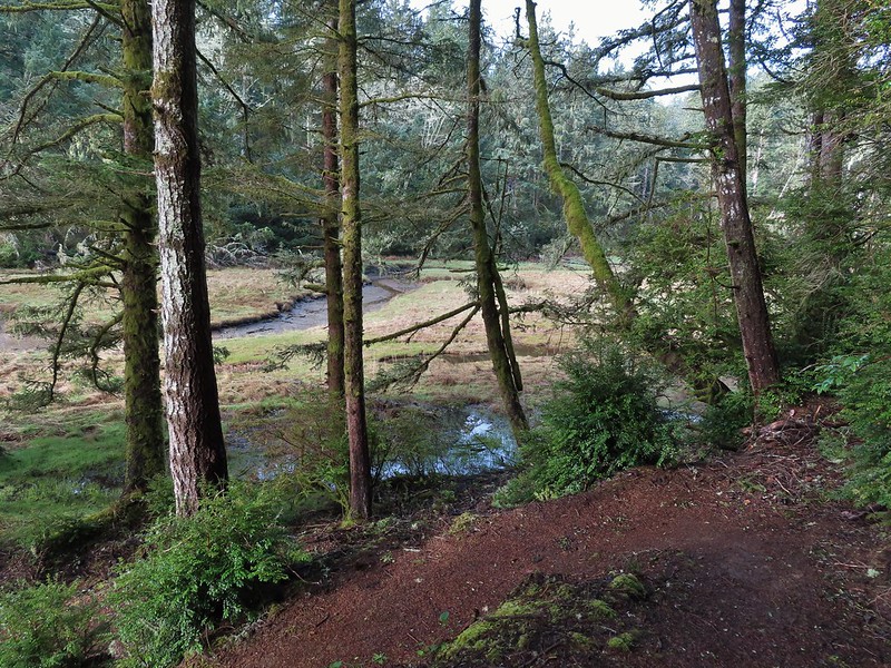
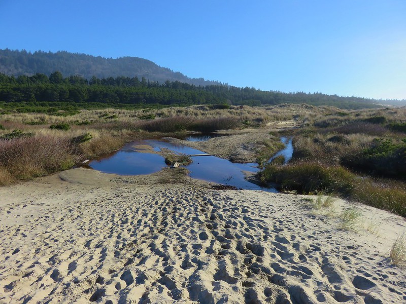
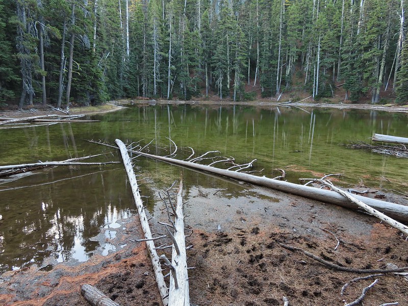
 Dropping down to another estuary.
 Back up we go!
 Found the road.
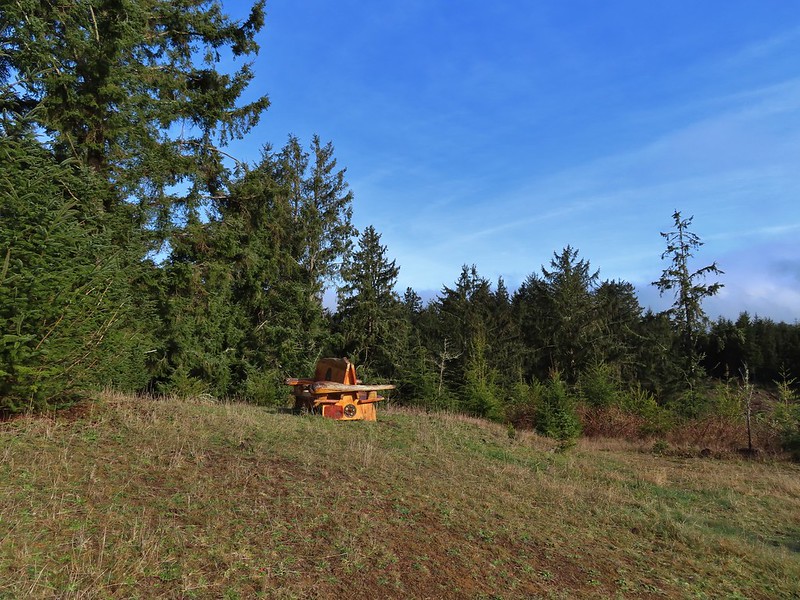
We had covered approximately 3 miles on the trails and now we hiked back along the road which passed several trails leading off the road and another interesting bench overlooking the replanted clear cut.

 Bench on the far hillside above the clear cut.
 Short path to the bench.

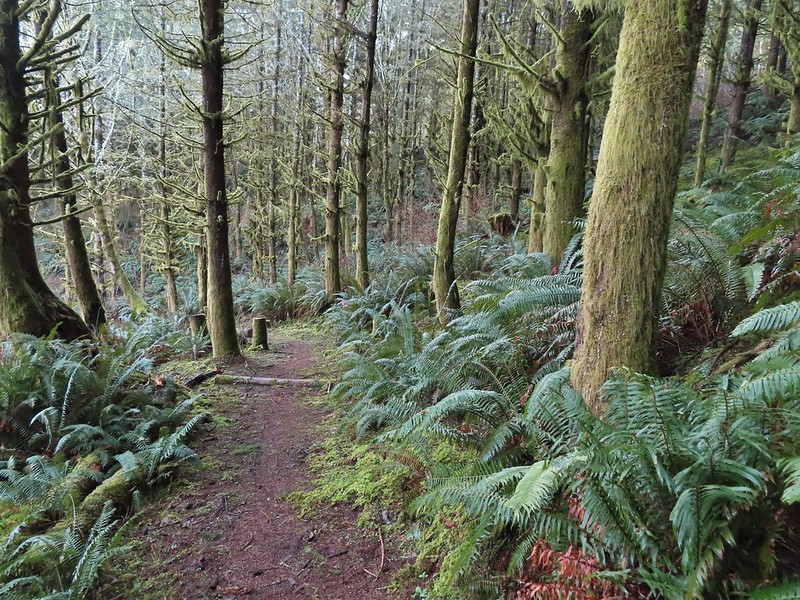
 One of the trails.
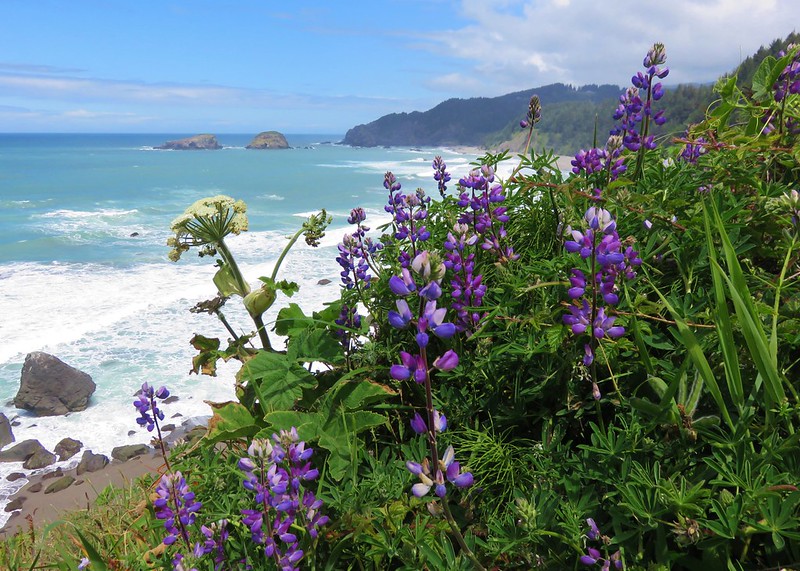
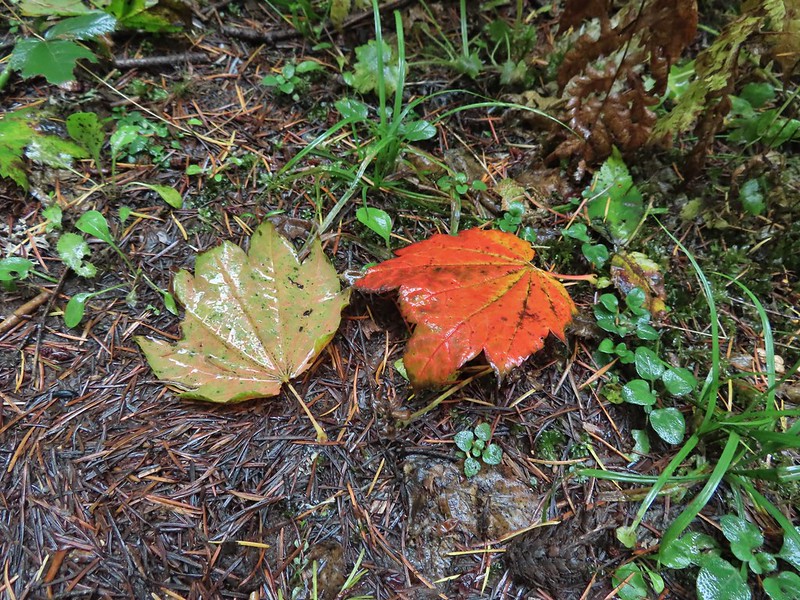
We spotted our first wildflowers of the year on our way out. A lone violet and some blooming evergreen huckleberry.


 A rather damp woolly bear caterpillar.
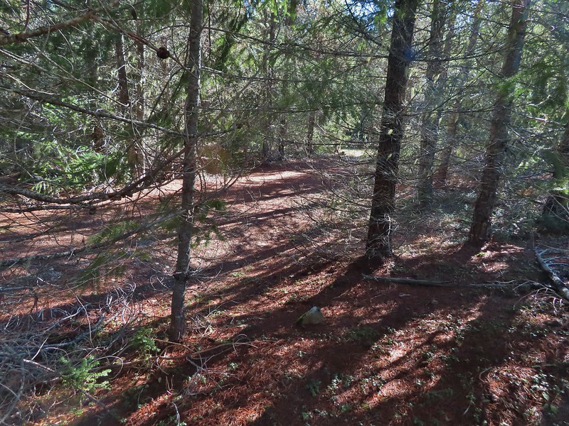
When we reached the 3rd World Trail we turned off Road 200 and followed it downhill through the forest.
This took at least two tenths of a mile off our return trip by cutting out the wide curve in the road walk.
 Back to Road 200 near Kings Slough.

Once we were back on Road 200 we followed it back to the Wilder Area. We finally saw some other people when a group of trail runners popped onto the road from the unsigned Drop Zone Trail. By the time we were back at the car we had hiked 8.8 miles with a surprising amount of ups and downs providing a decent amount of elevation gain (1000-1500′). It will be interesting to keep an eye on the progress the Yakona Nature Preserve makes in restoring and developing the area. While it was free to visit we did make a donation via their website to help them fulfill their vision. Happy Trails!
Flickr: Yakona Nature Preserve


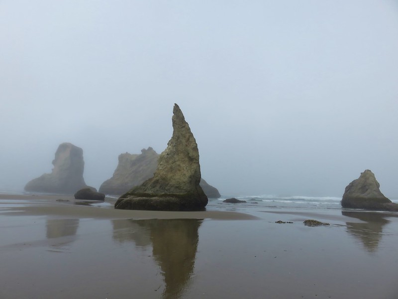
 This photo is from CA but it actually shows the namesake Red Buttes


 Closest thing to a “wilderness sign” we saw for this one.


 Four County Point
 Sunset Rest Area


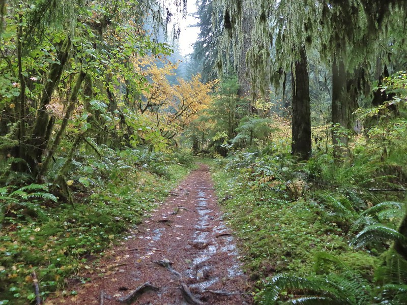
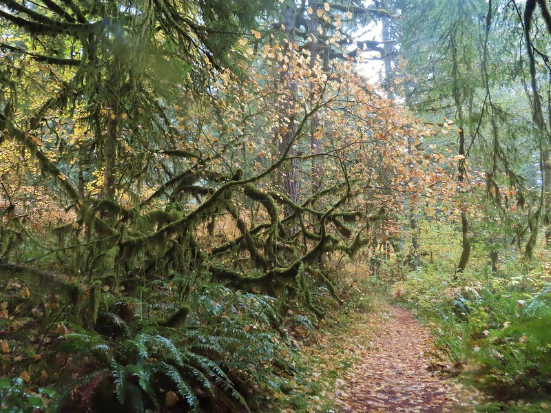
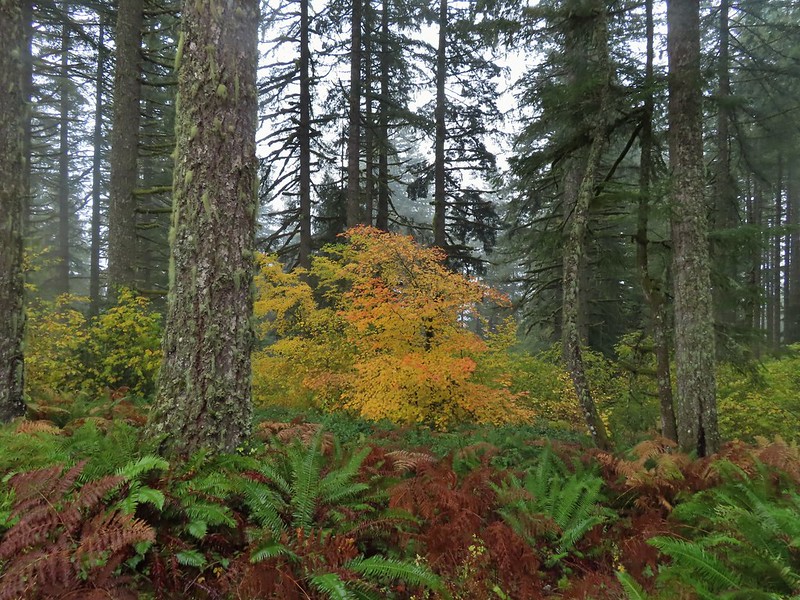
 Inland (Rainforest) Trail


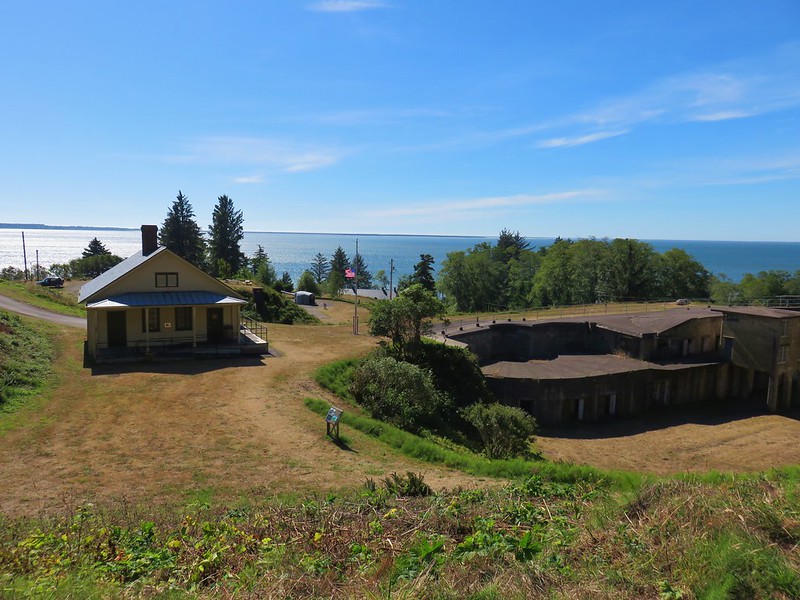
 Yaquina Head
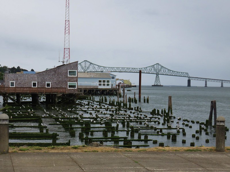
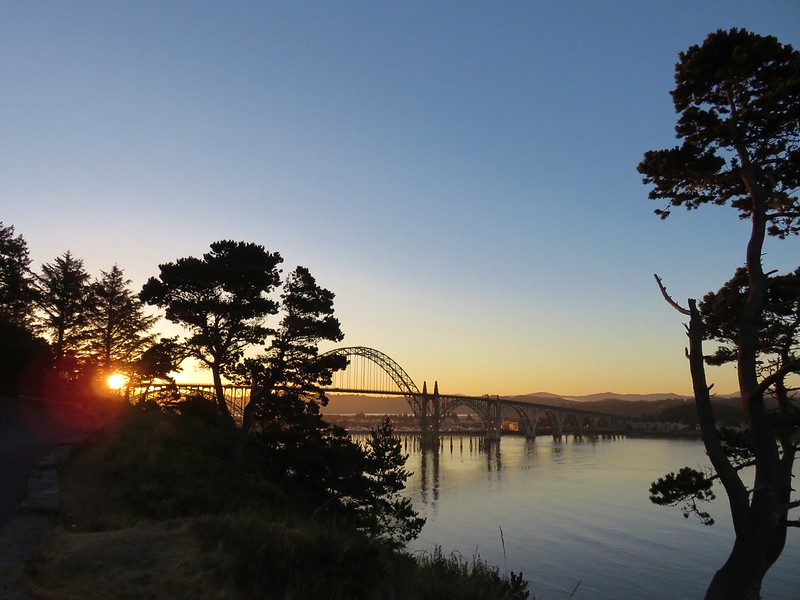 Yaquina Bay
 Estuary Trail
 South Jetty
 Mike Miller Trail


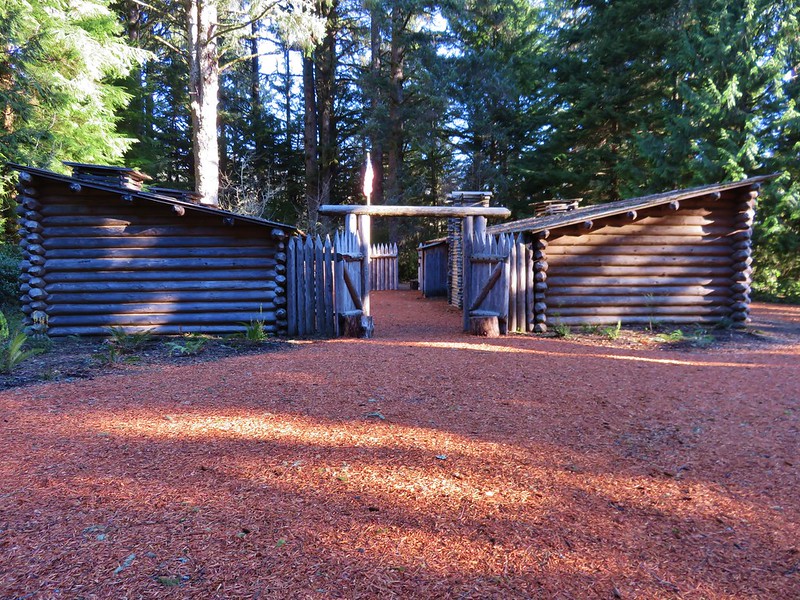
 Fort Hoskins
 Beazell Forest


 Pioneer Hill Trail
 Pawn Old Growth Trail
 Old Growth Ridge Trail
 Clay Creek Trail


 Coquille River Falls
 Elk Creek Falls
 Shrader Old Growth Trail
 Myrtle Tree Trail
 Vulcan Peak
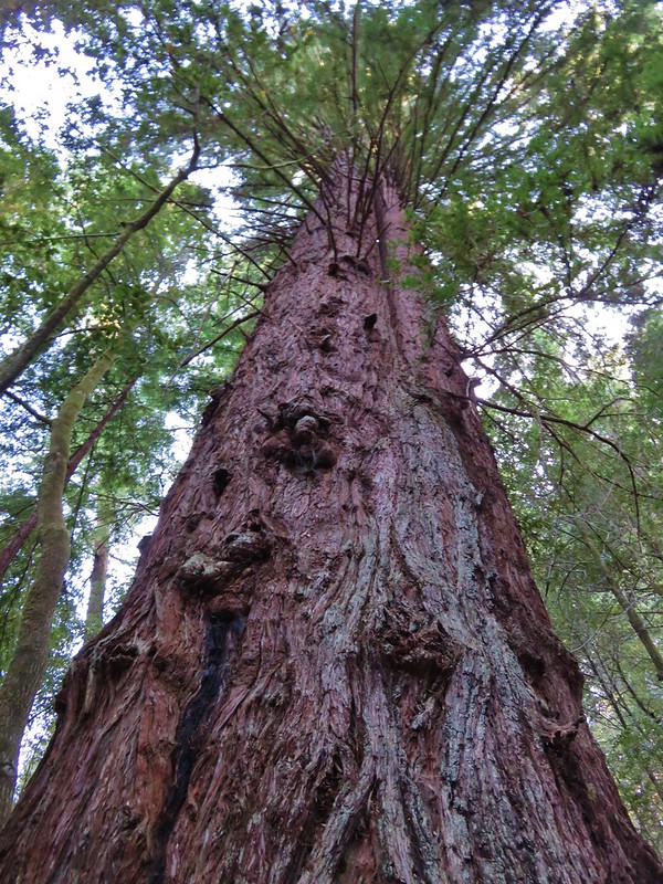


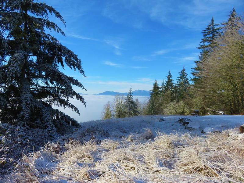
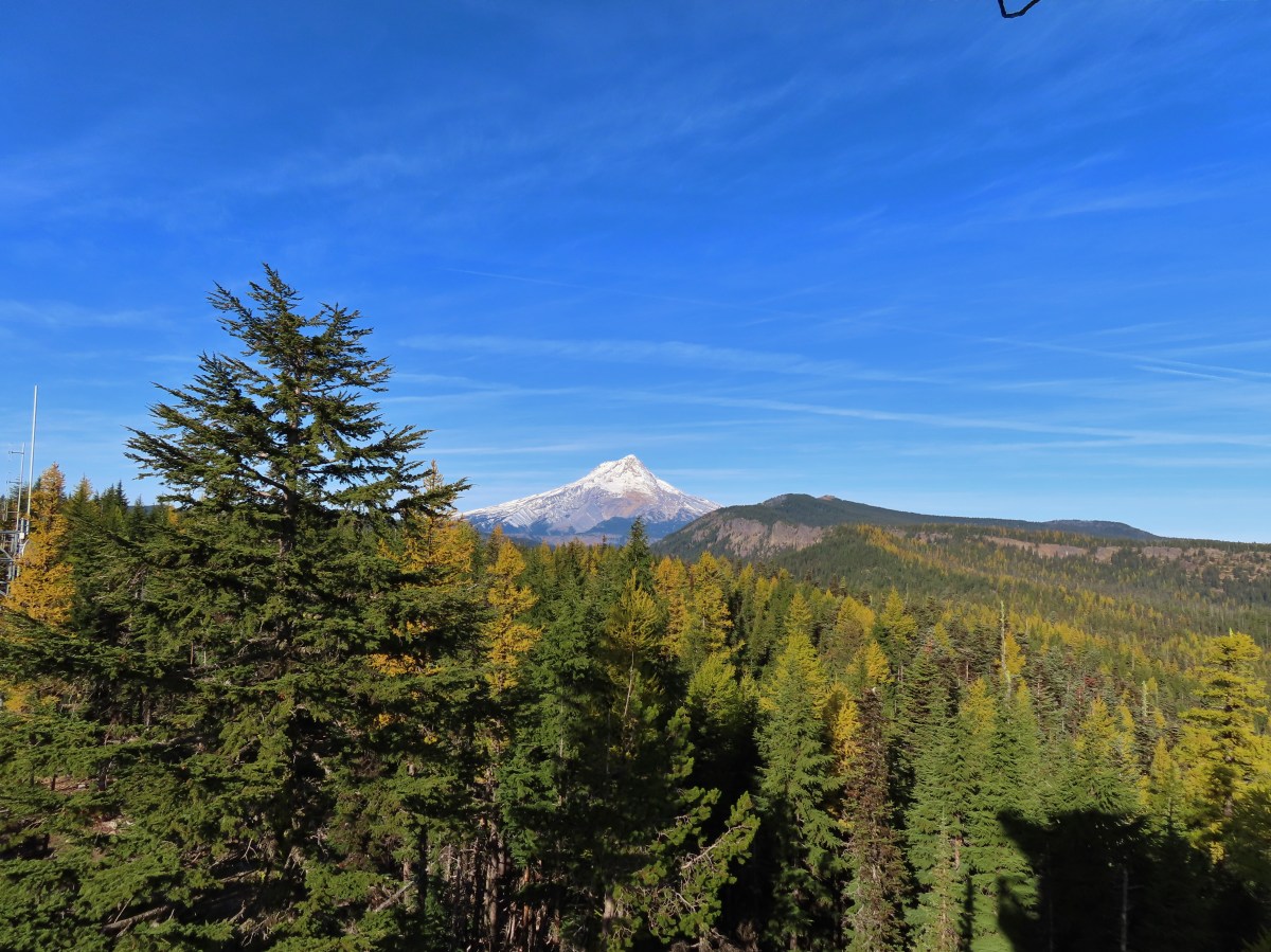
 A bank of clouds was sitting directly over Portland but we could see the edge in the distance. We hopped that the clouds would either burn off or move along.


 Junction with the Birch Trail.
 A wren busy pecking at a log.
 Junction with the Aspen Trail. As we descended we left most of the snow, and the icy conditions, behind.
 Holman Lane Junction.
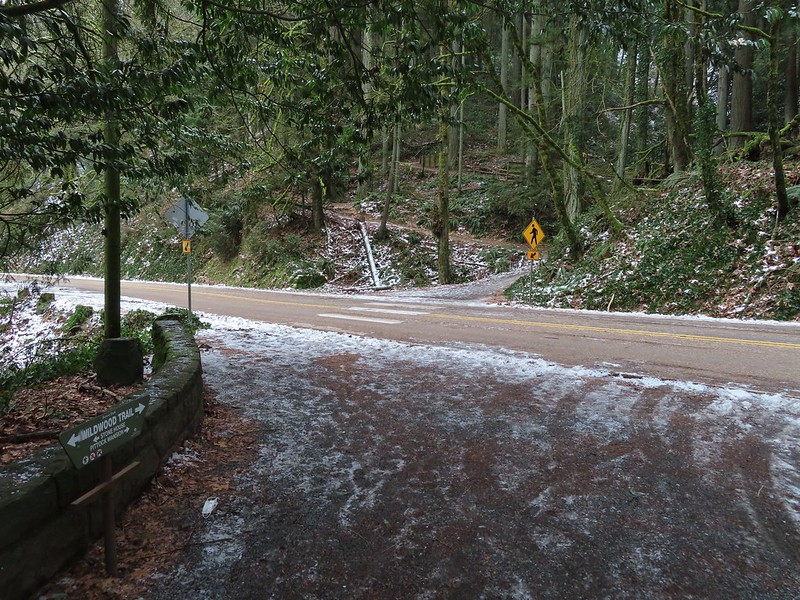
 Balch Creek and the Lower Macleay Trail (Currently closed due to construction.)
 Icicles over Balch Creek.

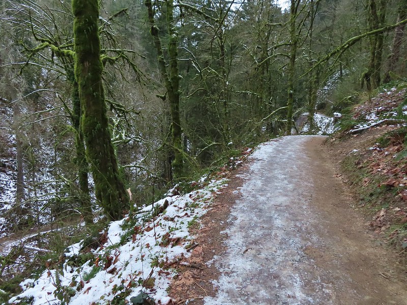 Going uphill before it got really slick.
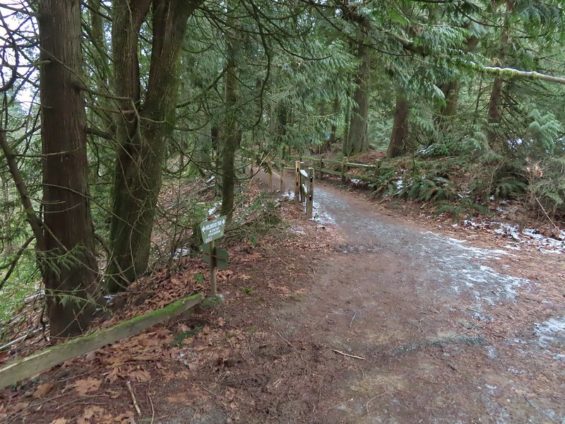 Wilwood Trail at Macleay Park Trailhead.
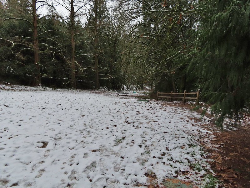


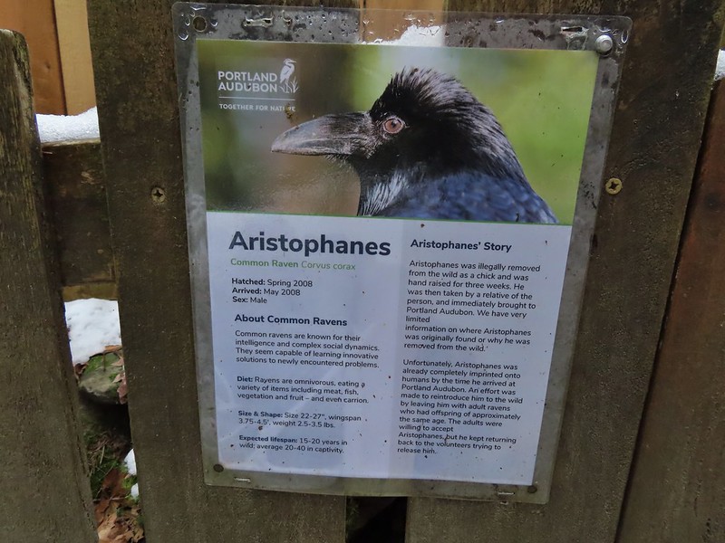
 We took this raven to be the “lookout”.


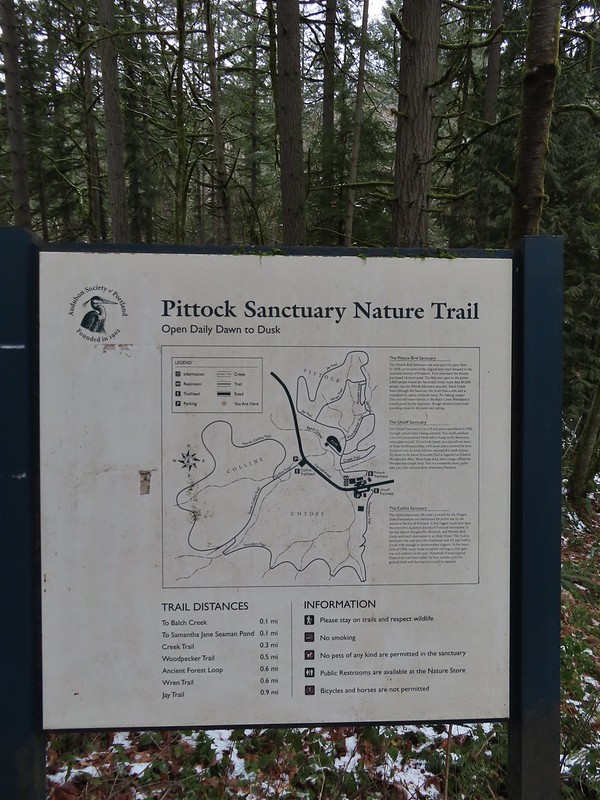
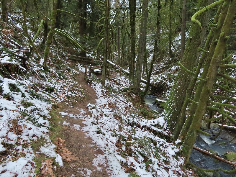 Bench at the end of the Creek Trail.
 Pond along the Jay Trail,
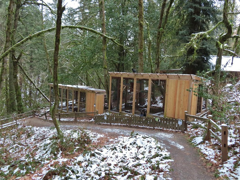
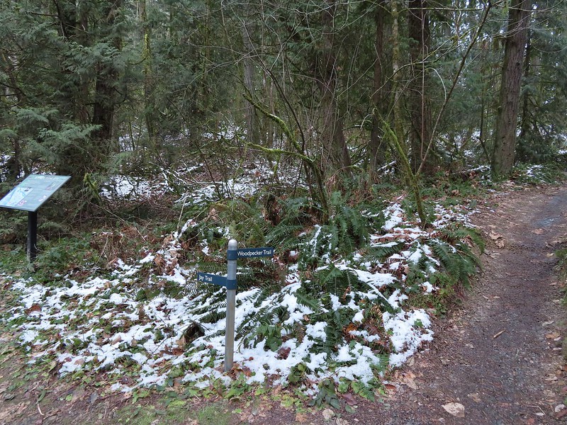 Junction with the Woodpecker Trail.
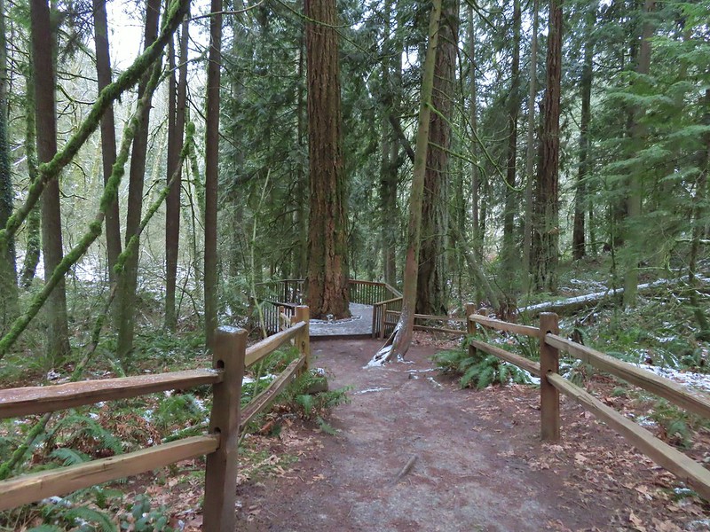 Big Douglas fir.
 I continue to struggle to get a clear photo of a varied thrush.
 Jay Trail junction with the Wren Trail.
 Nearing the pond from the other side.
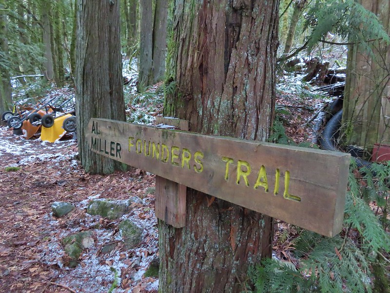


 Stairs up to the trail junction.

 Baseball sized jelly fungus, the largest we’ve seen.
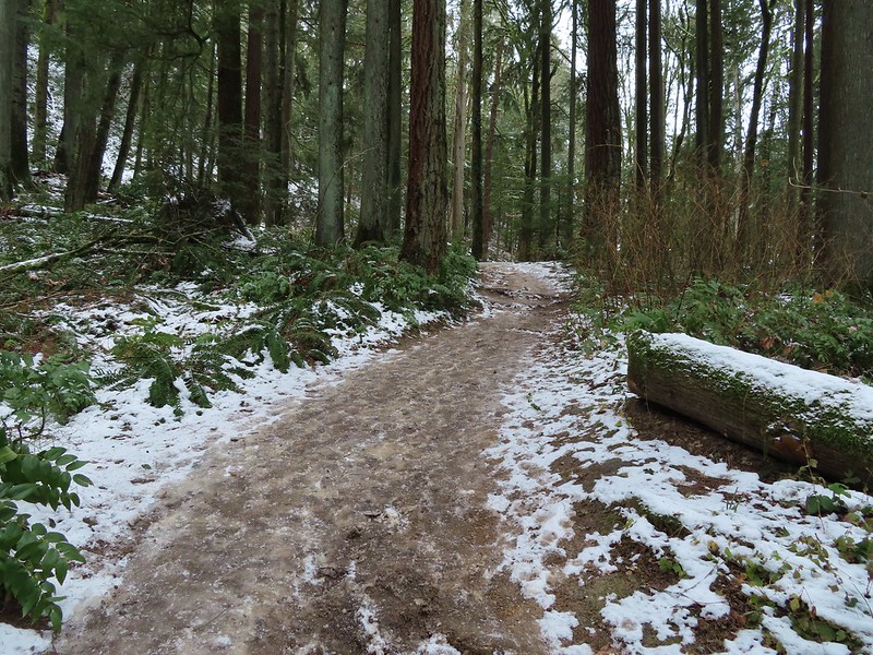
 Descending to the South Collins Trail.
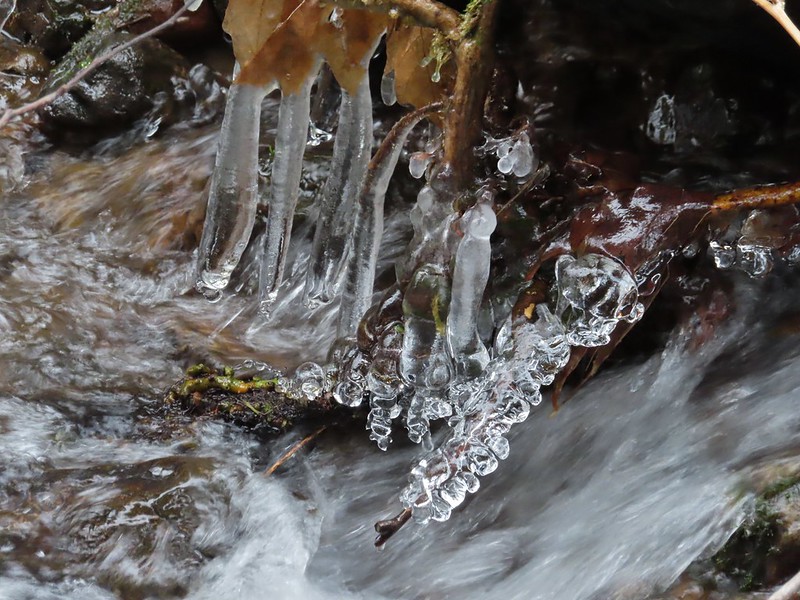 More ice formations.
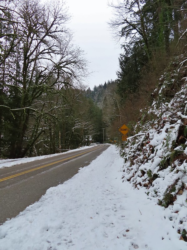

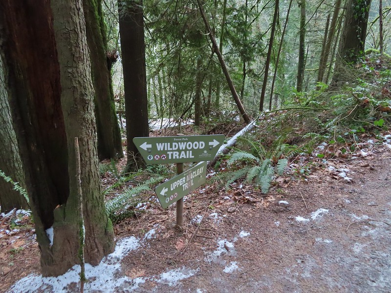 We planned on returning via the Upper Macleay Trail.
 Heather descending the slick section with a trail runner behind that had attempted to get up the hill but was turning back.
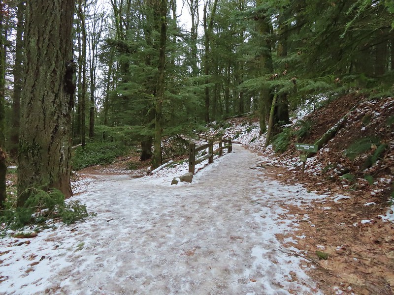 Cumberland Trail junction.

 The trail runner in blue.
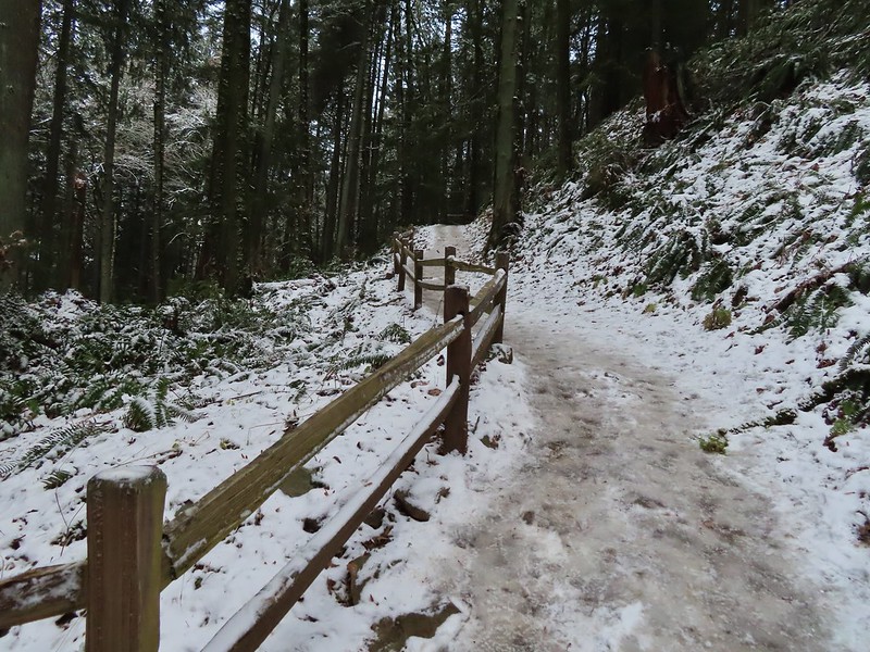
 Heather coming up behind me.
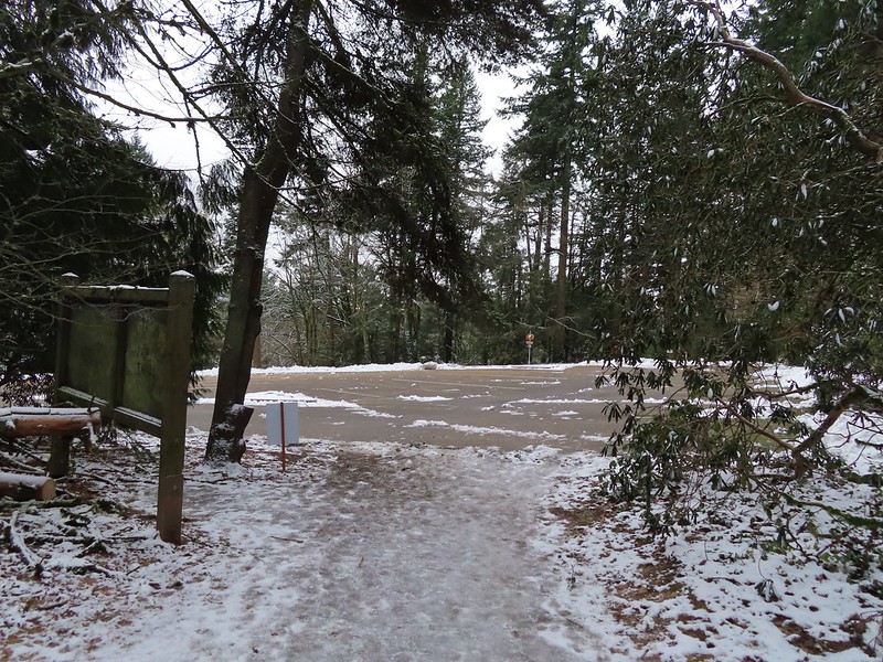 Arriving at the
  Pittock Mansion
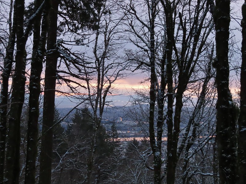
 A line of blue sky beyond the cloud cover.
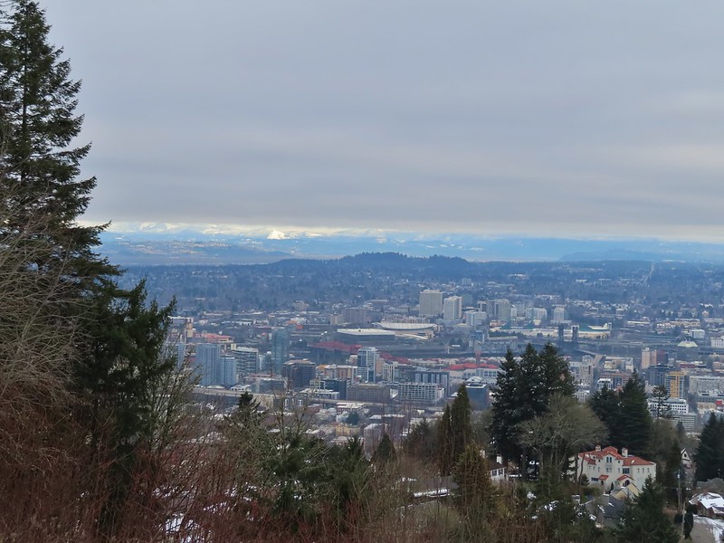 Portland from Pittock Mansion.
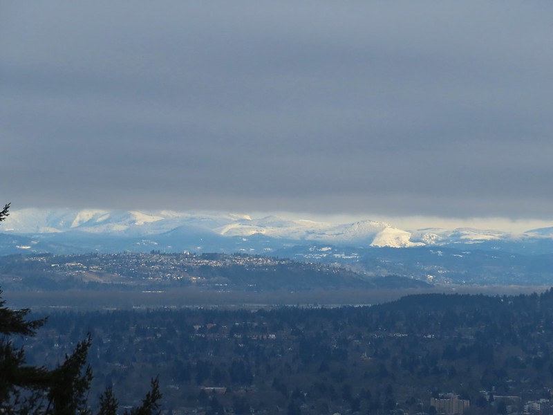 Snowy foothills in the sunlight beyond the Columbia River.

 Entering the Macleay Park Trailhead.
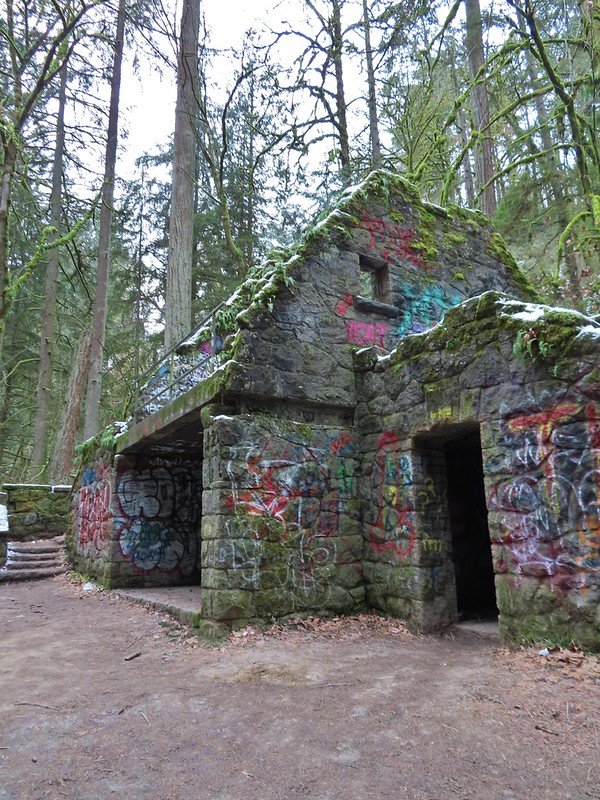 One last look at the Witch’s Castle.
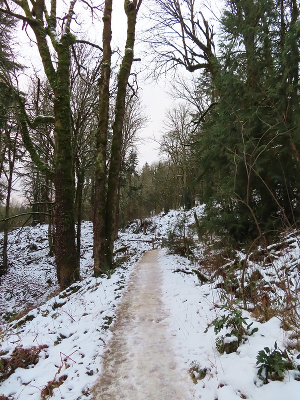
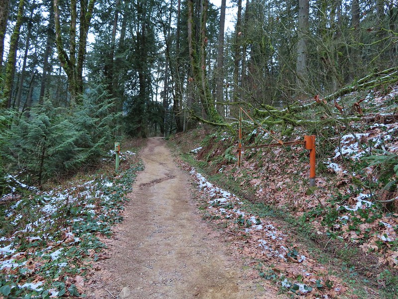 Holman Lane started out snow and ice free.
 Back to the snow and ice higher up.
 NW 53rd Drive
 Birch Trailhead
 The microspikes went back on before descending the Birch Trail and stayed on for the remainder of the hike.
 Sparrow foraging on the Birch Trail.
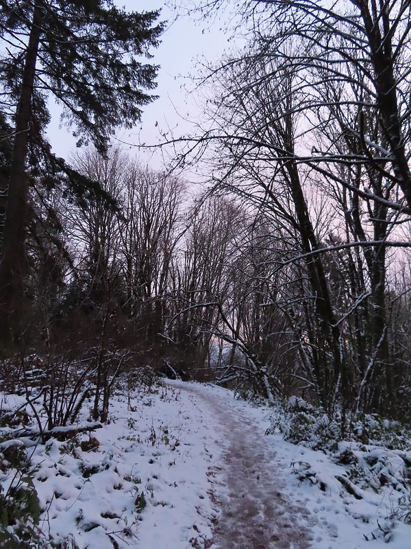
 Back to the Wildwood Trail.
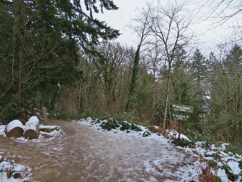 Wild Cherry Trail junction.
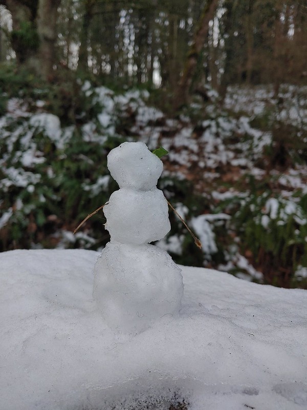 Little snowman near the junction.
 Is that a bit of blue in the sky finally?
 Snowy mushrooms
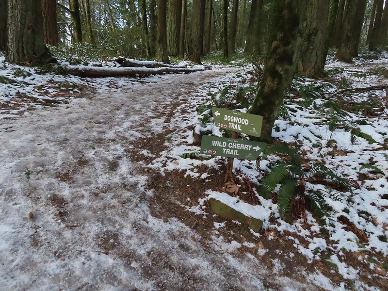
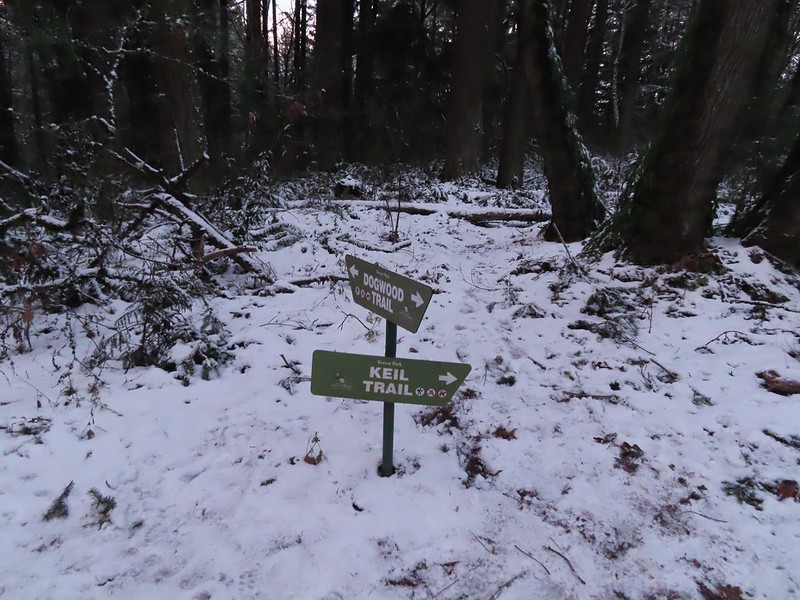
 A break in the clouds provided some blue sky above the Keil/Dogwood Trail junction.
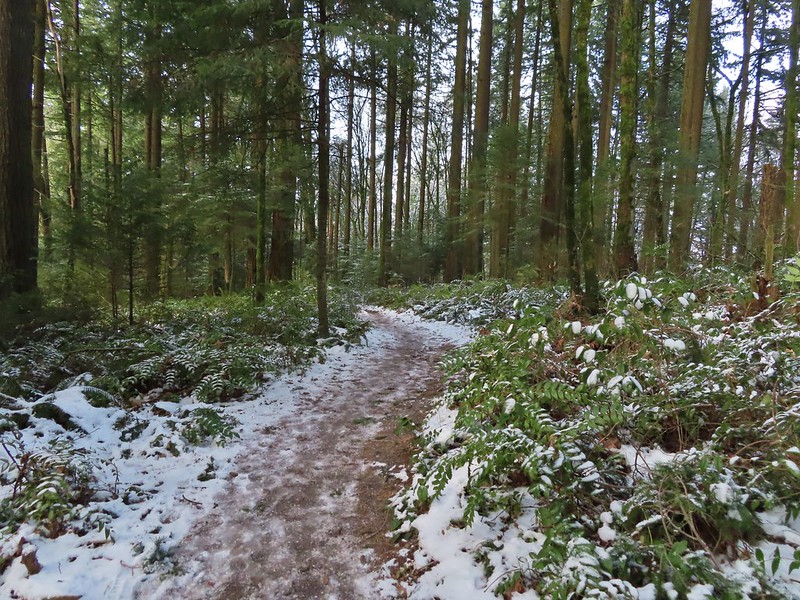
 Woodpecker that wasn’t a bit concerned about my presence.
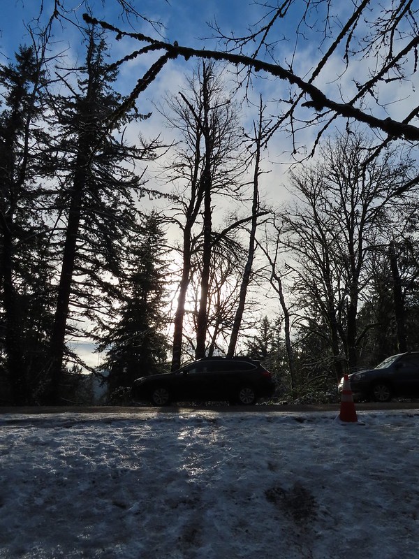 The Subaru waiting for us at the trailhead.


 Banks-Vernonia State Trail in January. (
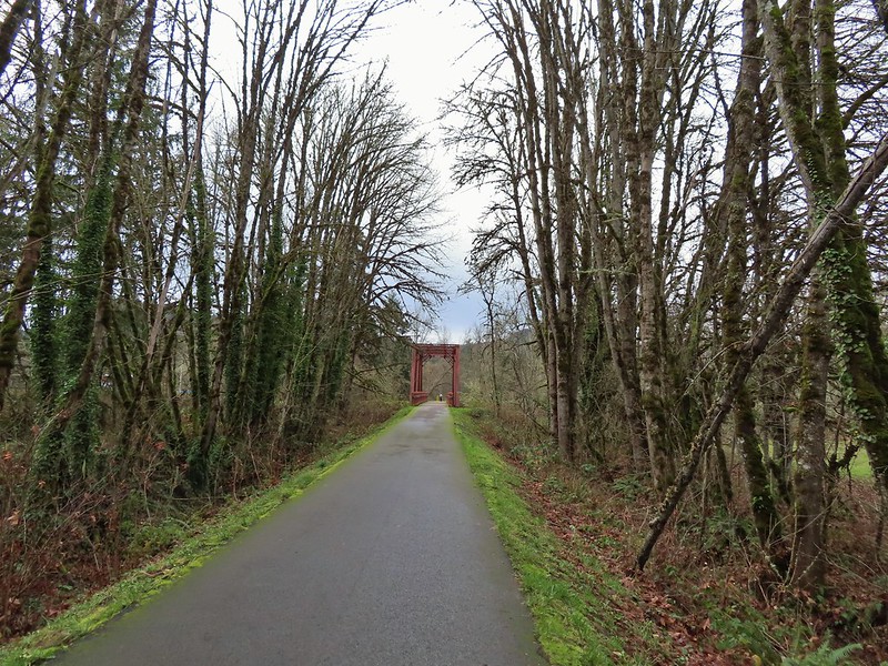 Row River Trail in December. (
 John Day River from the Lost Corral Trail
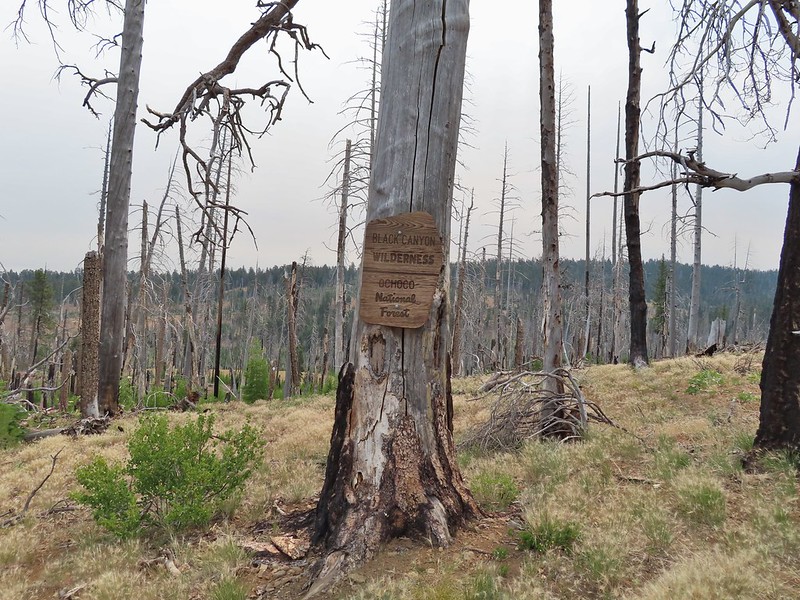 Black Canyon Wilderness in July. (
 Ledbetter Point, the last of the hikes from the coast book. (
 Badger Lake, the last hike from the northwestern book. (
 Redwoods
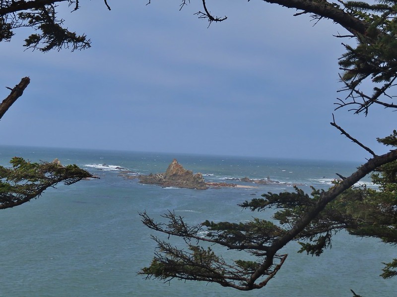
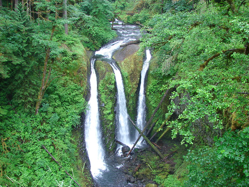
 Falls Creek – February
 Cascade Head from God’s Thumb – March
 Columbia River from Mitchell Point – March
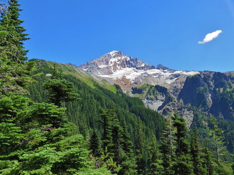
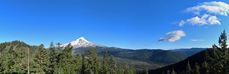
 Mt. Hood from Sevenmile Hill – March
 Dalles Mountain Ranch – April
 Mt. Adams from Grayback Mountain – May
 Navigating a downed tree along the Pawn Old Growth Trail – May
 Golden Falls – May
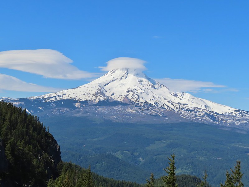 Lenticular cloud over Mt. Hood from Surveyor’s Ridge – May
 Whychus Canyon – May
 Deschutes River – May
 Whychus Creek Overlook – May
 Forest on Mary’s Peak – June
 North Fork Umatilla River – June
 Tower Mountain Lookout – June
 Malheur River – June
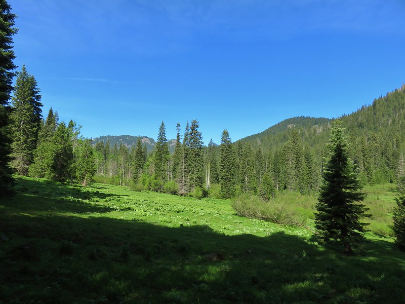
 Meadow on Round Mountain – June
 Santiam Lake – July
 Ochoco
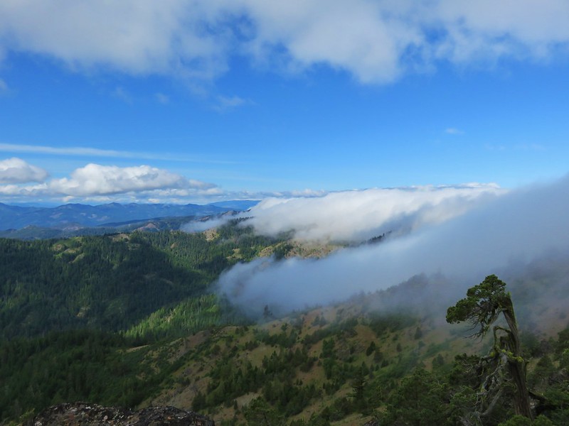
 Red Sun through wildfire smoke from the Monument Rock Wilderness – July
 Aldrich Mountains – July
 Mt. Mitchell summit on a rare poor weather day – August
 Mt. Bachelor – August
 Cottonwood Camp, Big Indian Gorge in the Steens Mountain Wilderness – August
 Wildhorse Lake, Steens Mountain Wilderness – August
 Evening at the Steens Mountain Resort – August
 Little Blitzen Gorge – August
 Riddle Ranch – August
 Morning in the Pueblo Mountains – August
 Oregon Desert Trail, Pueblo Mountains – August
 Mt. St. Helens and Spirit Lake – August
 Harmony Falls – August
 Loowit Falls – August
 Mt. St. Helens from Norway Pass – August
 Mt. Hood from the PCT in the Indian Heaven Wilderness – September
 Mt. Adams and Soda Peaks Lake, Trapper Creek Wilderness – September
 Jubilee Lake – September
 Rough Fork Trail, Blue Mountains – September
 Heritage Landing Trail, Deschutes River – September
 McDonald-Dunn Forest – October
 Cascade Mountains from the Mt. Jefferson Wilderness – October
 Three Fingered Jack from Round Lake – October
 Mt. Hood from the Flag Point Lookout
 Mt. Hood from Lookout Mountain – October
 Silver Falls State Park – October
 Laurel Hill Wagon Chute – October
 Barlow Ridge, Mt. Hood Wilderness – October
 Fern Ridge Wildlife Area – November


 Ivy disguising itself as a tree.
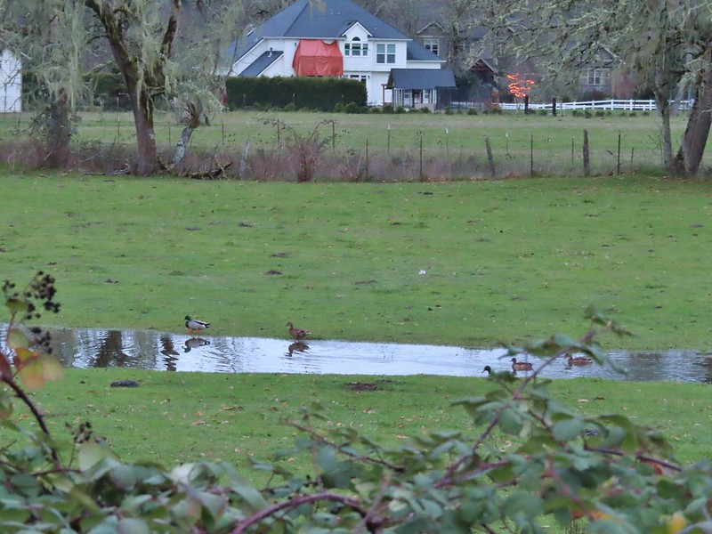 Mallards and Christmas lights.
 Layng Road crossing. The lights on the signs were activated when sensors picked up something approaching.

 Currin Covered Bridge on Layng Road.
 Cormorants flying overhead.
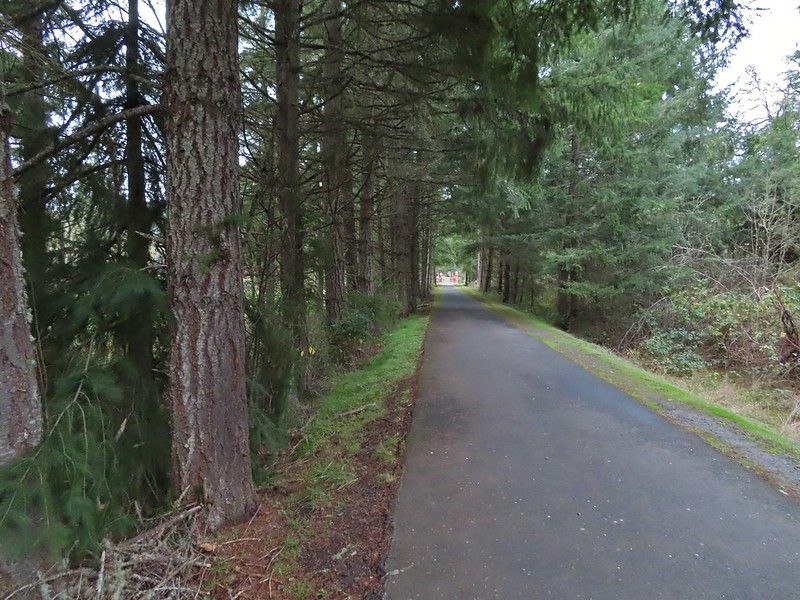 Approaching the bridge over the Row River.
 Row River
 Lesser scaup. I would have liked a better picture but it was still early and not very light and the little guy was a ways away on the river.
 This was a new sign to us.
 Row River Road with some snowy hillsides in the distance.
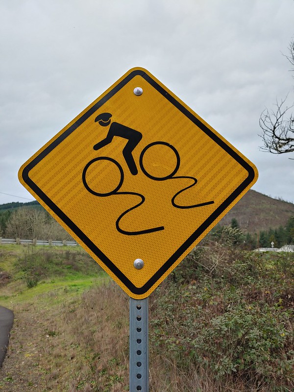
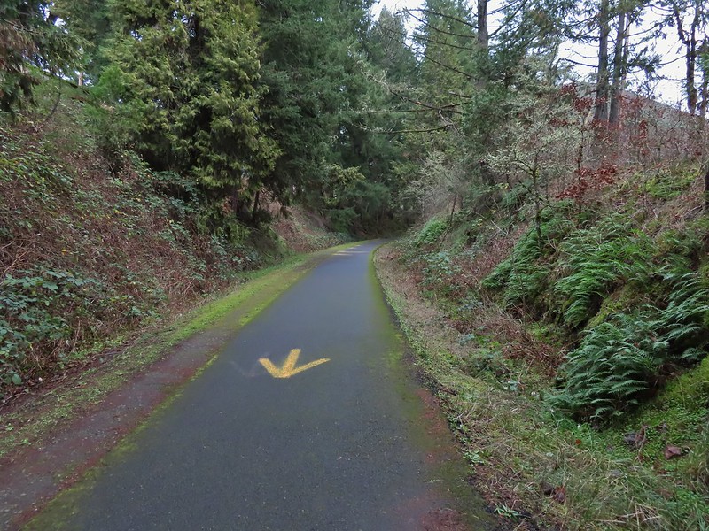 Arrows and other yellow markings identified bumps and holes in the trail for equestrian and bike users.
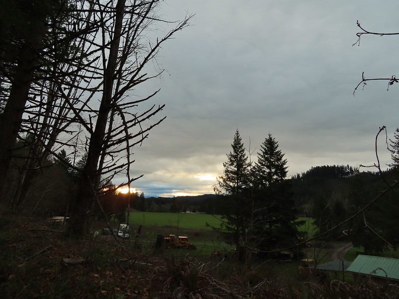
 Jelly fungus
 Hamblen Creek
 Turkeys in a field.
 Sign along a private driveway.
 Not very many mushrooms but these were good sized.
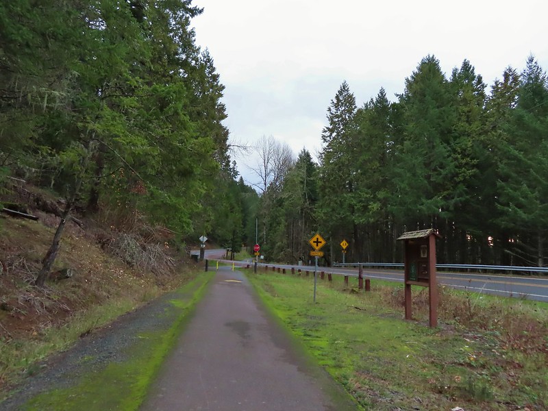

 Do squirrels jog?
 Madrone along the trail.
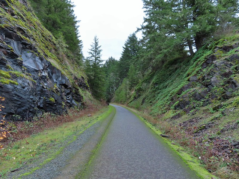 Row River Road was overhead to the left along this rocky section.
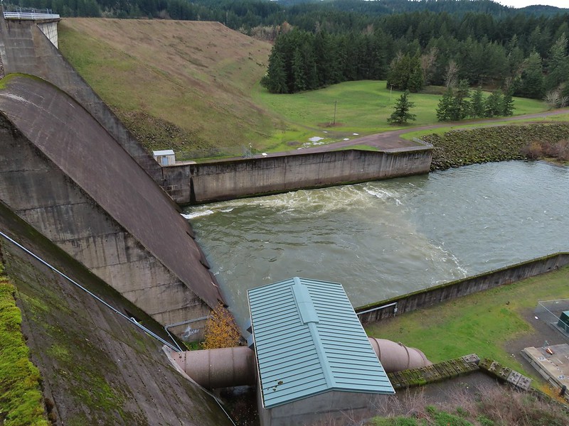
 Nearing a bench along the trail facing Dorena Lake Dam.
 Interpretive sign near the bench.

 Snow in the Calapooya Mountains.
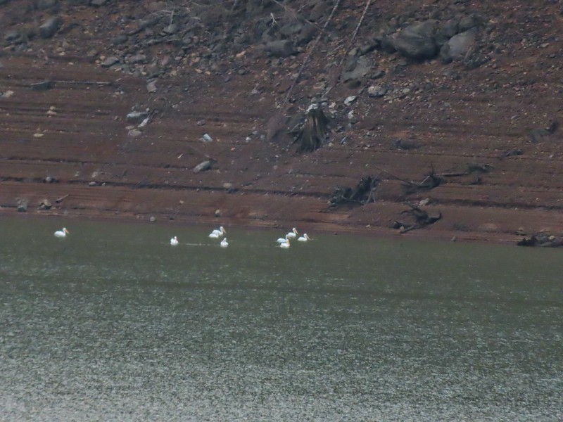 White pelicans on the other side of Dorena Lake.
 Still no rain despite the clouds.
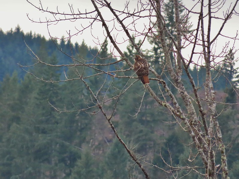 Red-tailed hawk


 A kingfisher and a great blue heron.
 Pelicans and other waterfowl on the move.
 Cerro Gordo from Row Point.
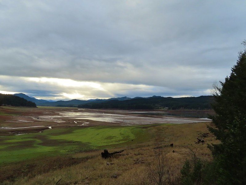 Not much water at all in the eastern end of the reservoir.
 A great blue heron on the far left with a bunch of white pelicans and cormorants.
 Actual sunlight hitting the dam.
 Spotted towhee
 Rat Creek Bridge
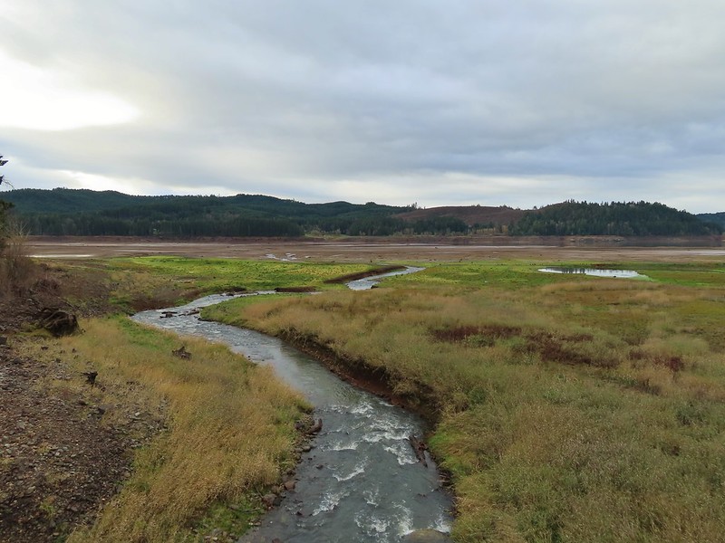 Rat Creek
 June 2020 from the Rat Creek Bridge.
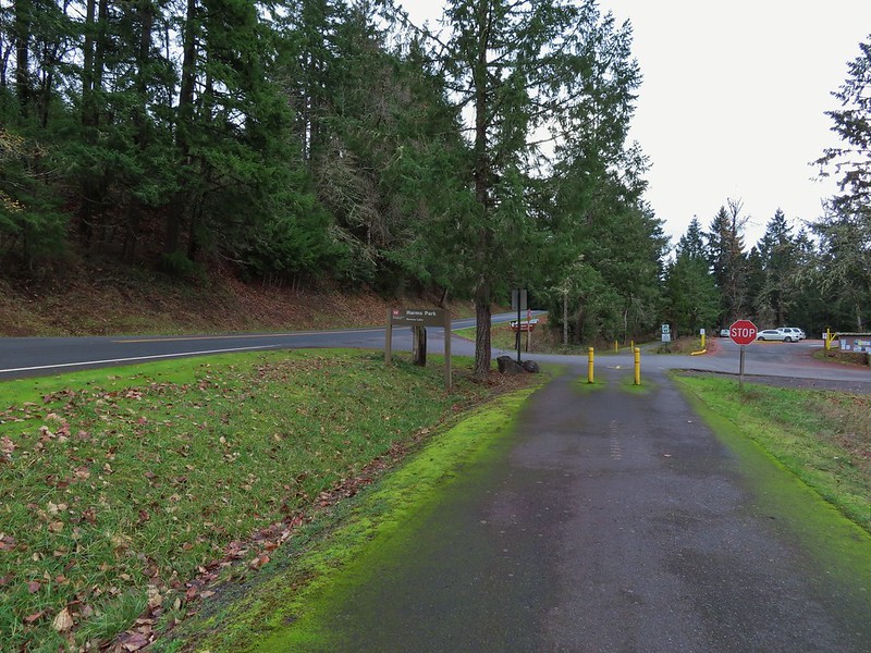

 Gold tree in front of Cerro Gordo.
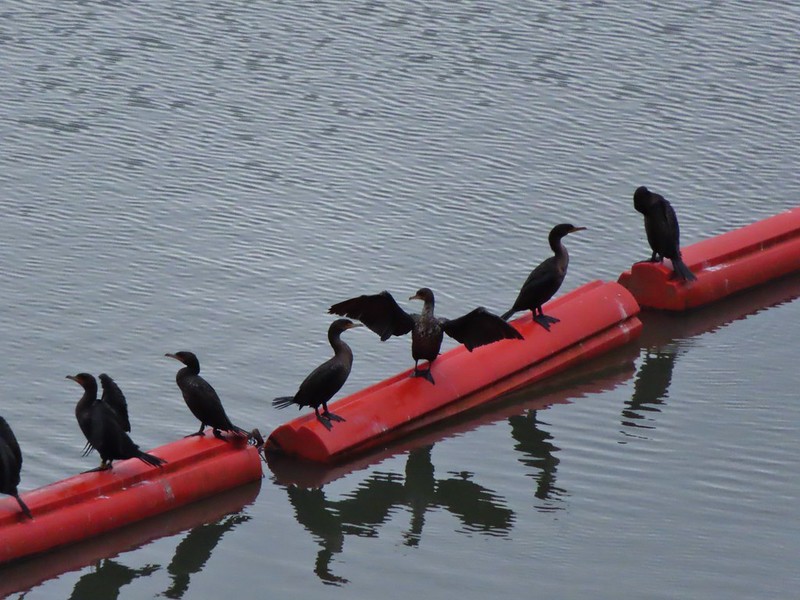
 The little hill to the left provides access to the north end of the dam.


 Just drying out.
 Trying to play.
 No luck.
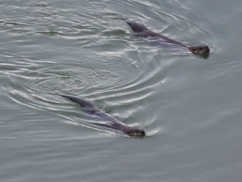

 Rabbit
 American wigeons
 Nature slowly reclaiming an old farm truck.
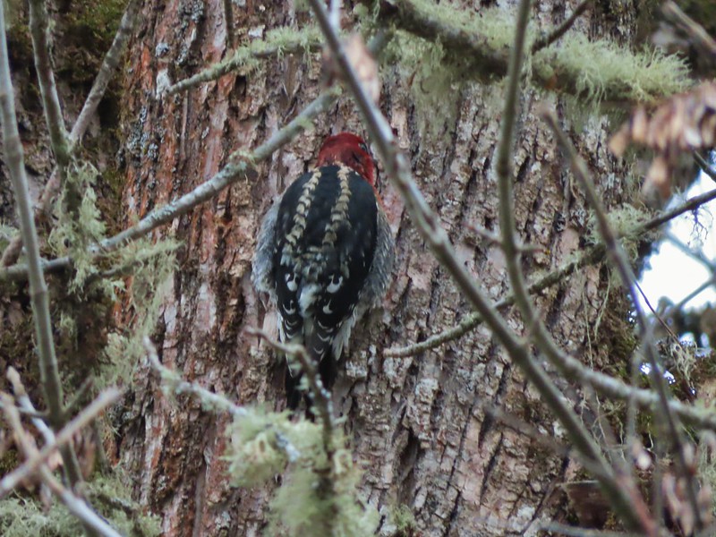 Red breasted sap sucker.
 Mosby Creek
 The trailhead sign for the Clay Creek Trail is ahead on the opposite side of the road.
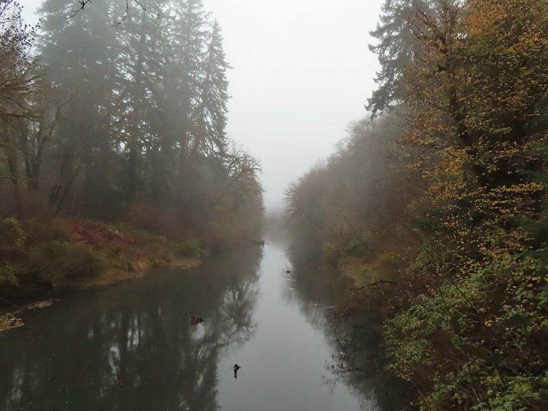 Siuslaw River
 Clay Creek on the left emptying into the Siuslaw.
 Stairs at the Clay Creek Recreation Area across the river.

 The Clay Creek Trail climbing above Clay Creek.
 It’s hard to tell size here but the diameter of this tree was well over 5′.
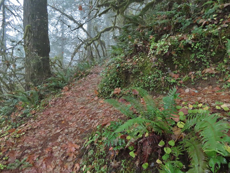 The junction for the loop.
 One of several reroutes we encountered.
 On the ridge top.
 Madrone trunk and bark, always fascinating.
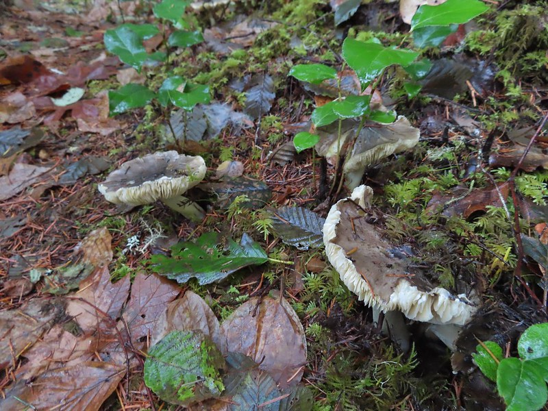 Lots of mushrooms pushing up through the forest floor.
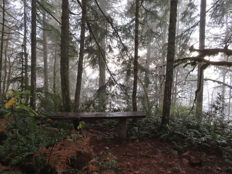 No idea what you might see on a clear day.

 The viewpoint.
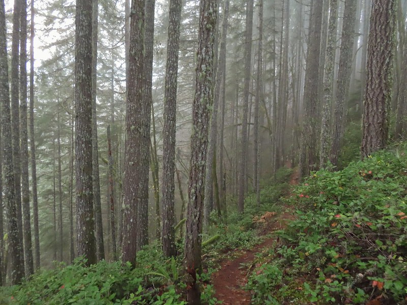

 Nearing the footbridge.
 The fog had lifted off the river at least.
 Note that Royal Ave and the trail to the viewing platform are open year around with the other restrictions listed below.
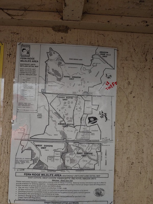 We took a picture of this map to assist us with our route.

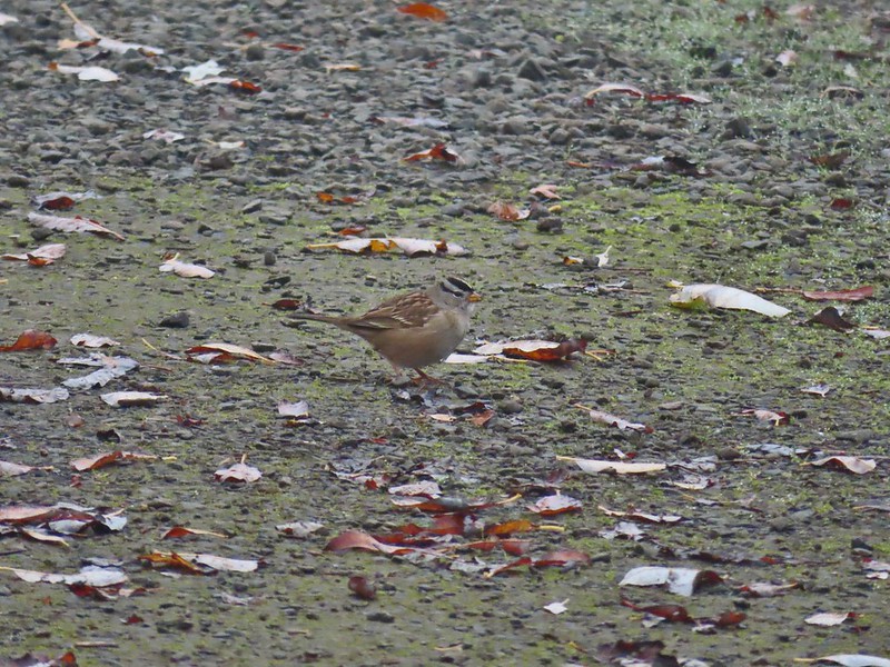 White crowned sparrow
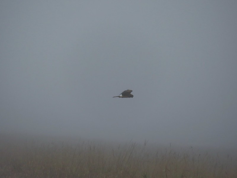 Northern harrier on the hunt.
 Wetlands in the Royal Amazon unit.
 The bittern taking off.
 Not the greatest photo but enough to identify it.
 A hawk on a stump.
 American coots
 Gibson Island (with the eagles in the snag to the far left)
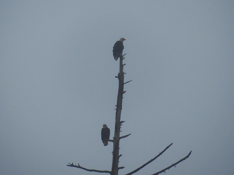


 A flock of geese above the coots.
 There were a number of these small birds pecking around in the mud which, with some help from Molly in the comments, are American pipits.
 Continuing west.
 We used the stones to the right to cross the water here.
 Great blue heron (with Highway 126 in the background).
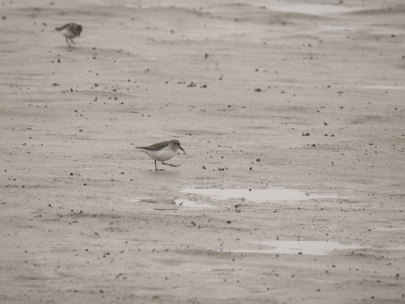
 Sandpiper in the roadway.
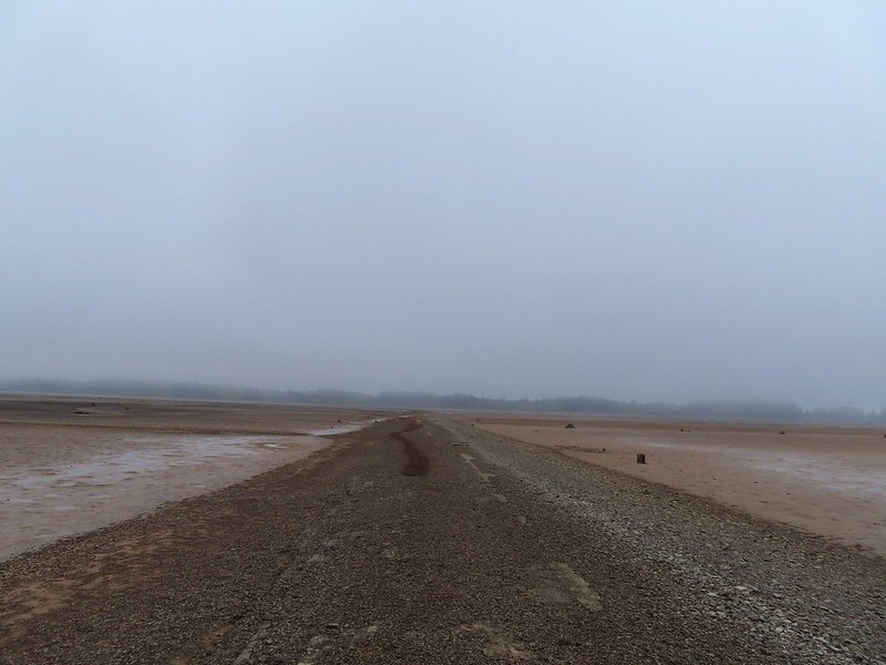
 End of the line.

 Seagull
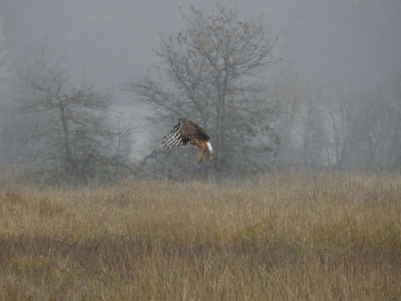 Perhaps the same northern harrier.
 The harrier taking a break.
 The path to the platform.
 Dunlins (thanks again to Molly)
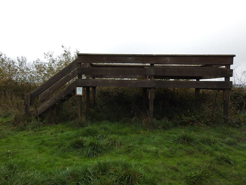 The platform.
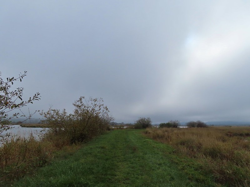
 The first signs that the fog/clouds might be breaking up.
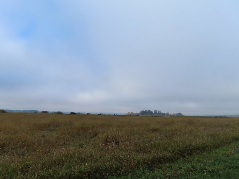 Looking back at a little blue sky and a visible Gibson Island


 Fisher Butte is the low hill ahead to the right.
 Gibson Island was now lit by direct sunlight.
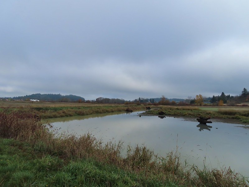 The dike running between Fields 3 & 4.
 Looking back over the ditch.
 California scrub jay
 Northern shovelers and a bufflehead.
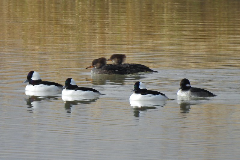 Buffleheads and two hooded merganser females.
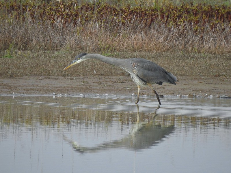
 Kingfisher
 American robin
 The gravel road and another small portion of the wildlife area on the other side.
 Noisy geese.
 Back on the mowed track.
 A sparrow
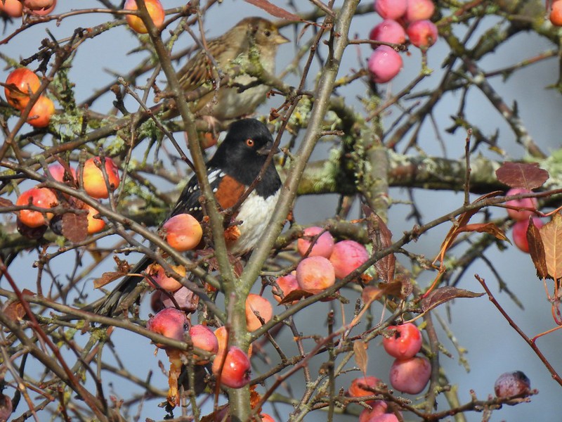 Spotted towhee and friend.
 Finch
Finch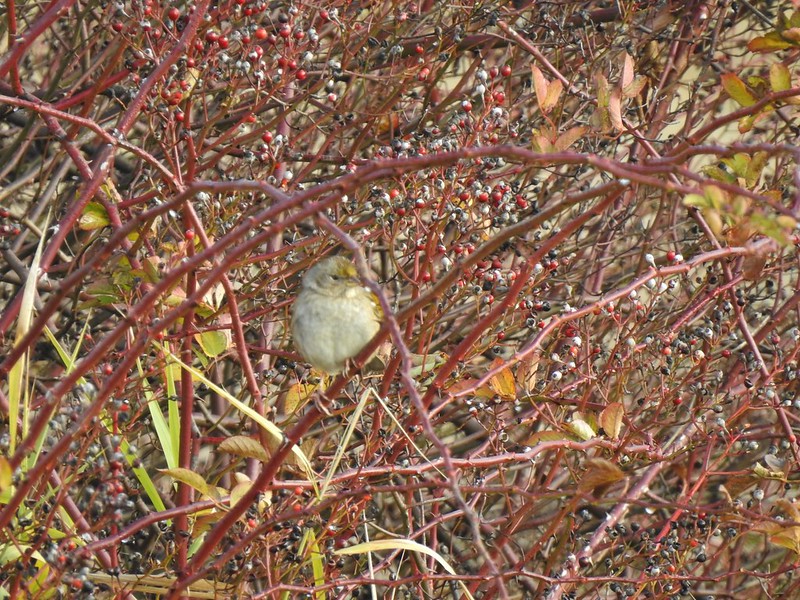 As of yet unidentified little bird.
 This path headed north from the trailhead, something to explore on our next visit.


 Mt. Hood from the trailhead.


 The left at the 4-way junction.
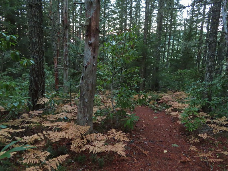
 Looking down the chute.
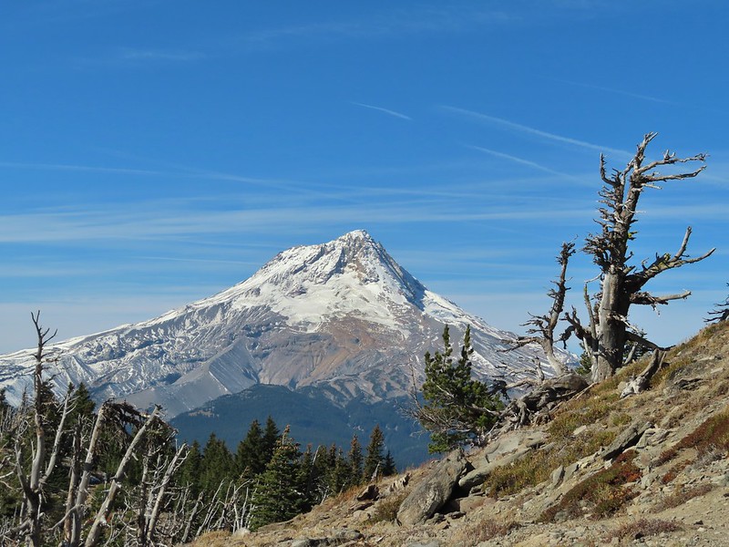
 Sunlight starting to hit the SE side of Mt. Hood.
 Ravens photo bombing a close up of the mountain.


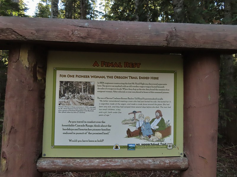
 A portion of the original Barlow Wagon Road.
 Barlow Road (FR 3530)
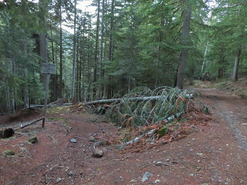


 Wilderness sign along the Barlow Butte Trail.
 Getting steeper.
 This was the worst of the blow down we had to navigate on this section.
 Nearing the junction.
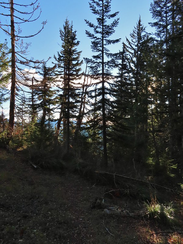
 It was a little chilly with temps in the mid 30’s combined with a stiff breeze adding to the wind chill.
 On the right of the far ridge is Bonney Butte (
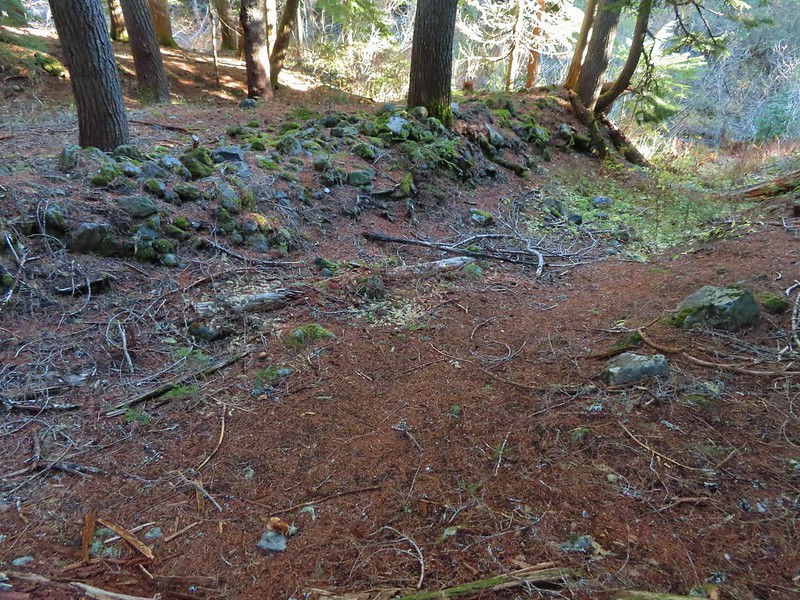
 Remains from the lookout.
 Barlow Butte and the top of Mt. Hood.
 Frog Lake Buttes (
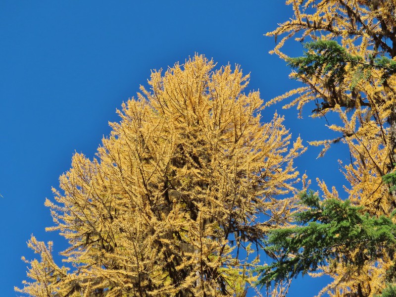
 Western larches
 Mt. Jefferson behind some clouds.
 Sisi Butte (double humps) and Bachelor Mountain (


 Barlow Butte to the left of Mt. Hood.
 Mt. Jefferson still behind some clouds.
 Parts of Mt. Jefferson peaking through the clouds.
 Tom Dick and Harry Mountain (with the rock fields near the top).
 Small cairns in a meadow.
 One of the aforementioned diamonds.
 Approaching the high point.
 Clouds were starting to pass over Lookout Mountain at this point.
 Mt. Hood from the high point of Barlow Ridge.
 Carin in the trees ahead.
 Elk or deer tracks leading the way.
 Another section of frost.
 We took this as a blaze.
 That blaze led to this large cairn.
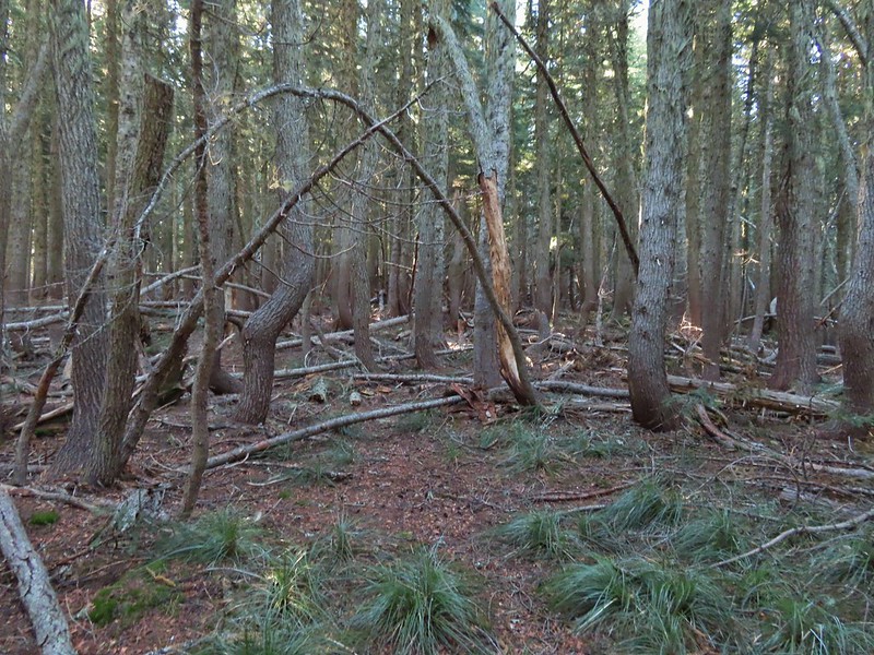 Things were starting to get interesting here.
 Stopped here to listen for pikas, no luck though.
 This could be trail.
 Still on the right track, note the folded trail sign on the tree at center.
 The small meadow.
 Officially off-trail now.
 This looked like a place the trail would go.
 A final look at Mt. Hood from Barlow Ridge.
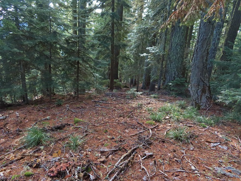 This doesn’t look so bad.
 One of several big trees we encountered.
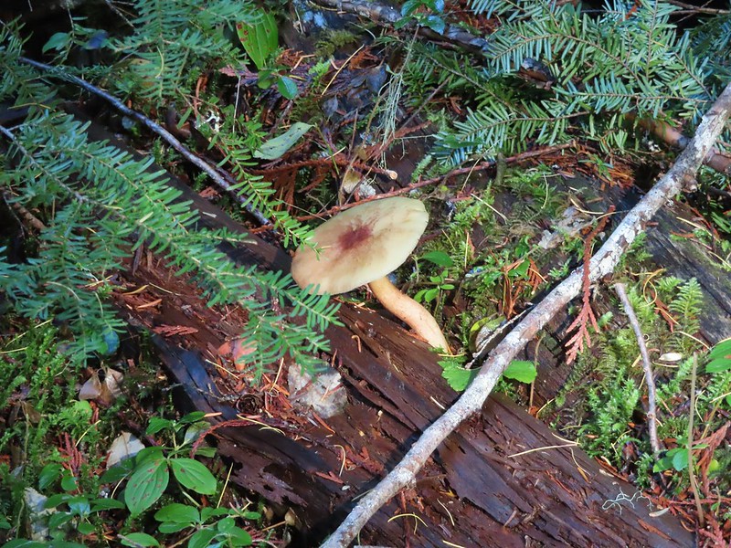
 Little orange mushrooms, how appropriate for Halloween.
 Starting to encounter more debris.
 If there had been a trail good luck finding it.
 Heather coming down behind me.
 Pretty decent game trail here.
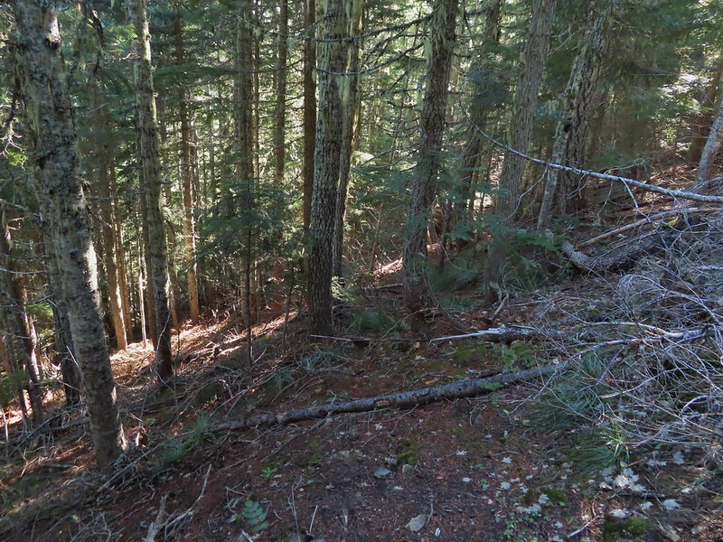 This section was fun.
 A bigger orange mushroom.
 Uphill on this game trail.
 Thickets of brush kept us from getting all the way over to the ridge we needed so we just kept going downhill knowing that we would eventually run into one of the forest roads at the bottom.
 Look Ma a road!
 It doesn’t look that steep from down here.
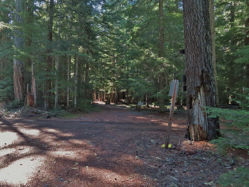 Barlow Road.
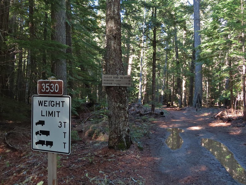


 Western larches above Barlow Road.
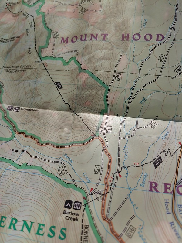
 Grindstone Campground
 Barlow Creek
 Crossing Barlow Creek near Devil’s Half Acre Meadow.
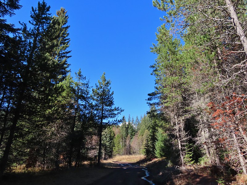 Clouds on top of Mt. Hood towering over the trees.
 Barlow Road at the campground.
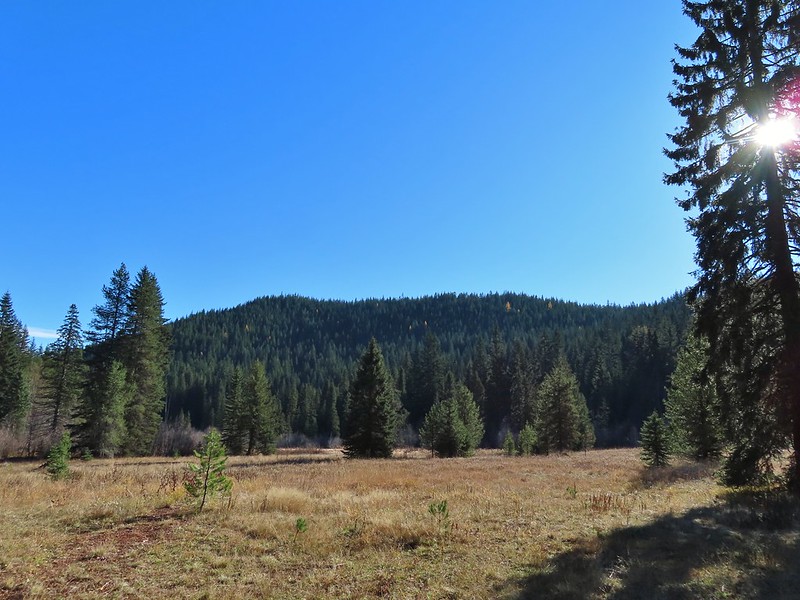 Devil’s Half Acre Meadow.
 Finally back to where we’d left the road in the morning.
 Arriving back at the Barlow Pass Trailhead
 The first other people (not counting the two drivers in the pickups) that we’d seen all day.
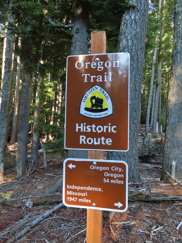


 East Fork Salmon River


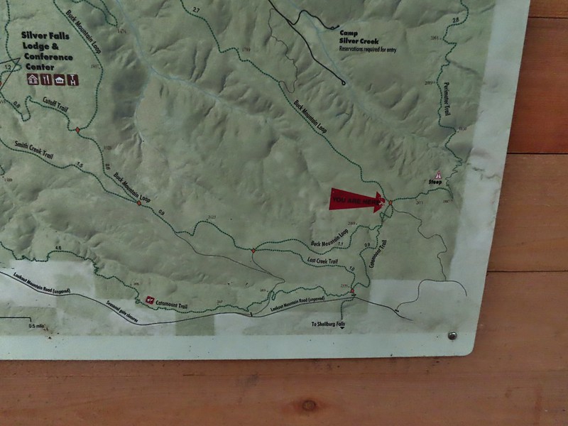
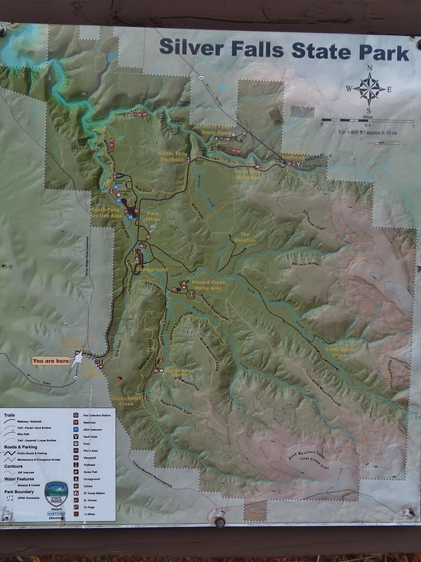 Park map at the viewpoint.
 Willamette Valley

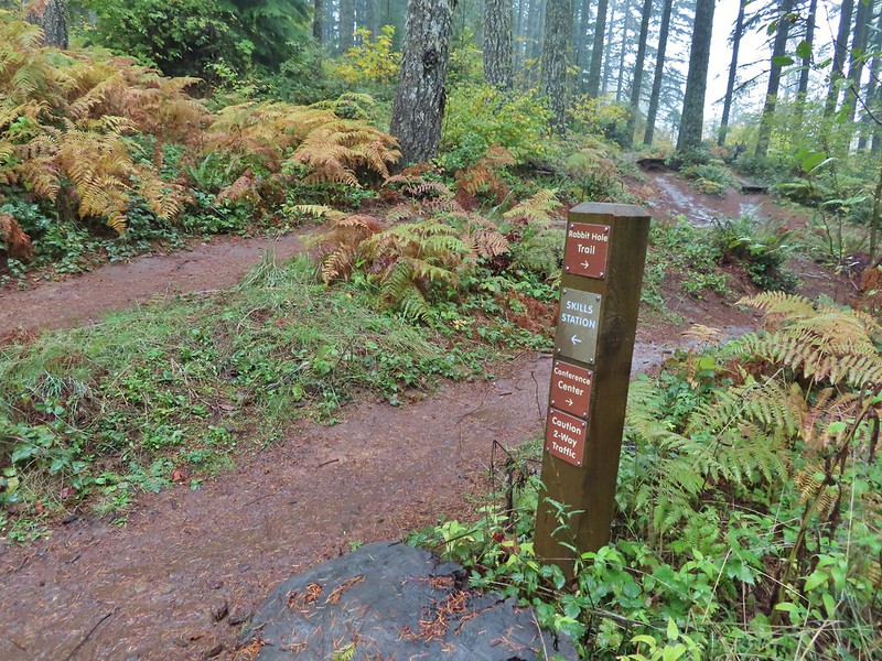
 Sign post for the Newt Loop and mountain biking skills station.
 As much blue sky as we were going to get on this day.
 A massive old growth nursery log. The tree stood for hundreds of years and will spend hundreds more slowly decaying and providing nutrients for younger trees.
 Nursery stump. While some old growth exists in the park it was also logged heavily which was the primary reason it was passed over for National Park status.
 The Smith Creek Trail junction.
 Does anyone know their salamanders? Not sure what type this one was.
 The Nature Trail junction.


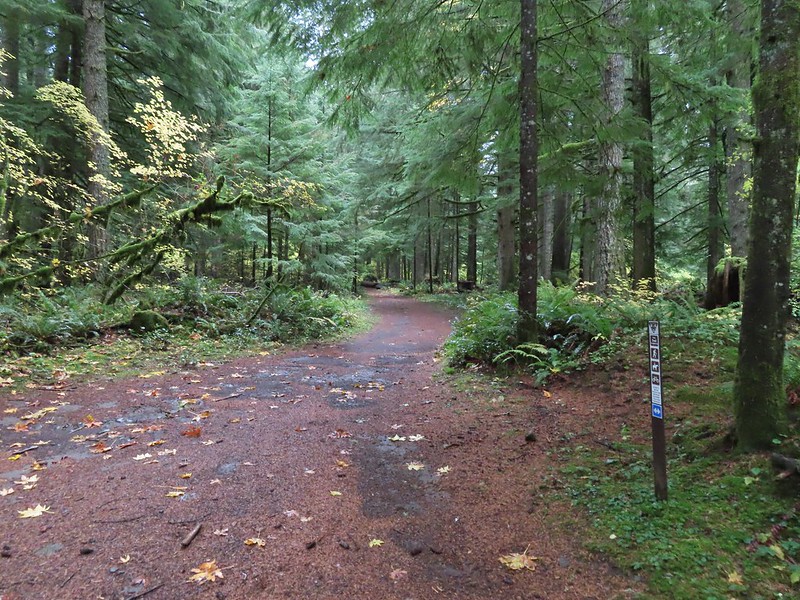
 From the spot that we entered the campground you could just see a hiker sign at the far end of the paved campground road.


 No wildlife to view today.

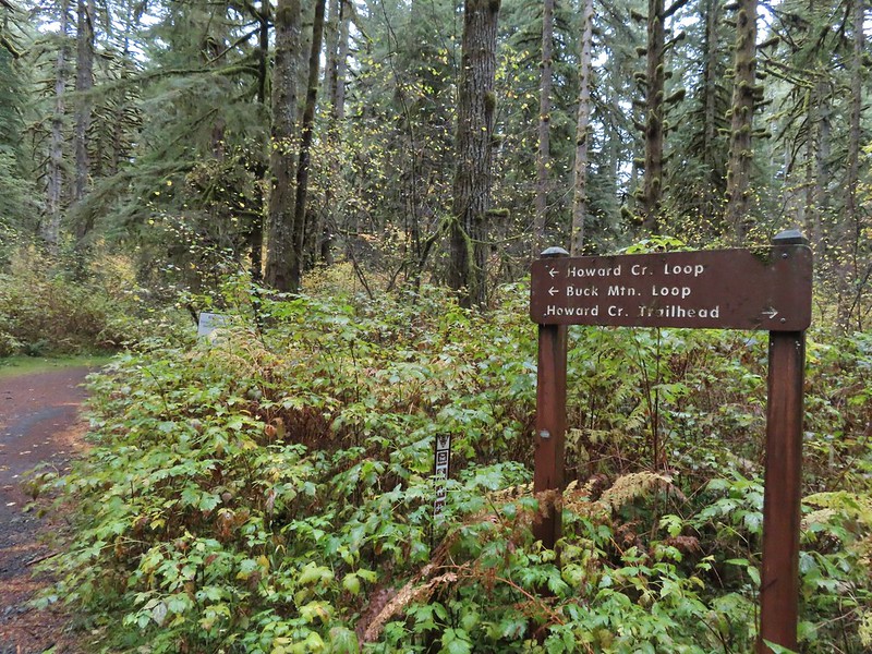
 The Howard Creek Loop Trail.
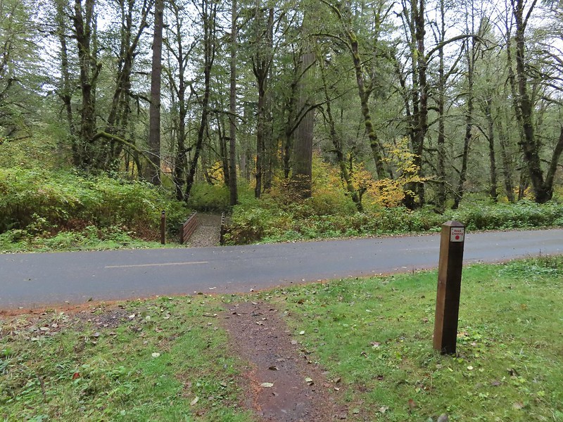
 Howard Creek
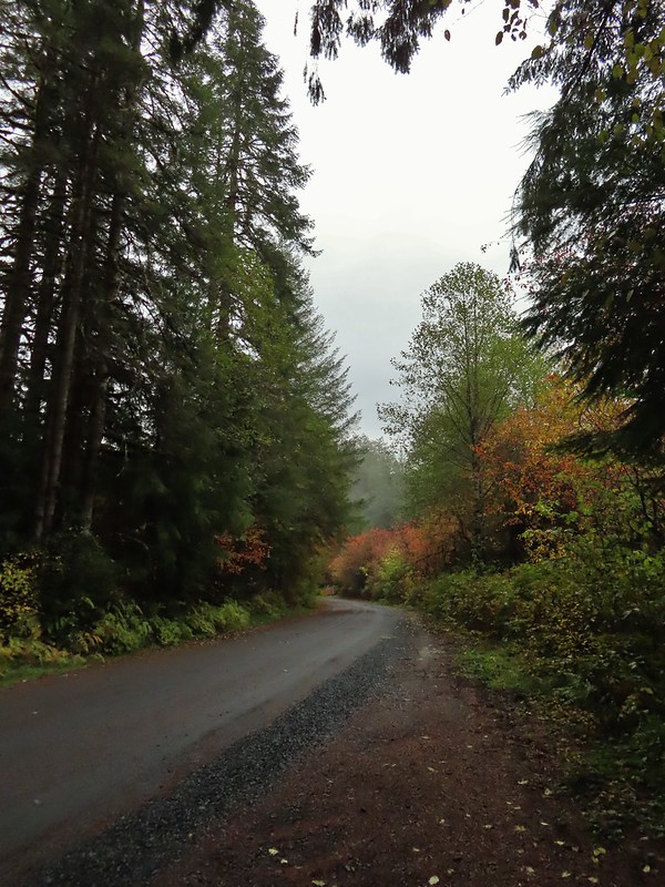
 Sign for the trailhead.


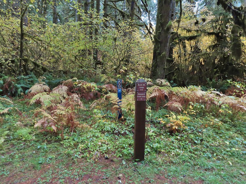


 Blue appeared to mean Buck Mountain Loop (the posts along the Howard Creek Loop had been red and later the Smith Creek Trail posts were yellow.)
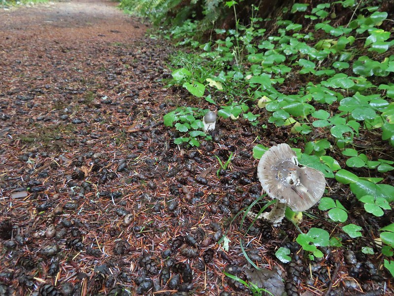

 The mix of tree trunks here caught our eye.
 Approaching the trail junction.

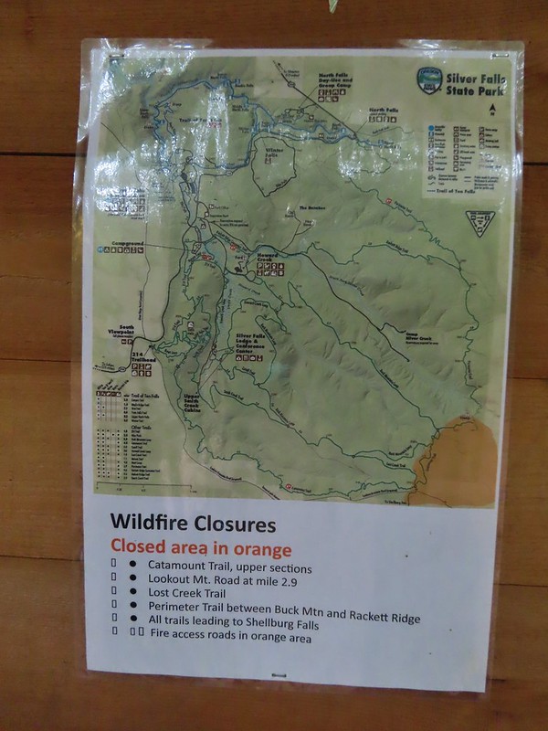 The 2020 Beachie Creek Fire threatened the Park and did in fact burn over nearby Shellburg Falls (
 Orange fence marking the closure of the Catamount Trail.
 The first footbridge which spans Howard Creek. The creek was obscured by brush.
 The second footbridge over a tributary not shown on the topo map.
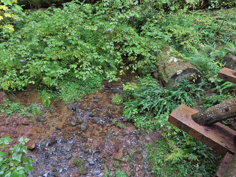 This stream was a little easier to see.
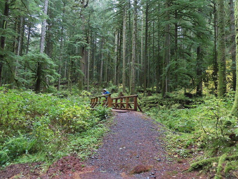
 A reminder of how close the Beachie Creek Fire was.
 The 4-way junction.

 Approaching the Smith Creek Trail junction.


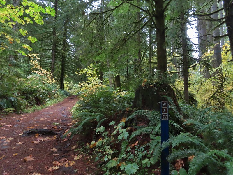
 Ramps in the background at the skills station.
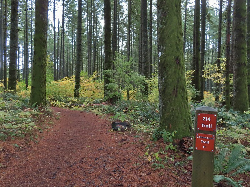
 The Catamount Trail arriving on the left.
 The 214 Trail from the Newt Loop.

 A few larches along Road 2730
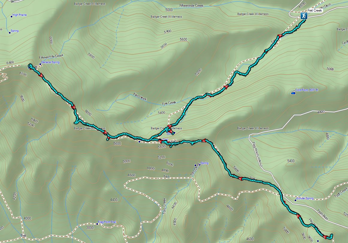
 Fret Creek Trail across from the pullout.
 Entering the Badger Creek Wilderness.


 Starting to climb again.
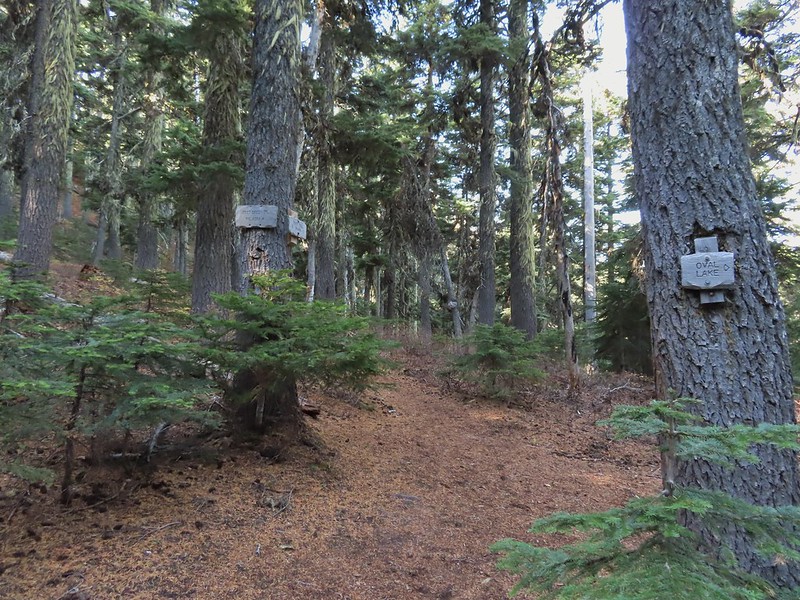
 Sign for Oval Lake.
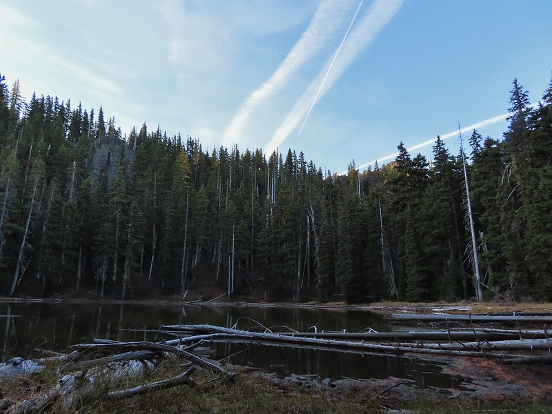
 June 28, 2014
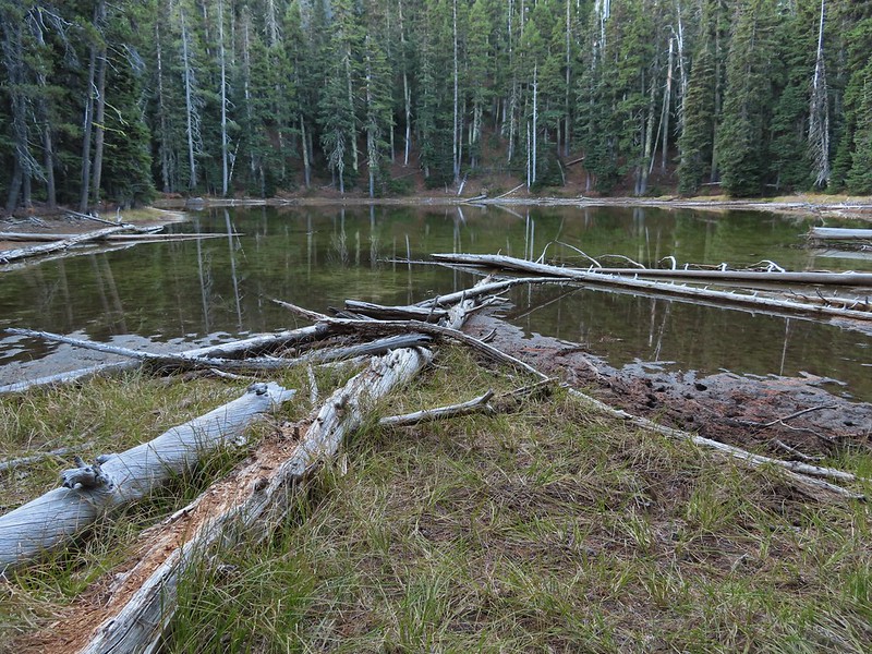
 A bit of snow left from the recent snowfall.
 The Divide Trail.
 Some snow near a switchback along the trail.
 Mt. Adams starting to peak over a ridge to the north.
 Mt. Adams with some larch trees in the foreground.
 Lookout Mountain from the Divide Trail (The bare peak in between the two bare snags. Just to the right of the left snag.)
 Side trail to Palisade Point.
 Broken Top, The Three Sisters, Mt. Washington, Three Fingered Jack (just the very top), Mt. Jefferson, and Olallie Butte (
 Mt. Jefferson with the tip of Three Fingered Jack to the left and Olallie Butte to the right.
 Mt. Hood peaking up over the rocks.
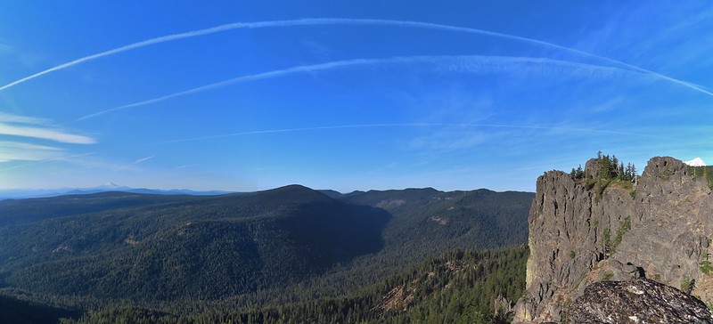 Panoramic view with Badger Creeks valley below.
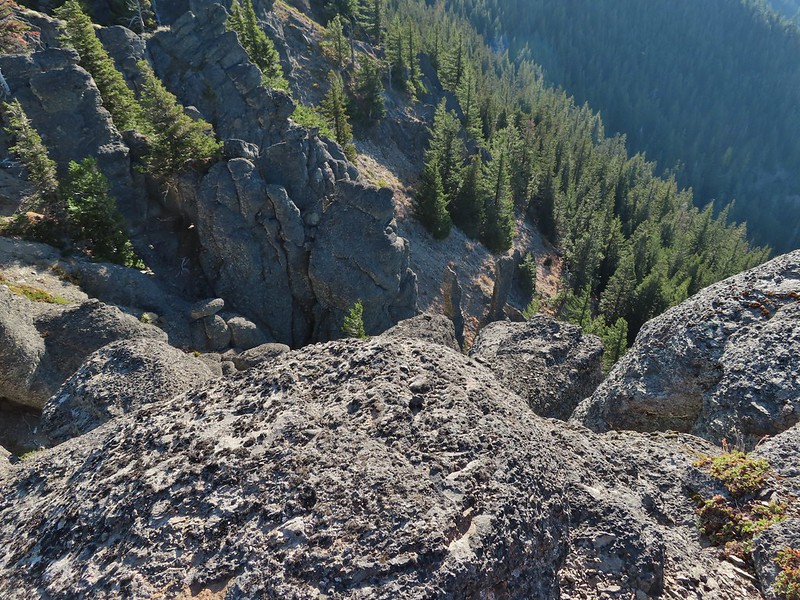 Rocks below Palisade Point.
 We ran into this jumble of downed trees shortly after leaving Palisade Point but fortunately it was the worst of the obstacles.
 Flag Point Lookout from the trail.
 A small meadow that was full of flowers a couple of months ago.
 A stand of larches.
 A better view of Mt. Hood.
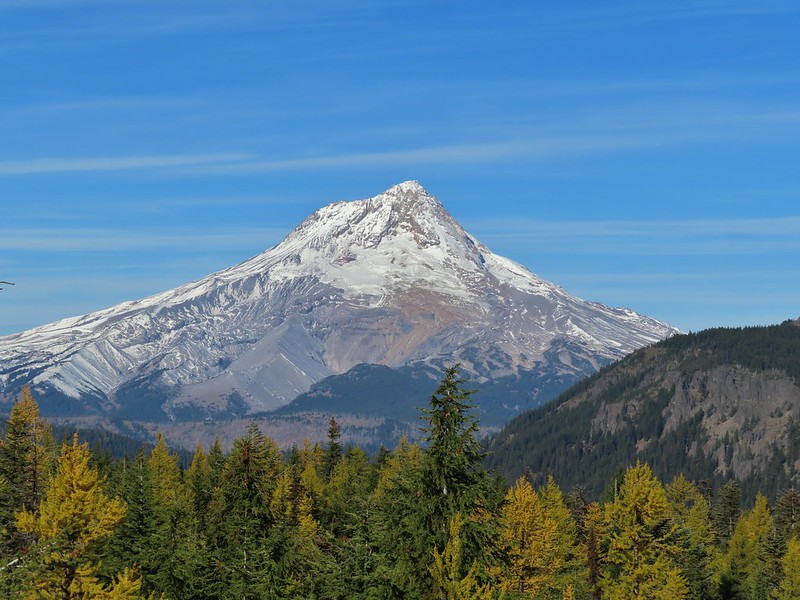
 Zoomed in.
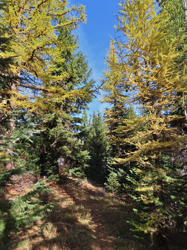 Looking back through larches at a Badger Creek Wilderness sign near Road 200.
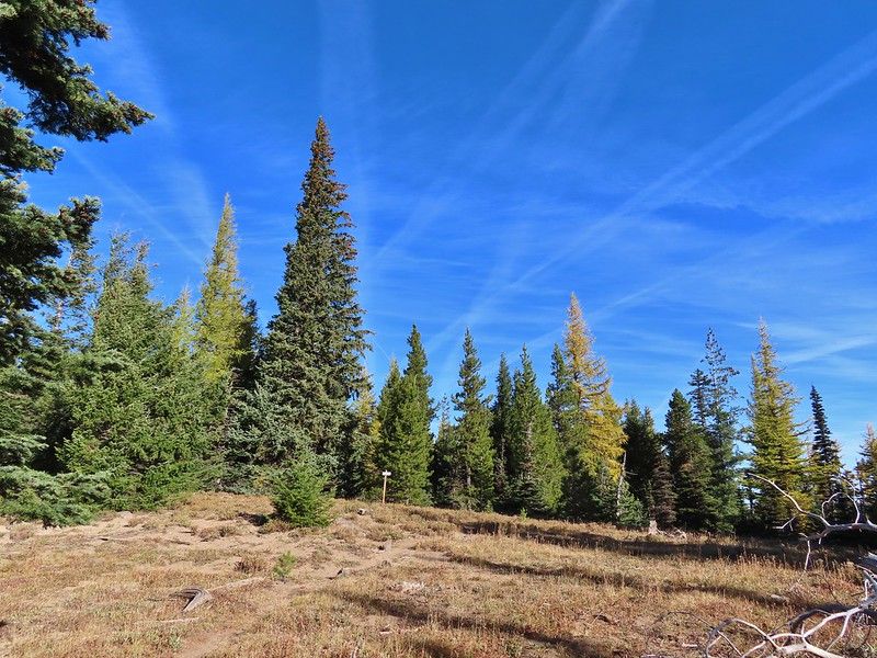 Looking back at the Divide Trail.
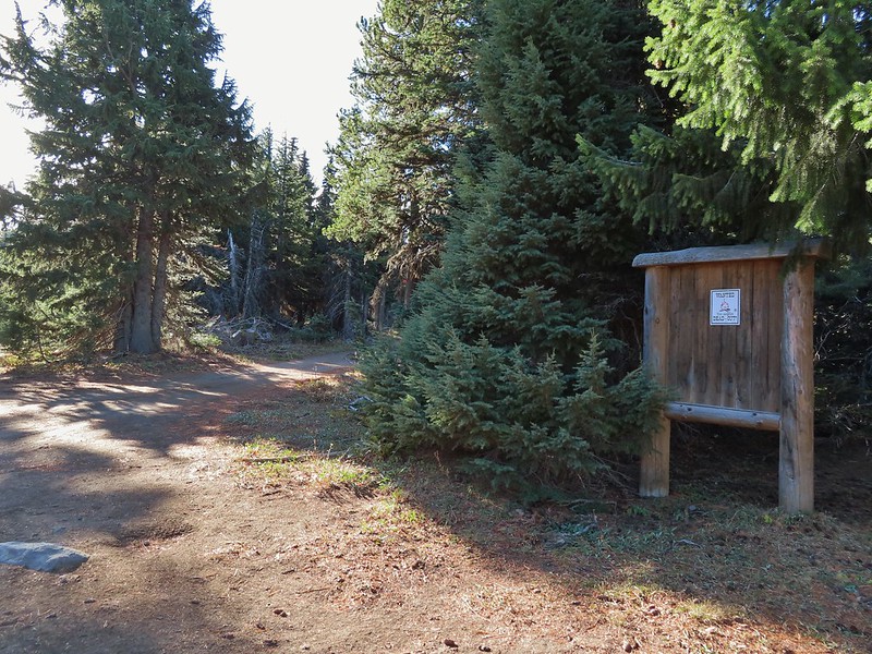 Road 200
 Chipmunk
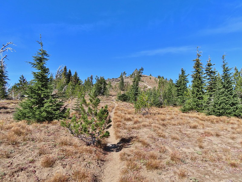
 Nearing the lookout.
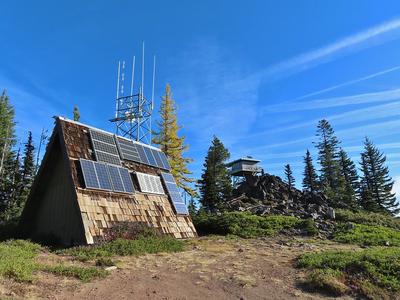

 Mt. Rainier and Mt. Adams to the north.
 Mt. Rainier and Mt. Adams
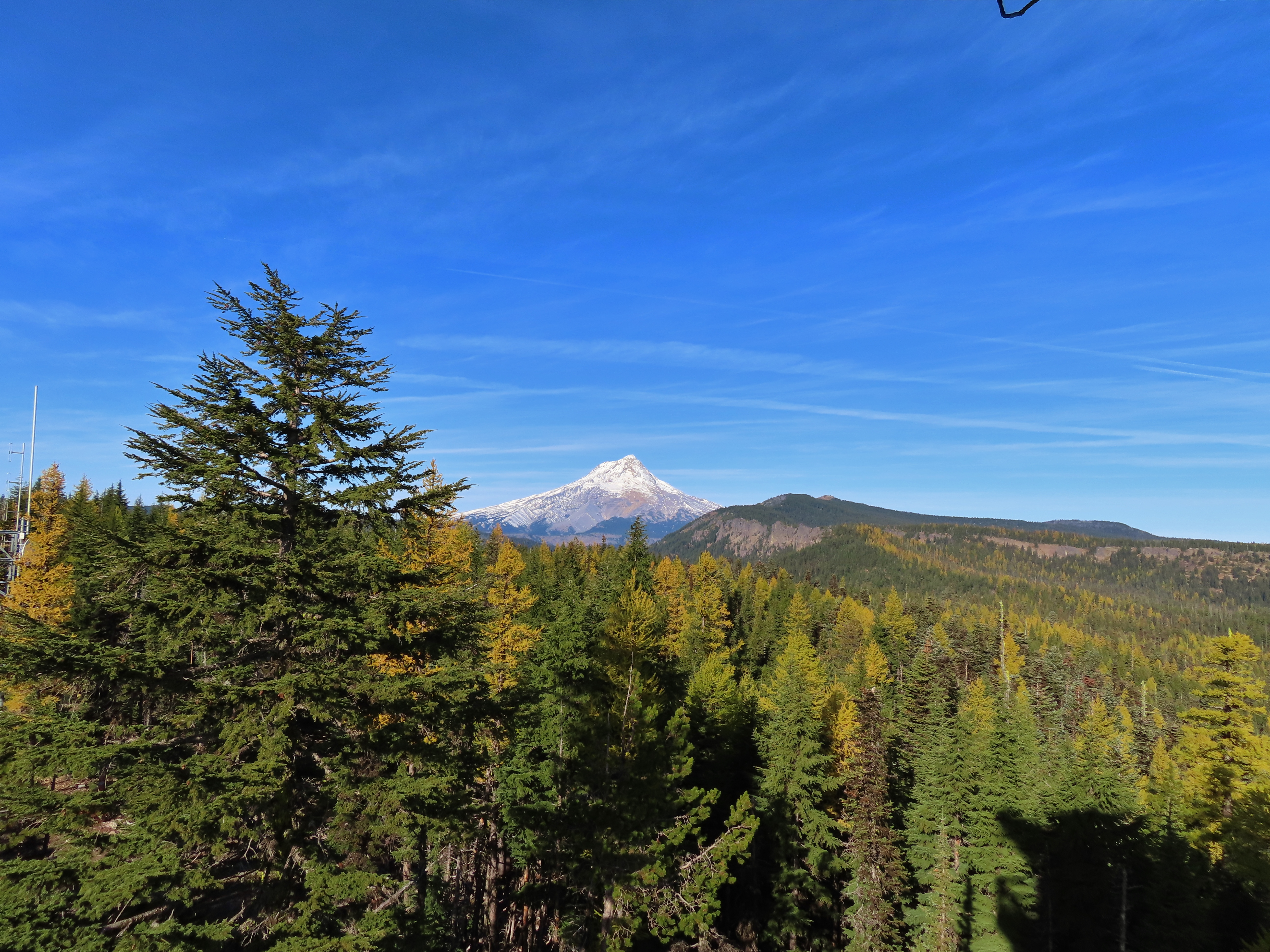

 Three Fingered Jack, Mt. Jefferson, and Olallie Butte
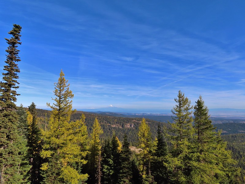
 View east to the hills above the Columbia River.
 Passing the Fret Creek Trail.
 We did need to gain almost 800′ of elevation to reach Lookout Mountain which at times was a fairly steep climb.
 Another viewpoint along the way where Badger Lake was visible.
 Badger Lake

 The final pitch to the summit, there is at least one hiker visible up top.
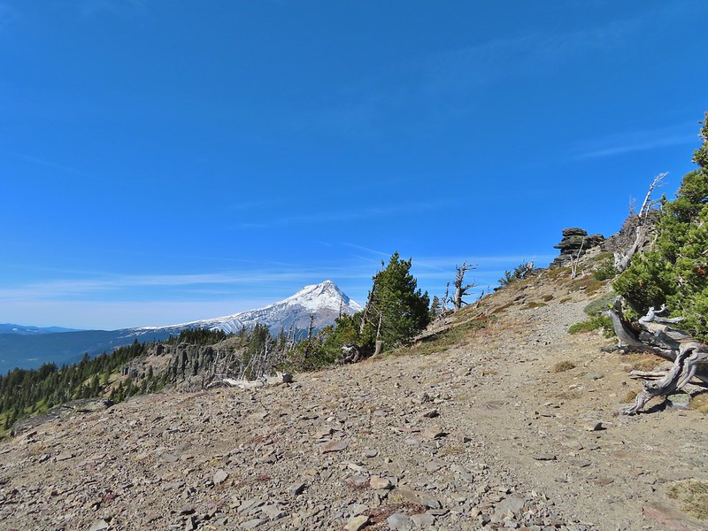
 Looking back to Flag Point.
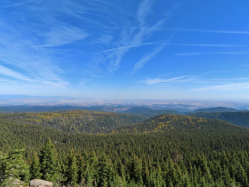 Looking NE toward The Dalles and the Columbia River.
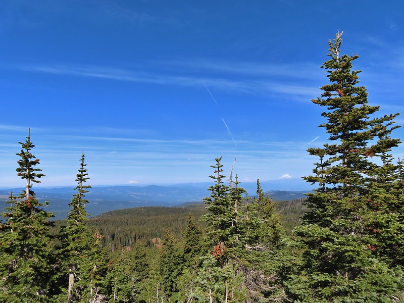 Mt. St. Helens, Mt. Rainier, and Mt. Adams
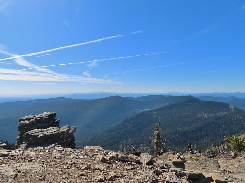 View south past Badger Lake to Mt. Jefferson.
 Flag Point from the Helispot.


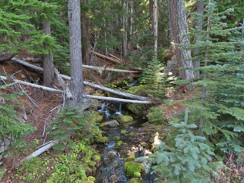 Fret Creek from the road near the trailhead.