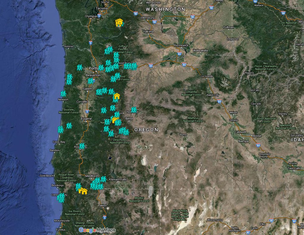
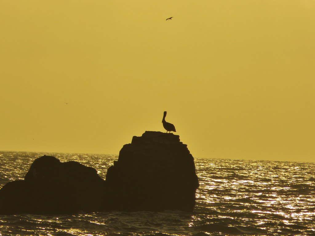
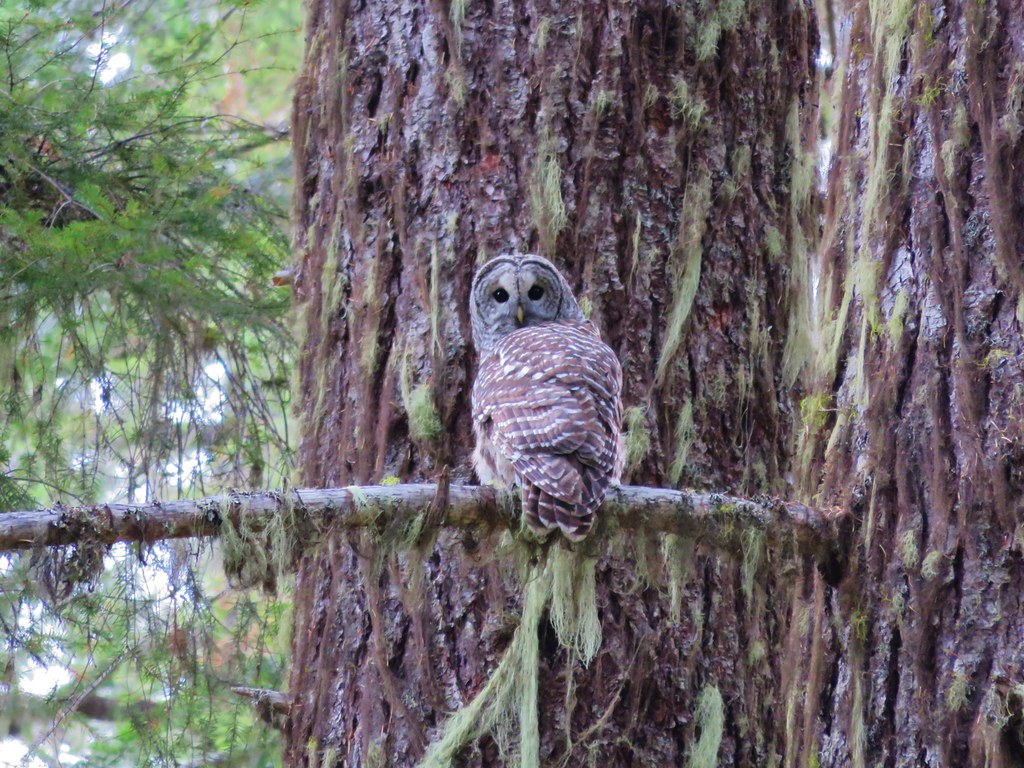
Several years ago we set a goal for ourselves to hike all 500 featured hikes in William L. Sullivan’s “100 Hikes…” series of guidebooks (post). In 2020 we completed the first of these books covering the Central Oregon Cascades (post). We followed that up by completing a pair of books in 2021 starting with Sullivan’s “100 Hikes/Travel Guide Oregon Coast and Coast Range” 3rd edition (post) followed up by “100 HIkes/Travel Guide Northwest Oregon & Southwest Washington” 4th edition (post).
Generally speaking in order to check a hike off our list we need to have hiked a substantial portion of Sullivan’s described hike or visited the main attraction(s) he identifies for the hike. For 66 of the hikes we followed the books described route. For the other 34 hikes various factors contributed to us not completing all of each featured hike. For some we started at a different trailhead, others had portions of trail(s) closed when we visited, and several had longer options that would have required multiple days to complete. In some other cases we did slightly different routes, sometimes by accident.
The area covered by Sullivan in this book, as the title suggests includes parts of Southern Oregon and Northern California. It contains his southernmost featured hike, Caribou Lakes. In general the area covered in Oregon begins just North of Roseburg extending East to Highway 97 (with the exception being Klamath Falls which is included in his Eastern Oregon book), South to California, and West to Marial on the Rogue River. In California the area extends south to the Trinity Alps Wilderness, West to the Siskiyou Wilderness, and East to the Mount Shasta Wilderness.


In addition to the three wilderness areas in California mentioned above the featured hikes included visits to the Marble Mountain, Castle Crags, Russian, and Red Buttes Wilderness areas in California. Wilderness areas in Oregon included the Red Buttes (OR & CA share this wilderness), Kalmiopsis, Wild Rogue, Soda Mountain, Mountain Lakes, Sky Lakes, Rogue-Umpqua Divide, Boulder Creek, and Mt. Thielsen.
In addition to the 15 designated wilderness areas there were hikes in two National Monuments – Oregon Caves & Cascade-Siskiyou, and Crater Lake National Park.
#1 North Bank Ranch-Hiked 6/5/2015 6/25/2023

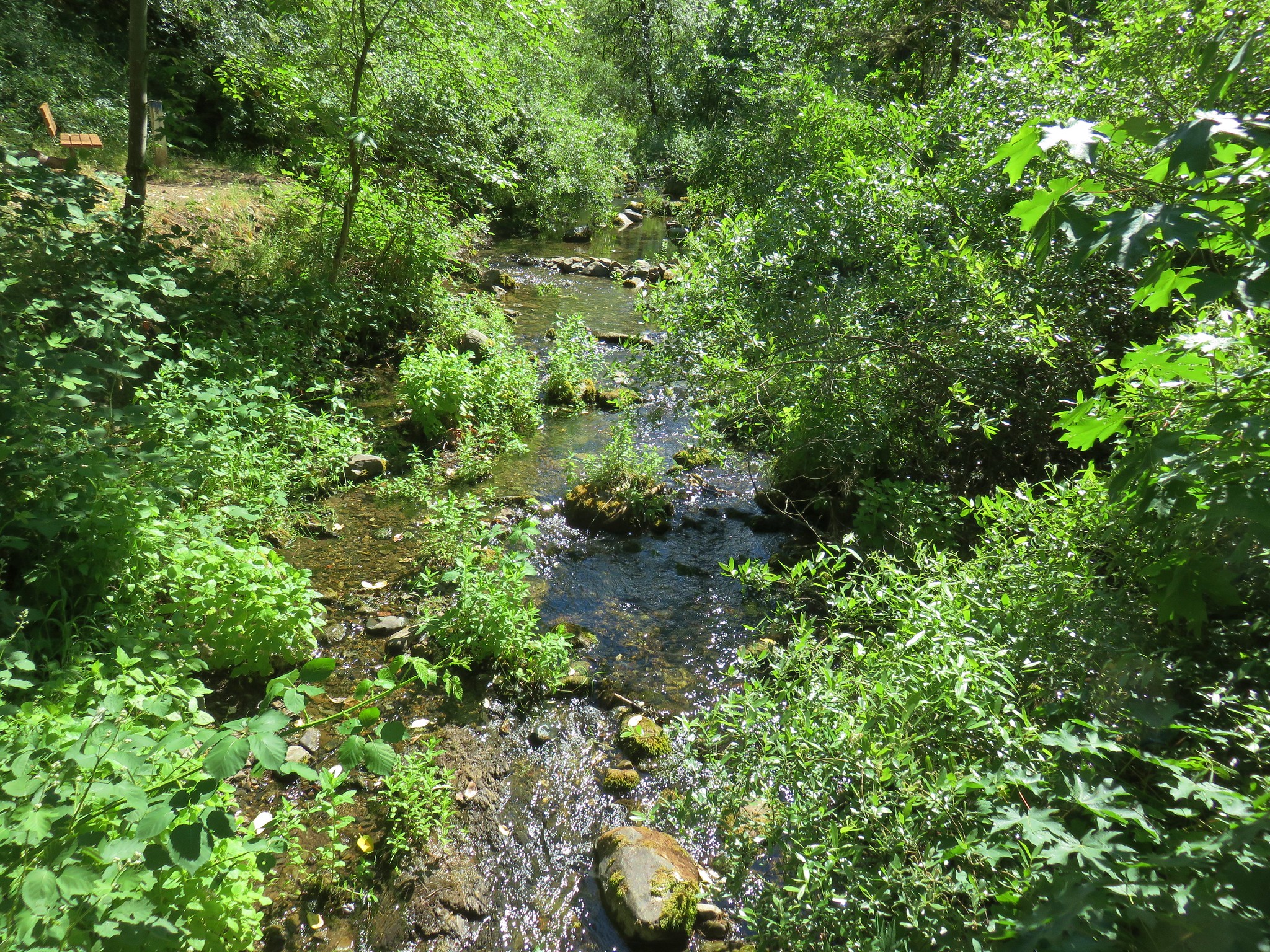
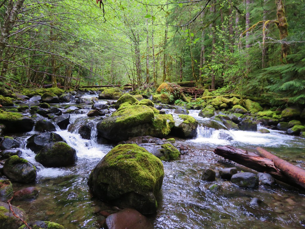
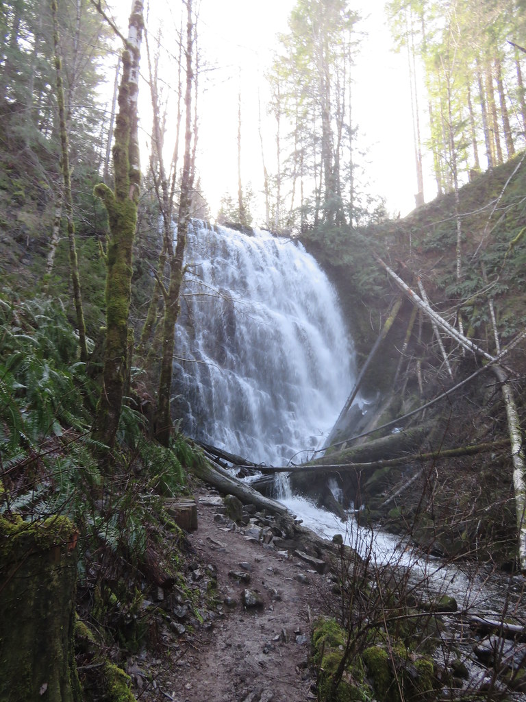
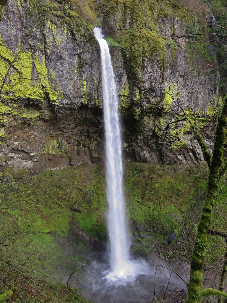
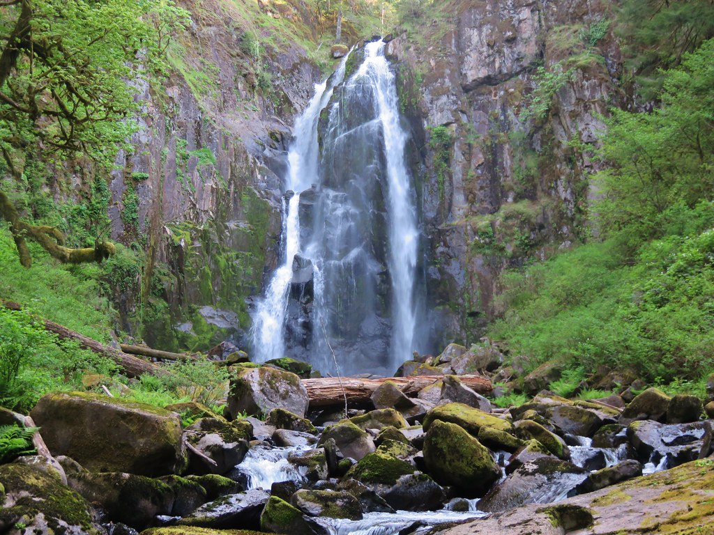
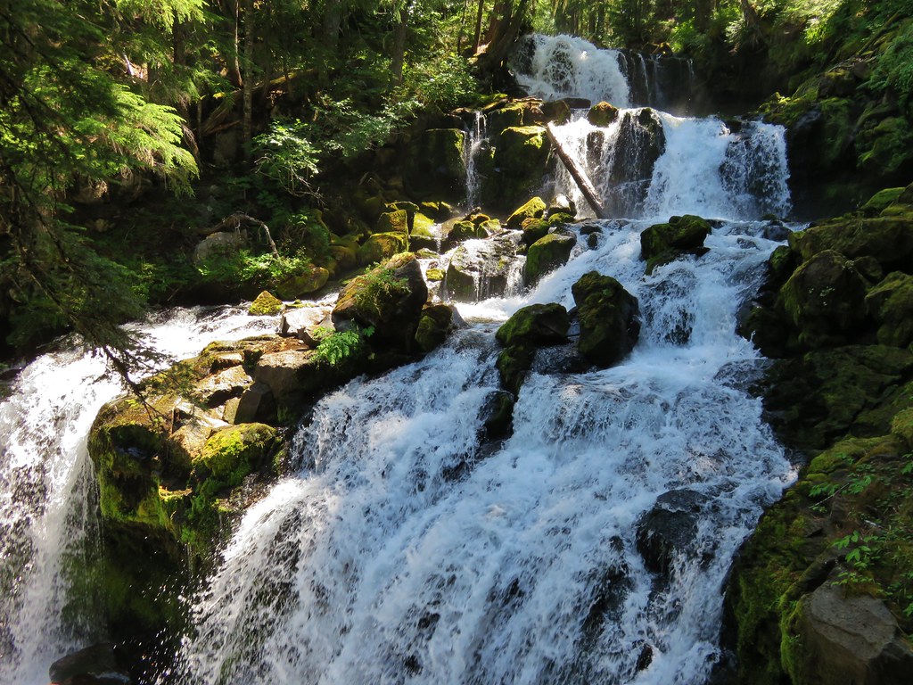
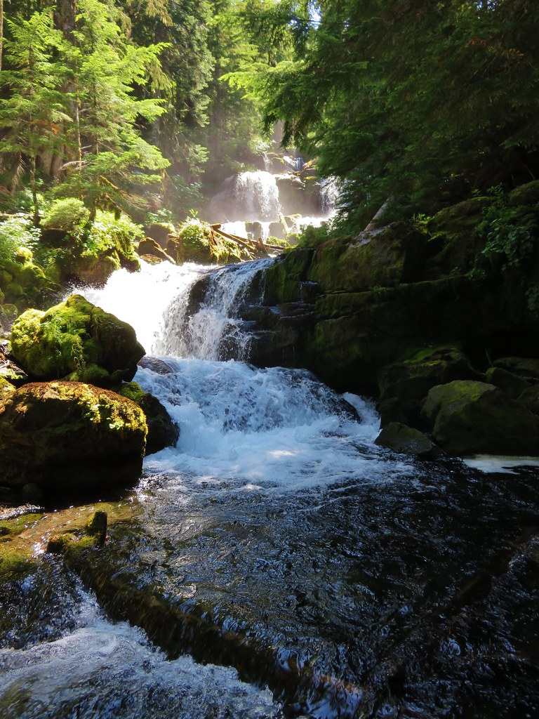
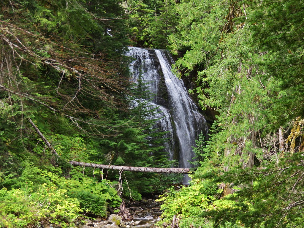
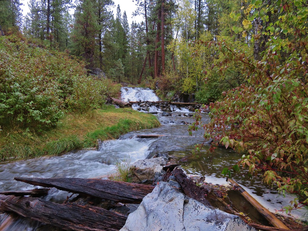
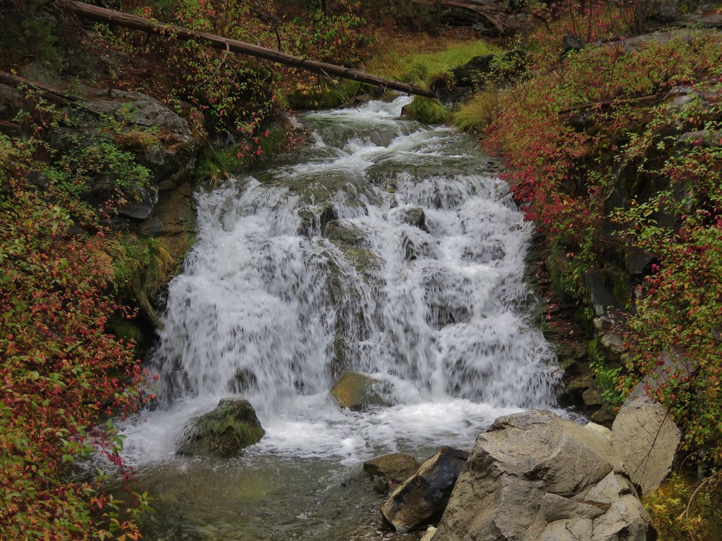
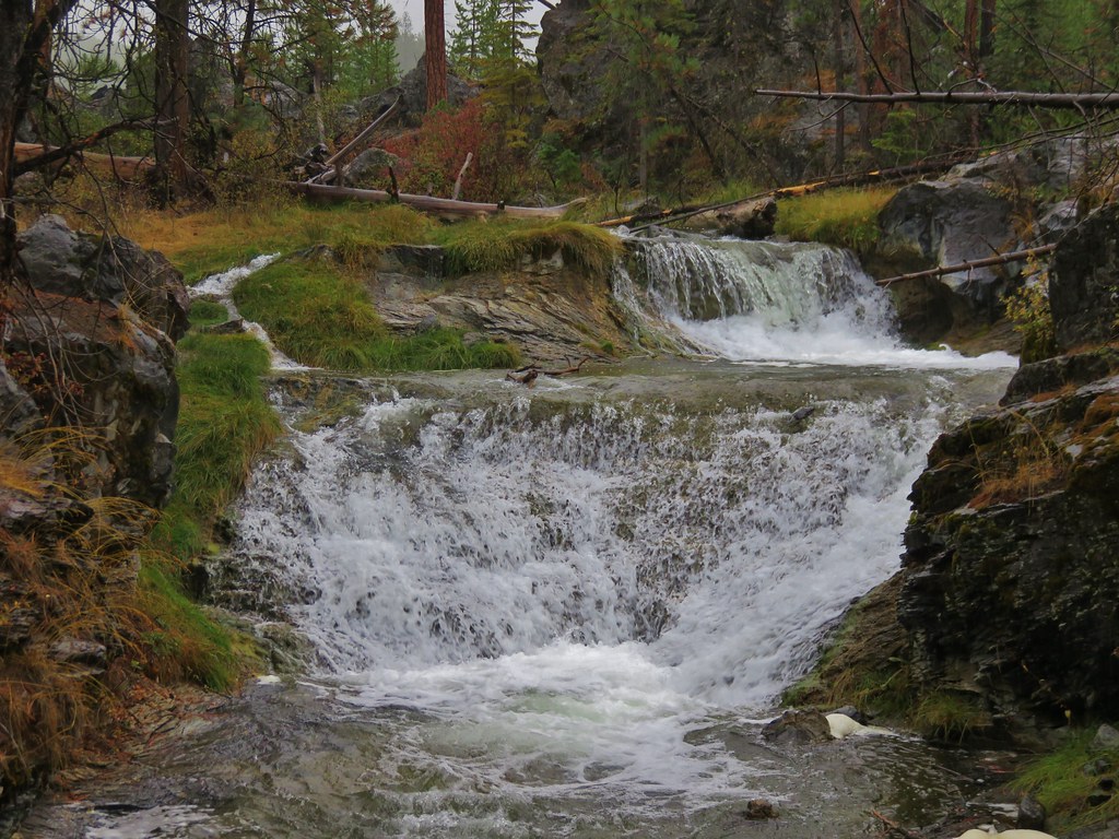
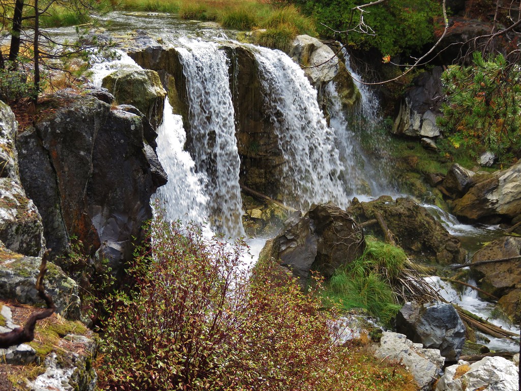
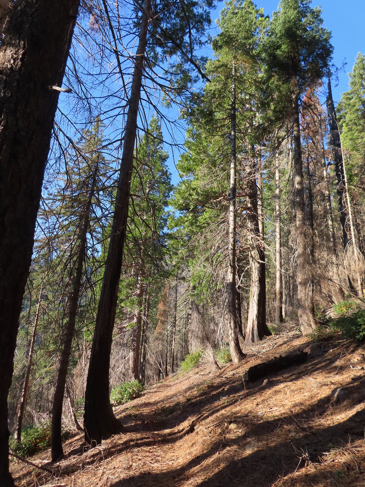
#2 Fall Creek Falls-Hiked 6/13/2022 8/7/2022 6/25/2023
 Fall Creek Falls
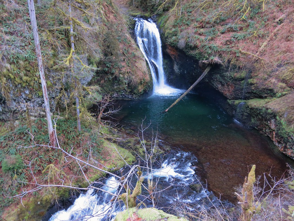
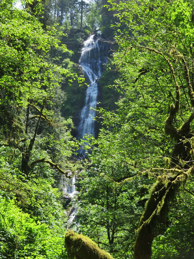
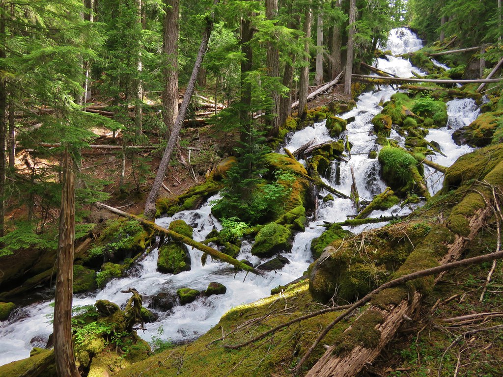
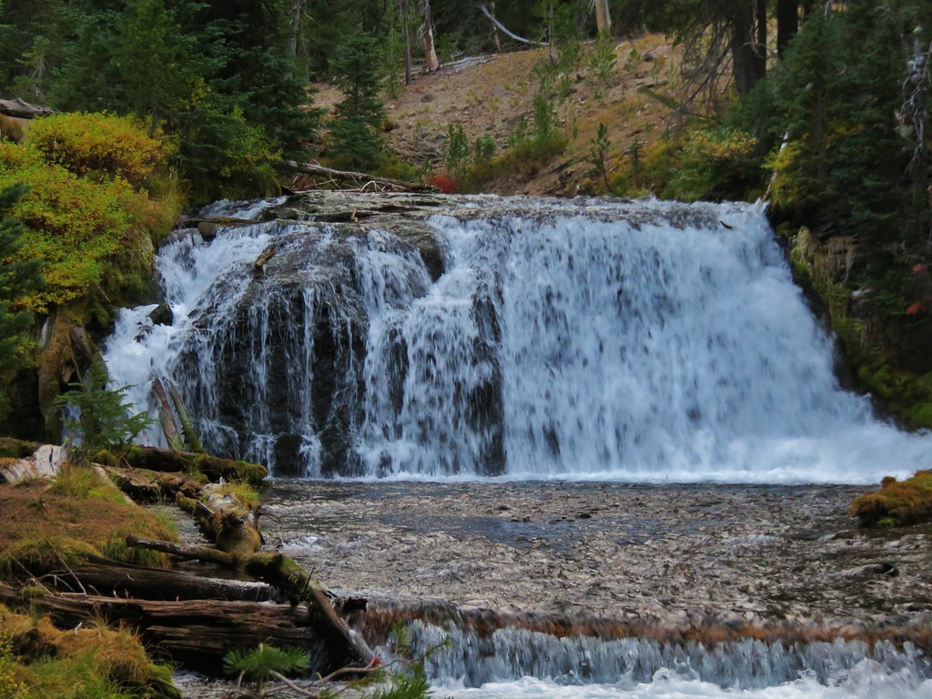
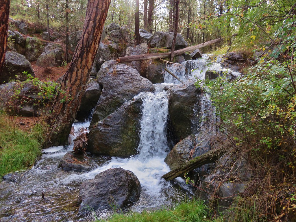
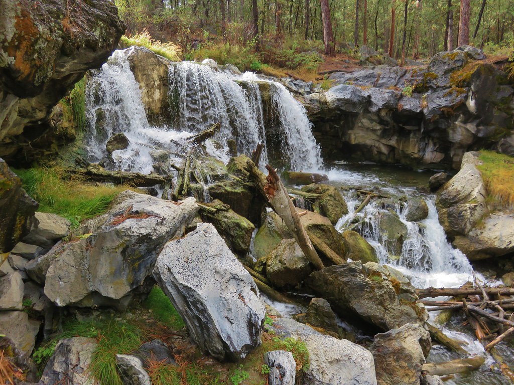
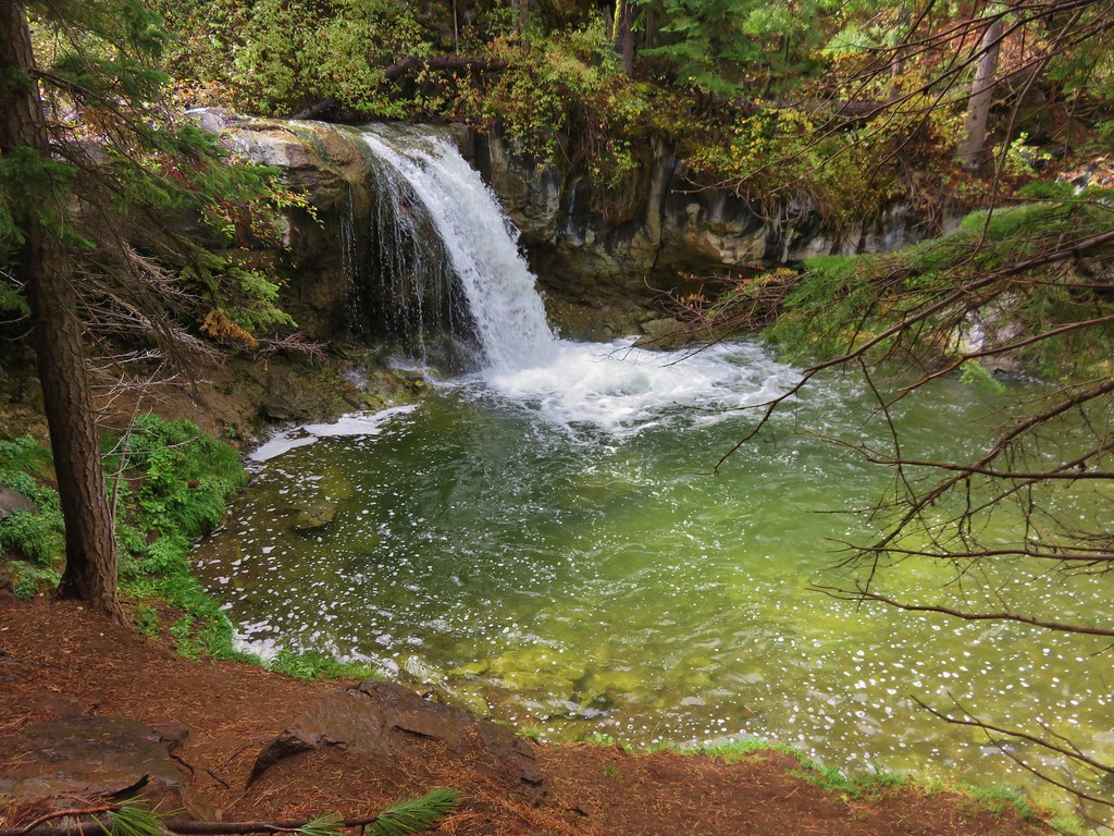
#3 Little River Waterfalls-Hiked 8/7/2022
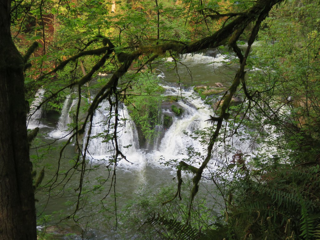
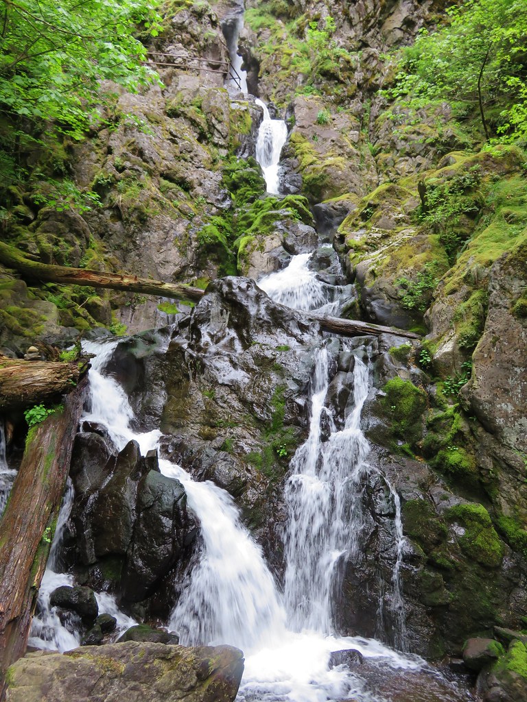
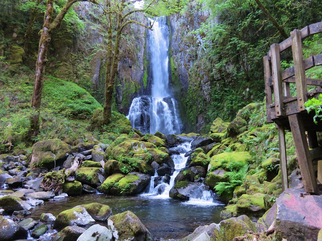
 Yasko Falls
#4 Boulder Creek-Hiked 9/7/2020

#5 Twin Lakes-Hiked 6/14/2022

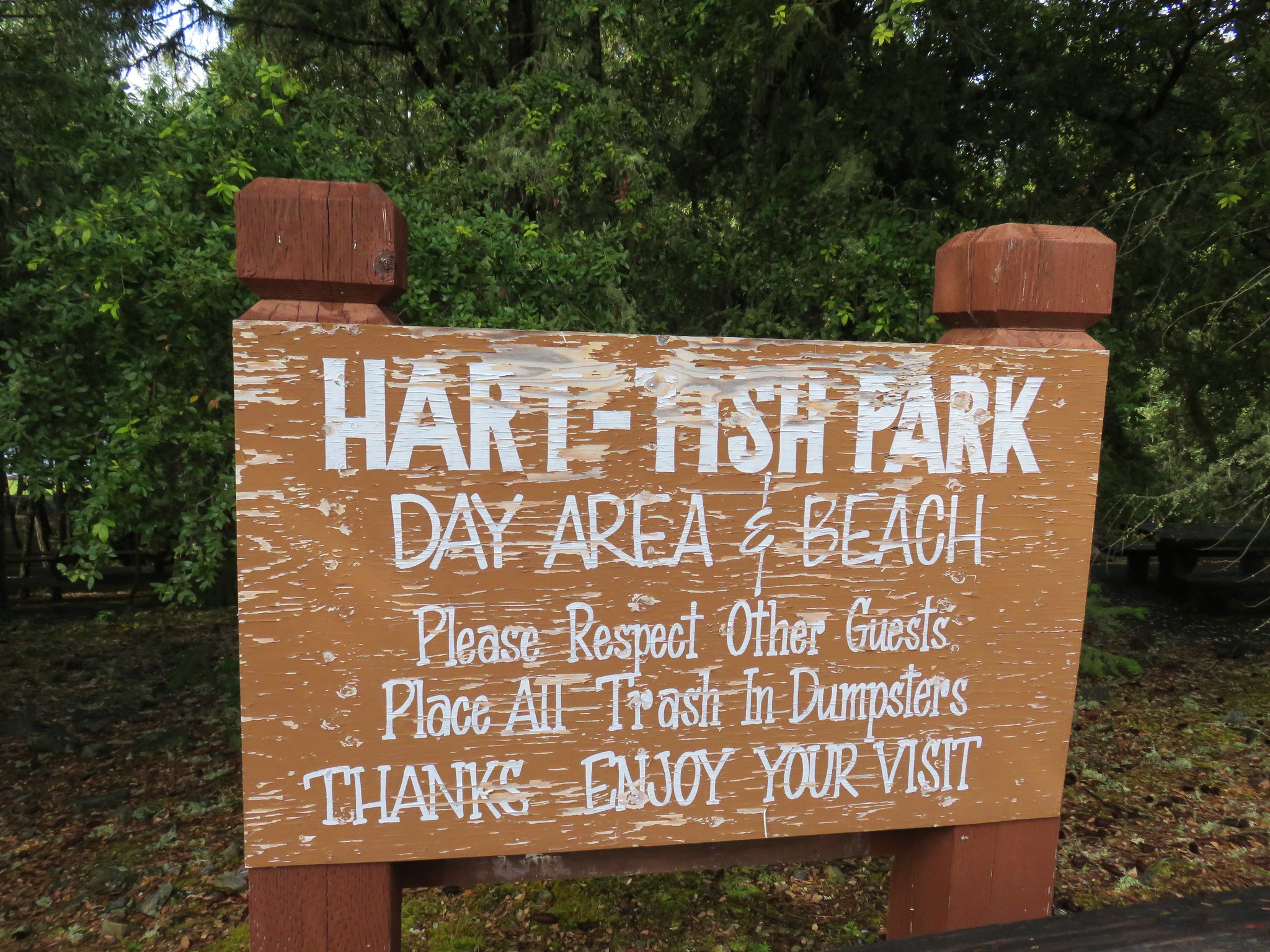
#6 Fish Lake-Hiked 9/3/2022

#7 Buckey and Cliff Lakes-Hiked 9/3/2022

#8 Umpqua Hot Springs-Hiked 6/13/2022

#9 Toketee and Watson Falls-Hiked 6/13/2022

#10 Lemolo Falls-Hiked 6/13/2022

#11 Cowhorn Mountain-Hiked 9/15/2016

#12 Miller and Maidu Lakes-Hiked 8/1/2012

#13 Tipsoo Peak-Hiked 10/2/2014

#14 Thielsen Creek-Hiked 8/8/2020

#15 Mount Thielsen-Hiked 9/23/2012

#16 Diamond Lake-Hiked 9/5/2020

#17 Mount Bailey-Hiked 8/12/2012

#18 Boundary Springs-Hiked 6/13/2014

#19 Park Headquarters-Hiked 7/31/2023

#20 Garfield Peak-Hiked 7/31/2023

#21 Discovery Point-Hiked 9/19/2022

#22 The Watchman-Hiked 8/12/2012 7/31/2023

#23 Wizard Island-Hiked 8/1/2023

#24 Mount Scott-Hiked 10/2/2014

#25 Plaikni Falls and The Pinnacles-Hiked 7/30/2023

#26 Crater Peak-Hiked 7/30/2023

#27 Annie Creek & Godfrey Glen-Hiked 7/30/2023 7/31/2023

#28 Union Peak-Hiked 9/17/2022

#29 Upper and Lower Table Rocks-Hiked 6/9/2017 (Lower) & 5/26/2022 (Upper)
 Lower Table Rock
 View from Upper Table Rock
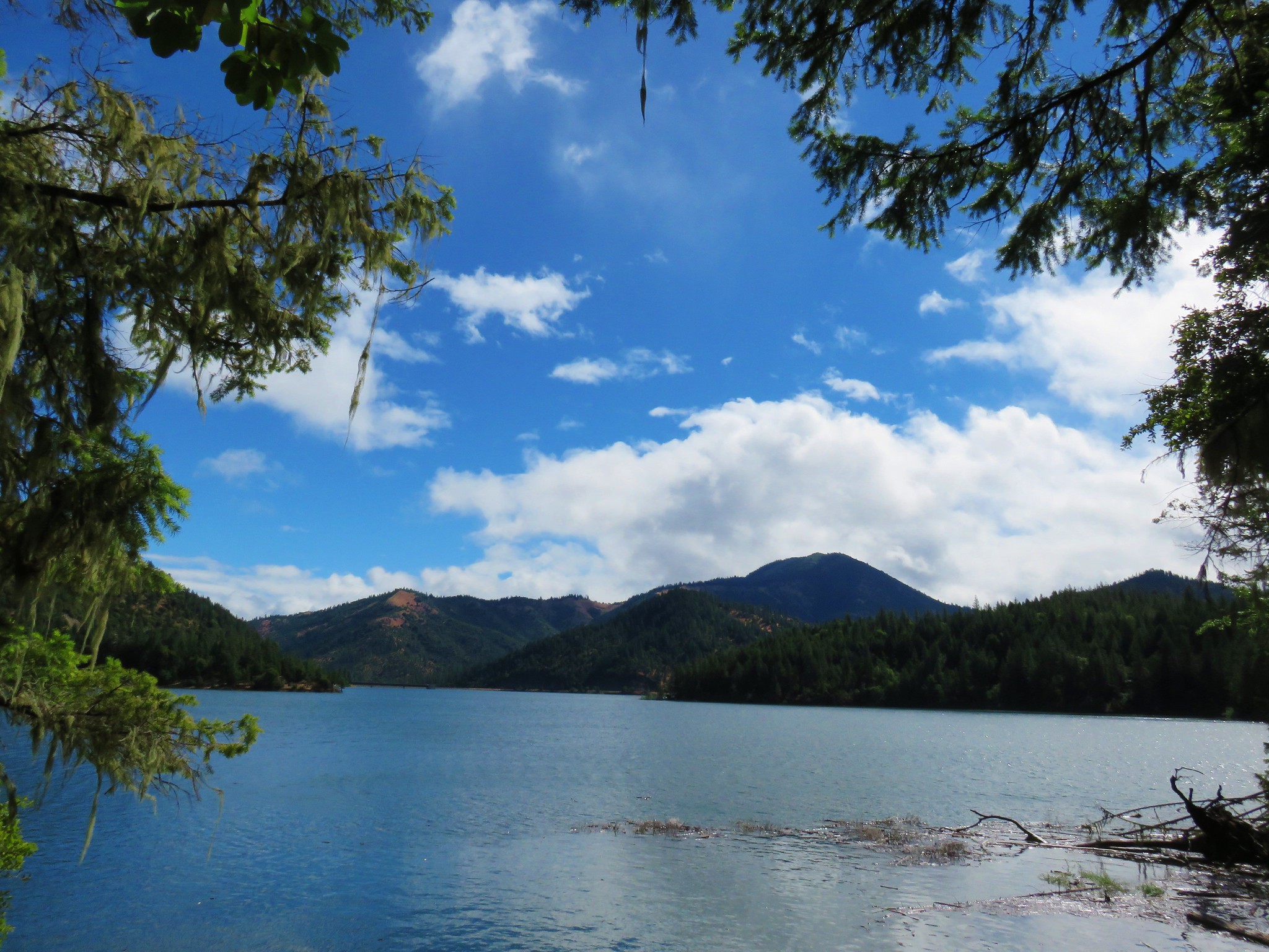
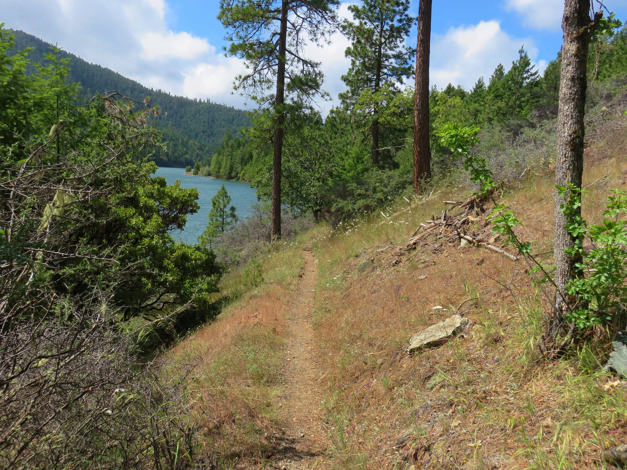
#30 Lost Creek Lake-Hiked 6/9/2017

#31 Takelma Gorge-Hiked 10/15/2020

#32 Natural Bridge-Hiked 10/16/2020

#33 Union Creek-Hiked 10/17/2020 9/20/2022

#34 Abbott Butte-Hiked 10/17/2020

#35 Hershberger Mountain-Hiked 10/16/2020

#36 Muir Creek-Hiked 5/27/2018

#37 Rattlesnake Mountain-Hiked 9/6/2020

#38 Seven Lakes West-Hiked 9/9/2023

#39 Seven Lakes East-Hiked 9/9/2023

#40 Blue Lake Basin-Hiked 9/18/2022

#41 Mount McLoughlin-Hiked 8/27/2016

#42 Fourmile Lake-Hiked 8/26/2016

#43 Sky Lakes via Cold Springs-Hiked 9/24/2022

#44 Sky Lakes via Nannie Creek-Hiked 9/24/2022

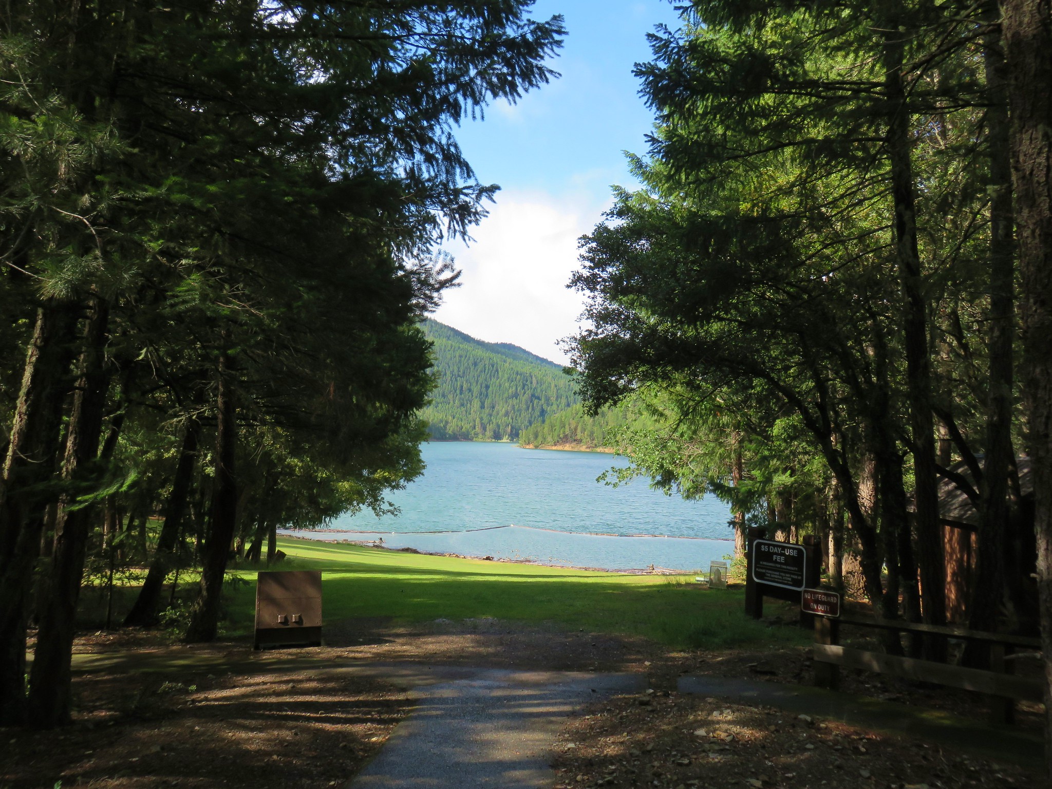
#45 Fish Lake-Hiked 10/7/2018

#46 Brown Mountain Lava Flow-Hiked 8/28/2016

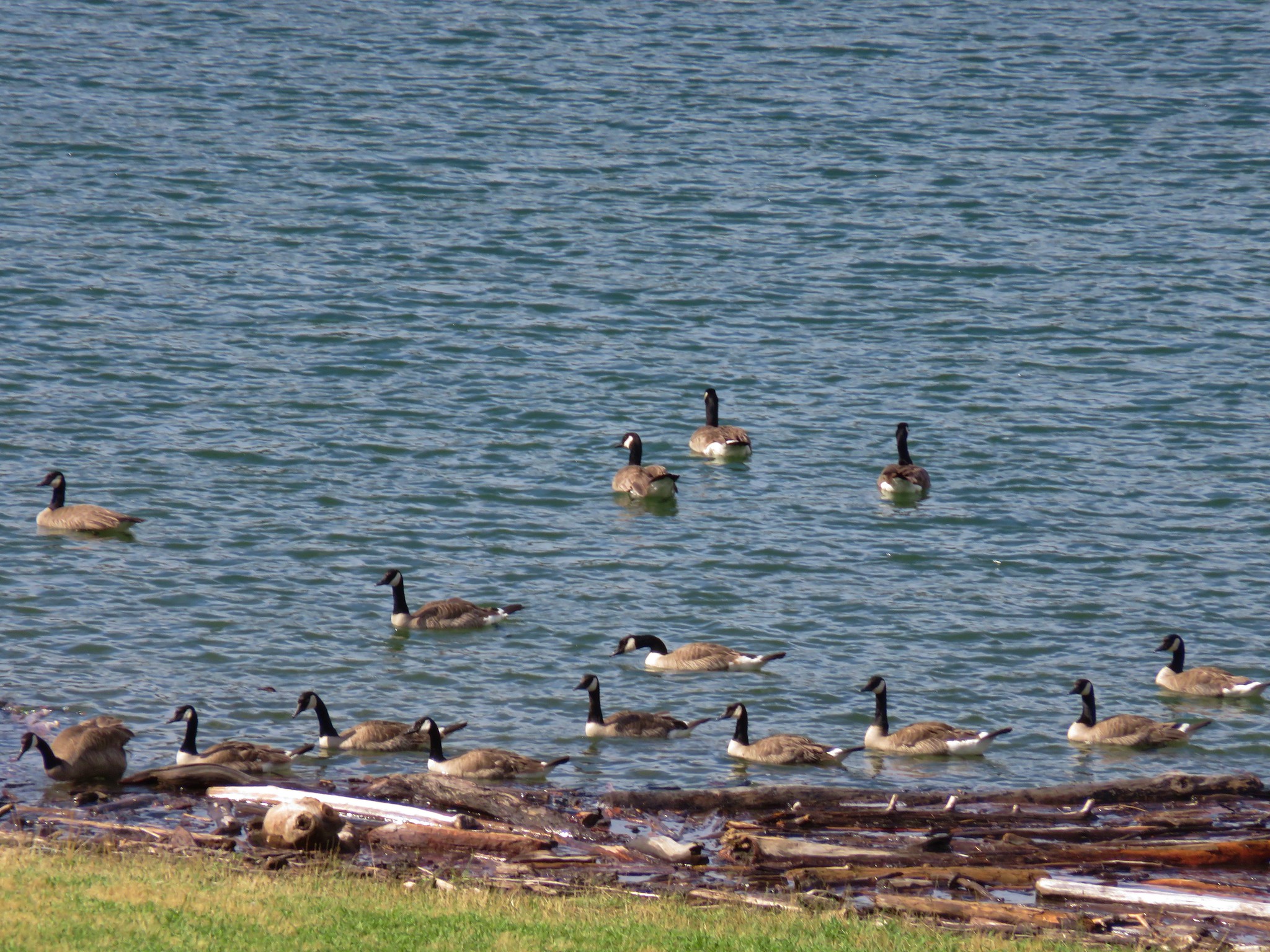
#47 Lake of the Woods-Hiked 10/7/2018

#48 Mountain Lakes-Hiked 8/25/2016

#49 Soda Mountain-Hiked 6/3/2015

#50 Pilot Rock-Hiked 7/29/2017

#51 Mount Ashland Meadows-Hiked 6/3/2015

#52 Lithia Park-Hiked 6/2/2015

#53 Bandersnatch Trail-Hiked 6/17/2022

#54 White Rabbit Trail-Hiked 6/17/2022

#55 Grizzly Peak-Hiked 6/5/2015

#56 Roxy Ann Peak-Hiked 5/30/2022

#57 Wagner Butte-Hiked 6/4/2015

#58 Siskiyou Gap-Hiked 6/16/2022

#59 Jack-Ash Trail-Hiked 5/27/2022

#60 Sterling Ditch Tunnel-Hiked 6/10/2017 5/2/2023

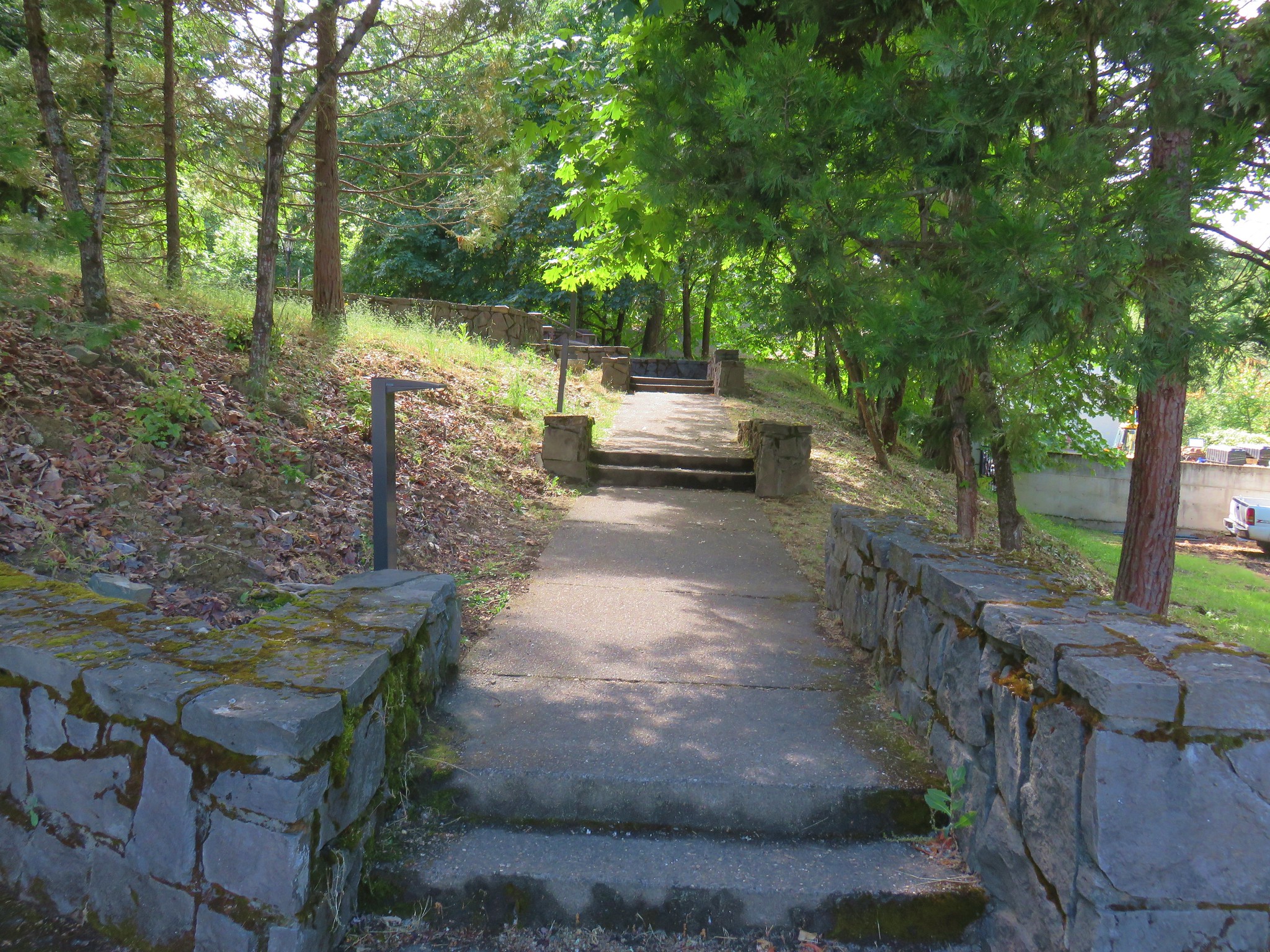
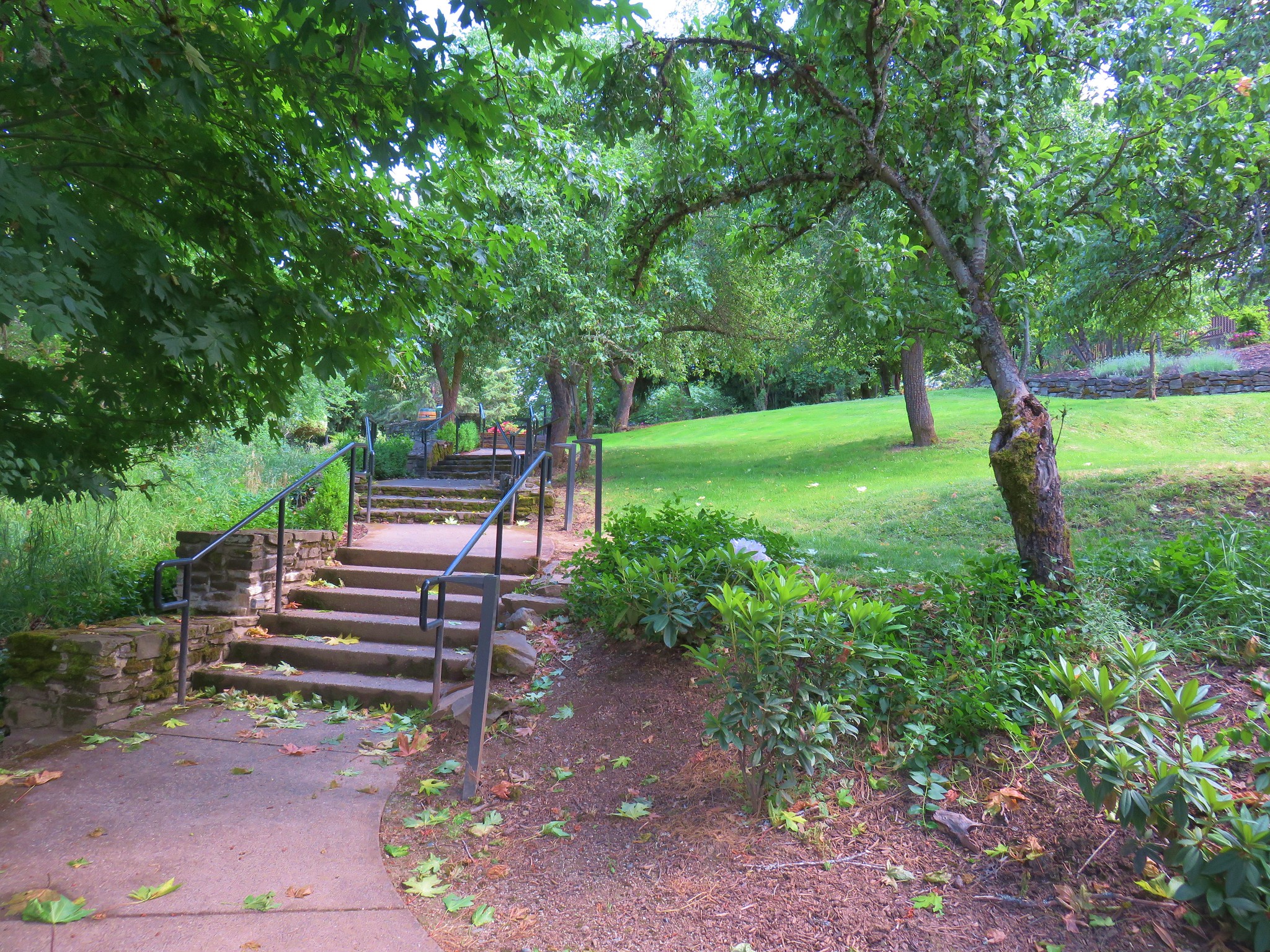
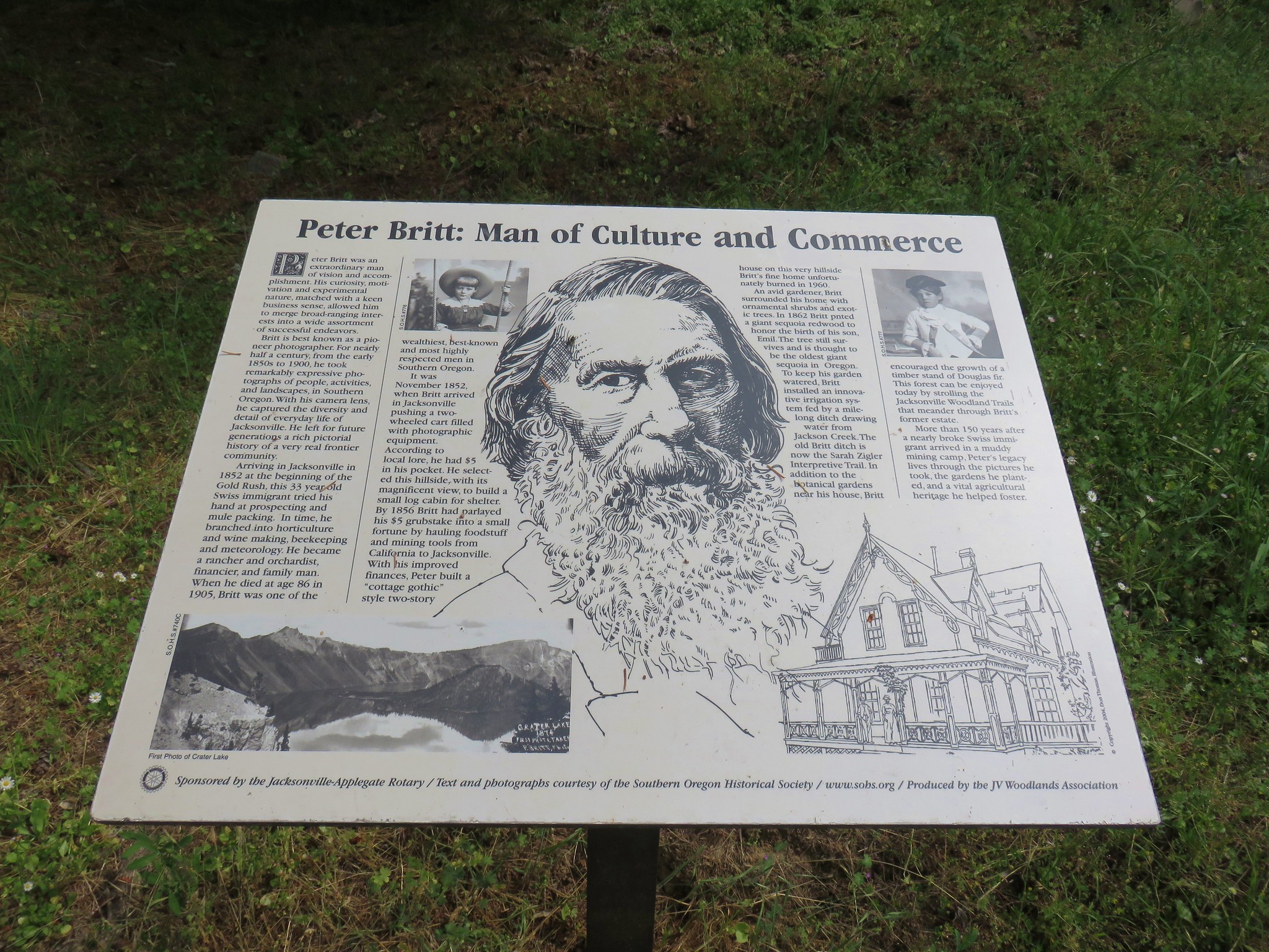
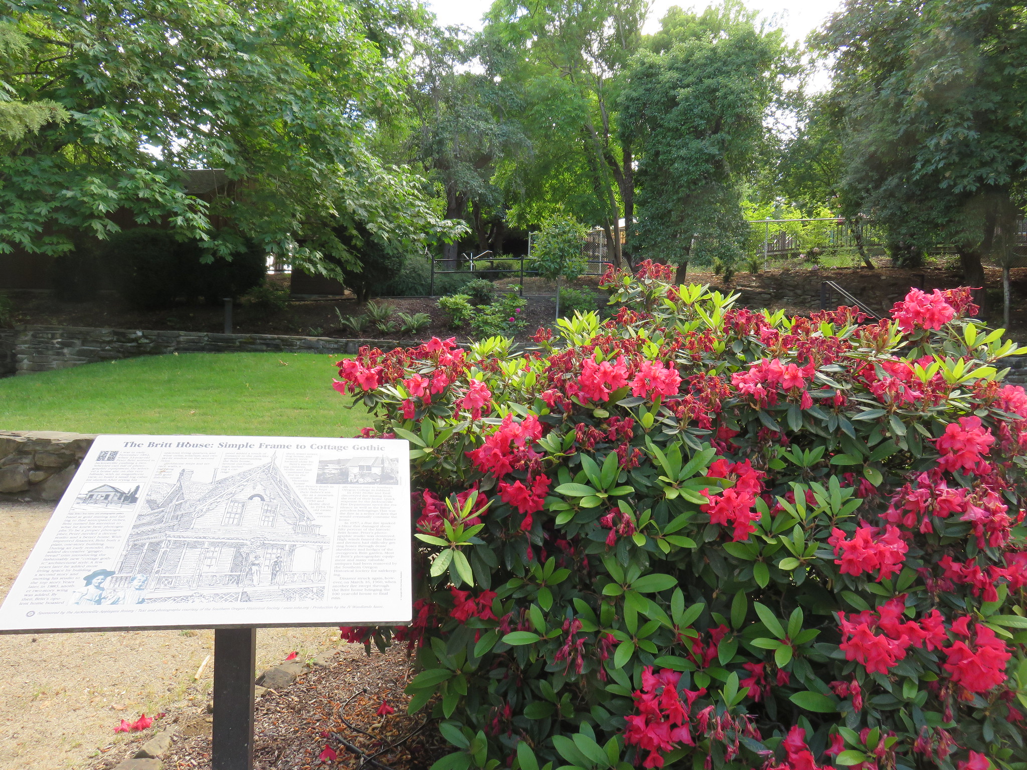
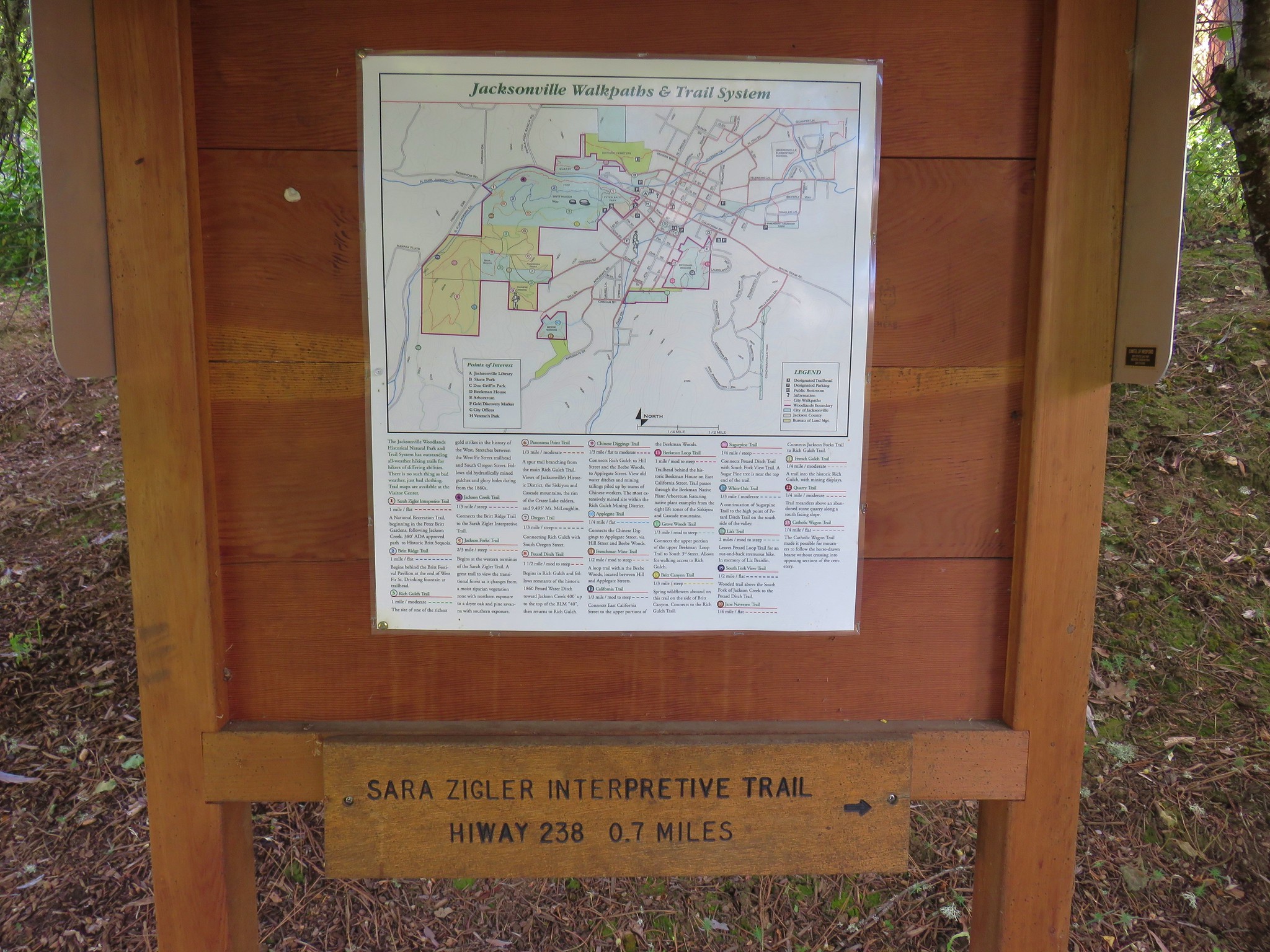
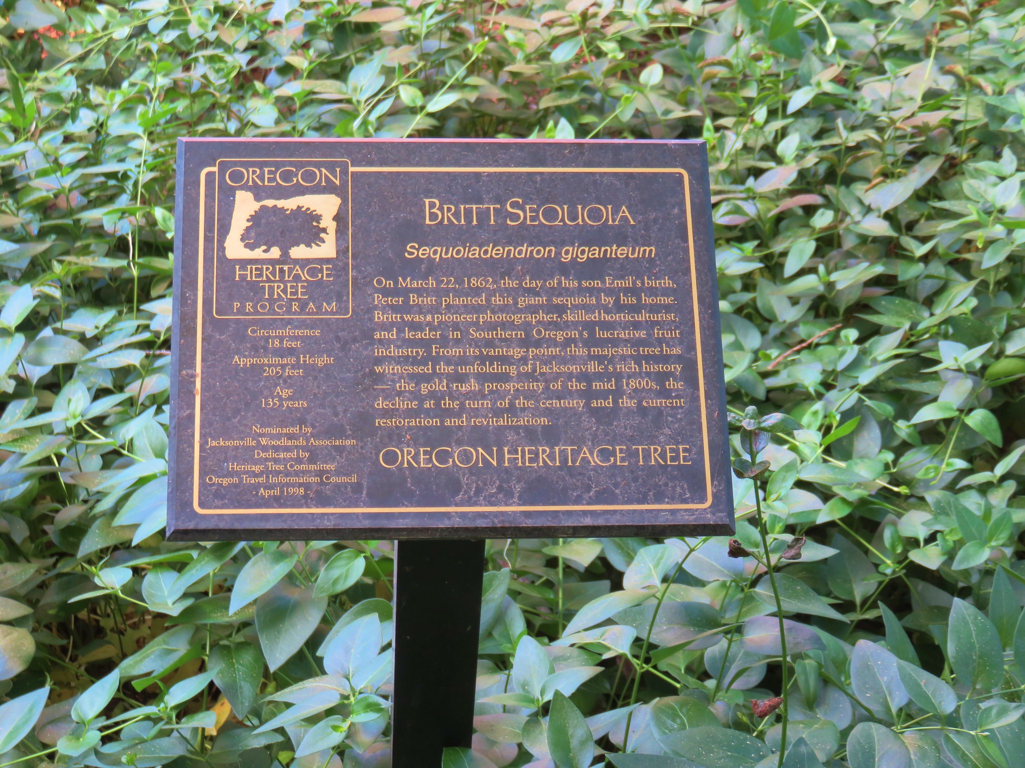
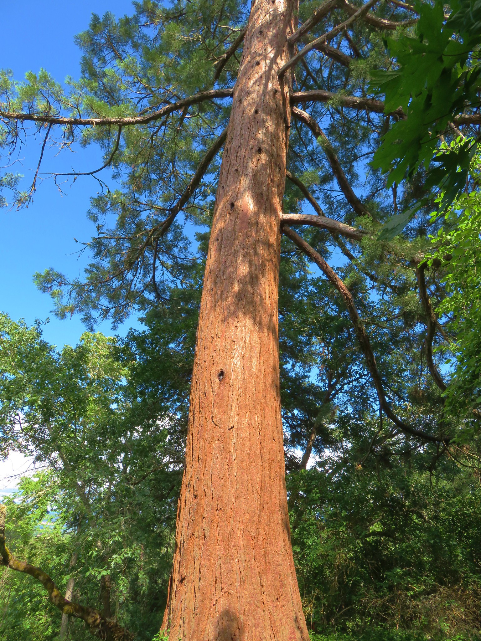
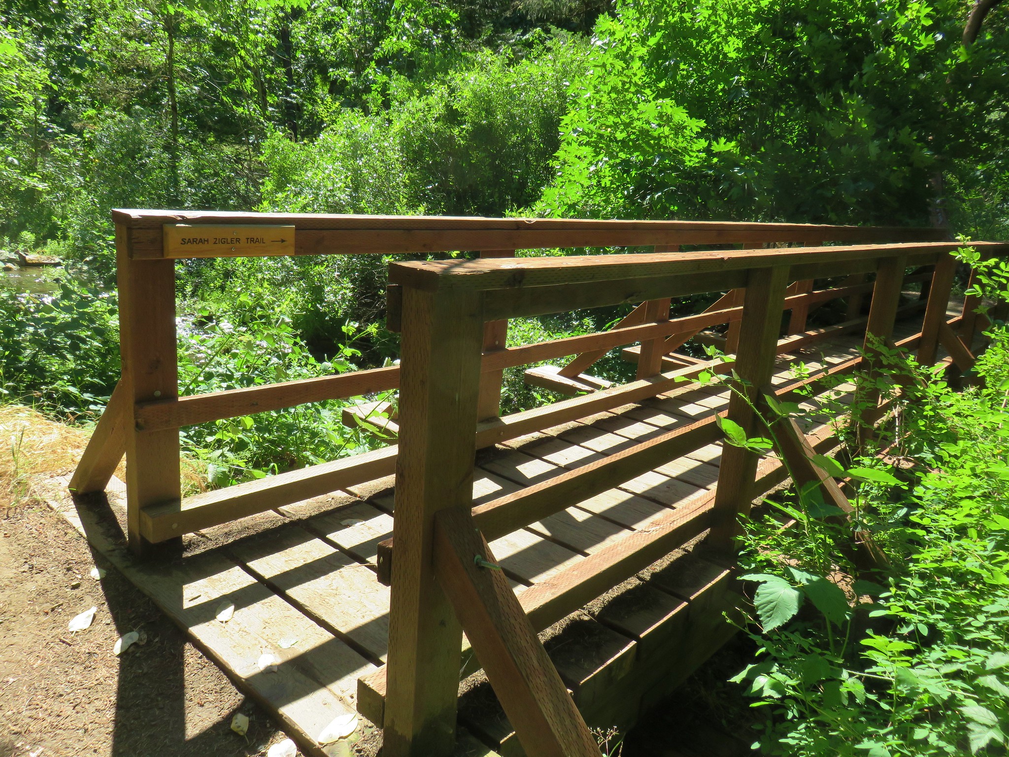
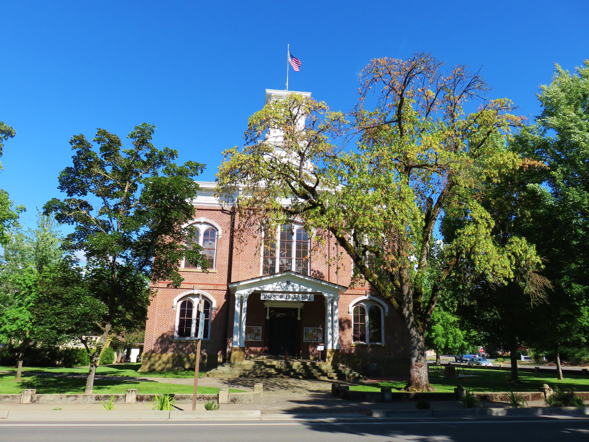
#61 Jacksonville-Hiked 6/8/2017

#62 Enchanted Forest-Hiked 6/11/2017

#63 Observation Peak-Hiked 6/15/2022

#64 Collings Mountain-Hiked 6/8/2017

#65 Applegate Lake-Hiked 6/8/2017 5/29/2022

#66 Red Buttes-Hiked 10/27/2015

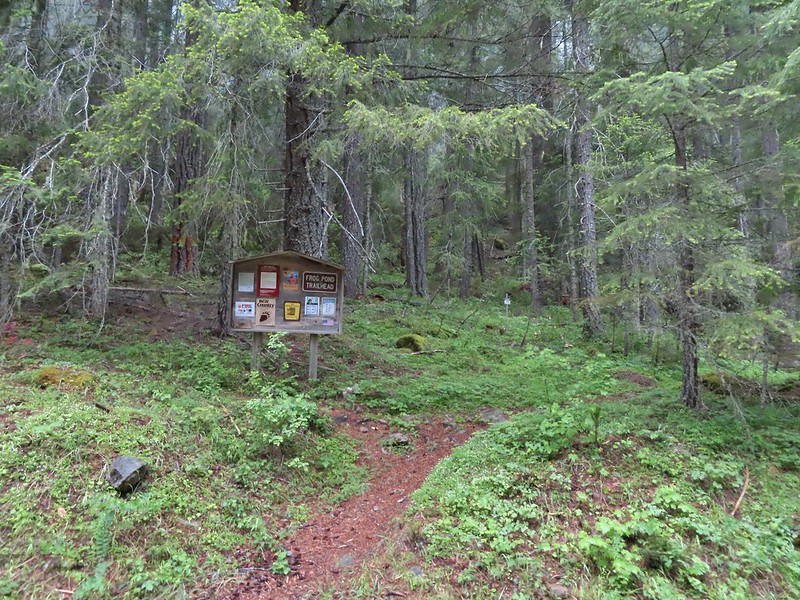
#67 Frog Pond-Hiked 6/18/2022

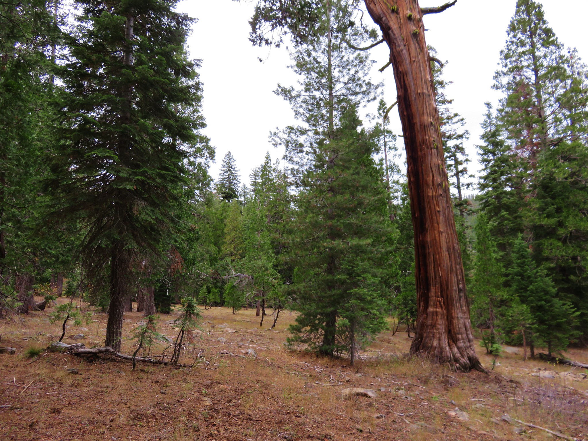
#68 Azalea Lake-Hiked 10/26/2015

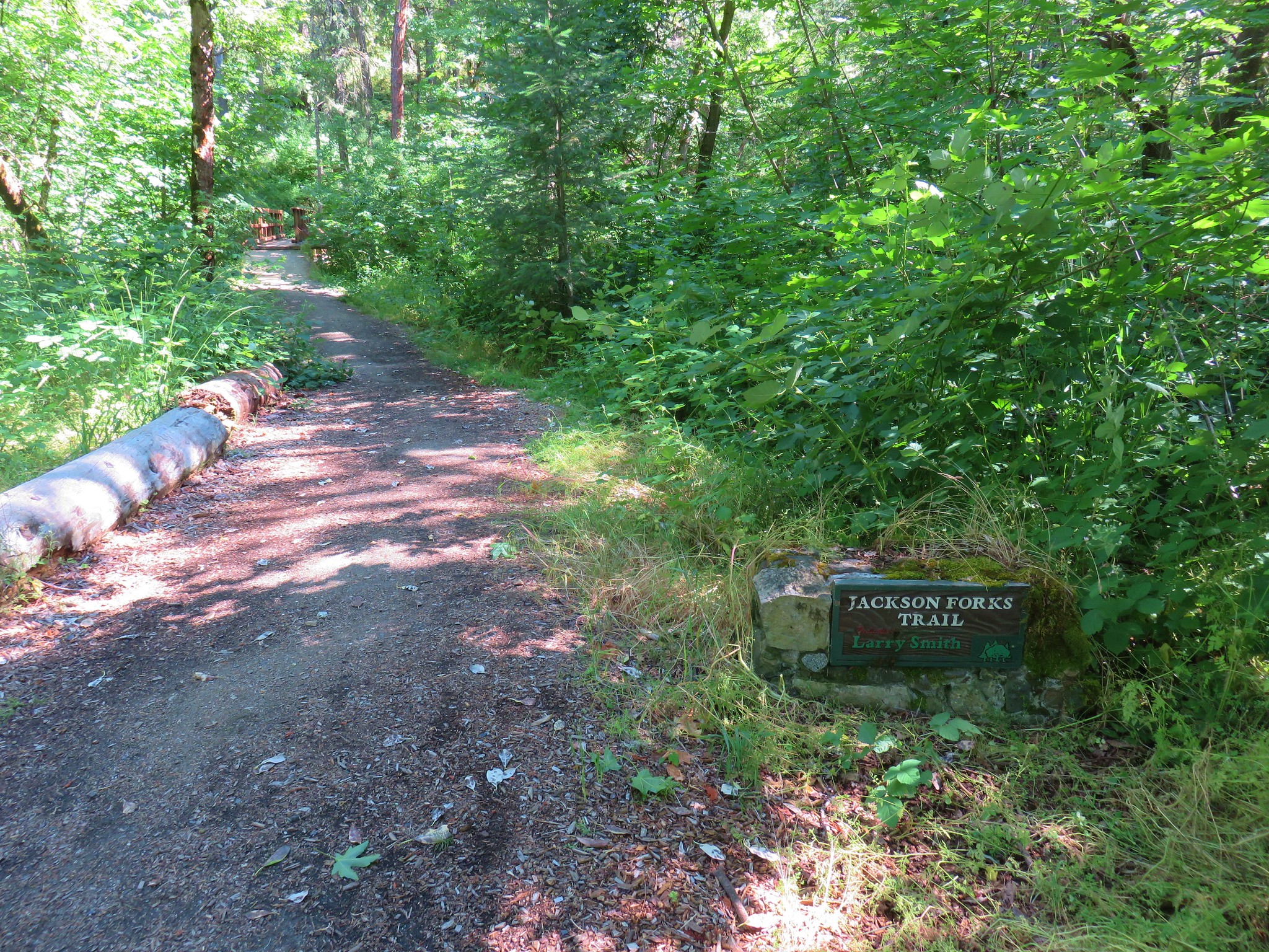
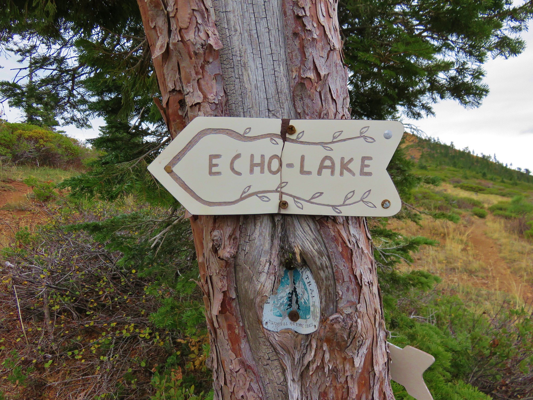
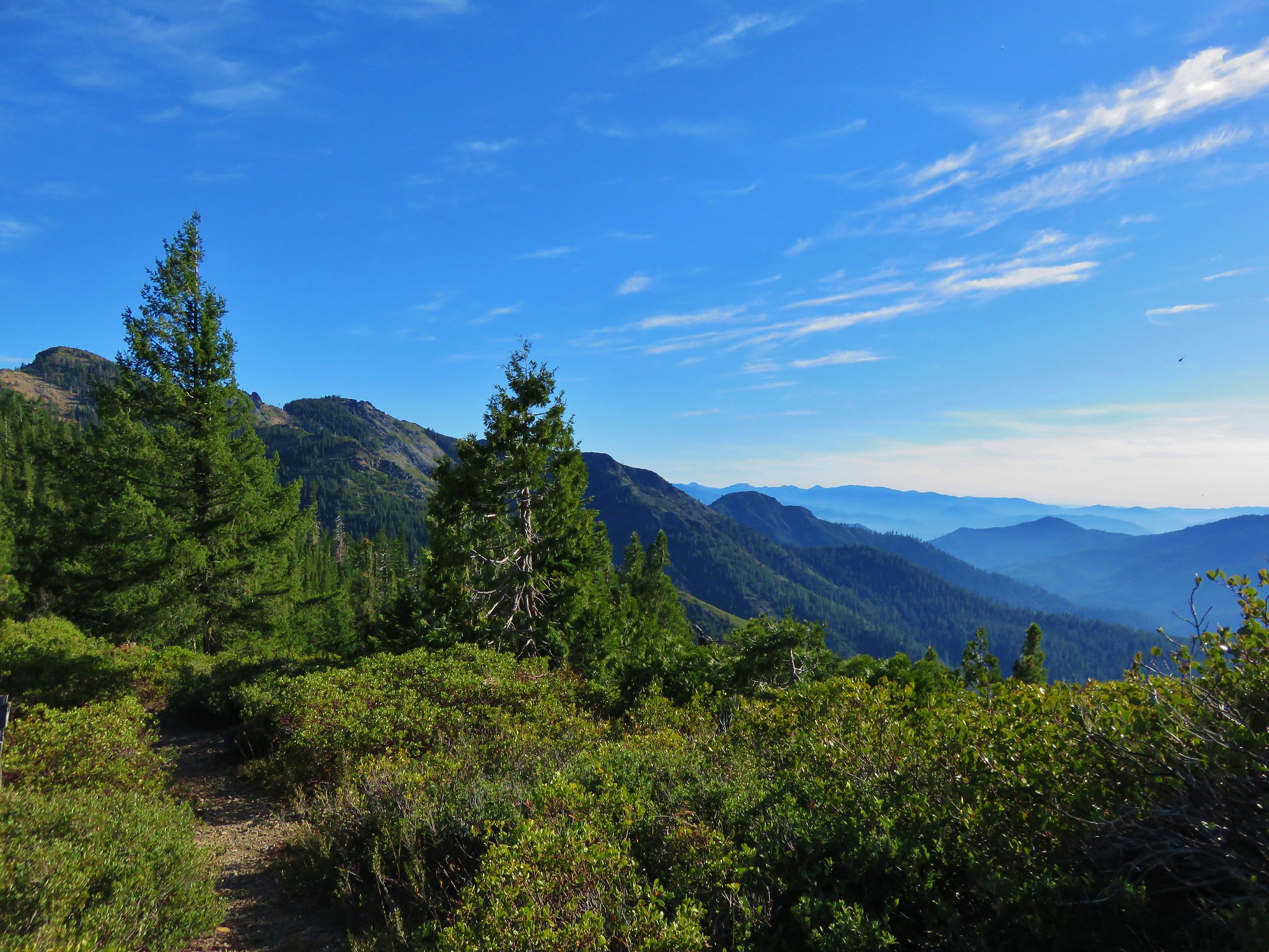
#69 Sturgis Fork-Hiked 10/7/2023

#70 Grayback Mountain-Hiked 10/9/2023

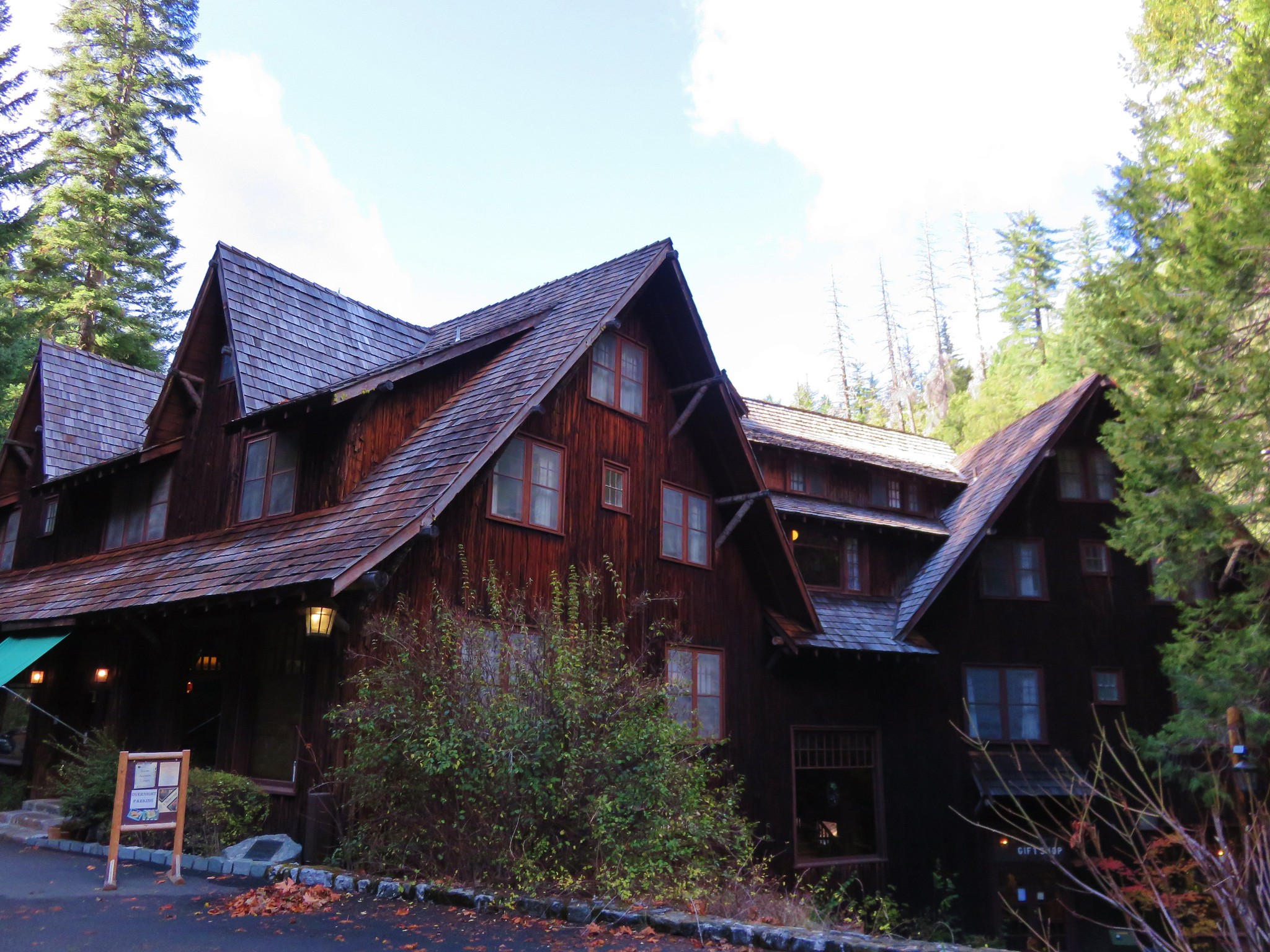
#71 Oregon Caves-Hiked 10/30/2015

#72 Mount Elijah-Hiked 10/7/2023

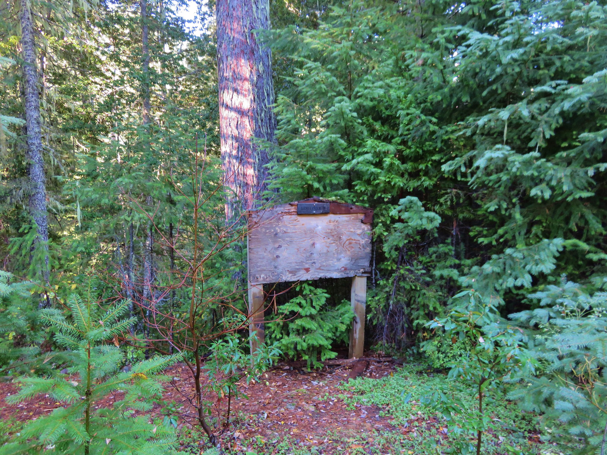
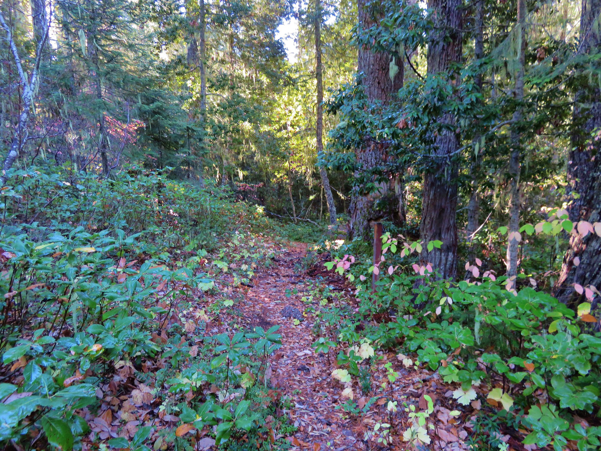
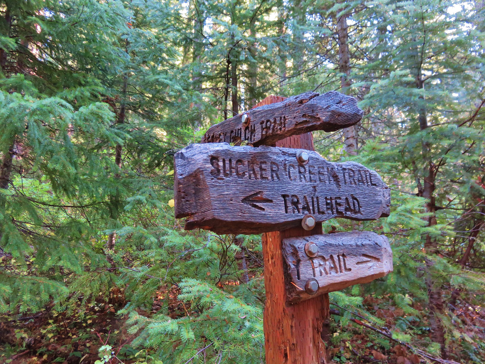
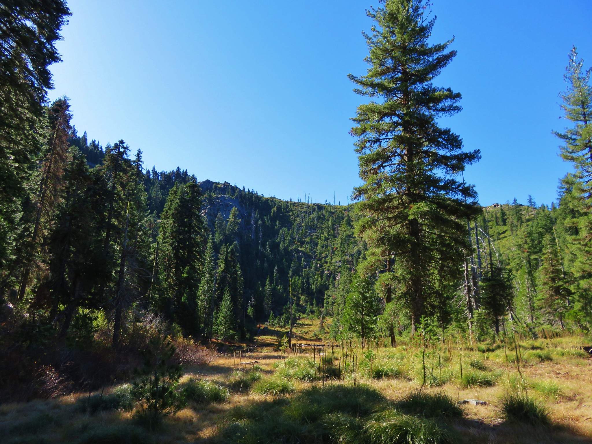
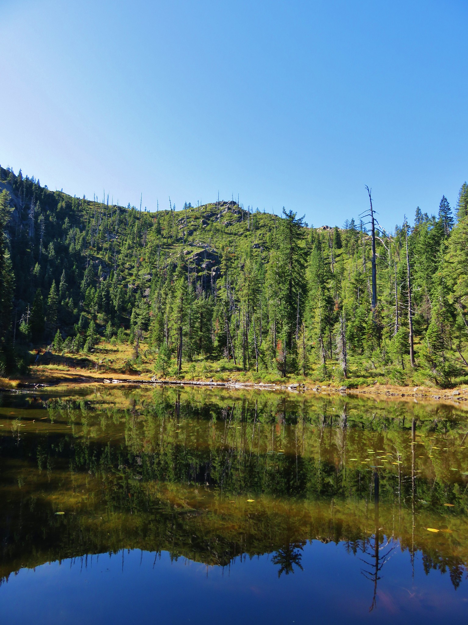
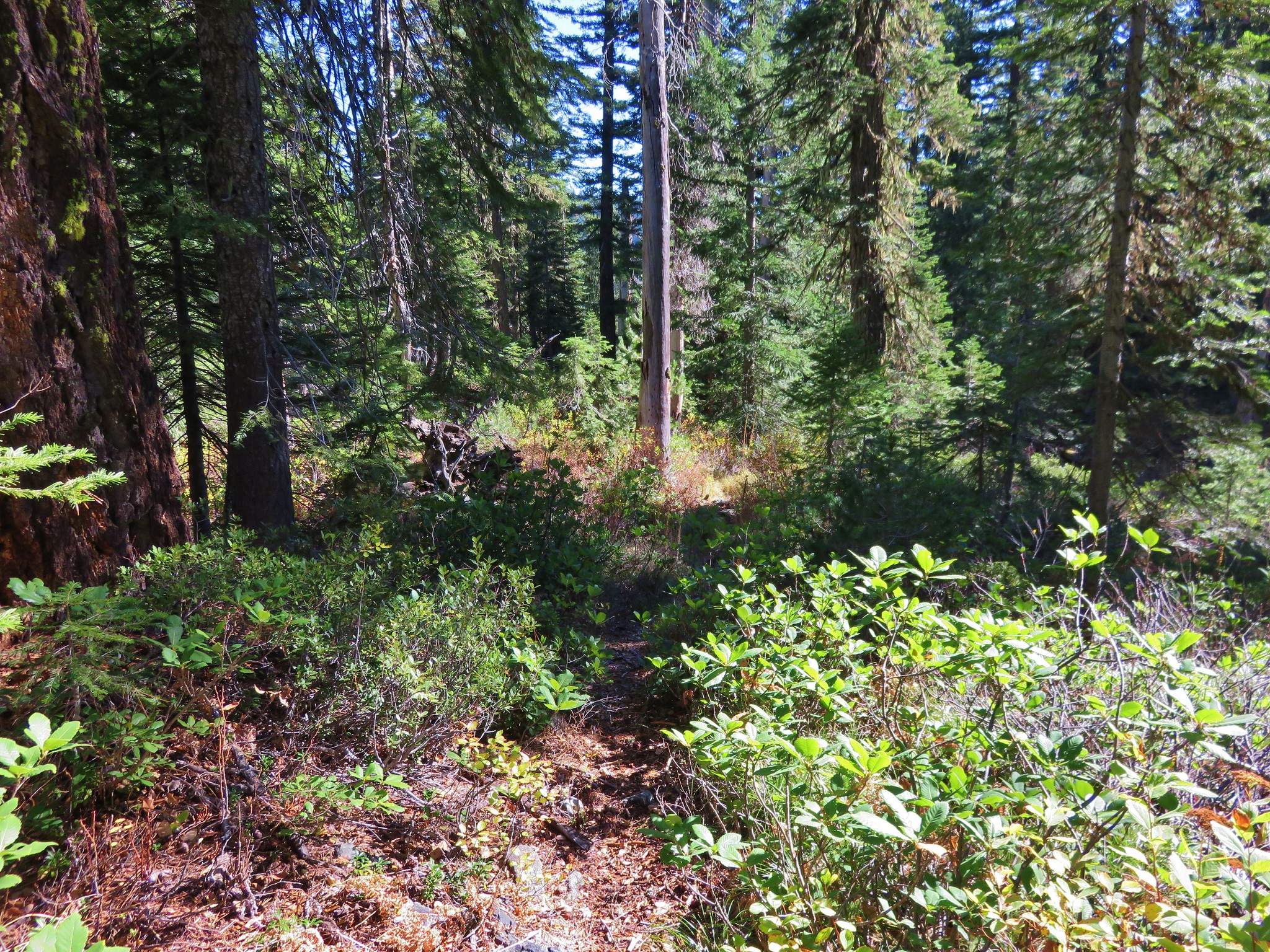
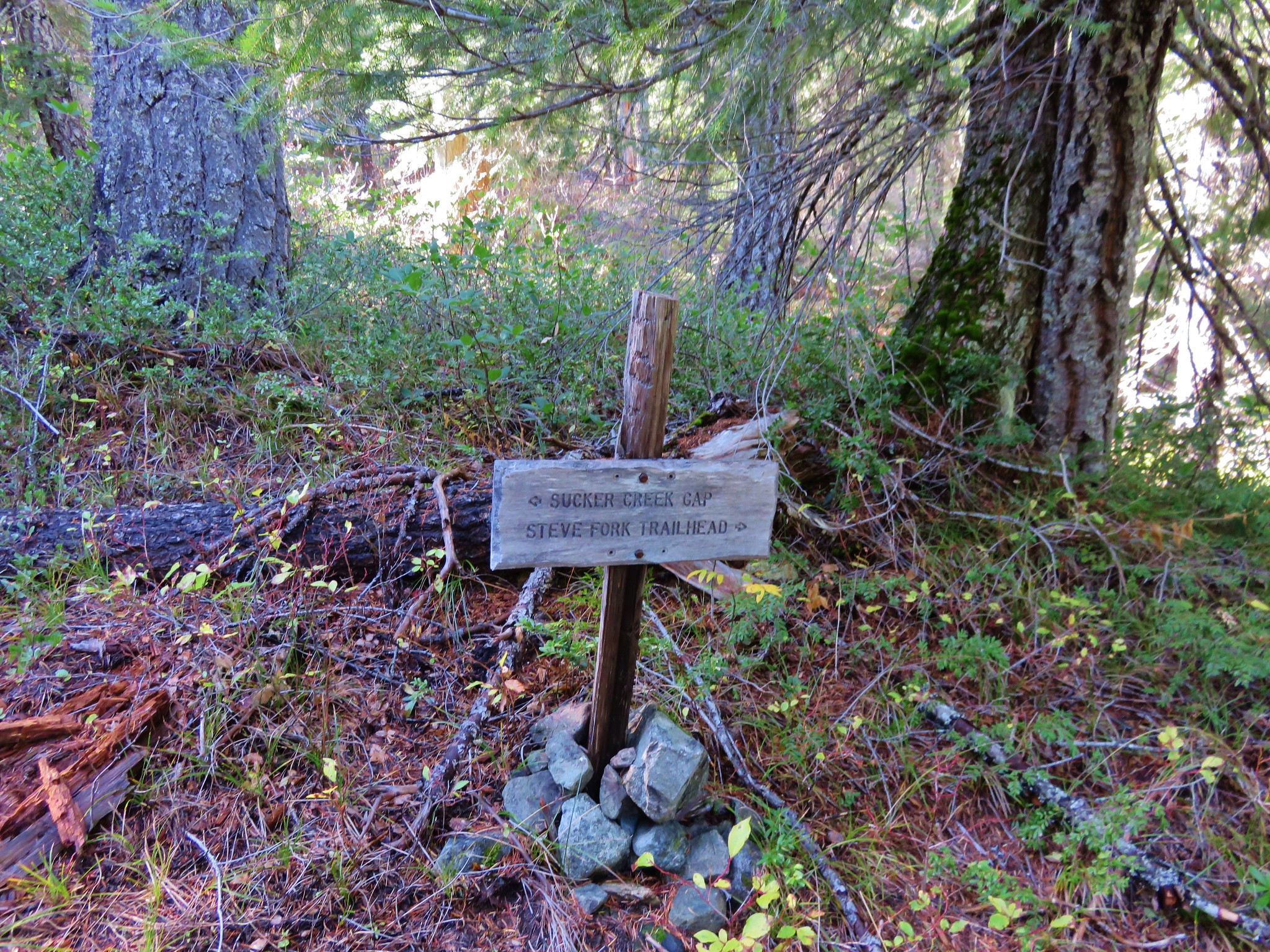
#73 Sucker Creek-Hiked 10/26/2015

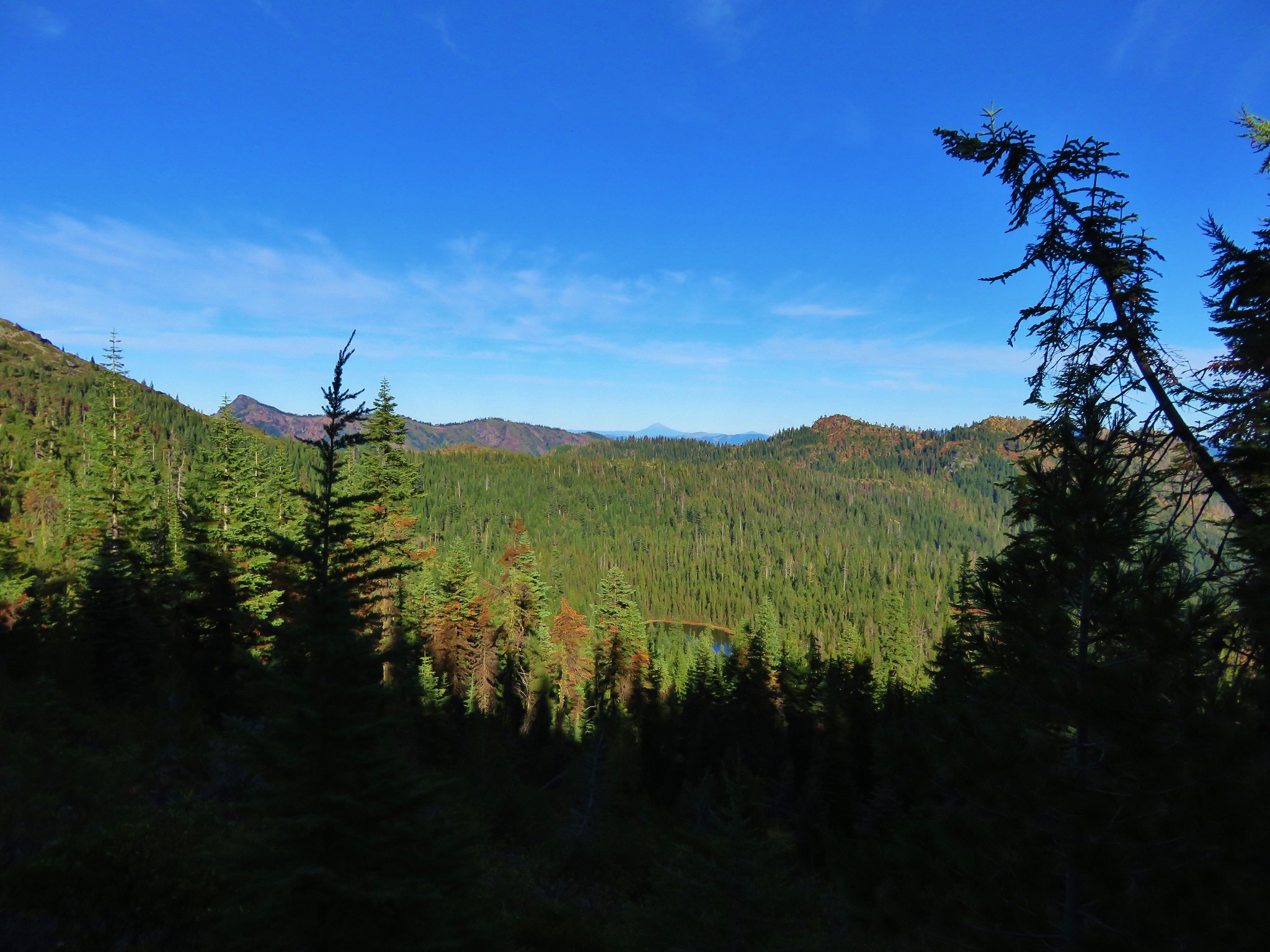
#74 Tanner Lakes-Hiked 10/8/2023

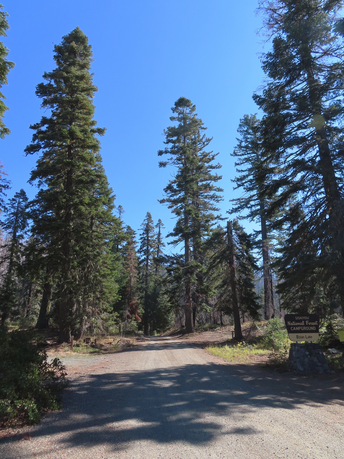
#75 Bolan Lake-Hiked 10/8/2023

#76 Polar Bear Gap-Hiked 7/1/2022

#77 Raspberry Lake-Hiked 7/3/2022

#78 Devils Punchbowl-Hiked 7/2/2022

#79 Rough and Ready Creeks-Hiked 5/12/2017

#80 Babyfoot Lake-Hiked 10/9/2023

#81 Eight Dollar Mountain-Hiked 5/4/2023

#82 Illinois River Beaches-Hiked 5/4/2023

#83 Grants Pass Nature Trails 5/3/2023

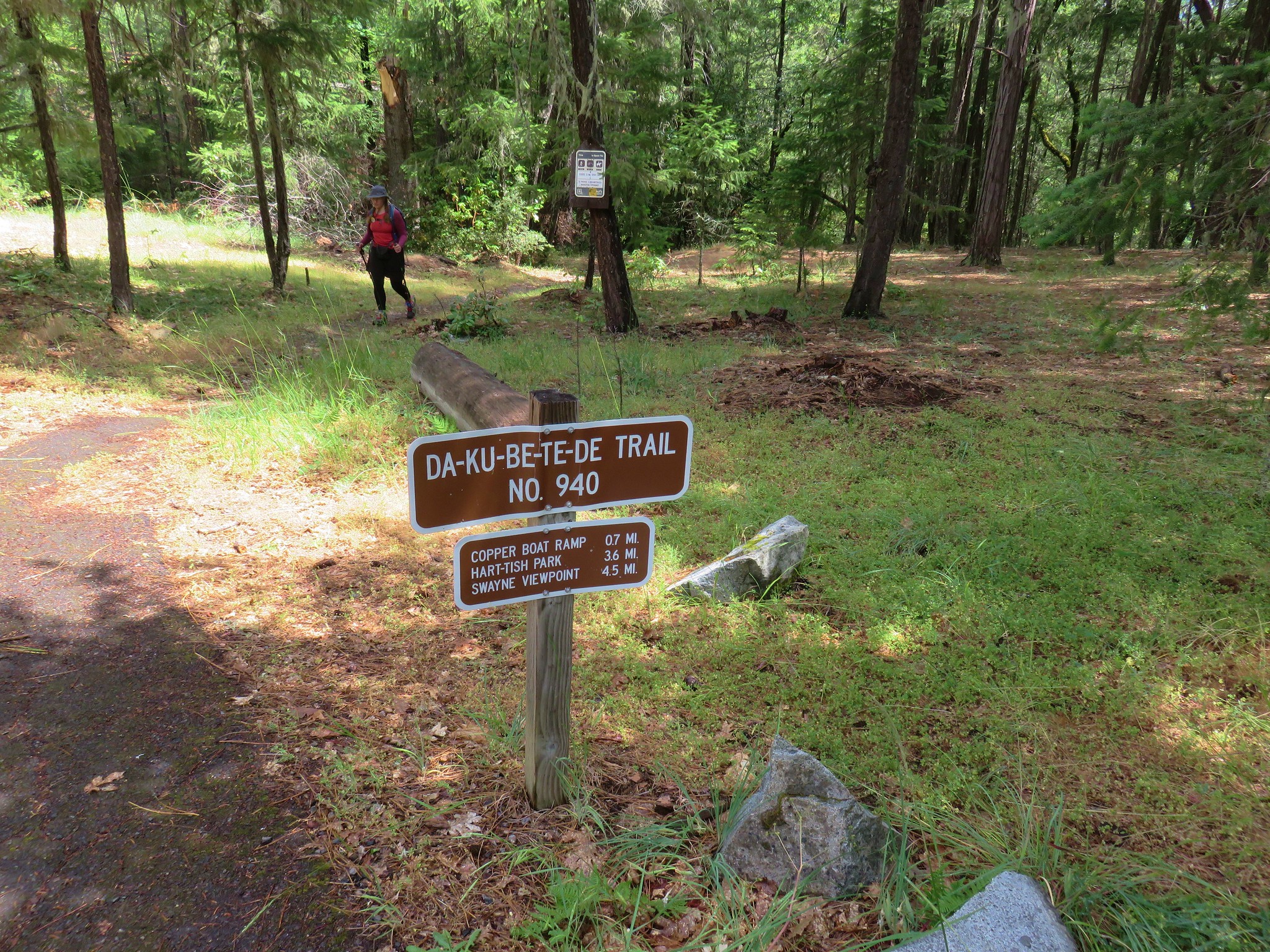
#84 Rouge River Trail East-Hiked 5/1/2023

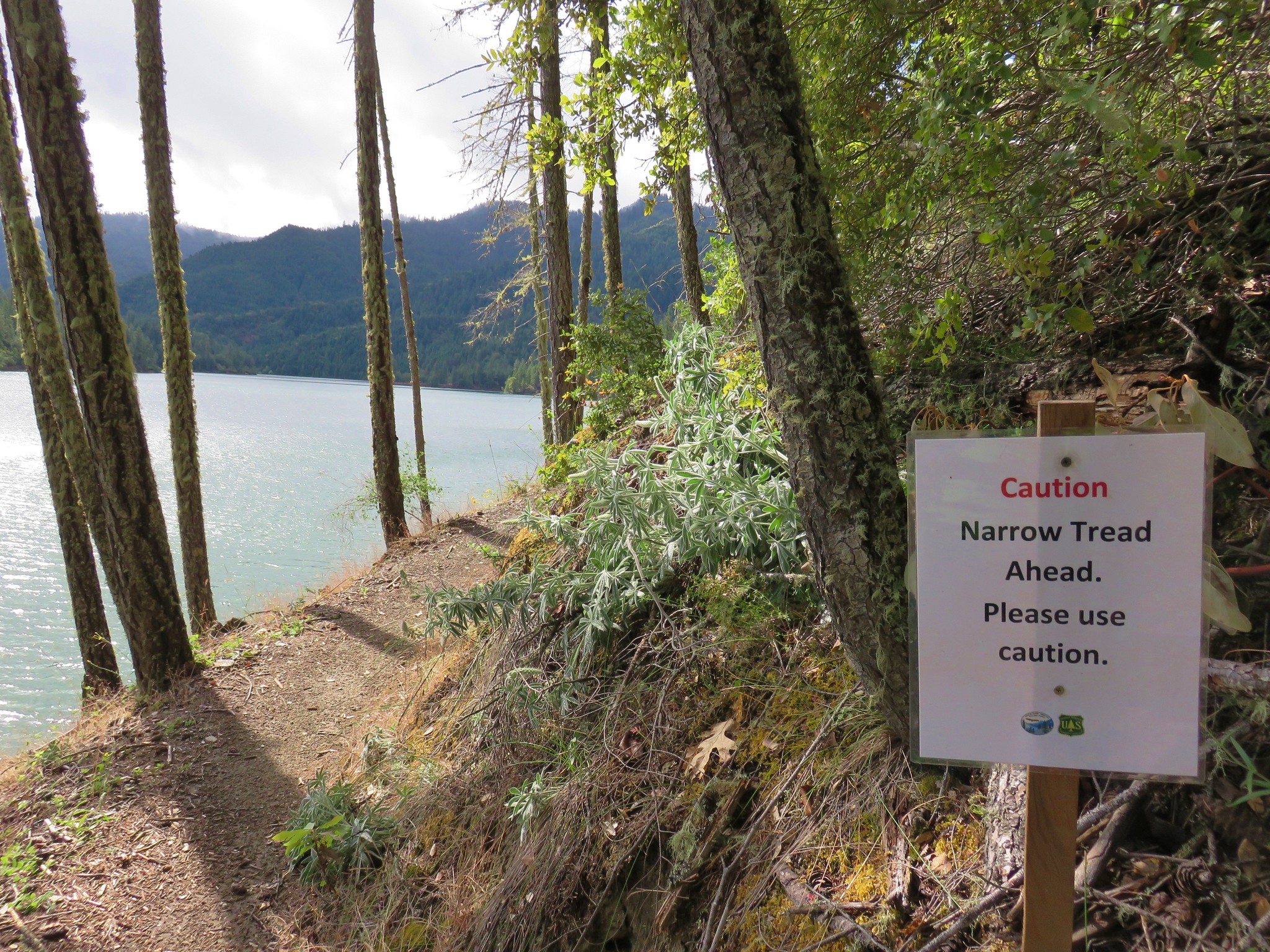
#85 Rogue River Trail West-Hiked 6/24/2023

#86 Paradise Lake-Hiked 6/28/2016

#87 Sky High Lakes-Hiked 6/29/2016

#88 Campbell Lake-Hiked 6/27/2016

#89 Paynes Lake-Hiked 7/24/2017

#90 Russian Lake-Hiked 8/24/2022

#91 Hidden & South Fork Lakes-Hiked 8/26/2022

#92 Trail Gulch Lake-Hiked 8/25/2022

#93 East Boulder Lake-Hiked 8/23/2022

#94 Kangaroo Lake-Hiked 7/23/2017

#95 Deadfall Lakes-Hiked 7/25/2017

#96 Caribou Lake-Hiked 7/27/2017

#97 Castle Lake-Hiked 7/26/2017

#98 Castle Crags-Hiked 7/26/2017

#99 Black Butte-Hiked 7/28/2017

#100 Mount Shasta Meadows-Hiked 8/22/2022

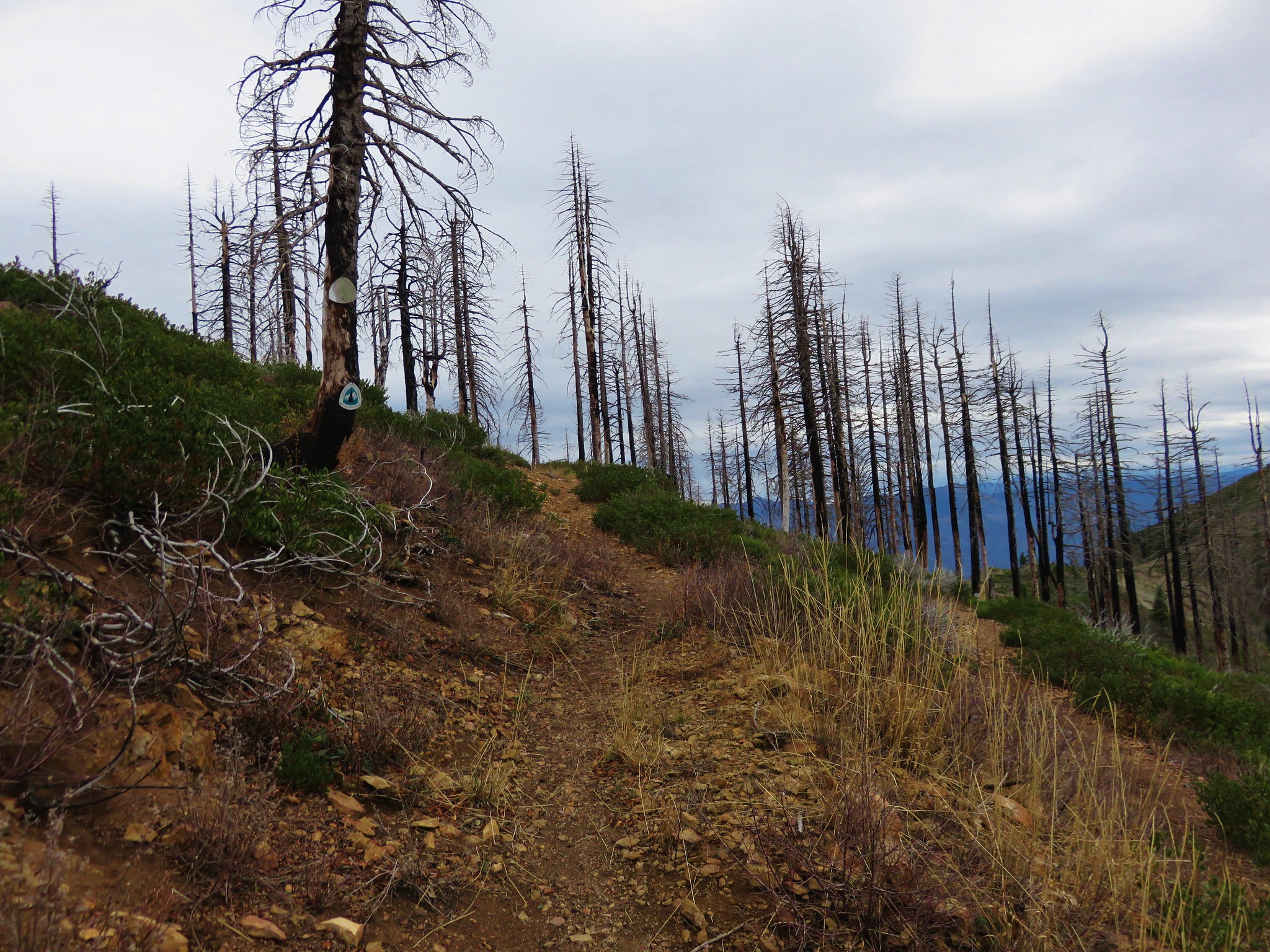
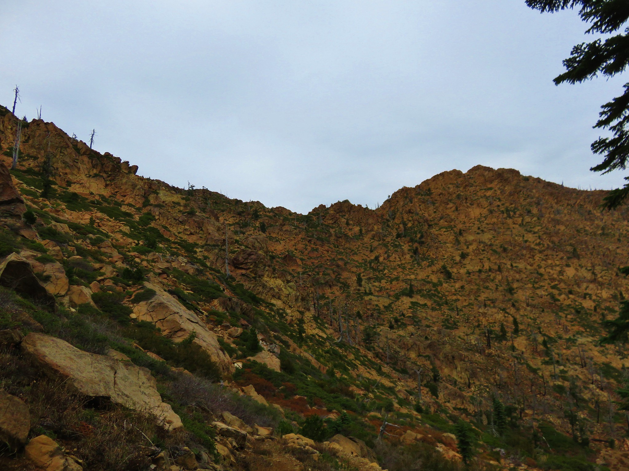
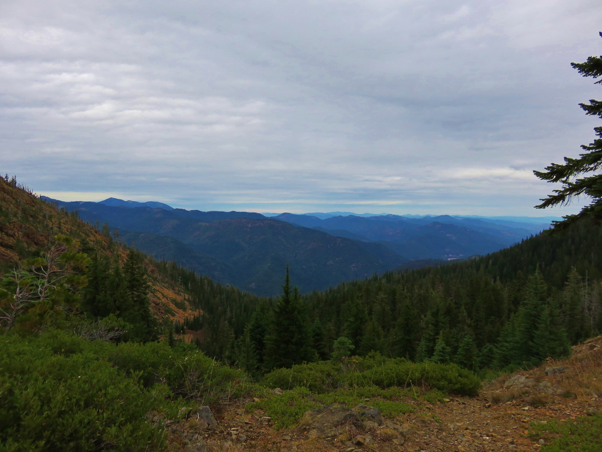
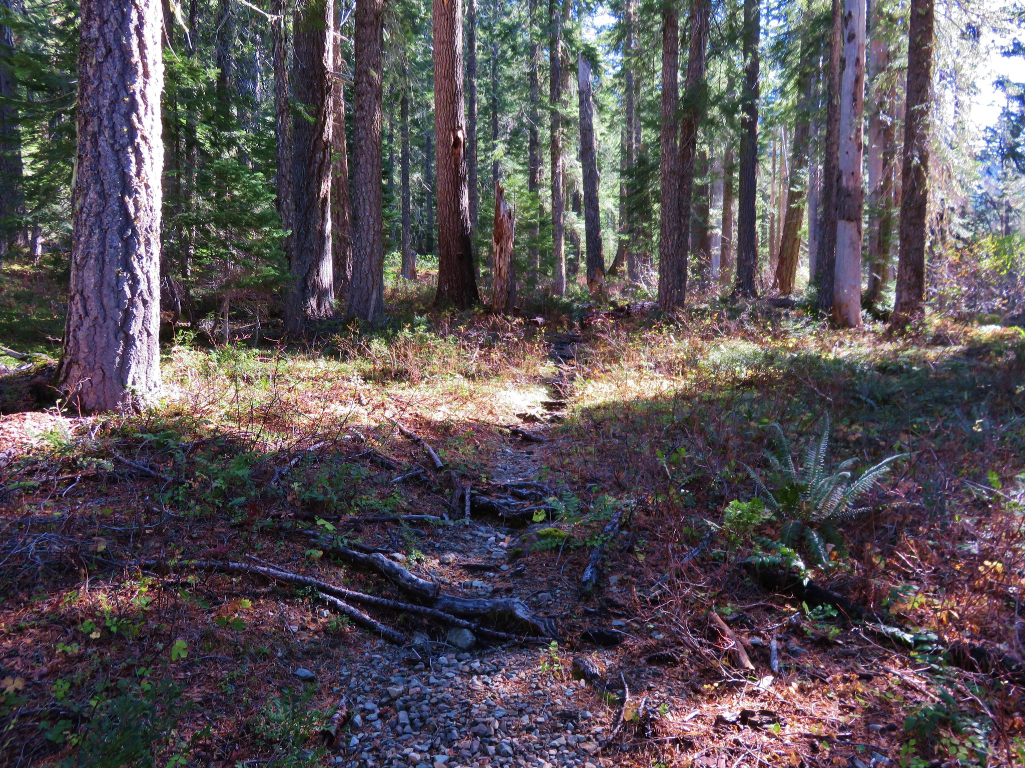
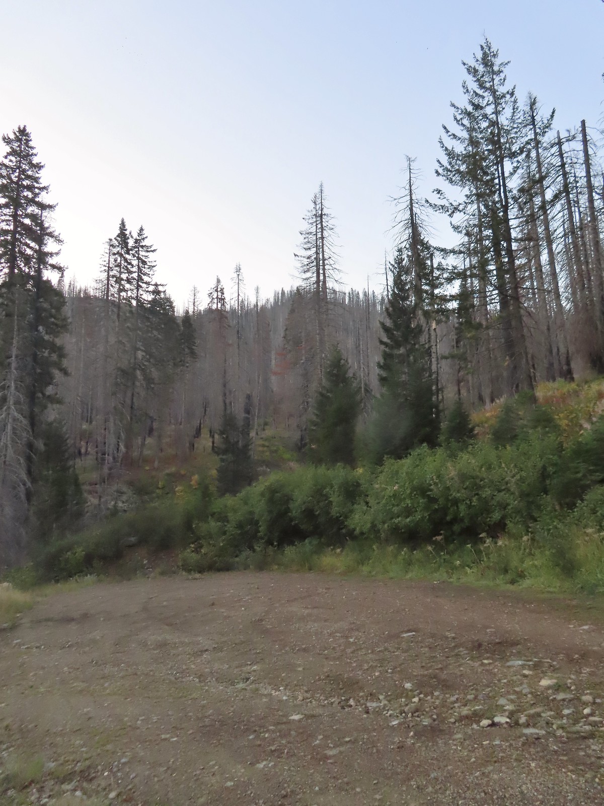
In our minds this was by far the most challenging area to finish even though we did so before completing Eastern Oregon. The difficulty with Eastern Oregon mostly revolves around distance from Salem and the size of the area covered. The Southern Oregon-Northern California area is smaller and the hikes not as far away, but it involved a lot of trails that frankly don’t see the level of maintenance that most of the other areas receive. While we’ve encountered rough trails, all over poison oak is much more prevalent down south which doesn’t invite pushing through overgrown tread or bushwacking around obstacles. This area has also been hit harder by fires over the last couple of decades leaving extra work to reopen them as well as remove additional blowdown as the dead trees fall over. When the conditions were good though the scenery and diverse plant and wildlife made for some spectacular hikes. There are many that we’d love to do again and several non-featured hikes that we have in our future plans, so we aren’t done with area yet. Happy Trails!

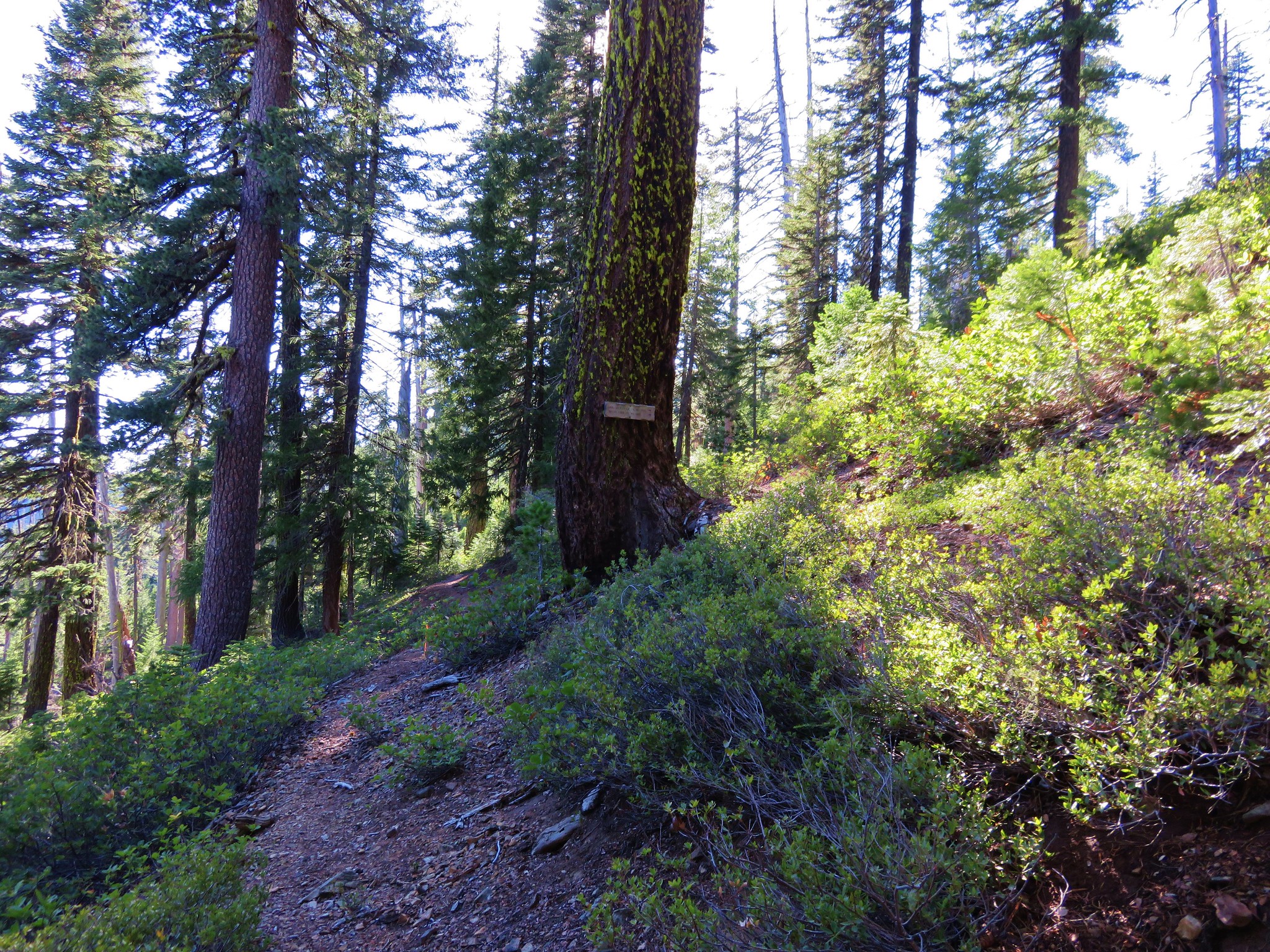
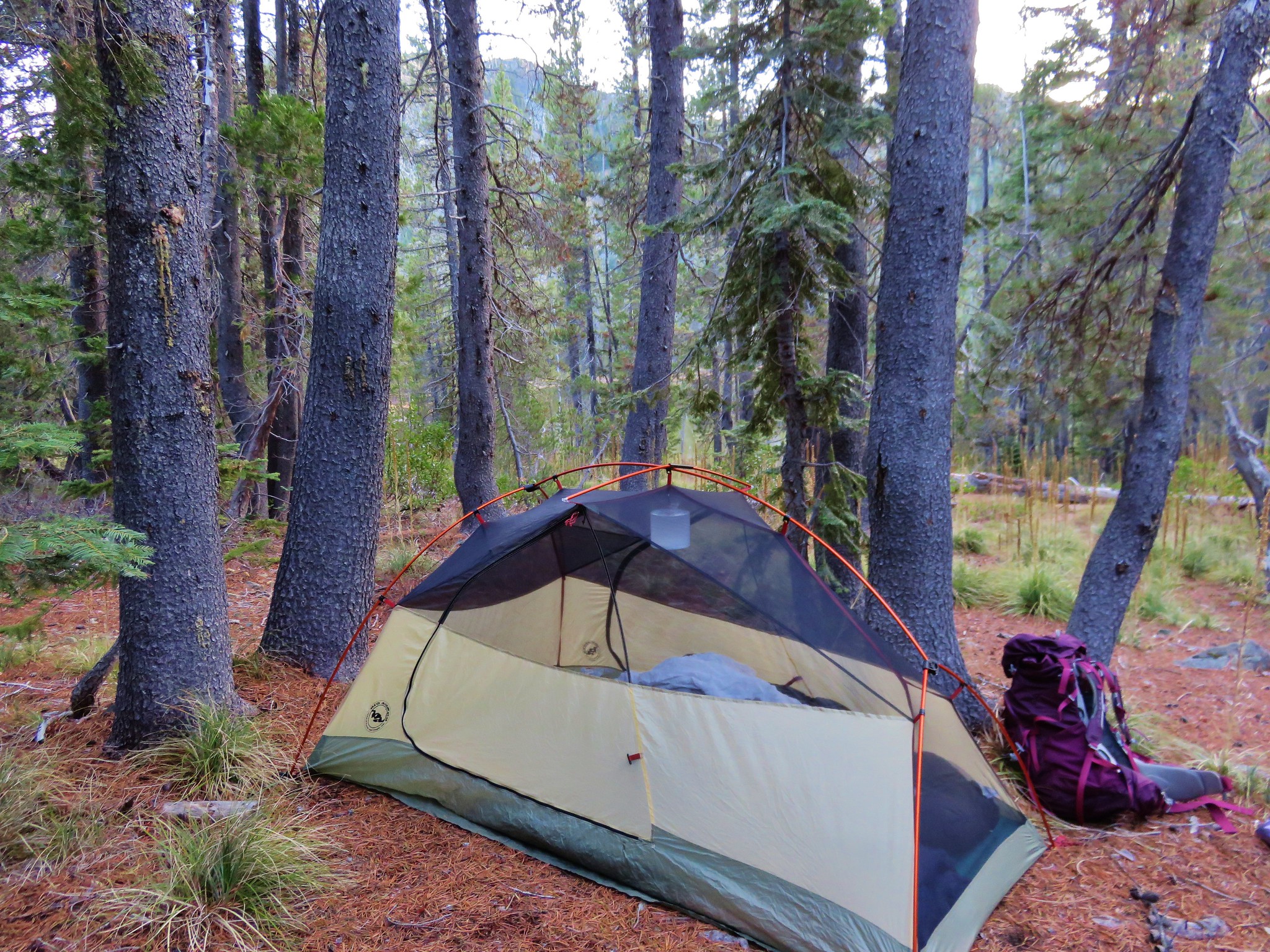
 There is a large turnaround/parking area at the end of Forest Road 041 which serves as the trailhead. The final 500 meters of the road are rough so high clearance vehicles are recommended.
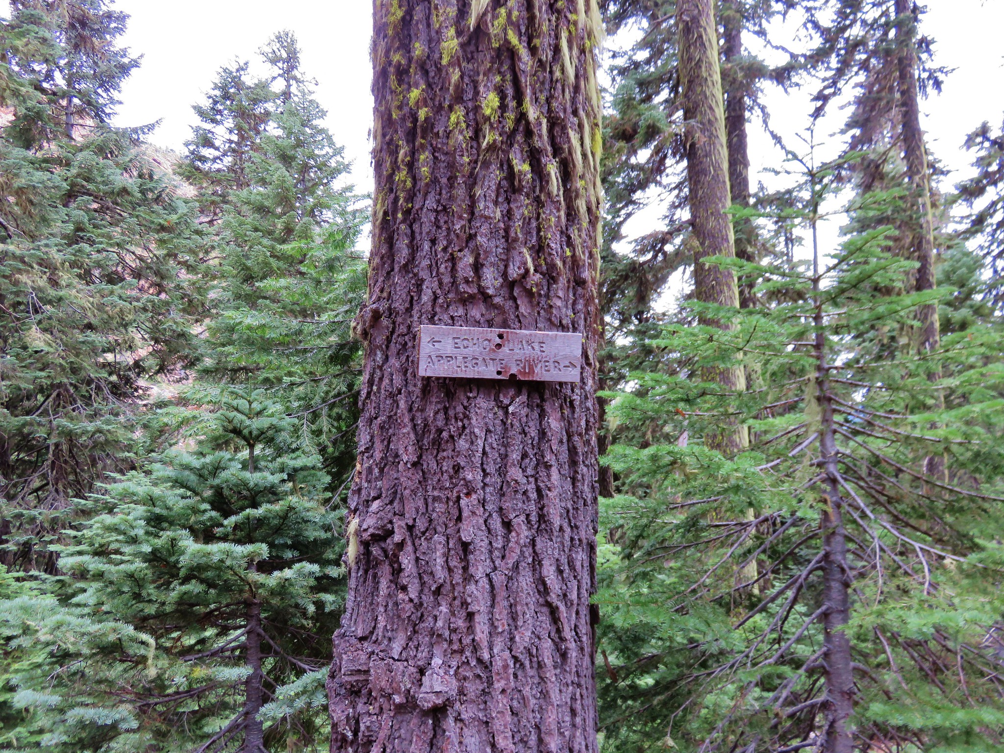
 A pink flag marked the start of the trail just up the road from the turnaround.
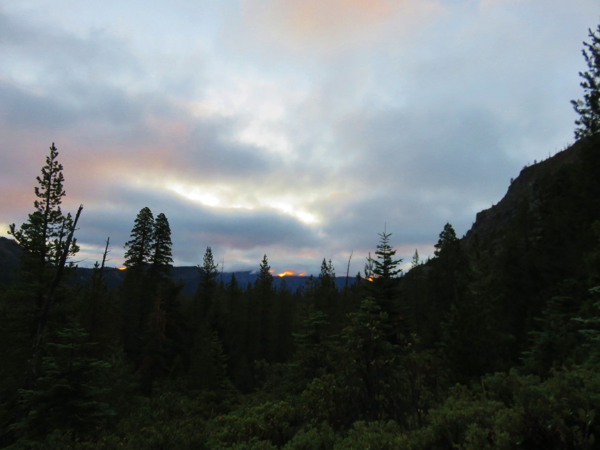
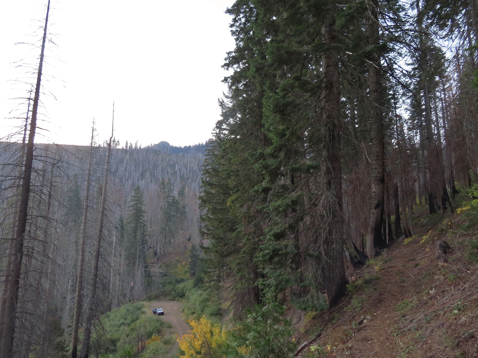 The trailhead from the Tanner Lakes Trail.
 A few trees survived the fire around the lakes.
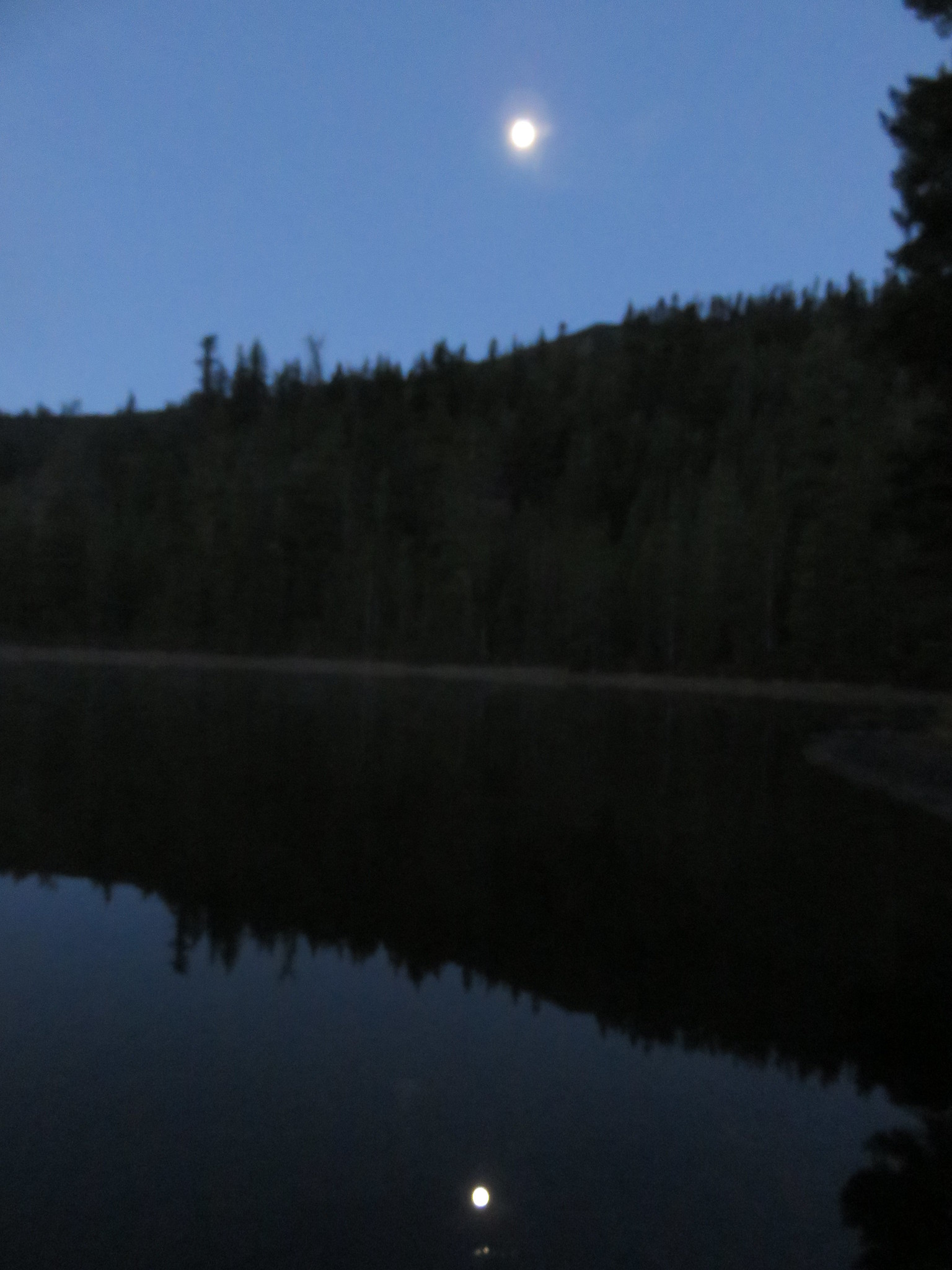
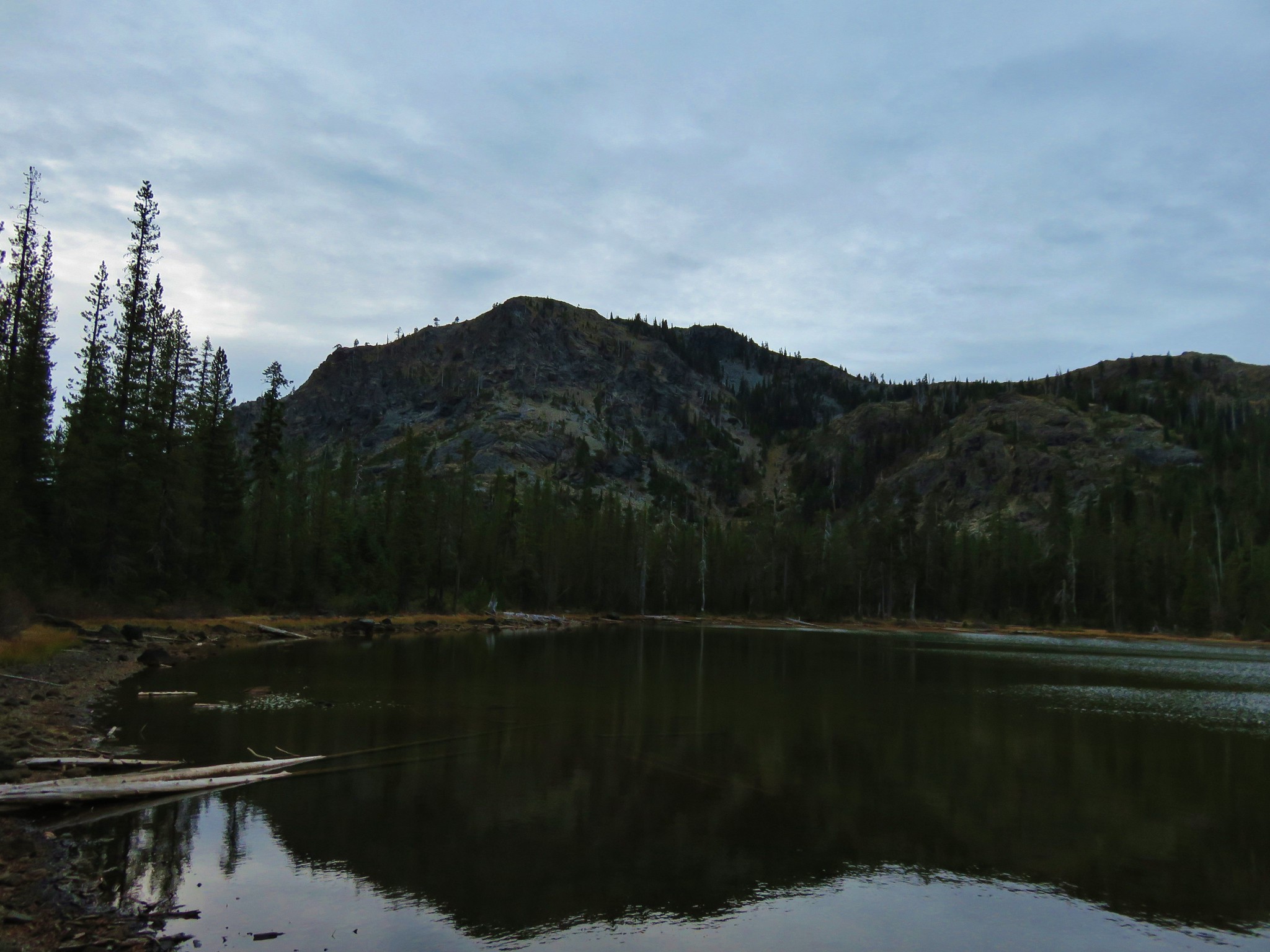
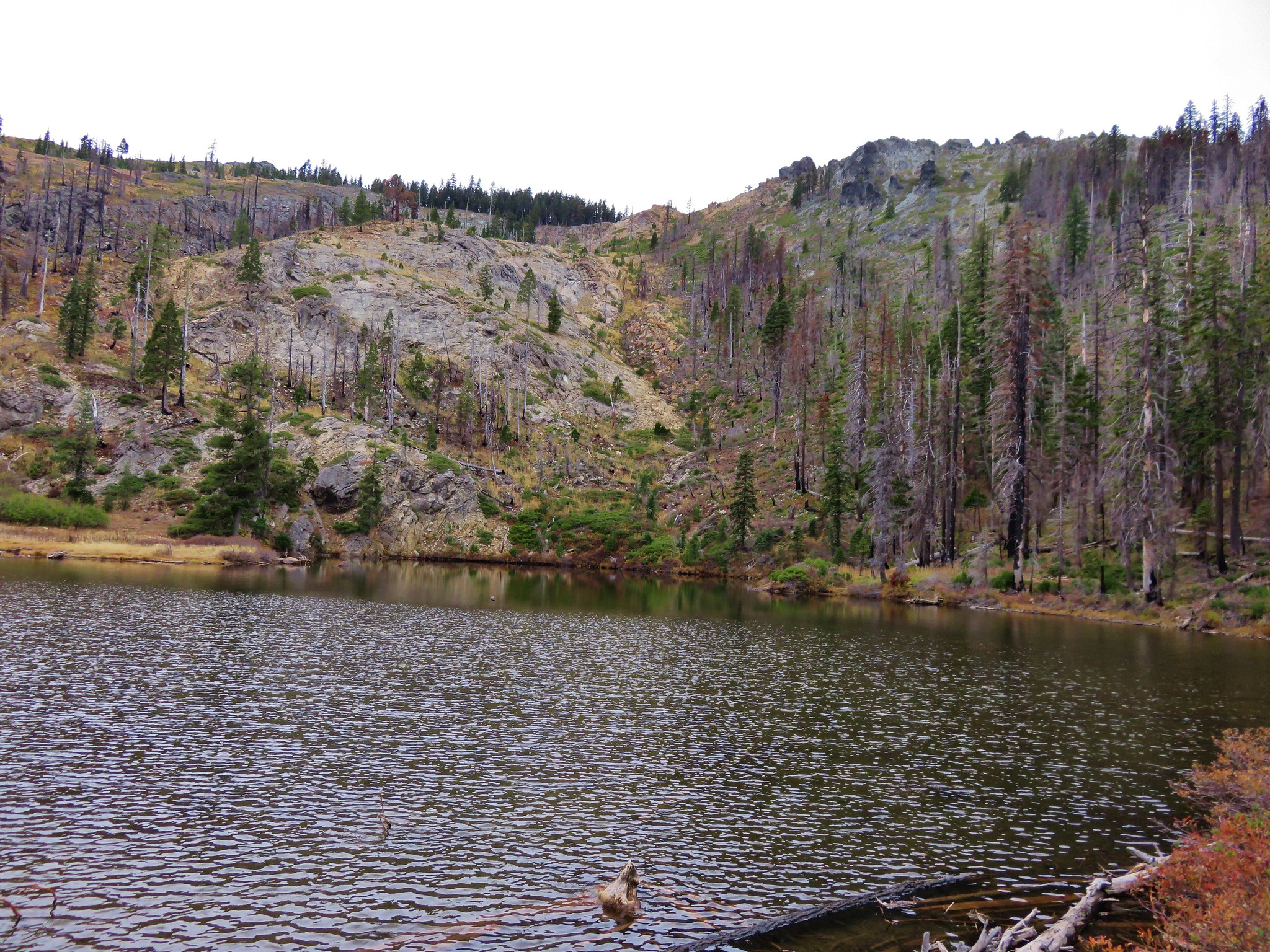
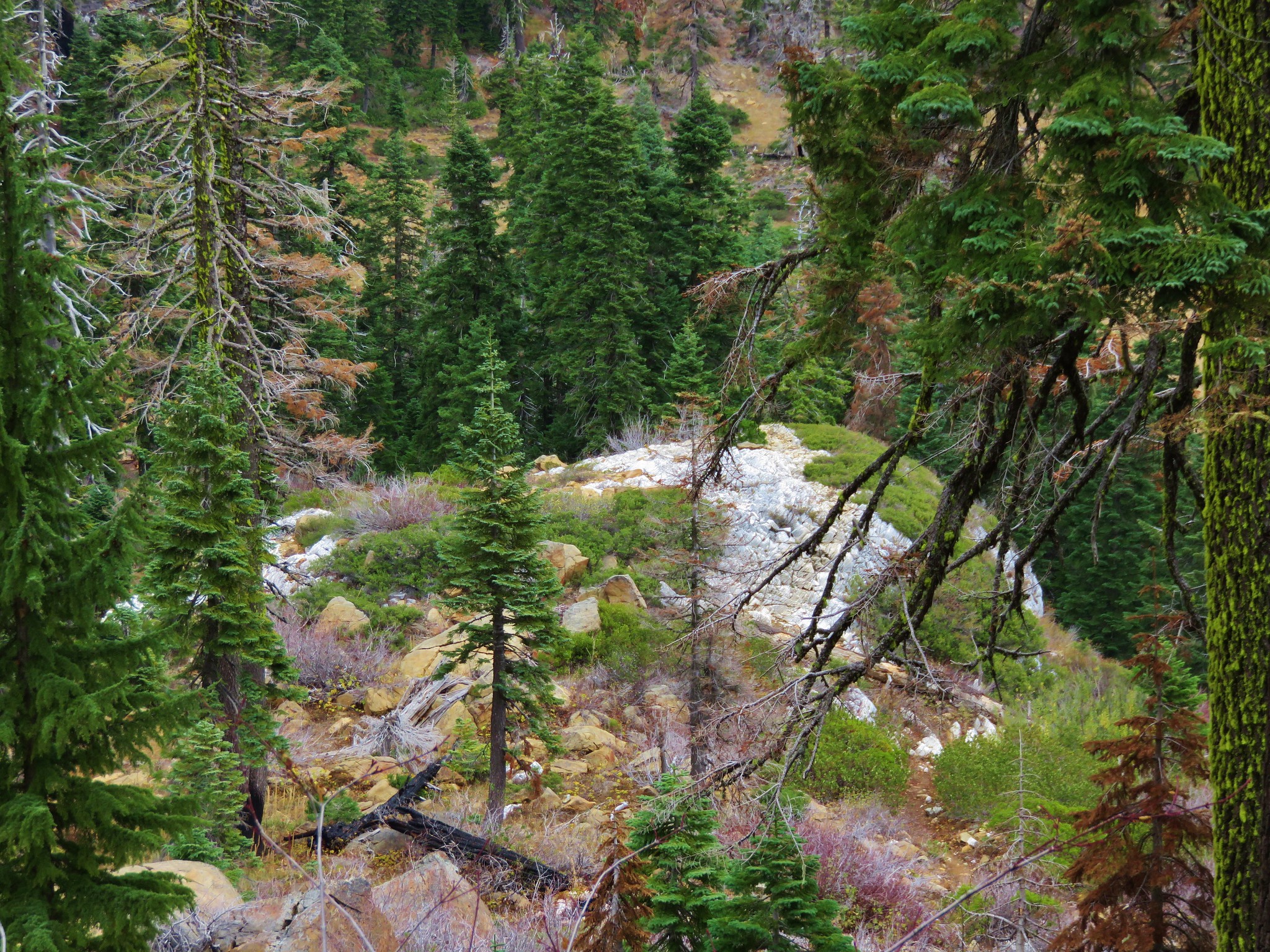
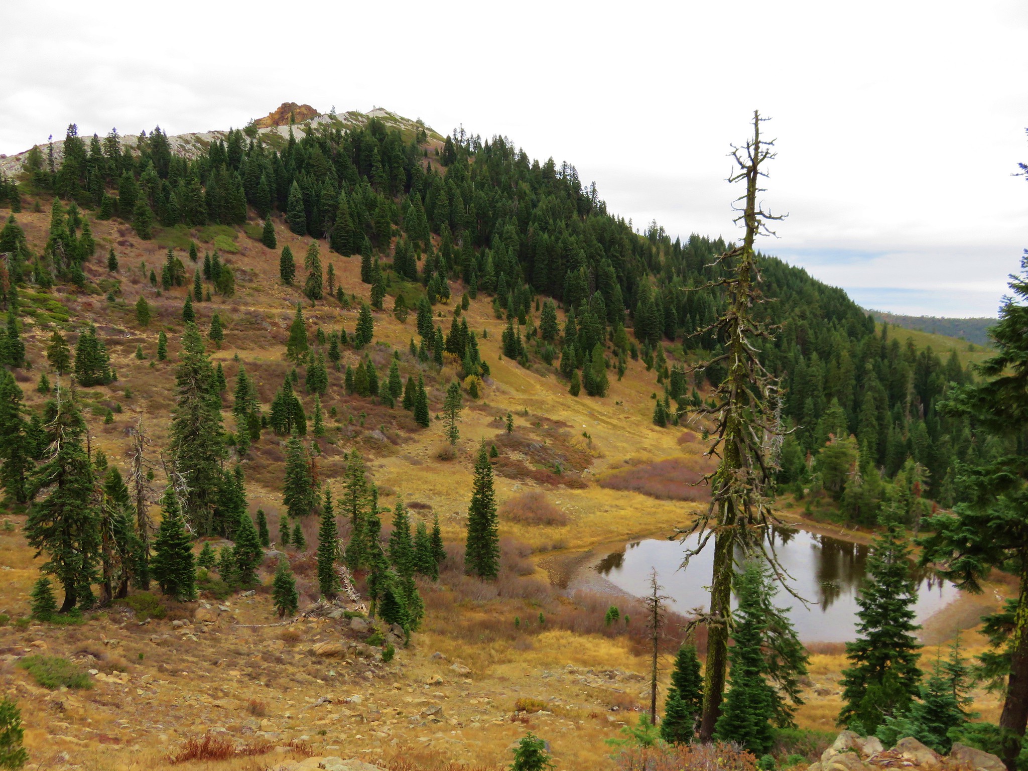
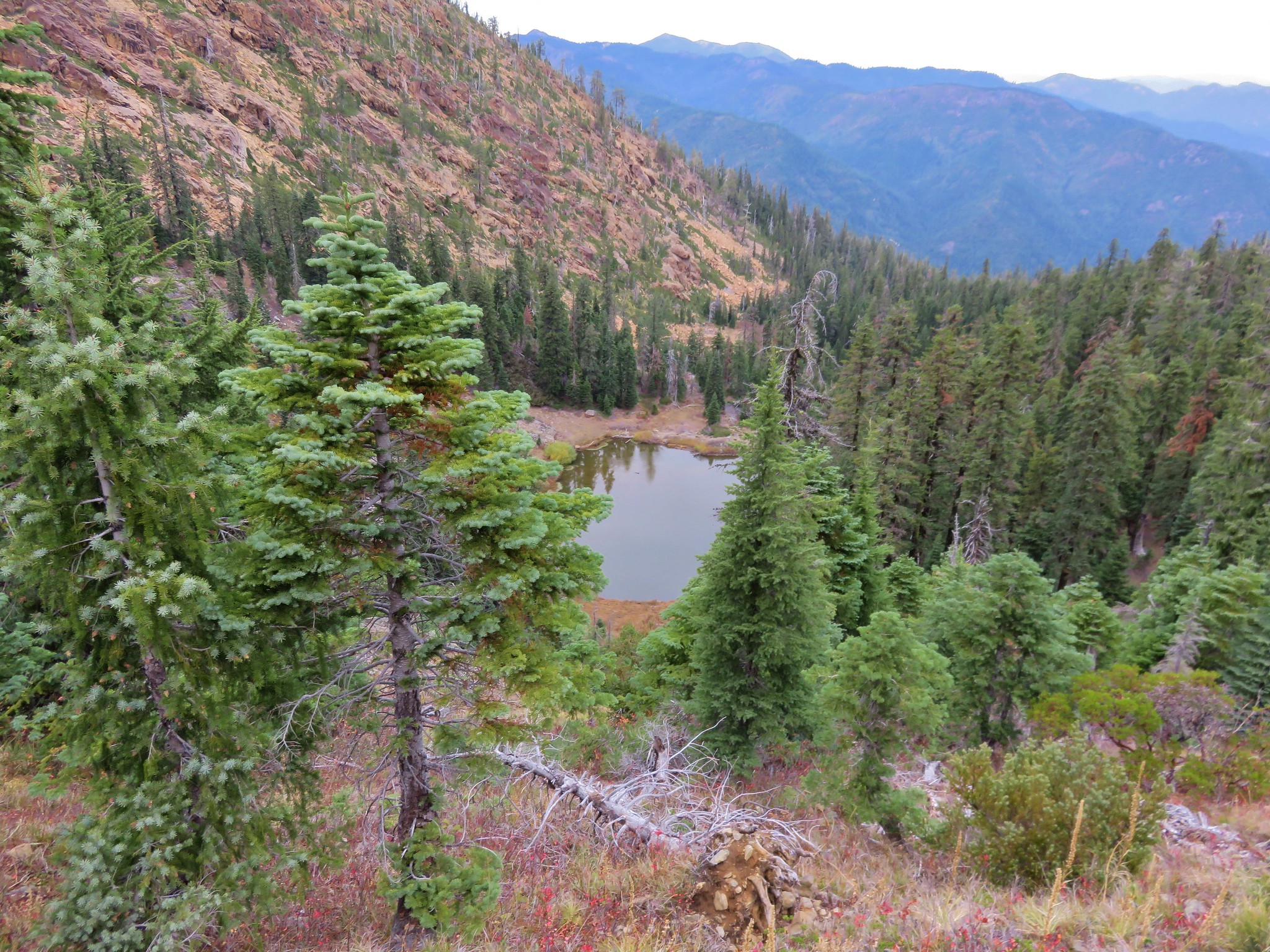
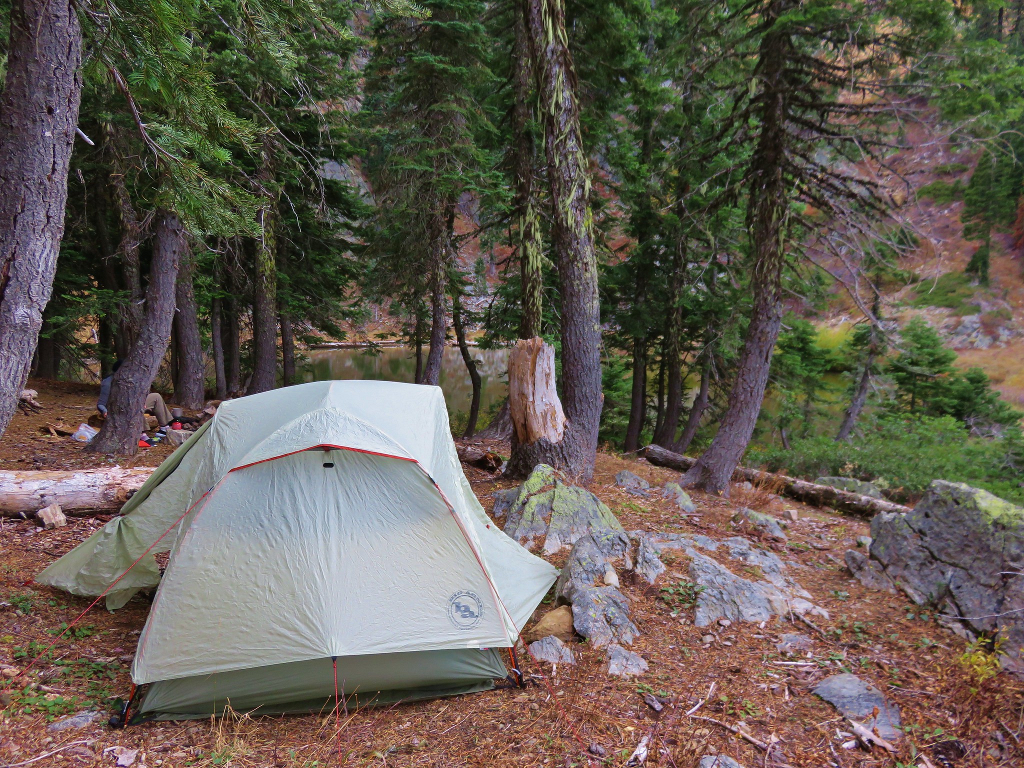
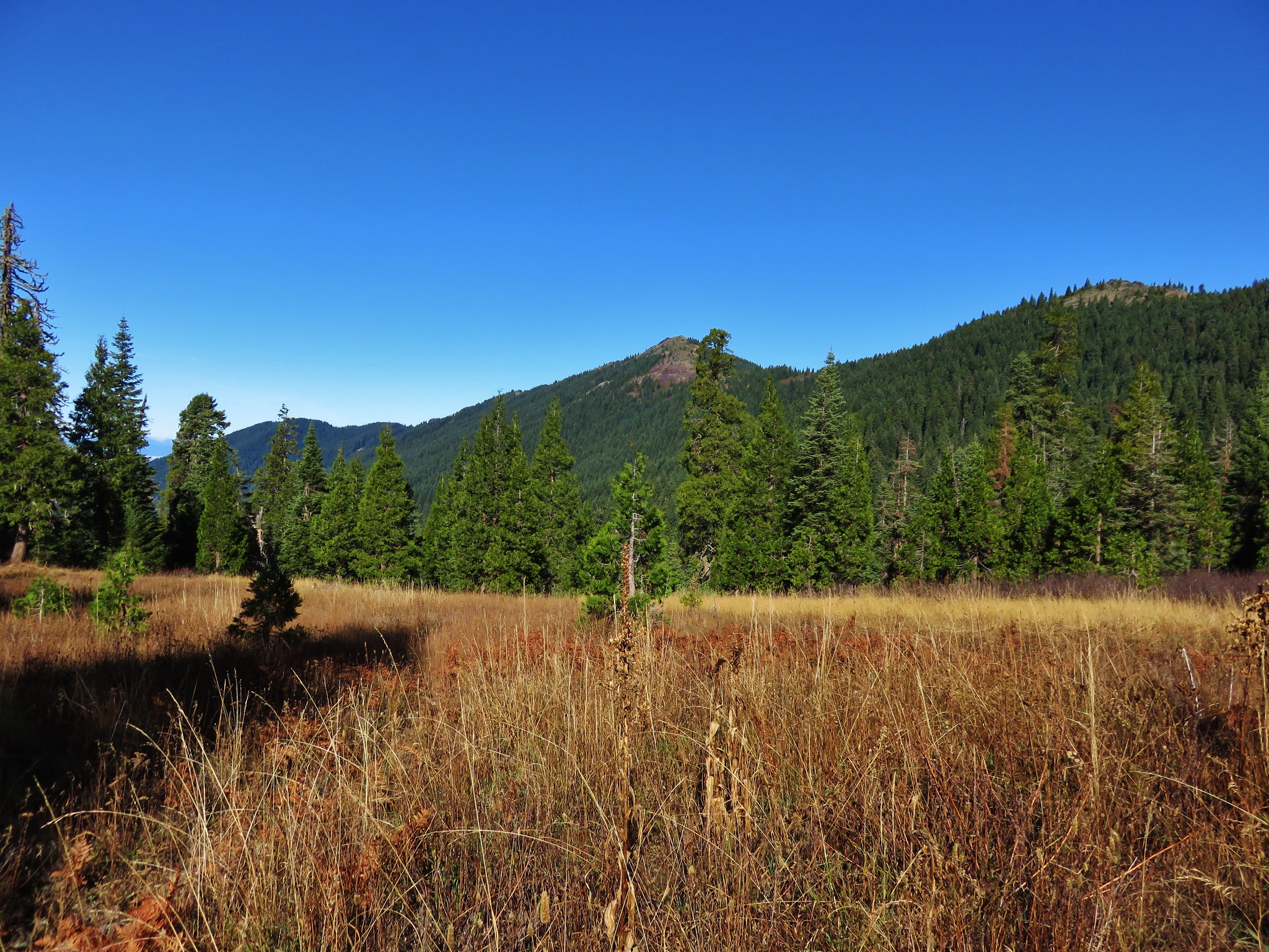
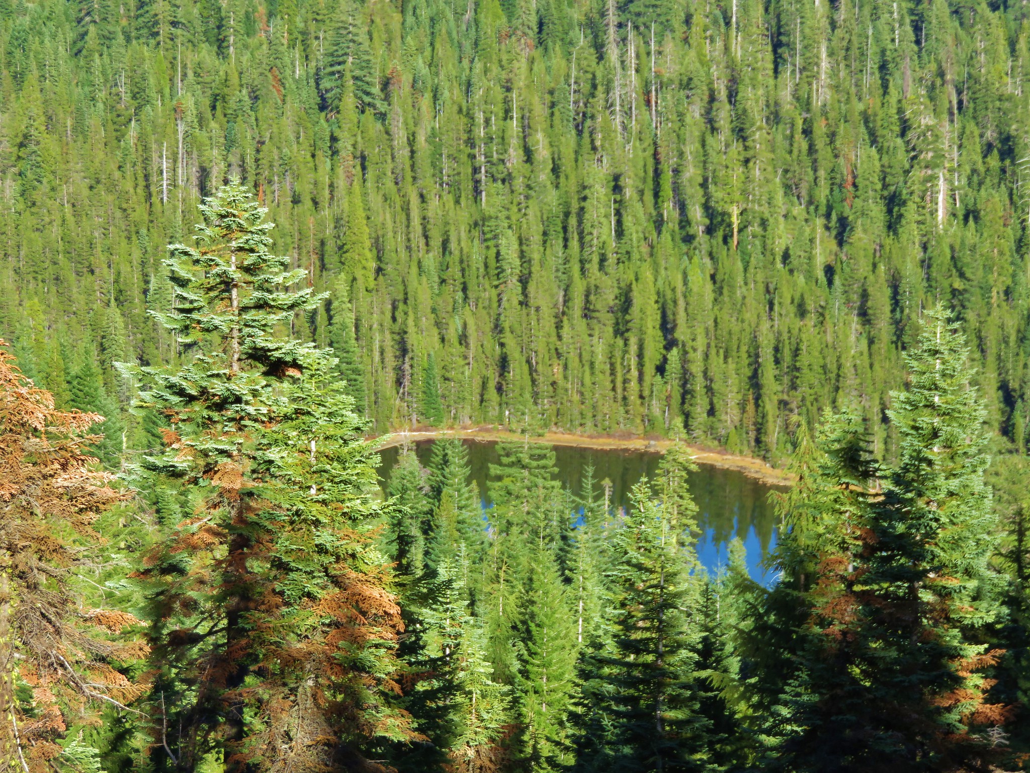
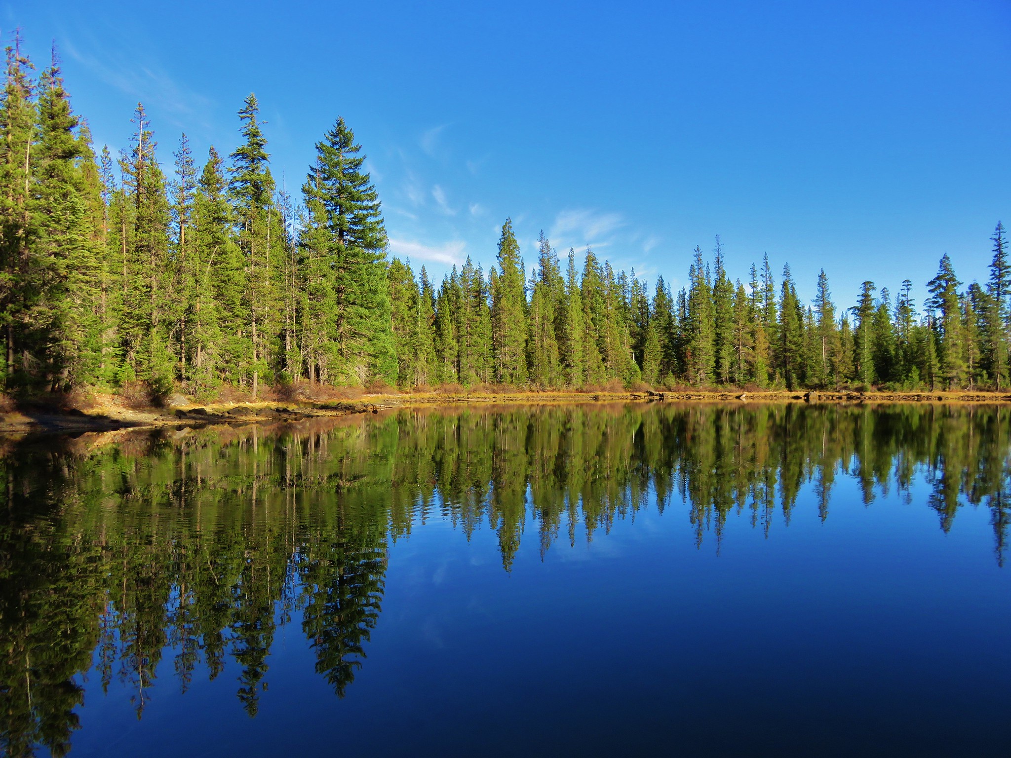
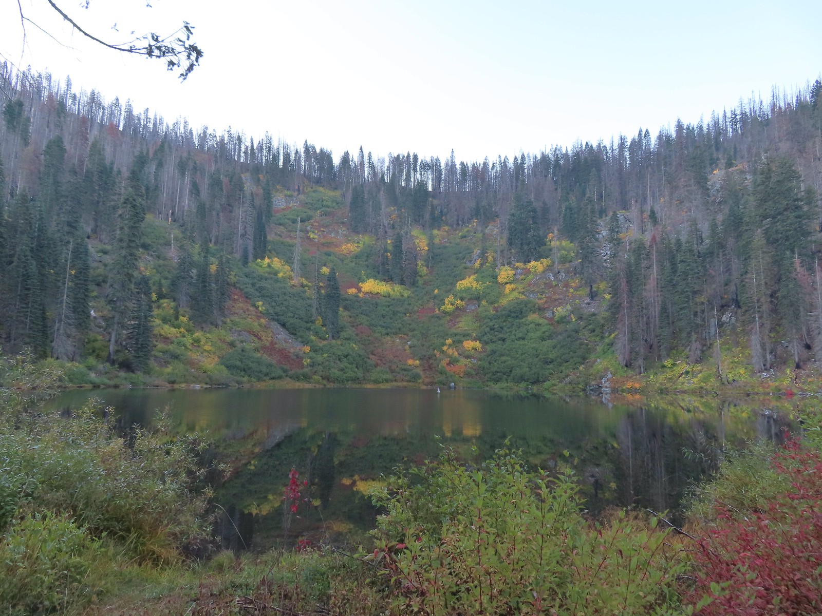 Tanner Lake in the morning.

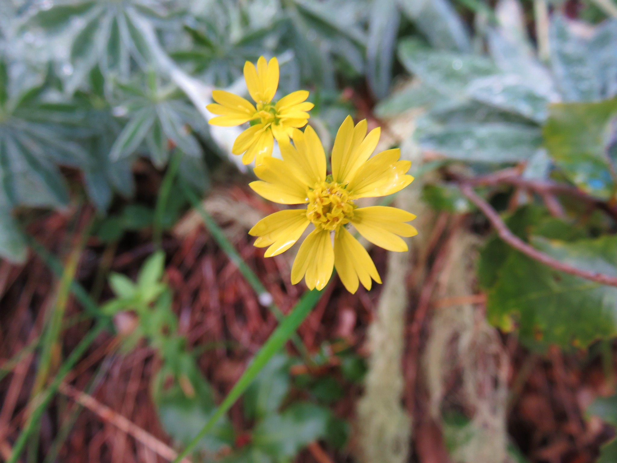
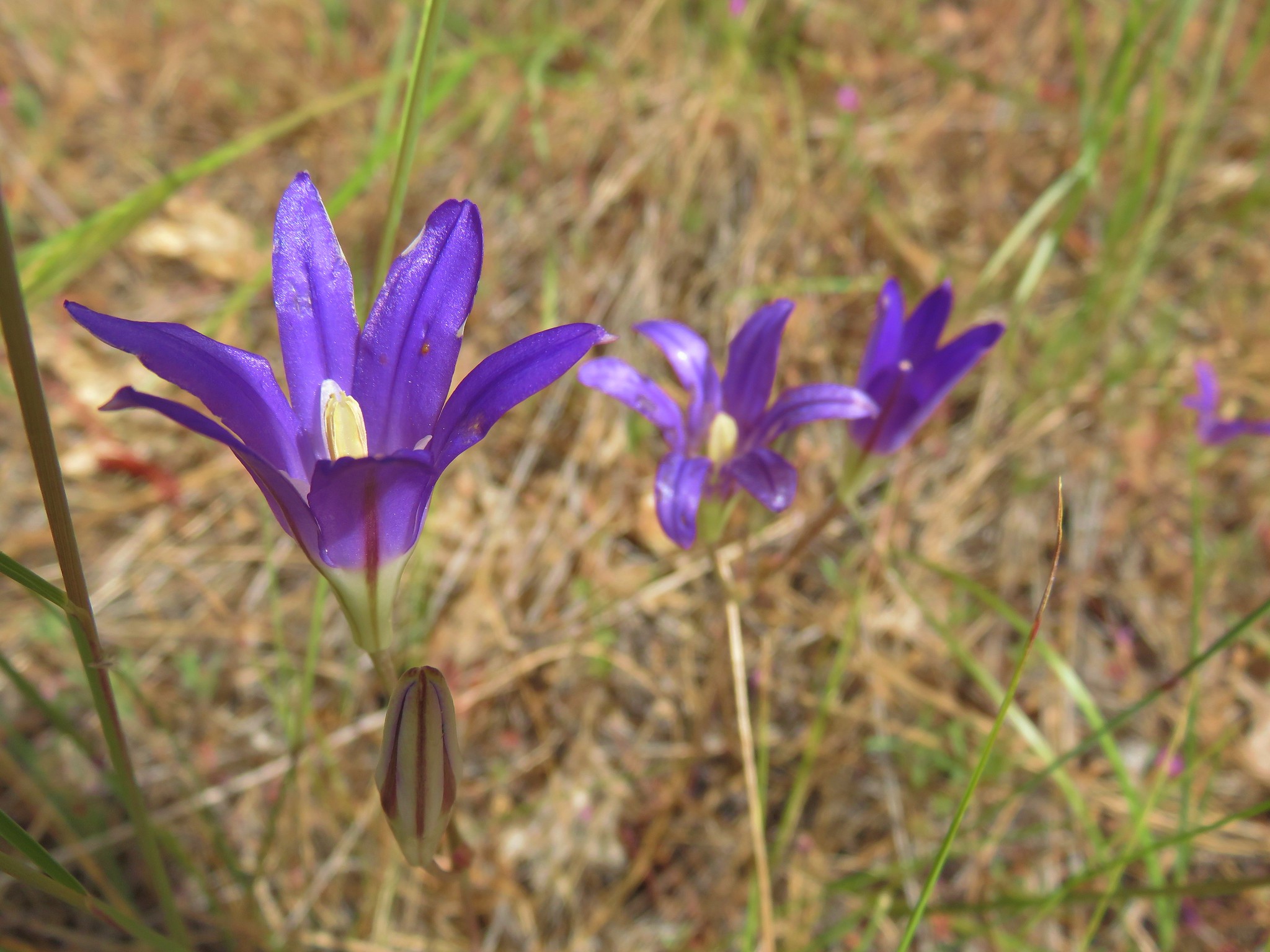
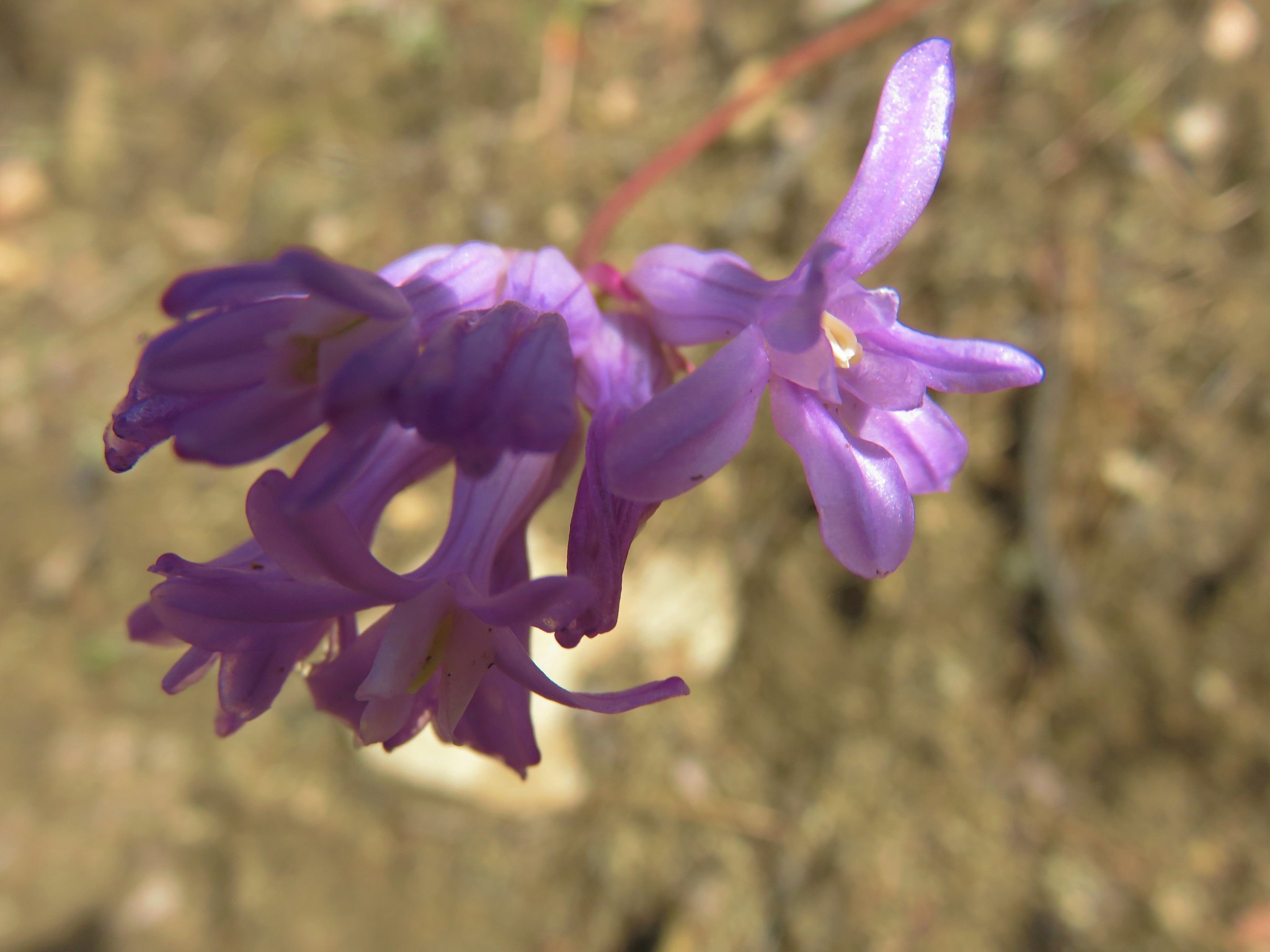
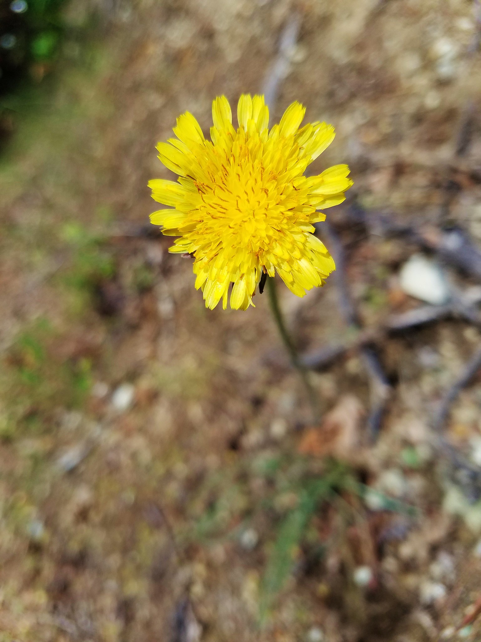
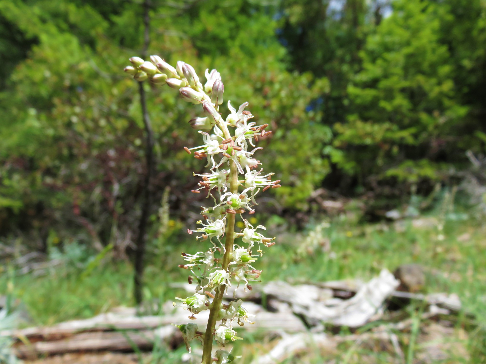
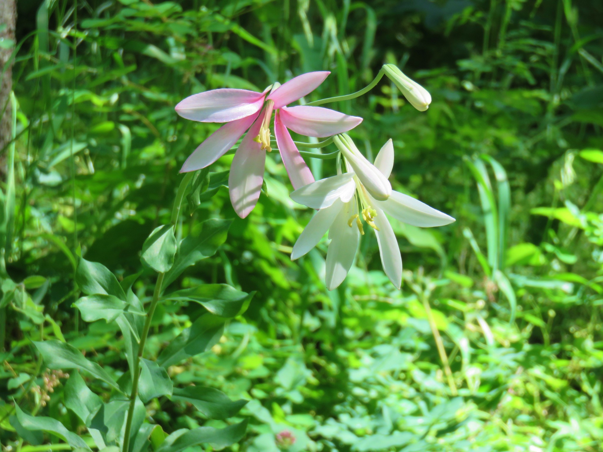
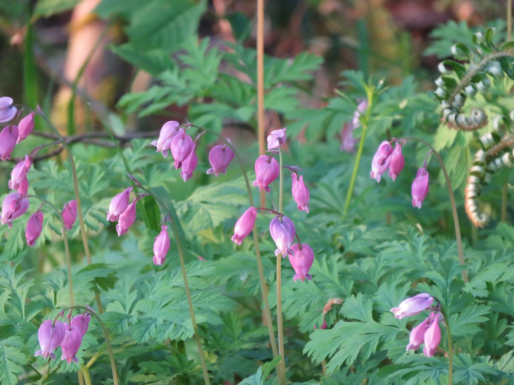
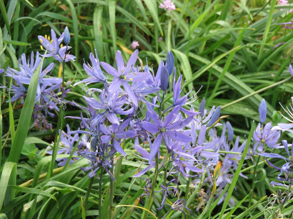
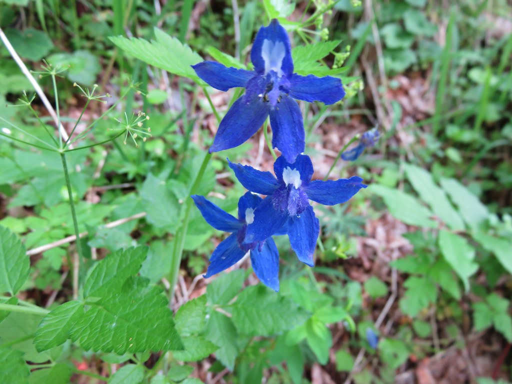
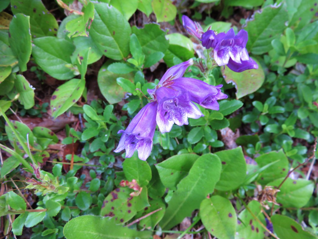
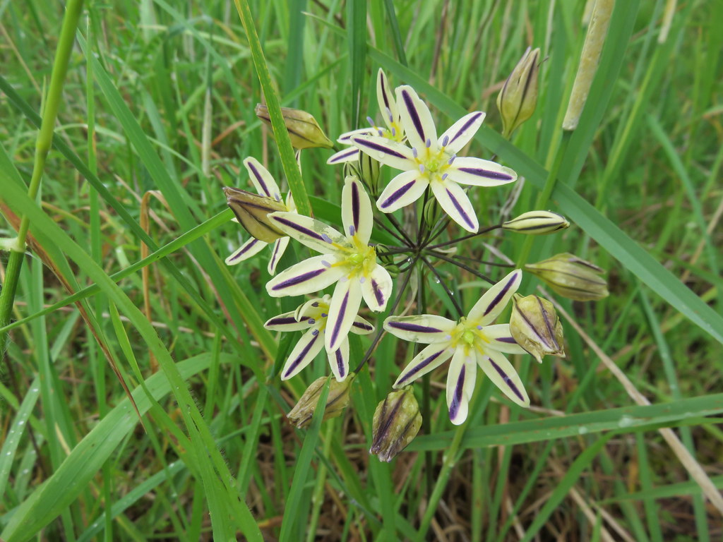
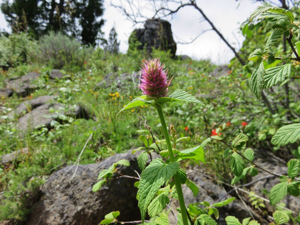
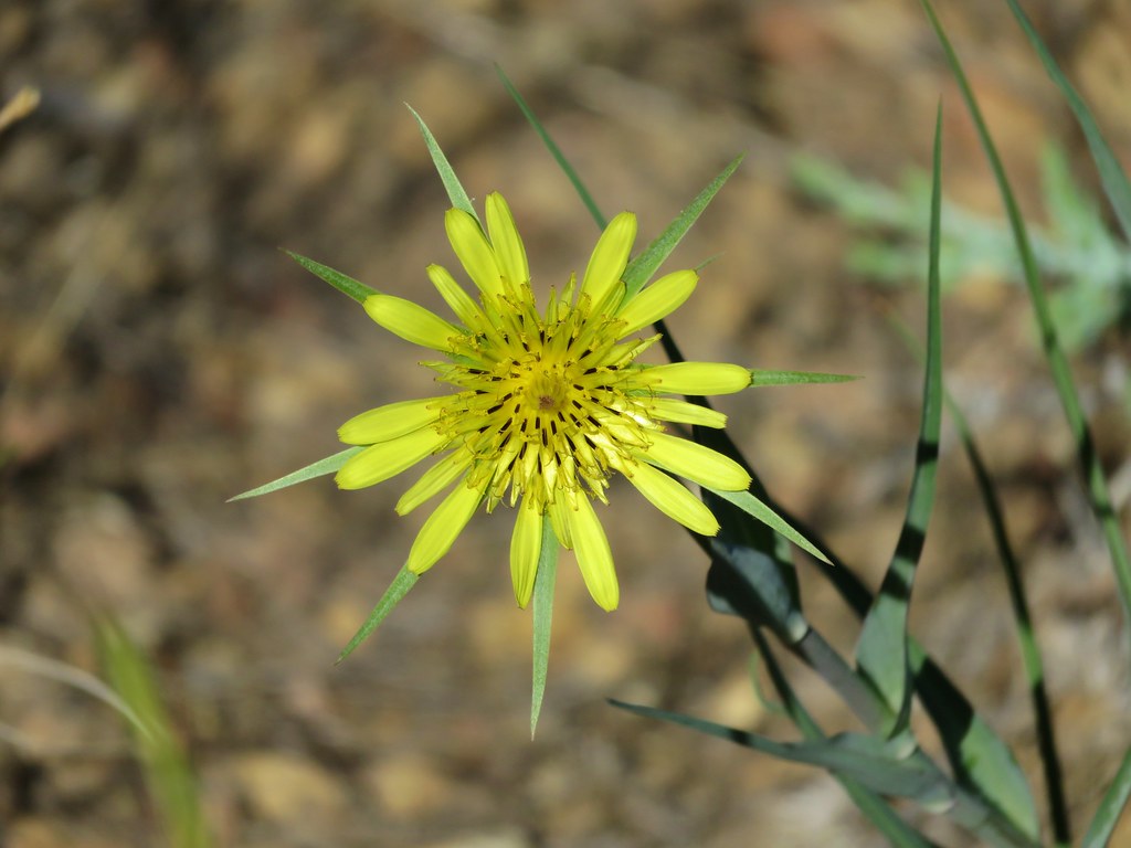
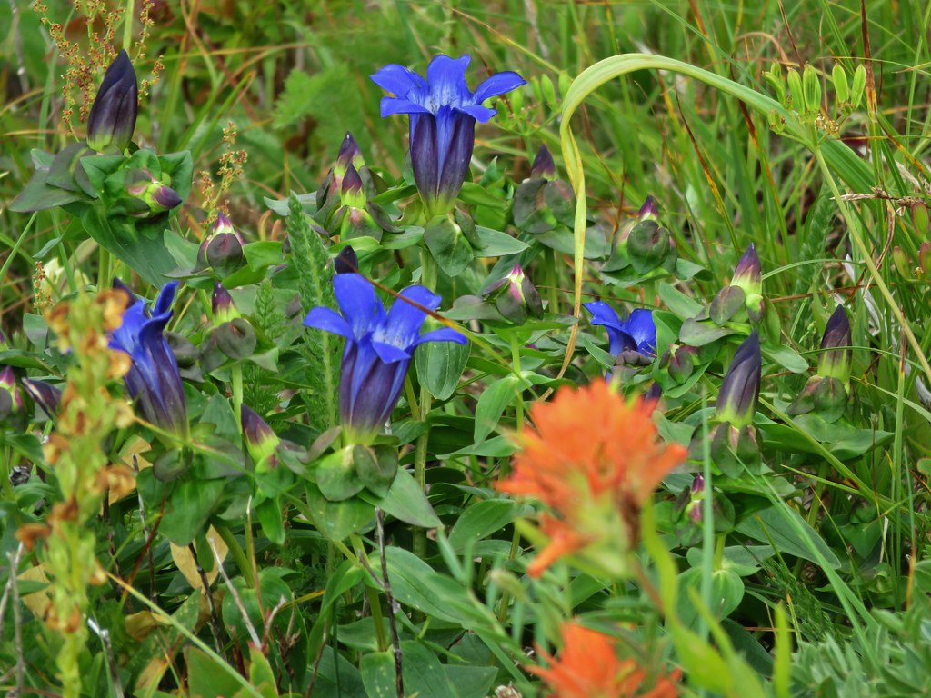
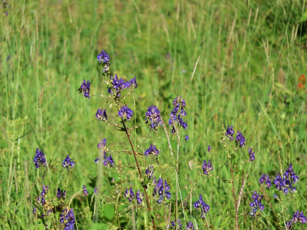
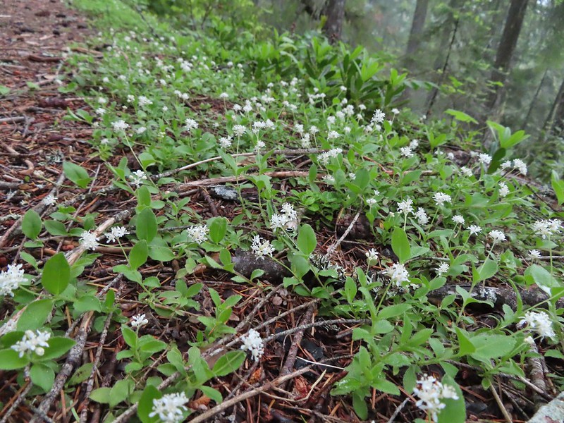
 Penstemon
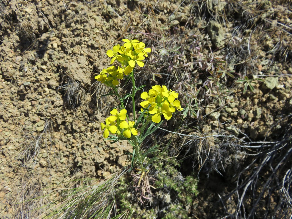
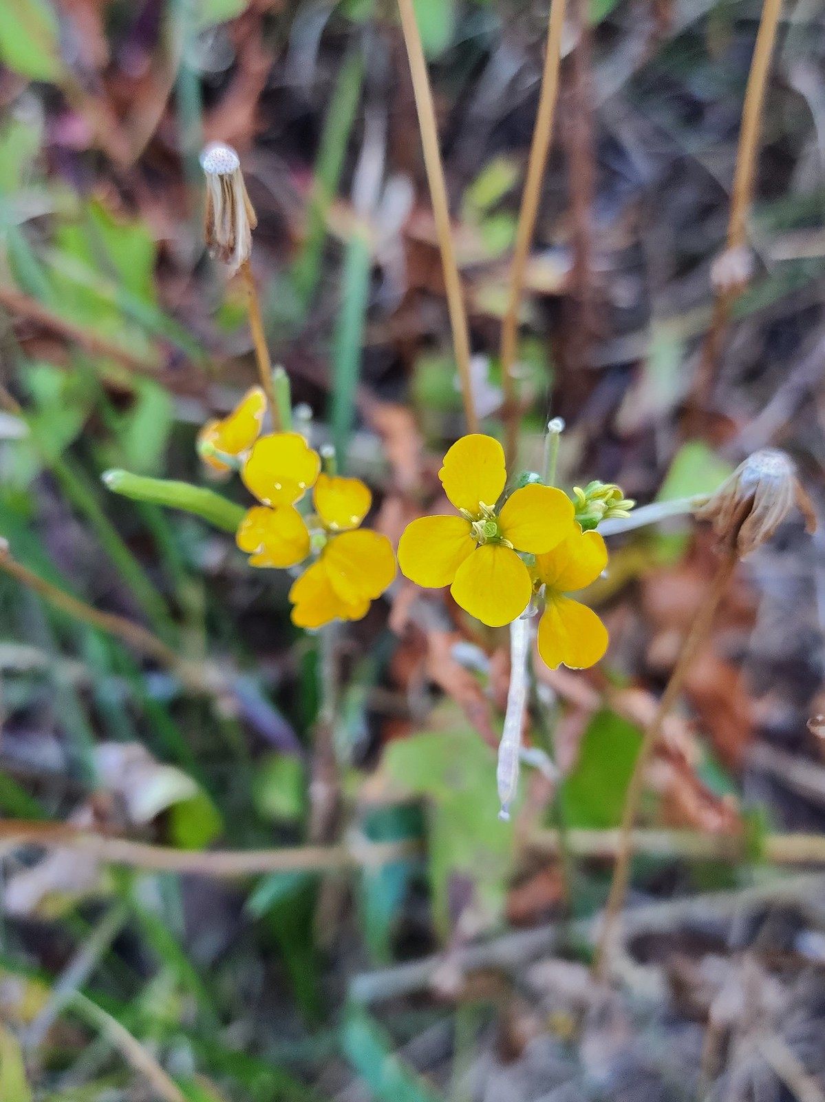 Wallflower
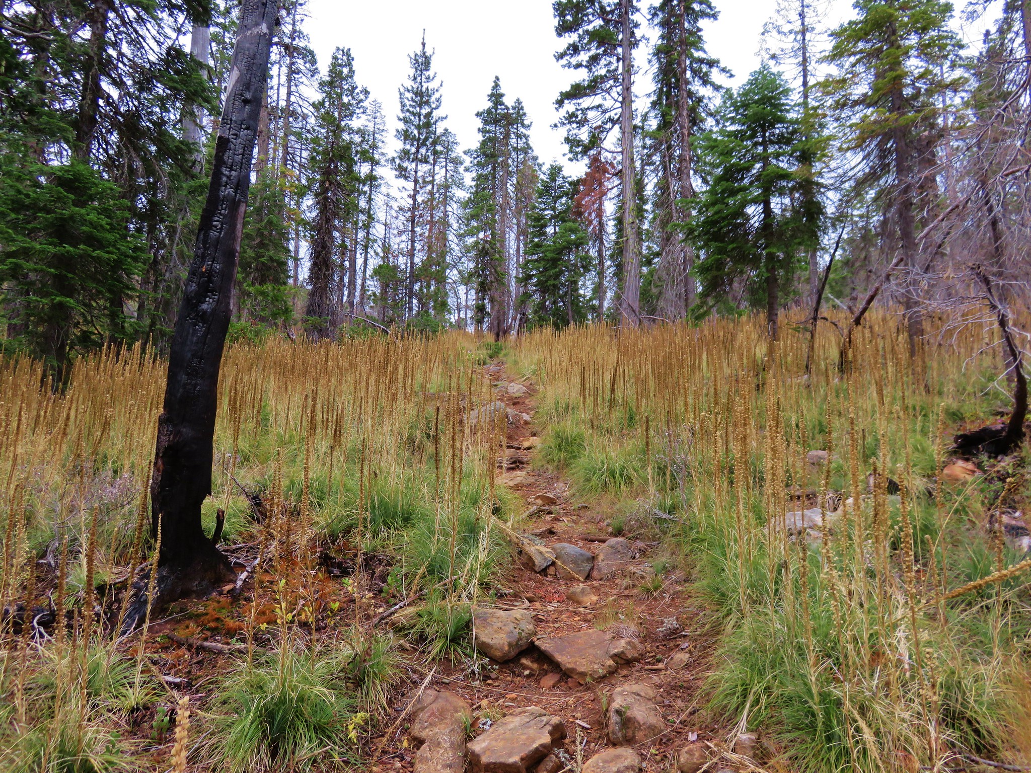
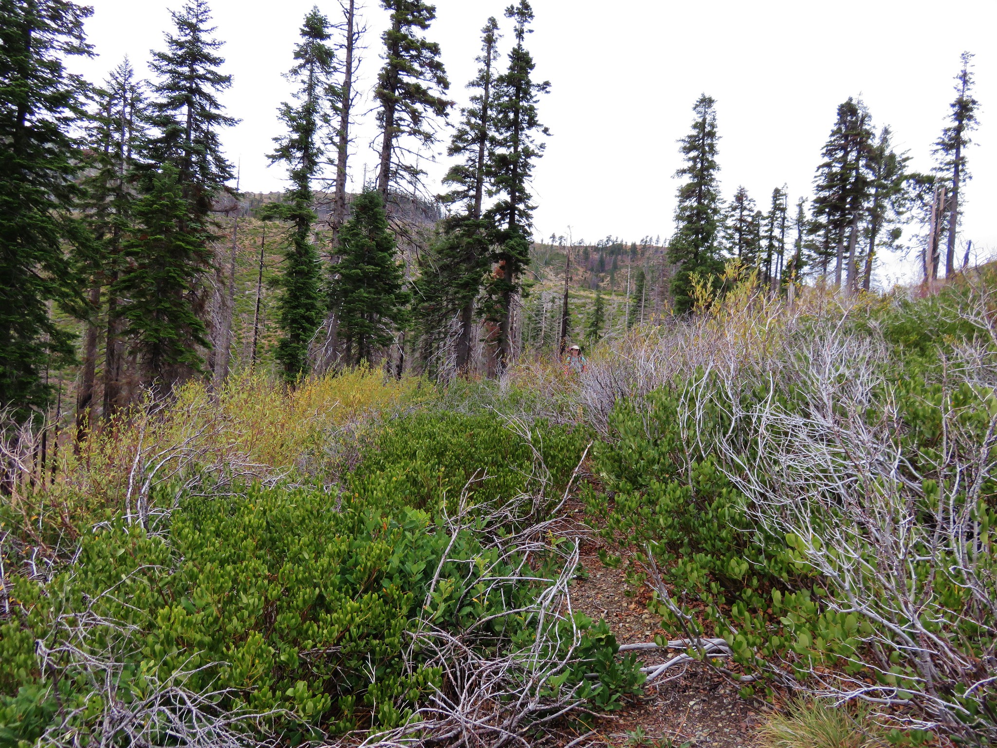
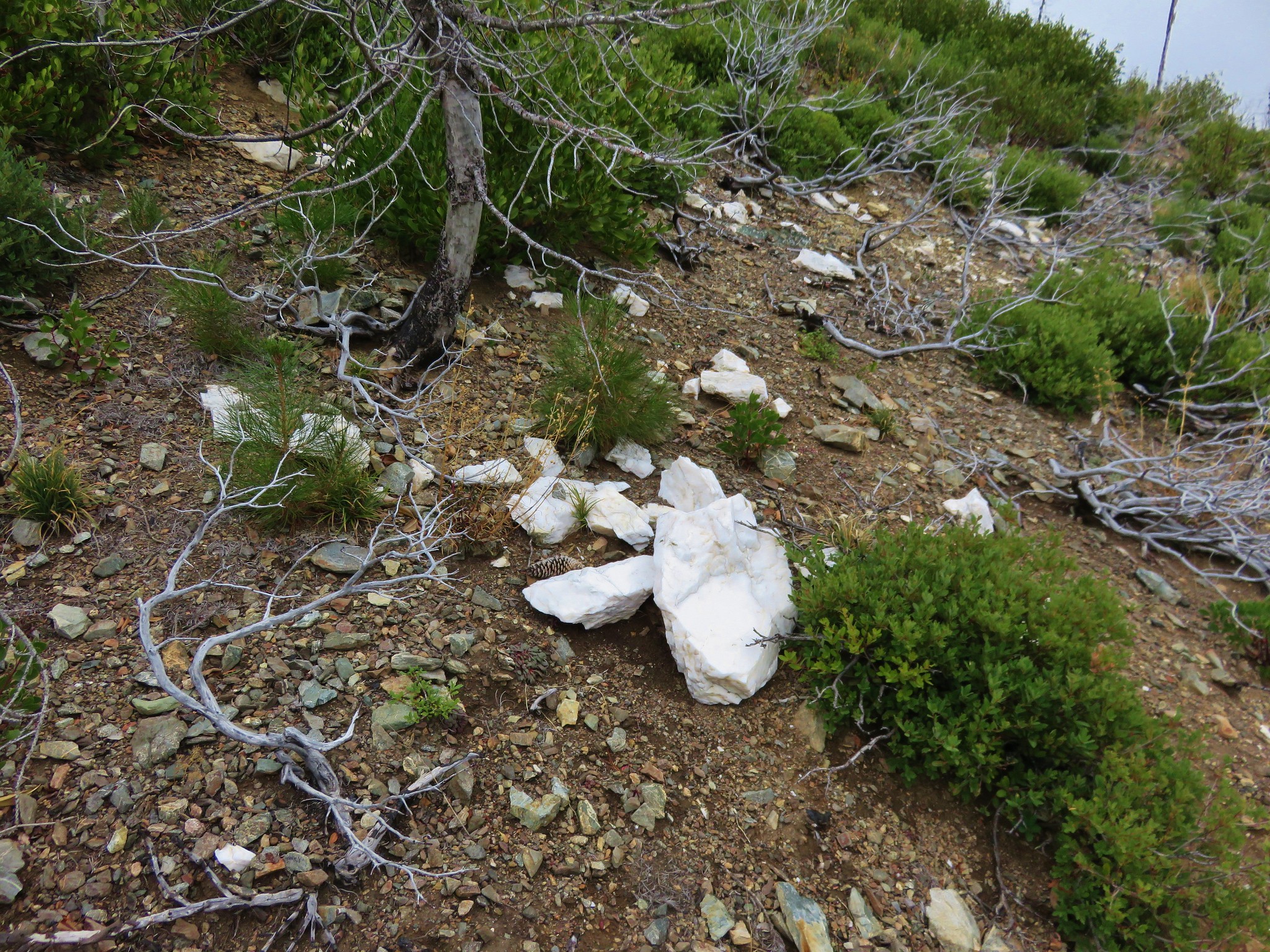
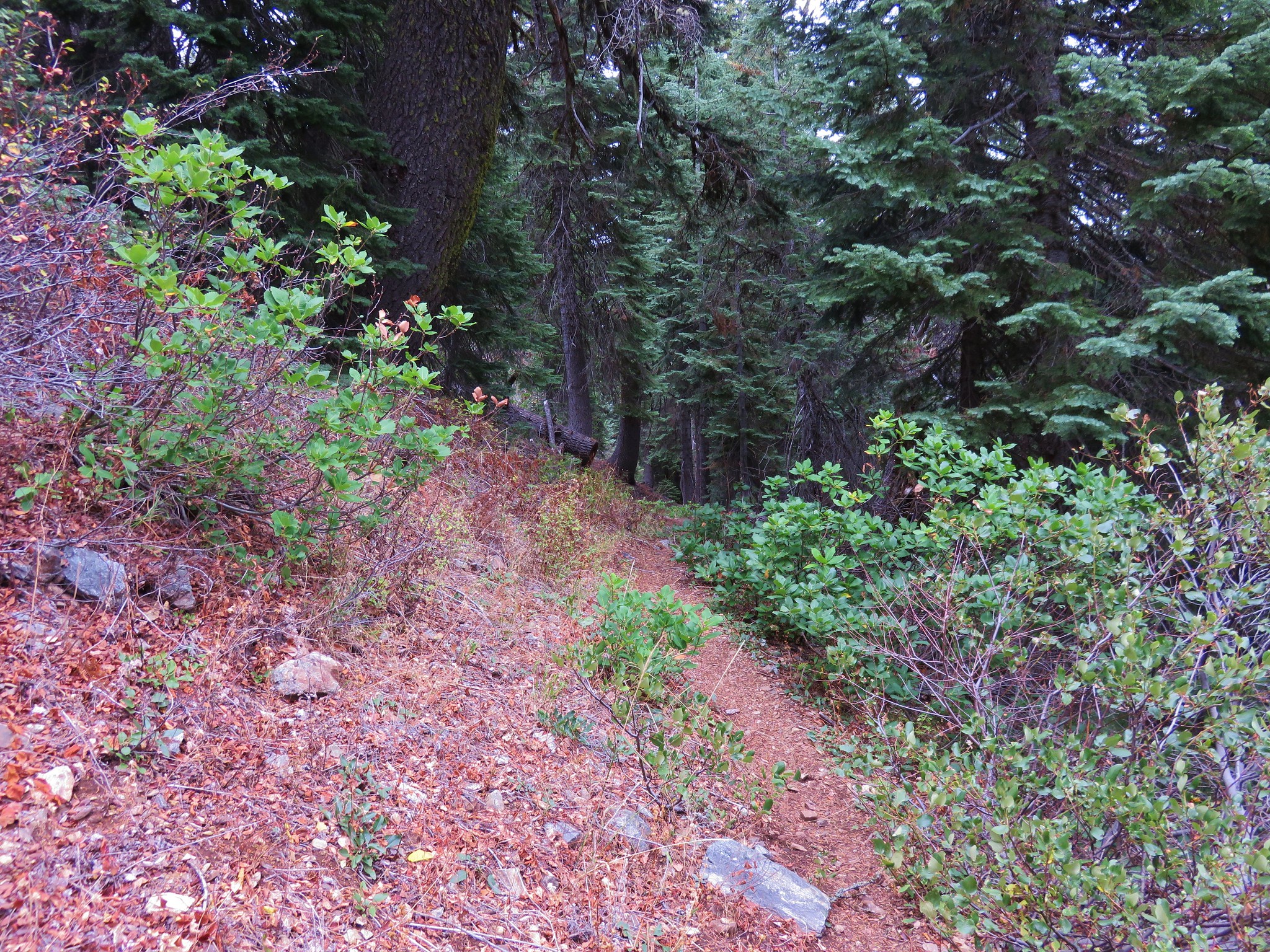
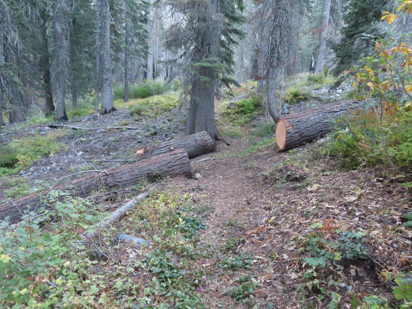 Recent trail maintenance.
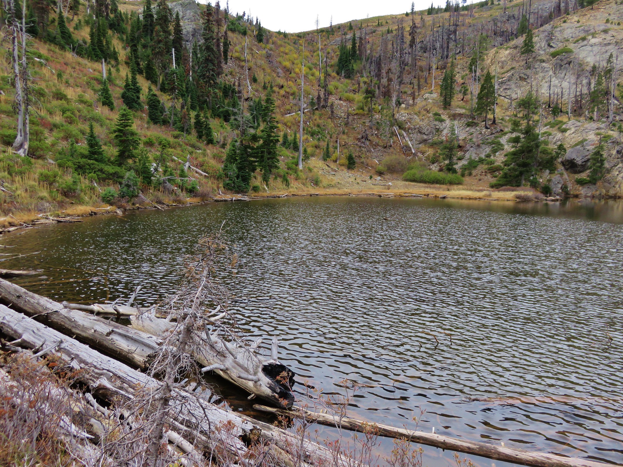
 East Tanner Lake
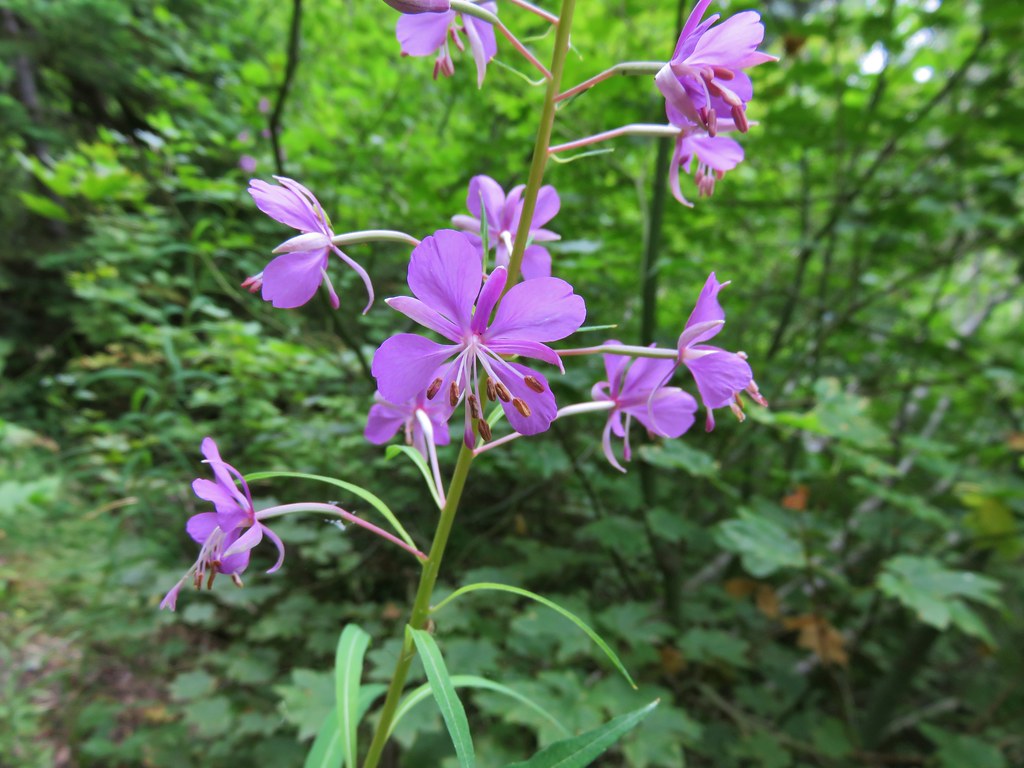
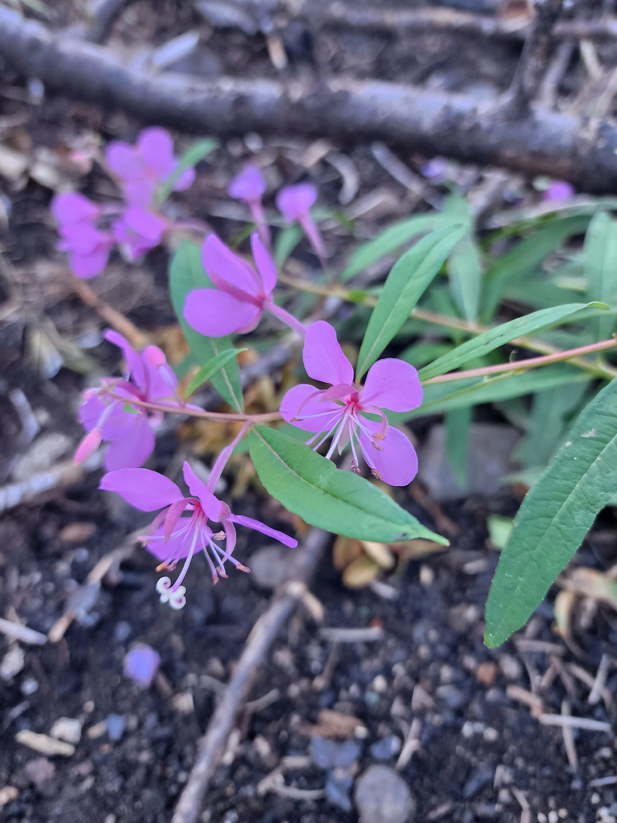 Fireweed
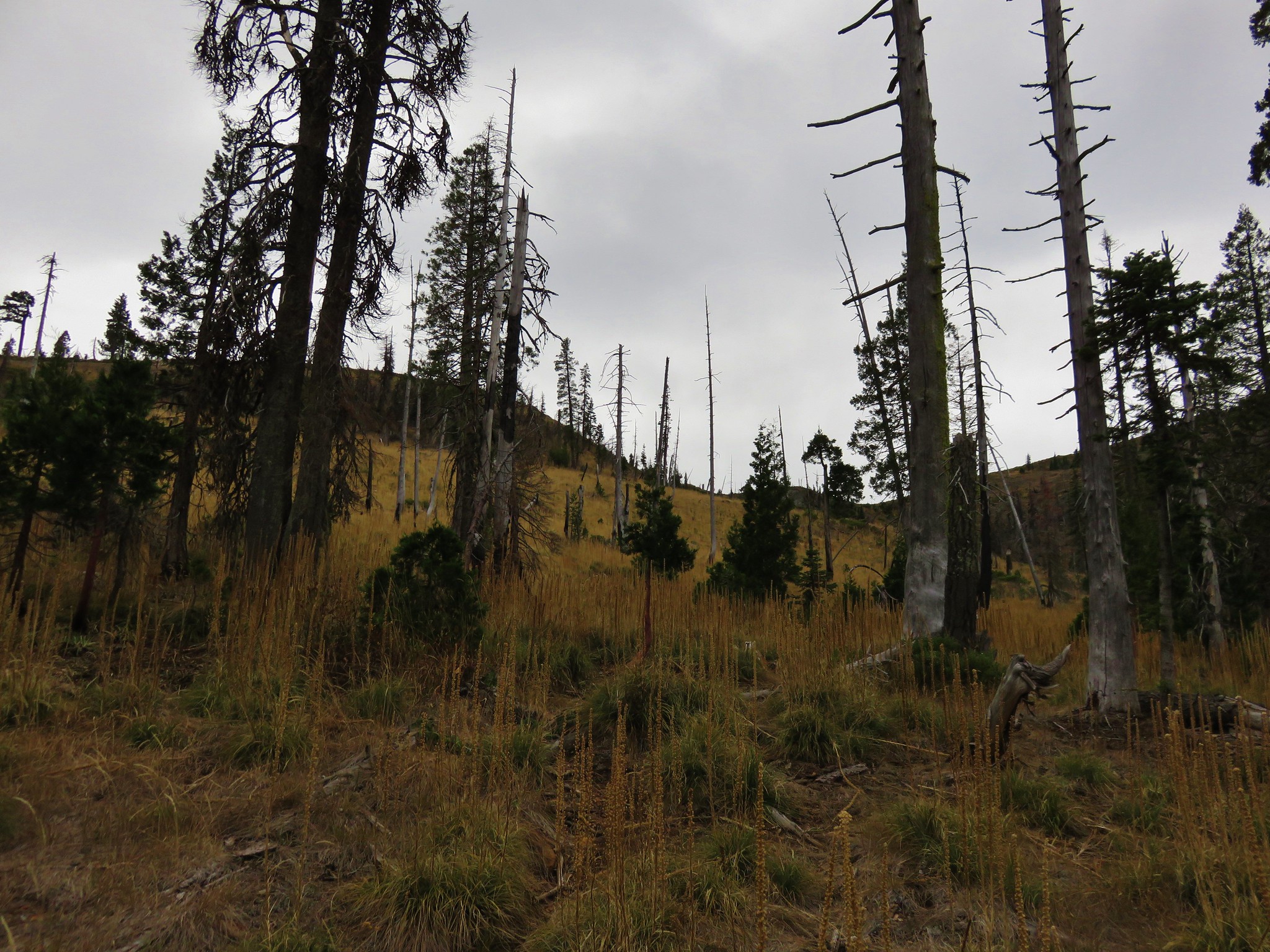
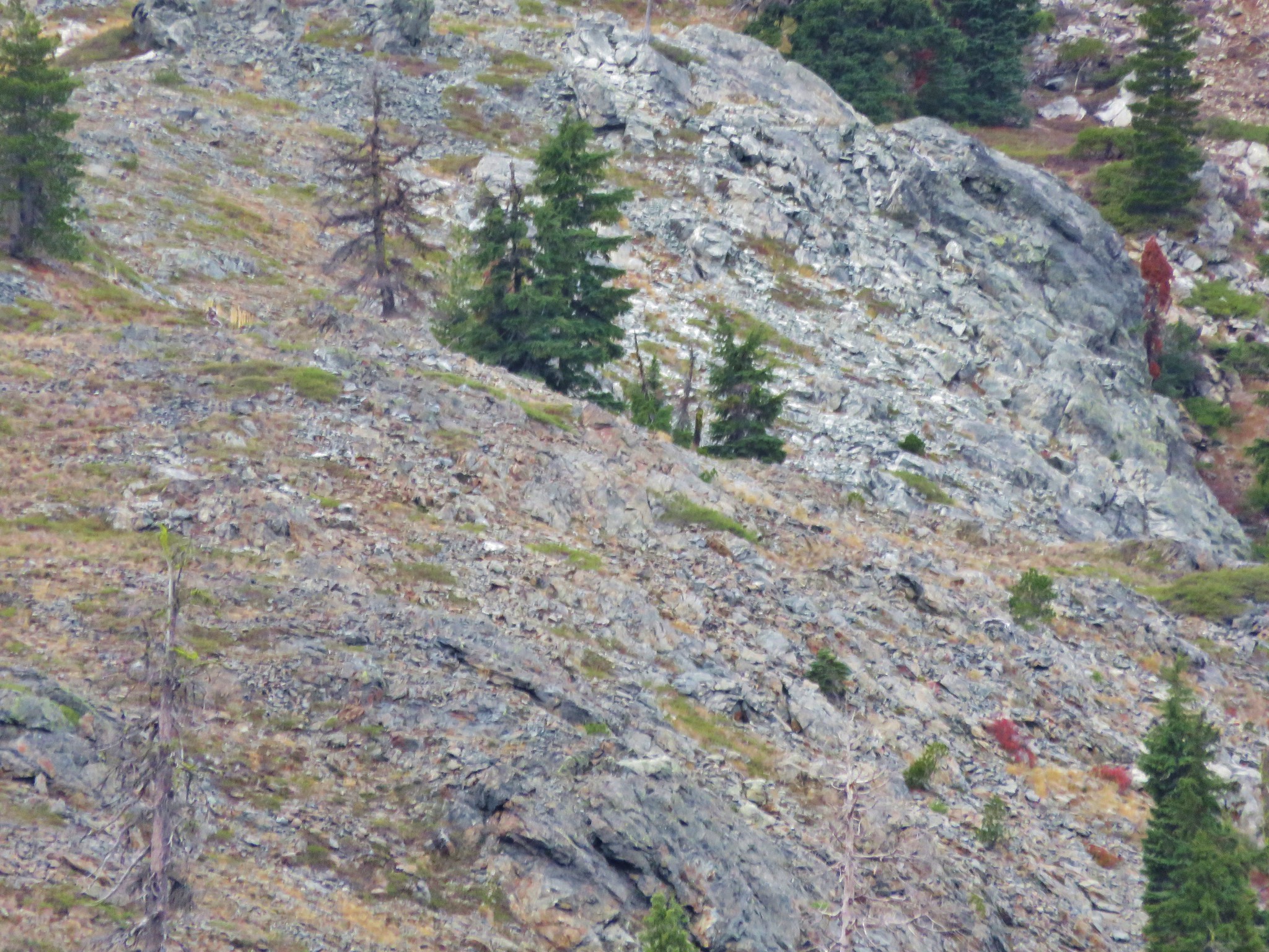
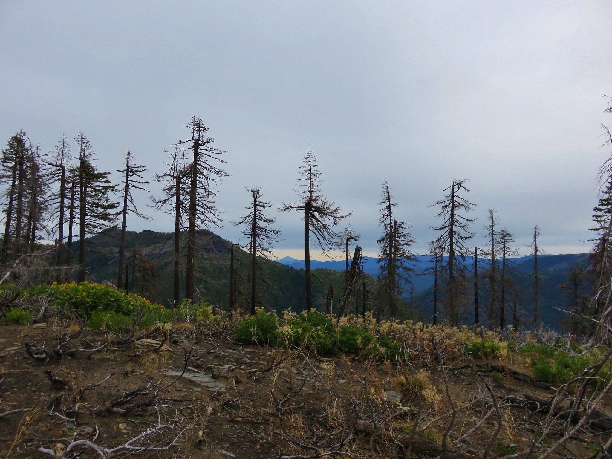
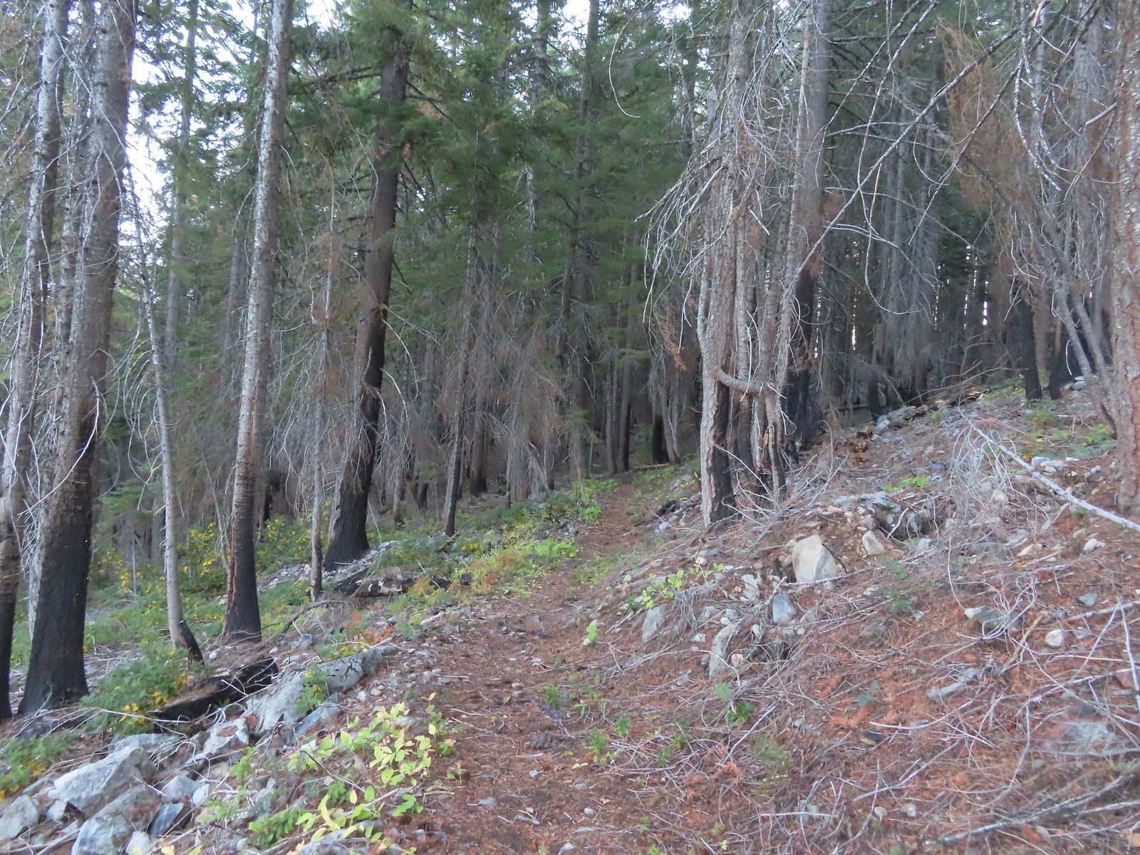 The eastern side of the ridge fared better in the fire than the forest closer to the lakes.
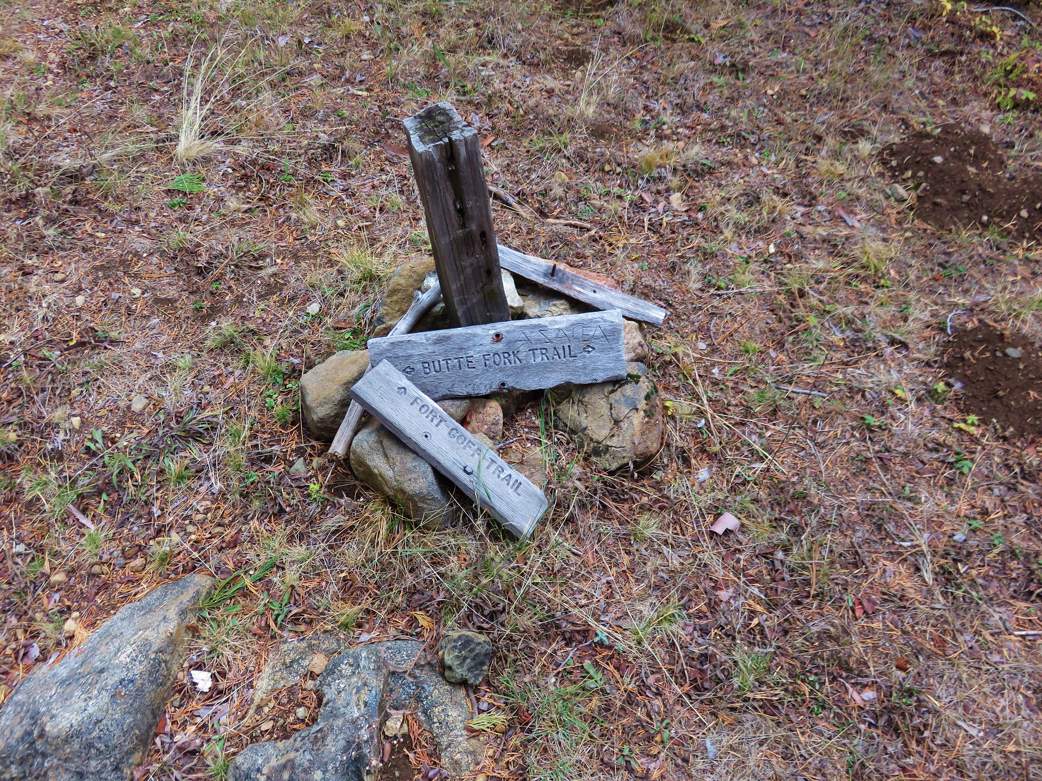
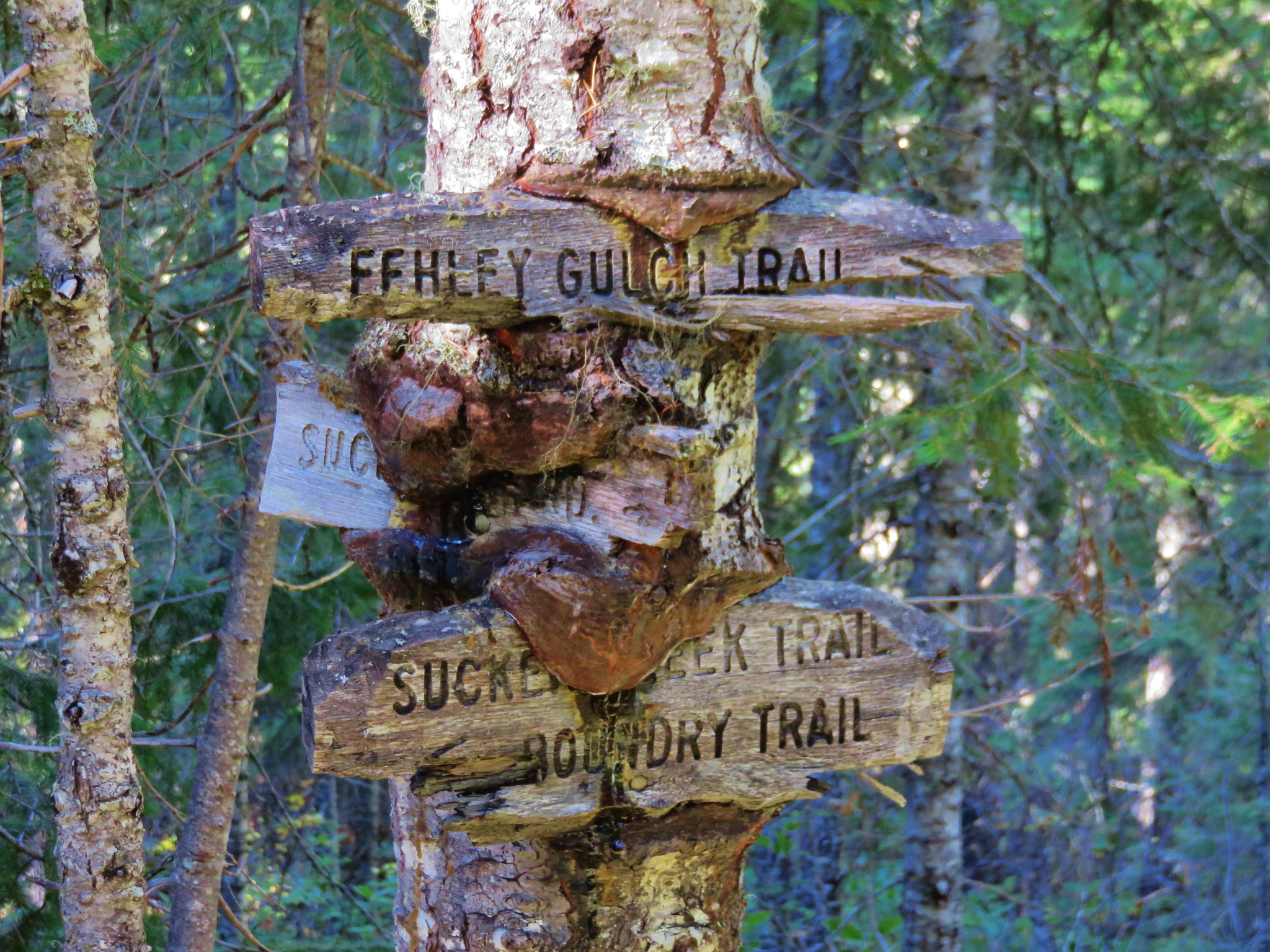
 Signs at the junction with the tie trail.
 The tie trail used to be here.

 Second breakfast
 The trail briefly left the fire scar altogether near the Fehley Gulch junction.
 Looking back down at the Fehley Gulch Trail as it joins the Tanner Lake Trail.
 Tanner Mountain from the trail near the junction.
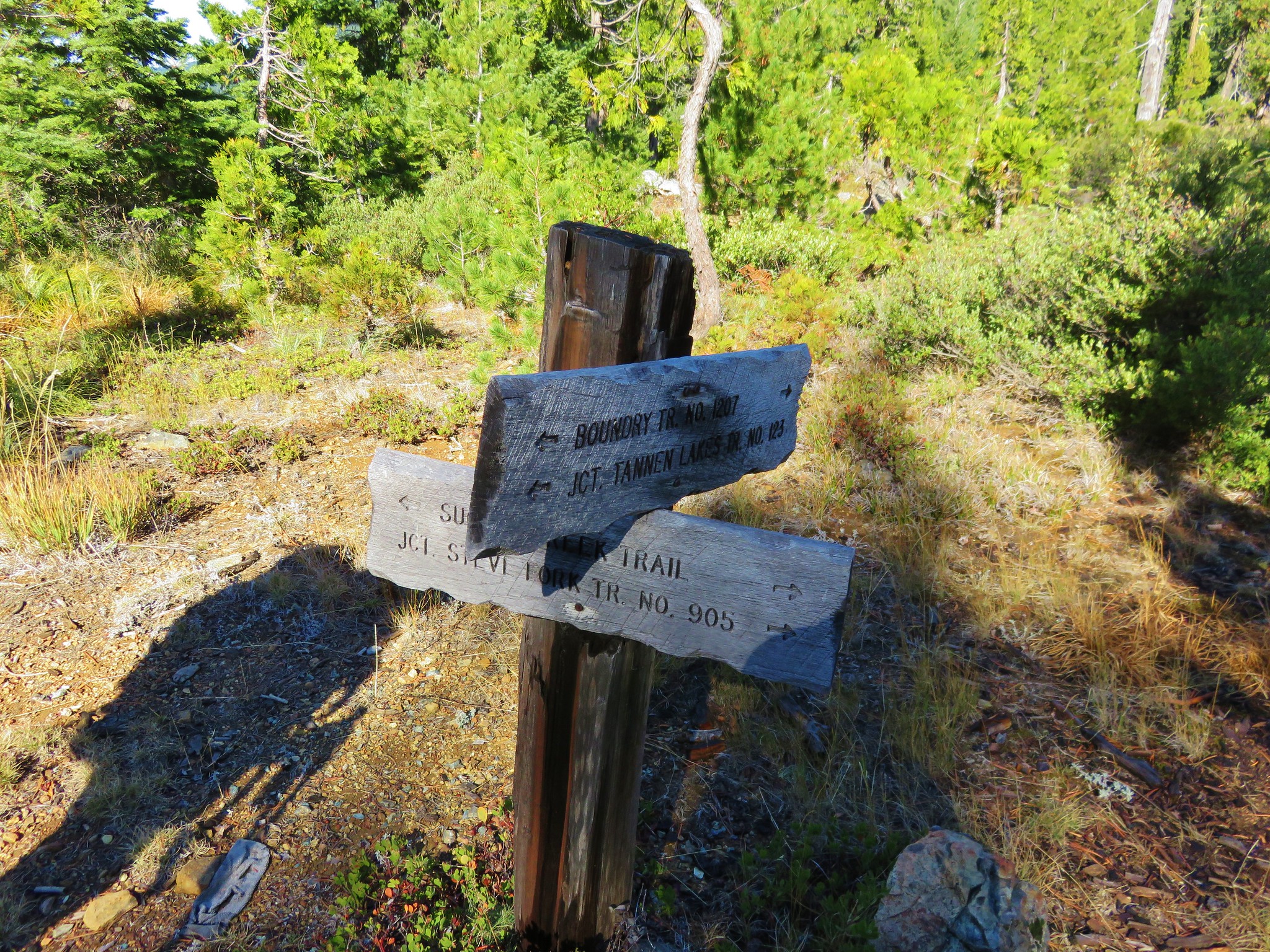
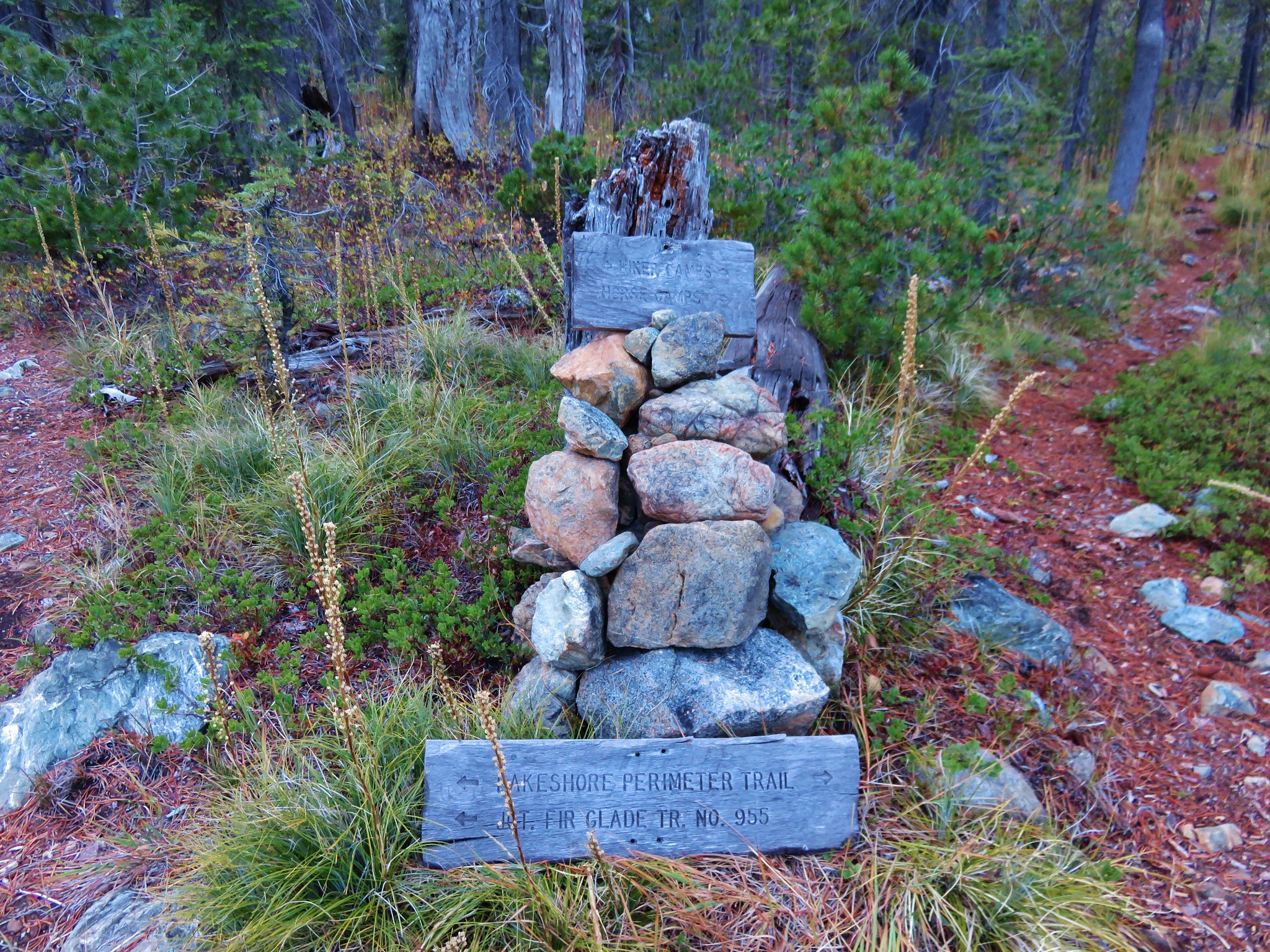
 Sign at the Boundary Trail junction.
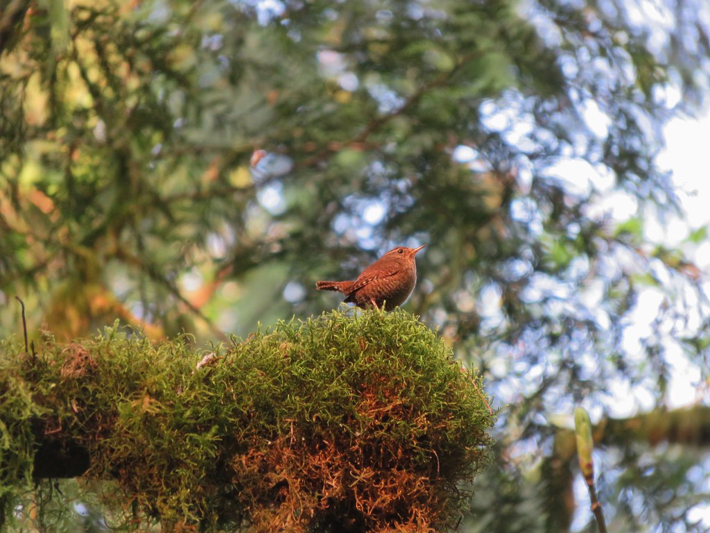
 Dark-eyed junco
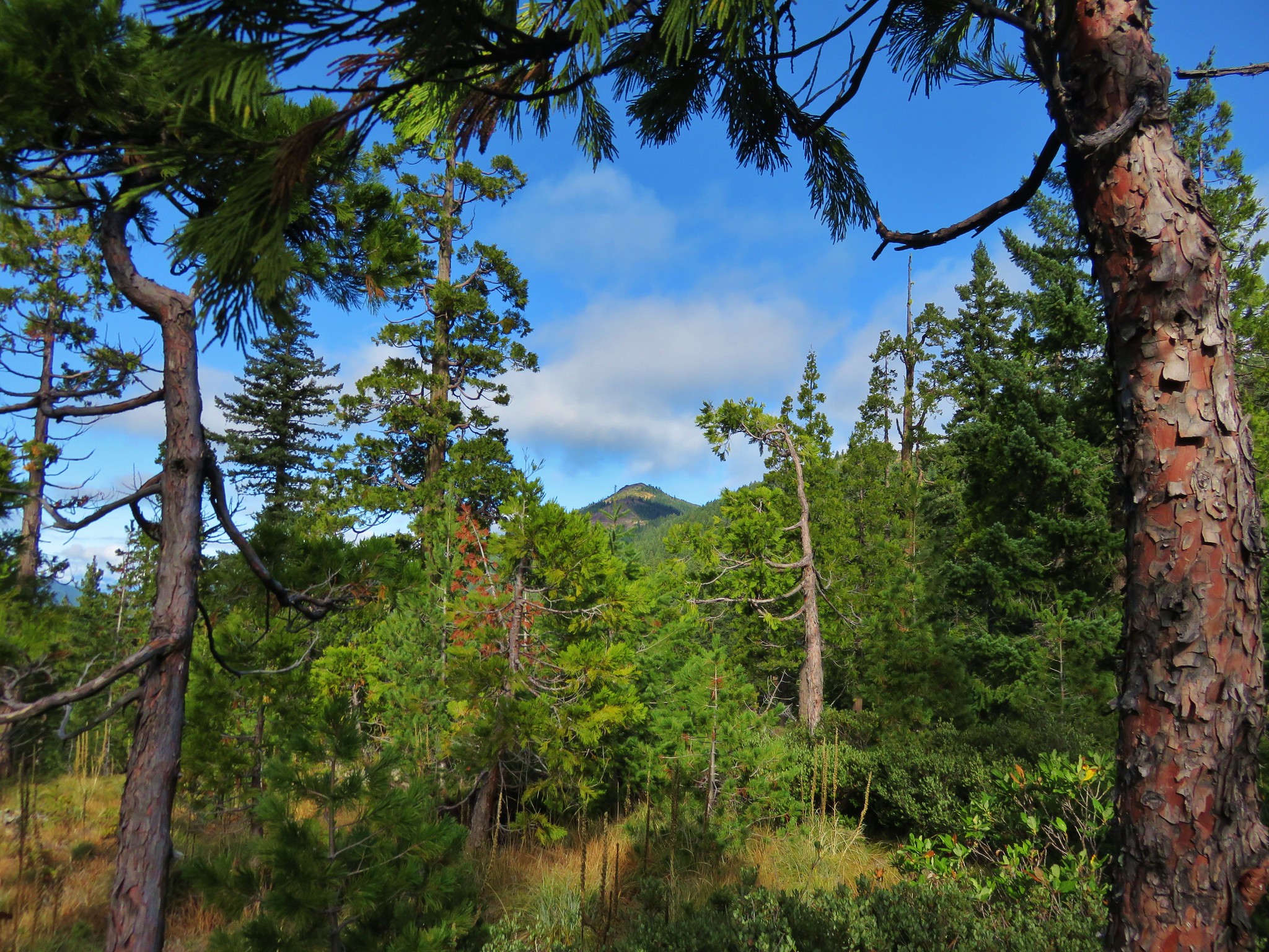
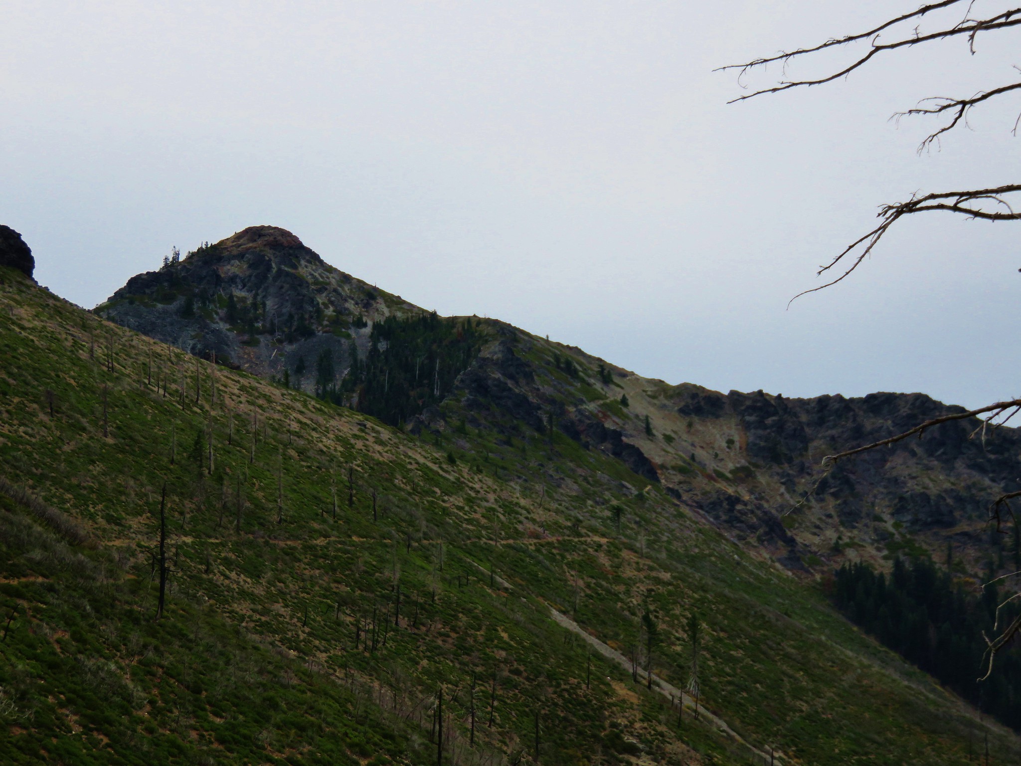
 Tanner Mountain again.
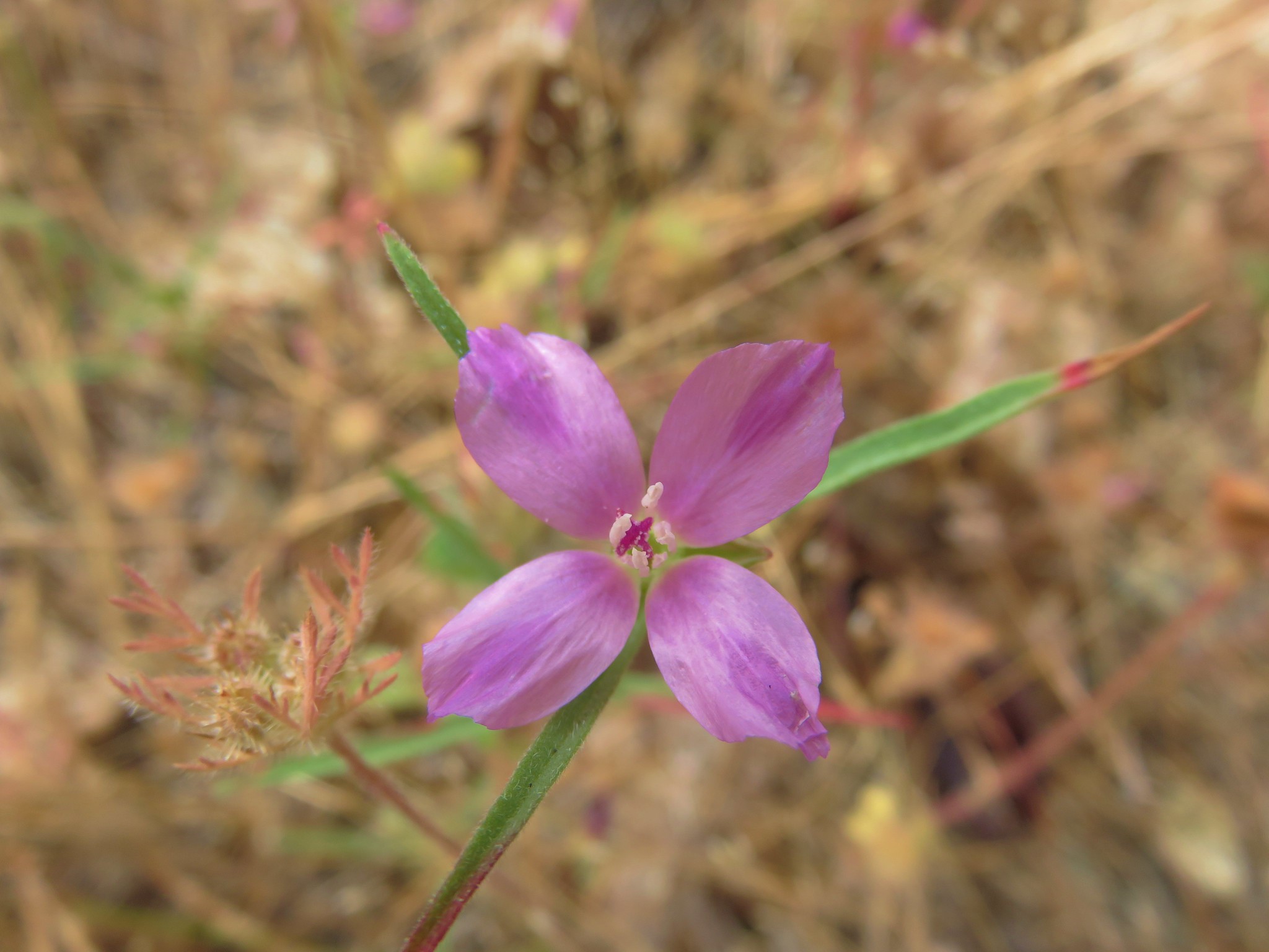
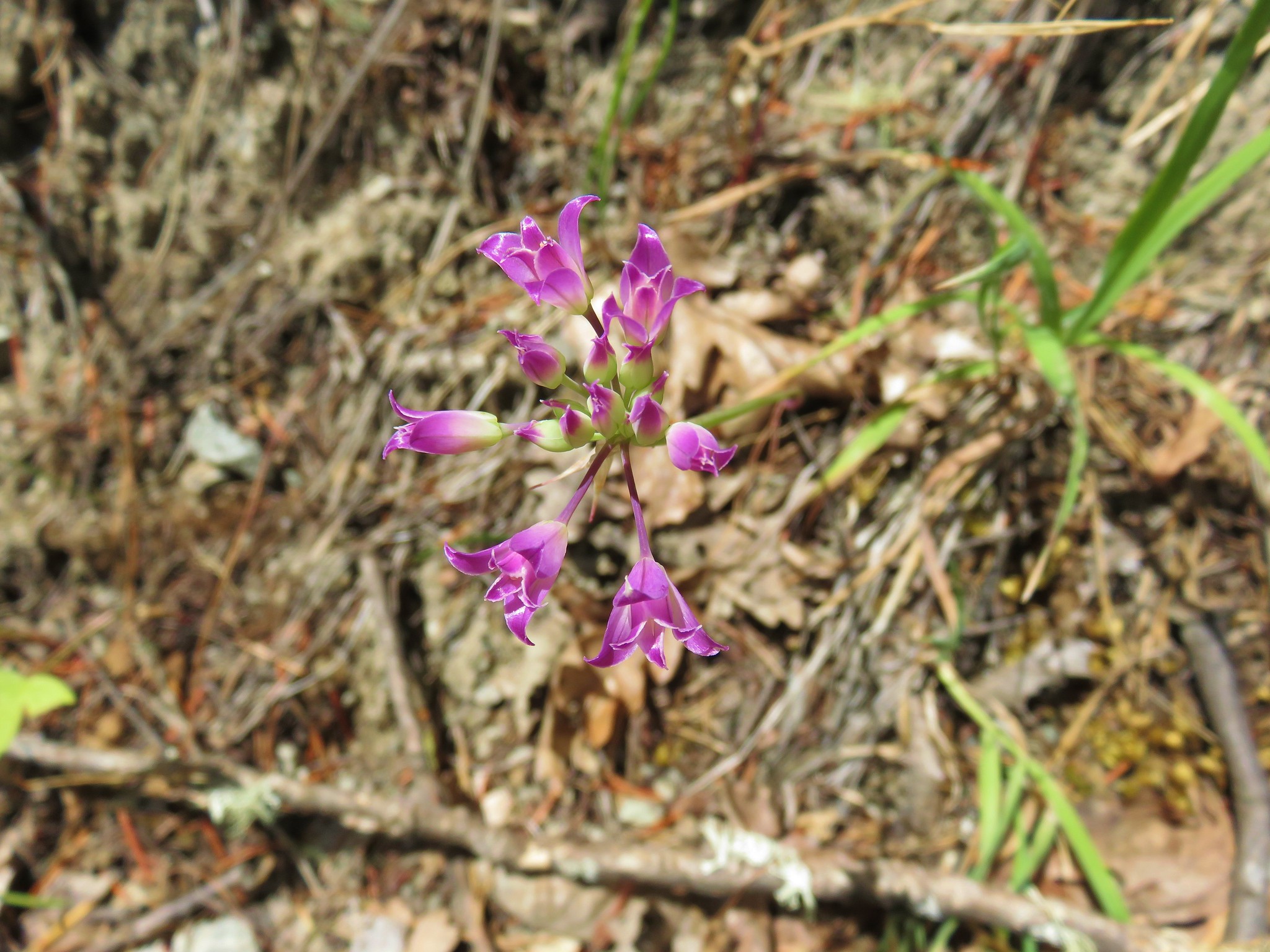
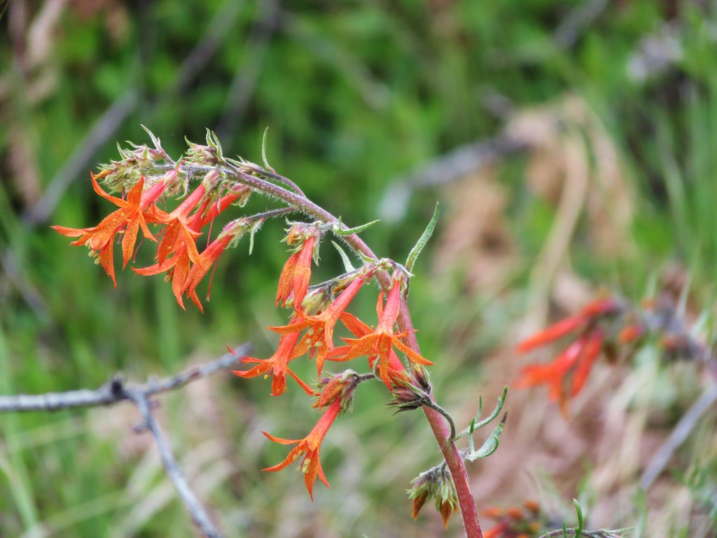
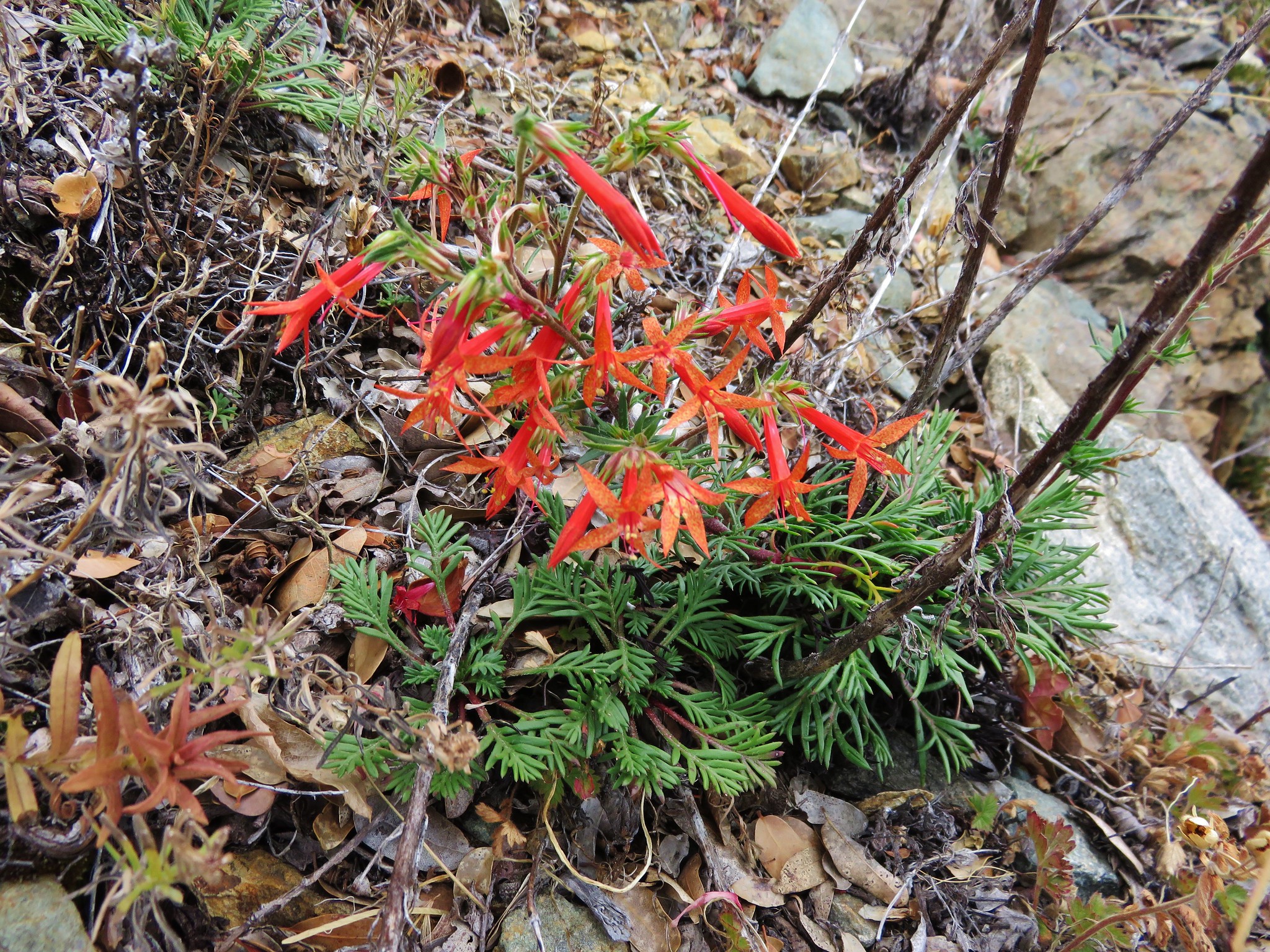
 Scarlet gilia
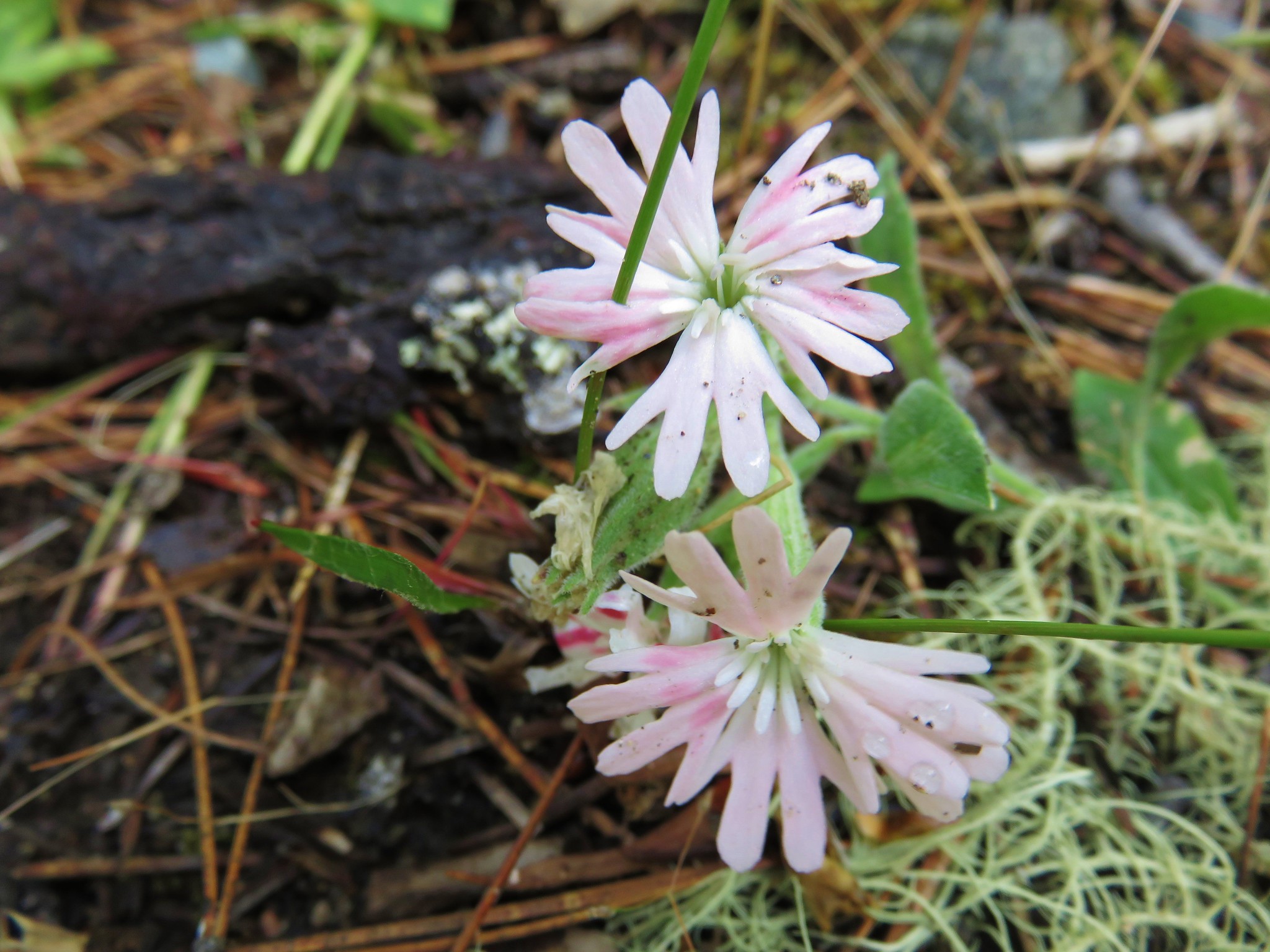
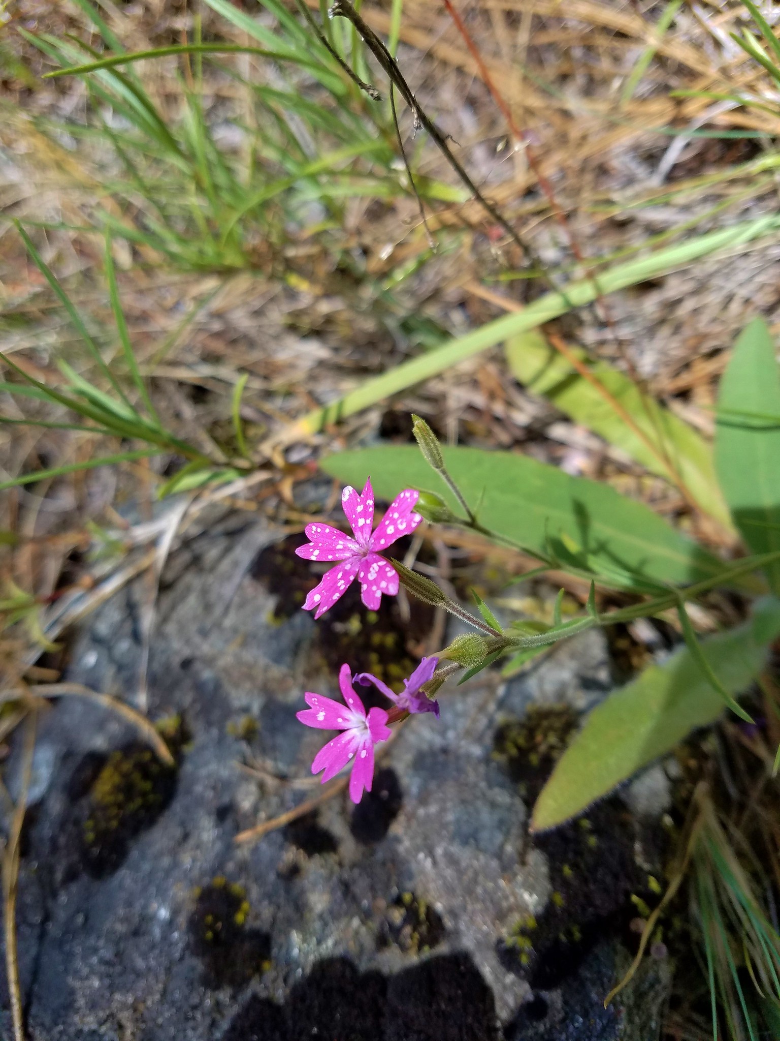
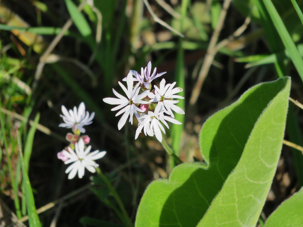
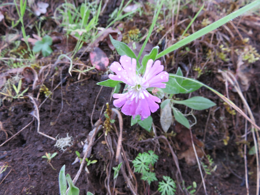
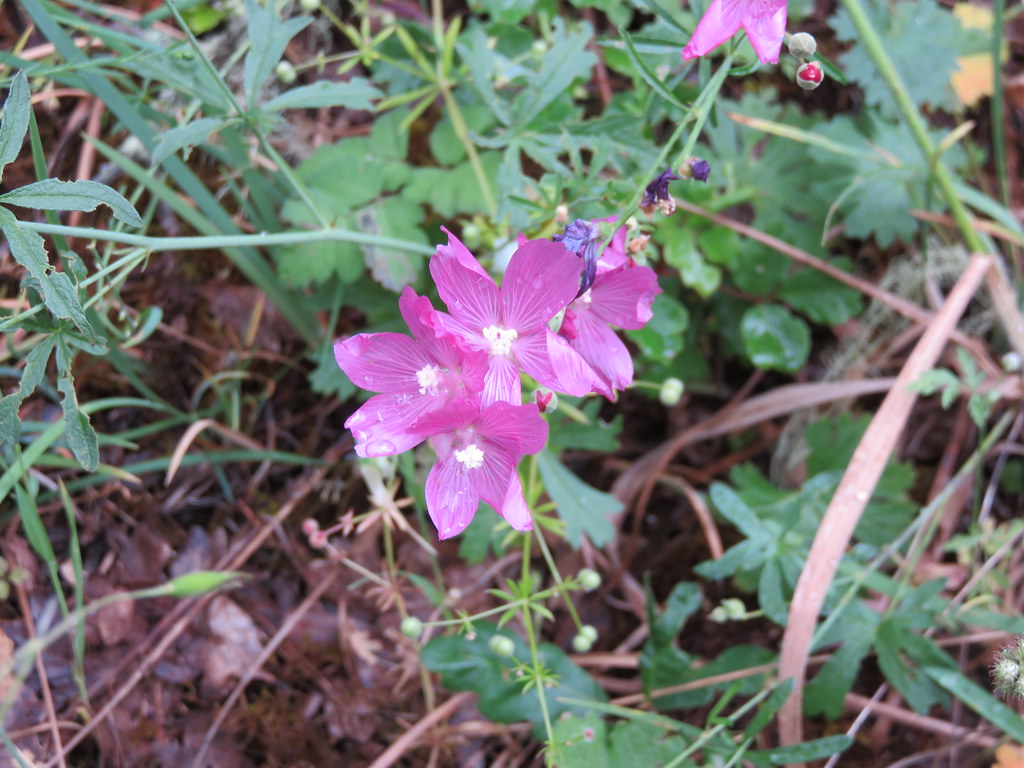
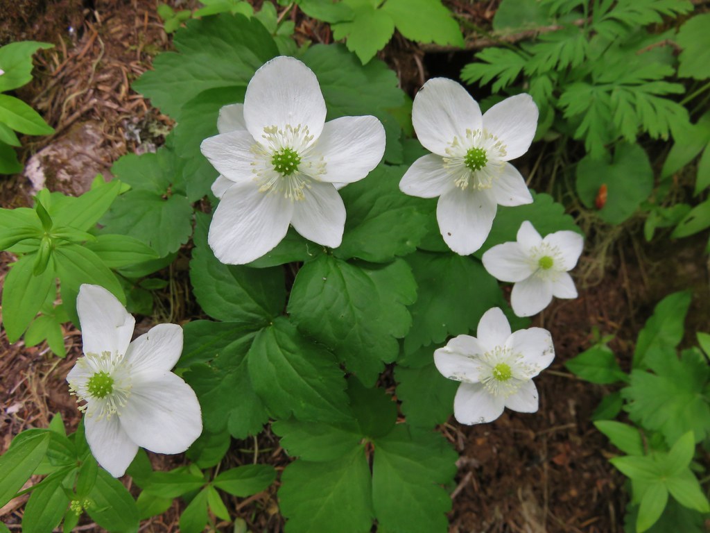
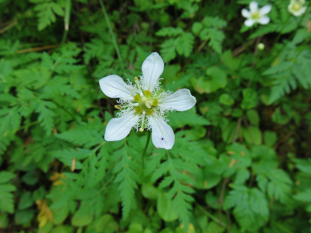
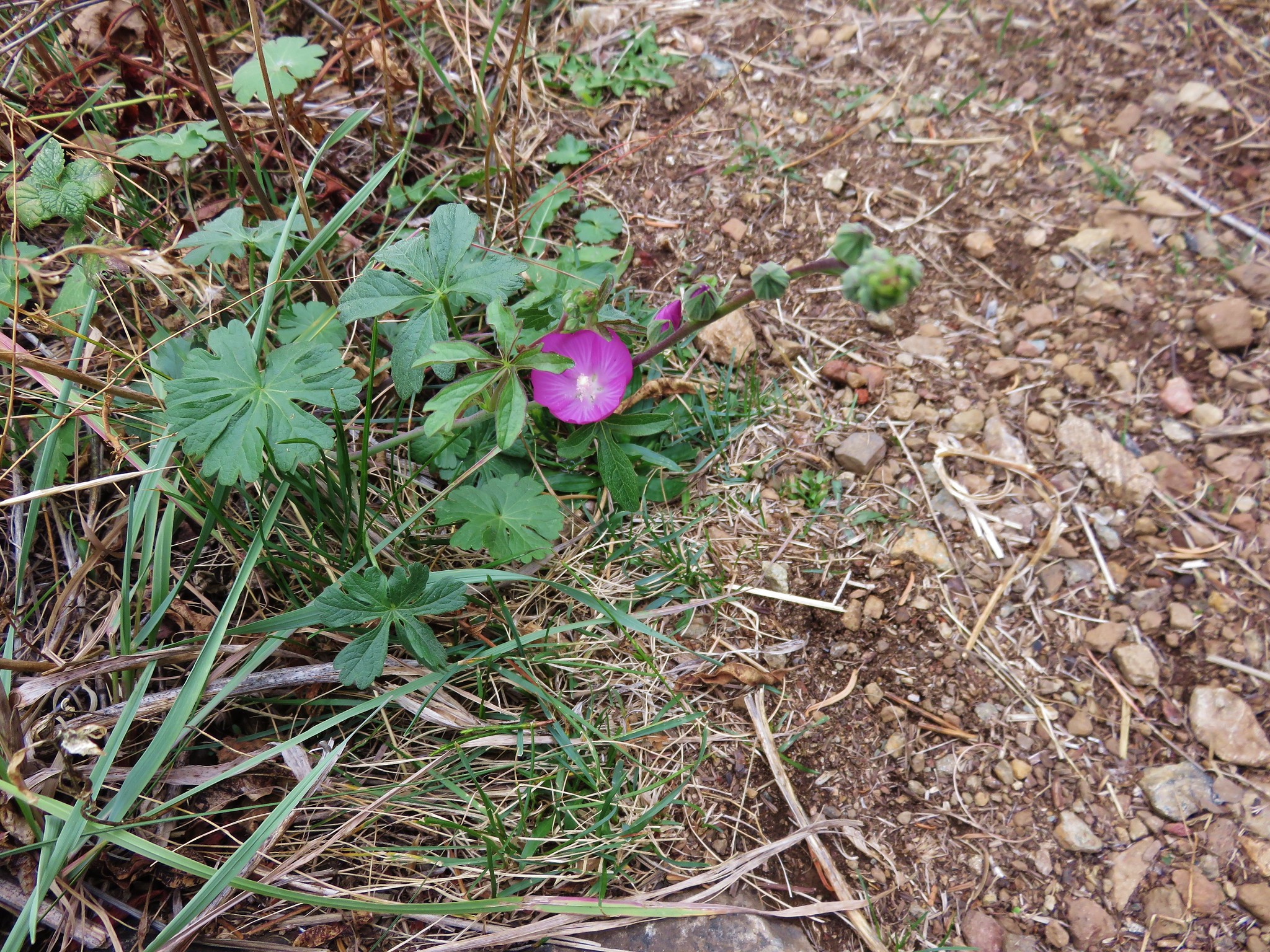
 One of two checker-mallow blossoms I spotted. The other was much nicer looking but it was downhill and I was too lazy to go down to get a good photo.
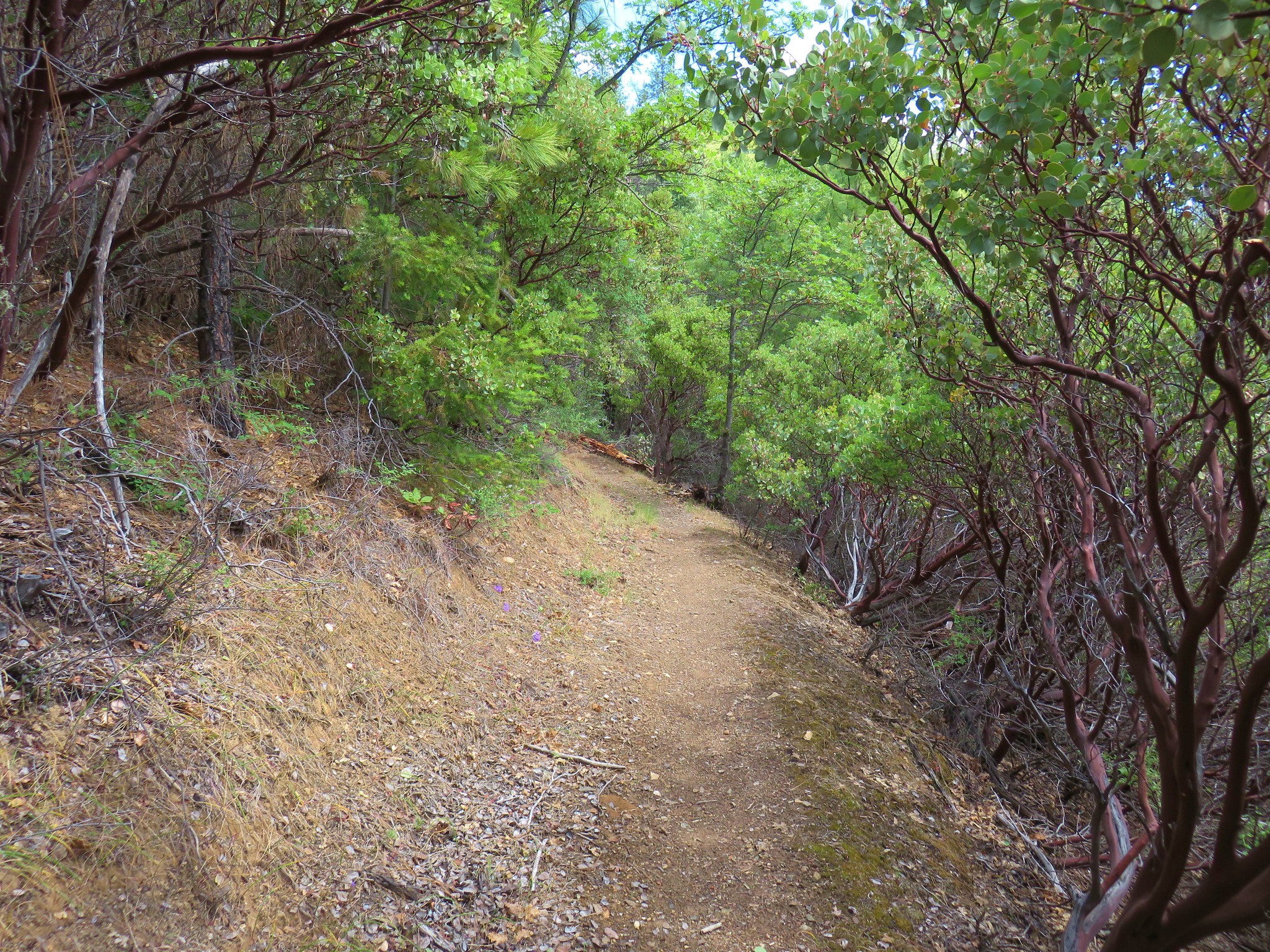
 This trail was really steep at times.
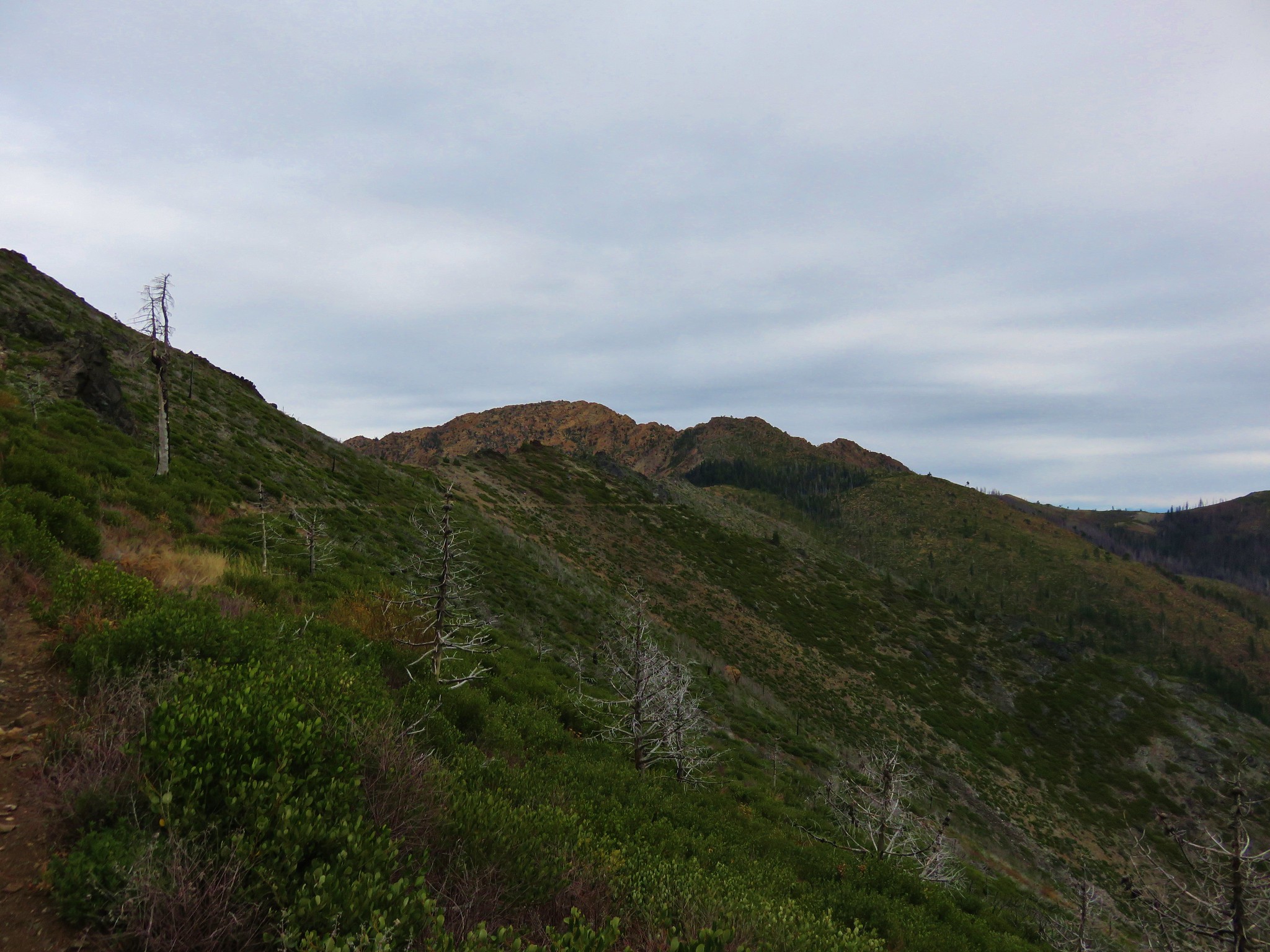
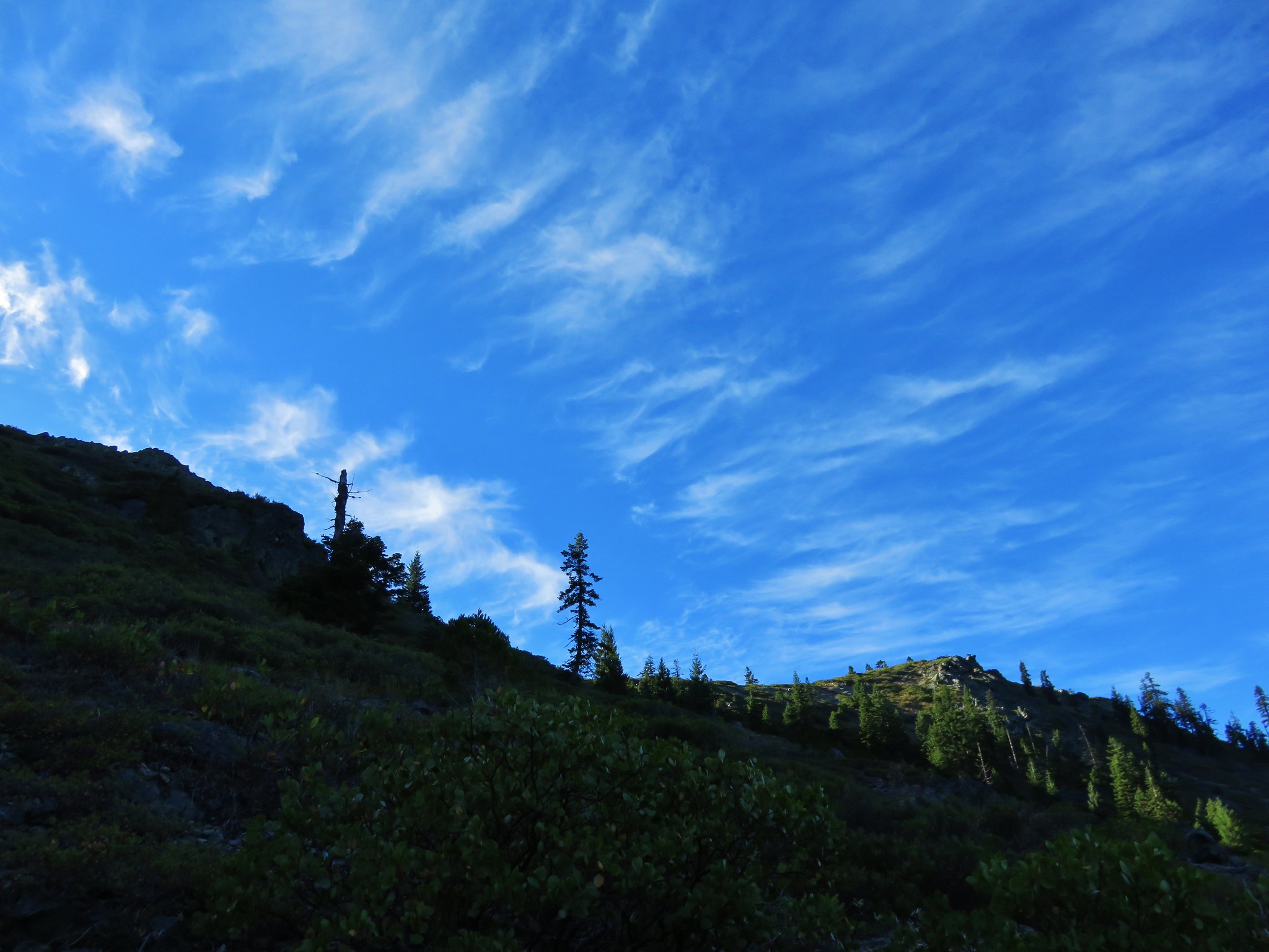
 Almost to the ridge.
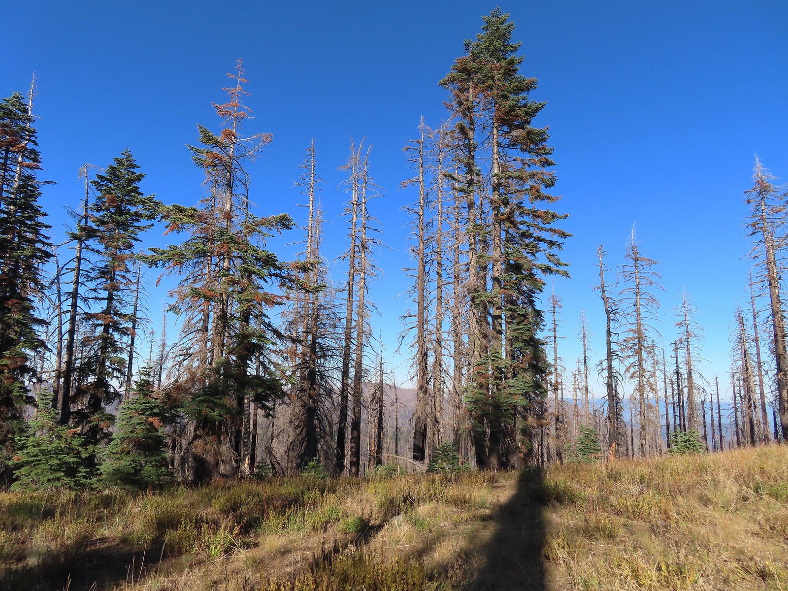 The trail became pretty faint on the ridge.
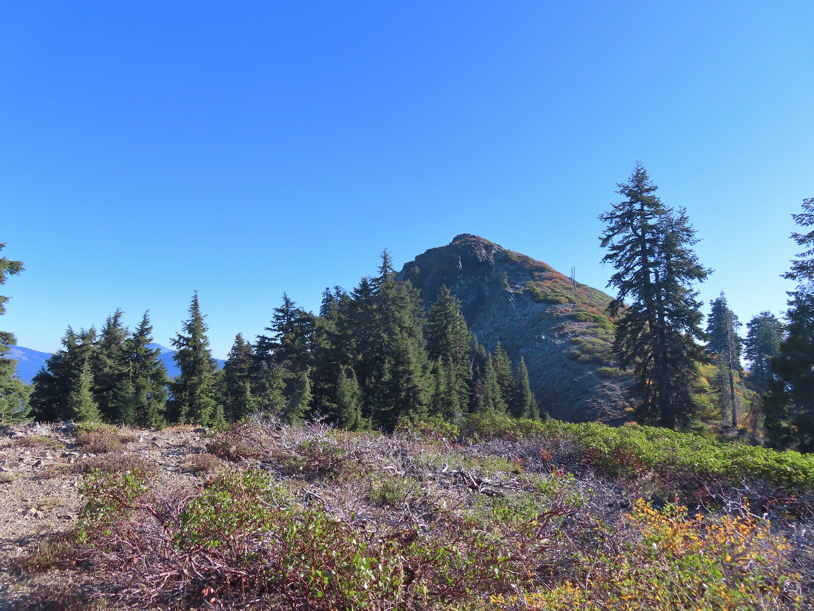
 More steep climbing.
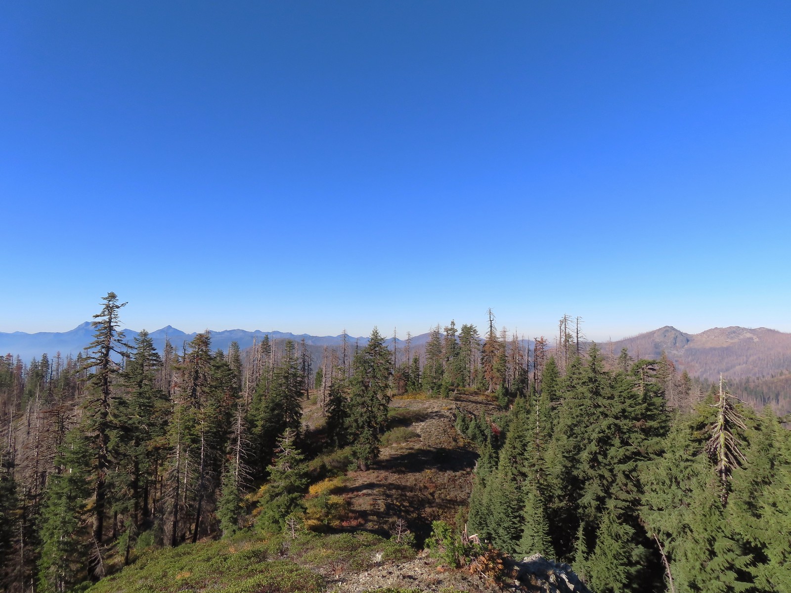 Looking back down over the use trail.
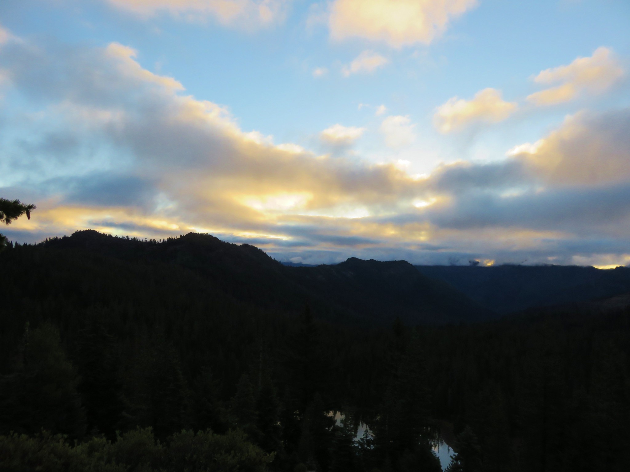
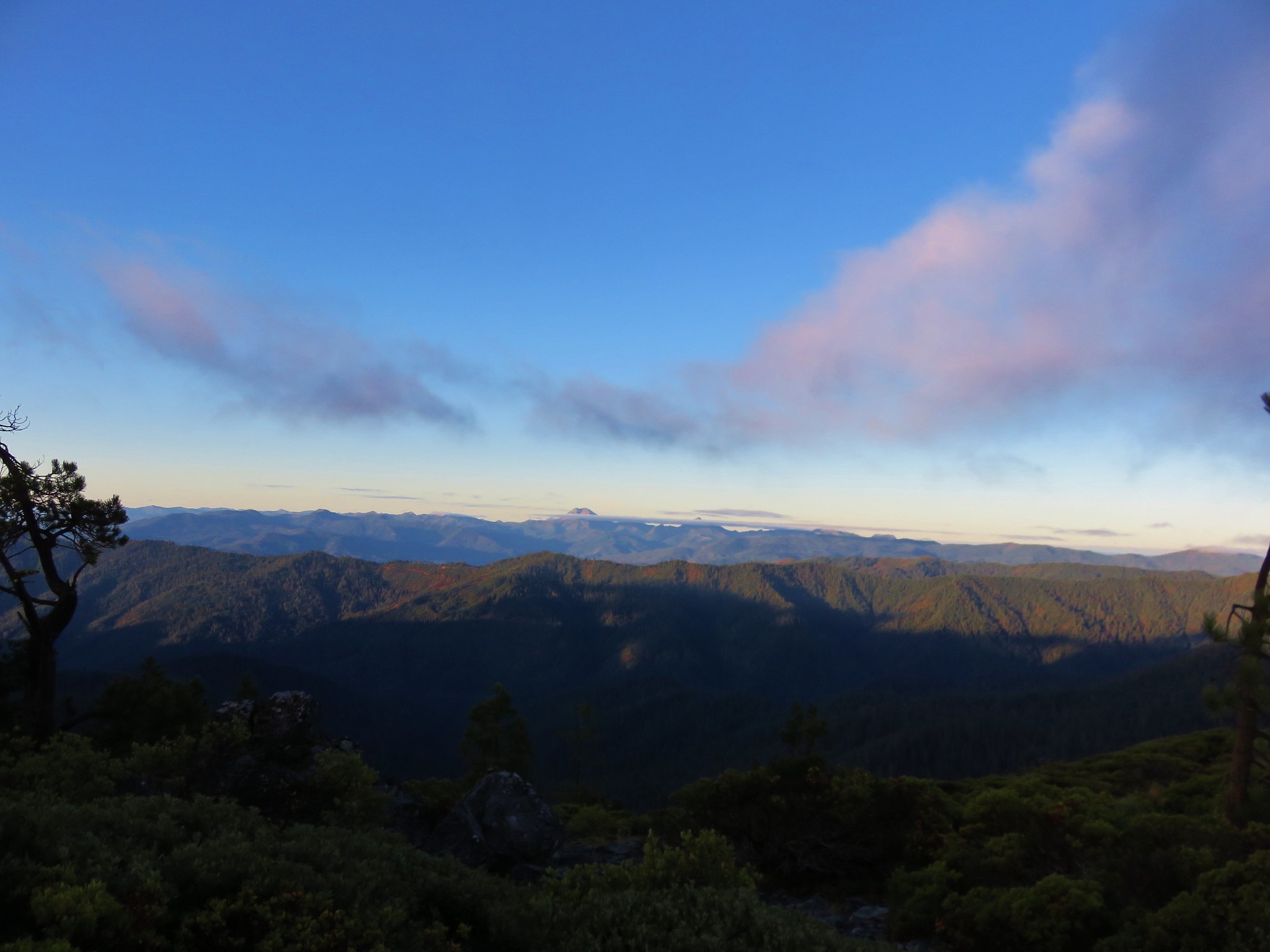
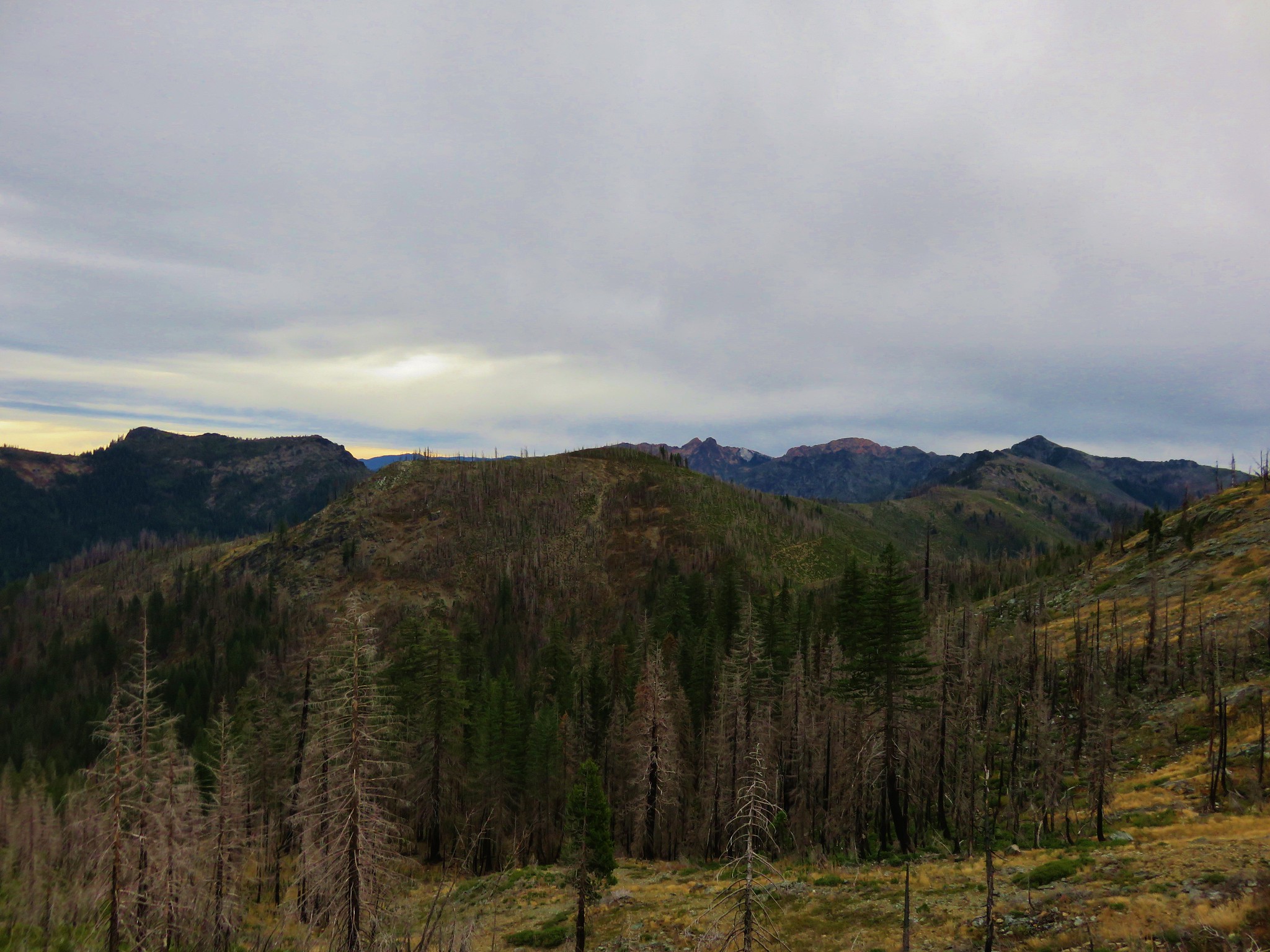
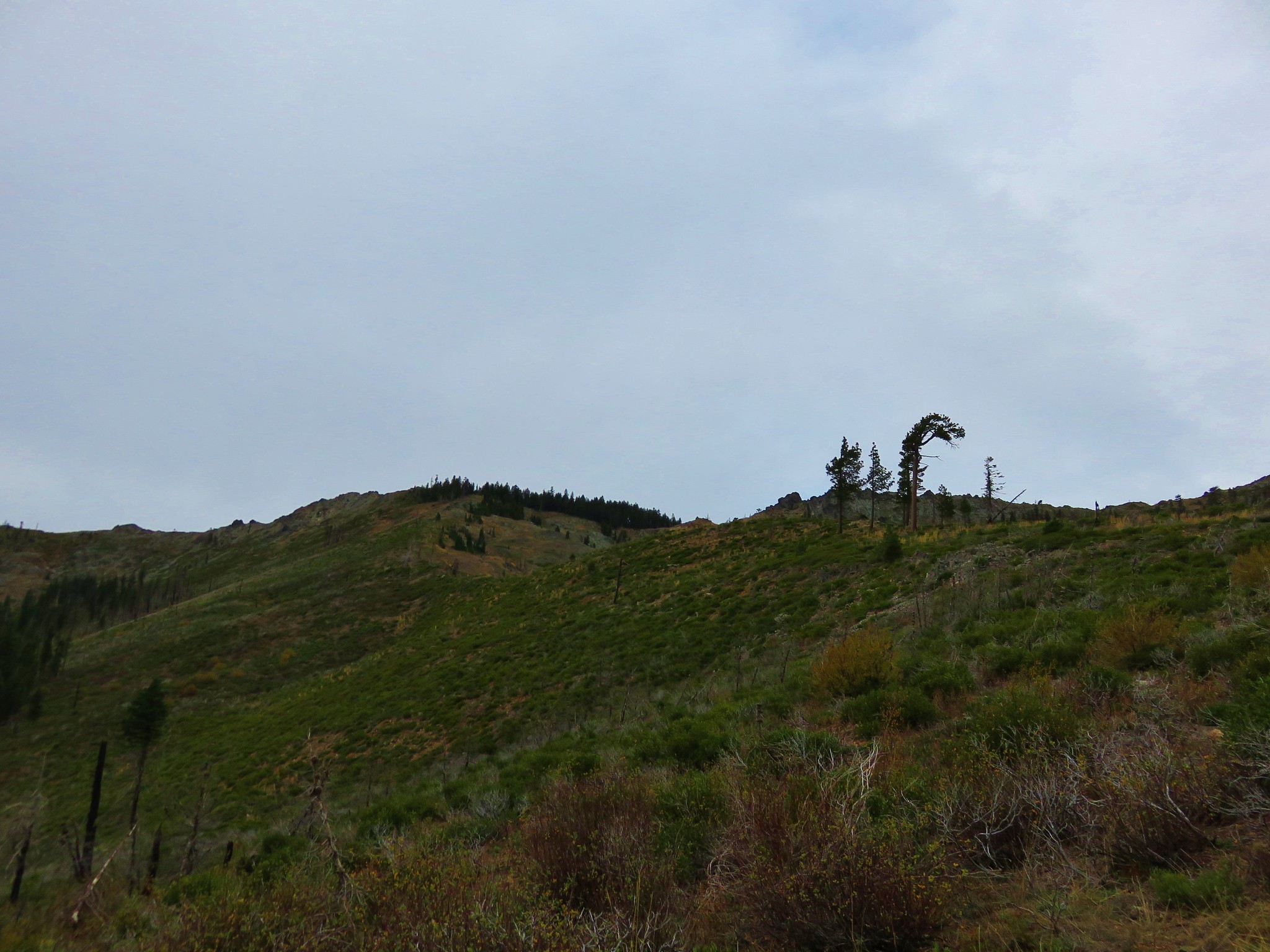
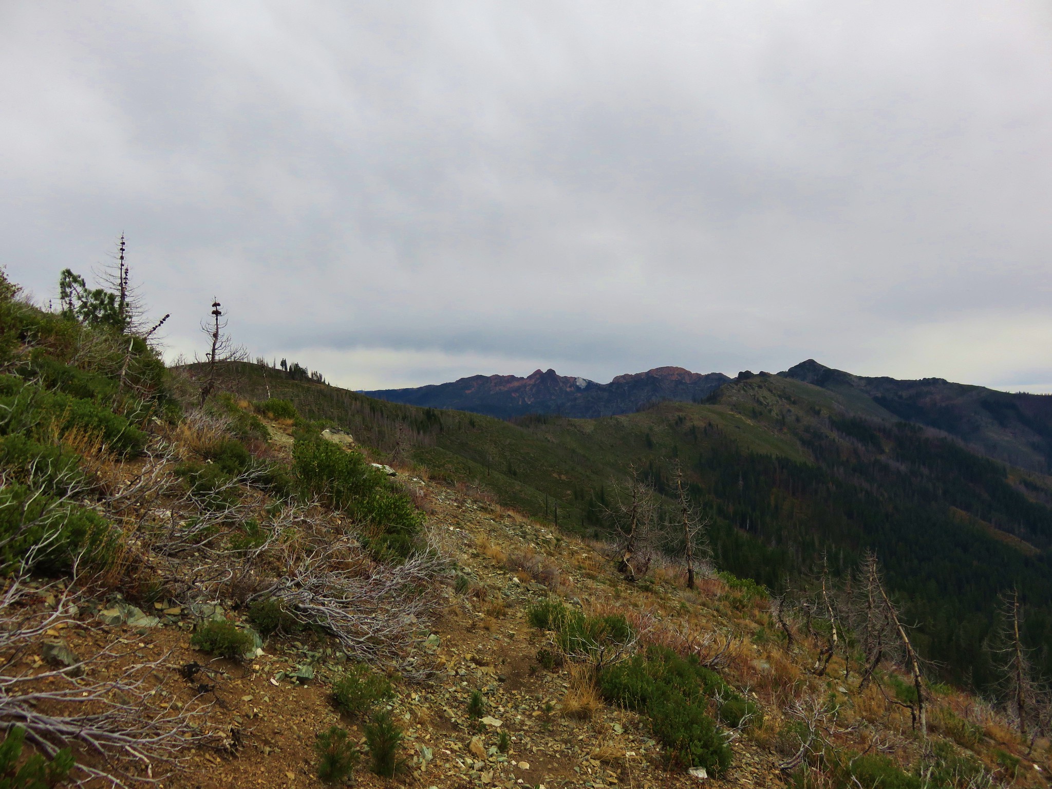
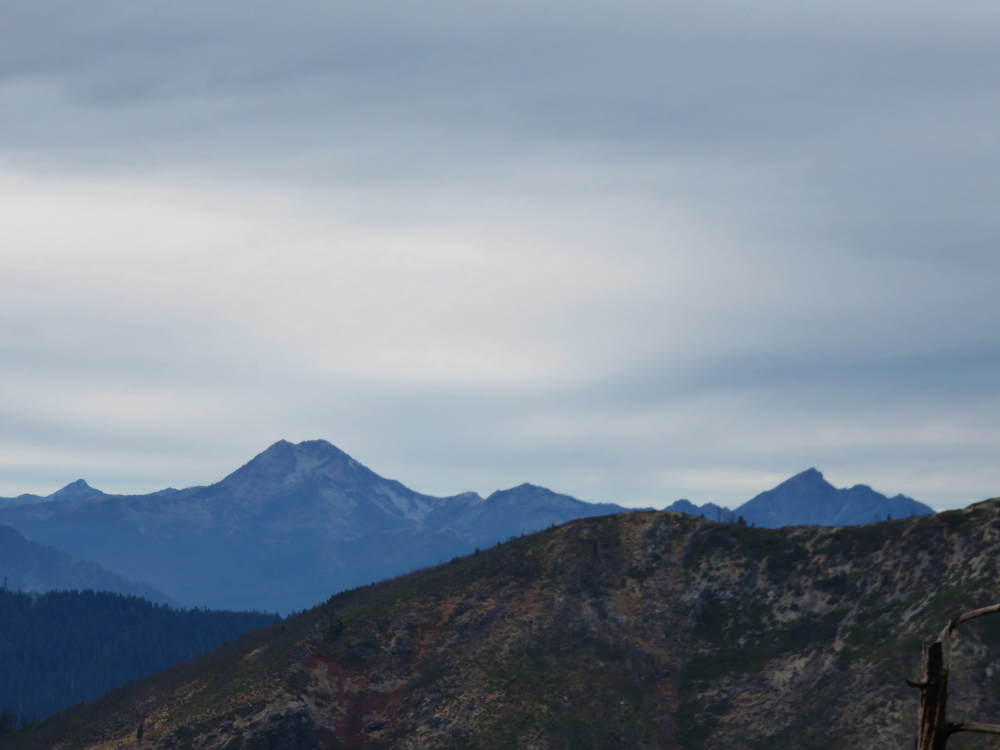
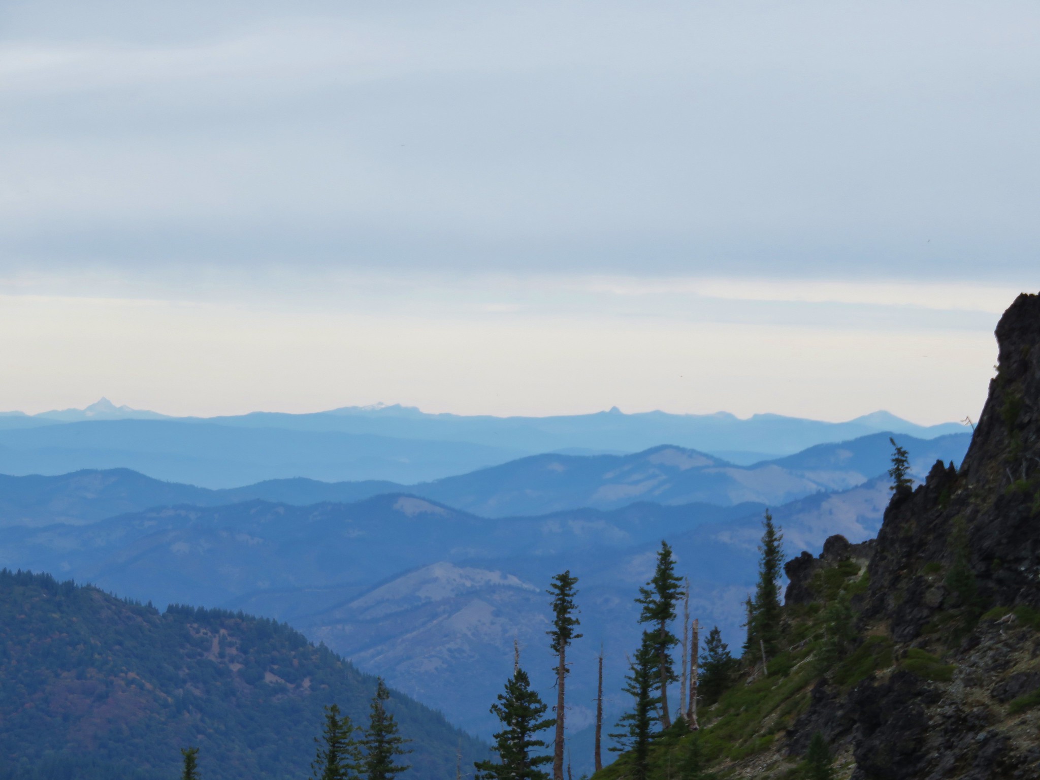
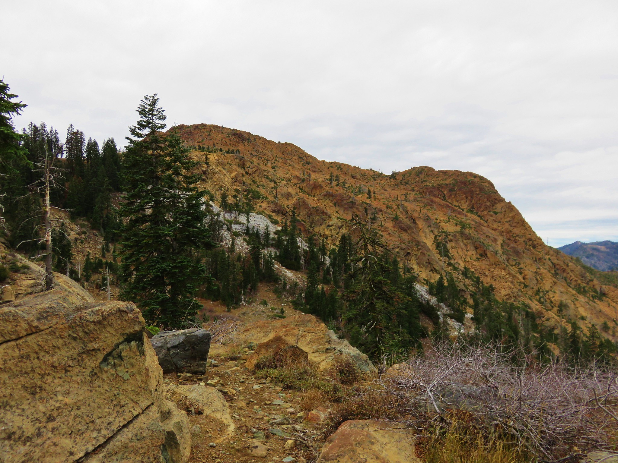
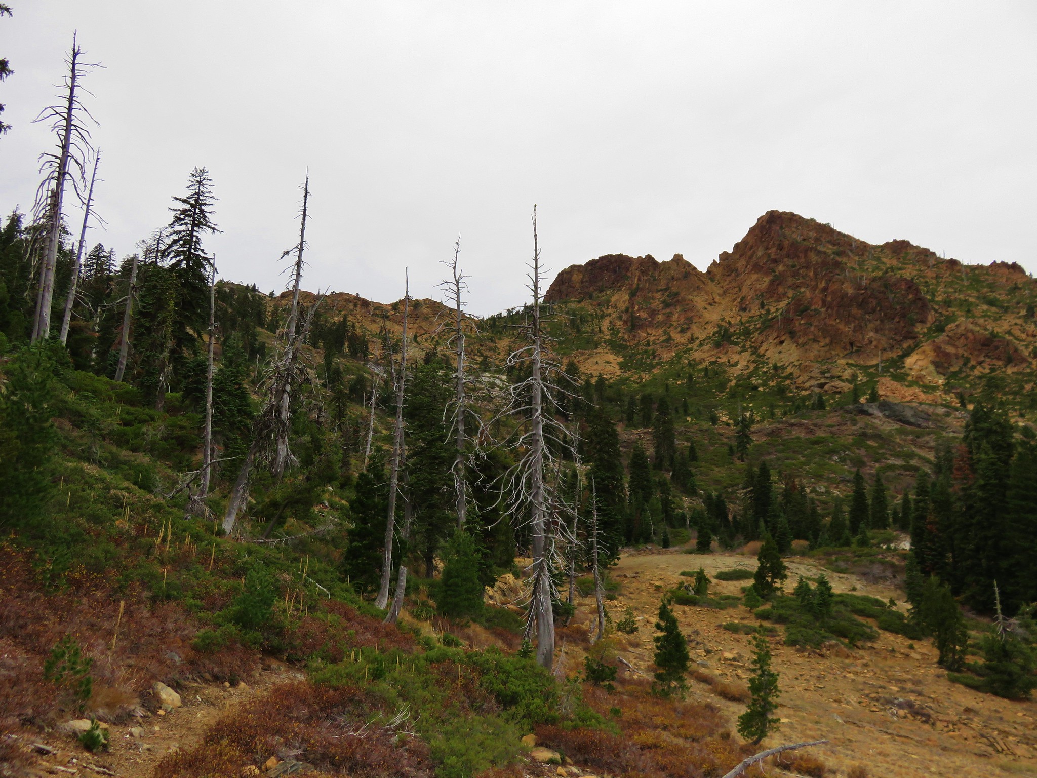
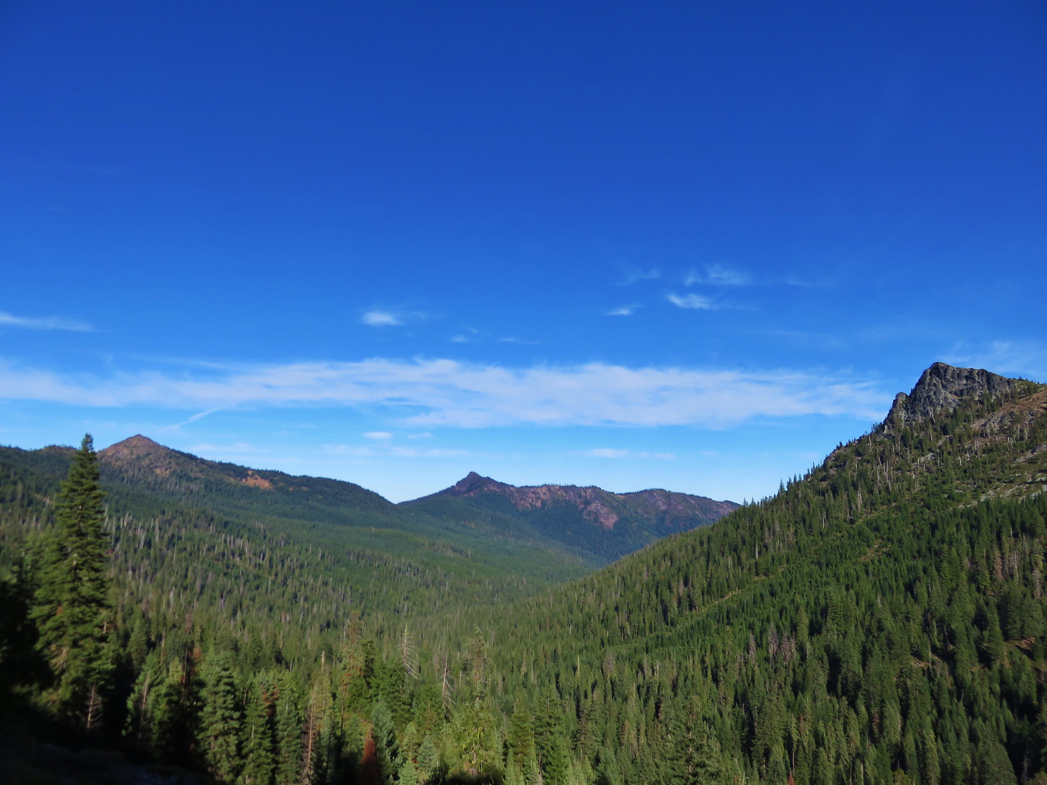
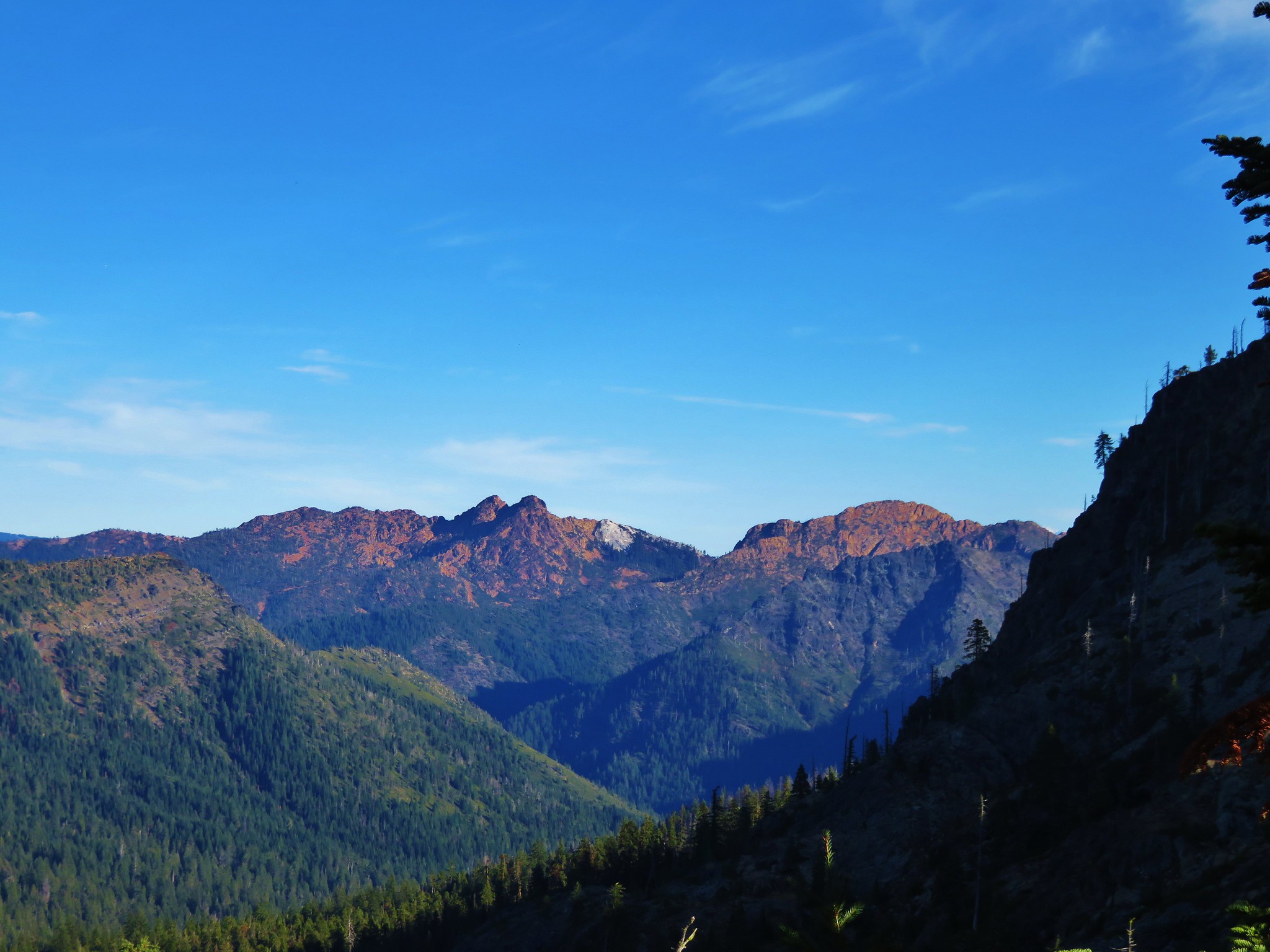
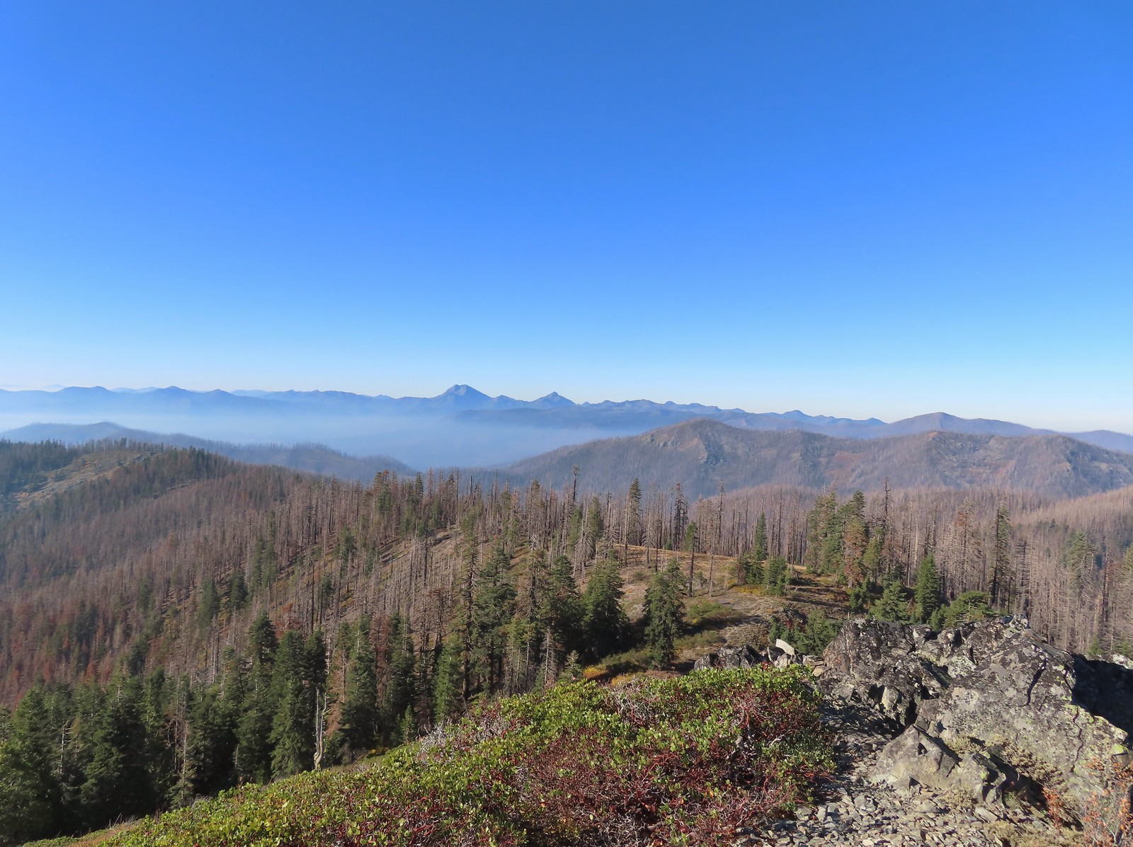
 From right to left – Grayback Mountain, Lake Mountain, and Mount Elijah (with lots of other peaks).
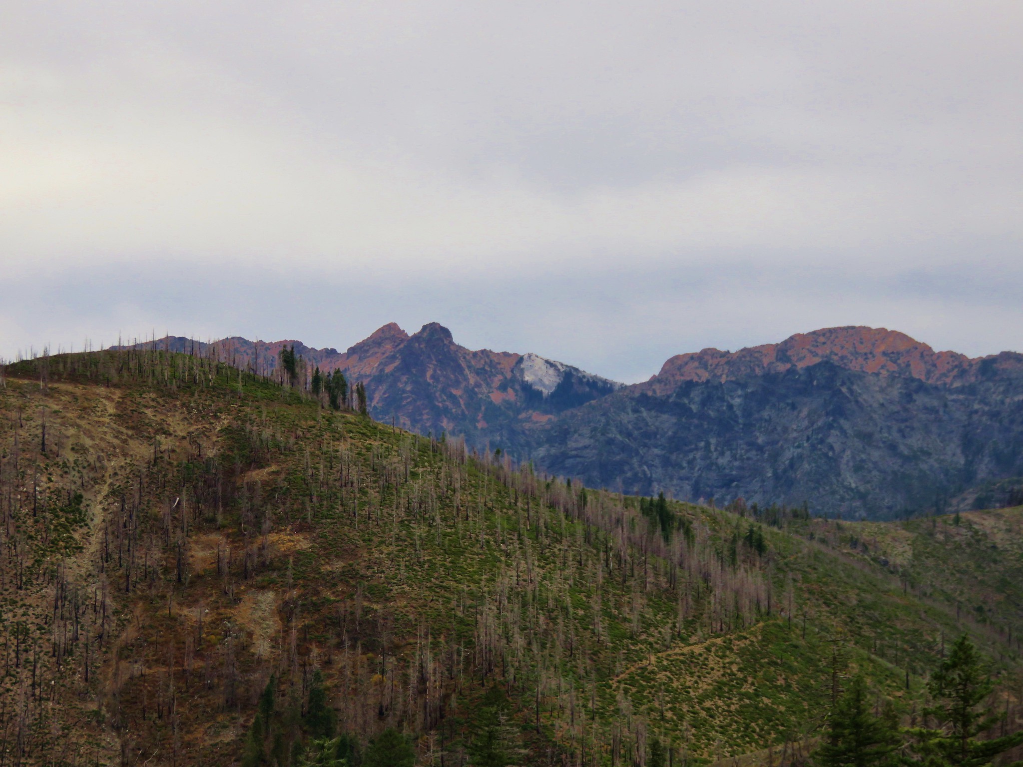
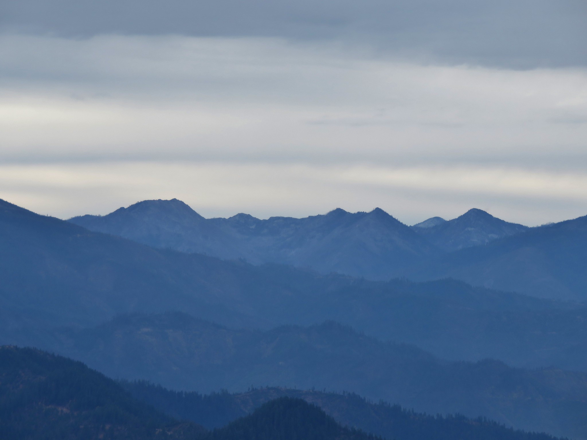
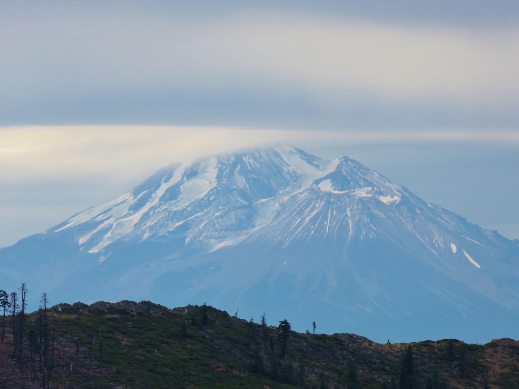
 The double humps of Red Buttes behind and left of Pyramid Peak with the outline of Mt. Shasta to the right of Pyramid Peak.
 Preston Peak and El Capitan in the Siskiyou Wilderness (
 Preston Peak and El Capitan
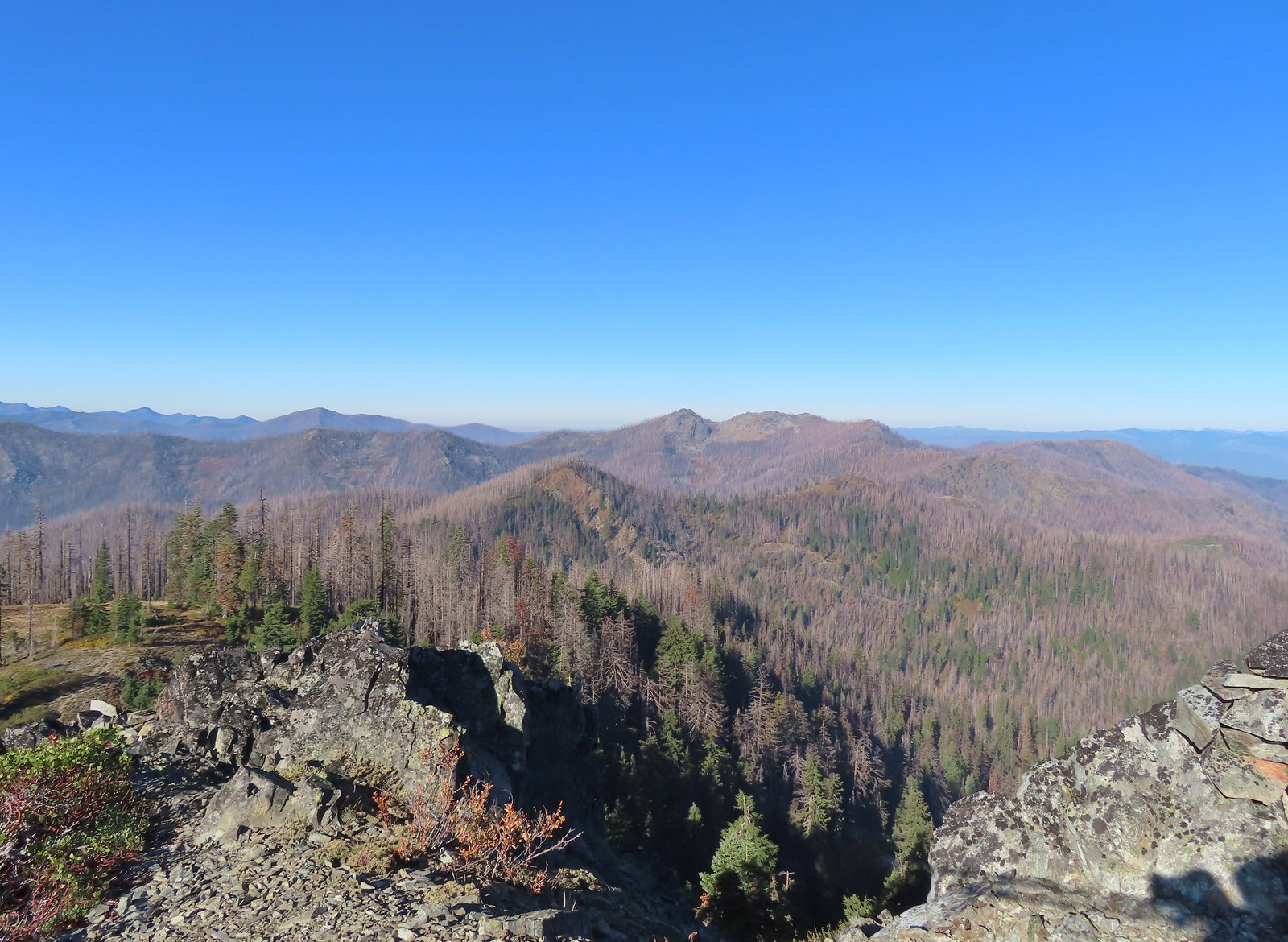 Bolan Mountain, our other stop for the day.
 Bolan Mountain
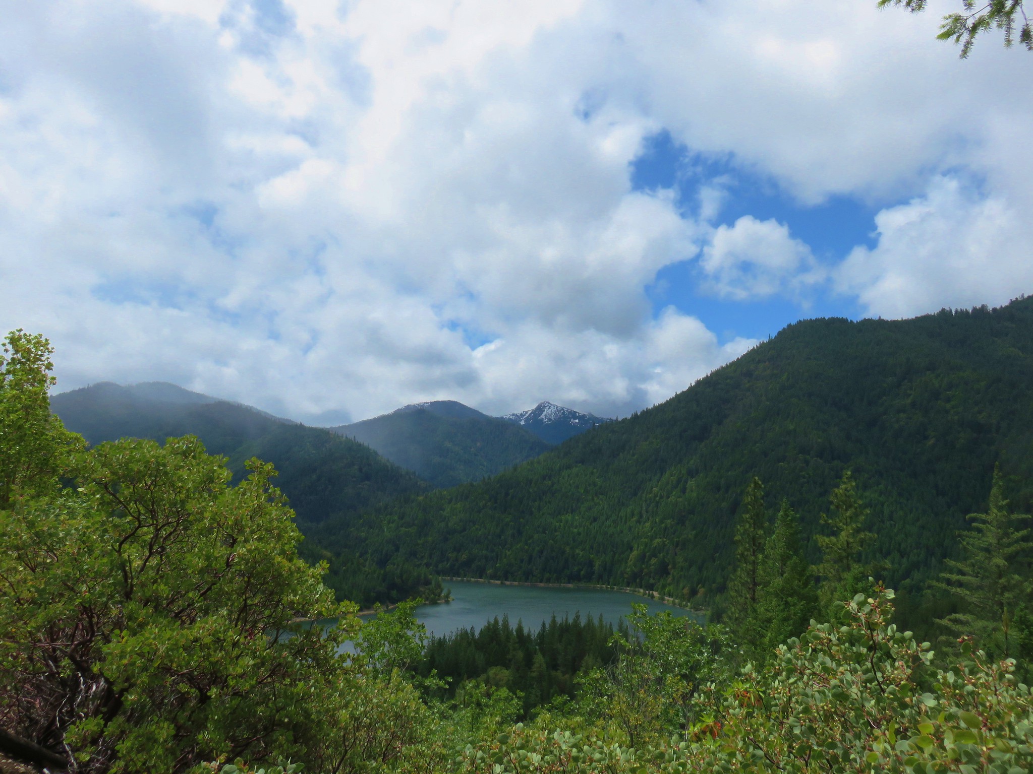
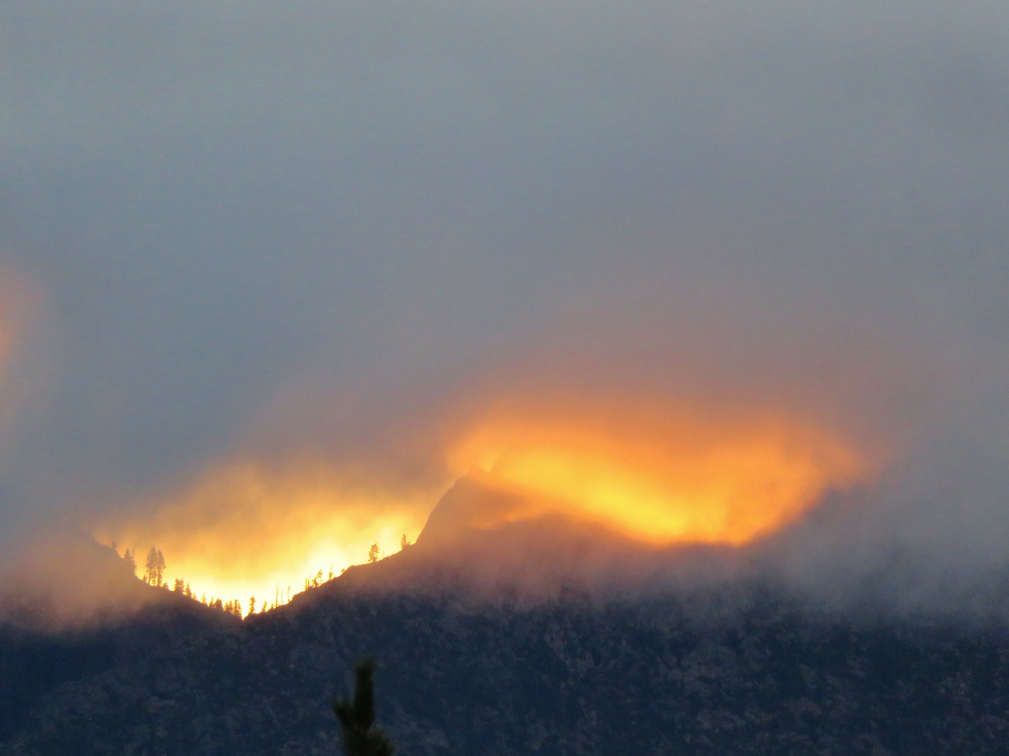
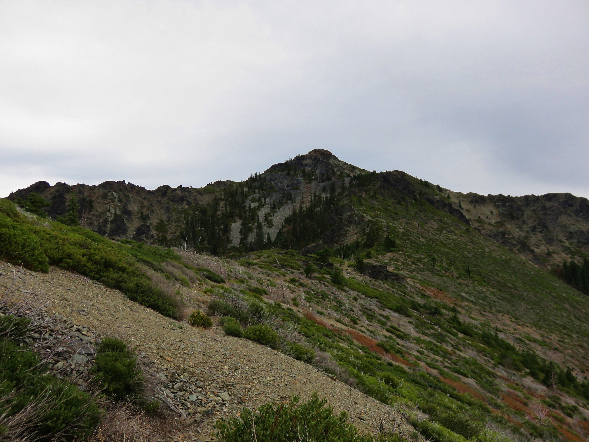
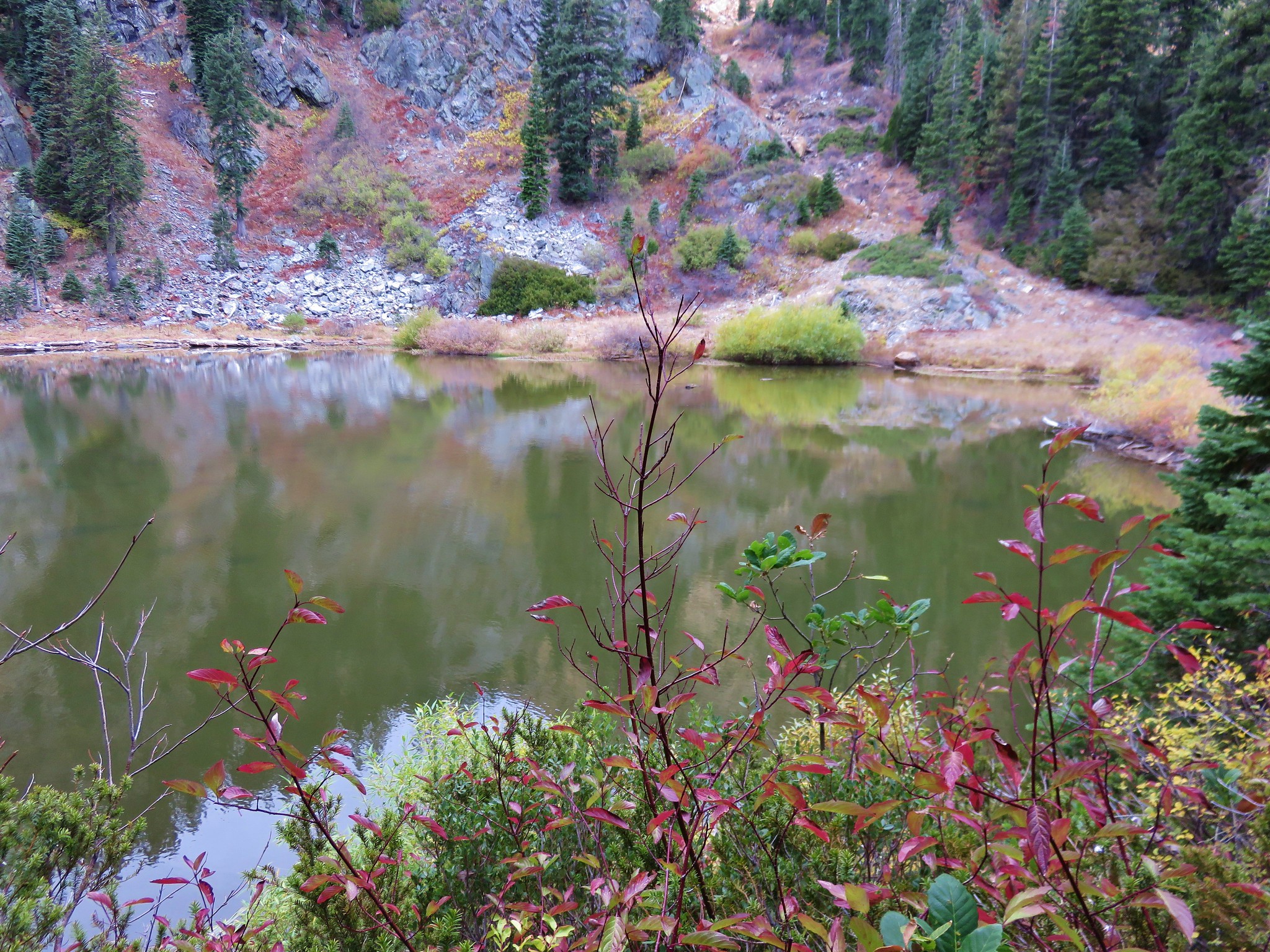
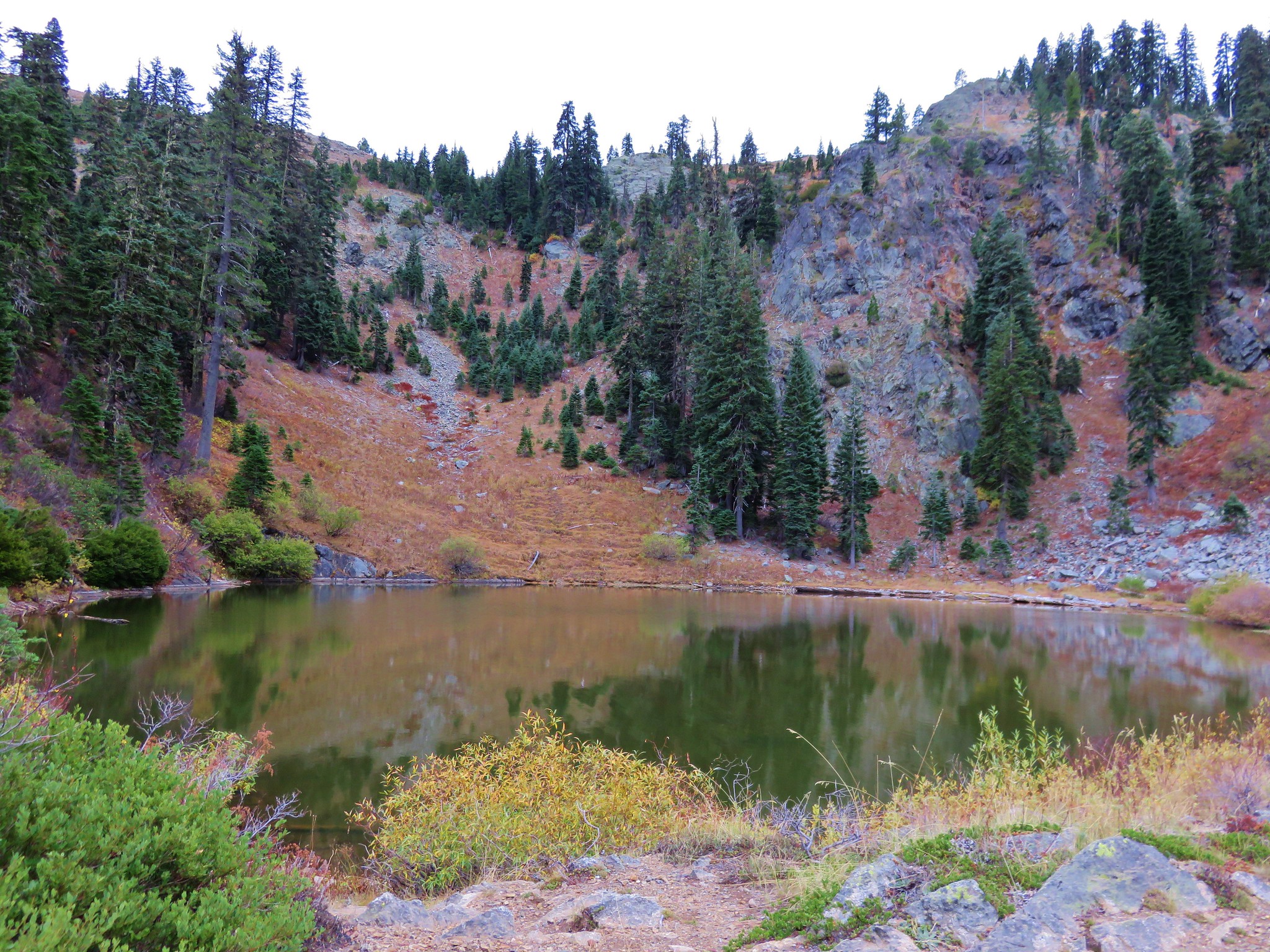
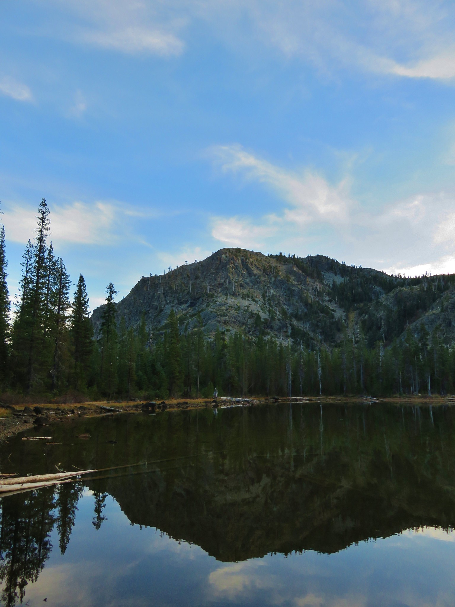
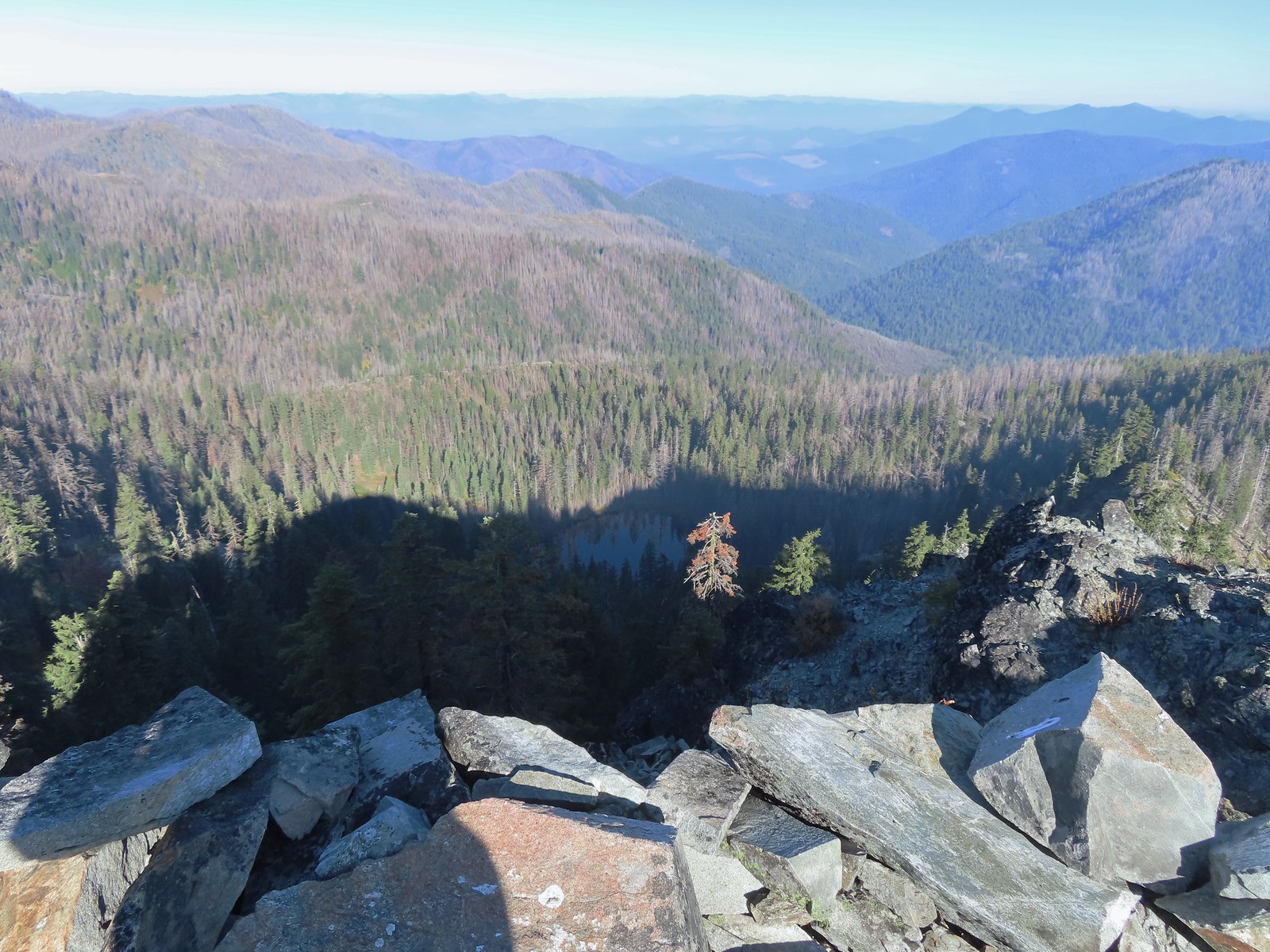 East Tanner Lake in the shadow of Tanner Mountain.
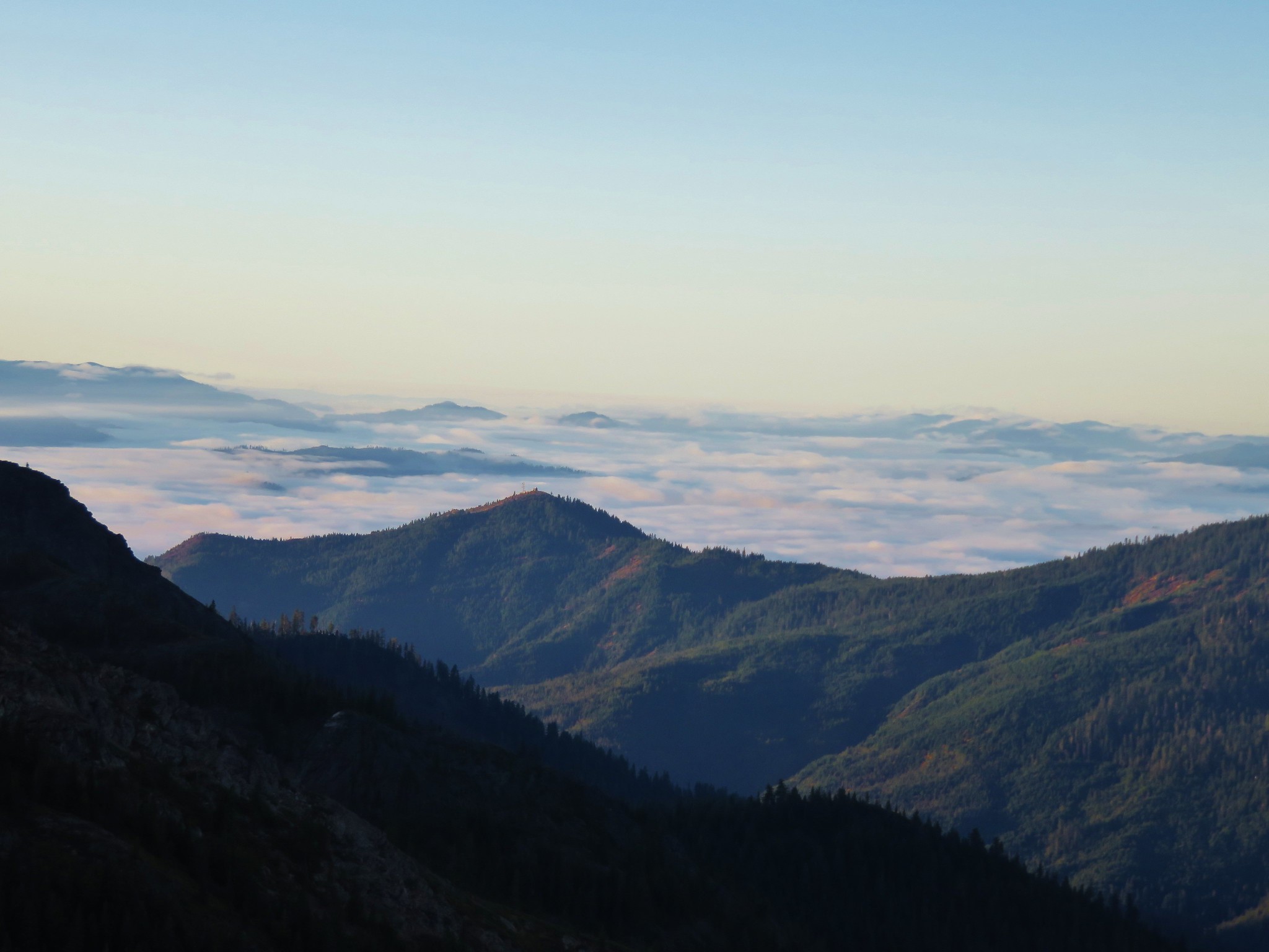
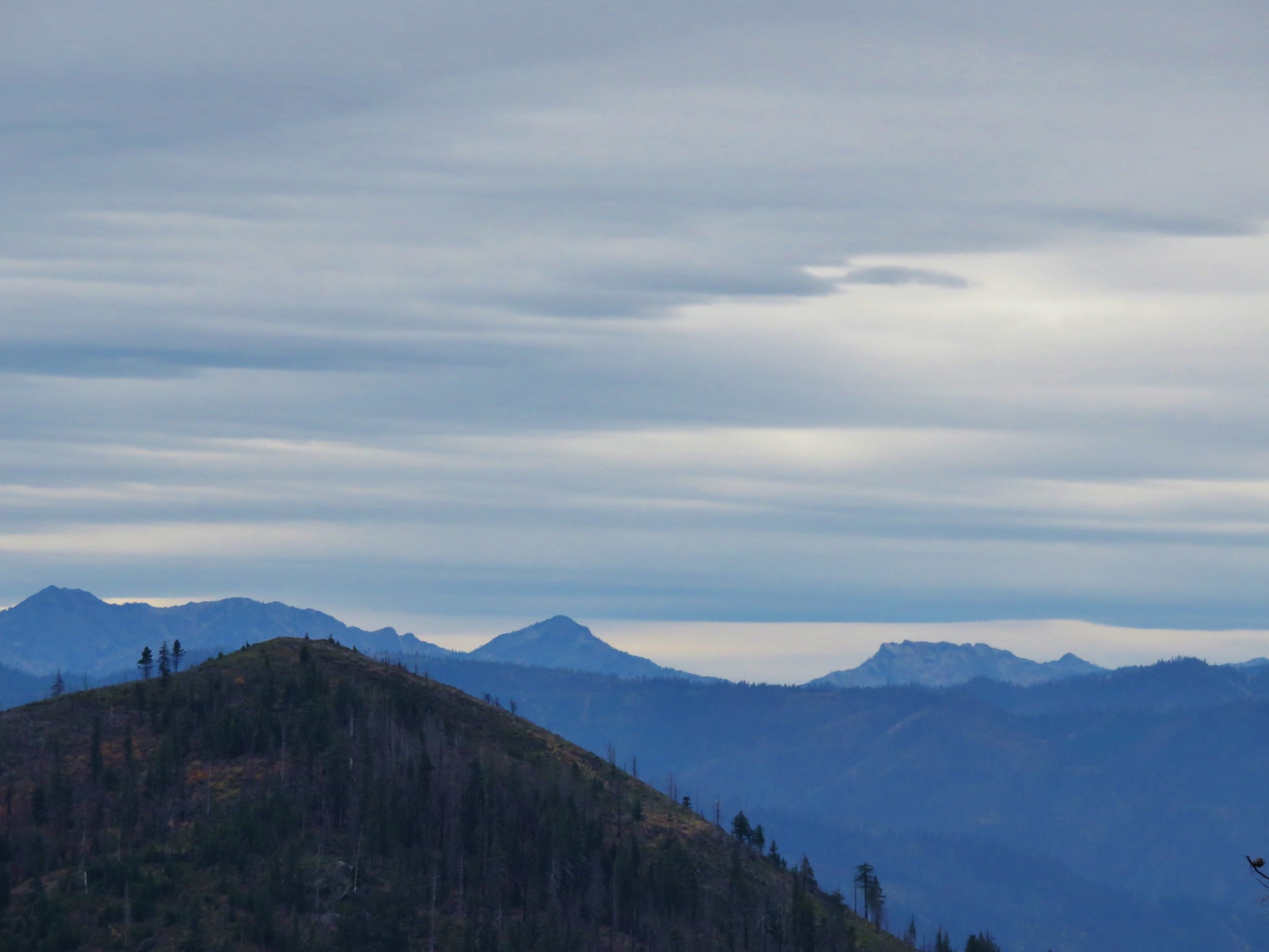
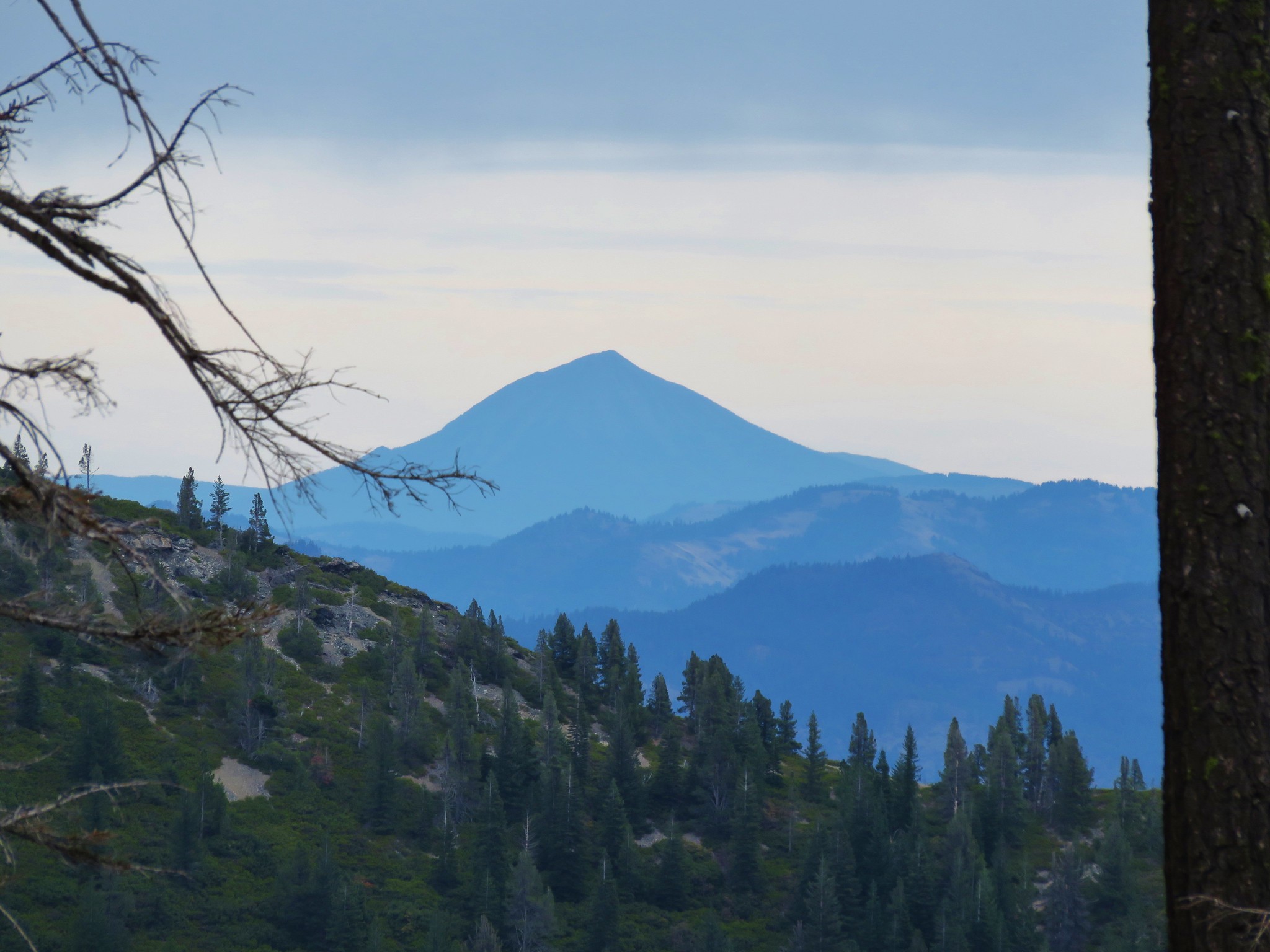
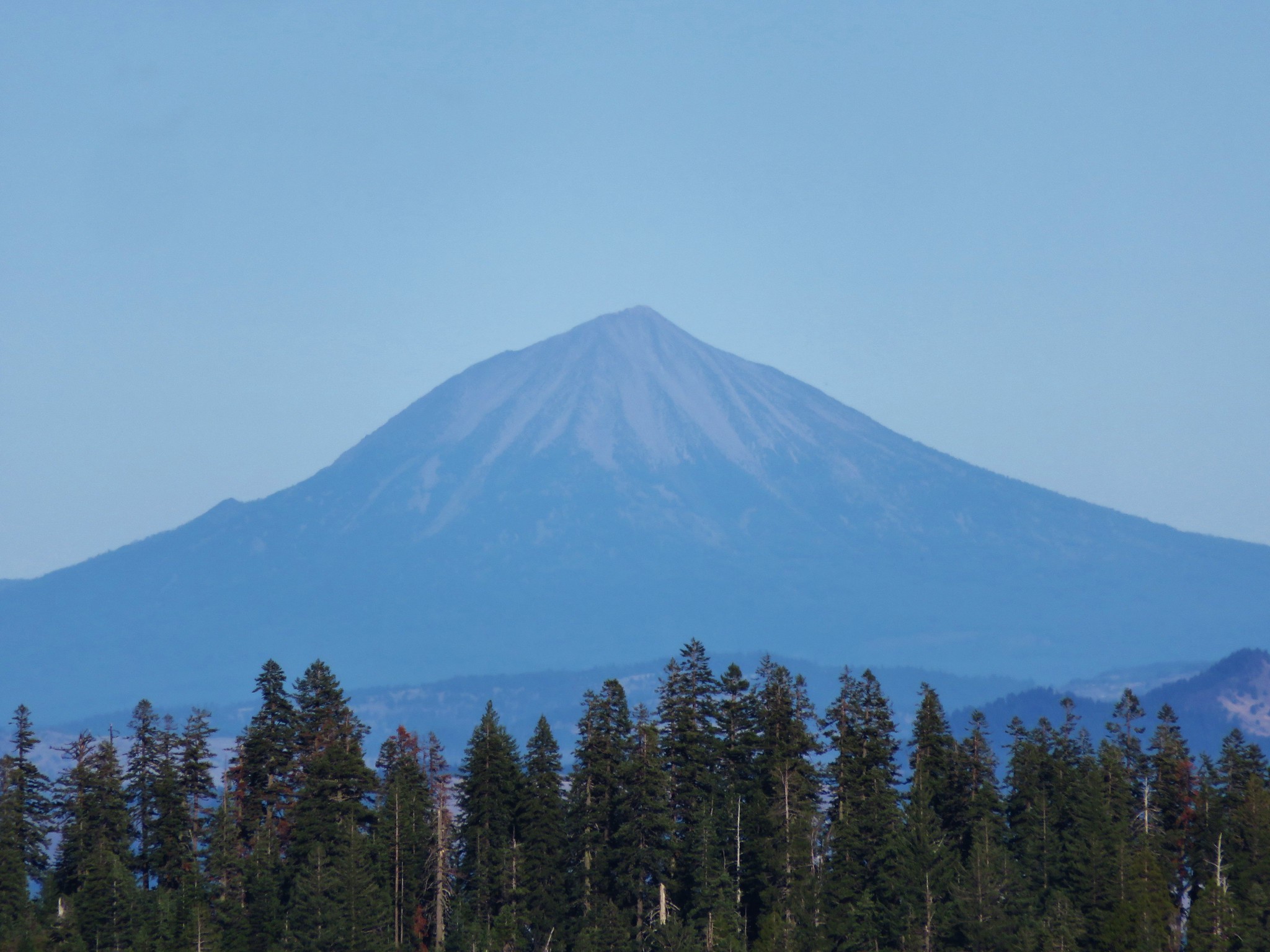
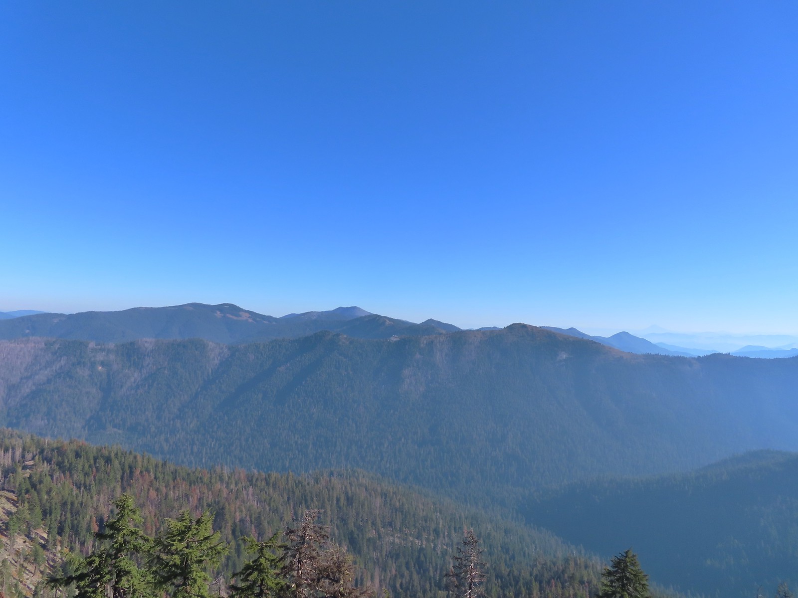 A faint Mt. McLoughlin (
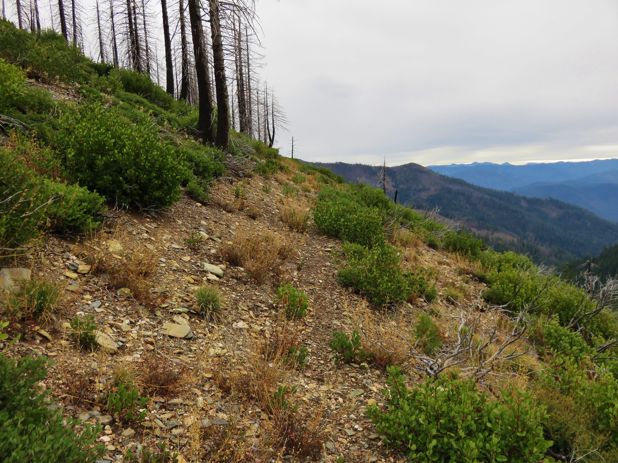
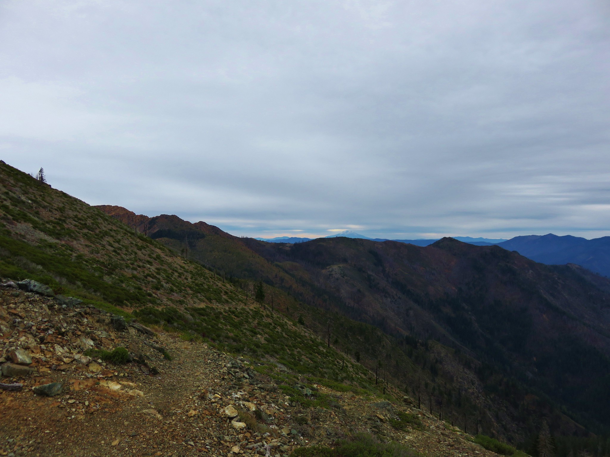
 The Boundary Trail dropping off Thompson Ridge.
 Ferns along the Boundary Trail.
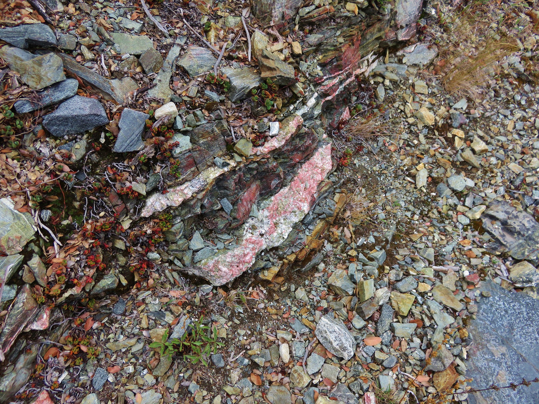
 More signs of recent maintenance.
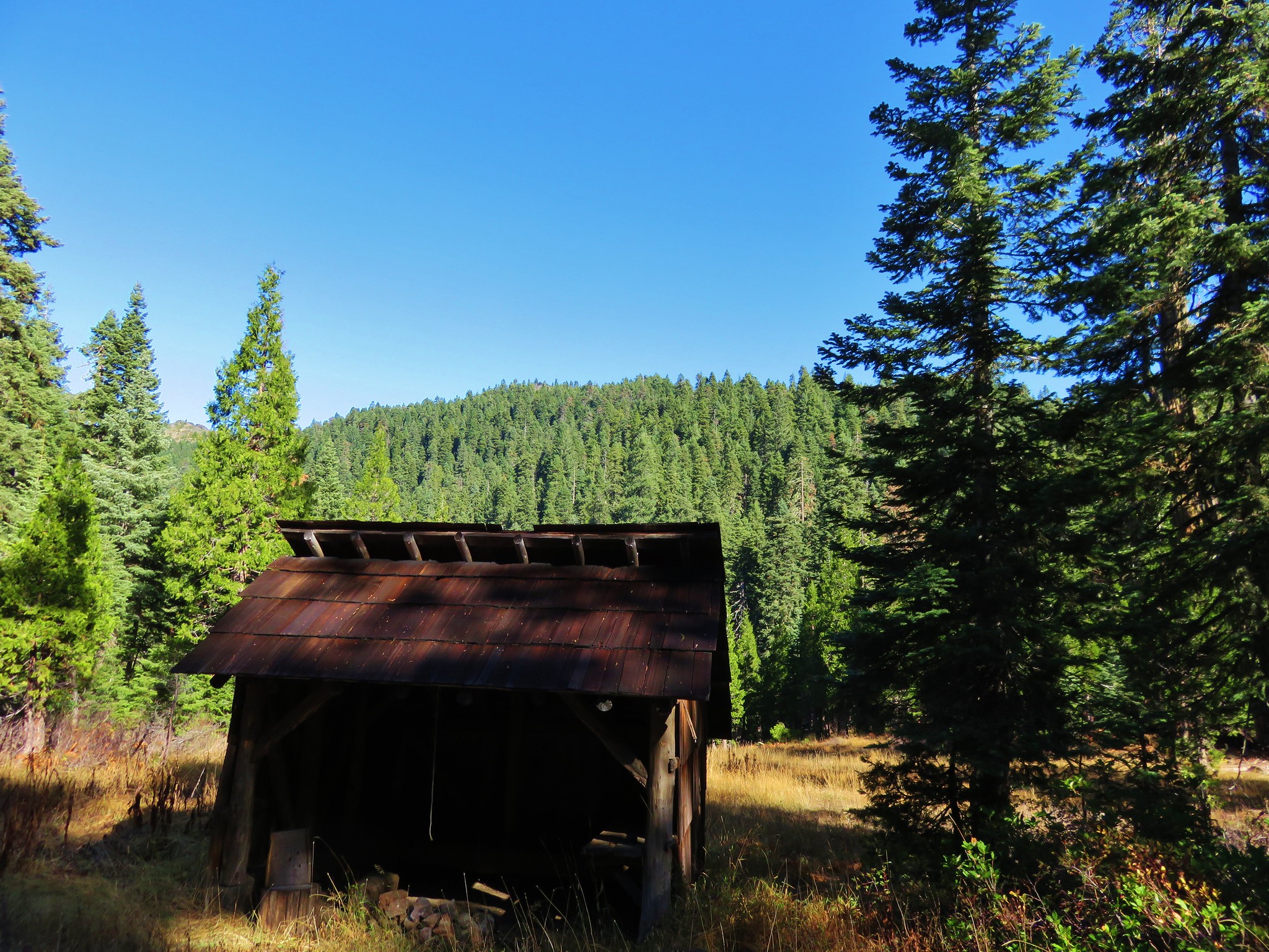
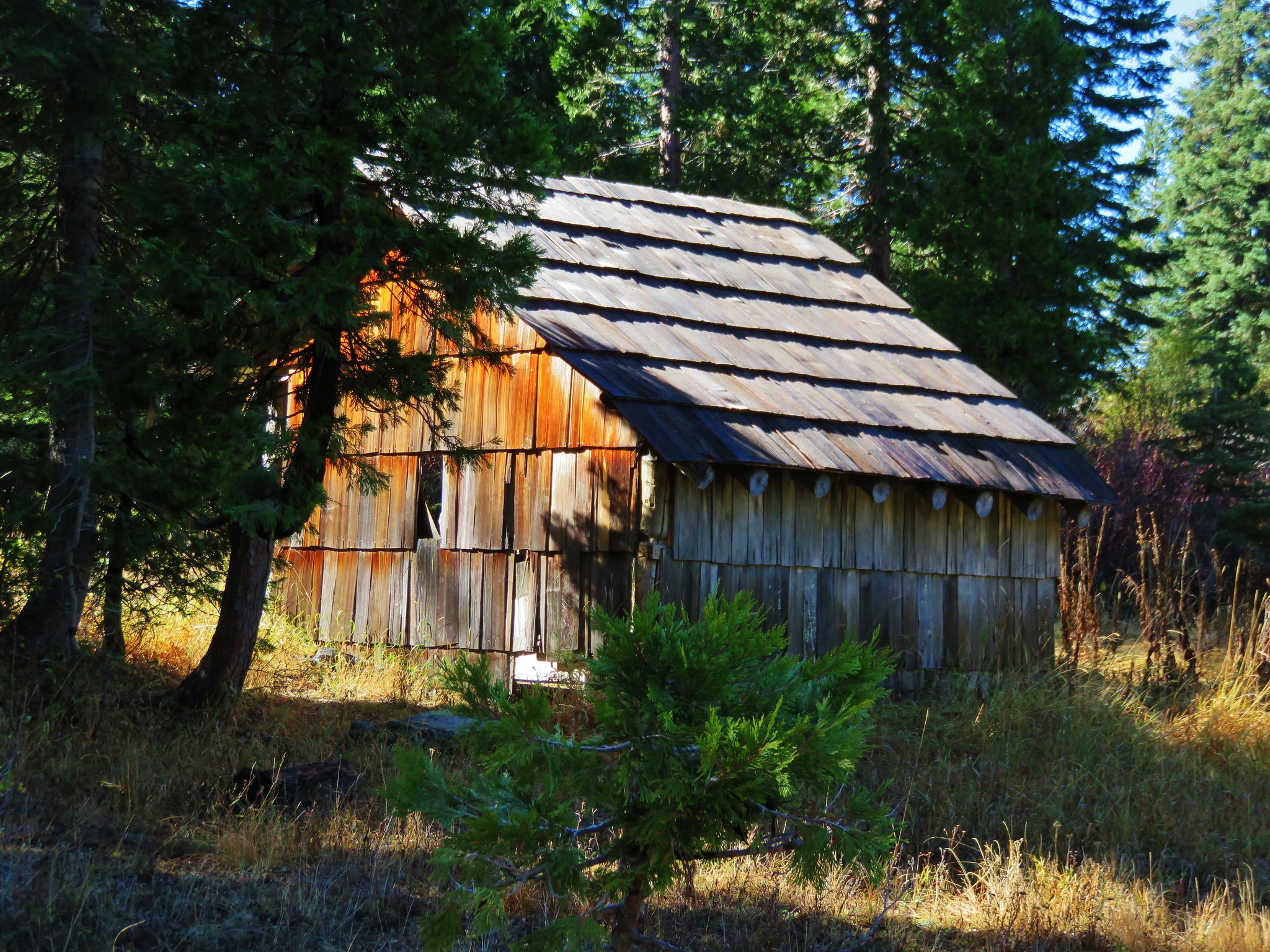
 Old campsite near Road 570 and the boundary of the
  This is/was the Boundary Trailhead but there isn’t much left post fire.
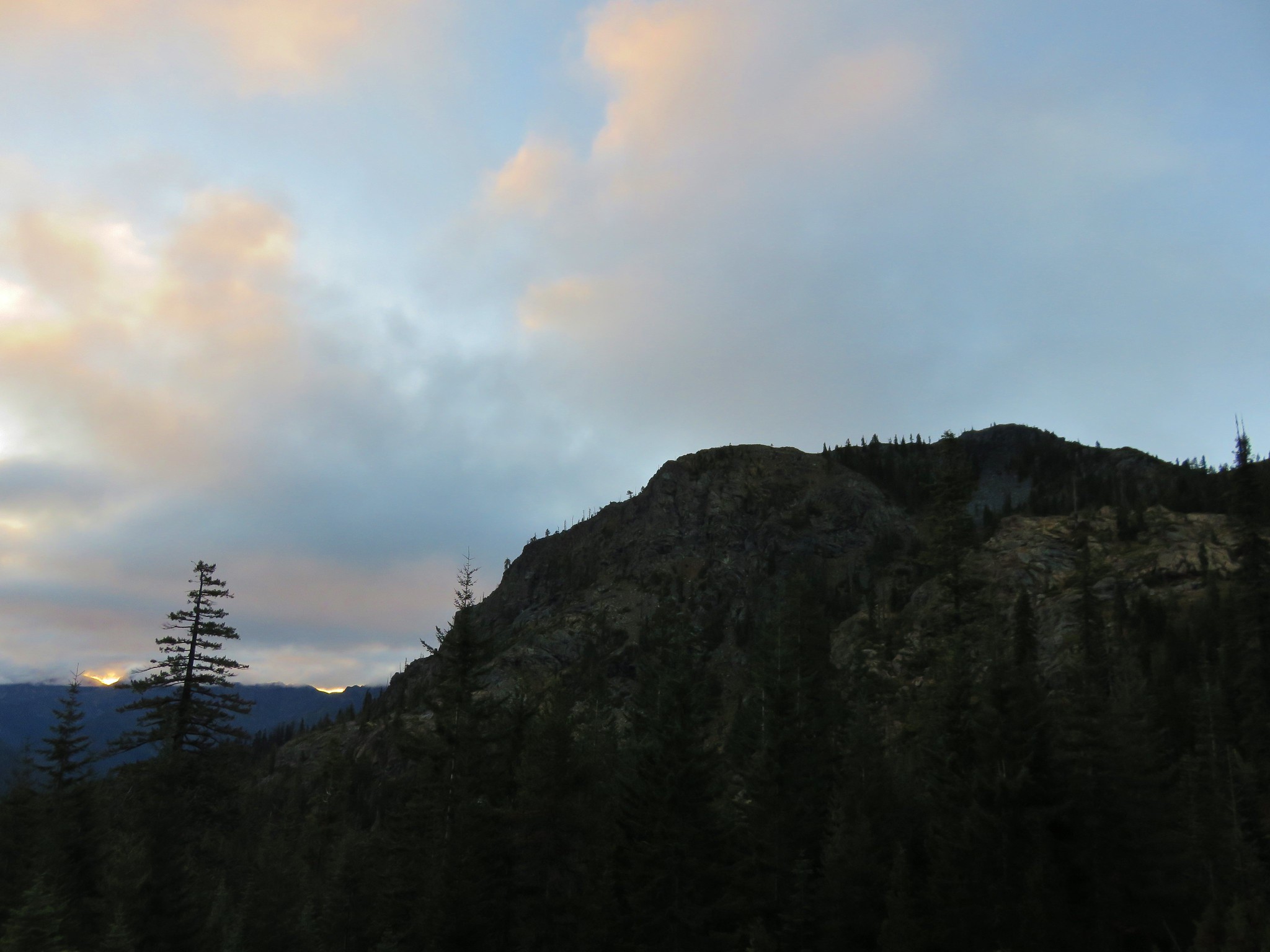
 Bolan Mountain from Road 570.
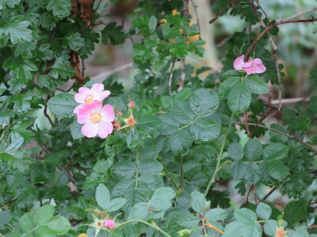
 Pussy paws
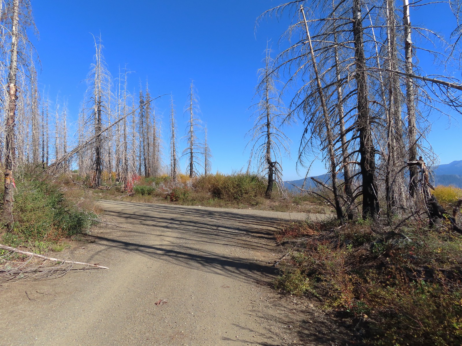 Road 041 at Kings Saddle.
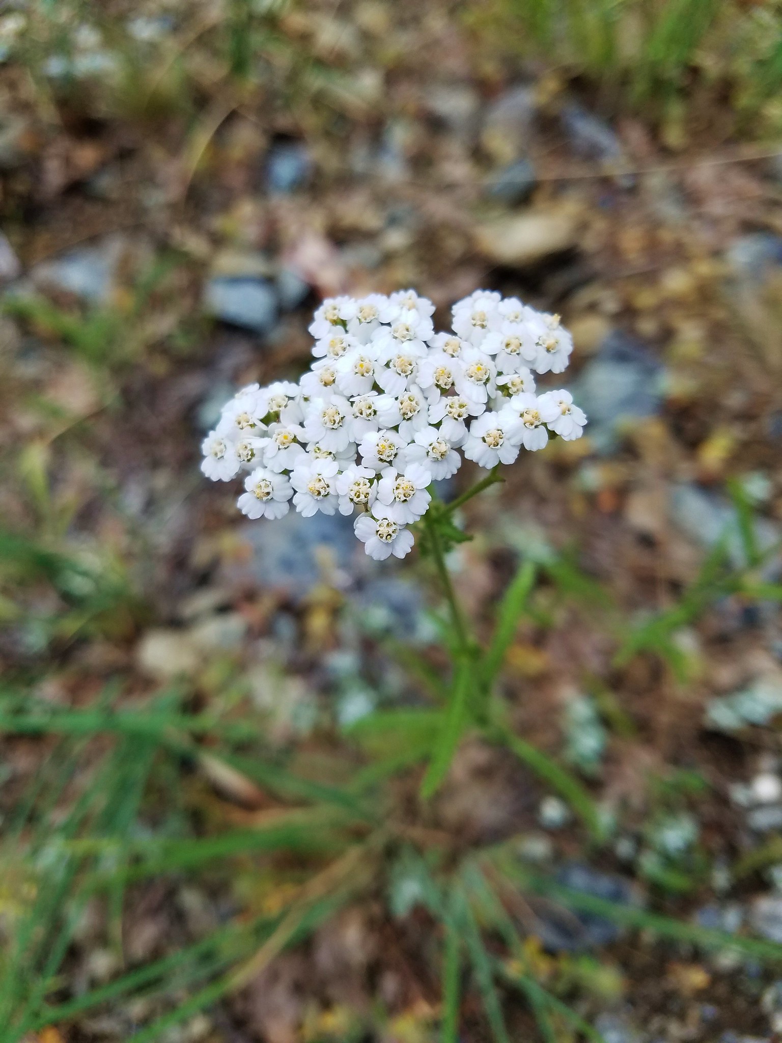
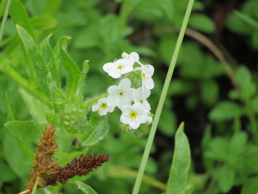
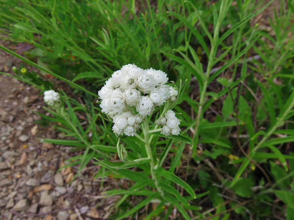
 Pearly everlasting along Road 041.
 Where things started getting ugly on Road 041.
 It’s in the shadow but the runoff channel cut across the road here creating a decent sized divot.
 Another rocky section of the road.
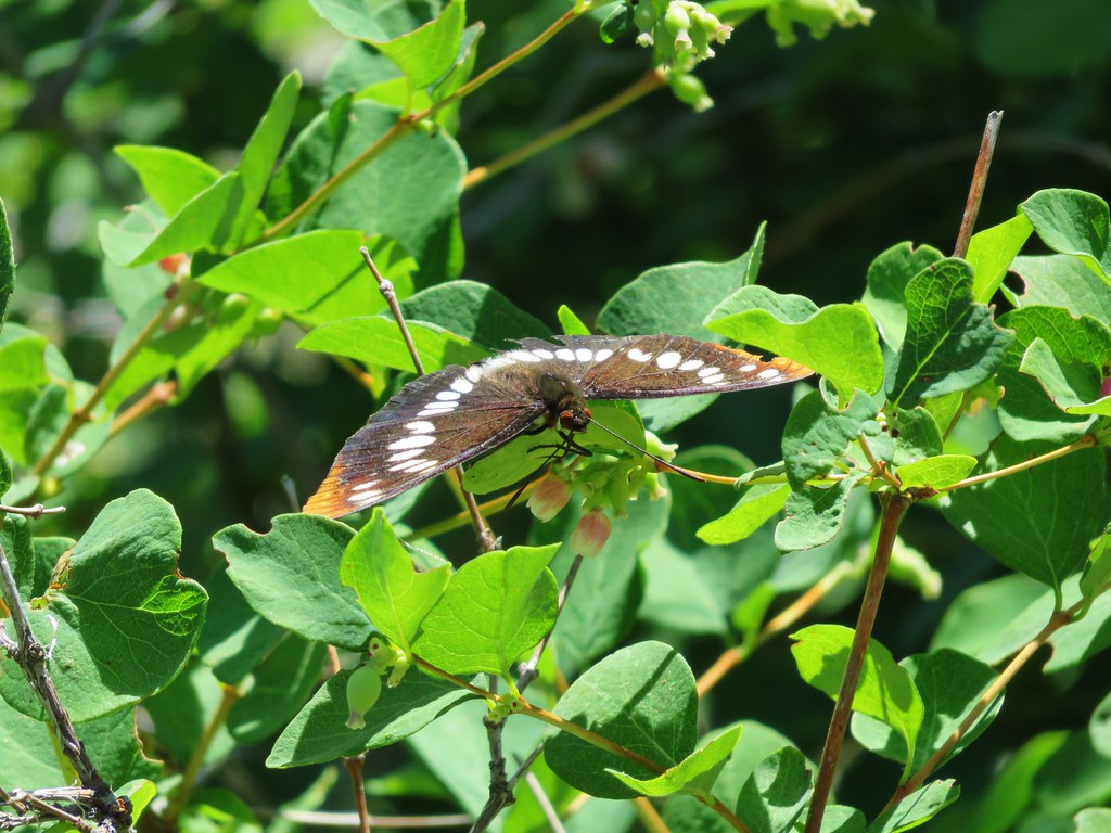
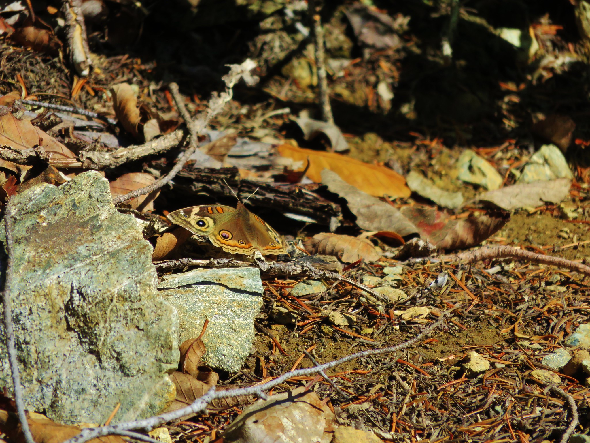
 California sister at the trailhead.
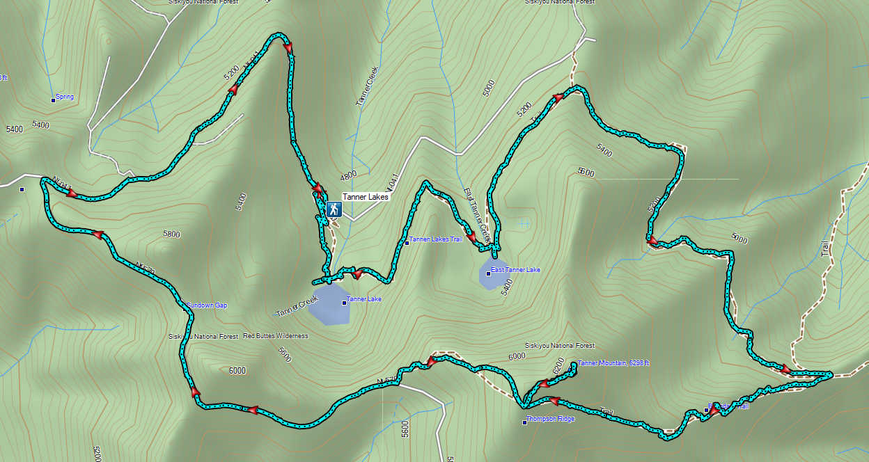
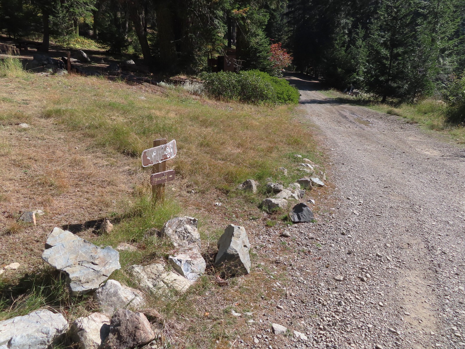 The pointer is a trap!
 This looked like as clear a spot as any.
 Looking up the Bolan Lake Trail.
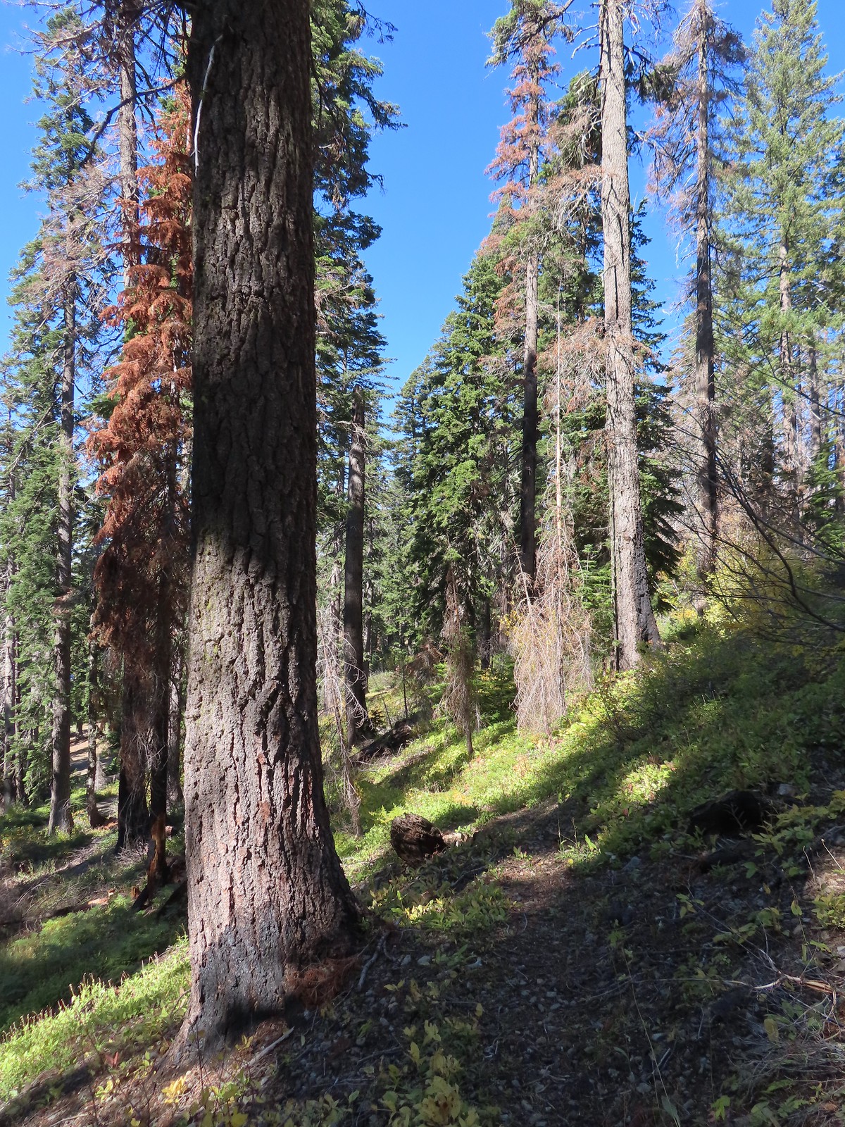 My guess is the rock on the log was where the trail used to begin but the log had been a bit too large to climb over.
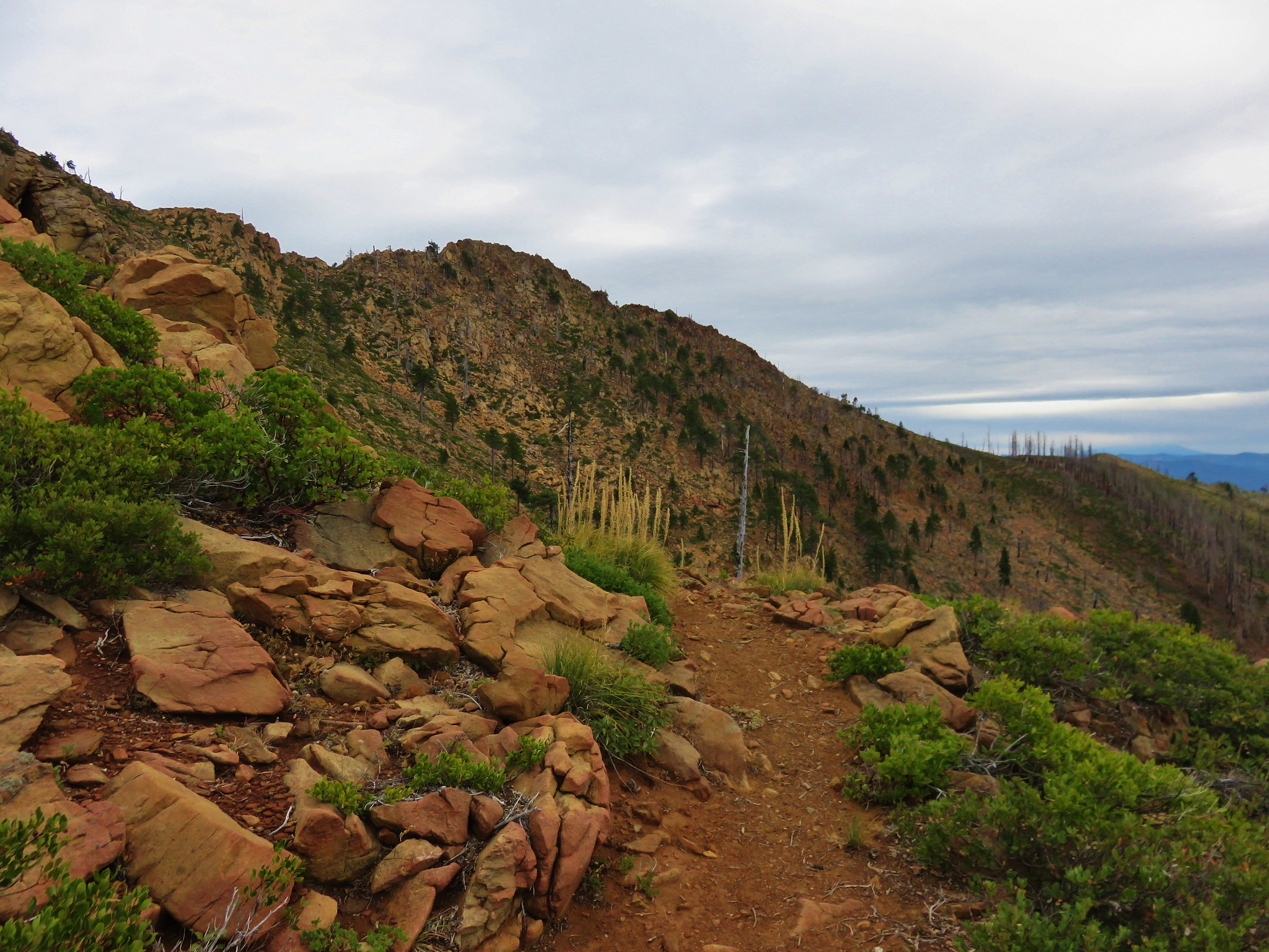
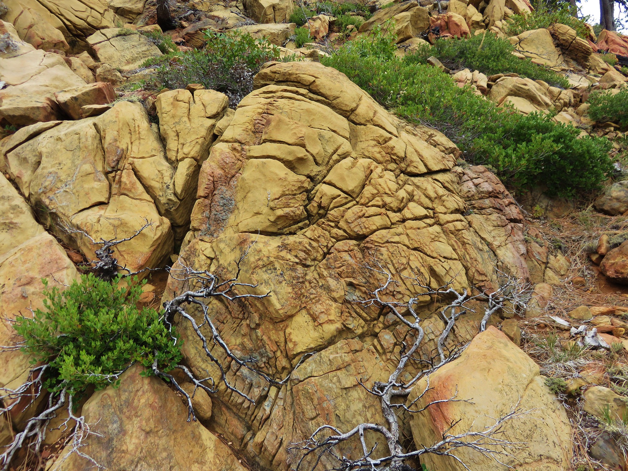
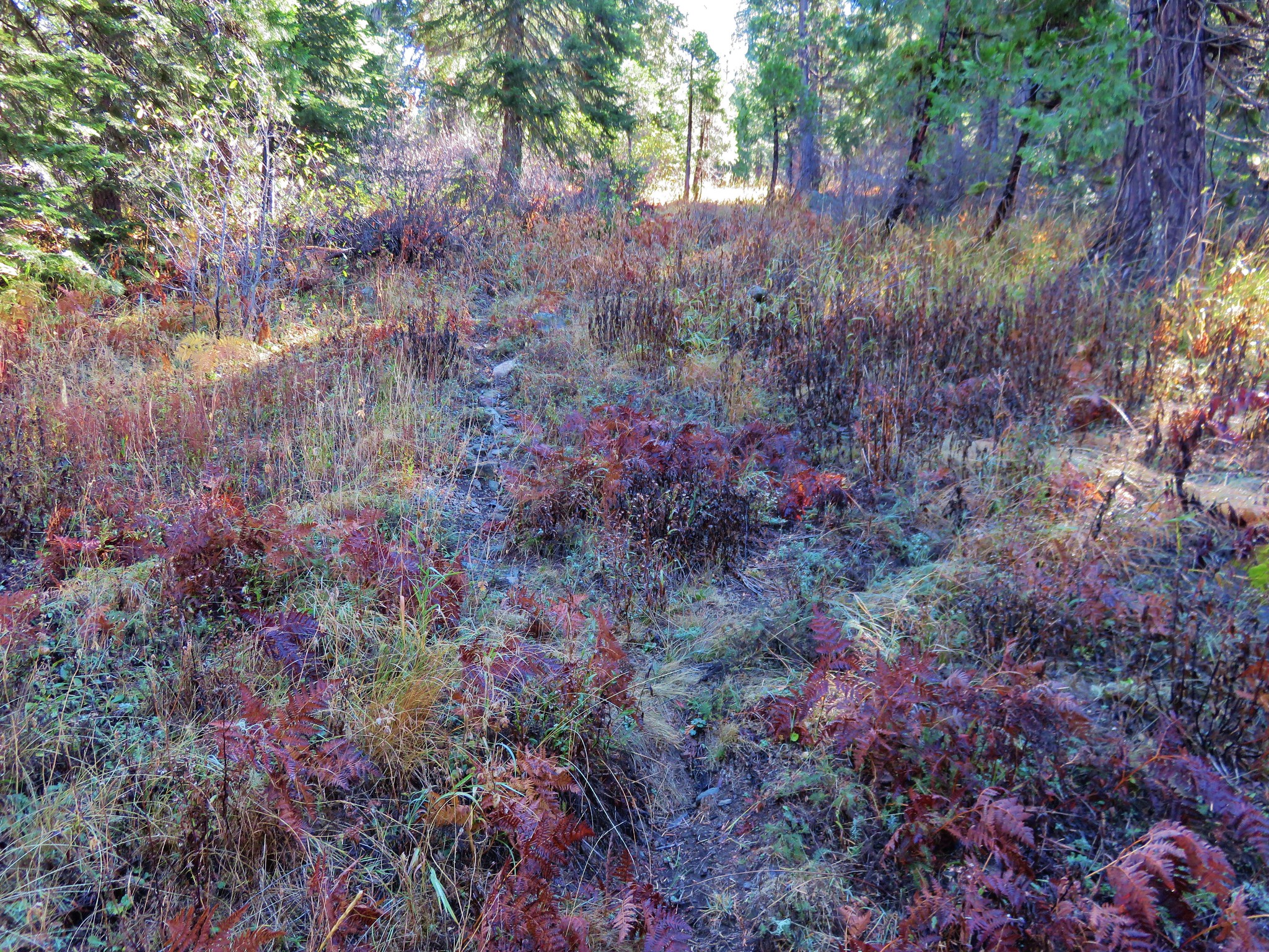
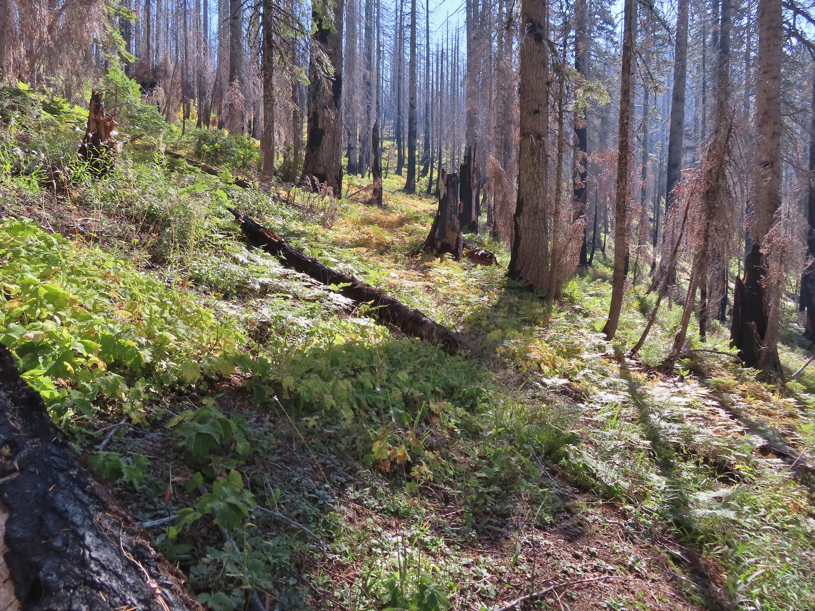 Faint tread was all that was left in most places.
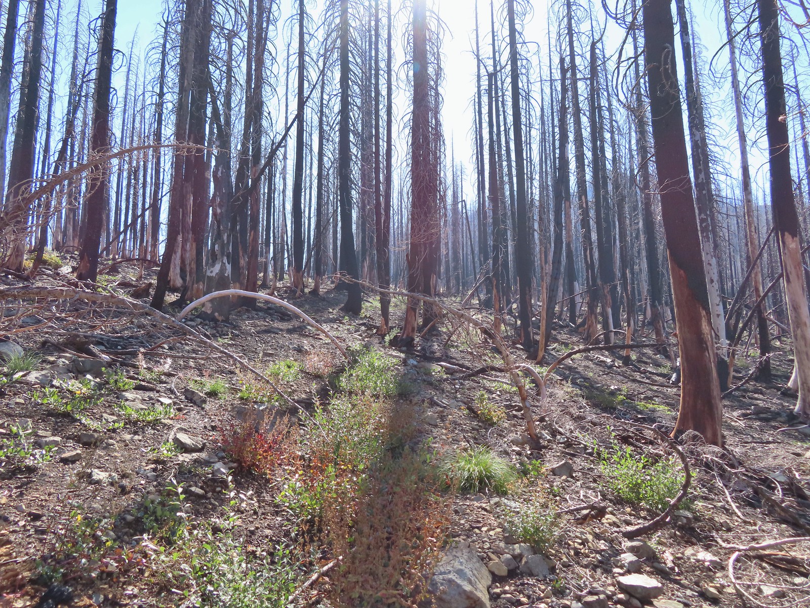 The Bolan Lake Trail to the left.
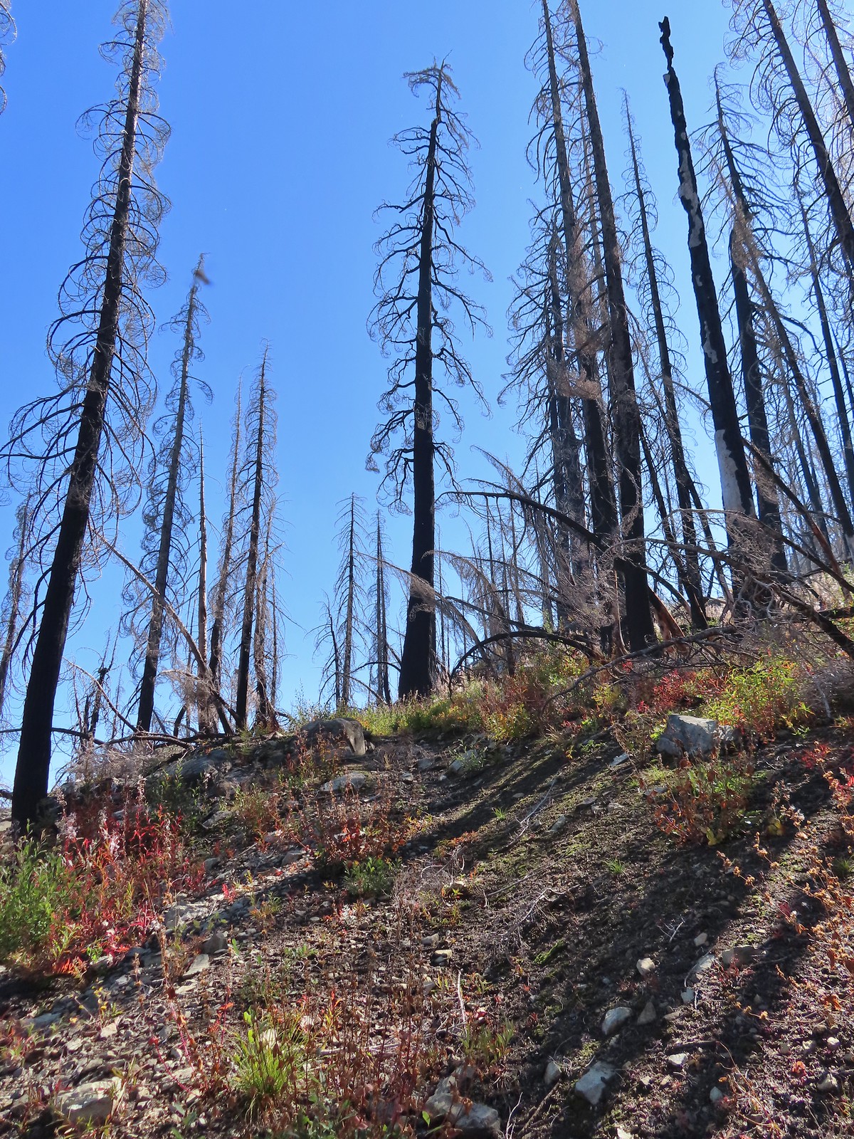
 Sometimes the tread just disappeared.
 Lake Mountain, Grayback Mountain, Craggy Mountain, and Swan Mountain.
 Momentary tread.
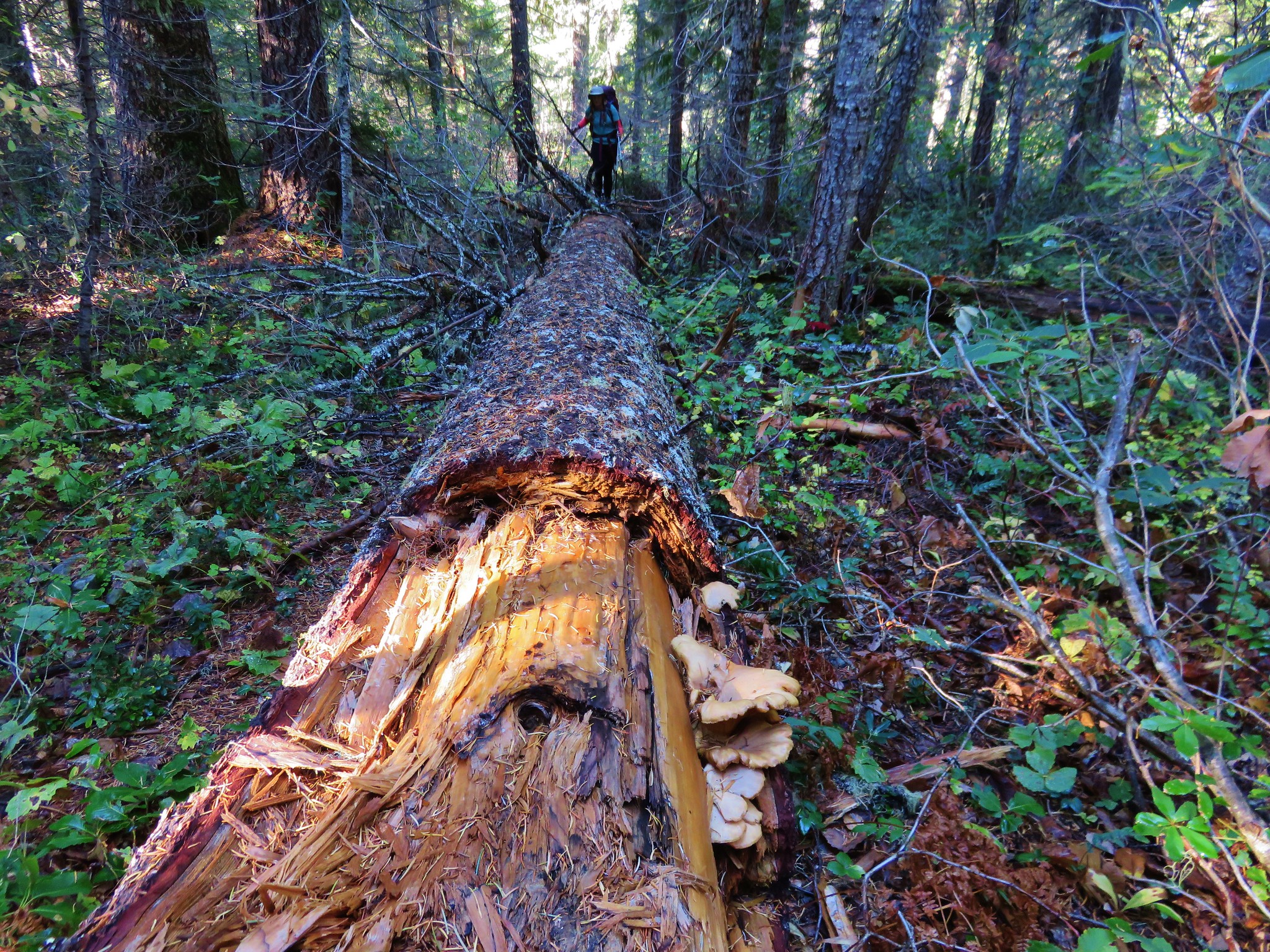
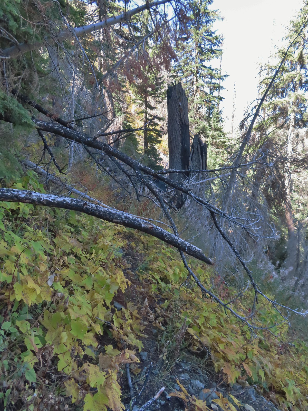 Just about 500′ below the ridge there was a large downed tree which required some side-hilling to drop below and then climb steeply back up to the trail.
 I got back to the trail to find more debris covering it.
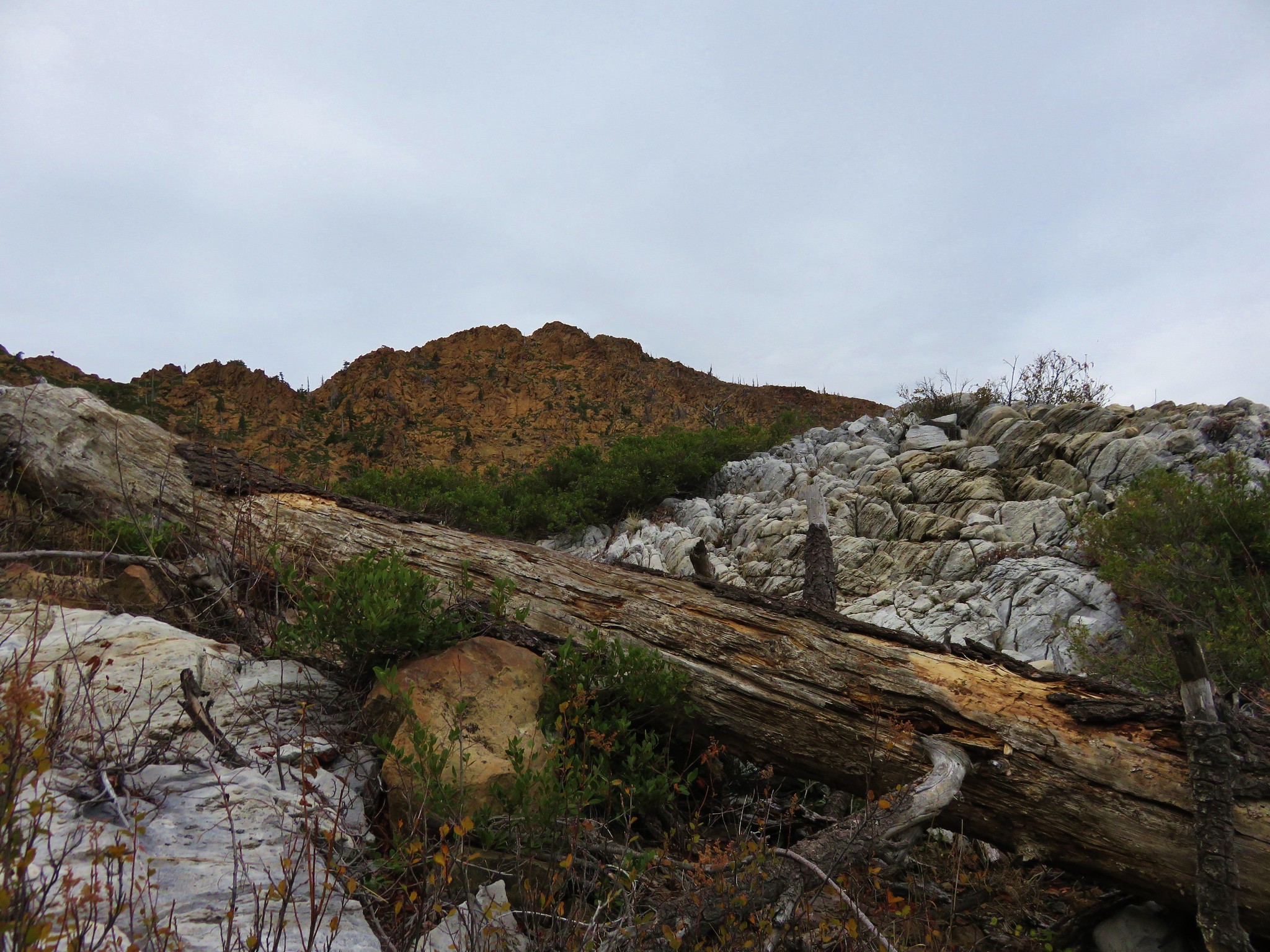
 Final pitch to the ridge.
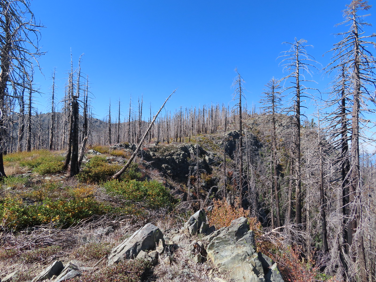 Bolan Mountain from the ridge.
 The trail descended slightly on the far side of the ridge to the junction.
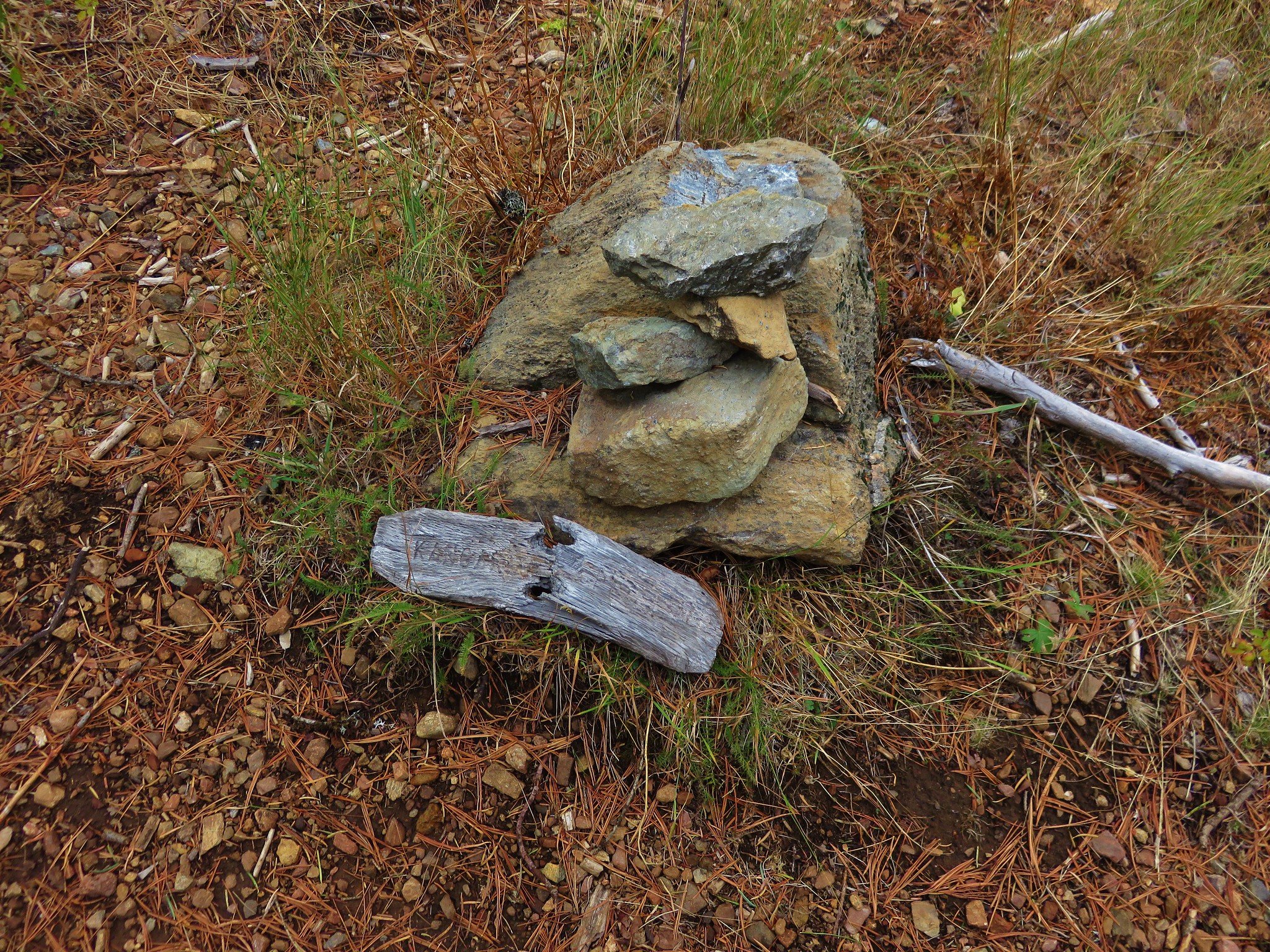
 I assume the downed post and small pile of rocks marked the junction with the mile long Kings Saddle Trail.
 The Bolan Lake Trail (I think) at the junction.
 I might be on trail.
 I was sure I was on the trail here.
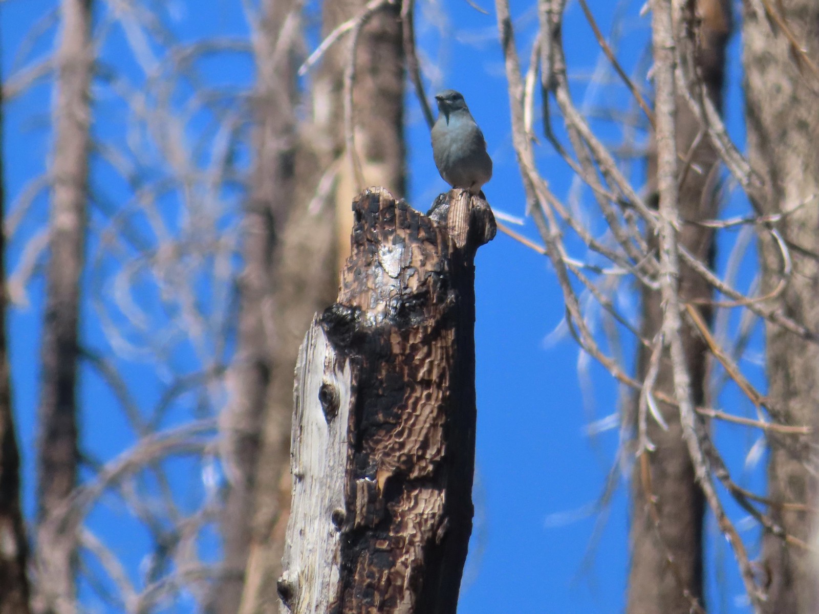 Mountain bluebird wondering what I was thinking.
 Now I was just going uphill.
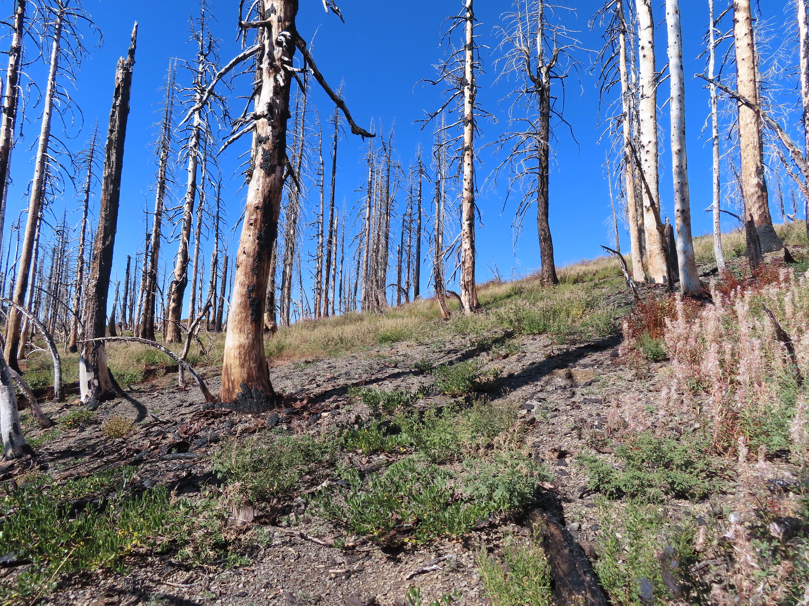 No idea where I was supposed to be at this point.
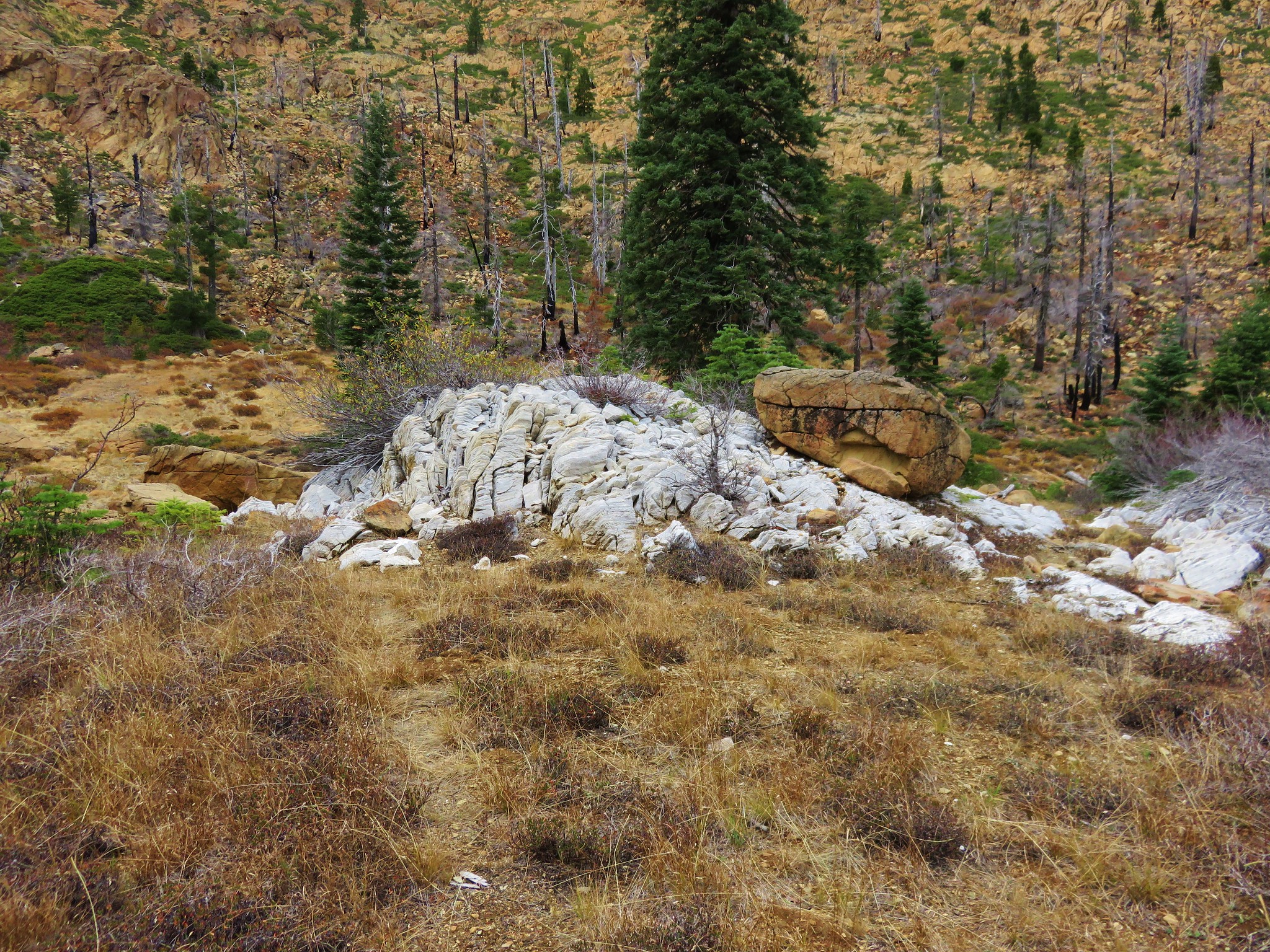
 The rocky point that the GPS labeled as Bolan Mountain.
 I got this far before realizing I was heading to the wrong spot.
 At least from here I could see the road heading up to the former lookout site through the burned trees.
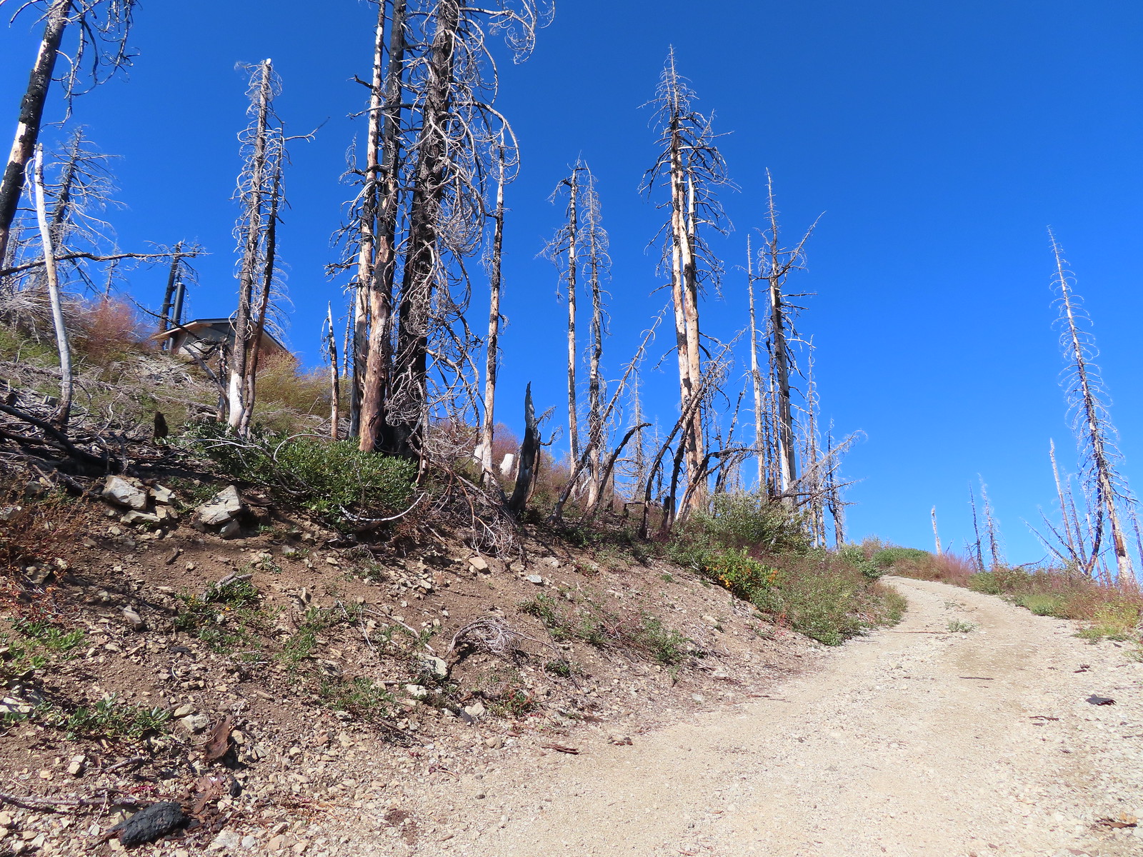 Not sure if the outhouse (above to the left) survived the fire or is new.
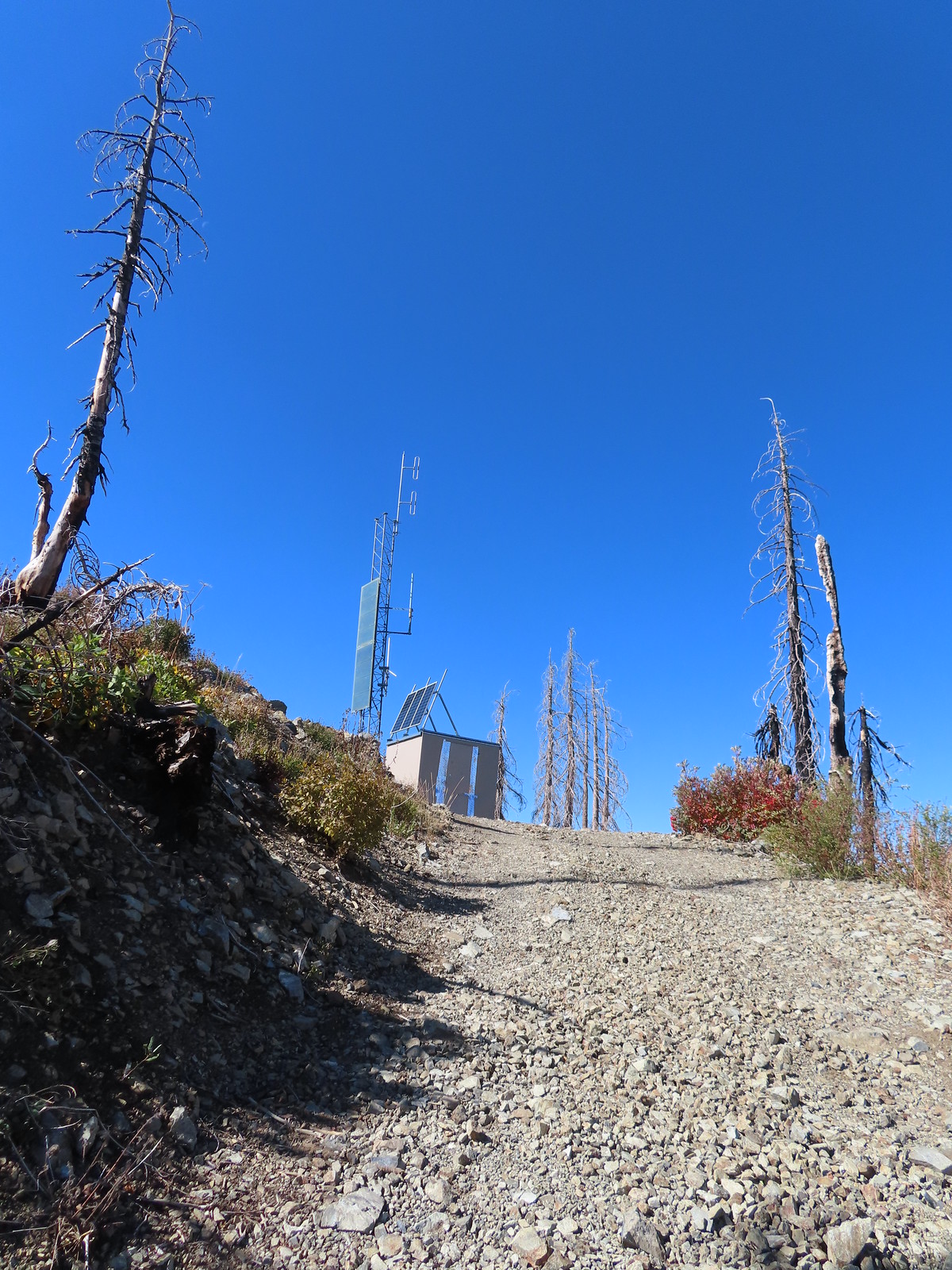
 Stone steps to the former lookout site.
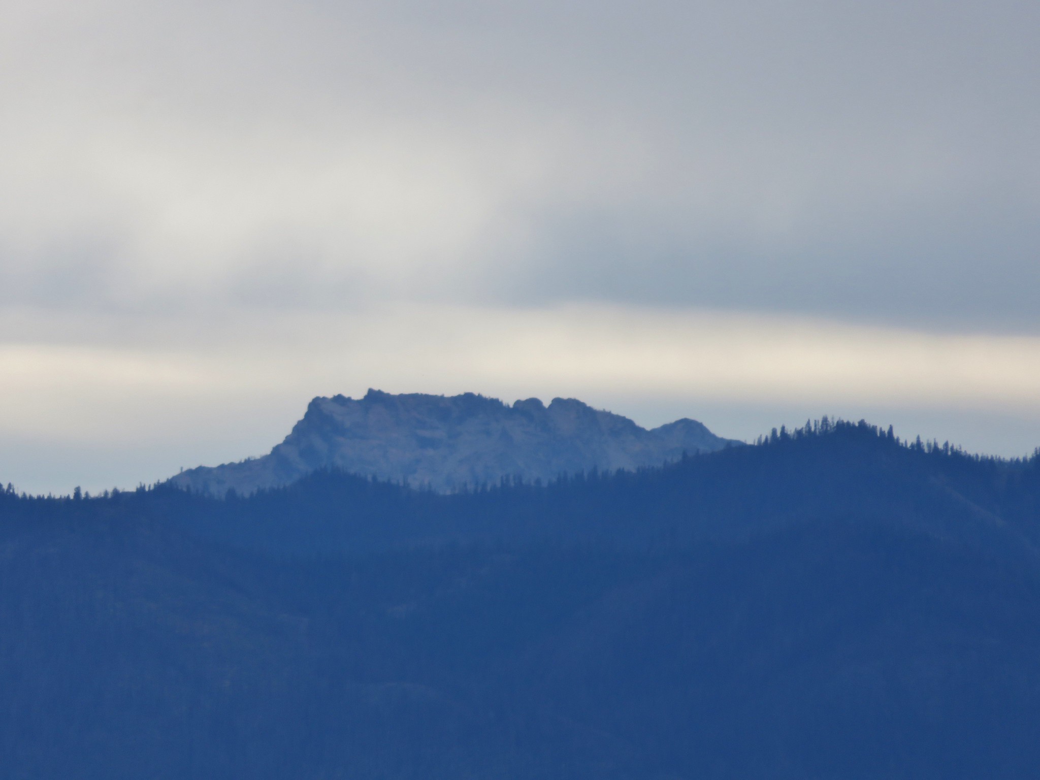
 Preston Peak and El Capitan from the lookout site.
 Tanner Mountain in the foreground.
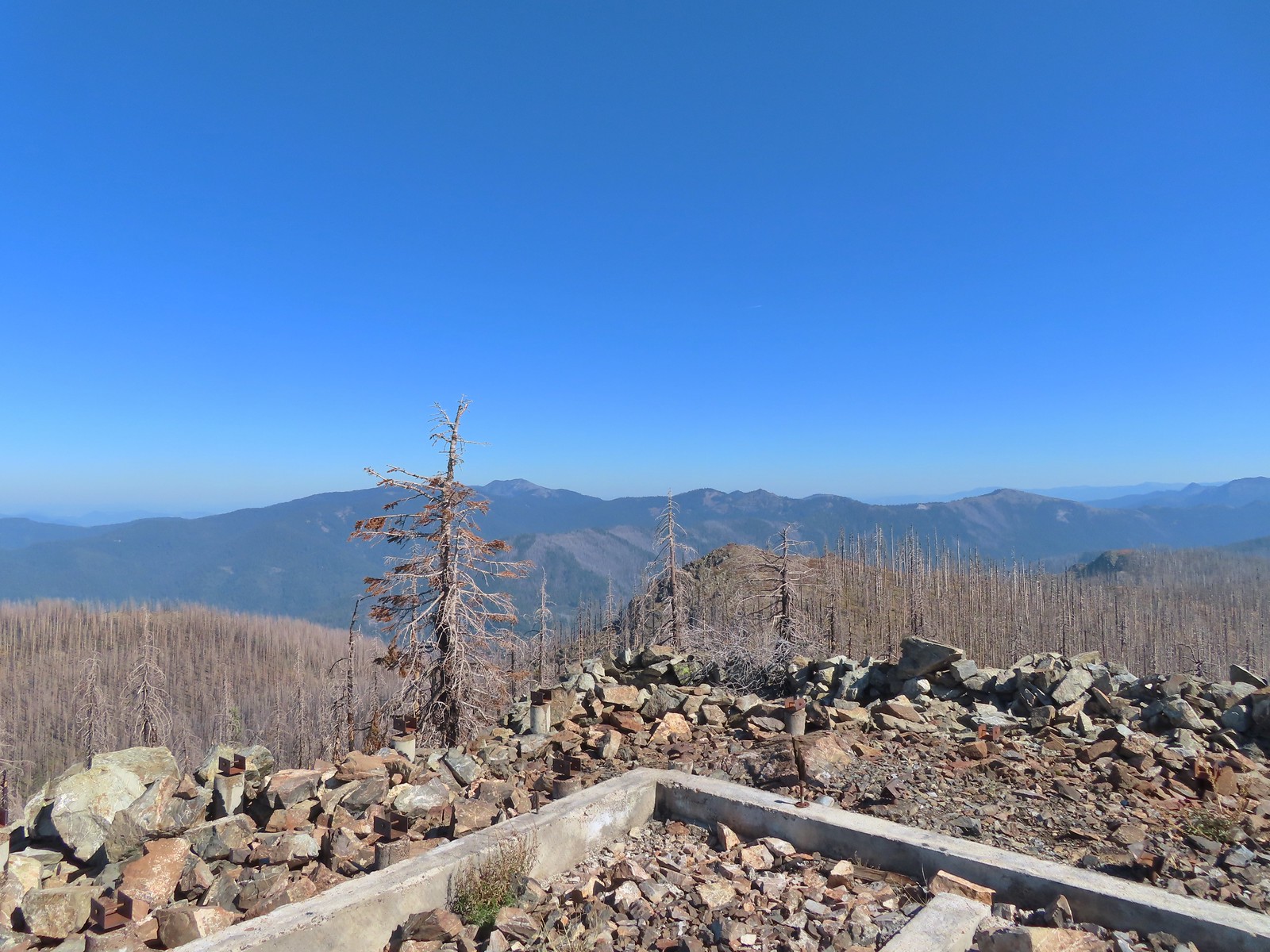 Grayback Mountain from Bolan Mountain.
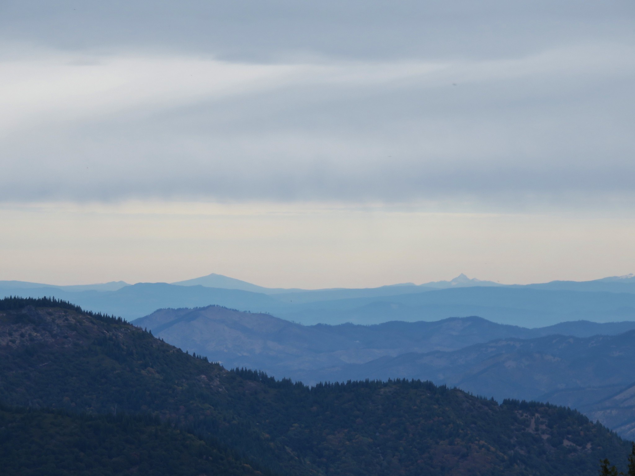
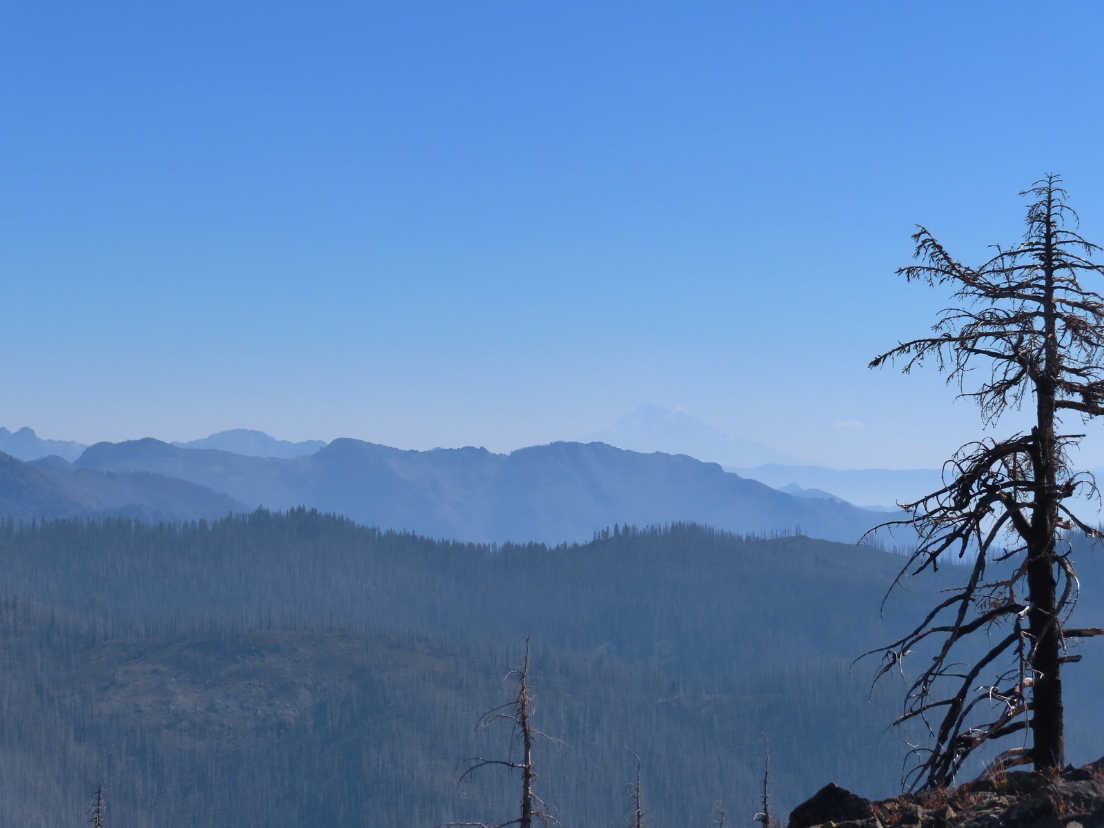 Red Buttes to the far left and Mt. Shasta through the haze.
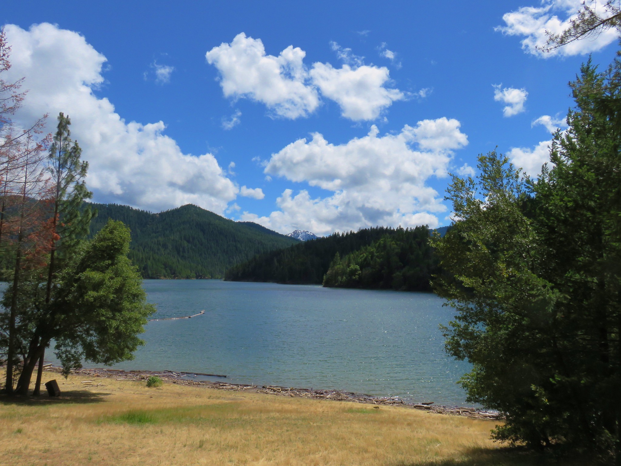
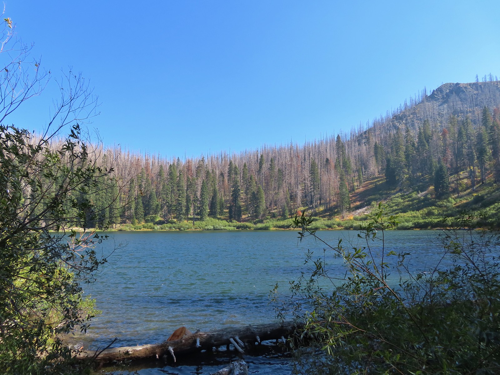
 Bolan Lake from the service road.
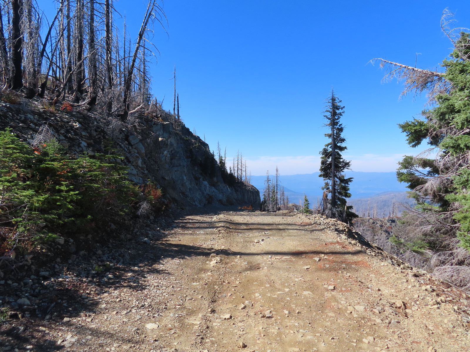
 Looking back toward Bolan Mountain.
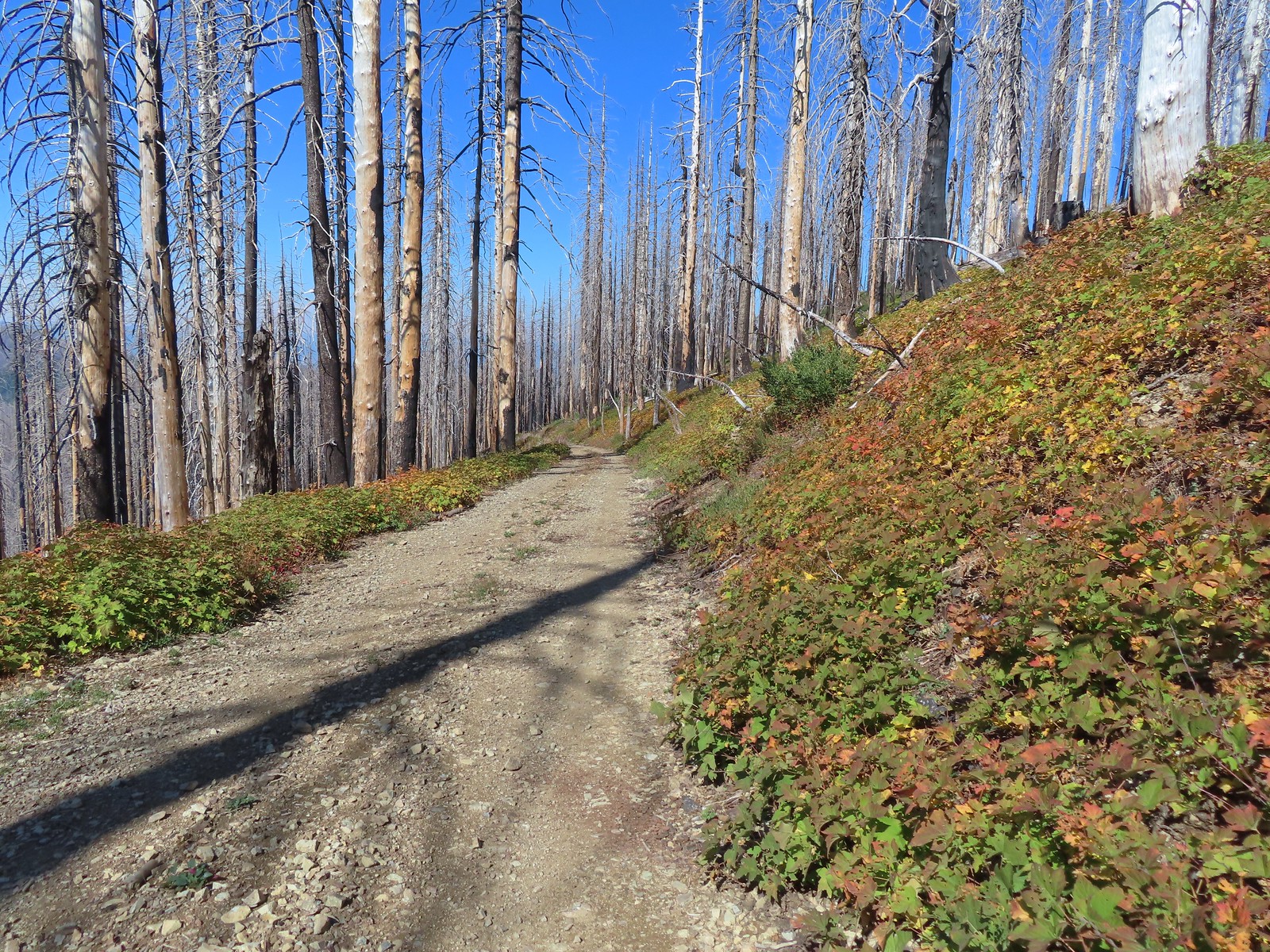
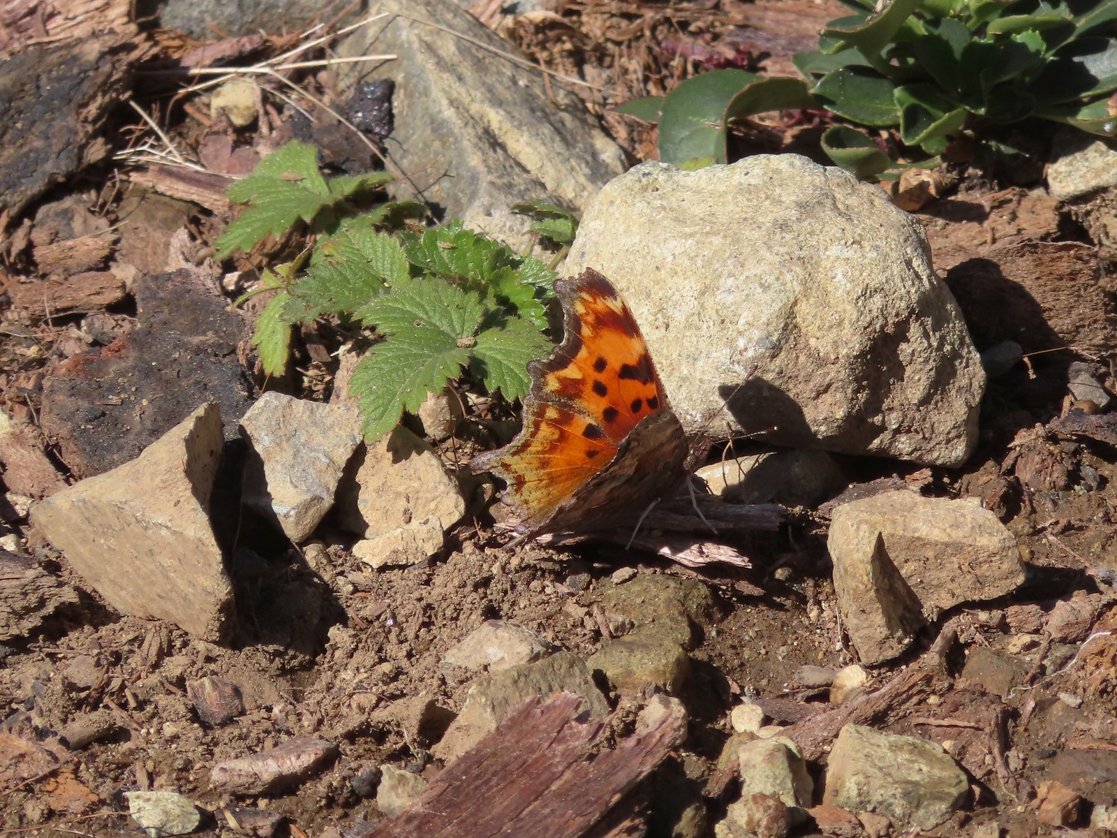 Hoary comma
 Gate along the service road.
 Road 40 from the service road.
 Road 40.
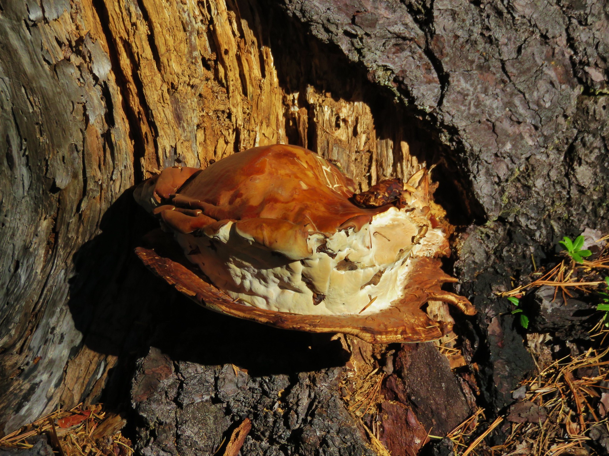
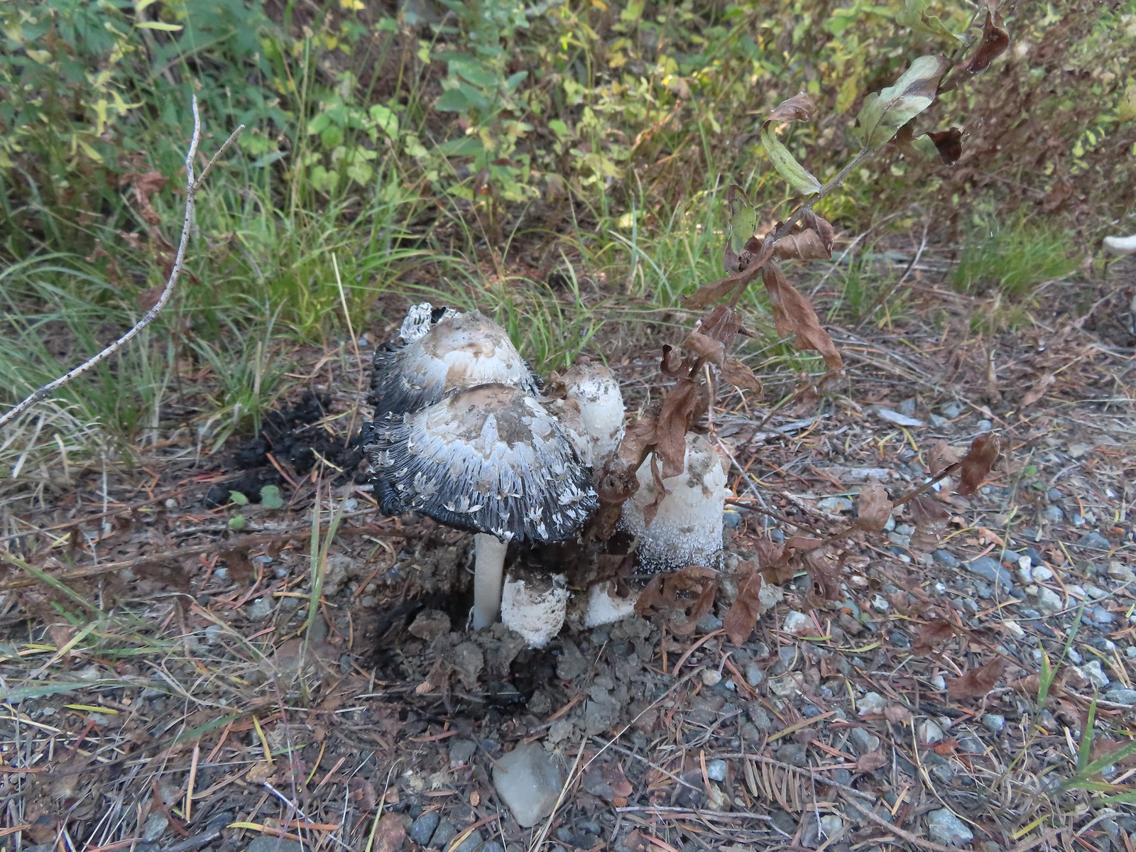 Mushrooms along Road 40.
 The connector trail along Bolan Creek.
 The trail around Bolan Lake.

 Thick vegetation along the lake shore.
 Trail sign at the end of the second campground loop for the trail around the lake.
 Pretty deep channel at the end of the loop.


 Bolan Mountain from Bolan Lake
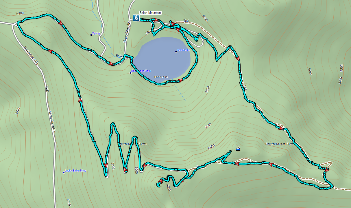


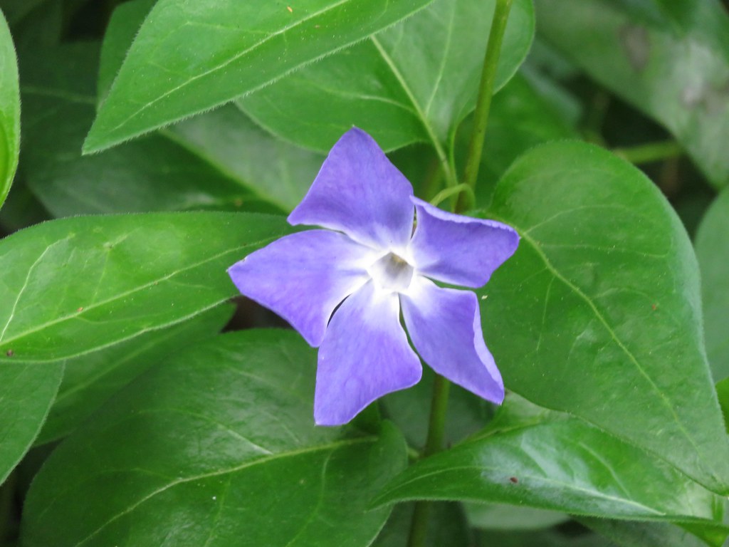
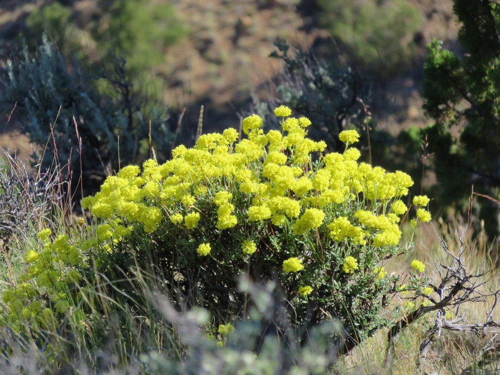
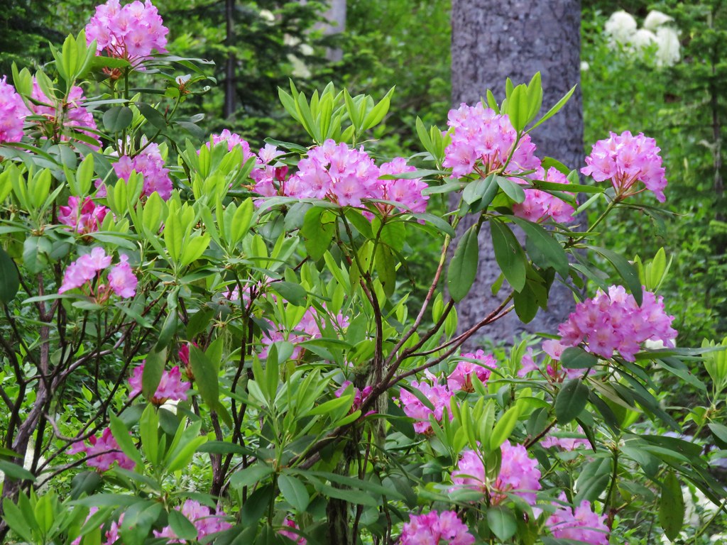
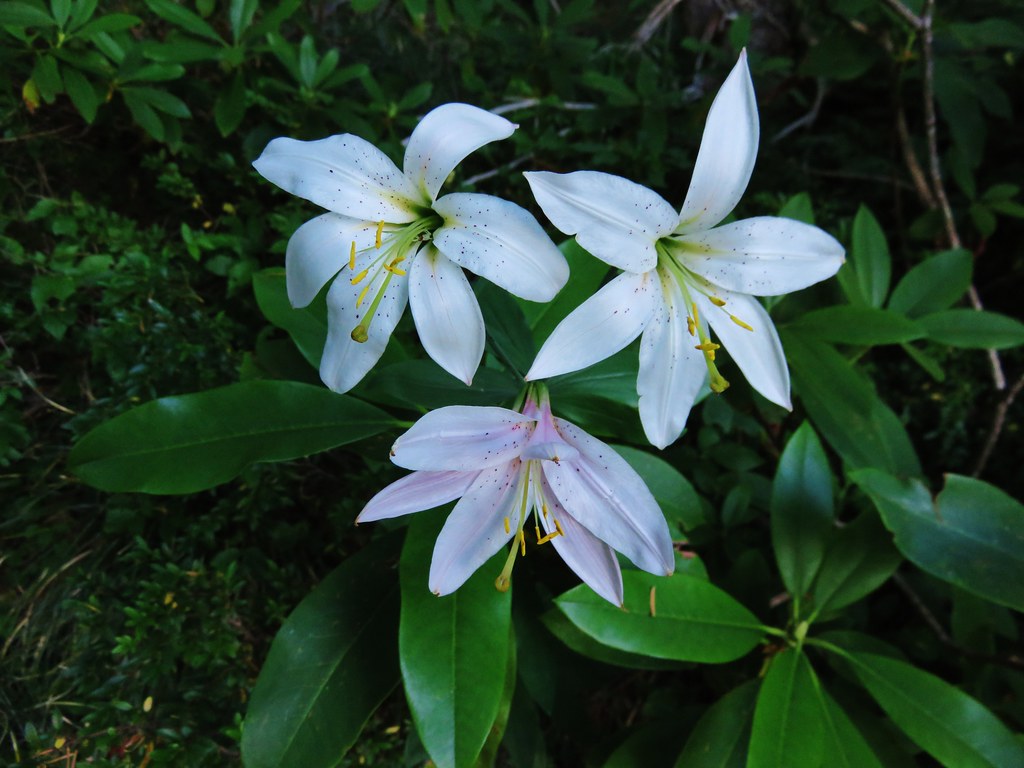
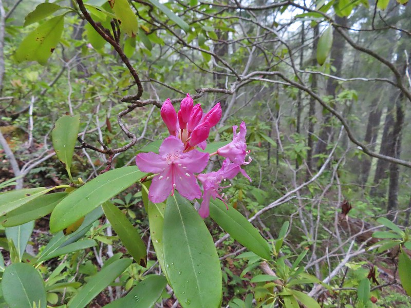 Rhododendron
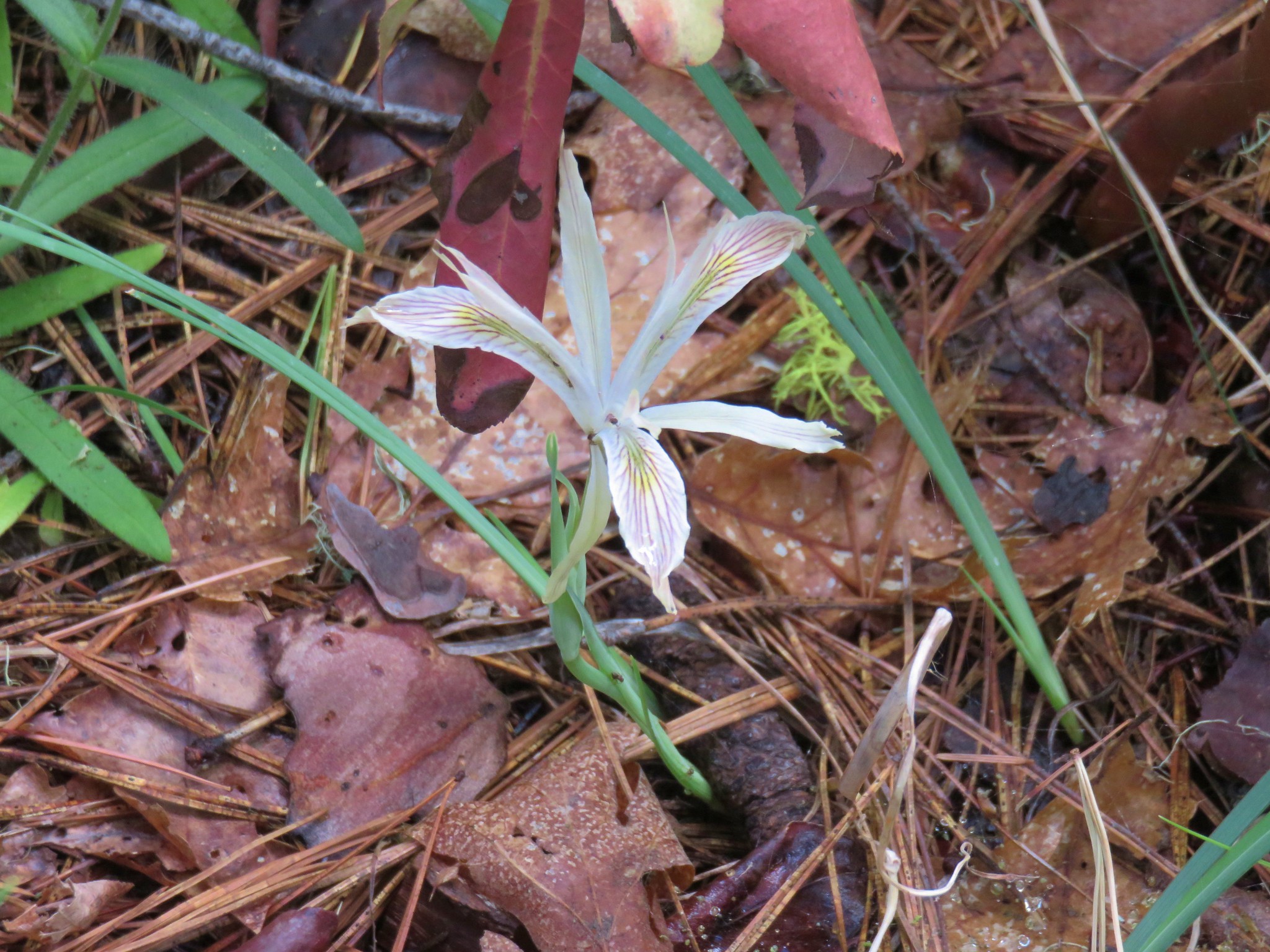
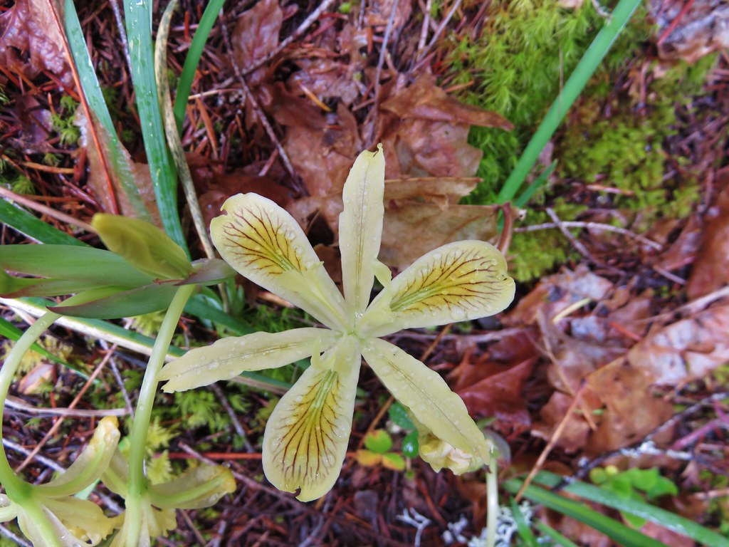
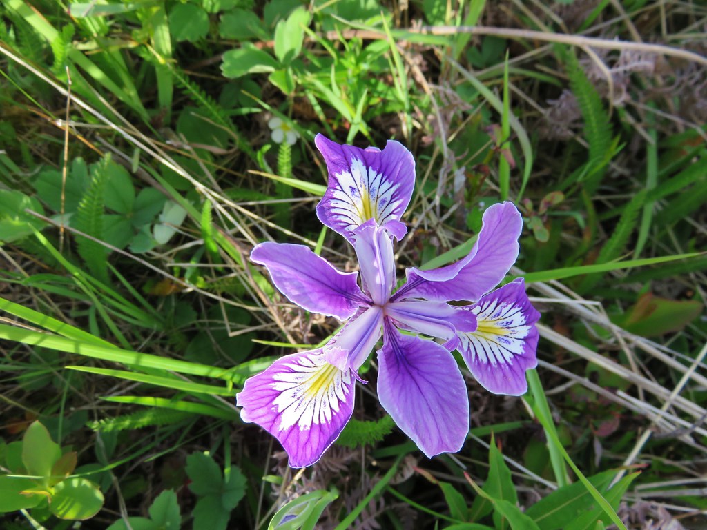
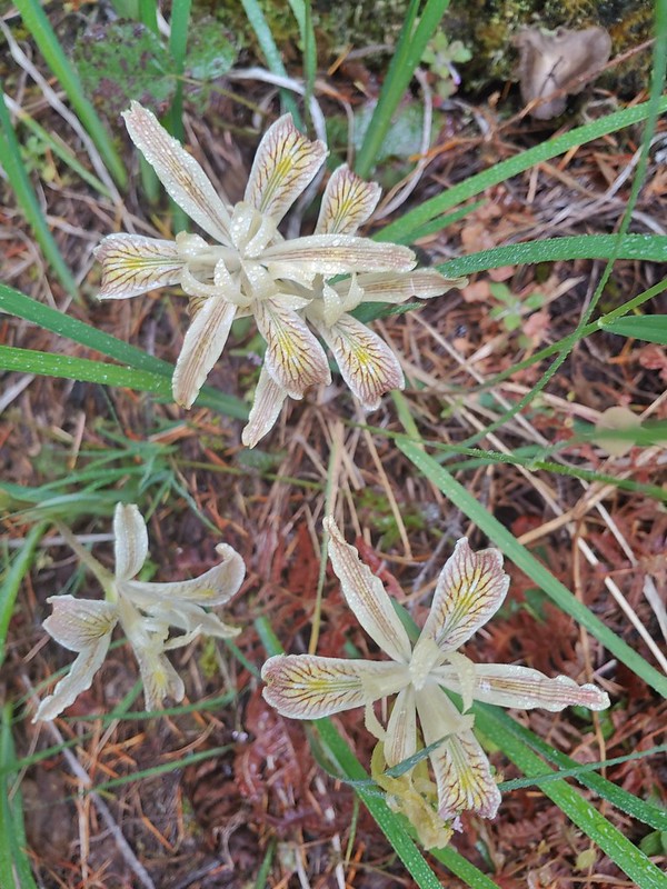 Iris
Iris Star flower
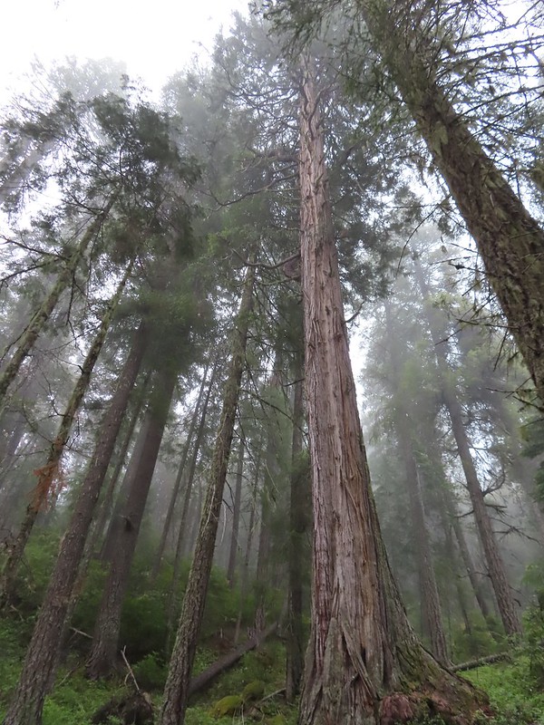 A big cedar.
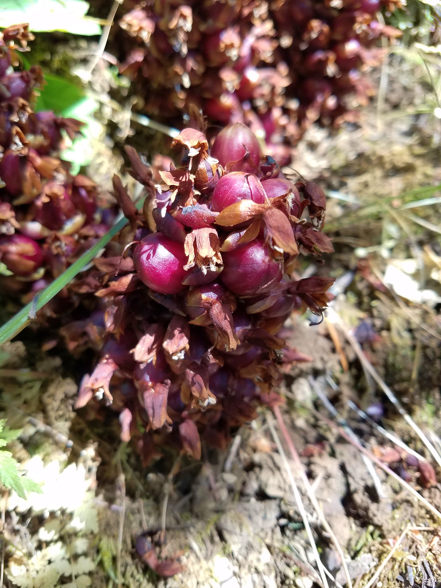
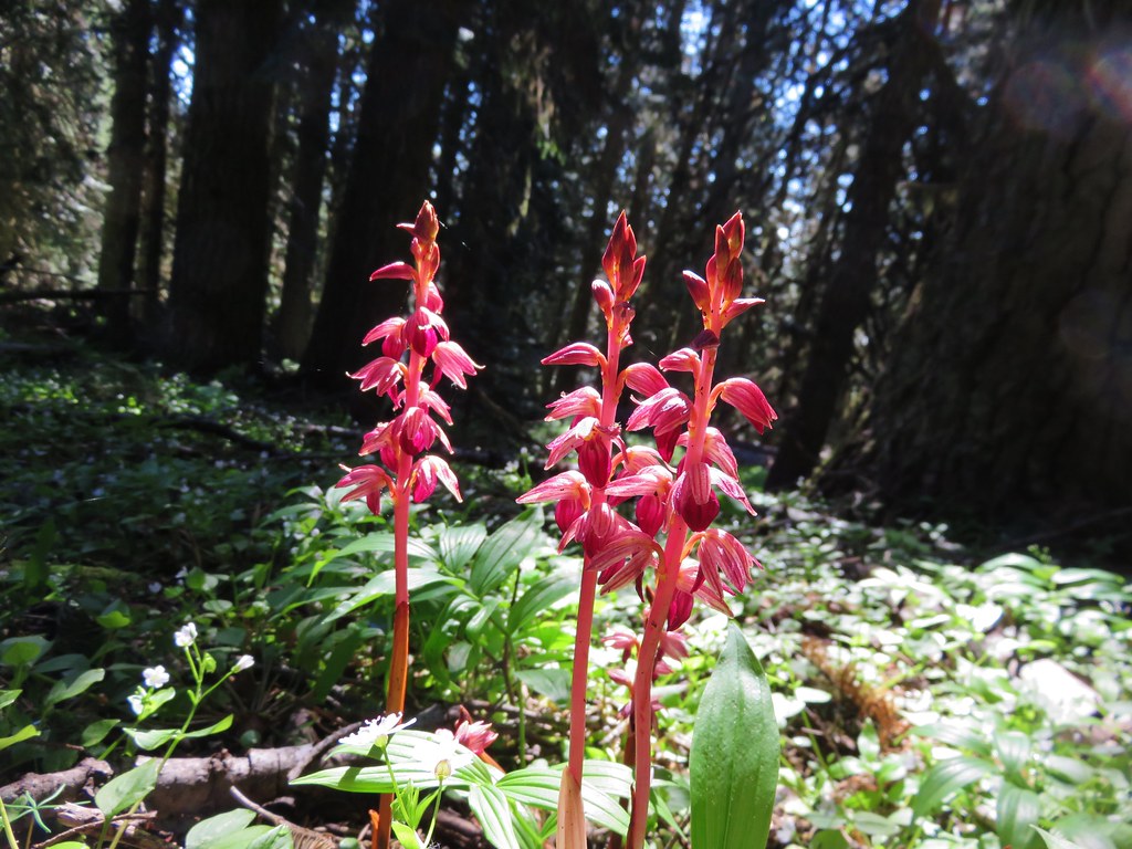
 California ground cone
 The bright red color made them fairly easy to spot amid the green leaves.


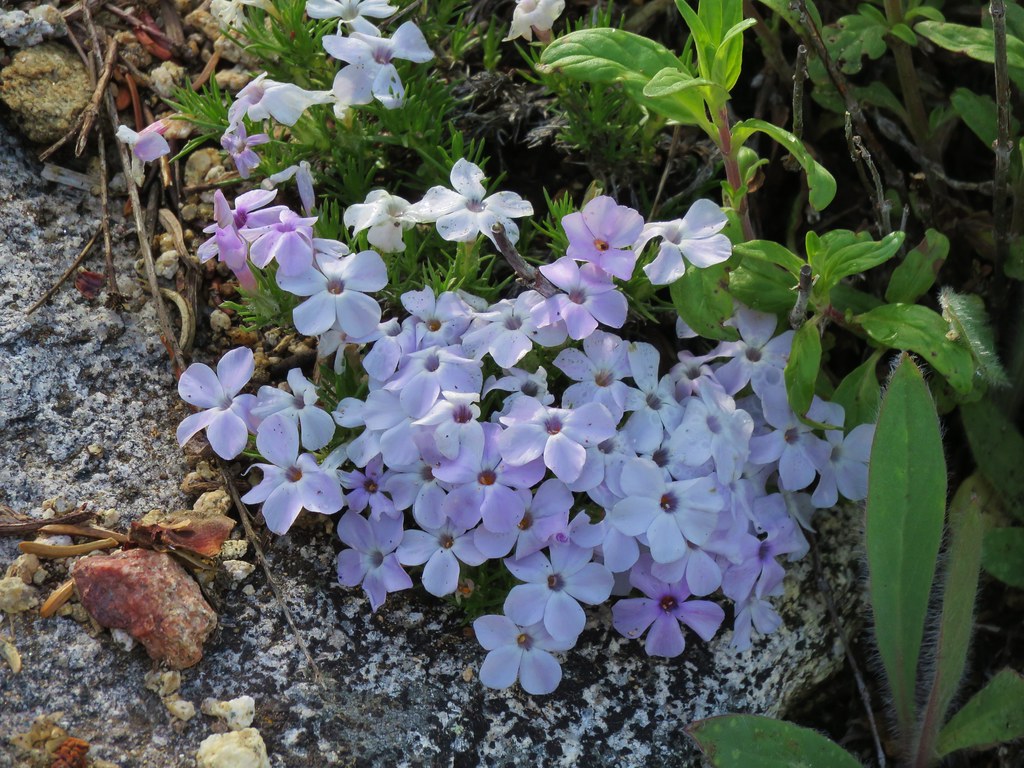
 Phlox
Phlox

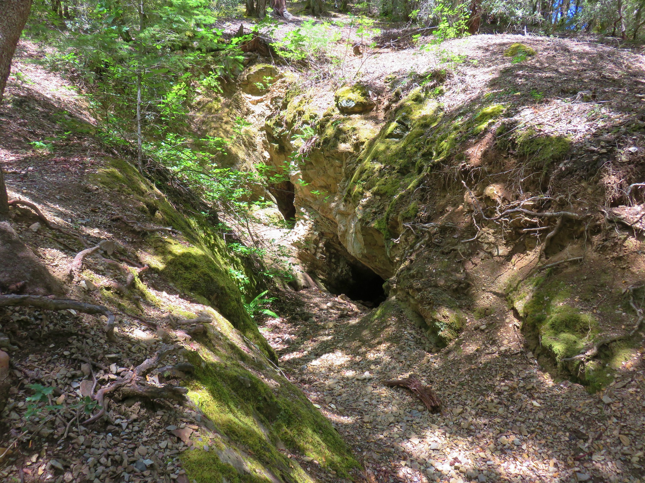
 I of course had to step inside.
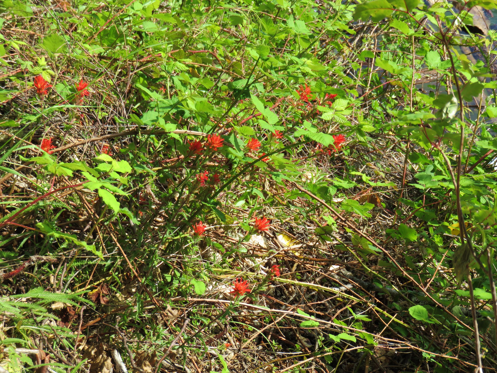
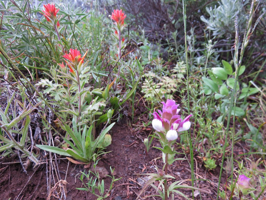
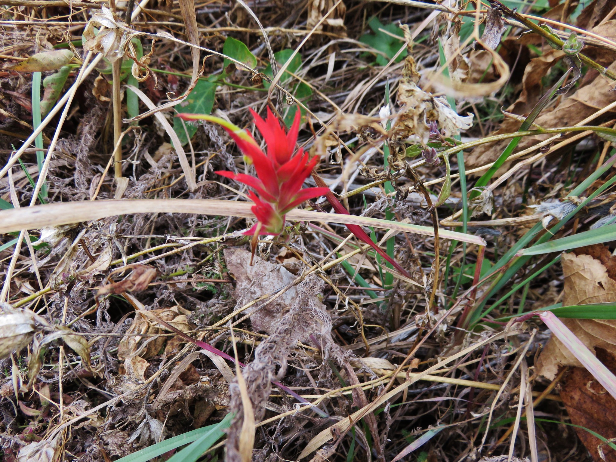
 Paintbrush
 Serviceberry
 A lone beargrass preparing to bloom.
 Lupine also getting ready for a bloom.
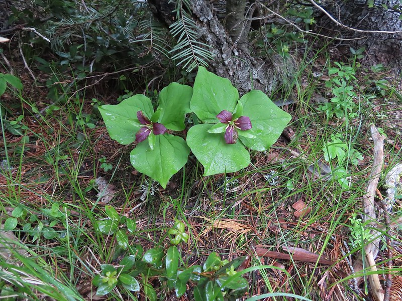 Trillium ending theirs.
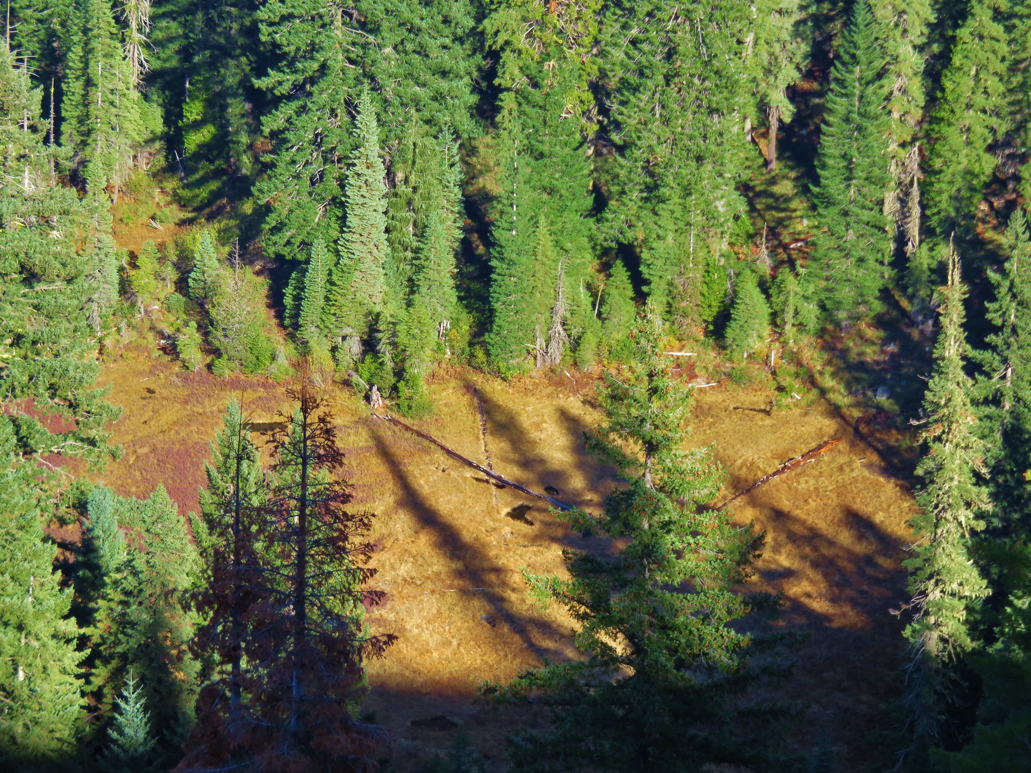
 Frog Pond with the cabin ruins in the stand of cedars to the right.

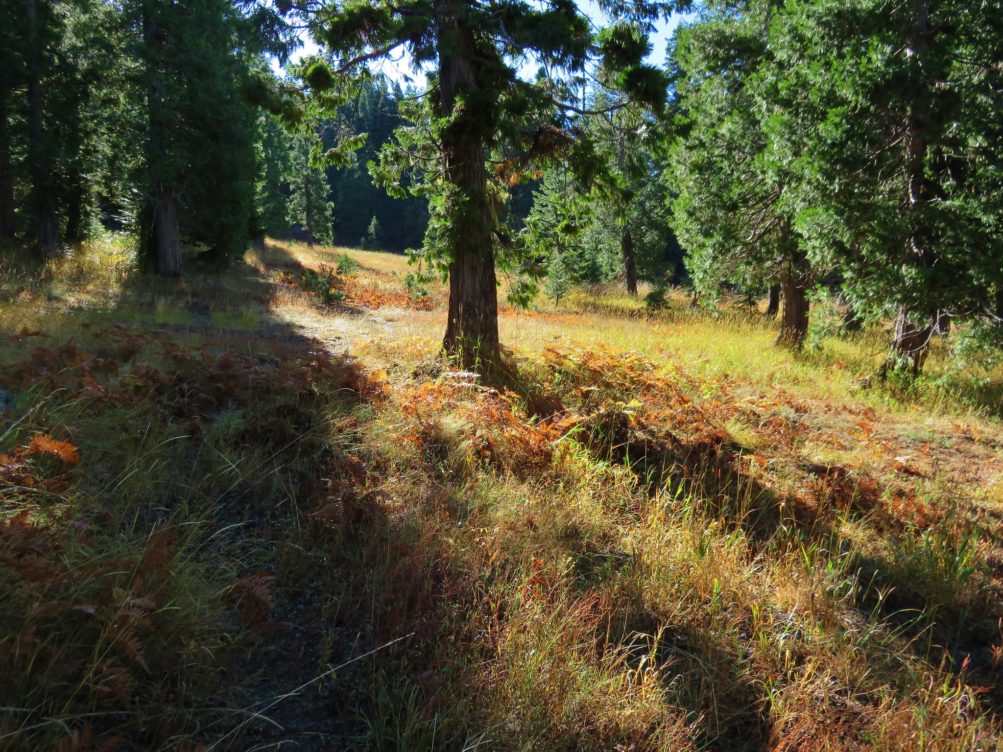
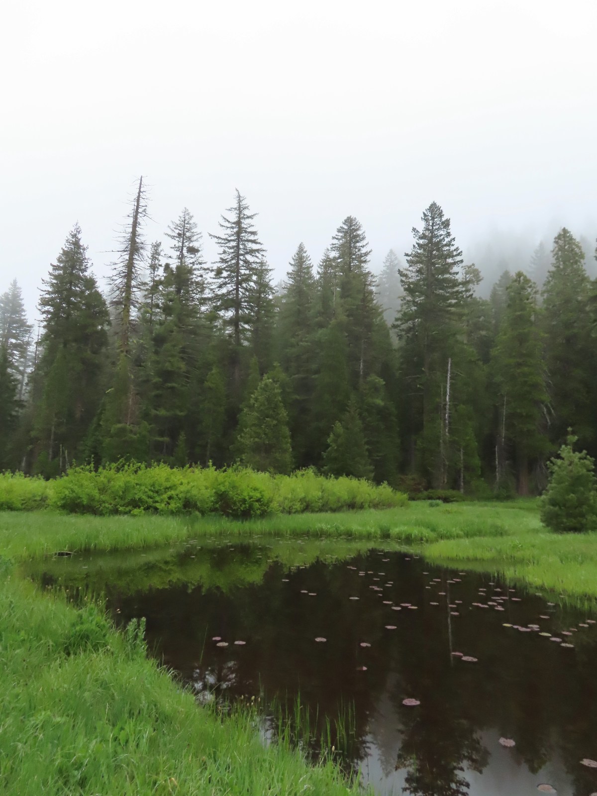
 There was clearly going to be no view this morning so any though of either attempting the loop or going up to the viewpoint on the ridge ended here.
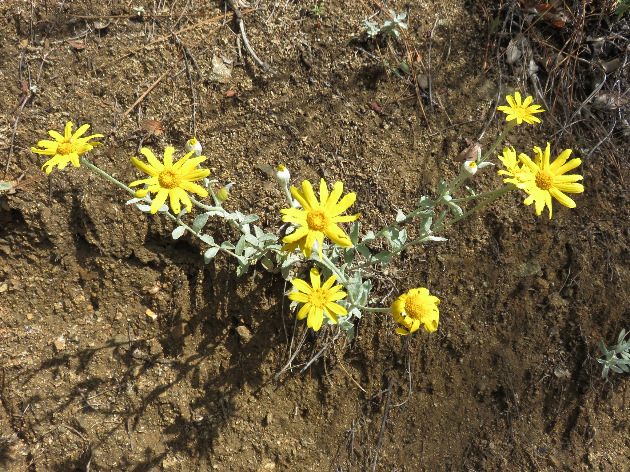
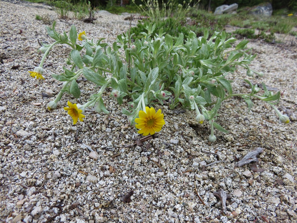
 Pretty face
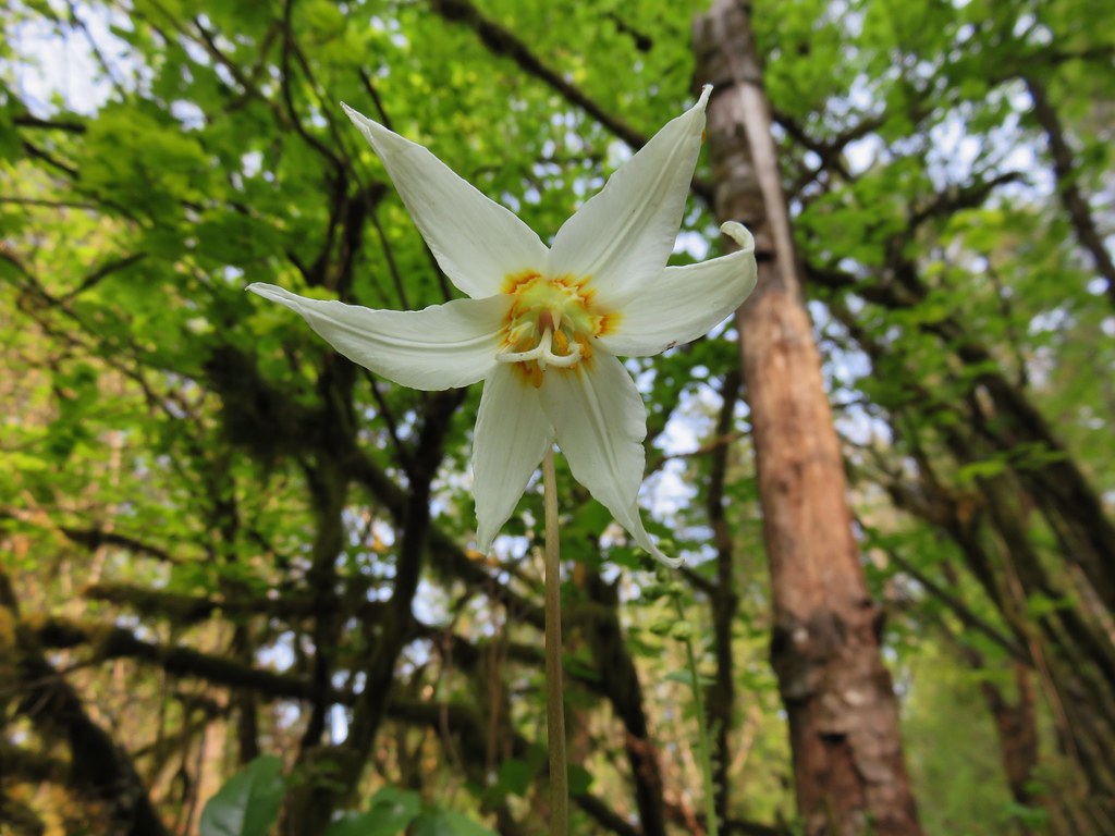
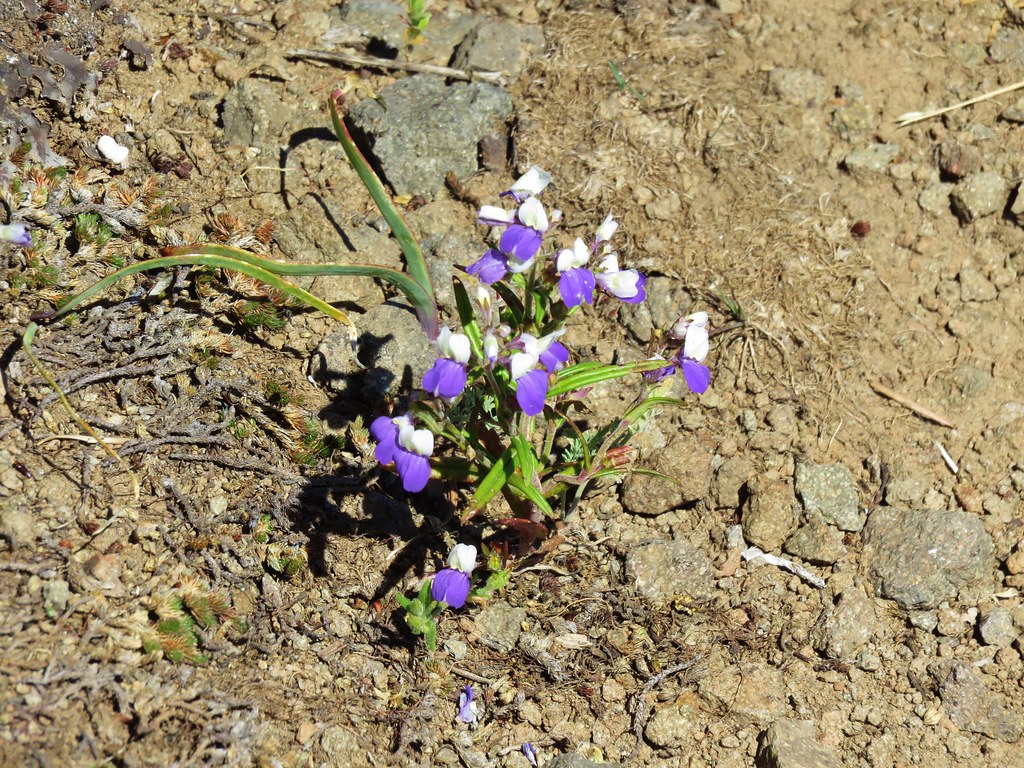
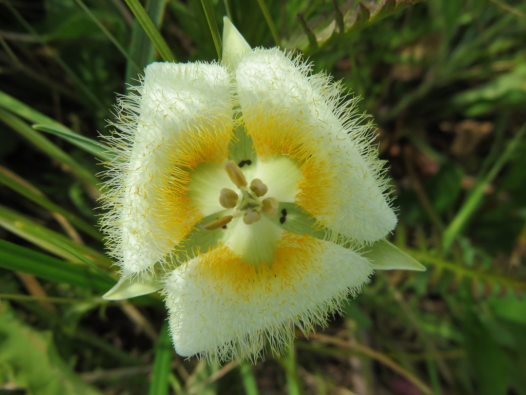
 Death camas
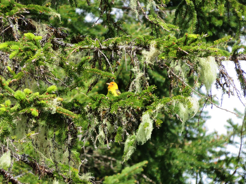
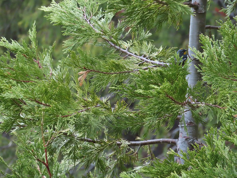 A yellow-rumped warbler hiding in the branches.
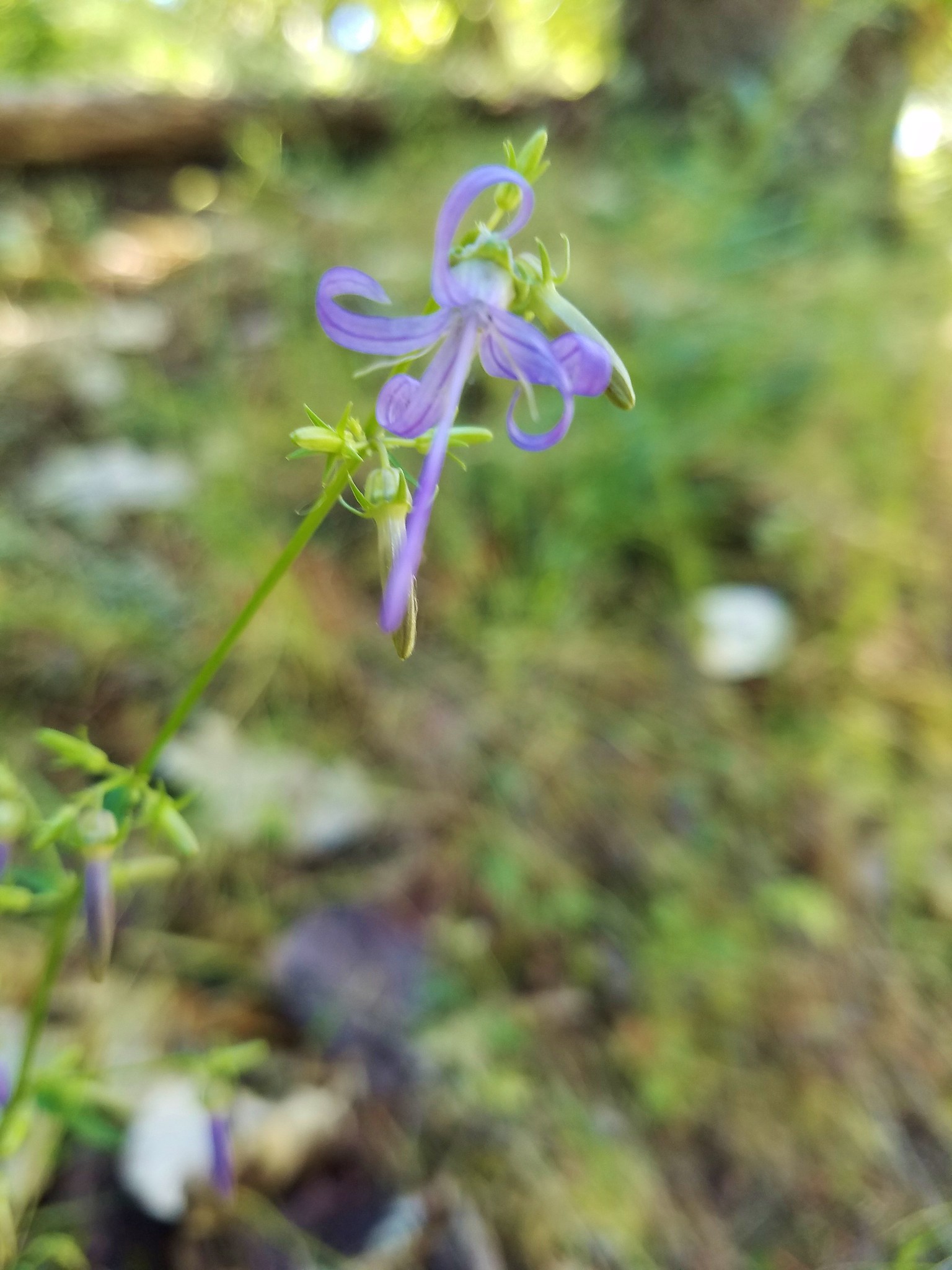
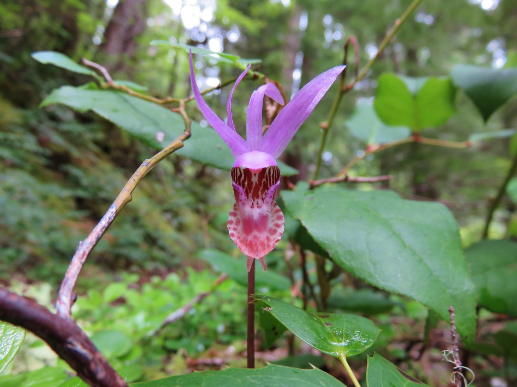
 Fairy slippers
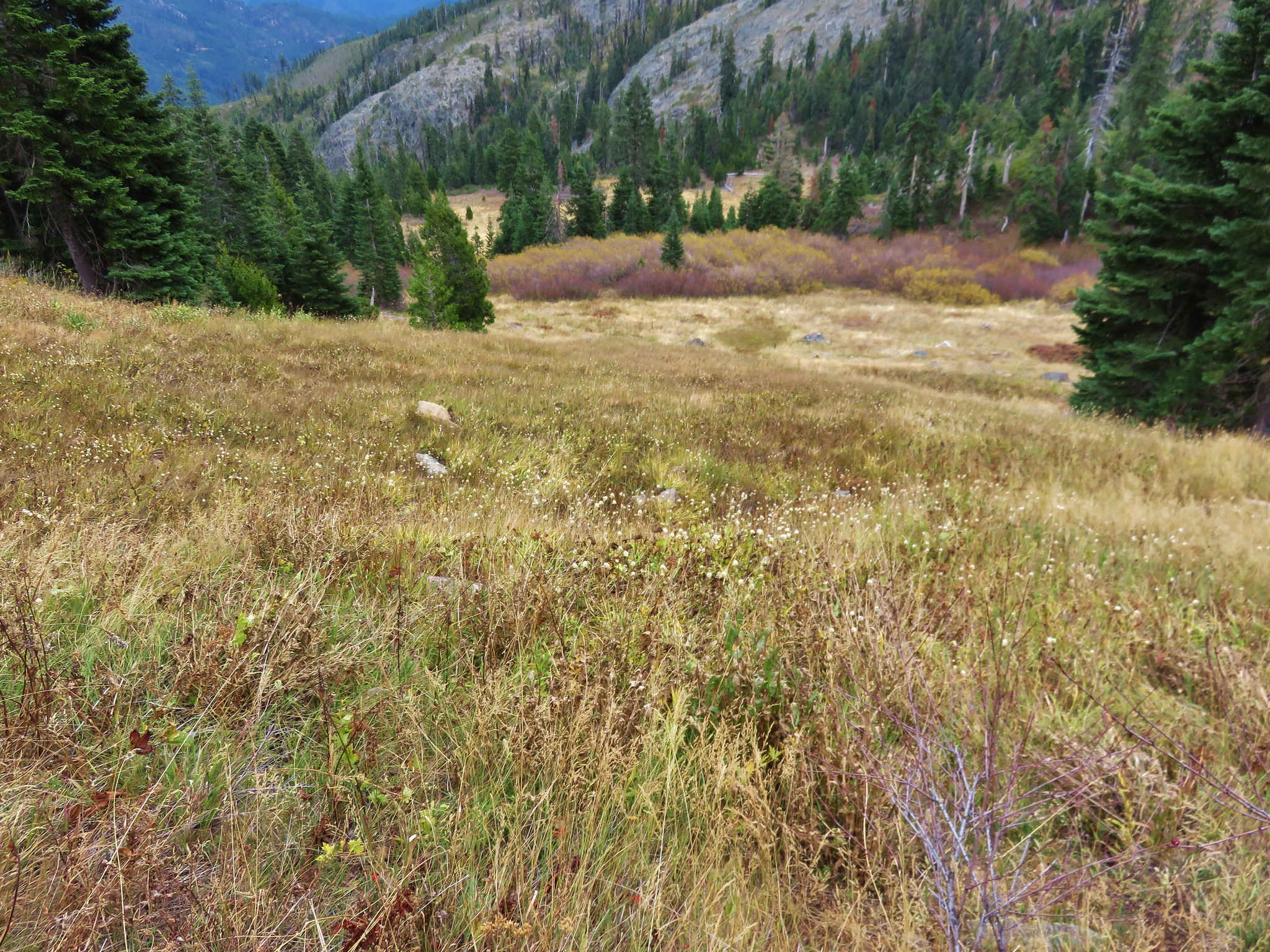
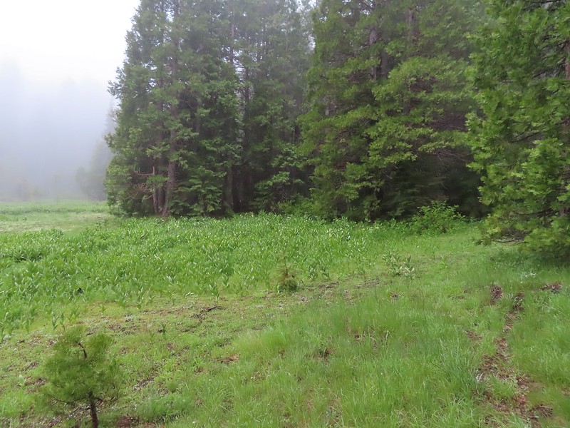 This was the trickiest part to follow at the time but it was pretty easy to see where it picked up in the trees on the far side of the grassy area.
 The inlet creek.
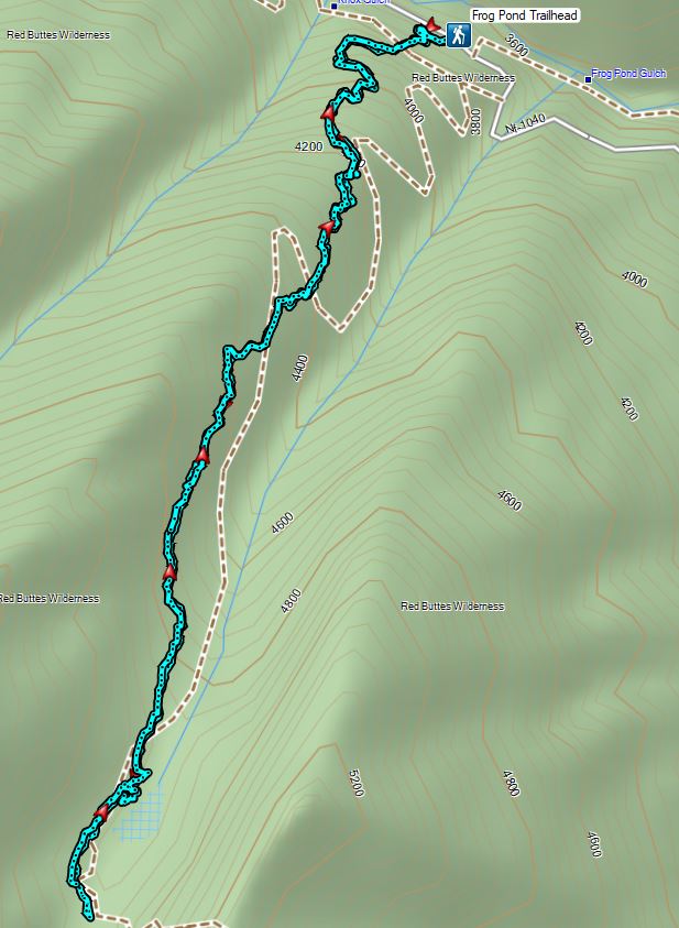


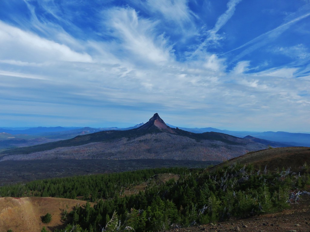
 This photo is from CA but it actually shows the namesake Red Buttes


 Closest thing to a “wilderness sign” we saw for this one.


 Battle Ax Creek – 2014
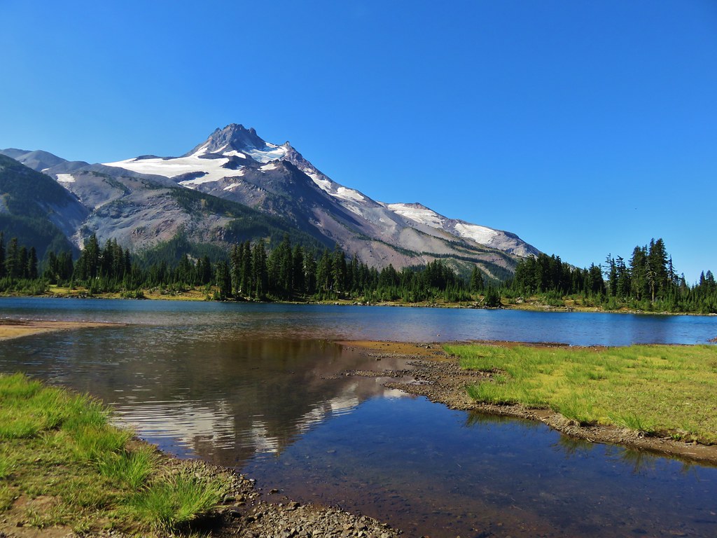
 Mt. Jefferson from Russell Lake – 2016
 Drift Creek – 2010
 Mt. Washington from the Pacific Crest Trail – 2015
 The Three Sisters – 2014
 Three Arch Rocks from Cape Meares – 2018
 Triple Falls – 2012
 Mt. Hood – 2015
 Bandon Islands – 2018
 Twin Pillars – 2011
 Howlock Mountain and Mt. Thielsen – 2014
 Table Rock – 2015
 Frustration Falls – 2018
 Trapper Creek – 2014
 View from Fuji Mountain – 2013
 Serene Lake – 2013
 Badger Creek Wilderness – 2014
 Donaca Lake – 2014
 Emerald Pool – 2018
 View from Boccard Point – 2015
 Red Buttes – 2015
 Oregon Badlands Wilderness – 2016
 Vulcan Lake – 2016
 Rooster Rock – 2016
 Glacier Lake – 2016
 View from Aspen Butte – 2016
 Mt. McLoughlin from Freye Lake – 2016
 White River – 2016
 Rock Creek – 2017
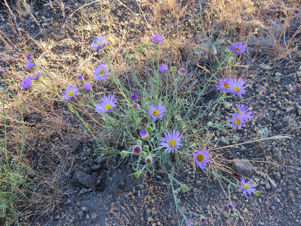
 Hedgehog Cactus – 2017
 Bridge Creek Wilderness – 2017
 Hanging Rock – 2017
 View from Grassy Knob – 2017
 Big Bottom – 2017
 Baldy Lake – 2017
 Cummins Ridge Trail – 2017
 Hummingbird Meadows – 2018
 View along the Pine Creek Trail – 2018
 Slide Lake – 2018
 Barklow Mountain Trail – 2018