Several years ago we set a goal for ourselves to hike all 500 featured hikes in William L. Sullivan’s “100 Hikes…” series of guidebooks (post). In 2020 we completed the first of these books covering the Central Oregon Cascades (post). We followed that up by completing a pair of books in 2021 starting with Sullivan’s “100 Hikes/Travel Guide Oregon Coast and Coast Range” 3rd edition (post) followed up by “100 HIkes/Travel Guide Northwest Oregon & Southwest Washington” 4th edition (post).
Generally speaking in order to check a hike off our list we need to have hiked a substantial portion of Sullivan’s described hike or visited the main attraction(s) he identifies for the hike. For 66 of the hikes we followed the books described route. For the other 34 hikes various factors contributed to us not completing all of each featured hike. For some we started at a different trailhead, others had portions of trail(s) closed when we visited, and several had longer options that would have required multiple days to complete. In some other cases we did slightly different routes, sometimes by accident.
The area covered by Sullivan in this book, as the title suggests includes parts of Southern Oregon and Northern California. It contains his southernmost featured hike, Caribou Lakes. In general the area covered in Oregon begins just North of Roseburg extending East to Highway 97 (with the exception being Klamath Falls which is included in his Eastern Oregon book), South to California, and West to Marial on the Rogue River. In California the area extends south to the Trinity Alps Wilderness, West to the Siskiyou Wilderness, and East to the Mount Shasta Wilderness.
The hikes inside the red lines represent the location of the featured hikes.A closer look at the area covered.
View from Upper Table Rock
#30 Lost Creek Lake-Hiked 6/9/2017
#31 Takelma Gorge-Hiked 10/15/2020
#32 Natural Bridge-Hiked 10/16/2020
#33 Union Creek-Hiked 10/17/20209/20/2022
#34 Abbott Butte-Hiked 10/17/2020
#35 Hershberger Mountain-Hiked 10/16/2020
#36 Muir Creek-Hiked 5/27/2018
#37 Rattlesnake Mountain-Hiked 9/6/2020
#38 Seven Lakes West-Hiked 9/9/2023
#39 Seven Lakes East-Hiked 9/9/2023
#40 Blue Lake Basin-Hiked 9/18/2022
#41 Mount McLoughlin-Hiked 8/27/2016
#42 Fourmile Lake-Hiked 8/26/2016
#43 Sky Lakes via Cold Springs-Hiked 9/24/2022
#44 Sky Lakes via Nannie Creek-Hiked 9/24/2022
#45 Fish Lake-Hiked 10/7/2018
#46 Brown Mountain Lava Flow-Hiked 8/28/2016
#47 Lake of the Woods-Hiked 10/7/2018
#48 Mountain Lakes-Hiked 8/25/2016
#49 Soda Mountain-Hiked 6/3/2015
#50 Pilot Rock-Hiked 7/29/2017
#51 Mount Ashland Meadows-Hiked 6/3/2015
#52 Lithia Park-Hiked 6/2/2015
#53 Bandersnatch Trail-Hiked 6/17/2022
#54 White Rabbit Trail-Hiked 6/17/2022
#55 Grizzly Peak-Hiked 6/5/2015
#56 Roxy Ann Peak-Hiked 5/30/2022
#57 Wagner Butte-Hiked 6/4/2015
#58 Siskiyou Gap-Hiked 6/16/2022
#59 Jack-Ash Trail-Hiked 5/27/2022
#60 Sterling Ditch Tunnel-Hiked 6/10/20175/2/2023
#61 Jacksonville-Hiked 6/8/2017
#62 Enchanted Forest-Hiked 6/11/2017
#63 Observation Peak-Hiked 6/15/2022
#64 Collings Mountain-Hiked 6/8/2017
#65 Applegate Lake-Hiked 6/8/2017 5/29/2022
#66 Red Buttes-Hiked 10/27/2015
#67 Frog Pond-Hiked 6/18/2022
#68 Azalea Lake-Hiked 10/26/2015
#69 Sturgis Fork-Hiked 10/7/2023
#70 Grayback Mountain-Hiked 10/9/2023
#71 Oregon Caves-Hiked 10/30/2015
#72 Mount Elijah-Hiked 10/7/2023
#73 Sucker Creek-Hiked 10/26/2015
#74 Tanner Lakes-Hiked 10/8/2023
#75 Bolan Lake-Hiked 10/8/2023
#76 Polar Bear Gap-Hiked 7/1/2022
#77 Raspberry Lake-Hiked 7/3/2022
#78 Devils Punchbowl-Hiked 7/2/2022
#79 Rough and Ready Creeks-Hiked 5/12/2017
#80 Babyfoot Lake-Hiked 10/9/2023
#81 Eight Dollar Mountain-Hiked 5/4/2023
#82 Illinois River Beaches-Hiked 5/4/2023
#83 Grants Pass Nature Trails 5/3/2023
#84 Rouge River Trail East-Hiked 5/1/2023
#85 Rogue River Trail West-Hiked 6/24/2023
#86 Paradise Lake-Hiked 6/28/2016
#87 Sky High Lakes-Hiked 6/29/2016
#88 Campbell Lake-Hiked 6/27/2016
#89 Paynes Lake-Hiked 7/24/2017
#90 Russian Lake-Hiked 8/24/2022
#91 Hidden & South Fork Lakes-Hiked 8/26/2022
#92 Trail Gulch Lake-Hiked 8/25/2022
#93 East Boulder Lake-Hiked 8/23/2022
#94 Kangaroo Lake-Hiked 7/23/2017
#95 Deadfall Lakes-Hiked 7/25/2017
#96 Caribou Lake-Hiked 7/27/2017
#97 Castle Lake-Hiked 7/26/2017
#98 Castle Crags-Hiked 7/26/2017
#99 Black Butte-Hiked 7/28/2017
#100 Mount Shasta Meadows-Hiked 8/22/2022
In our minds this was by far the most challenging area to finish even though we did so before completing Eastern Oregon. The difficulty with Eastern Oregon mostly revolves around distance from Salem and the size of the area covered. The Southern Oregon-Northern California area is smaller and the hikes not as far away, but it involved a lot of trails that frankly don’t see the level of maintenance that most of the other areas receive. While we’ve encountered rough trails, all over poison oak is much more prevalent down south which doesn’t invite pushing through overgrown tread or bushwacking around obstacles. This area has also been hit harder by fires over the last couple of decades leaving extra work to reopen them as well as remove additional blowdown as the dead trees fall over. When the conditions were good though the scenery and diverse plant and wildlife made for some spectacular hikes. There are many that we’d love to do again and several non-featured hikes that we have in our future plans, so we aren’t done with area yet. Happy Trails!
For Labor Day Weekend we continued our focus on featured hikes from the Southern Oregon area and headed for the Rogue-Umpqua Divide Wilderness to visit several lakes. Our goal was to finish hikes #6 & 7, Fish Lake and Buckeye & Cliff Lakes respectively. To do this we planned hiking into Fish Lake from the Beaver Swamp Trailhead, setting up camp there, and then taking the Lakes Trail from there to the Buckeye and Cliff Lakes for a loop described by Sullivan visiting Grasshopper Mountain. We planned on hiking out the next day one of two ways, either by Rocky Ridge which Sullivan described as a rough route requiring route finding skills or back the way we’d come via the Beaver Swamp Trail.
We made an unscheduled stop on the drive to the trailhead at South Umpqua Falls (We used our NW Forest Pass to cover the $5 day use fee). My Mom had mentioned a water fall along the South Umpqua River that they had not made it to during their explorations and when I saw the sign for the South Umpqua Falls picnic area I thought this might be the falls she was talking about so we pulled in for a quick peek.
We had the popular swimming area that often draws large crowds all to ourselves. We began by visiting the base of the falls then hiked up above the falls.
Ouzel
In all our wanderings here came to 0.4 miles, a good leg stretcher after having driven for a little over 3 hours. We then continued on our drive to the Beaver Swamp Trailhead which we arrived at shortly after 9am.
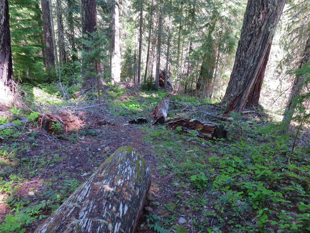
We set off downhill on the Beaver Swamp Trail which promptly entered the Rogue-Umpqua Divide Wilderness.
It was surprisingly overcast and a light drizzle was falling as we hiked through a mixed forest with madrone trees and sporadic poison oak. When I’d checked the forecast the night before it simply called for “widespread haze” with Sunday showing as sunny.
After 1.4 miles on the Beaver Swamp Trail we arrived at the Fish Lake Trail where we turned left.
This trail followed Fish Lake Creek for 0.3 miles to Fish Lake.
Small cascade on Fish Lake Creek.
Logs at the outlet of Fish Lake. The Indian Trail can be seen on the far side. This junction was unmarked and you would have to cross the logs to reach it. In theory one could take this trail to the Lakes Trail near Buckeye Lake, but as we understand it the trail does not receive regular maintenance so we did not include it in our plans.
Arriving at Fish Lake
We continued around the northern shore of the lake for three quarters of a mile passing the one other family camped at the lake along the way (more on them later). Before reaching Highrock Creek we followed a use trail uphill to locate a suitable campsite. When we passed by the campers we caught the distinct smell of campfire smoke which, as of 7/22/2022 had been prohibited in Wilderness areas within the Umpqua National Forest. (Not a good start with this group.)
The clouds began burning off before we’d found our campsite.
We set up camp on a little knoll near an old stone foundation. We’re interested to know what used to be there but so far haven’t found any information on it.
After setting up camp we returned to the Fish Lake Trail which appears to have been rerouted through a large and elaborate campsite. A little too developed for Wilderness standards.
From the large campsite the trail followed Highrock Creek for 0.6 miles to a fork. The Fish Lake Trail actually veered uphill to the left and the Lakes Trail picked up to the right. A dry channel along Highrock Creek.
Crossing an unnamed creek.
The trail junction.
Just beyond the junction the Lakes Trail crossed Highrock Creek and began a steady climb along a hillside above Fish Lake. Highrock Creek. There were several nice pools here which we utilized to replenish our water on our way back to camp.
Foam flower and a few ripe thimbleberries, Heather’s favorite.
This trail was well maintained and after approximately 2 miles we arrived at a junction with the Grasshopper Trail. A couple of things to note about this segment of the Lakes Trail. Sullivan showed it as 1.7 miles so this was a little longer than we’d expected, but more importantly the trail alignment shown our GPS unit’s topographic map had the trail quite a bit higher on the hillside. (CalTopo agrees with our actual track so it appears to be accurate.) The junction with the Grasshopper Trail
We decided to make the climb to Grasshopper Mountain before visiting the two lakes so we turned right onto the Grasshopper Trail and trudged uphill gaining 860′ in the next 1.25 miles before arriving at a junction near Grasshopper Spring.
Pine white
Sign for the Gasshopper Mountain Trail.
Grasshopper Spring is out there somewhere.
We turned right onto the Grasshopper Mountain trail. This three quarters of a mile trail climbed another 350′ to the site of a former lookout. The climb was surprisingly gradual and passed through a variety of scenery along the way. We had to go around this big tree.
A few aster
There were some good sized cedars up here.
A fritillary
Another big cedar.
Fritillary on pearly everlasting.
The final stretch to the summit passed through a fire scar.
Highrock Mountain to the left, Hershberger Mountain in the middle, and the Rabbit Ears to the right (post).
Rabbit Ears closeup.
Fish Mountain (back left), Weaver Mountain, Highrock Mountain, and Hershberger Mountain with Grasshopper Meadow below.
Highrock Mountain
Owl’s clover.
Arriving at the old lookout site.
We spent some time enjoying the view but a lack of shade (and places to comfortably sit) kept us from taking a longer break at the summit.
Buckeye (left) and Cliff Lakes below Grasshopper Mountain. The broad hump beyond to the left is Twin Lakes Mountain. We had visited a viewpoint on the north side of that mountain back in June of this year (post).
Buckeye and Cliff Lakes
Smoke on the horizon to the NW. The Cedar Creek fire to the NE, Rum Creek Fire to the SW or several fires in Northern California could be the culprit(s). The peak with the white spot to the center right is Quartz Mountain which we recognized from our Hemlock Lake hike in August (post).
To the NE we got a glimpse of Rattlesnake Mountain (far left) which we’d climbed during Labor Day weekend in 2020 (post).
Rattlesnake Mountain behind Standoff Point.
We headed back down toward the Grasshopper Trail but instead of simply retracing our steps we veered right after 0.6 miles on a spur of the Grasshopper Mountain Trail that brought us to the Grasshopper Trail on the opposite side of a saddle from where we’d left it.
A skipper
We veered right here which kept us from dropping below the saddle that we otherwise would have had to climb over on the Grasshopper Trail.
Descending to the Grasshopper Trail.
Trail sign at the other junction.
We turned right again and continued on our loop following the Grasshopper Trail downhill to Grasshopper Meadow. Grasshopper Meadow through the trees.
Sign for a (faint) spur trail to a spring above the meadow.
The Grasshopper Trail skirted the meadow and a half mile from the saddle arrived at a signed junction with the Acker Divide Trail. Highrock Mountain from Grasshopper Meadow.
A few flowers hanging on to the last days of Summer.
Common wood nymph
The trail got pretty faint just before the junction but we could see the trail sign so we just headed for it.
Fleabane? and paintbrush.
Acker Divide Trail pointer.
Pointer for Cripple Camp (we visited the shelter there on our Hershberger Mountain hike) and the Rogue-Umpqua Divide Trail.
We turned right onto the Acker Divide Trail following this trail for a total of 3.2 miles (per our GPS, Sullivan had it as 3) passing a spur to the Acker Divide Trailhead at the 1 mile mark, Mosquito Camp at the 1.4 mark, and a pond labeled Little Fish Lake in the guidebook after 2.8 miles. This appeared to be the least utilized trail that we’d been on. It was fairly well maintained but there was a lot of debris on it and vegetation crowding the trail. It also left and reentered the wilderness area a couple of times.
This fuzzy caterpillar was in a hurry.
The trail along an old log.
Passing through a small meadow near the spur to the Acker Divide Trailhead.
Yarrow and goldenrod
The area was really well signed.
Sign for Mosquito Camp on the tree to the right. There was zero sign of any established campsites here.
Meadow at Mosquito Camp, it came complete with mosquitos (not too many though).
First of two times reentering the Rogue-Umpqua Divide Wilderness.
Scat on the trail, at least we knew something used it.
One of several very small bodies of water along Skimmerhorn Creek which may or may not be Little Fish Lake.
Overgrown trail near Skimmerhorn Creek.
Looking down at the pond? lake?
As we neared the Lakes Trail we began seeing more signs of what appeared to be an ancient lava flow.
Last of the lupine blooms.
Lots of these insect tents on the madrones in the area.
Arriving at the Lakes Trail.
At the Lakes Trail we again turned right following it briefly through a fire scar before reentering unburnt forest and arriving at Buckeye Lake after 0.4 miles.
First glimpse of Buckeye Lake
At this fork we detoured right to visit the lake shore.
A good reminder that far too many people tend to forget.
Grasshopper Mountain from Buckeye Lake.
We were surprised to find that there was no one at the lake given that it’s just a mile from the Skimmerhorn Trailhead. While there were no people to be seen we were not alone. Lizard
We had to really watch our step because these little guys were everywhere.
There is an smaller, unnamed lake just West of Buckeye Lake that we did not take the time to check out closer.
From the far end of Buckeye Lake we followed the Lakes Trail 0.2 mile through the old lava flow to a spur trail on the right that led to a large campsite along Cliff Lake. Someone had left (placed) a small BBQ and tarp here but we never saw anyone.
The spur trail to the campsite.
Attempted panorama.
The campsite provided a nice shaded place for a break free of mosquitos. After a nice long break we returned to the Lakes Trail and continued another 0.3 miles to the junction where we had earlier turned onto the Grasshopper Trail. We turned left at the junction and headed back toward Fish Lake. Footbridge over the outlet creek which flows into another small unnamed lake that we did not attempt to find.
Unfortunately the lighting made this tree very hard to photograph but it was the coolest tree/rock combination that we’ve encountered.
Fritillary on thistle.
Short climb back up to the junction.
We had considered having our dinner at Cliff Lake since it was close to 5pm but we had decided against it due to being low on water and preferring to refill from one of the creeks over the lakes. We followed the Lakes Trail back to Highrock Creek where I worked on dinner while Heather refilled our water. After enjoying some Mountain House creamy macaroni and cheese we hiked the final 0.6 miles back to our campsite. This slug was heading our way while we finished dinner.
The Sun was getting pretty low as we ended our hike.
A big nest atop a tree and the Moon above Fish Lake.
Zoomed in on the nest and Moon.
Fish Lake just before 7:30pm.
We were again surprised by the lack of people, it appeared that it was still just us and the campfire family. We turned in a little after 8pm to the welcome sound of crickets. Just before 9pm someone with the campfire family decided it was the perfect time to repeatedly fire a small caliber gun. It was both jarringly startling and disconcerting. We were not sure which direction they were firing in and we had no idea if the even knew we were camped there. As the shooting continued we began to consider our options. We couldn’t hike out because we’d need to pass them and that didn’t seem safe in the dark plus we guessed that whoever it was had been drinking. (Based on the four Coors cans we passed the next morning cooling in a stream we think that was probably the case.) The other option was to move camp further back, there was a site near Highrock Creek that was closer to the water than we would normally choose but given the choice of being struck by a stray bullet of camping closer than 200′ to water we were going to pick the water. During a break in the gunfire I quickly retrieved our bear bag and moved it downhill where we could easily access it if we needed move to the creek. We settled on moving camp if the shooting started again but fortunately it did not and we were able spend the rest of the night in relative peace.
The next morning we discussed our plan for the day. Neither of us were too keen on passing by what we were now referring to as the “mouth breathers” but we also both had the sneaking suspicion that the previous days hike was longer than the 13 miles we had come up with adding the distances in Sullivan’s book together. In the end though we both felt like we’d regret not trying the longer (and more elevation gain) return via Rocky Ridge. We decided that we would go ahead and give it a try knowing that we always had the option of turning around and hiking out the way we’d come in on the Beaver Swamp Trail given it was less than 2.5 miles to the trailhead from our campsite that way. We packed up camp and headed for Highrock Creek to top off our water. Campsite after packing up in the morning.
Passing our planned route for the day on the left. Highrock Creek was just a 20 yard detour to the right.
After replenishing our water supply we started up the Fish Lake Trail which climbed nearly 2200′ in three miles to its end at the Rogue-Umpqua Divide Trail near Highrock Meadows. This section of the trail had many signs of the 2017 Pup Fire scar which is the main reason we were uncertain whether or not we would be able to make it back to the trailhead this way. There were some signs of post fire trail maintenance, but we weren’t able to even make it a half mile before encountering a very large downed snag blocking the trail. It was too tall and at too steep of an angle to safely climb over and there wasn’t enough clearance to go under (we’d already done both options on other downed trees). The steep hillside was covered in downed trees and the fire had left the ground unstable making scrambling around too risky for our taste so we called it there and made our retreat. I think this was the third obstacle, one of several that was easy enough to get over.
Prior maintenance, the second log may have been cut post fire?
End of the line for us. Even if we somehow got around this one there was still 9.5 miles of burned trail from the trailhead and who knew how many obstacles like this one we might encounter or how long it would take us if we somehow were successful.
We had the privilege of navigating this one twice. Heather is on the other side coming through.
Back at the junction.
From the junction it was just under three miles back to the car. We hustled past the mouth breathers who seemed to still be asleep and said goodbye to Fish Lake. No clouds this morning.
Highrock Mountain behind Fish Lake. Seeing the vine maples turning colors reminded us that despite the heat Autumn was just around the corner.
Hiking along Fish Lake Creek.
Highrock Mountain from the Beaver Swamp Trail.
Leaving the Rogue-Umpqua Wilderness for the last time this trip.
Our suspicions about the length of our hike on Saturday were confirmed by our GPS showing a distance of 16.4 miles with approximately 3200′ of cumulative elevation gain.
Our tracks for the weekend. The solid light blue line was our attempt to reach Rocky Ridge
Given the previous days hike and how warm it was by 9am it was probably for the best that we were turned back from the longer return as quickly as we had been. It had been a bit of a mixed bag with some good weather, nice scenery mixed in with the gunfire and not being able to hike out via Rocky Ridge but overall it had been enjoyable. (Click here for a look at the Rocky Ridge route pre-fire courtesy of Boots-on-the-Trail.)
At the trailhead we encountered a Forest Service employee who had just arrived for a two night stay at the trailhead. They were there to perform a survey of recreation users so we spent about 10 minutes answering the questions before heading home.
Unfortunately for us our adventure wasn’t over. If you’ve been following our blog this year you’ll know that we’ve had the low tire pressure light come on three different times, each one a long way from home (Siskiyou Gap, Black Butte Trail, and Russian Lake) due to a nail, a screw, and a rock. The latter leaving us with a flat tire near Callahan, CA and requiring a purchase of four new tires. This time just outside of Roseburg instead of the low tire pressure light half our dashboard lit up. All at once the check engine light came on, the X-mode indicator began blinking, and the Eye Sight unavailable lights all came on. After further review it appears that when the check engine light comes on those other systems are disabled prompting those indicators to come on. Regardless it was a Sunday and we were over a hundred miles from home. We kept a close eye on all the gauges for the rest of the drive and will have to wait until the Tuesday after Labor Day to make an appointment to have the car checked out. What I wouldn’t give for a Star Trek transporter. Happy Trails!
Well 2020 is officially over and I think nearly everyone is glad to see it go. It was a rough year for so many between COVID-19 costing lives and jobs and wildfires claiming homes and businesses. We were fortunate in that we were able to keep working throughout the year, stayed healthy, and were just slightly inconvenienced by the fires that impacted so many after Labor Day. The most traumatic event that we personally experienced was the loss of our eldest cat, Buddy (post) in January.
With all that going on during the year, hiking became a way to try and escape and yet it seemed nearly impossible not to feel the cloud that was 2020 hanging over everything. It certainly made for a “different” year of hiking. I made more changes to our planned hikes in 2020 than in any previous year. It wasn’t just COVID and fires that triggered changes either, flooding in the Blue Mountains east of Pendleton in February damaged Forest Service Roads and trails forcing us to cancel a planned June trip. We originally had 58 days of hiking planned (as of January 1, 2020) but we cancelled a September backpacking trip in the Sky Lakes Wilderness due to heavy wildfire smoke which left us ending the year with 52 days of hiking. Of those only 19 days consisted of hikes that were on the list on January 1, and just 9 wound up happening on the day originally scheduled (an additional two happened within a day of the original plan).
During those 52 days we spent 10 nights backpacking, stopped at 70 trails/trailheads, and 3 roadside waterfalls. Hiker symbol = Trails/trailheads, yellow houses = campsites, purple binoculars = roadside waterfalls
This year saw no repeated hikes and just 18 days where we were on the same part of a trail that we had hiked in a previous year, roughly 34.5 out of the 586.7 miles that hiked. That meant a lot of new trails and sights for us. Two of the hikes, Gearhart Mountain (post), and Boulder Creek (post) were in wilderness areas that we had yet to make it to. Gearhart Mountain
Boulder Creek
Here are just a few highlights from the places we visited over the year. (* denotes at least some of the area burned in a 2020 fire.)
January Netarts Spit
February Spencer Butte
Shotgun Creek
Horse Rock Ridge
March Miller Woods
Trappist Abbey
April Bush Pasture Park
May Basket Slough Wildlife Refuge
North Fork Willamette River
Little Luckiamute River
Valley of the Giants
Indigo Springs
Rigdon Meadows
Pigeon Butte
June East Fork South Fork McKenzie River
Sullivan Creek Falls*
Henline Falls*
Henline Mountain*
Spirit Falls
Pinard Falls
Moon Falls
Memaloose Lake*
Echo Basin
Fish Lake
Green Ridge*
Table Rock Wilderness* (The Riverside fire burned at least the access road and may have encroached into the SW portion of the wilderness.)
Monte Carlo Trail
July Hunchback Mountain
Meadow below the Three Pyramids
Daly Lake
Winter Ridge
Fence Pass
Flook Lake
Hart Mountain Antelope Refuge
Petroglyphs along Petroglyph Lake
DeGarmo Canyon
The Palisades in the Gearhart Mountain Wilderness (This was probably our favorite area of the year amid these rock formations.)
August Sleeping Beauty
Highline Trail
Cottonwood Creek Falls (This was probably the sketchiest hike we’ve done.)
Mt. Thielsen* (The Thielsen Creek fire burned a small part of the trails in the area.)
Bohemia Post Office
Diamond View Lake
Diamond Peak (The sketchiest hike we didn’t do.)
Karen Lake
Middle Erma Bell Lake
September Diamond Lake
Rattlesnake Mountain
Spruce Run Creek Trail
October Indian Heaven Wilderness
Wildcat Canyon
National Creek Falls
Takelma Gorge
Hershberger Mountain
Rabbit Ears
Natural Bridge
Abbott Butte Lookout
Forest Park
Upper Latourell Falls
Larch Mountain
November McKenzie River
December Yachats
Not all of the trails were in the greatest of shape, an issue that is unfortunately becoming more common as the agencies that manage them often lack the funding to maintain them. Swordfern Trail
East Fork Trail
Riggs Lake Trail
Hackleman Old Growth Loop
Howlock Mountain Trail
Shale Ridge Trail
Acker Divide Trail
Union Creek Trail
While we haven’t run out of new trails and areas to explore we are finding it harder to see wildflowers and wildlife that we haven’t already seen at some point but there always seems to be some. We spotted a bobcat for the first time (from the car) on our way to Winter Ridge (post). Lake Abert and Summer Lake hosted a few species of birds that we hadn’t run across before. (post) We plan on posting wildflower and wildlife galleries soon but for now here are those that were new to us this year. Castilleja levisecta – Golden Paintbrush at Basket Slough Wildlife Refuge (post)
Musk Thistle at Winter Ridge (Unfortunately it’s an invasive but they were impressive.)
Possibly a coastal tailed frog at Wiley Camp in the Rogue-Umpqua Divide Wilderness (post)
The most interesting thing that happened this year though was stumbling on a human mandible. It was a little unsettling but it was clearly fairly old. We left it alone and marked the coordinates the GPS and reported it to the agency in charge of the land. The agency was nice enough to keep us in the loop when archeologists were called in to confirm that it was Native American at which point they contacted the appropriate Tribe(s) so that they could decide what to do with it. We were asked no to share the location for obvious reasons. It was very interesting getting to see how that process worked.
We also hit a couple of milestones this year, our last hike at Yachats (post) was our 500th day of hiking and we reached our long term goal of hiking all 100 featured hikes in William L. Sullivan’s “100 Hikes/Travel Guide Central Oregon Cascades” (4th edition). We will talk a little more about that in a progress report on our goal to finish the 100 featured hikes in all five of his guide books covered areas.
Despite all its troubles 2020 will at least be memorable. Here is to a better 2021 with more new trail, new discoveries, and hopefully some happier stories. Happy Trails!
The third day of our long weekend in Union Creek was supposed to be a single hike to Abbott Butte and Elephant Pond in the Rogue-Umpqua Divide Wilderness. The day started as planned as we drove from Union Creek to the Abbott Butte Trailhead. Union Peak and Mt. McLoughlin on our drive to the trailhead.
The peaks of Crater Lake National Park
Abbott Butte Trailhead
The Rogue-Umpqua Divide Trail begins here at Huckleberry Gap near the southern end of the wilderness. Much of the area burned in a 2017 fire and there was a profuse amount of fireweed present which had gone to seed and left the ground looking as though it had received a dusting of snow.
Just after taking the preceding photo which Heather had stepped to the side of the trail for, we resumed the hike and I immediately heard a ruckus behind me. I turned around to see Heather laying on the trail next to a log. She had gotten tangled some branches and fallen. While nothing was broken she twisted her foot awkwardly. After taking inventory she decided to continue on.
The trail spent the first mile and a half loosing approximately 300′ as it wound around Quartz Mountain before arriving at Windy Gap.
Huckleberry bushes
A section of green trees along the trail.
Quartz Mountain
Passing below Quartz Mountain
Abbott Butte from the trail.
Along the way my camera decided to malfunction giving me a lens error when trying to use the zoom function. I eventually had to give up on using the zoom and am now looking for a replacement :(.
At Windy Gap the trail entered the Rogue-Umpqua Divide Wilderness.
Prior to the fire the trail paralleled an old road bed on the hillside above it but that tread has been mostly lost so we stuck to the road bed. On the roadbed
Pearly everlasting
The road arrived at Sandy Gap .4 miles from Windy Gap.
The peaks of Crater Lake were visible from this gap.
We continued on the road bed form this gap as well. Between the gaps we had at least been able to see where the trail had been on the hillside above but at Sandy Gap the tread had all but vanished.
Approximately .7 miles from Sandy Gap we passed a trail sign for the Cougar Butte Trail. The sign was the only evidence that the trail had ever existed from what we could see.
Another tenth of a mile brought us to what in theory was a 4-way junction below Abbott Butte.
Sign indicating the non-existent trail is not suitable for horses.
We followed the old road up an open hillside switchbacking three times to the summit of Abbott Butte after a mile. Along the way we spotted a pair of deer near the tree line.
There were also some spectacular views. Mt. McLoughlin and Mt. Shasta and a whole lot of other peaks that I should know.
Mt. Thielsen
Nearing the summit.
The Abbott Butte Lookout has seen better days. While the stand is still upright the lookout was not and the old sleeping quarters beneath looked near collapse as well. The old lookout on Abbott Butte
Regardless whoever the idiot was that used wood from the lookout for their precious campfire should be ashamed.
The old outhouse?
There view south was limited by trees but there was a good view to the east. Mt. Thielsen and the peaks of Crater Lake.
After a nice break at the summit we headed back down the road. After .7 miles at the 3rd (lowest) switchback we turned right toward a post.
This was the route to the continuation of the Rogue-Umpqua Divide Trail. Our plan was to follow it another 1.3 miles to Elephant Pond. In typical Rogue-Umpqua Divide Fashion the trail alternated between good tread and non-existent as it passed through meadows, green forest and burned forest. Flagging marking the route.
A cairn along the tread ahead.
We passed another sign for the Cougar Butte Trail .4 miles from the switchback and at least this time there was a visible trail.
Just beyond this junction the Rogue-Umpqua Divide Trail crossed a cinder field, turned east and headed steeply downhill.
The trail eventually leveled out a bit passing through a series of overgrown meadows. For the first time since early in our first hike in this wilderness we nearly saw other people. We heard someone calling for Tyler but we never saw that person or Tyler.
This meadow is where we heard the voice.
Another late flower
Before we reached Elephants Pond we spotted the rock formation known as Elephants Head.
Fireweed that hadn’t gone to seed.
An owl’s clover
It’s hard to tell from the photo but this mushroom was big.
We declared victory at the pond as the trail was growing increasingly faint and entering another section of snags plus Heather’s foot was feeling a bit sore.
We returned the way we’d come only this time when we had reached Sandy Gap I decided to follow the old trail alignment above the road bed.
I rejoined Heather on the road near the wilderness boundary and we continued back to the car. Just before reaching it, near where she had fallen earlier we spotted a very pretty butterfly.
This was another enjoyable hike in the Rogue-Umpqua Divide Wilderness, even with the faint tread and our other mishaps. At 10.3 miles it was a good days worth of hiking and we drove back to Union Creek for another round of dinner and pie from Beckie’s Cafe.
During the return hike and drive we had been discussing possible scenarios for the next days hike given Heather’s tender foot. Our planned hike was an 8.2 mile out and back from the Union Creek Resort along Union Creek to Union Creek Falls. We came up with a few different options making use of the upper trailhead which was only a seven minute drive away. Unfortunately by the time we’d driven back to Union Creek and finished our late lunch/early dinner her foot had swollen and stiffened signaling an end to her hikes this weekend.
While we were waiting for our food I had been checking up on the condition of the Union Creek Trail which as of 2018 was overgrown with quite a bit of blowdown in between the resort and falls. Trip reports as recent as August 2020 confirmed this. The temperature in the morning was going to be just under 40 degrees and an overgrown trail meant wet foliage which wasn’t exactly an enticing combination so a new plan was formed. It was just after 4pm when we finished dinner so with Heather’s blessing I took my leave and drove to the upper trailhead.
It was a little after 4:30pm when I set off and I gave myself a turn around time of 1 hour (or sooner if the trail conditions warranted). The trail began by descending 100′ in the first quarter a mile to the creek near Union Creek Falls, a small but scenic cascade.
From the falls the trail continued downstream and was in relatively good shape with just a couple of small trees to step over. The creek was lively at first so I made frequent stops to check out several small cascades and chutes.
Approximately 1.7 miles from the trailhead the trail conditions really started to deteriorate. I had been encountering a little more blowdown and now I was facing nearly chest high ferns.
It was passable but I had to watch out for hidden obstacles so my pace slowed as had the creeks.
I continued another quarter mile or so before calling it good, 45 minutes into my self-imposed 1 hour turn around time. The wilder show from the creek was over as it continues to calm the closer it gets to the resort. I double timed it back to the car stopping less frequently (an ouzel caught my attention at one point). The broken zoom function didn’t let me get a good shot but the ouzel is on a rock in the middle of the creek.
I managed to get 3.9 miles in so almost half of the trail and I got to see a number of nice little cascades along the way. I was however a little damp from the vegetation so I was really glad I hadn’t tried to do the hike first thing in the morning.
I drove back to the resort and found heather sitting by the creek reading. Before turning in for the evening we picked up a cinnamon roll for us and two pieces of pie from Beckie’s to take to my parents the next day. Heather is currently on the mend and will hopefully be back out there hiking and running shortly. Until next time, Happy Trails!
We had a full itinerary scheduled for the second day of our Union Creek trip with three stops planned. We had originally planned on stopping first at the Rabbit Ears which are about 10 miles from Union Creek along Forest Road 6515. From Union Creek we drove north on Highway 62 to Highway 230 where we continued north on that highway for .9 miles before turning left and crossing the Rogue River on Forest Road 6510 (Hershberger Road). After 1.6 miles we forked right onto Forest Road 6520 and in another half mile turned left onto Forest Road 6515 (shown on Google Maps as Road 299). DO NOT rely on Google maps to get you to either Rabbit Ears or Hershberger Mountain. Not only is the road number incorrect but after approximately 4.5 miles it is misidentified on Google maps which shows the road making a hairpin turn to the left and shows no other existing roads. In reality this is a 4-way junction with FR 6515 continuing as a slight left. A total of 5.6 miles after turning onto this road we came to an actual hairpin curve to the left around a small meadow. To the right was a small parking area for the Rabbit Ears, but it was still a bit dark out to start hiking so we decided to change our plans and head up to Hershberger Mountain first. To reach Hershberger Mountain we needed to continue another mile on FR 6515 and turn right onto FR 580 for what Sullivan described as 1.8 steep, rough miles. We originally missed the part about the right turn after a mile and wound up passing FR 580 which was also marked as an OHV trail. After going more than 1.8 miles the wrong way we turned on our GPS unit to confirm our location then reread the book and found our error. We turned around and drove back missing FR 580 again thinking it was strictly an OHV trail and not an actual road but this time we quickly caught our mistake, turned around again and were finally back on track. A 2017 wildfire burned much of this area and along most of FR 580 which was in pretty bad shape with a number of large waterbars, some deep enough that the front bumper our our Subaru Outback scrapped the ground ever so slightly so passenger cars probably shouldn’t try it. When the 1.8 miles was up we came to a parking area on the left side of the road with some trails signs and a truck. Sunrise from the parking area.
Two trails left the parking area, the Rogue-Umpqua Divide Trail and the Acker Divide Trail.
We would be taking the Acker Divide Trail but first we wanted to visit the lookout on Hershberger Mountain so we continued up FR 580 toward the lookout.
We could have driven the .8 miles up to a parking area just below the lookout but 1.8 miles of FR 580 had been enough. This stretch may actually have been in a little better shape but then again we were only walking on it and not trying to drive.
The lookout tower is available on a first come first serve basis and with the truck at the parking area below we weren’t sure if someone was using it so we didn’t go in but we did explore the area around it.
The views were great which was a nice change to our Labor Day trip to Rattlesnake Mountain where smoke ruled the views. (post)
Mt. Bailey, Howlock Mountain, and Mt. Thielsen
Arant Point, Union Peak, Goose Egg, Klamath Point, Lee Peak, Devils Peak, Pelican Butte, Lucifer Peak, Venus, Rabbit Ears, Mt. McLoughlin, and Mt. Shasta (among others).
Mt. McLoughlin and Mt. Shasta
Rabbit Ears
Sun over Crater Lake National Park
While up near the lookout I noticed a sign along the rocky ridge to Hershberger Mountain’s summit.
I headed for the sign and then continued onto the summit on a user path.
From the summit I could make out Rattlesnake Mountain (post) behind some burned snags.
Weaver Mountain just to the left of the snags with Rattlesnake Mountain behind to the right and Fish Mountain the furthest right.
Survey marker at the summit.
The sign, lookout, Rabbit Ears, Mt. McLoughlin, and Mt. Shasta coming back from the summit.
As I was coming back the unbelievable happened. For the second day in a row a varied thrush held still long enough for me to get decent picture.
I rejoined Heather near the lookout and we hiked back down to our car and after taking a few more sips of the coffee we’d left in it we started down the Acker Divide Trail. Acker Divide Trail leaving FR 580.
The trail dropped quickly losing nearly 300′ in the first .4 miles where the trail crossed a small stream at the edge of a meadow.
The meadow was what we have come to picture when we think of this particular wilderness. Faint tread with a few cairns led us through the meadow and into a section of green trees.
Another cairn to the right of the tree ahead.
Beyond the meadow the trail leveled out a bit and just over a mile and a half from the trailhead we passed a sign for the Rogue-Umpqua Divide Trail.
I believe that the 2 mile section beyond this sign may be abandoned. On the map it leads to the edge of the wilderness near the junction of FR 6515 & FR 580 but according to the Forest Service and a sign we saw at a horse camp along FR 580 the Rogue-Umpqua Divide Trail follows FR 580 between that horse camp and the trailhead we were parked at. In any event we stuck to the Acker Divide Trail arriving at a meadow below Toad Lake in another .4 miles.
A lonely flower along the Acker Divide Trail
Mushroom near the meadow.
Toad Meadow
Another .4 miles brought us within view of the Cripple Creek Shelter at the edge of the fire scar.
We made our way to the shelter where we took a nice break and enjoyed the surroundings.
Tis the time of year for Mushroom to replace flowers.
We returned the way we’d come keeping our eyes out for mushrooms and any lingering flowers that might yet be blooming.
Candyflower
Our hike here came in at 6.8 miles and approximately 1200′ of elevation gain. After successfully navigating FR 580 again we stopped at the Rabbit Ears pullout and followed a path into the trees. Pullout along FR 6515
Trail to Rabbit Ears
In a tenth of a mile the patch split and we chose to go right which brought us to the base of the rock formation. The split
The trail then turned uphill on some loose rock which made us happy that we’d chosen to go this direction because we felt going up it would be easier than coming down.
We were surprised to find these phlox blossoms still looking good.
From the high point we had a pretty good view of Mt. McLoughlin and Mt. Shasta to the south.
Continuing on the trail brought us a view of Fish Mountain to the north before the trail dropped back down into the trees to complete the loop.
Smaller rock formation along the trail.
The half mile loop was really nice. Getting to see the Rabbit Ears up close was interesting and the added bonus of mountain views and surprise phlox was icing on the cake. We then drove back to Union Creek and parked at the lodge where we were staying since our next hike started just across the highway. Beckie’s Cafe across Highway 62.
We crossed the highway to the seasonally closed ice cream shop and followed a path on its right side to the Rogue Gorge Viewpoint parking area. The Ice Cream shop and to it’s right the sign for the trail to the Rogue Gorge Viewpoint.
Interpretive signs at the parking area.
A .2 mile paved loop offers a short but spectacular option for a quick tourist stop with several viewpoints of the Rogue Gorge. We did the loop counter-clockwise heading first to viewpoint 4.
Viewpoint 4
Rogue River at viewpoint 4.
Viewpoint 3
View upriver from viewpoint 3.
Downriver from viewpoint 3.
Interpretative sign at the viewpoint.
The lava tubes.
Viewpoint 2
Viewpoint 1 above the end of the Rogue Gorge.
From viewpoint 1 the paved path crossed a footbridge before arriving at the interpretative sign boards at the parking area. The Rogue Gorge Trail, which we took, continued as a dirt trail descending to the riverbank and continuing downstream.
For the next 1.2 miles the Rogue Gorge Trail followed the river closely as it passed a number of cabins and a portion of the Union Creek Campground. This section of the Rogue River flowed quietly past a wonderful display of Fall colors.
Union Creek Campground
At the end of the 1.2 mile stretch we arrived at Union Creek (the actual creek) and crossed it on a footbridge. The orange sign and flagging was for a 50k being run the following day.
Union Creek
Beyond the footbridge was a 1.7 mile stretch of trail passing more of the campground and some other cabins before arriving at a footbridge spanning the Rogue River.
As we neared the bridge the river became wilder as it passed over and through more lava flows.
A Clark’s nutcracker
The footbridge to the upper left.
The footbridge offered an opportunity for a 2.2 mile loop using the Upper Rogue River Trail and passing Natural Bridge. For now we stuck to the Rogue Gorge Trail and continued past the footbridge. Rogue River on the other side of the footbridge.
About a mile from the footbridge we came to a sign at what looked like a fork in the trail.
We took the right hand fork sticking to the river bank where a gentleman was walking his dog. The trail petered out on some rocks along the river.
It was easy enough to walk over the rocks though so we continued on not realizing that we were very close to Natural Bridge which in the past had been the way across the river but has been closed and replaced by another footbridge.
We turned inland on an old road bed still not realizing we were off course until it petered out and we discovered we were on the wrong side of a fence.
When we saw the fence we realized that we should have forked left at that sign so we made our way to the correct side of the fence and quickly picked up a paved path coming from the Natural Bridge Day Use Area.
The paved path brought us to the Upper Rogue River Trail which we took to the footbridge across the river.
The Rogue Gorge had been spectacular but Natural Bridge added the element of oddity to the mix as the river disappeared under the lava rock only to reappear a short distance later.
The inlet
Beyond Natural Bridge the Upper Rogue River Trail decided to gain some elevation as it climbed steeply gaining 300′ before dropping back down to the other footbridge. The climb did provide a brief glimpse of Llao Rock along the rim of Crater Lake.
We turned off the Upper Rogue River Trail to cross the footbridge and return to the Rogue Gorge Trail.
We turned left on the Rogue Gorge Trail and followed it back to Union Creek. Instead of crossing the creek this time we turned right onto the Union Creek Trail.
The Union Creek Trail followed the creek closely for .7 miles through the Union Creek Campground. The trail actually passed through some campsites but this section of the campground was closed for the season so all of the sites were empty.
The trail crossed Union Creek on a footbridge near the campground entrance.
On the far side of the bridge was a parking area near the Union Creek Amphitheatre where they were setting up for the 50k.
Just up the road from the parking area here a short path led to another parking are near Beckie’s Cafe where we simply walked up to the take out window and ordered dinner and a piece of pie.
The pie was as good as I had hoped it would be having read about it from Boots on the Trail. After dinner we walked across the highway and into our room at the Union Creek Resort Lodge. It had been another day of nice hikes in this area. We were growing more and more impressed with the Rogue-Umpqua Divide Wilderness (despite the lack of trail maintenance). There was something about that wilderness that just felt peaceful. We went to bed looking forward to another visit to it the following day. Happy Trails!
**Note the 2024 Pine Bench Fire burned over a portion of this hike.**
We woke up at Wiley Camp on Labor Day and got ready to head back to the Hummingbird Meadows Trailhead. Our plan for the day was to drive back to Salem via Highway 138 and stop at the Boulder Creek Wilderness, one of the five remaining Oregon wilderness areas we had yet to visit (post) and one of Sullivan’s featured hikes.
It was the least smokey morning of the weekend which made for a pleasant 2 mile hike back to our car. Buck Canyon Trail
View from the Buck Canyon Trail
Hummingbird Meadows Trail
West Fork Muir Creek
We drove back to Diamond Lake (post) from the trailhead then took Highway 138 toward Roseburg to milepost 55. There we turned right onto Medicine Creek Road and made an immediate left onto Soda Springs Road following it for 1.3 miles to the Soda Springs Trailhead.
From the trailhead we took the Soda Springs Trail which ducked beneath a large steel pipe diverting water from the North Umpqua River to a nearby power station.
The trail began climbing immediately after passing under the pipe and quickly arrived at a signed junction where the North Umpqua Trail forked to the right.
The trail continued to climb through previously burned woods to another junction .4 miles from the trailhead.
This was the Bradley Trail onto which we turned left following pointers for Pine Bench.
This trail climbed over 650′ in the next mile before leveling out along the broad plateau of Pine Bench. There was an increasing presence of poison oak along the trail which we kept our eyes out for. It was especially bad along the hillside after we entered a more recent (2017) fire scar.
Bradley Trail passing below some cliffs.
A lot of the poison oak was turning color which made it easier to spot.
Entering the 2017 fire scar.
Lizard
Bradley Trail arriving at Pine Bench.
It was a hot climb in the exposed sun so reaching the forest atop Pine Bench was a nice reprise from both the heat and the vast majority of poison oak.
Rock formation visible from the Bradley Trail.
A little over a mile and a half from the Soda Springs/Bradley Trail junction we arrived at the Boulder Creek Trail.
We turned right here looking for a side trail to a spring near a campsite.
Common wood nymph
Illahee Rock Lookout
We passed the campsite after .4 miles but we didn’t take the unsigned spur trail down to the spring due to the GPS map showing the trail further off.
Spur trail to the left.
We quickly realized that the trail we had seen must have been the one we wanted but decided to continue on for now. From the campsite the trail continued to Boulder Creek after 1.7 miles. We were seeing very little poison oak and it was a nice day on the bench so we opted to do Sullivan’s longer described hike to the creek. The trail made a few unexpectedly steep up and downs and it grew fainter with a few downed snags but it was passable and there were signs of recent brushing/trail maintenance.
Just over half a mile from the campsite we passed the very faint Perry Butte Trail.
Trail maintenance and ripe blackberries.
Looking up the Boulder Creek Valley
Looking down at the trail across a side drainage.
Looking across the Boulder Creek valley.
Small fall on Boulder Creek
Final drop down to Boulder Creek.
Boulder Creek
We took a short break on the rocks along the creek before turning back.
The continuation of the Boulder Creek Trail on the far side of Boulder Creek which reportedly becomes even fainter and more wild.
After cooling off a bit we started the process of climbing back up to the campsite and the spur trail to the spring.
When we made it back to the spur trail we turned down it for 100 yards to a wide open area with madrone trees.
The spring was just below some rocks on the left but there wasn’t much water flowing this time of year.
After another short break we continued back to the Bradley Trail junction. We stayed straight here following the Boulder Creek Trail downhill through the 2017 fire scar. While there had been a good deal of poison oak along the Bradley Trail this trail put that one to shame. It was all avoidable but it was thick along the trail as it switchbacked downhill. There was also one switchback near the top where we were forced to walk down a large downed tree. Fern tree along the Boulder Creek Trail.
This log was the trail.
Another switchback with poison oak on all sides of the trail.
The bright side of going down this way was there was a wilderness sign, or at least most of one (we hadn’t seen one on the other side).
After a approximately 1.5 miles we arrived at a junction with the North Umpqua Trail where we turned left on an old roadbed.
We followed the road another tenth of a mile or so to a gate blocking the road at the Boulder Creek Trailhead.
Not too far from the gate we came to a pair of boulders blocking the road meaning the actual trailhead is inaccessible via car although there was room to park at the boulders. We continued down the road which brought us close to the North Umpqua River near the power station.
We stopped at the far end of the Soda Springs Day Use Area to read the interpretive signs before returning to our car.
We headed back to Salem and when we were back in cell range began receiving alerts about a hazardous wind event. By the time we made it back to Salem strong dry winds from the east had pushed the Lionshead and Beachie Creek Fires into the valley. Later that evening/night those fires would explode along with numerous other new fires up and down the West Coast. A slightly smokey but wonderful Labor Day Weekend turned into a nightmare for thousands. The fires continue to be a huge danger to many but the winds have shifted and rain is in the forecast so hopefully some relief is coming. Happy Trails and stay safe.
After spending the night at Wiley Camp (post) we grabbed our day packs and crossed the West Fork Muir Creek on the Wiley Camp Trail.
Smokey skies turning the Sun red.
We followed the cairn and flagging that we had found the day before and picked up the trail on the far end of the meadow.
The Wiley Camp Trail entered the trees where we had to navigate around and over a number of downed trees.
Despite the numerous obstacles the trail was easy enough to follow and it passed a number of huge trees.
Little trees surrounding a giant.
A downed giant.
Three quarters of a mile from Wiley Camp the trail entered a large meadow where we finally lost the tread.
Madia
Paintbrush
We used the GPS to relocate the trail at the upper end of the meadow in a saddle.
The trail then dropped a tenth of a mile to the Wiley Camp Trailhead on Fish Creek Valley Road 870.
On the far side of the road was a pointer for the Whitehorse Meadows Trail.
This trail reentered the Rogue-Umpqua Divide Wilderness and dropped into another meadow following a small stream.
Goldenrod and other flowers.
Arnica?
Columbine
St. John’s wort
Fleabane (or aster) and coneflower
Three quarters of a mile from the road we arrived at Fish Creek where the trail briefly disappeared.
Heather found the trail on the far side of the creek where we turned left along the edge of the meadow before turning right at a tree with another trail sign.
Just beyond the trees we came to the unsigned Rogue-Umpqua Divide Trail.
Here we turned left following this trail a quarter of a mile where the Whitehorse Meadows Trail split off uphill to the right.
The trail sign on the left wasn’t particularly descriptive.
The Whitehorse Meadows Trail climbed steadily through meadows and forest for 1.2 miles to a four-way junction at Windy Gap. The highlight of this section was an owl that flew by and landed in a nearby tree.
The owl is in the center of the picture behind the branch with green needles.
Small stream crossing
Chipmunk
Windy Gap
We took a break on some logs at the gap before heading up the Rattlesnake Mountain Trail (which was on the right as we arrived).
The sometimes faint Rattlesnake Mountain Trail gained over 800′ in the next 1.2 miles as it climbed via a series of switchbacks, steeply at times to a large rock cairn. It had been a little smokier than the previous day but as we climbed we managed to get above the smoke.
Along the way we passed an impressive rock outcropping.
Near the upper end of the 1.2 mile section we entered a burn scar with views of Mt. Bailey, Mt. Thielsen and Crater Lake.
Mt. Thielsen
High points along the rim of Crater Lake above the smoke.
A bee photobomb with Mt. Bailey and Mt. Thielsen to it’s right.
Flagging in the burn scar.
Nuttall’s linanthus
Owls clover
Golden-mantled ground squirrel.
The rock cairn.
The Rattlesnake Mountain Trail continued NE at a much smaller cairn at a switchback below the larger cairn. We missed this on the way up, it appears that it had not been maintained since the 2017 Rattlesnake Fire.
From the large cairn we simply headed uphill through the meadow to a viewpoint on the west side of the mountain. Nearing the summit.
The air was okay where we were, but the smoke was impacting the views. We were able to make out the top of Mt. McLoughlin beyond Fish Mountain.
Mt. McLoughlin
Hillman Peak and The Watchman at Crater Lake
We tried taking a break amid the trees near the summit but we wound up attracting a number of yellow jackets (and I don’t do yellow jackets) so we decided to instead stroll around the fairly level top of Rattlesnake Mountain where we located the old lookout site.
Butterfly and bees.
We did a small loop around the forested top and dropped back down through the meadow to the cairn and returned to Windy Gap. For some reason this cracked us up.
Heather spotted this cricket on my shoulder (I always have some sort of insect on me for some reason).
At the 4-way junction at Windy Gap we went straight following a sign for the “Tie Trail to Castle Creek Trail No. 1576”. (Not a trail name that just flows off the tongue.)
Approximately .2 miles from Windy Gap we passed a sign for a faint unnamed trail leading uphill to the right.
The next .2 miles were interesting as the trail grew faint and then disappeared in a meadow.
This section of trail was not shown on the GPS so we couldn’t use that to stick to where the trail was supposed to be so we wound up crossing the meadow and then heading uphill to the Castle Creek Trail which was shown on the GPS. We’d lost the trail here and were just heading for the Castle Creek Trail.
We came across this faint tread in the trees before reaching the Castle Creek Trail and started following it.
Apparently it was the actual trail as it popped us out at a trail sign along the Castle Creek Trail.
We turned left on the Castle Creek Trail, which followed an old roadbed downhill for 1.1 miles to the end of Fish Creek Valley Road 877 at the Happy Camp Trailhead
Rattlesnake Mountain
Happy Camp Trailhead
We followed the road to the left 100 yards to the Rogue-Umpqua Divide Trail. Rattlesnake Mountain
Rogue-Umpqua Divide Trail
The trail dropped into a meadow and crossed Fish Creek. We followed this trail three quarters of a mile to the junction with the Whitehorse Meadows Trail where we had turned uphill earlier in the day.
Snake in Fish Creek
Scarlet gilia
We then retraced our steps to the Wiley Camp Trail and the Fish Creek Crossing where we refilled our water supply. Fish Creek
Fish in Fish Creek
Frog in Fish Creek
As we climbed past the meadow beyond Fish Creek we spotted several hawks and one deer who crashed off before we knew what had happened.
We recrossed Fish Creek Valley Road 870 and returned to camp on the Wiley Camp Trail.
No sooner had I sat down at camp when a bat flew by and landed on a nearby tree.
I’m not sure why it was out during the day but it stayed on the tree for a minute or two then flew off across the creek. We spent the rest of the day relaxing at the creek (which was really cold). Monkshood
This frog decided that under Heather’s pack was a nice spot to chill.
We didn’t see another person the entire day which was nice but in a way also a shame. The area is beautiful but it clearly sees little maintenance and appears to see most of it’s visitors during hunting season. The lack of visitors likely contributes to the lack of maintenance which in turn discourages visitors. It’s really a shame. We enjoyed the privacy though and had another nice evening alone with the critters. Happy Trails!
As I write up this trip report the Diamond Lake Resort, like many other areas in Oregon, has been evacuated due to a wildfire. The tragic loss of homes and lives happening right now is truly heartbreaking. Right now the Thielsen Fire is moving away from the lake but a shift in the winds could change that in an instant.
We visited Diamond Lake to kick off our Labor Day Weekend hiking the full loop around the 3,015 acre lake. There are numerous possible starting points for the loop and we chose to park at Horse Lake where we could follow the Horse N Teal Trail to the Dellenback Trail which is the paved trail around Diamond Lake. There was quite a bit of smoke from wildfires in California in the air which limited visibility as we set off from Horse Lake on the trail.
Horse Lake
Lesser yellowlegs
We opted not to make the short loop around Horse Lake and turned right at a junction toward Forest Road 4795 and Teal Lake.
The trail crossed the road and then descended a short distance to Teal Lake.
There is also a loop around Teal Lake so we had the choice of going left or right. We had planned on hiking counter-clockwise around Diamond Lake so we went right here and passed around the east side of Teal Lake where there was a hazy view of Mt. Bailey (post).
At the north end of the lake a very short connector trail led to the paved Dellenback Trail where we again turned right.
Northern flicker
A large meadow separates the trail from the lake here.
We followed the path through the forest ignoring side trails for a mile where we arrived at the South Shore Picnic Area.
Mt. Bailey beyond the meadow.
Mt. Thielsen from the South Shore Picnic Area
Diamond Lake underneath the smoke.
Mt. Bailey
Mt. Thielsen from the boat dock.
We had expected the lake to be busy given it was Labor Day weekend and Diamond Lake is a very popular spot and we were right. We utilized our masks as we passed through the picnic area and continued past an RV park and into the Diamond Lake Campground which stretches along most of the eastern side of the lake. Picnic tables in the picnic area.
Short Creek (it really is short)
Resort buildings between the RV park and campground.
Sign instructing users to follow painted bike symbols through the campground.
Despite passing through the busy campground there were a number of good views of Mt. Bailey across the lake. There were also quite a few ducks in the area.
Common merganser
Goldeneyes
The trail left the campground and then in a quarter mile arrived at the Diamond Lake Lodge area.
Mt. Bailey again.
Arriving at the lodge area.
Seagulls
We passed by the lodge along the grassy lake shore and then returned to the trail on the far side. We were now far enough around the lake that we could once again see Mt. Thielsen.
This section of trail was lined with larger and more diverse trees and is also the side closest to the Thielsen Fire as of this writing.
There were fewer people along this stretch but a steady stream of bicycle riders did pass by. More entertaining though were the birds. Bald eagle
I’ve been spotted
Chickadee with a seed or nut.
Junco in some fireweed.
The junco with Mt. Bailey in the background.
Looking back at Mt. Thielsen
More goldeneyes
Mergansers
The trail joined FR 4795 again 1.7 miles from the lodge to avoid what appeared to be an old guard station or possibly just a private cabin near Lake Creek.
After crossing the creek the trail continued with the Rodley Butte Trail on the opposite side of the road.
The trail then passed a nice little sandy beach with a view of Mt. Thielsen.
Osprey
We were now heading south along the western side of the lake which provided good views of Mt. Thielsen and Howlock Mountain despite the smoke.
Cormorant
Howlock Mountain to the left and Mt. Thielsen
The mountain views would be interrupted just over a mile from Lake Creek when the Dellenback Trail veered away from the lake to avoid the Thielsen View Campground.
We again crossed FR 4795 and continued through the trees for nearly three miles before recrossing the road.
Back on the lake side of FR 4795.
We were now passing by the large meadow at the south end of the lake, only this time it was Mt. Thielsen not Mt. Bailey beyond the meadow.
Just under a mile after recrossing FR 4795 we arrived at a scenic footbridge over Silent Creek.
A quarter mile beyond Silent Creek we arrived back at the Horse N Teal Trail junction near Teal Lake.
We turned up this trail and passed by Teal Lake on the opposite side from that morning thus completing that loop. Canada geese at Teal Lake.
We arrived back at Horse Lake after 11.6 miles of hiking. This managed to be a somewhat easy yet hard hike at the same time. The lack of elevation change and obstacles along the trail made for easy, quick hiking, but the paved surface is a lot harder on the feet than dirt. We hadn’t stopped much at all along the way either due to the number of other trail users and our attempting to do our best to stay properly socially distanced.
Our day wasn’t done after the lake loop though. We were planning on spending the weekend in the area with Sunday’s hike being to Rattlesnake Mountain in the Rogue-Umpqua Divide Wilderness. We left Diamond Lake and took Highway 230 toward Medford to the Hummingbird Meadows Trailhead which was devoid of other vehicles.
We had brought our backpacking gear with thoughts of setting up camp somewhere between the trailhead and Wiley Camp.
We had been to Hummingbrid Meadows before (post) but on that hike we had come in on the Buck Canyon Trail. On that trip we had also not visited Wiley Camp. For this trip we were planning on spending the night in our tent then using the Wiley Camp Trail to hike up to the Rogue-Umpqua Divide Trail and complete the Rattlesnake Mountain hike described in Sullivan’s “100 Hikes/Travel Guide Southern Oregon & Northern California” guidebook. The status of Wiley Camp and the Wiley Camp Trail was a little confusing. The Forest Service websites mention the trail but in almost every instance “area not available” followed the reference. A 2018 trip report from vanmarmot.org though showed that just two years before the trail was still there and passable.
We followed the Hummingbird Meadows Trail into the wilderness where we were quickly met with some downed trees.
The trail then passed through a meadow and dropped to a crossing of the West Fork Muir Creek where we thought we might find a campsite but there really wasn’t anything that caught our eye.
hedgenettle and aster.
Monkeyflower
The trail climbed away from the creek and in 100 yards arrived at the Buck Canyon Trail junction (approx .4 miles from the trailhead).
We turned right onto the Buck Canyon Trail which passed through Hummingbird Meadows before arriving at the Wiley Camp Trail junction in 1.6 miles. There were quite a few downed logs as trail maintenance in the area appears to be way down the Forest Service’s list of priorities but nothing was unmanageable. We had been watching for any campsites but nothing stood out so we decided to just go to Wiley Camp since it was only a little over 2 miles from the Hummingbird Meadows Trailhead.
Wiley Camp Trail on the right.
We turned down the Wiley Camp Trail which was in no worse/better shape than the Buck Canyon Trail arriving at Wiley Camp after a quarter of a mile.
Wiley Camp sign
Unlike the busy Diamond Lake area there was no one else to be seen in this area. We picked a tent site and set up camp on the hillside above the West Fork Muir Creek.
We spent the rest of the afternoon/evening down at the creek and doing a quick survey of the Wiley Camp Trail for the next day. Clear tread led up from the creek into the meadow on the far side where it quickly vanished. After heading too far left (west) into some trees we located a small cairn and some pink flagging leading the way out of the meadow.
Grass of parnassus
Frog
Trail leading up from the creek into the meadow.
Big cedar at the edge of the meadow.
Cairn and pink flagging (small tree to the right) marking the Wiley Camp Trail.
Elder berry
Twisted stalk
No one else ever showed up to Wiley Camp, at least no people. A bright Moon helped light the area where we could see many bats darting about.
Hopefully the forest and features in this trip report will look similar for years to come and this isn’t a memorial of what once was. Happy Trails!
In our last post we wrote about our ambitious (possibly overly so) goal of completing 500 “featured” hikes in William L. Sullivan’s guidebooks. The topic of this post is another one of our goals, visiting all 45 of Oregon’s accessible designated wilderness areas (Three Arch Rocks and Oregon Islands are off limits to all visitors). This goal should be quite a bit easier to accomplish given the much smaller number of needed hikes and the fact that the wilderness areas aren’t changing every few years. (There is legislation pending that would create the Devil’s Staircase Wilderness in the coast range between Reedsport and Eugene.)
The inspiration for this goal came from a fellow hiker and blogger over at Boots on the Trail. This smaller goal fit well into our 500 featured hikes goal too as thirty nine of the wilderness areas are destinations of at least one of the featured hikes. The remaining six: Copper-Salmon, Lower White River, Rock Creek, Cummins Creek, Bridge Creek, and Grassy Knob were still included in the books but as additional hikes in the back. Between the hike descriptions in the guidebooks and Boots on the Trail’s trip reports we’ve had plenty of information to work with.
This was an appealing goal too. Wilderness areas are dear to our hearts and home to many of our favorite places. These areas are the least affected by humans and we feel best reflect God’s work as Creator. To me they are akin to a museum showcasing His finest artistry. Just as we would in a museum we admire and enjoy the wilderness but we do our best not to affect it meaning adhering whenever possible to Leave No Trace principles.
We have made pretty good progress on this goal so far and as of 12/31/18 we had visited 38 of the 45 accessible areas (and seen the other two from the beach). We’re currently on track to have visited them all by the end of 2020.
Below is a chronological list of the wilderness areas we’ve been to (or seen) as well as any subsequent year(s) we’ve visited with some links to selected trip reports.
The remaining areas and year of our planned visit looks like this:
2019 – Hells Canyon, North Fork Umatilla, Wenaha-Tucannon
2020 – Boulder Creek, Black Canyon, Monument Rock, Gearhart Mountain
If the Devil’s Staircase is added in the meantime we will do our best to work that in (it is currently on our list of hikes but not until 2023. For more information on Oregon’s wilderness areas visit Wilderness.net here.
We had planned our most adventurous hike of Memorial Day weekend for Sunday. The goal was a long loop into the Rogue-Umpqua Divide Wilderness, one of the wilderness areas we had yet to visit in our outings. Our intended route was to begin at the Muir Creek Trailhead and complete a 15.5 mile loop described by William Sullivan in his Southern Oregon & Northern California guidebook (Hike #37 in the 2017 4th edition). We were pushing the envelope a bit by attempting the loop this early in the year given that the route would take us to an elevation just over 6000′. A May 8, 2015 variation of the loop by fellow hiker Van Marmot appeared to have been snow free (trip report). That was an extremely low snow year and although this years snow pack was well below normal it isn’t nearly as bad as it was in 2015. We hoped the extra two weeks in timing would at least make what snow might be left passable. We figured the worst case scenario would be that we would hike up the creek as far as possible and make it an out-and-back if necessary.
With plans A & B at the ready we left Bend a bit before 5am and were ready to set off on the Muir Creek Trail by 6:45.
It was a crisp 35 degrees as we set off through the forest. We were soon climbing over and around a good deal of blowdown.
It wasn’t long before we began getting our first views of the meadows along Muir Creek.
We were on the lookout for wildlife in the meadows as well as any sign of where the abandoned portion of the Meadow Creek Trail might drop us back onto the Muir Creek Trail if we were indeed able to complete the loop. We expected that junction to be somewhere near the one mile mark but never noticed anything that looked like it might be the old trail. Beyond the one mile mark we encountered what appeared to be a somewhat recently eroded section of trail.
Just under a mile and a half from the trailhead we came to a beautiful view of Muir Creek as it flowed through a meadow.
Just beyond the viewpoint we passed a nice patch of white lupine along the trail.
Then we came to Alkali Creek which proved to be a little challenging to get across dry footed but we managed to find a fairly dry route.
The trail spent most if its time in the forest but occasional openings in the trees provided meadow views and at one point we spotted a pair of deer nibbling on some bushes.
Roughly two and three quarter miles from the trailhead we spotted East Fork Muir Creek Falls. Here we also saw the only other people we would see along the trail all day, a couple of backpackers who had set up camp near the falls.
Beyond the falls the trail continued up along West Fork Muir Creek briefly joining OHV Trail 27.
We left the OHV Trail at a bridge over the creek after a couple tenths of a mile.
We were now on the Buck Canyon Trail which began at road 6560/190 on the other side of the bridge at the Buck Canyon Trailhead.
Approximately a quarter mile from the bridge we came to the first of two bridgeless crossings of the creek. We searched to no avail for a place where we could cross without getting wet and eventually decided to ford the creek which was only calf deep but it was cold.
A quarter mile later we were faced with a similar situation and plunged through the icy water again.
In a small meadow we found some tall mountain bluebells beginning to bloom and a butterfly who appeared to be waiting for the flowers.
The meadows increased as we officially entered the Rogue-Umpqua Divide Wilderness.
We soon entered Hummingbird Meadows which had a nice display of yellow glacier lilies.
We also spotted a coyote here and watched it run off into the forest and disappear. A total of 5.3 miles from the Muir Creek Trailhead we passed the signed Hummingbird Meadows Trail.
The trail continued to the large and scenic Hummingbird Meadows as it climbed gradually up Buck Canyon.
The meadows continued for a mile and a half from the Hummingbird Meadows Trail to a junction with the Wiley Camp Trail which the Forest Service Website currently lists as “area is unavailable”.
Near the upper end of the meadows we began seeing some decent amounts of snow.
We also spotted a dreaded mylar balloon which we packed out.
At the junction there was no sign for the Wiley Camp Trail but there was one for the Buck Canyon Trail pointing toward the Meadow Creek Trail (which was still quite a ways away).
Shortly after passing the Wiley Camp Trail we came to Devils Slide, a half mile long rock-slide.
We stopped to visit a small waterfall next to the rocks.
After passing Devils Slide the trail entered an upper meadow.
Here we found some large patches of marsh marigolds.
A brief stint in the trees led us to more blowdown and another small waterfall.
Then we were back in a meadow but this time there was quite a bit more snow.
A few phlox and avalanche lilies bloomed here.
We lost the trail in the snow as we left the meadow and entered the trees.
For the next couple of miles we played find the trail due to the lingering snow. There was enough left that it made things challenging but not impassable. We did a bit of postholing, especially Heather, as we zig zaged through the forest looking for signs of the trail. Sometimes old tree blazes led the way and other times it was downed logs that had been cut for the trail. Occasionally the trail itself would appear for a bit only to be swallowed again by a snow drift. Having the GPS also helped as we were able to tell where the trail was in relation to our position.
blaze in the tree
After passing over a saddle at 6000′ we descended to Alkali Meadows. From the meadows we spotted Union Peak and some of the rim of Crater Lake. Union Peak
Hillman Peak and The Watchman
After a brief stint in the upper portion of the meadows the trail turned back into the trees for a couple of creek crossings.
Soon we were back in Alkali Meadows and staring straight at Mt. Thielsen. (post)
A little further down the meadow Mt. Bailey (post) joined the view.
We left the snow behind after Alkali Meadows where the trail turned south traversing through a drier area for a mile to Bear Camp where we found the Meadow Creek Trail.
The rim of Crater Lake
We turned left onto the Meadow Creek Trail and quickly began a steep mile long descent.
We passed through more meadows with more views.
Just before reaching road 6540-700 we left the wilderness behind.
We turned left onto this road and followed it just over a quarter of a mile to where we turned right and followed signs for OHV Trail 27.
OHV Trail 27 left the wide road in favor of a rougher, narrow track.
There had obviously been some recent maintenance done to this trail, unlike our earlier trails.
We passed a nice view of Mt. Bailey and then saw the source of some of the maintenance.
The little dozer was Forest Service but it alone couldn’t have created all the debris we’d been seeing along the trail. Broken trees and brush had lined the entire track. After passing another viewpoint, this time of Crater Lake’s rim and Union Peak we discovered what had been chewing up the vegetation.
After roughly 1.5 miles descending on the OHV Trail we arrived Road 6540-900.
As nice as it was to have an actual trail to follow from Road 6540-700 down to the next road crossing it would have been much nicer if it had been the Meadow Creek Trail which had originally continued all the way down to the Muir Creek Trail. All of that trail save the mile between Bear Camp and Road 6540-700 has been abandoned by the Forest Service and from the map OHV Trail 27 appears to have obliterated some of the original trail. Road 6540-900 is where Van Marmot had started his hike and his trip report noted that the lower portion of the Meadow Creek Trial between this road and the Muir Creek Trail was still usable.
We turned right on Road 6450-700 looking for signs of the trail. Luckily someone had placed some pink flagging at the old trail otherwise we would have probably walked right past it even though the GPS showed we were right near it. Faded pink flagging in the tree marking the abandoned Meadow Creek Trail
The trail was approximately 100 yards from where OHV Trial 27 popped out on the road and just a short distance before a cattle guard. Cattle guard on Road 6540-700
The old trail was faint but easy to follow, in fact it was easier to follow this trail than the Buck Canyon Trail had been in the snow.
There was pink flagging along most of the half mile route but we did finally lose track of the tread just above the Muir Creek Trail. There was enough blowdown along the hillside that we had to make the final descent up on our own. This explained why we had been unable to spot any sign of the trail on our way by in the morning. We wound up just about a mile away from the trailhead so we headed back along the Muir Creek Trail maneuvering around the downed trees along the way. The 15.5 mile loop wound up being 16.2 according to our GPS, much of difference can be attributed to the back and forth hiking we did searching for the Buck Canyon Trail in the snow.
It was a beautiful hike even with the OHV Trail thrown in and we were amazed that on a holiday weekend we had only seen the one other couple all day. It was everything we’d hoped for in our first visit to the Rogue-Umpqua Divide Wilderness. Happy Trails!


 Fall Creek Falls
 Yasko Falls


 Lower Table Rock
 View from Upper Table Rock


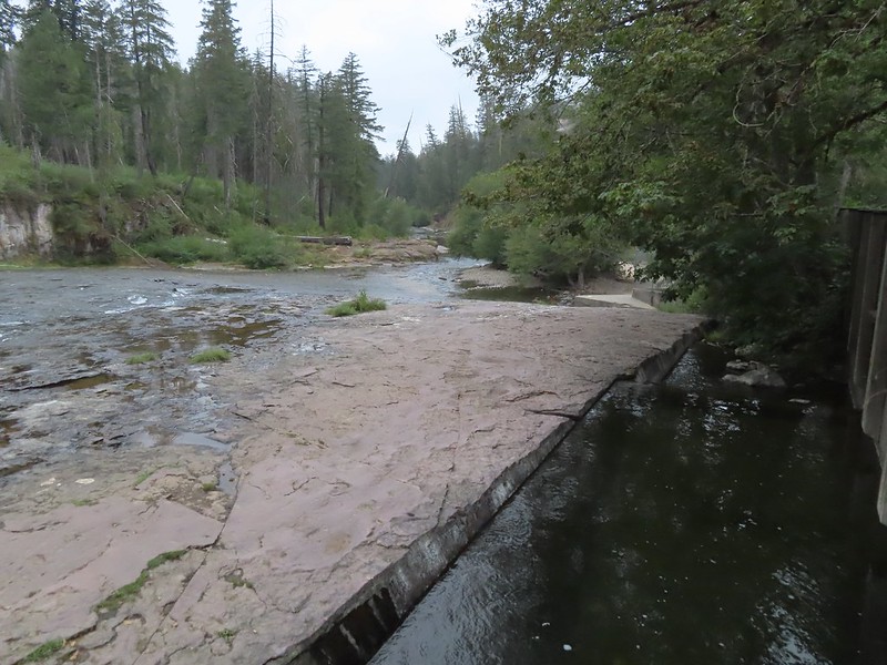
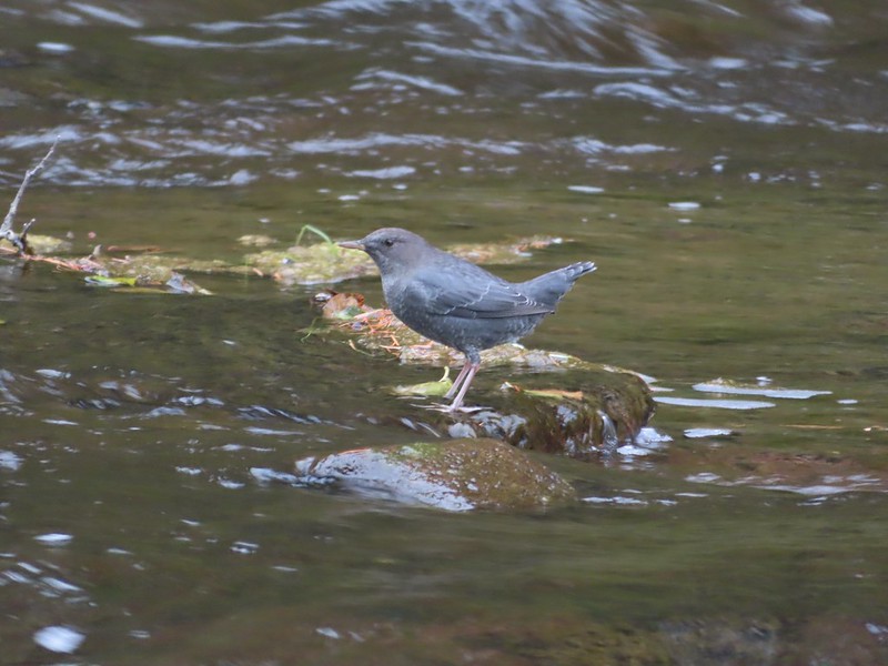 Ouzel
Ouzel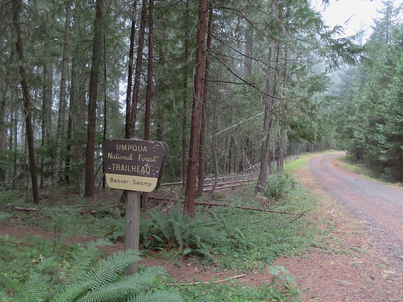
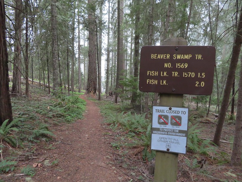


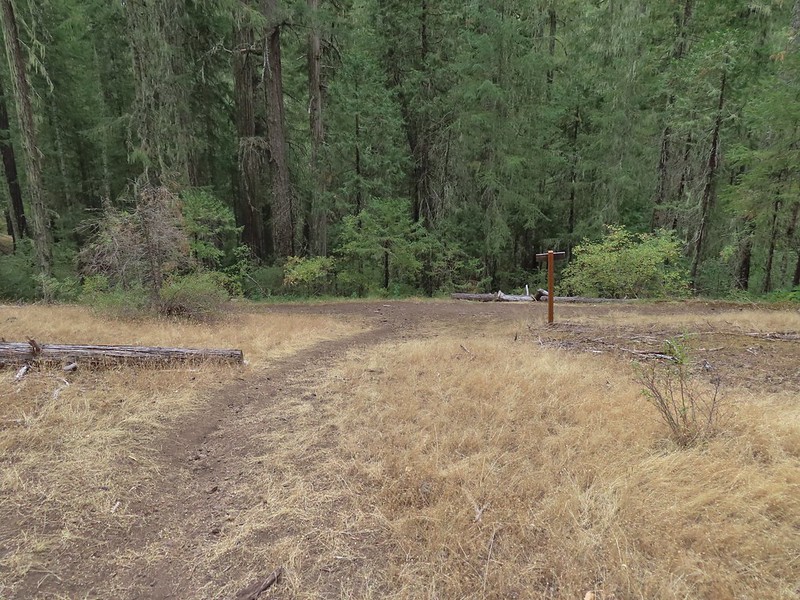

 Small cascade on Fish Lake Creek.
 Logs at the outlet of Fish Lake. The Indian Trail can be seen on the far side. This junction was unmarked and you would have to cross the logs to reach it. In theory one could take this trail to the Lakes Trail near Buckeye Lake, but as we understand it the trail does not receive regular maintenance so we did not include it in our plans.
 Arriving at Fish Lake

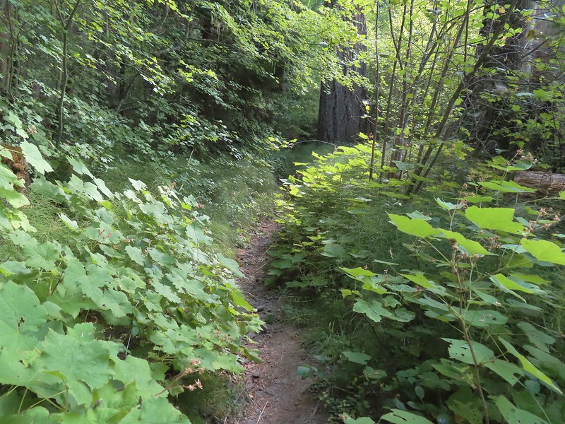
 The clouds began burning off before we’d found our campsite.
 We set up camp on a little knoll near an old stone foundation. We’re interested to know what used to be there but so far haven’t found any information on it.
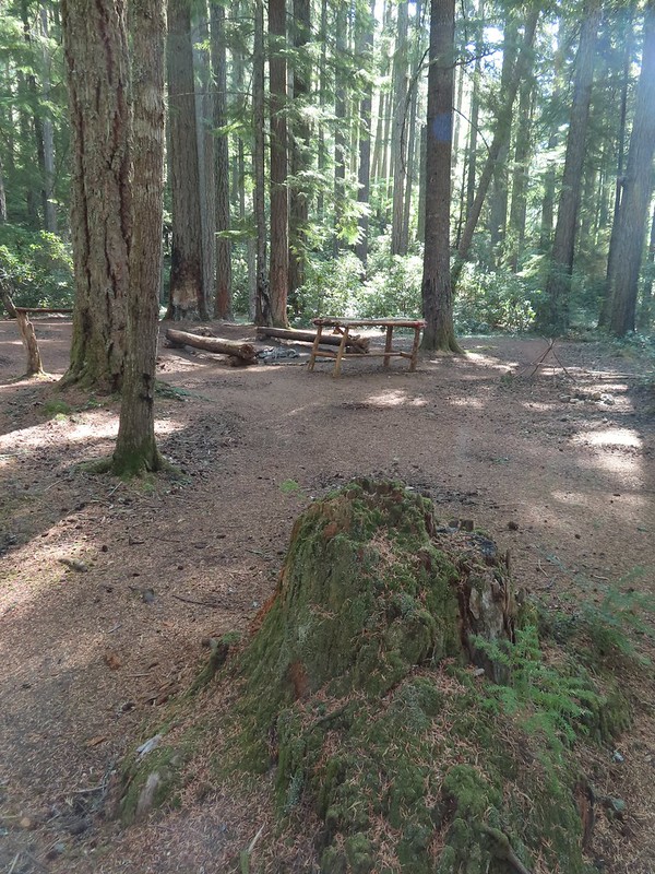 A little too developed for Wilderness standards.
 A dry channel along Highrock Creek.
 Crossing an unnamed creek.
 The trail junction.
 Highrock Creek. There were several nice pools here which we utilized to replenish our water on our way back to camp.
 Foam flower and a few ripe thimbleberries, Heather’s favorite.
 The junction with the Grasshopper Trail
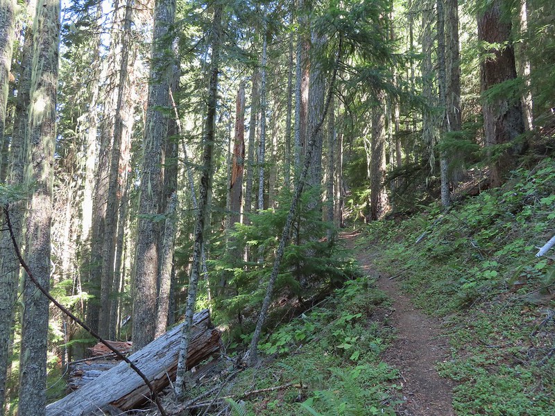
 Pine white
 Sign for the Gasshopper Mountain Trail.
 Grasshopper Spring is out there somewhere.
 We had to go around this big tree.
 A few aster
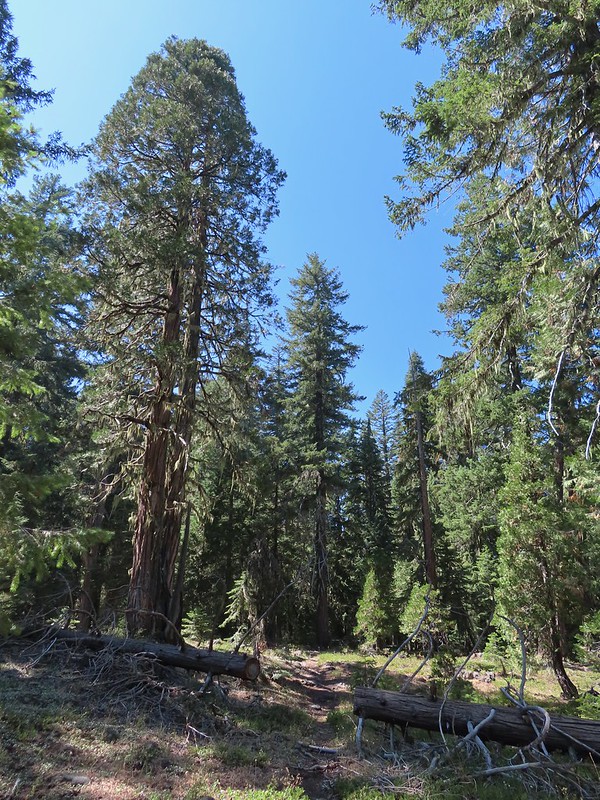 There were some good sized cedars up here.
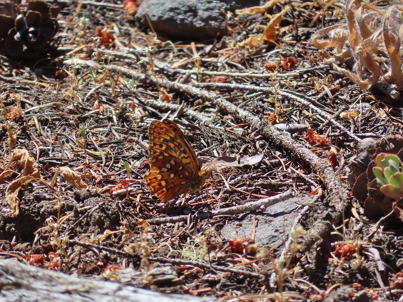 A fritillary
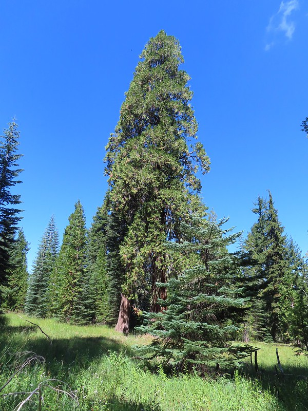 Another big cedar.
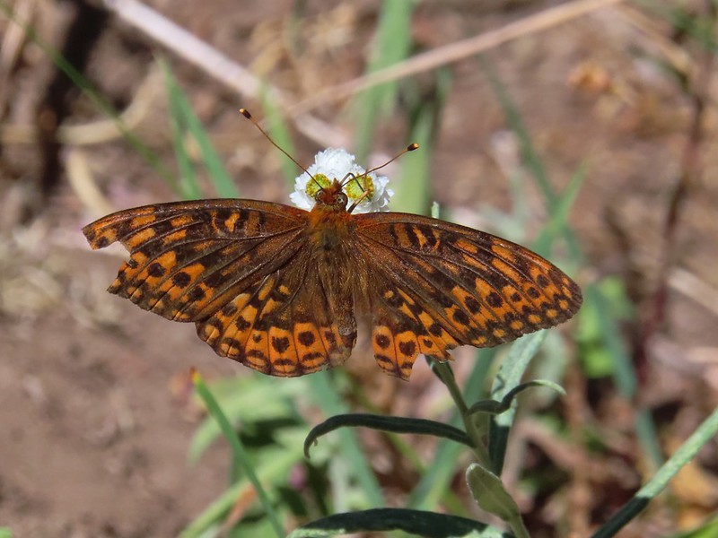 Fritillary on pearly everlasting.
 The final stretch to the summit passed through a fire scar.
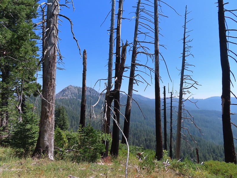 Highrock Mountain to the left, Hershberger Mountain in the middle, and the Rabbit Ears to the right (
 Rabbit Ears closeup.
 Fish Mountain (back left), Weaver Mountain, Highrock Mountain, and Hershberger Mountain with Grasshopper Meadow below.
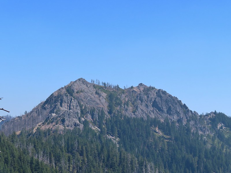 Highrock Mountain
 Owl’s clover.
 Arriving at the old lookout site.
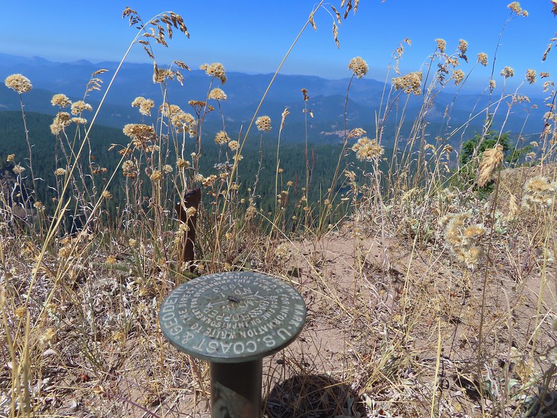
 Buckeye (left) and Cliff Lakes below Grasshopper Mountain. The broad hump beyond to the left is Twin Lakes Mountain. We had visited a viewpoint on the north side of that mountain back in June of this year (
 Buckeye and Cliff Lakes
 Smoke on the horizon to the NW. The Cedar Creek fire to the NE, Rum Creek Fire to the SW or several fires in Northern California could be the culprit(s). The peak with the white spot to the center right is Quartz Mountain which we recognized from our Hemlock Lake hike in August (
 To the NE we got a glimpse of Rattlesnake Mountain (far left) which we’d climbed during Labor Day weekend in 2020 (
 Rattlesnake Mountain behind Standoff Point.
 A skipper
 We veered right here which kept us from dropping below the saddle that we otherwise would have had to climb over on the Grasshopper Trail.
 Descending to the Grasshopper Trail.
 Trail sign at the other junction.
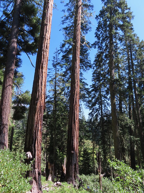 Grasshopper Meadow through the trees.
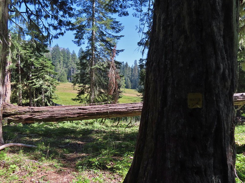 Sign for a (faint) spur trail to a spring above the meadow.
 Highrock Mountain from Grasshopper Meadow.
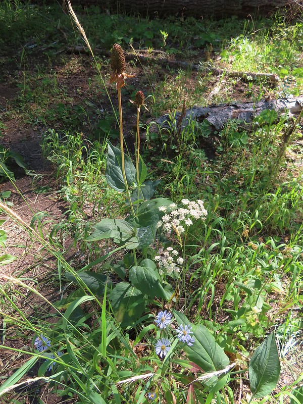 A few flowers hanging on to the last days of Summer.
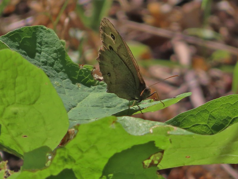 Common wood nymph
 The trail got pretty faint just before the junction but we could see the trail sign so we just headed for it.
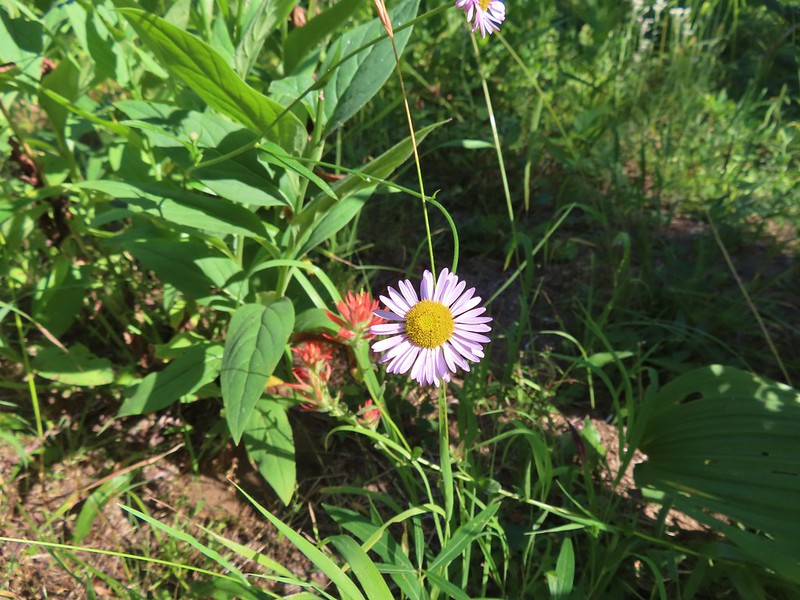 Fleabane? and paintbrush.
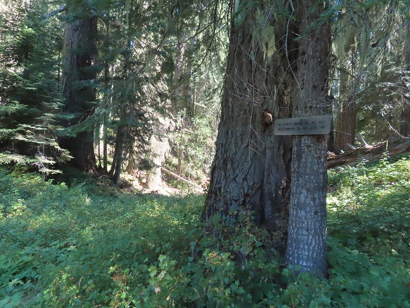 Acker Divide Trail pointer.
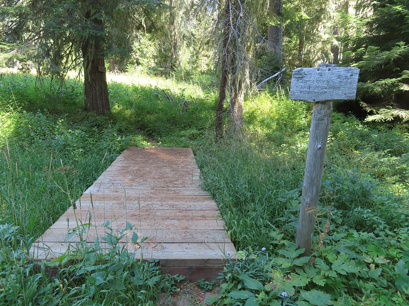 Pointer for Cripple Camp (we visited the shelter there on our Hershberger Mountain hike) and the Rogue-Umpqua Divide Trail.
 This fuzzy caterpillar was in a hurry.
 The trail along an old log.
 Passing through a small meadow near the spur to the Acker Divide Trailhead.
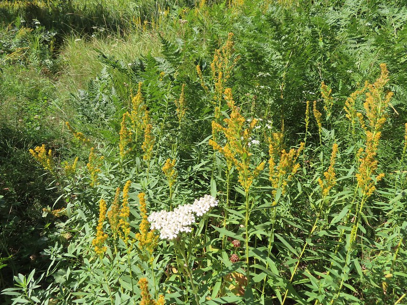 Yarrow and goldenrod
 The area was really well signed.
 Sign for Mosquito Camp on the tree to the right. There was zero sign of any established campsites here.
 Meadow at Mosquito Camp, it came complete with mosquitos (not too many though).
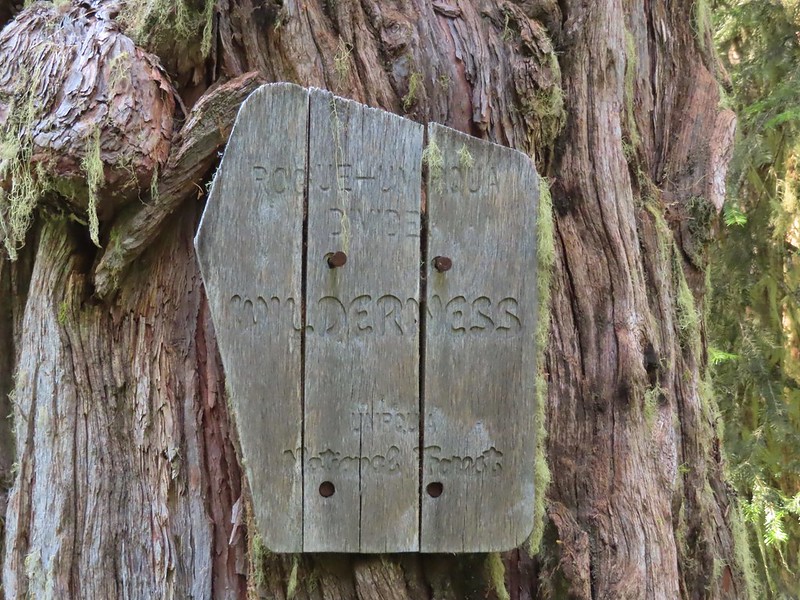 First of two times reentering the Rogue-Umpqua Divide Wilderness.
 Scat on the trail, at least we knew something used it.
 One of several very small bodies of water along Skimmerhorn Creek which may or may not be Little Fish Lake.
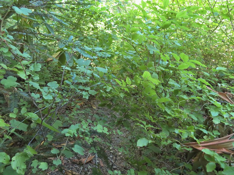 Overgrown trail near Skimmerhorn Creek.
 Looking down at the pond? lake?
 As we neared the Lakes Trail we began seeing more signs of what appeared to be an ancient lava flow.
 Last of the lupine blooms.
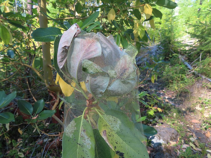 Lots of these insect tents on the madrones in the area.
 Arriving at the Lakes Trail.
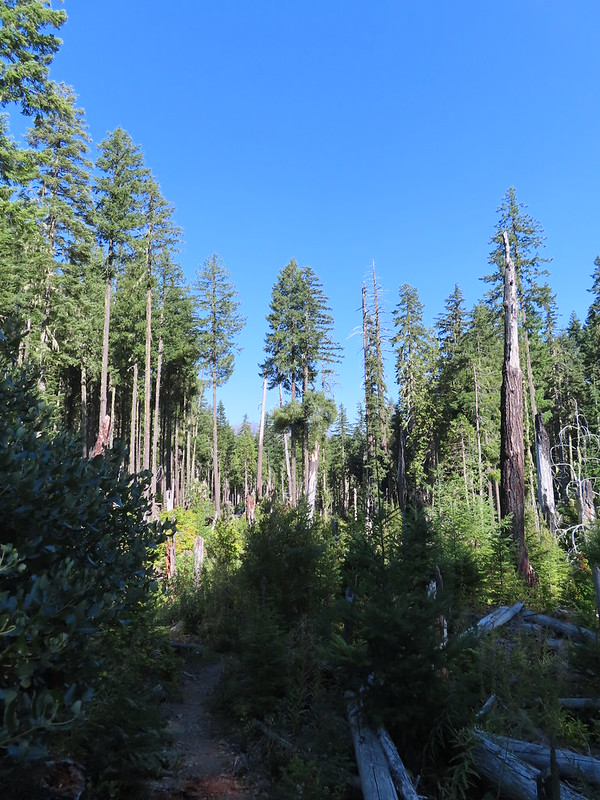

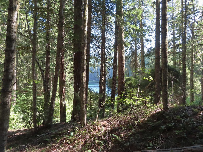 First glimpse of Buckeye Lake
 At this fork we detoured right to visit the lake shore.
 A good reminder that far too many people tend to forget.
 Grasshopper Mountain from Buckeye Lake.
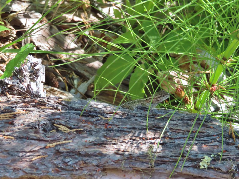 Lizard
 We had to really watch our step because these little guys were everywhere.
 There is an smaller, unnamed lake just West of Buckeye Lake that we did not take the time to check out closer.
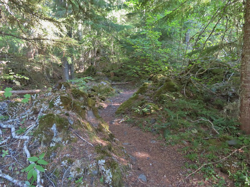
 The spur trail to the campsite.
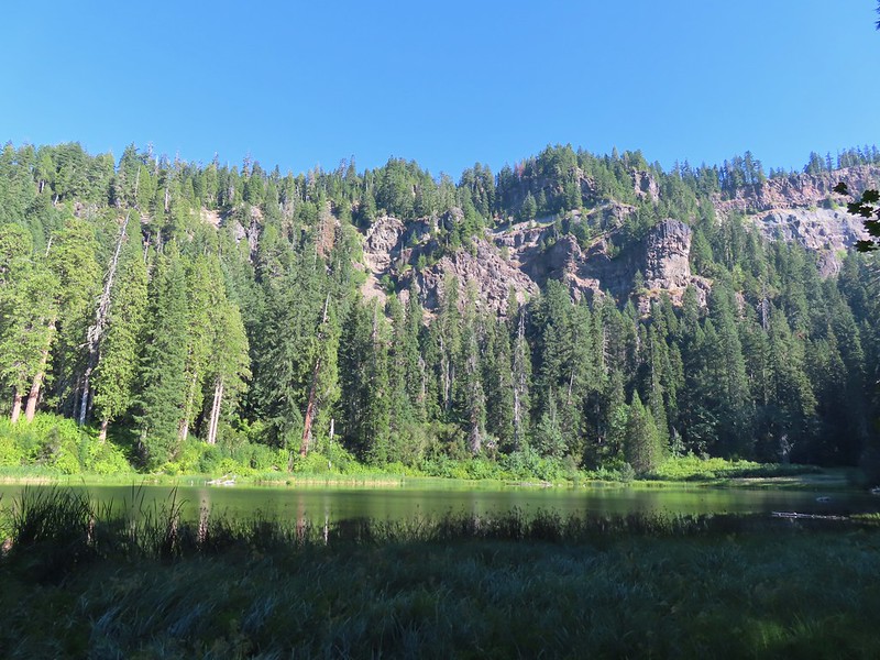
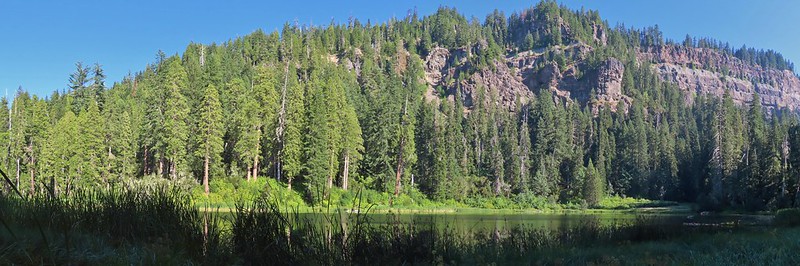 Attempted panorama.
 Footbridge over the outlet creek which flows into another small unnamed lake that we did not attempt to find.
 Unfortunately the lighting made this tree very hard to photograph but it was the coolest tree/rock combination that we’ve encountered.
 Fritillary on thistle.
 Short climb back up to the junction.
 This slug was heading our way while we finished dinner.
 The Sun was getting pretty low as we ended our hike.
 A big nest atop a tree and the Moon above Fish Lake.
 Zoomed in on the nest and Moon.
 Fish Lake just before 7:30pm.
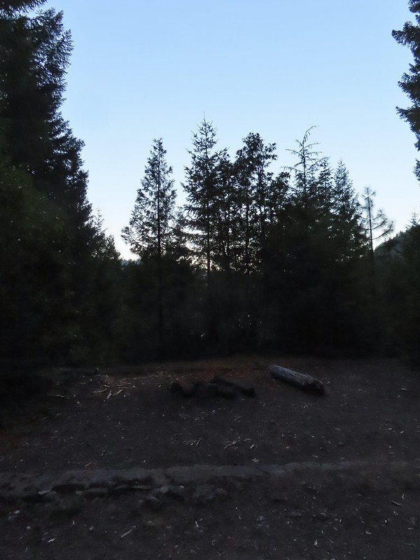 Campsite after packing up in the morning.
 Passing our planned route for the day on the left. Highrock Creek was just a 20 yard detour to the right.
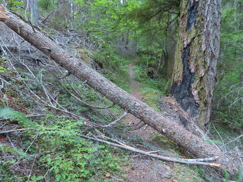 I think this was the third obstacle, one of several that was easy enough to get over.
 Prior maintenance, the second log may have been cut post fire?
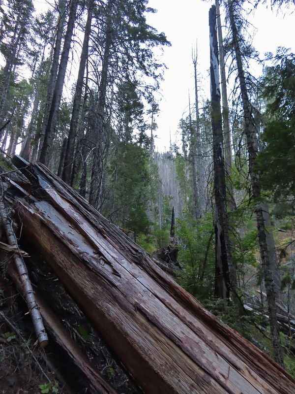 End of the line for us. Even if we somehow got around this one there was still 9.5 miles of burned trail from the trailhead and who knew how many obstacles like this one we might encounter or how long it would take us if we somehow were successful.
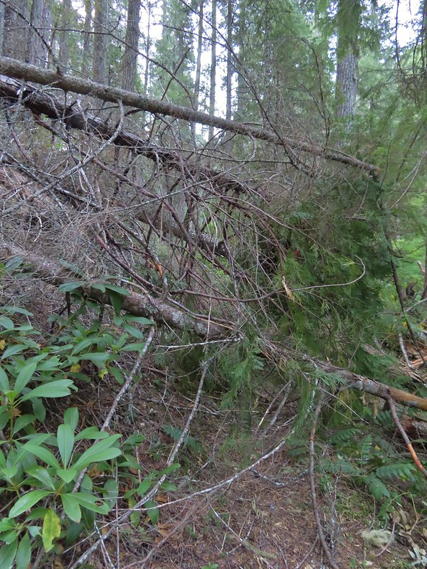 We had the privilege of navigating this one twice. Heather is on the other side coming through.
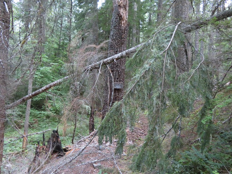 Back at the junction.
 No clouds this morning.
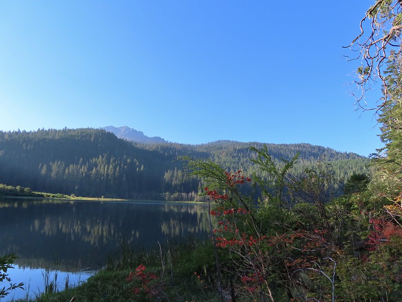 Highrock Mountain behind Fish Lake. Seeing the vine maples turning colors reminded us that despite the heat Autumn was just around the corner.
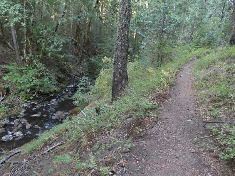 Hiking along Fish Lake Creek.
 Highrock Mountain from the Beaver Swamp Trail.
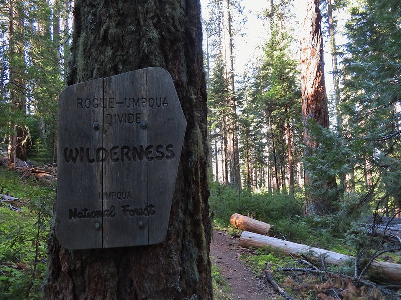 Leaving the Rogue-Umpqua Wilderness for the last time this trip.
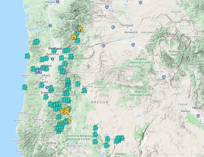 Hiker symbol = Trails/trailheads, yellow houses = campsites, purple binoculars = roadside waterfalls
 Gearhart Mountain
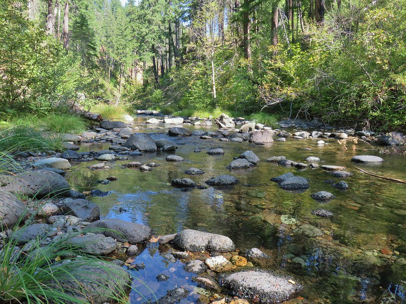 Boulder Creek
 Netarts Spit
 Spencer Butte
 Shotgun Creek
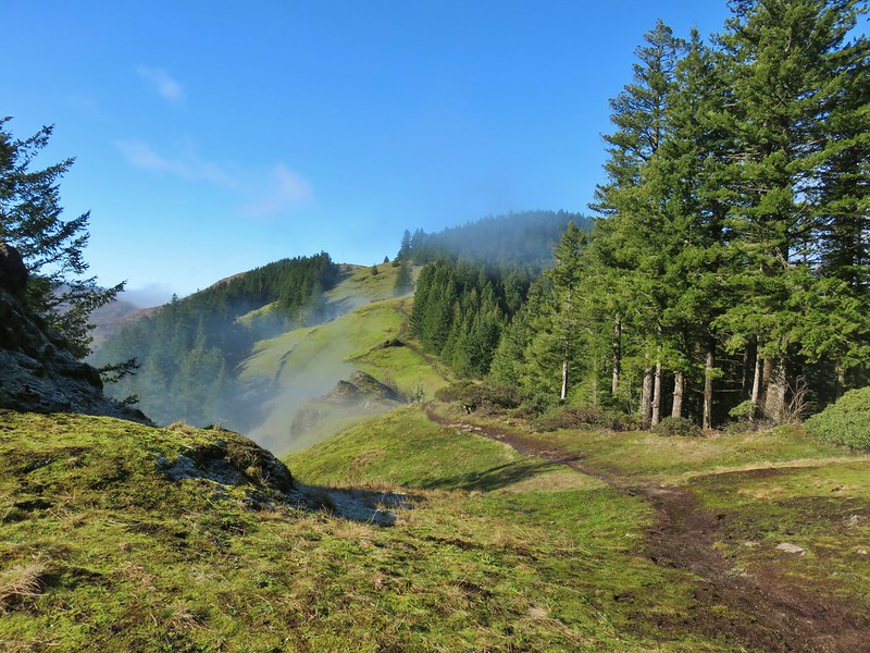 Horse Rock Ridge
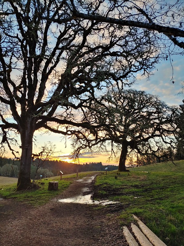 Miller Woods
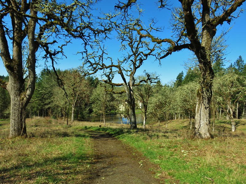 Trappist Abbey
 Bush Pasture Park
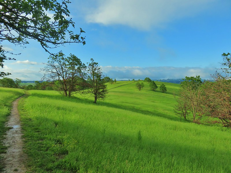 Basket Slough Wildlife Refuge
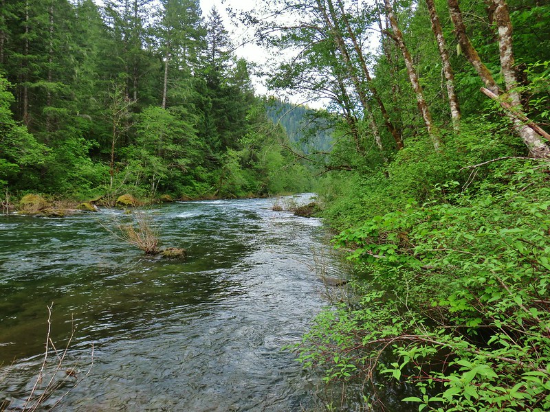 North Fork Willamette River
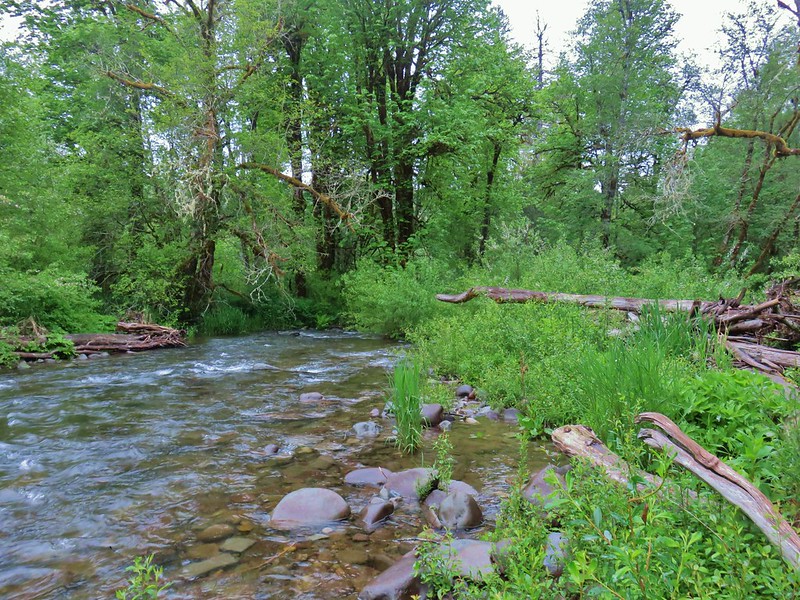 Little Luckiamute River
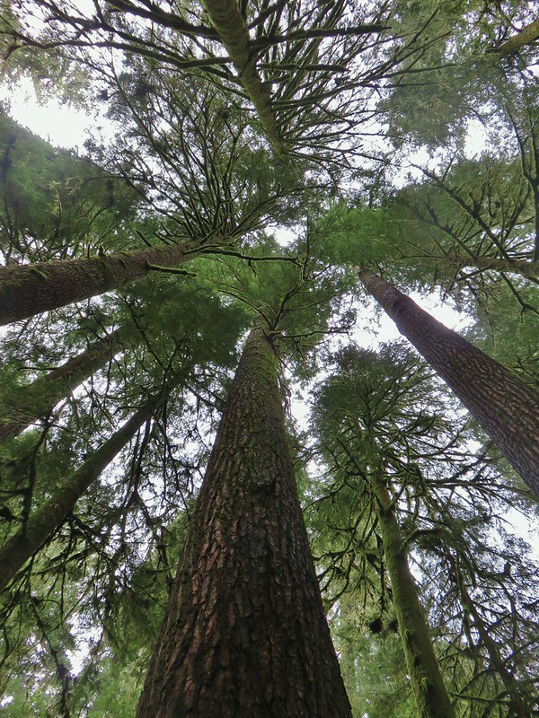 Valley of the Giants
 Indigo Springs
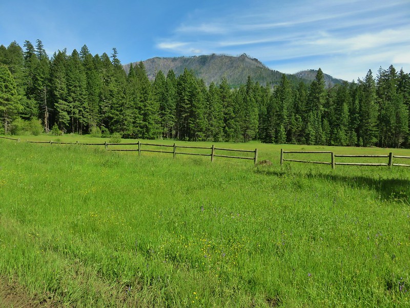 Rigdon Meadows
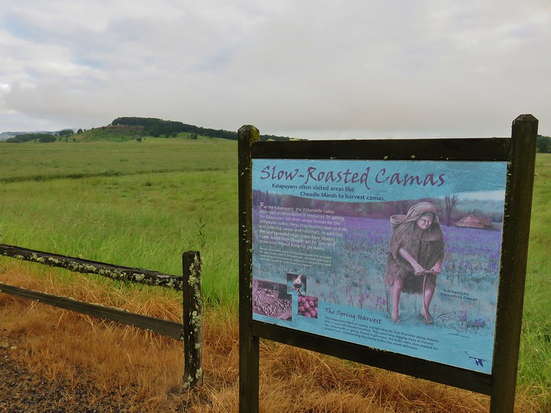 Pigeon Butte
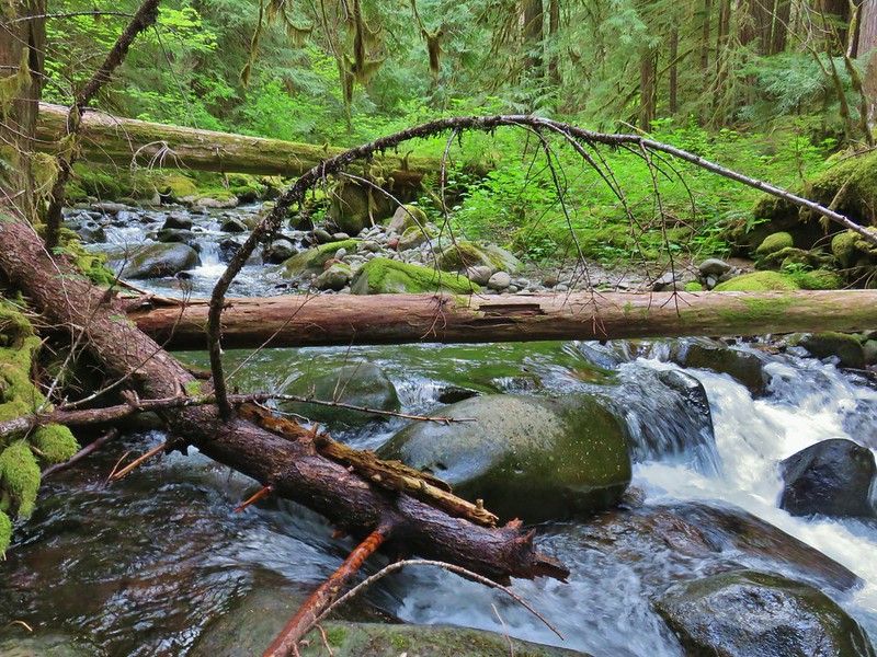 East Fork South Fork McKenzie River
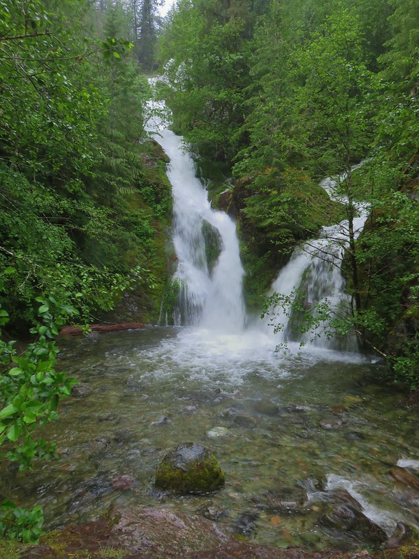 Sullivan Creek Falls*
 Henline Falls*
 Henline Mountain*
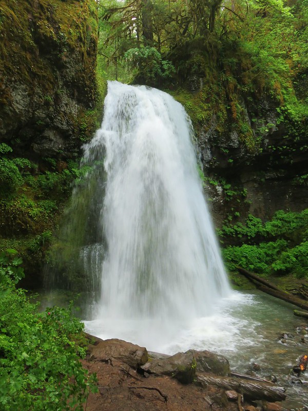 Spirit Falls
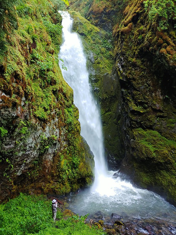 Pinard Falls
 Moon Falls
 Memaloose Lake*
 Echo Basin
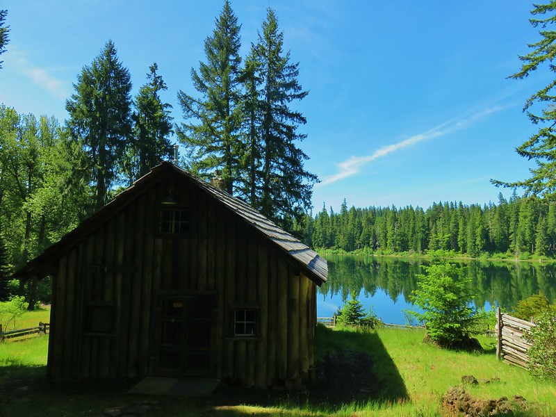 Fish Lake
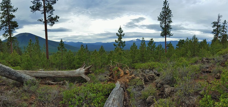 Green Ridge*
 Table Rock Wilderness* (The Riverside fire burned at least the access road and may have encroached into the SW portion of the wilderness.)
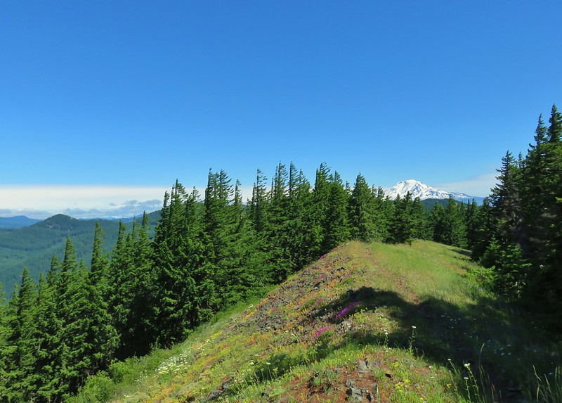 Monte Carlo Trail
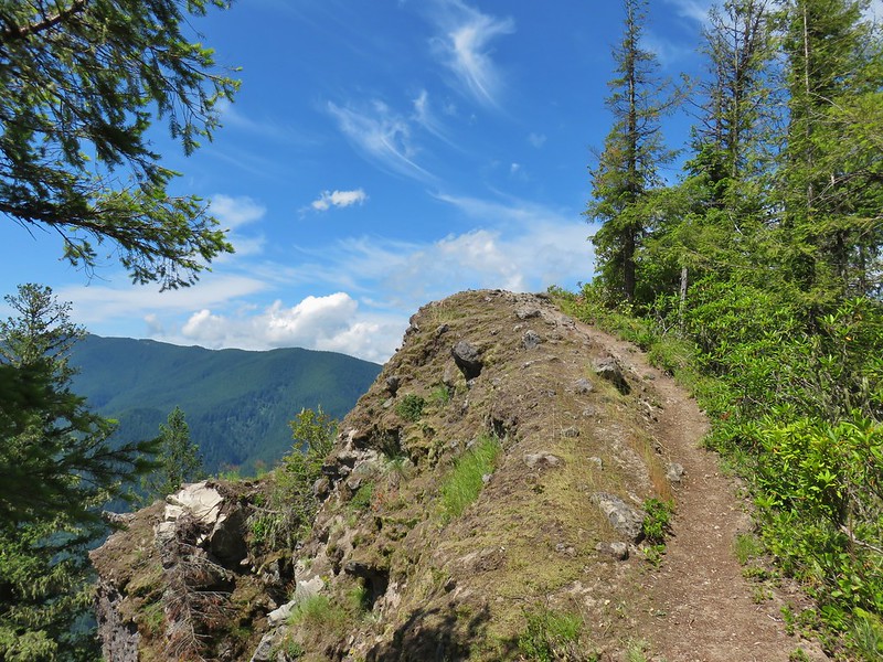 Hunchback Mountain
 Meadow below the Three Pyramids
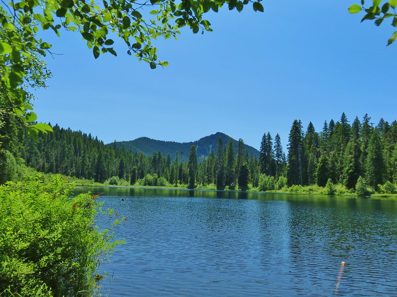 Daly Lake
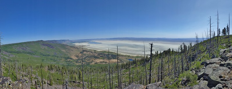 Winter Ridge
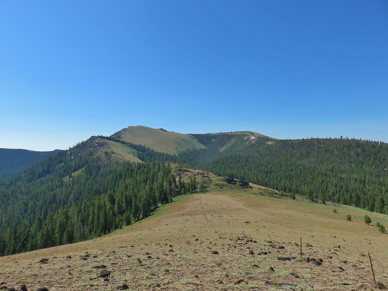 Fence Pass
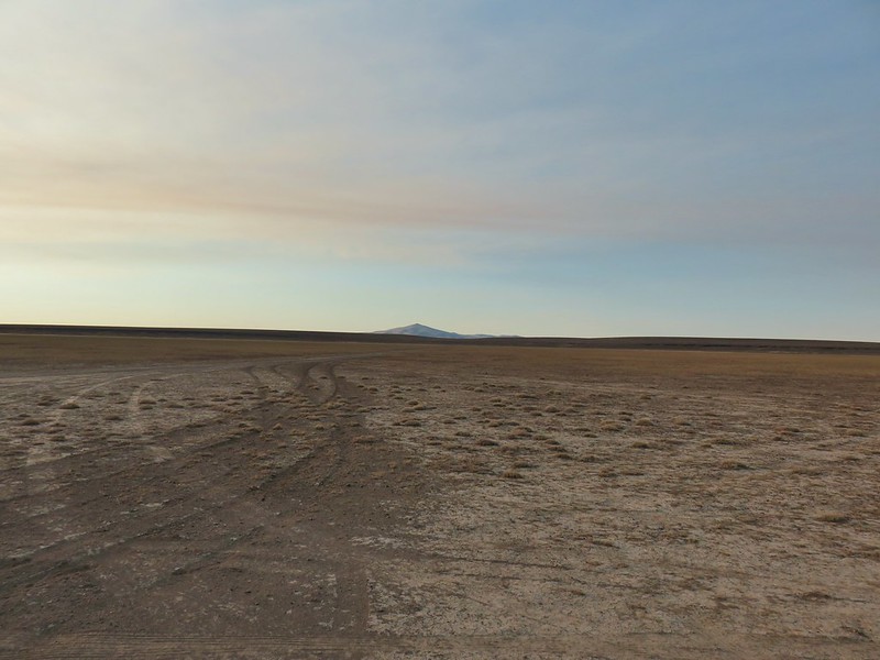 Flook Lake
 Hart Mountain Antelope Refuge
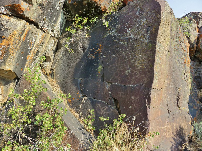 Petroglyphs along Petroglyph Lake
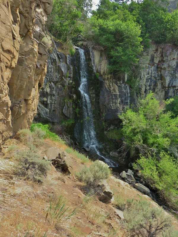 DeGarmo Canyon
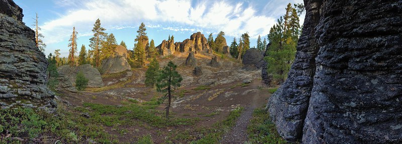 The Palisades in the Gearhart Mountain Wilderness (This was probably our favorite area of the year amid these rock formations.)
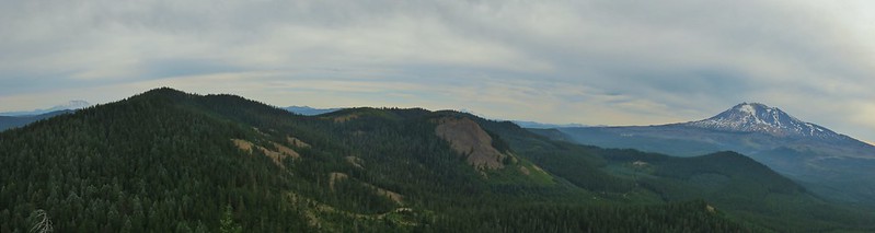 Sleeping Beauty
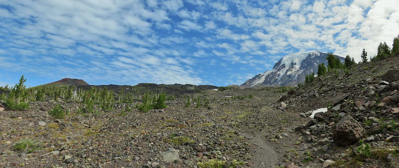 Highline Trail
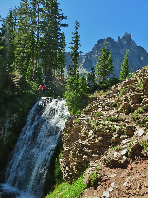 Cottonwood Creek Falls (This was probably the sketchiest hike we’ve done.)
 Mt. Thielsen* (The Thielsen Creek fire burned a small part of the trails in the area.)
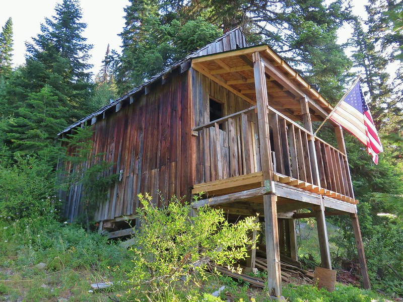 Bohemia Post Office
 Diamond View Lake
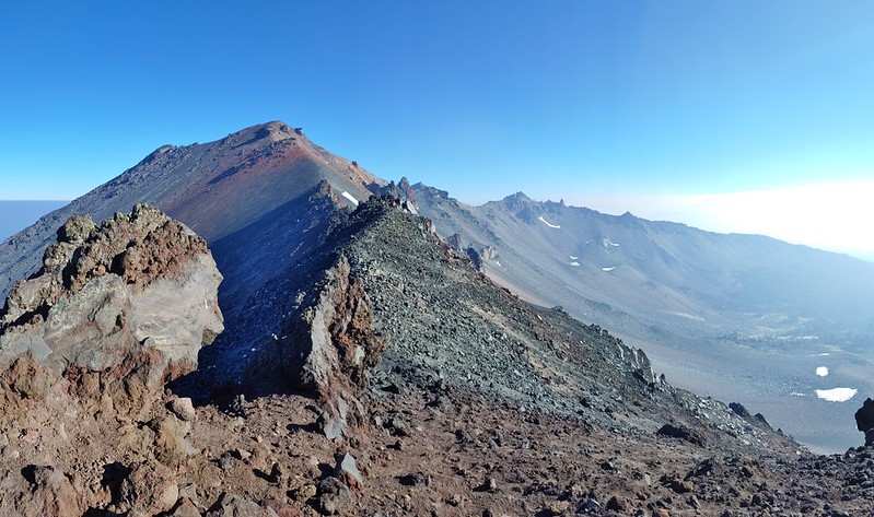 Diamond Peak (The sketchiest hike we didn’t do.)
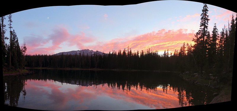 Karen Lake
 Middle Erma Bell Lake
 Diamond Lake
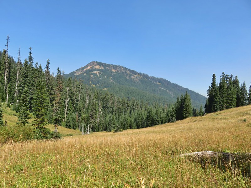 Rattlesnake Mountain
 Spruce Run Creek Trail
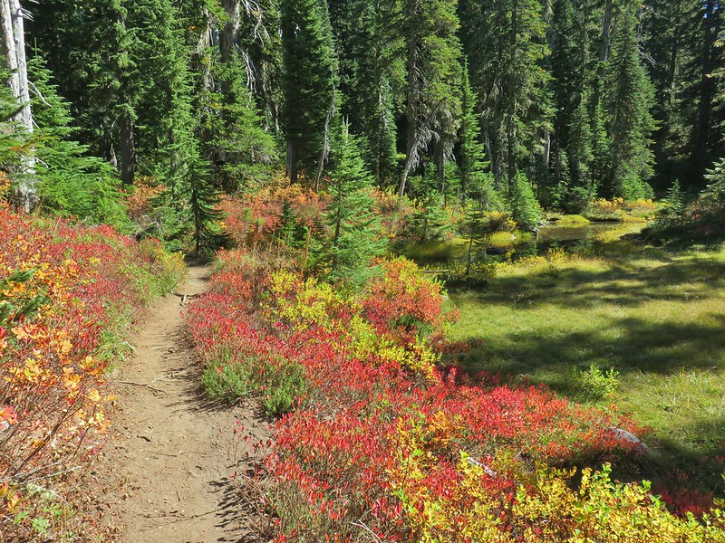 Indian Heaven Wilderness
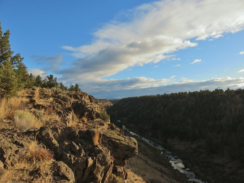 Wildcat Canyon
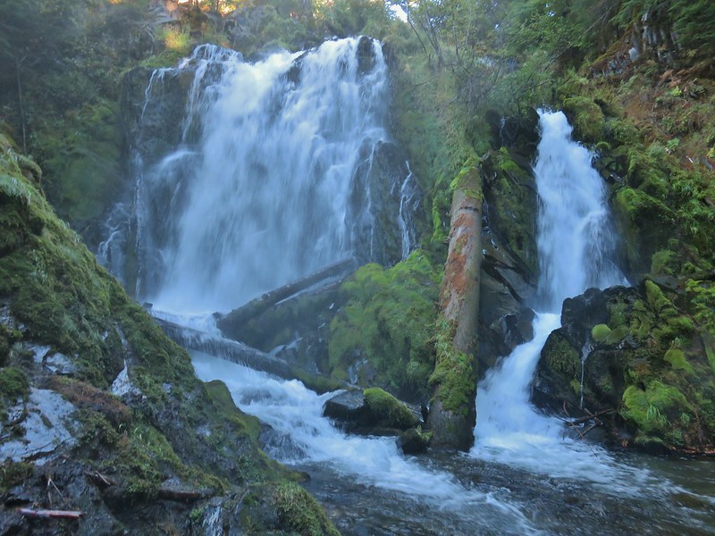 National Creek Falls
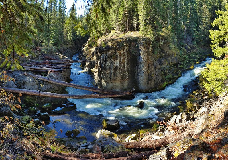 Takelma Gorge
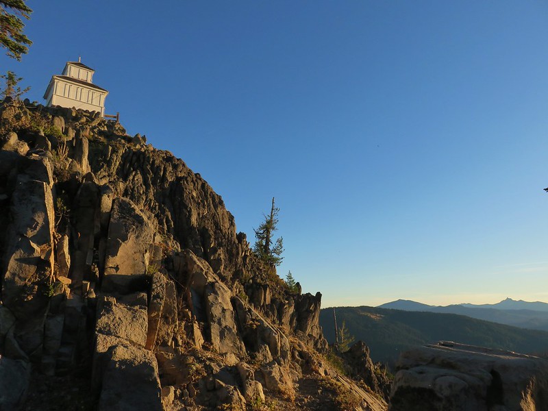 Hershberger Mountain
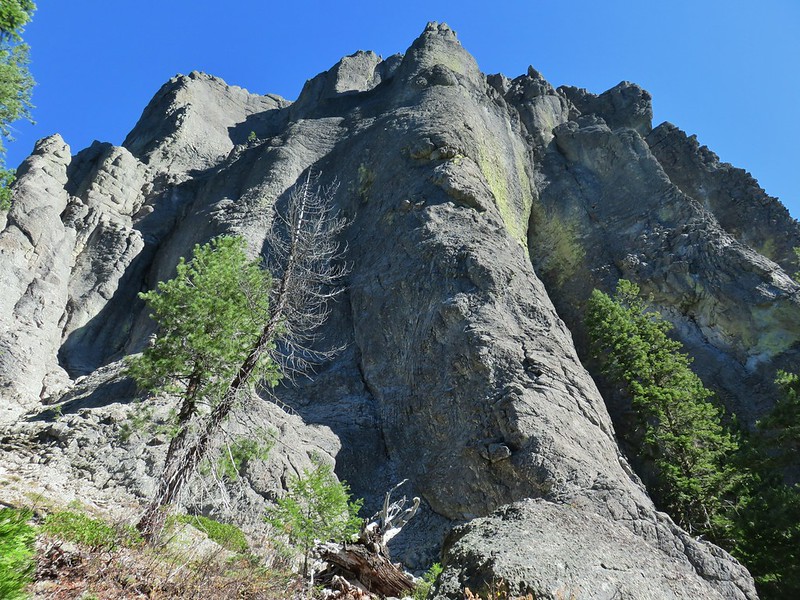 Rabbit Ears
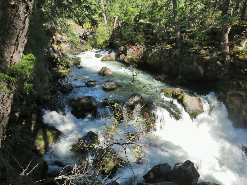 Natural Bridge
 Abbott Butte Lookout
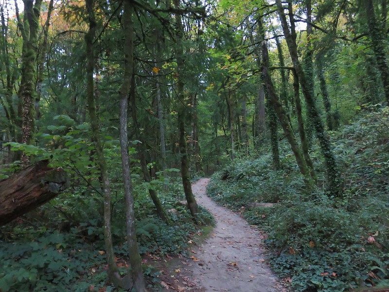 Forest Park
 Upper Latourell Falls
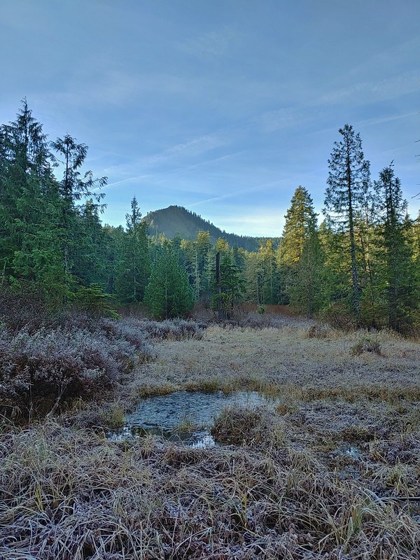 Larch Mountain
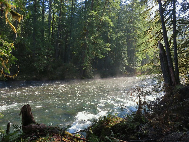 McKenzie River
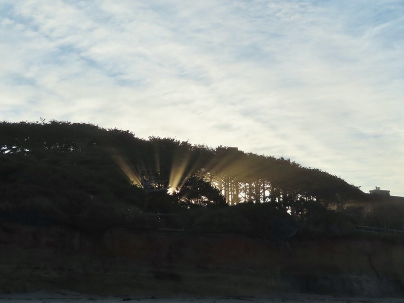 Yachats
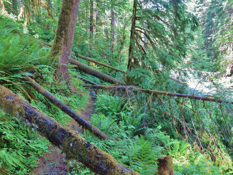 Swordfern Trail
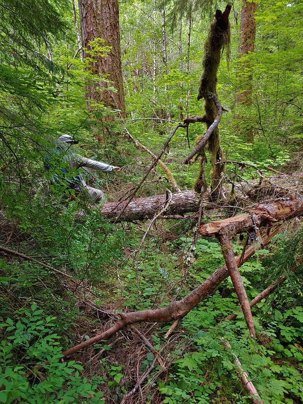 East Fork Trail
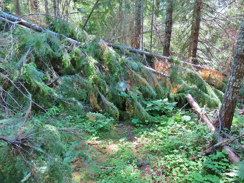 Riggs Lake Trail
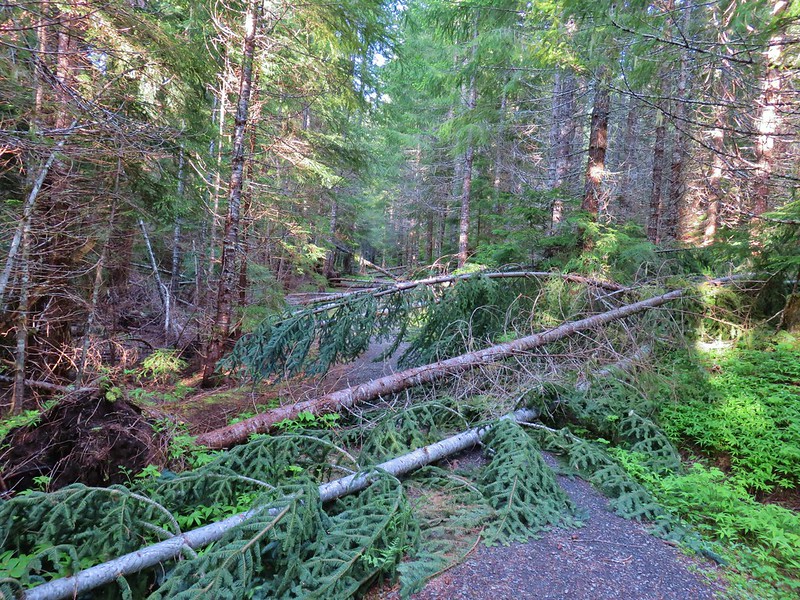 Hackleman Old Growth Loop
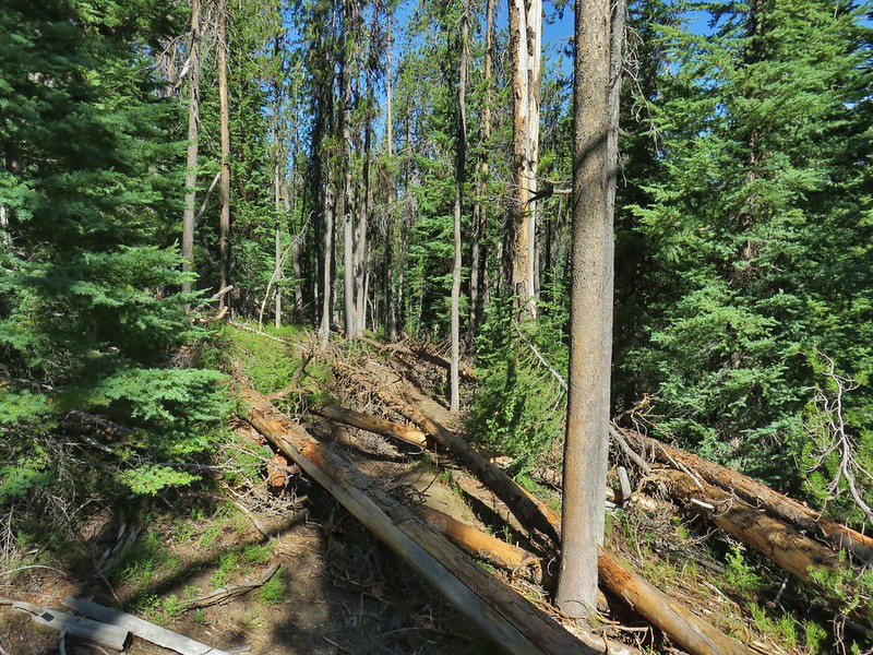 Howlock Mountain Trail
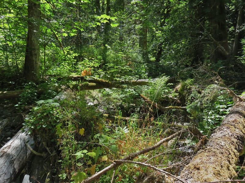 Shale Ridge Trail
 Acker Divide Trail
 Union Creek Trail
 Castilleja levisecta – Golden Paintbrush at Basket Slough Wildlife Refuge (
 Musk Thistle at Winter Ridge (Unfortunately it’s an invasive but they were impressive.)
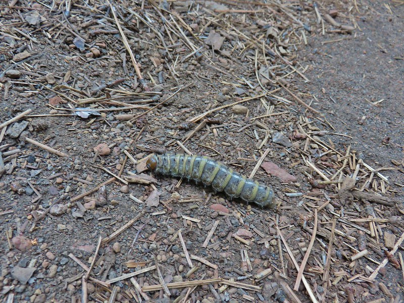 Pandora moth caterpillar at Green Ridge (
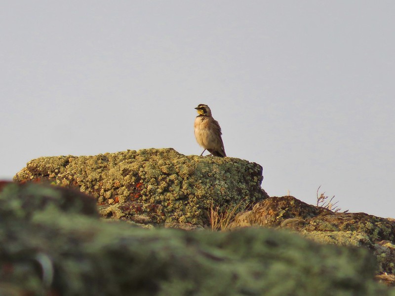 Horned Lark at Flook Lake (
 Gulls and American avocets at Lake Abert
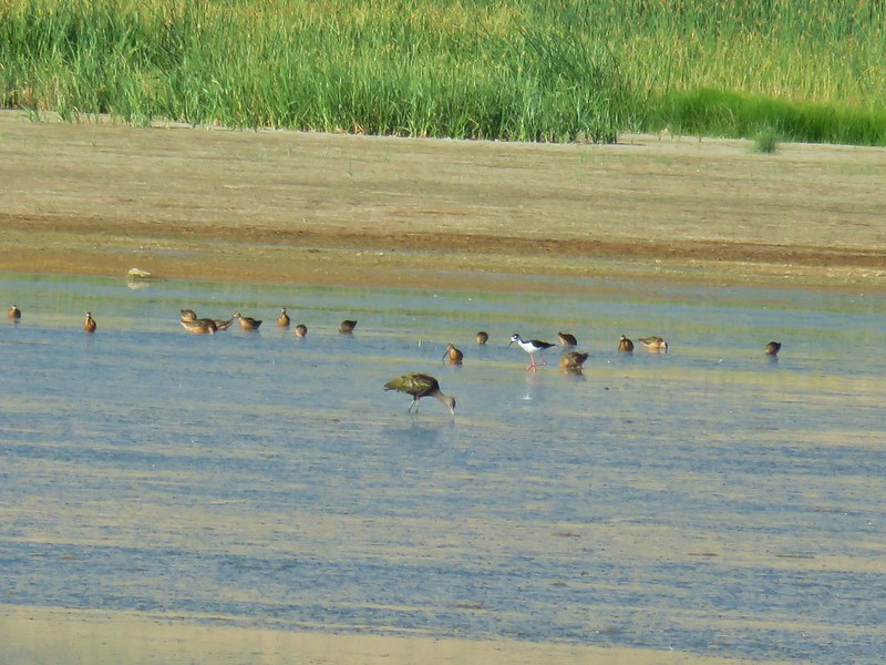 Black necked stilt at Summer Lake
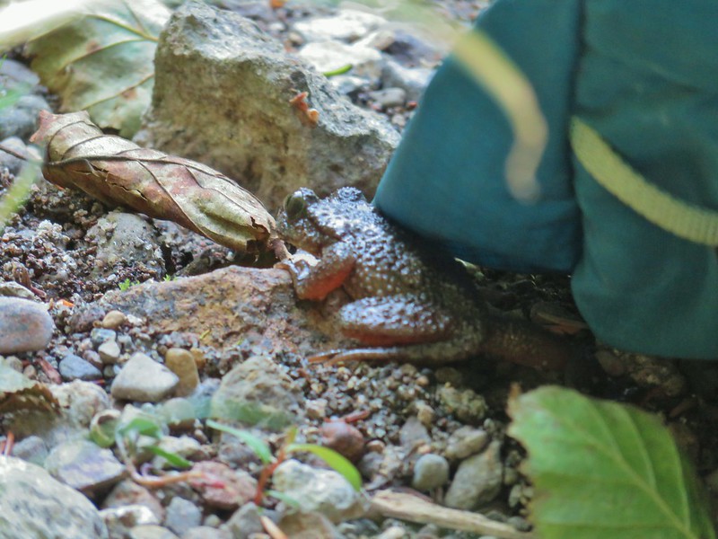 Possibly a coastal tailed frog at Wiley Camp in the Rogue-Umpqua Divide Wilderness (
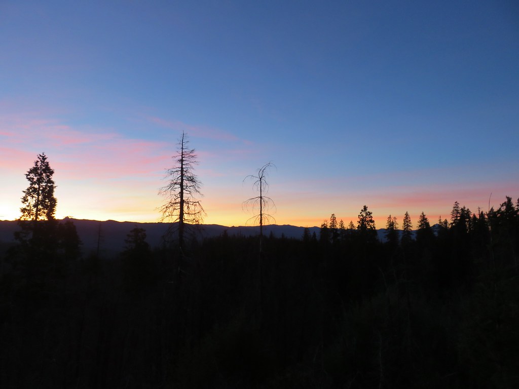 Union Peak and Mt. McLoughlin on our drive to the trailhead.
 The peaks of Crater Lake National Park
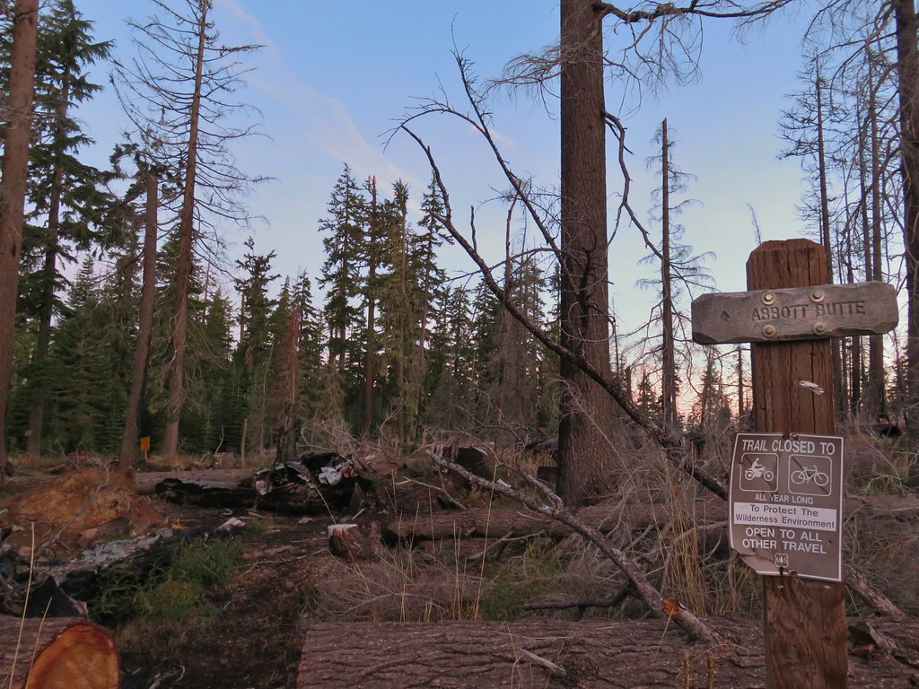 Abbott Butte Trailhead
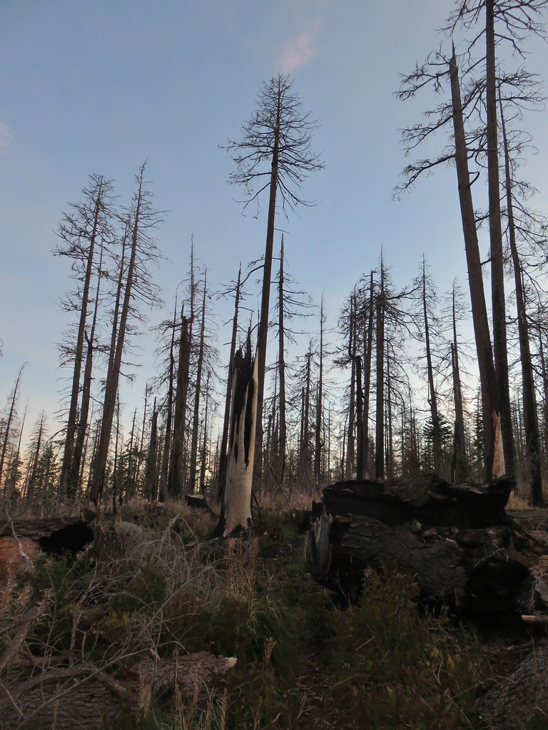
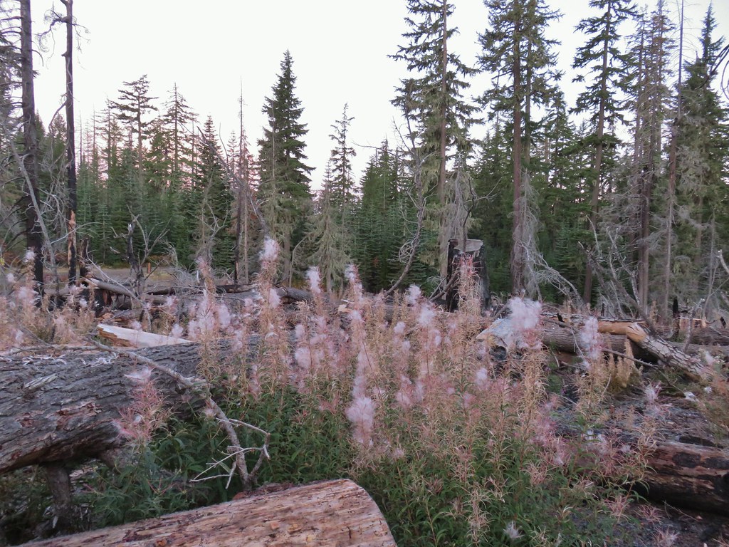
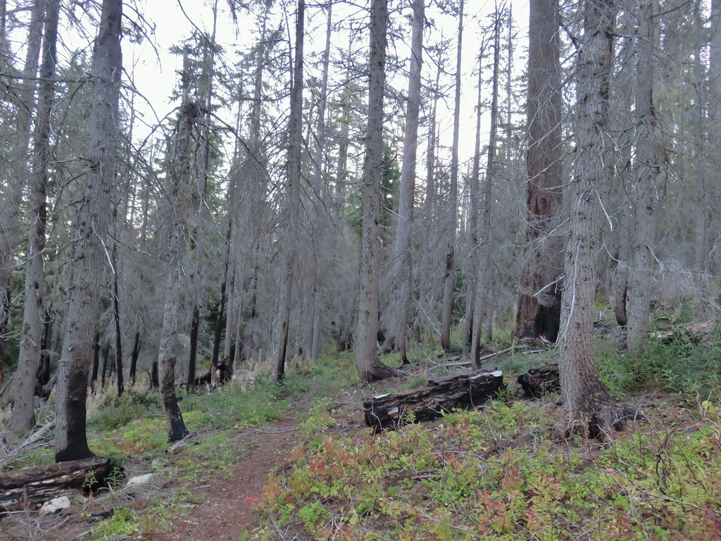
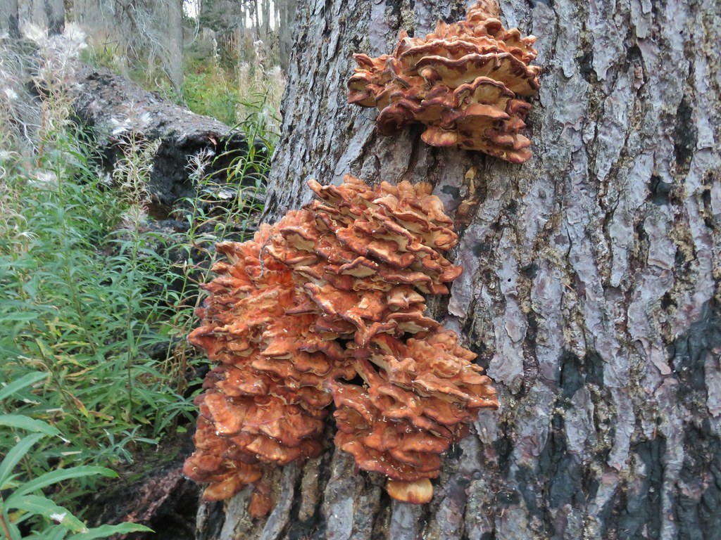
 Huckleberry bushes
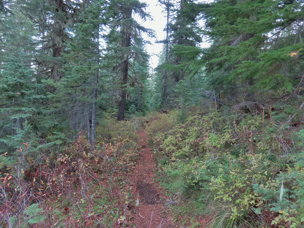 A section of green trees along the trail.
 Quartz Mountain
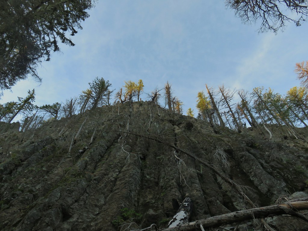 Passing below Quartz Mountain
 Abbott Butte from the trail.
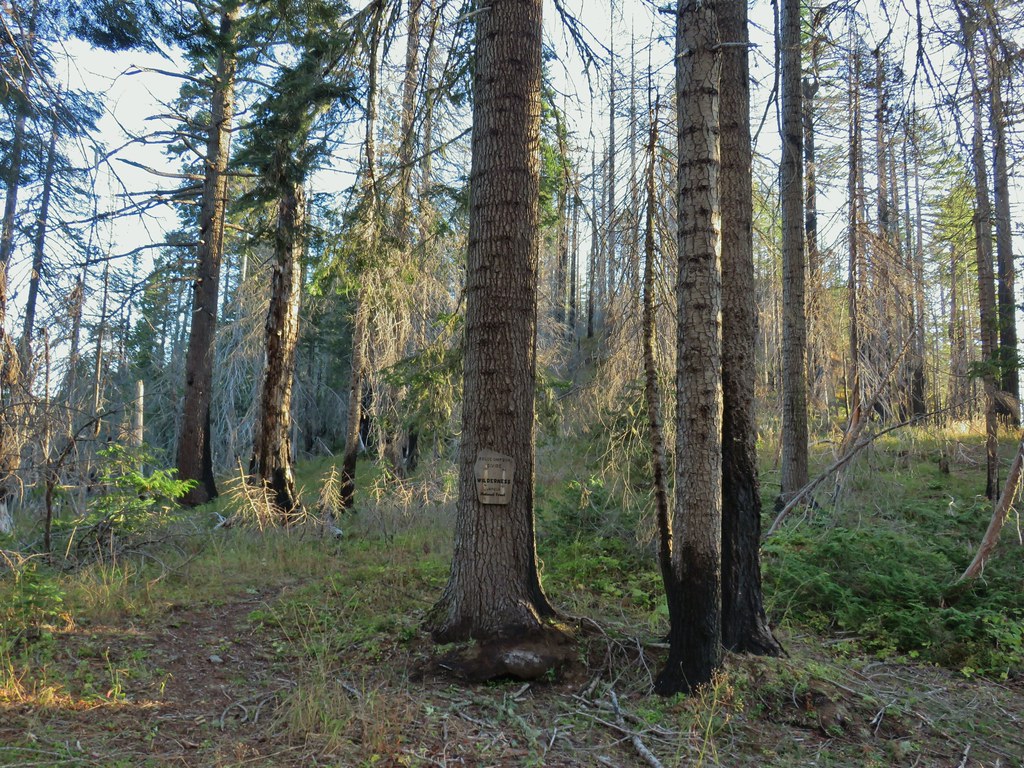
 On the roadbed
 Pearly everlasting
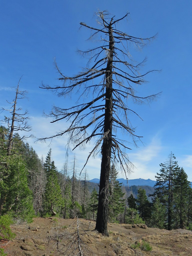
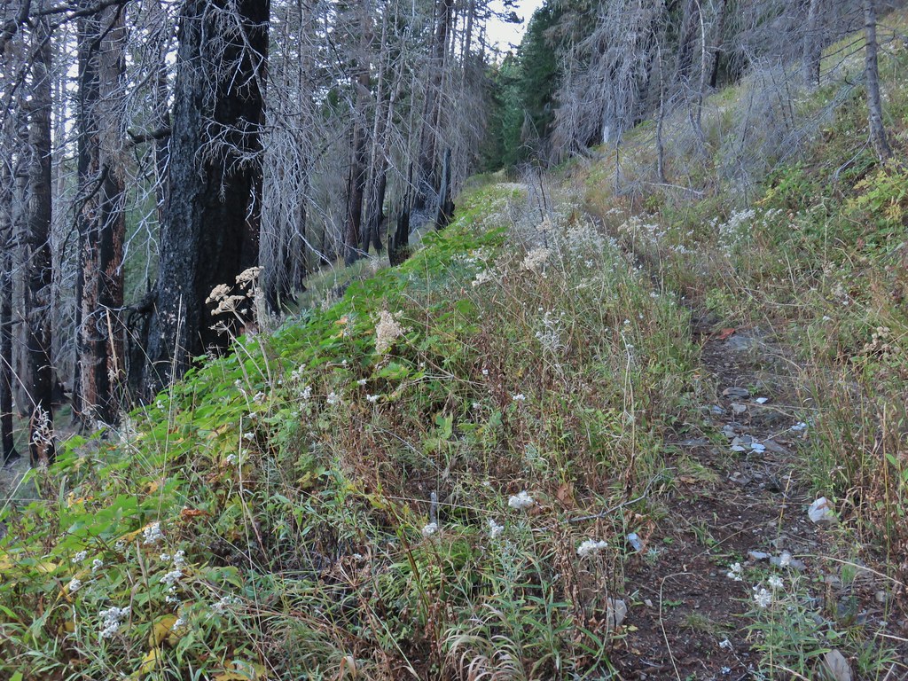
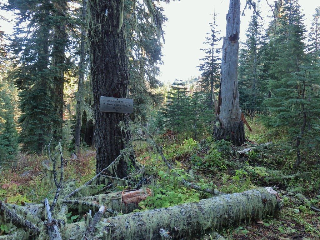
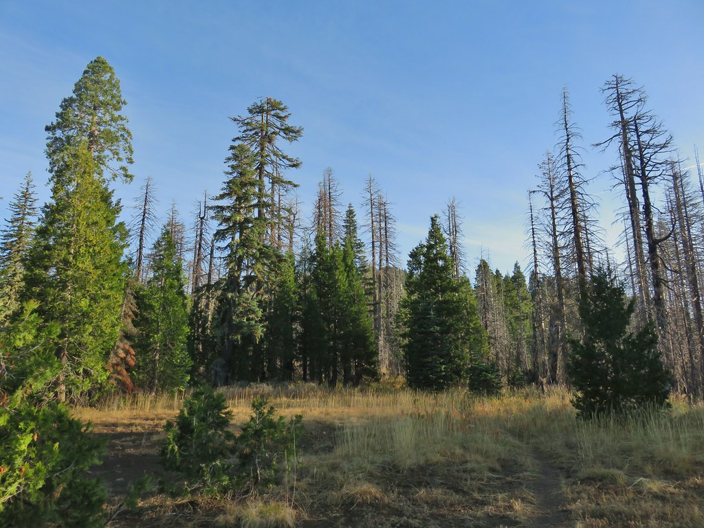
 Sign indicating the non-existent trail is not suitable for horses.

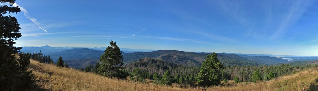 Mt. McLoughlin and Mt. Shasta and a whole lot of other peaks that I should know.
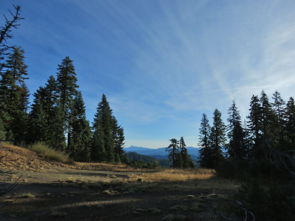 Mt. Thielsen
 Nearing the summit.
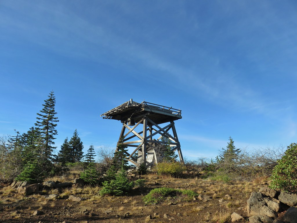 The old lookout on Abbott Butte
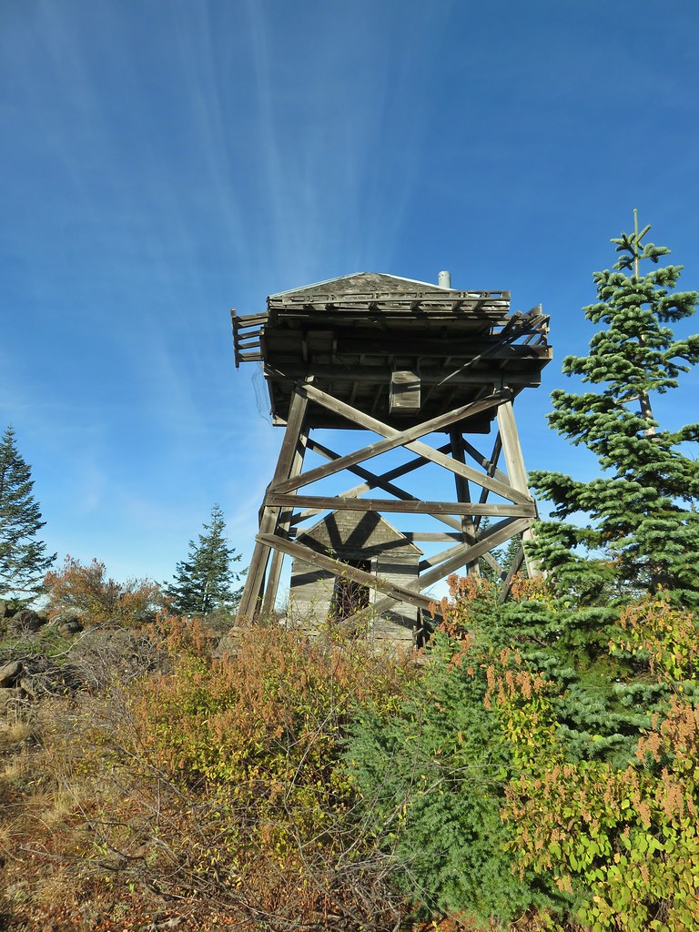
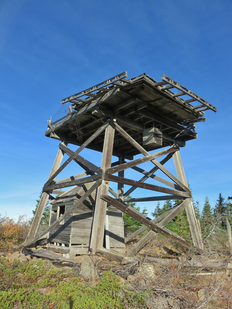
 The old outhouse?
 Mt. Thielsen and the peaks of Crater Lake.
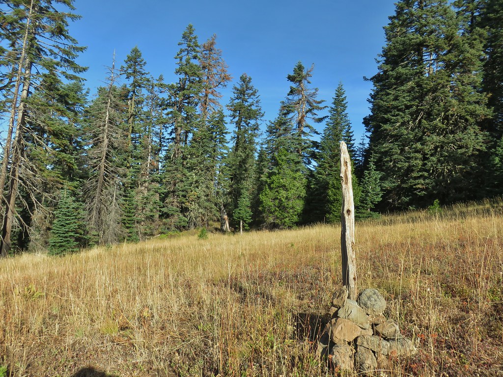
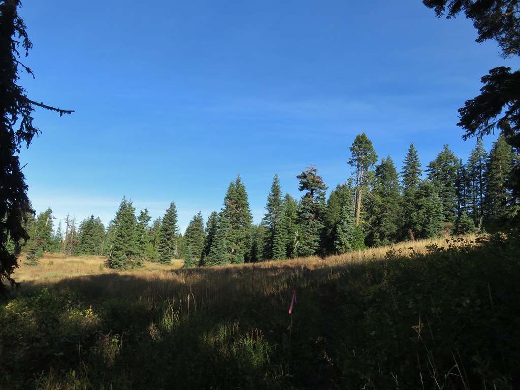 Flagging marking the route.
 A cairn along the tread ahead.
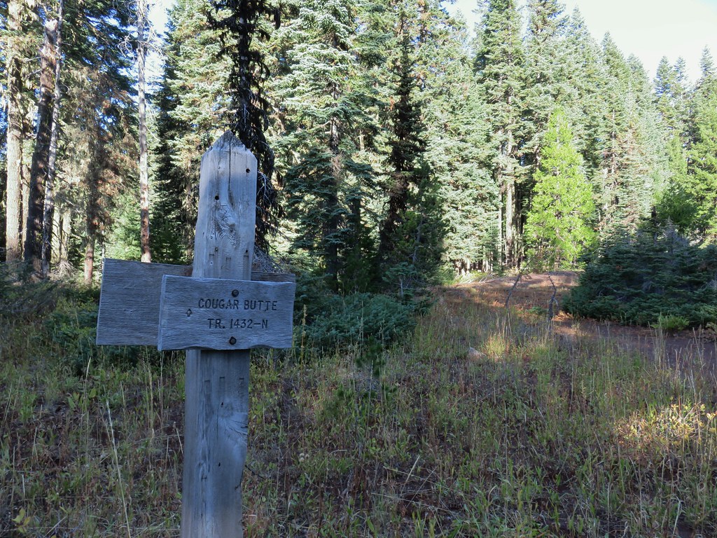
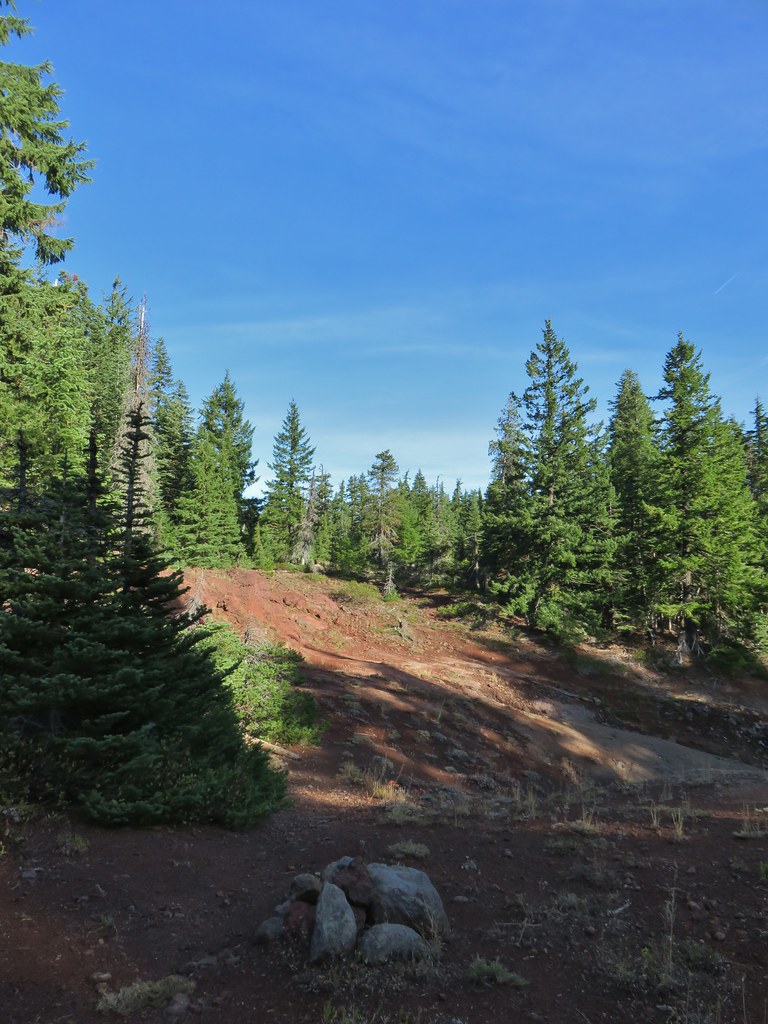
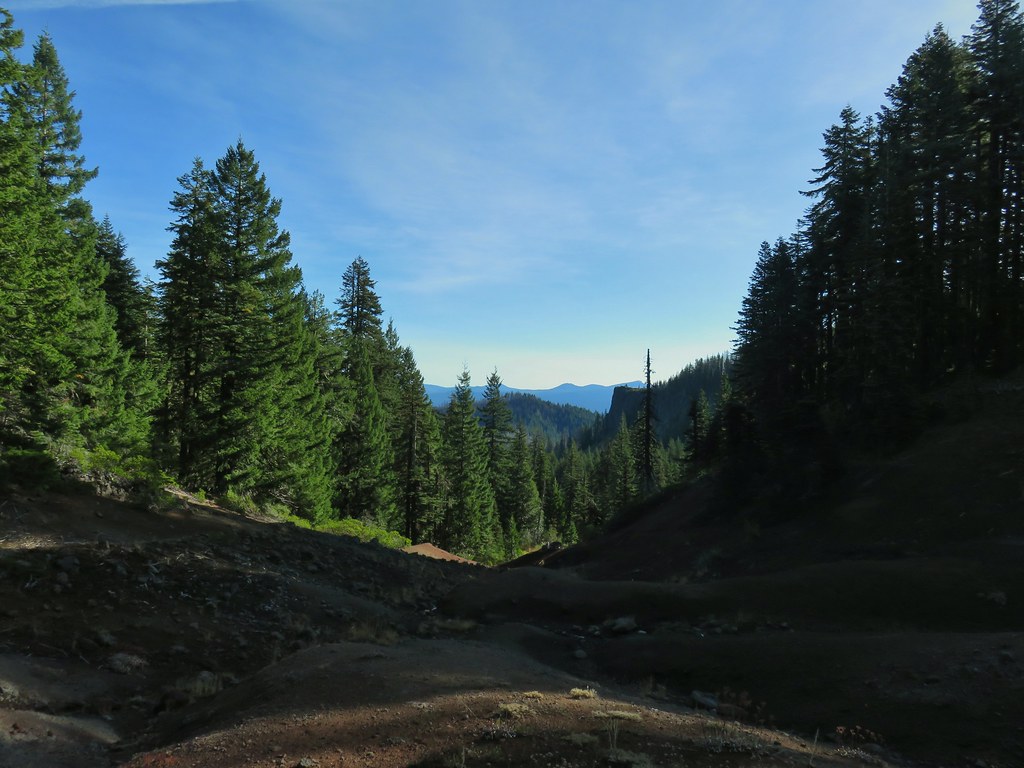
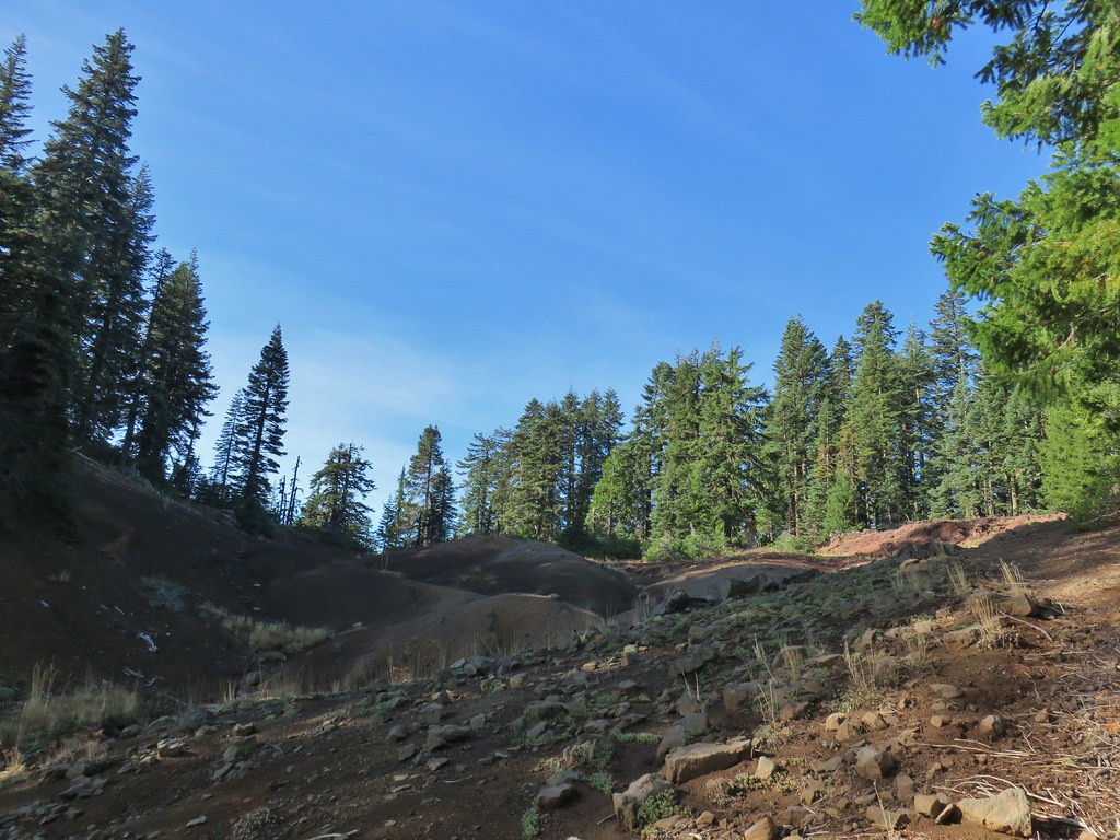
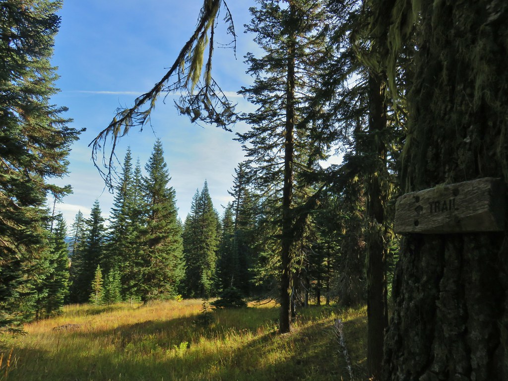
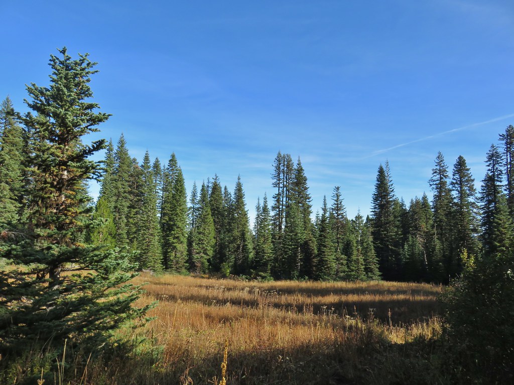
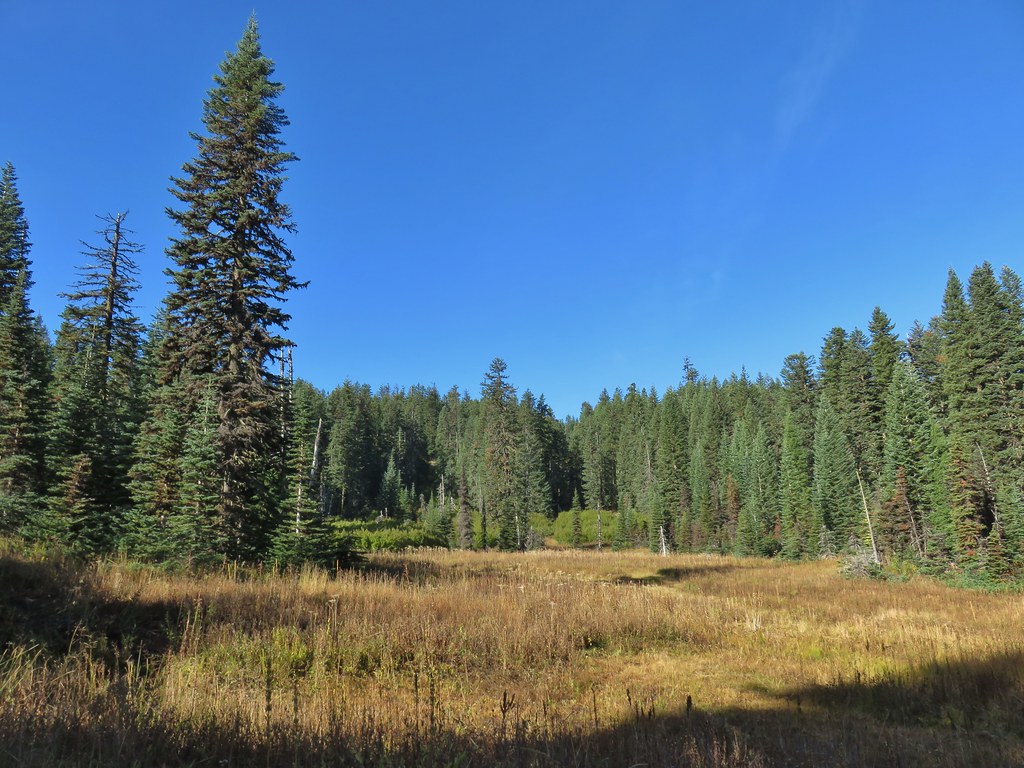 This meadow is where we heard the voice.
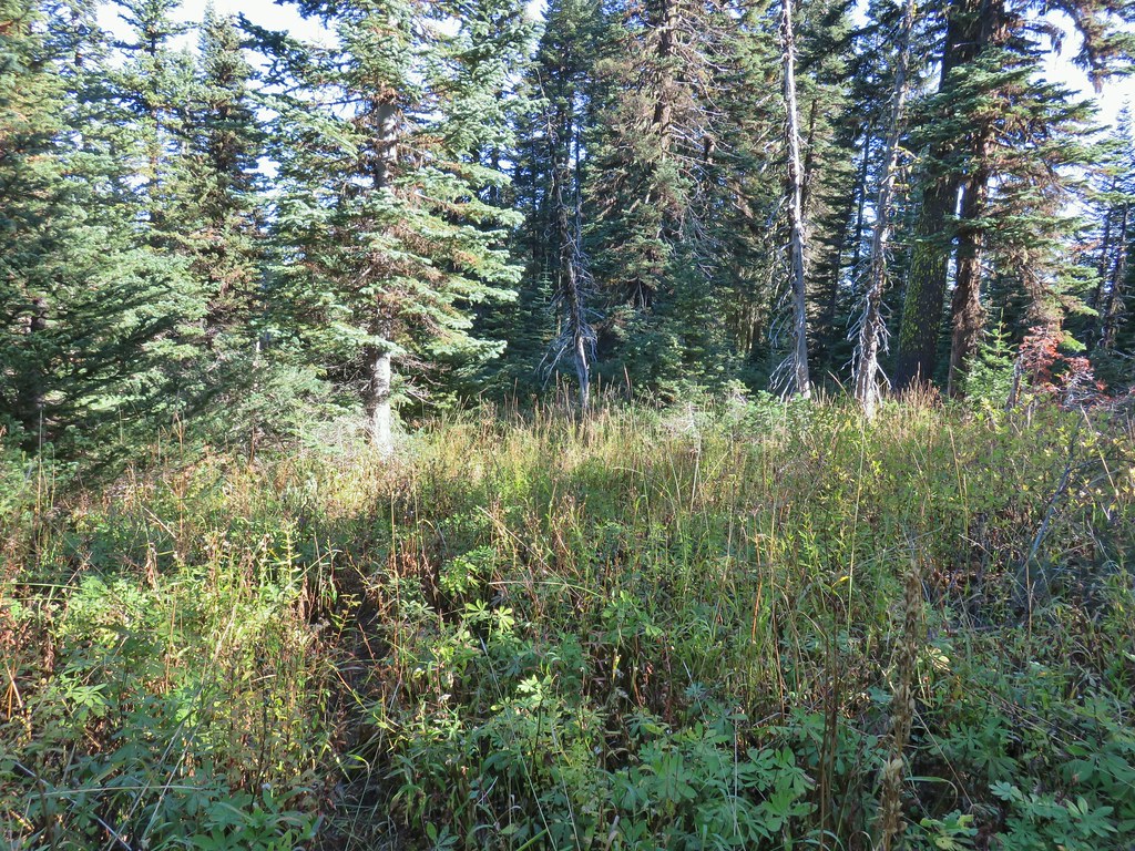
 Another late flower
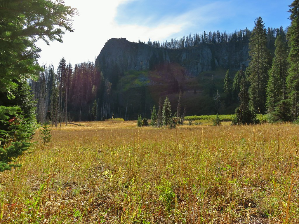
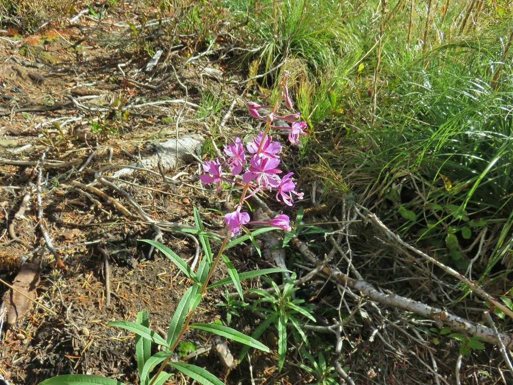 Fireweed that hadn’t gone to seed.
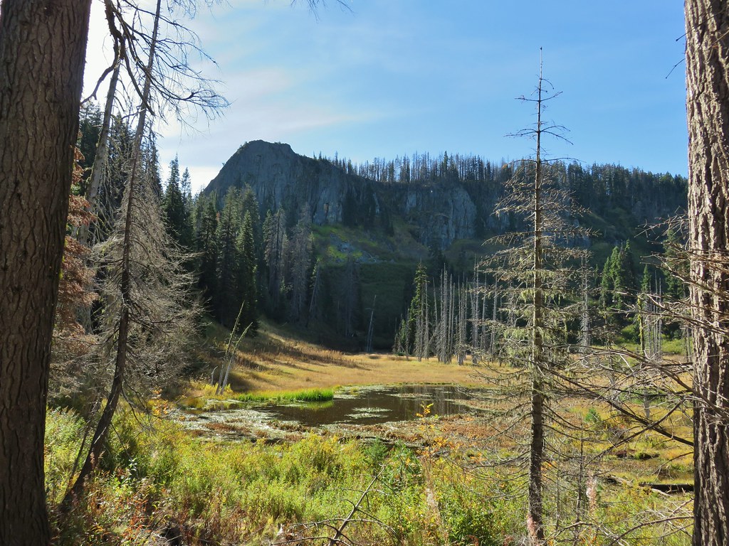
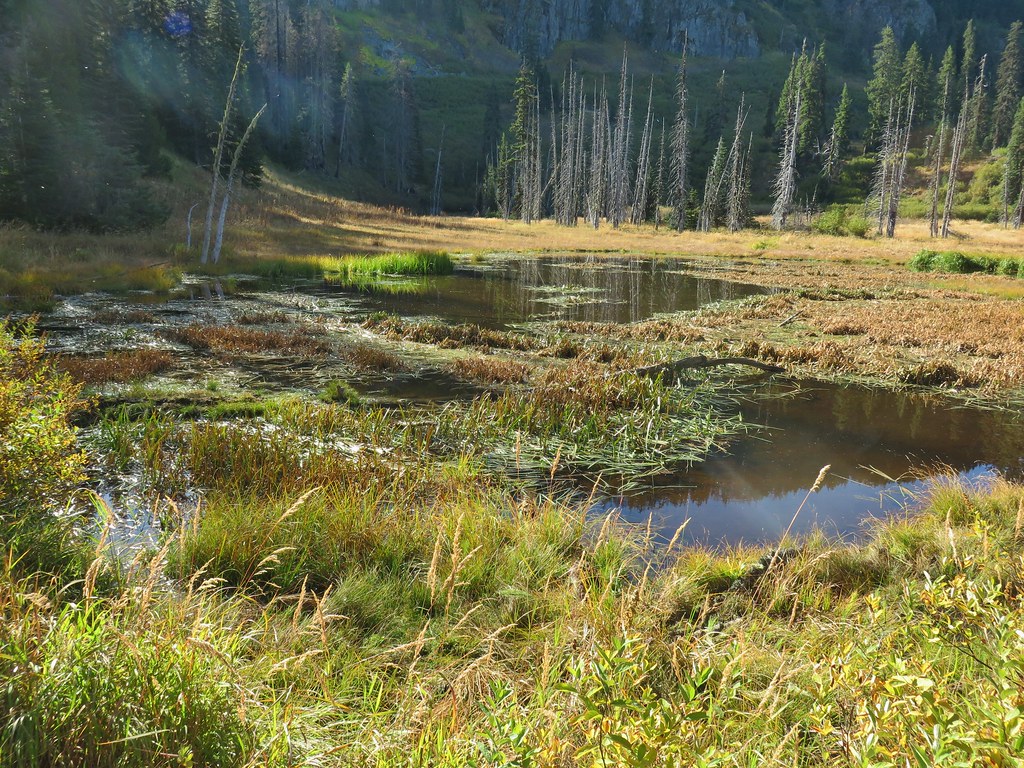
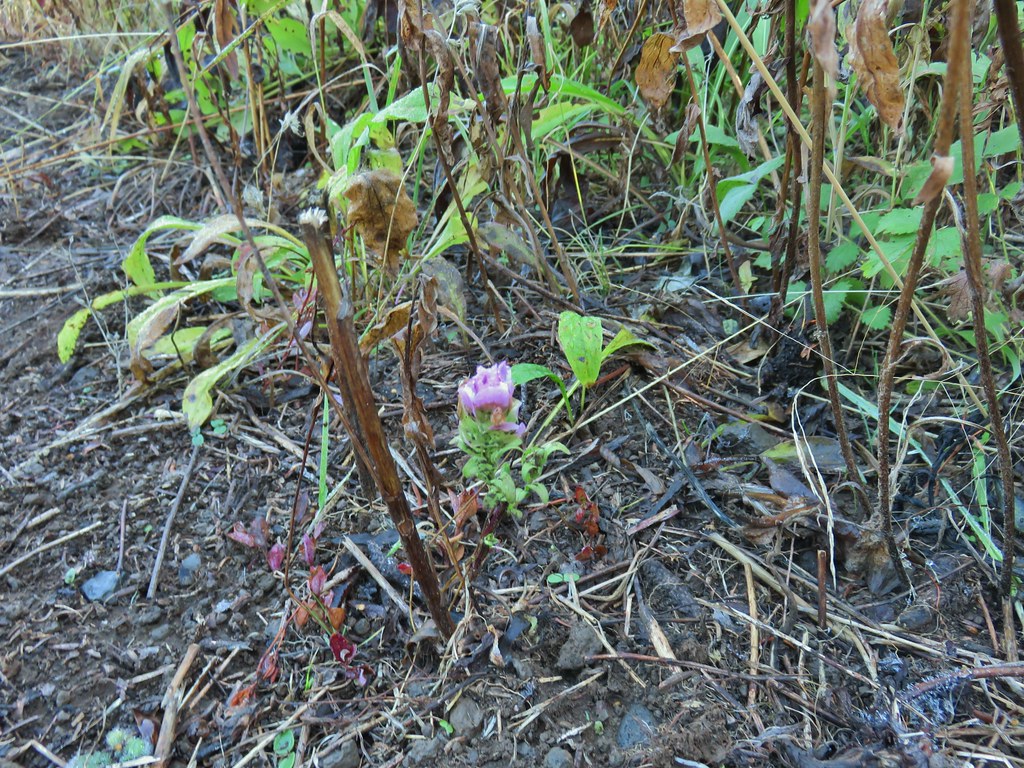 An owl’s clover
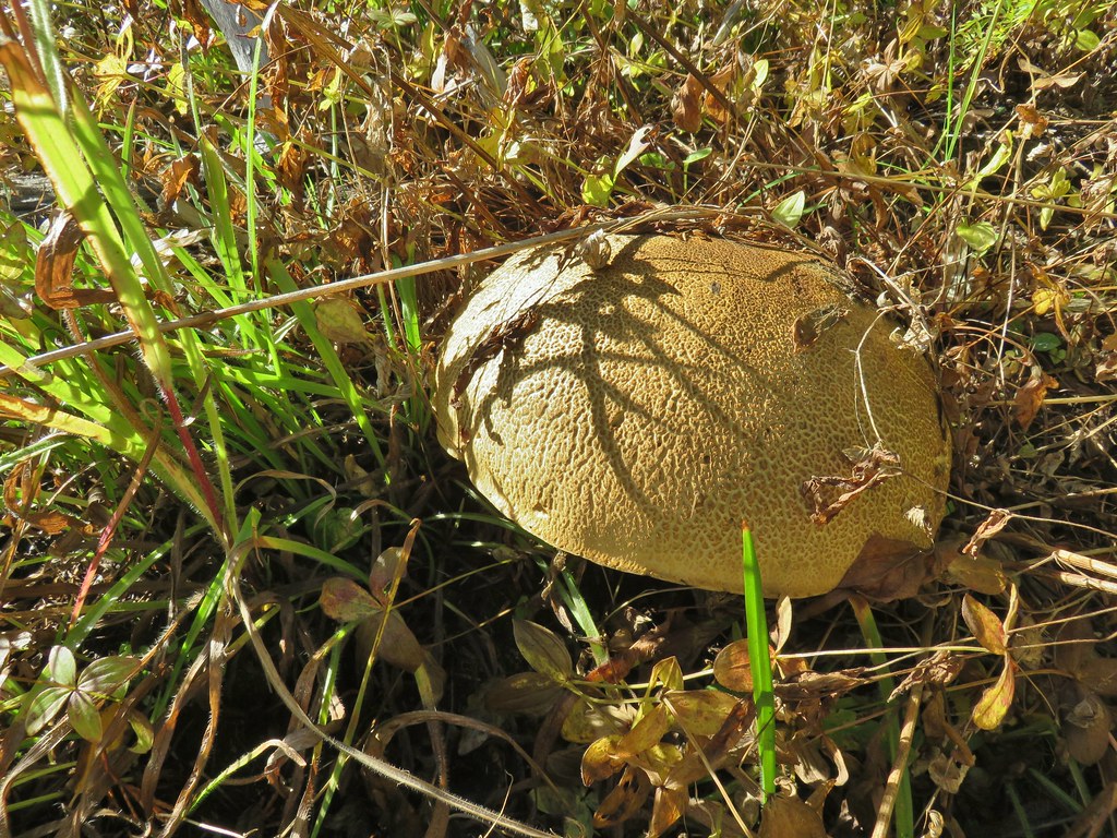 It’s hard to tell from the photo but this mushroom was big.
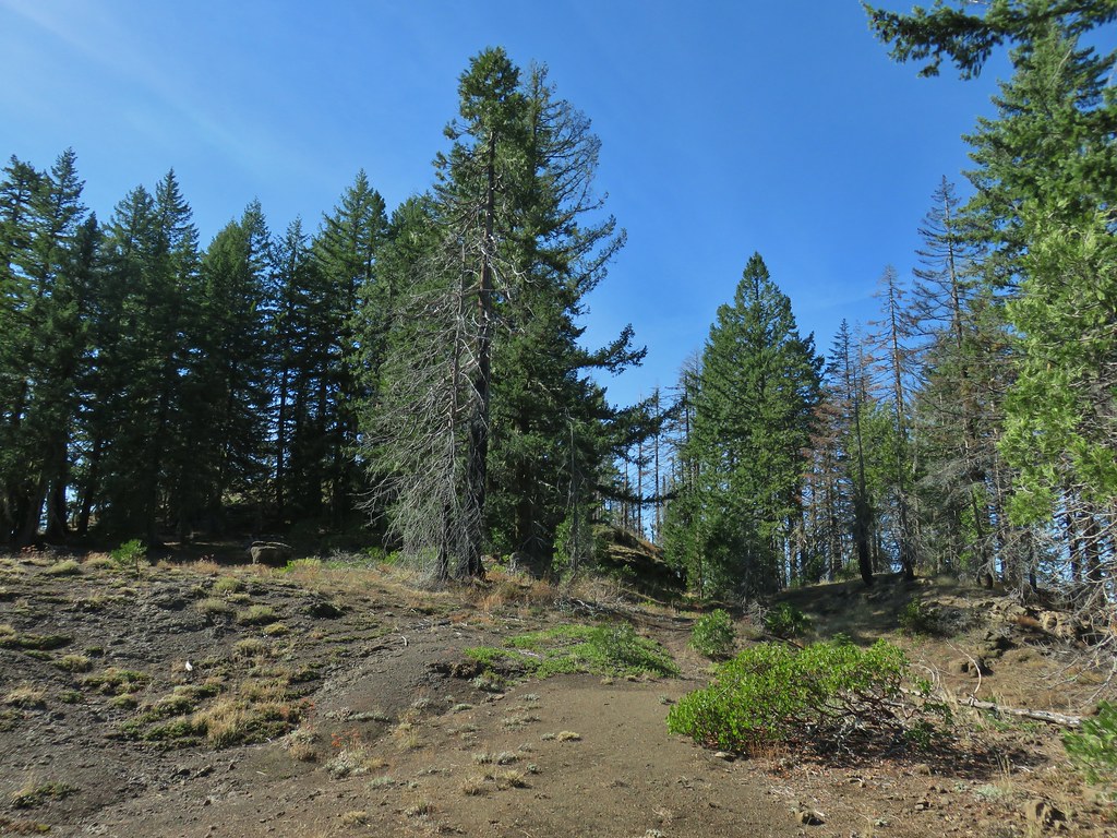


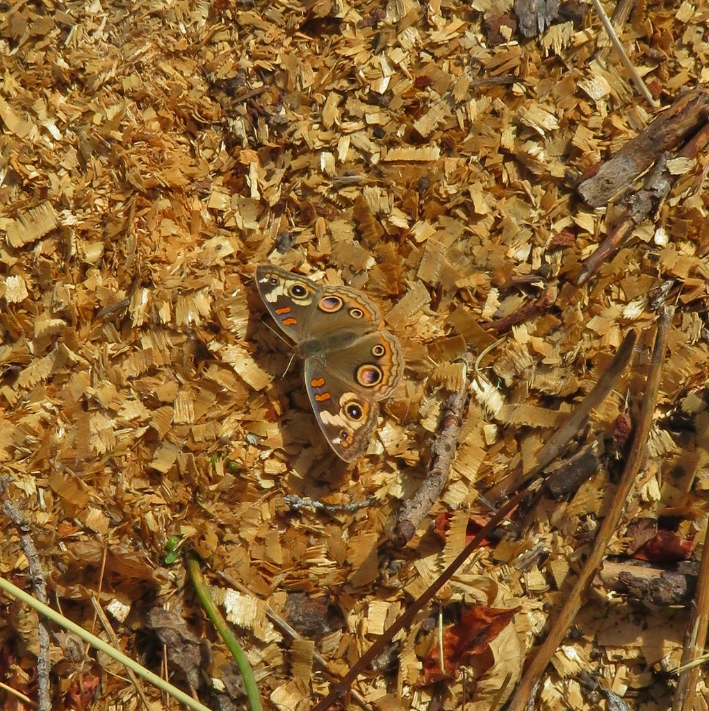
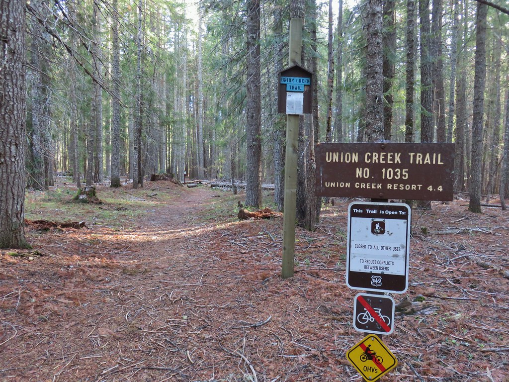


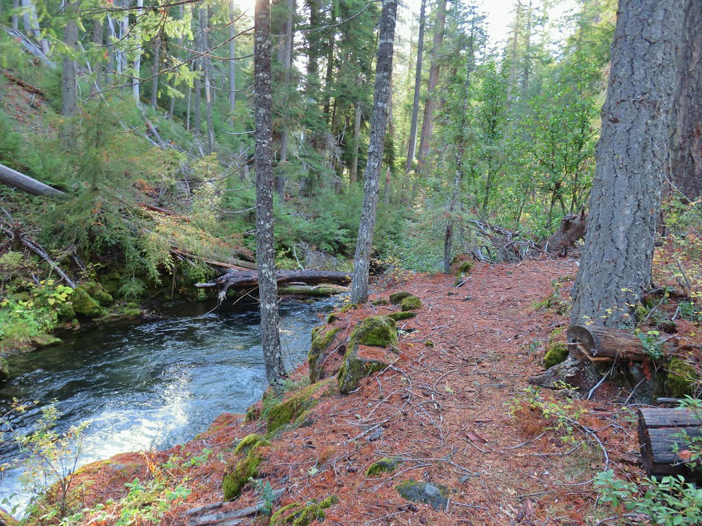
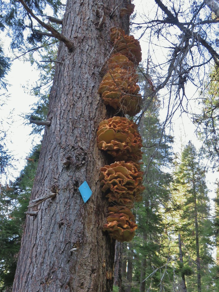
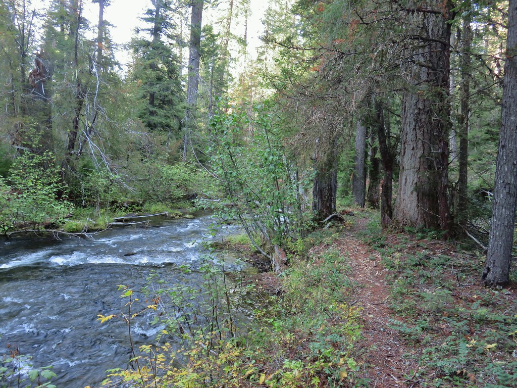
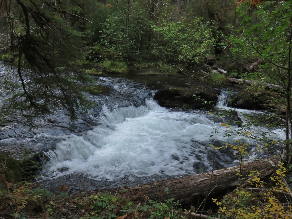
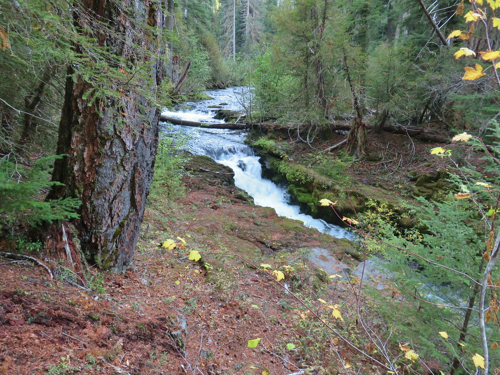
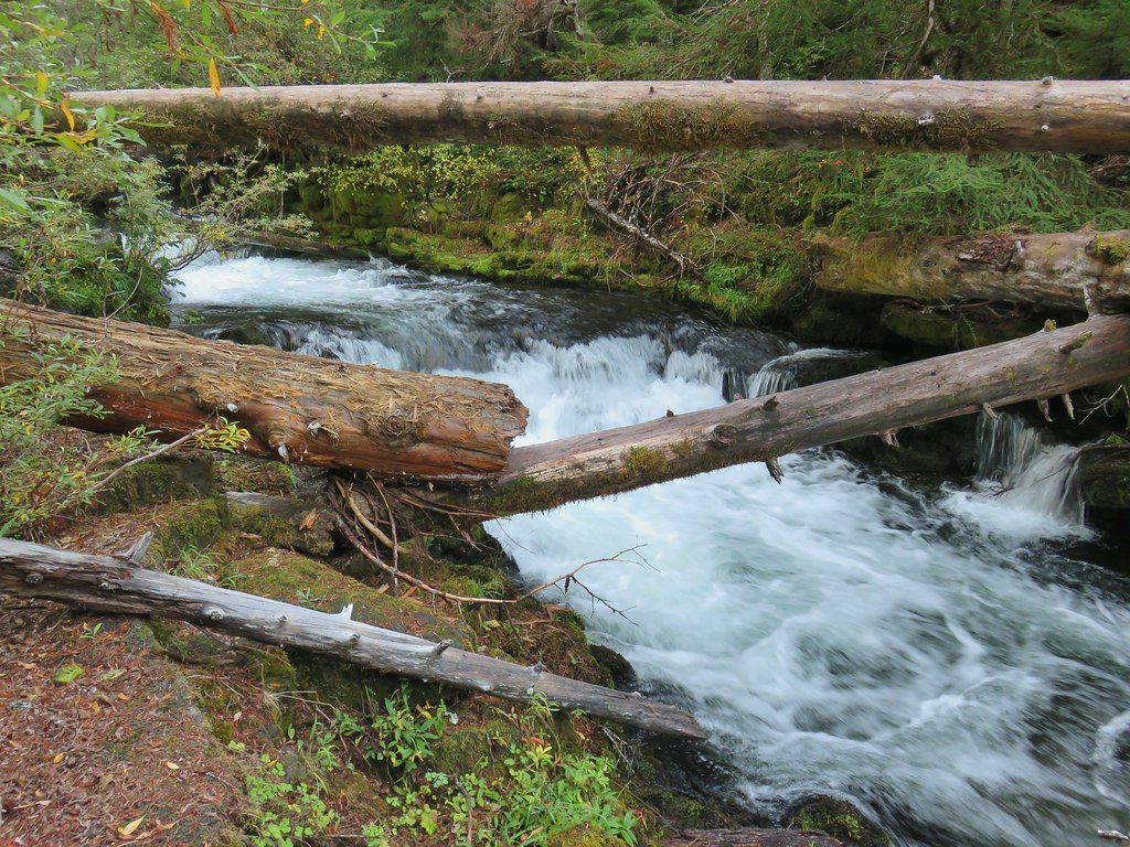

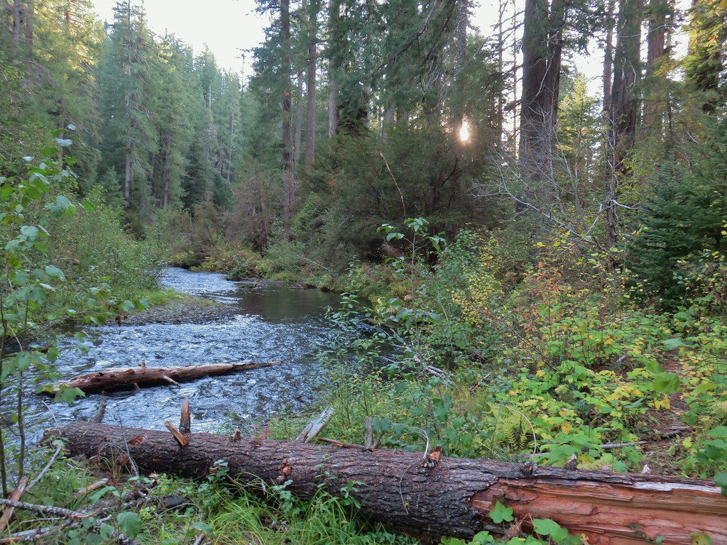
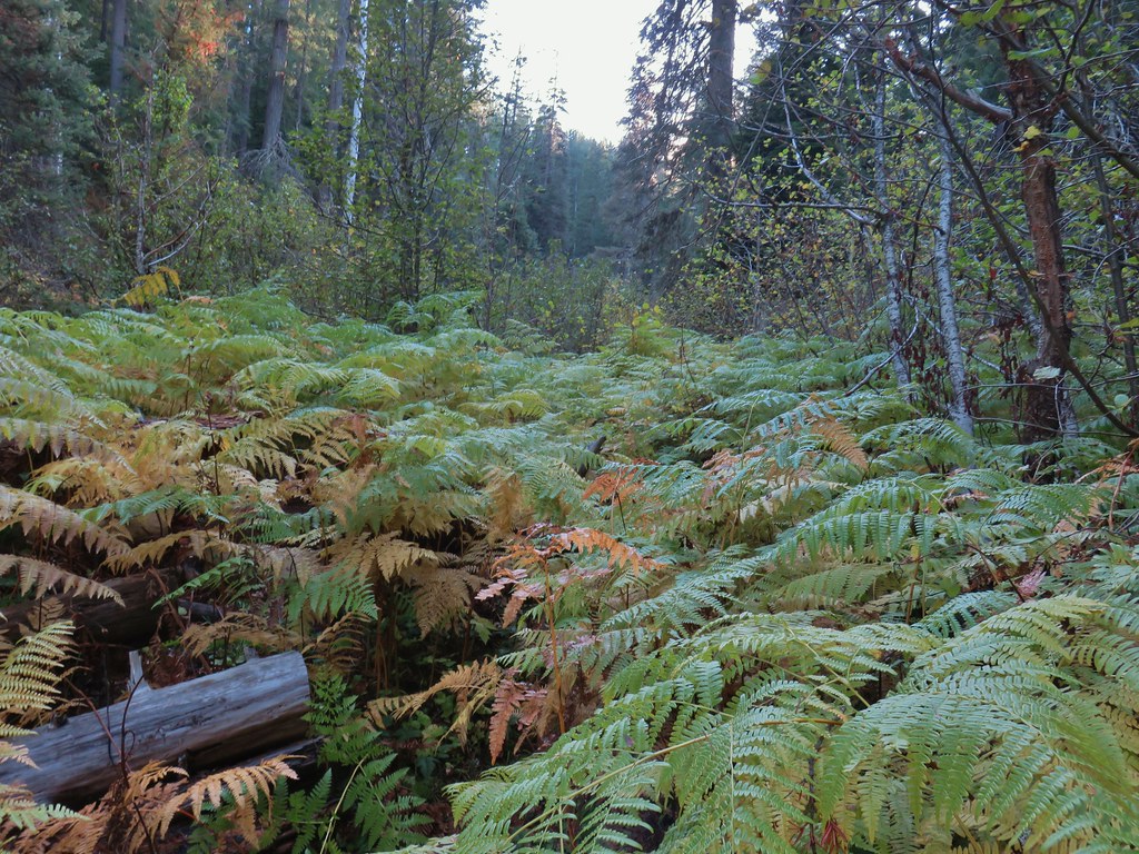


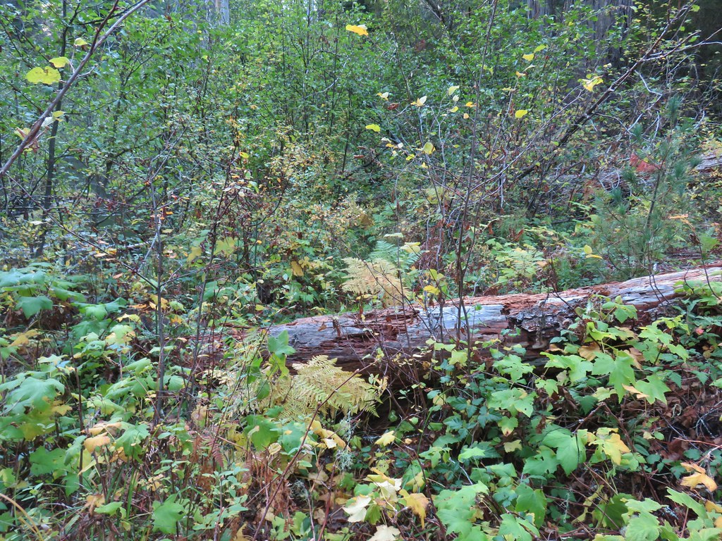
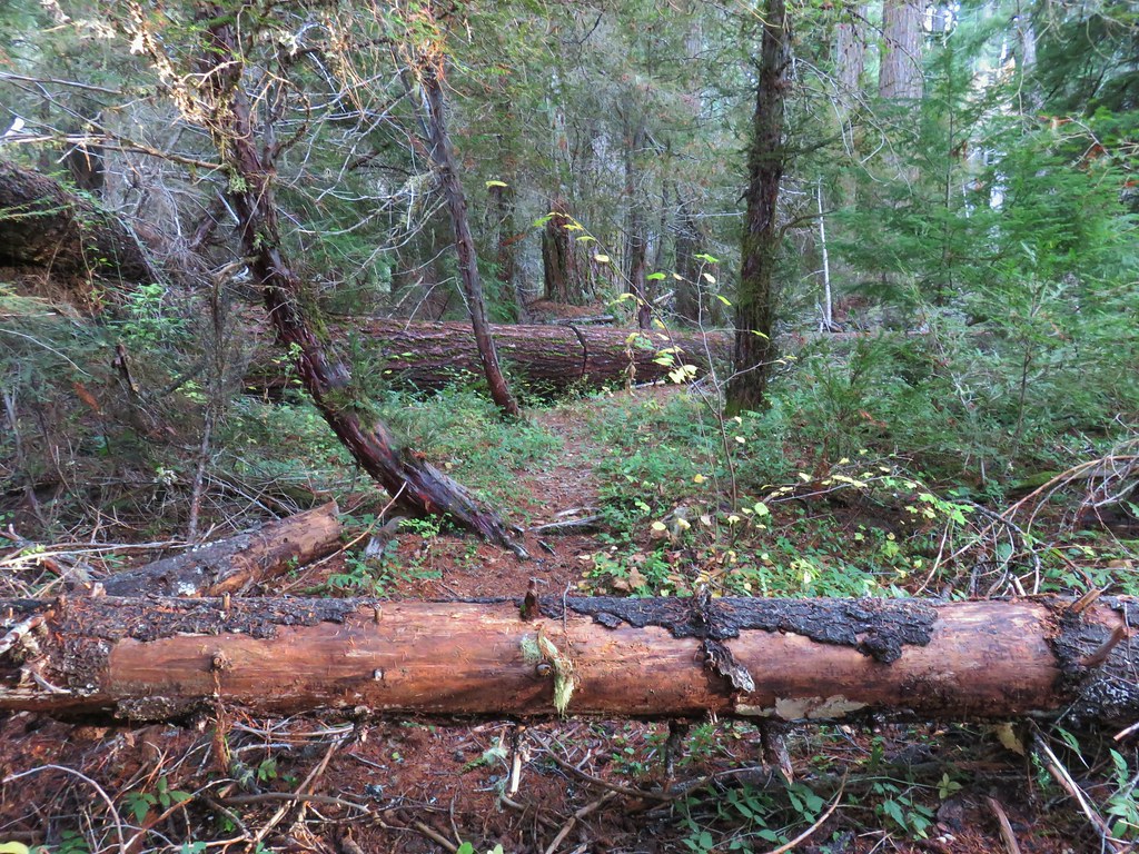
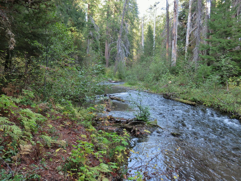 The broken zoom function didn’t let me get a good shot but the ouzel is on a rock in the middle of the creek.
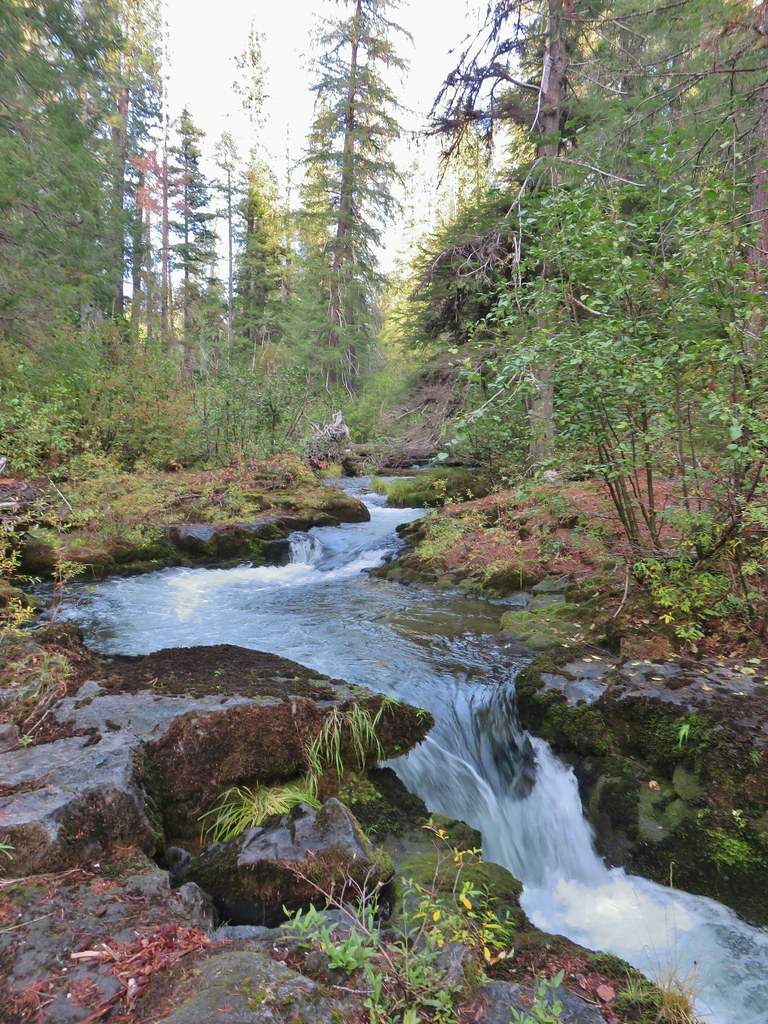
 Sunrise from the parking area.


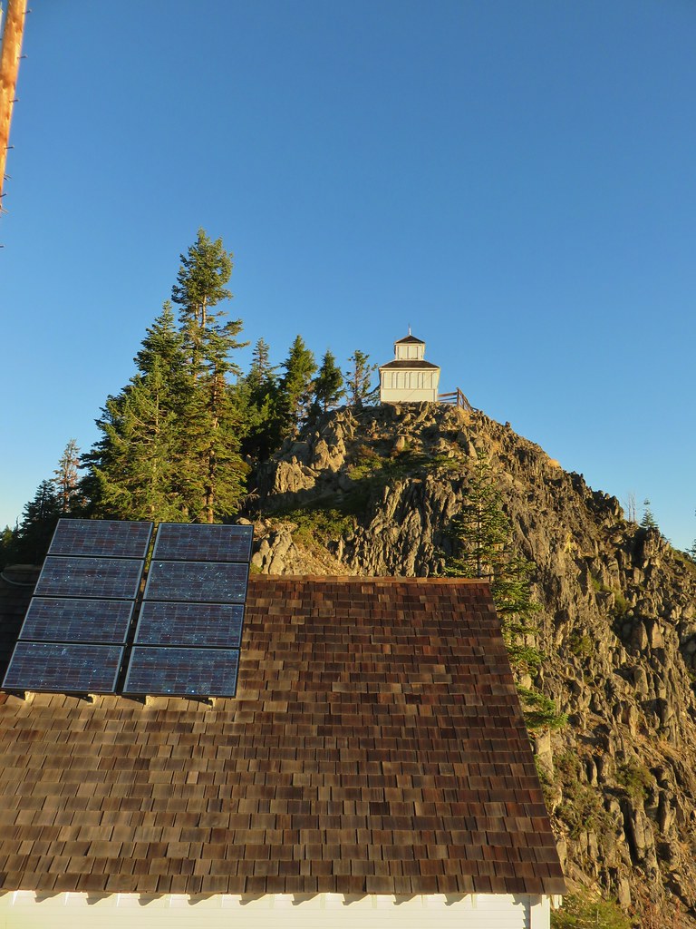
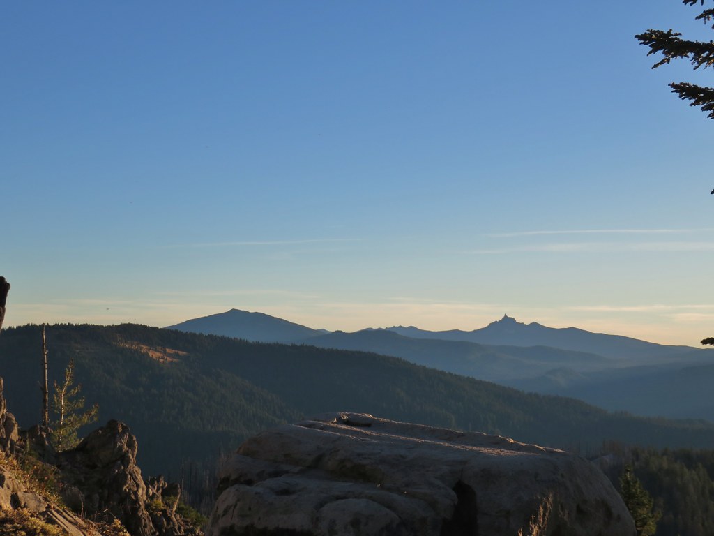 Mt. Bailey, Howlock Mountain, and Mt. Thielsen
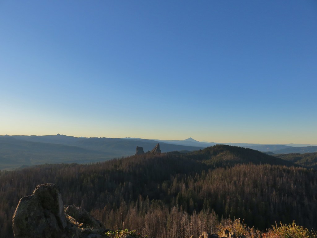 Arant Point, Union Peak, Goose Egg, Klamath Point, Lee Peak, Devils Peak, Pelican Butte, Lucifer Peak, Venus, Rabbit Ears, Mt. McLoughlin, and Mt. Shasta (among others).
 Mt. McLoughlin and Mt. Shasta
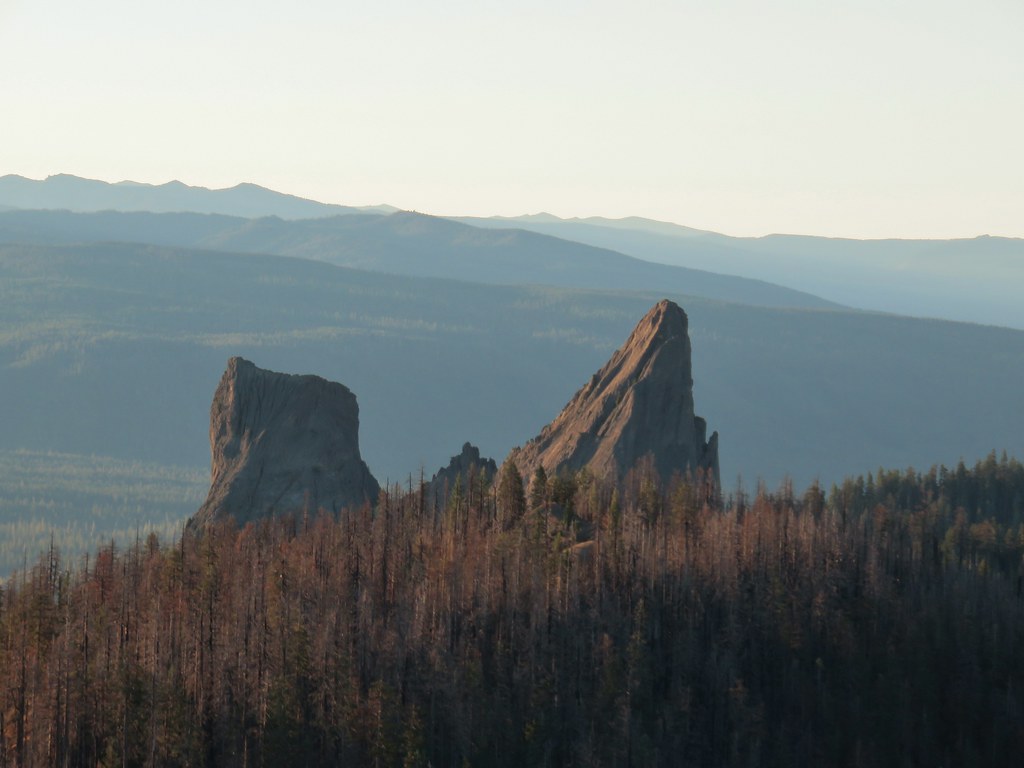 Rabbit Ears
 Sun over Crater Lake National Park
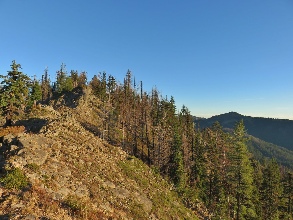

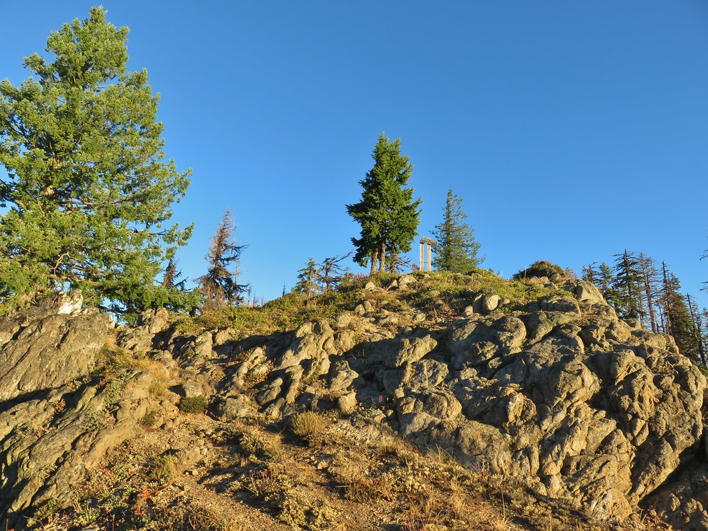
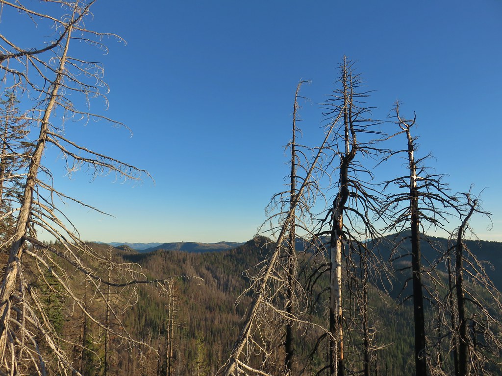
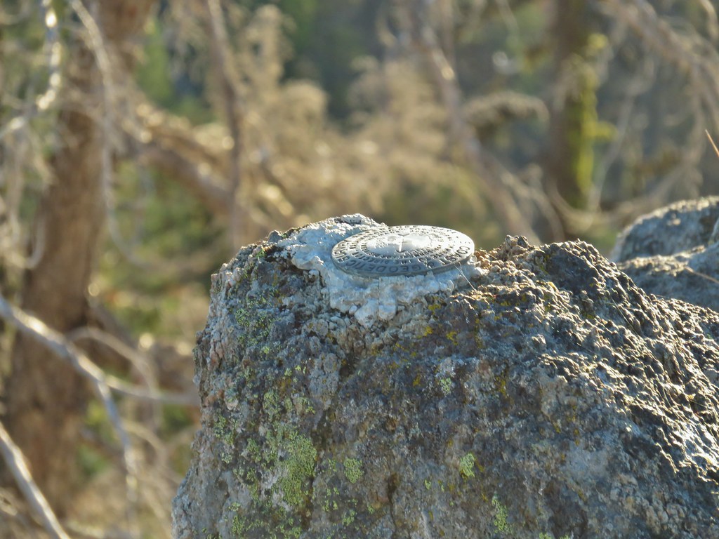 Survey marker at the summit.
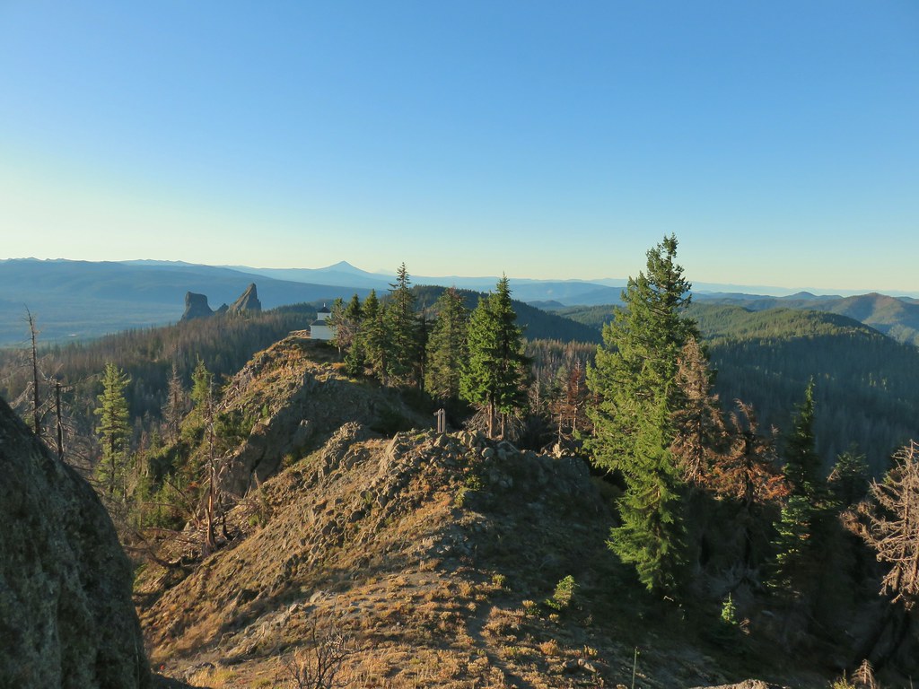 The sign, lookout, Rabbit Ears, Mt. McLoughlin, and Mt. Shasta coming back from the summit.
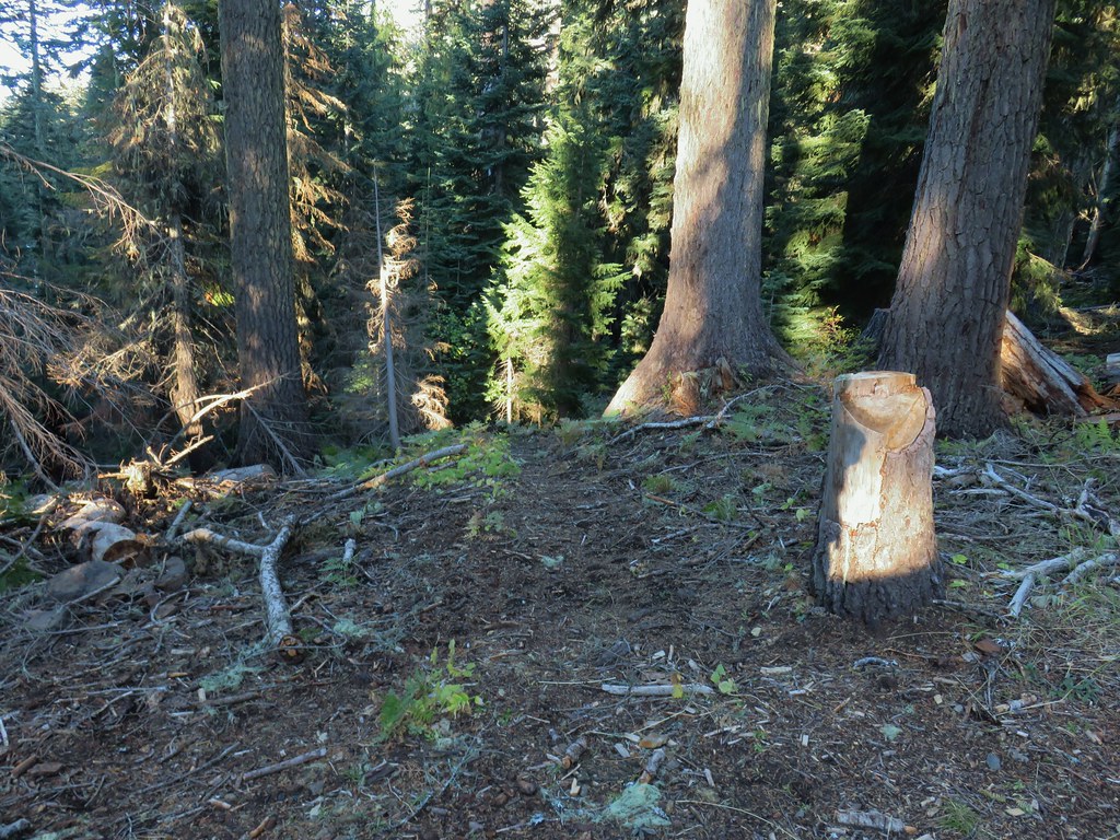 Acker Divide Trail leaving FR 580.
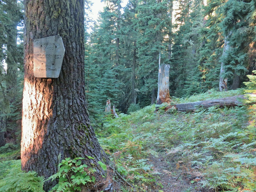
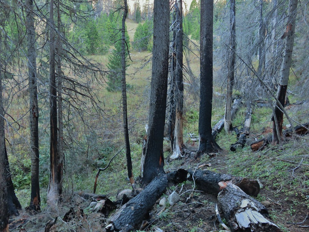
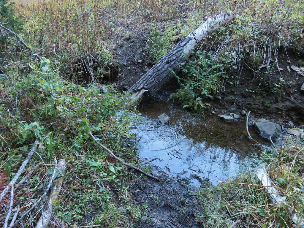

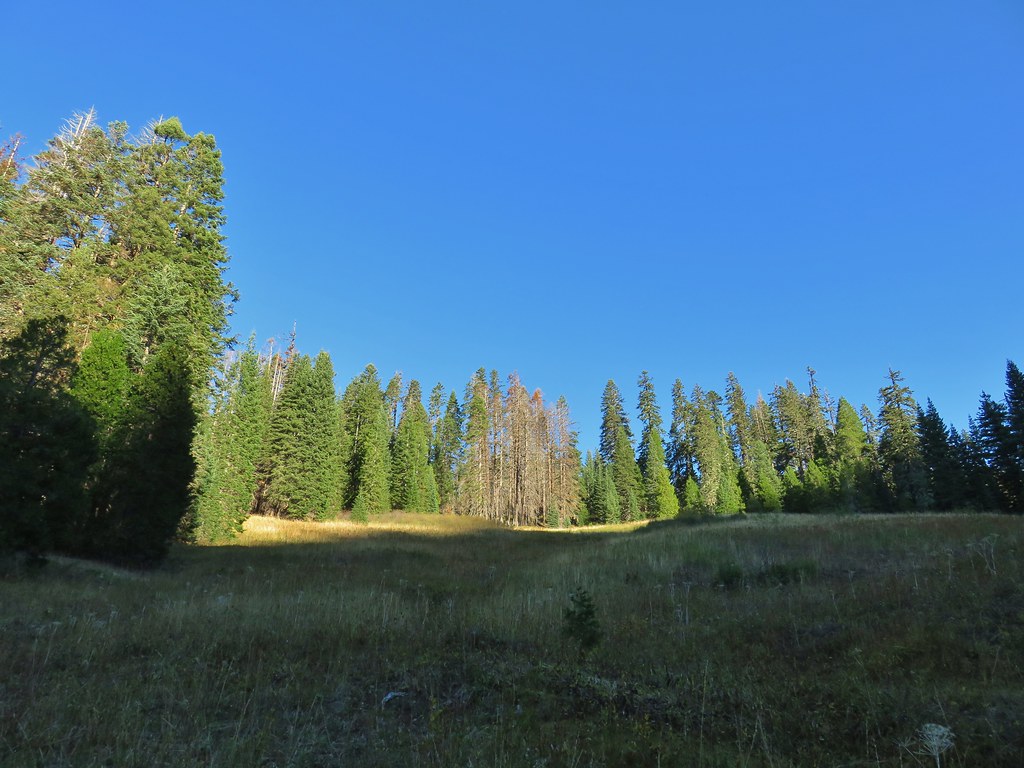
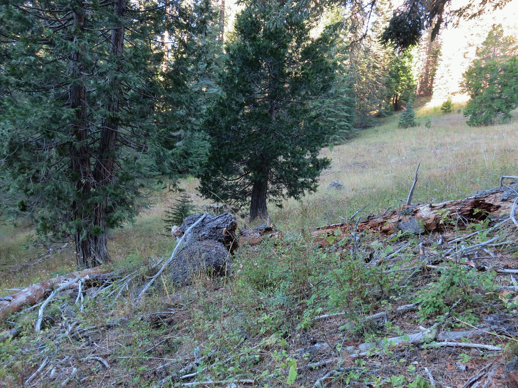 Another cairn to the right of the tree ahead.
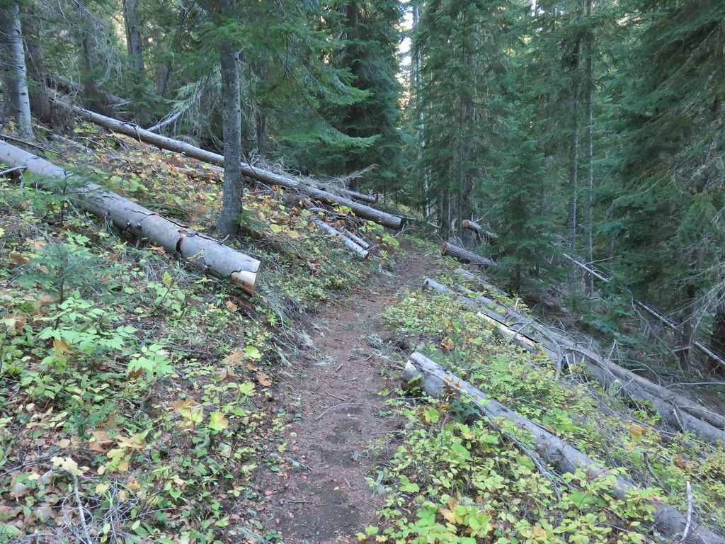
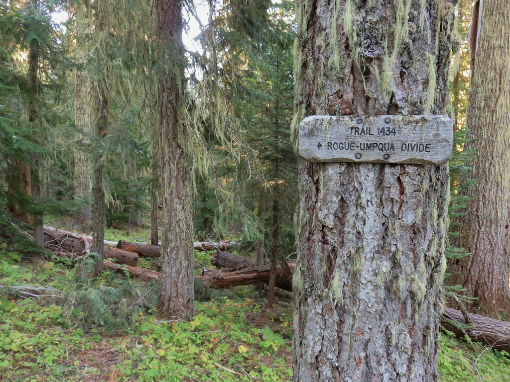

 A lonely flower along the Acker Divide Trail
 Mushroom near the meadow.
 Toad Meadow
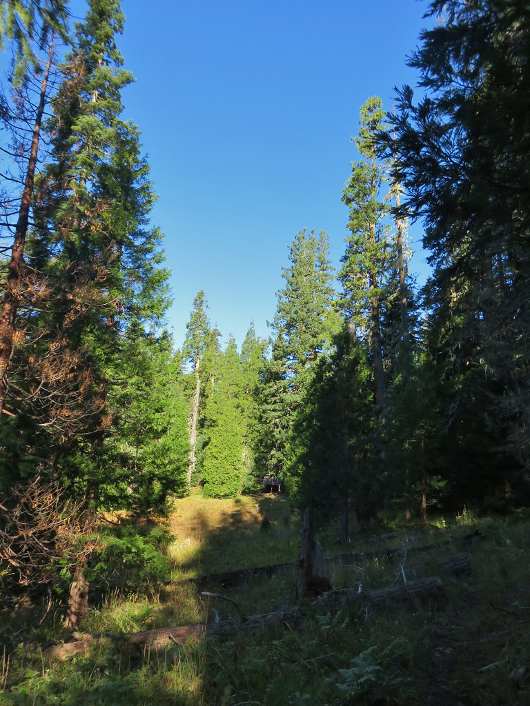


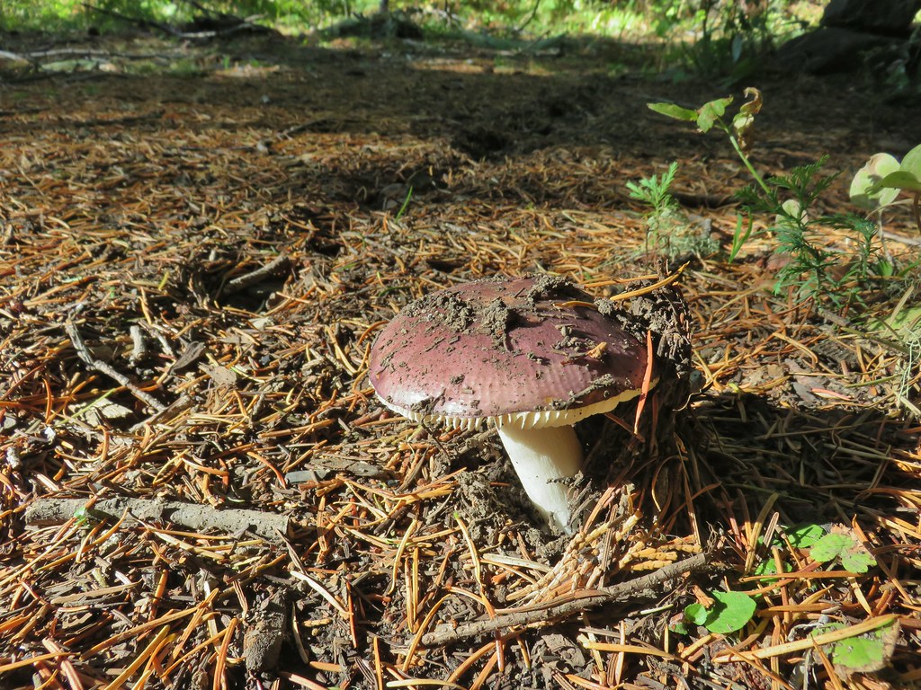 Tis the time of year for Mushroom to replace flowers.
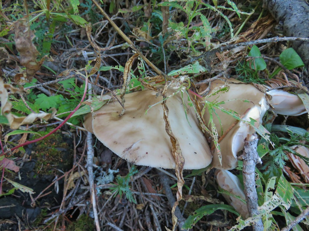
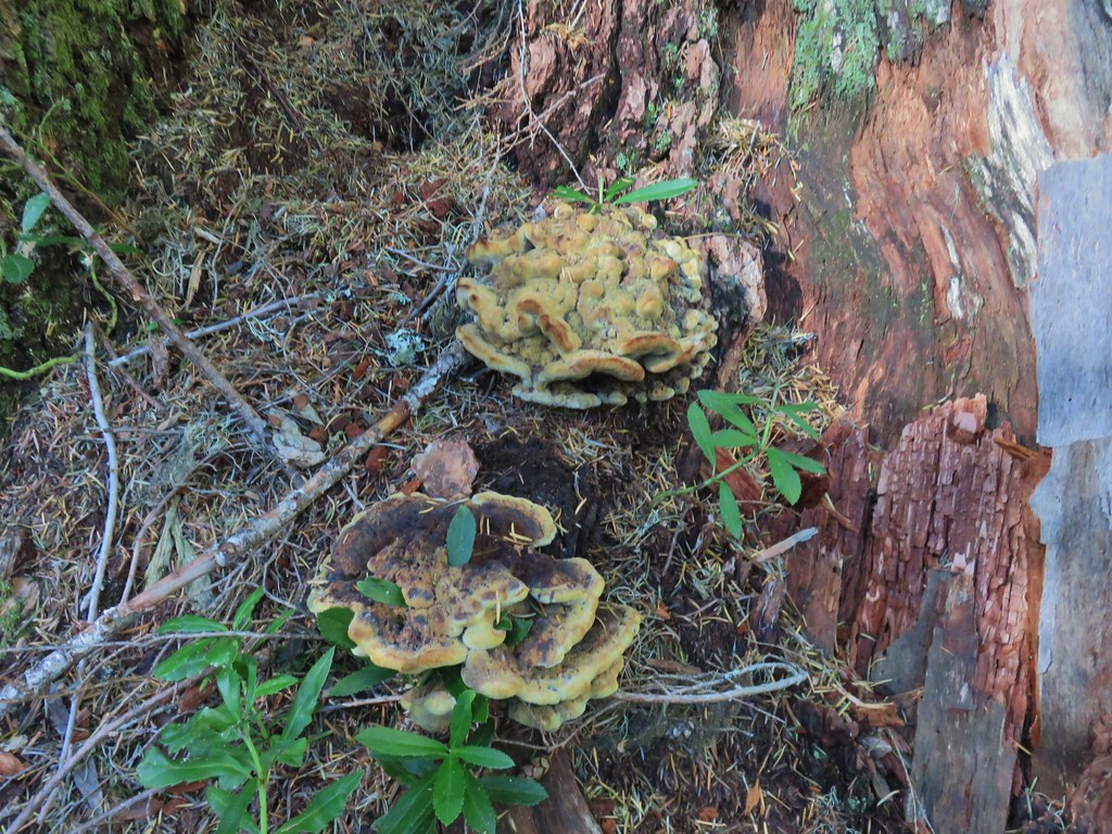
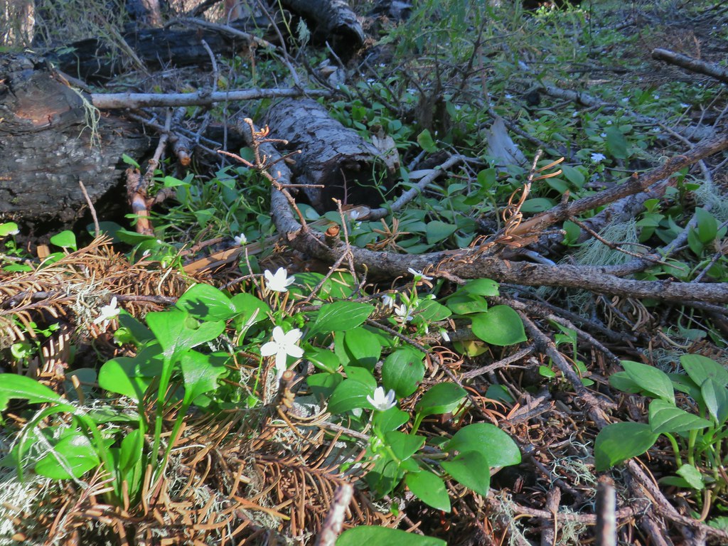 Candyflower
 Pullout along FR 6515
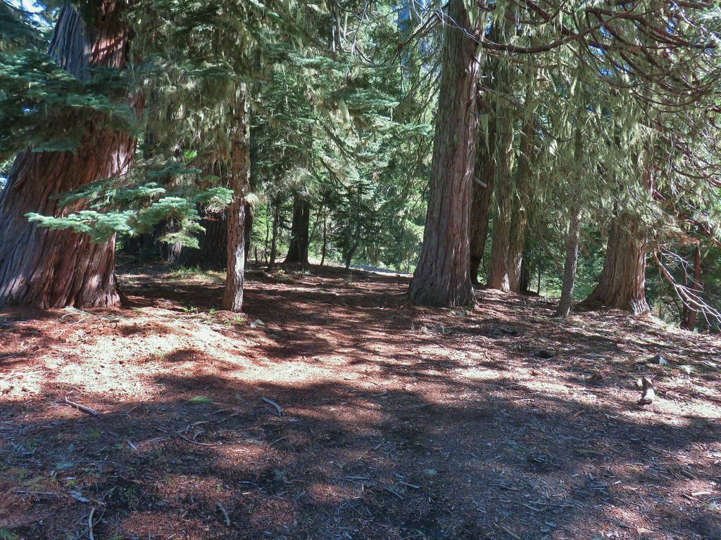 Trail to Rabbit Ears
 The split
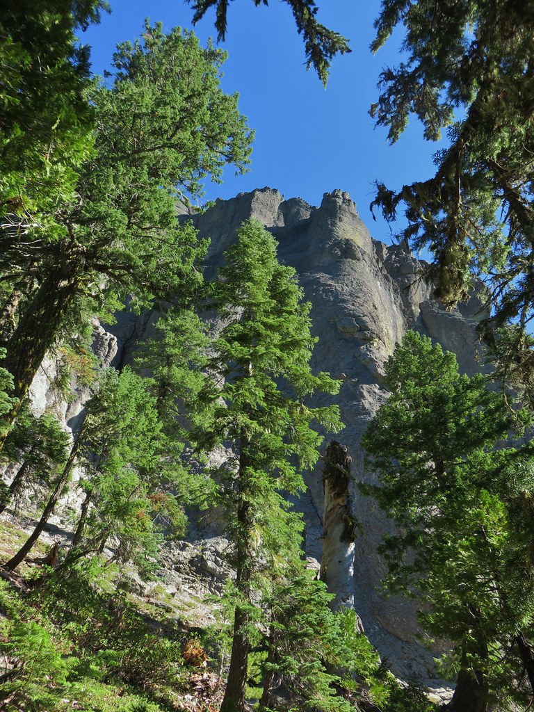

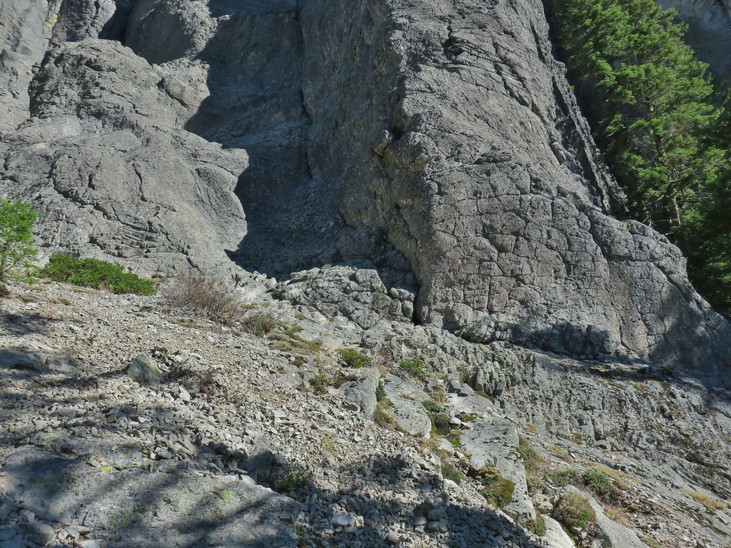

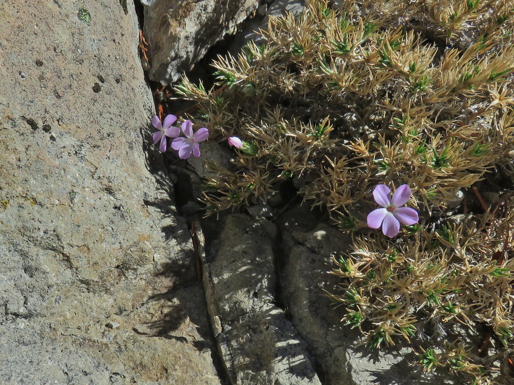 We were surprised to find these phlox blossoms still looking good.
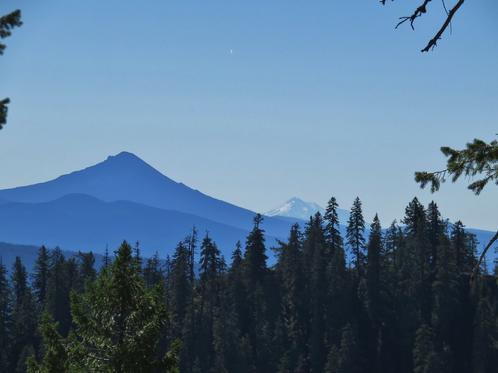

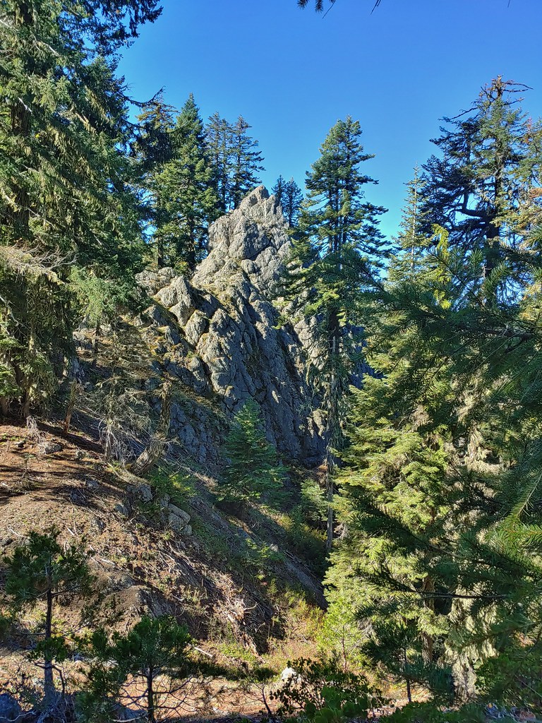 Smaller rock formation along the trail.
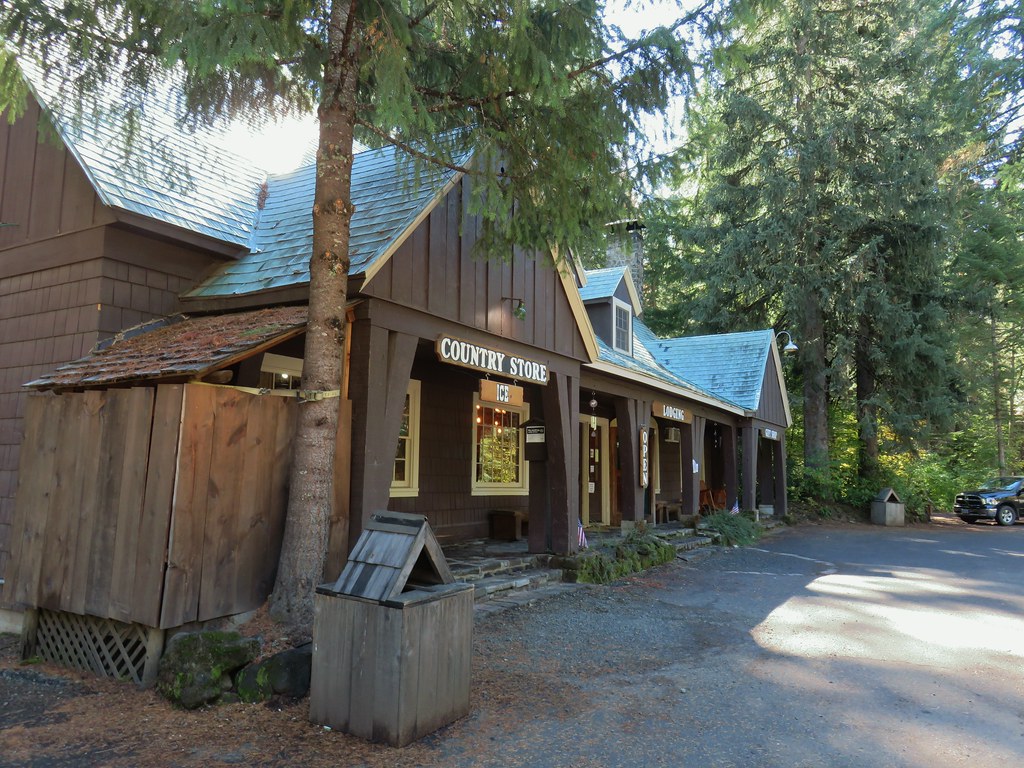
 The Ice Cream shop and to it’s right the sign for the trail to the Rogue Gorge Viewpoint.
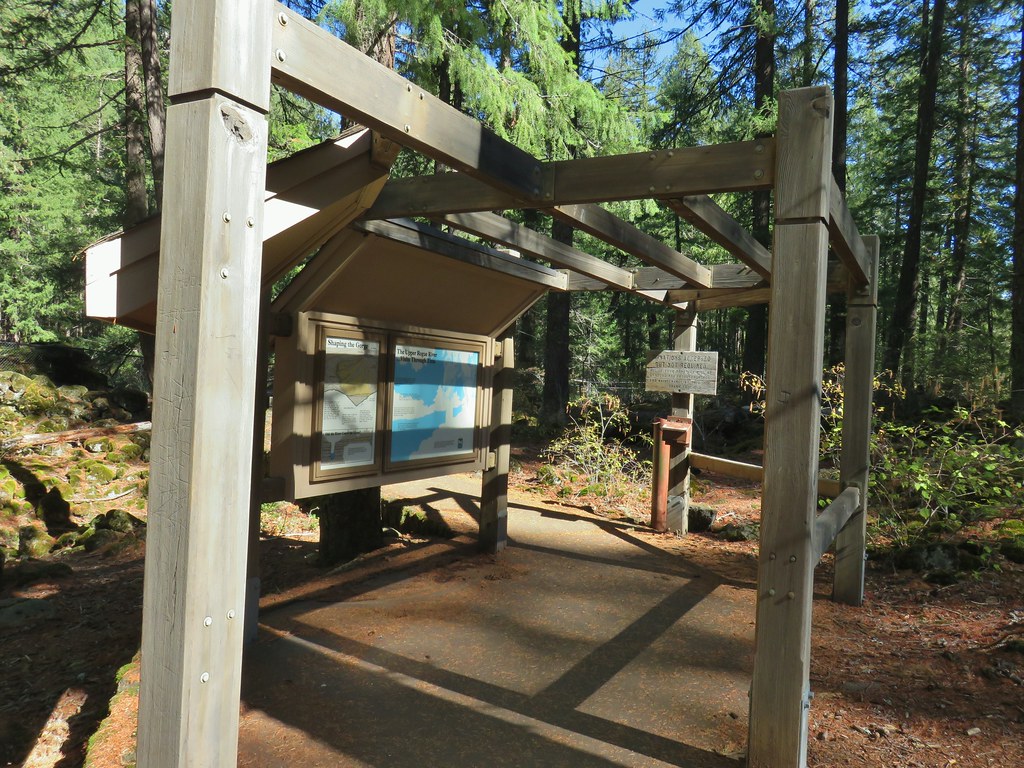 Interpretive signs at the parking area.
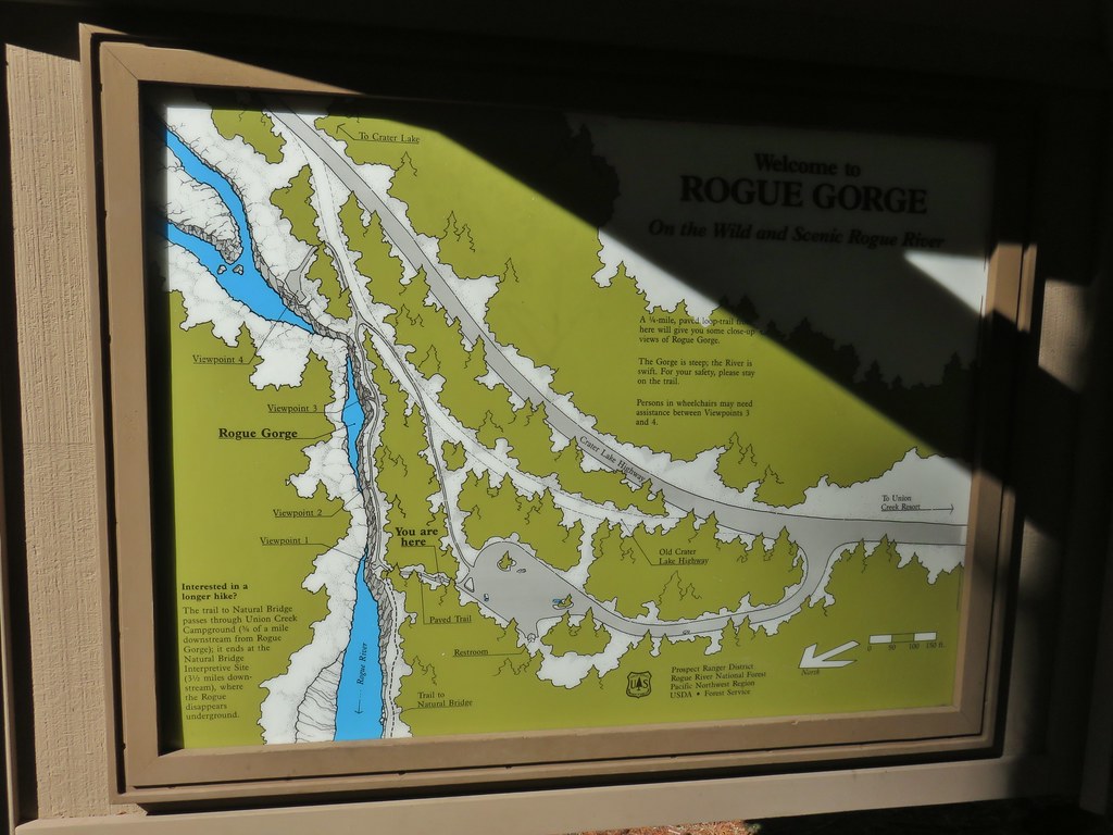
 Viewpoint 4
 Rogue River at viewpoint 4.
 Viewpoint 3
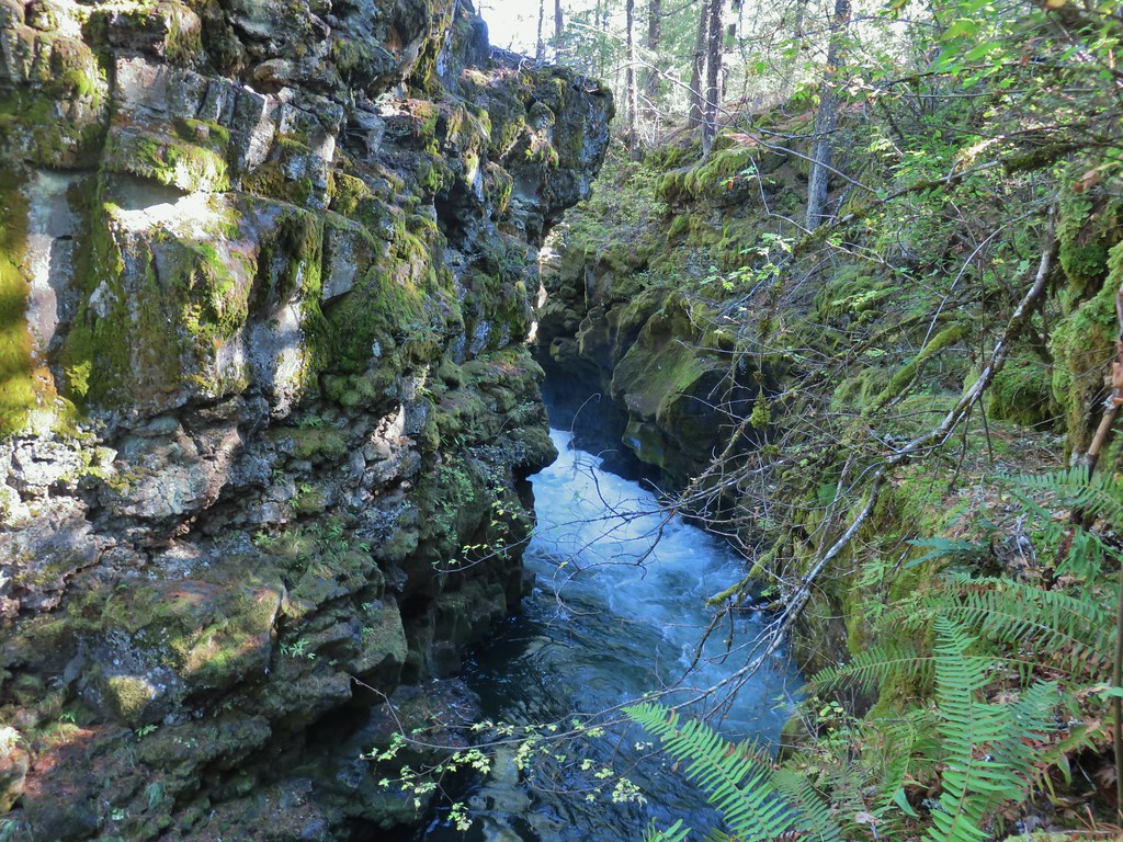 View upriver from viewpoint 3.
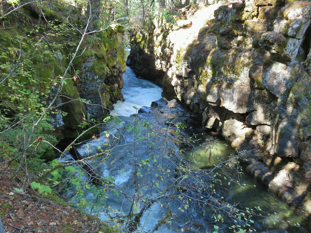 Downriver from viewpoint 3.
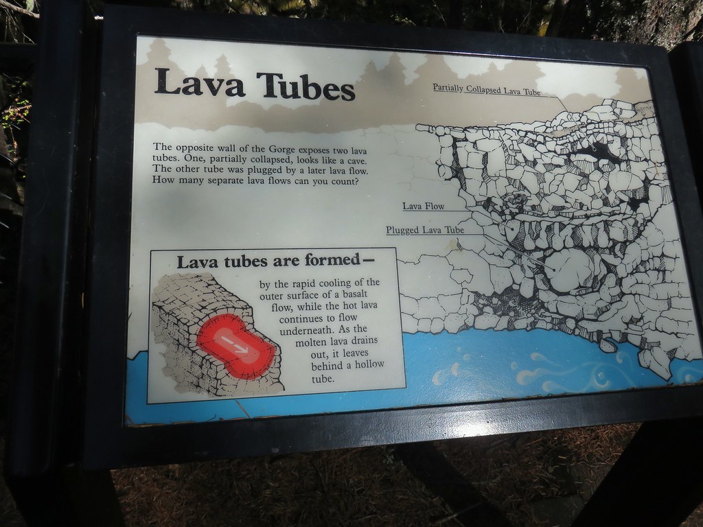 Interpretative sign at the viewpoint.
 The lava tubes.
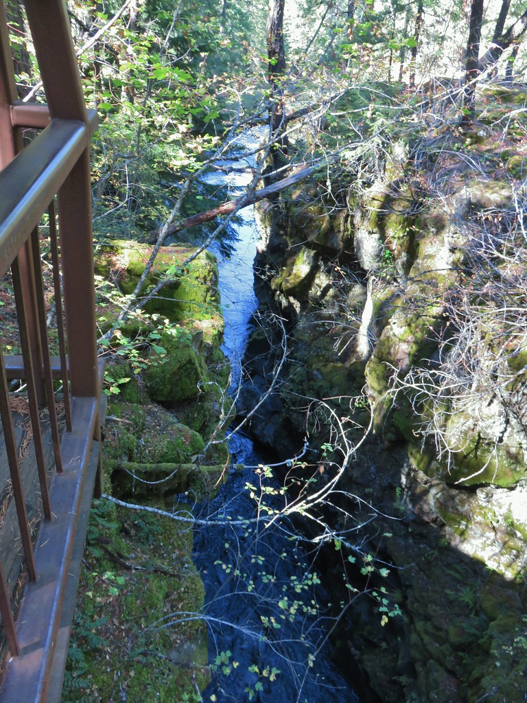 Viewpoint 2
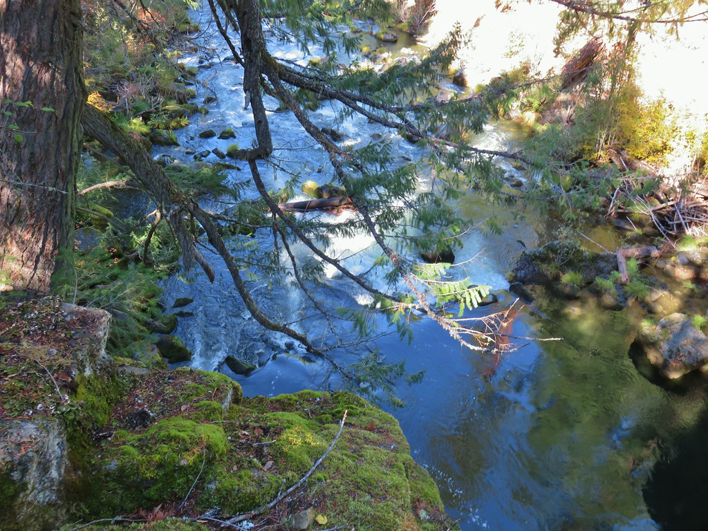 Viewpoint 1 above the end of the Rogue Gorge.
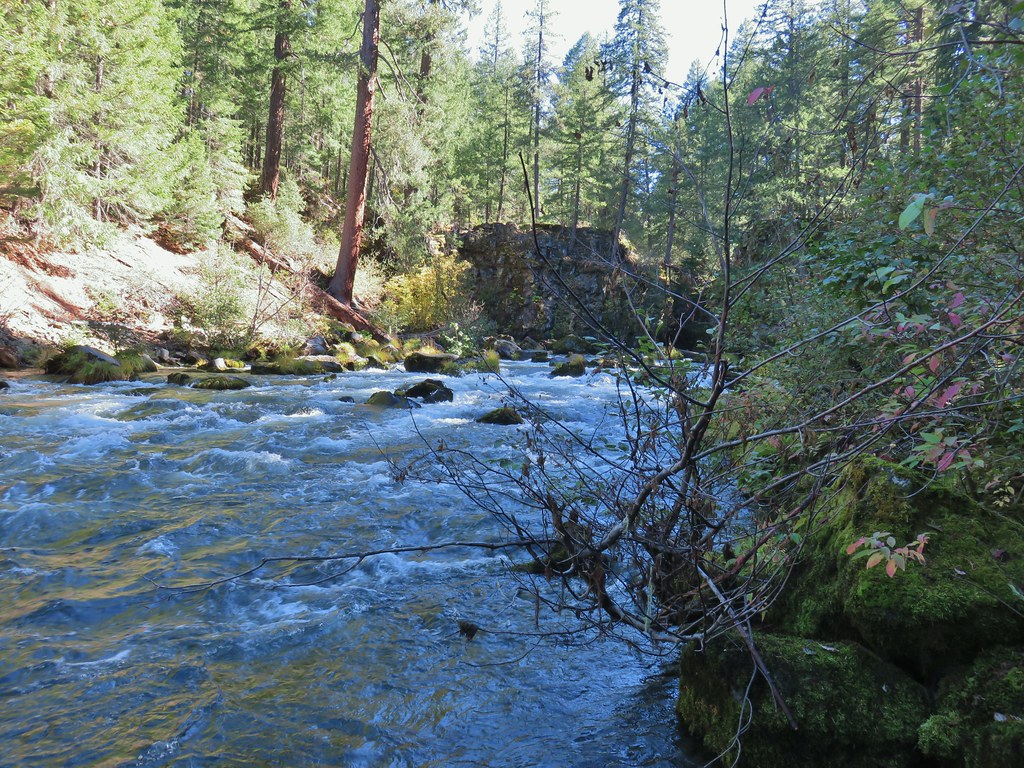
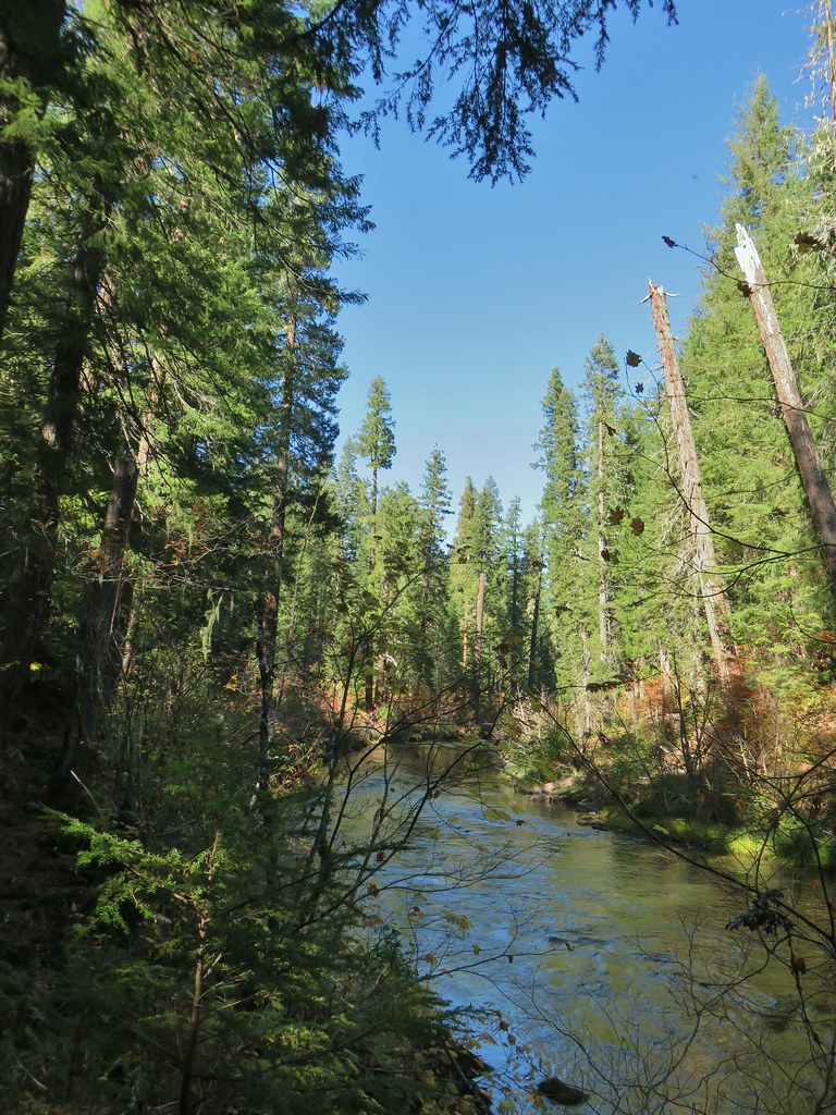
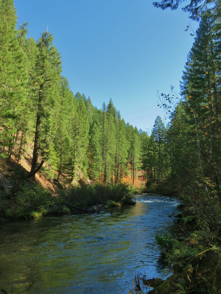
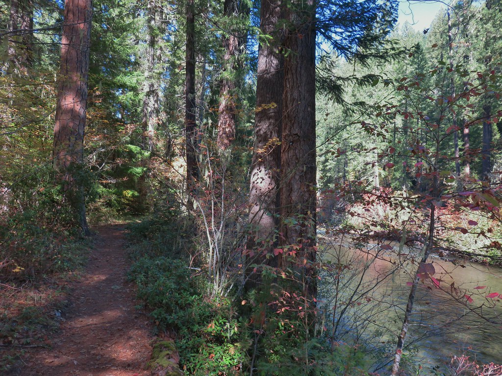
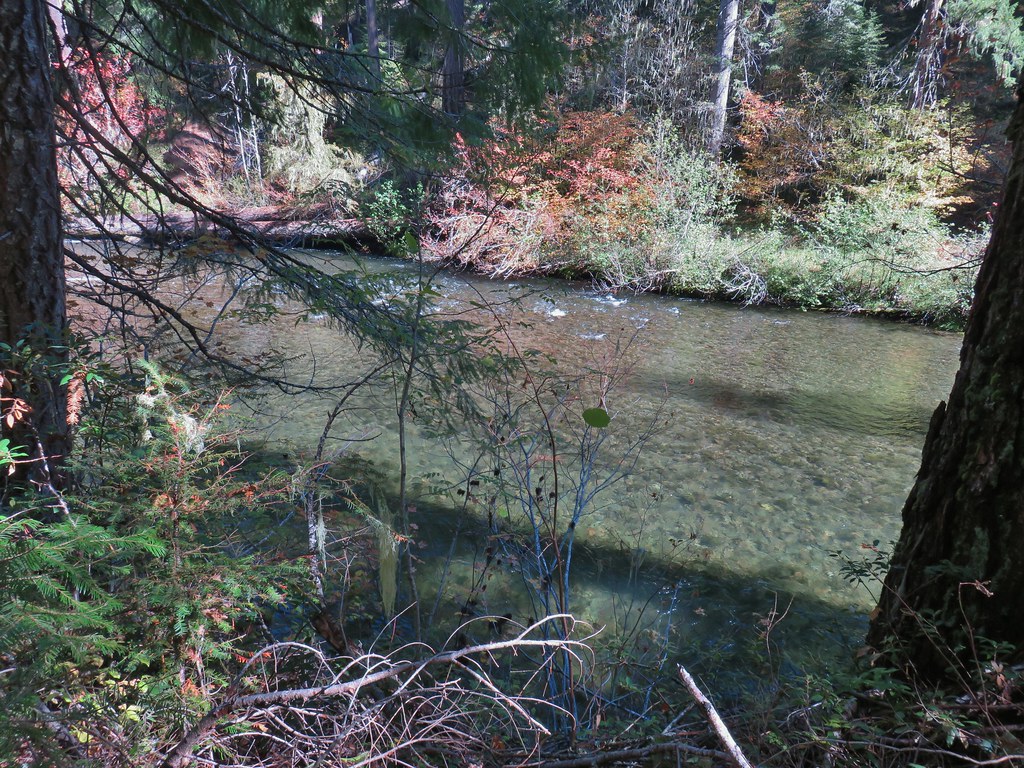
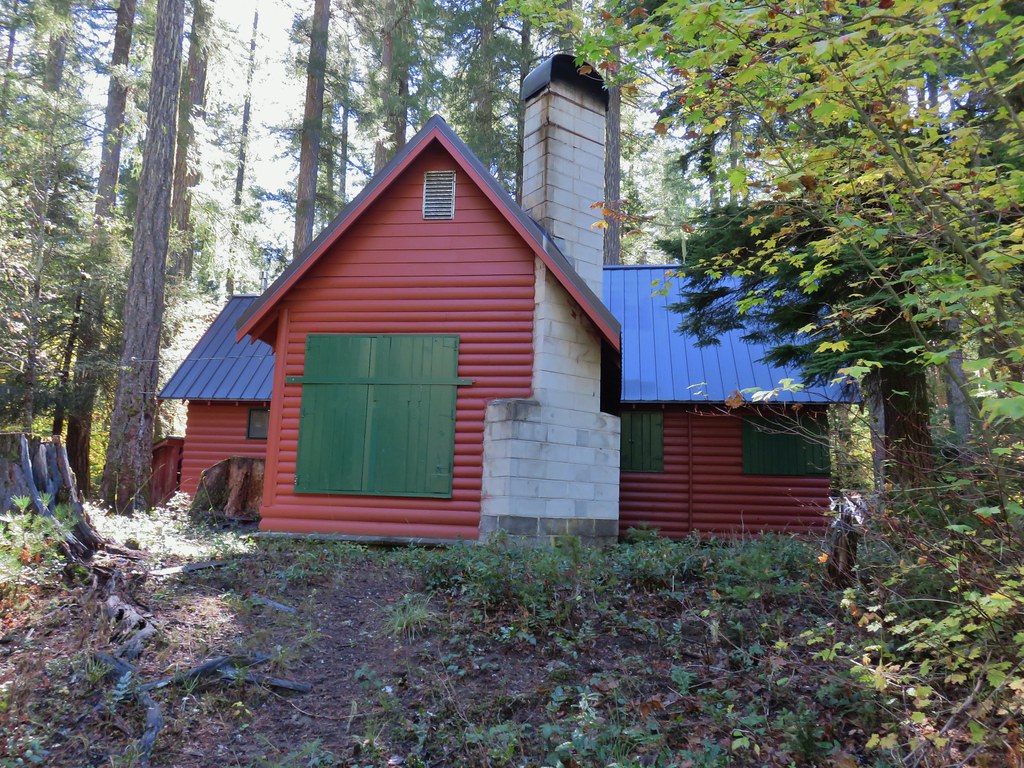

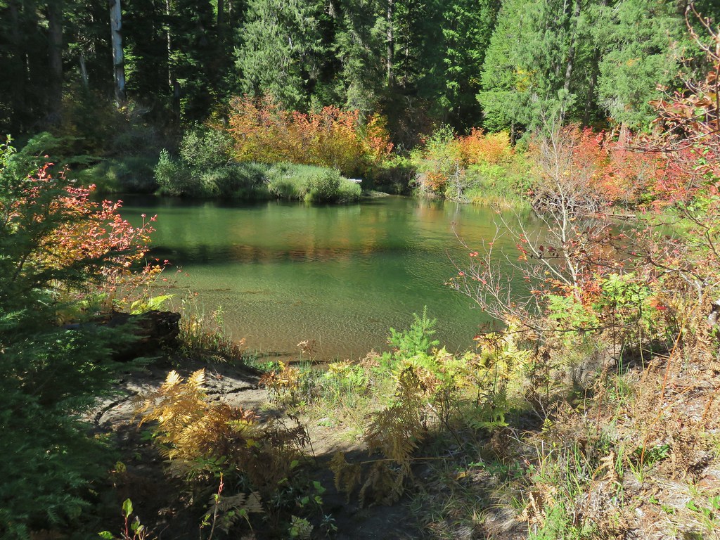

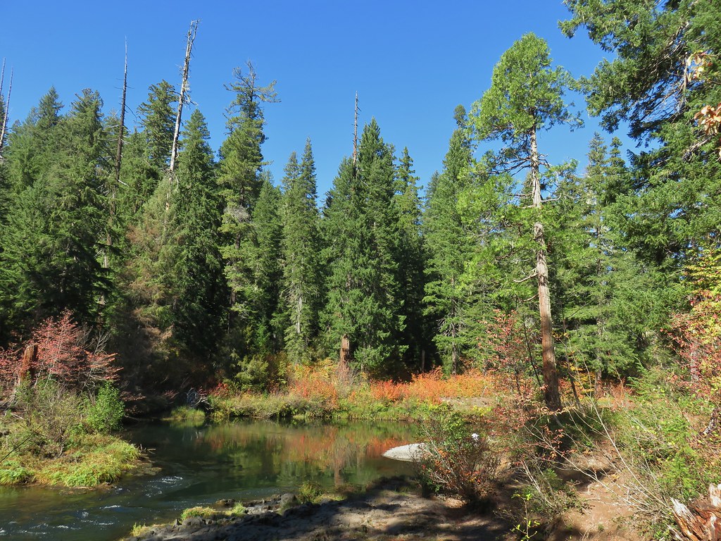
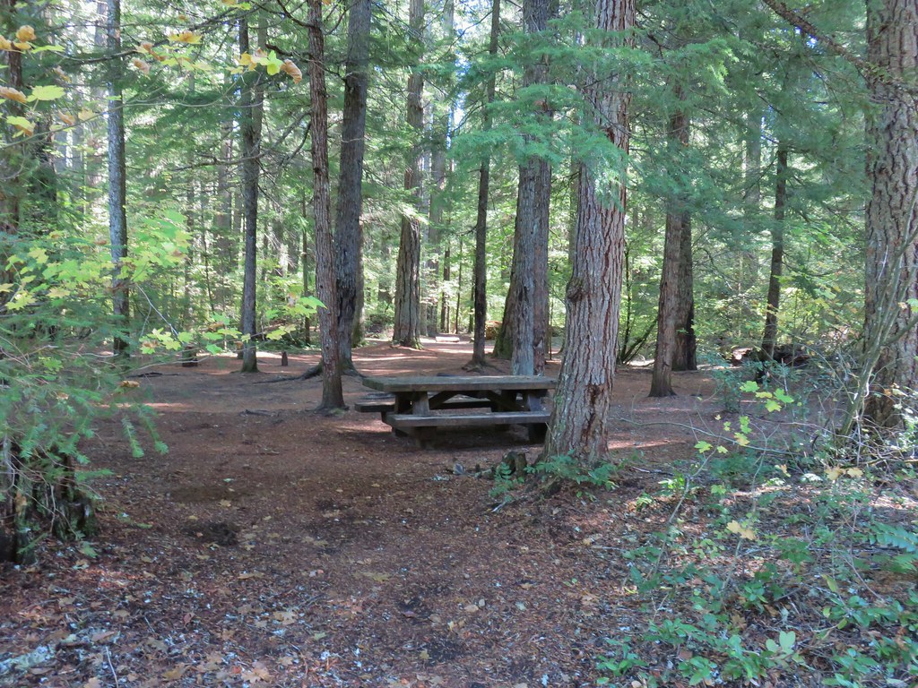 Union Creek Campground
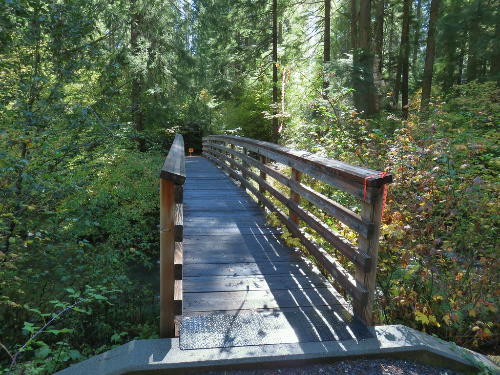 The orange sign and flagging was for a 50k being run the following day.
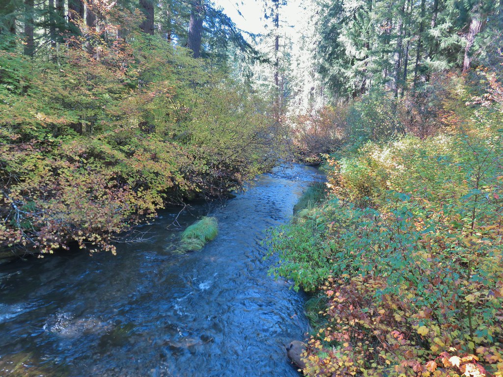 Union Creek

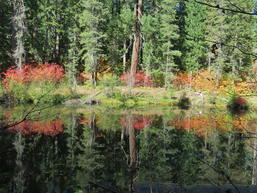

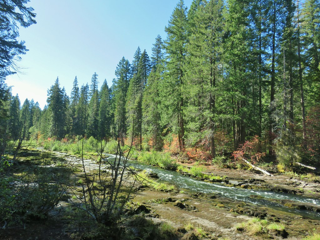

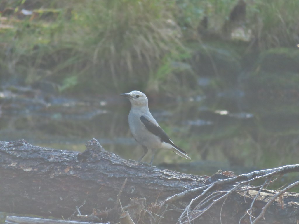 A Clark’s nutcracker
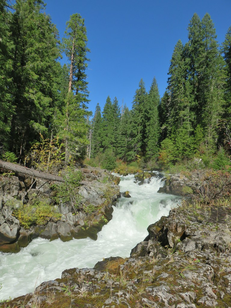
 The footbridge to the upper left.
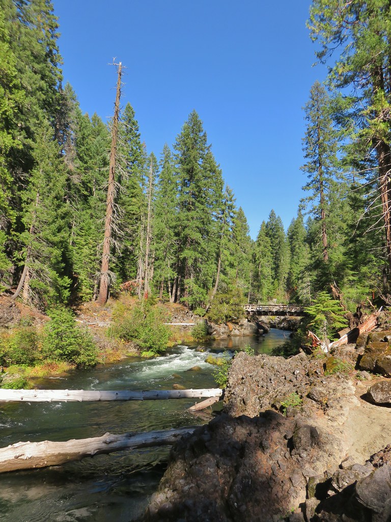
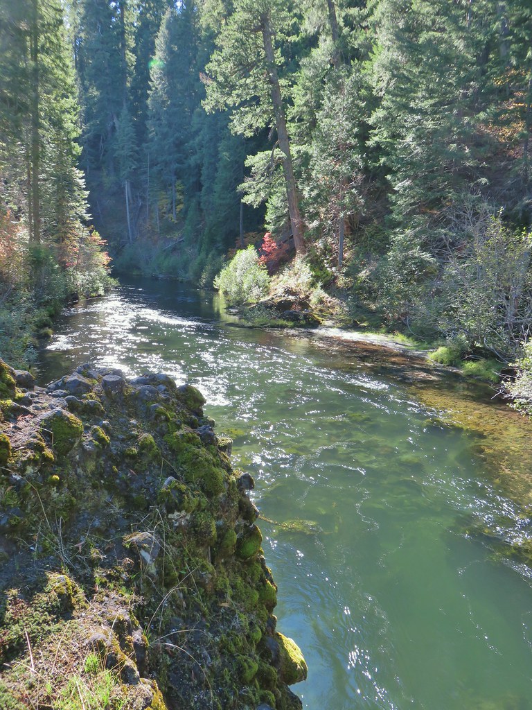 Rogue River on the other side of the footbridge.
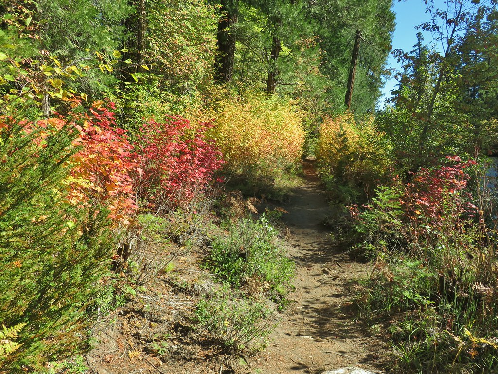

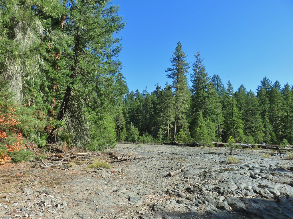
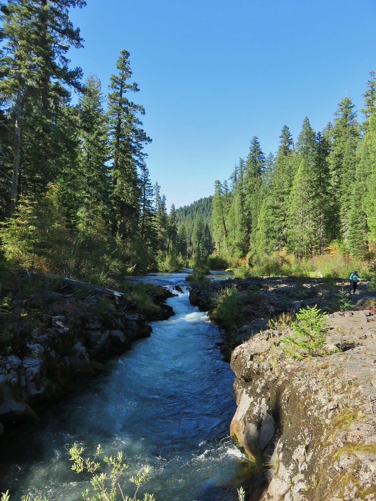
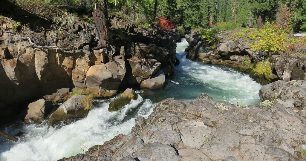

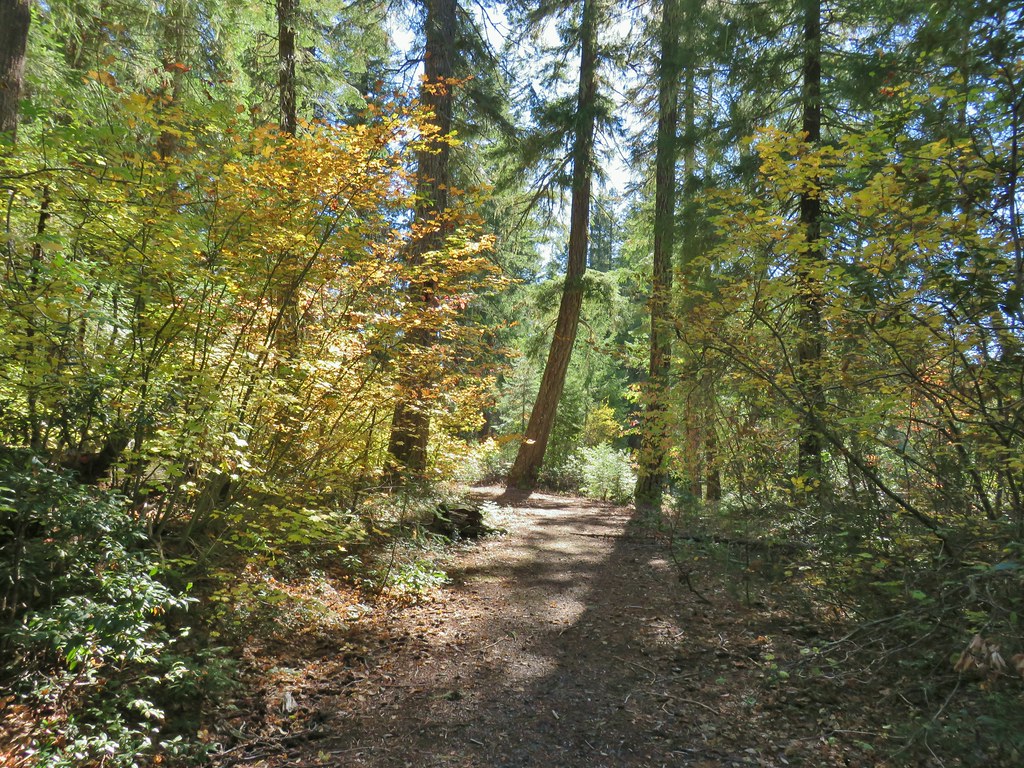
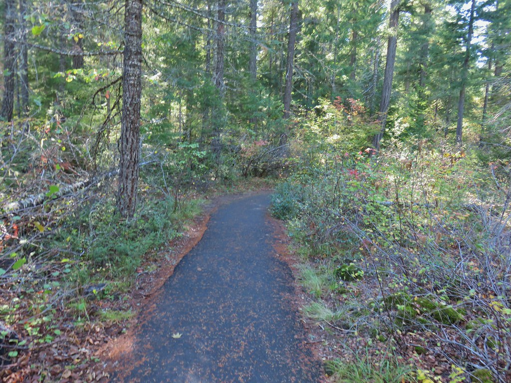
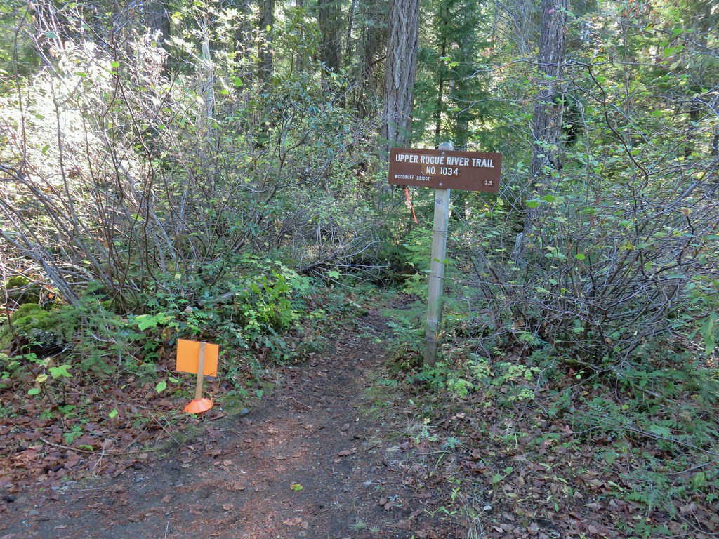


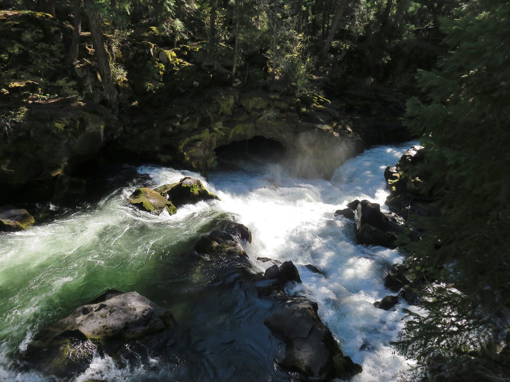

 The inlet
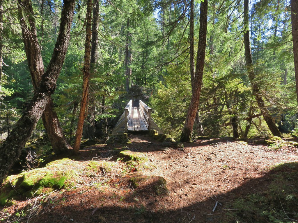

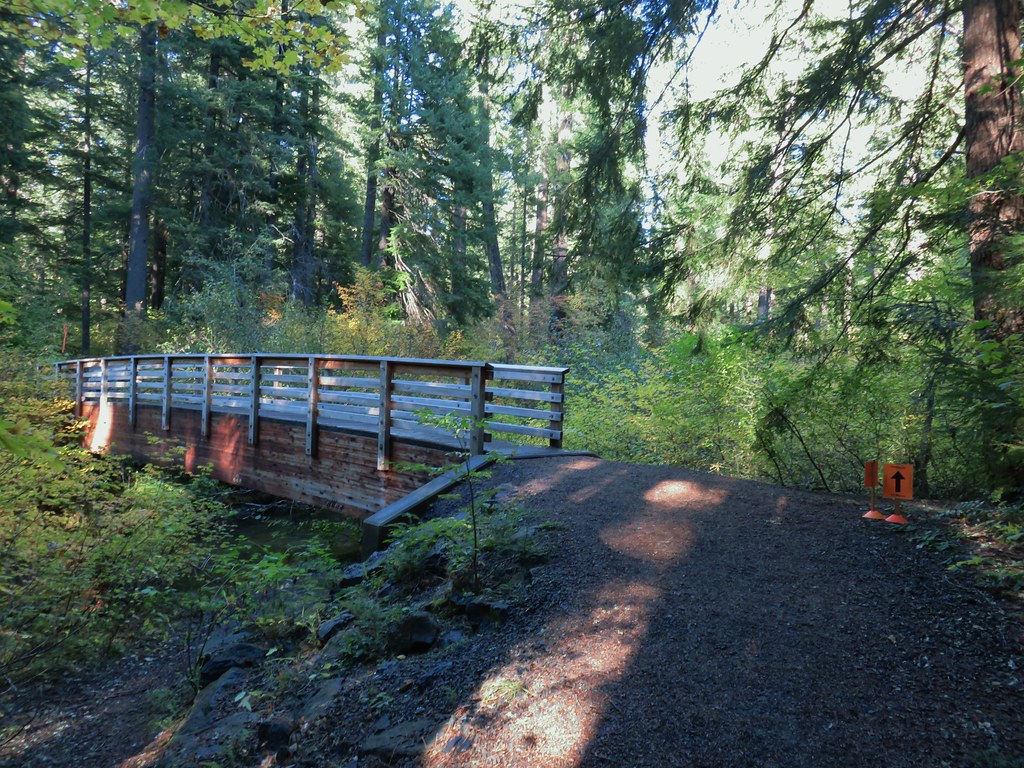


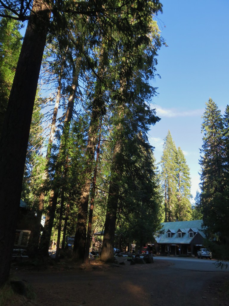
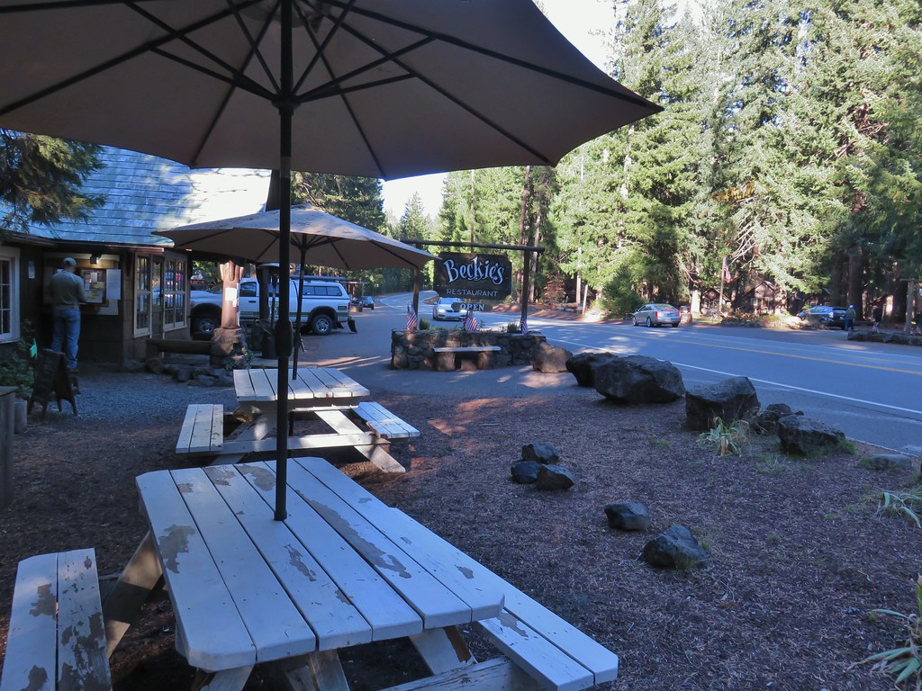
 Buck Canyon Trail
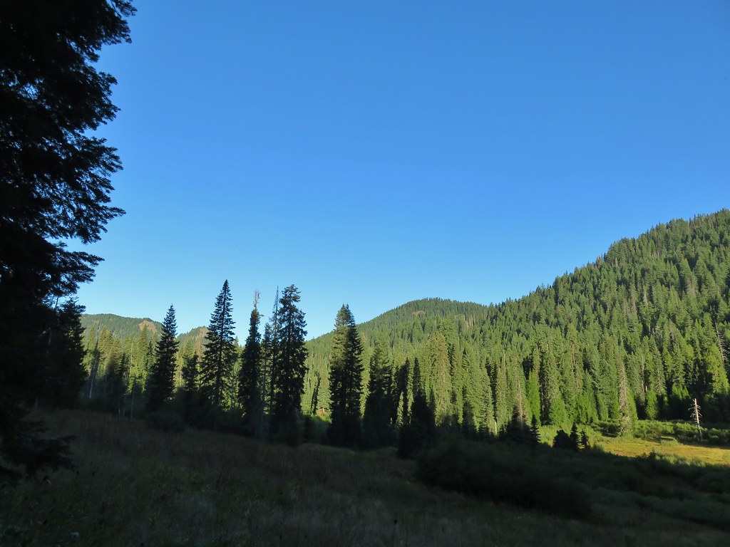 View from the Buck Canyon Trail
 Hummingbird Meadows Trail
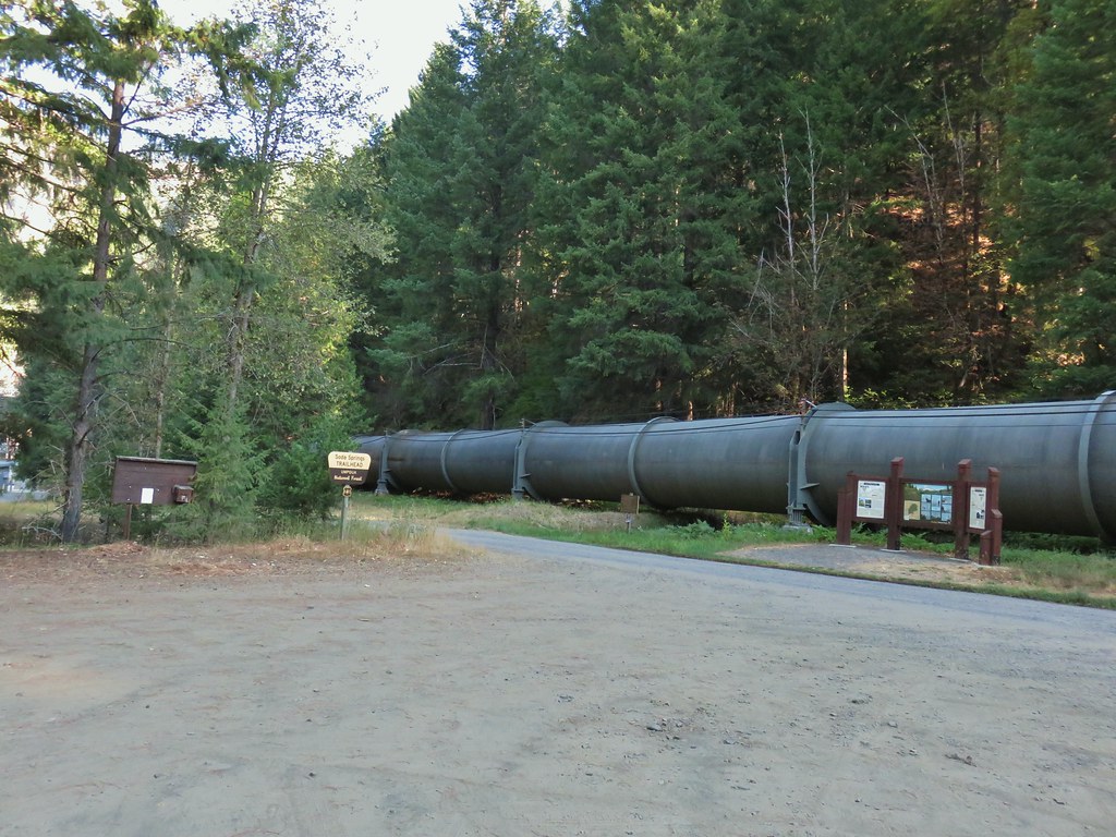
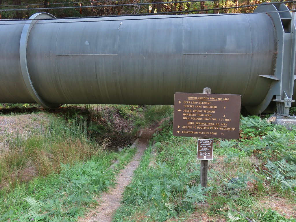
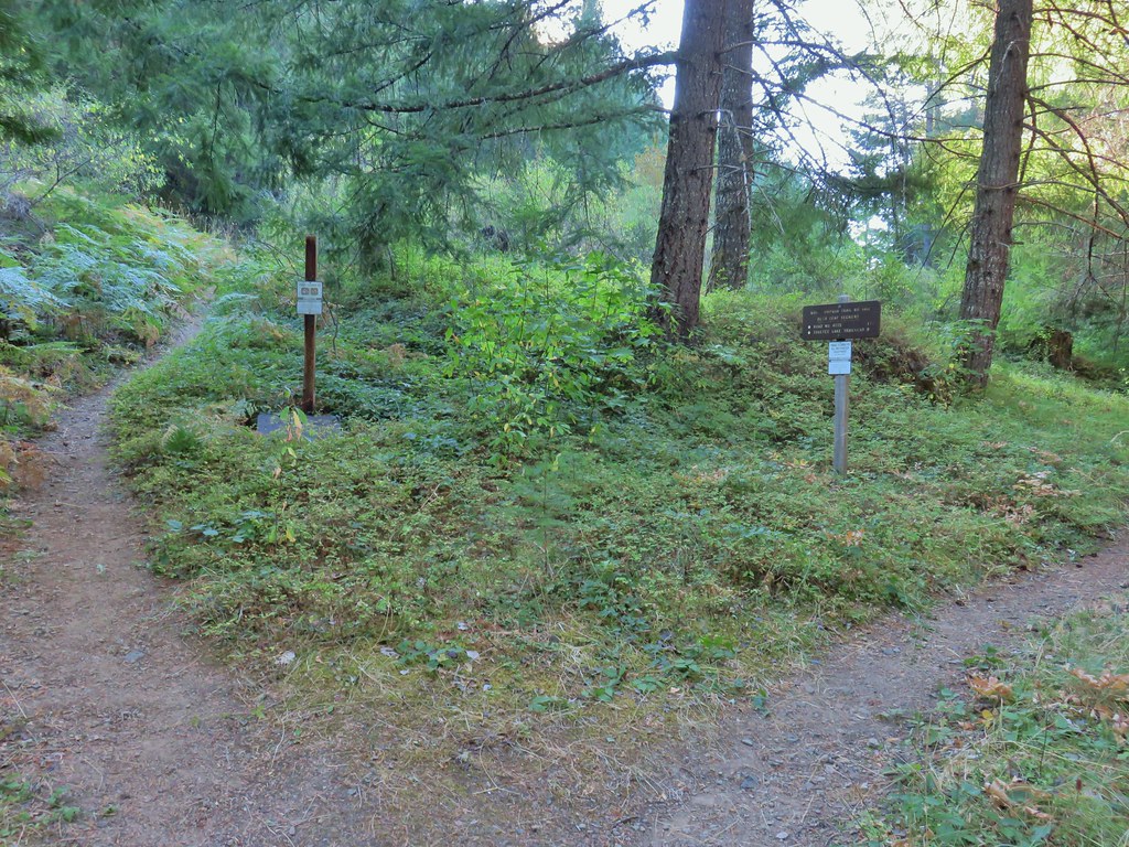


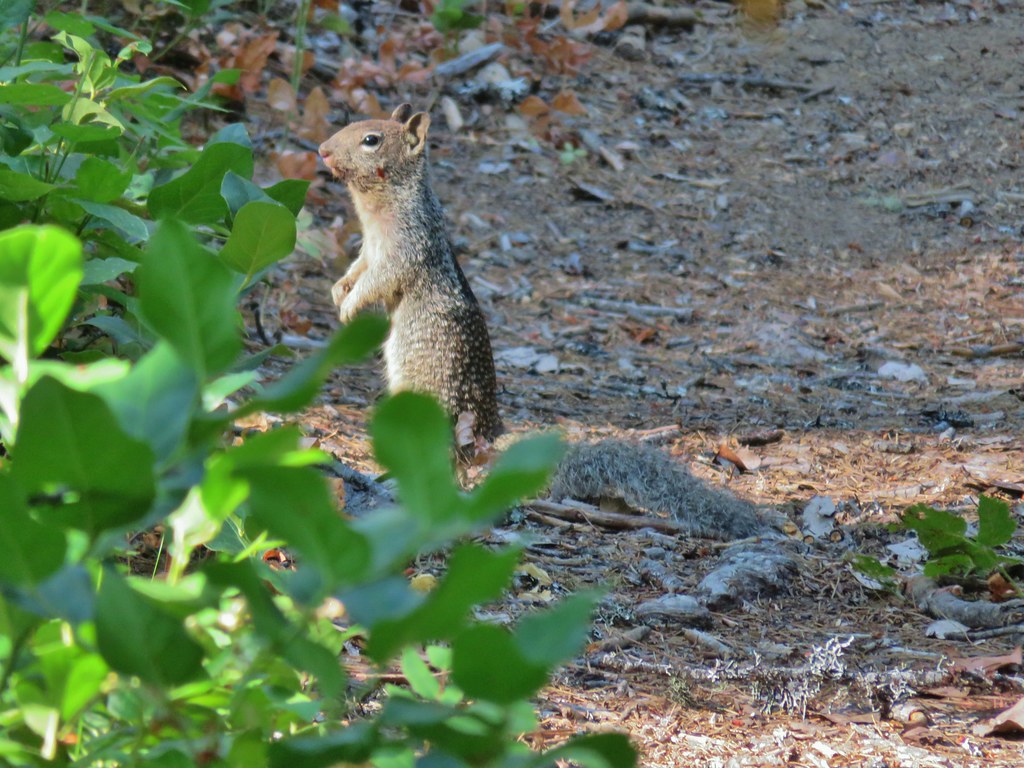

 Bradley Trail passing below some cliffs.
 A lot of the poison oak was turning color which made it easier to spot.
 Entering the 2017 fire scar.
 Lizard
 Bradley Trail arriving at Pine Bench.
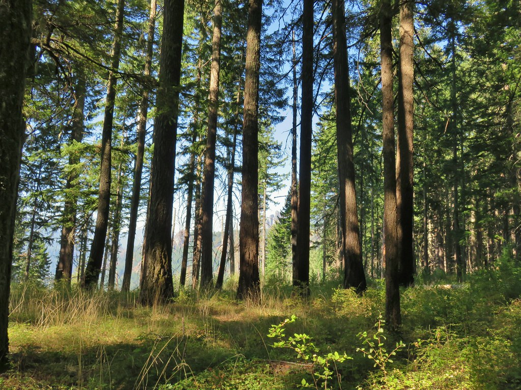
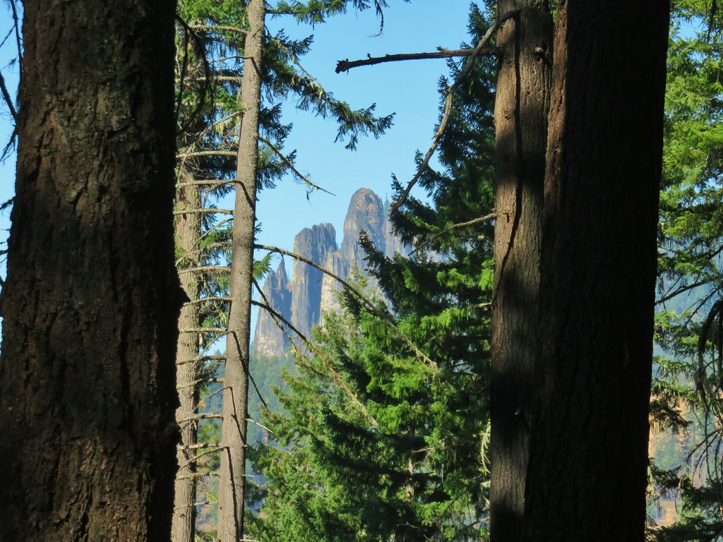 Rock formation visible from the Bradley Trail.
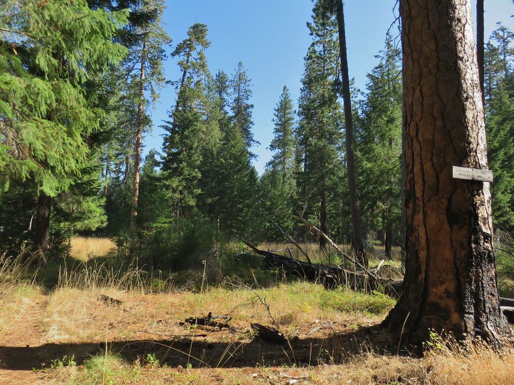

 Common wood nymph
 Illahee Rock Lookout

 Spur trail to the left.
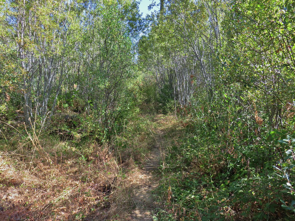
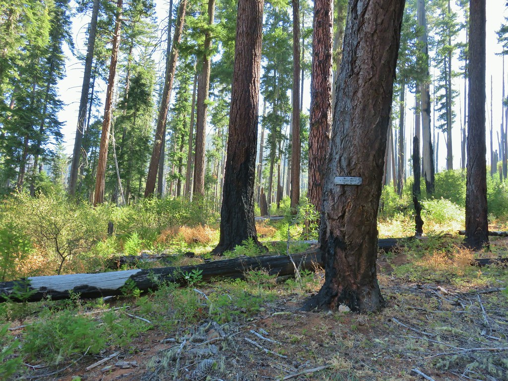 Just over half a mile from the campsite we passed the very faint Perry Butte Trail.
 Trail maintenance and ripe blackberries.
 Looking up the Boulder Creek Valley
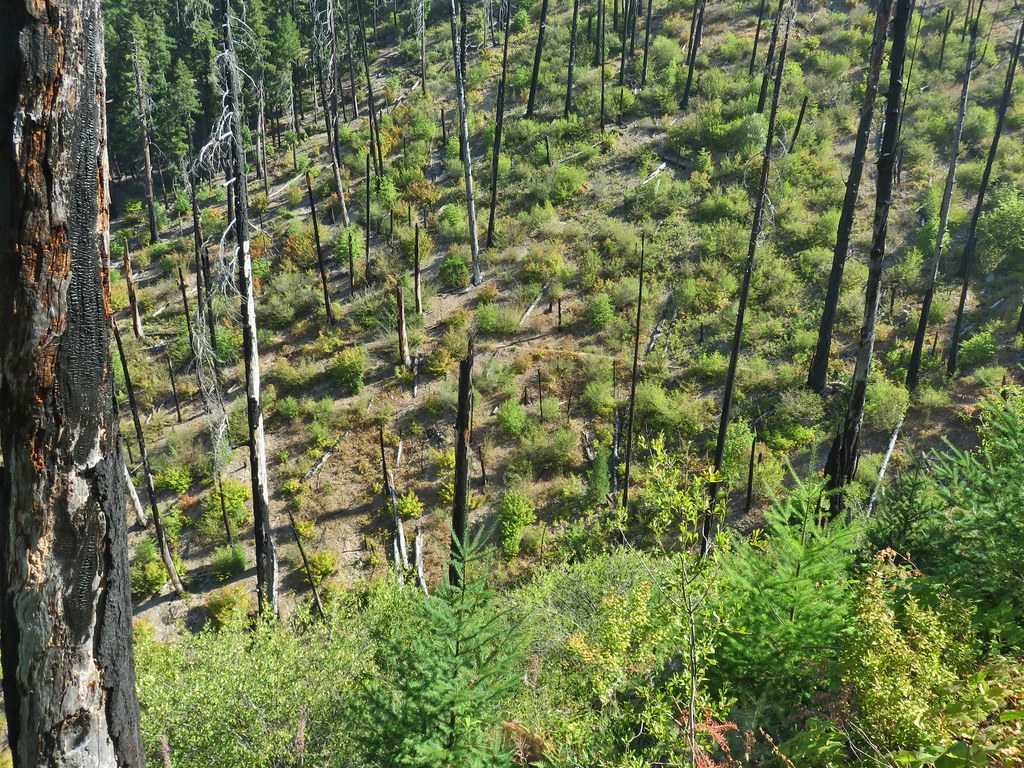 Looking down at the trail across a side drainage.
 Looking across the Boulder Creek valley.
 Small fall on Boulder Creek
 Final drop down to Boulder Creek.
 Boulder Creek
 The continuation of the Boulder Creek Trail on the far side of Boulder Creek which reportedly becomes even fainter and more wild.


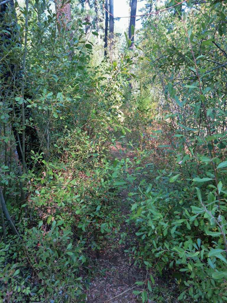


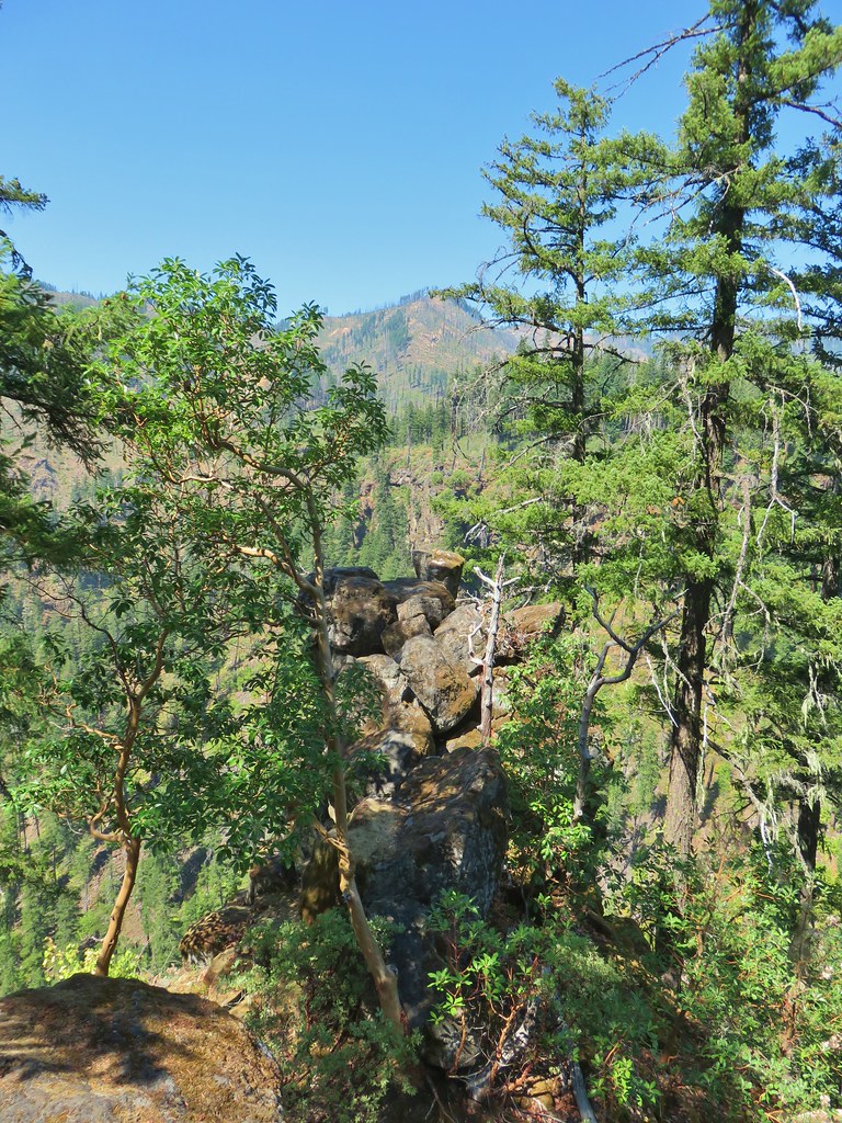
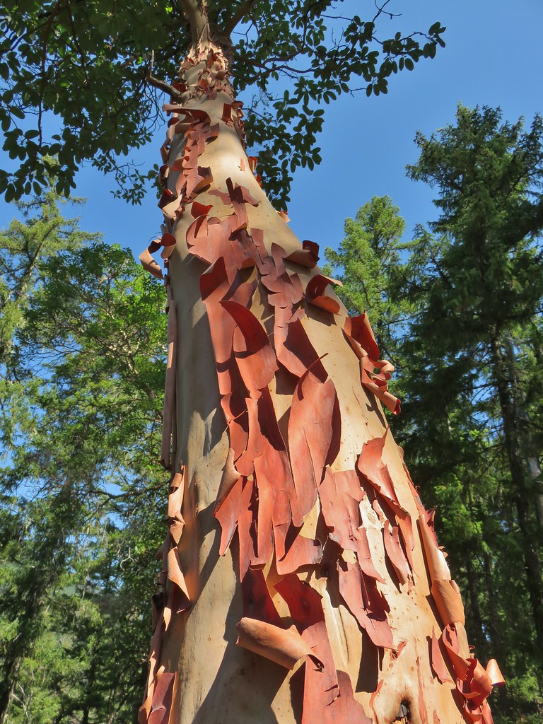

 Fern tree along the Boulder Creek Trail.
 This log was the trail.
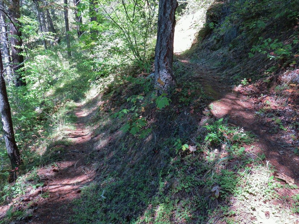 Another switchback with poison oak on all sides of the trail.
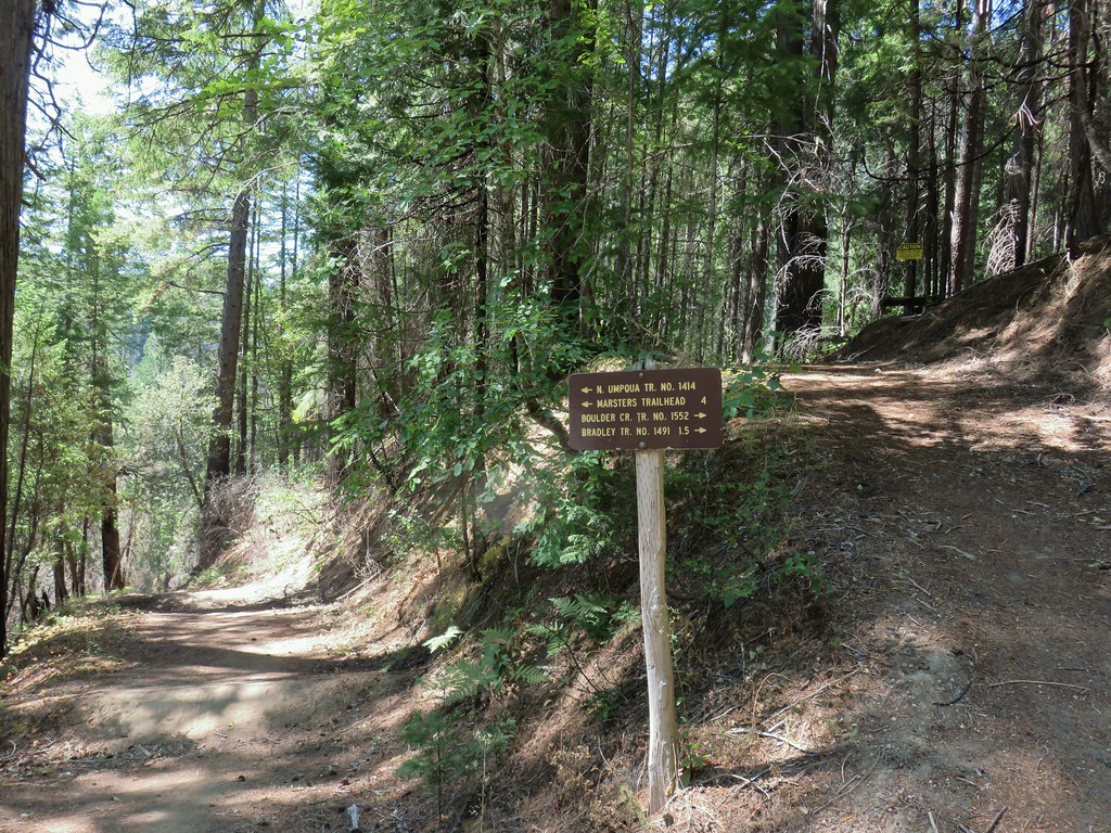
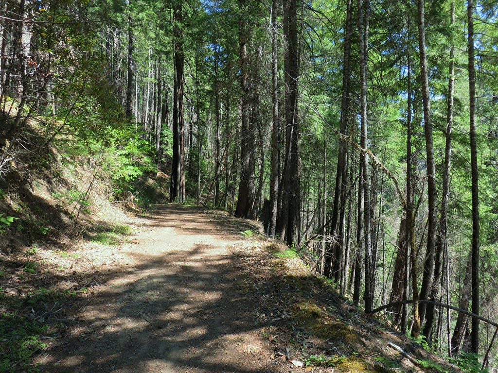


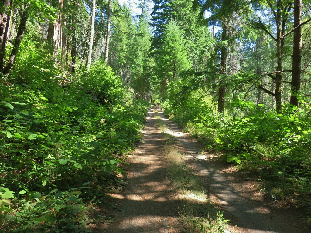

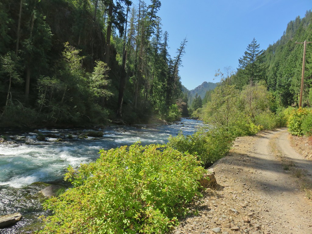

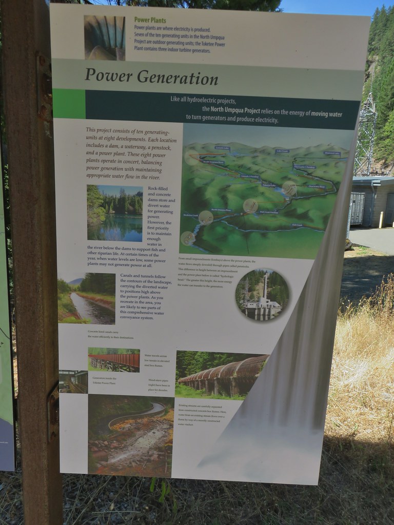
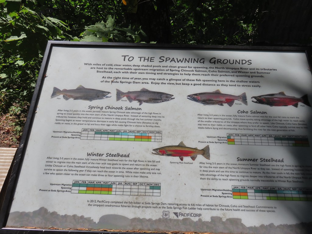

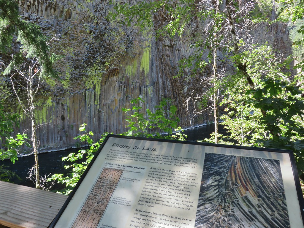

 Smokey skies turning the Sun red.


 Little trees surrounding a giant.
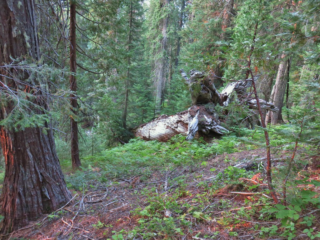 A downed giant.
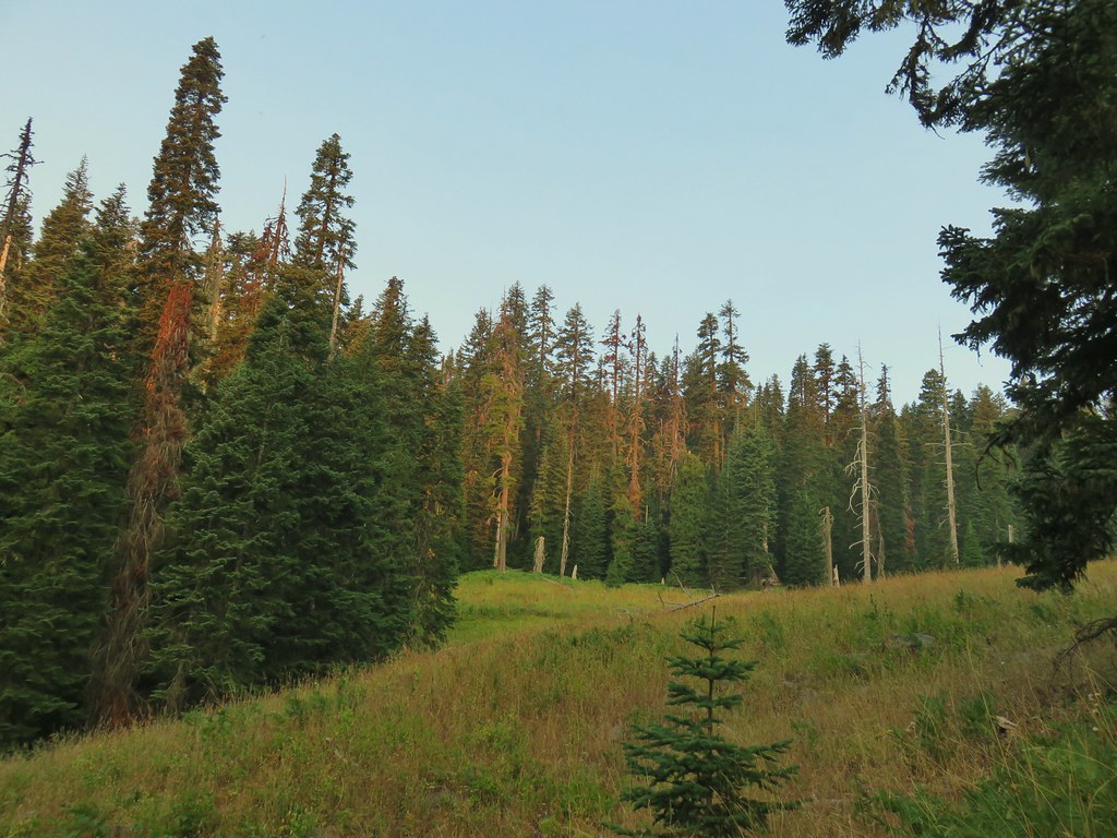

 Madia
Madia Paintbrush
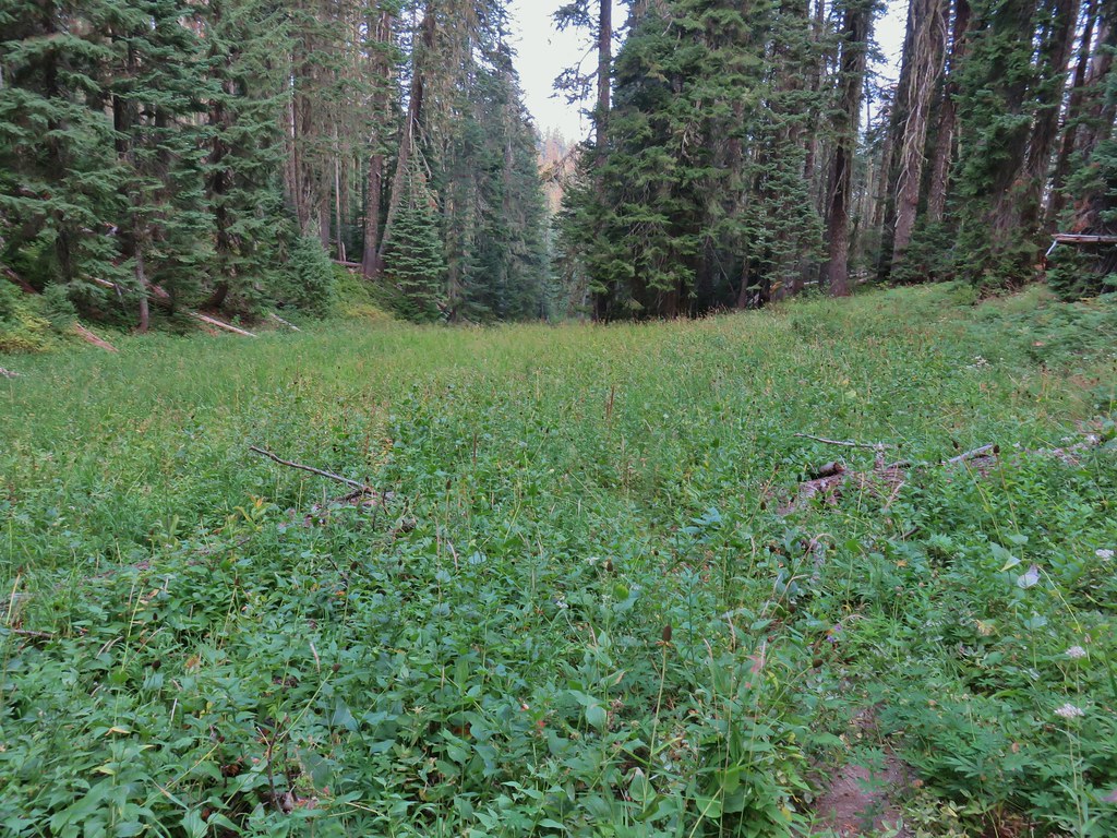


 Goldenrod and other flowers.
 Arnica?
 Columbine
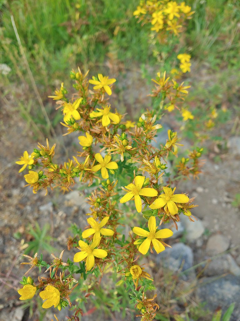 St. John’s wort
 Fleabane (or aster) and coneflower


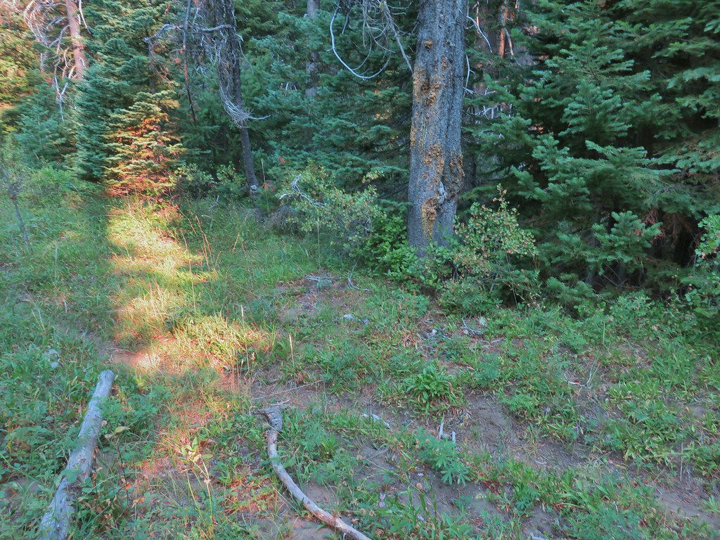

 The trail sign on the left wasn’t particularly descriptive.
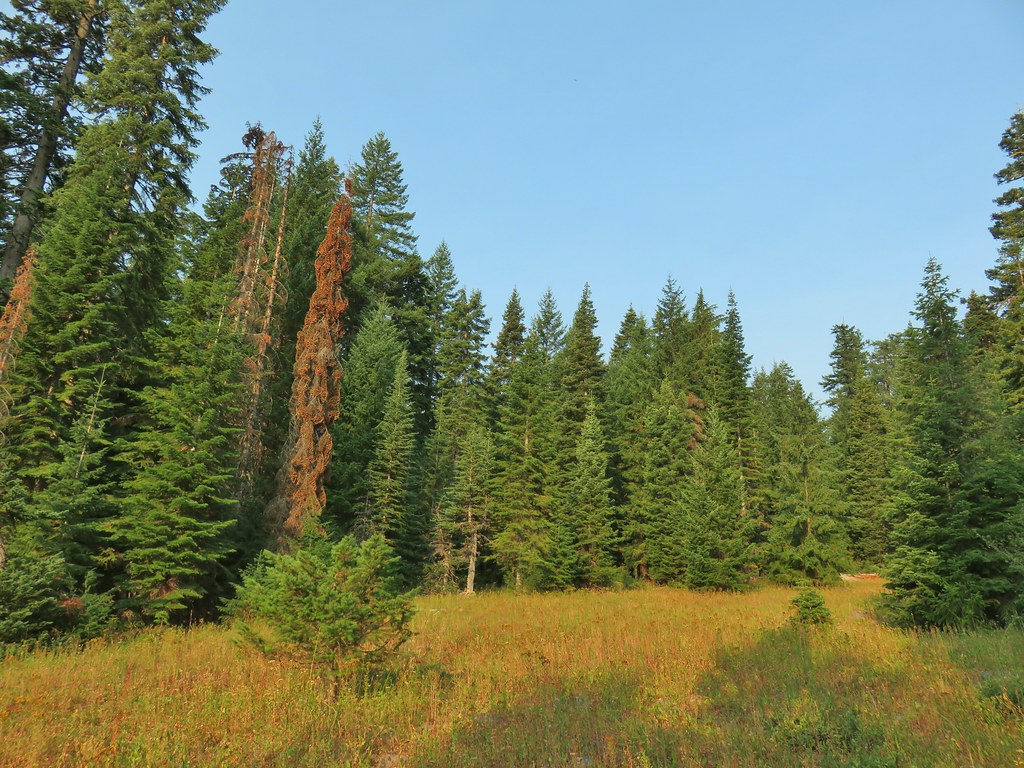
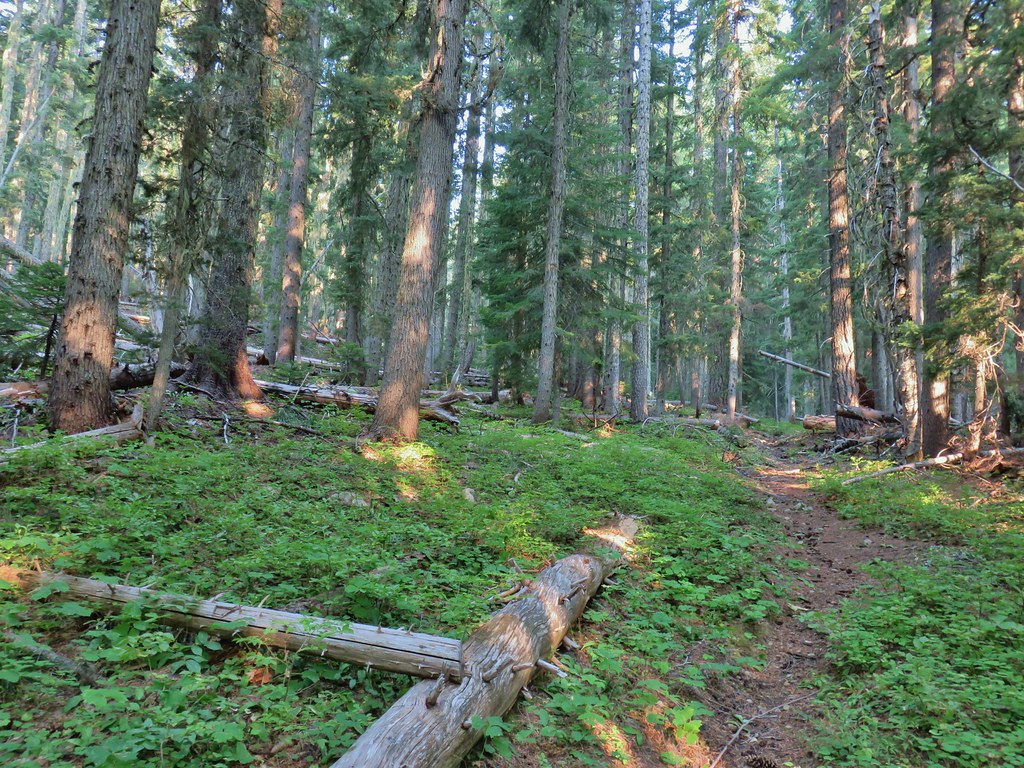
 The owl is in the center of the picture behind the branch with green needles.
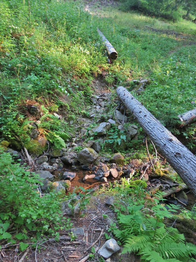 Small stream crossing
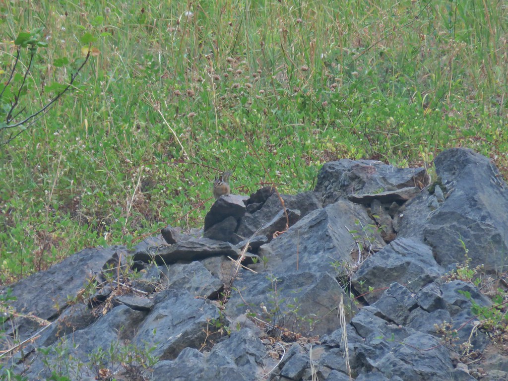 Chipmunk


 Windy Gap
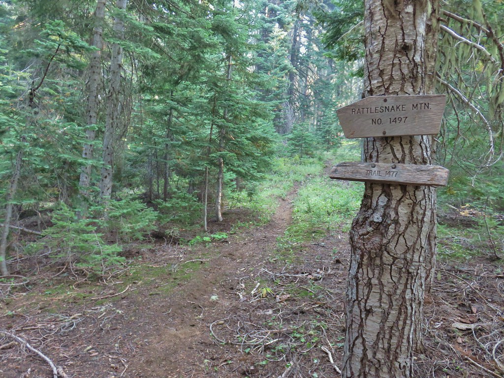


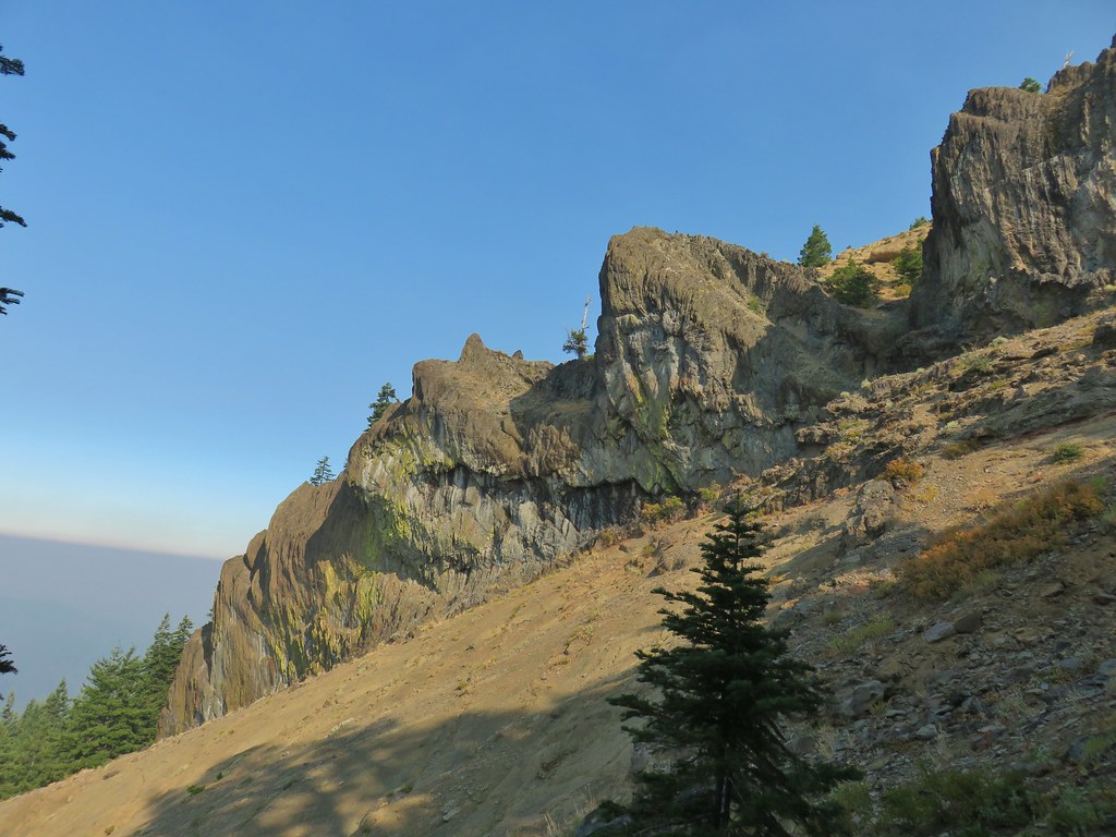
 Near the upper end of the 1.2 mile section we entered a burn scar with views of Mt. Bailey, Mt. Thielsen and Crater Lake.
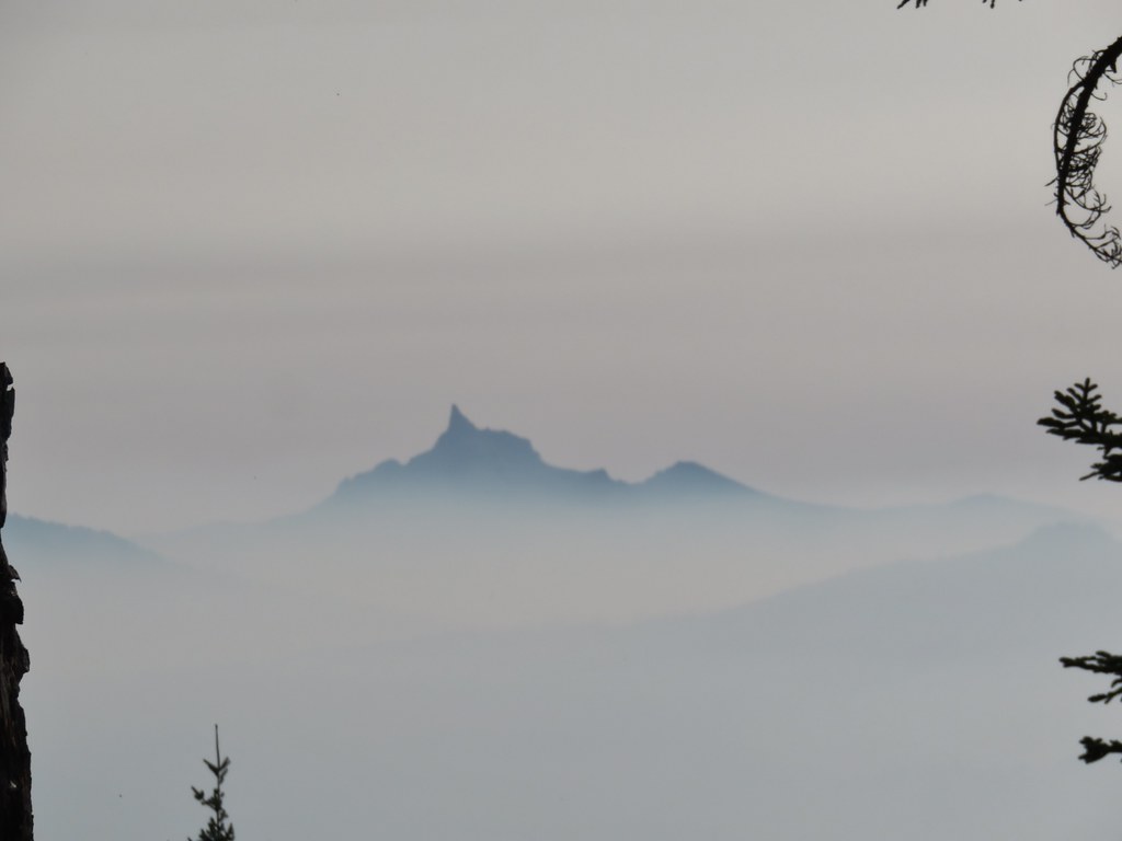 Mt. Thielsen
 High points along the rim of Crater Lake above the smoke.
 A bee photobomb with Mt. Bailey and Mt. Thielsen to it’s right.
 Flagging in the burn scar.
 Nuttall’s linanthus
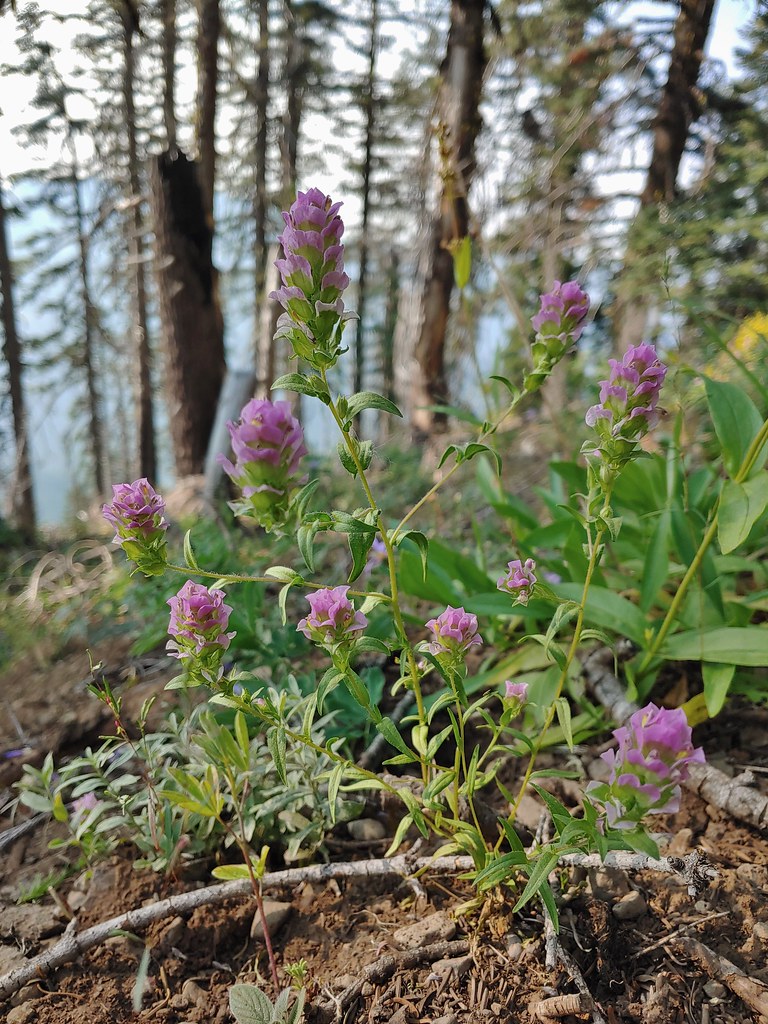 Owls clover
 Golden-mantled ground squirrel.
 The rock cairn.
 Nearing the summit.
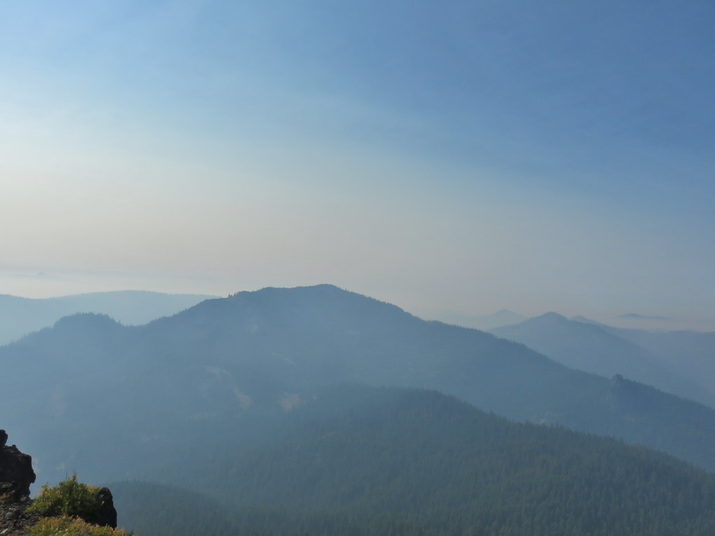
 Mt. McLoughlin
 Hillman Peak and The Watchman at Crater Lake
 Butterfly and bees.
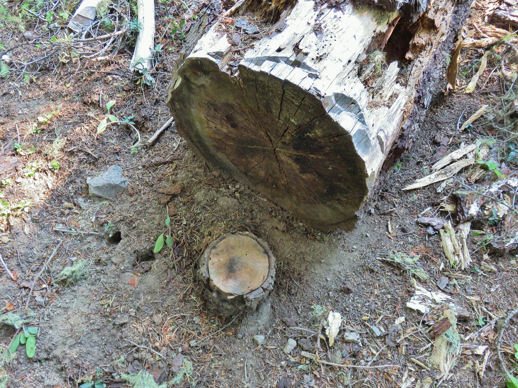 For some reason this cracked us up.
 Heather spotted this cricket on my shoulder (I always have some sort of insect on me for some reason).
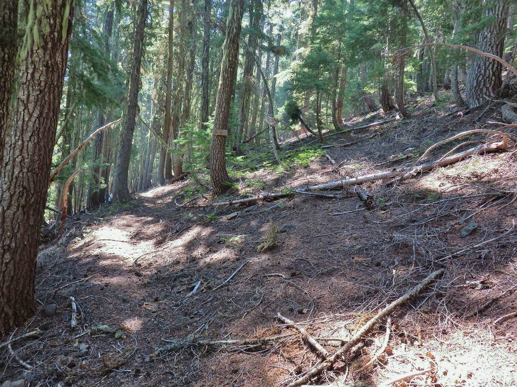

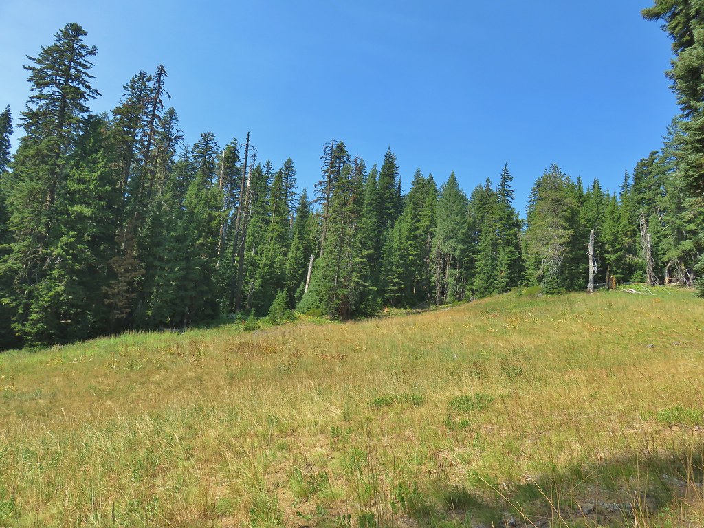
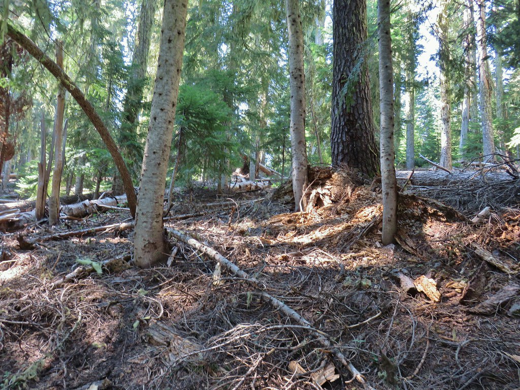 We’d lost the trail here and were just heading for the Castle Creek Trail.
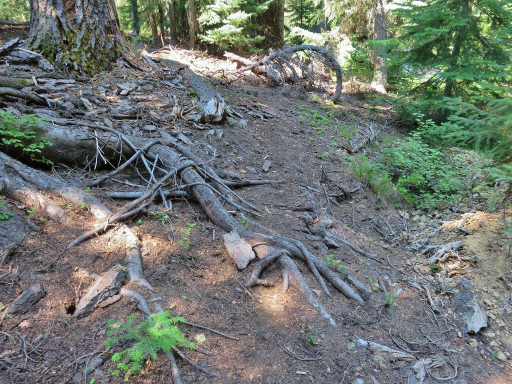 We came across this faint tread in the trees before reaching the Castle Creek Trail and started following it.
 Apparently it was the actual trail as it popped us out at a trail sign along the Castle Creek Trail.
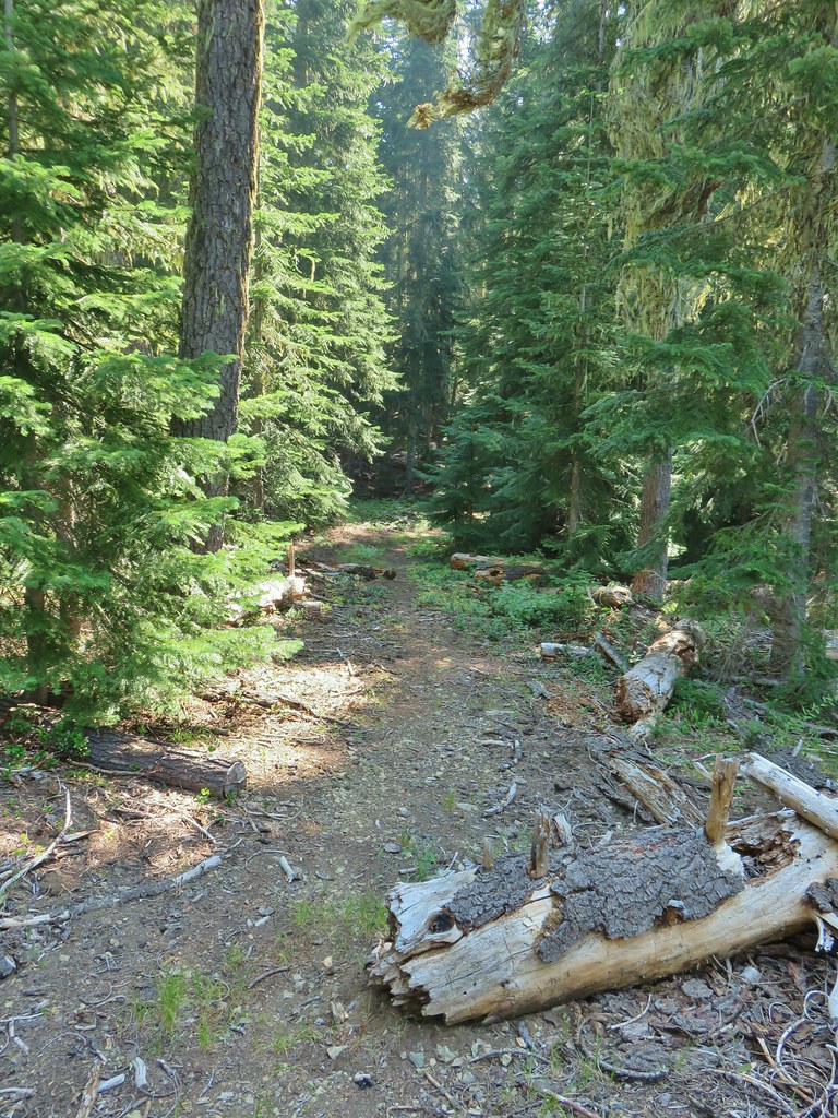

 Rattlesnake Mountain
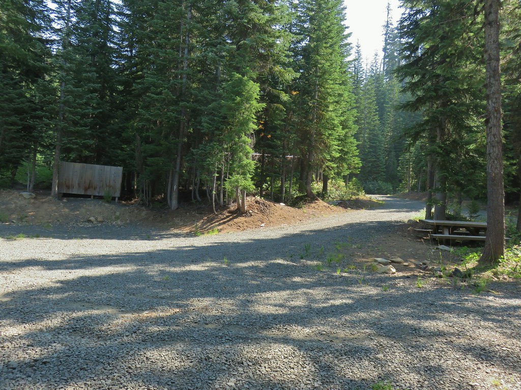 Happy Camp Trailhead
 Rattlesnake Mountain
 Rogue-Umpqua Divide Trail
 Snake in Fish Creek
 Scarlet gilia
 Fish Creek
 Fish in Fish Creek
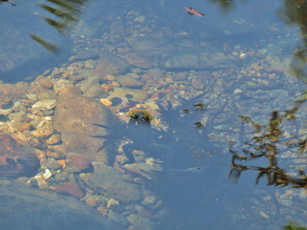 Frog in Fish Creek
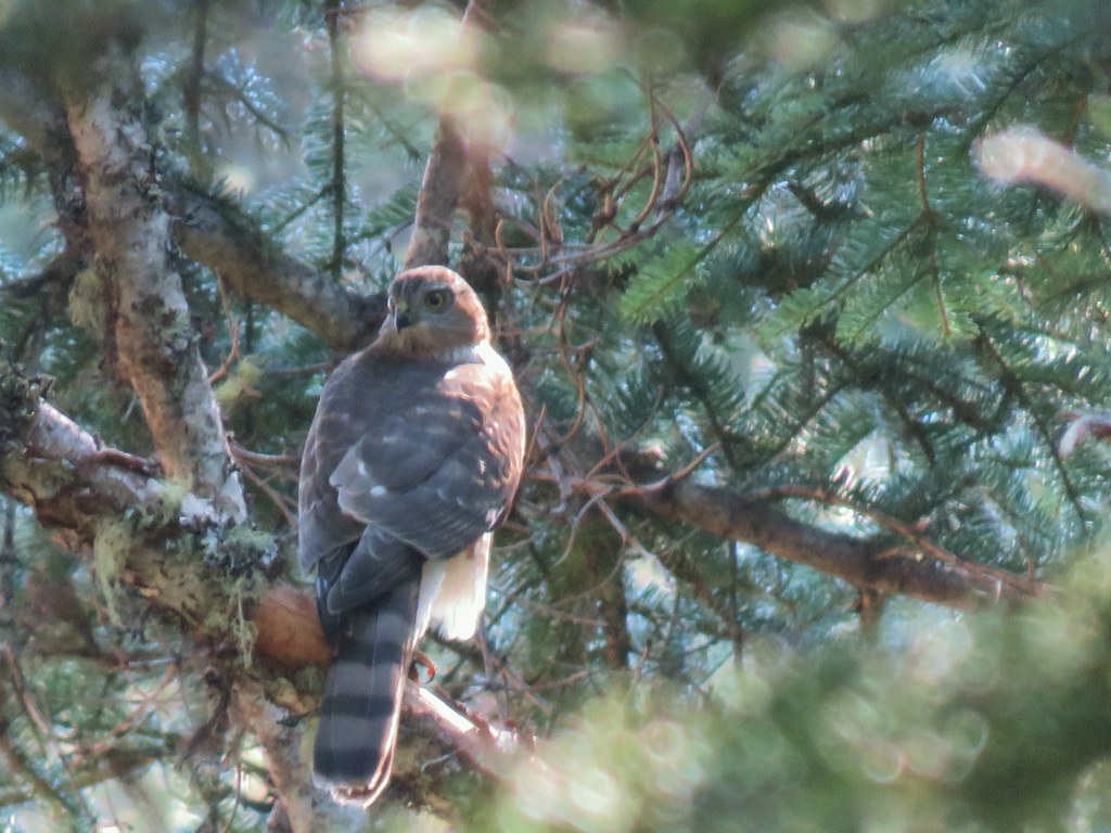

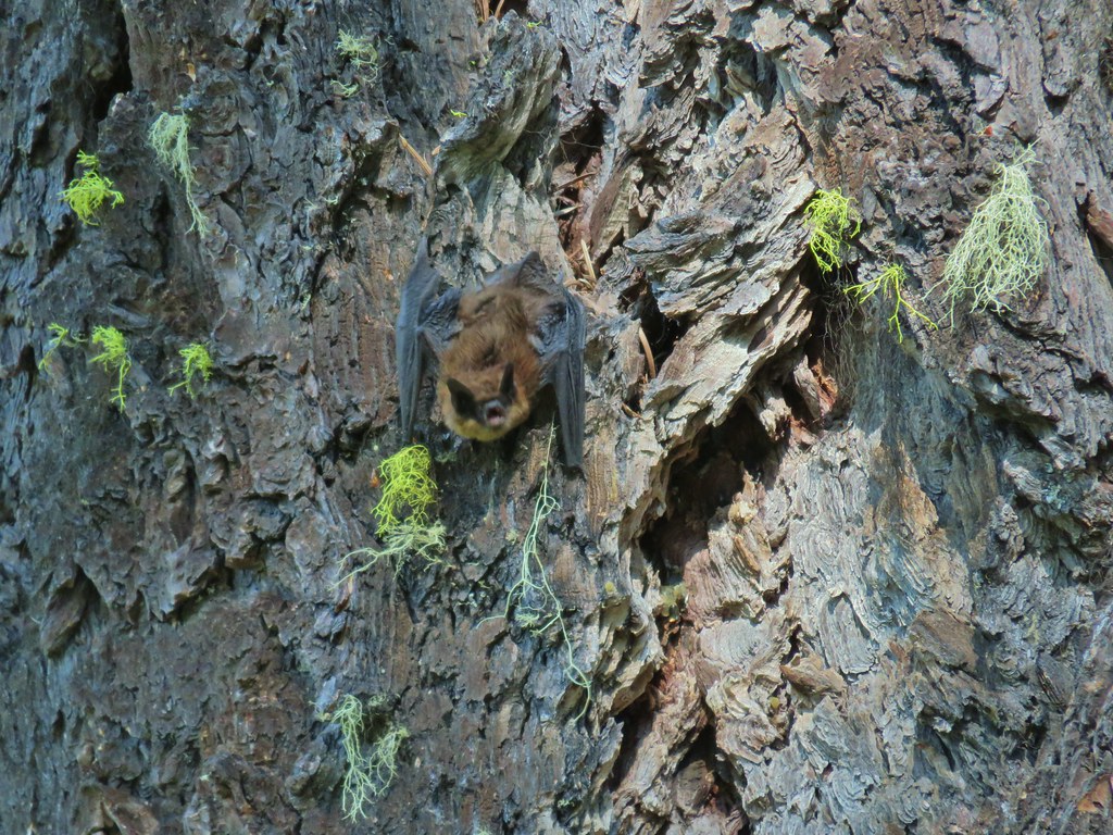
 Monkshood
 This frog decided that under Heather’s pack was a nice spot to chill.
 Horse Lake
 Lesser yellowlegs
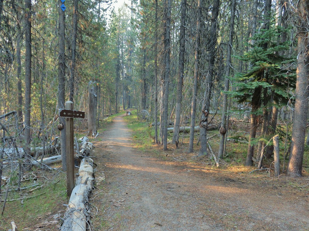

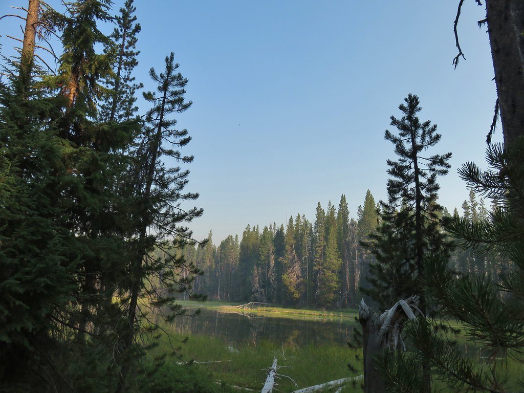

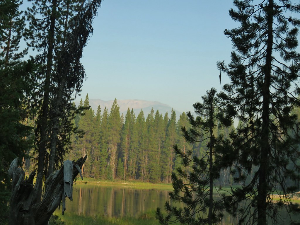


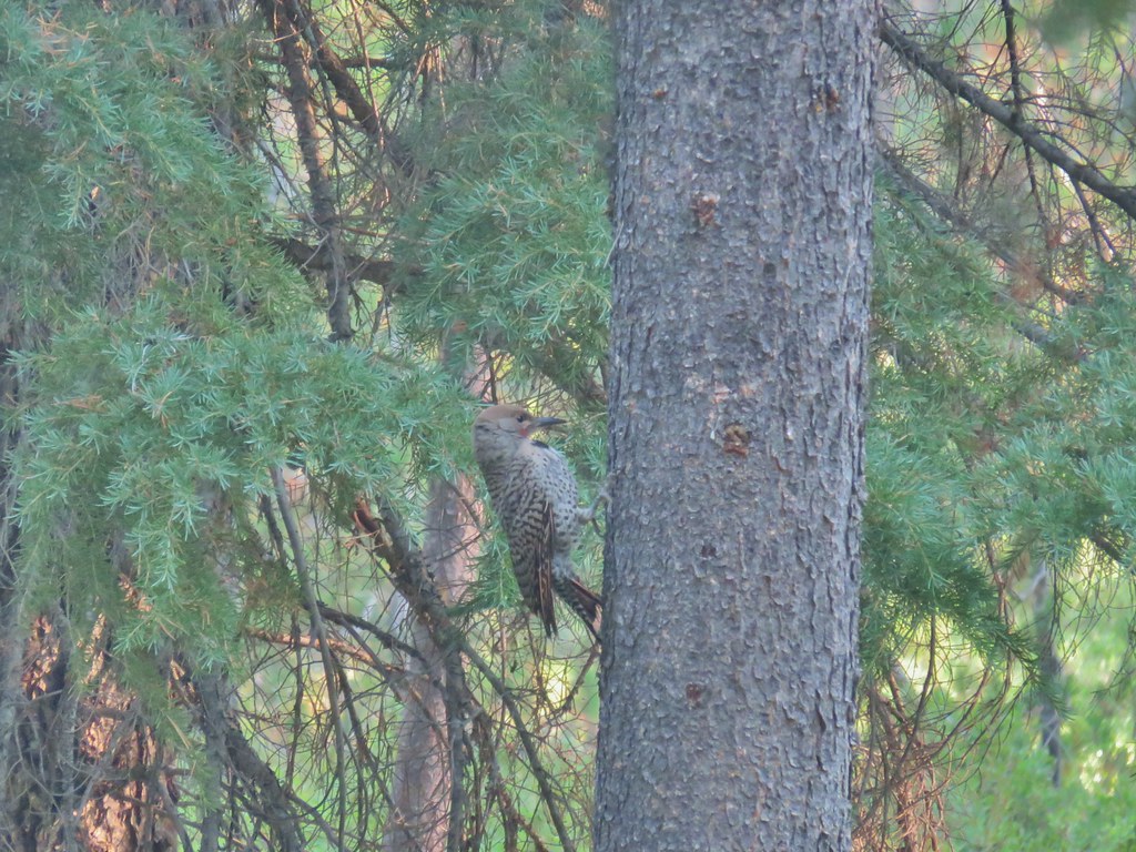 Northern flicker
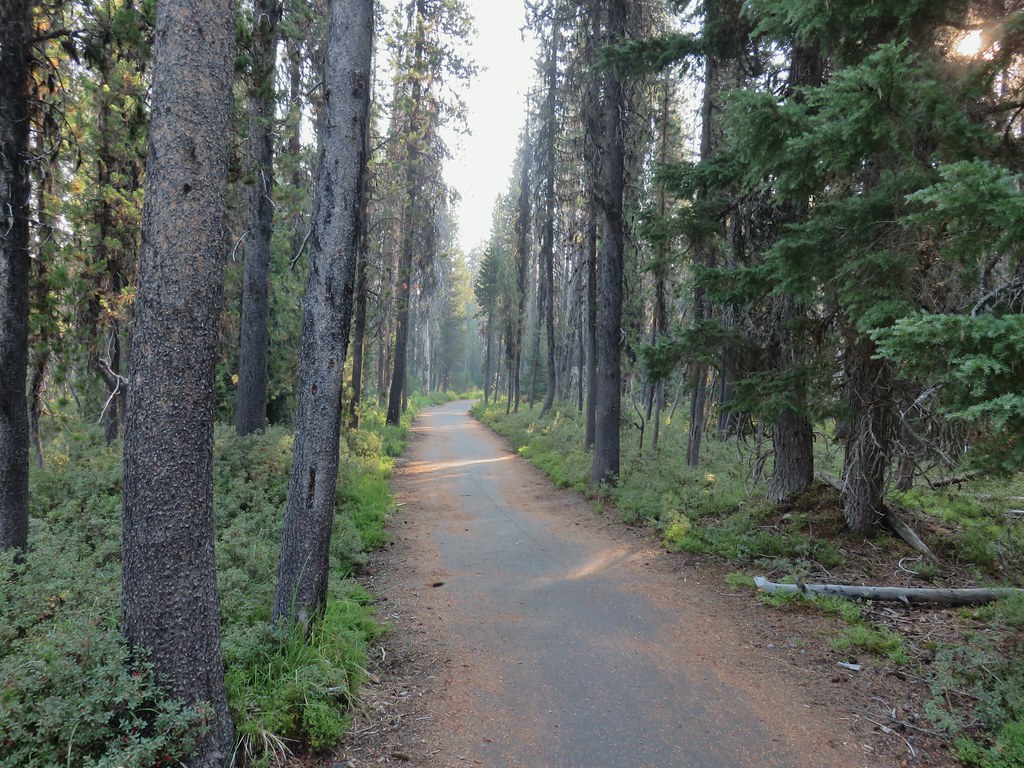

 Mt. Bailey beyond the meadow.
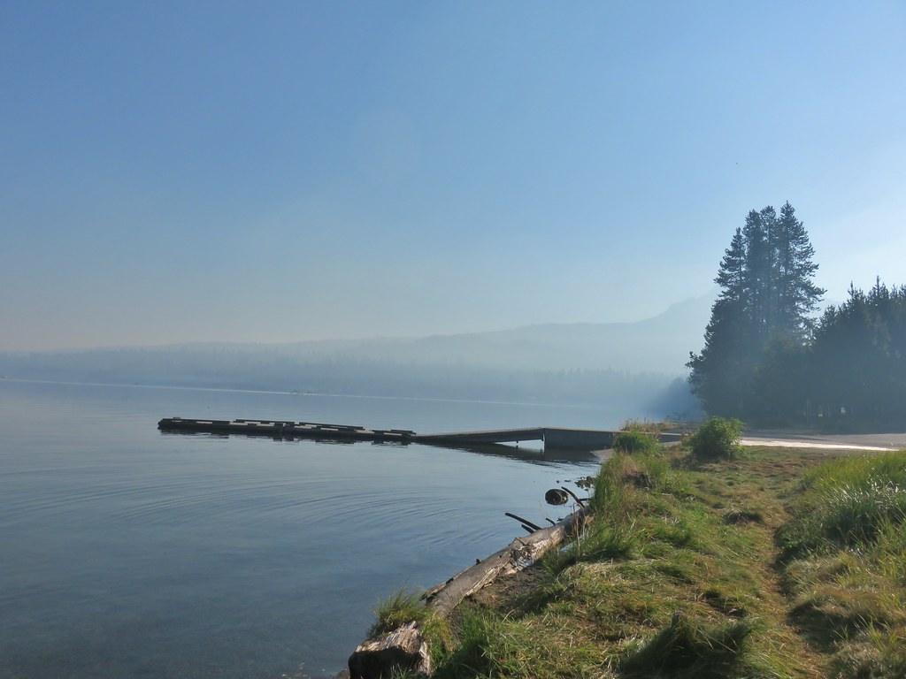 Mt. Thielsen from the South Shore Picnic Area
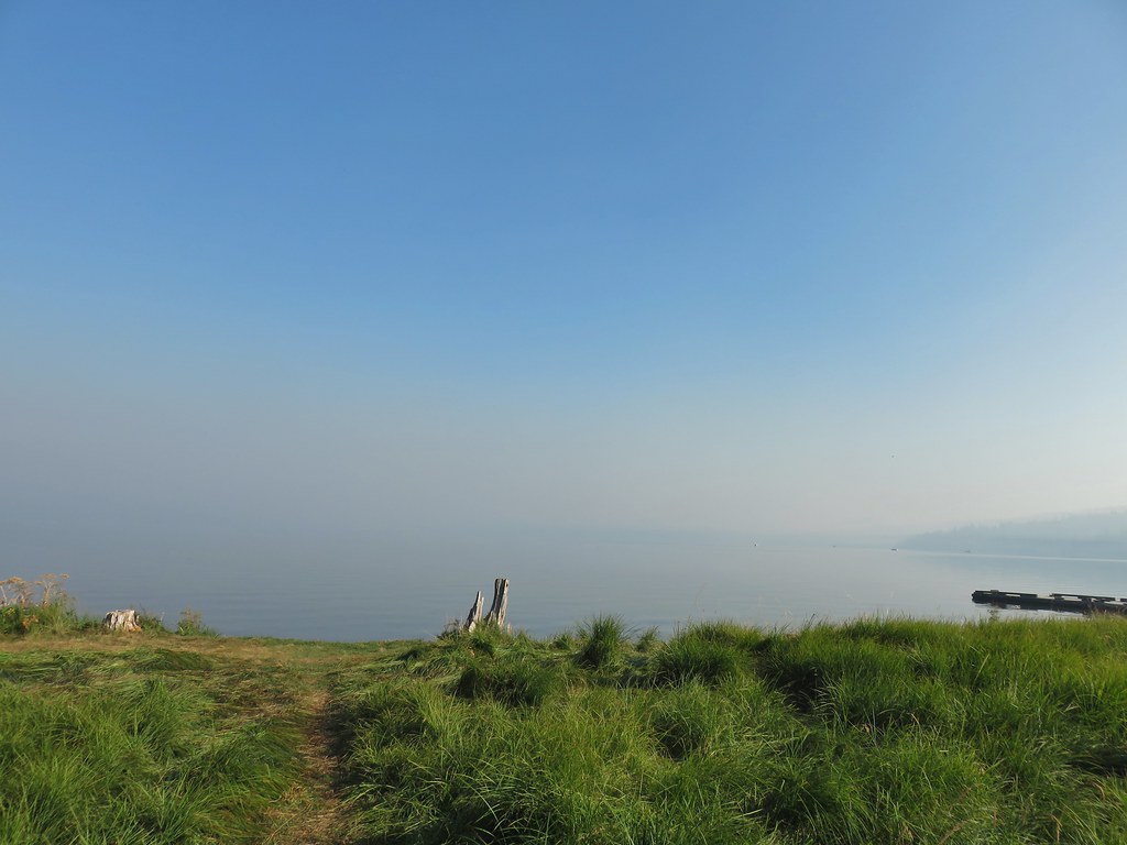 Diamond Lake underneath the smoke.
 Mt. Bailey
 Mt. Thielsen from the boat dock.
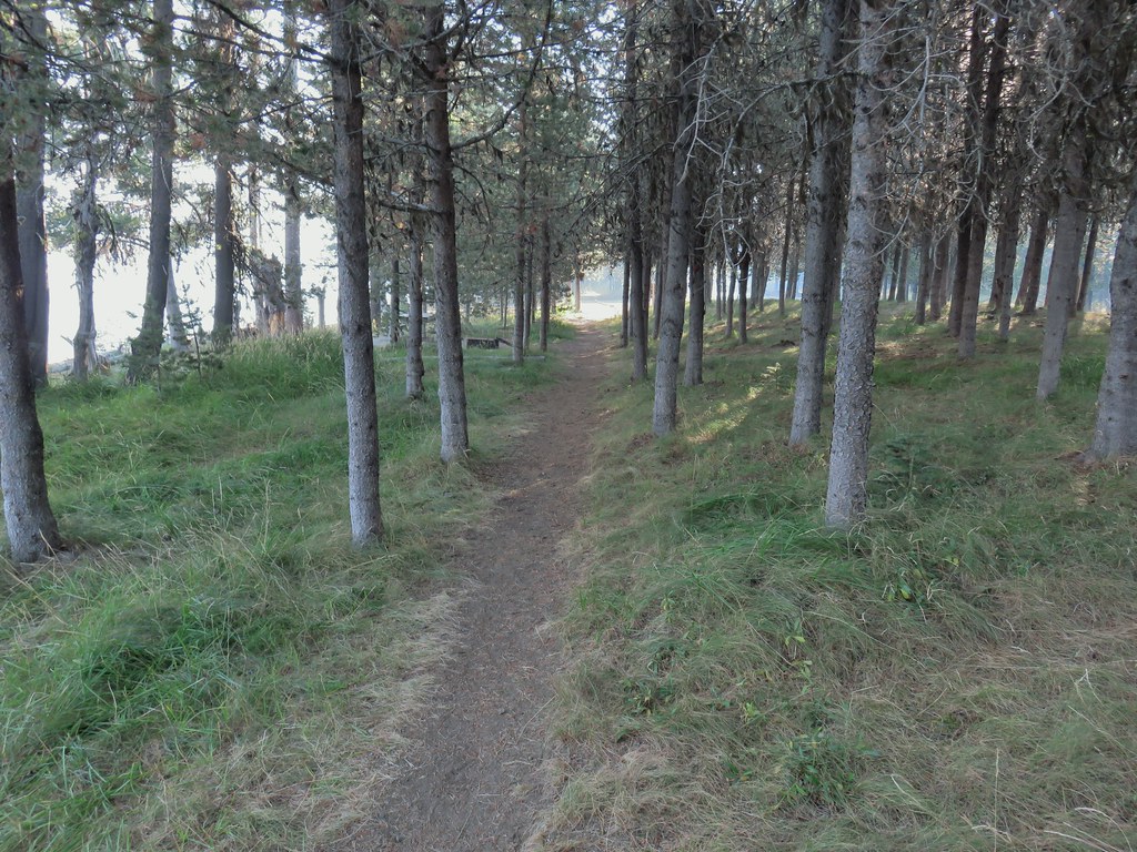 Picnic tables in the picnic area.
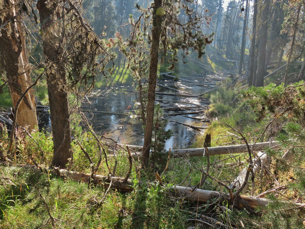 Short Creek (it really is short)
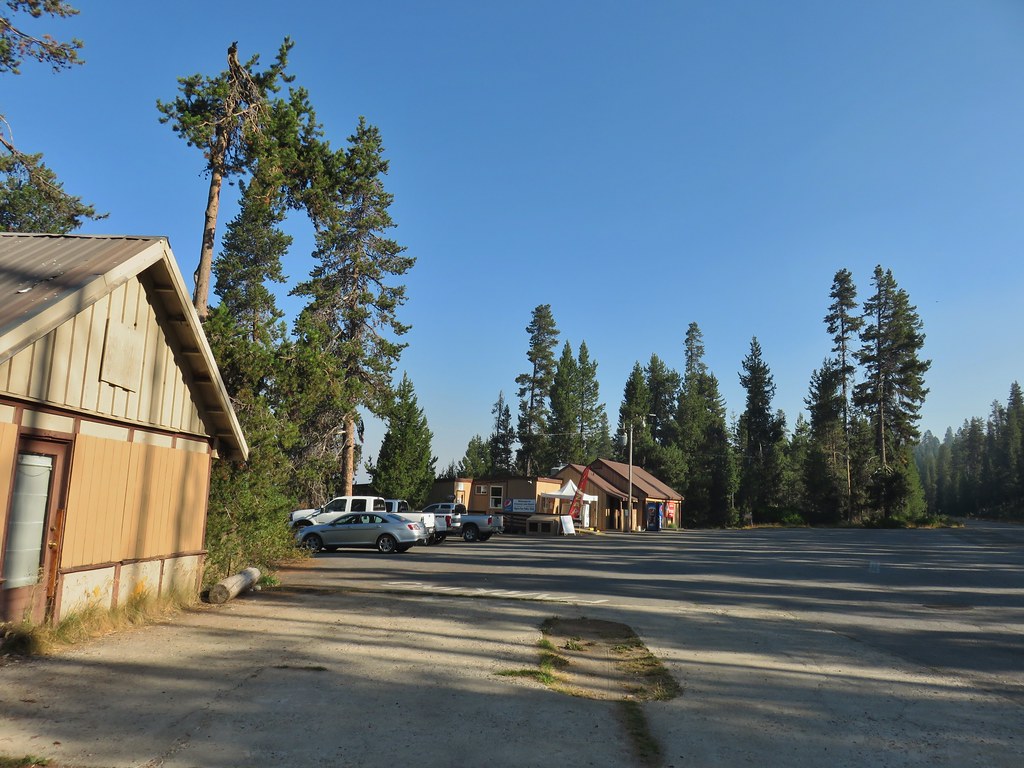 Resort buildings between the RV park and campground.
 Sign instructing users to follow painted bike symbols through the campground.
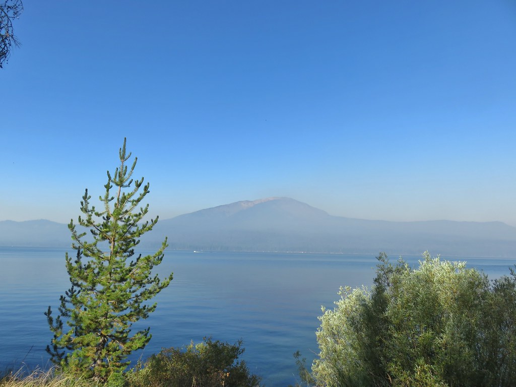
 Common merganser
 Goldeneyes

 Mt. Bailey again.
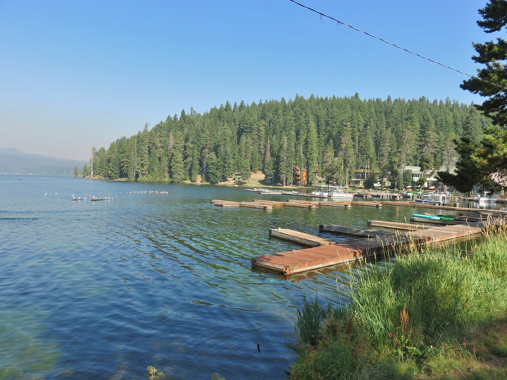 Arriving at the lodge area.
 Seagulls


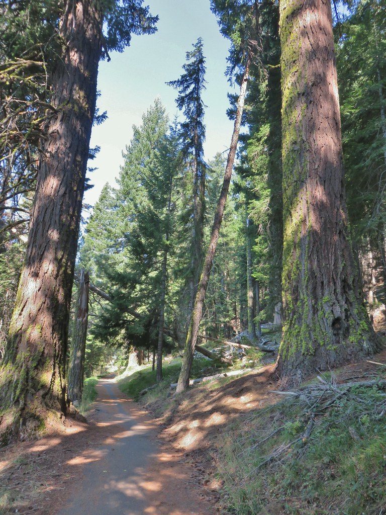

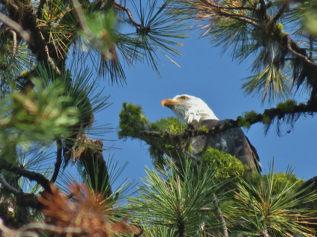 Bald eagle
 I’ve been spotted
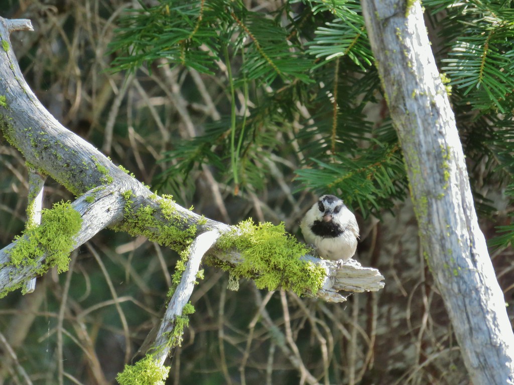 Chickadee with a seed or nut.
 Junco in some fireweed.
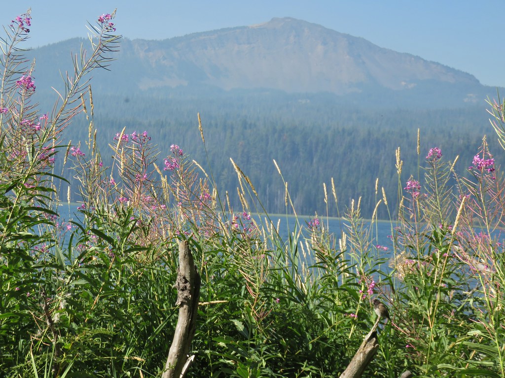 The junco with Mt. Bailey in the background.
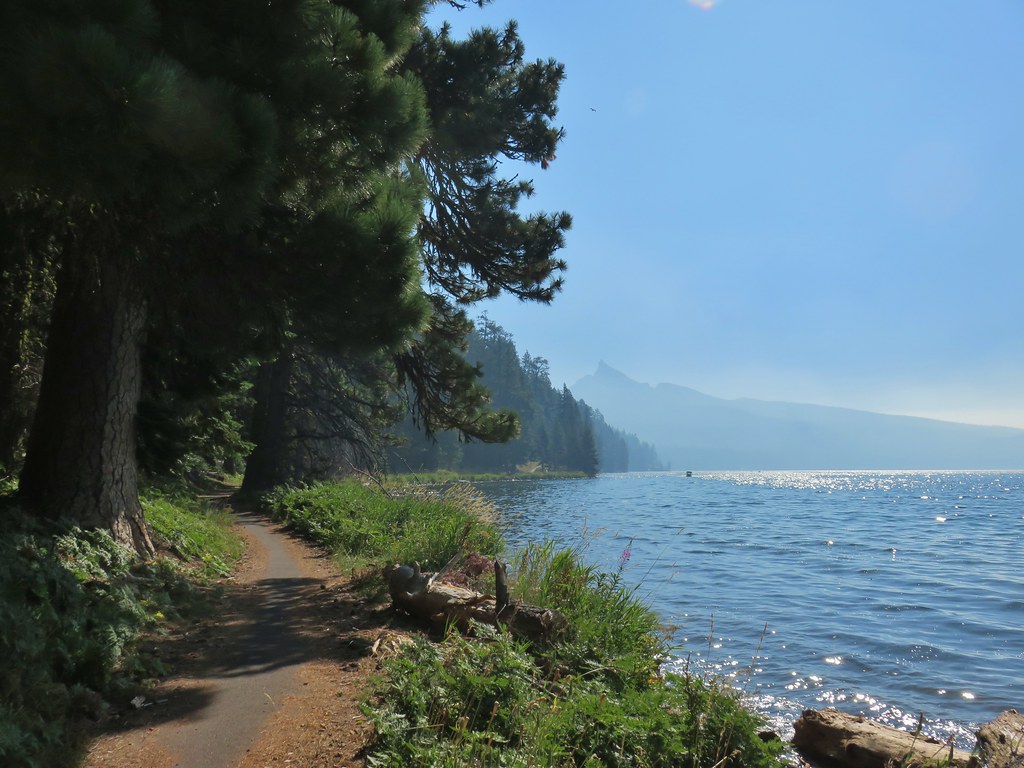 Looking back at Mt. Thielsen
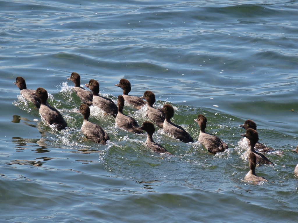 More goldeneyes
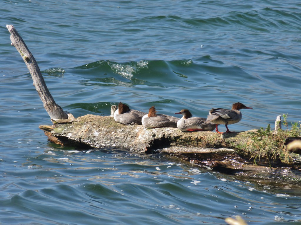 Mergansers

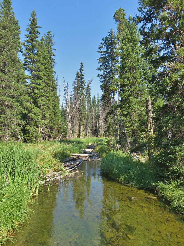

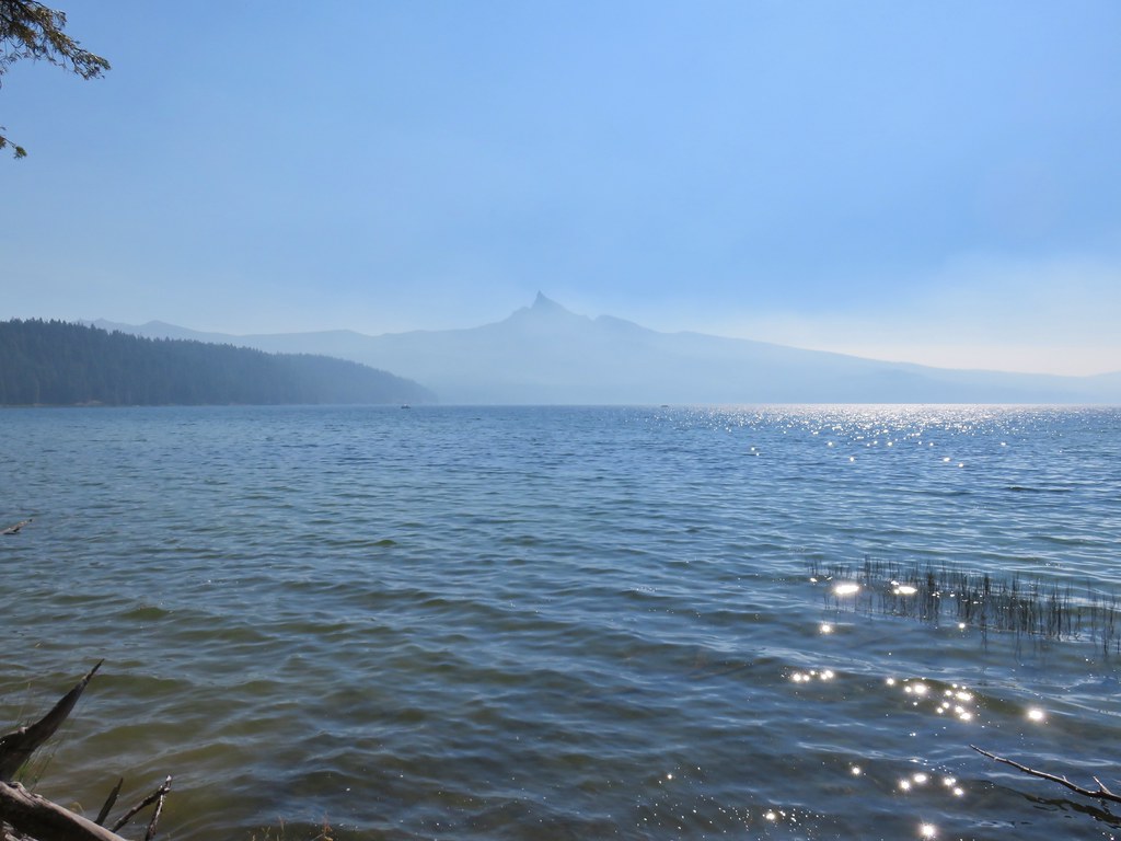
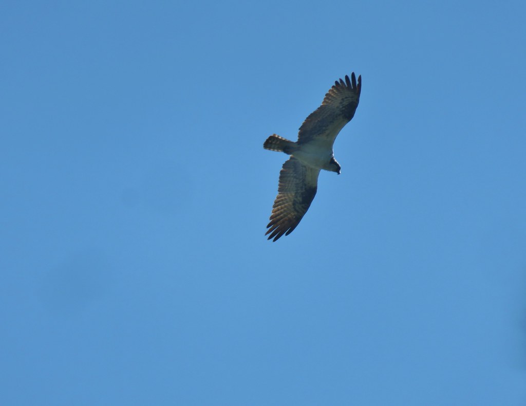 Osprey
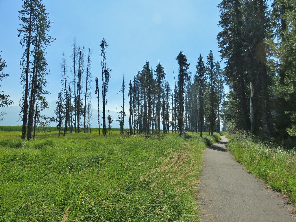

 Cormorant
 Howlock Mountain to the left and Mt. Thielsen
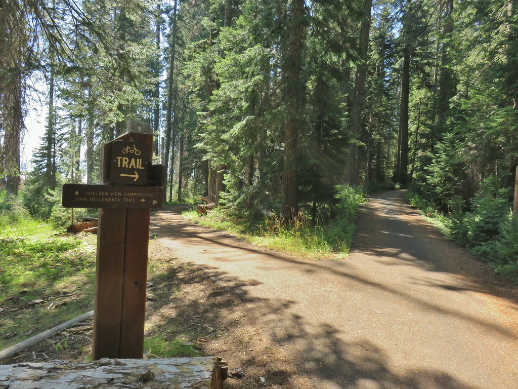


 Back on the lake side of FR 4795.


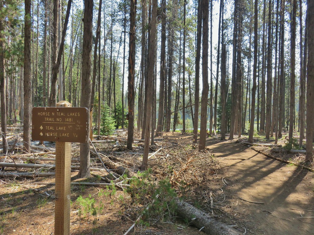
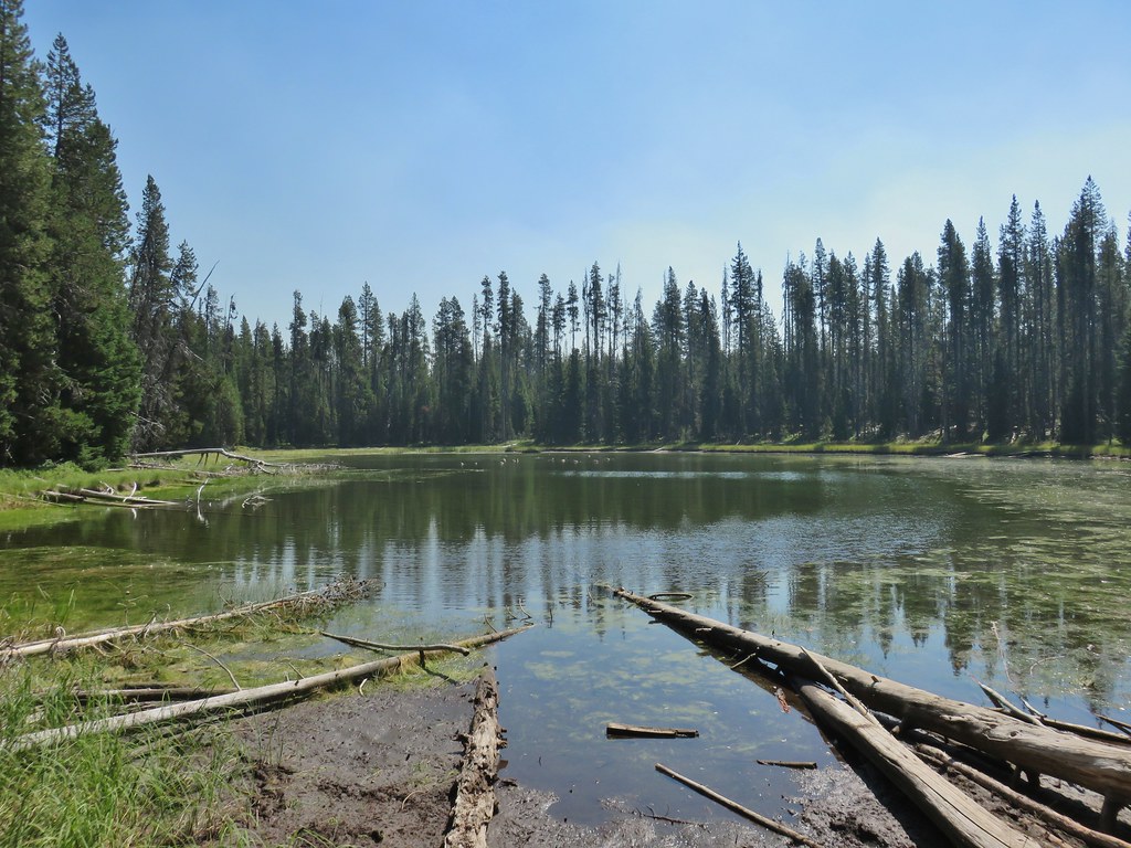 Canada geese at Teal Lake.
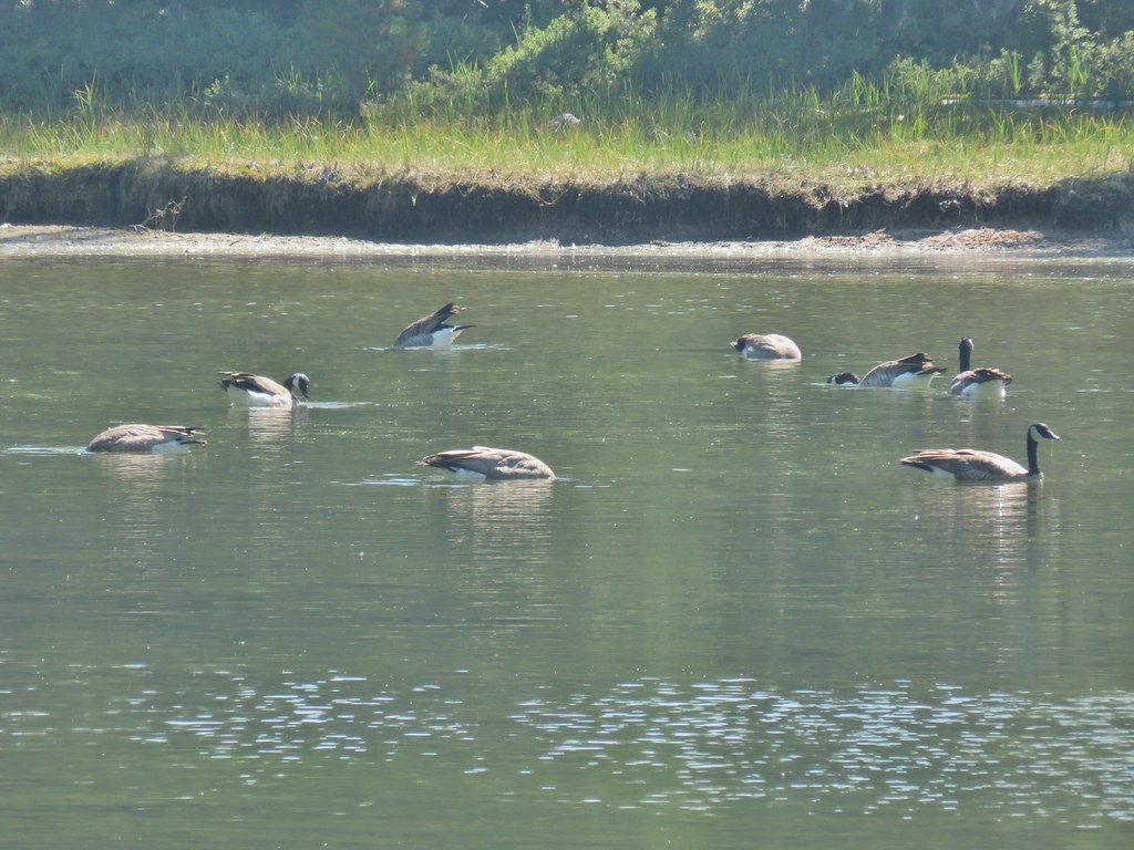
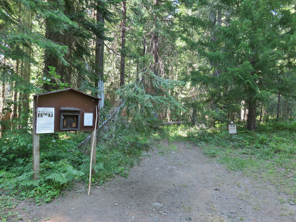

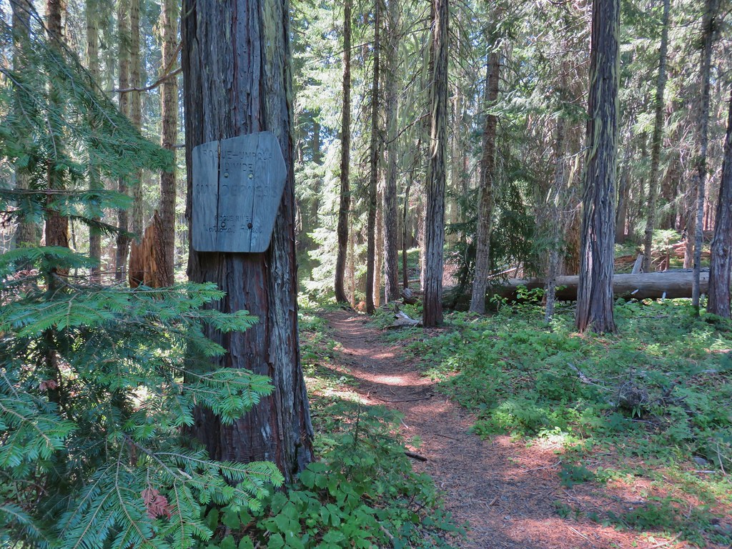
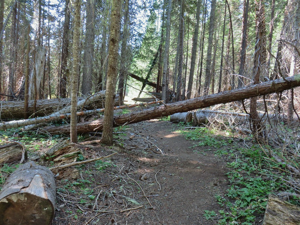


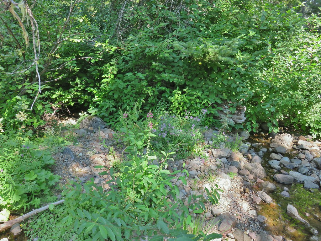 hedgenettle and aster.
 Monkeyflower
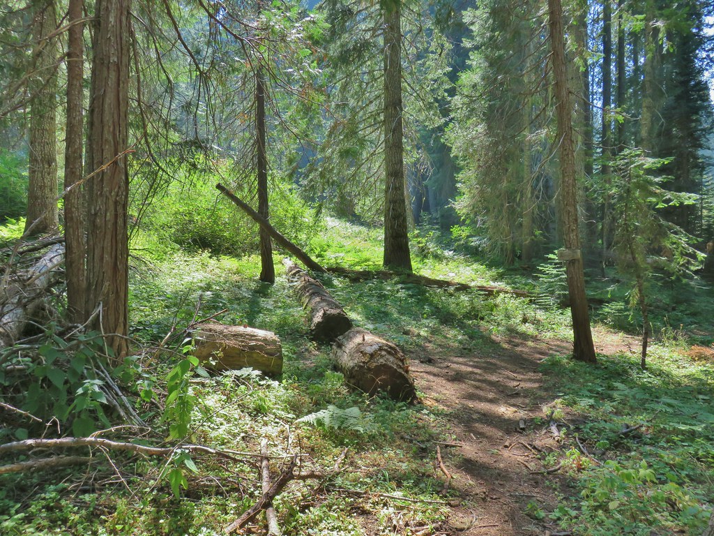


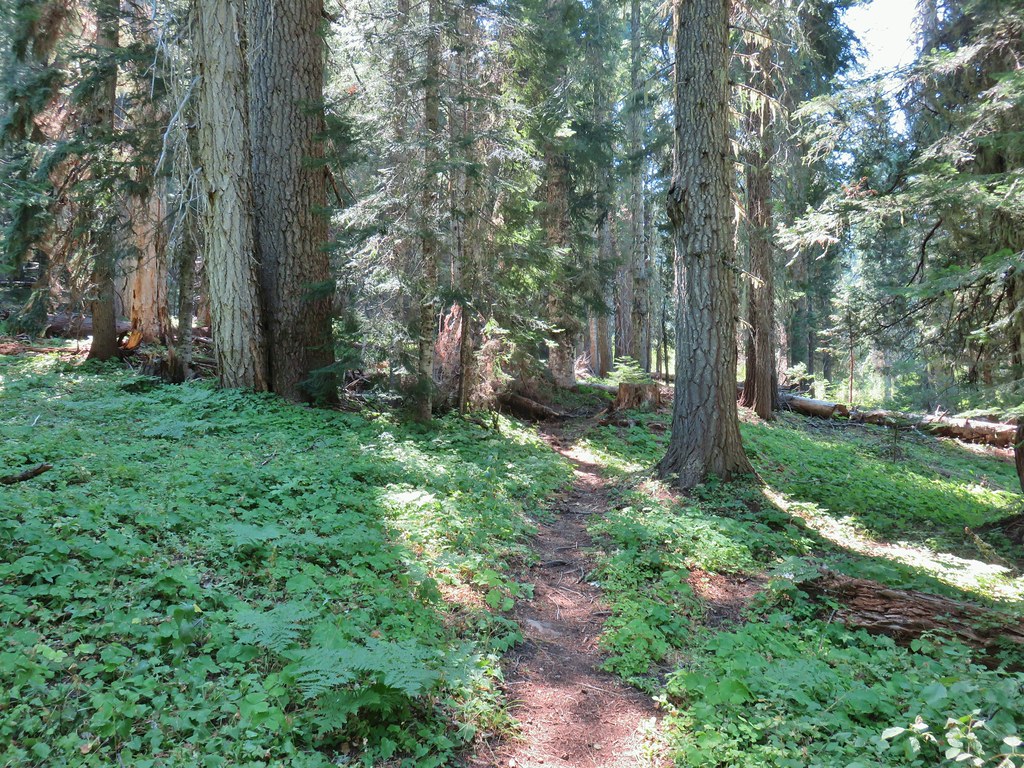
 Wiley Camp Trail on the right.
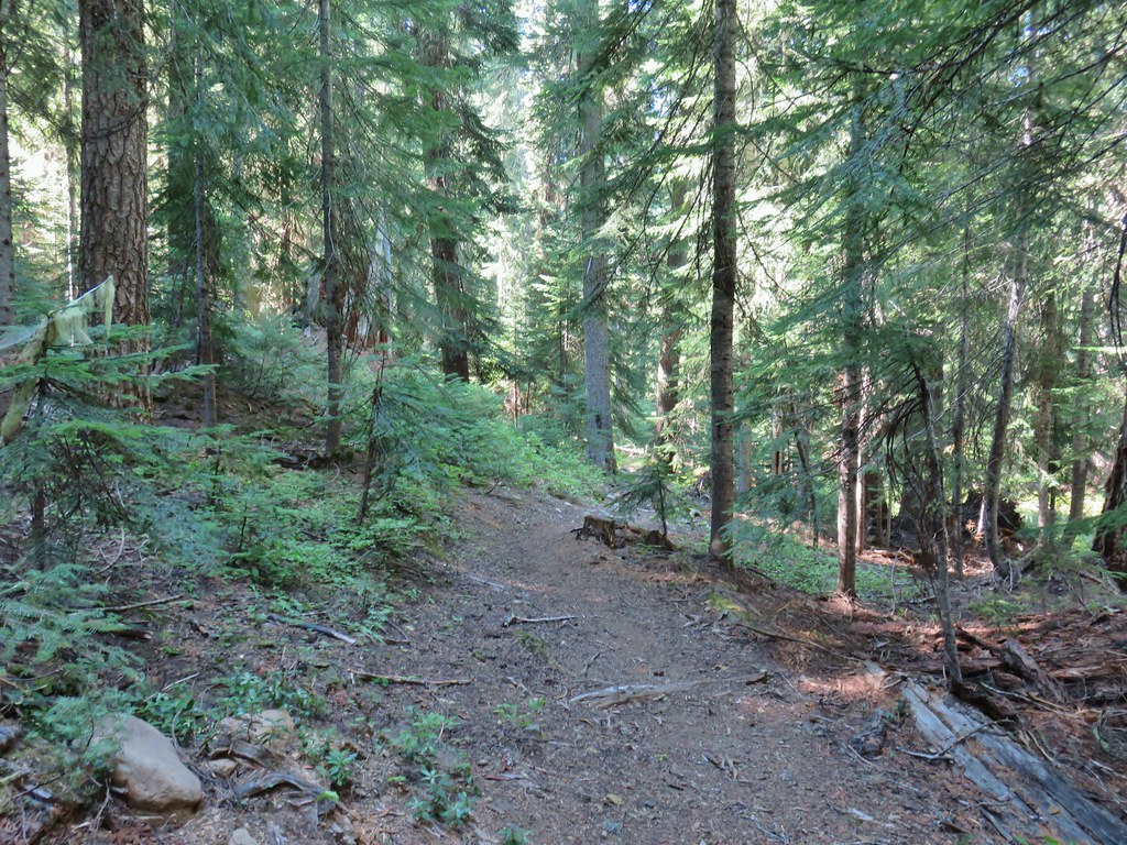

 Wiley Camp sign
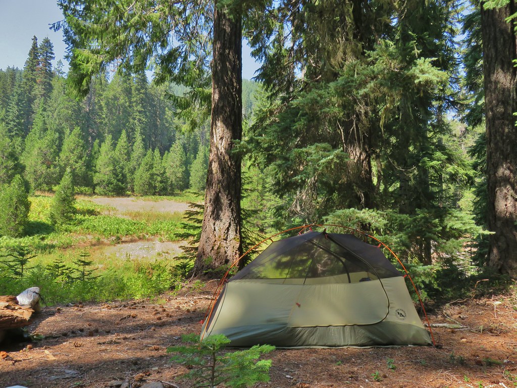

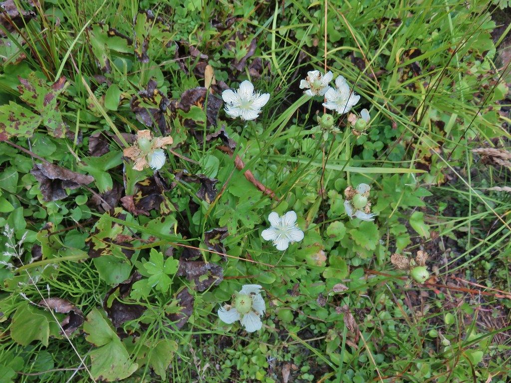 Grass of parnassus
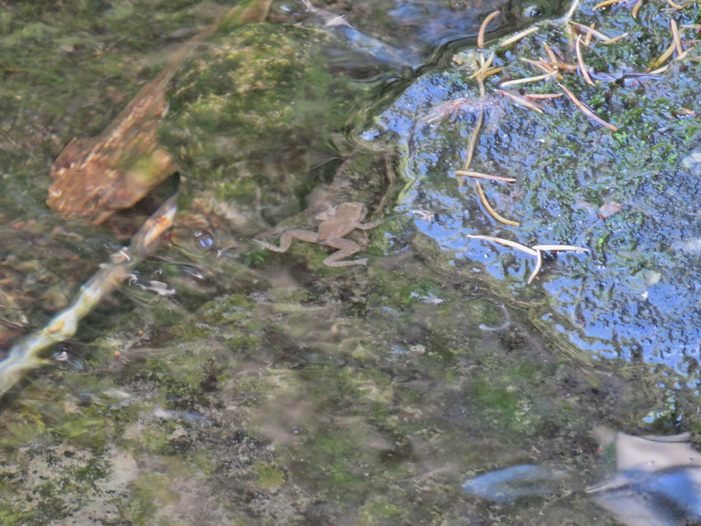 Frog
Frog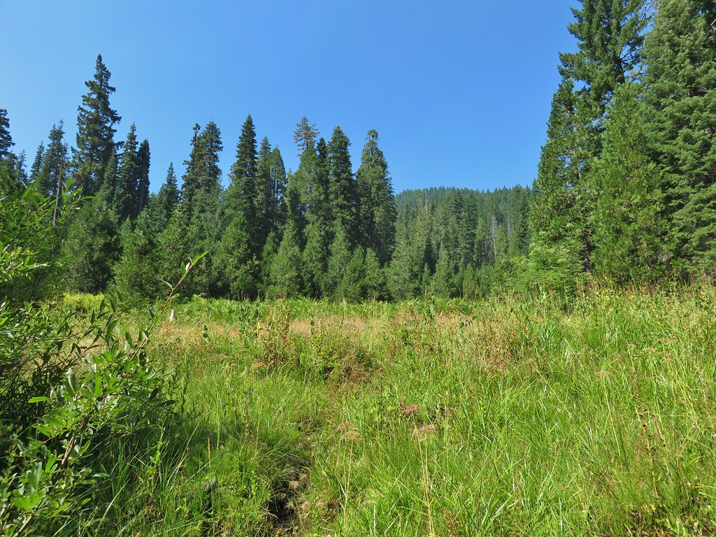 Trail leading up from the creek into the meadow.
 Big cedar at the edge of the meadow.
 Cairn and pink flagging (small tree to the right) marking the Wiley Camp Trail.
 Elder berry
 Twisted stalk

 Battle Ax Creek – 2014
 Mt. Jefferson from Russell Lake – 2016
 Drift Creek – 2010
 Mt. Washington from the Pacific Crest Trail – 2015
 The Three Sisters – 2014
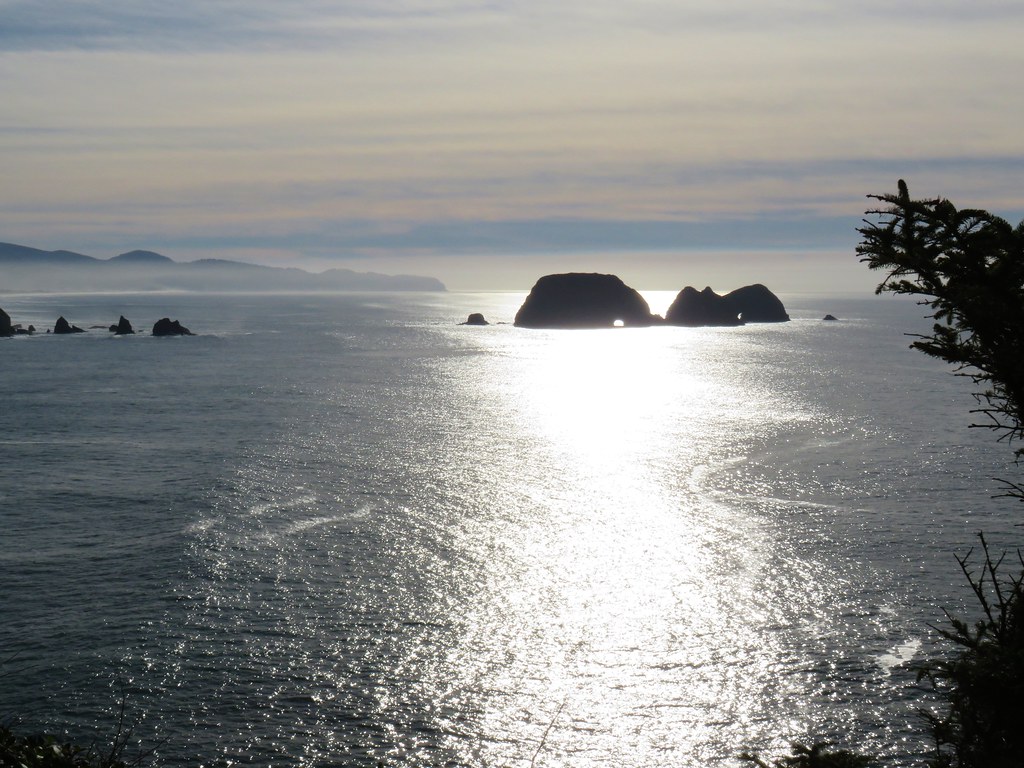 Three Arch Rocks from Cape Meares – 2018
 Triple Falls – 2012
 Mt. Hood – 2015
 Bandon Islands – 2018
 Twin Pillars – 2011
 Howlock Mountain and Mt. Thielsen – 2014
 Table Rock – 2015
 Frustration Falls – 2018
 Trapper Creek – 2014
 View from Fuji Mountain – 2013
 Serene Lake – 2013
 Badger Creek Wilderness – 2014
 Donaca Lake – 2014
 Emerald Pool – 2018
 View from Boccard Point – 2015
 Red Buttes – 2015
 Oregon Badlands Wilderness – 2016
 Vulcan Lake – 2016
 Rooster Rock – 2016
 Glacier Lake – 2016
 View from Aspen Butte – 2016
 Mt. McLoughlin from Freye Lake – 2016
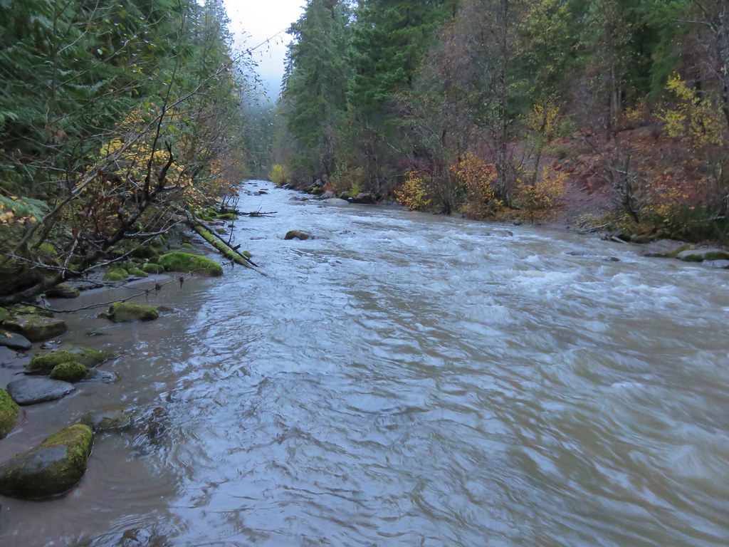 White River – 2016
 Rock Creek – 2017
 Hedgehog Cactus – 2017
 Bridge Creek Wilderness – 2017
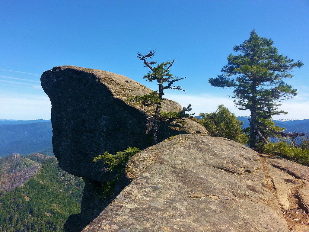 Hanging Rock – 2017
 View from Grassy Knob – 2017
 Big Bottom – 2017
 Baldy Lake – 2017
 Cummins Ridge Trail – 2017
 Hummingbird Meadows – 2018
 View along the Pine Creek Trail – 2018
 Slide Lake – 2018
 Barklow Mountain Trail – 2018
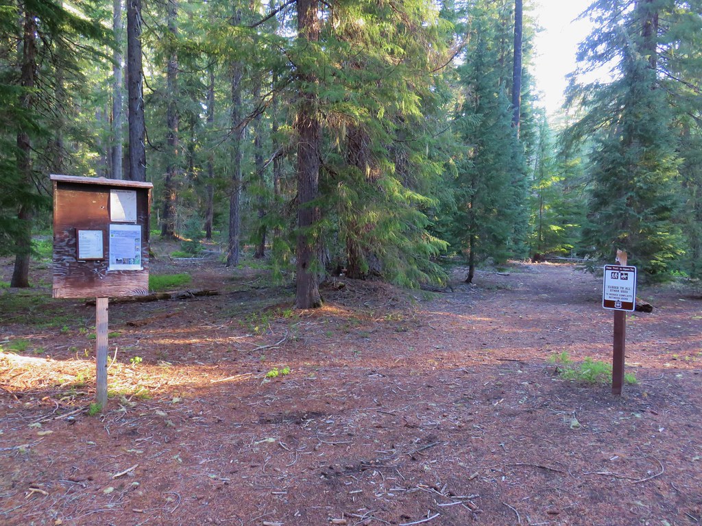
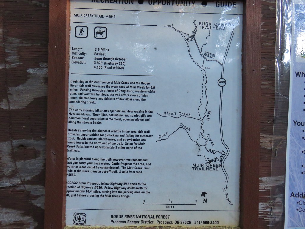
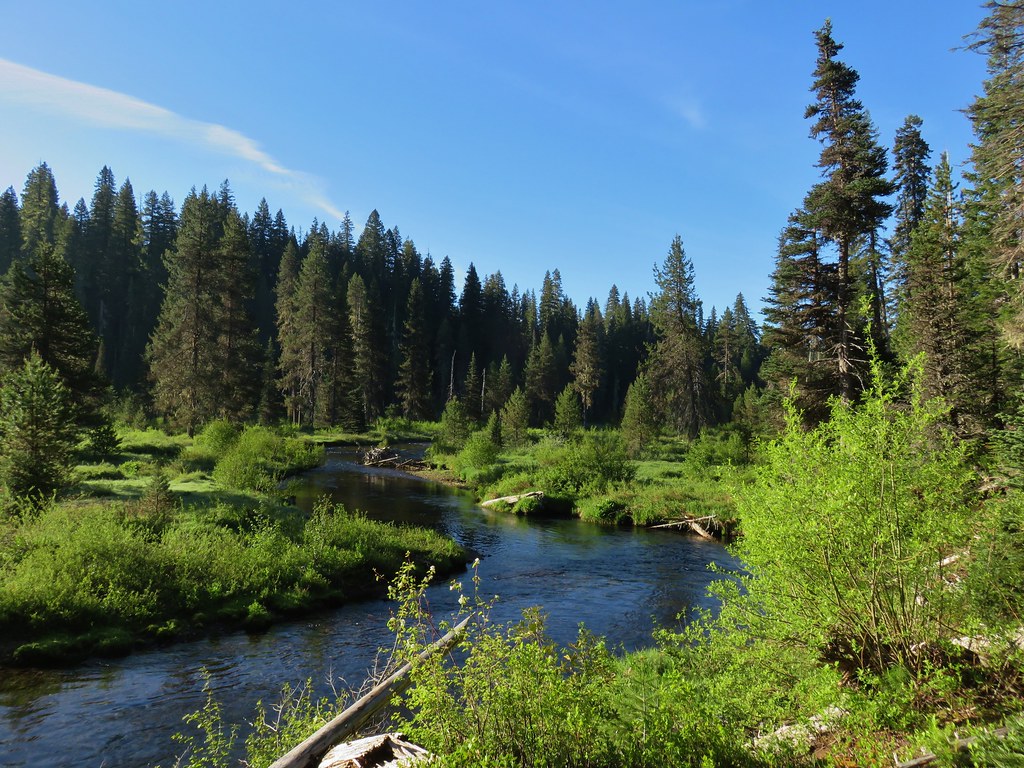

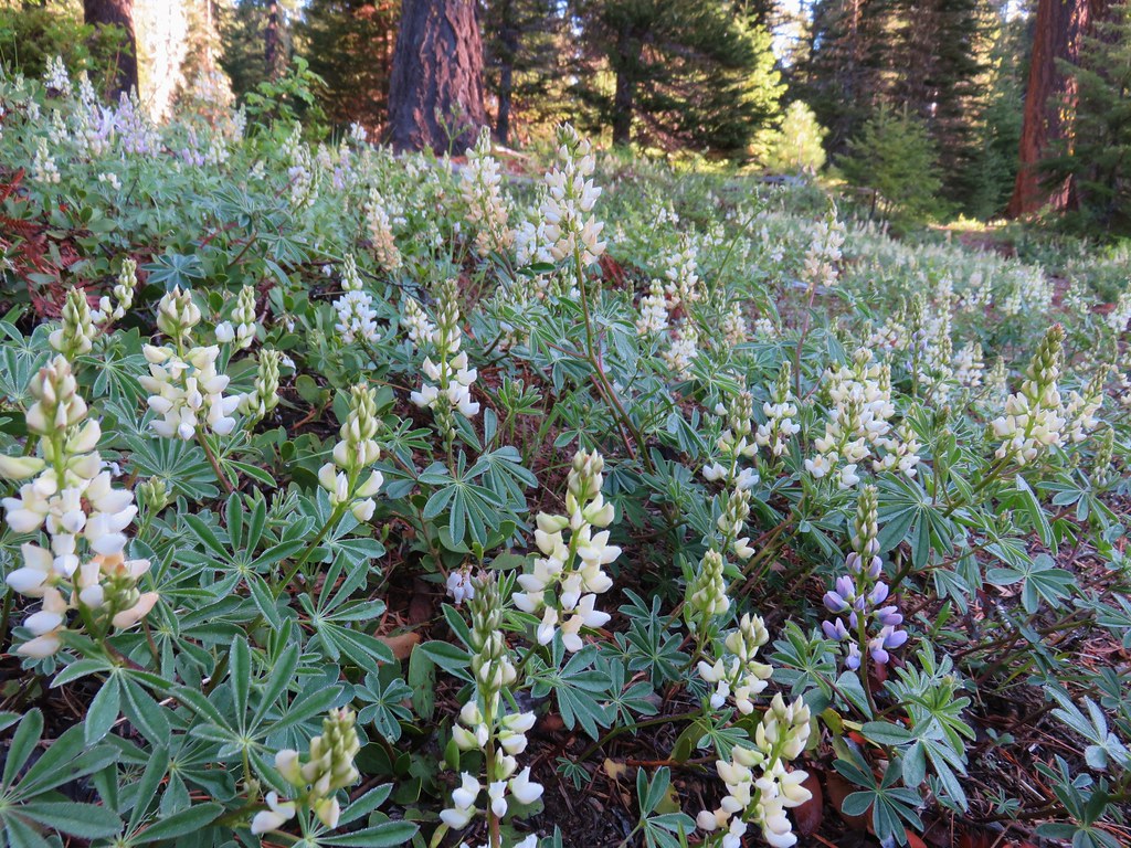
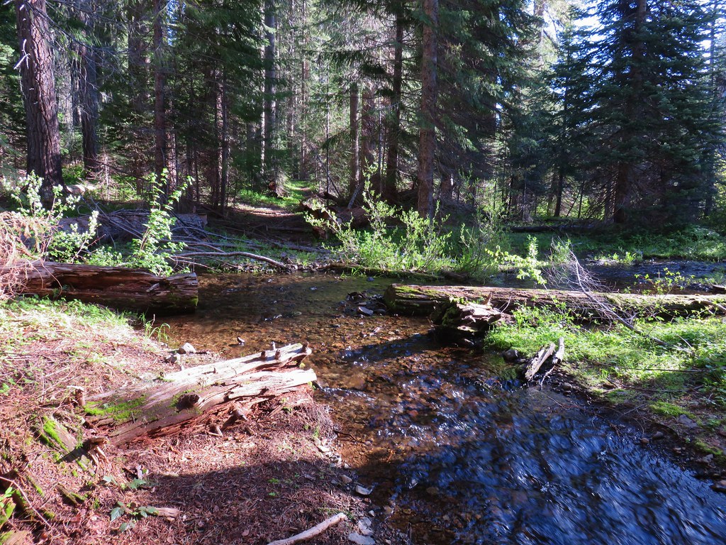
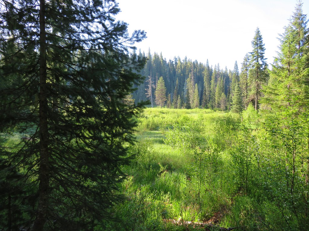
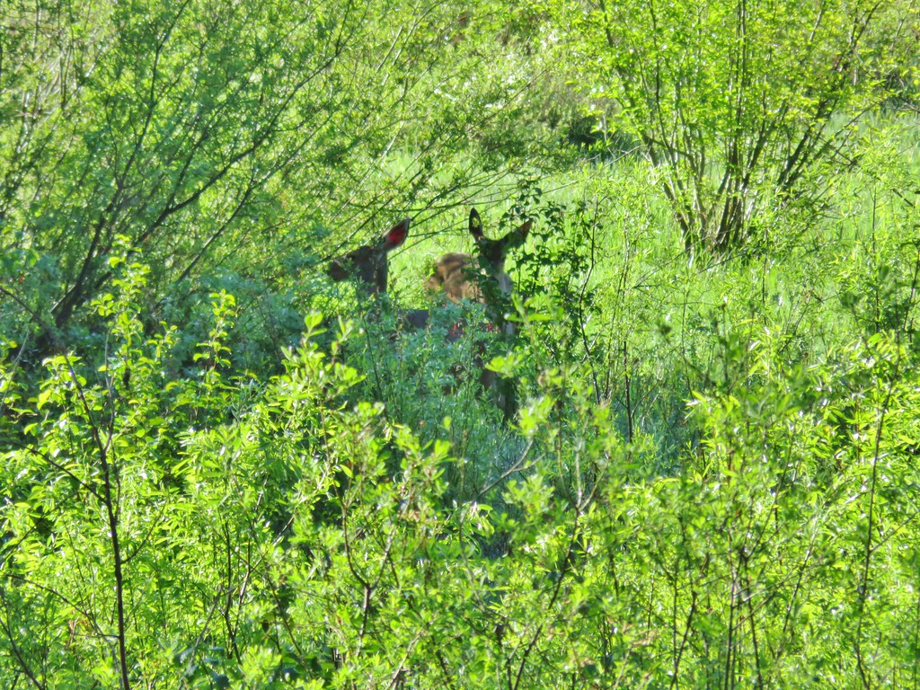
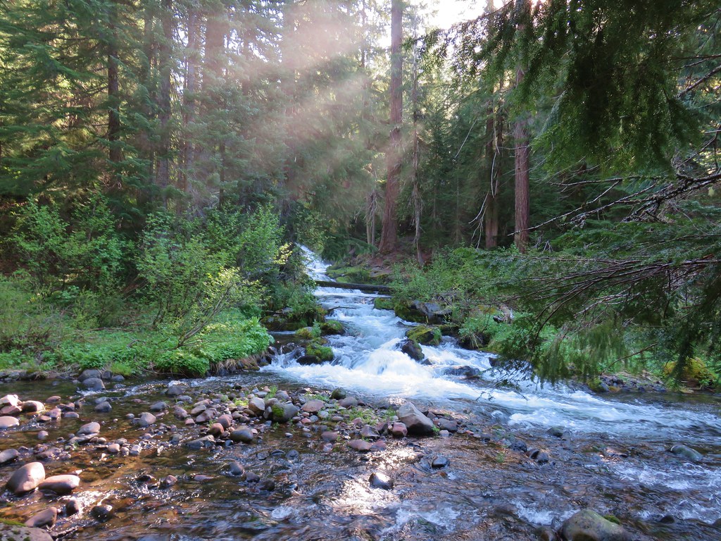
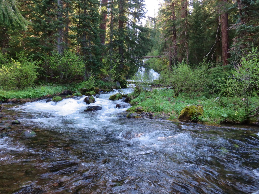
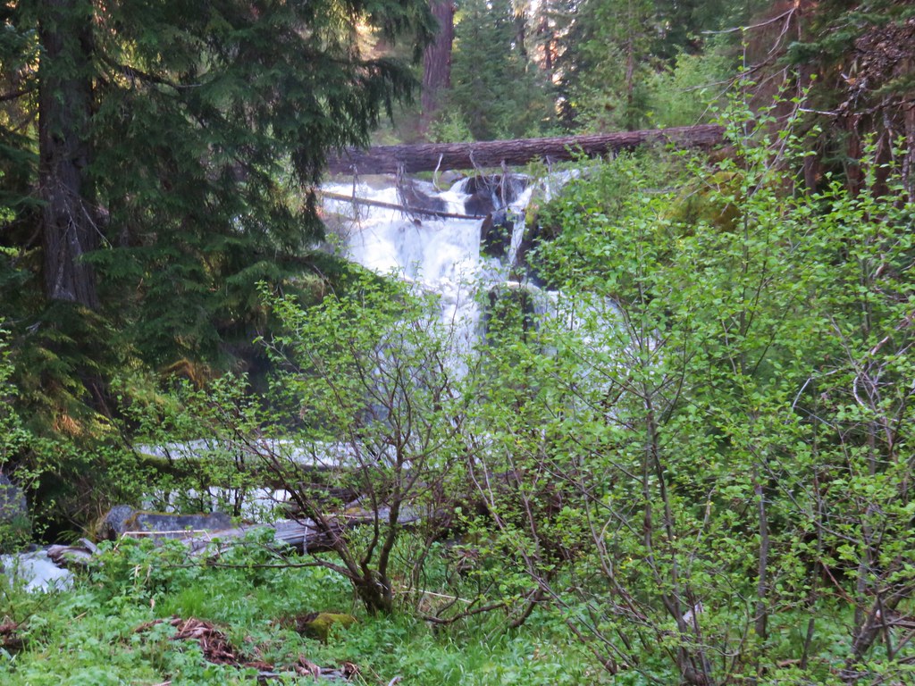
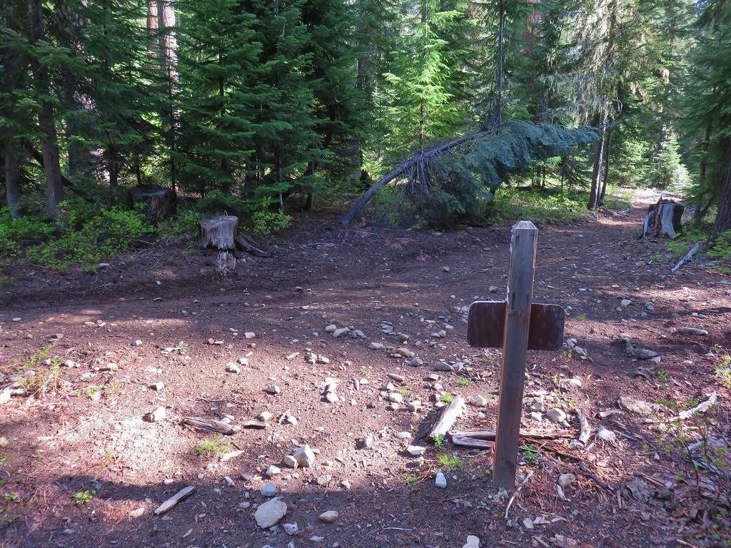
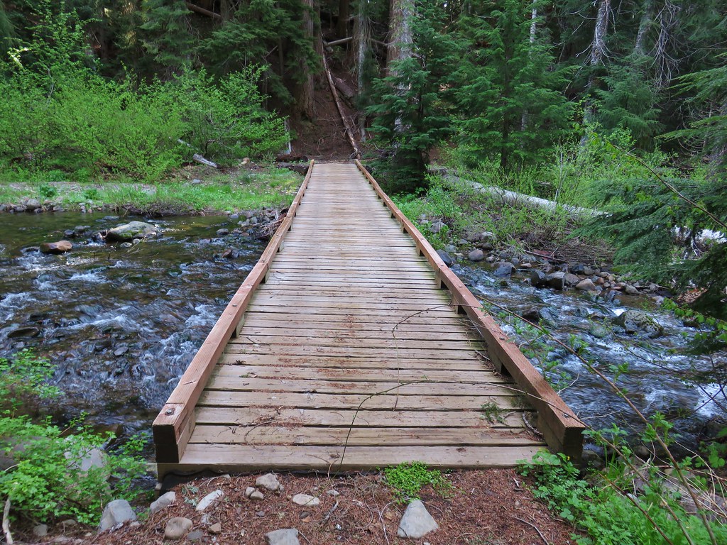
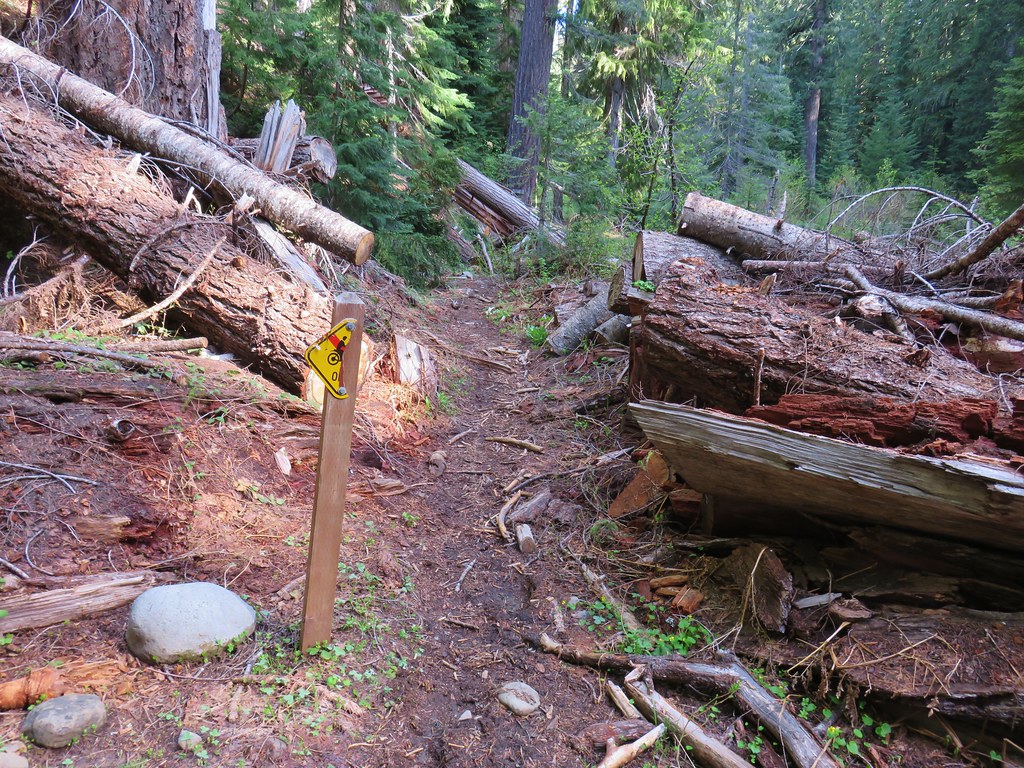
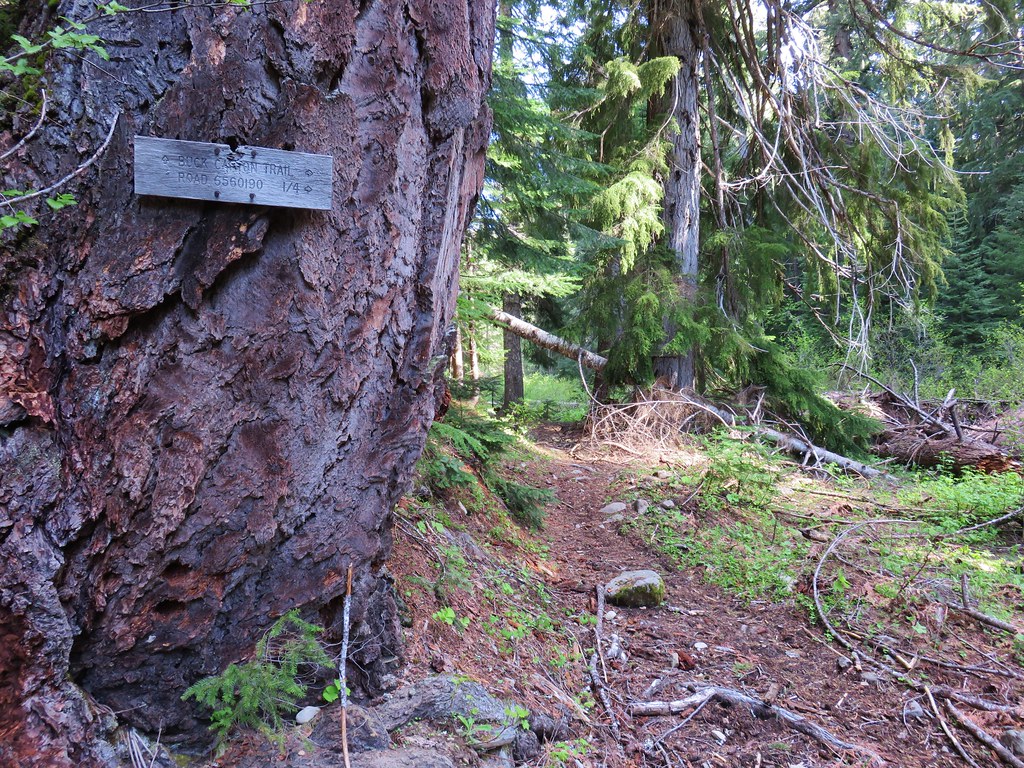
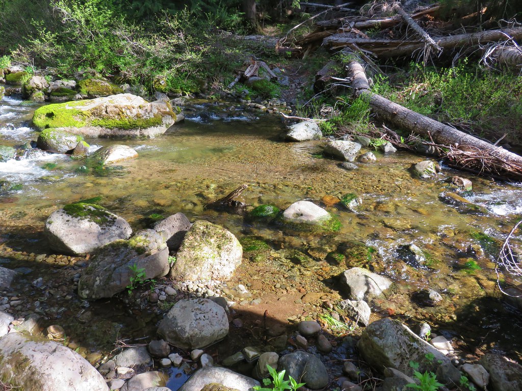
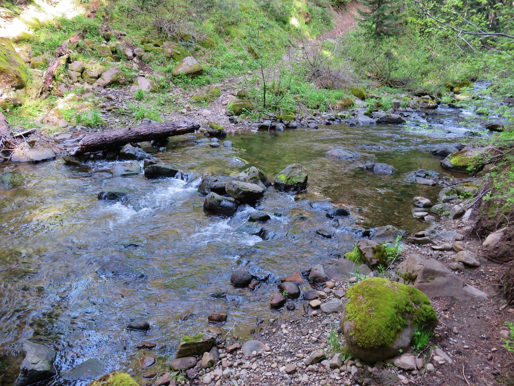
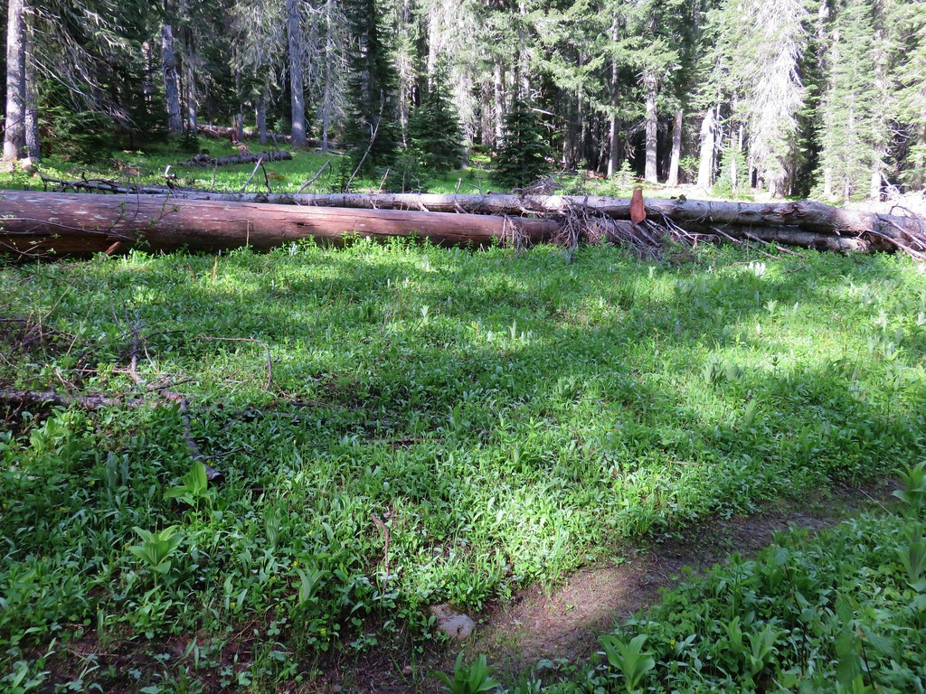
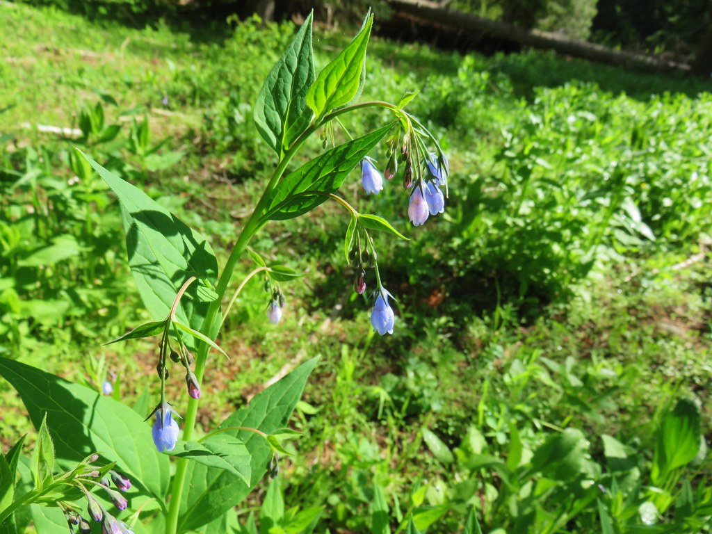
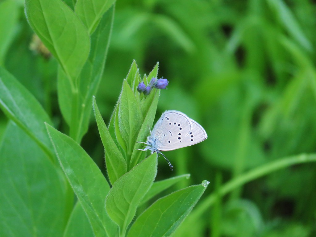
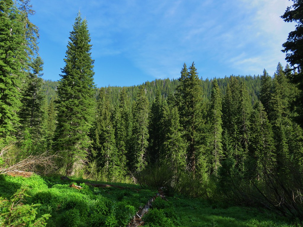
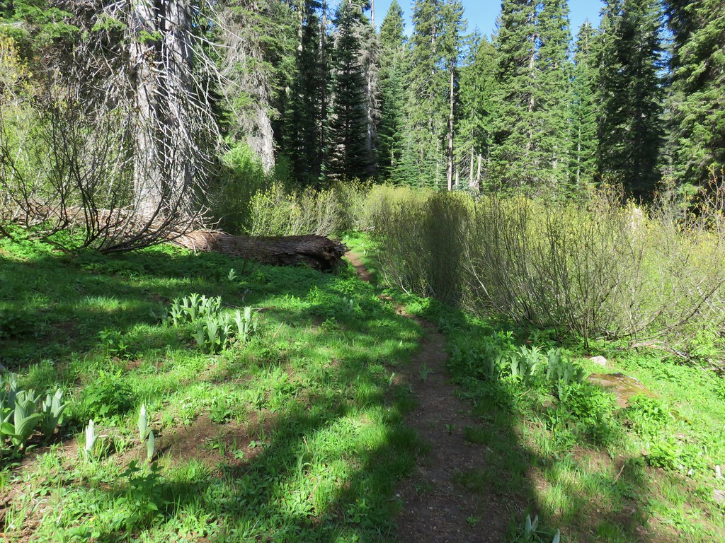
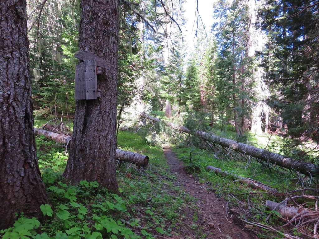
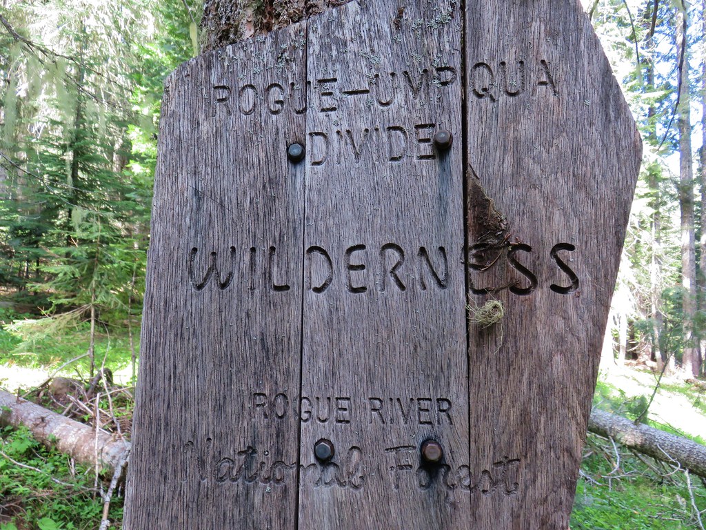

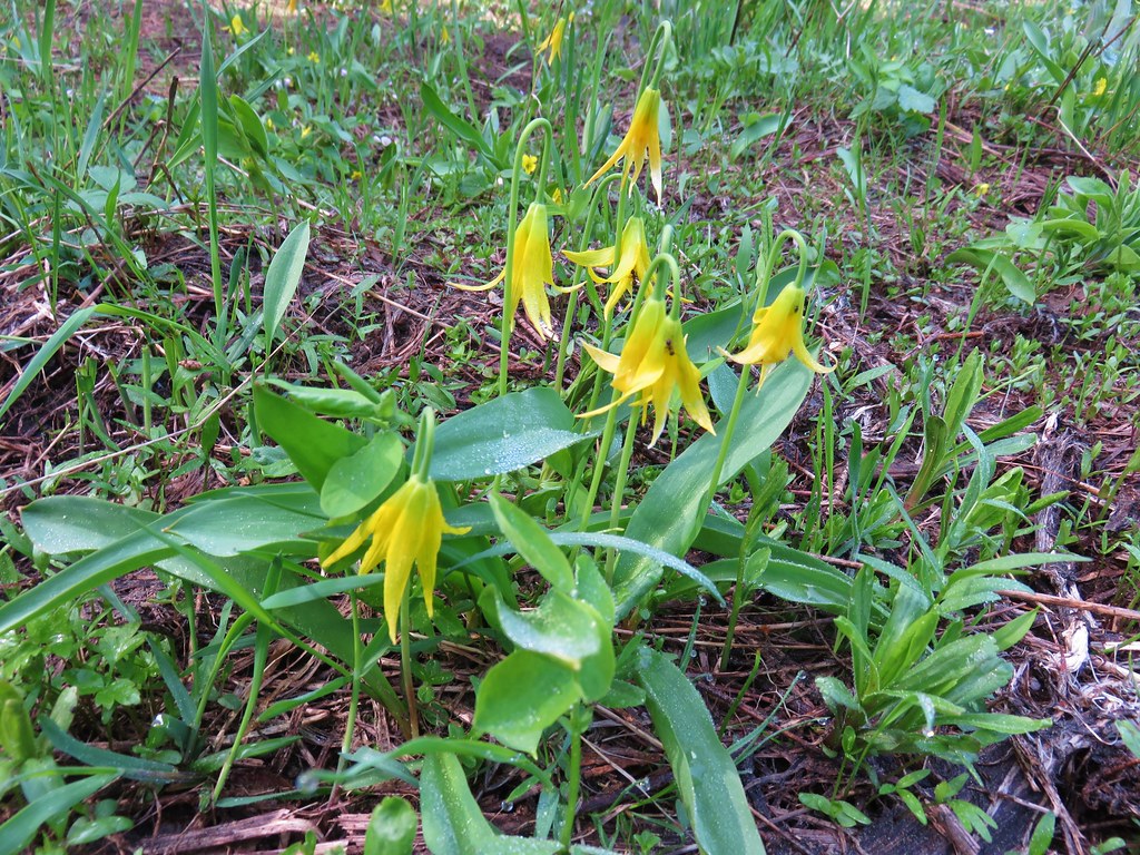
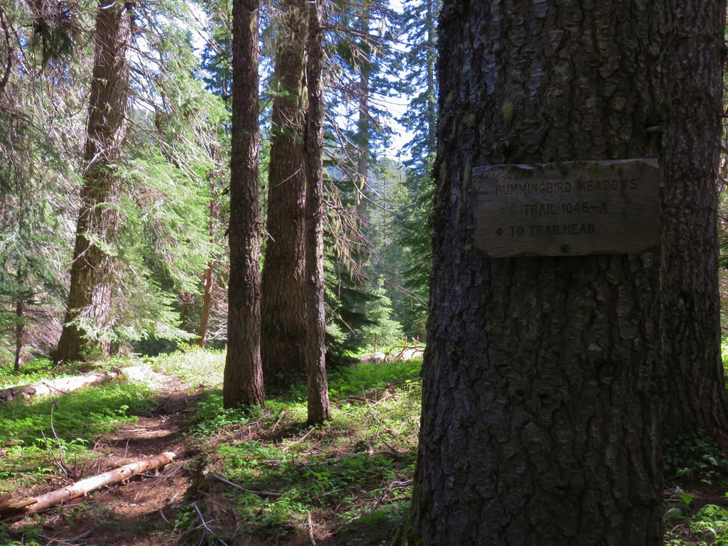
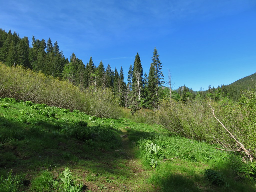
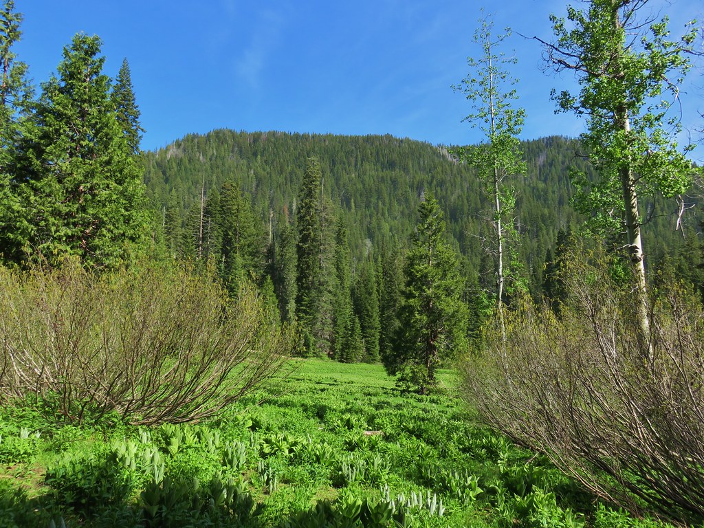
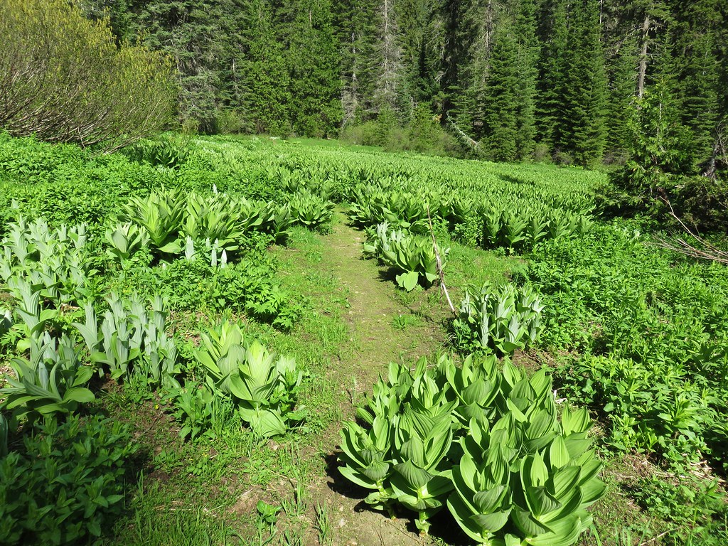
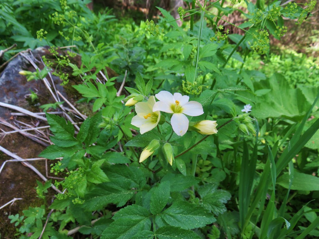
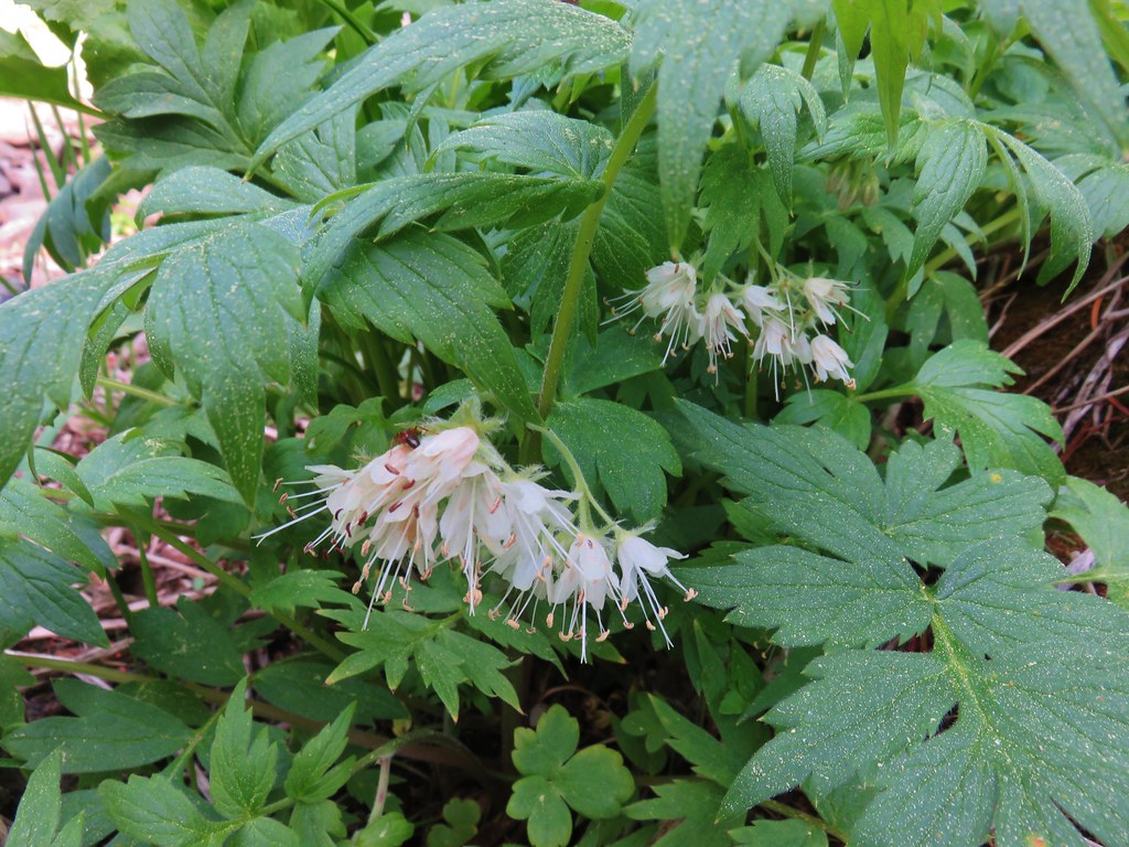
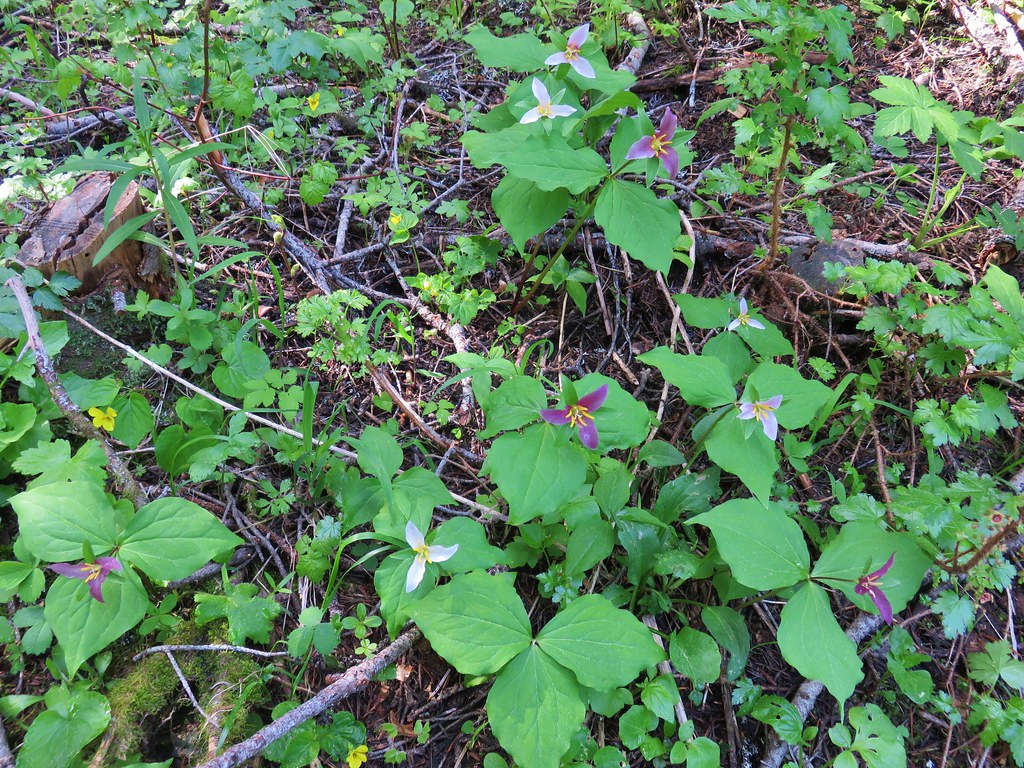

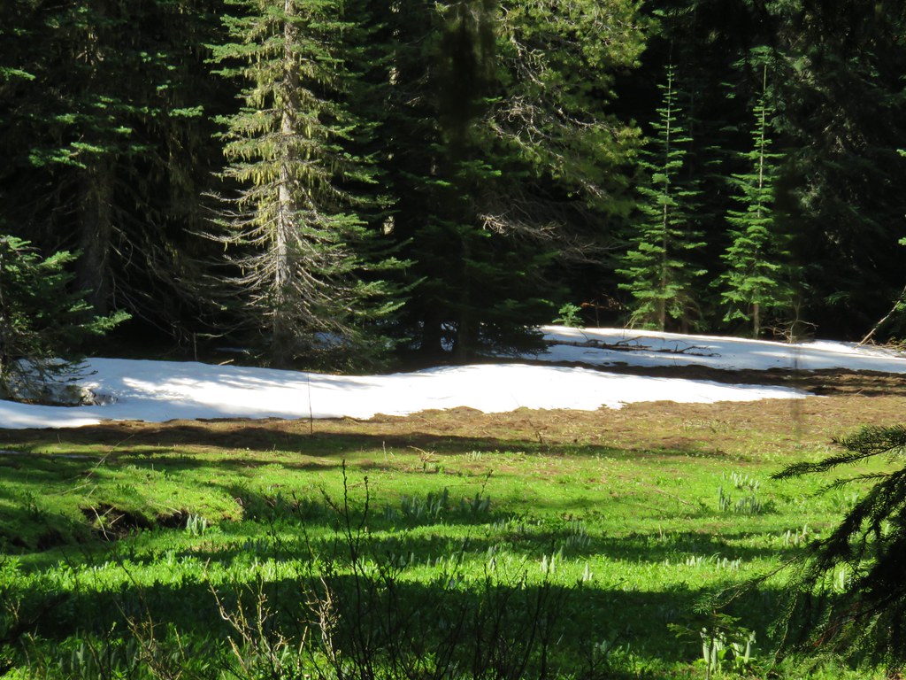
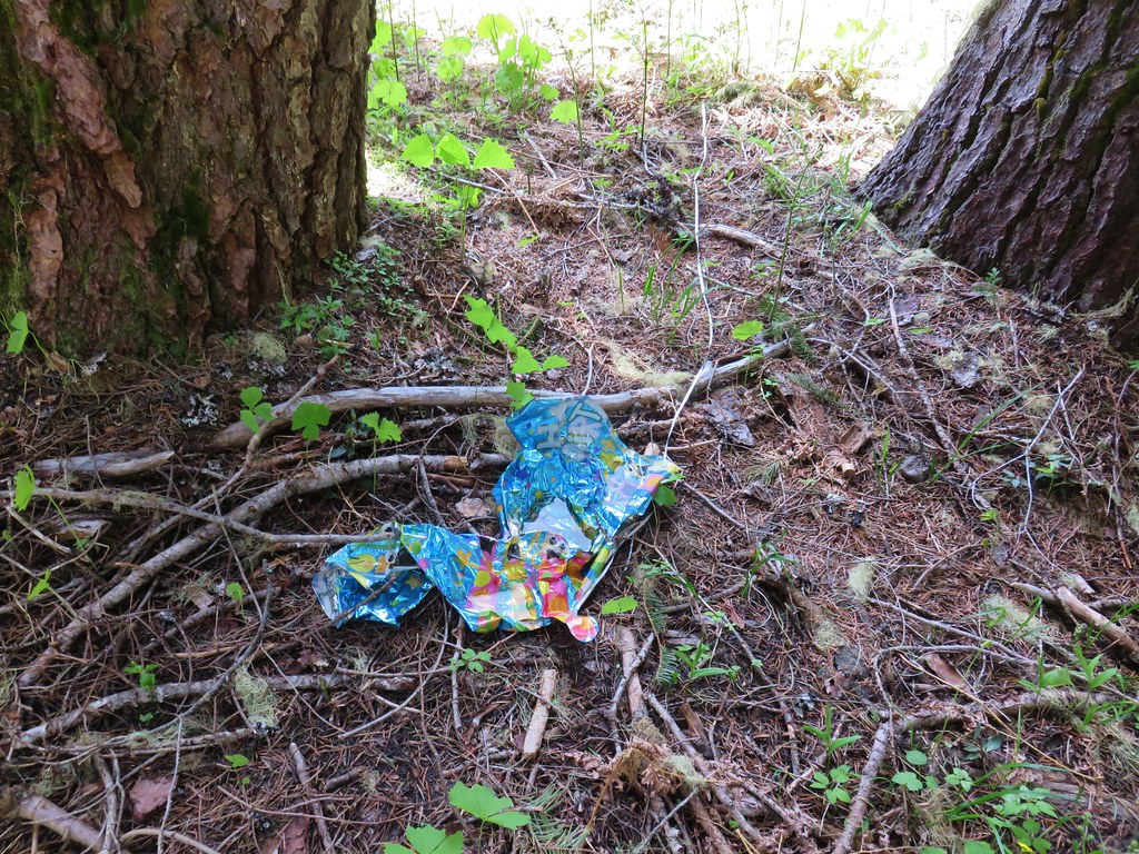
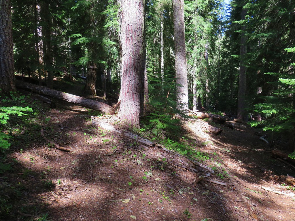
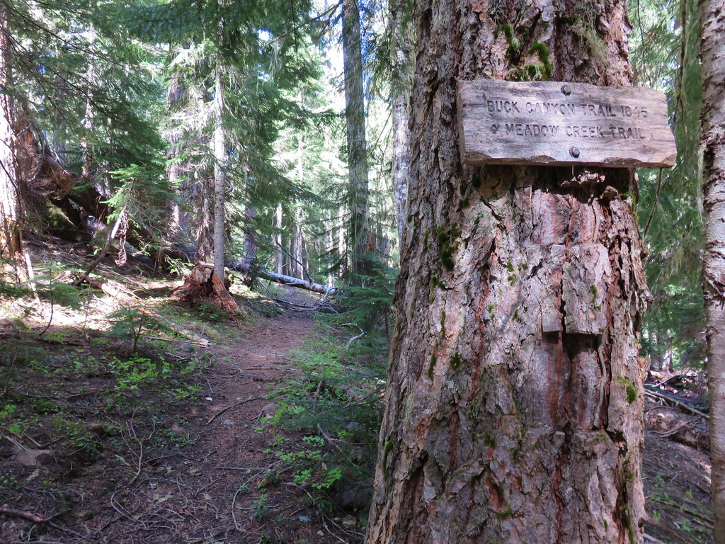
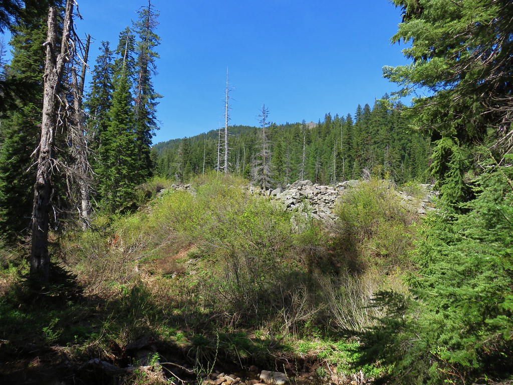
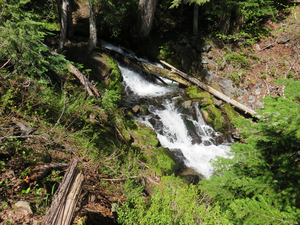
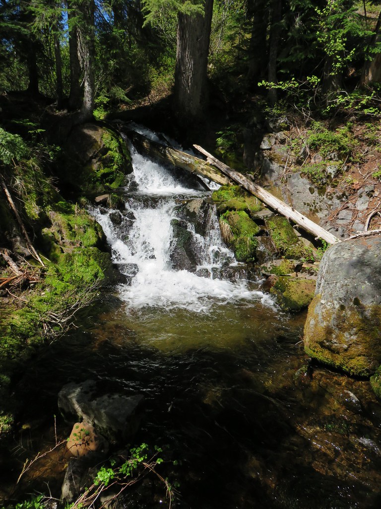
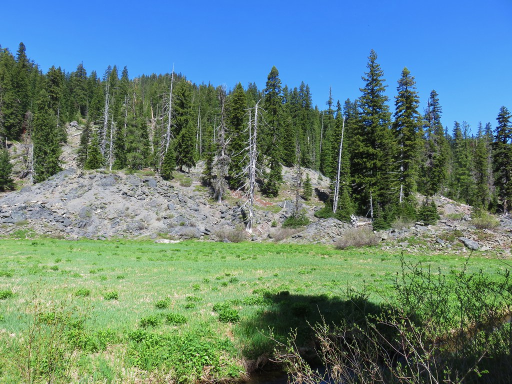

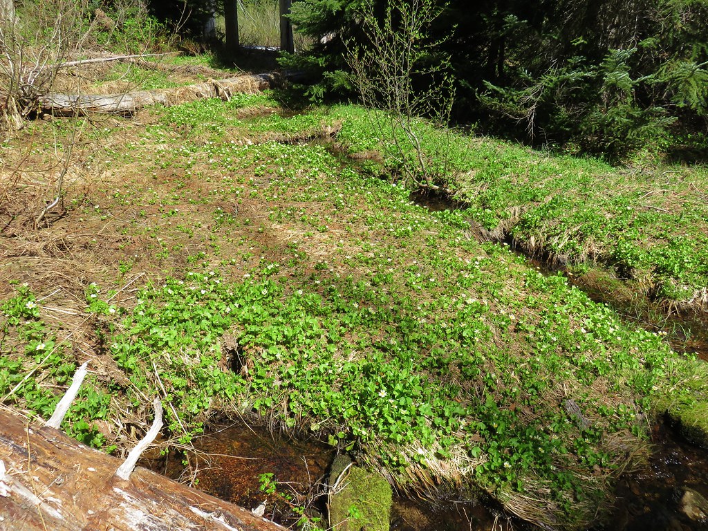
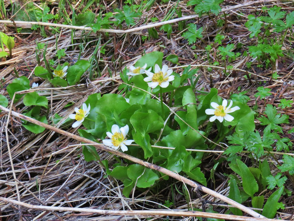
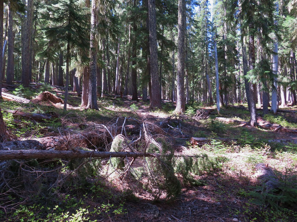
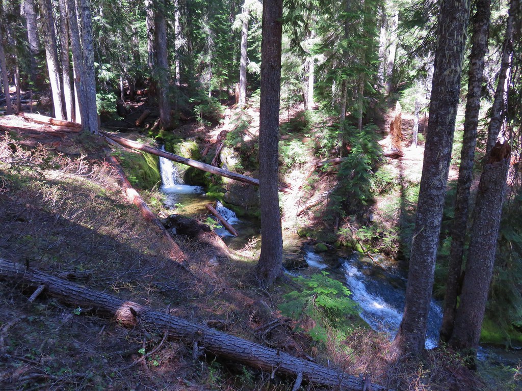
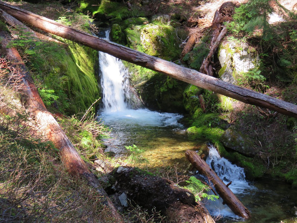
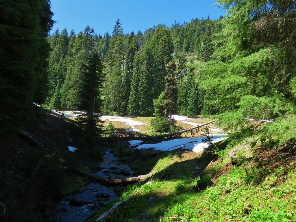
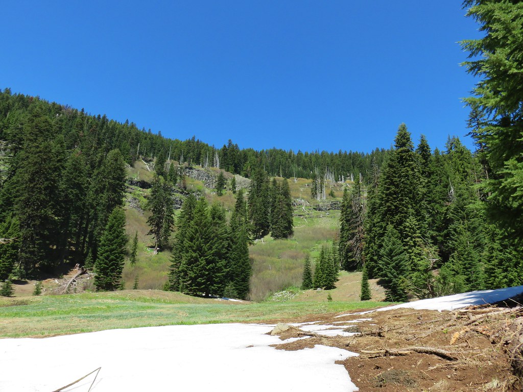
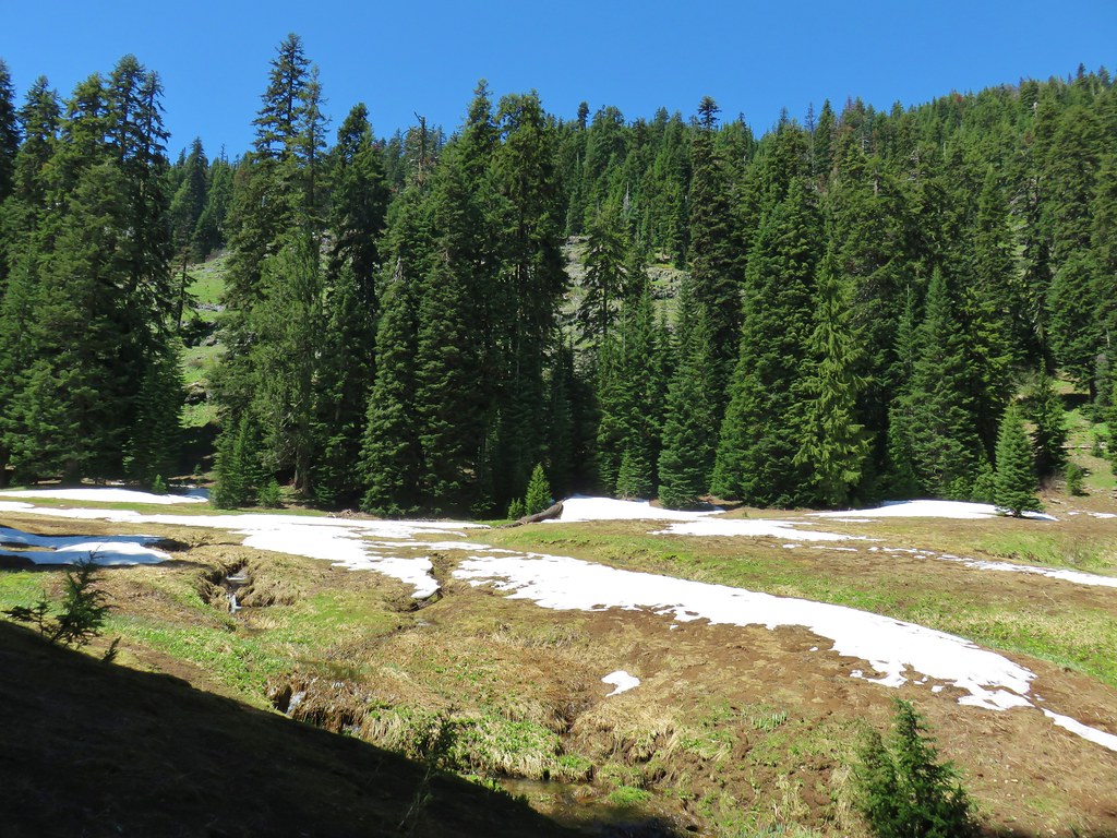
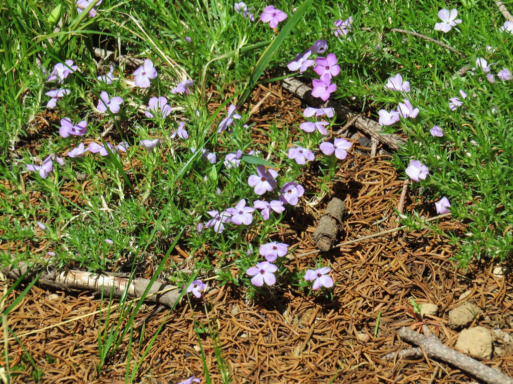
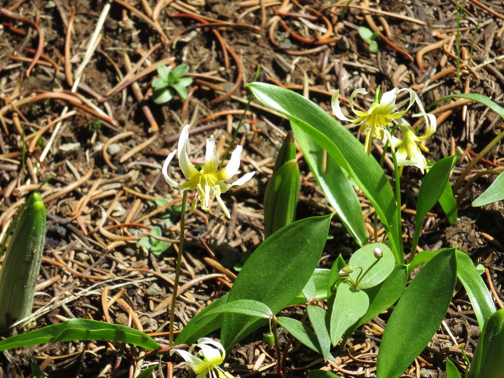
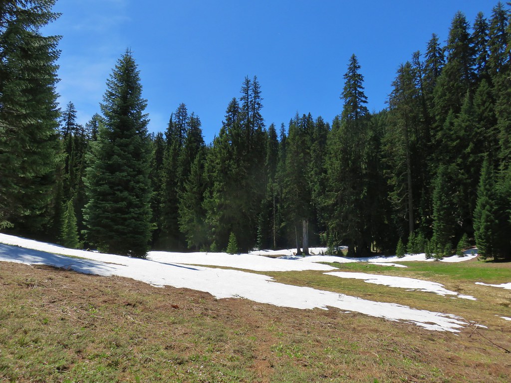
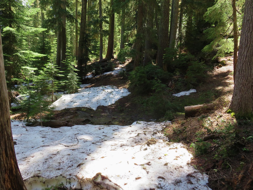
 blaze in the tree
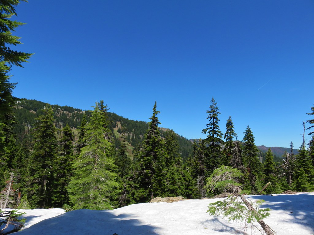
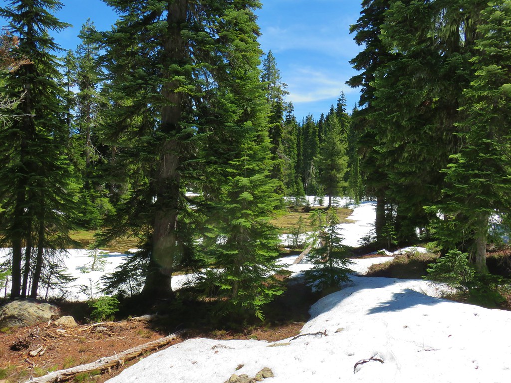
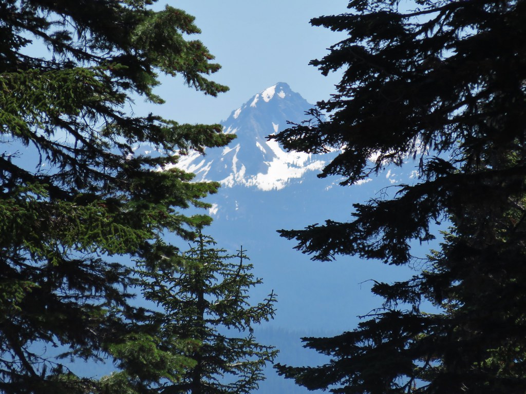 Union Peak
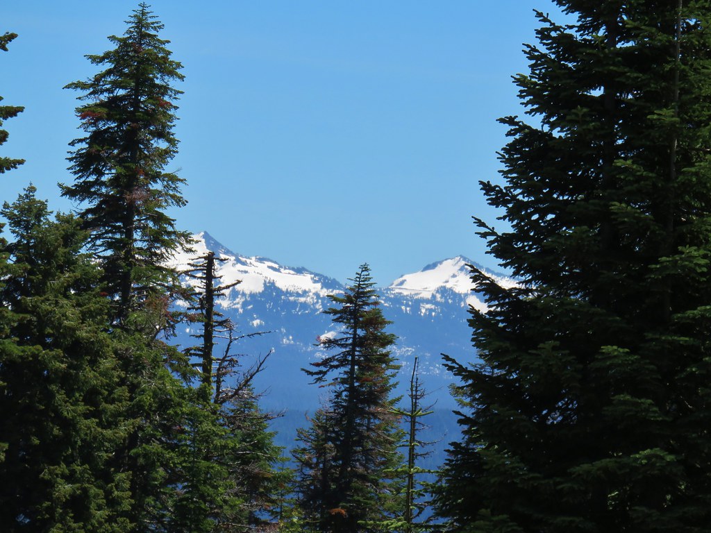 Hillman Peak and The Watchman
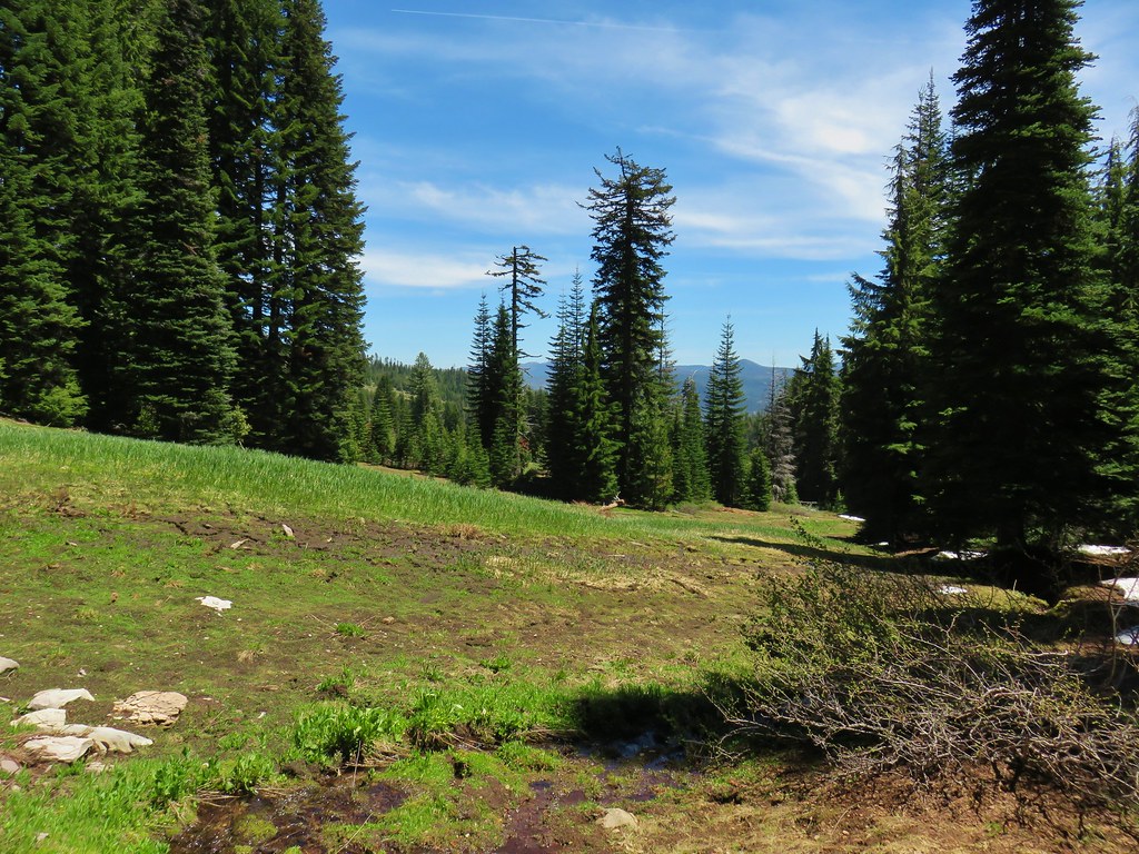

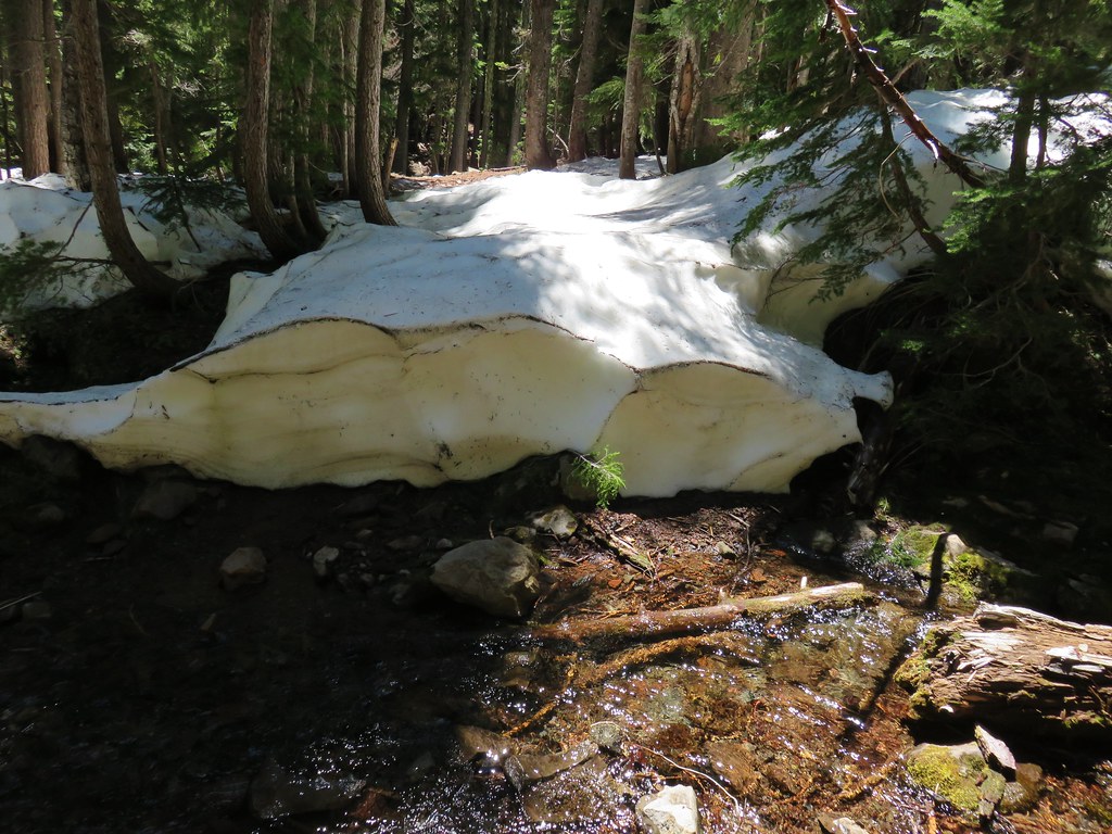
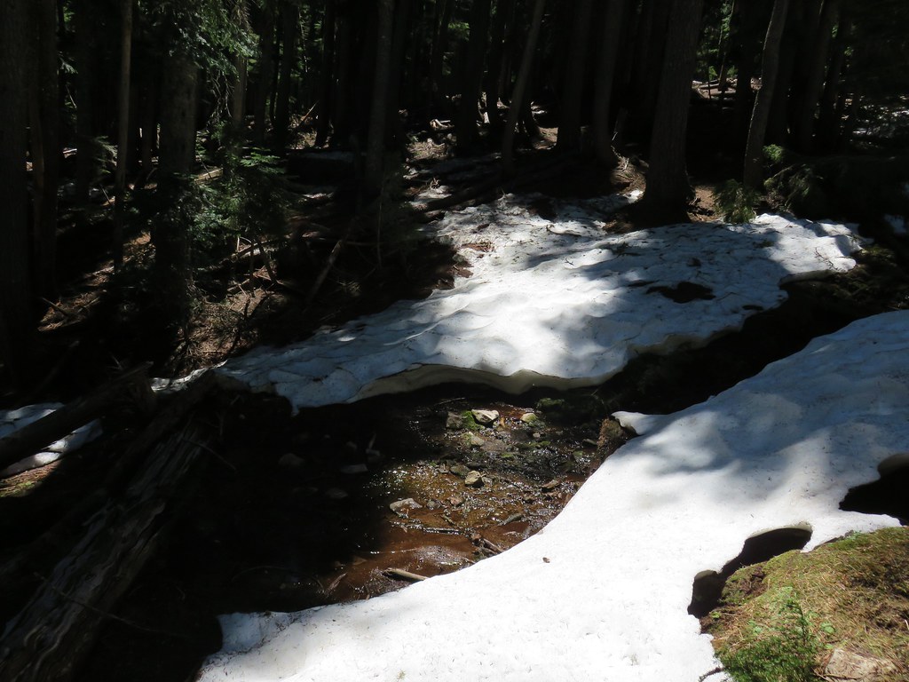
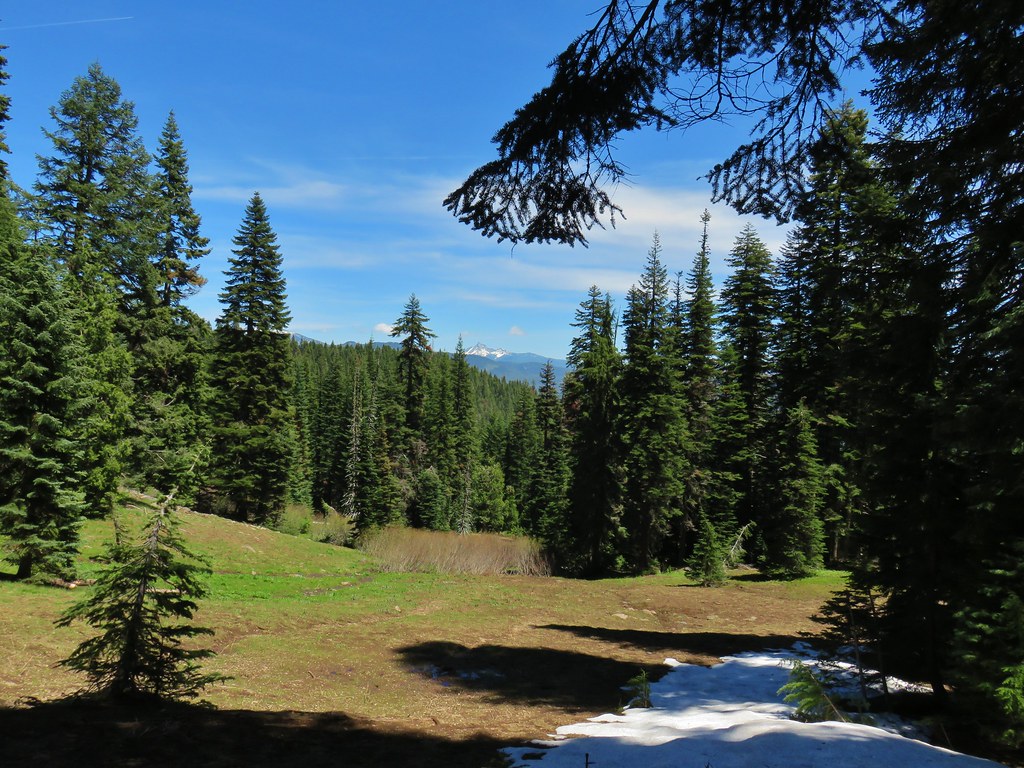
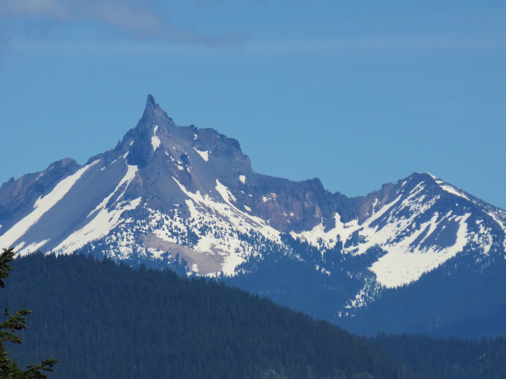
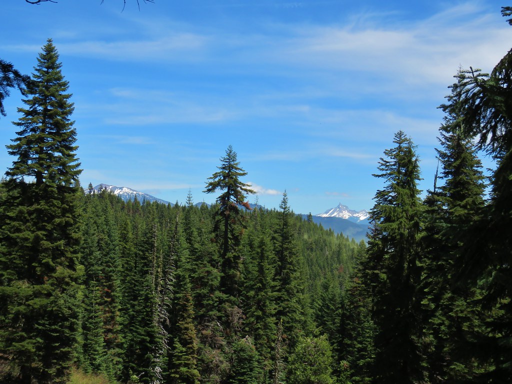
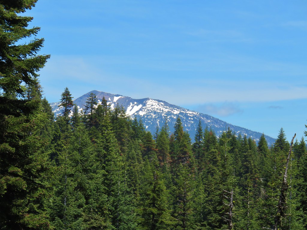
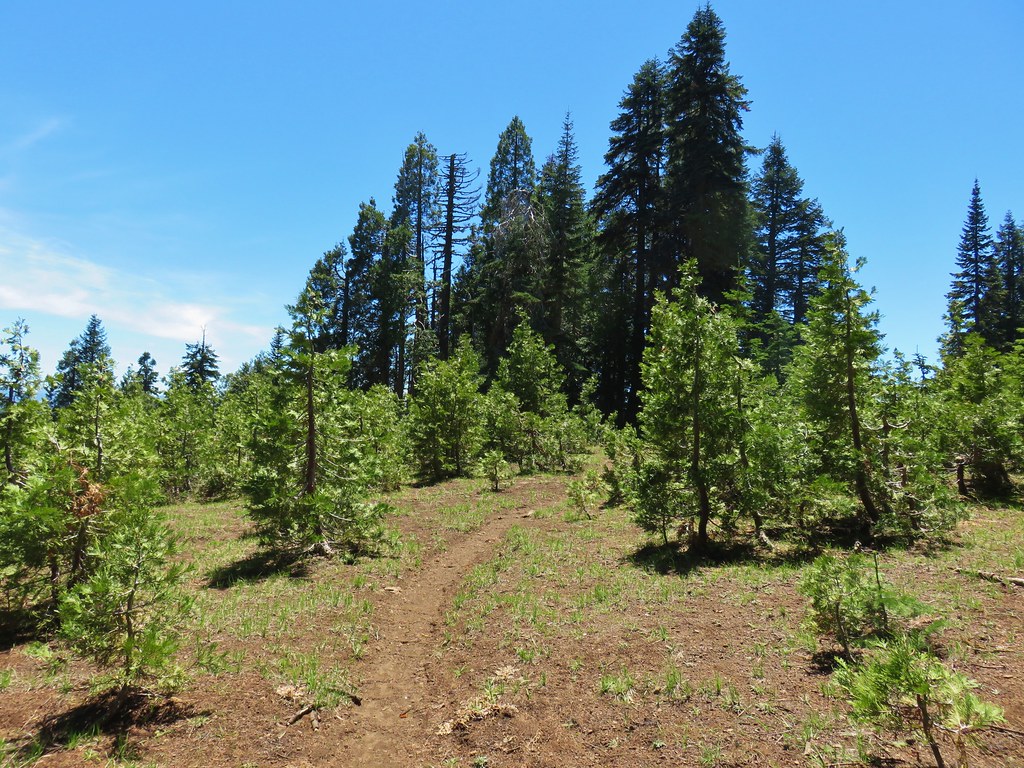
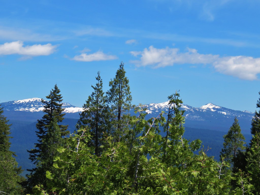 The rim of Crater Lake
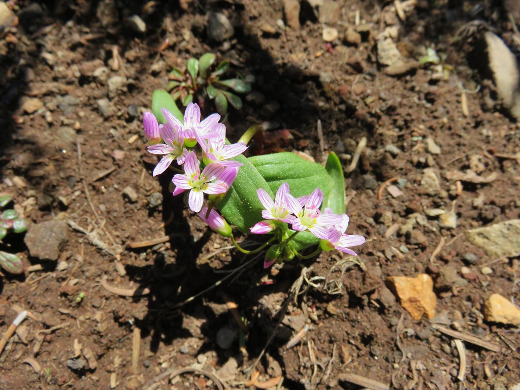
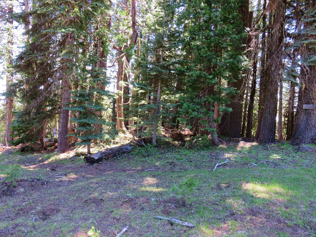
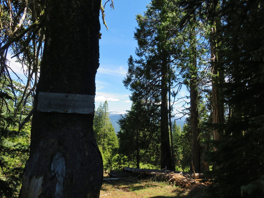
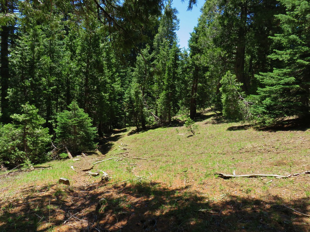
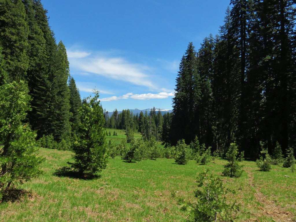
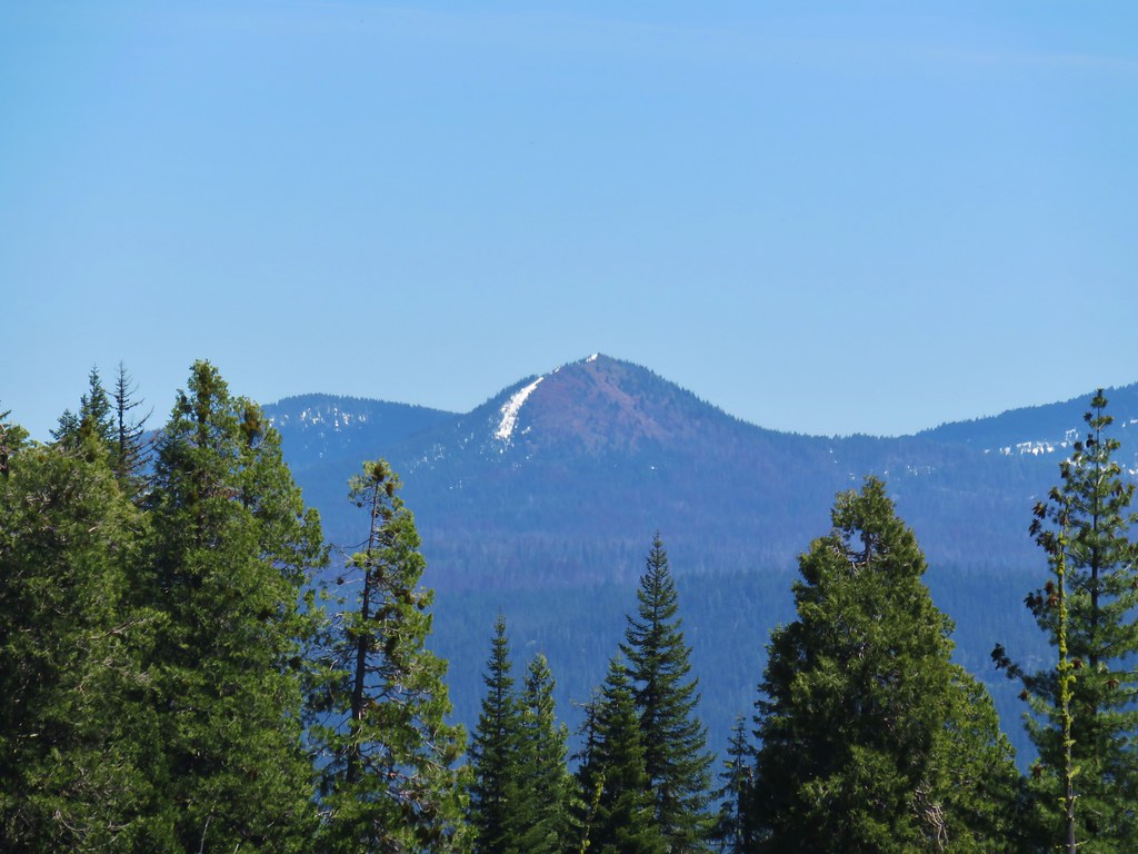
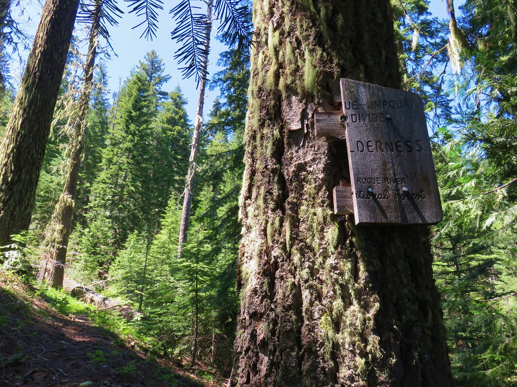
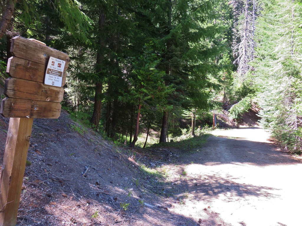


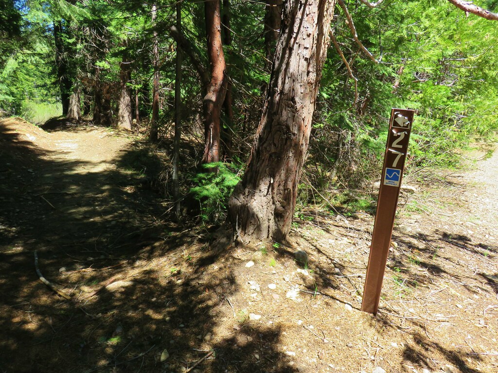
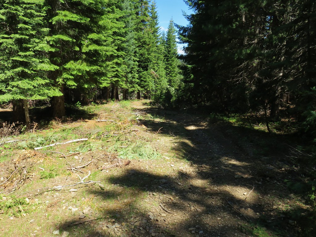
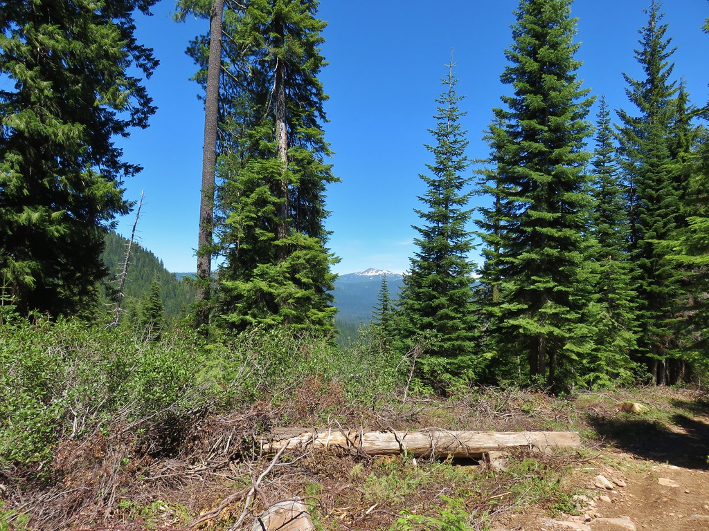
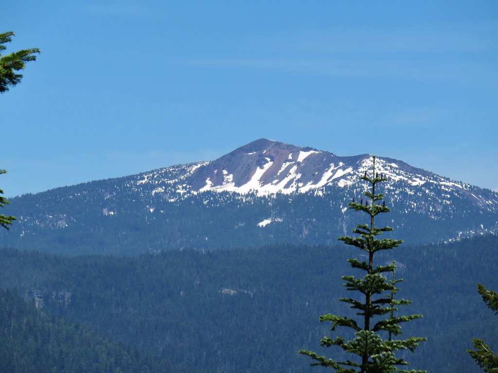
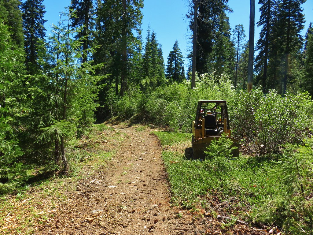
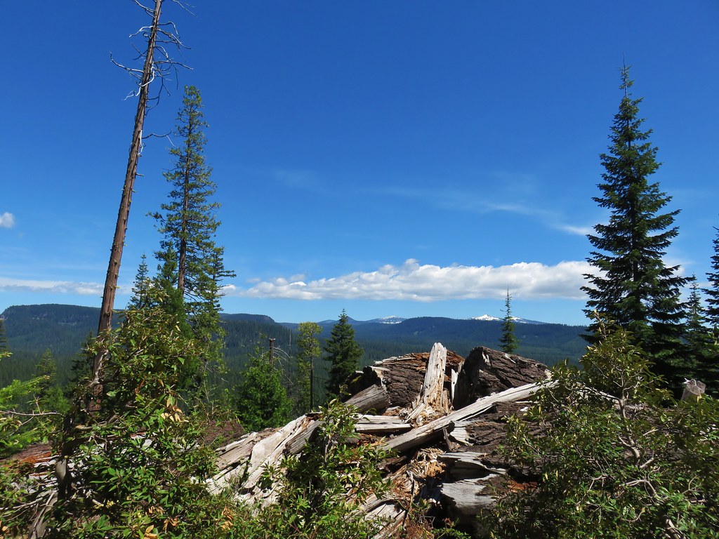
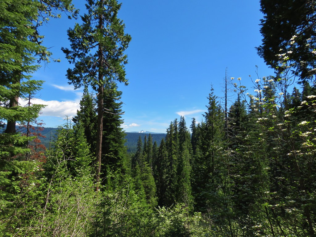
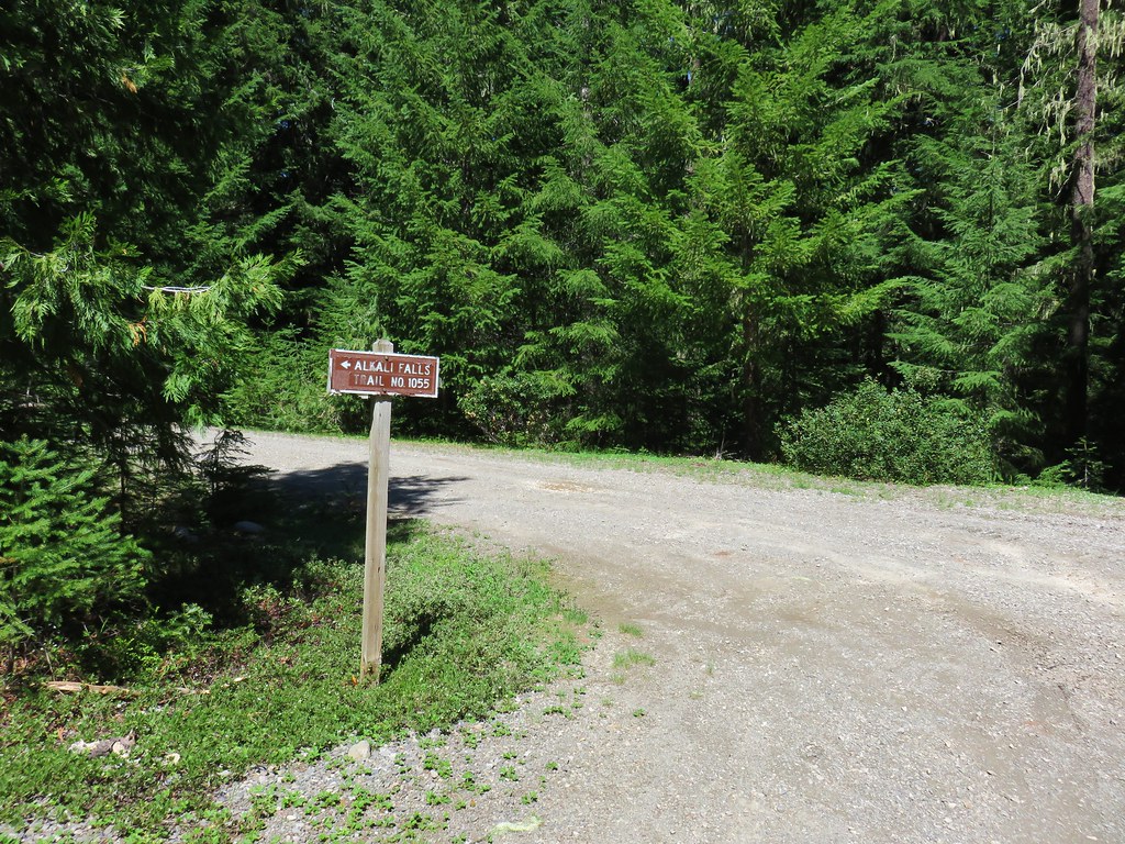
 Faded pink flagging in the tree marking the abandoned Meadow Creek Trail
 Cattle guard on Road 6540-700