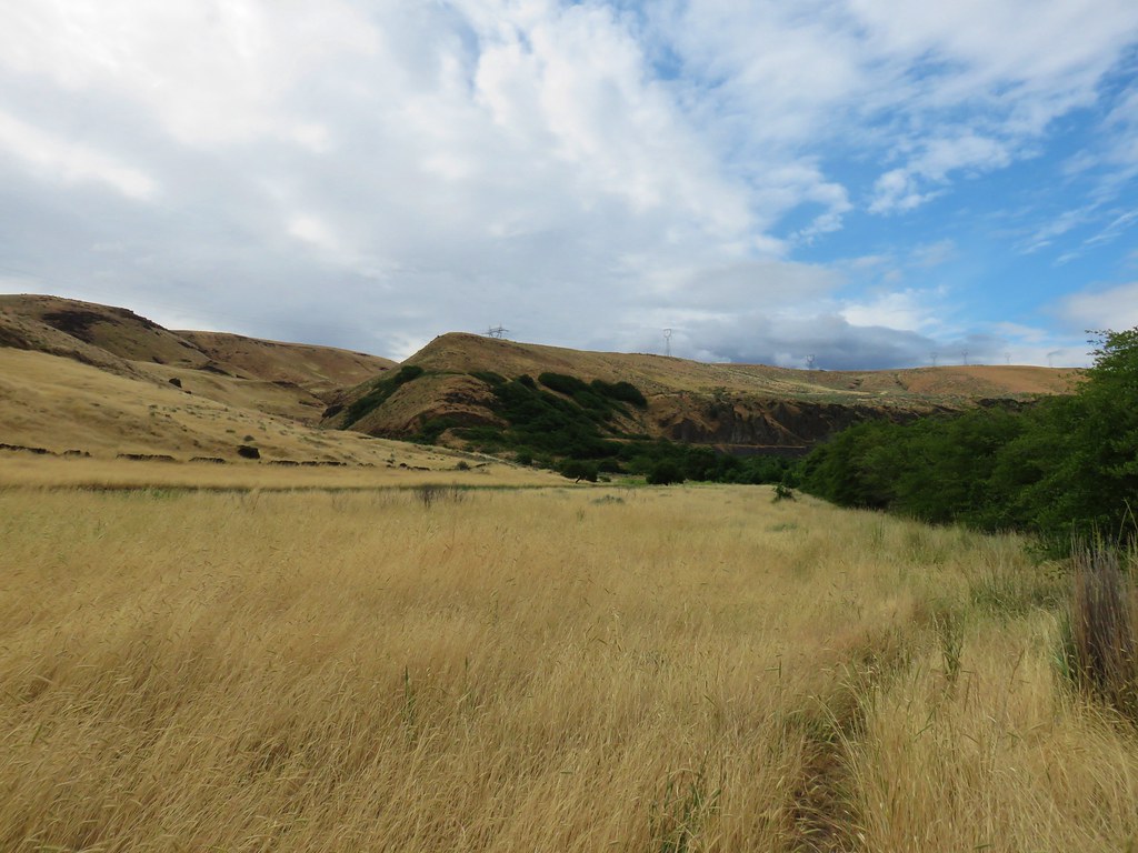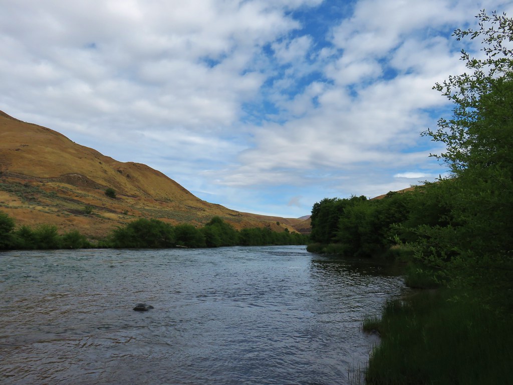
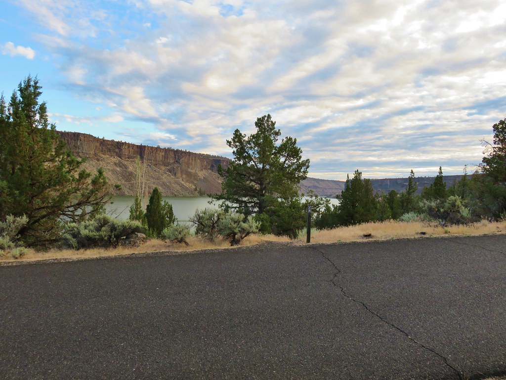
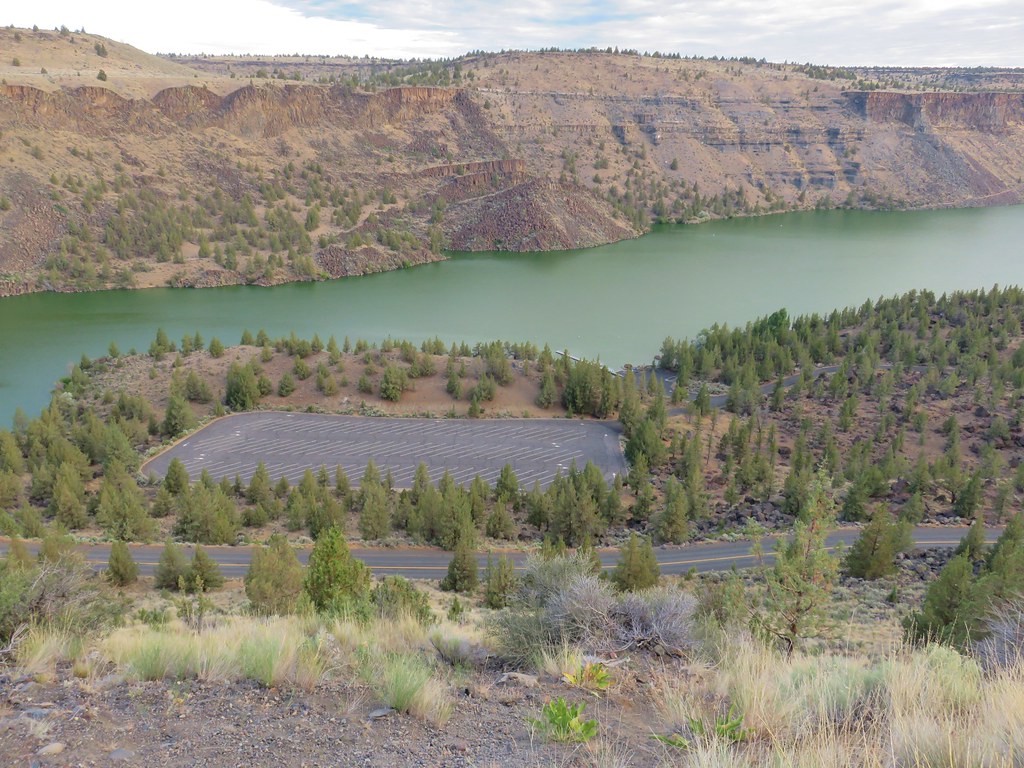
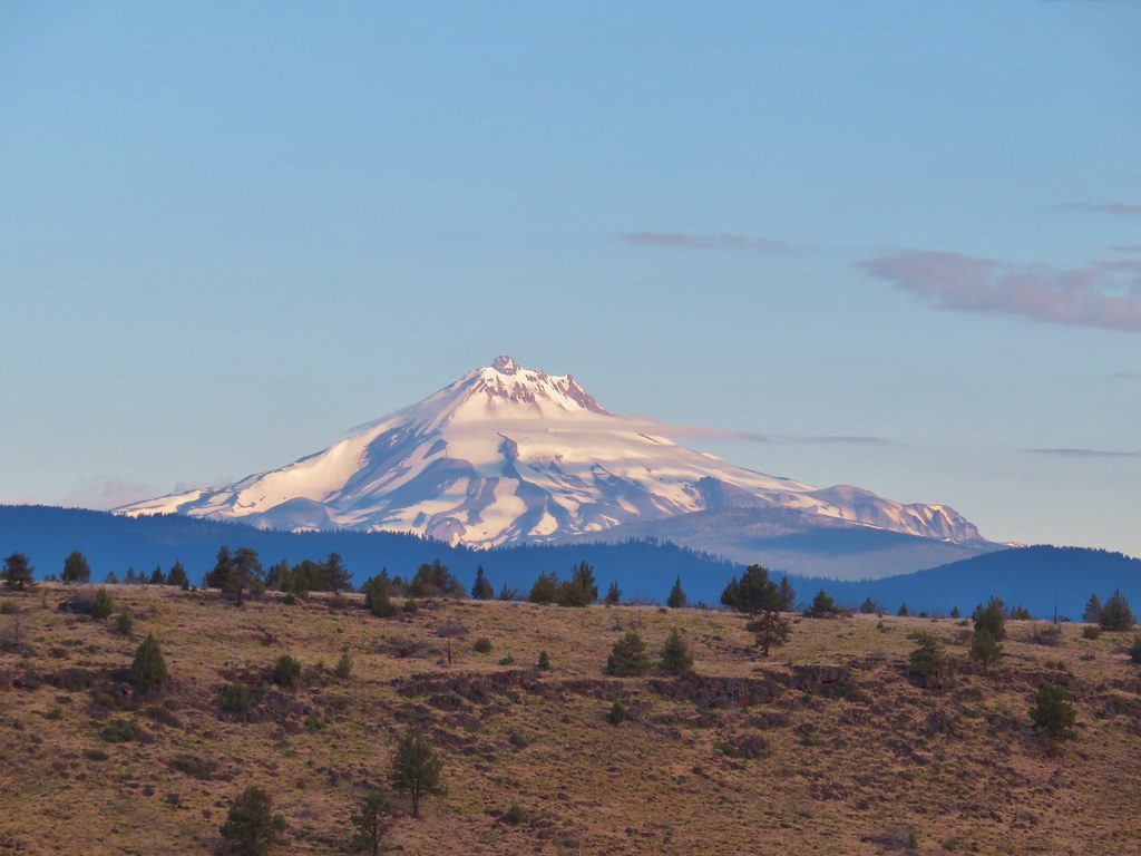
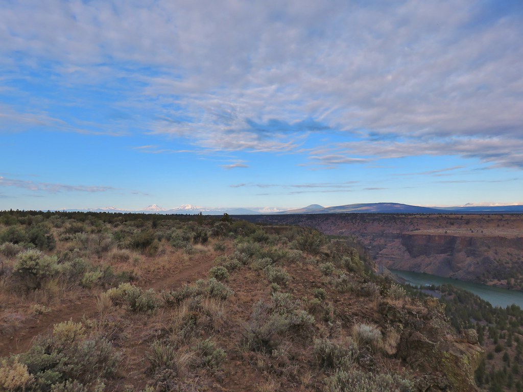
Our unusually warm and alarming dry winter continued through the end of January which has resulted an extremely low snowpack. While that doesn’t bode well for summer it provided plenty of dry hiking opportunities during the month, another of which I took advantage of before flipping the calendar to February. It was another solo outing so picked an area Heather had been to previously, the Lower Deschutes River, and planned a slightly different route than we’d done on our visit in 2018 (post).
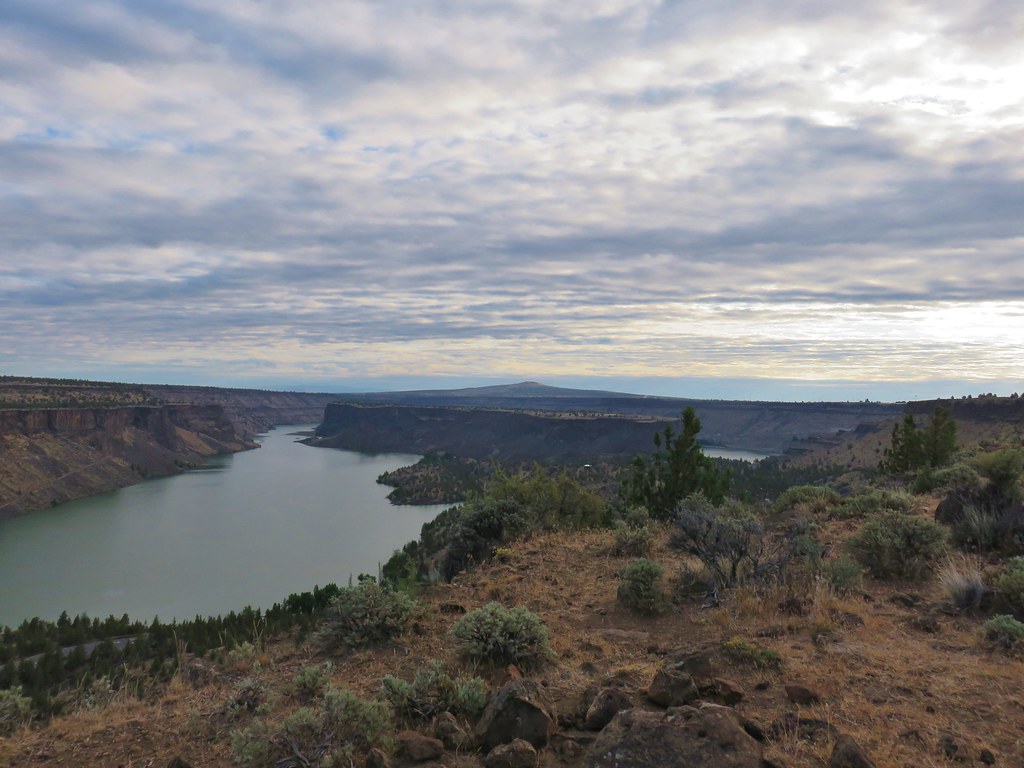
I made the two-and-a-half-hour drive from Salem to the Deschutes River State Recreation Area and parked in the overnight parking lot currently shown on Google Maps as the Old RailBed Trail Parking. There is a slightly closer trailhead which we parked at on our previous visit, but that section of the park was not yet open for the season. I had arrived just before sunrise and had expected mostly cloudy conditions. The forecast showed the sky cover gradually decreasing to 60% around 10:30am then starting to increase again. I had not anticipated how low that cloud cover would be. It wasn’t quite fog but it was about as close as you can come.

The overnight parking lot.

Old stagecoach at the parking lot.
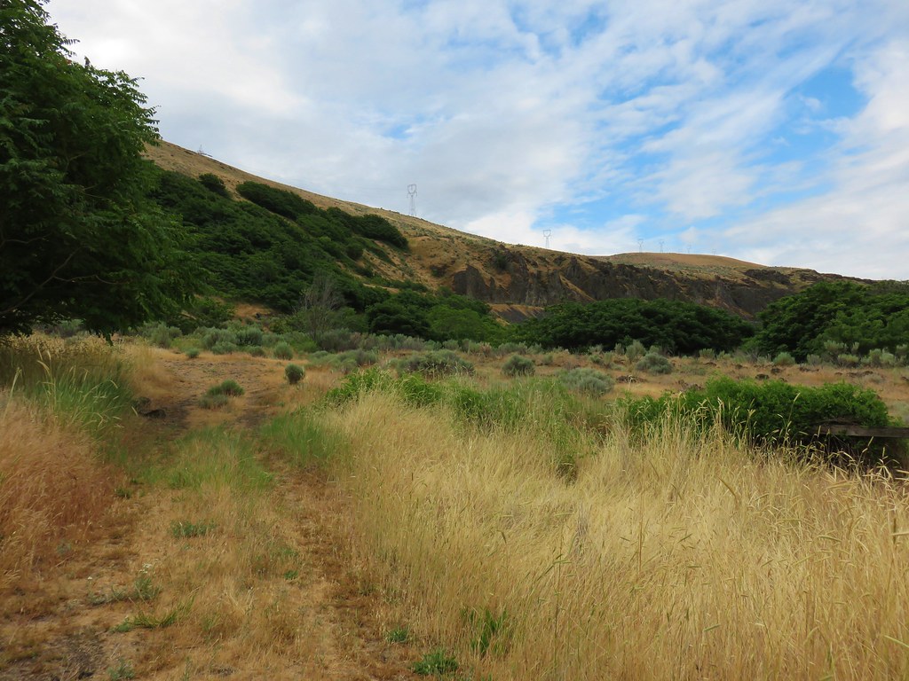
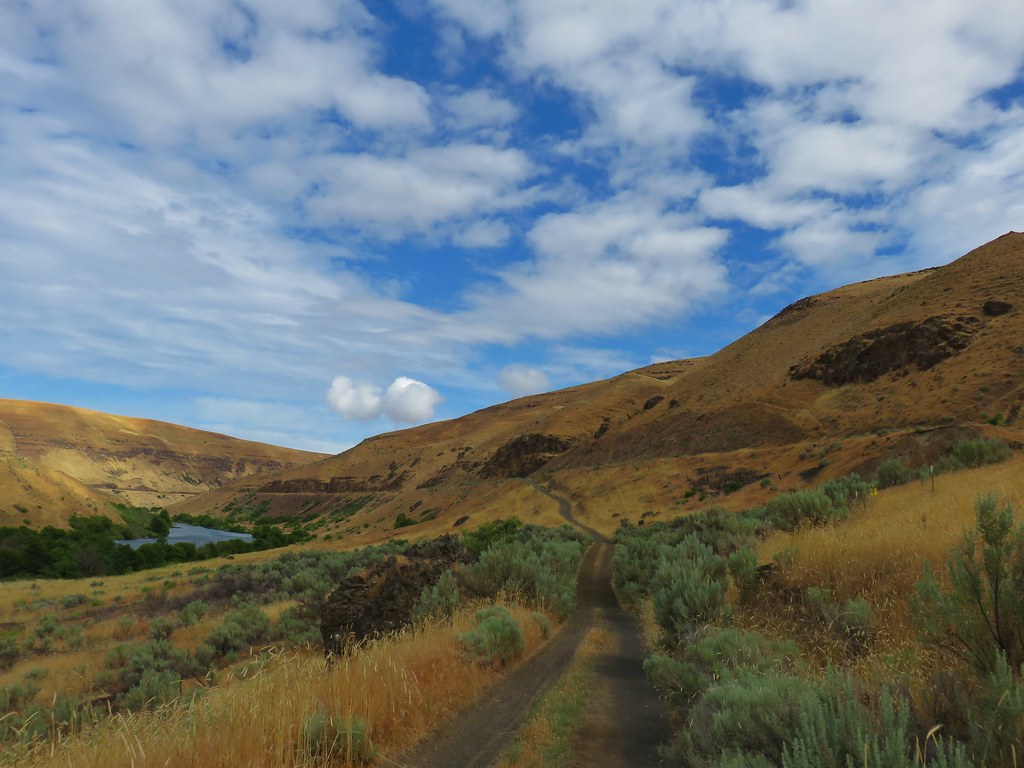
My plan was to follow the Deschutes River for close to three hours then turn around and possibly hike the Ferry Springs Loop on my way back as we’d done in 2018. That detour would depend on the clouds though. I wasn’t willing to climb 500′ just to wind up in fog with no views. Plan B would be to return along the river unless I was seeing any ticks in which case I’d stick to the railroad grade as much as possible.

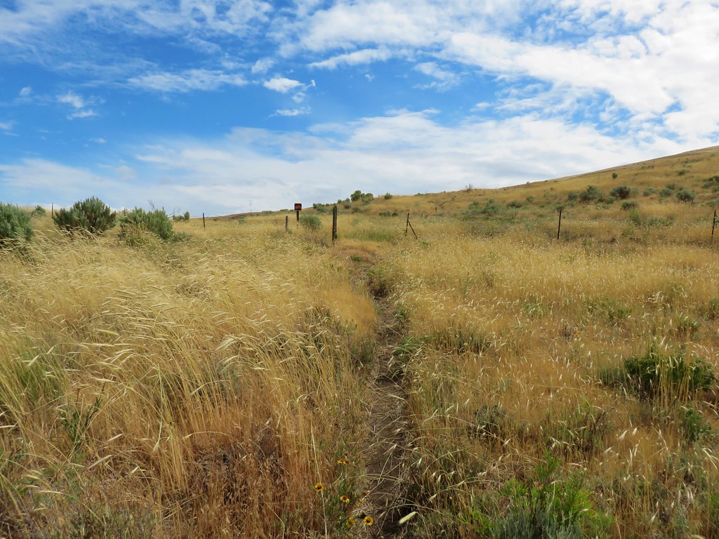
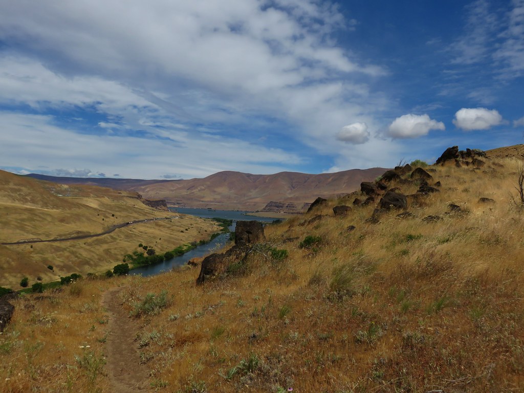
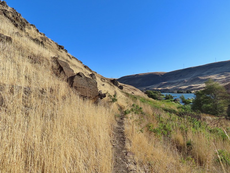
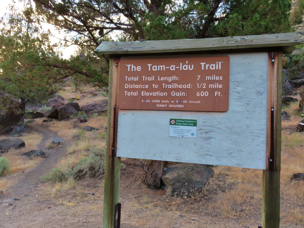
I set off on the Deschutes River Trail which is an old railroad grade.


The first mile from where I’d parked was new trail for me. Due to the low clouds the views were limited but the river was visible at least.


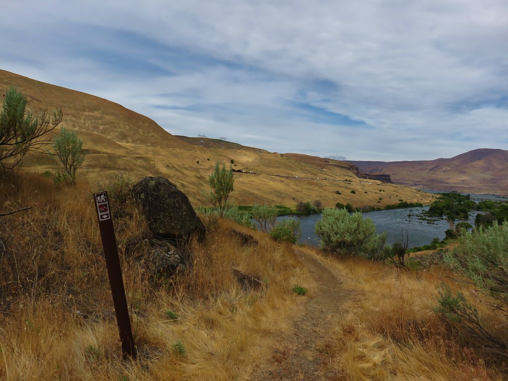
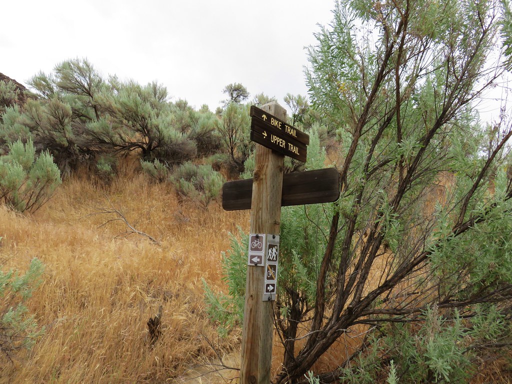
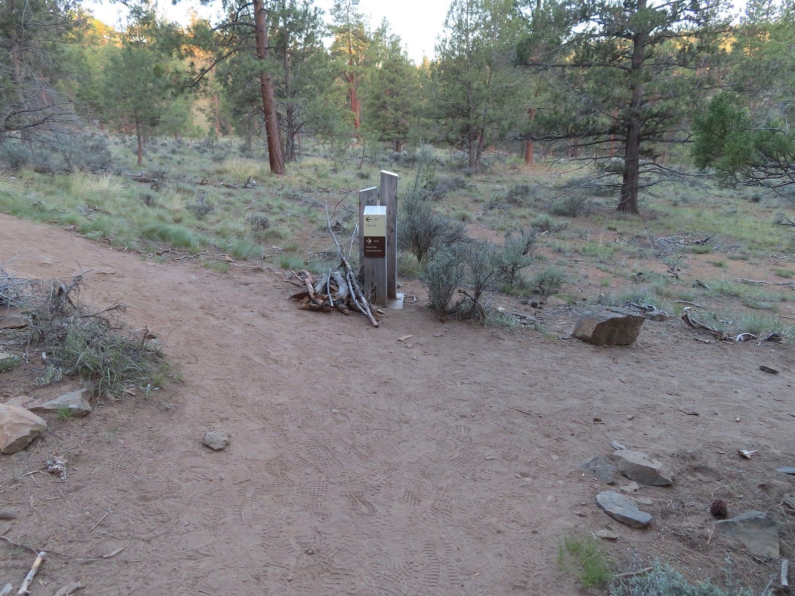
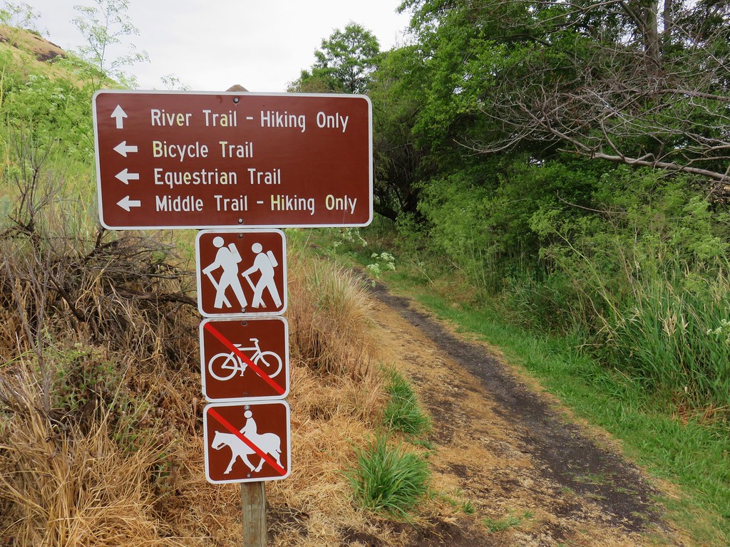
After a mile I came to a signed trail junction with pointers for the Blackberry and Riverview Trails.

These were new signs since my last visit, and they had also renamed the trails. The Blackberry Trail was named the River Trail in 2018 and the Riverview Trail was the Middle Trail. That’s neither here nor there though since I was sticking to the Deschutes River Trail (which was simply the “Bicycle Trail” in 2018). A tenth of a mile from this junction I passed a junction with the Ferry Springs Trail on the left.

The dirt Riverview Trail on the hillside below.


The northern end of the Ferry Springs Trail.
I continued on the Deschutes River Trail for another for another 1.1-miles to the junction with the southern end of the Riverview Trail. This was another new section for me.


A junco peeking out through some branches.


Caterpillars

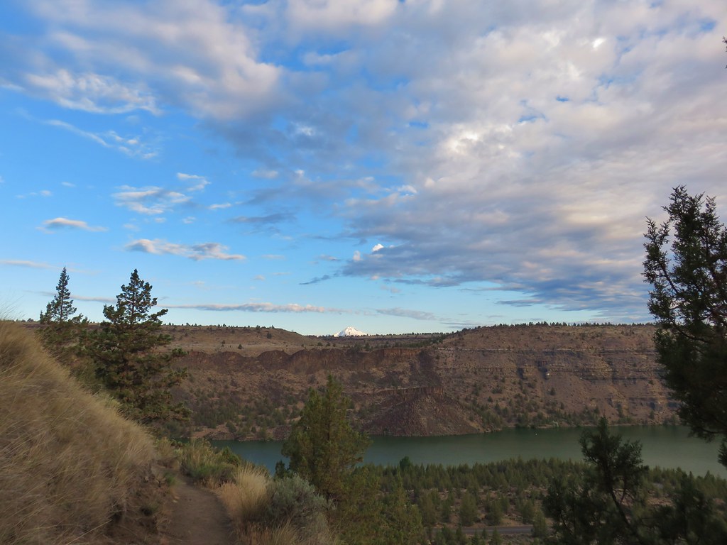
Is that a break in the clouds?

Western meadowlark

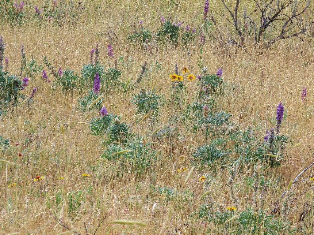
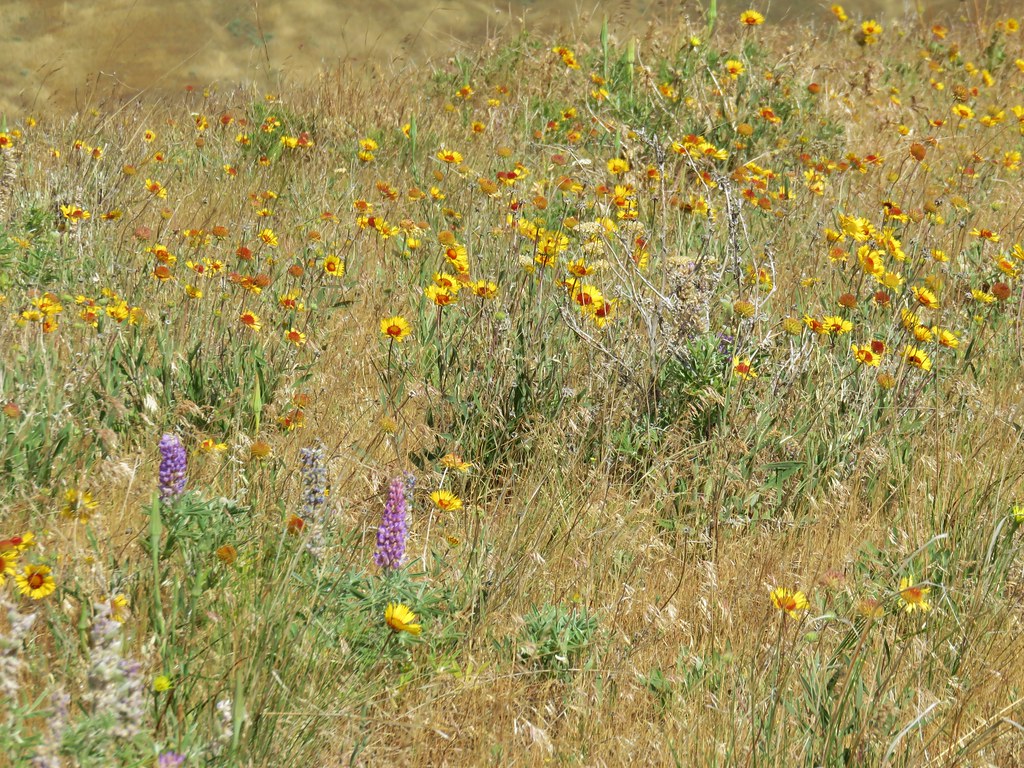
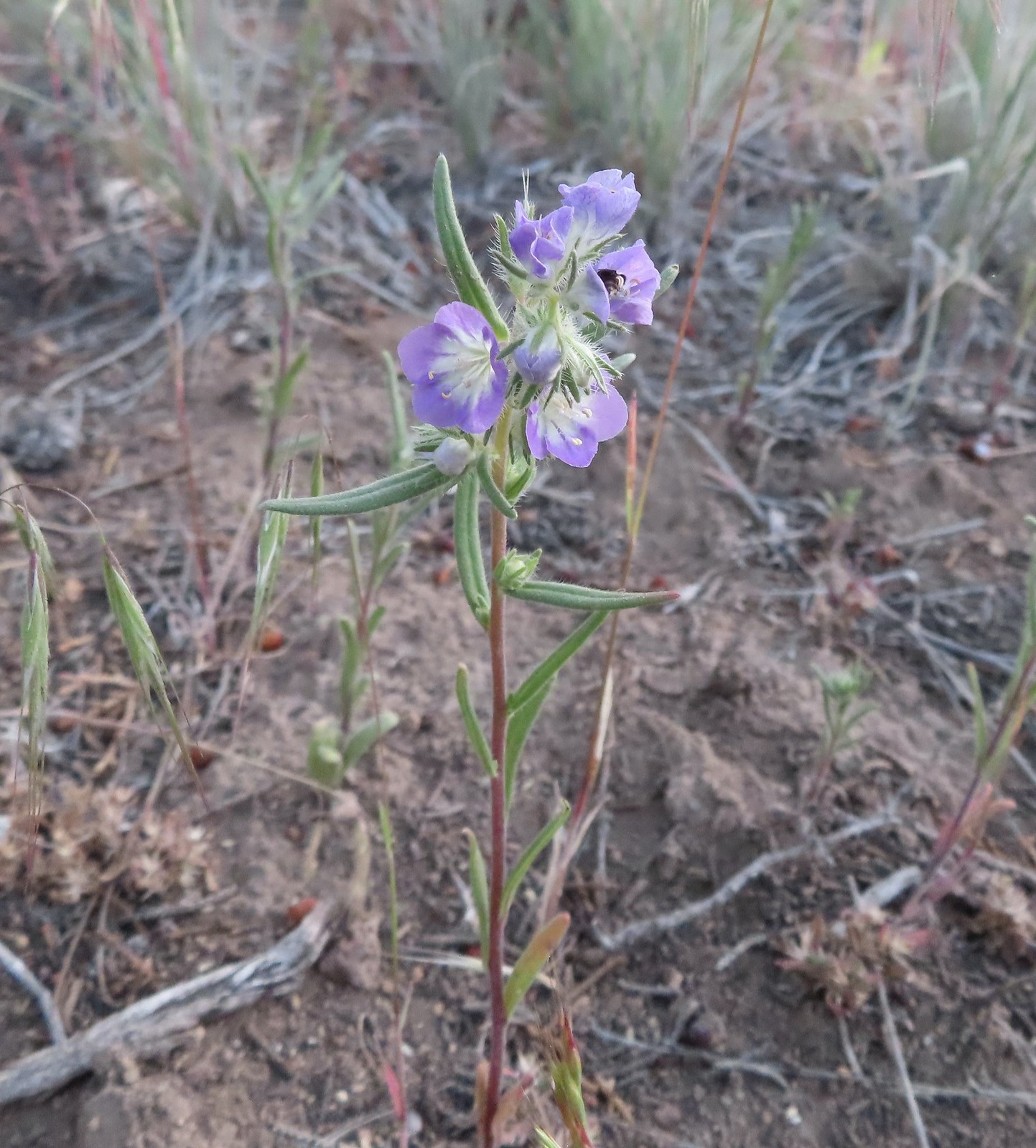
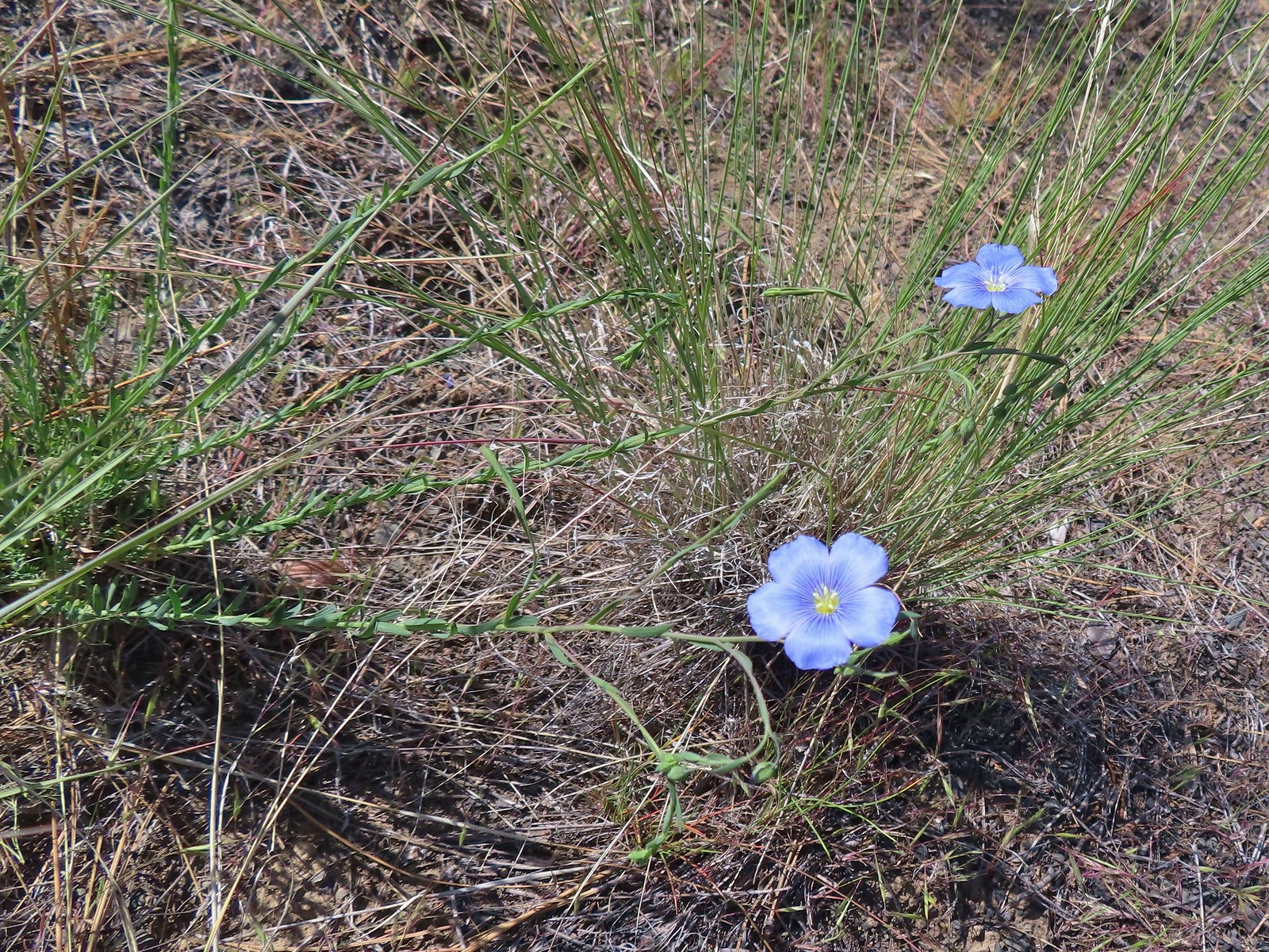
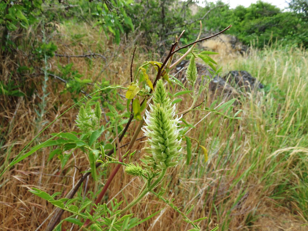
Still a little early for flowers but I did spot these phlox about to bloom.

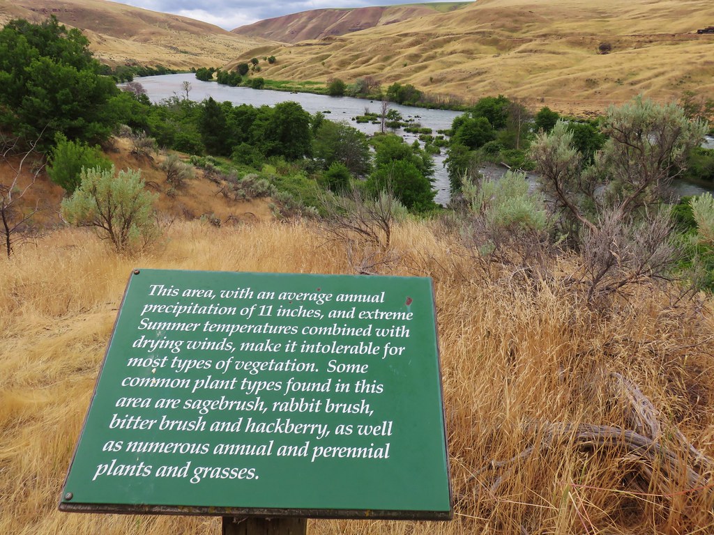
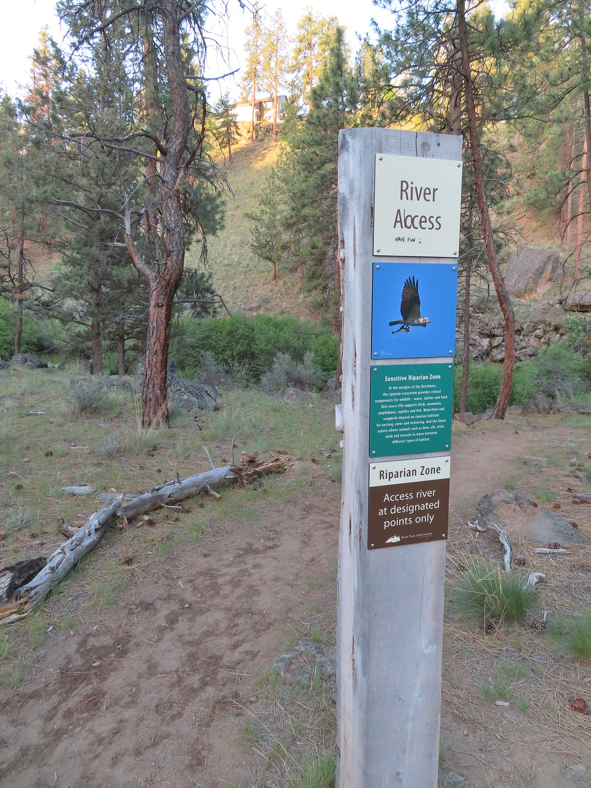
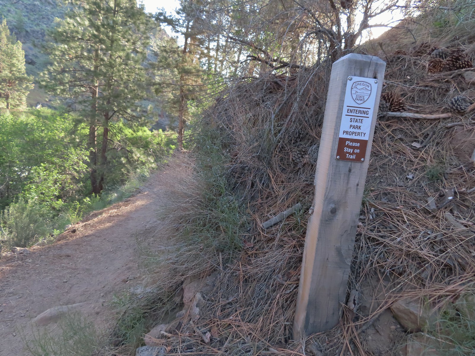
The Riverview Trail is just beyond the large signboard announcing the Lower Deschutes River Wildlife Area.

Just beyond the Riverview Trail junction I came to the southern Ferry Springs Trail junction.

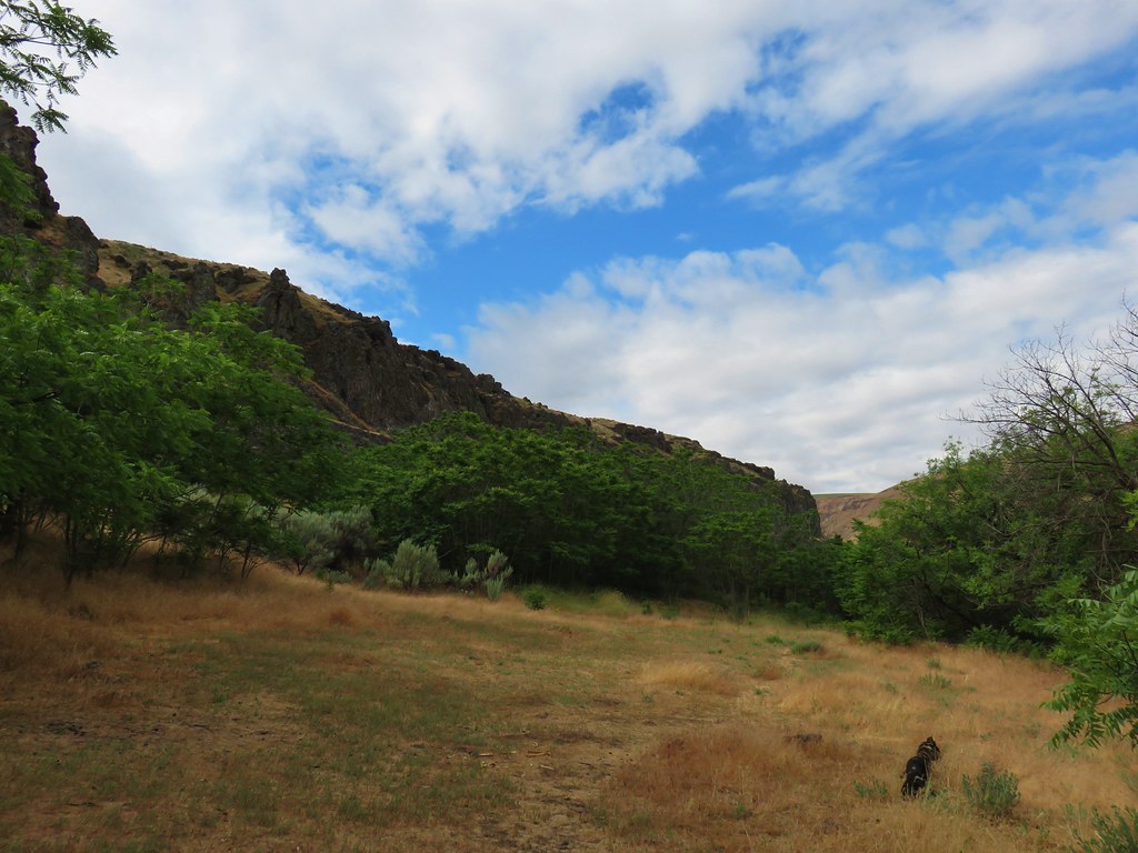
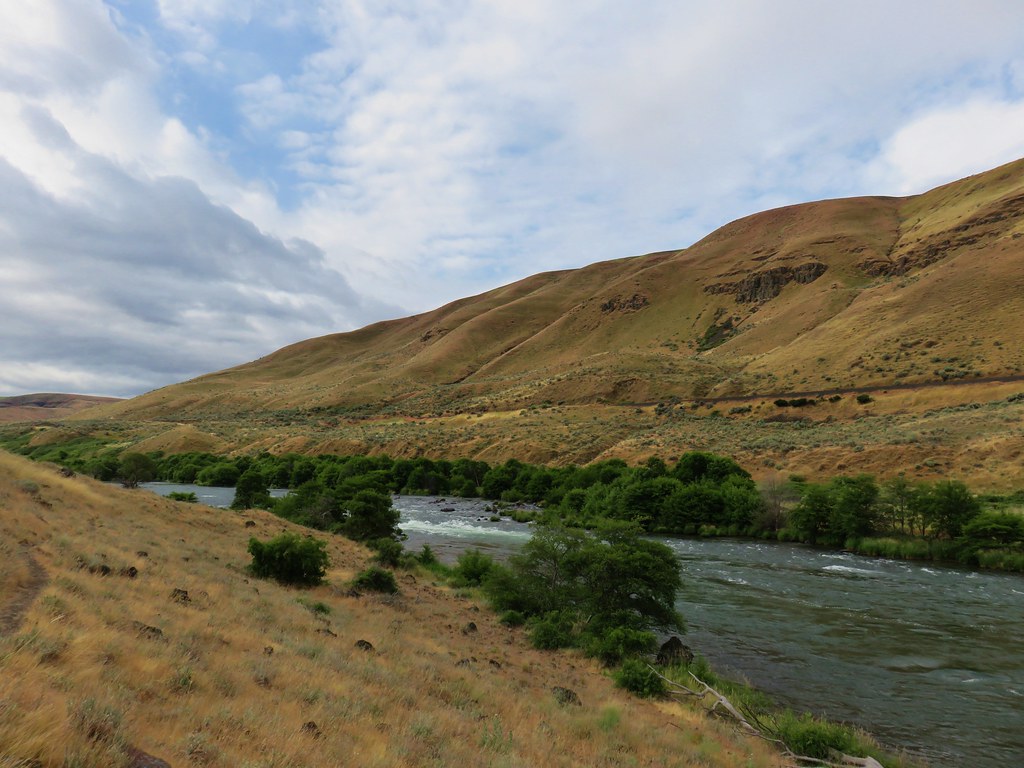
The next 1.4-miles on the Deschutes River Trail to Gordon Canyon was a repeat of 2018.

This probably qualifies as fog.

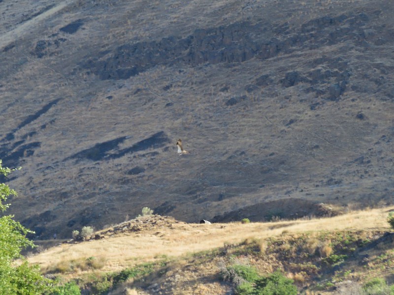
American kestral


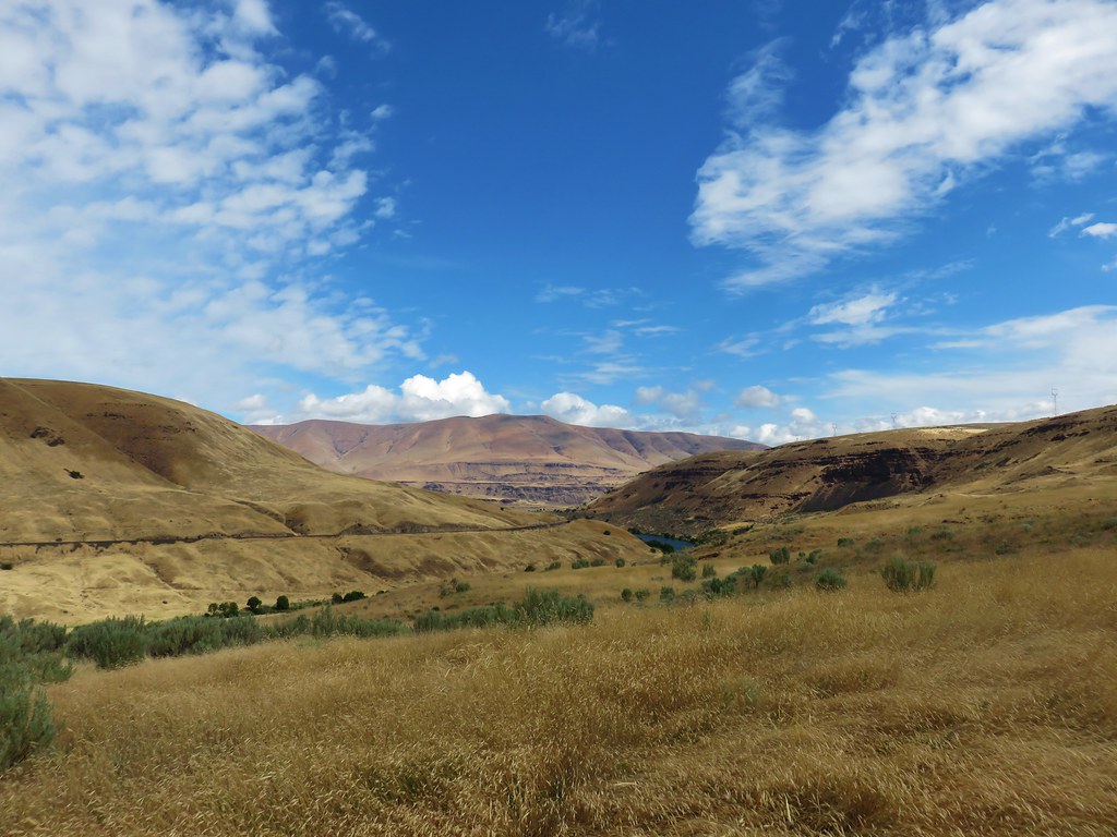
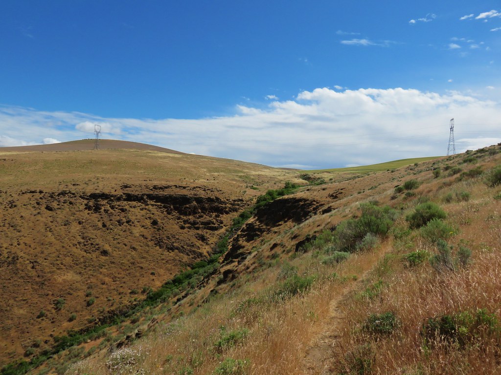
Some blue in the sky above the canyon.


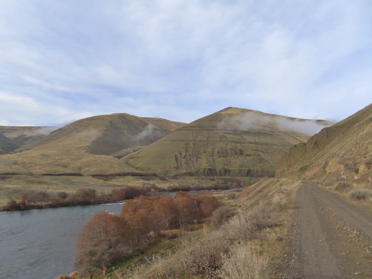
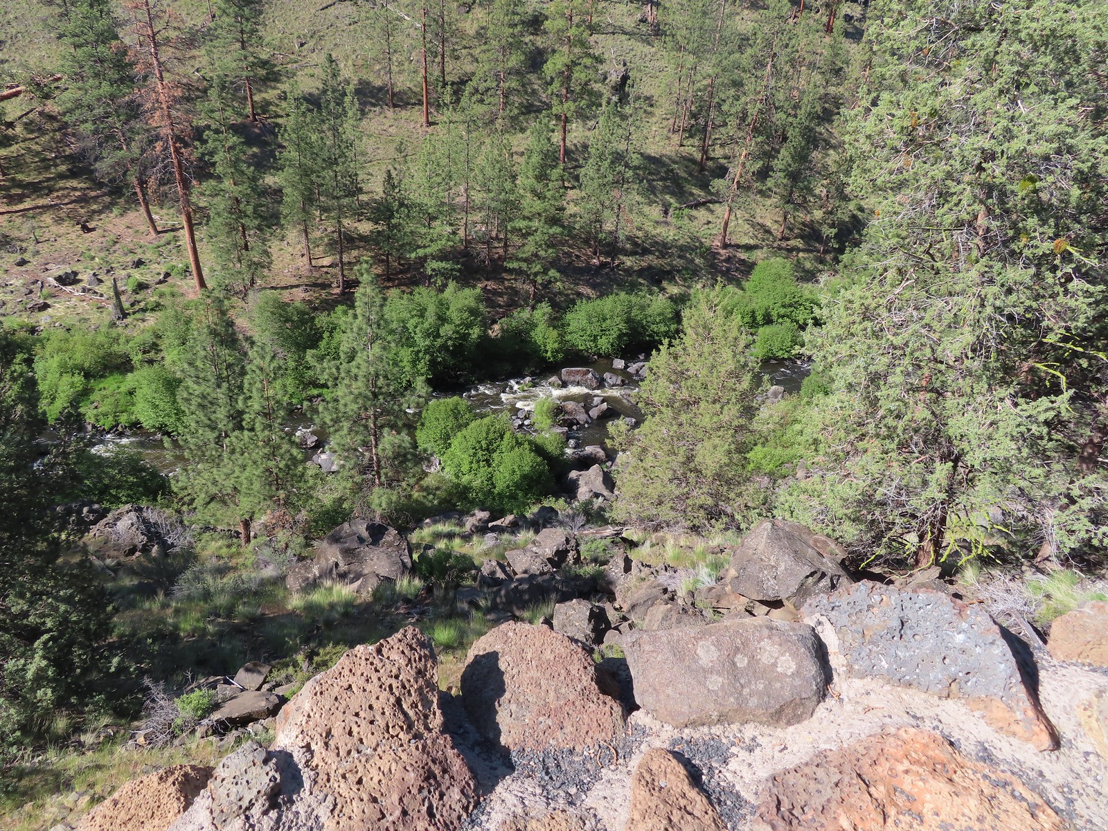
Starting to descend into Gordon Canyon.

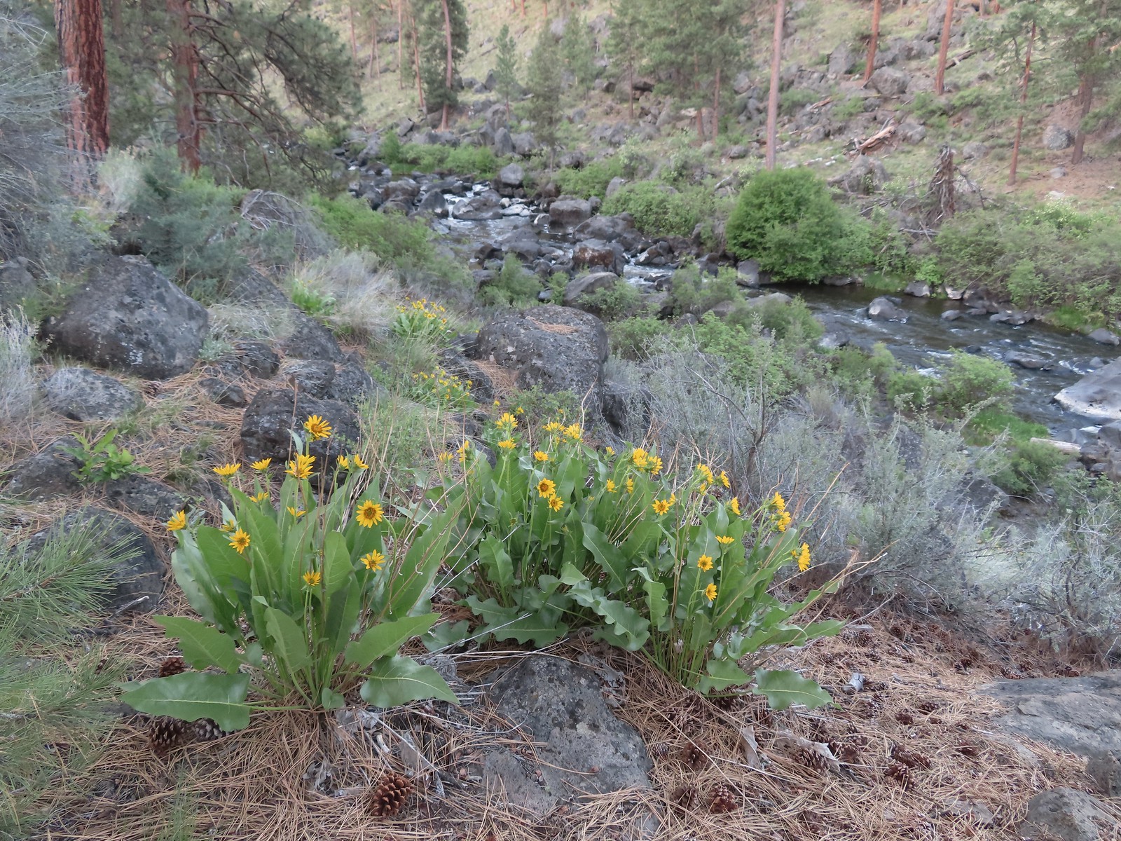
Gordon Creek
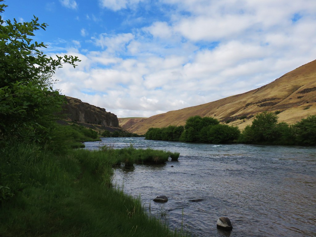
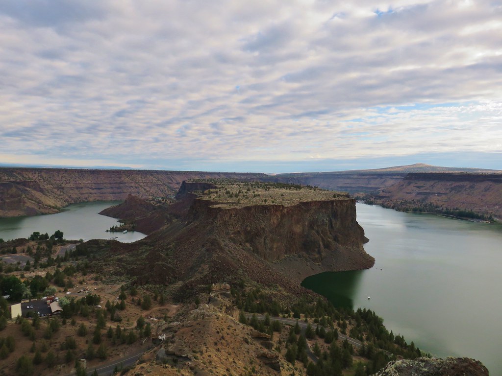
In 2018 we’d turned off the Deschutes River Trail here and visited Colorado Camp 0.2-miles downriver before heading back on the River Trail (aka the Blackberry Trail). This time I continued on going heading deeper in the canyon.

Colorado Camp is down the road on the right.

Looking back toward Gordon Canyon and some blue sky.
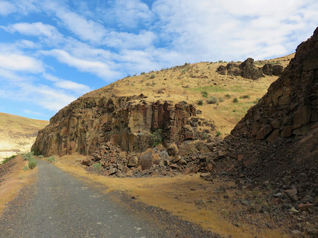
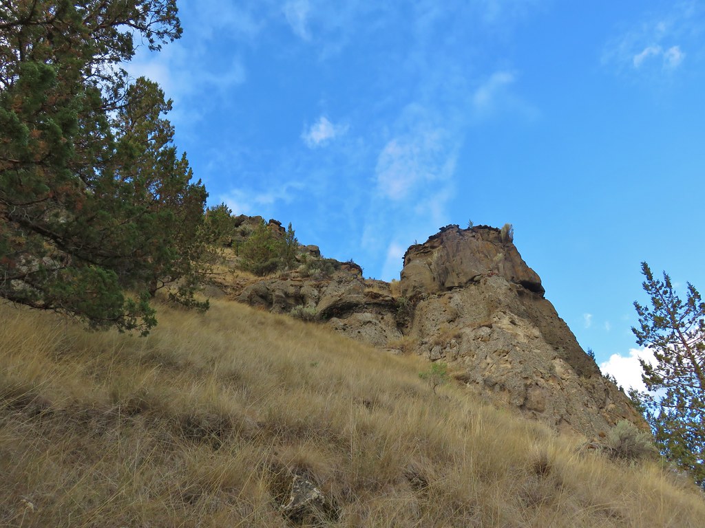
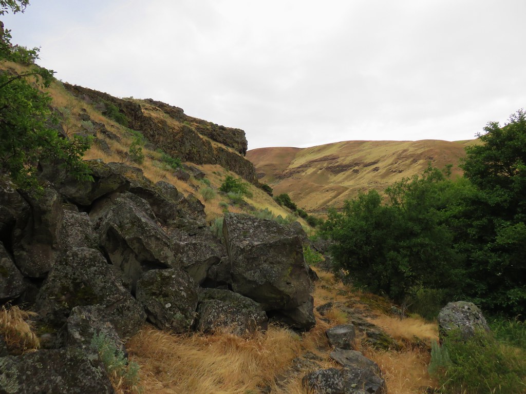
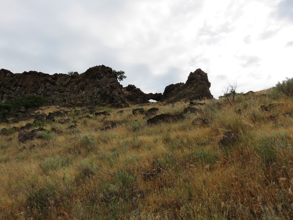
Shortly after climbing out of the canyon the trail passes the Gordon Cliffs below Gordon Butte.

Coming up on the Gordon Cliffs.
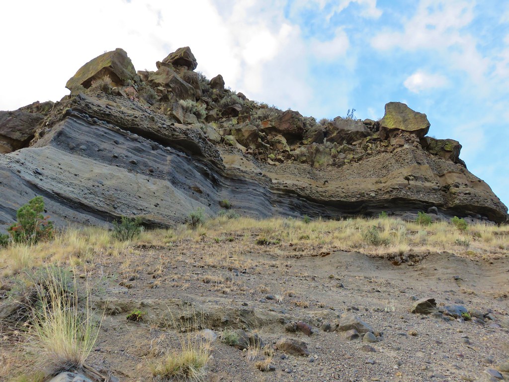
The cliffs have some interesting basalt formations.


Folds

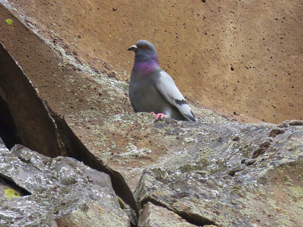
Rock pigeon

Townsend’s solitaire

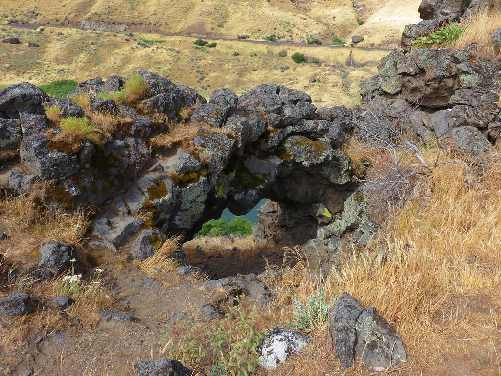
The “Eye”.

Mile four.

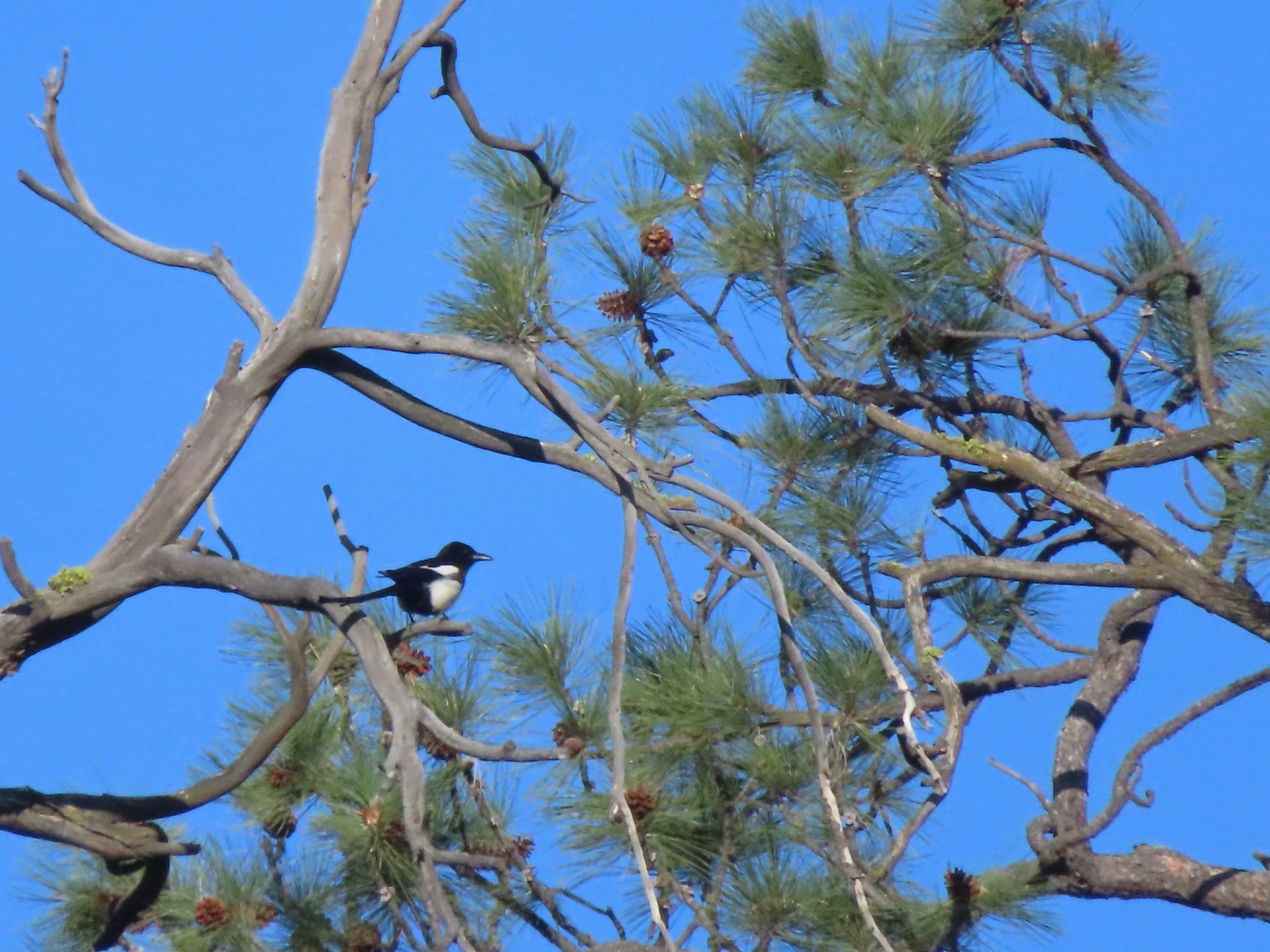
Magpie showing off its tail.

Cormorant


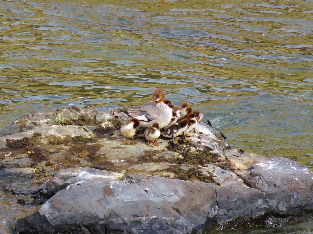
Common goldeneyes and a common merganser.
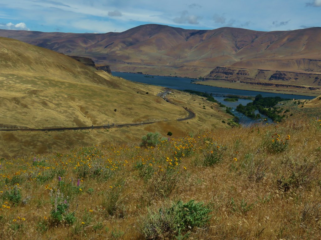
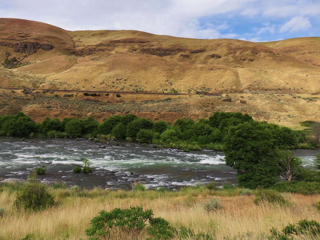
By mile five there was quite a bit more blue sky.


A sandy beach along the Deschutes River.


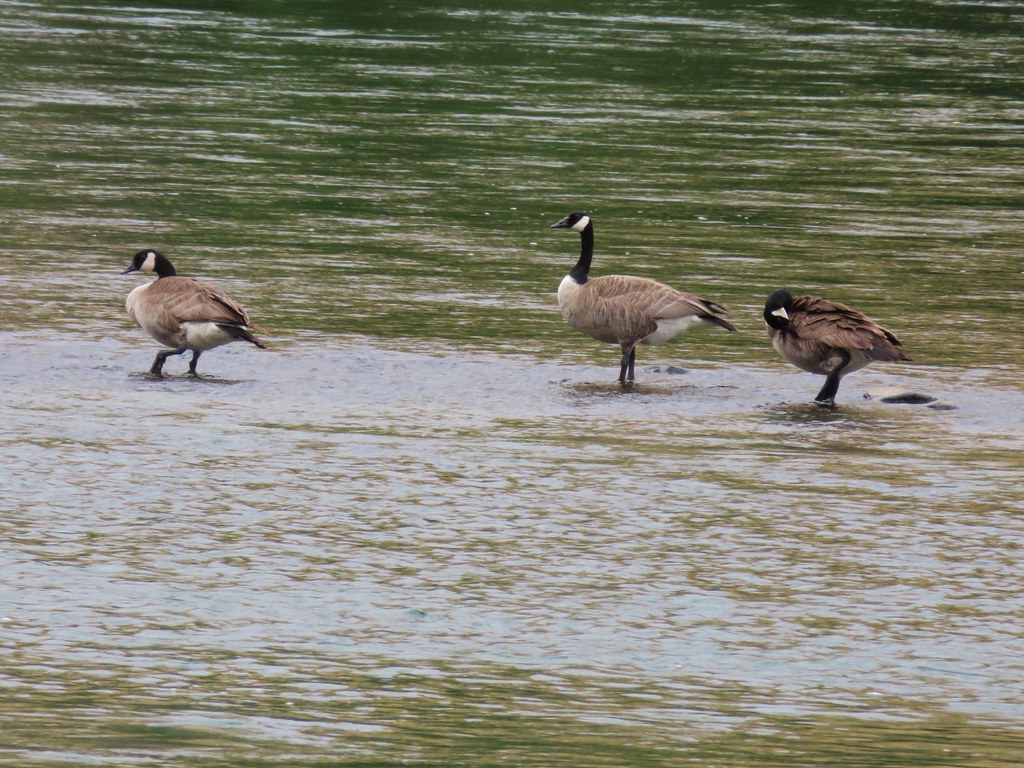
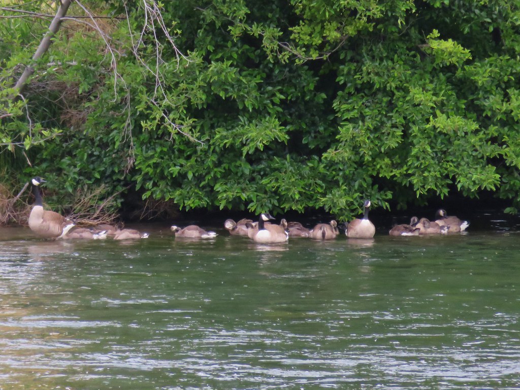
Mallards

Looking up toward Gordon Butte.

At mile six a train passed by on the far side of the river, one of several on the day.
It was a quarter to ten when I passed Mile 6 and given that I was likely moving at a little over 2.5mph I decided to make Mile 7 my turn around point. I did not account for there not being a post at Mile 7 so after another 30 minutes of hiking I turned around.


Mallards and common goldeneyes

I was spending a lot of time scanning the hillsides for bighorn sheep.

Seagull with a fish.

More common goldeneyes.

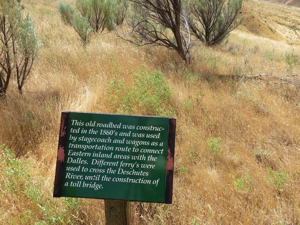
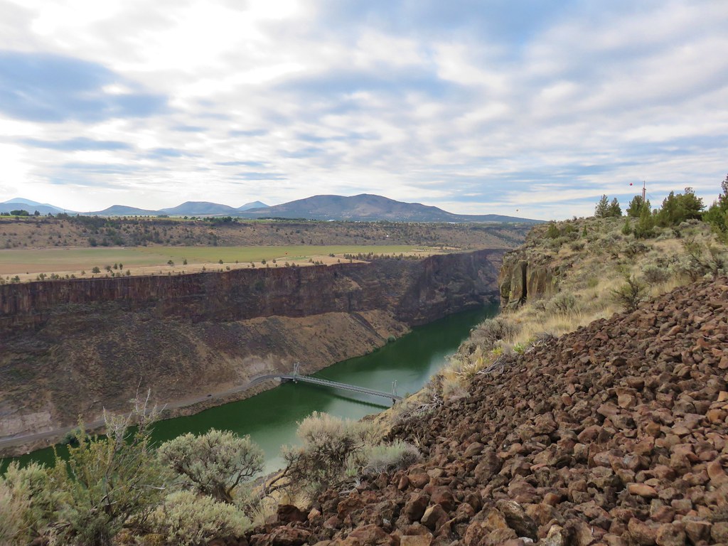
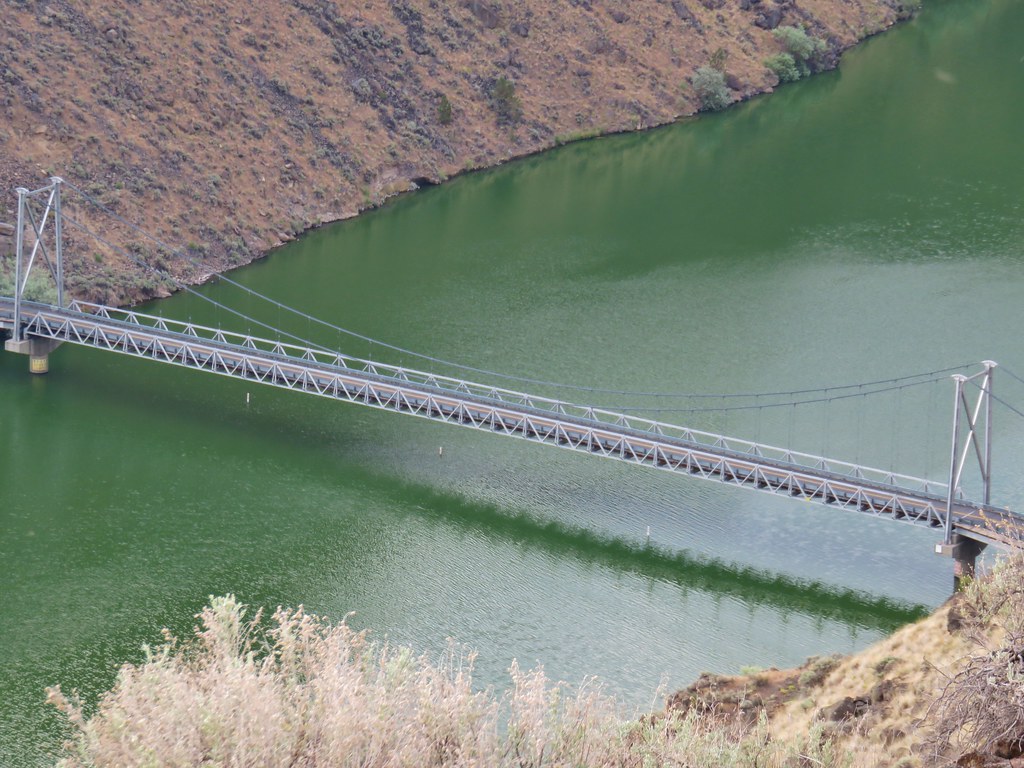
Passing the former site of Free Bridge. An 1887 bridge built by Wasco County allowing for a free crossing of the river. The bridge was upgraded in 1905 and apparently blown up in 1914 by someone opposed to it, possibly someone(s) who operated a competing toll bridge.

The remains of Free Bridge.


Four cormorants standing on rocks and two common mergansers.

My turn around spot. This was about 10.5-miles from where Heather and I had turned around on our Macks Canyon hike along the river in 2018 (post).
I had gone four tenths of a mile beyond the 7-mile mark. I was happy to be heading away from the sun as I headed back which made the views better.


Passing the Free Bridge site again.
I had started to think it wasn’t going to be my day for spotting bighorn sheep but then I spotted something a little off top of a cliff up the hillside.

Can you spot it?


She had spotted me.
We watched each other for quite a while before she decided I was no threat and went back to grazing.

That was the only sheep I saw but given how seldom we are even hiking in bighorn sheep habitat, it was more than enough. After she went back to eating, I continued my hike.


Another access road down to an outhouse and camps.


Great blue heron
When I got back to the Gordon Cliffs, I found the clouds/fog again.


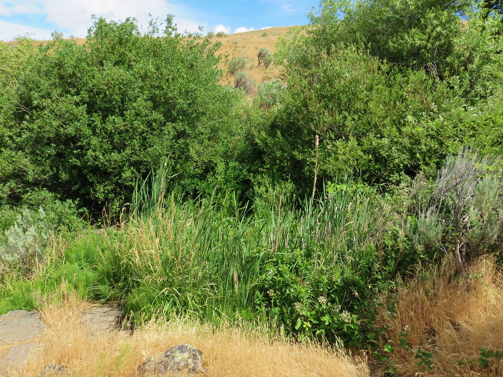
Gordon Canyon
At Gordon Canyon I turned off the Deschutes River Trail and onto the unsigned Blackberry Trail.

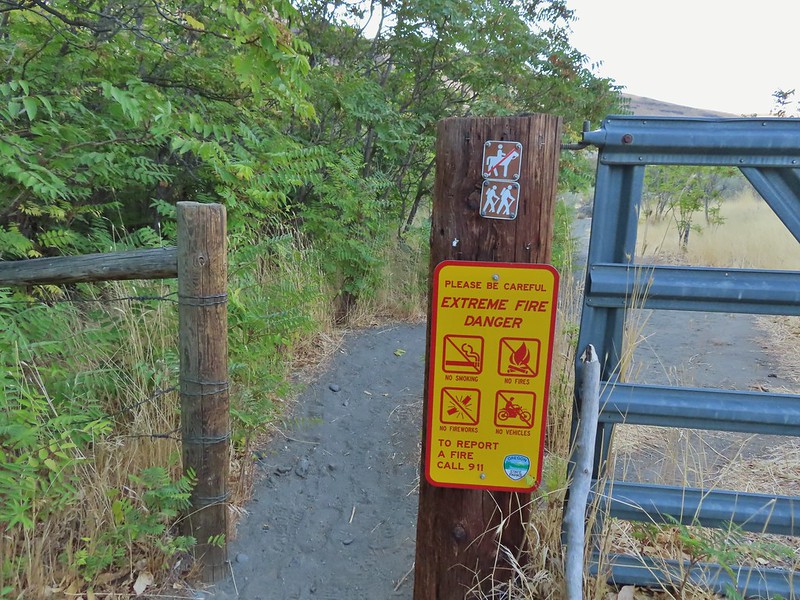
As I made my way along the grassy track I occasionally checked to make sure, I wasn’t picking up any ticks which can be an issue here in both winter and spring. I saw a lot of birds but no ticks.


Yellow-rumped warbler


Geese and common goldeneyes.
I took a spur trail back up to the Deschutes River Trail before reaching the southern end of the Ferry Springs Trail to give myself that option if the cloud cover wasn’t too much.


Rock wren

Ferry Springs Trail on the right with the Riverview Trail ahead on the left.
Looking up the Ferry Springs Trail gave me no confidence that I would get any views along that trail, so I went with Plan B and turned onto the Riverview Trail.

Nope
The Riverview starts at a rock arch and heads uphill to the right of it nearly parallel to the Deschutes River Trail.


Looking down at the junction from the Riverview Trail.


After 0.4-miles on the Riverview Trail I came to a junction with a pointer for the Blackberry Trail. I had the choice of sticking to the Riverview Trail or dropping down to the Blackberry Trail. Both would lead me to the Lower Deschutes Trailhead. I decided I’d rather be closer to the river, so I dropped down.


I turned right on the Blackberry Trail and followed it 1.4-miles to Lower Deschutes Trailhead.


Song sparrow

Blackberry bushes along the Blackberry Trail.


The empty Lower Deschutes Trailhead at the end of the dog area.
From the Lower Deschutes Trailhead I walked up the park entrance road 0.4-miles to the Old Railbed Trailhead.


Geese

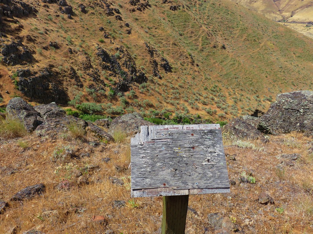
Oregon Trail information.

My hike came in at 14.8-miles with approximately 400′ of cumulative elevation gain.

Despite the cloudy conditions this was a nice hike. The trails were not busy and there was a good amount of wildlife. The highlight was seeing a bighorn sheep on a hike for the first time since 2019. Happy Trails!
Flickr: Lower Deschutes River


 Phacelia
 Fleabane
 Thistle
 Madia
Madia
 Fiddleneck and lupine
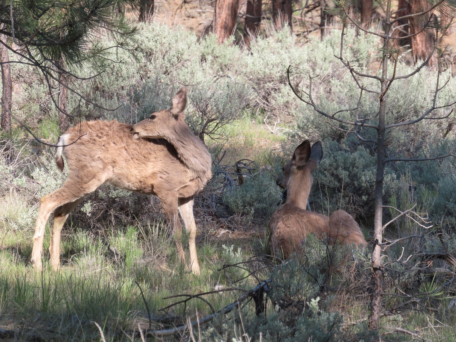
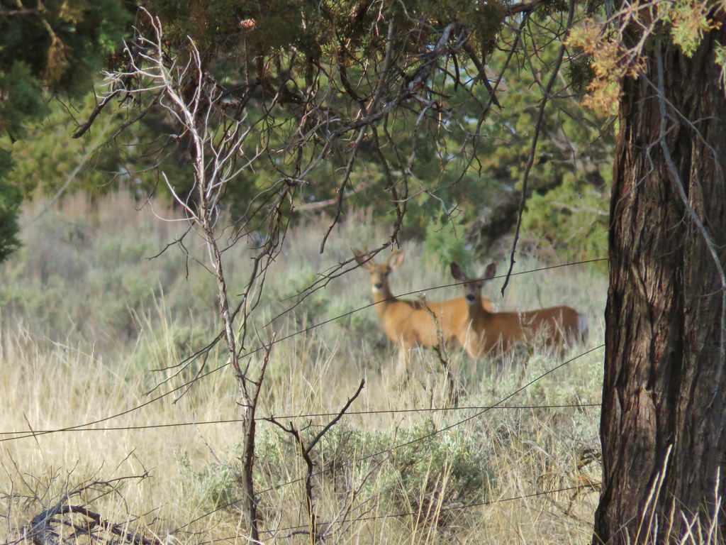
 The first of several deer we spotted during the day.
 The distinctive cliffs behind the lupine are across the river from the parking area so we were almost always able to tell where we had parked.
 This jeep track would veer to the left to pass between the smaller hills and cliffs ahead.
 Western meadowlarks could be heard throughout the hike.
 The view south.
 Desert yellow fleabane
 The view west.
 Mt. Hood peaking over the canyon rim to the NW.
 Mt. Hood
 Butterfly on yarrow
 Grasses and wildflowers added color to the landscape.
 The route became very faint at times.
 Balsamroot
 Looking back at the route so far.
 View from the trail after passing between the hills and cliffs.
 An old fence.
 Mt. Hood and Lookout Mountain (

 Buckwheat

 Rough eyelashweed
 Paintbrush


 Another stretch of faint tread.
 It was often easier to see the road ahead than below our feet.
 Balsamroot and lupine
 Grand collomia and lupine.
 Spreading dogbane
 Digging in.
 Small water trough (empty).
 View from the water trough.
 Haven’t identified this bird yet.
 Looking back at the route again.
 Mt. Hood again.
 Ochre ringlet. There were hundreds of butterflies.
 Looking at the climb ahead. At this point most of the rest of the hike would be in direct sunlight, and it was already getting warm.
 Buck
Buck Buck number two.
 We had to get pretty high up before we could see Washington’s Mt. Adams and even once it was in view the lighting made it hard to make out.
 Mt. Adams
 The newer barbed wire fence at the public land boundary. This is around 3.5-miles from the parking area.
 Hawksbeard
 The fence went up and down steeply so that meant we got to as well.
 Crow
Crow Fritillary
 Cattle trail
 Western kingbirds
 A milkvetch
 Another butterfly on balsamroot.
 Stag Point is the high triangular point along the plateau in the foreground.
 Zoom in on Stag Point. (The lone post on top gives it away.)
 First and only brief view of the top of Mt. Jefferson.
 Mt. Jefferson
 The newer fence turned left at the corner.
 Onion
Onion This rocky gully was a little tricky to cross.
 Checkerspot
 Old stone structure along the fence.
 Western meadowlark
 Lark sparrow
 Probably cattle bones.
 Checkerspot on fiddleneck.
 Balsamroot and Mt. Hood from the road.
 Phlox
Phlox Indra swallowtail
 Checkerspot
 Another checkerspot
 A blue or copper of some sort.
 Oregon sunshine
 Skipper
 Colorful rocks
 Looking back up along the switchback section.
 Gate along the road at the end of the switchbacks.
 Allumroot

 Cusick’s sunflowers and desert yellow fleabane.
 Cusick’s sunflowers
 Looking back up the road toward the snake.
 The still coiled snake to the right of the track.
 The fainter jeep track split off here to the right. It’s really hard to see it in the photo but was a little more obvious in person.
 The goal was to aim for the knoll ahead then find two junipers that were relatively close together and descend between them.
 Looking back up from the jeep track.
 The view upriver with a private house.
 Going between the two junipers.
 Looking back up at the two junipers.
 It’s a checkerboard of public and private land along the road. While this portion of the road is open to hikers, public fishing along the riverbank is limited to the public land portions. No trespassing signs line the road in the private sections.
 Heather spotted this rattlesnake off the side of the road. We couldn’t tell if it was still alive and didn’t really want to find out.
 One of the few bits of shade along the road walk.
 Probably some sort of flycatcher.
 There were a lot of osprey along the river.
 There were also quite a few Bullock’s orioles.
 Mock orange along the river.
 Mallard
 Bindweed
 Another unknown bird and an angler in the river.
 Cliff swallow
 Dove
Dove More osprey
 Portland Deschutes Club Gatekeepers House

 Geese
Geese Common merganser
 Yarrow covered hillside.
 Rock formations above the road.
 The distinctive cliffs on the opposite side of the river from the parking area.
 Arriving back at the parking area.
 Yellow is our track from 2023.


 Painted Hills Unit
 Clarno Unit
 Blue Basin Unit


 B.C. Falls


 Mt. Bachelor (
 The start of the Juniper Loop.
 Similar to the Metro Parks we’ve recently visited there were small maps on the trail pointers here.
 Middle and North Sister
 Blurry shot of the deer.
 Mt. Bachelor, Broken Top, and the Three Sisters.
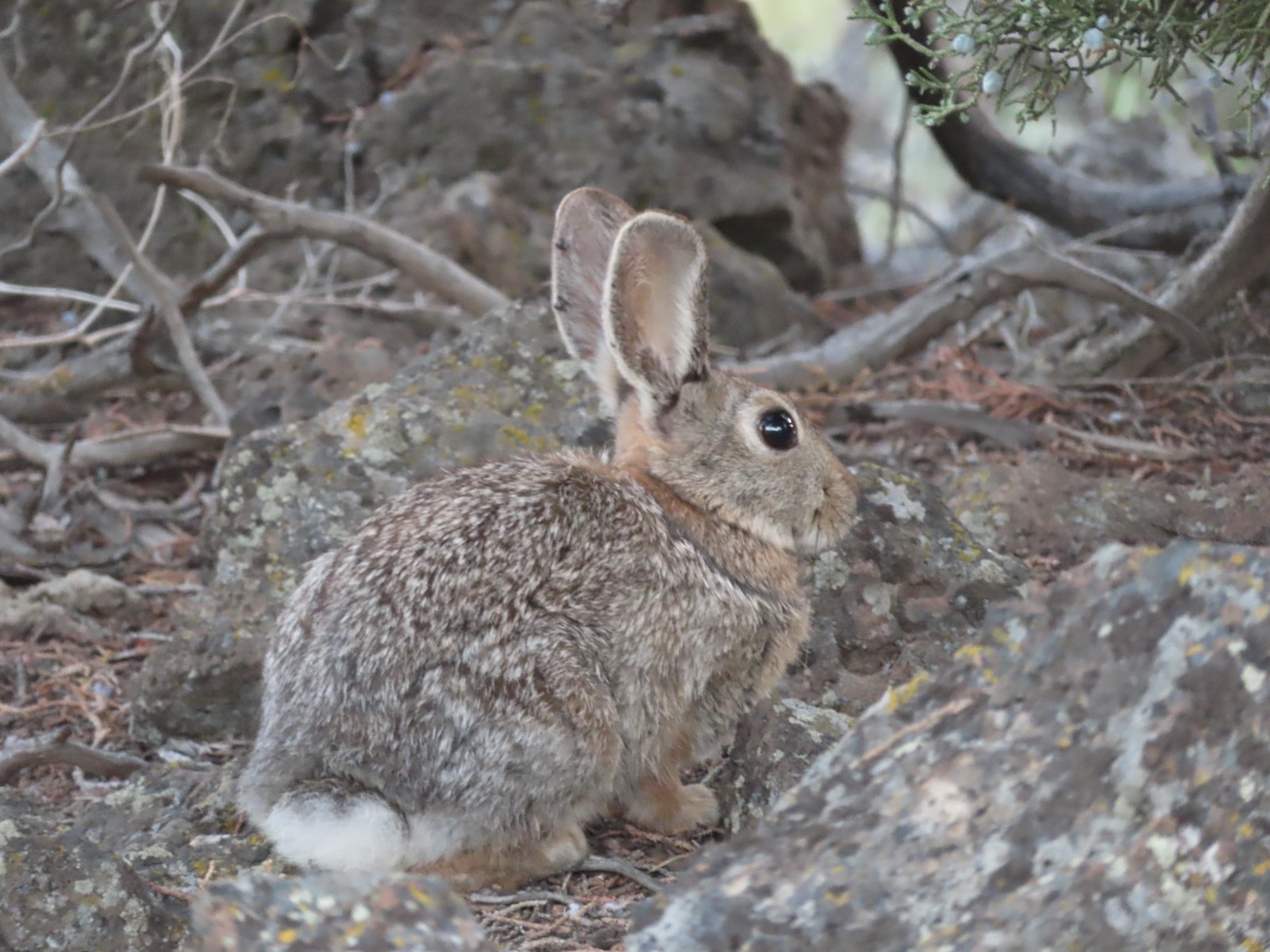
 Rabbit
 Mt. Bachelor and Tumalo Mountain (
 Ball Butte
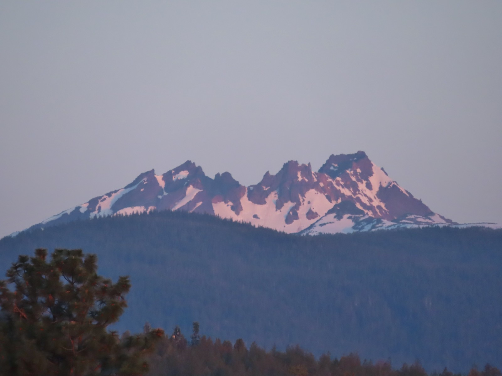 Broken Top (
 South Sister (
 Middle and North Sister
 We passed by the shared Juniper/Sage Flat Trail and continued on the Sage Flat Loop.
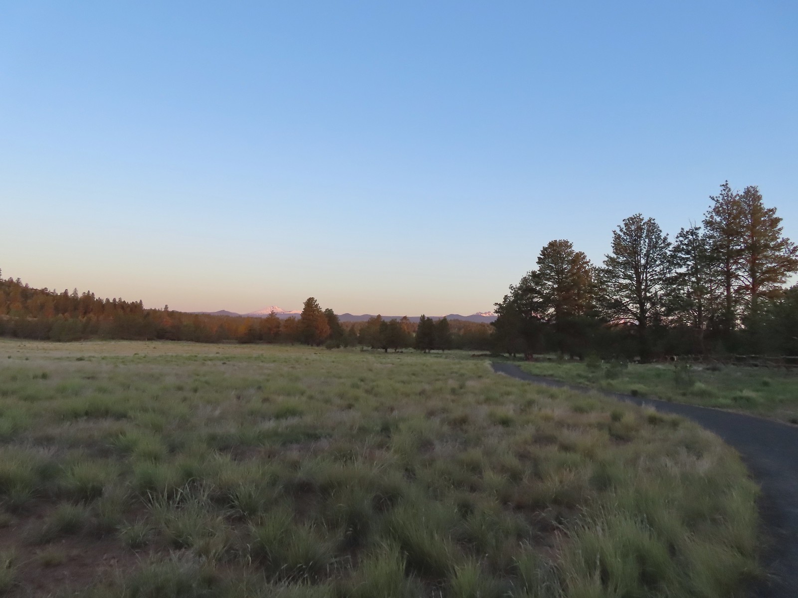 Sageflat Loop
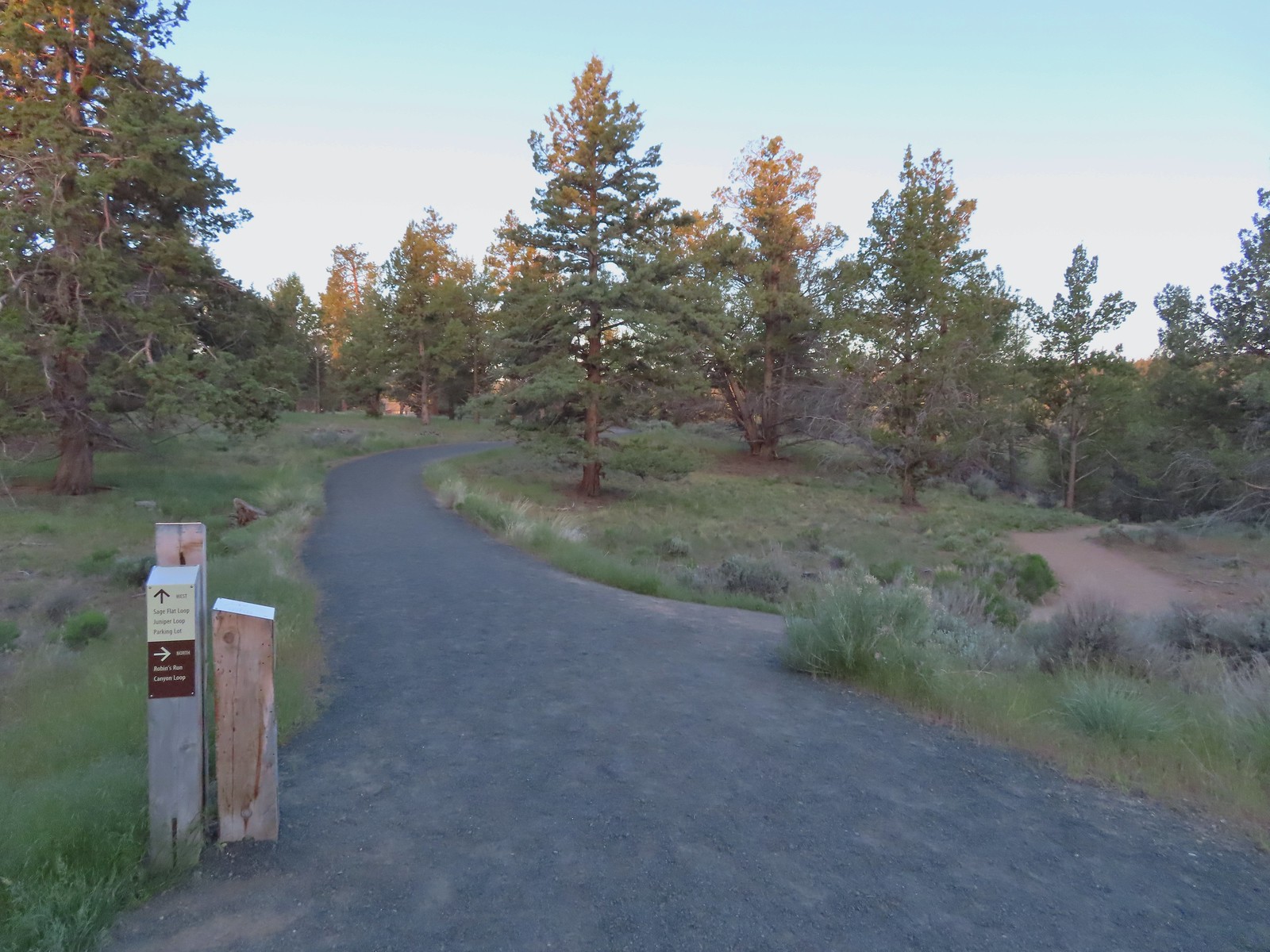
 Threadleaf phacelia
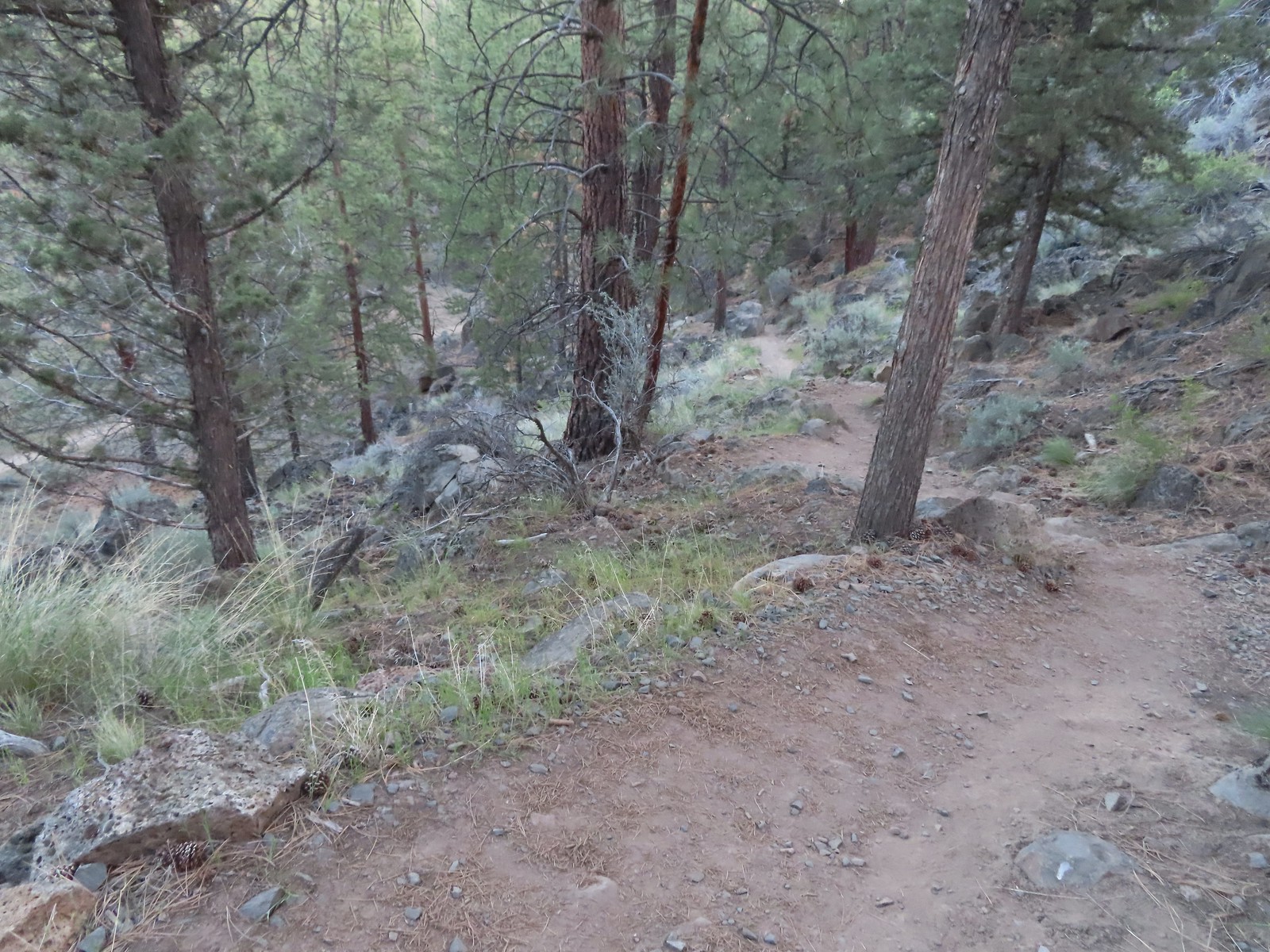
 Balsamroot along the Deschutes.
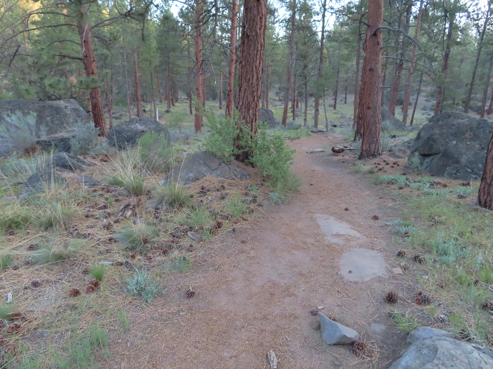


 Robin
Robin Longhorn plectritis
 Blackheaded grosbeak
 Heather waited below while I climbed the outcrop.
 The bench on top.
 The top of the outcrop.

 Western stoneseed
 Larkspur
 I spotted something head into the river from the grass on the near bank here.
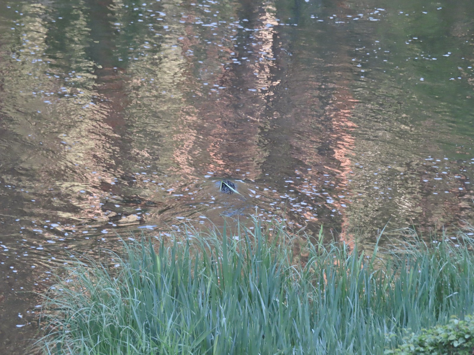 I spotted the grass moving before the animal below which turned out to be a beaver.
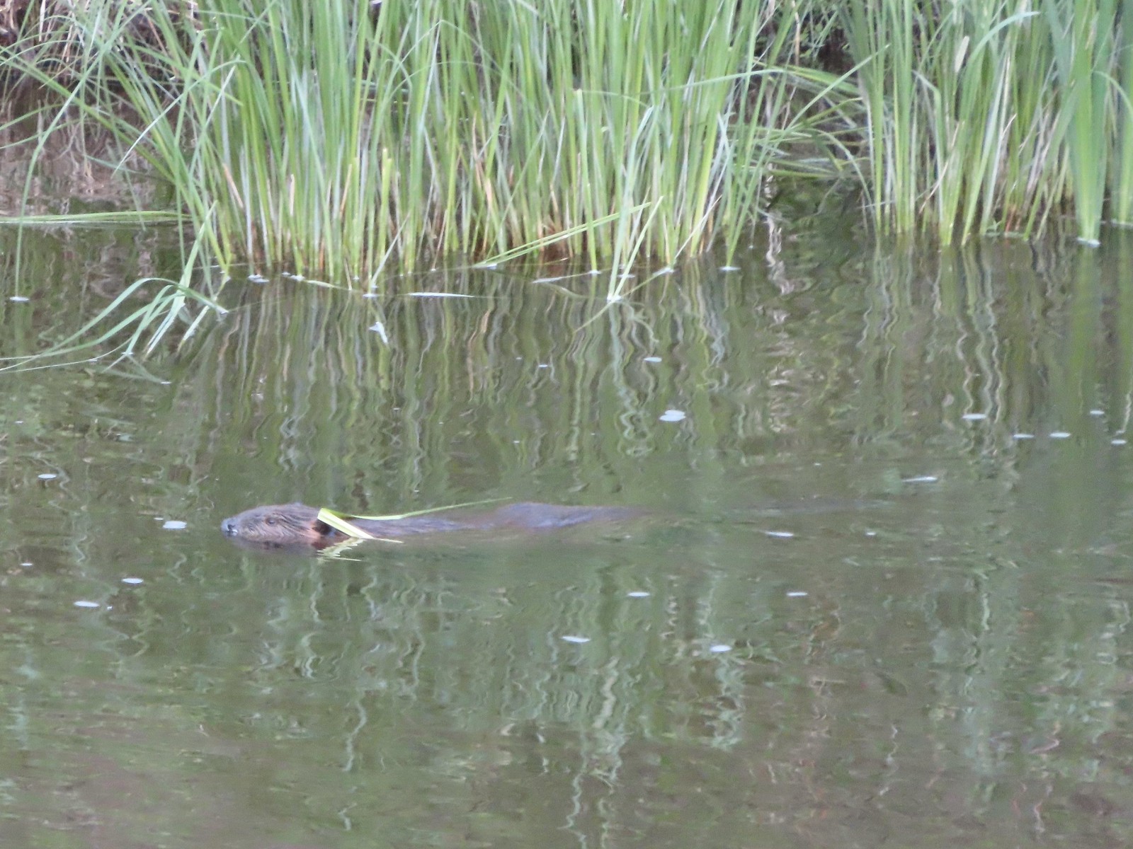 Beaver in the Deschutes River.
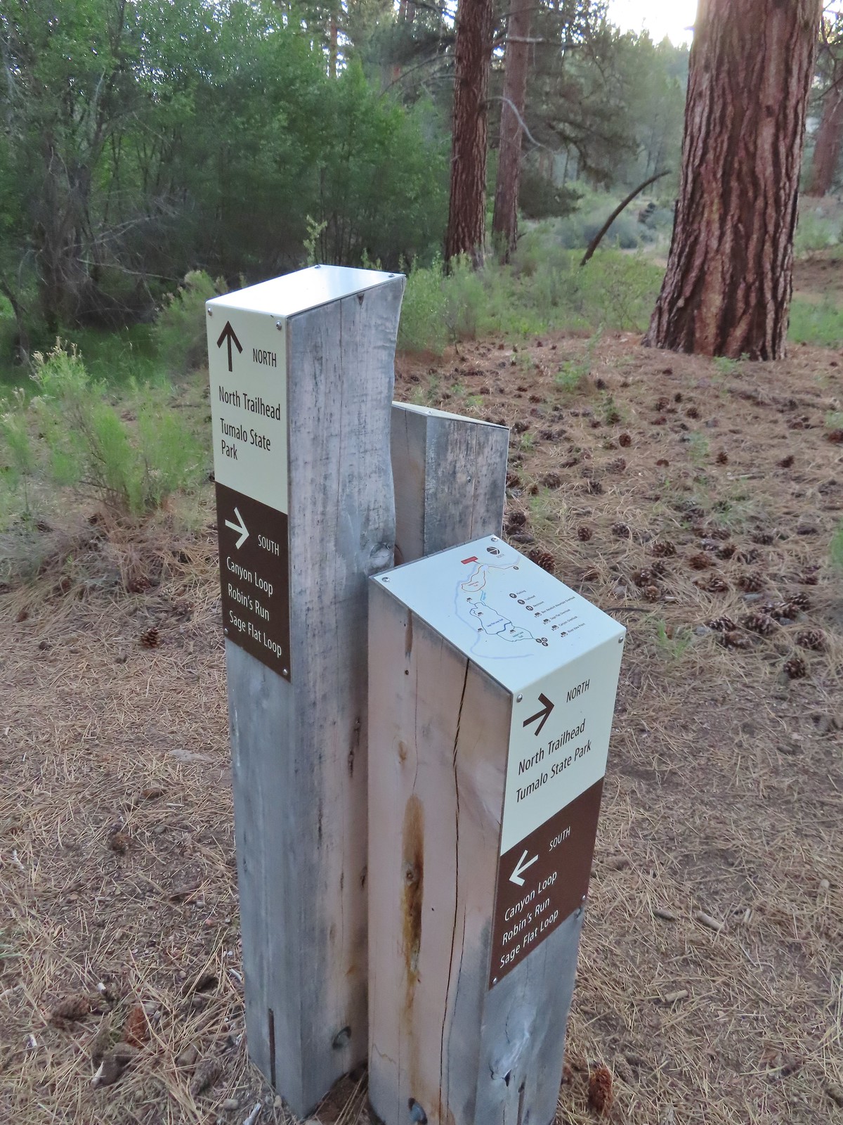 We followed the pointer for Tumalo State Park.
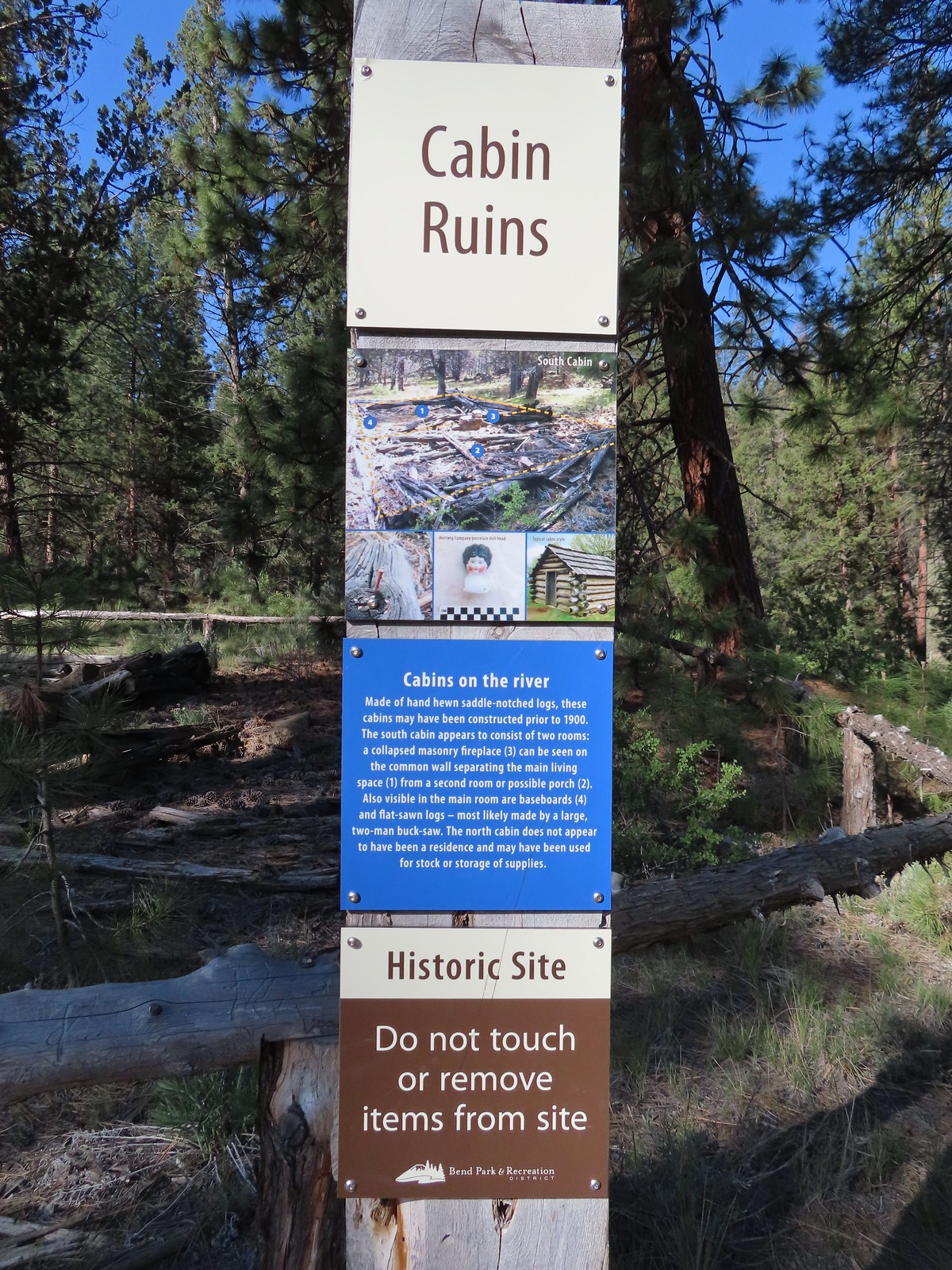
 Cabin ruins
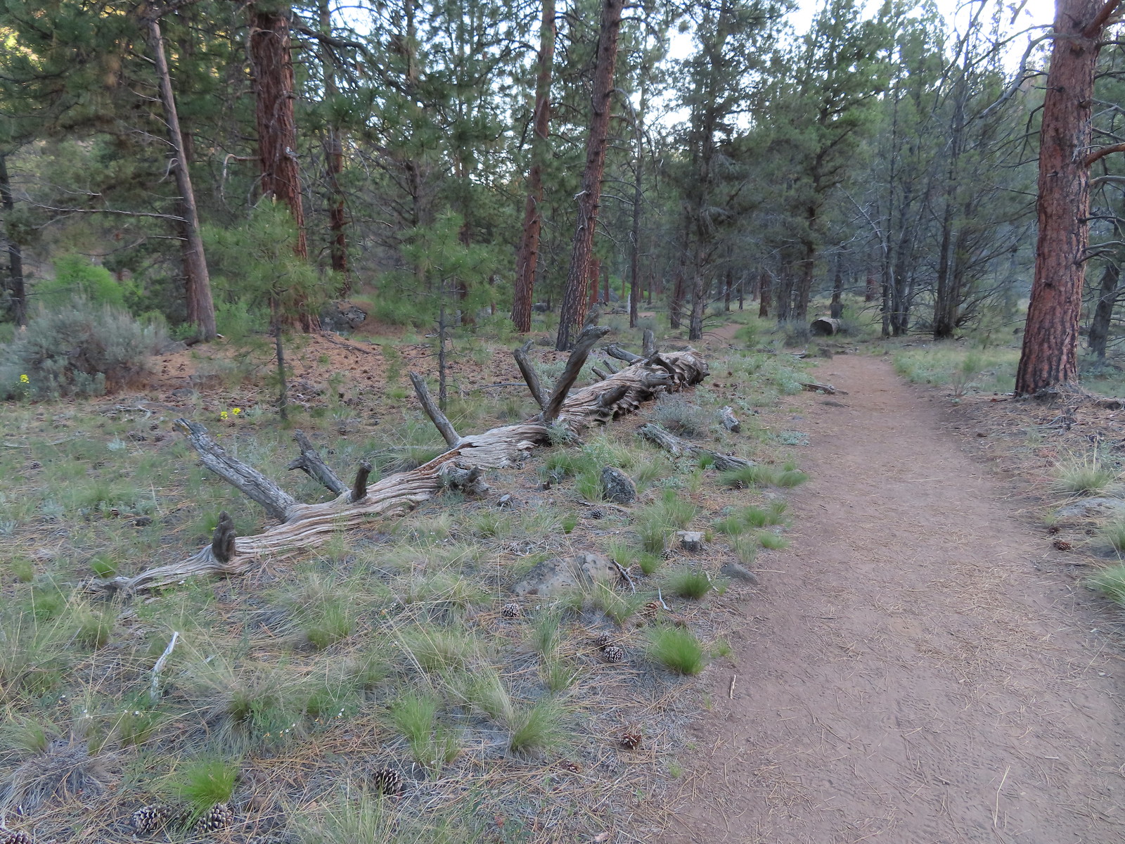
 Western wallflower
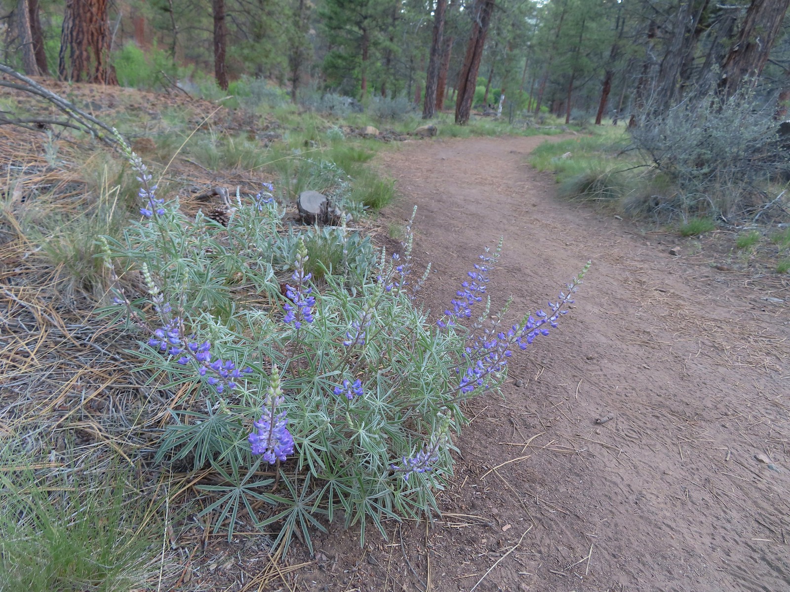 Lupine
 Another river access point.
 Rockcress, possibly sicklepod.
 The northern boundary of the Riley Ranch Nature Reserve.
 Threadleaf phacelia
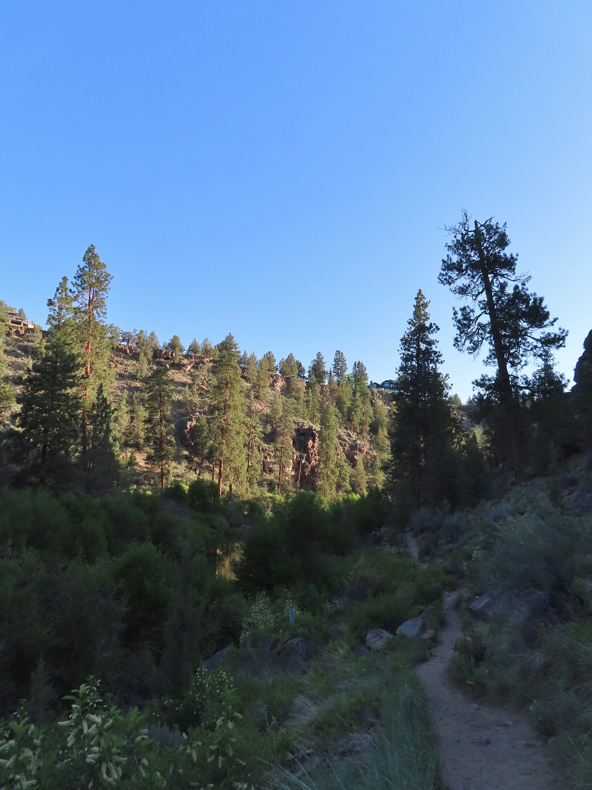
 Tumalo Creek (
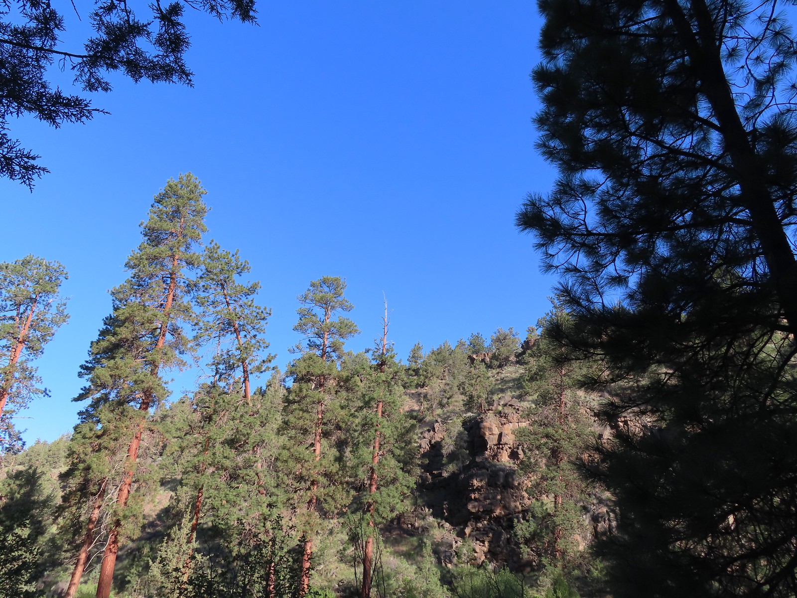

 Crossing into Tumalo State Park.
 Magpie
 Paintbrush
 Mallards
 Penstemon
 A quarter of a mile from the day use area we crossed a road leading to a private bridge crossing the river.
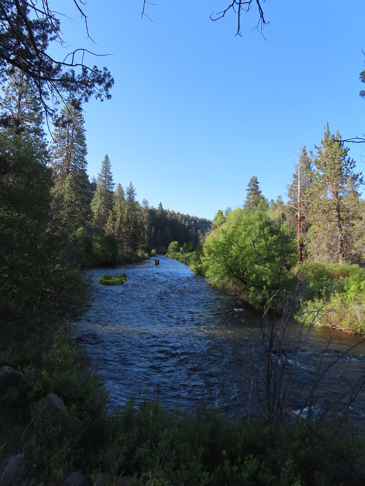 Remains of another bridge in the river.
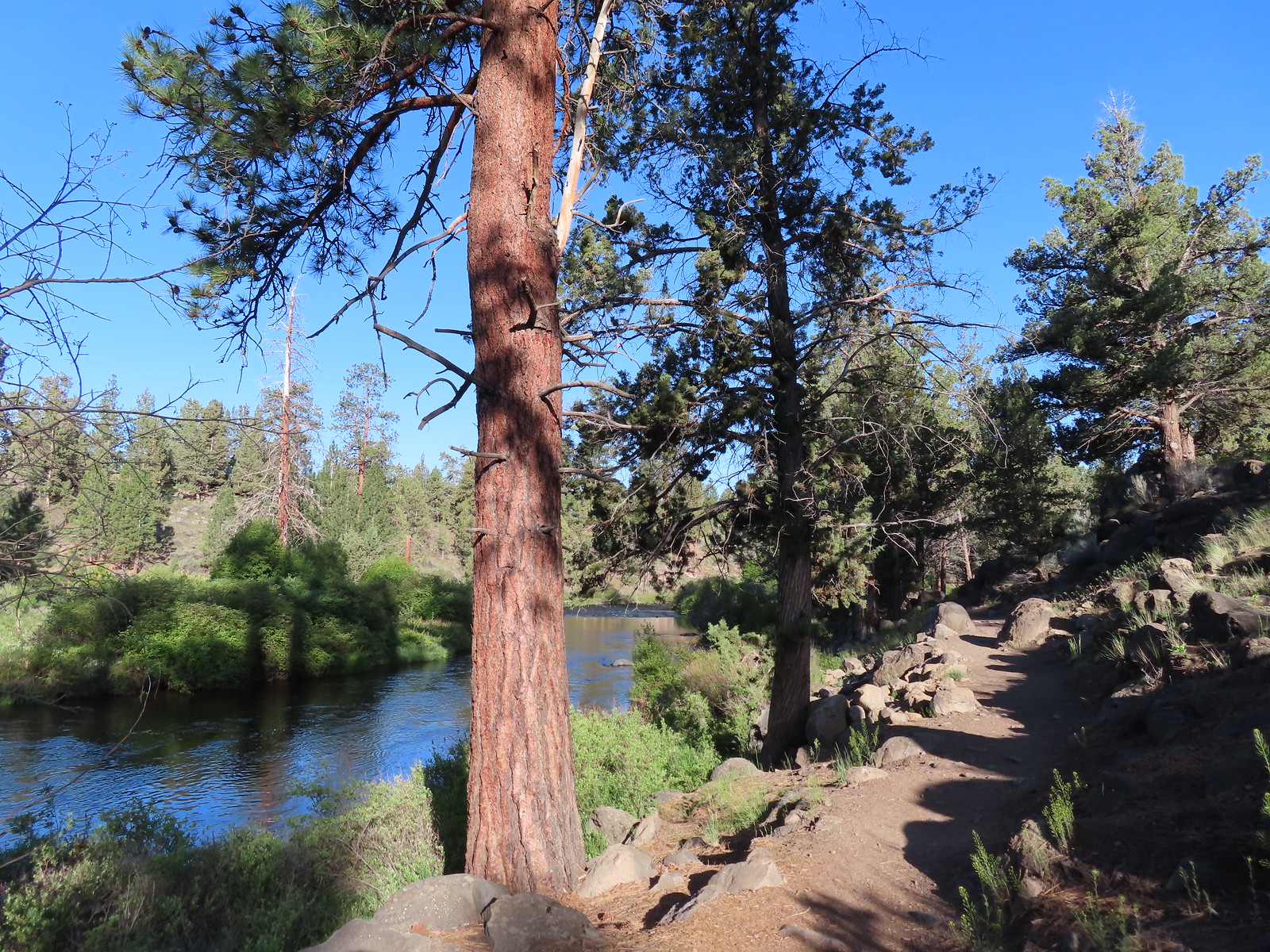
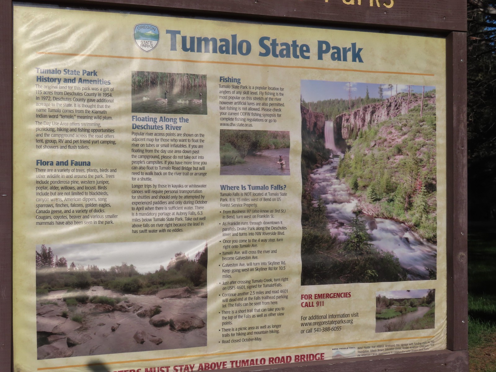
 Tumalo State Park Day Use Area
 Deschutes River at the day use area.
 Kingfisher on the bridge remains. (A bit blurry due to being a long way off.)
 A swallow and a pygmy nuthatch.
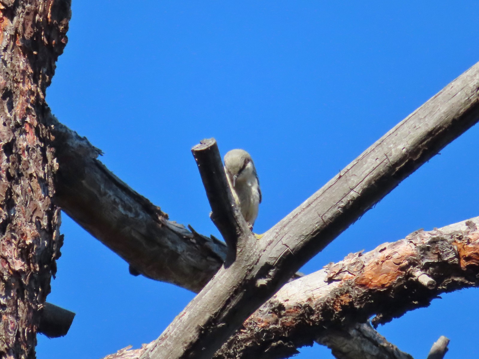 Pygmy nuthatch
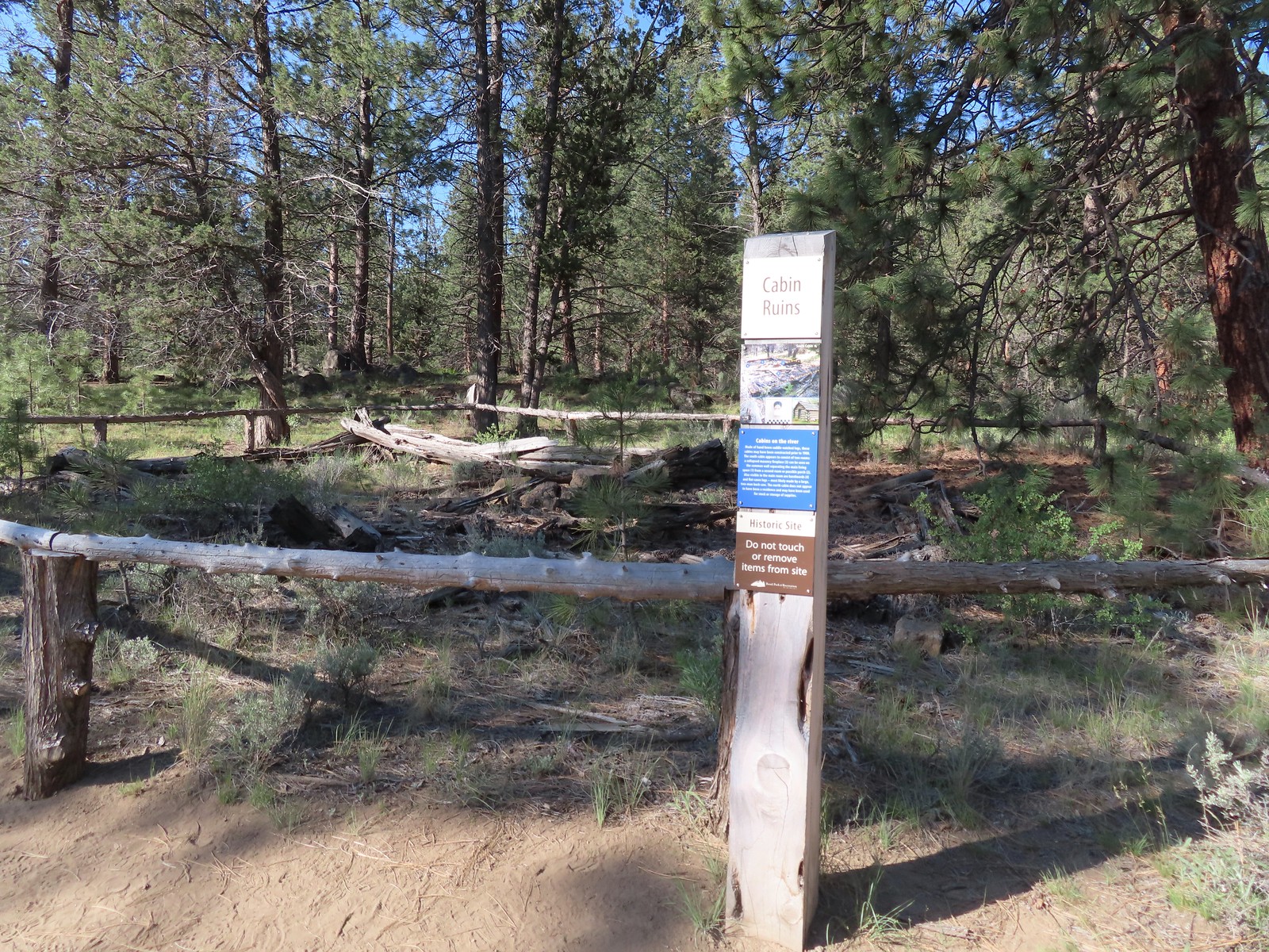
 Bench along the Canyon Loop.
 Northern flicker
 We were distracted enough by the runners that we failed to notice the deer bedded down to the right of the trail. You can see its ears sticking up here.
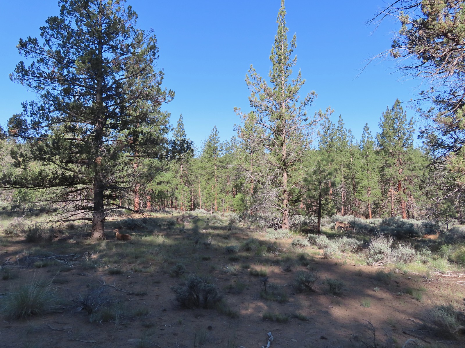 There were at least four deer hanging out here.
 The Sage Flat Loop Trail.
 Spur to the Canyon Overlook.
 Death camas
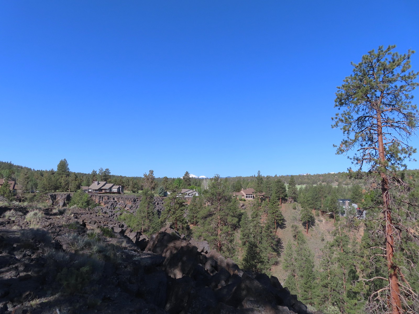 Mt. Bachelor and Tumalo Mountain
 Mt. Jefferson
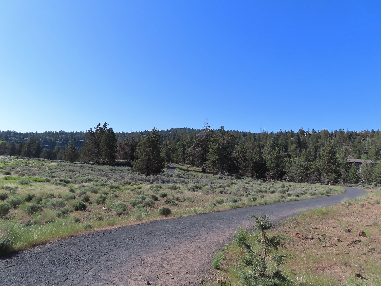
 Lewis flax
 Marker for the Sage Flat Overlook.
 Looking back at where the Sage Flat Overlook was.

 Lizard near the River Viewpoint.
 The Cascade Mountains
 Black Crater (
 Finishing up the Juniper Loop.


 Mt. Hood and Mt. Adams from the trailhead which is the high point of the hike.
 Mt. Hood
 Cattle sometimes graze in the area and the combination of their hooves with the unmaintained roads makes for some pretty rough surfaces.
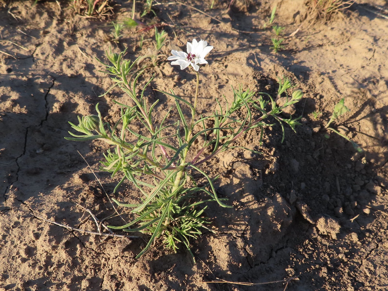 Rough-eyelashweed. There was a lot of this blooming along the road.
 A couple of lomatiums.
 Howell’s milkvetch
 Idaho milkvetch
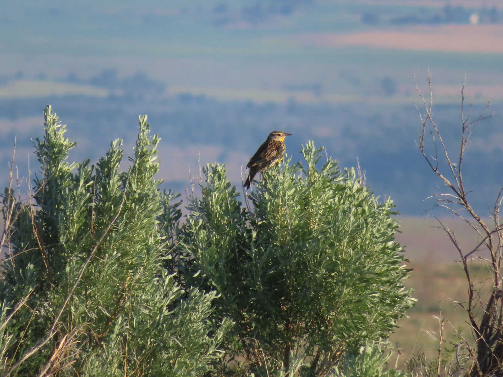 Western meadowlark
 A buckwheat
 Carey’s balsamroot
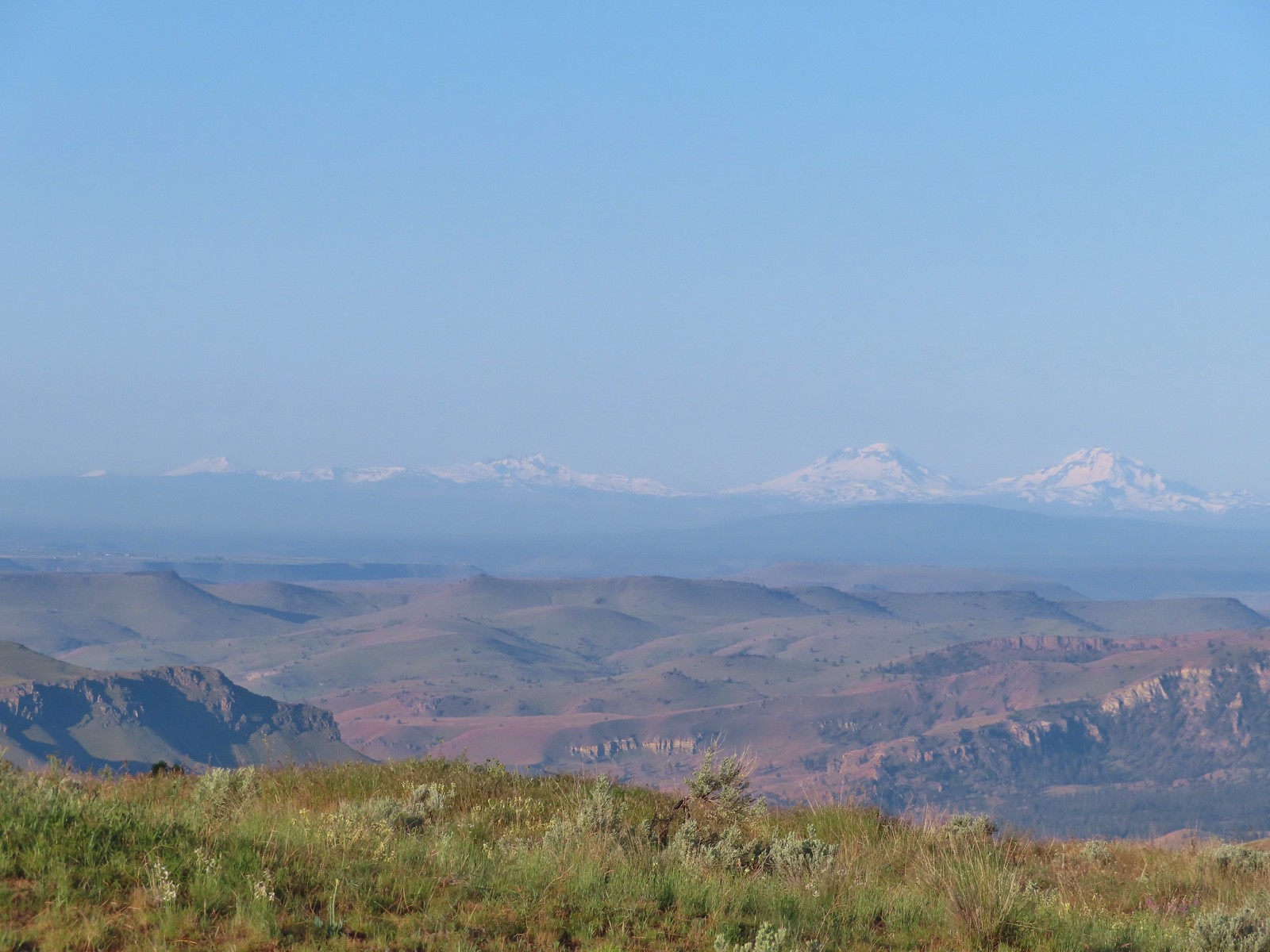 Mt. Bachelor, Broken Top and the Three Sisters
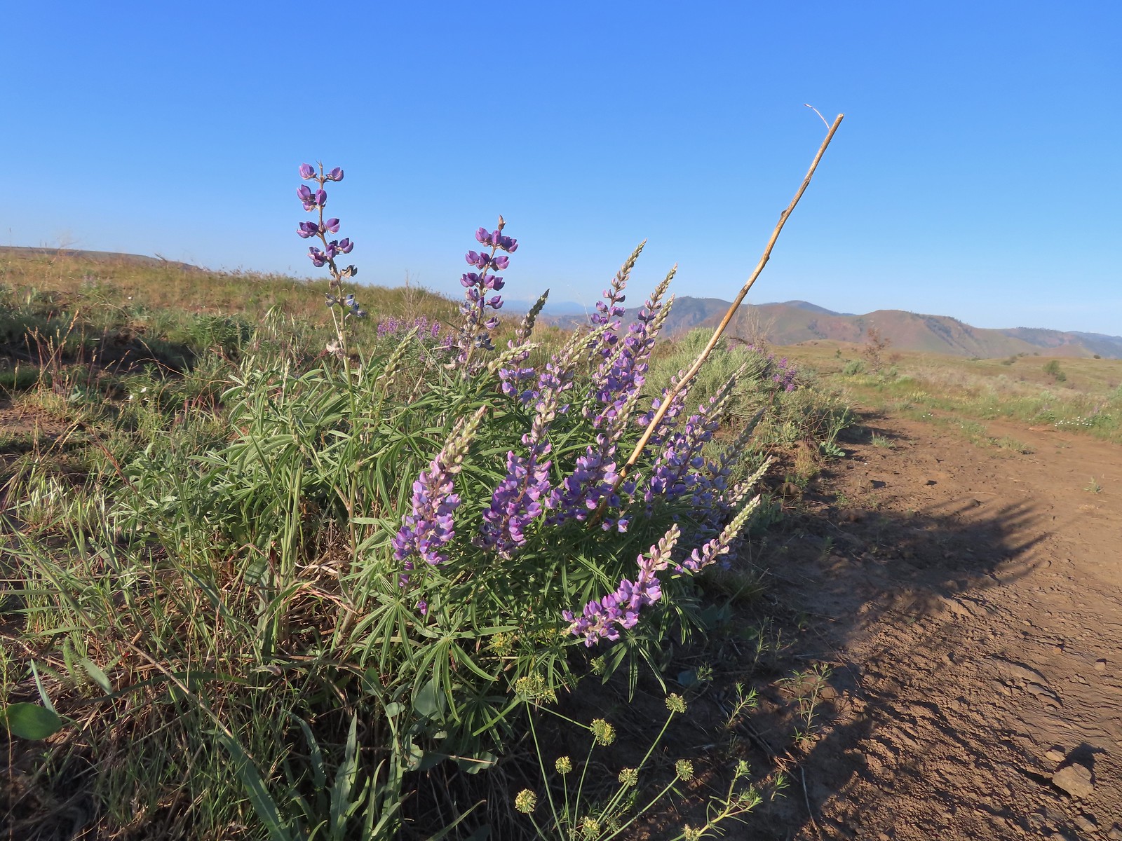 Lupine
 Bumble bee on Howell’s milkvetch
 Lark sparrow
 We spent a lot of time heading toward Mt. Hood.
 Sparrow?
 Mt. Adams
 Mt. Hood
 We were a little too late for the large-head clover.
 Western meadowlark giving a performance.
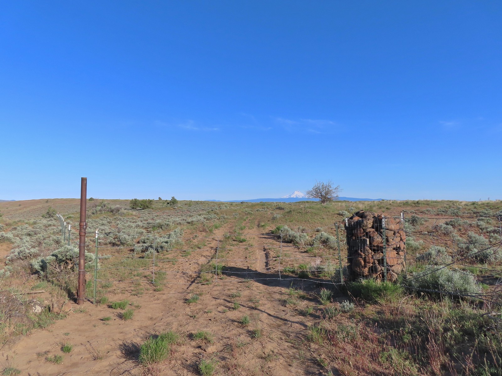 The third gate with Mt. Hood in the distance.
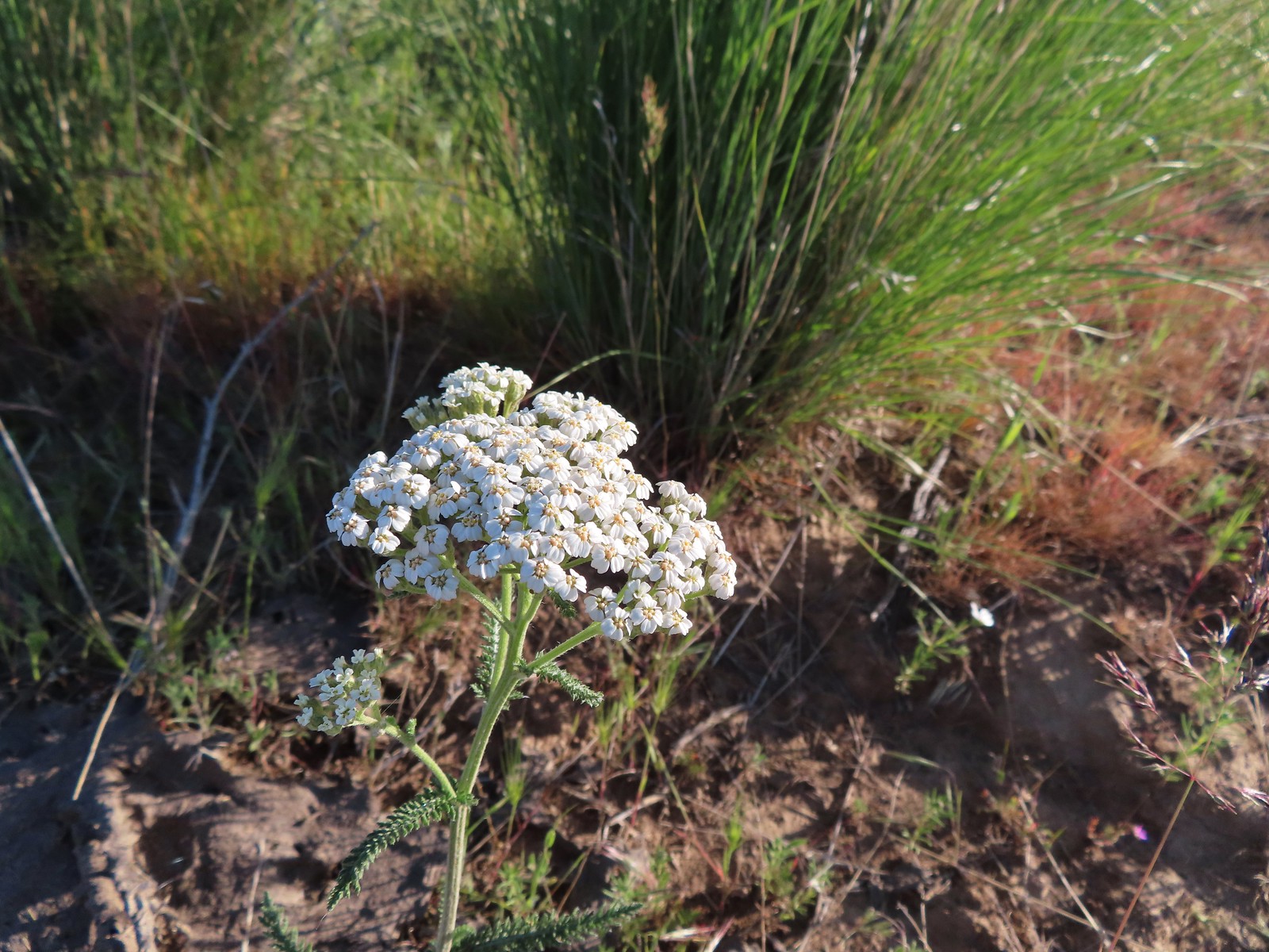 Yarrow
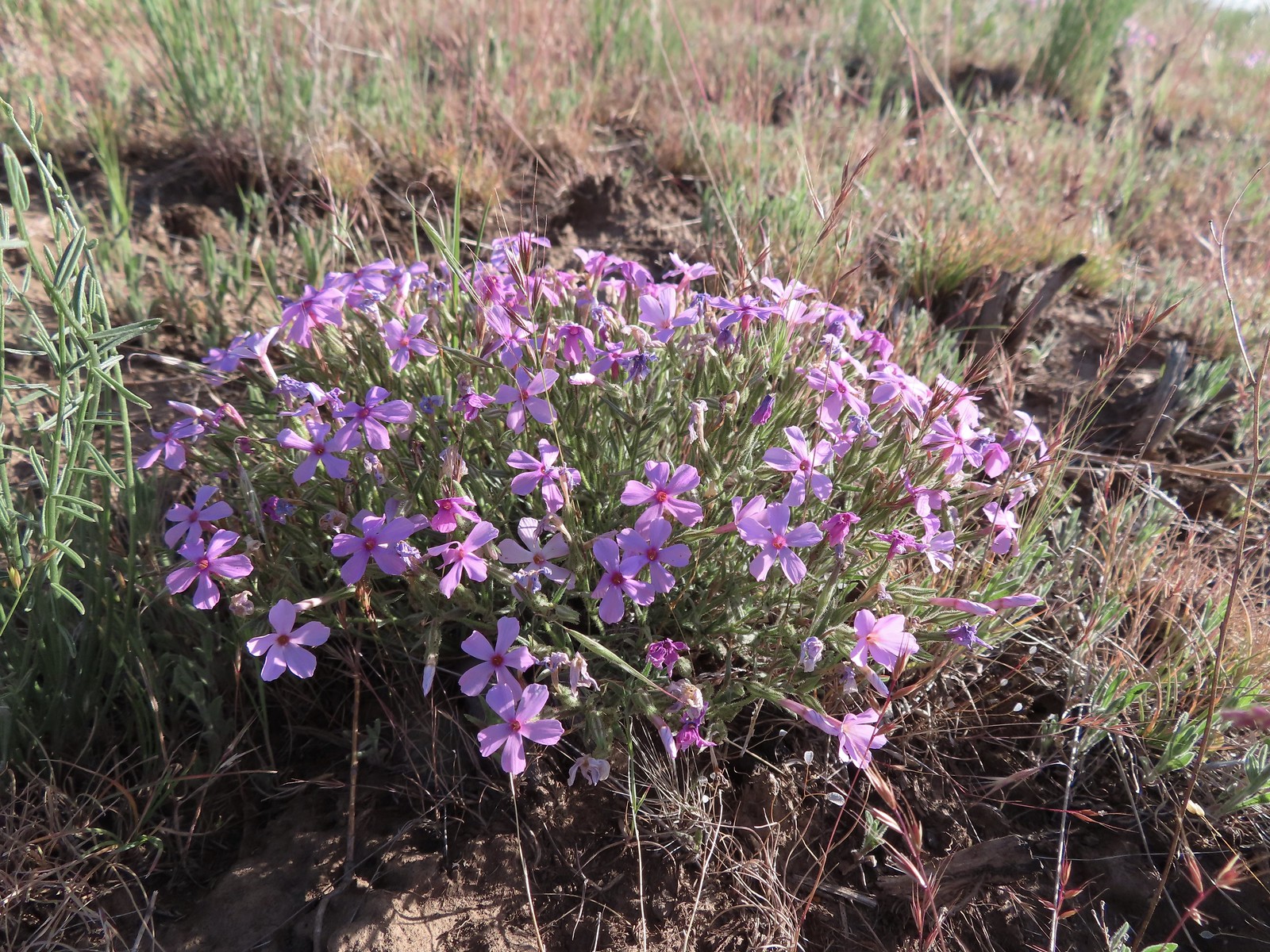 Phlox
Phlox The Deschutes River winding through the valley below.
 Rough eyelashweed and lupine with Mt. Hood behind.
 Caterpillar
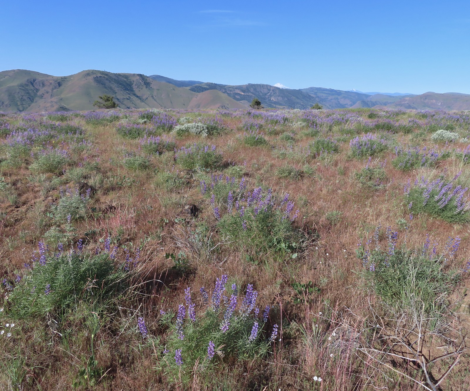 Lupine with Mt. Jefferson in the background.
 Horned lark
 Mt. Jefferson behind the abandoned trailer.
 Mt. Jefferson was hidden at times but this gap in the hills provided a nice view.
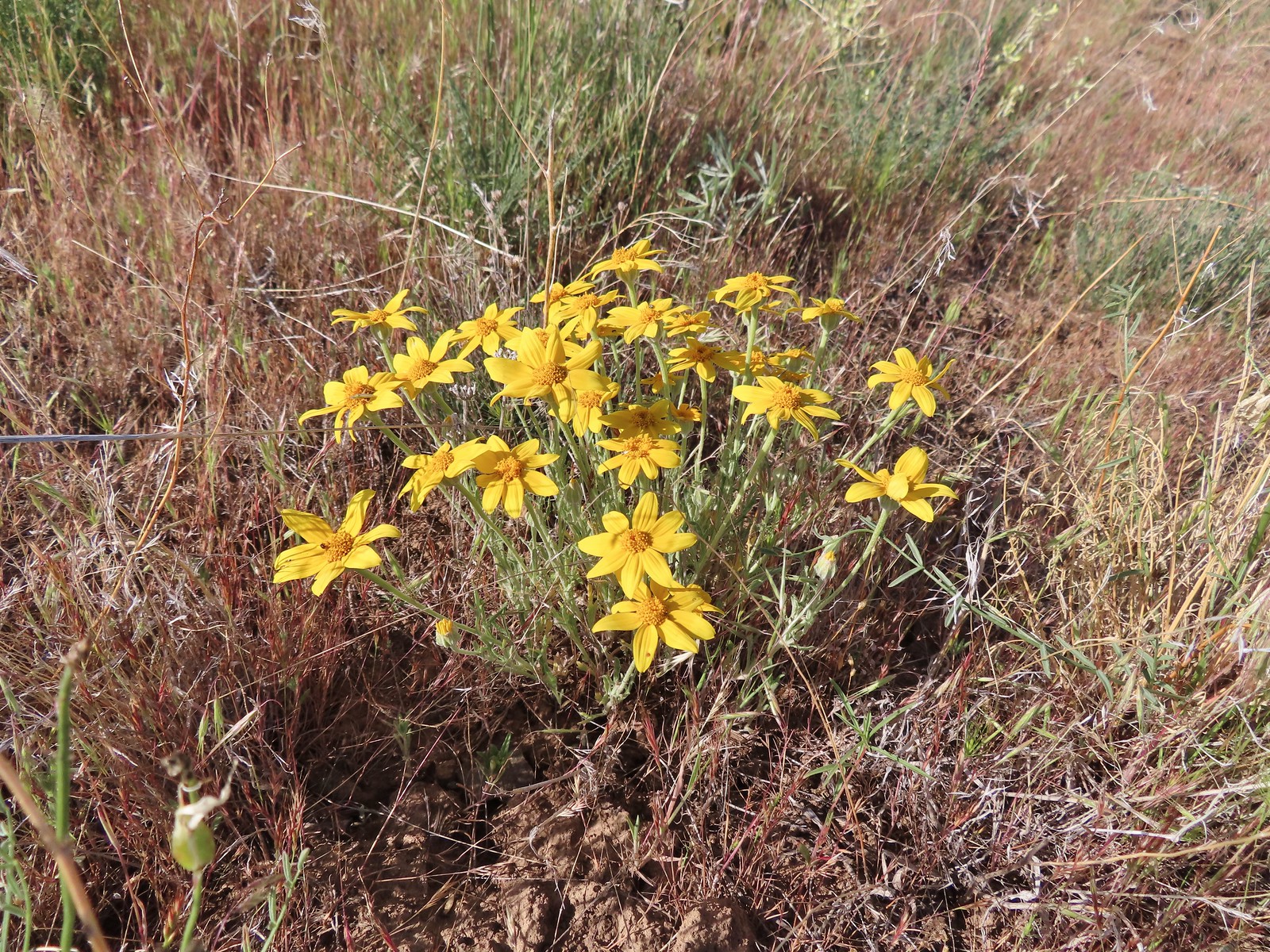 Oregon sunshine
 Skipper
 Mt. Jefferson and Olallie Butte (
 A small watering hole.
 Leaning toward an Acmon blue but not sure.
 Another in the Lycaenidae family.
 Large marble on a fiddleneck.
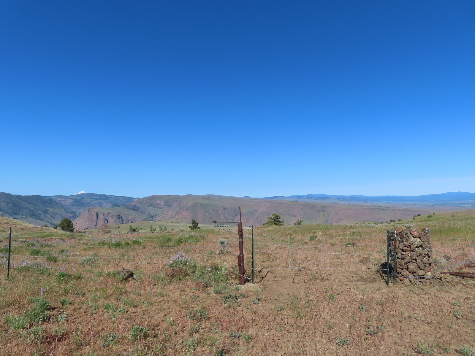 The fourth gate at the 4-way junction.
 Mourning dove
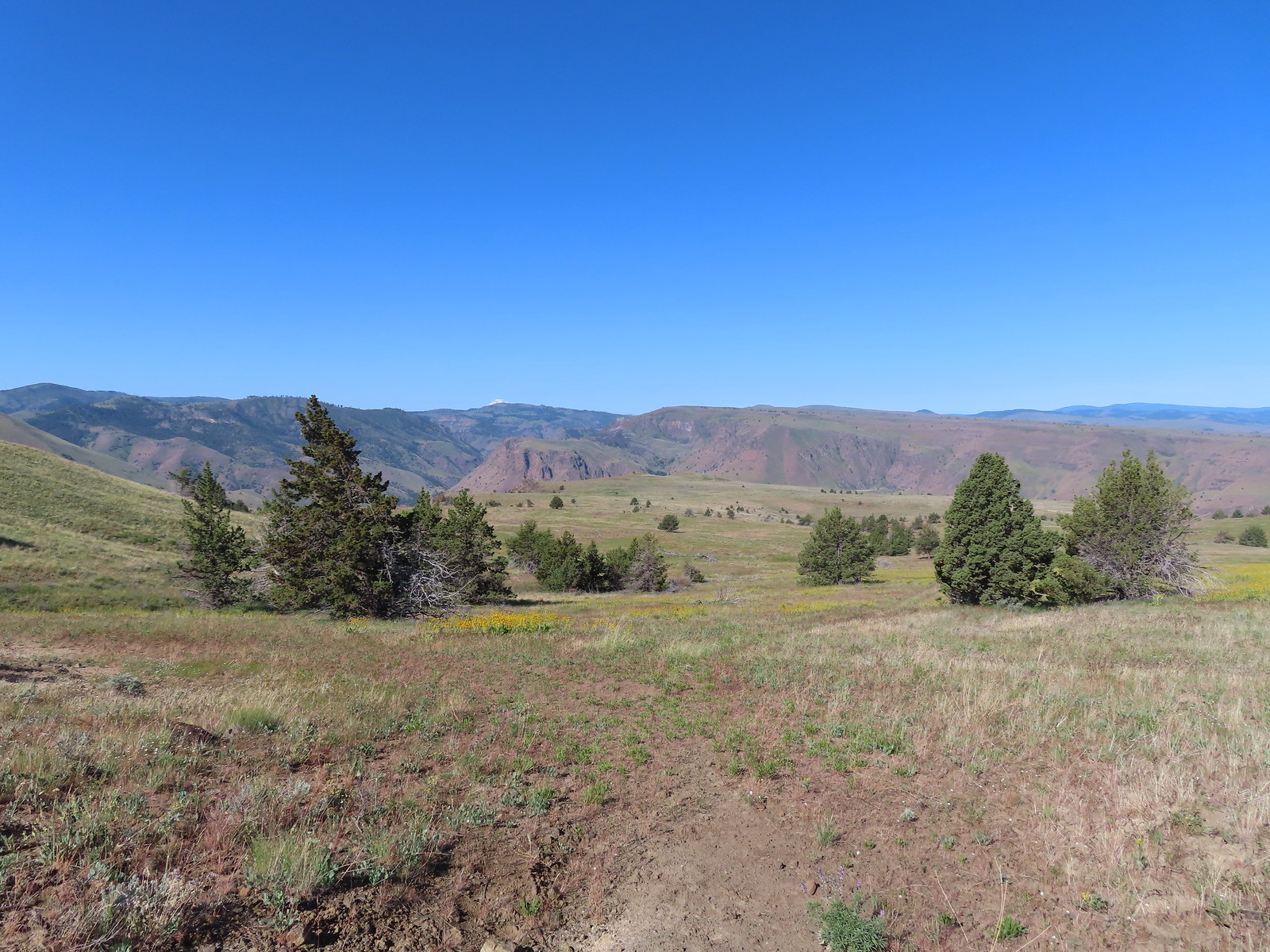 The more “obvious” jeep track curving left.
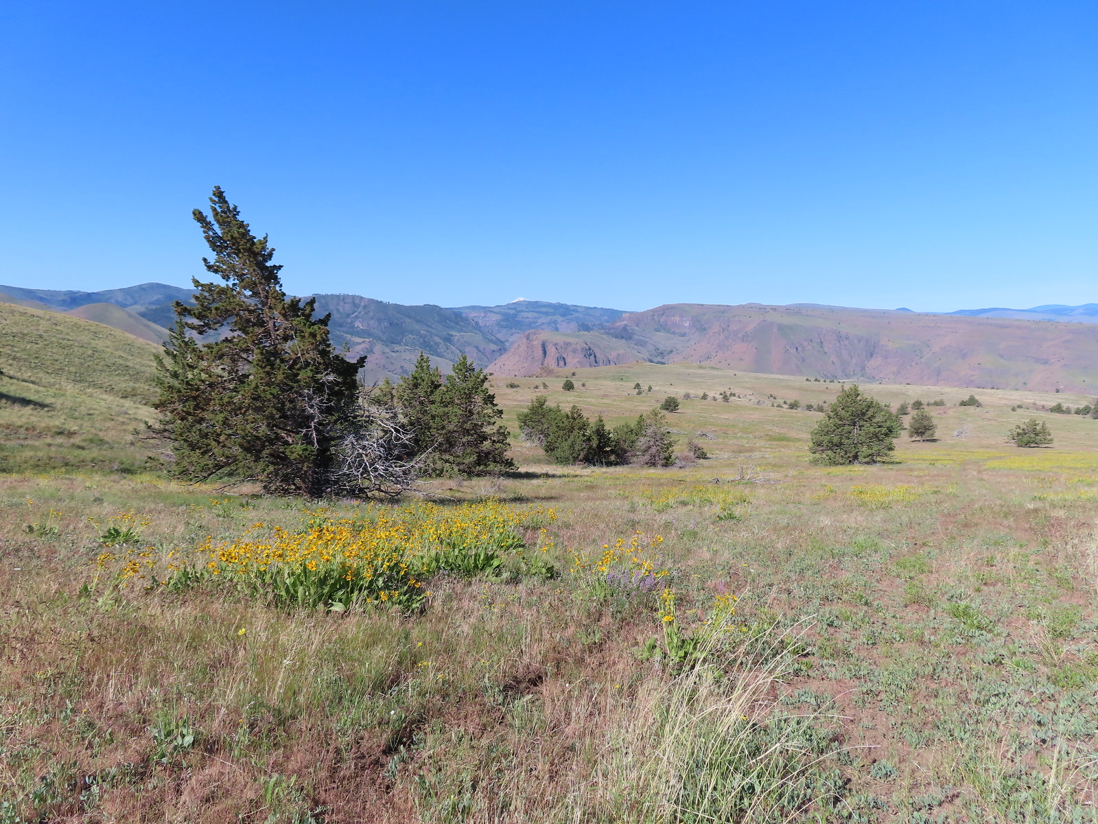 The fainter track angling slightly right.
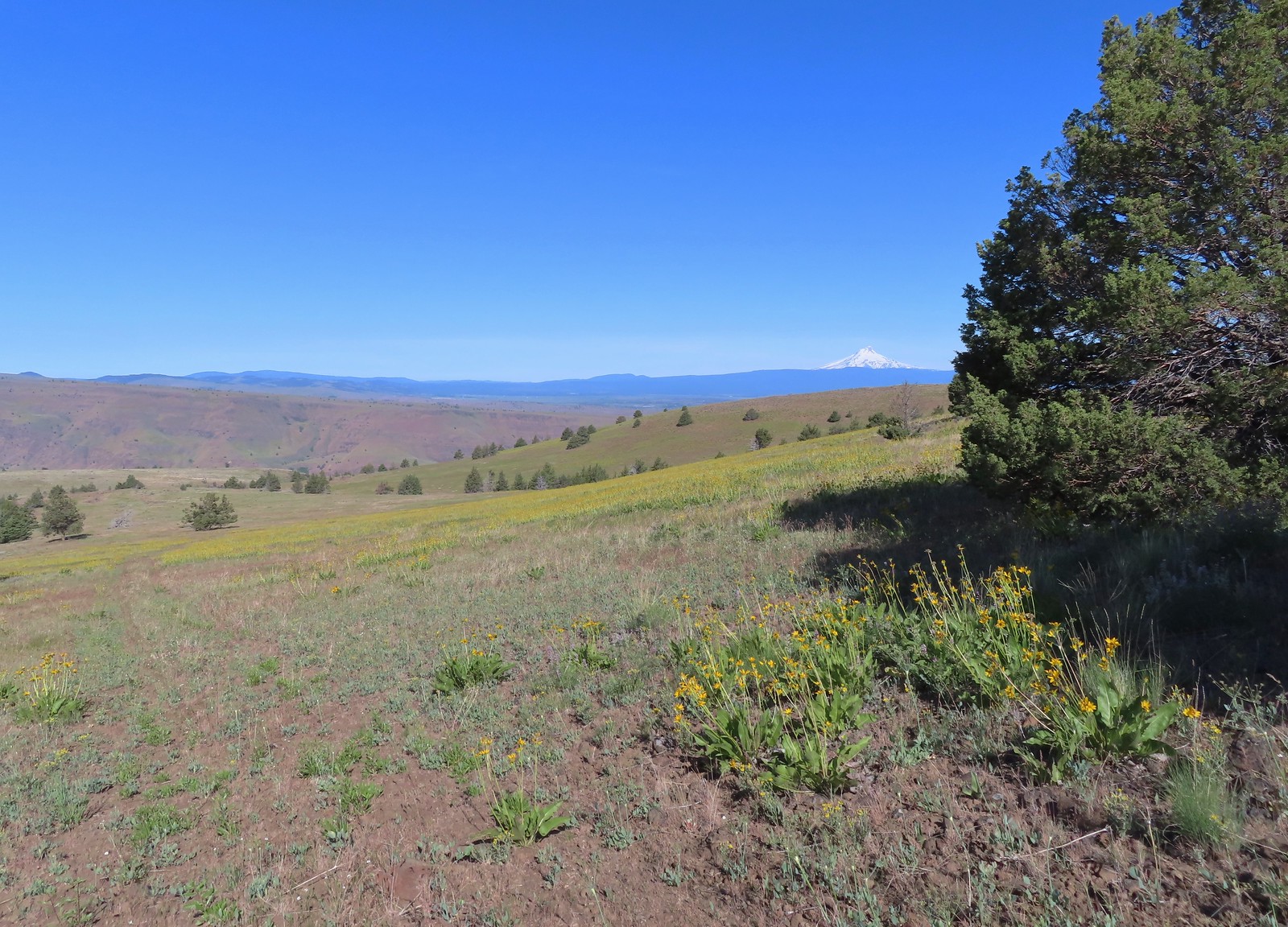
 Ochre ringlet on rougheyelashweed.

 Zerene fritillary
 Zerene fritillary on salsify
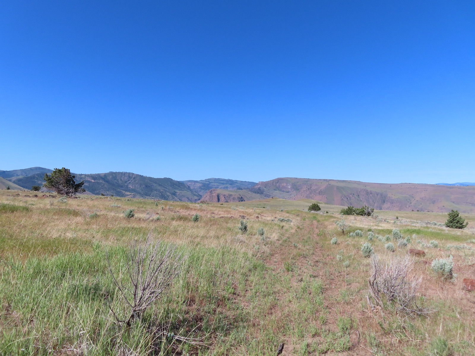 We thought we spied the post and used the camera to zoom in and confirm.
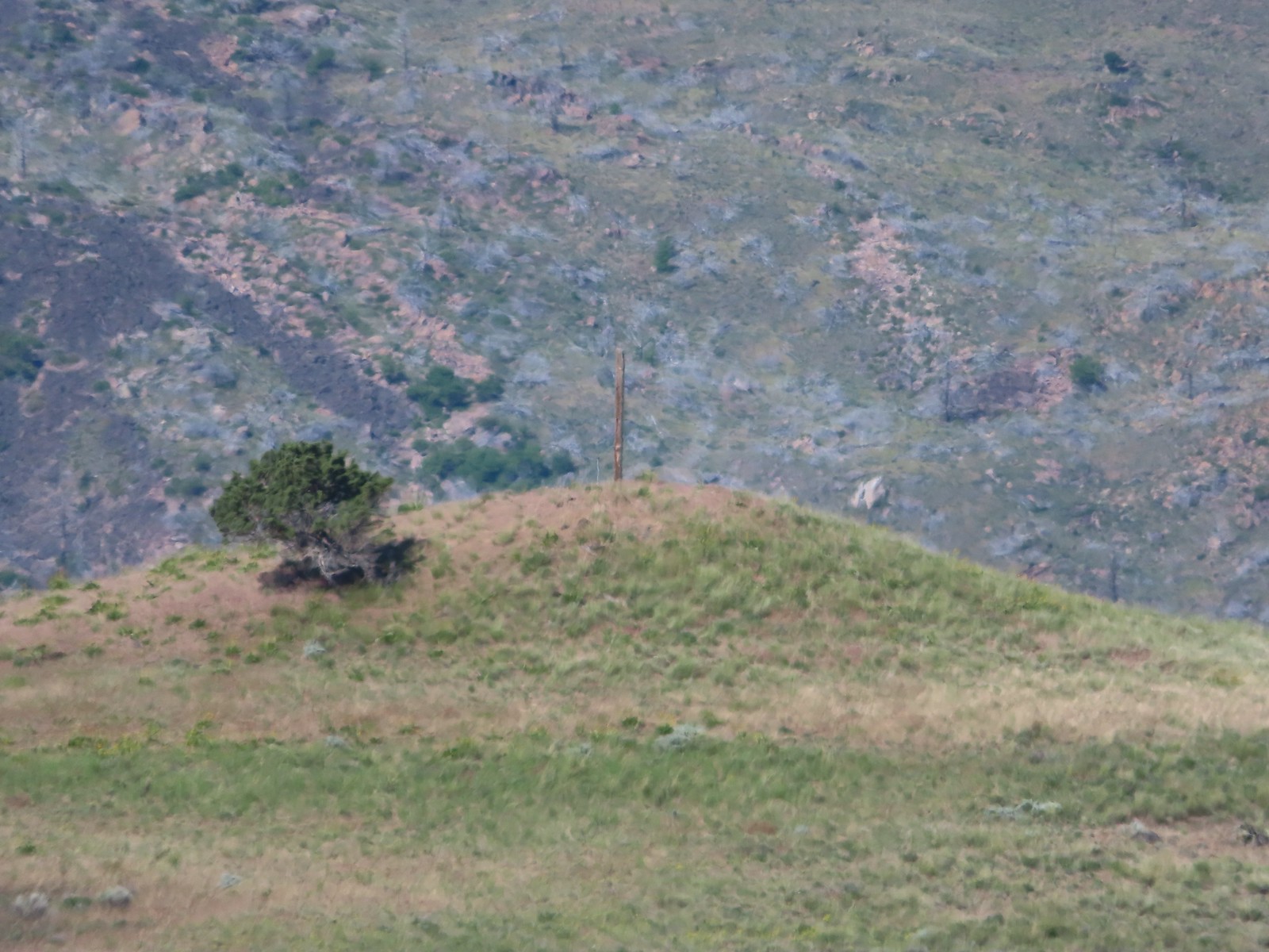 This was the only knoll with a juniper as well as the post.
 Largeflower hawksbeard
 Paintbrush
 To reach Stag Point we had to go cross country, so we looked for the most gradual looking climb.
 Mt. Hood from Stag Point.
 The Deschutes River from Stag Point.
 Mt. Hood and Mt. Adams from Stag Point.
 Looking back over the route we’d come down.
 Ladybug and an Oregon swallowtail.
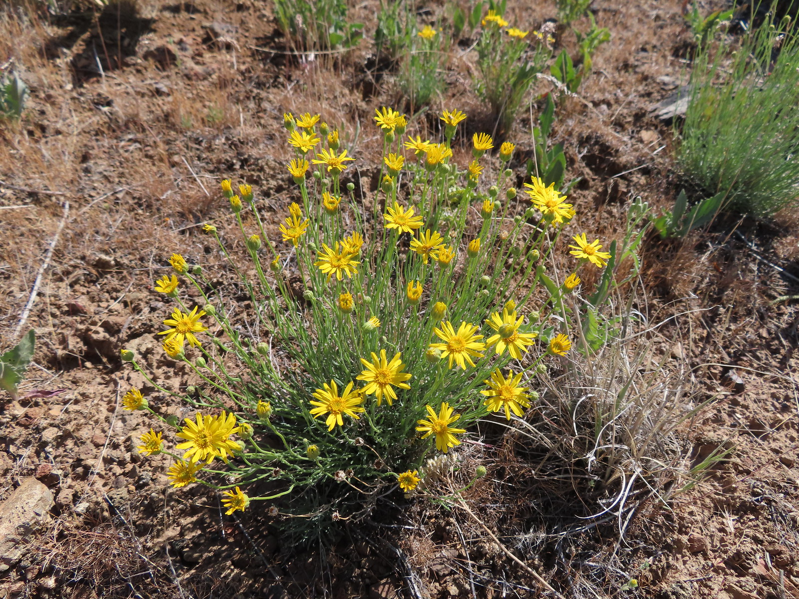 Desert yellow fleabane
 Heading out to the rock outcrop.
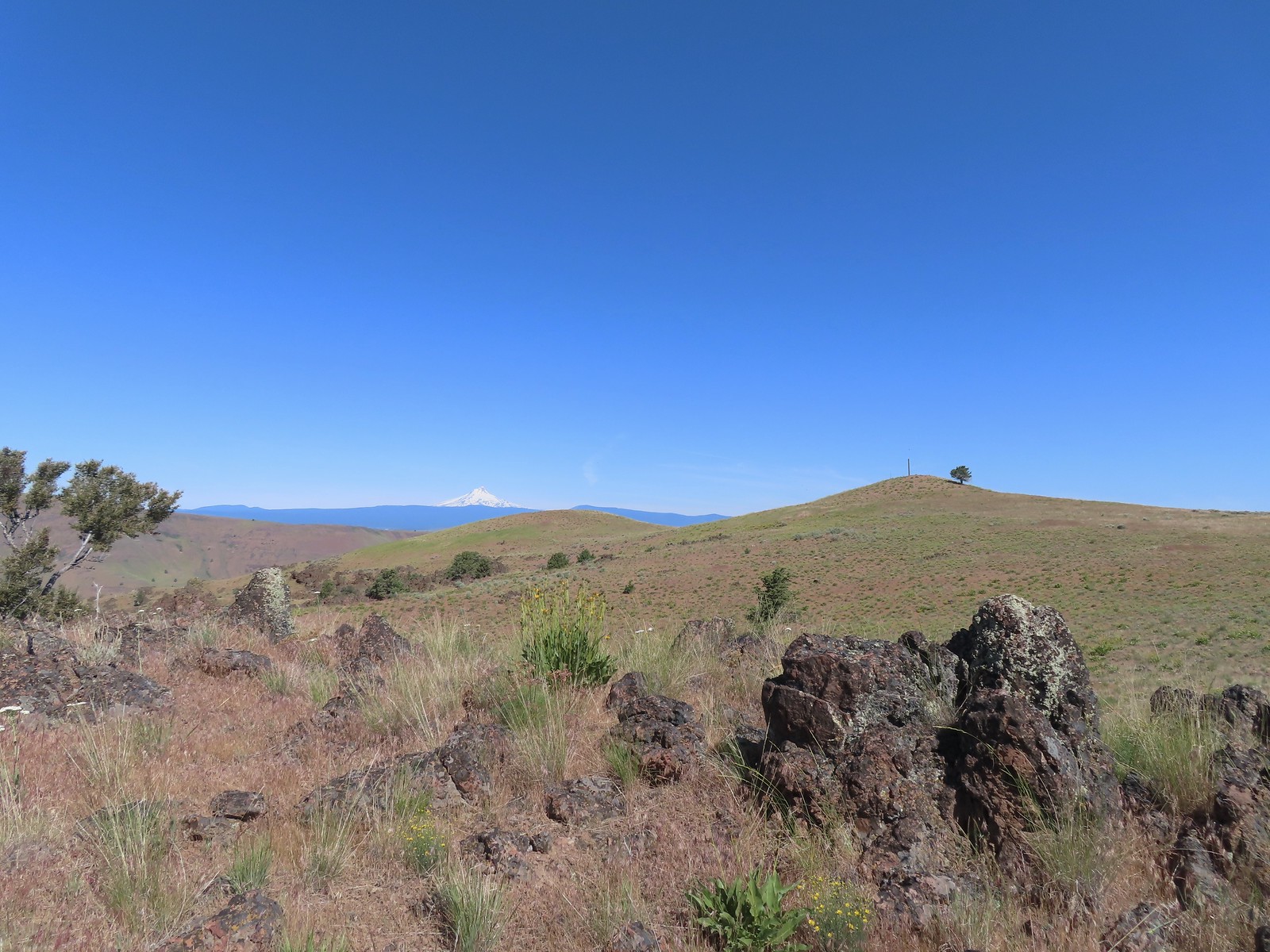 Mt. Hood and Stag Point from the outcrop.
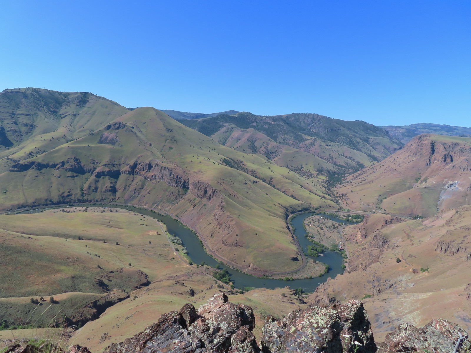 A better view of the Deschutes.
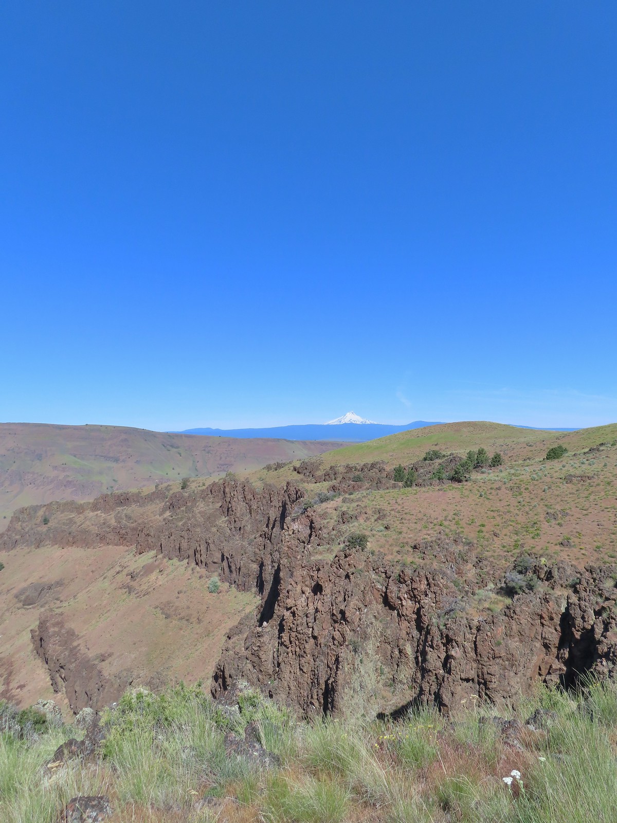 Mt. Hood beyond the cliffs.
 A buckwheat
 Stink bug
 Silverleaf phacelia
 Back on the jeep track.
 Lupine and balsamroot
 The cows had really chewed this section of the jeep track up.
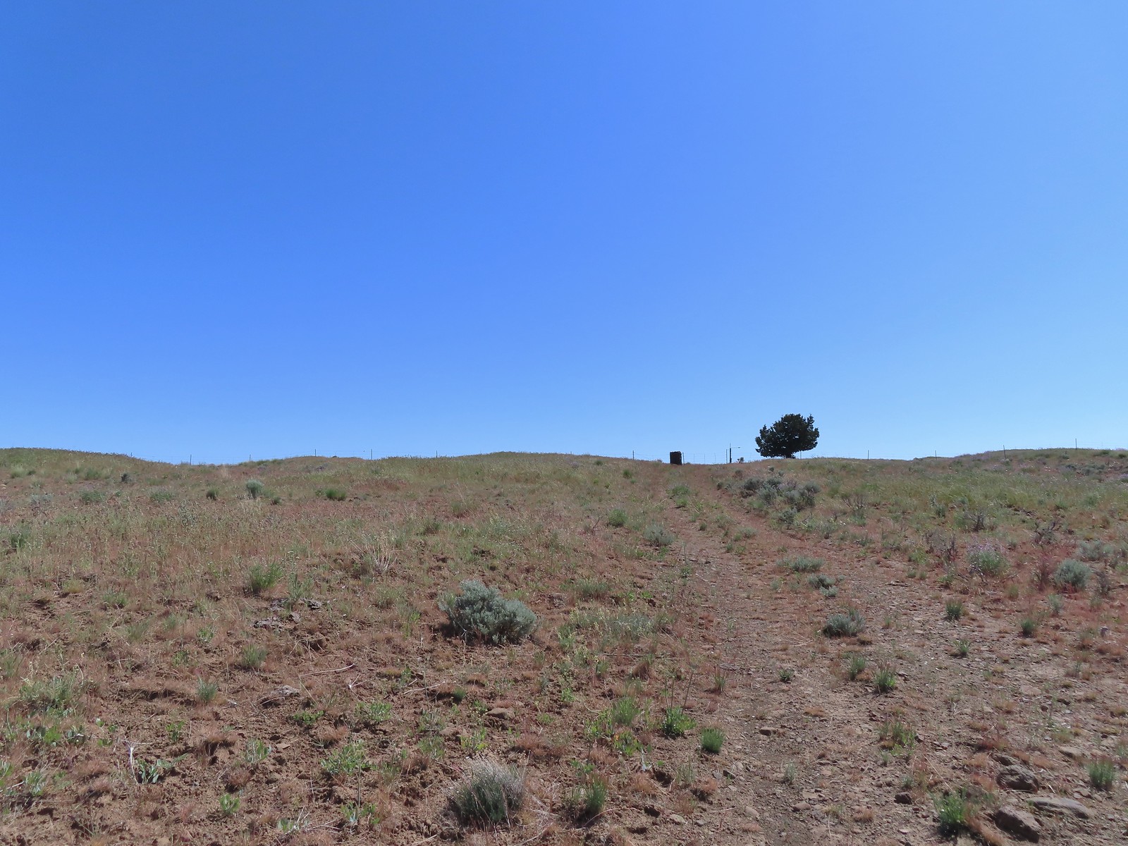 The gate ahead.
 Horned lark guarding the gate.
 Mt. Jefferson and Olallie Butte
 Grand collomia
 Time for some sun.
 A butterfly and fly.
 Three butterflies and a fly.
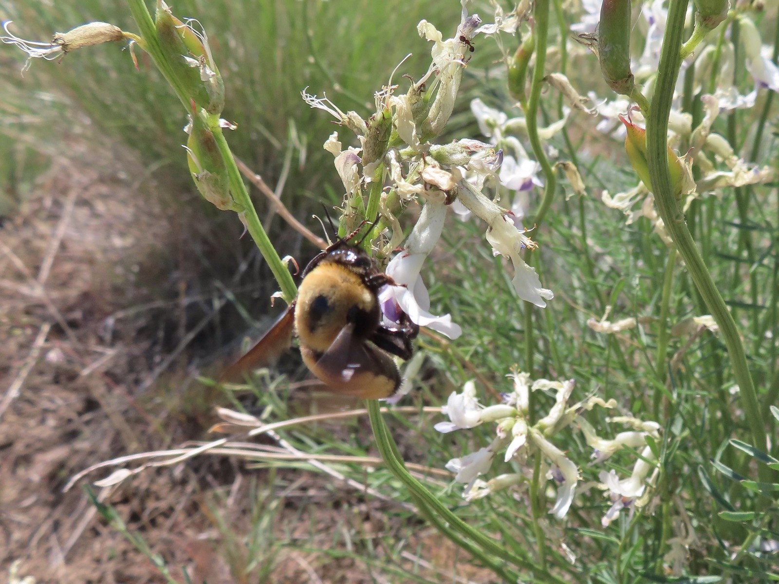 Busy bee
 This swallowtail was a little rough around the edges.
 Another horned lark on lookout.
 Nothing brings fritillary butterflies together like a good pile of scat.
 Another option for another time. We were just happy to have solved that mystery.
 The Radio Towers on the hill were right next to the trailhead.
 The Three Sisters (from this angle it looks like two)
 Three butterflies and a beetle on buckwheat.
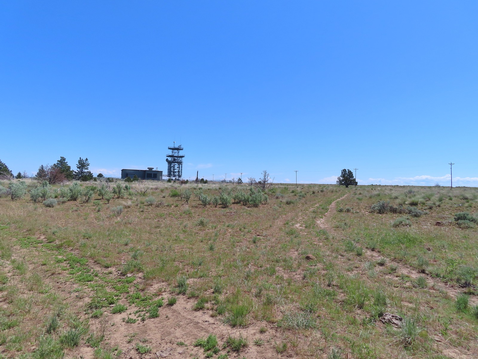 Another mystery was where did the trail from the South Trailhead (just on the other side of the radio towers) connect. We’d missed the track on the right on our first pass, another question answered.
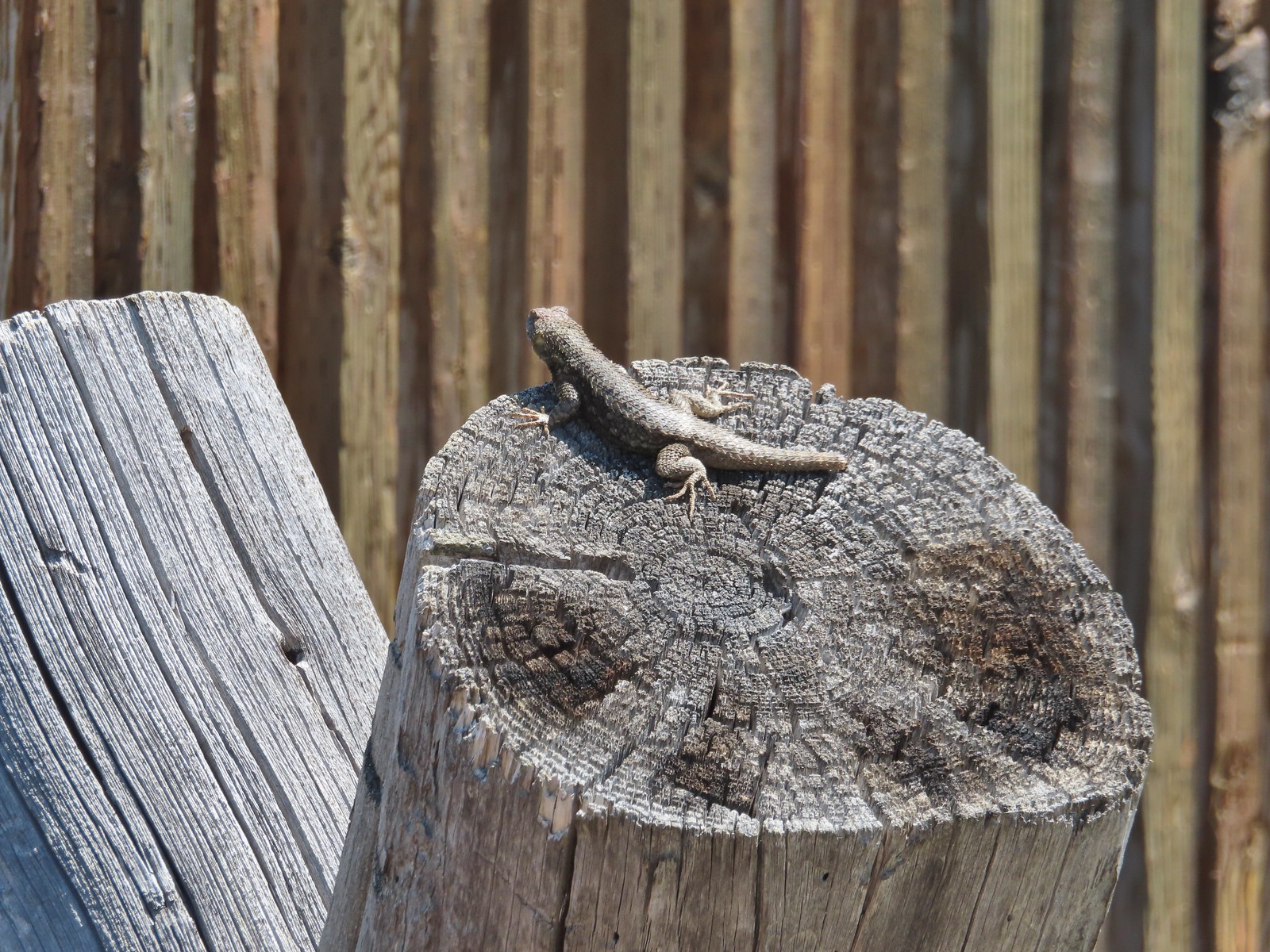 Lizard with half a tail at the trailhead.
 This mountain bluebird was acting odd when we arrived at the gate. It was flying back and forth with something in its mouth. (Mt. Adams is in the background.)


 Banks-Vernonia State Trail in January. (
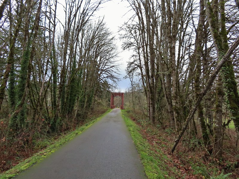 Row River Trail in December. (
 John Day River from the Lost Corral Trail
 Ninemile Ridge in the North Fork Umatilla Wilderness in June. (
 Devil’s Staircase Wilderness in July. (
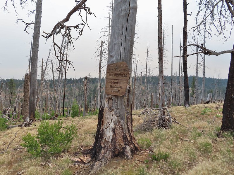 Black Canyon Wilderness in July. (
 Monument Rock Wilderness in July. (
 Ledbetter Point, the last of the hikes from the coast book. (
 Badger Lake, the last hike from the northwestern book. (
 Redwoods
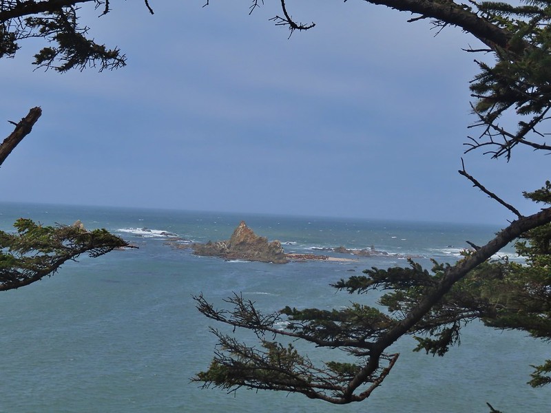

 Falls Creek – February
 Cascade Head from God’s Thumb – March
 Columbia River from Mitchell Point – March
 Mt. Hood from Sevenmile Hill – March
 Dalles Mountain Ranch – April
 Mt. Adams from Grayback Mountain – May
 Navigating a downed tree along the Pawn Old Growth Trail – May
 Rogue River Trail – May
 Golden Falls – May
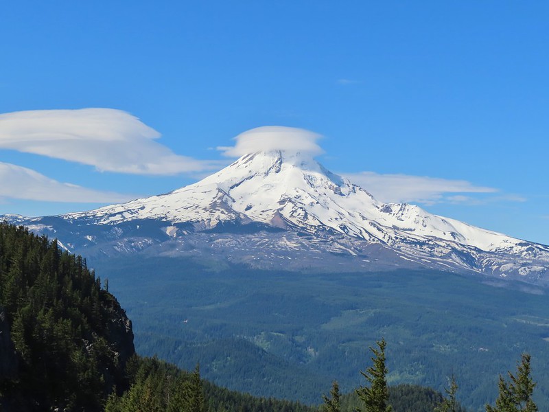 Lenticular cloud over Mt. Hood from Surveyor’s Ridge – May
 Whychus Canyon – May
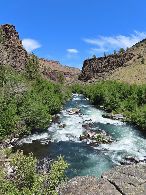 Deschutes River – May
 Whychus Creek Overlook – May
 Forest on Mary’s Peak – June
 North Fork Umatilla River – June
 Tower Mountain Lookout – June
 Malheur River – June
 Meadow on Round Mountain – June
 Santiam Lake – July
 Three Fingered Jack from Lower Berley Lake (and a butterfly photobomb) – July
 The Husband and Three Sisters from Substitute Point – July
 Ochoco
 Red Sun through wildfire smoke from the Monument Rock Wilderness – July
 Canyon Mountain Trail, Strawberry Mountain Wilderness – July
 Aldrich Mountains – July
 Mt. Mitchell summit on a rare poor weather day – August
 Mt. Bachelor – August
 Cottonwood Camp, Big Indian Gorge in the Steens Mountain Wilderness – August
 Wildhorse Lake, Steens Mountain Wilderness – August
 Evening at the Steens Mountain Resort – August
 Little Blitzen Gorge – August
 Riddle Ranch – August
 Morning in the Pueblo Mountains – August
 Oregon Desert Trail, Pueblo Mountains – August
 Mt. St. Helens and Spirit Lake – August
 Harmony Falls – August
 Loowit Falls – August
 Mt. St. Helens from Norway Pass – August
 Mt. Hood from the PCT in the Indian Heaven Wilderness – September
 Mt. Adams and Soda Peaks Lake, Trapper Creek Wilderness – September
 Jubilee Lake – September
 Rough Fork Trail, Blue Mountains – September
 Heritage Landing Trail, Deschutes River – September
 McDonald-Dunn Forest – October
 Cascade Mountains from the Mt. Jefferson Wilderness – October
 Three Fingered Jack from Round Lake – October
 Mt. Hood from the Flag Point Lookout
 Mt. Hood from Lookout Mountain – October
 Silver Falls State Park – October
 Laurel Hill Wagon Chute – October
 Barlow Ridge, Mt. Hood Wilderness – October
 Fern Ridge Wildlife Area – November

 Sunlight on Haystack Butte in Washington.
 Part of Moody Rapids.
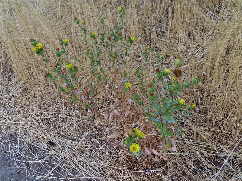 Gum weed
 The last petals on a blanket flower.
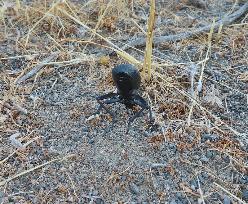 We saw several of these large beetles, all prepared to defend themselves.
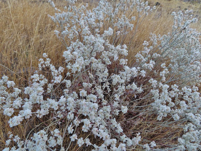 Snow buckwheat
 Chicory
 Seagull
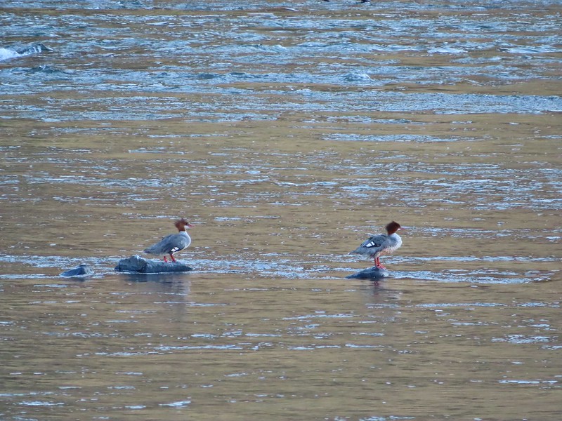 Mergansers
 Sparrow
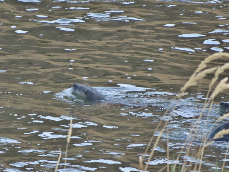 One blurry otter head and another partial otter on the right.
 A bunch of tree branches, oh and an otter in the water.


 Rattlesnake Bend is up ahead but we stopped here for a bit to watch a heron getting breakfast.

 A sparrow, possibly a Savannah sparrow.
 The trail climbed higher on the hillside for a bit to avoid some thick vegetation below.
 Rattlesnake Bend
 Railroad tracks above the trail.
 Looking back from Rattlesnake Bend near where we turned around.
 Rattlesnake Rapids
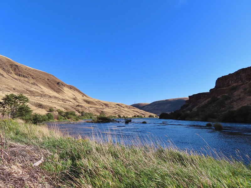
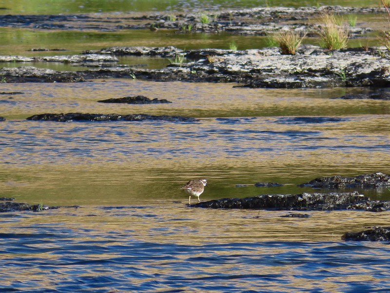 Killdeer
 An older channel?
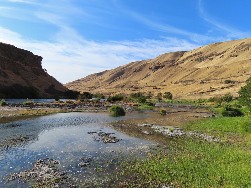

 Had to go back up to avoid the vegetation here.
 Ground squirrel
 Heron flying up river.
 Old rock wall along the way.
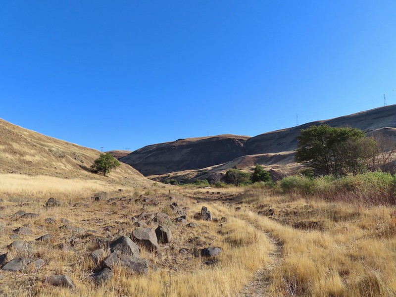 Typical use trail.
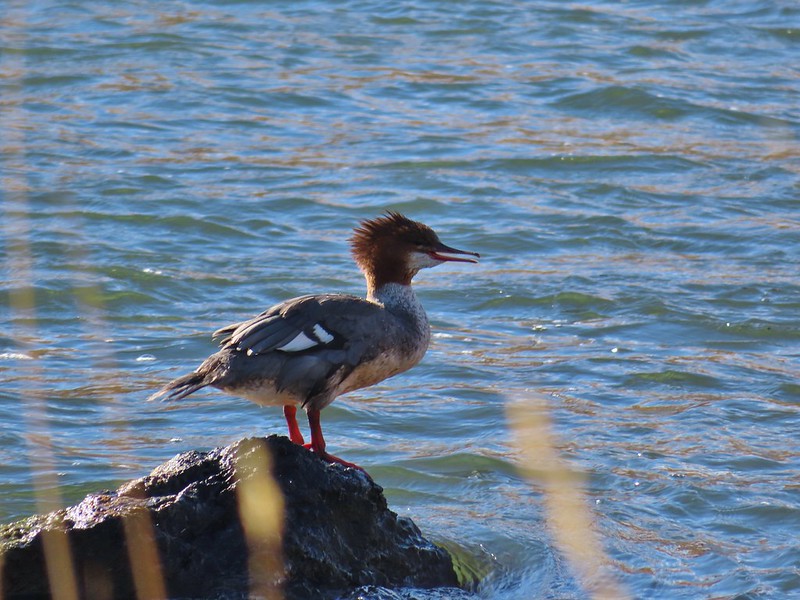 Merganser
 Aster
Aster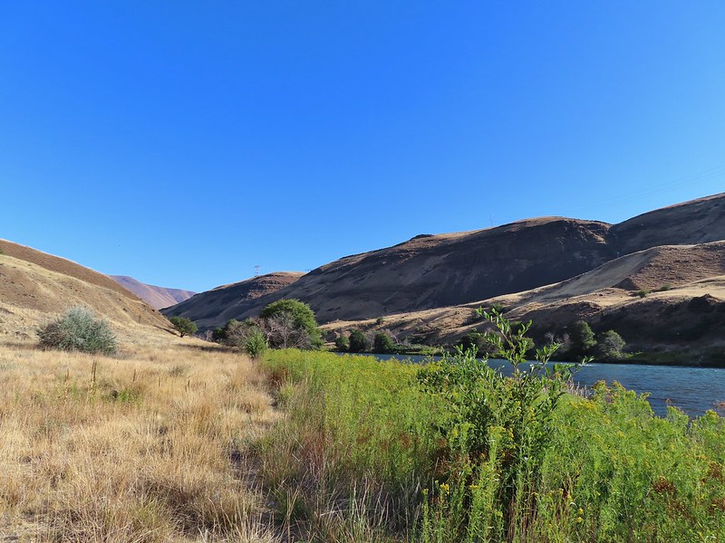
 Osprey showing up the fishermen.
 Finch
Finch More birds near the spring.
 Little yellow birds, maybe warblers?
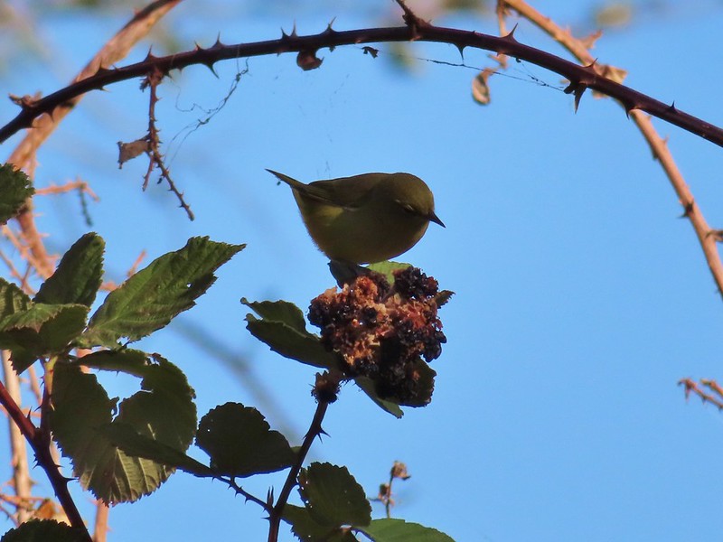 One of the yellow birds on a blackberry plant.
 Moody Rapids
 Haystack Butte
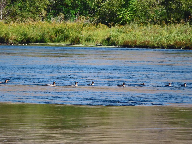 A line of mergansers.

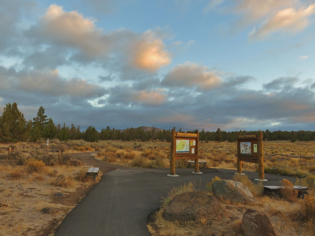 Cline Buttes from the Maston Trailhead.
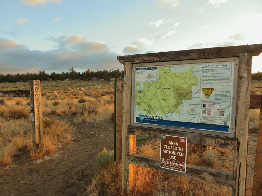

 Interpretive sign at the Maston Trailhead telling the story of the settlers.
 Stone foundation of one of the abandoned buildings along the Settlement Trail.
 Typical sign at a junction. Not all of the junctions had signs and not all of the signs identified which trail/junction it was so having a copy of the trail system map is a really good idea.
 This one may be a sparrow of some sort, it was signing quite a bit.
 Possibly another sparrow or a finch or something else.
 Maybe a bluebird?
 Wildcat Canyon Trailhead off to the right.
 I managed to snap one photo and of course the camera focused on said juniper instead of the rabbit beyond.
 Wildcat Canyon on the right joining the Deschutes River Canyon
 The Deschutes River near where the canyons meet.
 Grizzly Mountain in the distance beyond the Deschutes River.
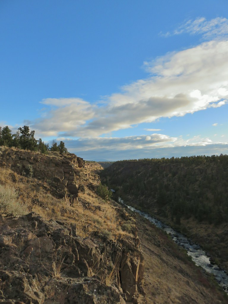 Another of several viewpoints along the rim.
 Some Fall color along the Deschutes River.
 Rock dove
 A viewpoint along the Rockbar Trail.
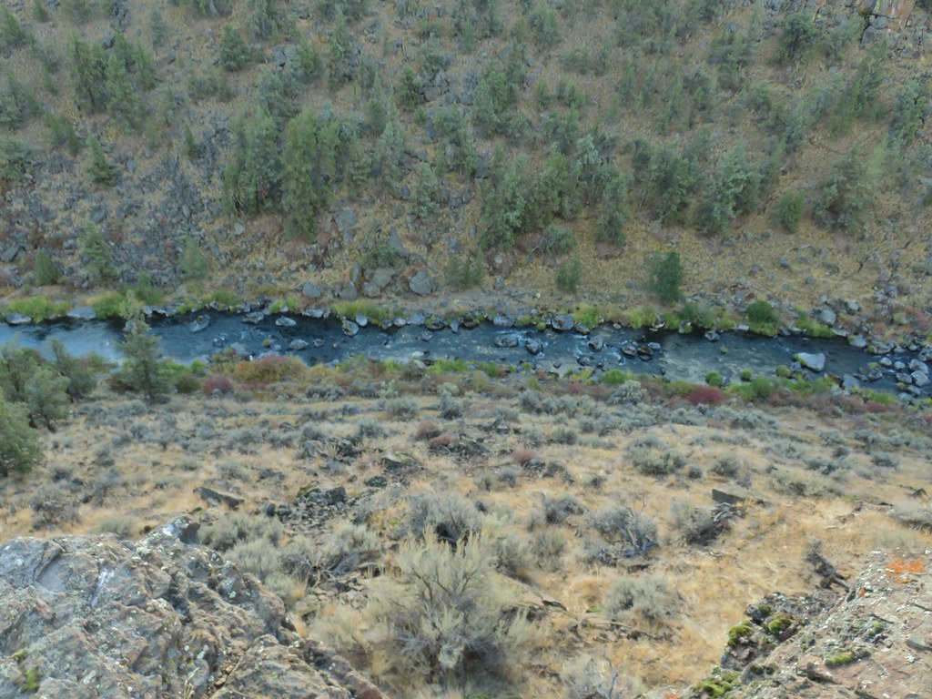
 Looking south up the river canyon.
 A calm pool along the Deschutes.
 I could see this one, a Stellar’s jay.
 Coming up to the road.


 This was Junction 2 (one of the junctions with an identifying sign). We stayed right on the Headgate Trail here.
 Tam McArthur Rim is left center with South Sister in the center and North Sister to the right center.
 Heather and Dominique on the Maston Trail.
 Coming up on the Settlement Trail.
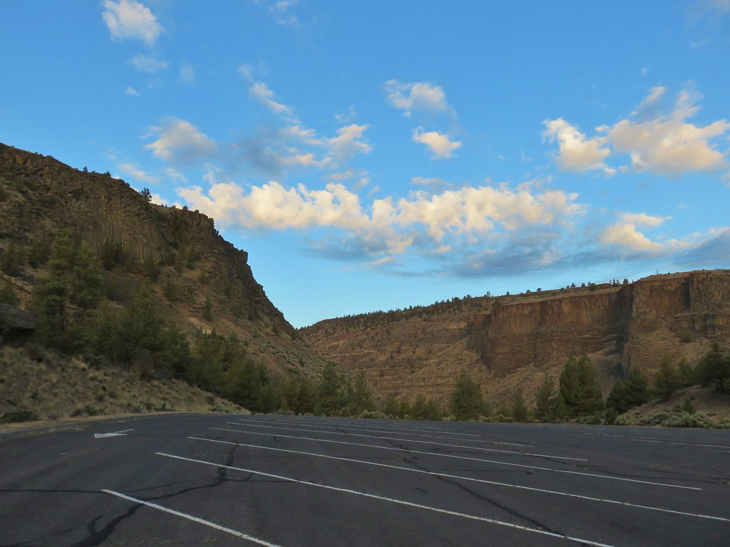


 The Three Sisters
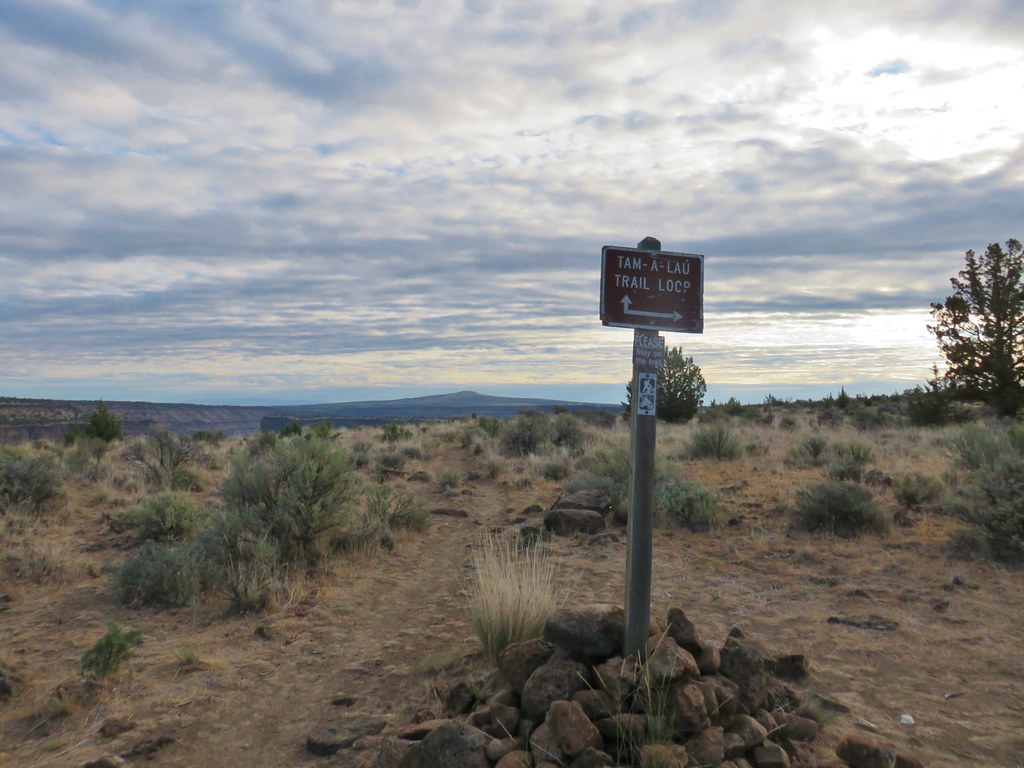


 (the camera deciding the fence was more interesting than the deer)


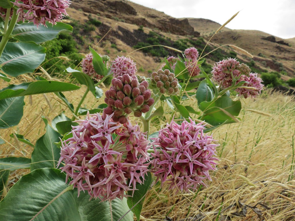 Showy milkweed
 Chicory
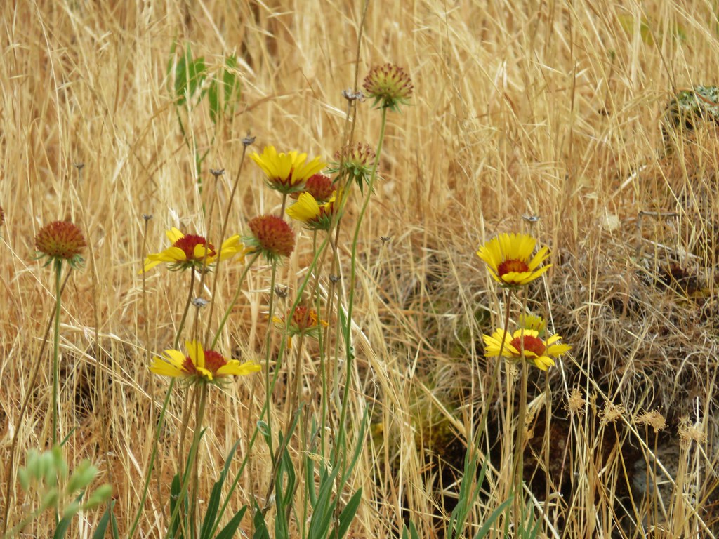 Blanket flower