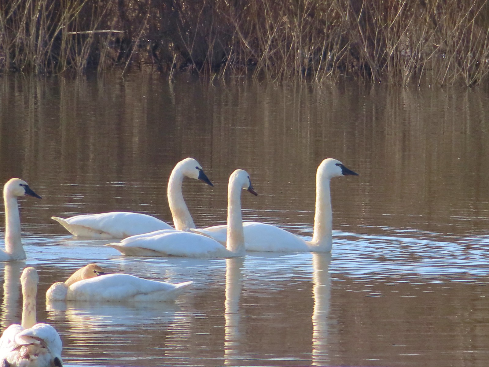
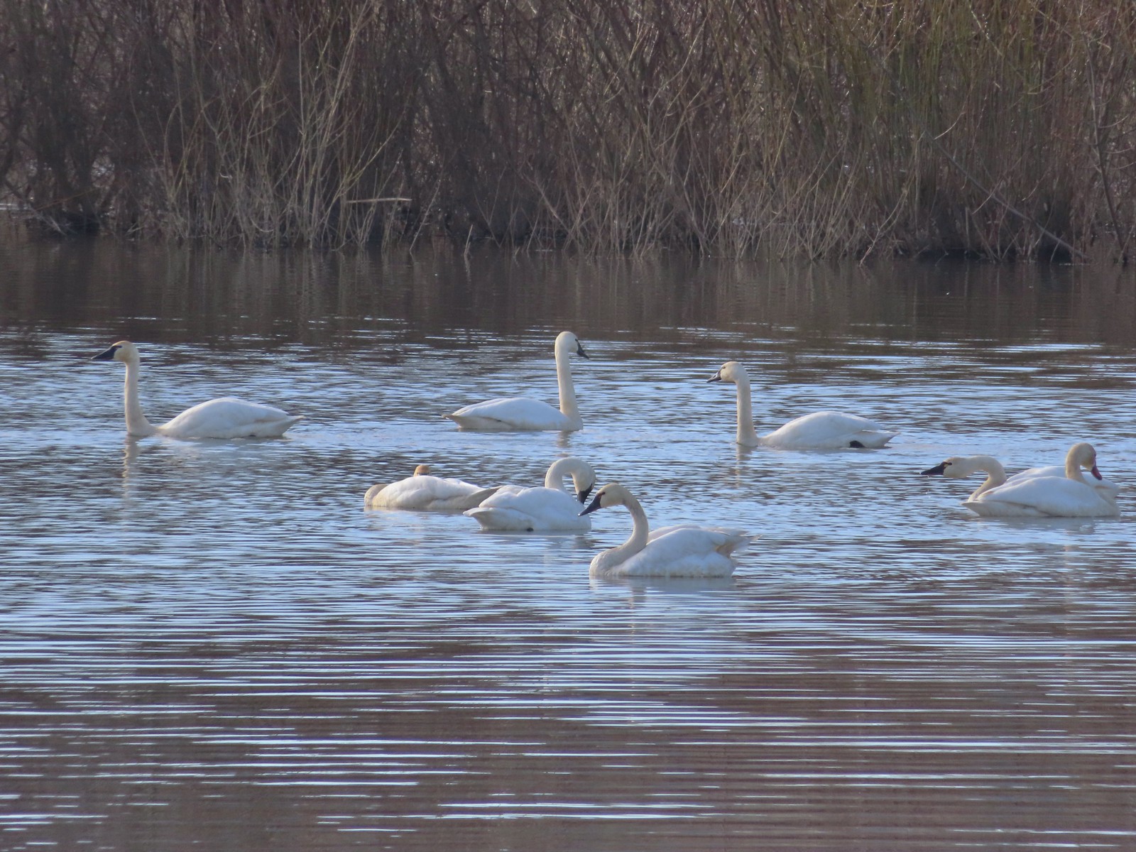
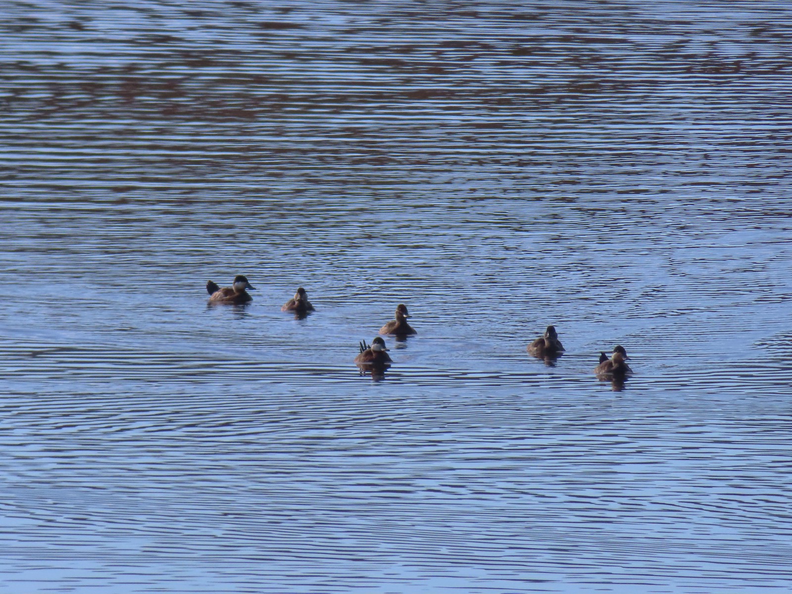
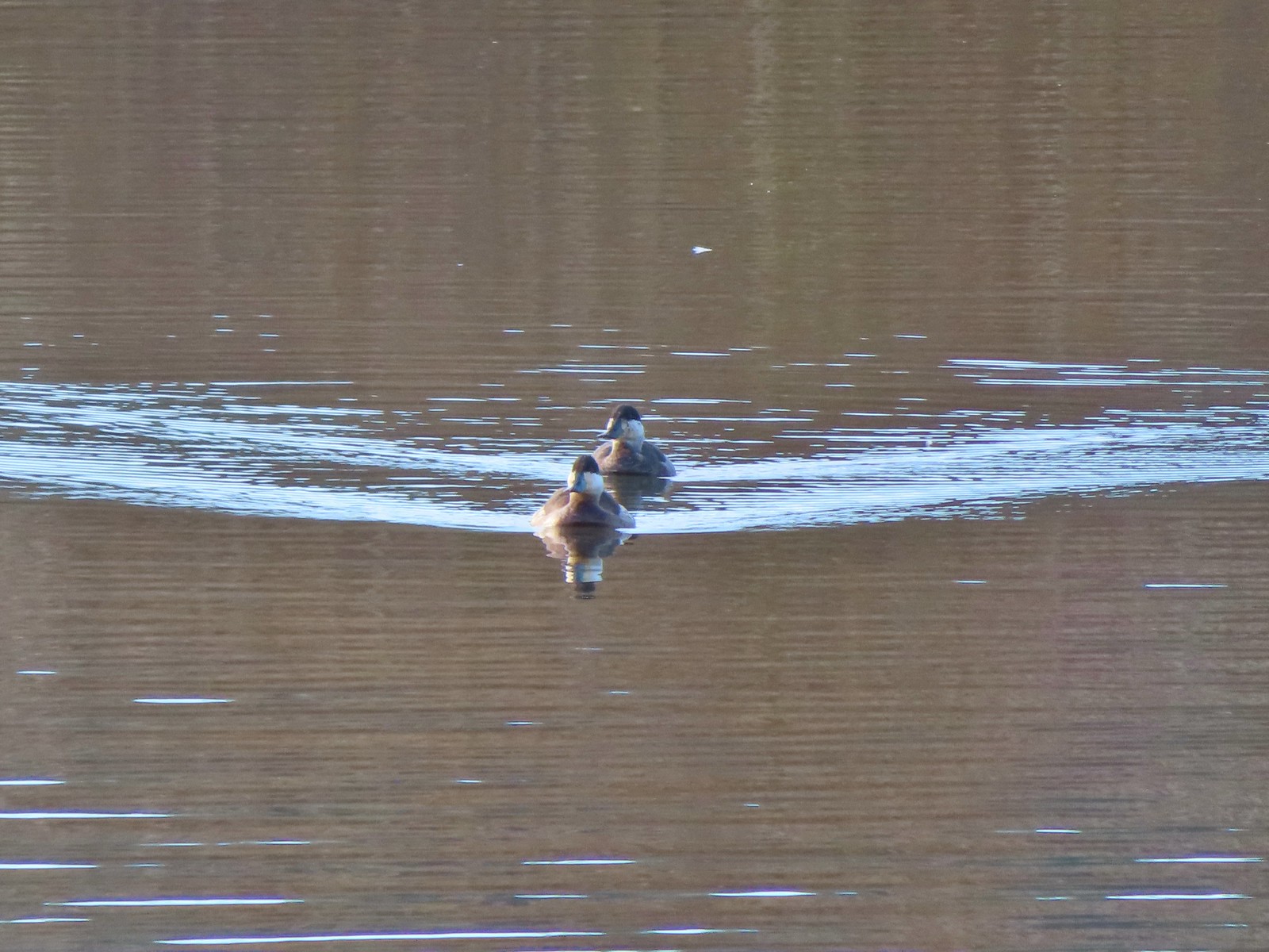
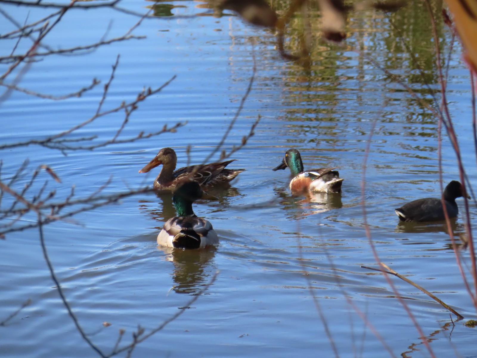
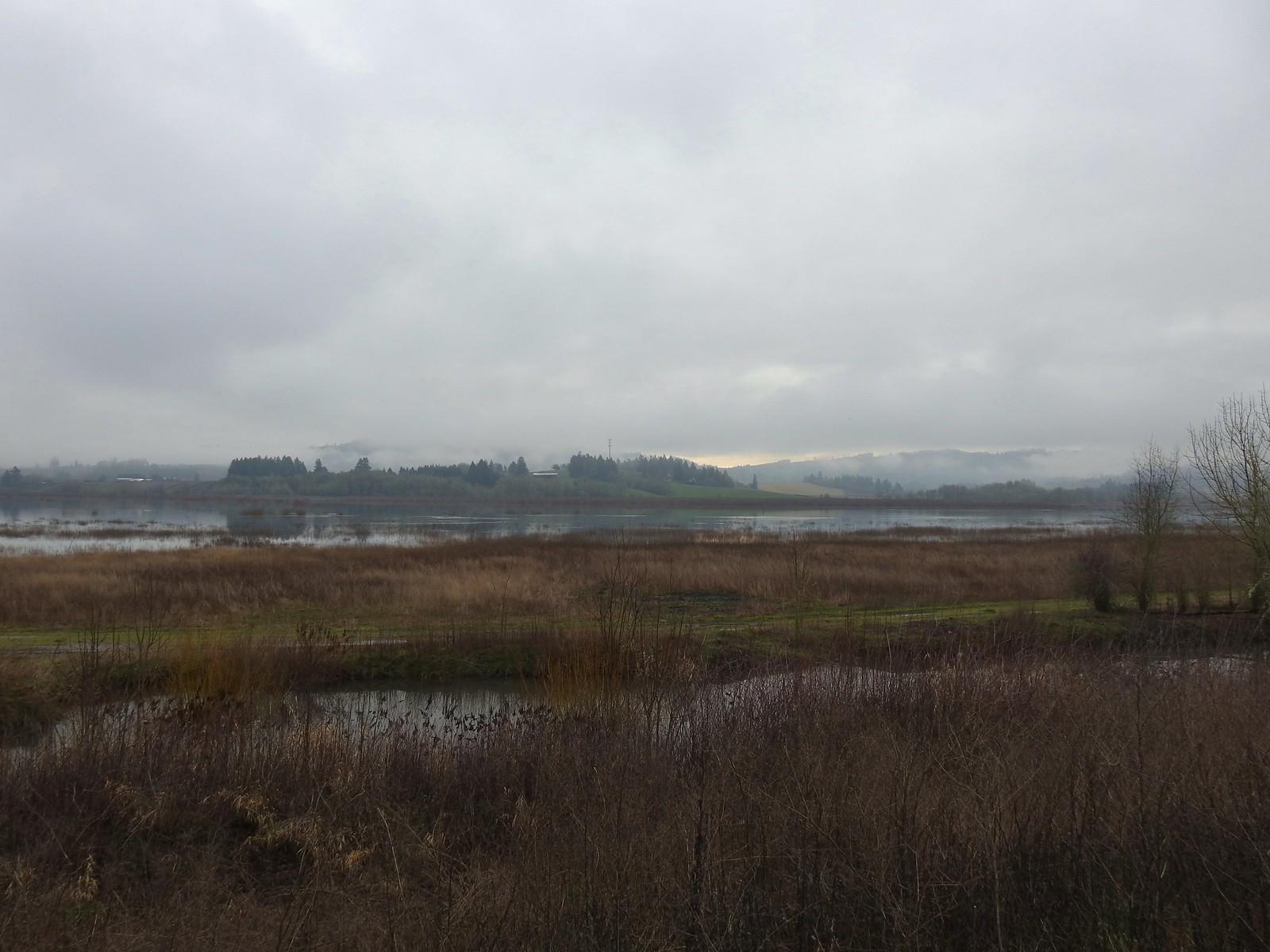
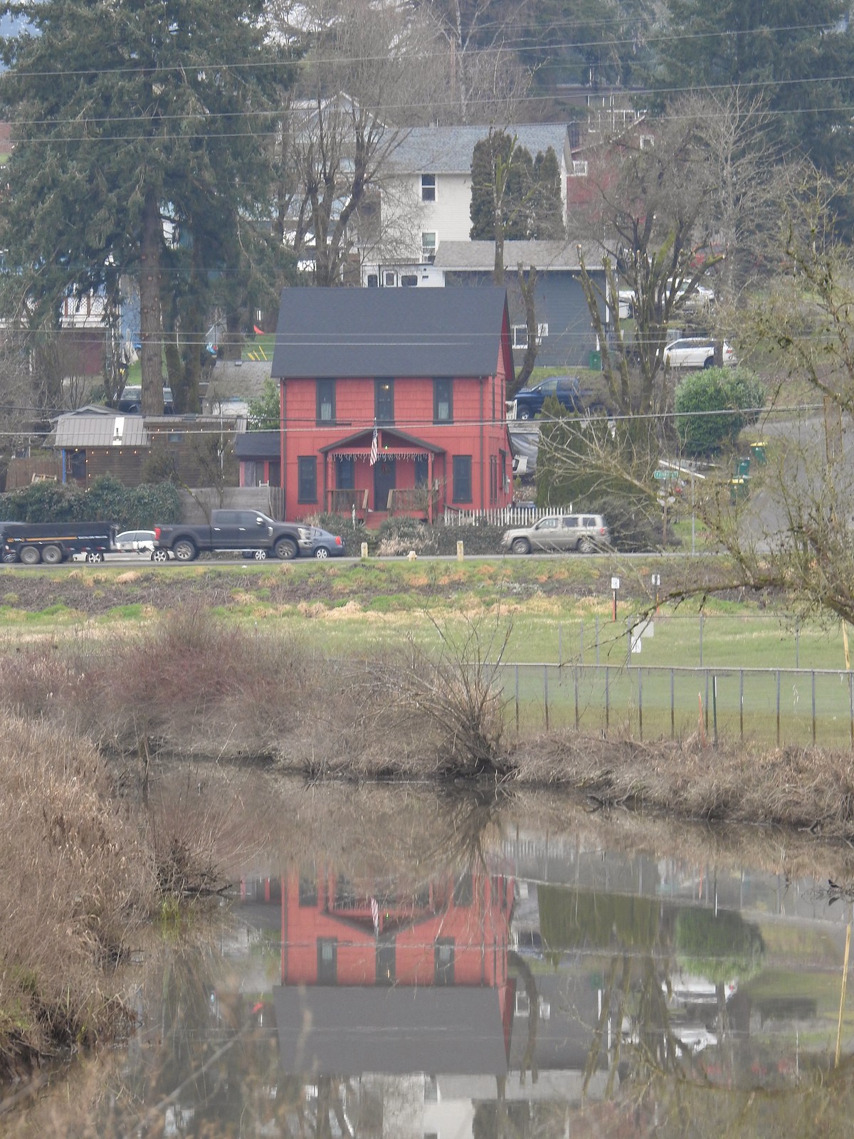
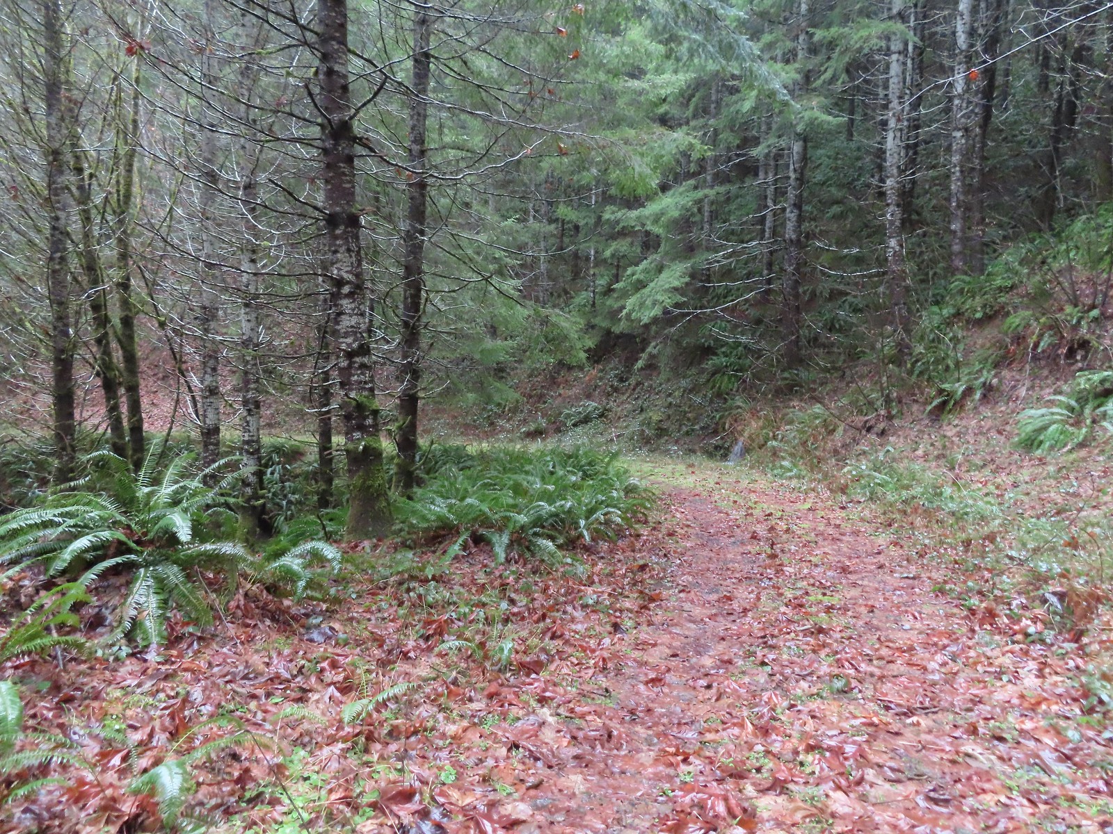
As we did last year we’ve split our wildlife recap into two posts, feathered (post) and featherless. As with all our wildflower and wildlife posts any corrections or additions to our attempts at identifying what we’ve photographed is greatly appreciated. One other note, while we really enjoy taking pictures as a way to record what we see on our hikes, we are by no means photographers. We use our phones and a point and shoot camera on the auto setting, so the pictures are far from professional, but we hope you enjoy them. Finally, we do practice Leave No Trace Principles including Principle 6: Respect Wildlife which means observing from a distance, never feeding, and respecting any area wildlife closures. We urge others to do the same and recreate responsibly.
The highlight of the year was getting to watch a badger make its way down Central Patrol Road in the Malheur National Wildlife Refuge on 9/4/23.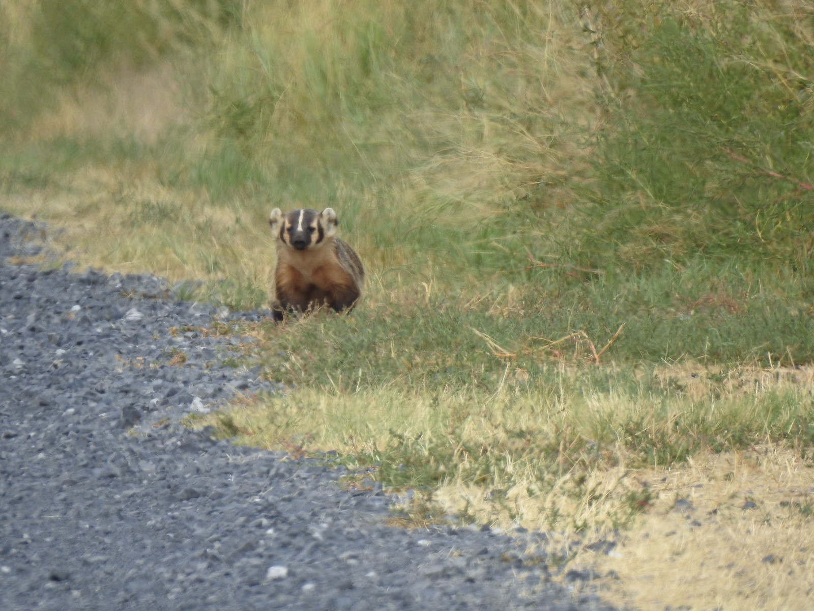
 Harvester ants – 5/29/23, Riley Ranch Preserve, Bend
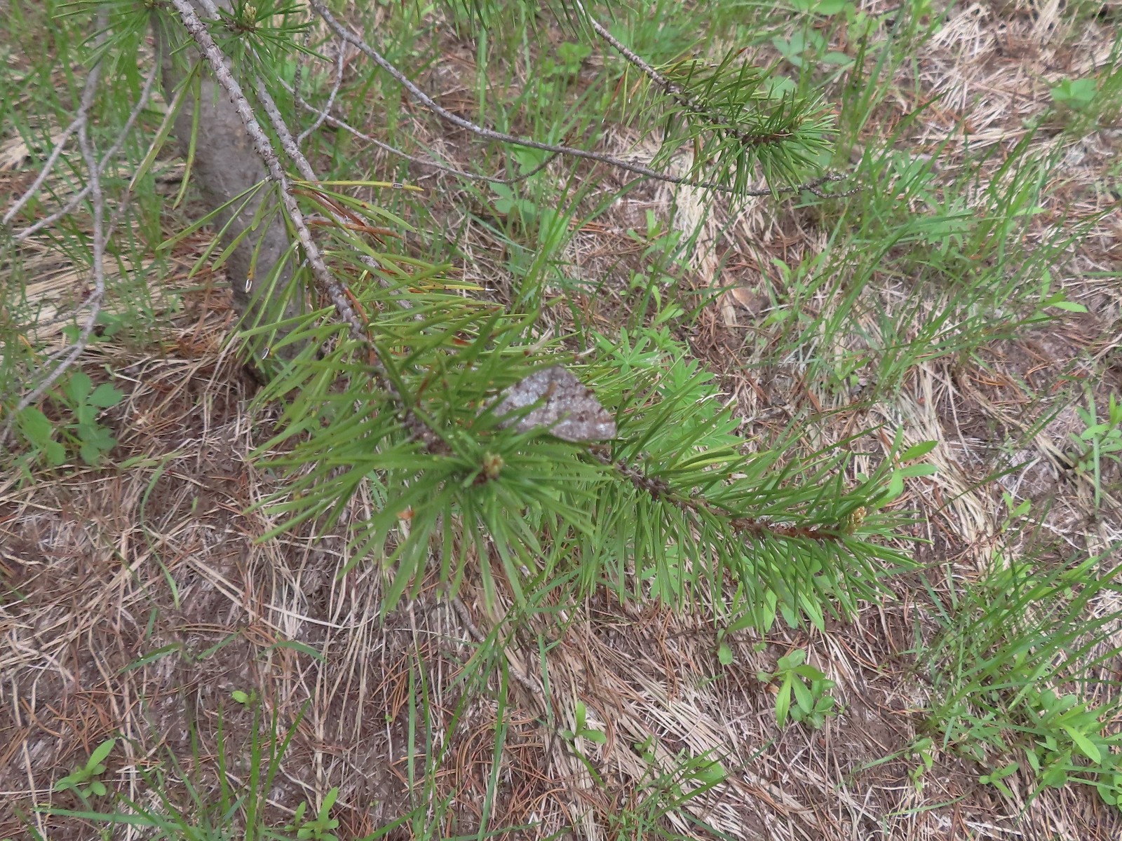
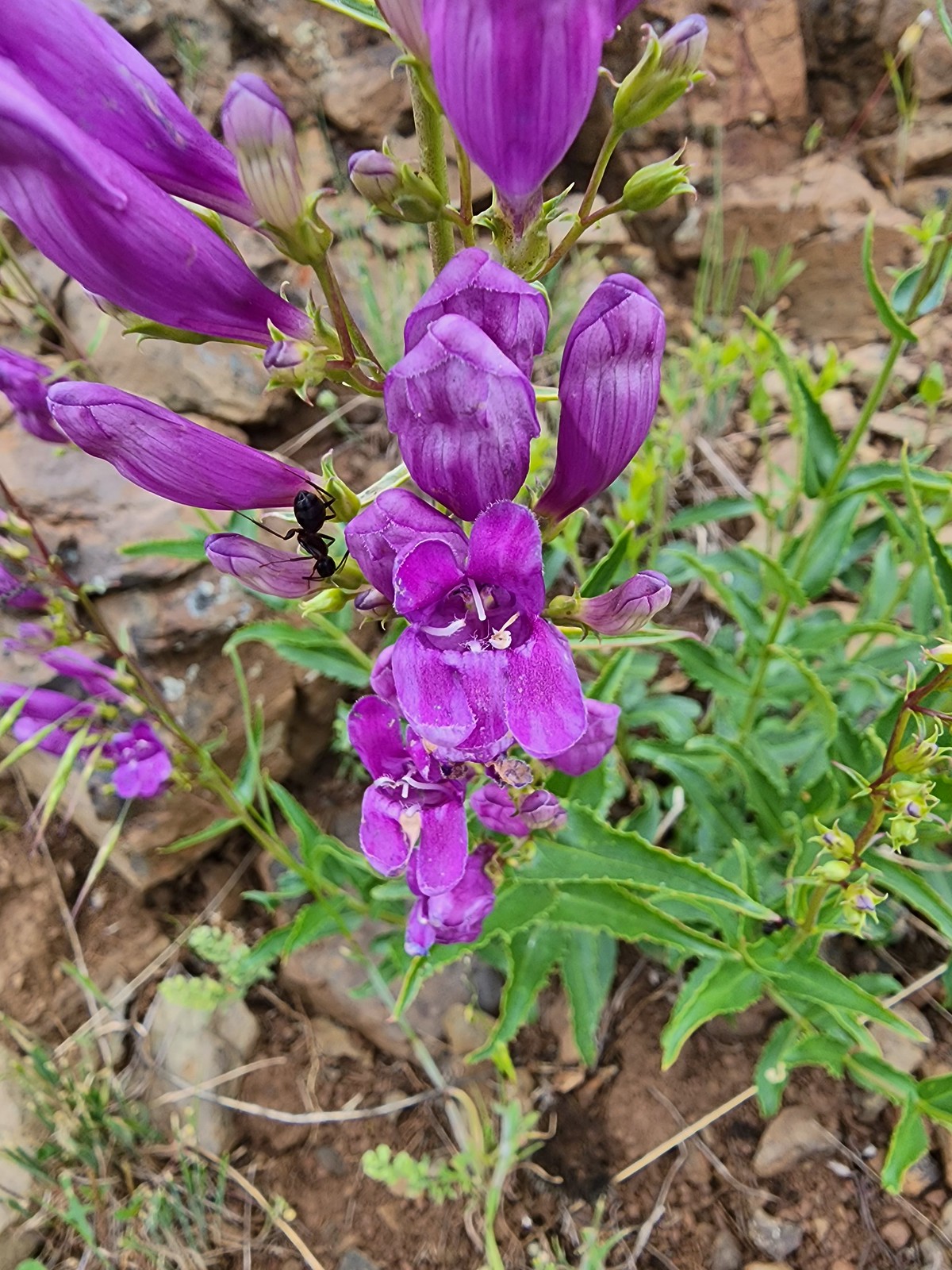 Ant on penstemon – 6/15/23, Hells Canyon National Recreation Area, Wallowa-Whitman National Forest
 Crab spider on a California harebell – 6/25/23, North Umpqua Trail, BLM Roseburg District
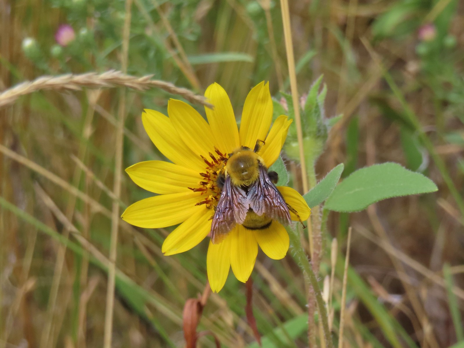 Bee – 9/3/23, Threemile Canyon, BLM Burns District
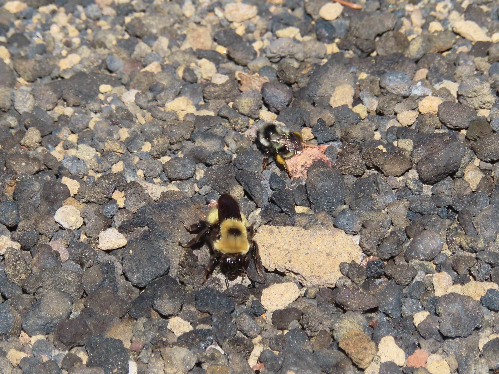 Bees – 7/8/23, Sand Mountain, Willamette National Forest
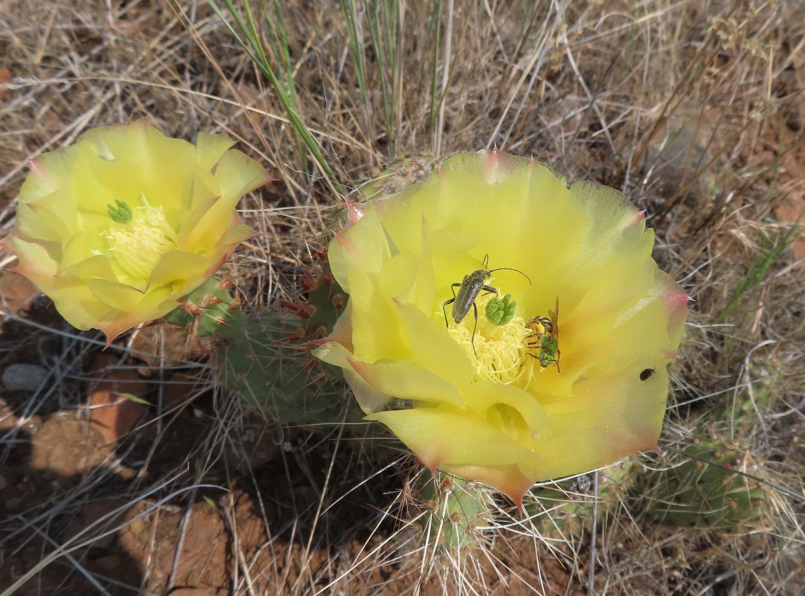 Sweat bee? and a beetle on a prickly pear cactus – 6/15/23, Hells Canyon National Recreation Area, Wallowa-Whitman National Forest
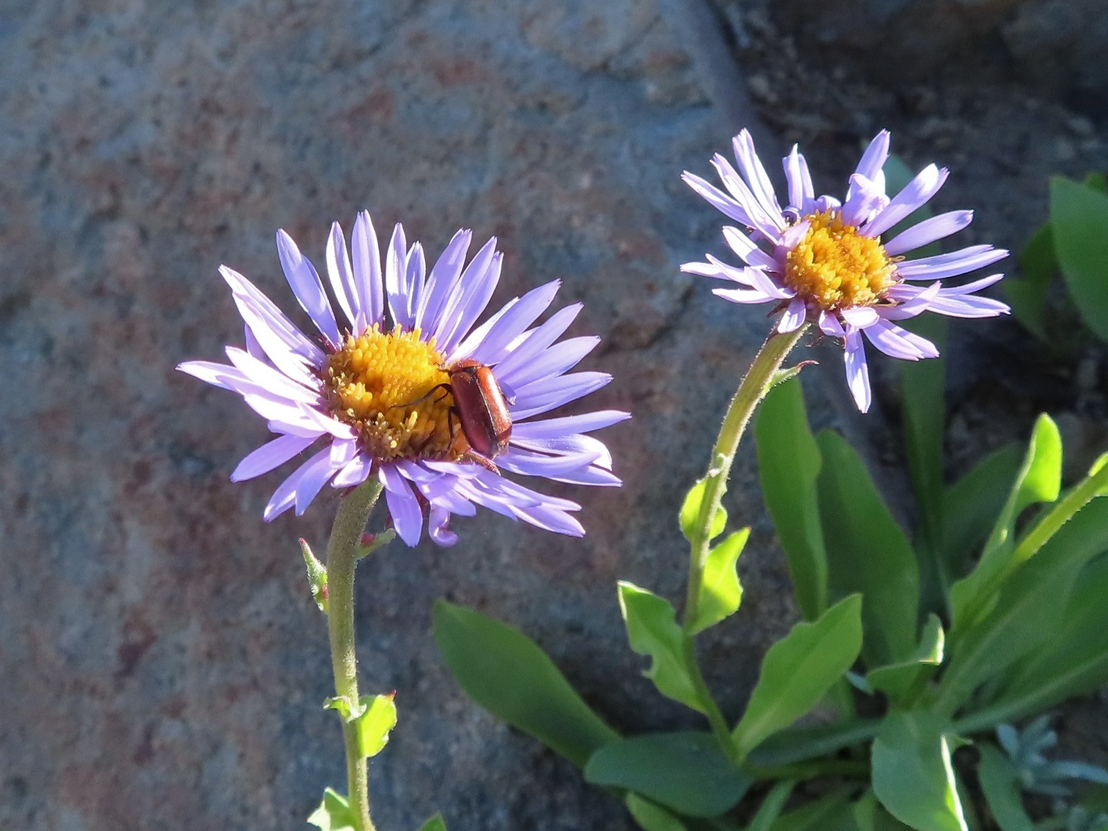 Beetle – 7/31/23, Garfield Peak Trail, Crater Lake National Park
 Beetle – 7/29/23, Stuart Falls Trail, Crater Lake National Park
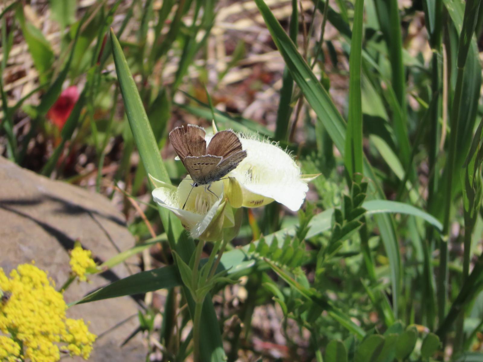
 Beetle on a white mariposa lily – 8/14/23, Main Eagle Creek Trail, Eagle Cap Wilderness
 Beetle and another bug on spirea – 7/4/23, Rocky Top Trail, Santiam State Forest
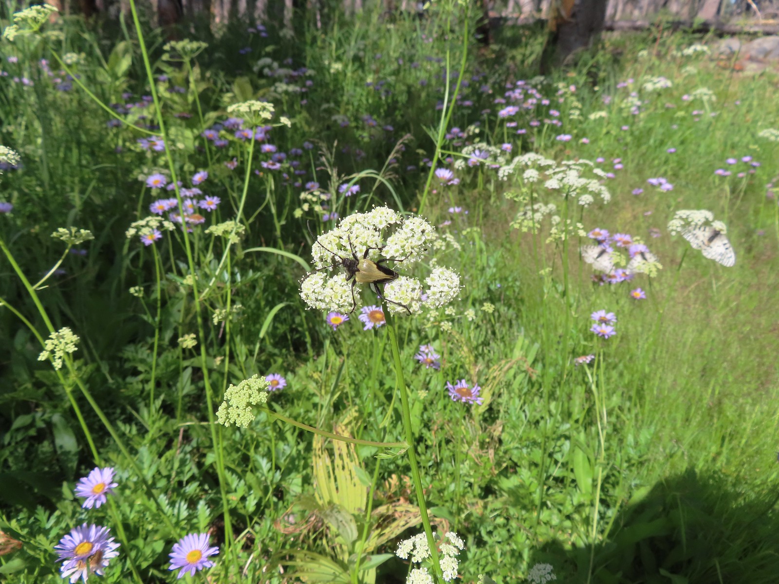
 Beetles on thistle – 6/15/23, Hells Canyon National Recreation Area, Wallowa-Whitman National Forest
 Ladybug on a daisy – 7/4/23, Natural Arch Trail, Santiam State Forest
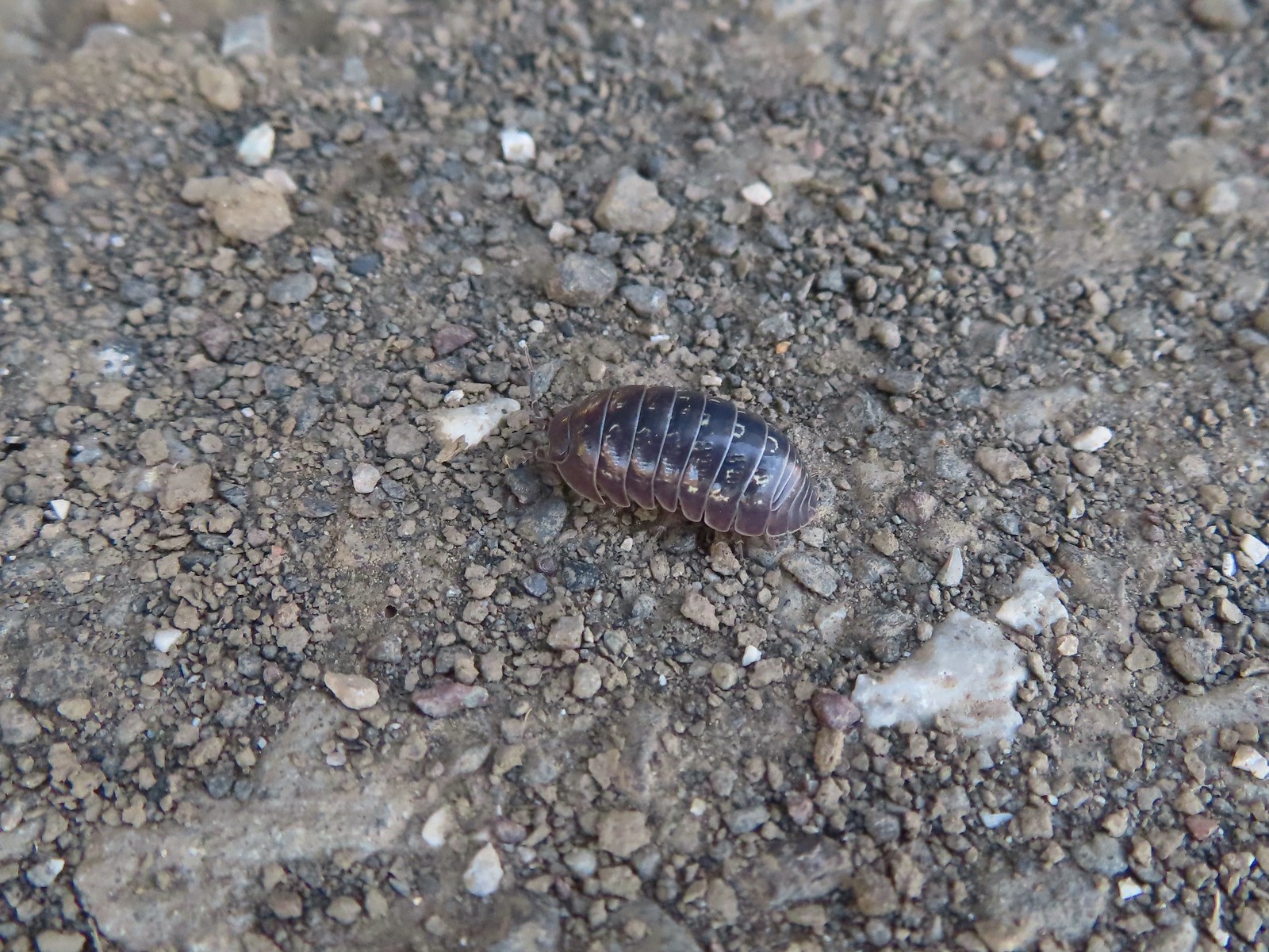 Common pill-bug – 6/25/23, North Bank Habitat, BLM Roseburg District
 Beetle – 5/28/23, Criterion Tract, BLM Prineville District
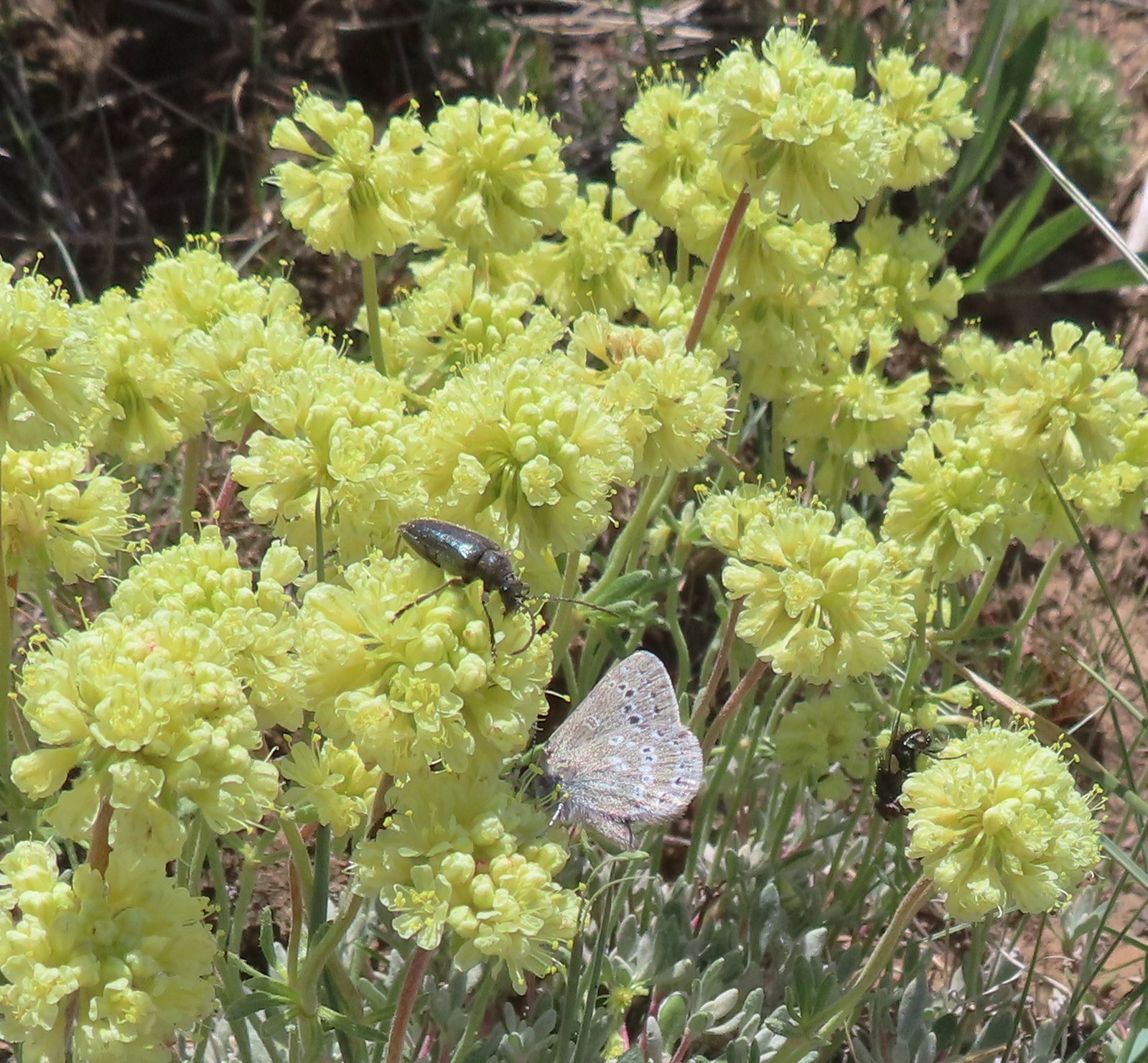 Beetle and a butterfly on buckwheat – 5/28/23, Criterion Tract, BLM Prineville District
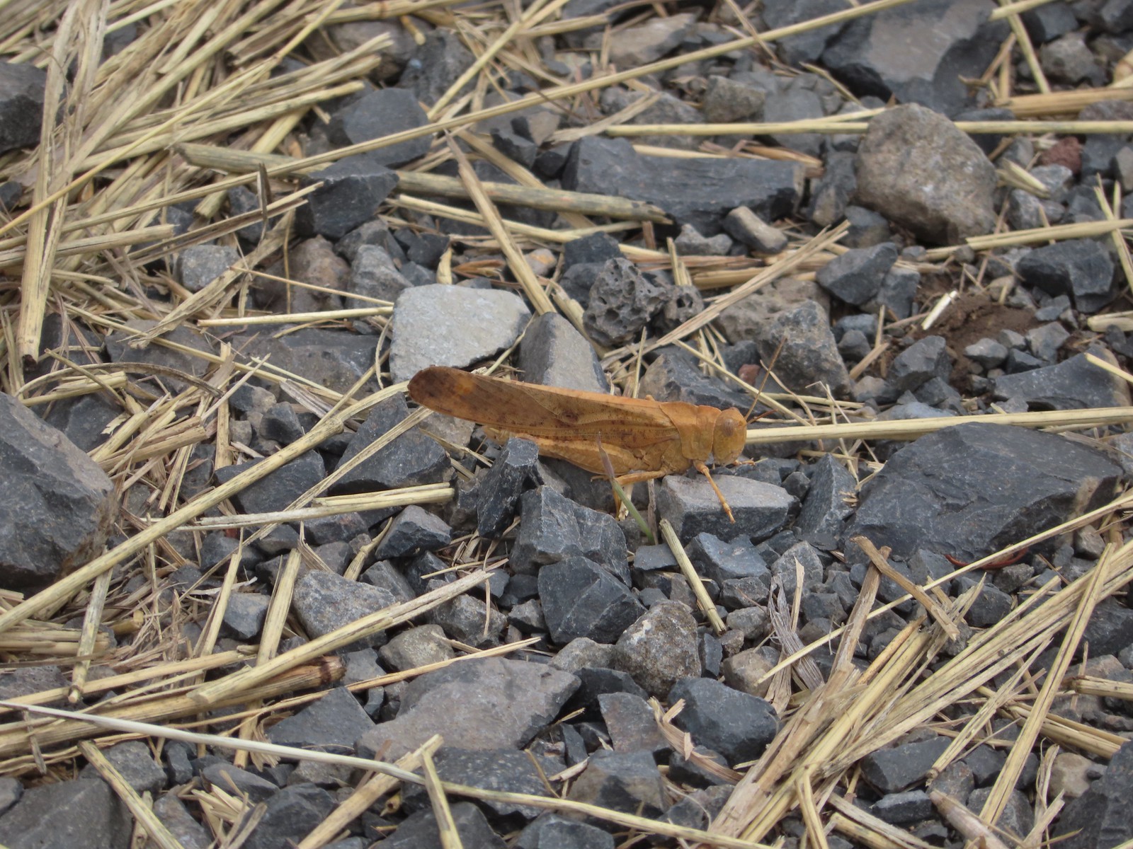 Grasshopper – 9/3/23, P Ranch, Malheur National Wildlife Refuge
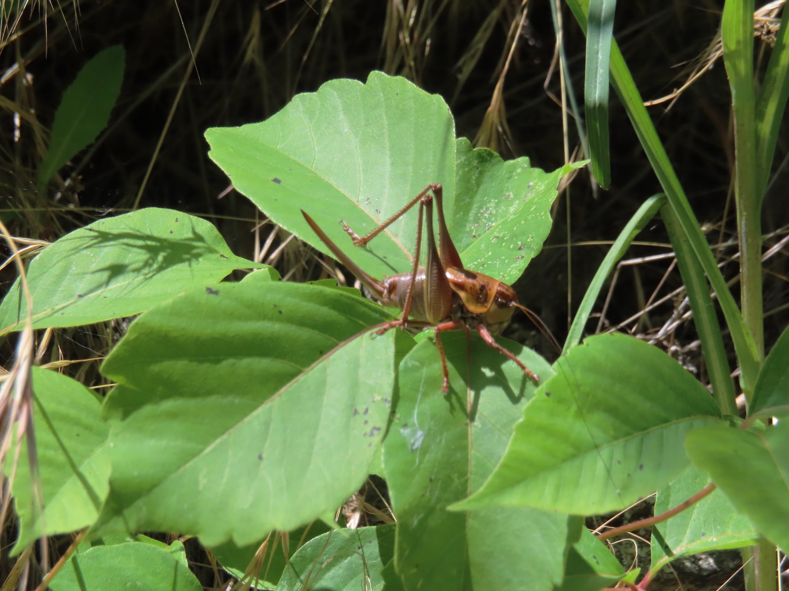 Cricket – 6/14/23, Imnaha Trail, Hells Canyon National Recreation Area
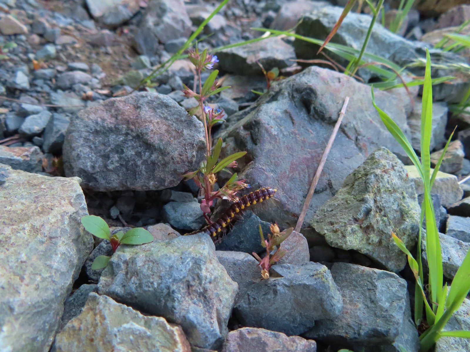
 Caterpillar – 5/28/23, Criterion Tract, BLM Prineville District
 Caterpillar – 7/1/23, Hummocks Trail, Mt. St. Helens National Volcanic Monument, WA
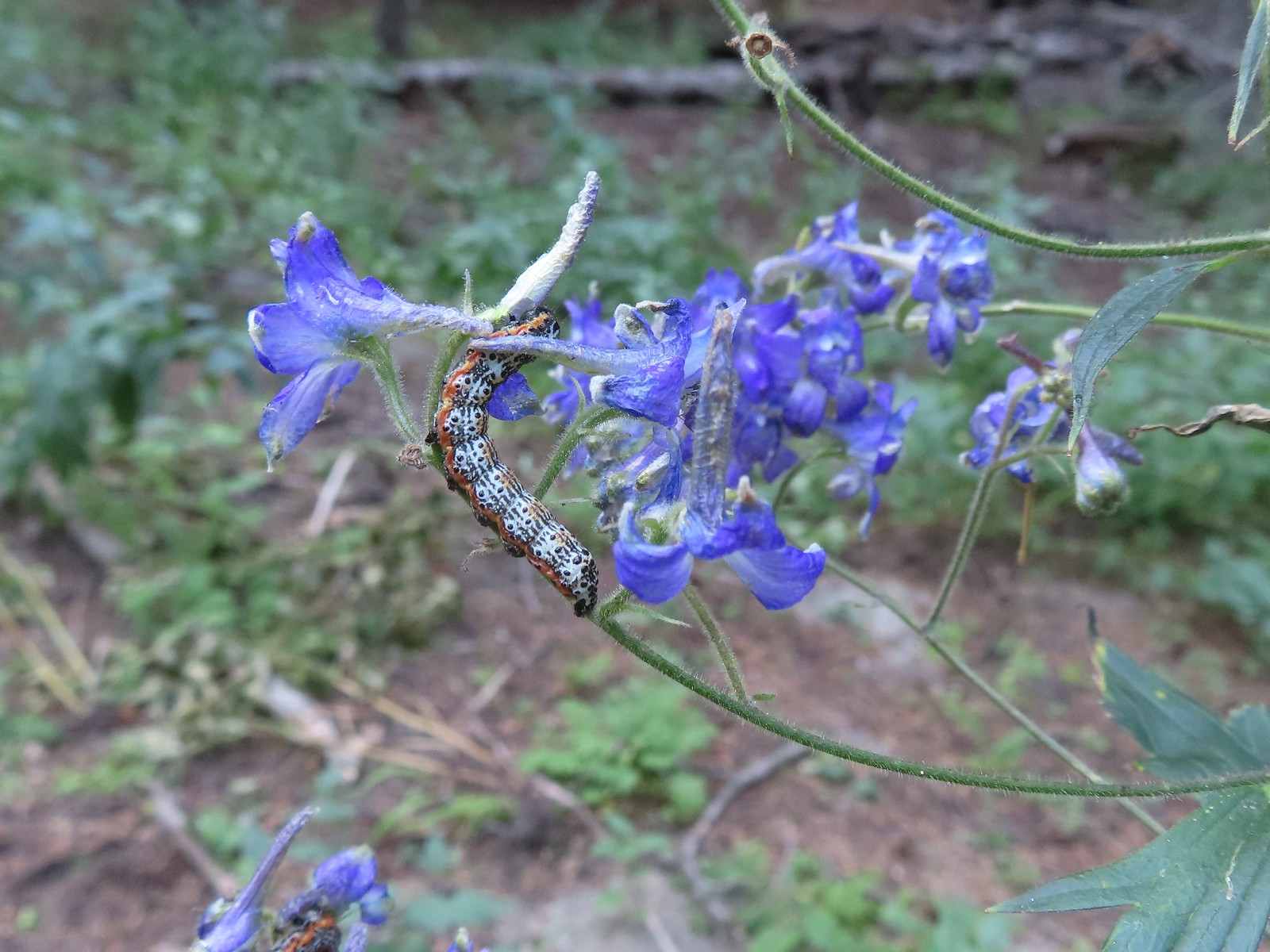 Caterpillar – 8/16/23, West Eagle Trail, Eagle Cap Wilderness
 Millipede – 6/12/23, Imnaha River Trail, Eagle Cap Wilderness
 Millipedes – 6/12/23, Imnaha River Trail, Eagle Cap Wilderness
 Eight-spotted Forester-Alypia octomaculata – 7/4/23, Niagra Heights Road, Santiam State Forest
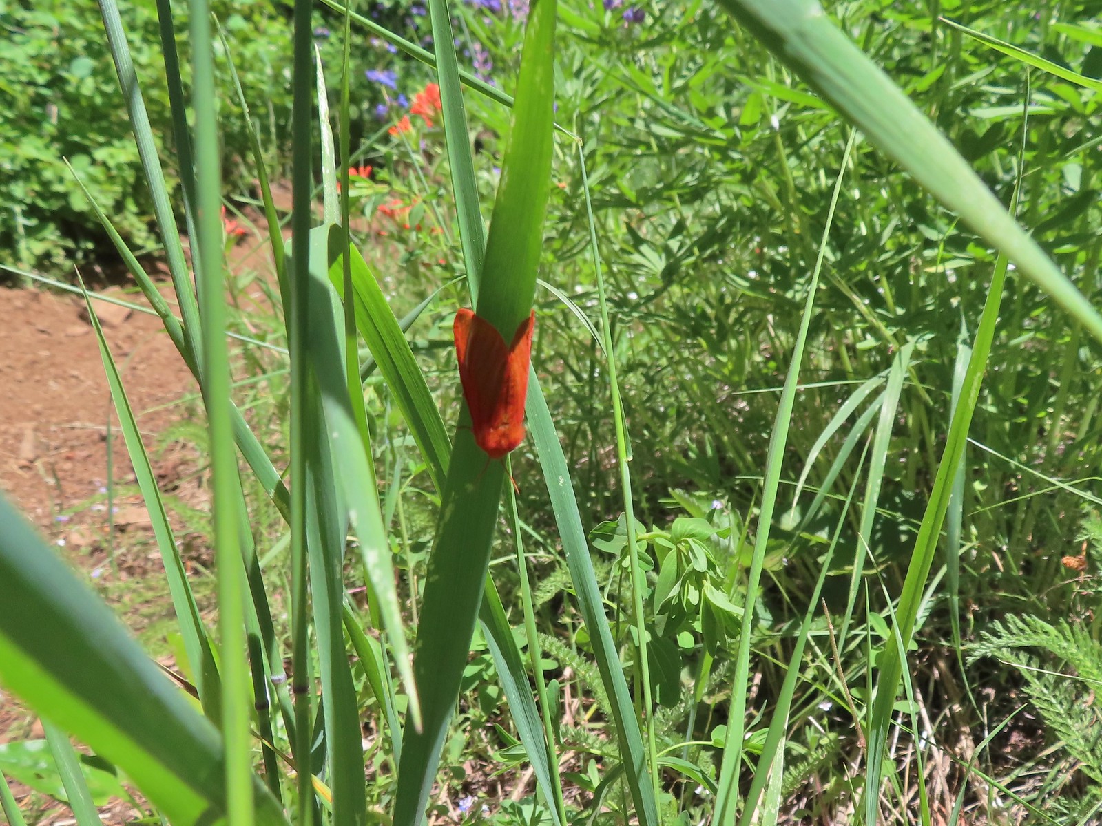
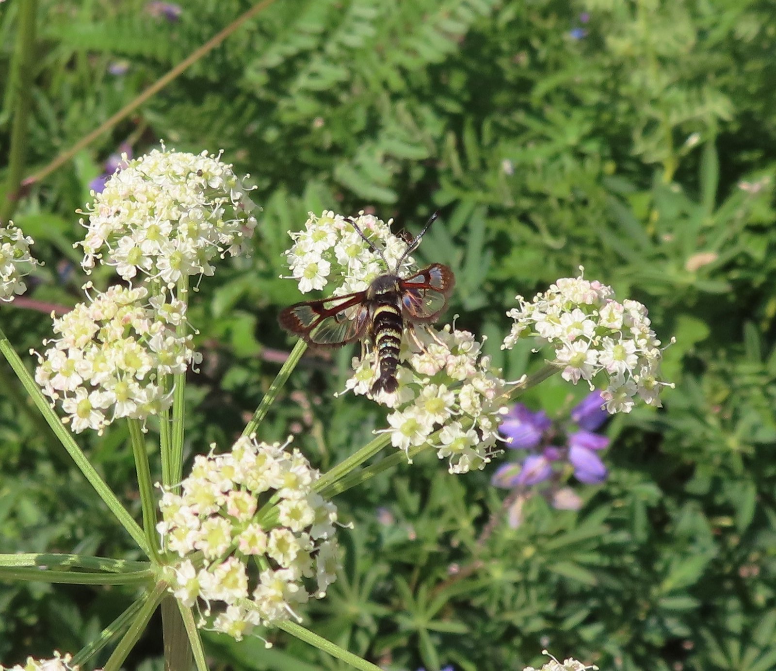 Fireweed Clearwing Moth (Albuna pyramidalis) – 7/4/23, Niagra Heights Road, Santiam State Forest
 Moth – 7/4/23, Niagra Heights Road, Santiam State Forest
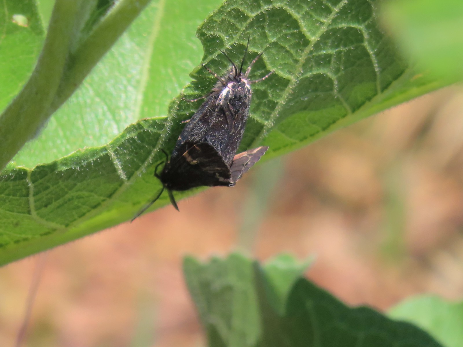 Moths – 6/3/23, Buck Creek Trail, Husum, WA
 Moth – 6/3/23, Buck Creek Trail, Husum, WA
 Moth – 6/3/23, Buck Creek Trail, Husum, WA
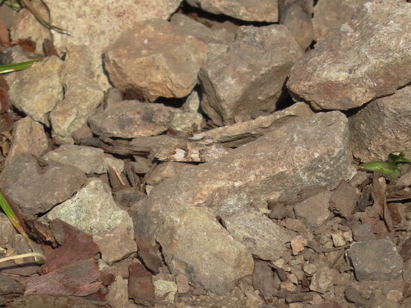
 Moth – 6/16/23, Trail 1890, Hells Canyon National Recreation Area
 Moth – 7/4/23, Rocky Top Trail, North Santiam State Park
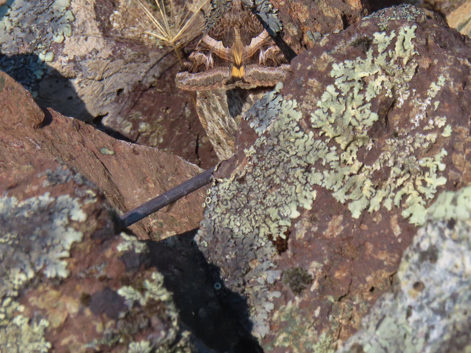
 Moth – 6/25/23, North Umpqua Trail, BLM Roseburg District
 Moth – 6/12/23, Imnaha River Trail, Eagle Cap Wilderness
 Moth – 6/24/23, Rogue River National Recreation Trail, Wild Rogue Wilderness
 Moth – 7/8/23, Santiam Wagon Road, Willamette National Forest
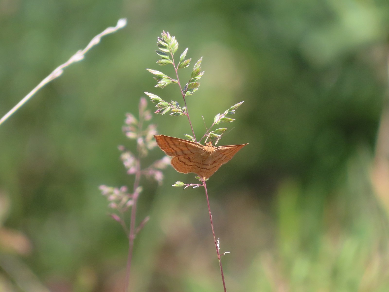
 Sphinx moth – 8/17/23, West Eagle Trail, Eagle Cap Wilderness
 Fly and butterfly – 5/28/23, Criterion Tract, BLM Prineville District
 Boisduval’s blues? – 6/3/23, Buck Creek Trail, Husum, WA
 Acmon blue? – 5/28/23, Criterion Tract, BLM Prineville District
 Eastern tailed blue? – 5/13/23, Graham Oaks Nature Park, Wilsonville
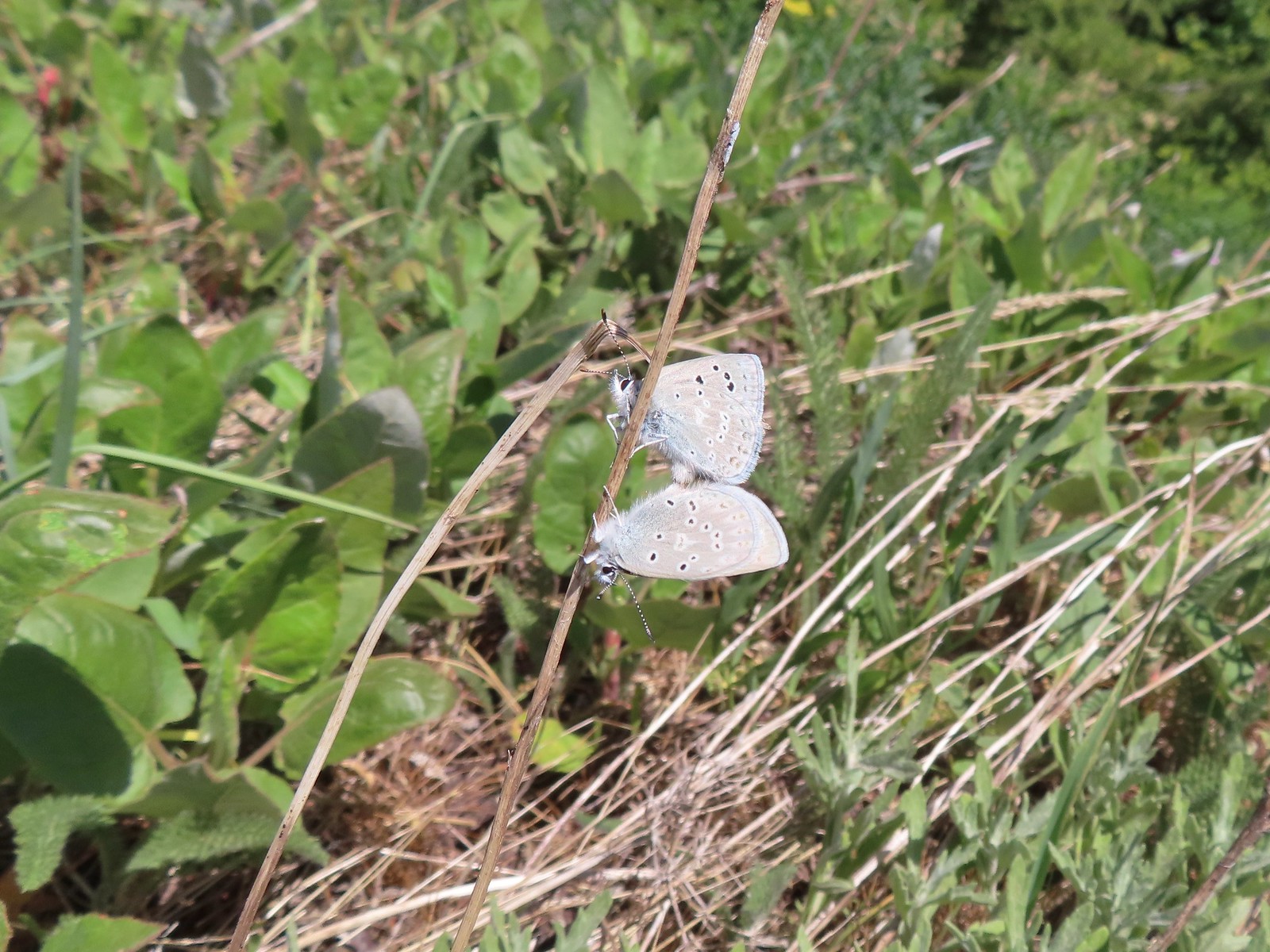
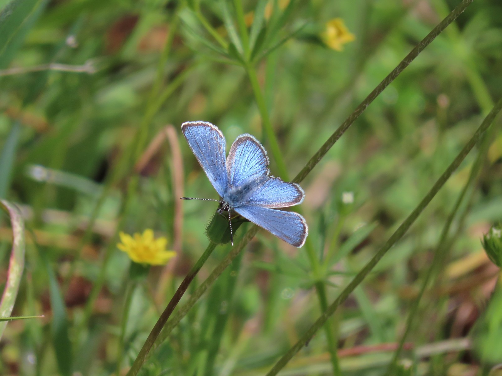 Butterfly in the Lycaenidae family – 5/2/23, Sterling Mind Ditch Trail System, BLM Medford District
 Butterfly in the Lycaenidae family – 5/28/23, Criterion Tract, BLM Prineville District
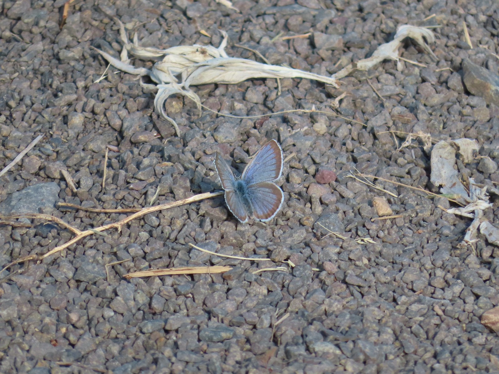
 Butterfly in the Lycaenidae family – 6/15/23, Hells Canyon National Recreation Area, Wallowa-Whitman National Forest
 Butterfly in the Lycaenidae family – 6/13/23, Iwetemlaykin State Heritage Site, Joseph
 Echo azures? – 5/4/23, Forest Road 011, Rogue-River Siskiyou National Forest
 Butterfly in the Lycaenidae family – 6/3/23, Buck Creek Trail, Husum, WA
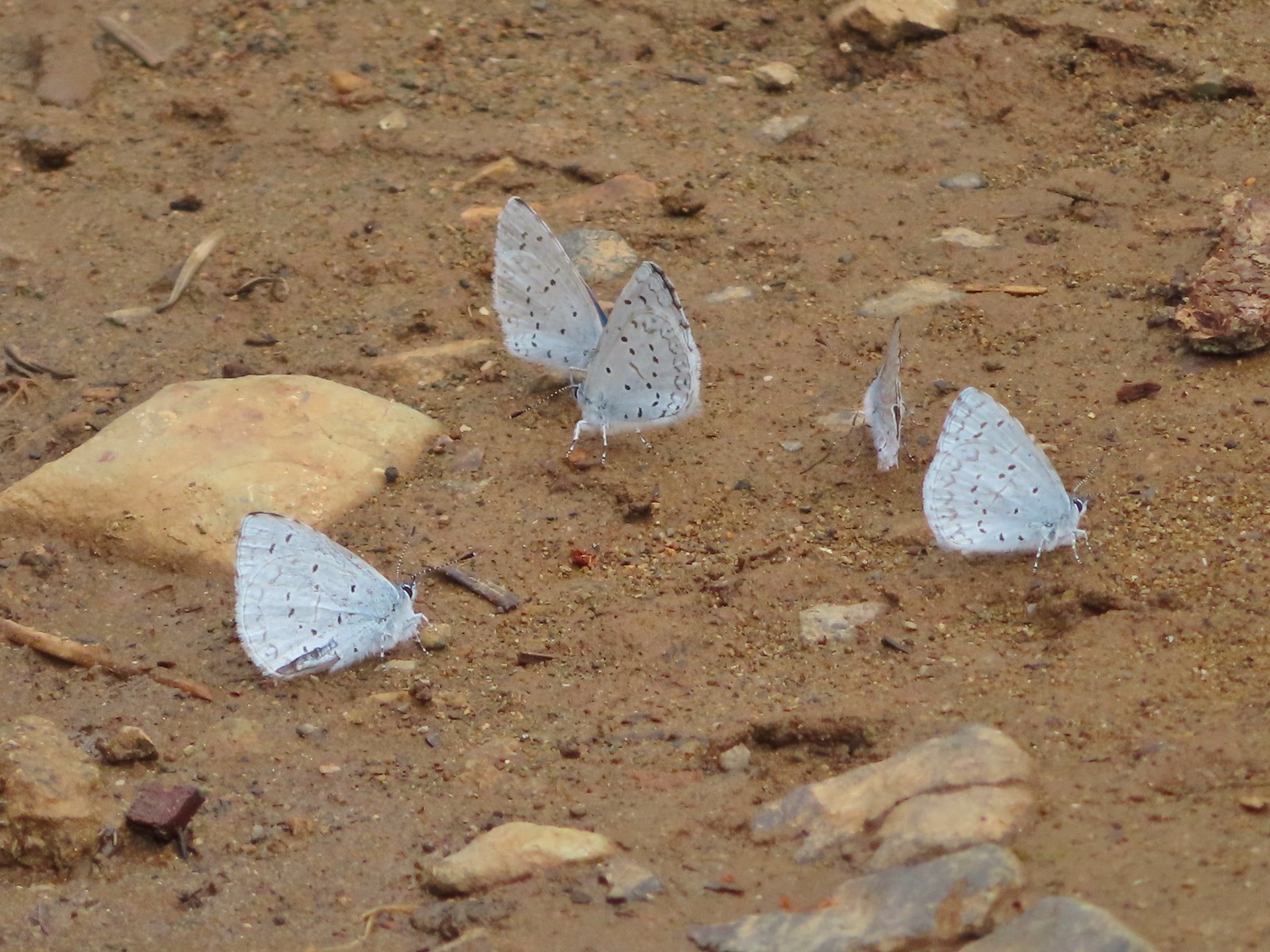
 Butterflies in the Lycaenidae family – 7/4/23, Niagra Heights Road, Santiam State Forest
 Gray hairstreak – 6/11/23, Lewis & Clark Trail, Hermiston
 Thicket hairstreak? – 7/8/23, Sand Mountain, Willamette National Forest
 A hairstreak – 6/3/23, Buck Creek Trail, Husum, WA
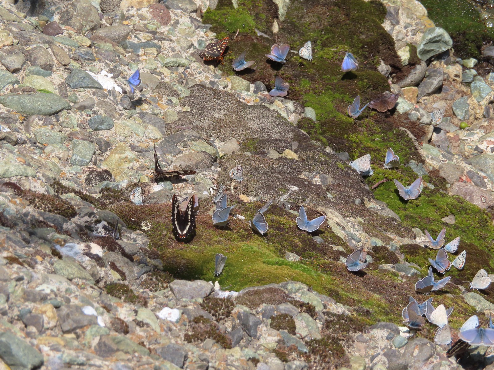 Various butterflies – 6/16/23, Deep Creek Stairway Trail, Payette National Forest, ID
 Lorquin’s admiral – 6/14/23, Imnaha Trail, Hells Canyon National Recreation Area
 Red admiral – 7/23/23, Metolius River Trail, Deschutes National Forest
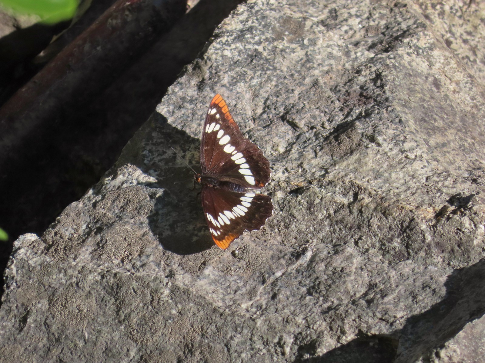
 California sister – 10/8/23, Forest Road 041, Rogue River-Siskiyou National Forest
 Painted lady – 6/12/23, Imnaha River Trail, Eagle Cap Wilderness
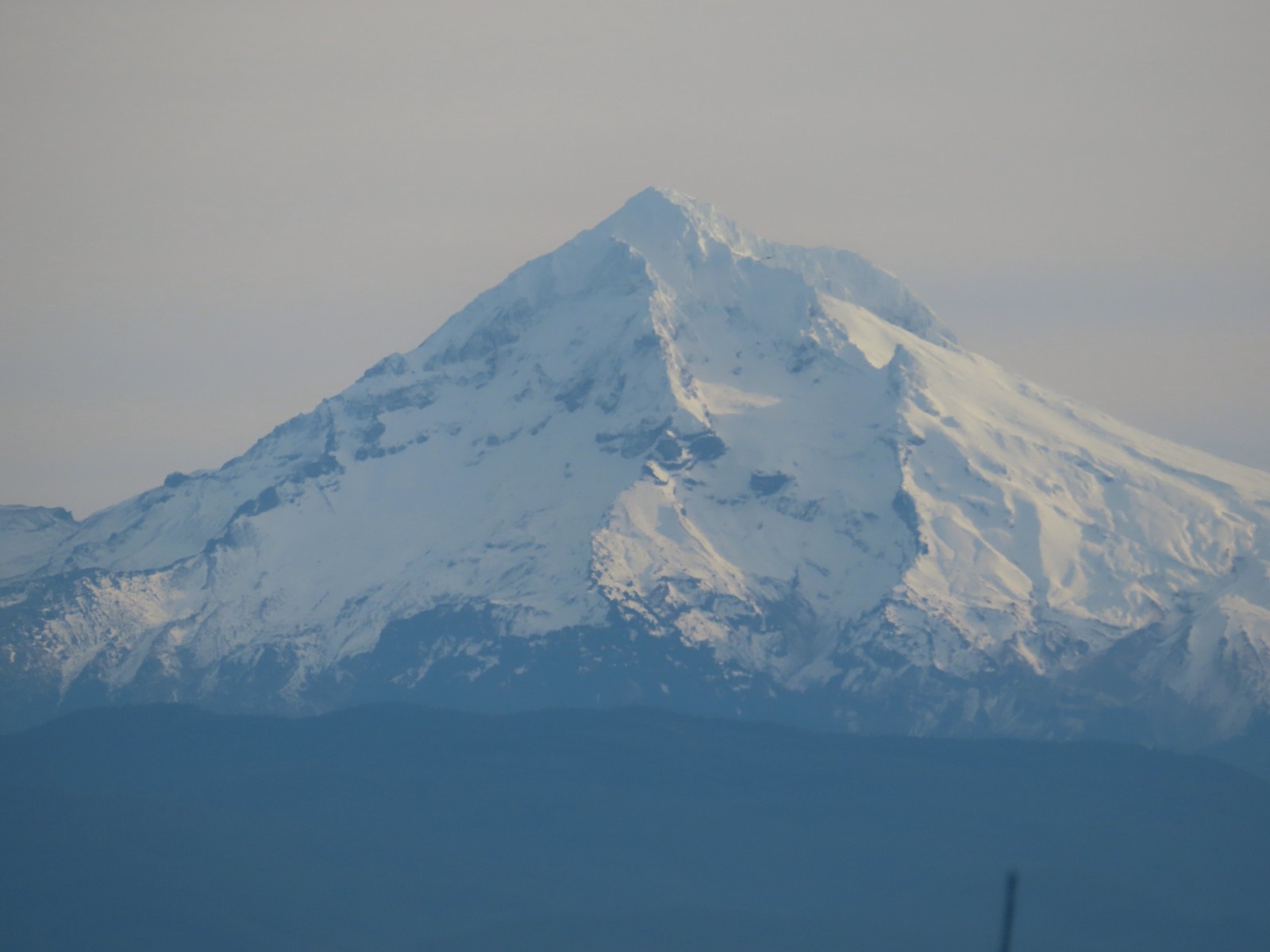
 California tortoiseshell – 9/16/23, Fish Lake Trail, Mt. Hood National Forest
 Milbert’s tortoiseshell – 8/14/23, Main Eagle Creek Trail, Eagle Cap Wilderness
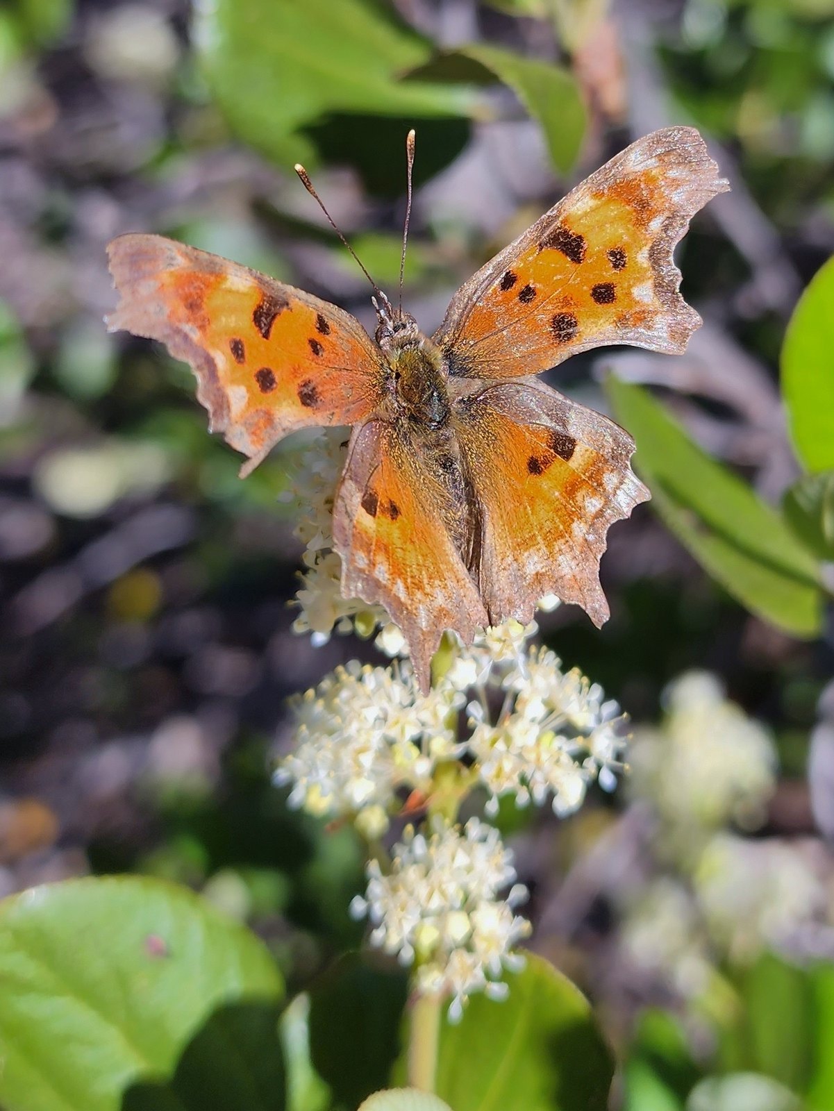 Hoary comma – 7/8/23, Sand Mountain, Willamette National Forest
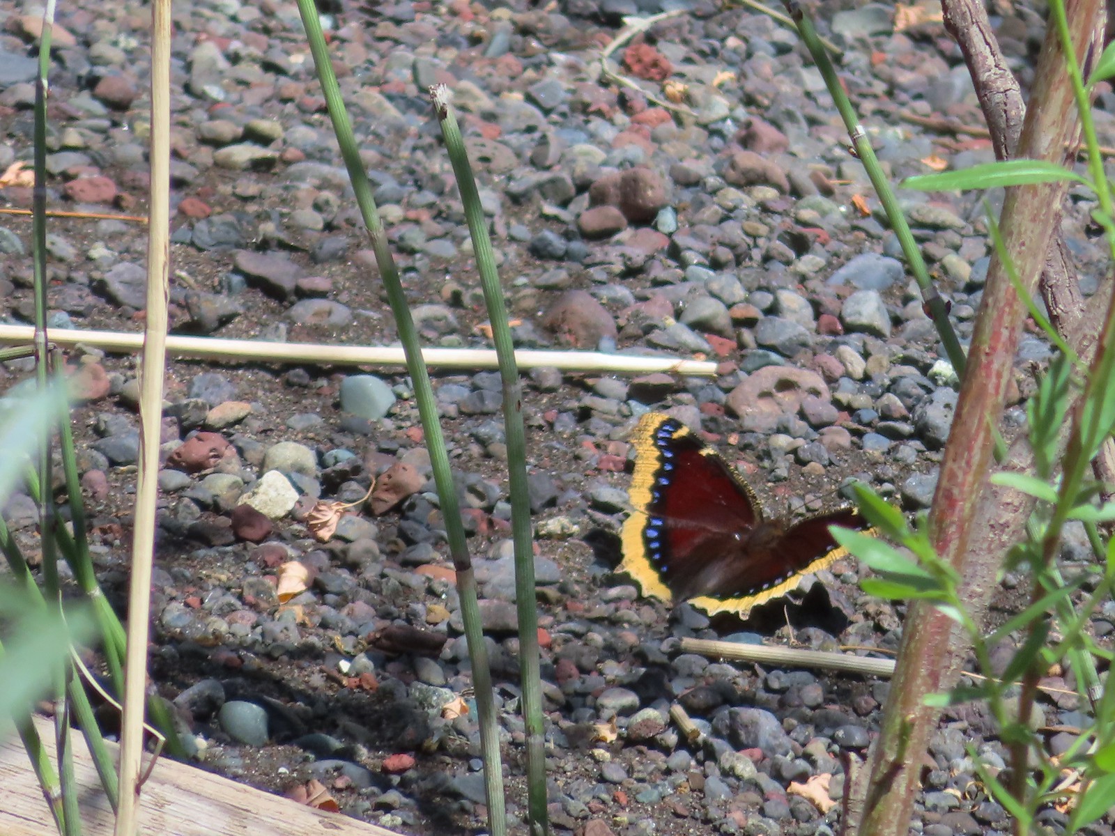 Mourning cloak – 6/14/23, Imnaha Trail, Hells Canyon National Recreation Area
 Common wood nymph – 6/15/23, Hells Canyon National Recreation Area, Wallowa-Whitman National Forest
 Ochre ringlet – 5/28/23, Criterion Tract, BLM Prineville District
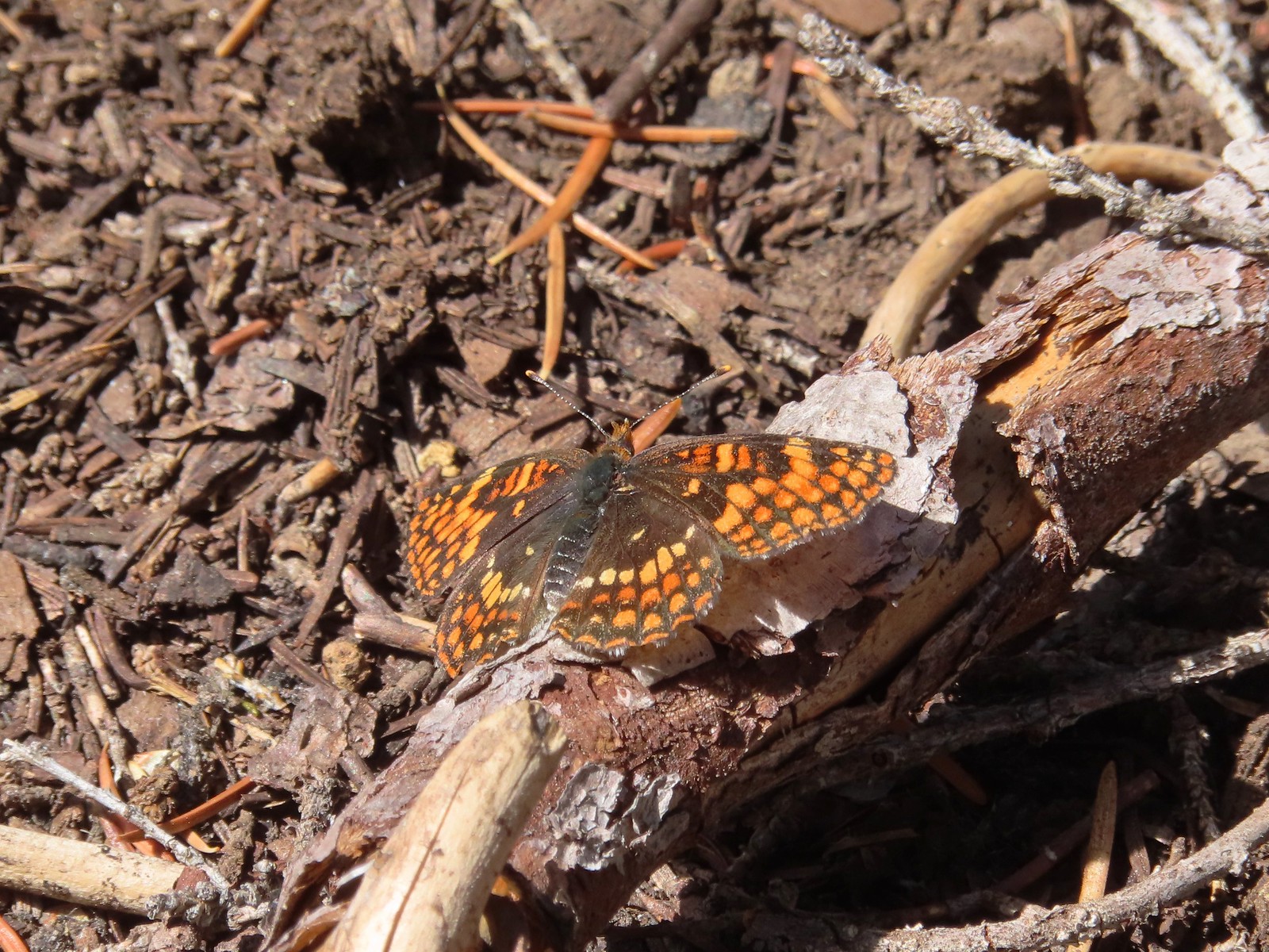 Checkerspot – 7/29/23, Stuart Falls Trail, Crater Lake National Park
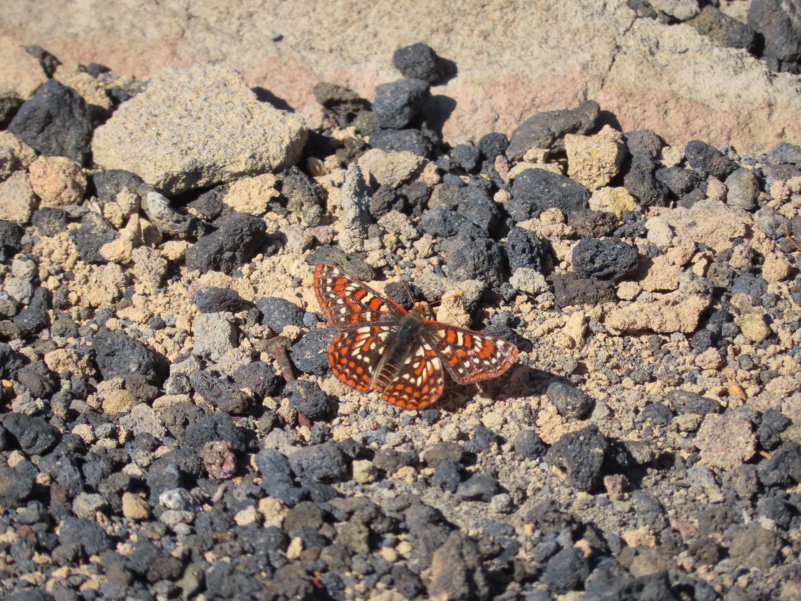
 Checkerspot – 7/1/23, Boundary Trail, Mt. St. Helens National Volcanic Monument, WA
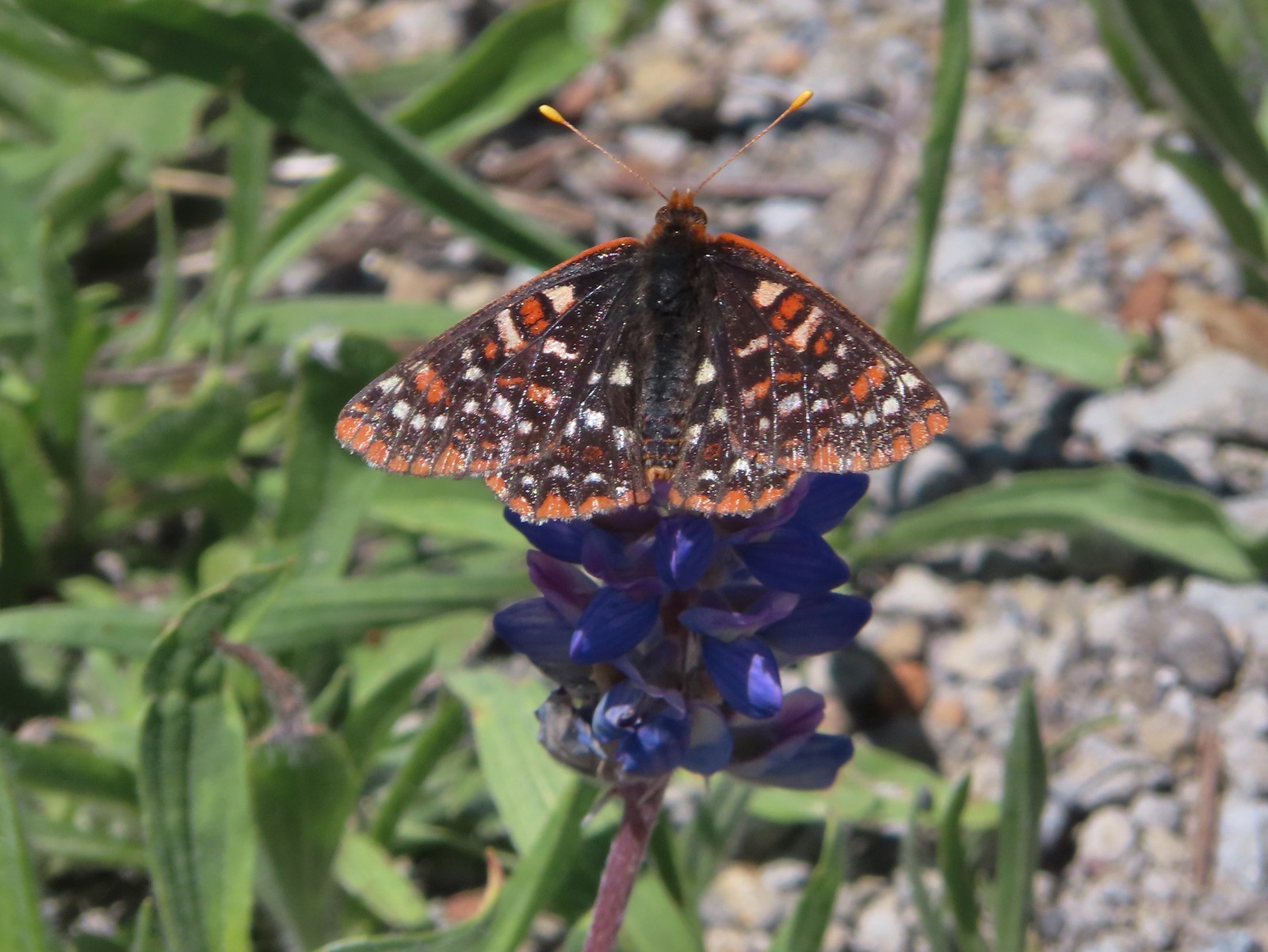
 Snowberry checkerspot – 7/1/23, Boundary Trail, Mt. St. Helens National Volcanic Monument, WA
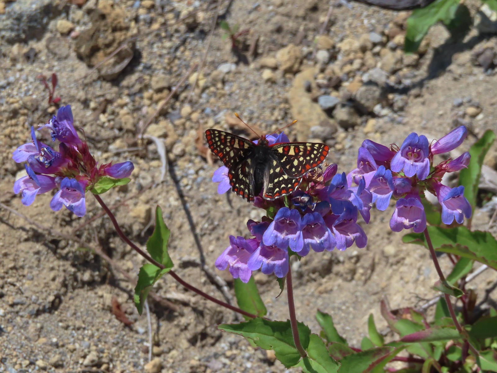
 Edith’s checkerspot – 7/8/23, Sand Mountain, Willamette National Forest
 Mylitta crescent – 6/15/23, Hells Canyon National Recreation Area, Wallowa-Whitman National Forest
 A crescent? – 5/13/23, Graham Oaks Nature Park, Wilsonville
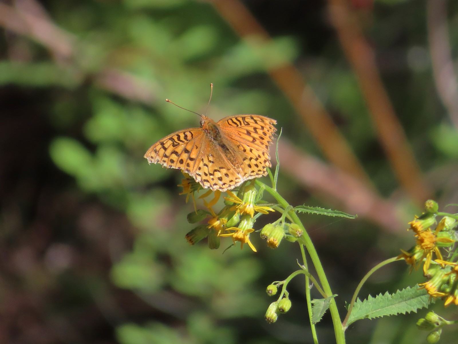
 Fritillary butterflies – 5/28/23, Criterion Tract, BLM Prineville District
 A fritillary – 7/4/23, Rocky Top Trail, Santiam State Forest
 A fritillary – 7/15/23, Forest Road 4610, Mt. Hood National Forest
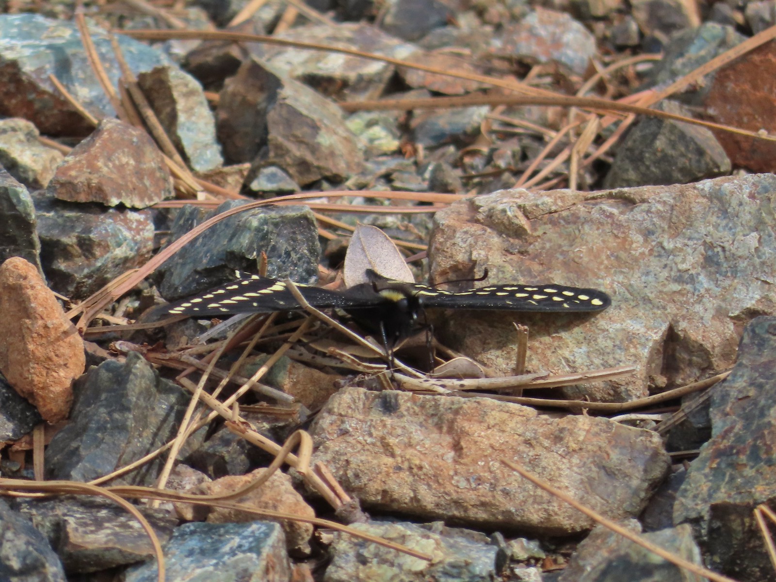 Indra swallowtail – 5/4/23, Kerby Flat Trail, Rogue River-Siskiyou National Forest
 Oregon swallowtail? with ladybug – 5/28/23, Criterion Tract, BLM Prineville District
 Swallowtail – 6/3/23, Conboy Lake National Wildlife Refuge, Trout Lake, WA
 Western swallowtails – 6/12/23, Imnaha River Trail, Eagle Cap Wilderness
 Swallowtail – 6/12/23, Imnaha River Trail, Eagle Cap Wilderness
 A sulphur – 9/9/23, Alta Lake Trail, Sky Lakes Wilderness
 Large marble – 5/28/23, Criterion Tract, BLM Prineville District
 Becker’s white – 6/14/23, Imnaha Trail, Hells Canyon National Recreation Area
 Male margined white? – 8/29/23, Newell Creek Canyon Nature Park, Oregon City
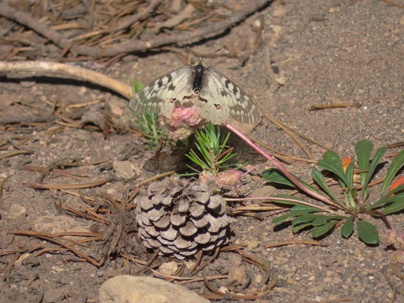
 Mountain parnassian – 6/15/23, Hells Canyon National Recreation Area, Wallowa-Whitman National Forest
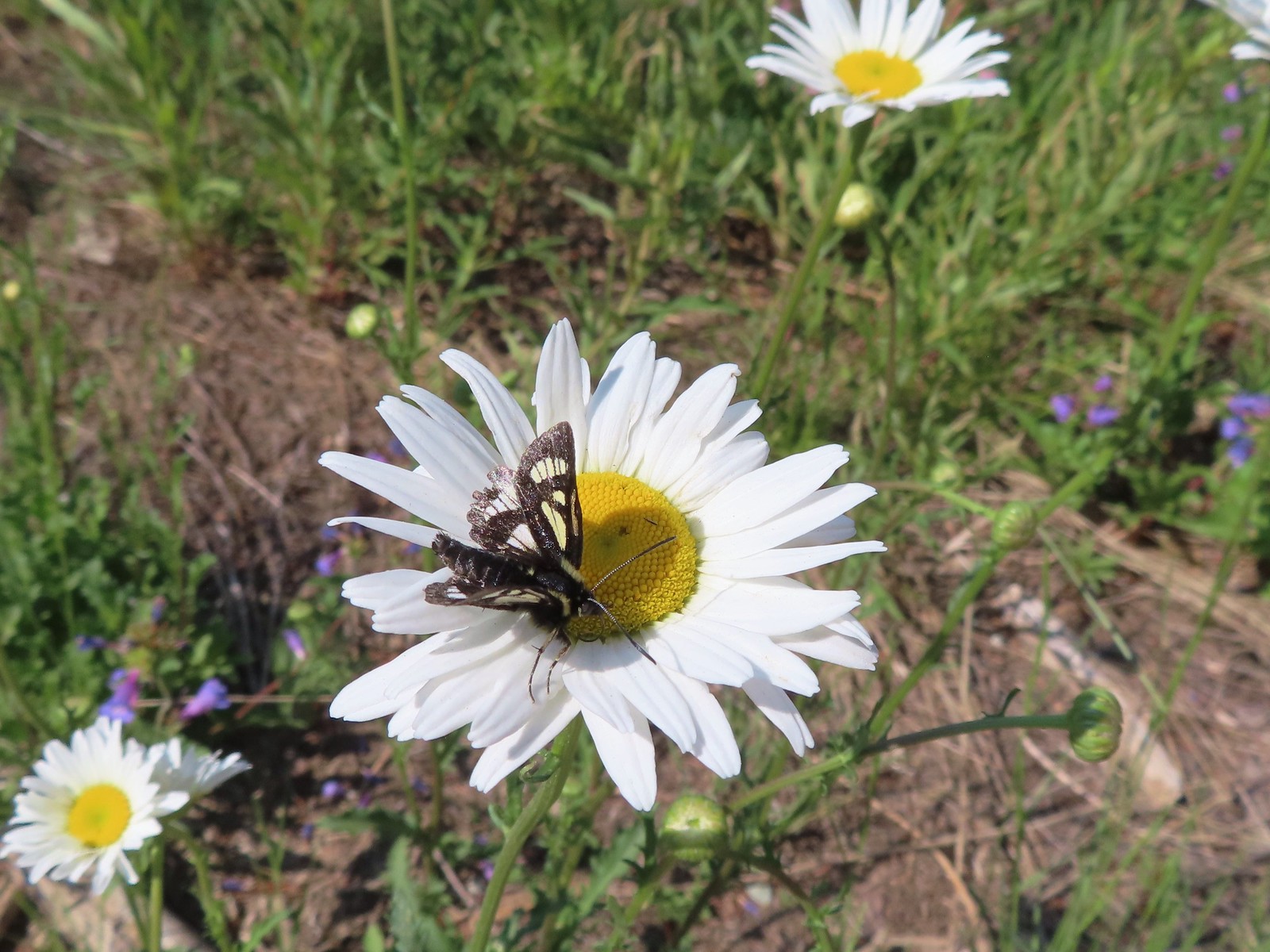
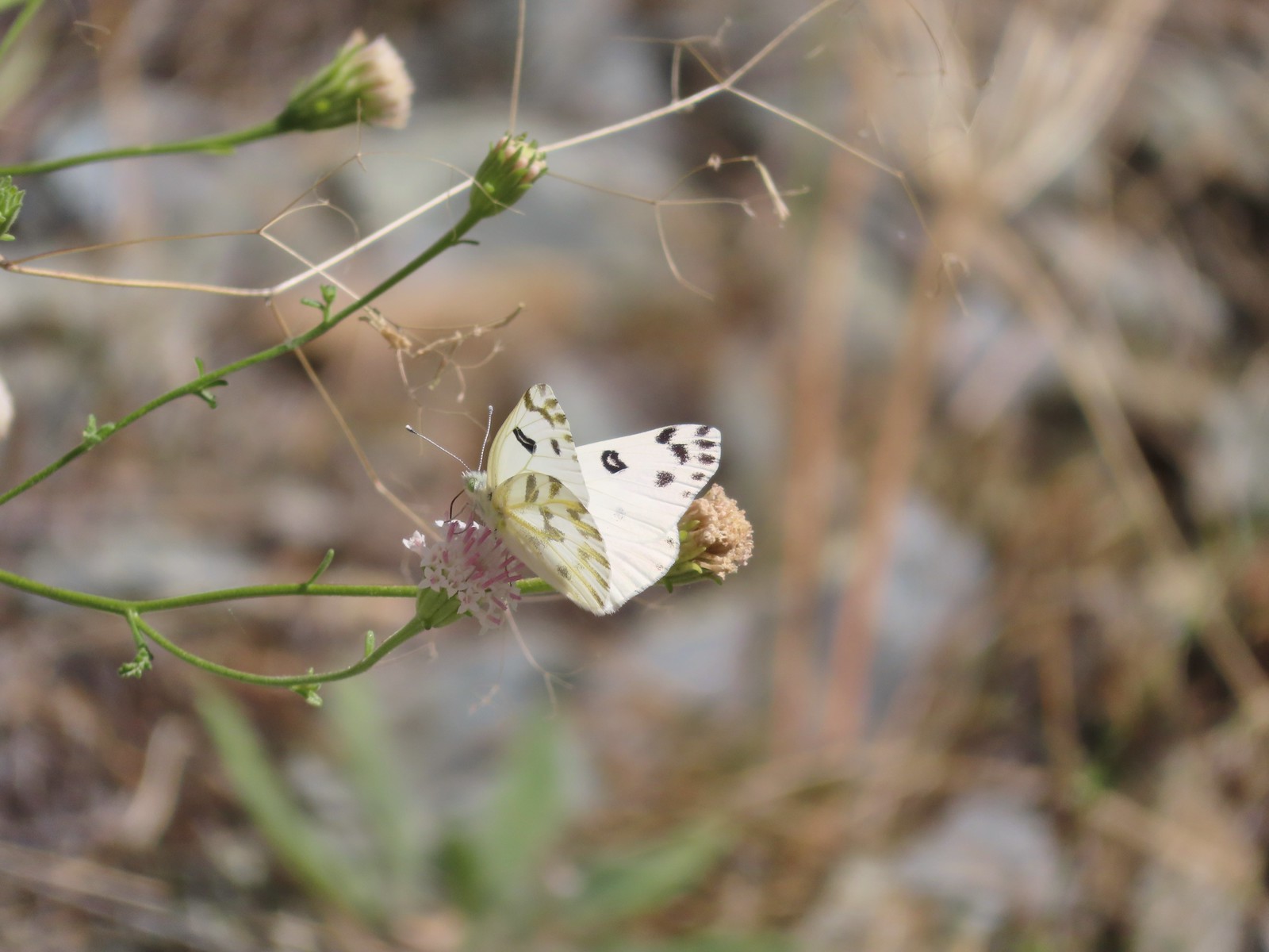
 Clodius parnassian – 7/29/23, Pumice Flat Trail, Crater Lake National Park
 Silver-spotted Skipper – 6/14/23, Eureka Bar, Hells Canyon National Recreation Area
 A skipper – 5/28/23, Criterion Tract, BLM Prineville District
 A skipper – 6/12/23, Imnaha River Trail, Eagle Cap Wilderness
 A skipper – 6/24/23, Rogue River National Recreation Trail, Wild Rogue Wilderness
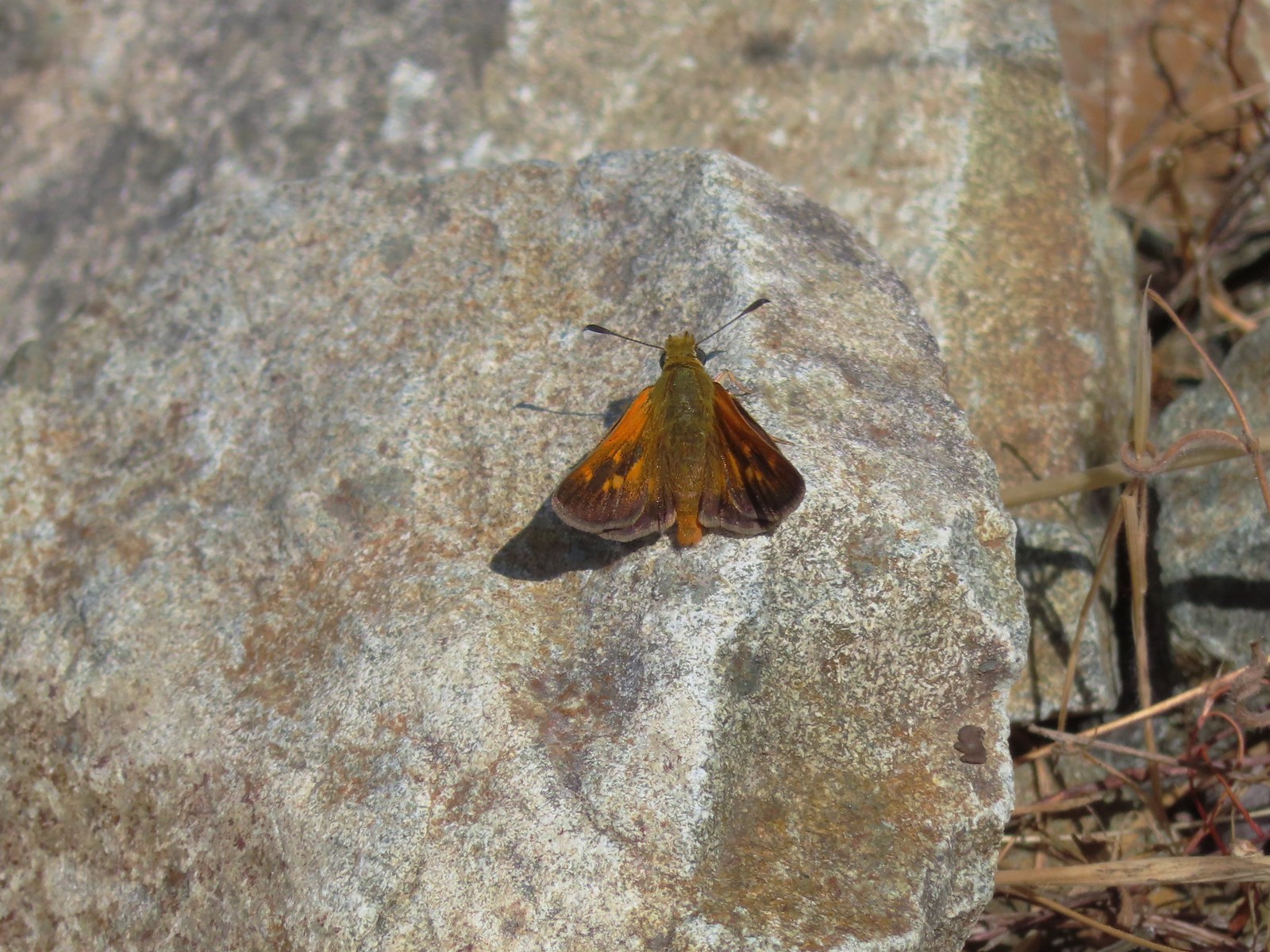
 A skipper – 9/3/23, Threemile Canyon, BLM Burns District
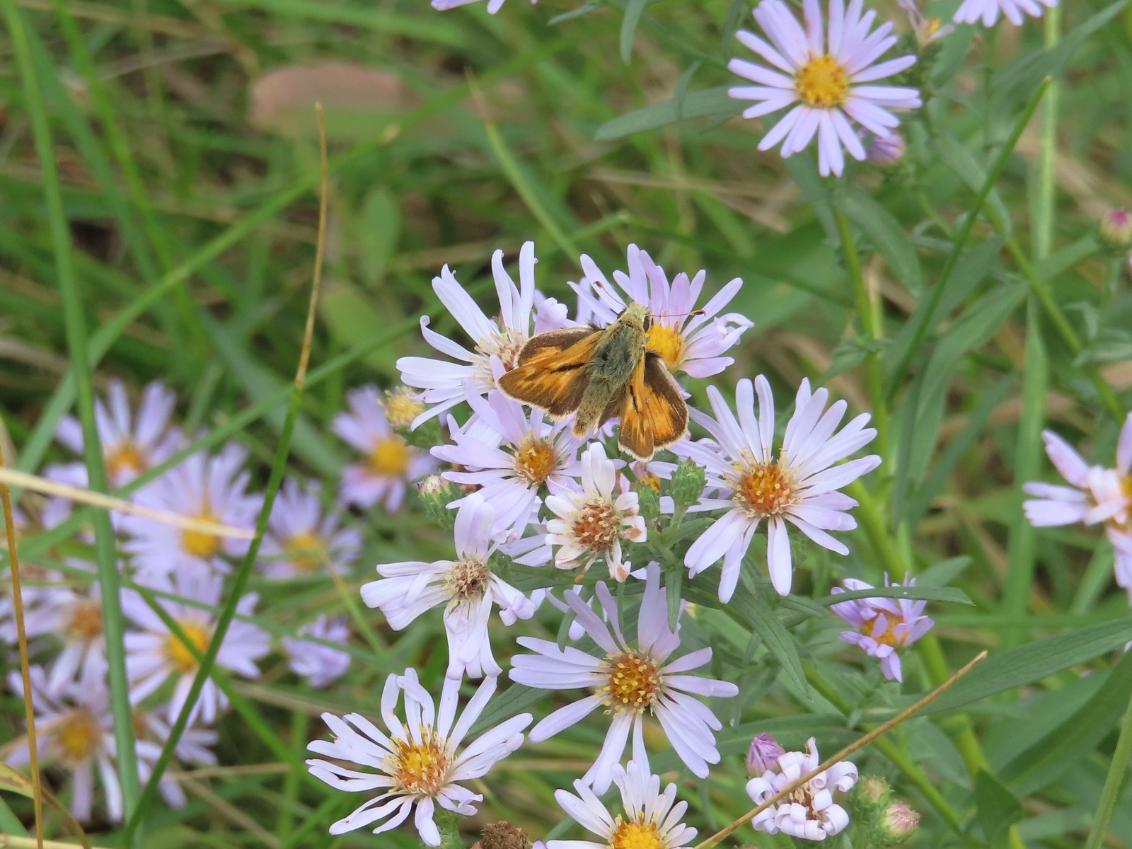
 Skipper on a sagebrush mariposa lily – 7/23/23, Metolius River Trail, Deschutes National Forest
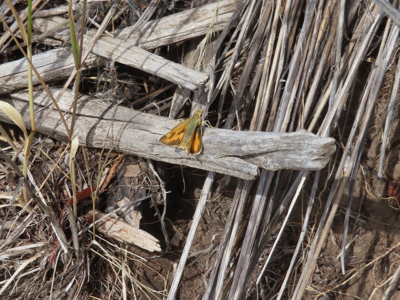
 A skipper – 9/3/23, P Ranch, Malheur National Wildlife Refuge
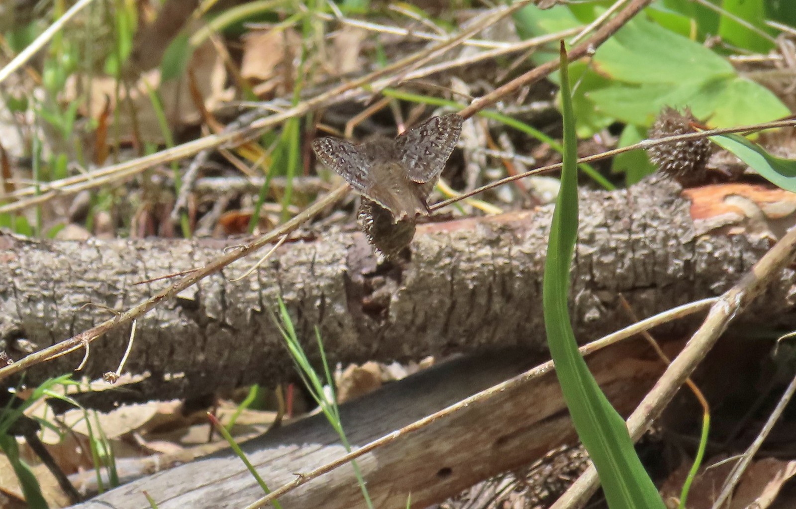
 Duskywing? – 6/24/23, Rogue River National Recreation Trail, Wild Rogue Wilderness
 Duskywing – 5/3/23, Waters Creek Interpretive Trail, Rogue River-Siskiyou National Forest
 Dreamy duskywing – 6/12/23, Imnaha River Trail, Eagle Cap Wilderness
 Dragonfly – 6/24/23, Rogue River National Recreation Trail, Wild Rogue Wilderness
 Dragonfly – 7/1/23, Hummocks Trail, Mt. St. Helens National Volcanic Monument, WA
 Dragonfly – 7/15/23, Plaza Lake, Salmon-Huckleberry Wilderness
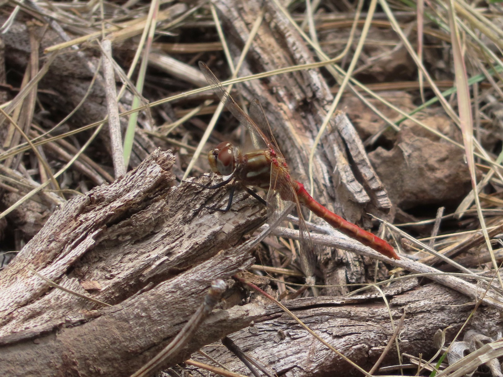
 Dragonfly – 7/31/23, Godfrey Glen Trail, Crater Lake National Park
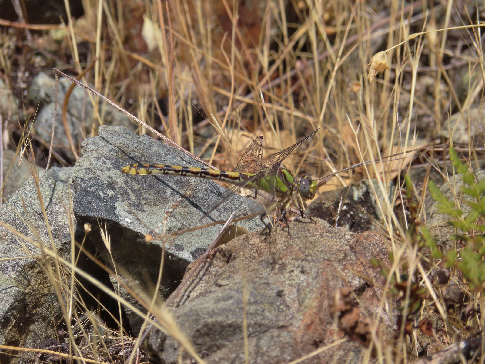
 Dragonfly – 9/2/23, Idlewild Loop Trail, Malheur National Forest
 Slug – 4/29/23, Canemah Bluff Nature Park, Oregon City
 Snail – 4/15/23, Enchanted Valley Trail, Siuslaw National Forest
 Rough skinned newt – 4/15/23, Cape Mountain, Siuslaw National Forest
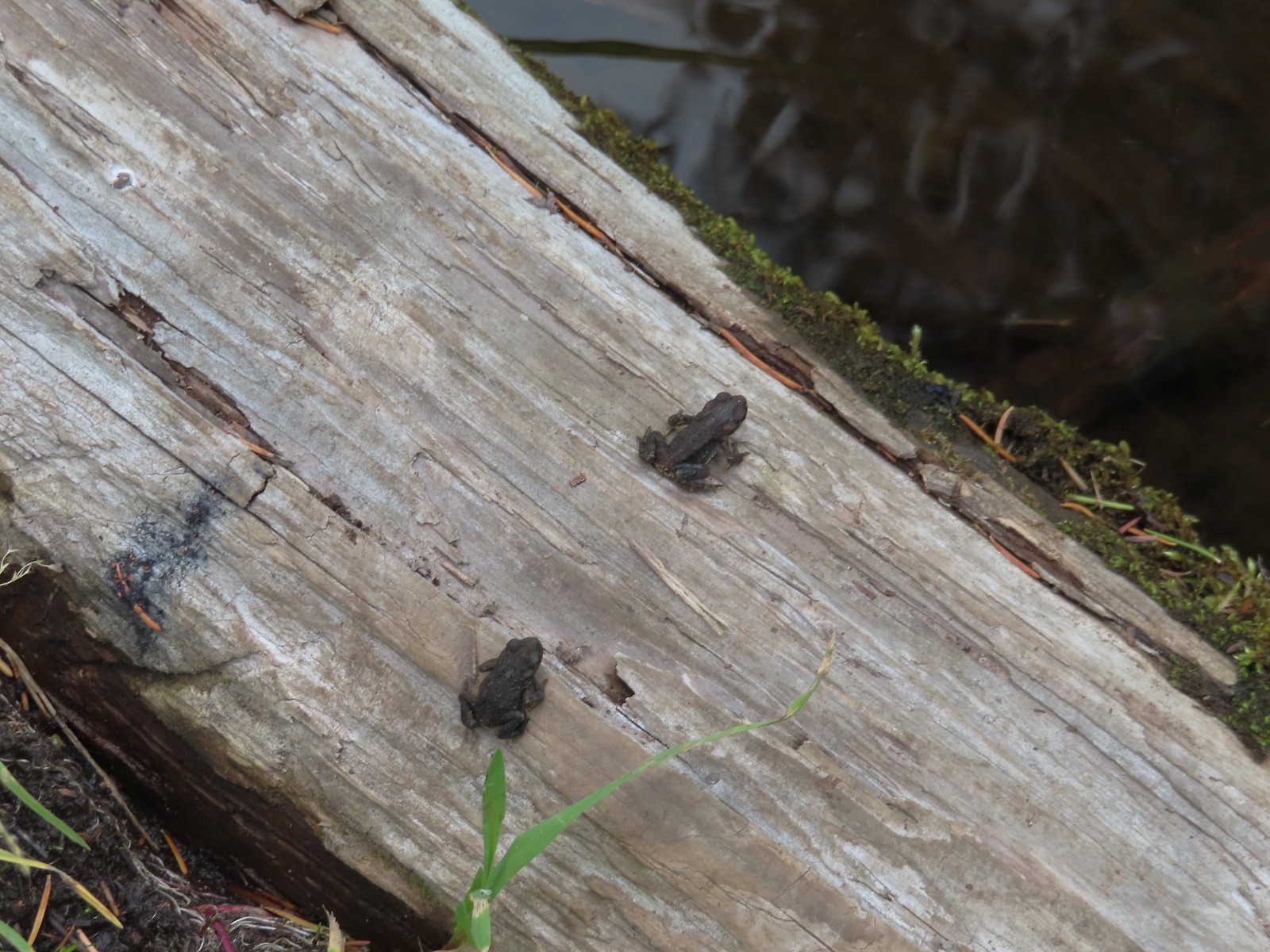
 Tadpoles – 9/9/23, Pacific Crest Trail, Sky Lakes Wilderness
 Western toads – 9/9/23, Pacific Crest Trail, Sky Lakes Wilderness
 Full grown western toad – 9/9/23, Pacific Crest Trail, Sky Lakes Wilderness
 Cascade frog – 9/9/23, Pacific Crest Trail, Sky Lakes Wilderness
 Pacific treefrog – 9/3/23, Threemile Canyon, BLM Burns District
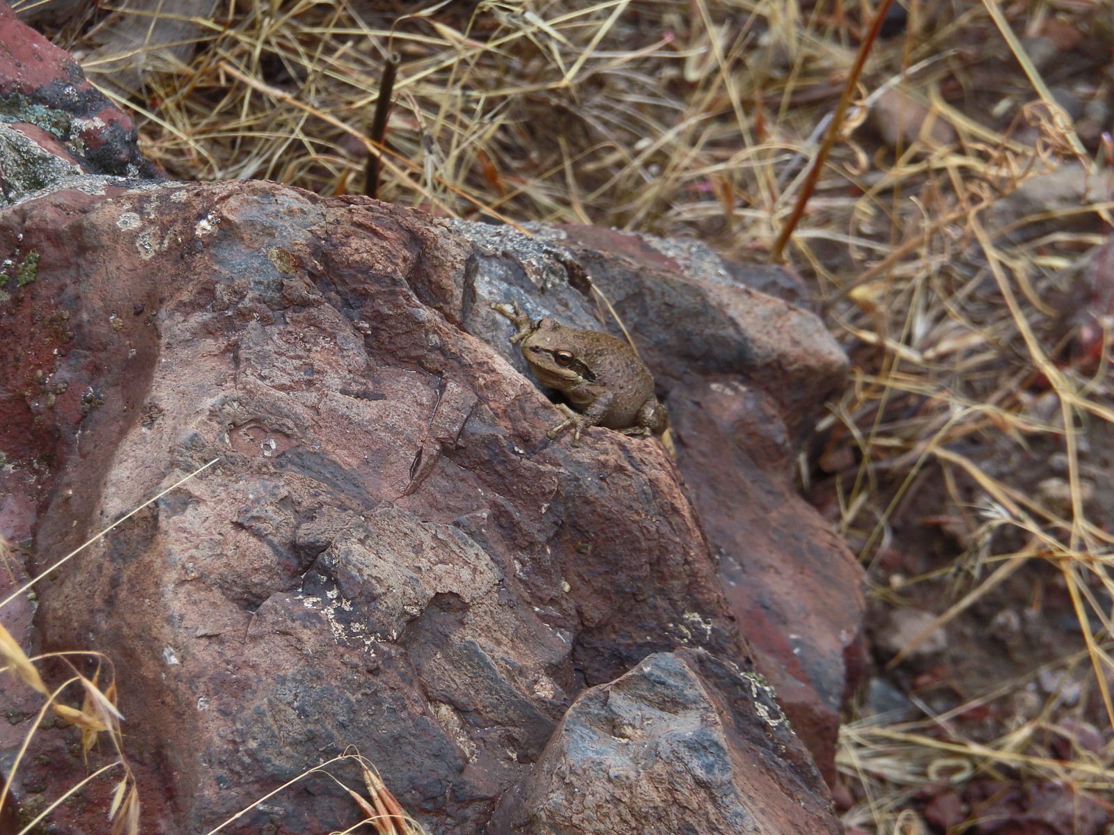
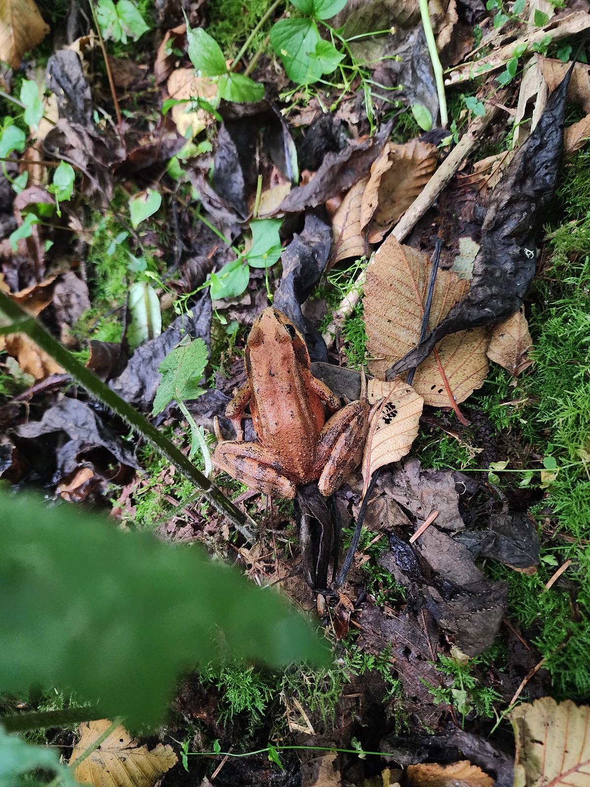 Northern red-legged frog – 8/26/23, Nestucca Bay National Wildlife Refuge, Cloverdale
 Bullfrog (invasive) – 4/22/23, Talking Water Gardens, Albany
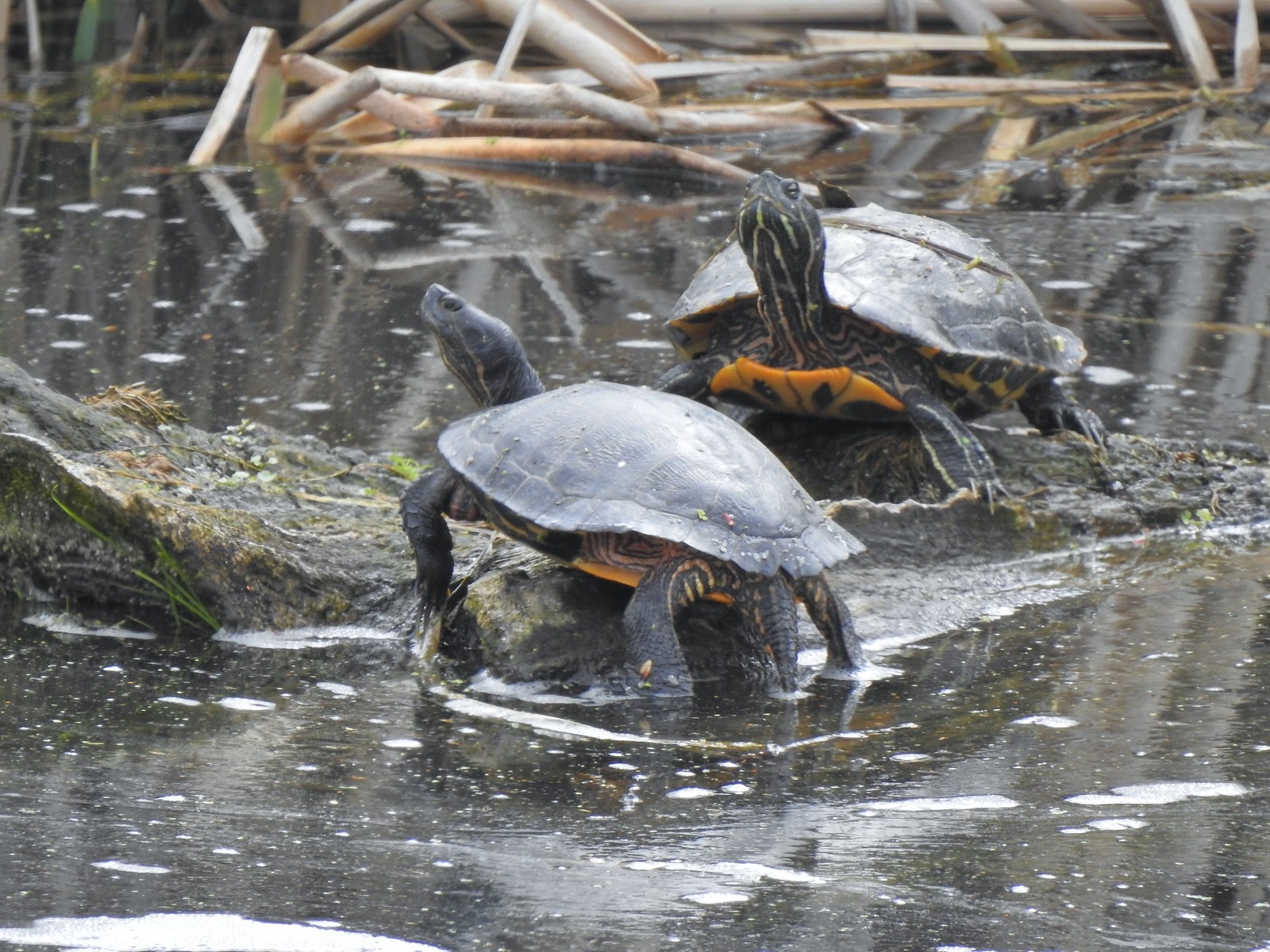 Western pond turtles – 4/22/23, Talking Water Gardens, Albany
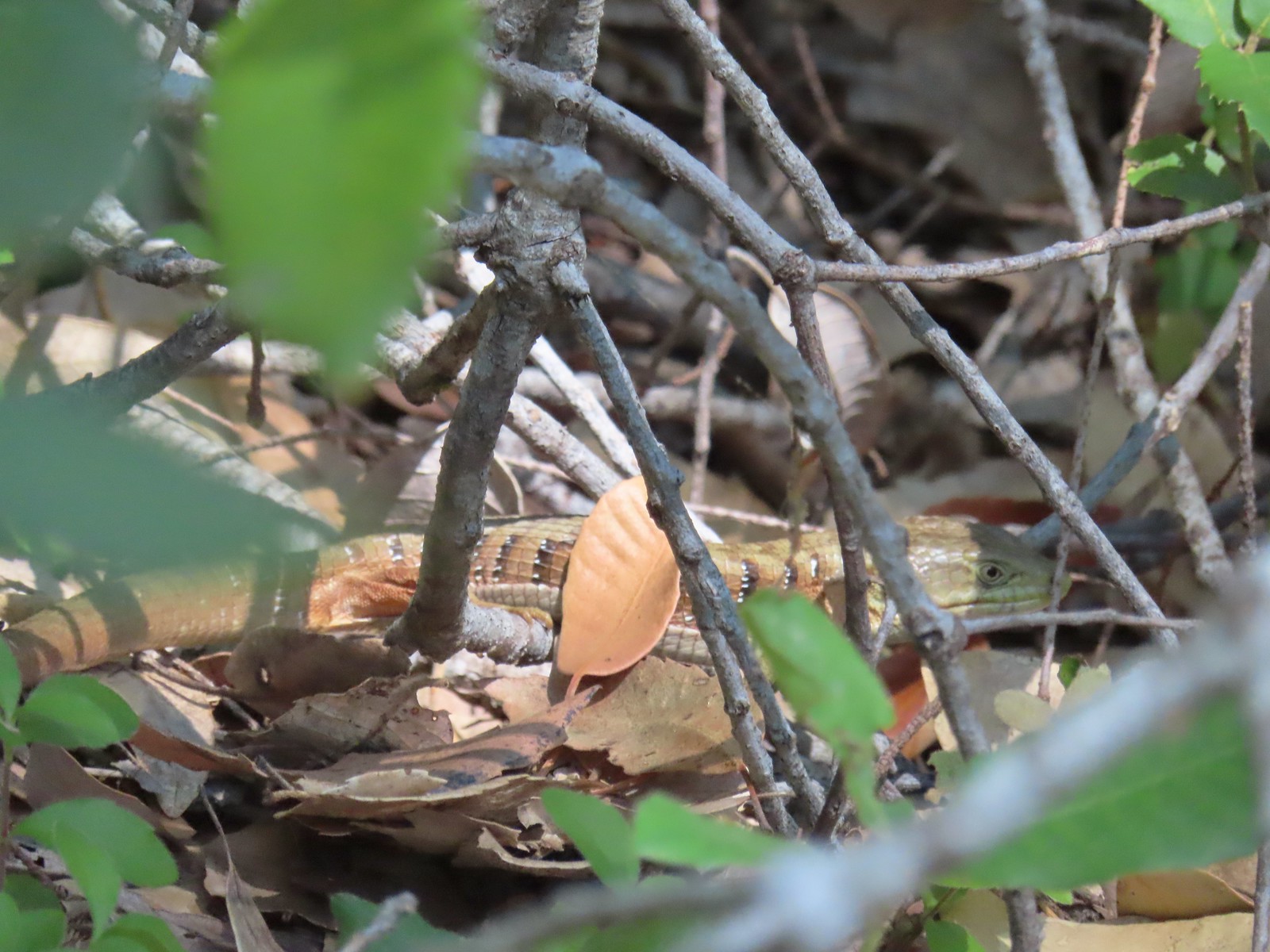 Southern alligator lizard – 6/24/23, Rogue River National Recreation Trail, Wild Rogue Wilderness
 Western fence lizard – 5/3/23, Waters Creek Interpretive Trail, Rogue River-Siskiyou National Forest
 Sagebrush lizard – 7/22/23, Shut-In Trail, Deschutes National Forest
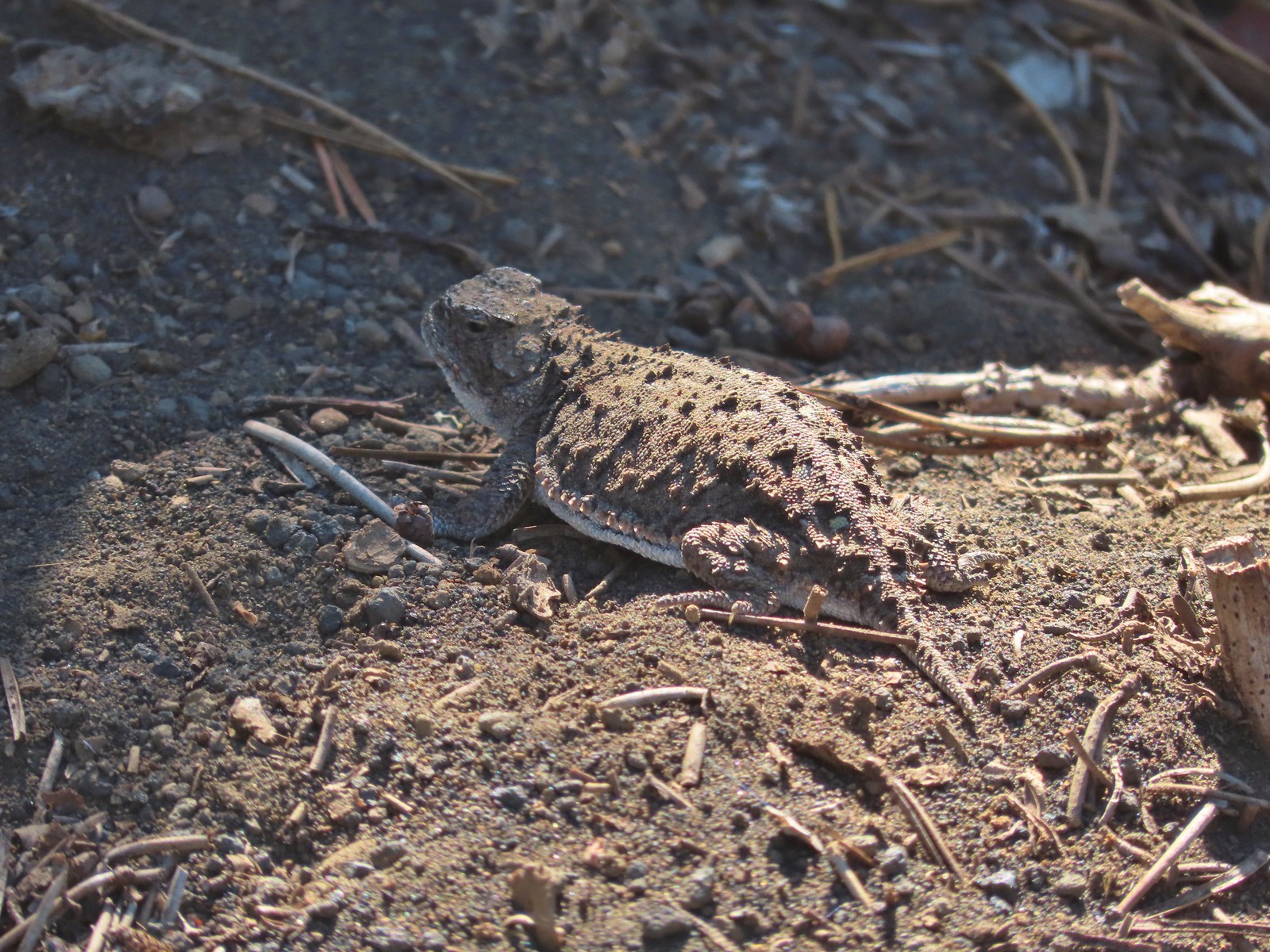 Pygmy short-horned lizard – 7/8/23, Santiam Wagon Road, Willamette National Forest
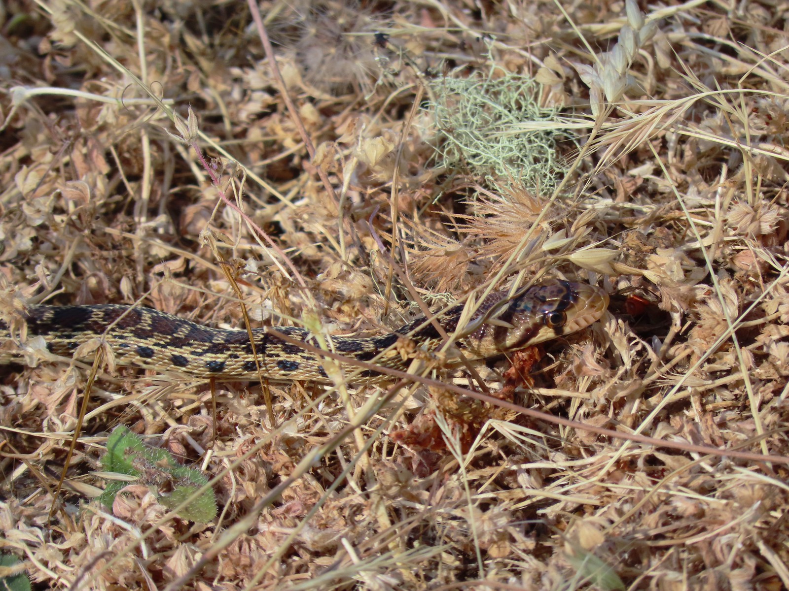 Gopher snake – 6/25/23, North Bank Habitat, BLM Roseburg District
 Garter snake – 4/22/23, Dave Clark Riverfront Path, Albany
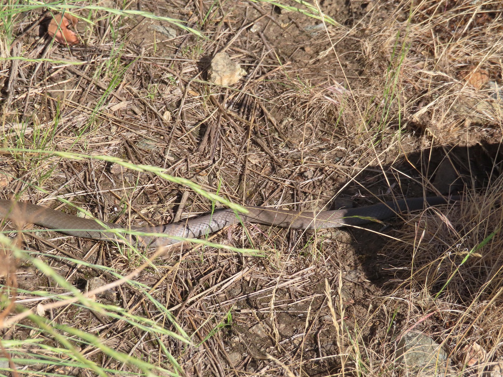 Rubber boa? – 6/14/23, Imnaha Trail, Hells Canyon National Recreation Area
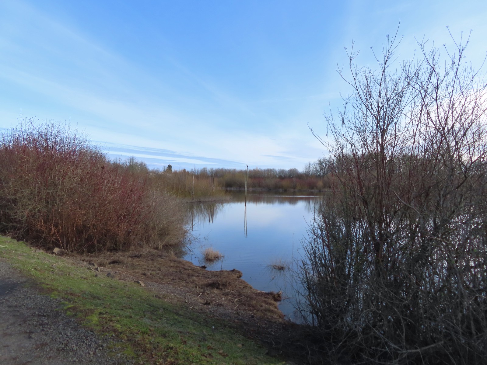
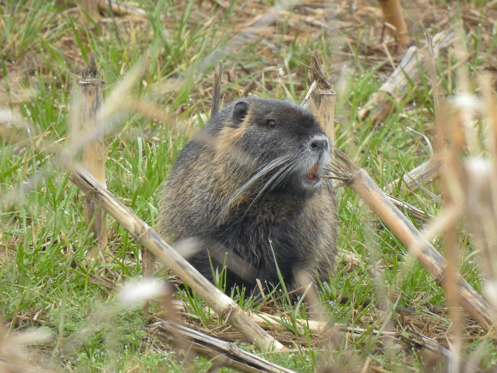
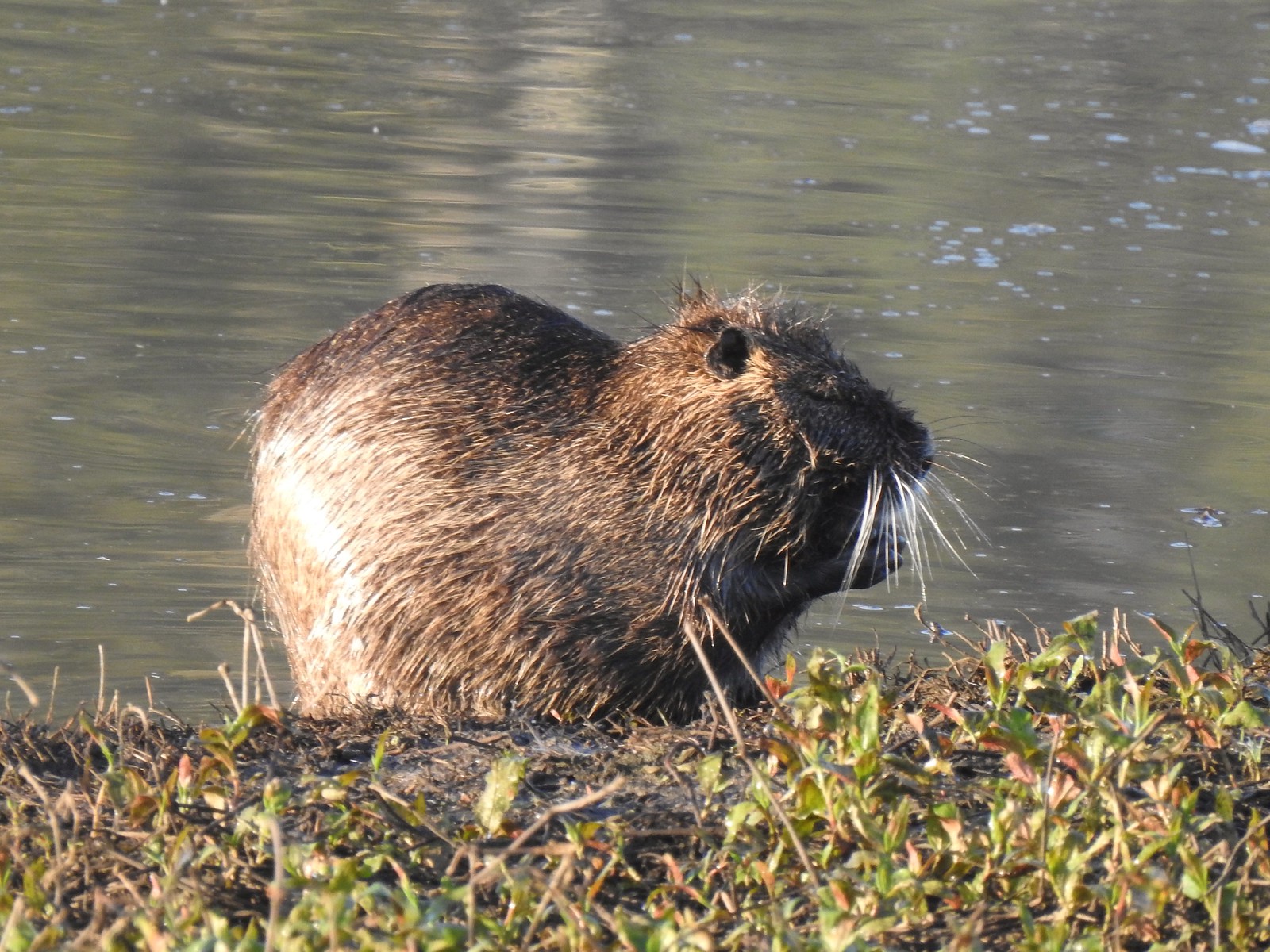 Nutria (invasive) – 5/13/23, Tualatin River National Wildlife Refuge, Sherwood
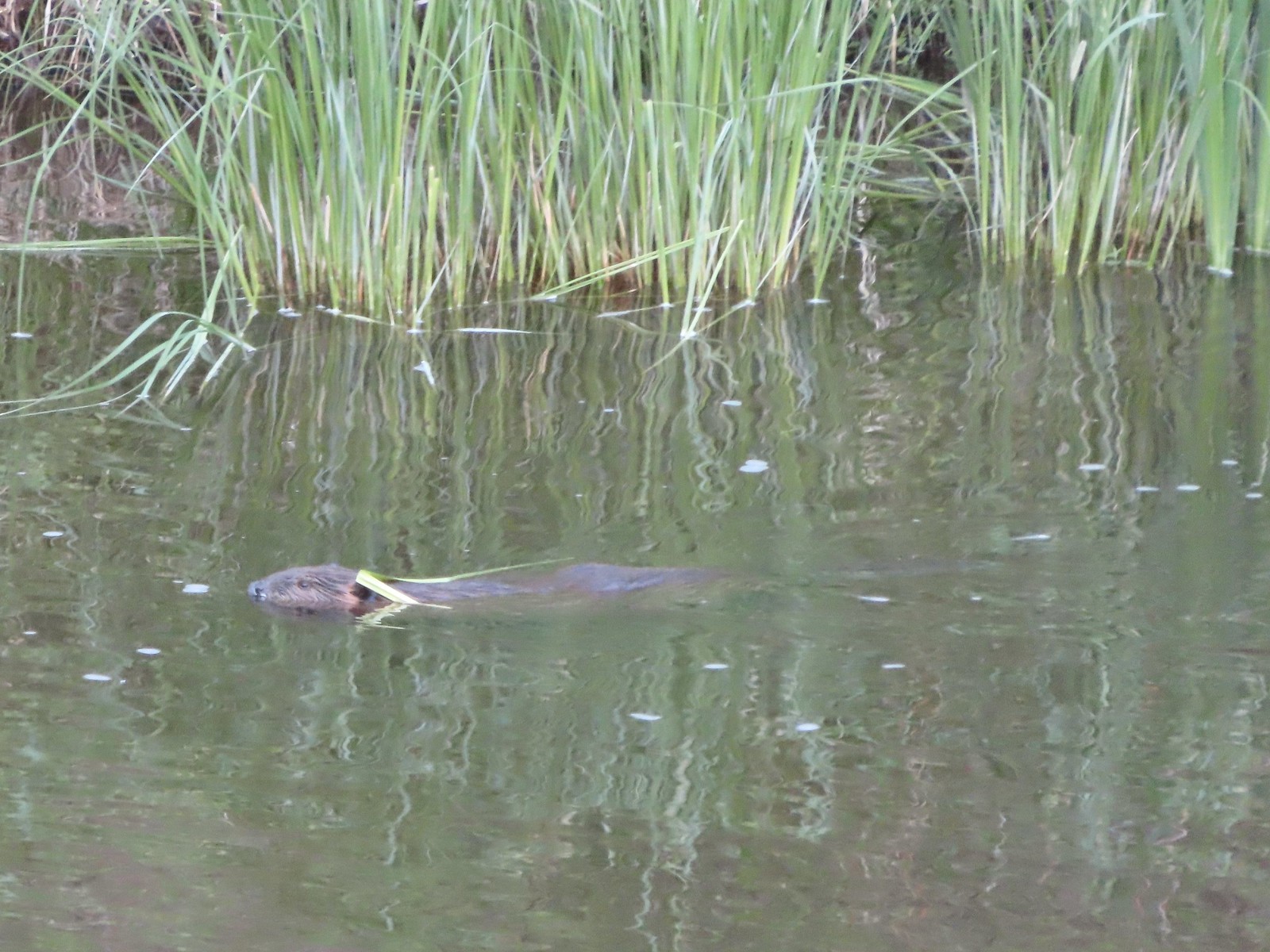 Beaver – 5/29/23, Riley Ranch Preserve, Bend
 Yellow-bellied marmot – 7/31/23, Garfield Peak Trail, Crater Lake National Park
 Gray squirrel – 4/22/23, Dave Clark Riverfront Path, Albany
 Douglas’ squirrel – 4/22/23, Dave Clark Riverfront Path, Albany
 Eastern fox squirrel? – 4/29/23, Newell Creek Canyon Nature Park, Oregon City
 Columbian ground squirrel – 8/16/23, Tombstone Lake Trail, Eagle Cap Wilderness
 Golden-mantled ground squirrel – 7/31/23, Garfield Peak Trail, Crater Lake National Park
 Chipmunk – 8/5/23, McNeil Point scramble trail, Mt. Hood Wilderness
 Pika – 8/5/23, McNeil Point Trail, Mt. Hood Wilderness
 Rabbit – 5/13/23, Tualatin River National Wildlife Refuge, Sherwood
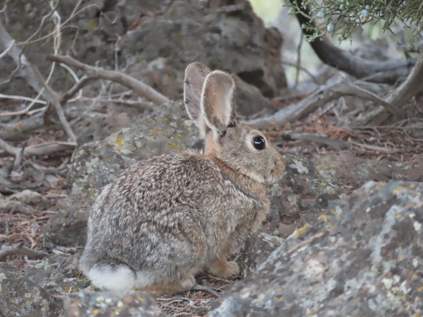 Mountain cottontail – 5/29/23, Riley Ranch Preserve, Bend
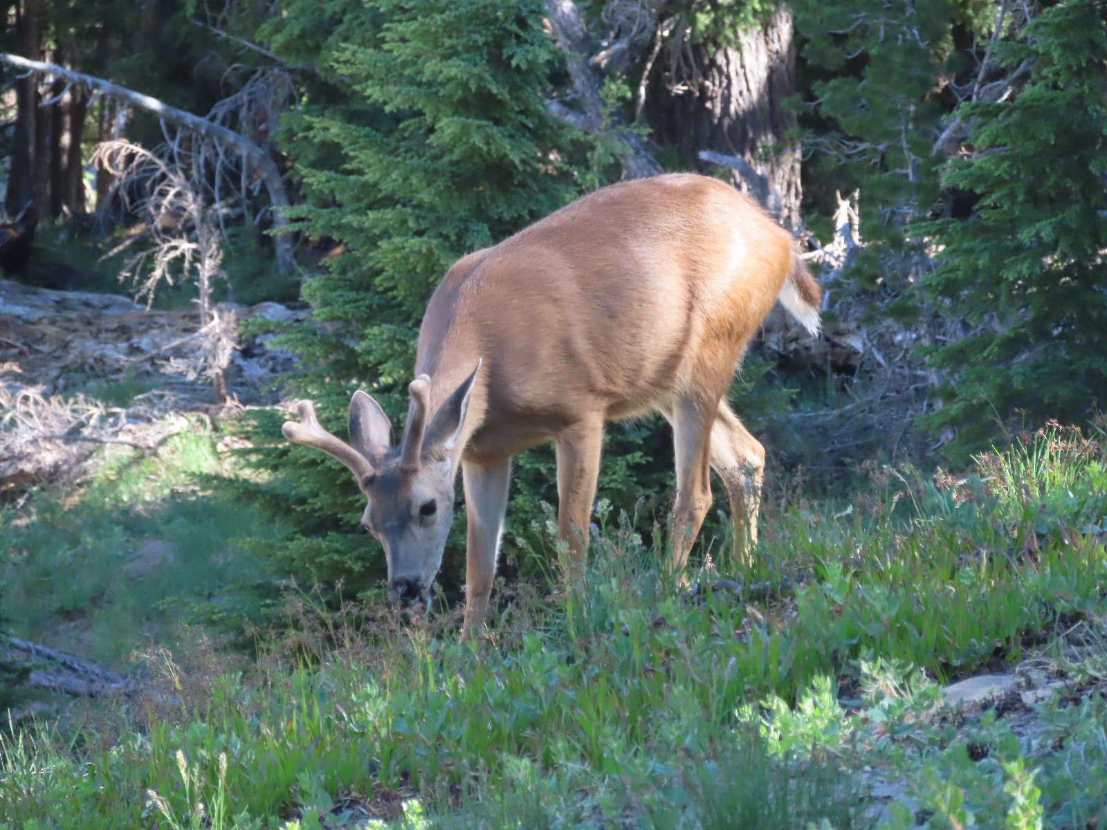
 Fawns – 7/31/23, Garfield Peak Trail, Crater Lake National Park
 Doe – 5/20/23, Steigerwald Lake National Wildlife Refuge, Washougal, WA
 Buck – 7/31/23, Rim Trail, Crater Lake National Park
 Elk – 6/15/23, Buckhorn Road (FR 46), Wallowa-Whitman National Forest
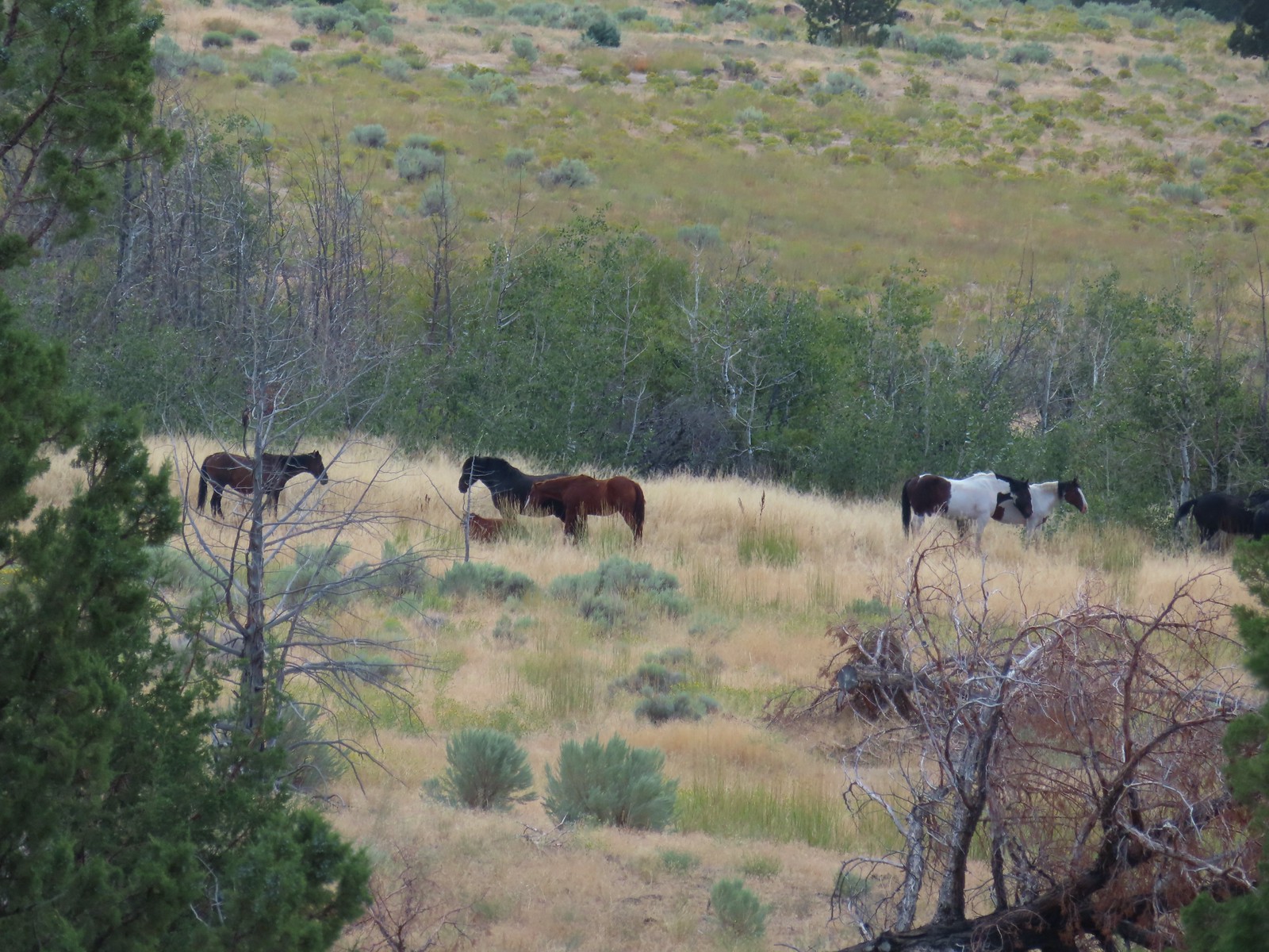 Horses – 9/3/23, Threemile Canyon, BLM Burns District
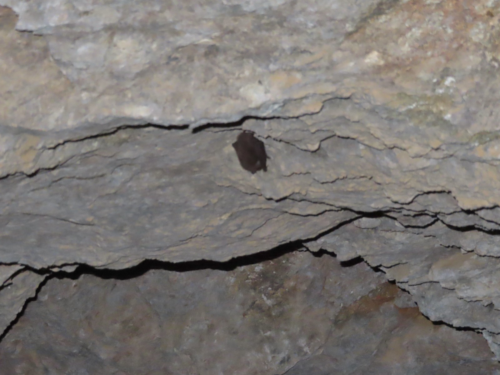 Bat -5/2/23, Sterling Mine Ditch Tunnel, BLM Medford District
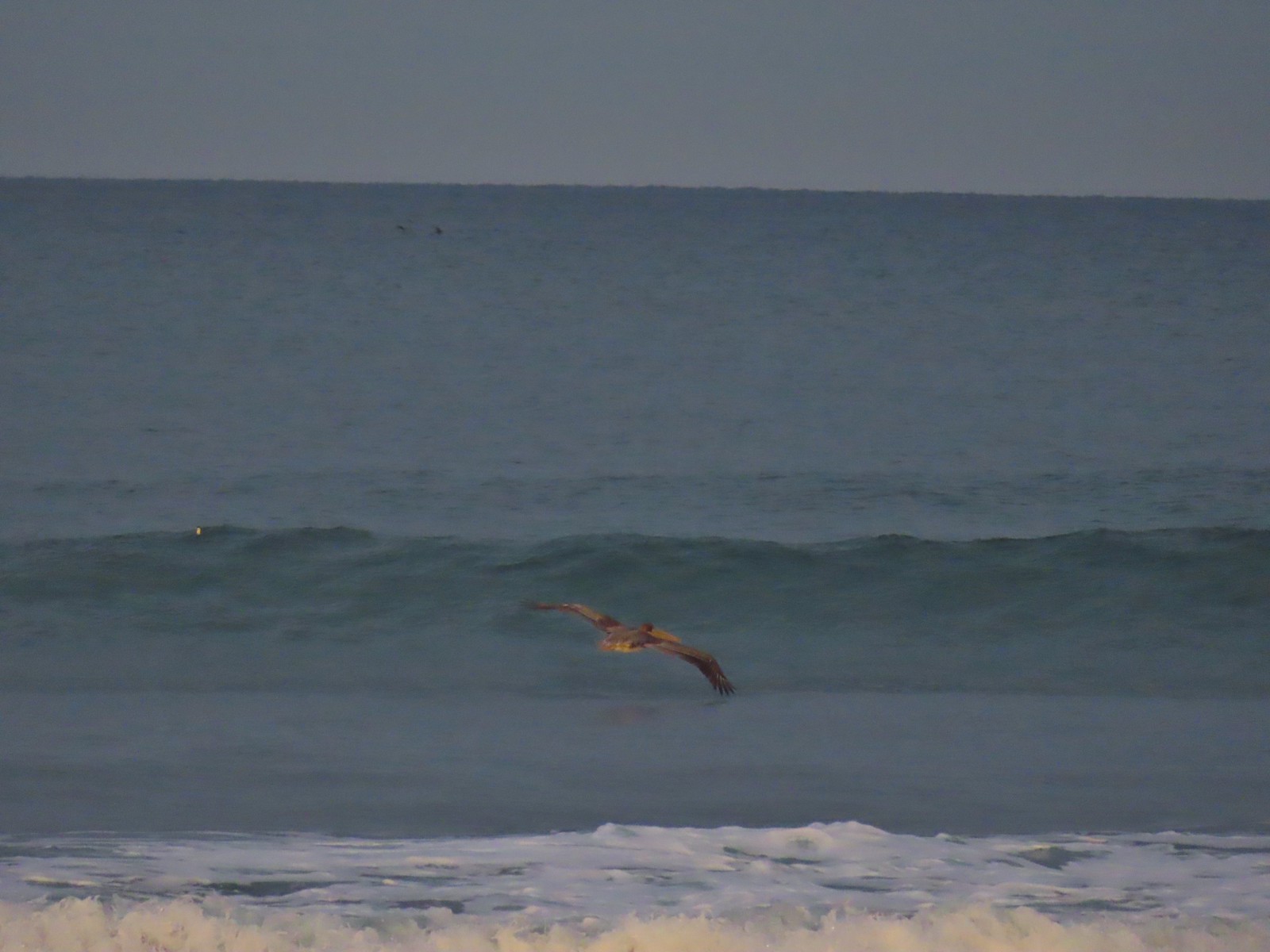
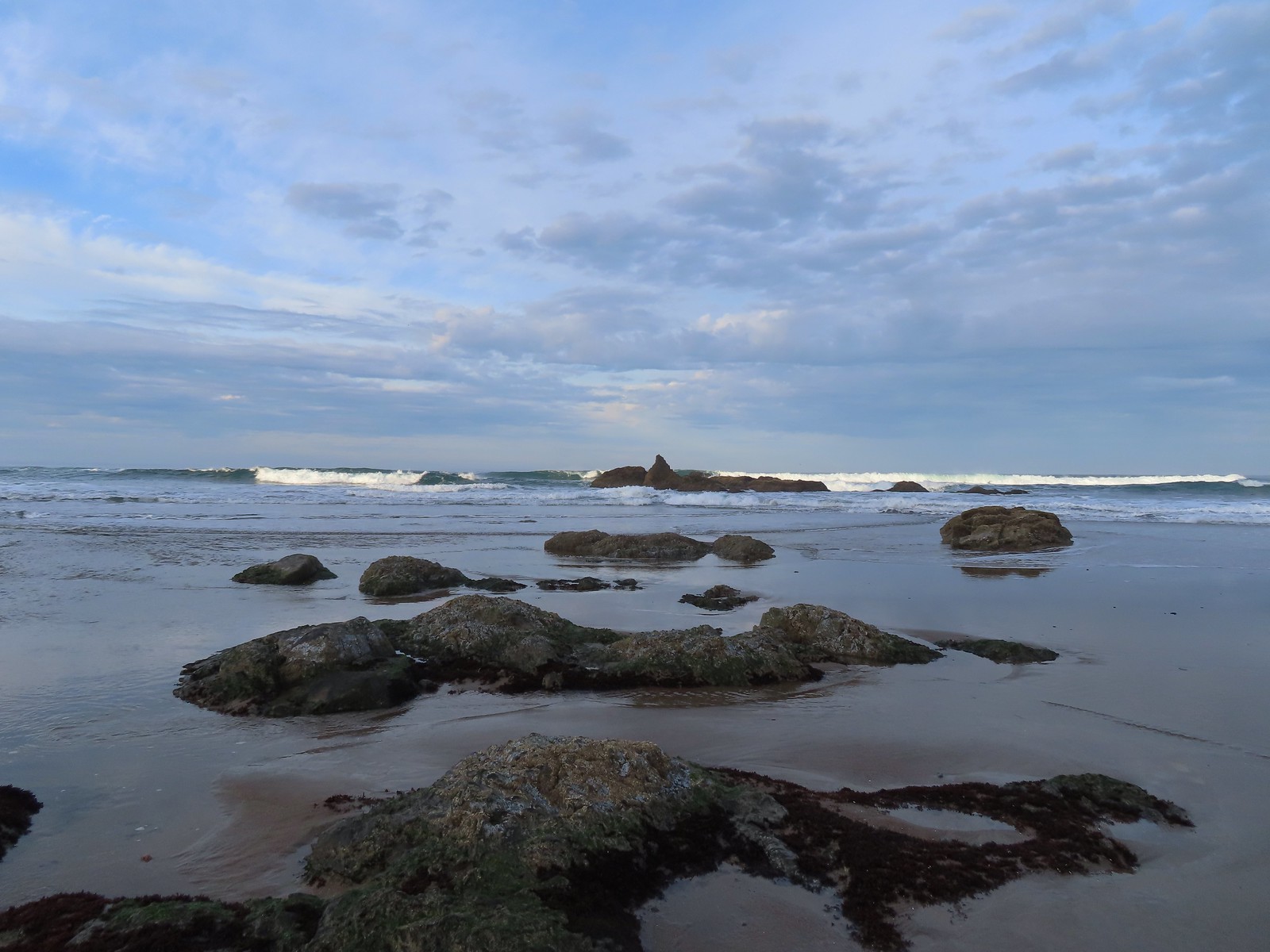
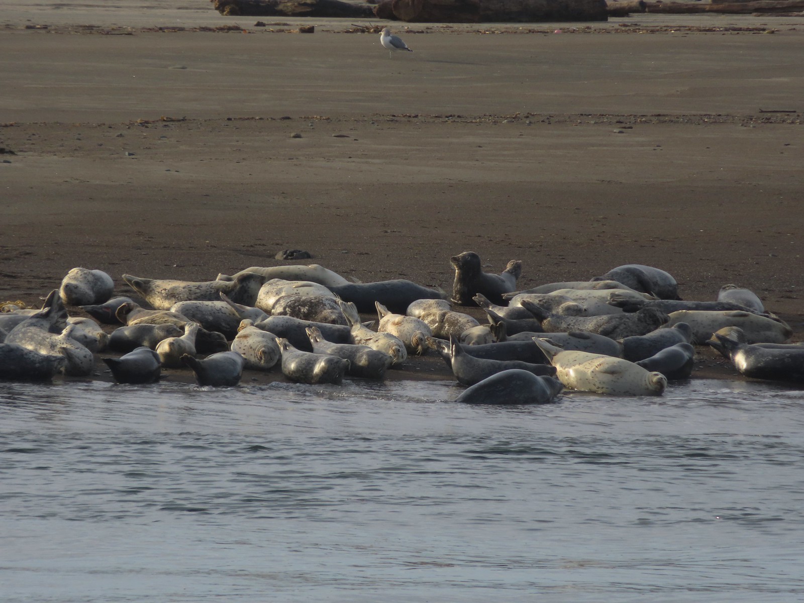 Seals – 11/18/23, Siletz Bay, Lincoln City
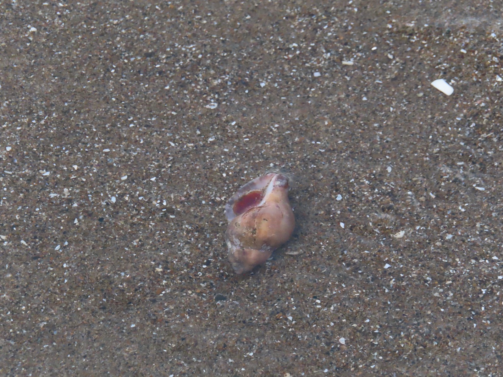 Shell with inhabitant – 11/18/23, Nelscott Beach, Lincoln City
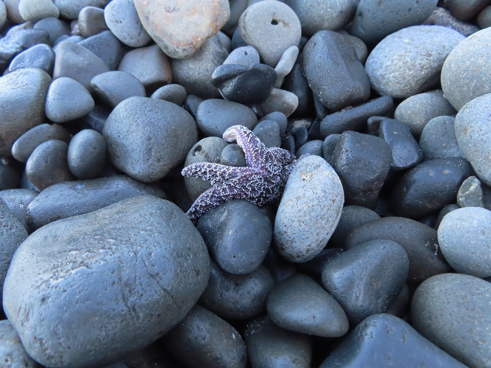 Starfish – 10/28/23, Short Beach, Oceanside
 Trout – 8/16/23, Tombstone Lake, Eagle Cap Wilderness
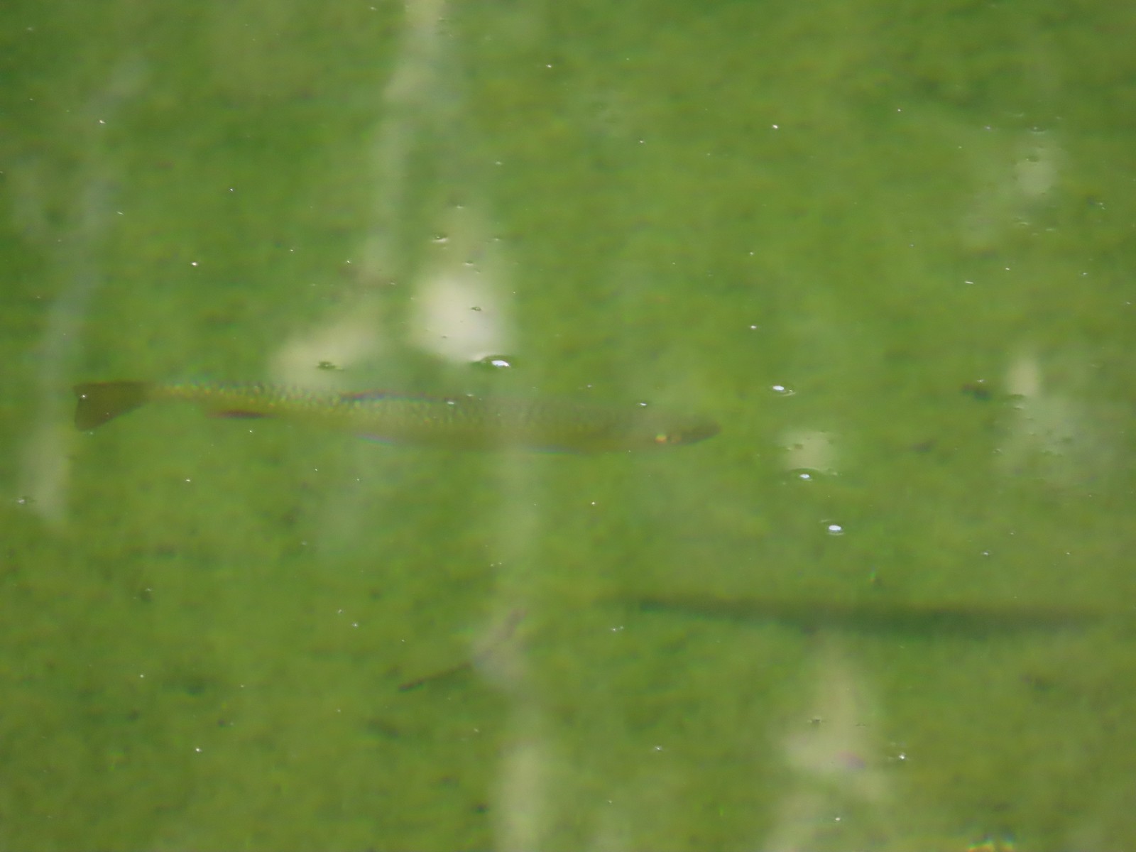
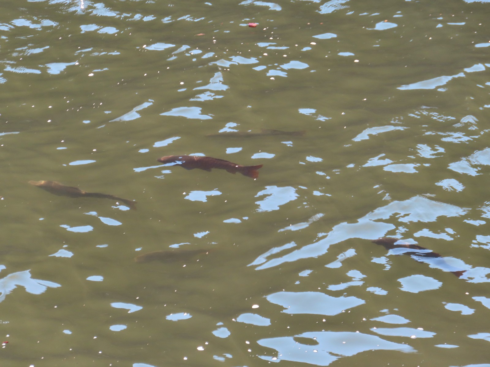 Fish – 6/16/23, Hells Canyon Reservoir, Hells Canyon National Recreation Area

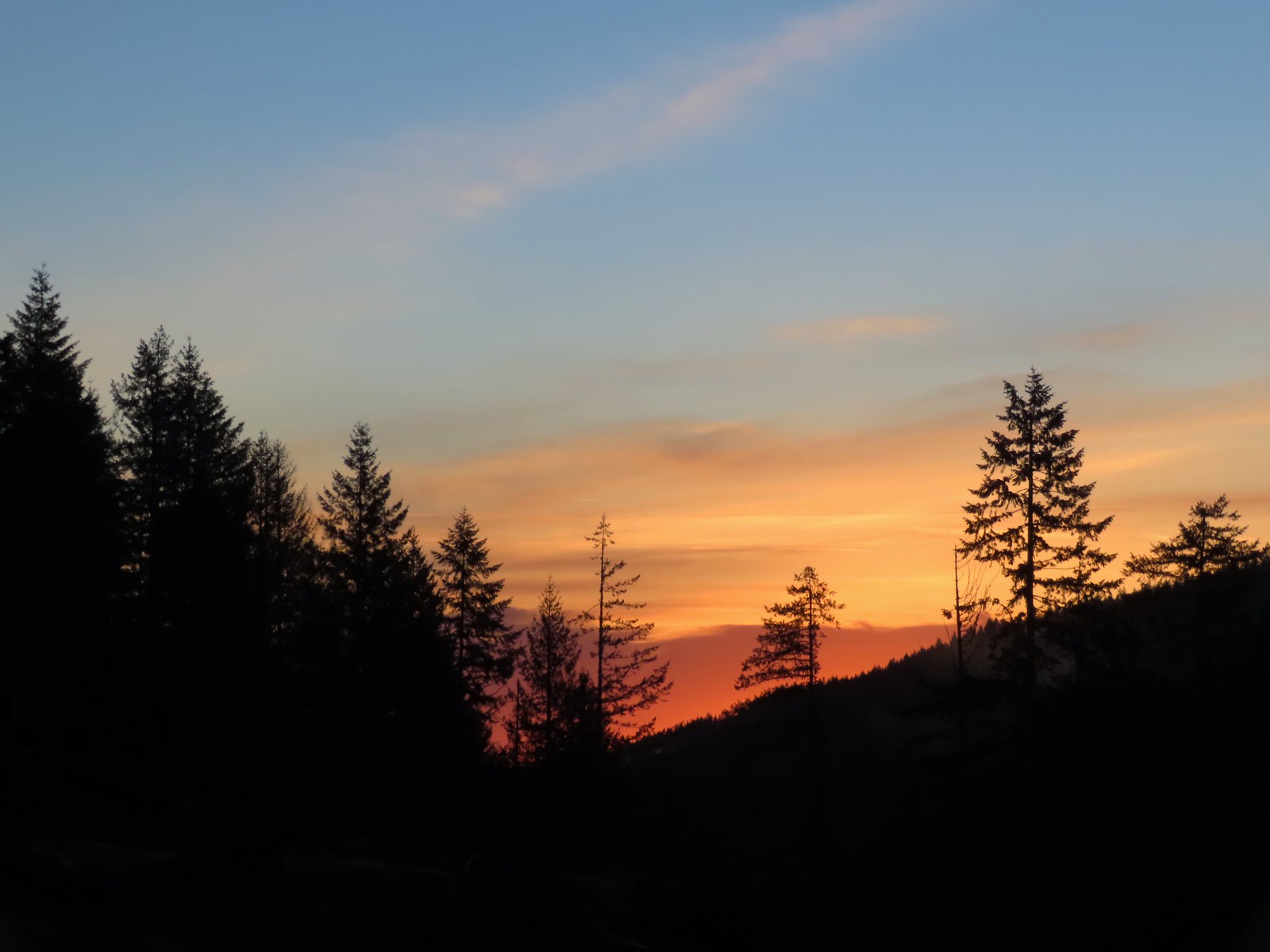 Sunrise from the trailhead.
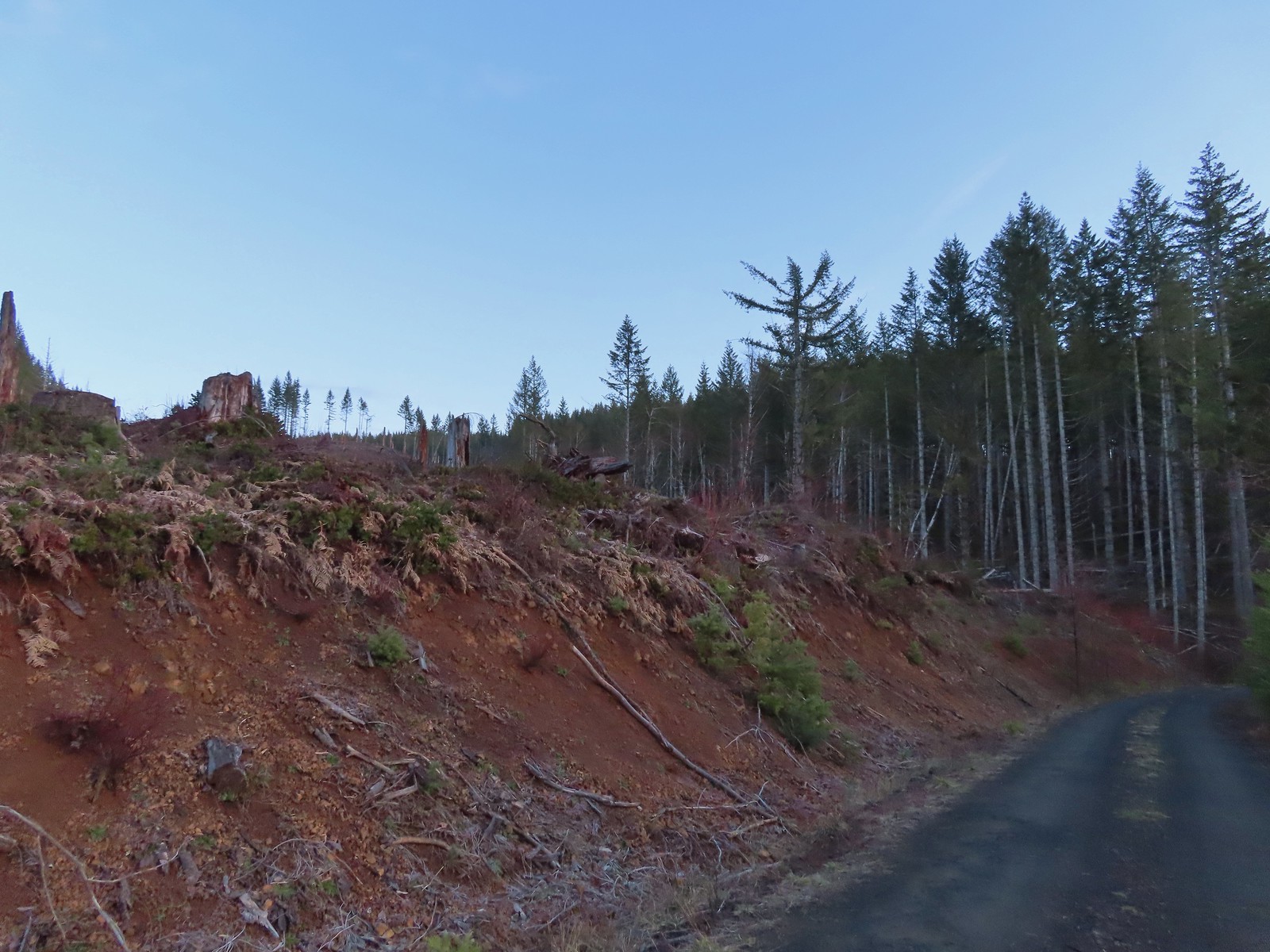 Clear cut at the trailhead.
 This was the view through the forest from Maple Creek Road around the 80-yard mark.
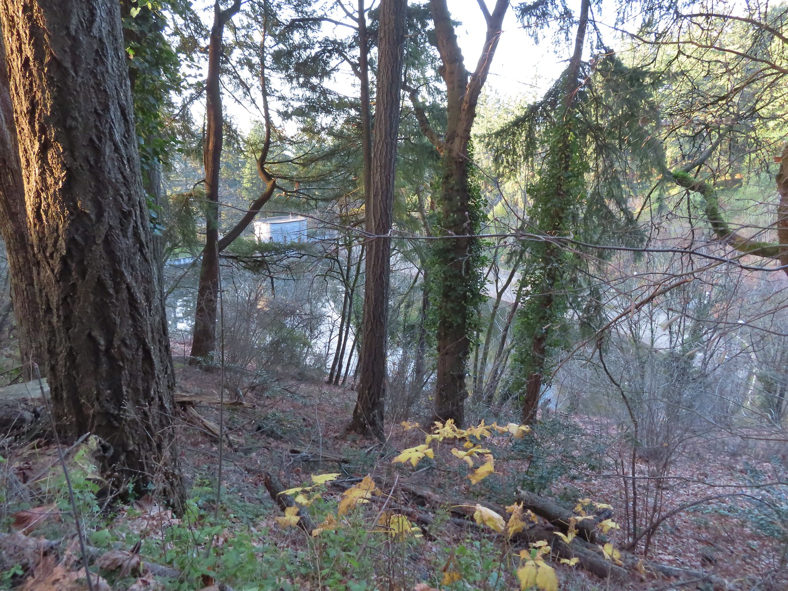
 We could hear the Tualatin River in the valley below and I managed to get far enough down the hill to get a glimpse of the water. I had descended from a pullout with a fire ring about 50-75′ looking for the old roadbed, but I still couldn’t make out where it actually was and had been slipping a lot on wet wood.
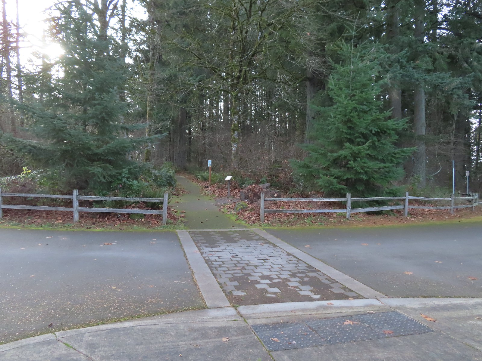
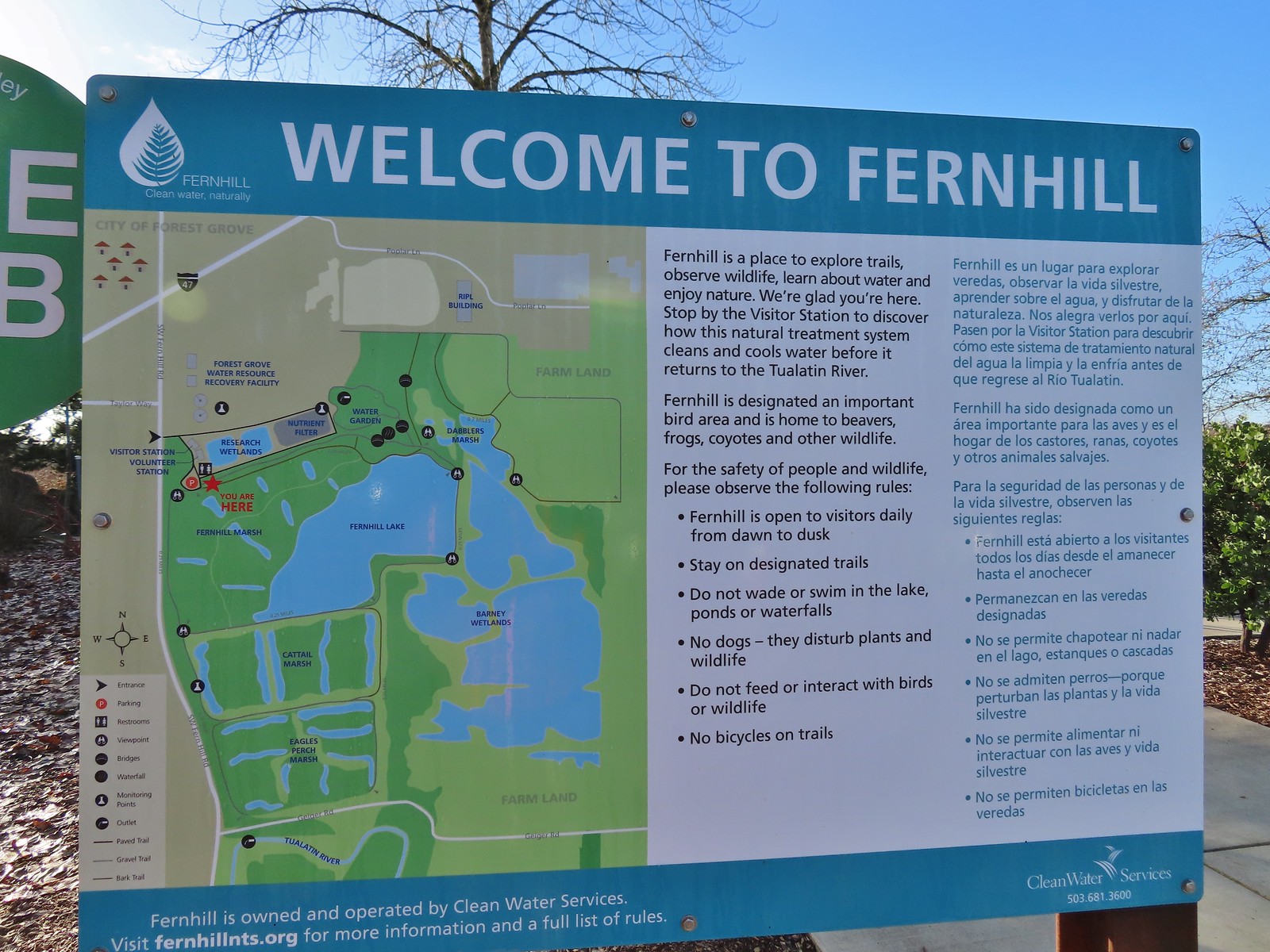 Map and information at the trailhead.
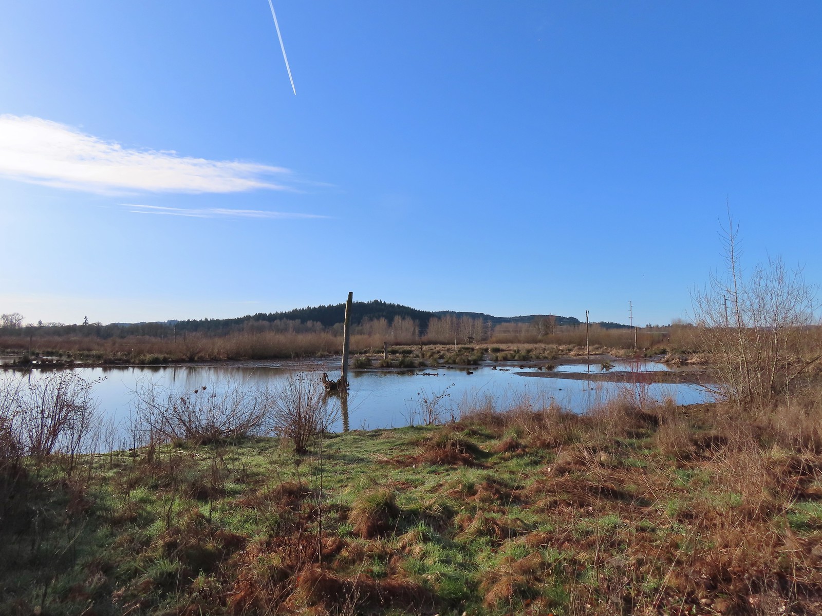
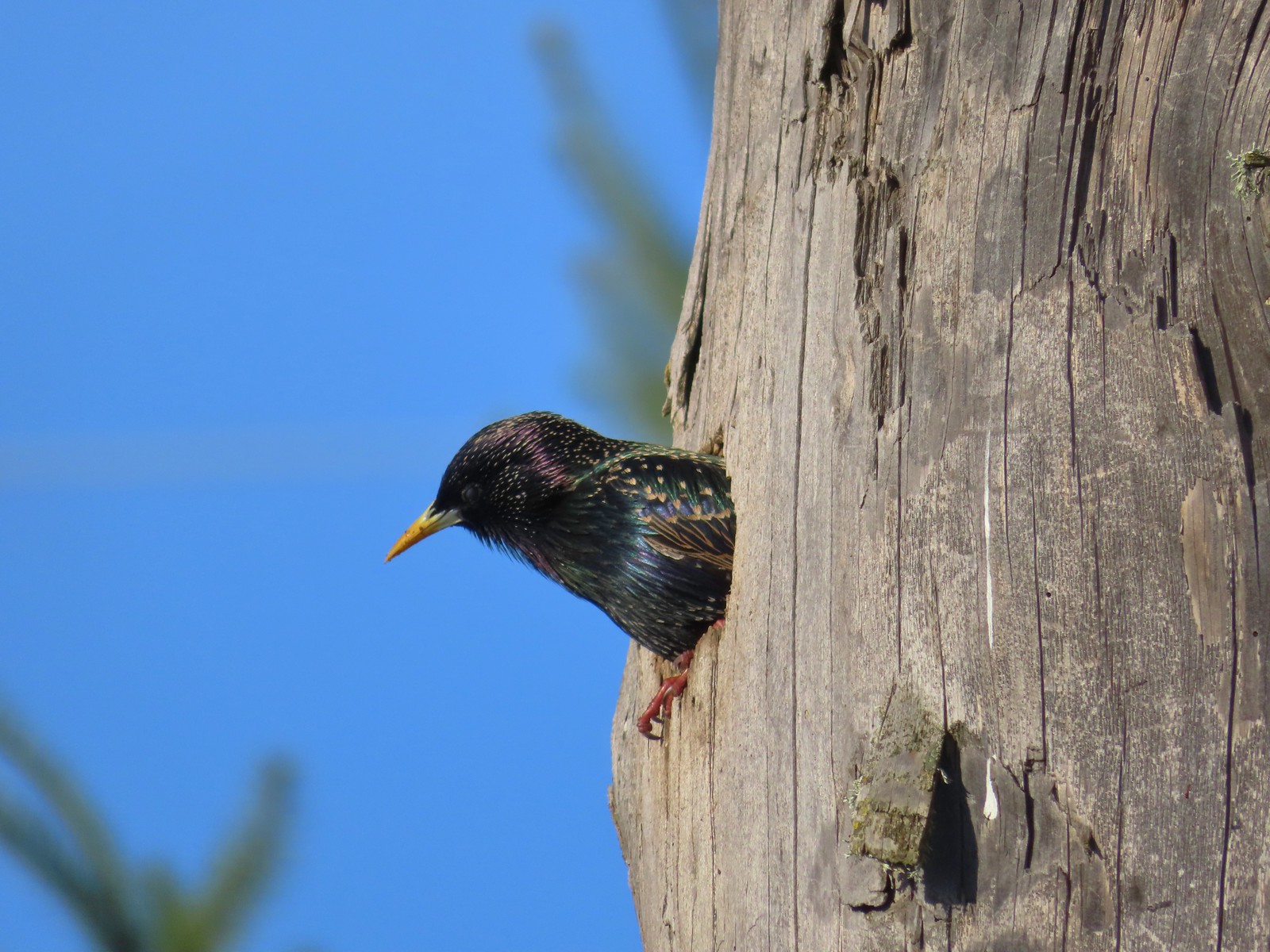 Starling
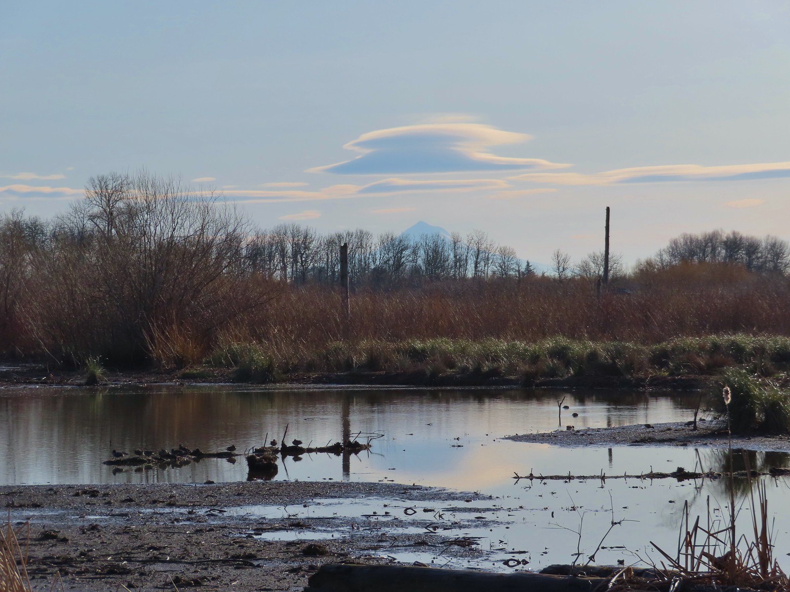 Lenticular clouds over Mt. Hood in the distance.
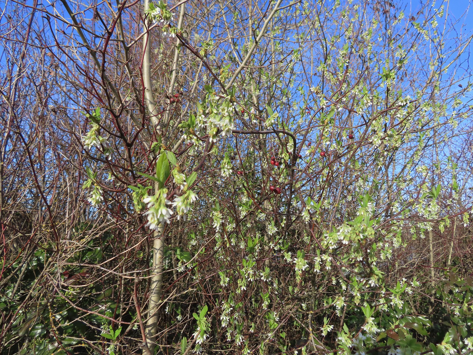 Our first wildflower of the year is Indian plum in 2024.
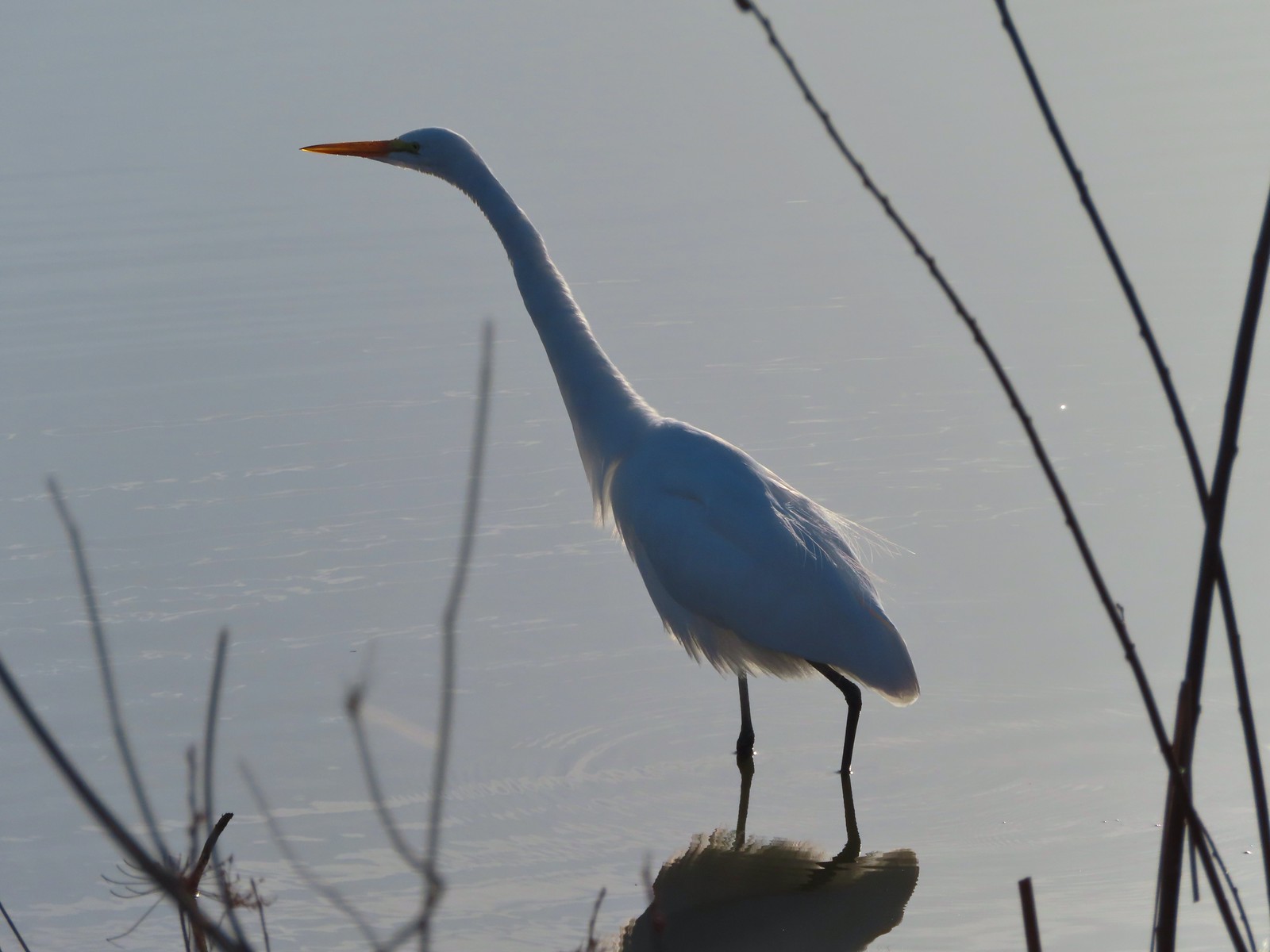 Egret
Egret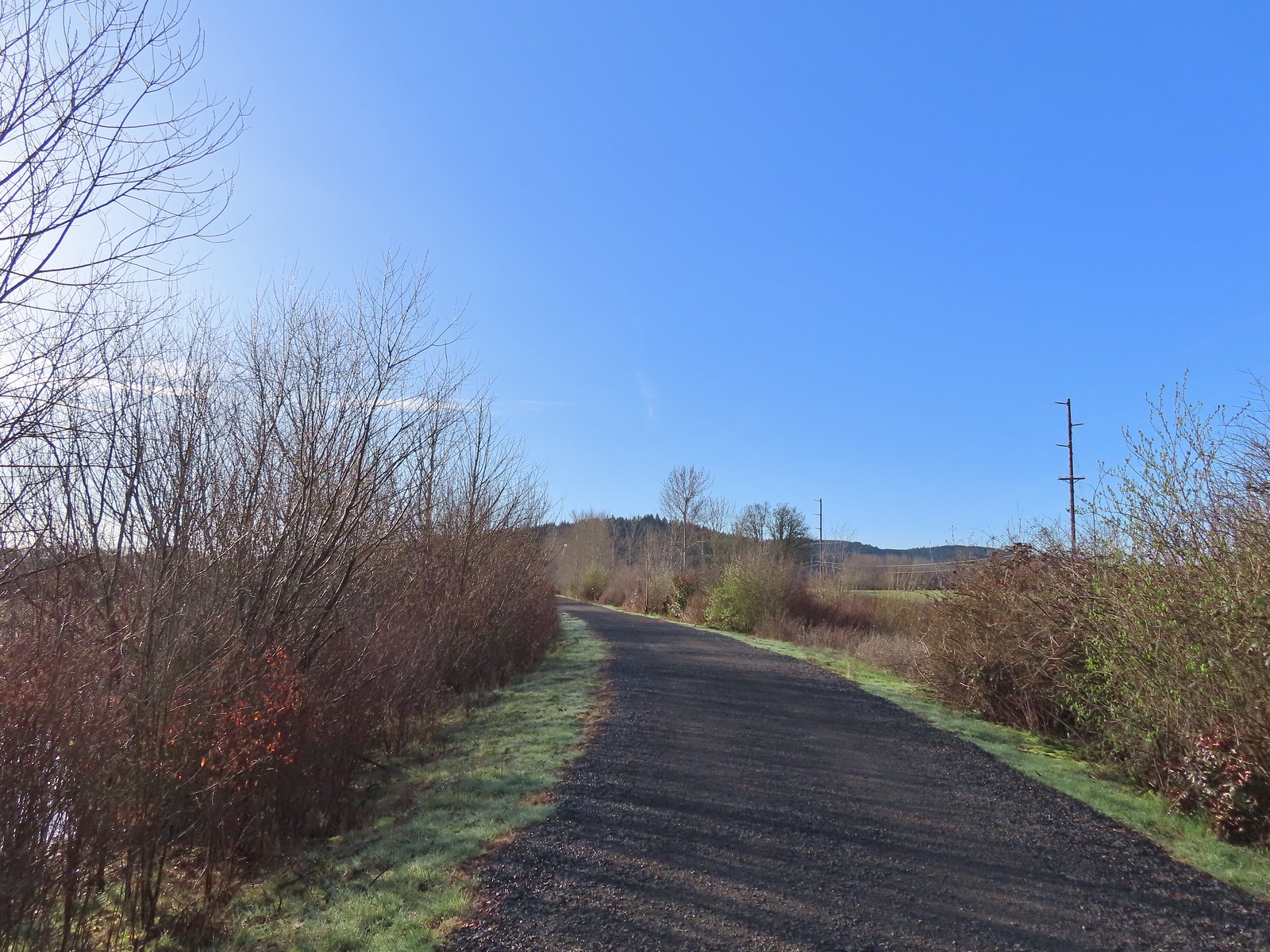 Path at Fernhill Wetlands.
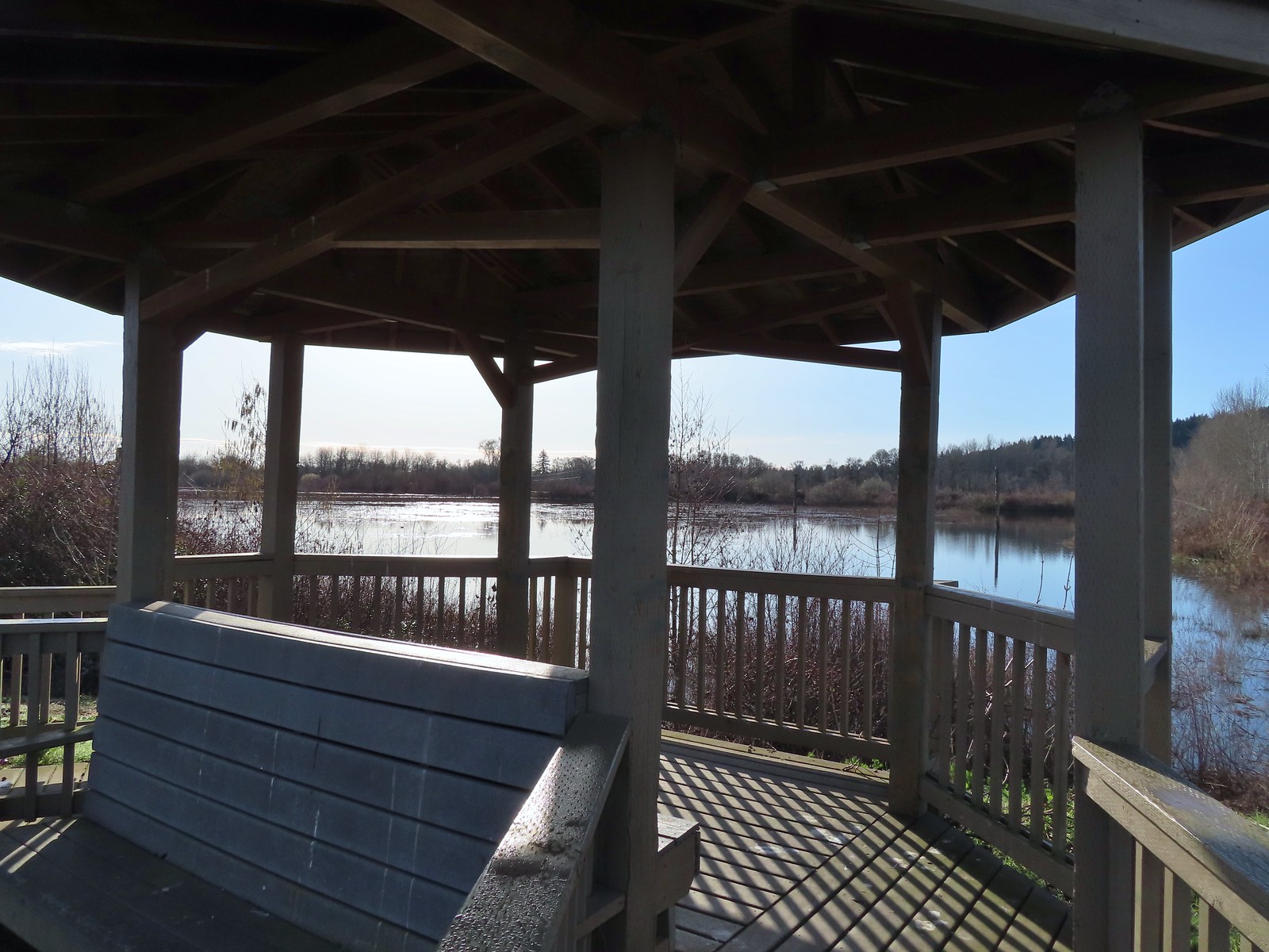 Gazebo overlooking Cattail Marsh.
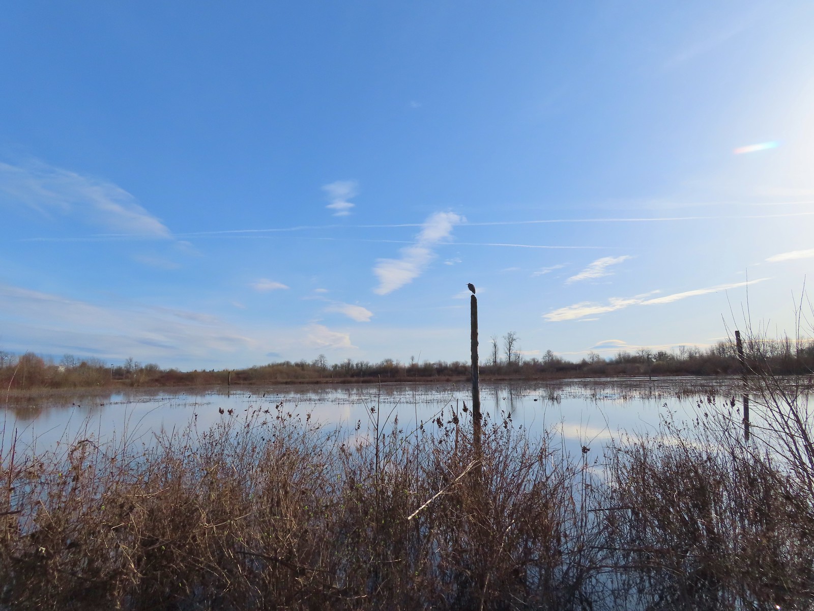 Great blue heron on a post above Cattail Marsh.
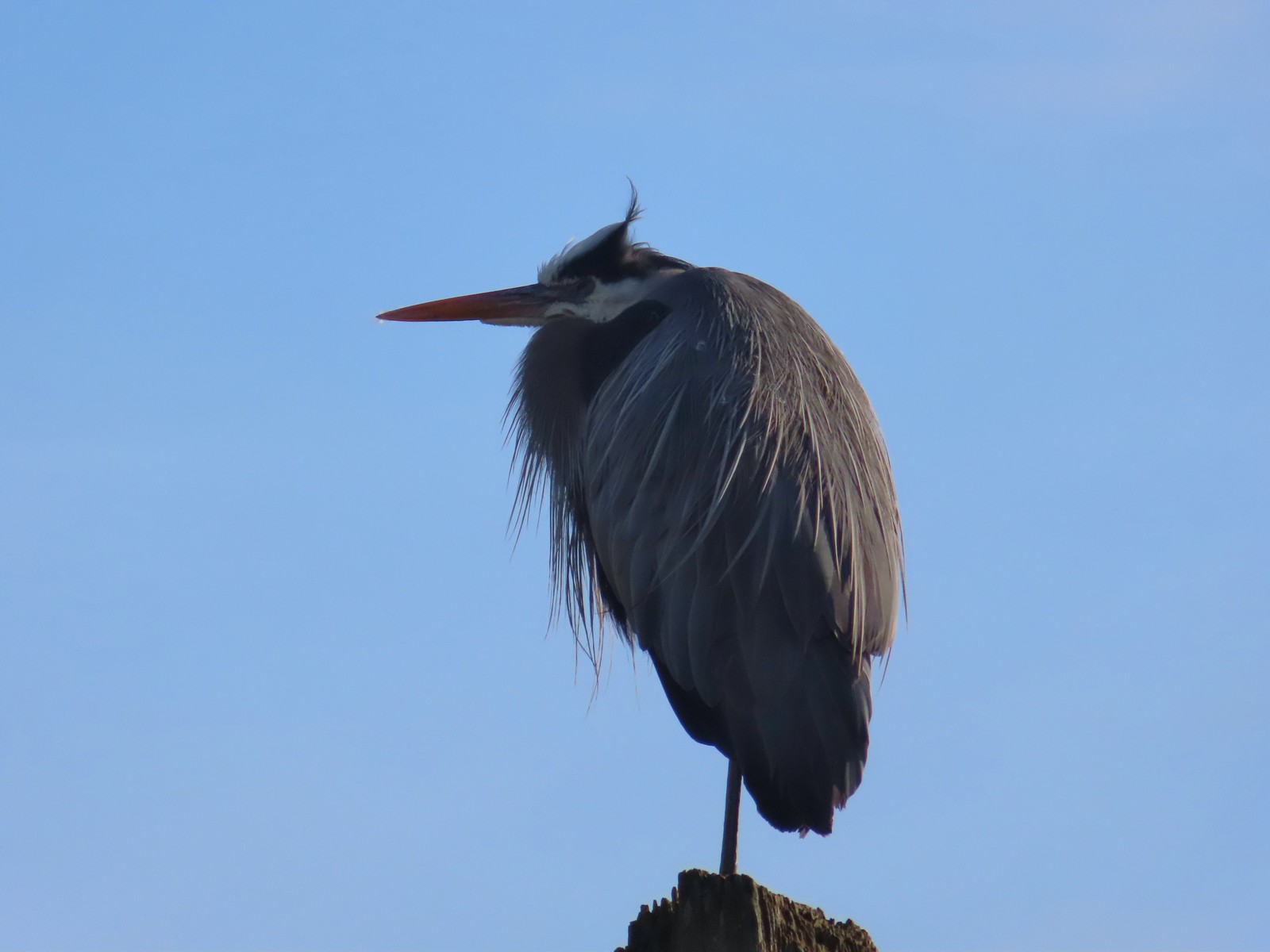
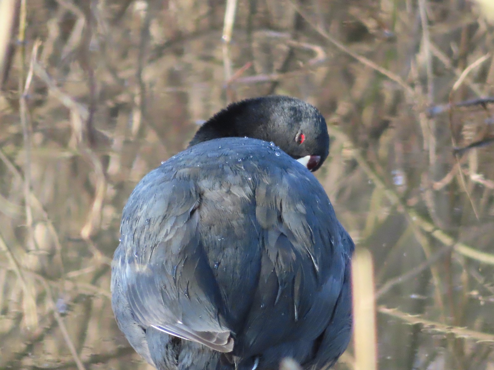 American coot
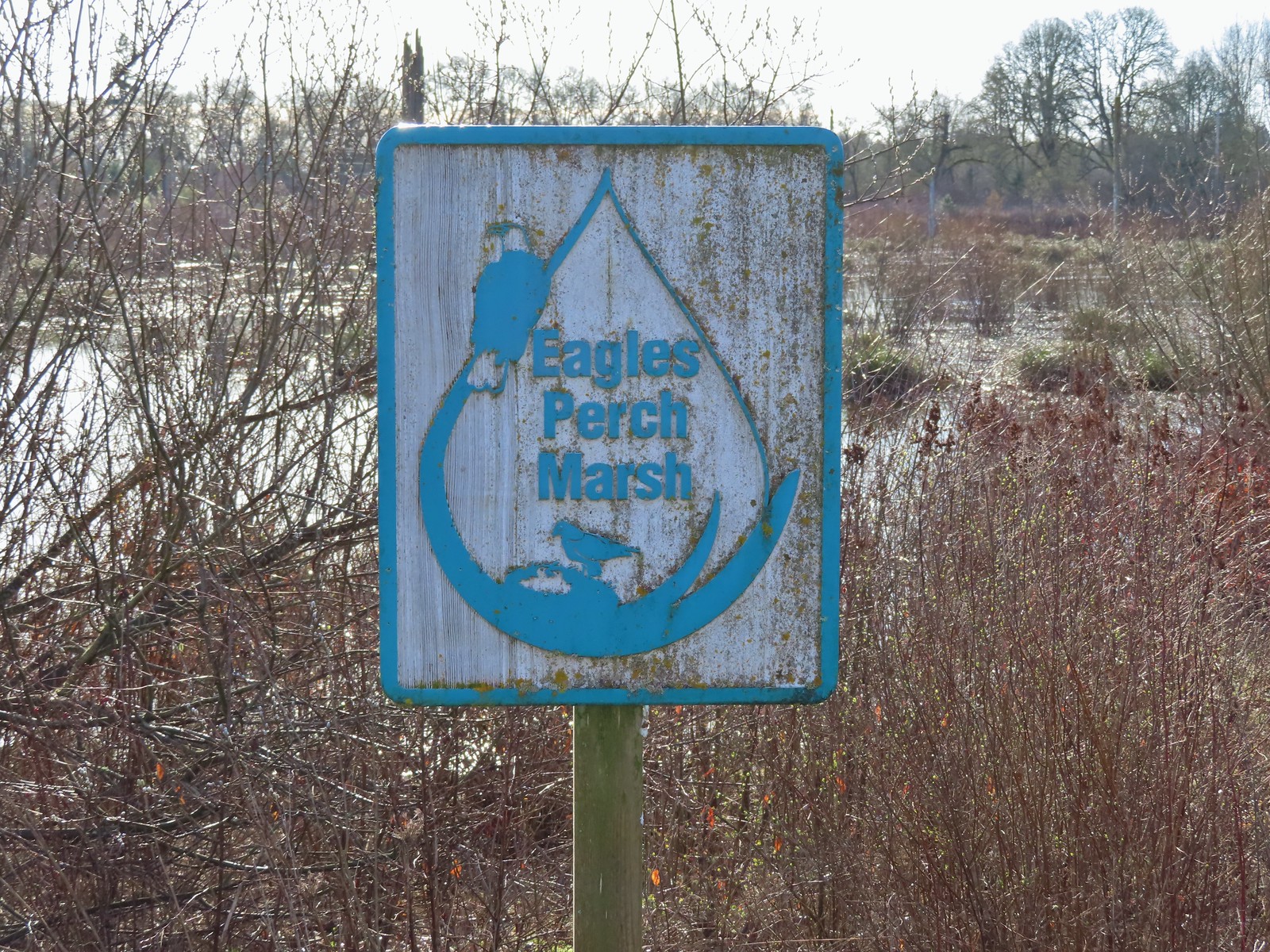
 Another great blue heron.
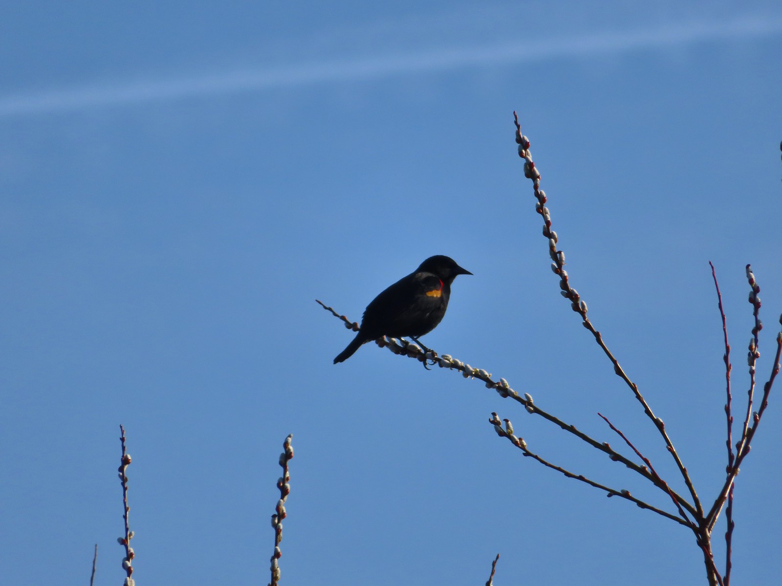 Red-winged blackbird
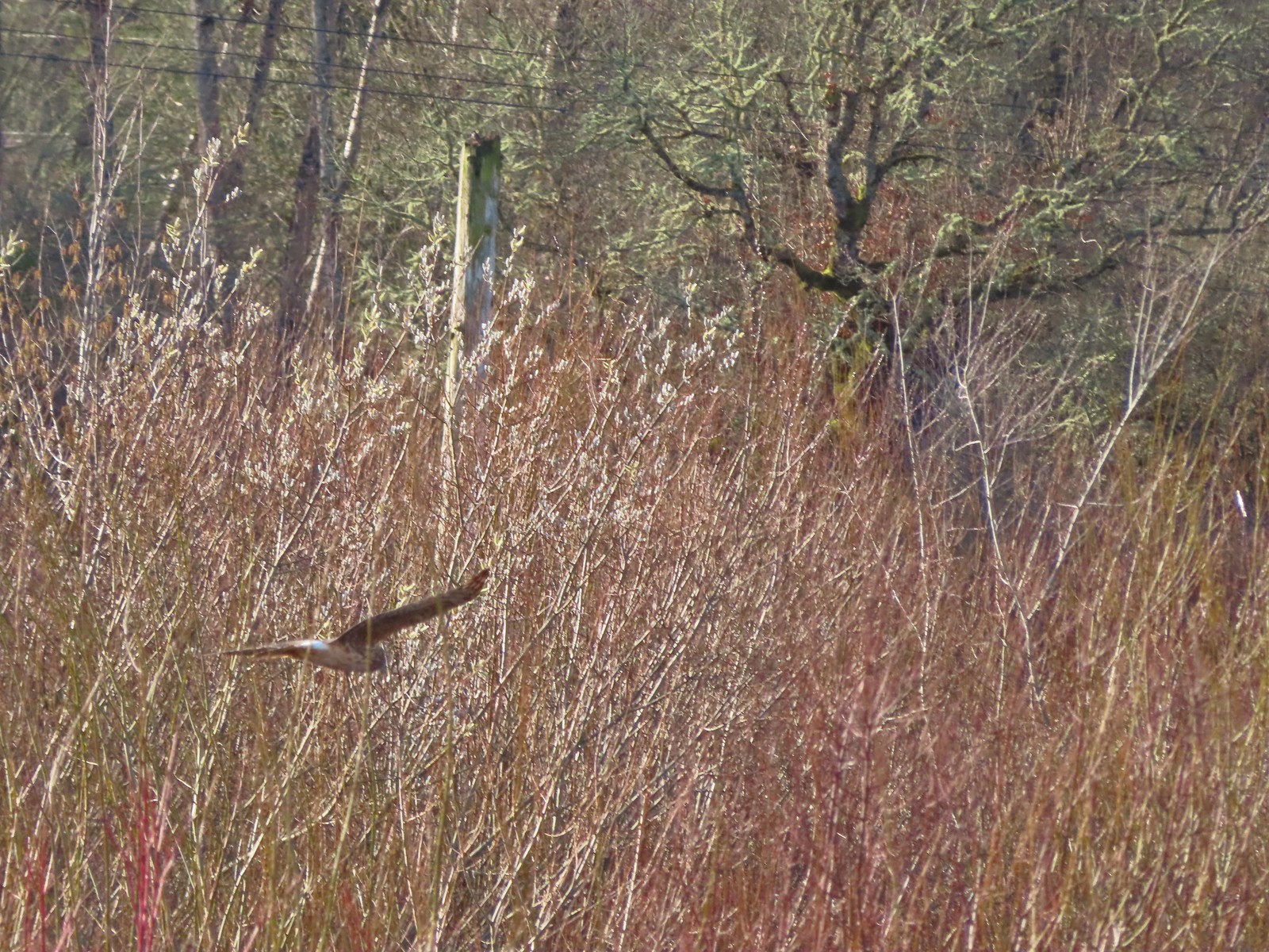 Hawk flying over Eagles Perch Marsh.
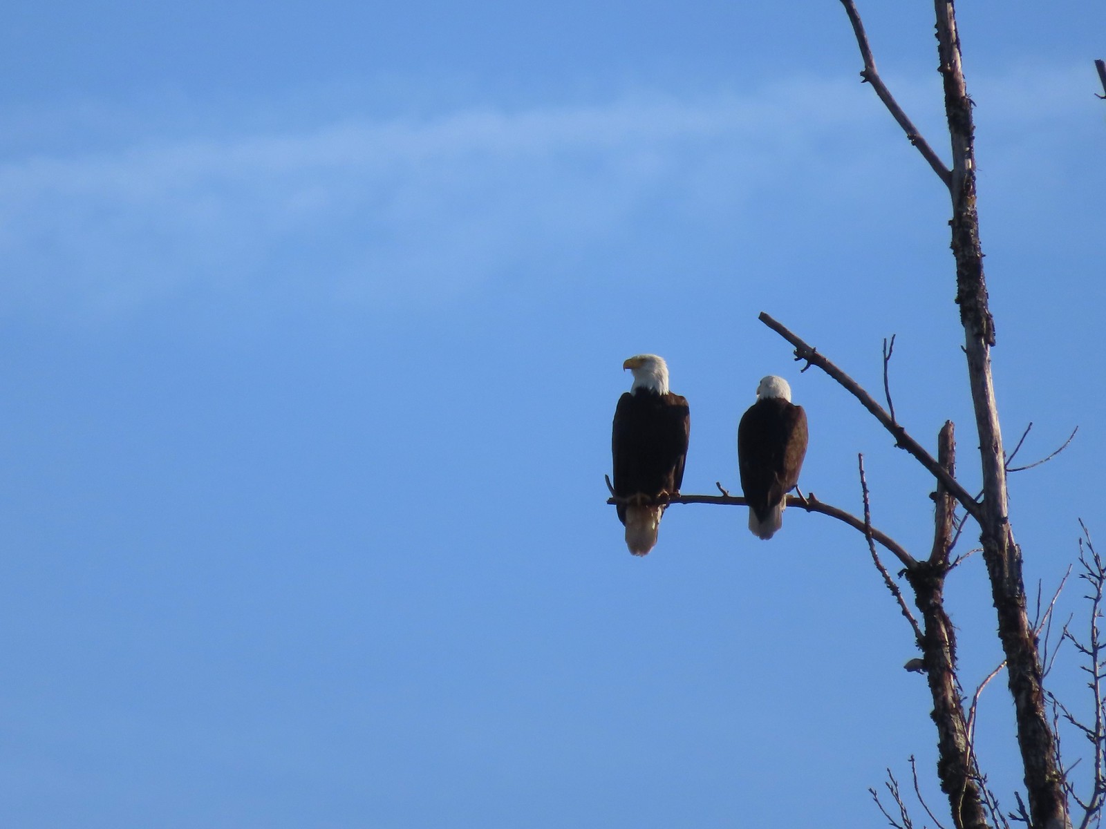

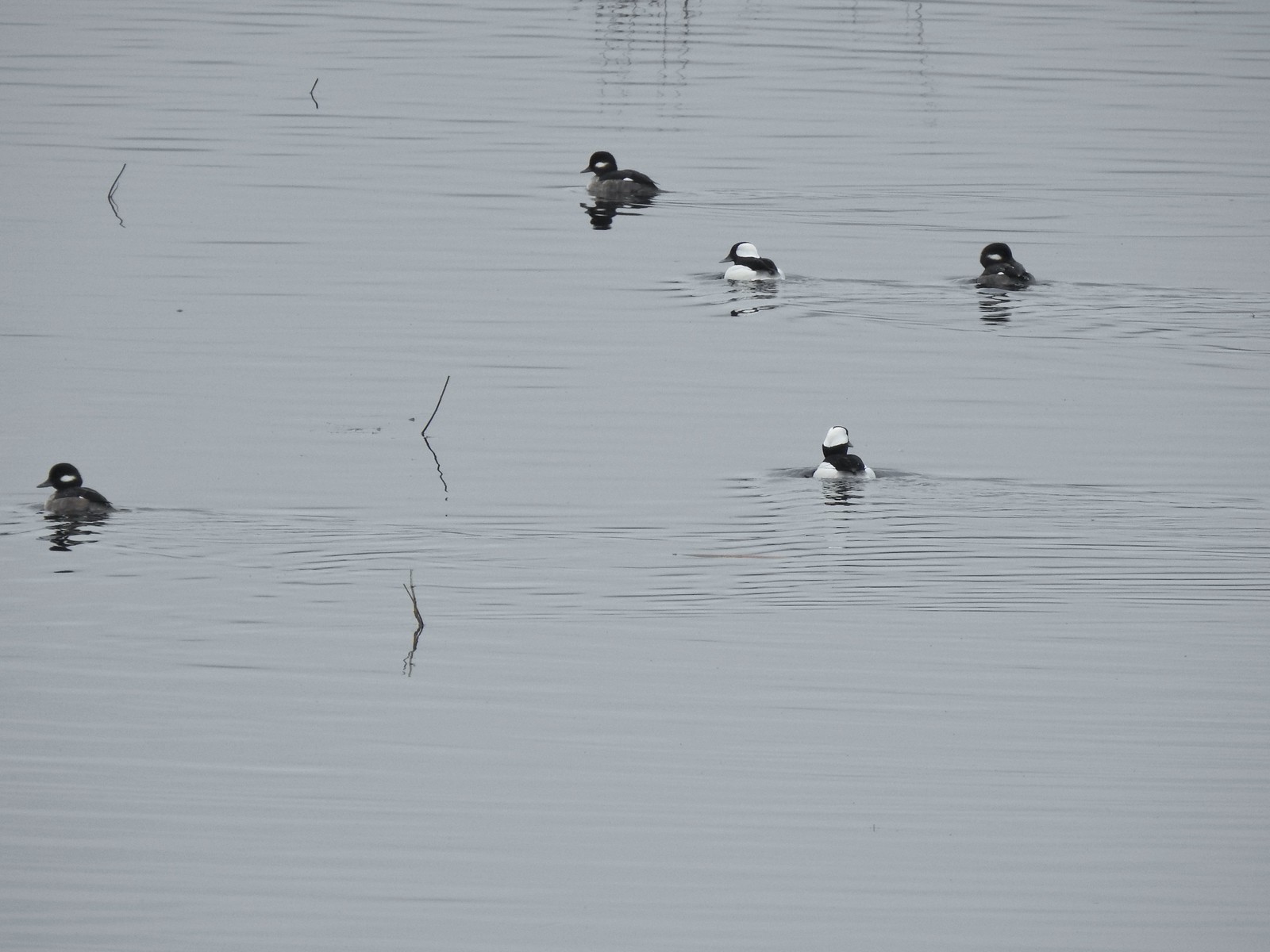
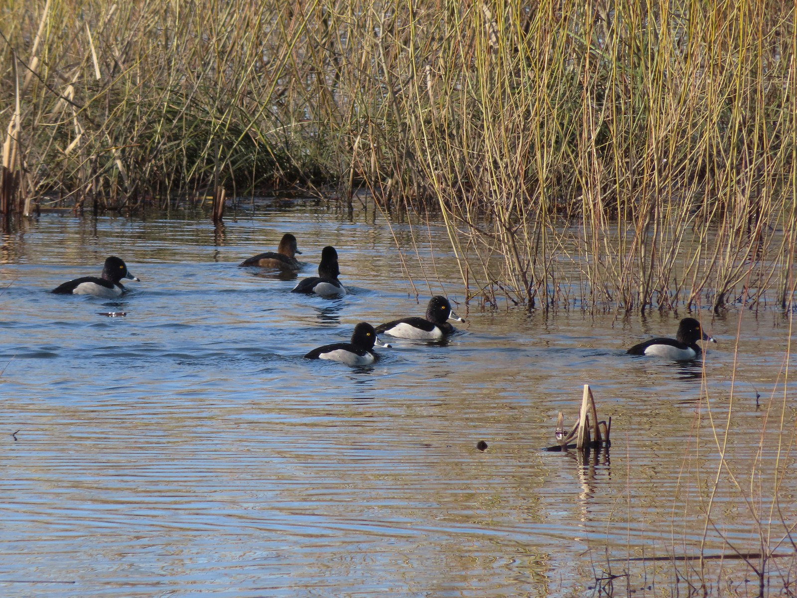 Ring-necked ducks
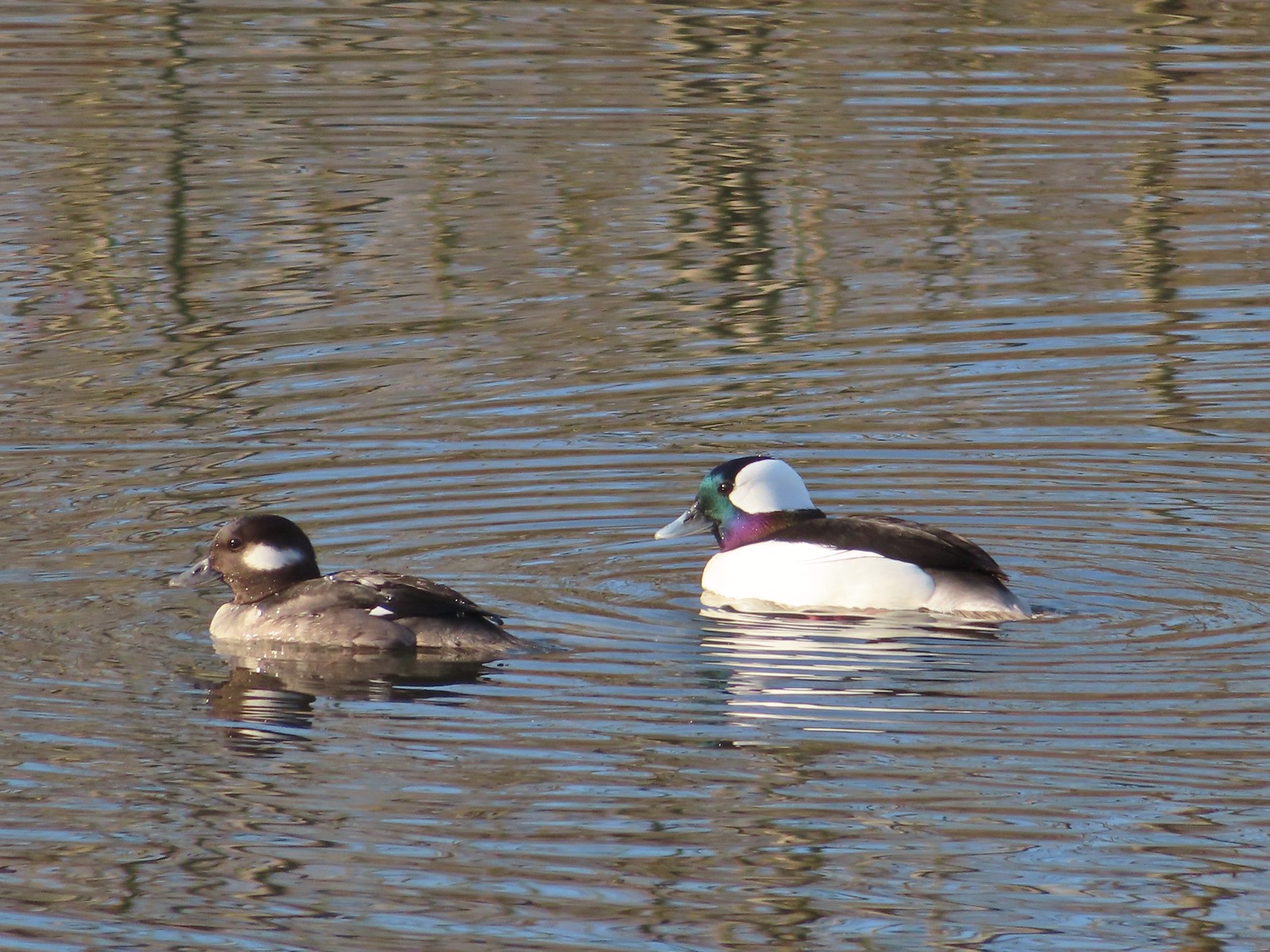 Buffleheads
 This one might be a hooded merganser?
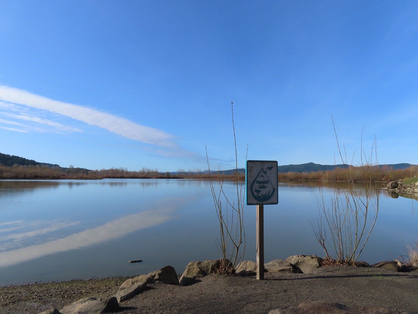
 Fernhill Lake
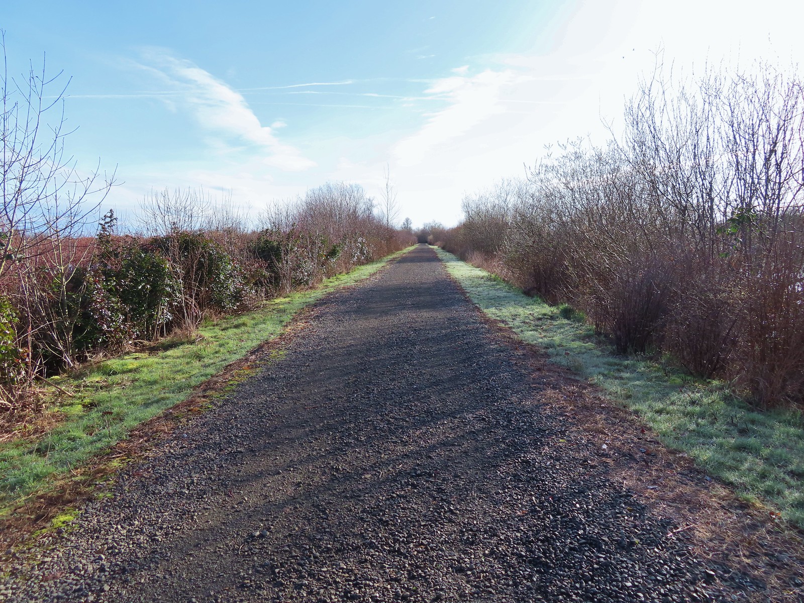
 This is where the trail turned east (for obvious reasons).
 Barney wetlands


 Double-crested cormorant on a post in Barney Wetlands.
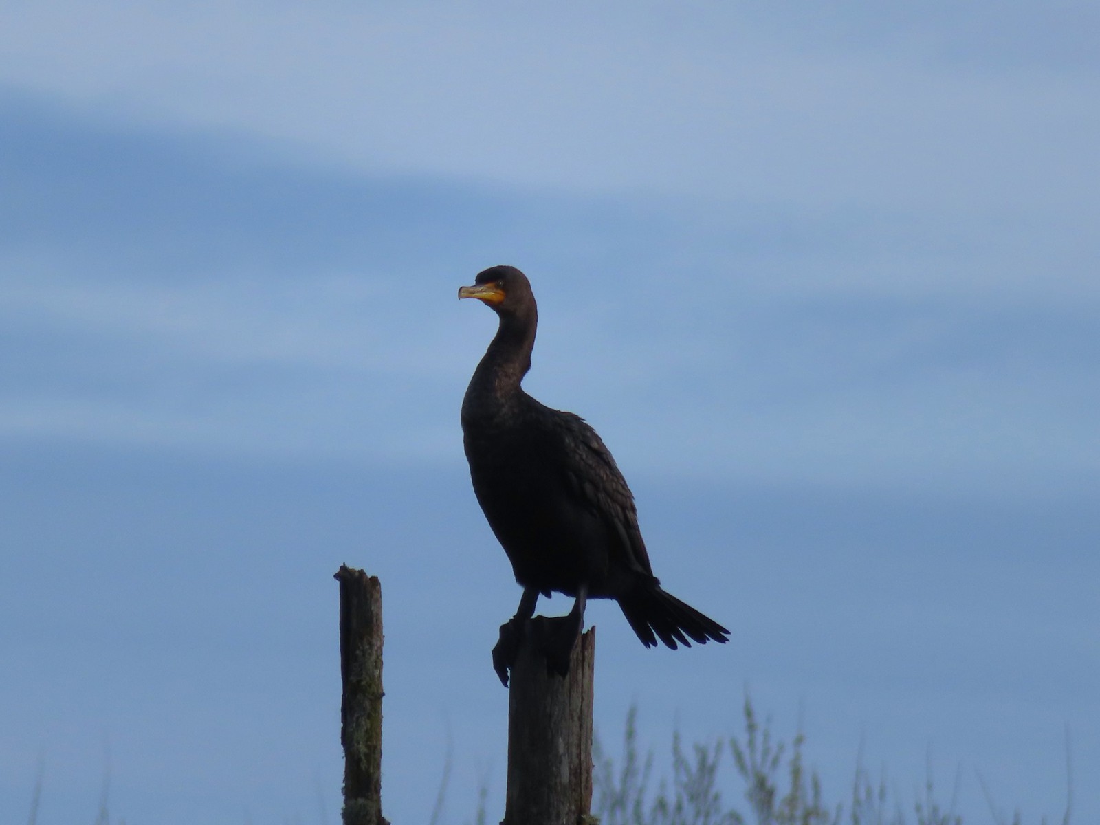 Double-crested cormorant
 Drying off in the sun.
 Nurtia at a bench near Dabblers Marsh
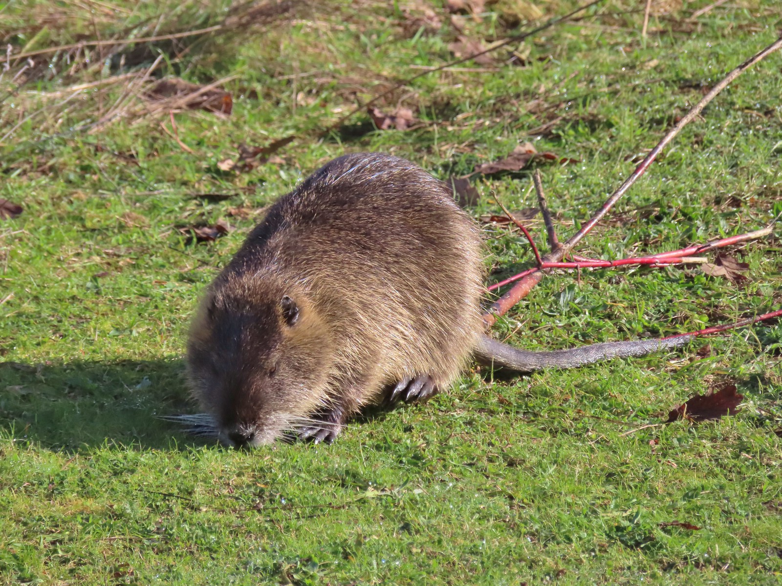 Nutria
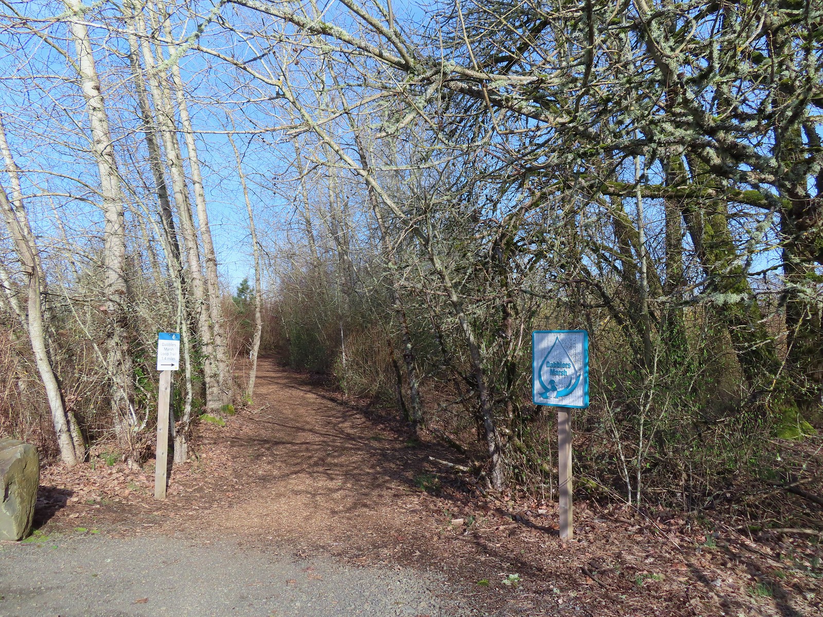
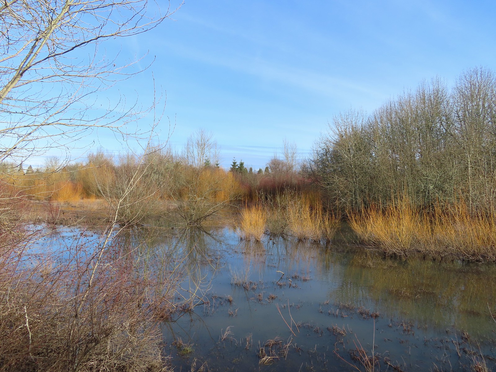 Dabblers Marsh
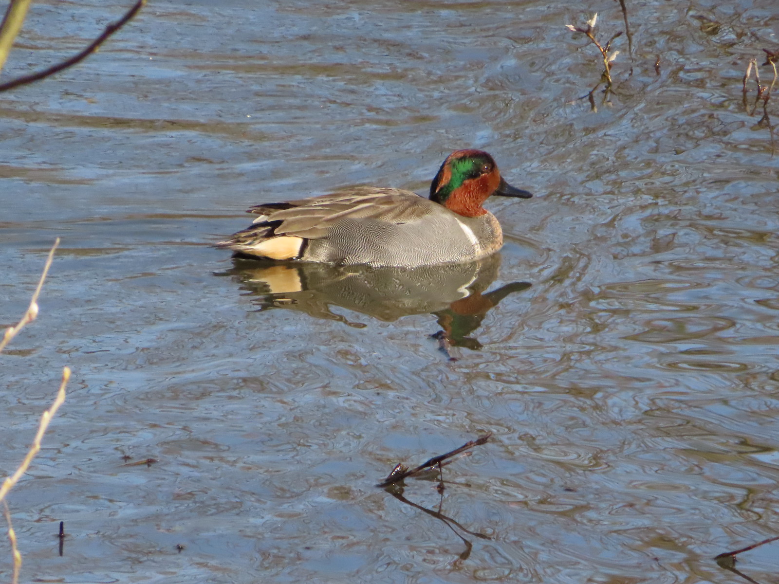 Green-winged teal
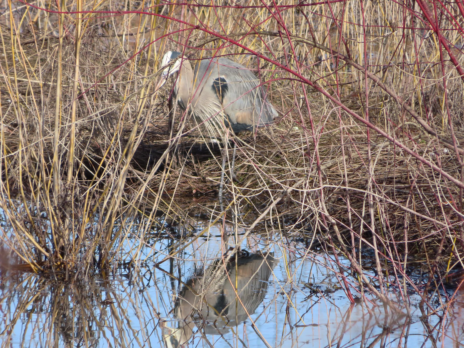 Great blue heron
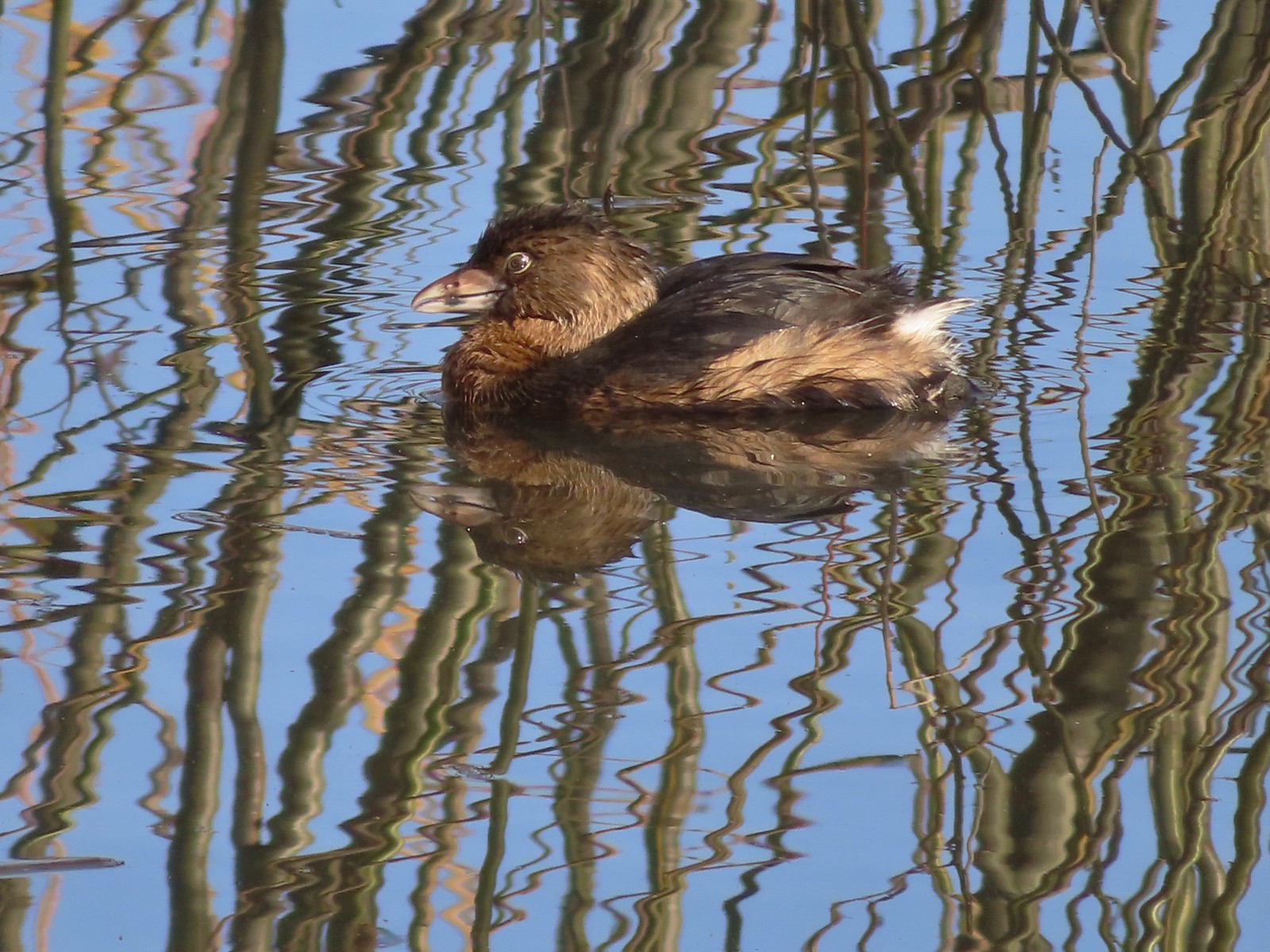 Pie-billed grebe
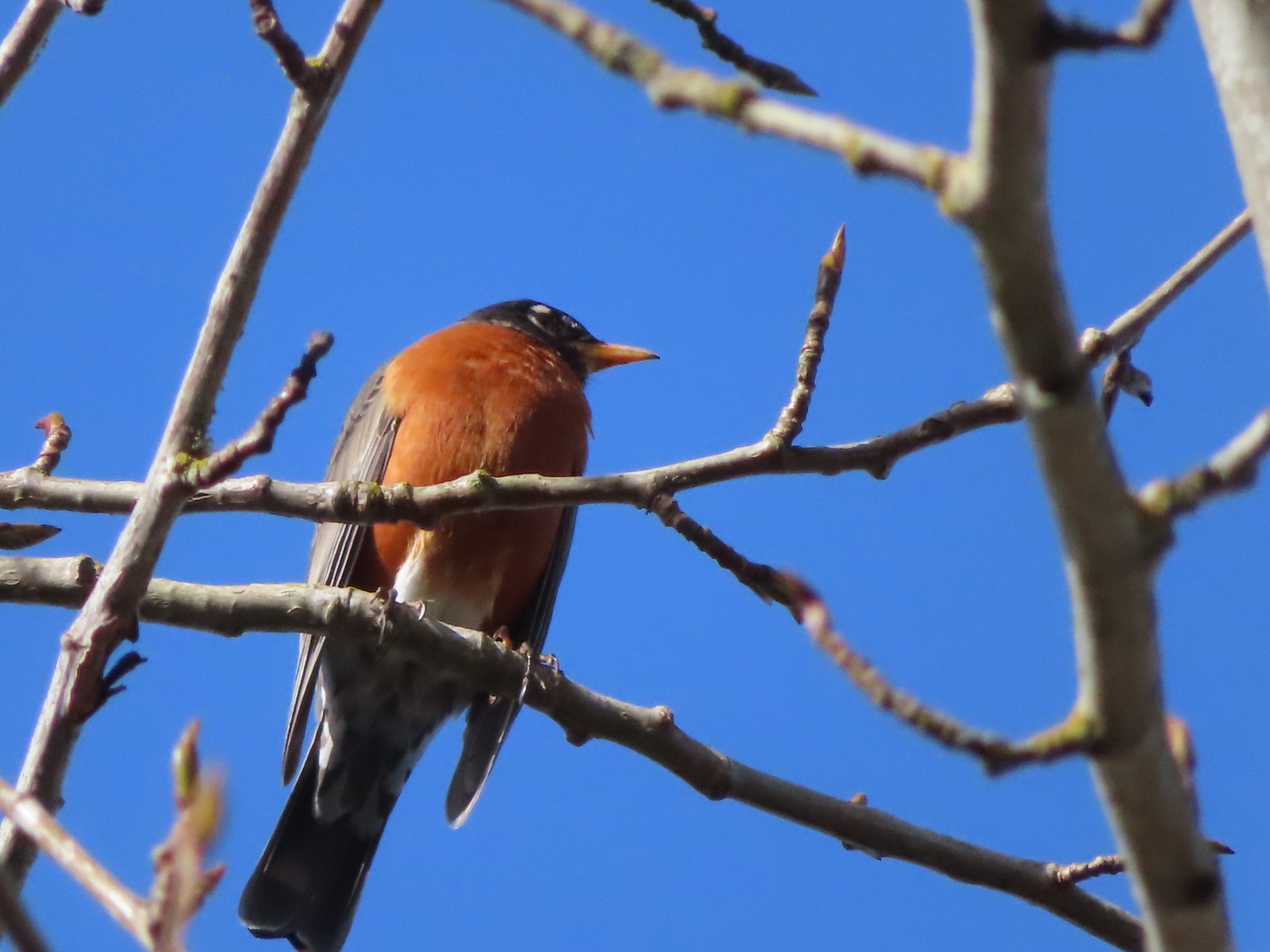 Robin
Robin
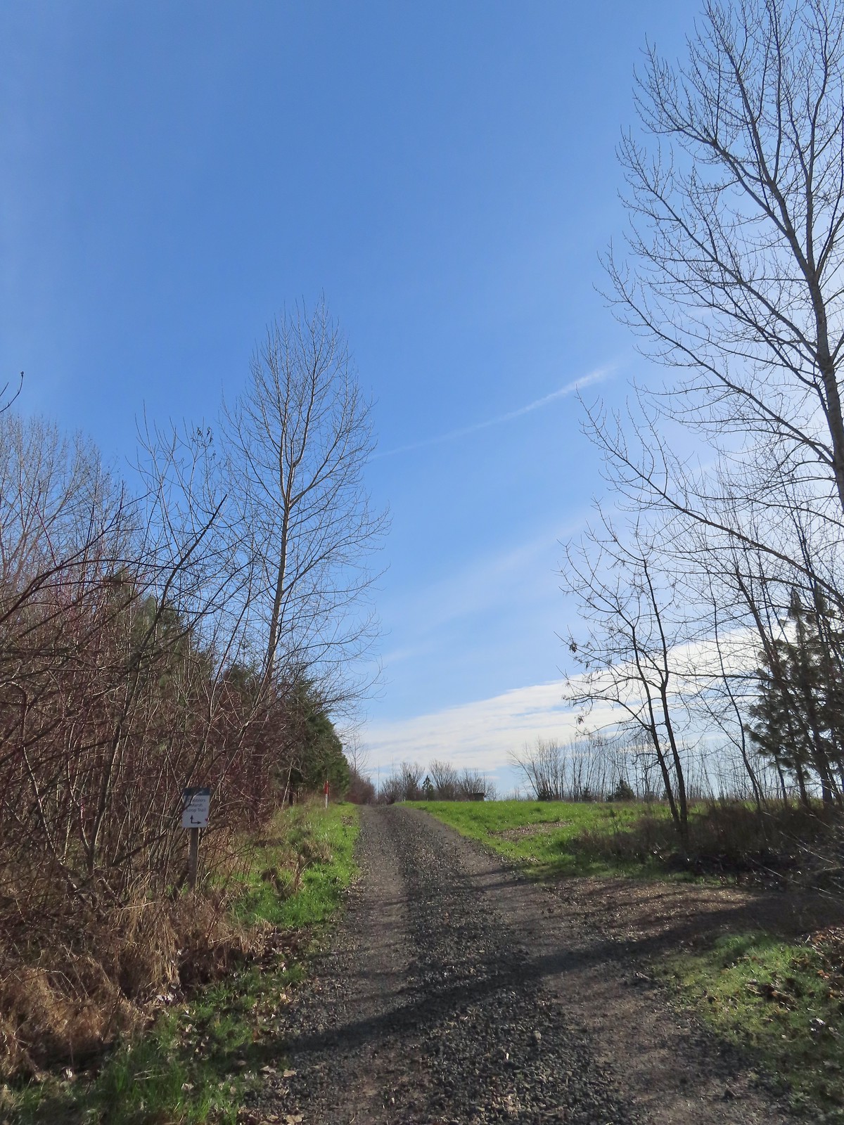 The start of the loop at the edge of the farmland. We stayed left opting to hike the loop clockwise.
 Anna’s hummingbrid
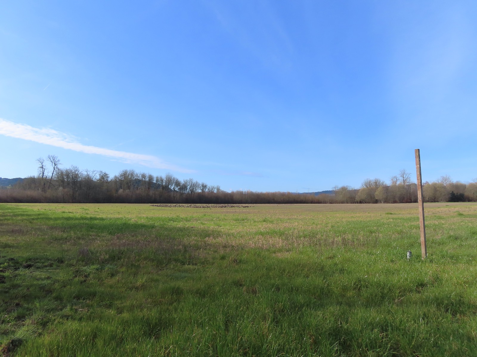 A gaggle of geese in the field.
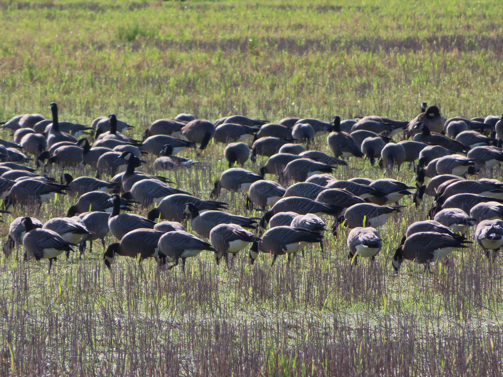
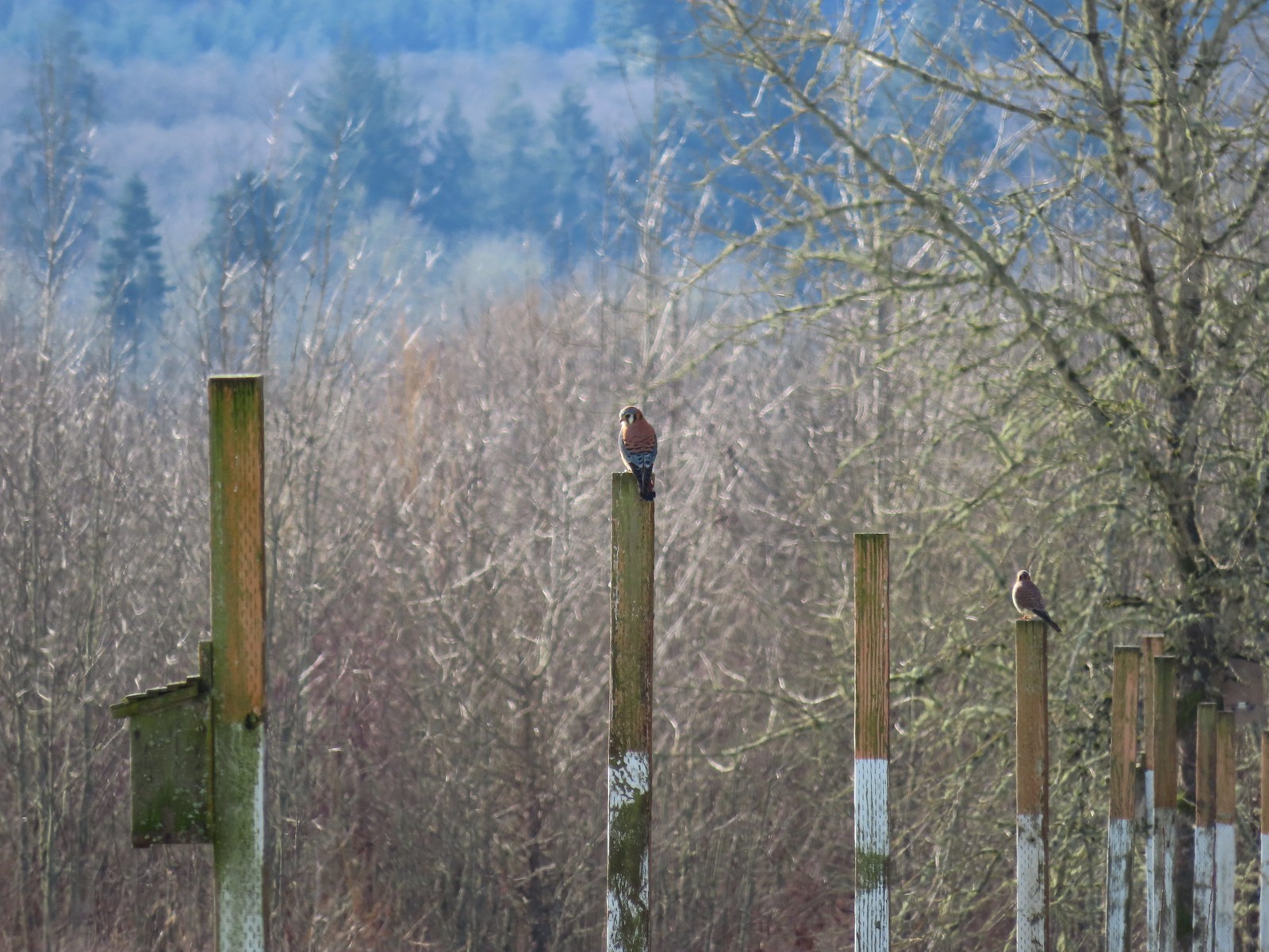 American kestrels manning their posts.
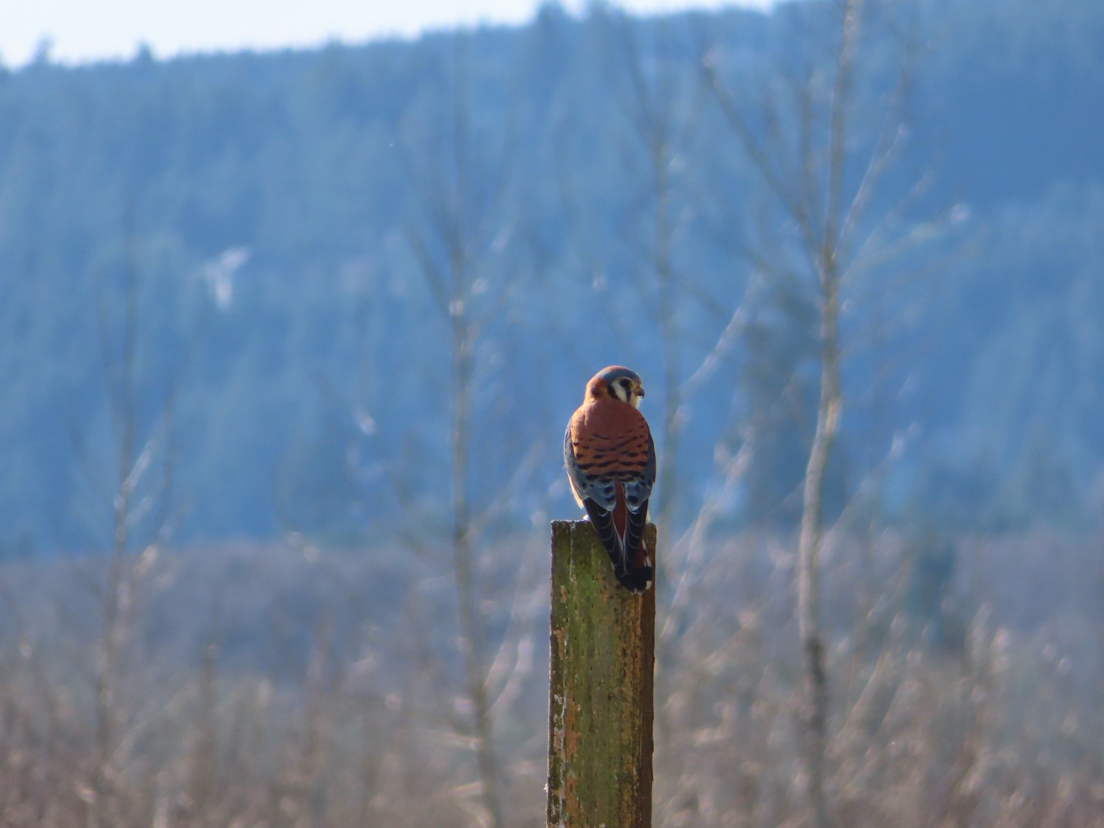
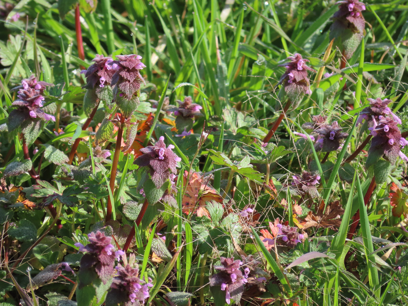 Purple dead-nettle
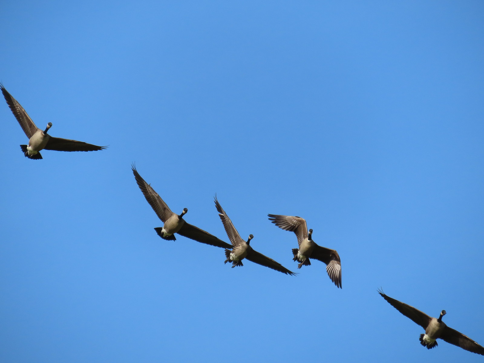 More geese coming in for a landing.
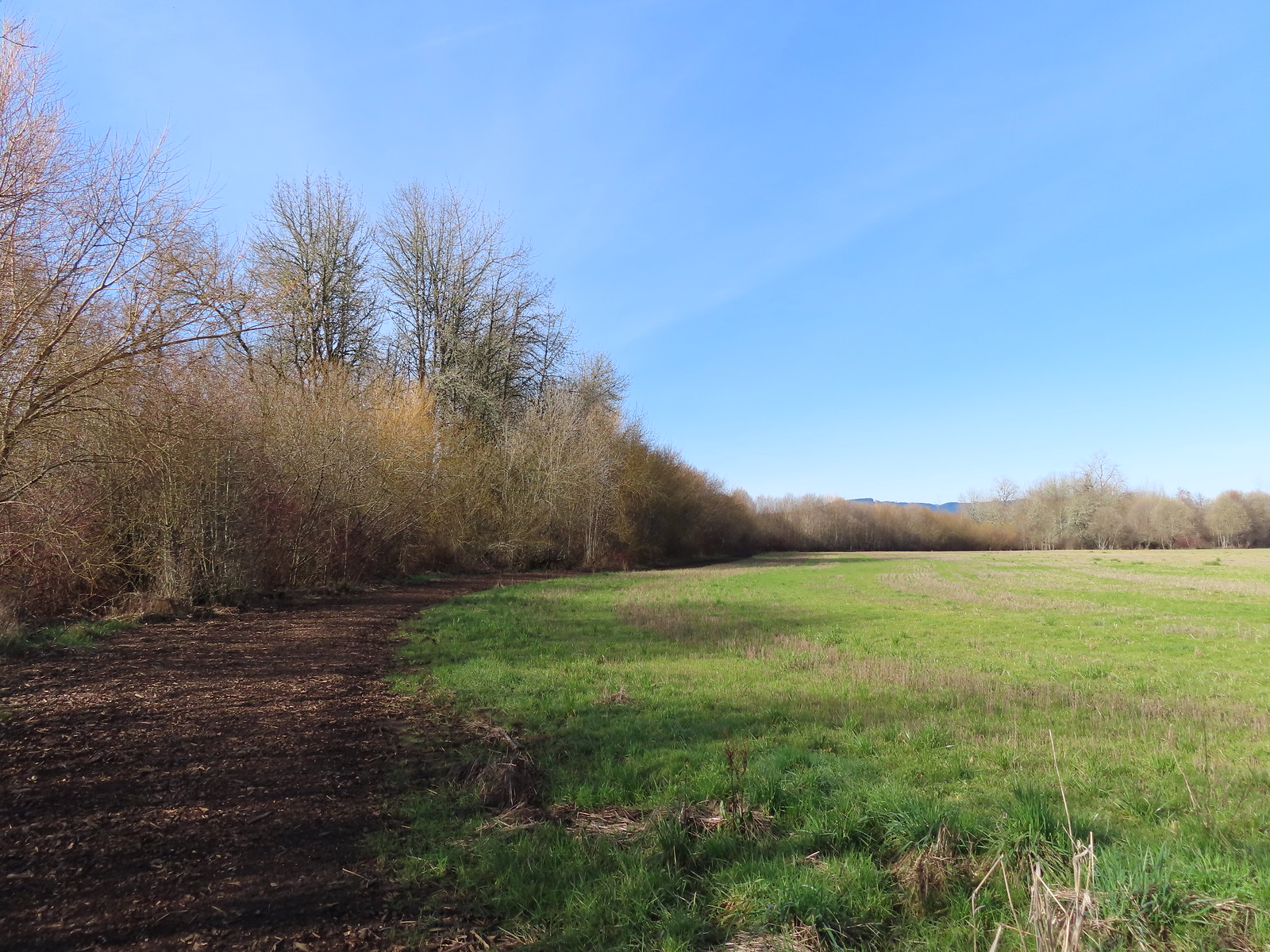
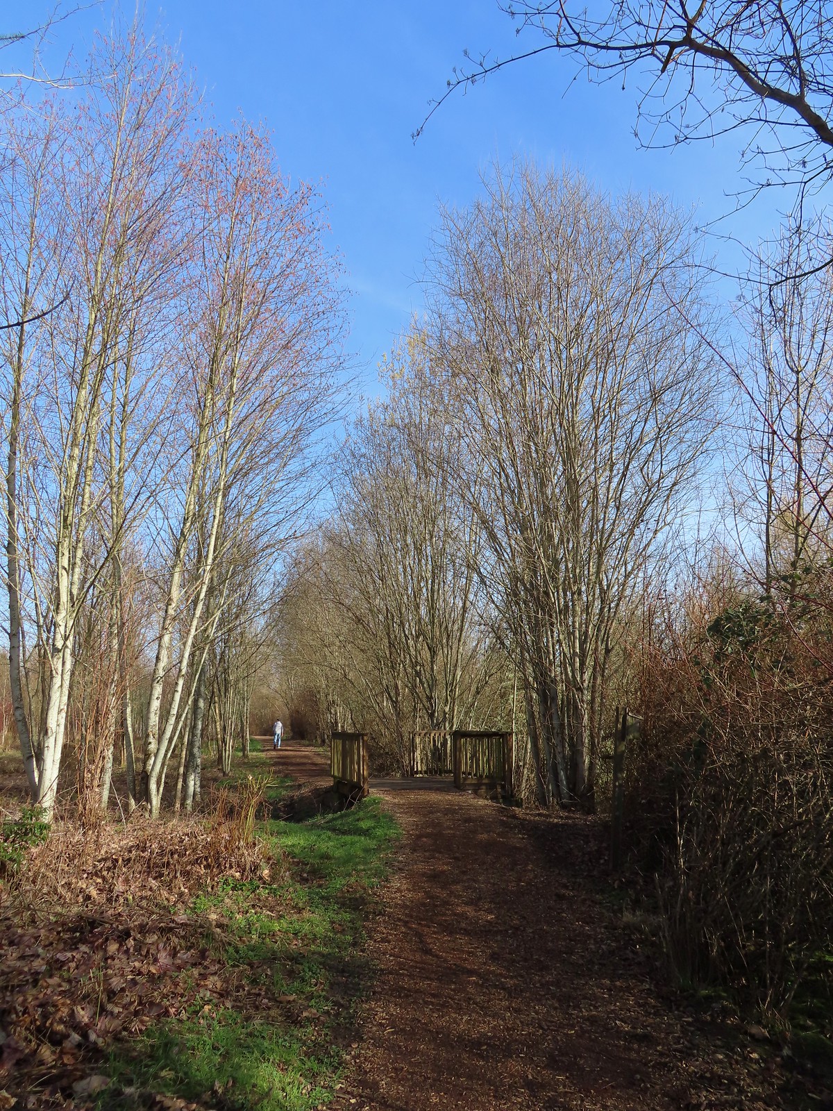
 Near the end of the loop the trail left the field along Dabblers Marsh.
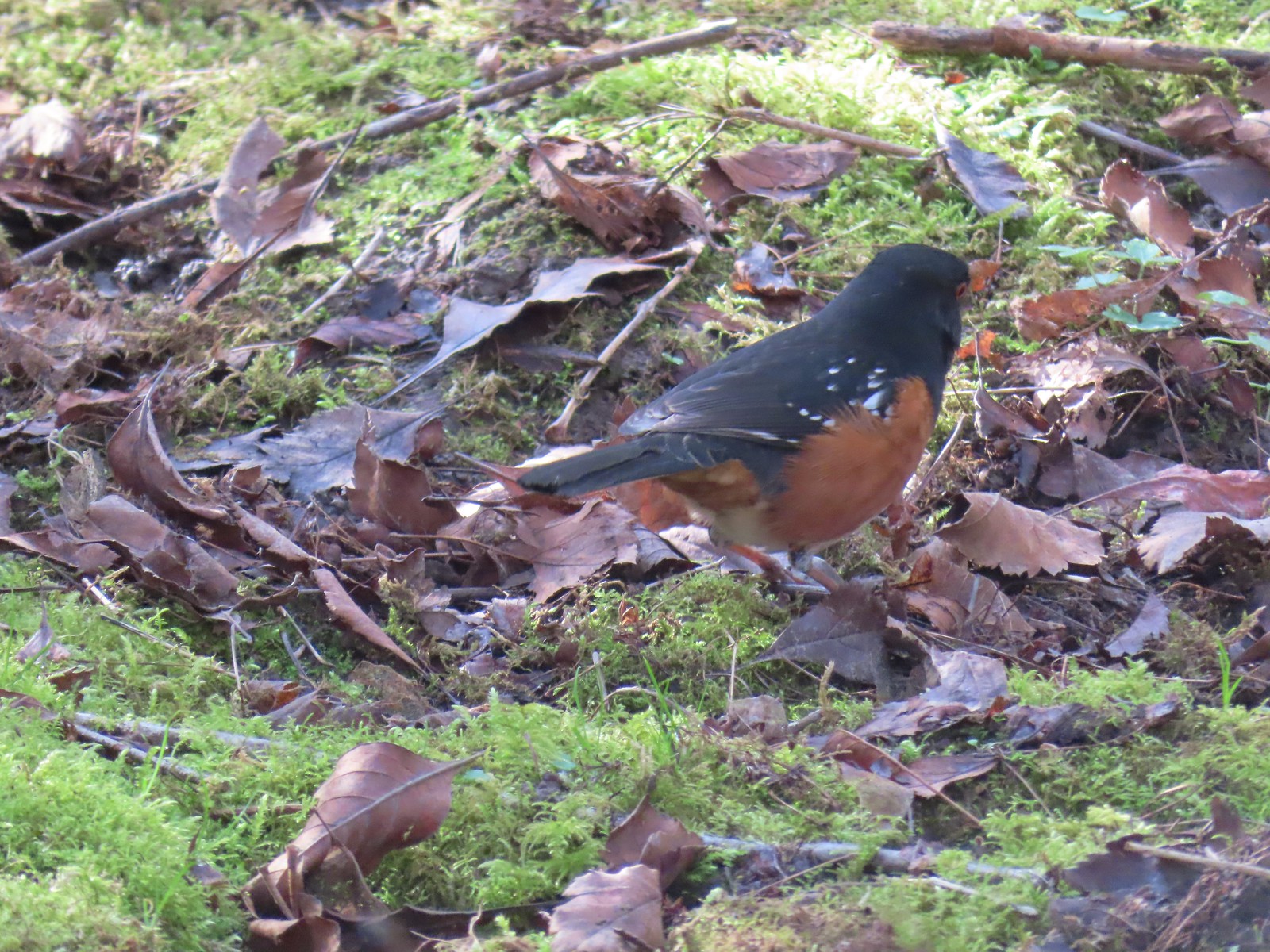 Spotted towhee
 Rabbit
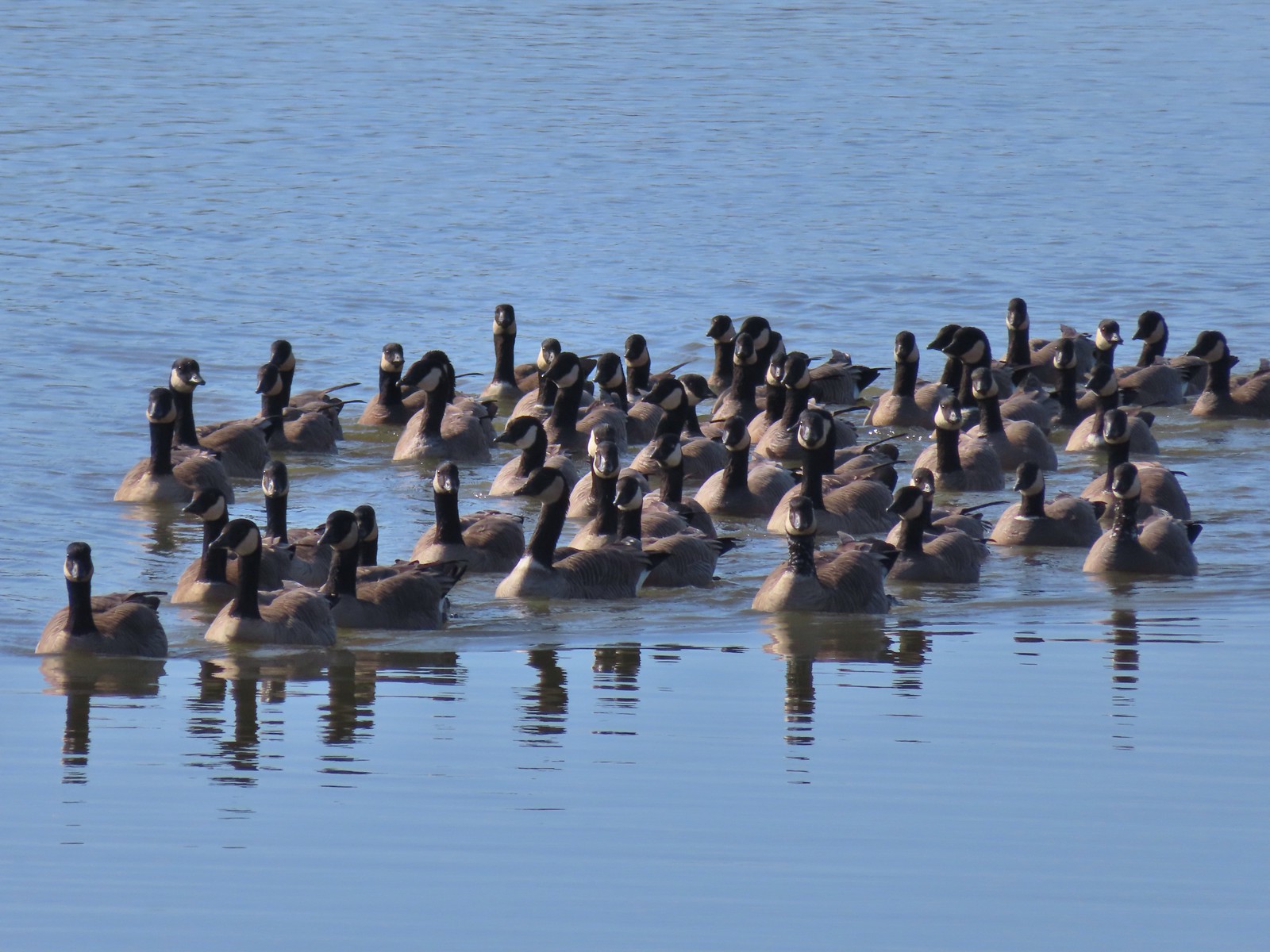 Geese on Fernhill Lake
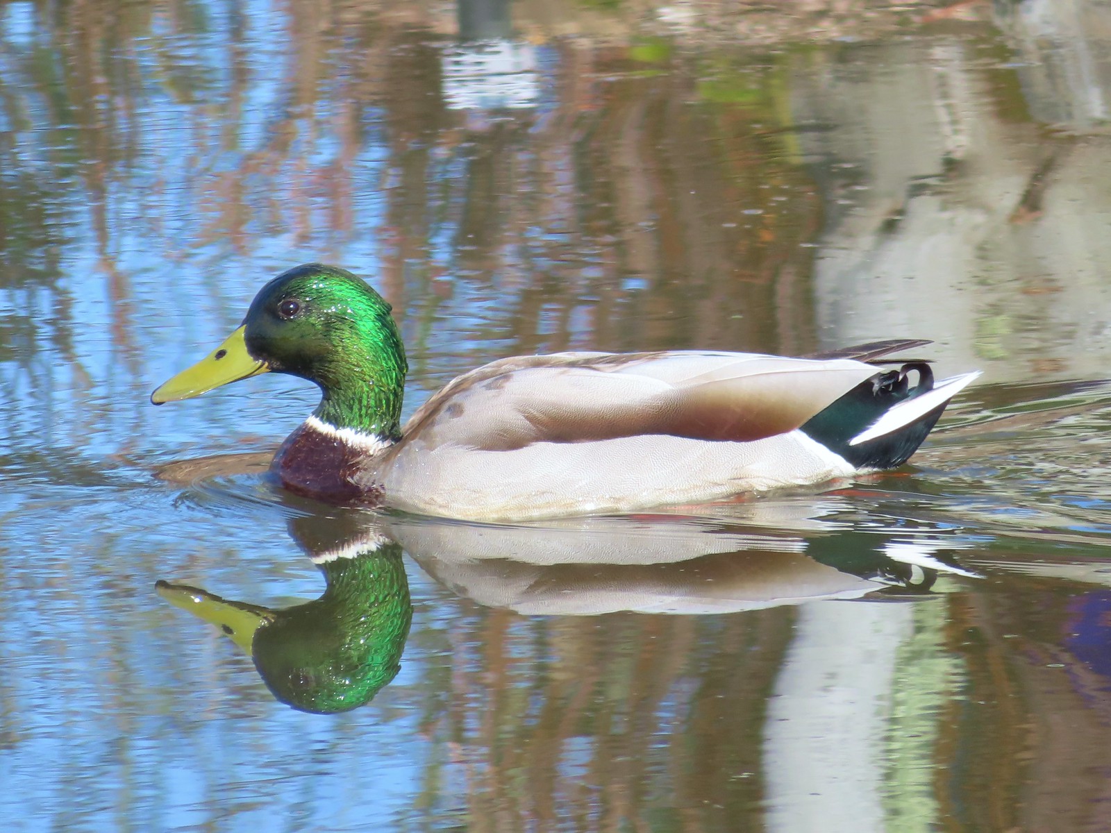 Mallard drake
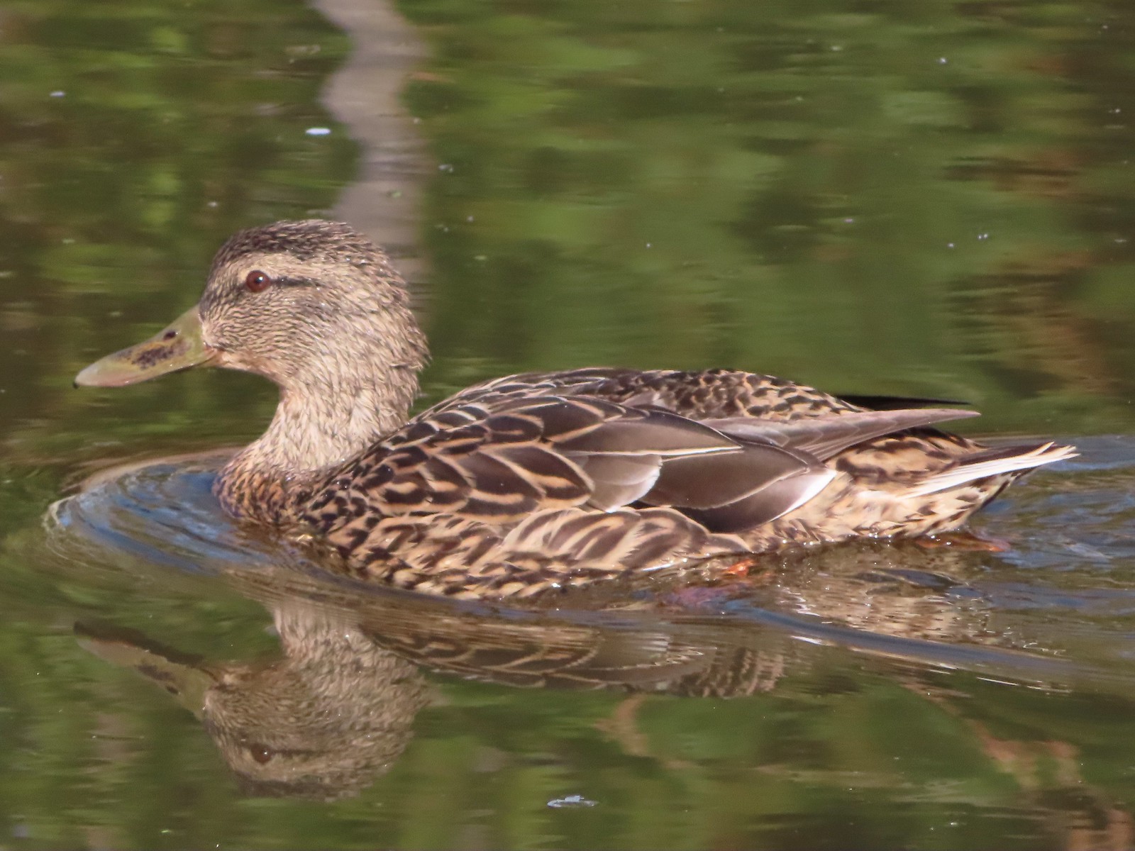 Mallard female
 Water Gardens

 Northern shovelers, a mallard, and a coot.
 Oregon grape beginning to bloom.
 Northern shoveler
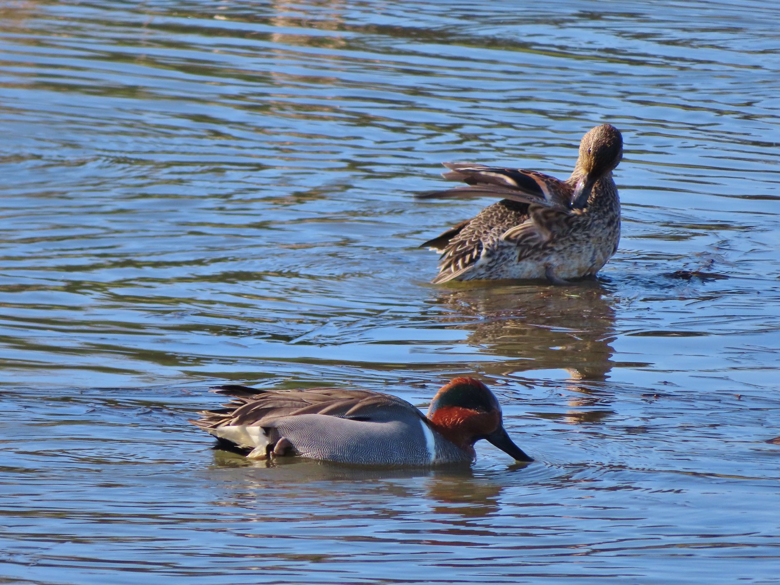 Green-winged teal pair
 Path along the Research Wetlands.
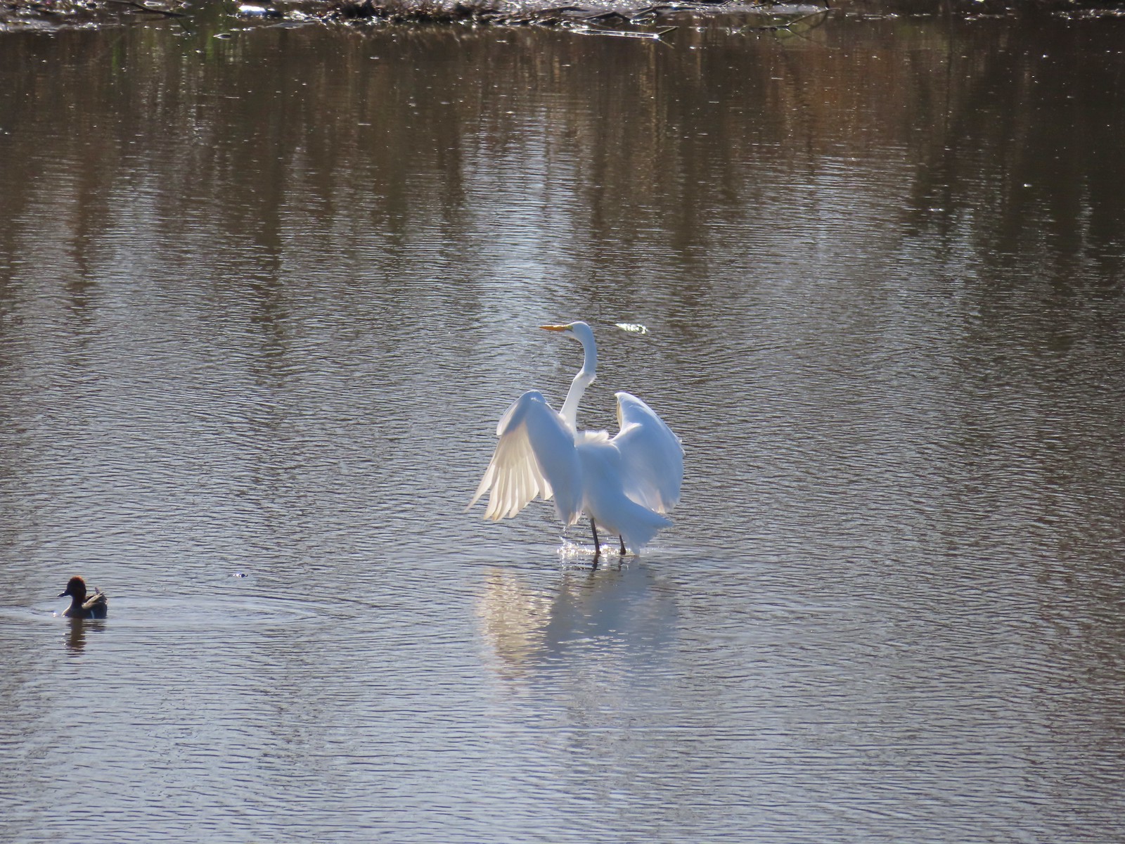 Egret near the parking lot at Fernhill Marsh
 Looking back at the Research Wetlands from the near the trailhead.


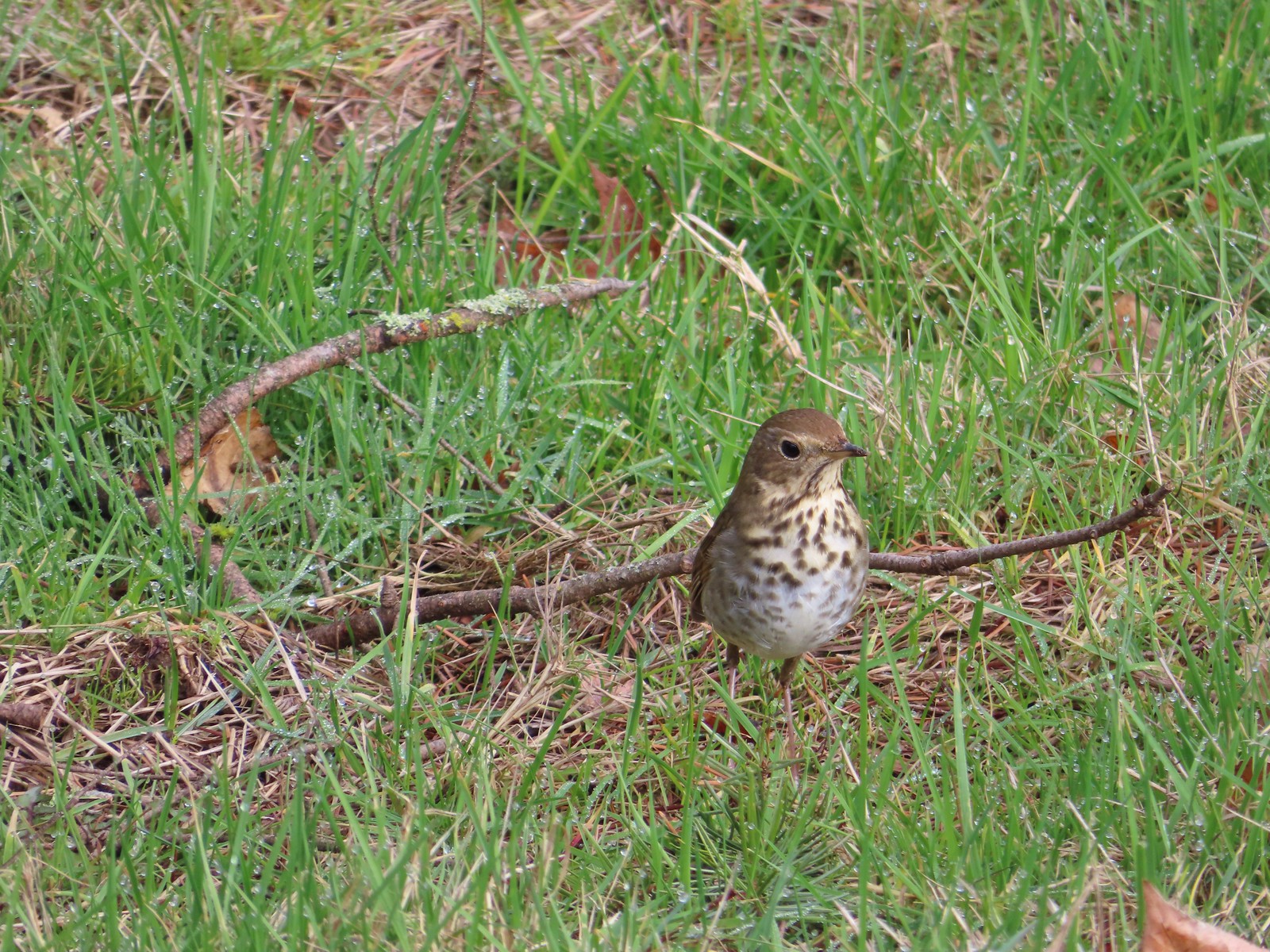 Hermit thrush – 2/11/23, Council Crest Park, Portland
 Pied billed grebe – 3/19/23, Minto-Brown Island Park, Salem
 Ring-necked duck – 3/25/23, Minto-Brown Island Park, Salem
 Bufflehead – 3/25/23, Minto-Brown Island Park, Salem
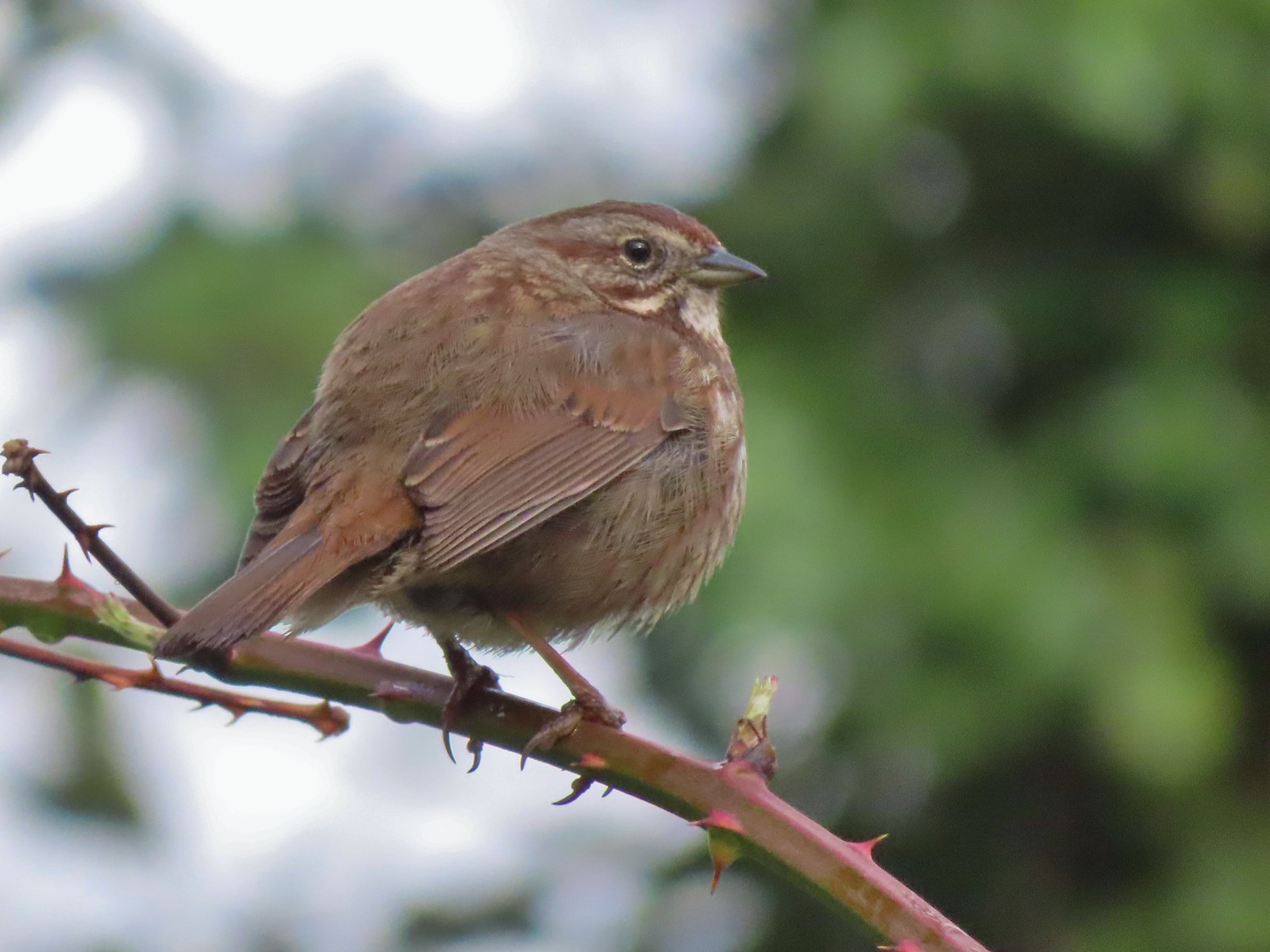 Sparrow – 3/25/23, Minto-Brown Island Park, Salem
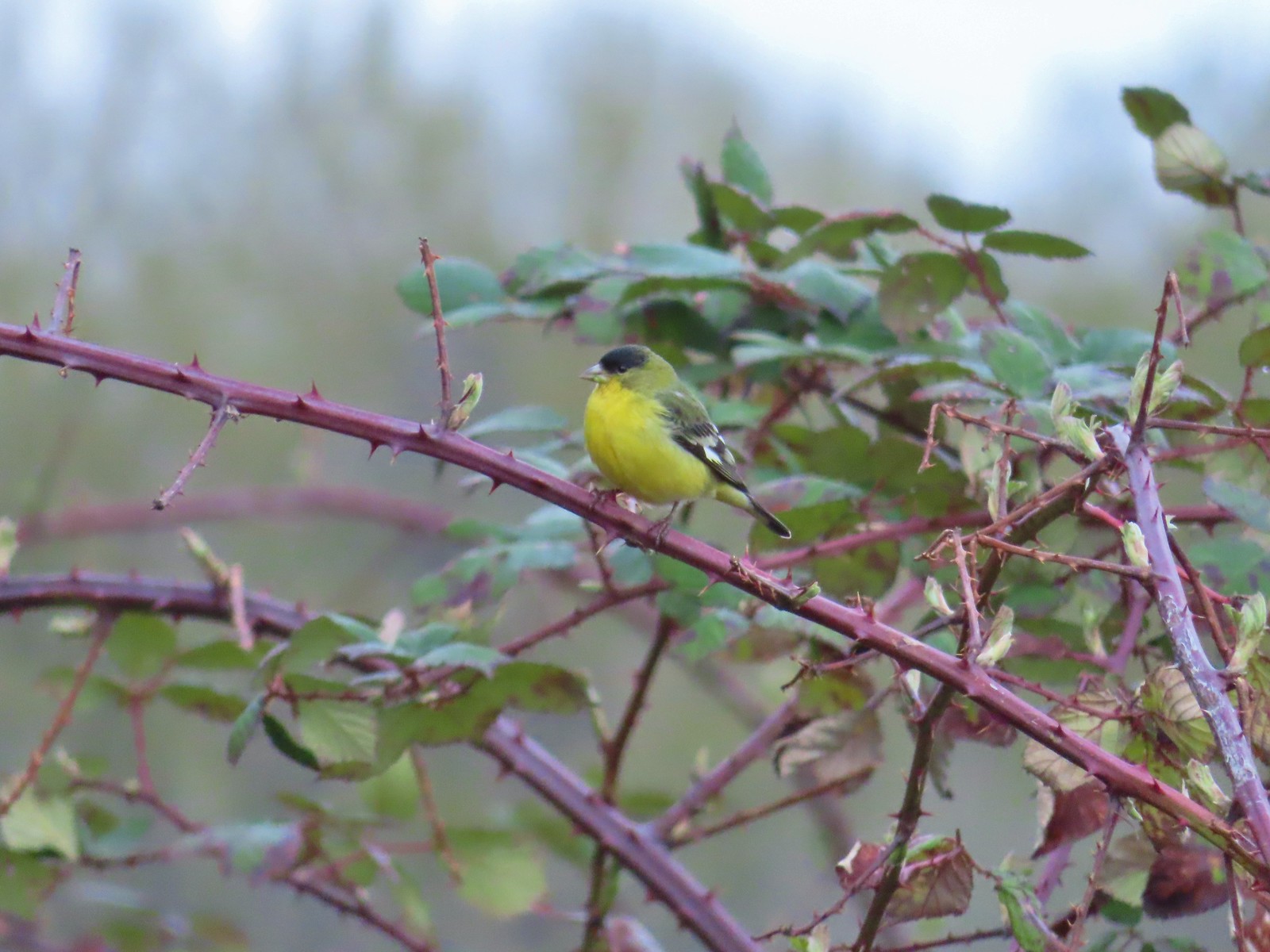 Lesser goldfinch – 4/8/23, Minto-Brown Island Park, Salem
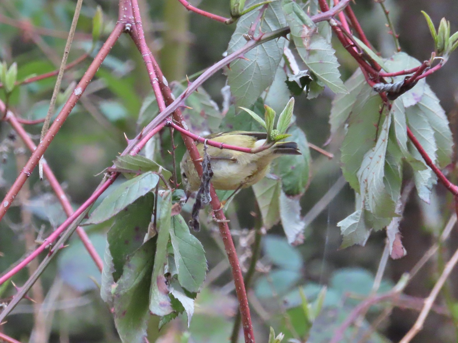 Ruby-crowned kinglet? – 4/8/23, Minto-Brown Island Park, Salem
 Egret – 4/8/23, Minto-Brown Island Park, Salem
 Marsh wren – 4/13/23, Baskett Slough National Wildlife Refuge, Rickreall
 Geese, I believe both cackling and Canada – 4/13/23, Baskett Slough National Wildlife Refuge, Rickreall
 California quail – 4/13/23, Baskett Slough National Wildlife Refuge, Rickreall
 Northern shoveler – 4/13/23, Baskett Slough National Wildlife Refuge, Rickreall
 Western meadowlark (Oregon’s state bird) – 4/13/23, Baskett Slough National Wildlife Refuge, Rickreall
 Red-winged blackbird – 4/13/23, Baskett Slough National Wildlife Refuge, Rickreall
 Ruddy duck – 4/13/23, Baskett Slough National Wildlife Refuge, Rickreall
 Savannah sparrow – 4/13/23, Baskett Slough National Wildlife Refuge, Rickreall
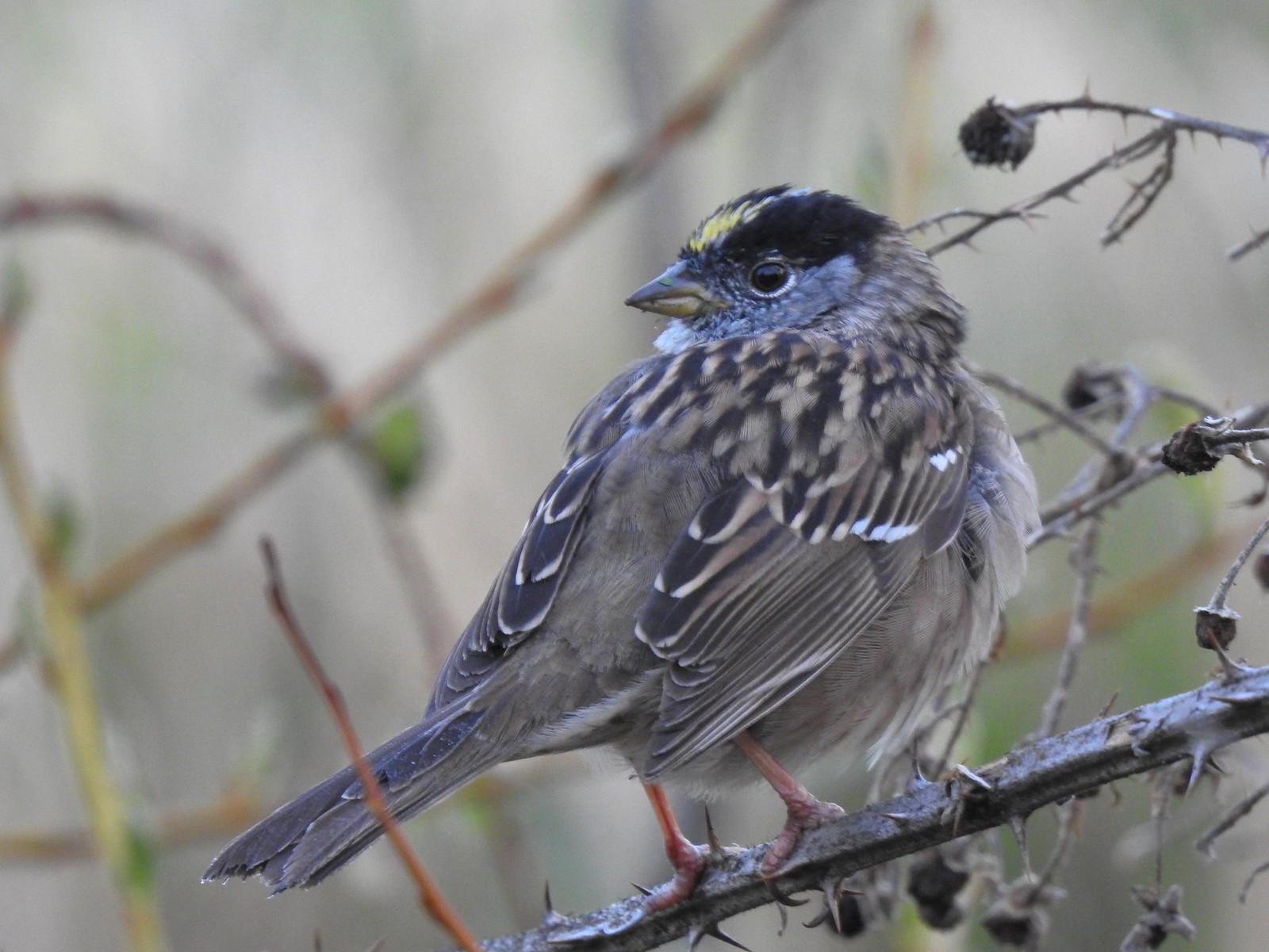 Gold-crowned sparrow – 4/14/23, Minto-Brown Island Park, Salem
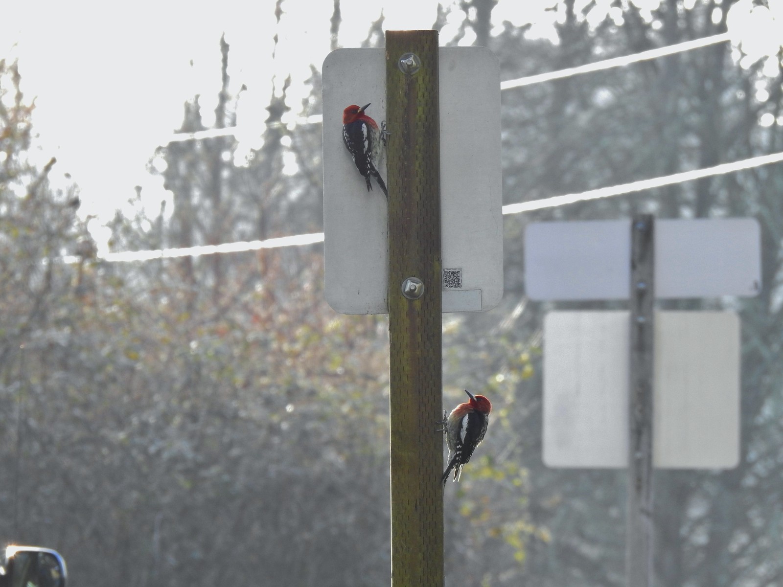 Red-breasted sapsuckers – 4/14/23, Minto-Brown Island Park, Salem
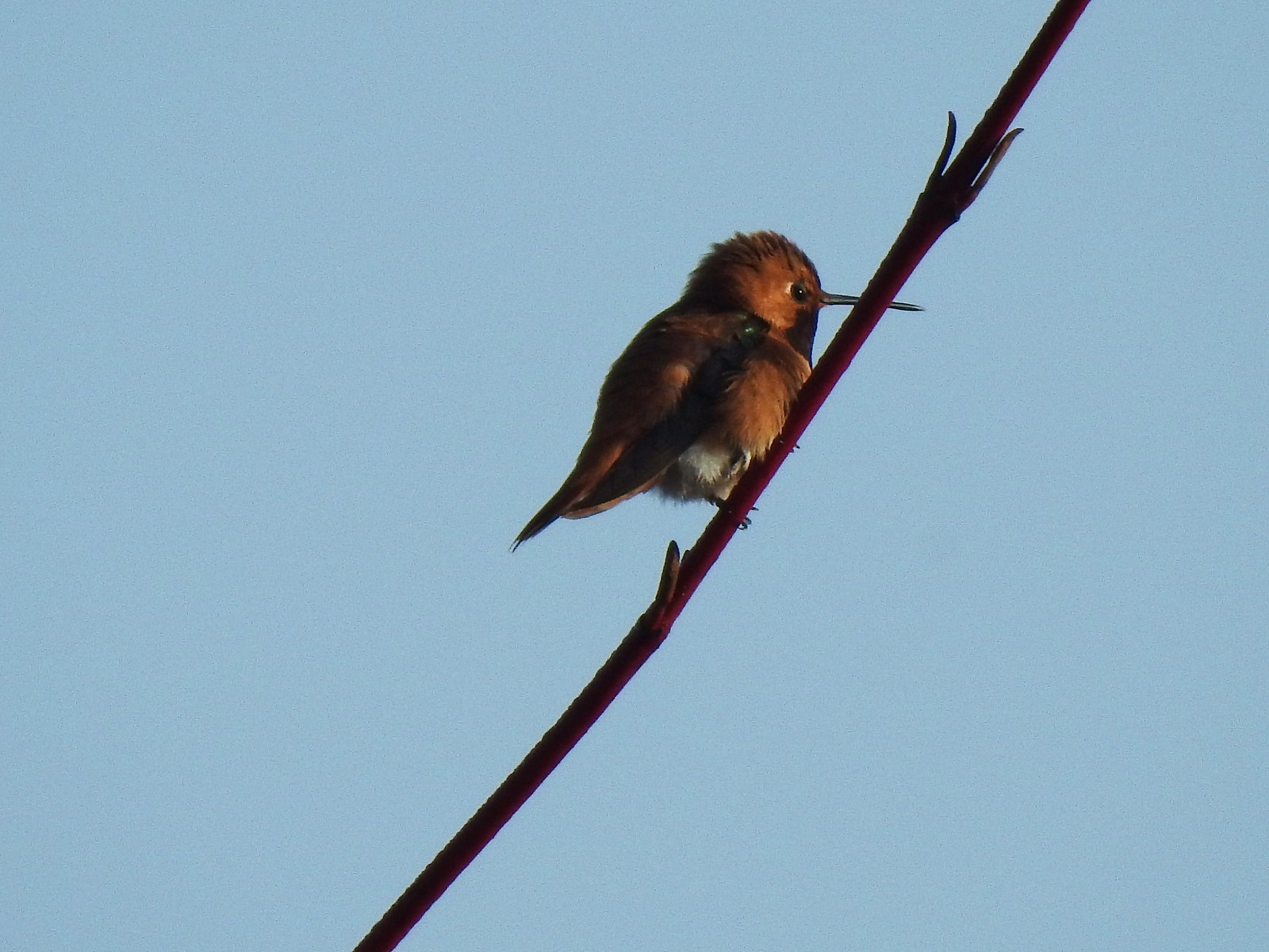 Hummingbird (Rufous?) – 4/14/23, Minto-Brown Island Park, Salem
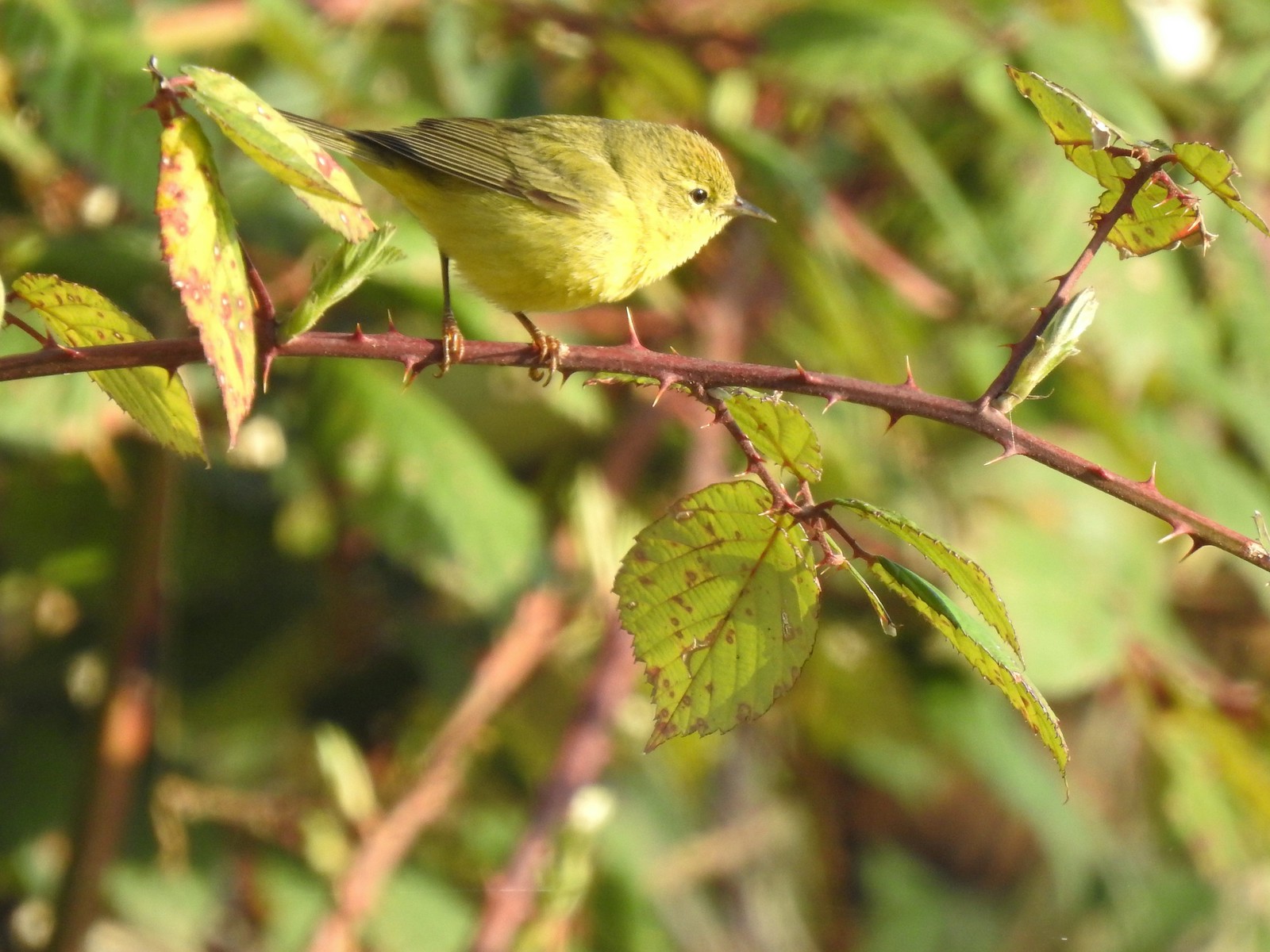 Orange-crowned warbler – 4/14/23, Minto-Brown Island Park, Salem
 Dark-eyed junco – 4/14/23, Minto-Brown Island Park, Salem
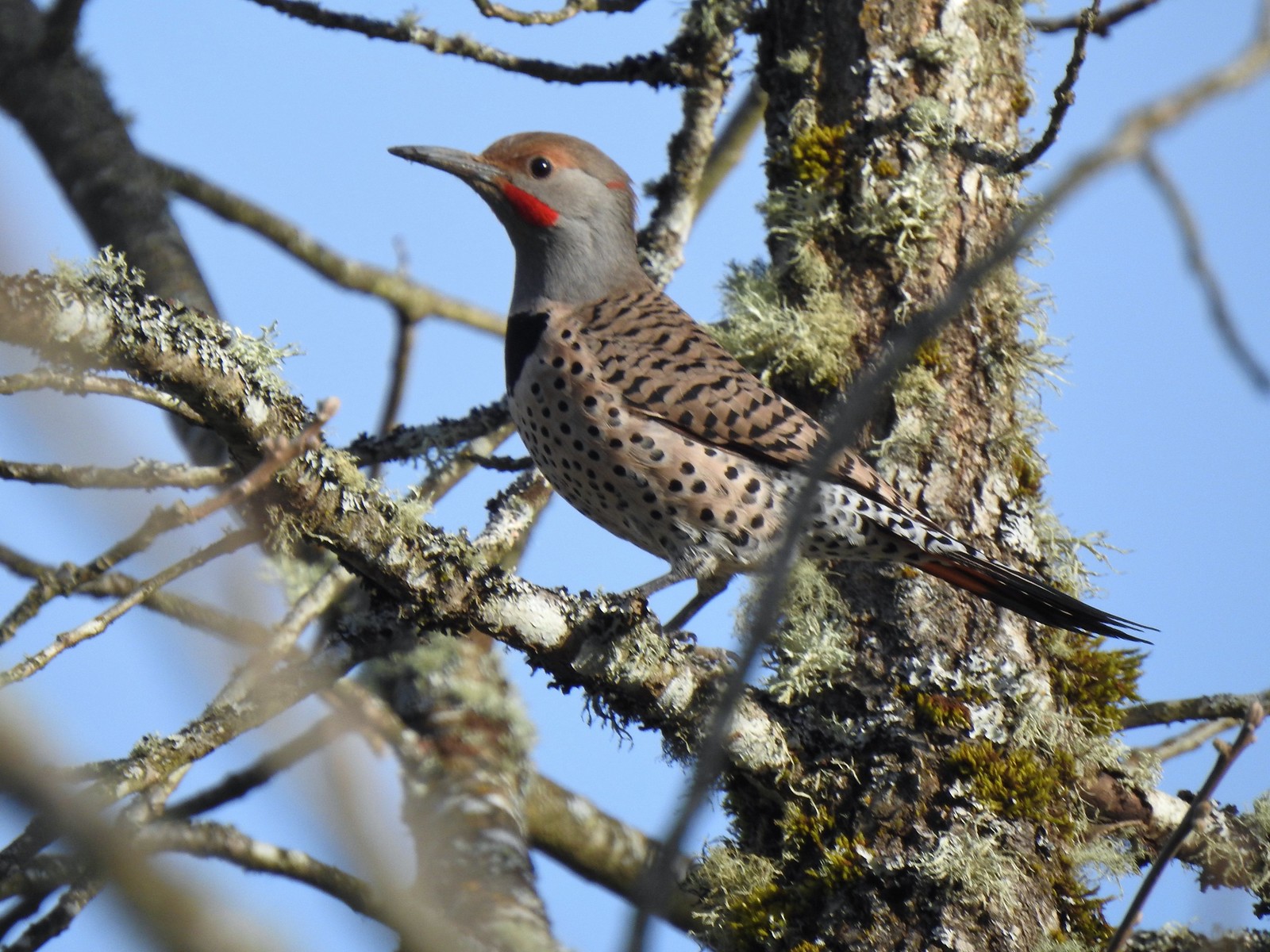 Northern flicker – 4/14/23, Minto-Brown Island Park, Salem
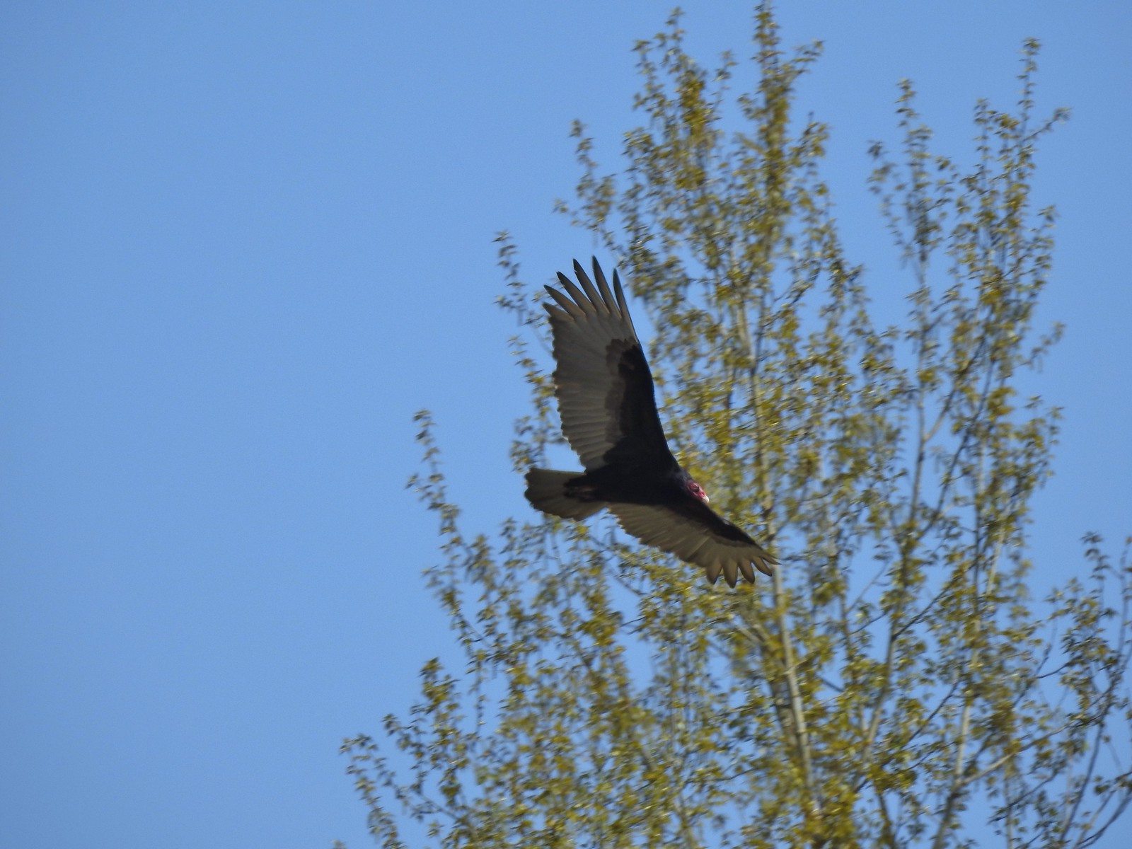 Turkey vulture – 4/14/23, Minto-Brown Island Park, Salem
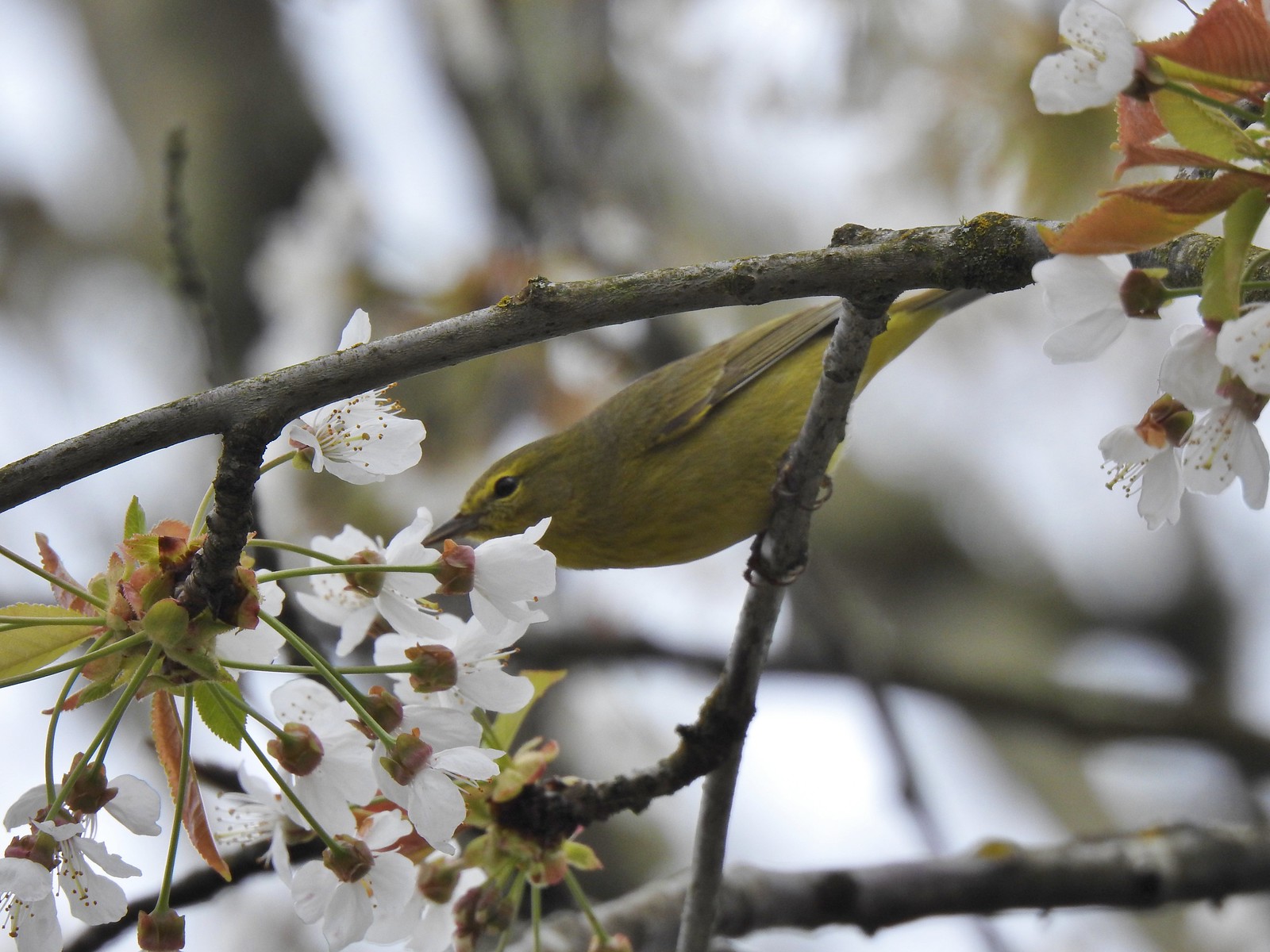 Warbler? – 4/22/23, Dave Clark Riverfront Path, Albany
 Osprey – 4/22/23, Dave Clark Riverfront Path, Albany
 Cormorant – 4/22/23, Dave Clark Riverfront Path, Albany
 Red-winged blackbird (female) – 4/22/23, Talking Water Gardens, Albany
 Green-winged teal – 4/22/23, Talking Water Gardens, Albany
 Yellow-rumped warbler (Audubon’s) – 4/22/23, Talking Water Gardens, Albany
 Black phoebe – 4/22/23, Talking Water Gardens, Albany
 Acorn woodpecker – 4/22/23, Talking Water Gardens, Albany
 Hawk – 4/22/23, Talking Water Gardens, Albany
 Mallards – 4/22/23, Talking Water Gardens, Albany
 Chickadee (chestnut-backed?) – 4/22/23, Talking Water Gardens, Albany
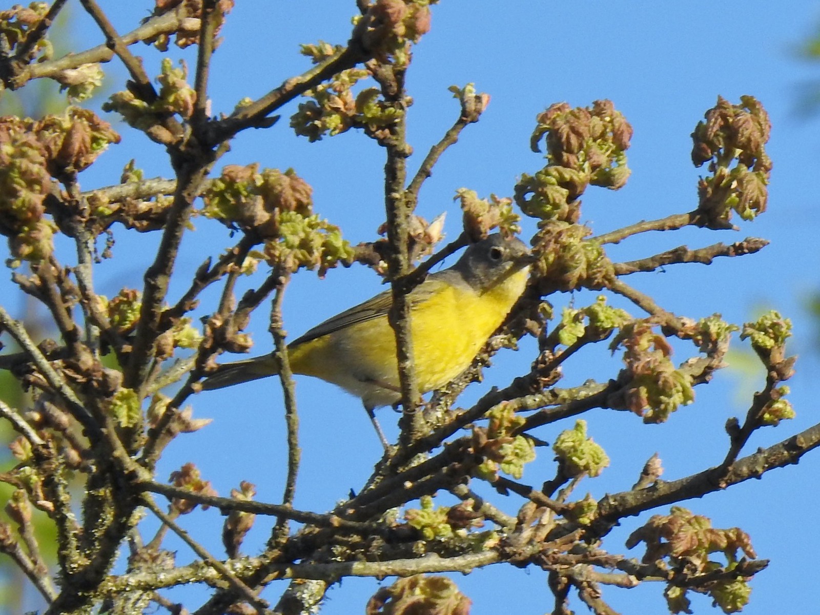 Nashville warbler – 4/29/23, Canemah Bluff Nature Park, Oregon City
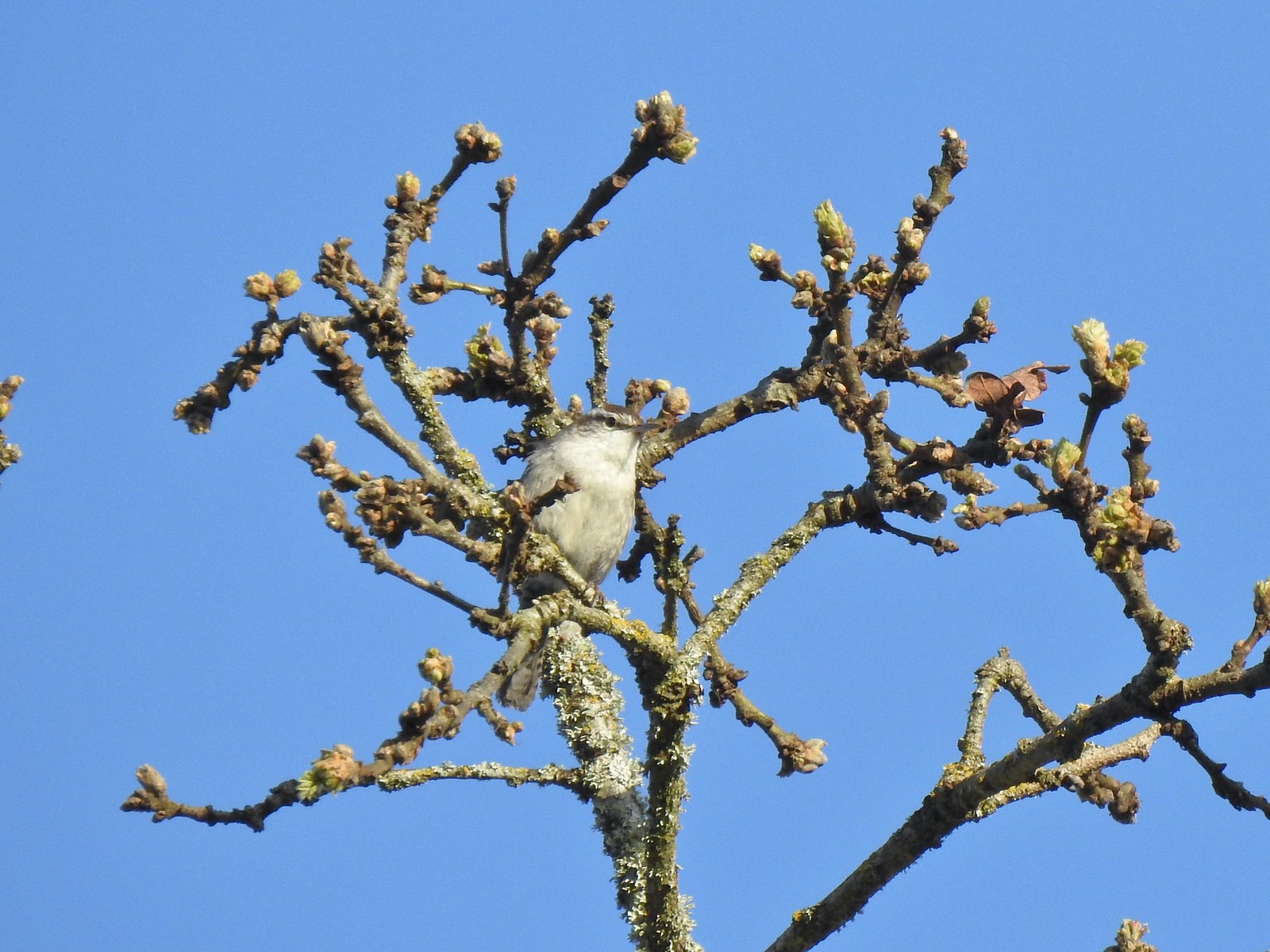 Bewick’s wren – 4/29/23, Canemah Bluff Nature Park, Oregon City
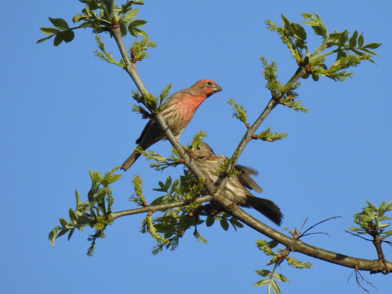 House finches – 4/29/23, Canemah Bluff Nature Park, Oregon City
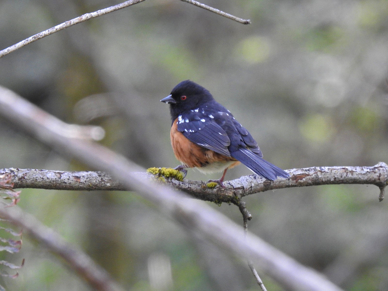 Spotted towhee – 4/29/23 Newell Creek Canyon Nature Park, Oregon City
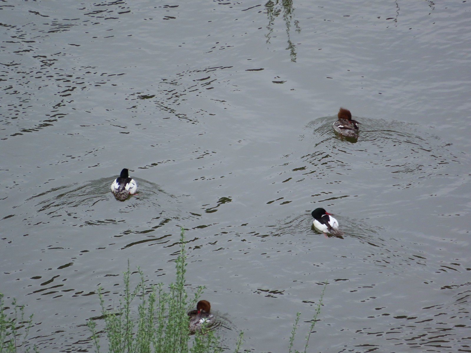 Common mergansers – 5/1/23, Rogue River National Recreation Trail, BLM Medford District
 Bullock’s oriole – 5/1/23, Rogue River National Recreation Trail, BLM Medford District
 American robin – 5/1/23, Rogue River National Recreation Trail, BLM Medford District
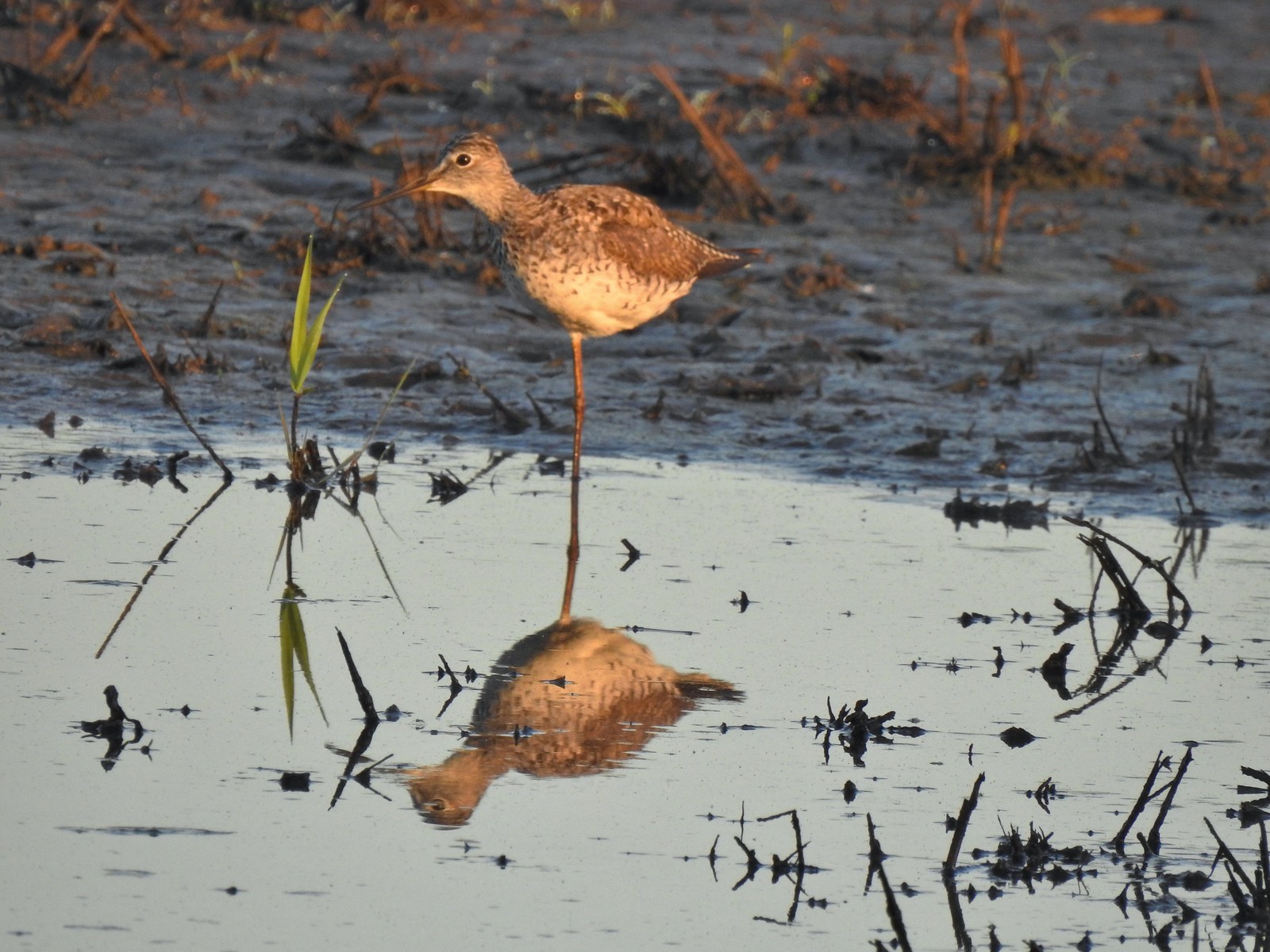 Greater yellowlegs – 5/13/23, Tualatin River National Wildlife Refuge, Sherwood
 Mourning dove – 5/13/23, Tualatin River National Wildlife Refuge, Sherwood
 Gadwall – 5/13/23, Tualatin River National Wildlife Refuge, Sherwood
 Killdeer – 5/13/23, Tualatin River National Wildlife Refuge, Sherwood
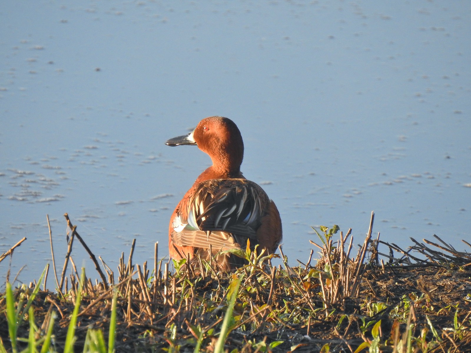 Cinnamon teal – 5/13/23, Tualatin River National Wildlife Refuge, Sherwood
 Anna’s hummingbird – 5/13/23, Tualatin River National Wildlife Refuge, Sherwood
 American kestral – 5/13/23, Graham Oaks Nature Park, Wilsonville
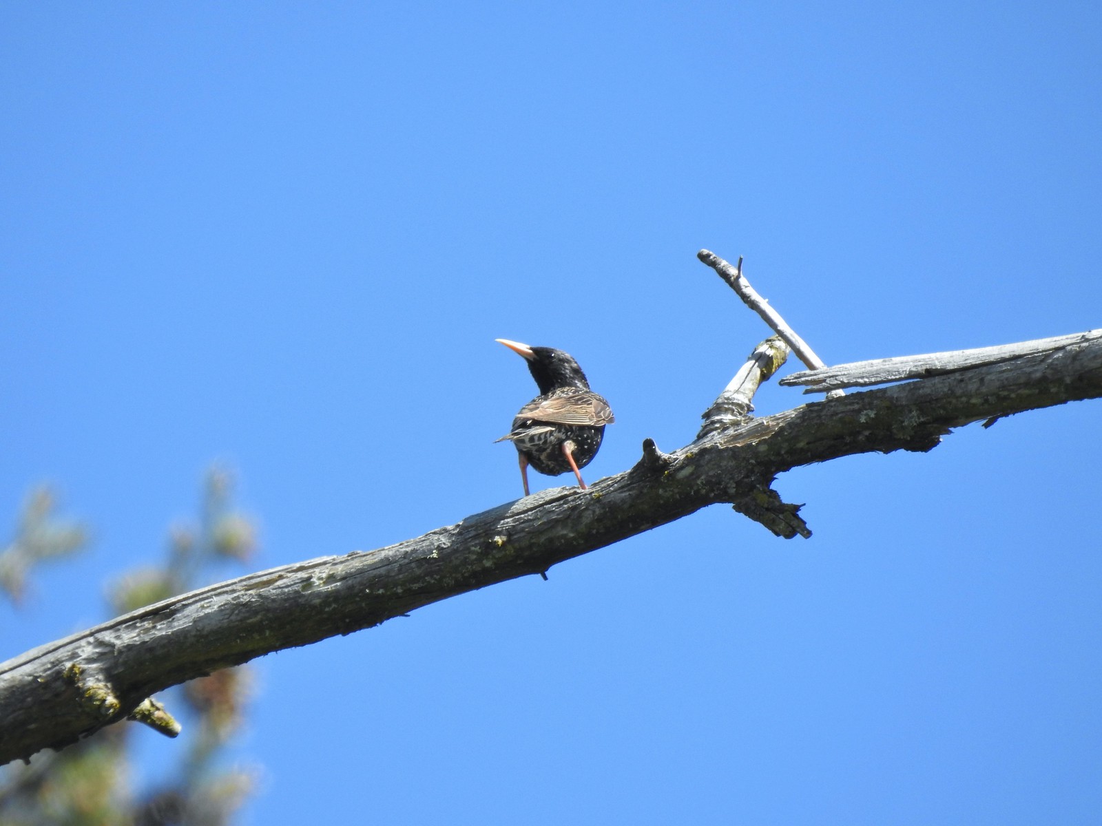 European starling – 5/13/23, Graham Oaks Nature Park, Wilsonville
 Wood duck – 5/23/23, Stigerwald Lake National Wildlife Refuge, Washougal, WA
 Belted kingfisher – 5/23/23, Stigerwald Lake National Wildlife Refuge, Washougal, WA
 American goldfinch – 5/23/23, Stigerwald Lake National Wildlife Refuge, Washougal, WA
 Spotted sandpiper – 5/23/23, Stigerwald Lake National Wildlife Refuge, Washougal, WA
 Purple martin – 5/23/23, Stigerwald Lake National Wildlife Refuge, Washougal, WA
 Common yellowthroat – 5/23/23, Stigerwald Lake National Wildlife Refuge, Washougal, WA
 American bittern – 5/23/23, Stigerwald Lake National Wildlife Refuge, Washougal, WA
 Lark sparrow – 5/28/23, Criterion Tract, BLM Prineville District
 Horned lark – 5/28/23, Criterion Tract, BLM Prineville District
 Mountain bluebird – 5/28/23, Criterion Tract, BLM Prineville District
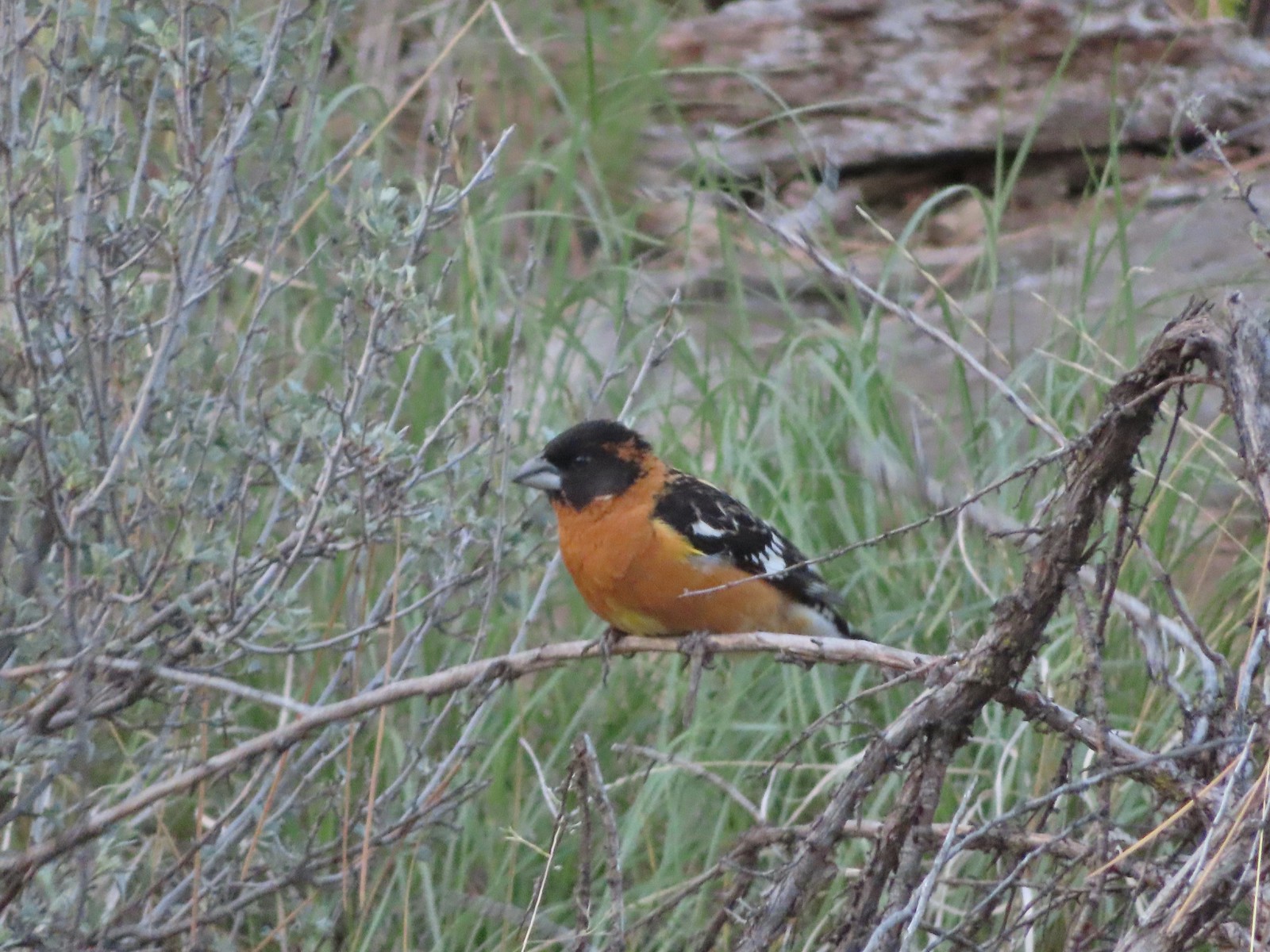 Black-headed grosbeak – 5/29/23, Riley Ranch Preserve, Bend
 Lewis’s woodpecker – 5/29/23, Tumalo State Park, Bend
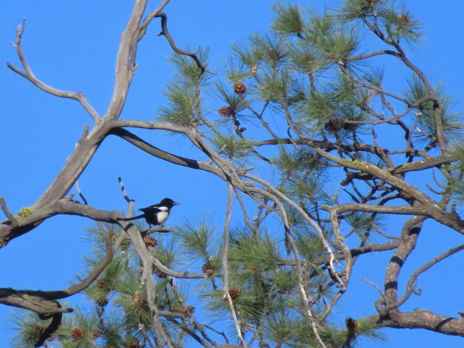 Magpie – 5/29/23, Tumalo State Park, Bend
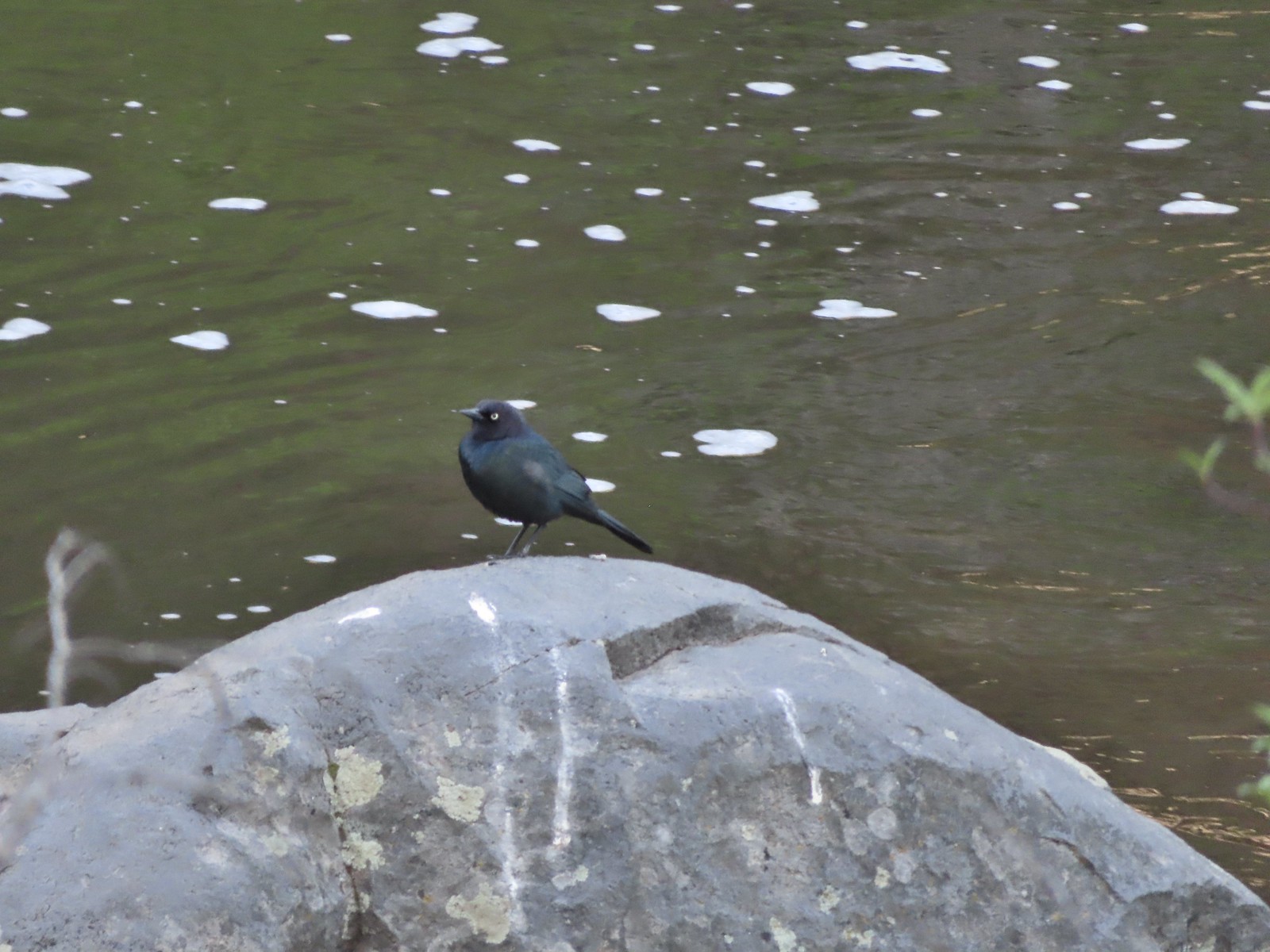 Black-headed cowbird – 5/29/23, Tumalo State Park, Bend
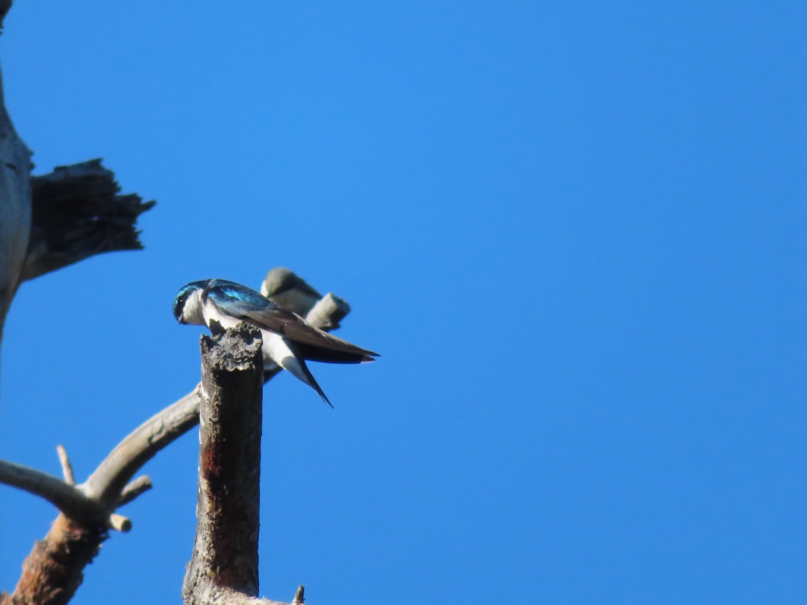 Tree swallow – 5/29/23, Tumalo State Park, Bend
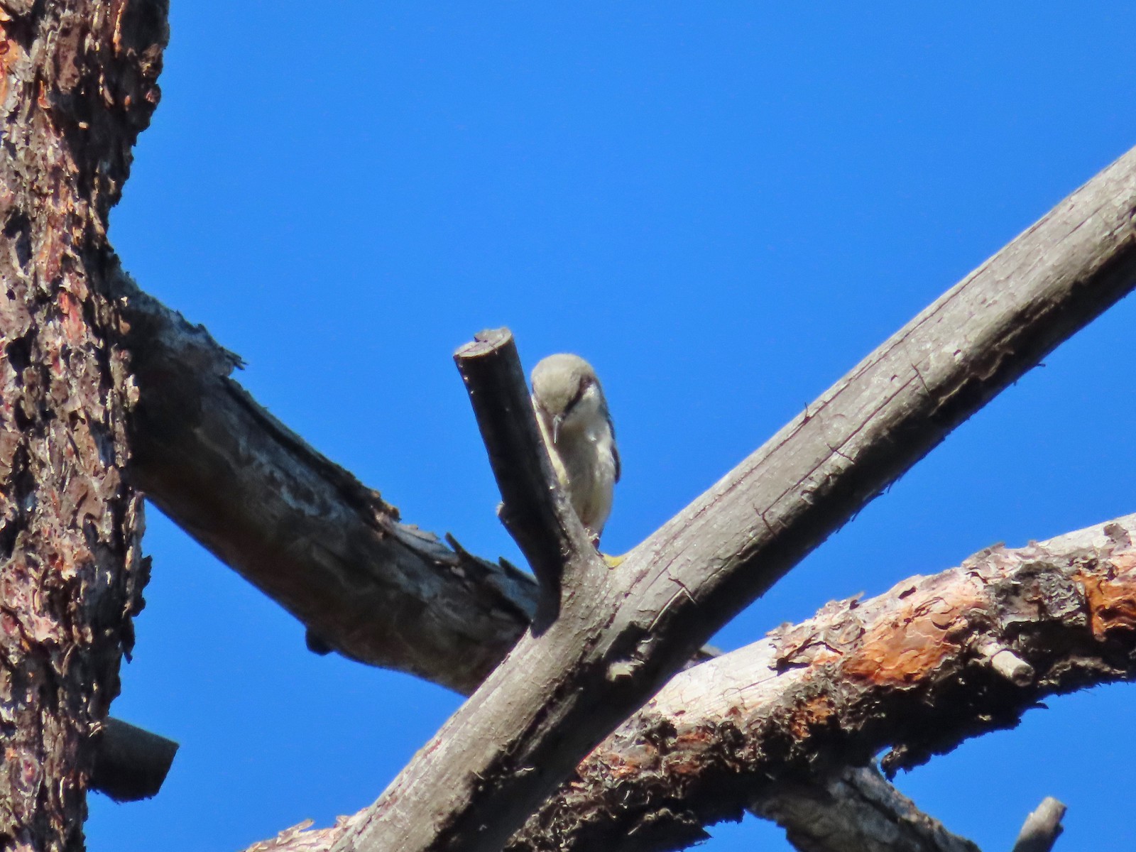 Pygmy nuthatch? – 5/29/23, Tumalo State Park, Bend
 Lazuli bunting – 6/3/23, Conboy Lake National Wildlife Refuge, Trout Lake, WA
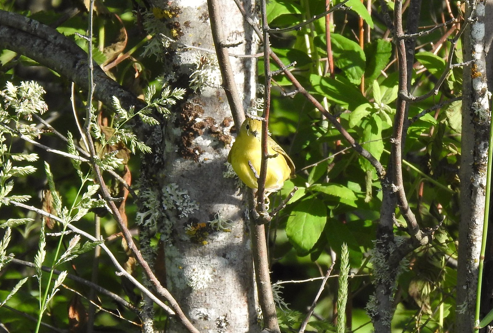 Yellow warbler – 6/3/23, Conboy Lake National Wildlife Refuge, Trout Lake, WA
 Western bluebird – 6/3/23, Conboy Lake National Wildlife Refuge, Trout Lake, WA
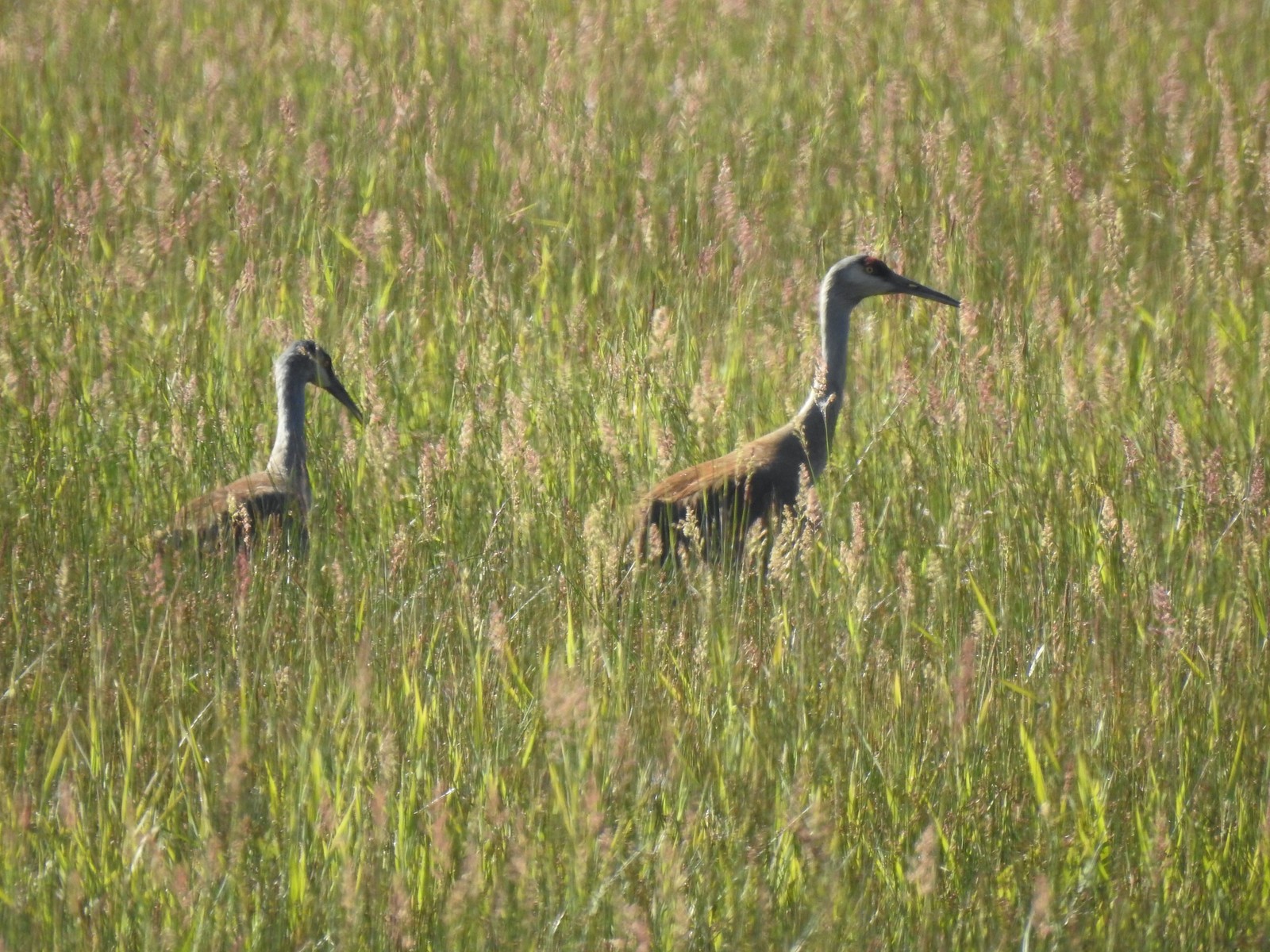 Sandhill cranes – 6/3/23, Conboy Lake National Wildlife Refuge, Trout Lake, WA
 Warbling vireo – 6/3/23, Conboy Lake National Wildlife Refuge, Trout Lake, WA
 Raven – 6/11/23, Lewis & Clark Trail, Hermiston
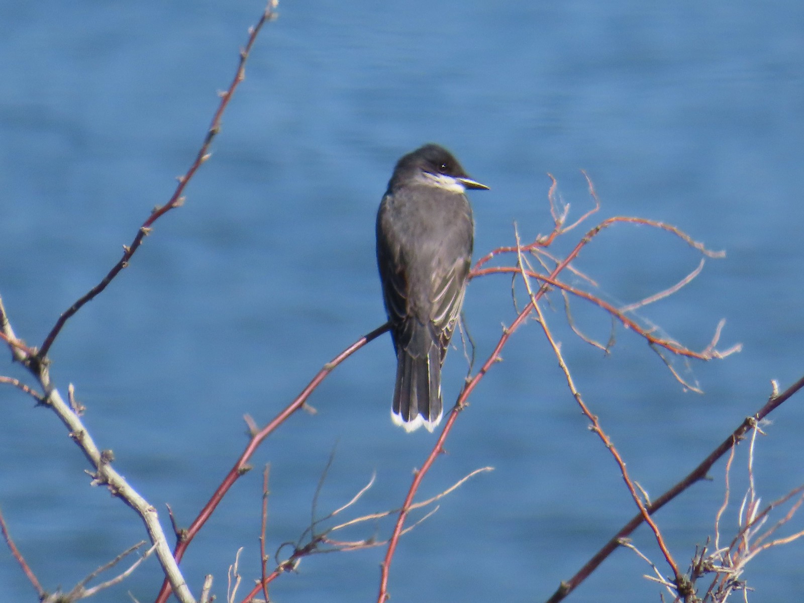 Eastern kingbird – 6/11/23, Lewis & Clark Trail, Hermiston
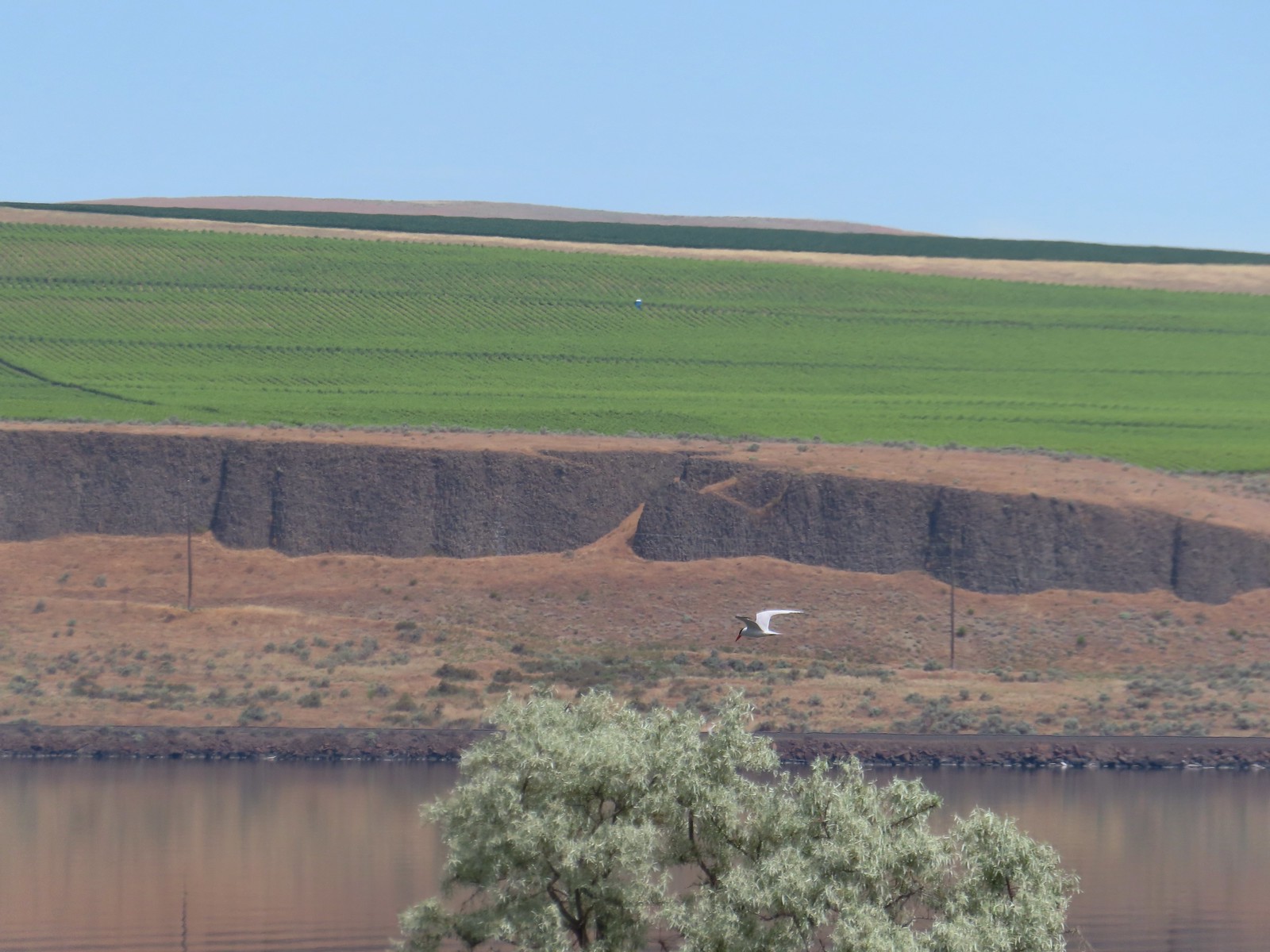 Caspian tern – 6/11/23, Lewis & Clark Trail, Hermiston
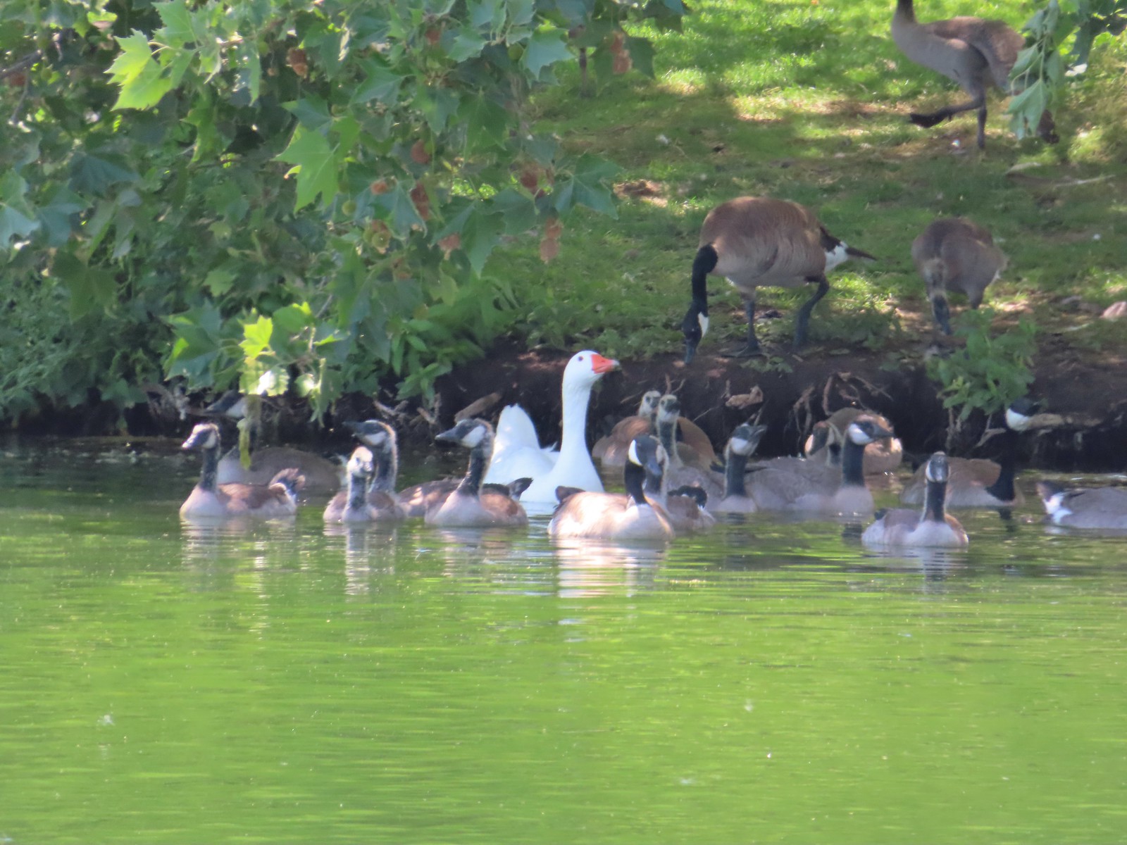 Geese – 6/11/23, Hat Rock State Park, Hermiston
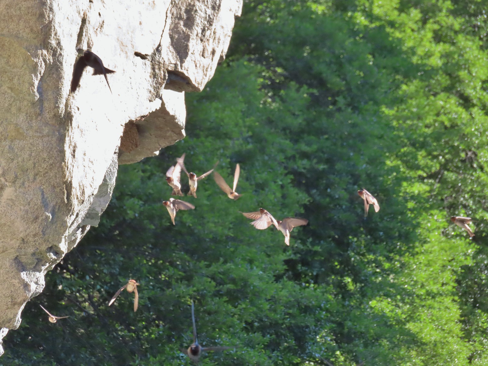 Cliff swallows – 6/14/23, Imnaha Trail, Hells Canyon National Recreation Area
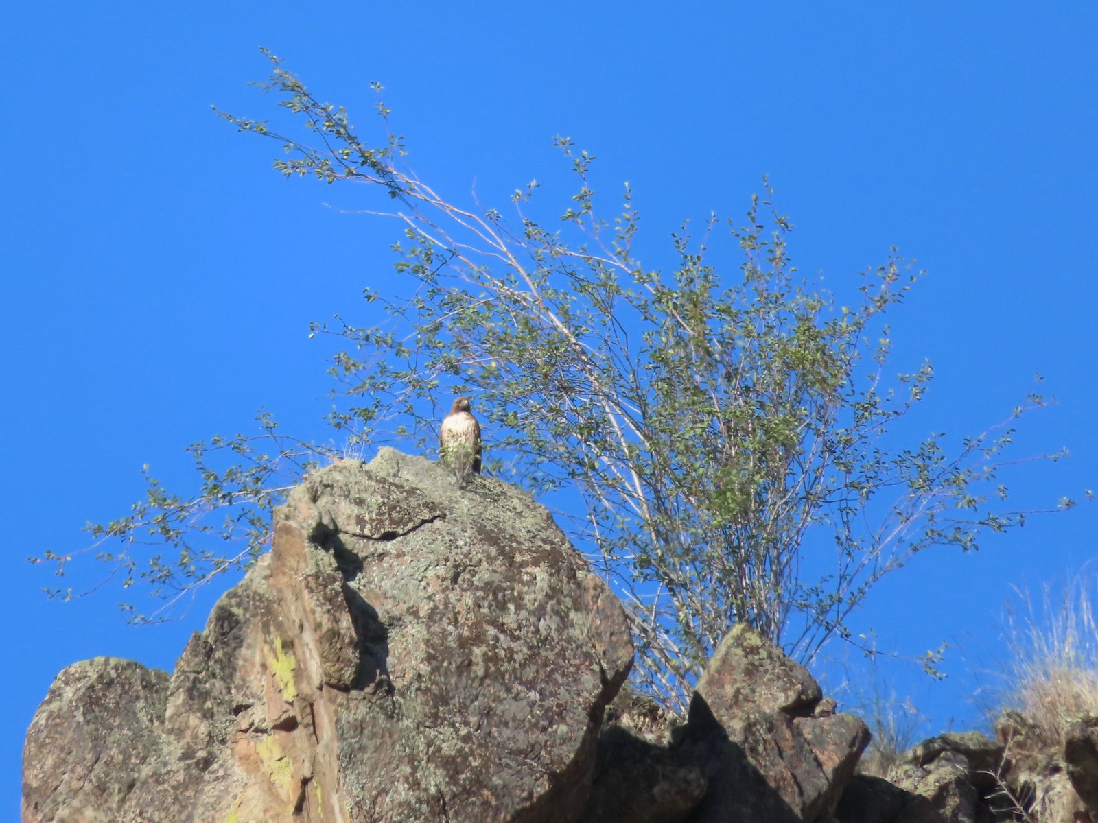 Hawk – 6/14/23, Imnaha Trail, Hells Canyon National Recreation Area
 Common nighthawk – 6/15/23, Hells Canyon National Recreation Area, Wallowa-Whitman National Forest
 Chipping sparrow – 6/15/23, Hells Canyon National Recreation Area, Wallowa-Whitman National Forest
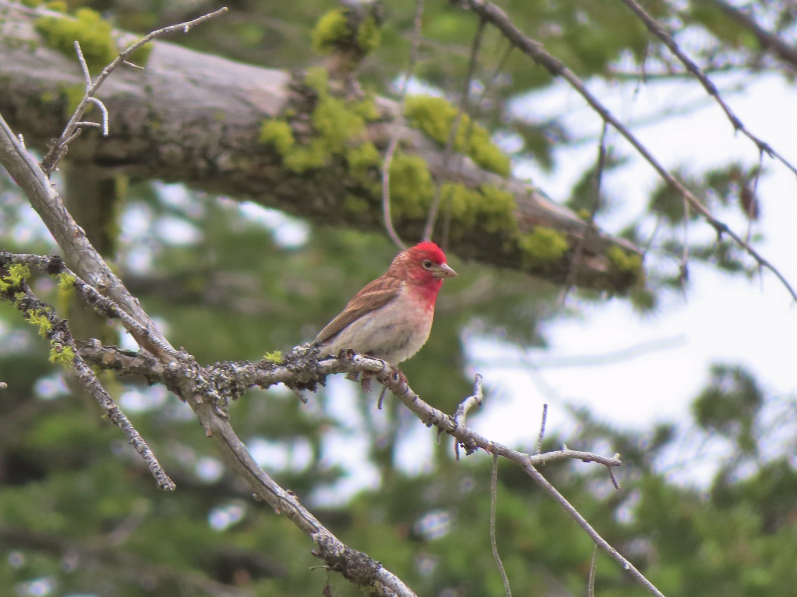 Cassin’s finch – 6/15/23, Hells Canyon National Recreation Area, Wallowa-Whitman National Forest
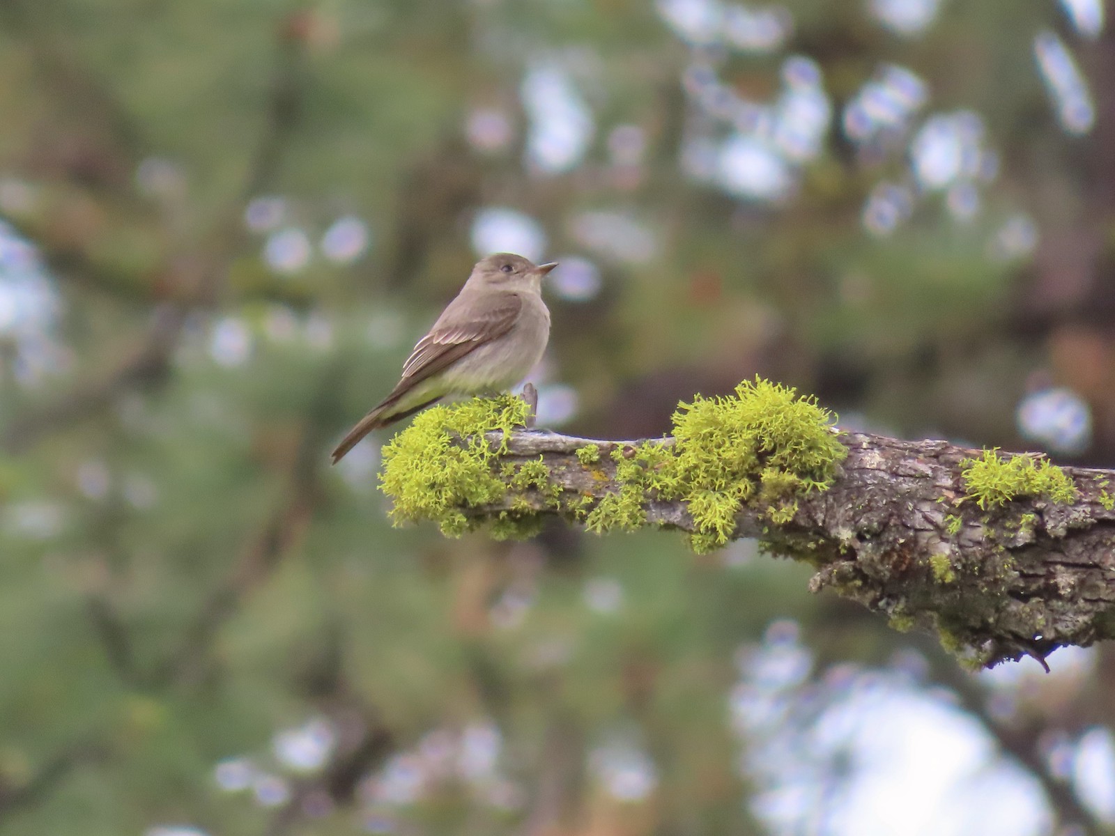 Western wood pee-wee – 6/15/23, Hells Canyon National Recreation Area, Wallowa-Whitman National Forest
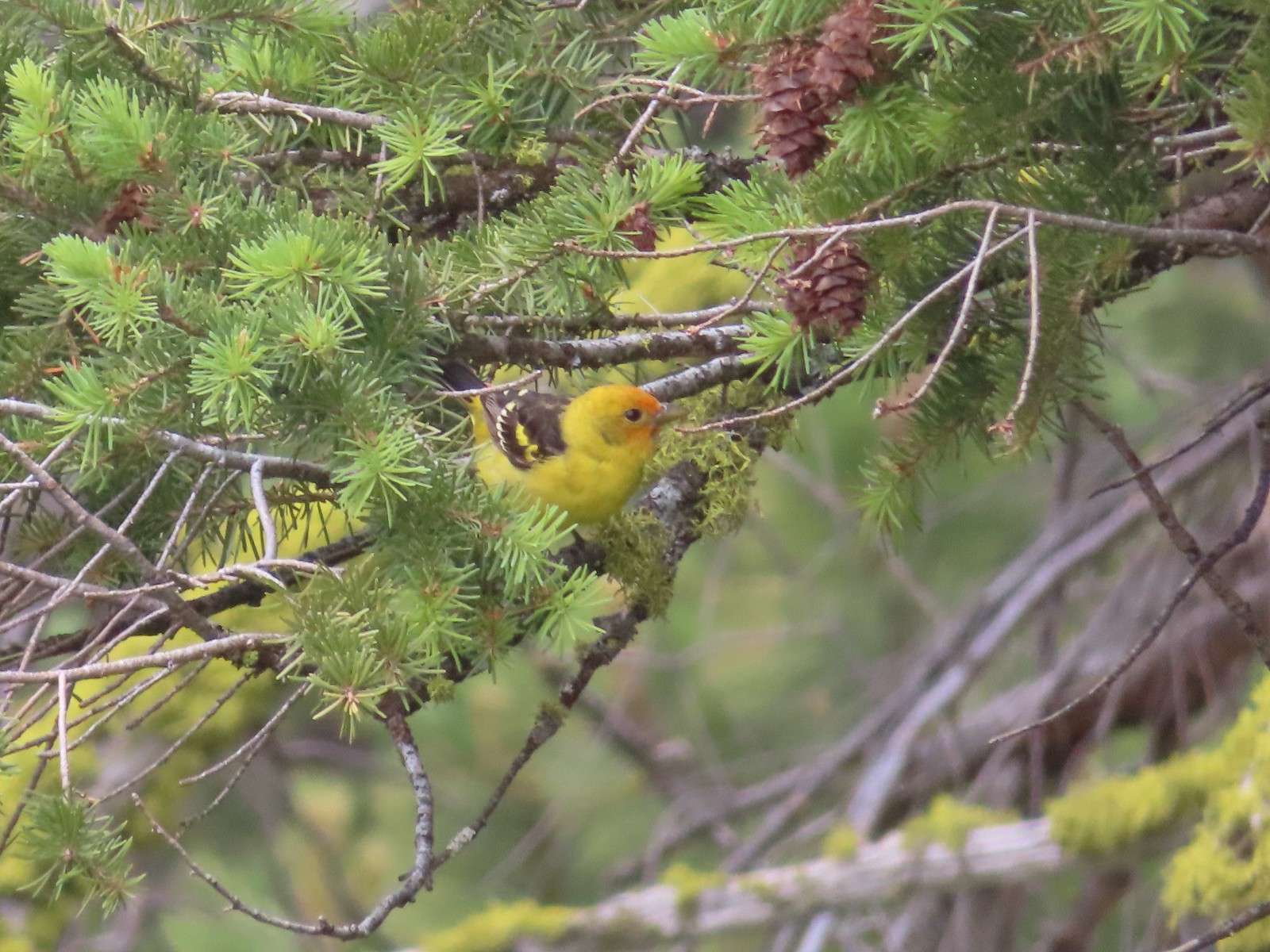 Western tanager – 6/15/23, Hells Canyon National Recreation Area, Wallowa-Whitman National Forest
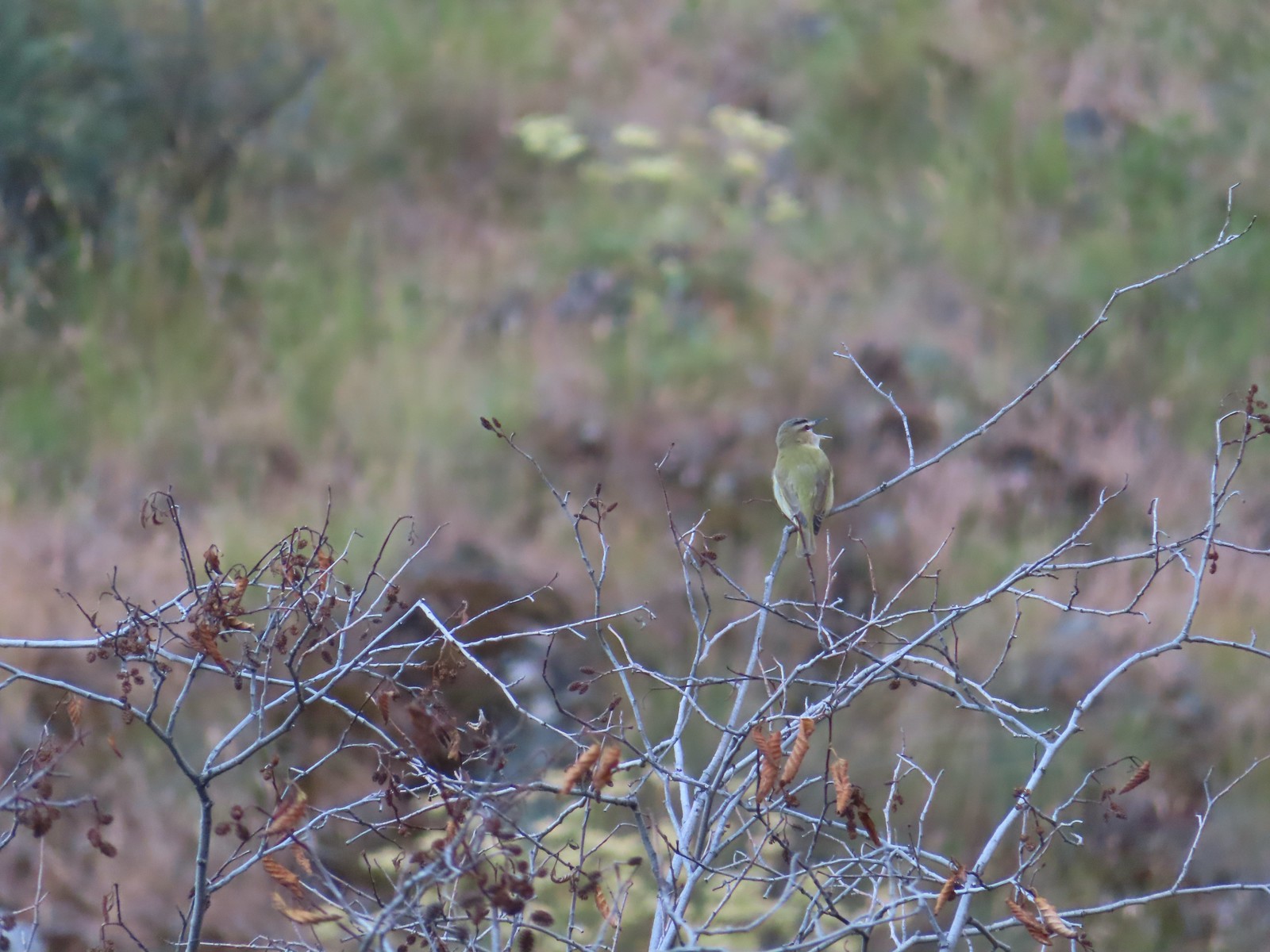 Red-eyed vireo – 6/16/23, Trail 1890, Hells Canyon Wilderness
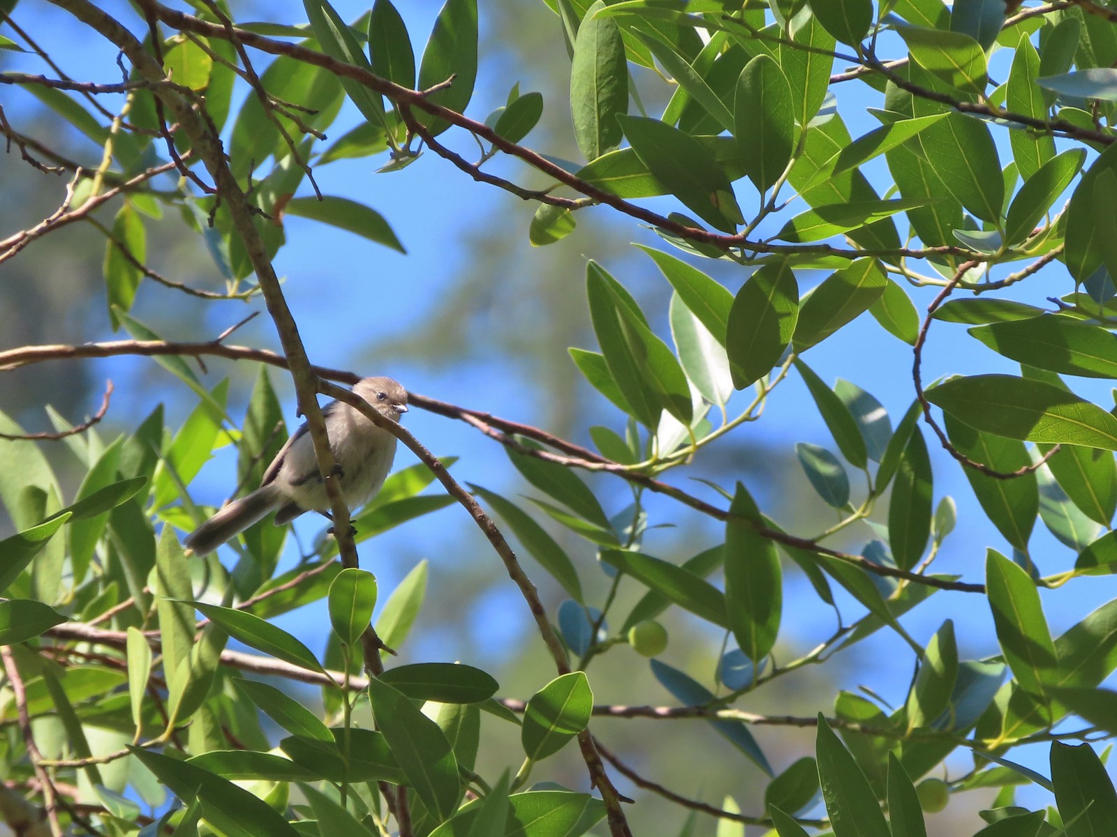 Bushtit – 6/24/23, Rogue River National Recreation Trail, Wild Rogue Wilderness
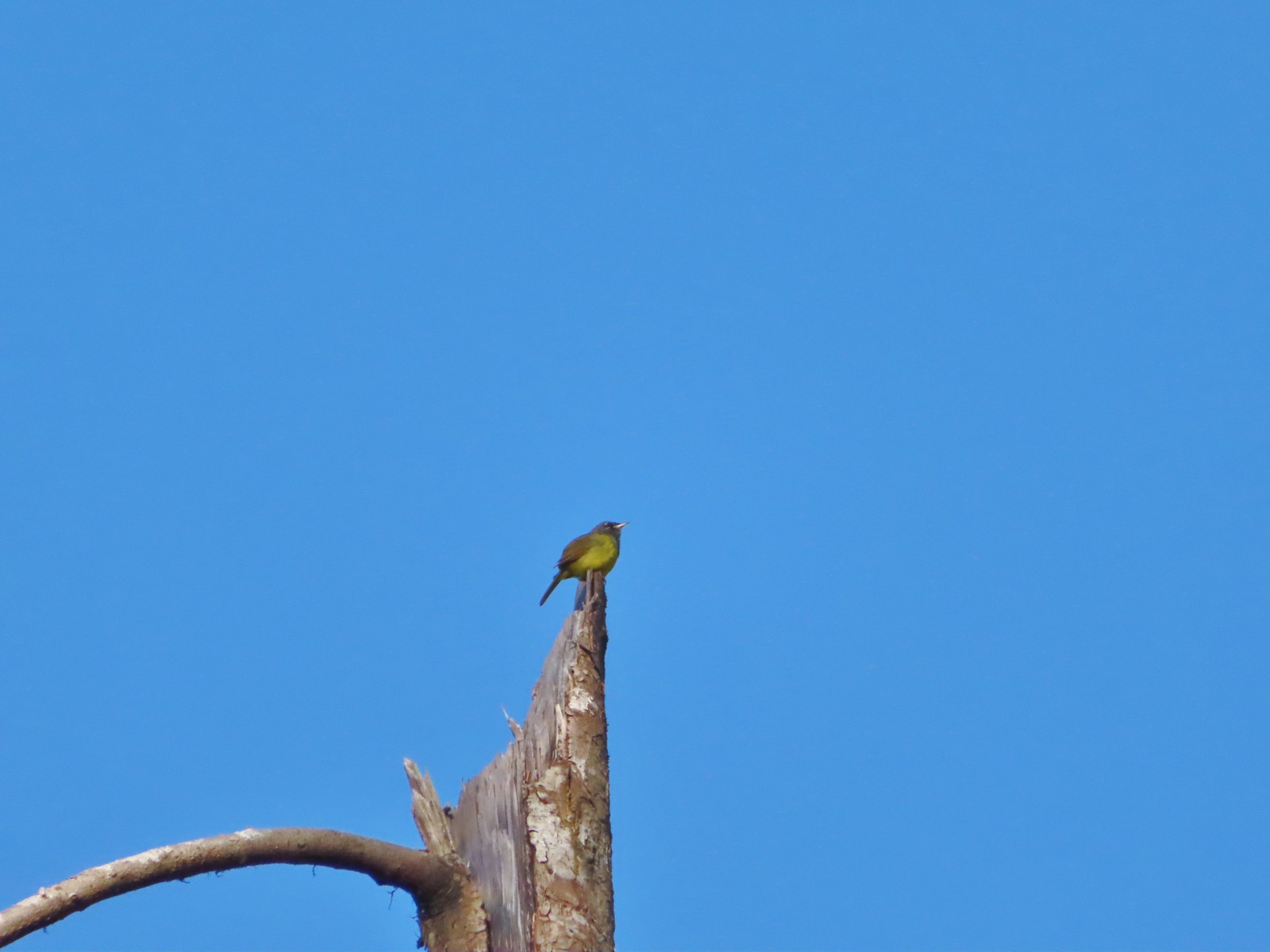 Macgillivray’s warbler? – 6/25/23, North Umpqua Trail, BLM Roseburg District
 Woodpecker – 6/25/23, North Umpqua Trail, BLM Roseburg District
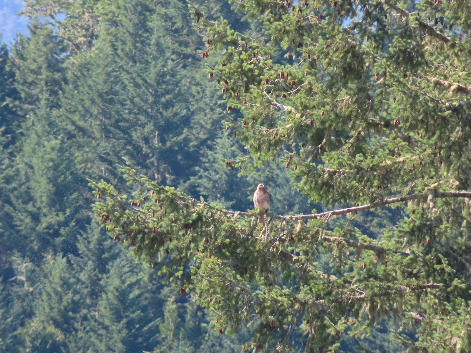 Hawk – 6/25/23, North Bank Habitat, BLM Roseburg District
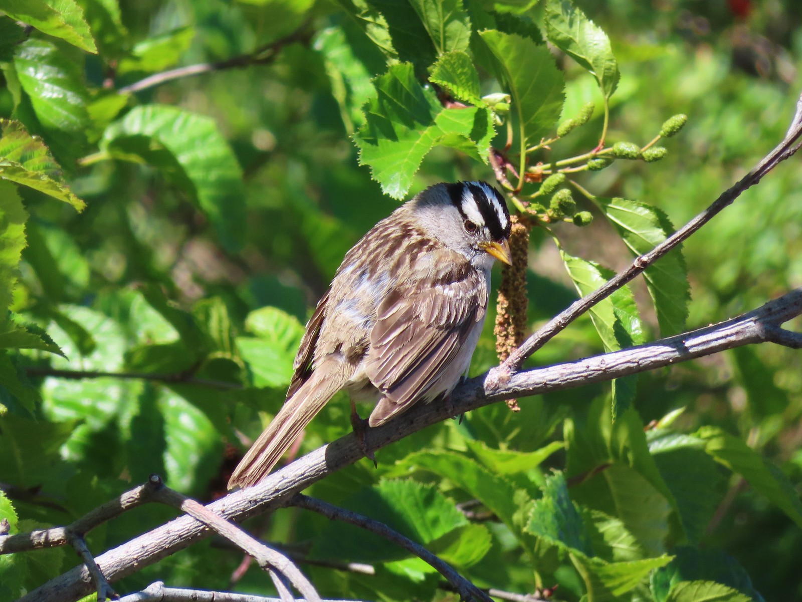 White-crowned sparrow – 7/1/23, Boundary Trail, Mt. St. Helens National Volcanic Monument
 Cedar waxwings – 7/1/23, Boundary Trail, Mt. St. Helens National Volcanic Monument
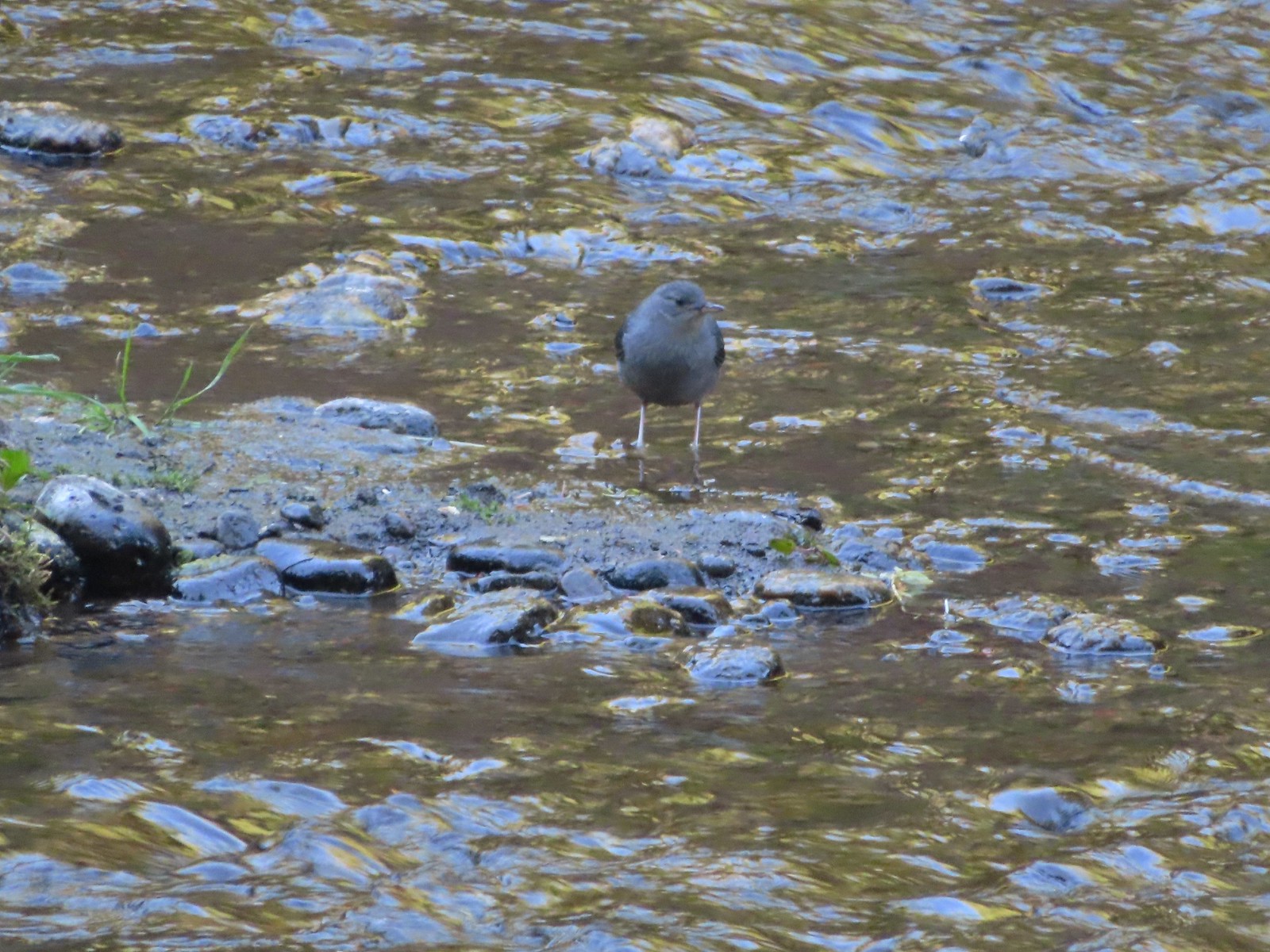 Ouzel – 7/22/23, Metolius River Trail, Deschutes National Forest
 Sooty grouse – 7/22/23, Metolius River Trail, Deschutes National Forest
 Canada jay – 8/5/23, Timberline Trail, Mt. Hood Wilderness
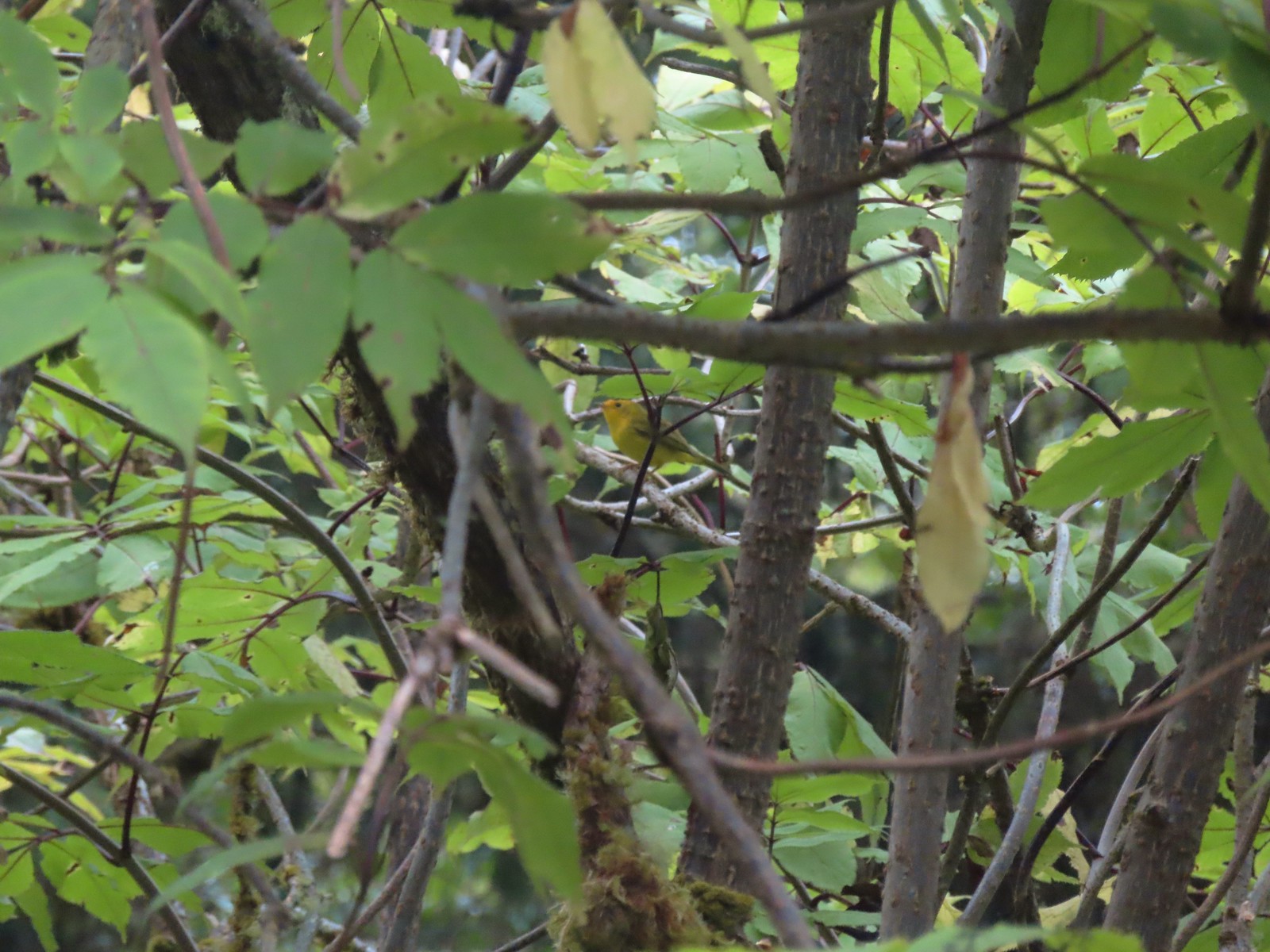 Wilson’s warbler? – 8/29/23, Nestucca Bay National Wildlife Refuge, Cloverdale
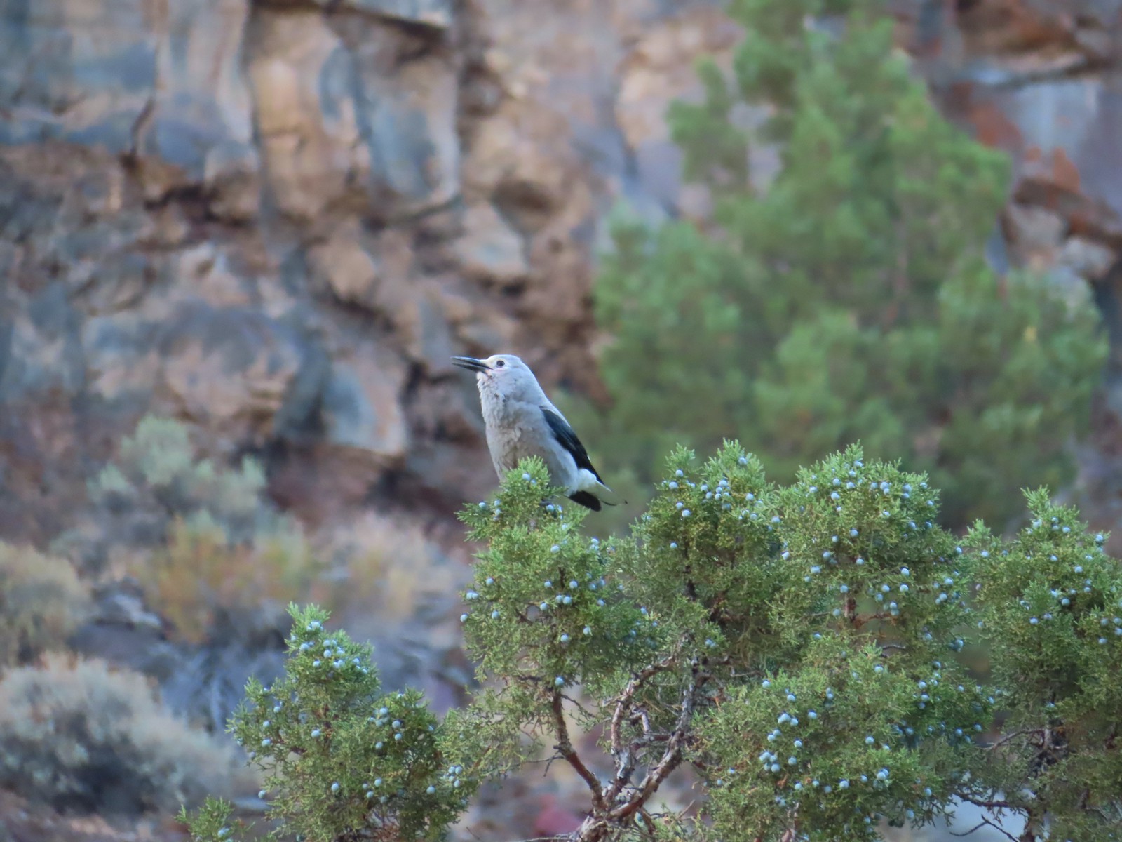 Clark’s nutcrakcer – 9/2/23, Dry River Canyon, BLM Prineville District
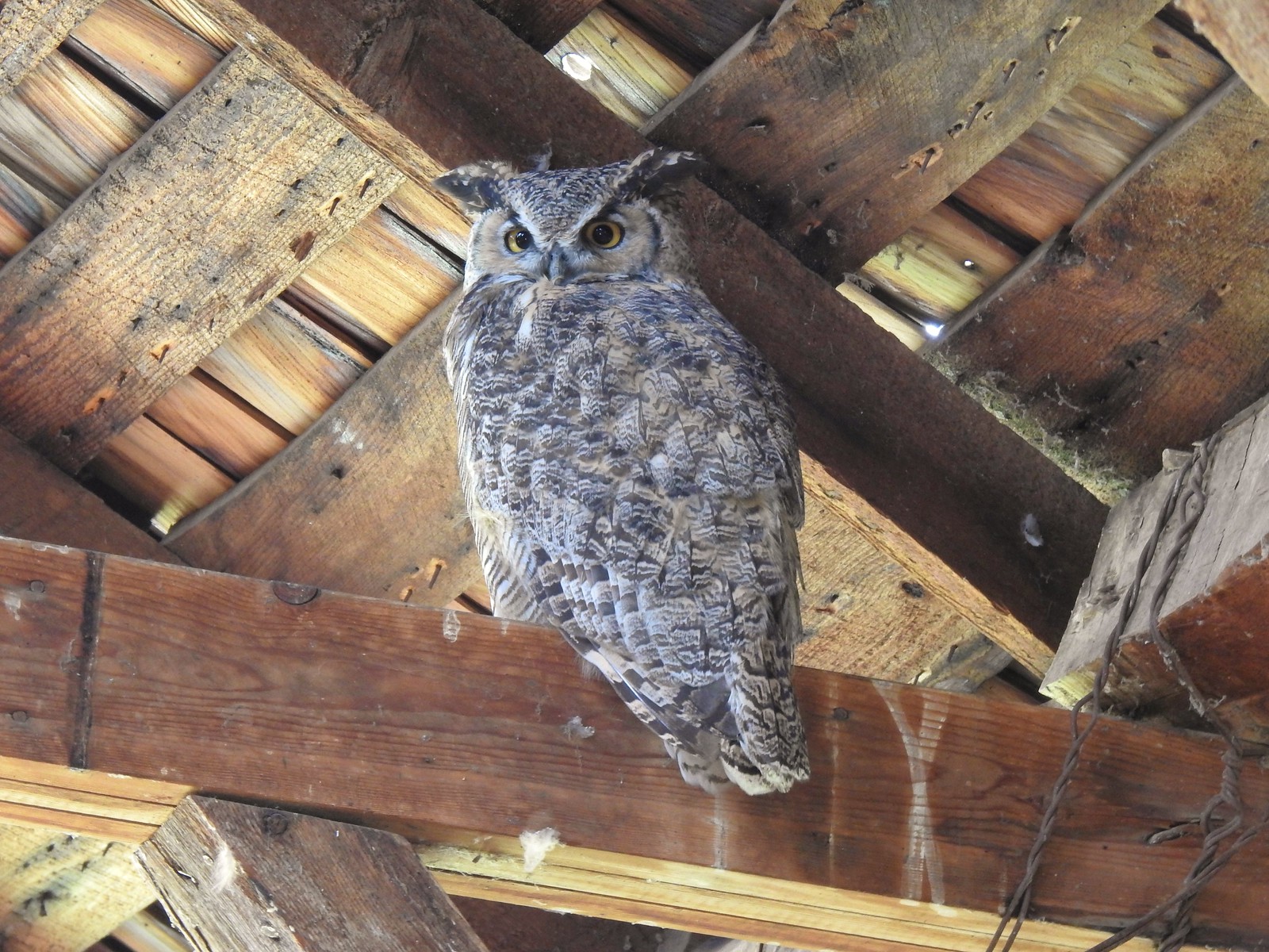 Great horned owl – 9/3/23, P Ranch, Malheur National Wildlife Refuge
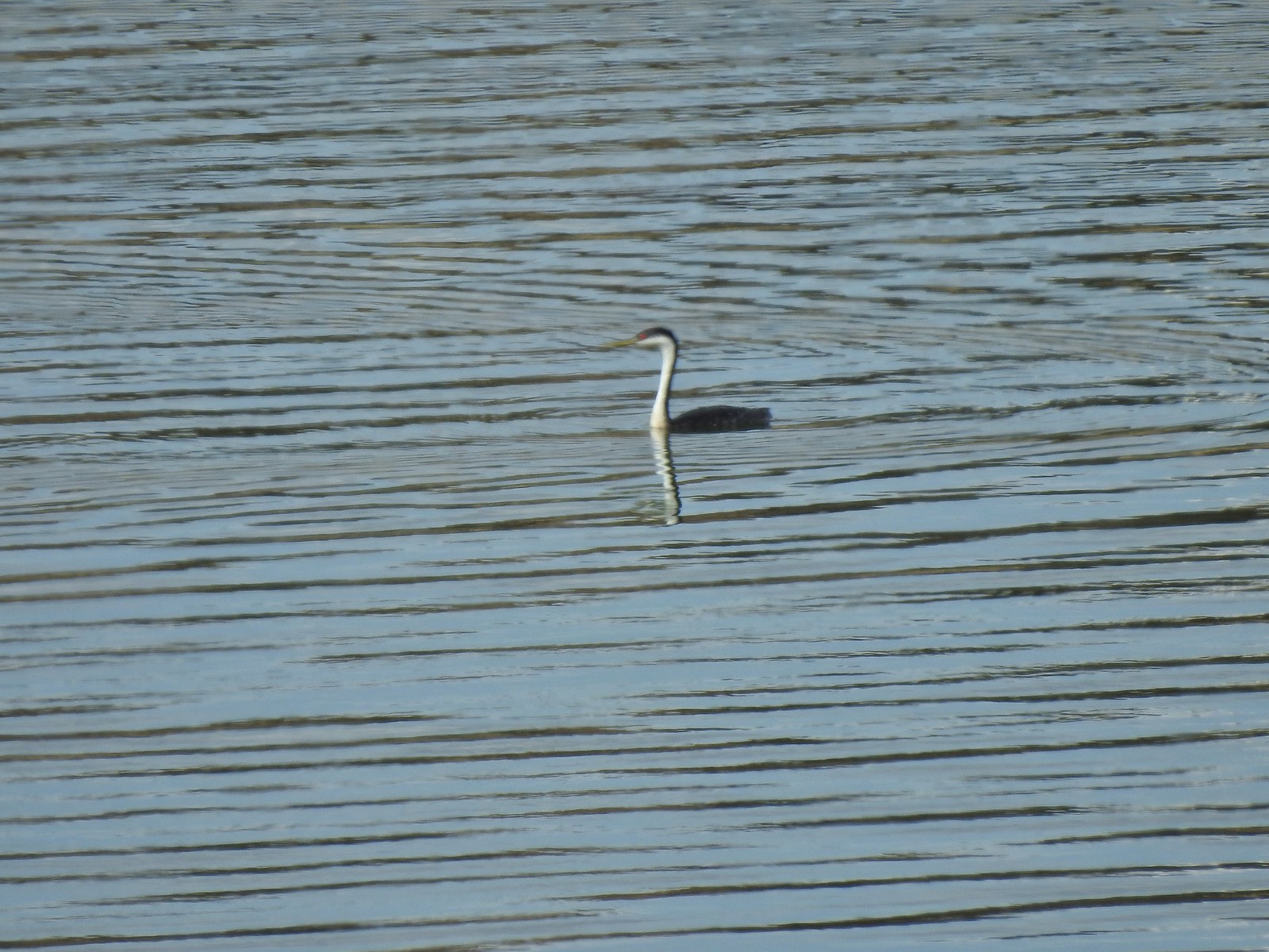 Western grebe – 9/3/23, Krumbo Reservoir, Malheur National Wildlife Refuge
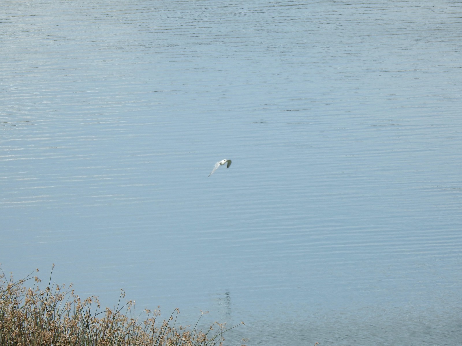 Unidentified bird – 9/3/23, Krumbo Reservoir, Malheur National Wildlife Refuge
 White-faced ibis – 9/3/23, Cental Patrol Road, Malheur National Wildlife Refuge
 Ring-necked pheasant – 9/3/23, Central Patrol Road, Malheur National Wildlife Refuge
 Townsends solitaire – 9/4/23 Fryrear Canyon, BLM Prineville District
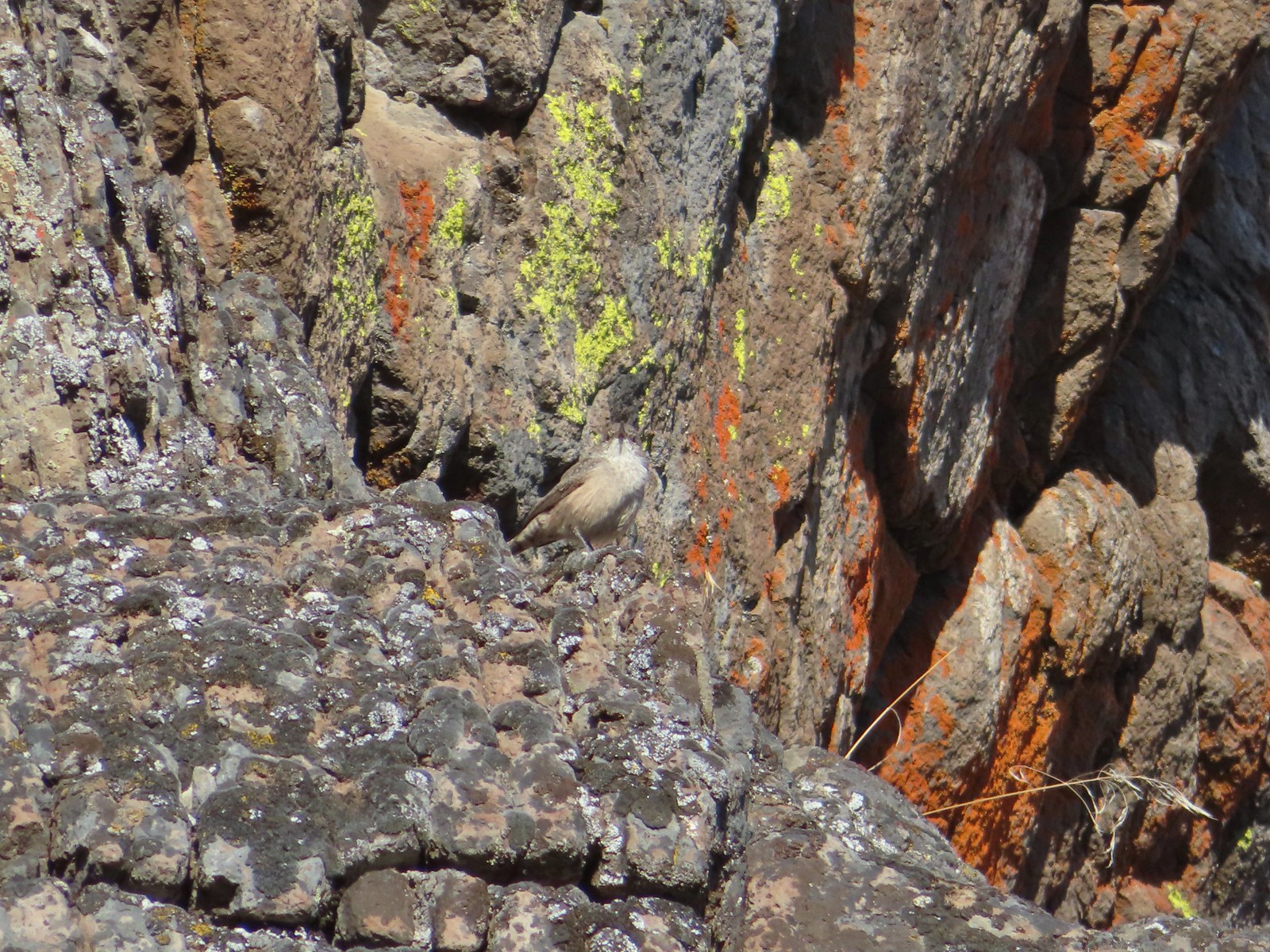 Rock wren? – 9/4/23 Fryrear Canyon, BLM Prineville District
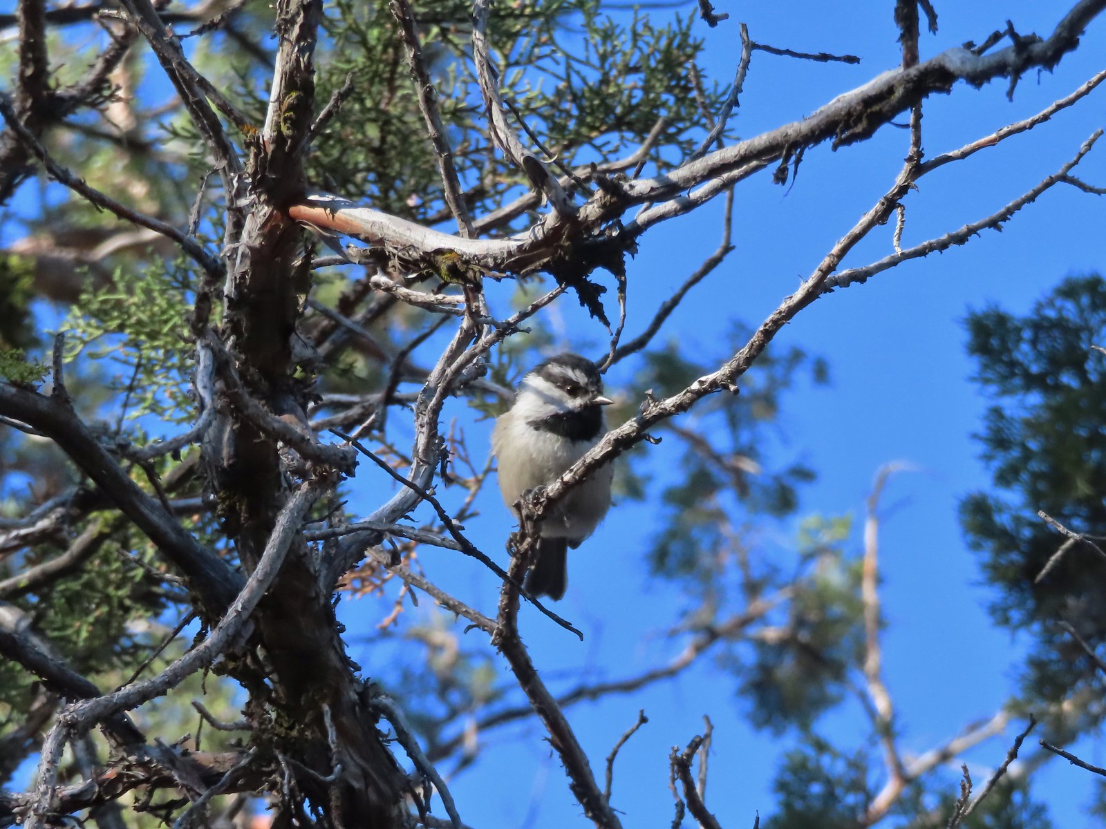 Mountain chickadee – 9/4/23 Fryrear Canyon, BLM Prineville District
 Black-backed woodpecker – 9/9/23, Pacific Crest Trail, Sky Lakes Wilderness
 American pipit – 9/9/23, Devil’s Peak, Sky Lakes Wilderness
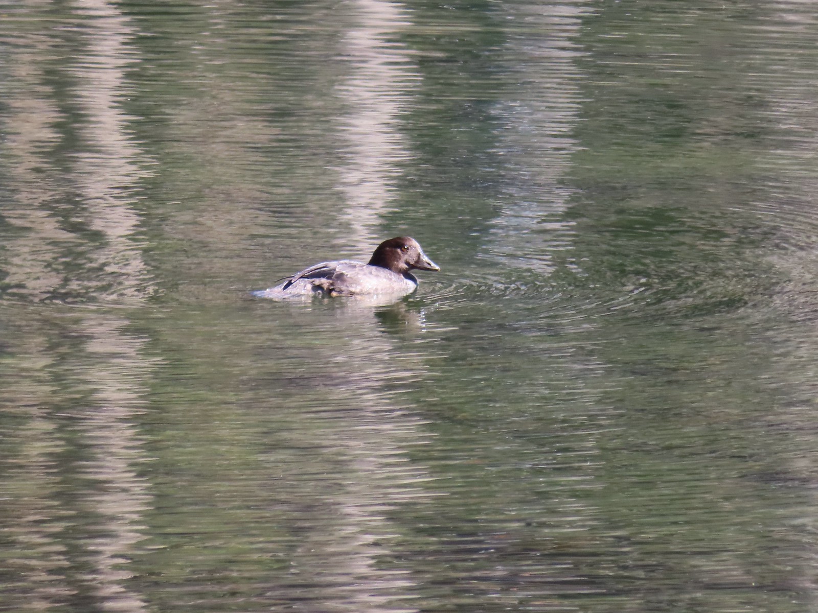 Golden eye – 9/16/23, Fish Lake, Mt. Hood National Forest
 White-breasted nuthatch – 9/16/23, Fish Lake Trail, Mt. Hood National Forest
 Stellar’s jay – 9/30/23, Big Creek Park, Newport
 Red-tailed hawk – 9/30/23, Strom Boulder Ridge, Burnt Woods
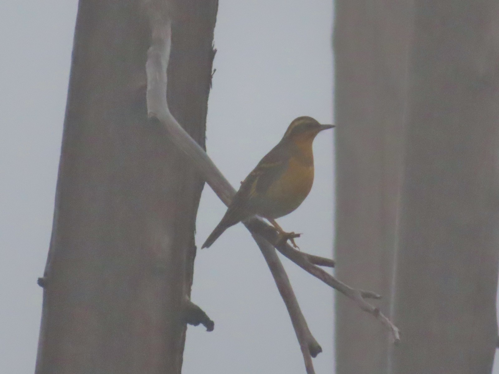 Varied thrush – 10/9/23, Babyfoot Lake Trail, Kalmiopsis Wilderness
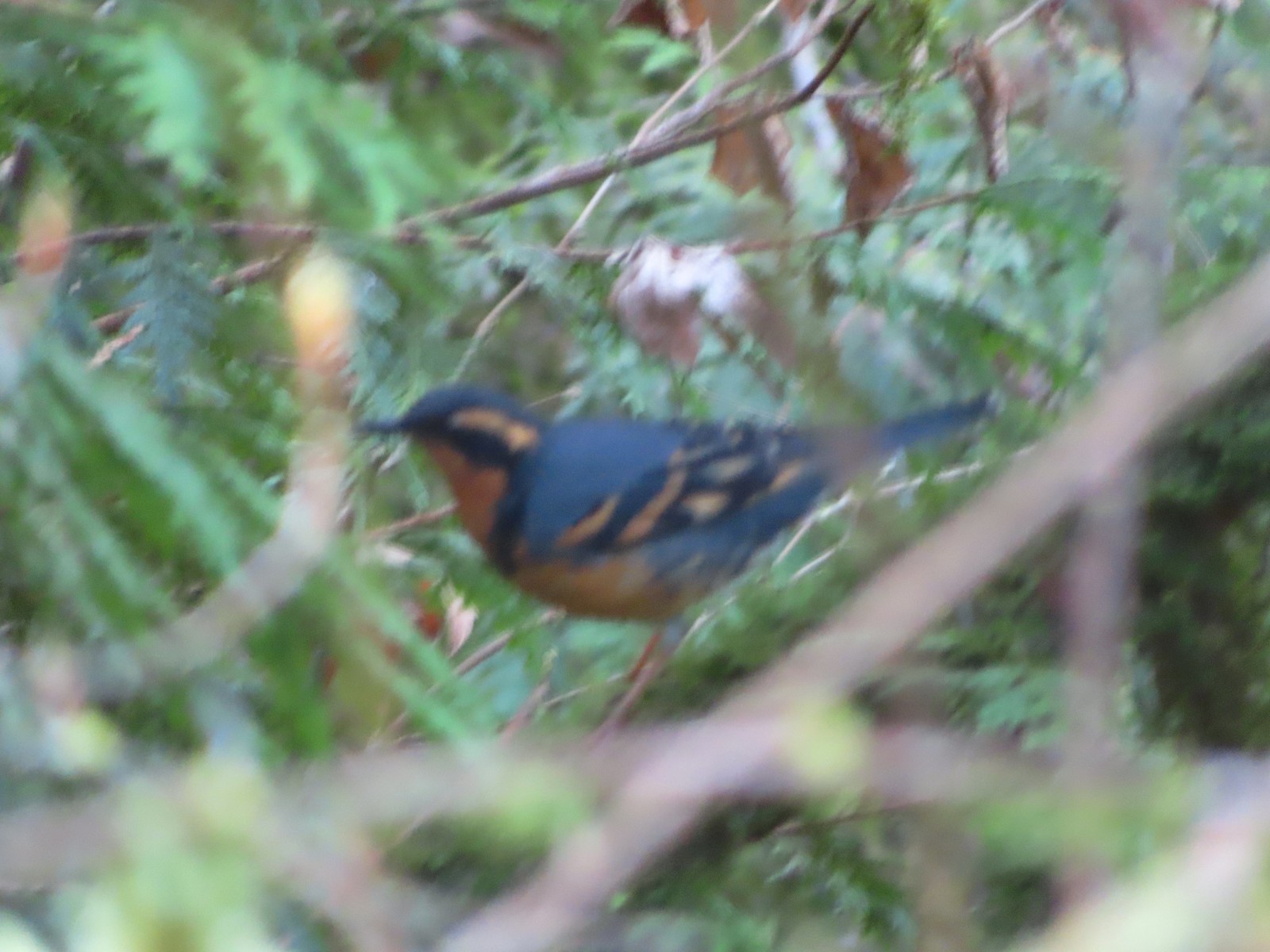
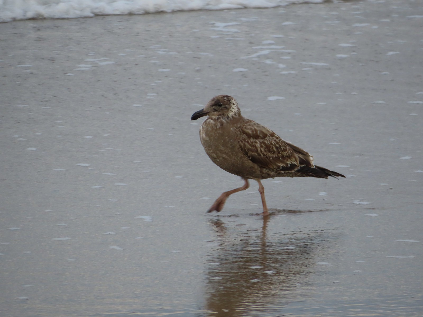
 Seagull – 10/28/23, Oceanside Beach, Oceanside
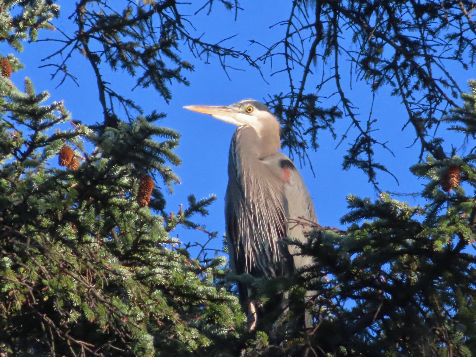 Great blue heron – 10/28/23, Oceanside Beach, Oceanside
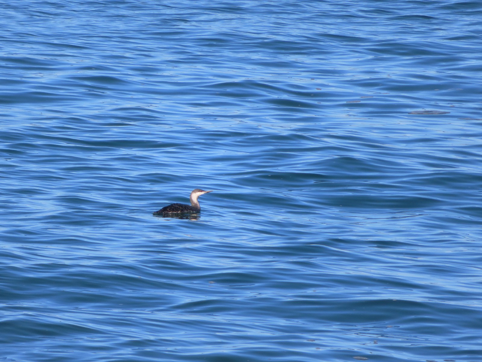 Red-throated loon – 10/28/23, Pacific Ocean, Oceanside
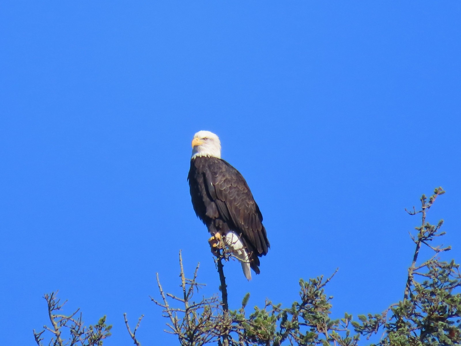 Bald eagle – 10/28/23, Tillamook Wetlands, Tillamook
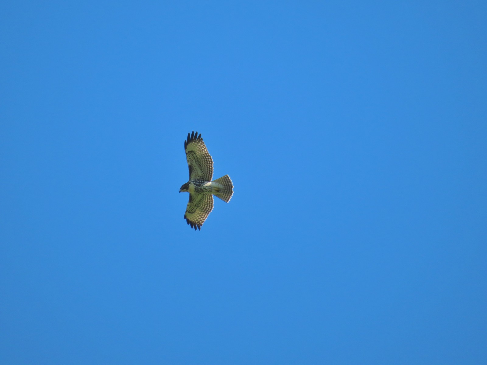 Hawk – 10/28/23, Tillamook Wetlands, Tillamook
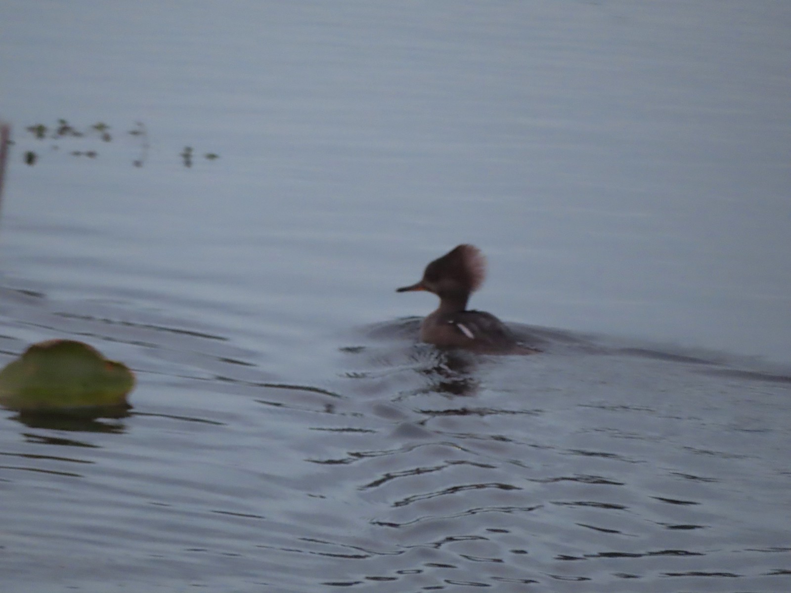 Hooded merganser – 11/18/23, D River, Lincoln City
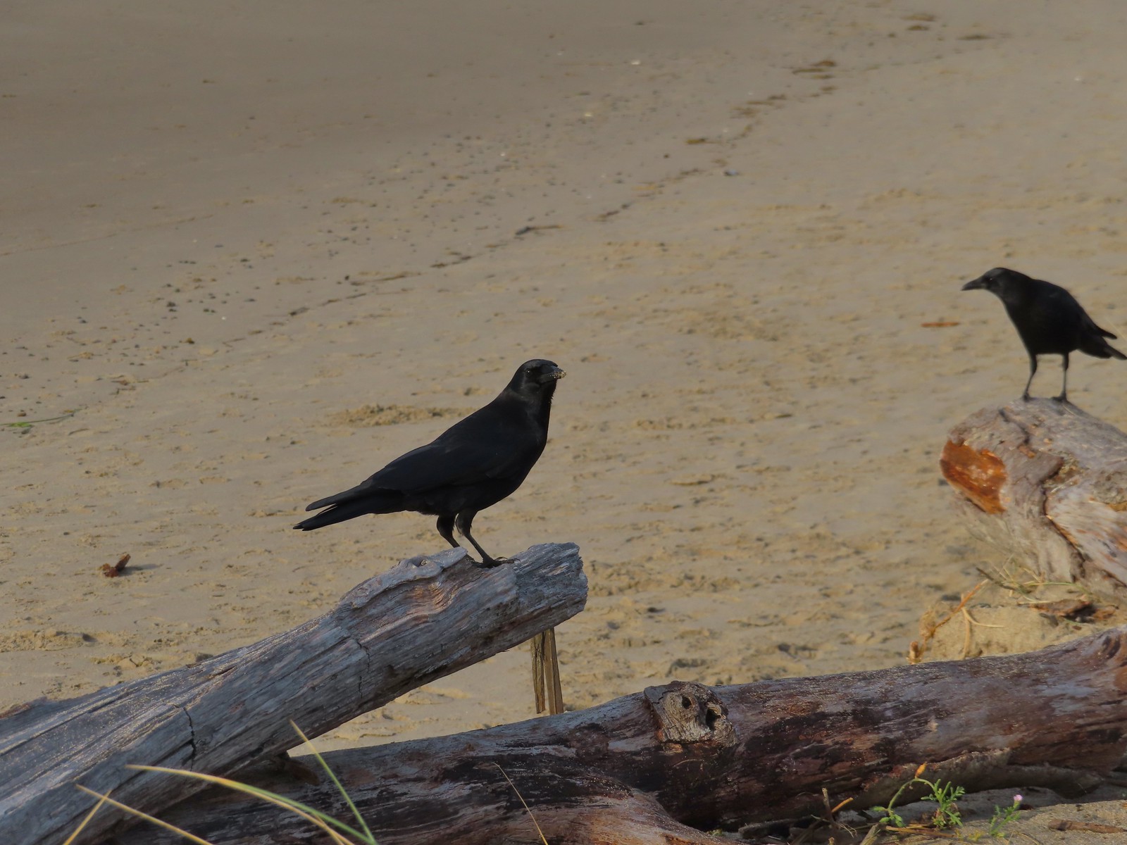 Crows – 11/18/23, Siletz Bay, Lincoln City
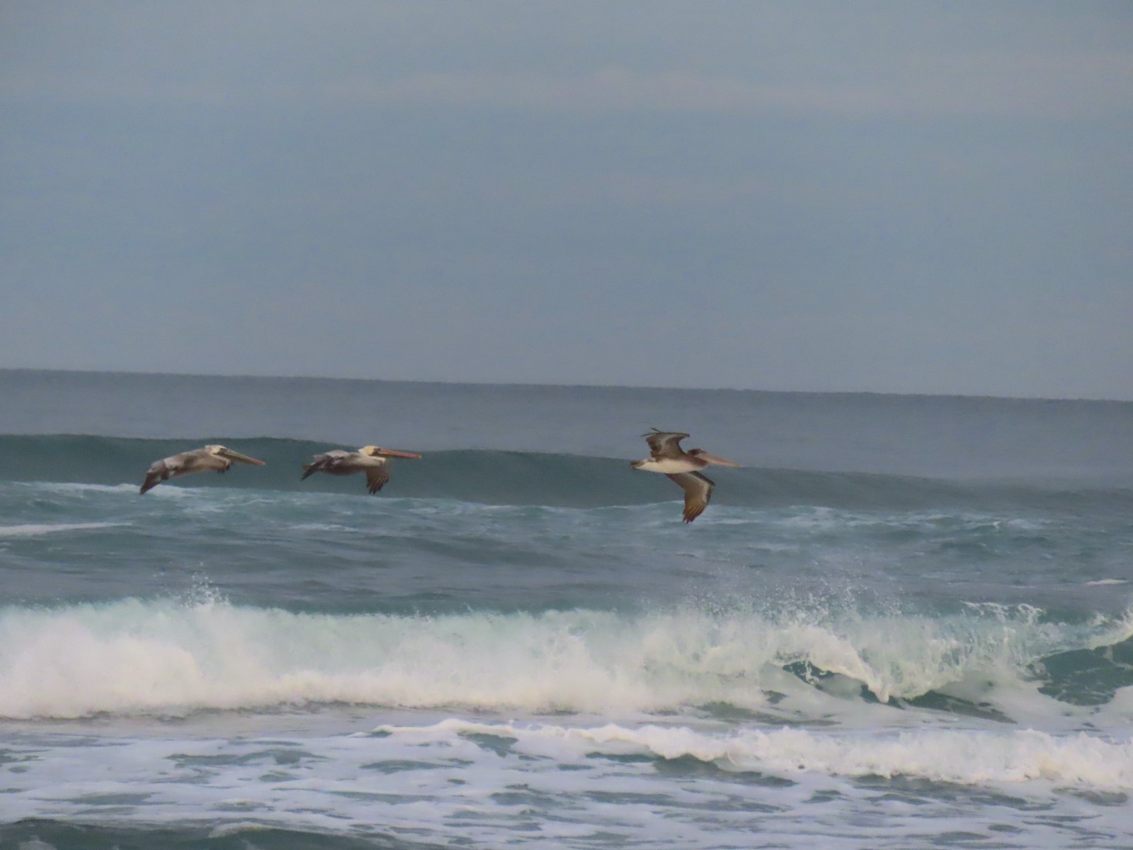
 Brown pelicans – 11/18/23, Siletz Bay, Lincoln City

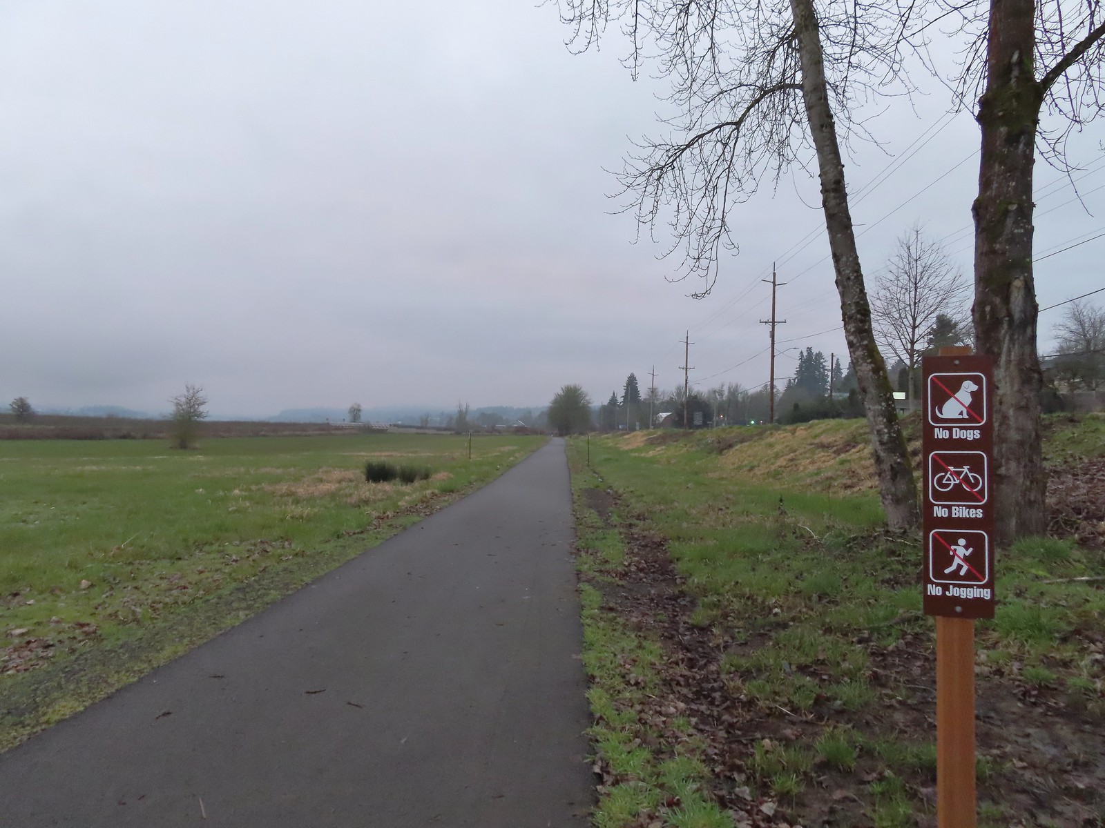
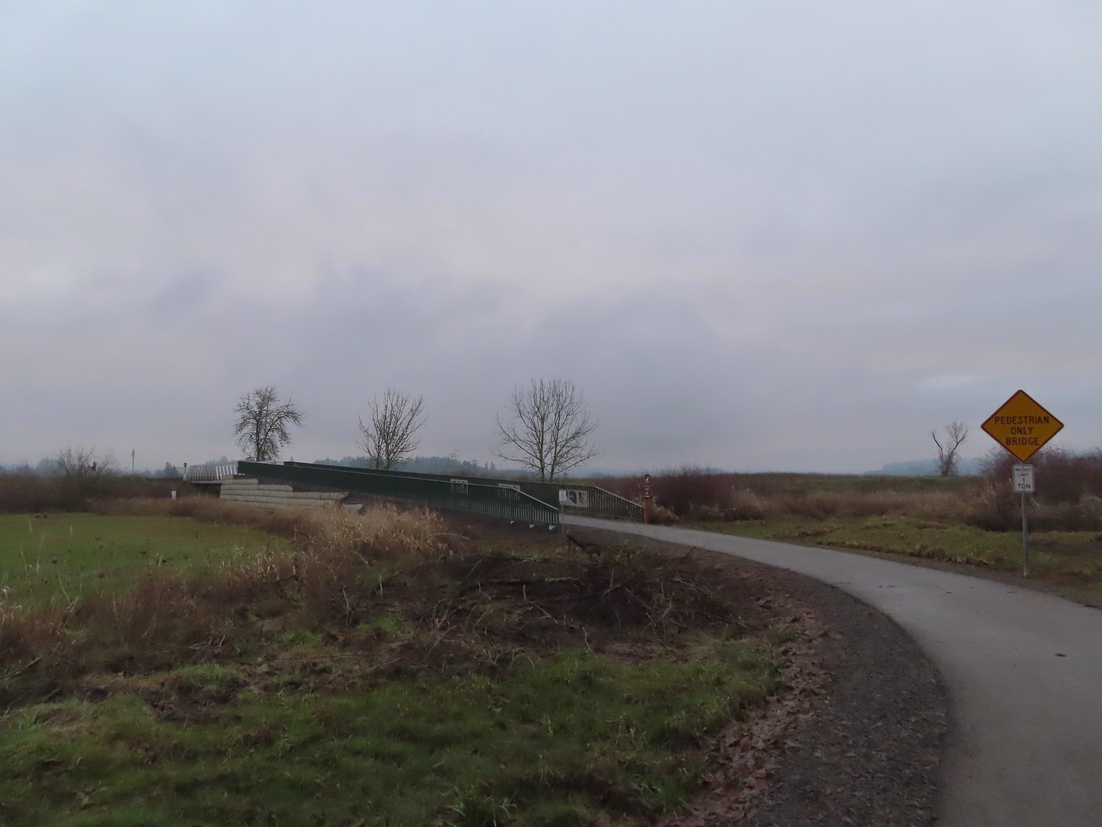
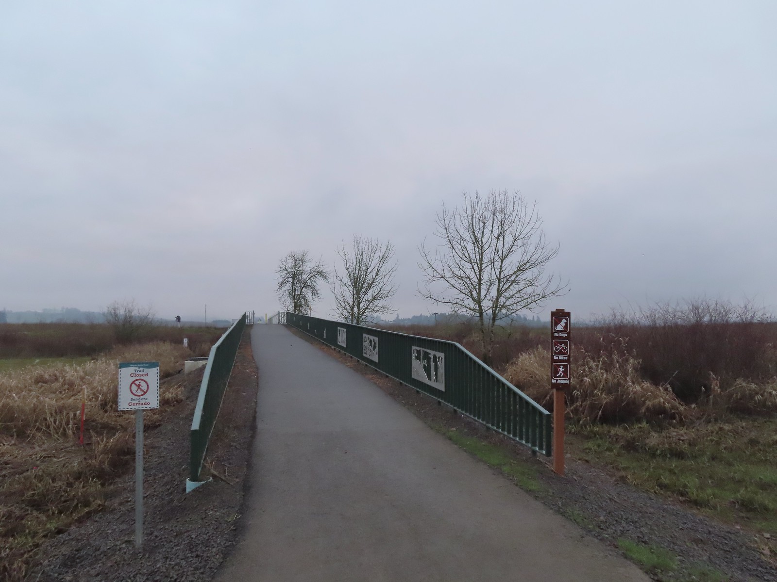 We were a little confused by the sign on the left here stating the trail was closed. The website and signboard had said nothing about a closure and the gate at the far end of the bridge was open and others were already out on the levee. We assume they just hadn’t taken the sign down after the seasonal closure period.
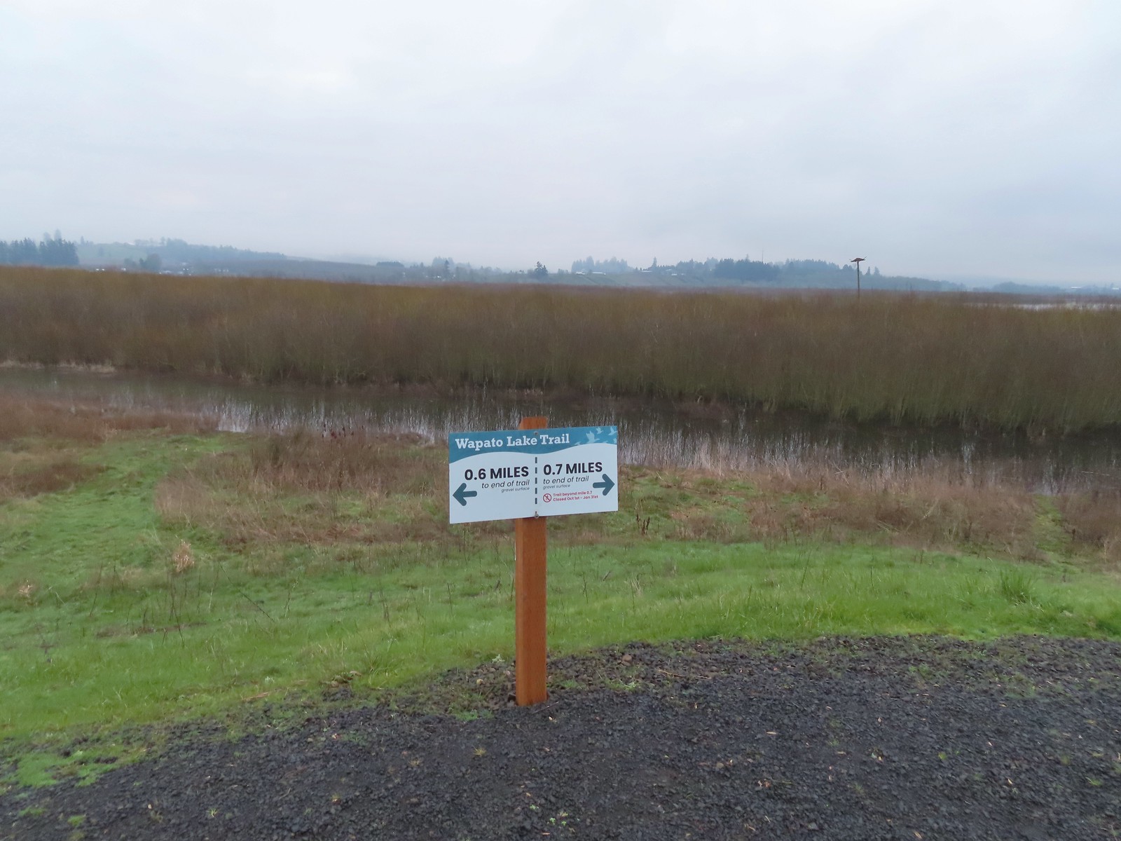 Pointers on the levee.
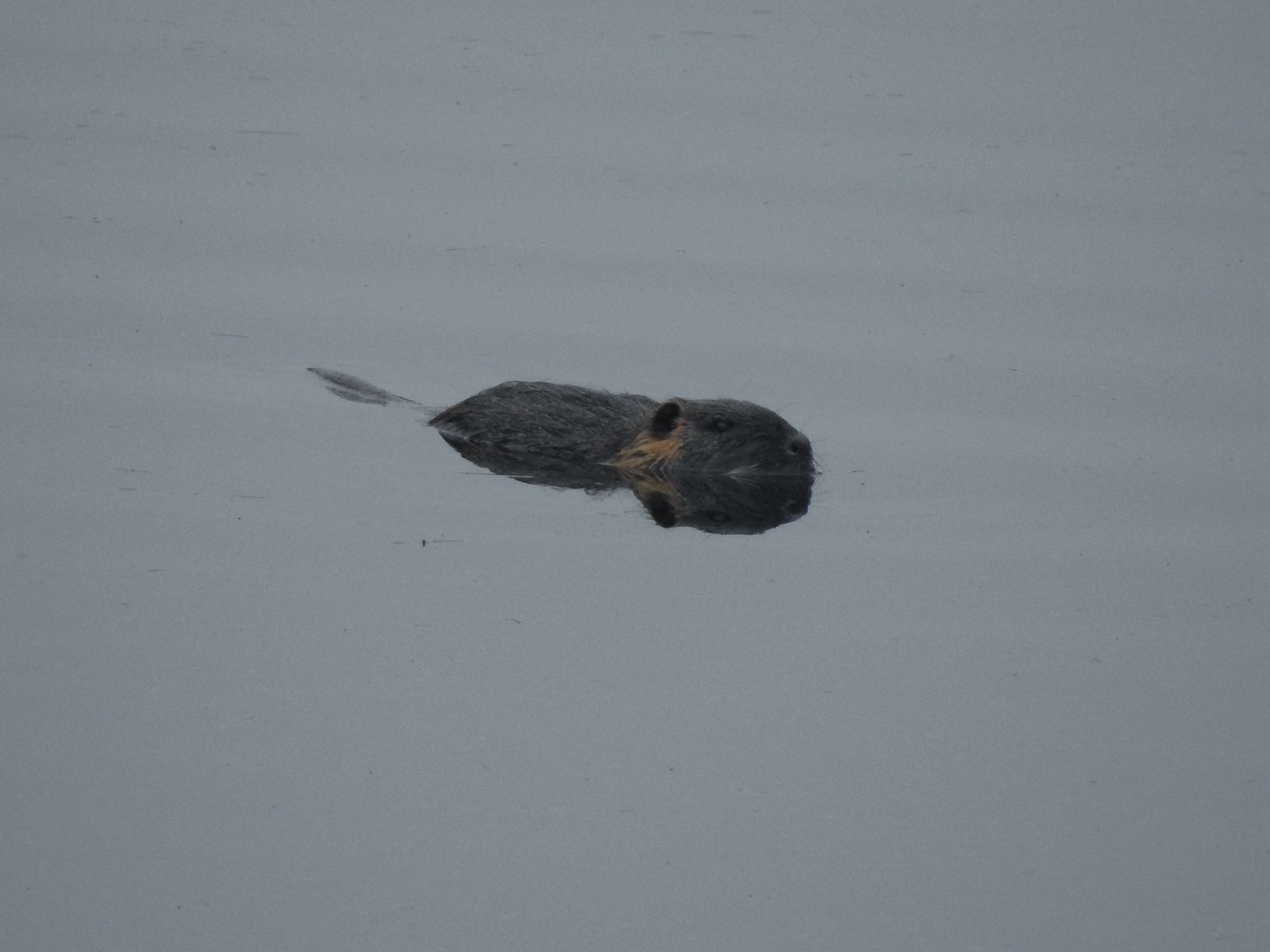 Nutria (sigh). We had hopped it was a beaver but alas the whiskers give it away.
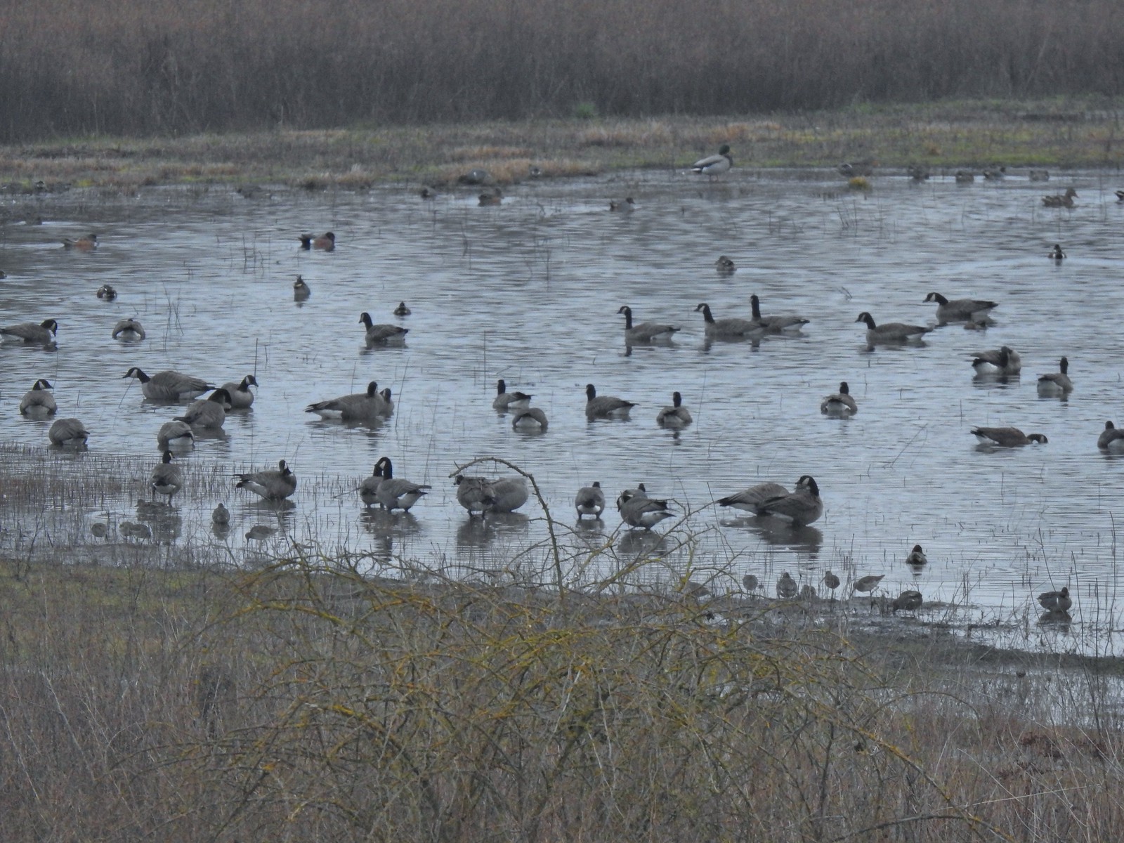 Geese, several species of ducks, and some shore birds.
 A great blue heron along Wapato Creek.
 Great blue heron
 Wapato Lake
 Beaver lodge
 Northern shovelers and an American wigeon
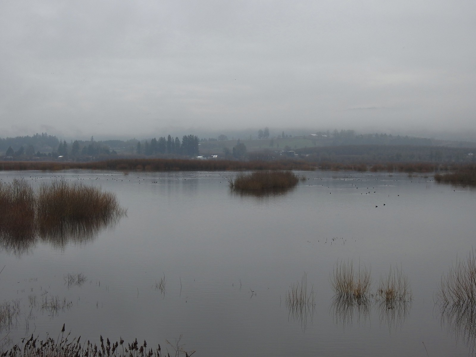 Of course we forgot to bring binoculars making it even harder to make out which types of ducks were out there.
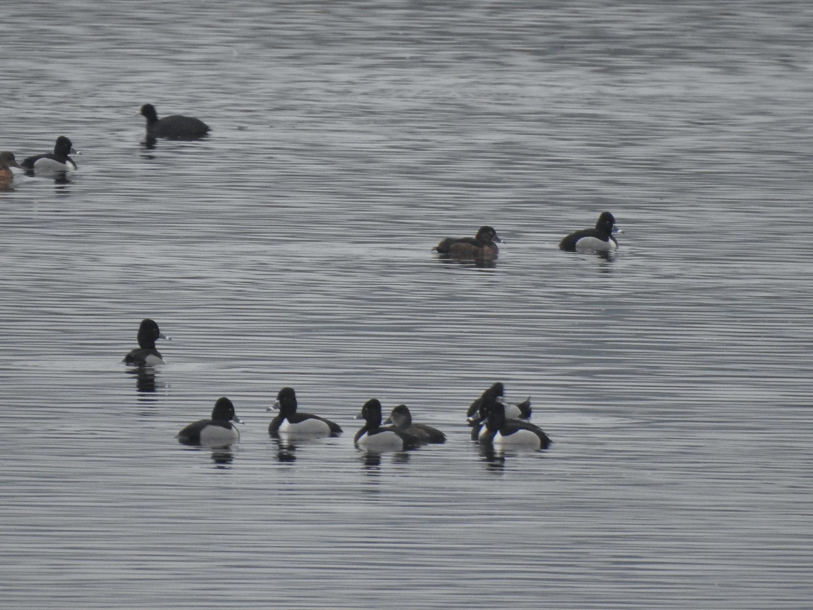 Ring-necked ducks with an American coot in the background.
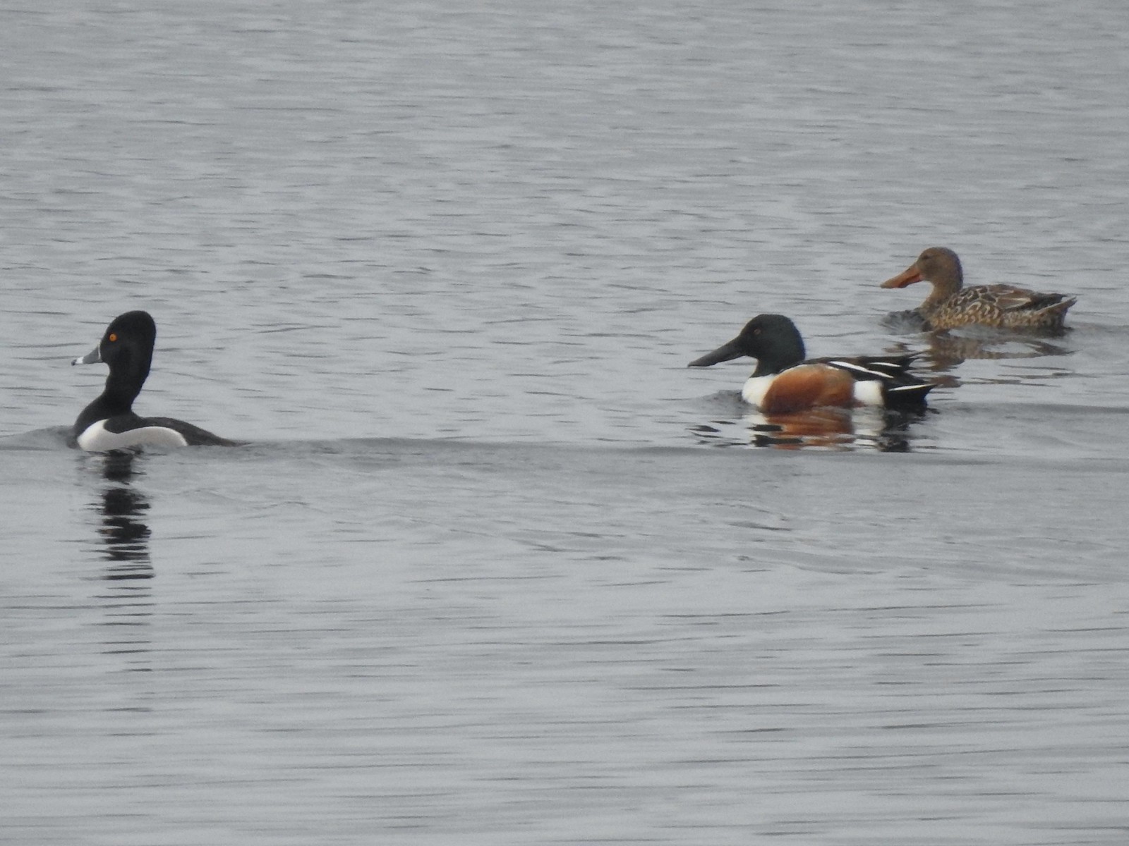 Ring-necked duck and northern shovelers
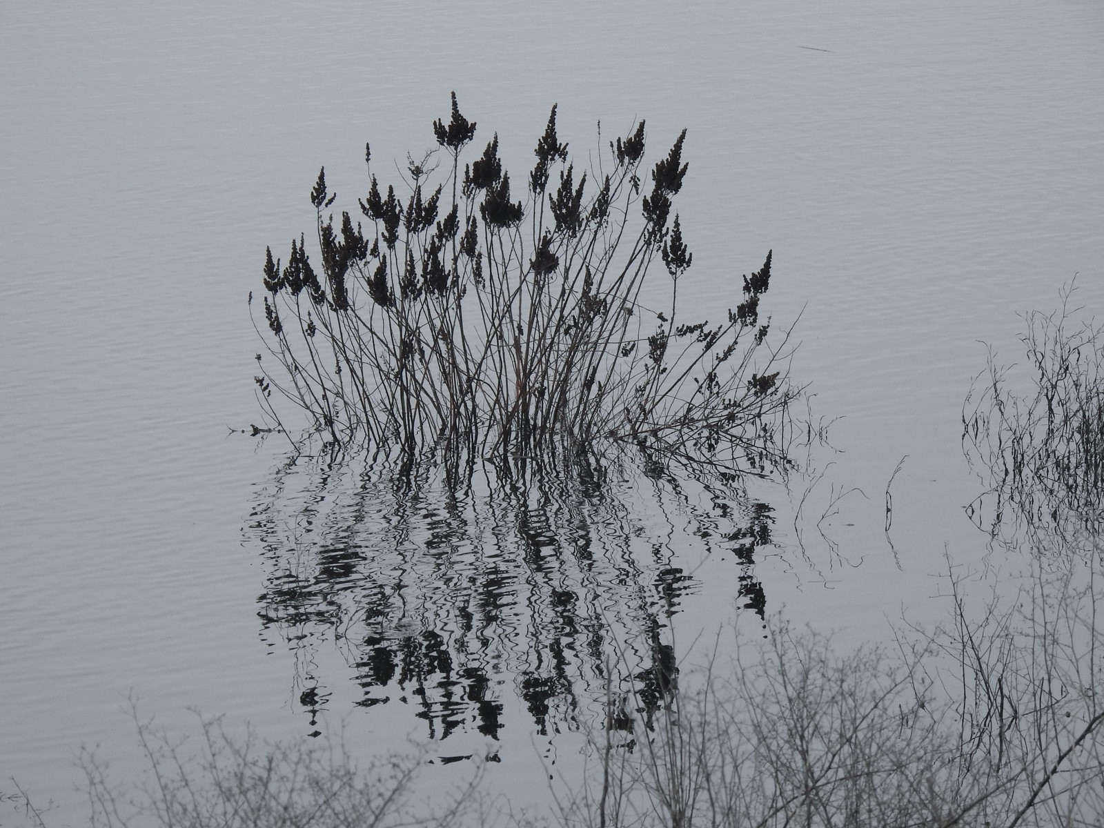 Reflections in Wapato Lake
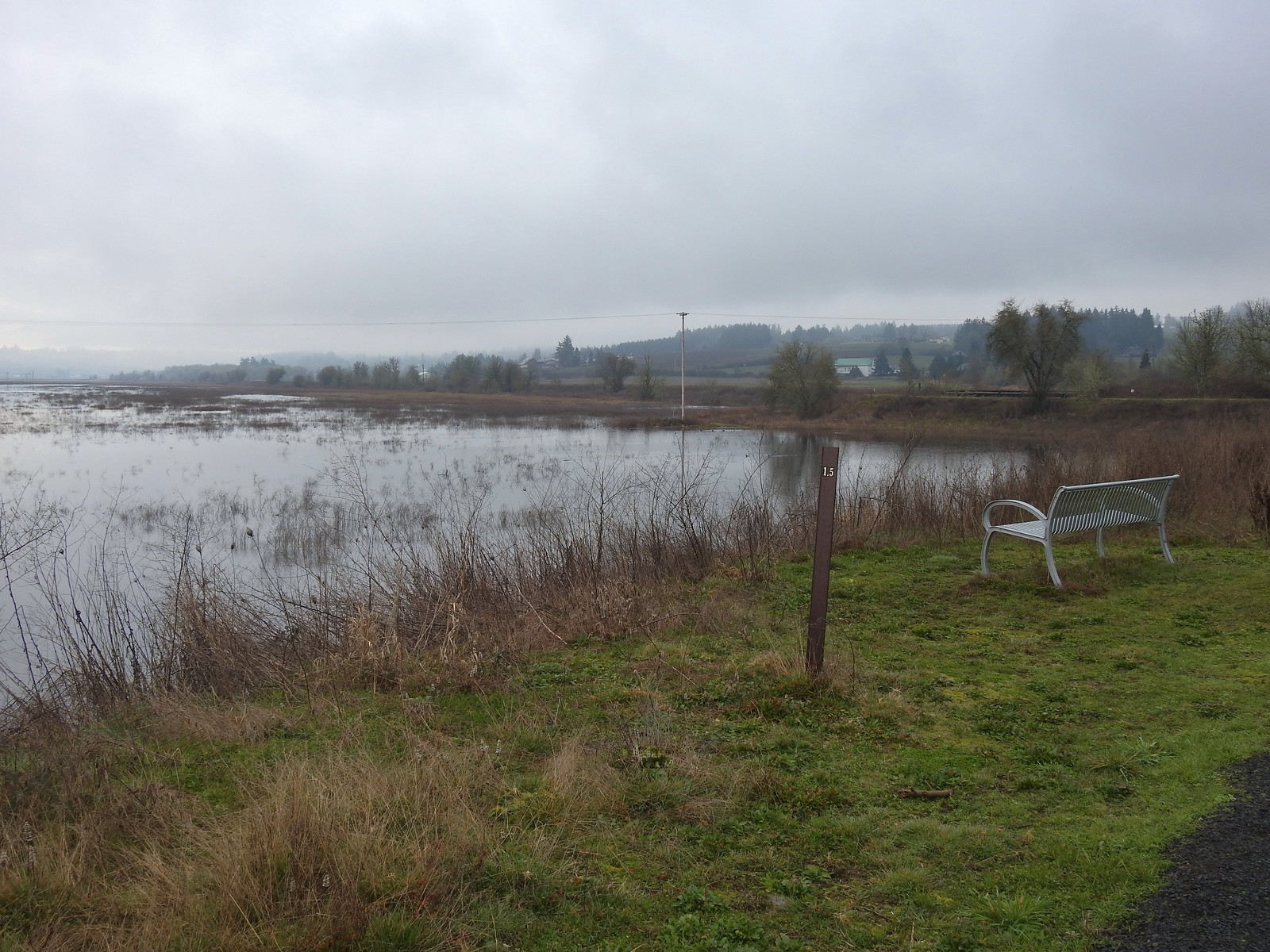 There is virtually no shade along the lake which wasn’t an issue today but could be in the heat of Summer. There are however three benches along the levee allowing for a place to sit and watch the birds.
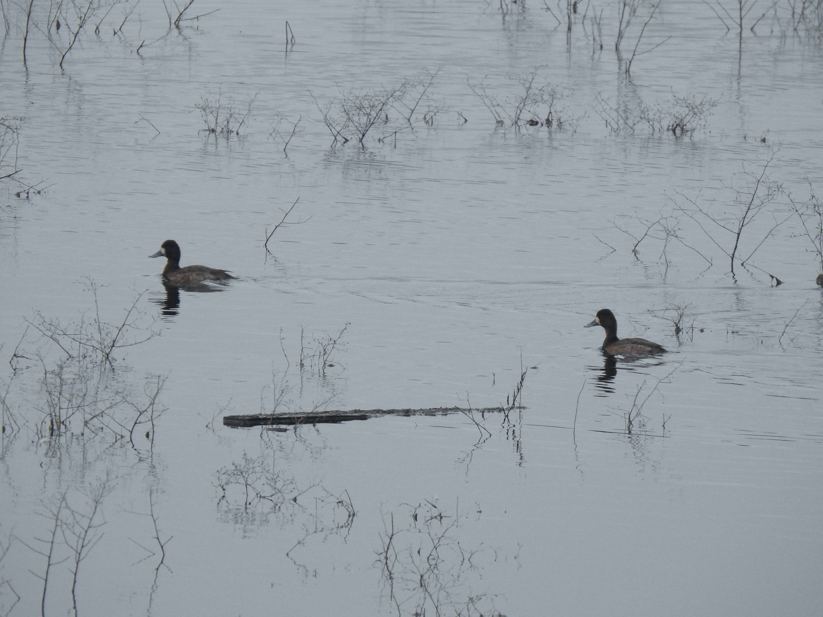 Lesser scaups
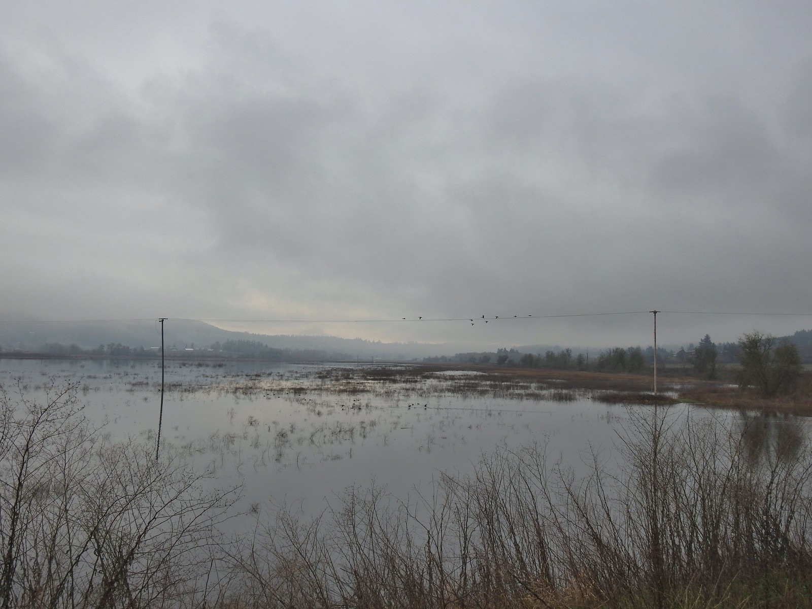 Ducks flying over the lake.
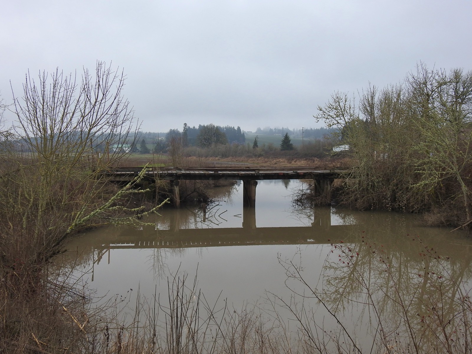 Old bridge over Wapato Creek. The gravel surface ended at this bridge.
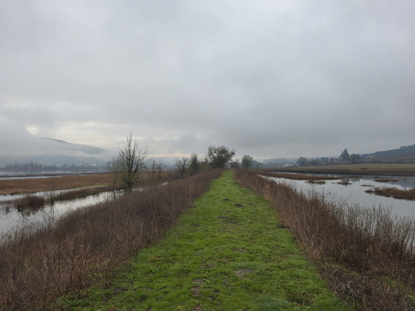
 The coyote running off through the brush.
 Tundra swans
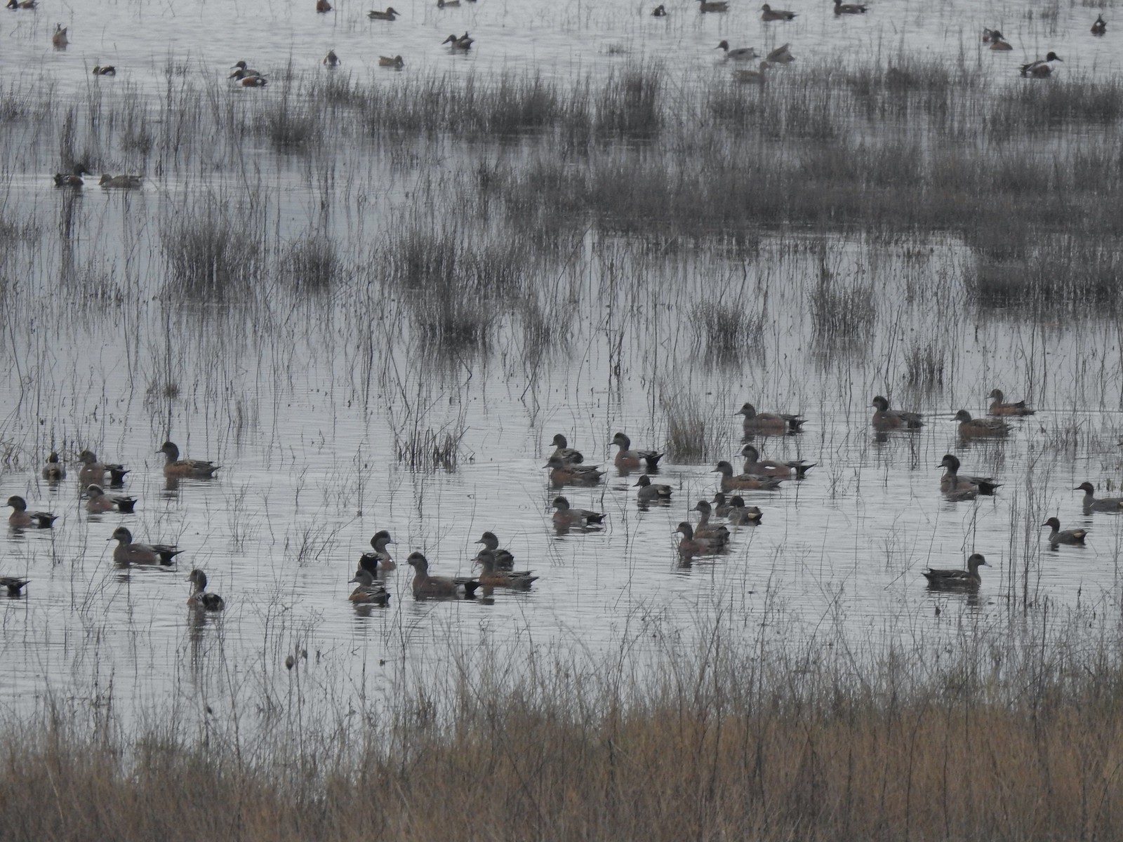
 Tundra swans
 We decided to turn around at this bridge even though the levee continued. It appeared that the water was further away from the levee going forward and we hadn’t planned on going much more than 3-miles today.
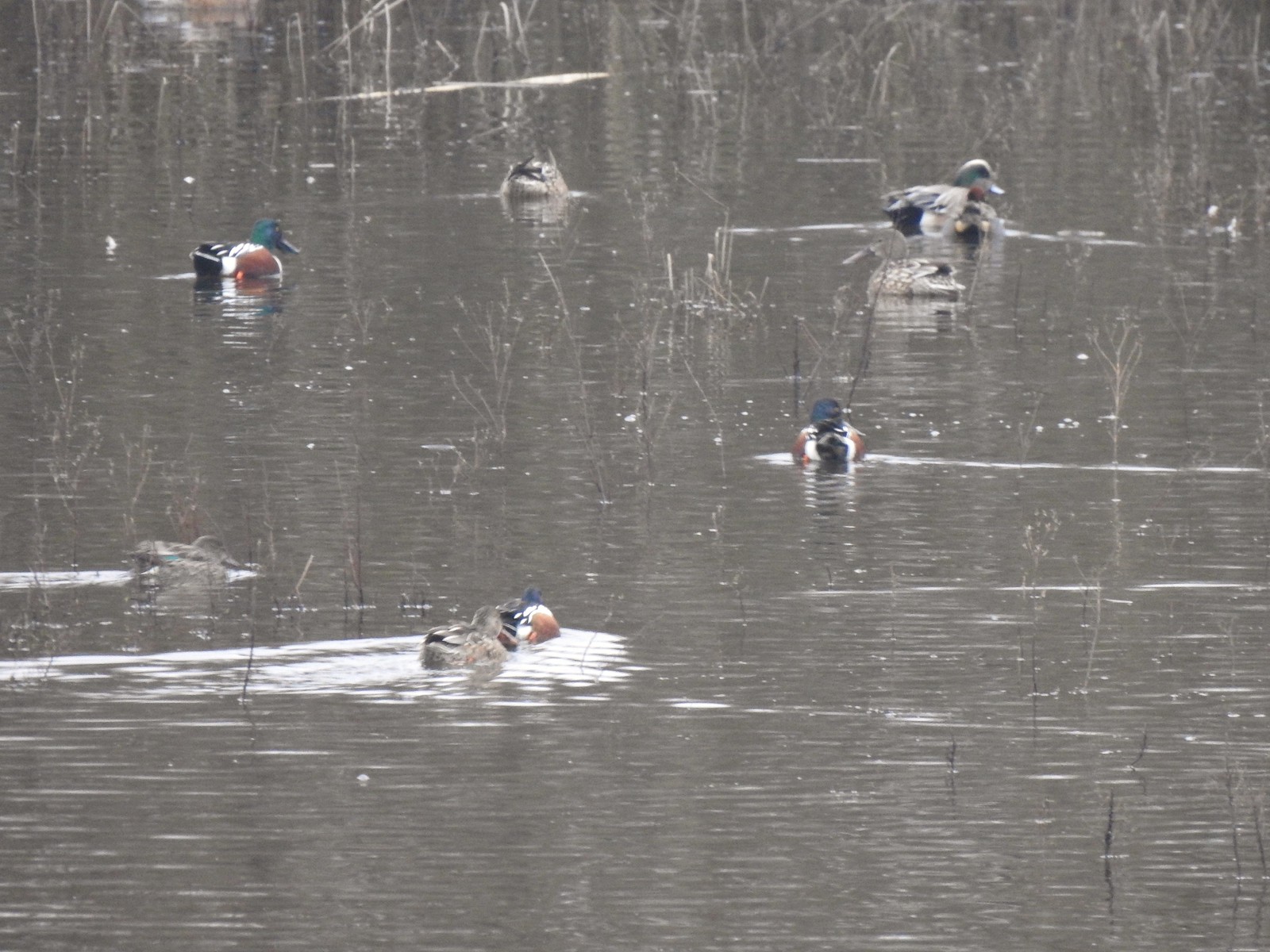
 Northern pintails and some green-winged teals.
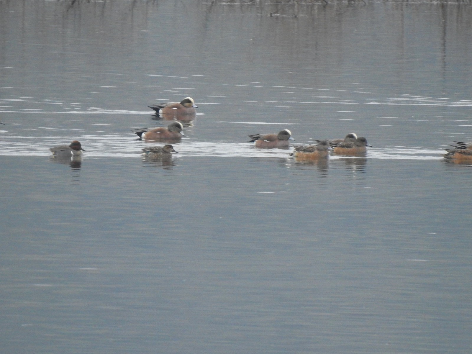 American wigeons and a pair of green-winged teals.
 There were a couple of times that blue sky seemed imminent.
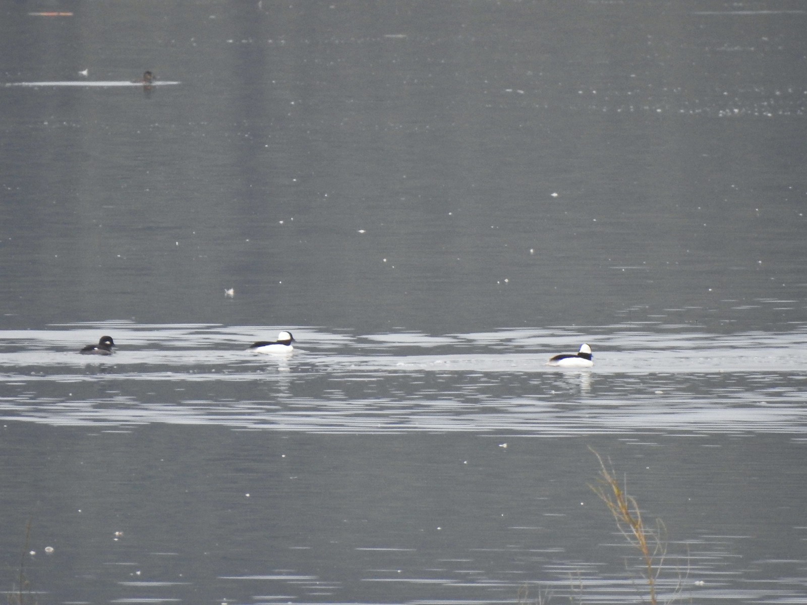 Buffleheads
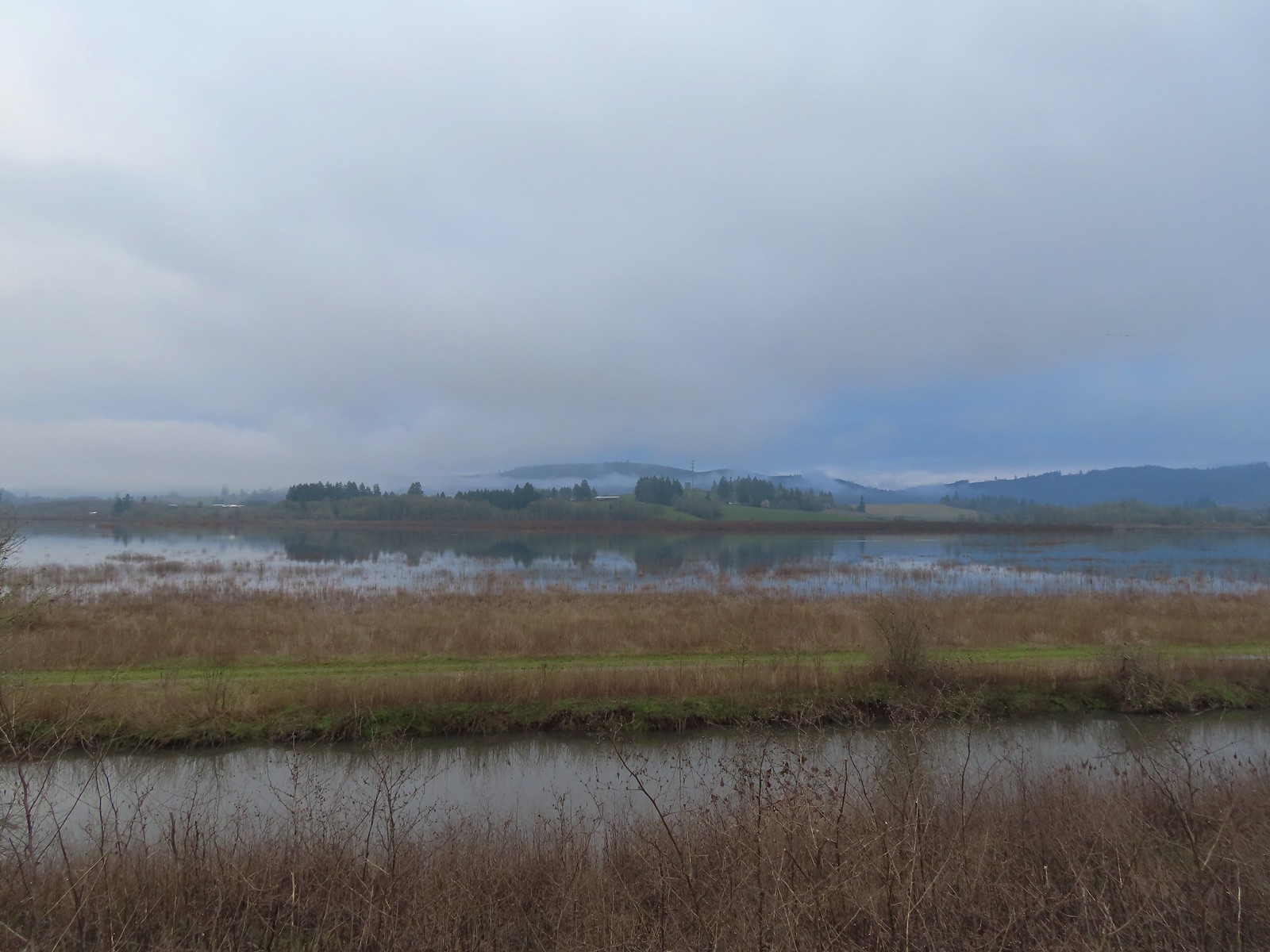 Iowa Hill (
 More buffleheads
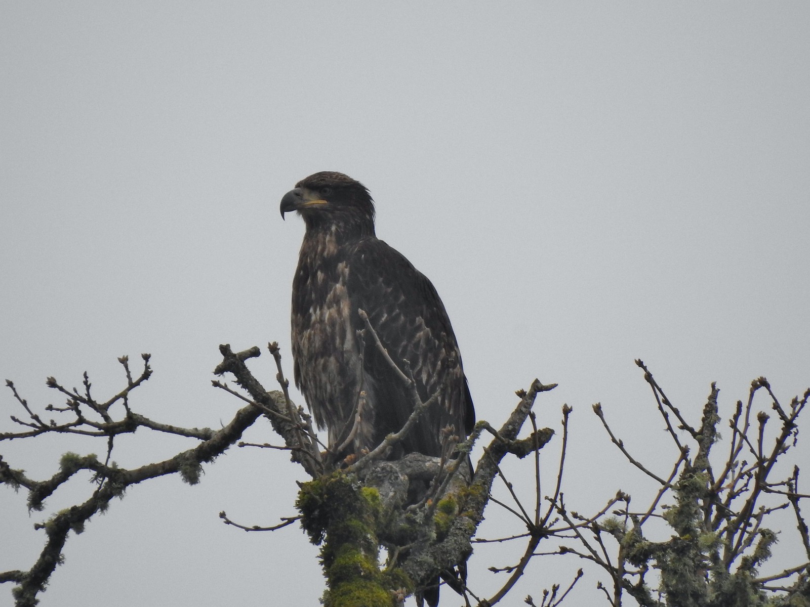 Immature bald eagle
 Sparrow
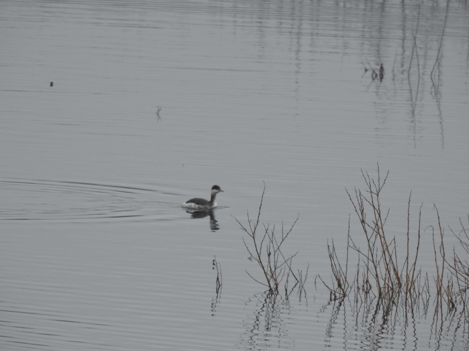 Horned grebe
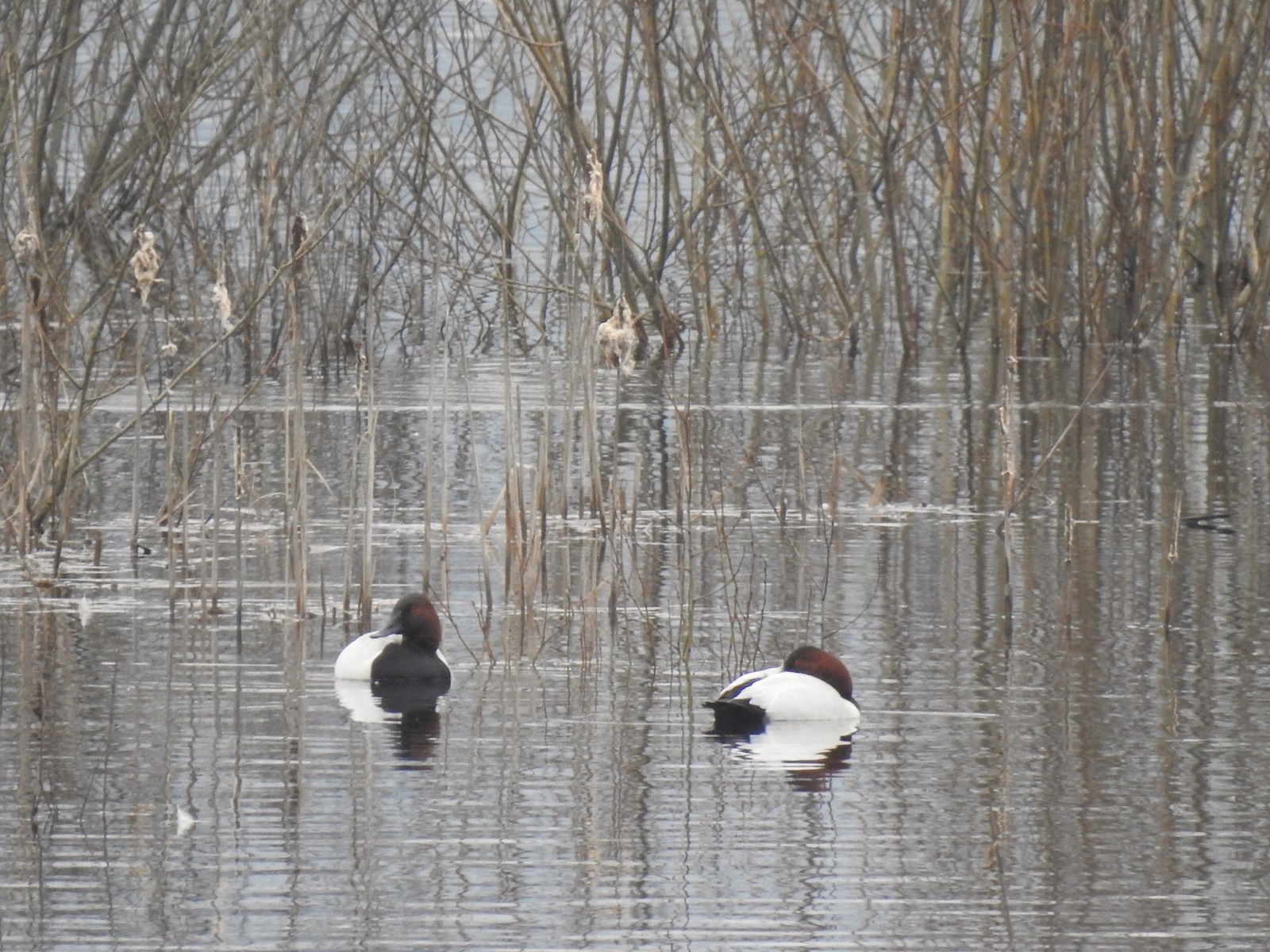 Canvasbacks, another first for us.
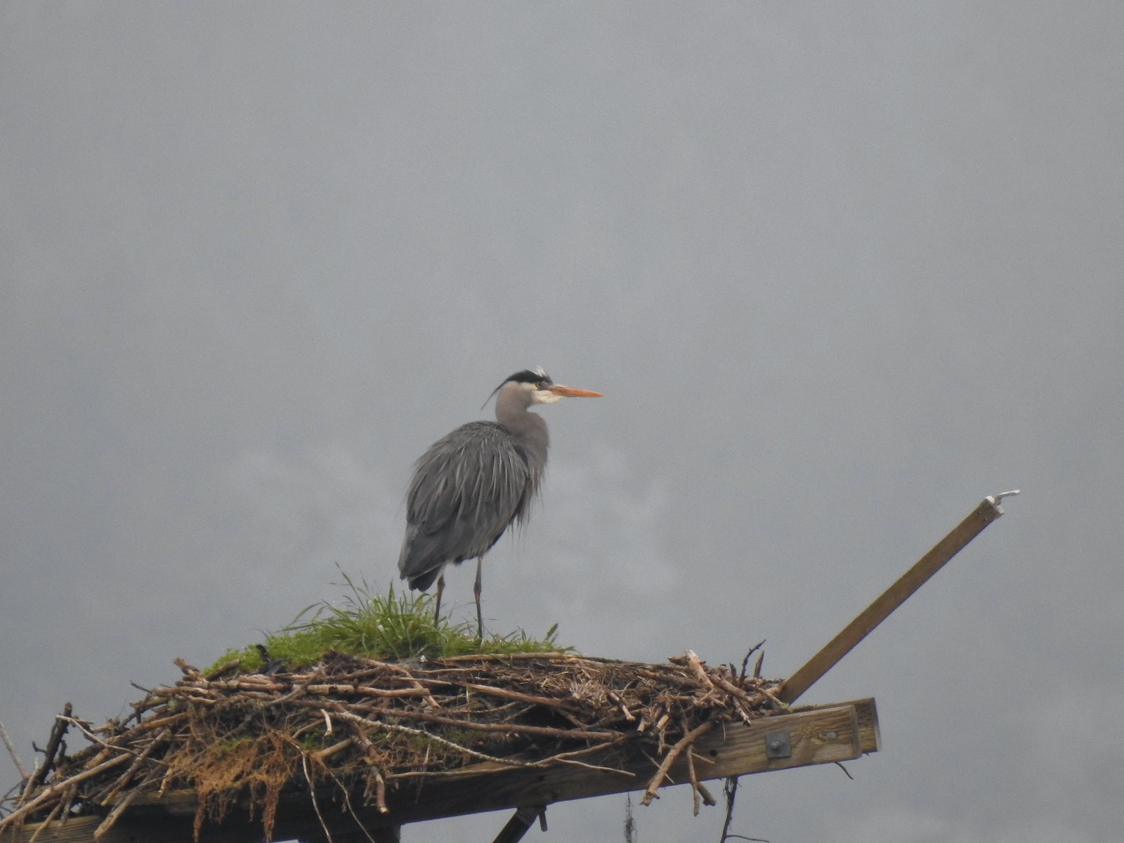 Great blue heron on the osprey nest.
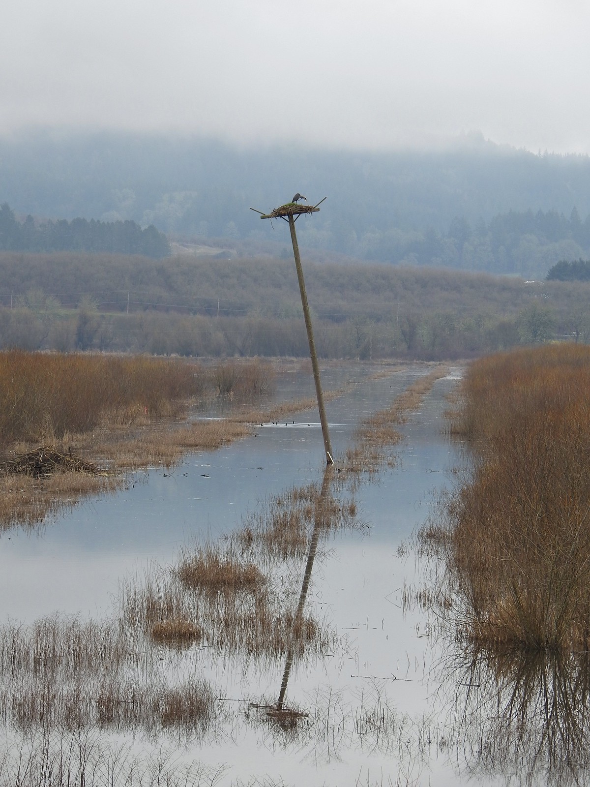 Ther heron on the nest.
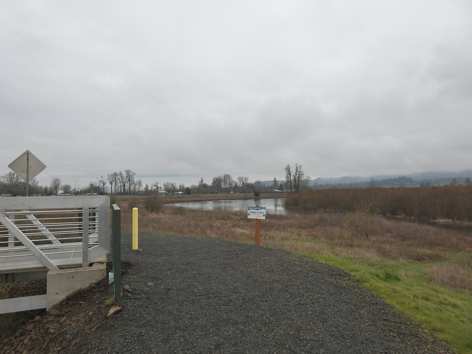
 Mallards
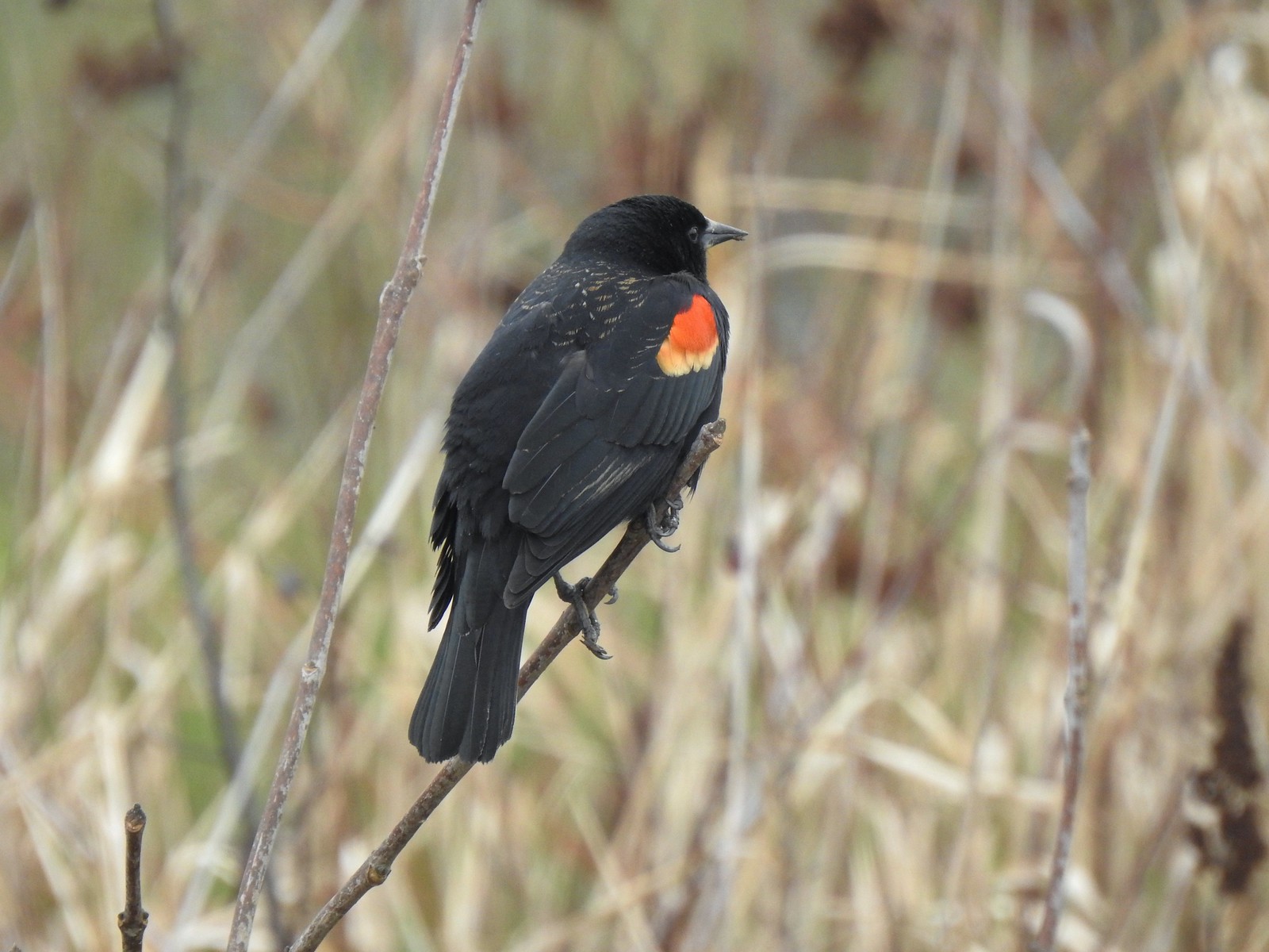 Red-winged blackbird
 Bald eagle
 Nutria
 Gaston from the refuge.
 Green-winged teals
 Northern pintails
 Mostly American wigeons and green-winged teals
 On the paved path back to the parking lot.

 Some of the damage from the ice storm at the trailhead.
 Sign for the Connector Trail at the trailhead.
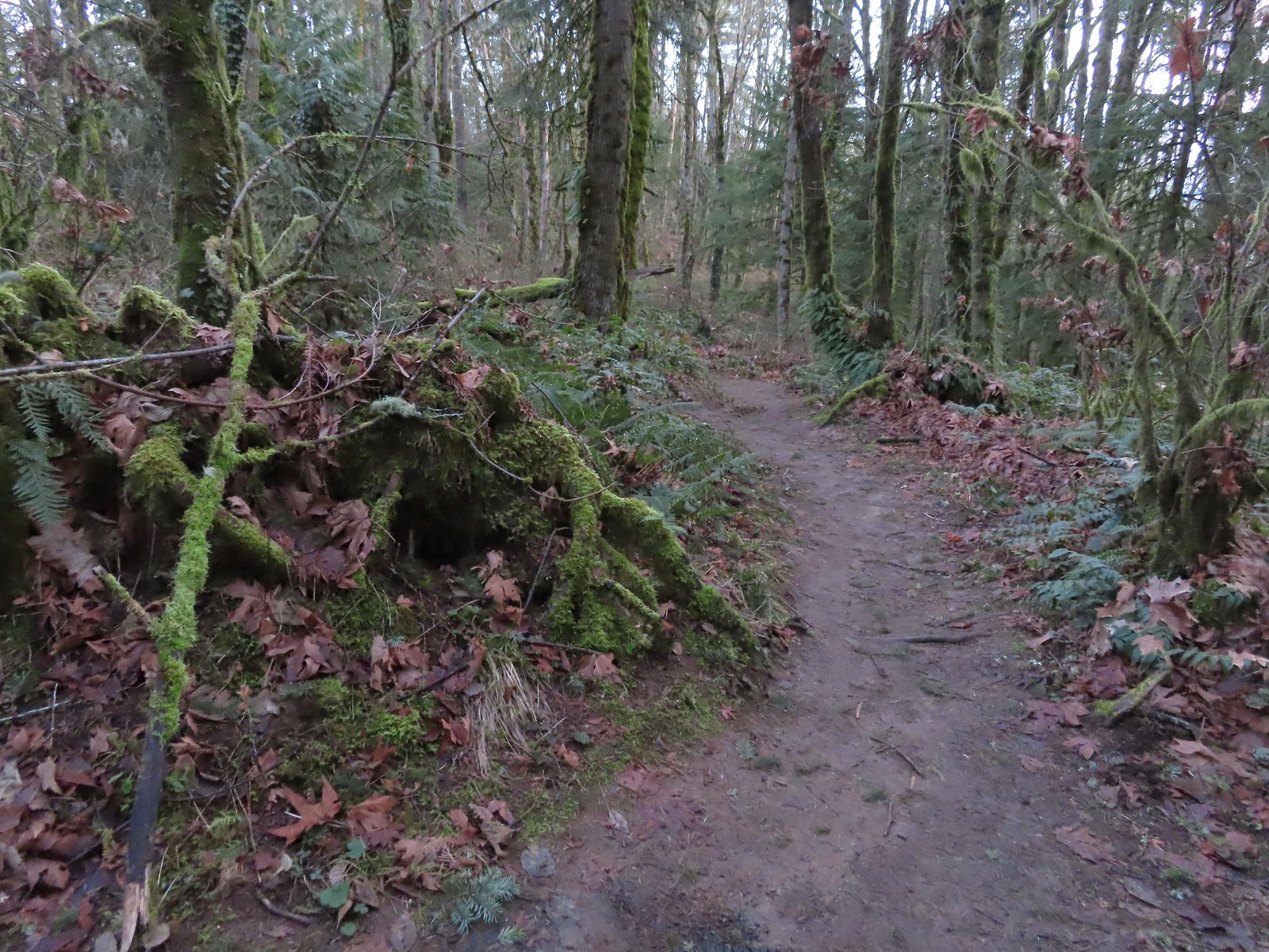 Cannon Trail
 Firelane 9 across from the trailhead.
 Firelane 10
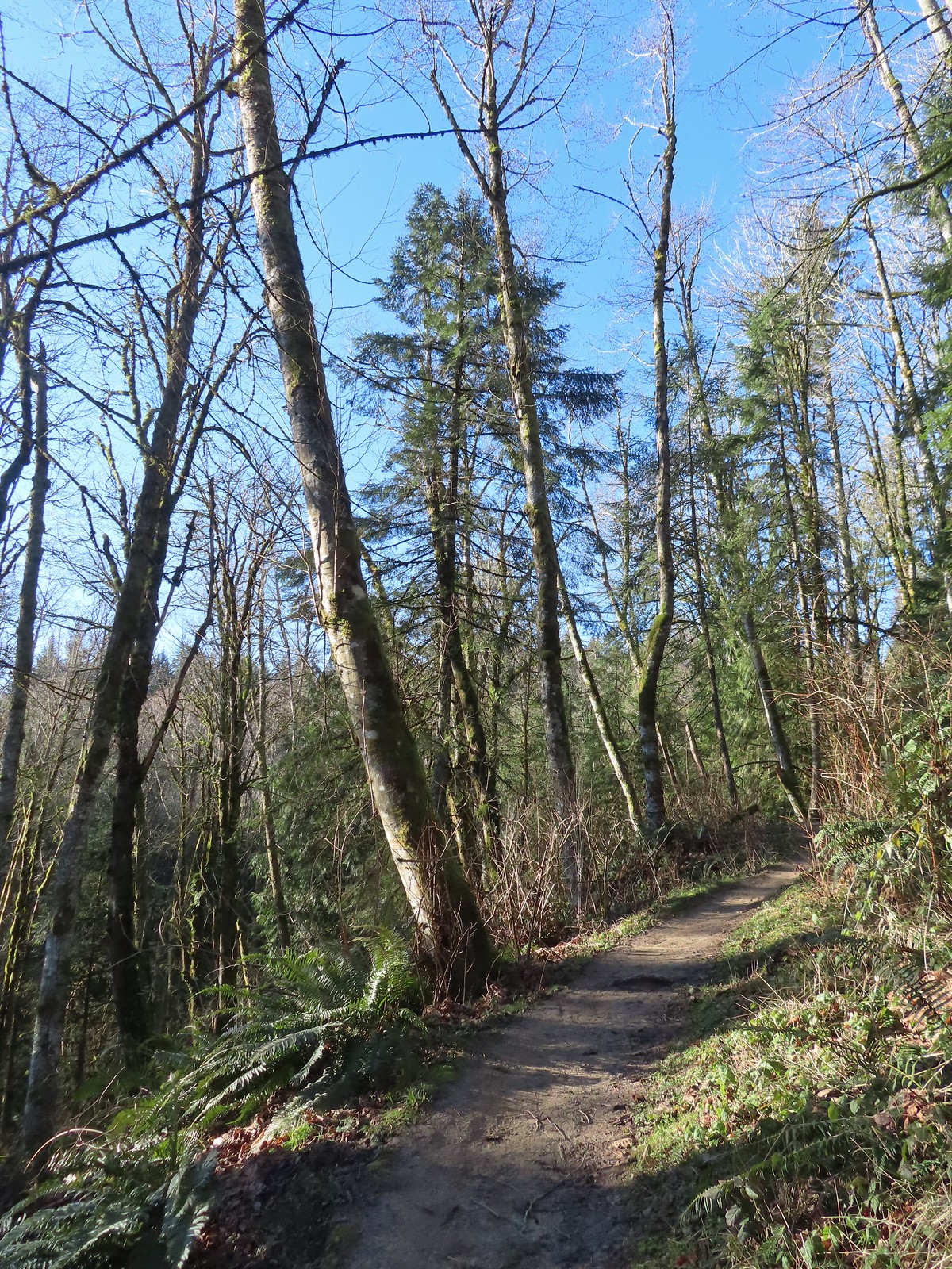
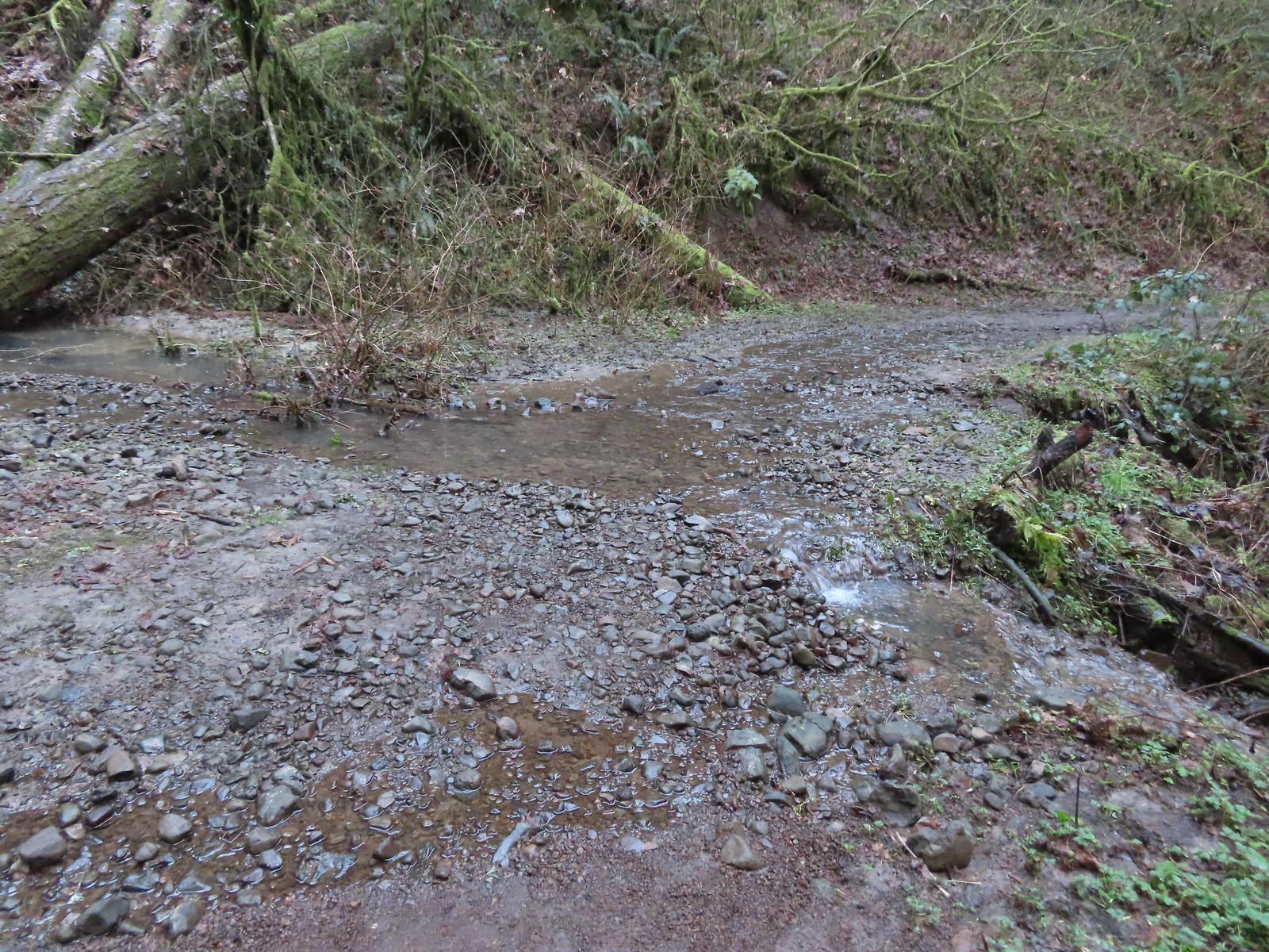 Unsurprisingly the recent weather had most of the stream beds flowing which we hadn’t witnessed on our other visits.
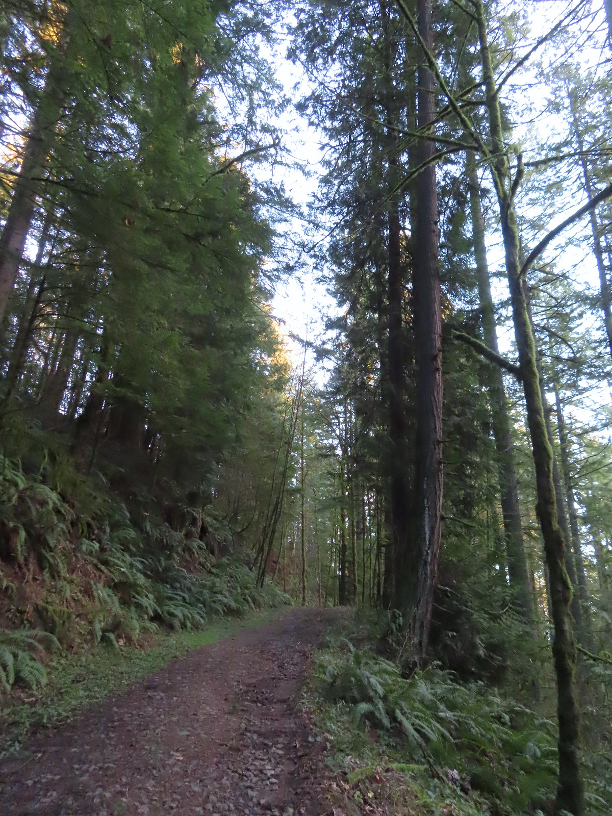 Heading up to the junction.
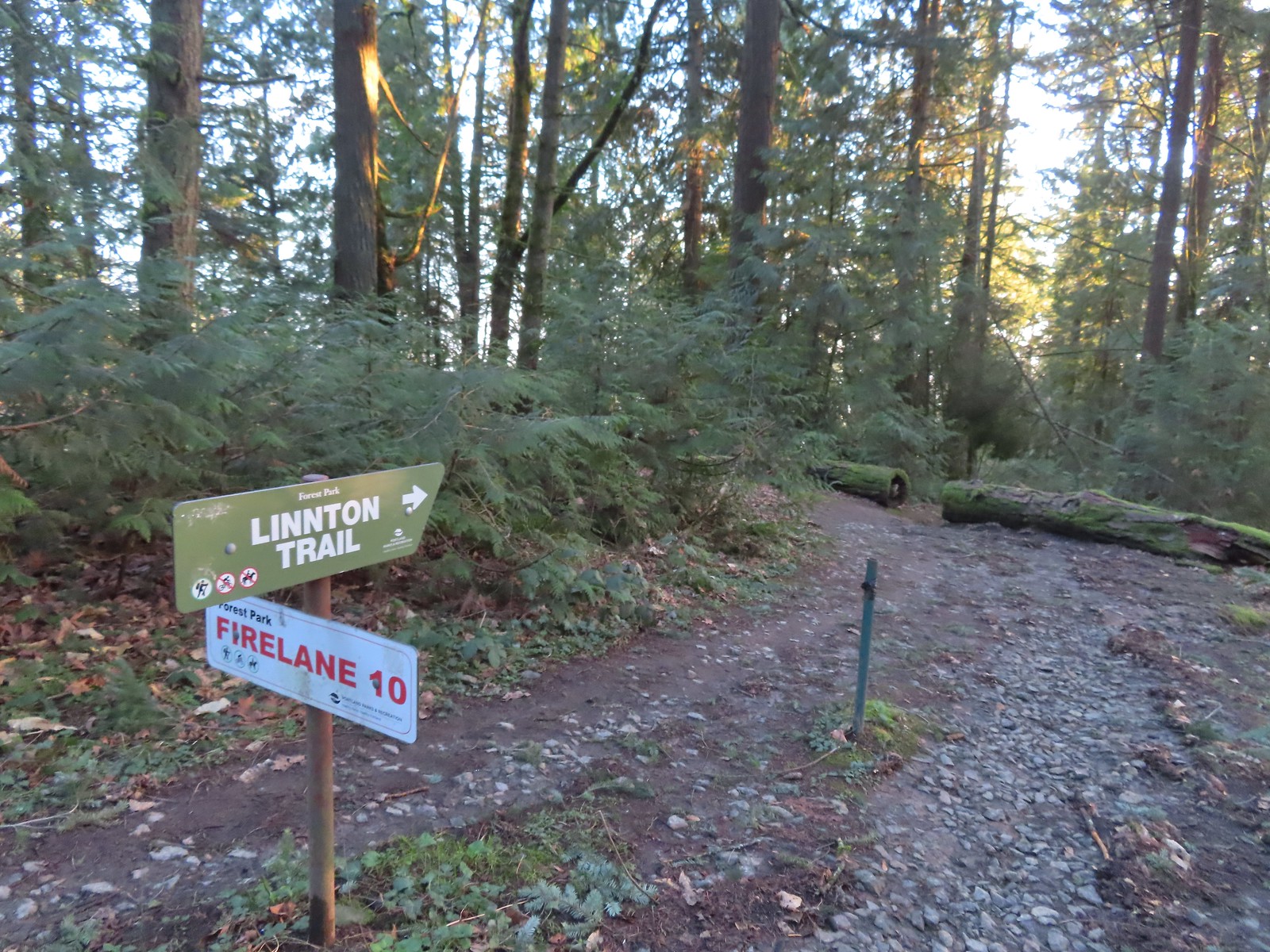 The Linnton Trail heads down a ridge to the
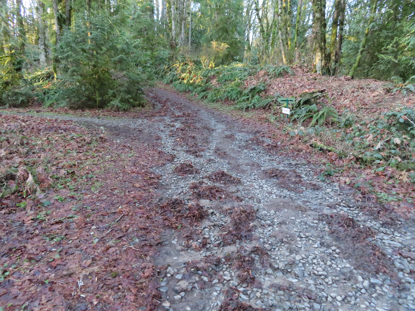 We passed the Keyser Trail which rejoins Firelane 10 just a quarter mile ahead. We stuck to Firelane 10 which climbed very steeply in that quarter mile leading us to believe the Keyser Trail may have been a little more gradual as the map showed it bowing away from Firelane 10 before rejoining.
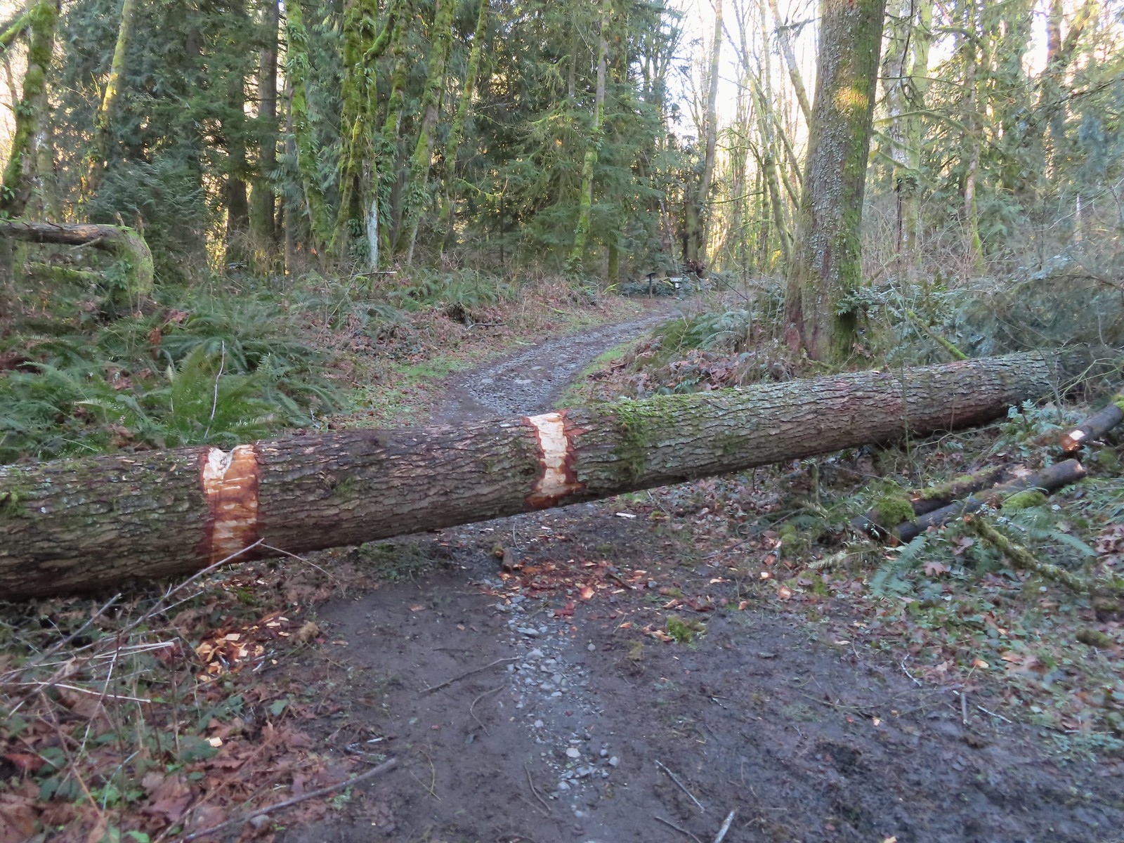 The first of only three trees that were still down over the trails we hiked. In the distance is a Wildwood Trail sign at the junction.
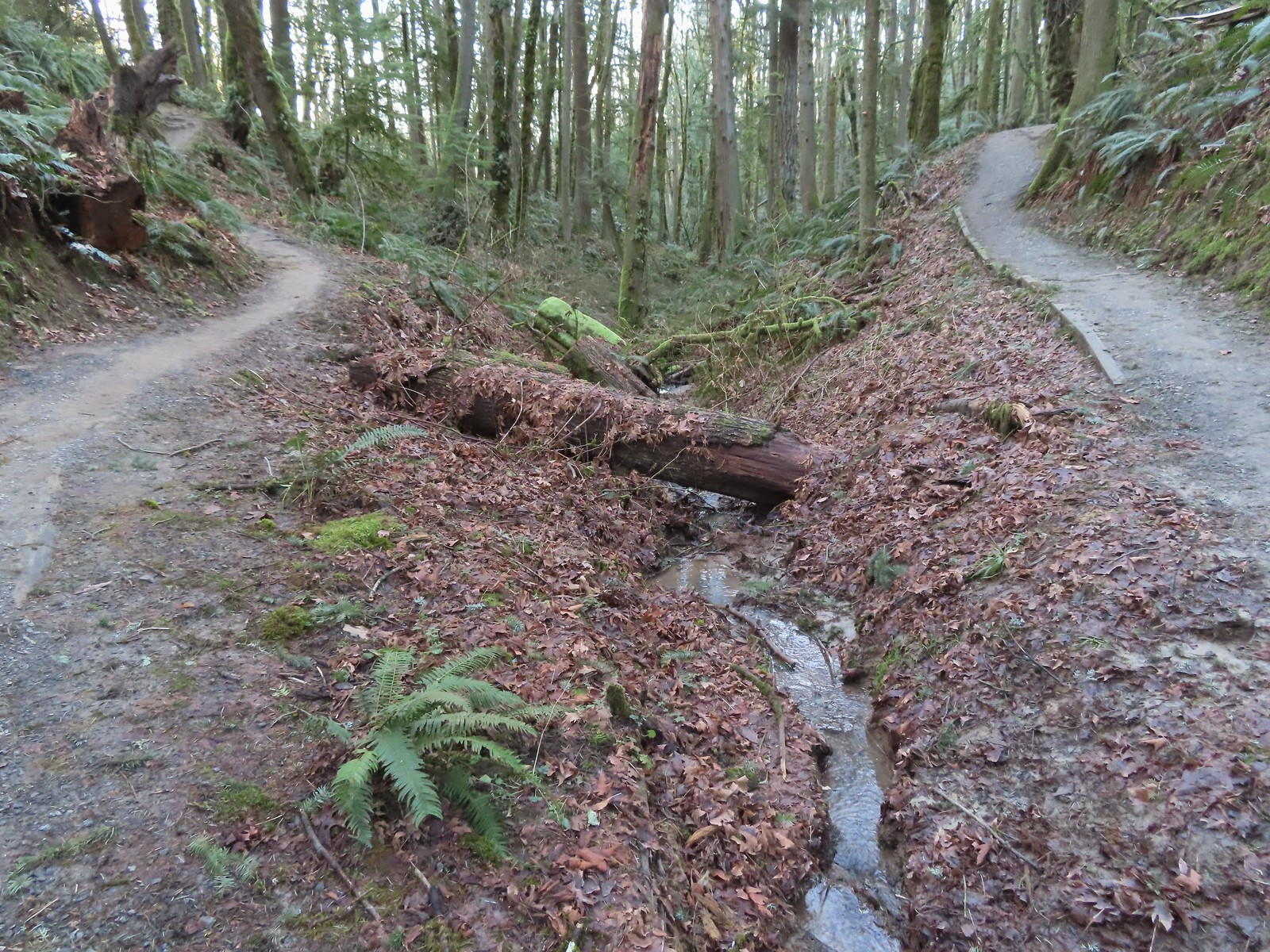 The trail repeatedly bows into the hillside to cross creek beds.
 We passed three pointers for Newton Road and then crossed Newton Road along this section of the Wildwood Trail. We would be using Newton Road to make another small loop on our way back.
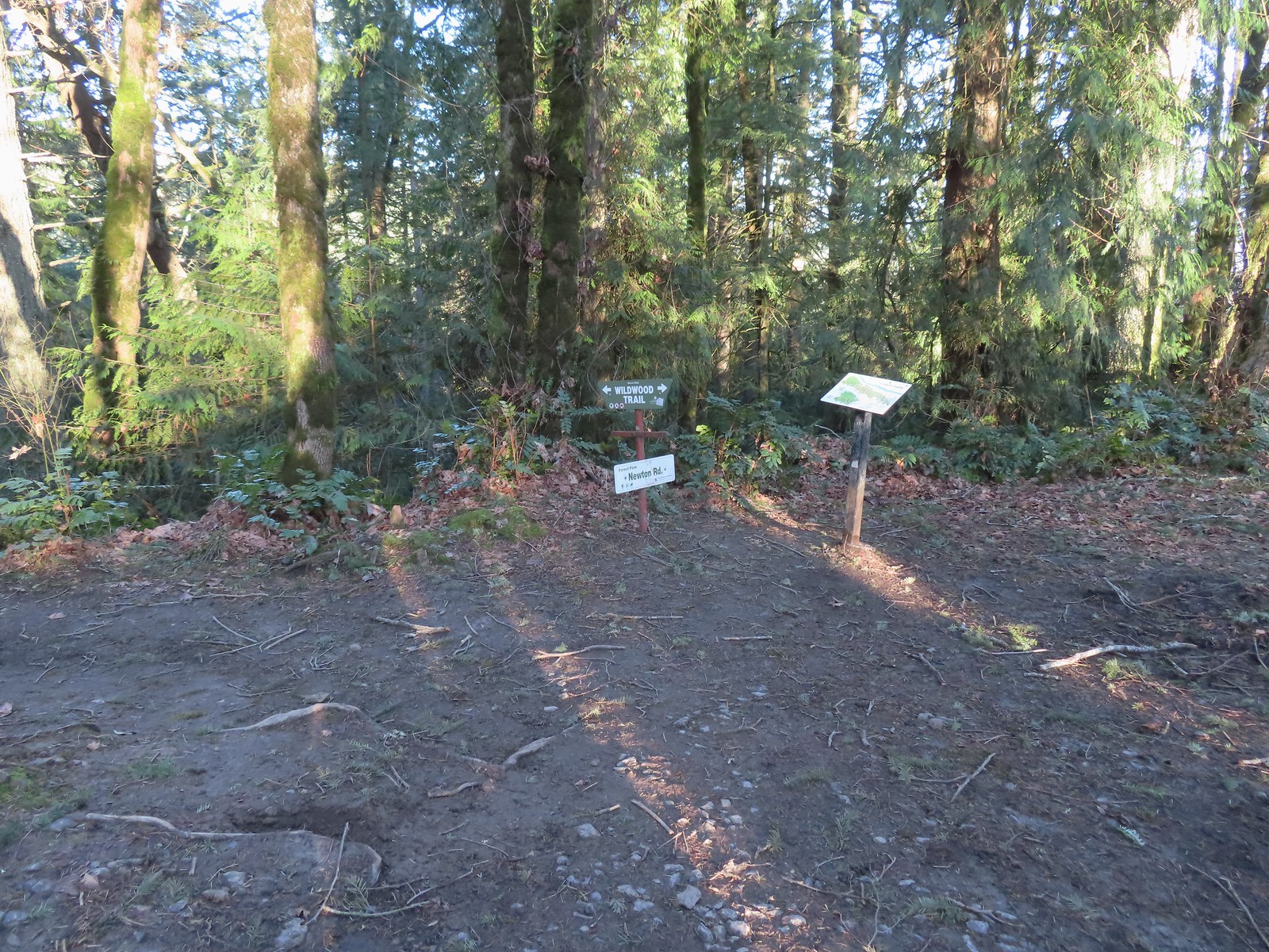 The Wildwood Trail crossing Newton Road.
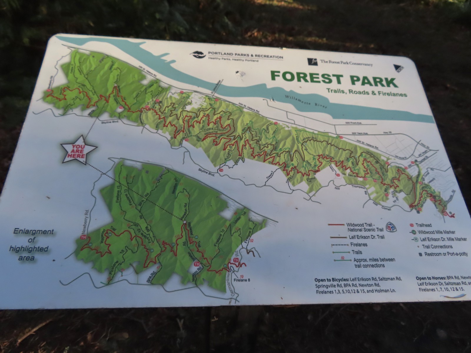 Not all of the junctions have maps, but most of the major ones do to help keep hikers and runners on track (or to give them more ideas).
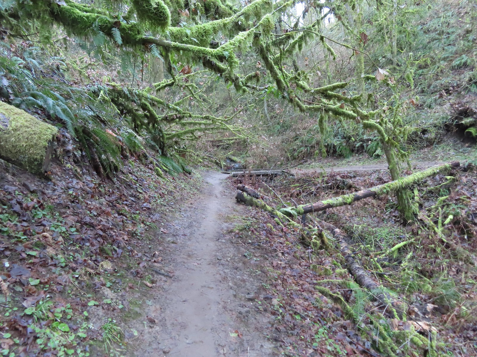
 Climbing up to the BPA Road crossing.
 The BPA Road heading uphill with the Wildwood Trail we’d just come up to the right.
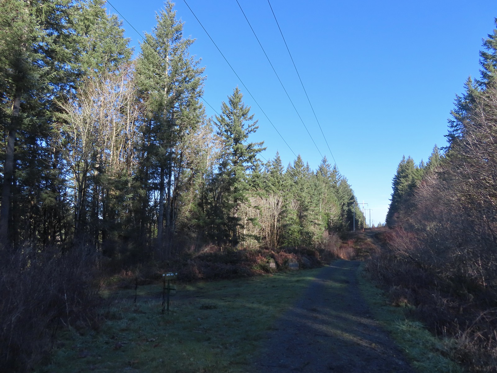 Firelane 12 on the left.
 The middle of three plaques commemorating the 1999 acquisition of 73-acres that was in danger of being developed.
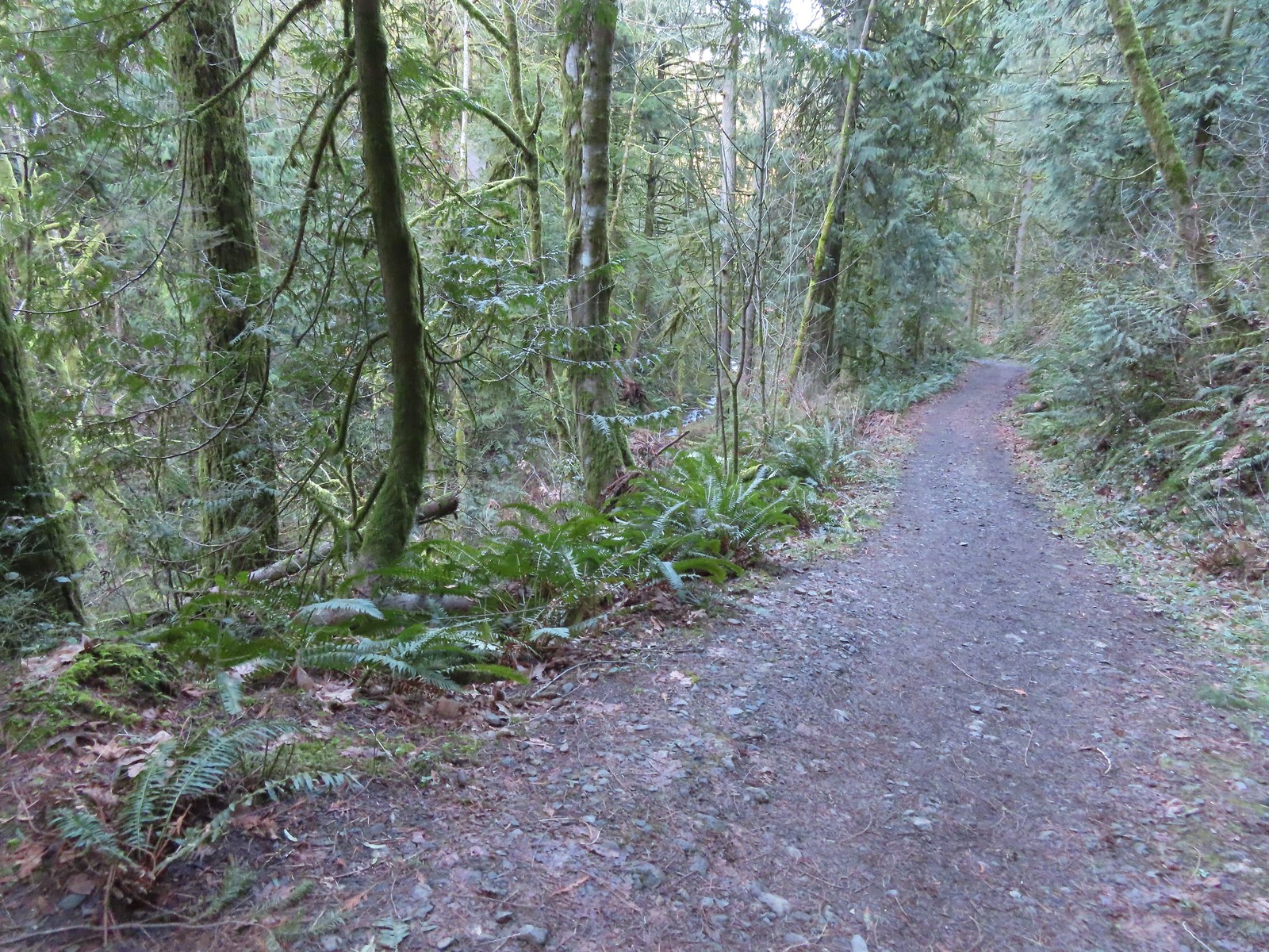
 Once again varied thrush 1 – Deryl 0. If I was keeping score, it would probably be something like 179-10.
 Firelane 15 on the left ahead.
 The small creek along Firelane 15.
 Blue sky and powerlines above Firelane 15.
 Wildwood Trail crossing Firelane 15.
 The fanciest bridge we crossed all day.
 Why is the trail way down there when the road is up above on the far hillside?
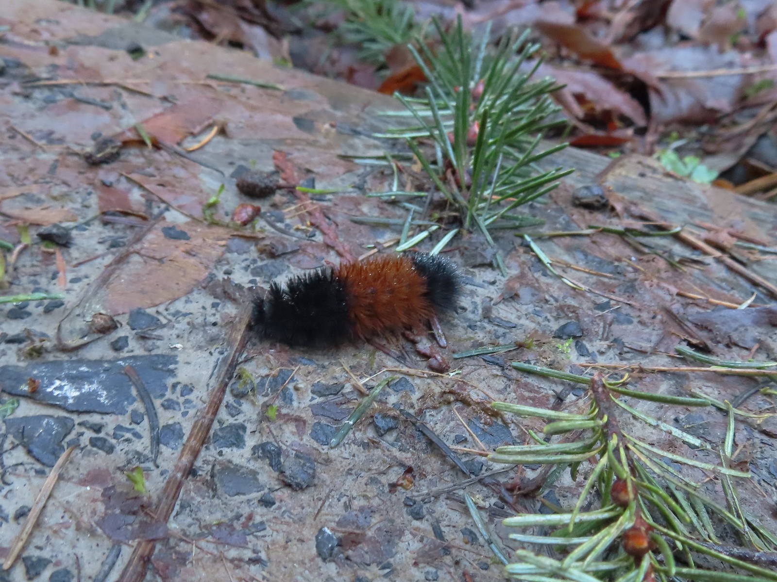 Woolly bear
 Climbing to Newberry Road just to say we made it to the end of the Wildwood Trail.
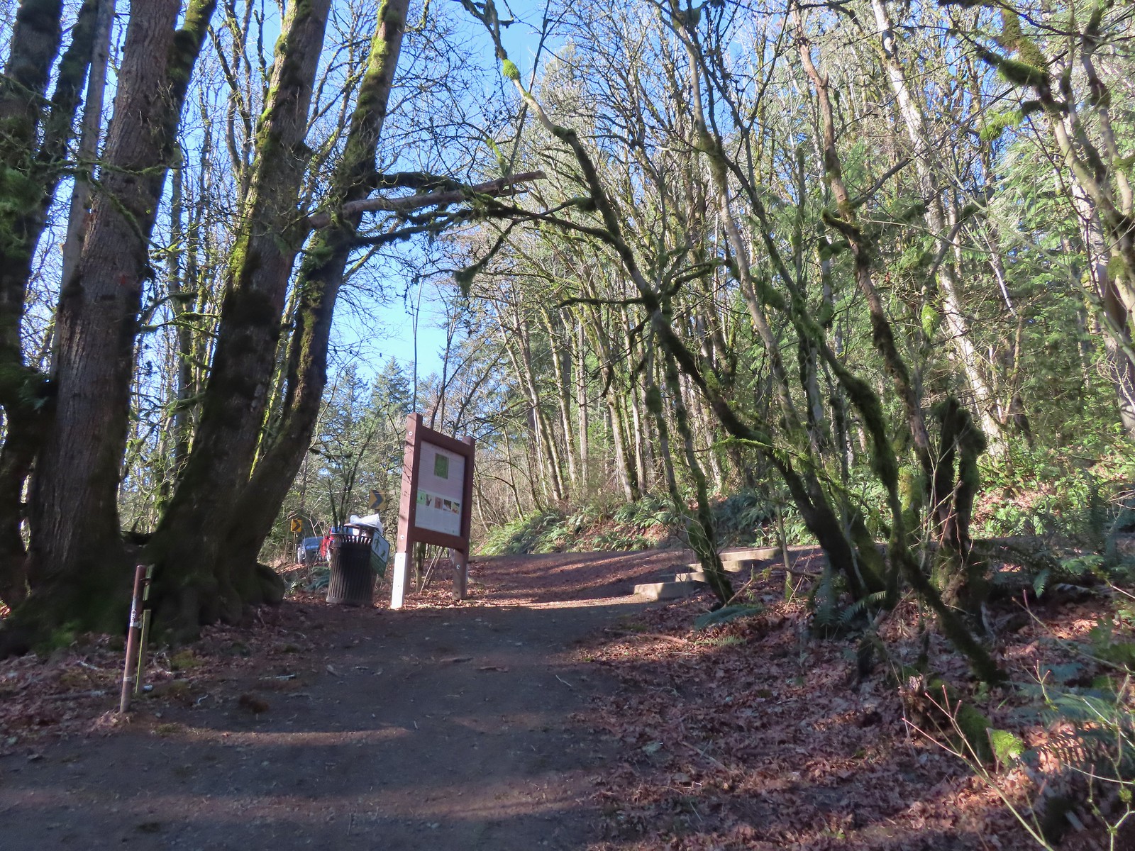 Newberry Road Trailhead.
 Another sub-par bird photo, but it took us quite a while just to spot this woodpecker who was way up in the treetops (and mostly in the shade).
 Crossing Firelane 15.
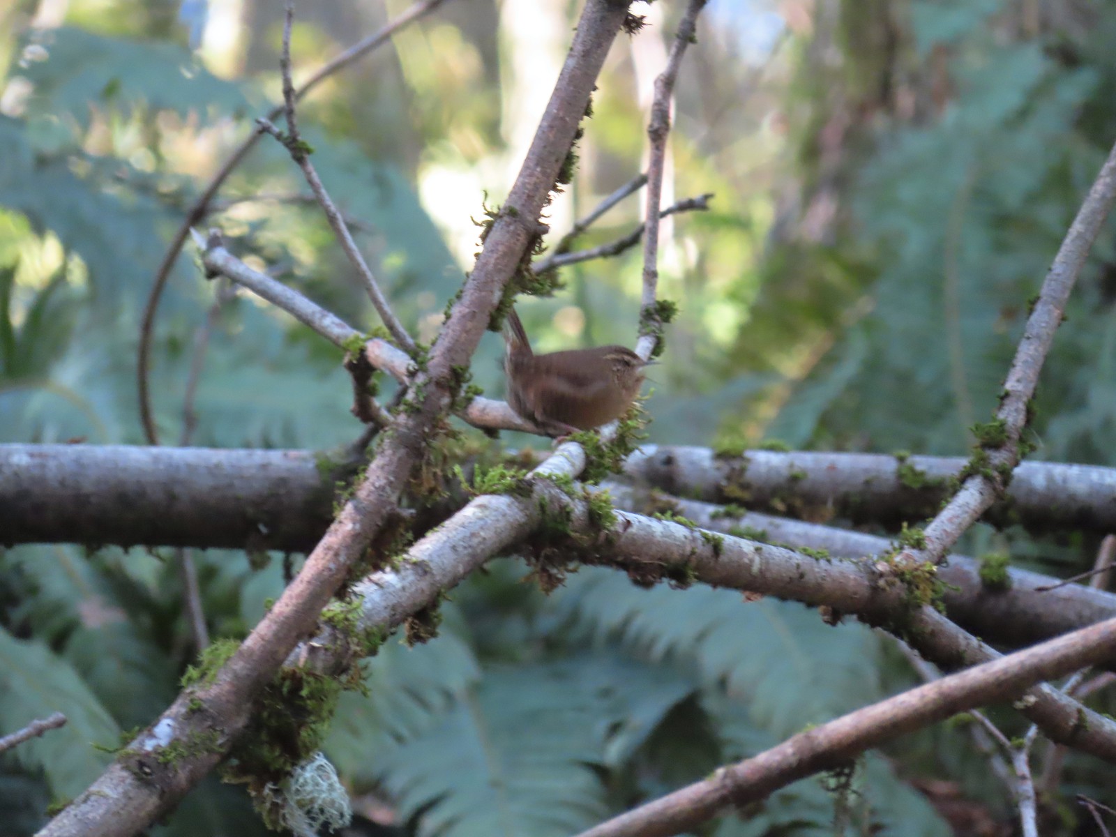 Another blurry bird. This one a wren, one of many we heard but the only one we were able to spot.
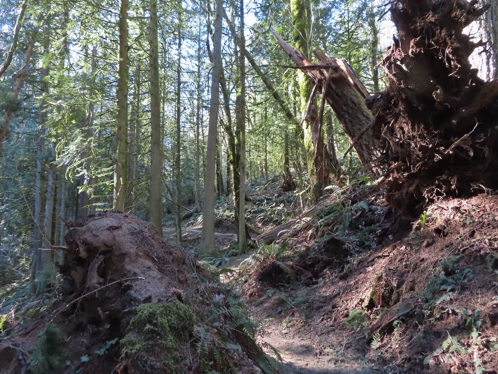 Uprooted trees along the Wildwood Trail.
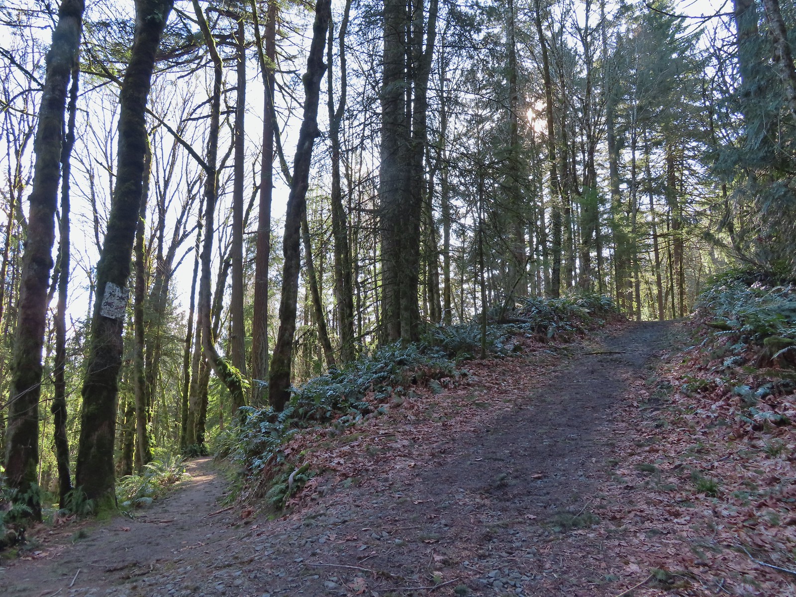 Newton Road to the right of the Wildwood Trail.
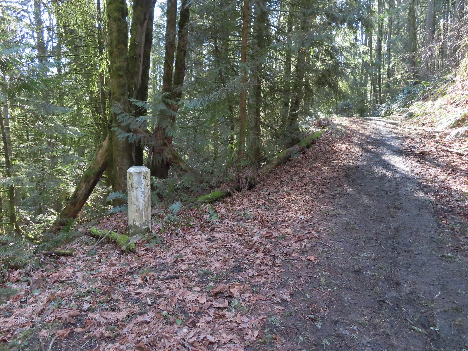 Mile marker along Newton Road.
 Douglas squirrel
 One of several small habitat restoration study areas along Newton Road.
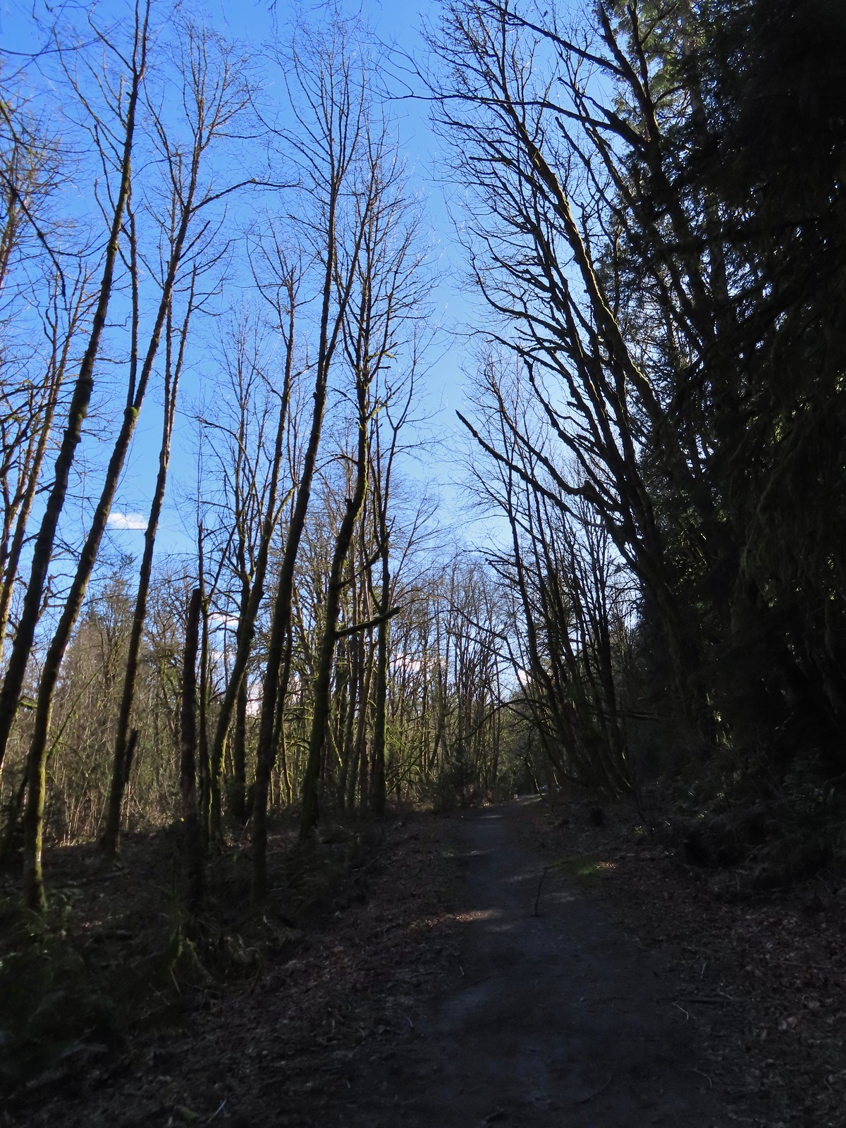 The Newton Road Trailhead in the distance.
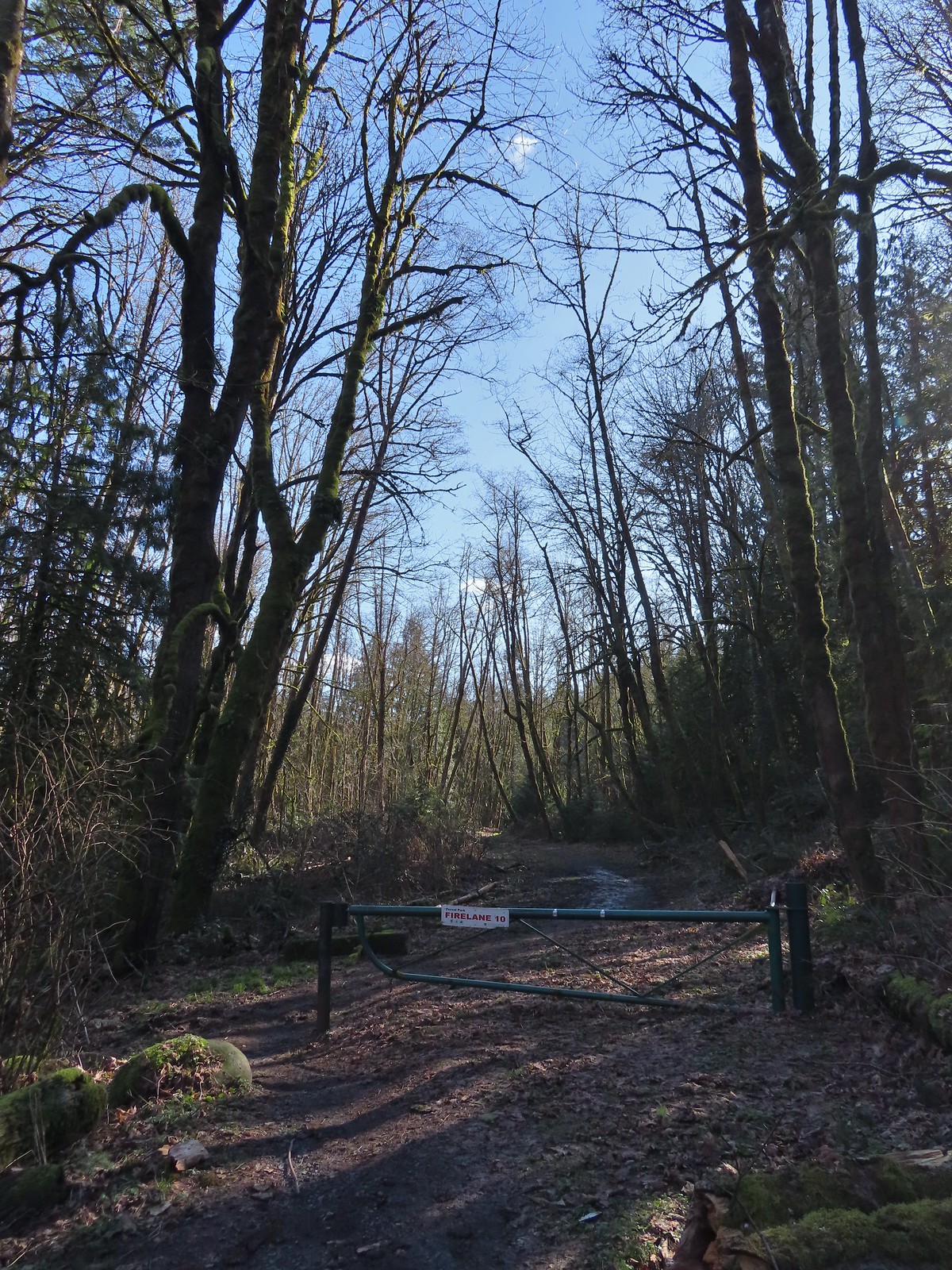

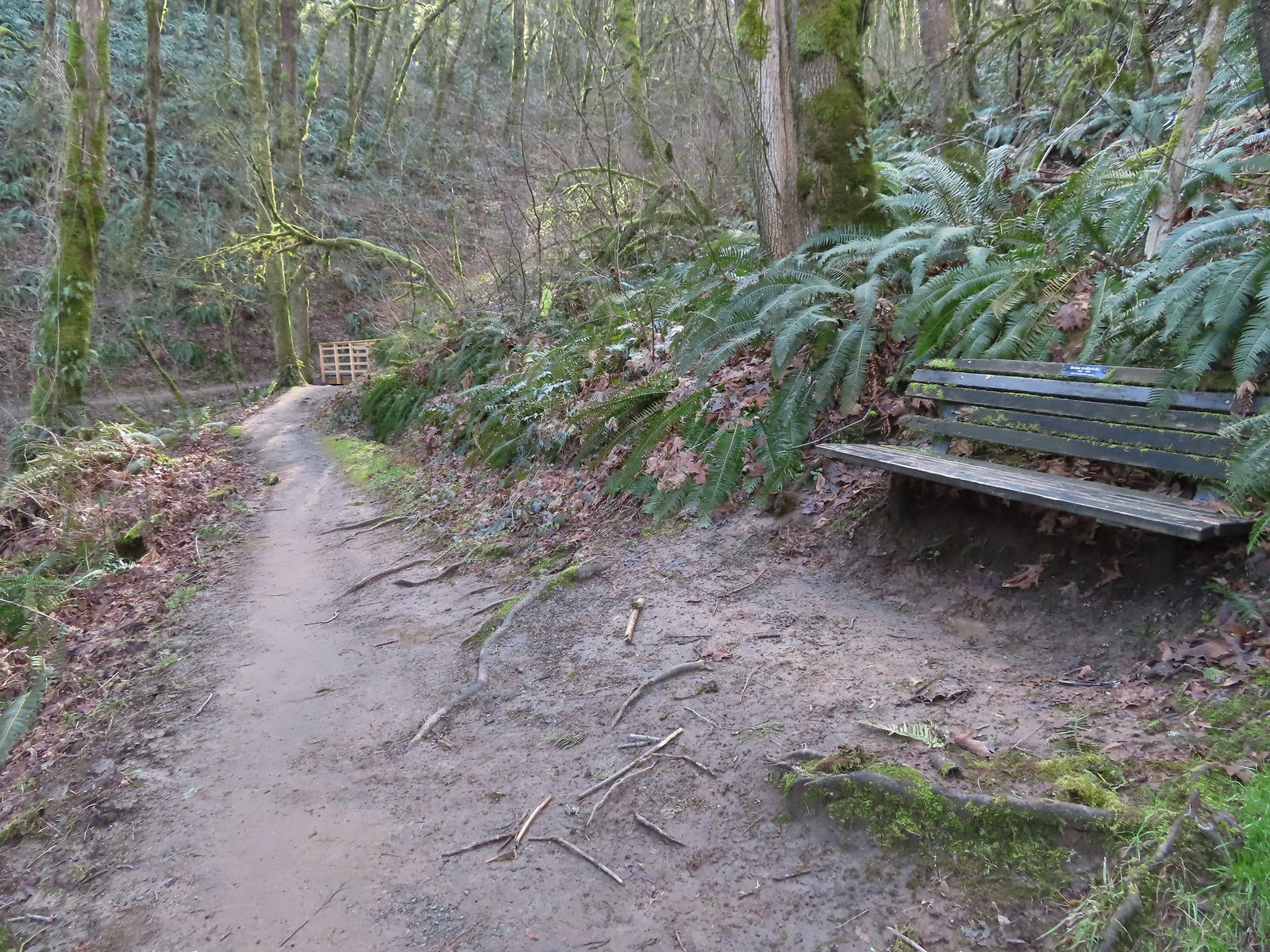 One of only two benches we saw all day.
 Cars parked along Germantown Road in the distance.


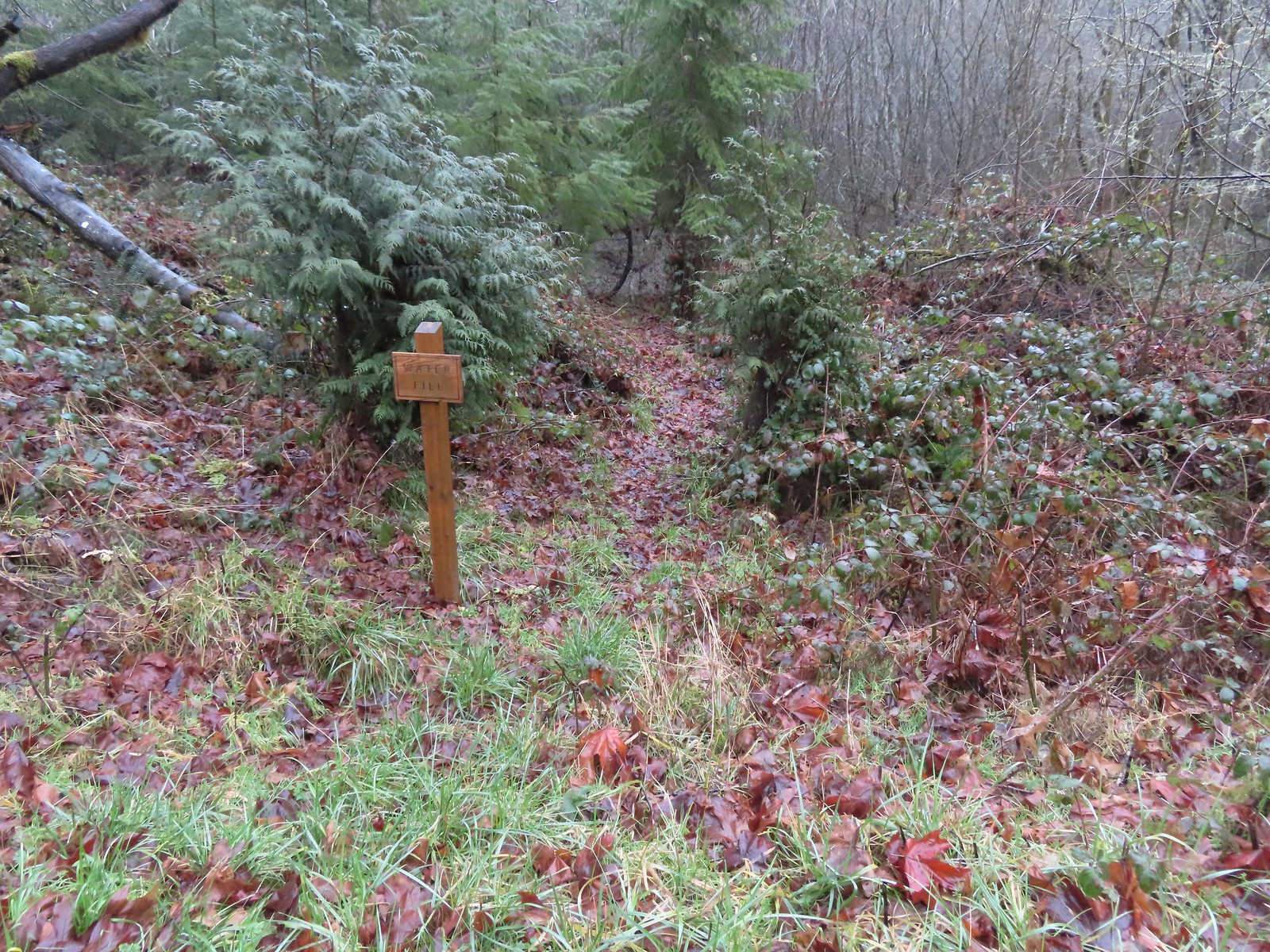 Just before the bridge over Shot Pouch Creek is a spur trail for water which is reportedly scarce along the entire 60-mile route.
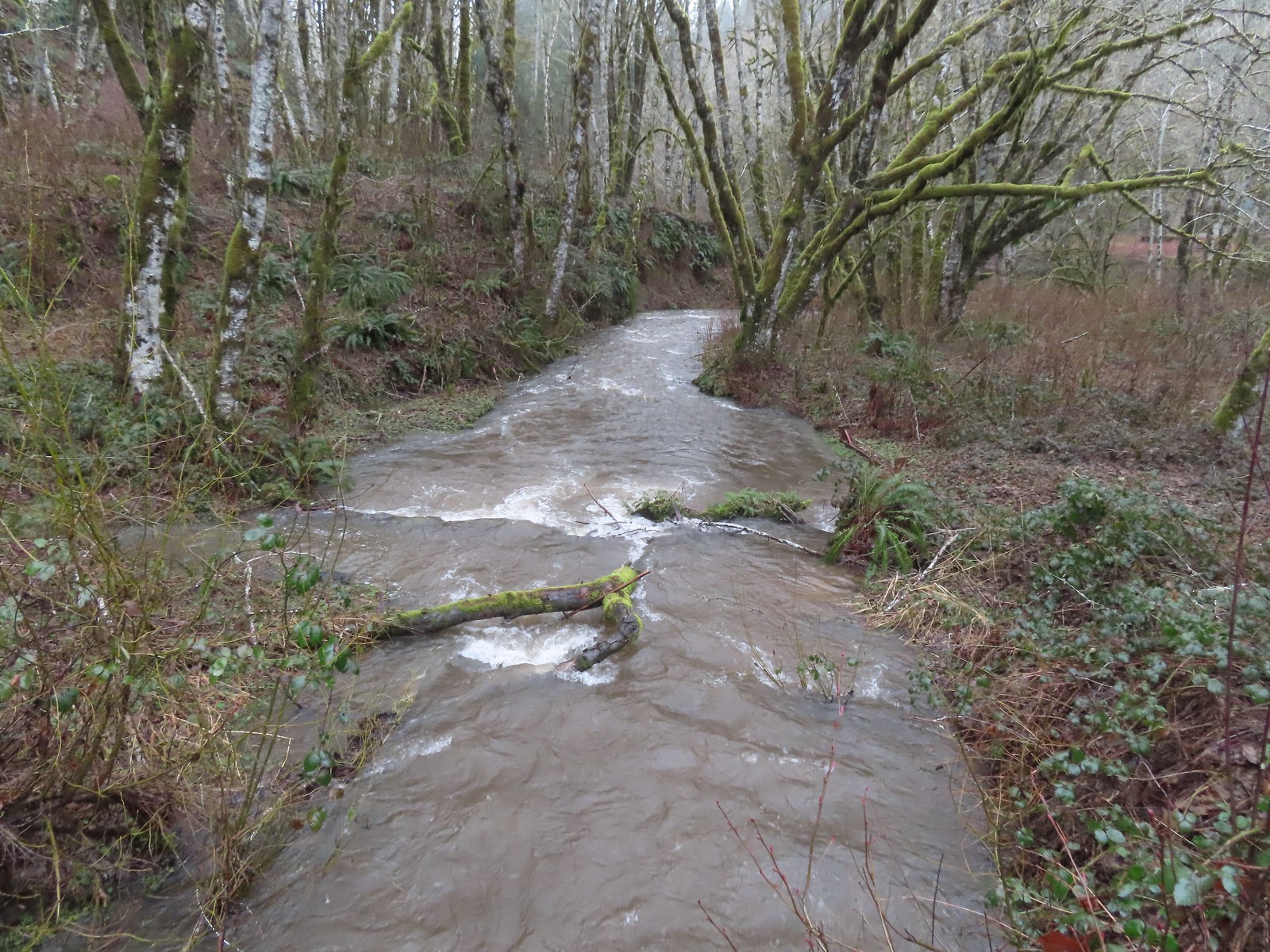 A swollen Shot Pouch Creek.
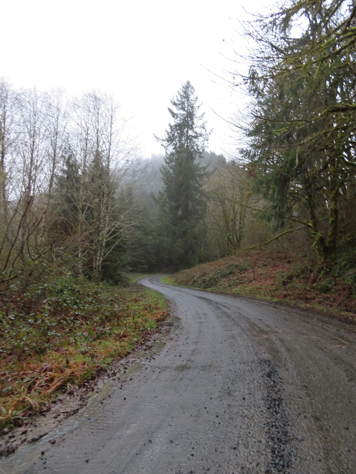 Following the trail/road up to the 4-way.
 This was one of a handful of similar structures in the area. So far we haven’t found any information on their history.
 Nearing “The 4-way”. Just ahead is where the Subaru bottomed out slightly.
 The 4-way
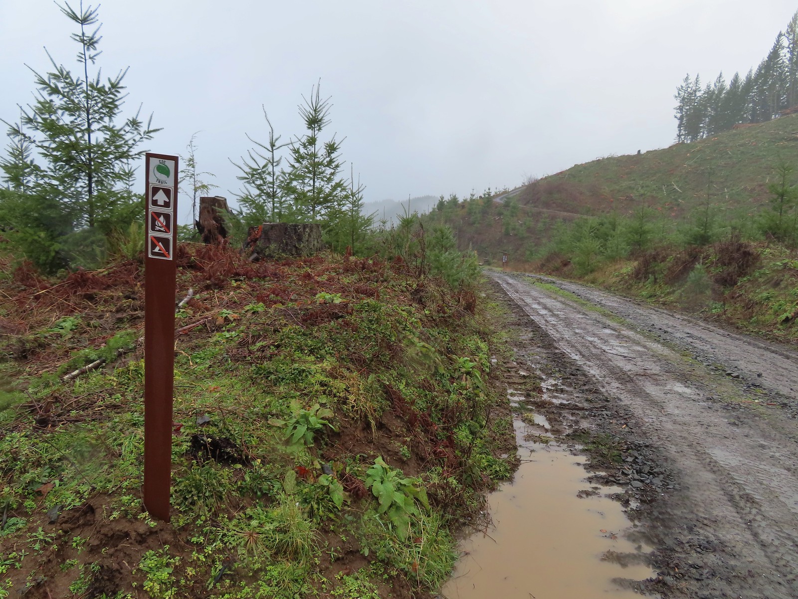 Trail marker with the kiosk and part of the gate in the distance.
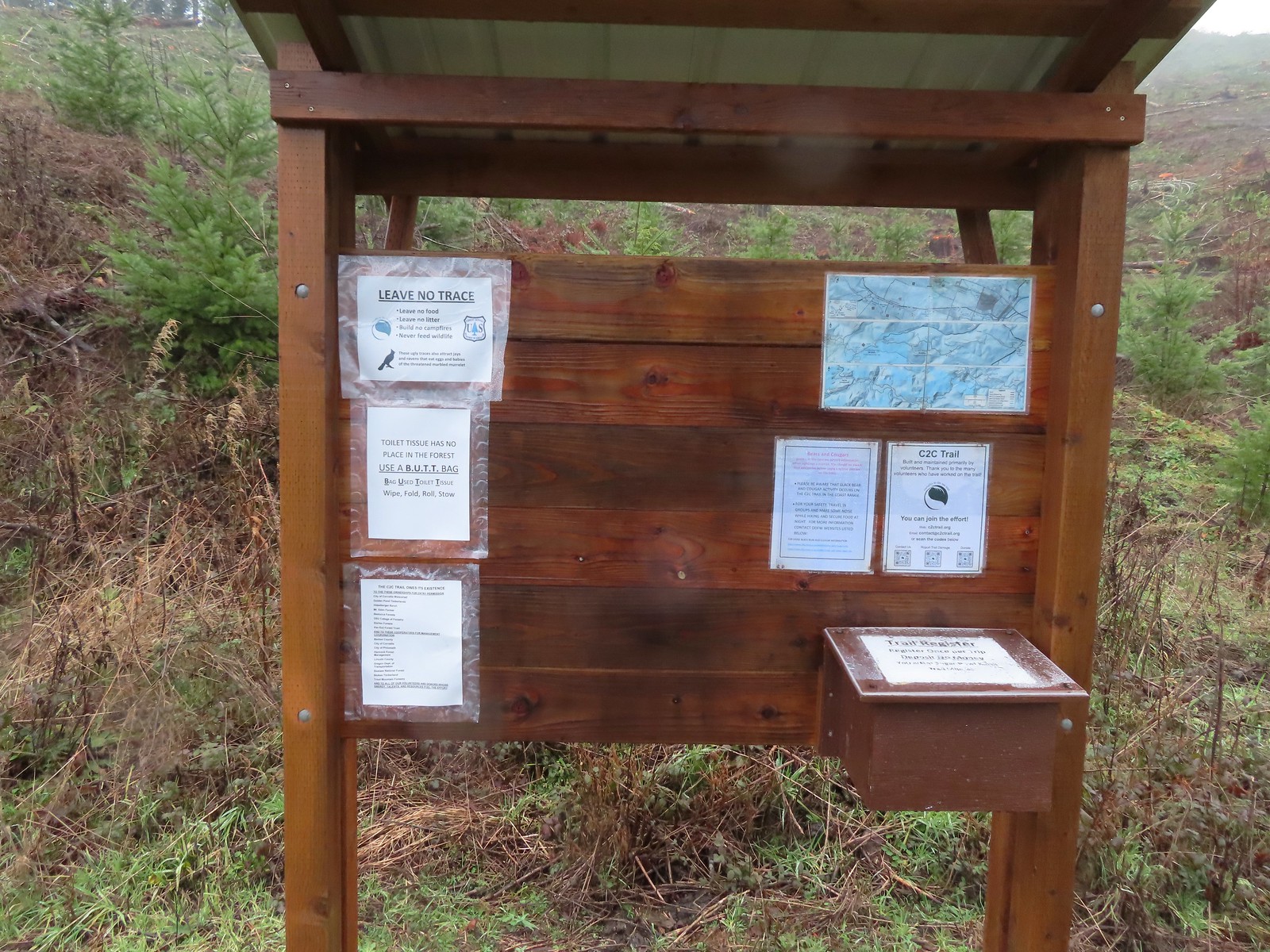
 Cloudy and wet morning as expected.
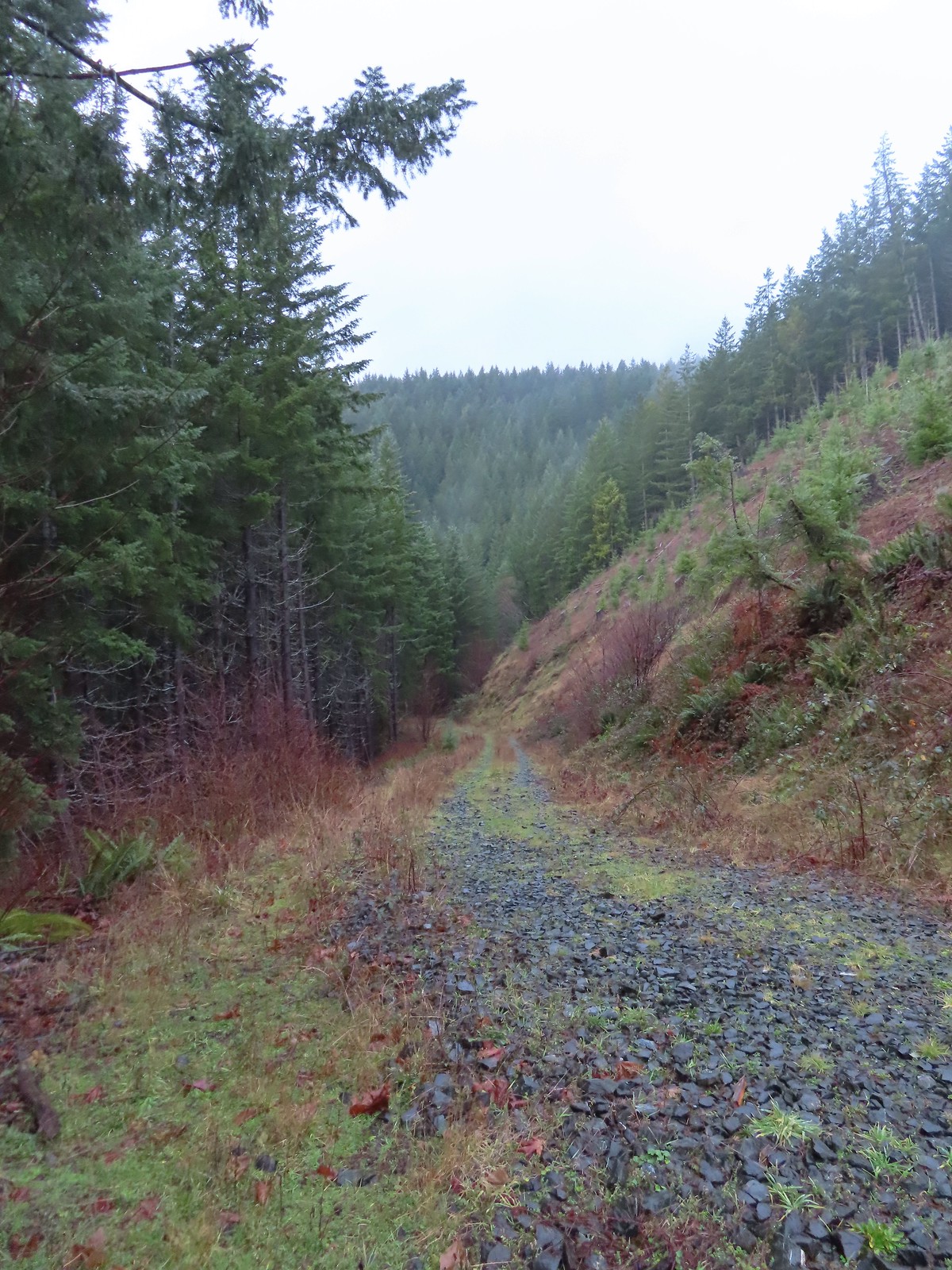
 The rocks on the first stretch were not a pleasant surface to walk on but it wasn’t too long before we left the rocks behind.
 Small cascade along a side creek.
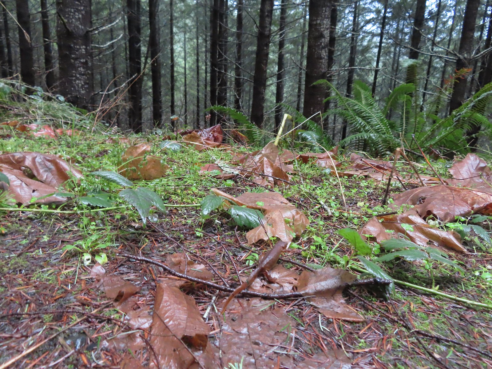 The first of the newts we spotted. They blend well with the leaves so we tried to really keep our eyes open to avoid accidently stepping on any. Over the course of the hike we saw several dozen and who knows how many we didn’t see.
 C2C Trail marker along the left-hand (downhill) fork.
 This was the only significant blowdown we encountered on the hike and the tree here was a fairly easy duck under.
 The Sugar Bowl Creek Trail segment leaving the old road. This was the only portion that was true singletrack along the Sugar Bowl segment. Here the trail passes through a portion of the Siuslaw National Forest.
 The Sugar Bowl Creek Trail switchbacked downhill to the East before turning back to the SW in the Sugar Bowl.
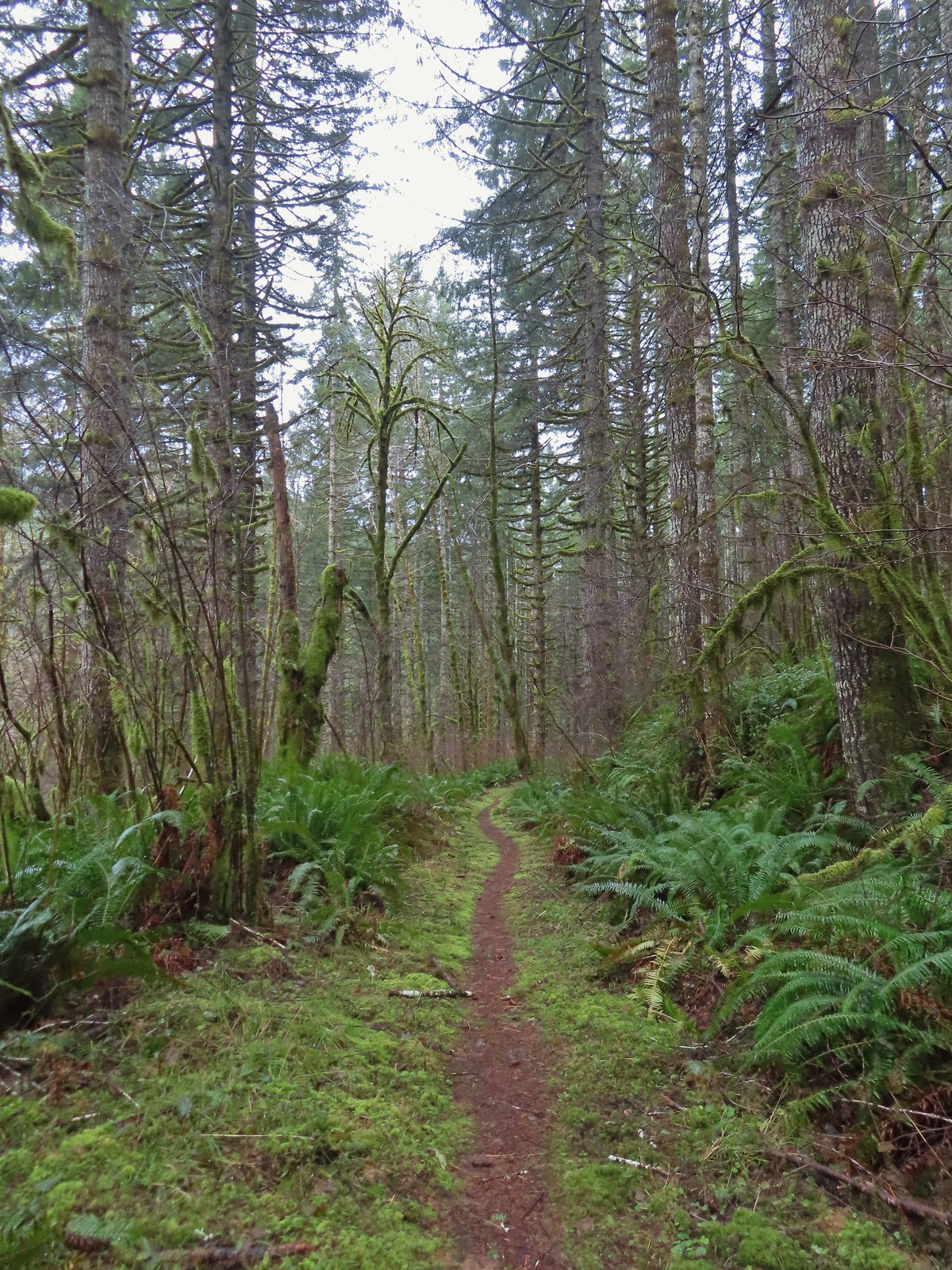 The trail eventually rejoined the old roadbed.
 Actual blue sky.
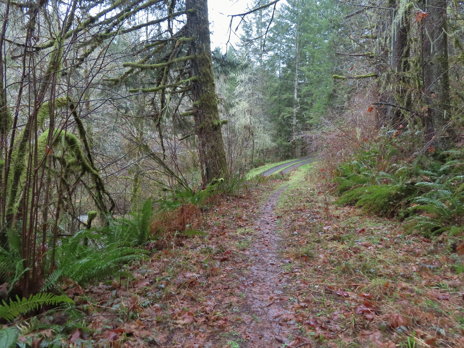 Arriving at Mary’s Peak Road.
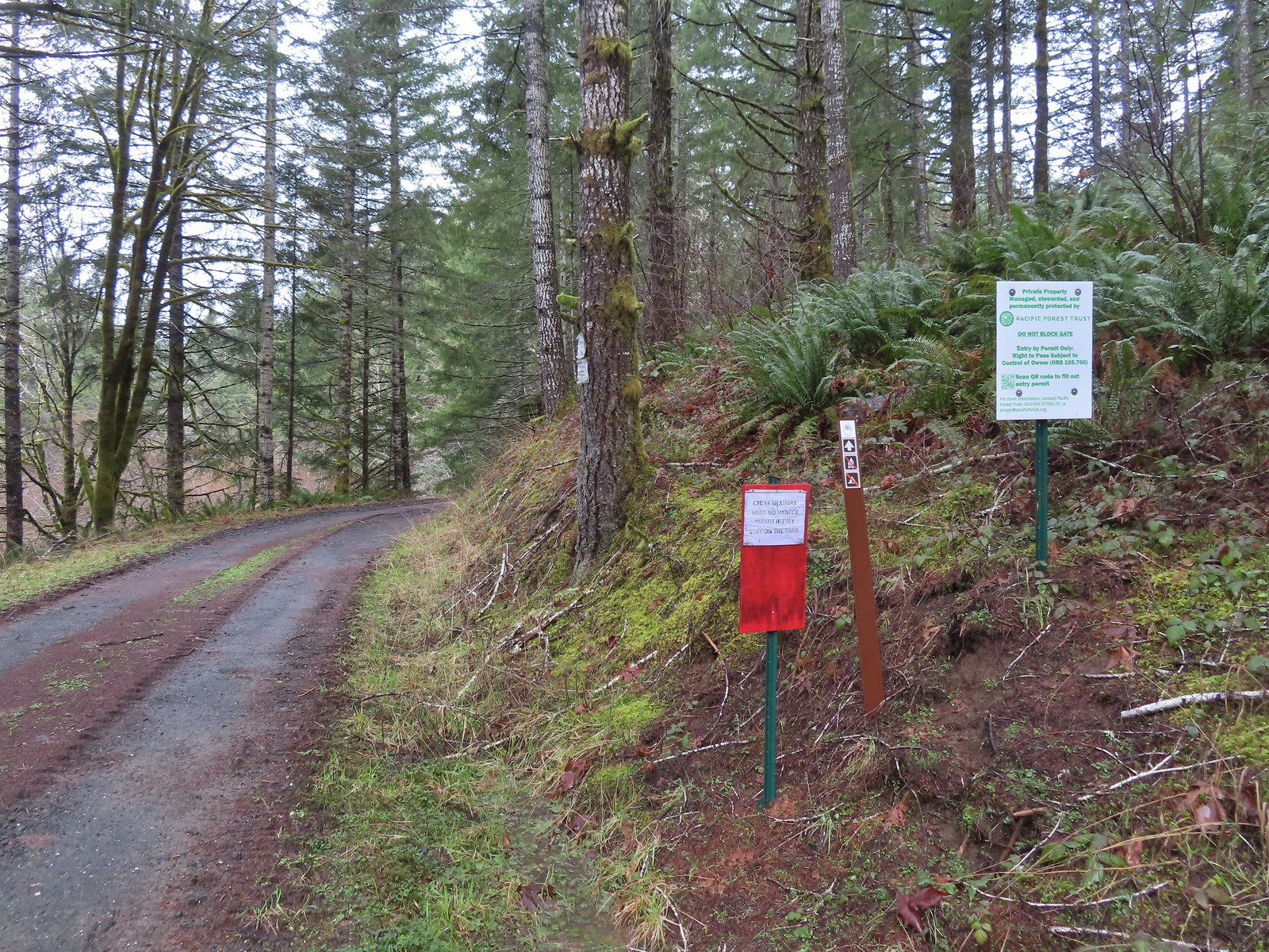 Signage along Mary’s Peak Road for the C2C.
 This particular newt was not about to move out of Heather’s way.
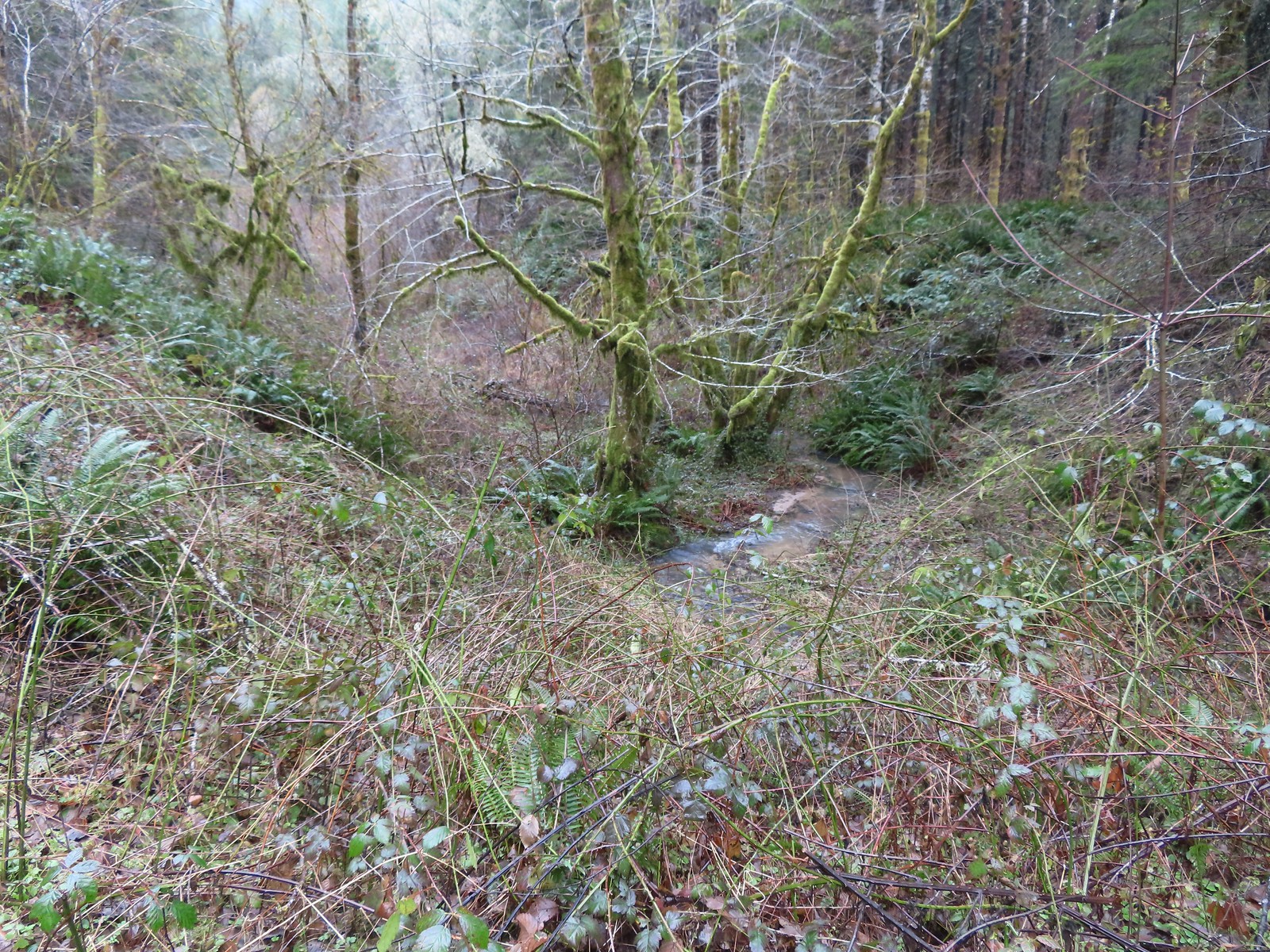 A side creek flowing toward Sugar Bowl Creek.
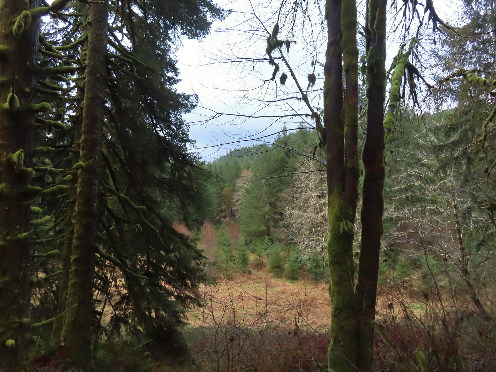 Sugar Bowl Creek was never visible from the C2C but it was out there somewhere.
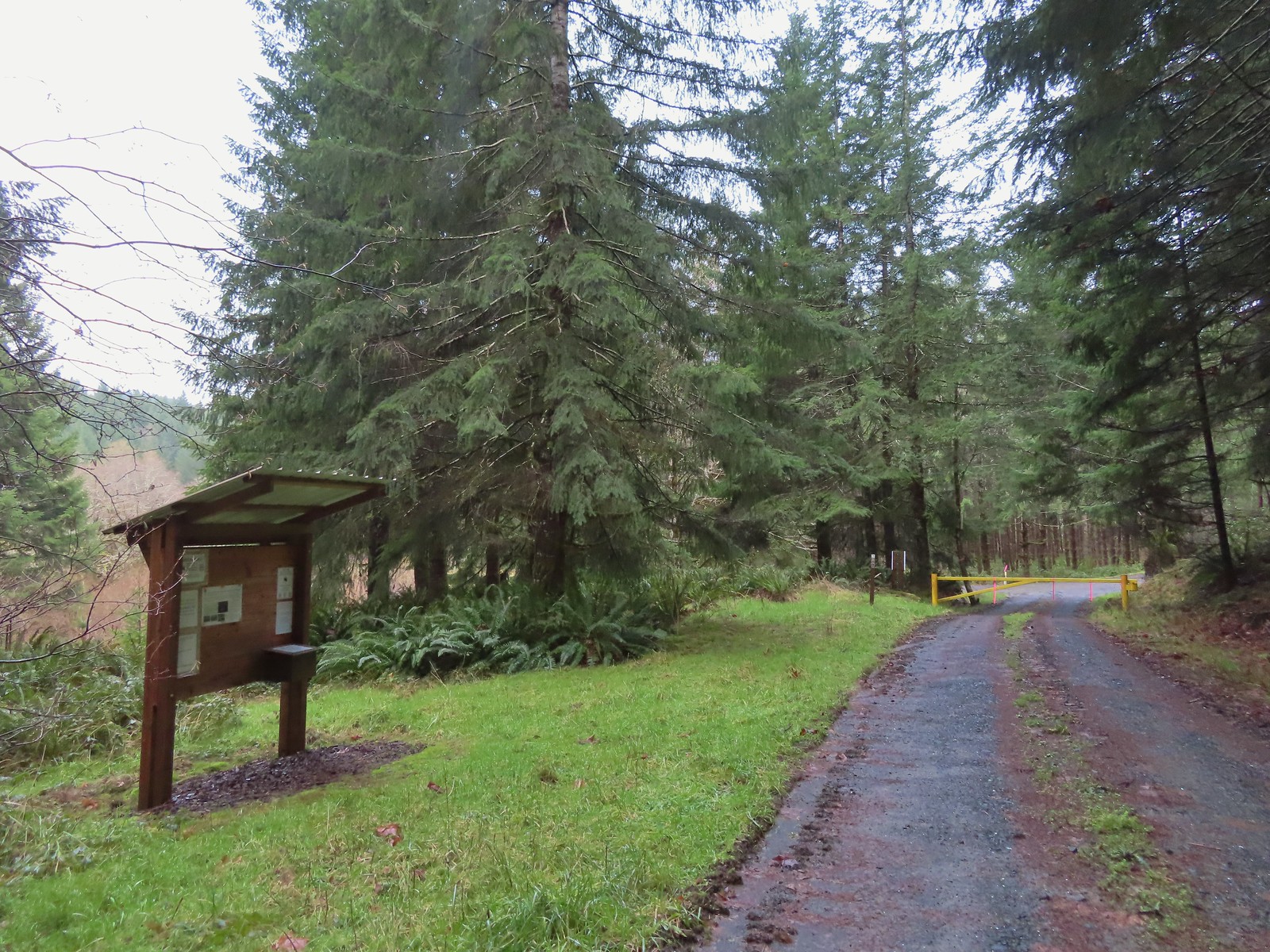 The Harlan Road Gate and kiosk.
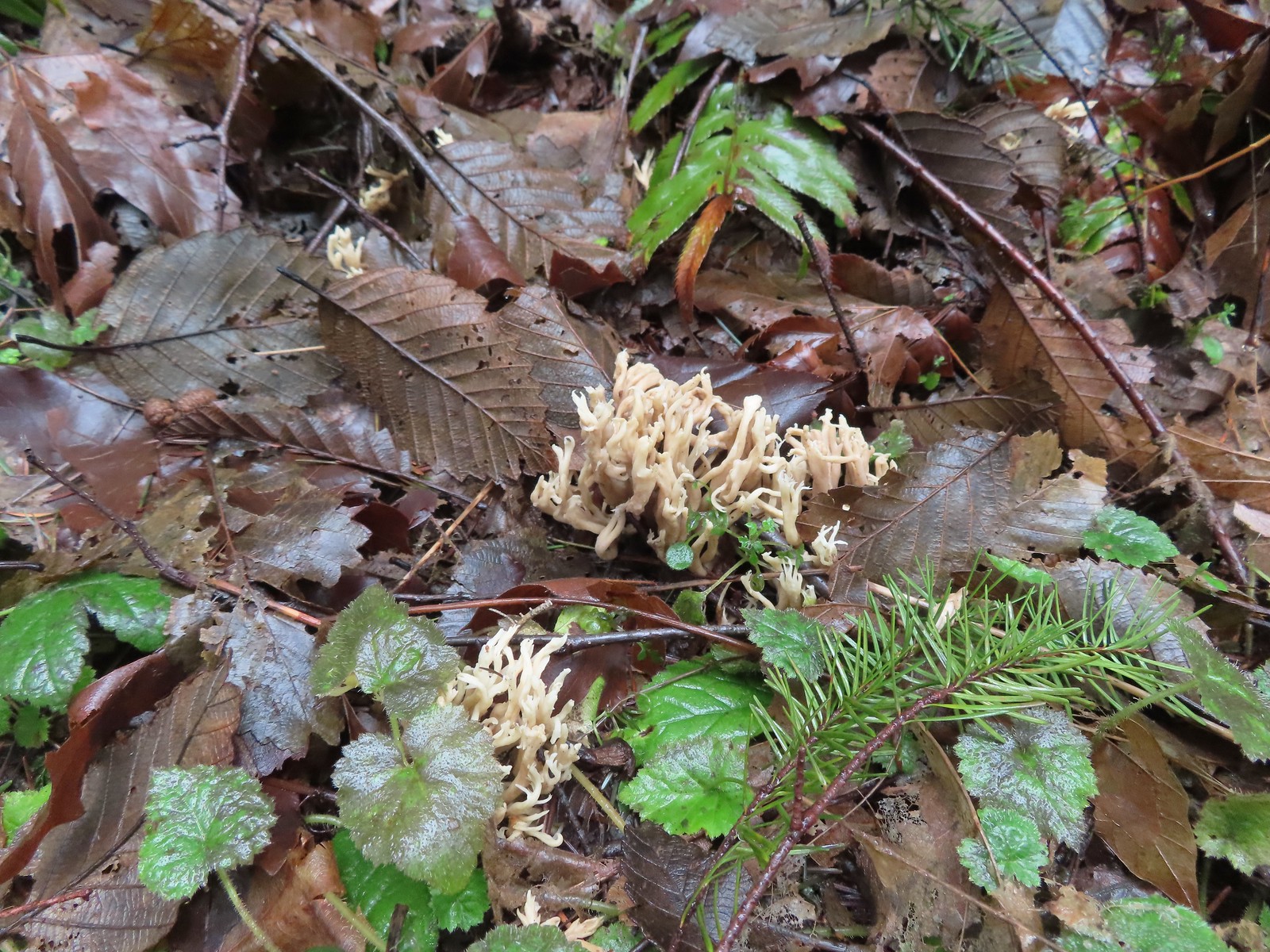 Coral fungus
 Unnamed creek
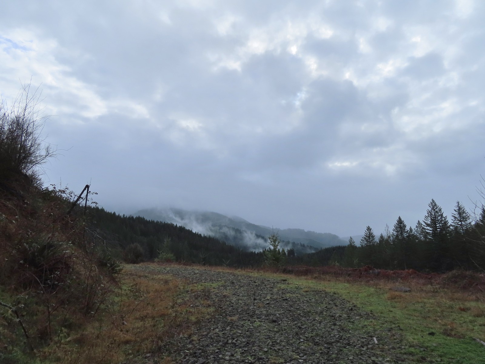 Back on the rocky roadbed below the 4-way.
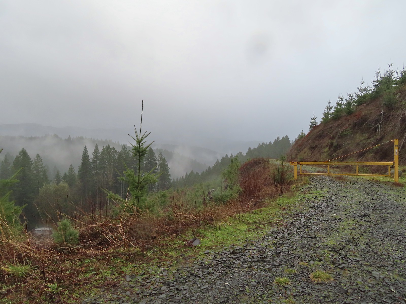
 Back at the gate and kiosk.
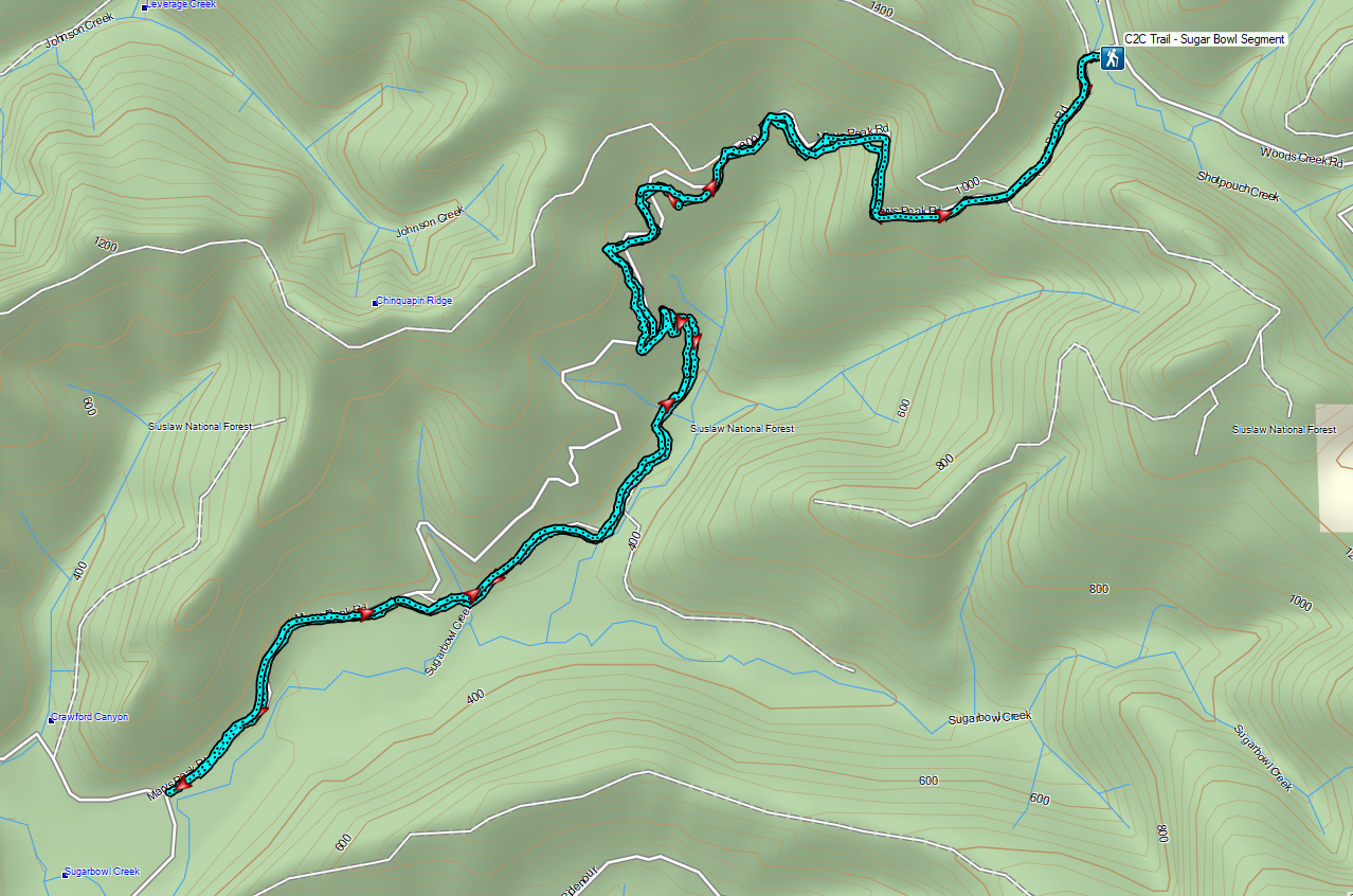

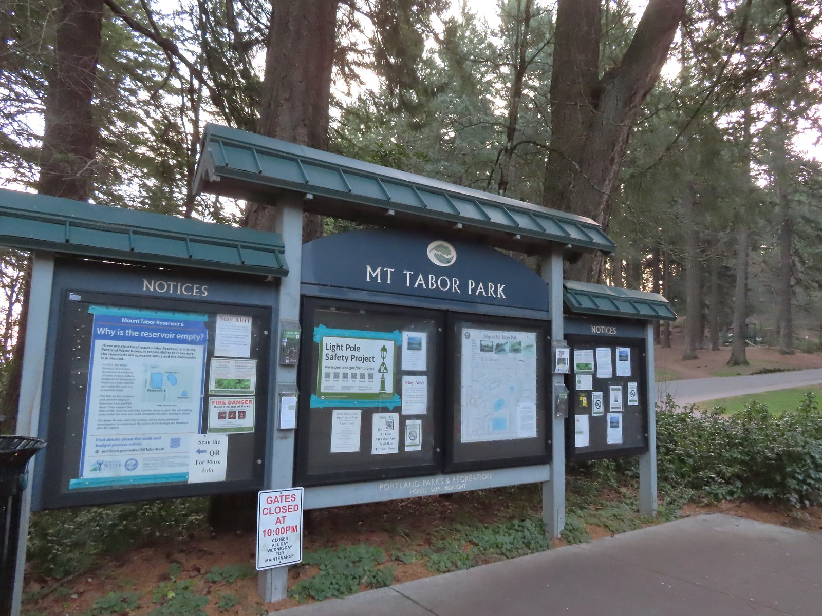 The playground behind and to the right of the signboard at the Visitors Center.
 The red trail continuing on the far end of the playground.
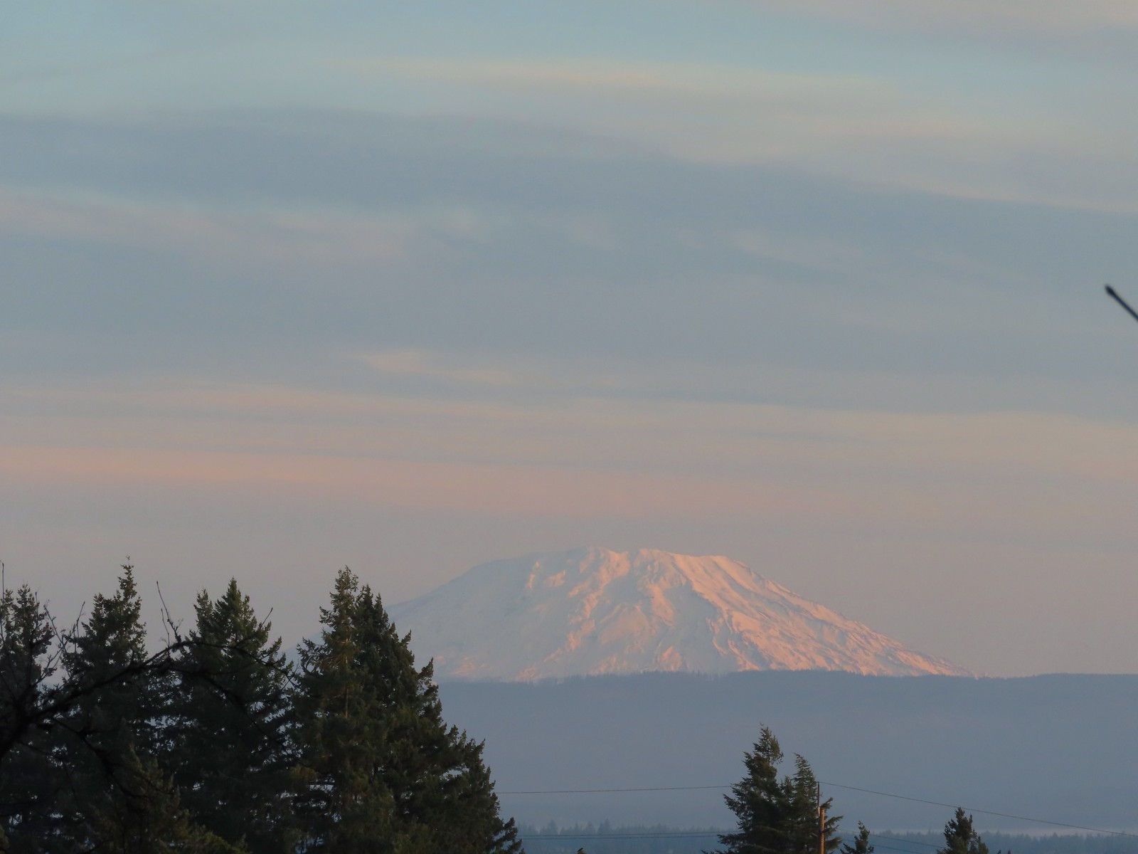 Mt. St. Helens from the playground.
 On the red trail.
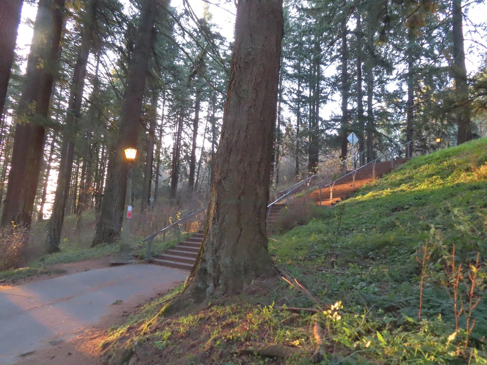 The Mount Tabor stairs extend from the park border up to the summit.
 Summit restrooms
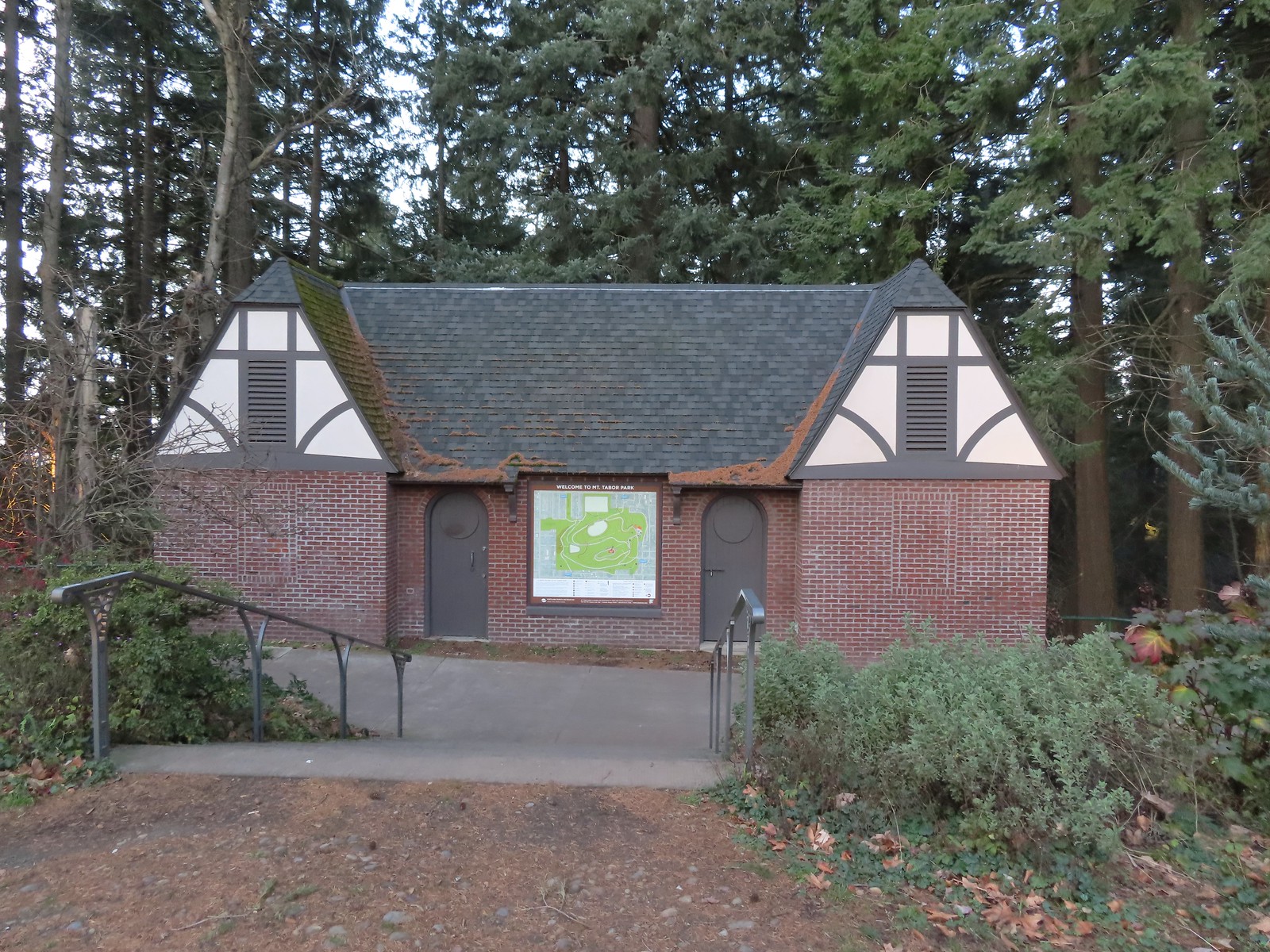 The restrooms were reopened in 2017 after being renovated.
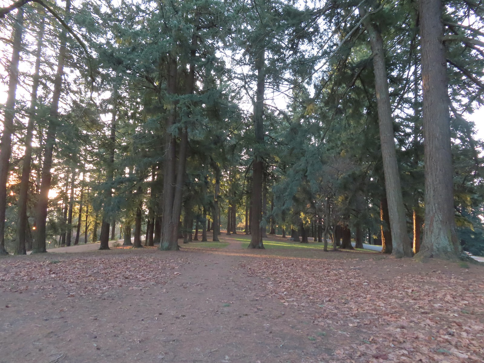 Mount Tabor summit
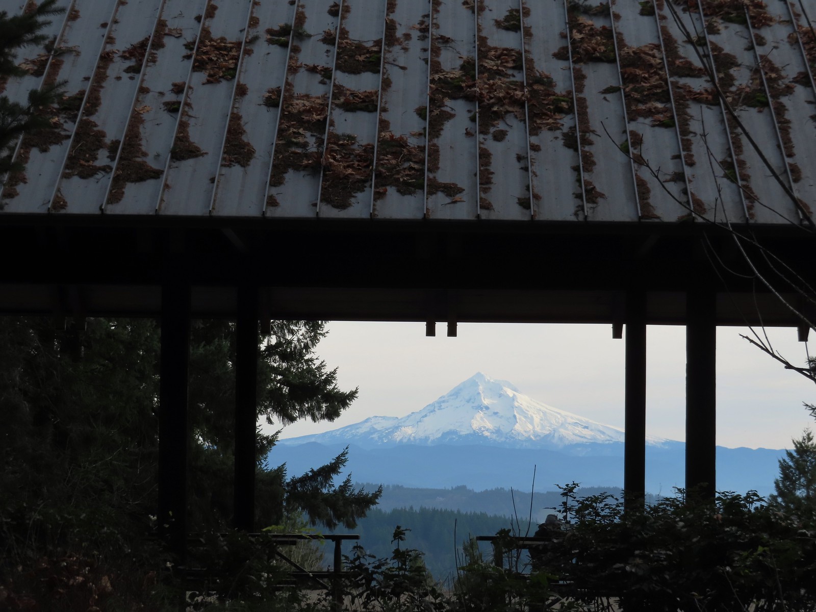
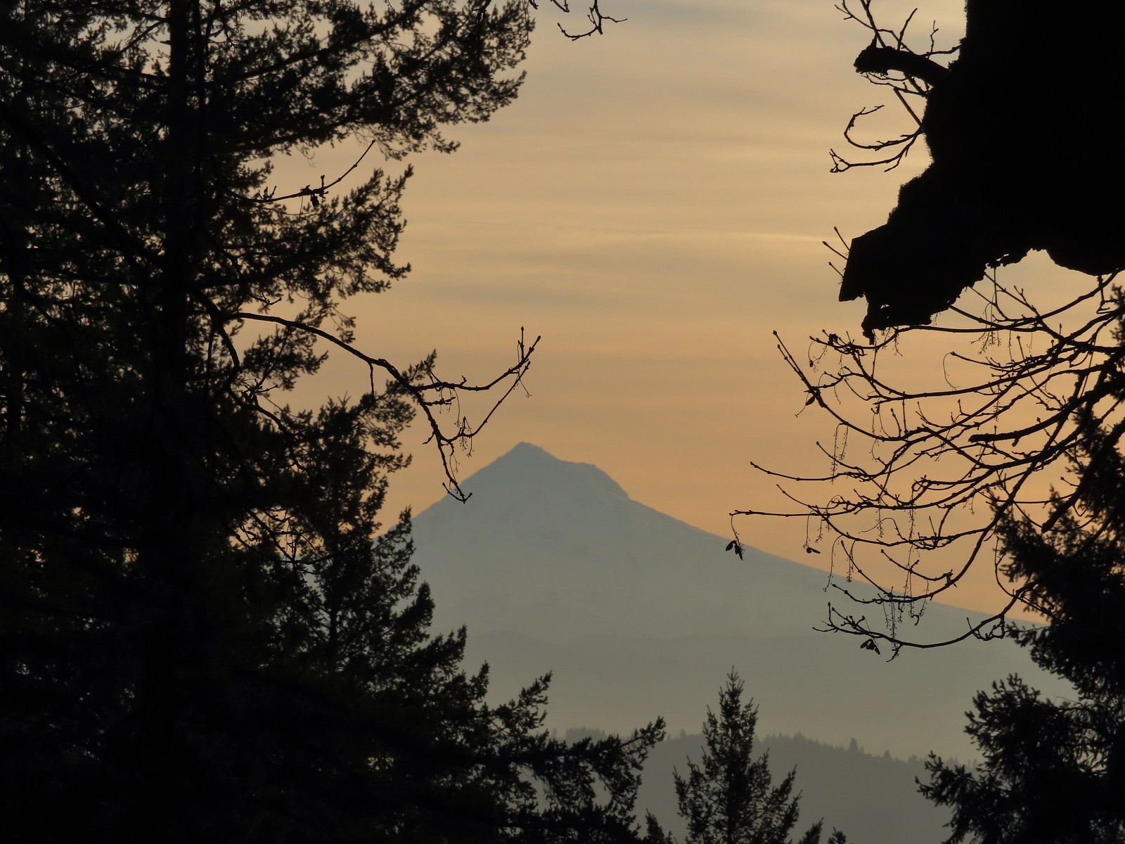 Mt. Hood from the summit.
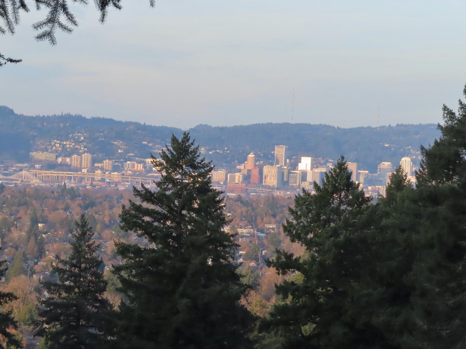 Downtown Portland

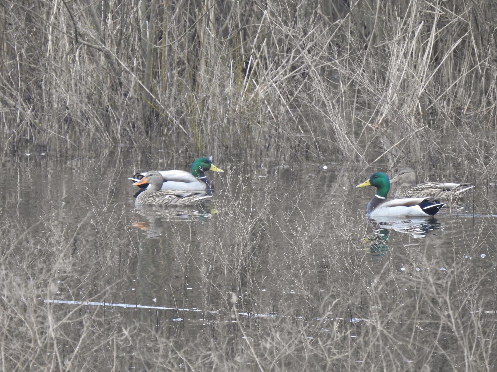
 Mallards


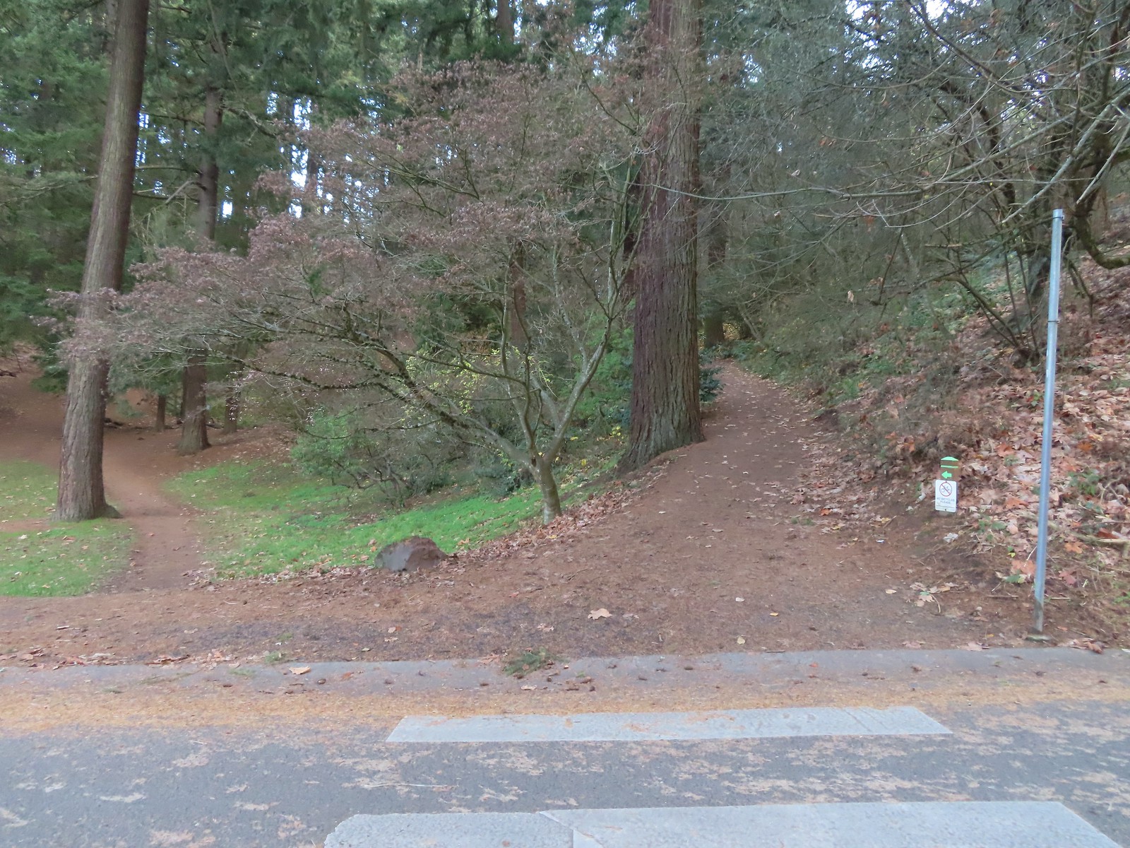 We forked right at this junction sticking to the green pointers.
 Arriving at The Crater.
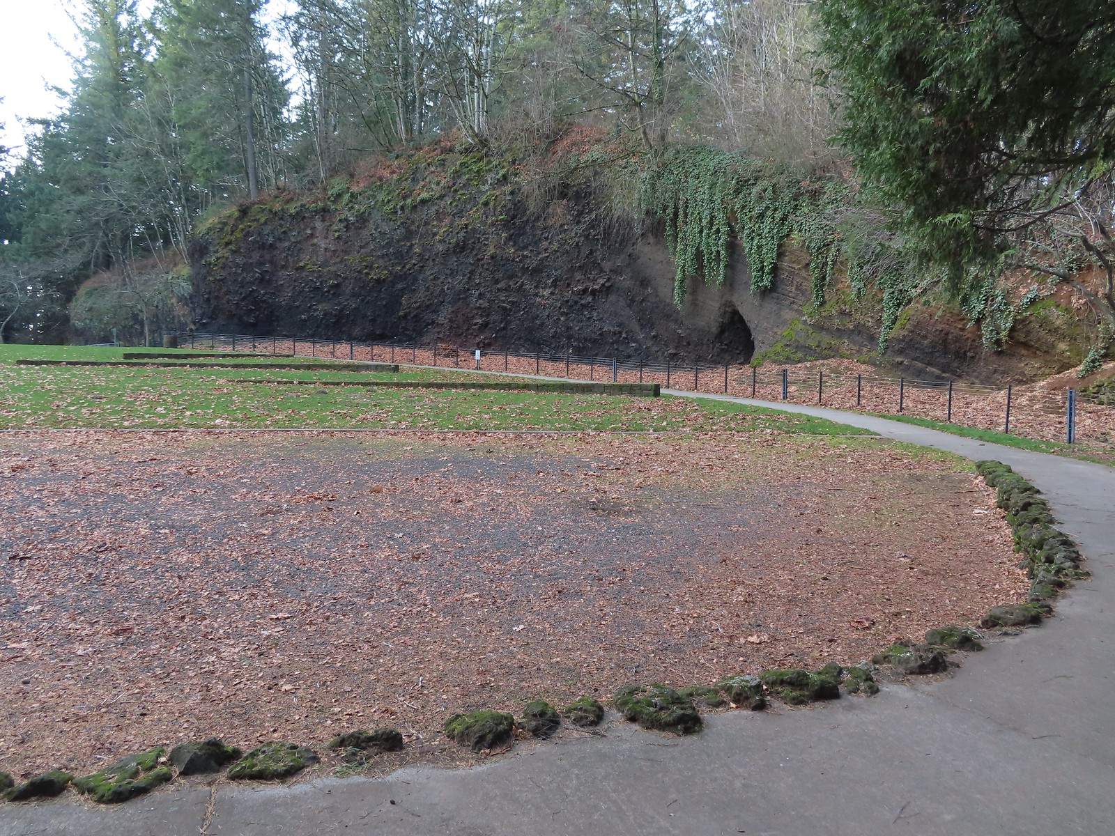 Coming around The Crater near the Visitors Center.

 Mount Talbert from the path.
 Mount Scott Creek
 The Park Loop Trail junction just uphill.
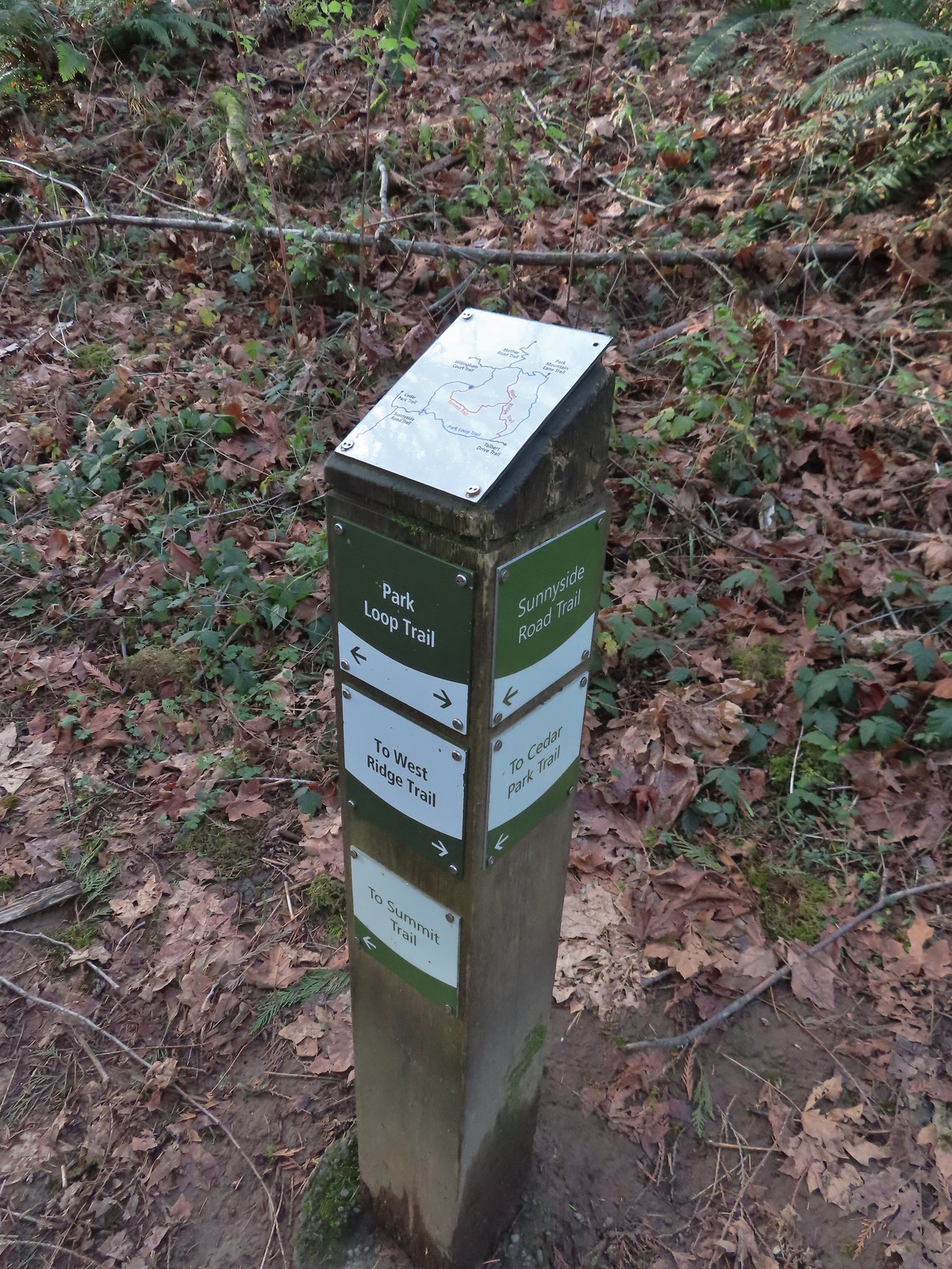 Note that the map at the Park Loop/Sunnyside Road Trail junction mis-identifies the location with the “You Are Here” star located at the Park Loop/Summit Ridge junction.
 Arriving at the West Ridge Trail junction.
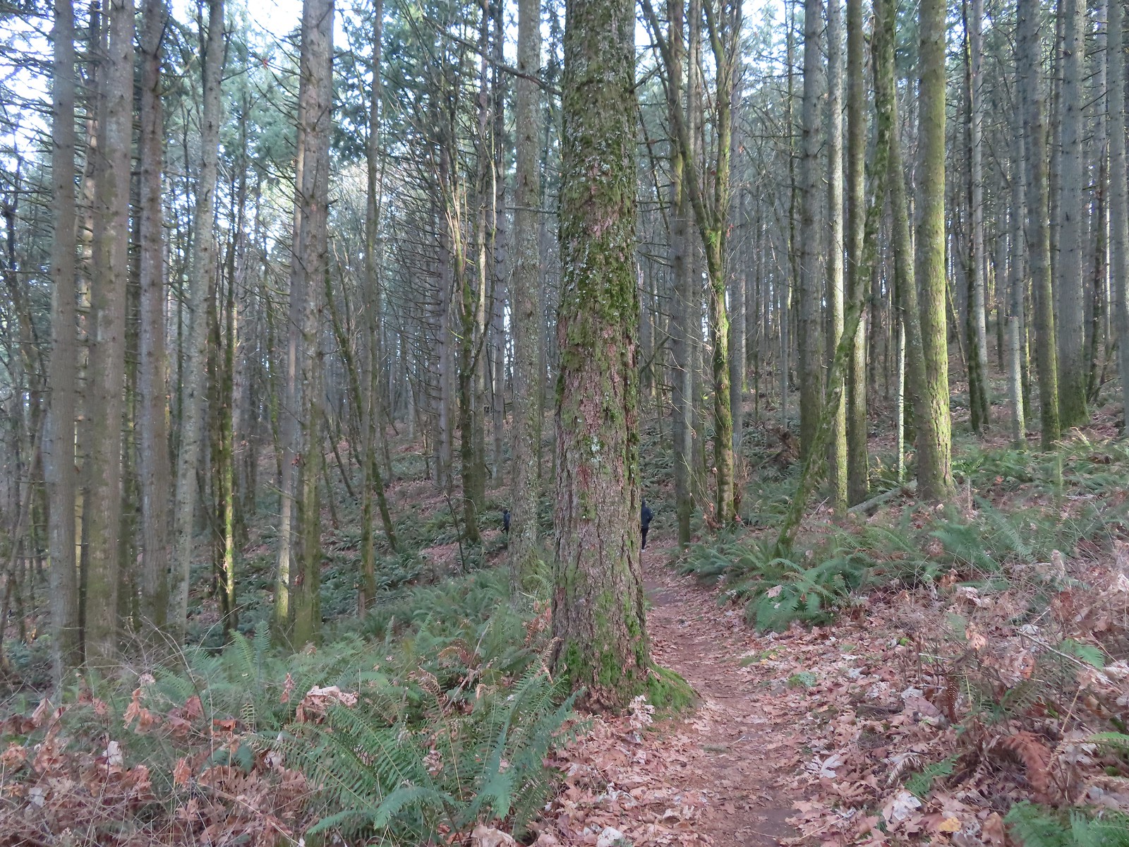
 Rejoining the Park Loop Trail.
 Mt. Adams was visible through the web of small branches.
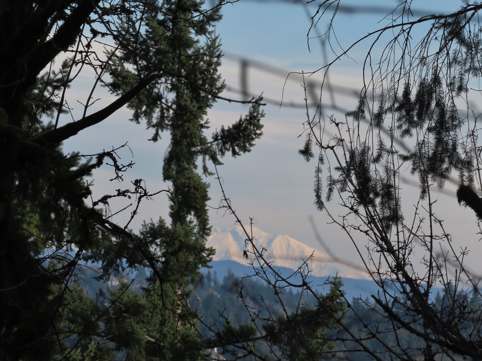 A snowy Mt. Adams.
 Back at the Sunnyside Road Trail.
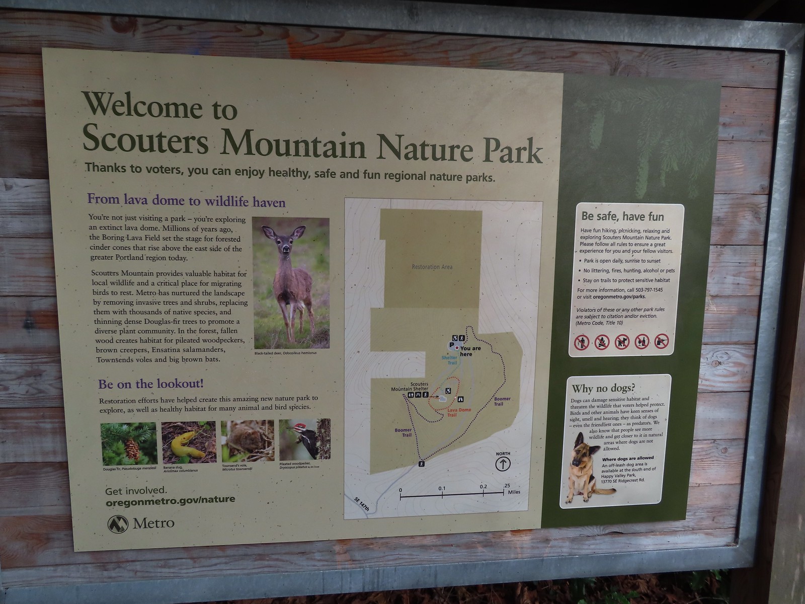
 The benches throughout the park contained various nature sculptures, this one is “Moss Group”.
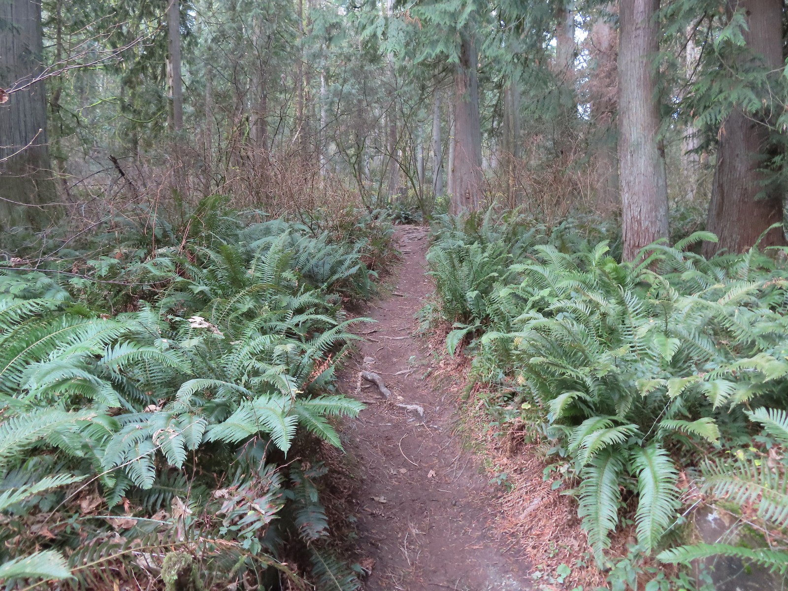
 On the Boomer Trail.
 The Boomer Trail turned left at the bottom of these stone steps.
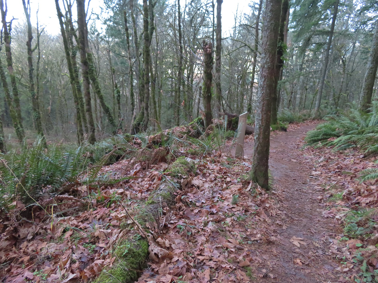
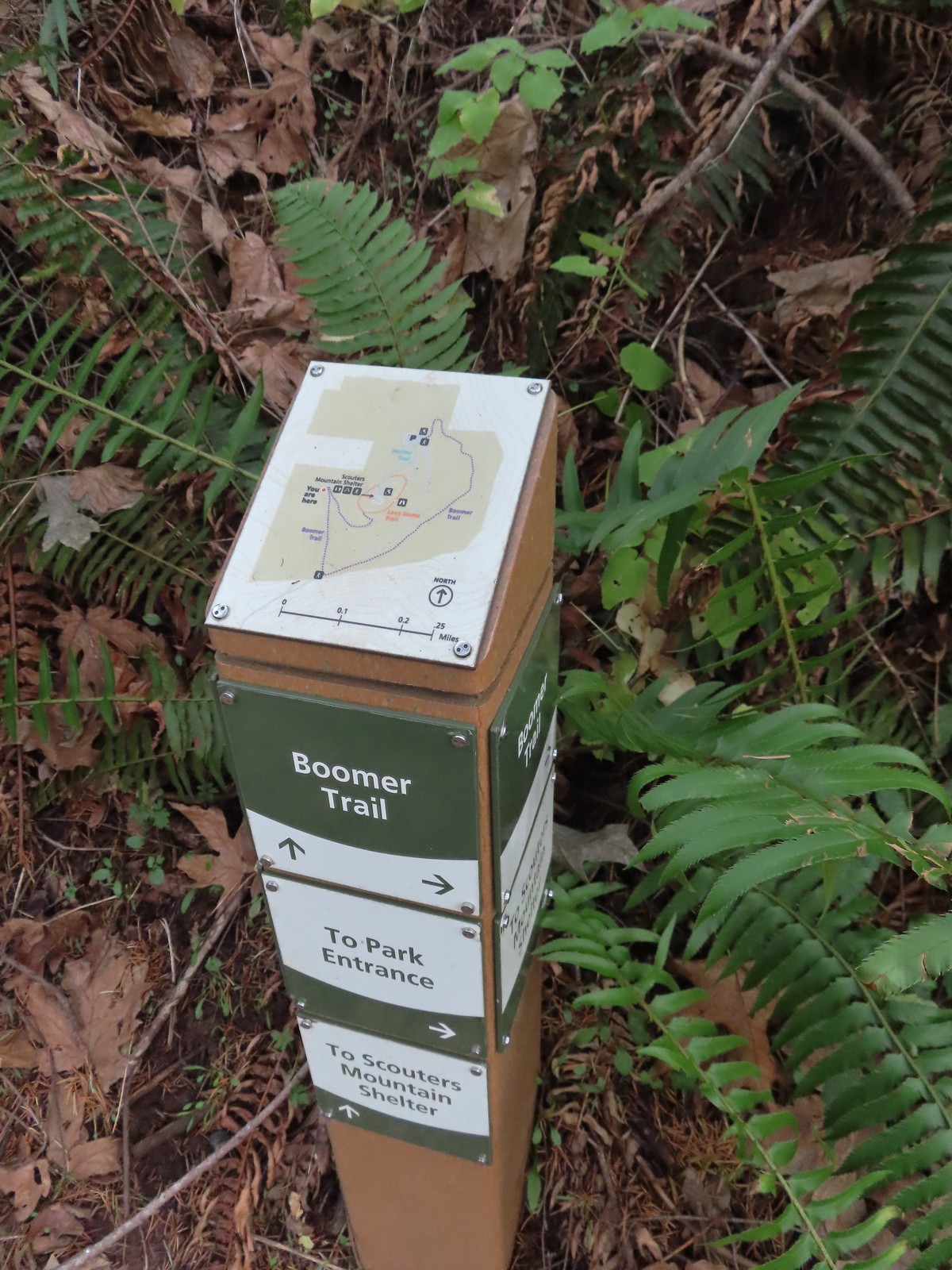 Another Metro trail map and pointers.
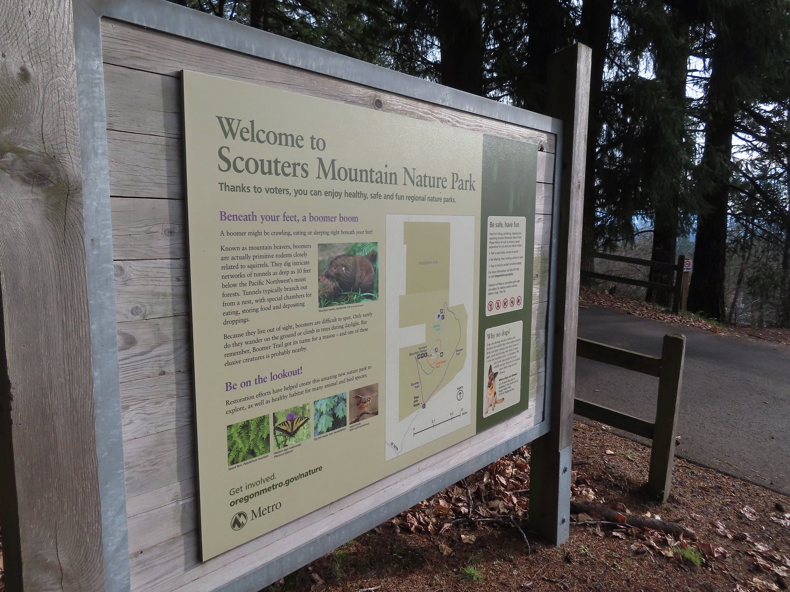 The Boomer Trail, named for Mountain Beavers which are sometimes called boomers, crossed the entrance road before climbing back up to the parking area.
 This was an impressive root system.
 A less obstructed view of Mt. Adams. (Mt. St. Helens was also briefly visible from this section of trail.)
 Slightly clearer shot of Mt. Adams.
 Back at the trailhead.
 Mt. St. Helens from the service road. Mt. Hood was also visible to the right through some fences around the ball fields.


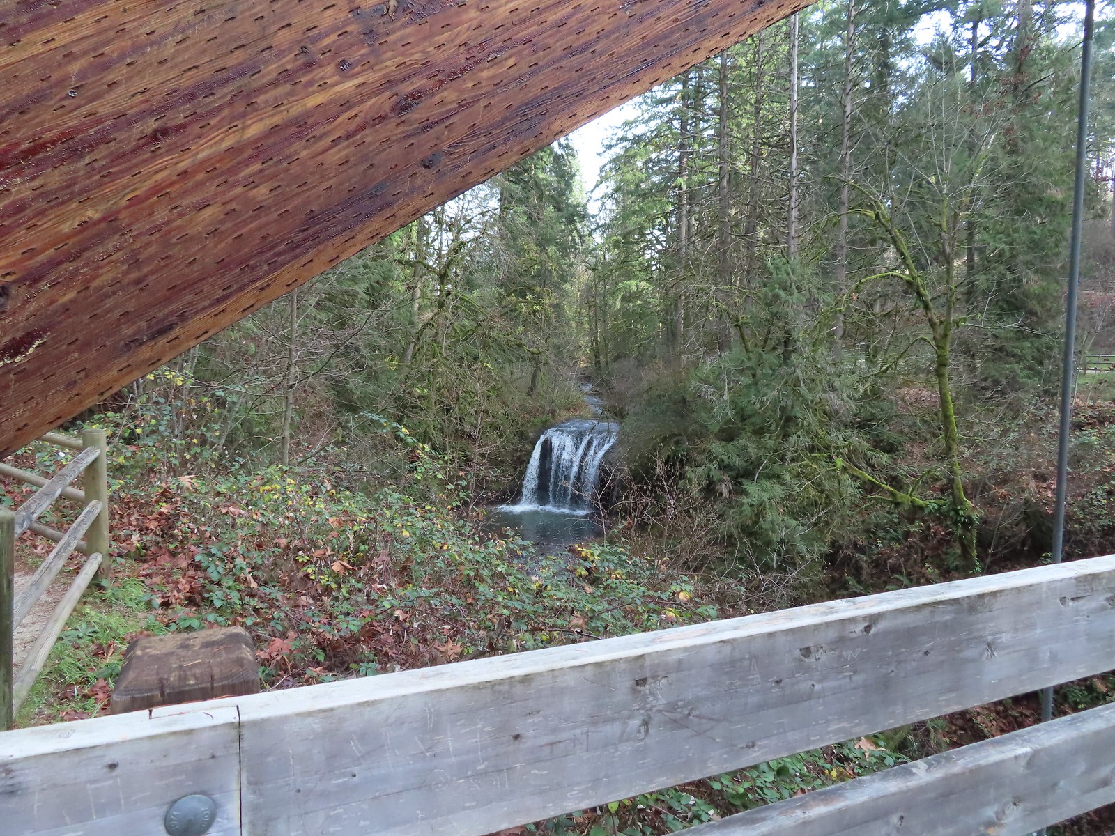
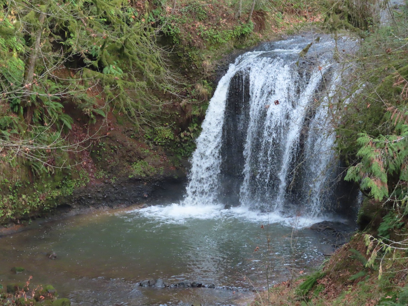
 The large area to the right didn’t offer much of a view of the falls, but the view from the bridge was great.


 The highway from the parking lot.
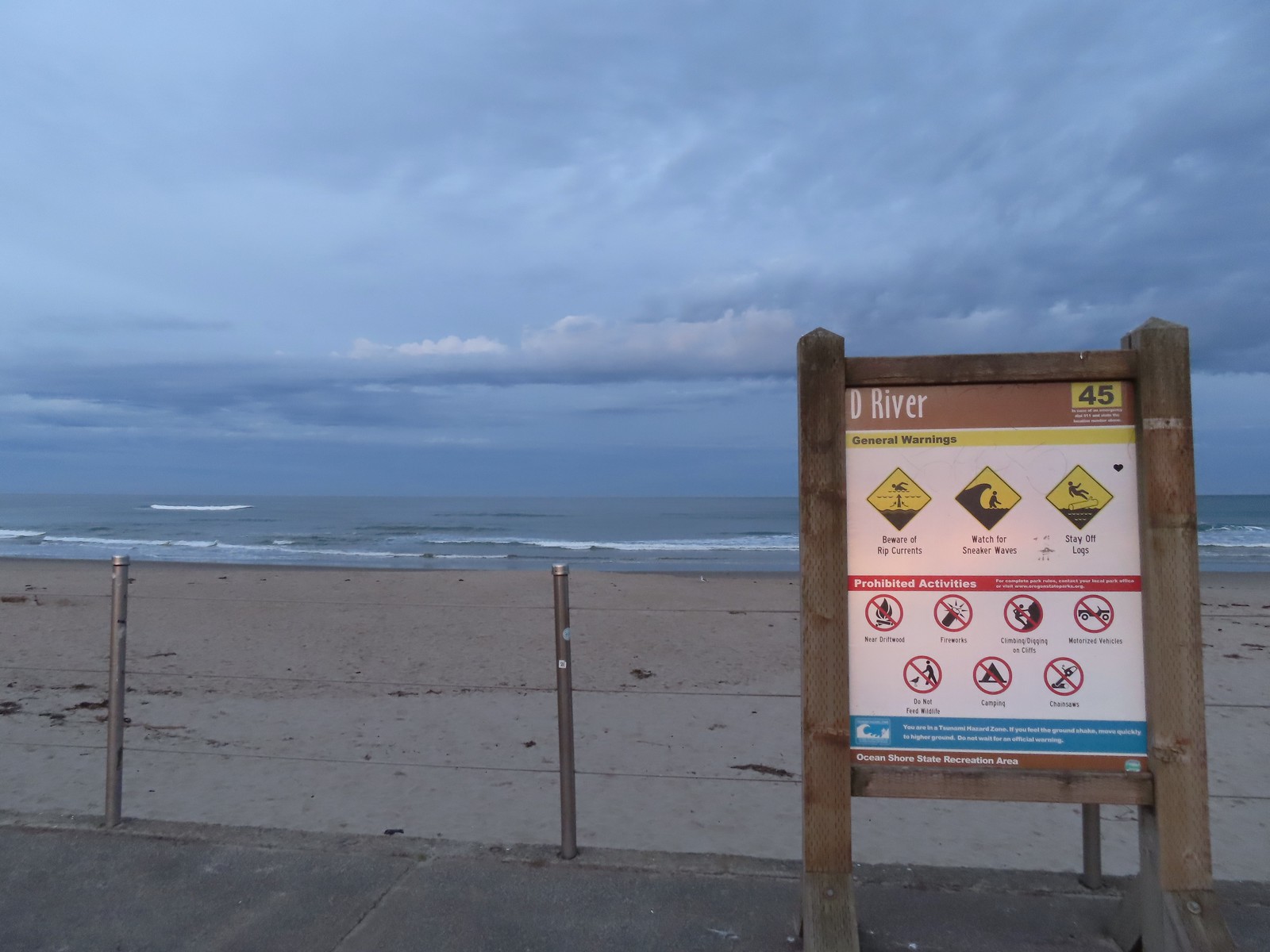
 The D River from the highway bridge. The river flows between Devil’s Lake and the Pacific Ocean and at high tide has a length of approximately 40 yards.
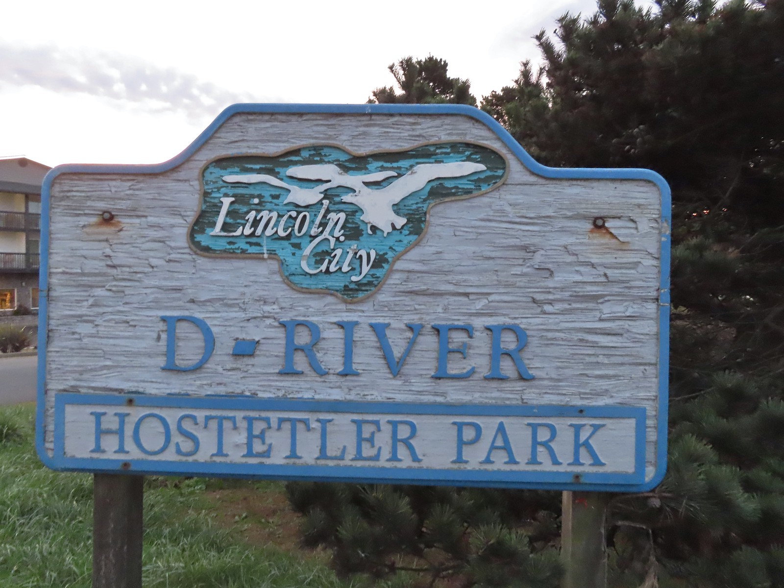
 Hostetler Park.


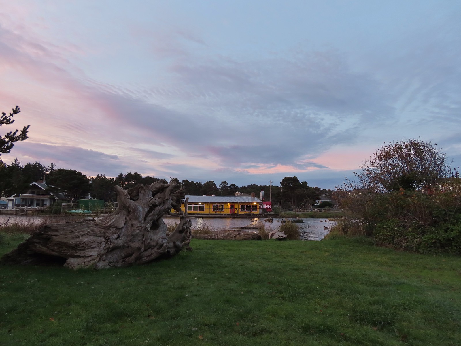
 Several interpretive signs were located along the boardwalk.
 One of the interpretive signs.
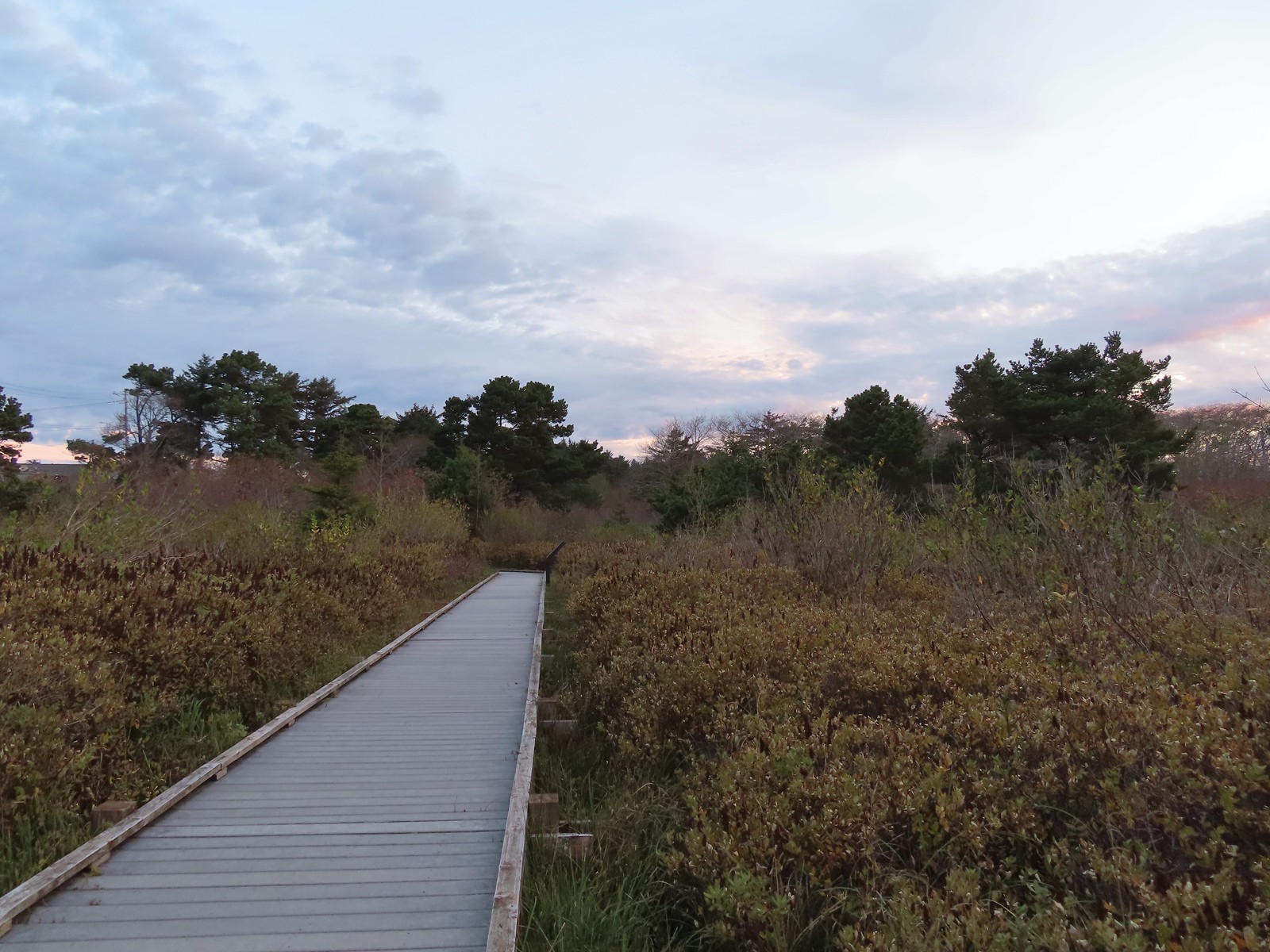
 Nearing the campground.
 Orange cones, and a cat, at the far end of the path.
 Program area in the campground.
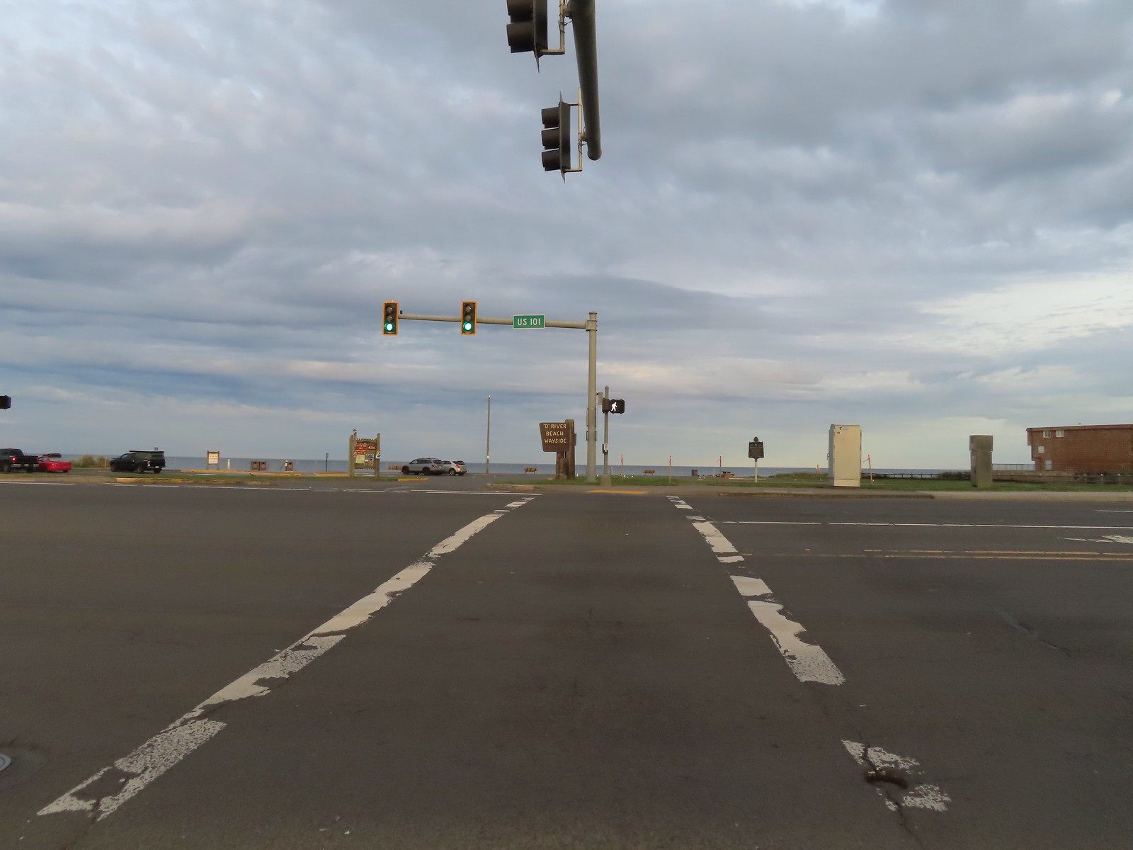
 View North from the beach.
 Cascade Head (
 Seagulls at the mouth of the D River.
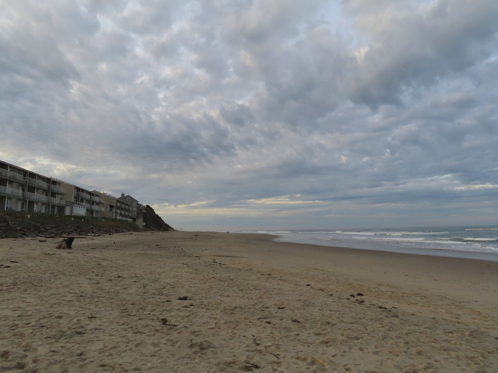


 There were of course plenty of seagulls present.
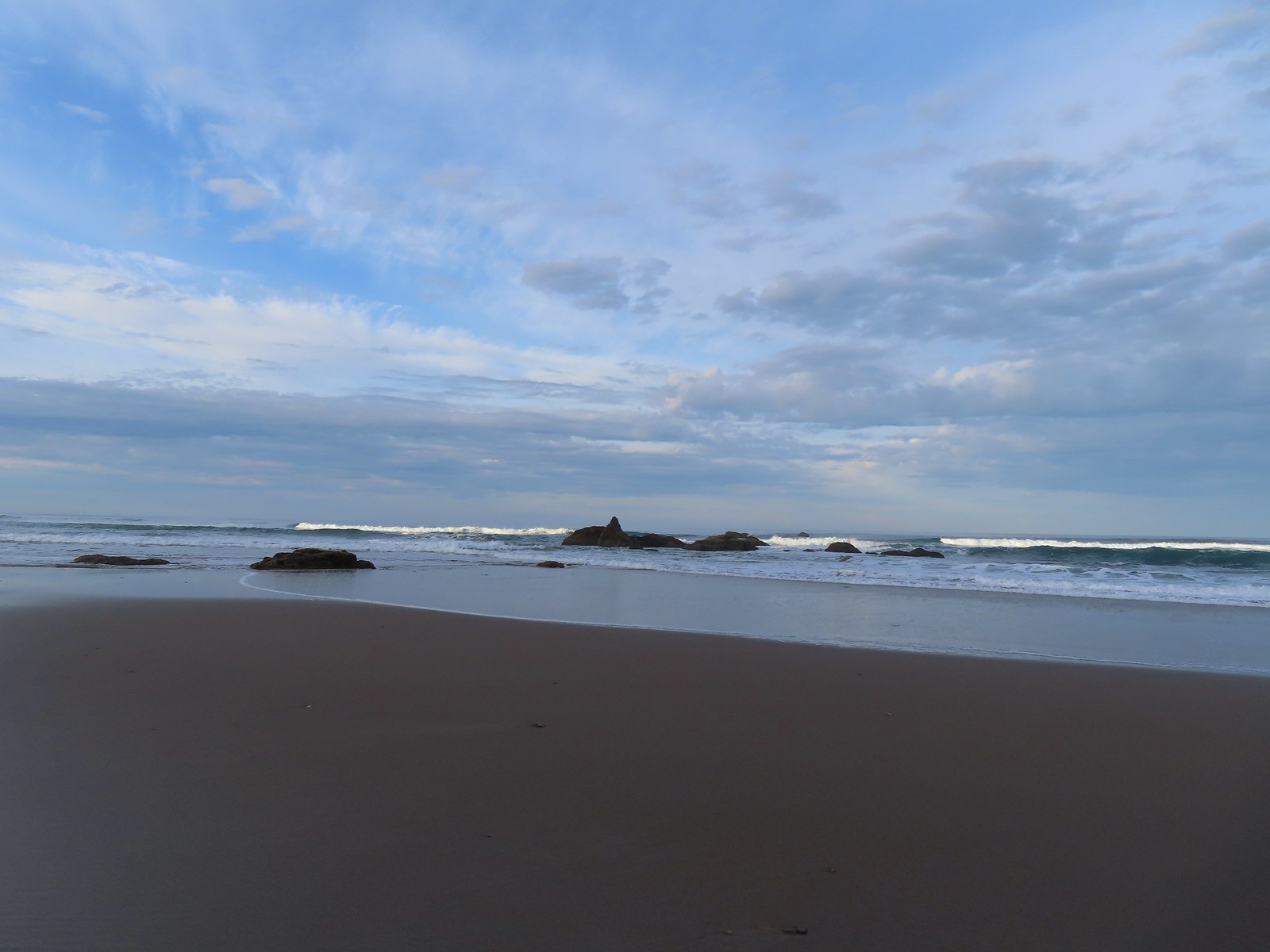 There weren’t very many ocean rocks along this stretch of beach.
 Surf scooters
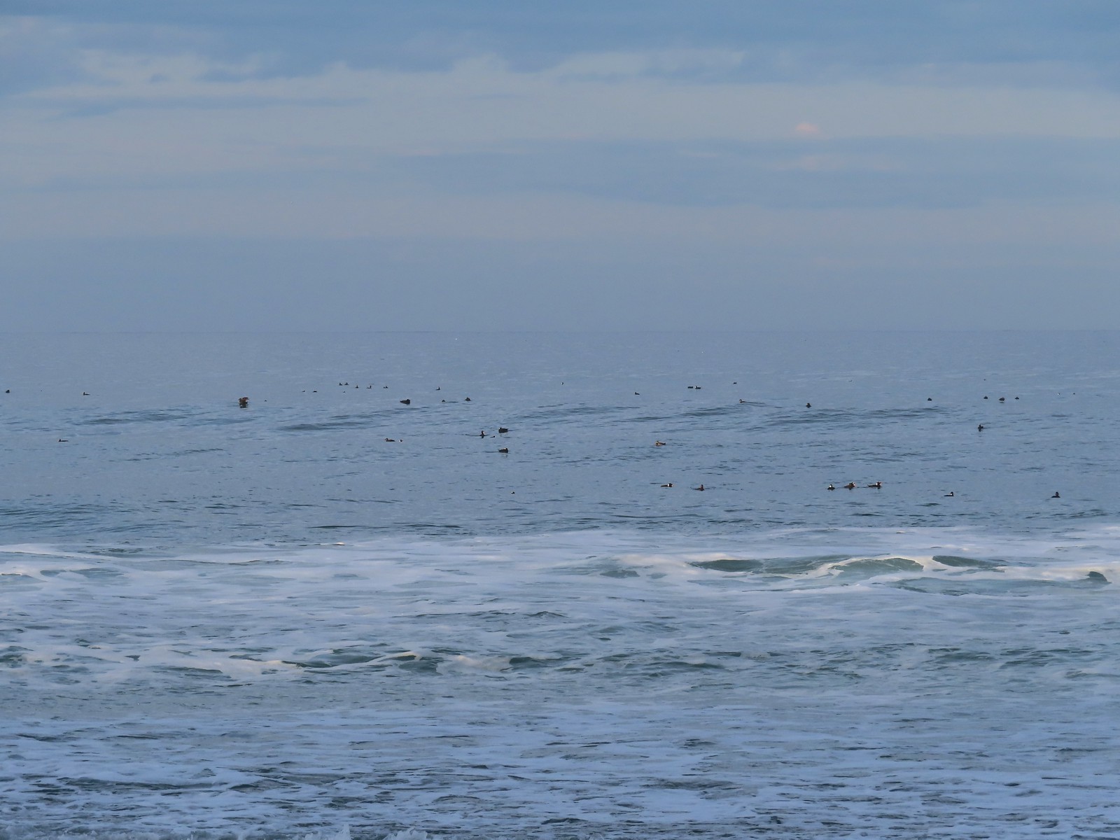
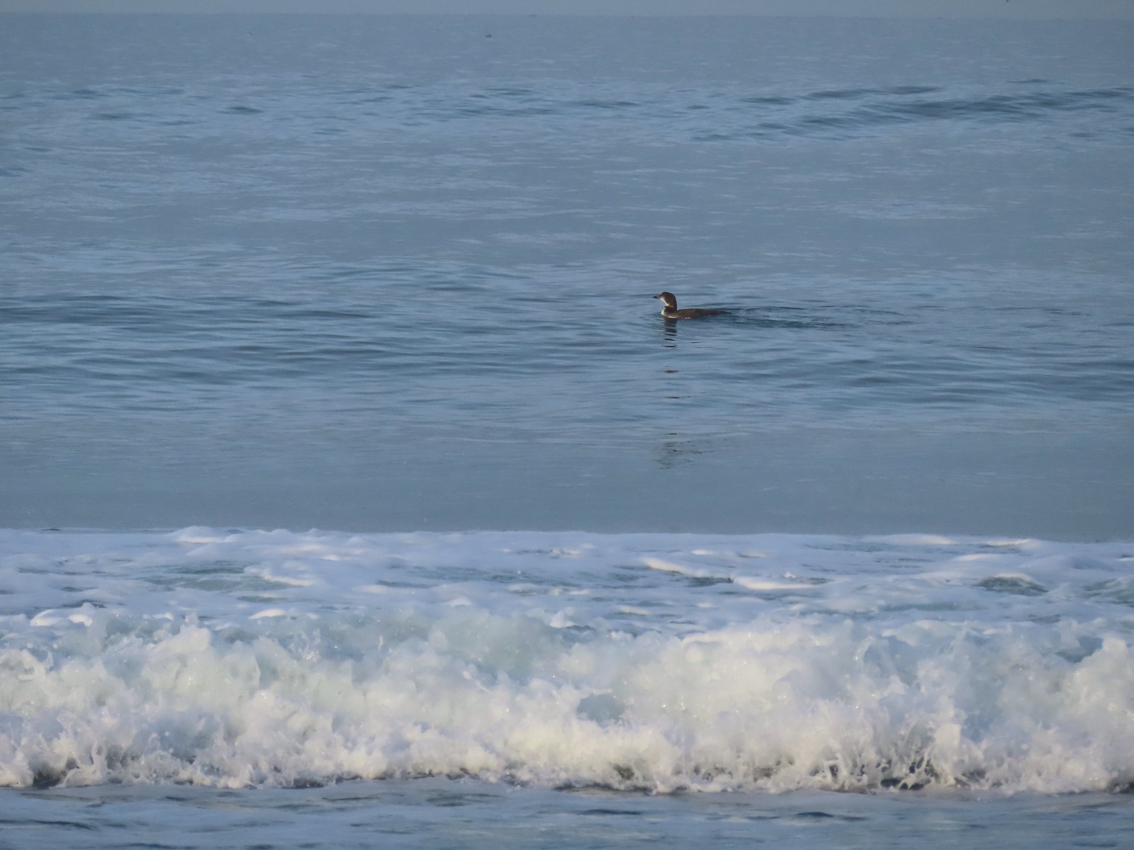 Loon, probably a common loon.
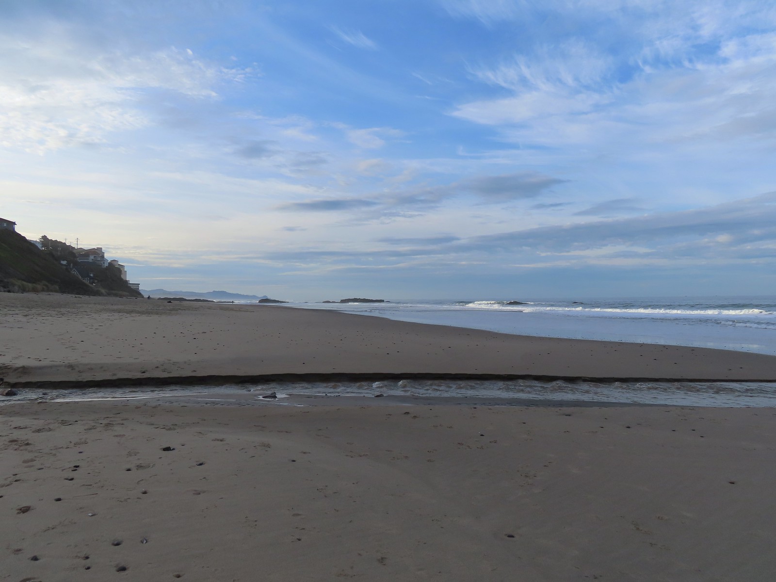 Baldy Creek
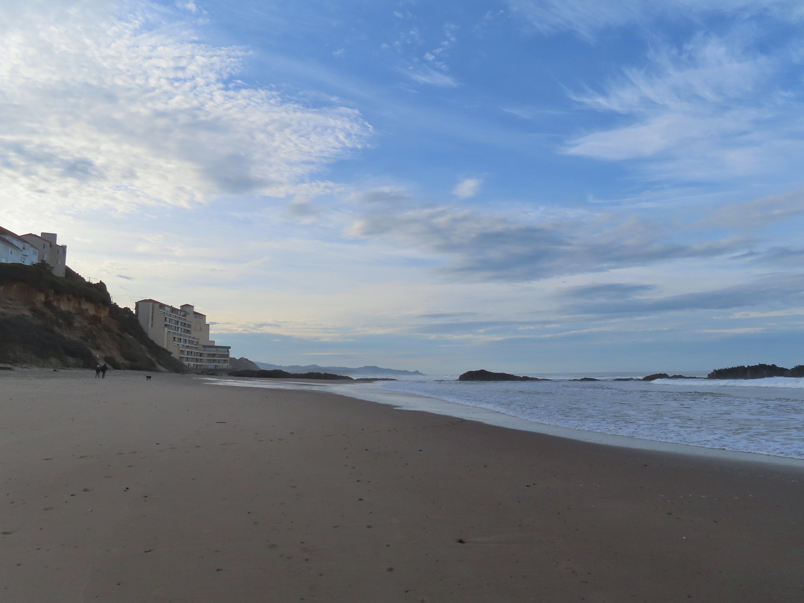 The inn on the left with the rocks extending into the Pacific.
 Cormorants and seagulls
 This was a big tree that we were able to walk under.
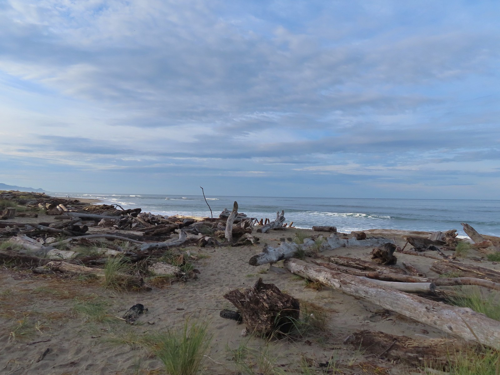
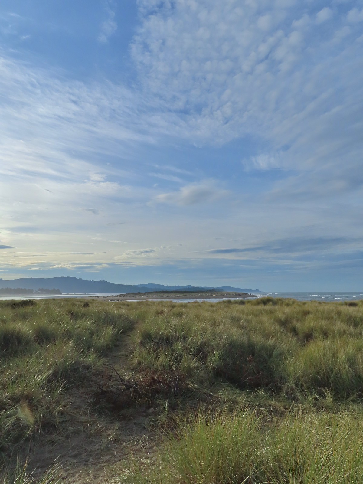 Salishan Spit across the Siletz.
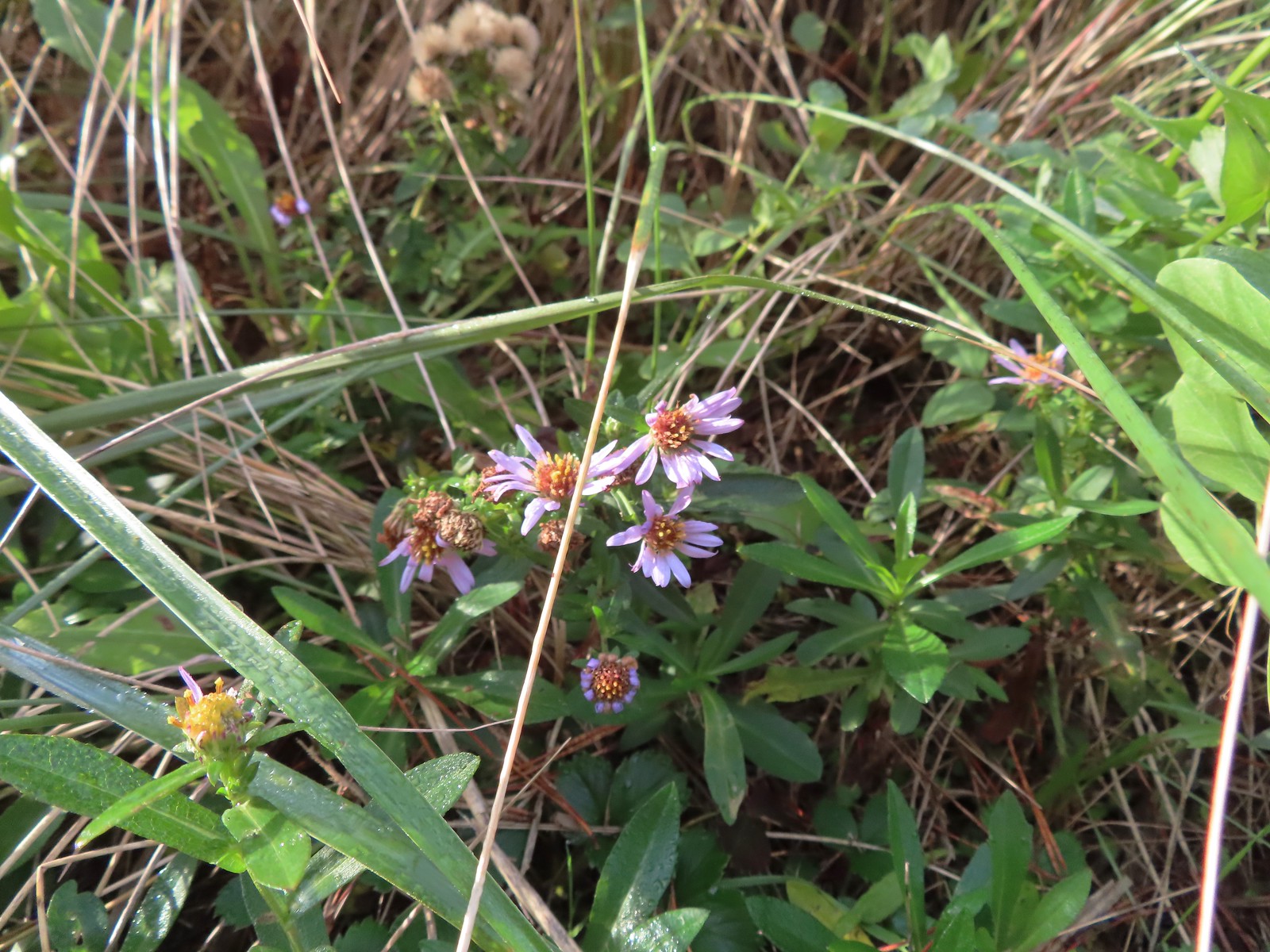 Asters on the beach.
 Pelicans on the left and seals on the right at the end of Salishan Spit.
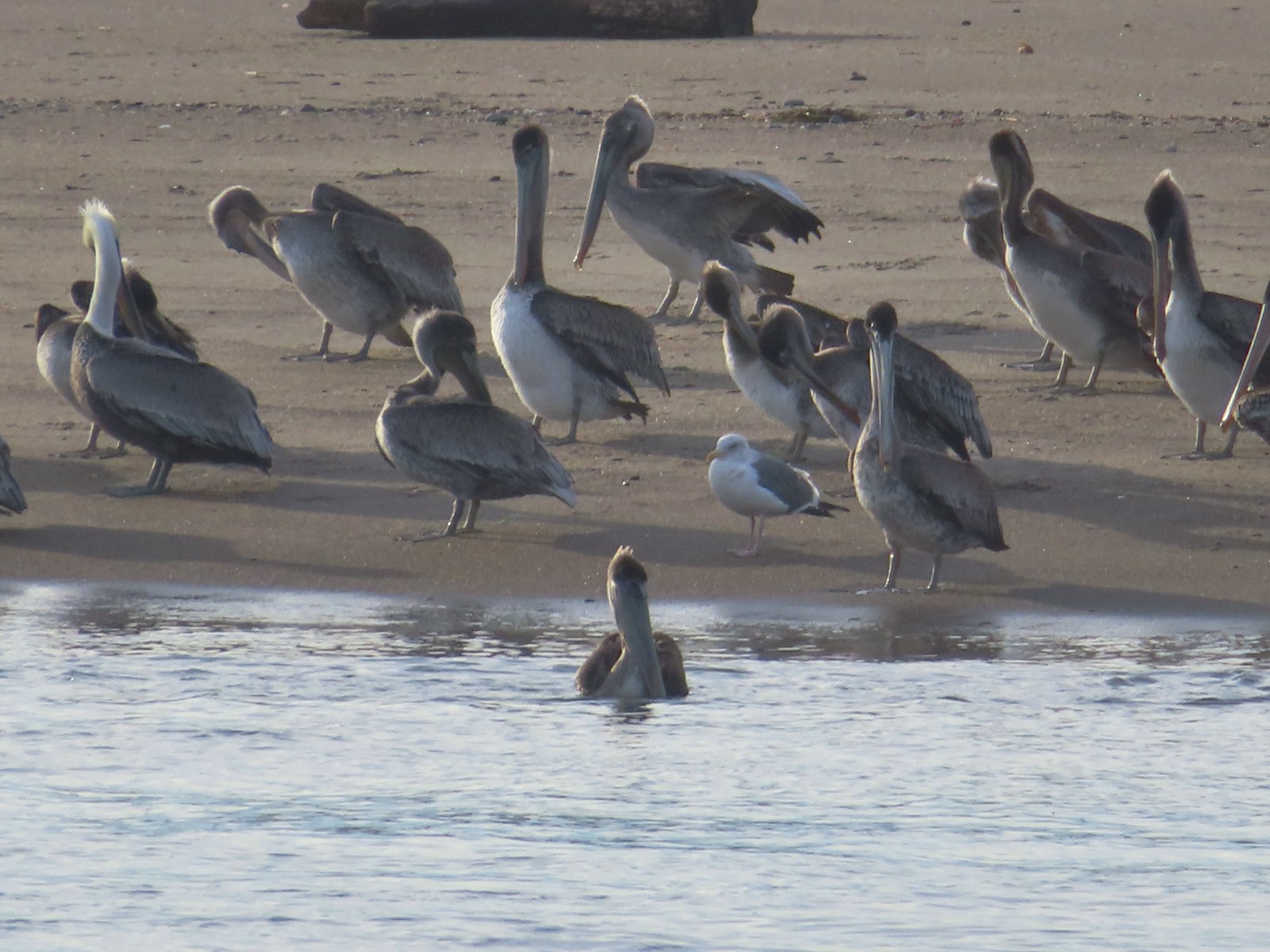 Pelicans and seagull
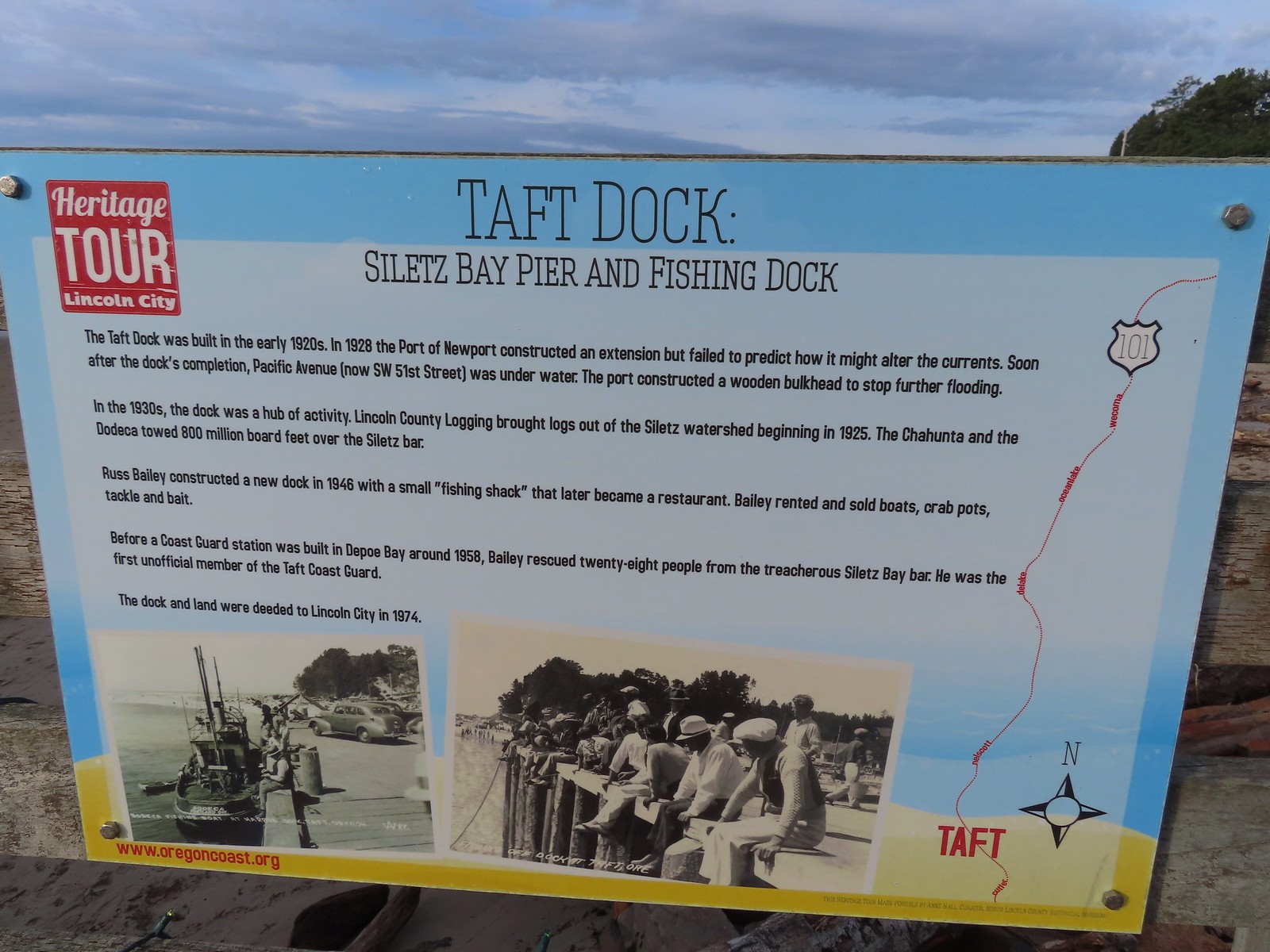


 Pelican mouths are a sight to behold (righthand side).
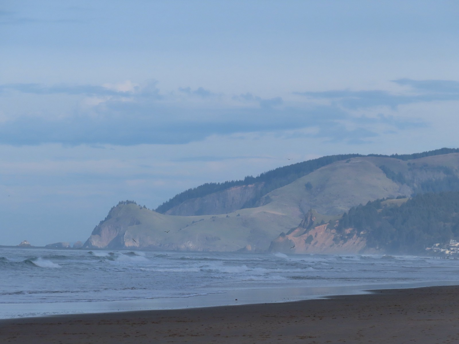 Cascade Head and God’s Thumb both in the sunlight now.

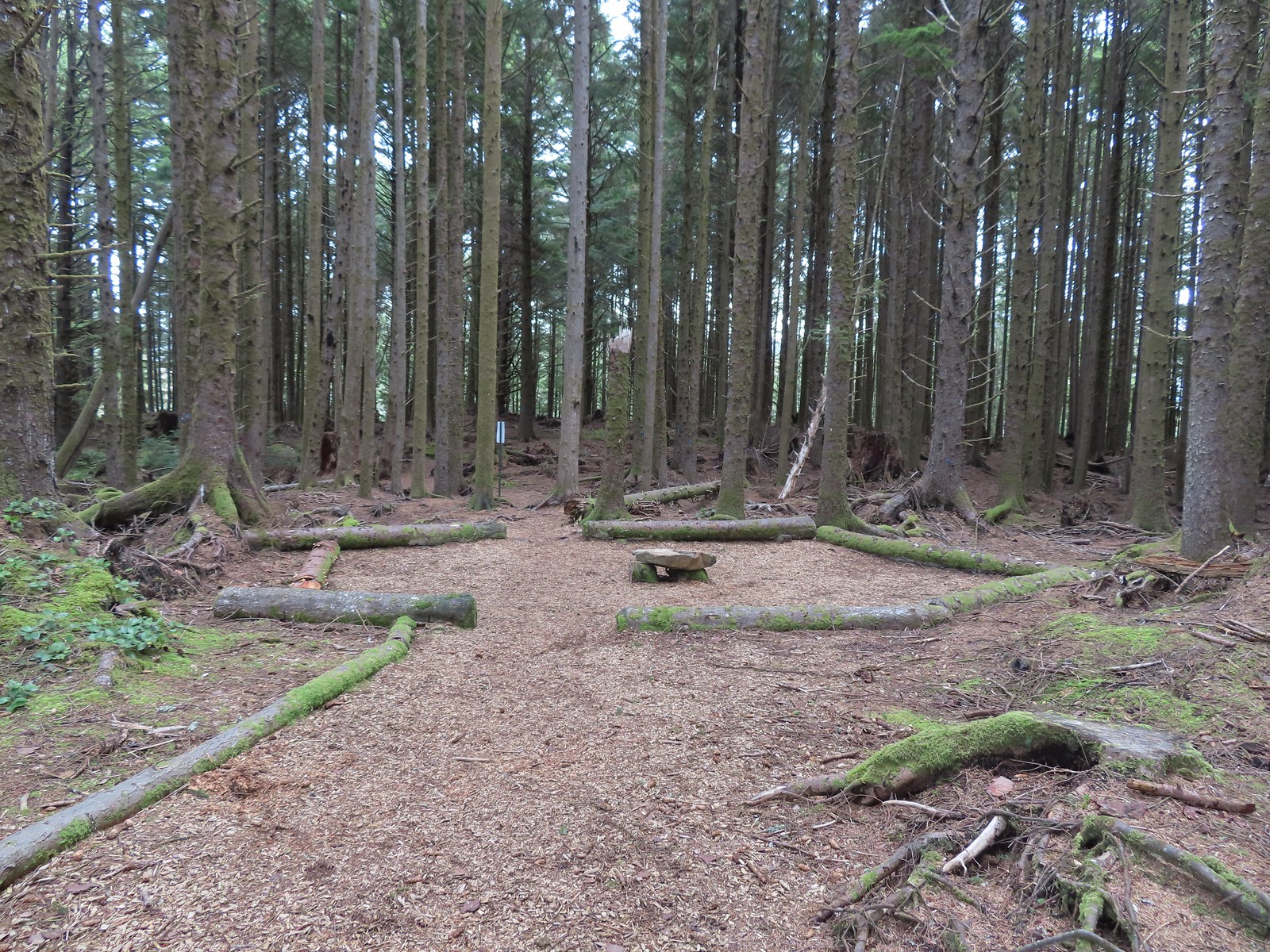 The Story Circle
 Trail Challenge sign #8.
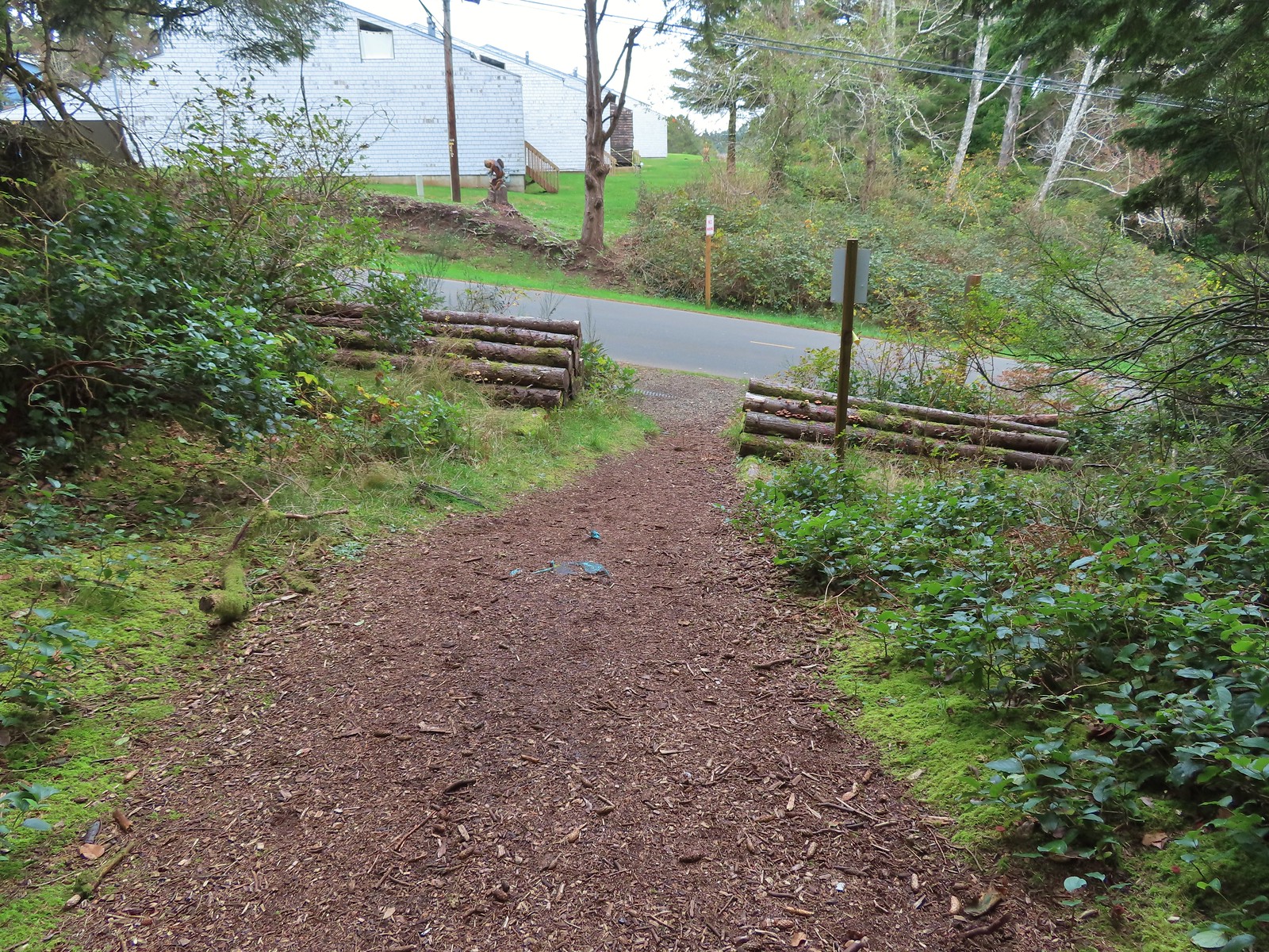 The trail ends at SE 3rd St (no parking available).
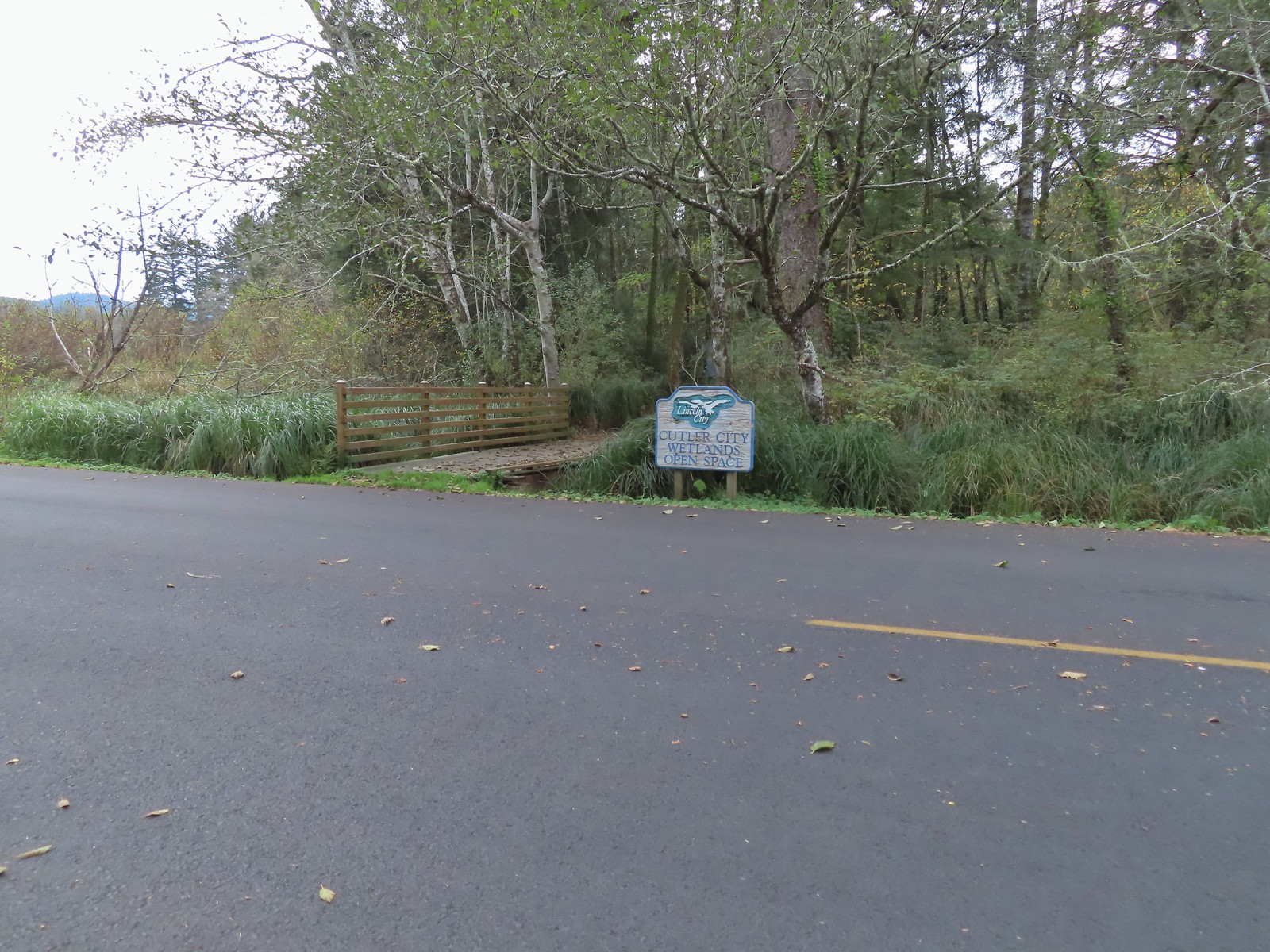

 While there are more trails to choose from here the total milage is just about 1.25 miles. We opted to loop around the outside with detours to the Salt Marsh Overlook and Pond’s Edge.
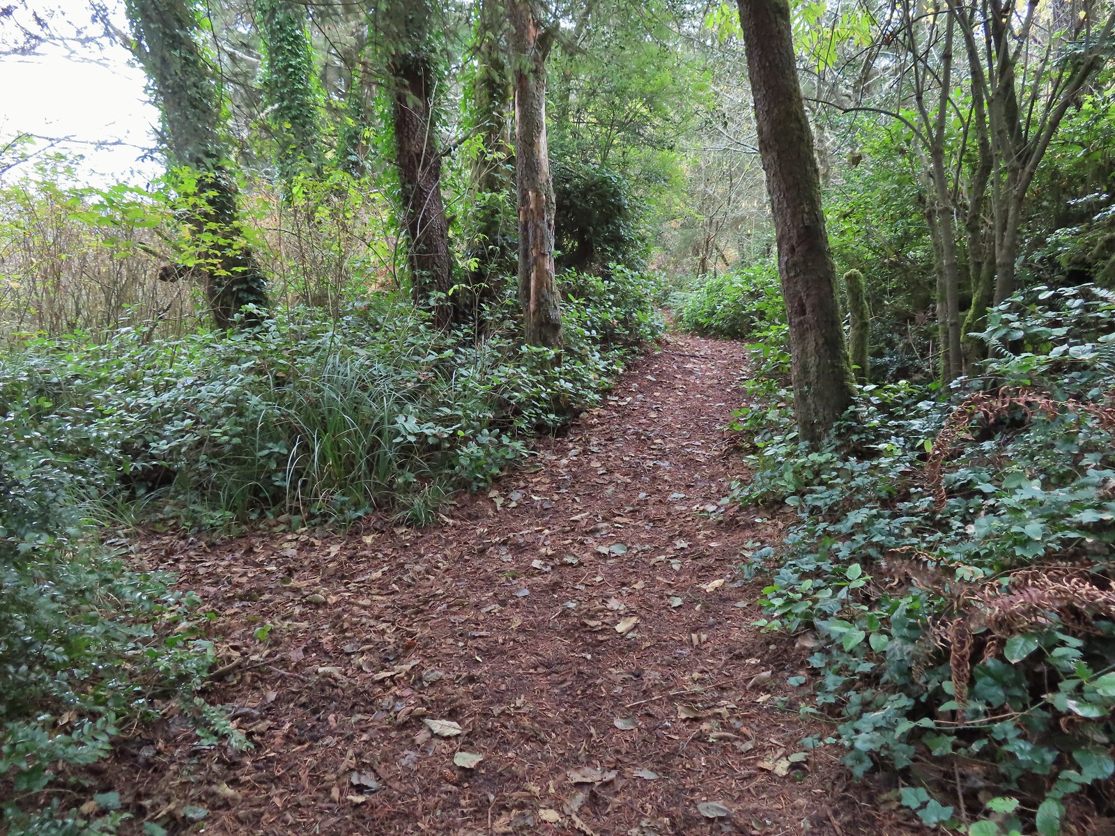 To the left is the very short spur to the Salt Marsh Overlook which was too overgrown to really see anything.
 Interpretive sign at the overlook.
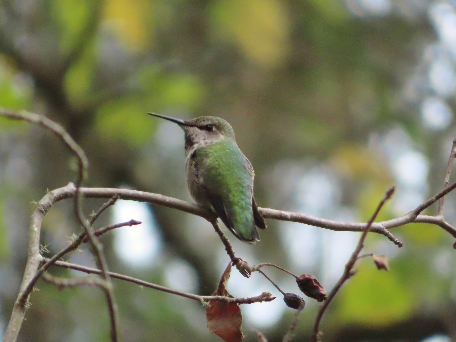 A noisy little hummer near the overlook.
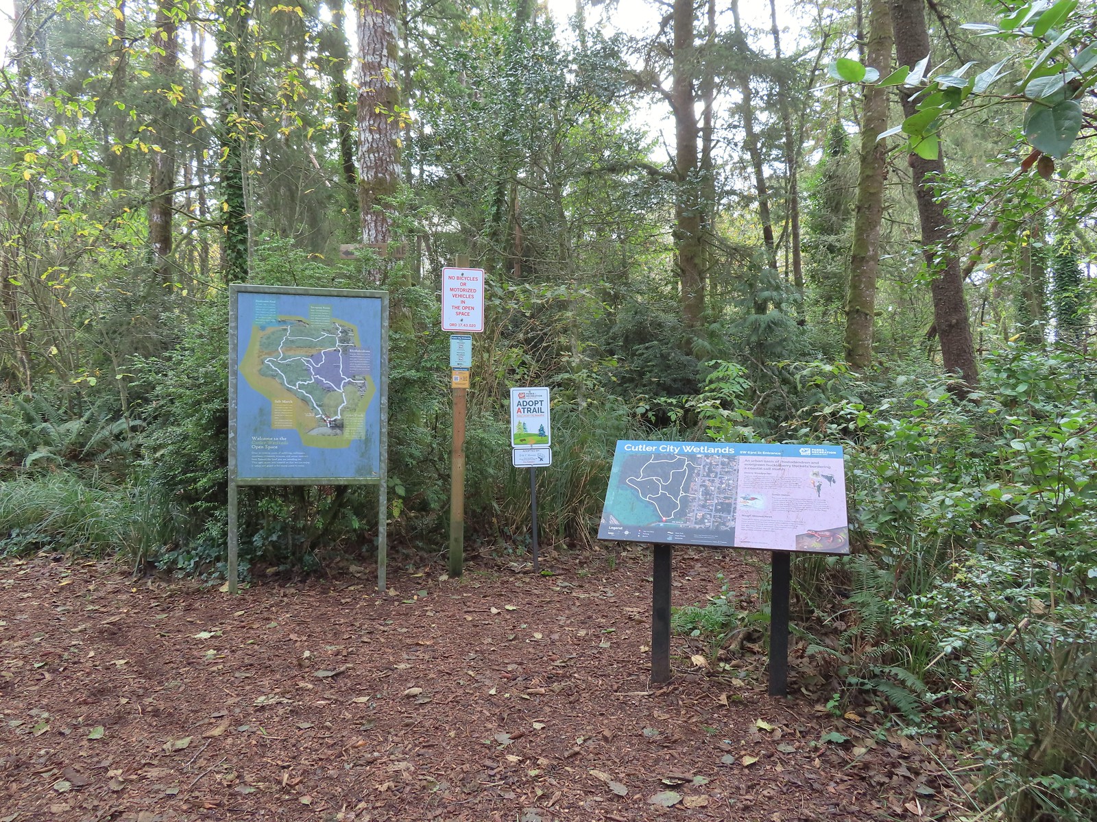
 There was pretty good signage at the main trail junctions.

 Boardwalks helped cross the wet areas.
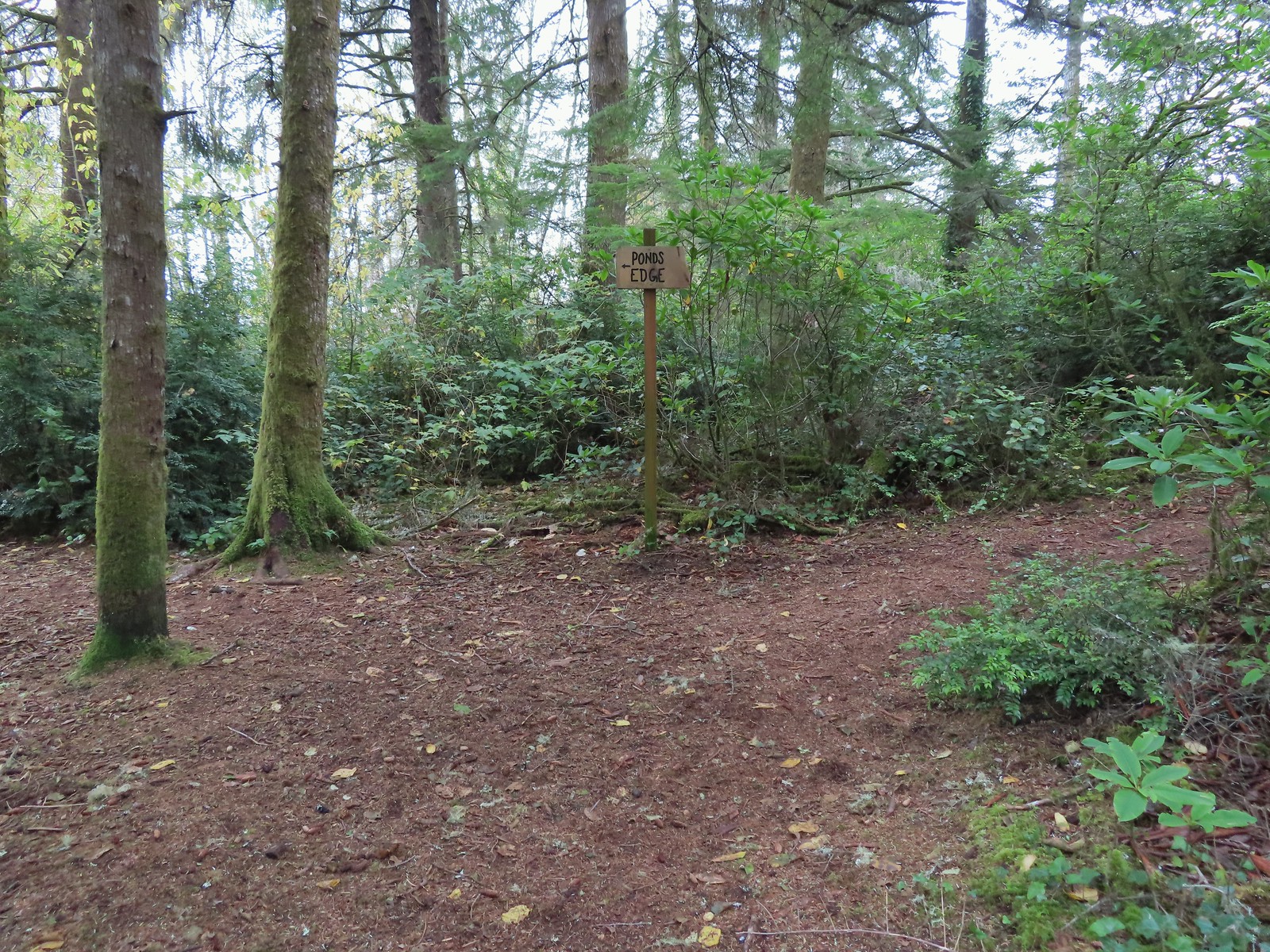 Pond’s Edge spur trail.
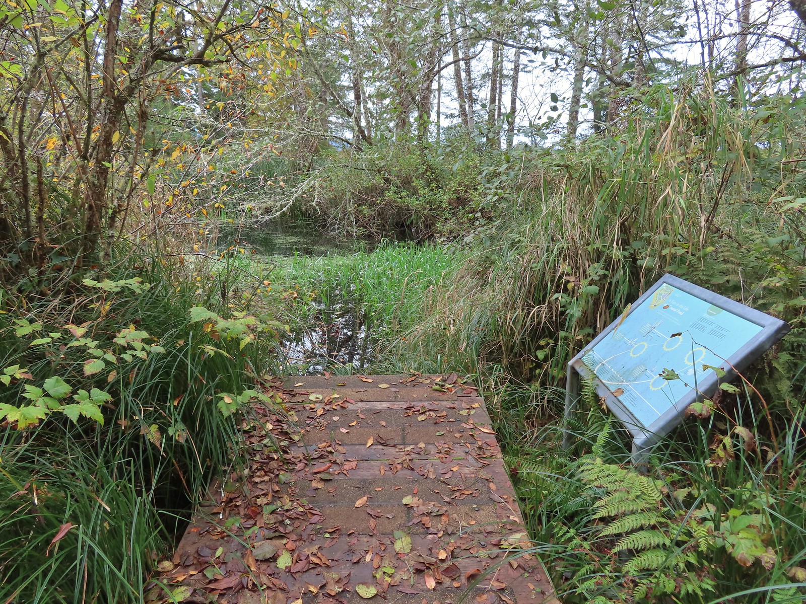 At the edge of the pond.
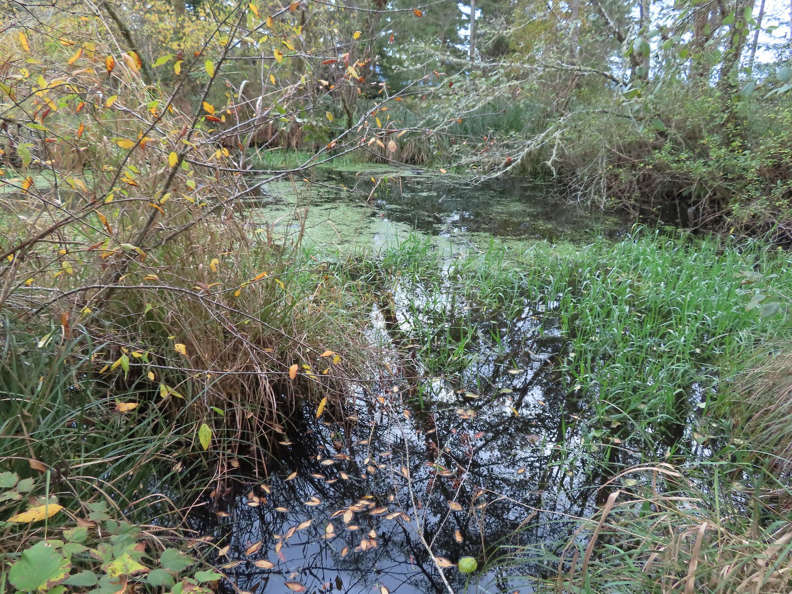
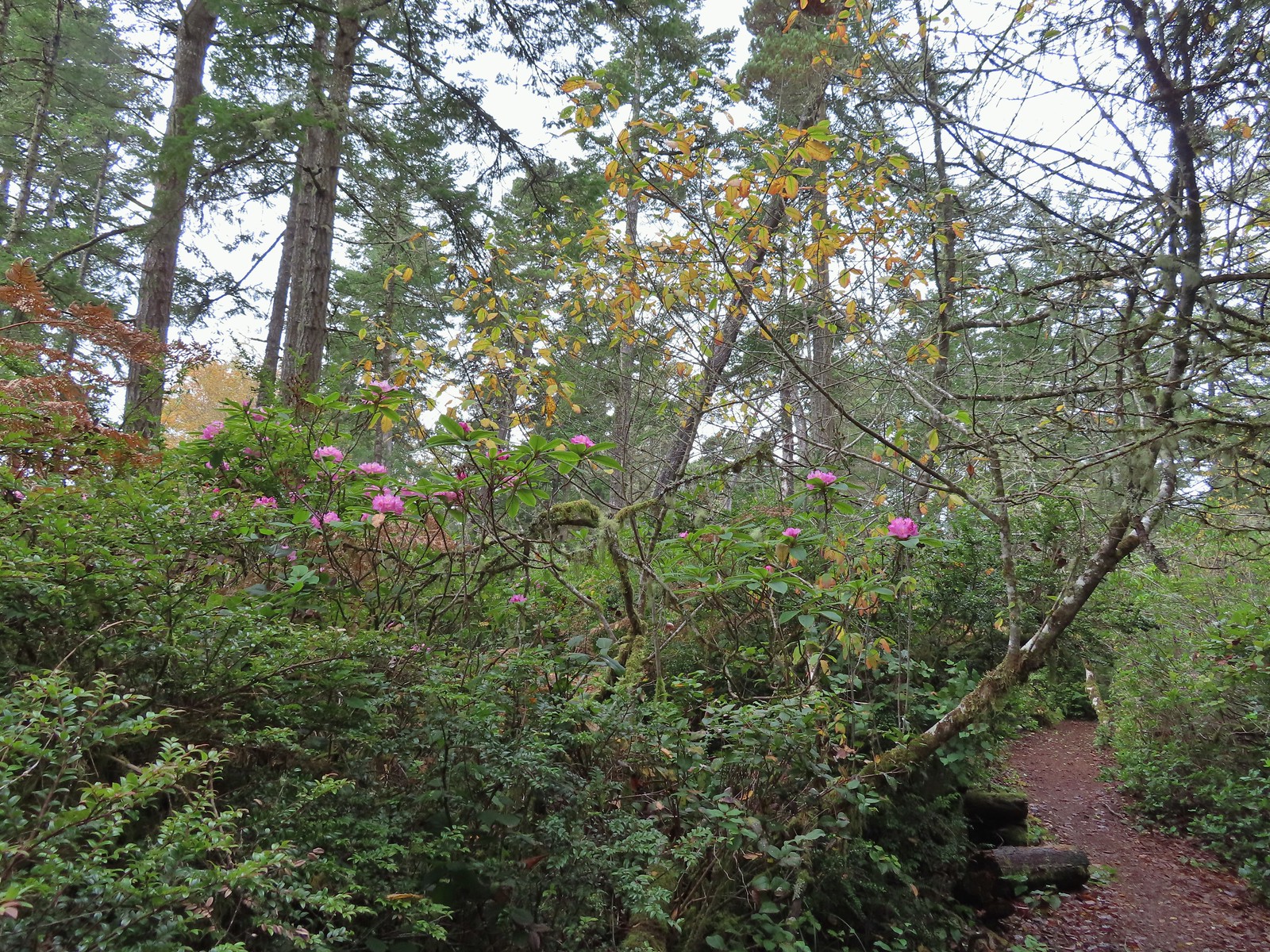 We hadn’t expected to see any blooming rhododendrons.
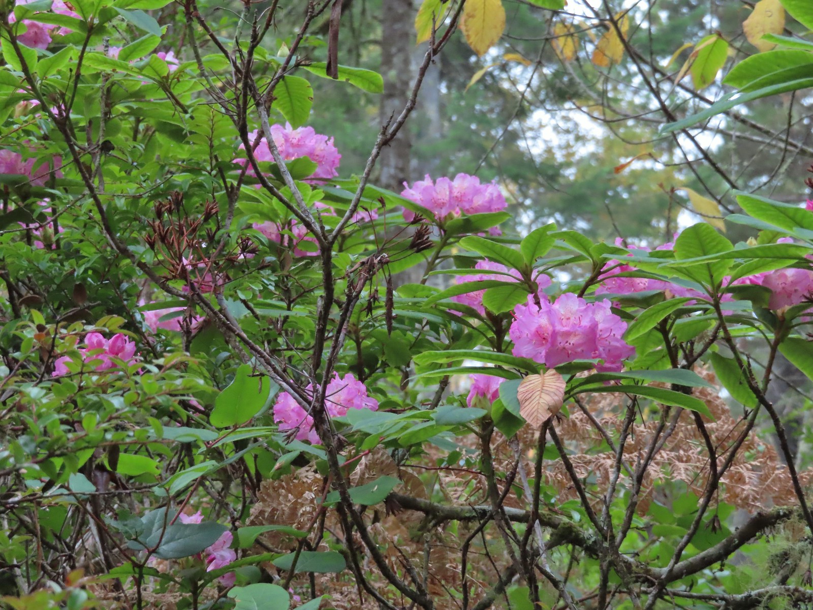
 Arriving at the signboards at the start of the loop.


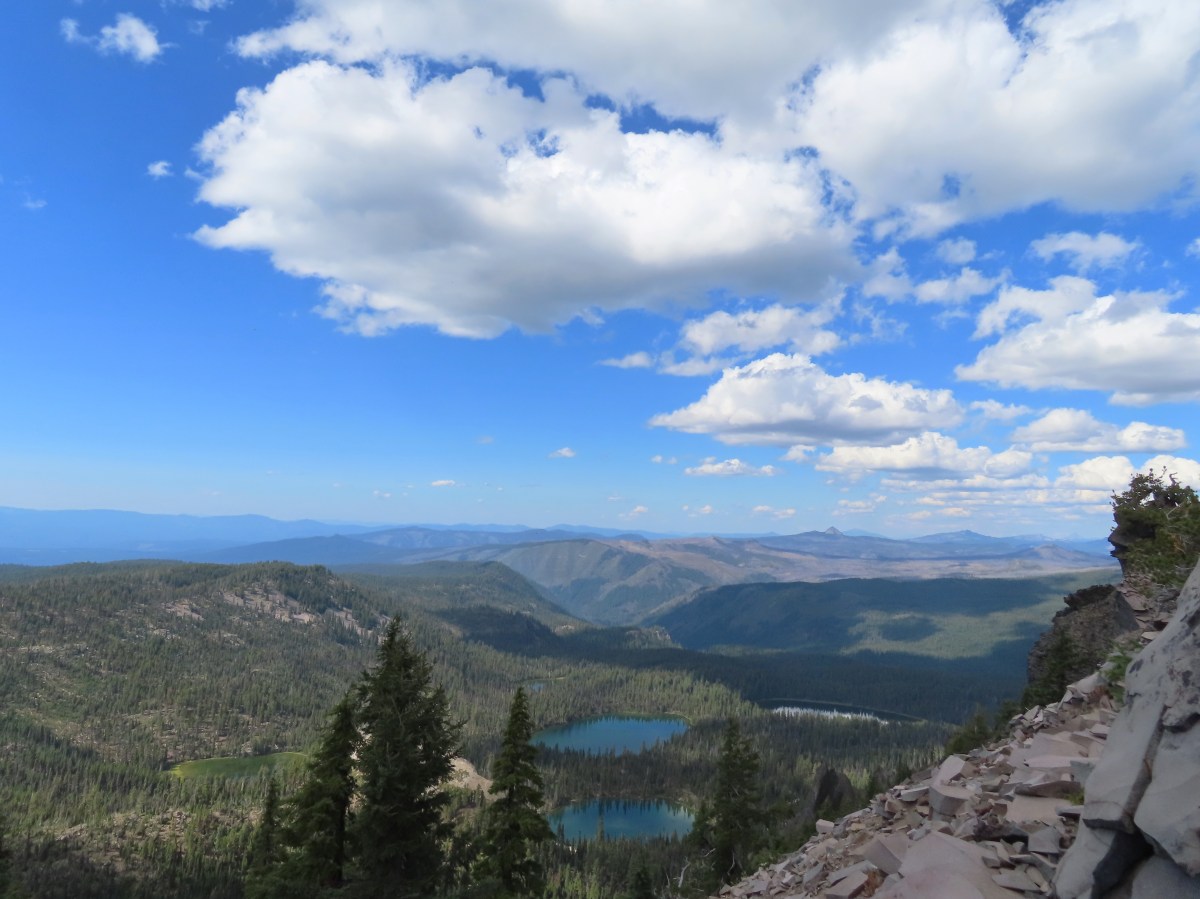
 Fall Creek Falls
 Yasko Falls


 Lower Table Rock
 View from Upper Table Rock


