
** Note the 2025 Burdoin Fire burned over parts of the route described here. **
We have spent much of our hiking “off-season” addressing long overdue house projects including replacing siding, windows, floors, and now countertops. Hopefully the projects will be done shortly after our official hiking season starts. In the meantime we welcomed the start of a new month with an outing to Lyle, WA for hikes on a pair of trails along the Klickitat River. Our first stop, on the west side of the river, was at the Balfour-Klickitat Trail. The site of a former ranch this day-use area includes a short interpretive loop, picnic tables, and a wildlife viewing path.

 Rowena Plateau and Tom McCall Point (post) on the Oregon side of the Columbia River
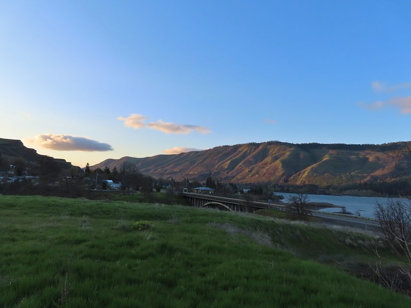
We headed counter-clockwise on the loop which provided views of the Columbia River and across the Klickitat to Lyle.

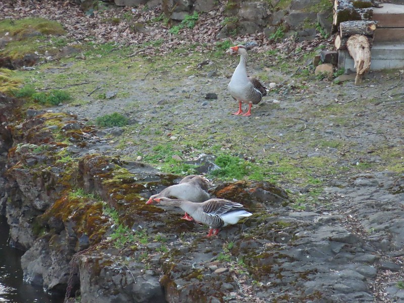
The trail then turned inland along the Klickitat where a noisy group of domestic geese drew our attention to a pair of common mergansers and great blue heron.


 A blurry heron along the river.
We spotted a number of smaller birds in the bushes and trees as we made our way around the loop. We also took a quick detour downhill to a picnic table overlooking the river.
 Acorn woodpecker
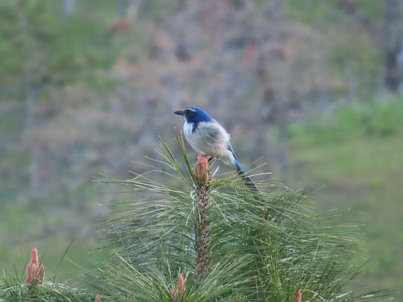 Scrub jay
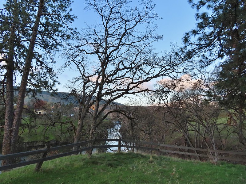 View from the picnic table.
A short time after returning to the loop we came to a sign for the Wildlife Viewing Area near a bench where we made another short detour.
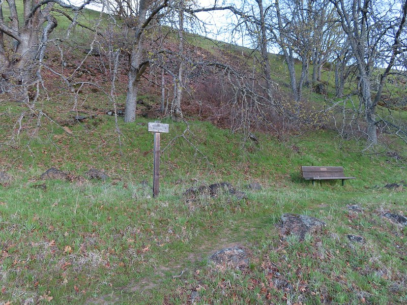
 This trail was not paved.
 Woodland-stars
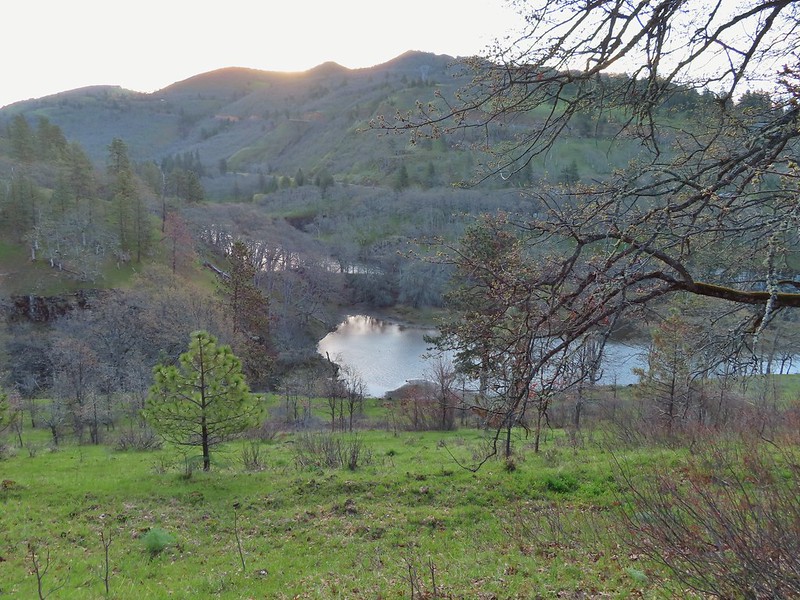 View from a bench at the end of the trail.
 Mallards on the water below.
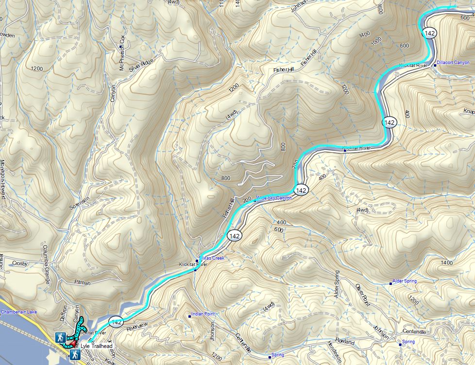
After checking out the wildlife viewing area we completed the 0.75 mile loop which brought our stop here to a total of 1.3 miles. We hopped in our car and drove across the river on Hwy 14 to the Lyle Trailhead. Here the 31-mile long Klickitat Trail begins. This Washington State Park trail follows the historic rail bed of the Spokane, Portland, Seattle Railway (SP&S). A 3 mile section of the trail north of Klickitat, WA is currently unhikeable due to a missing bridge over the Klickitat River effectively splitting the trail southern and northern sections of 13 and 15 miles respectively. We hiked 3.8 miles along the end of the northern section from Harms Road in 2014 (post).


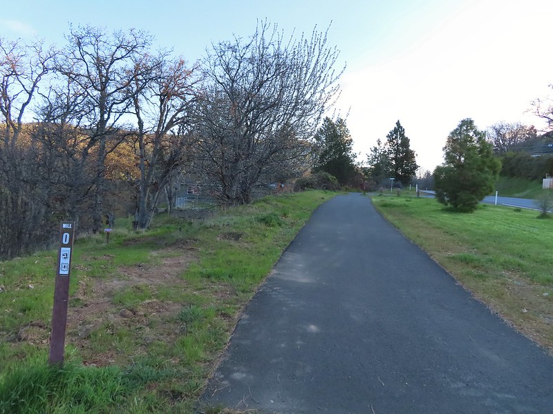 Starting at mile 0.
The trail starts by passing some private homes in Lyle but soon provides views down to the Klickitat River. Across the river we spotted a number of deer working their across the hillside and a bald eagle surveying the river below.

 Keep your eyes out for poison oak which was prevalent along the trail. Luckily the trail is nice and wide so avoiding it was easy enough.
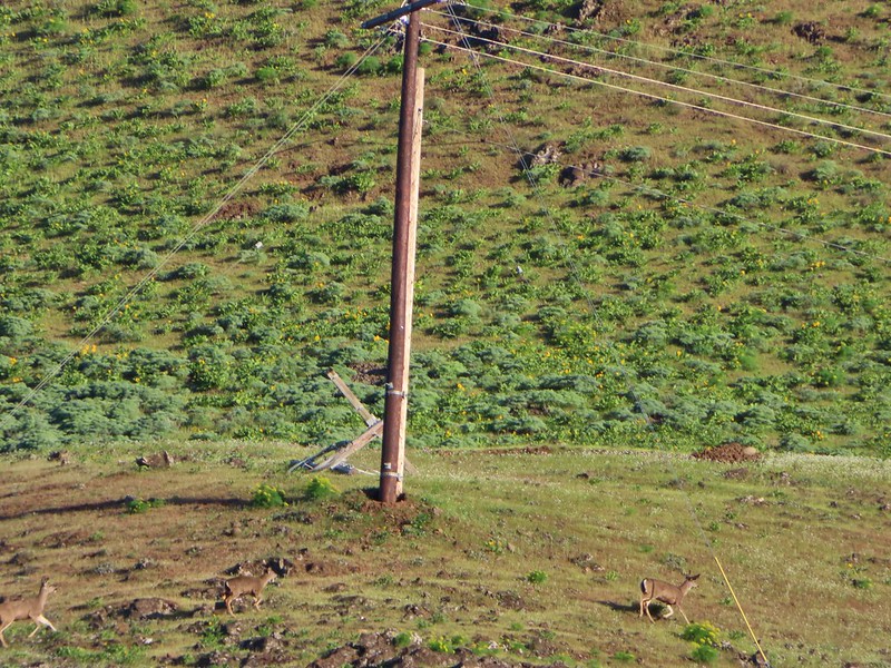 Heather spotted these three deer across the river.

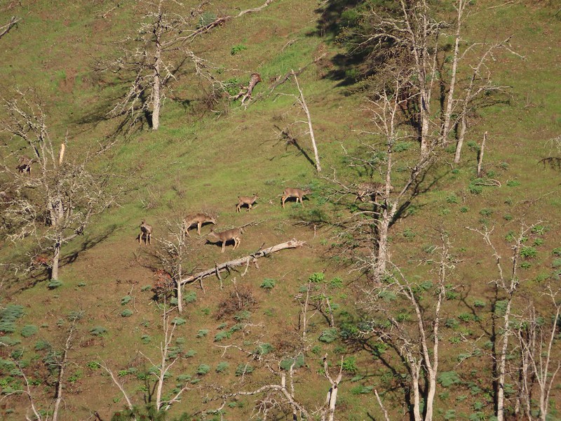 Another group of deer.
 Bald eagle
We had chosen this hike based on Matt Reeder’s entry in his “PDX Hiking 365” guidebook where he recommends a late March visit for wildflowers. We kept our eyes out for flowers as we went and were not disappointed.
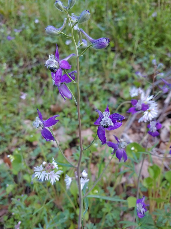 Larkspur and woodland-stars
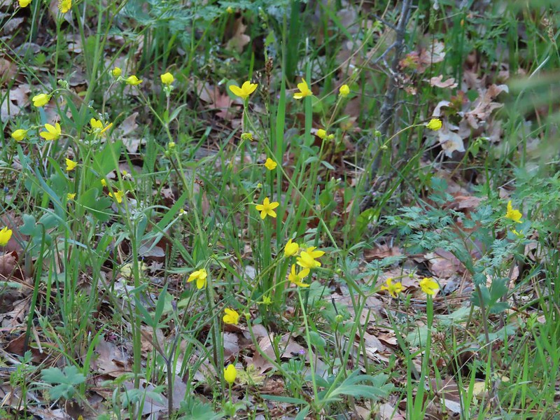 Buttercups
 Pacific hound’s tongue
 Milepost 1
 Saxifrage
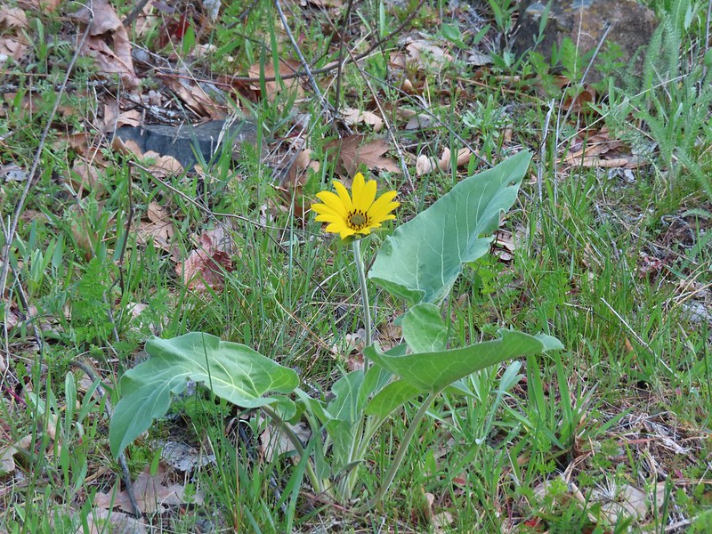 Balsamroot
At the 1.7 mile mark we crossed the river on a Fisher Hill Bridge. The view was great and included a series of small cascades on Silvas Creek.

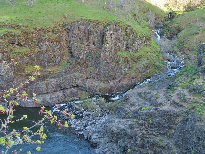 Silvas Creek

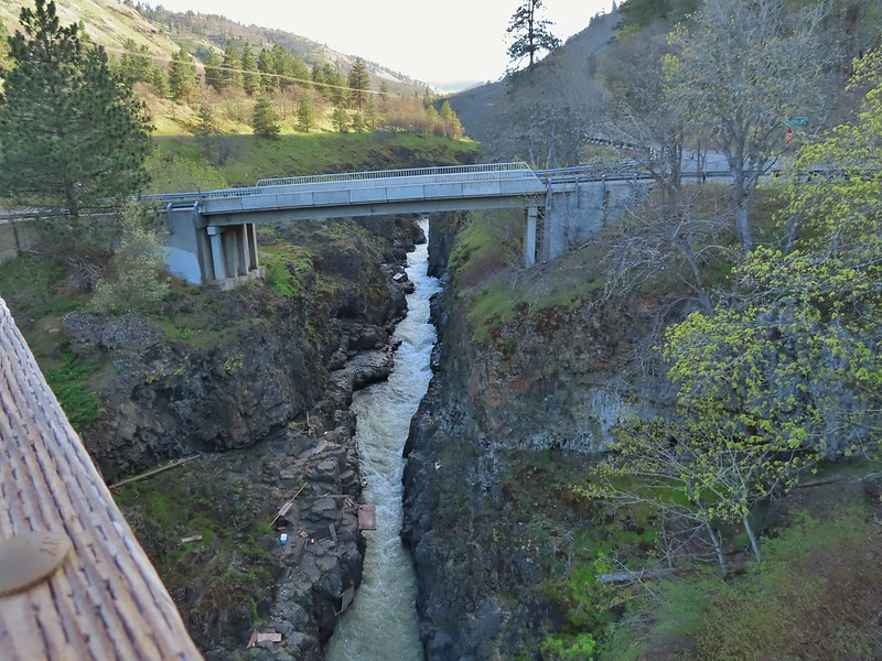
We continued north on the trail passing some nice views of the river which were briefly ruined by the smell of rotting flesh (fish?) which brought back memories of the decomposing whale we passed several years ago on our Floras Lake Hike (post).


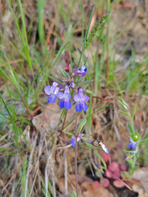 Blue-eyed Mary
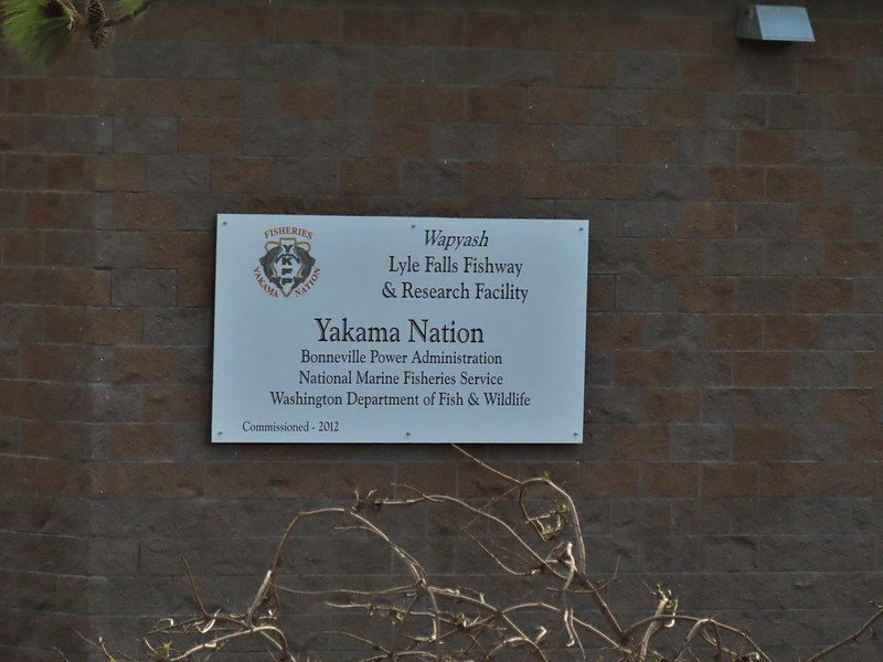
At mile two we passed the Lyle Falls Facility which is a fish monitoring station.


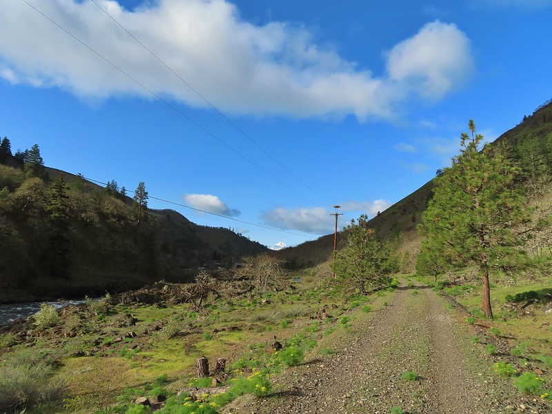
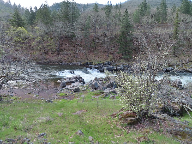
Beyond the fish facility the gap between the trail and the river closed and the views become even prettier.


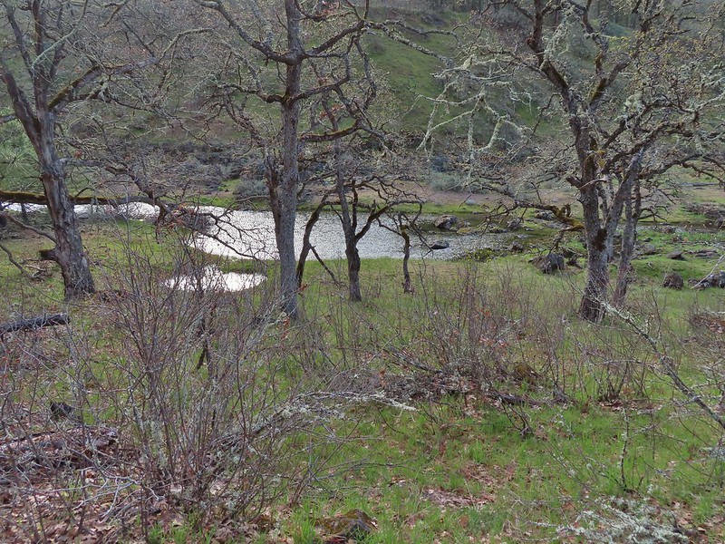 Seasonal pool along the trail.
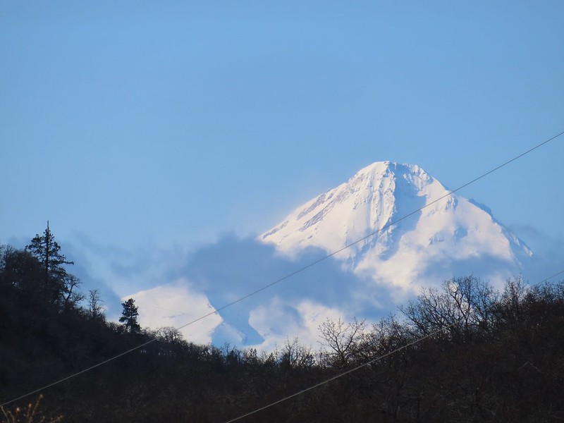
The only mountain view of the day was along this stretch with Mt. Hood making an appearance to the south.
 Common mergansers
A short distance upstream we passed a screw trap, an instrument used to trap and count young fish.

We continued upriver until we reached milepost 6 where we called it good and turned around. I had gotten myself confused by misreading Reeder’s hike description and thought that there was another bridge around the 5 mile mark and had originally planned to turn around at that but since it didn’t exist (and we didn’t realize that until after passing MP 5) we made MP 6 the turnaround marker.

 Popcorn flower
 Columbia desert parsley
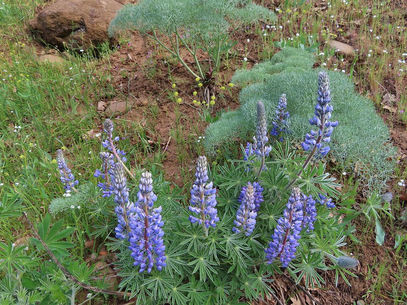 Lupine
 Balsamroot
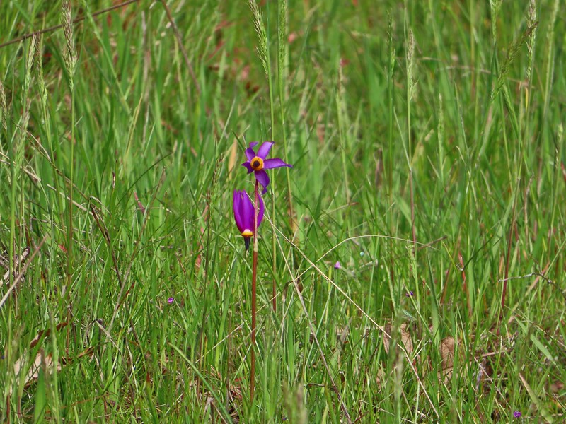 Shooting stars
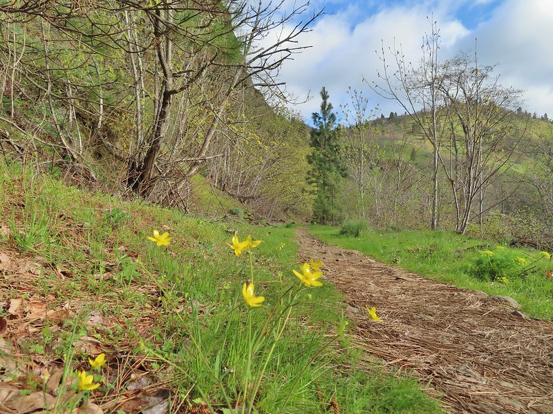 Buttercups
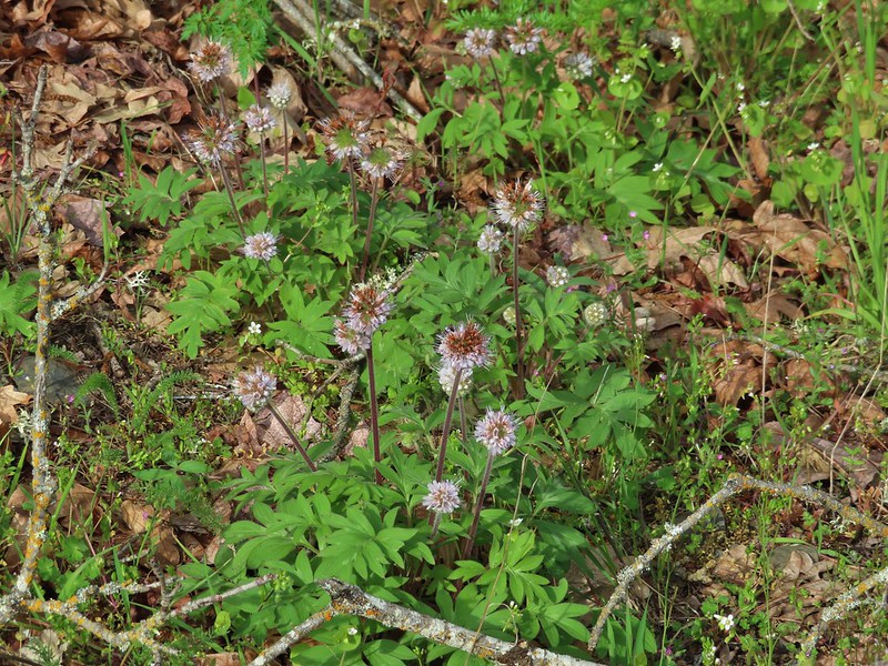 Waterleaf
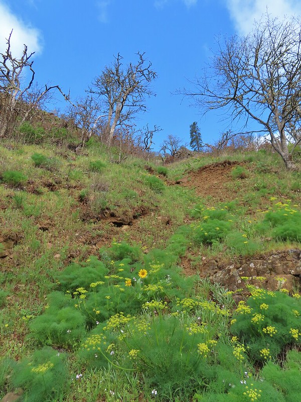 A balsamroot amid pungent desert parsley
 Big-leaf maple trees lining the trail.
 Big-leaf maple blossoms
 Gold stars
 Larkspur, poison oak, and buttercups

 Spotted towhee

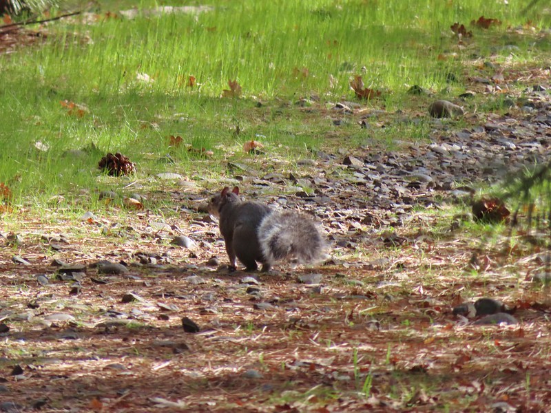 Squirrel
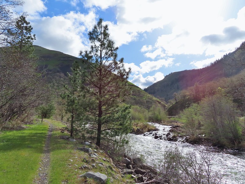 Dillacort Canyon
 Red-stem storksbill

After turning around we took a brief break on a rocky beach near MP6.

On our way back it had warmed enough for the butterflies (and moths) to come out and we watched for them along with anything we’d missed on our first pass.
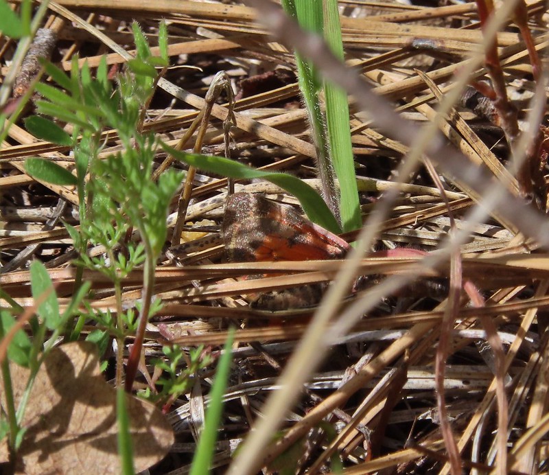 Couldn’t get a good look at this small moth but it was pretty.
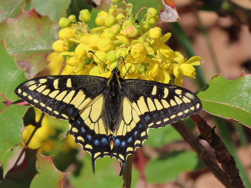 Anise swallowtail
 Sara’s orangetip
 Grass widow
 Slender phlox
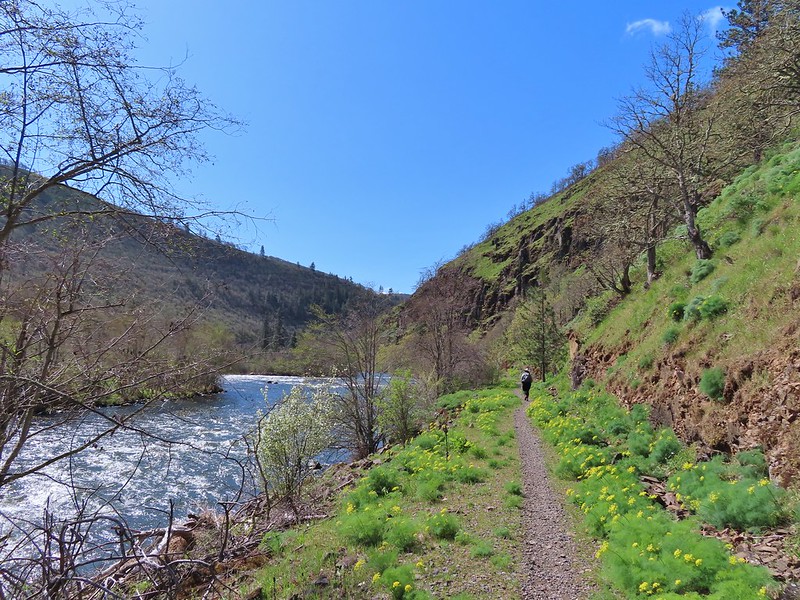 Heading back.
 Immature bald eagle
 Propertius duskywing – Erynnis propertius
 The mergansers had moved to the near bank.
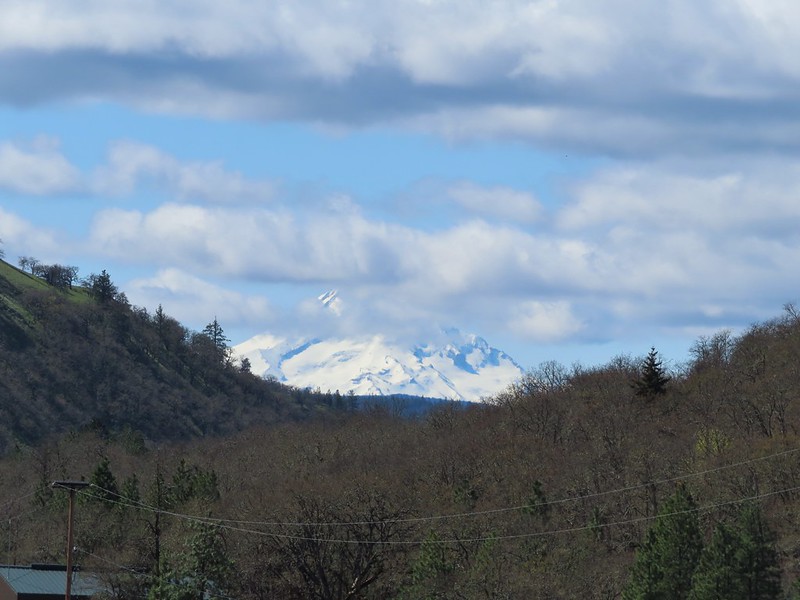 Hood behind some clouds.
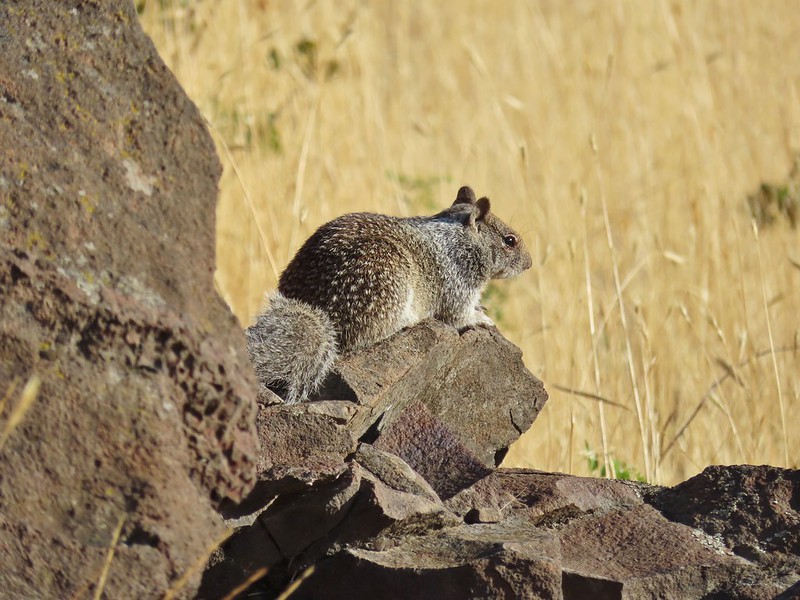
 Ground squirrel
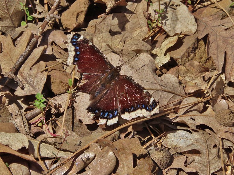 Mourning cloak
 Lizard


View from the Fisher Hill Bridge in the afternoon.
 Arriving back at the Lyle Trailhead.
Some backtracking and detours brought our hike to a little over 12.5 miles here giving us close to 14 miles on the day with only a couple of hundred feet of elevation gain.
Rattlesnakes and ticks are present in the area but we encountered neither on this day. It was a nice break from the projects at home and a good way to end our off-season. Happy Trails!

 Heading down the connector trail.
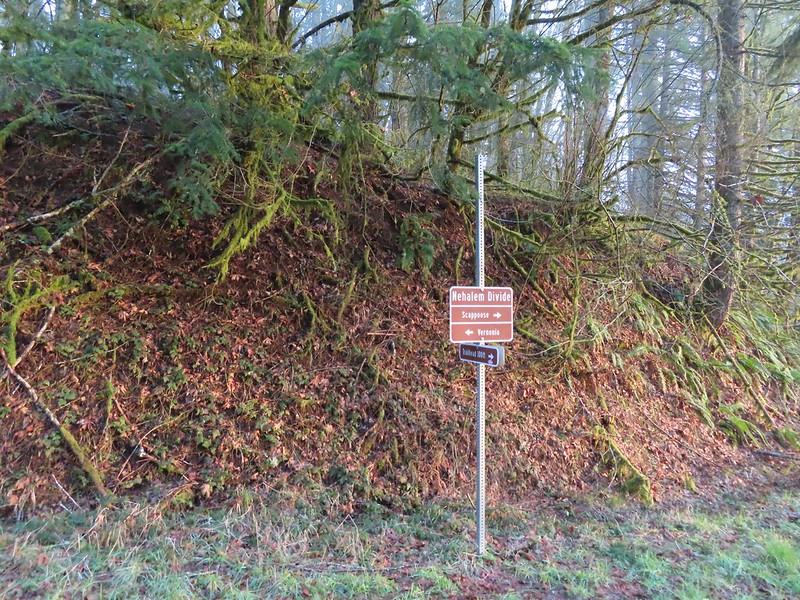 Trial sign at the jct with the CZ Trail.
 CZ Trail passing under the highway.

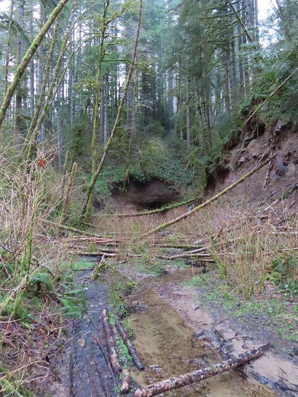

 Light from the eastern portal is visible at the other end but the tunnel is not safe to enter without at least a hard hat.

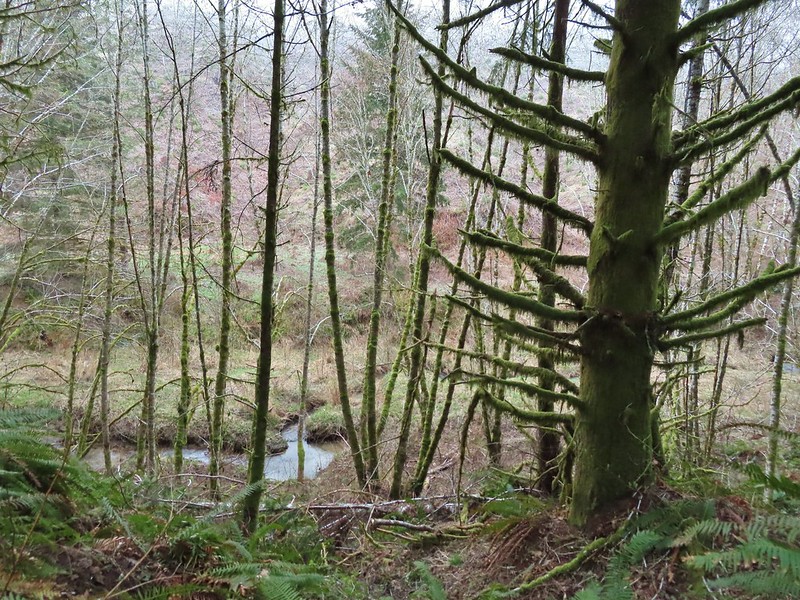 The East Fork Nehalem River next to the trail.
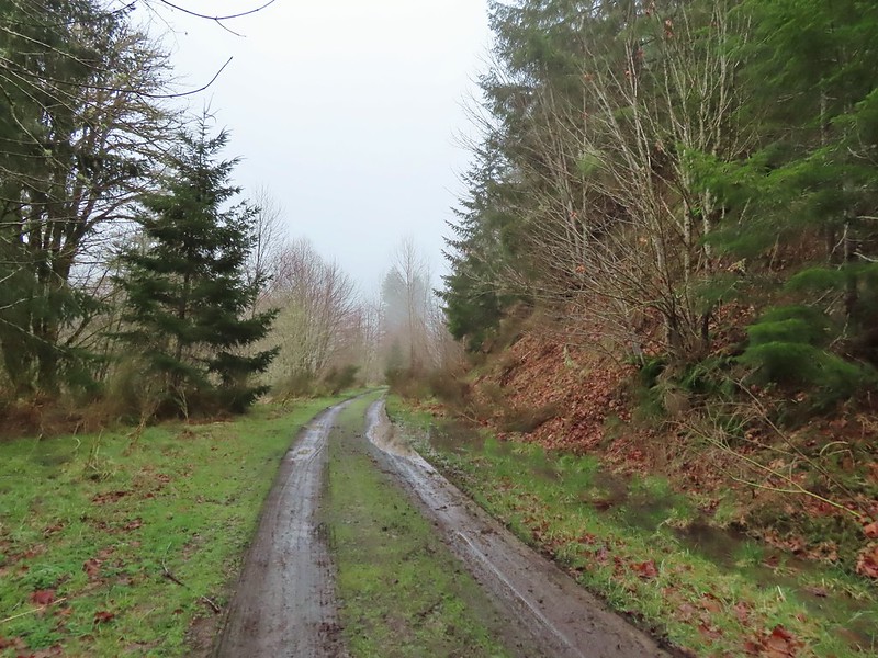 It was a little muddy in places.
 Another of several interpretive signs along the trail.
 Not much in the way of flowers yet but there were a few indian plum starting to blossom.


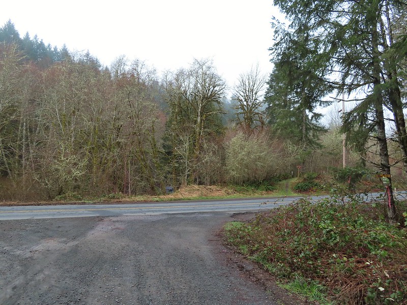


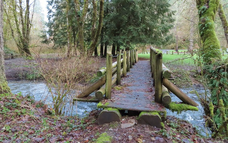
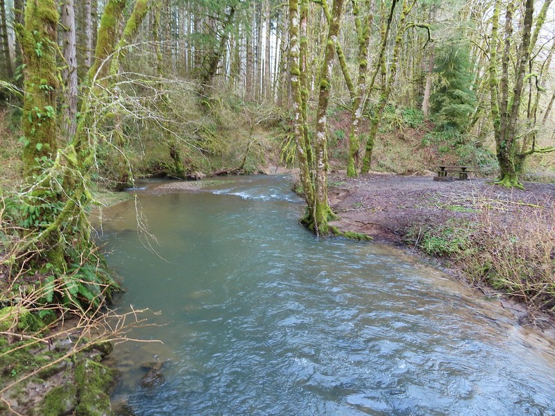 East Fork Nehalem River
 Pointer for the CZ Trail in Scaponia Park

 American kestral
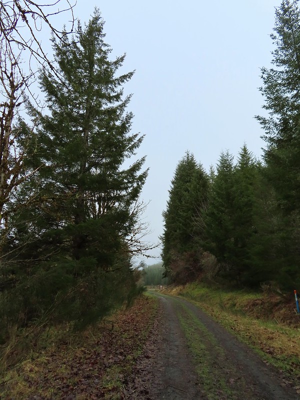

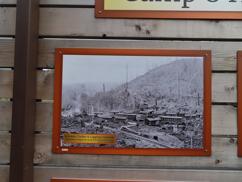
 Robin in the meadow that once was Camp 8.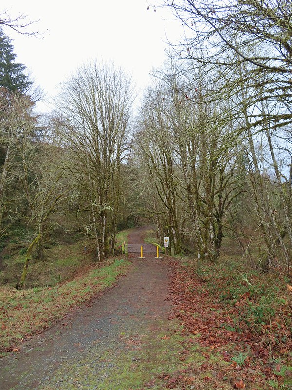

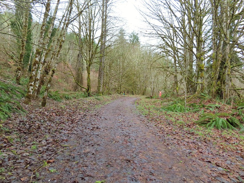 The orange mile marker 19 ahead.
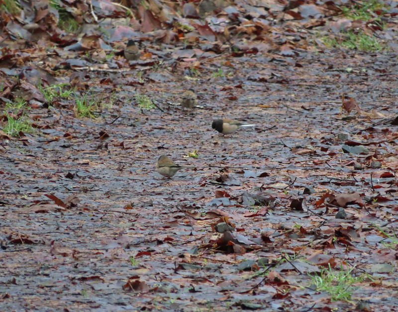 Juncos
 Another not great picture of a varied thrush.
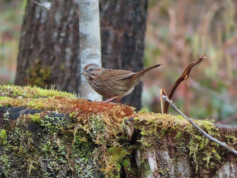 Sparrow


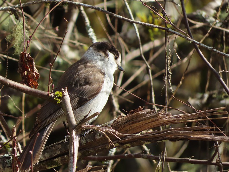 A grey jay enjoying the emerging sunlight.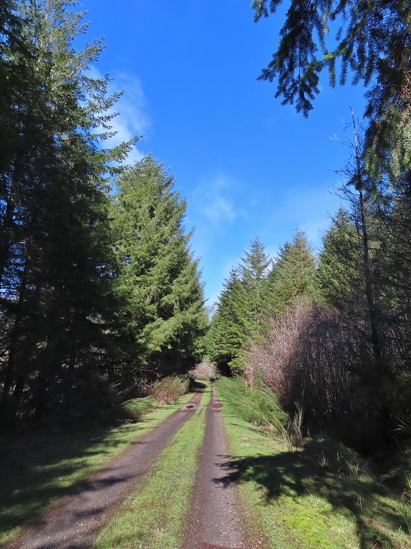
 Blue sky near the Floeter Trailhead.

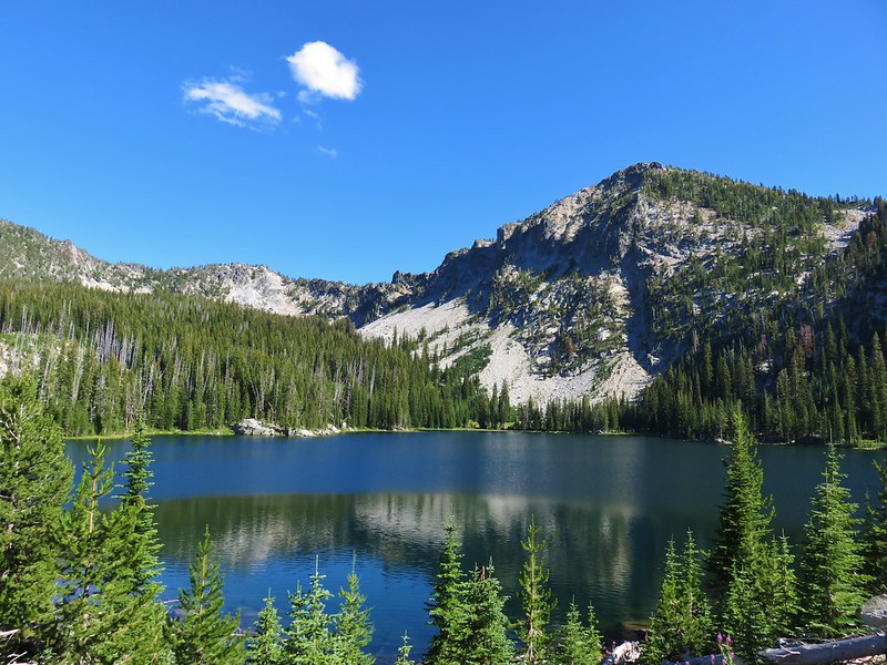 Summit Lake, Elkhorn Mountains
 Wildflowers on the summit of Mary’s Peak
 Mt. Hood from Yocum Ridge
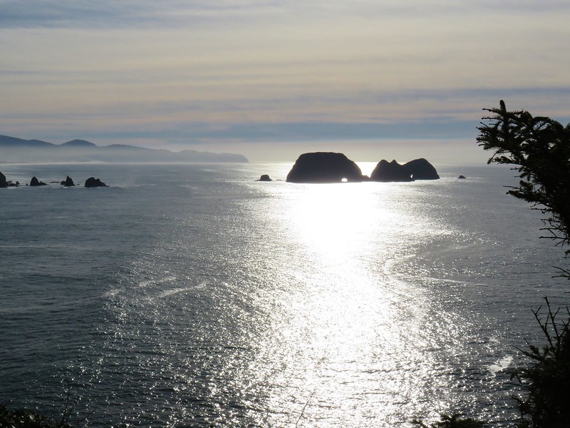
 Ecola State Park
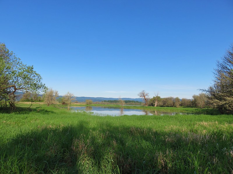 Oak Island
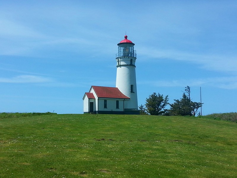
 Cape Arago Lighthouse
 Independent Mine Trail, Ochoco National Forest
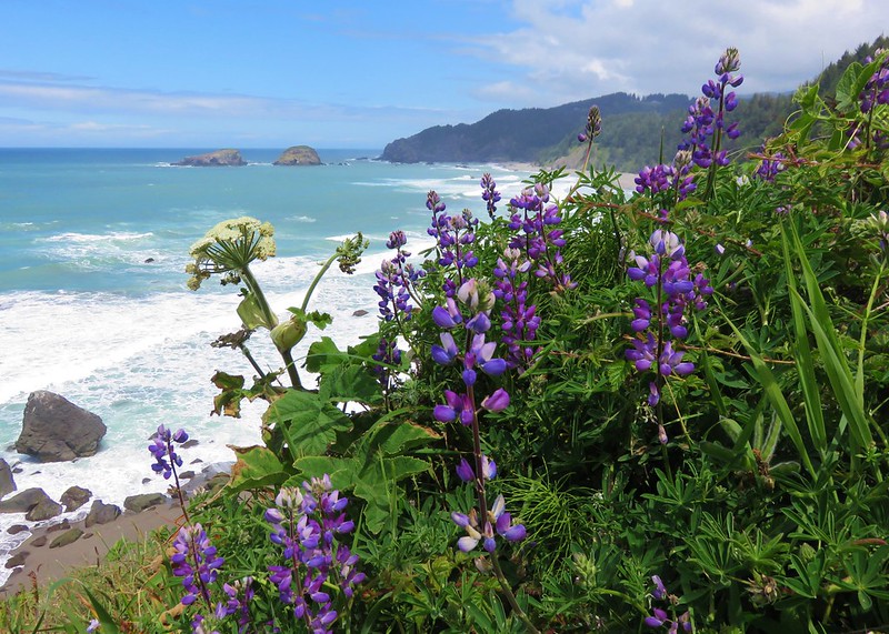 Boardman State Park
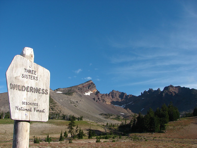
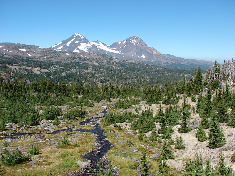 Three Sisters Wilderness
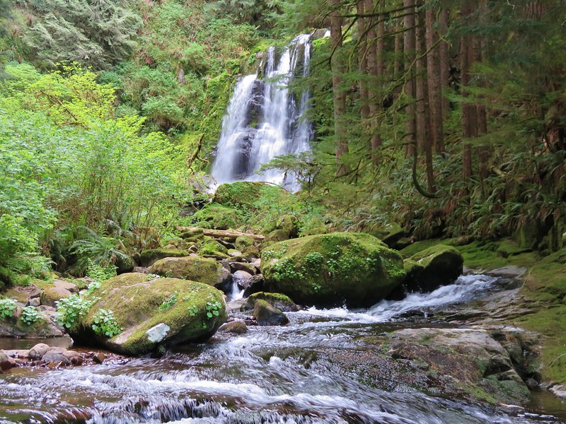 Upper Kentucky Falls
 Esau Canyon
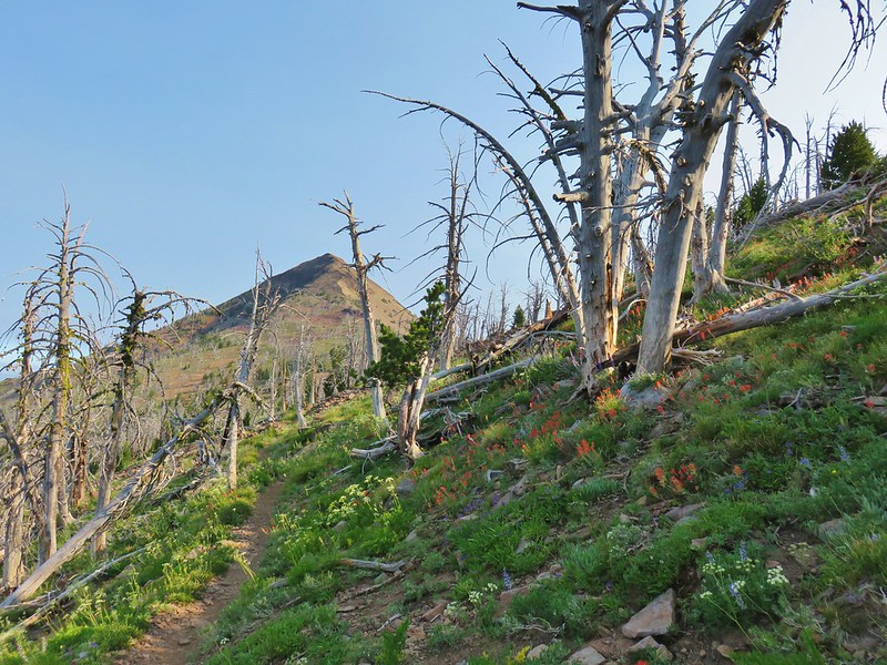 Strawberry Mountain
 Borax Springs Trailhead
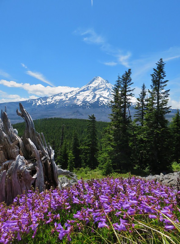 Mt. Hood from Owl Point
 View from Lower Table Rock
 Mount Jefferson Wilderness
 Paradise Lose, Oregon Caves National Monument
 Crater Lake National Park
 Hart Mountain National Antelope Refuge
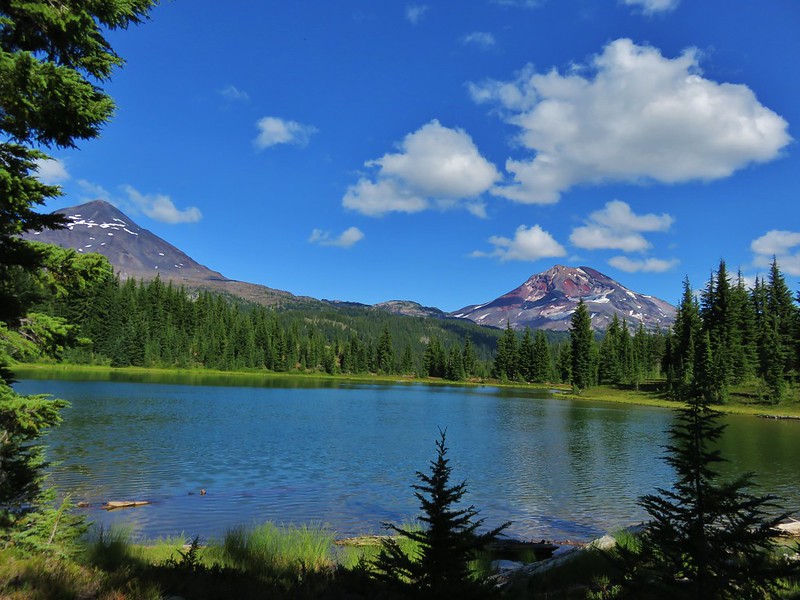
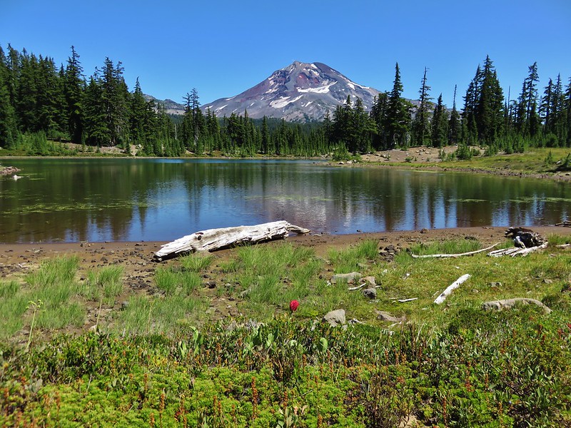 South Sister from Husband Lake
 God’s Thumb
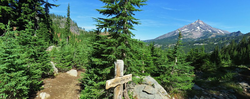 Mount Jefferson Wilderness
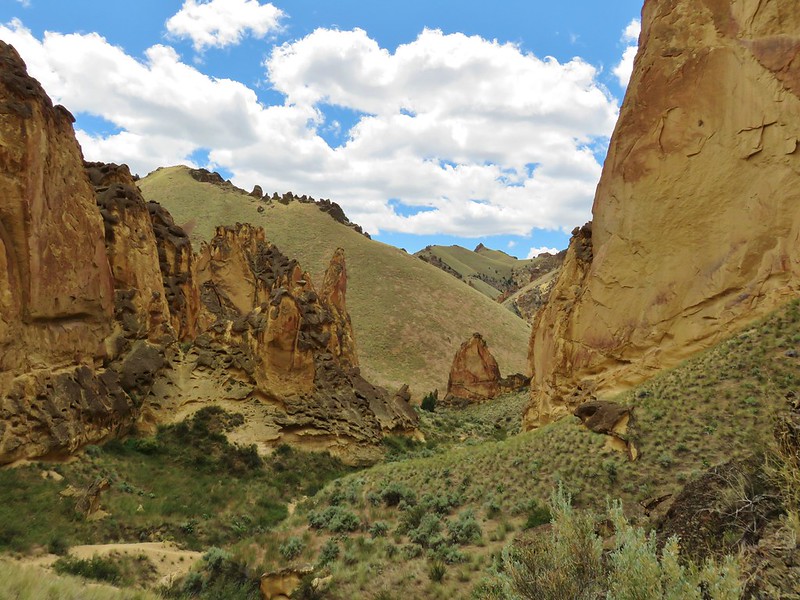 Timber Gulch
 Sawmill Falls
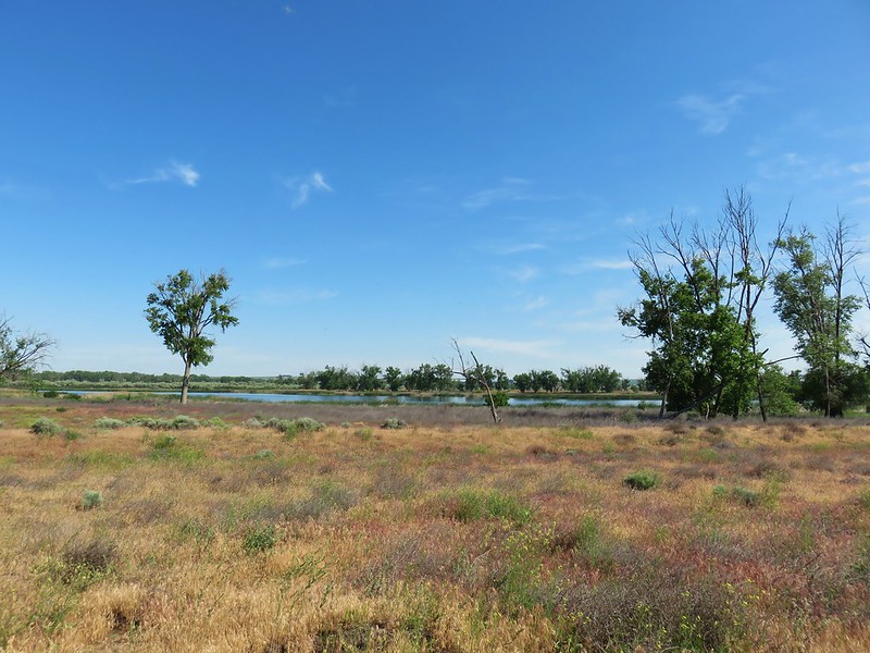 McCormack Slough
 Upper McCord Falls
 North Fork Siletz River
 Deschutes River State Recreation Area
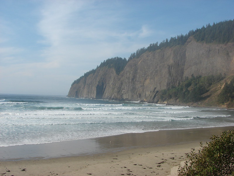 Cape Lookout
 North Fork Umatilla Wilderness
 Glacier Peak from Eagle Cap, Eagle Cap Wilderness
 Eagle Cap Wilderness
 Rowena Plateau
 Haag Lake
 Painted Hills, John Day Fossil Beds
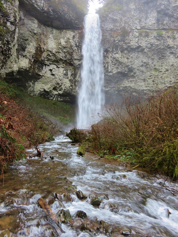 Niagara Falls
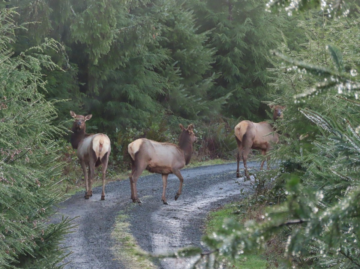
 Permit info at the gate.
 Looking back to the gate from Road 200.
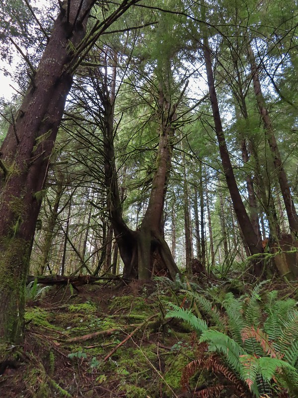 It’s hard to get an idea of size here but the two trees growing over the large nursery stump were good sized.
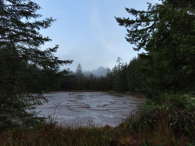

 Hooded Mergansers
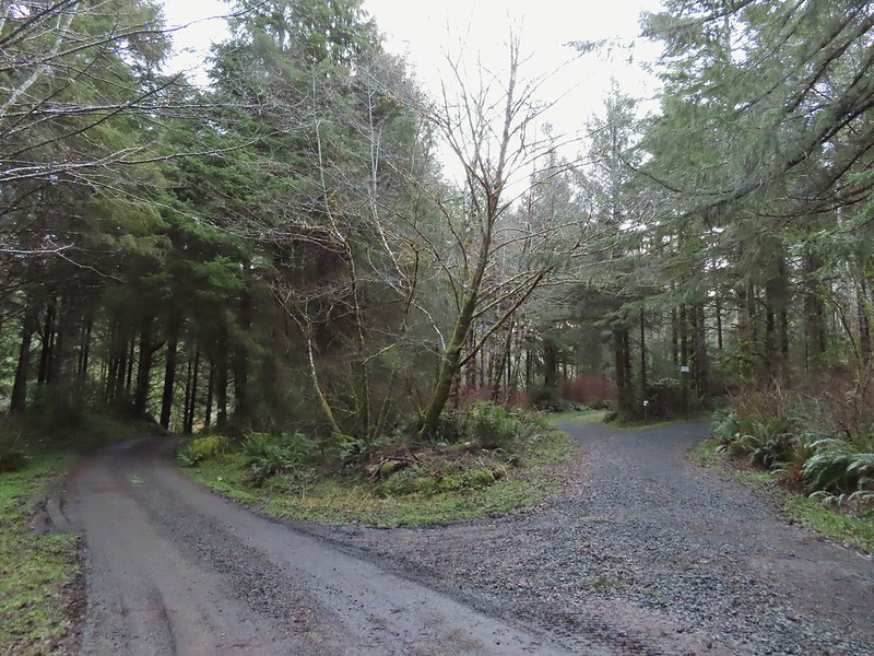 Road 200 to the left.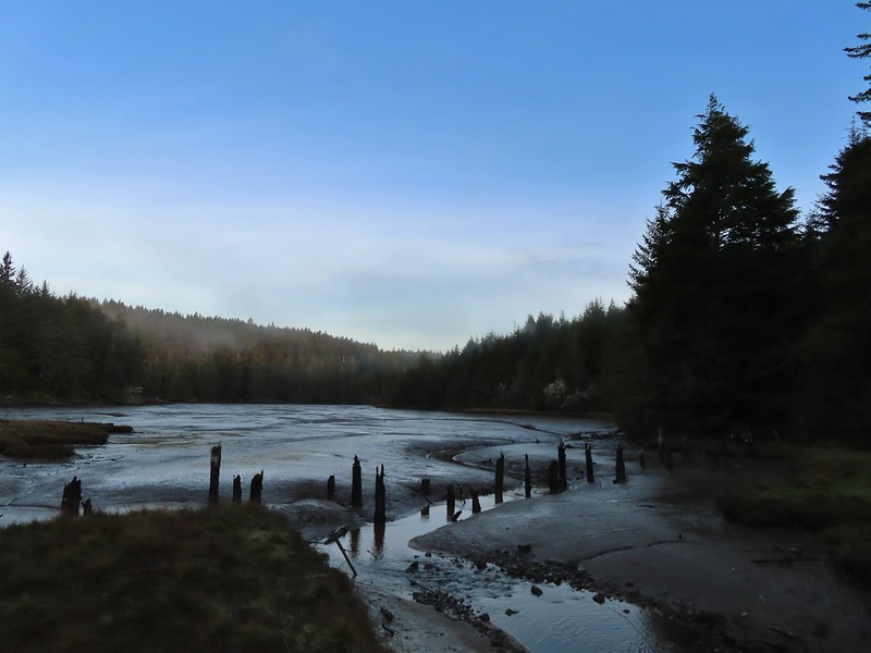

 Upper end of the 3rd World Trail.
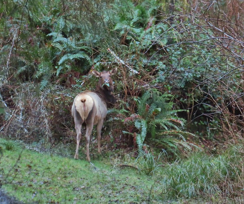
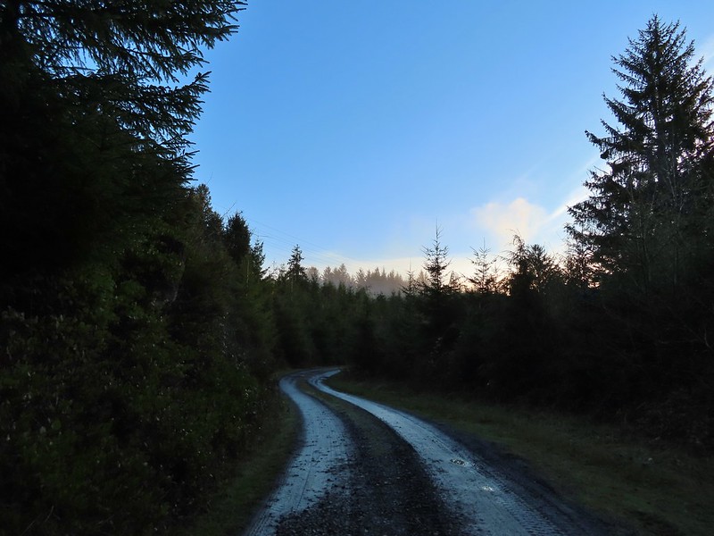
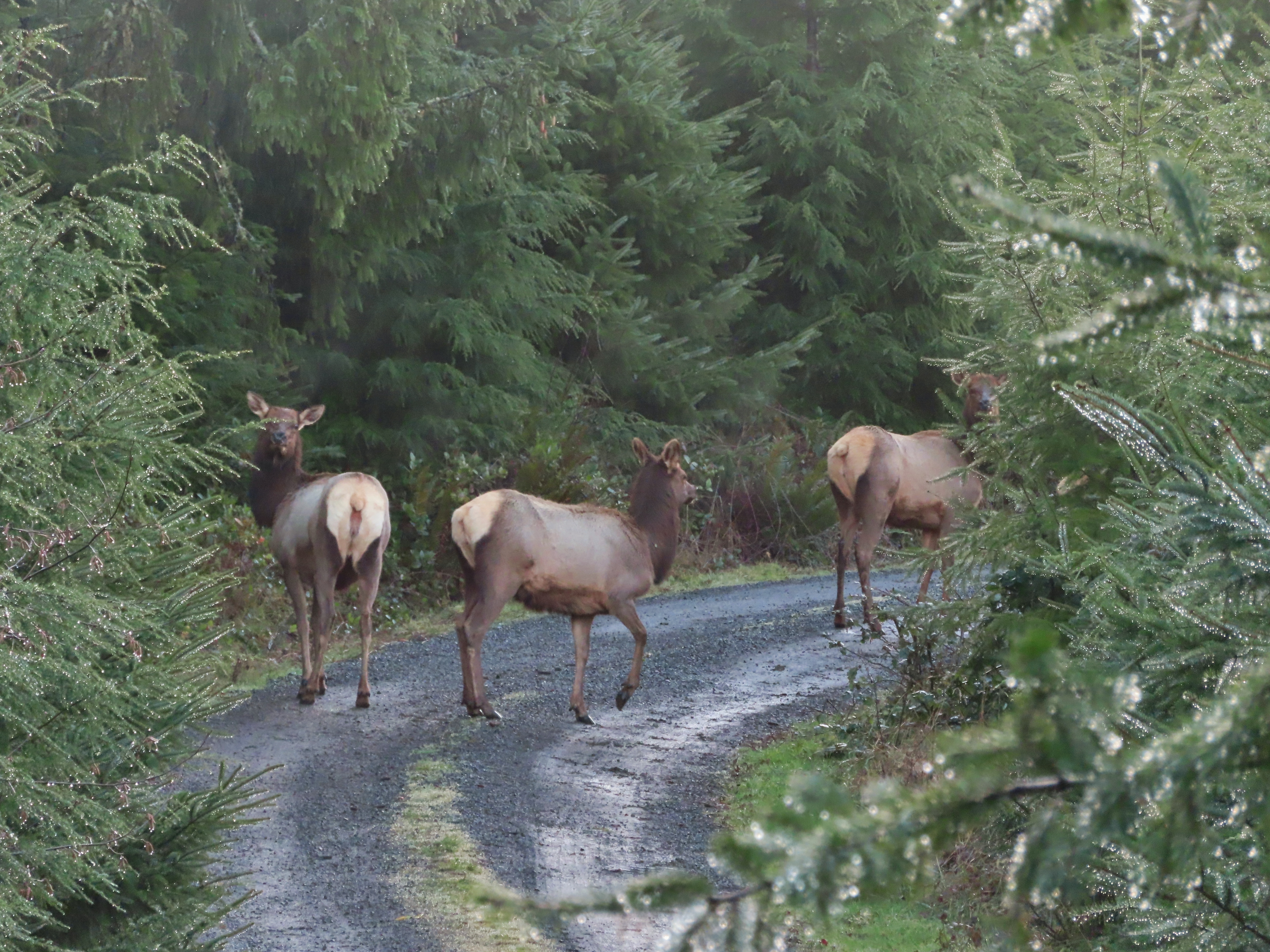
 Approaching the ridge top.

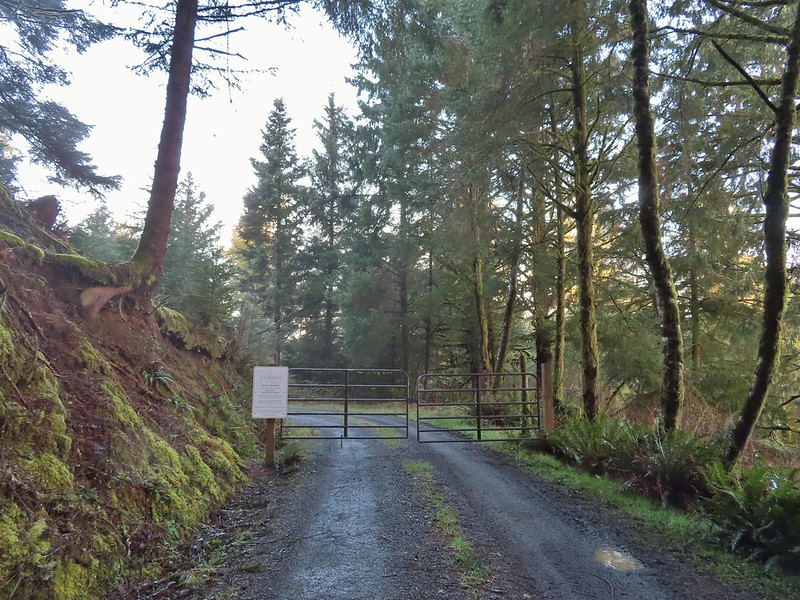
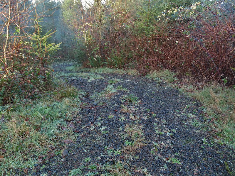 Heading off the main road.

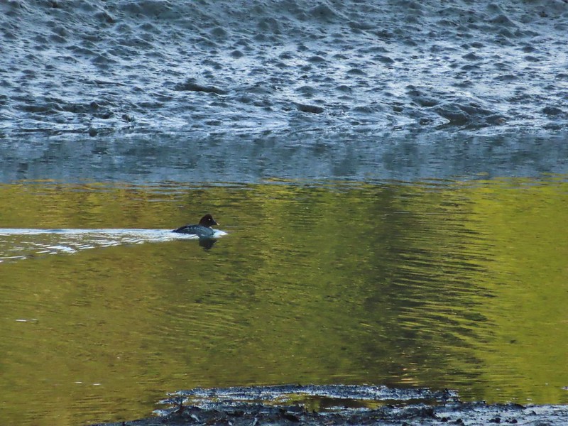 Common goldeneye
 Great blue heron and buffleheads
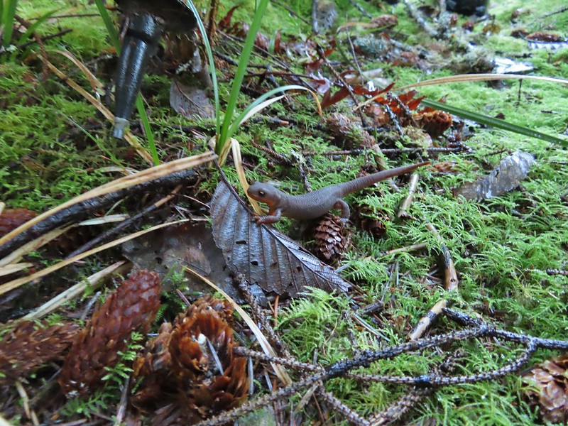 Rough skinned newt
 Coral fungus
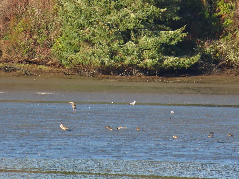 Northern pintail, heron, seagulls and some green winged teals.
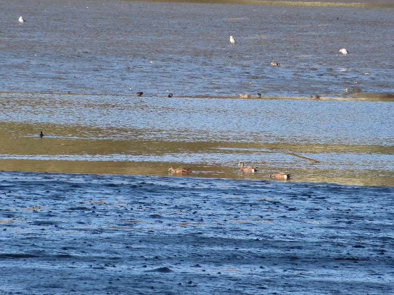 American wigeons
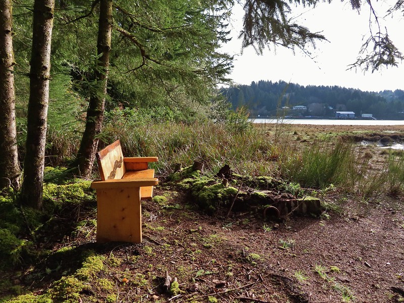
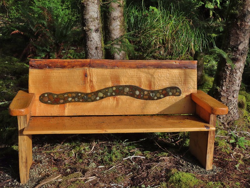
 One of a number of unique benches located along the trails.
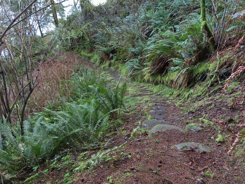 Stone steps
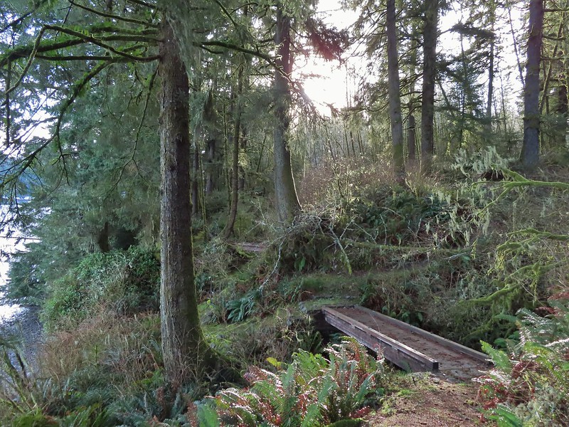 A pair of footbridges.
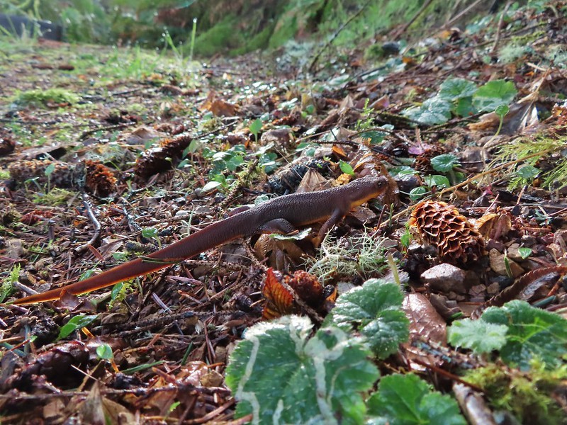 Another rough skinned newt, there were many.
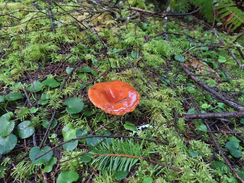
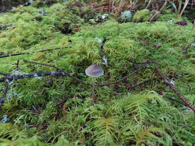 Mushroom
 Another bench at a viewpoint.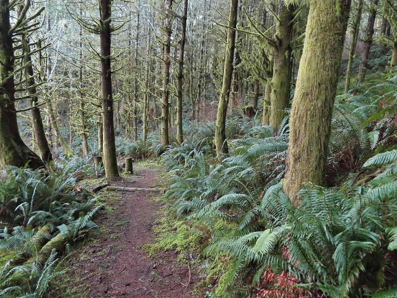

 Several benches were inlaid with rocks such as this which was a really neat feature.
 Small footbridge ahead.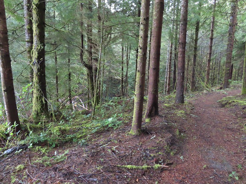
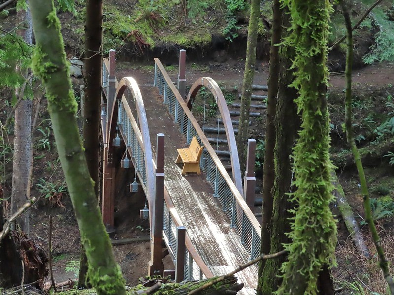
 Yakona Bridge.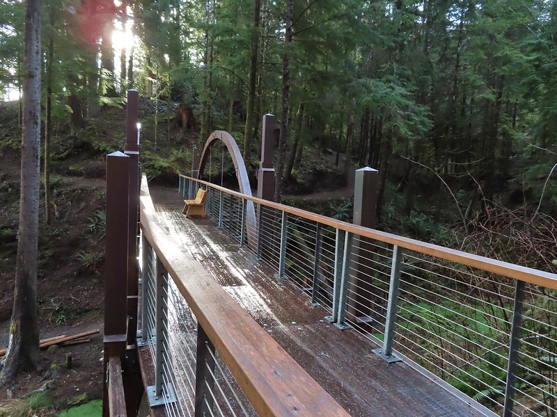
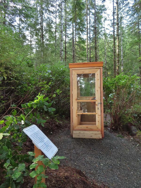
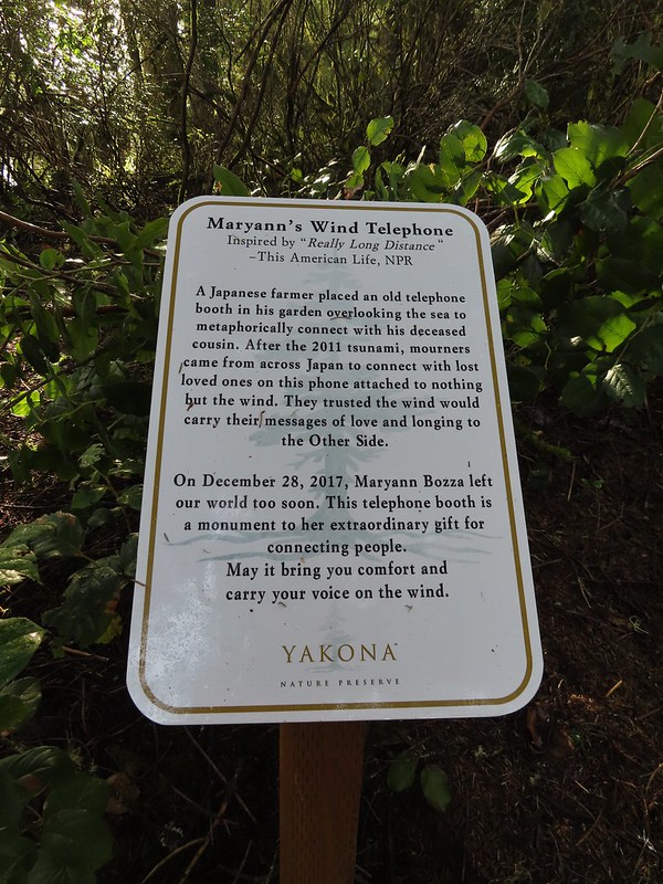 Informational sign for the wind phone.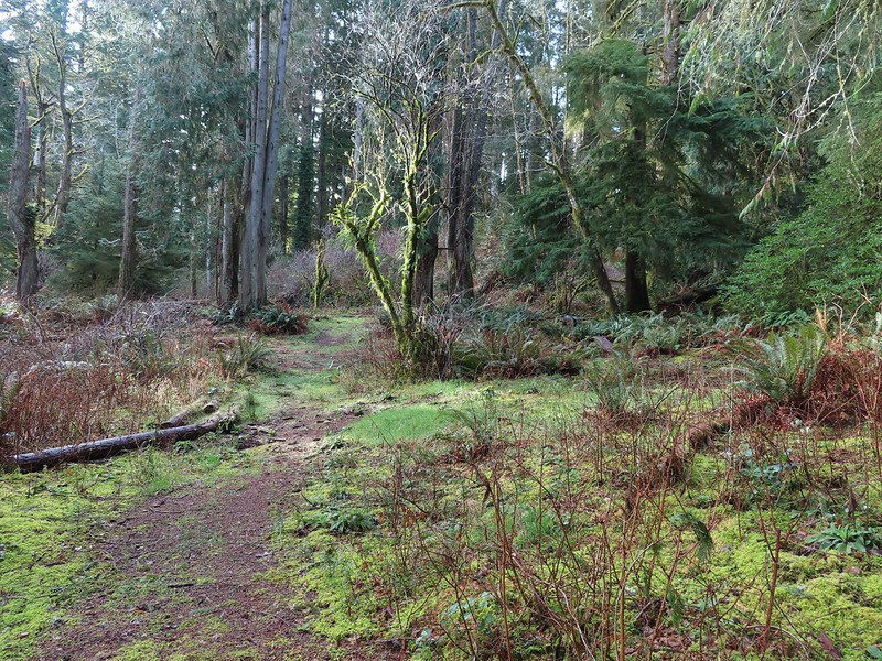
 This trunk had split into four.

 Dropping down to another estuary.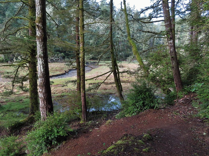
 Back up we go!
 Found the road.
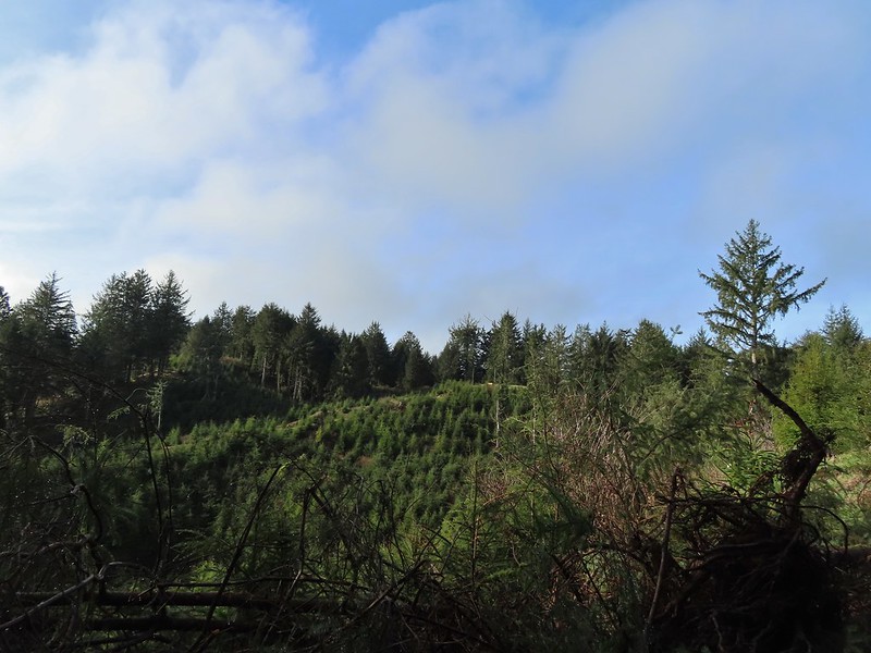 Bench on the far hillside above the clear cut.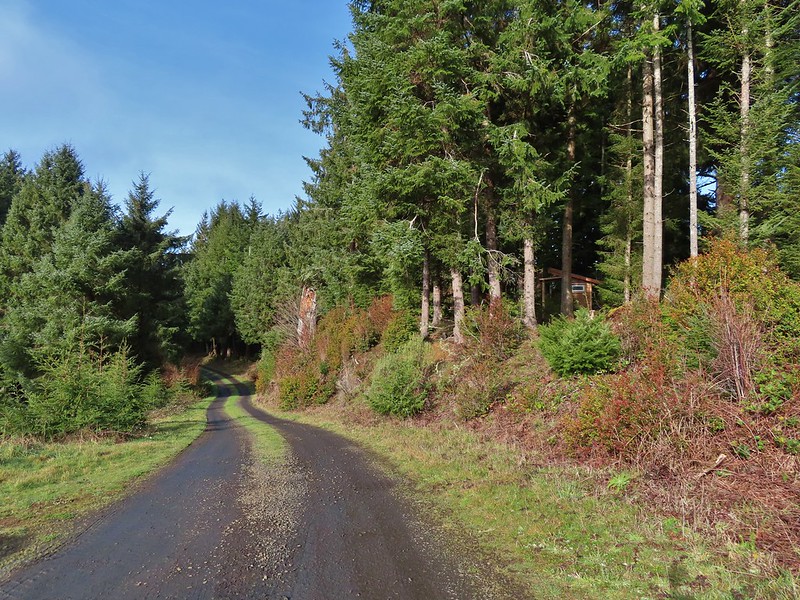
 Short path to the bench.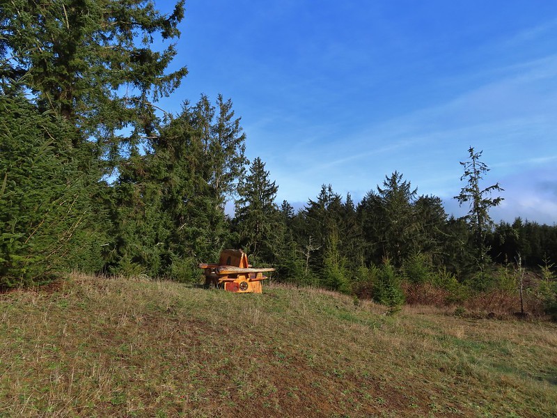

 One of the trails.

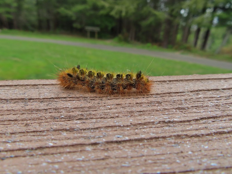
 A rather damp woolly bear caterpillar.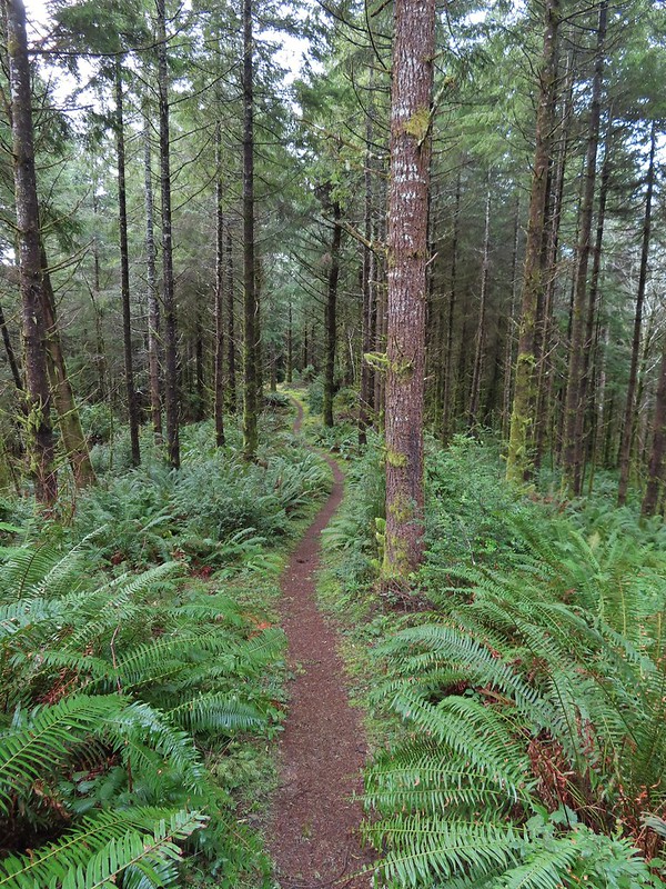
 Back to Road 200 near Kings Slough.



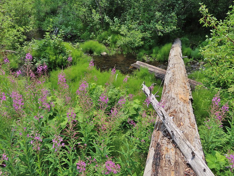

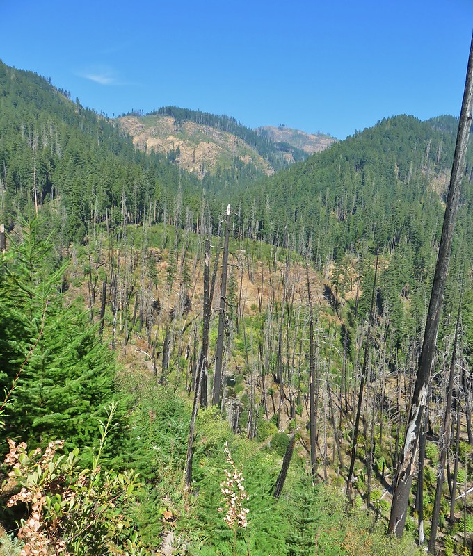
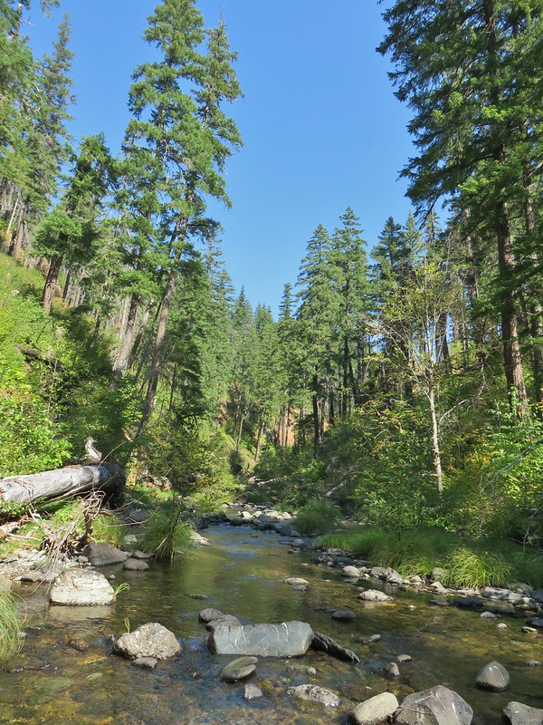
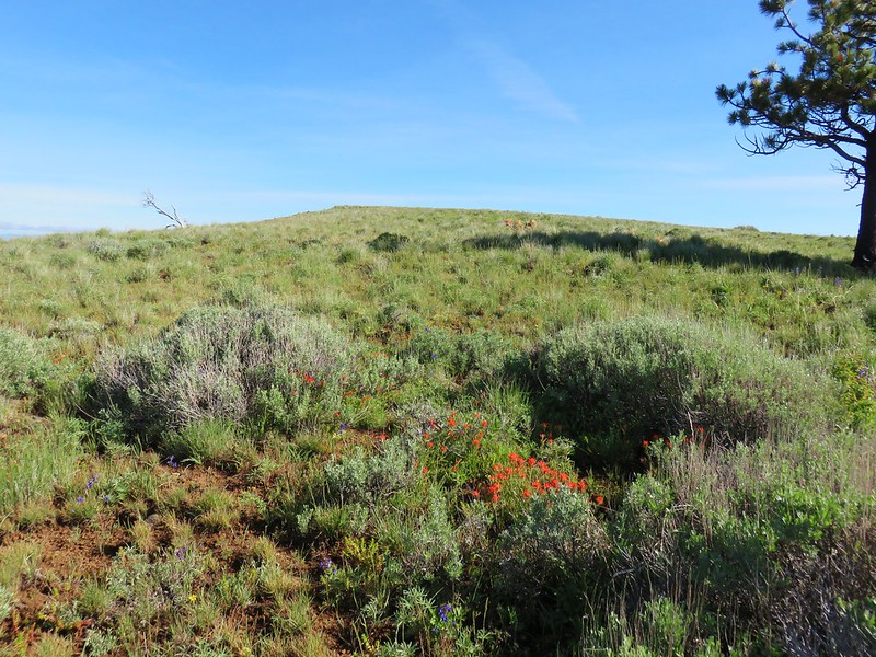
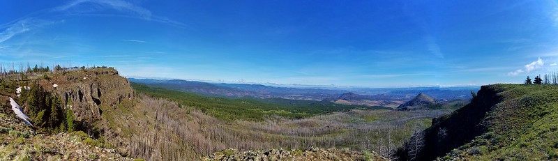
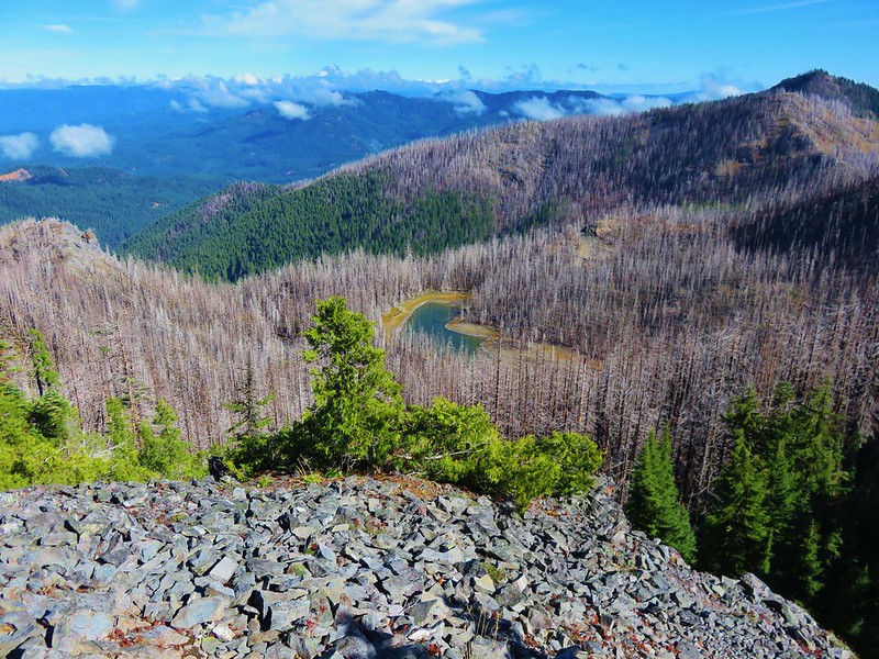
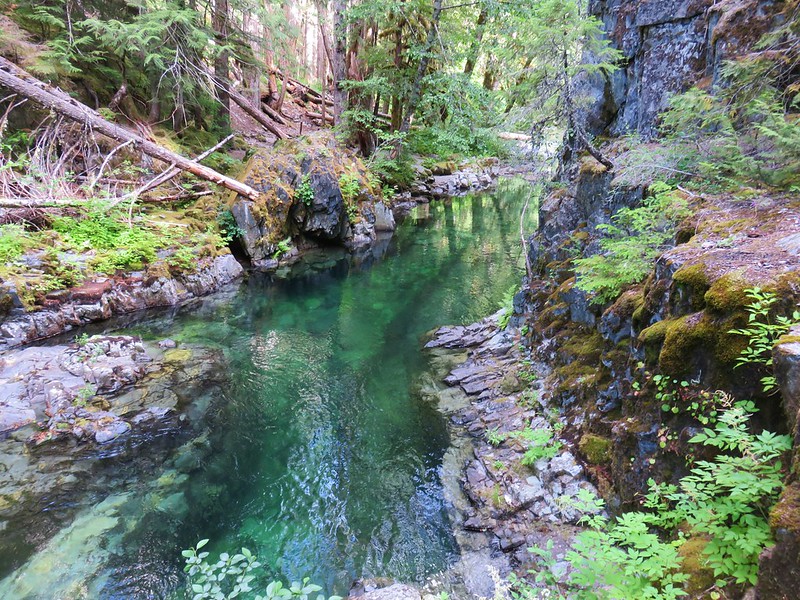


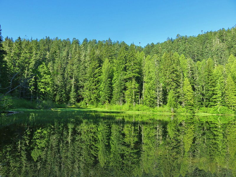
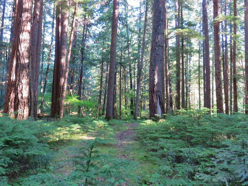

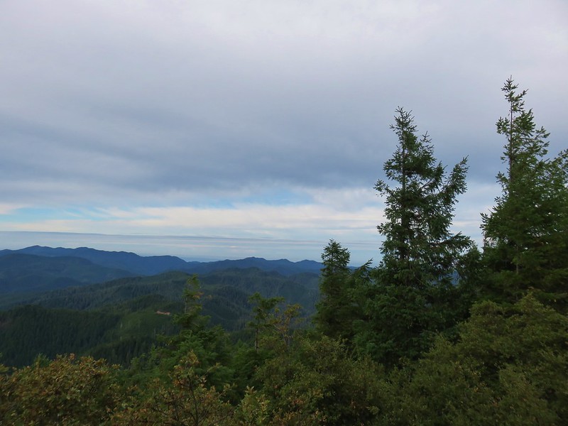

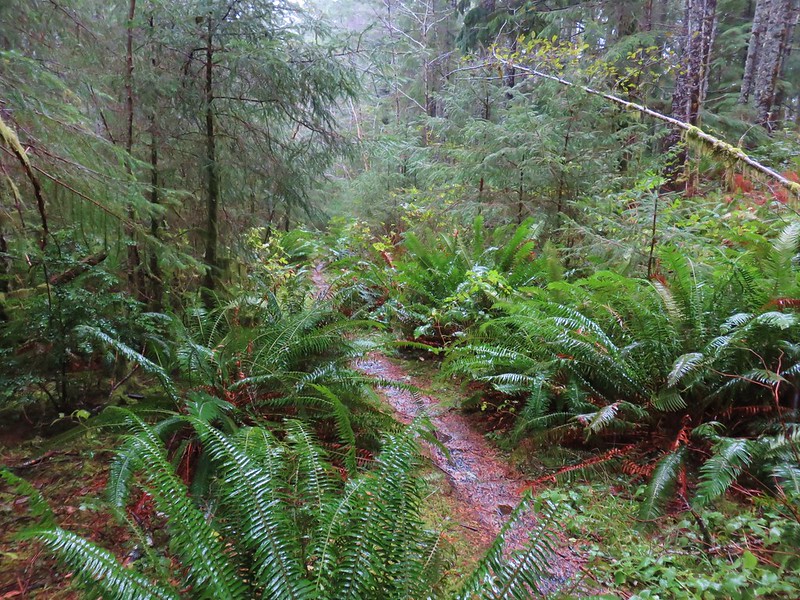

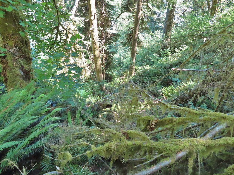

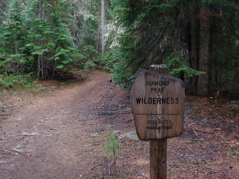
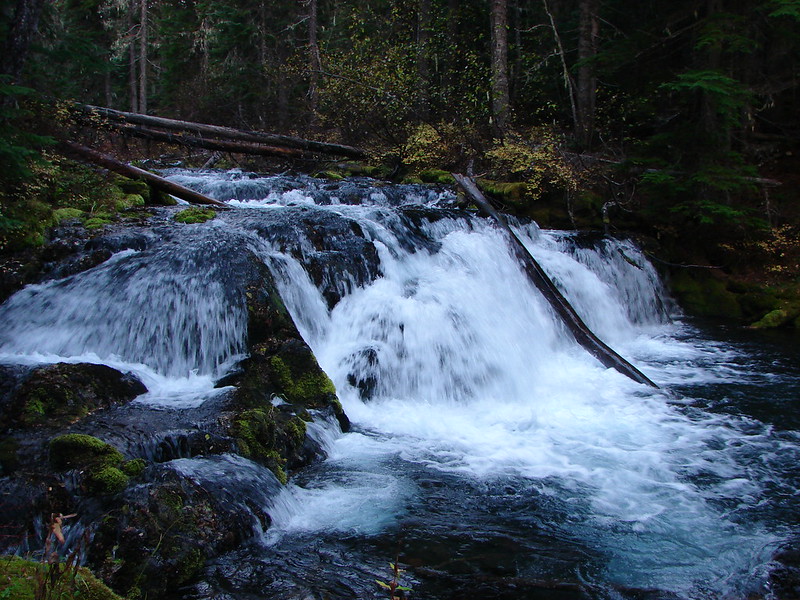


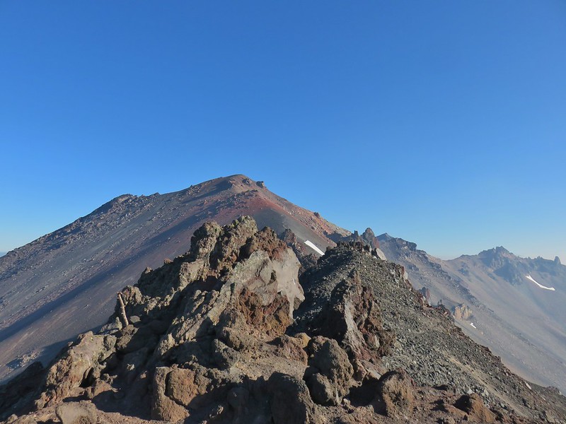
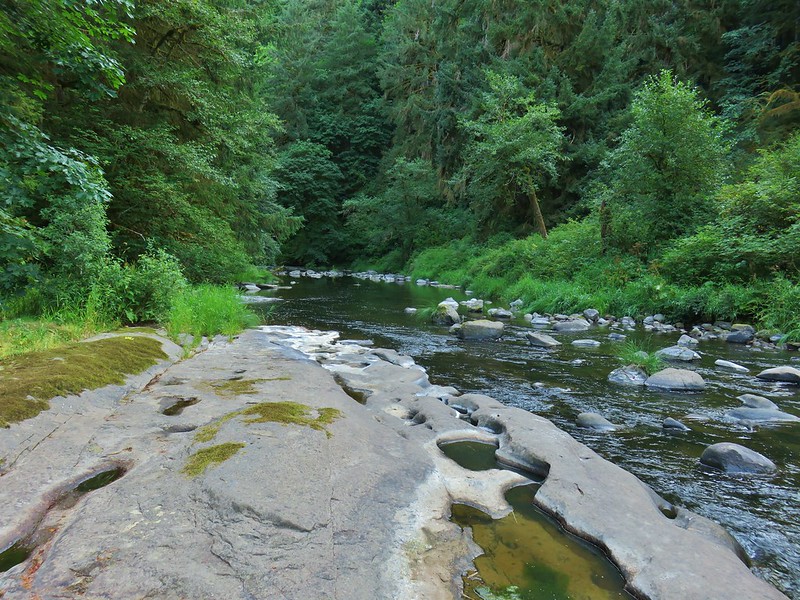


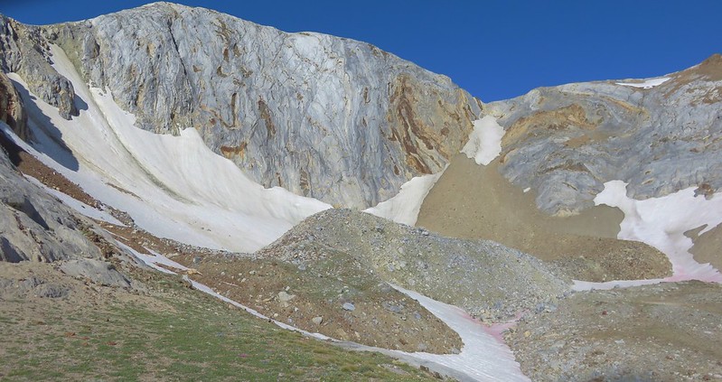
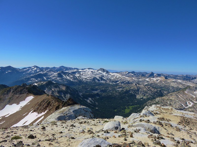
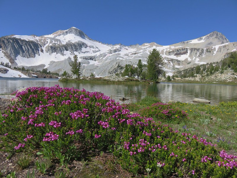
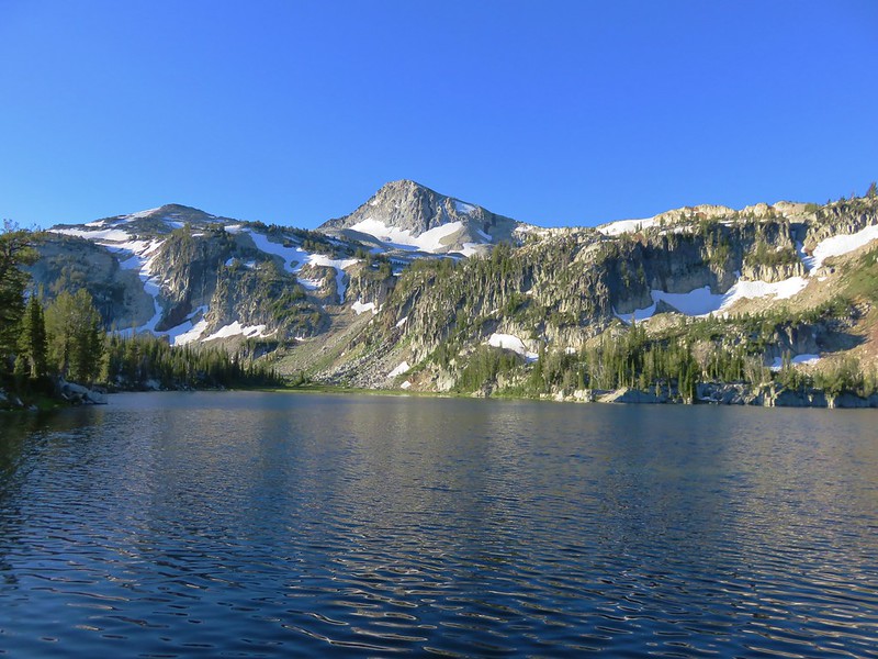

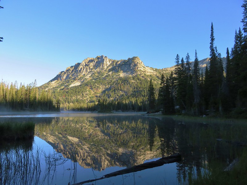
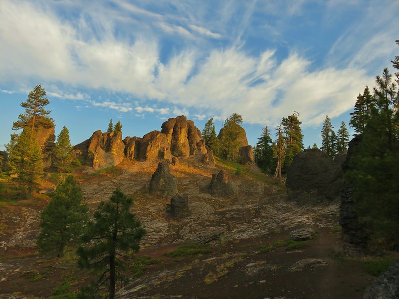
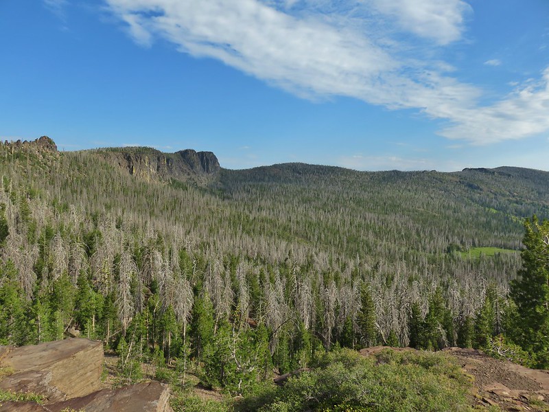
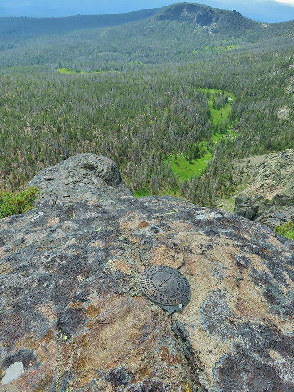

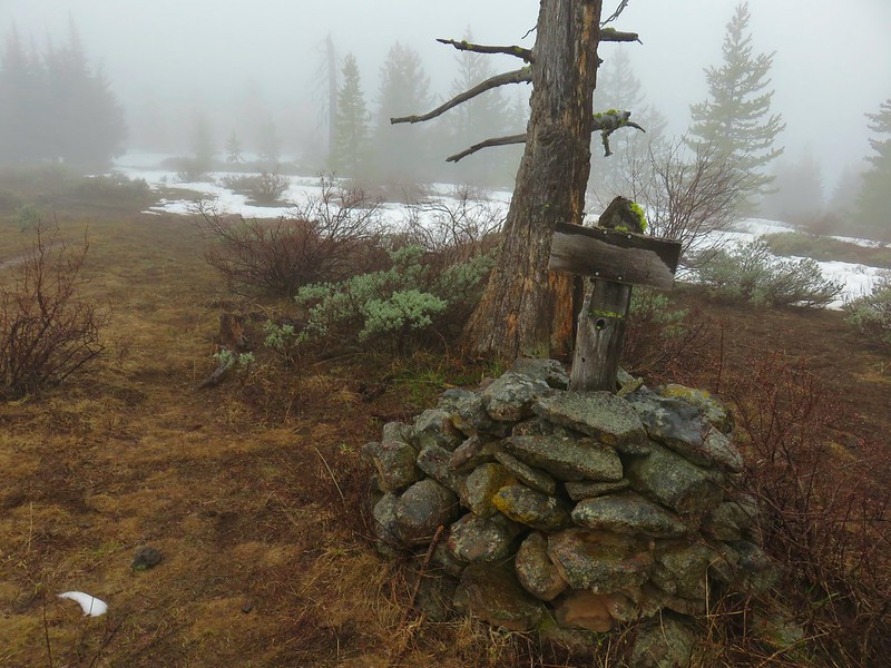
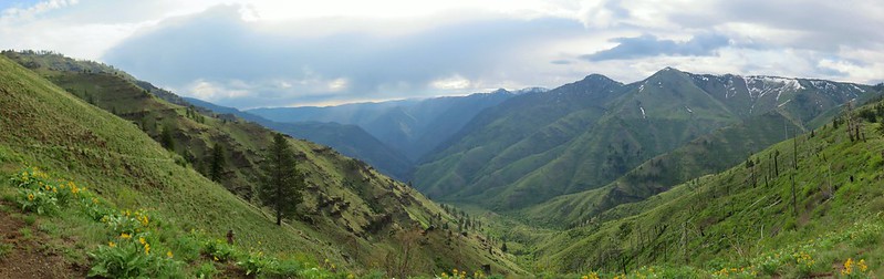
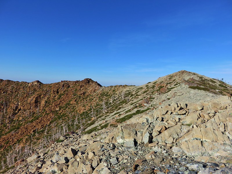
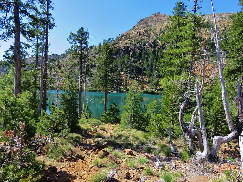

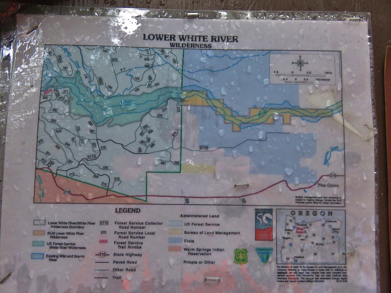
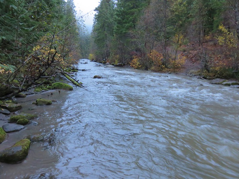

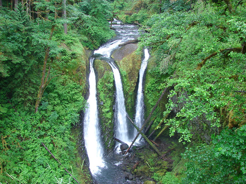
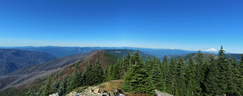
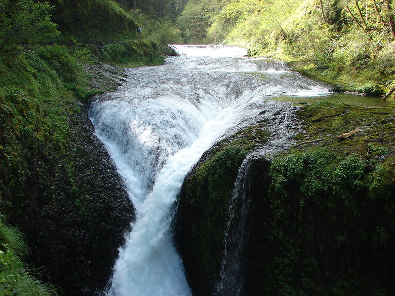
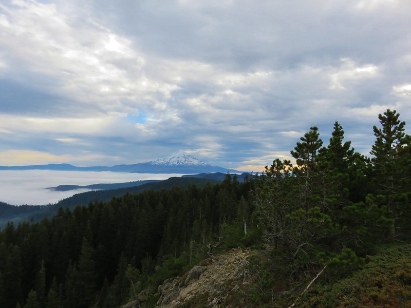

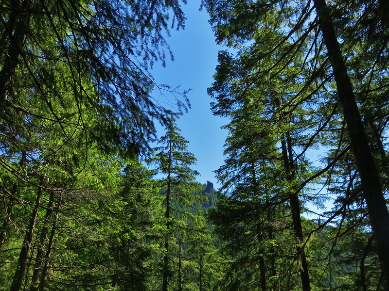

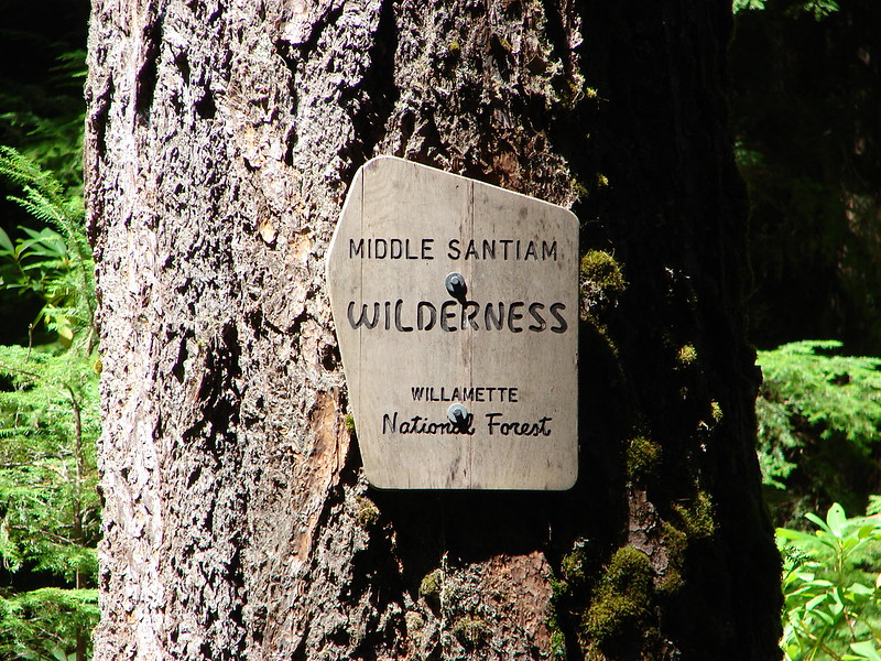
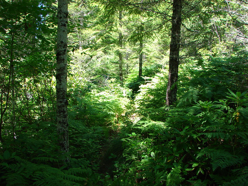

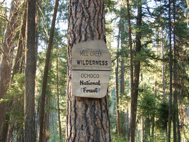
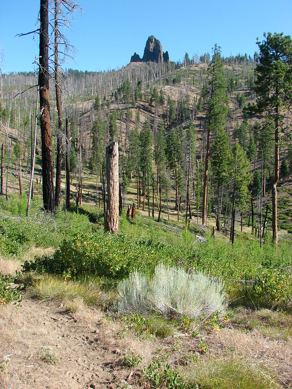

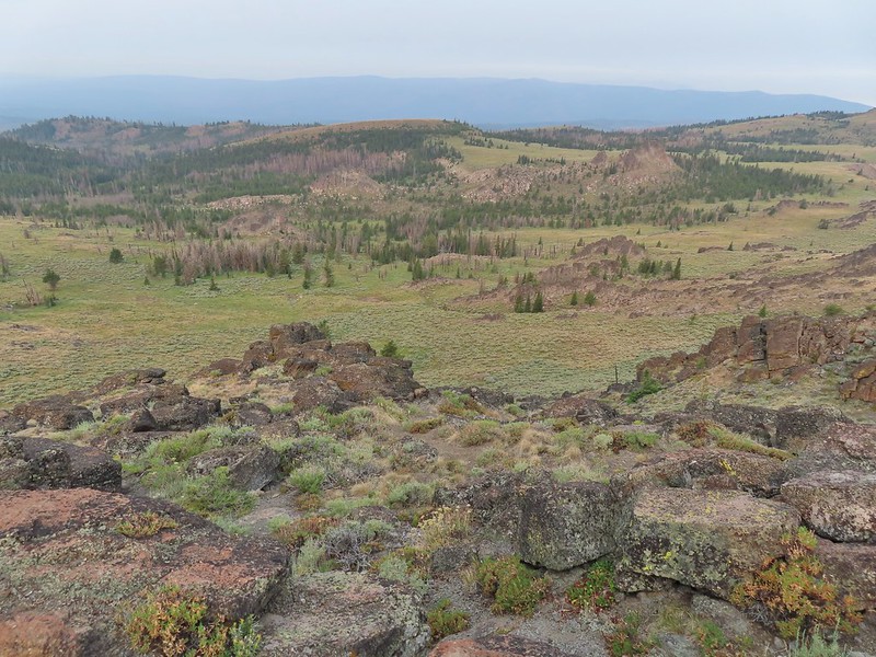
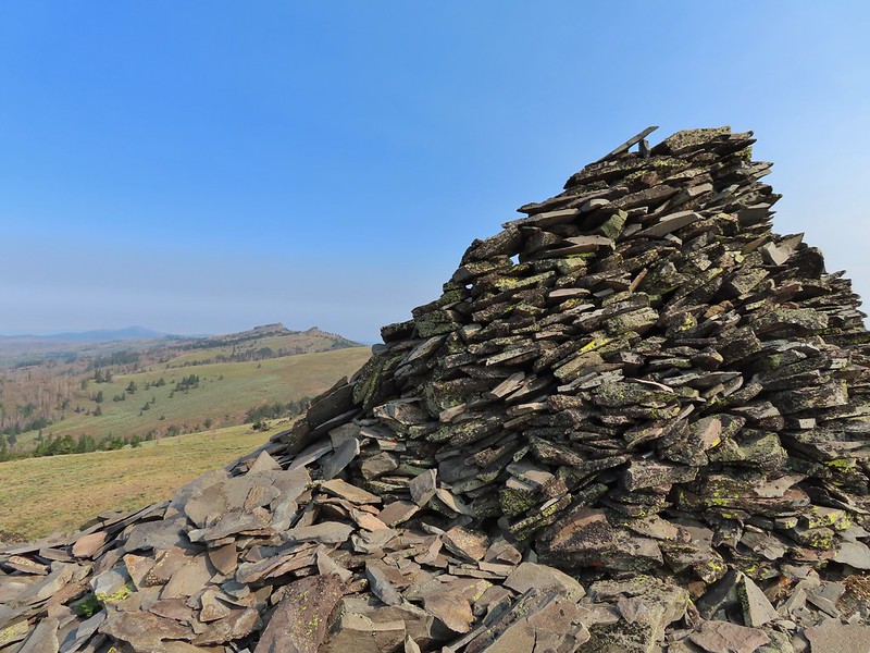
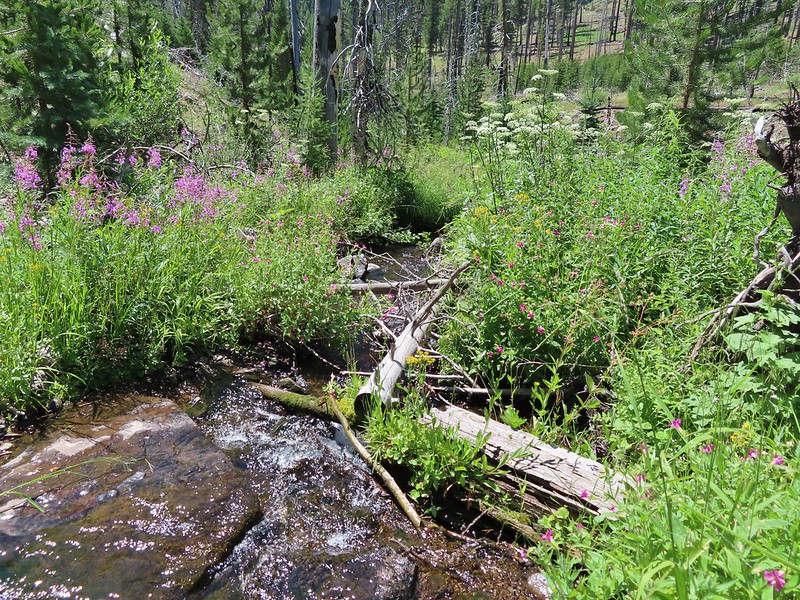


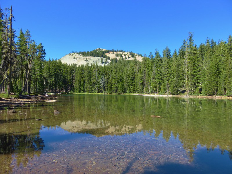

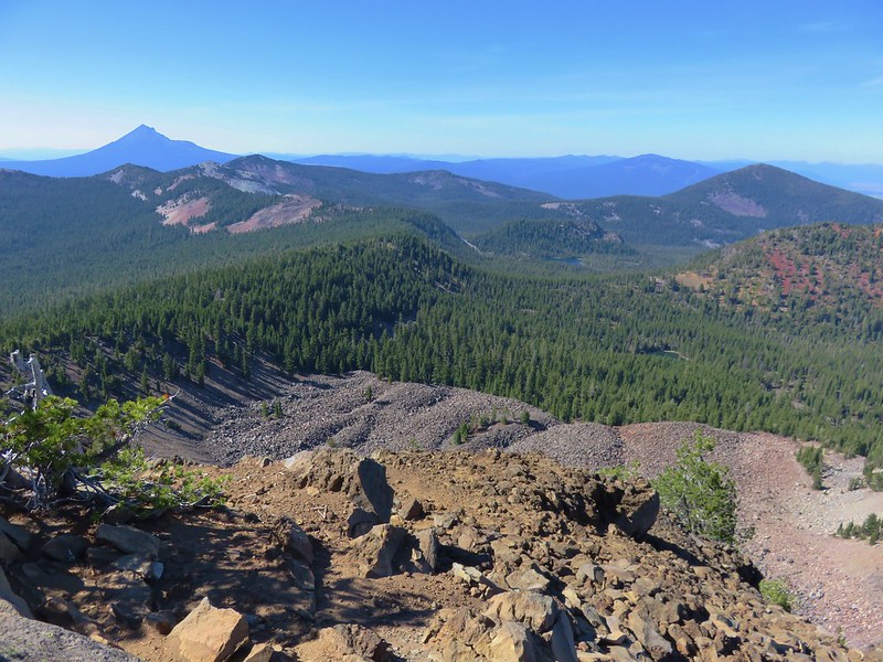

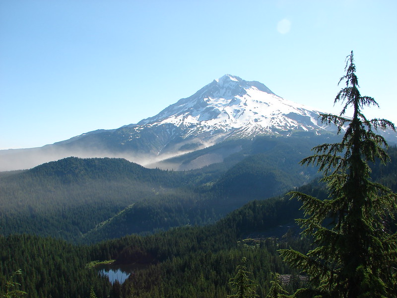
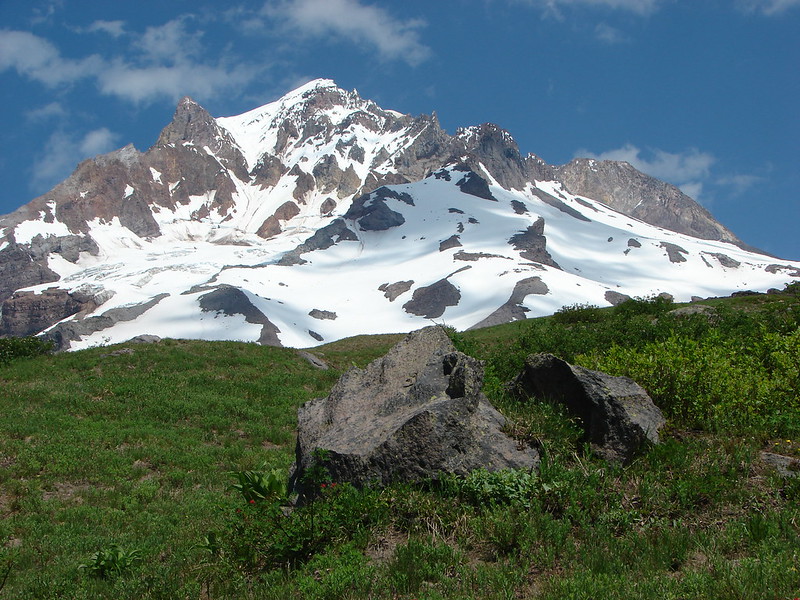

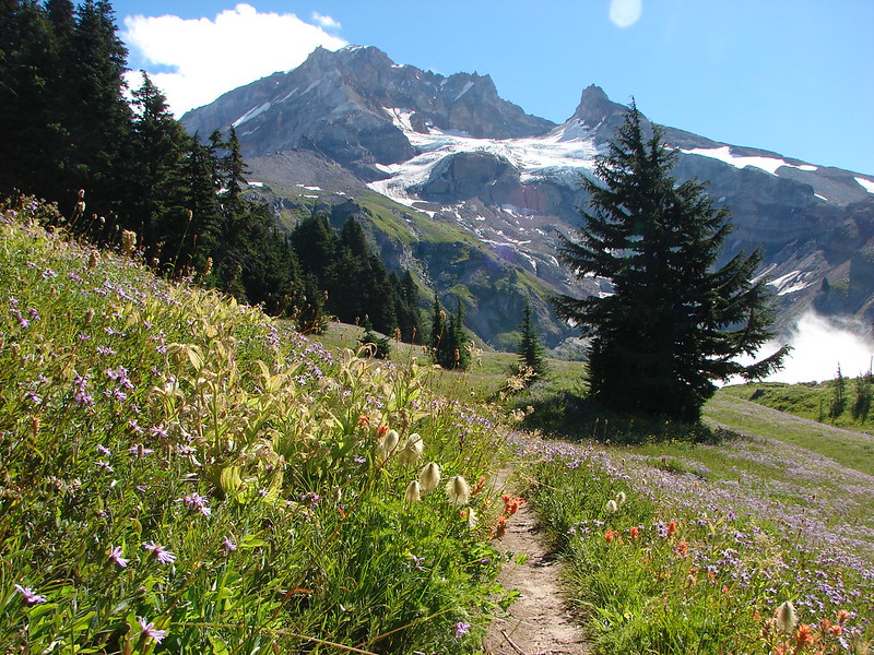
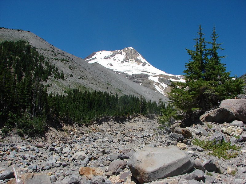
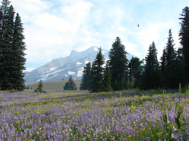

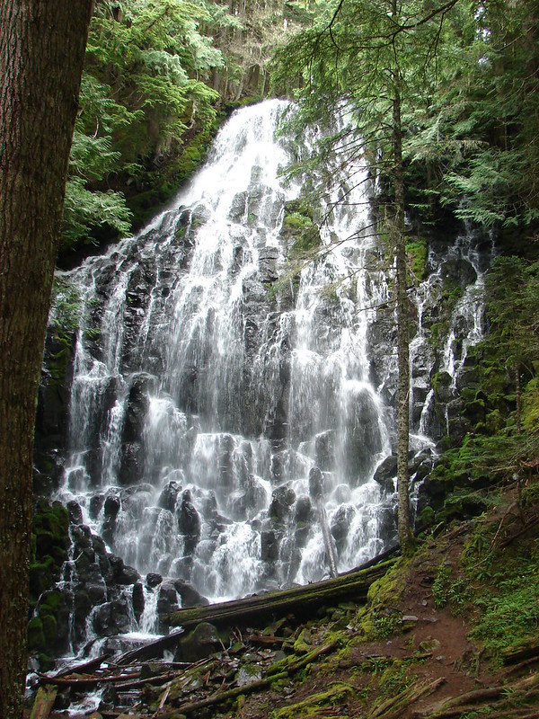


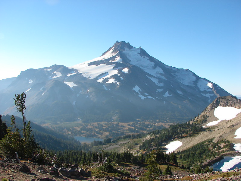
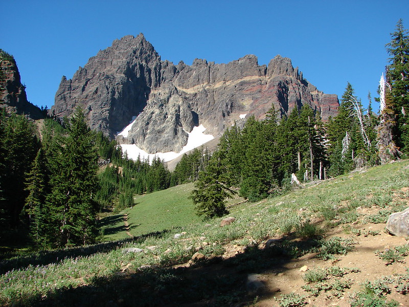


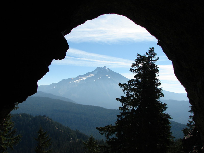
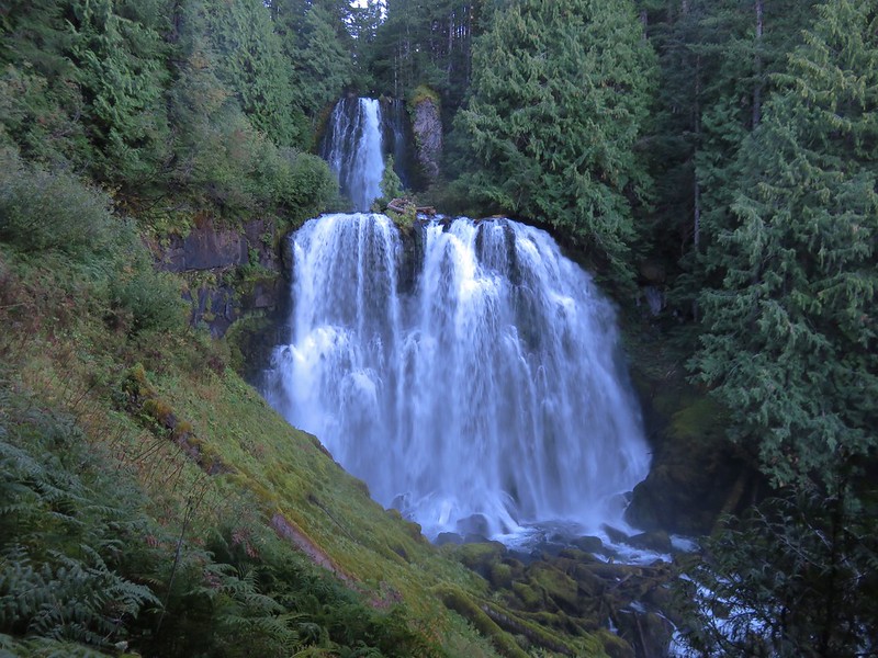
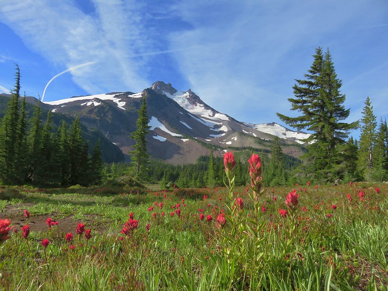
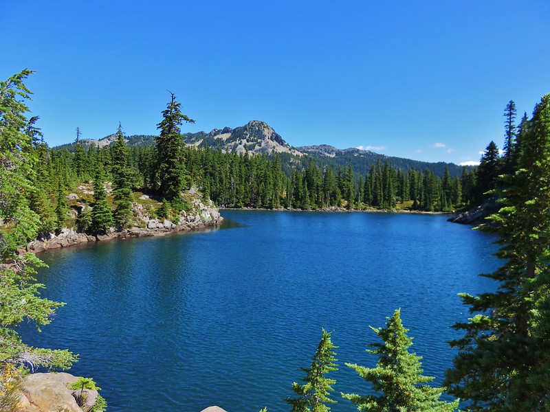
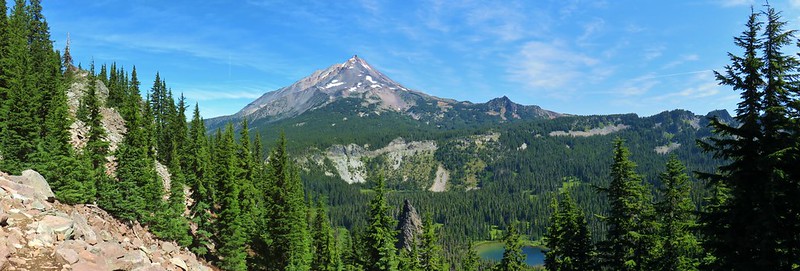


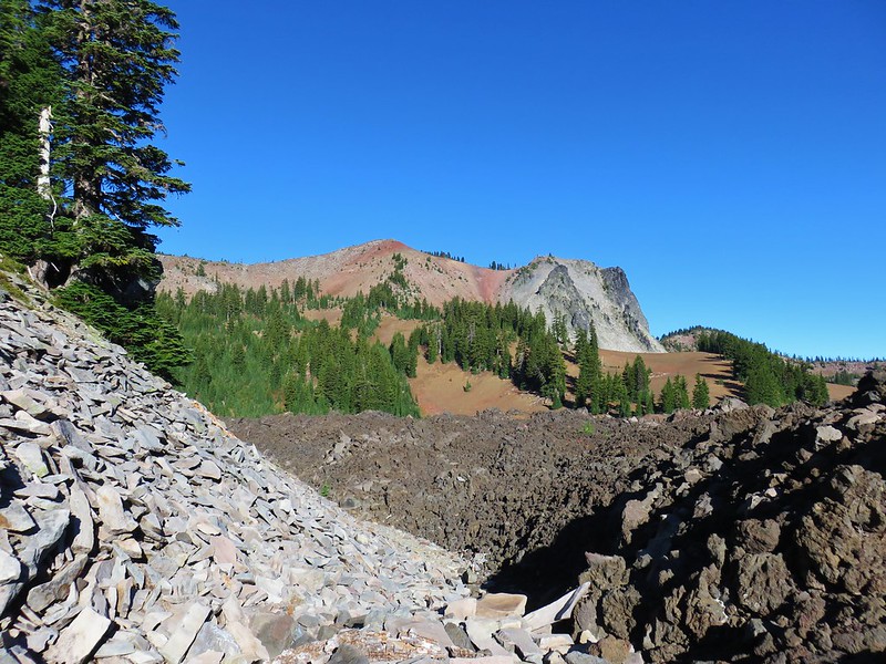
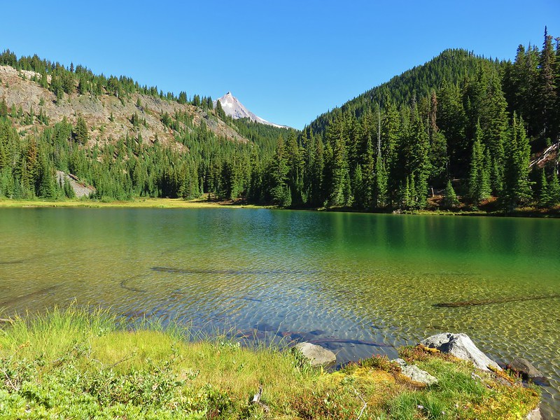

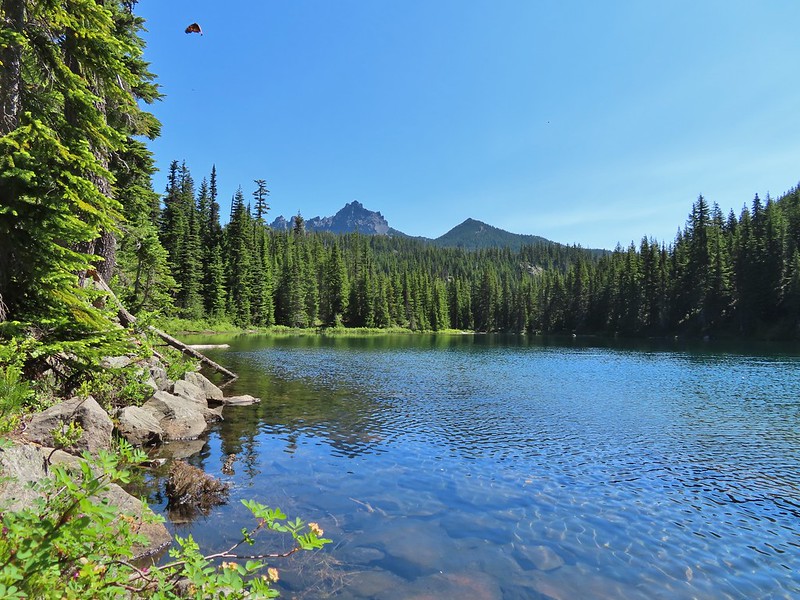
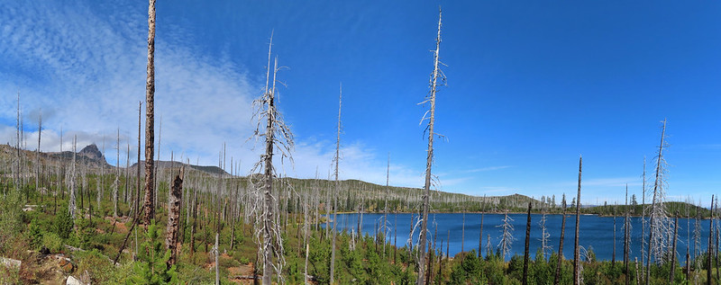

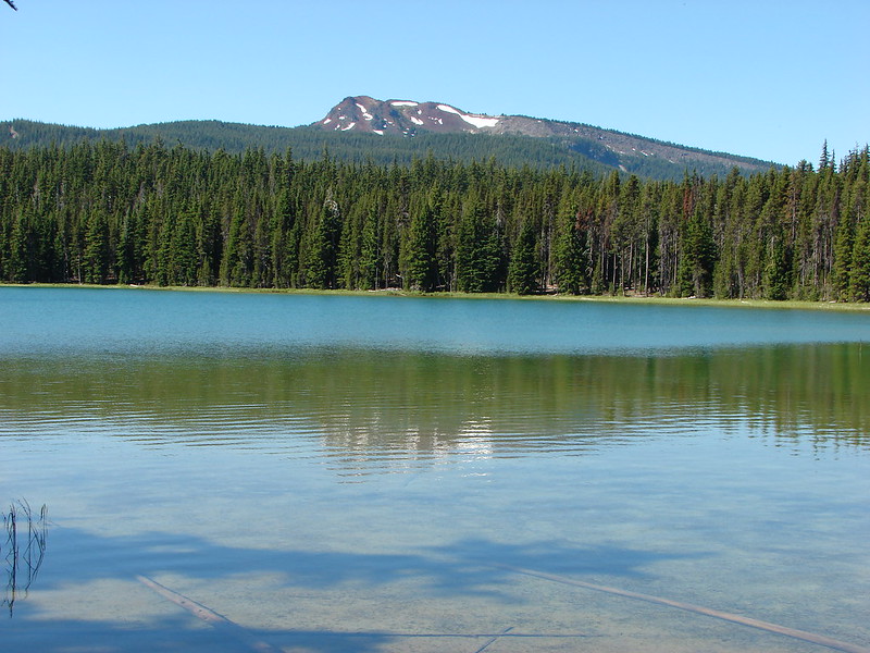


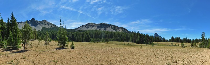
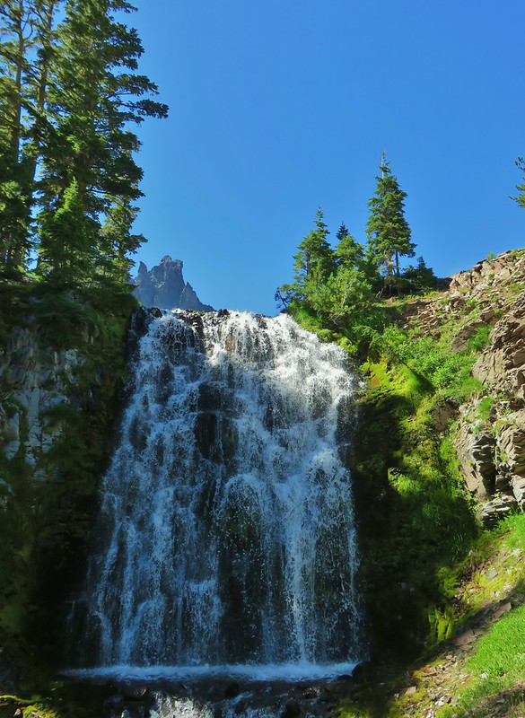

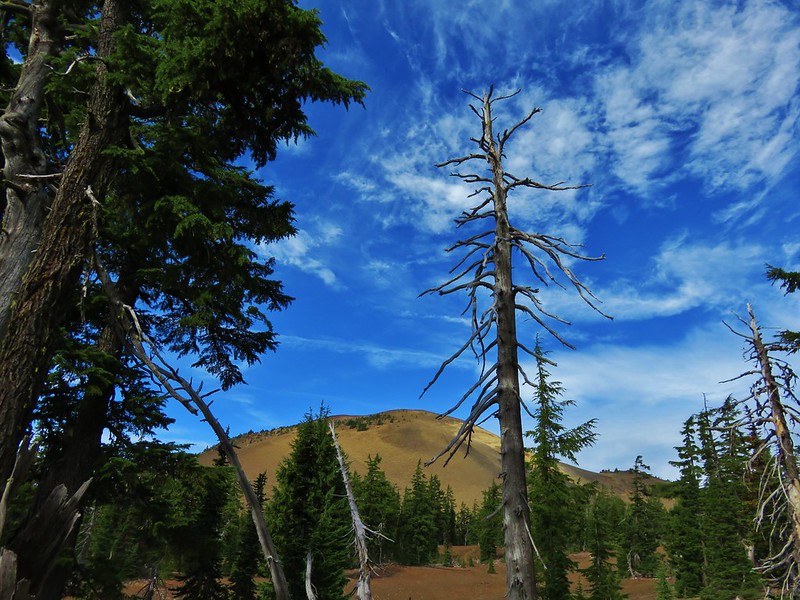
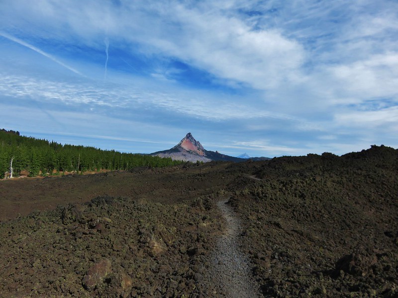
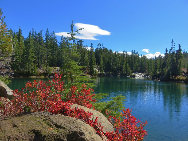
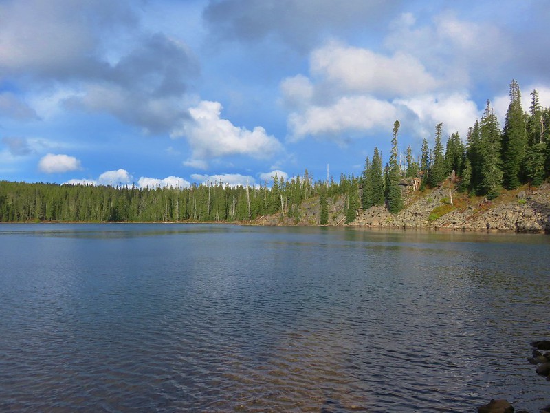
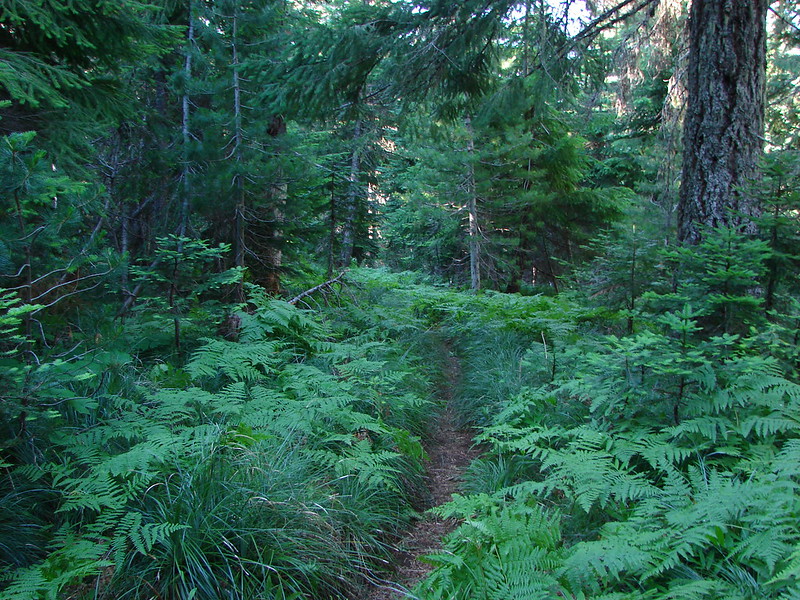

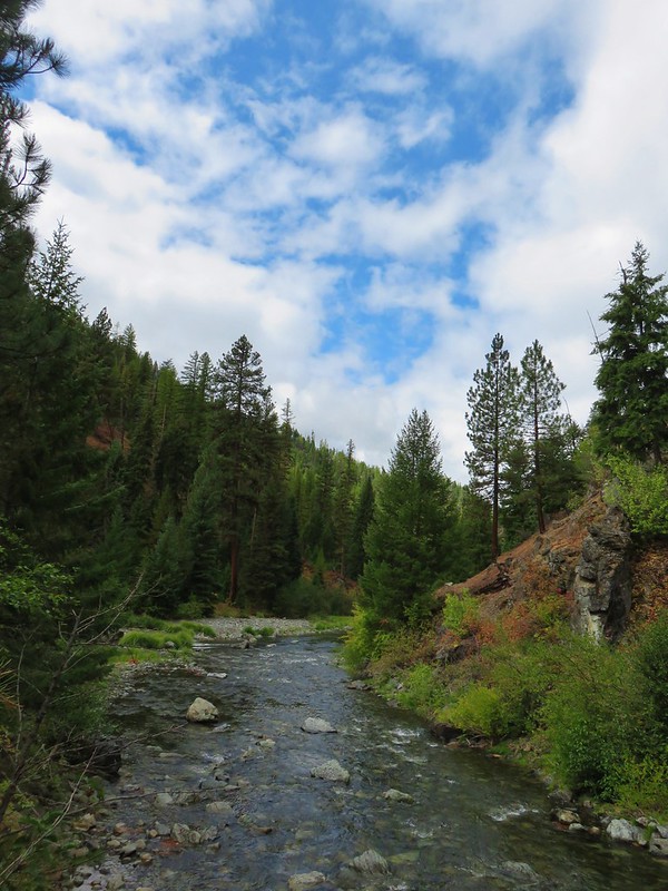
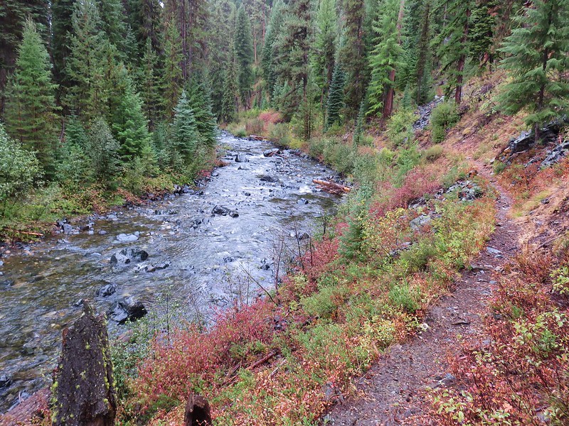


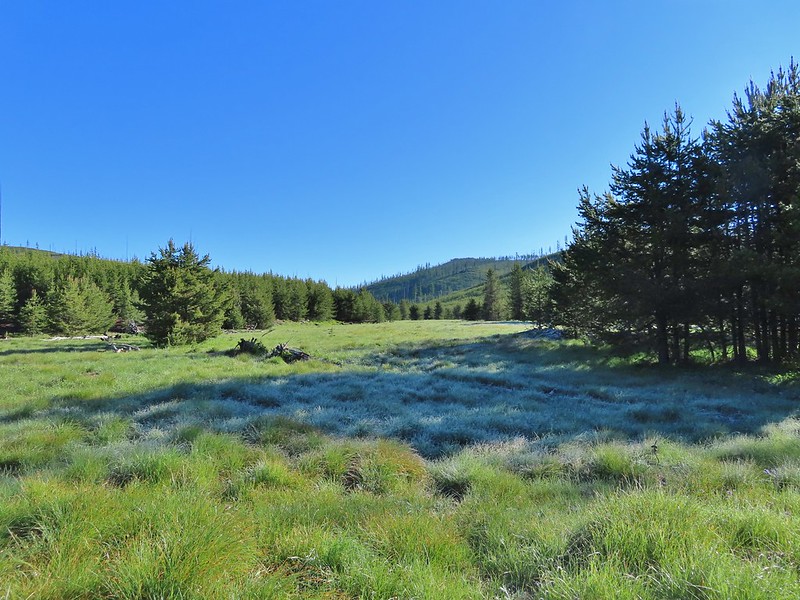

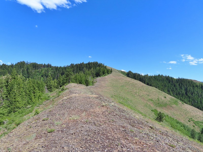
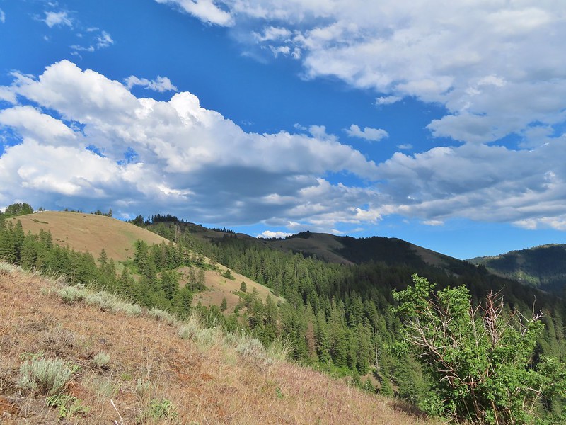


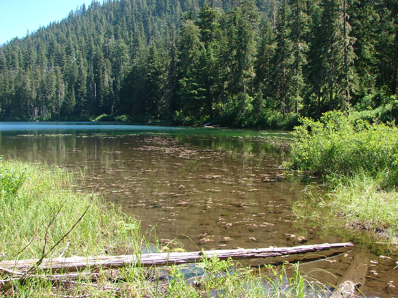
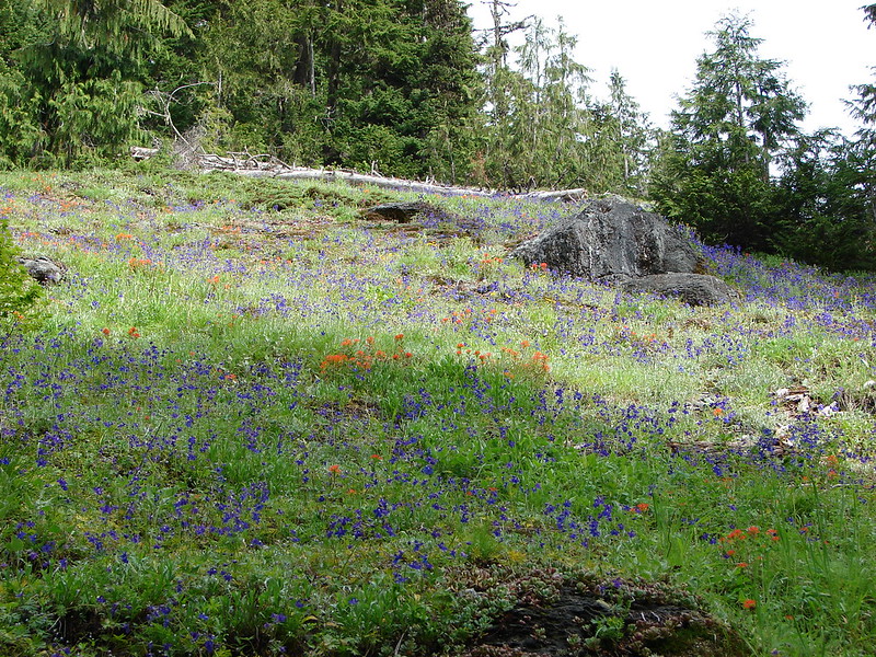
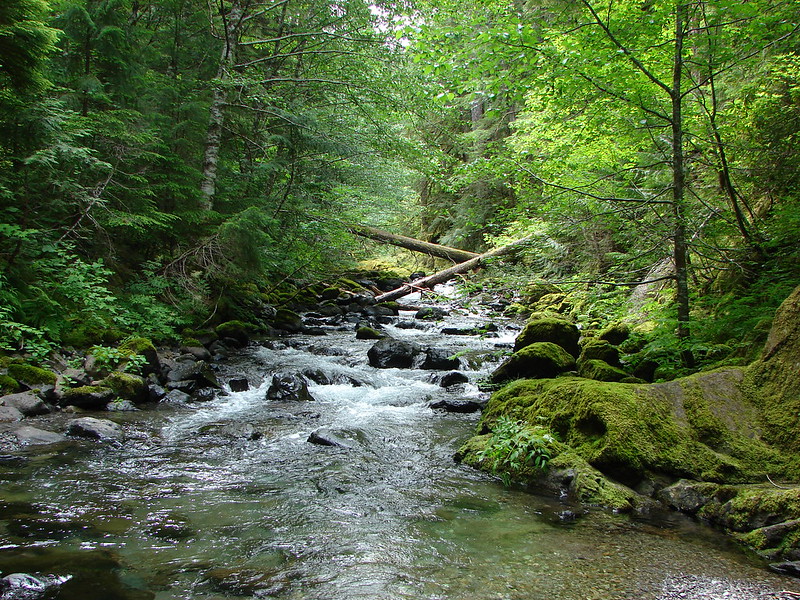
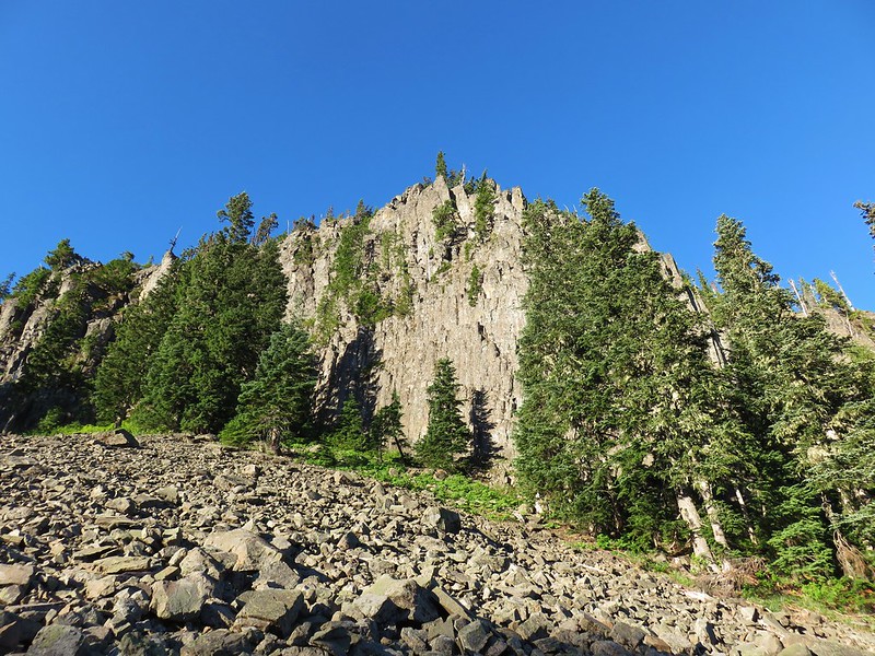
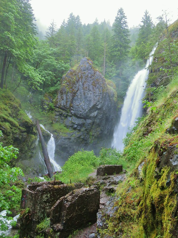
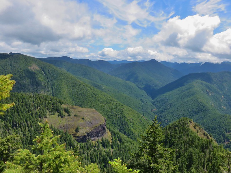
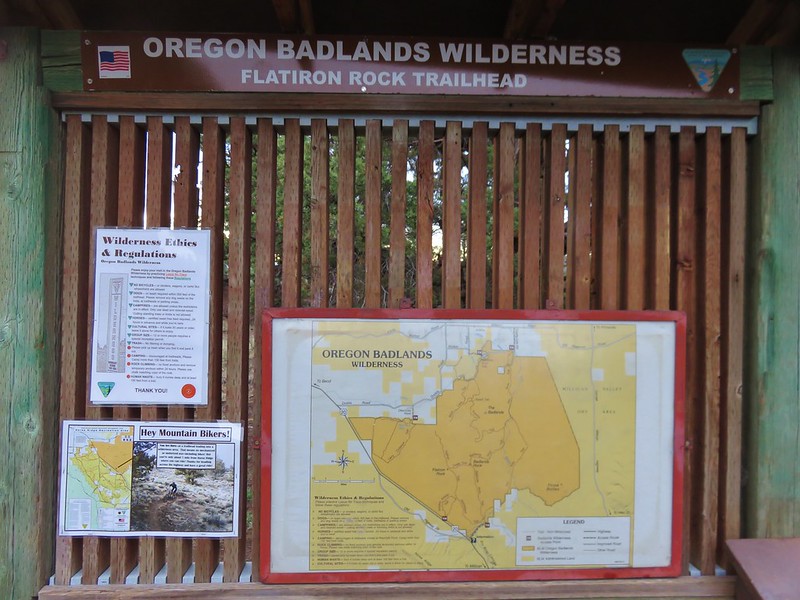
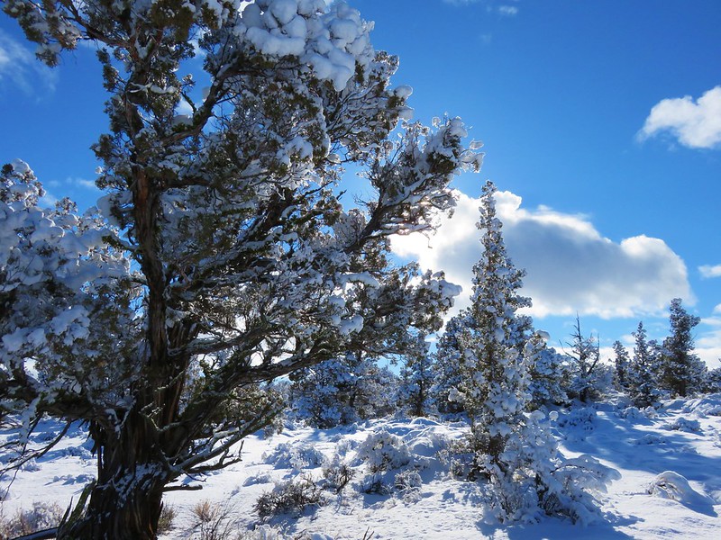



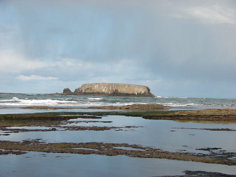
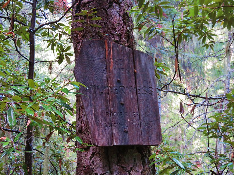

 This photo is from CA but it actually shows the namesake Red Buttes

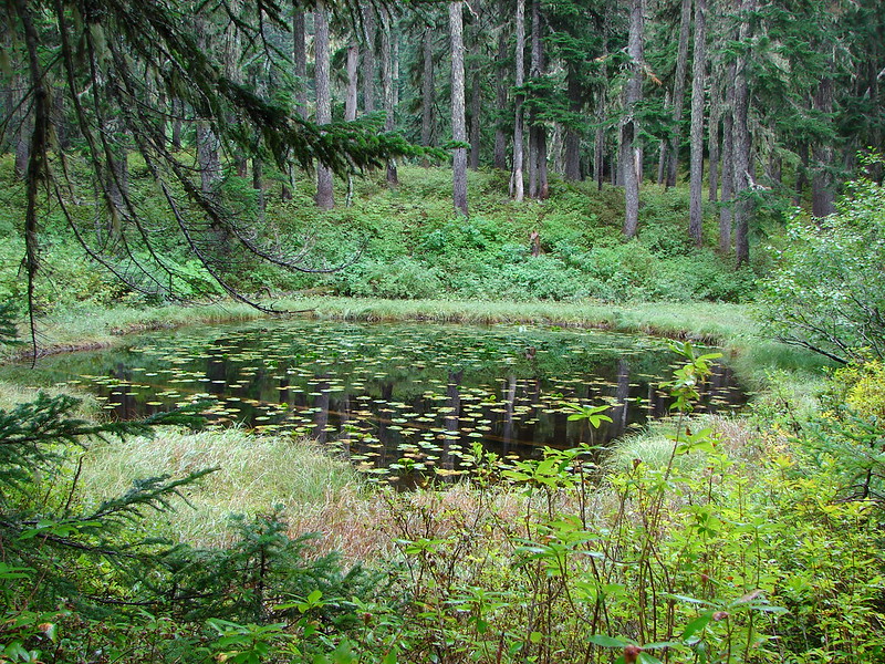
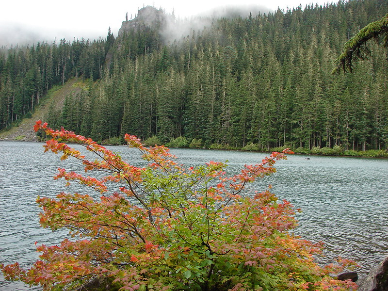
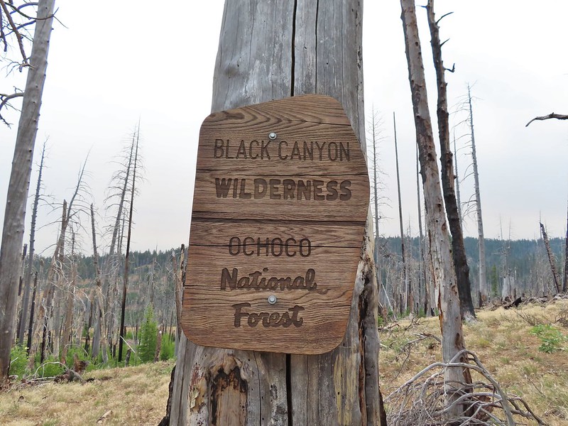
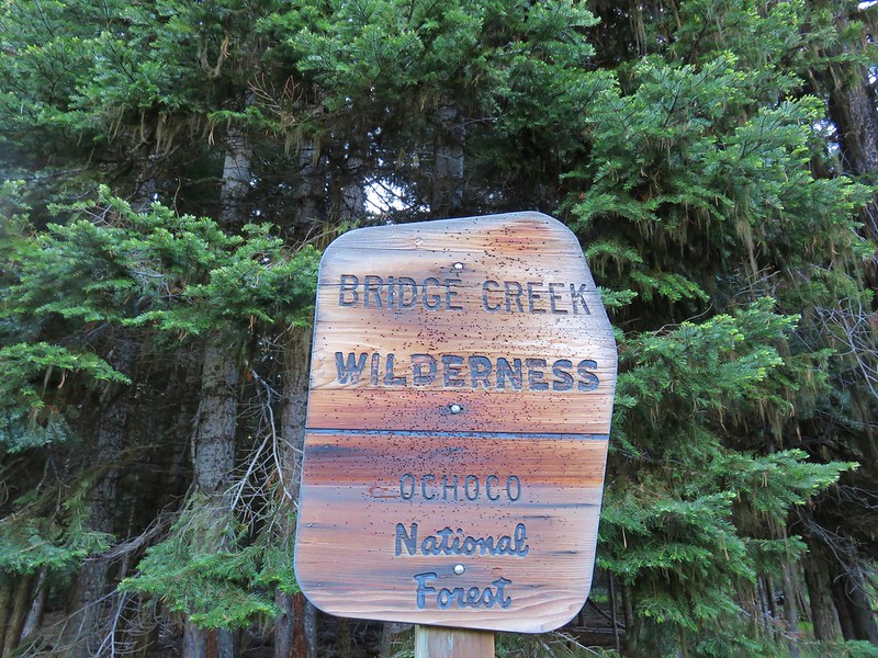
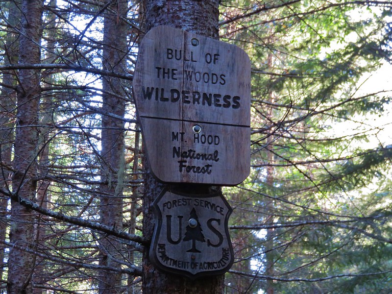
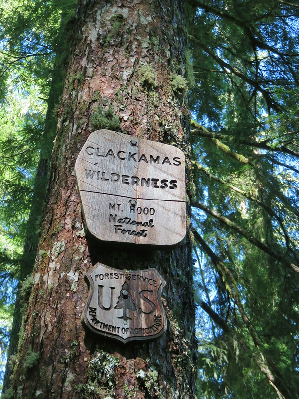
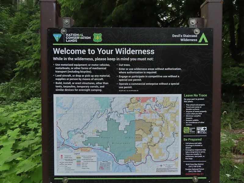
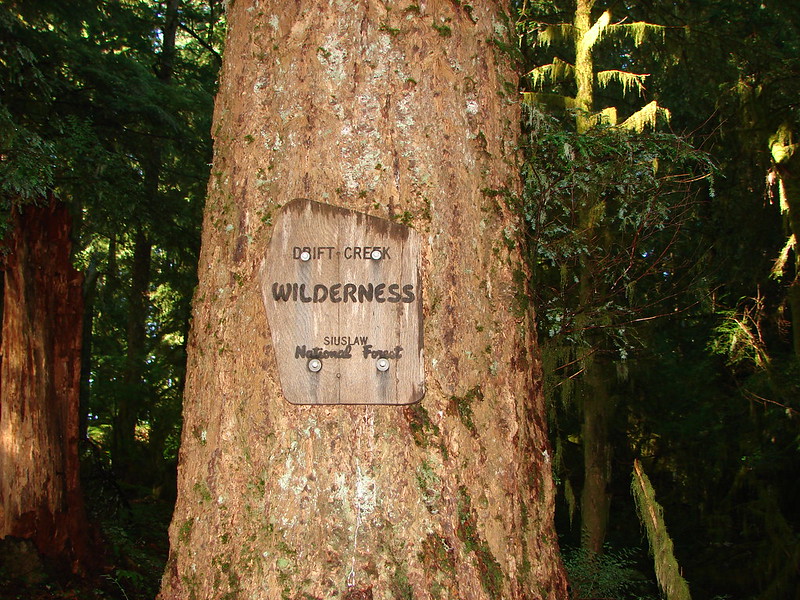
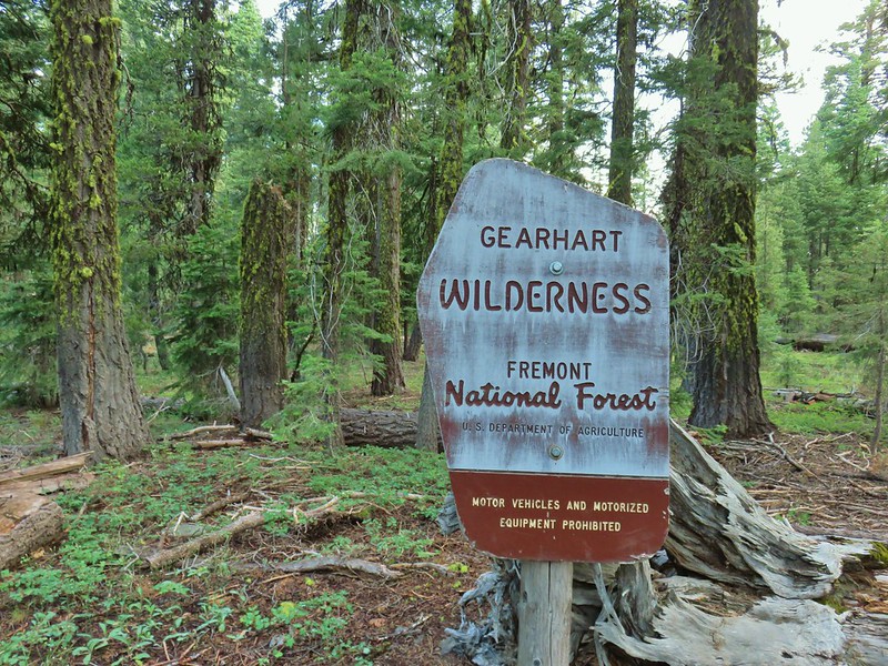
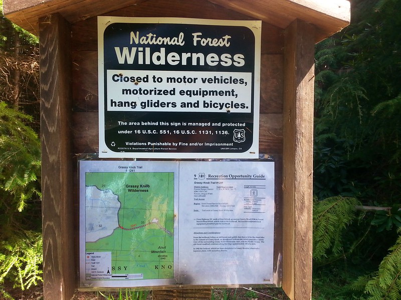
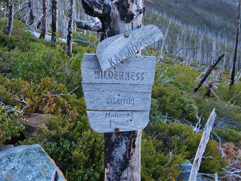
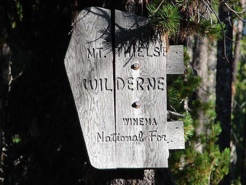
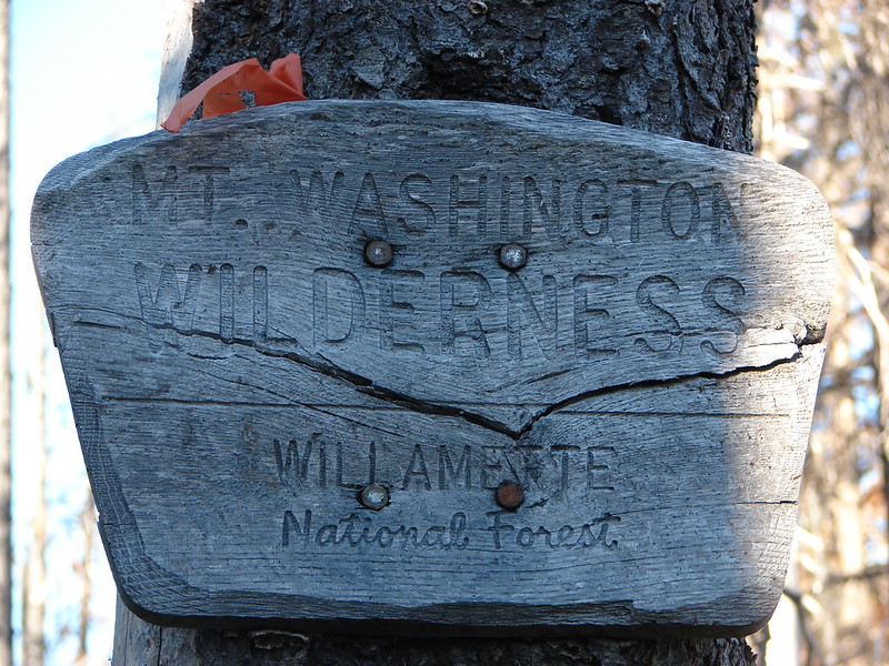
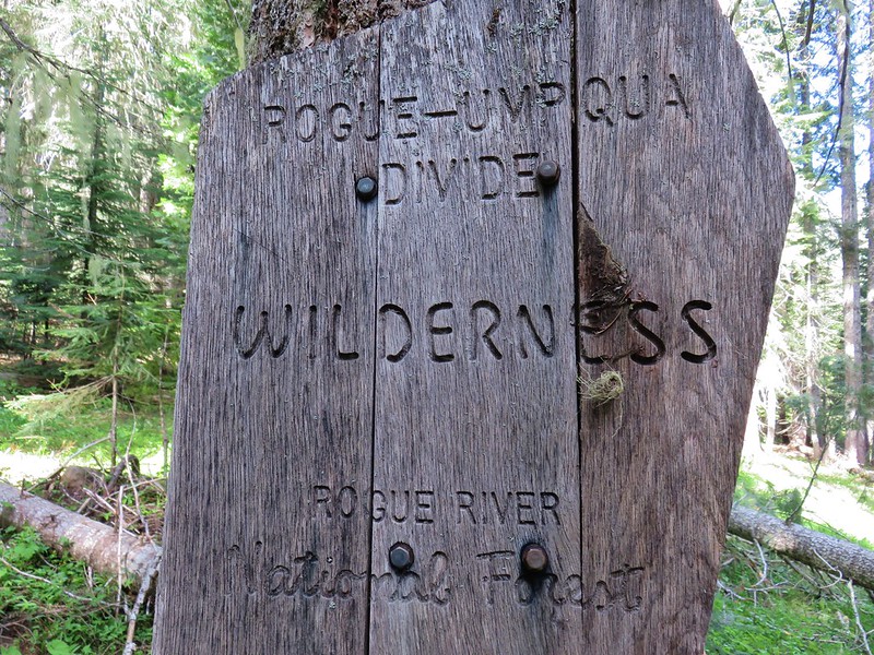
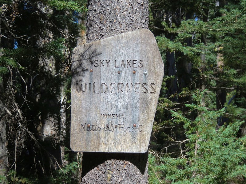
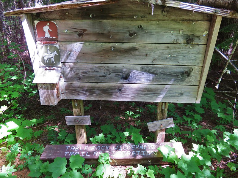
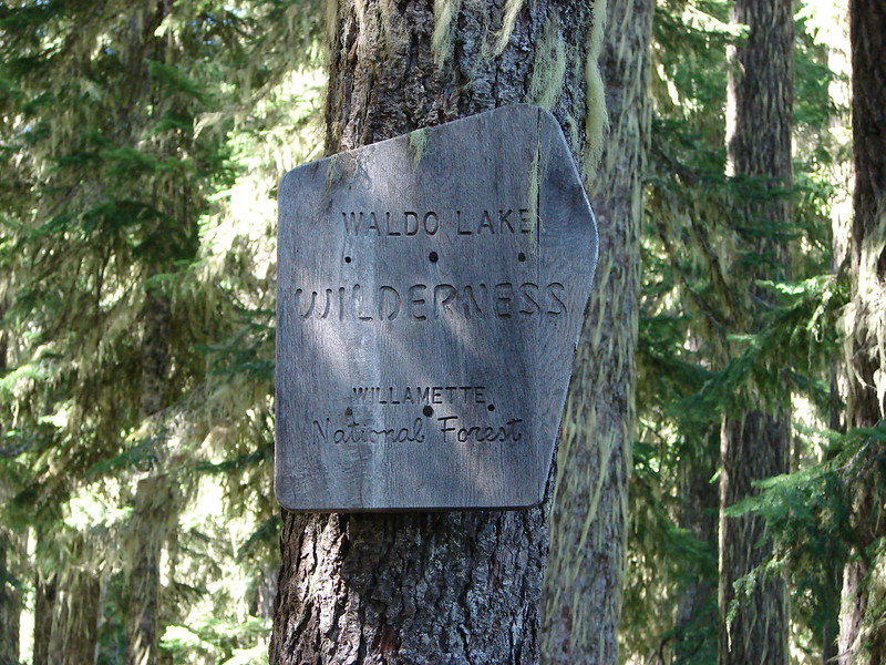
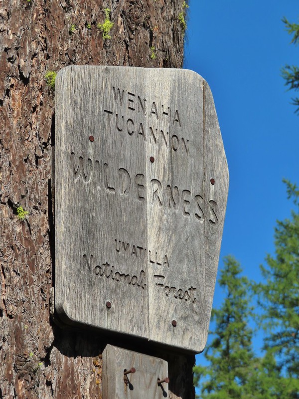
 Closest thing to a “wilderness sign” we saw for this one.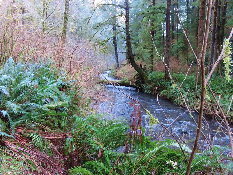

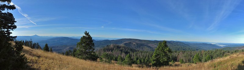


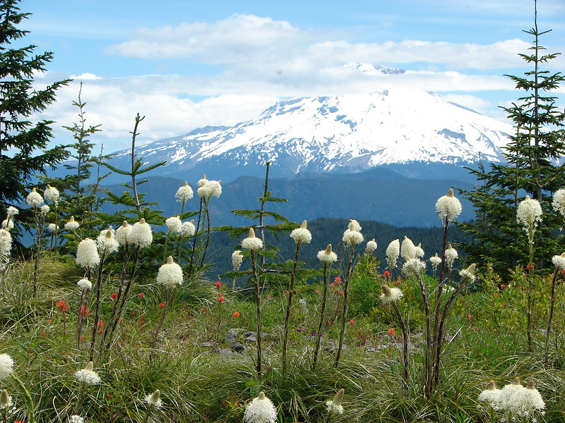

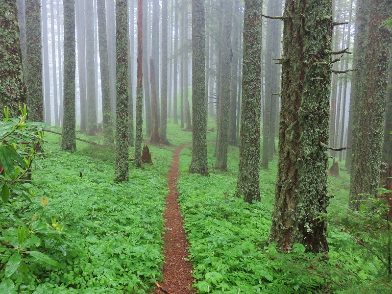
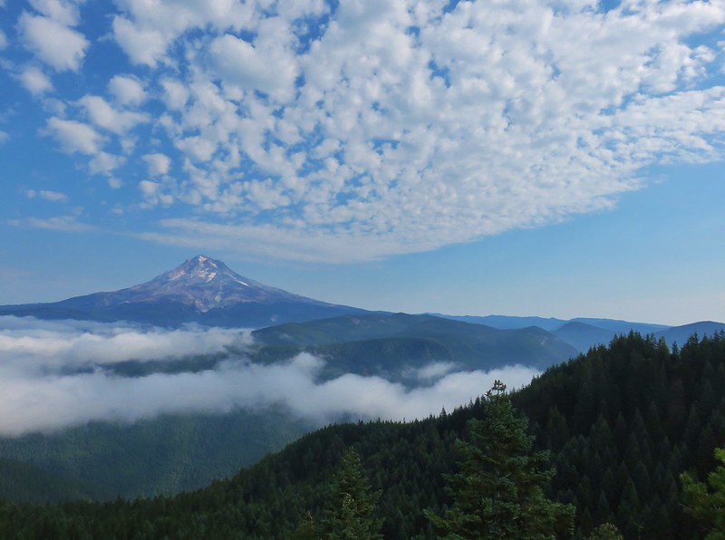


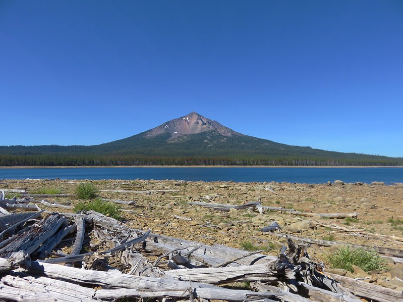

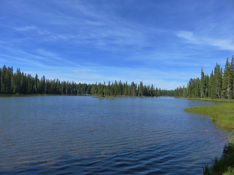
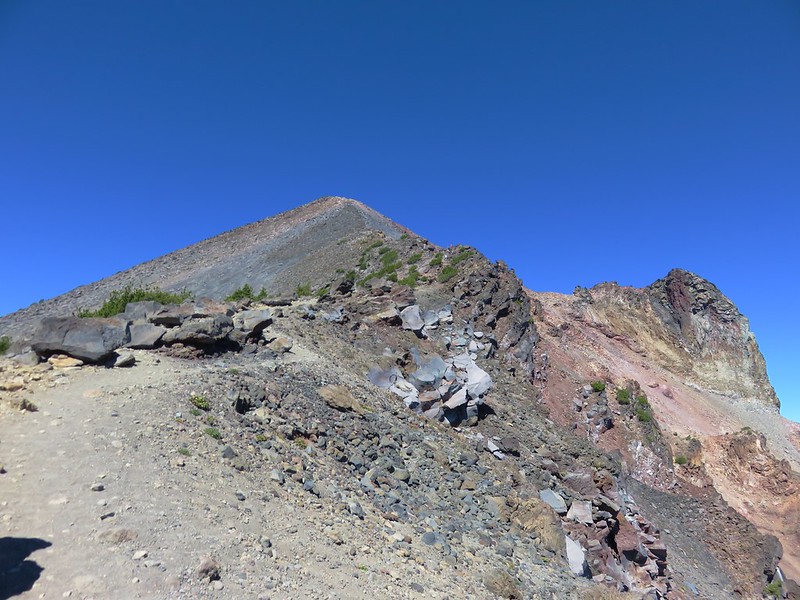
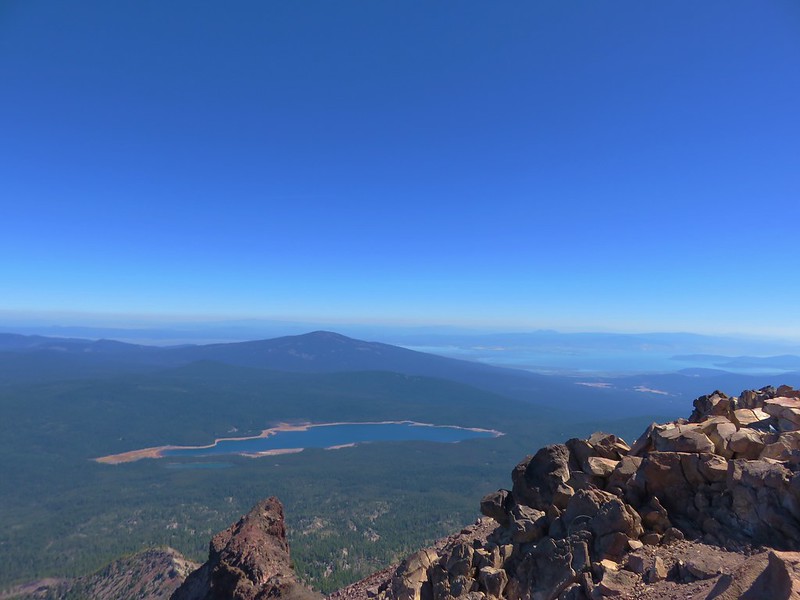
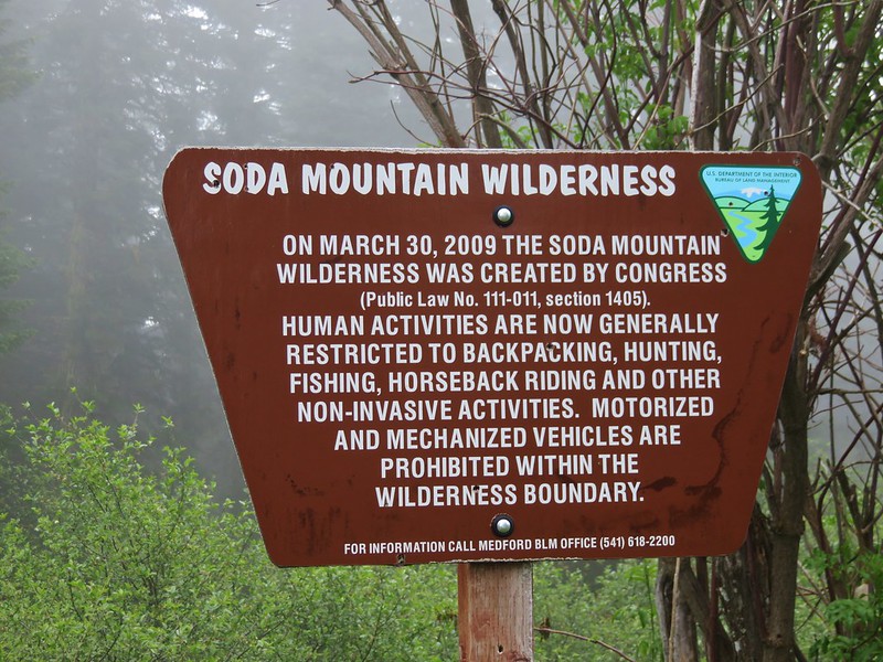
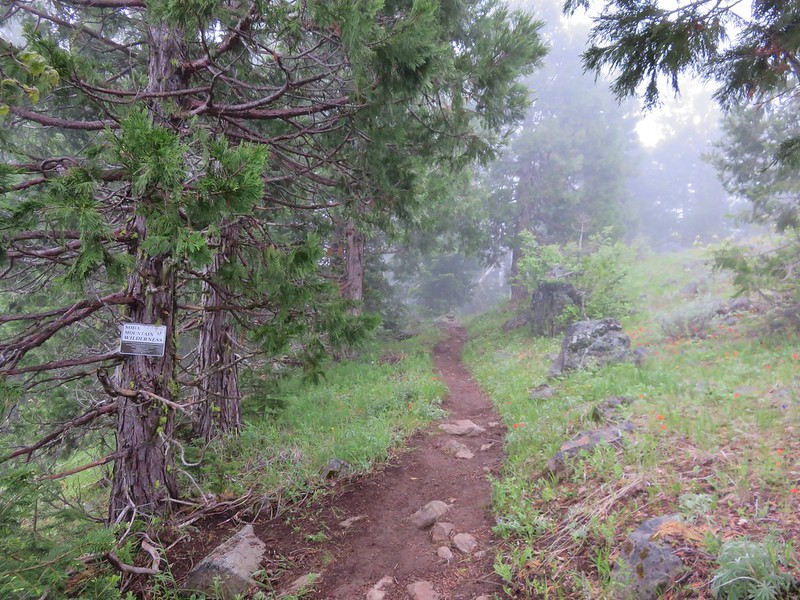

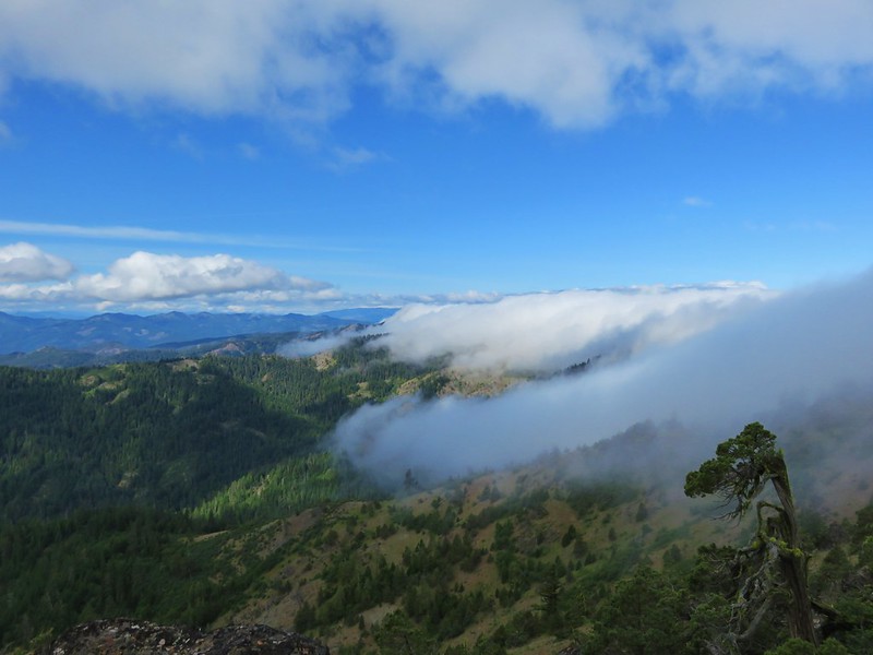


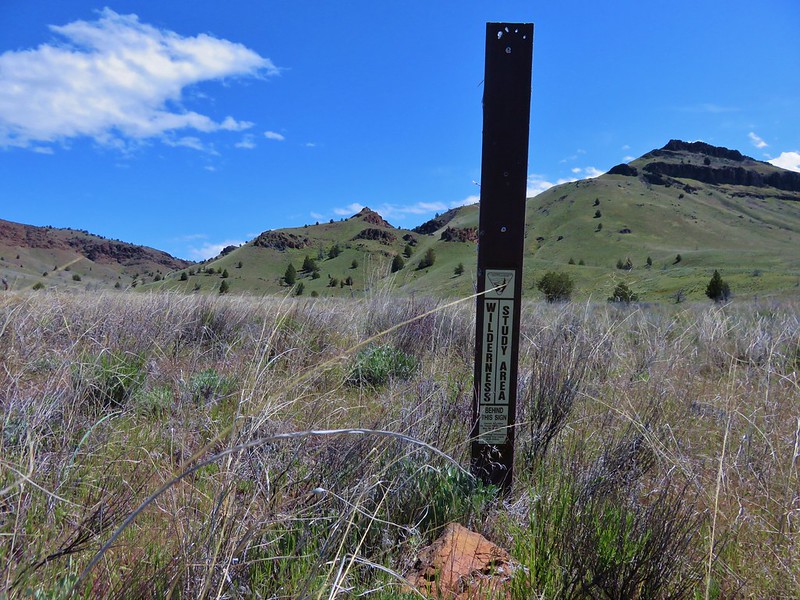
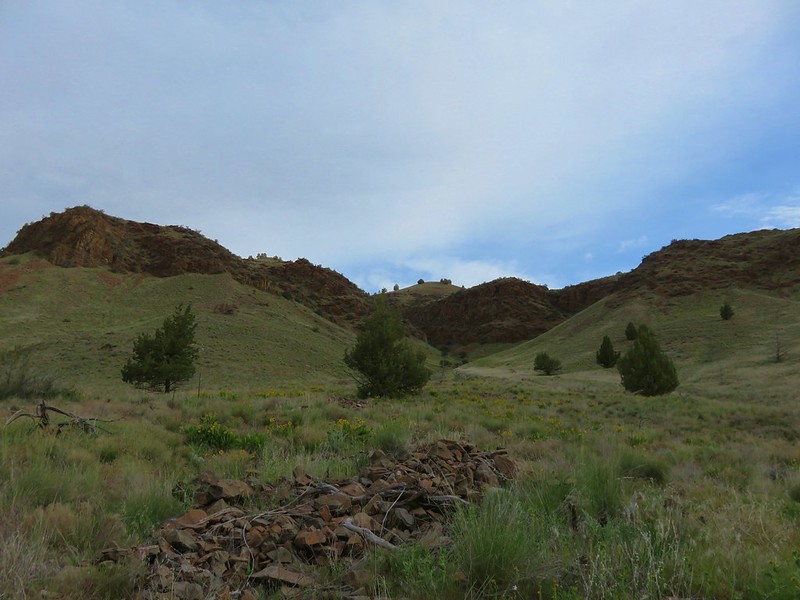
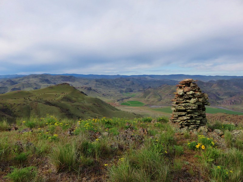

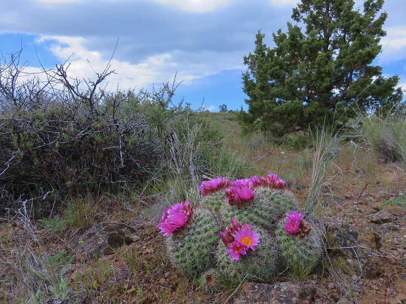


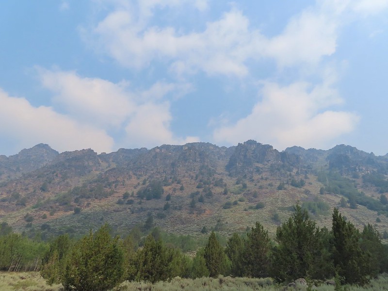
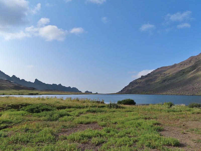

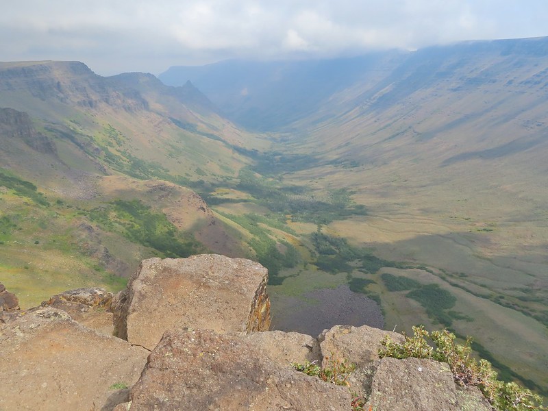


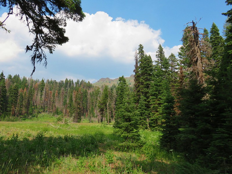

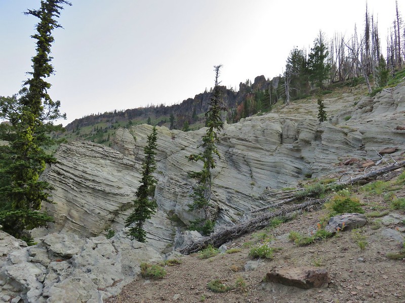
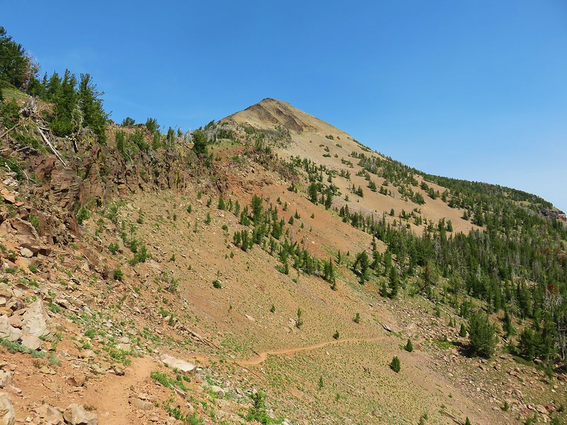


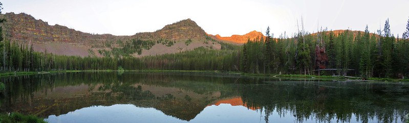


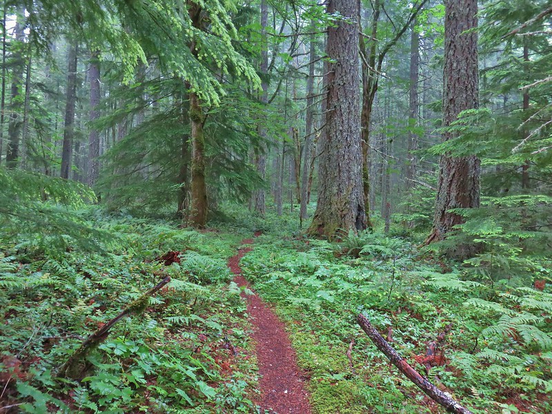
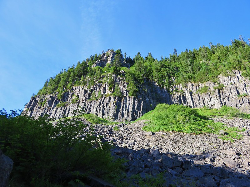
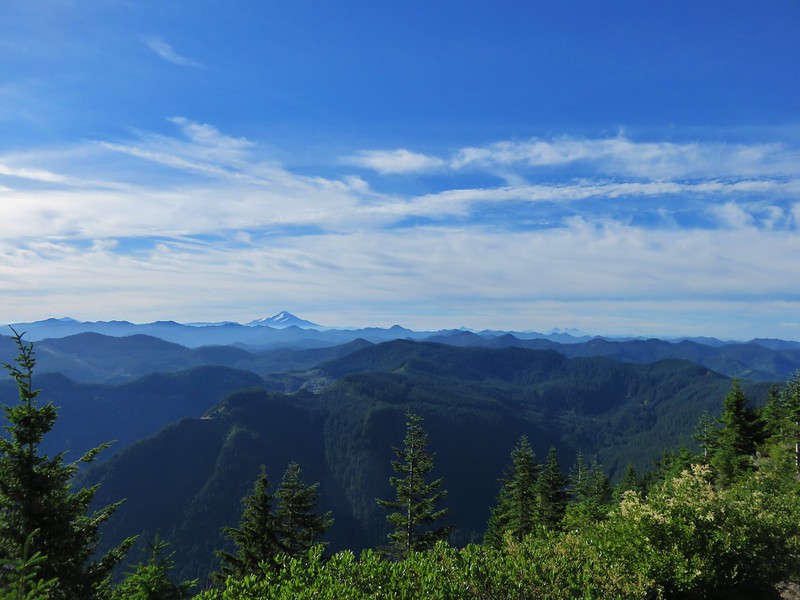

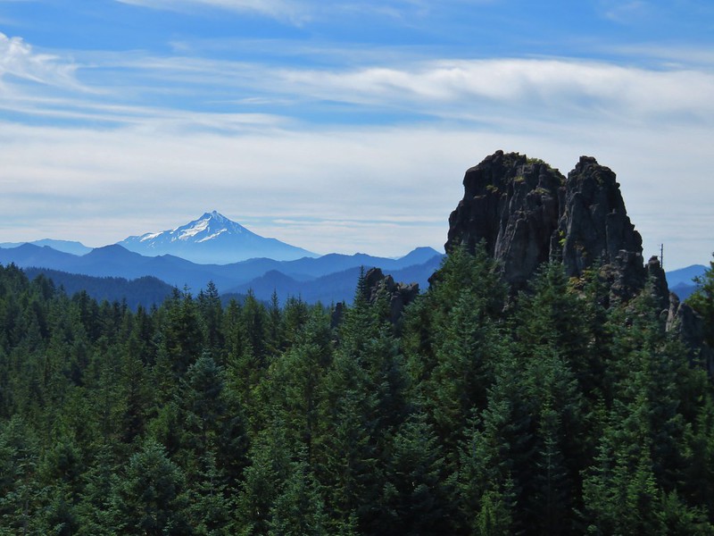


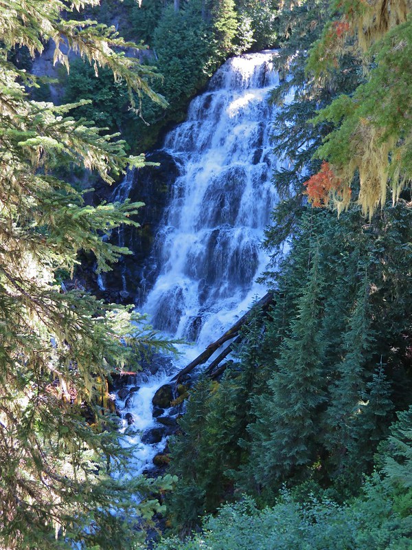
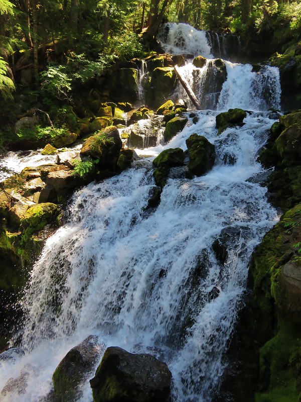
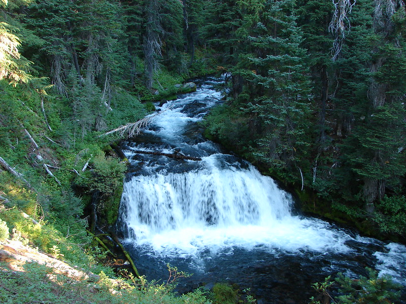
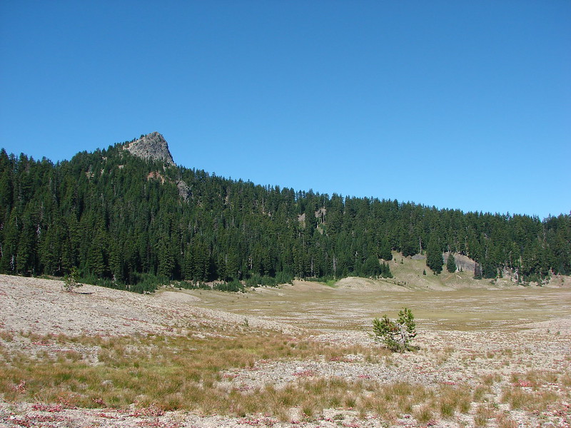


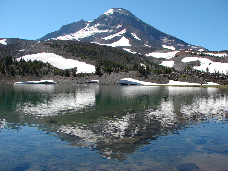
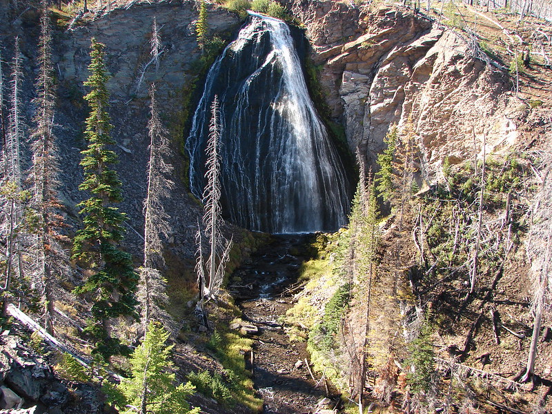
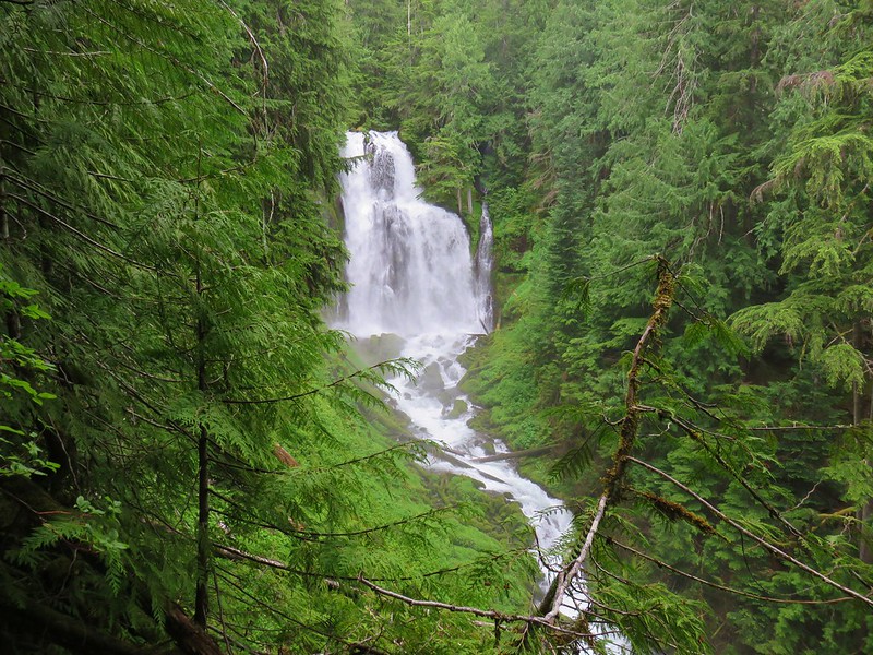
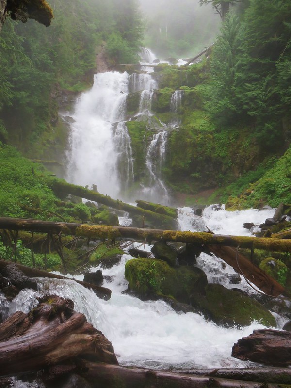


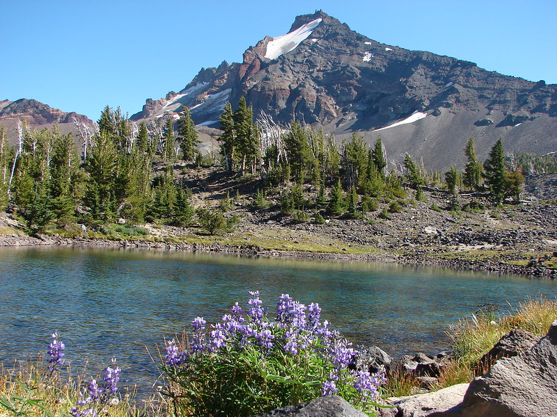


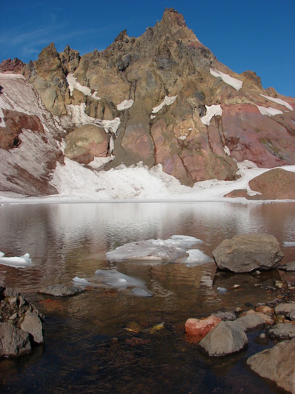


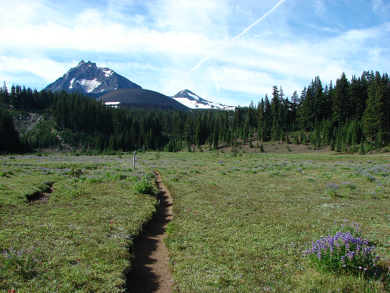

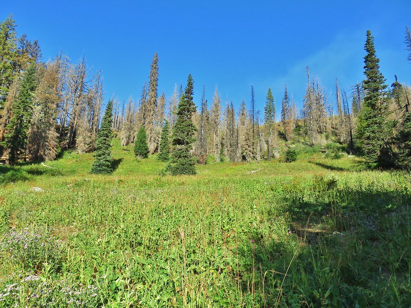
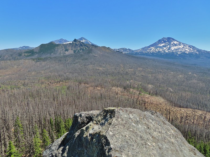
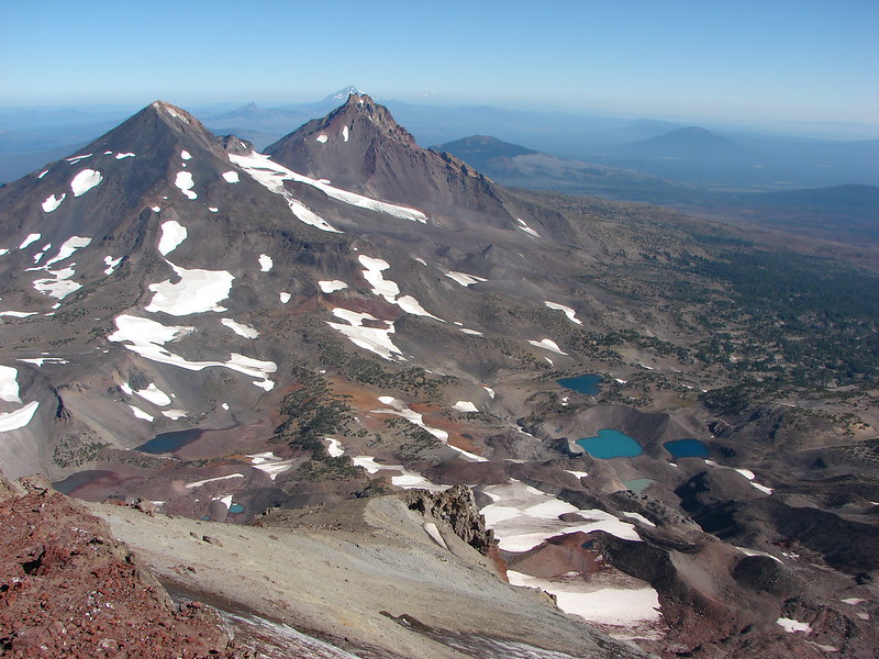
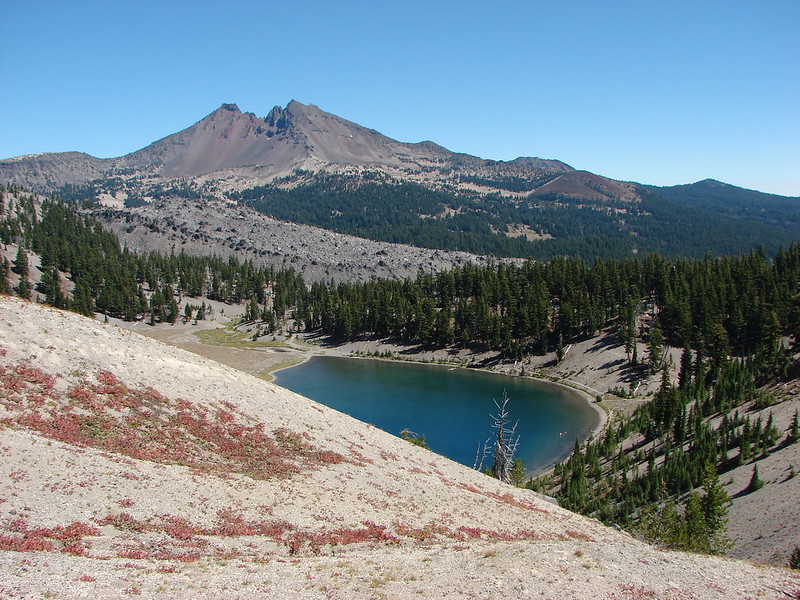

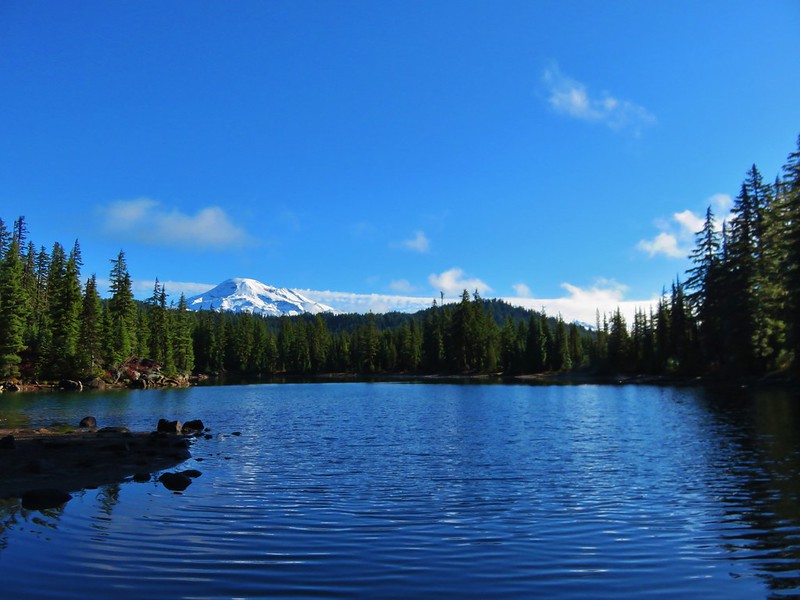

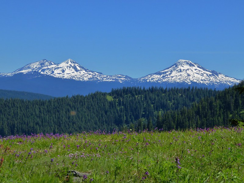
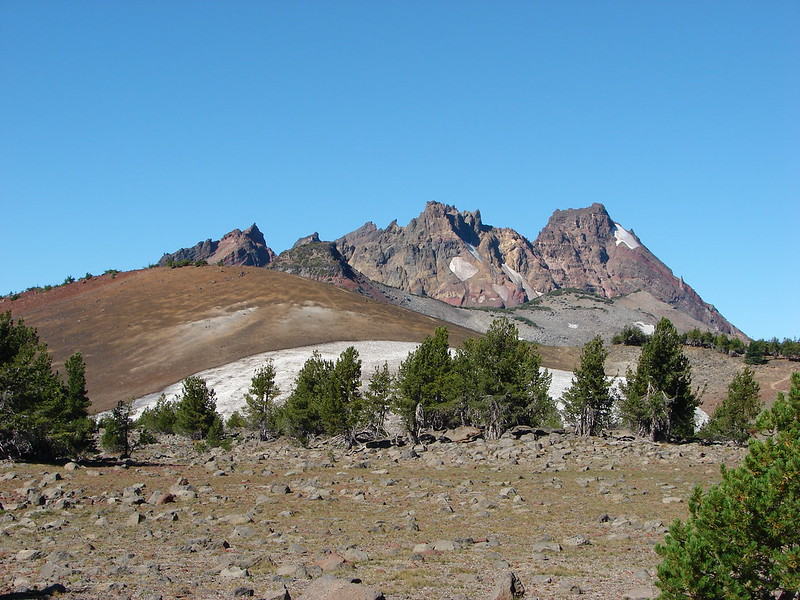
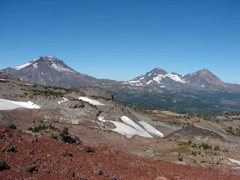



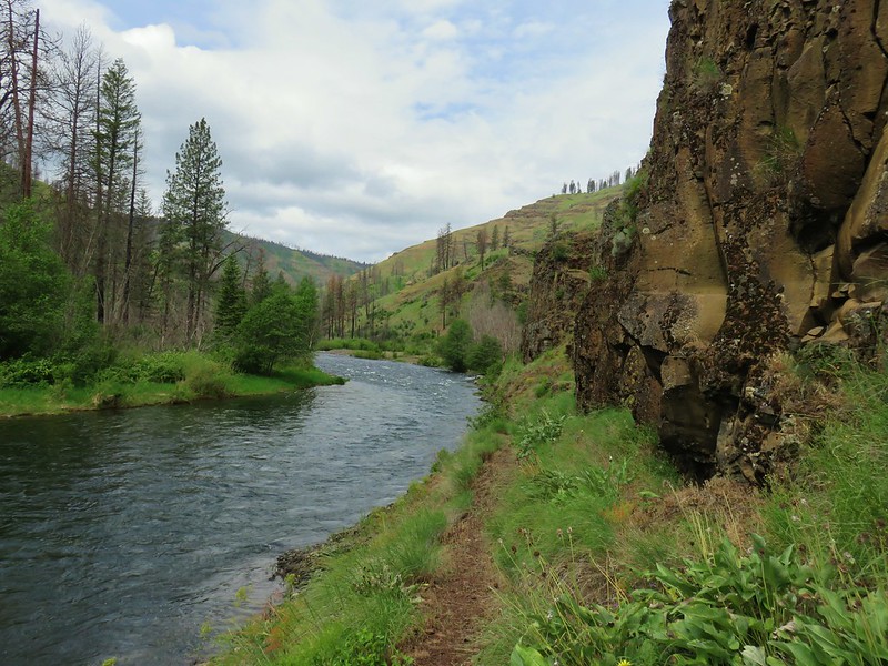

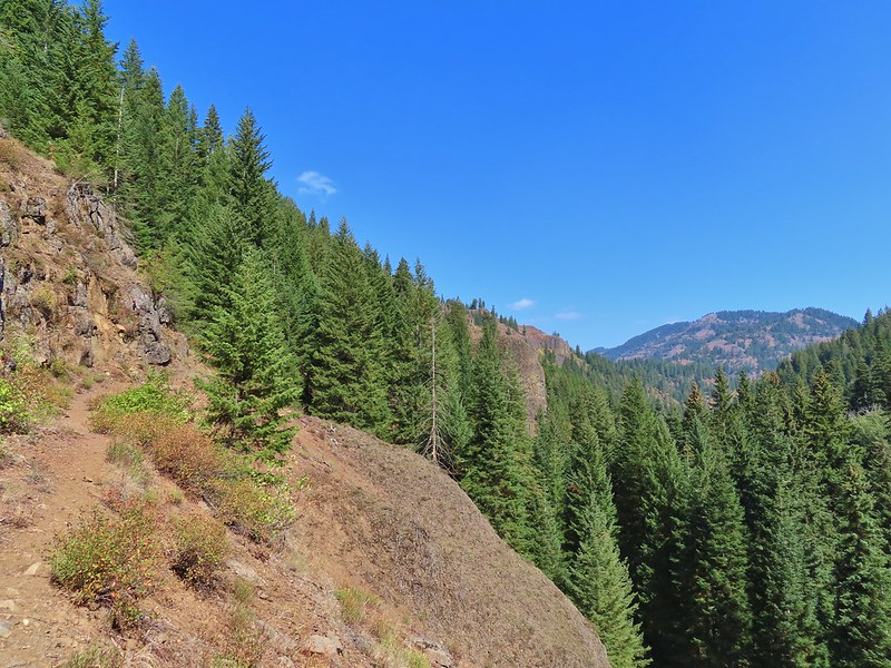


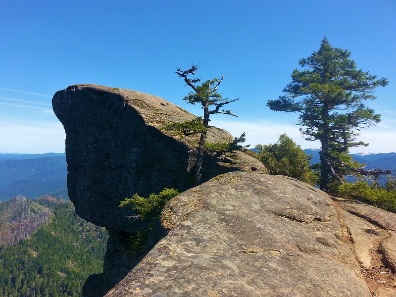
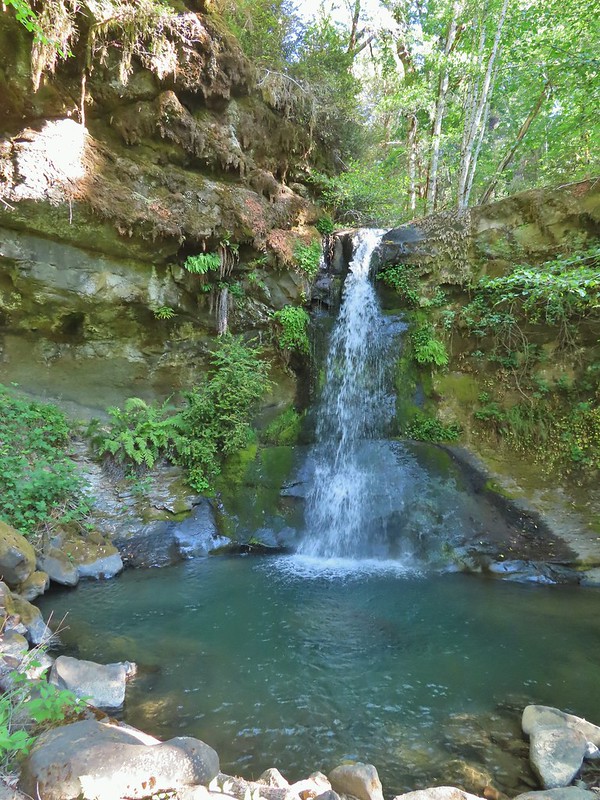
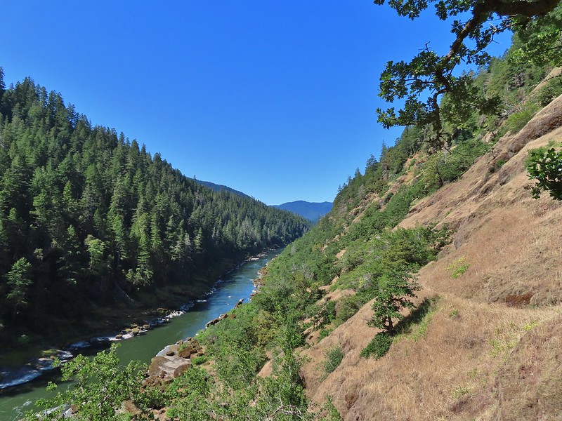

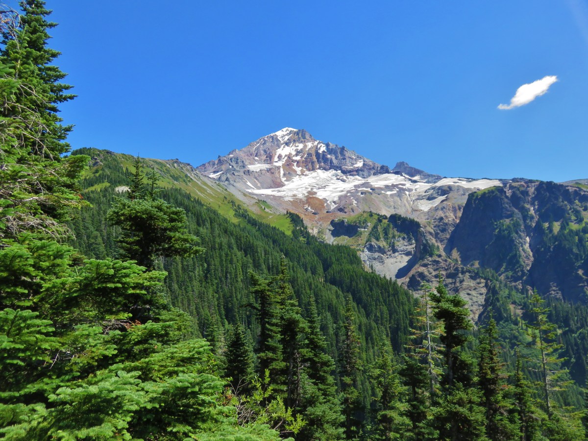
 A rectangular view of the area which also includes some hikes from the Central Cascades book at the southern end and hikes from the Eastern book along the eastern end.
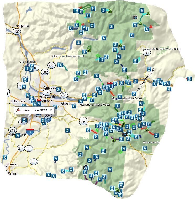 Map showing only hikes from the NW book.
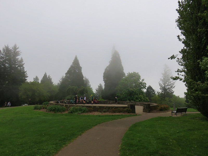


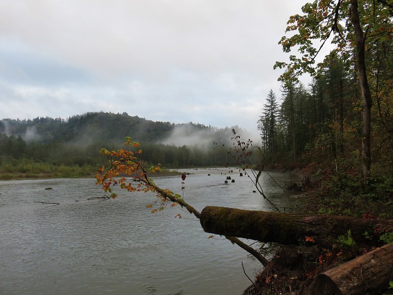


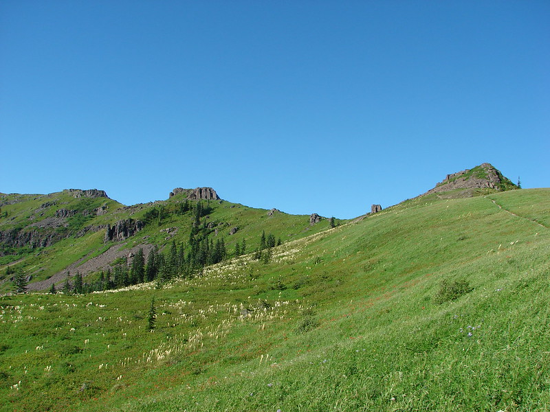
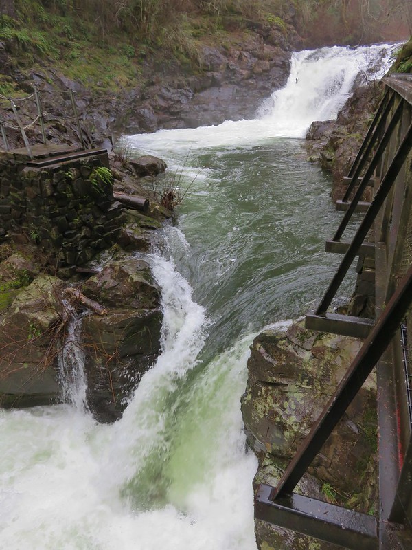 (This is Yacolt not Moulton Falls)
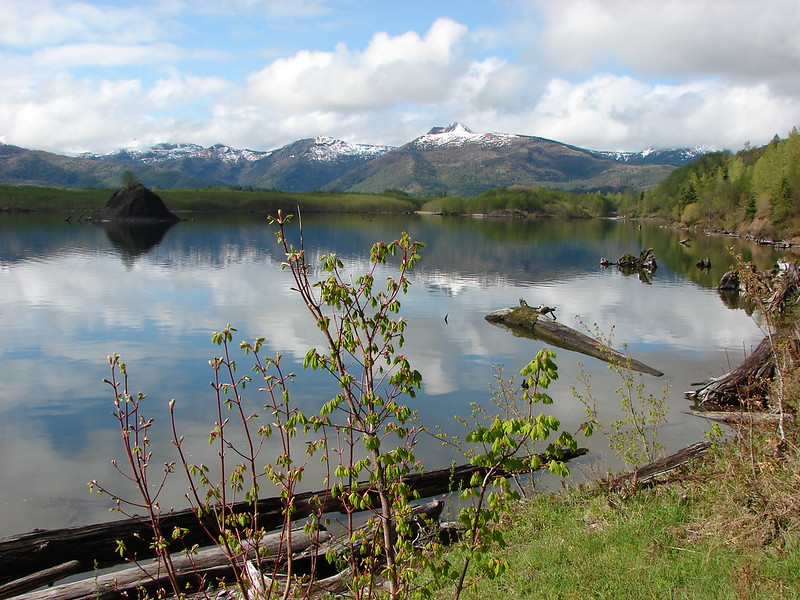

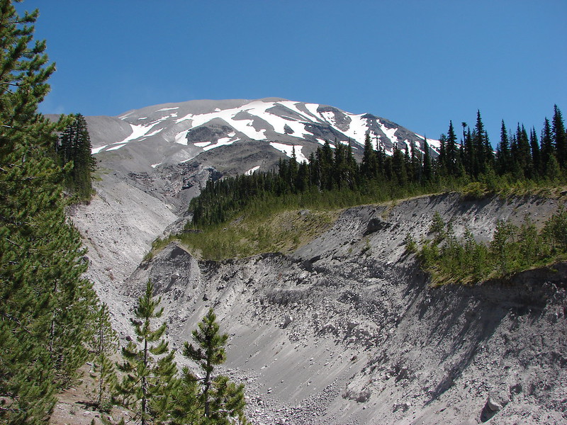


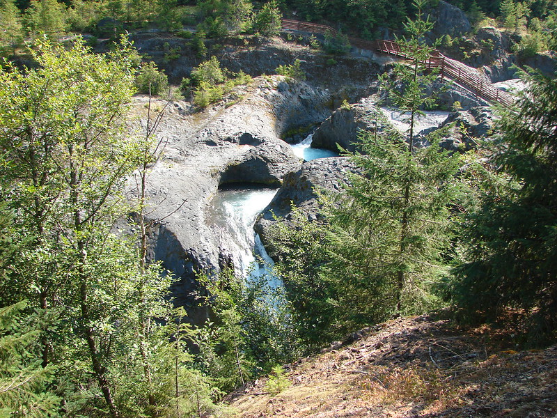


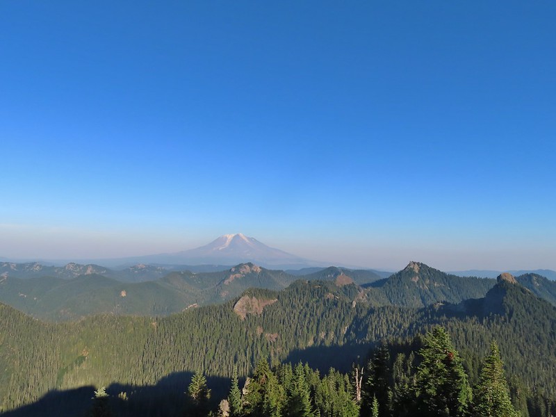
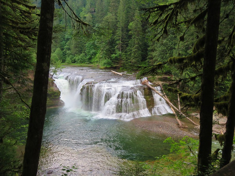
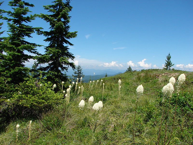
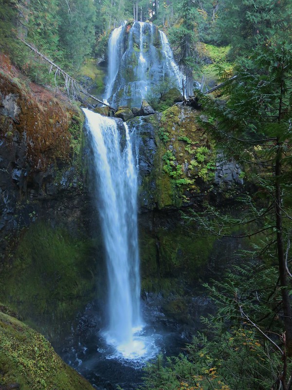
 Pictured: Blue Lake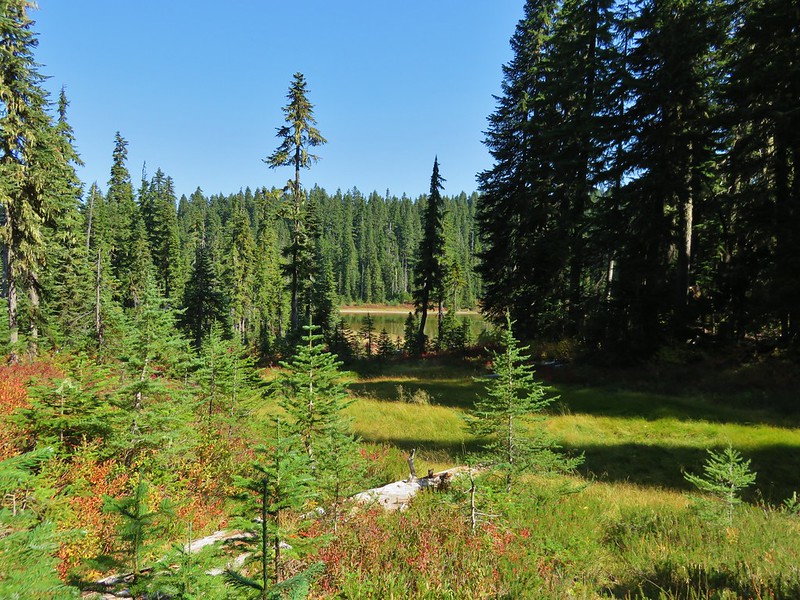


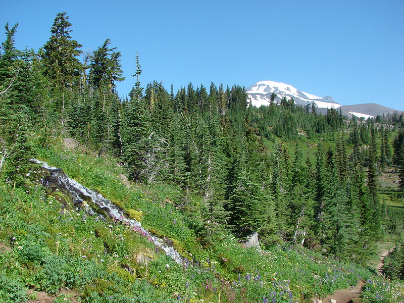

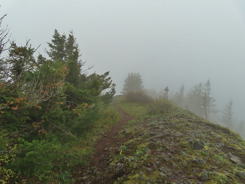
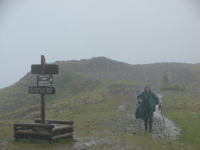 Hamilton Mountain
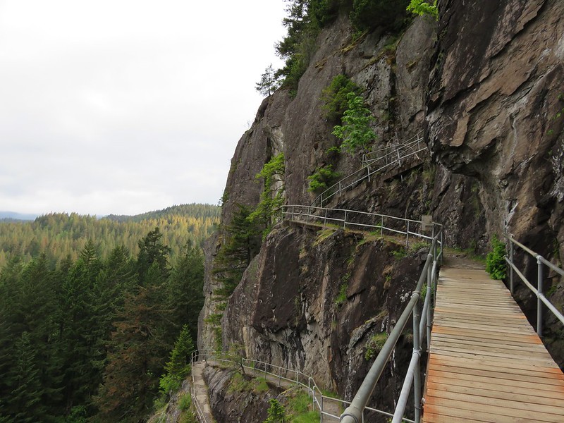 Beacon Rock


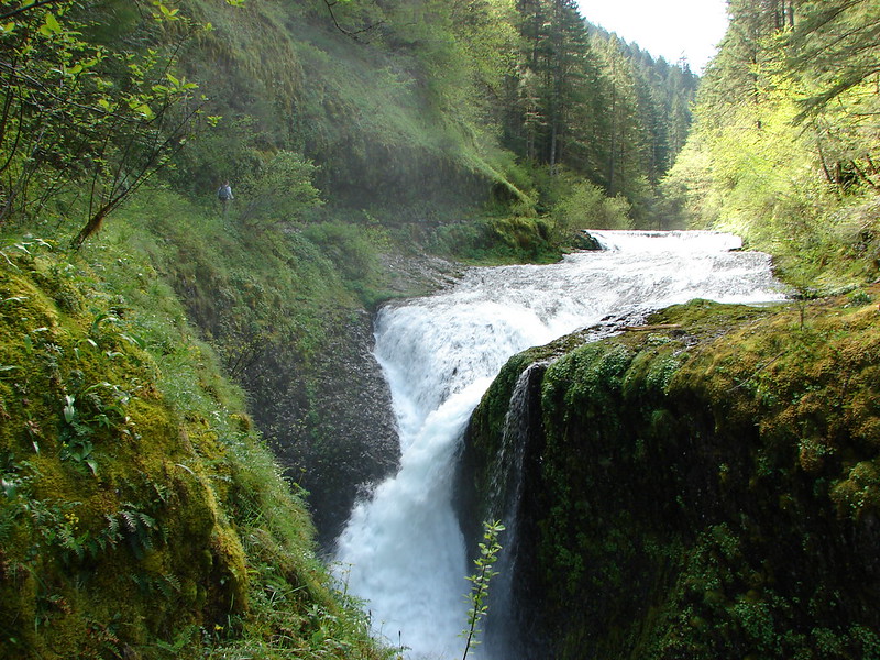
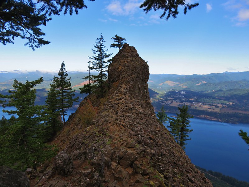
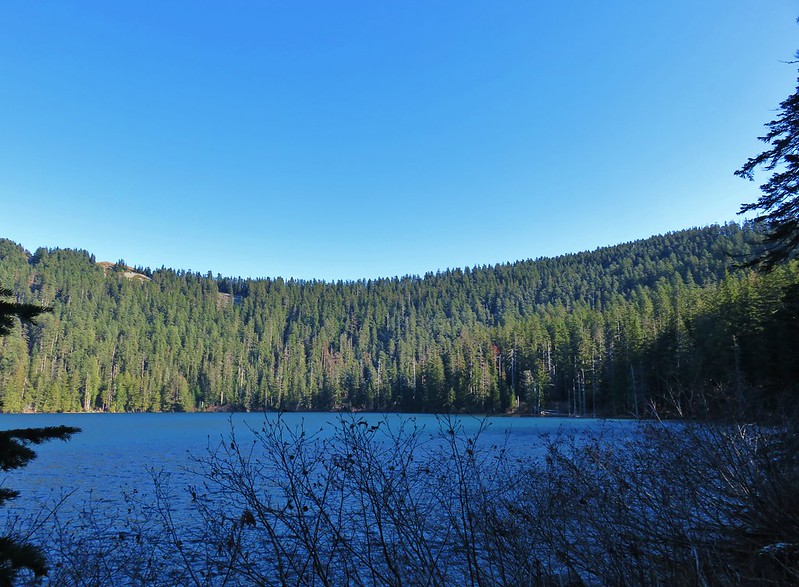
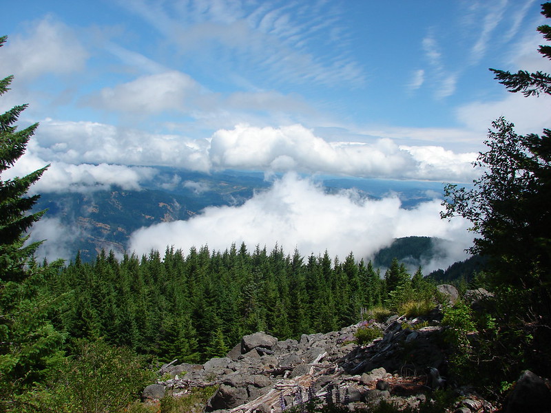
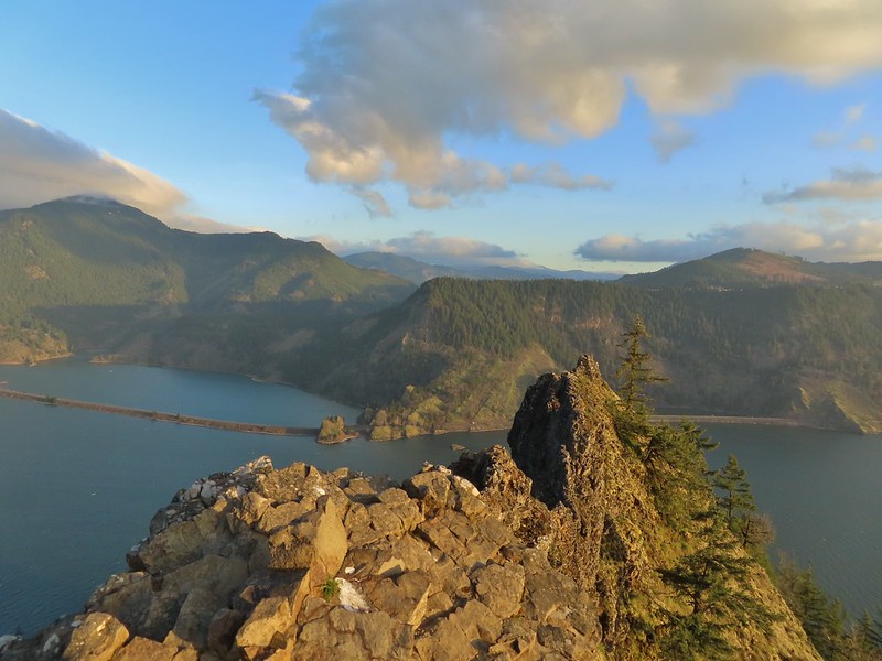
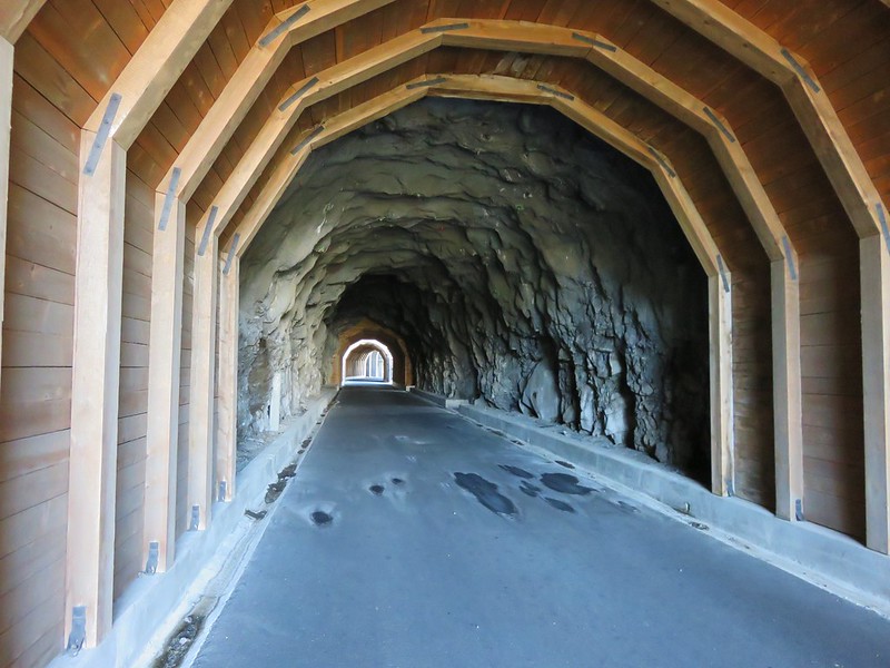
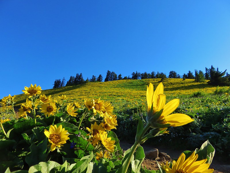

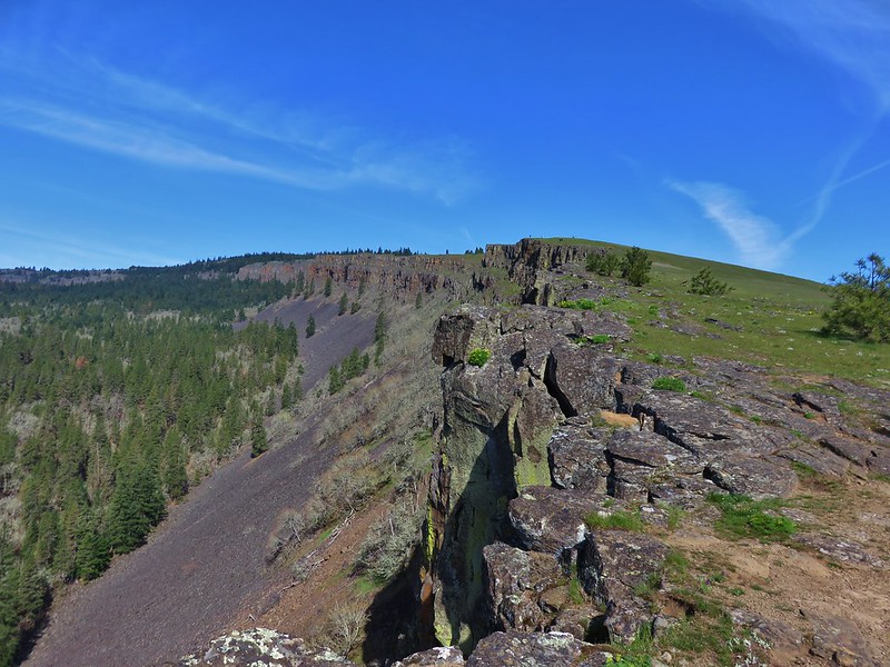


 Bonanza Trail
 Boulder Ridge Trail









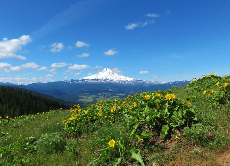
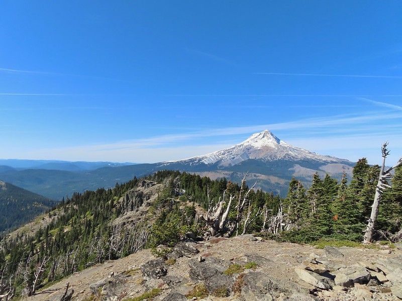
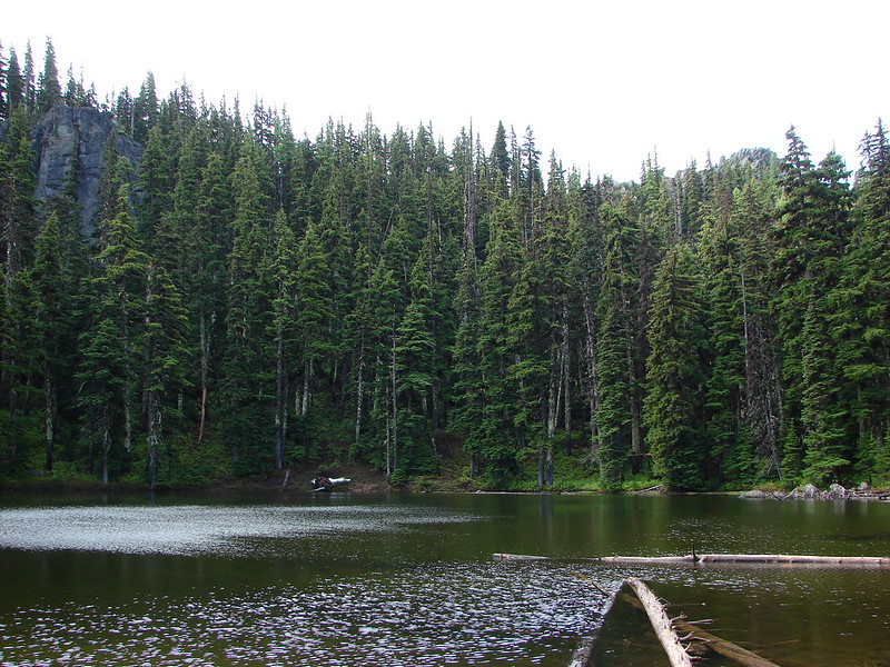

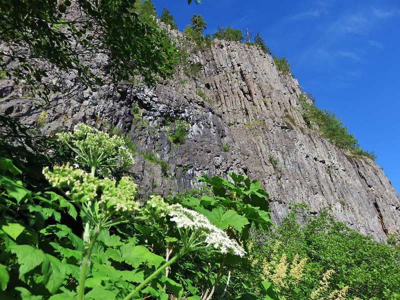




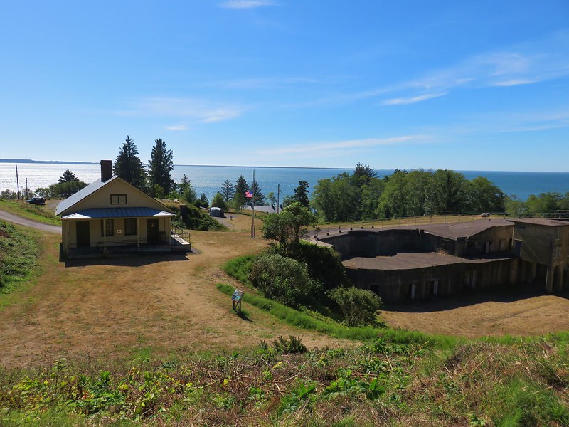
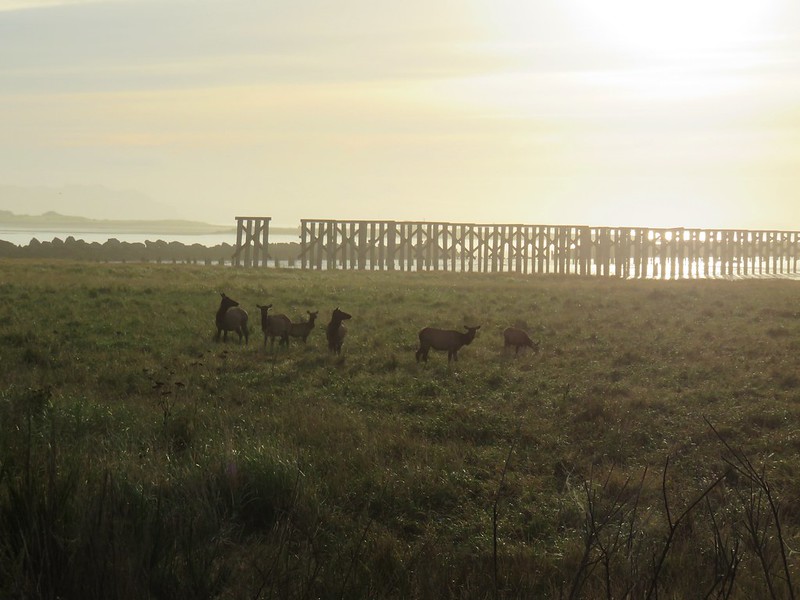

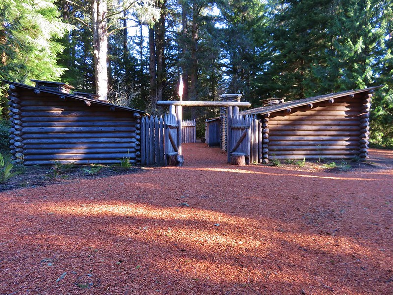
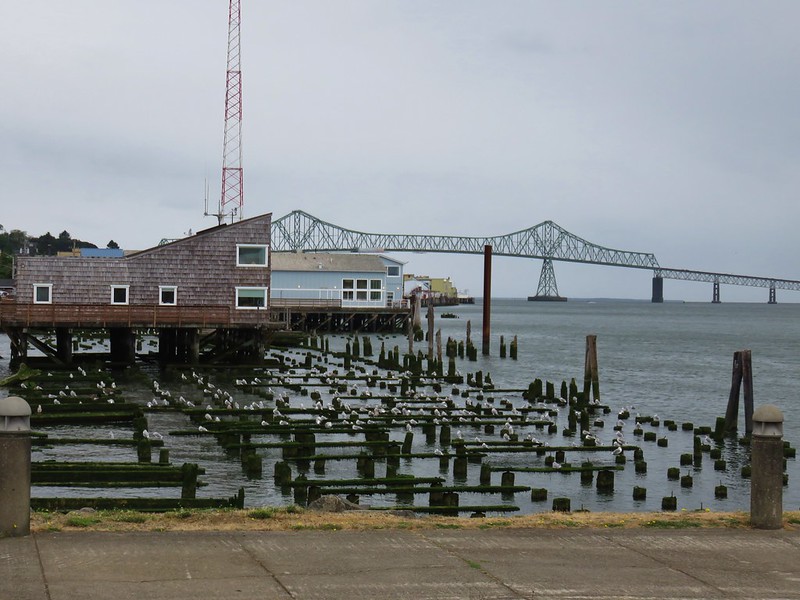


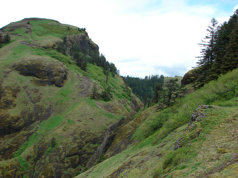
 Four County Point
 Sunset Rest Area


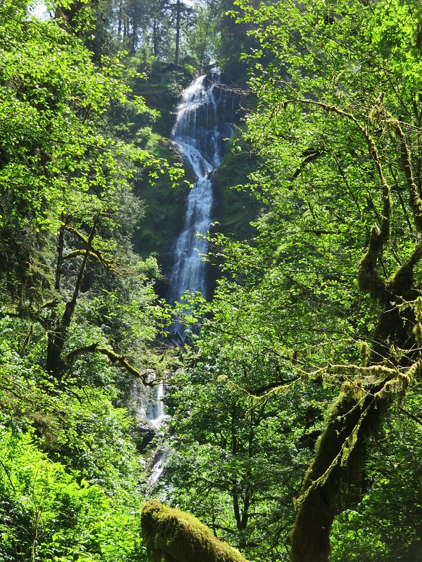
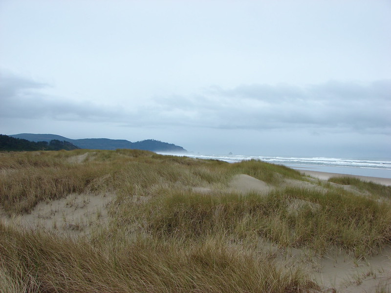
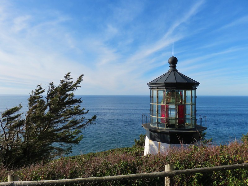



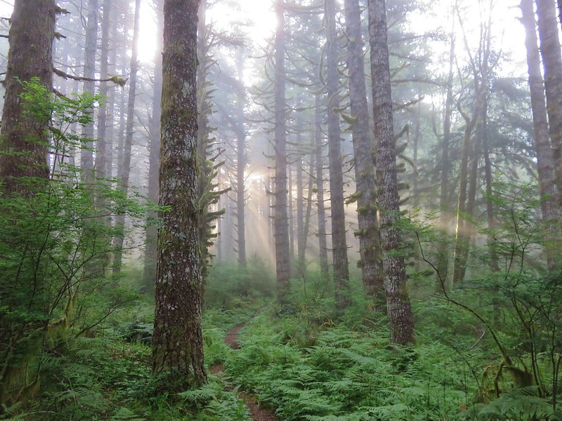

 Inland (Rainforest) Trail


 Yaquina Head
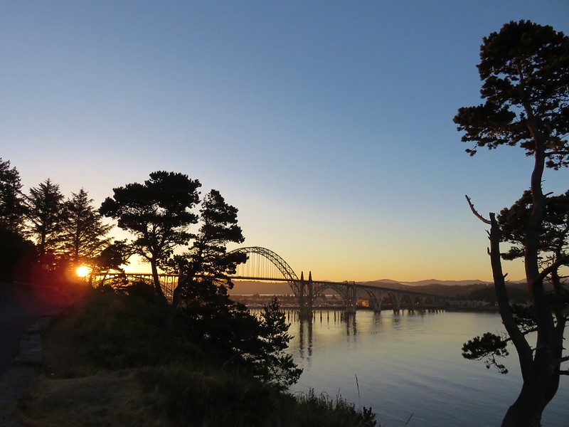 Yaquina Bay
 Estuary Trail
 South Jetty
 Mike Miller Trail

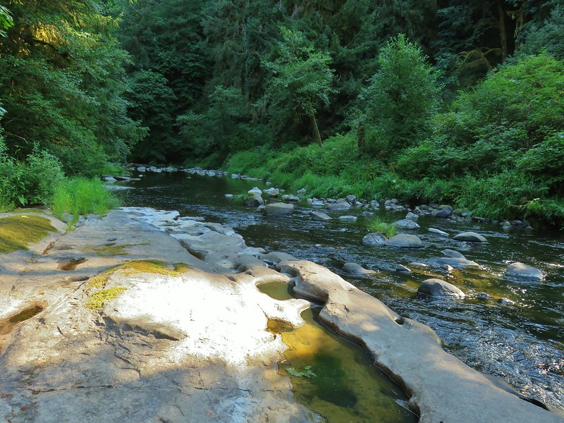
 Fort Hoskins
 Beazell Forest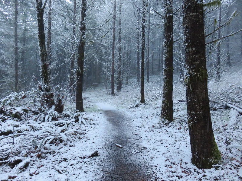
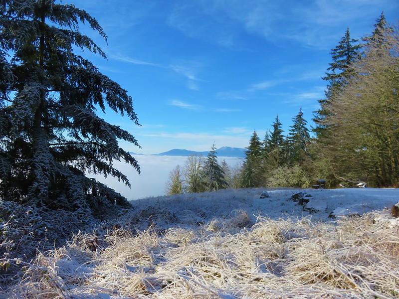



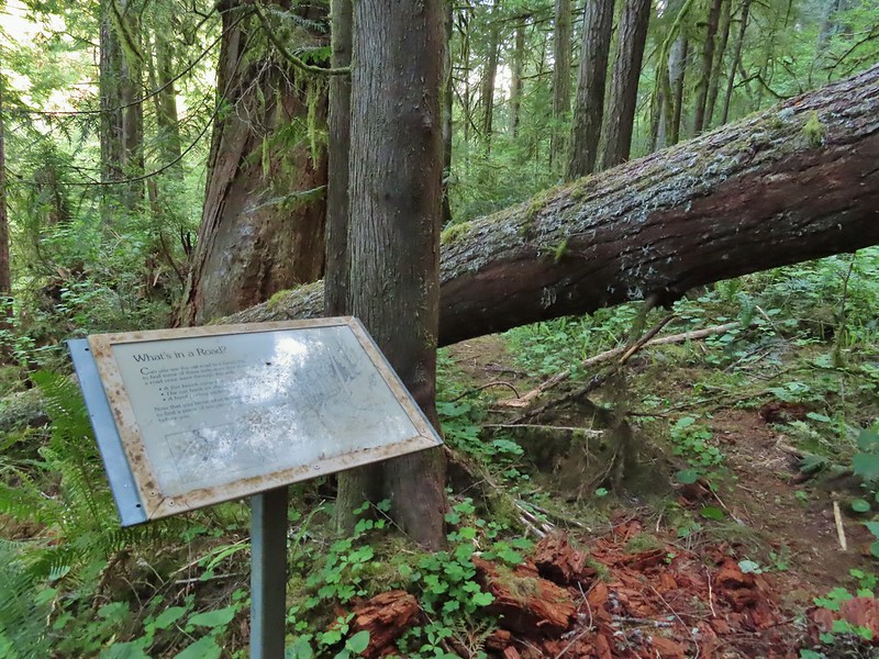 Pioneer Hill Trail
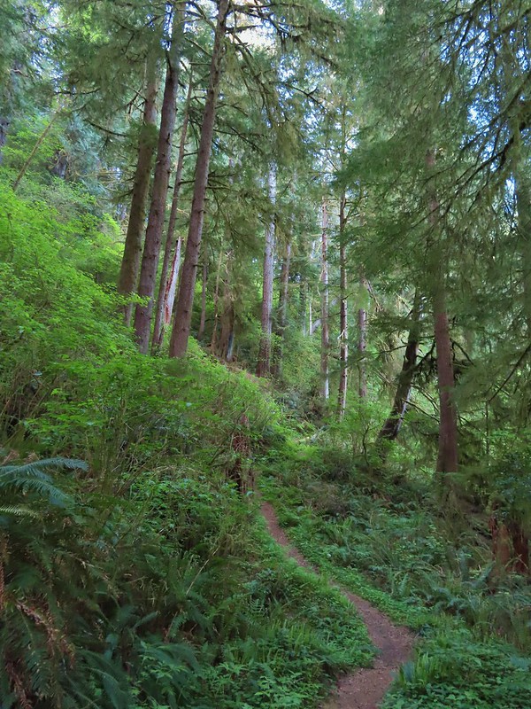 Pawn Old Growth Trail
 Old Growth Ridge Trail
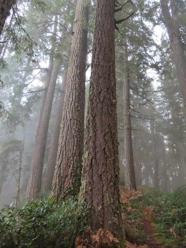 Clay Creek Trail
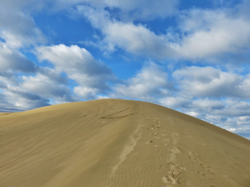




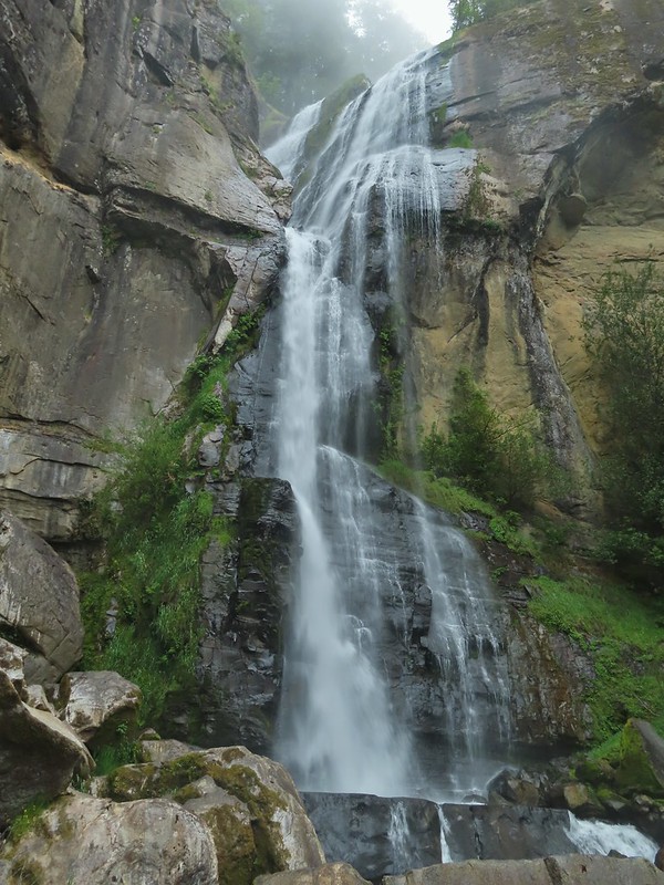

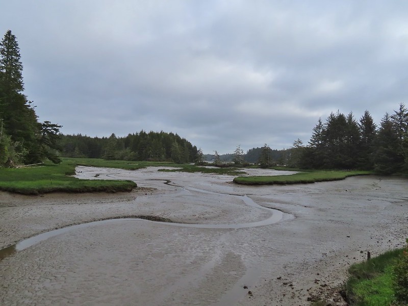
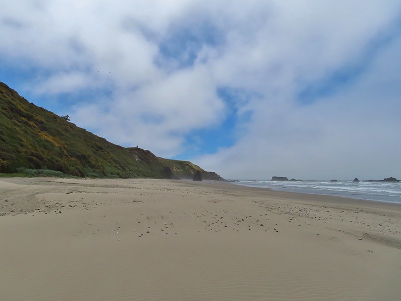

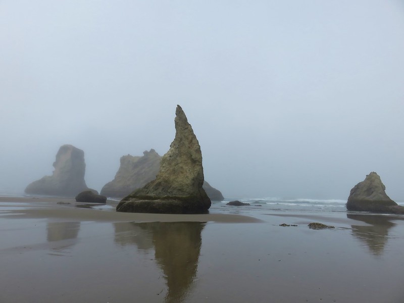




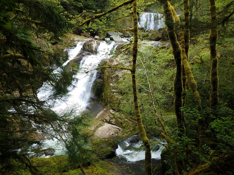 Coquille River Falls
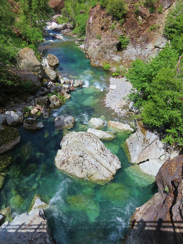
 Elk Creek Falls
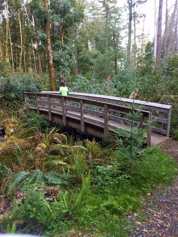 Shrader Old Growth Trail
 Myrtle Tree Trail
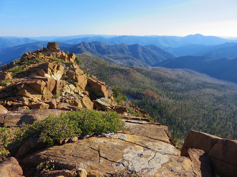 Vulcan Peak


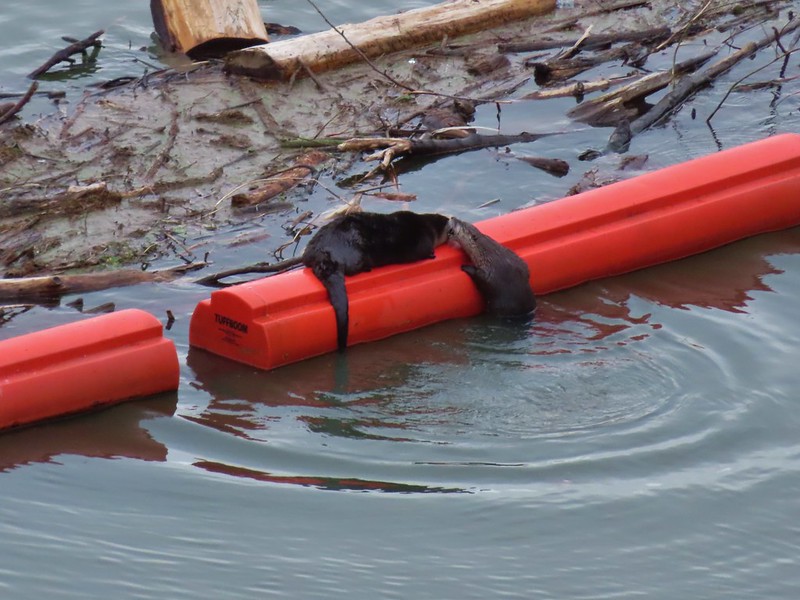 River Otters on a boom at Dorena Lake
 American bittern flying over Fern Ridge Wildlife Area
 Raccoons at South Slough Estuary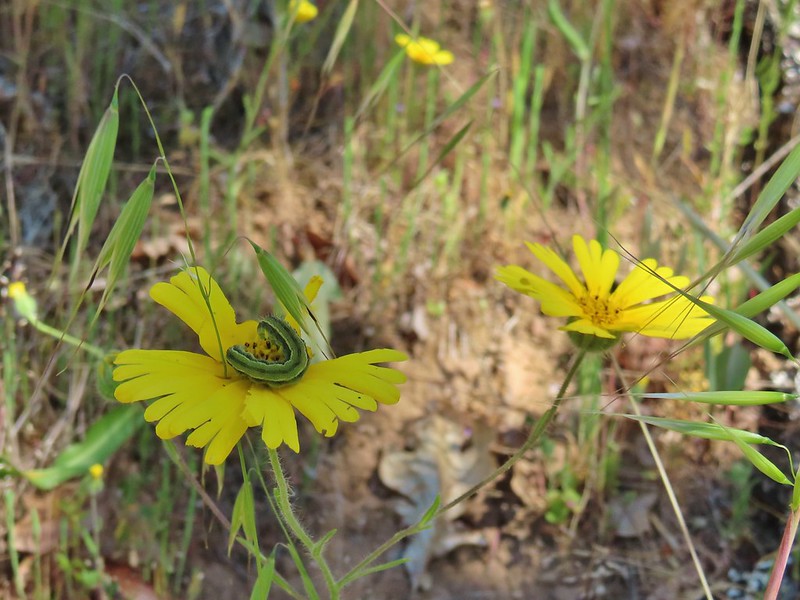
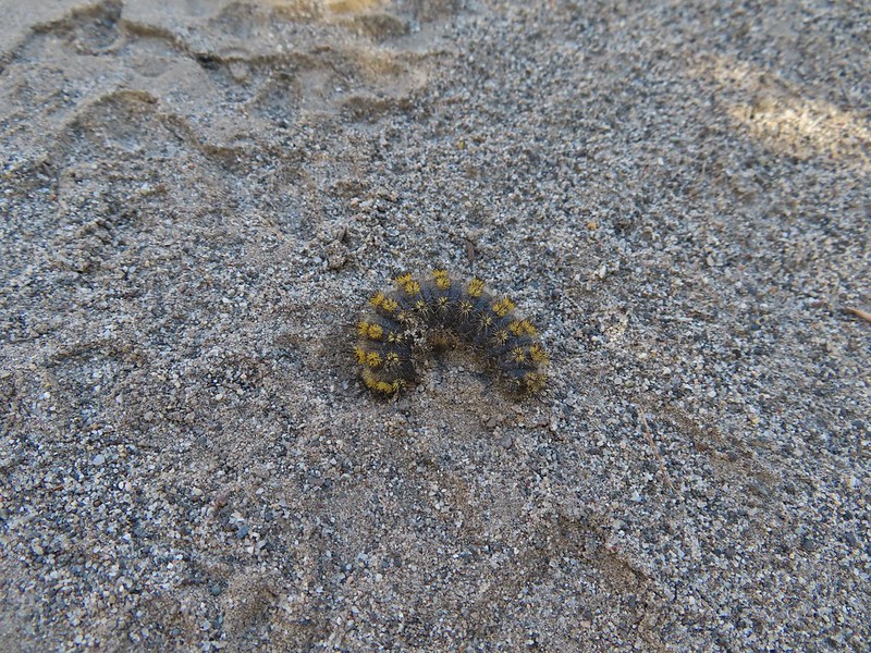

 Several species

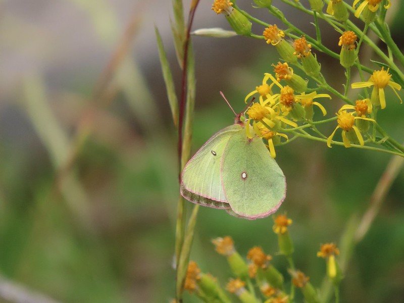 One of the sulphurs
 Another sulphur
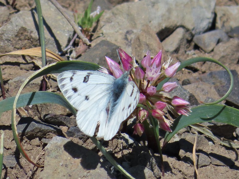 Becker’s white
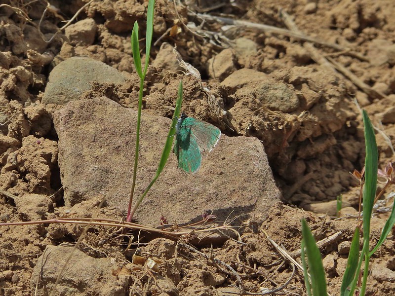 A hairstreak
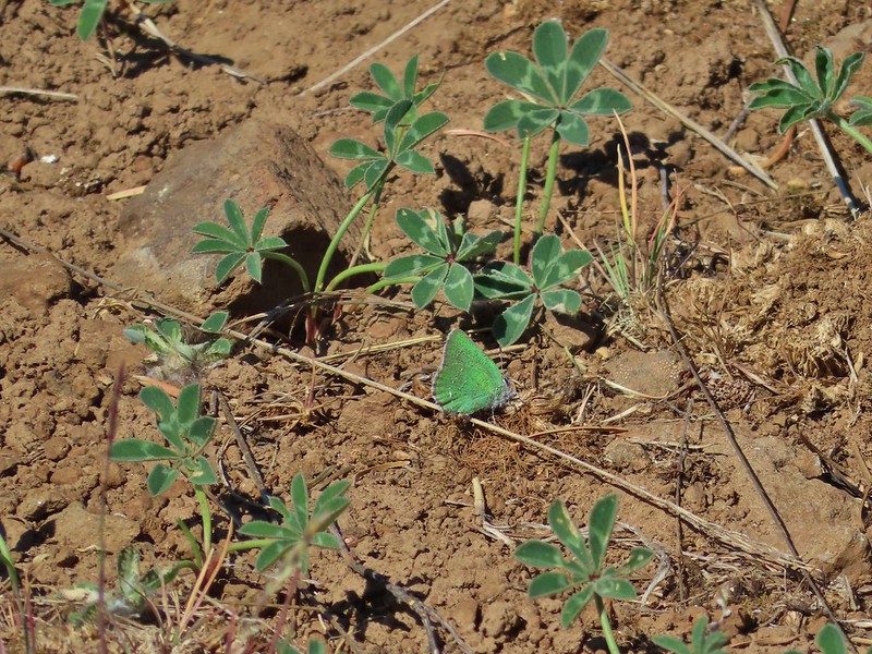 Also a hairstreak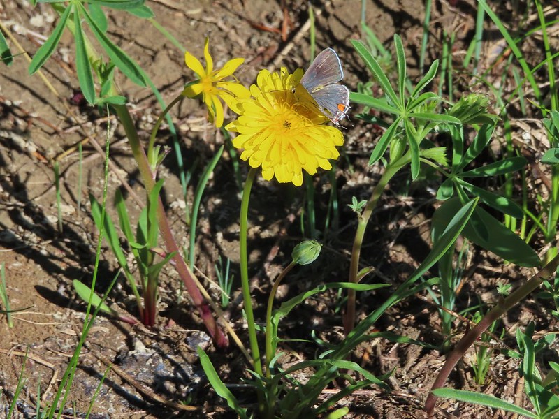


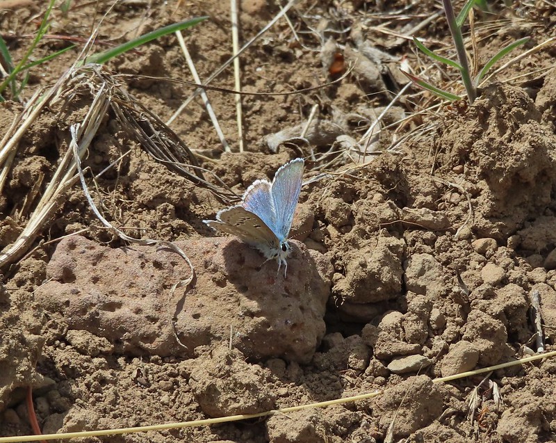
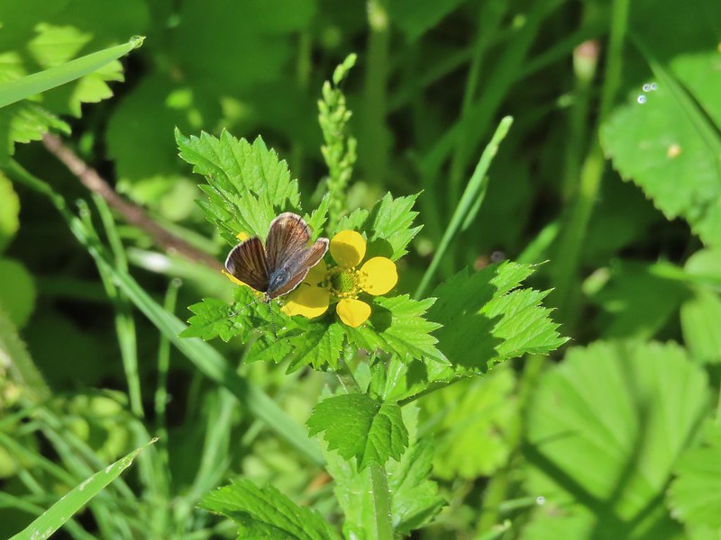
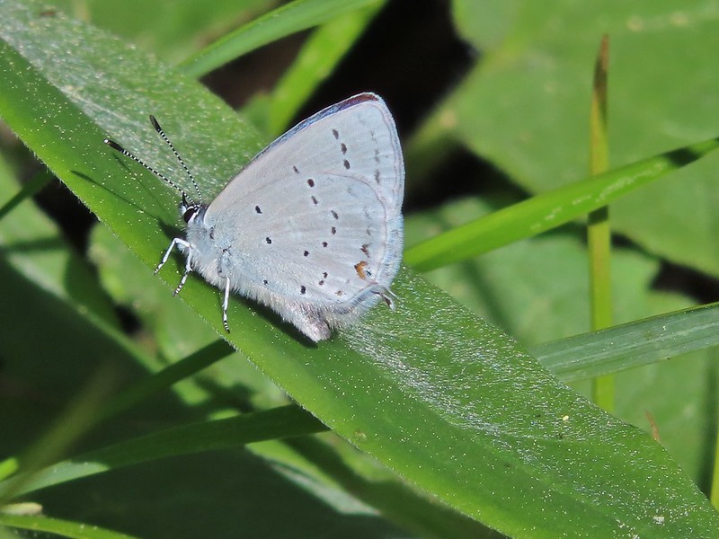
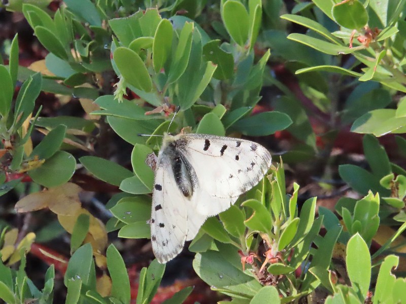
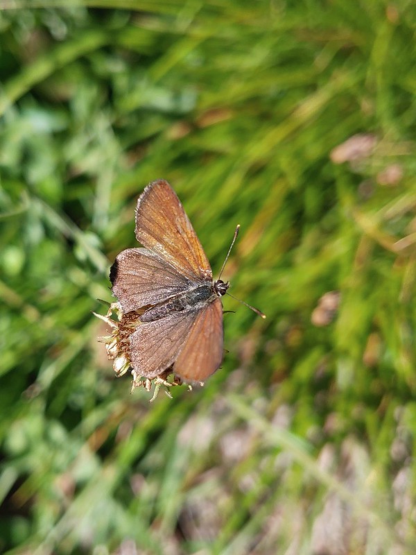


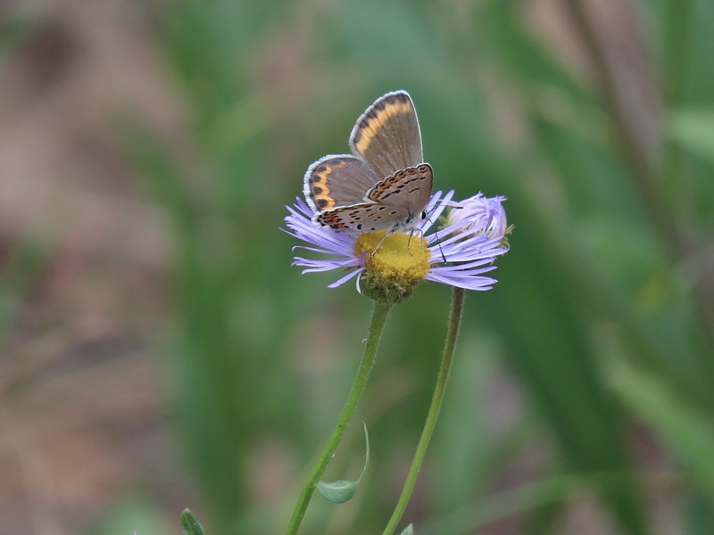
 Cabbage white
 California tortoiseshell
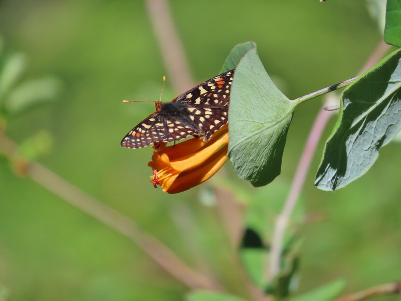 A checkerspot
 Chlosyne acastus – sagebrush checkerspot, female
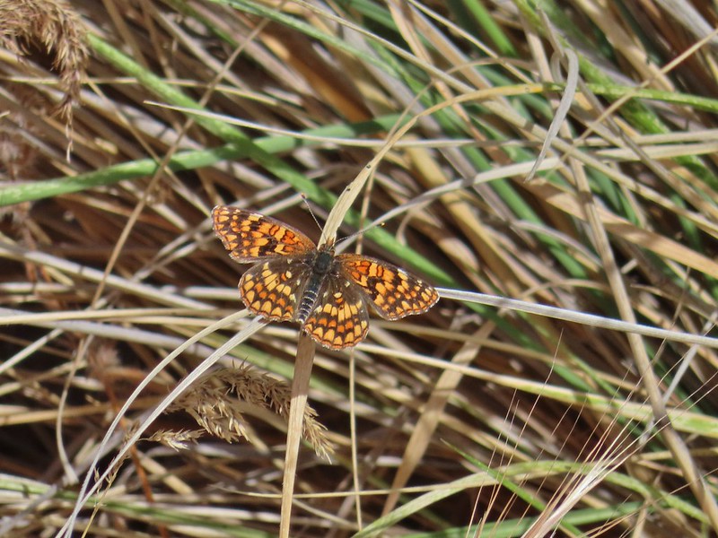 Chlosyne acastus – sagebrush checkerspot, male?
 Cloudis parnassian
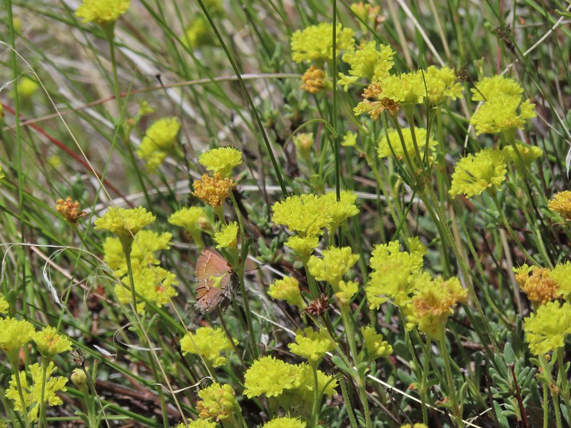 Cedar hairstreak
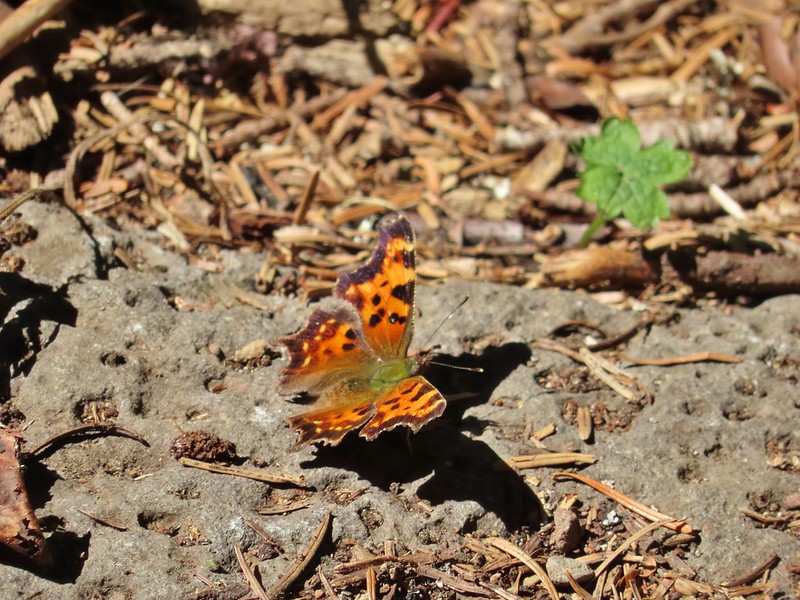 Green comma?
 Hoary comma
 Juba skipper – Hesperia juba
 Langton’s Forester Moth
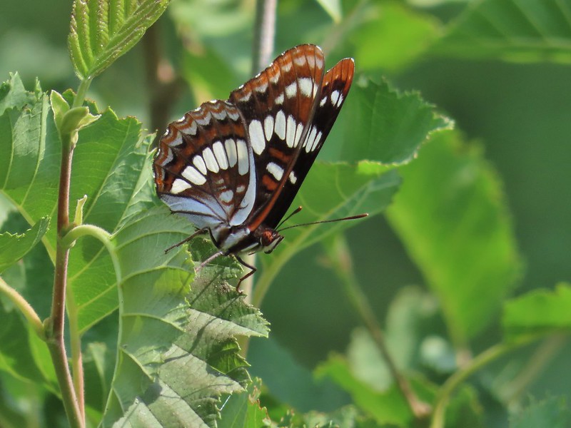 Lorquin’s admiral
 Milbert’s tortoiseshell
 Moth
Moth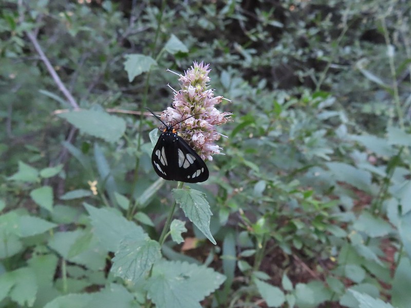 A moth, possibly Gnophaela latipennis
 Moth
Moth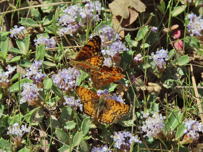 Mylitta crescents
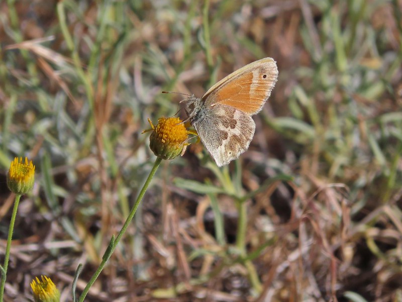 Ochre ringlet
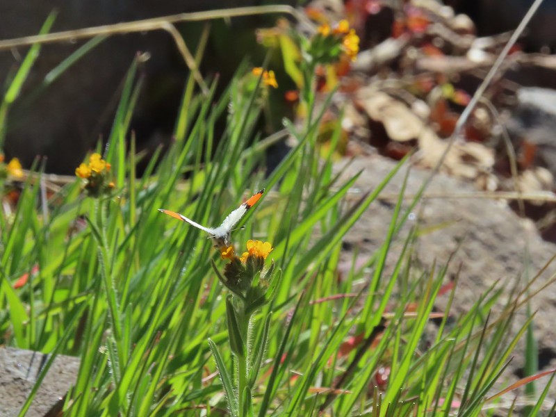 Orange tip
 Possibly a Boisduval’s blue – Icaricia icarioides
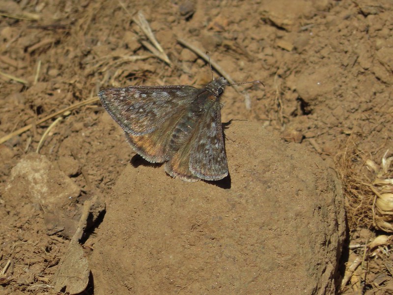 Propertius duskywing – Erynnis propertius
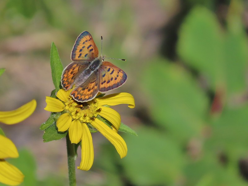 Purplish copper
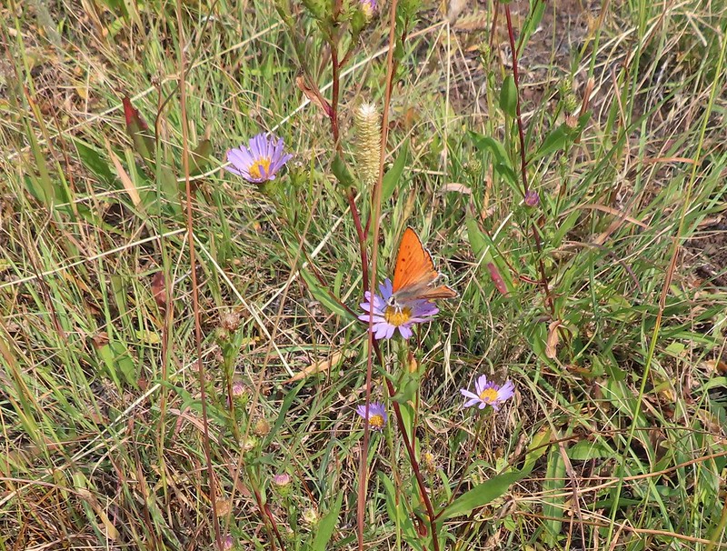 Possibly another purplish copper, Steens Mountain Wilderness 8/17.
 Sheep moth
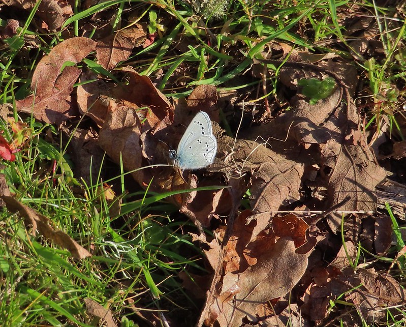 Silvery blue?
 A skipper
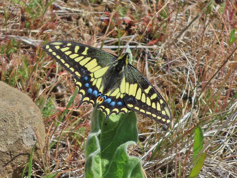 Anise swallowtail
 Indra swallowtail
 Possibly a pale swallowtail -Ninemile Ridge
 Possibly a western swallowtail -Devil’s Staircase Wilderness
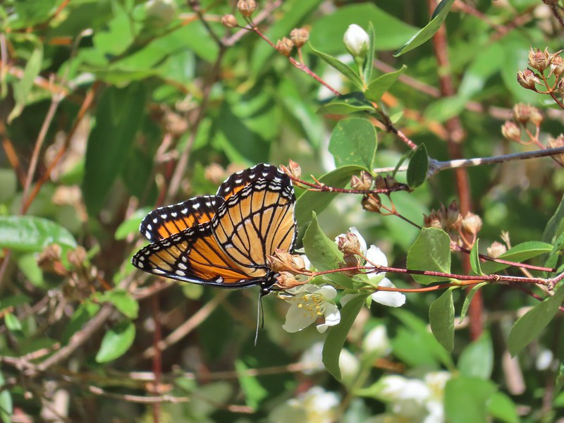 Viceroy
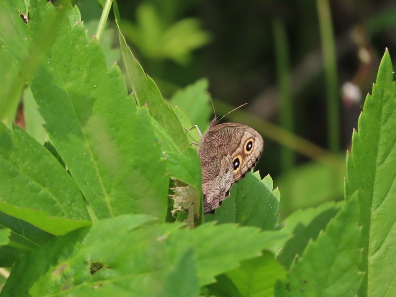 July 19th, Ochoco Mountains
 August 17th Steens Mountain Wilderness
 August 19th Steens Mountain Wilderness
 One of the fritillary butterflies I think.

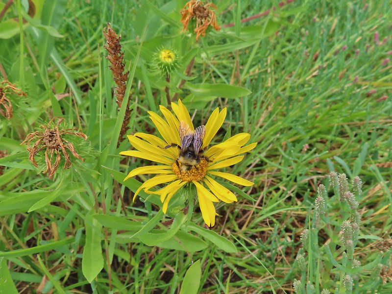

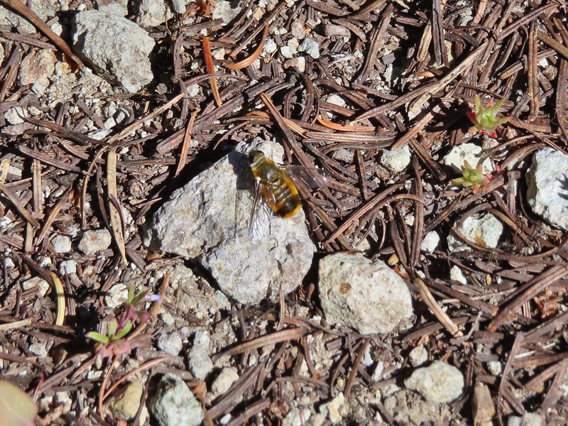
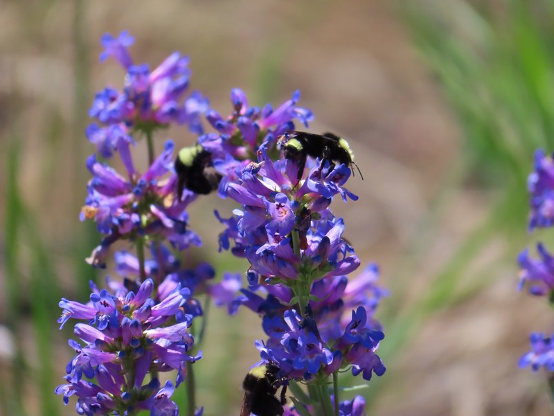


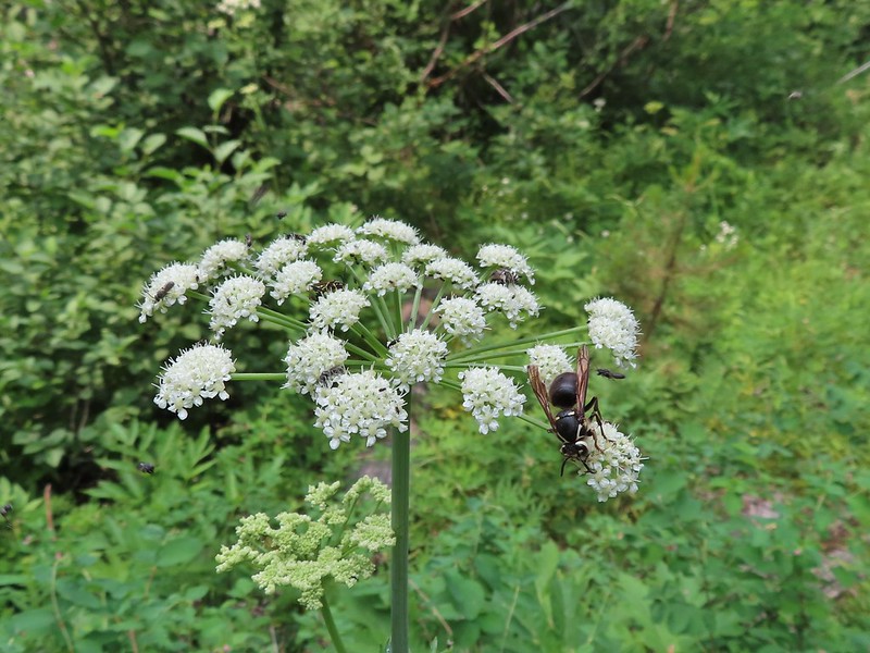
 Flying ants at the summit of Mt. Bachelor
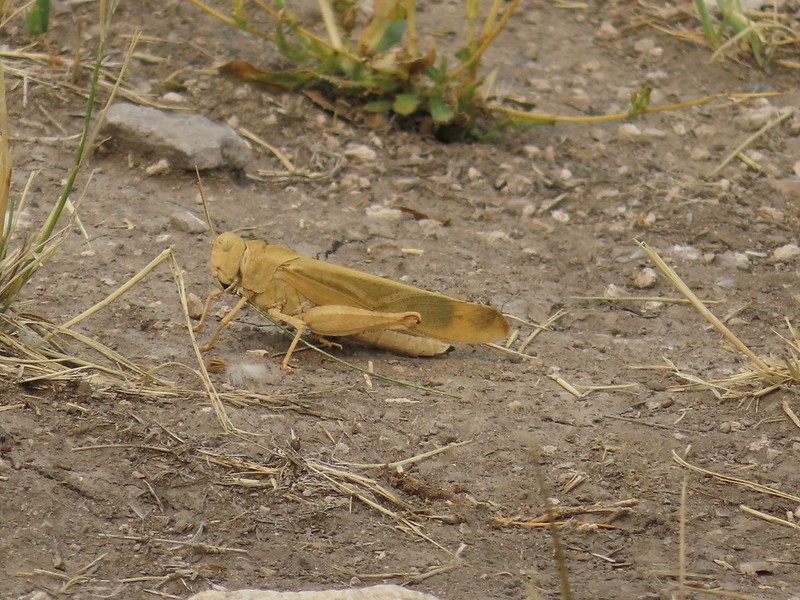
 Cicada
 Ladybug
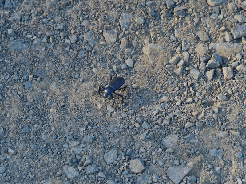

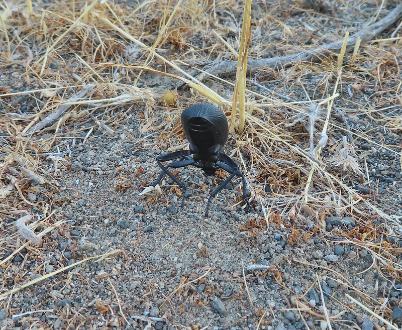
 Find the beetle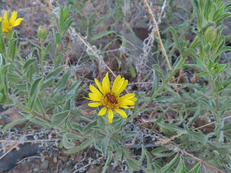
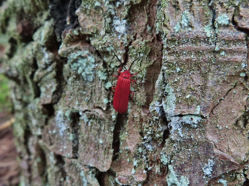 Dictyoptera aurora?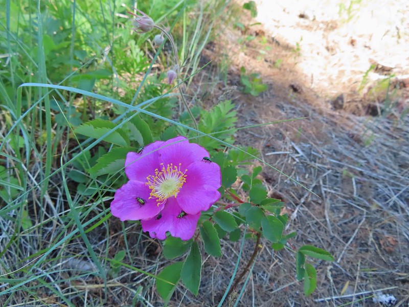
 Crab spider
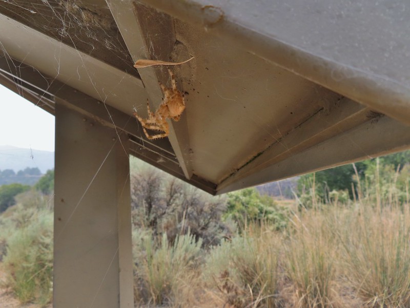
 Spot the spider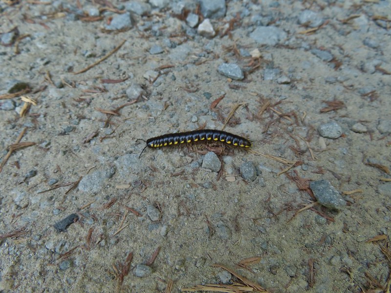
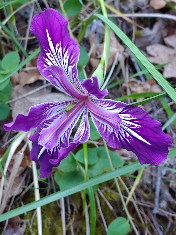
 Praying mantis
 June bug
 Damsel fly
 Dragon fly
 Dragon fly
 Dragon fly
 Dragon fly
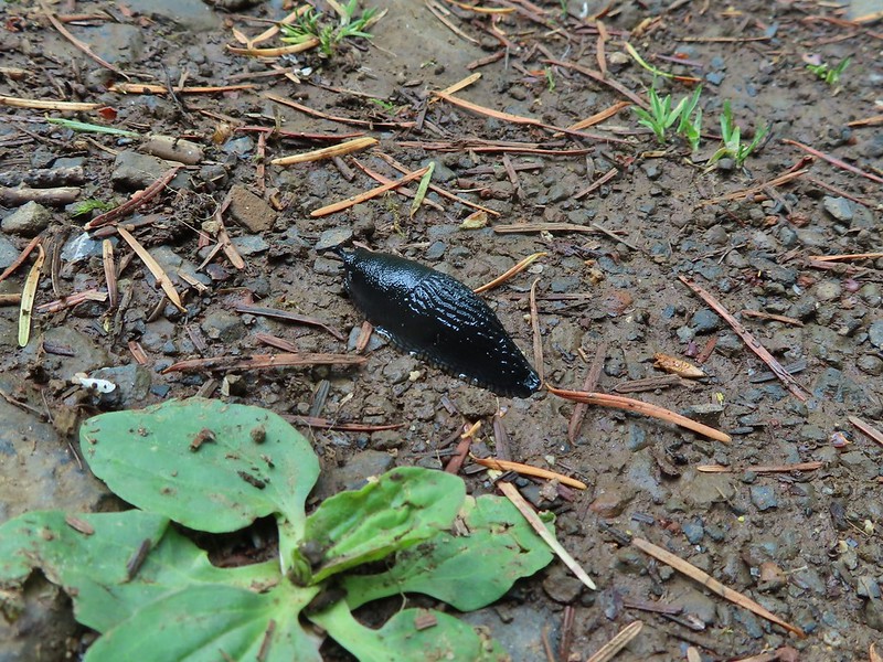




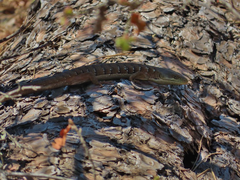 Alligator lizard
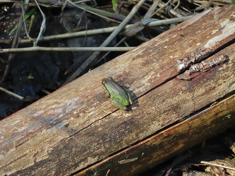
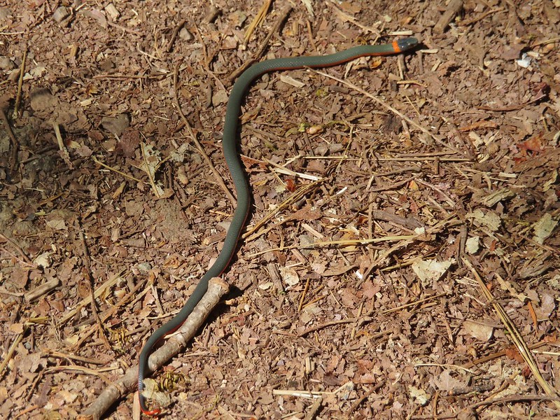 Ring necked snake
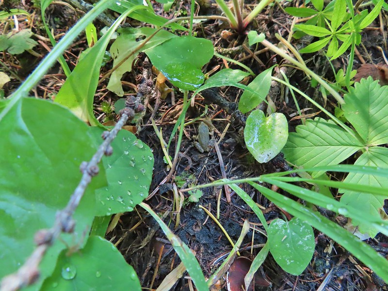
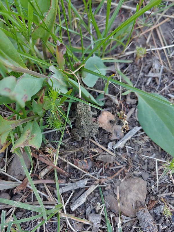
 Turtle
 Western fence lizards
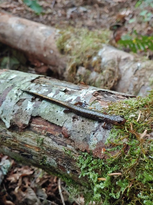 Dunn’s salamander?
 Rough skinned newt
 Crawdad surrounded by rough skinned newts
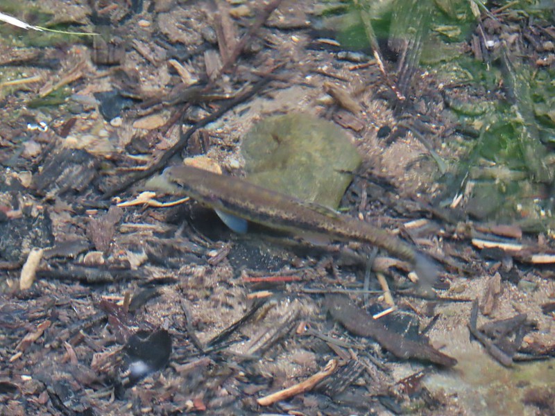 Fish in Black Canyon Creek
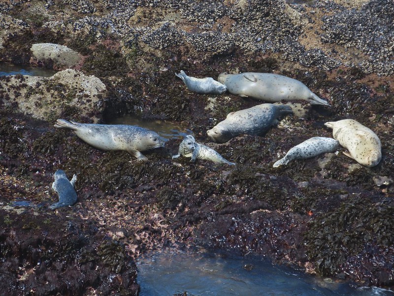 Seals
Seals Sea lions
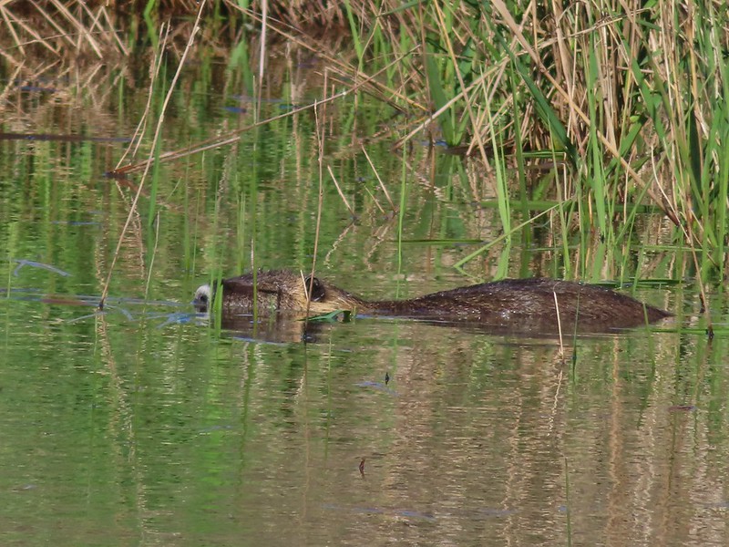 Nutria
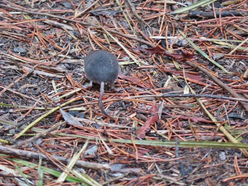 Hindquarters of what we believe to have been a mole.
 Indian Heaven Wilderness
 Badger Creek Wilderness
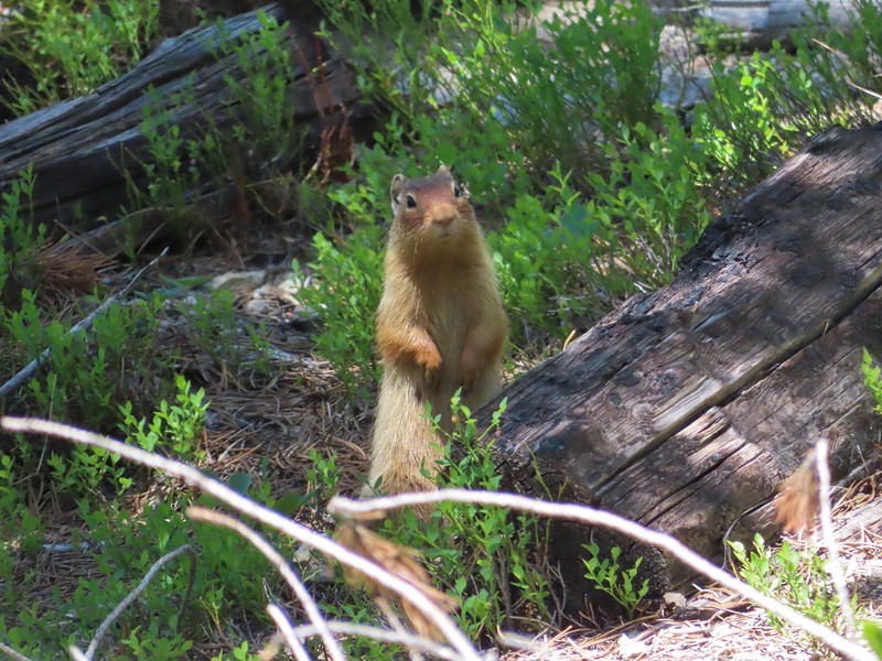
 Golden mantled-ground squirrel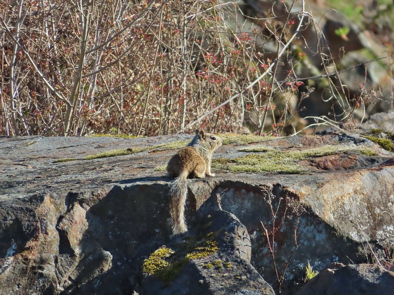




 Pika
Pika Mountain cottontail
 Eastern cottontail
 Snowshoe hare
 Jack rabbit
 Ring-necked duck and a lesser scaup
 American coot, spotted sandpiper and mallards on a log
 American wigeons
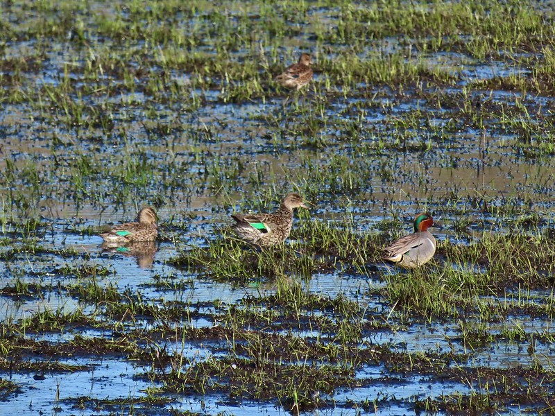 Green-winged teals
 Cinnamon teal
 Mallards, a cinnamon teal and a pied billed grebe
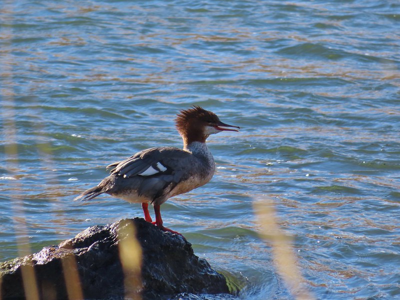 Common merganser
 A female hooded merganser? and buffleheads
 Northern pintails
 Northern shovelers
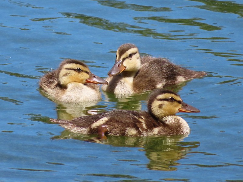 Ducklings
 Canada geese
 Western grebe
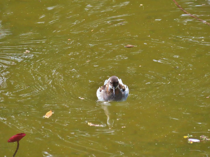 Bird at the Formal Gardens at Shore Acres State Park
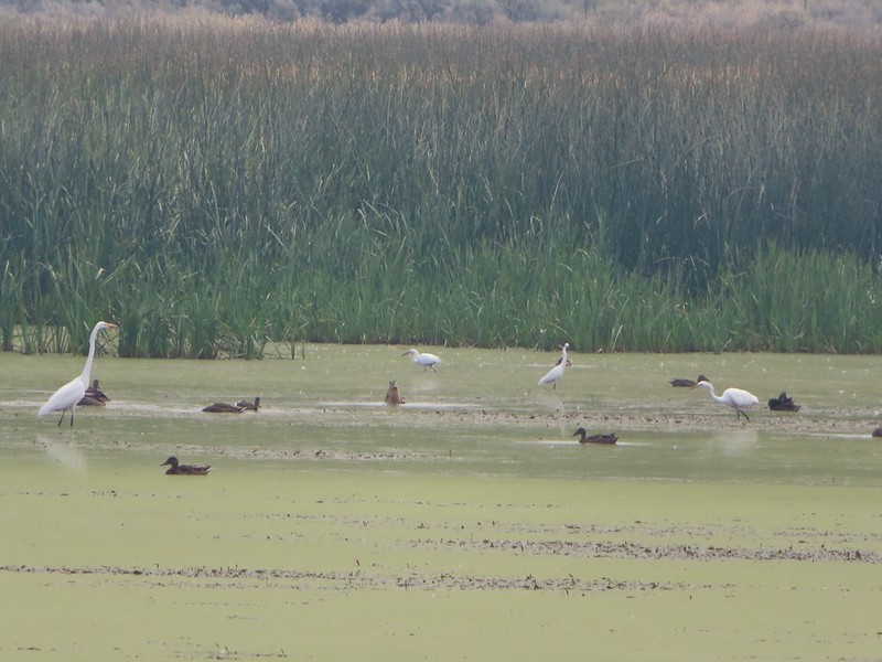 At least two types of egrets and a bunch of ducks at Malhuer Wildlife Refuge
 Egret
Egret Great blue heron
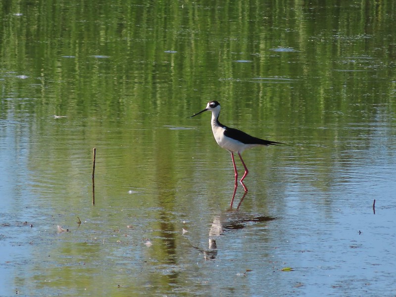 Black-necked stilt
 Dunlins
 Yellowlegs?
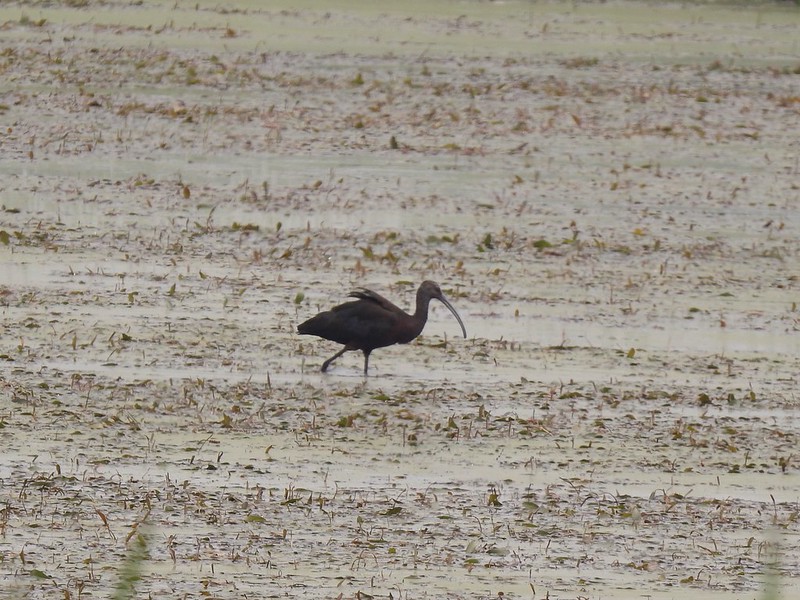 White faced ibis
 Whimbrels
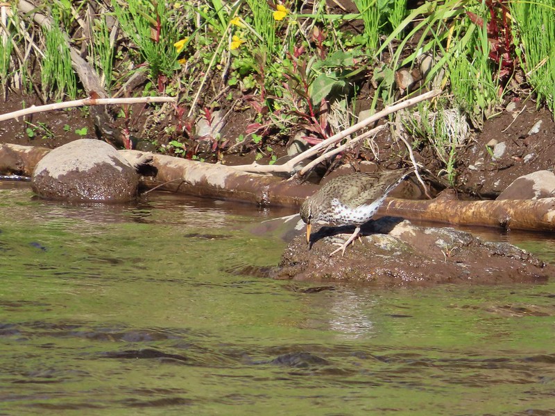 Spotted sandpiper
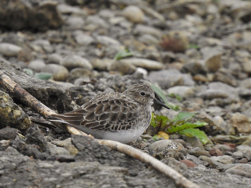 Another sandpiper
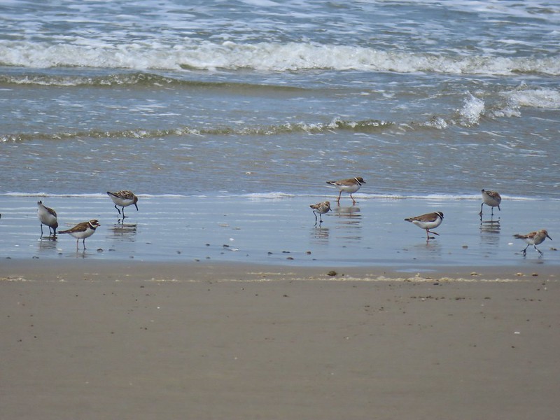 A couple of types of shorebirds
 White pelican
 Seagull
 Cormorants
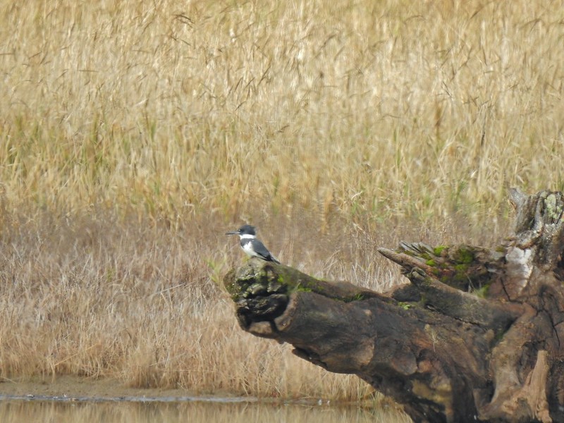 Kingfisher
 American dipper aka ouzel
 A couple of American bushtits
 Bewick’s wren?
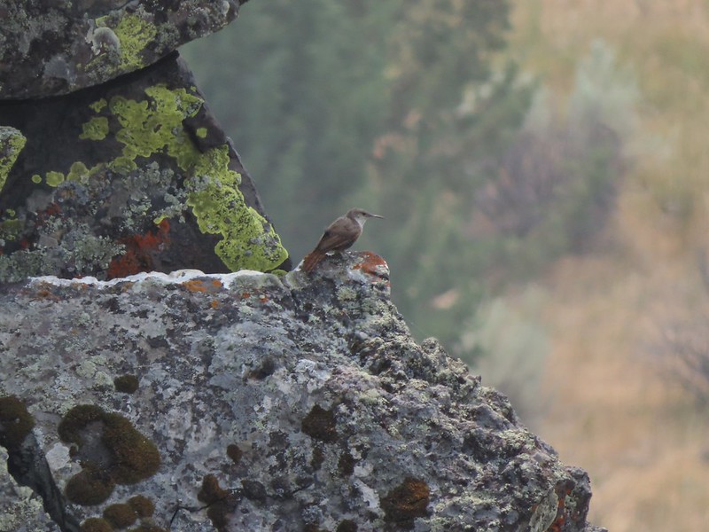 Canyon wren?
 Wren? at Horsethief Butte near The Dalles.
 No idea, seen along the Alder Springs Trail in Central Oregon.
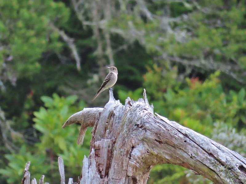 Possibly a flycatcher?
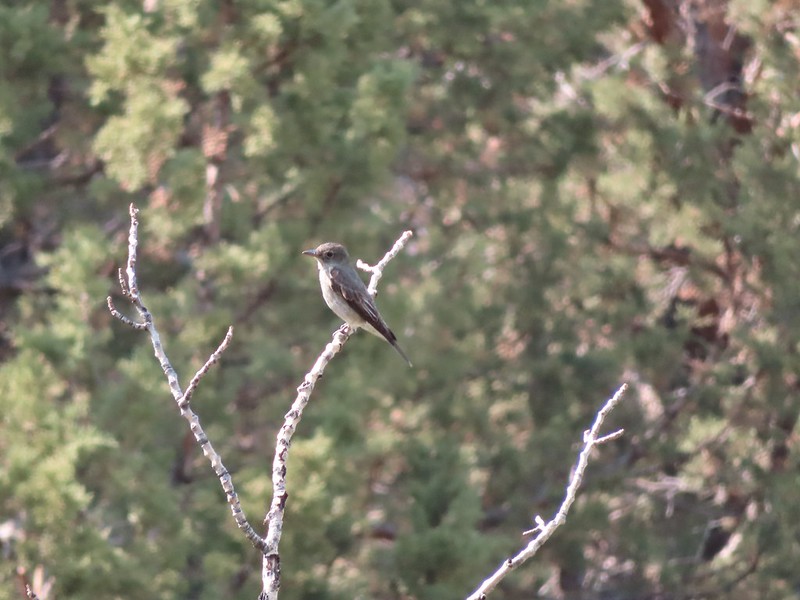 A flycatcher
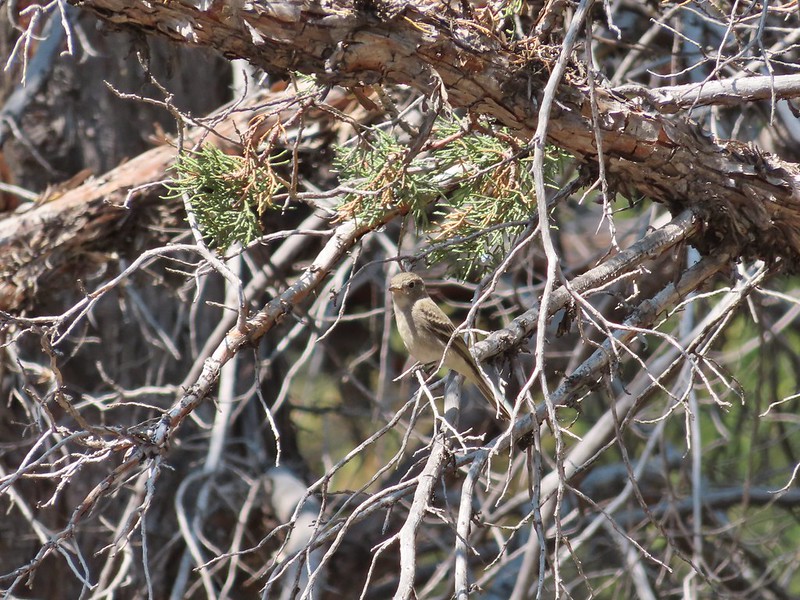 Flycatcher?
 Another no clue, seen near a creek in the Ochoco Mountains.
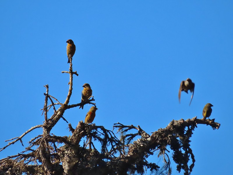 Crossbills? (based on the crossed beaks)
 Black headed grosebeak
 Black phoebe
 California scrub jays
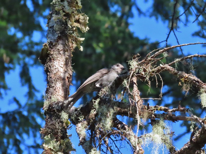 Gray jay
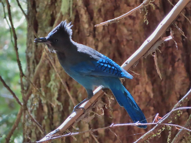 Stellar’s jay
 Pinyon jay
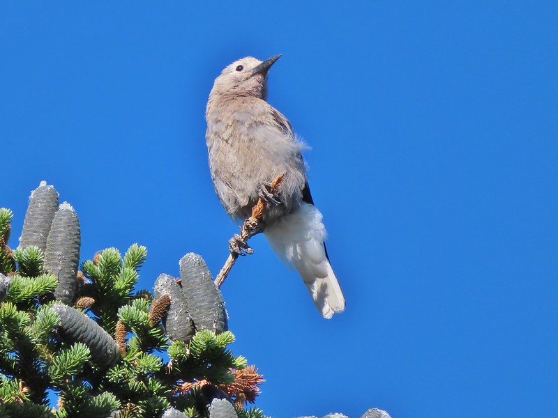 Clark’s nutcracker
 Brewer’s blackbird
 Yellow headed blackbird
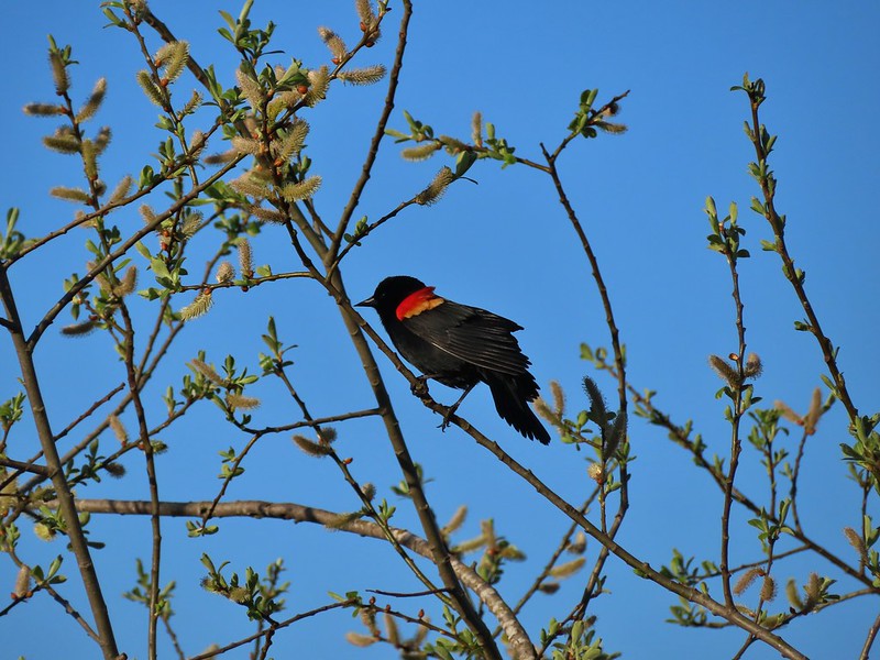 Red winged blackbird
 Starling
 Cedar waxwings
 Common yellowthroat
 Dark eyed junco
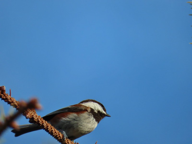 Chestnut-backed chickadee
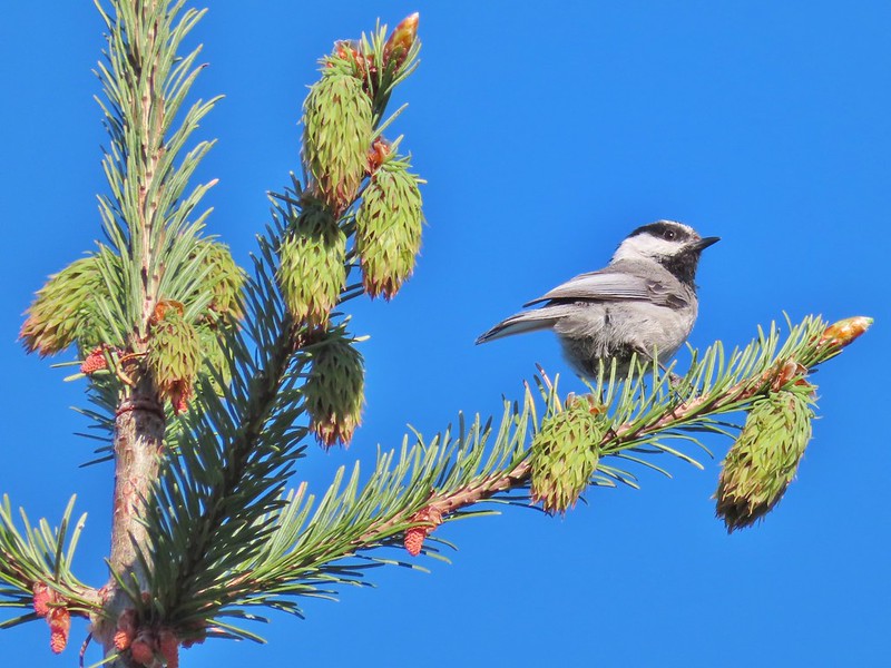 Mountain chickadee
 Possibly an orange crowned warbler
 Ruby crowned kinglet
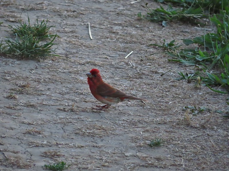 A finch
 A finch
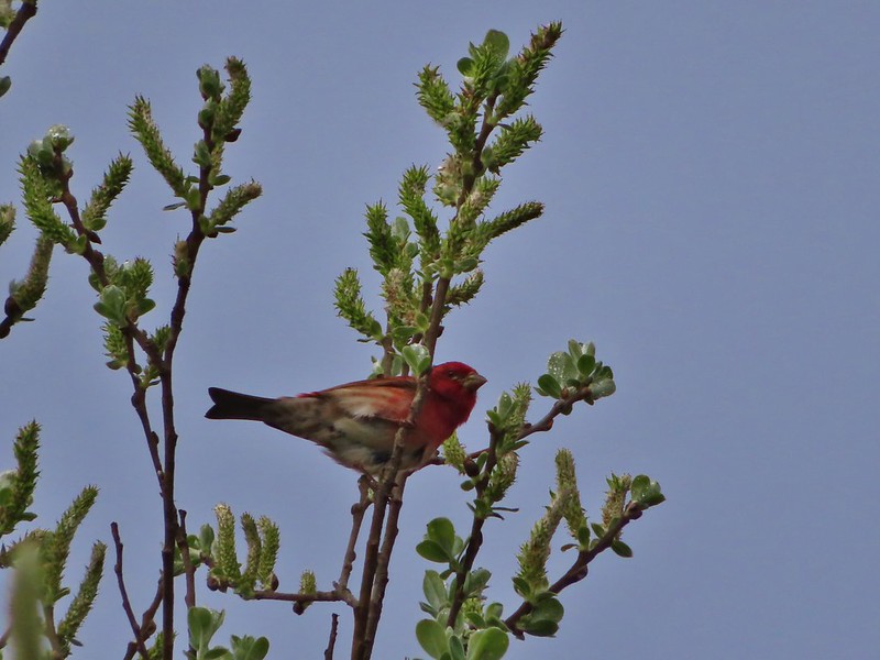 A finch
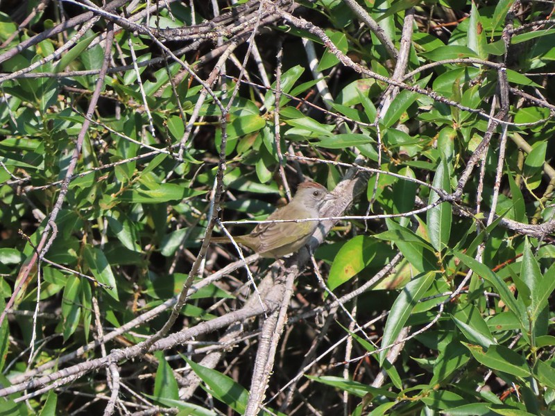 Green-tailed towhee
 Spotted towhee
 Pipit
Pipit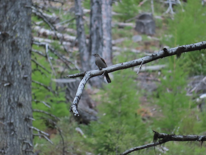 Townsend’s solitaire
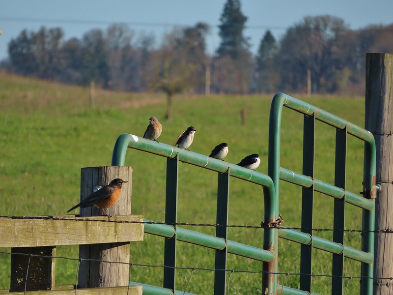 Robin, western bluebird and swallows
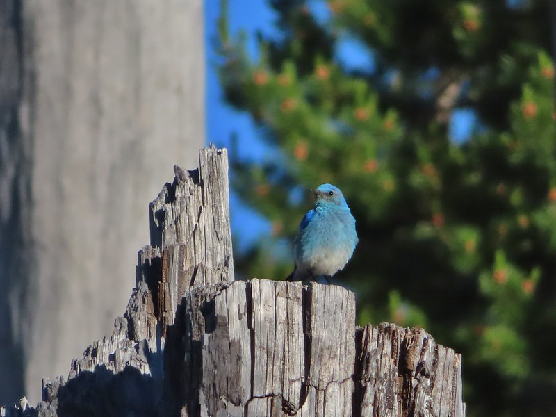 Mountain bluebird
 Lazuli bunting
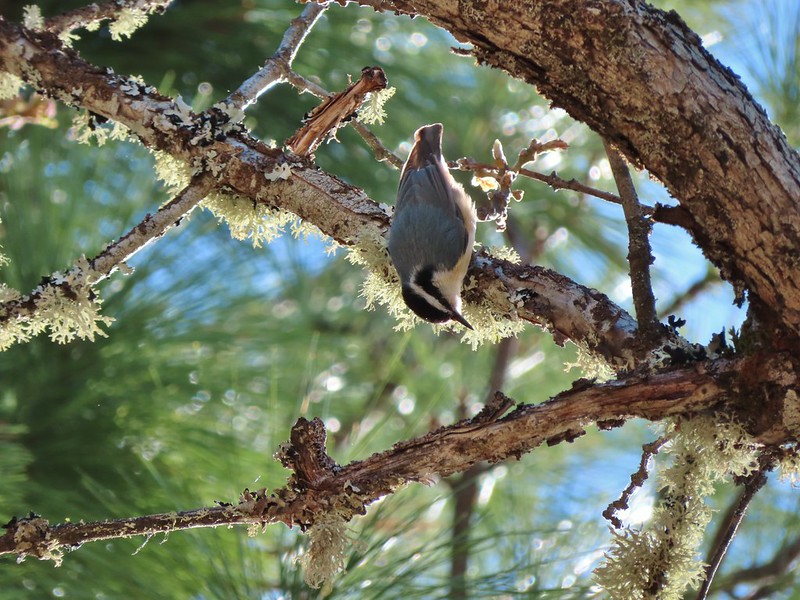 Red breasted nuthatch
 Yellow-rumped warbler
 Western meadowlark
 Western tanager – male
 Western tanager – female
 Western wood-pewee
 Rufous sided hummingbird
 Chipping sparrow?
 White crowned sparrows
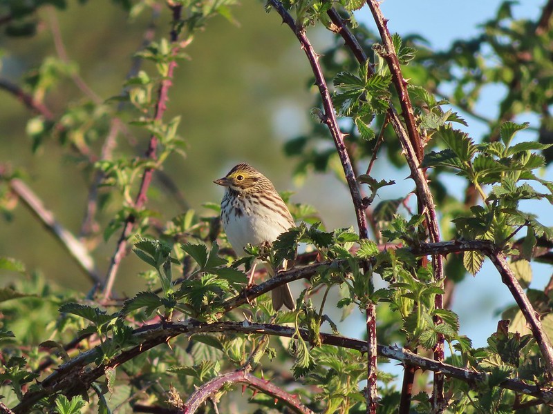 Savannah sparrow
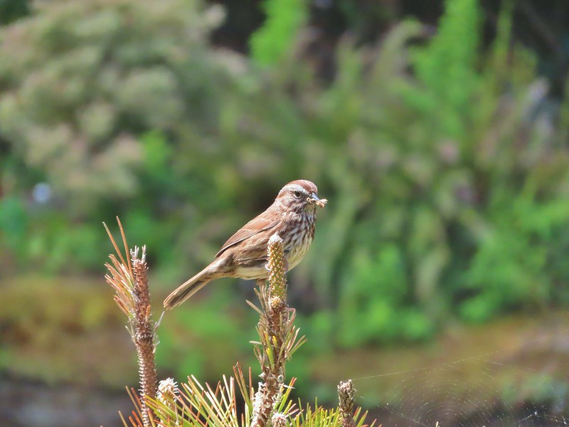 Sparrow
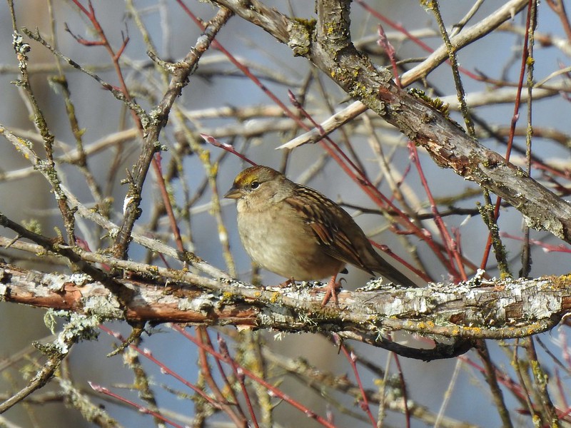 Sparrow?
 Lark sparrow
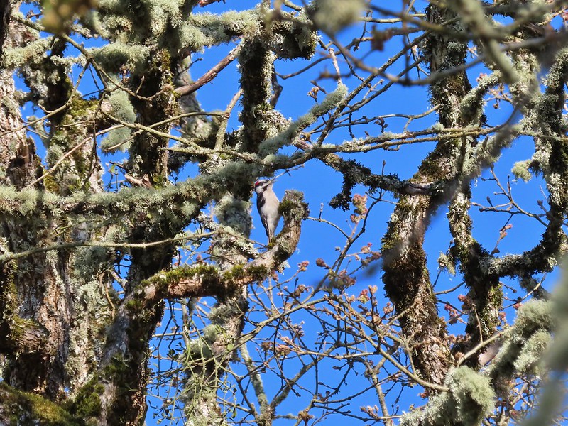 Downy woodpecker?
 Lewis’s woodpecker
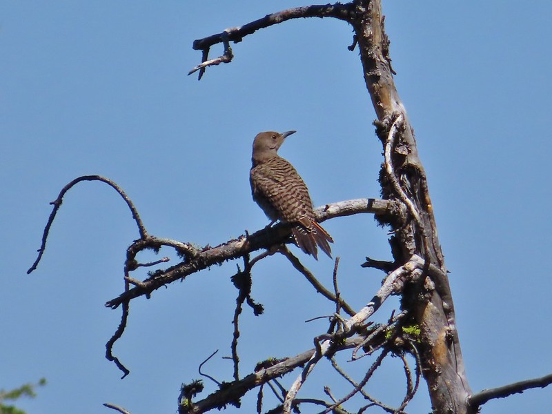 Northern flicker
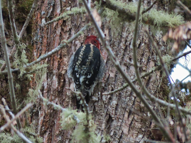 Red breasted sapsucker
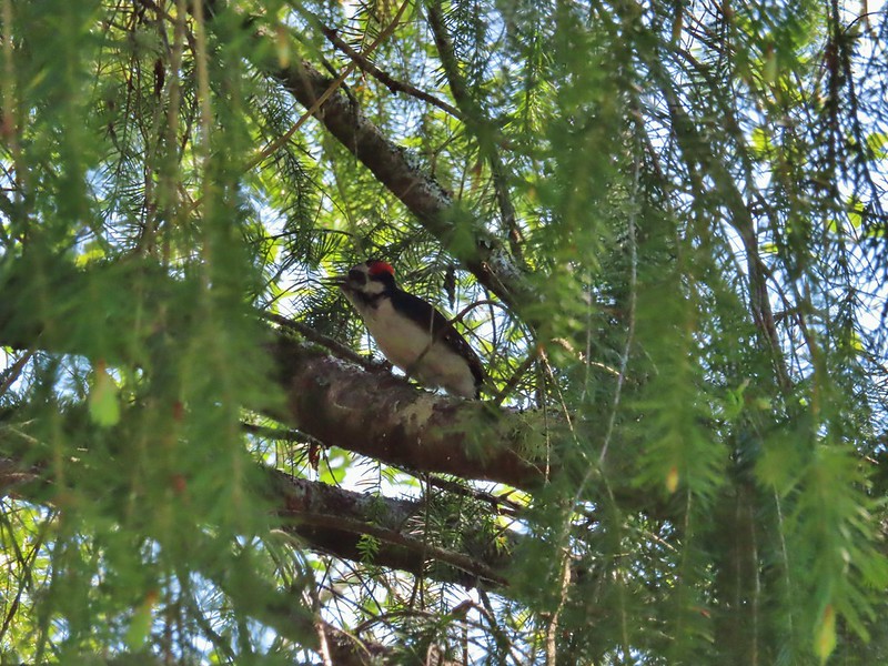 A woodpecker
 A woodpecker
 Killdeer
 Mourning dove
 Grouse, leaning toward sooty
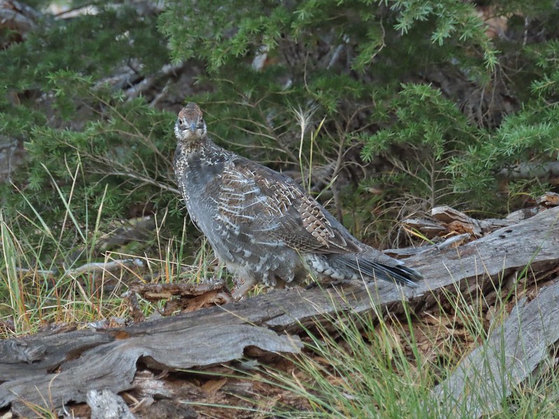 Not sure which type of grouse this is.
 Ruffed grouse?
 Sage grouse
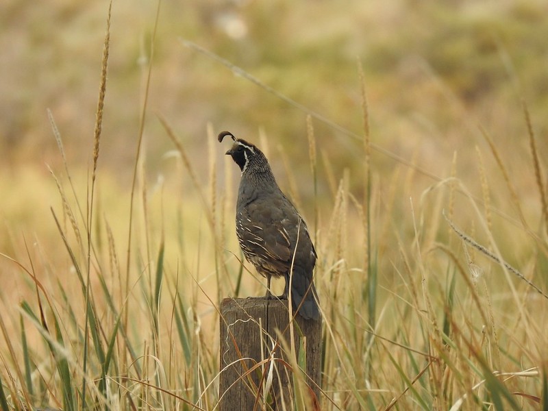 California quail
 Turkeys
 Rooster at Cape Arago State Park
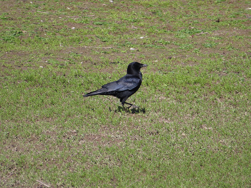 Crow
Crow Turkey vulture
 A magpie and some sort of hawk
 A hawk
 Hawk in flight
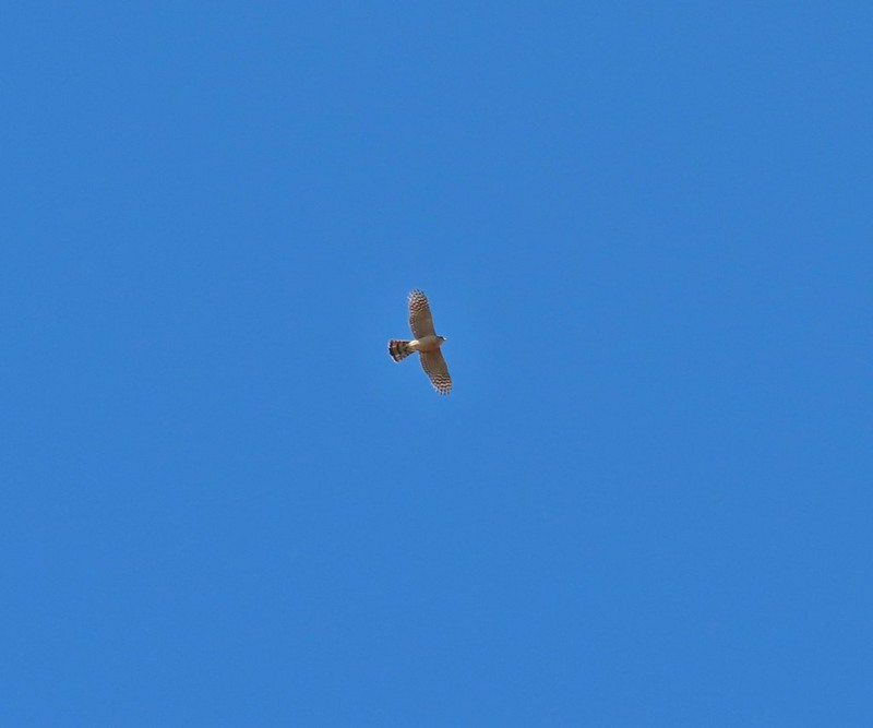 Cooper’s hawk?
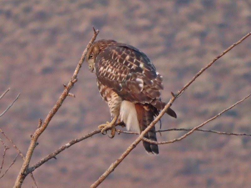 Hawk in the Pueblo Mountains
 Red-tailed hawk
 Hawk or?
 Northern harrier
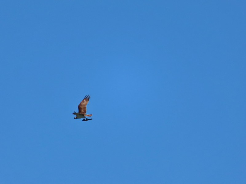 Osprey (with meal)
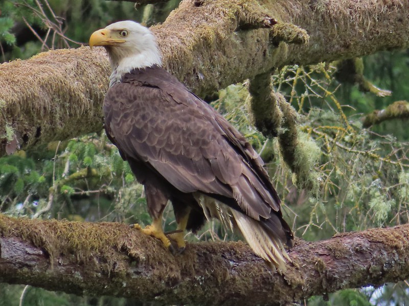 Bald eagle
 Great horned owl
 American kestral
 Common nightwawk
 Northern shrike
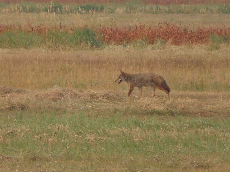 Coyote
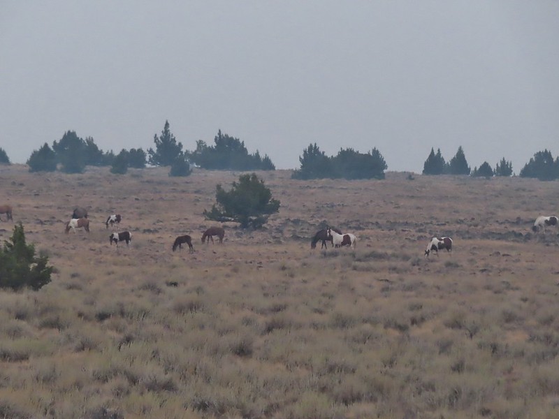 Wild horses at Steens Mountain
 Not wild cows along the Little Malhuer Trail
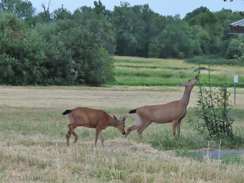 Columbian black-tailed deer
 Columbian white-tailed deer
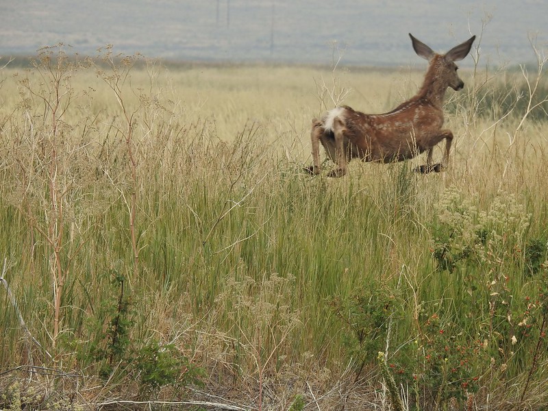 Mule deer fawn
 Elk in the Aldrich Mountains
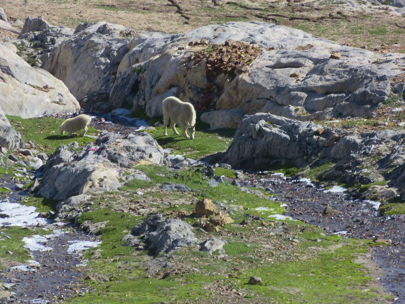
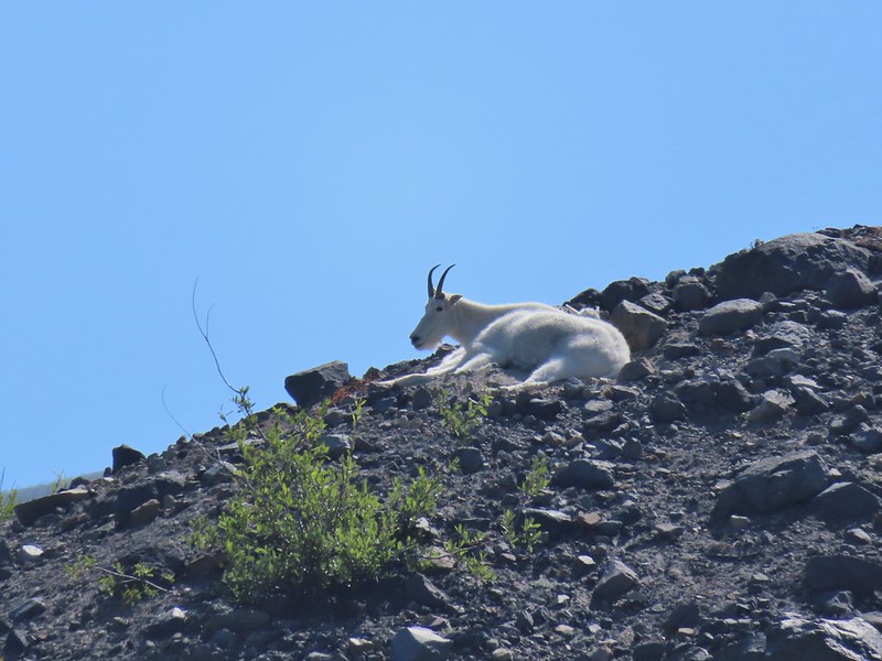 Mountain goat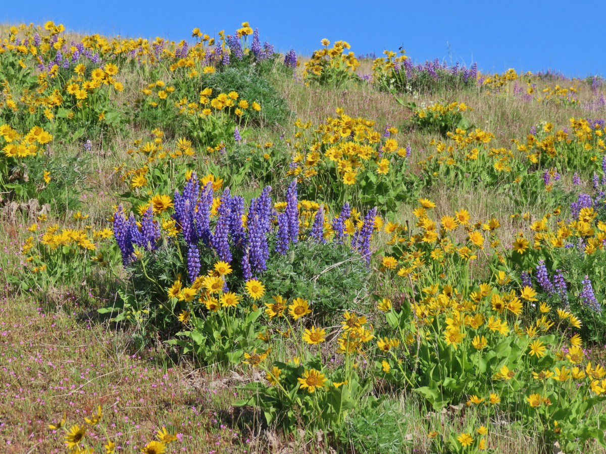
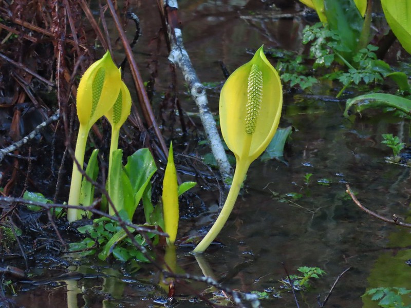
 A delphinium
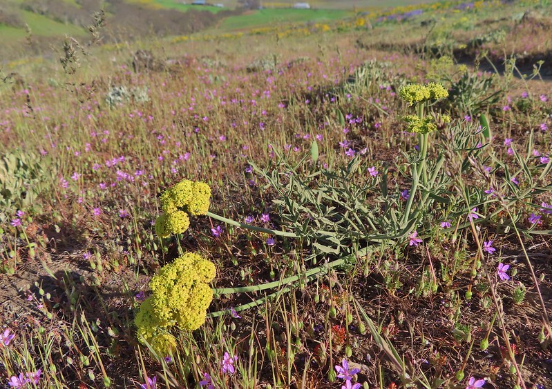 Red stem storksbill surrounding a lomatium.
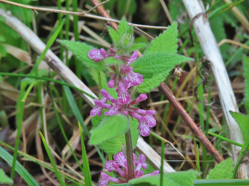 A “nettle” of some sort at South Slough Estuary.
 A treefoil.
 A vetch
 An allium on Ninemile Ridge.


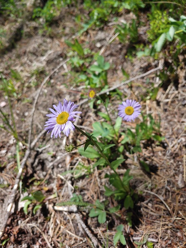

 This may be Eaton’s aster along the Deschutes River.
 Purple cushion fleabane
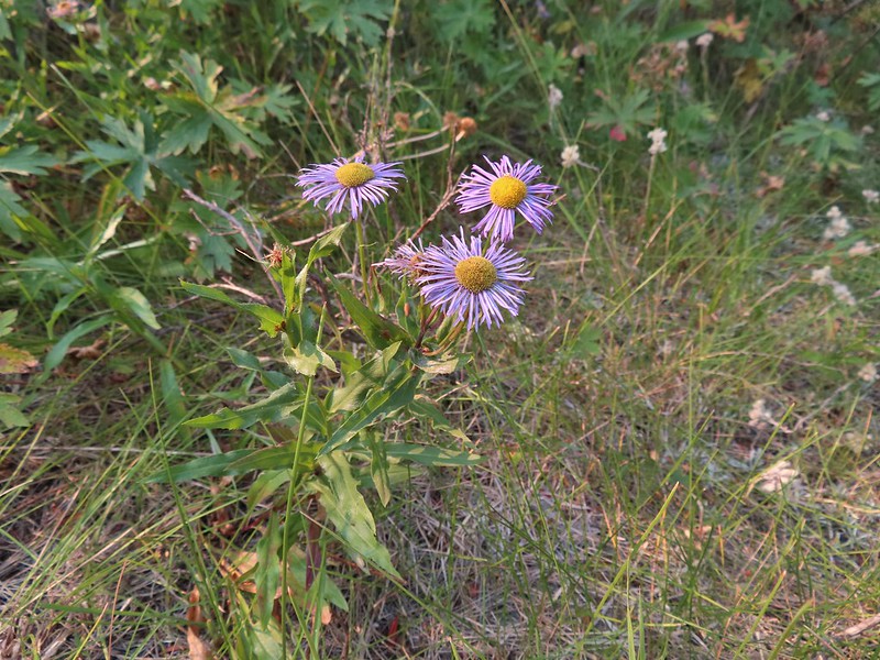 Possibly showy fleabane, August-Steens Mountain Wilderness.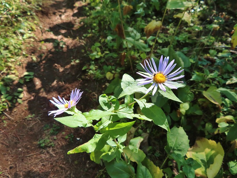
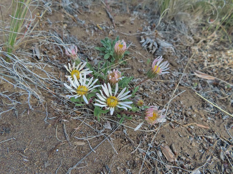 Showy townsendia
 Anemonastrum deltoideum -Columbian windflower
 Anemonoides oregana – Oregon anemone
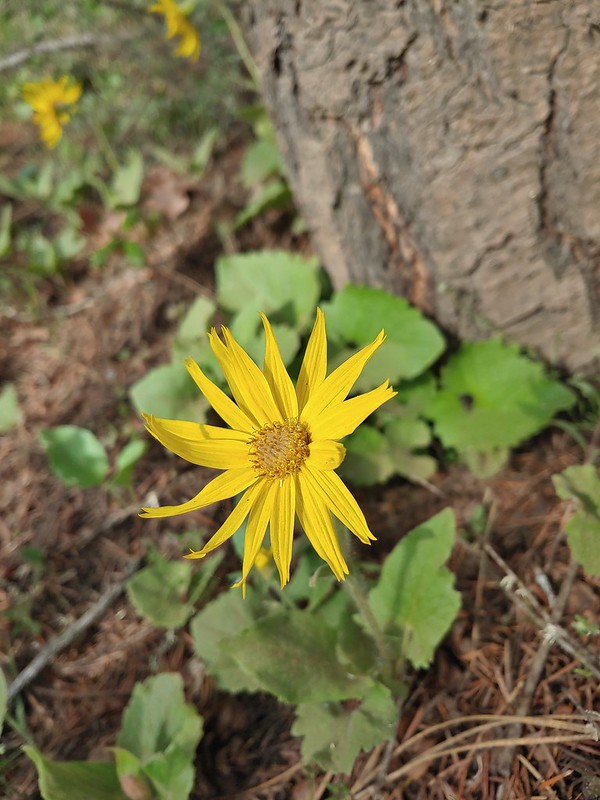 Arnica
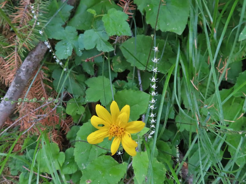 The small white flowers are miterworts while I believe the yellow is an arnica.
 Avens
Avens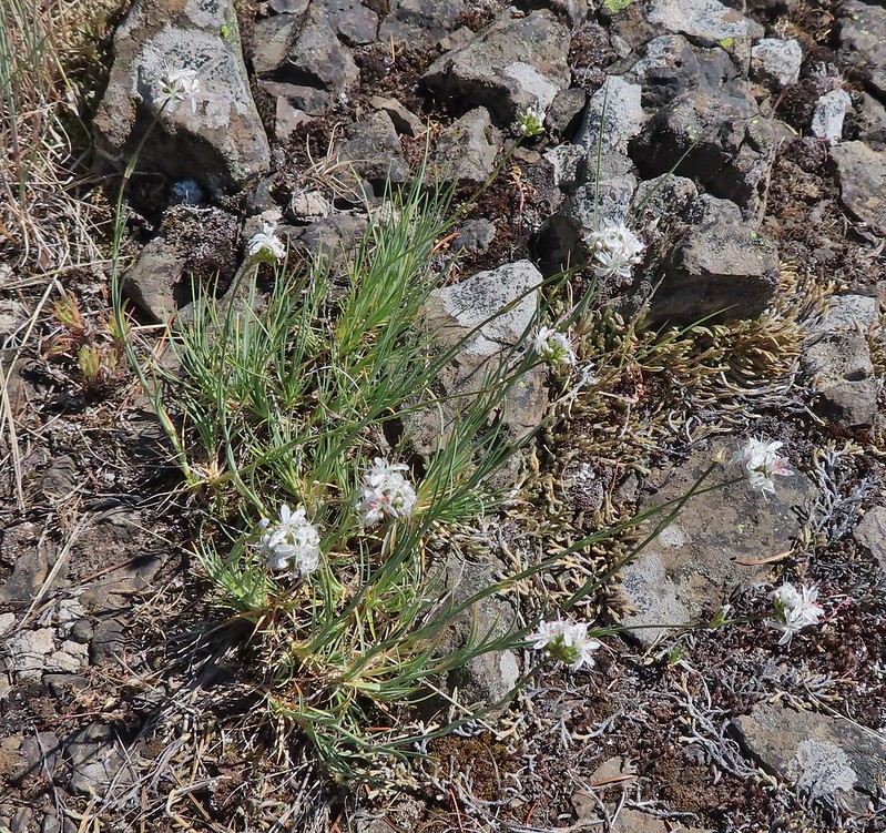 We believe this is ball head sandwort
 Ballhead waterleaf
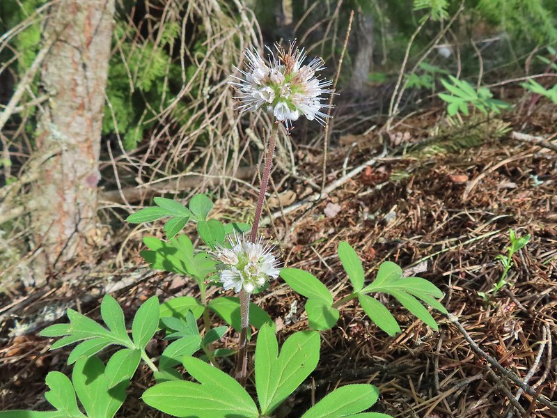 Pacific waterleaf
 Balloon pod milk vetch
 A milk-vetch, possibly Yakima
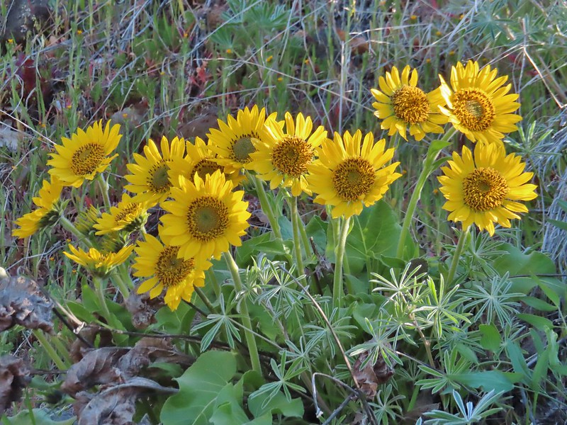 A balsamroot at Lyle Cherry Orchard
 A balsamroot at Columbia Hills State Park
 Hoary balsamroot on Ninemile Ridge
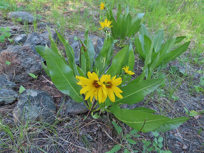 We think these are mules ears along the Malhuer River Trail
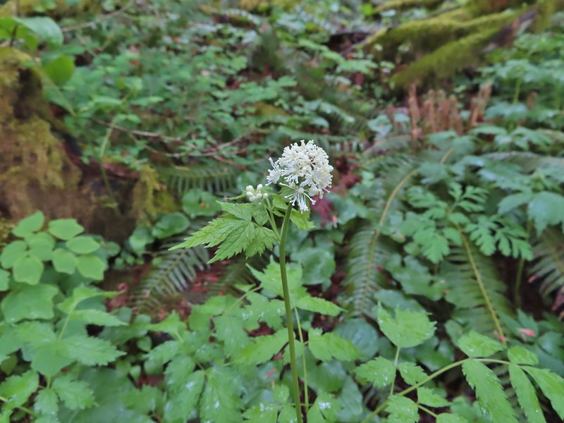 Baneberry
 Beargrass, admittedly not the nicest specimen but this one stood out as the only still blooming stalk we saw on our hike in the Indian Heaven Wilderness on 9/5/2021.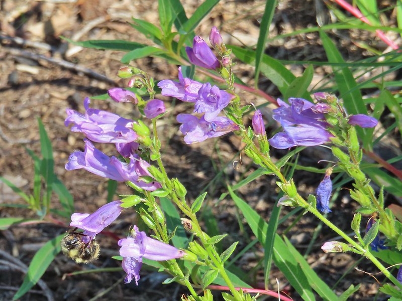


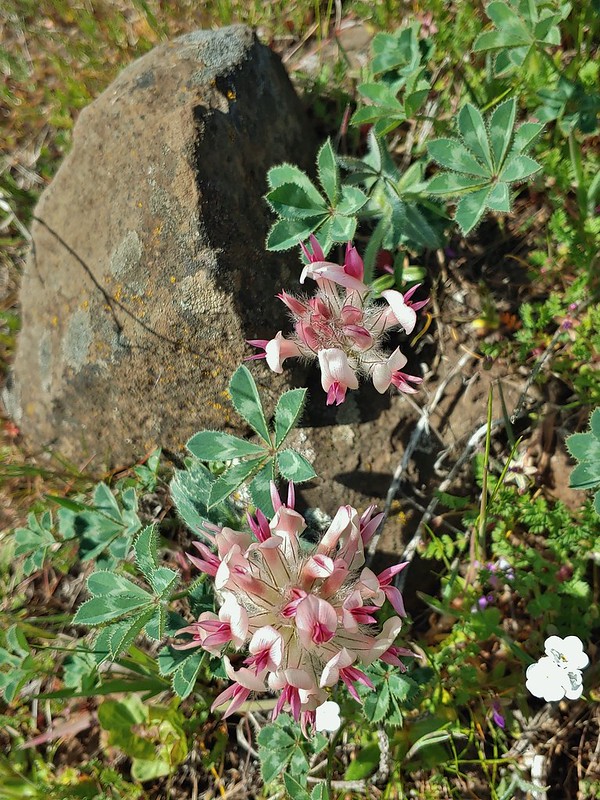 Big-head clover
 Big-seed lomatium surrounded by parsley.
 A bindweed
 Bistort
 Bitter cherry
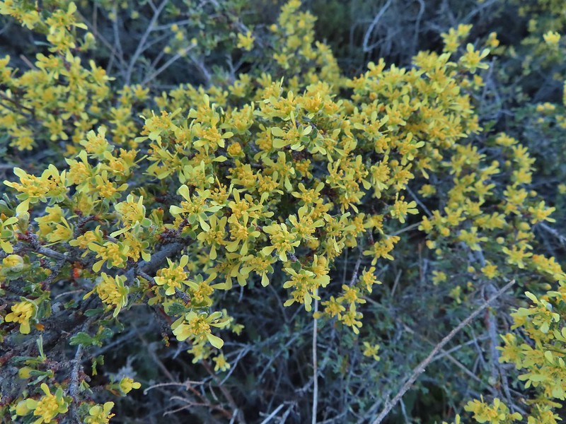 Bitterbrush
 Blackberry
 The only blanket flower with any petals left.
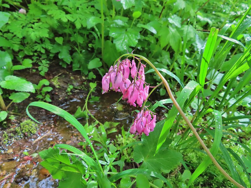 Bleeding heart
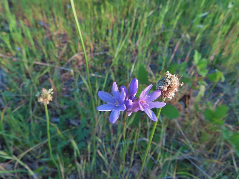 Blue dicks?
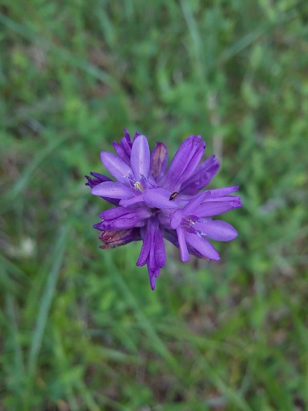 Might be ookow or blue dicks?
 Large-flower triteliea
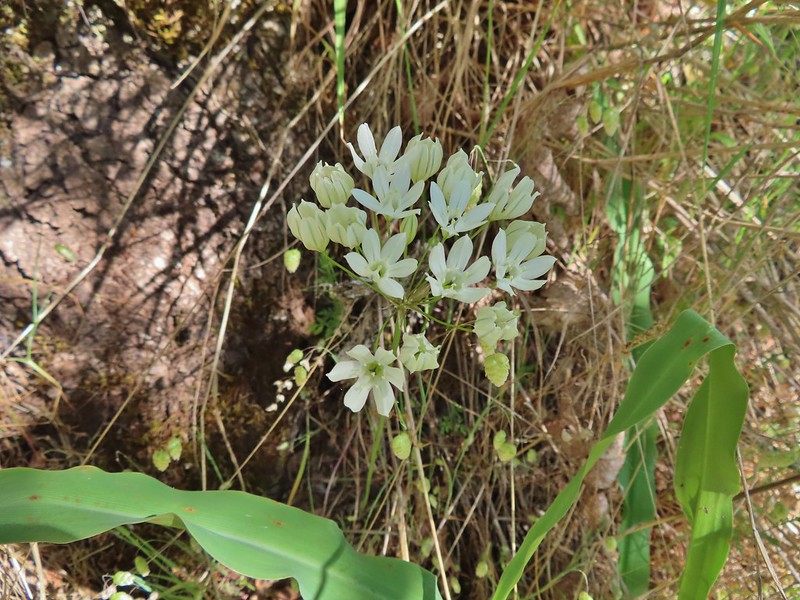 White triteliea
 Henderson’s stars
 Blue mountain prairie clover
 Blue-bells of Scotland
 Blue-eyed Mary, slender phlox, and elegant mariposa lilies.
 A phlox
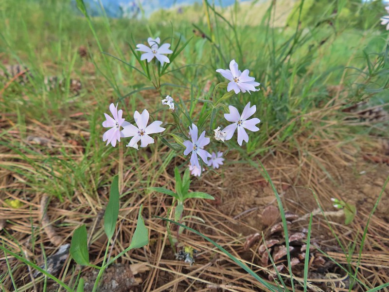 A phlox
 Phlox
Phlox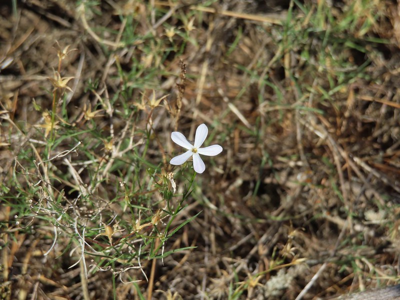 A phlox
 Sub-alpine mariposa lily
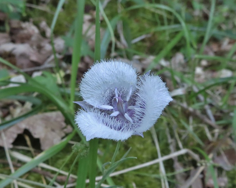 Tolmie’s mariposa lily
 Sagebrush mariposa lily
 Sand lily
 Glacier lilies
 Fawn lilies
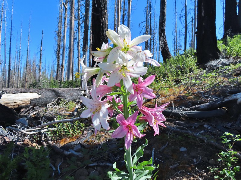 Washington lily
 Yellow bell lilies
 Blurry photo but the only tiger lily we came across in 2021.
 Chocolate lily
 Water lily
 Bog orchid
 Phantom orchid
 Lousewort
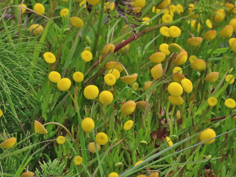 Brass buttons (non-native) along the coast near Fivemile Point.
 Alpine buckwheat
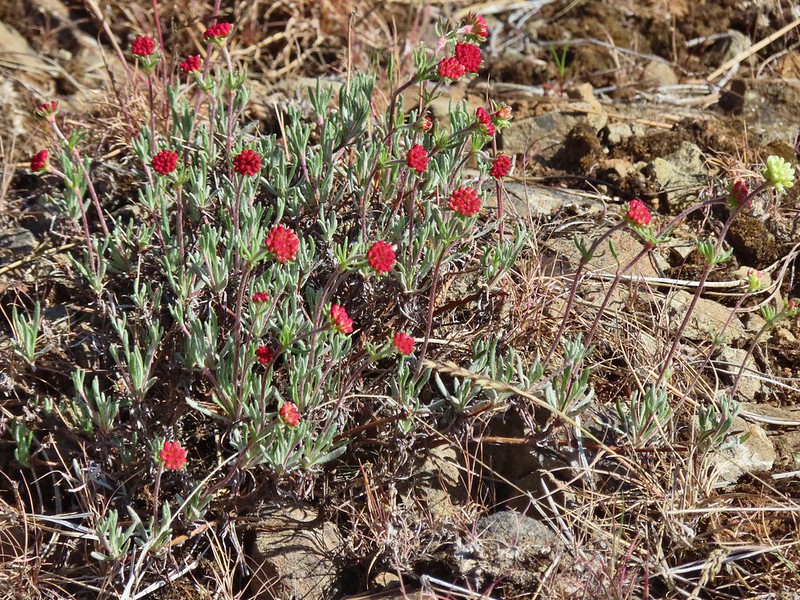 A buckwheat
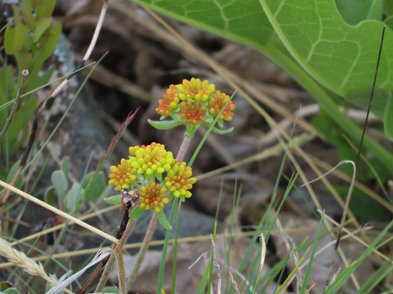 A buckwheat
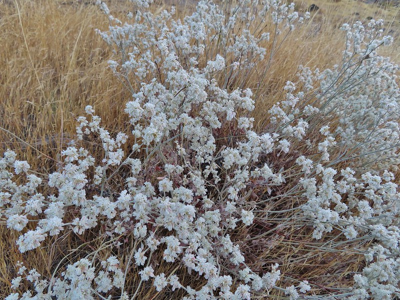 Another buckwheat
 Sulfur? buckwheat
 More buckwheat
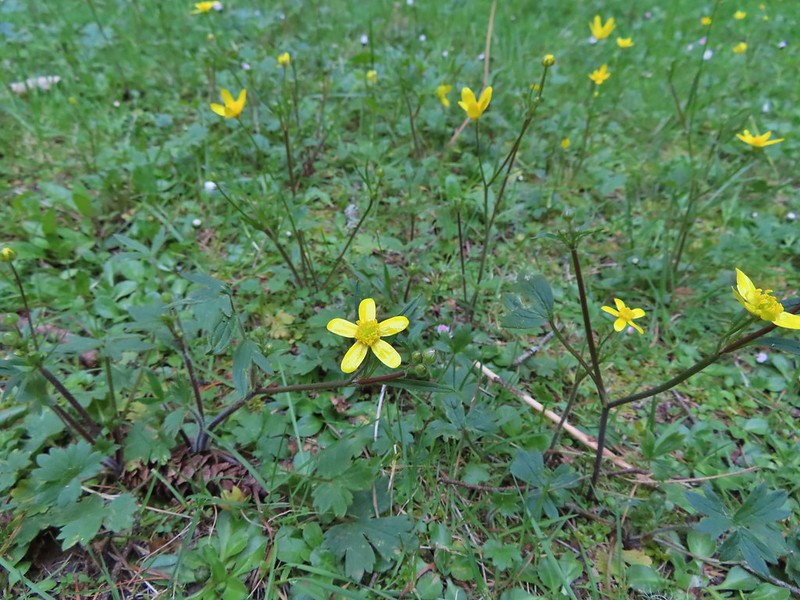 Buttercups
 Pearly everlasting
 A mustard? along the John Day River
 California corn lilies
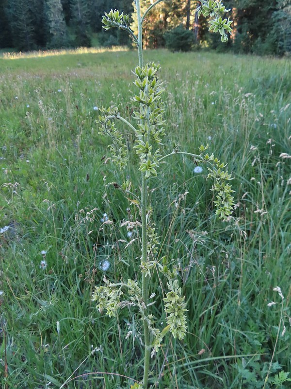 False hellebore
 Death camas
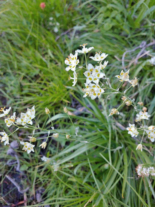 Mountain death camas
 Candy sticks
 Candy flower
 Catchfly
 Chamomile (non-native)


 Chicory (non-native)
 Chokecherry
 A cinquefoil?
 Slender cinquefoil
 Sticky cinquefoil
 Lassen clarkia?
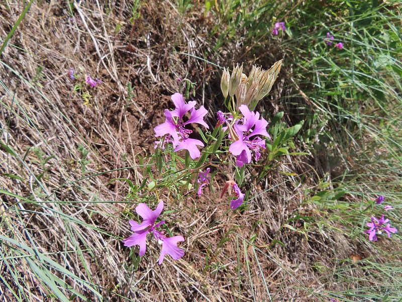 Elkhorn clarkia aka Ragged robin
 Clarkias with an out of focus madia
 Common madia
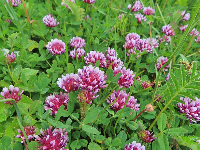 Clover
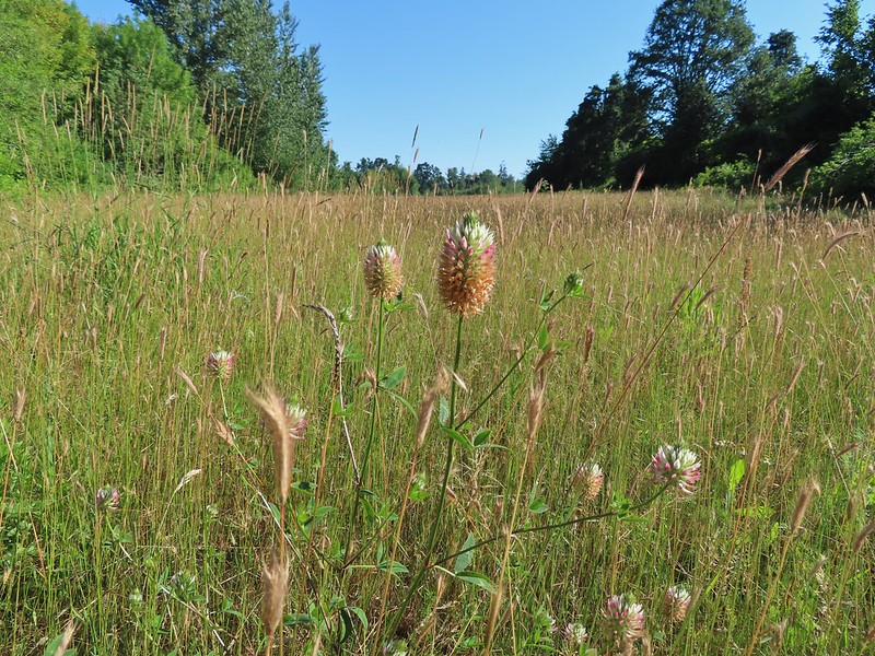 A clover (non-native)
 Red clover
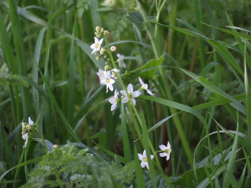 Coastal manroot
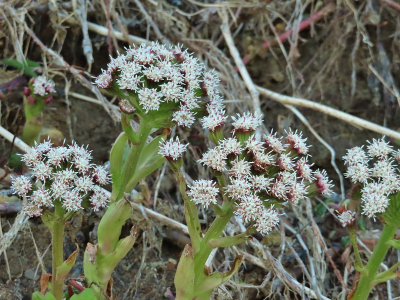 Coltsfoot
 Columbine
 Coneflower
 A currant
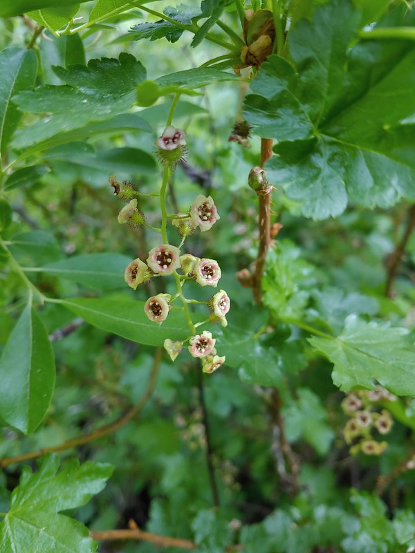 Also a currant
 Daggerpod
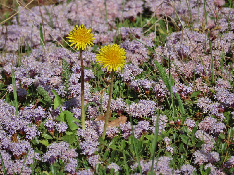 Dandelions in the midst of mahala mat
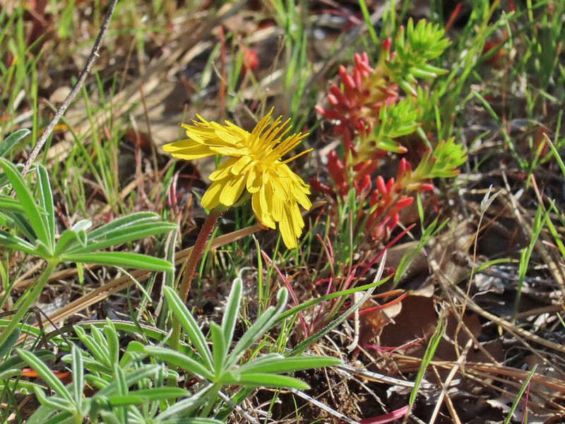 Sagebrush false dandelion
 Deadly nightshade
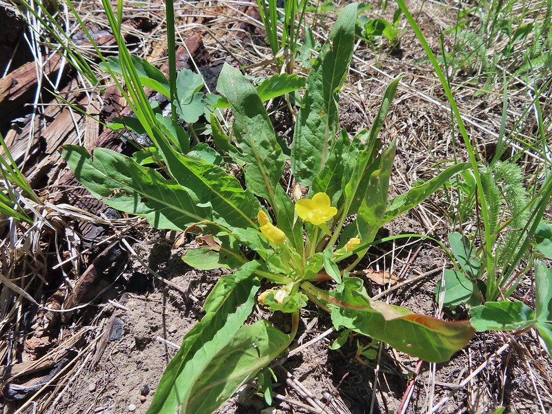 Diffuse evening primrose
 Hooker’s evening primrose
 A primrose
 Dusty maiden
 Dwarf aplinegold
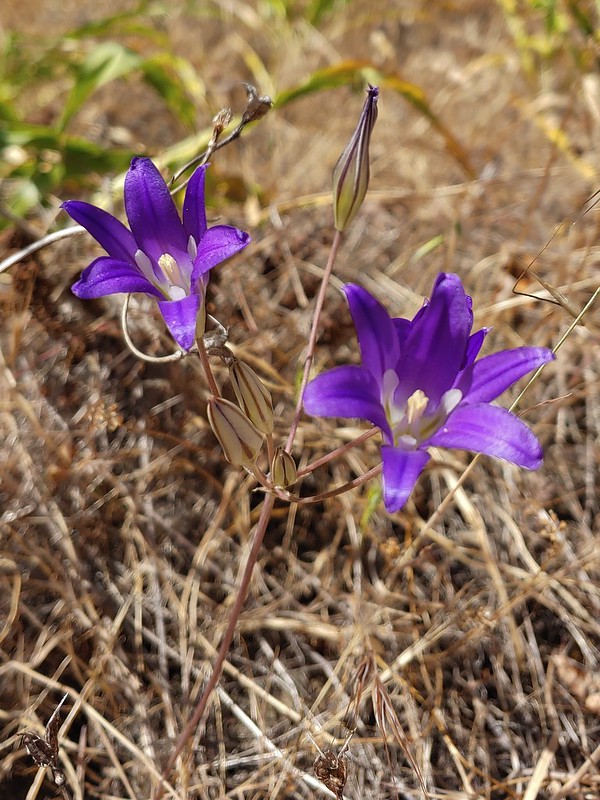 Elegant brodiaea
 Elephants head
 Fairy bells
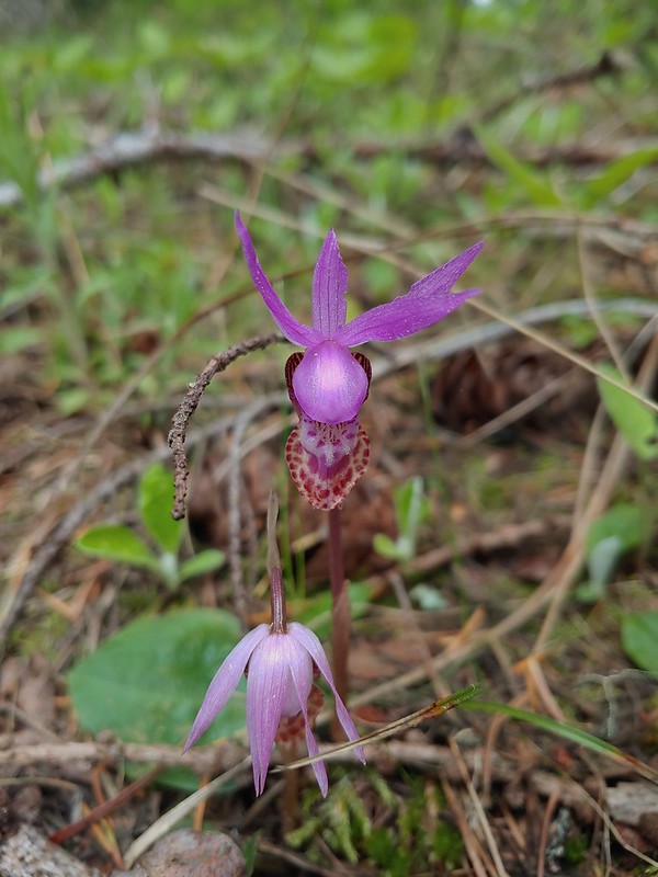 Fairy slippers
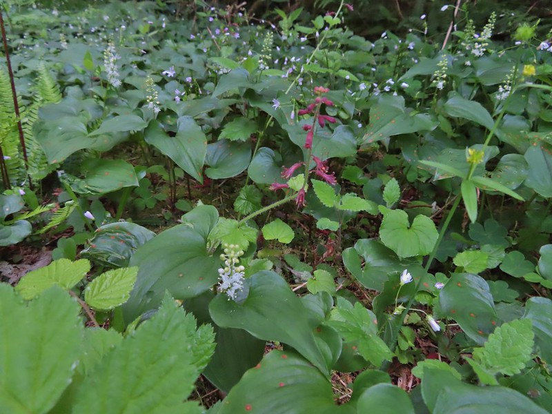 False lily of the valley and youth-on-age
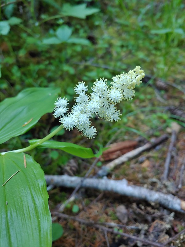 False solomonseal
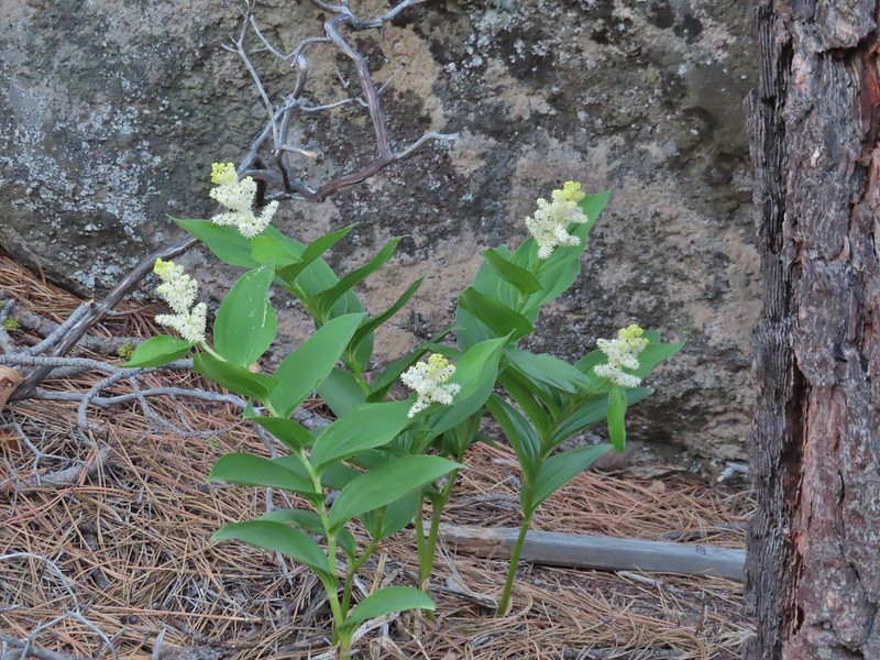 Plummed solomonseal
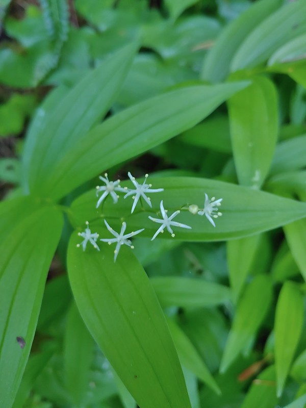 Star flower solomonseal
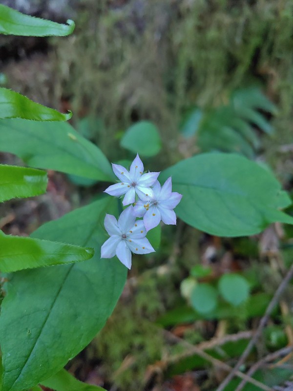 Starflower
 False sunflowers
 Fiddleneck
 Fireweed
 Flower near Illahe Lodge on the Rogue River Trail
 Fringecup
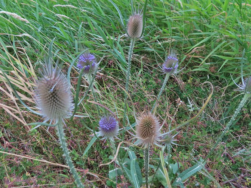 Fuller’s teasel
 A gentian
 Gentians in the Steens Mountain Wilderness
 Purple sticky geranium
 Ghost pipe
 Giant white wakerobbin
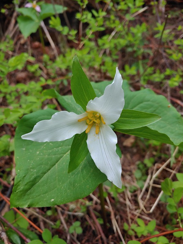 Trillium
 Gold stars
 Goldenrod
 Gooseberry
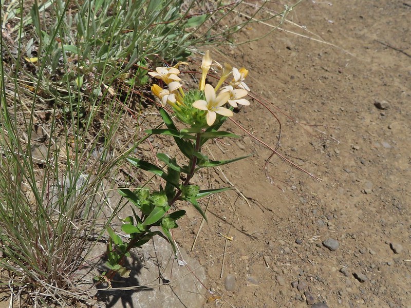 Grand collomia
 Grass of parnassus
 Grass widows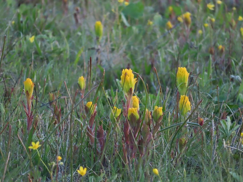
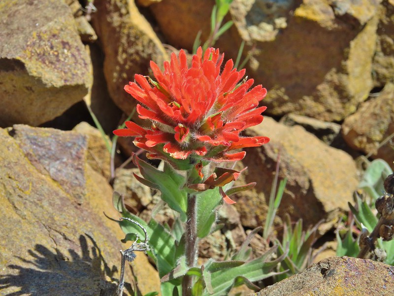


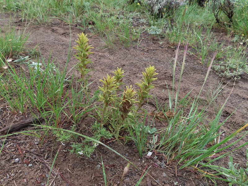

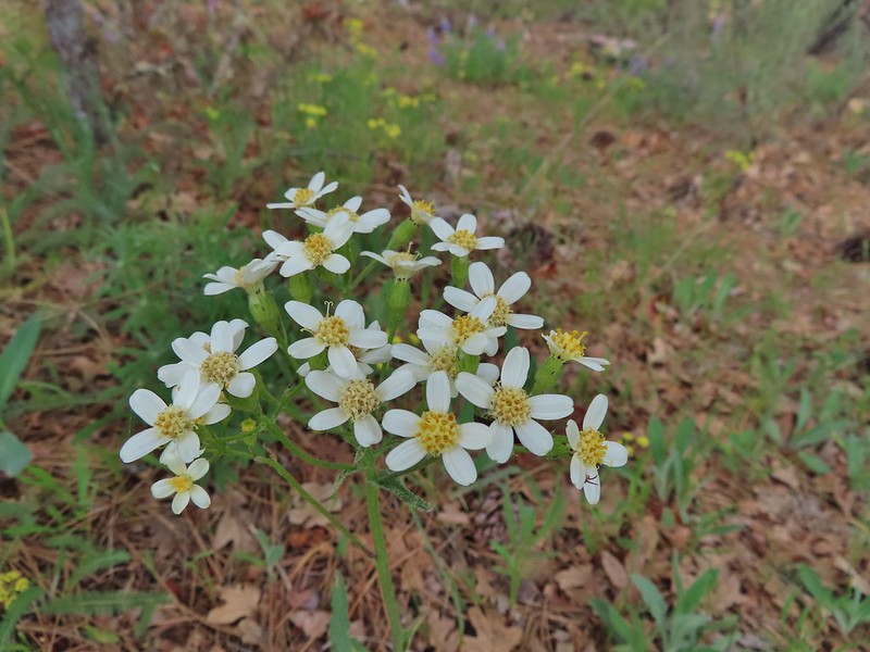 Groundsel?
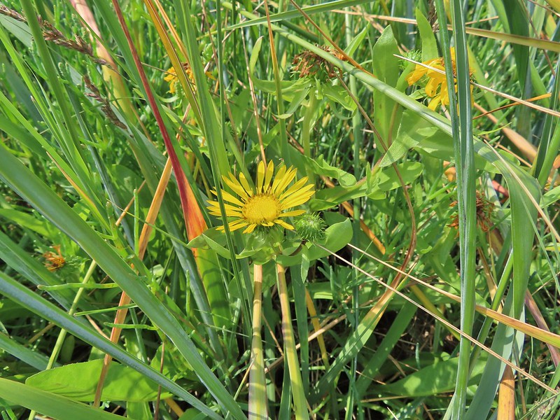 Gumweed? July, Willapa Bay
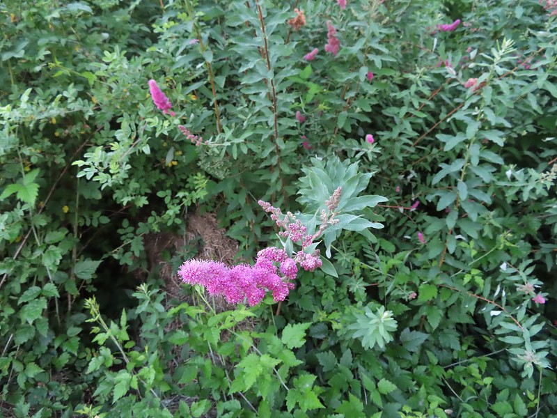 Hardhack aka Douglas spirea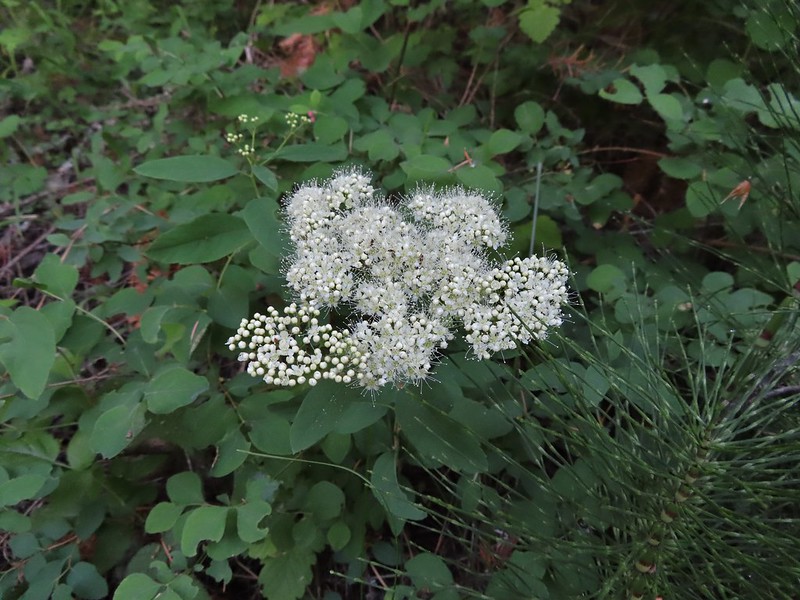
 Hawksbeard
 Heart leaved bittercress
 Heuchera cylindrica -roundleaf allumroot
 Orange honeysuckle
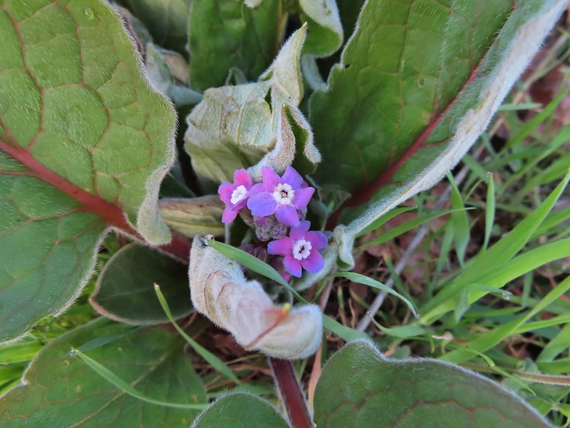 Houndstongue
 Also a houndstongue I think.
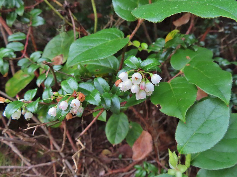 Evergreen huckleberry
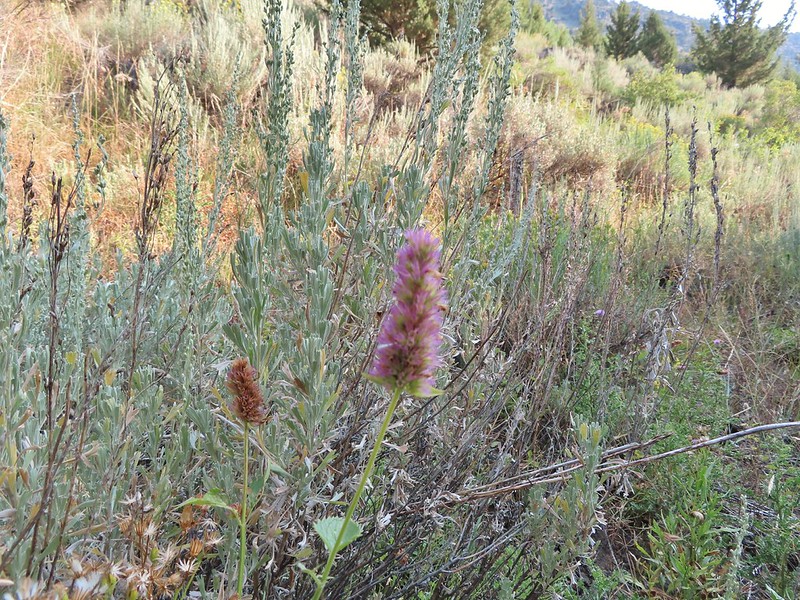 Hyssop

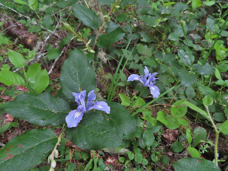
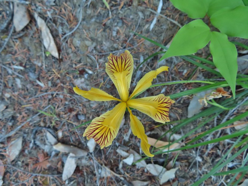

 Jacobs ladder
 Western Jacobs ladder
 Jessica sticktight
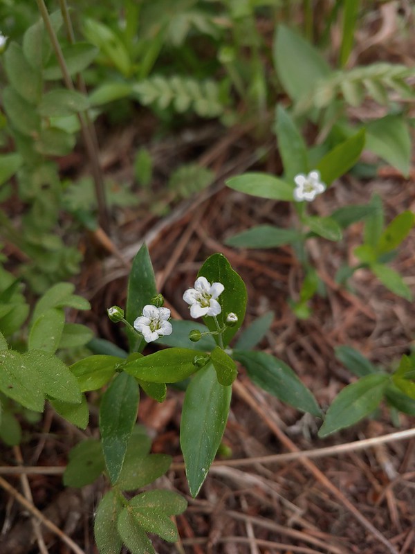 Largeleaf sandwort
 Larkspur
 Lewis flax
 Pale flax
 Sabin’s lupine

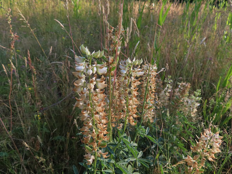

 Manzanita
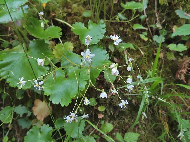 Marshall’s saxifrage
 A saxifrage?
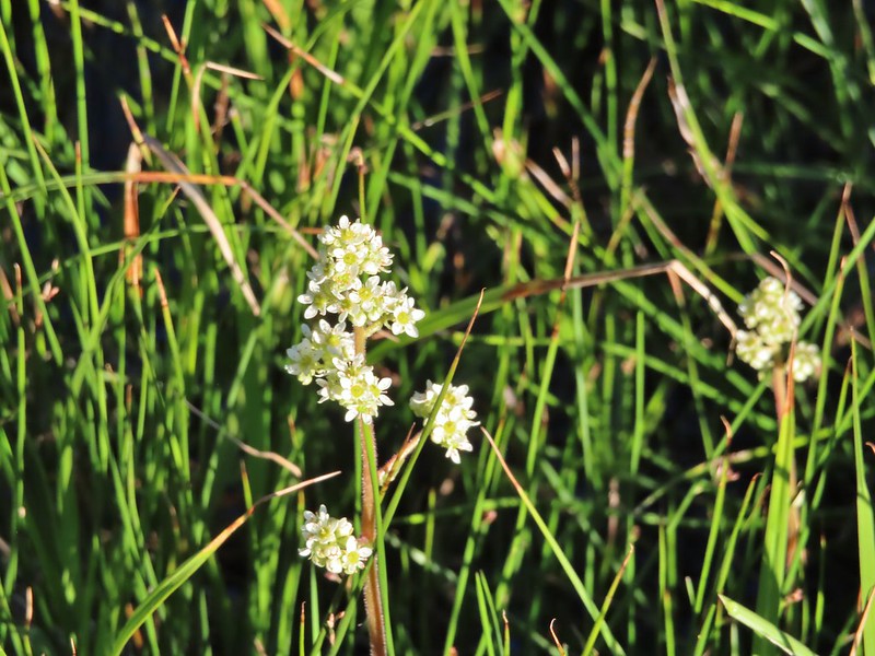 Saxifrage?
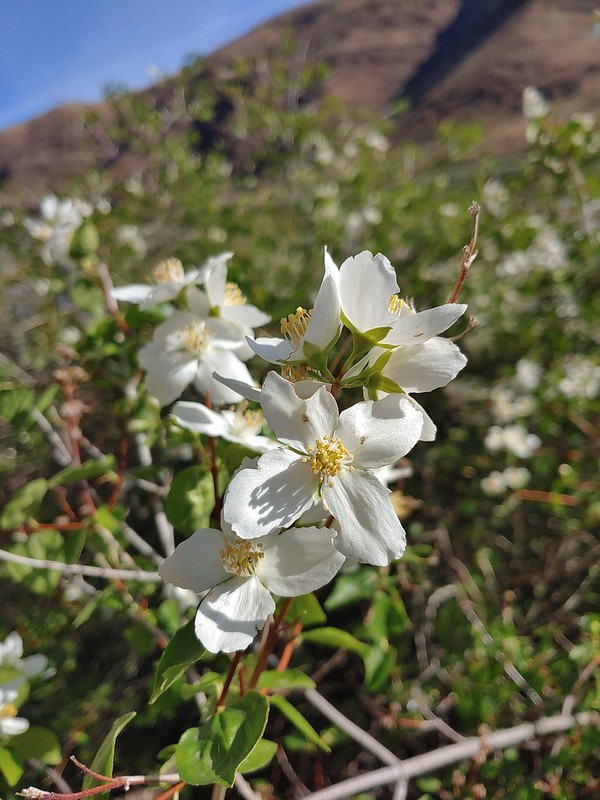 Mock orange
 A monkeyflower
 A monkeyflower
 Pink monkeyflower
 Monkshood
 Moth mullien
 Mountain bluebills
 Tall bluebills
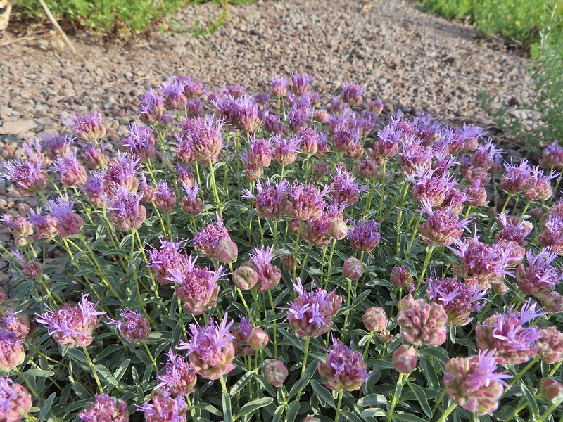 Mountain coyote mint
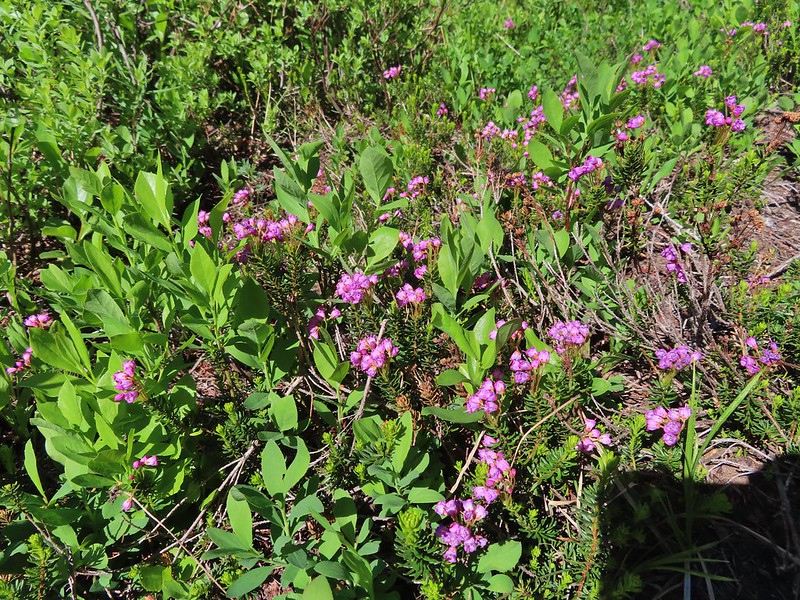 Mountain heather
 Very sad looking mountain lady slippers
 Naked broomrape
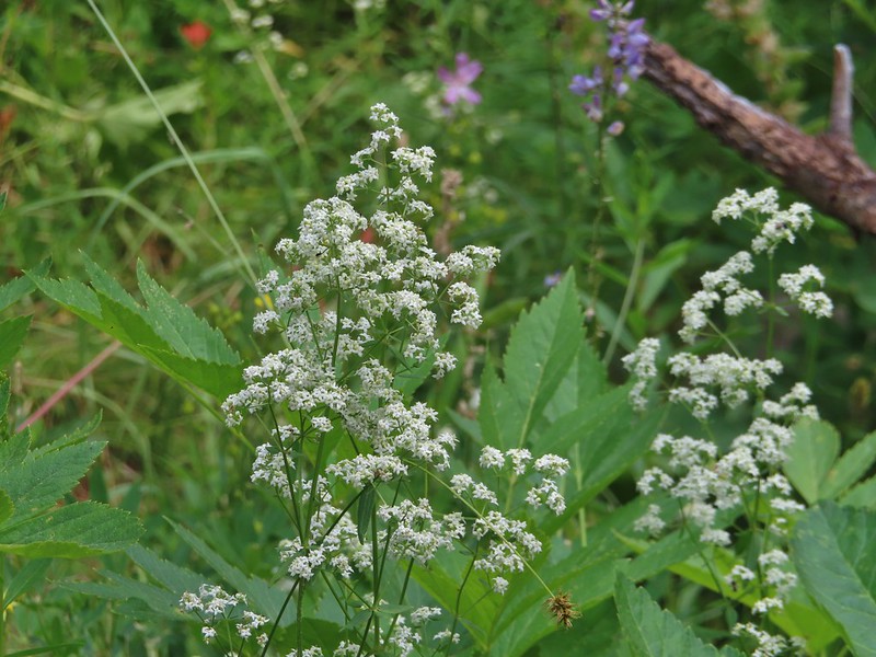 Northern bedstraw
 Nuttal’s linanthus
 Old man’s whiskers
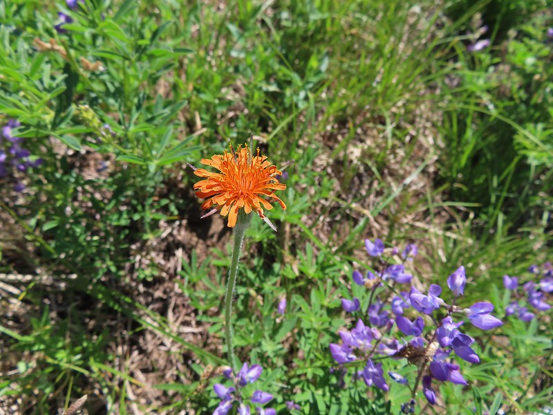 Orange agoseris
 Orange jewelweed
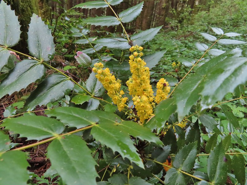 Oregon grape
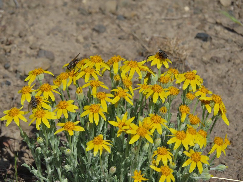 Oregon sunshine
 Daisies
 Pacific coralroot
 Spotted coralroot
 Striped coralroot
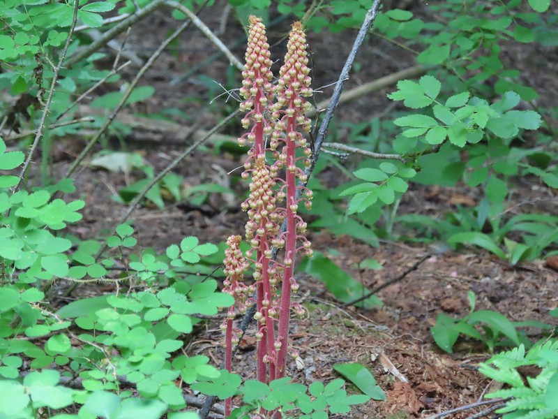 Pinedrops
 Two kinds of parsley
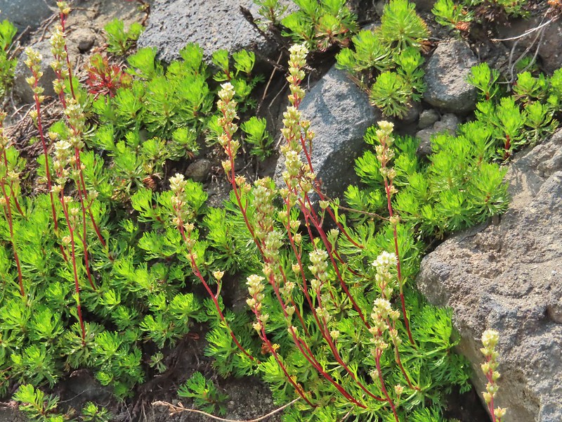 Partridgefoot
 A pea?
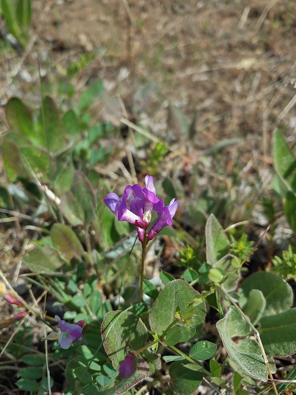 A pea?
 Pea (non-native)
 Pennycress
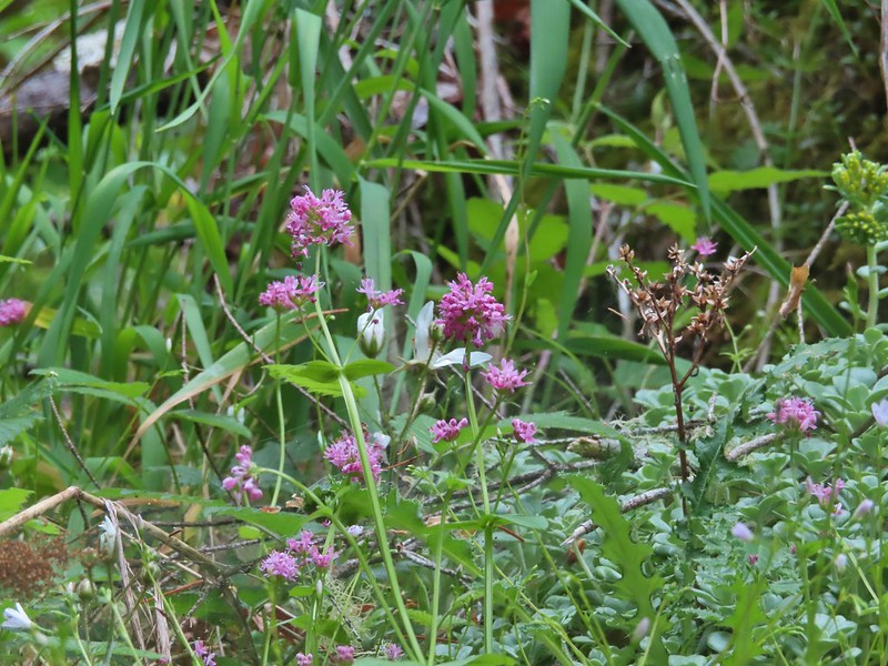 Plectritis
 Popcorn flower
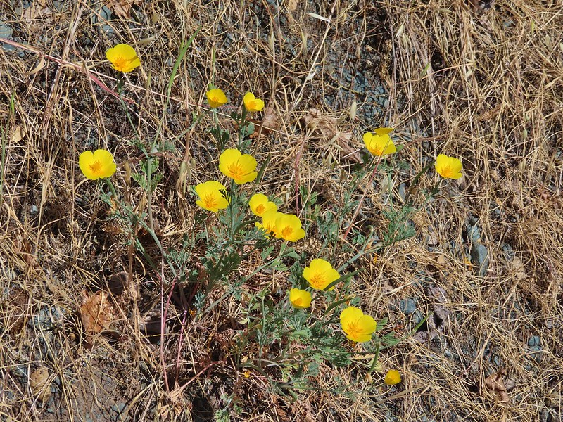 Poppies
 Poppy
Poppy Prince’s pine
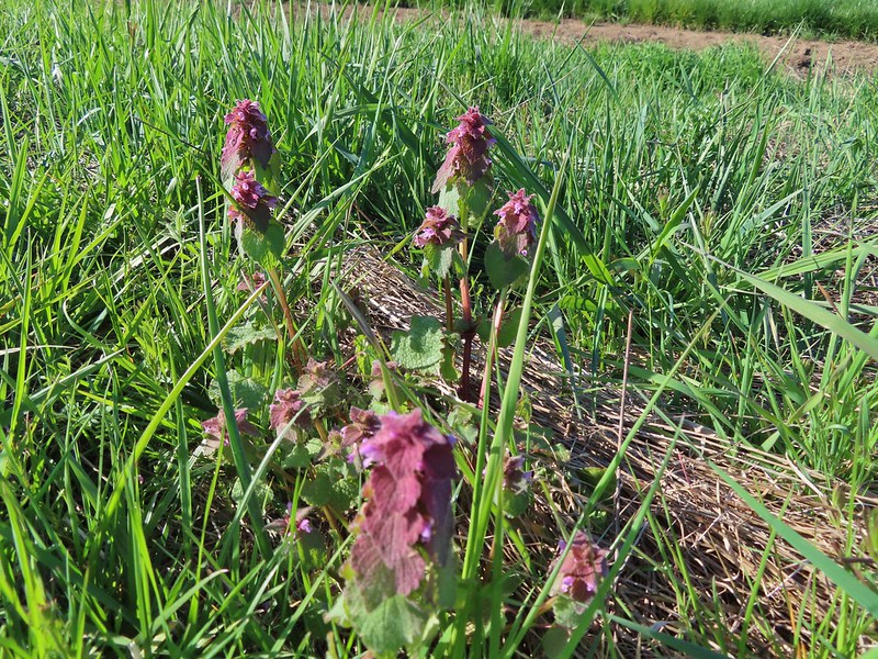 Purple deadnettle
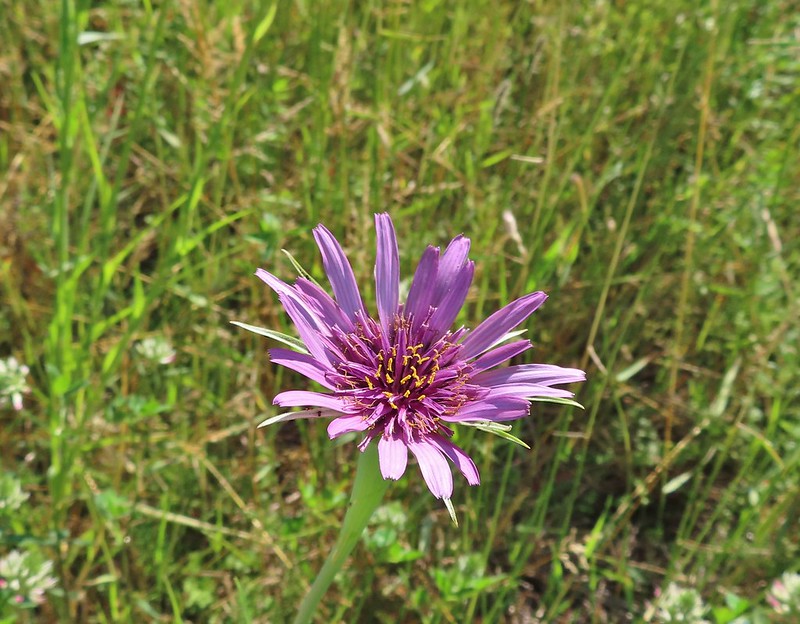 Purple oyster
 Salsify
 Pussy toes
 Pussy paws?
 Queen’s cup
 Rangers buttons
 Rhododendron
 Rockfringe willowherb
 Rough eyelashweed
 Bunchberry
 Salal
Salal Salmonberry
 Service berry
 Scarlet gilia
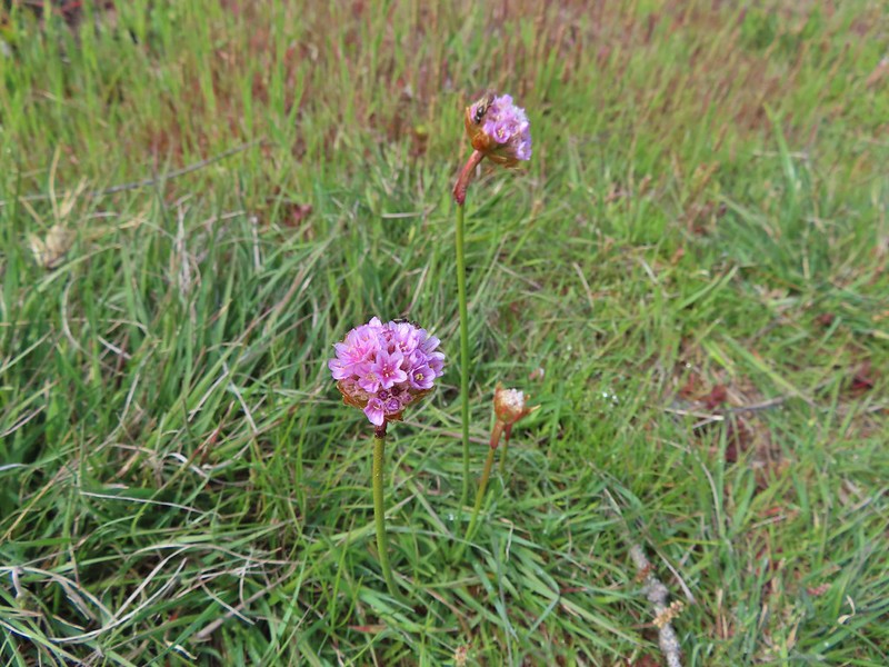 Sea thrift
 Self heal
 Shooting stars
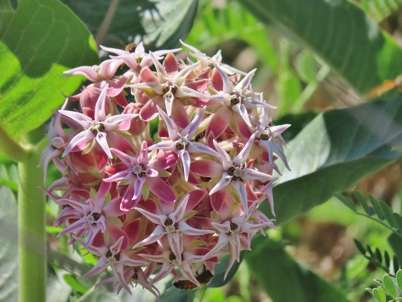 Showy milkweed
 Sicklepod rockcress
 Silky phacelia
 Silverleaf phacelia
 Threadleaf phacelia
 Snow queen
 Spreading dogbane
 Sticky starwort?
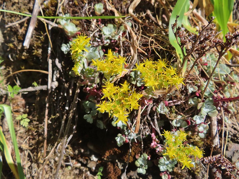 Stonecrop
 Strawberry
 Swamp onion
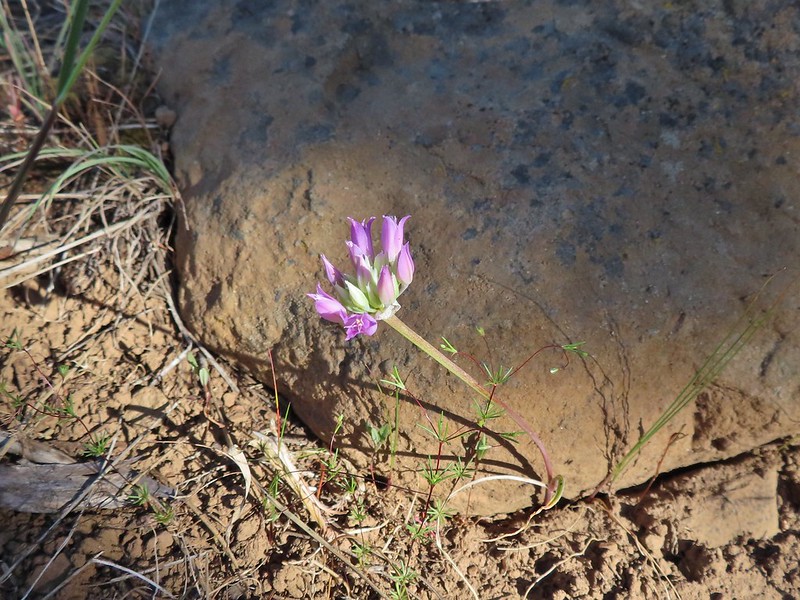 Tapertip onion?
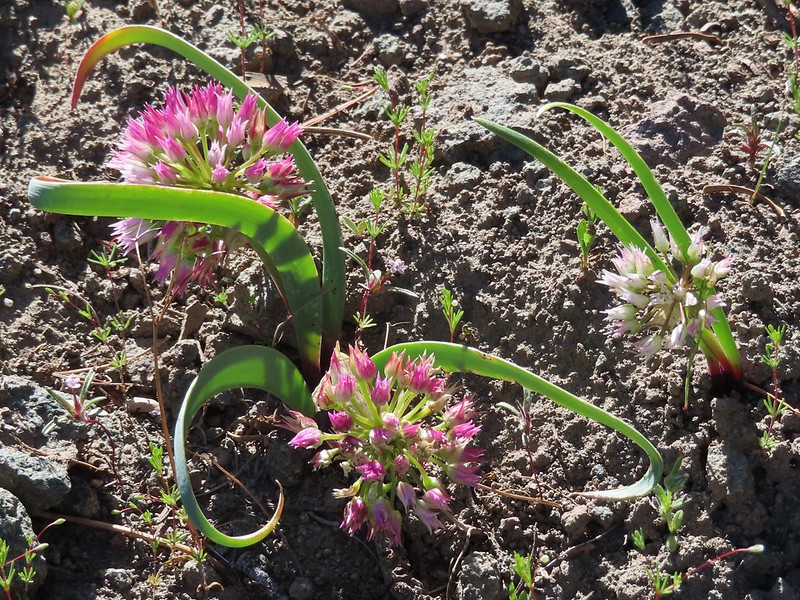 An onion
 Tailed kittentails
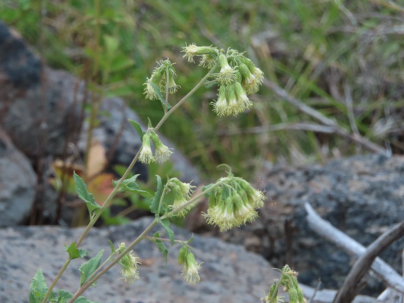 Tassel-flowered bricklelbush – Favoite name of the year.
 Thimbleberry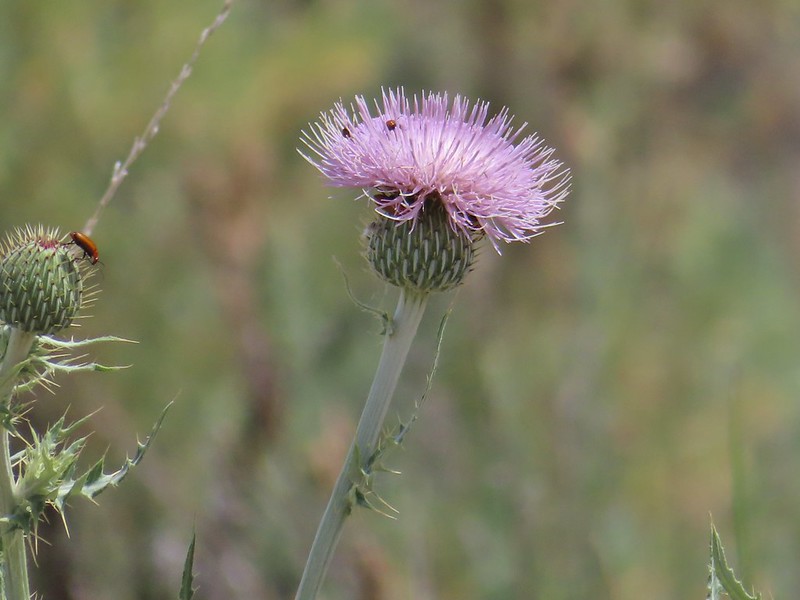
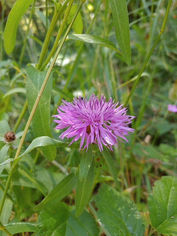
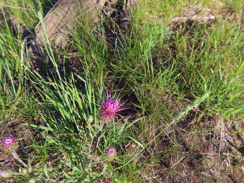

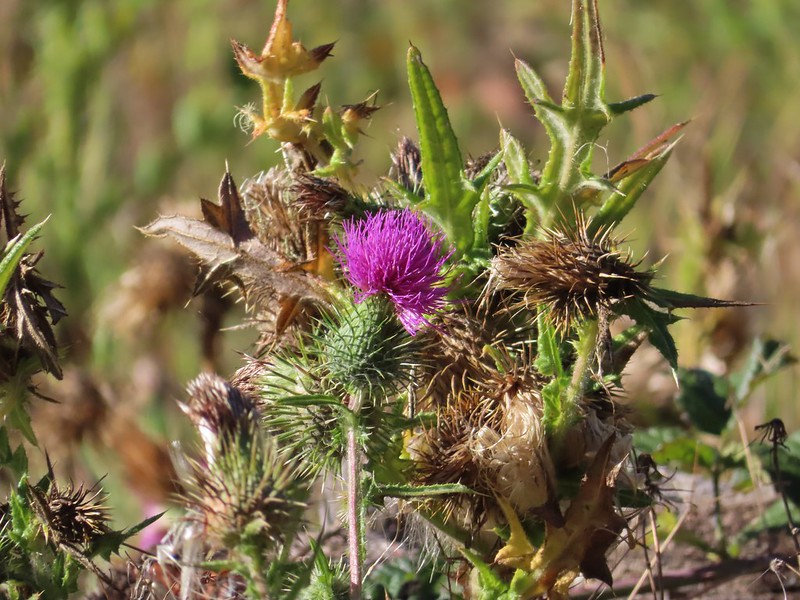

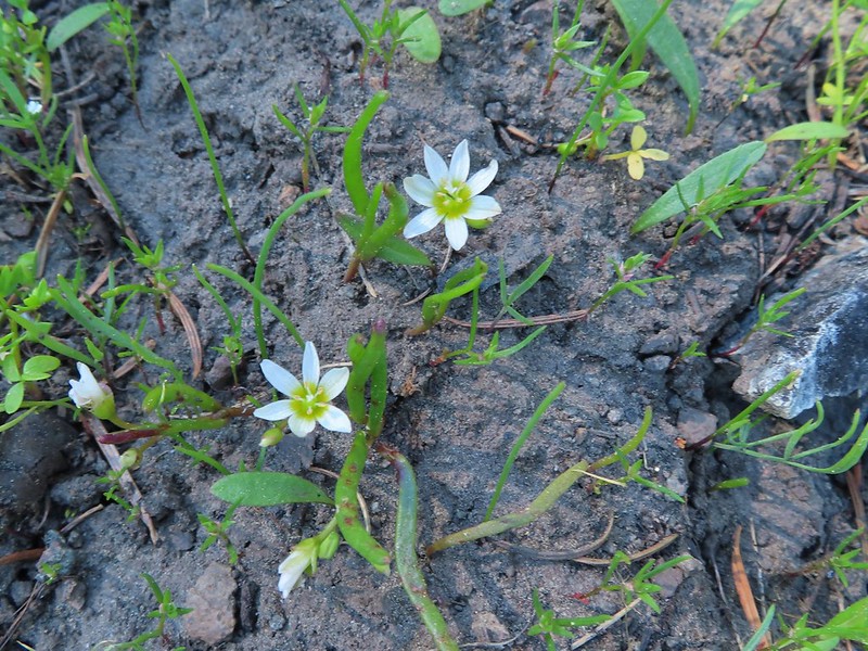 Three-leaf lewisia
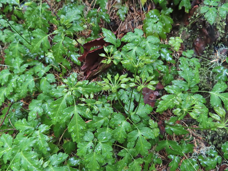 Threeleaf goldthreads
 Twinberry honeysuckle
 Twinflower
 Twisted stalk
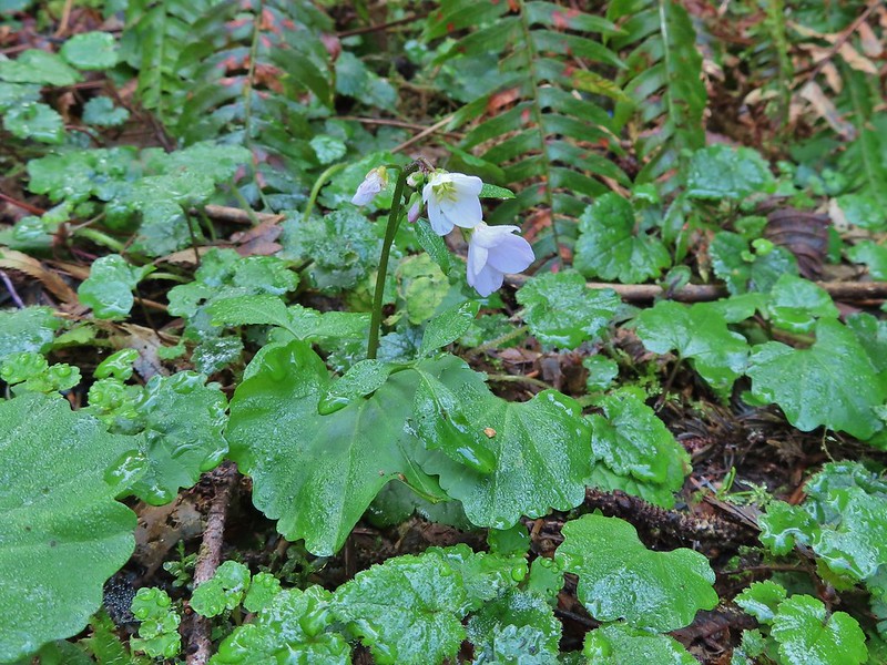 Toothwort
 Valerian
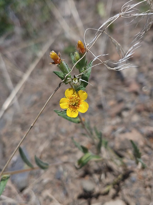 Vaetch’s blazingstar
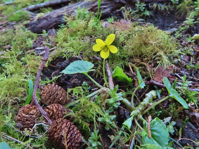 A violet
 A violet
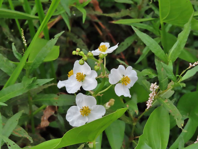 Wapato
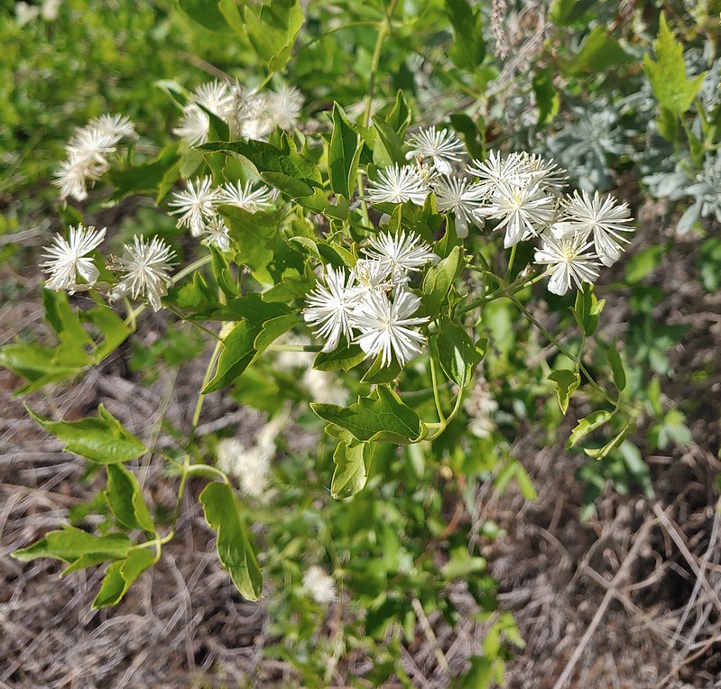 Western clematis
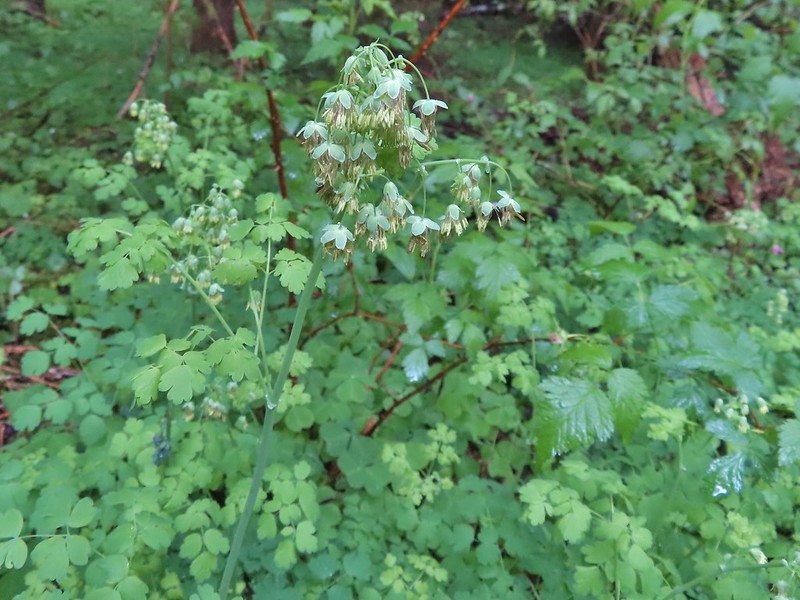 Western meadowrue
 Western stoneseed
 Western pasque flower (seed head)
 White stemmed frasera shortly before blooming.
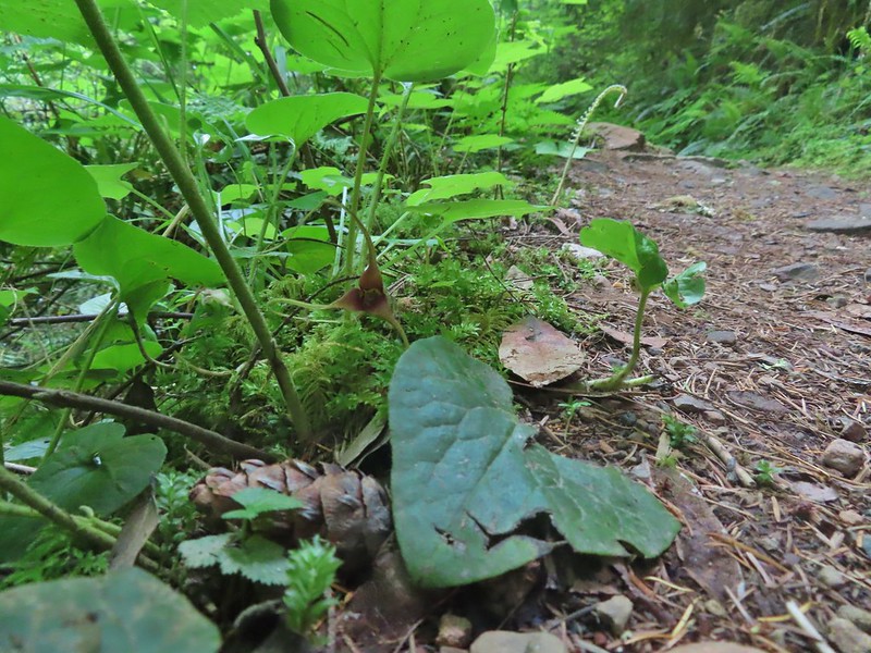 Wild ginger
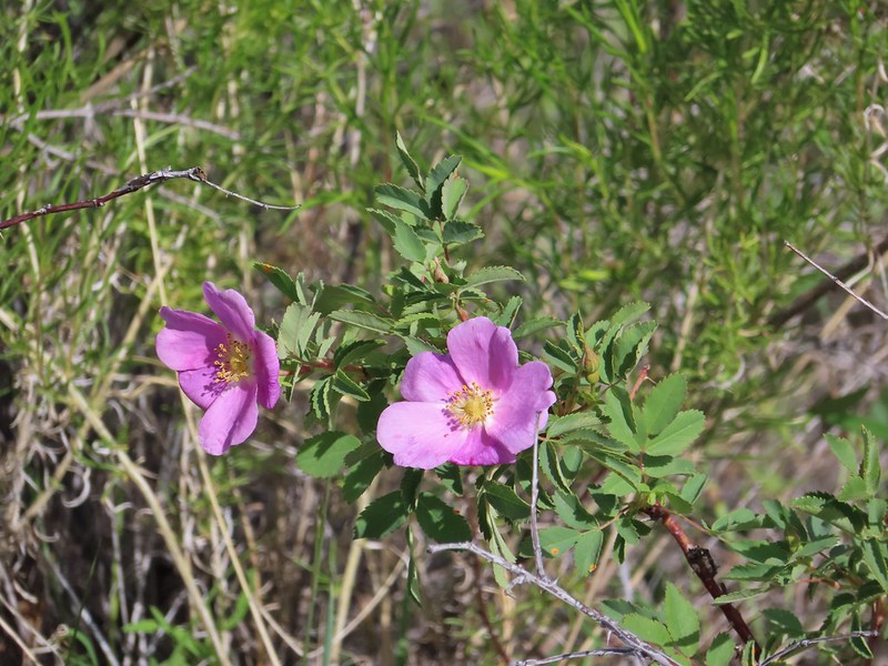 Rose
Rose Roses
Roses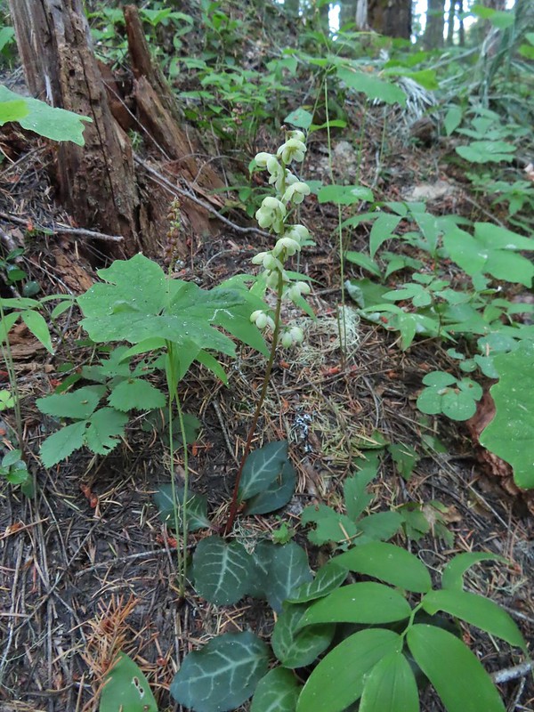 Wintergreen
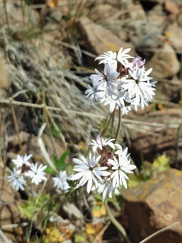 Woodland stars
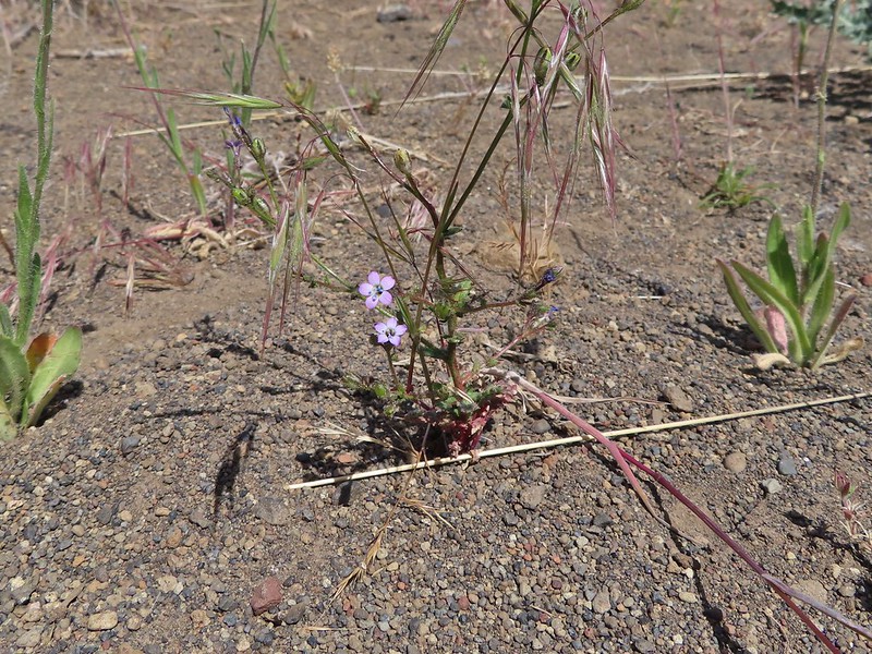 May 29th, Alder Springs Trail
 May 29th, Alder Springs Trail
 May 30th, Cottonwood Canyon State Park
 May 30th, Cottonwood Canyon State Park
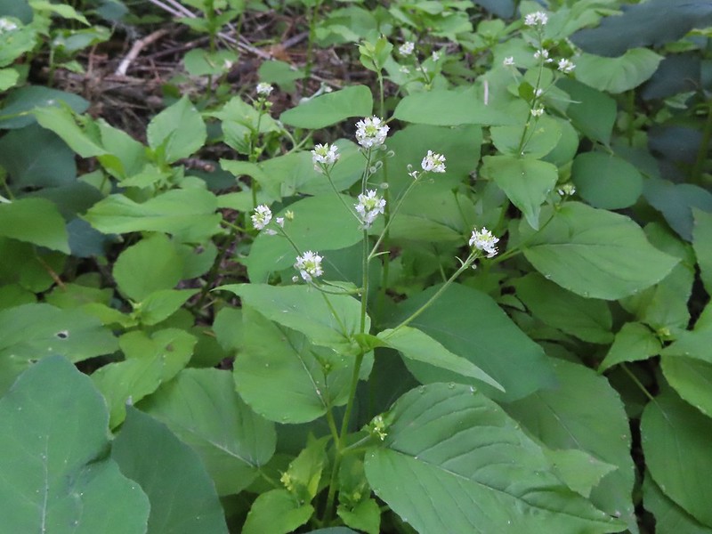 June 14th, North Fork Umatilla Wilderness
 August 29th, Mt. St. Helens National Volcanic Monument near the Norway Pass Trailhead.
 September 5th, Indian Heaven Wilderness along Falls Creek.
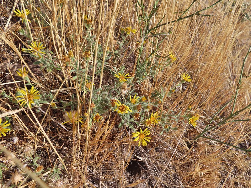 September 13th, Deschutes River
