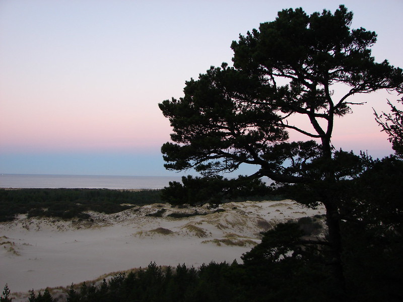
For the last six months we’ve been having projects done around the house and while everything at home has seemed to be in a state of upheaval work has felt just as chaotic. The end of our projects is in sight just barely overlapping with our hiking season. This is the most I’ve looked forward to a hiking season yet. I am a very introverted person and while hiking can be physically exhausting, for me it provides a mental recharge. Spending time relaxing at home is typically another way that I recharge but with all the projects going on I haven’t been able to get that same relaxed feeling this off-season.
Part of being an introvert is that socializing, especially in larger groups, is draining. It’s not that it isn’t enjoyable, it certainly can be, but it is exhausting and I haven’t been in a place where I’ve felt like I had the energy to interact with people beyond work recently (close family excluded). Heather on the other hand is more extroverted than I am. She still has some introvert traits but on a scale of introvert to extrovert she is closer to the extrovert than where I land. Before hiking season started she wanted to have a few friends over to see the progress thus far on the home. I thought it was a great idea but I also didn’t personally feel up to it despite how much I enjoy the group she was planning on inviting. To Heather’s credit she understood so in the interest of mental health I got an early jump on hiking season.
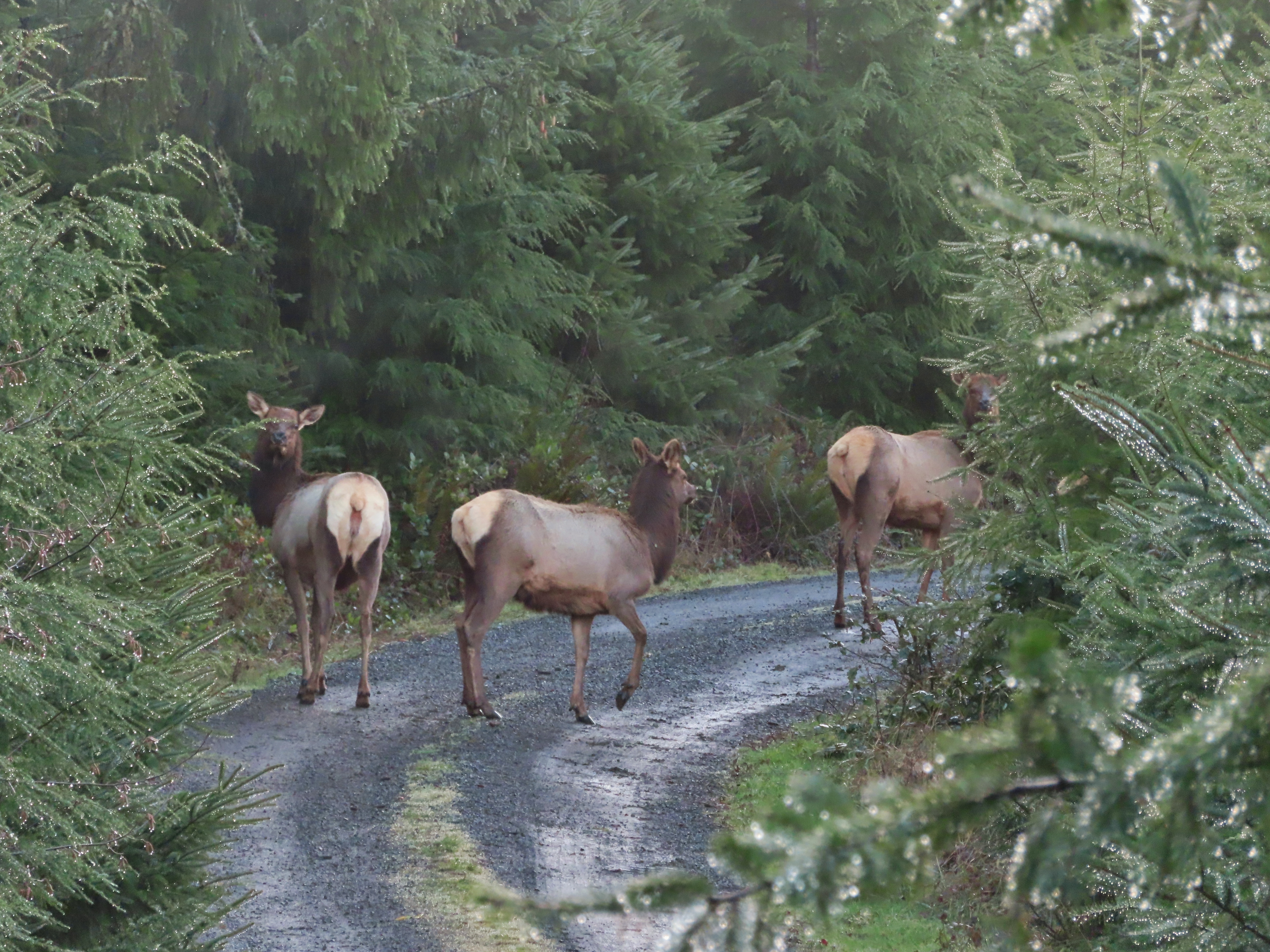
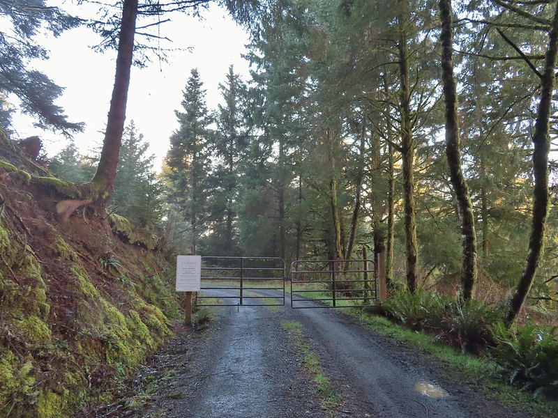
After doing a few last minute chores to help get the house ready for guests I headed out the door a little before 6am to make the 25 minute drive to Ankeny Wildlife Refuge. I had made a solo trip here last April (post) during a vacation week that Heather didn’t share. While I (we) typically don’t revisit places/hikes that close together the opening of the Ankeny Hill Nature Center in February was a good excuse for another visit. The website for the Nature Center listed “dawn to dusk” as the hours but I arrived just minutes before sunrise (6:14am) to find the gate still closed. A lower parking lot along Buena Vista Rd S was also gated closed with a sign stating it was due to ongoing construction. After reading the sign I wasn’t sure if I was too early or if the center was actually closed even though the website indicated it was open. A mystery that I would solve later though as I had some hiking to do.
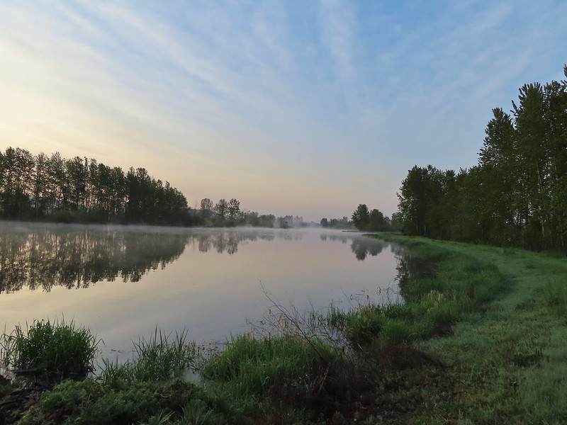
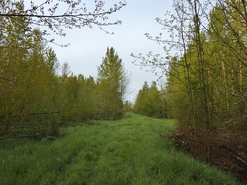
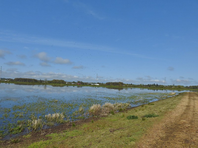
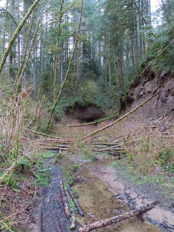
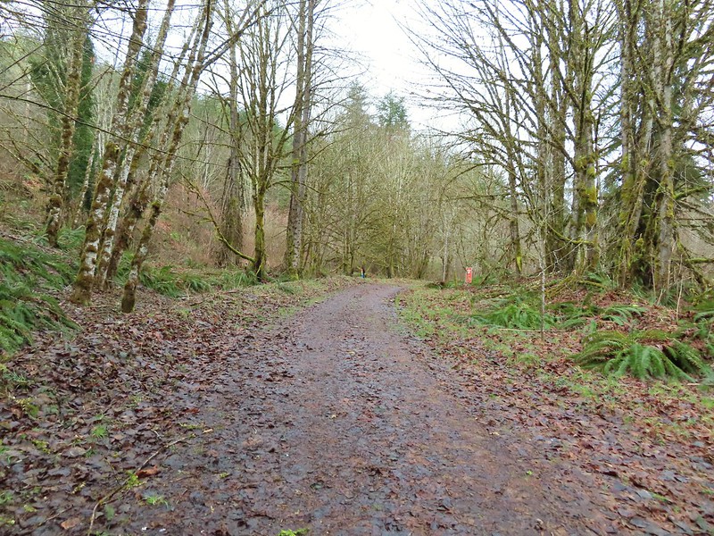
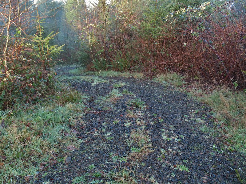
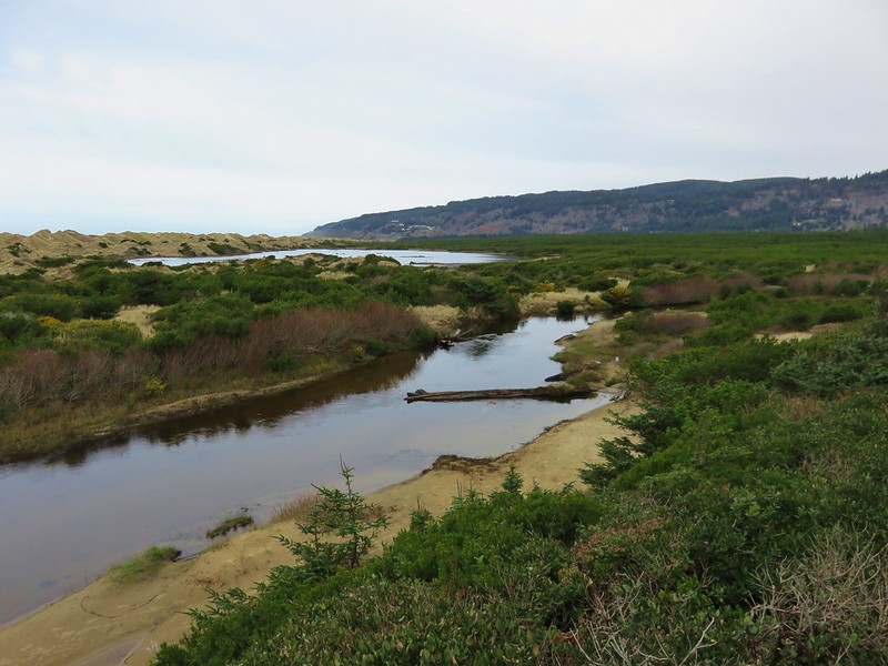
The trail system at the Nature Center is less than a mile so I had planned on re-hiking some of my routes from the previous year and any areas that had been closed on that visit that might be open this time around. It had been a clear morning at our house and remained that way all the way to the Nature Center but as soon as I passed the lower parking lot I entered a fog bank which covered my first stop at Eagle Marsh.

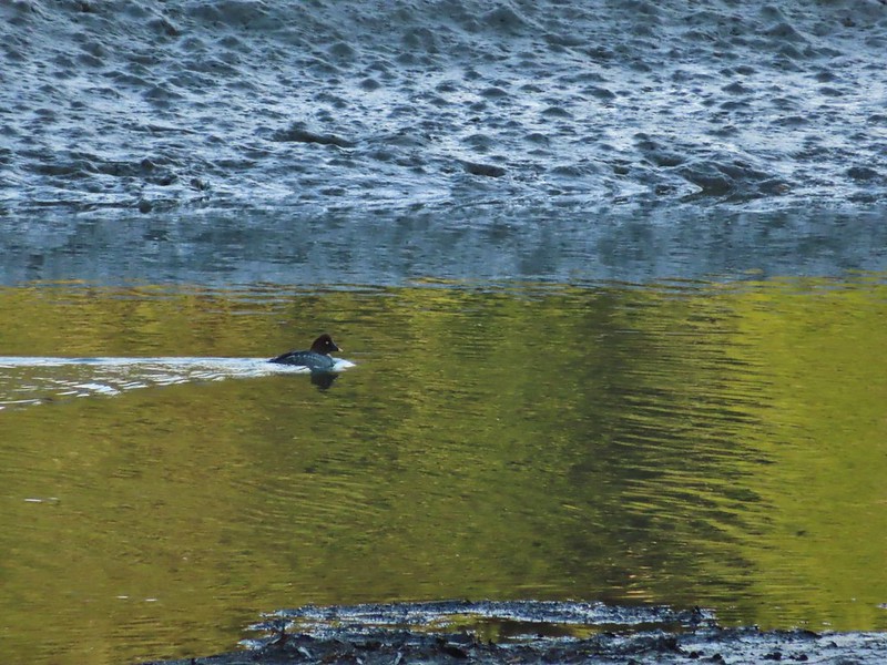
I could hear geese and ducks on the water but seeing much let alone taking pictures would require the fog to relent a bit. I set off along the dike road around the marsh hoping that the rising Sun would simultaneously take care of the fog and raise the temperature from the mid-30’s.

 Camas
Camas
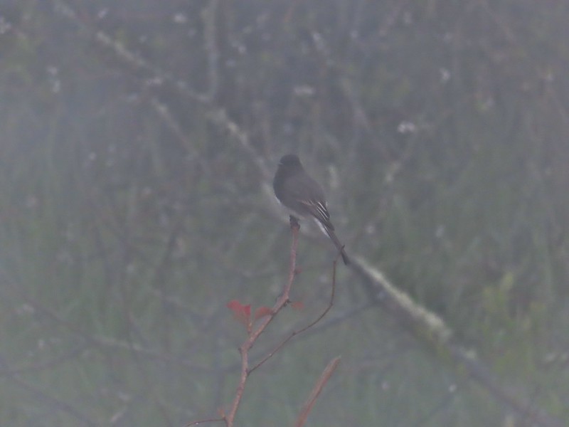 Black phoebe in the fog. It’s the only one seen all day so despite the poor quality I kept the photo.
 Wet spider webs are the best.
 There was a brief respite in the fog before it rolled in again.
 The fog bank waiting to move back in.
The section of the Eagle Marsh Trail on the SE side of Willow Marsh had been closed last year making the lollipop loop showed on the Refuge Map impossible but this year there were no signs indicating it’s closure. Like last year I headed clockwise around Willow Marsh passing between it and Teal Marsh.
 Teal Marsh
The grassy track here was very damp and my feet and lower legs were soon soaked (and cold!) but I distracted myself by watching for birds.
 Northern flicker
 A very grumpy looking spotted towhee
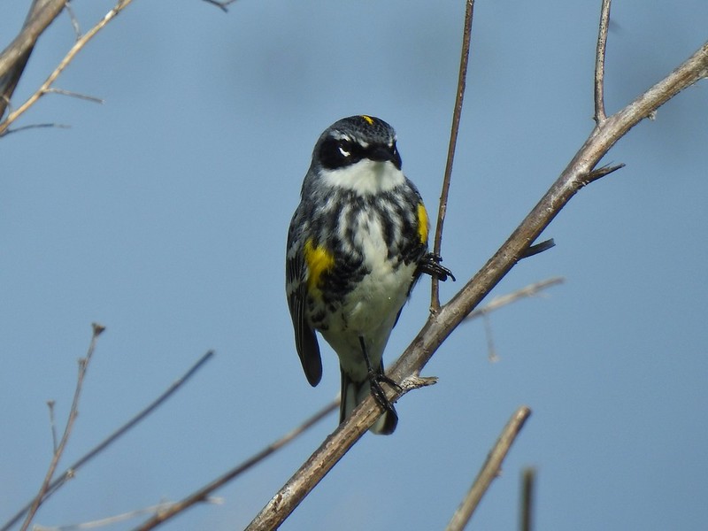
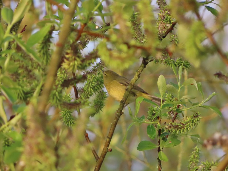 I have a hard time identifying some of these little birds. This one may be an orange-crowned warbler.
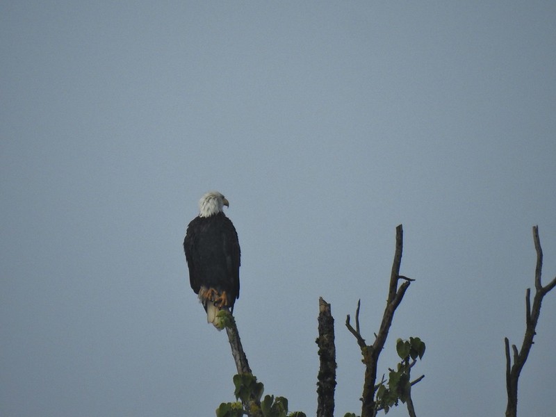 A bald eagle that was across Willow Marsh.
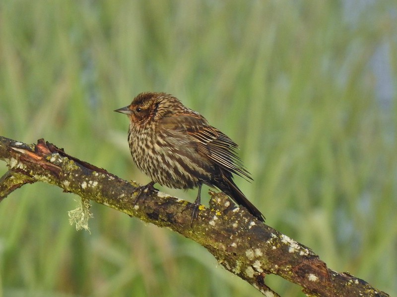 Female red-winged blackbird
 Buffleheads
 A less grumpy looking spotted towhee
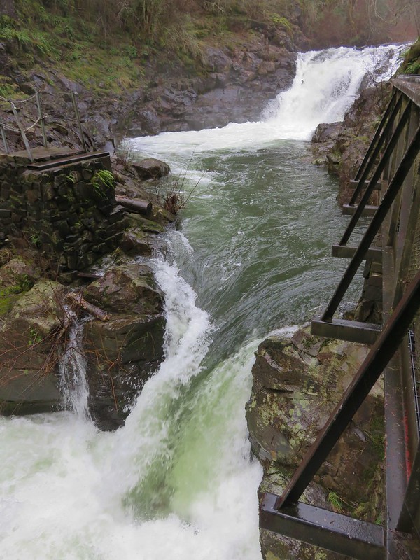
As I came around Willow Marsh I took a very short detour to check out the Sidney Power Ditch before continuing around the marsh.

 Here comes the fog again.
 Black capped chickadee
 Yellow-rumped warbler (Audubon’s)
 Red-winged blackbird
 Wrens can be tricky too, I think this is a marsh wren.
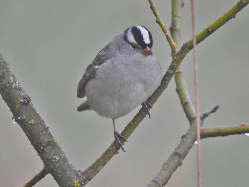 White-crowned sparrow
 Song sparrow
 Eagle Marsh, still can’t see much.
I had considered driving back to the Nature Center to see if it was open but in the end decided to make that my last stop and instead drove to the Pintail and Egret Marshes Trailhead.
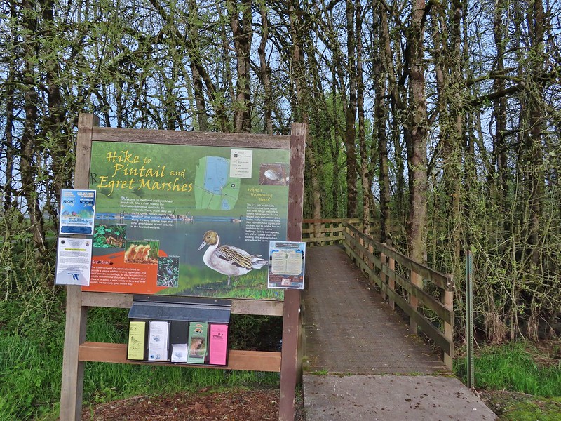
I started by taking the 0.13 mile boardwalk to the blind overlooking Egret Marsh where there wasn’t anything to see at the moment.
 Bashaw Creek
 Egret Marsh from the blind.
After the obligatory boardwalk I walked west along the shoulder of Wintel Road just over 150 yards to a small pullout on its south side where I passed through a green gate to find another damp grassy track. I had passed through the same gate on my prior visit and taken the right hand fork away from the road. This time I went left following the track along the road for three tenths of a mile to the entrance road for the Rail Trailhead.


Up to this point I had encountered a total of 3 people but at this trailhead there were several cars and a half dozen people milling about. I headed out on the rail trail and skipped the boardwalk portion where most of the people were headed and continued straight through more wet grass to the dike near Killdeer Marsh.

 Lots of fringecup along the trail.
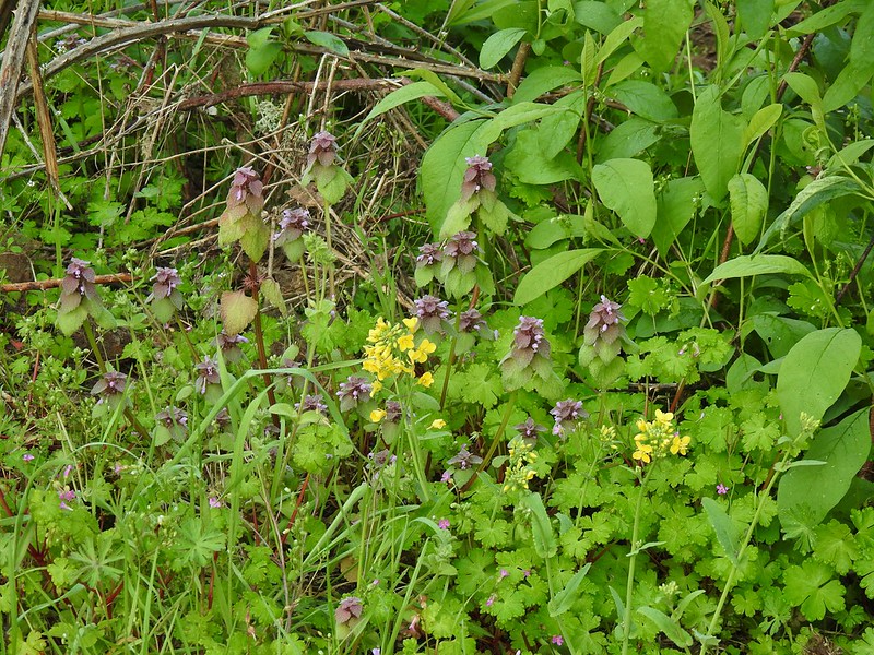 Purple deadnettle and field mustard
 Common yellow-throat
I looped counter-clockwise around Killdeer Marsh forgetting how muddy it was on the western side.
 Looking back along the eastern side of the marsh. There was a lot less water this year.
 Water level on 4/13/21.
There were also fewer birds than on either of my previous two visits but I did see the only norther pintails of the day here.
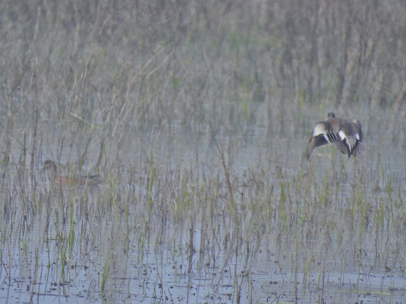 Seeing them was a lot easier than getting photos.
After looping around that marsh I headed east along the dike where again there was a lot less water in Dunlin Pond this year compared to last.

I followed the dike around what was left of Dunlin Pond to the eastern end of the boardwalk.
 Canada flamingo?
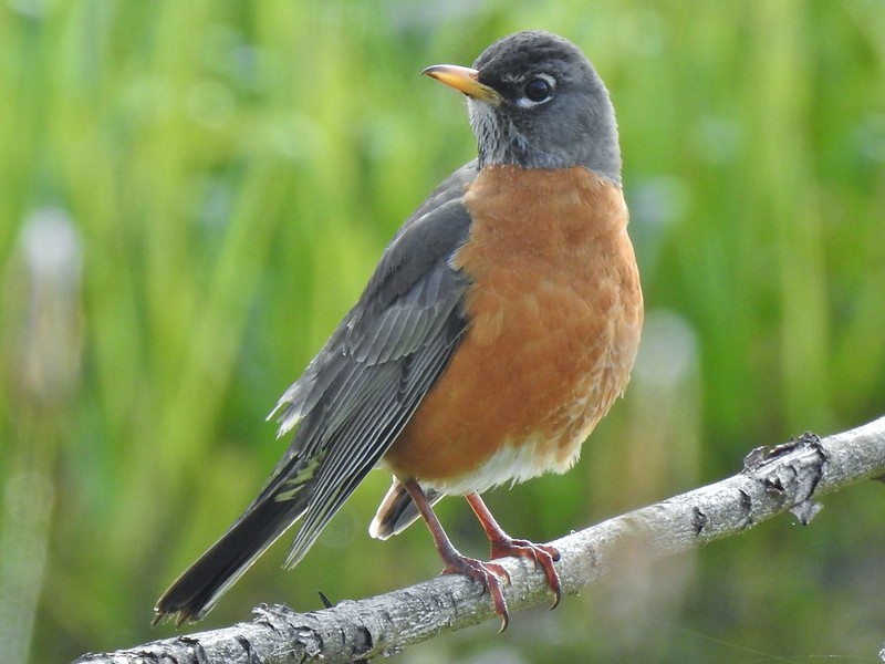 American robin

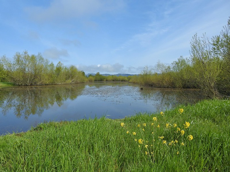
 Dunlin Pond from the boardwalk.
I could hear people approaching on the boardwalk so after a quick stop I continued north on the grassy track returning to the gate at Wintel Road and followed it back past the Pintail and Egret Marshes Trailhead to the Pintail Marsh Overlook.


I turned right from the parking area following a sign for the seasonal photo blind. On last years hike I had attempted to go around Egret Marsh but had been turned back by a closure sign just beyond the blind and had to return to the parking area via a short loop around Frog Pond. There were no closure signs this time so I continued on past the short loop passing the blind at the end of the boardwalk trail.
 Egret Marsh
 Ring-necked ducks.
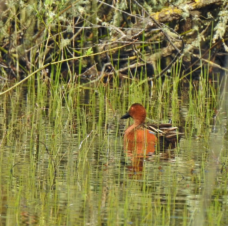
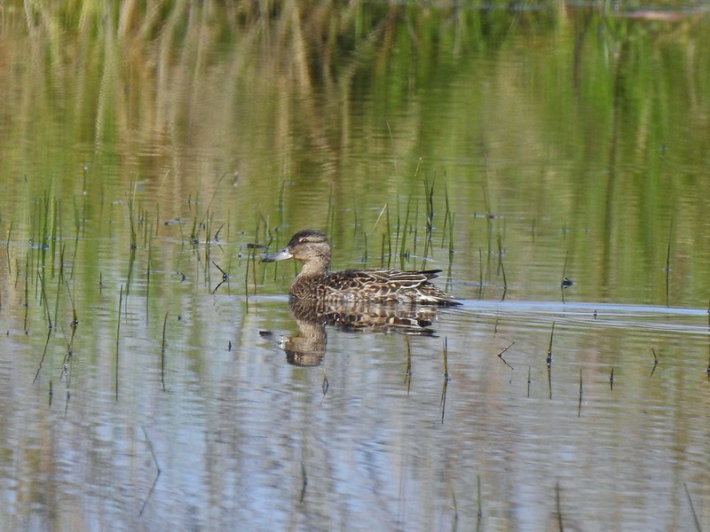 Anyone know if this is a female cinnamon or blue-winged teal?
 Another yellow-rumped warbler (Audubon’s) showing off its yellow rump.
 Egret Marsh
 The trail around Egret Marsh.
When I arrived at the service road between Egret and Mallard Marshes I passed a sign saying the area was indeed closed. I don’t know if that sign was left over or if the sign at the other end had gone missing. In my defense the refuge map shows it as part of the trail system and there is nothing online or posted at Pintail Marsh stating that there is a closure but had I been coming from this end I would have respected the sign. This is not the first time that we’ve been on a trail with no indications of any closure only to pass a closure sign at the other end. For the land managers out there could you please post at both ends of closed sections (or remove the signs from both ends if it has been lifted)? It would sure help those of us that are trying to do the right thing.
Back to the hike though. The service road ended a short distance away to the right in a flooded field.

There was a lot of activity near the end of the road.
 I think these might be long-billed dowichters. Please correct me if I’m wrong.
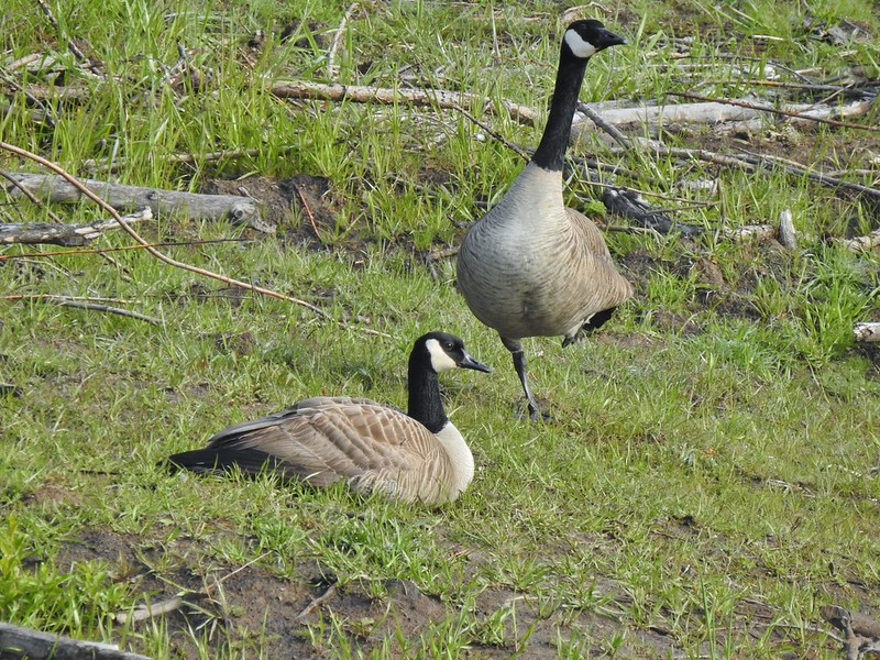
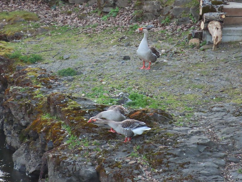
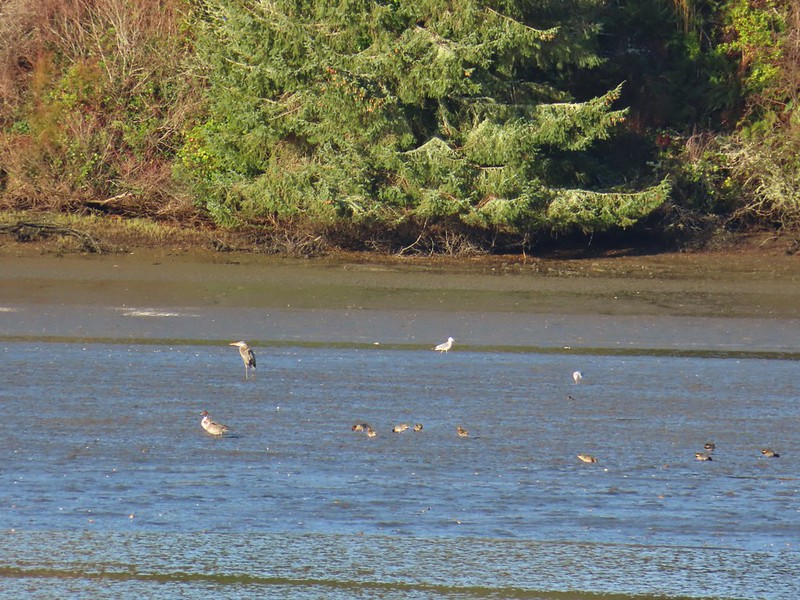
I turned left and then quickly turned right on the dike between Mallard Marsh and Mohoff Pond. There were lots of geese, ducks and coots here but they did there best to keep plenty of distance between themselves and me.
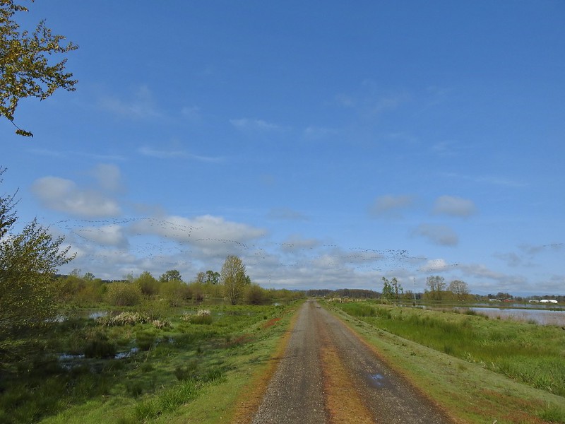 Heading to the right turn. Egret Marsh is on the left and Mallard Marsh on the right. A huge flock of geese had just taken to the sky.
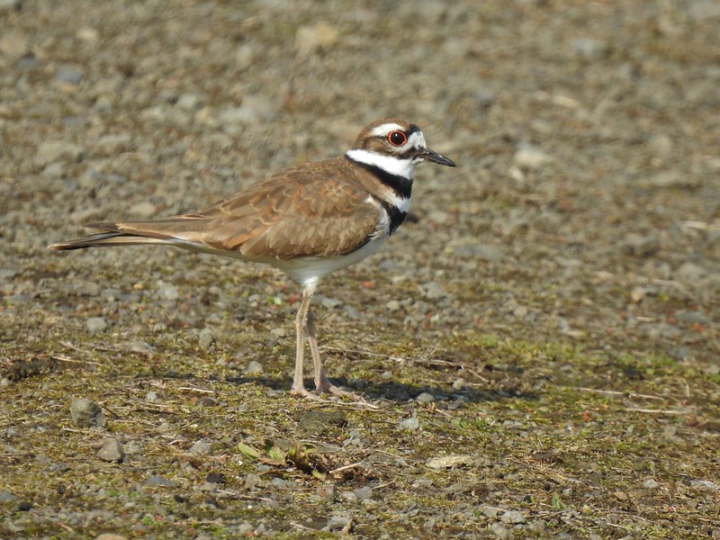 Killdeer
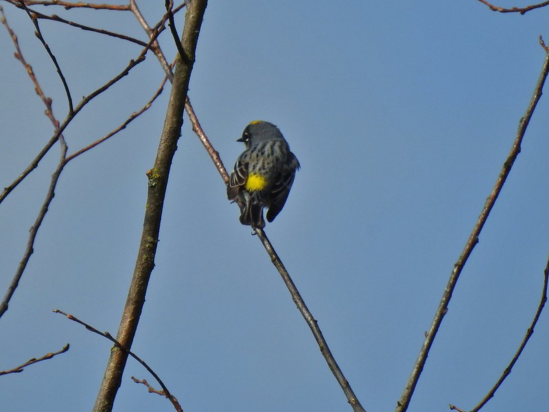
 Today I realized that there are two yellow-rumped warblers, this one is a Myrtle, note the white throat compared to the yellow throat of the Audubon’s above.
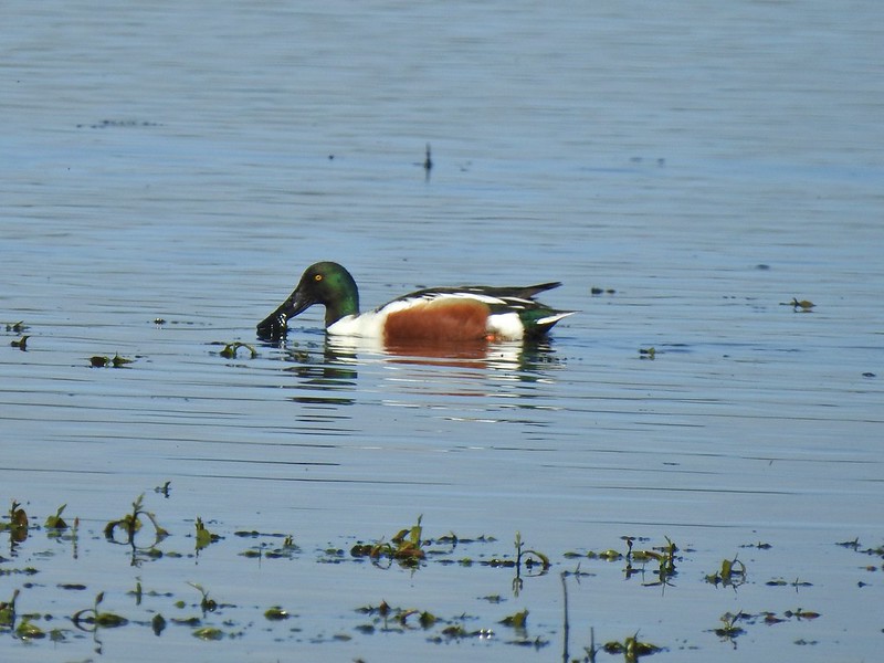 Northern shoveler
 Mohoff Pond and Mallard Marsh
 Canada goose with various ducks in the background. At least one of the ducks is a ruddy duck which is one I hadn’t seen yet (that I know of). They were too far to get clear photos of though.
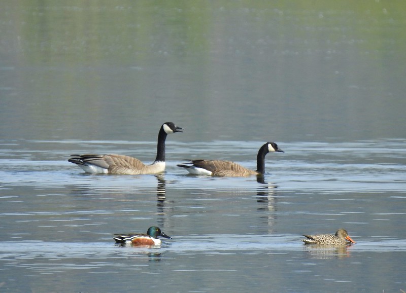 Canada geese and northern shovelers giving a good size comparison.
 The black dots in the sky here aren’t geese, they are little insects that followed me along the dike.
 Not Canada geese flying over.
 Immature bald eagle.
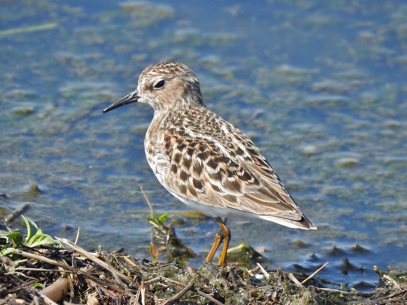 Sandpiper
When I reached the end of Mohoff Pond I turned left around it and headed back toward the Pintail Marsh Overlook.
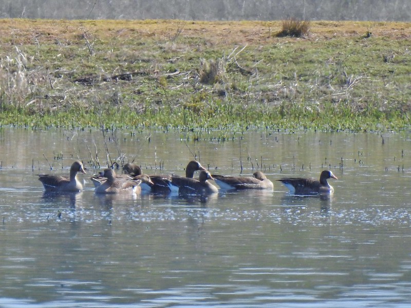 Greater white-fronted geese, another first.
 Bushtit. Several flew in here but I couldn’t make them out once inside so I took a few pictures hoping to get lucky.
On my way back a hawk and an immature bald eagle put on an areal display.
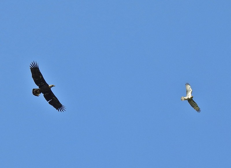 Can anyone ID the hawk? Another thing that I find difficult.
 Swimming lessons, Canada goose style.
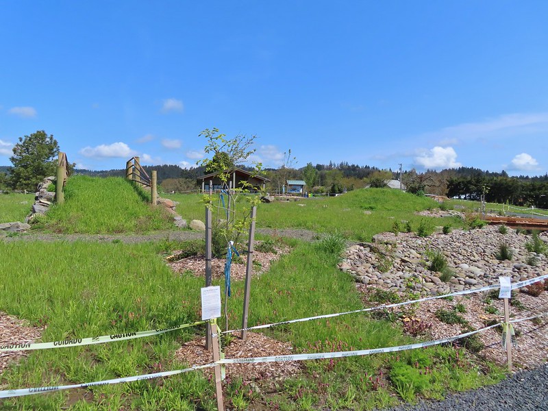
From the overlook I walked back along Wintel Road to the Pintail and Egret Marshes Trailhead to retrieve my car then drove back to the Nature Center where I had attempted to start my day. The lower trailhead was still gated but the entrance road along Ankeny Hill Road was no longer gated. There were just a handful of cars here as I set off on the short loop trail.


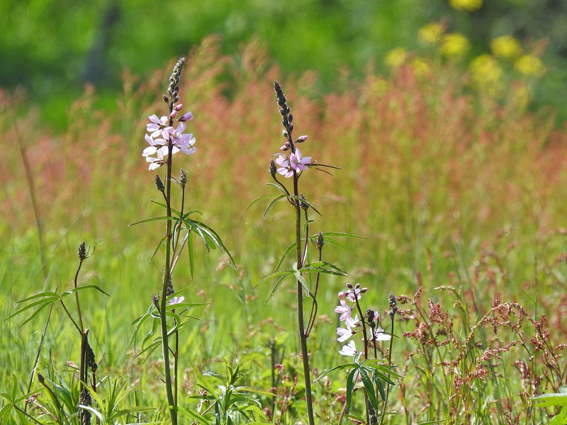
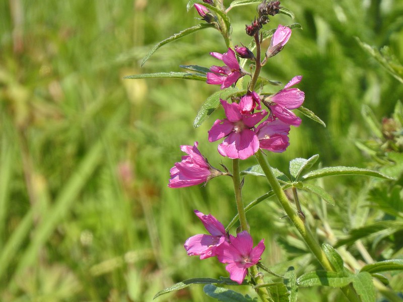
The loop offered nice views, interpretive signs, and a surprising variety of flowers. As a bonus a pair of great blue herons where stalking the hillside in search of snacks.


 Buttercups
 Meadow checker-mallow
 Columbine
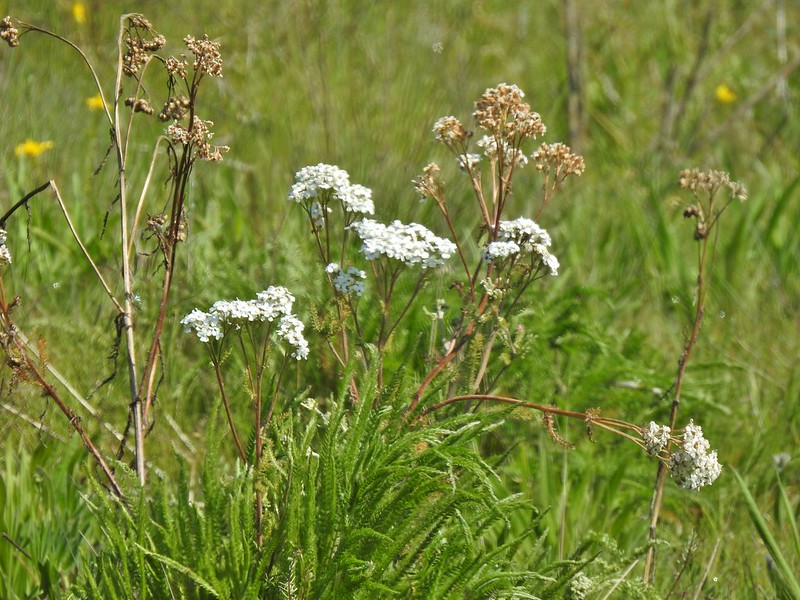 Yarrow
 Possibly Nelson’s checker-mallow
 Lupine that will be blooming soon.


 Iris
Iris
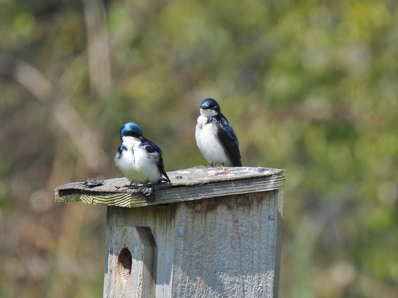 Swallows
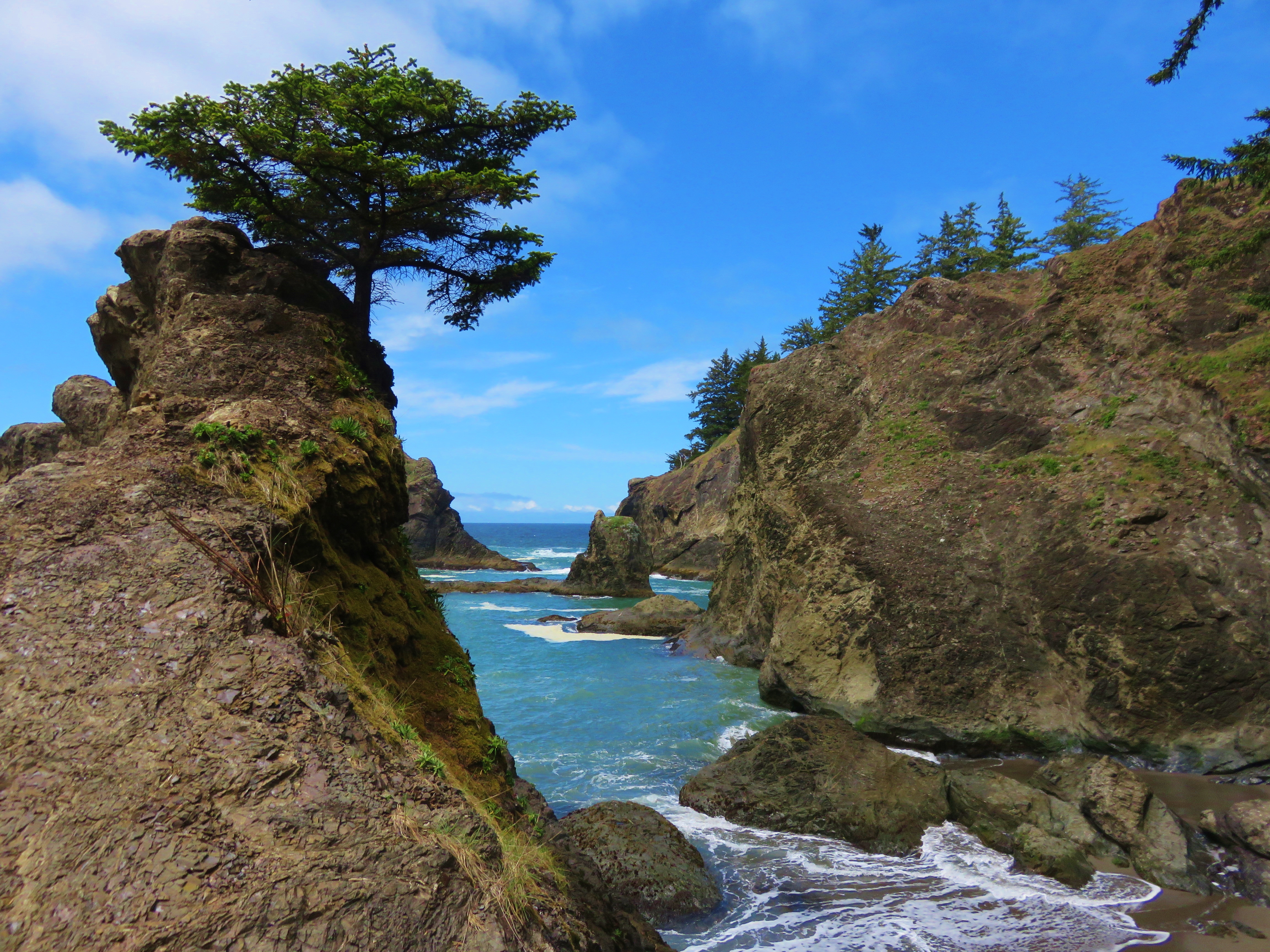
 Mary’s Peak (post) in the distance, the highest peak in the Oregon Coast Range.
The Nature Center is a really nice addition to the Refuge providing a great opportunity for kids to get out on a short educational trail. The rest of the refuge as usual did not disappoint, plenty of wildlife and a great variety to boot. The three stop, 11.3 mile day was just what I needed and Heather had a great time entertaining. With any luck the home improvements will be over in a couple of weeks and we will both have started our official hiking seasons. Happy Trails!
Flickr: Ankeny Wildlife Refuge 2022

 Wonderland Trail sign from our 2015 Northern Loop Hike (
 Crater Lake from Mount Scott – 2014
 Mt. Ireland from Baldy Lake
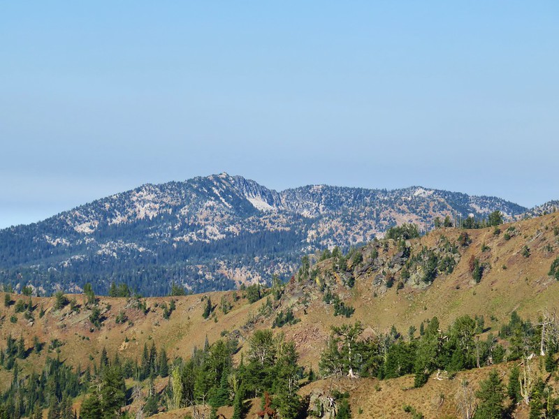 Mt. Ireland from the Elkhorn Trail before the storms moved in.


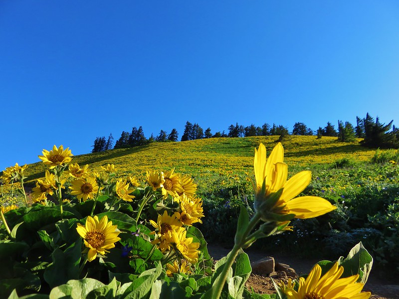
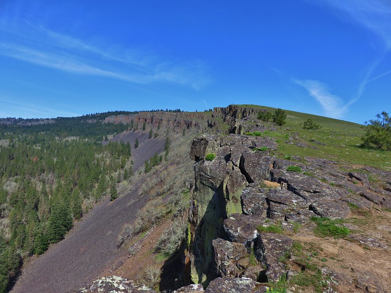
 Rowena Plateau and Tom McCall Point (


 A blurry heron along the river.
 Acorn woodpecker
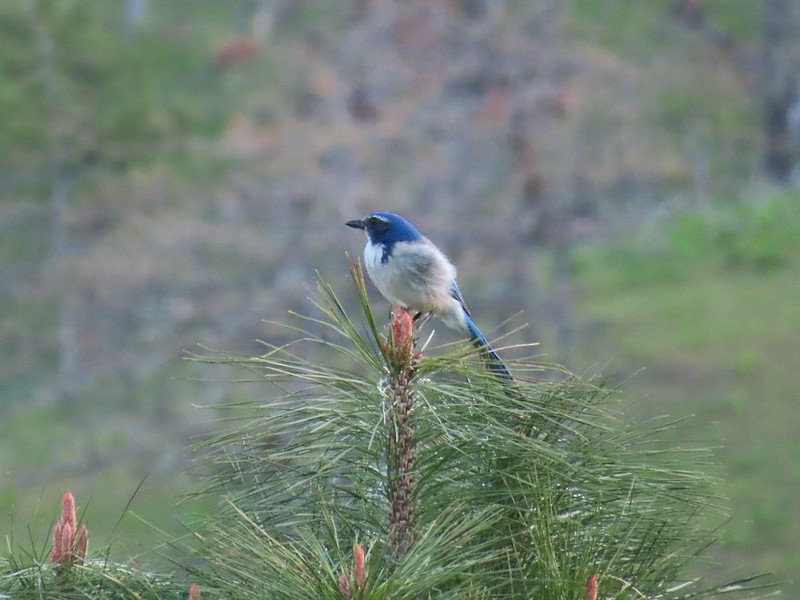 Scrub jay
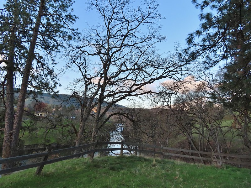 View from the picnic table.
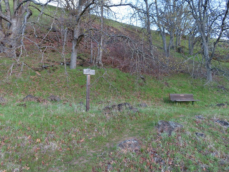
 This trail was not paved.
 Woodland-stars
 View from a bench at the end of the trail.
 Mallards on the water below.

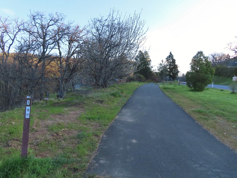 Starting at mile 0.
 Keep your eyes out for poison oak which was prevalent along the trail. Luckily the trail is nice and wide so avoiding it was easy enough.
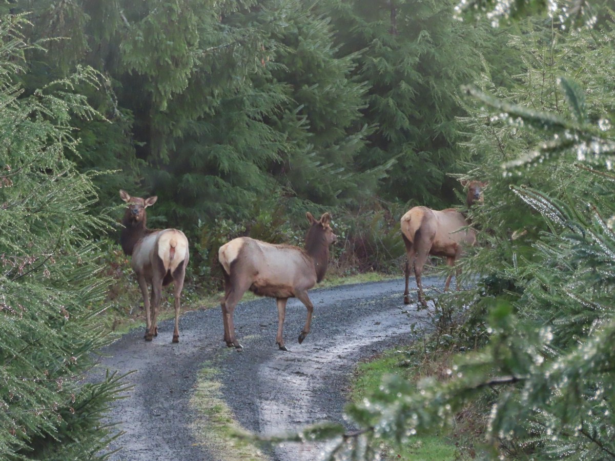
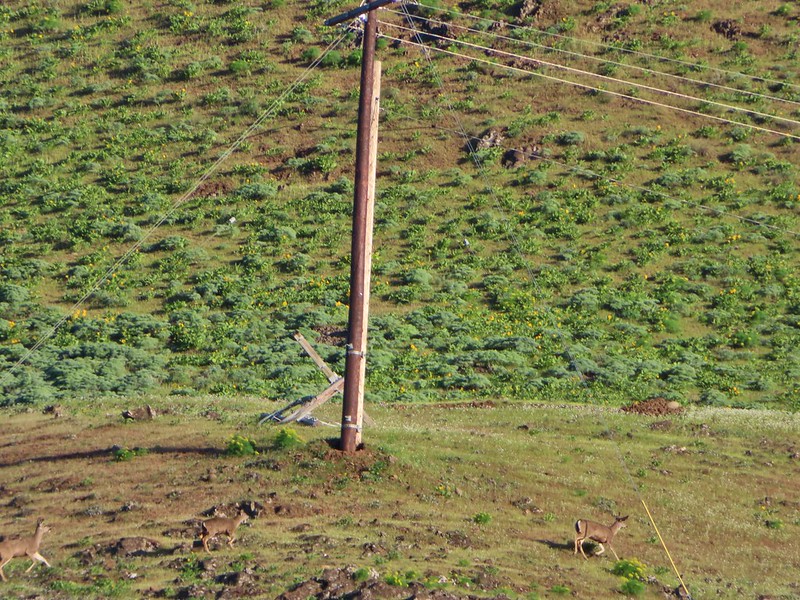 Heather spotted these three deer across the river.
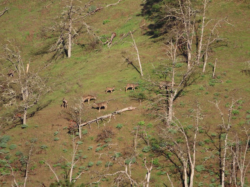 Another group of deer.
 Bald eagle
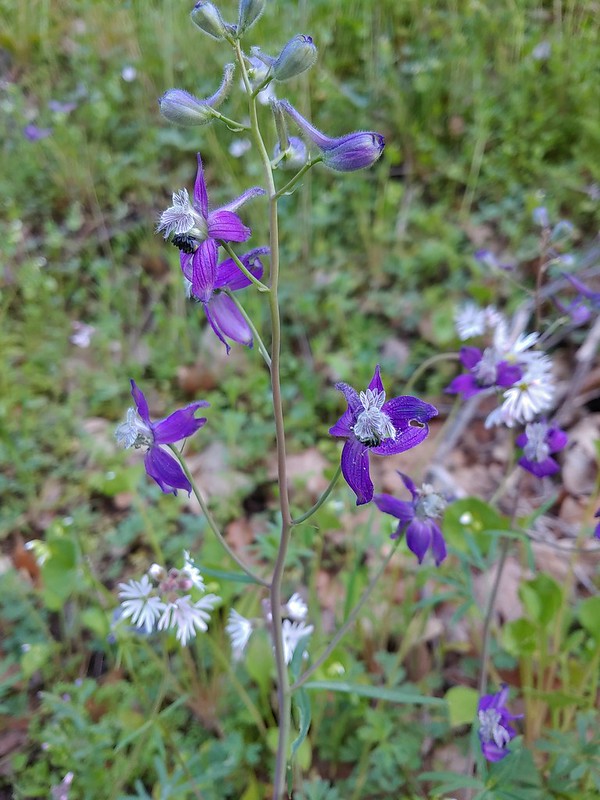 Larkspur and woodland-stars
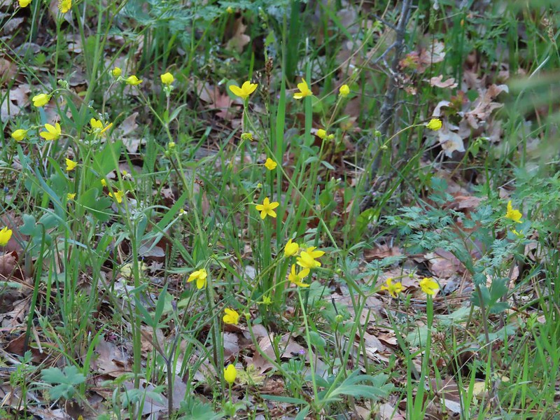 Buttercups
 Pacific hound’s tongue
 Milepost 1
 Saxifrage
 Balsamroot
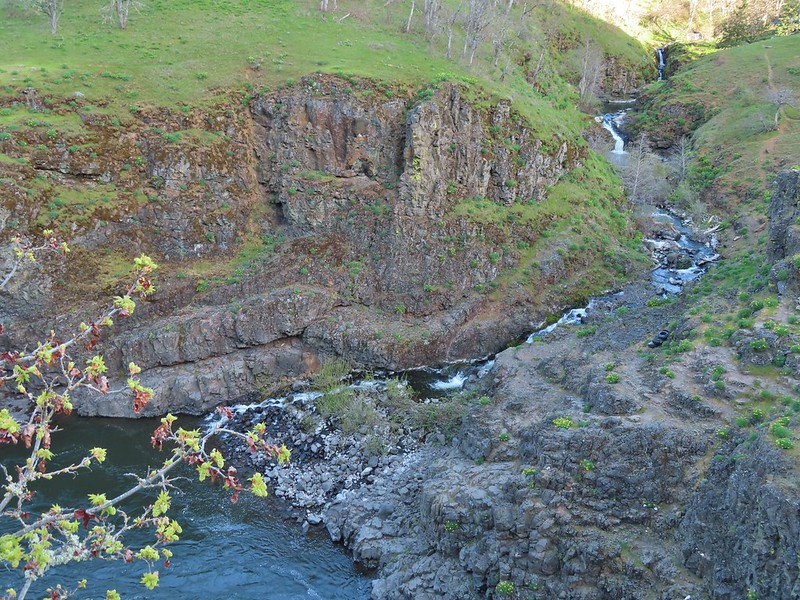 Silvas Creek


 Blue-eyed Mary


 Seasonal pool along the trail.
 Common mergansers

 Popcorn flower
 Columbia desert parsley
 Lupine
 Balsamroot
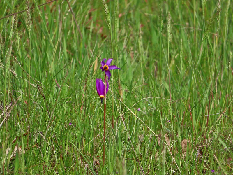 Shooting stars
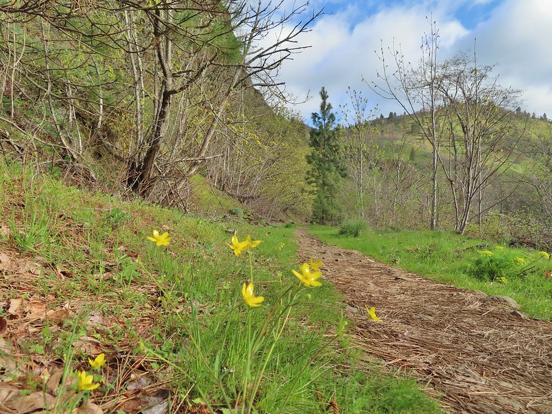 Buttercups
 Waterleaf
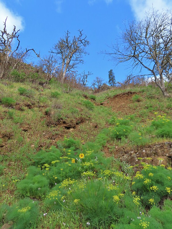 A balsamroot amid pungent desert parsley
 Big-leaf maple trees lining the trail.
 Big-leaf maple blossoms
 Gold stars
 Larkspur, poison oak, and buttercups
 Spotted towhee
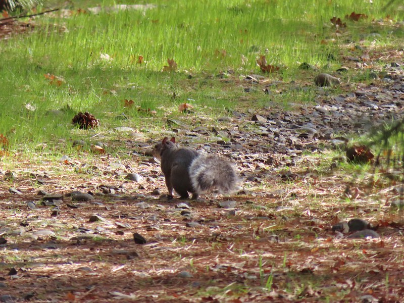 Squirrel
 Dillacort Canyon
 Red-stem storksbill

 Couldn’t get a good look at this small moth but it was pretty.
 Anise swallowtail
 Sara’s orangetip
 Grass widow
 Slender phlox
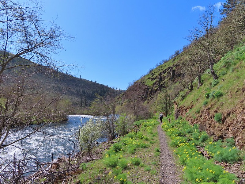 Heading back.
 Immature bald eagle
 Propertius duskywing – Erynnis propertius
 The mergansers had moved to the near bank.
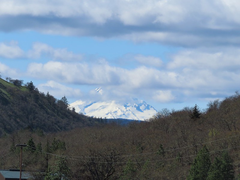 Hood behind some clouds.
 Ground squirrel
 Mourning cloak
 Lizard

 Arriving back at the Lyle Trailhead.
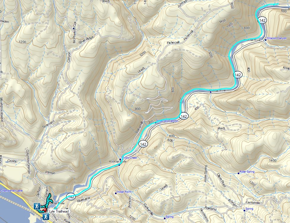

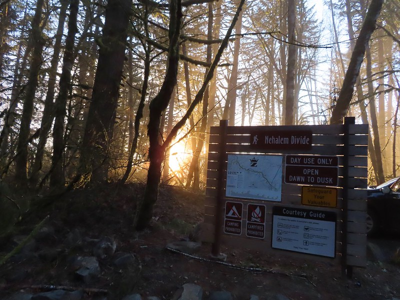
 Heading down the connector trail.
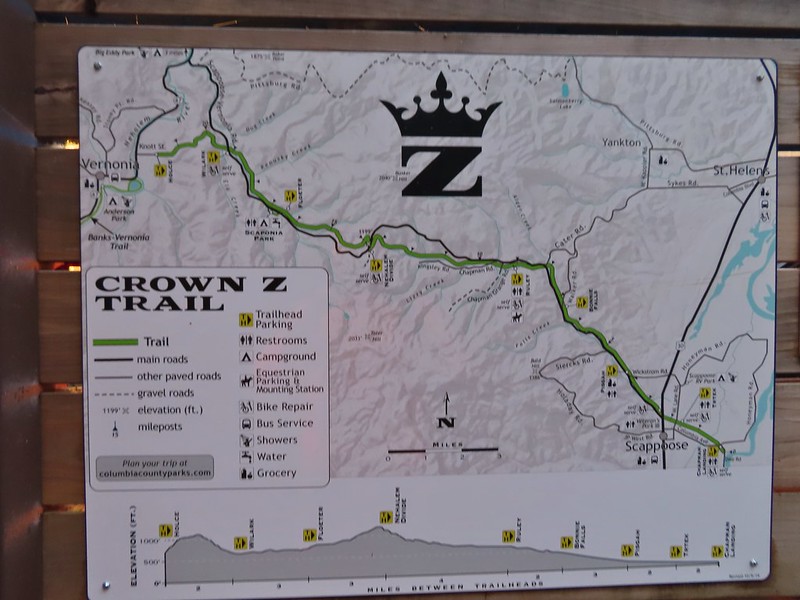
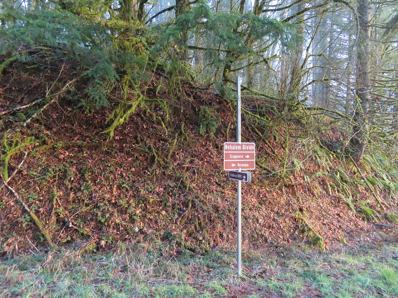 Trial sign at the jct with the CZ Trail.
 CZ Trail passing under the highway.


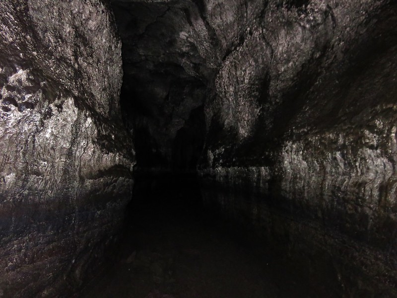
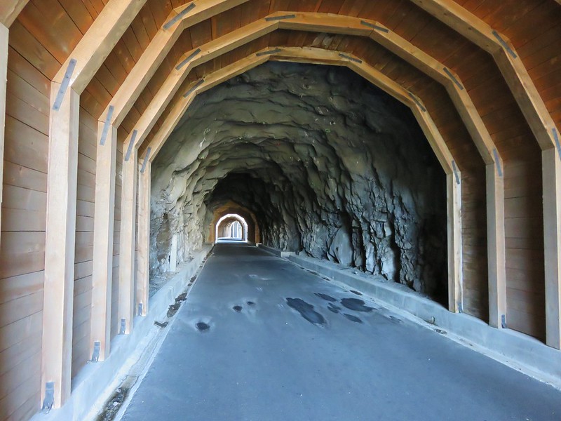
 Light from the eastern portal is visible at the other end but the tunnel is not safe to enter without at least a hard hat.

 The East Fork Nehalem River next to the trail.
 It was a little muddy in places.
 Another of several interpretive signs along the trail.
 Not much in the way of flowers yet but there were a few indian plum starting to blossom.


 East Fork Nehalem River
 Pointer for the CZ Trail in Scaponia Park

 American kestral

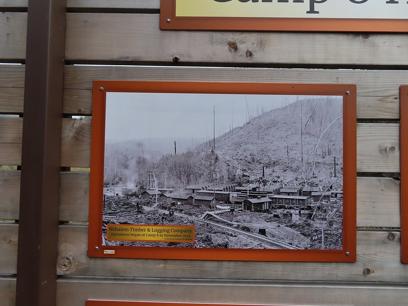
 Robin in the meadow that once was Camp 8.
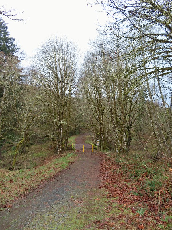

 The orange mile marker 19 ahead.
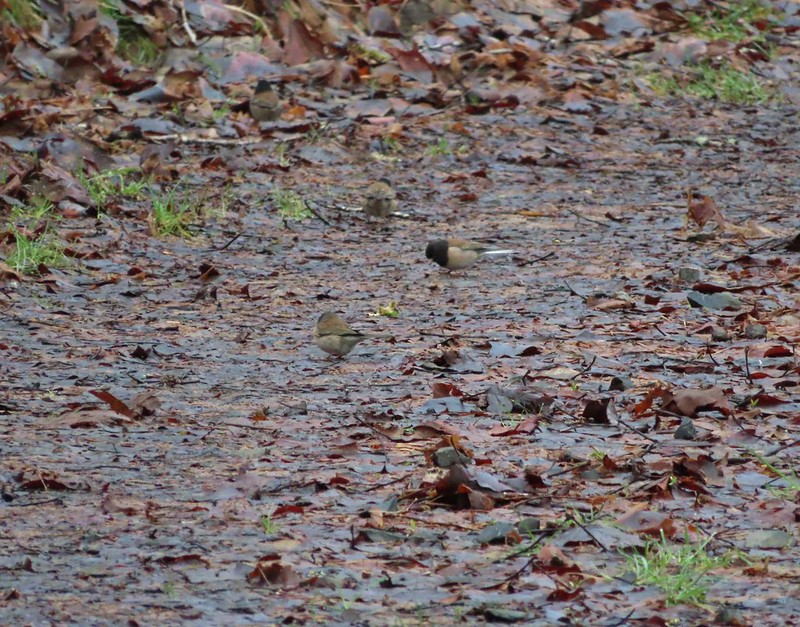 Juncos
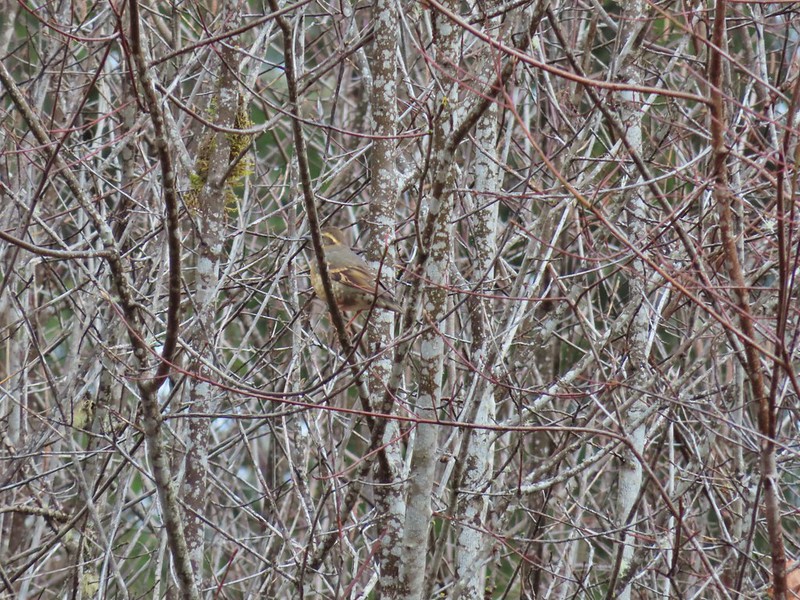 Another not great picture of a varied thrush.
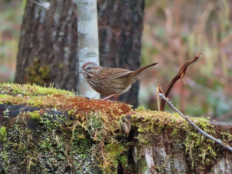 Sparrow


 A grey jay enjoying the emerging sunlight.
 Blue sky near the Floeter Trailhead.

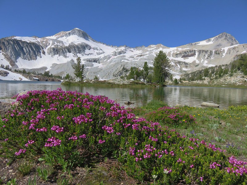
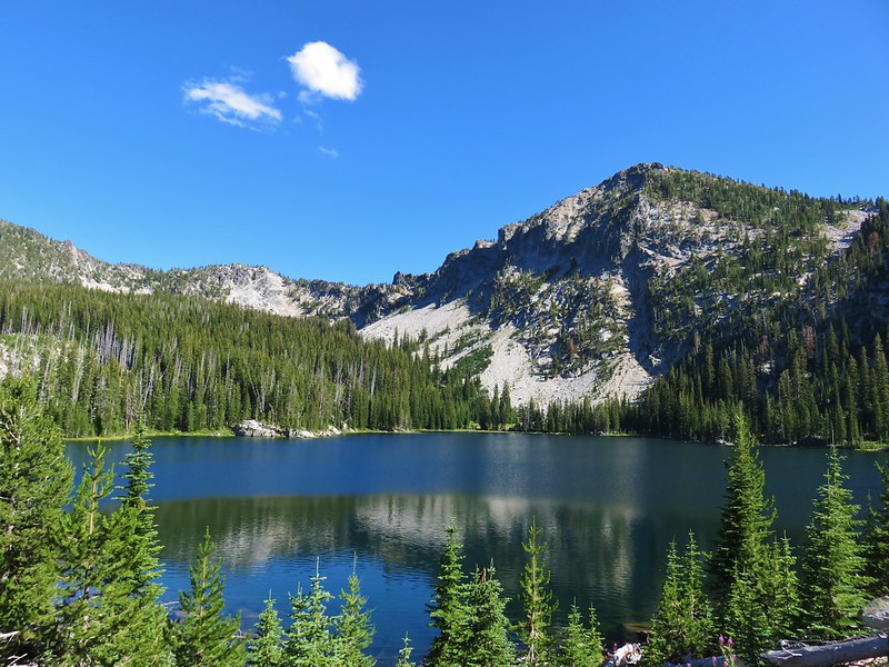 Summit Lake, Elkhorn Mountains
 Wildflowers on the summit of Mary’s Peak
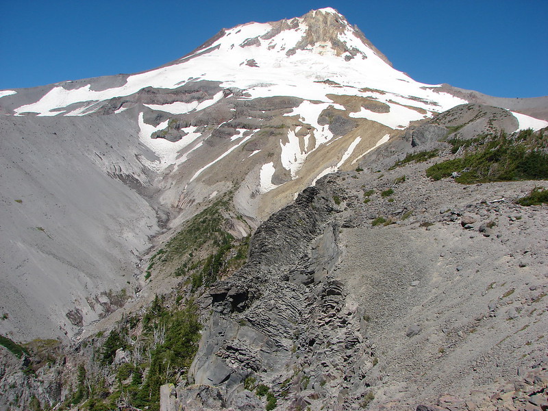
 Mt. Hood from Yocum Ridge
 Ecola State Park
 Oak Island
 Cape Arago Lighthouse
 Independent Mine Trail, Ochoco National Forest
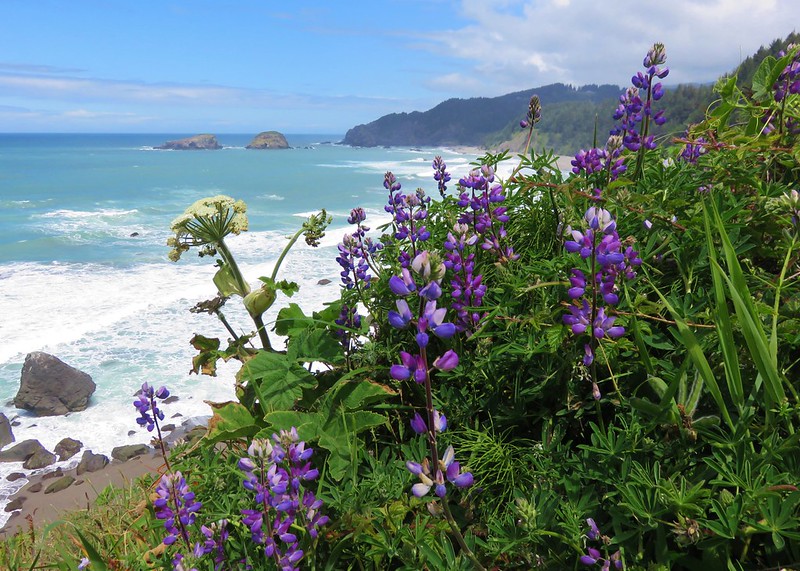 Boardman State Park
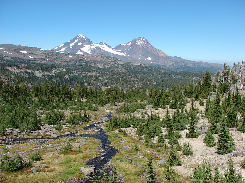 Three Sisters Wilderness
 Upper Kentucky Falls
 Esau Canyon
 Strawberry Mountain
 Borax Springs Trailhead
 Mt. Hood from Owl Point
 View from Lower Table Rock
 Mount Jefferson Wilderness
 Paradise Lose, Oregon Caves National Monument
 Crater Lake National Park
 Hart Mountain National Antelope Refuge
 South Sister from Husband Lake
 God’s Thumb
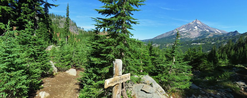 Mount Jefferson Wilderness
 Timber Gulch
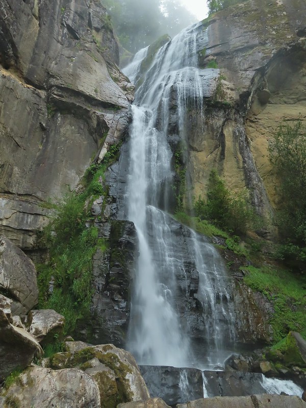
 Sawmill Falls
 McCormack Slough
 Upper McCord Falls
 North Fork Siletz River
 Deschutes River State Recreation Area
 Cape Lookout
 North Fork Umatilla Wilderness
 Glacier Peak from Eagle Cap, Eagle Cap Wilderness
 Eagle Cap Wilderness
 Rowena Plateau
 Haag Lake
 Painted Hills, John Day Fossil Beds
 Niagara Falls
 Permit info at the gate.
 Looking back to the gate from Road 200.
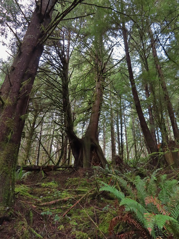 It’s hard to get an idea of size here but the two trees growing over the large nursery stump were good sized.

 Hooded Mergansers
 Road 200 to the left.

 Upper end of the 3rd World Trail.
 Approaching the ridge top.

 Heading off the main road.

 Common goldeneye
 Great blue heron and buffleheads
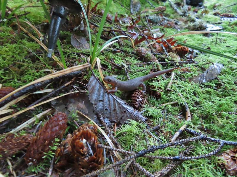 Rough skinned newt
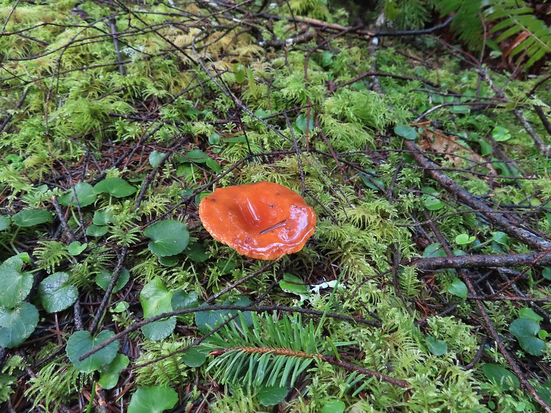
 Coral fungus
 Northern pintail, heron, seagulls and some green winged teals.
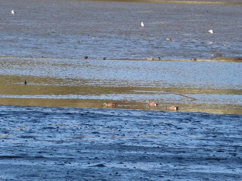 American wigeons
 One of a number of unique benches located along the trails.
 Stone steps
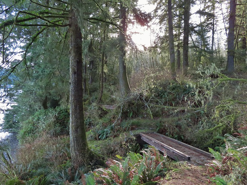 A pair of footbridges.
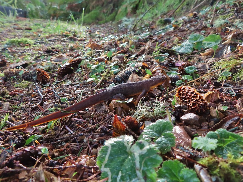 Another rough skinned newt, there were many.
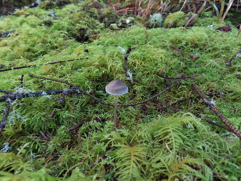 Mushroom
 Another bench at a viewpoint.
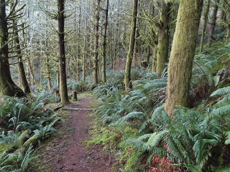

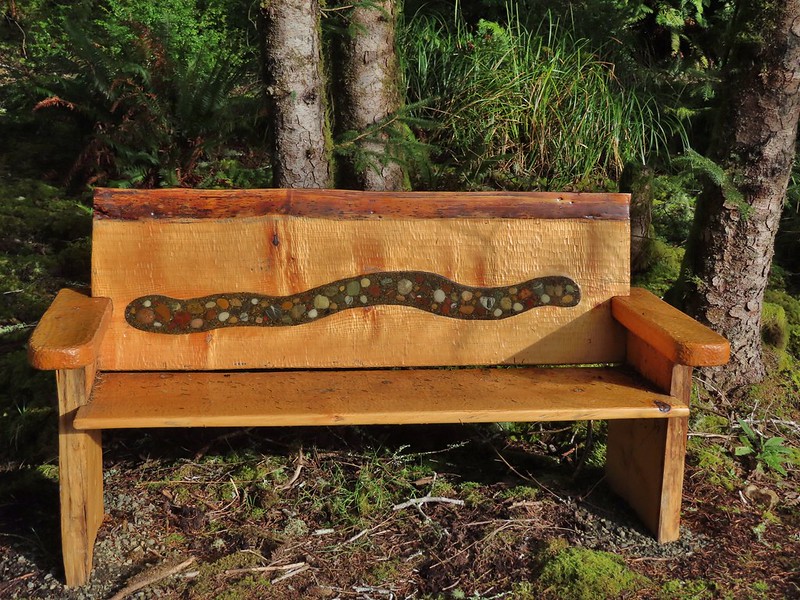
 Several benches were inlaid with rocks such as this which was a really neat feature.
 Small footbridge ahead.
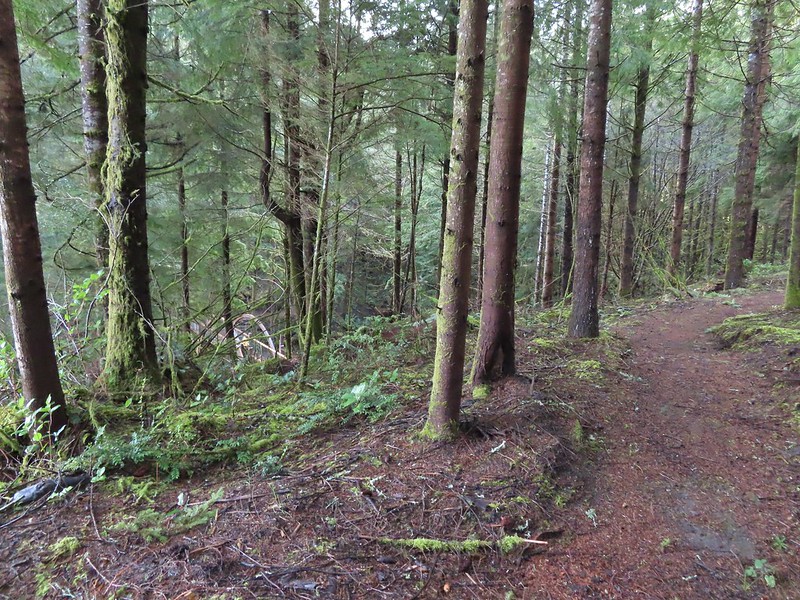
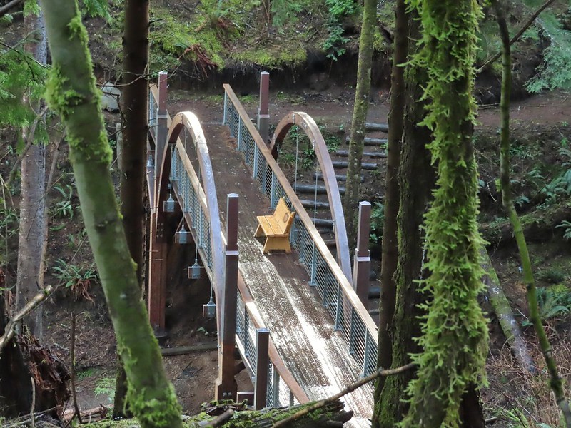
 Yakona Bridge.
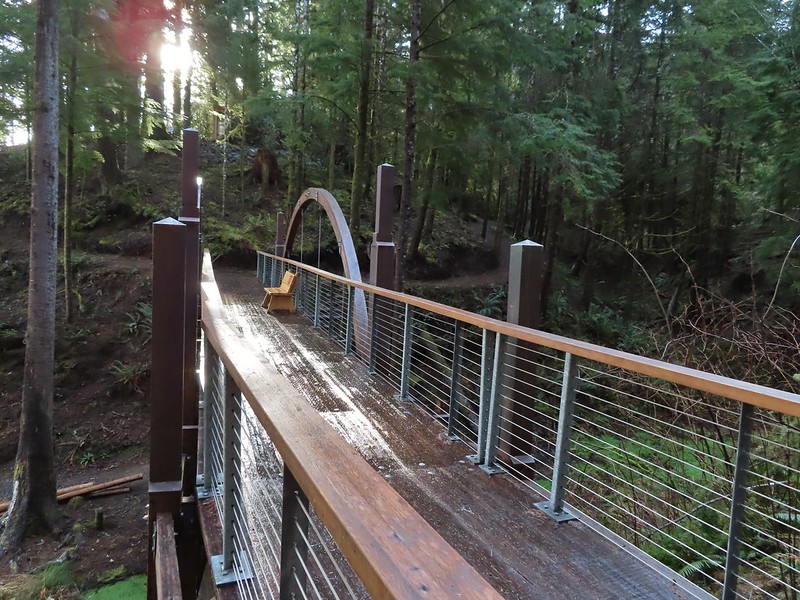
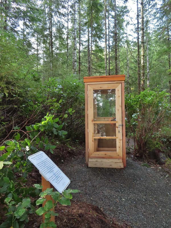
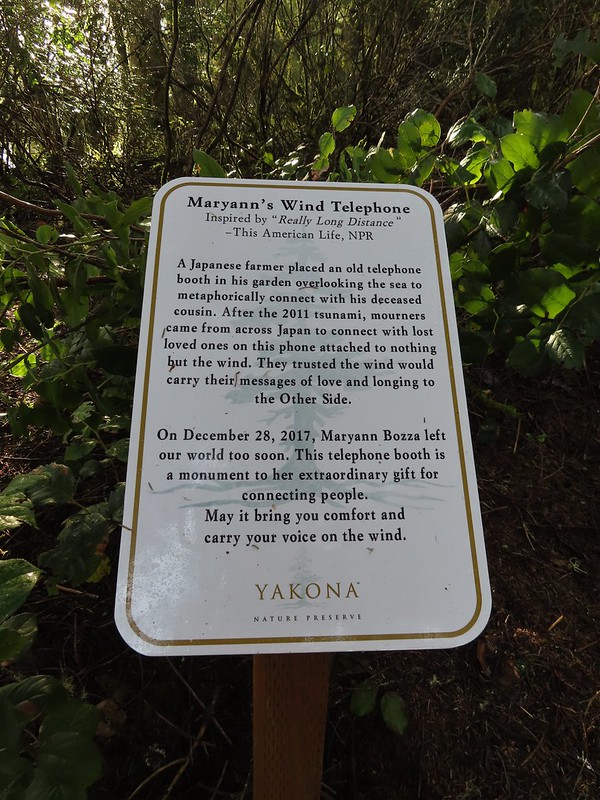 Informational sign for the wind phone.
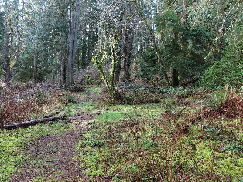
 This trunk had split into four.

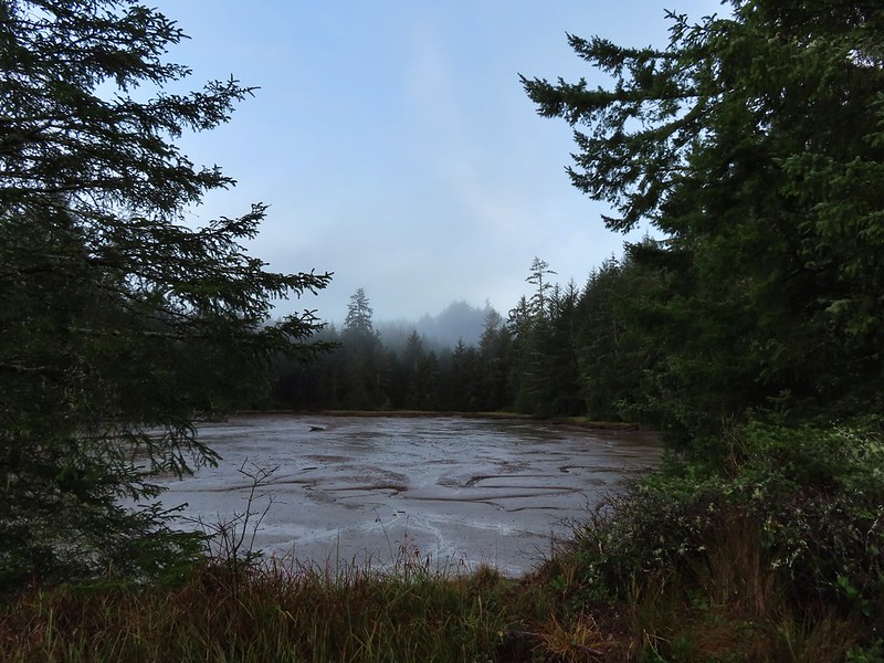
 Dropping down to another estuary.
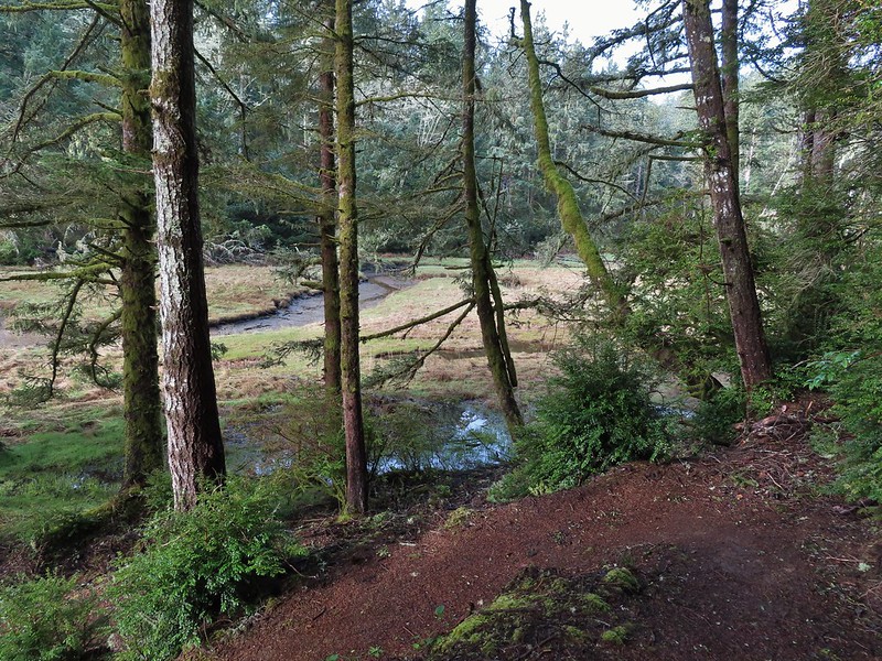
 Back up we go!
 Found the road.
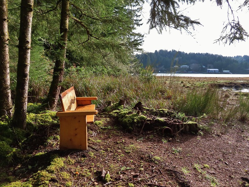
 Bench on the far hillside above the clear cut.
 Short path to the bench.
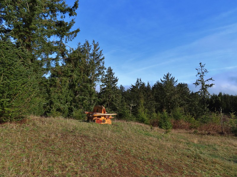

 One of the trails.

 A rather damp woolly bear caterpillar.
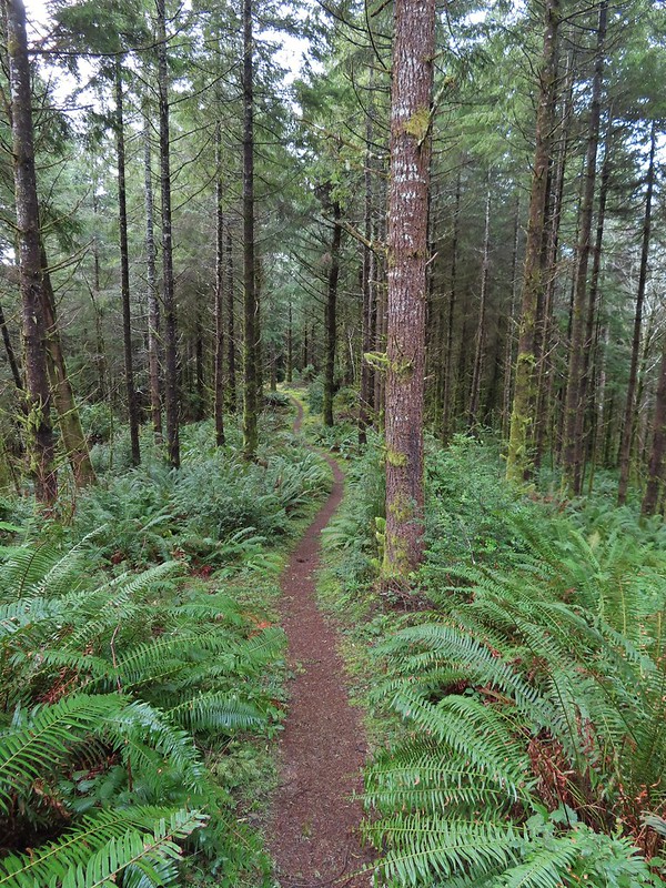
 Back to Road 200 near Kings Slough.


 This photo is from CA but it actually shows the namesake Red Buttes


 Closest thing to a “wilderness sign” we saw for this one.


 A rectangular view of the area which also includes some hikes from the Central Cascades book at the southern end and hikes from the Eastern book along the eastern end.
 Map showing only hikes from the NW book.


 (This is Yacolt not Moulton Falls)


 Pictured: Blue Lake


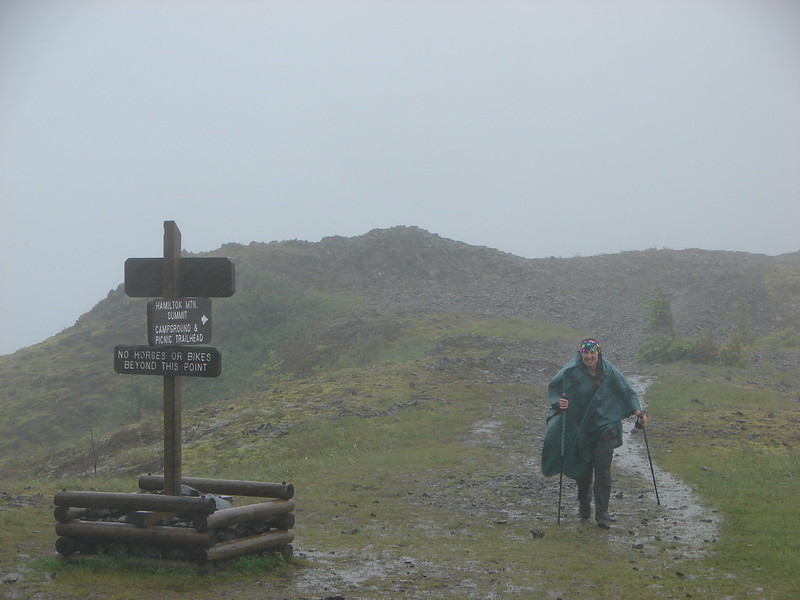 Hamilton Mountain
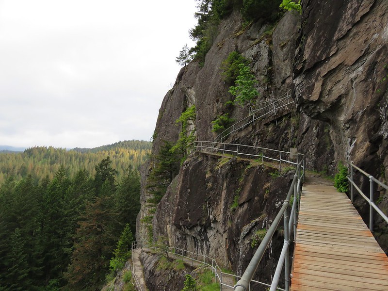 Beacon Rock


 Bonanza Trail
 Boulder Ridge Trail


 Four County Point
 Sunset Rest Area


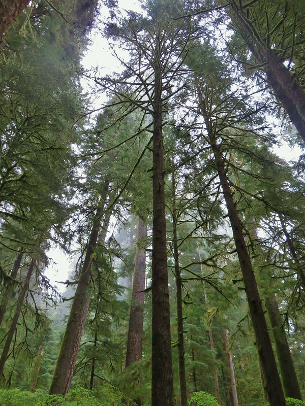
 Inland (Rainforest) Trail


 Yaquina Head
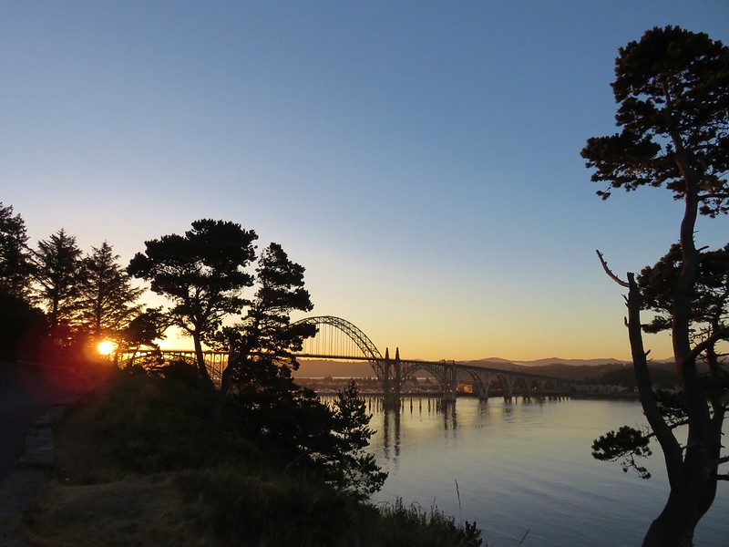 Yaquina Bay
 Estuary Trail
 South Jetty
 Mike Miller Trail

 Fort Hoskins
 Beazell Forest


 Pioneer Hill Trail
 Pawn Old Growth Trail
 Old Growth Ridge Trail
 Clay Creek Trail


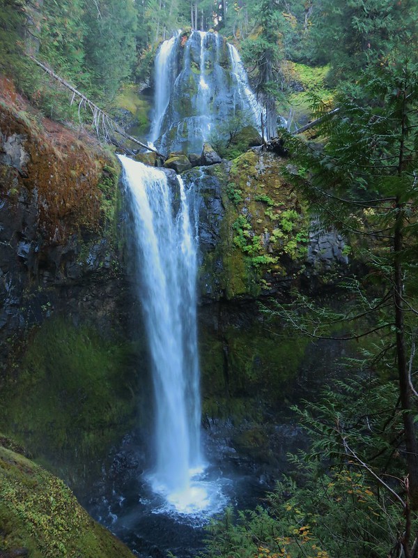
 Coquille River Falls
 Elk Creek Falls
 Shrader Old Growth Trail
 Myrtle Tree Trail
 Vulcan Peak